Chiloquin map Cut Out Stock Images
 Chiloquin, Klamath County, US, United States, Oregon, N 42 34' 39'', S 121 51' 58'', map, Cartascapes Map published in 2024. Explore Cartascapes, a map revealing Earth's diverse landscapes, cultures, and ecosystems. Journey through time and space, discovering the interconnectedness of our planet's past, present, and future. Stock Photohttps://www.alamy.com/image-license-details/?v=1https://www.alamy.com/chiloquin-klamath-county-us-united-states-oregon-n-42-34-39-s-121-51-58-map-cartascapes-map-published-in-2024-explore-cartascapes-a-map-revealing-earths-diverse-landscapes-cultures-and-ecosystems-journey-through-time-and-space-discovering-the-interconnectedness-of-our-planets-past-present-and-future-image621199258.html
RM2Y2J1YP–Chiloquin, Klamath County, US, United States, Oregon, N 42 34' 39'', S 121 51' 58'', map, Cartascapes Map published in 2024. Explore Cartascapes, a map revealing Earth's diverse landscapes, cultures, and ecosystems. Journey through time and space, discovering the interconnectedness of our planet's past, present, and future.
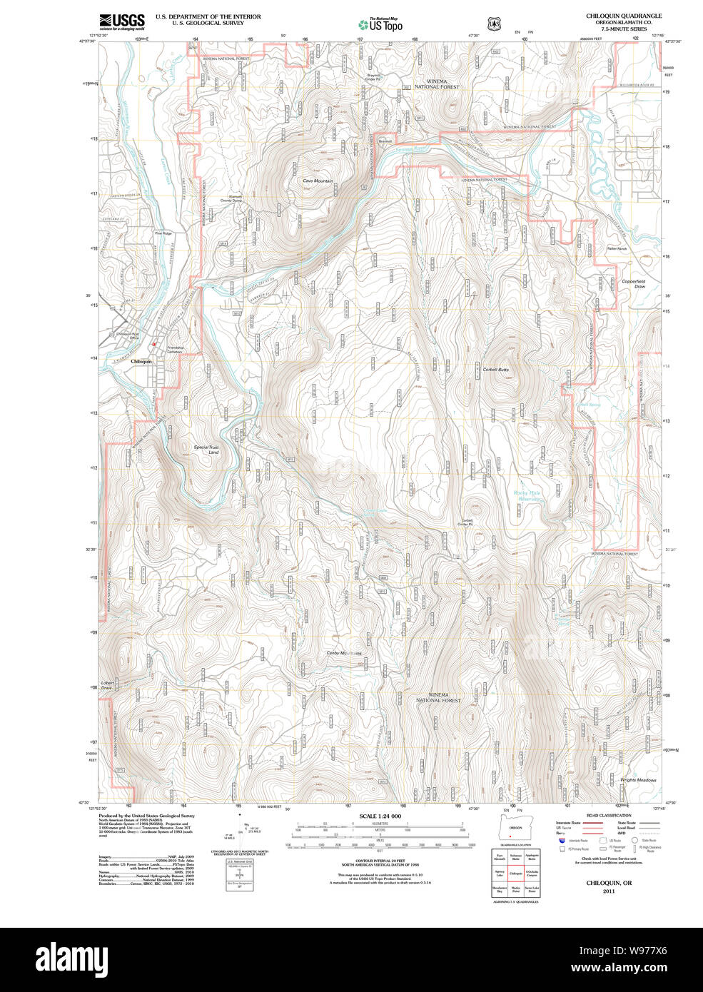 USGS Topo Map Oregon Chiloquin 20110719 TM Restoration Stock Photohttps://www.alamy.com/image-license-details/?v=1https://www.alamy.com/usgs-topo-map-oregon-chiloquin-20110719-tm-restoration-image263847310.html
RMW977X6–USGS Topo Map Oregon Chiloquin 20110719 TM Restoration
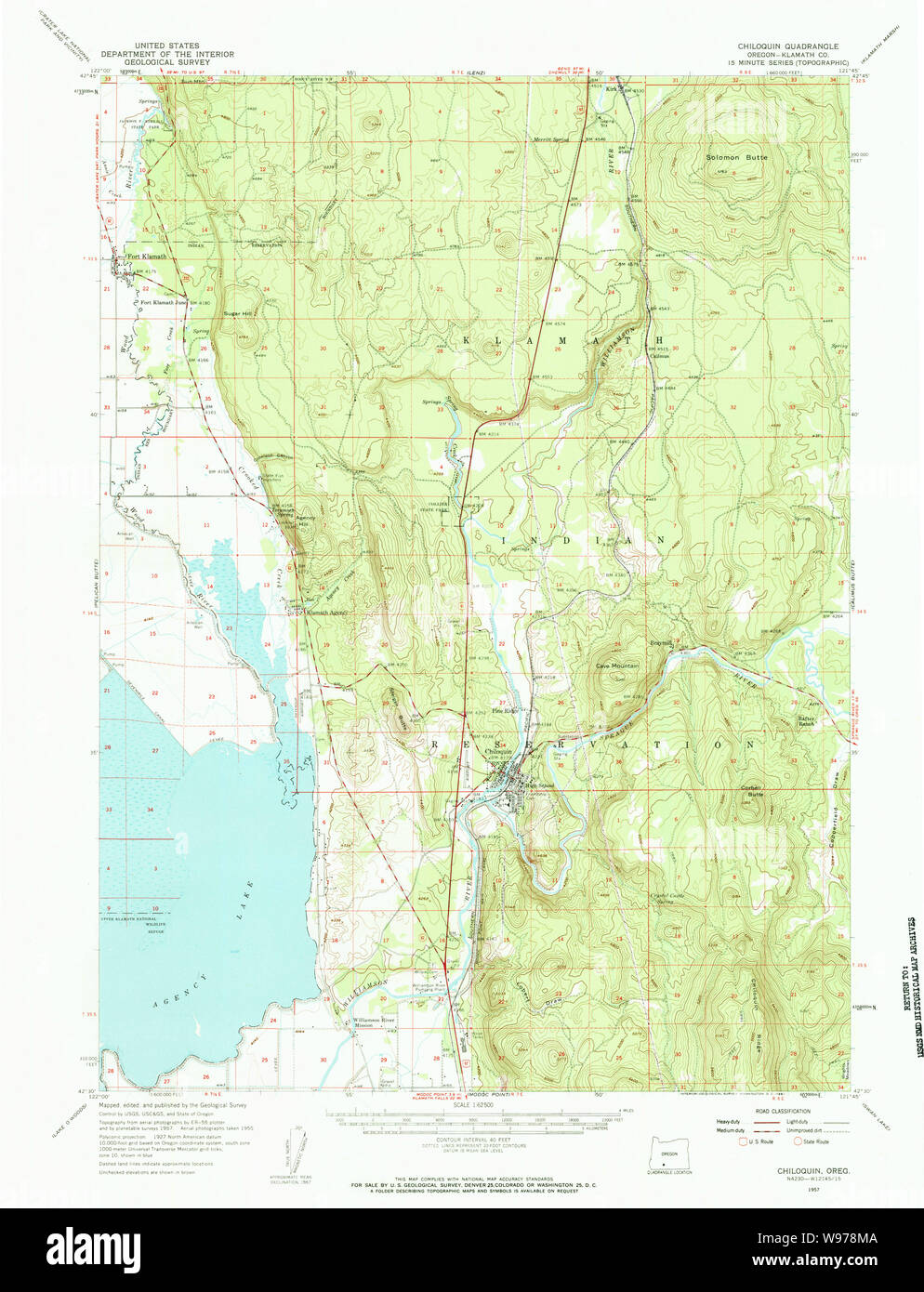 USGS Topo Map Oregon Chiloquin 282334 1957 62500 Restoration Stock Photohttps://www.alamy.com/image-license-details/?v=1https://www.alamy.com/usgs-topo-map-oregon-chiloquin-282334-1957-62500-restoration-image263847930.html
RMW978MA–USGS Topo Map Oregon Chiloquin 282334 1957 62500 Restoration
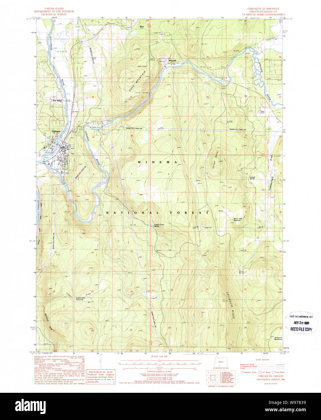 USGS Topo Map Oregon Chiloquin 279337 1988 24000 Restoration Stock Photohttps://www.alamy.com/image-license-details/?v=1https://www.alamy.com/usgs-topo-map-oregon-chiloquin-279337-1988-24000-restoration-image263847453.html
RMW97839–USGS Topo Map Oregon Chiloquin 279337 1988 24000 Restoration
 Chiloquin, Klamath County, US, United States, Oregon, N 42 34' 39'', S 121 51' 58'', map, Cartascapes Map published in 2024. Explore Cartascapes, a map revealing Earth's diverse landscapes, cultures, and ecosystems. Journey through time and space, discovering the interconnectedness of our planet's past, present, and future. Stock Photohttps://www.alamy.com/image-license-details/?v=1https://www.alamy.com/chiloquin-klamath-county-us-united-states-oregon-n-42-34-39-s-121-51-58-map-cartascapes-map-published-in-2024-explore-cartascapes-a-map-revealing-earths-diverse-landscapes-cultures-and-ecosystems-journey-through-time-and-space-discovering-the-interconnectedness-of-our-planets-past-present-and-future-image620871867.html
RM2Y234B7–Chiloquin, Klamath County, US, United States, Oregon, N 42 34' 39'', S 121 51' 58'', map, Cartascapes Map published in 2024. Explore Cartascapes, a map revealing Earth's diverse landscapes, cultures, and ecosystems. Journey through time and space, discovering the interconnectedness of our planet's past, present, and future.
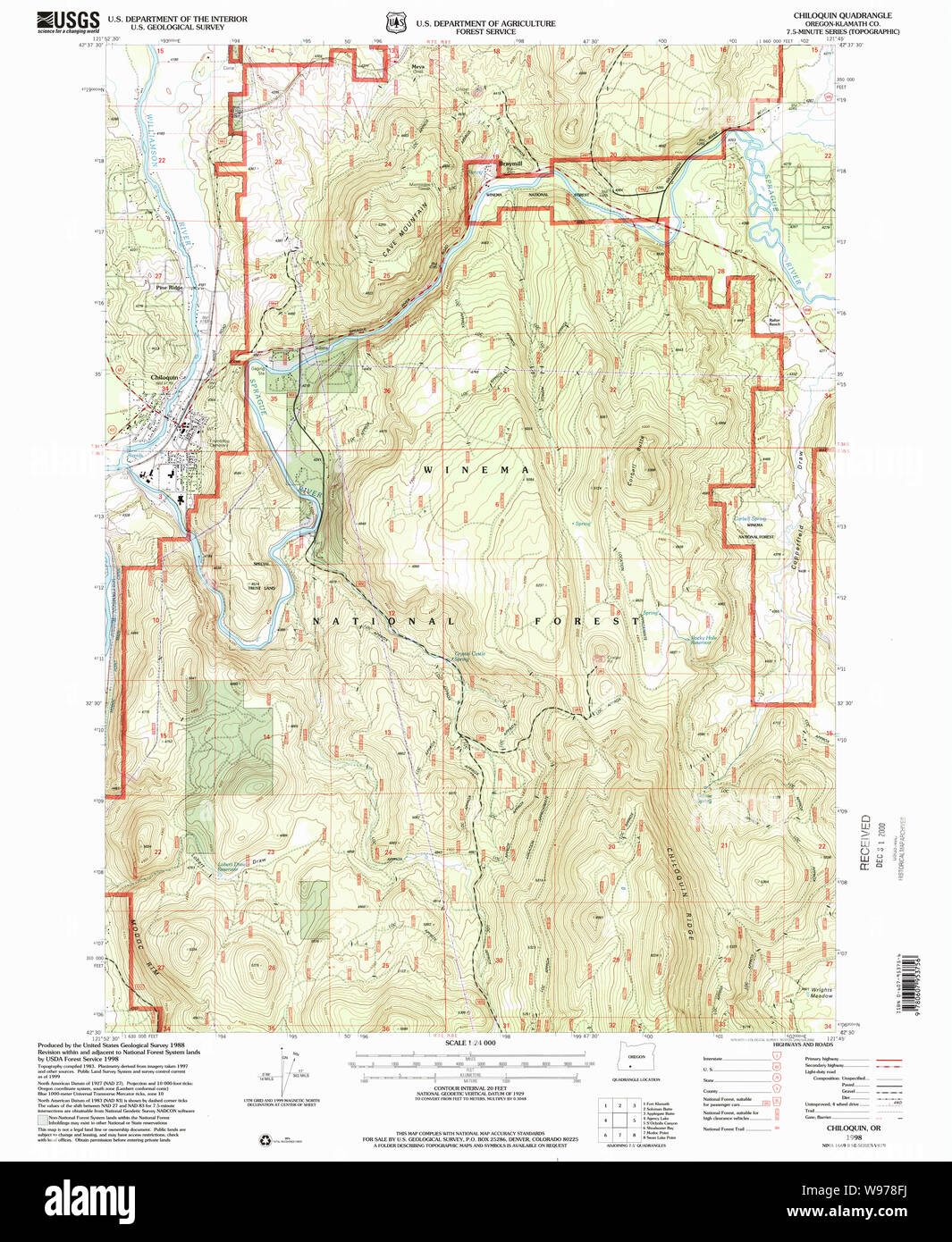 USGS Topo Map Oregon Chiloquin 279338 1998 24000 Restoration Stock Photohttps://www.alamy.com/image-license-details/?v=1https://www.alamy.com/usgs-topo-map-oregon-chiloquin-279338-1998-24000-restoration-image263847798.html
RMW978FJ–USGS Topo Map Oregon Chiloquin 279338 1998 24000 Restoration
 City of Chiloquin, Klamath County, US, United States, Oregon, N 42 34' 35'', S 121 52' 3'', map, Cartascapes Map published in 2024. Explore Cartascapes, a map revealing Earth's diverse landscapes, cultures, and ecosystems. Journey through time and space, discovering the interconnectedness of our planet's past, present, and future. Stock Photohttps://www.alamy.com/image-license-details/?v=1https://www.alamy.com/city-of-chiloquin-klamath-county-us-united-states-oregon-n-42-34-35-s-121-52-3-map-cartascapes-map-published-in-2024-explore-cartascapes-a-map-revealing-earths-diverse-landscapes-cultures-and-ecosystems-journey-through-time-and-space-discovering-the-interconnectedness-of-our-planets-past-present-and-future-image633883696.html
RM2YR7W3C–City of Chiloquin, Klamath County, US, United States, Oregon, N 42 34' 35'', S 121 52' 3'', map, Cartascapes Map published in 2024. Explore Cartascapes, a map revealing Earth's diverse landscapes, cultures, and ecosystems. Journey through time and space, discovering the interconnectedness of our planet's past, present, and future.
 Chiloquin, Oregon, map 1988, 1:24000, United States of America by Timeless Maps, data U.S. Geological Survey Stock Photohttps://www.alamy.com/image-license-details/?v=1https://www.alamy.com/chiloquin-oregon-map-1988-124000-united-states-of-america-by-timeless-maps-data-us-geological-survey-image406943866.html
RM2EJ1W1E–Chiloquin, Oregon, map 1988, 1:24000, United States of America by Timeless Maps, data U.S. Geological Survey
 Chiloquin, Oregon, map 1957, 1:62500, United States of America by Timeless Maps, data U.S. Geological Survey Stock Photohttps://www.alamy.com/image-license-details/?v=1https://www.alamy.com/chiloquin-oregon-map-1957-162500-united-states-of-america-by-timeless-maps-data-us-geological-survey-image414176655.html
RM2F1RAFB–Chiloquin, Oregon, map 1957, 1:62500, United States of America by Timeless Maps, data U.S. Geological Survey
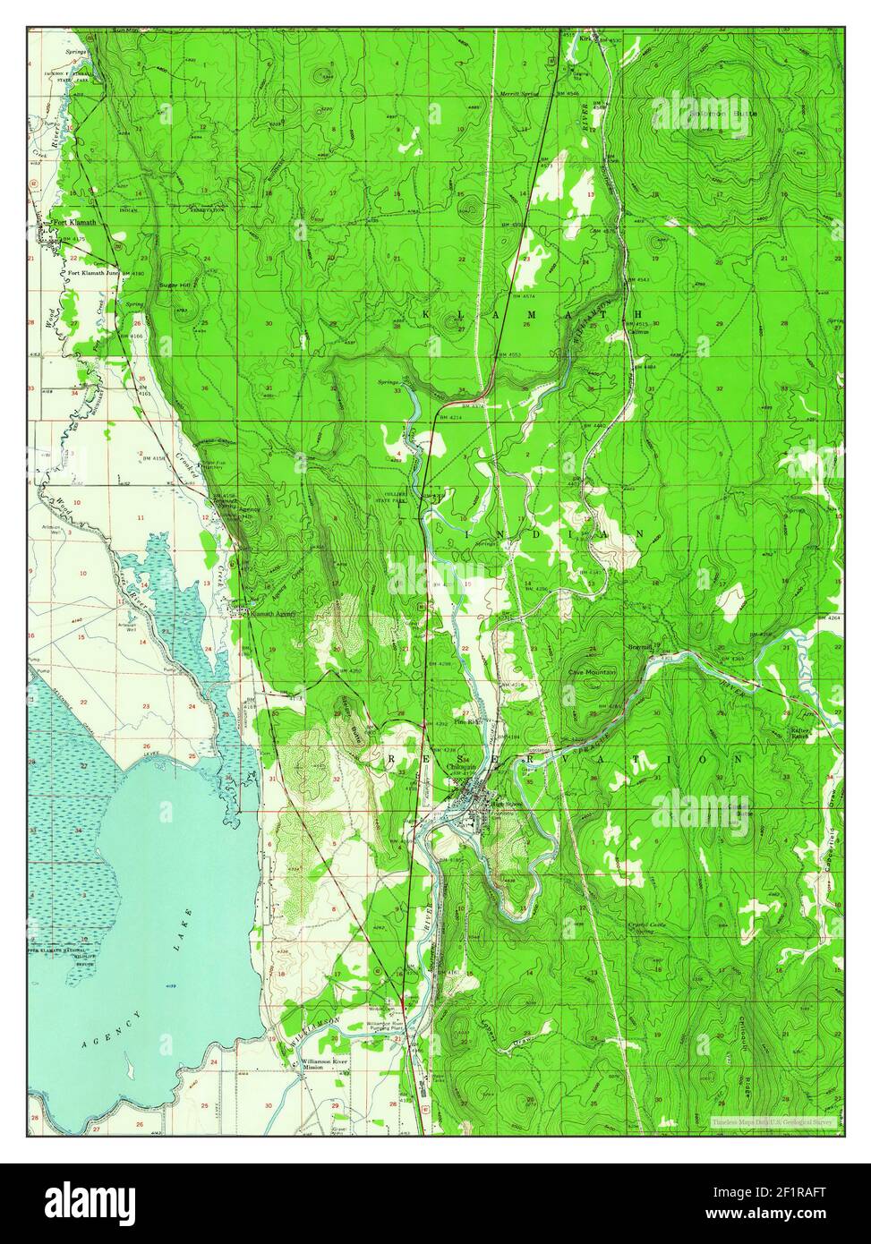 Chiloquin, Oregon, map 1957, 1:62500, United States of America by Timeless Maps, data U.S. Geological Survey Stock Photohttps://www.alamy.com/image-license-details/?v=1https://www.alamy.com/chiloquin-oregon-map-1957-162500-united-states-of-america-by-timeless-maps-data-us-geological-survey-image414176668.html
RM2F1RAFT–Chiloquin, Oregon, map 1957, 1:62500, United States of America by Timeless Maps, data U.S. Geological Survey
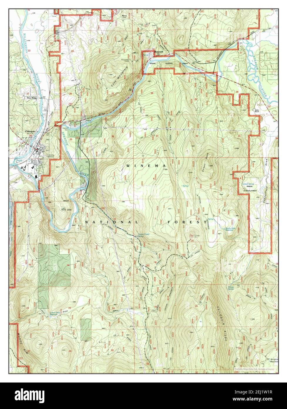 Chiloquin, Oregon, map 1998, 1:24000, United States of America by Timeless Maps, data U.S. Geological Survey Stock Photohttps://www.alamy.com/image-license-details/?v=1https://www.alamy.com/chiloquin-oregon-map-1998-124000-united-states-of-america-by-timeless-maps-data-us-geological-survey-image406943875.html
RM2EJ1W1R–Chiloquin, Oregon, map 1998, 1:24000, United States of America by Timeless Maps, data U.S. Geological Survey