Churchill north somerset england Stock Photos and Images
(59)See churchill north somerset england stock video clipsQuick filters:
Churchill north somerset england Stock Photos and Images
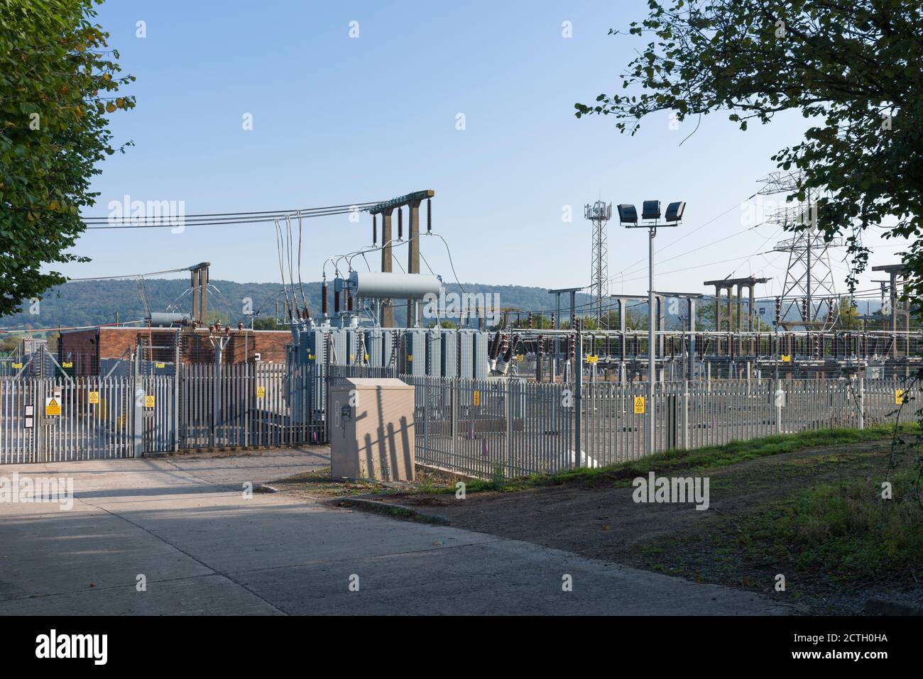 The electricity substation at Churchill, North Somerset, England. Stock Photohttps://www.alamy.com/image-license-details/?v=1https://www.alamy.com/the-electricity-substation-at-churchill-north-somerset-england-image376543142.html
RM2CTH0HA–The electricity substation at Churchill, North Somerset, England.
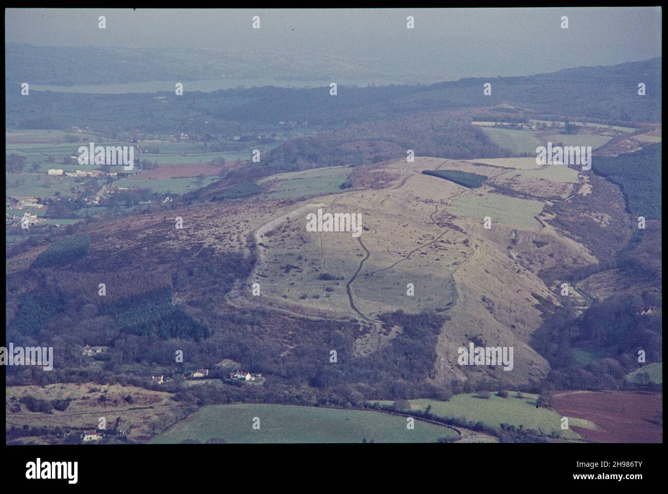 Dolebury Camp, an Iron Age multivallate hillfort earthwork, from the west, Churchill, North Somerset, 1971. Stock Photohttps://www.alamy.com/image-license-details/?v=1https://www.alamy.com/dolebury-camp-an-iron-age-multivallate-hillfort-earthwork-from-the-west-churchill-north-somerset-1971-image453182491.html
RM2H986TY–Dolebury Camp, an Iron Age multivallate hillfort earthwork, from the west, Churchill, North Somerset, 1971.
 The 19th century Methodist church in the village of Churchill, North Somerset, England. Stock Photohttps://www.alamy.com/image-license-details/?v=1https://www.alamy.com/the-19th-century-methodist-church-in-the-village-of-churchill-north-somerset-england-image561062684.html
RM2RGPH50–The 19th century Methodist church in the village of Churchill, North Somerset, England.
 Churchill, North Somerset, GB, United Kingdom, England, N 51 20' 32'', S 2 47' 48'', map, Cartascapes Map published in 2024. Explore Cartascapes, a map revealing Earth's diverse landscapes, cultures, and ecosystems. Journey through time and space, discovering the interconnectedness of our planet's past, present, and future. Stock Photohttps://www.alamy.com/image-license-details/?v=1https://www.alamy.com/churchill-north-somerset-gb-united-kingdom-england-n-51-20-32-s-2-47-48-map-cartascapes-map-published-in-2024-explore-cartascapes-a-map-revealing-earths-diverse-landscapes-cultures-and-ecosystems-journey-through-time-and-space-discovering-the-interconnectedness-of-our-planets-past-present-and-future-image604260888.html
RM2X32CX0–Churchill, North Somerset, GB, United Kingdom, England, N 51 20' 32'', S 2 47' 48'', map, Cartascapes Map published in 2024. Explore Cartascapes, a map revealing Earth's diverse landscapes, cultures, and ecosystems. Journey through time and space, discovering the interconnectedness of our planet's past, present, and future.
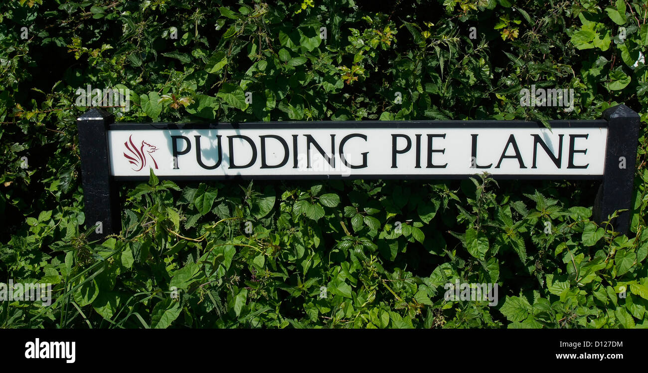 Pudding Pie Lane street name in the village of Churchill, North Somerset. Stock Photohttps://www.alamy.com/image-license-details/?v=1https://www.alamy.com/stock-photo-pudding-pie-lane-street-name-in-the-village-of-churchill-north-somerset-52295536.html
RMD127DM–Pudding Pie Lane street name in the village of Churchill, North Somerset.
 Three silhouetted walkers (two women and one male) near the top of a hill near the village of Churchill, Mendips,North Somerset. Stock Photohttps://www.alamy.com/image-license-details/?v=1https://www.alamy.com/stock-photo-three-silhouetted-walkers-two-women-and-one-male-near-the-top-of-a-28344381.html
RMBJ35F9–Three silhouetted walkers (two women and one male) near the top of a hill near the village of Churchill, Mendips,North Somerset.
 Old inn at Churchill village on the A368 in North Somerset, England. August 2022 Stock Photohttps://www.alamy.com/image-license-details/?v=1https://www.alamy.com/old-inn-at-churchill-village-on-the-a368-in-north-somerset-england-august-2022-image476518101.html
RF2JK77KH–Old inn at Churchill village on the A368 in North Somerset, England. August 2022
 The 19th century Methodist church in the village of Churchill, North Somerset, England. Stock Photohttps://www.alamy.com/image-license-details/?v=1https://www.alamy.com/the-19th-century-methodist-church-in-the-village-of-churchill-north-somerset-england-image561062667.html
RM2RGPH4B–The 19th century Methodist church in the village of Churchill, North Somerset, England.
 Churchill, North Somerset, GB, United Kingdom, England, N 51 20' 32'', S 2 47' 48'', map, Cartascapes Map published in 2024. Explore Cartascapes, a map revealing Earth's diverse landscapes, cultures, and ecosystems. Journey through time and space, discovering the interconnectedness of our planet's past, present, and future. Stock Photohttps://www.alamy.com/image-license-details/?v=1https://www.alamy.com/churchill-north-somerset-gb-united-kingdom-england-n-51-20-32-s-2-47-48-map-cartascapes-map-published-in-2024-explore-cartascapes-a-map-revealing-earths-diverse-landscapes-cultures-and-ecosystems-journey-through-time-and-space-discovering-the-interconnectedness-of-our-planets-past-present-and-future-image604260908.html
RM2X32CXM–Churchill, North Somerset, GB, United Kingdom, England, N 51 20' 32'', S 2 47' 48'', map, Cartascapes Map published in 2024. Explore Cartascapes, a map revealing Earth's diverse landscapes, cultures, and ecosystems. Journey through time and space, discovering the interconnectedness of our planet's past, present, and future.
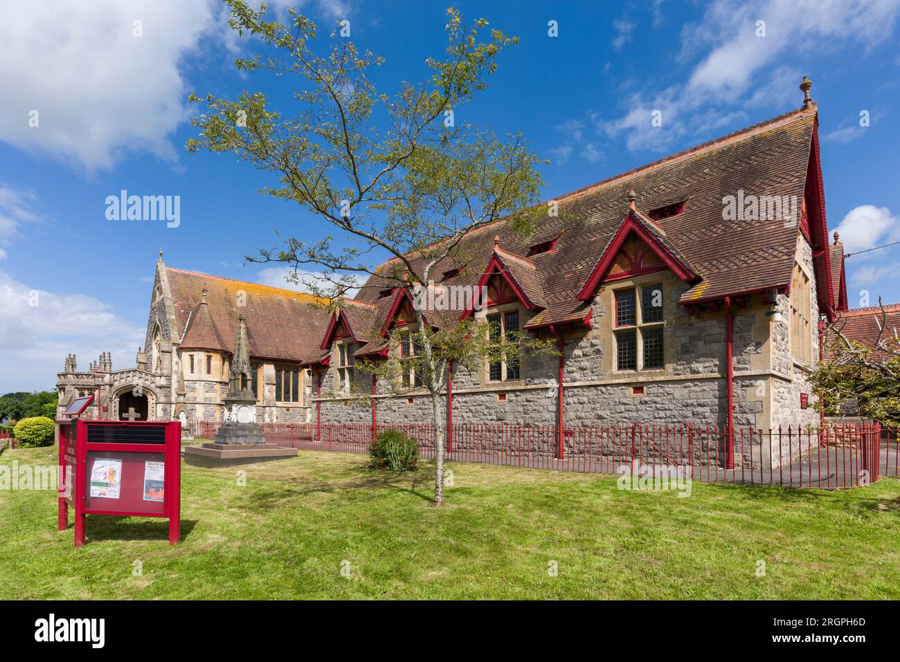 The 19th century Methodist church in the village of Churchill, North Somerset, England. Stock Photohttps://www.alamy.com/image-license-details/?v=1https://www.alamy.com/the-19th-century-methodist-church-in-the-village-of-churchill-north-somerset-england-image561062725.html
RM2RGPH6D–The 19th century Methodist church in the village of Churchill, North Somerset, England.
 Churchill, North Somerset, GB, United Kingdom, England, N 51 20' 34'', S 2 47' 0'', map, Cartascapes Map published in 2024. Explore Cartascapes, a map revealing Earth's diverse landscapes, cultures, and ecosystems. Journey through time and space, discovering the interconnectedness of our planet's past, present, and future. Stock Photohttps://www.alamy.com/image-license-details/?v=1https://www.alamy.com/churchill-north-somerset-gb-united-kingdom-england-n-51-20-34-s-2-47-0-map-cartascapes-map-published-in-2024-explore-cartascapes-a-map-revealing-earths-diverse-landscapes-cultures-and-ecosystems-journey-through-time-and-space-discovering-the-interconnectedness-of-our-planets-past-present-and-future-image604178160.html
RM2X2XKBC–Churchill, North Somerset, GB, United Kingdom, England, N 51 20' 34'', S 2 47' 0'', map, Cartascapes Map published in 2024. Explore Cartascapes, a map revealing Earth's diverse landscapes, cultures, and ecosystems. Journey through time and space, discovering the interconnectedness of our planet's past, present, and future.
 The Church of St John the Baptist in the rural village of Churchill, North Somerset, England. Stock Photohttps://www.alamy.com/image-license-details/?v=1https://www.alamy.com/the-church-of-st-john-the-baptist-in-the-rural-village-of-churchill-north-somerset-england-image615132618.html
RM2XMNKX2–The Church of St John the Baptist in the rural village of Churchill, North Somerset, England.
 Churchill, North Somerset, GB, United Kingdom, England, N 51 20' 34'', S 2 47' 0'', map, Cartascapes Map published in 2024. Explore Cartascapes, a map revealing Earth's diverse landscapes, cultures, and ecosystems. Journey through time and space, discovering the interconnectedness of our planet's past, present, and future. Stock Photohttps://www.alamy.com/image-license-details/?v=1https://www.alamy.com/churchill-north-somerset-gb-united-kingdom-england-n-51-20-34-s-2-47-0-map-cartascapes-map-published-in-2024-explore-cartascapes-a-map-revealing-earths-diverse-landscapes-cultures-and-ecosystems-journey-through-time-and-space-discovering-the-interconnectedness-of-our-planets-past-present-and-future-image604178152.html
RM2X2XKB4–Churchill, North Somerset, GB, United Kingdom, England, N 51 20' 34'', S 2 47' 0'', map, Cartascapes Map published in 2024. Explore Cartascapes, a map revealing Earth's diverse landscapes, cultures, and ecosystems. Journey through time and space, discovering the interconnectedness of our planet's past, present, and future.
 The Lychgate at the Church of St John the Baptist in the rural village of Churchill, North Somerset, England. Stock Photohttps://www.alamy.com/image-license-details/?v=1https://www.alamy.com/the-lychgate-at-the-church-of-st-john-the-baptist-in-the-rural-village-of-churchill-north-somerset-england-image615132609.html
RM2XMNKWN–The Lychgate at the Church of St John the Baptist in the rural village of Churchill, North Somerset, England.
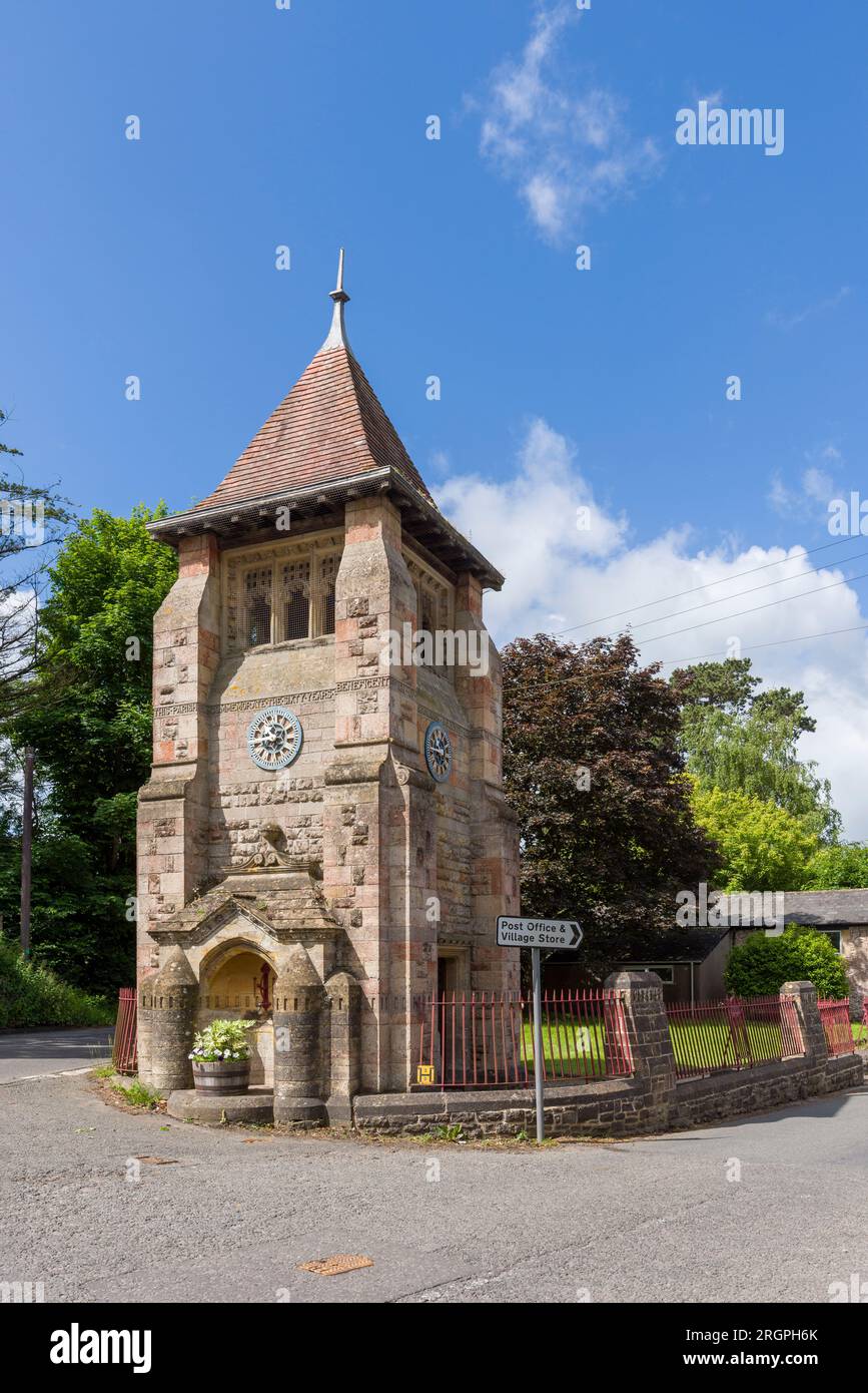 The Jubilee Clock Tower in the village of Churchill, North Somerset, England. Stock Photohttps://www.alamy.com/image-license-details/?v=1https://www.alamy.com/the-jubilee-clock-tower-in-the-village-of-churchill-north-somerset-england-image561062731.html
RM2RGPH6K–The Jubilee Clock Tower in the village of Churchill, North Somerset, England.
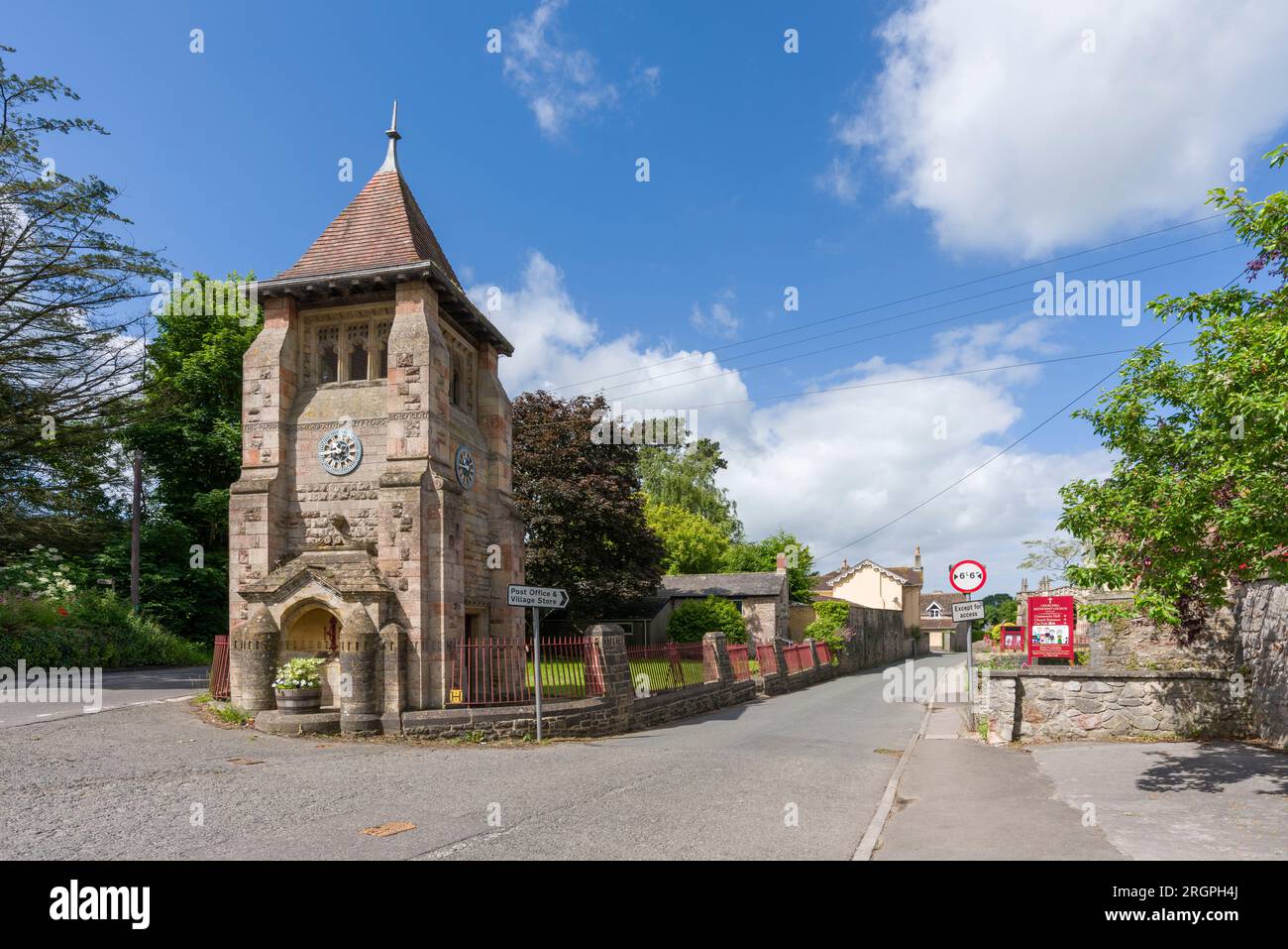 The Jubilee Clock Tower in the village of Churchill, North Somerset, England. Stock Photohttps://www.alamy.com/image-license-details/?v=1https://www.alamy.com/the-jubilee-clock-tower-in-the-village-of-churchill-north-somerset-england-image561062674.html
RM2RGPH4J–The Jubilee Clock Tower in the village of Churchill, North Somerset, England.
 Directions to Bristol, Bridgwater and Taunton on the A38 covered in snow at Churchill, North Somerset, England. Stock Photohttps://www.alamy.com/image-license-details/?v=1https://www.alamy.com/stock-photo-directions-to-bristol-bridgwater-and-taunton-on-the-a38-covered-in-110877427.html
RMGCAW83–Directions to Bristol, Bridgwater and Taunton on the A38 covered in snow at Churchill, North Somerset, England.
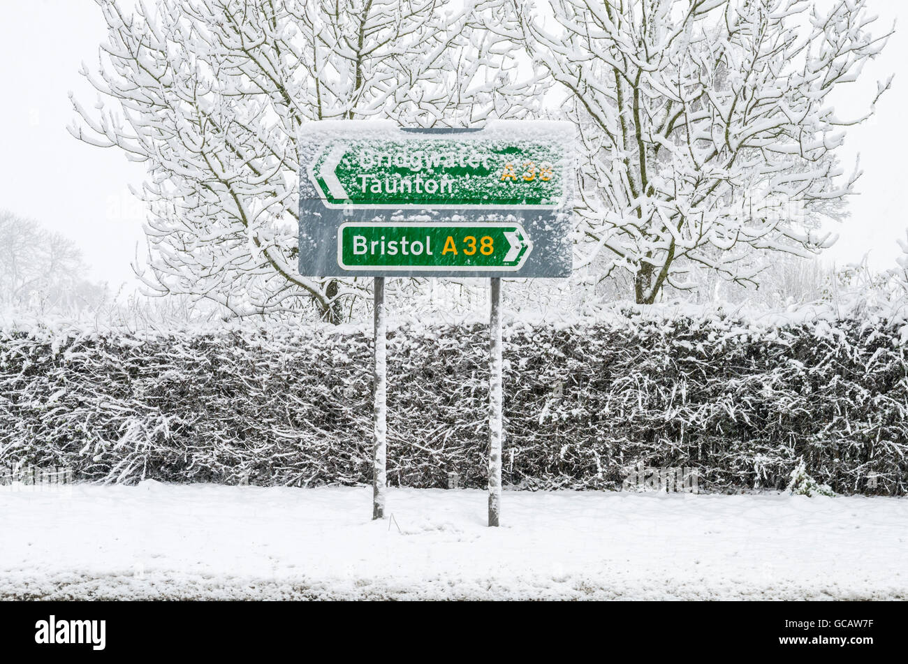 Directions to Bristol, Bridgwater and Taunton on the A38 covered in snow at Churchill, North Somerset, England. Stock Photohttps://www.alamy.com/image-license-details/?v=1https://www.alamy.com/stock-photo-directions-to-bristol-bridgwater-and-taunton-on-the-a38-covered-in-110877411.html
RMGCAW7F–Directions to Bristol, Bridgwater and Taunton on the A38 covered in snow at Churchill, North Somerset, England.
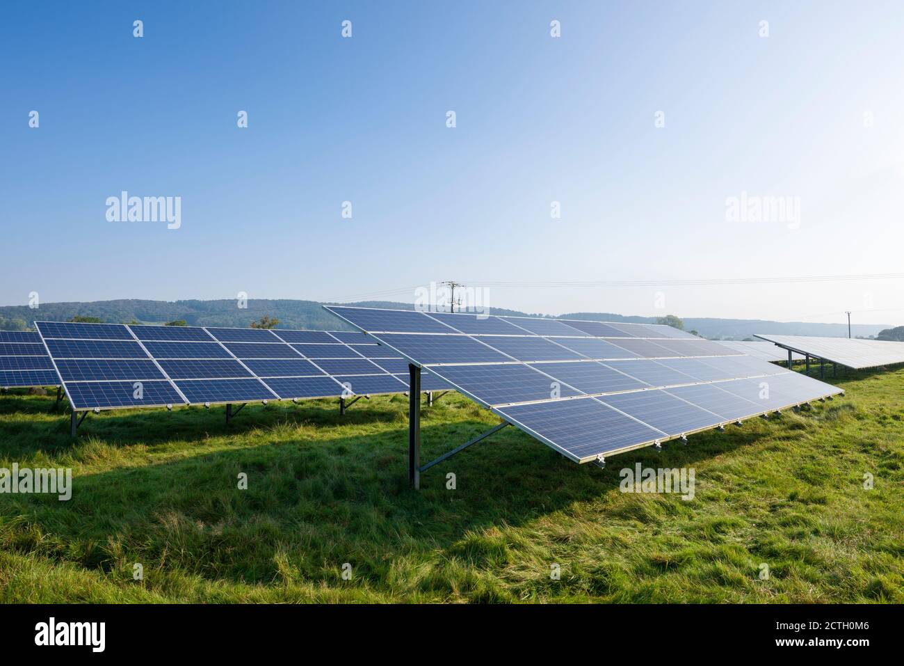 Solar arrays in a field generating electricity near Churchill, North Somerset, England. Stock Photohttps://www.alamy.com/image-license-details/?v=1https://www.alamy.com/solar-arrays-in-a-field-generating-electricity-near-churchill-north-somerset-england-image376543222.html
RM2CTH0M6–Solar arrays in a field generating electricity near Churchill, North Somerset, England.
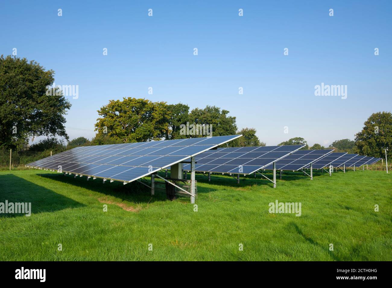 Solar arrays in a field generating electricity near Churchill, North Somerset, England. Stock Photohttps://www.alamy.com/image-license-details/?v=1https://www.alamy.com/solar-arrays-in-a-field-generating-electricity-near-churchill-north-somerset-england-image376543148.html
RM2CTH0HG–Solar arrays in a field generating electricity near Churchill, North Somerset, England.
 A rural bus stop during a snow storm near Churchill, North Somerset, England. Stock Photohttps://www.alamy.com/image-license-details/?v=1https://www.alamy.com/stock-photo-a-rural-bus-stop-during-a-snow-storm-near-churchill-north-somerset-110877410.html
RMGCAW7E–A rural bus stop during a snow storm near Churchill, North Somerset, England.
 Dolebury Warren in the Mendip Hills National Landscape in late autumn, North Somerset, England. Stock Photohttps://www.alamy.com/image-license-details/?v=1https://www.alamy.com/dolebury-warren-in-the-mendip-hills-national-landscape-in-late-autumn-north-somerset-england-image482518742.html
RM2K10HG6–Dolebury Warren in the Mendip Hills National Landscape in late autumn, North Somerset, England.
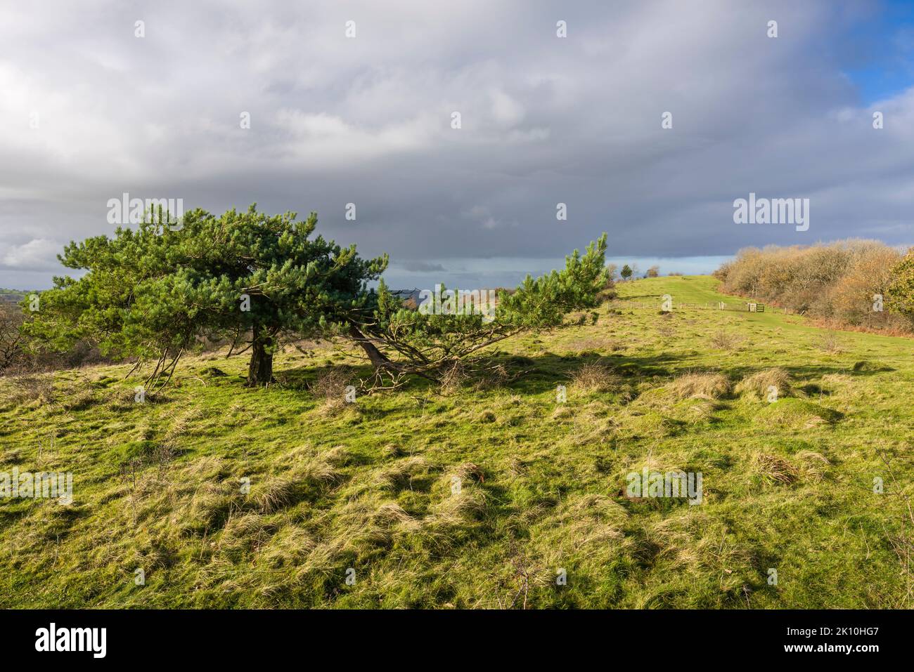 Dolebury Warren in the Mendip Hills National Landscape in late autumn, North Somerset, England. Stock Photohttps://www.alamy.com/image-license-details/?v=1https://www.alamy.com/dolebury-warren-in-the-mendip-hills-national-landscape-in-late-autumn-north-somerset-england-image482518743.html
RM2K10HG7–Dolebury Warren in the Mendip Hills National Landscape in late autumn, North Somerset, England.
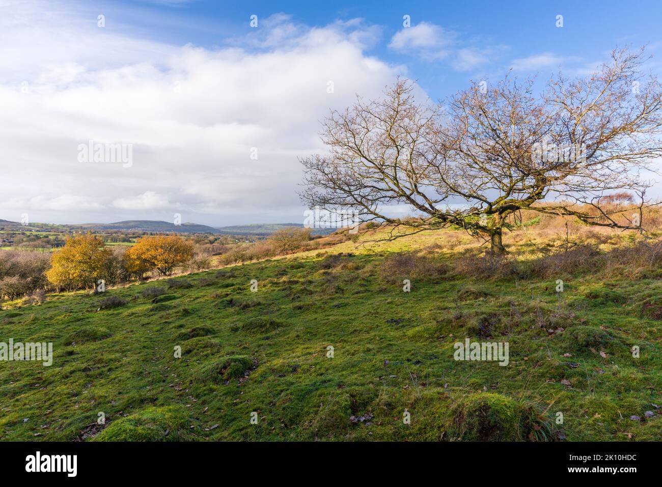 Dolebury Warren in the Mendip Hills National Landscape in late autumn, North Somerset, England. Stock Photohttps://www.alamy.com/image-license-details/?v=1https://www.alamy.com/dolebury-warren-in-the-mendip-hills-national-landscape-in-late-autumn-north-somerset-england-image482518664.html
RM2K10HDC–Dolebury Warren in the Mendip Hills National Landscape in late autumn, North Somerset, England.
 The defensive ramparts of the hill fort at Dolebury Warren in the Mendip Hills National Landscape, North Somerset, England. Stock Photohttps://www.alamy.com/image-license-details/?v=1https://www.alamy.com/the-defensive-ramparts-of-the-hill-fort-at-dolebury-warren-in-the-mendip-hills-national-landscape-north-somerset-england-image482518741.html
RM2K10HG5–The defensive ramparts of the hill fort at Dolebury Warren in the Mendip Hills National Landscape, North Somerset, England.
 The defensive ramparts of the hill fort at Dolebury Warren in the Mendip Hills National Landscape, North Somerset, England. Stock Photohttps://www.alamy.com/image-license-details/?v=1https://www.alamy.com/the-defensive-ramparts-of-the-hill-fort-at-dolebury-warren-in-the-mendip-hills-national-landscape-north-somerset-england-image482518905.html
RM2K10HP1–The defensive ramparts of the hill fort at Dolebury Warren in the Mendip Hills National Landscape, North Somerset, England.
 The defensive ramparts of the hill fort at Dolebury Warren in the Mendip Hills National Landscape, North Somerset, England. Stock Photohttps://www.alamy.com/image-license-details/?v=1https://www.alamy.com/the-defensive-ramparts-of-the-hill-fort-at-dolebury-warren-in-the-mendip-hills-national-landscape-north-somerset-england-image482518979.html
RM2K10HTK–The defensive ramparts of the hill fort at Dolebury Warren in the Mendip Hills National Landscape, North Somerset, England.
 Dolebury Warren hill fort in the Mendip Hills National Landscape in late autumn, North Somerset, England. Stock Photohttps://www.alamy.com/image-license-details/?v=1https://www.alamy.com/dolebury-warren-hill-fort-in-the-mendip-hills-national-landscape-in-late-autumn-north-somerset-england-image482518814.html
RM2K10HJP–Dolebury Warren hill fort in the Mendip Hills National Landscape in late autumn, North Somerset, England.
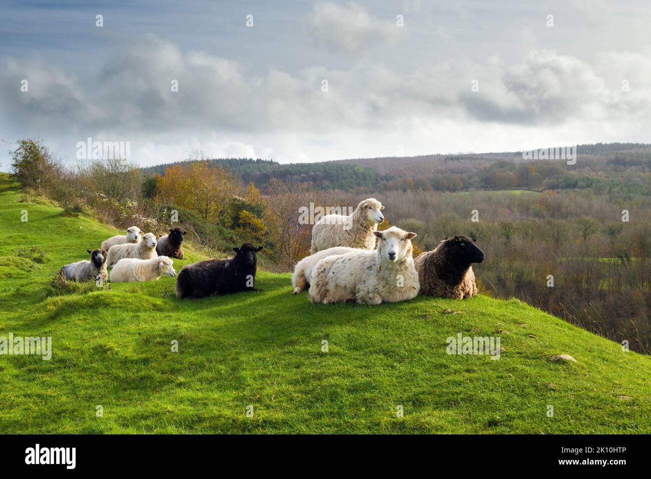 Sheep on the ramparts at Dolebury Warren hill fort in the Mendip Hills National Landscape, North Somerset, England. Stock Photohttps://www.alamy.com/image-license-details/?v=1https://www.alamy.com/sheep-on-the-ramparts-at-dolebury-warren-hill-fort-in-the-mendip-hills-national-landscape-north-somerset-england-image482518982.html
RM2K10HTP–Sheep on the ramparts at Dolebury Warren hill fort in the Mendip Hills National Landscape, North Somerset, England.
 Sheep on the ramparts at Dolebury Warren hill fort in the Mendip Hills National Landscape, North Somerset, England. Stock Photohttps://www.alamy.com/image-license-details/?v=1https://www.alamy.com/sheep-on-the-ramparts-at-dolebury-warren-hill-fort-in-the-mendip-hills-national-landscape-north-somerset-england-image482518815.html
RM2K10HJR–Sheep on the ramparts at Dolebury Warren hill fort in the Mendip Hills National Landscape, North Somerset, England.
 A bridleway on Dolebury Warren in late autumn in the Mendip Hills National Landscape, North Somerset, England. Stock Photohttps://www.alamy.com/image-license-details/?v=1https://www.alamy.com/a-bridleway-on-dolebury-warren-in-late-autumn-in-the-mendip-hills-national-landscape-north-somerset-england-image482518661.html
RM2K10HD9–A bridleway on Dolebury Warren in late autumn in the Mendip Hills National Landscape, North Somerset, England.
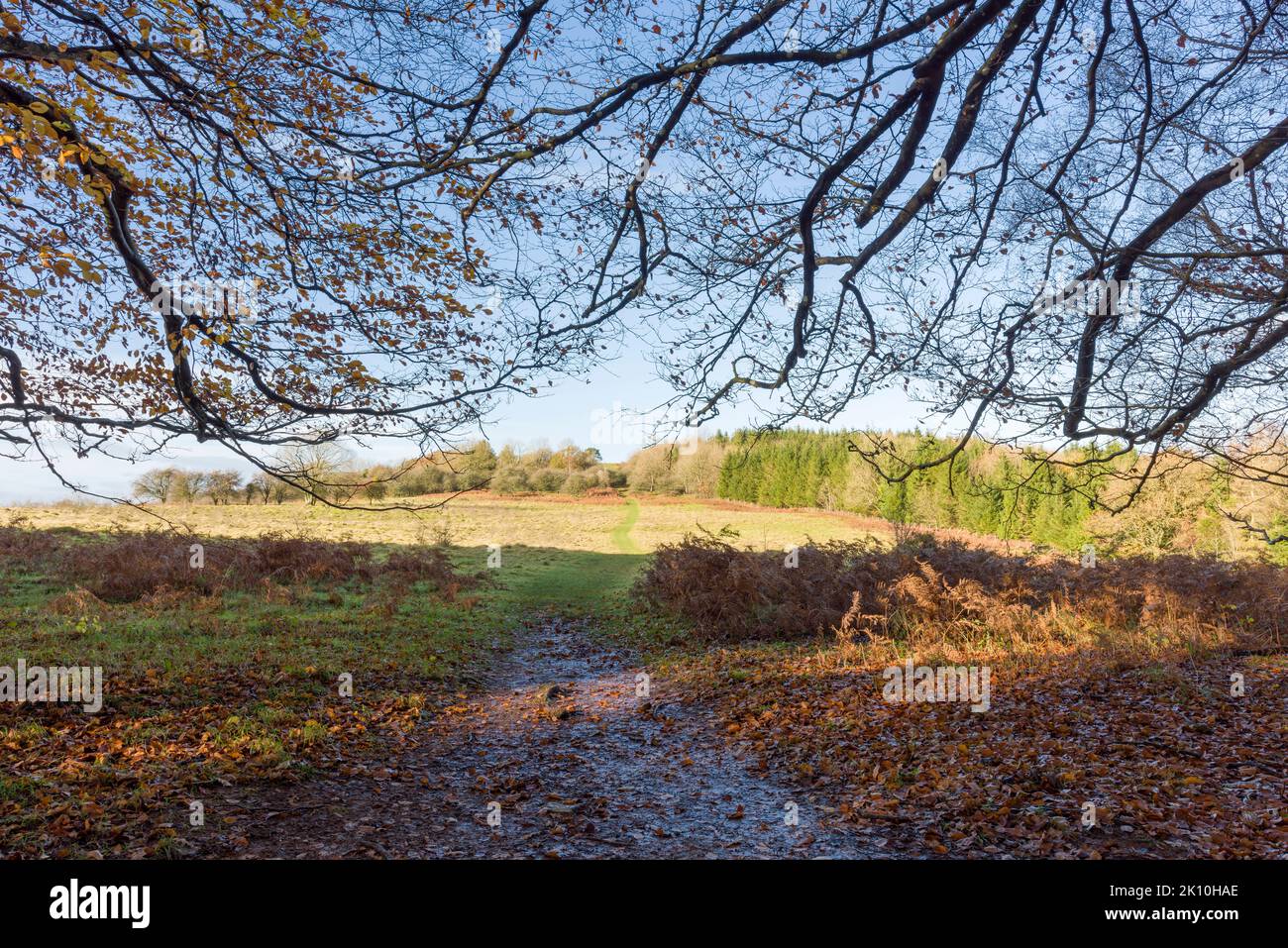 A bridleway on Dolebury Warren in late autumn in the Mendip Hills National Landscape, North Somerset, England. Stock Photohttps://www.alamy.com/image-license-details/?v=1https://www.alamy.com/a-bridleway-on-dolebury-warren-in-late-autumn-in-the-mendip-hills-national-landscape-north-somerset-england-image482518582.html
RM2K10HAE–A bridleway on Dolebury Warren in late autumn in the Mendip Hills National Landscape, North Somerset, England.
 A bridlepath through a beech woodland in late autumn on the edge of Dolebury Warren in the Mendip Hills National Landscape, North Somerset, England. Stock Photohttps://www.alamy.com/image-license-details/?v=1https://www.alamy.com/a-bridlepath-through-a-beech-woodland-in-late-autumn-on-the-edge-of-dolebury-warren-in-the-mendip-hills-national-landscape-north-somerset-england-image482518516.html
RM2K10H84–A bridlepath through a beech woodland in late autumn on the edge of Dolebury Warren in the Mendip Hills National Landscape, North Somerset, England.
 A bridlepath through a beech woodland in late autumn on the edge of Dolebury Warren in the Mendip Hills National Landscape, North Somerset, England. Stock Photohttps://www.alamy.com/image-license-details/?v=1https://www.alamy.com/a-bridlepath-through-a-beech-woodland-in-late-autumn-on-the-edge-of-dolebury-warren-in-the-mendip-hills-national-landscape-north-somerset-england-image482518581.html
RM2K10HAD–A bridlepath through a beech woodland in late autumn on the edge of Dolebury Warren in the Mendip Hills National Landscape, North Somerset, England.
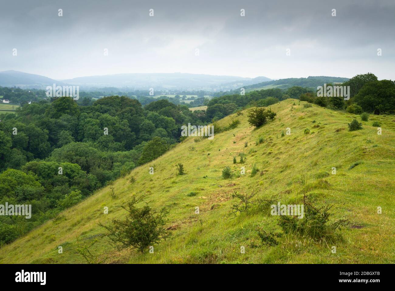 The iron age fort at Dolebury Warren in the Mendip Hills National Landscape, North Somerset, England. Stock Photohttps://www.alamy.com/image-license-details/?v=1https://www.alamy.com/the-iron-age-fort-at-dolebury-warren-in-the-mendip-hills-national-landscape-north-somerset-england-image385761611.html
RM2DBGXTB–The iron age fort at Dolebury Warren in the Mendip Hills National Landscape, North Somerset, England.
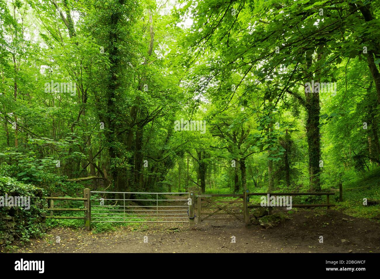 Gate at the entrance to woodland at the foot of Dolebury Warren in the Mendip Hills National Landscape, North Somerset, England. Stock Photohttps://www.alamy.com/image-license-details/?v=1https://www.alamy.com/gate-at-the-entrance-to-woodland-at-the-foot-of-dolebury-warren-in-the-mendip-hills-national-landscape-north-somerset-england-image385760495.html
RM2DBGWCF–Gate at the entrance to woodland at the foot of Dolebury Warren in the Mendip Hills National Landscape, North Somerset, England.
 Deciduous woodland in summer at Dolebury Warren in the Mendip Hills National Landscape, North Somerset, England. Stock Photohttps://www.alamy.com/image-license-details/?v=1https://www.alamy.com/deciduous-woodland-in-summer-at-dolebury-warren-in-the-mendip-hills-national-landscape-north-somerset-england-image385760921.html
RM2DBGWYN–Deciduous woodland in summer at Dolebury Warren in the Mendip Hills National Landscape, North Somerset, England.
 Steps through woodland on the hillside at Dolebury Warren in the Mendip Hills National Landscape, North Somerset, England. Stock Photohttps://www.alamy.com/image-license-details/?v=1https://www.alamy.com/steps-through-woodland-on-the-hillside-at-dolebury-warren-in-the-mendip-hills-national-landscape-north-somerset-england-image385760498.html
RM2DBGWCJ–Steps through woodland on the hillside at Dolebury Warren in the Mendip Hills National Landscape, North Somerset, England.
 Steps through woodland on the hillside at Dolebury Warren in the Mendip Hills National Landscape, North Somerset, England. Stock Photohttps://www.alamy.com/image-license-details/?v=1https://www.alamy.com/steps-through-woodland-on-the-hillside-at-dolebury-warren-in-the-mendip-hills-national-landscape-north-somerset-england-image385760729.html
RM2DBGWMW–Steps through woodland on the hillside at Dolebury Warren in the Mendip Hills National Landscape, North Somerset, England.
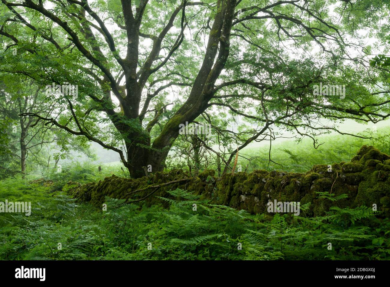 A European Ash tree and a dry stone wall at the edge of a woodland in summer at Dolebury Warren in the Mendip Hills National Landscape, North Somerset, England. Stock Photohttps://www.alamy.com/image-license-details/?v=1https://www.alamy.com/a-european-ash-tree-and-a-dry-stone-wall-at-the-edge-of-a-woodland-in-summer-at-dolebury-warren-in-the-mendip-hills-national-landscape-north-somerset-england-image385761394.html
RM2DBGXGJ–A European Ash tree and a dry stone wall at the edge of a woodland in summer at Dolebury Warren in the Mendip Hills National Landscape, North Somerset, England.
 Snowfall covers a rural road in North Somerset, England. Stock Photohttps://www.alamy.com/image-license-details/?v=1https://www.alamy.com/stock-photo-snowfall-covers-a-rural-road-in-north-somerset-england-110877366.html
RMGCAW5X–Snowfall covers a rural road in North Somerset, England.
 Snowfall covers a rural road in North Somerset, England. Stock Photohttps://www.alamy.com/image-license-details/?v=1https://www.alamy.com/stock-photo-snowfall-covers-a-rural-road-in-north-somerset-england-110877397.html
RMGCAW71–Snowfall covers a rural road in North Somerset, England.
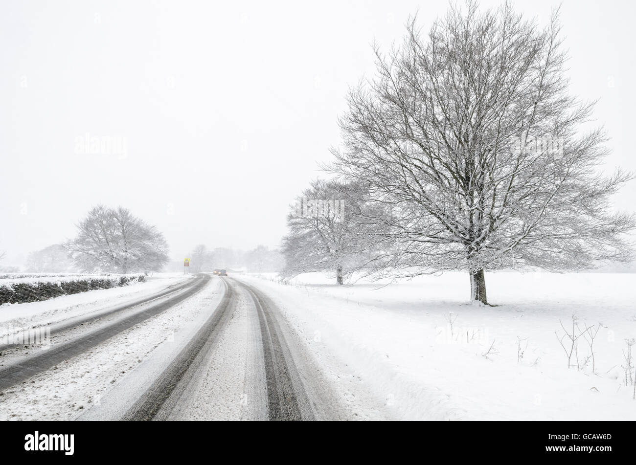 Snowfall covers a rural road in North Somerset, England. Stock Photohttps://www.alamy.com/image-license-details/?v=1https://www.alamy.com/stock-photo-snowfall-covers-a-rural-road-in-north-somerset-england-110877381.html
RMGCAW6D–Snowfall covers a rural road in North Somerset, England.
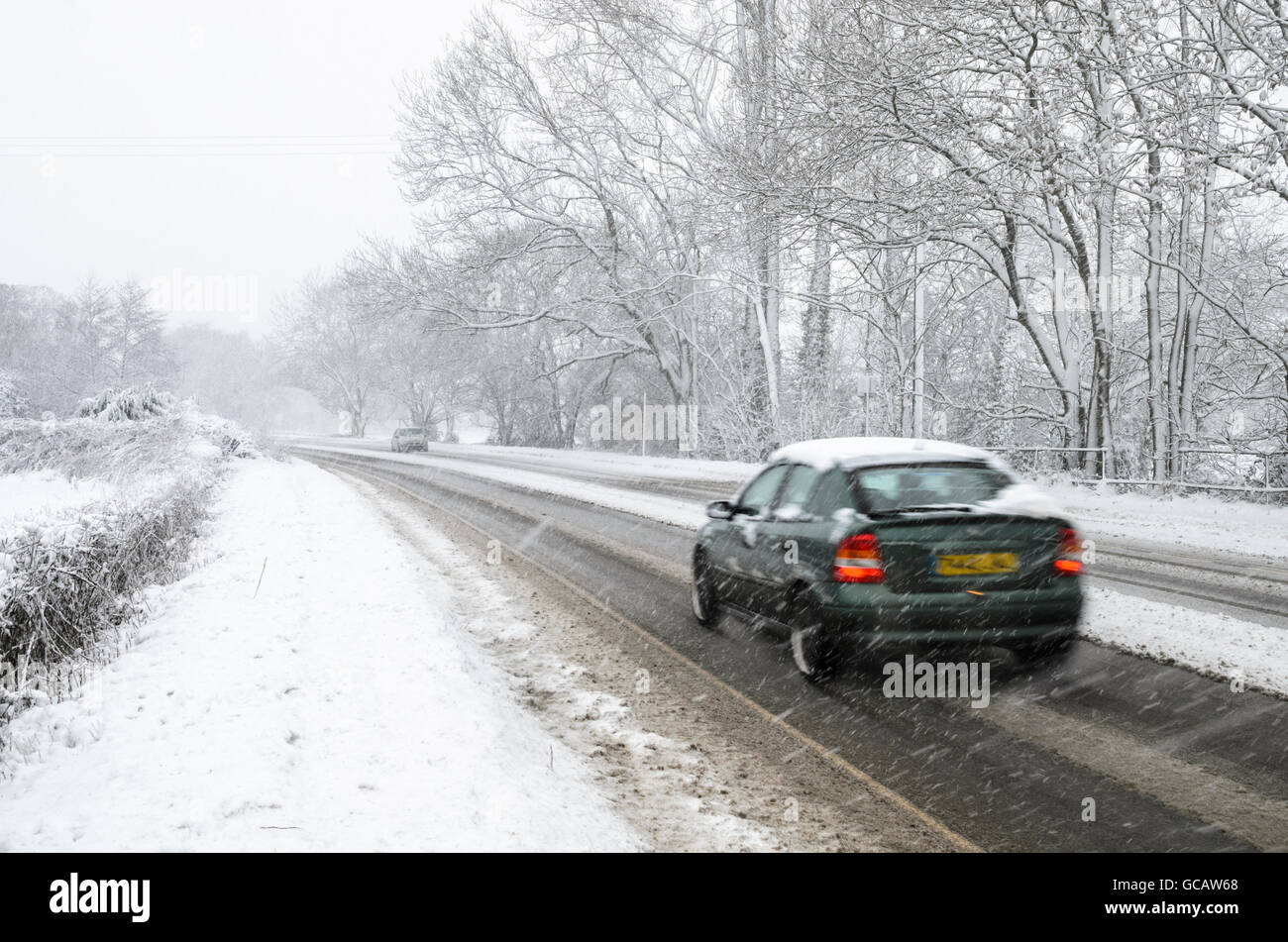 A motor car driven along a snow covered rural road in North Somerset, England. Stock Photohttps://www.alamy.com/image-license-details/?v=1https://www.alamy.com/stock-photo-a-motor-car-driven-along-a-snow-covered-rural-road-in-north-somerset-110877376.html
RMGCAW68–A motor car driven along a snow covered rural road in North Somerset, England.
 Deciduous woodland in summer at Dolebury Warren in the Mendip Hills National Landscape, North Somerset, England. Stock Photohttps://www.alamy.com/image-license-details/?v=1https://www.alamy.com/deciduous-woodland-in-summer-at-dolebury-warren-in-the-mendip-hills-national-landscape-north-somerset-england-image385761399.html
RM2DBGXGR–Deciduous woodland in summer at Dolebury Warren in the Mendip Hills National Landscape, North Somerset, England.
 Deciduous woodland in summer at Dolebury Warren in the Mendip Hills National Landscape, North Somerset, England. Stock Photohttps://www.alamy.com/image-license-details/?v=1https://www.alamy.com/deciduous-woodland-in-summer-at-dolebury-warren-in-the-mendip-hills-national-landscape-north-somerset-england-image385760732.html
RM2DBGWN0–Deciduous woodland in summer at Dolebury Warren in the Mendip Hills National Landscape, North Somerset, England.
 Deciduous woodland in summer at Dolebury Warren in the Mendip Hills National Landscape, North Somerset, England. Stock Photohttps://www.alamy.com/image-license-details/?v=1https://www.alamy.com/deciduous-woodland-in-summer-at-dolebury-warren-in-the-mendip-hills-national-landscape-north-somerset-england-image385761153.html
RM2DBGX81–Deciduous woodland in summer at Dolebury Warren in the Mendip Hills National Landscape, North Somerset, England.
 The Lookout at Dolebury Warren in the Mendip Hills National Landscape, Somerset, England. Stock Photohttps://www.alamy.com/image-license-details/?v=1https://www.alamy.com/the-lookout-at-dolebury-warren-in-the-mendip-hills-national-landscape-somerset-england-image426800225.html
RM2FPAC15–The Lookout at Dolebury Warren in the Mendip Hills National Landscape, Somerset, England.
 The Lookout at Dolebury Warren in the Mendip Hills National Landscape, Somerset, England. Stock Photohttps://www.alamy.com/image-license-details/?v=1https://www.alamy.com/the-lookout-at-dolebury-warren-in-the-mendip-hills-national-landscape-somerset-england-image426801227.html
RM2FPAD8Y–The Lookout at Dolebury Warren in the Mendip Hills National Landscape, Somerset, England.
 A Horse Chestnut (Aesculus Hippocastanum) tree at The Lookout at Dolebury Warren in the Mendip Hills, Somerset, England. Stock Photohttps://www.alamy.com/image-license-details/?v=1https://www.alamy.com/a-horse-chestnut-aesculus-hippocastanum-tree-at-the-lookout-at-dolebury-warren-in-the-mendip-hills-somerset-england-image426799254.html
RM2FPAAPE–A Horse Chestnut (Aesculus Hippocastanum) tree at The Lookout at Dolebury Warren in the Mendip Hills, Somerset, England.
 A Horse Chestnut (Aesculus Hippocastanum) tree at The Lookout at Dolebury Warren in the Mendip Hills, Somerset, England. Stock Photohttps://www.alamy.com/image-license-details/?v=1https://www.alamy.com/a-horse-chestnut-aesculus-hippocastanum-tree-at-the-lookout-at-dolebury-warren-in-the-mendip-hills-somerset-england-image426800190.html
RM2FPABYX–A Horse Chestnut (Aesculus Hippocastanum) tree at The Lookout at Dolebury Warren in the Mendip Hills, Somerset, England.
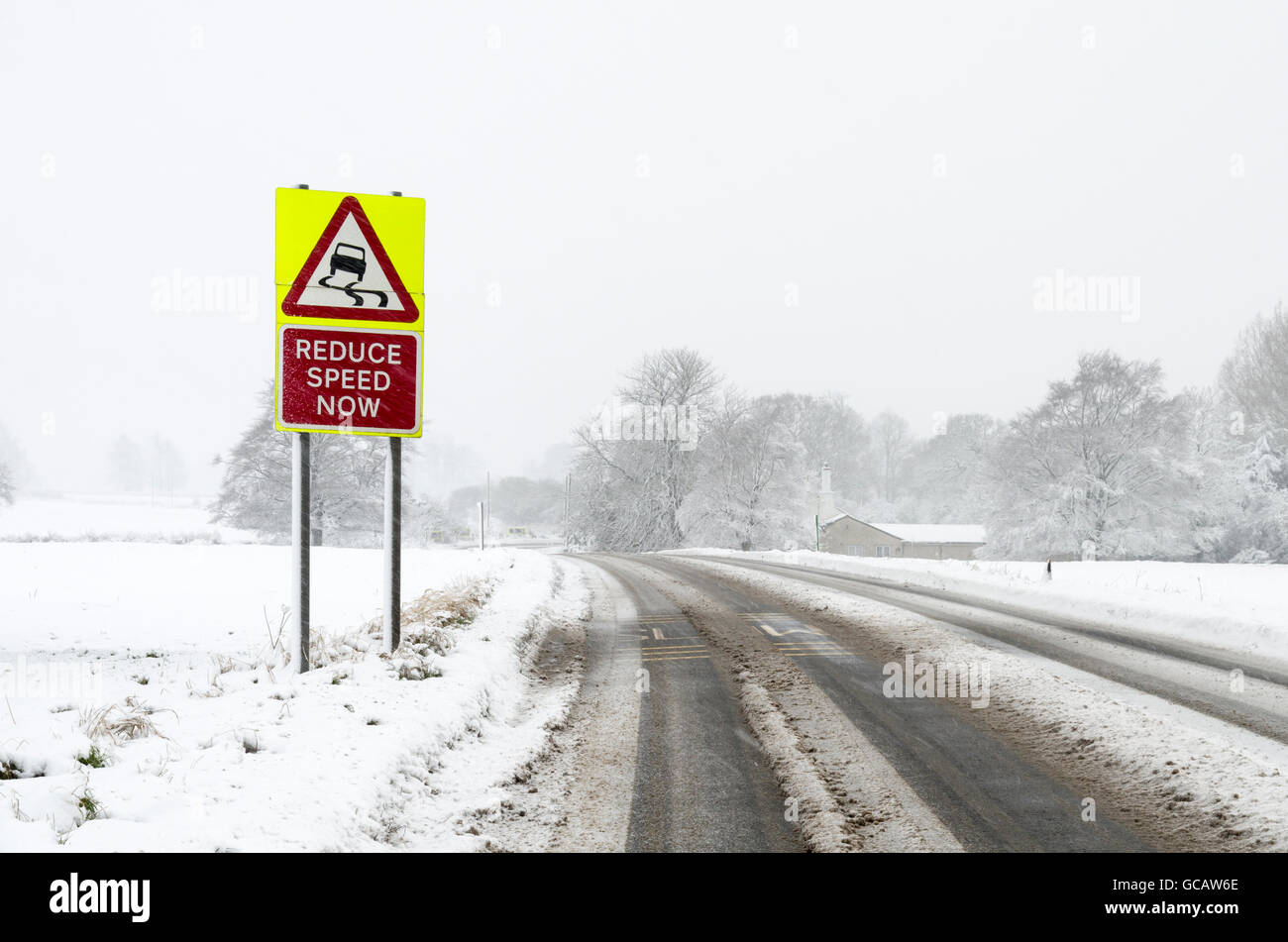 A slippery surface warning road sign on the side of a rural road while it is snowing with snow on the ground. Stock Photohttps://www.alamy.com/image-license-details/?v=1https://www.alamy.com/stock-photo-a-slippery-surface-warning-road-sign-on-the-side-of-a-rural-road-while-110877382.html
RMGCAW6E–A slippery surface warning road sign on the side of a rural road while it is snowing with snow on the ground.
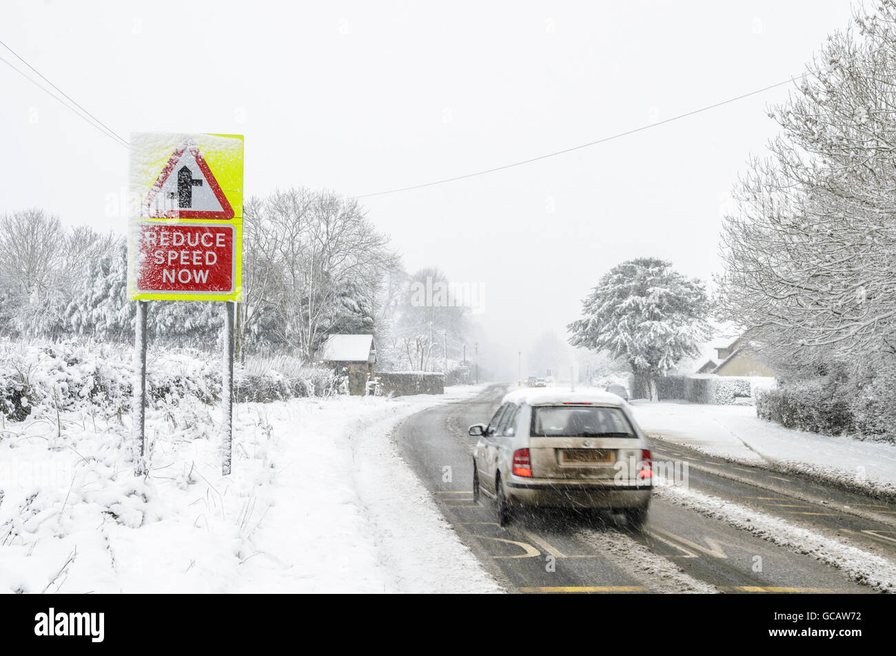 Cars drive past a road sign warning of a junction ahead while it is snowing with snow on the ground. Stock Photohttps://www.alamy.com/image-license-details/?v=1https://www.alamy.com/stock-photo-cars-drive-past-a-road-sign-warning-of-a-junction-ahead-while-it-is-110877398.html
RMGCAW72–Cars drive past a road sign warning of a junction ahead while it is snowing with snow on the ground.
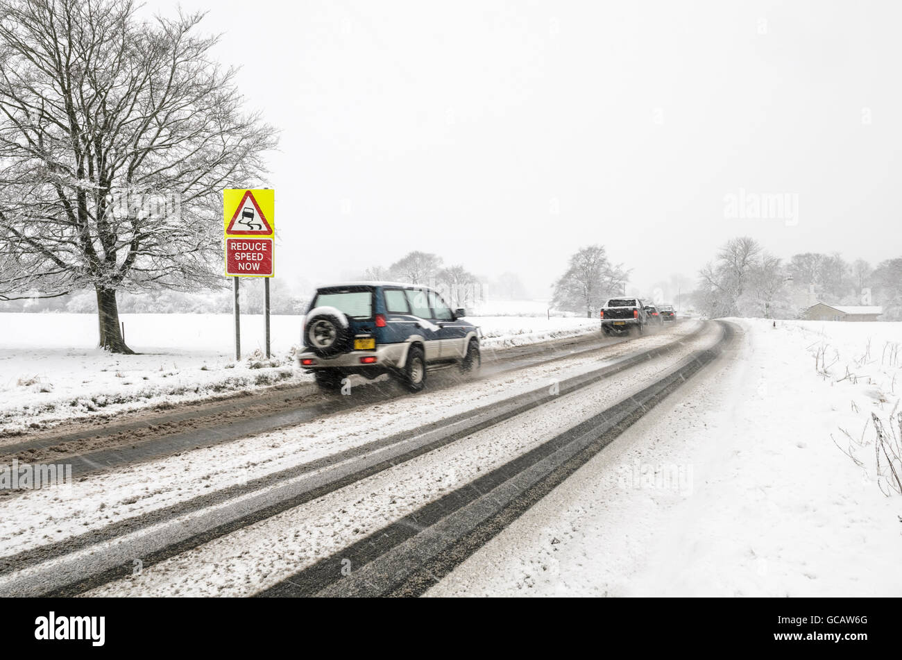 Cars drive past a slippery surface warning road sign while it is snowing with snow on the ground. Stock Photohttps://www.alamy.com/image-license-details/?v=1https://www.alamy.com/stock-photo-cars-drive-past-a-slippery-surface-warning-road-sign-while-it-is-snowing-110877384.html
RMGCAW6G–Cars drive past a slippery surface warning road sign while it is snowing with snow on the ground.
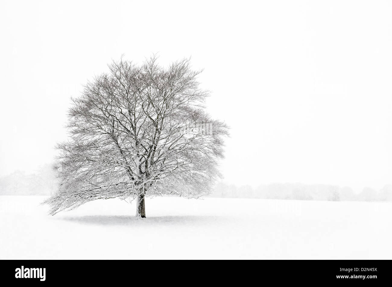 A single tree in a field during a snowstorm. Stock Photohttps://www.alamy.com/image-license-details/?v=1https://www.alamy.com/stock-photo-a-single-tree-in-a-field-during-a-snowstorm-53324710.html
RMD2N45X–A single tree in a field during a snowstorm.
 A small oak tree on at Dolebury Warren in the Mendip Hills in infrared. Stock Photohttps://www.alamy.com/image-license-details/?v=1https://www.alamy.com/a-small-oak-tree-on-at-dolebury-warren-in-the-mendip-hills-in-infrared-image401466192.html
RM2E94A68–A small oak tree on at Dolebury Warren in the Mendip Hills in infrared.
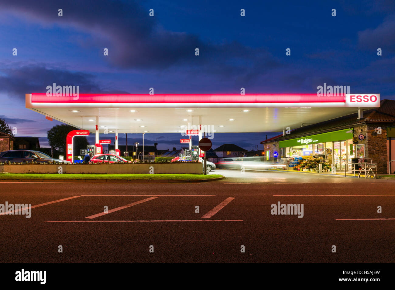 A filling station forecourt lit up at dusk. Stock Photohttps://www.alamy.com/image-license-details/?v=1https://www.alamy.com/stock-photo-a-filling-station-forecourt-lit-up-at-dusk-123779905.html
RMH5AJEW–A filling station forecourt lit up at dusk.

