Quick filters:
Clayville Stock Photos and Images
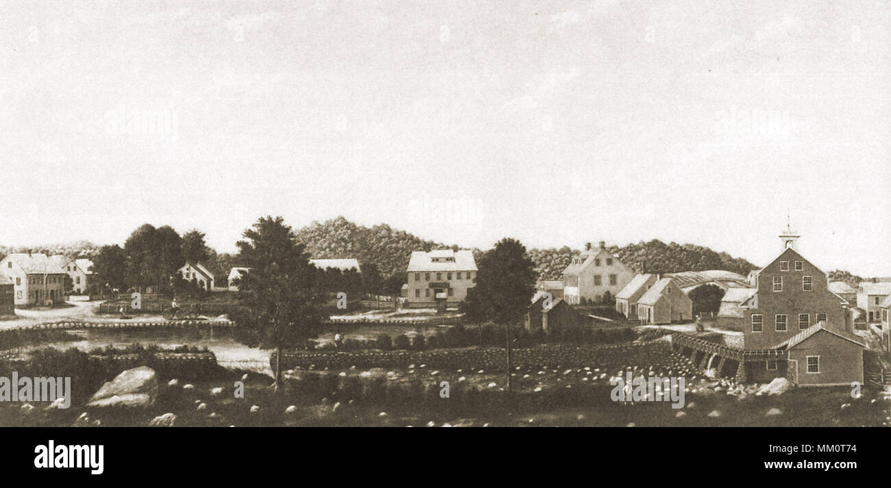 View of Clayville. Clayville. 1850 Stock Photohttps://www.alamy.com/image-license-details/?v=1https://www.alamy.com/view-of-clayville-clayville-1850-image184415816.html
RMMM0T74–View of Clayville. Clayville. 1850
 Image 1 of Sanborn Fire Insurance Map from Punxsutawney, Jefferson County, Pennsylvania. Sep 1896. 7 Sheet(s). Includes Clayville, America, street map with a Nineteenth Century compass Stock Photohttps://www.alamy.com/image-license-details/?v=1https://www.alamy.com/image-1-of-sanborn-fire-insurance-map-from-punxsutawney-jefferson-county-pennsylvania-sep-1896-7-sheets-includes-clayville-america-street-map-with-a-nineteenth-century-compass-image344704604.html
RM2B0PJ6M–Image 1 of Sanborn Fire Insurance Map from Punxsutawney, Jefferson County, Pennsylvania. Sep 1896. 7 Sheet(s). Includes Clayville, America, street map with a Nineteenth Century compass
 Clayville High School. Clayville. Stock Photohttps://www.alamy.com/image-license-details/?v=1https://www.alamy.com/clayville-high-school-clayville-image184248942.html
RMMKN7BA–Clayville High School. Clayville.
 Clayville, Mid Murray, AU, Australia, South Australia, S 34 48' 28'', N 139 44' 28'', map, Cartascapes Map published in 2024. Explore Cartascapes, a map revealing Earth's diverse landscapes, cultures, and ecosystems. Journey through time and space, discovering the interconnectedness of our planet's past, present, and future. Stock Photohttps://www.alamy.com/image-license-details/?v=1https://www.alamy.com/clayville-mid-murray-au-australia-south-australia-s-34-48-28-n-139-44-28-map-cartascapes-map-published-in-2024-explore-cartascapes-a-map-revealing-earths-diverse-landscapes-cultures-and-ecosystems-journey-through-time-and-space-discovering-the-interconnectedness-of-our-planets-past-present-and-future-image625457174.html
RM2Y9G106–Clayville, Mid Murray, AU, Australia, South Australia, S 34 48' 28'', N 139 44' 28'', map, Cartascapes Map published in 2024. Explore Cartascapes, a map revealing Earth's diverse landscapes, cultures, and ecosystems. Journey through time and space, discovering the interconnectedness of our planet's past, present, and future.
 . The history of the Treman, Tremaine, Truman family in America; with the related families of Mack, Dey, Board and Ayers; being a history of Joseph Truman of New London, Conn. (1666); John Mack of Lyme, Conn. (1680); Richard Dey of New York city (1641); Cornelius Board of Boardville, N.J. (1730); John Ayer of Newbury, Mass. (1635); and their descendants. an. Born in 1842, in Clayville, R. I. Married in 1870, FrankH. Pratt. She died. Residence, Saratoga Springs, N. Y. 865.Clara F. Born in 1844 iri Providence. Married in 1869, RichardC. Mansir. She died. 866. John Henry. Born in 1847 i Provi-den Stock Photohttps://www.alamy.com/image-license-details/?v=1https://www.alamy.com/the-history-of-the-treman-tremaine-truman-family-in-america-with-the-related-families-of-mack-dey-board-and-ayers-being-a-history-of-joseph-truman-of-new-london-conn-1666-john-mack-of-lyme-conn-1680-richard-dey-of-new-york-city-1641-cornelius-board-of-boardville-nj-1730-john-ayer-of-newbury-mass-1635-and-their-descendants-an-born-in-1842-in-clayville-r-i-married-in-1870-frankh-pratt-she-died-residence-saratoga-springs-n-y-865clara-f-born-in-1844-iri-providence-married-in-1869-richardc-mansir-she-died-866-john-henry-born-in-1847-i-provi-den-image337130029.html
RM2AGDGP5–. The history of the Treman, Tremaine, Truman family in America; with the related families of Mack, Dey, Board and Ayers; being a history of Joseph Truman of New London, Conn. (1666); John Mack of Lyme, Conn. (1680); Richard Dey of New York city (1641); Cornelius Board of Boardville, N.J. (1730); John Ayer of Newbury, Mass. (1635); and their descendants. an. Born in 1842, in Clayville, R. I. Married in 1870, FrankH. Pratt. She died. Residence, Saratoga Springs, N. Y. 865.Clara F. Born in 1844 iri Providence. Married in 1869, RichardC. Mansir. She died. 866. John Henry. Born in 1847 i Provi-den
 VA Clayville 20100907 TM Stock Photohttps://www.alamy.com/image-license-details/?v=1https://www.alamy.com/va-clayville-20100907-tm-image336188832.html
RM2AEXM80–VA Clayville 20100907 TM
 SPECIAL NOTICE. A POCKET MANUAL FOR ENGINEERS. EDITION 10000 Clayville N. Y. PATENTS. CET THE BEST AND CHEAPEST. Valuable Manufacturing Property AT AUCTION. No Man need Laek THE RIDER HOT AIR COMPRESSION Pumping Engine Simple Economical Effective. CA MMEYElt dt SAYER FOR SALE OR RENT. TALLMAN & MeFADDEN Philadelphia Pa. NUT TAPPINC MACHINE. DURRELL'S PATENT. HOWARD BROS., scientific american, 1883-04-28 Stock Photohttps://www.alamy.com/image-license-details/?v=1https://www.alamy.com/special-notice-a-pocket-manual-for-engineers-edition-10000-clayville-n-y-patents-cet-the-best-and-cheapest-valuable-manufacturing-property-at-auction-no-man-need-laek-the-rider-hot-air-compression-pumping-engine-simple-economical-effective-ca-mmeyelt-dt-sayer-for-sale-or-rent-tallman-mefadden-philadelphia-pa-nut-tappinc-machine-durrells-patent-howard-bros-scientific-american-1883-04-28-image334326465.html
RM2ABWTPW–SPECIAL NOTICE. A POCKET MANUAL FOR ENGINEERS. EDITION 10000 Clayville N. Y. PATENTS. CET THE BEST AND CHEAPEST. Valuable Manufacturing Property AT AUCTION. No Man need Laek THE RIDER HOT AIR COMPRESSION Pumping Engine Simple Economical Effective. CA MMEYElt dt SAYER FOR SALE OR RENT. TALLMAN & MeFADDEN Philadelphia Pa. NUT TAPPINC MACHINE. DURRELL'S PATENT. HOWARD BROS., scientific american, 1883-04-28
 Aerial View of Corn Maze and Red Barns on American Farm Stock Photohttps://www.alamy.com/image-license-details/?v=1https://www.alamy.com/aerial-view-of-corn-maze-and-red-barns-on-american-farm-image620048965.html
RF2Y0NJNW–Aerial View of Corn Maze and Red Barns on American Farm
 Image 4 of Sanborn Fire Insurance Map from Punxsutawney, Jefferson County, Pennsylvania. Sep 1896. 7 Sheet(s). Includes Clayville, America, street map with a Nineteenth Century compass Stock Photohttps://www.alamy.com/image-license-details/?v=1https://www.alamy.com/image-4-of-sanborn-fire-insurance-map-from-punxsutawney-jefferson-county-pennsylvania-sep-1896-7-sheets-includes-clayville-america-street-map-with-a-nineteenth-century-compass-image344704609.html
RM2B0PJ6W–Image 4 of Sanborn Fire Insurance Map from Punxsutawney, Jefferson County, Pennsylvania. Sep 1896. 7 Sheet(s). Includes Clayville, America, street map with a Nineteenth Century compass
 Clayville, Powhatan County, US, United States, Virginia, N 37 27' 35'', S 77 49' 0'', map, Cartascapes Map published in 2024. Explore Cartascapes, a map revealing Earth's diverse landscapes, cultures, and ecosystems. Journey through time and space, discovering the interconnectedness of our planet's past, present, and future. Stock Photohttps://www.alamy.com/image-license-details/?v=1https://www.alamy.com/clayville-powhatan-county-us-united-states-virginia-n-37-27-35-s-77-49-0-map-cartascapes-map-published-in-2024-explore-cartascapes-a-map-revealing-earths-diverse-landscapes-cultures-and-ecosystems-journey-through-time-and-space-discovering-the-interconnectedness-of-our-planets-past-present-and-future-image621414711.html
RM2Y2YTPF–Clayville, Powhatan County, US, United States, Virginia, N 37 27' 35'', S 77 49' 0'', map, Cartascapes Map published in 2024. Explore Cartascapes, a map revealing Earth's diverse landscapes, cultures, and ecosystems. Journey through time and space, discovering the interconnectedness of our planet's past, present, and future.
 . The street railway review . elson Ry. TheWorcester & Connecticut Eastern Railway Co. is owned and isoperated in harmony with the New York, New Haven & HartfordR. R., which has seen fit to adopt the policy of paralleling itself confirmed by an act of the Rhode Island Legislature; thence runningwesterly through the towns of Johnstown, Scituate, Saundersville,Ashland, South Scituate, Richmond, Rockland, Clayville and FosterCenter to a point in Connecticut at or near East Killingly andthence running its passenger cars via the Worcester & ConnecticutEastern Railway Co. tracks to and into Danielso Stock Photohttps://www.alamy.com/image-license-details/?v=1https://www.alamy.com/the-street-railway-review-elson-ry-theworcester-connecticut-eastern-railway-co-is-owned-and-isoperated-in-harmony-with-the-new-york-new-haven-hartfordr-r-which-has-seen-fit-to-adopt-the-policy-of-paralleling-itself-confirmed-by-an-act-of-the-rhode-island-legislature-thence-runningwesterly-through-the-towns-of-johnstown-scituate-saundersvilleashland-south-scituate-richmond-rockland-clayville-and-fostercenter-to-a-point-in-connecticut-at-or-near-east-killingly-andthence-running-its-passenger-cars-via-the-worcester-connecticuteastern-railway-co-tracks-to-and-into-danielso-image375858906.html
RM2CRDRTA–. The street railway review . elson Ry. TheWorcester & Connecticut Eastern Railway Co. is owned and isoperated in harmony with the New York, New Haven & HartfordR. R., which has seen fit to adopt the policy of paralleling itself confirmed by an act of the Rhode Island Legislature; thence runningwesterly through the towns of Johnstown, Scituate, Saundersville,Ashland, South Scituate, Richmond, Rockland, Clayville and FosterCenter to a point in Connecticut at or near East Killingly andthence running its passenger cars via the Worcester & ConnecticutEastern Railway Co. tracks to and into Danielso
 VA Clayville 184572 1964 24000 Stock Photohttps://www.alamy.com/image-license-details/?v=1https://www.alamy.com/va-clayville-184572-1964-24000-image336188766.html
RM2AEXM5J–VA Clayville 184572 1964 24000
 DESIGNS. WESTCOTT'S Valuable Manufacturing Property AT AUCTION. Clayville N.Y. ORNAMENTAL METAL PATTERNS WATCHMAKERS. STEEL IL 53 Oliver Street Boston Mass. ELECTROMAGNETS U RI FIER -+-IFIRE AND PROOF' P.A'=1 TT Self-Oiling Loose Pulley. SATISFACTORY RESULTS Shafting Steam Engines Boilers PATENTS. THE RIDER HOT AIR COMPRESSION Pumping Engine CA MMEYE it dIL SA Y ER KEMP'S MANURE SPREADER ULVERIZ ER iiIIIIIIIIiIIIIIIIII!001':1:m1;1:1 PLANER Chucks WARRANTED SUPE RS ROOFING. CATALOGUES FREE TO ANY ADDRESS, scientific american, 1883-04-21 Stock Photohttps://www.alamy.com/image-license-details/?v=1https://www.alamy.com/designs-westcotts-valuable-manufacturing-property-at-auction-clayville-ny-ornamental-metal-patterns-watchmakers-steel-il-53-oliver-street-boston-mass-electromagnets-u-ri-fier-ifire-and-proof-pa=1-tt-self-oiling-loose-pulley-satisfactory-results-shafting-steam-engines-boilers-patents-the-rider-hot-air-compression-pumping-engine-ca-mmeye-it-dil-sa-y-er-kemps-manure-spreader-ulveriz-er-iiiiiiiiiiiiiiiiiiii!0011m111-planer-chucks-warranted-supe-rs-roofing-catalogues-free-to-any-address-scientific-american-1883-04-21-image334326446.html
RM2ABWTP6–DESIGNS. WESTCOTT'S Valuable Manufacturing Property AT AUCTION. Clayville N.Y. ORNAMENTAL METAL PATTERNS WATCHMAKERS. STEEL IL 53 Oliver Street Boston Mass. ELECTROMAGNETS U RI FIER -+-IFIRE AND PROOF' P.A'=1 TT Self-Oiling Loose Pulley. SATISFACTORY RESULTS Shafting Steam Engines Boilers PATENTS. THE RIDER HOT AIR COMPRESSION Pumping Engine CA MMEYE it dIL SA Y ER KEMP'S MANURE SPREADER ULVERIZ ER iiIIIIIIIIiIIIIIIIII!001':1:m1;1:1 PLANER Chucks WARRANTED SUPE RS ROOFING. CATALOGUES FREE TO ANY ADDRESS, scientific american, 1883-04-21
 Image 5 of Sanborn Fire Insurance Map from Punxsutawney, Jefferson County, Pennsylvania. Sep 1896. 7 Sheet(s). Includes Clayville, America, street map with a Nineteenth Century compass Stock Photohttps://www.alamy.com/image-license-details/?v=1https://www.alamy.com/image-5-of-sanborn-fire-insurance-map-from-punxsutawney-jefferson-county-pennsylvania-sep-1896-7-sheets-includes-clayville-america-street-map-with-a-nineteenth-century-compass-image344704612.html
RM2B0PJ70–Image 5 of Sanborn Fire Insurance Map from Punxsutawney, Jefferson County, Pennsylvania. Sep 1896. 7 Sheet(s). Includes Clayville, America, street map with a Nineteenth Century compass
 Clayville, New London County, US, United States, Connecticut, N 41 37' 2'', S 71 58' 39'', map, Cartascapes Map published in 2024. Explore Cartascapes, a map revealing Earth's diverse landscapes, cultures, and ecosystems. Journey through time and space, discovering the interconnectedness of our planet's past, present, and future. Stock Photohttps://www.alamy.com/image-license-details/?v=1https://www.alamy.com/clayville-new-london-county-us-united-states-connecticut-n-41-37-2-s-71-58-39-map-cartascapes-map-published-in-2024-explore-cartascapes-a-map-revealing-earths-diverse-landscapes-cultures-and-ecosystems-journey-through-time-and-space-discovering-the-interconnectedness-of-our-planets-past-present-and-future-image621404698.html
RM2Y2YC0X–Clayville, New London County, US, United States, Connecticut, N 41 37' 2'', S 71 58' 39'', map, Cartascapes Map published in 2024. Explore Cartascapes, a map revealing Earth's diverse landscapes, cultures, and ecosystems. Journey through time and space, discovering the interconnectedness of our planet's past, present, and future.
 . Book of the Royal blue . rHE NEW CREEK MOUNTAINS NE.K CL.WS. faithfully, back to the rear of the car, I feltsympathetic for this dumb beasts trying lot,where in his uncanny environments amidthis darkness and danger, he exhibits thesame patience, obedience and sagacity thathe does for his master when on top of thegreen, bright earth. man, was burned by the Indians. The oldtaverns along the Northwestern Pike arenumerous and interesting, and many anentertaining tradition has been handed down.Of the old Cobb Tavern, known as theburnt house, nearly on the top of theAlleghanies, between Clayville Stock Photohttps://www.alamy.com/image-license-details/?v=1https://www.alamy.com/book-of-the-royal-blue-rhe-new-creek-mountains-nek-clws-faithfully-back-to-the-rear-of-the-car-i-feltsympathetic-for-this-dumb-beasts-trying-lotwhere-in-his-uncanny-environments-amidthis-darkness-and-danger-he-exhibits-thesame-patience-obedience-and-sagacity-thathe-does-for-his-master-when-on-top-of-thegreen-bright-earth-man-was-burned-by-the-indians-the-oldtaverns-along-the-northwestern-pike-arenumerous-and-interesting-and-many-anentertaining-tradition-has-been-handed-downof-the-old-cobb-tavern-known-as-theburnt-house-nearly-on-the-top-of-thealleghanies-between-clayville-image371972267.html
RM2CH4PBR–. Book of the Royal blue . rHE NEW CREEK MOUNTAINS NE.K CL.WS. faithfully, back to the rear of the car, I feltsympathetic for this dumb beasts trying lot,where in his uncanny environments amidthis darkness and danger, he exhibits thesame patience, obedience and sagacity thathe does for his master when on top of thegreen, bright earth. man, was burned by the Indians. The oldtaverns along the Northwestern Pike arenumerous and interesting, and many anentertaining tradition has been handed down.Of the old Cobb Tavern, known as theburnt house, nearly on the top of theAlleghanies, between Clayville
 VA Clayville 184570 1964 24000 Stock Photohttps://www.alamy.com/image-license-details/?v=1https://www.alamy.com/va-clayville-184570-1964-24000-image336188652.html
RM2AEXM1G–VA Clayville 184570 1964 24000
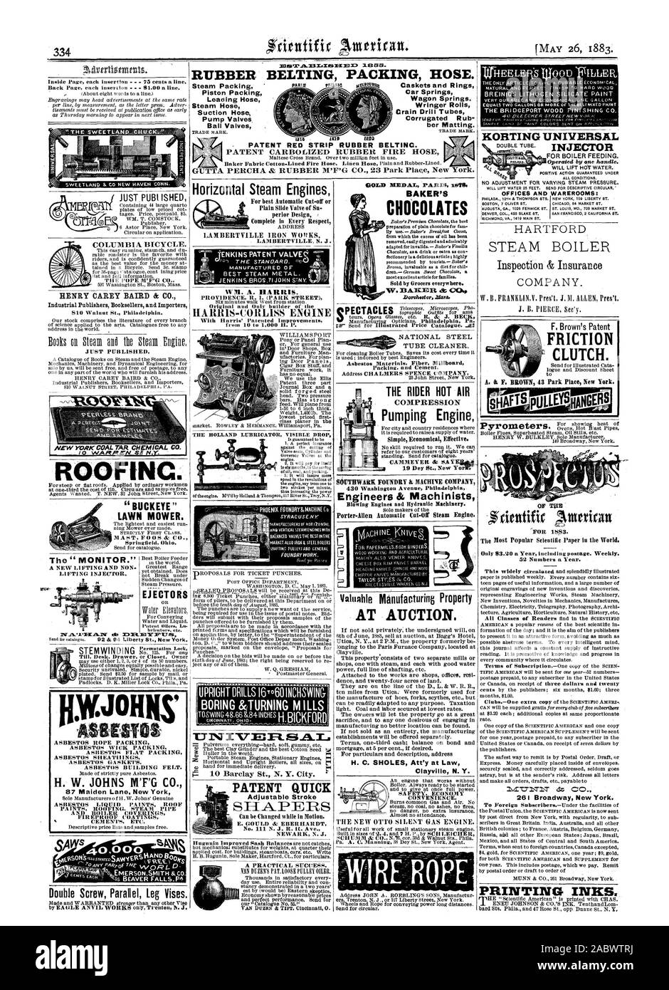 Car Springs Wagon Springs. Wringer Rolls Crain Drill Tubes Corrugated Rub ber Matting. - PATENT RED STRIP RUBBER BELTING. PATENT CARBOLIZED RUBBER FIRE HOSE GUTTA PERCHA & RUBBER M'F'G CO. 23 Park Place New York. HENRY CAREY BAIRD & CO. ROOFING. EJECTORS Horizontal Steam Engines LAMBERTVILLE IRON W(DKS MANUFACTURED OF . WM. A. HARRIS. HARRIS-C(ANS ENGINE LUBRICATOR VISIBLE DROP T.TINTINTEPt PATENT QUICK Adjustable Stroke 261 Broadway New York. PRINTING INKS. 87 Maiden Lane New York H. W. JOHNS M'F'G C EMERSONSMITH &CO. FOUNDRY WORK PULLEY& APO CFNERAt vaivable Manufacturing Property AT AUCTION Stock Photohttps://www.alamy.com/image-license-details/?v=1https://www.alamy.com/car-springs-wagon-springs-wringer-rolls-crain-drill-tubes-corrugated-rub-ber-matting-patent-red-strip-rubber-belting-patent-carbolized-rubber-fire-hose-gutta-percha-rubber-mfg-co-23-park-place-new-york-henry-carey-baird-co-roofing-ejectors-horizontal-steam-engines-lambertville-iron-wdks-manufactured-of-wm-a-harris-harris-cans-engine-lubricator-visible-drop-ttintintept-patent-quick-adjustable-stroke-261-broadway-new-york-printing-inks-87-maiden-lane-new-york-h-w-johns-mfg-c-emersonsmith-co-foundry-work-pulley-apo-cfnerat-vaivable-manufacturing-property-at-auction-image334326486.html
RM2ABWTRJ–Car Springs Wagon Springs. Wringer Rolls Crain Drill Tubes Corrugated Rub ber Matting. - PATENT RED STRIP RUBBER BELTING. PATENT CARBOLIZED RUBBER FIRE HOSE GUTTA PERCHA & RUBBER M'F'G CO. 23 Park Place New York. HENRY CAREY BAIRD & CO. ROOFING. EJECTORS Horizontal Steam Engines LAMBERTVILLE IRON W(DKS MANUFACTURED OF . WM. A. HARRIS. HARRIS-C(ANS ENGINE LUBRICATOR VISIBLE DROP T.TINTINTEPt PATENT QUICK Adjustable Stroke 261 Broadway New York. PRINTING INKS. 87 Maiden Lane New York H. W. JOHNS M'F'G C EMERSONSMITH &CO. FOUNDRY WORK PULLEY& APO CFNERAt vaivable Manufacturing Property AT AUCTION
 Image 7 of Sanborn Fire Insurance Map from Punxsutawney, Jefferson County, Pennsylvania. Sep 1896. 7 Sheet(s). Includes Clayville, America, street map with a Nineteenth Century compass Stock Photohttps://www.alamy.com/image-license-details/?v=1https://www.alamy.com/image-7-of-sanborn-fire-insurance-map-from-punxsutawney-jefferson-county-pennsylvania-sep-1896-7-sheets-includes-clayville-america-street-map-with-a-nineteenth-century-compass-image344704616.html
RM2B0PJ74–Image 7 of Sanborn Fire Insurance Map from Punxsutawney, Jefferson County, Pennsylvania. Sep 1896. 7 Sheet(s). Includes Clayville, America, street map with a Nineteenth Century compass
 Clayville, Oneida County, US, United States, New York, N 42 58' 48'', S 75 15' 3'', map, Cartascapes Map published in 2024. Explore Cartascapes, a map revealing Earth's diverse landscapes, cultures, and ecosystems. Journey through time and space, discovering the interconnectedness of our planet's past, present, and future. Stock Photohttps://www.alamy.com/image-license-details/?v=1https://www.alamy.com/clayville-oneida-county-us-united-states-new-york-n-42-58-48-s-75-15-3-map-cartascapes-map-published-in-2024-explore-cartascapes-a-map-revealing-earths-diverse-landscapes-cultures-and-ecosystems-journey-through-time-and-space-discovering-the-interconnectedness-of-our-planets-past-present-and-future-image621166634.html
RM2Y2GGAJ–Clayville, Oneida County, US, United States, New York, N 42 58' 48'', S 75 15' 3'', map, Cartascapes Map published in 2024. Explore Cartascapes, a map revealing Earth's diverse landscapes, cultures, and ecosystems. Journey through time and space, discovering the interconnectedness of our planet's past, present, and future.
![. Biographical and portrait cyclopedia of Chautauqua County, New York. his uncle.In early life he owned and operated a foundryat Clayville, N. Y. In 1859 he came to thenorthern ]iart of the town of Harmony, wherehe purchased a farm which he cultivated untilhis death, in 1881, at seventy-nine years of age.He vas a member of the Baptist church andvoted the democratic ticket until 1844, afterwhicli year, he supported the Abolition andRepublican parties. He married Mary Benja-min, and reared a family of four sons and twodaughters. Two of these sous, Charles C, andFernando C, .served in the Union Stock Photo . Biographical and portrait cyclopedia of Chautauqua County, New York. his uncle.In early life he owned and operated a foundryat Clayville, N. Y. In 1859 he came to thenorthern ]iart of the town of Harmony, wherehe purchased a farm which he cultivated untilhis death, in 1881, at seventy-nine years of age.He vas a member of the Baptist church andvoted the democratic ticket until 1844, afterwhicli year, he supported the Abolition andRepublican parties. He married Mary Benja-min, and reared a family of four sons and twodaughters. Two of these sous, Charles C, andFernando C, .served in the Union Stock Photo](https://c8.alamy.com/comp/2CEN6F8/biographical-and-portrait-cyclopedia-of-chautauqua-county-new-york-his-unclein-early-life-he-owned-and-operated-a-foundryat-clayville-n-y-in-1859-he-came-to-thenorthern-iart-of-the-town-of-harmony-wherehe-purchased-a-farm-which-he-cultivated-untilhis-death-in-1881-at-seventy-nine-years-of-agehe-vas-a-member-of-the-baptist-church-andvoted-the-democratic-ticket-until-1844-afterwhicli-year-he-supported-the-abolition-andrepublican-parties-he-married-mary-benja-min-and-reared-a-family-of-four-sons-and-twodaughters-two-of-these-sous-charles-c-andfernando-c-served-in-the-union-2CEN6F8.jpg) . Biographical and portrait cyclopedia of Chautauqua County, New York. his uncle.In early life he owned and operated a foundryat Clayville, N. Y. In 1859 he came to thenorthern ]iart of the town of Harmony, wherehe purchased a farm which he cultivated untilhis death, in 1881, at seventy-nine years of age.He vas a member of the Baptist church andvoted the democratic ticket until 1844, afterwhicli year, he supported the Abolition andRepublican parties. He married Mary Benja-min, and reared a family of four sons and twodaughters. Two of these sous, Charles C, andFernando C, .served in the Union Stock Photohttps://www.alamy.com/image-license-details/?v=1https://www.alamy.com/biographical-and-portrait-cyclopedia-of-chautauqua-county-new-york-his-unclein-early-life-he-owned-and-operated-a-foundryat-clayville-n-y-in-1859-he-came-to-thenorthern-iart-of-the-town-of-harmony-wherehe-purchased-a-farm-which-he-cultivated-untilhis-death-in-1881-at-seventy-nine-years-of-agehe-vas-a-member-of-the-baptist-church-andvoted-the-democratic-ticket-until-1844-afterwhicli-year-he-supported-the-abolition-andrepublican-parties-he-married-mary-benja-min-and-reared-a-family-of-four-sons-and-twodaughters-two-of-these-sous-charles-c-andfernando-c-served-in-the-union-image370489036.html
. Biographical and portrait cyclopedia of Chautauqua County, New York. his uncle.In early life he owned and operated a foundryat Clayville, N. Y. In 1859 he came to thenorthern ]iart of the town of Harmony, wherehe purchased a farm which he cultivated untilhis death, in 1881, at seventy-nine years of age.He vas a member of the Baptist church andvoted the democratic ticket until 1844, afterwhicli year, he supported the Abolition andRepublican parties. He married Mary Benja-min, and reared a family of four sons and twodaughters. Two of these sous, Charles C, andFernando C, .served in the Union Stock Photohttps://www.alamy.com/image-license-details/?v=1https://www.alamy.com/biographical-and-portrait-cyclopedia-of-chautauqua-county-new-york-his-unclein-early-life-he-owned-and-operated-a-foundryat-clayville-n-y-in-1859-he-came-to-thenorthern-iart-of-the-town-of-harmony-wherehe-purchased-a-farm-which-he-cultivated-untilhis-death-in-1881-at-seventy-nine-years-of-agehe-vas-a-member-of-the-baptist-church-andvoted-the-democratic-ticket-until-1844-afterwhicli-year-he-supported-the-abolition-andrepublican-parties-he-married-mary-benja-min-and-reared-a-family-of-four-sons-and-twodaughters-two-of-these-sous-charles-c-andfernando-c-served-in-the-union-image370489036.htmlRM2CEN6F8–. Biographical and portrait cyclopedia of Chautauqua County, New York. his uncle.In early life he owned and operated a foundryat Clayville, N. Y. In 1859 he came to thenorthern ]iart of the town of Harmony, wherehe purchased a farm which he cultivated untilhis death, in 1881, at seventy-nine years of age.He vas a member of the Baptist church andvoted the democratic ticket until 1844, afterwhicli year, he supported the Abolition andRepublican parties. He married Mary Benja-min, and reared a family of four sons and twodaughters. Two of these sous, Charles C, andFernando C, .served in the Union
 VA Clayville 187387 1944 31680 Stock Photohttps://www.alamy.com/image-license-details/?v=1https://www.alamy.com/va-clayville-187387-1944-31680-image336188758.html
RM2AEXM5A–VA Clayville 187387 1944 31680
 Image 2 of Sanborn Fire Insurance Map from Punxsutawney, Jefferson County, Pennsylvania. Sep 1896. 7 Sheet(s). Includes Clayville, America, street map with a Nineteenth Century compass Stock Photohttps://www.alamy.com/image-license-details/?v=1https://www.alamy.com/image-2-of-sanborn-fire-insurance-map-from-punxsutawney-jefferson-county-pennsylvania-sep-1896-7-sheets-includes-clayville-america-street-map-with-a-nineteenth-century-compass-image344704605.html
RM2B0PJ6N–Image 2 of Sanborn Fire Insurance Map from Punxsutawney, Jefferson County, Pennsylvania. Sep 1896. 7 Sheet(s). Includes Clayville, America, street map with a Nineteenth Century compass
 Clayville, Cumberland County, US, United States, New Jersey, N 39 26' 0'', S 75 1' 50'', map, Cartascapes Map published in 2024. Explore Cartascapes, a map revealing Earth's diverse landscapes, cultures, and ecosystems. Journey through time and space, discovering the interconnectedness of our planet's past, present, and future. Stock Photohttps://www.alamy.com/image-license-details/?v=1https://www.alamy.com/clayville-cumberland-county-us-united-states-new-jersey-n-39-26-0-s-75-1-50-map-cartascapes-map-published-in-2024-explore-cartascapes-a-map-revealing-earths-diverse-landscapes-cultures-and-ecosystems-journey-through-time-and-space-discovering-the-interconnectedness-of-our-planets-past-present-and-future-image621299764.html
RM2Y2PJ58–Clayville, Cumberland County, US, United States, New Jersey, N 39 26' 0'', S 75 1' 50'', map, Cartascapes Map published in 2024. Explore Cartascapes, a map revealing Earth's diverse landscapes, cultures, and ecosystems. Journey through time and space, discovering the interconnectedness of our planet's past, present, and future.
 . The Street railway journal . allcases the instruments and oil switches are of General Electricdesign. For the purpose of iljustration, the intermediate sub-sta-tions with two 750-kw rotary converters are selected as beingtypical. Figs. 11, 12 and 13 are respectively the plan, longi-tudinal and transverse sections, and will give a clear concep- Name of Sub-Station. Kw. Capacity ofRotary ConvertersAlready Installed. Kw. Capacity ofAdditional RotaryConverters Prov. For. 2—500 1—750 2—750 1—750 2—750 1—750 2—750 1—750 Clayville 2—500 1—750 2—500 1—750 Reega , 2—750 1—750 Atlantic City 2—750 2—10 Stock Photohttps://www.alamy.com/image-license-details/?v=1https://www.alamy.com/the-street-railway-journal-allcases-the-instruments-and-oil-switches-are-of-general-electricdesign-for-the-purpose-of-iljustration-the-intermediate-sub-sta-tions-with-two-750-kw-rotary-converters-are-selected-as-beingtypical-figs-11-12-and-13-are-respectively-the-plan-longi-tudinal-and-transverse-sections-and-will-give-a-clear-concep-name-of-sub-station-kw-capacity-ofrotary-convertersalready-installed-kw-capacity-ofadditional-rotaryconverters-prov-for-2500-1750-2750-1750-2750-1750-2750-1750-clayville-2500-1750-2500-1750-reega-2750-1750-atlantic-city-2750-210-image371818950.html
RM2CGWPT6–. The Street railway journal . allcases the instruments and oil switches are of General Electricdesign. For the purpose of iljustration, the intermediate sub-sta-tions with two 750-kw rotary converters are selected as beingtypical. Figs. 11, 12 and 13 are respectively the plan, longi-tudinal and transverse sections, and will give a clear concep- Name of Sub-Station. Kw. Capacity ofRotary ConvertersAlready Installed. Kw. Capacity ofAdditional RotaryConverters Prov. For. 2—500 1—750 2—750 1—750 2—750 1—750 2—750 1—750 Clayville 2—500 1—750 2—500 1—750 Reega , 2—750 1—750 Atlantic City 2—750 2—10
 VA Clayville 184571 1964 24000 Stock Photohttps://www.alamy.com/image-license-details/?v=1https://www.alamy.com/va-clayville-184571-1964-24000-image336188634.html
RM2AEXM0X–VA Clayville 184571 1964 24000
 Image 3 of Sanborn Fire Insurance Map from Punxsutawney, Jefferson County, Pennsylvania. Sep 1896. 7 Sheet(s). Includes Clayville, America, street map with a Nineteenth Century compass Stock Photohttps://www.alamy.com/image-license-details/?v=1https://www.alamy.com/image-3-of-sanborn-fire-insurance-map-from-punxsutawney-jefferson-county-pennsylvania-sep-1896-7-sheets-includes-clayville-america-street-map-with-a-nineteenth-century-compass-image344704607.html
RM2B0PJ6R–Image 3 of Sanborn Fire Insurance Map from Punxsutawney, Jefferson County, Pennsylvania. Sep 1896. 7 Sheet(s). Includes Clayville, America, street map with a Nineteenth Century compass
 Clayville, Providence County, US, United States, Rhode Island, N 41 46' 40'', S 71 40' 32'', map, Cartascapes Map published in 2024. Explore Cartascapes, a map revealing Earth's diverse landscapes, cultures, and ecosystems. Journey through time and space, discovering the interconnectedness of our planet's past, present, and future. Stock Photohttps://www.alamy.com/image-license-details/?v=1https://www.alamy.com/clayville-providence-county-us-united-states-rhode-island-n-41-46-40-s-71-40-32-map-cartascapes-map-published-in-2024-explore-cartascapes-a-map-revealing-earths-diverse-landscapes-cultures-and-ecosystems-journey-through-time-and-space-discovering-the-interconnectedness-of-our-planets-past-present-and-future-image621315820.html
RM2Y2RAJM–Clayville, Providence County, US, United States, Rhode Island, N 41 46' 40'', S 71 40' 32'', map, Cartascapes Map published in 2024. Explore Cartascapes, a map revealing Earth's diverse landscapes, cultures, and ecosystems. Journey through time and space, discovering the interconnectedness of our planet's past, present, and future.
 . The clays and clay industry of New Jersey. Clay; Clay industries. Fig. 1. Clay pit of Bushnell & Westcott, near Woodbine.. Fig. 2. Pit of Clayville Mining and Manufacturing Company, near Clayville. The clay is in the Cohansey formation, and the area on left has been worked over.. Please note that these images are extracted from scanned page images that may have been digitally enhanced for readability - coloration and appearance of these illustrations may not perfectly resemble the original work.. Ries, Heinrich, 1871-1951; Kümmel, Henry Barnard, 1867-; Knapp, George N. Trenton, N. J. , M Stock Photohttps://www.alamy.com/image-license-details/?v=1https://www.alamy.com/the-clays-and-clay-industry-of-new-jersey-clay-clay-industries-fig-1-clay-pit-of-bushnell-amp-westcott-near-woodbine-fig-2-pit-of-clayville-mining-and-manufacturing-company-near-clayville-the-clay-is-in-the-cohansey-formation-and-the-area-on-left-has-been-worked-over-please-note-that-these-images-are-extracted-from-scanned-page-images-that-may-have-been-digitally-enhanced-for-readability-coloration-and-appearance-of-these-illustrations-may-not-perfectly-resemble-the-original-work-ries-heinrich-1871-1951-kmmel-henry-barnard-1867-knapp-george-n-trenton-n-j-m-image232762140.html
RMREK6DG–. The clays and clay industry of New Jersey. Clay; Clay industries. Fig. 1. Clay pit of Bushnell & Westcott, near Woodbine.. Fig. 2. Pit of Clayville Mining and Manufacturing Company, near Clayville. The clay is in the Cohansey formation, and the area on left has been worked over.. Please note that these images are extracted from scanned page images that may have been digitally enhanced for readability - coloration and appearance of these illustrations may not perfectly resemble the original work.. Ries, Heinrich, 1871-1951; Kümmel, Henry Barnard, 1867-; Knapp, George N. Trenton, N. J. , M
 VA Clayville 184569 1943 24000 Stock Photohttps://www.alamy.com/image-license-details/?v=1https://www.alamy.com/va-clayville-184569-1943-24000-image336188632.html
RM2AEXM0T–VA Clayville 184569 1943 24000
 Image 6 of Sanborn Fire Insurance Map from Punxsutawney, Jefferson County, Pennsylvania. Sep 1896. 7 Sheet(s). Includes Clayville, America, street map with a Nineteenth Century compass Stock Photohttps://www.alamy.com/image-license-details/?v=1https://www.alamy.com/image-6-of-sanborn-fire-insurance-map-from-punxsutawney-jefferson-county-pennsylvania-sep-1896-7-sheets-includes-clayville-america-street-map-with-a-nineteenth-century-compass-image344704614.html
RM2B0PJ72–Image 6 of Sanborn Fire Insurance Map from Punxsutawney, Jefferson County, Pennsylvania. Sep 1896. 7 Sheet(s). Includes Clayville, America, street map with a Nineteenth Century compass
 Village of Clayville, Oneida County, US, United States, New York, N 42 58' 29'', S 75 14' 56'', map, Cartascapes Map published in 2024. Explore Cartascapes, a map revealing Earth's diverse landscapes, cultures, and ecosystems. Journey through time and space, discovering the interconnectedness of our planet's past, present, and future. Stock Photohttps://www.alamy.com/image-license-details/?v=1https://www.alamy.com/village-of-clayville-oneida-county-us-united-states-new-york-n-42-58-29-s-75-14-56-map-cartascapes-map-published-in-2024-explore-cartascapes-a-map-revealing-earths-diverse-landscapes-cultures-and-ecosystems-journey-through-time-and-space-discovering-the-interconnectedness-of-our-planets-past-present-and-future-image633889331.html
RM2YR848K–Village of Clayville, Oneida County, US, United States, New York, N 42 58' 29'', S 75 14' 56'', map, Cartascapes Map published in 2024. Explore Cartascapes, a map revealing Earth's diverse landscapes, cultures, and ecosystems. Journey through time and space, discovering the interconnectedness of our planet's past, present, and future.
 VA Clayville 184573 1979 24000 Stock Photohttps://www.alamy.com/image-license-details/?v=1https://www.alamy.com/va-clayville-184573-1979-24000-image336188684.html
RM2AEXM2M–VA Clayville 184573 1979 24000
 Village of Clayville, Oneida County, US, United States, New York, N 42 58' 29'', S 75 14' 56'', map, Cartascapes Map published in 2024. Explore Cartascapes, a map revealing Earth's diverse landscapes, cultures, and ecosystems. Journey through time and space, discovering the interconnectedness of our planet's past, present, and future. Stock Photohttps://www.alamy.com/image-license-details/?v=1https://www.alamy.com/village-of-clayville-oneida-county-us-united-states-new-york-n-42-58-29-s-75-14-56-map-cartascapes-map-published-in-2024-explore-cartascapes-a-map-revealing-earths-diverse-landscapes-cultures-and-ecosystems-journey-through-time-and-space-discovering-the-interconnectedness-of-our-planets-past-present-and-future-image633883553.html
RM2YR7TX9–Village of Clayville, Oneida County, US, United States, New York, N 42 58' 29'', S 75 14' 56'', map, Cartascapes Map published in 2024. Explore Cartascapes, a map revealing Earth's diverse landscapes, cultures, and ecosystems. Journey through time and space, discovering the interconnectedness of our planet's past, present, and future.
 VA Clayville 20100907 TM Inverted Stock Photohttps://www.alamy.com/image-license-details/?v=1https://www.alamy.com/va-clayville-20100907-tm-inverted-image336188765.html
RM2AEXM5H–VA Clayville 20100907 TM Inverted
 Clayville, Virginia, map 1964, 1:24000, United States of America by Timeless Maps, data U.S. Geological Survey Stock Photohttps://www.alamy.com/image-license-details/?v=1https://www.alamy.com/clayville-virginia-map-1964-124000-united-states-of-america-by-timeless-maps-data-us-geological-survey-image407003956.html
RM2EJ4HKG–Clayville, Virginia, map 1964, 1:24000, United States of America by Timeless Maps, data U.S. Geological Survey
 VA Clayville 184573 1979 24000 Inverted Stock Photohttps://www.alamy.com/image-license-details/?v=1https://www.alamy.com/va-clayville-184573-1979-24000-inverted-image336188686.html
RM2AEXM2P–VA Clayville 184573 1979 24000 Inverted
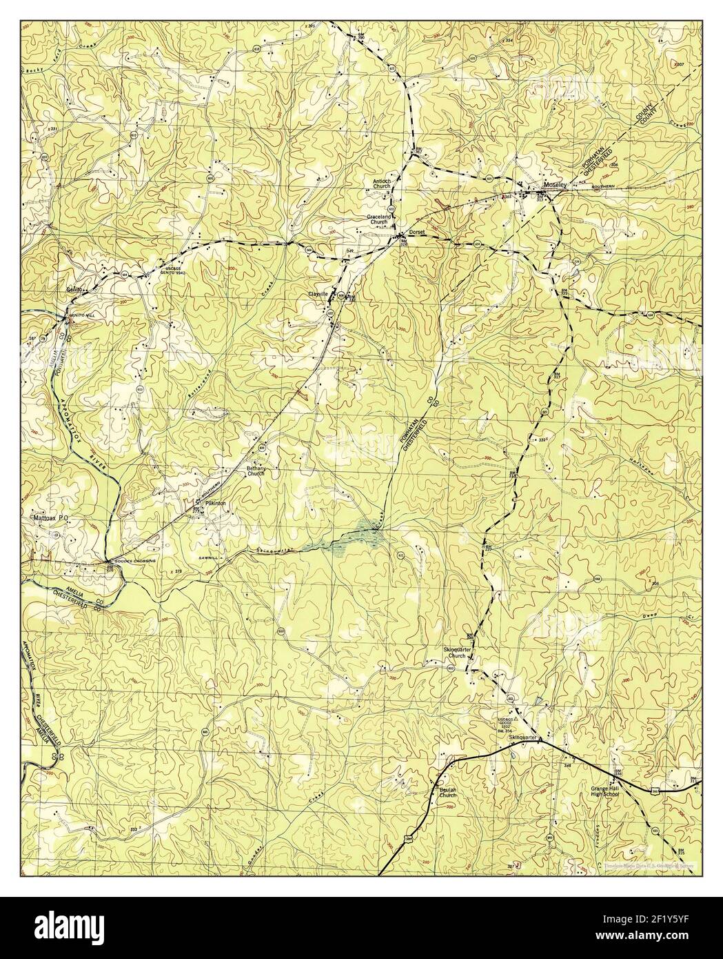 Clayville, Virginia, map 1944, 1:31680, United States of America by Timeless Maps, data U.S. Geological Survey Stock Photohttps://www.alamy.com/image-license-details/?v=1https://www.alamy.com/clayville-virginia-map-1944-131680-united-states-of-america-by-timeless-maps-data-us-geological-survey-image414260883.html
RM2F1Y5YF–Clayville, Virginia, map 1944, 1:31680, United States of America by Timeless Maps, data U.S. Geological Survey
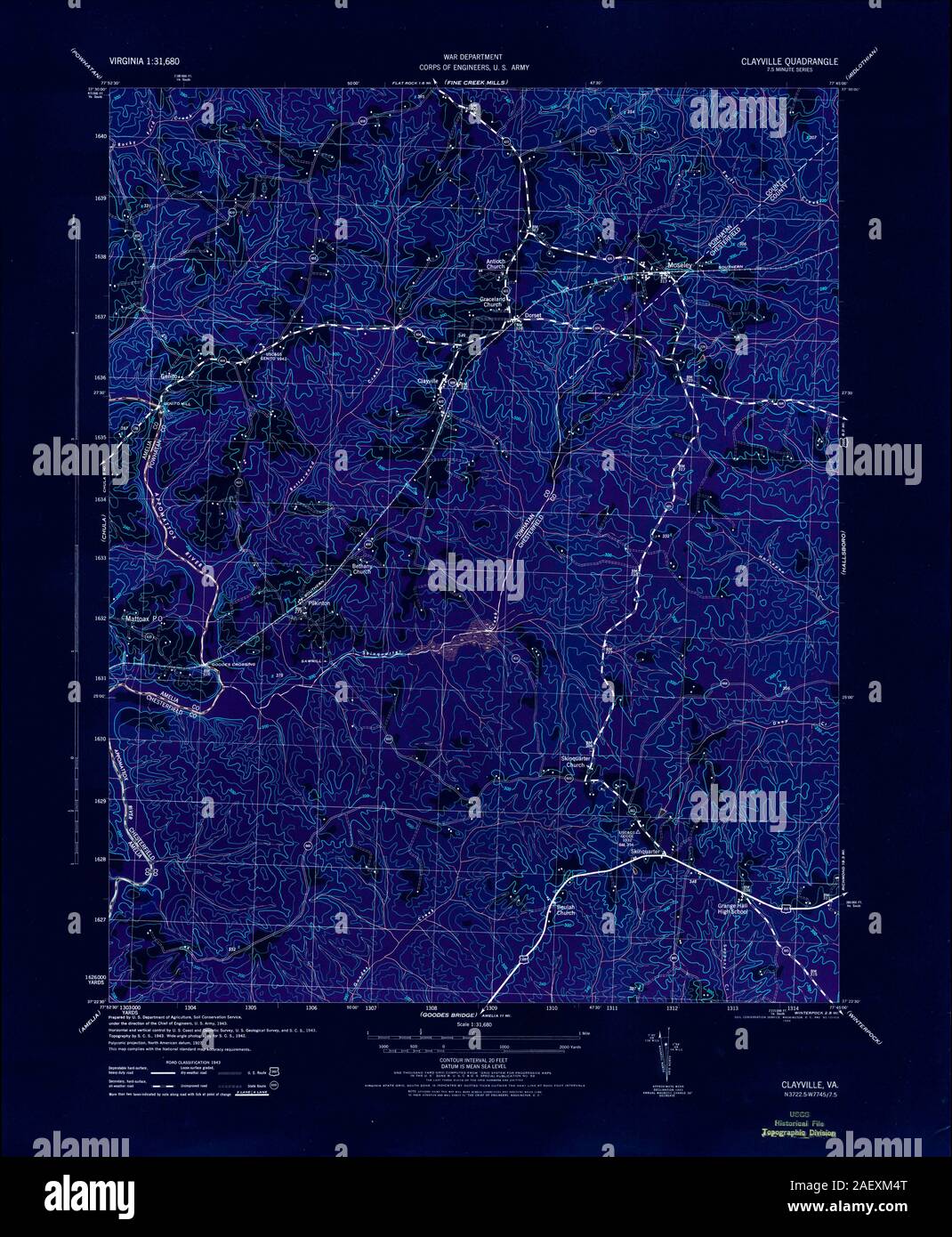 VA Clayville 187387 1944 31680 Inverted Stock Photohttps://www.alamy.com/image-license-details/?v=1https://www.alamy.com/va-clayville-187387-1944-31680-inverted-image336188744.html
RM2AEXM4T–VA Clayville 187387 1944 31680 Inverted
 Clayville, Virginia, map 1964, 1:24000, United States of America by Timeless Maps, data U.S. Geological Survey Stock Photohttps://www.alamy.com/image-license-details/?v=1https://www.alamy.com/clayville-virginia-map-1964-124000-united-states-of-america-by-timeless-maps-data-us-geological-survey-image407003985.html
RM2EJ4HMH–Clayville, Virginia, map 1964, 1:24000, United States of America by Timeless Maps, data U.S. Geological Survey
 VA Clayville 184572 1964 24000 Inverted Stock Photohttps://www.alamy.com/image-license-details/?v=1https://www.alamy.com/va-clayville-184572-1964-24000-inverted-image336188691.html
RM2AEXM2Y–VA Clayville 184572 1964 24000 Inverted
 Clayville, Virginia, map 1979, 1:24000, United States of America by Timeless Maps, data U.S. Geological Survey Stock Photohttps://www.alamy.com/image-license-details/?v=1https://www.alamy.com/clayville-virginia-map-1979-124000-united-states-of-america-by-timeless-maps-data-us-geological-survey-image407003978.html
RM2EJ4HMA–Clayville, Virginia, map 1979, 1:24000, United States of America by Timeless Maps, data U.S. Geological Survey
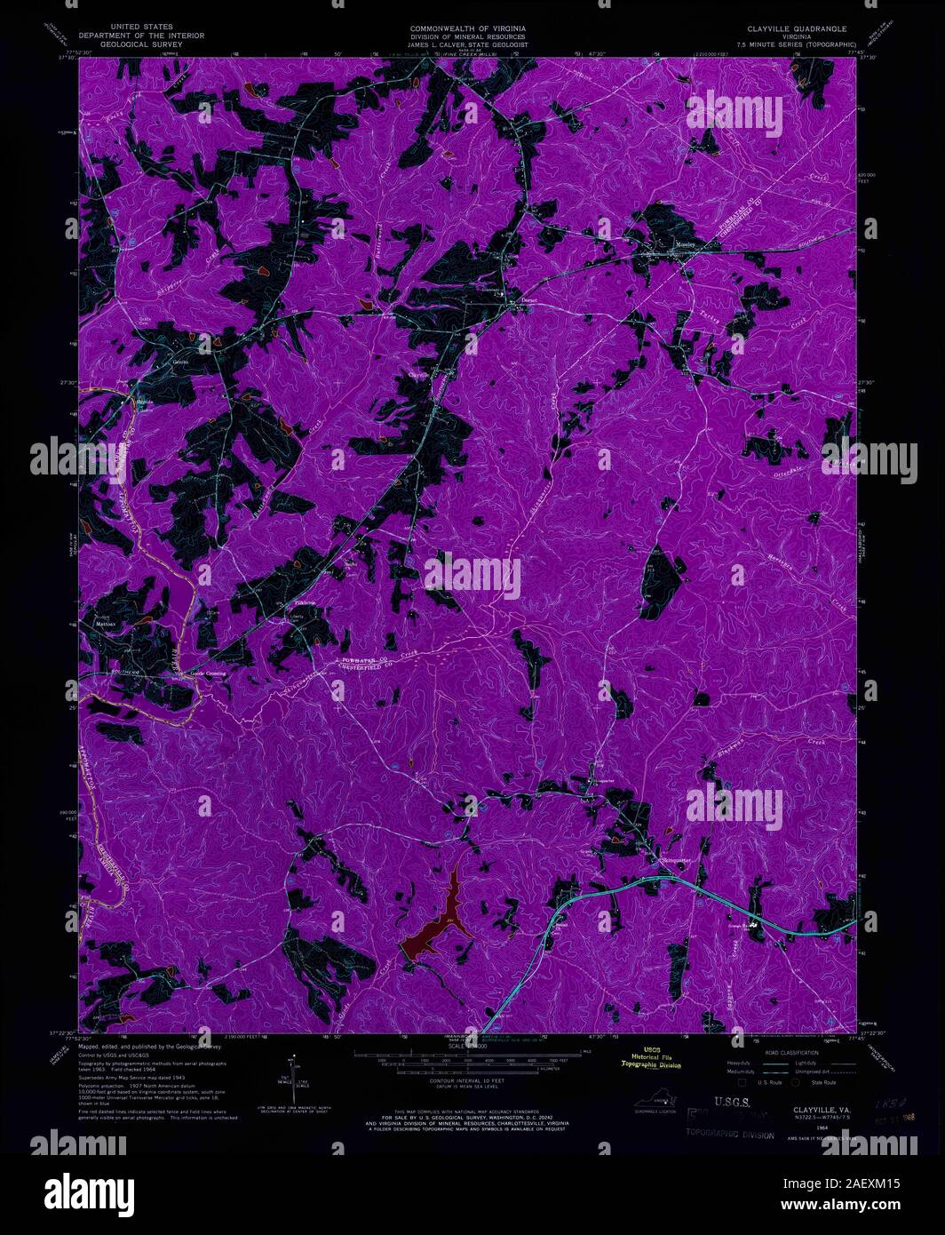 VA Clayville 184570 1964 24000 Inverted Stock Photohttps://www.alamy.com/image-license-details/?v=1https://www.alamy.com/va-clayville-184570-1964-24000-inverted-image336188641.html
RM2AEXM15–VA Clayville 184570 1964 24000 Inverted
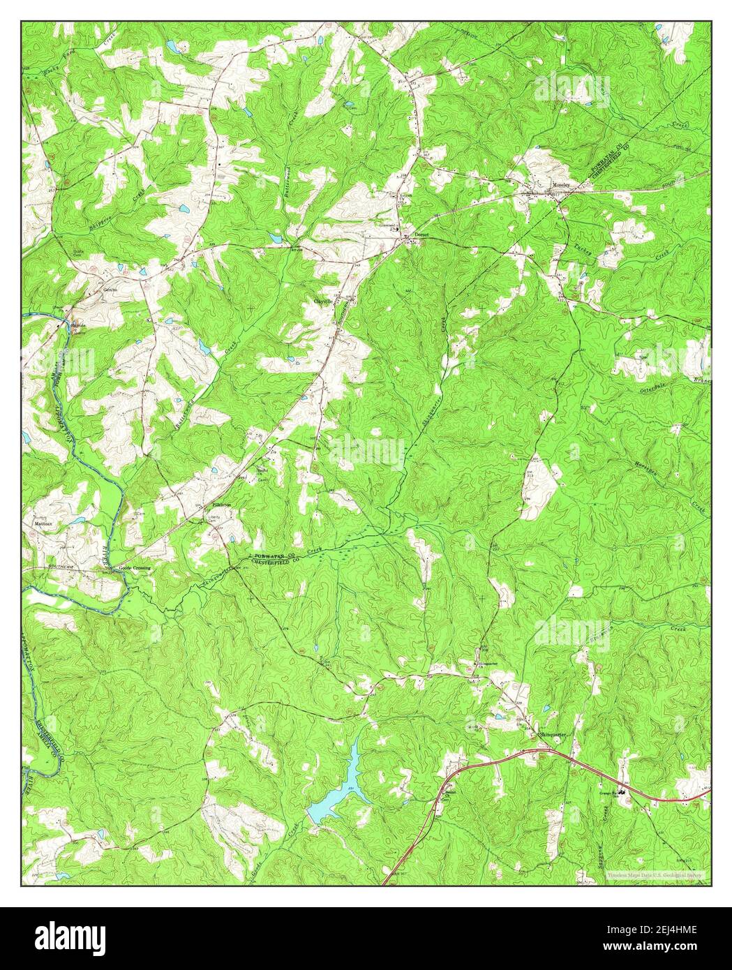 Clayville, Virginia, map 1964, 1:24000, United States of America by Timeless Maps, data U.S. Geological Survey Stock Photohttps://www.alamy.com/image-license-details/?v=1https://www.alamy.com/clayville-virginia-map-1964-124000-united-states-of-america-by-timeless-maps-data-us-geological-survey-image407003982.html
RM2EJ4HME–Clayville, Virginia, map 1964, 1:24000, United States of America by Timeless Maps, data U.S. Geological Survey
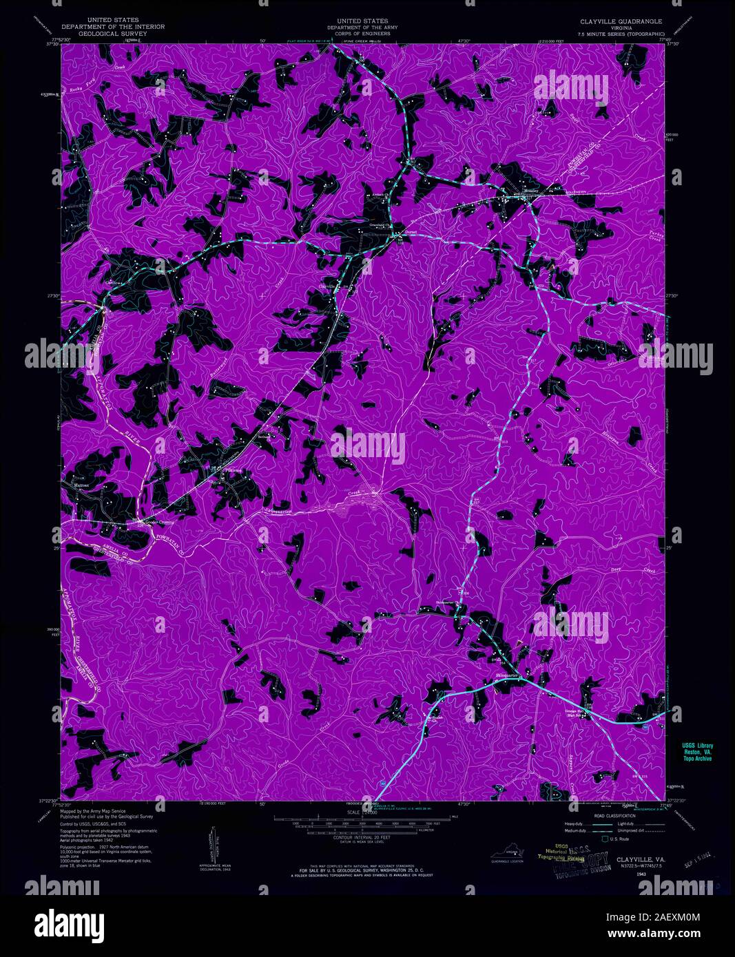 VA Clayville 184569 1943 24000 Inverted Stock Photohttps://www.alamy.com/image-license-details/?v=1https://www.alamy.com/va-clayville-184569-1943-24000-inverted-image336188628.html
RM2AEXM0M–VA Clayville 184569 1943 24000 Inverted
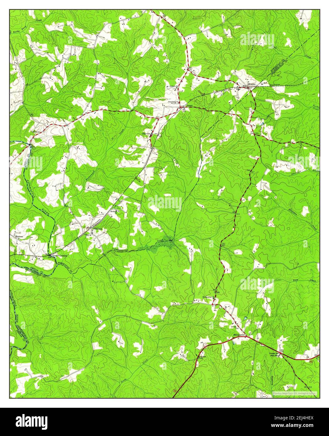 Clayville, Virginia, map 1943, 1:24000, United States of America by Timeless Maps, data U.S. Geological Survey Stock Photohttps://www.alamy.com/image-license-details/?v=1https://www.alamy.com/clayville-virginia-map-1943-124000-united-states-of-america-by-timeless-maps-data-us-geological-survey-image407003826.html
RM2EJ4HEX–Clayville, Virginia, map 1943, 1:24000, United States of America by Timeless Maps, data U.S. Geological Survey
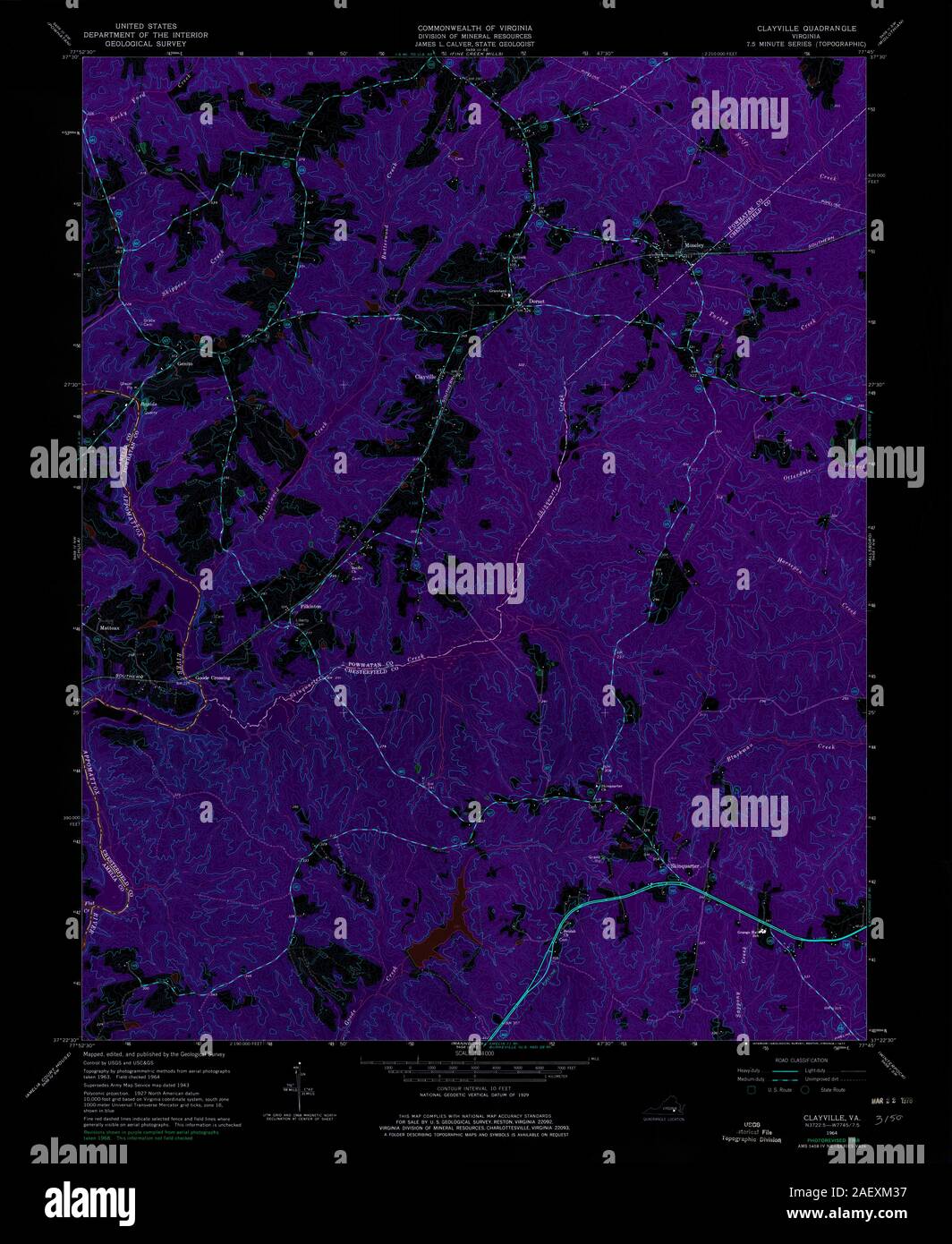 VA Clayville 184571 1964 24000 Inverted Stock Photohttps://www.alamy.com/image-license-details/?v=1https://www.alamy.com/va-clayville-184571-1964-24000-inverted-image336188699.html
RM2AEXM37–VA Clayville 184571 1964 24000 Inverted
 USGS TOPO Map Rhode Island RI Clayville 20120518 TM Restoration Stock Photohttps://www.alamy.com/image-license-details/?v=1https://www.alamy.com/usgs-topo-map-rhode-island-ri-clayville-20120518-tm-restoration-image265100532.html
RMWB8AC4–USGS TOPO Map Rhode Island RI Clayville 20120518 TM Restoration
 Clayville, Rhode Island, map 1955, 1:24000, United States of America by Timeless Maps, data U.S. Geological Survey Stock Photohttps://www.alamy.com/image-license-details/?v=1https://www.alamy.com/clayville-rhode-island-map-1955-124000-united-states-of-america-by-timeless-maps-data-us-geological-survey-image406955780.html
RM2EJ2C70–Clayville, Rhode Island, map 1955, 1:24000, United States of America by Timeless Maps, data U.S. Geological Survey
 USGS TOPO Map Rhode Island RI Clayville 20120518 TM Inverted Restoration Stock Photohttps://www.alamy.com/image-license-details/?v=1https://www.alamy.com/usgs-topo-map-rhode-island-ri-clayville-20120518-tm-inverted-restoration-image265100504.html
RMWB8AB4–USGS TOPO Map Rhode Island RI Clayville 20120518 TM Inverted Restoration
 USGS TOPO Map Rhode Island RI Clayville 353269 1955 24000 Restoration Stock Photohttps://www.alamy.com/image-license-details/?v=1https://www.alamy.com/usgs-topo-map-rhode-island-ri-clayville-353269-1955-24000-restoration-image265100884.html
RMWB8ATM–USGS TOPO Map Rhode Island RI Clayville 353269 1955 24000 Restoration
 Clayville, Rhode Island, map 1955, 1:24000, United States of America by Timeless Maps, data U.S. Geological Survey Stock Photohttps://www.alamy.com/image-license-details/?v=1https://www.alamy.com/clayville-rhode-island-map-1955-124000-united-states-of-america-by-timeless-maps-data-us-geological-survey-image406955781.html
RM2EJ2C71–Clayville, Rhode Island, map 1955, 1:24000, United States of America by Timeless Maps, data U.S. Geological Survey
 USGS TOPO Map Rhode Island RI Clayville 353404 1943 31680 Restoration Stock Photohttps://www.alamy.com/image-license-details/?v=1https://www.alamy.com/usgs-topo-map-rhode-island-ri-clayville-353404-1943-31680-restoration-image265101249.html
RMWB8B9N–USGS TOPO Map Rhode Island RI Clayville 353404 1943 31680 Restoration
 Clayville, Rhode Island, map 1943, 1:31680, United States of America by Timeless Maps, data U.S. Geological Survey Stock Photohttps://www.alamy.com/image-license-details/?v=1https://www.alamy.com/clayville-rhode-island-map-1943-131680-united-states-of-america-by-timeless-maps-data-us-geological-survey-image414220293.html
RM2F1WA5W–Clayville, Rhode Island, map 1943, 1:31680, United States of America by Timeless Maps, data U.S. Geological Survey
 USGS TOPO Map Rhode Island RI Clayville 353405 1943 31680 Restoration Stock Photohttps://www.alamy.com/image-license-details/?v=1https://www.alamy.com/usgs-topo-map-rhode-island-ri-clayville-353405-1943-31680-restoration-image265101300.html
RMWB8BBG–USGS TOPO Map Rhode Island RI Clayville 353405 1943 31680 Restoration
 Clayville, Rhode Island, map 1955, 1:24000, United States of America by Timeless Maps, data U.S. Geological Survey Stock Photohttps://www.alamy.com/image-license-details/?v=1https://www.alamy.com/clayville-rhode-island-map-1955-124000-united-states-of-america-by-timeless-maps-data-us-geological-survey-image406955777.html
RM2EJ2C6W–Clayville, Rhode Island, map 1955, 1:24000, United States of America by Timeless Maps, data U.S. Geological Survey
 USGS TOPO Map Rhode Island RI Clayville 353268 1955 24000 Restoration Stock Photohttps://www.alamy.com/image-license-details/?v=1https://www.alamy.com/usgs-topo-map-rhode-island-ri-clayville-353268-1955-24000-restoration-image265100781.html
RMWB8AN1–USGS TOPO Map Rhode Island RI Clayville 353268 1955 24000 Restoration
 Clayville, Rhode Island, map 1948, 1:25000, United States of America by Timeless Maps, data U.S. Geological Survey Stock Photohttps://www.alamy.com/image-license-details/?v=1https://www.alamy.com/clayville-rhode-island-map-1948-125000-united-states-of-america-by-timeless-maps-data-us-geological-survey-image406955779.html
RM2EJ2C6Y–Clayville, Rhode Island, map 1948, 1:25000, United States of America by Timeless Maps, data U.S. Geological Survey
 USGS TOPO Map Rhode Island RI Clayville 353267 1955 24000 Restoration Stock Photohttps://www.alamy.com/image-license-details/?v=1https://www.alamy.com/usgs-topo-map-rhode-island-ri-clayville-353267-1955-24000-restoration-image265100735.html
RMWB8AKB–USGS TOPO Map Rhode Island RI Clayville 353267 1955 24000 Restoration
 Clayville, Rhode Island, map 1955, 1:24000, United States of America by Timeless Maps, data U.S. Geological Survey Stock Photohttps://www.alamy.com/image-license-details/?v=1https://www.alamy.com/clayville-rhode-island-map-1955-124000-united-states-of-america-by-timeless-maps-data-us-geological-survey-image406955782.html
RM2EJ2C72–Clayville, Rhode Island, map 1955, 1:24000, United States of America by Timeless Maps, data U.S. Geological Survey
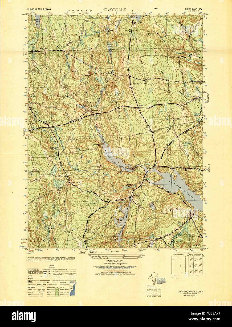 USGS TOPO Map Rhode Island RI Clayville 353381 1948 25000 Restoration Stock Photohttps://www.alamy.com/image-license-details/?v=1https://www.alamy.com/usgs-topo-map-rhode-island-ri-clayville-353381-1948-25000-restoration-image265100929.html
RMWB8AX9–USGS TOPO Map Rhode Island RI Clayville 353381 1948 25000 Restoration
 Clayville, Rhode Island, map 1955, 1:24000, United States of America by Timeless Maps, data U.S. Geological Survey Stock Photohttps://www.alamy.com/image-license-details/?v=1https://www.alamy.com/clayville-rhode-island-map-1955-124000-united-states-of-america-by-timeless-maps-data-us-geological-survey-image406955778.html
RM2EJ2C6X–Clayville, Rhode Island, map 1955, 1:24000, United States of America by Timeless Maps, data U.S. Geological Survey
 USGS TOPO Map Rhode Island RI Clayville 353266 1955 24000 Restoration Stock Photohttps://www.alamy.com/image-license-details/?v=1https://www.alamy.com/usgs-topo-map-rhode-island-ri-clayville-353266-1955-24000-restoration-image265100676.html
RMWB8AH8–USGS TOPO Map Rhode Island RI Clayville 353266 1955 24000 Restoration
 USGS TOPO Map Rhode Island RI Clayville 353265 1955 24000 Restoration Stock Photohttps://www.alamy.com/image-license-details/?v=1https://www.alamy.com/usgs-topo-map-rhode-island-ri-clayville-353265-1955-24000-restoration-image265100610.html
RMWB8AEX–USGS TOPO Map Rhode Island RI Clayville 353265 1955 24000 Restoration
 USGS TOPO Map Rhode Island RI Clayville 353402 1943 31680 Restoration Stock Photohttps://www.alamy.com/image-license-details/?v=1https://www.alamy.com/usgs-topo-map-rhode-island-ri-clayville-353402-1943-31680-restoration-image265101018.html
RMWB8B1E–USGS TOPO Map Rhode Island RI Clayville 353402 1943 31680 Restoration
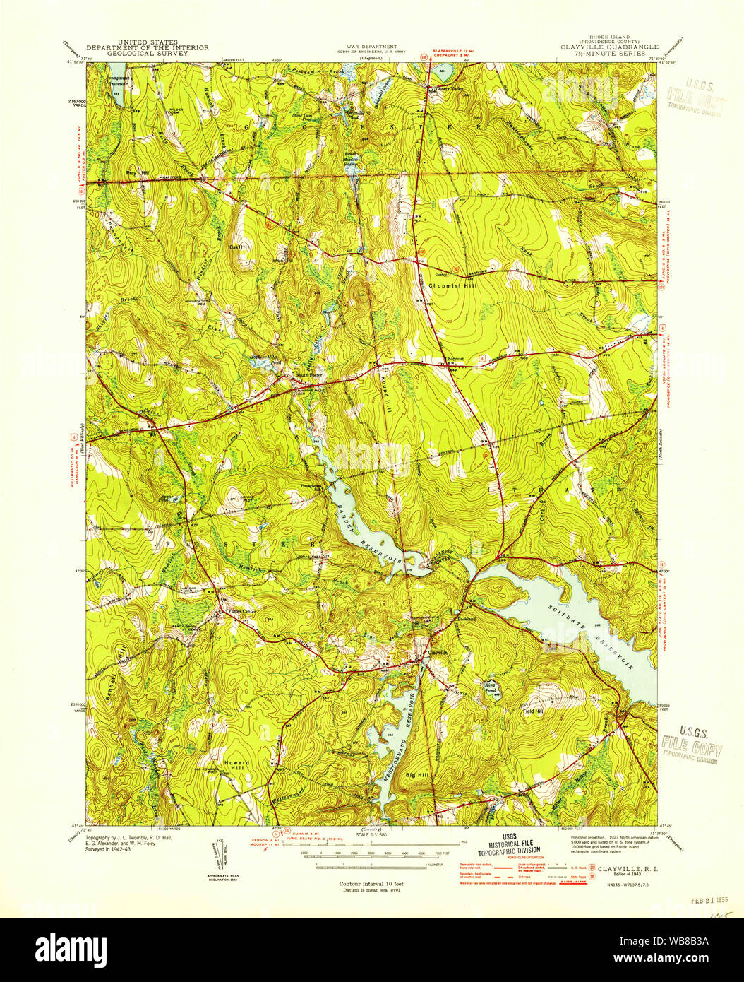 USGS TOPO Map Rhode Island RI Clayville 353403 1943 31680 Restoration Stock Photohttps://www.alamy.com/image-license-details/?v=1https://www.alamy.com/usgs-topo-map-rhode-island-ri-clayville-353403-1943-31680-restoration-image265101070.html
RMWB8B3A–USGS TOPO Map Rhode Island RI Clayville 353403 1943 31680 Restoration
 USGS TOPO Map Rhode Island RI Clayville 353405 1943 31680 Inverted Restoration Stock Photohttps://www.alamy.com/image-license-details/?v=1https://www.alamy.com/usgs-topo-map-rhode-island-ri-clayville-353405-1943-31680-inverted-restoration-image265101277.html
RMWB8BAN–USGS TOPO Map Rhode Island RI Clayville 353405 1943 31680 Inverted Restoration
 USGS TOPO Map Rhode Island RI Clayville 353402 1943 31680 Inverted Restoration Stock Photohttps://www.alamy.com/image-license-details/?v=1https://www.alamy.com/usgs-topo-map-rhode-island-ri-clayville-353402-1943-31680-inverted-restoration-image265100962.html
RMWB8AYE–USGS TOPO Map Rhode Island RI Clayville 353402 1943 31680 Inverted Restoration
 USGS TOPO Map Rhode Island RI Clayville 353265 1955 24000 Inverted Restoration Stock Photohttps://www.alamy.com/image-license-details/?v=1https://www.alamy.com/usgs-topo-map-rhode-island-ri-clayville-353265-1955-24000-inverted-restoration-image265100559.html
RMWB8AD3–USGS TOPO Map Rhode Island RI Clayville 353265 1955 24000 Inverted Restoration
 USGS TOPO Map Rhode Island RI Clayville 353381 1948 25000 Inverted Restoration Stock Photohttps://www.alamy.com/image-license-details/?v=1https://www.alamy.com/usgs-topo-map-rhode-island-ri-clayville-353381-1948-25000-inverted-restoration-image265100901.html
RMWB8AW9–USGS TOPO Map Rhode Island RI Clayville 353381 1948 25000 Inverted Restoration
 USGS TOPO Map Rhode Island RI Clayville 353404 1943 31680 Inverted Restoration Stock Photohttps://www.alamy.com/image-license-details/?v=1https://www.alamy.com/usgs-topo-map-rhode-island-ri-clayville-353404-1943-31680-inverted-restoration-image265101084.html
RMWB8B3T–USGS TOPO Map Rhode Island RI Clayville 353404 1943 31680 Inverted Restoration
 USGS TOPO Map Rhode Island RI Clayville 353403 1943 31680 Inverted Restoration Stock Photohttps://www.alamy.com/image-license-details/?v=1https://www.alamy.com/usgs-topo-map-rhode-island-ri-clayville-353403-1943-31680-inverted-restoration-image265101045.html
RMWB8B2D–USGS TOPO Map Rhode Island RI Clayville 353403 1943 31680 Inverted Restoration
 USGS TOPO Map Rhode Island RI Clayville 353269 1955 24000 Inverted Restoration Stock Photohttps://www.alamy.com/image-license-details/?v=1https://www.alamy.com/usgs-topo-map-rhode-island-ri-clayville-353269-1955-24000-inverted-restoration-image265100854.html
RMWB8ARJ–USGS TOPO Map Rhode Island RI Clayville 353269 1955 24000 Inverted Restoration
 USGS TOPO Map Rhode Island RI Clayville 353266 1955 24000 Inverted Restoration Stock Photohttps://www.alamy.com/image-license-details/?v=1https://www.alamy.com/usgs-topo-map-rhode-island-ri-clayville-353266-1955-24000-inverted-restoration-image265100650.html
RMWB8AGA–USGS TOPO Map Rhode Island RI Clayville 353266 1955 24000 Inverted Restoration
 USGS TOPO Map Rhode Island RI Clayville 353267 1955 24000 Inverted Restoration Stock Photohttps://www.alamy.com/image-license-details/?v=1https://www.alamy.com/usgs-topo-map-rhode-island-ri-clayville-353267-1955-24000-inverted-restoration-image265100713.html
RMWB8AJH–USGS TOPO Map Rhode Island RI Clayville 353267 1955 24000 Inverted Restoration
 USGS TOPO Map Rhode Island RI Clayville 353268 1955 24000 Inverted Restoration Stock Photohttps://www.alamy.com/image-license-details/?v=1https://www.alamy.com/usgs-topo-map-rhode-island-ri-clayville-353268-1955-24000-inverted-restoration-image265100765.html
RMWB8AMD–USGS TOPO Map Rhode Island RI Clayville 353268 1955 24000 Inverted Restoration