Quick filters:
Clutha river Stock Photos and Images
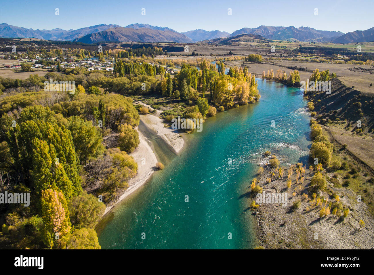 Aerial view of the Clutha River, Otago, New Zealand in Autumn Stock Photohttps://www.alamy.com/image-license-details/?v=1https://www.alamy.com/aerial-view-of-the-clutha-river-otago-new-zealand-in-autumn-image212180950.html
RMP95JY2–Aerial view of the Clutha River, Otago, New Zealand in Autumn
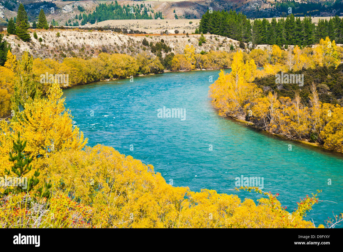 Autumn trees along the Clutha River, Wanaka, South Island, New Zealand Stock Photohttps://www.alamy.com/image-license-details/?v=1https://www.alamy.com/stock-photo-autumn-trees-along-the-clutha-river-wanaka-south-island-new-zealand-57514211.html
RMD9FYXY–Autumn trees along the Clutha River, Wanaka, South Island, New Zealand
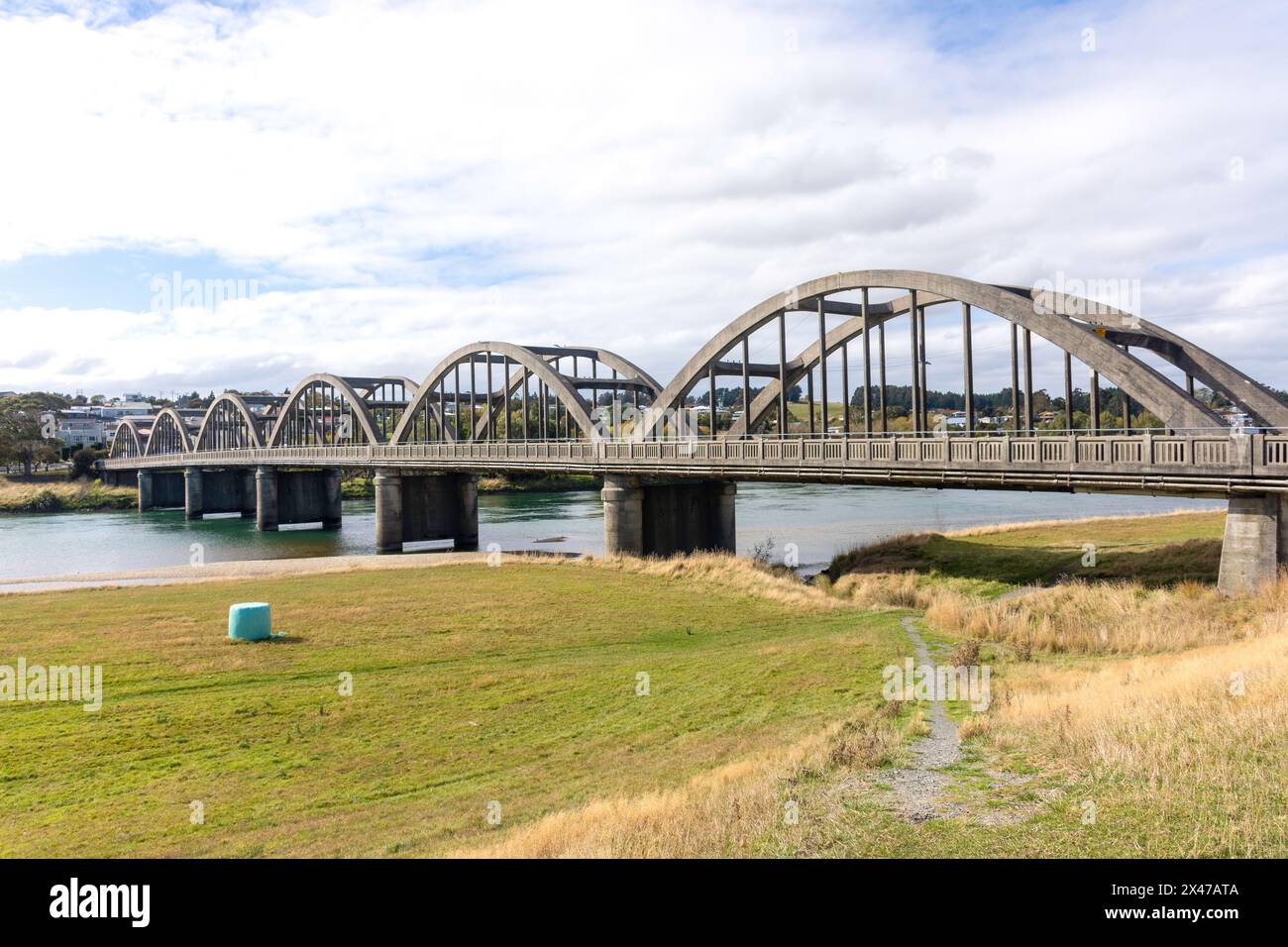 Balclutha Bridge over Clutha River, State Highway 1, Balclutha, Otago, New Zealand Stock Photohttps://www.alamy.com/image-license-details/?v=1https://www.alamy.com/balclutha-bridge-over-clutha-river-state-highway-1-balclutha-otago-new-zealand-image604983690.html
RM2X47ATA–Balclutha Bridge over Clutha River, State Highway 1, Balclutha, Otago, New Zealand
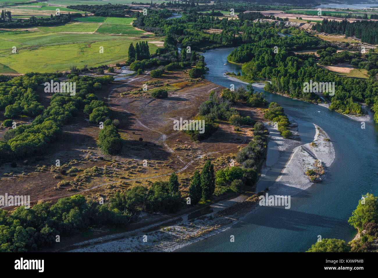 Clutha River, link between Lake Wanaka and Lake Dunstan, Otago, New Zealand Stock Photohttps://www.alamy.com/image-license-details/?v=1https://www.alamy.com/stock-photo-clutha-river-link-between-lake-wanaka-and-lake-dunstan-otago-new-zealand-171440987.html
RMKXWPMB–Clutha River, link between Lake Wanaka and Lake Dunstan, Otago, New Zealand
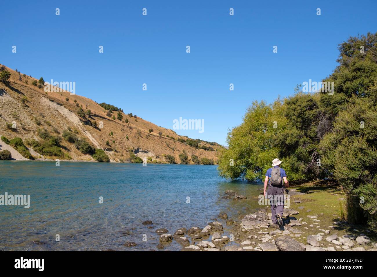 Clutha River - 2nd longest and one of the cleanest rivers in NZ, Wanaka, Otago, South Island, New Zealand Stock Photohttps://www.alamy.com/image-license-details/?v=1https://www.alamy.com/clutha-river-2nd-longest-and-one-of-the-cleanest-rivers-in-nz-wanaka-otago-south-island-new-zealand-image348920221.html
RM2B7JK8D–Clutha River - 2nd longest and one of the cleanest rivers in NZ, Wanaka, Otago, South Island, New Zealand
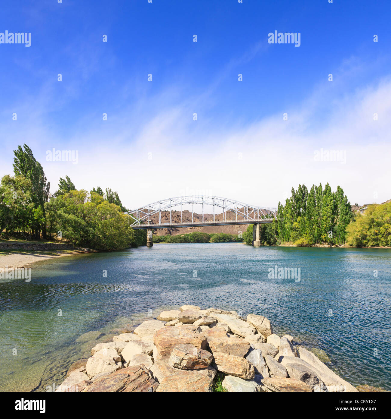 The bridge over the Clutha River at Alexandra, Otago, New Zealand. Stock Photohttps://www.alamy.com/image-license-details/?v=1https://www.alamy.com/stock-photo-the-bridge-over-the-clutha-river-at-alexandra-otago-new-zealand-48163927.html
RFCPA1G7–The bridge over the Clutha River at Alexandra, Otago, New Zealand.
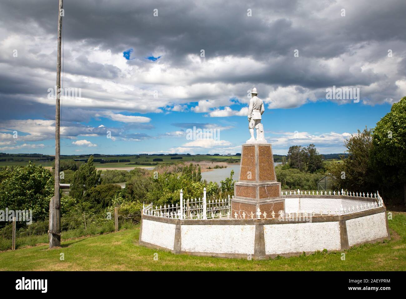 Otago, South Island, New Zealand, December 8 2019: A war memorial to remember fallen soldiers stands proud on a hilltop overlooking the Clutha River, Stock Photohttps://www.alamy.com/image-license-details/?v=1https://www.alamy.com/otago-south-island-new-zealand-december-8-2019-a-war-memorial-to-remember-fallen-soldiers-stands-proud-on-a-hilltop-overlooking-the-clutha-river-image336212792.html
RF2AEYPRM–Otago, South Island, New Zealand, December 8 2019: A war memorial to remember fallen soldiers stands proud on a hilltop overlooking the Clutha River,
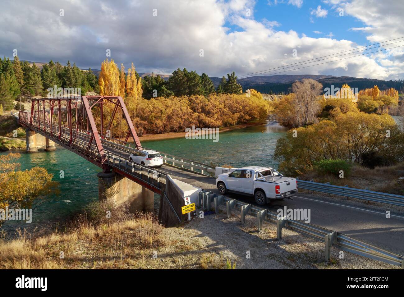 The historic Red Bridge (built 1915) over the Clutha River, Otago, New Zealand, in autumn Stock Photohttps://www.alamy.com/image-license-details/?v=1https://www.alamy.com/the-historic-red-bridge-built-1915-over-the-clutha-river-otago-new-zealand-in-autumn-image427856708.html
RF2FT2FGM–The historic Red Bridge (built 1915) over the Clutha River, Otago, New Zealand, in autumn
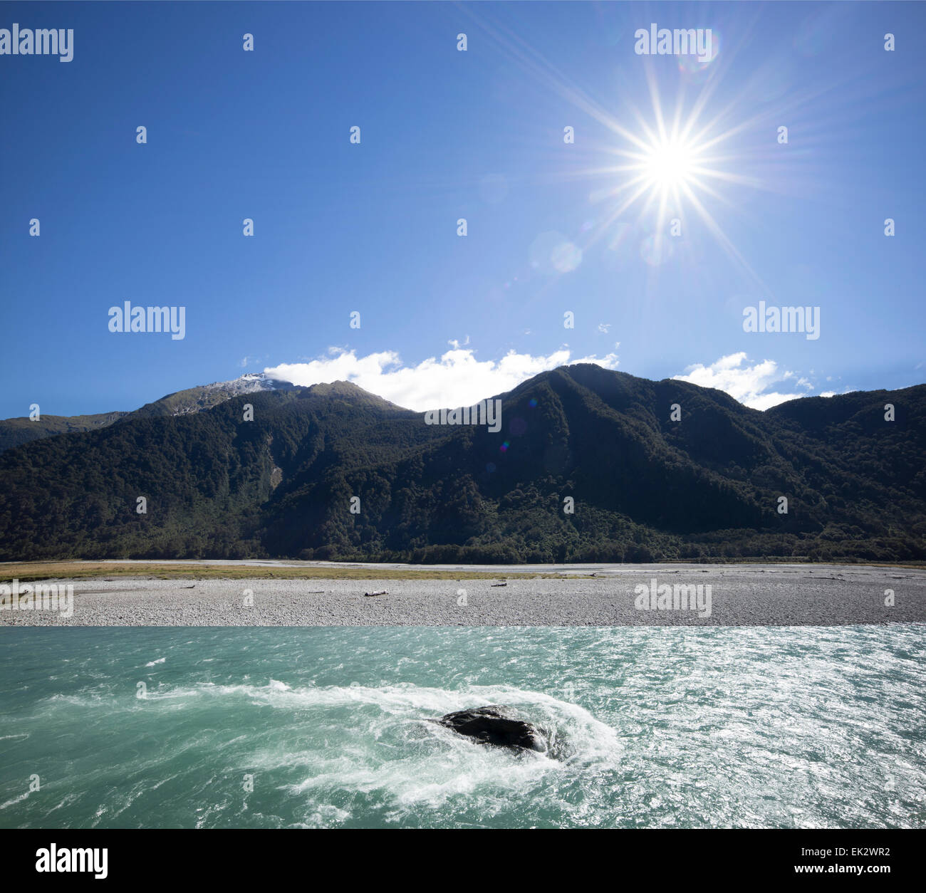 Clutha River flowing out of Lake Wanaka, south island, New Zealand. Stock Photohttps://www.alamy.com/image-license-details/?v=1https://www.alamy.com/stock-photo-clutha-river-flowing-out-of-lake-wanaka-south-island-new-zealand-80584086.html
RFEK2WR2–Clutha River flowing out of Lake Wanaka, south island, New Zealand.
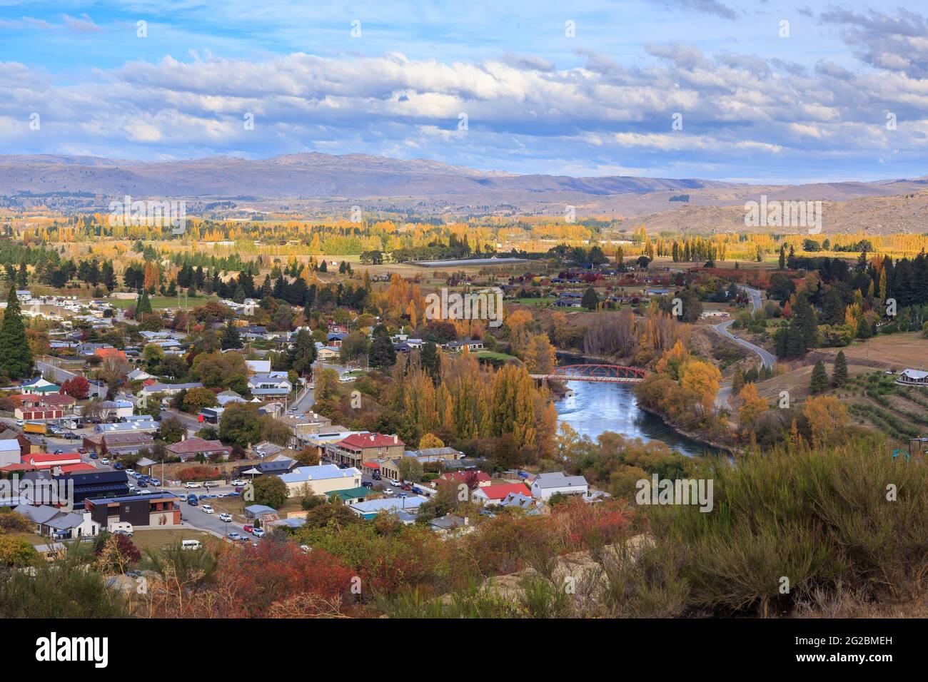 Clyde, a town in the South Island of New Zealand, in autumn. The Clutha River passes through the town at center right Stock Photohttps://www.alamy.com/image-license-details/?v=1https://www.alamy.com/clyde-a-town-in-the-south-island-of-new-zealand-in-autumn-the-clutha-river-passes-through-the-town-at-center-right-image431746073.html
RF2G2BMEH–Clyde, a town in the South Island of New Zealand, in autumn. The Clutha River passes through the town at center right
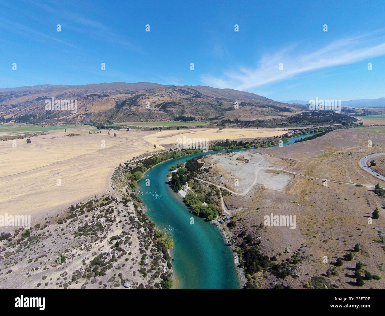 Clutha River, Central Otago, South Island, New Zealand - drone aerial Stock Photohttps://www.alamy.com/image-license-details/?v=1https://www.alamy.com/stock-photo-clutha-river-central-otago-south-island-new-zealand-drone-aerial-106684242.html
RMG5FTRE–Clutha River, Central Otago, South Island, New Zealand - drone aerial
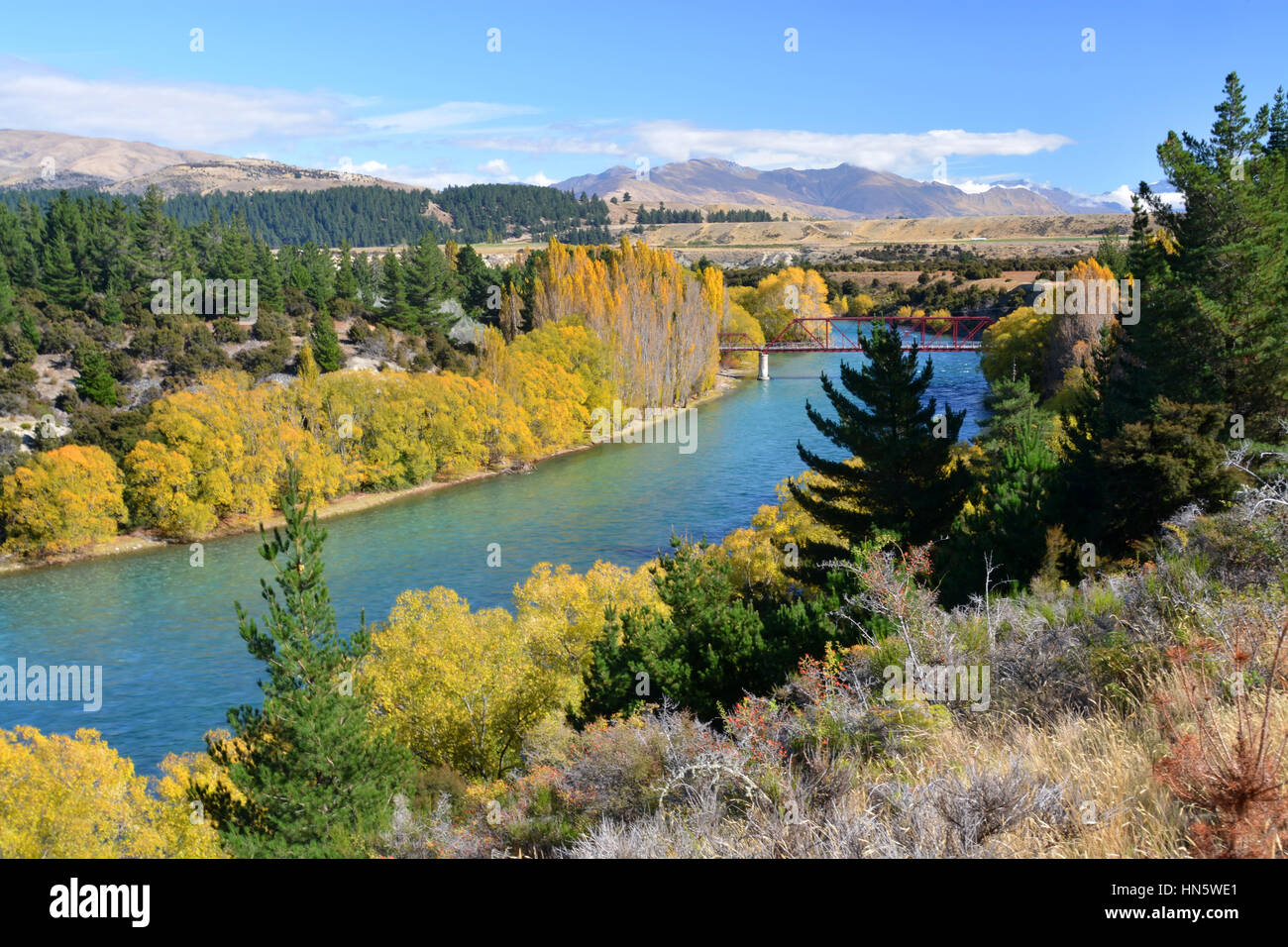 An aerial view of the Clutha River and Bridge in Autumn. One of New Zealand's longest and most beautiful rivers and popular for trout fishing. Stock Photohttps://www.alamy.com/image-license-details/?v=1https://www.alamy.com/stock-photo-an-aerial-view-of-the-clutha-river-and-bridge-in-autumn-one-of-new-133510105.html
RFHN5WE1–An aerial view of the Clutha River and Bridge in Autumn. One of New Zealand's longest and most beautiful rivers and popular for trout fishing.
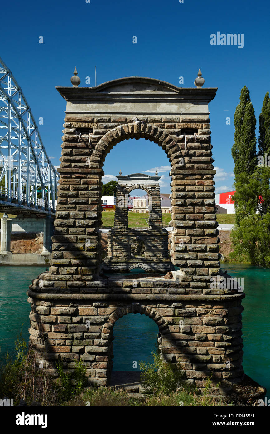 Historic Alexandra Bridge (1882) across Clutha River, Alexandra, Central Otago, South Island, New Zealand Stock Photohttps://www.alamy.com/image-license-details/?v=1https://www.alamy.com/historic-alexandra-bridge-1882-across-clutha-river-alexandra-central-image66233264.html
RMDRN55M–Historic Alexandra Bridge (1882) across Clutha River, Alexandra, Central Otago, South Island, New Zealand
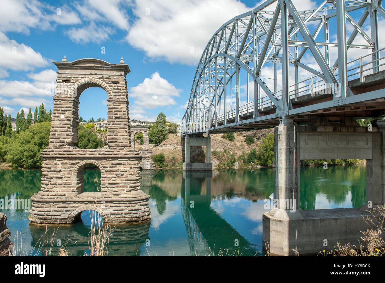 Clutha river and the old and new Alexandra Bridge in Alexandra. Alexandra is a historic gold mining town in Central Otago, New Zealand. Stock Photohttps://www.alamy.com/image-license-details/?v=1https://www.alamy.com/stock-photo-clutha-river-and-the-old-and-new-alexandra-bridge-in-alexandra-alexandra-137254115.html
RFHY8D0K–Clutha river and the old and new Alexandra Bridge in Alexandra. Alexandra is a historic gold mining town in Central Otago, New Zealand.
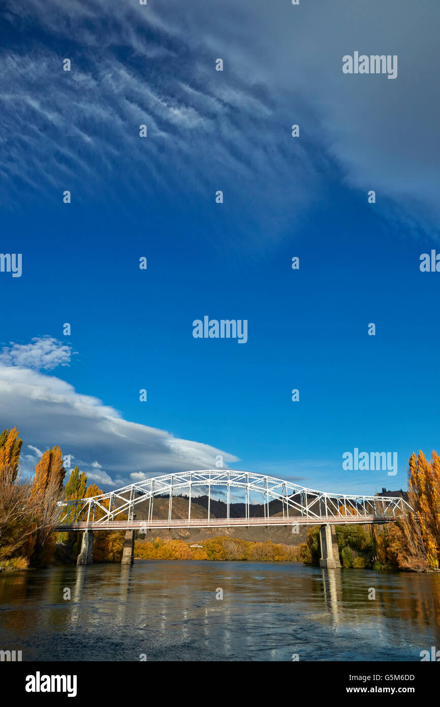 Alexandra Bridge and Clutha River in autumn, Central Otago, South Island, New Zealand Stock Photohttps://www.alamy.com/image-license-details/?v=1https://www.alamy.com/stock-photo-alexandra-bridge-and-clutha-river-in-autumn-central-otago-south-island-106779609.html
RMG5M6DD–Alexandra Bridge and Clutha River in autumn, Central Otago, South Island, New Zealand
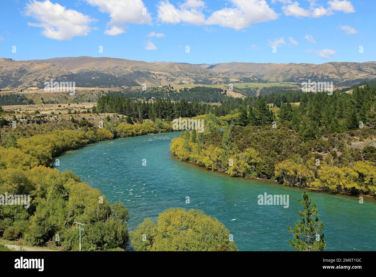 Landscape with Clutha River, New Zealand Stock Photohttps://www.alamy.com/image-license-details/?v=1https://www.alamy.com/landscape-with-clutha-river-new-zealand-image503316700.html
RF2M6T1GC–Landscape with Clutha River, New Zealand
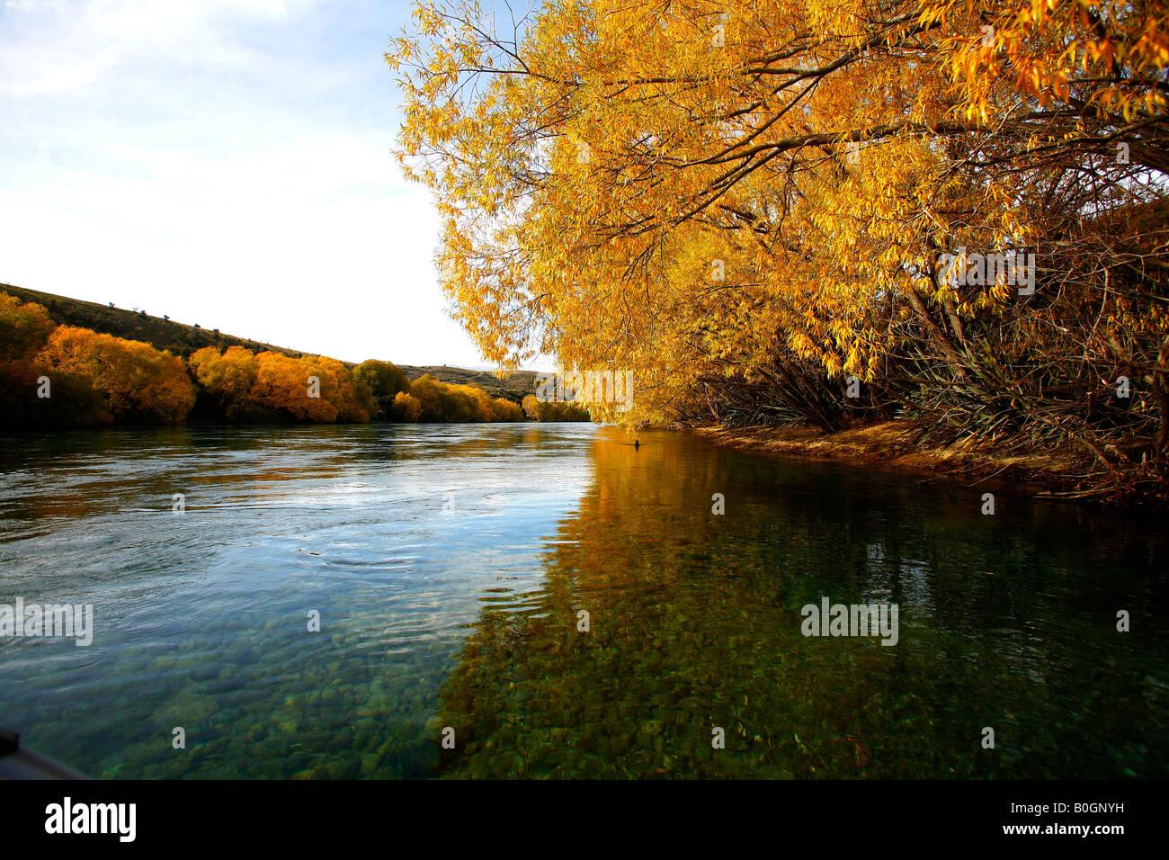 The Clutha river near Wanaka Central Otago New Zealand Stock Photohttps://www.alamy.com/image-license-details/?v=1https://www.alamy.com/stock-photo-the-clutha-river-near-wanaka-central-otago-new-zealand-17578837.html
RMB0GNYH–The Clutha river near Wanaka Central Otago New Zealand
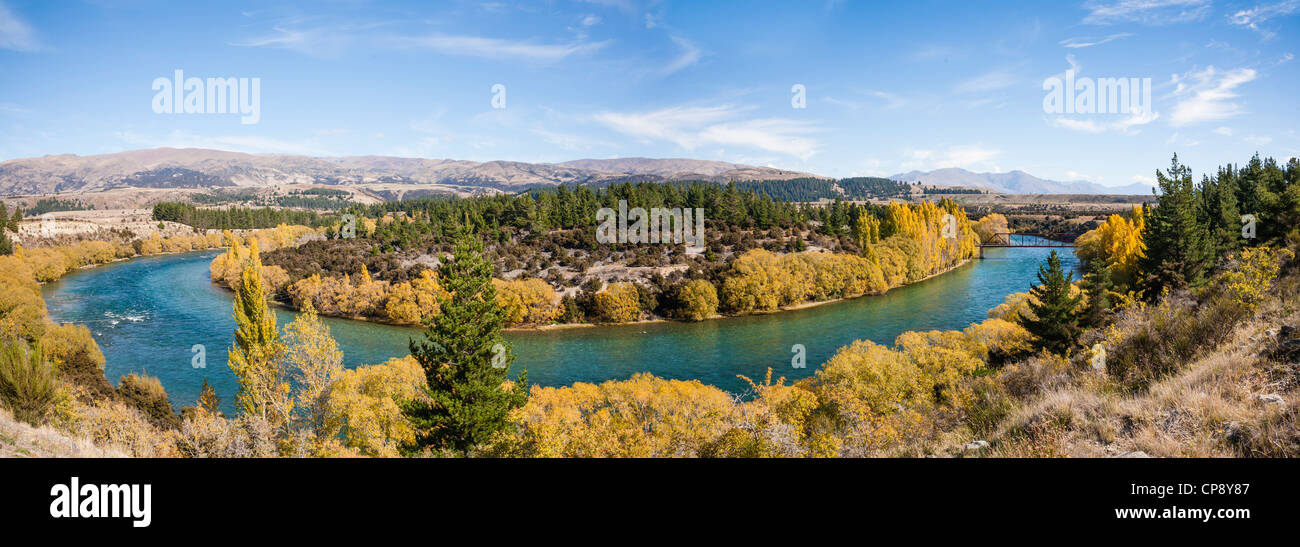 Panorama of the Clutha River near Luggate in Central Otago, South Island, New Zealand, with autumn colours. Stock Photohttps://www.alamy.com/image-license-details/?v=1https://www.alamy.com/stock-photo-panorama-of-the-clutha-river-near-luggate-in-central-otago-south-island-48140183.html
RFCP8Y87–Panorama of the Clutha River near Luggate in Central Otago, South Island, New Zealand, with autumn colours.
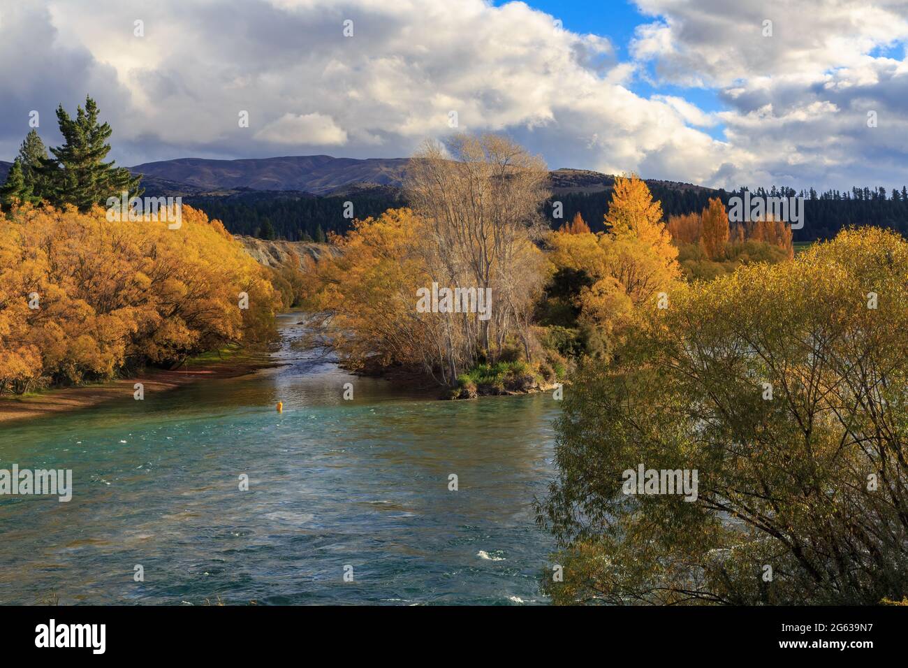 The Clutha River, New Zealand, in autumn Stock Photohttps://www.alamy.com/image-license-details/?v=1https://www.alamy.com/the-clutha-river-new-zealand-in-autumn-image434020643.html
RF2G639N7–The Clutha River, New Zealand, in autumn
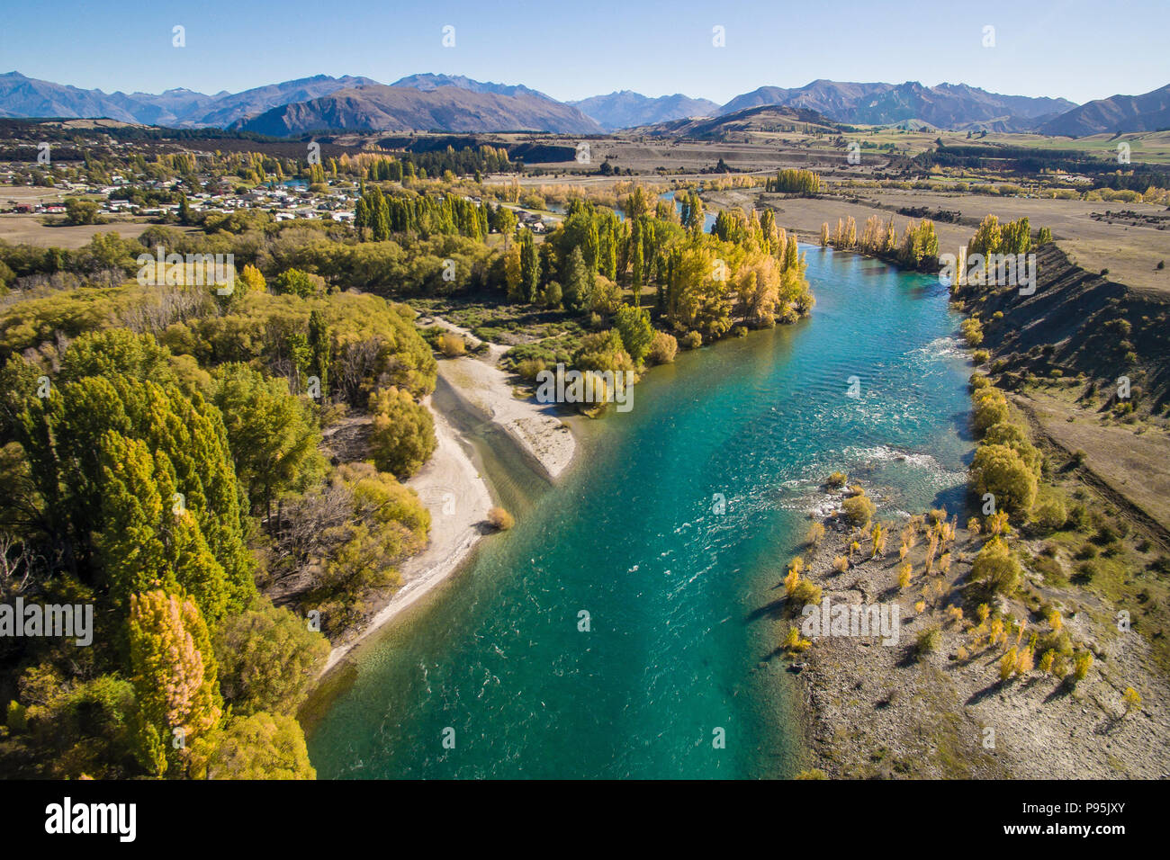 Aerial view of the Clutha River, Otago, New Zealand in Autumn Stock Photohttps://www.alamy.com/image-license-details/?v=1https://www.alamy.com/aerial-view-of-the-clutha-river-otago-new-zealand-in-autumn-image212180947.html
RMP95JXY–Aerial view of the Clutha River, Otago, New Zealand in Autumn
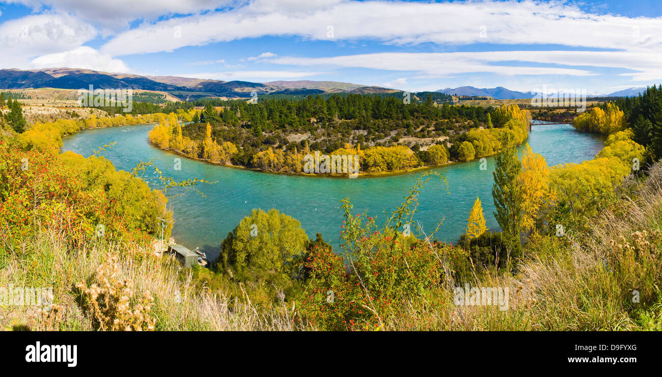 Autumn panorama of the Clutha River, South Island, New Zealand Stock Photohttps://www.alamy.com/image-license-details/?v=1https://www.alamy.com/stock-photo-autumn-panorama-of-the-clutha-river-south-island-new-zealand-57514200.html
RMD9FYXG–Autumn panorama of the Clutha River, South Island, New Zealand
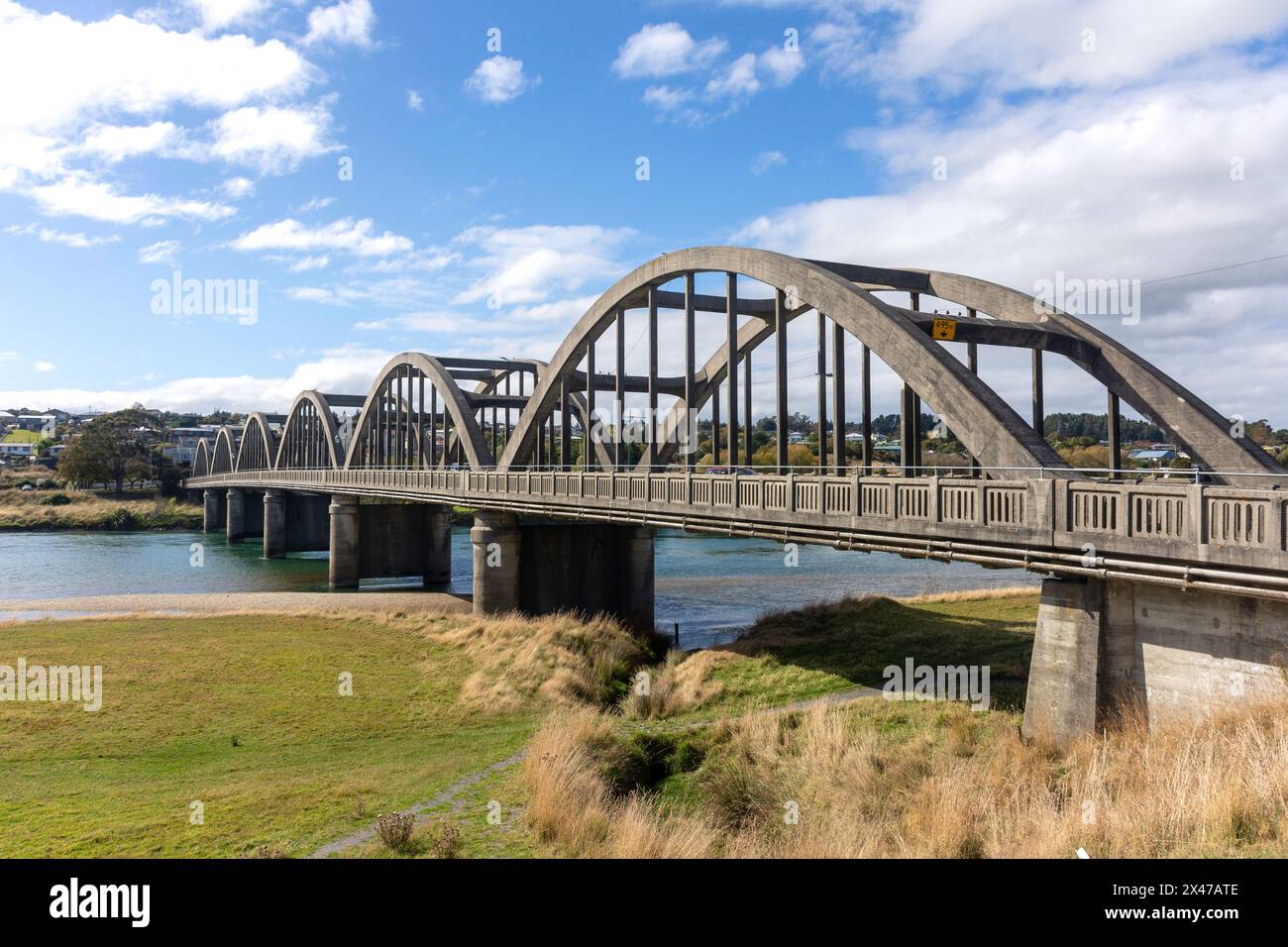 Balclutha Bridge over Clutha River, State Highway 1, Balclutha, Otago, New Zealand Stock Photohttps://www.alamy.com/image-license-details/?v=1https://www.alamy.com/balclutha-bridge-over-clutha-river-state-highway-1-balclutha-otago-new-zealand-image604983694.html
RM2X47ATE–Balclutha Bridge over Clutha River, State Highway 1, Balclutha, Otago, New Zealand
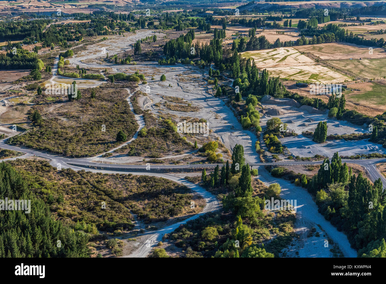 Clutha River, link between Lake Wanaka and Lake Dunstan, Otago, New Zealand Stock Photohttps://www.alamy.com/image-license-details/?v=1https://www.alamy.com/stock-photo-clutha-river-link-between-lake-wanaka-and-lake-dunstan-otago-new-zealand-171441008.html
RMKXWPN4–Clutha River, link between Lake Wanaka and Lake Dunstan, Otago, New Zealand
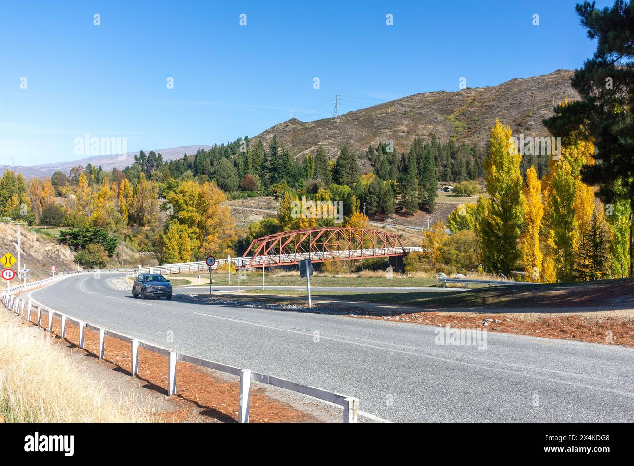 Clyde Bridge over Clutha River, Matau Street, Clyde, Central Otago, Otago, South Island, New Zealand Stock Photohttps://www.alamy.com/image-license-details/?v=1https://www.alamy.com/clyde-bridge-over-clutha-river-matau-street-clyde-central-otago-otago-south-island-new-zealand-image605249240.html
RM2X4KDG8–Clyde Bridge over Clutha River, Matau Street, Clyde, Central Otago, Otago, South Island, New Zealand
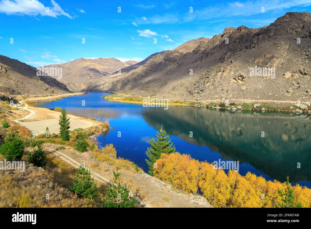 Lake Dunstan on the Clutha River, Otago, New Zealand, in autumn Stock Photohttps://www.alamy.com/image-license-details/?v=1https://www.alamy.com/lake-dunstan-on-the-clutha-river-otago-new-zealand-in-autumn-image425536675.html
RF2FM8TAB–Lake Dunstan on the Clutha River, Otago, New Zealand, in autumn
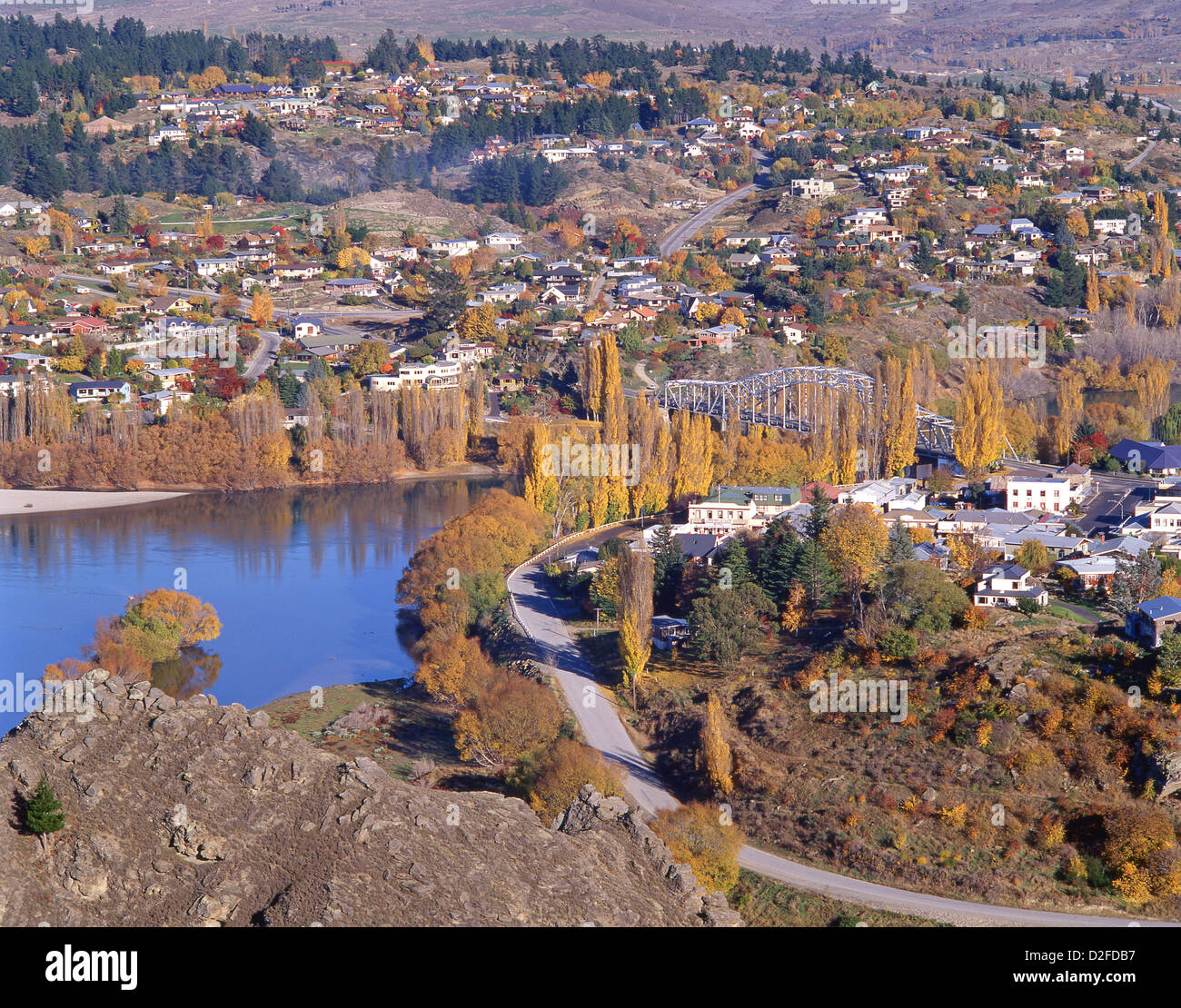 View of town and Clutha River in autumn colours, Alexandra, Central Otago District, Otago Region, South Island, New Zealand Stock Photohttps://www.alamy.com/image-license-details/?v=1https://www.alamy.com/stock-photo-view-of-town-and-clutha-river-in-autumn-colours-alexandra-central-53200203.html
RMD2FDB7–View of town and Clutha River in autumn colours, Alexandra, Central Otago District, Otago Region, South Island, New Zealand
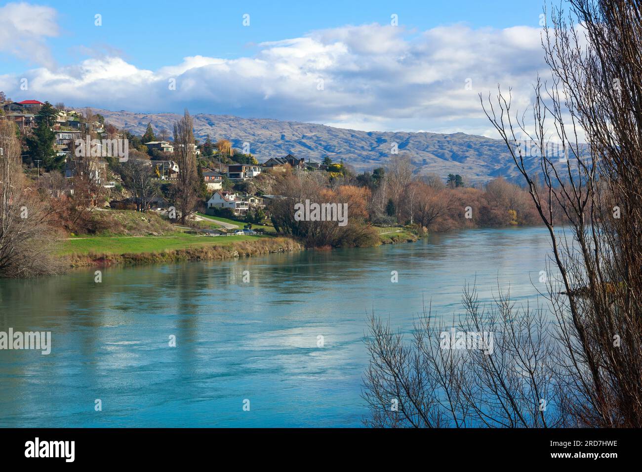 The Clutha River passing through the town of Alexandra in the South Island of New Zealand Stock Photohttps://www.alamy.com/image-license-details/?v=1https://www.alamy.com/the-clutha-river-passing-through-the-town-of-alexandra-in-the-south-island-of-new-zealand-image558890010.html
RF2RD7HWE–The Clutha River passing through the town of Alexandra in the South Island of New Zealand
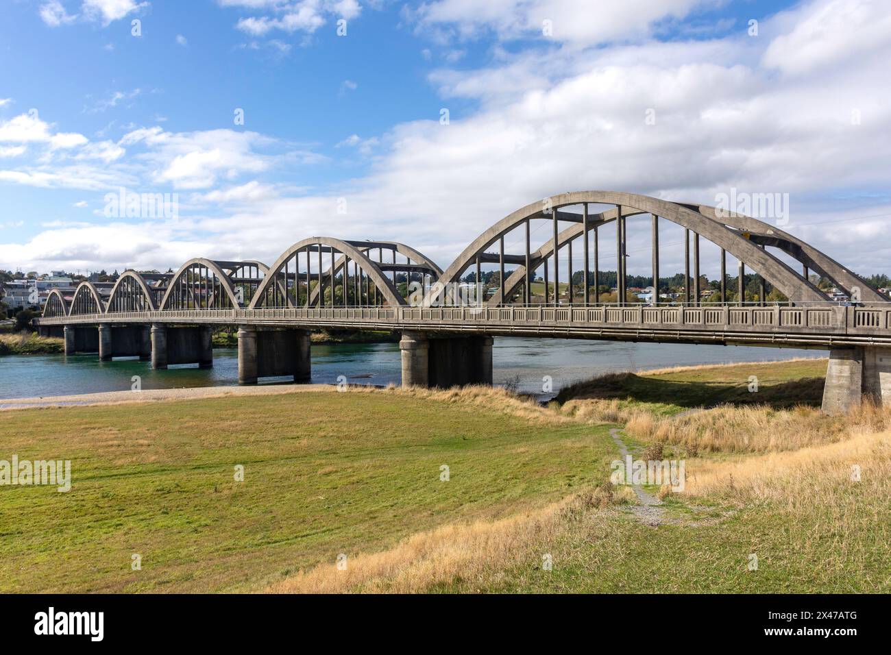 Historic Balclutha Bridge over Clutha River, State Highway 1, Balclutha, Otago, New Zealand Stock Photohttps://www.alamy.com/image-license-details/?v=1https://www.alamy.com/historic-balclutha-bridge-over-clutha-river-state-highway-1-balclutha-otago-new-zealand-image604983696.html
RM2X47ATG–Historic Balclutha Bridge over Clutha River, State Highway 1, Balclutha, Otago, New Zealand
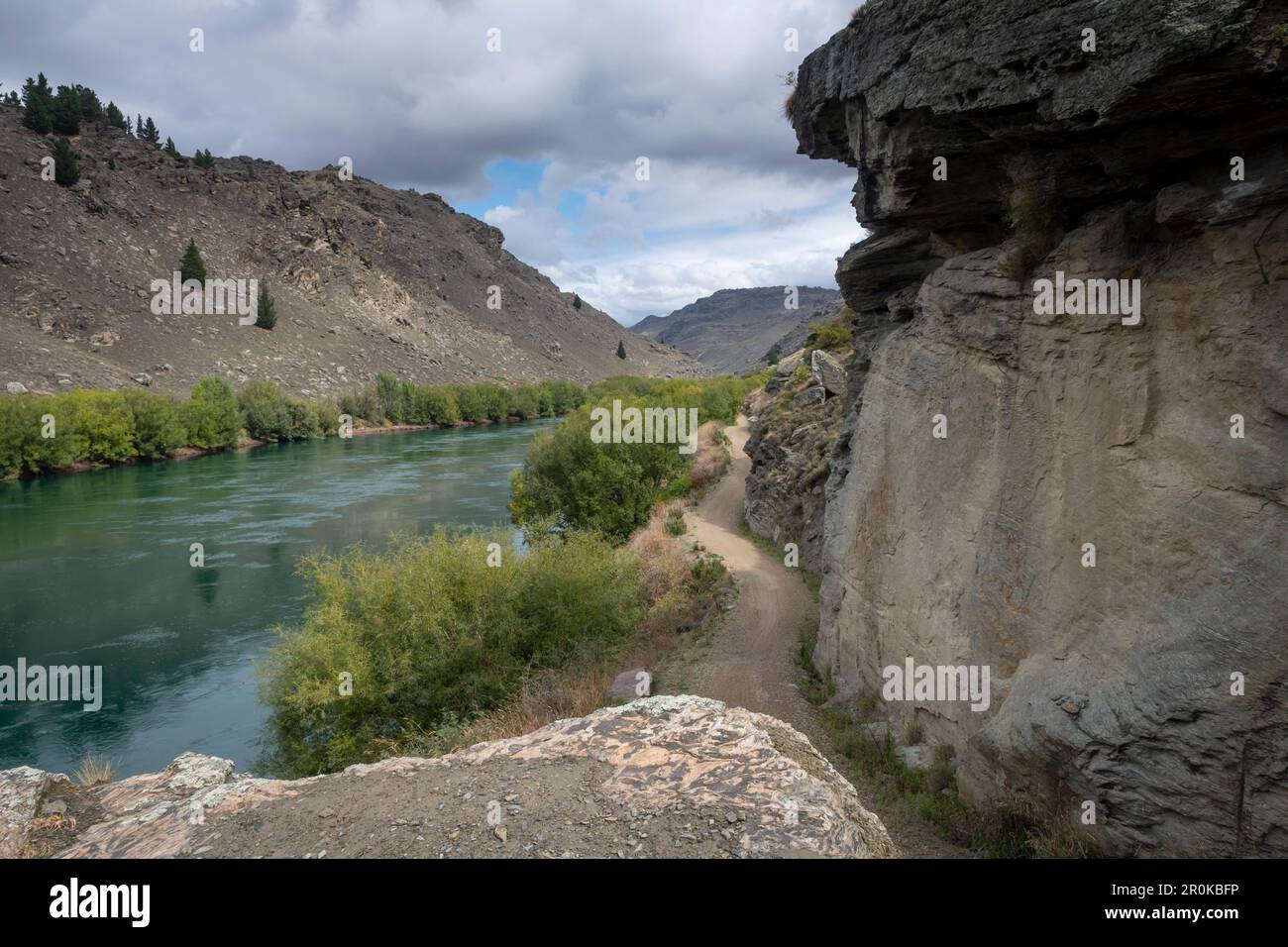 Roxburgh Gorge Trail, and Clutha River, near Alexandra, Otago, South Island, New Zealand Stock Photohttps://www.alamy.com/image-license-details/?v=1https://www.alamy.com/roxburgh-gorge-trail-and-clutha-river-near-alexandra-otago-south-island-new-zealand-image551157930.html
RF2R0KBFP–Roxburgh Gorge Trail, and Clutha River, near Alexandra, Otago, South Island, New Zealand
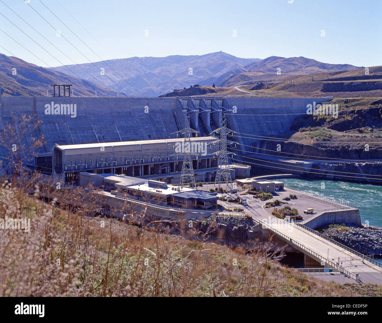 The Clyde Hydroelectric Dam on the Clutha River, near Clyde, Otago District, South Island, New Zealand Stock Photohttps://www.alamy.com/image-license-details/?v=1https://www.alamy.com/stock-photo-the-clyde-hydroelectric-dam-on-the-clutha-river-near-clyde-otago-district-43323218.html
RMCEDF5P–The Clyde Hydroelectric Dam on the Clutha River, near Clyde, Otago District, South Island, New Zealand
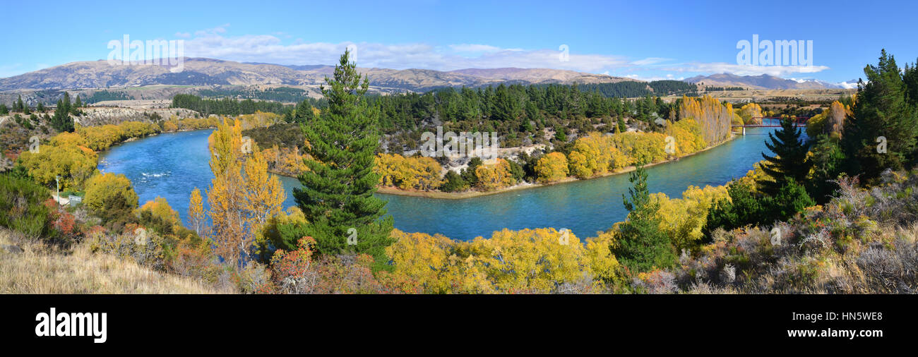 Panoramic view of the Clutha River and Bridge in Autumn. One of New Zealand's longest and most beautiful rivers and popular for trout fishing. Stock Photohttps://www.alamy.com/image-license-details/?v=1https://www.alamy.com/stock-photo-panoramic-view-of-the-clutha-river-and-bridge-in-autumn-one-of-new-133510112.html
RFHN5WE8–Panoramic view of the Clutha River and Bridge in Autumn. One of New Zealand's longest and most beautiful rivers and popular for trout fishing.
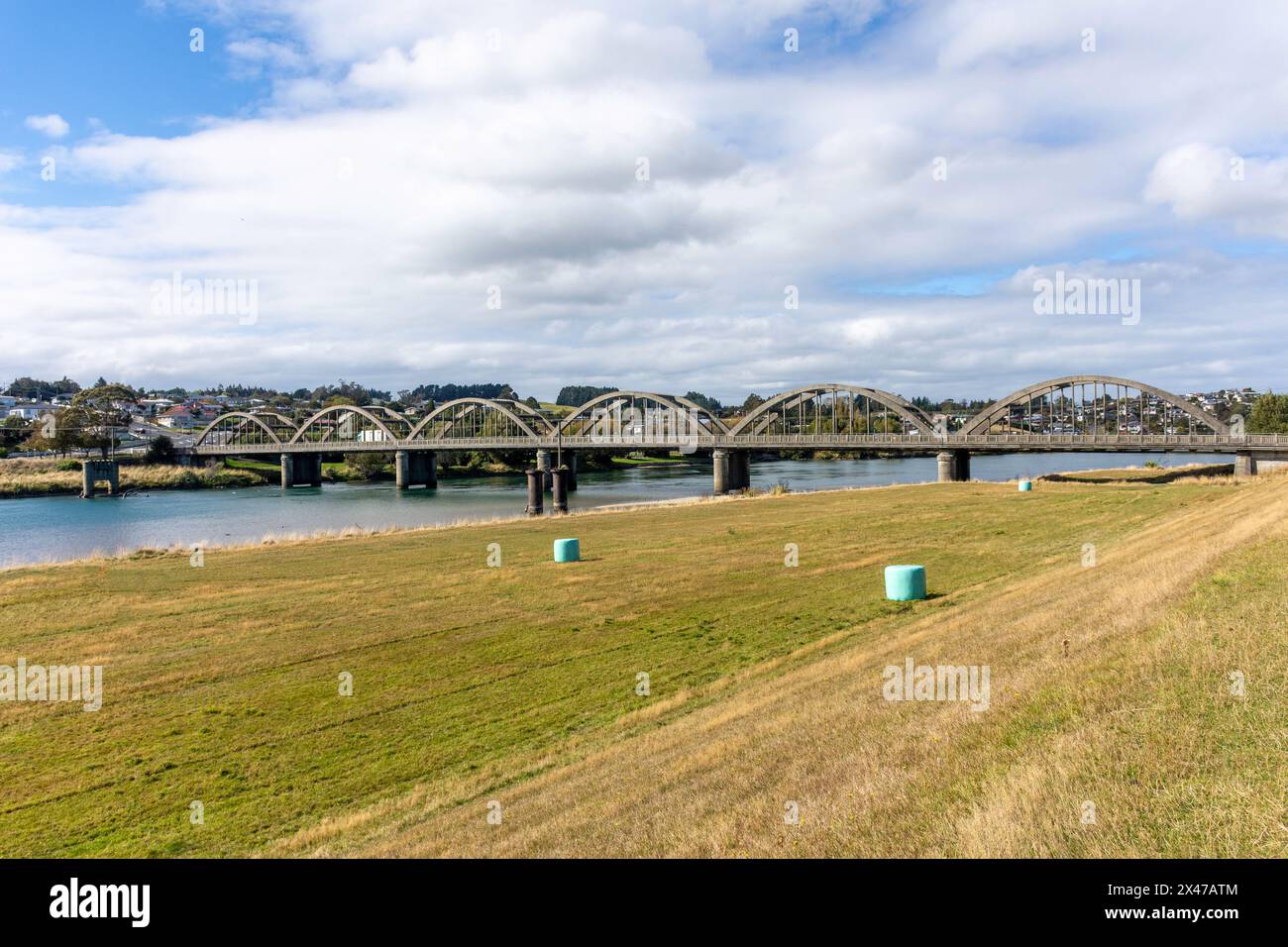 Historic Balclutha Bridge over Clutha River, State Highway 1, Balclutha, Otago, New Zealand Stock Photohttps://www.alamy.com/image-license-details/?v=1https://www.alamy.com/historic-balclutha-bridge-over-clutha-river-state-highway-1-balclutha-otago-new-zealand-image604983700.html
RM2X47ATM–Historic Balclutha Bridge over Clutha River, State Highway 1, Balclutha, Otago, New Zealand
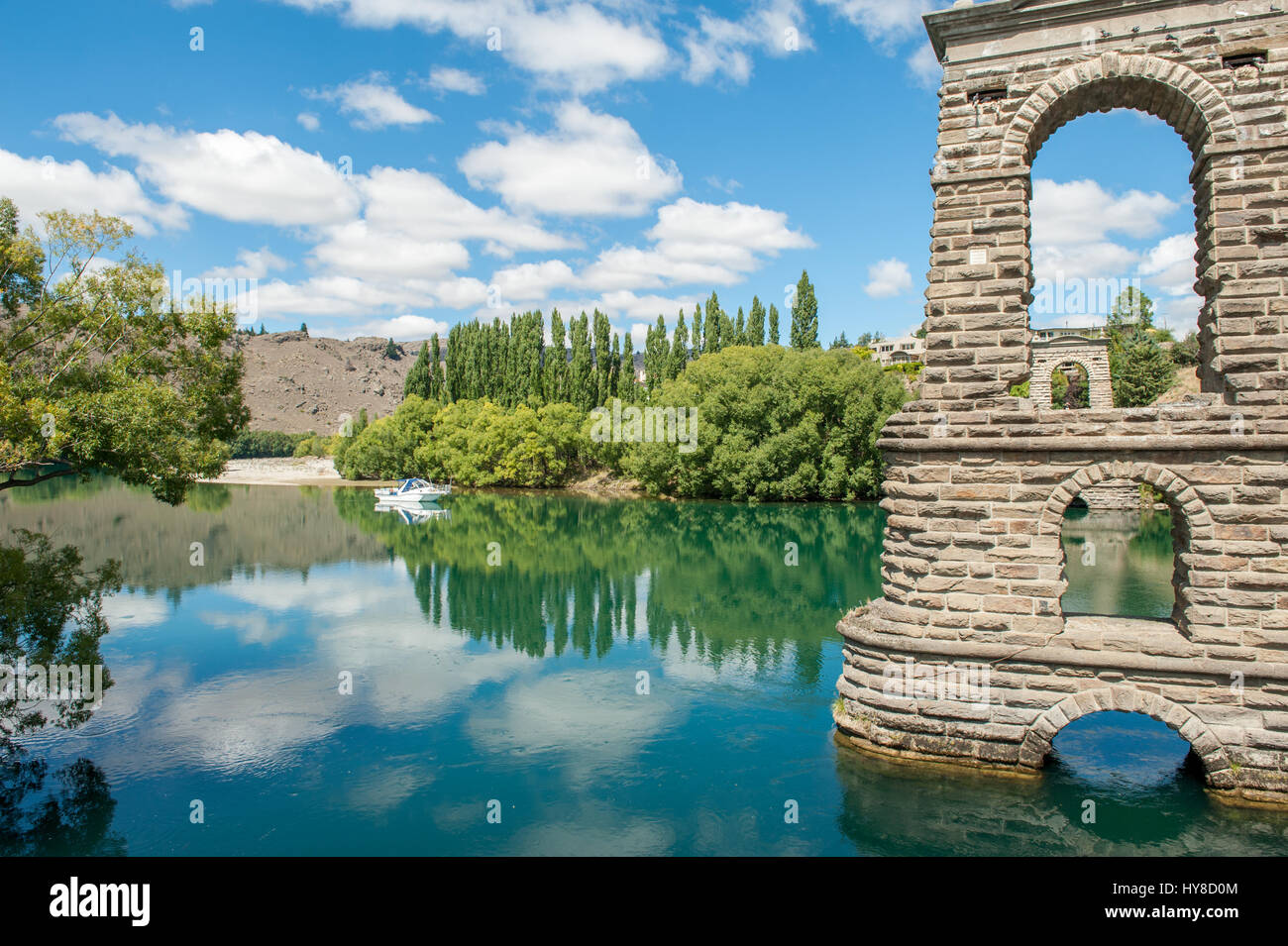 Clutha river and the old Alexandra Bridge piers in Alexandra. Alexandra is a historic gold mining town in Central Otago, New Zealand. Stock Photohttps://www.alamy.com/image-license-details/?v=1https://www.alamy.com/stock-photo-clutha-river-and-the-old-alexandra-bridge-piers-in-alexandra-alexandra-137254116.html
RFHY8D0M–Clutha river and the old Alexandra Bridge piers in Alexandra. Alexandra is a historic gold mining town in Central Otago, New Zealand.
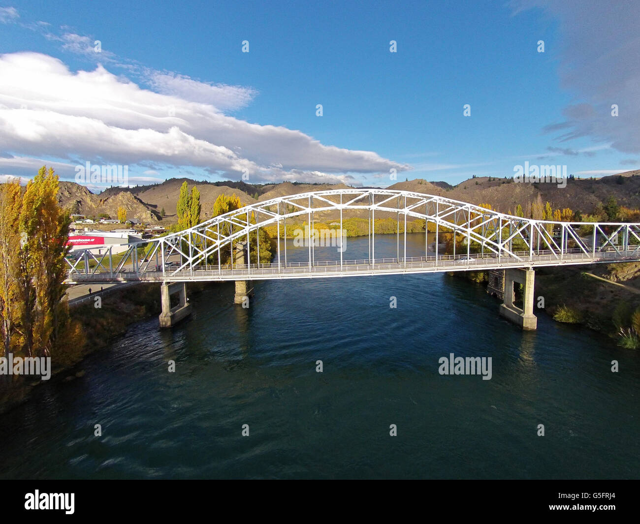 Alexandra Bridge and Clutha River in autumn, Central Otago, South Island, New Zealand - drone aerial Stock Photohttps://www.alamy.com/image-license-details/?v=1https://www.alamy.com/stock-photo-alexandra-bridge-and-clutha-river-in-autumn-central-otago-south-island-106683308.html
RMG5FRJ4–Alexandra Bridge and Clutha River in autumn, Central Otago, South Island, New Zealand - drone aerial
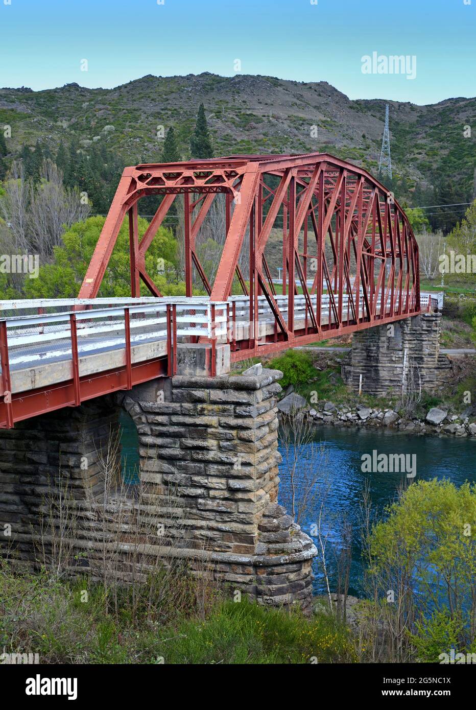 Clyde Bridge on The Clutha River, Otago in Spring, New Zealand. Stock Photohttps://www.alamy.com/image-license-details/?v=1https://www.alamy.com/clyde-bridge-on-the-clutha-river-otago-in-spring-new-zealand-image433802934.html
RF2G5NC1X–Clyde Bridge on The Clutha River, Otago in Spring, New Zealand.
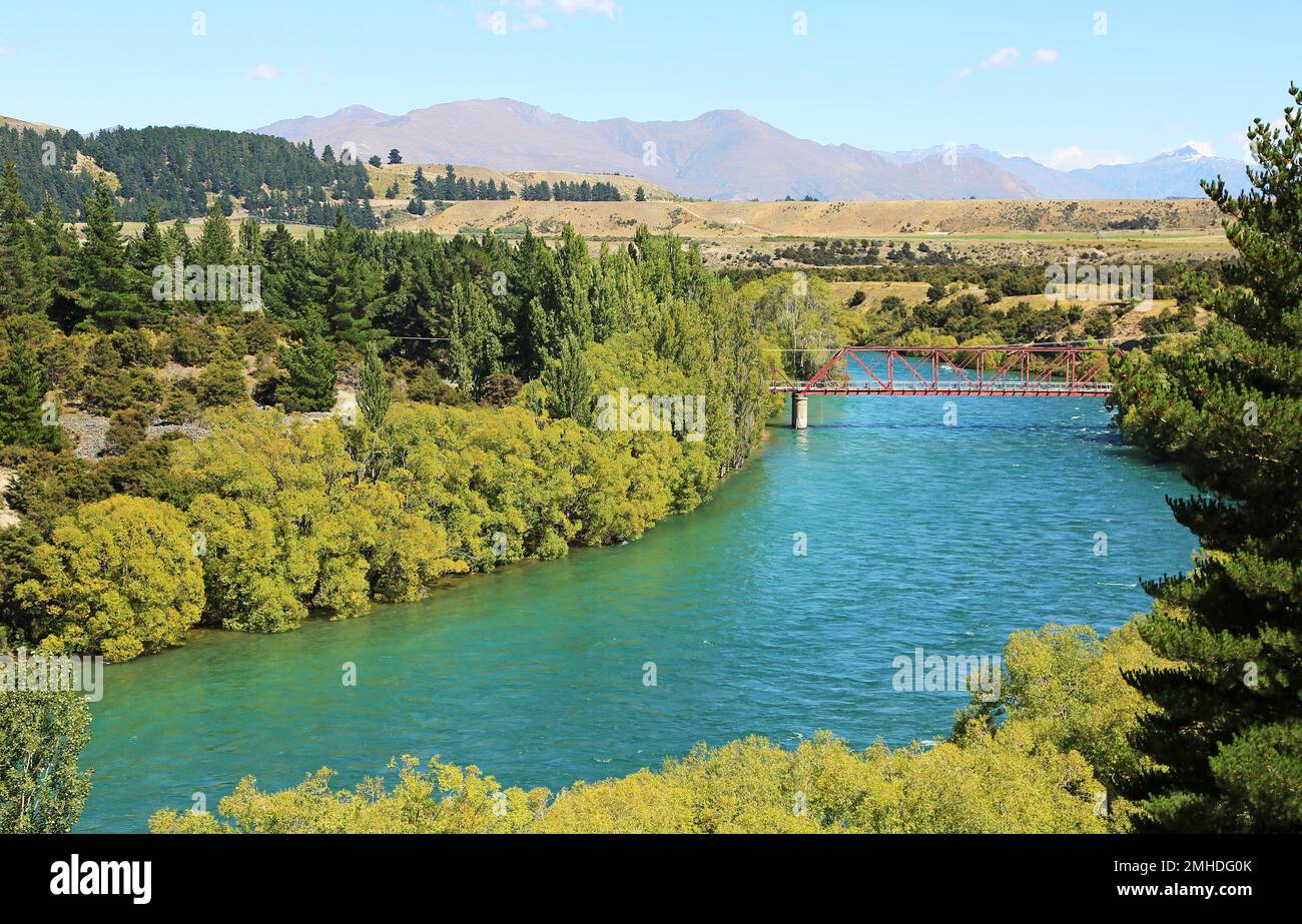 Clutha River with red bridge - New Zealand Stock Photohttps://www.alamy.com/image-license-details/?v=1https://www.alamy.com/clutha-river-with-red-bridge-new-zealand-image509847763.html
RF2MHDG0K–Clutha River with red bridge - New Zealand
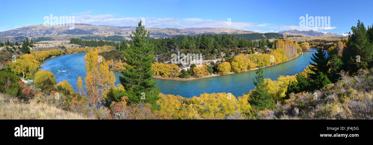 Panoramic view of the Clutha River and Bridge in Autumn. One of New Zealand's longest and most beautiful rivers and popular for trout fishing. Stock Photohttps://www.alamy.com/image-license-details/?v=1https://www.alamy.com/stock-photo-panoramic-view-of-the-clutha-river-and-bridge-in-autumn-one-of-new-147004860.html
RFJF4J5G–Panoramic view of the Clutha River and Bridge in Autumn. One of New Zealand's longest and most beautiful rivers and popular for trout fishing.
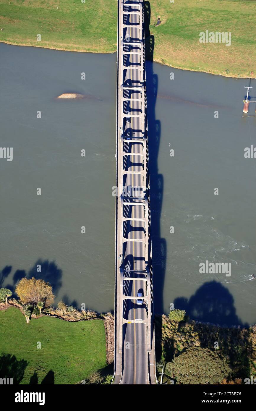 Aerial view of Balclutha Road bridge over Clutha River NZ Stock Photohttps://www.alamy.com/image-license-details/?v=1https://www.alamy.com/aerial-view-of-balclutha-road-bridge-over-clutha-river-nz-image376353914.html
RM2CT8B76–Aerial view of Balclutha Road bridge over Clutha River NZ
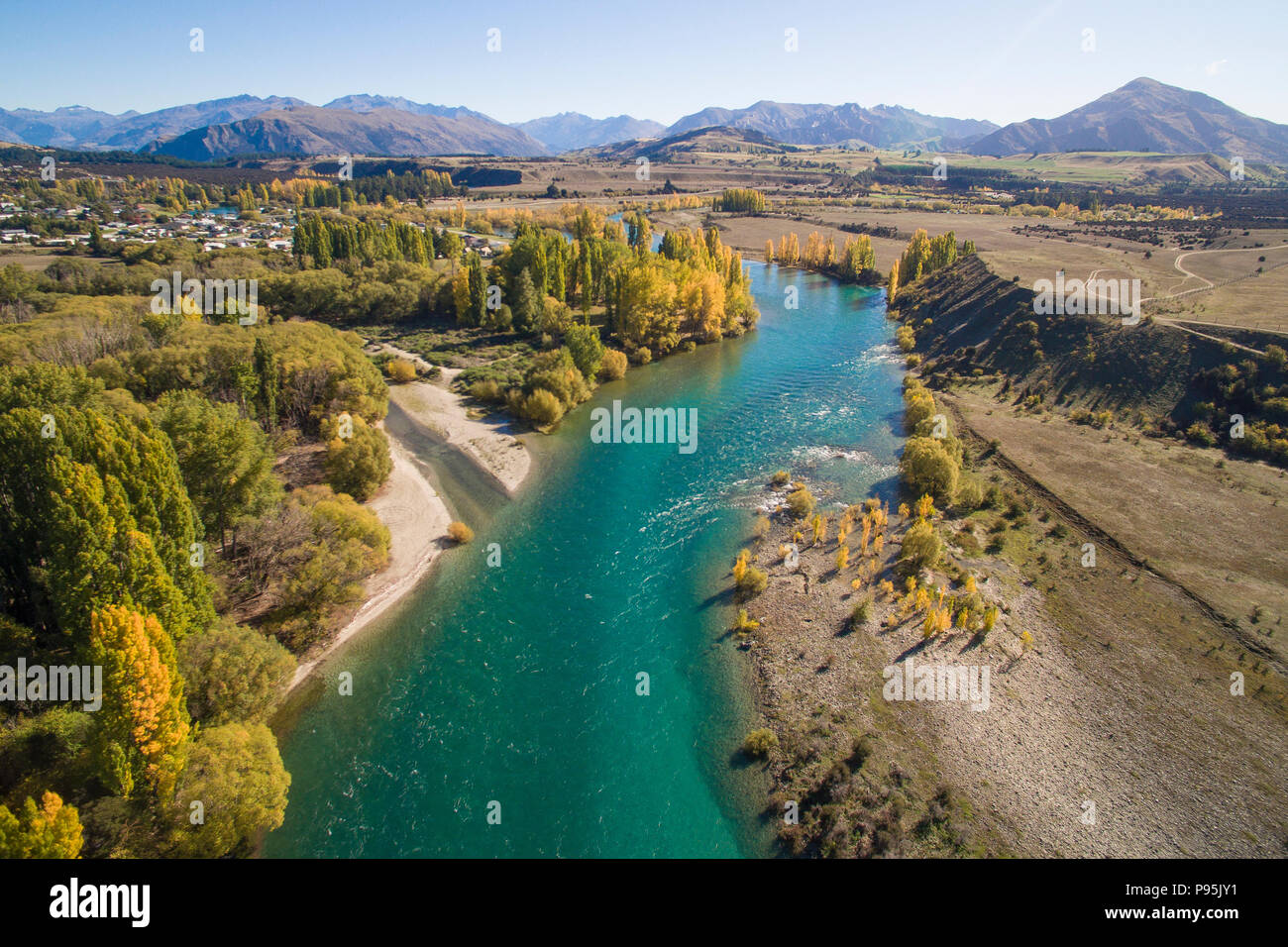 Aerial view of the Clutha River, Otago, New Zealand in Autumn Stock Photohttps://www.alamy.com/image-license-details/?v=1https://www.alamy.com/aerial-view-of-the-clutha-river-otago-new-zealand-in-autumn-image212180949.html
RMP95JY1–Aerial view of the Clutha River, Otago, New Zealand in Autumn
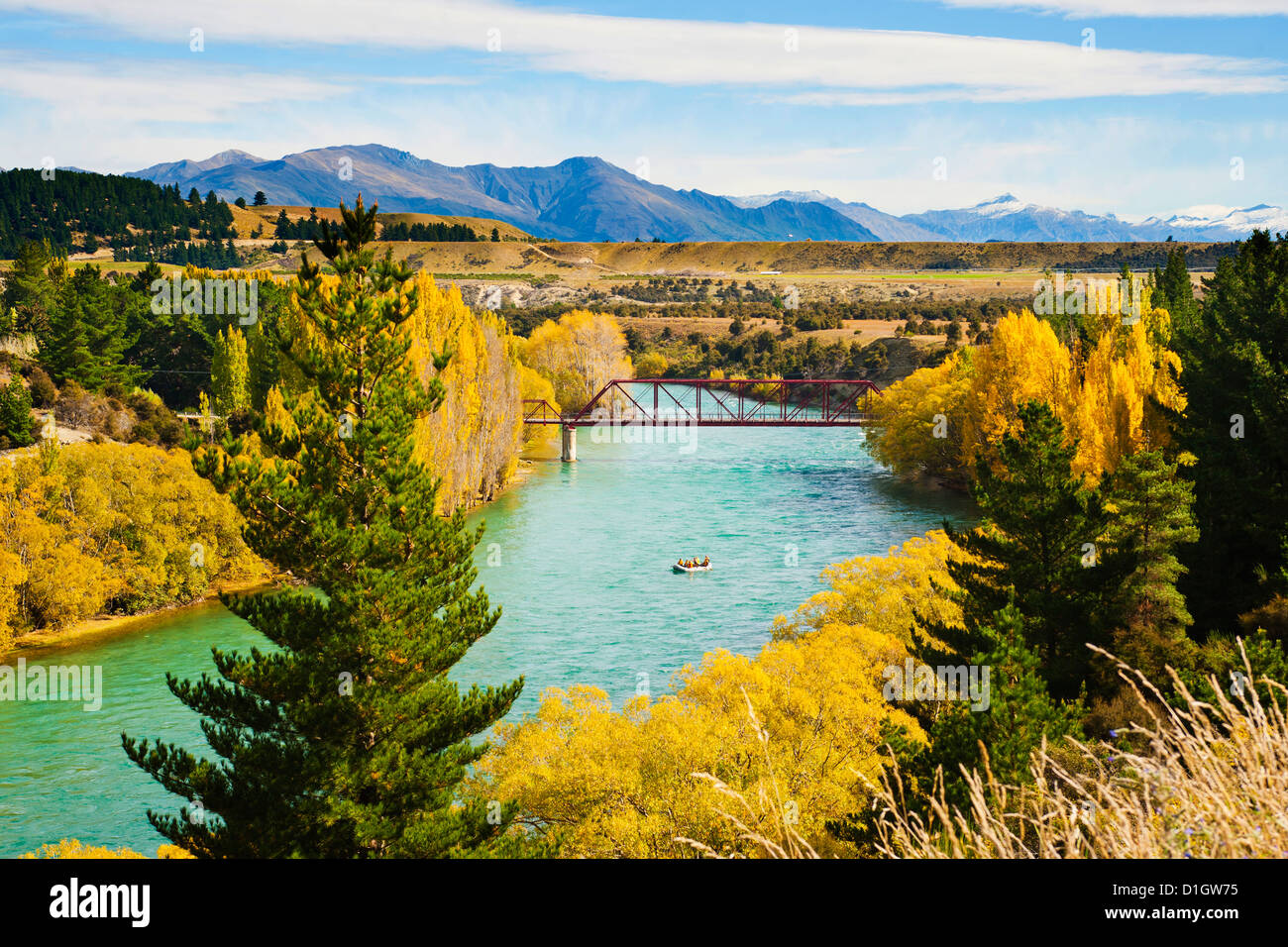 Tourists white water rafting on the River Clutha, Wanaka, Southern Lakes, Otago Region, South Island, New Zealand, Pacific Stock Photohttps://www.alamy.com/image-license-details/?v=1https://www.alamy.com/stock-photo-tourists-white-water-rafting-on-the-river-clutha-wanaka-southern-lakes-52616793.html
RMD1GW75–Tourists white water rafting on the River Clutha, Wanaka, Southern Lakes, Otago Region, South Island, New Zealand, Pacific
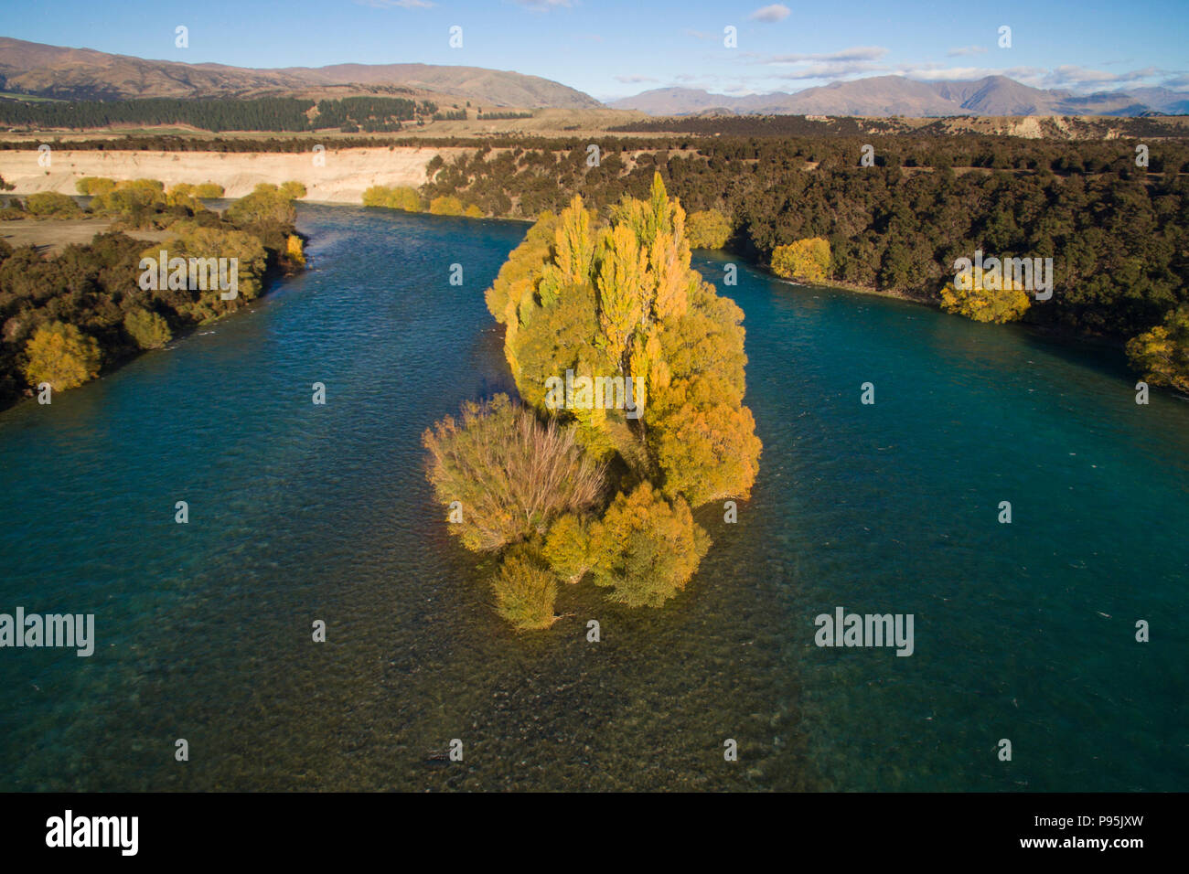 Aerial view of the Clutha River, Otago, New Zealand in Autumn Stock Photohttps://www.alamy.com/image-license-details/?v=1https://www.alamy.com/aerial-view-of-the-clutha-river-otago-new-zealand-in-autumn-image212180945.html
RMP95JXW–Aerial view of the Clutha River, Otago, New Zealand in Autumn
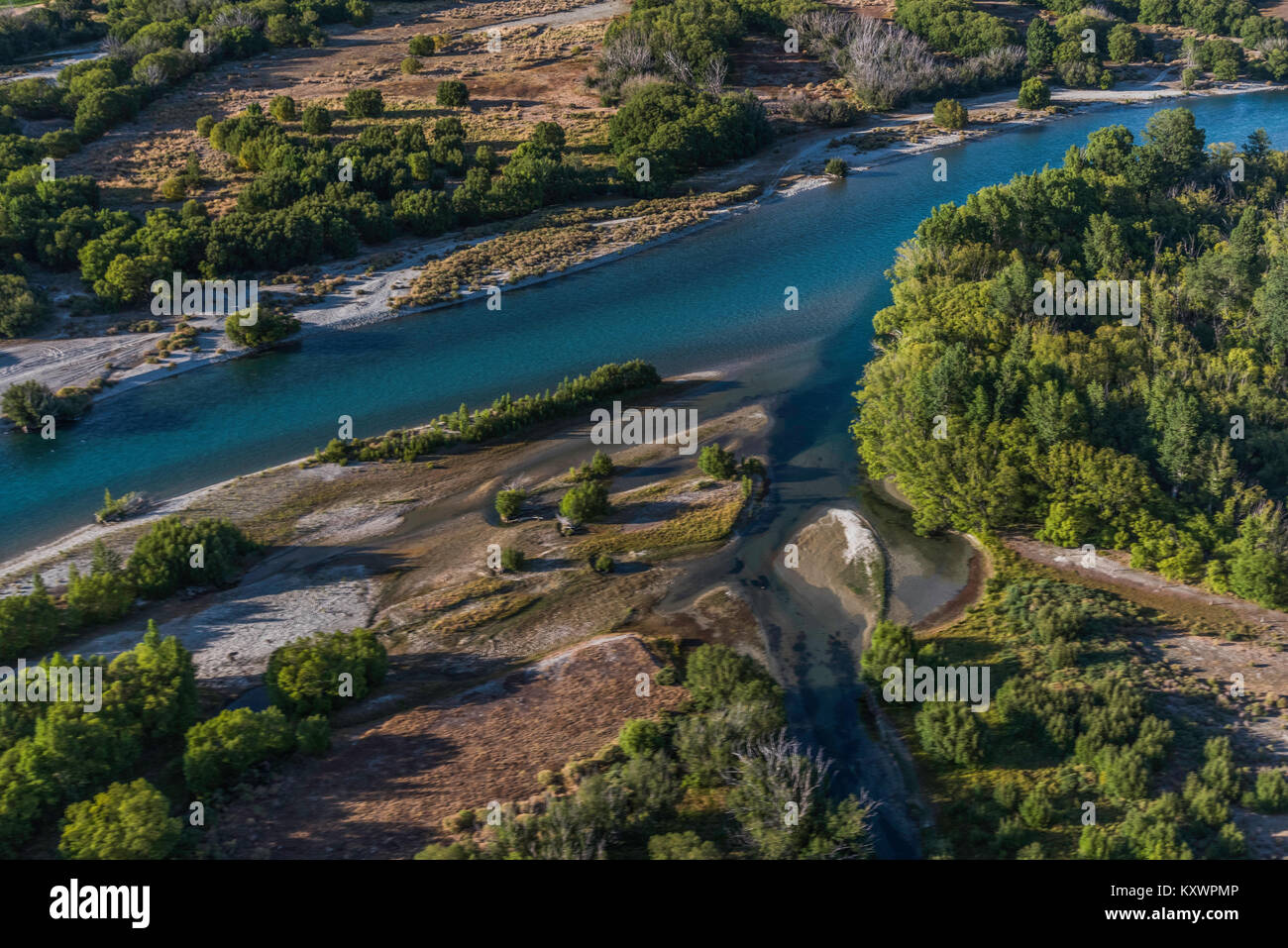 Clutha River, link between Lake Wanaka and Lake Dunstan, Otago, New Zealand Stock Photohttps://www.alamy.com/image-license-details/?v=1https://www.alamy.com/stock-photo-clutha-river-link-between-lake-wanaka-and-lake-dunstan-otago-new-zealand-171440998.html
RMKXWPMP–Clutha River, link between Lake Wanaka and Lake Dunstan, Otago, New Zealand
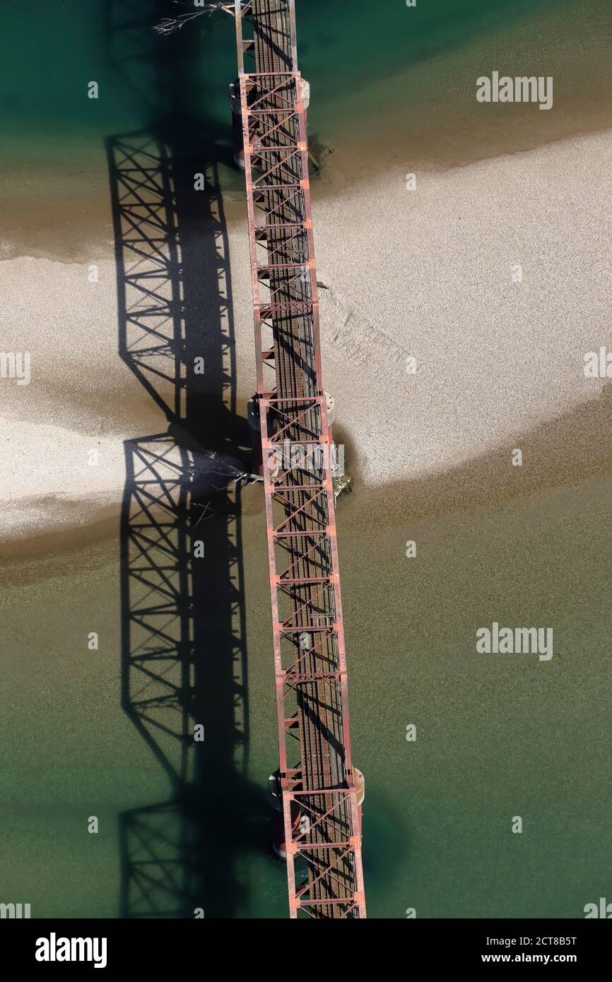 Aerial view of Balclutha Rail bridge over Clutha River NZ Stock Photohttps://www.alamy.com/image-license-details/?v=1https://www.alamy.com/aerial-view-of-balclutha-rail-bridge-over-clutha-river-nz-image376353876.html
RM2CT8B5T–Aerial view of Balclutha Rail bridge over Clutha River NZ
 Clutha River from State Highway 8, Clyde, Central Otago, Otago, South Island, New Zealand Stock Photohttps://www.alamy.com/image-license-details/?v=1https://www.alamy.com/clutha-river-from-state-highway-8-clyde-central-otago-otago-south-island-new-zealand-image605249302.html
RM2X4KDJE–Clutha River from State Highway 8, Clyde, Central Otago, Otago, South Island, New Zealand
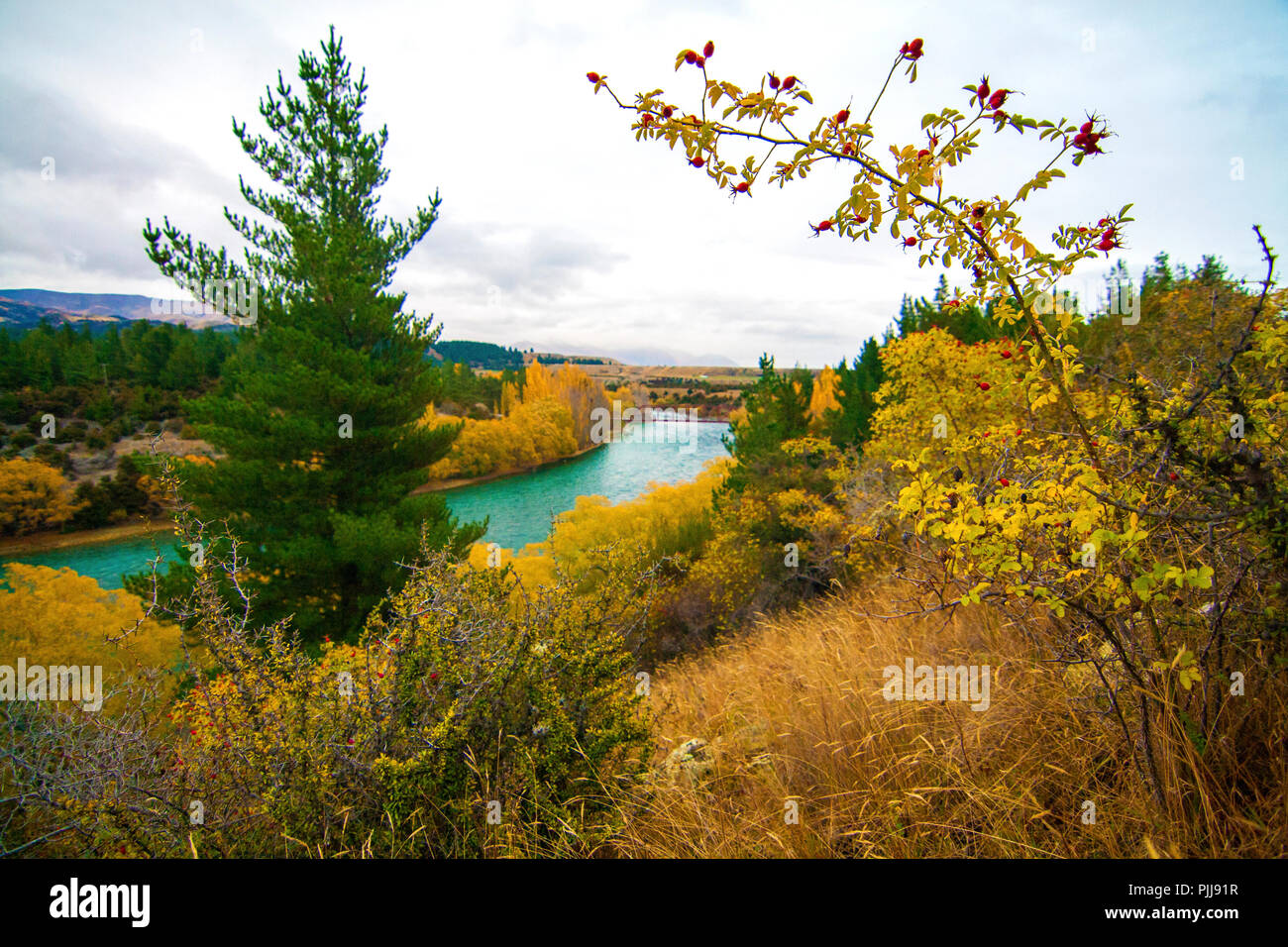 Emerald blue river, Clutha River, near Wanaka, New Zealand, autumn landscape with rose hips fruits, pine trees, river and coloured trees and bushes Stock Photohttps://www.alamy.com/image-license-details/?v=1https://www.alamy.com/emerald-blue-river-clutha-river-near-wanaka-new-zealand-autumn-landscape-with-rose-hips-fruits-pine-trees-river-and-coloured-trees-and-bushes-image217990467.html
RFPJJ91R–Emerald blue river, Clutha River, near Wanaka, New Zealand, autumn landscape with rose hips fruits, pine trees, river and coloured trees and bushes
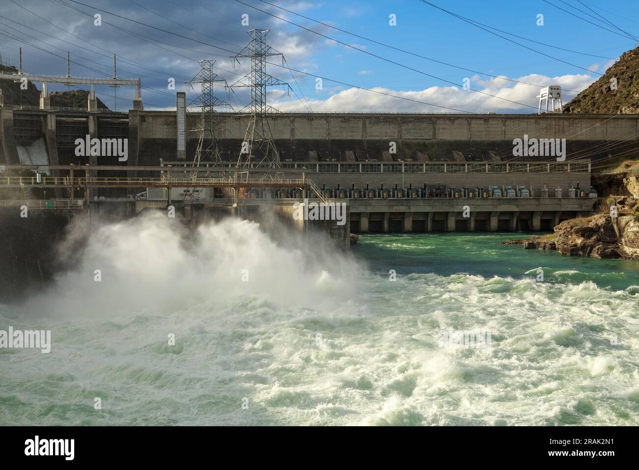 Water gushes out of a spillway into the Clutha River at the Roxburgh Hydro Dam, Central Otago, New Zealand Stock Photohttps://www.alamy.com/image-license-details/?v=1https://www.alamy.com/water-gushes-out-of-a-spillway-into-the-clutha-river-at-the-roxburgh-hydro-dam-central-otago-new-zealand-image557297581.html
RF2RAK2N1–Water gushes out of a spillway into the Clutha River at the Roxburgh Hydro Dam, Central Otago, New Zealand
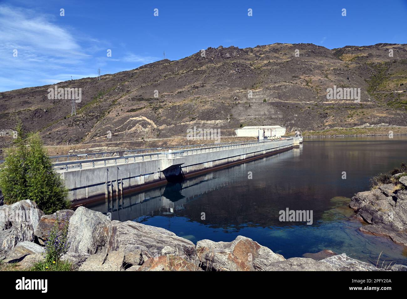 Clyde Dam on the Clutha River, in Central Otago, South Island, New Zealand. It is the largest concrete gravity dam in New Zealand. Stock Photohttps://www.alamy.com/image-license-details/?v=1https://www.alamy.com/clyde-dam-on-the-clutha-river-in-central-otago-south-island-new-zealand-it-is-the-largest-concrete-gravity-dam-in-new-zealand-image543335530.html
RF2PFY20A–Clyde Dam on the Clutha River, in Central Otago, South Island, New Zealand. It is the largest concrete gravity dam in New Zealand.
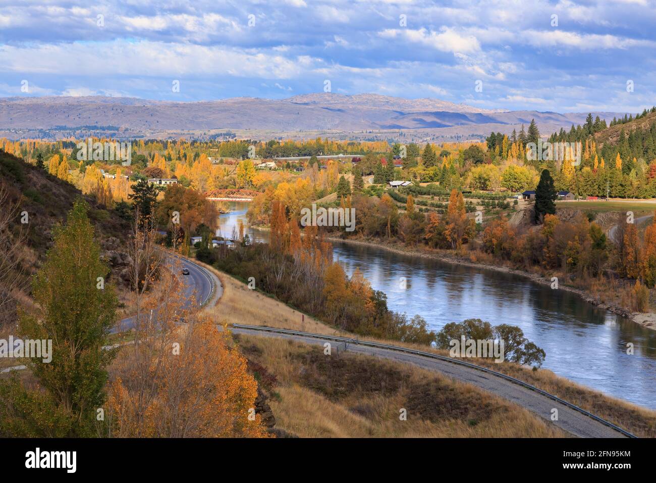 The Clutha River in the South Island of New Zealand, passing through an autumn landscape on the way into the small town of Clyde Stock Photohttps://www.alamy.com/image-license-details/?v=1https://www.alamy.com/the-clutha-river-in-the-south-island-of-new-zealand-passing-through-an-autumn-landscape-on-the-way-into-the-small-town-of-clyde-image426158648.html
RF2FN95KM–The Clutha River in the South Island of New Zealand, passing through an autumn landscape on the way into the small town of Clyde
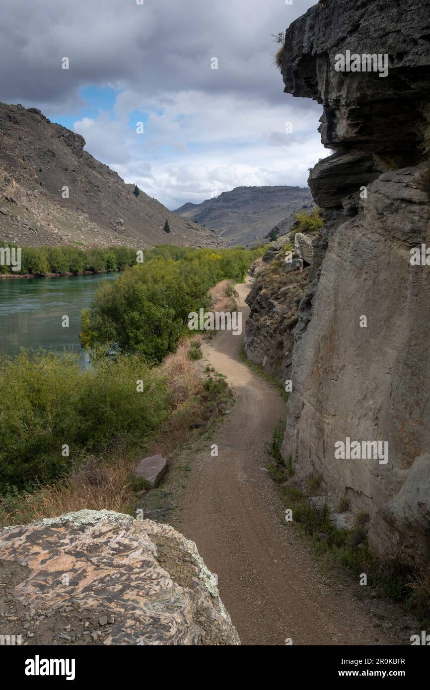 Roxburgh Gorge Trail, and Clutha River, near Alexandra, Otago, South Island, New Zealand Stock Photohttps://www.alamy.com/image-license-details/?v=1https://www.alamy.com/roxburgh-gorge-trail-and-clutha-river-near-alexandra-otago-south-island-new-zealand-image551157931.html
RF2R0KBFR–Roxburgh Gorge Trail, and Clutha River, near Alexandra, Otago, South Island, New Zealand
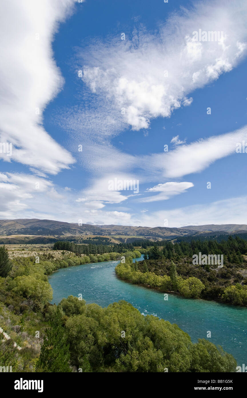 Clutha River near Wanaka South Island New Zealand Stock Photohttps://www.alamy.com/image-license-details/?v=1https://www.alamy.com/stock-photo-clutha-river-near-wanaka-south-island-new-zealand-24006239.html
RMBB1G5K–Clutha River near Wanaka South Island New Zealand
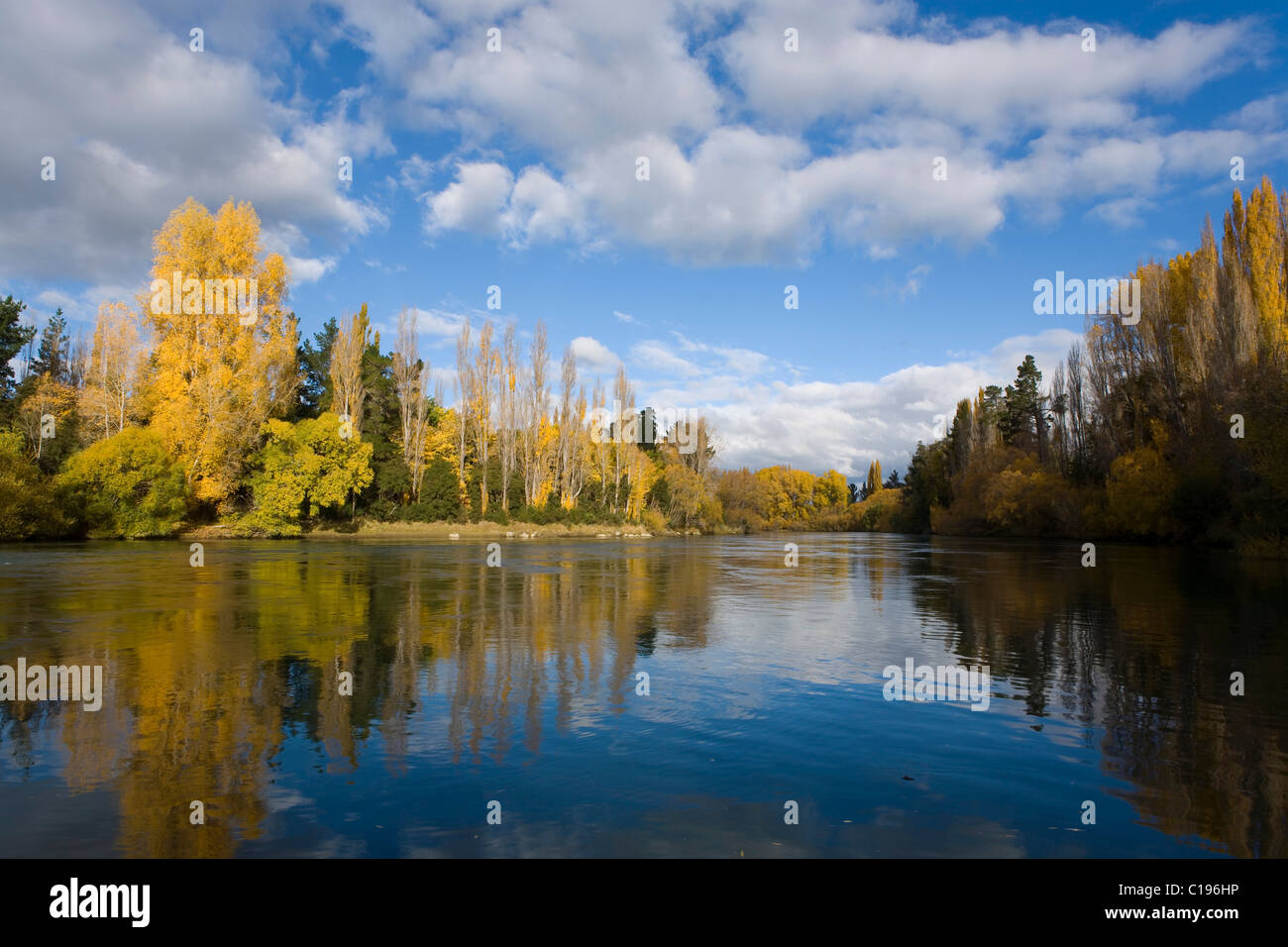 Autumnal forest with reflections in the Clutha River, Roxburgh, Otago, South Island, New Zealand Stock Photohttps://www.alamy.com/image-license-details/?v=1https://www.alamy.com/stock-photo-autumnal-forest-with-reflections-in-the-clutha-river-roxburgh-otago-35238162.html
RFC196HP–Autumnal forest with reflections in the Clutha River, Roxburgh, Otago, South Island, New Zealand
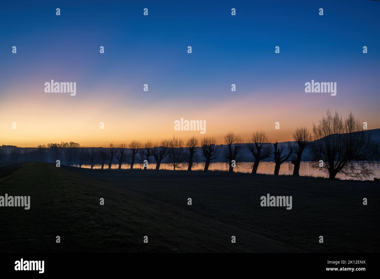 Silhouette trees along the Clutha river at sunset, Balclutha, South Otago. Stock Photohttps://www.alamy.com/image-license-details/?v=1https://www.alamy.com/silhouette-trees-along-the-clutha-river-at-sunset-balclutha-south-otago-image482560454.html
RF2K12ENX–Silhouette trees along the Clutha river at sunset, Balclutha, South Otago.
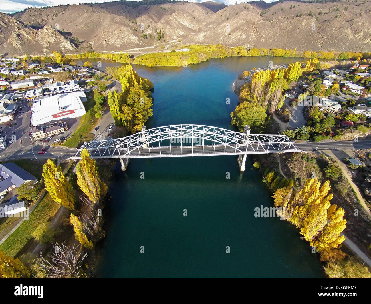 Alexandra Bridge and Clutha River in autumn, Central Otago, South Island, New Zealand - drone aerial Stock Photohttps://www.alamy.com/image-license-details/?v=1https://www.alamy.com/stock-photo-alexandra-bridge-and-clutha-river-in-autumn-central-otago-south-island-106683369.html
RMG5FRM9–Alexandra Bridge and Clutha River in autumn, Central Otago, South Island, New Zealand - drone aerial
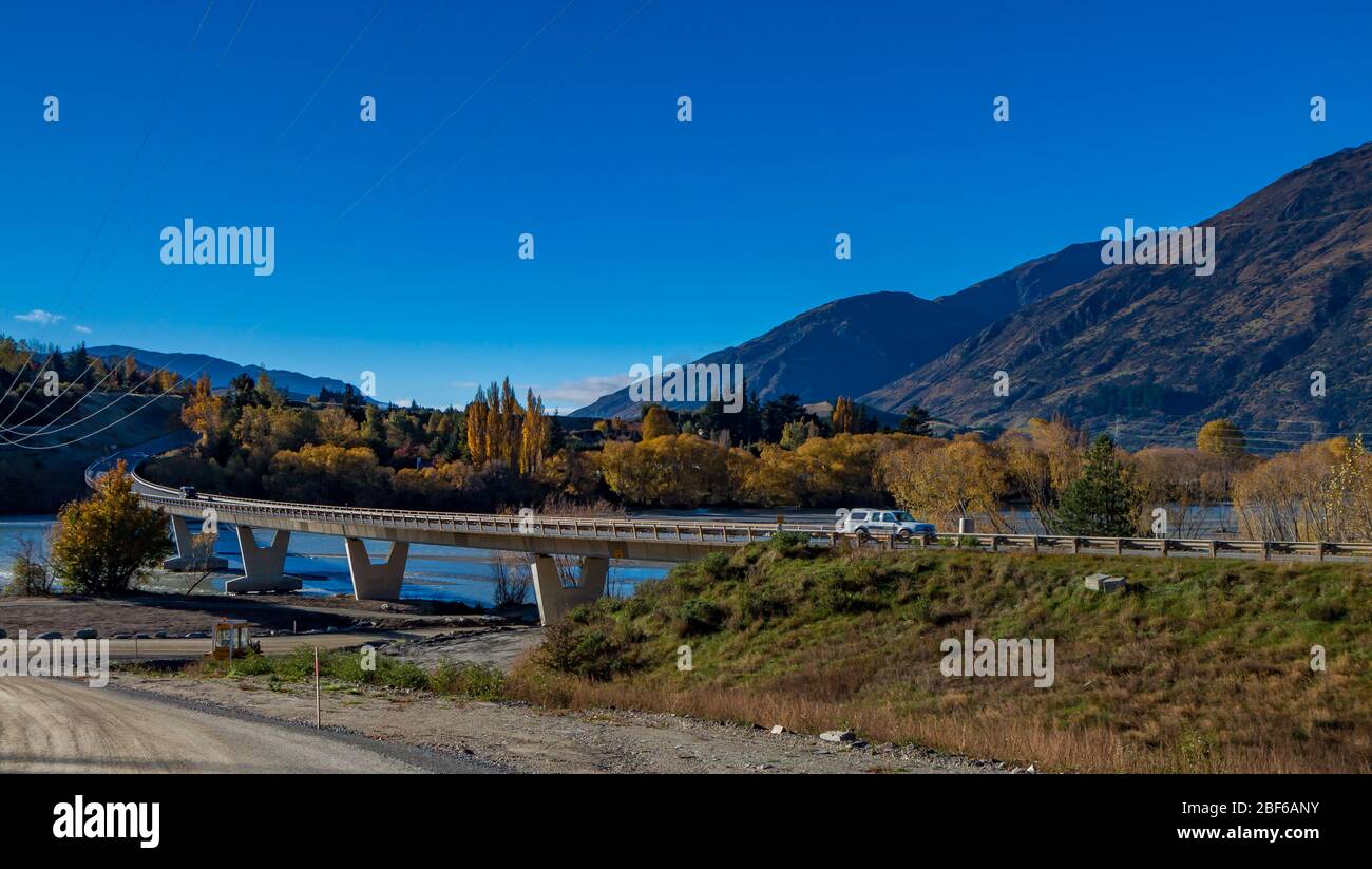 Clutha River near Queensbury, South Island, New Zealand Stock Photohttps://www.alamy.com/image-license-details/?v=1https://www.alamy.com/clutha-river-near-queensbury-south-island-new-zealand-image353567367.html
RM2BF6ANY–Clutha River near Queensbury, South Island, New Zealand
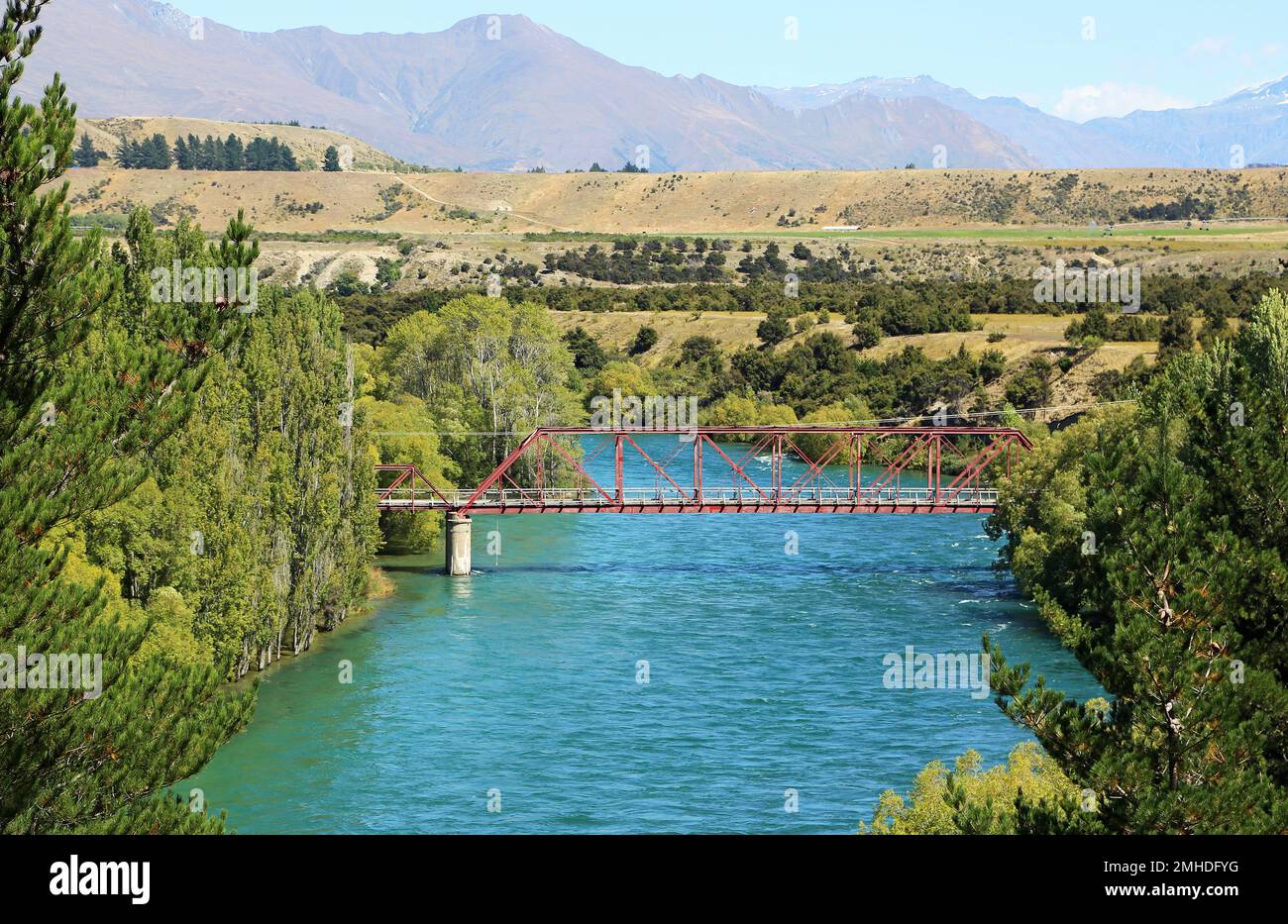 The red bridge across Clutha River - New Zealand Stock Photohttps://www.alamy.com/image-license-details/?v=1https://www.alamy.com/the-red-bridge-across-clutha-river-new-zealand-image509847732.html
RF2MHDFYG–The red bridge across Clutha River - New Zealand
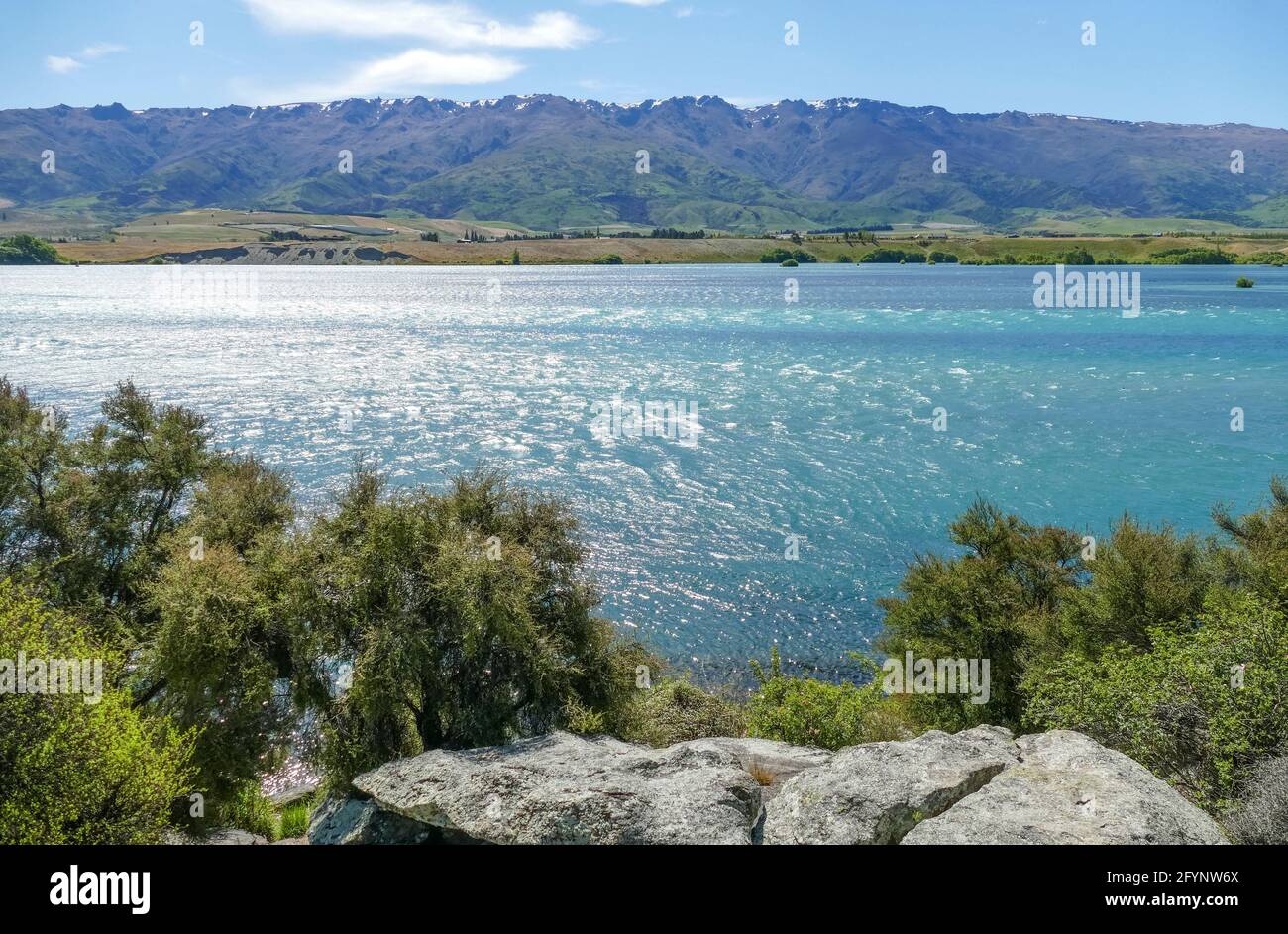 Sunny scenery at Clutha River at the South Island of New Zealand Stock Photohttps://www.alamy.com/image-license-details/?v=1https://www.alamy.com/sunny-scenery-at-clutha-river-at-the-south-island-of-new-zealand-image430125330.html
RF2FYNW6X–Sunny scenery at Clutha River at the South Island of New Zealand
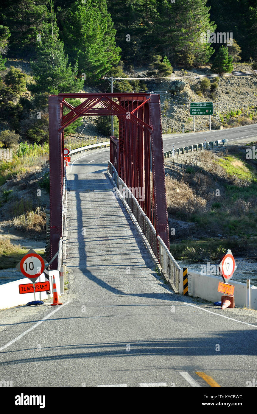 Narrow one lane single lane bridge over Clutha River at Luggate on State Highway 8A. Towards Wanaka. New Zealand South Island Stock Photohttps://www.alamy.com/image-license-details/?v=1https://www.alamy.com/stock-photo-narrow-one-lane-single-lane-bridge-over-clutha-river-at-luggate-on-171761784.html
RMKYCBWC–Narrow one lane single lane bridge over Clutha River at Luggate on State Highway 8A. Towards Wanaka. New Zealand South Island
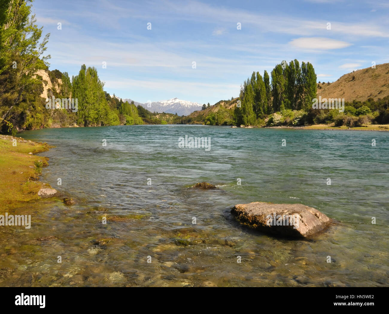 The crystal clear waters of the Clutha river in Otago, New Zealand, One of New Zealand's longest and most beautiful rivers and popular for trout fishi Stock Photohttps://www.alamy.com/image-license-details/?v=1https://www.alamy.com/stock-photo-the-crystal-clear-waters-of-the-clutha-river-in-otago-new-zealand-133510106.html
RFHN5WE2–The crystal clear waters of the Clutha river in Otago, New Zealand, One of New Zealand's longest and most beautiful rivers and popular for trout fishi
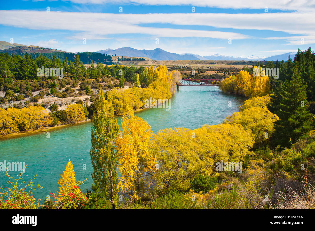 Caravan crossing a bridge on the Clutha River in autumn, Wanaka, South Island, New Zealand Stock Photohttps://www.alamy.com/image-license-details/?v=1https://www.alamy.com/stock-photo-caravan-crossing-a-bridge-on-the-clutha-river-in-autumn-wanaka-south-57514194.html
RMD9FYXA–Caravan crossing a bridge on the Clutha River in autumn, Wanaka, South Island, New Zealand
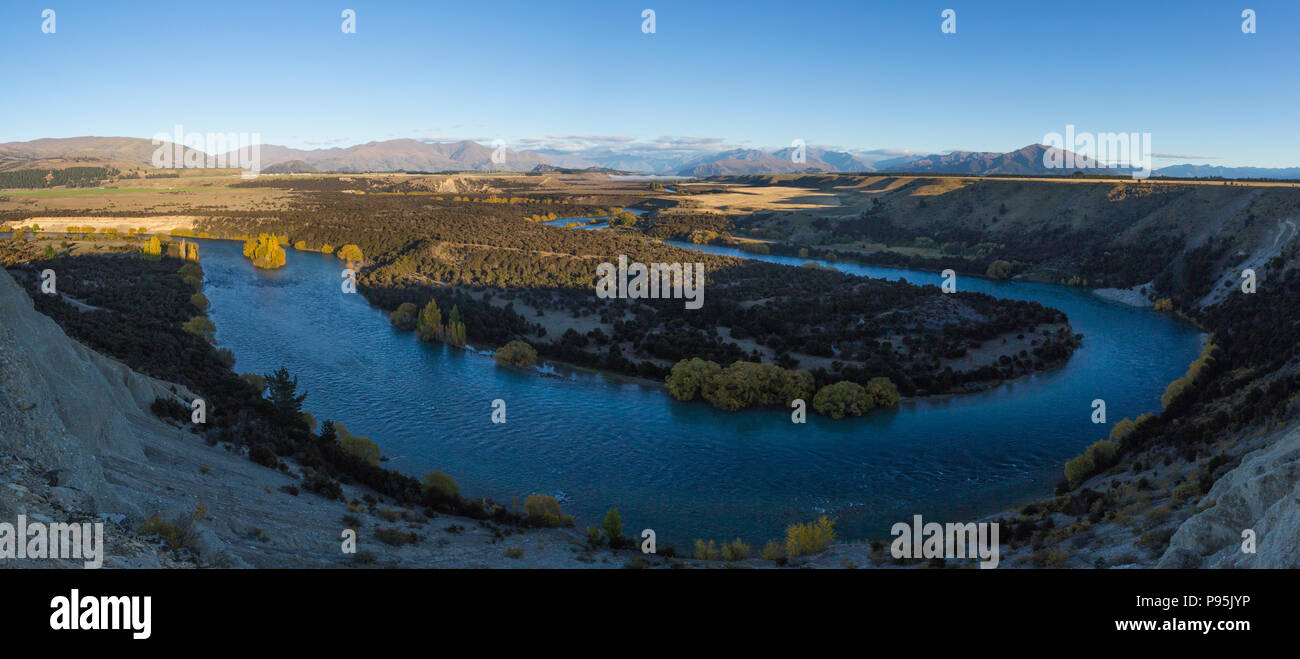 Panoramic view of the Clutha River (Mata-Au) which is the second longest river in New Zealand. Stock Photohttps://www.alamy.com/image-license-details/?v=1https://www.alamy.com/panoramic-view-of-the-clutha-river-mata-au-which-is-the-second-longest-river-in-new-zealand-image212180970.html
RMP95JYP–Panoramic view of the Clutha River (Mata-Au) which is the second longest river in New Zealand.
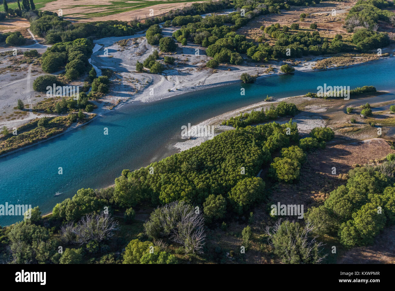 Clutha River, link between Lake Wanaka and Lake Dunstan, Otago, New Zealand Stock Photohttps://www.alamy.com/image-license-details/?v=1https://www.alamy.com/stock-photo-clutha-river-link-between-lake-wanaka-and-lake-dunstan-otago-new-zealand-171440999.html
RMKXWPMR–Clutha River, link between Lake Wanaka and Lake Dunstan, Otago, New Zealand
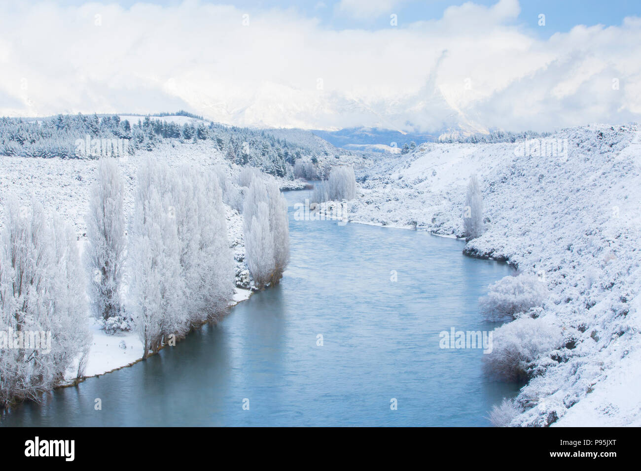 The Clutha River, Otago with a fresh dusting of snow in winter Stock Photohttps://www.alamy.com/image-license-details/?v=1https://www.alamy.com/the-clutha-river-otago-with-a-fresh-dusting-of-snow-in-winter-image212180944.html
RMP95JXT–The Clutha River, Otago with a fresh dusting of snow in winter
 Clutha River from State Highway 8, Clyde, Central Otago, Otago, South Island, New Zealand Stock Photohttps://www.alamy.com/image-license-details/?v=1https://www.alamy.com/clutha-river-from-state-highway-8-clyde-central-otago-otago-south-island-new-zealand-image605249307.html
RM2X4KDJK–Clutha River from State Highway 8, Clyde, Central Otago, Otago, South Island, New Zealand
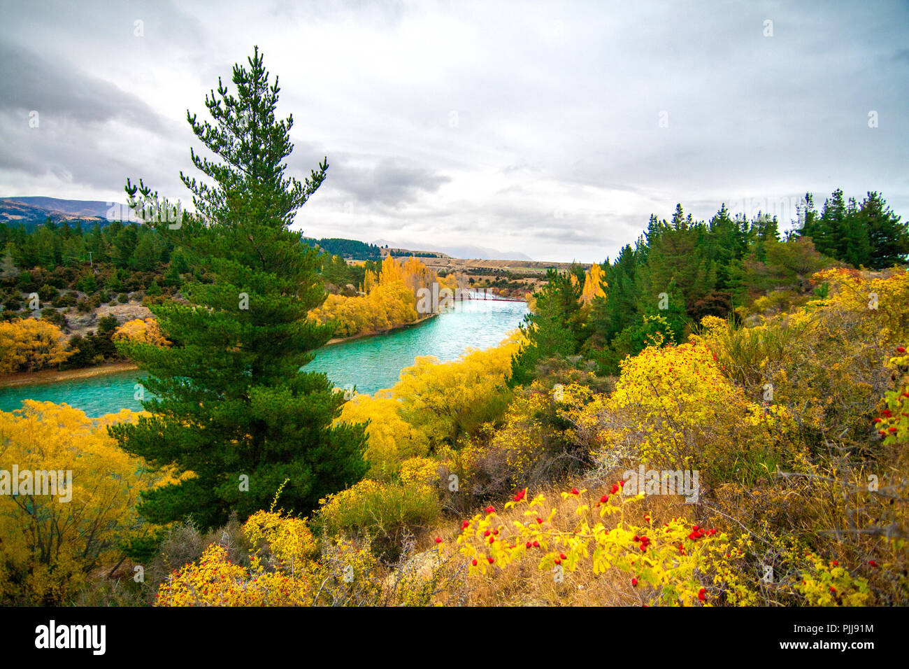 Emerald blue river, Clutha River, near Wanaka, New Zealand, autumn landscape with rose hips fruits, pine trees, river and coloured trees and bushes Stock Photohttps://www.alamy.com/image-license-details/?v=1https://www.alamy.com/emerald-blue-river-clutha-river-near-wanaka-new-zealand-autumn-landscape-with-rose-hips-fruits-pine-trees-river-and-coloured-trees-and-bushes-image217990464.html
RFPJJ91M–Emerald blue river, Clutha River, near Wanaka, New Zealand, autumn landscape with rose hips fruits, pine trees, river and coloured trees and bushes
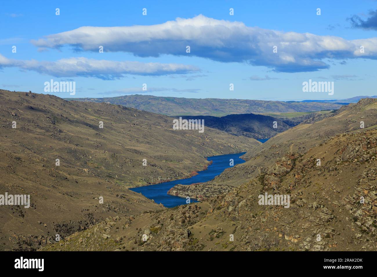 The Clutha River winding through the stark landscape of Central Otago in the South Island of New Zealand Stock Photohttps://www.alamy.com/image-license-details/?v=1https://www.alamy.com/the-clutha-river-winding-through-the-stark-landscape-of-central-otago-in-the-south-island-of-new-zealand-image557297375.html
RF2RAK2DK–The Clutha River winding through the stark landscape of Central Otago in the South Island of New Zealand
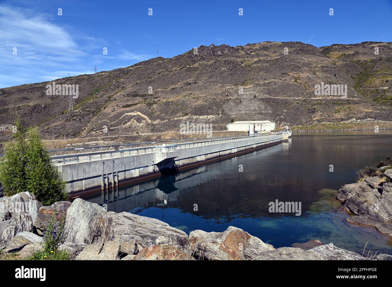 Clyde Dam on the Clutha River, in Central Otago, South Island, New Zealand. It is the largest concrete gravity dam in New Zealand. Stock Photohttps://www.alamy.com/image-license-details/?v=1https://www.alamy.com/clyde-dam-on-the-clutha-river-in-central-otago-south-island-new-zealand-it-is-the-largest-concrete-gravity-dam-in-new-zealand-image543132142.html
RF2PFHPGE–Clyde Dam on the Clutha River, in Central Otago, South Island, New Zealand. It is the largest concrete gravity dam in New Zealand.
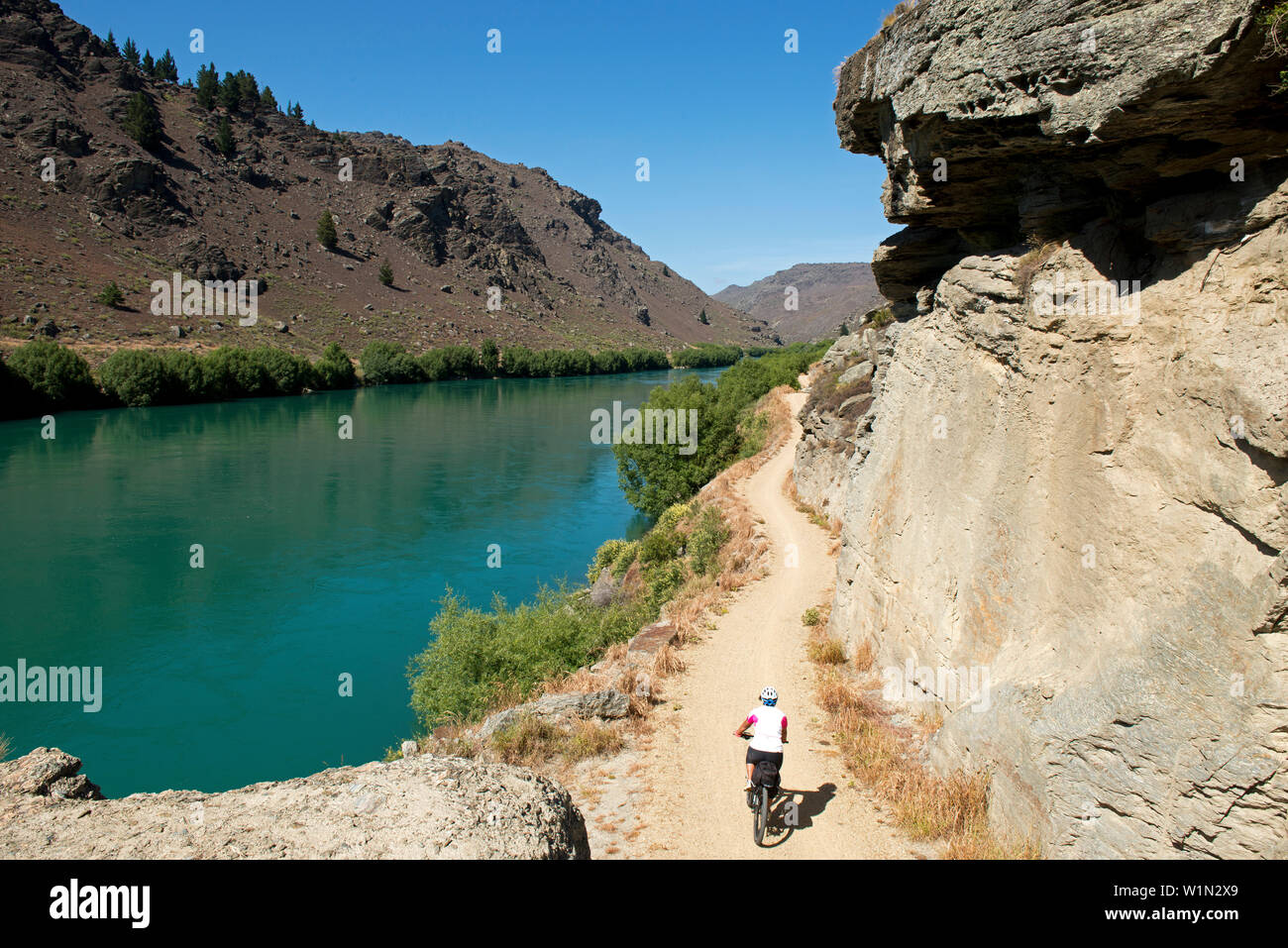 The Roxburgh Bike Trail following the Clutha River through a dramatic gorge, Otago, South Island, New Zealand Stock Photohttps://www.alamy.com/image-license-details/?v=1https://www.alamy.com/the-roxburgh-bike-trail-following-the-clutha-river-through-a-dramatic-gorge-otago-south-island-new-zealand-image259233473.html
RMW1N2X9–The Roxburgh Bike Trail following the Clutha River through a dramatic gorge, Otago, South Island, New Zealand
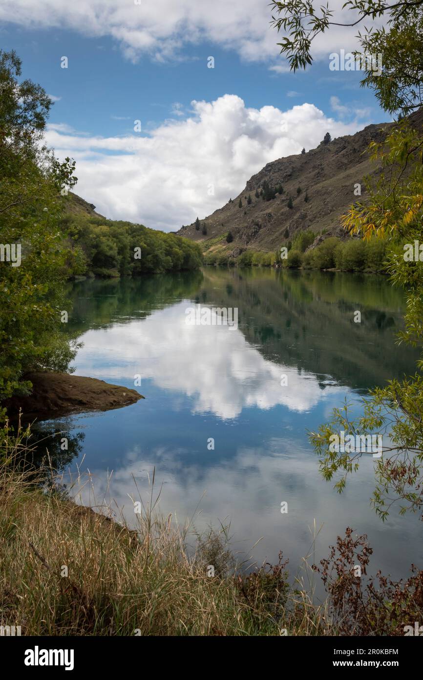 Roxburgh Gorge Trail, and Clutha River, near Alexandra, Otago, South Island, New Zealand Stock Photohttps://www.alamy.com/image-license-details/?v=1https://www.alamy.com/roxburgh-gorge-trail-and-clutha-river-near-alexandra-otago-south-island-new-zealand-image551157928.html
RF2R0KBFM–Roxburgh Gorge Trail, and Clutha River, near Alexandra, Otago, South Island, New Zealand
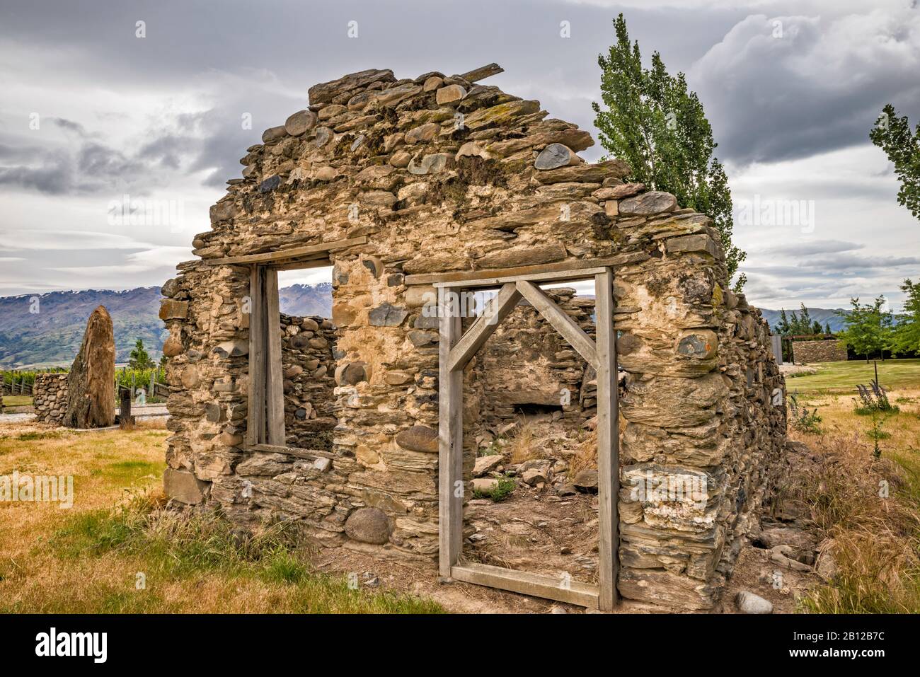 Scott's Bakery, ruin of bakehouse in Clutha River Valley, open during the Otago Gold Rush, Bendigo Loop Road, Otago Region, South Island, New Zealand Stock Photohttps://www.alamy.com/image-license-details/?v=1https://www.alamy.com/scotts-bakery-ruin-of-bakehouse-in-clutha-river-valley-open-during-the-otago-gold-rush-bendigo-loop-road-otago-region-south-island-new-zealand-image344874752.html
RF2B12B7C–Scott's Bakery, ruin of bakehouse in Clutha River Valley, open during the Otago Gold Rush, Bendigo Loop Road, Otago Region, South Island, New Zealand
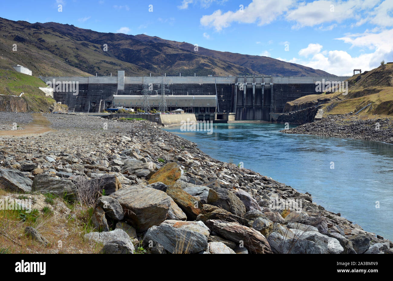 View of the Clyde Hydro Electric Dam on the Clutaha River in central Otago, New Zealand. Stock Photohttps://www.alamy.com/image-license-details/?v=1https://www.alamy.com/view-of-the-clyde-hydro-electric-dam-on-the-clutaha-river-in-central-otago-new-zealand-image329098709.html
RF2A3BMN9–View of the Clyde Hydro Electric Dam on the Clutaha River in central Otago, New Zealand.
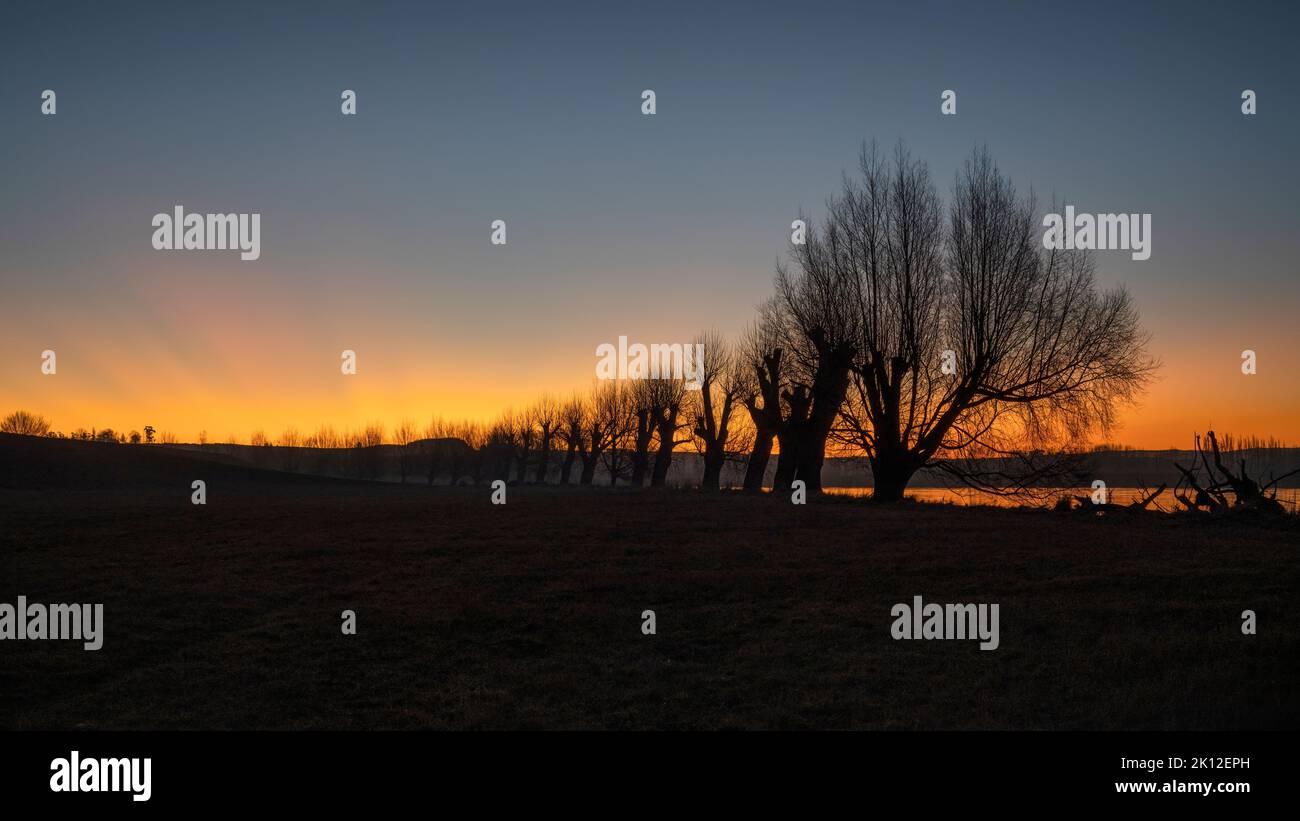 Silhouette trees along the Clutha river at sunset, Balclutha, South Otago. Stock Photohttps://www.alamy.com/image-license-details/?v=1https://www.alamy.com/silhouette-trees-along-the-clutha-river-at-sunset-balclutha-south-otago-image482560473.html
RF2K12EPH–Silhouette trees along the Clutha river at sunset, Balclutha, South Otago.
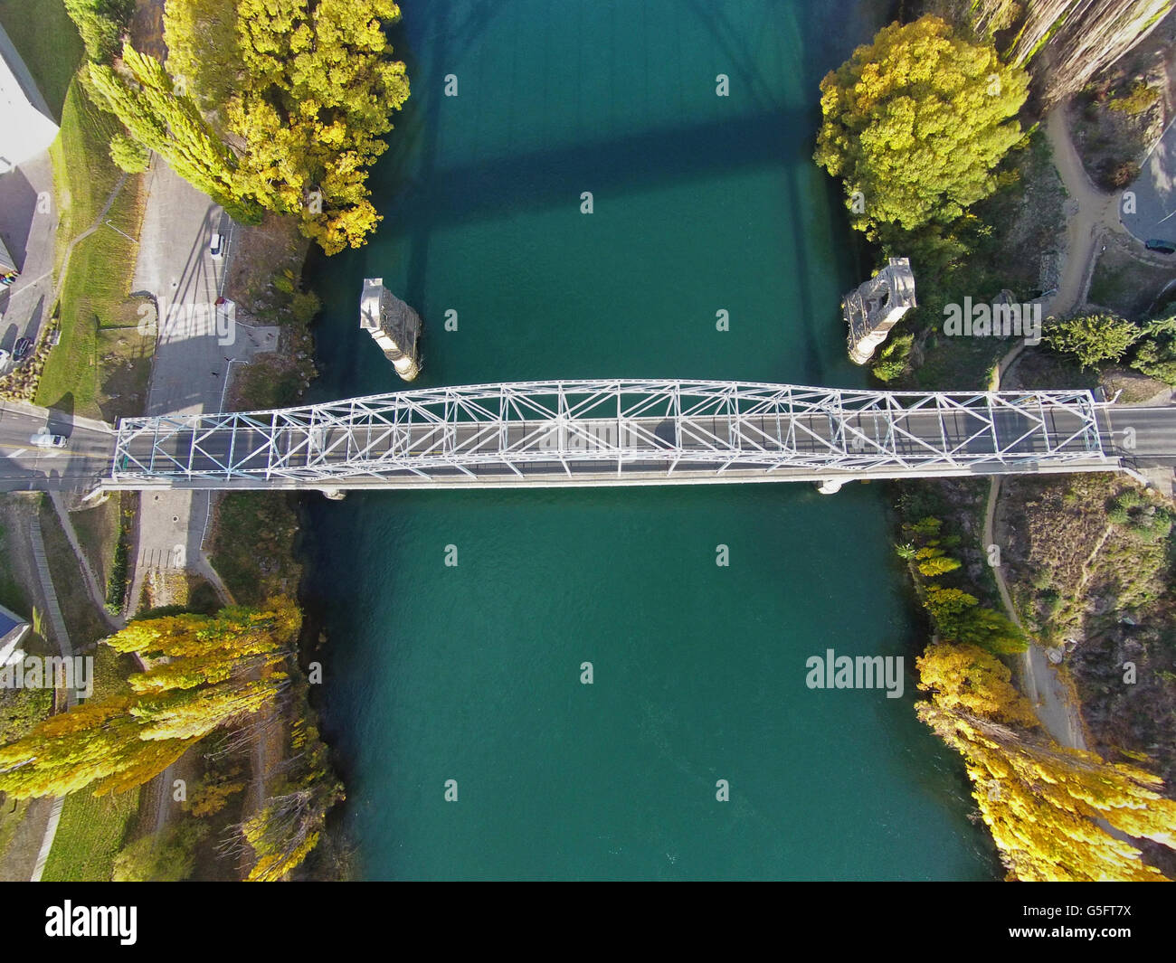 Alexandra Bridge and Clutha River in autumn, Central Otago, South Island, New Zealand - drone aerial Stock Photohttps://www.alamy.com/image-license-details/?v=1https://www.alamy.com/stock-photo-alexandra-bridge-and-clutha-river-in-autumn-central-otago-south-island-106683806.html
RMG5FT7X–Alexandra Bridge and Clutha River in autumn, Central Otago, South Island, New Zealand - drone aerial
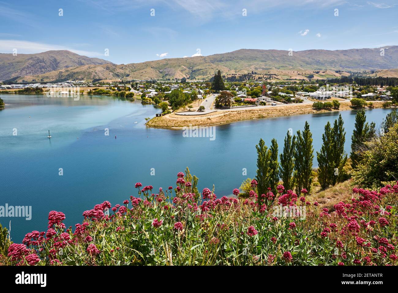 The town of Cromwell in Otago on the Clutha River Stock Photohttps://www.alamy.com/image-license-details/?v=1https://www.alamy.com/the-town-of-cromwell-in-otago-on-the-clutha-river-image410826887.html
RF2ETANTR–The town of Cromwell in Otago on the Clutha River
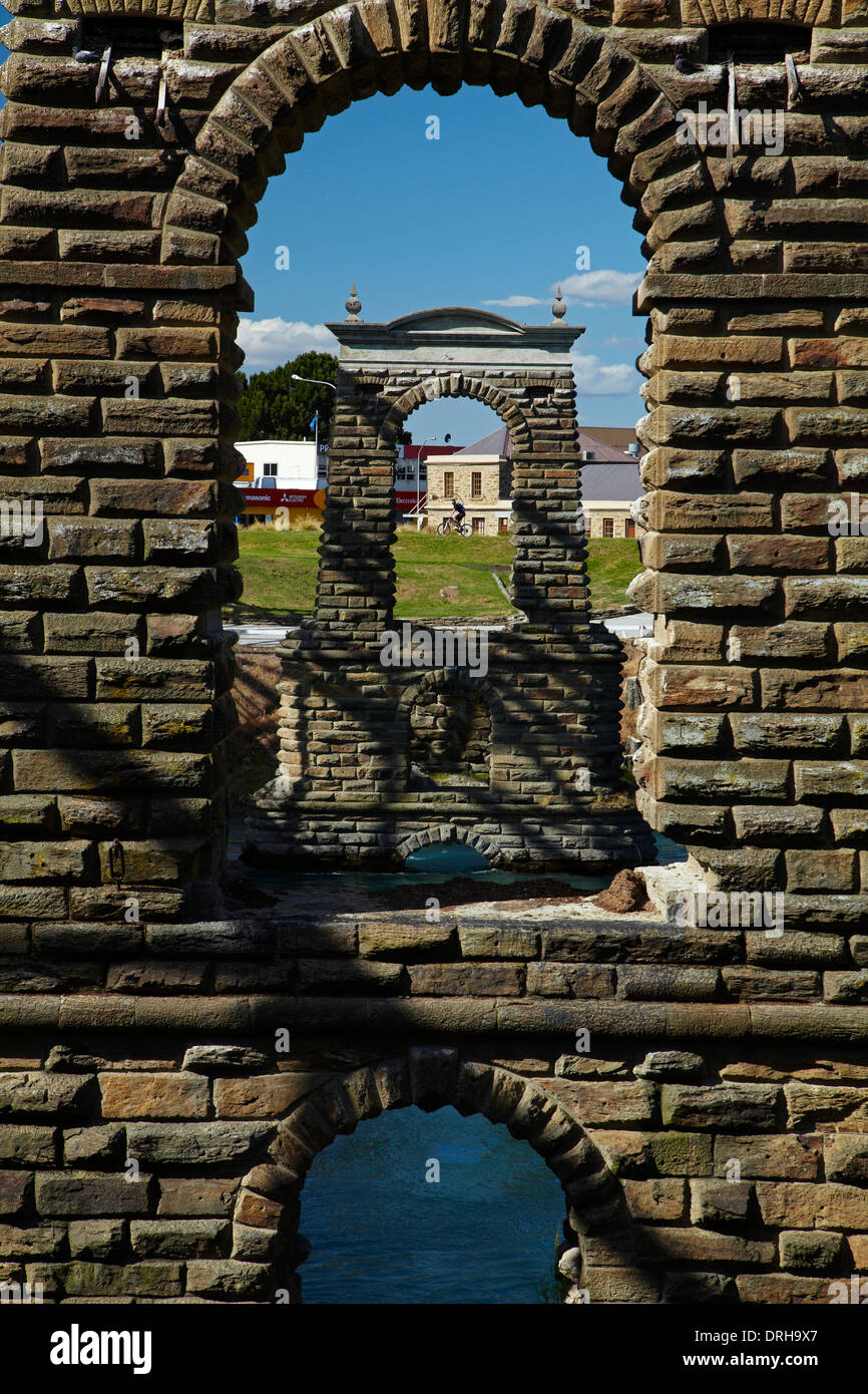 Historic Alexandra Bridge (1882) across Clutha River, Alexandra, Central Otago, South Island, New Zealand Stock Photohttps://www.alamy.com/image-license-details/?v=1https://www.alamy.com/historic-alexandra-bridge-1882-across-clutha-river-alexandra-central-image66149167.html
RMDRH9X7–Historic Alexandra Bridge (1882) across Clutha River, Alexandra, Central Otago, South Island, New Zealand
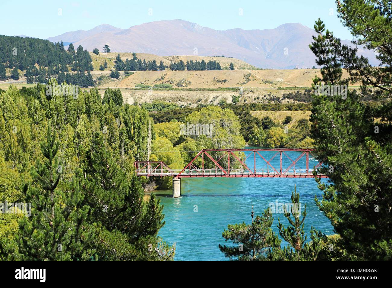 The red bridge between trees - Clutha River - New Zealand Stock Photohttps://www.alamy.com/image-license-details/?v=1https://www.alamy.com/the-red-bridge-between-trees-clutha-river-new-zealand-image509847903.html
RF2MHDG5K–The red bridge between trees - Clutha River - New Zealand
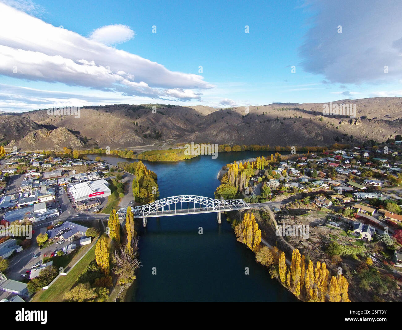 Alexandra Bridge and Clutha River in autumn, Central Otago, South Island, New Zealand - drone aerial Stock Photohttps://www.alamy.com/image-license-details/?v=1https://www.alamy.com/stock-photo-alexandra-bridge-and-clutha-river-in-autumn-central-otago-south-island-106683695.html
RMG5FT3Y–Alexandra Bridge and Clutha River in autumn, Central Otago, South Island, New Zealand - drone aerial
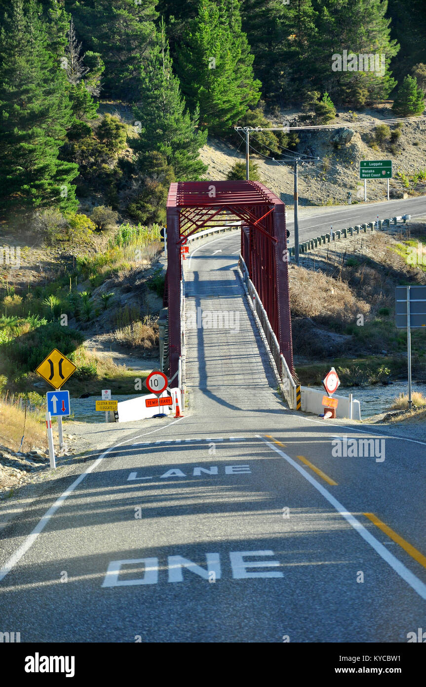 Narrow one lane single lane bridge over Clutha River at Luggate on State Highway 8A. Towards Wanaka. New Zealand South Island Stock Photohttps://www.alamy.com/image-license-details/?v=1https://www.alamy.com/stock-photo-narrow-one-lane-single-lane-bridge-over-clutha-river-at-luggate-on-171761773.html
RMKYCBW1–Narrow one lane single lane bridge over Clutha River at Luggate on State Highway 8A. Towards Wanaka. New Zealand South Island
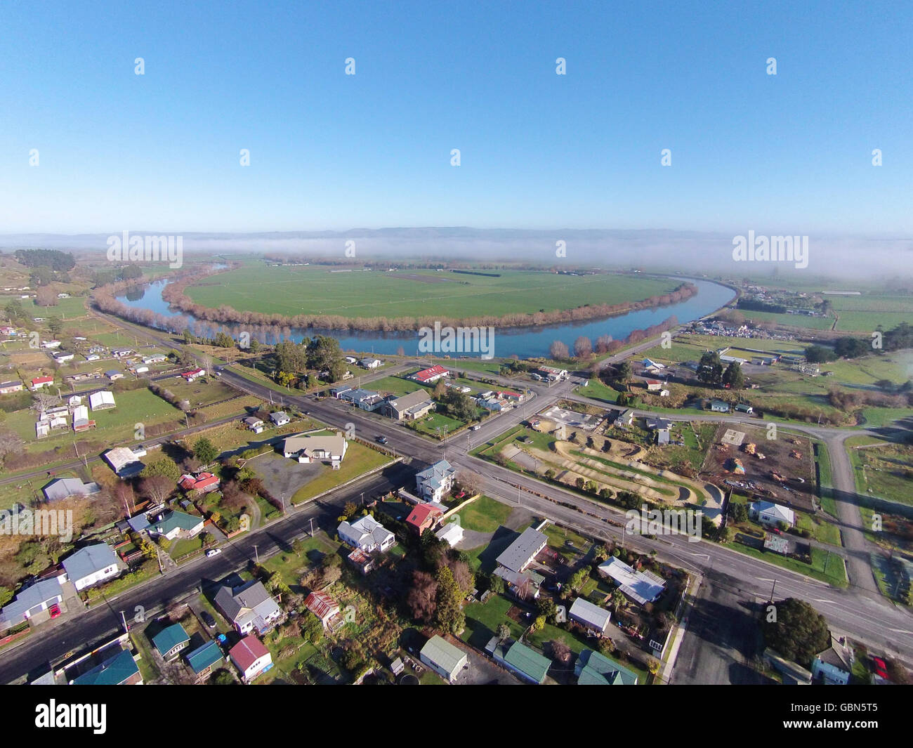 Kaitangata, and Clutha River, near Balclutha, Clutha District, South Otago, South Island, New Zealand - drone aerial Stock Photohttps://www.alamy.com/image-license-details/?v=1https://www.alamy.com/stock-photo-kaitangata-and-clutha-river-near-balclutha-clutha-district-south-otago-110489013.html
RMGBN5T5–Kaitangata, and Clutha River, near Balclutha, Clutha District, South Otago, South Island, New Zealand - drone aerial
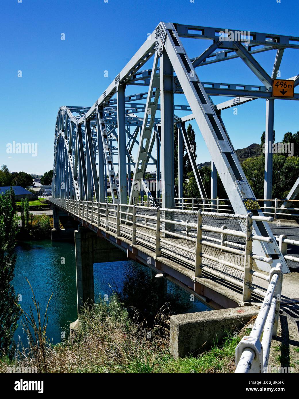 Alexandra bridge over the Clutha/Mata-au river, Central Otago, south island, Aotearoa, New Zealand Stock Photohttps://www.alamy.com/image-license-details/?v=1https://www.alamy.com/alexandra-bridge-over-the-cluthamata-au-river-central-otago-south-island-aotearoa-new-zealand-image471862592.html
RF2JBK5FC–Alexandra bridge over the Clutha/Mata-au river, Central Otago, south island, Aotearoa, New Zealand
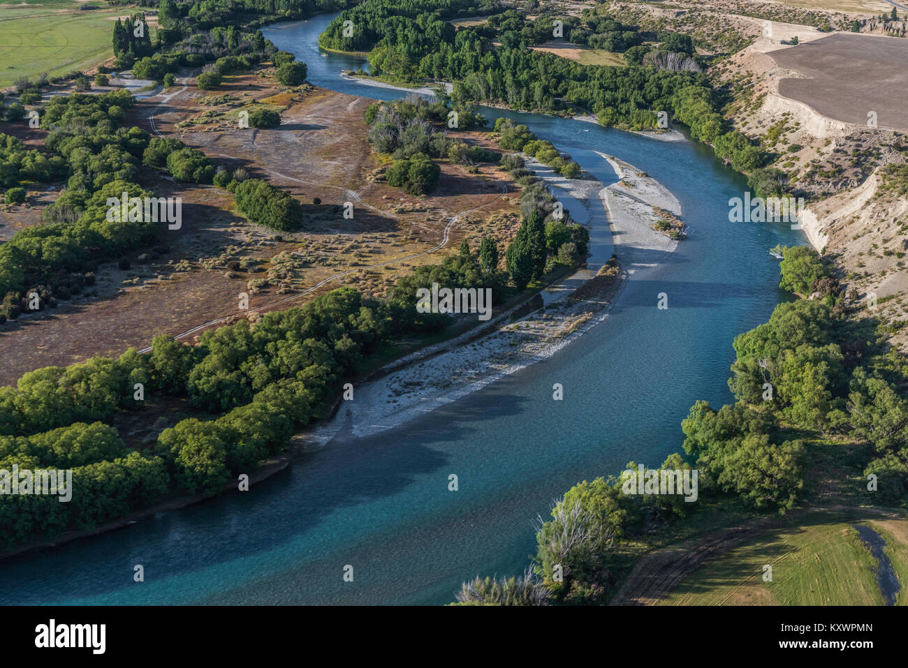 Clutha River, link between Lake Wanaka and Lake Dunstan, Otago, New Zealand Stock Photohttps://www.alamy.com/image-license-details/?v=1https://www.alamy.com/stock-photo-clutha-river-link-between-lake-wanaka-and-lake-dunstan-otago-new-zealand-171440997.html
RMKXWPMN–Clutha River, link between Lake Wanaka and Lake Dunstan, Otago, New Zealand
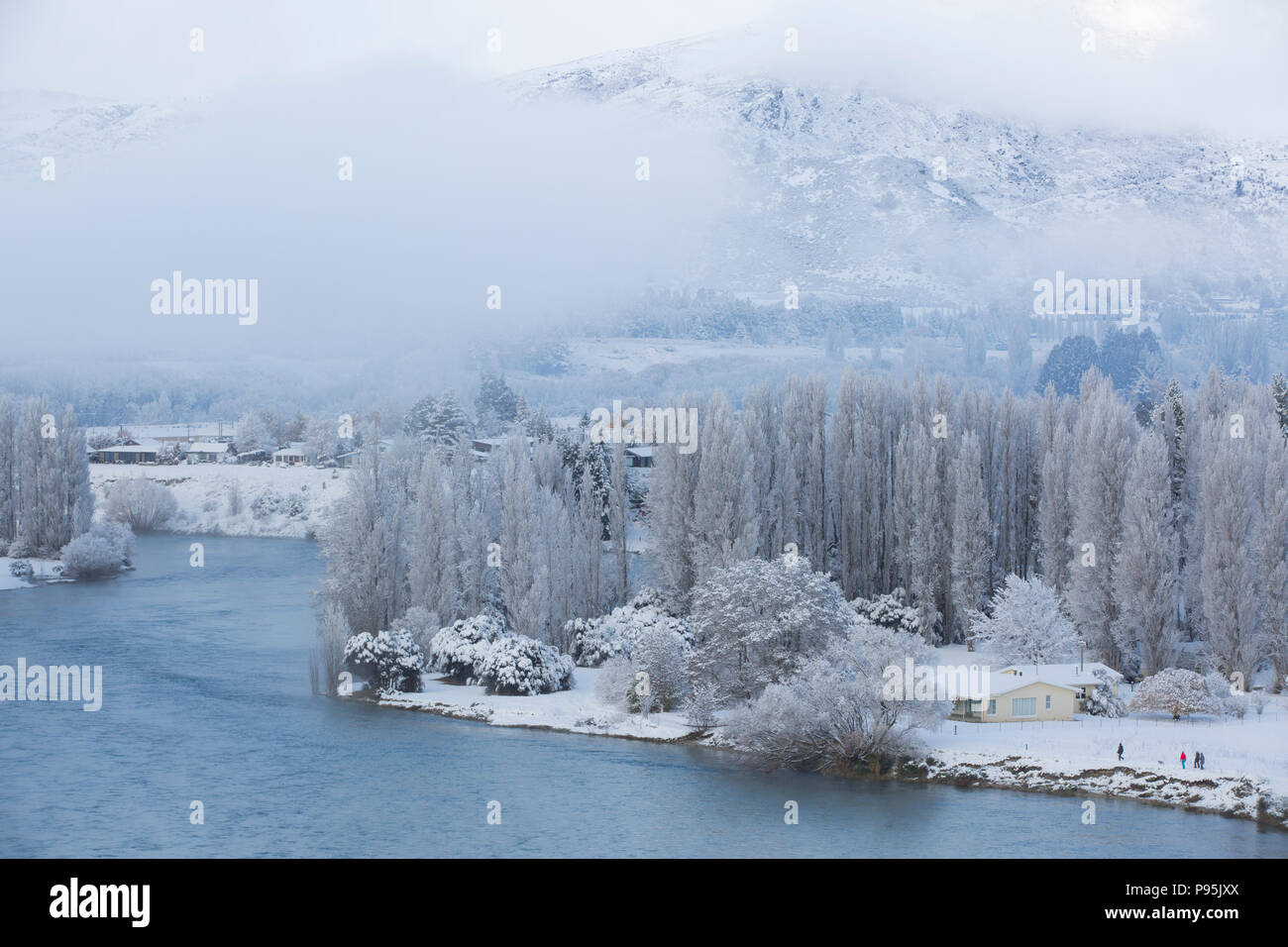 The Clutha River, Otago with a fresh dusting of snow in winter Stock Photohttps://www.alamy.com/image-license-details/?v=1https://www.alamy.com/the-clutha-river-otago-with-a-fresh-dusting-of-snow-in-winter-image212180946.html
RMP95JXX–The Clutha River, Otago with a fresh dusting of snow in winter
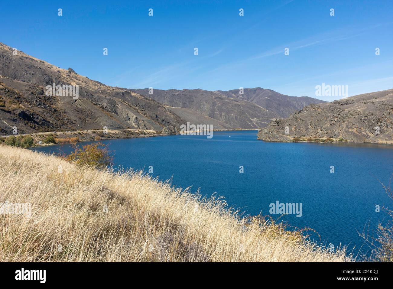 Clutha River from State Highway 8, Clyde, Central Otago, Otago, South Island, New Zealand Stock Photohttps://www.alamy.com/image-license-details/?v=1https://www.alamy.com/clutha-river-from-state-highway-8-clyde-central-otago-otago-south-island-new-zealand-image605249306.html
RM2X4KDJJ–Clutha River from State Highway 8, Clyde, Central Otago, Otago, South Island, New Zealand
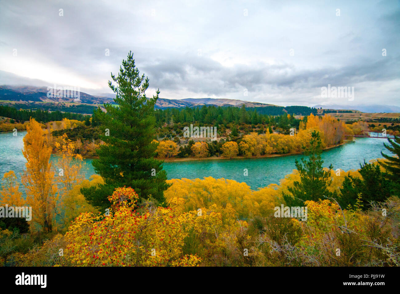 Emerald blue river, Clutha River, near Wanaka, New Zealand, autumn landscape with rose hips fruits, pine trees, river and coloured trees and bushes Stock Photohttps://www.alamy.com/image-license-details/?v=1https://www.alamy.com/emerald-blue-river-clutha-river-near-wanaka-new-zealand-autumn-landscape-with-rose-hips-fruits-pine-trees-river-and-coloured-trees-and-bushes-image217990469.html
RFPJJ91W–Emerald blue river, Clutha River, near Wanaka, New Zealand, autumn landscape with rose hips fruits, pine trees, river and coloured trees and bushes
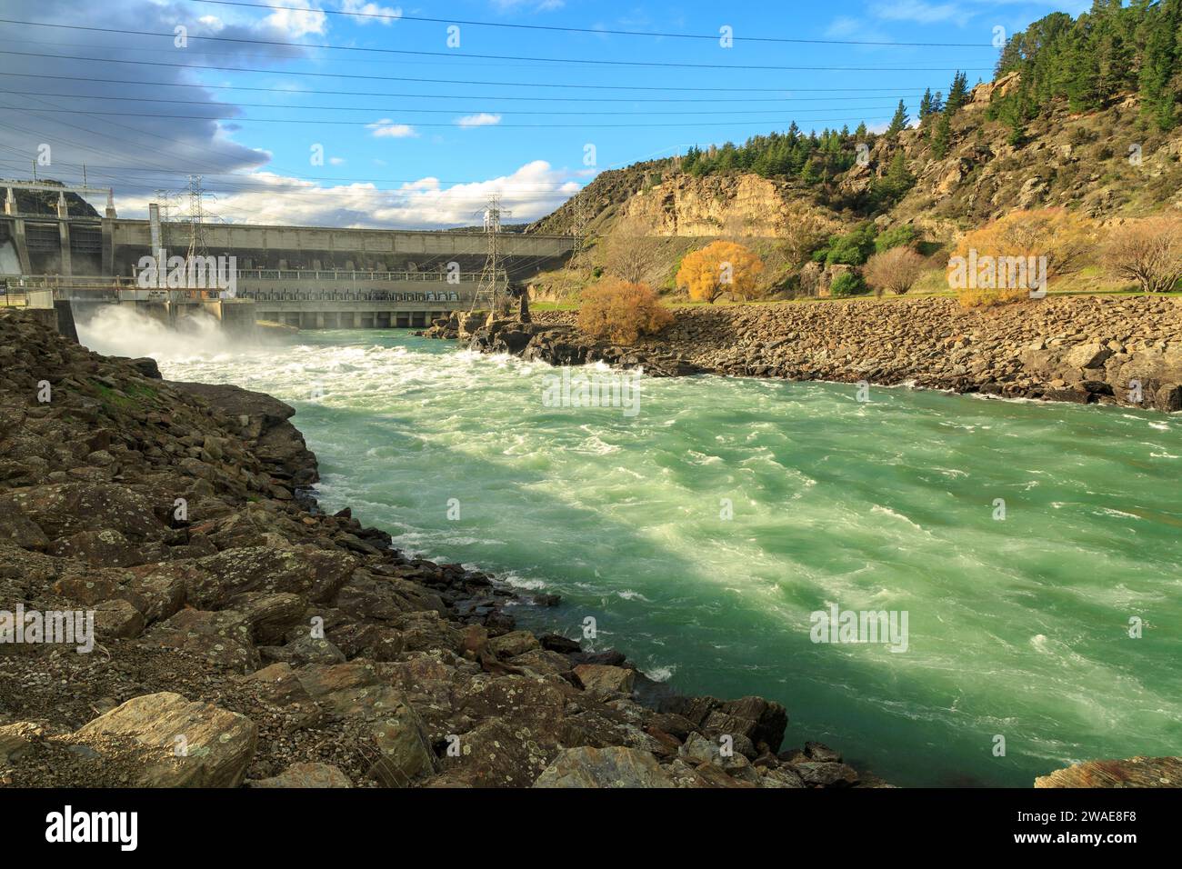 The surging Clutha River just downstream from the Roxburgh Hydro Dam in the South Island of New Zealand Stock Photohttps://www.alamy.com/image-license-details/?v=1https://www.alamy.com/the-surging-clutha-river-just-downstream-from-the-roxburgh-hydro-dam-in-the-south-island-of-new-zealand-image591613100.html
RF2WAE8F8–The surging Clutha River just downstream from the Roxburgh Hydro Dam in the South Island of New Zealand
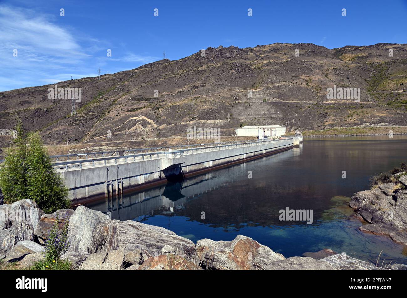 Clyde Dam on the Clutha River, in Central Otago, South Island, New Zealand. It is the largest concrete gravity dam in New Zealand. Stock Photohttps://www.alamy.com/image-license-details/?v=1https://www.alamy.com/clyde-dam-on-the-clutha-river-in-central-otago-south-island-new-zealand-it-is-the-largest-concrete-gravity-dam-in-new-zealand-image543156579.html
RF2PFJWN7–Clyde Dam on the Clutha River, in Central Otago, South Island, New Zealand. It is the largest concrete gravity dam in New Zealand.
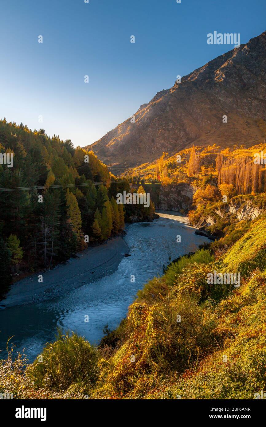 Clutha River near Queensbury, South Island, New Zealand Stock Photohttps://www.alamy.com/image-license-details/?v=1https://www.alamy.com/clutha-river-near-queensbury-south-island-new-zealand-image353567363.html
RM2BF6ANR–Clutha River near Queensbury, South Island, New Zealand
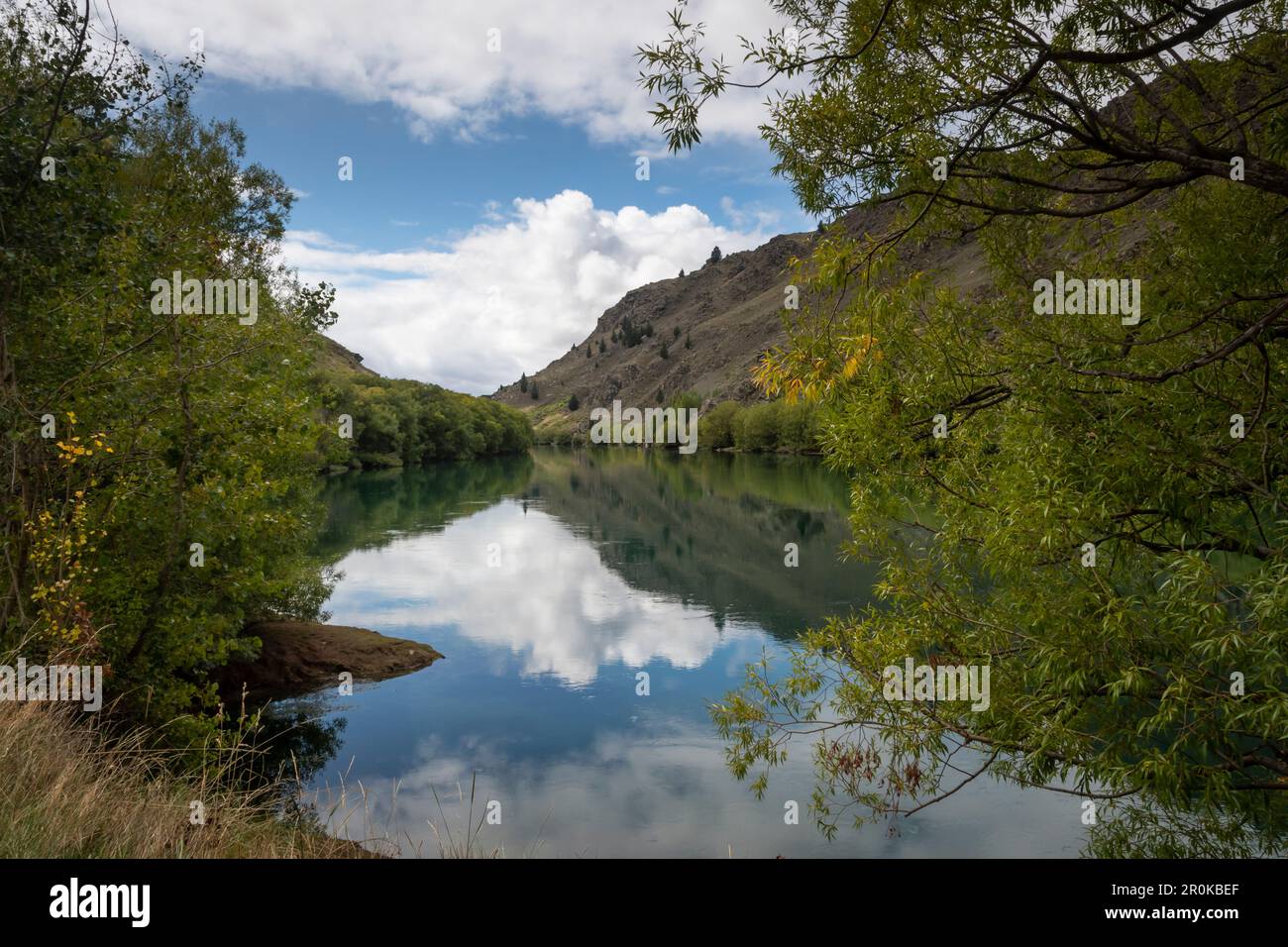 Roxburgh Gorge Trail, and Clutha River, near Alexandra, Otago, South Island, New Zealand Stock Photohttps://www.alamy.com/image-license-details/?v=1https://www.alamy.com/roxburgh-gorge-trail-and-clutha-river-near-alexandra-otago-south-island-new-zealand-image551157895.html
RF2R0KBEF–Roxburgh Gorge Trail, and Clutha River, near Alexandra, Otago, South Island, New Zealand
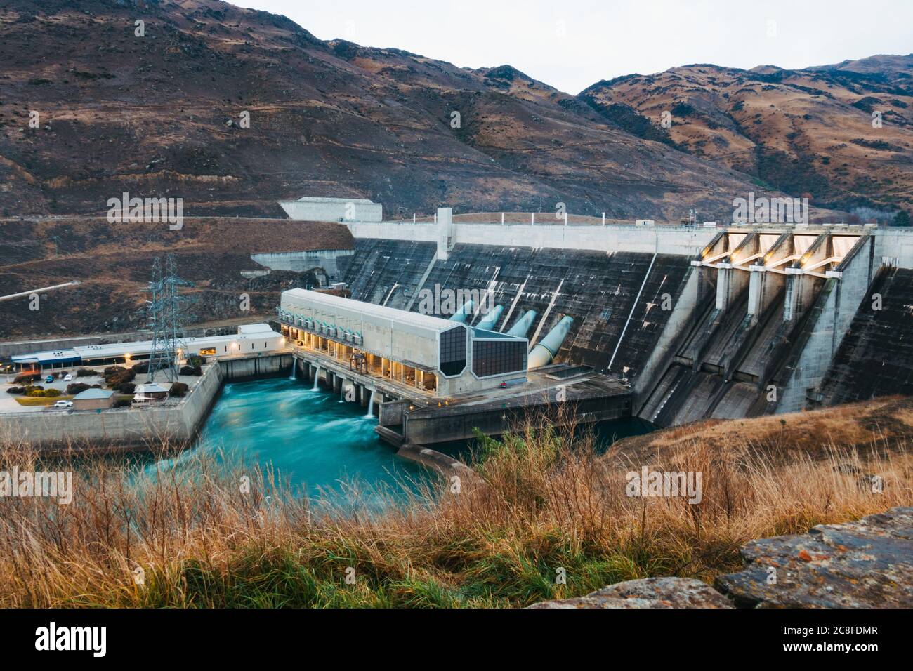 Clyde Dam Power Station, a 432-megawatt hydroelectric plant on Lake Dunstan / Clutha River Mata-Au in Otago, New Zealand. Opened in 1994 Stock Photohttps://www.alamy.com/image-license-details/?v=1https://www.alamy.com/clyde-dam-power-station-a-432-megawatt-hydroelectric-plant-on-lake-dunstan-clutha-river-mata-au-in-otago-new-zealand-opened-in-1994-image366675031.html
RM2C8FDMR–Clyde Dam Power Station, a 432-megawatt hydroelectric plant on Lake Dunstan / Clutha River Mata-Au in Otago, New Zealand. Opened in 1994
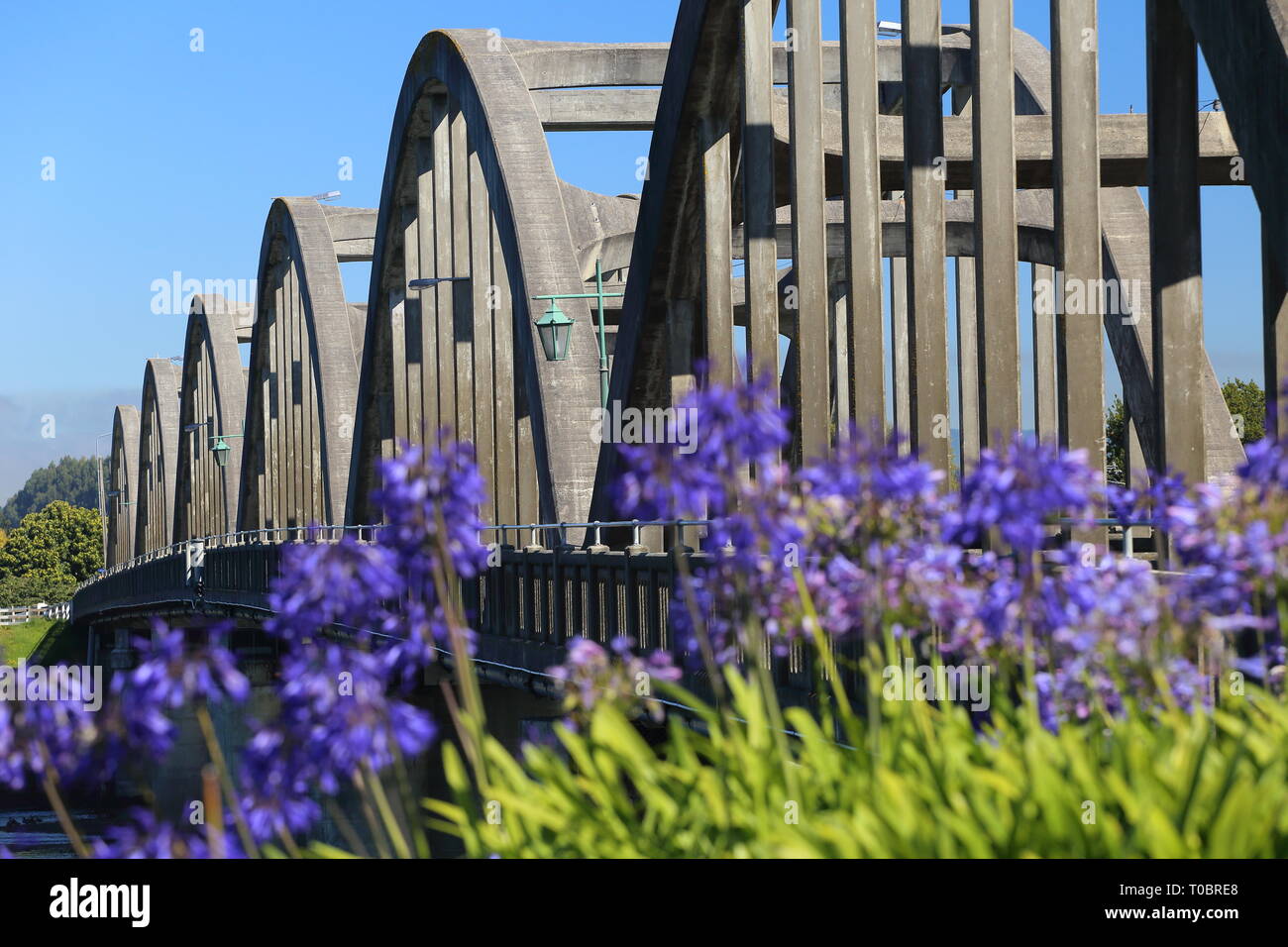 Balclutha Bridge, South Otago, New Zealand Stock Photohttps://www.alamy.com/image-license-details/?v=1https://www.alamy.com/balclutha-bridge-south-otago-new-zealand-image241205056.html
RMT0BRE8–Balclutha Bridge, South Otago, New Zealand
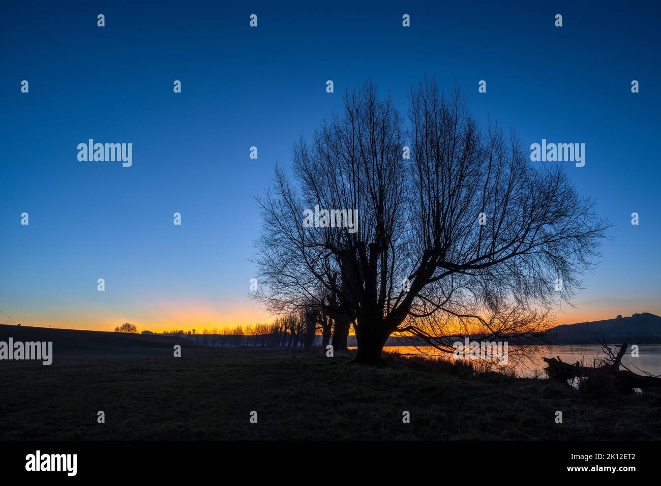 Silhouette trees along the Clutha river at sunset, Balclutha, South Otago. Stock Photohttps://www.alamy.com/image-license-details/?v=1https://www.alamy.com/silhouette-trees-along-the-clutha-river-at-sunset-balclutha-south-otago-image482560514.html
RF2K12ET2–Silhouette trees along the Clutha river at sunset, Balclutha, South Otago.
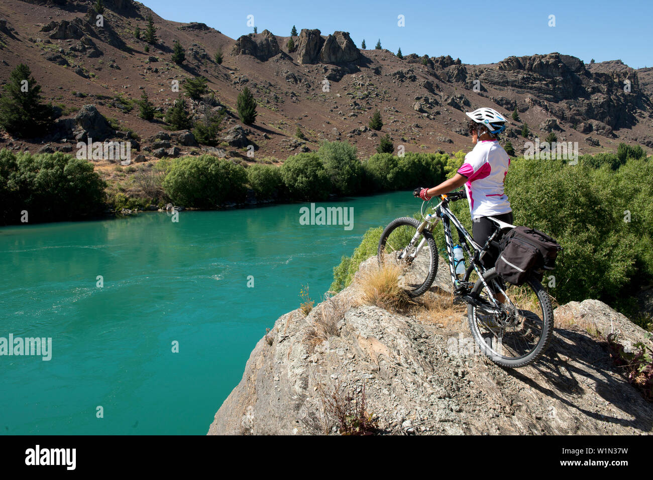 The Roxburgh Bike Trail following the Clutha River through a dramatic gorge, Otago, South Island, New Zealand Stock Photohttps://www.alamy.com/image-license-details/?v=1https://www.alamy.com/the-roxburgh-bike-trail-following-the-clutha-river-through-a-dramatic-gorge-otago-south-island-new-zealand-image259233741.html
RMW1N37W–The Roxburgh Bike Trail following the Clutha River through a dramatic gorge, Otago, South Island, New Zealand
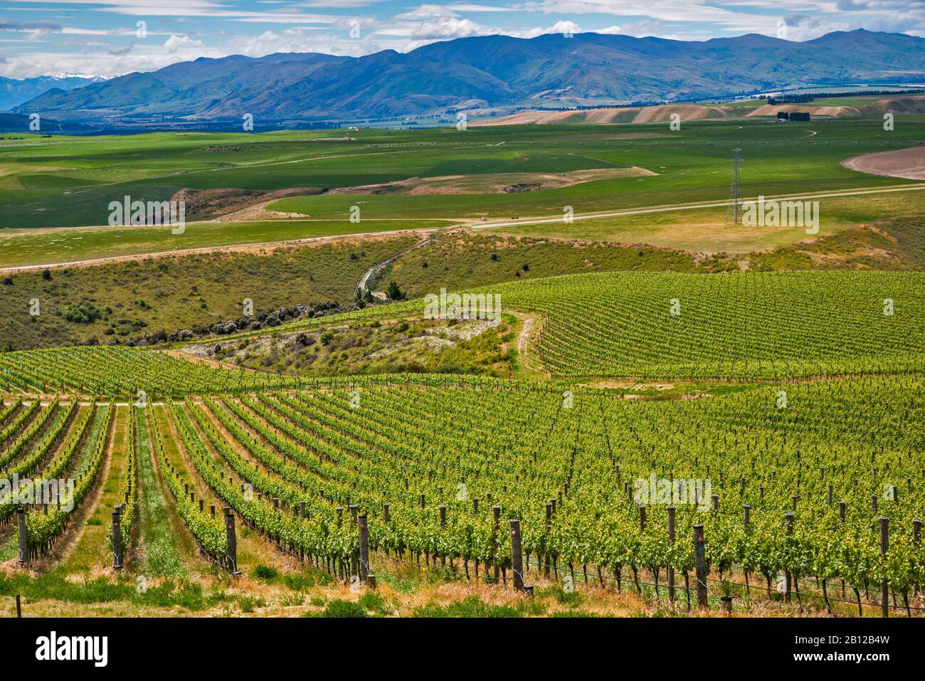 Vineyards of Central Otago area, Clutha River Valley, view from Bendigo Loop Road, Otago Region, South Island, New Zealand Stock Photohttps://www.alamy.com/image-license-details/?v=1https://www.alamy.com/vineyards-of-central-otago-area-clutha-river-valley-view-from-bendigo-loop-road-otago-region-south-island-new-zealand-image344874681.html
RF2B12B4W–Vineyards of Central Otago area, Clutha River Valley, view from Bendigo Loop Road, Otago Region, South Island, New Zealand
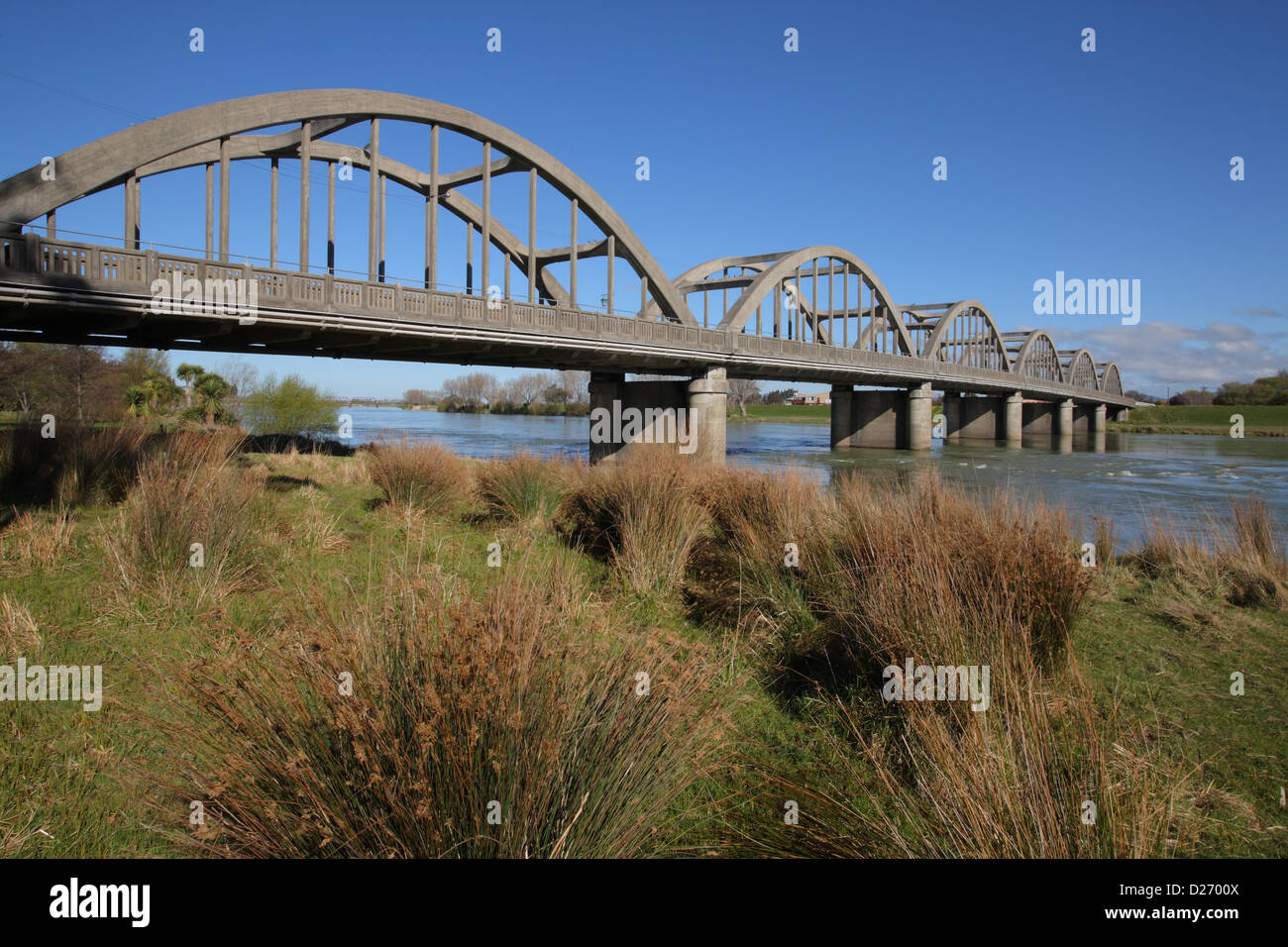 Balclutha Bridge Stock Photohttps://www.alamy.com/image-license-details/?v=1https://www.alamy.com/stock-photo-balclutha-bridge-53014106.html
RMD2700X–Balclutha Bridge
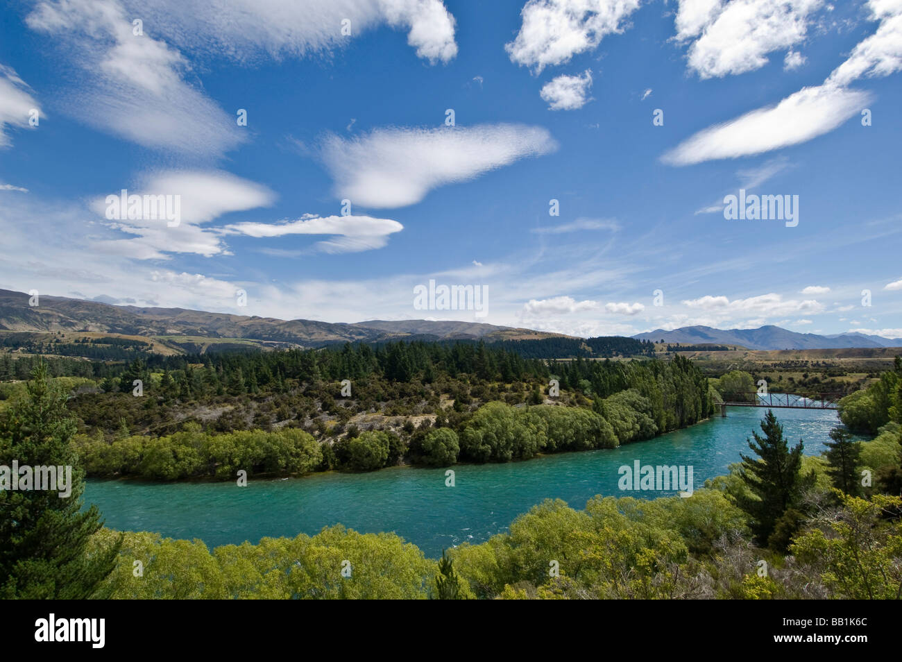 Clutha River near Wanaka South Island New Zealand Stock Photohttps://www.alamy.com/image-license-details/?v=1https://www.alamy.com/stock-photo-clutha-river-near-wanaka-south-island-new-zealand-24008612.html
RMBB1K6C–Clutha River near Wanaka South Island New Zealand
 Kawarau River Bridge in Springtime with Willow Trees in full bloom, Otago, New Zealand Stock Photohttps://www.alamy.com/image-license-details/?v=1https://www.alamy.com/kawarau-river-bridge-in-springtime-with-willow-trees-in-full-bloom-otago-new-zealand-image617870988.html
RF2XW6CN0–Kawarau River Bridge in Springtime with Willow Trees in full bloom, Otago, New Zealand
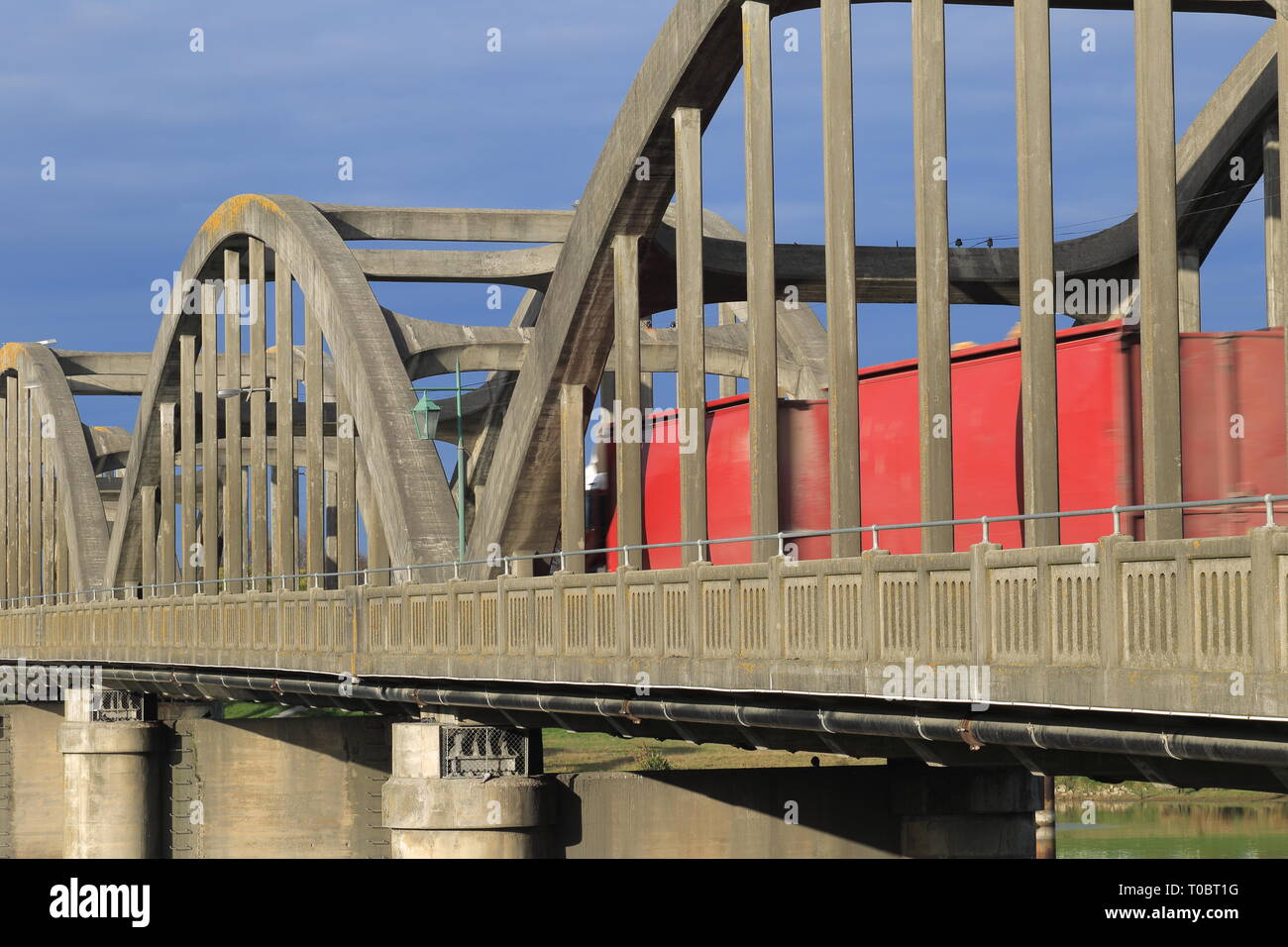 Balclutha Bridge, South Otago, New Zealand Stock Photohttps://www.alamy.com/image-license-details/?v=1https://www.alamy.com/balclutha-bridge-south-otago-new-zealand-image241205484.html
RMT0BT1G–Balclutha Bridge, South Otago, New Zealand
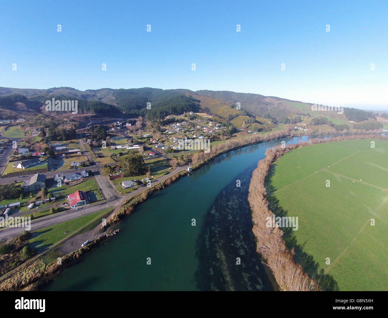 Clutha River at Kaitangata, near Balclutha, Clutha District, South Otago, South Island, New Zealand - drone aerial Stock Photohttps://www.alamy.com/image-license-details/?v=1https://www.alamy.com/stock-photo-clutha-river-at-kaitangata-near-balclutha-clutha-district-south-otago-110489081.html
RMGBN5XH–Clutha River at Kaitangata, near Balclutha, Clutha District, South Otago, South Island, New Zealand - drone aerial
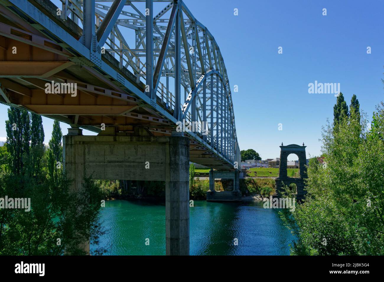 Alexandra bridge over the Clutha/Mata-au river beside the remains of the former bridge, Alexandra, Central Otago, south island, Aotearoa, New Zealand Stock Photohttps://www.alamy.com/image-license-details/?v=1https://www.alamy.com/alexandra-bridge-over-the-cluthamata-au-river-beside-the-remains-of-the-former-bridge-alexandra-central-otago-south-island-aotearoa-new-zealand-image471862612.html
RF2JBK5G4–Alexandra bridge over the Clutha/Mata-au river beside the remains of the former bridge, Alexandra, Central Otago, south island, Aotearoa, New Zealand
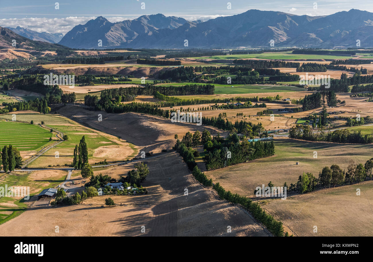 Landscape between Lake Wanaka and Lake Dunstan, Otago, New Zealand Stock Photohttps://www.alamy.com/image-license-details/?v=1https://www.alamy.com/stock-photo-landscape-between-lake-wanaka-and-lake-dunstan-otago-new-zealand-171441006.html
RMKXWPN2–Landscape between Lake Wanaka and Lake Dunstan, Otago, New Zealand
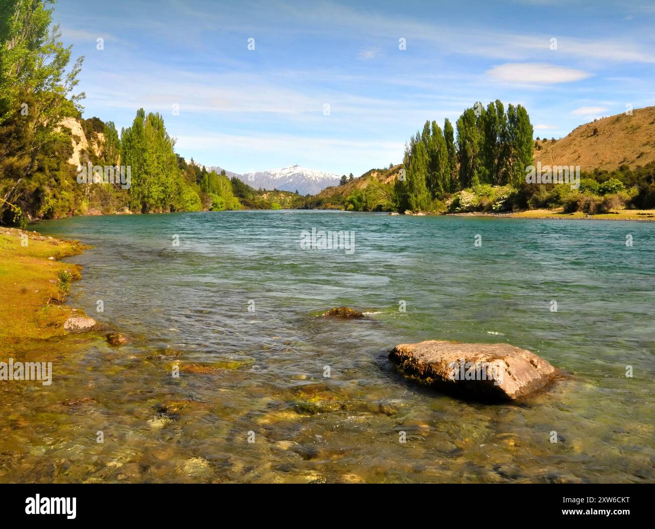 The crystal clear waters of the Clutha river in Otago, New Zealand, One of New Zealand's longest and most beautiful rivers and popular for trout fishi Stock Photohttps://www.alamy.com/image-license-details/?v=1https://www.alamy.com/the-crystal-clear-waters-of-the-clutha-river-in-otago-new-zealand-one-of-new-zealands-longest-and-most-beautiful-rivers-and-popular-for-trout-fishi-image617870956.html
RF2XW6CKT–The crystal clear waters of the Clutha river in Otago, New Zealand, One of New Zealand's longest and most beautiful rivers and popular for trout fishi