Colchester city wall Stock Photos and Images
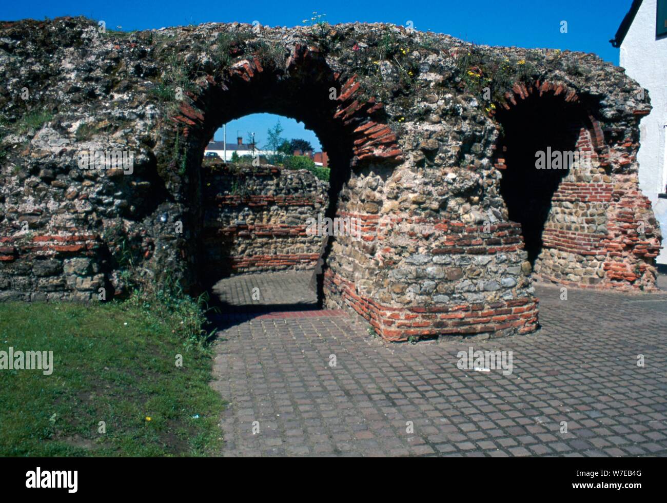 The Balkearne gate in Colchester, 1st century. Artist: Unknown Stock Photohttps://www.alamy.com/image-license-details/?v=1https://www.alamy.com/the-balkearne-gate-in-colchester-1st-century-artist-unknown-image262774192.html
RMW7EB4G–The Balkearne gate in Colchester, 1st century. Artist: Unknown
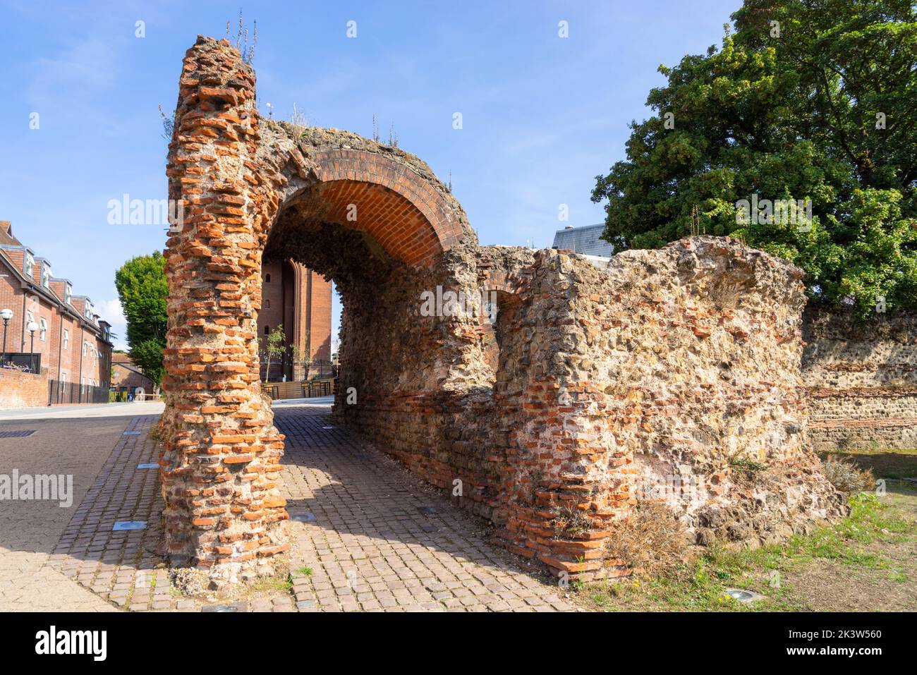 Colchester Roman wall ruins of a four arch roman gate the Balkerne Gate ruins of the ancient roman gateway into roman Colchester Essex England UK GB Stock Photohttps://www.alamy.com/image-license-details/?v=1https://www.alamy.com/colchester-roman-wall-ruins-of-a-four-arch-roman-gate-the-balkerne-gate-ruins-of-the-ancient-roman-gateway-into-roman-colchester-essex-england-uk-gb-image484287160.html
RM2K3W560–Colchester Roman wall ruins of a four arch roman gate the Balkerne Gate ruins of the ancient roman gateway into roman Colchester Essex England UK GB
 Old wall and path through Castle Park, Colchester, Essex Stock Photohttps://www.alamy.com/image-license-details/?v=1https://www.alamy.com/stock-photo-old-wall-and-path-through-castle-park-colchester-essex-122239755.html
RMH2TE1F–Old wall and path through Castle Park, Colchester, Essex
 Rye Gate entrance to the Castle Park in Colchester, Essex. This entrance is near to where one of the gates in the Roman wall would have been. Stock Photohttps://www.alamy.com/image-license-details/?v=1https://www.alamy.com/rye-gate-entrance-to-the-castle-park-in-colchester-essex-this-entrance-is-near-to-where-one-of-the-gates-in-the-roman-wall-would-have-been-image469683181.html
RM2J83WK9–Rye Gate entrance to the Castle Park in Colchester, Essex. This entrance is near to where one of the gates in the Roman wall would have been.
 Priory Street bastion 5, part of the remains of the Roman wall in Colchester, Essex, UK. Stock Photohttps://www.alamy.com/image-license-details/?v=1https://www.alamy.com/priory-street-bastion-5-part-of-the-remains-of-the-roman-wall-in-colchester-essex-uk-image376568345.html
RM2CTJ4ND–Priory Street bastion 5, part of the remains of the Roman wall in Colchester, Essex, UK.
 View of Lower Castle Park in Colchester, Essex as the trees are starting to change colour in autumn. The Roman Wall can be seen across the middle. Stock Photohttps://www.alamy.com/image-license-details/?v=1https://www.alamy.com/view-of-lower-castle-park-in-colchester-essex-as-the-trees-are-starting-to-change-colour-in-autumn-the-roman-wall-can-be-seen-across-the-middle-image569823143.html
RM2T31K6F–View of Lower Castle Park in Colchester, Essex as the trees are starting to change colour in autumn. The Roman Wall can be seen across the middle.
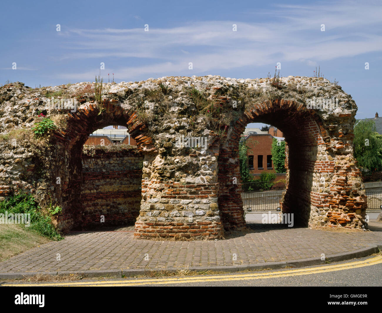 Surviving masonry of the Balkerne Gate, Colchester: W entrance of Roman town re-established within stone walls early C2ndAD. Stock Photohttps://www.alamy.com/image-license-details/?v=1https://www.alamy.com/stock-photo-surviving-masonry-of-the-balkerne-gate-colchester-w-entrance-of-roman-115917811.html
RMGMGE9R–Surviving masonry of the Balkerne Gate, Colchester: W entrance of Roman town re-established within stone walls early C2ndAD.
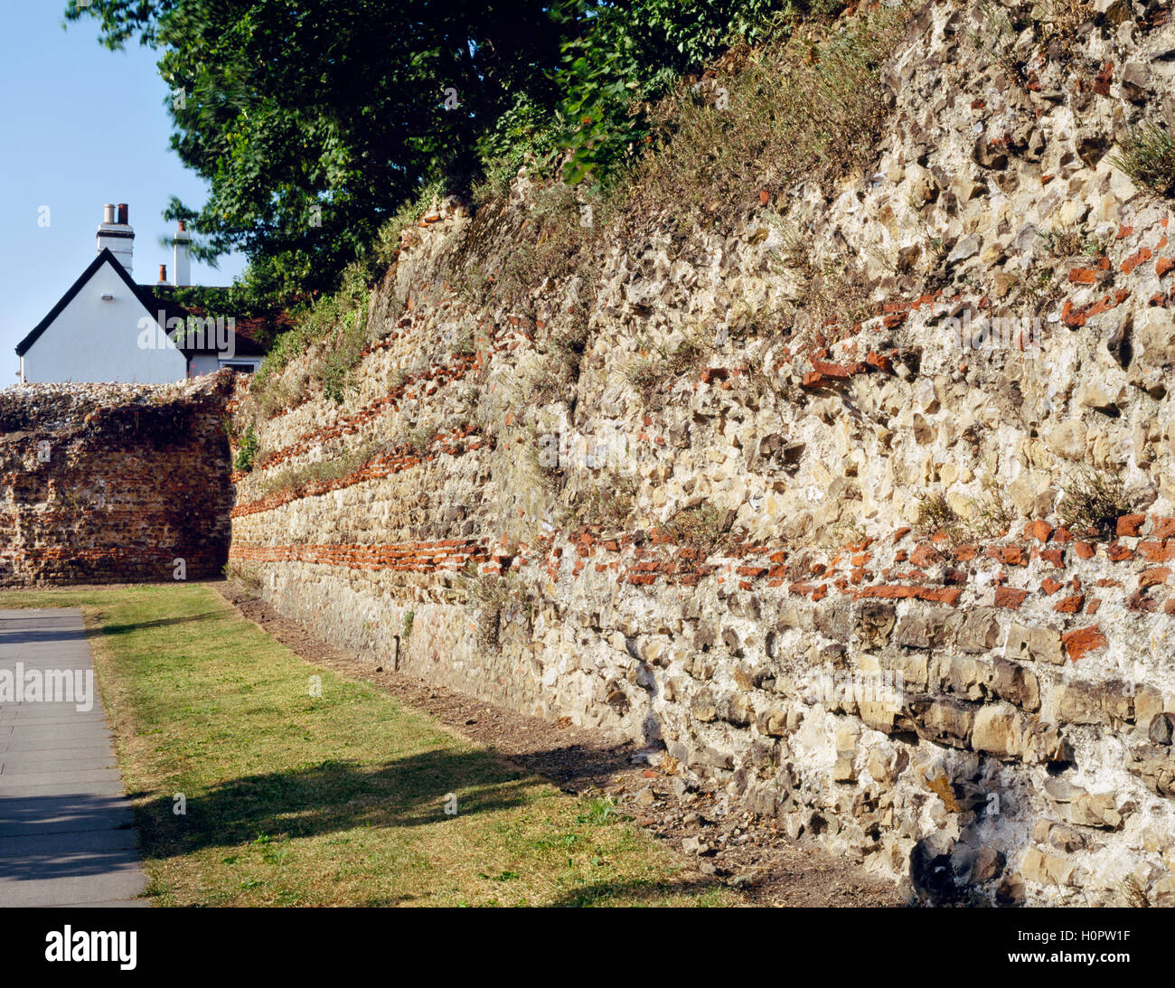 Balkerne Gate and wall on the west side of the Roman town, Colchester, Essex, England, UK Stock Photohttps://www.alamy.com/image-license-details/?v=1https://www.alamy.com/stock-photo-balkerne-gate-and-wall-on-the-west-side-of-the-roman-town-colchester-120975163.html
RMH0PW1F–Balkerne Gate and wall on the west side of the Roman town, Colchester, Essex, England, UK
 Rye Gate entrance to the Castle Park in Colchester, Essex. This entrance is near to where one of the gates in the Roman wall would have been. Stock Photohttps://www.alamy.com/image-license-details/?v=1https://www.alamy.com/rye-gate-entrance-to-the-castle-park-in-colchester-essex-this-entrance-is-near-to-where-one-of-the-gates-in-the-roman-wall-would-have-been-image488116608.html
RM2KA3HM0–Rye Gate entrance to the Castle Park in Colchester, Essex. This entrance is near to where one of the gates in the Roman wall would have been.
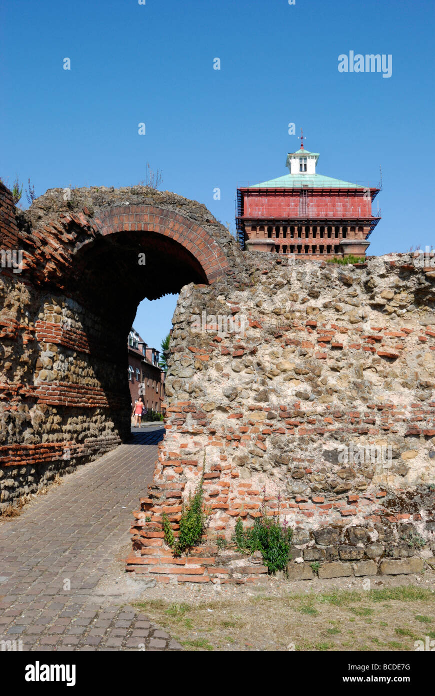 Balkerne Gate and Jumbo Water Tower Colchester Essex England UK Stock Photohttps://www.alamy.com/image-license-details/?v=1https://www.alamy.com/stock-photo-balkerne-gate-and-jumbo-water-tower-colchester-essex-england-uk-24882804.html
RMBCDE7G–Balkerne Gate and Jumbo Water Tower Colchester Essex England UK
 Part of Roman City Wall near Balkern Gate, Colchester, Essex, England, c20th century. Artist: CM Dixon. Stock Photohttps://www.alamy.com/image-license-details/?v=1https://www.alamy.com/part-of-roman-city-wall-near-balkern-gate-colchester-essex-england-c20th-century-artist-cm-dixon-image186106203.html
RMMPNTA3–Part of Roman City Wall near Balkern Gate, Colchester, Essex, England, c20th century. Artist: CM Dixon.
 View of Jumbo Water Tower and The Hole in the Wall pub from across the footbridge, Colchester, Essex. Stock Photohttps://www.alamy.com/image-license-details/?v=1https://www.alamy.com/view-of-jumbo-water-tower-and-the-hole-in-the-wall-pub-from-across-the-footbridge-colchester-essex-image567601876.html
RM2RYCDYG–View of Jumbo Water Tower and The Hole in the Wall pub from across the footbridge, Colchester, Essex.
 historic Saint Martins Church in Colchester, England Stock Photohttps://www.alamy.com/image-license-details/?v=1https://www.alamy.com/historic-saint-martins-church-in-colchester-england-image634520157.html
RM2YT8TX5–historic Saint Martins Church in Colchester, England
 Mercury Theatre and The Hole in the Wall pub in Colchester Essex Stock Photohttps://www.alamy.com/image-license-details/?v=1https://www.alamy.com/mercury-theatre-and-the-hole-in-the-wall-pub-in-colchester-essex-image467288942.html
RM2J46RPP–Mercury Theatre and The Hole in the Wall pub in Colchester Essex
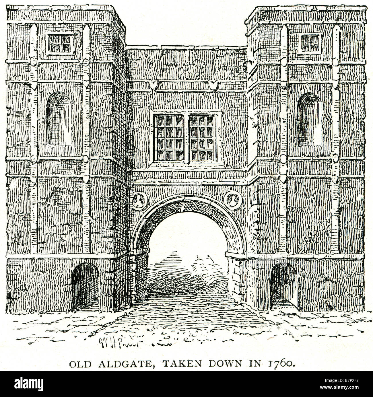 Old Aldgate 1760 gate Colchester Roman Duke's Place gateway entrance tower building Stock Photohttps://www.alamy.com/image-license-details/?v=1https://www.alamy.com/stock-photo-old-aldgate-1760-gate-colchester-roman-dukes-place-gateway-entrance-22016716.html
RMB7PXF8–Old Aldgate 1760 gate Colchester Roman Duke's Place gateway entrance tower building
 View of Jumbo Water Tower and The Hole in the Wall pub from across the footbridge, Colchester, Essex. Stock Photohttps://www.alamy.com/image-license-details/?v=1https://www.alamy.com/view-of-jumbo-water-tower-and-the-hole-in-the-wall-pub-from-across-the-footbridge-colchester-essex-image567601885.html
RM2RYCDYW–View of Jumbo Water Tower and The Hole in the Wall pub from across the footbridge, Colchester, Essex.
 Colchester, Canada, Ontario, N 41 59' 0'', W 82 55' 59'', map, Timeless Map published in 2021. Travelers, explorers and adventurers like Florence Nightingale, David Livingstone, Ernest Shackleton, Lewis and Clark and Sherlock Holmes relied on maps to plan travels to the world's most remote corners, Timeless Maps is mapping most locations on the globe, showing the achievement of great dreams Stock Photohttps://www.alamy.com/image-license-details/?v=1https://www.alamy.com/colchester-canada-ontario-n-41-59-0-w-82-55-59-map-timeless-map-published-in-2021-travelers-explorers-and-adventurers-like-florence-nightingale-david-livingstone-ernest-shackleton-lewis-and-clark-and-sherlock-holmes-relied-on-maps-to-plan-travels-to-the-worlds-most-remote-corners-timeless-maps-is-mapping-most-locations-on-the-globe-showing-the-achievement-of-great-dreams-image457857149.html
RM2HGW5D1–Colchester, Canada, Ontario, N 41 59' 0'', W 82 55' 59'', map, Timeless Map published in 2021. Travelers, explorers and adventurers like Florence Nightingale, David Livingstone, Ernest Shackleton, Lewis and Clark and Sherlock Holmes relied on maps to plan travels to the world's most remote corners, Timeless Maps is mapping most locations on the globe, showing the achievement of great dreams
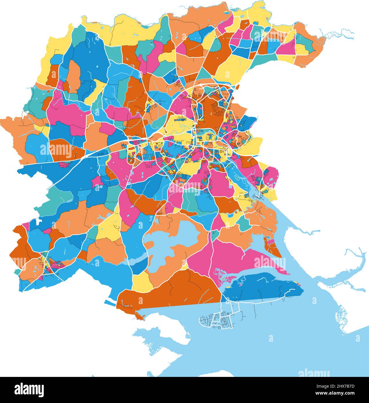 Colchester, East of England, England colorful high resolution vector art map with city boundaries. White outlines for main roads. Many details. Blue s Stock Vectorhttps://www.alamy.com/image-license-details/?v=1https://www.alamy.com/colchester-east-of-england-england-colorful-high-resolution-vector-art-map-with-city-boundaries-white-outlines-for-main-roads-many-details-blue-s-image463613121.html
RF2HX7B7D–Colchester, East of England, England colorful high resolution vector art map with city boundaries. White outlines for main roads. Many details. Blue s
 The Balkerne Gate, leading to Colchester, Essex in the United Kingdom Stock Photohttps://www.alamy.com/image-license-details/?v=1https://www.alamy.com/the-balkerne-gate-leading-to-colchester-essex-in-the-united-kingdom-image625440963.html
RM2Y9F897–The Balkerne Gate, leading to Colchester, Essex in the United Kingdom
 Boots shop sign on wall Stock Photohttps://www.alamy.com/image-license-details/?v=1https://www.alamy.com/stock-photo-boots-shop-sign-on-wall-28390449.html
RMBJ588H–Boots shop sign on wall
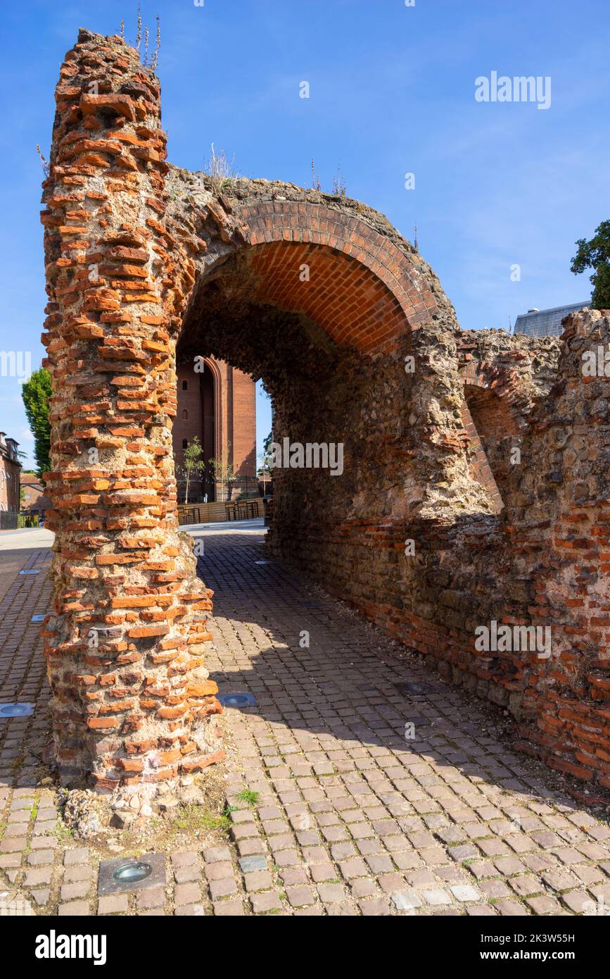 Colchester Roman wall ruins of a four arch roman gate the Balkerne Gate ruins of the ancient roman gateway into roman Colchester Essex England UK GB Stock Photohttps://www.alamy.com/image-license-details/?v=1https://www.alamy.com/colchester-roman-wall-ruins-of-a-four-arch-roman-gate-the-balkerne-gate-ruins-of-the-ancient-roman-gateway-into-roman-colchester-essex-england-uk-gb-image484287149.html
RM2K3W55H–Colchester Roman wall ruins of a four arch roman gate the Balkerne Gate ruins of the ancient roman gateway into roman Colchester Essex England UK GB
 Britain's first city and former capital of Roman Britain. Showing Jumbo tower, mercury theatre and roman wall at night Stock Photohttps://www.alamy.com/image-license-details/?v=1https://www.alamy.com/britains-first-city-and-former-capital-of-roman-britain-showing-jumbo-tower-mercury-theatre-and-roman-wall-at-night-image328638493.html
RF2A2JNN1–Britain's first city and former capital of Roman Britain. Showing Jumbo tower, mercury theatre and roman wall at night
 An older couple walking in Castle Park, Colchester, Essex, with trees in the background and a park bench in the foreground. Stock Photohttps://www.alamy.com/image-license-details/?v=1https://www.alamy.com/an-older-couple-walking-in-castle-park-colchester-essex-with-trees-image66203547.html
RMDRKR8B–An older couple walking in Castle Park, Colchester, Essex, with trees in the background and a park bench in the foreground.
 Priory Street bastion 5, part of the remains of the Roman wall in Colchester, Essex, UK. Stock Photohttps://www.alamy.com/image-license-details/?v=1https://www.alamy.com/priory-street-bastion-5-part-of-the-remains-of-the-roman-wall-in-colchester-essex-uk-image376568372.html
RM2CTJ4PC–Priory Street bastion 5, part of the remains of the Roman wall in Colchester, Essex, UK.
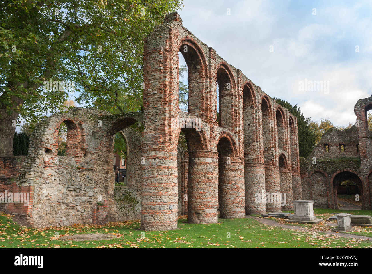 roman ruins England Essex Colchester autumnal scene. Stock Photohttps://www.alamy.com/image-license-details/?v=1https://www.alamy.com/stock-photo-roman-ruins-england-essex-colchester-autumnal-scene-51322030.html
RMCYDWNJ–roman ruins England Essex Colchester autumnal scene.
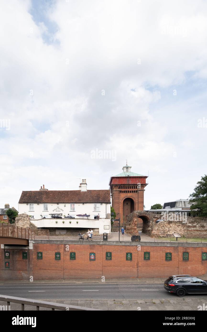 Balkerne Water Tower (Jumbo), Colchester, viewed from across the road, with the Hole in the Wall pub and Balkerne Gate in front. Stock Photohttps://www.alamy.com/image-license-details/?v=1https://www.alamy.com/balkerne-water-tower-jumbo-colchester-viewed-from-across-the-road-with-the-hole-in-the-wall-pub-and-balkerne-gate-in-front-image557579726.html
RM2RB3XHJ–Balkerne Water Tower (Jumbo), Colchester, viewed from across the road, with the Hole in the Wall pub and Balkerne Gate in front.
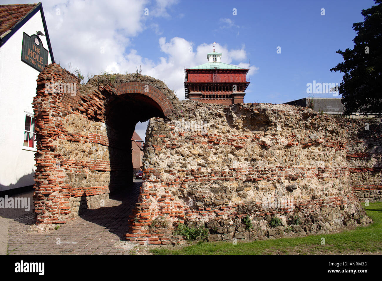 The surviving Roman Balkerne Gate Colchester Essex UK Stock Photohttps://www.alamy.com/image-license-details/?v=1https://www.alamy.com/the-surviving-roman-balkerne-gate-colchester-essex-uk-image5089340.html
RMANRM3D–The surviving Roman Balkerne Gate Colchester Essex UK
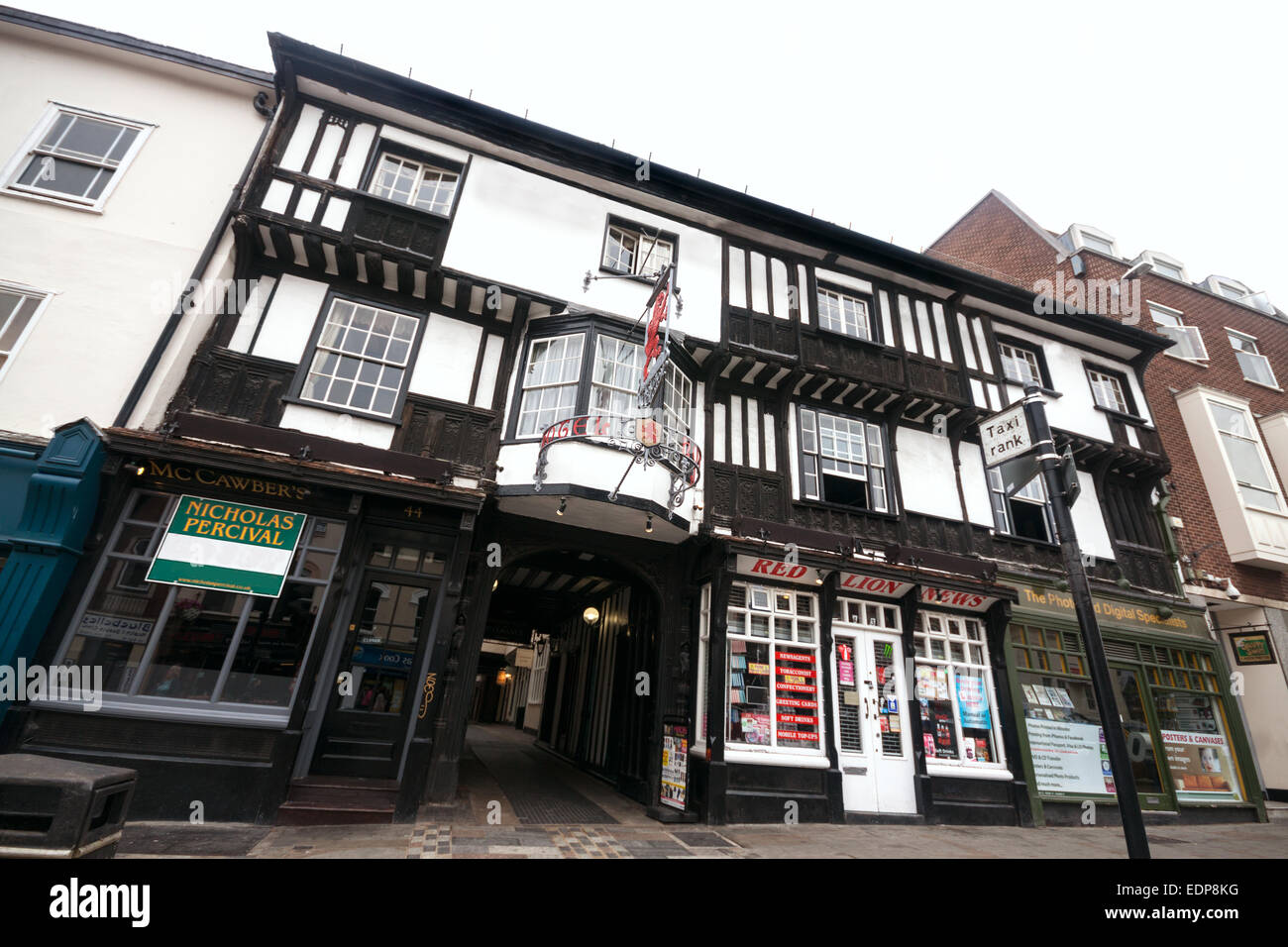 Facade of traditional British architecture - The Red Lion hotel, Colchester, Essex - UK Stock Photohttps://www.alamy.com/image-license-details/?v=1https://www.alamy.com/stock-photo-facade-of-traditional-british-architecture-the-red-lion-hotel-colchester-77321764.html
RFEDP8KG–Facade of traditional British architecture - The Red Lion hotel, Colchester, Essex - UK
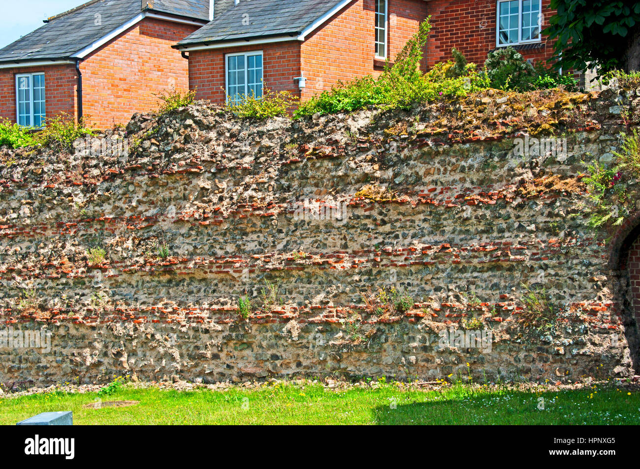 Roman Wall Colchester Essex Stock Photohttps://www.alamy.com/image-license-details/?v=1https://www.alamy.com/stock-photo-roman-wall-colchester-essex-134476837.html
RMHPNXG5–Roman Wall Colchester Essex
!['The Siege of Colchester by the Parliament Forces Under the Command of General Fairfax, 1648', (1944). Map of the town of Colchester in Essex which was attacked by Parliamentary commander Lord-General Thomas Fairfax. The Royalists resisted for eleven weeks but eventually surrendered. From "Battlefields in Britain', by C. V. Wedgwood. [Collins, London, 1944] Stock Photo 'The Siege of Colchester by the Parliament Forces Under the Command of General Fairfax, 1648', (1944). Map of the town of Colchester in Essex which was attacked by Parliamentary commander Lord-General Thomas Fairfax. The Royalists resisted for eleven weeks but eventually surrendered. From "Battlefields in Britain', by C. V. Wedgwood. [Collins, London, 1944] Stock Photo](https://c8.alamy.com/comp/2AG0HJC/the-siege-of-colchester-by-the-parliament-forces-under-the-command-of-general-fairfax-1648-1944-map-of-the-town-of-colchester-in-essex-which-was-attacked-by-parliamentary-commander-lord-general-thomas-fairfax-the-royalists-resisted-for-eleven-weeks-but-eventually-surrendered-from-quotbattlefields-in-britain-by-c-v-wedgwood-collins-london-1944-2AG0HJC.jpg) 'The Siege of Colchester by the Parliament Forces Under the Command of General Fairfax, 1648', (1944). Map of the town of Colchester in Essex which was attacked by Parliamentary commander Lord-General Thomas Fairfax. The Royalists resisted for eleven weeks but eventually surrendered. From "Battlefields in Britain', by C. V. Wedgwood. [Collins, London, 1944] Stock Photohttps://www.alamy.com/image-license-details/?v=1https://www.alamy.com/the-siege-of-colchester-by-the-parliament-forces-under-the-command-of-general-fairfax-1648-1944-map-of-the-town-of-colchester-in-essex-which-was-attacked-by-parliamentary-commander-lord-general-thomas-fairfax-the-royalists-resisted-for-eleven-weeks-but-eventually-surrendered-from-quotbattlefields-in-britain-by-c-v-wedgwood-collins-london-1944-image336845332.html
'The Siege of Colchester by the Parliament Forces Under the Command of General Fairfax, 1648', (1944). Map of the town of Colchester in Essex which was attacked by Parliamentary commander Lord-General Thomas Fairfax. The Royalists resisted for eleven weeks but eventually surrendered. From "Battlefields in Britain', by C. V. Wedgwood. [Collins, London, 1944] Stock Photohttps://www.alamy.com/image-license-details/?v=1https://www.alamy.com/the-siege-of-colchester-by-the-parliament-forces-under-the-command-of-general-fairfax-1648-1944-map-of-the-town-of-colchester-in-essex-which-was-attacked-by-parliamentary-commander-lord-general-thomas-fairfax-the-royalists-resisted-for-eleven-weeks-but-eventually-surrendered-from-quotbattlefields-in-britain-by-c-v-wedgwood-collins-london-1944-image336845332.htmlRM2AG0HJC–'The Siege of Colchester by the Parliament Forces Under the Command of General Fairfax, 1648', (1944). Map of the town of Colchester in Essex which was attacked by Parliamentary commander Lord-General Thomas Fairfax. The Royalists resisted for eleven weeks but eventually surrendered. From "Battlefields in Britain', by C. V. Wedgwood. [Collins, London, 1944]
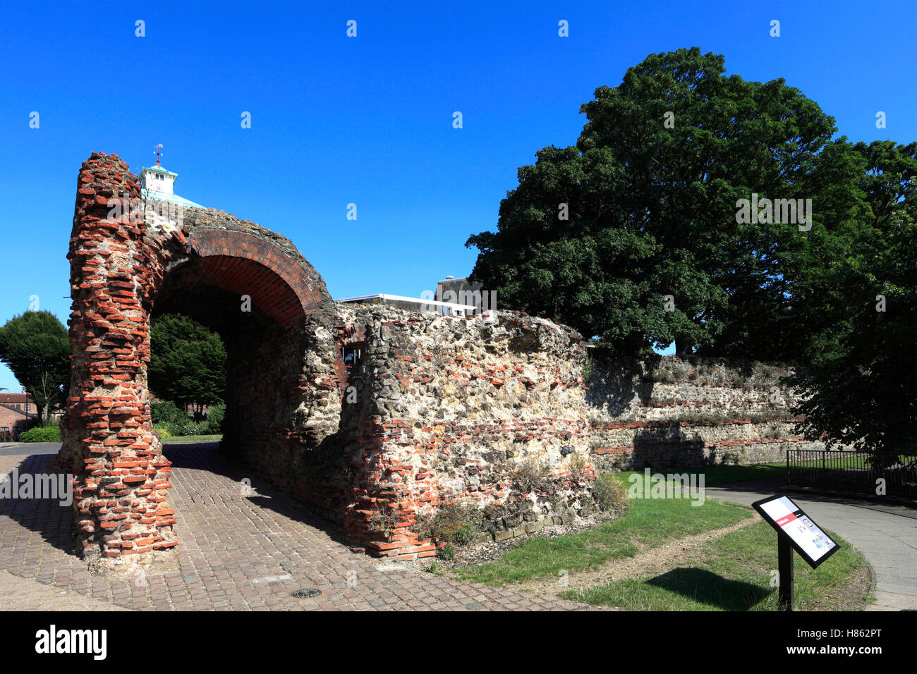 The Balkerne Gate, Roman Walls, Colchester town, Essex, England, UK Stock Photohttps://www.alamy.com/image-license-details/?v=1https://www.alamy.com/stock-photo-the-balkerne-gate-roman-walls-colchester-town-essex-england-uk-125523744.html
RMH862PT–The Balkerne Gate, Roman Walls, Colchester town, Essex, England, UK
 historic Saint Martins Church in Colchester, England Stock Photohttps://www.alamy.com/image-license-details/?v=1https://www.alamy.com/historic-saint-martins-church-in-colchester-england-image634520205.html
RM2YT8TYW–historic Saint Martins Church in Colchester, England
 The remains of St. Botolph's Priory a Medieval Augustinian religious house in Colchester. Stock Photohttps://www.alamy.com/image-license-details/?v=1https://www.alamy.com/the-remains-of-st-botolphs-priory-a-medieval-augustinian-religious-house-in-colchester-image397029553.html
RF2E1X76W–The remains of St. Botolph's Priory a Medieval Augustinian religious house in Colchester.
 Trinity Street, an old historic road full of character and home to a range of building / shop / cafe / restaurant, in Colchester in Essex. (136) Stock Photohttps://www.alamy.com/image-license-details/?v=1https://www.alamy.com/trinity-street-an-old-historic-road-full-of-character-and-home-to-a-range-of-building-shop-cafe-restaurant-in-colchester-in-essex-136-image571620035.html
RM2T5YF57–Trinity Street, an old historic road full of character and home to a range of building / shop / cafe / restaurant, in Colchester in Essex. (136)
 Vermont US state flag depicted on side wall of white delivery van close up. Shipping and local delivery concept Stock Photohttps://www.alamy.com/image-license-details/?v=1https://www.alamy.com/vermont-us-state-flag-depicted-on-side-wall-of-white-delivery-van-close-up-shipping-and-local-delivery-concept-image615291268.html
RF2XN0X84–Vermont US state flag depicted on side wall of white delivery van close up. Shipping and local delivery concept
 Brookside, Colchester, Canada, Nova Scotia, N 45 23' 29'', W 63 15' 43'', map, Timeless Map published in 2021. Travelers, explorers and adventurers like Florence Nightingale, David Livingstone, Ernest Shackleton, Lewis and Clark and Sherlock Holmes relied on maps to plan travels to the world's most remote corners, Timeless Maps is mapping most locations on the globe, showing the achievement of great dreams Stock Photohttps://www.alamy.com/image-license-details/?v=1https://www.alamy.com/brookside-colchester-canada-nova-scotia-n-45-23-29-w-63-15-43-map-timeless-map-published-in-2021-travelers-explorers-and-adventurers-like-florence-nightingale-david-livingstone-ernest-shackleton-lewis-and-clark-and-sherlock-holmes-relied-on-maps-to-plan-travels-to-the-worlds-most-remote-corners-timeless-maps-is-mapping-most-locations-on-the-globe-showing-the-achievement-of-great-dreams-image457853206.html
RM2HGW0C6–Brookside, Colchester, Canada, Nova Scotia, N 45 23' 29'', W 63 15' 43'', map, Timeless Map published in 2021. Travelers, explorers and adventurers like Florence Nightingale, David Livingstone, Ernest Shackleton, Lewis and Clark and Sherlock Holmes relied on maps to plan travels to the world's most remote corners, Timeless Maps is mapping most locations on the globe, showing the achievement of great dreams
 The Balkerne Gate, leading to Colchester, Essex in the United Kingdom Stock Photohttps://www.alamy.com/image-license-details/?v=1https://www.alamy.com/the-balkerne-gate-leading-to-colchester-essex-in-the-united-kingdom-image625440959.html
RM2Y9F893–The Balkerne Gate, leading to Colchester, Essex in the United Kingdom
 Costa coffee sign on wall Stock Photohttps://www.alamy.com/image-license-details/?v=1https://www.alamy.com/stock-photo-costa-coffee-sign-on-wall-28386621.html
RMBJ53BW–Costa coffee sign on wall
 Colchester Roman wall ruin at the Balkerne Gate next to the Hole in the Wall public house Colchester Essex England UK GB Europe Stock Photohttps://www.alamy.com/image-license-details/?v=1https://www.alamy.com/colchester-roman-wall-ruin-at-the-balkerne-gate-next-to-the-hole-in-the-wall-public-house-colchester-essex-england-uk-gb-europe-image484287683.html
RM2K3W5TK–Colchester Roman wall ruin at the Balkerne Gate next to the Hole in the Wall public house Colchester Essex England UK GB Europe
 Britain's first city and former capital of Roman Britain. Showing Jumbo tower, mercury theatre and roman wall at night Stock Photohttps://www.alamy.com/image-license-details/?v=1https://www.alamy.com/britains-first-city-and-former-capital-of-roman-britain-showing-jumbo-tower-mercury-theatre-and-roman-wall-at-night-image328638526.html
RF2A2JNP6–Britain's first city and former capital of Roman Britain. Showing Jumbo tower, mercury theatre and roman wall at night
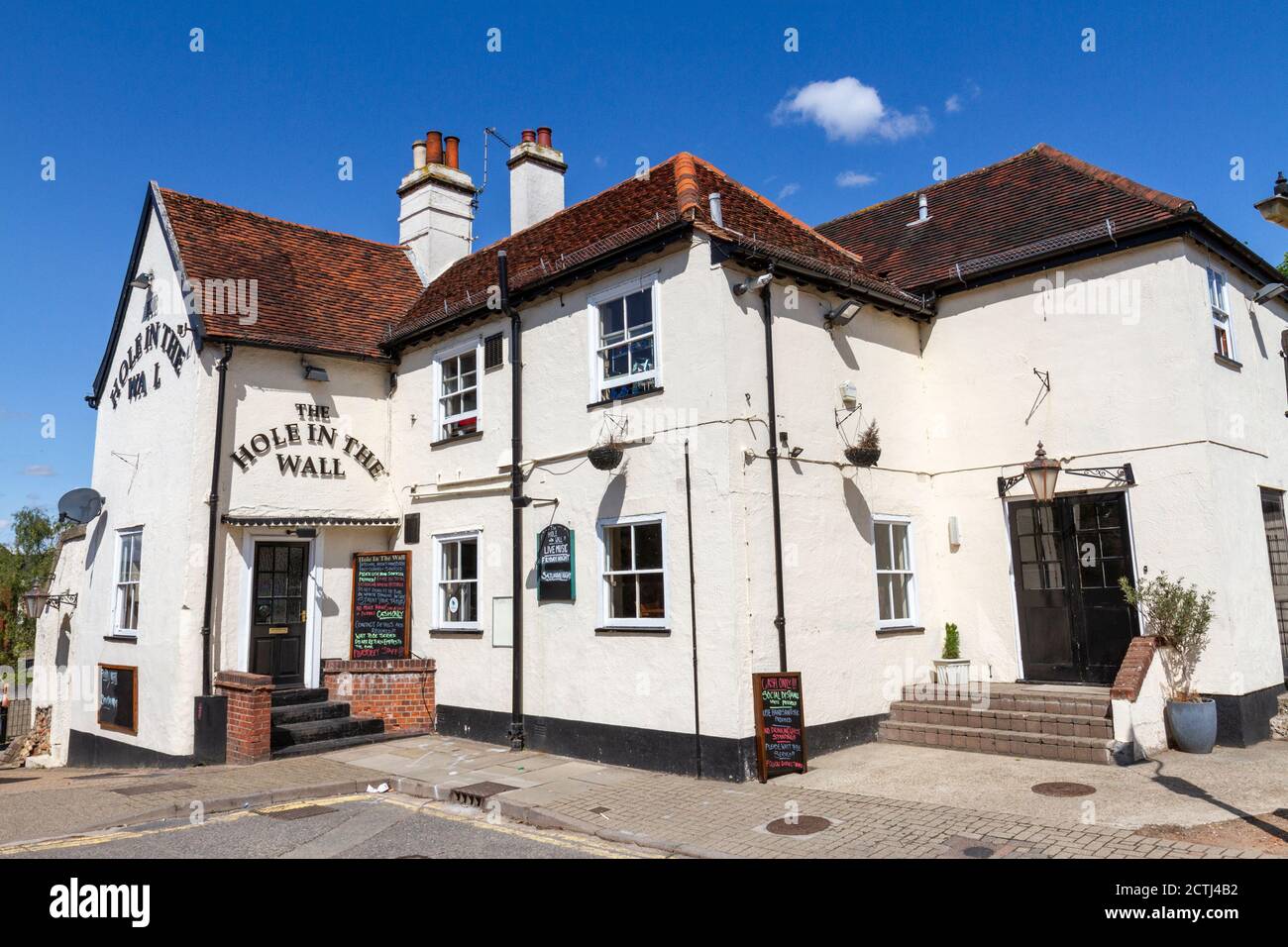 The The Hole in The Wall public house in Colchester, Essex, UK. Stock Photohttps://www.alamy.com/image-license-details/?v=1https://www.alamy.com/the-the-hole-in-the-wall-public-house-in-colchester-essex-uk-image376568054.html
RM2CTJ4B2–The The Hole in The Wall public house in Colchester, Essex, UK.
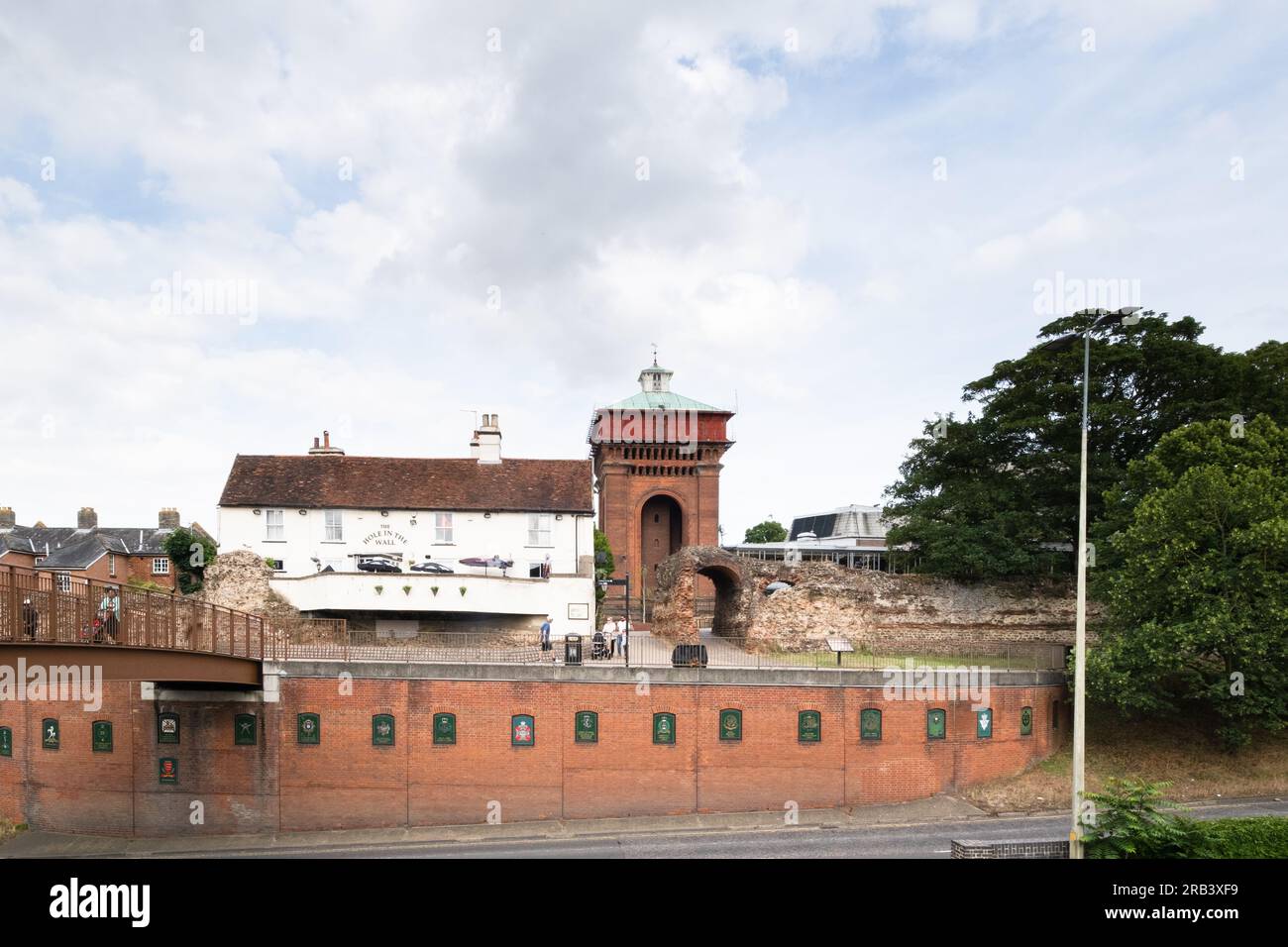 Balkerne Water Tower (Jumbo), Colchester, viewed from across the road, with the Hole in the Wall pub and Balkerne Gate in front. Stock Photohttps://www.alamy.com/image-license-details/?v=1https://www.alamy.com/balkerne-water-tower-jumbo-colchester-viewed-from-across-the-road-with-the-hole-in-the-wall-pub-and-balkerne-gate-in-front-image557579661.html
RM2RB3XF9–Balkerne Water Tower (Jumbo), Colchester, viewed from across the road, with the Hole in the Wall pub and Balkerne Gate in front.
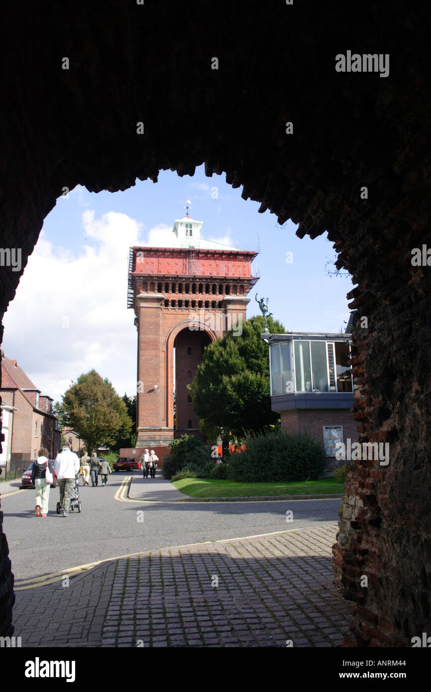 Looking at the Victorian Jumbo Water Tower from inside the Roman Balkerne Gate Colchester UK Stock Photohttps://www.alamy.com/image-license-details/?v=1https://www.alamy.com/looking-at-the-victorian-jumbo-water-tower-from-inside-the-roman-balkerne-image5089347.html
RMANRM44–Looking at the Victorian Jumbo Water Tower from inside the Roman Balkerne Gate Colchester UK
 historic Saint Martins Church in Colchester, England Stock Photohttps://www.alamy.com/image-license-details/?v=1https://www.alamy.com/historic-saint-martins-church-in-colchester-england-image634520163.html
RM2YT8TXB–historic Saint Martins Church in Colchester, England
 Trinity Street, an old historic road full of character and home to a range of building / shop / cafe / restaurant, in Colchester in Essex. (136) Stock Photohttps://www.alamy.com/image-license-details/?v=1https://www.alamy.com/trinity-street-an-old-historic-road-full-of-character-and-home-to-a-range-of-building-shop-cafe-restaurant-in-colchester-in-essex-136-image571620036.html
RM2T5YF58–Trinity Street, an old historic road full of character and home to a range of building / shop / cafe / restaurant, in Colchester in Essex. (136)
 Upper Brookside, Colchester, Canada, Nova Scotia, N 45 24' 49'', W 63 13' 9'', map, Timeless Map published in 2021. Travelers, explorers and adventurers like Florence Nightingale, David Livingstone, Ernest Shackleton, Lewis and Clark and Sherlock Holmes relied on maps to plan travels to the world's most remote corners, Timeless Maps is mapping most locations on the globe, showing the achievement of great dreams Stock Photohttps://www.alamy.com/image-license-details/?v=1https://www.alamy.com/upper-brookside-colchester-canada-nova-scotia-n-45-24-49-w-63-13-9-map-timeless-map-published-in-2021-travelers-explorers-and-adventurers-like-florence-nightingale-david-livingstone-ernest-shackleton-lewis-and-clark-and-sherlock-holmes-relied-on-maps-to-plan-travels-to-the-worlds-most-remote-corners-timeless-maps-is-mapping-most-locations-on-the-globe-showing-the-achievement-of-great-dreams-image457888574.html
RM2HGXHFA–Upper Brookside, Colchester, Canada, Nova Scotia, N 45 24' 49'', W 63 13' 9'', map, Timeless Map published in 2021. Travelers, explorers and adventurers like Florence Nightingale, David Livingstone, Ernest Shackleton, Lewis and Clark and Sherlock Holmes relied on maps to plan travels to the world's most remote corners, Timeless Maps is mapping most locations on the globe, showing the achievement of great dreams
 The Balkerne Gate, leading to Colchester, Essex in the United Kingdom Stock Photohttps://www.alamy.com/image-license-details/?v=1https://www.alamy.com/the-balkerne-gate-leading-to-colchester-essex-in-the-united-kingdom-image625440983.html
RM2Y9F89Y–The Balkerne Gate, leading to Colchester, Essex in the United Kingdom
 River Island shop sign on wall Stock Photohttps://www.alamy.com/image-license-details/?v=1https://www.alamy.com/stock-photo-river-island-shop-sign-on-wall-28390179.html
RMBJ57XY–River Island shop sign on wall
 Britain's first city and former capital of Roman Britain. Showing Jumbo tower, mercury theatre and roman wall at night Stock Photohttps://www.alamy.com/image-license-details/?v=1https://www.alamy.com/britains-first-city-and-former-capital-of-roman-britain-showing-jumbo-tower-mercury-theatre-and-roman-wall-at-night-image328638469.html
RF2A2JNM5–Britain's first city and former capital of Roman Britain. Showing Jumbo tower, mercury theatre and roman wall at night
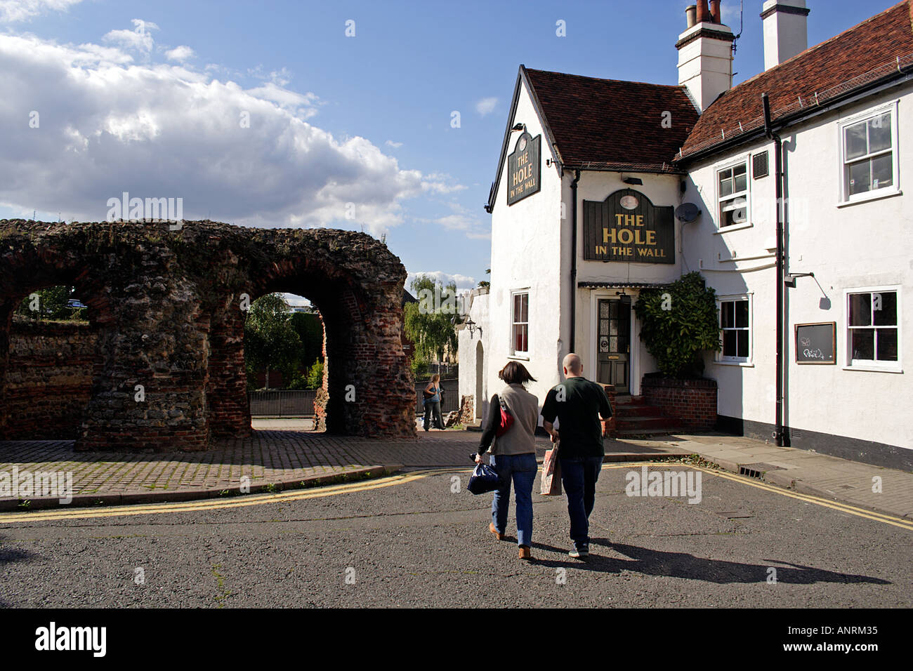 The surviving Roman Balkerne Gate Colchester Essex UK Stock Photohttps://www.alamy.com/image-license-details/?v=1https://www.alamy.com/the-surviving-roman-balkerne-gate-colchester-essex-uk-image5089332.html
RMANRM35–The surviving Roman Balkerne Gate Colchester Essex UK
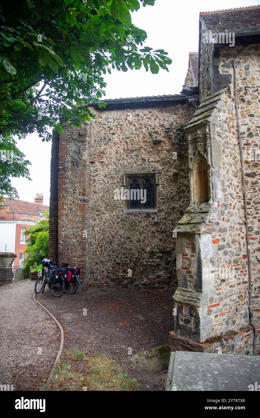 historic Saint Martins Church in Colchester, England Stock Photohttps://www.alamy.com/image-license-details/?v=1https://www.alamy.com/historic-saint-martins-church-in-colchester-england-image634520160.html
RM2YT8TX8–historic Saint Martins Church in Colchester, England
 East Earltown, Colchester, Canada, Nova Scotia, N 45 38' 49'', W 63 7' 22'', map, Timeless Map published in 2021. Travelers, explorers and adventurers like Florence Nightingale, David Livingstone, Ernest Shackleton, Lewis and Clark and Sherlock Holmes relied on maps to plan travels to the world's most remote corners, Timeless Maps is mapping most locations on the globe, showing the achievement of great dreams Stock Photohttps://www.alamy.com/image-license-details/?v=1https://www.alamy.com/east-earltown-colchester-canada-nova-scotia-n-45-38-49-w-63-7-22-map-timeless-map-published-in-2021-travelers-explorers-and-adventurers-like-florence-nightingale-david-livingstone-ernest-shackleton-lewis-and-clark-and-sherlock-holmes-relied-on-maps-to-plan-travels-to-the-worlds-most-remote-corners-timeless-maps-is-mapping-most-locations-on-the-globe-showing-the-achievement-of-great-dreams-image457860390.html
RM2HGW9GP–East Earltown, Colchester, Canada, Nova Scotia, N 45 38' 49'', W 63 7' 22'', map, Timeless Map published in 2021. Travelers, explorers and adventurers like Florence Nightingale, David Livingstone, Ernest Shackleton, Lewis and Clark and Sherlock Holmes relied on maps to plan travels to the world's most remote corners, Timeless Maps is mapping most locations on the globe, showing the achievement of great dreams
 The Balkerne Gate, leading to Colchester, Essex in the United Kingdom Stock Photohttps://www.alamy.com/image-license-details/?v=1https://www.alamy.com/the-balkerne-gate-leading-to-colchester-essex-in-the-united-kingdom-image625440989.html
RM2Y9F8A5–The Balkerne Gate, leading to Colchester, Essex in the United Kingdom
 Britain's first city and former capital of Roman Britain. Showing Jumbo tower, mercury theatre and roman wall at night Stock Photohttps://www.alamy.com/image-license-details/?v=1https://www.alamy.com/britains-first-city-and-former-capital-of-roman-britain-showing-jumbo-tower-mercury-theatre-and-roman-wall-at-night-image328638438.html
RF2A2JNK2–Britain's first city and former capital of Roman Britain. Showing Jumbo tower, mercury theatre and roman wall at night
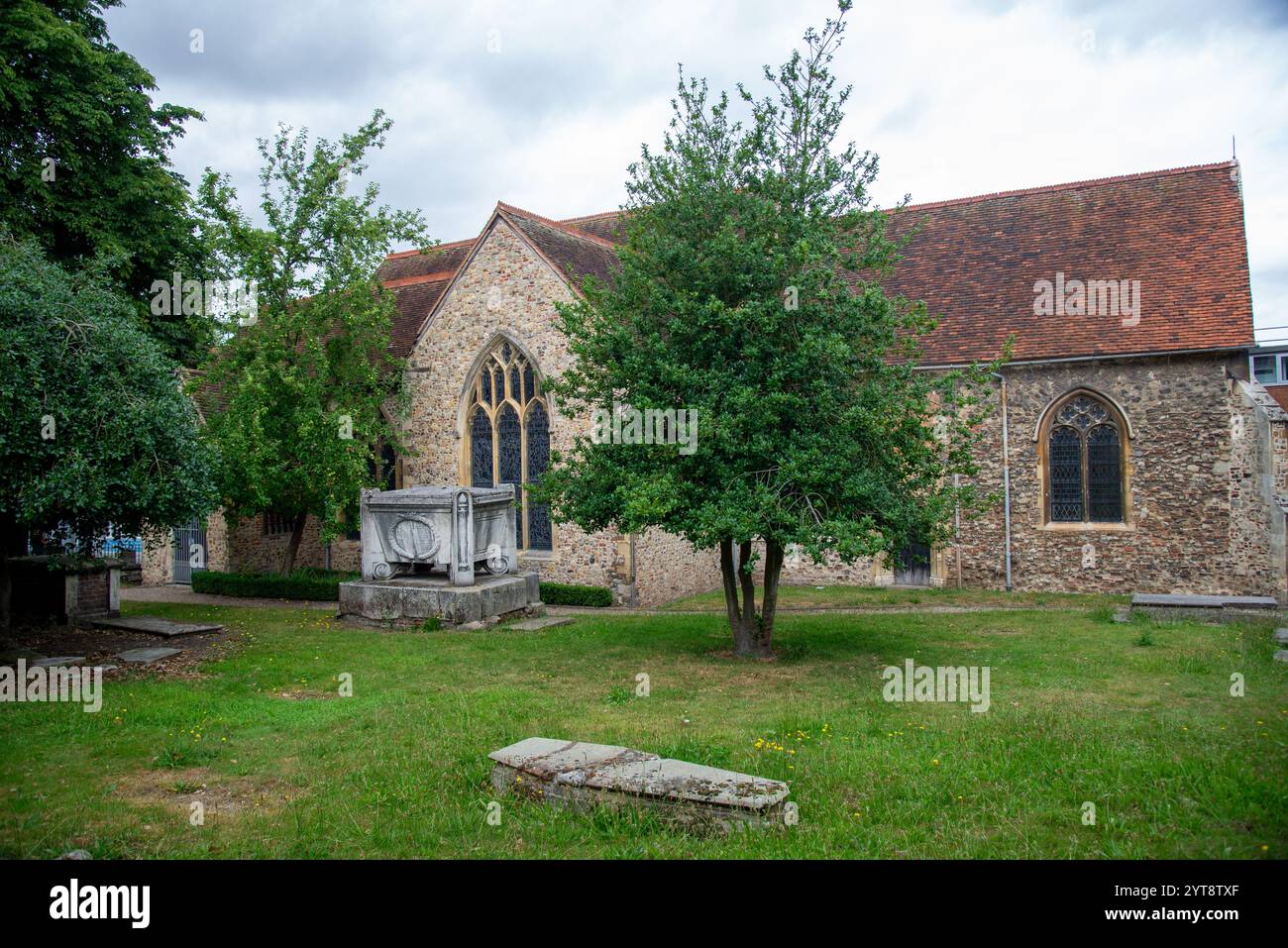 historic Saint Martins Church in Colchester, England Stock Photohttps://www.alamy.com/image-license-details/?v=1https://www.alamy.com/historic-saint-martins-church-in-colchester-england-image634520167.html
RM2YT8TXF–historic Saint Martins Church in Colchester, England
 detail of wall of historic church in Friston, East Sussex, Engeland Stock Photohttps://www.alamy.com/image-license-details/?v=1https://www.alamy.com/detail-of-wall-of-historic-church-in-friston-east-sussex-engeland-image634533802.html
RM2YT9E9E–detail of wall of historic church in Friston, East Sussex, Engeland
 City of Colchester, McDonough County, US, United States, Illinois, N 40 25' 38'', S 90 47' 31'', map, Cartascapes Map published in 2024. Explore Cartascapes, a map revealing Earth's diverse landscapes, cultures, and ecosystems. Journey through time and space, discovering the interconnectedness of our planet's past, present, and future. Stock Photohttps://www.alamy.com/image-license-details/?v=1https://www.alamy.com/city-of-colchester-mcdonough-county-us-united-states-illinois-n-40-25-38-s-90-47-31-map-cartascapes-map-published-in-2024-explore-cartascapes-a-map-revealing-earths-diverse-landscapes-cultures-and-ecosystems-journey-through-time-and-space-discovering-the-interconnectedness-of-our-planets-past-present-and-future-image633824658.html
RM2YR55PX–City of Colchester, McDonough County, US, United States, Illinois, N 40 25' 38'', S 90 47' 31'', map, Cartascapes Map published in 2024. Explore Cartascapes, a map revealing Earth's diverse landscapes, cultures, and ecosystems. Journey through time and space, discovering the interconnectedness of our planet's past, present, and future.
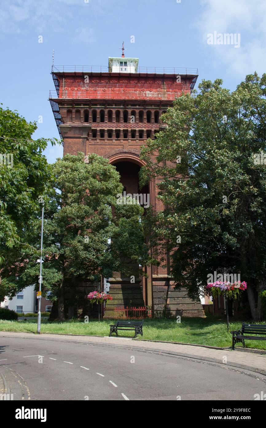 The Jumbo Water Tower at Balkerne Gate in Colchester, Essex in the United Kingdom Stock Photohttps://www.alamy.com/image-license-details/?v=1https://www.alamy.com/the-jumbo-water-tower-at-balkerne-gate-in-colchester-essex-in-the-united-kingdom-image625441108.html
RM2Y9F8EC–The Jumbo Water Tower at Balkerne Gate in Colchester, Essex in the United Kingdom
 Britain's first city and former capital of Roman Britain. Showing Jumbo tower, mercury theatre and roman wall at night Stock Photohttps://www.alamy.com/image-license-details/?v=1https://www.alamy.com/britains-first-city-and-former-capital-of-roman-britain-showing-jumbo-tower-mercury-theatre-and-roman-wall-at-night-image328638451.html
RF2A2JNKF–Britain's first city and former capital of Roman Britain. Showing Jumbo tower, mercury theatre and roman wall at night
 historic church in Friston, East Sussex, Engeland Stock Photohttps://www.alamy.com/image-license-details/?v=1https://www.alamy.com/historic-church-in-friston-east-sussex-engeland-image634533804.html
RM2YT9E9G–historic church in Friston, East Sussex, Engeland
 Colchester, Chittenden County, US, United States, Vermont, N 44 32' 38'', S 73 8' 52'', map, Cartascapes Map published in 2024. Explore Cartascapes, a map revealing Earth's diverse landscapes, cultures, and ecosystems. Journey through time and space, discovering the interconnectedness of our planet's past, present, and future. Stock Photohttps://www.alamy.com/image-license-details/?v=1https://www.alamy.com/colchester-chittenden-county-us-united-states-vermont-n-44-32-38-s-73-8-52-map-cartascapes-map-published-in-2024-explore-cartascapes-a-map-revealing-earths-diverse-landscapes-cultures-and-ecosystems-journey-through-time-and-space-discovering-the-interconnectedness-of-our-planets-past-present-and-future-image620862503.html
RM2Y22MCR–Colchester, Chittenden County, US, United States, Vermont, N 44 32' 38'', S 73 8' 52'', map, Cartascapes Map published in 2024. Explore Cartascapes, a map revealing Earth's diverse landscapes, cultures, and ecosystems. Journey through time and space, discovering the interconnectedness of our planet's past, present, and future.
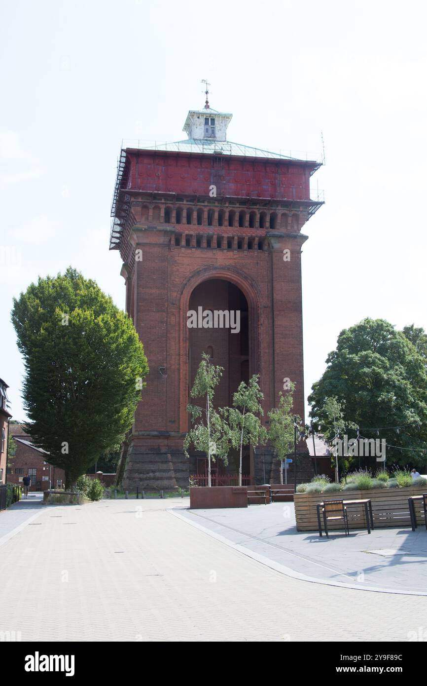 The Jumbo Water Tower at Balkerne Gate in Colchester, Essex in the United Kingdom Stock Photohttps://www.alamy.com/image-license-details/?v=1https://www.alamy.com/the-jumbo-water-tower-at-balkerne-gate-in-colchester-essex-in-the-united-kingdom-image625440968.html
RM2Y9F89C–The Jumbo Water Tower at Balkerne Gate in Colchester, Essex in the United Kingdom
 historic church in Friston, East Sussex, Engeland Stock Photohttps://www.alamy.com/image-license-details/?v=1https://www.alamy.com/historic-church-in-friston-east-sussex-engeland-image634533800.html
RM2YT9E9C–historic church in Friston, East Sussex, Engeland
 Colchester Zoo, Essex, GB, United Kingdom, England, N 51 51' 50'', N 0 49' 52'', map, Cartascapes Map published in 2024. Explore Cartascapes, a map revealing Earth's diverse landscapes, cultures, and ecosystems. Journey through time and space, discovering the interconnectedness of our planet's past, present, and future. Stock Photohttps://www.alamy.com/image-license-details/?v=1https://www.alamy.com/colchester-zoo-essex-gb-united-kingdom-england-n-51-51-50-n-0-49-52-map-cartascapes-map-published-in-2024-explore-cartascapes-a-map-revealing-earths-diverse-landscapes-cultures-and-ecosystems-journey-through-time-and-space-discovering-the-interconnectedness-of-our-planets-past-present-and-future-image604199676.html
RM2X2YJRT–Colchester Zoo, Essex, GB, United Kingdom, England, N 51 51' 50'', N 0 49' 52'', map, Cartascapes Map published in 2024. Explore Cartascapes, a map revealing Earth's diverse landscapes, cultures, and ecosystems. Journey through time and space, discovering the interconnectedness of our planet's past, present, and future.
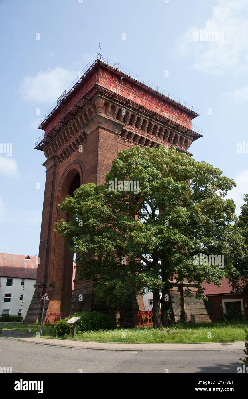 The Jumbo Water Tower at Balkerne Gate in Colchester, Essex in the United Kingdom Stock Photohttps://www.alamy.com/image-license-details/?v=1https://www.alamy.com/the-jumbo-water-tower-at-balkerne-gate-in-colchester-essex-in-the-united-kingdom-image625441036.html
RM2Y9F8BT–The Jumbo Water Tower at Balkerne Gate in Colchester, Essex in the United Kingdom
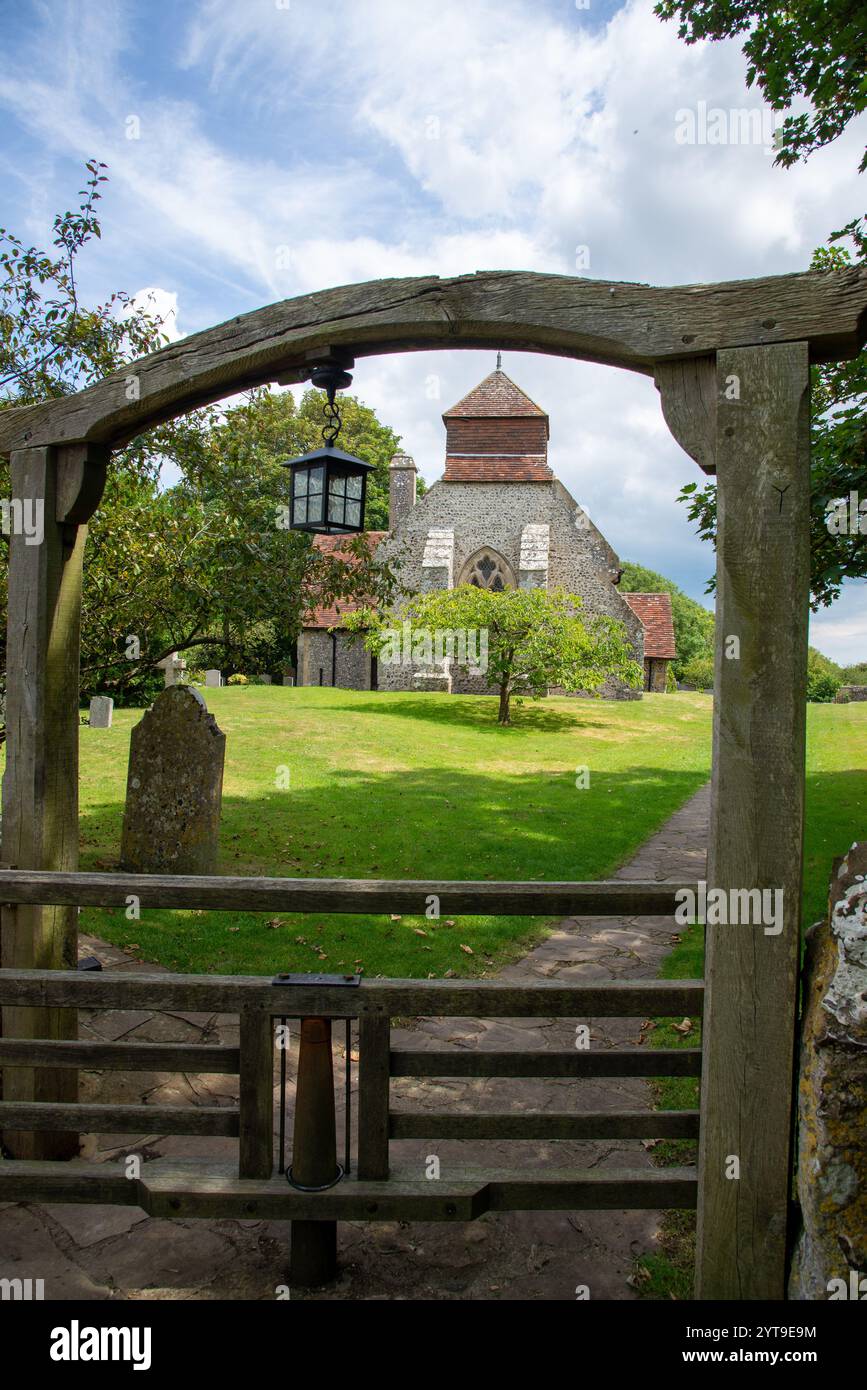 historic church in Friston, East Sussex, Engeland Stock Photohttps://www.alamy.com/image-license-details/?v=1https://www.alamy.com/historic-church-in-friston-east-sussex-engeland-image634533808.html
RM2YT9E9M–historic church in Friston, East Sussex, Engeland
 Colchester Castle, Essex, GB, United Kingdom, England, N 51 53' 25'', N 0 54' 7'', map, Cartascapes Map published in 2024. Explore Cartascapes, a map revealing Earth's diverse landscapes, cultures, and ecosystems. Journey through time and space, discovering the interconnectedness of our planet's past, present, and future. Stock Photohttps://www.alamy.com/image-license-details/?v=1https://www.alamy.com/colchester-castle-essex-gb-united-kingdom-england-n-51-53-25-n-0-54-7-map-cartascapes-map-published-in-2024-explore-cartascapes-a-map-revealing-earths-diverse-landscapes-cultures-and-ecosystems-journey-through-time-and-space-discovering-the-interconnectedness-of-our-planets-past-present-and-future-image604190698.html
RM2X2Y7B6–Colchester Castle, Essex, GB, United Kingdom, England, N 51 53' 25'', N 0 54' 7'', map, Cartascapes Map published in 2024. Explore Cartascapes, a map revealing Earth's diverse landscapes, cultures, and ecosystems. Journey through time and space, discovering the interconnectedness of our planet's past, present, and future.
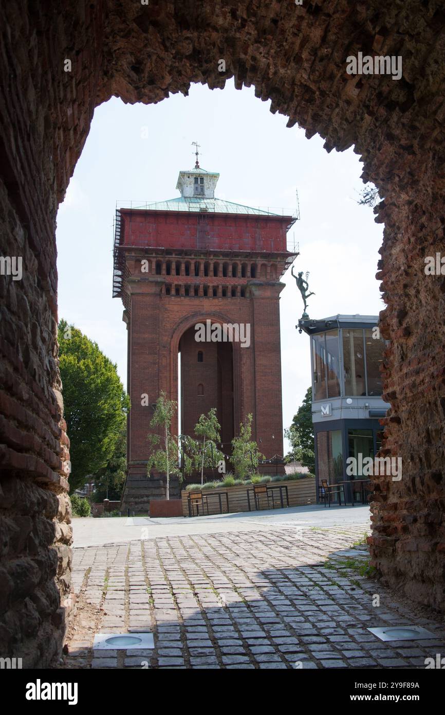 The Jumbo Water Tower viewed through The Balkerne Gate in Colchester, Essex in the United Kingdom Stock Photohttps://www.alamy.com/image-license-details/?v=1https://www.alamy.com/the-jumbo-water-tower-viewed-through-the-balkerne-gate-in-colchester-essex-in-the-united-kingdom-image625440966.html
RM2Y9F89A–The Jumbo Water Tower viewed through The Balkerne Gate in Colchester, Essex in the United Kingdom
 historic church in Friston, East Sussex, Engeland Stock Photohttps://www.alamy.com/image-license-details/?v=1https://www.alamy.com/historic-church-in-friston-east-sussex-engeland-image634533843.html
RM2YT9EAY–historic church in Friston, East Sussex, Engeland
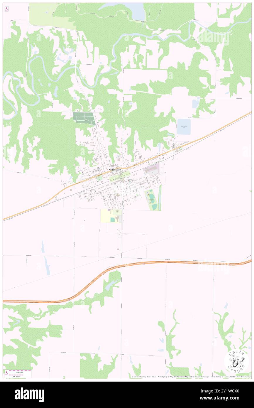 Colchester, McDonough County, US, United States, Illinois, N 40 25' 35'', S 90 47' 33'', map, Cartascapes Map published in 2024. Explore Cartascapes, a map revealing Earth's diverse landscapes, cultures, and ecosystems. Journey through time and space, discovering the interconnectedness of our planet's past, present, and future. Stock Photohttps://www.alamy.com/image-license-details/?v=1https://www.alamy.com/colchester-mcdonough-county-us-united-states-illinois-n-40-25-35-s-90-47-33-map-cartascapes-map-published-in-2024-explore-cartascapes-a-map-revealing-earths-diverse-landscapes-cultures-and-ecosystems-journey-through-time-and-space-discovering-the-interconnectedness-of-our-planets-past-present-and-future-image620746840.html
RM2Y1WCX0–Colchester, McDonough County, US, United States, Illinois, N 40 25' 35'', S 90 47' 33'', map, Cartascapes Map published in 2024. Explore Cartascapes, a map revealing Earth's diverse landscapes, cultures, and ecosystems. Journey through time and space, discovering the interconnectedness of our planet's past, present, and future.
 historic church in Friston, East Sussex, Engeland Stock Photohttps://www.alamy.com/image-license-details/?v=1https://www.alamy.com/historic-church-in-friston-east-sussex-engeland-image634533809.html
RM2YT9E9N–historic church in Friston, East Sussex, Engeland
 Colchester District, Essex, GB, United Kingdom, England, N 51 52' 15'', N 0 51' 53'', map, Cartascapes Map published in 2024. Explore Cartascapes, a map revealing Earth's diverse landscapes, cultures, and ecosystems. Journey through time and space, discovering the interconnectedness of our planet's past, present, and future. Stock Photohttps://www.alamy.com/image-license-details/?v=1https://www.alamy.com/colchester-district-essex-gb-united-kingdom-england-n-51-52-15-n-0-51-53-map-cartascapes-map-published-in-2024-explore-cartascapes-a-map-revealing-earths-diverse-landscapes-cultures-and-ecosystems-journey-through-time-and-space-discovering-the-interconnectedness-of-our-planets-past-present-and-future-image604230456.html
RM2X31234–Colchester District, Essex, GB, United Kingdom, England, N 51 52' 15'', N 0 51' 53'', map, Cartascapes Map published in 2024. Explore Cartascapes, a map revealing Earth's diverse landscapes, cultures, and ecosystems. Journey through time and space, discovering the interconnectedness of our planet's past, present, and future.
 historic church in Friston, East Sussex, Engeland Stock Photohttps://www.alamy.com/image-license-details/?v=1https://www.alamy.com/historic-church-in-friston-east-sussex-engeland-image634533915.html
RM2YT9EDF–historic church in Friston, East Sussex, Engeland
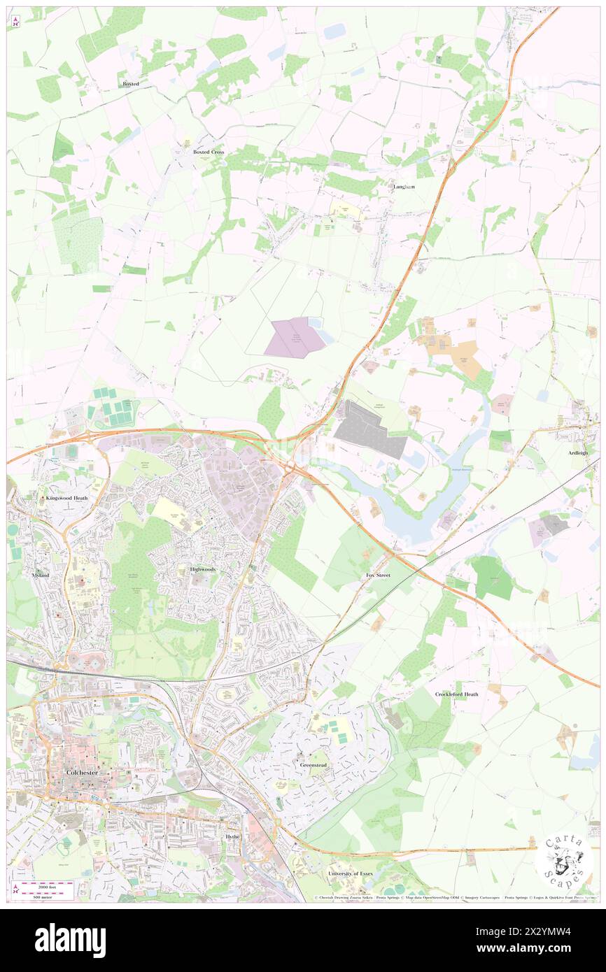 Ramada Colchester County Province, Essex, GB, United Kingdom, England, N 51 55' 22'', N 0 56' 13'', map, Cartascapes Map published in 2024. Explore Cartascapes, a map revealing Earth's diverse landscapes, cultures, and ecosystems. Journey through time and space, discovering the interconnectedness of our planet's past, present, and future. Stock Photohttps://www.alamy.com/image-license-details/?v=1https://www.alamy.com/ramada-colchester-county-province-essex-gb-united-kingdom-england-n-51-55-22-n-0-56-13-map-cartascapes-map-published-in-2024-explore-cartascapes-a-map-revealing-earths-diverse-landscapes-cultures-and-ecosystems-journey-through-time-and-space-discovering-the-interconnectedness-of-our-planets-past-present-and-future-image604201280.html
RM2X2YMW4–Ramada Colchester County Province, Essex, GB, United Kingdom, England, N 51 55' 22'', N 0 56' 13'', map, Cartascapes Map published in 2024. Explore Cartascapes, a map revealing Earth's diverse landscapes, cultures, and ecosystems. Journey through time and space, discovering the interconnectedness of our planet's past, present, and future.
 historic church in Friston, East Sussex, Engeland Stock Photohttps://www.alamy.com/image-license-details/?v=1https://www.alamy.com/historic-church-in-friston-east-sussex-engeland-image634533806.html
RM2YT9E9J–historic church in Friston, East Sussex, Engeland
 Town of Colchester, Delaware County, US, United States, New York, N 42 2' 30'', S 74 57' 30'', map, Cartascapes Map published in 2024. Explore Cartascapes, a map revealing Earth's diverse landscapes, cultures, and ecosystems. Journey through time and space, discovering the interconnectedness of our planet's past, present, and future. Stock Photohttps://www.alamy.com/image-license-details/?v=1https://www.alamy.com/town-of-colchester-delaware-county-us-united-states-new-york-n-42-2-30-s-74-57-30-map-cartascapes-map-published-in-2024-explore-cartascapes-a-map-revealing-earths-diverse-landscapes-cultures-and-ecosystems-journey-through-time-and-space-discovering-the-interconnectedness-of-our-planets-past-present-and-future-image633860753.html
RM2YR6RT1–Town of Colchester, Delaware County, US, United States, New York, N 42 2' 30'', S 74 57' 30'', map, Cartascapes Map published in 2024. Explore Cartascapes, a map revealing Earth's diverse landscapes, cultures, and ecosystems. Journey through time and space, discovering the interconnectedness of our planet's past, present, and future.
 Town of Colchester, Chittenden County, US, United States, Vermont, N 44 33' 16'', S 73 13' 0'', map, Cartascapes Map published in 2024. Explore Cartascapes, a map revealing Earth's diverse landscapes, cultures, and ecosystems. Journey through time and space, discovering the interconnectedness of our planet's past, present, and future. Stock Photohttps://www.alamy.com/image-license-details/?v=1https://www.alamy.com/town-of-colchester-chittenden-county-us-united-states-vermont-n-44-33-16-s-73-13-0-map-cartascapes-map-published-in-2024-explore-cartascapes-a-map-revealing-earths-diverse-landscapes-cultures-and-ecosystems-journey-through-time-and-space-discovering-the-interconnectedness-of-our-planets-past-present-and-future-image633828972.html
RM2YR5B90–Town of Colchester, Chittenden County, US, United States, Vermont, N 44 33' 16'', S 73 13' 0'', map, Cartascapes Map published in 2024. Explore Cartascapes, a map revealing Earth's diverse landscapes, cultures, and ecosystems. Journey through time and space, discovering the interconnectedness of our planet's past, present, and future.
 Township of Colchester, McDonough County, US, United States, Illinois, N 40 24' 57'', S 90 47' 27'', map, Cartascapes Map published in 2024. Explore Cartascapes, a map revealing Earth's diverse landscapes, cultures, and ecosystems. Journey through time and space, discovering the interconnectedness of our planet's past, present, and future. Stock Photohttps://www.alamy.com/image-license-details/?v=1https://www.alamy.com/township-of-colchester-mcdonough-county-us-united-states-illinois-n-40-24-57-s-90-47-27-map-cartascapes-map-published-in-2024-explore-cartascapes-a-map-revealing-earths-diverse-landscapes-cultures-and-ecosystems-journey-through-time-and-space-discovering-the-interconnectedness-of-our-planets-past-present-and-future-image633851424.html
RM2YR6BXT–Township of Colchester, McDonough County, US, United States, Illinois, N 40 24' 57'', S 90 47' 27'', map, Cartascapes Map published in 2024. Explore Cartascapes, a map revealing Earth's diverse landscapes, cultures, and ecosystems. Journey through time and space, discovering the interconnectedness of our planet's past, present, and future.
 Town of Colchester, Delaware County, US, United States, New York, N 42 2' 30'', S 74 57' 30'', map, Cartascapes Map published in 2024. Explore Cartascapes, a map revealing Earth's diverse landscapes, cultures, and ecosystems. Journey through time and space, discovering the interconnectedness of our planet's past, present, and future. Stock Photohttps://www.alamy.com/image-license-details/?v=1https://www.alamy.com/town-of-colchester-delaware-county-us-united-states-new-york-n-42-2-30-s-74-57-30-map-cartascapes-map-published-in-2024-explore-cartascapes-a-map-revealing-earths-diverse-landscapes-cultures-and-ecosystems-journey-through-time-and-space-discovering-the-interconnectedness-of-our-planets-past-present-and-future-image633889238.html
RM2YR845A–Town of Colchester, Delaware County, US, United States, New York, N 42 2' 30'', S 74 57' 30'', map, Cartascapes Map published in 2024. Explore Cartascapes, a map revealing Earth's diverse landscapes, cultures, and ecosystems. Journey through time and space, discovering the interconnectedness of our planet's past, present, and future.
 Colchester, Delaware County, US, United States, New York, N 42 9' 37'', S 75 4' 38'', map, Cartascapes Map published in 2024. Explore Cartascapes, a map revealing Earth's diverse landscapes, cultures, and ecosystems. Journey through time and space, discovering the interconnectedness of our planet's past, present, and future. Stock Photohttps://www.alamy.com/image-license-details/?v=1https://www.alamy.com/colchester-delaware-county-us-united-states-new-york-n-42-9-37-s-75-4-38-map-cartascapes-map-published-in-2024-explore-cartascapes-a-map-revealing-earths-diverse-landscapes-cultures-and-ecosystems-journey-through-time-and-space-discovering-the-interconnectedness-of-our-planets-past-present-and-future-image620739572.html
RM2Y1W3JC–Colchester, Delaware County, US, United States, New York, N 42 9' 37'', S 75 4' 38'', map, Cartascapes Map published in 2024. Explore Cartascapes, a map revealing Earth's diverse landscapes, cultures, and ecosystems. Journey through time and space, discovering the interconnectedness of our planet's past, present, and future.
 Colchester Acres, Fairfax County, US, United States, Virginia, N 38 48' 48'', S 77 22' 21'', map, Cartascapes Map published in 2024. Explore Cartascapes, a map revealing Earth's diverse landscapes, cultures, and ecosystems. Journey through time and space, discovering the interconnectedness of our planet's past, present, and future. Stock Photohttps://www.alamy.com/image-license-details/?v=1https://www.alamy.com/colchester-acres-fairfax-county-us-united-states-virginia-n-38-48-48-s-77-22-21-map-cartascapes-map-published-in-2024-explore-cartascapes-a-map-revealing-earths-diverse-landscapes-cultures-and-ecosystems-journey-through-time-and-space-discovering-the-interconnectedness-of-our-planets-past-present-and-future-image620681545.html
RM2Y1PDJ1–Colchester Acres, Fairfax County, US, United States, Virginia, N 38 48' 48'', S 77 22' 21'', map, Cartascapes Map published in 2024. Explore Cartascapes, a map revealing Earth's diverse landscapes, cultures, and ecosystems. Journey through time and space, discovering the interconnectedness of our planet's past, present, and future.
 Colchester Town Railway Station, Essex, GB, United Kingdom, England, N 51 53' 11'', N 0 54' 16'', map, Cartascapes Map published in 2024. Explore Cartascapes, a map revealing Earth's diverse landscapes, cultures, and ecosystems. Journey through time and space, discovering the interconnectedness of our planet's past, present, and future. Stock Photohttps://www.alamy.com/image-license-details/?v=1https://www.alamy.com/colchester-town-railway-station-essex-gb-united-kingdom-england-n-51-53-11-n-0-54-16-map-cartascapes-map-published-in-2024-explore-cartascapes-a-map-revealing-earths-diverse-landscapes-cultures-and-ecosystems-journey-through-time-and-space-discovering-the-interconnectedness-of-our-planets-past-present-and-future-image604220244.html
RM2X30H2C–Colchester Town Railway Station, Essex, GB, United Kingdom, England, N 51 53' 11'', N 0 54' 16'', map, Cartascapes Map published in 2024. Explore Cartascapes, a map revealing Earth's diverse landscapes, cultures, and ecosystems. Journey through time and space, discovering the interconnectedness of our planet's past, present, and future.
 Colchester Railway Station, Essex, GB, United Kingdom, England, N 51 54' 1'', N 0 53' 33'', map, Cartascapes Map published in 2024. Explore Cartascapes, a map revealing Earth's diverse landscapes, cultures, and ecosystems. Journey through time and space, discovering the interconnectedness of our planet's past, present, and future. Stock Photohttps://www.alamy.com/image-license-details/?v=1https://www.alamy.com/colchester-railway-station-essex-gb-united-kingdom-england-n-51-54-1-n-0-53-33-map-cartascapes-map-published-in-2024-explore-cartascapes-a-map-revealing-earths-diverse-landscapes-cultures-and-ecosystems-journey-through-time-and-space-discovering-the-interconnectedness-of-our-planets-past-present-and-future-image604220223.html
RM2X30H1K–Colchester Railway Station, Essex, GB, United Kingdom, England, N 51 54' 1'', N 0 53' 33'', map, Cartascapes Map published in 2024. Explore Cartascapes, a map revealing Earth's diverse landscapes, cultures, and ecosystems. Journey through time and space, discovering the interconnectedness of our planet's past, present, and future.
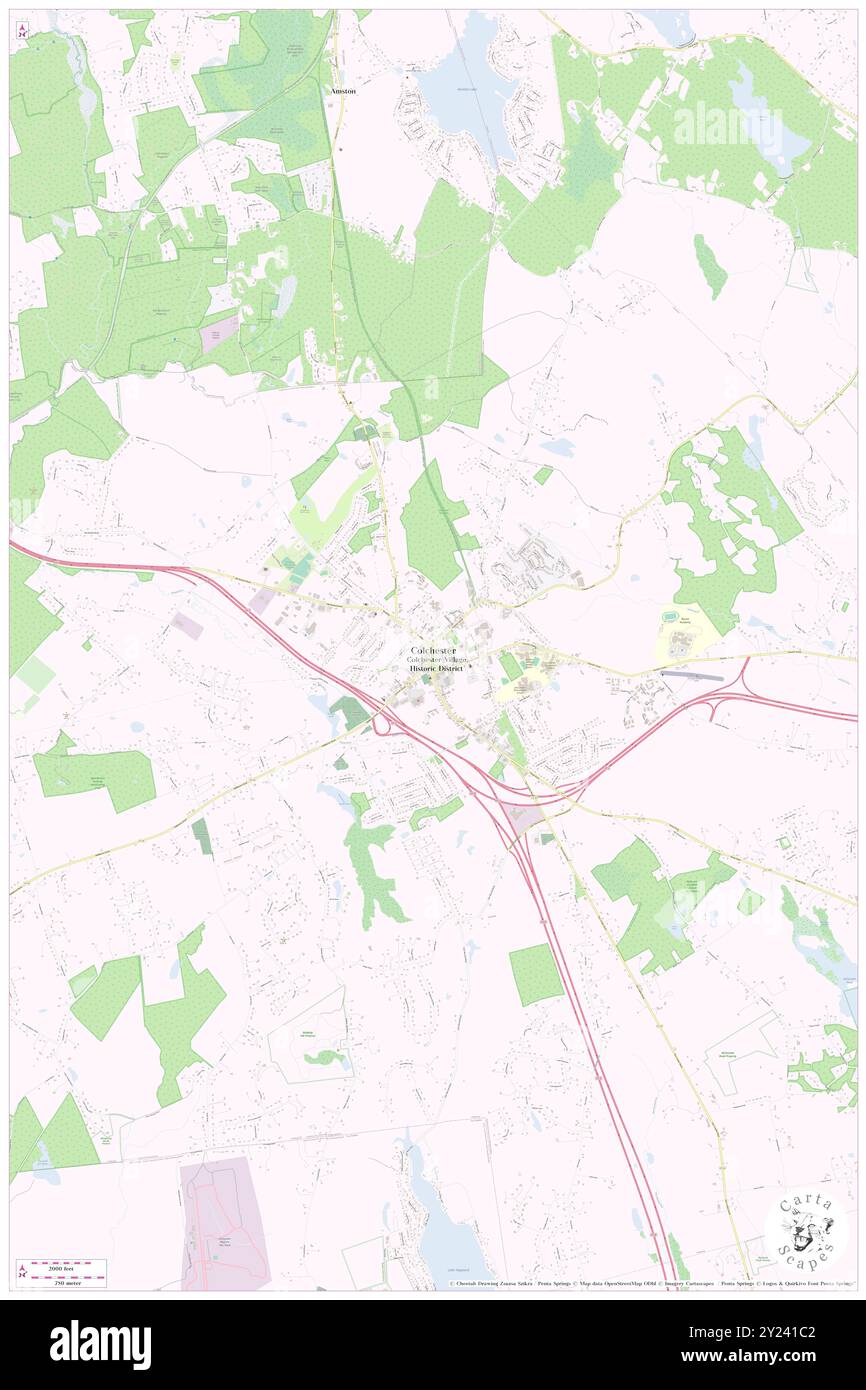 Colchester, New London County, US, United States, Connecticut, N 41 34' 32'', S 72 19' 55'', map, Cartascapes Map published in 2024. Explore Cartascapes, a map revealing Earth's diverse landscapes, cultures, and ecosystems. Journey through time and space, discovering the interconnectedness of our planet's past, present, and future. Stock Photohttps://www.alamy.com/image-license-details/?v=1https://www.alamy.com/colchester-new-london-county-us-united-states-connecticut-n-41-34-32-s-72-19-55-map-cartascapes-map-published-in-2024-explore-cartascapes-a-map-revealing-earths-diverse-landscapes-cultures-and-ecosystems-journey-through-time-and-space-discovering-the-interconnectedness-of-our-planets-past-present-and-future-image620891490.html
RM2Y241C2–Colchester, New London County, US, United States, Connecticut, N 41 34' 32'', S 72 19' 55'', map, Cartascapes Map published in 2024. Explore Cartascapes, a map revealing Earth's diverse landscapes, cultures, and ecosystems. Journey through time and space, discovering the interconnectedness of our planet's past, present, and future.
 Town of Colchester, New London County, US, United States, Connecticut, N 41 33' 43'', S 72 20' 50'', map, Cartascapes Map published in 2024. Explore Cartascapes, a map revealing Earth's diverse landscapes, cultures, and ecosystems. Journey through time and space, discovering the interconnectedness of our planet's past, present, and future. Stock Photohttps://www.alamy.com/image-license-details/?v=1https://www.alamy.com/town-of-colchester-new-london-county-us-united-states-connecticut-n-41-33-43-s-72-20-50-map-cartascapes-map-published-in-2024-explore-cartascapes-a-map-revealing-earths-diverse-landscapes-cultures-and-ecosystems-journey-through-time-and-space-discovering-the-interconnectedness-of-our-planets-past-present-and-future-image633823497.html
RM2YR549D–Town of Colchester, New London County, US, United States, Connecticut, N 41 33' 43'', S 72 20' 50'', map, Cartascapes Map published in 2024. Explore Cartascapes, a map revealing Earth's diverse landscapes, cultures, and ecosystems. Journey through time and space, discovering the interconnectedness of our planet's past, present, and future.
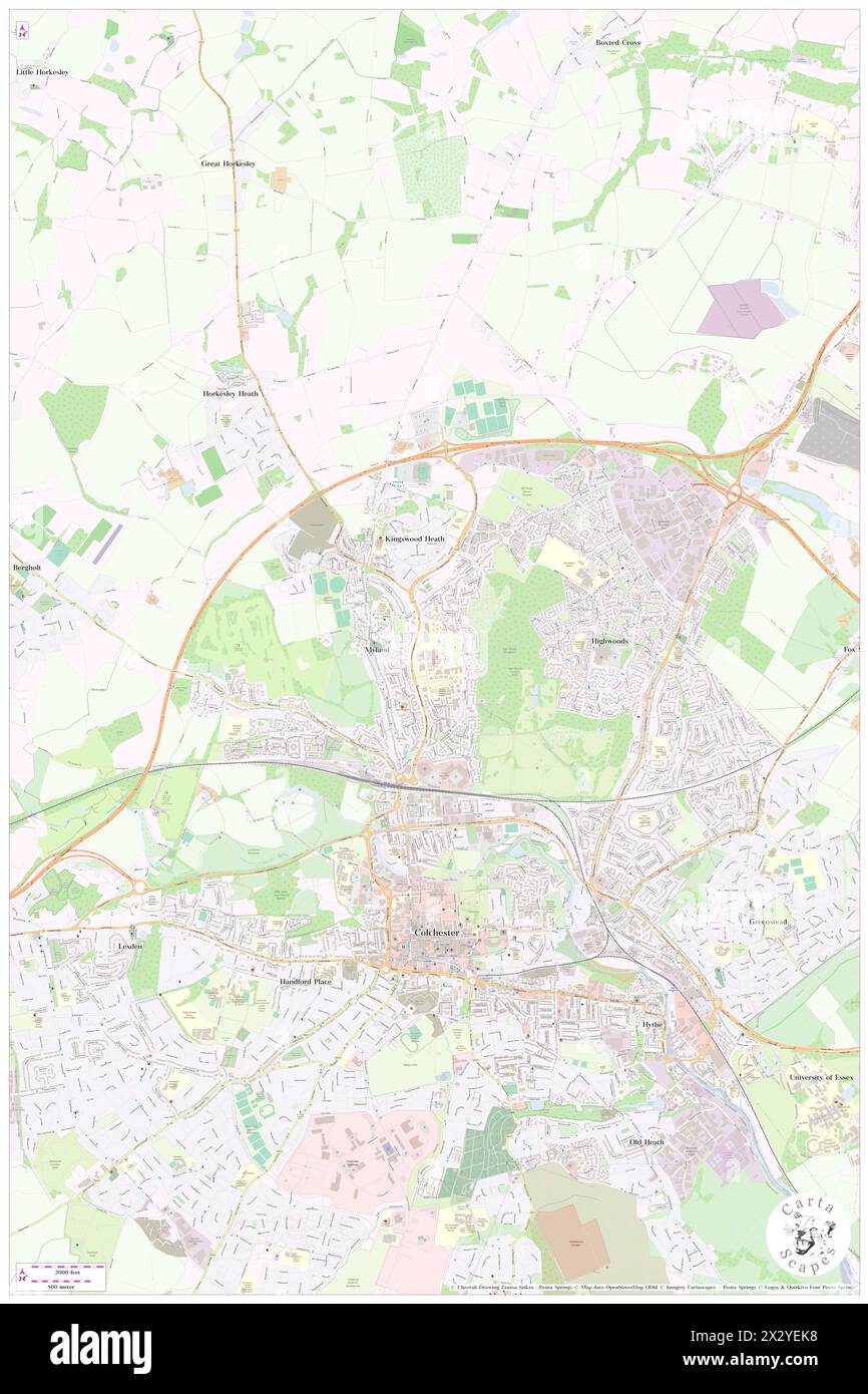 Colchester District General Hospital, Essex, GB, United Kingdom, England, N 51 54' 36'', N 0 53' 57'', map, Cartascapes Map published in 2024. Explore Cartascapes, a map revealing Earth's diverse landscapes, cultures, and ecosystems. Journey through time and space, discovering the interconnectedness of our planet's past, present, and future. Stock Photohttps://www.alamy.com/image-license-details/?v=1https://www.alamy.com/colchester-district-general-hospital-essex-gb-united-kingdom-england-n-51-54-36-n-0-53-57-map-cartascapes-map-published-in-2024-explore-cartascapes-a-map-revealing-earths-diverse-landscapes-cultures-and-ecosystems-journey-through-time-and-space-discovering-the-interconnectedness-of-our-planets-past-present-and-future-image604196412.html
RM2X2YEK8–Colchester District General Hospital, Essex, GB, United Kingdom, England, N 51 54' 36'', N 0 53' 57'', map, Cartascapes Map published in 2024. Explore Cartascapes, a map revealing Earth's diverse landscapes, cultures, and ecosystems. Journey through time and space, discovering the interconnectedness of our planet's past, present, and future.