Quick filters:
Coldwater missouri map Stock Photos and Images
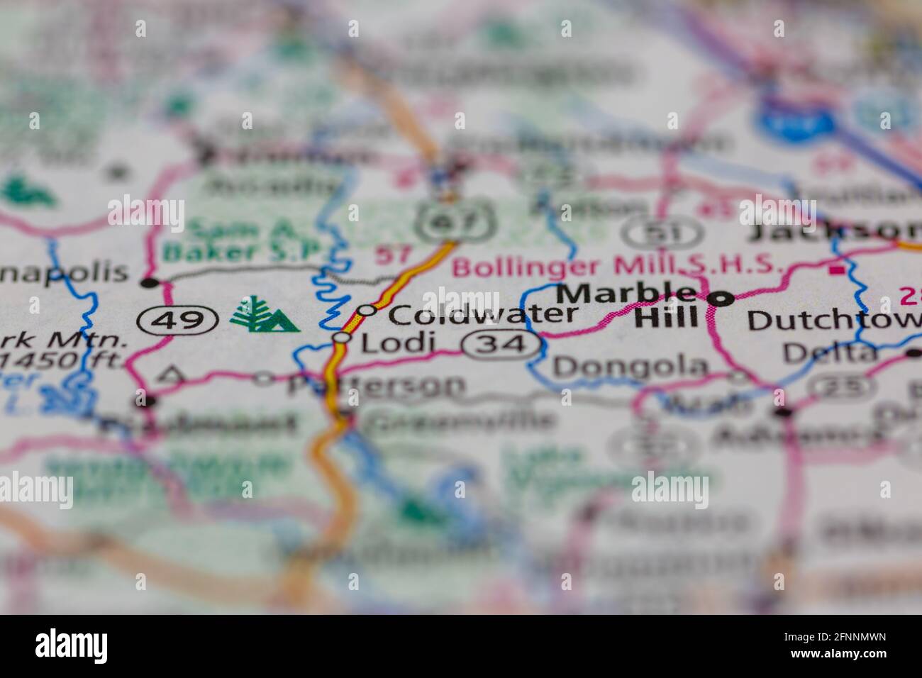 05-18-2021 Portsmouth, Hampshire, UK, Coldwater Missouri USA shown on a Geography map or road map Stock Photohttps://www.alamy.com/image-license-details/?v=1https://www.alamy.com/05-18-2021-portsmouth-hampshire-uk-coldwater-missouri-usa-shown-on-a-geography-map-or-road-map-image426434001.html
RM2FNNMWN–05-18-2021 Portsmouth, Hampshire, UK, Coldwater Missouri USA shown on a Geography map or road map
 Coldwater, Wayne County, US, United States, Missouri, N 37 18' 12'', S 90 24' 35'', map, Cartascapes Map published in 2024. Explore Cartascapes, a map revealing Earth's diverse landscapes, cultures, and ecosystems. Journey through time and space, discovering the interconnectedness of our planet's past, present, and future. Stock Photohttps://www.alamy.com/image-license-details/?v=1https://www.alamy.com/coldwater-wayne-county-us-united-states-missouri-n-37-18-12-s-90-24-35-map-cartascapes-map-published-in-2024-explore-cartascapes-a-map-revealing-earths-diverse-landscapes-cultures-and-ecosystems-journey-through-time-and-space-discovering-the-interconnectedness-of-our-planets-past-present-and-future-image621225570.html
RM2Y2K7FE–Coldwater, Wayne County, US, United States, Missouri, N 37 18' 12'', S 90 24' 35'', map, Cartascapes Map published in 2024. Explore Cartascapes, a map revealing Earth's diverse landscapes, cultures, and ecosystems. Journey through time and space, discovering the interconnectedness of our planet's past, present, and future.
 USGS TOPO Map Missouri MO Coldwater 20111215 TM Restoration Stock Photohttps://www.alamy.com/image-license-details/?v=1https://www.alamy.com/usgs-topo-map-missouri-mo-coldwater-20111215-tm-restoration-image333180685.html
RM2AA1KA5–USGS TOPO Map Missouri MO Coldwater 20111215 TM Restoration
 Township of Coldwater, Cass County, US, United States, Missouri, N 38 31' 13'', S 94 33' 40'', map, Cartascapes Map published in 2024. Explore Cartascapes, a map revealing Earth's diverse landscapes, cultures, and ecosystems. Journey through time and space, discovering the interconnectedness of our planet's past, present, and future. Stock Photohttps://www.alamy.com/image-license-details/?v=1https://www.alamy.com/township-of-coldwater-cass-county-us-united-states-missouri-n-38-31-13-s-94-33-40-map-cartascapes-map-published-in-2024-explore-cartascapes-a-map-revealing-earths-diverse-landscapes-cultures-and-ecosystems-journey-through-time-and-space-discovering-the-interconnectedness-of-our-planets-past-present-and-future-image633795412.html
RM2YR3TEC–Township of Coldwater, Cass County, US, United States, Missouri, N 38 31' 13'', S 94 33' 40'', map, Cartascapes Map published in 2024. Explore Cartascapes, a map revealing Earth's diverse landscapes, cultures, and ecosystems. Journey through time and space, discovering the interconnectedness of our planet's past, present, and future.
 USGS TOPO Map Missouri MO Coldwater 324812 1930 62500 Restoration Stock Photohttps://www.alamy.com/image-license-details/?v=1https://www.alamy.com/usgs-topo-map-missouri-mo-coldwater-324812-1930-62500-restoration-image333180792.html
RM2AA1KE0–USGS TOPO Map Missouri MO Coldwater 324812 1930 62500 Restoration
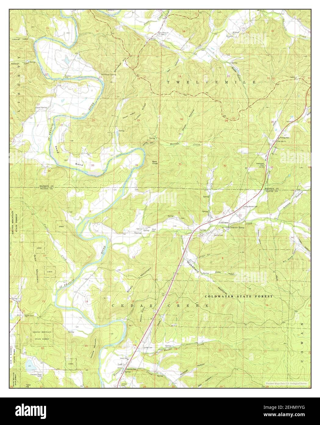 Coldwater, Missouri, map 1980, 1:24000, United States of America by Timeless Maps, data U.S. Geological Survey Stock Photohttps://www.alamy.com/image-license-details/?v=1https://www.alamy.com/coldwater-missouri-map-1980-124000-united-states-of-america-by-timeless-maps-data-us-geological-survey-image406748596.html
RM2EHMYYG–Coldwater, Missouri, map 1980, 1:24000, United States of America by Timeless Maps, data U.S. Geological Survey
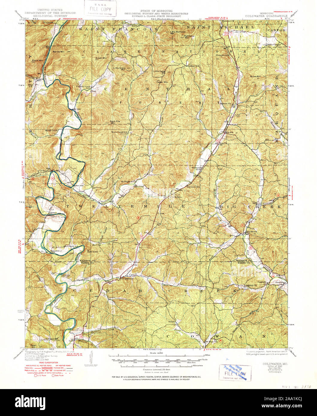 USGS TOPO Map Missouri MO Coldwater 324811 1930 62500 Restoration Stock Photohttps://www.alamy.com/image-license-details/?v=1https://www.alamy.com/usgs-topo-map-missouri-mo-coldwater-324811-1930-62500-restoration-image333180754.html
RM2AA1KCJ–USGS TOPO Map Missouri MO Coldwater 324811 1930 62500 Restoration
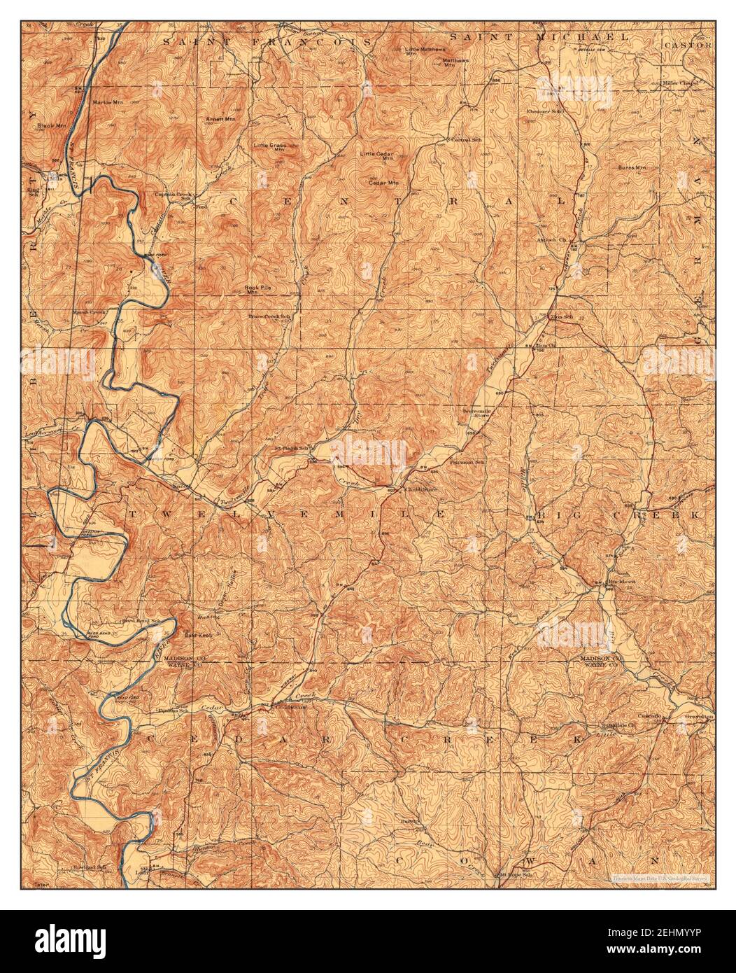 Coldwater, Missouri, map 1930, 1:62500, United States of America by Timeless Maps, data U.S. Geological Survey Stock Photohttps://www.alamy.com/image-license-details/?v=1https://www.alamy.com/coldwater-missouri-map-1930-162500-united-states-of-america-by-timeless-maps-data-us-geological-survey-image406748602.html
RM2EHMYYP–Coldwater, Missouri, map 1930, 1:62500, United States of America by Timeless Maps, data U.S. Geological Survey
 USGS TOPO Map Missouri MO Coldwater 324808 1949 62500 Restoration Stock Photohttps://www.alamy.com/image-license-details/?v=1https://www.alamy.com/usgs-topo-map-missouri-mo-coldwater-324808-1949-62500-restoration-image333180727.html
RM2AA1KBK–USGS TOPO Map Missouri MO Coldwater 324808 1949 62500 Restoration
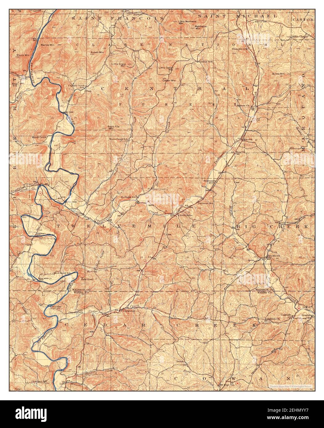 Coldwater, Missouri, map 1930, 1:62500, United States of America by Timeless Maps, data U.S. Geological Survey Stock Photohttps://www.alamy.com/image-license-details/?v=1https://www.alamy.com/coldwater-missouri-map-1930-162500-united-states-of-america-by-timeless-maps-data-us-geological-survey-image406748587.html
RM2EHMYY7–Coldwater, Missouri, map 1930, 1:62500, United States of America by Timeless Maps, data U.S. Geological Survey
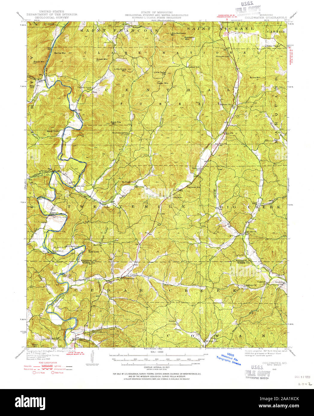 USGS TOPO Map Missouri MO Coldwater 324809 1949 62500 Restoration Stock Photohttps://www.alamy.com/image-license-details/?v=1https://www.alamy.com/usgs-topo-map-missouri-mo-coldwater-324809-1949-62500-restoration-image333180755.html
RM2AA1KCK–USGS TOPO Map Missouri MO Coldwater 324809 1949 62500 Restoration
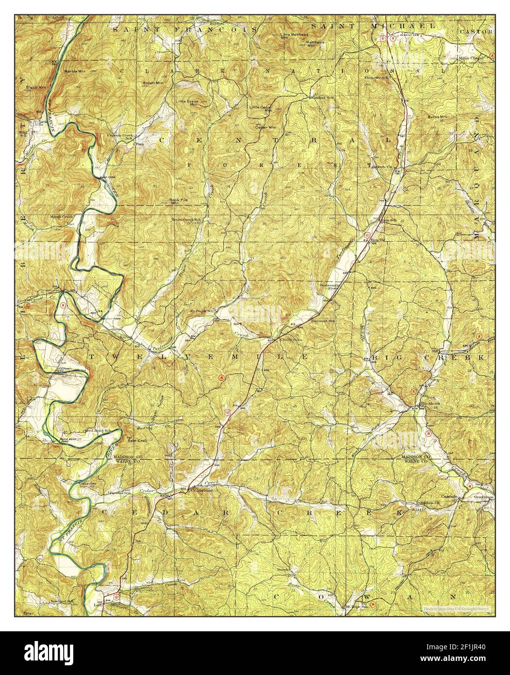 Coldwater, Missouri, map 1930, 1:62500, United States of America by Timeless Maps, data U.S. Geological Survey Stock Photohttps://www.alamy.com/image-license-details/?v=1https://www.alamy.com/coldwater-missouri-map-1930-162500-united-states-of-america-by-timeless-maps-data-us-geological-survey-image414076768.html
RM2F1JR40–Coldwater, Missouri, map 1930, 1:62500, United States of America by Timeless Maps, data U.S. Geological Survey
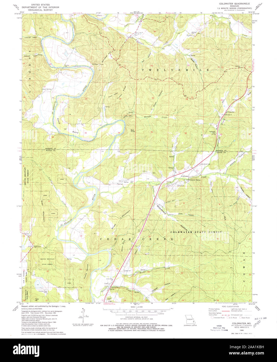 USGS TOPO Map Missouri MO Coldwater 322327 1980 24000 Restoration Stock Photohttps://www.alamy.com/image-license-details/?v=1https://www.alamy.com/usgs-topo-map-missouri-mo-coldwater-322327-1980-24000-restoration-image333180725.html
RM2AA1KBH–USGS TOPO Map Missouri MO Coldwater 322327 1980 24000 Restoration
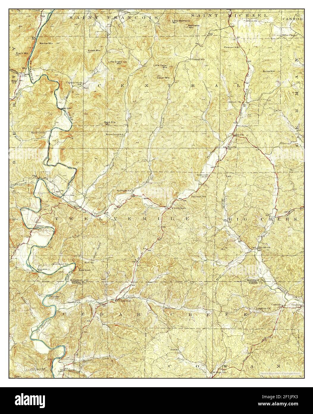 Coldwater, Missouri, map 1930, 1:62500, United States of America by Timeless Maps, data U.S. Geological Survey Stock Photohttps://www.alamy.com/image-license-details/?v=1https://www.alamy.com/coldwater-missouri-map-1930-162500-united-states-of-america-by-timeless-maps-data-us-geological-survey-image414076603.html
RM2F1JPX3–Coldwater, Missouri, map 1930, 1:62500, United States of America by Timeless Maps, data U.S. Geological Survey
 USGS TOPO Map Missouri MO Coldwater 20111215 TM Inverted Restoration Stock Photohttps://www.alamy.com/image-license-details/?v=1https://www.alamy.com/usgs-topo-map-missouri-mo-coldwater-20111215-tm-inverted-restoration-image333180687.html
RM2AA1KA7–USGS TOPO Map Missouri MO Coldwater 20111215 TM Inverted Restoration
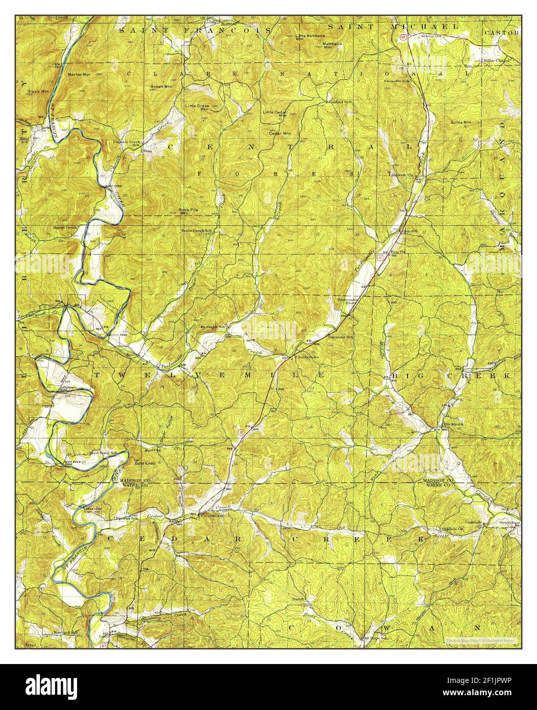 Coldwater, Missouri, map 1949, 1:62500, United States of America by Timeless Maps, data U.S. Geological Survey Stock Photohttps://www.alamy.com/image-license-details/?v=1https://www.alamy.com/coldwater-missouri-map-1949-162500-united-states-of-america-by-timeless-maps-data-us-geological-survey-image414076594.html
RM2F1JPWP–Coldwater, Missouri, map 1949, 1:62500, United States of America by Timeless Maps, data U.S. Geological Survey
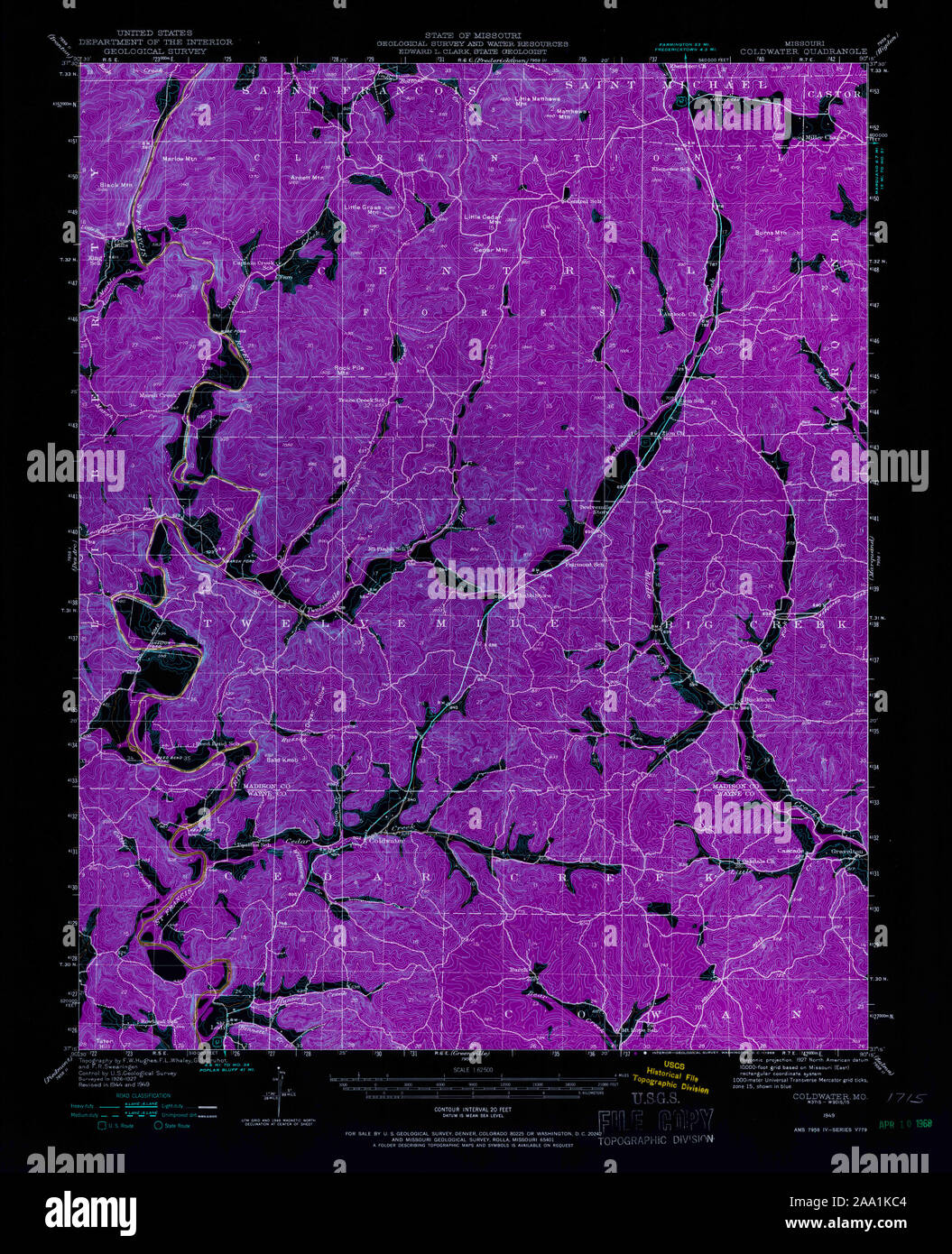 USGS TOPO Map Missouri MO Coldwater 324808 1949 62500 Inverted Restoration Stock Photohttps://www.alamy.com/image-license-details/?v=1https://www.alamy.com/usgs-topo-map-missouri-mo-coldwater-324808-1949-62500-inverted-restoration-image333180740.html
RM2AA1KC4–USGS TOPO Map Missouri MO Coldwater 324808 1949 62500 Inverted Restoration
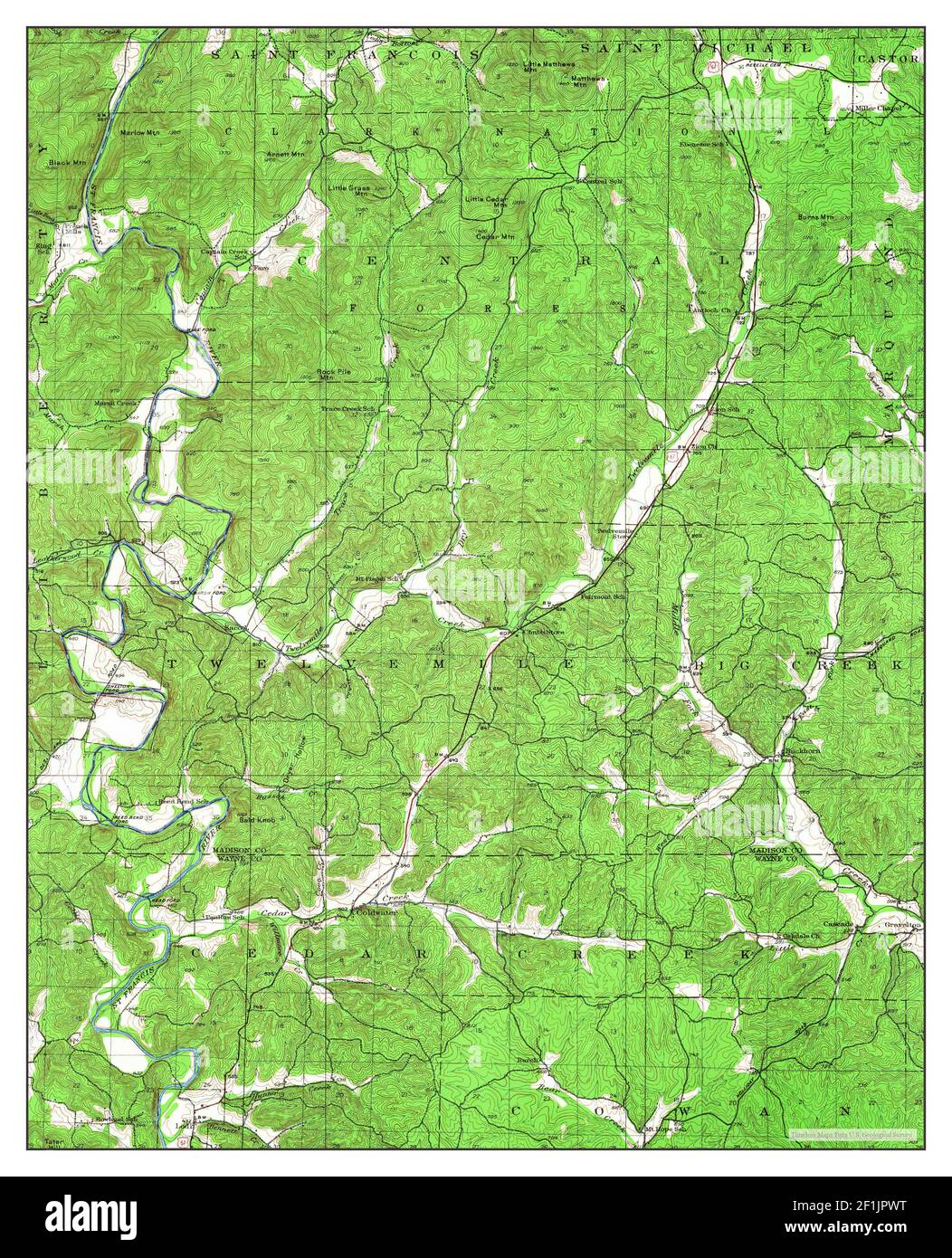 Coldwater, Missouri, map 1949, 1:62500, United States of America by Timeless Maps, data U.S. Geological Survey Stock Photohttps://www.alamy.com/image-license-details/?v=1https://www.alamy.com/coldwater-missouri-map-1949-162500-united-states-of-america-by-timeless-maps-data-us-geological-survey-image414076596.html
RM2F1JPWT–Coldwater, Missouri, map 1949, 1:62500, United States of America by Timeless Maps, data U.S. Geological Survey
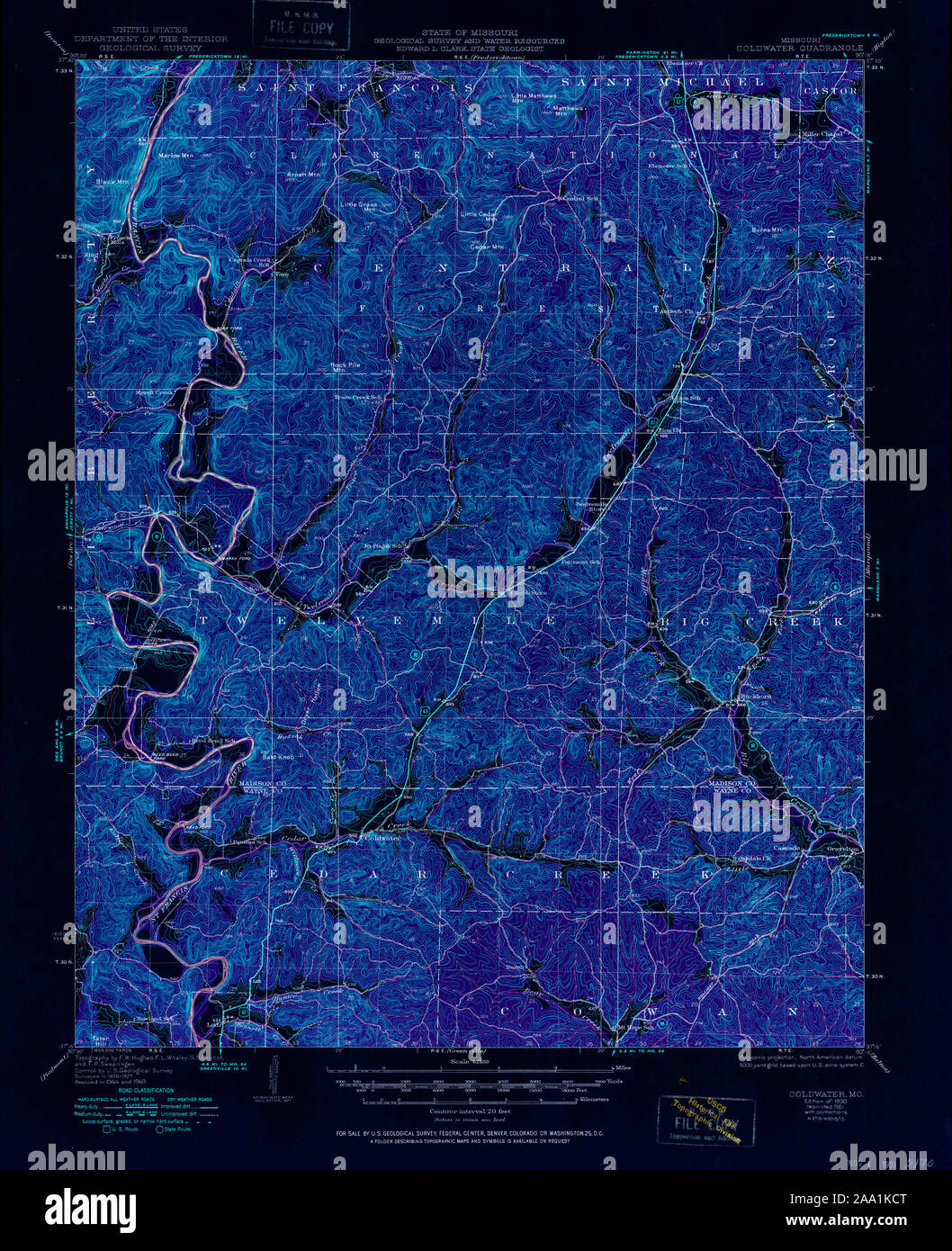 USGS TOPO Map Missouri MO Coldwater 324811 1930 62500 Inverted Restoration Stock Photohttps://www.alamy.com/image-license-details/?v=1https://www.alamy.com/usgs-topo-map-missouri-mo-coldwater-324811-1930-62500-inverted-restoration-image333180760.html
RM2AA1KCT–USGS TOPO Map Missouri MO Coldwater 324811 1930 62500 Inverted Restoration
 USGS TOPO Map Missouri MO Coldwater 322327 1980 24000 Inverted Restoration Stock Photohttps://www.alamy.com/image-license-details/?v=1https://www.alamy.com/usgs-topo-map-missouri-mo-coldwater-322327-1980-24000-inverted-restoration-image333180726.html
RM2AA1KBJ–USGS TOPO Map Missouri MO Coldwater 322327 1980 24000 Inverted Restoration
 USGS TOPO Map Missouri MO Coldwater 324809 1949 62500 Inverted Restoration Stock Photohttps://www.alamy.com/image-license-details/?v=1https://www.alamy.com/usgs-topo-map-missouri-mo-coldwater-324809-1949-62500-inverted-restoration-image333180751.html
RM2AA1KCF–USGS TOPO Map Missouri MO Coldwater 324809 1949 62500 Inverted Restoration
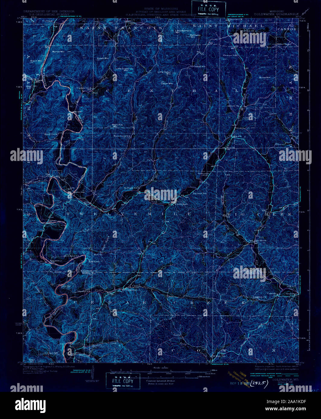 USGS TOPO Map Missouri MO Coldwater 324812 1930 62500 Inverted Restoration Stock Photohttps://www.alamy.com/image-license-details/?v=1https://www.alamy.com/usgs-topo-map-missouri-mo-coldwater-324812-1930-62500-inverted-restoration-image333180779.html
RM2AA1KDF–USGS TOPO Map Missouri MO Coldwater 324812 1930 62500 Inverted Restoration