Quick filters:
Color topographic Stock Photos and Images
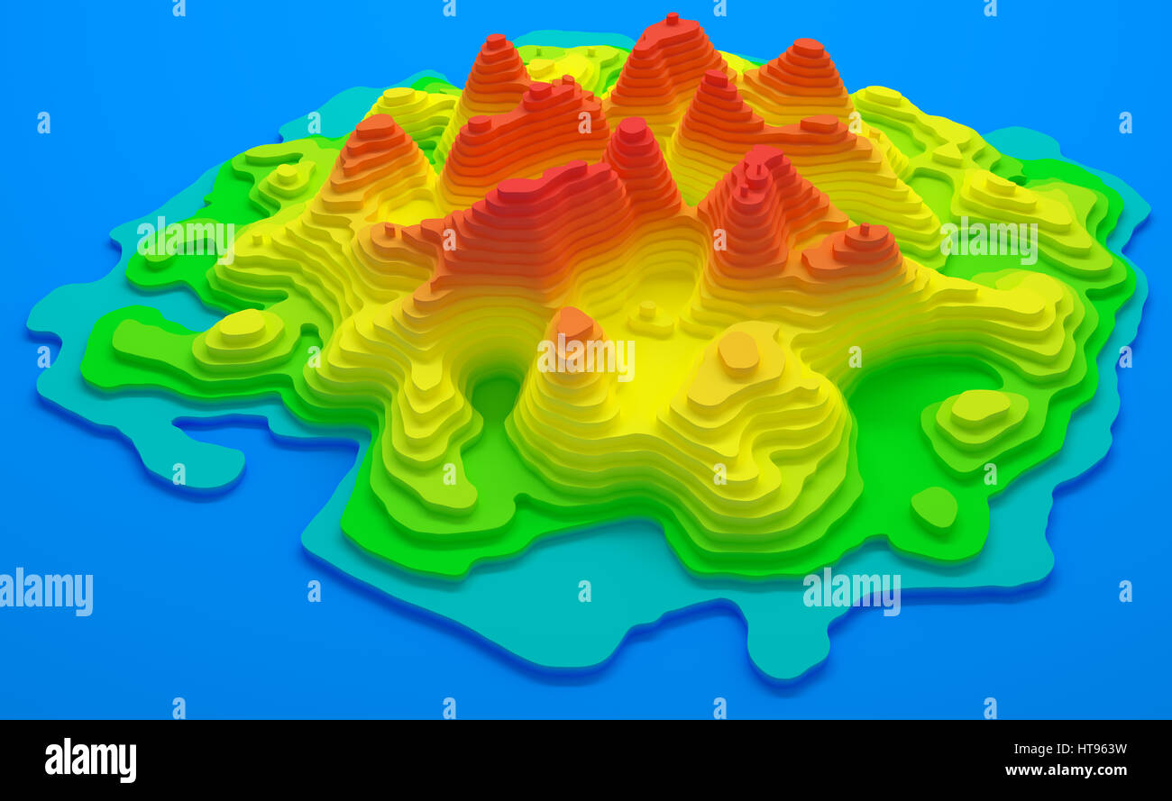 3D illustration. Topographical map of an island. Elevation in colors from blue to red. Stock Photohttps://www.alamy.com/image-license-details/?v=1https://www.alamy.com/stock-photo-3d-illustration-topographical-map-of-an-island-elevation-in-colors-135426701.html
RFHT963W–3D illustration. Topographical map of an island. Elevation in colors from blue to red.
 The compass in his hand under the bright sun on the background color topographic maps. Stock Photohttps://www.alamy.com/image-license-details/?v=1https://www.alamy.com/the-compass-in-his-hand-under-the-bright-sun-on-the-background-color-image68710005.html
RFDYP08N–The compass in his hand under the bright sun on the background color topographic maps.
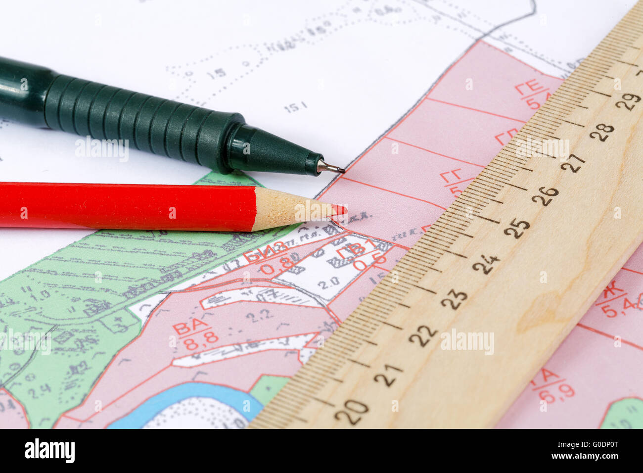 Topographic map of district with ruler and a pencil Stock Photohttps://www.alamy.com/image-license-details/?v=1https://www.alamy.com/stock-photo-topographic-map-of-district-with-ruler-and-a-pencil-103564856.html
RMG0DP0T–Topographic map of district with ruler and a pencil
 Topographic map with golden and silver lines on trendy color gradient Stock Vectorhttps://www.alamy.com/image-license-details/?v=1https://www.alamy.com/topographic-map-with-golden-and-silver-lines-on-trendy-color-gradient-image466443998.html
RF2J2TA26–Topographic map with golden and silver lines on trendy color gradient
 Digital 3D topographic contour line. Geographic map pattern for cartography on black background. Vector illustration design element template Stock Vectorhttps://www.alamy.com/image-license-details/?v=1https://www.alamy.com/digital-3d-topographic-contour-line-geographic-map-pattern-for-cartography-on-black-background-vector-illustration-design-element-template-image617547866.html
RF2XTKMGX–Digital 3D topographic contour line. Geographic map pattern for cartography on black background. Vector illustration design element template
 Color map with line contour for hiking. Geographic topographic vector illustration Stock Vectorhttps://www.alamy.com/image-license-details/?v=1https://www.alamy.com/color-map-with-line-contour-for-hiking-geographic-topographic-vector-illustration-image354352753.html
RF2BGE4FD–Color map with line contour for hiking. Geographic topographic vector illustration
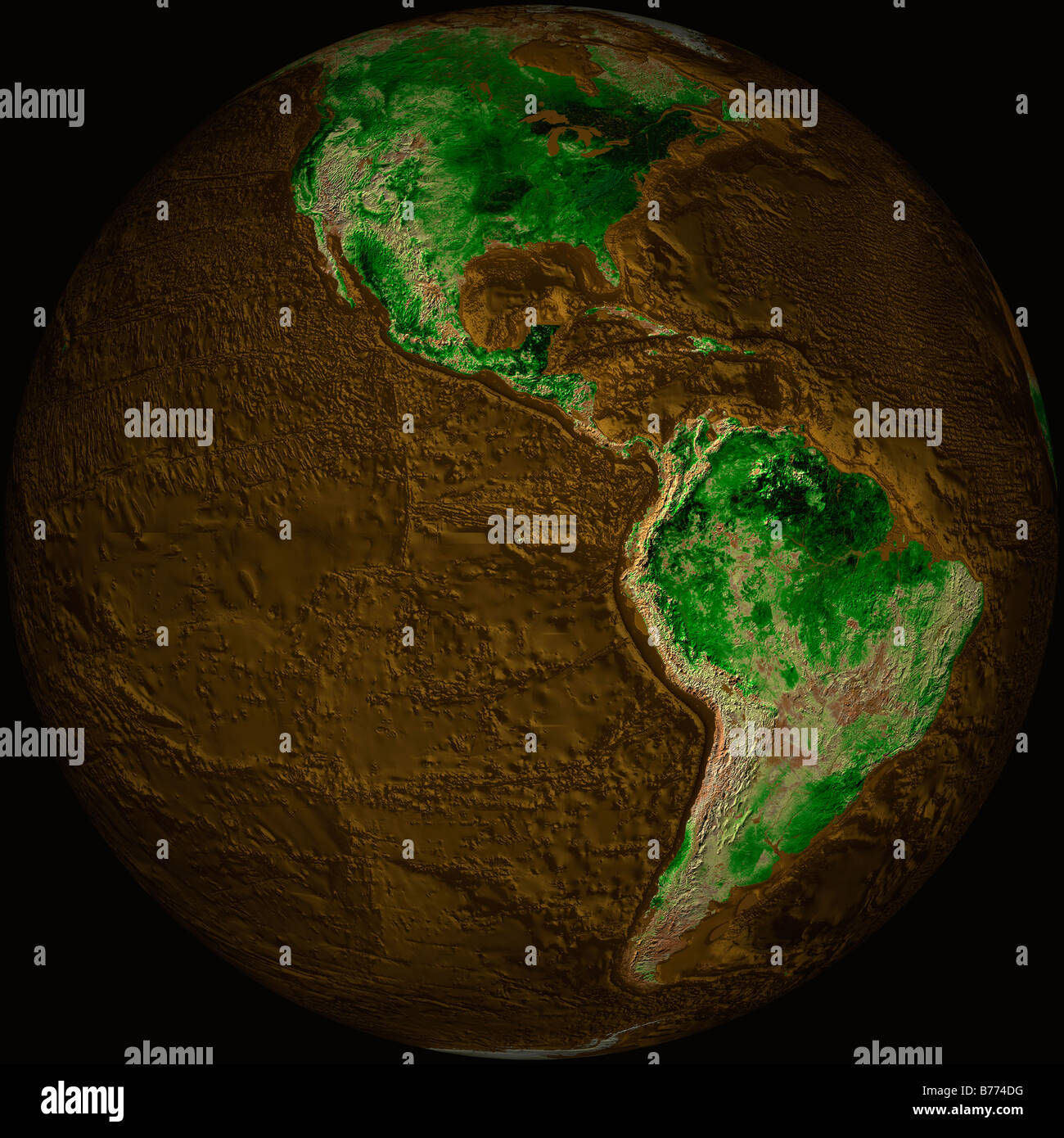 Topographic Map of Earth Stock Photohttps://www.alamy.com/image-license-details/?v=1https://www.alamy.com/stock-photo-topographic-map-of-earth-21670140.html
RFB774DG–Topographic Map of Earth
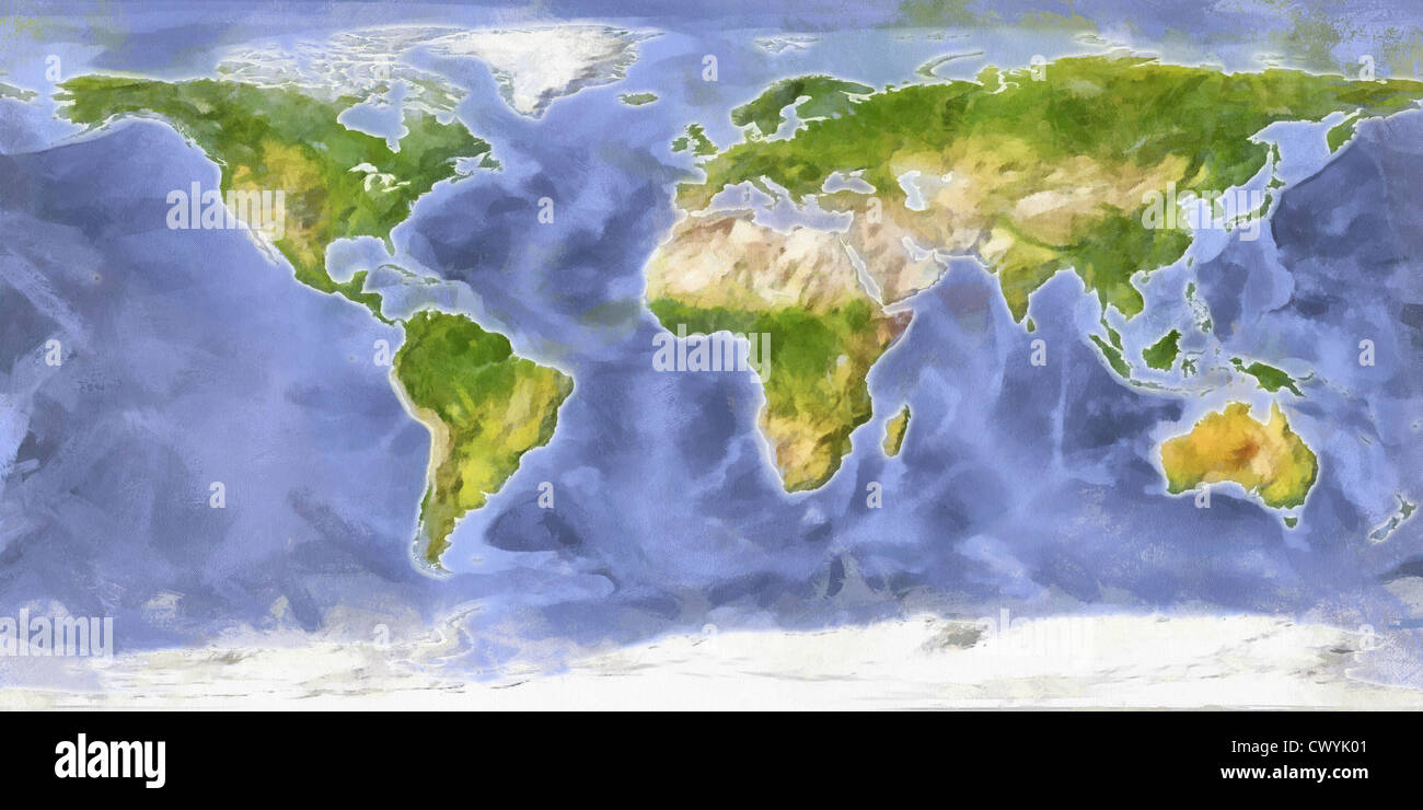 World map in water color style. Stock Photohttps://www.alamy.com/image-license-details/?v=1https://www.alamy.com/stock-photo-world-map-in-water-color-style-50394737.html
RMCWYK01–World map in water color style.
 Topographic map contour background. Topo map with elevation. Contour map vector. Geographic World Topography map grid abstract vector illustration . Stock Vectorhttps://www.alamy.com/image-license-details/?v=1https://www.alamy.com/topographic-map-contour-background-topo-map-with-elevation-contour-map-vector-geographic-world-topography-map-grid-abstract-vector-illustration-image183575479.html
RFMJJGB3–Topographic map contour background. Topo map with elevation. Contour map vector. Geographic World Topography map grid abstract vector illustration .
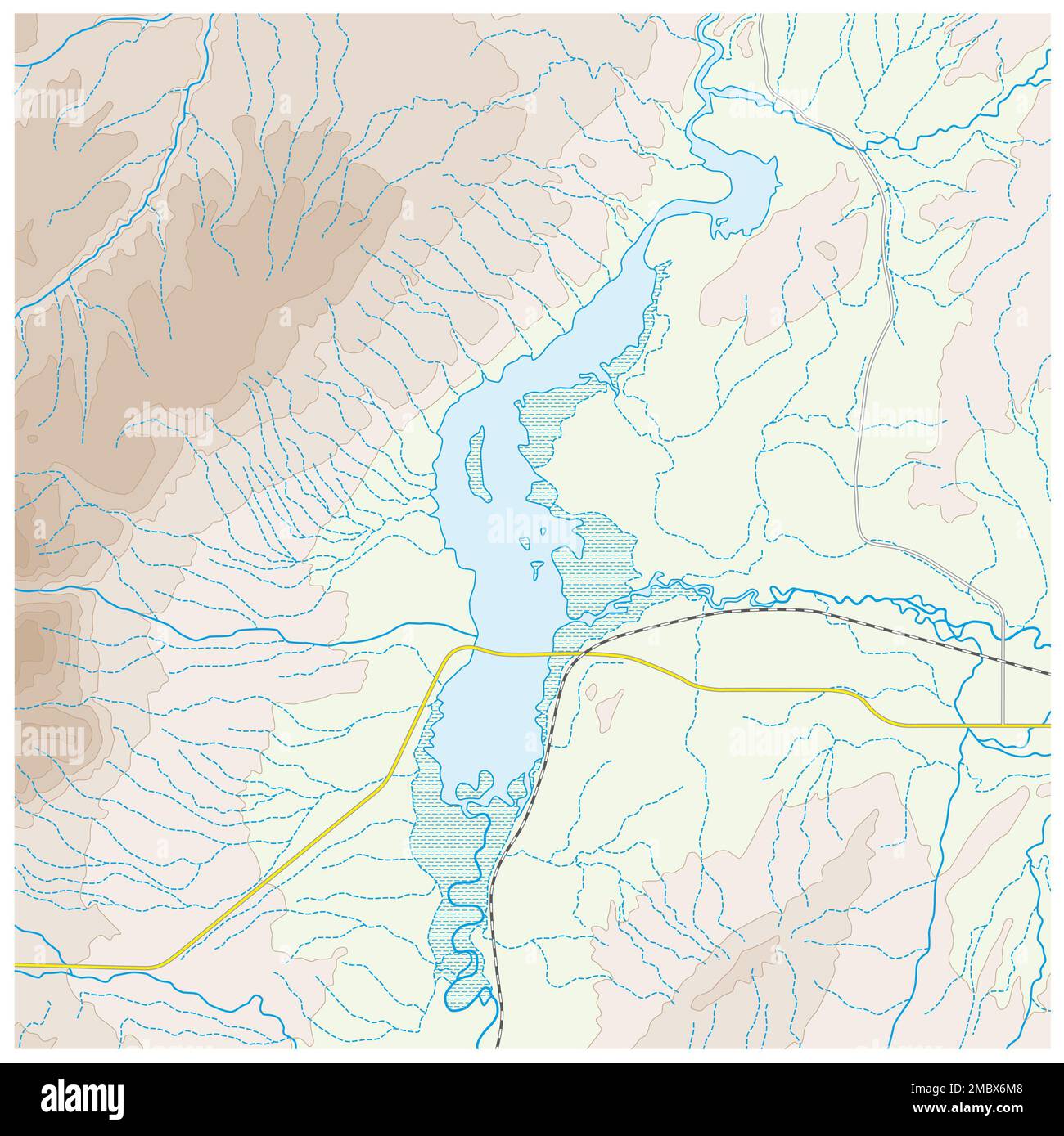 fictional topographic map with lake and mountains Stock Photohttps://www.alamy.com/image-license-details/?v=1https://www.alamy.com/fictional-topographic-map-with-lake-and-mountains-image506437912.html
RF2MBX6M8–fictional topographic map with lake and mountains
 3D Render abstract topographic map background. Stock Photohttps://www.alamy.com/image-license-details/?v=1https://www.alamy.com/3d-render-abstract-topographic-map-background-image417599815.html
RF2F7B8R3–3D Render abstract topographic map background.
 An image of a topographic map stage plan chart. Stock Vectorhttps://www.alamy.com/image-license-details/?v=1https://www.alamy.com/an-image-of-a-topographic-map-stage-plan-chart-image555456859.html
RF2R7K6TY–An image of a topographic map stage plan chart.
 Topographic map and pencils close up Stock Photohttps://www.alamy.com/image-license-details/?v=1https://www.alamy.com/topographic-map-and-pencils-close-up-image66644505.html
RFDTBWMW–Topographic map and pencils close up
 Abstract background of Topographic Contour Line Pattern. Vector illustration Stock Vectorhttps://www.alamy.com/image-license-details/?v=1https://www.alamy.com/abstract-background-of-topographic-contour-line-pattern-vector-illustration-image496856815.html
RF2KT9NX7–Abstract background of Topographic Contour Line Pattern. Vector illustration
 Colorful 3d topographic map design background Stock Photohttps://www.alamy.com/image-license-details/?v=1https://www.alamy.com/colorful-3d-topographic-map-design-background-image395795078.html
RF2DYX0JE–Colorful 3d topographic map design background
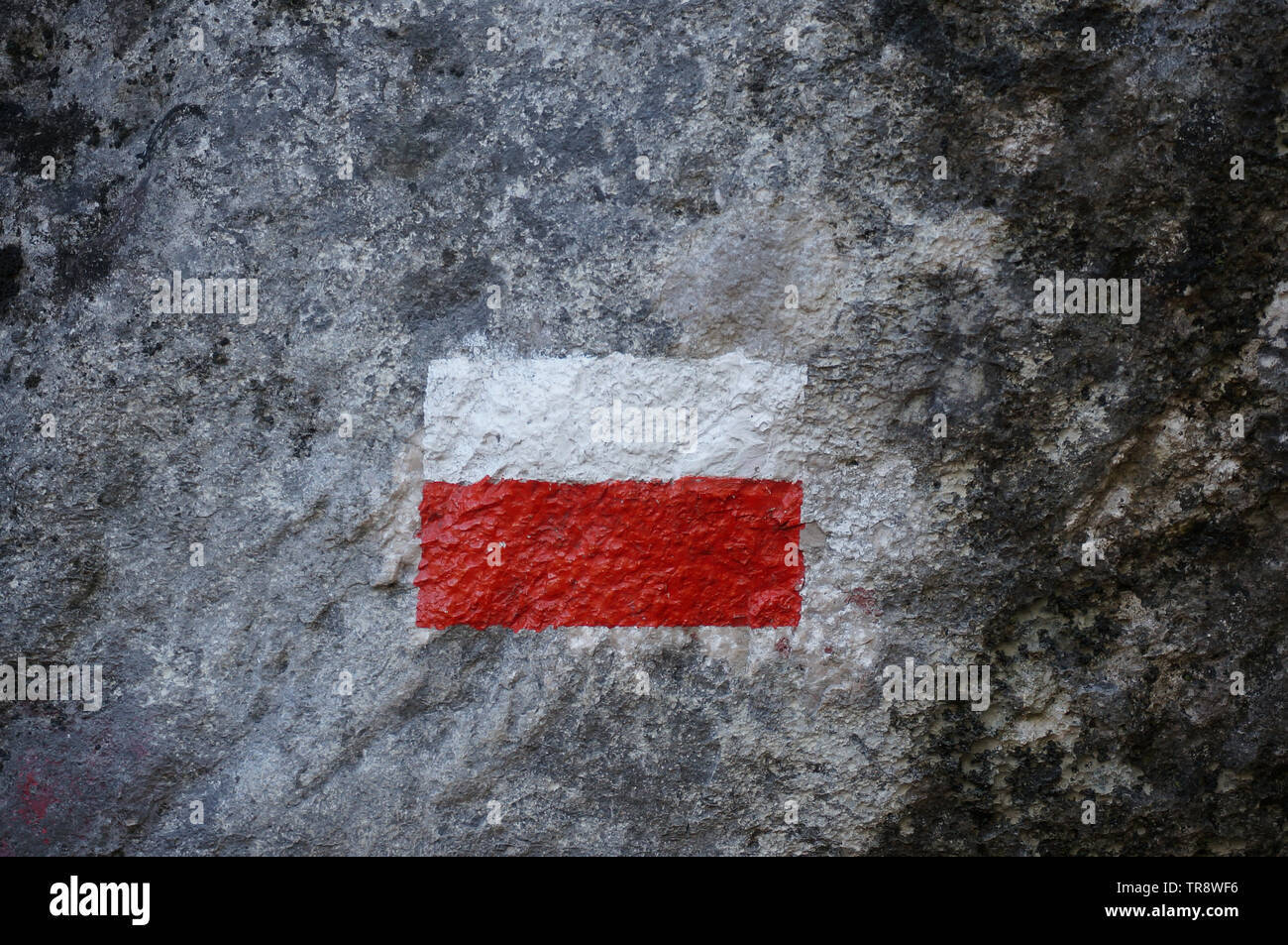 Topographic sign of walking distance painted on rock looking like polish flag Stock Photohttps://www.alamy.com/image-license-details/?v=1https://www.alamy.com/topographic-sign-of-walking-distance-painted-on-rock-looking-like-polish-flag-image255277882.html
RFTR8WF6–Topographic sign of walking distance painted on rock looking like polish flag
 Abstract topographic contour line pattern solid background vector map. Stock Vectorhttps://www.alamy.com/image-license-details/?v=1https://www.alamy.com/abstract-topographic-contour-line-pattern-solid-background-vector-map-image490928936.html
RF2KEKMT8–Abstract topographic contour line pattern solid background vector map.
 Abstract layered waves pattern background Red and yellow colors. Topographic Stock Photohttps://www.alamy.com/image-license-details/?v=1https://www.alamy.com/abstract-layered-waves-pattern-background-red-and-yellow-colors-topographic-image499005661.html
RF2KYRJPN–Abstract layered waves pattern background Red and yellow colors. Topographic
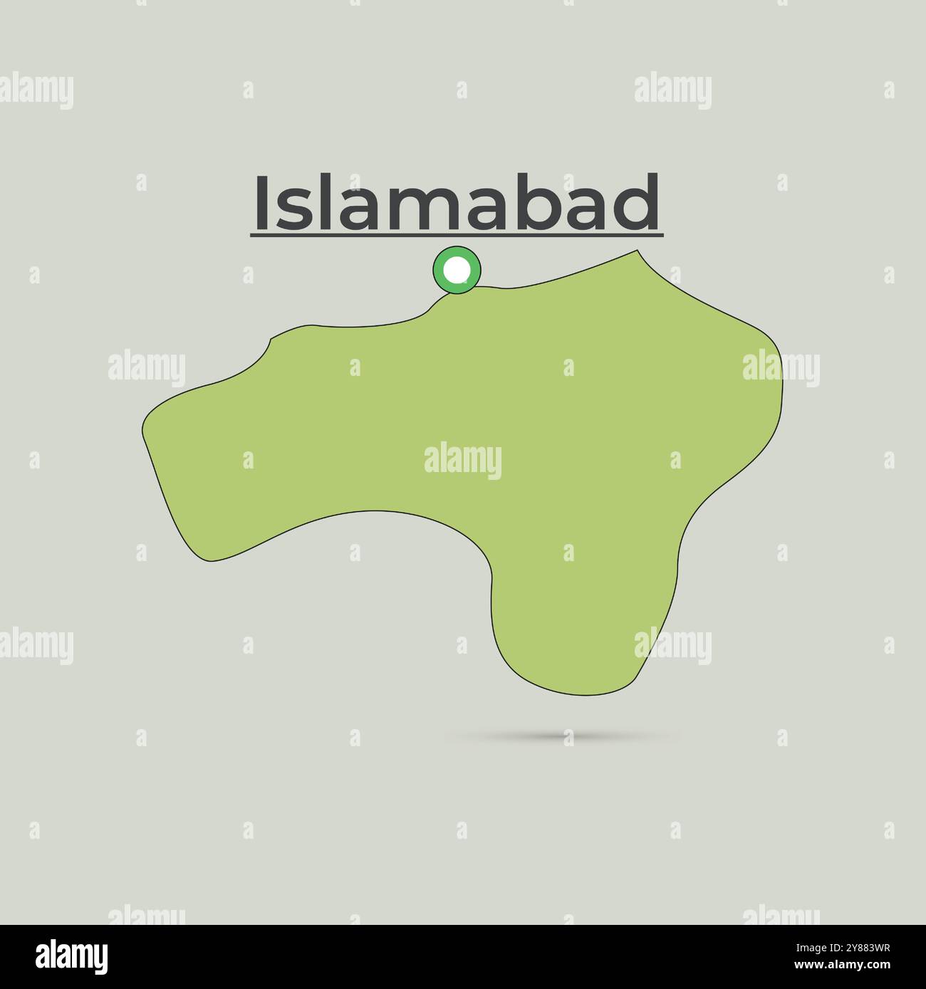 Islamabad Territory map with green color, Pakistan Territory Islamabad Stock Vectorhttps://www.alamy.com/image-license-details/?v=1https://www.alamy.com/islamabad-territory-map-with-green-color-pakistan-territory-islamabad-image624669187.html
RF2Y883WR–Islamabad Territory map with green color, Pakistan Territory Islamabad
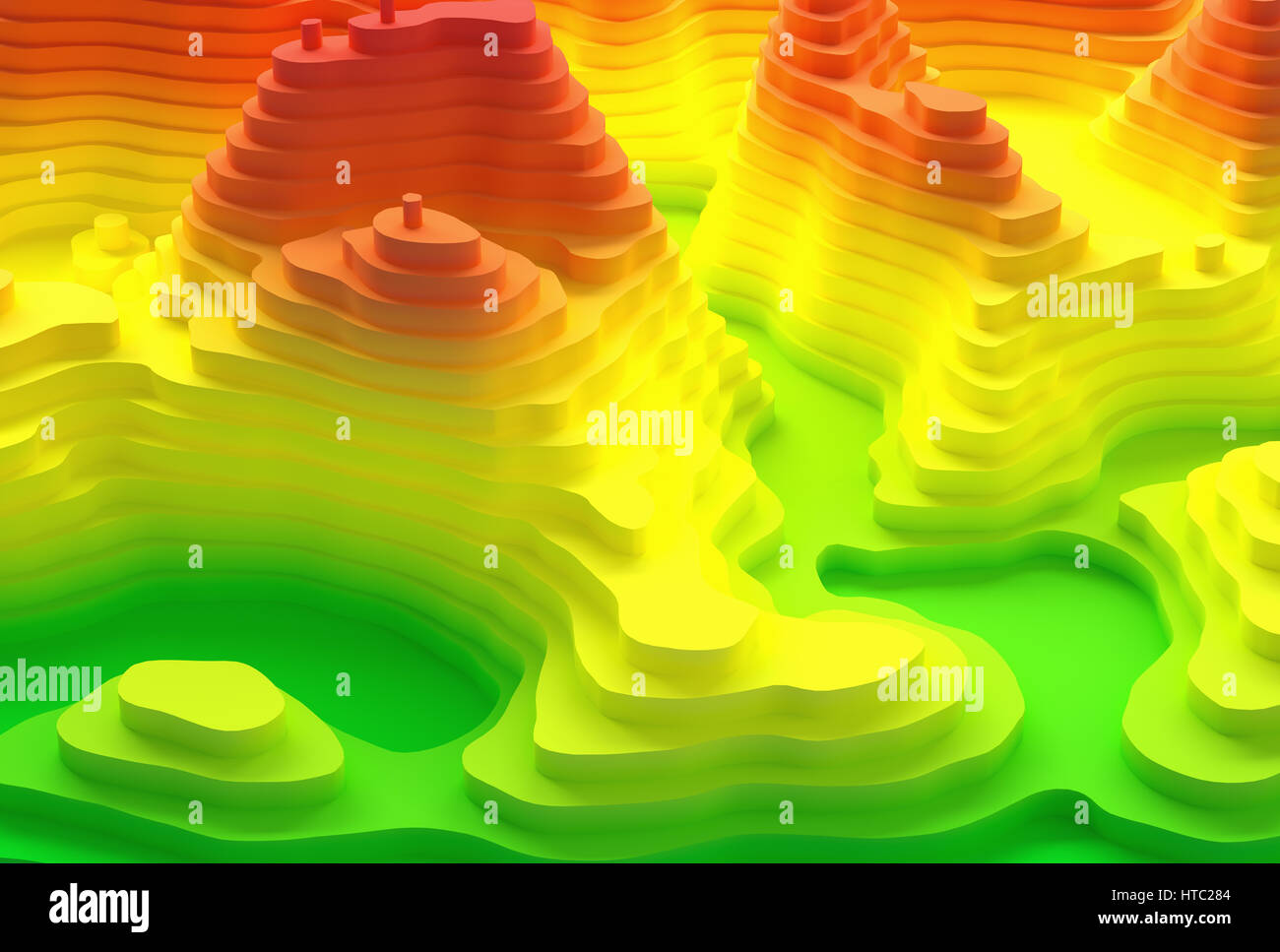 3D illustration. Topographical map of an island. Elevation in colors from blue to red. Stock Photohttps://www.alamy.com/image-license-details/?v=1https://www.alamy.com/stock-photo-3d-illustration-topographical-map-of-an-island-elevation-in-colors-135489540.html
RFHTC284–3D illustration. Topographical map of an island. Elevation in colors from blue to red.
 The compass in his hand under the bright sun on the background color topographic maps. Stock Photohttps://www.alamy.com/image-license-details/?v=1https://www.alamy.com/the-compass-in-his-hand-under-the-bright-sun-on-the-background-color-image68710016.html
RFDYP094–The compass in his hand under the bright sun on the background color topographic maps.
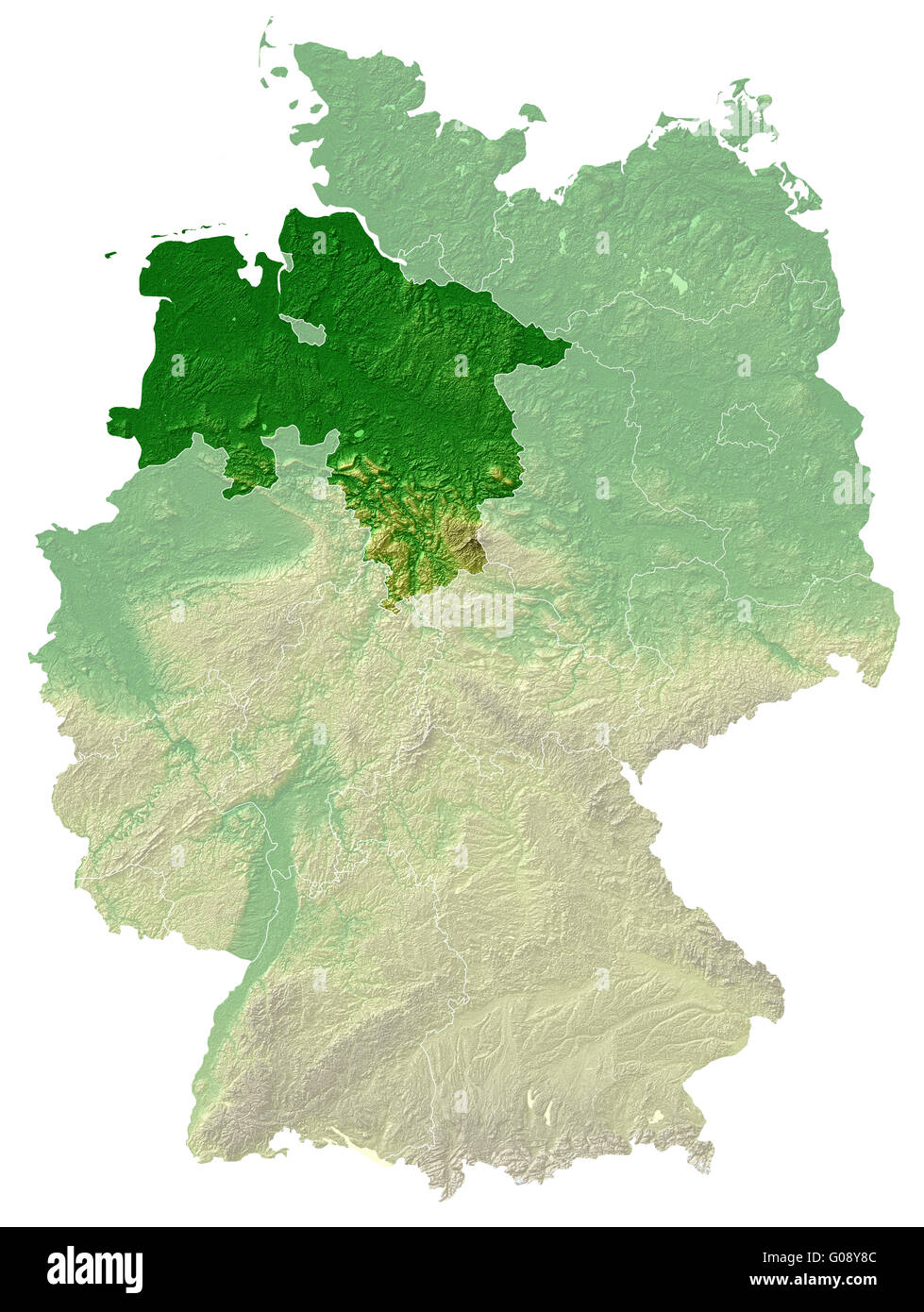 Lower Saxony - topographical relief map Germany Stock Photohttps://www.alamy.com/image-license-details/?v=1https://www.alamy.com/stock-photo-lower-saxony-topographical-relief-map-germany-103459228.html
RMG08Y8C–Lower Saxony - topographical relief map Germany
 A male hiker checks his location with a compass and topographic map. Stock Photohttps://www.alamy.com/image-license-details/?v=1https://www.alamy.com/stock-photo-a-male-hiker-checks-his-location-with-a-compass-and-topographic-map-29482979.html
RFBKY1RF–A male hiker checks his location with a compass and topographic map.
RF2XTK306–Futuristic GPS coordinate topographic contour line AI tracking technology interface. Geographic map pattern for cartography on blue background
 A female hiker in her early thirties navigates with a topographic map while hiking in the Stein Valley. The Stein River is in th Stock Photohttps://www.alamy.com/image-license-details/?v=1https://www.alamy.com/stock-photo-a-female-hiker-in-her-early-thirties-navigates-with-a-topographic-29487413.html
RFBKY7DW–A female hiker in her early thirties navigates with a topographic map while hiking in the Stein Valley. The Stein River is in th
 Abstract topographic vibrant gradient color background. Liquid wavy pattern lines texture. Vector illustration Stock Vectorhttps://www.alamy.com/image-license-details/?v=1https://www.alamy.com/abstract-topographic-vibrant-gradient-color-background-liquid-wavy-pattern-lines-texture-vector-illustration-image403638259.html
RF2ECK8M3–Abstract topographic vibrant gradient color background. Liquid wavy pattern lines texture. Vector illustration
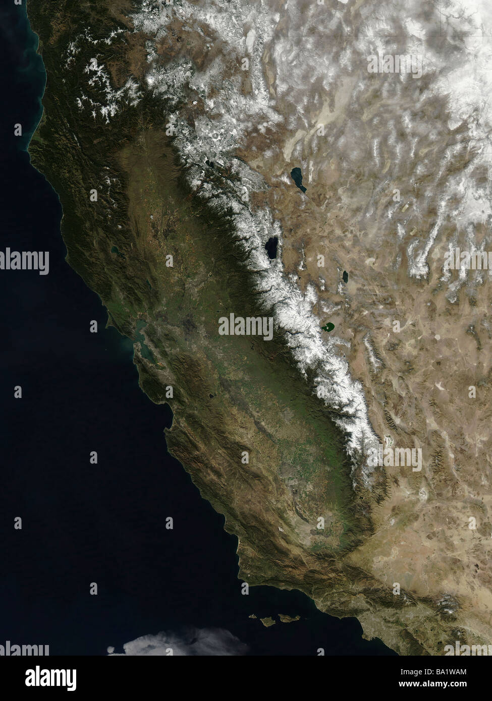 February 2, 2009 - California Stock Photohttps://www.alamy.com/image-license-details/?v=1https://www.alamy.com/stock-photo-february-2-2009-california-23398780.html
RFBA1WAM–February 2, 2009 - California
 Topographic map contour background. Topo map with elevation. Contour map vector. Geographic World Topography map grid abstract vector illustration . Stock Vectorhttps://www.alamy.com/image-license-details/?v=1https://www.alamy.com/topographic-map-contour-background-topo-map-with-elevation-contour-map-vector-geographic-world-topography-map-grid-abstract-vector-illustration-image183576512.html
RFMJJHM0–Topographic map contour background. Topo map with elevation. Contour map vector. Geographic World Topography map grid abstract vector illustration .
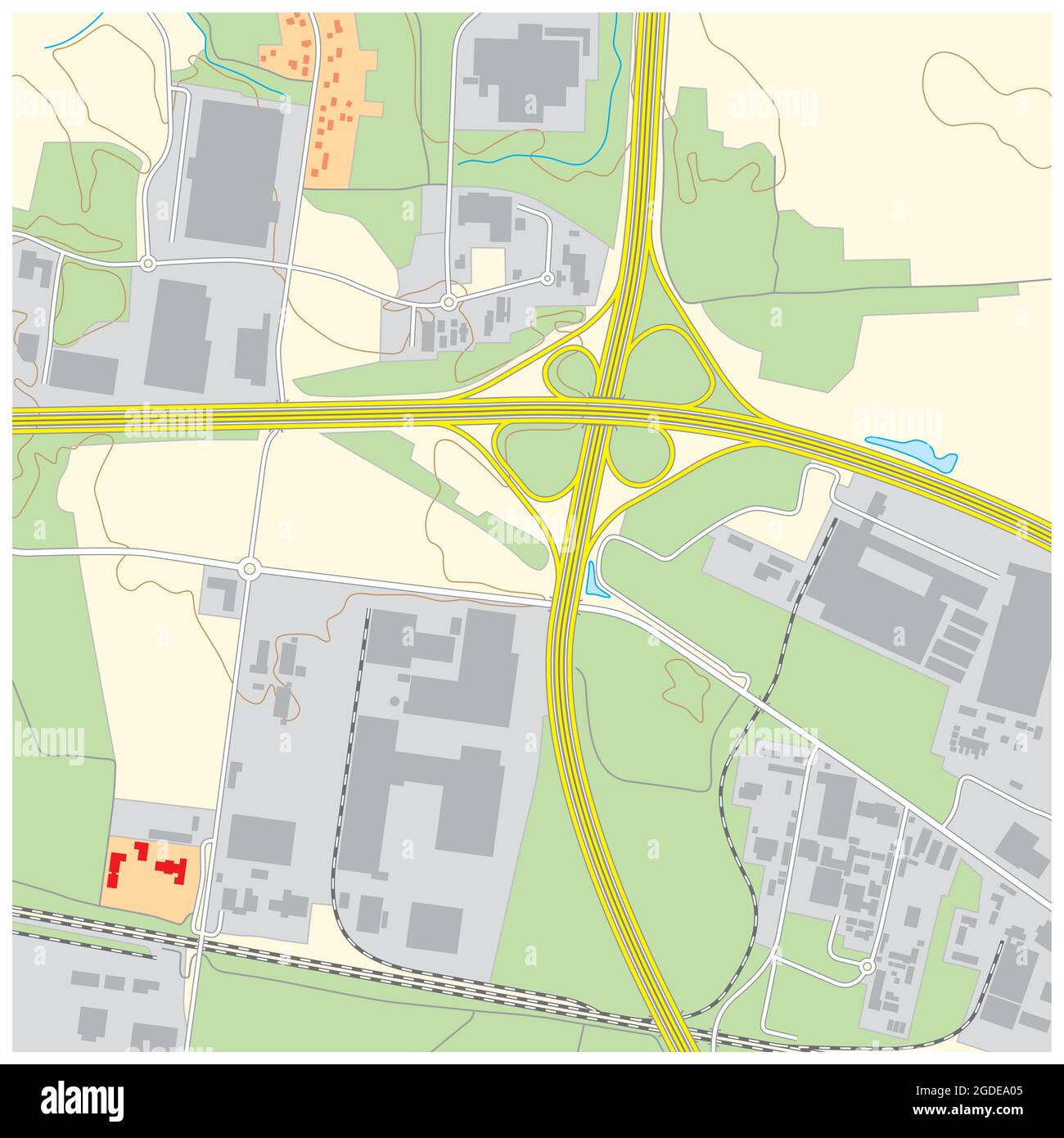 Imaginary topographic map of an area with buildings and streets Stock Vectorhttps://www.alamy.com/image-license-details/?v=1https://www.alamy.com/imaginary-topographic-map-of-an-area-with-buildings-and-streets-image438564901.html
RF2GDEA05–Imaginary topographic map of an area with buildings and streets
 3D Render abstract topographic map background. Stock Photohttps://www.alamy.com/image-license-details/?v=1https://www.alamy.com/3d-render-abstract-topographic-map-background-image415921377.html
RF2F4JRXW–3D Render abstract topographic map background.
 An image of a topographic road map stage plan chart. Stock Vectorhttps://www.alamy.com/image-license-details/?v=1https://www.alamy.com/an-image-of-a-topographic-road-map-stage-plan-chart-image555456599.html
RF2R7K6FK–An image of a topographic road map stage plan chart.
 Topographic map and pencils close up Stock Photohttps://www.alamy.com/image-license-details/?v=1https://www.alamy.com/topographic-map-and-pencils-close-up-image66644488.html
RFDTBWM8–Topographic map and pencils close up
 Set of vector banners with world map. Silver color Stock Vectorhttps://www.alamy.com/image-license-details/?v=1https://www.alamy.com/set-of-vector-banners-with-world-map-silver-color-image241866693.html
RFT1DYC5–Set of vector banners with world map. Silver color
 Seamless abstract topographic map wavy ridged lines background texture in an oxidized copper patina mint green and orange brown earth tones color pale Stock Photohttps://www.alamy.com/image-license-details/?v=1https://www.alamy.com/seamless-abstract-topographic-map-wavy-ridged-lines-background-texture-in-an-oxidized-copper-patina-mint-green-and-orange-brown-earth-tones-color-pale-image505813903.html
RF2MAWPP7–Seamless abstract topographic map wavy ridged lines background texture in an oxidized copper patina mint green and orange brown earth tones color pale
 Globe isolated on white background Stock Photohttps://www.alamy.com/image-license-details/?v=1https://www.alamy.com/stock-photo-globe-isolated-on-white-background-71847884.html
RFE4TXKT–Globe isolated on white background
 Abstract topographic contour line pattern solid background vector map. Stock Vectorhttps://www.alamy.com/image-license-details/?v=1https://www.alamy.com/abstract-topographic-contour-line-pattern-solid-background-vector-map-image490927443.html
RF2KEKJXY–Abstract topographic contour line pattern solid background vector map.
 topographic map design in red color Stock Vectorhttps://www.alamy.com/image-license-details/?v=1https://www.alamy.com/topographic-map-design-in-red-color-image630150421.html
RF2YH5R85–topographic map design in red color
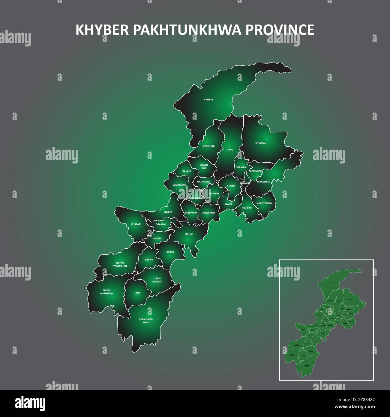 khyber Pakhtunkhwa District map with a unique green color gradient. Illustration Stock Vectorhttps://www.alamy.com/image-license-details/?v=1https://www.alamy.com/khyber-pakhtunkhwa-district-map-with-a-unique-green-color-gradient-illustration-image624669474.html
RF2Y88482–khyber Pakhtunkhwa District map with a unique green color gradient. Illustration
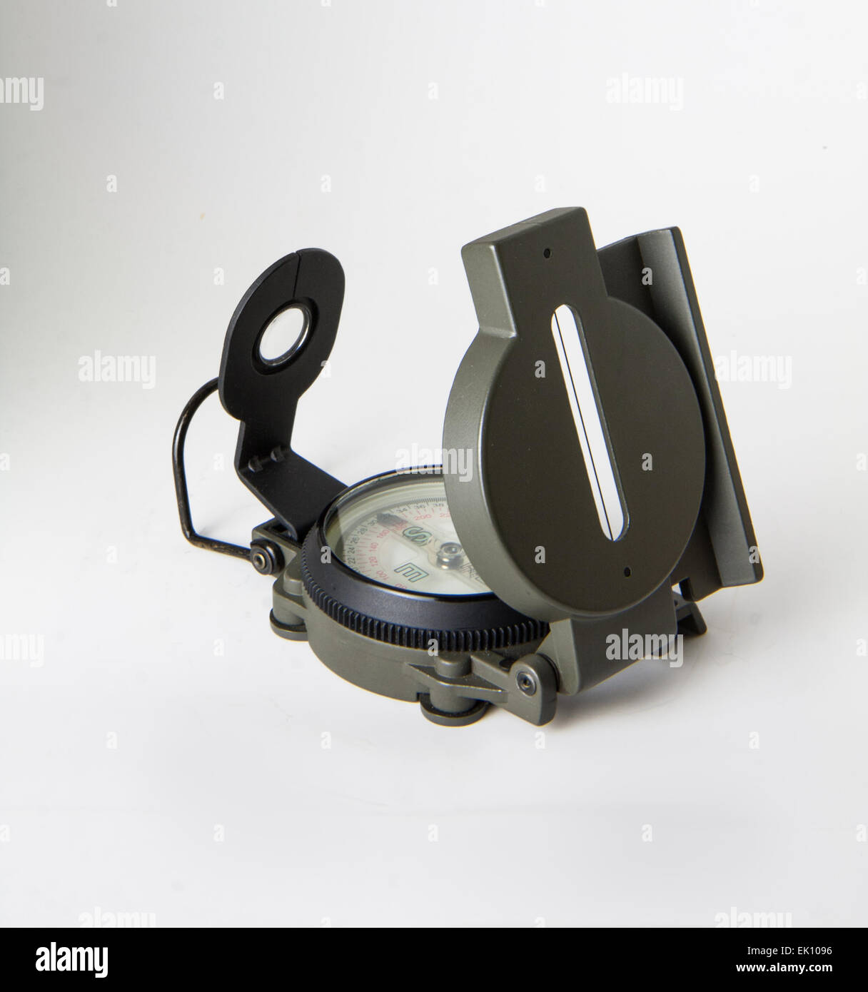 closeup of a topographics compass on white background Stock Photohttps://www.alamy.com/image-license-details/?v=1https://www.alamy.com/stock-photo-closeup-of-a-topographics-compass-on-white-background-80542146.html
RFEK1096–closeup of a topographics compass on white background
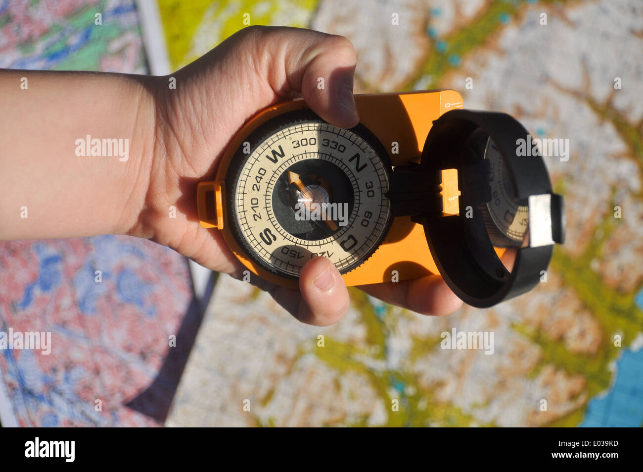 The compass in his hand under the bright sun on the background color topographic maps. Stock Photohttps://www.alamy.com/image-license-details/?v=1https://www.alamy.com/the-compass-in-his-hand-under-the-bright-sun-on-the-background-color-image68914929.html
RFE039KD–The compass in his hand under the bright sun on the background color topographic maps.
 Topographic map of district Stock Photohttps://www.alamy.com/image-license-details/?v=1https://www.alamy.com/stock-photo-topographic-map-of-district-93392039.html
RFFBXADY–Topographic map of district
 Trees in autumn colour fill Thado Koshi Khola beneath snow-covered Kusum Kanguru, in the Nepalese Himalaya Stock Photohttps://www.alamy.com/image-license-details/?v=1https://www.alamy.com/trees-in-autumn-colour-fill-thado-koshi-khola-beneath-snow-covered-image65432195.html
RFDPCKC3–Trees in autumn colour fill Thado Koshi Khola beneath snow-covered Kusum Kanguru, in the Nepalese Himalaya
 Vector illustration, document mock up template, easy color adjustment. Paper cut topographic style in colorful wave layering. Suitable for book cover, Stock Vectorhttps://www.alamy.com/image-license-details/?v=1https://www.alamy.com/vector-illustration-document-mock-up-template-easy-color-adjustment-paper-cut-topographic-style-in-colorful-wave-layering-suitable-for-book-cover-image462966757.html
RF2HW5XR1–Vector illustration, document mock up template, easy color adjustment. Paper cut topographic style in colorful wave layering. Suitable for book cover,
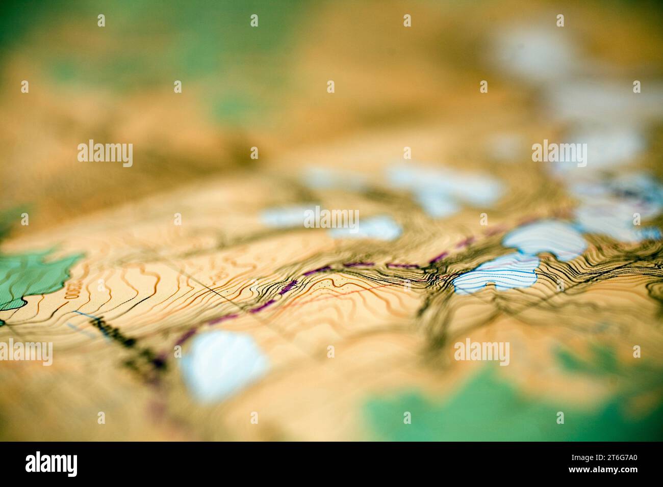 Detail view of a paper map showing topographic contours of mountains and glaciers. Stock Photohttps://www.alamy.com/image-license-details/?v=1https://www.alamy.com/detail-view-of-a-paper-map-showing-topographic-contours-of-mountains-and-glaciers-image571987080.html
RF2T6G7A0–Detail view of a paper map showing topographic contours of mountains and glaciers.
 abstract topographic background in red color isolated on white background Stock Photohttps://www.alamy.com/image-license-details/?v=1https://www.alamy.com/abstract-topographic-background-in-red-color-isolated-on-white-background-image229183460.html
RMR8T5RG–abstract topographic background in red color isolated on white background
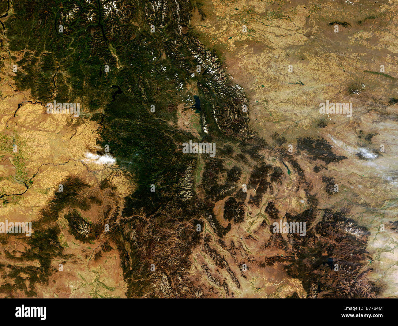 A relatively clear day over over the northwestern portion of the United States. Stock Photohttps://www.alamy.com/image-license-details/?v=1https://www.alamy.com/stock-photo-a-relatively-clear-day-over-over-the-northwestern-portion-of-the-united-21675380.html
RFB77B4M–A relatively clear day over over the northwestern portion of the United States.
 Topographic map contour background. Topo map with elevation. Contour map vector. Geographic World Topography map grid abstract vector illustration . Stock Vectorhttps://www.alamy.com/image-license-details/?v=1https://www.alamy.com/topographic-map-contour-background-topo-map-with-elevation-contour-map-vector-geographic-world-topography-map-grid-abstract-vector-illustration-image183574587.html
RFMJJF77–Topographic map contour background. Topo map with elevation. Contour map vector. Geographic World Topography map grid abstract vector illustration .
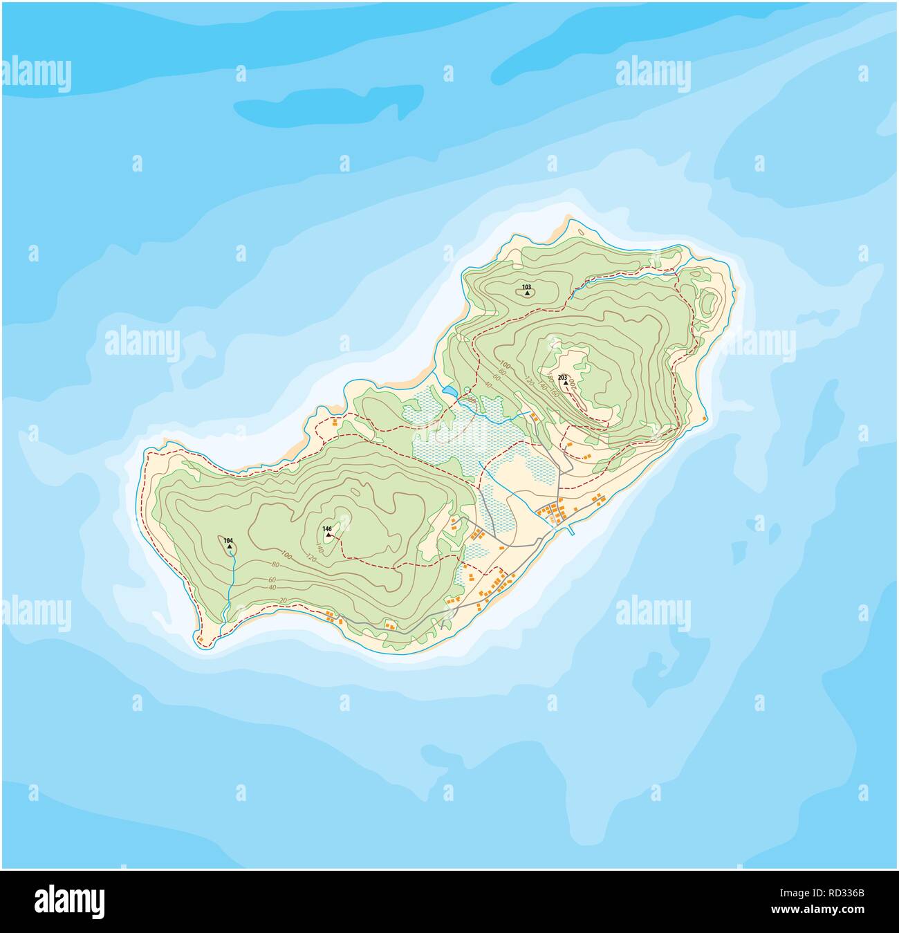 abstract island map pattern with topographic heights and deep lines Stock Vectorhttps://www.alamy.com/image-license-details/?v=1https://www.alamy.com/abstract-island-map-pattern-with-topographic-heights-and-deep-lines-image231793699.html
RFRD336B–abstract island map pattern with topographic heights and deep lines
 3D Render abstract topographic map background. Stock Photohttps://www.alamy.com/image-license-details/?v=1https://www.alamy.com/3d-render-abstract-topographic-map-background-image417599817.html
RF2F7B8R5–3D Render abstract topographic map background.
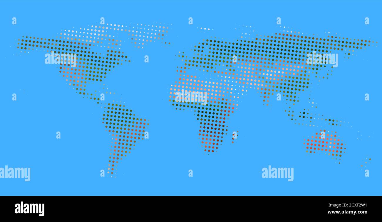 simplified colored half-tone topographic world map, vector illustration Stock Vectorhttps://www.alamy.com/image-license-details/?v=1https://www.alamy.com/simplified-colored-half-tone-topographic-world-map-vector-illustration-image446571805.html
RF2GXF2W1–simplified colored half-tone topographic world map, vector illustration
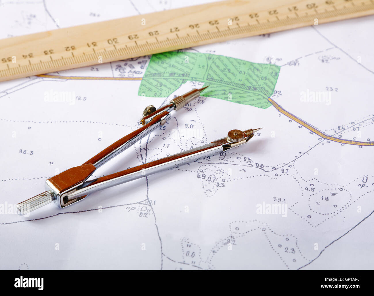 Topographic map of district with measuring instrument and ruler Stock Photohttps://www.alamy.com/image-license-details/?v=1https://www.alamy.com/stock-photo-topographic-map-of-district-with-measuring-instrument-and-ruler-116815054.html
RFGP1AP6–Topographic map of district with measuring instrument and ruler
RFRM00CR–Pattern with topographic icons. Vector streamless pattern. Topographic concept. One color.
 Color abstract sand background. Paper cut yellow gradient. Layer yellow wavy paper. Vector illustration Stock Vectorhttps://www.alamy.com/image-license-details/?v=1https://www.alamy.com/stock-photo-color-abstract-sand-background-paper-cut-yellow-gradient-layer-yellow-174263076.html
RFM3EA98–Color abstract sand background. Paper cut yellow gradient. Layer yellow wavy paper. Vector illustration
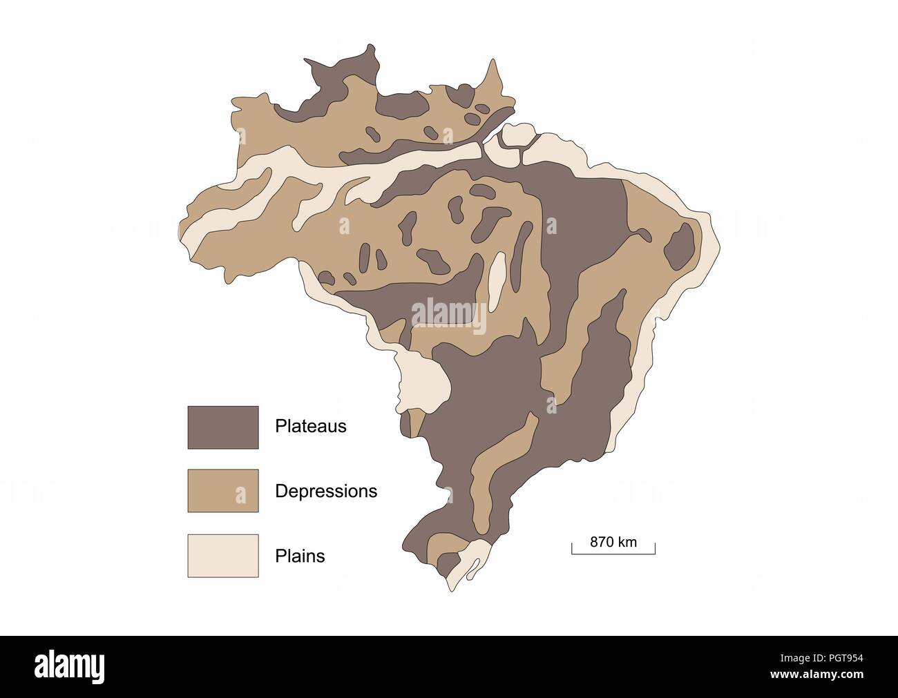 Physical map of Brazil showing relief variations Stock Vectorhttps://www.alamy.com/image-license-details/?v=1https://www.alamy.com/physical-map-of-brazil-showing-relief-variations-image216892960.html
RFPGT954–Physical map of Brazil showing relief variations
 Abstract topographic contour line pattern solid background vector map. Stock Vectorhttps://www.alamy.com/image-license-details/?v=1https://www.alamy.com/abstract-topographic-contour-line-pattern-solid-background-vector-map-image490926787.html
RF2KEKJ3F–Abstract topographic contour line pattern solid background vector map.
 Blue door on a white wall with shadow of lamppost Stock Photohttps://www.alamy.com/image-license-details/?v=1https://www.alamy.com/stock-photo-blue-door-on-a-white-wall-with-shadow-of-lamppost-50347583.html
RFCWWERY–Blue door on a white wall with shadow of lamppost
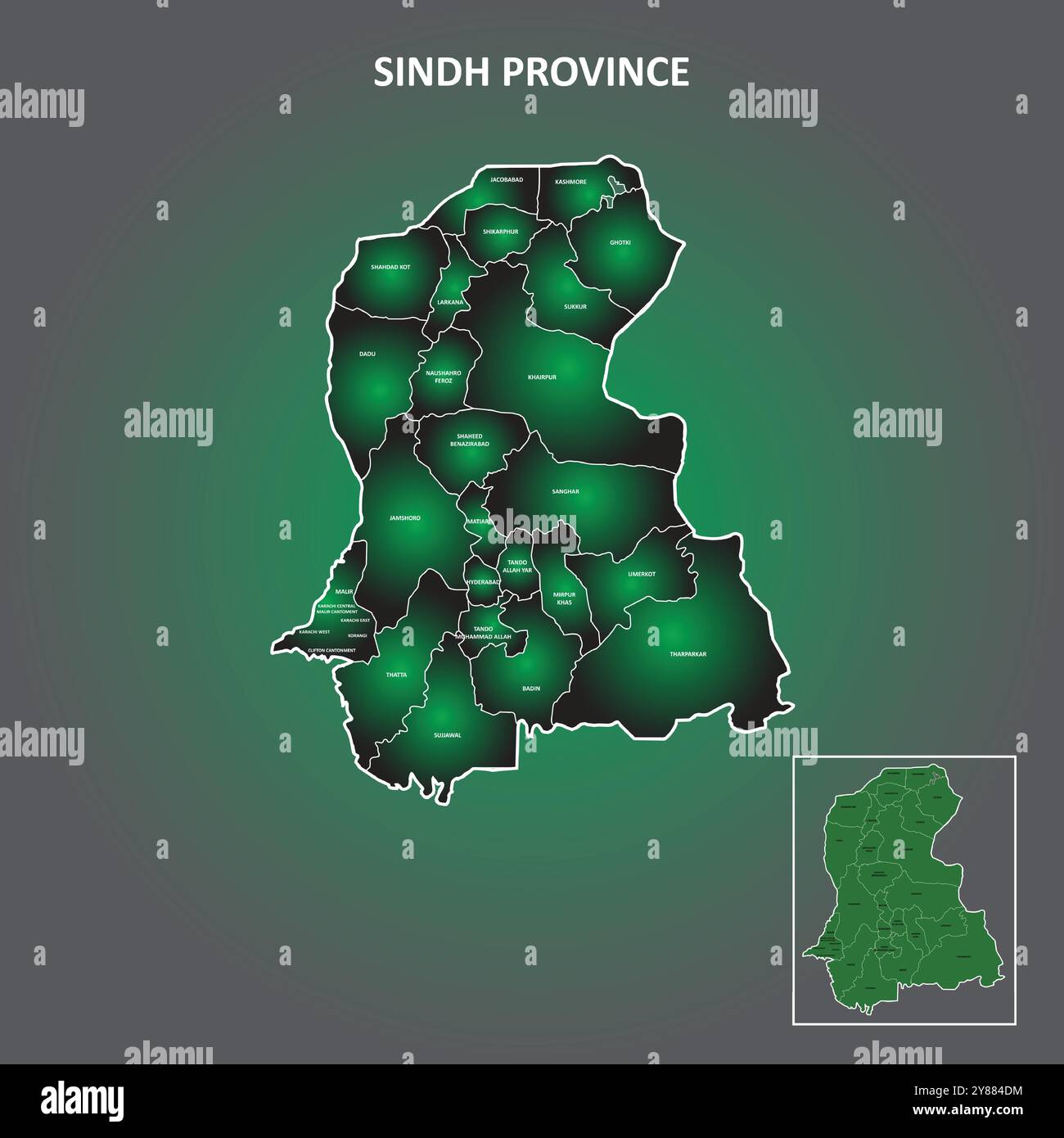 Sindh District map green color gradient. Pakistan Province Vector map Stock Vectorhttps://www.alamy.com/image-license-details/?v=1https://www.alamy.com/sindh-district-map-green-color-gradient-pakistan-province-vector-map-image624669632.html
RF2Y884DM–Sindh District map green color gradient. Pakistan Province Vector map
 closeup of a topographics compass on white background Stock Photohttps://www.alamy.com/image-license-details/?v=1https://www.alamy.com/stock-photo-closeup-of-a-topographics-compass-on-white-background-80542143.html
RFEK1093–closeup of a topographics compass on white background
 Mountain landscape. Mountainous terrain. Vector illustration. Abstract background. Stock Vectorhttps://www.alamy.com/image-license-details/?v=1https://www.alamy.com/mountain-landscape-mountainous-terrain-vector-illustration-abstract-background-image244372193.html
RFT5G369–Mountain landscape. Mountainous terrain. Vector illustration. Abstract background.
 Topographic map of district Stock Photohttps://www.alamy.com/image-license-details/?v=1https://www.alamy.com/stock-photo-topographic-map-of-district-52135396.html
RFD0PY6C–Topographic map of district
RF2WWXN3W–Montenegro map icon vector symbol design
 Vector illustration, document mock up template, easy color adjustment. Paper cut topographic style in colorful wave layering. Suitable for book cover, Stock Vectorhttps://www.alamy.com/image-license-details/?v=1https://www.alamy.com/vector-illustration-document-mock-up-template-easy-color-adjustment-paper-cut-topographic-style-in-colorful-wave-layering-suitable-for-book-cover-image462966503.html
RF2HW5XDY–Vector illustration, document mock up template, easy color adjustment. Paper cut topographic style in colorful wave layering. Suitable for book cover,
 Detail view of a compass on a topographic map, used for planning backpacking and hiking trips. Stock Photohttps://www.alamy.com/image-license-details/?v=1https://www.alamy.com/detail-view-of-a-compass-on-a-topographic-map-used-for-planning-backpacking-and-hiking-trips-image571987174.html
RF2T6G7DA–Detail view of a compass on a topographic map, used for planning backpacking and hiking trips.
 Synthwave wireframe net illustration. Abstract digital background. 80s, 90s Retro futurism, Retro wave cyber grid. Deep space surfaces. Neon lights Stock Vectorhttps://www.alamy.com/image-license-details/?v=1https://www.alamy.com/synthwave-wireframe-net-illustration-abstract-digital-background-80s-90s-retro-futurism-retro-wave-cyber-grid-deep-space-surfaces-neon-lights-image552869672.html
RF2R3DAWC–Synthwave wireframe net illustration. Abstract digital background. 80s, 90s Retro futurism, Retro wave cyber grid. Deep space surfaces. Neon lights
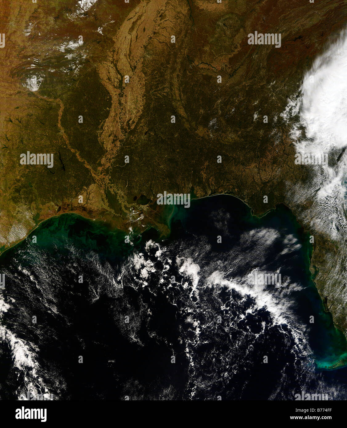 The southeastern United States. Stock Photohttps://www.alamy.com/image-license-details/?v=1https://www.alamy.com/stock-photo-the-southeastern-united-states-21670195.html
RFB774FF–The southeastern United States.
 Topographic map contour background. Topo map with elevation. Contour map vector. Geographic World Topography map grid abstract vector illustration . Stock Vectorhttps://www.alamy.com/image-license-details/?v=1https://www.alamy.com/topographic-map-contour-background-topo-map-with-elevation-contour-map-vector-geographic-world-topography-map-grid-abstract-vector-illustration-image183576494.html
RFMJJHKA–Topographic map contour background. Topo map with elevation. Contour map vector. Geographic World Topography map grid abstract vector illustration .
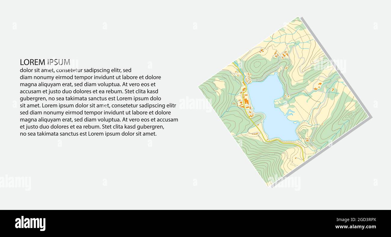 Imaginary topographic map of territory with rivers, lakes and roads Stock Vectorhttps://www.alamy.com/image-license-details/?v=1https://www.alamy.com/imaginary-topographic-map-of-territory-with-rivers-lakes-and-roads-image438334258.html
RF2GD3RPX–Imaginary topographic map of territory with rivers, lakes and roads
 3D Render abstract topographic map background. Stock Photohttps://www.alamy.com/image-license-details/?v=1https://www.alamy.com/3d-render-abstract-topographic-map-background-image415162374.html
RF2F3C7RJ–3D Render abstract topographic map background.
 Square pattern. Wireframe landscape background. Futuristic vector illustration. Stock Vectorhttps://www.alamy.com/image-license-details/?v=1https://www.alamy.com/square-pattern-wireframe-landscape-background-futuristic-vector-illustration-image568917575.html
RF2T1GC4R–Square pattern. Wireframe landscape background. Futuristic vector illustration.
 Topographic map of district with measuring instrument and ruler Stock Photohttps://www.alamy.com/image-license-details/?v=1https://www.alamy.com/stock-photo-topographic-map-of-district-with-measuring-instrument-and-ruler-116815088.html
RFGP1ARC–Topographic map of district with measuring instrument and ruler
 Modern Abstract Colorful Backgrounds. Stock Vectorhttps://www.alamy.com/image-license-details/?v=1https://www.alamy.com/modern-abstract-colorful-backgrounds-image261352578.html
RFW55HTJ–Modern Abstract Colorful Backgrounds.
 3D abstract background with yellow paper cut shapes. Layer color wavy paper. Design for business poster and presentation. Vector illustration Stock Vectorhttps://www.alamy.com/image-license-details/?v=1https://www.alamy.com/stock-photo-3d-abstract-background-with-yellow-paper-cut-shapes-layer-color-wavy-174263079.html
RFM3EA9B–3D abstract background with yellow paper cut shapes. Layer color wavy paper. Design for business poster and presentation. Vector illustration
 sunrise in the mountains of Ubina, between Asturias and Leon, on a winter day with lots of snow, early in the morning to photograph the unique colors Stock Photohttps://www.alamy.com/image-license-details/?v=1https://www.alamy.com/stock-photo-sunrise-in-the-mountains-of-ubina-between-asturias-and-leon-on-a-winter-173355424.html
RFM210H4–sunrise in the mountains of Ubina, between Asturias and Leon, on a winter day with lots of snow, early in the morning to photograph the unique colors
 Abstract topographic contour line pattern solid background vector map. Stock Vectorhttps://www.alamy.com/image-license-details/?v=1https://www.alamy.com/abstract-topographic-contour-line-pattern-solid-background-vector-map-image490926794.html
RF2KEKJ3P–Abstract topographic contour line pattern solid background vector map.
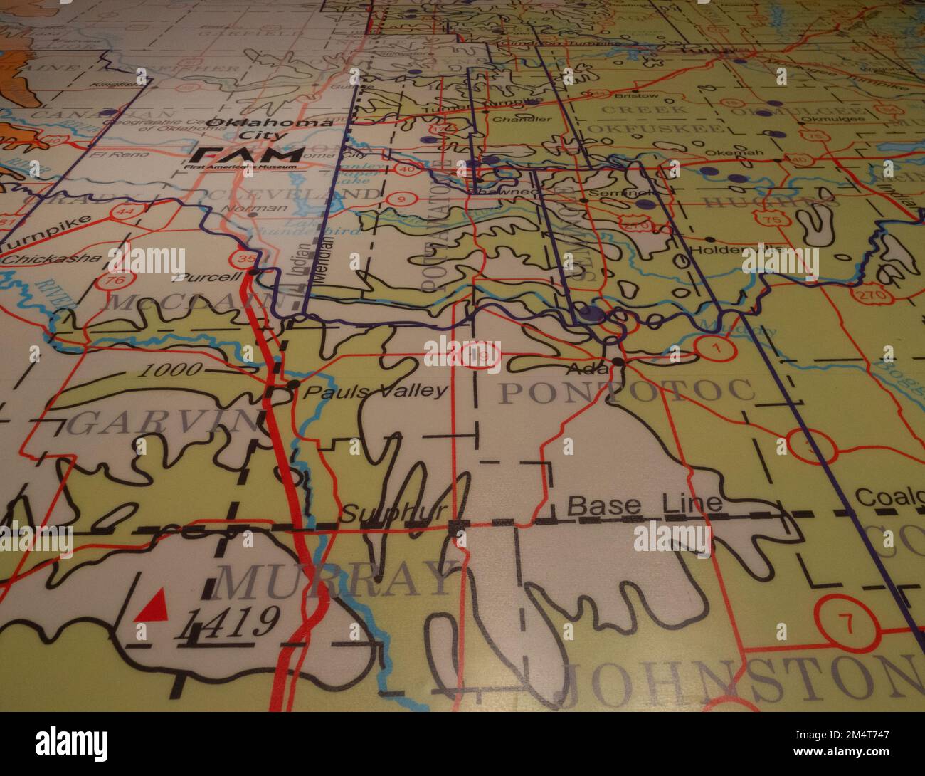 Colorful topographic map with the First Americans Museum noted on the map. The map is on display in the museum in Oklahoma City, Oklahoma. Stock Photohttps://www.alamy.com/image-license-details/?v=1https://www.alamy.com/colorful-topographic-map-with-the-first-americans-museum-noted-on-the-map-the-map-is-on-display-in-the-museum-in-oklahoma-city-oklahoma-image502091751.html
RF2M4T747–Colorful topographic map with the First Americans Museum noted on the map. The map is on display in the museum in Oklahoma City, Oklahoma.
 Tree rings background illustration. Color version Stock Photohttps://www.alamy.com/image-license-details/?v=1https://www.alamy.com/stock-photo-tree-rings-background-illustration-color-version-76246332.html
RFEC18Y8–Tree rings background illustration. Color version
 Multi layers vector background with abstract topography or flowing liquid design, colored on light blue Stock Vectorhttps://www.alamy.com/image-license-details/?v=1https://www.alamy.com/multi-layers-vector-background-with-abstract-topography-or-flowing-liquid-design-colored-on-light-blue-image366552456.html
RF2C89WB4–Multi layers vector background with abstract topography or flowing liquid design, colored on light blue
 Mountain landscape. Mountainous terrain. Vector illustration. Abstract background. Stock Vectorhttps://www.alamy.com/image-license-details/?v=1https://www.alamy.com/mountain-landscape-mountainous-terrain-vector-illustration-abstract-background-image245300654.html
RFT72BDJ–Mountain landscape. Mountainous terrain. Vector illustration. Abstract background.
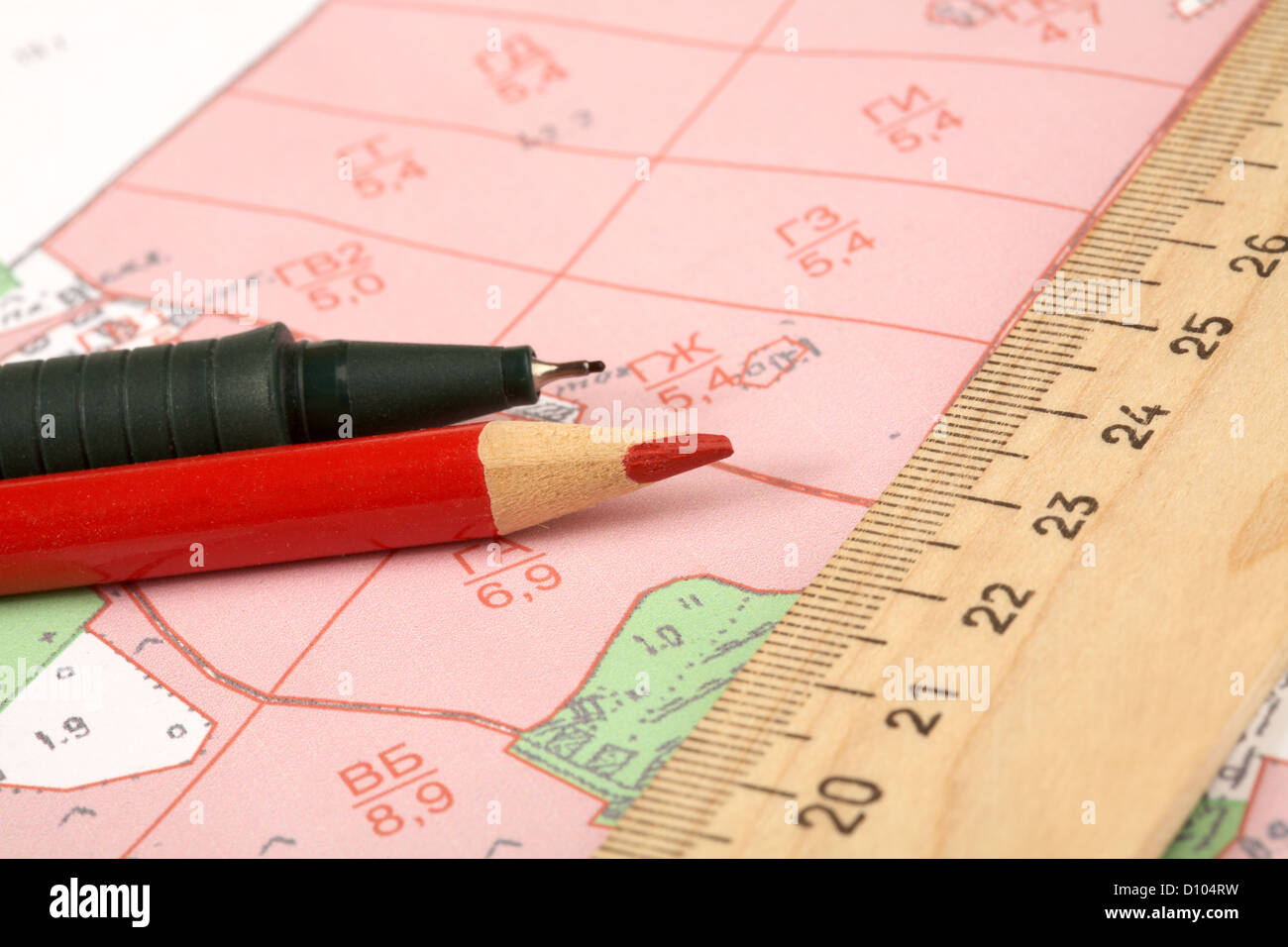 Topographic map of district with ruler Stock Photohttps://www.alamy.com/image-license-details/?v=1https://www.alamy.com/stock-photo-topographic-map-of-district-with-ruler-52249565.html
RFD104RW–Topographic map of district with ruler
RF2WWXN21–Montenegro map icon vector symbol design
 Vector illustration, document mock up template, easy color adjustment. Paper cut topographic style in colorful wave layering. Suitable for book cover, Stock Vectorhttps://www.alamy.com/image-license-details/?v=1https://www.alamy.com/vector-illustration-document-mock-up-template-easy-color-adjustment-paper-cut-topographic-style-in-colorful-wave-layering-suitable-for-book-cover-image462966688.html
RF2HW5XMG–Vector illustration, document mock up template, easy color adjustment. Paper cut topographic style in colorful wave layering. Suitable for book cover,
 Rome, Italy - 26 Nov, 2022: Galleria degli Arazzi (Tapestry gallery), of the Vatican Museums, Vatican city Stock Photohttps://www.alamy.com/image-license-details/?v=1https://www.alamy.com/rome-italy-26-nov-2022-galleria-degli-arazzi-tapestry-gallery-of-the-vatican-museums-vatican-city-image559700332.html
RF2REGFDG–Rome, Italy - 26 Nov, 2022: Galleria degli Arazzi (Tapestry gallery), of the Vatican Museums, Vatican city
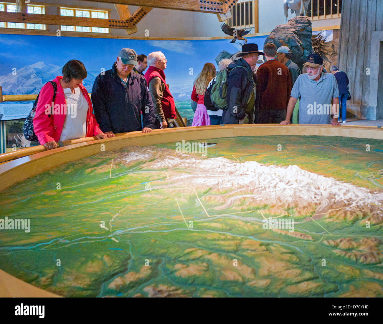 Tourists viewing a three dimensional topographic map at the Denali National Park Visitors Center, Denali National Park, Alaska Stock Photohttps://www.alamy.com/image-license-details/?v=1https://www.alamy.com/stock-photo-tourists-viewing-a-three-dimensional-topographic-map-at-the-denali-55955354.html
RMD70YHE–Tourists viewing a three dimensional topographic map at the Denali National Park Visitors Center, Denali National Park, Alaska
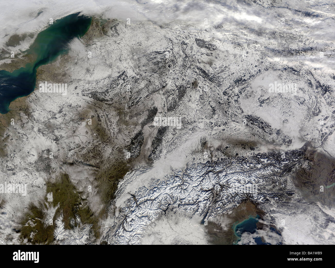 January 9, 2009 - Snow in Europe (true color). Stock Photohttps://www.alamy.com/image-license-details/?v=1https://www.alamy.com/stock-photo-january-9-2009-snow-in-europe-true-color-23398797.html
RFBA1WB9–January 9, 2009 - Snow in Europe (true color).
 Topographic map contour background. Topo map with elevation. Contour map vector. Geographic World Topography map grid abstract vector illustration . Stock Vectorhttps://www.alamy.com/image-license-details/?v=1https://www.alamy.com/topographic-map-contour-background-topo-map-with-elevation-contour-map-vector-geographic-world-topography-map-grid-abstract-vector-illustration-image183576244.html
RFMJJHAC–Topographic map contour background. Topo map with elevation. Contour map vector. Geographic World Topography map grid abstract vector illustration .
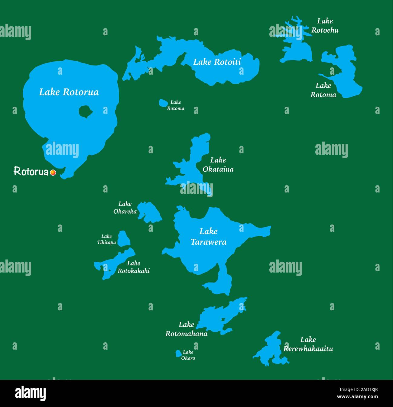 Map of the lakes in the Rotorua Lakes district on the North Island of New Zealand Stock Vectorhttps://www.alamy.com/image-license-details/?v=1https://www.alamy.com/map-of-the-lakes-in-the-rotorua-lakes-district-on-the-north-island-of-new-zealand-image335535279.html
RF2ADTXJR–Map of the lakes in the Rotorua Lakes district on the North Island of New Zealand
 3D Render abstract topographic map background. Stock Photohttps://www.alamy.com/image-license-details/?v=1https://www.alamy.com/3d-render-abstract-topographic-map-background-image415921248.html
RF2F4JRP8–3D Render abstract topographic map background.
 Square pattern. Wireframe landscape background. Futuristic vector illustration. Stock Vectorhttps://www.alamy.com/image-license-details/?v=1https://www.alamy.com/square-pattern-wireframe-landscape-background-futuristic-vector-illustration-image568918117.html
RF2T1GCT5–Square pattern. Wireframe landscape background. Futuristic vector illustration.
 Topographic map of district with a measuring instrument and pencils Stock Photohttps://www.alamy.com/image-license-details/?v=1https://www.alamy.com/stock-photo-topographic-map-of-district-with-a-measuring-instrument-and-pencils-43230119.html
RFCE98CR–Topographic map of district with a measuring instrument and pencils
 Modern Abstract Colorful Backgrounds. Stock Vectorhttps://www.alamy.com/image-license-details/?v=1https://www.alamy.com/modern-abstract-colorful-backgrounds-image261352507.html
RFW55HP3–Modern Abstract Colorful Backgrounds.
 Close up of a globe against a white background Stock Photohttps://www.alamy.com/image-license-details/?v=1https://www.alamy.com/stock-photo-close-up-of-a-globe-against-a-white-background-39109610.html
RFC7HGKP–Close up of a globe against a white background
 sunrise in the mountains of Ubina, between Asturias and Leon, on a winter day with lots of snow, early in the morning to photograph the unique colors Stock Photohttps://www.alamy.com/image-license-details/?v=1https://www.alamy.com/stock-photo-sunrise-in-the-mountains-of-ubina-between-asturias-and-leon-on-a-winter-173410151.html
RFM23EBK–sunrise in the mountains of Ubina, between Asturias and Leon, on a winter day with lots of snow, early in the morning to photograph the unique colors
 Abstract topographic contour line pattern solid background vector map. Stock Vectorhttps://www.alamy.com/image-license-details/?v=1https://www.alamy.com/abstract-topographic-contour-line-pattern-solid-background-vector-map-image490927487.html
RF2KEKK0F–Abstract topographic contour line pattern solid background vector map.
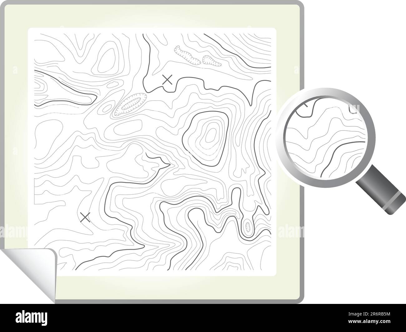 Topographic Map Stock Vectorhttps://www.alamy.com/image-license-details/?v=1https://www.alamy.com/topographic-map-image554933392.html
RF2R6RB5M–Topographic Map
 Abstract topographic patterned background vector Stock Vectorhttps://www.alamy.com/image-license-details/?v=1https://www.alamy.com/abstract-topographic-patterned-background-vector-image502998210.html
RF2M69F9P–Abstract topographic patterned background vector
 Multi layers vector background with abstract topography or flowing liquid design, colored on white Stock Vectorhttps://www.alamy.com/image-license-details/?v=1https://www.alamy.com/multi-layers-vector-background-with-abstract-topography-or-flowing-liquid-design-colored-on-white-image366546524.html
RF2C89HR8–Multi layers vector background with abstract topography or flowing liquid design, colored on white
 Mountain landscape. Mountainous terrain. Vector illustration. Abstract background. Stock Vectorhttps://www.alamy.com/image-license-details/?v=1https://www.alamy.com/mountain-landscape-mountainous-terrain-vector-illustration-abstract-background-image244372256.html
RFT5G38G–Mountain landscape. Mountainous terrain. Vector illustration. Abstract background.
 Topographic map of district with measuring instrument Stock Photohttps://www.alamy.com/image-license-details/?v=1https://www.alamy.com/stock-photo-topographic-map-of-district-with-measuring-instrument-103352911.html
RMG043KB–Topographic map of district with measuring instrument
RF2WWXN98–Montenegro map icon vector symbol design
 Vector illustration, document mock up template, easy color adjustment. Paper cut topographic style in colorful wave layering. Suitable for book cover, Stock Vectorhttps://www.alamy.com/image-license-details/?v=1https://www.alamy.com/vector-illustration-document-mock-up-template-easy-color-adjustment-paper-cut-topographic-style-in-colorful-wave-layering-suitable-for-book-cover-image462966310.html
RF2HW5X72–Vector illustration, document mock up template, easy color adjustment. Paper cut topographic style in colorful wave layering. Suitable for book cover,