Continent geographic area Stock Photos and Images
(3,901)See continent geographic area stock video clipsQuick filters:
Continent geographic area Stock Photos and Images
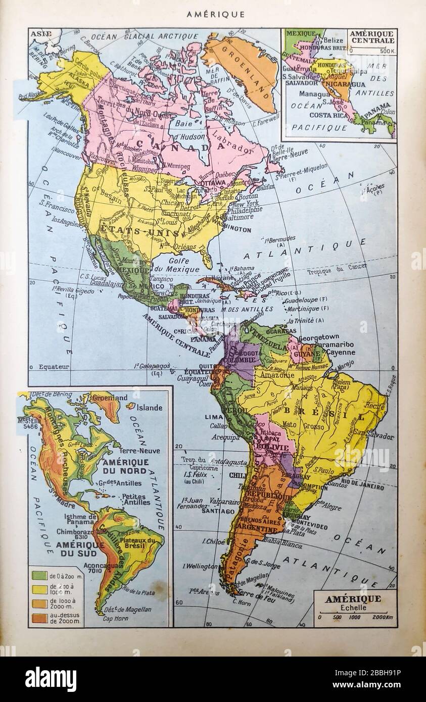 Old map of the Americas printed in the french dictionary 'Dictionnaire complet illustré' by the editor Larousse in 1889. It depicts the Americas in th Stock Photohttps://www.alamy.com/image-license-details/?v=1https://www.alamy.com/old-map-of-the-americas-printed-in-the-french-dictionary-dictionnaire-complet-illustr-by-the-editor-larousse-in-1889-it-depicts-the-americas-in-th-image351348866.html
RF2BBH91P–Old map of the Americas printed in the french dictionary 'Dictionnaire complet illustré' by the editor Larousse in 1889. It depicts the Americas in th
 Desktop Globe World. Concept of the business world. Abstract global routes. Global Chaos Stock Photohttps://www.alamy.com/image-license-details/?v=1https://www.alamy.com/desktop-globe-world-concept-of-the-business-world-abstract-global-routes-global-chaos-image561133876.html
RF2RGWRYG–Desktop Globe World. Concept of the business world. Abstract global routes. Global Chaos
 Text showing inspiration Global Epidemic. Word for a rapid spread of a communicable disease over a wide geographic area Team Members Looking At Whiteboard Brainstorming New Solutions Stock Photohttps://www.alamy.com/image-license-details/?v=1https://www.alamy.com/text-showing-inspiration-global-epidemic-word-for-a-rapid-spread-of-a-communicable-disease-over-a-wide-geographic-area-team-members-looking-at-whiteboard-brainstorming-new-solutions-image483291042.html
RF2K27PJA–Text showing inspiration Global Epidemic. Word for a rapid spread of a communicable disease over a wide geographic area Team Members Looking At Whiteboard Brainstorming New Solutions
 Flag of the European Union waving from a flagpole. Against the blue background, the golden stars form a circle as a symbol of unity and solidarity. Stock Photohttps://www.alamy.com/image-license-details/?v=1https://www.alamy.com/flag-of-the-european-union-waving-from-a-flagpole-against-the-blue-background-the-golden-stars-form-a-circle-as-a-symbol-of-unity-and-solidarity-image416408794.html
RF2F5D1JJ–Flag of the European Union waving from a flagpole. Against the blue background, the golden stars form a circle as a symbol of unity and solidarity.
 Turkish flag inside the Turkish nomad tent. Stock Photohttps://www.alamy.com/image-license-details/?v=1https://www.alamy.com/turkish-flag-inside-the-turkish-nomad-tent-image396220415.html
RM2E0HB53–Turkish flag inside the Turkish nomad tent.
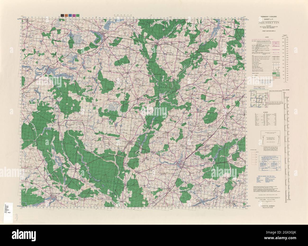 MAP CENTRAL EUROPE NEUSTETTIN 1944 Stock Photohttps://www.alamy.com/image-license-details/?v=1https://www.alamy.com/map-central-europe-neustettin-1944-image446319179.html
RF2GX3GJK–MAP CENTRAL EUROPE NEUSTETTIN 1944
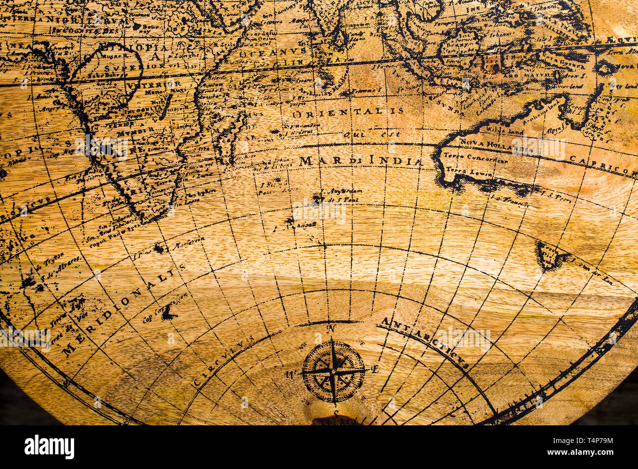 Old Geographic map of the world printed on a wooden board Stock Photohttps://www.alamy.com/image-license-details/?v=1https://www.alamy.com/old-geographic-map-of-the-world-printed-on-a-wooden-board-image243892480.html
RFT4P79M–Old Geographic map of the world printed on a wooden board
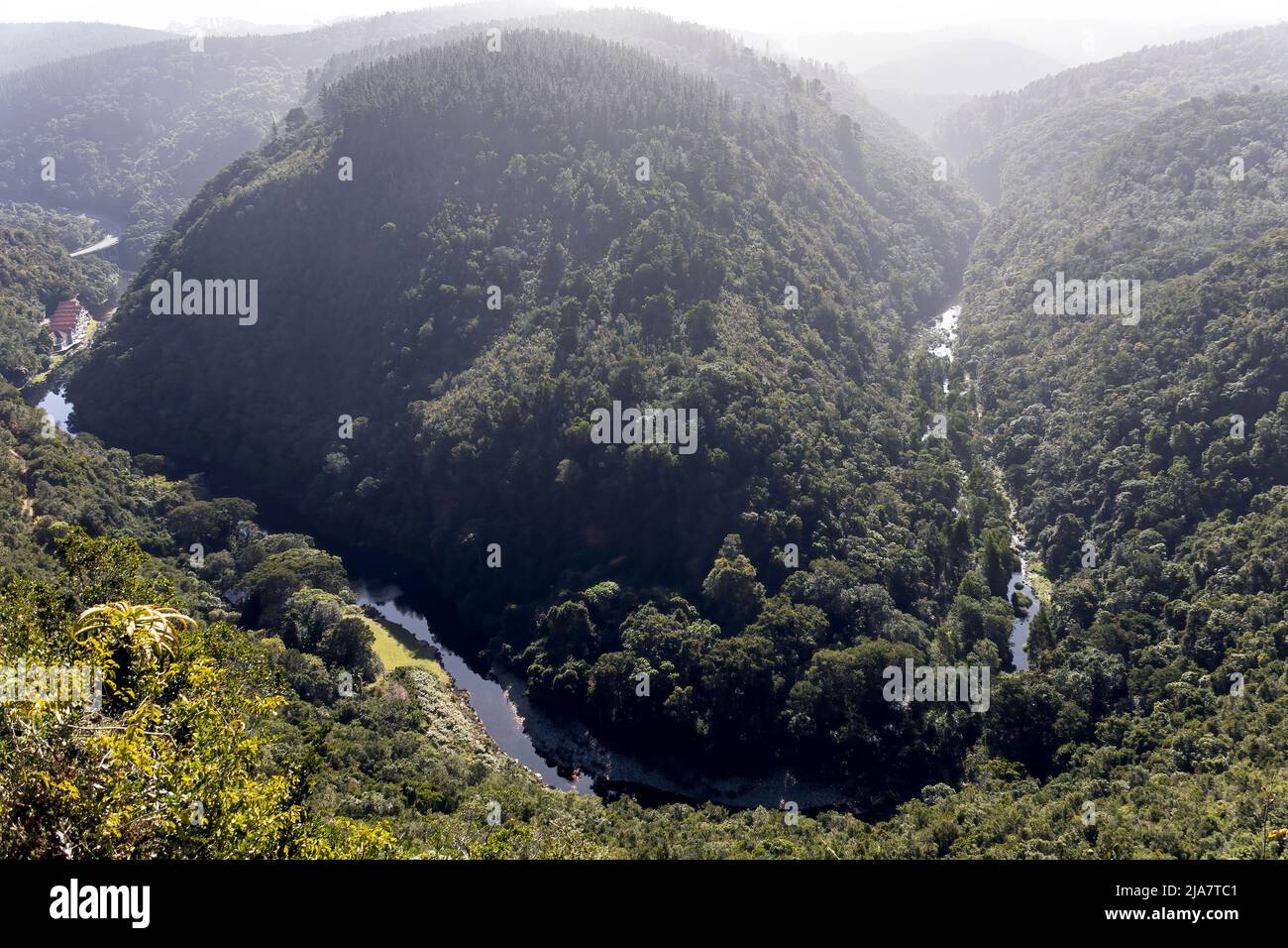 This naturally occuring formation of landmass and rivers creates a 'Map of Africa' almost identical to the actual shape of the African Continent Stock Photohttps://www.alamy.com/image-license-details/?v=1https://www.alamy.com/this-naturally-occuring-formation-of-landmass-and-rivers-creates-a-map-of-africa-almost-identical-to-the-actual-shape-of-the-african-continent-image470999313.html
RF2JA7TC1–This naturally occuring formation of landmass and rivers creates a 'Map of Africa' almost identical to the actual shape of the African Continent
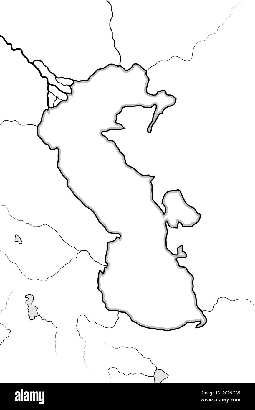 Map of The CASPIAN SEA basin: Circum-Caspian Region (Azerbaïdjan, Iran, Turkestan). Geographic chart. Stock Photohttps://www.alamy.com/image-license-details/?v=1https://www.alamy.com/map-of-the-caspian-sea-basin-circum-caspian-region-azerbadjan-iran-turkestan-geographic-chart-image362857437.html
RM2C29GA5–Map of The CASPIAN SEA basin: Circum-Caspian Region (Azerbaïdjan, Iran, Turkestan). Geographic chart.
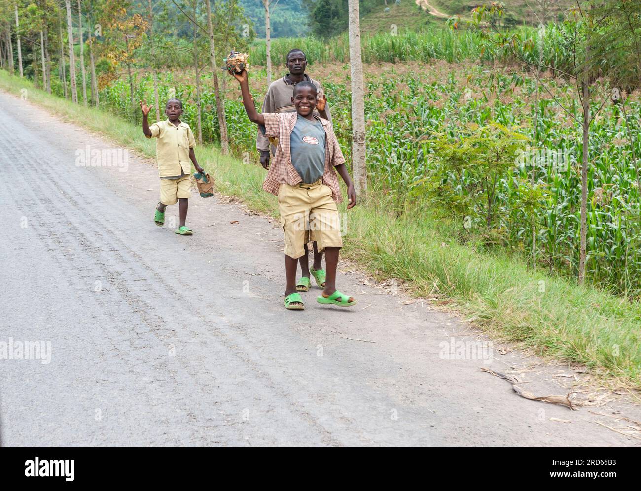 View from Drive through Rwanda from Kigali to Sabyinyo Silverback Lodge in Volcanoes National Park in Rwanda, in Africa. Stock Photohttps://www.alamy.com/image-license-details/?v=1https://www.alamy.com/view-from-drive-through-rwanda-from-kigali-to-sabyinyo-silverback-lodge-in-volcanoes-national-park-in-rwanda-in-africa-image558859031.html
RM2RD66B3–View from Drive through Rwanda from Kigali to Sabyinyo Silverback Lodge in Volcanoes National Park in Rwanda, in Africa.
 Abstract plant shapes floating in blue water, Solfatara area, Pomezia, Rome, Italy Stock Photohttps://www.alamy.com/image-license-details/?v=1https://www.alamy.com/abstract-plant-shapes-floating-in-blue-water-solfatara-area-pomezia-rome-italy-image612872623.html
RF2XH2N7Y–Abstract plant shapes floating in blue water, Solfatara area, Pomezia, Rome, Italy
 world map, rose continent, creative holiday concept Stock Photohttps://www.alamy.com/image-license-details/?v=1https://www.alamy.com/world-map-rose-continent-creative-holiday-concept-image526683440.html
RF2NGTE2T–world map, rose continent, creative holiday concept
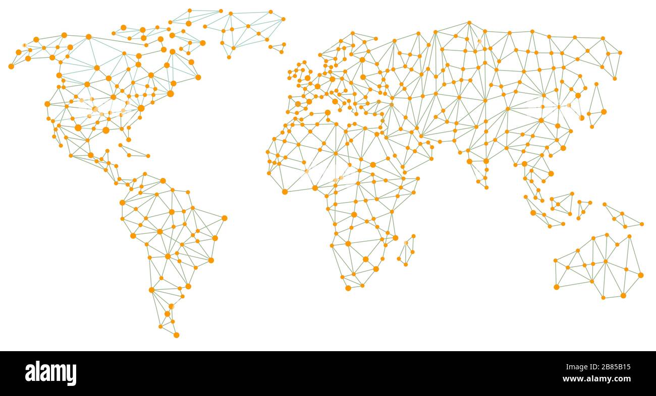 Globe map, world connection, geographic area Stock Photohttps://www.alamy.com/image-license-details/?v=1https://www.alamy.com/globe-map-world-connection-geographic-area-image349243025.html
RF2B85B15–Globe map, world connection, geographic area
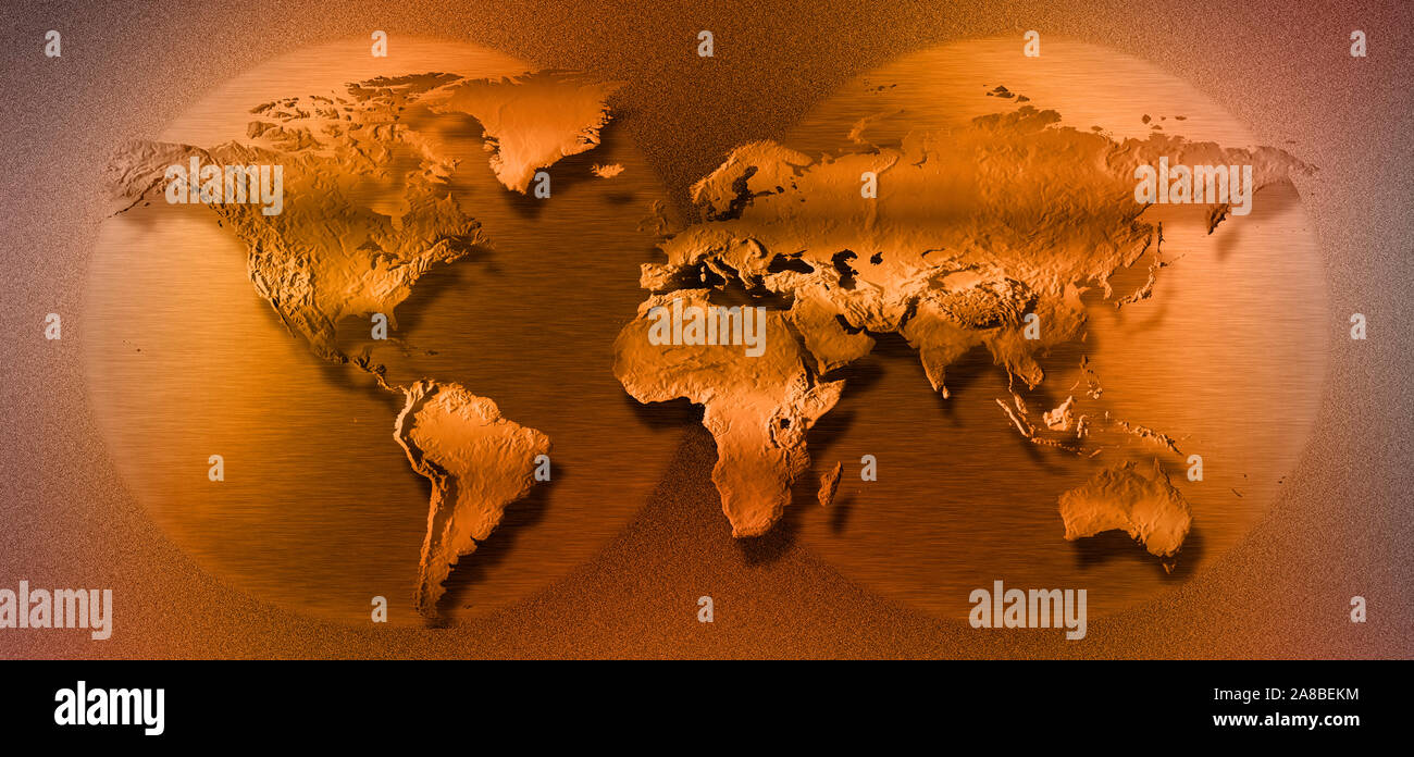 Close-up of map of world Stock Photohttps://www.alamy.com/image-license-details/?v=1https://www.alamy.com/close-up-of-map-of-world-image332167240.html
RM2A8BEKM–Close-up of map of world
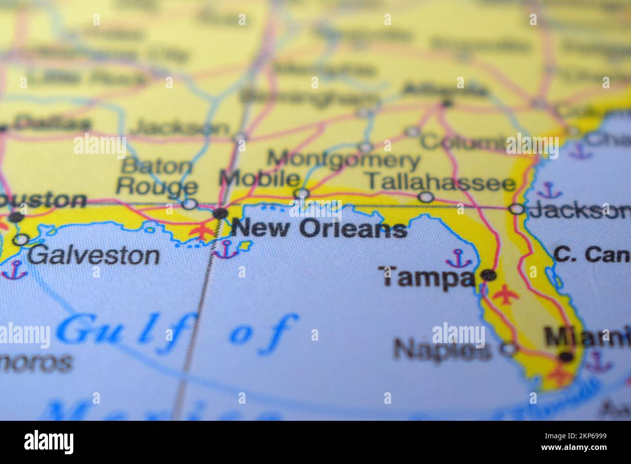 New Orleans Country - Geographic Area on The Political Map Macro Close-Up View Stock Photohttps://www.alamy.com/image-license-details/?v=1https://www.alamy.com/new-orleans-country-geographic-area-on-the-political-map-macro-close-up-view-image495551765.html
RF2KP6999–New Orleans Country - Geographic Area on The Political Map Macro Close-Up View
 Detailed World Map with Countries stock illustration Stock Vectorhttps://www.alamy.com/image-license-details/?v=1https://www.alamy.com/detailed-world-map-with-countries-stock-illustration-image431772014.html
RF2G2CWH2–Detailed World Map with Countries stock illustration
 Traveling the world Stock Photohttps://www.alamy.com/image-license-details/?v=1https://www.alamy.com/stock-photo-traveling-the-world-58357976.html
RFDAXC5C–Traveling the world
RF2G05EMP–Country Map icon Logo vector illustration symbol
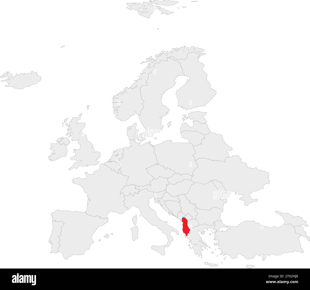 Red CMYK national map of ALBANIA inside gray blank political map of European continent on transparent background using Robinson projection Stock Vectorhttps://www.alamy.com/image-license-details/?v=1https://www.alamy.com/red-cmyk-national-map-of-albania-inside-gray-blank-political-map-of-european-continent-on-transparent-background-using-robinson-projection-image567999888.html
RF2T02HJ8–Red CMYK national map of ALBANIA inside gray blank political map of European continent on transparent background using Robinson projection
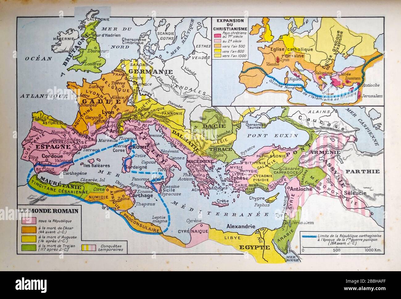 Old map of the Roman Empire printed in the late 19th century. Stock Photohttps://www.alamy.com/image-license-details/?v=1https://www.alamy.com/old-map-of-the-roman-empire-printed-in-the-late-19th-century-image351350035.html
RF2BBHAFF–Old map of the Roman Empire printed in the late 19th century.
 Metal globe black. Complex sphere geometry. Global digital mesh network Stock Photohttps://www.alamy.com/image-license-details/?v=1https://www.alamy.com/metal-globe-black-complex-sphere-geometry-global-digital-mesh-network-image561133925.html
RF2RGWT19–Metal globe black. Complex sphere geometry. Global digital mesh network
 Handwriting text Global Epidemic. Business idea a rapid spread of a communicable disease over a wide geographic area Entering Image Keyword And Description, Typing Word Definition And Meaning Stock Photohttps://www.alamy.com/image-license-details/?v=1https://www.alamy.com/handwriting-text-global-epidemic-business-idea-a-rapid-spread-of-a-communicable-disease-over-a-wide-geographic-area-entering-image-keyword-and-description-typing-word-definition-and-meaning-image483447817.html
RF2K2EXHD–Handwriting text Global Epidemic. Business idea a rapid spread of a communicable disease over a wide geographic area Entering Image Keyword And Description, Typing Word Definition And Meaning
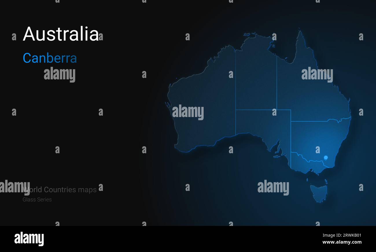 Creative map of Australia. Political map. Canberra. Capital of Australia. Glass map Stock Photohttps://www.alamy.com/image-license-details/?v=1https://www.alamy.com/creative-map-of-australia-political-map-canberra-capital-of-australia-glass-map-image566523889.html
RF2RWKB01–Creative map of Australia. Political map. Canberra. Capital of Australia. Glass map
 Turkish flag inside the Turkish nomad tent. Stock Photohttps://www.alamy.com/image-license-details/?v=1https://www.alamy.com/turkish-flag-inside-the-turkish-nomad-tent-image396452598.html
RM2E0YY9A–Turkish flag inside the Turkish nomad tent.
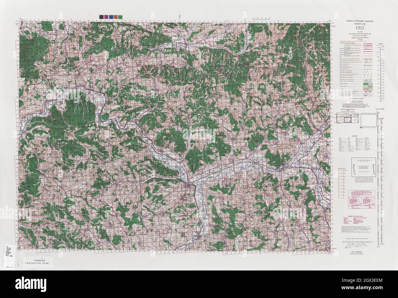 MAP CENTRAL EUROPE Dej 1944 Stock Photohttps://www.alamy.com/image-license-details/?v=1https://www.alamy.com/map-central-europe-dej-1944-image446317500.html
RF2GX3EEM–MAP CENTRAL EUROPE Dej 1944
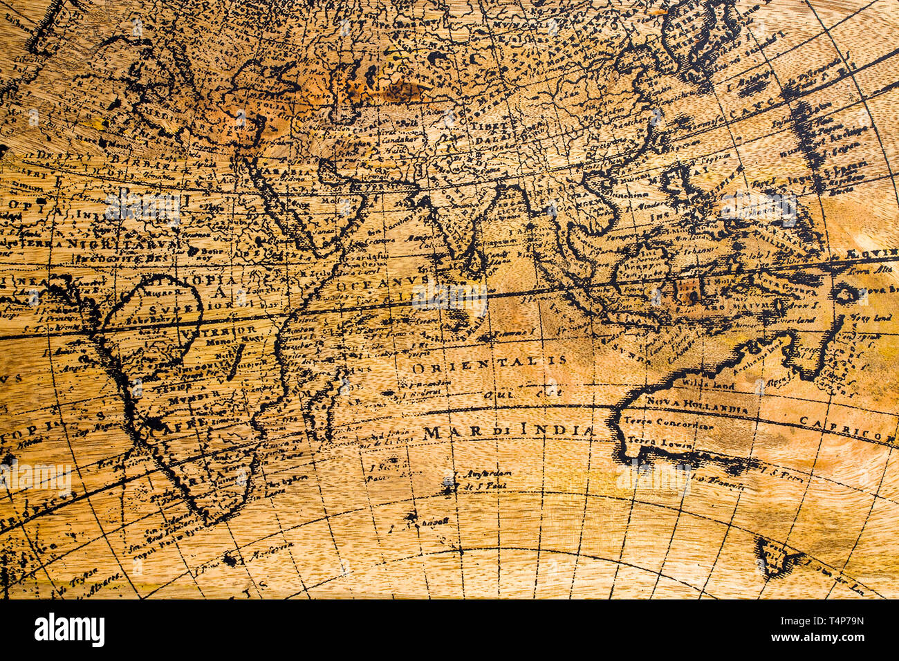 Old Geographic map of the world printed on a wooden board Stock Photohttps://www.alamy.com/image-license-details/?v=1https://www.alamy.com/old-geographic-map-of-the-world-printed-on-a-wooden-board-image243892481.html
RFT4P79N–Old Geographic map of the world printed on a wooden board
 Old retro map of the mainland without focus. Blur map of the area Stock Photohttps://www.alamy.com/image-license-details/?v=1https://www.alamy.com/old-retro-map-of-the-mainland-without-focus-blur-map-of-the-area-image461256419.html
RF2HPC17F–Old retro map of the mainland without focus. Blur map of the area
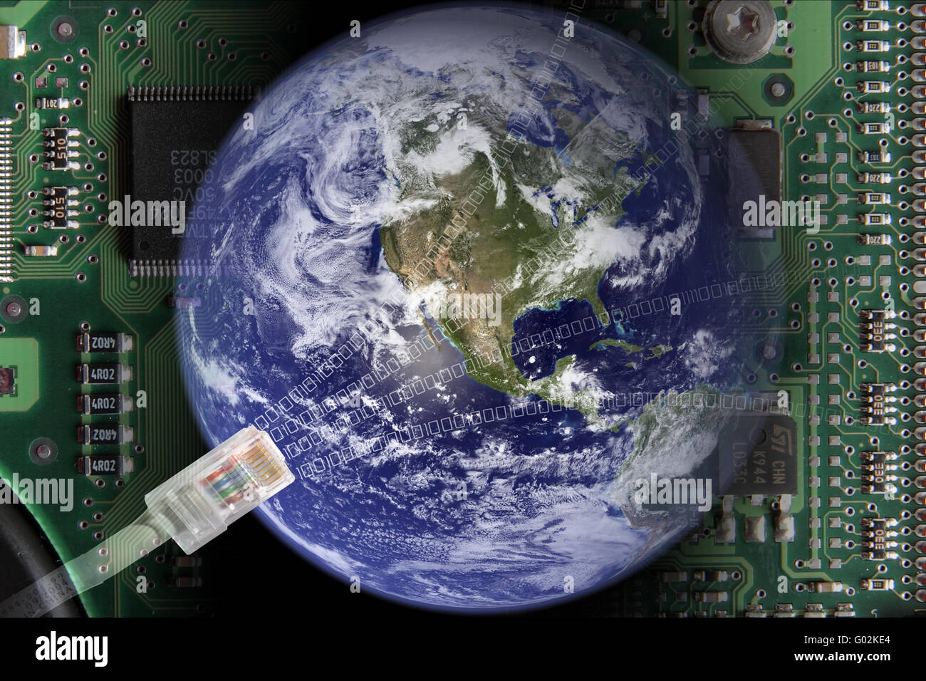 Globalization Stock Photohttps://www.alamy.com/image-license-details/?v=1https://www.alamy.com/stock-photo-globalization-103321404.html
RMG02KE4–Globalization
 Bridge over the continents Stock Photohttps://www.alamy.com/image-license-details/?v=1https://www.alamy.com/bridge-over-the-continents-image547499661.html
RM2PPMNB9–Bridge over the continents
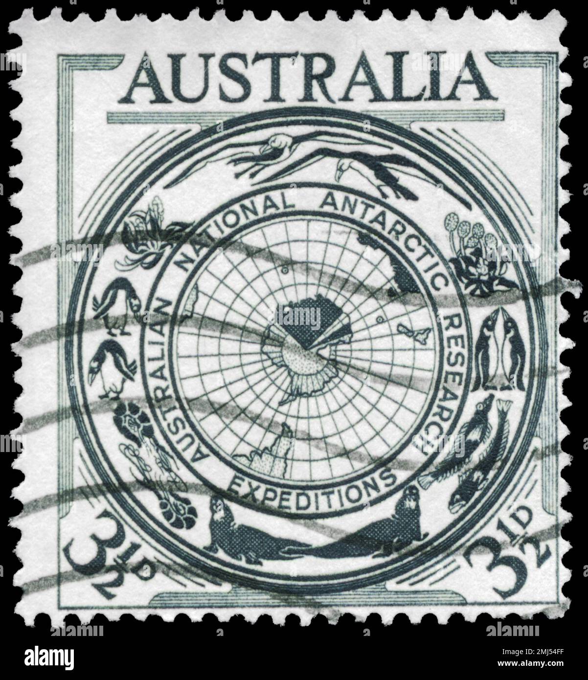 AUSTRALIA - CIRCA 1954: A Stamp printed in AUSTRALIA shows the Antarctic Flora and Fauna and Map, Australia’s interest in the Antarctic continent, cir Stock Photohttps://www.alamy.com/image-license-details/?v=1https://www.alamy.com/australia-circa-1954-a-stamp-printed-in-australia-shows-the-antarctic-flora-and-fauna-and-map-australias-interest-in-the-antarctic-continent-cir-image510277811.html
RF2MJ54FF–AUSTRALIA - CIRCA 1954: A Stamp printed in AUSTRALIA shows the Antarctic Flora and Fauna and Map, Australia’s interest in the Antarctic continent, cir
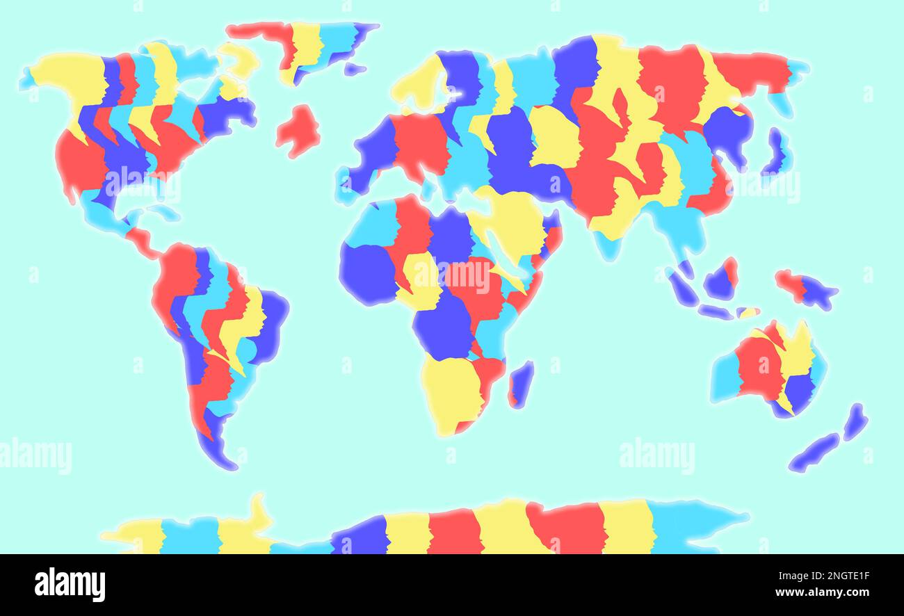 world map, continents of colorful female heads, holiday design Stock Photohttps://www.alamy.com/image-license-details/?v=1https://www.alamy.com/world-map-continents-of-colorful-female-heads-holiday-design-image526683403.html
RF2NGTE1F–world map, continents of colorful female heads, holiday design
 Geographic map of European country Ukraine city Donets'ka Area Stock Photohttps://www.alamy.com/image-license-details/?v=1https://www.alamy.com/geographic-map-of-european-country-ukraine-city-donetska-area-image368991007.html
RF2CC8YP7–Geographic map of European country Ukraine city Donets'ka Area
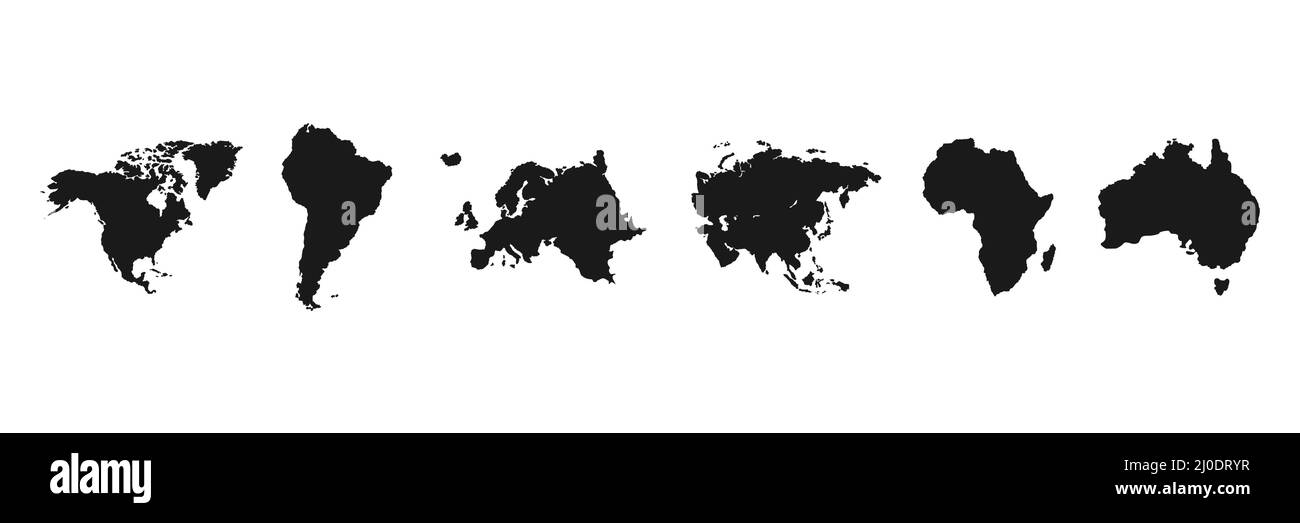 World continents set. World map black silhouettes. Stock Vectorhttps://www.alamy.com/image-license-details/?v=1https://www.alamy.com/world-continents-set-world-map-black-silhouettes-image464984123.html
RF2J0DRYR–World continents set. World map black silhouettes.
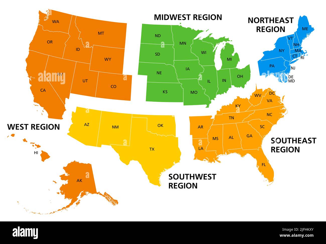 United States, geographic regions, colored political map. Five regions, according to their geographic position on the continent. Stock Photohttps://www.alamy.com/image-license-details/?v=1https://www.alamy.com/united-states-geographic-regions-colored-political-map-five-regions-according-to-their-geographic-position-on-the-continent-image474288611.html
RF2JFHKXY–United States, geographic regions, colored political map. Five regions, according to their geographic position on the continent.
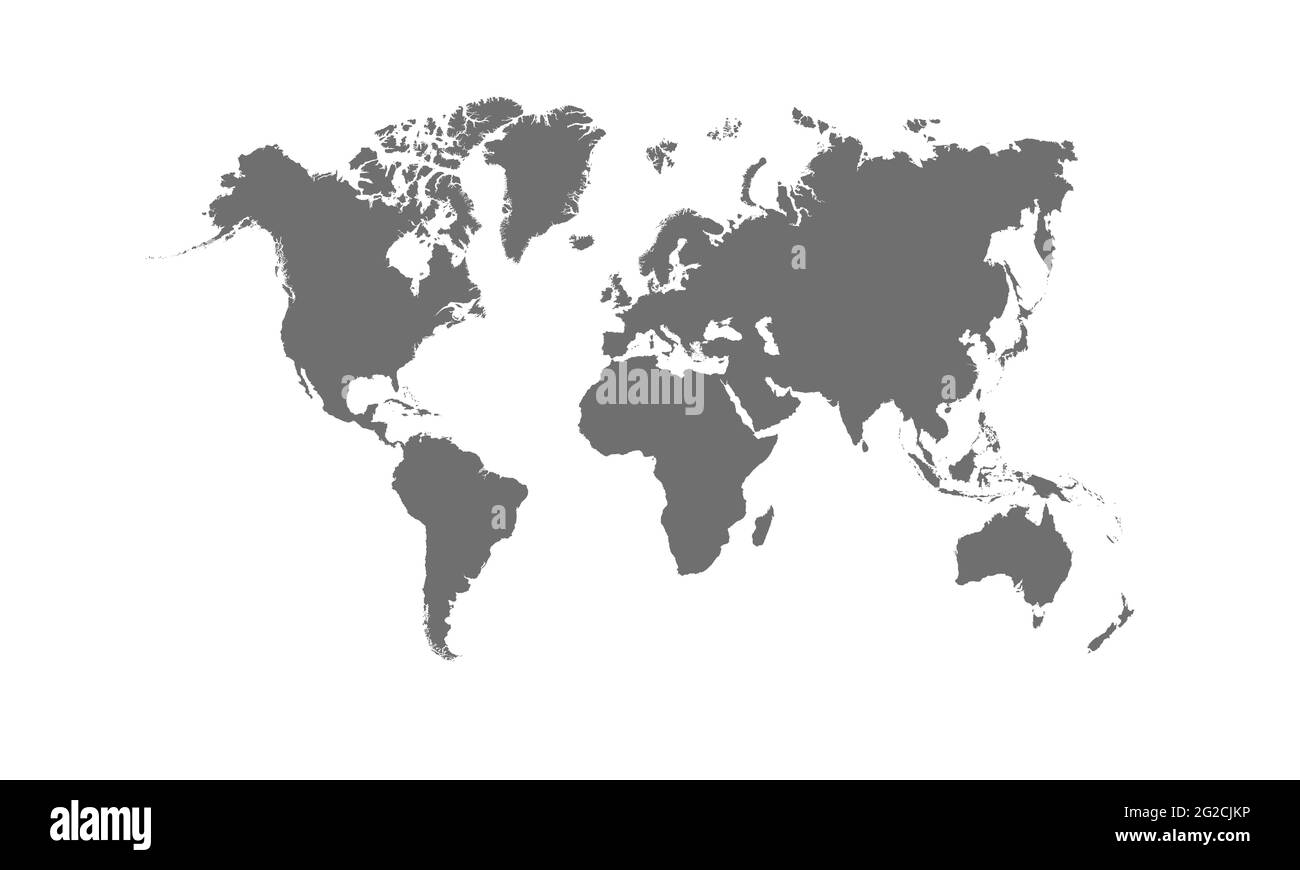 Detailed World Map with Countries stock illustration Stock Vectorhttps://www.alamy.com/image-license-details/?v=1https://www.alamy.com/detailed-world-map-with-countries-stock-illustration-image431766602.html
RF2G2CJKP–Detailed World Map with Countries stock illustration
 Traveling the world Stock Photohttps://www.alamy.com/image-license-details/?v=1https://www.alamy.com/stock-photo-traveling-the-world-58358050.html
RFDAXC82–Traveling the world
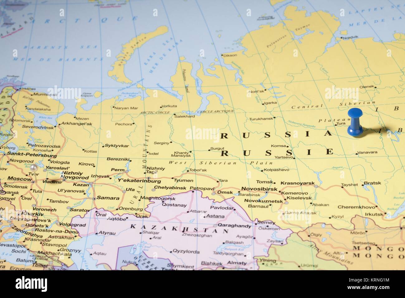 map pins on russian area over world map Stock Photohttps://www.alamy.com/image-license-details/?v=1https://www.alamy.com/stock-image-map-pins-on-russian-area-over-world-map-169503984.html
RFKRNG1M–map pins on russian area over world map
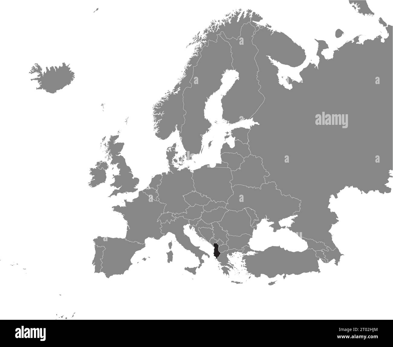 Black CMYK national map of ALBANIA inside detailed gray blank political map of European continent on transparent background using Mercator projection Stock Vectorhttps://www.alamy.com/image-license-details/?v=1https://www.alamy.com/black-cmyk-national-map-of-albania-inside-detailed-gray-blank-political-map-of-european-continent-on-transparent-background-using-mercator-projection-image567999900.html
RF2T02HJM–Black CMYK national map of ALBANIA inside detailed gray blank political map of European continent on transparent background using Mercator projection
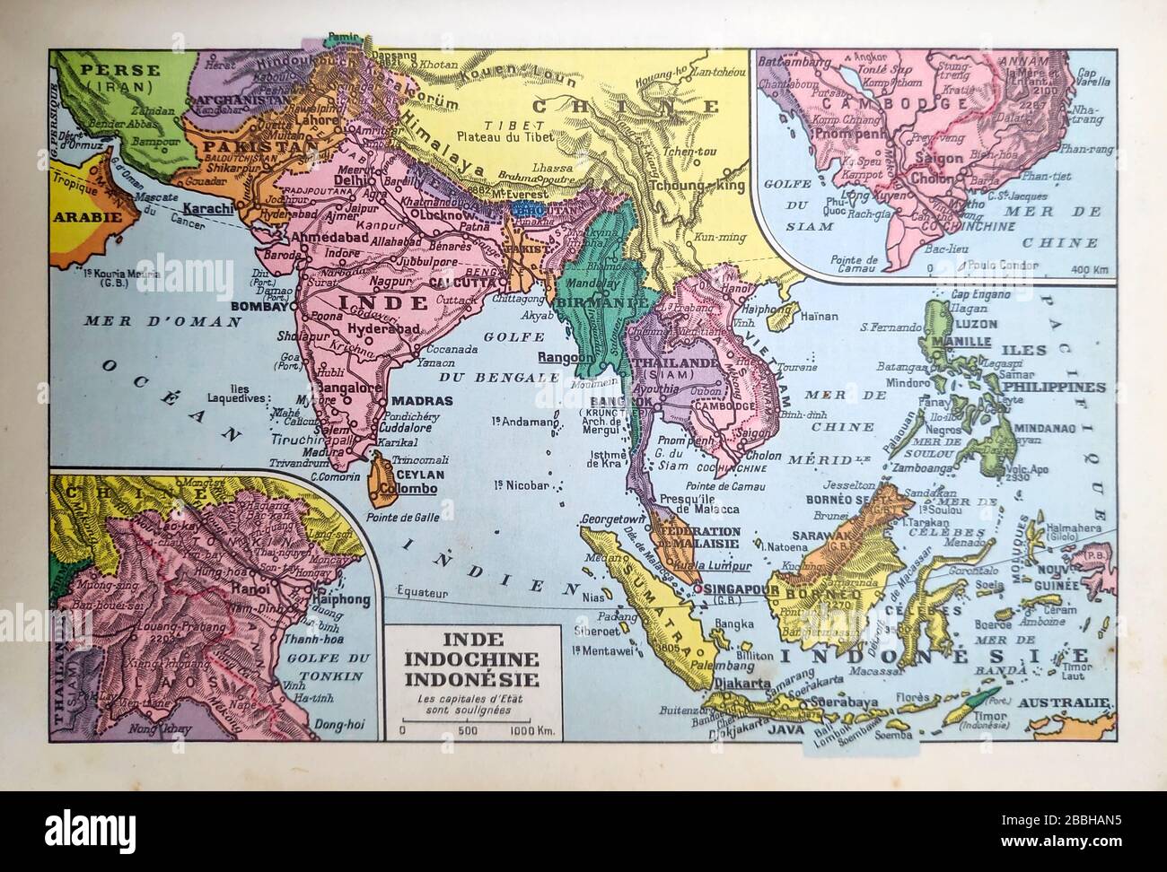 Old map of India, Indochina and Indonesia printed in the late 19th century. Stock Photohttps://www.alamy.com/image-license-details/?v=1https://www.alamy.com/old-map-of-india-indochina-and-indonesia-printed-in-the-late-19th-century-image351350193.html
RF2BBHAN5–Old map of India, Indochina and Indonesia printed in the late 19th century.
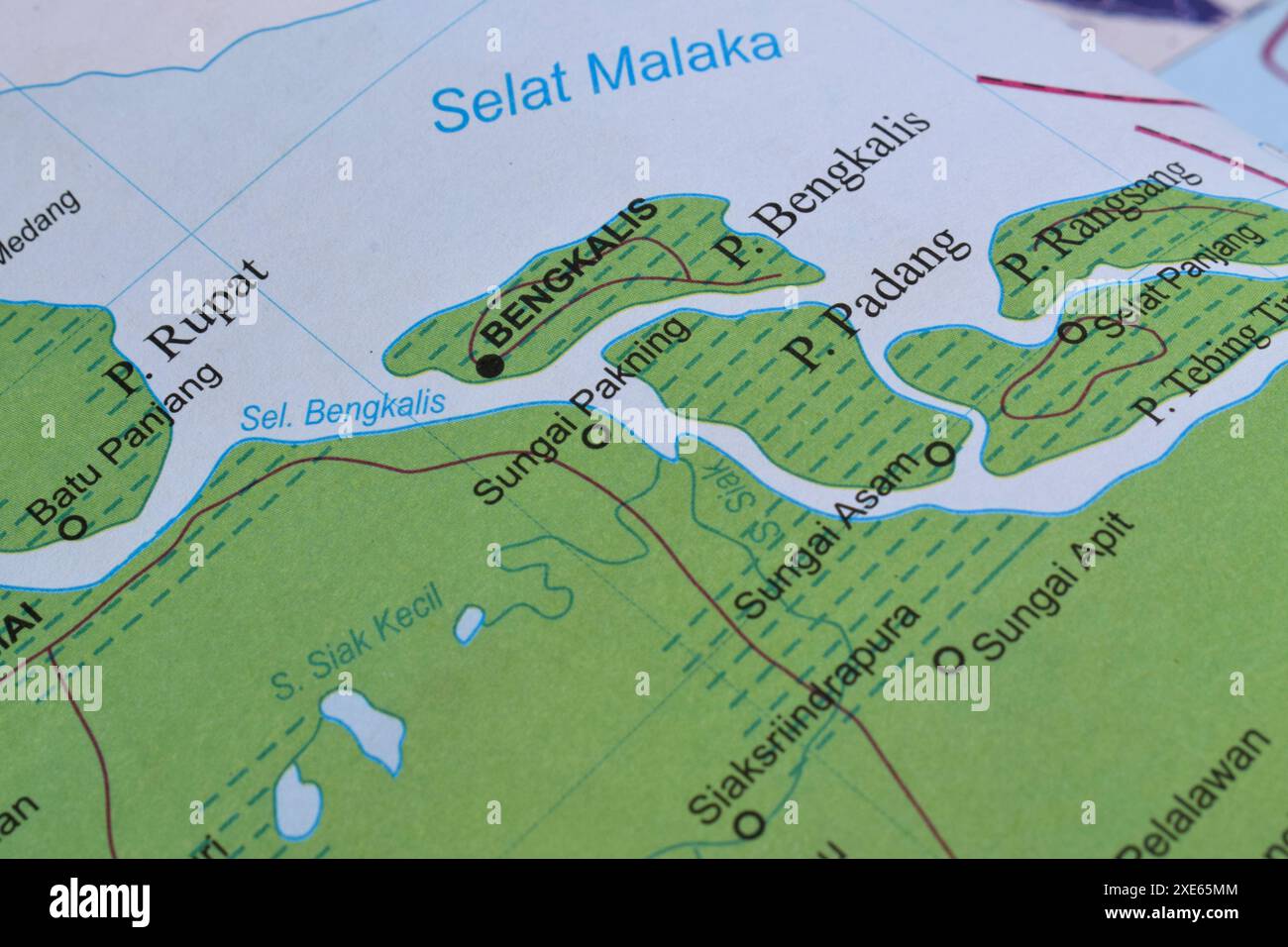 Map of Bengkalis, is a sub-district area in Bengkalis district, Riau province, Indonesia Stock Photohttps://www.alamy.com/image-license-details/?v=1https://www.alamy.com/map-of-bengkalis-is-a-sub-district-area-in-bengkalis-district-riau-province-indonesia-image611104276.html
RF2XE65MM–Map of Bengkalis, is a sub-district area in Bengkalis district, Riau province, Indonesia
 Hand writing sign Global Epidemic. Business overview a rapid spread of a communicable disease over a wide geographic area Activists Holding Thier Megaphones And Placards Making Announcement. Stock Photohttps://www.alamy.com/image-license-details/?v=1https://www.alamy.com/hand-writing-sign-global-epidemic-business-overview-a-rapid-spread-of-a-communicable-disease-over-a-wide-geographic-area-activists-holding-thier-megaphones-and-placards-making-announcement-image483351446.html
RF2K2AFKJ–Hand writing sign Global Epidemic. Business overview a rapid spread of a communicable disease over a wide geographic area Activists Holding Thier Megaphones And Placards Making Announcement.
 S`Aguila y punta de sa Creu, municipio de San Juan de Labritja, Ibiza, balearic islands, Spain. Stock Photohttps://www.alamy.com/image-license-details/?v=1https://www.alamy.com/s`aguila-y-punta-de-sa-creu-municipio-de-san-juan-de-labritja-ibiza-balearic-islands-spain-image553109995.html
RM2R3T9CB–S`Aguila y punta de sa Creu, municipio de San Juan de Labritja, Ibiza, balearic islands, Spain.
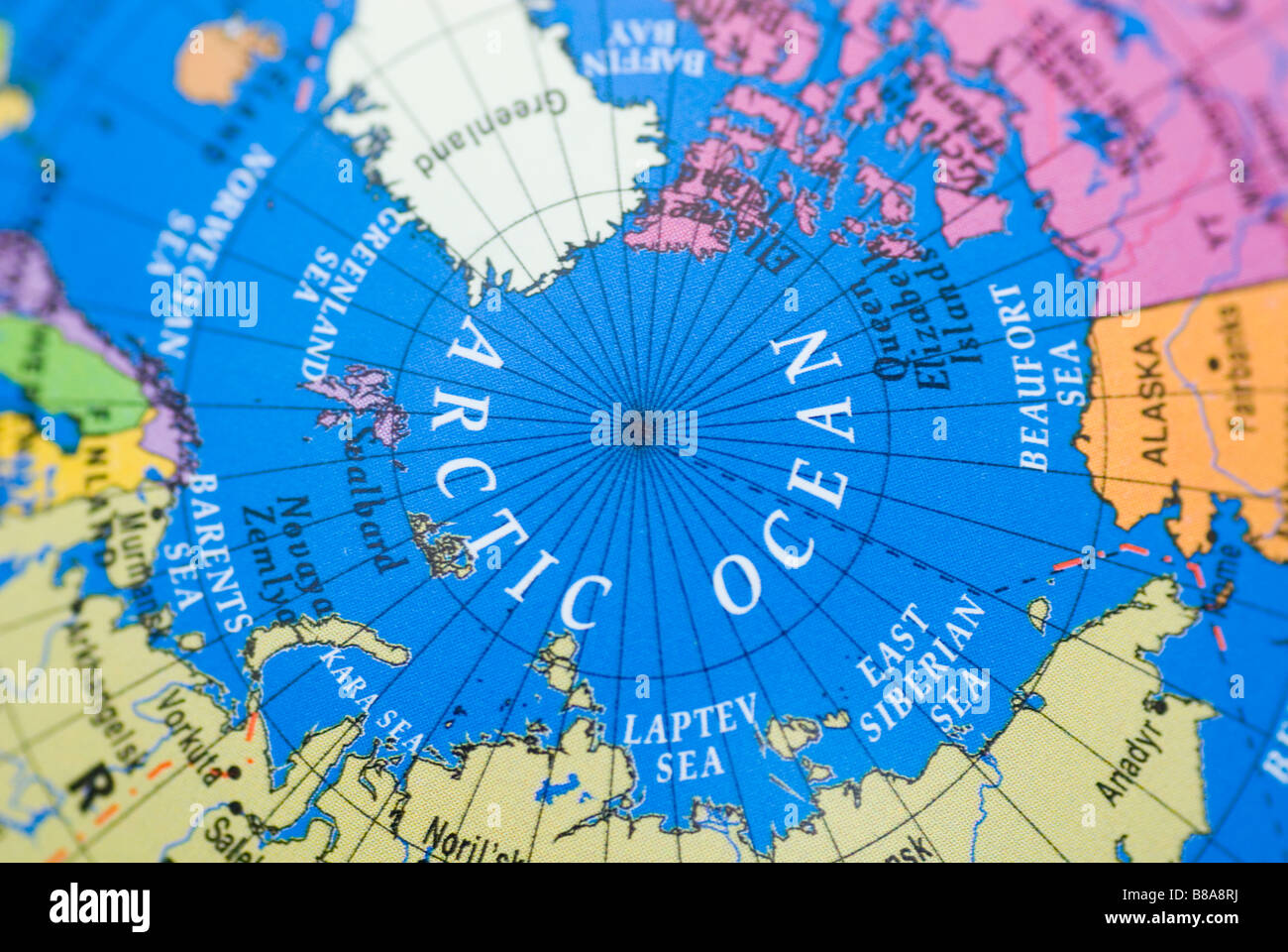 Arctic ocean close up on a globe Stock Photohttps://www.alamy.com/image-license-details/?v=1https://www.alamy.com/stock-photo-arctic-ocean-close-up-on-a-globe-22354070.html
RMB8A8RJ–Arctic ocean close up on a globe
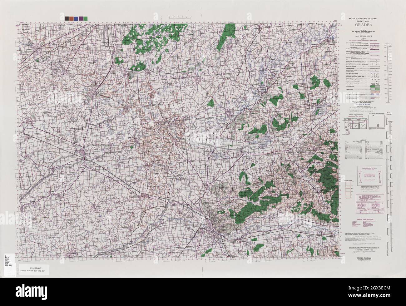 MAP CENTRAL EUROPE Oradea 1944 Stock Photohttps://www.alamy.com/image-license-details/?v=1https://www.alamy.com/map-central-europe-oradea-1944-image446317444.html
RF2GX3ECM–MAP CENTRAL EUROPE Oradea 1944
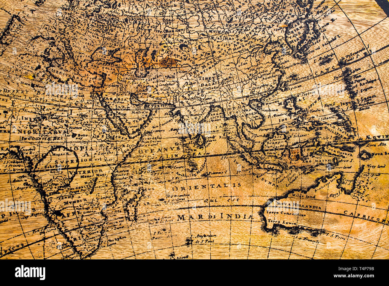 Old Geographic map of the world printed on a wooden board Stock Photohttps://www.alamy.com/image-license-details/?v=1https://www.alamy.com/old-geographic-map-of-the-world-printed-on-a-wooden-board-image243892471.html
RFT4P79B–Old Geographic map of the world printed on a wooden board
 Elbrus is the highest point in Europe (5642 m A.S.L., the peak is lost in the clouds). Summer Caucasus Mountains Stock Photohttps://www.alamy.com/image-license-details/?v=1https://www.alamy.com/elbrus-is-the-highest-point-in-europe-5642-m-asl-the-peak-is-lost-in-the-clouds-summer-caucasus-mountains-image466133850.html
RM2J2A6DE–Elbrus is the highest point in Europe (5642 m A.S.L., the peak is lost in the clouds). Summer Caucasus Mountains
 Africa map with countries classified by area Stock Photohttps://www.alamy.com/image-license-details/?v=1https://www.alamy.com/africa-map-with-countries-classified-by-area-image558551290.html
RF2RCM5TA–Africa map with countries classified by area
 Writing displaying text Global Epidemic. Word for a rapid spread of a communicable disease over a wide geographic area Illustration Of Partners Building New Wonderful Ideas For Skills Improvement. Stock Photohttps://www.alamy.com/image-license-details/?v=1https://www.alamy.com/writing-displaying-text-global-epidemic-word-for-a-rapid-spread-of-a-communicable-disease-over-a-wide-geographic-area-illustration-of-partners-building-new-wonderful-ideas-for-skills-improvement-image483291390.html
RF2K27R2P–Writing displaying text Global Epidemic. Word for a rapid spread of a communicable disease over a wide geographic area Illustration Of Partners Building New Wonderful Ideas For Skills Improvement.
 Continent Eurasia made of spices on color background Stock Photohttps://www.alamy.com/image-license-details/?v=1https://www.alamy.com/continent-eurasia-made-of-spices-on-color-background-image377656341.html
RF2CXBMED–Continent Eurasia made of spices on color background
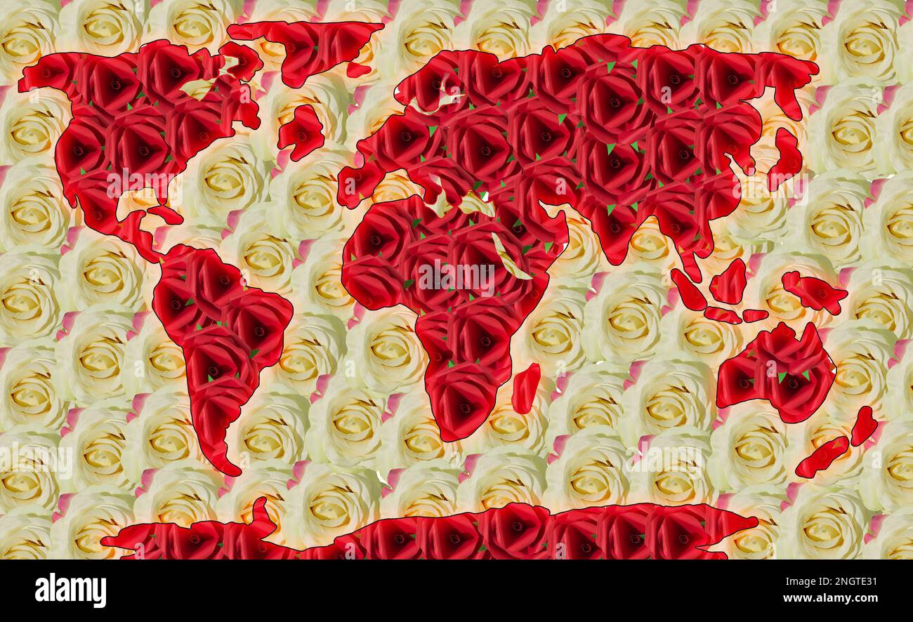 world map, red rose continents, white rose oceans Stock Photohttps://www.alamy.com/image-license-details/?v=1https://www.alamy.com/world-map-red-rose-continents-white-rose-oceans-image526683445.html
RF2NGTE31–world map, red rose continents, white rose oceans
 Geographic map of European country Ukraine city Donets'ka Area Stock Photohttps://www.alamy.com/image-license-details/?v=1https://www.alamy.com/geographic-map-of-european-country-ukraine-city-donetska-area-image368991024.html
RF2CC8YPT–Geographic map of European country Ukraine city Donets'ka Area
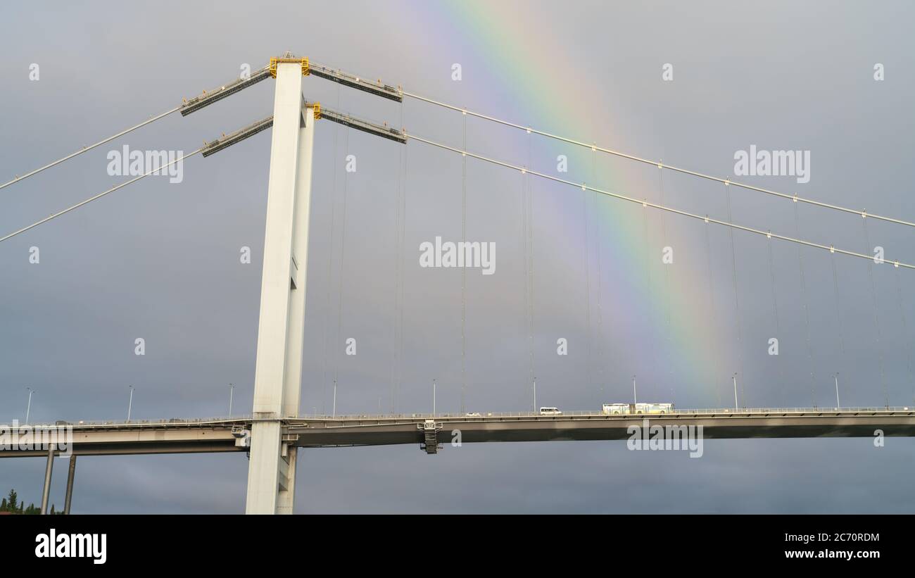 Istanbul, Turkey - March 2020: Bosphorus 15th July Martyrs Bridge over Bosphorus strait under rainbow Stock Photohttps://www.alamy.com/image-license-details/?v=1https://www.alamy.com/istanbul-turkey-march-2020-bosphorus-15th-july-martyrs-bridge-over-bosphorus-strait-under-rainbow-image365738736.html
RF2C70RDM–Istanbul, Turkey - March 2020: Bosphorus 15th July Martyrs Bridge over Bosphorus strait under rainbow
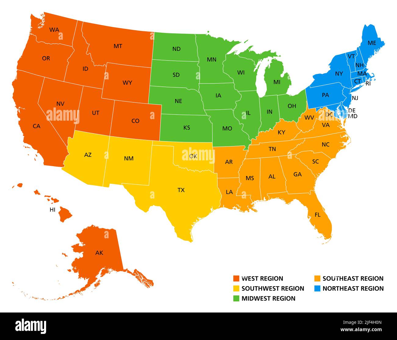 Geographic regions of the United States, political map. Five regions, according to their geographic position on the continent. Stock Photohttps://www.alamy.com/image-license-details/?v=1https://www.alamy.com/geographic-regions-of-the-united-states-political-map-five-regions-according-to-their-geographic-position-on-the-continent-image474000933.html
RF2JF4H0N–Geographic regions of the United States, political map. Five regions, according to their geographic position on the continent.
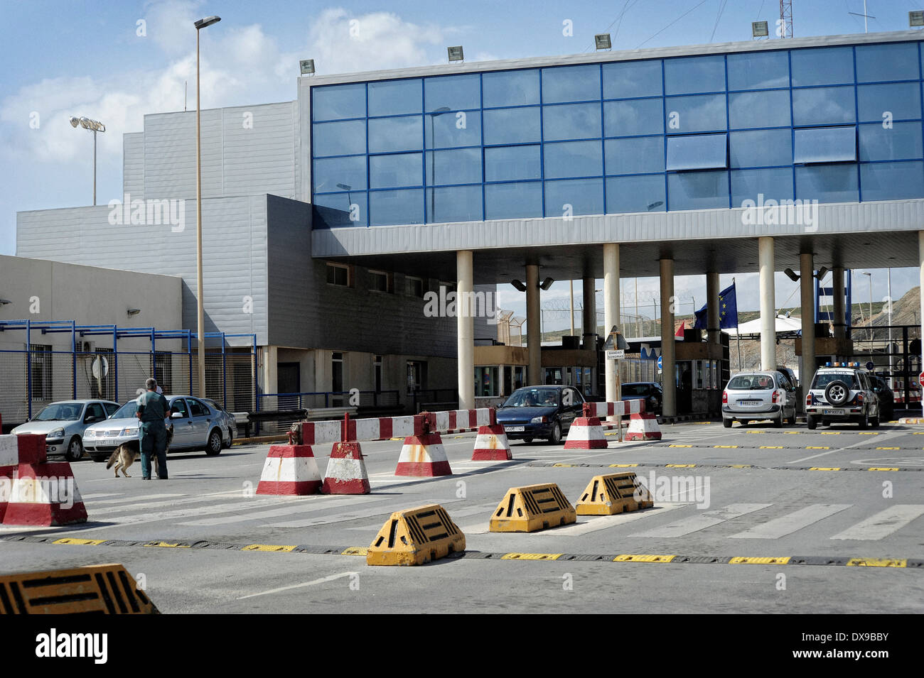 The Tarajal border checkpoint between Ceuta ( Spanish enclave on the North African coast) and Morocco. Spain. Stock Photohttps://www.alamy.com/image-license-details/?v=1https://www.alamy.com/the-tarajal-border-checkpoint-between-ceuta-spanish-enclave-on-the-image67818687.html
RMDX9BBY–The Tarajal border checkpoint between Ceuta ( Spanish enclave on the North African coast) and Morocco. Spain.
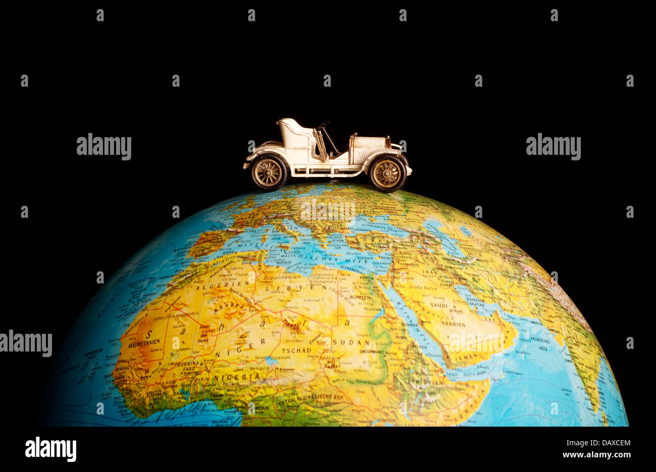 Traveling the world Stock Photohttps://www.alamy.com/image-license-details/?v=1https://www.alamy.com/stock-photo-traveling-the-world-58358236.html
RFDAXCEM–Traveling the world
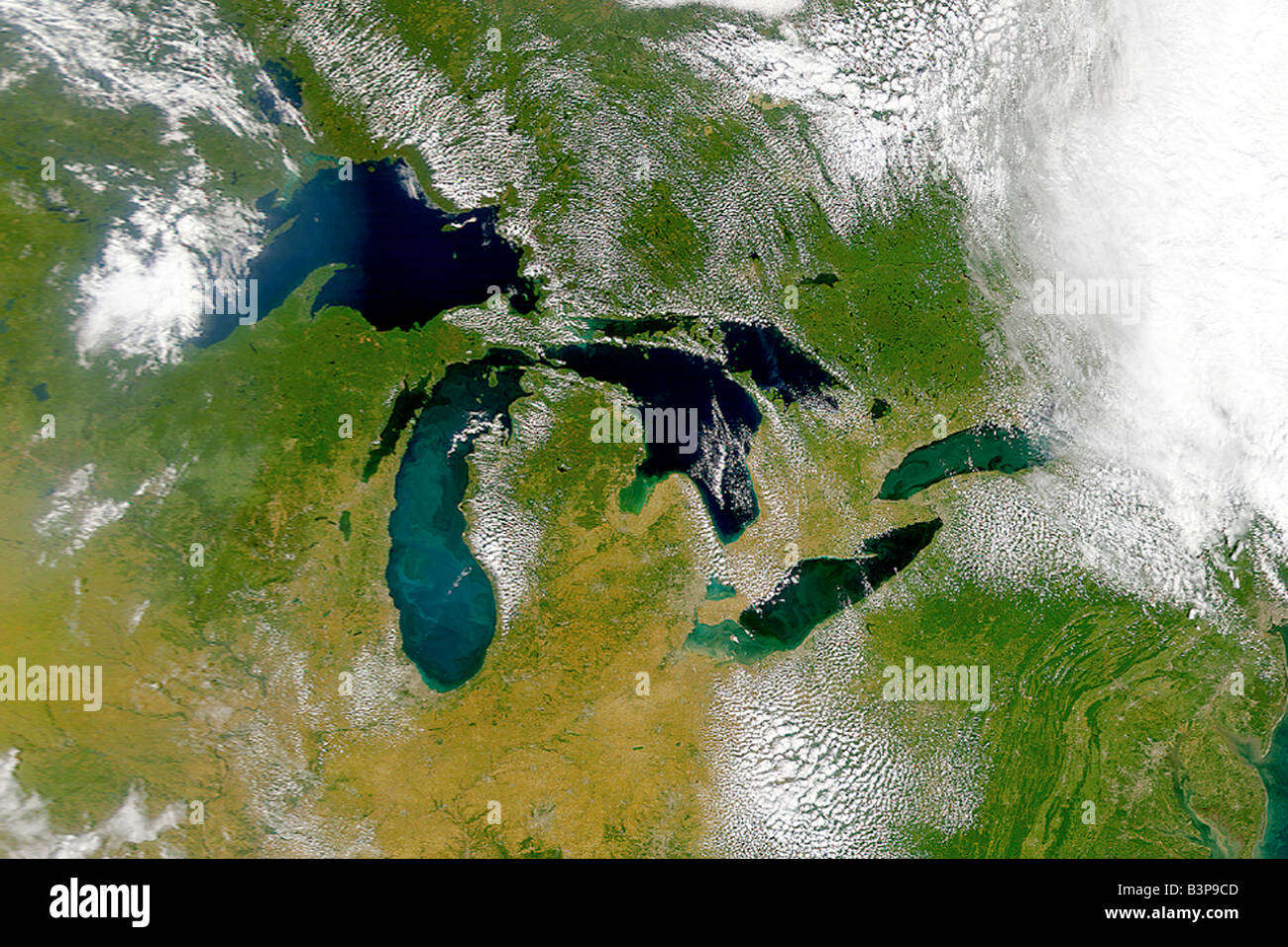 Satellite view of the Great Lakes, USA Stock Photohttps://www.alamy.com/image-license-details/?v=1https://www.alamy.com/stock-photo-satellite-view-of-the-great-lakes-usa-19544685.html
RFB3P9CD–Satellite view of the Great Lakes, USA
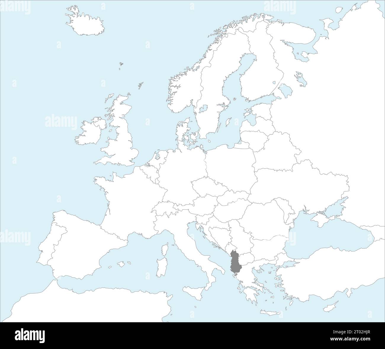 Gray CMYK national map of ALBANIA inside detailed white blank political map of European continent on blue background using Mollweide projection Stock Vectorhttps://www.alamy.com/image-license-details/?v=1https://www.alamy.com/gray-cmyk-national-map-of-albania-inside-detailed-white-blank-political-map-of-european-continent-on-blue-background-using-mollweide-projection-image567999903.html
RF2T02HJR–Gray CMYK national map of ALBANIA inside detailed white blank political map of European continent on blue background using Mollweide projection
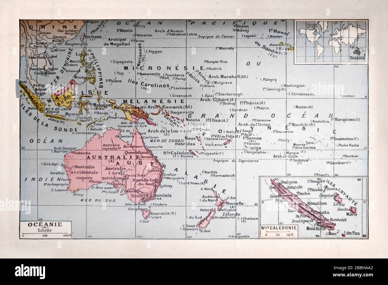 Old map of the Oceania printed in the late 19th century Stock Photohttps://www.alamy.com/image-license-details/?v=1https://www.alamy.com/old-map-of-the-oceania-printed-in-the-late-19th-century-image351349882.html
RF2BBHAA2–Old map of the Oceania printed in the late 19th century
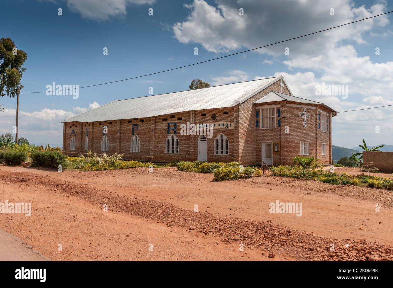 View from Drive through Rwanda from Kigali to Sabyinyo Silverback Lodge in Volcanoes National Park in Rwanda, in Africa. Stock Photohttps://www.alamy.com/image-license-details/?v=1https://www.alamy.com/view-from-drive-through-rwanda-from-kigali-to-sabyinyo-silverback-lodge-in-volcanoes-national-park-in-rwanda-in-africa-image558858995.html
RM2RD669R–View from Drive through Rwanda from Kigali to Sabyinyo Silverback Lodge in Volcanoes National Park in Rwanda, in Africa.
 Text caption presenting Global Epidemic. Business idea a rapid spread of a communicable disease over a wide geographic area Man Sitting On Desk Working And Presenting New Technologies. Stock Photohttps://www.alamy.com/image-license-details/?v=1https://www.alamy.com/text-caption-presenting-global-epidemic-business-idea-a-rapid-spread-of-a-communicable-disease-over-a-wide-geographic-area-man-sitting-on-desk-working-and-presenting-new-technologies-image483376880.html
RF2K2BM40–Text caption presenting Global Epidemic. Business idea a rapid spread of a communicable disease over a wide geographic area Man Sitting On Desk Working And Presenting New Technologies.
 S`Aguila y punta de sa Creu, municipio de San Juan de Labritja, Ibiza, balearic islands, Spain. Stock Photohttps://www.alamy.com/image-license-details/?v=1https://www.alamy.com/s`aguila-y-punta-de-sa-creu-municipio-de-san-juan-de-labritja-ibiza-balearic-islands-spain-image553085241.html
RM2R3R5T9–S`Aguila y punta de sa Creu, municipio de San Juan de Labritja, Ibiza, balearic islands, Spain.
 Detailed World Map with Countries stock illustration Stock Vectorhttps://www.alamy.com/image-license-details/?v=1https://www.alamy.com/detailed-world-map-with-countries-stock-illustration-image406159094.html
RF2EGP41X–Detailed World Map with Countries stock illustration
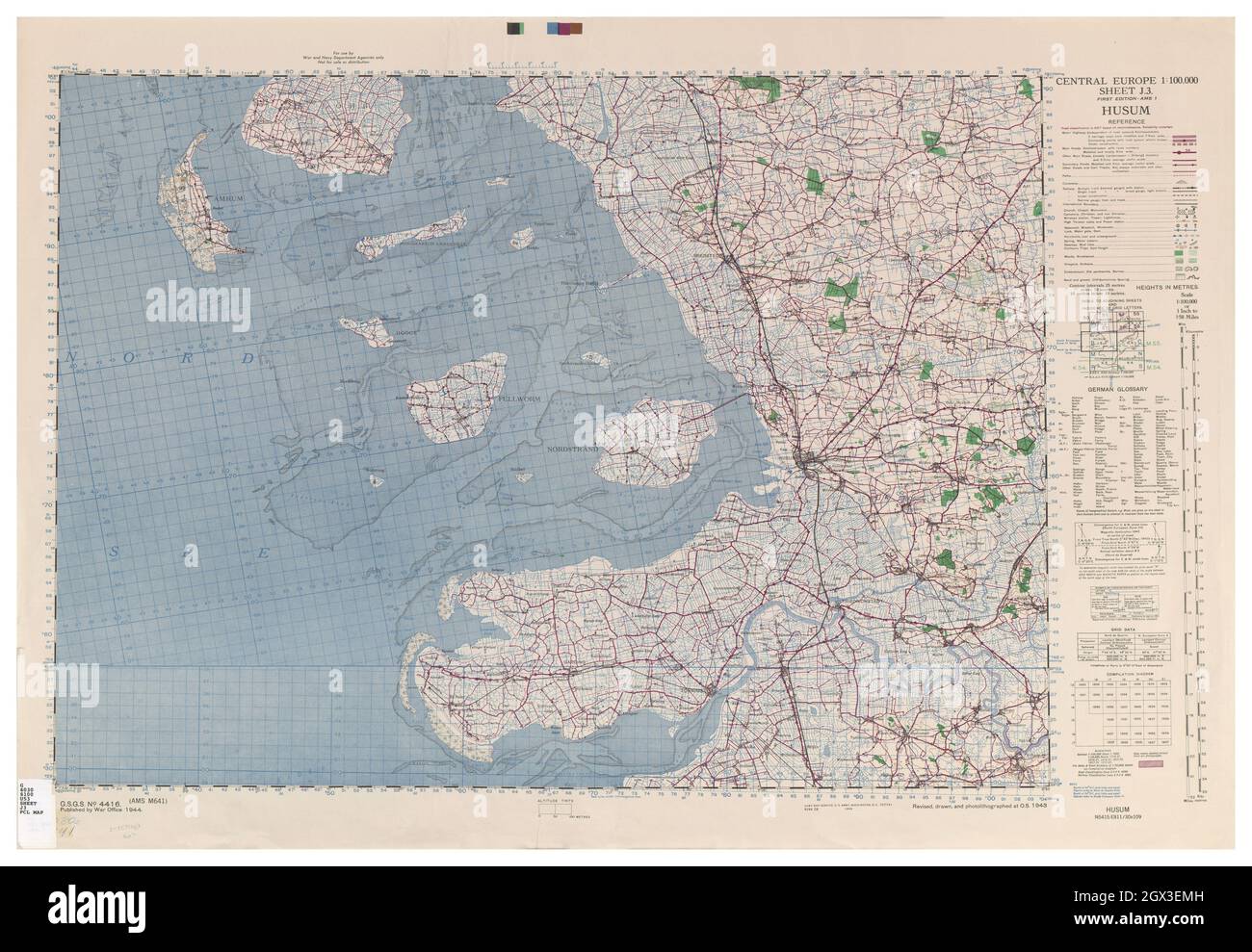 MAP CENTRAL EUROPE HUSUM 1944 Stock Photohttps://www.alamy.com/image-license-details/?v=1https://www.alamy.com/map-central-europe-husum-1944-image446317665.html
RF2GX3EMH–MAP CENTRAL EUROPE HUSUM 1944
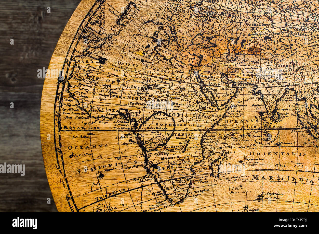 Old Geographic map of the world printed on a wooden board Stock Photohttps://www.alamy.com/image-license-details/?v=1https://www.alamy.com/old-geographic-map-of-the-world-printed-on-a-wooden-board-image243892478.html
RFT4P79J–Old Geographic map of the world printed on a wooden board
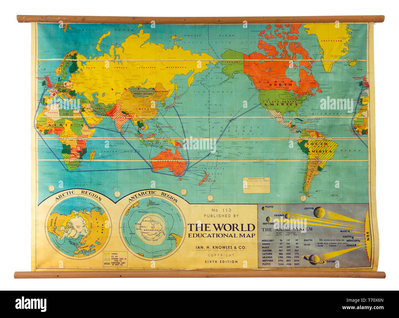 Vintage education color world map Stock Photohttps://www.alamy.com/image-license-details/?v=1https://www.alamy.com/vintage-education-color-world-map-image245268317.html
RMT70X6N–Vintage education color world map
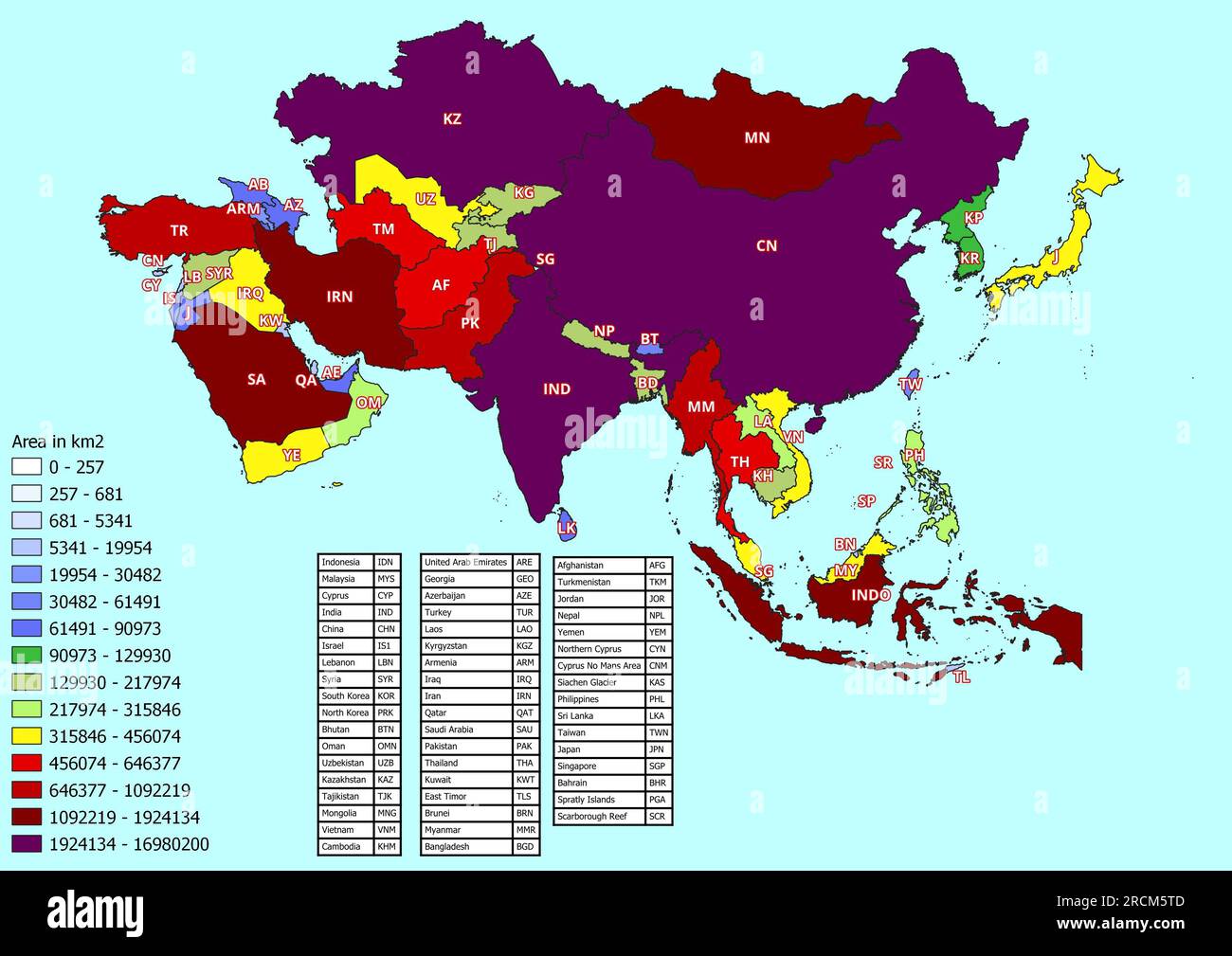 Asia map with countries classified by area Stock Photohttps://www.alamy.com/image-license-details/?v=1https://www.alamy.com/asia-map-with-countries-classified-by-area-image558551293.html
RF2RCM5TD–Asia map with countries classified by area
 Text showing inspiration Global Epidemic. Business idea a rapid spread of a communicable disease over a wide geographic area Illustration Of A Person Kneeling Using Megaphone Making New Announcement. Stock Photohttps://www.alamy.com/image-license-details/?v=1https://www.alamy.com/text-showing-inspiration-global-epidemic-business-idea-a-rapid-spread-of-a-communicable-disease-over-a-wide-geographic-area-illustration-of-a-person-kneeling-using-megaphone-making-new-announcement-image483351408.html
RF2K2AFJ8–Text showing inspiration Global Epidemic. Business idea a rapid spread of a communicable disease over a wide geographic area Illustration Of A Person Kneeling Using Megaphone Making New Announcement.
 Continent Africa made of tea on white background Stock Photohttps://www.alamy.com/image-license-details/?v=1https://www.alamy.com/continent-africa-made-of-tea-on-white-background-image407041086.html
RF2EJ691J–Continent Africa made of tea on white background
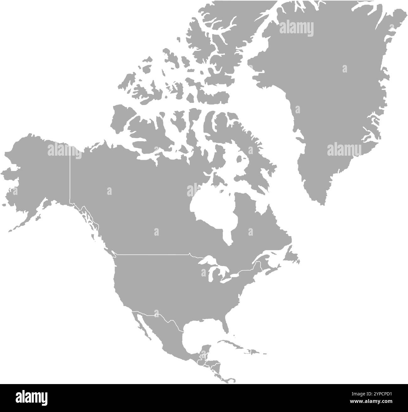 North America MAP in Grey, Country Border, North America Map, Border line of North America, Geographic Map Stock Vectorhttps://www.alamy.com/image-license-details/?v=1https://www.alamy.com/north-america-map-in-grey-country-border-north-america-map-border-line-of-north-america-geographic-map-image633376717.html
RF2YPCPD1–North America MAP in Grey, Country Border, North America Map, Border line of North America, Geographic Map
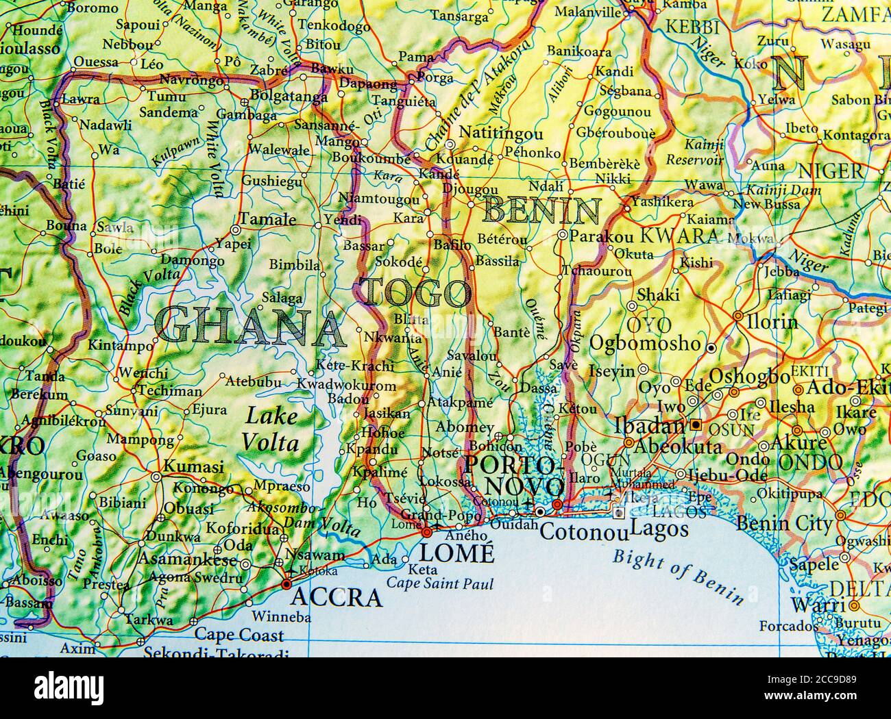 Geographic map of Ghana, Togo and Benin with important cities Stock Photohttps://www.alamy.com/image-license-details/?v=1https://www.alamy.com/geographic-map-of-ghana-togo-and-benin-with-important-cities-image369001593.html
RF2CC9D89–Geographic map of Ghana, Togo and Benin with important cities
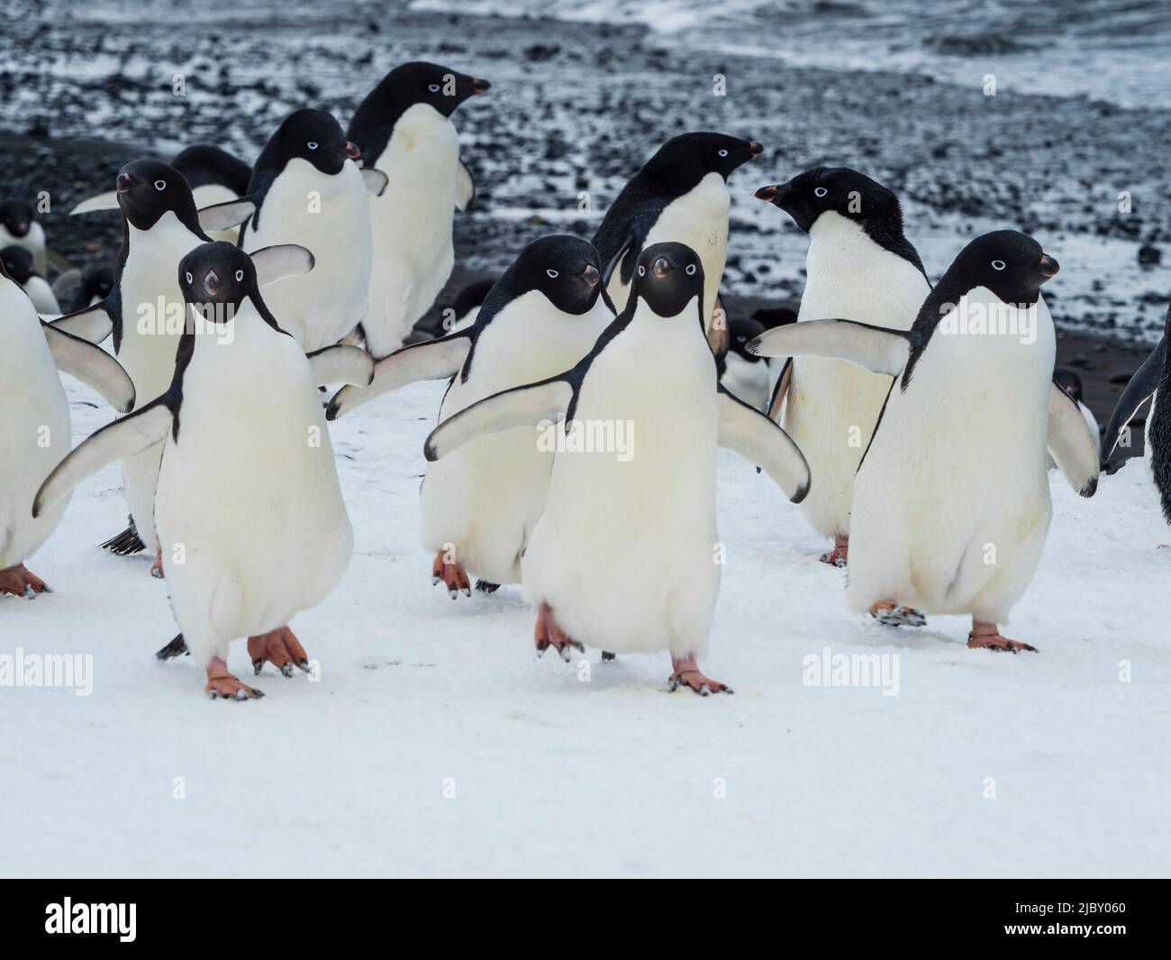 March of the Penguins, Adelie penguins (Pygoscelis adeliae) at Brown Bluff, Antarctic Peninsula Stock Photohttps://www.alamy.com/image-license-details/?v=1https://www.alamy.com/march-of-the-penguins-adelie-penguins-pygoscelis-adeliae-at-brown-bluff-antarctic-peninsula-image472034024.html
RF2JBY060–March of the Penguins, Adelie penguins (Pygoscelis adeliae) at Brown Bluff, Antarctic Peninsula
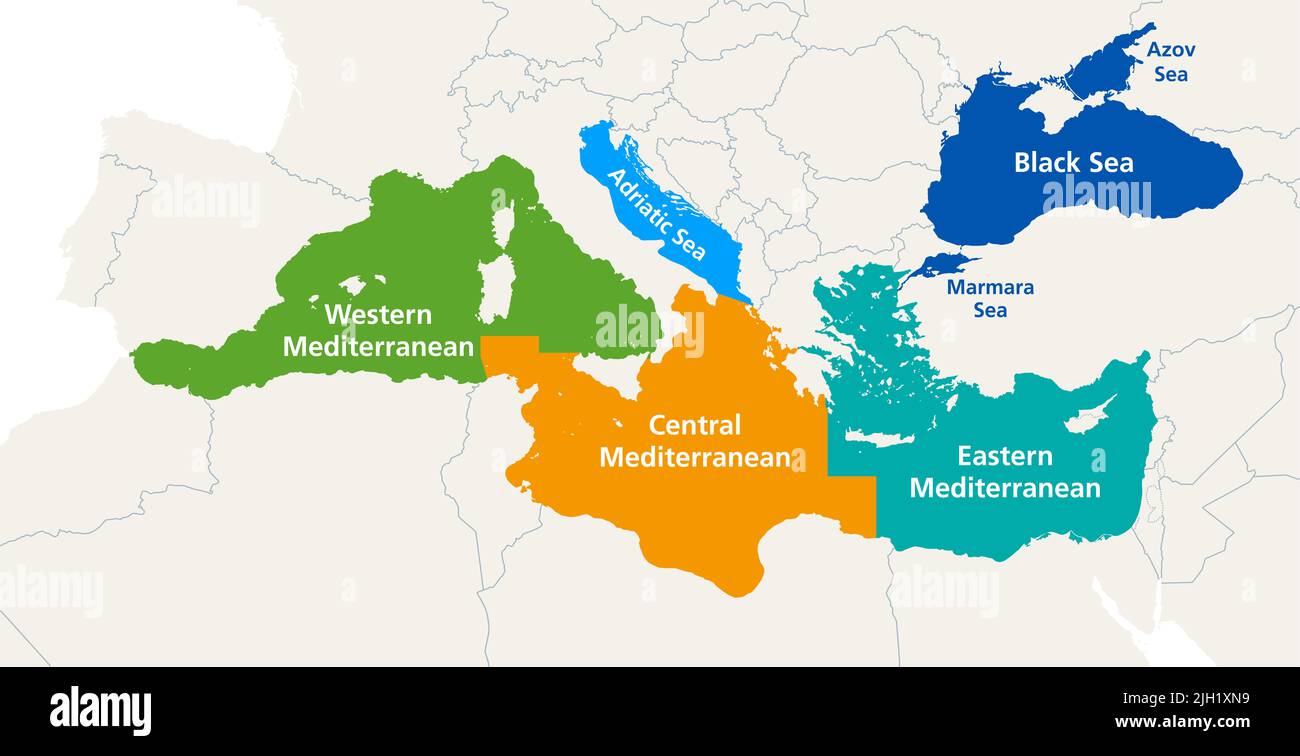 Mediterranean Sea and the Black Sea marine waters, political map. Geographic subregions for fisheries and aquaculture management. Stock Photohttps://www.alamy.com/image-license-details/?v=1https://www.alamy.com/mediterranean-sea-and-the-black-sea-marine-waters-political-map-geographic-subregions-for-fisheries-and-aquaculture-management-image475172021.html
RF2JH1XN9–Mediterranean Sea and the Black Sea marine waters, political map. Geographic subregions for fisheries and aquaculture management.
 The Tarajal border checkpoint between Ceuta and Morocco. Spain. Stock Photohttps://www.alamy.com/image-license-details/?v=1https://www.alamy.com/stock-photo-the-tarajal-border-checkpoint-between-ceuta-and-morocco-spain-58997652.html
RMDBYG30–The Tarajal border checkpoint between Ceuta and Morocco. Spain.
 Traveling the world Stock Photohttps://www.alamy.com/image-license-details/?v=1https://www.alamy.com/stock-photo-traveling-the-world-58358334.html
RFDAXCJ6–Traveling the world
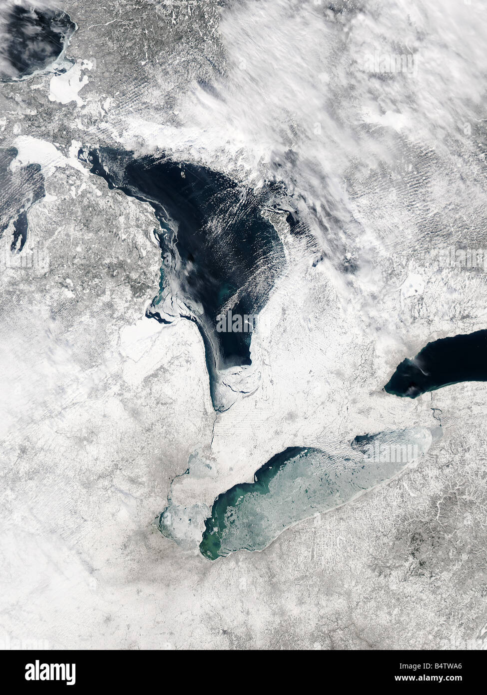 Satellite view of Lake Erie, Winter, USA Stock Photohttps://www.alamy.com/image-license-details/?v=1https://www.alamy.com/stock-photo-satellite-view-of-lake-erie-winter-usa-20215726.html
RFB4TWA6–Satellite view of Lake Erie, Winter, USA
 Orange CMYK national map of ALBANIA inside detailed beige and gray blank political map of European continent with rivers, lakes and surroundings on bl Stock Vectorhttps://www.alamy.com/image-license-details/?v=1https://www.alamy.com/orange-cmyk-national-map-of-albania-inside-detailed-beige-and-gray-blank-political-map-of-european-continent-with-rivers-lakes-and-surroundings-on-bl-image567999896.html
RF2T02HJG–Orange CMYK national map of ALBANIA inside detailed beige and gray blank political map of European continent with rivers, lakes and surroundings on bl
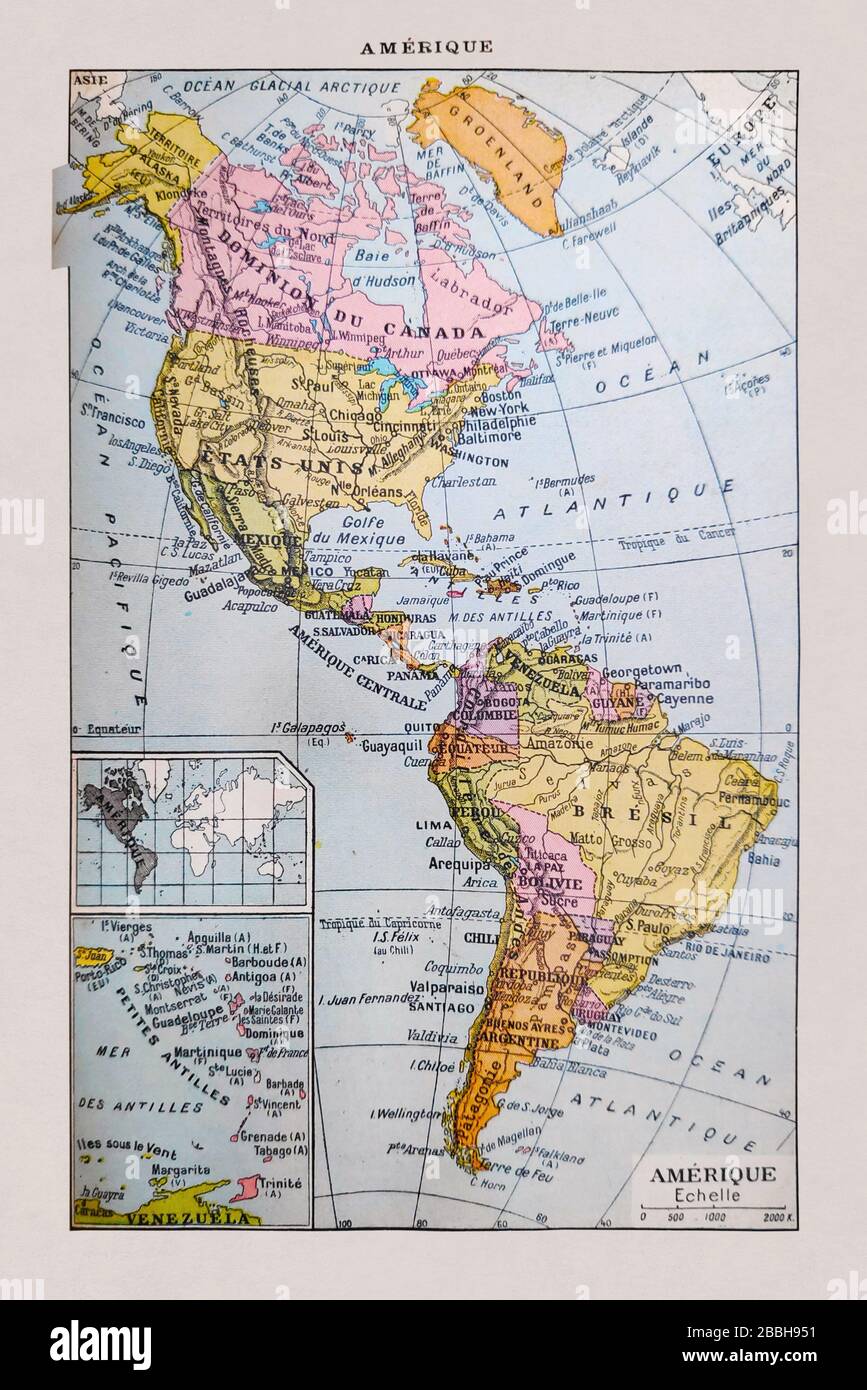 Old map of the Americas printed in the french dictionary 'Dictionnaire complet illustré' by the editor Larousse in 1889. It depicts the Americas in th Stock Photohttps://www.alamy.com/image-license-details/?v=1https://www.alamy.com/old-map-of-the-americas-printed-in-the-french-dictionary-dictionnaire-complet-illustr-by-the-editor-larousse-in-1889-it-depicts-the-americas-in-th-image351348957.html
RF2BBH951–Old map of the Americas printed in the french dictionary 'Dictionnaire complet illustré' by the editor Larousse in 1889. It depicts the Americas in th
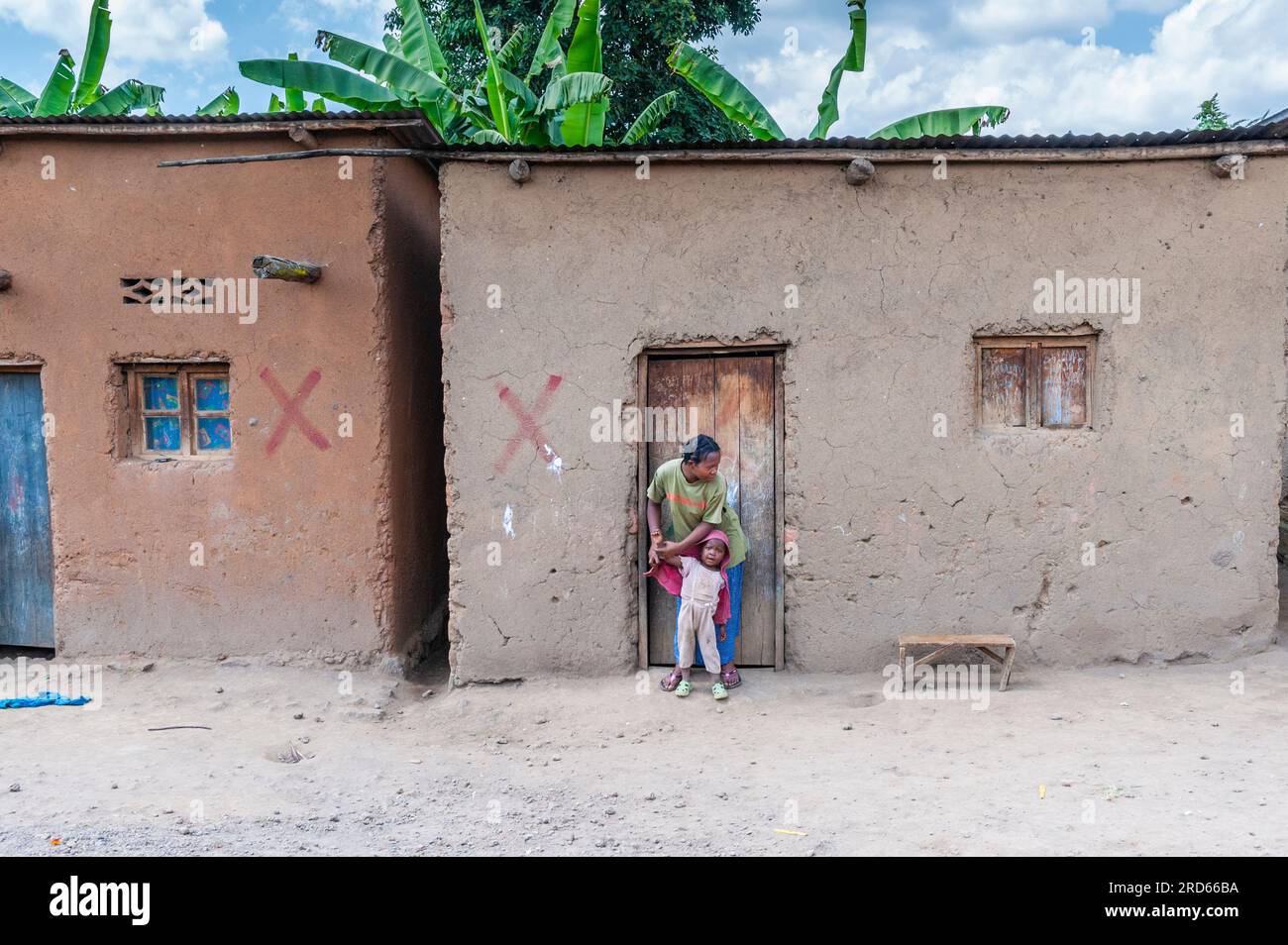 View from Drive through Rwanda from Kigali to Sabyinyo Silverback Lodge in Volcanoes National Park in Rwanda, in Africa. Stock Photohttps://www.alamy.com/image-license-details/?v=1https://www.alamy.com/view-from-drive-through-rwanda-from-kigali-to-sabyinyo-silverback-lodge-in-volcanoes-national-park-in-rwanda-in-africa-image558859038.html
RM2RD66BA–View from Drive through Rwanda from Kigali to Sabyinyo Silverback Lodge in Volcanoes National Park in Rwanda, in Africa.
 Conceptual display Global Epidemic. Business approach a rapid spread of a communicable disease over a wide geographic area Woman Drawing Sitting Working Next To Megaphone Making New Announcement Stock Photohttps://www.alamy.com/image-license-details/?v=1https://www.alamy.com/conceptual-display-global-epidemic-business-approach-a-rapid-spread-of-a-communicable-disease-over-a-wide-geographic-area-woman-drawing-sitting-working-next-to-megaphone-making-new-announcement-image483350947.html
RF2K2AF1R–Conceptual display Global Epidemic. Business approach a rapid spread of a communicable disease over a wide geographic area Woman Drawing Sitting Working Next To Megaphone Making New Announcement
 S`Aguila y punta de sa Creu, municipio de San Juan de Labritja, Ibiza, balearic islands, Spain. Stock Photohttps://www.alamy.com/image-license-details/?v=1https://www.alamy.com/s`aguila-y-punta-de-sa-creu-municipio-de-san-juan-de-labritja-ibiza-balearic-islands-spain-image553165762.html
RM2R3XTG2–S`Aguila y punta de sa Creu, municipio de San Juan de Labritja, Ibiza, balearic islands, Spain.
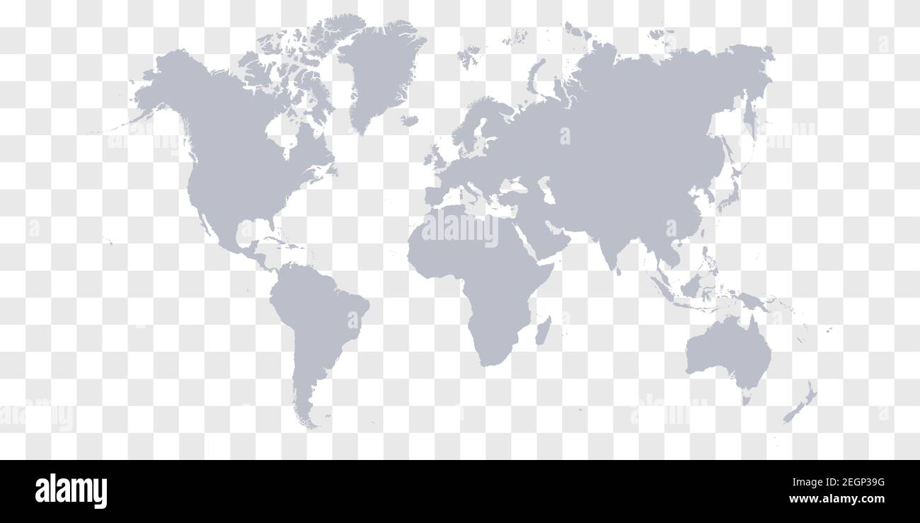 Detailed World Map with Countries stock illustration Stock Vectorhttps://www.alamy.com/image-license-details/?v=1https://www.alamy.com/detailed-world-map-with-countries-stock-illustration-image406158524.html
RF2EGP39G–Detailed World Map with Countries stock illustration
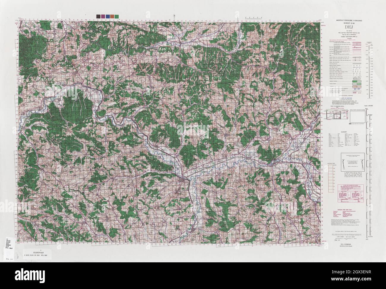 MAP CENTRAL EUROPE DEJ 1944 Stock Photohttps://www.alamy.com/image-license-details/?v=1https://www.alamy.com/map-central-europe-dej-1944-image446317699.html
RF2GX3ENR–MAP CENTRAL EUROPE DEJ 1944
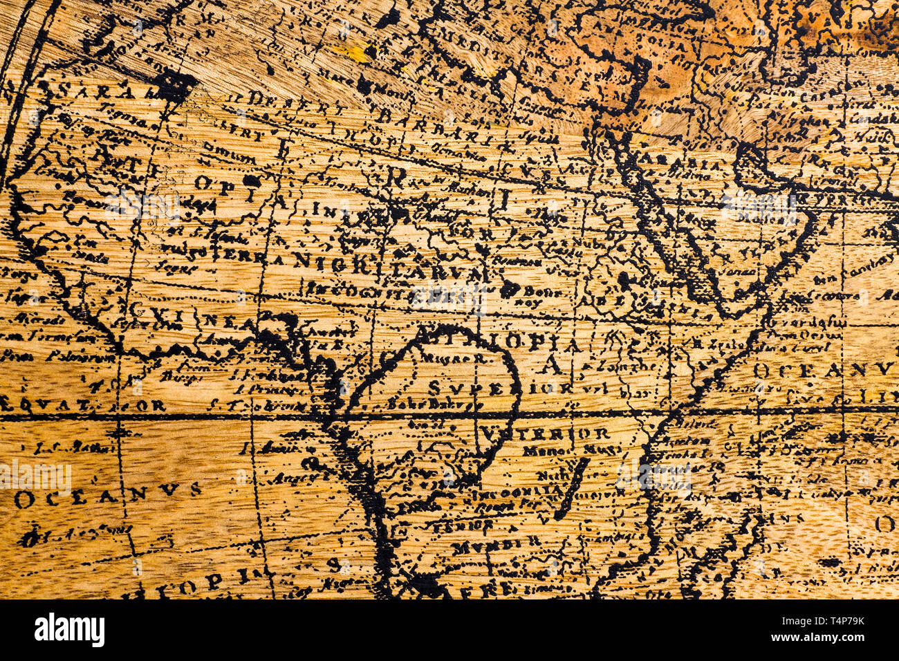 Old Geographic map of the world printed on a wooden board Stock Photohttps://www.alamy.com/image-license-details/?v=1https://www.alamy.com/old-geographic-map-of-the-world-printed-on-a-wooden-board-image243892479.html
RFT4P79K–Old Geographic map of the world printed on a wooden board
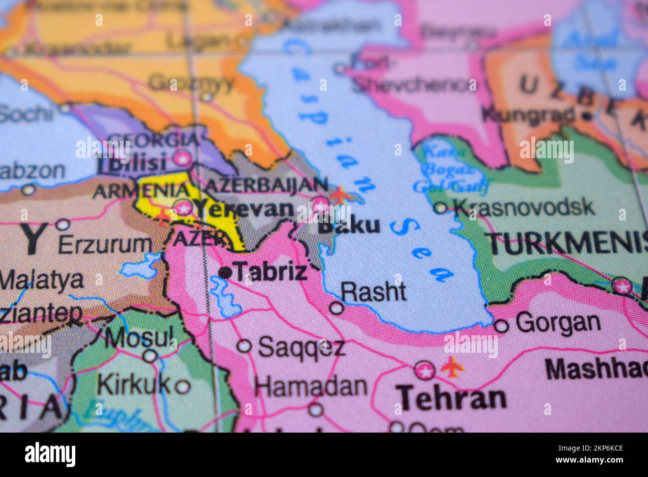 Baku on The Political Map Travel Concept Macro Close-Up View Stock Photohttps://www.alamy.com/image-license-details/?v=1https://www.alamy.com/baku-on-the-political-map-travel-concept-macro-close-up-view-image495559694.html
RF2KP6KCE–Baku on The Political Map Travel Concept Macro Close-Up View
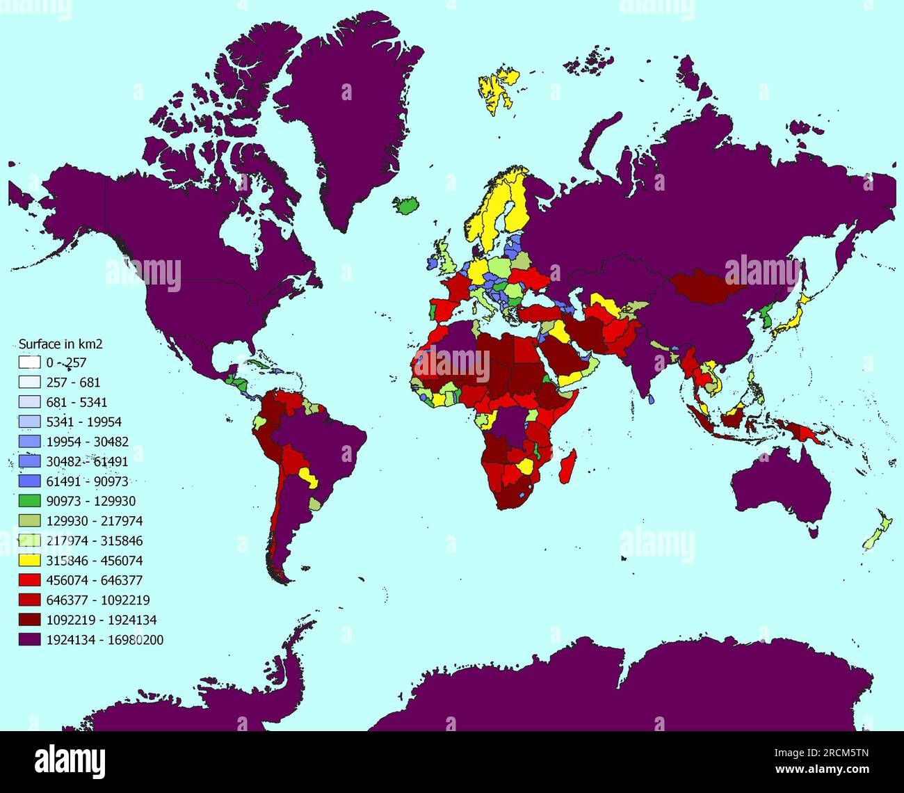 World map with countries classified by area Stock Photohttps://www.alamy.com/image-license-details/?v=1https://www.alamy.com/world-map-with-countries-classified-by-area-image558551301.html
RF2RCM5TN–World map with countries classified by area
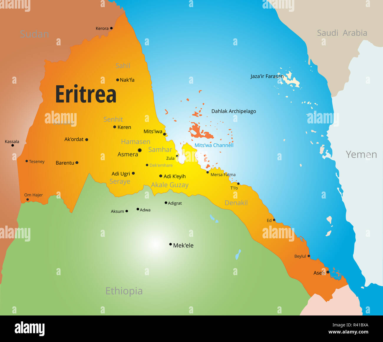 Eritrea Stock Photohttps://www.alamy.com/image-license-details/?v=1https://www.alamy.com/eritrea-image226224722.html
RFR41BXA–Eritrea
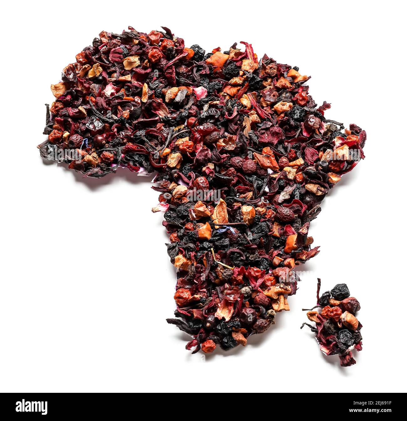 Continent Africa made of tea on white background Stock Photohttps://www.alamy.com/image-license-details/?v=1https://www.alamy.com/continent-africa-made-of-tea-on-white-background-image407041083.html
RF2EJ691F–Continent Africa made of tea on white background
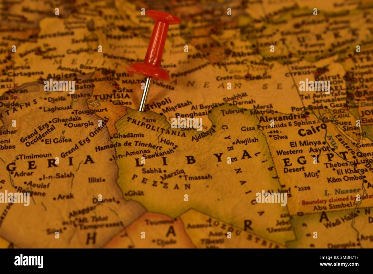 Vintage map of Libya with a pin on a Tripoli Stock Photohttps://www.alamy.com/image-license-details/?v=1https://www.alamy.com/vintage-map-of-libya-with-a-pin-on-a-tripoli-image506240595.html
RM2MBH717–Vintage map of Libya with a pin on a Tripoli
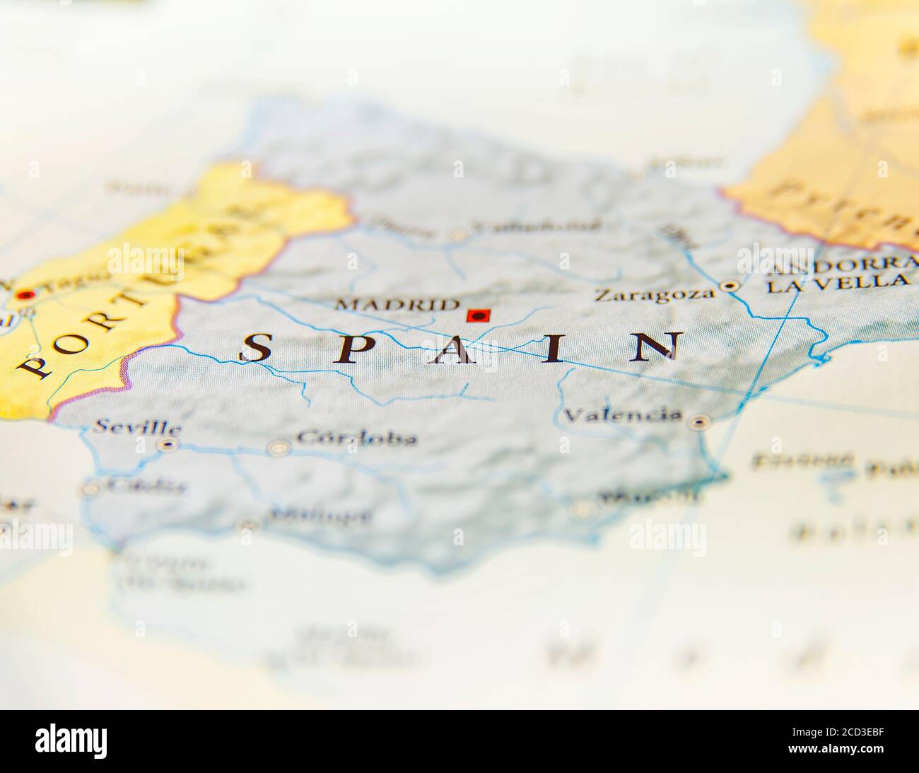 Geographic map of Spain with important cities Stock Photohttps://www.alamy.com/image-license-details/?v=1https://www.alamy.com/geographic-map-of-spain-with-important-cities-image369485411.html
RF2CD3EBF–Geographic map of Spain with important cities
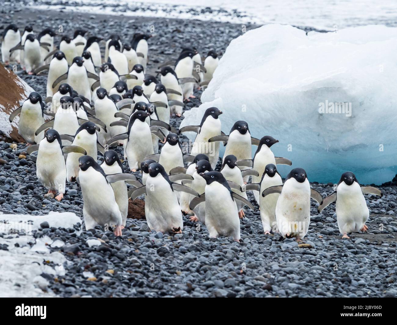 March of the Penguins, Adelie penguins (Pygoscelis adeliae) at Brown Bluff, Antarctic Peninsula Stock Photohttps://www.alamy.com/image-license-details/?v=1https://www.alamy.com/march-of-the-penguins-adelie-penguins-pygoscelis-adeliae-at-brown-bluff-antarctic-peninsula-image472034037.html
RF2JBY06D–March of the Penguins, Adelie penguins (Pygoscelis adeliae) at Brown Bluff, Antarctic Peninsula
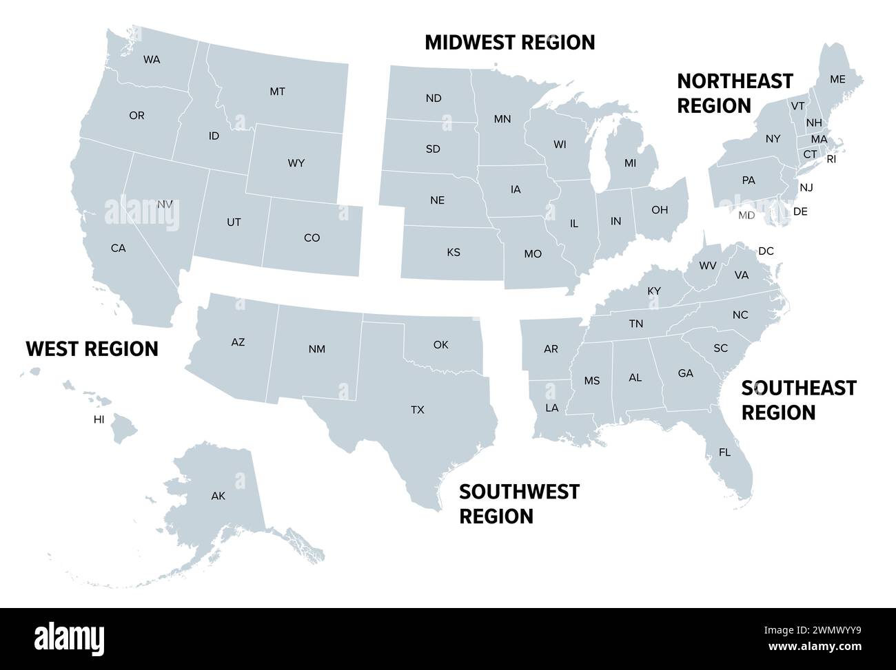 United States, geographic regions, gray political map. Five regions, according to their geographic position on the continent. Stock Photohttps://www.alamy.com/image-license-details/?v=1https://www.alamy.com/united-states-geographic-regions-gray-political-map-five-regions-according-to-their-geographic-position-on-the-continent-image598016365.html
RF2WMWYY9–United States, geographic regions, gray political map. Five regions, according to their geographic position on the continent.
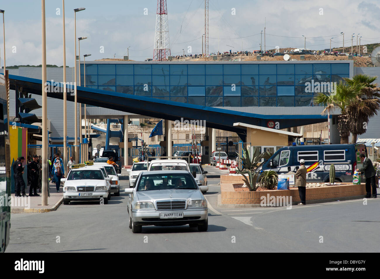 The Tarajal border checkpoint between Ceuta and Morocco. Spain. Stock Photohttps://www.alamy.com/image-license-details/?v=1https://www.alamy.com/stock-photo-the-tarajal-border-checkpoint-between-ceuta-and-morocco-spain-58997791.html
RMDBYG7Y–The Tarajal border checkpoint between Ceuta and Morocco. Spain.
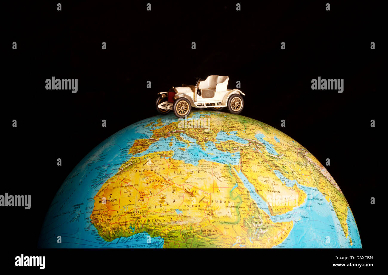 Traveling the world Stock Photohttps://www.alamy.com/image-license-details/?v=1https://www.alamy.com/stock-photo-traveling-the-world-58358153.html
RFDAXCBN–Traveling the world
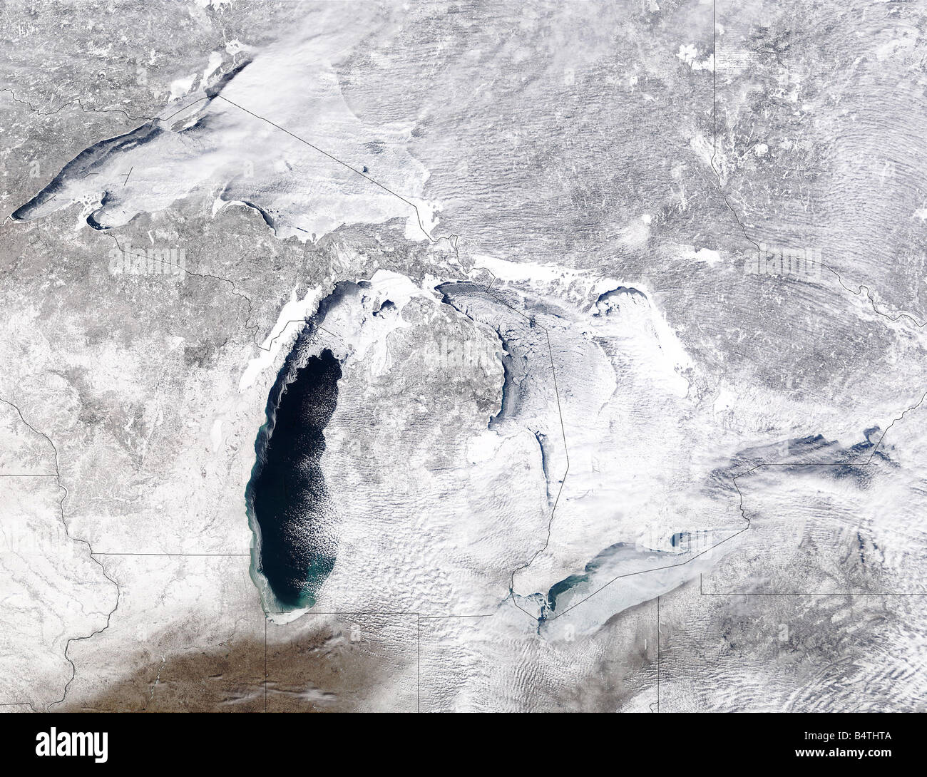 Satellite view of Great Lakes, USA Winter Stock Photohttps://www.alamy.com/image-license-details/?v=1https://www.alamy.com/stock-photo-satellite-view-of-great-lakes-usa-winter-20209850.html
RFB4THTA–Satellite view of Great Lakes, USA Winter
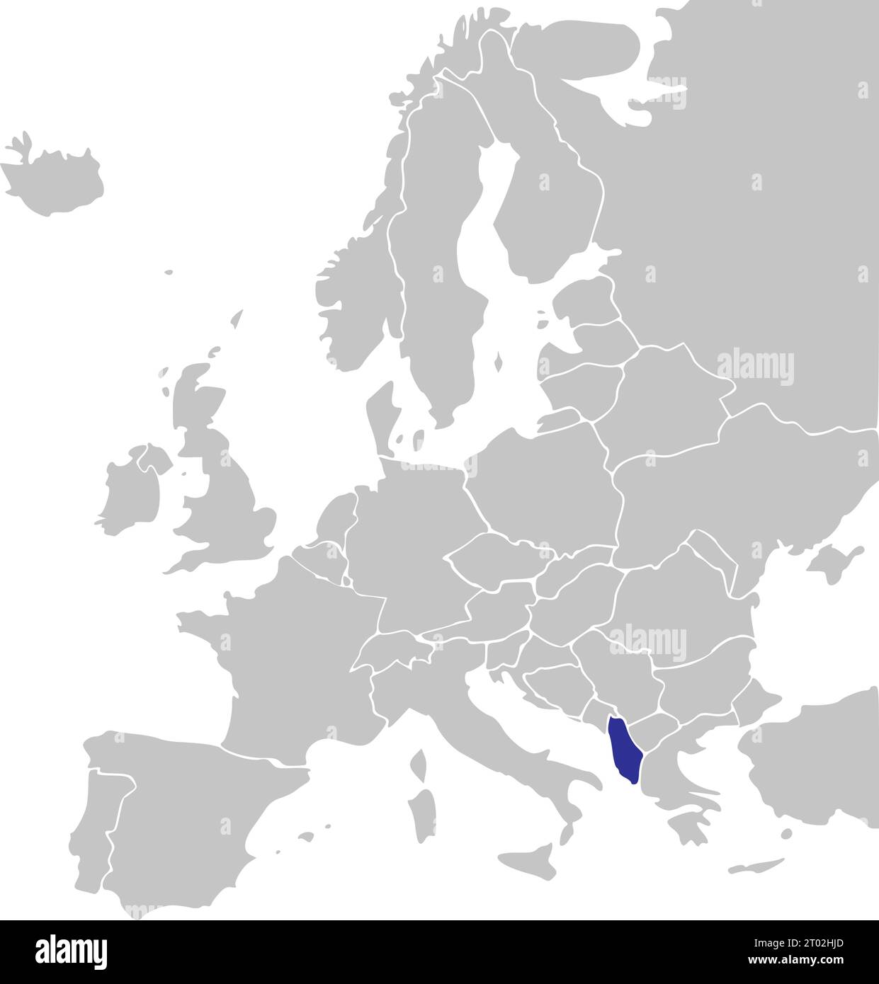 Blue CMYK national map of ALBANIA inside simplified gray blank political map of European continent on transparent background using Mercator projection Stock Vectorhttps://www.alamy.com/image-license-details/?v=1https://www.alamy.com/blue-cmyk-national-map-of-albania-inside-simplified-gray-blank-political-map-of-european-continent-on-transparent-background-using-mercator-projection-image567999893.html
RF2T02HJD–Blue CMYK national map of ALBANIA inside simplified gray blank political map of European continent on transparent background using Mercator projection
 Monument to Frano Alfirevic on the Island of the Rock, Gospa od Skrpjela, artificial island, World Natural and Cultural Heritage, Bay of Kotor, Medite Stock Photohttps://www.alamy.com/image-license-details/?v=1https://www.alamy.com/monument-to-frano-alfirevic-on-the-island-of-the-rock-gospa-od-skrpjela-artificial-island-world-natural-and-cultural-heritage-bay-of-kotor-medite-image499296639.html
RM2M08WXR–Monument to Frano Alfirevic on the Island of the Rock, Gospa od Skrpjela, artificial island, World Natural and Cultural Heritage, Bay of Kotor, Medite
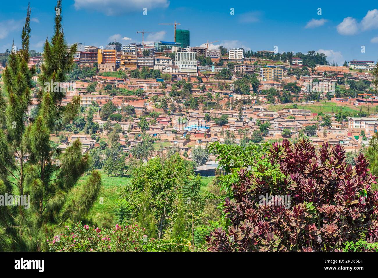 Neighborhood in Kigali, Rwanda, in Africa. Stock Photohttps://www.alamy.com/image-license-details/?v=1https://www.alamy.com/neighborhood-in-kigali-rwanda-in-africa-image558859045.html
RM2RD66BH–Neighborhood in Kigali, Rwanda, in Africa.
 Writing displaying text Global Epidemic. Business showcase a rapid spread of a communicable disease over a wide geographic area Multiple Assorted Collection Office Stationery Photo Placed Over Table Stock Photohttps://www.alamy.com/image-license-details/?v=1https://www.alamy.com/writing-displaying-text-global-epidemic-business-showcase-a-rapid-spread-of-a-communicable-disease-over-a-wide-geographic-area-multiple-assorted-collection-office-stationery-photo-placed-over-table-image483276287.html
RF2K273RB–Writing displaying text Global Epidemic. Business showcase a rapid spread of a communicable disease over a wide geographic area Multiple Assorted Collection Office Stationery Photo Placed Over Table
 Poznan, Poland, a globe in the staff room of Boleslaw Elementary School 44 Stock Photohttps://www.alamy.com/image-license-details/?v=1https://www.alamy.com/poznan-poland-a-globe-in-the-staff-room-of-boleslaw-elementary-school-image66626866.html
RMDTB36X–Poznan, Poland, a globe in the staff room of Boleslaw Elementary School 44
 Black silhouette of the largest continental area on Earth - Eurasia. Stock Photohttps://www.alamy.com/image-license-details/?v=1https://www.alamy.com/black-silhouette-of-the-largest-continental-area-on-earth-eurasia-image605174903.html
RF2X4G2NB–Black silhouette of the largest continental area on Earth - Eurasia.