Continents map 1860's Stock Photos and Images
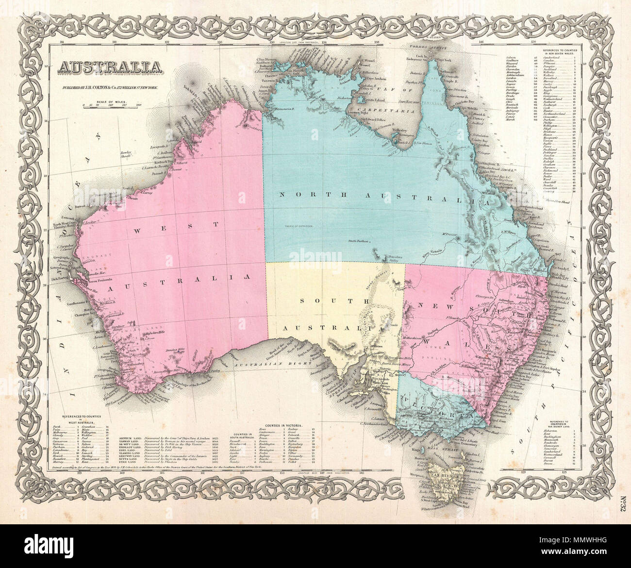
 . English: A beautiful 1855 first edition example of Colton's map of Australia. Covers the entire continent including Tasmania or Van Diemen's Land. Colton's mappings of Australia, updated annually through the 1860s, offer a comprehensive overview of the mapping and exploration of the continent's interior. This map notes Stuart's Farthest Point, a few rivers, and little else in the vast and desolate continental interior. Where known, Colton identifies various cities, towns, forts, rivers, desert oases, and an assortment of additional topographical details. Surrounded by Colton's typical spira Stock Photohttps://www.alamy.com/image-license-details/?v=1https://www.alamy.com/english-a-beautiful-1855-first-edition-example-of-coltons-map-of-australia-covers-the-entire-continent-including-tasmania-or-van-diemens-land-coltons-mappings-of-australia-updated-annually-through-the-1860s-offer-a-comprehensive-overview-of-the-mapping-and-exploration-of-the-continents-interior-this-map-notes-stuarts-farthest-point-a-few-rivers-and-little-else-in-the-vast-and-desolate-continental-interior-where-known-colton-identifies-various-cities-towns-forts-rivers-desert-oases-and-an-assortment-of-additional-topographical-details-surrounded-by-coltons-typical-spira-image184959420.html
RMMMWHHG–. English: A beautiful 1855 first edition example of Colton's map of Australia. Covers the entire continent including Tasmania or Van Diemen's Land. Colton's mappings of Australia, updated annually through the 1860s, offer a comprehensive overview of the mapping and exploration of the continent's interior. This map notes Stuart's Farthest Point, a few rivers, and little else in the vast and desolate continental interior. Where known, Colton identifies various cities, towns, forts, rivers, desert oases, and an assortment of additional topographical details. Surrounded by Colton's typical spira
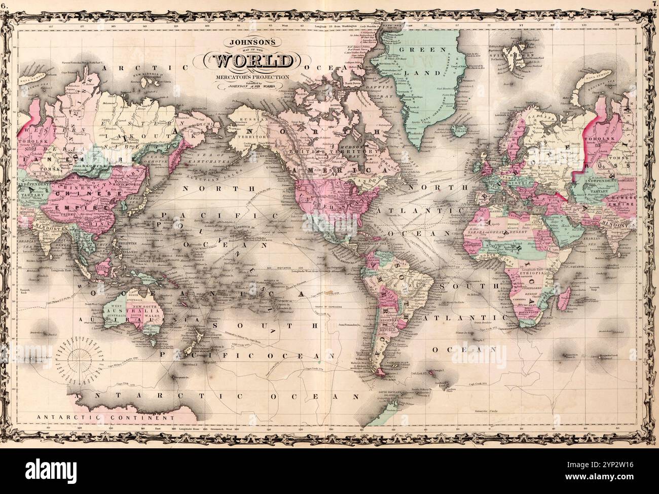
 Map of the World circa 1860 Stock Photohttps://www.alamy.com/image-license-details/?v=1https://www.alamy.com/map-of-the-world-circa-1860-image633159218.html
RM2YP2W16–Map of the World circa 1860
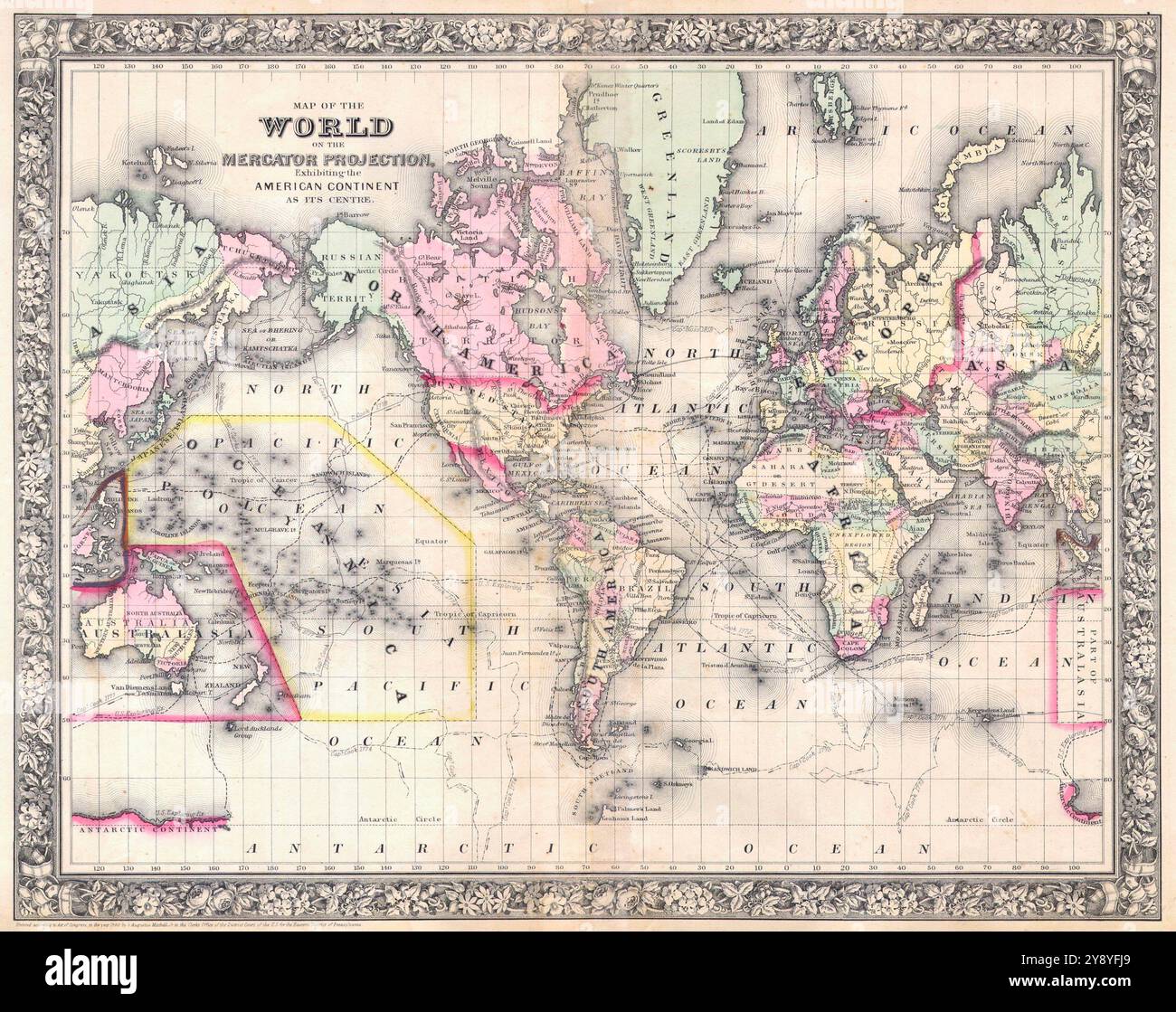
 1860 Mitchell Map of the world. centered on american continents. Vintage 19th Century Map of the World. printed in 1864 Mitchell Atlas. Stock Photohttps://www.alamy.com/image-license-details/?v=1https://www.alamy.com/1860-mitchell-map-of-the-world-centered-on-american-continents-vintage-19th-century-map-of-the-world-printed-in-1864-mitchell-atlas-image625095473.html
RM2Y8YFJ9–1860 Mitchell Map of the world. centered on american continents. Vintage 19th Century Map of the World. printed in 1864 Mitchell Atlas.