Cordillera administrative region Stock Photos and Images
(309)See cordillera administrative region stock video clipsQuick filters:
Cordillera administrative region Stock Photos and Images
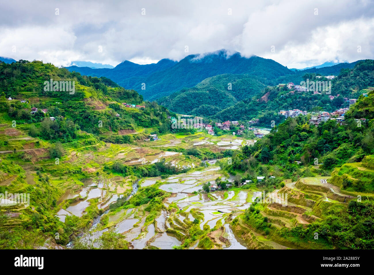 Banaue rice terraces in early spring, Mountain Province, Cordillera Administrative Region, Philippines Stock Photohttps://www.alamy.com/image-license-details/?v=1https://www.alamy.com/banaue-rice-terraces-in-early-spring-mountain-province-cordillera-administrative-region-philippines-image328408359.html
RF2A2885Y–Banaue rice terraces in early spring, Mountain Province, Cordillera Administrative Region, Philippines
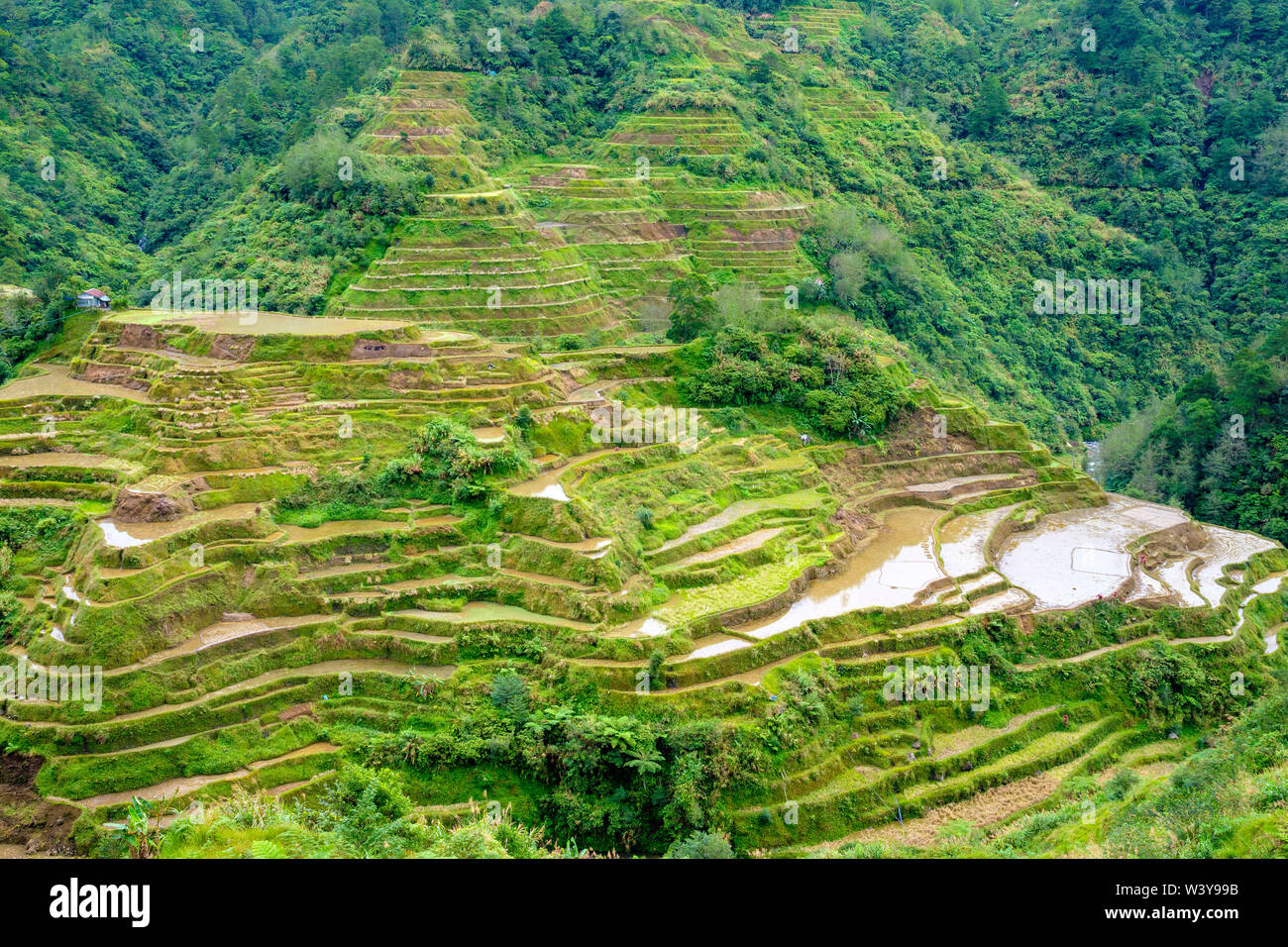 Banaue rice terraces in early spring, Mountain Province, Cordillera Administrative Region, Philippines Stock Photohttps://www.alamy.com/image-license-details/?v=1https://www.alamy.com/banaue-rice-terraces-in-early-spring-mountain-province-cordillera-administrative-region-philippines-image260599511.html
RFW3Y99B–Banaue rice terraces in early spring, Mountain Province, Cordillera Administrative Region, Philippines
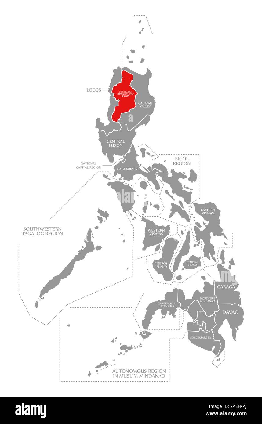 Cordillera Administrative Region red highlighted in map of Philippines Stock Photohttps://www.alamy.com/image-license-details/?v=1https://www.alamy.com/cordillera-administrative-region-red-highlighted-in-map-of-philippines-image335946650.html
RF2AEFKAJ–Cordillera Administrative Region red highlighted in map of Philippines
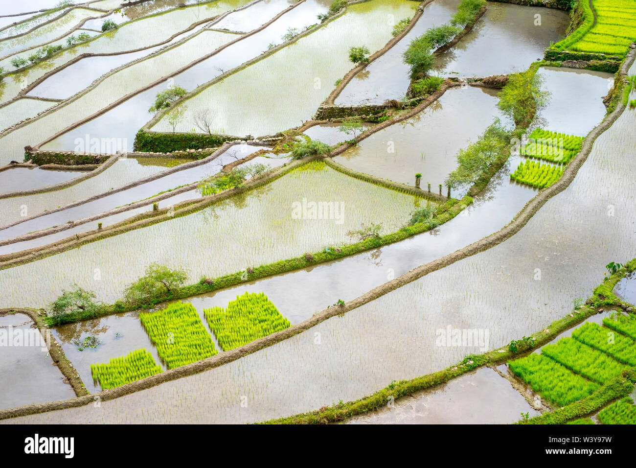 Elevated view of flooded rice terraces during early spring planting season, Batad, Banaue, Mountain Province, Cordillera Administrative Region, Philippines Stock Photohttps://www.alamy.com/image-license-details/?v=1https://www.alamy.com/elevated-view-of-flooded-rice-terraces-during-early-spring-planting-season-batad-banaue-mountain-province-cordillera-administrative-region-philippines-image260599469.html
RFW3Y97W–Elevated view of flooded rice terraces during early spring planting season, Batad, Banaue, Mountain Province, Cordillera Administrative Region, Philippines
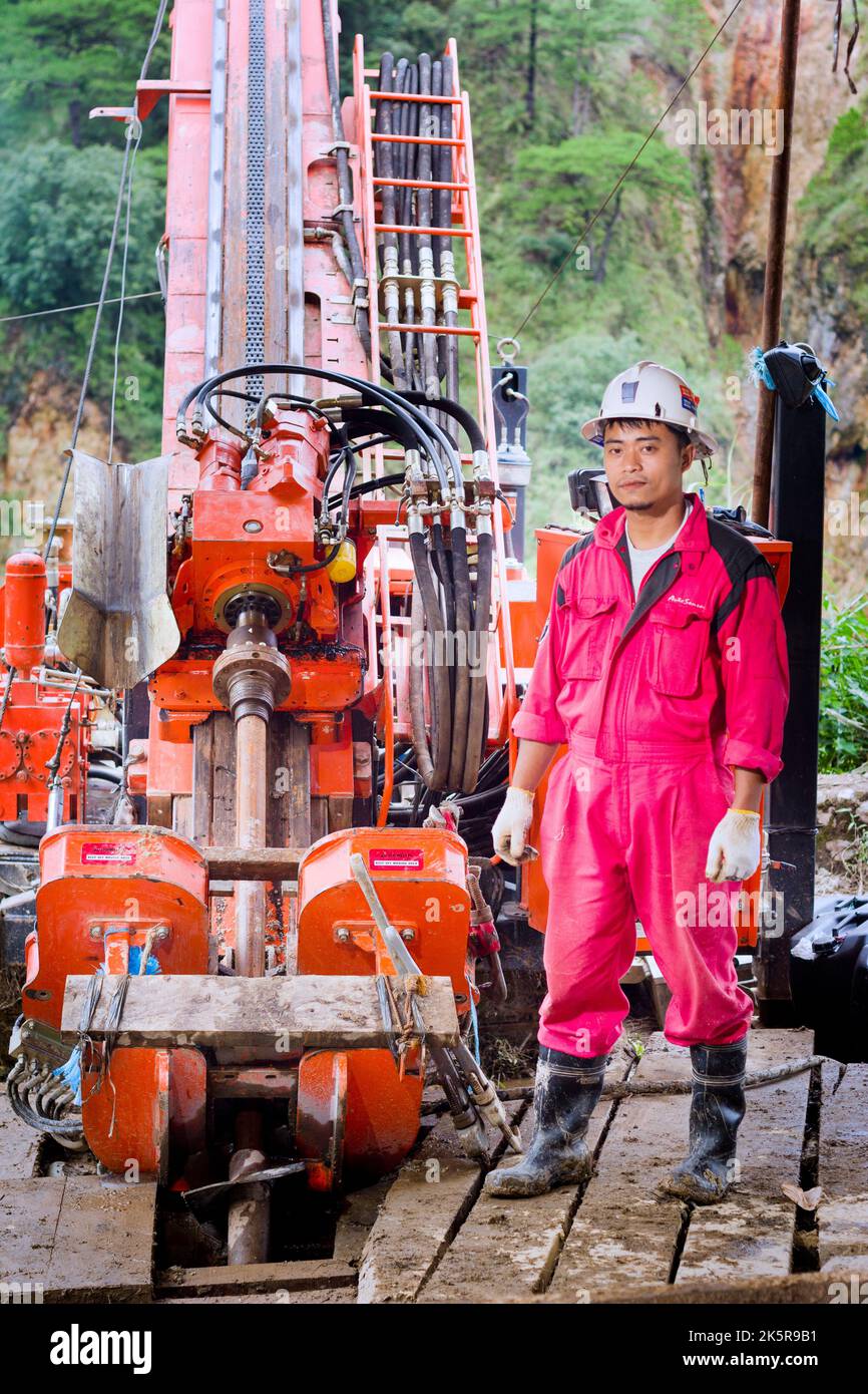 A worker at a gold mine and processing plant in Benguet, Philippines Stock Photohttps://www.alamy.com/image-license-details/?v=1https://www.alamy.com/a-worker-at-a-gold-mine-and-processing-plant-in-benguet-philippines-image485475845.html
RF2K5R9B1–A worker at a gold mine and processing plant in Benguet, Philippines
 June 5, 2019-Baguio City Philippines : Red traditional weaved costumes of the Igorot tribe in the Cordillera administrative region. Cloth folded on a Stock Photohttps://www.alamy.com/image-license-details/?v=1https://www.alamy.com/june-5-2019-baguio-city-philippines-red-traditional-weaved-costumes-of-the-igorot-tribe-in-the-cordillera-administrative-region-cloth-folded-on-a-image352792569.html
RF2BDY2EH–June 5, 2019-Baguio City Philippines : Red traditional weaved costumes of the Igorot tribe in the Cordillera administrative region. Cloth folded on a
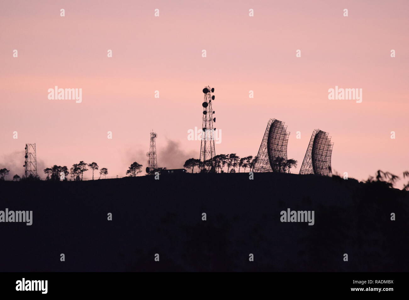 Communication and broadcasting equipment mounted on the summit of Mount Sto. Tomas in Tuba, Benguet, Philippines viewed from different locations. Stock Photohttps://www.alamy.com/image-license-details/?v=1https://www.alamy.com/communication-and-broadcasting-equipment-mounted-on-the-summit-of-mount-sto-tomas-in-tuba-benguet-philippines-viewed-from-different-locations-image230182734.html
RFRADMBX–Communication and broadcasting equipment mounted on the summit of Mount Sto. Tomas in Tuba, Benguet, Philippines viewed from different locations.
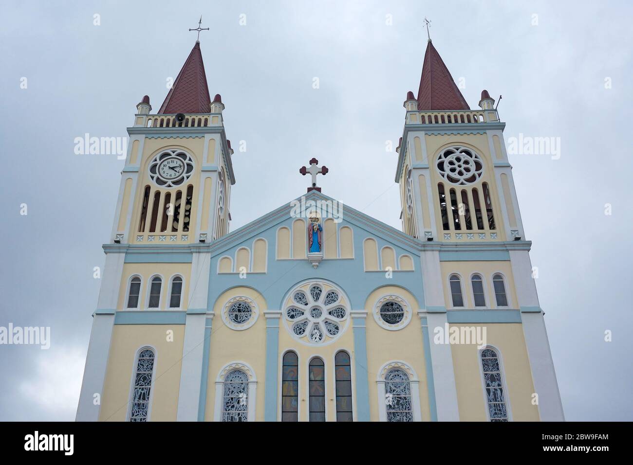 Facade of Our Lady of the Atonement Cathedral, a catholic church in Baguio, Philippines, Southeast Asia. Photo taken on February 14, 2017 Stock Photohttps://www.alamy.com/image-license-details/?v=1https://www.alamy.com/facade-of-our-lady-of-the-atonement-cathedral-a-catholic-church-in-baguio-philippines-southeast-asia-photo-taken-on-february-14-2017-image359783388.html
RF2BW9FAM–Facade of Our Lady of the Atonement Cathedral, a catholic church in Baguio, Philippines, Southeast Asia. Photo taken on February 14, 2017
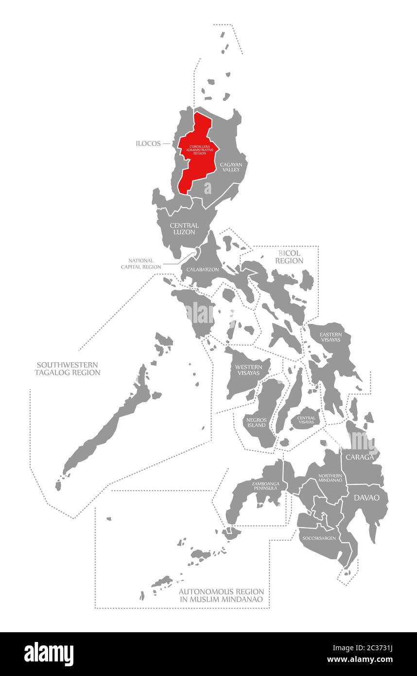 Cordillera Administrative Region red highlighted in map of Philippines Stock Photohttps://www.alamy.com/image-license-details/?v=1https://www.alamy.com/cordillera-administrative-region-red-highlighted-in-map-of-philippines-image363417758.html
RF2C3731J–Cordillera Administrative Region red highlighted in map of Philippines
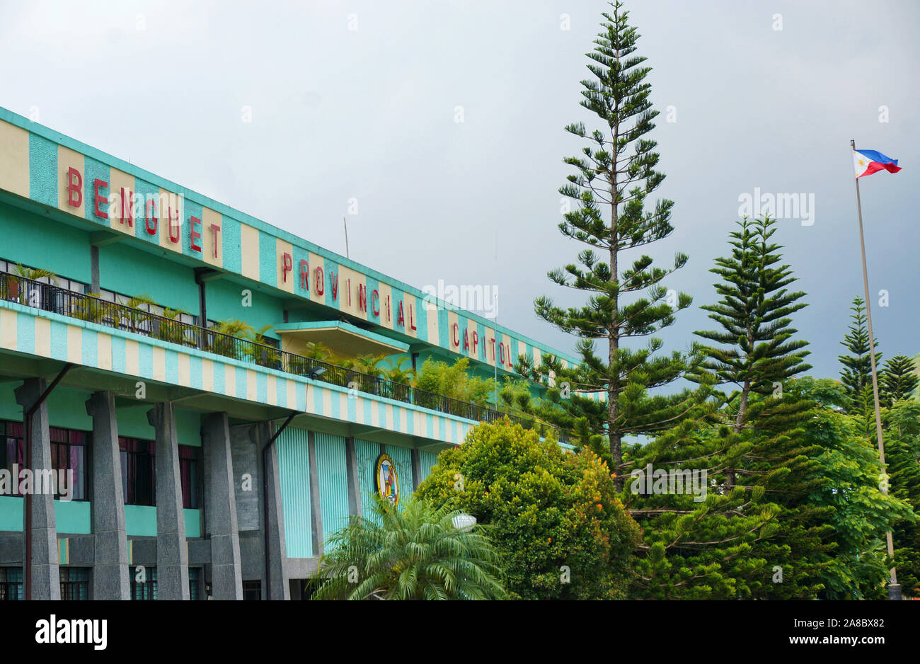 Facade and exterior of Benguet Provincial Capitol building in La Trinidad, Benguet, Philippines, Southeast Asia. Photo taken on May 14, 2014. Stock Photohttps://www.alamy.com/image-license-details/?v=1https://www.alamy.com/facade-and-exterior-of-benguet-provincial-capitol-building-in-la-trinidad-benguet-philippines-southeast-asia-photo-taken-on-may-14-2014-image332176322.html
RF2A8BX82–Facade and exterior of Benguet Provincial Capitol building in La Trinidad, Benguet, Philippines, Southeast Asia. Photo taken on May 14, 2014.
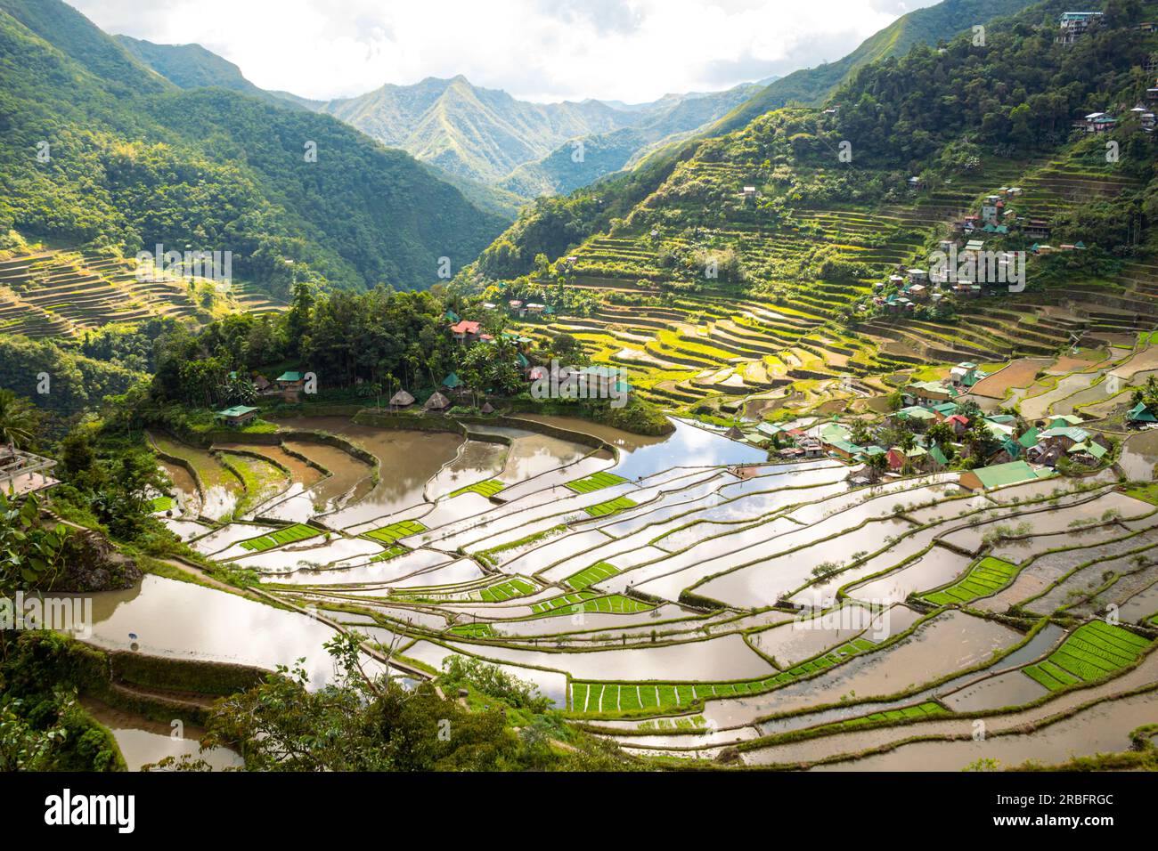 View of the rice terraces and Batad village. UNESCO list. Cordillera Administrative Region, Ifugao Province (Philippines) Stock Photohttps://www.alamy.com/image-license-details/?v=1https://www.alamy.com/view-of-the-rice-terraces-and-batad-village-unesco-list-cordillera-administrative-region-ifugao-province-philippines-image557840764.html
RF2RBFRGC–View of the rice terraces and Batad village. UNESCO list. Cordillera Administrative Region, Ifugao Province (Philippines)
 Partial view of hotels at Burnham park in Baguio, Philippines, Southeast Asia. Photo taken on August 27, 2014. Stock Photohttps://www.alamy.com/image-license-details/?v=1https://www.alamy.com/partial-view-of-hotels-at-burnham-park-in-baguio-philippines-southeast-asia-photo-taken-on-august-27-2014-image359783474.html
RF2BW9FDP–Partial view of hotels at Burnham park in Baguio, Philippines, Southeast Asia. Photo taken on August 27, 2014.
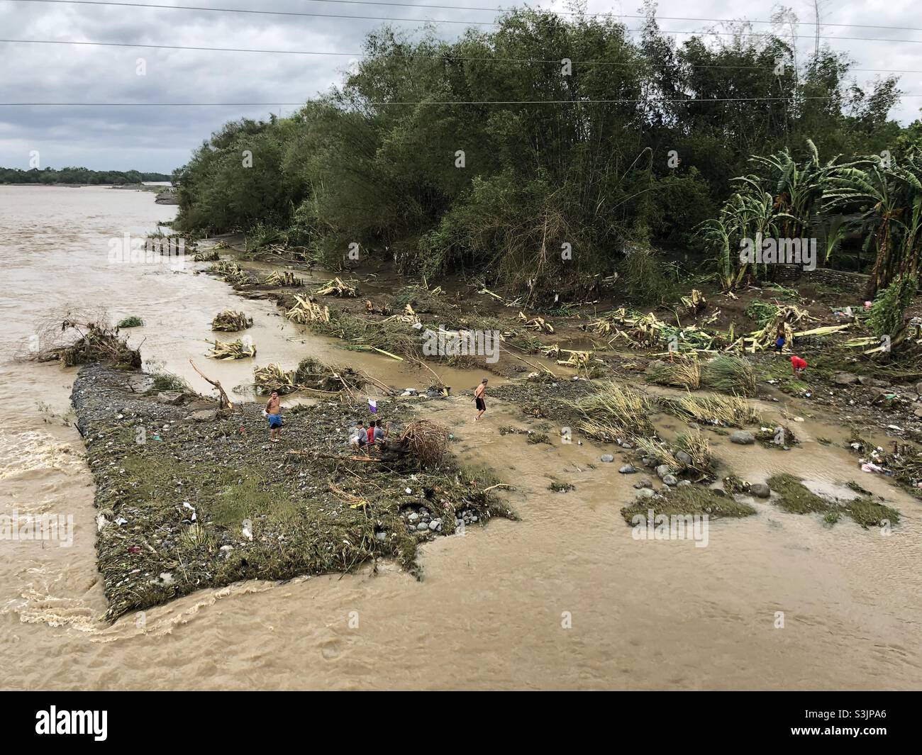 Typhoon Maring brought flooding, landslide, uprooted trees and electrical lines in La Union, Cordillera Administrative Region and Cagayan Region in Northern Philippines. Stock Photohttps://www.alamy.com/image-license-details/?v=1https://www.alamy.com/typhoon-maring-brought-flooding-landslide-uprooted-trees-and-electrical-lines-in-la-union-cordillera-administrative-region-and-cagayan-region-in-northern-philippines-image312043262.html
RMS3JPA6–Typhoon Maring brought flooding, landslide, uprooted trees and electrical lines in La Union, Cordillera Administrative Region and Cagayan Region in Northern Philippines.
 Terrace, small garden and outdoor of a shopping mall in Baguio, Philippines, Southeast Asia. Photo taken on April 23, 2014. Stock Photohttps://www.alamy.com/image-license-details/?v=1https://www.alamy.com/terrace-small-garden-and-outdoor-of-a-shopping-mall-in-baguio-philippines-southeast-asia-photo-taken-on-april-23-2014-image331623734.html
RF2A7ENCP–Terrace, small garden and outdoor of a shopping mall in Baguio, Philippines, Southeast Asia. Photo taken on April 23, 2014.
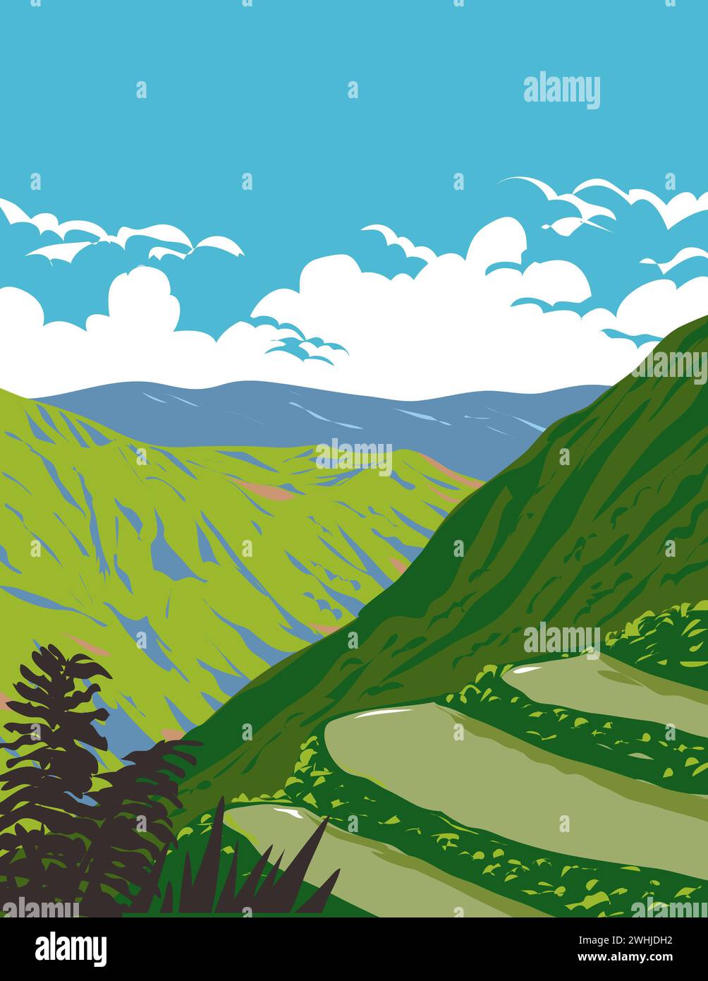 Balbalasang-Balbalan National Park in Cordillera Administrative Region Luzon Philippines WPA Art Deco Poster Stock Photohttps://www.alamy.com/image-license-details/?v=1https://www.alamy.com/balbalasang-balbalan-national-park-in-cordillera-administrative-region-luzon-philippines-wpa-art-deco-poster-image596007470.html
RF2WHJDH2–Balbalasang-Balbalan National Park in Cordillera Administrative Region Luzon Philippines WPA Art Deco Poster
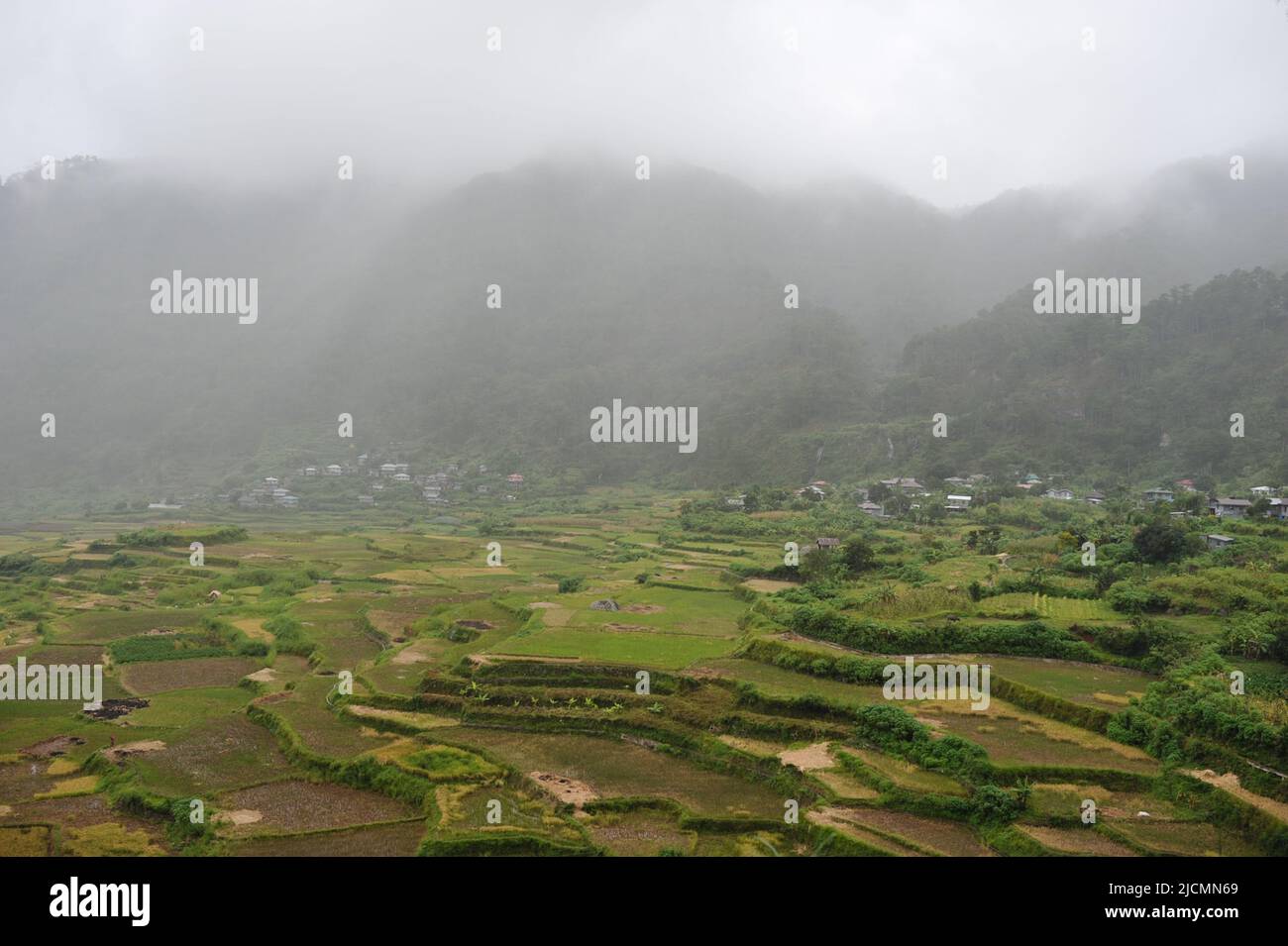 Mountain Province, Philippines: the ethereal Sagada Rice Terraces and the majestic Cordillera Mountain Range on a foggy day. Stock Photohttps://www.alamy.com/image-license-details/?v=1https://www.alamy.com/mountain-province-philippines-the-ethereal-sagada-rice-terraces-and-the-majestic-cordillera-mountain-range-on-a-foggy-day-image472511489.html
RF2JCMN69–Mountain Province, Philippines: the ethereal Sagada Rice Terraces and the majestic Cordillera Mountain Range on a foggy day.
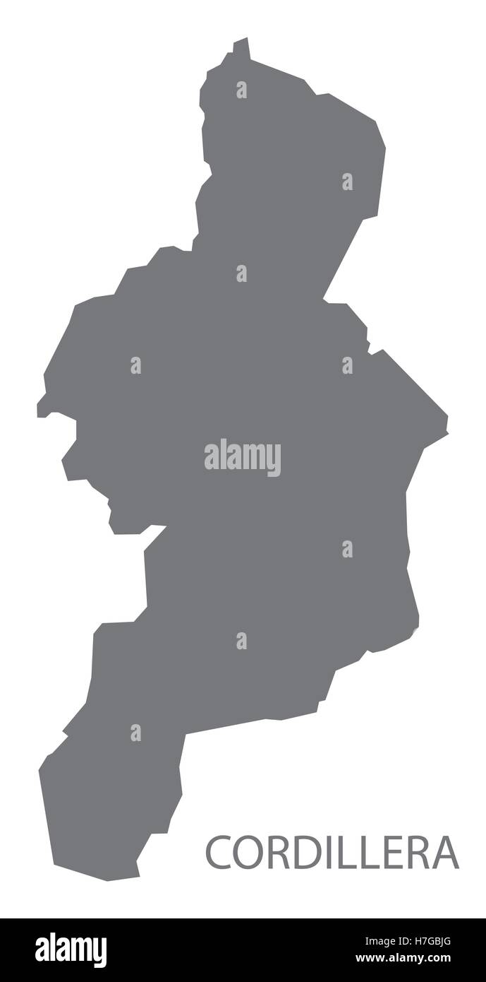 Cordillera Philippines Map in grey Stock Vectorhttps://www.alamy.com/image-license-details/?v=1https://www.alamy.com/stock-photo-cordillera-philippines-map-in-grey-125135544.html
RFH7GBJG–Cordillera Philippines Map in grey
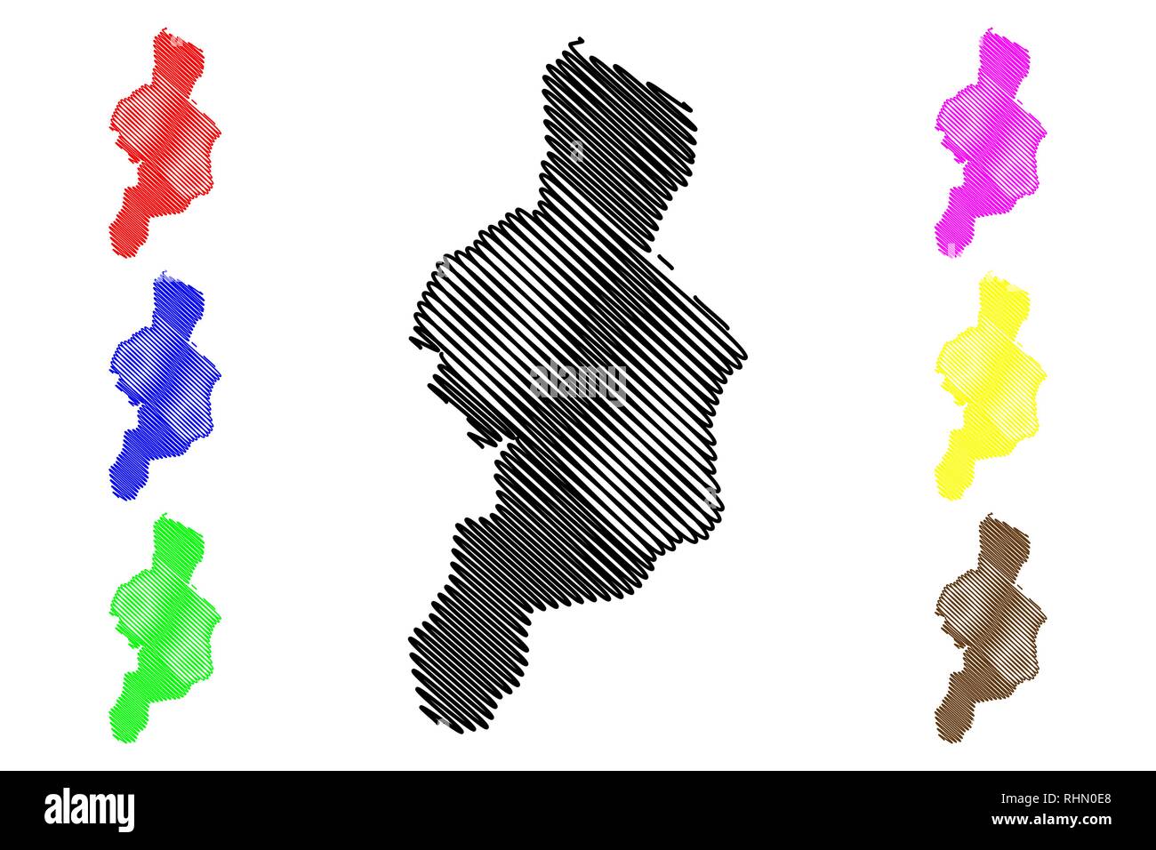 Cordillera Administrative Region (Regions and provinces of the Philippines, Republic of the Philippines) map vector illustration, scribble sketch Cord Stock Vectorhttps://www.alamy.com/image-license-details/?v=1https://www.alamy.com/cordillera-administrative-region-regions-and-provinces-of-the-philippines-republic-of-the-philippines-map-vector-illustration-scribble-sketch-cord-image234645328.html
RFRHN0E8–Cordillera Administrative Region (Regions and provinces of the Philippines, Republic of the Philippines) map vector illustration, scribble sketch Cord
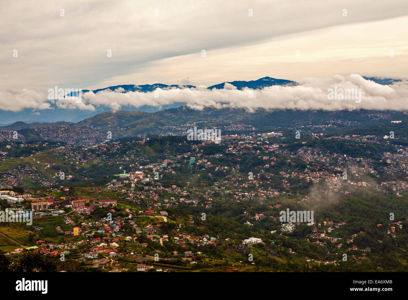 Scenic view of the Cordillera Mountains and Baguio City on Northern Luzon Island, Philippines. Stock Photohttps://www.alamy.com/image-license-details/?v=1https://www.alamy.com/stock-photo-scenic-view-of-the-cordillera-mountains-and-baguio-city-on-northern-75140699.html
RFEA6XMB–Scenic view of the Cordillera Mountains and Baguio City on Northern Luzon Island, Philippines.
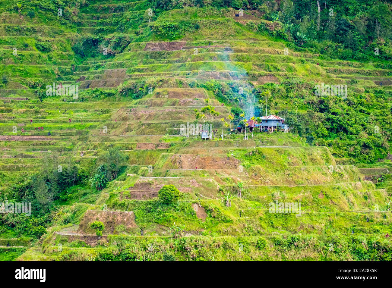 A house build on the Banaue rice terraces, Mountain Province, Cordillera Administrative Region, Philippines Stock Photohttps://www.alamy.com/image-license-details/?v=1https://www.alamy.com/a-house-build-on-the-banaue-rice-terraces-mountain-province-cordillera-administrative-region-philippines-image328408351.html
RF2A2885K–A house build on the Banaue rice terraces, Mountain Province, Cordillera Administrative Region, Philippines
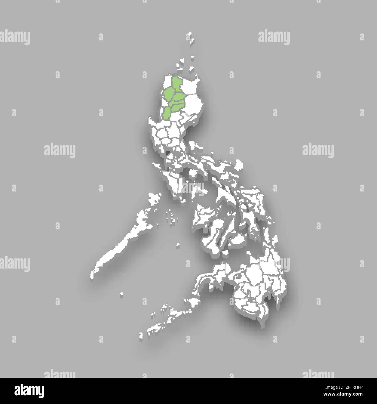 Cordillera Administrative Region location within Philippines 3d isometric map Stock Vectorhttps://www.alamy.com/image-license-details/?v=1https://www.alamy.com/cordillera-administrative-region-location-within-philippines-3d-isometric-map-image543260110.html
RF2PFRHPP–Cordillera Administrative Region location within Philippines 3d isometric map
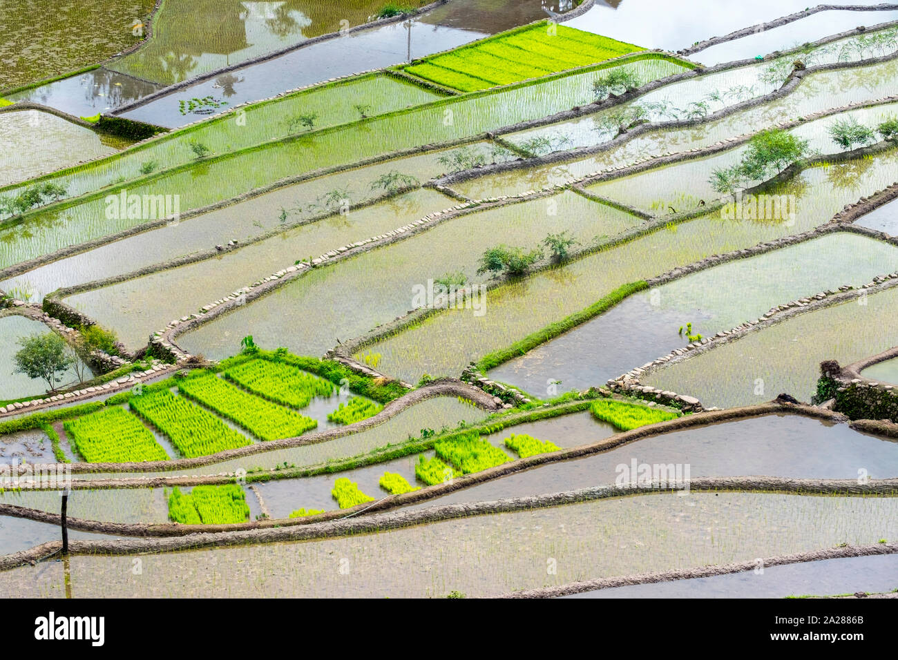 Elevated view of flooded rice terraces during early spring planting season, Batad, Banaue, Mountain Province, Cordillera Administrative Region, Philip Stock Photohttps://www.alamy.com/image-license-details/?v=1https://www.alamy.com/elevated-view-of-flooded-rice-terraces-during-early-spring-planting-season-batad-banaue-mountain-province-cordillera-administrative-region-philip-image328408371.html
RF2A2886B–Elevated view of flooded rice terraces during early spring planting season, Batad, Banaue, Mountain Province, Cordillera Administrative Region, Philip
 Mountain Province, Philippines: vertical macro shot of a rice stalk in Sagada, a region famous for its rice terraces. Stock Photohttps://www.alamy.com/image-license-details/?v=1https://www.alamy.com/mountain-province-philippines-vertical-macro-shot-of-a-rice-stalk-in-sagada-a-region-famous-for-its-rice-terraces-image472586294.html
RF2JCT4HX–Mountain Province, Philippines: vertical macro shot of a rice stalk in Sagada, a region famous for its rice terraces.
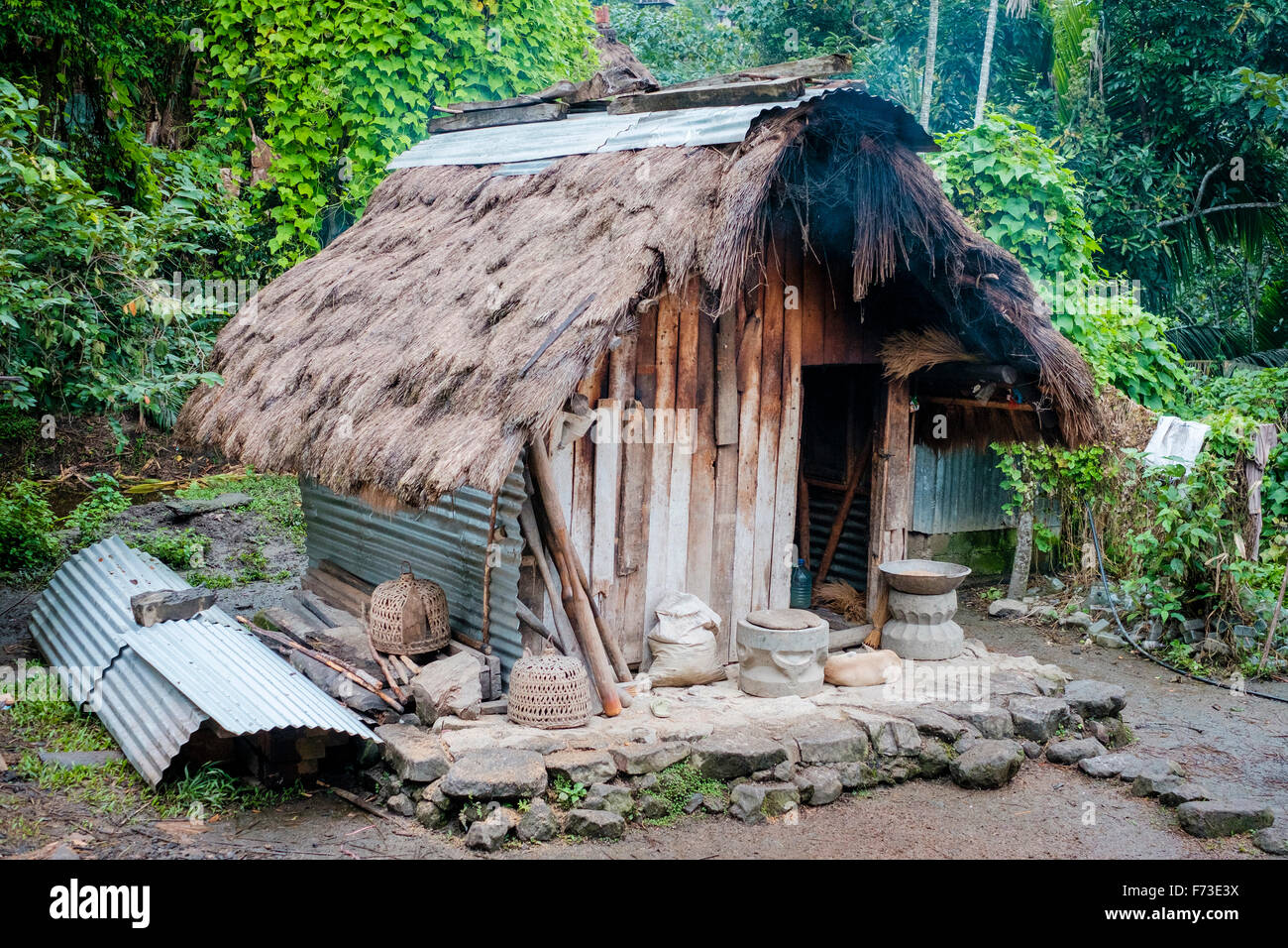 Traditional Ifugao wooden and thatched hut in Batad Village, Cordillera Administrative Region, Philippines Stock Photohttps://www.alamy.com/image-license-details/?v=1https://www.alamy.com/stock-photo-traditional-ifugao-wooden-and-thatched-hut-in-batad-village-cordillera-90431374.html
RFF73E3X–Traditional Ifugao wooden and thatched hut in Batad Village, Cordillera Administrative Region, Philippines
 Furnace worker at a gold mining processing plant in Benguet, Philippines Stock Photohttps://www.alamy.com/image-license-details/?v=1https://www.alamy.com/furnace-worker-at-a-gold-mining-processing-plant-in-benguet-philippines-image485477777.html
RF2K5RBT1–Furnace worker at a gold mining processing plant in Benguet, Philippines
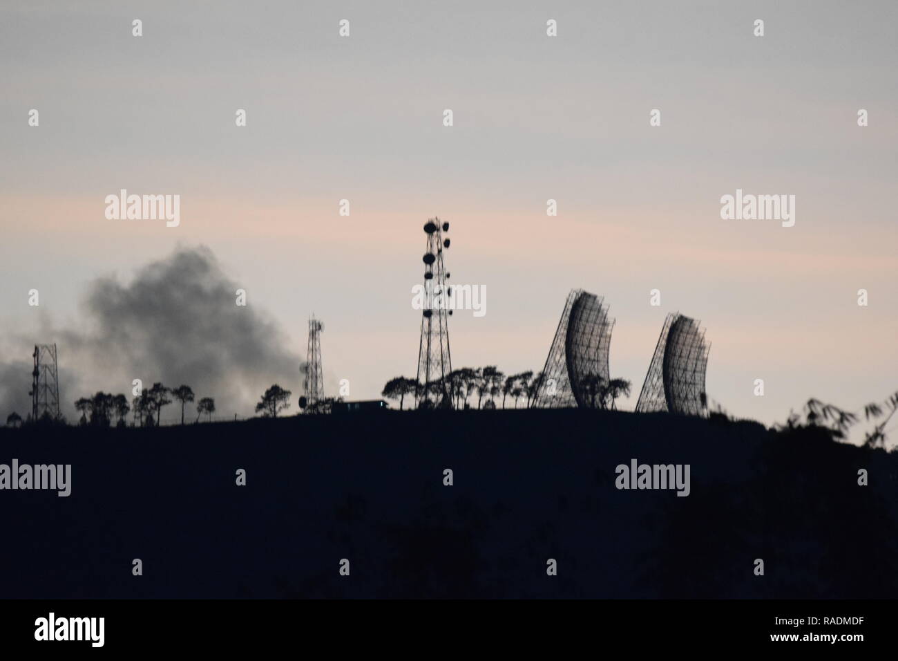 Communication and broadcasting equipment mounted on the summit of Mount Sto. Tomas in Tuba, Benguet, Philippines viewed from different locations. Stock Photohttps://www.alamy.com/image-license-details/?v=1https://www.alamy.com/communication-and-broadcasting-equipment-mounted-on-the-summit-of-mount-sto-tomas-in-tuba-benguet-philippines-viewed-from-different-locations-image230182779.html
RFRADMDF–Communication and broadcasting equipment mounted on the summit of Mount Sto. Tomas in Tuba, Benguet, Philippines viewed from different locations.
 Furnace worker at a gold mining processing plant in Benguet, Philippines Stock Photohttps://www.alamy.com/image-license-details/?v=1https://www.alamy.com/furnace-worker-at-a-gold-mining-processing-plant-in-benguet-philippines-image485477718.html
RF2K5RBNX–Furnace worker at a gold mining processing plant in Benguet, Philippines
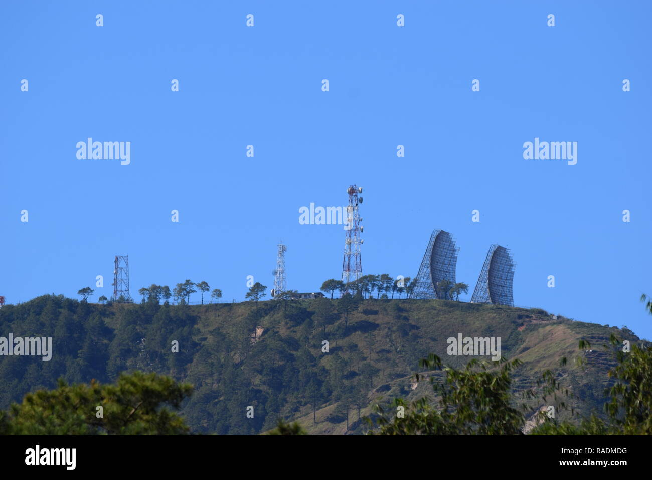 Communication and broadcasting equipment mounted on the summit of Mount Sto. Tomas in Tuba, Benguet, Philippines viewed from different locations. Stock Photohttps://www.alamy.com/image-license-details/?v=1https://www.alamy.com/communication-and-broadcasting-equipment-mounted-on-the-summit-of-mount-sto-tomas-in-tuba-benguet-philippines-viewed-from-different-locations-image230182780.html
RFRADMDG–Communication and broadcasting equipment mounted on the summit of Mount Sto. Tomas in Tuba, Benguet, Philippines viewed from different locations.
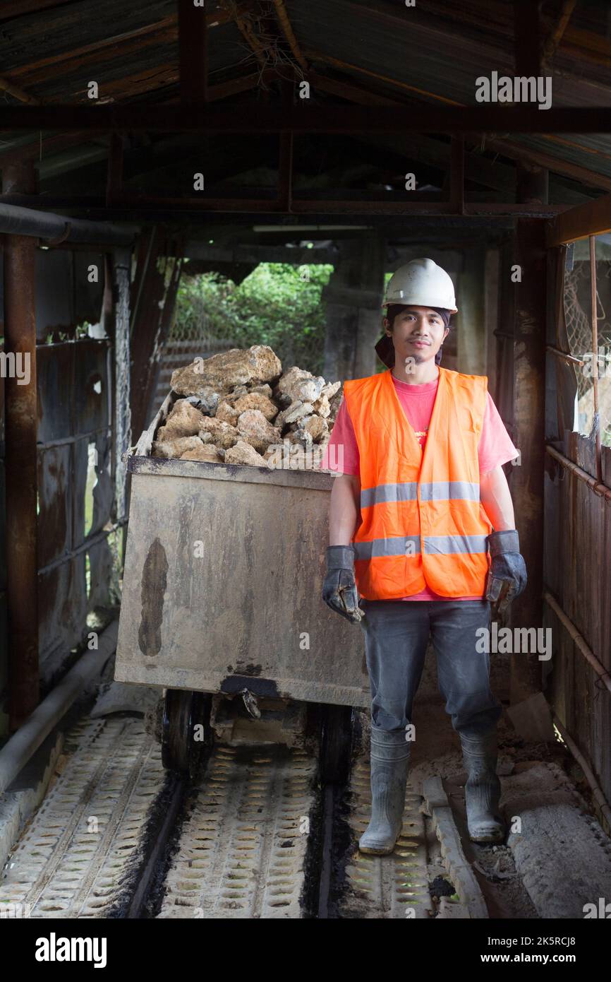 Ore extraction worker in Benguet, Philippines Stock Photohttps://www.alamy.com/image-license-details/?v=1https://www.alamy.com/ore-extraction-worker-in-benguet-philippines-image485478400.html
RF2K5RCJ8–Ore extraction worker in Benguet, Philippines
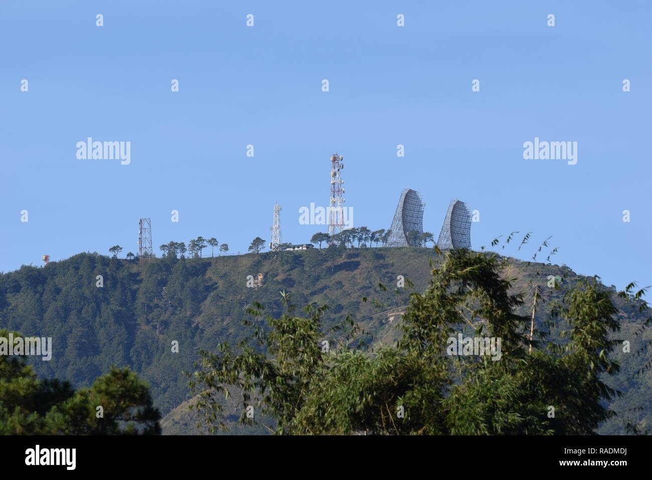 Communication and broadcasting equipment mounted on the summit of Mount Sto. Tomas in Tuba, Benguet, Philippines viewed from different locations. Stock Photohttps://www.alamy.com/image-license-details/?v=1https://www.alamy.com/communication-and-broadcasting-equipment-mounted-on-the-summit-of-mount-sto-tomas-in-tuba-benguet-philippines-viewed-from-different-locations-image230182782.html
RFRADMDJ–Communication and broadcasting equipment mounted on the summit of Mount Sto. Tomas in Tuba, Benguet, Philippines viewed from different locations.
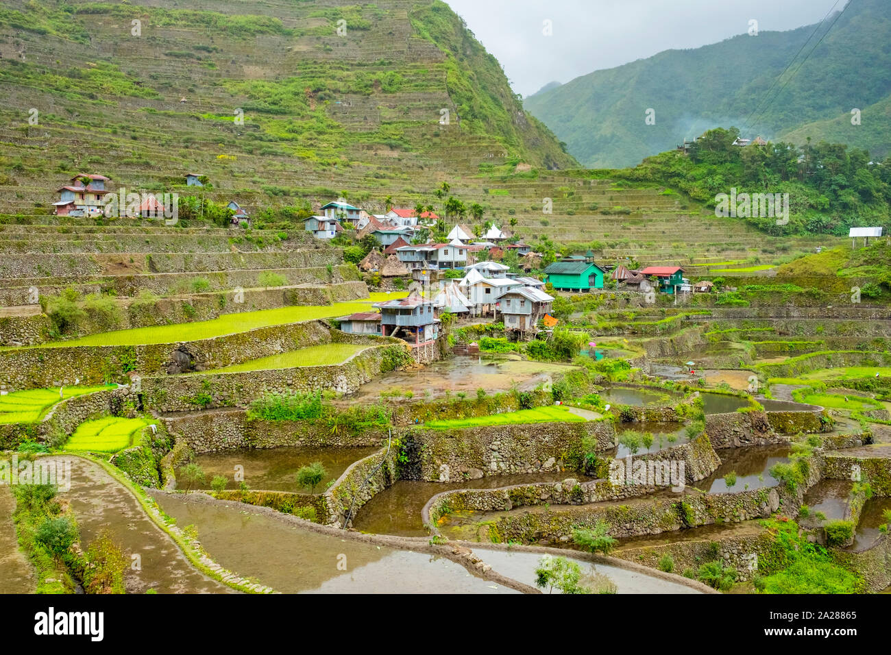 Batad village in early spring rice planting season, Banaue, Mountain Province, Cordillera Administrative Region, Philippines Stock Photohttps://www.alamy.com/image-license-details/?v=1https://www.alamy.com/batad-village-in-early-spring-rice-planting-season-banaue-mountain-province-cordillera-administrative-region-philippines-image328408365.html
RF2A28865–Batad village in early spring rice planting season, Banaue, Mountain Province, Cordillera Administrative Region, Philippines
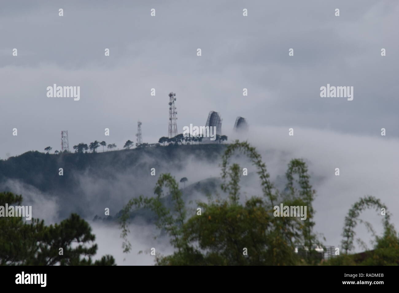 Communication and broadcasting equipment mounted on the summit of Mount Sto. Tomas in Tuba, Benguet, Philippines viewed from different locations. Stock Photohttps://www.alamy.com/image-license-details/?v=1https://www.alamy.com/communication-and-broadcasting-equipment-mounted-on-the-summit-of-mount-sto-tomas-in-tuba-benguet-philippines-viewed-from-different-locations-image230182803.html
RFRADMEB–Communication and broadcasting equipment mounted on the summit of Mount Sto. Tomas in Tuba, Benguet, Philippines viewed from different locations.
 Batad village and UNESCO World Heritage rice terraces in early spring planting season, Banaue, Mountain Province, Cordillera Administrative Region, Ph Stock Photohttps://www.alamy.com/image-license-details/?v=1https://www.alamy.com/batad-village-and-unesco-world-heritage-rice-terraces-in-early-spring-planting-season-banaue-mountain-province-cordillera-administrative-region-ph-image328408346.html
RF2A2885E–Batad village and UNESCO World Heritage rice terraces in early spring planting season, Banaue, Mountain Province, Cordillera Administrative Region, Ph
 View of the rice terraces near Batad village during the rainy season. Cordillera Administrative Region, Ifugao Province (Philippines) Stock Photohttps://www.alamy.com/image-license-details/?v=1https://www.alamy.com/view-of-the-rice-terraces-near-batad-village-during-the-rainy-season-cordillera-administrative-region-ifugao-province-philippines-image557840844.html
RF2RBFRK8–View of the rice terraces near Batad village during the rainy season. Cordillera Administrative Region, Ifugao Province (Philippines)
 WPA poster art of rice terraces in Balbalasang-Balbalan National Park or Mount Balbalasang located in Balbalan, Kalinga in the Cordillera Administrati Stock Photohttps://www.alamy.com/image-license-details/?v=1https://www.alamy.com/wpa-poster-art-of-rice-terraces-in-balbalasang-balbalan-national-park-or-mount-balbalasang-located-in-balbalan-kalinga-in-the-cordillera-administrati-image555282693.html
RF2R7B8MN–WPA poster art of rice terraces in Balbalasang-Balbalan National Park or Mount Balbalasang located in Balbalan, Kalinga in the Cordillera Administrati
 Modern Map - Cordillera PY Stock Vectorhttps://www.alamy.com/image-license-details/?v=1https://www.alamy.com/stock-photo-modern-map-cordillera-py-137181380.html
RFHY5470–Modern Map - Cordillera PY
 Cordillera Administrative Region (Regions and provinces of the Philippines, Republic of the Philippines) map vector illustration, scribble sketch Cord Stock Vectorhttps://www.alamy.com/image-license-details/?v=1https://www.alamy.com/cordillera-administrative-region-regions-and-provinces-of-the-philippines-republic-of-the-philippines-map-vector-illustration-scribble-sketch-cord-image229879476.html
RFR9YWH8–Cordillera Administrative Region (Regions and provinces of the Philippines, Republic of the Philippines) map vector illustration, scribble sketch Cord
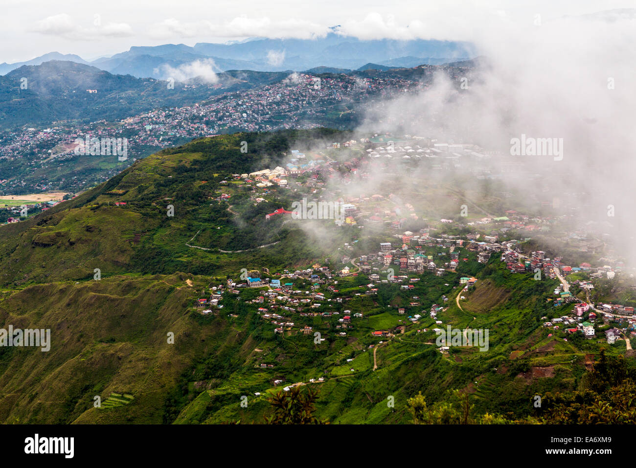 Scenic view of the Cordillera Mountains and Baguio City, Luzon Island, Philippines. Stock Photohttps://www.alamy.com/image-license-details/?v=1https://www.alamy.com/stock-photo-scenic-view-of-the-cordillera-mountains-and-baguio-city-luzon-island-75140697.html
RFEA6XM9–Scenic view of the Cordillera Mountains and Baguio City, Luzon Island, Philippines.
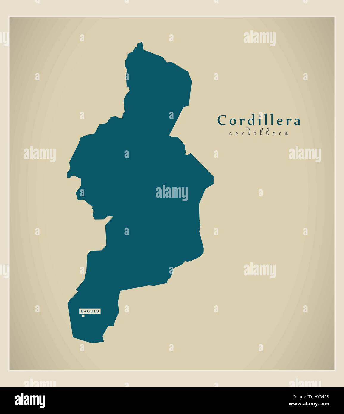 Modern Map - Cordillera PH Stock Vectorhttps://www.alamy.com/image-license-details/?v=1https://www.alamy.com/stock-photo-modern-map-cordillera-ph-137181439.html
RFHY5493–Modern Map - Cordillera PH
 High Quality map of Cordillera Administrative Region is a region of Philippines, with borders of the provinces Stock Vectorhttps://www.alamy.com/image-license-details/?v=1https://www.alamy.com/high-quality-map-of-cordillera-administrative-region-is-a-region-of-philippines-with-borders-of-the-provinces-image256784014.html
RFTWNEHJ–High Quality map of Cordillera Administrative Region is a region of Philippines, with borders of the provinces
 Cordillera map of the Philippines with Philippine national flag illustration Stock Vectorhttps://www.alamy.com/image-license-details/?v=1https://www.alamy.com/stock-image-cordillera-map-of-the-philippines-with-philippine-national-flag-illustration-165930954.html
RFKHXPHE–Cordillera map of the Philippines with Philippine national flag illustration
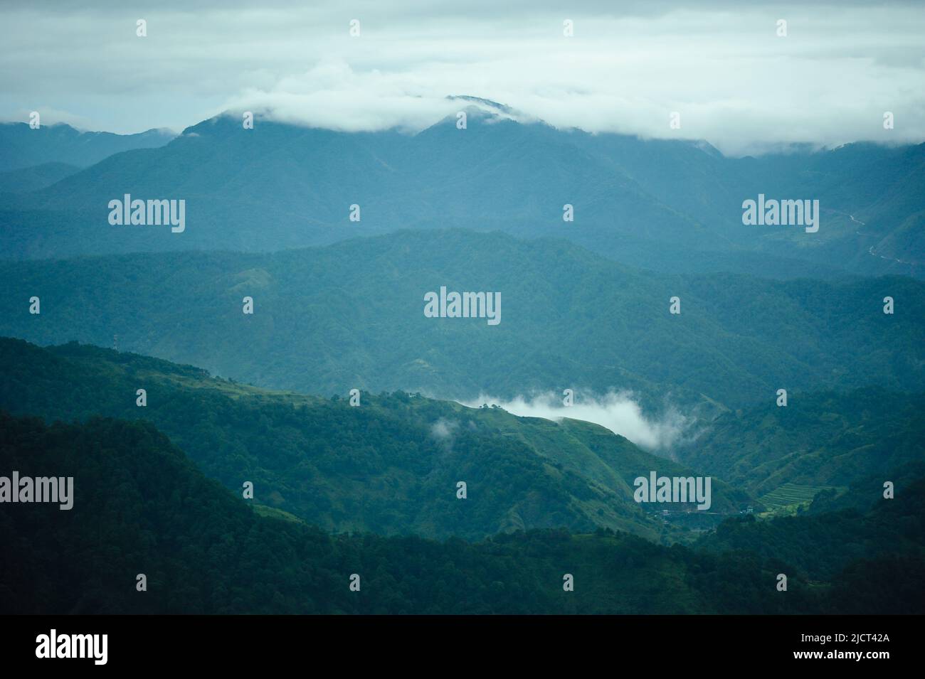 Mountain Province, Philippines: clouds blanketing the Cordillera Mountain Range from Kiltepan Viewdeck. Early morning in Sagada. Horizontal copy space. Stock Photohttps://www.alamy.com/image-license-details/?v=1https://www.alamy.com/mountain-province-philippines-clouds-blanketing-the-cordillera-mountain-range-from-kiltepan-viewdeck-early-morning-in-sagada-horizontal-copy-space-image472585858.html
RF2JCT42A–Mountain Province, Philippines: clouds blanketing the Cordillera Mountain Range from Kiltepan Viewdeck. Early morning in Sagada. Horizontal copy space.
 Batad hill. Stock Photohttps://www.alamy.com/image-license-details/?v=1https://www.alamy.com/stock-photo-batad-hill-56992267.html
RMD8M663–Batad hill.
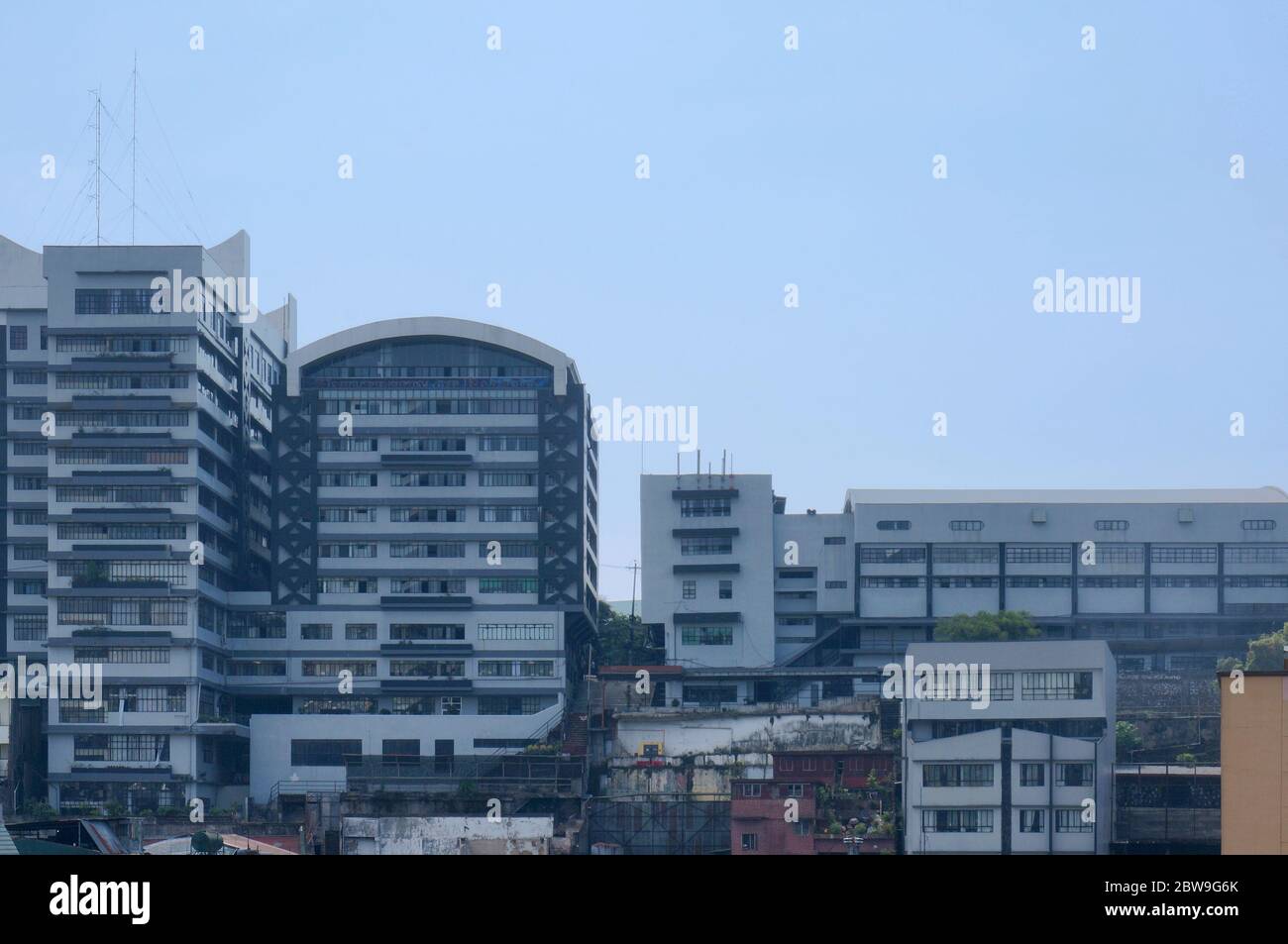 University of Baguio, Philippines, Southeast Asia. Photo taken on April 27, 2014. Stock Photohttps://www.alamy.com/image-license-details/?v=1https://www.alamy.com/university-of-baguio-philippines-southeast-asia-photo-taken-on-april-27-2014-image359784059.html
RF2BW9G6K–University of Baguio, Philippines, Southeast Asia. Photo taken on April 27, 2014.
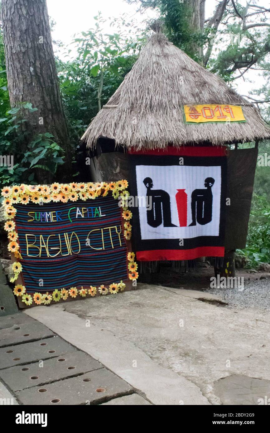 June 5, 2019-Baguio City Philippines : a wooden small house with a weaved costure and letterings the reads: 'summer capital, Baguio City'. Wright park Stock Photohttps://www.alamy.com/image-license-details/?v=1https://www.alamy.com/june-5-2019-baguio-city-philippines-a-wooden-small-house-with-a-weaved-costure-and-letterings-the-reads-summer-capital-baguio-city-wright-park-image352792617.html
RF2BDY2G9–June 5, 2019-Baguio City Philippines : a wooden small house with a weaved costure and letterings the reads: 'summer capital, Baguio City'. Wright park
 University of the Cordilleras in Baguio, Philippines, Southeast Asia. Photo taken on April 23, 2014. Stock Photohttps://www.alamy.com/image-license-details/?v=1https://www.alamy.com/university-of-the-cordilleras-in-baguio-philippines-southeast-asia-photo-taken-on-april-23-2014-image359784041.html
RF2BW9G61–University of the Cordilleras in Baguio, Philippines, Southeast Asia. Photo taken on April 23, 2014.
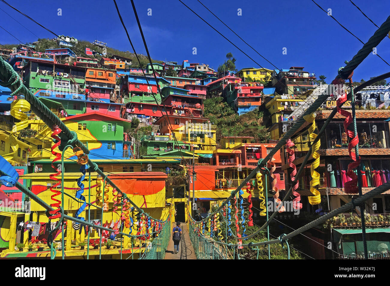 The Colors of StBoSa or the StoBoSa Hillside Homes Artwork, a community designed artwork by the Tam-awan village group, is a tourist destination. Stock Photohttps://www.alamy.com/image-license-details/?v=1https://www.alamy.com/the-colors-of-stbosa-or-the-stobosa-hillside-homes-artwork-a-community-designed-artwork-by-the-tam-awan-village-group-is-a-tourist-destination-image260058502.html
RFW32K7J–The Colors of StBoSa or the StoBoSa Hillside Homes Artwork, a community designed artwork by the Tam-awan village group, is a tourist destination.
 Ore extraction worker in Benguet, Philippines Stock Photohttps://www.alamy.com/image-license-details/?v=1https://www.alamy.com/ore-extraction-worker-in-benguet-philippines-image485478444.html
RF2K5RCKT–Ore extraction worker in Benguet, Philippines
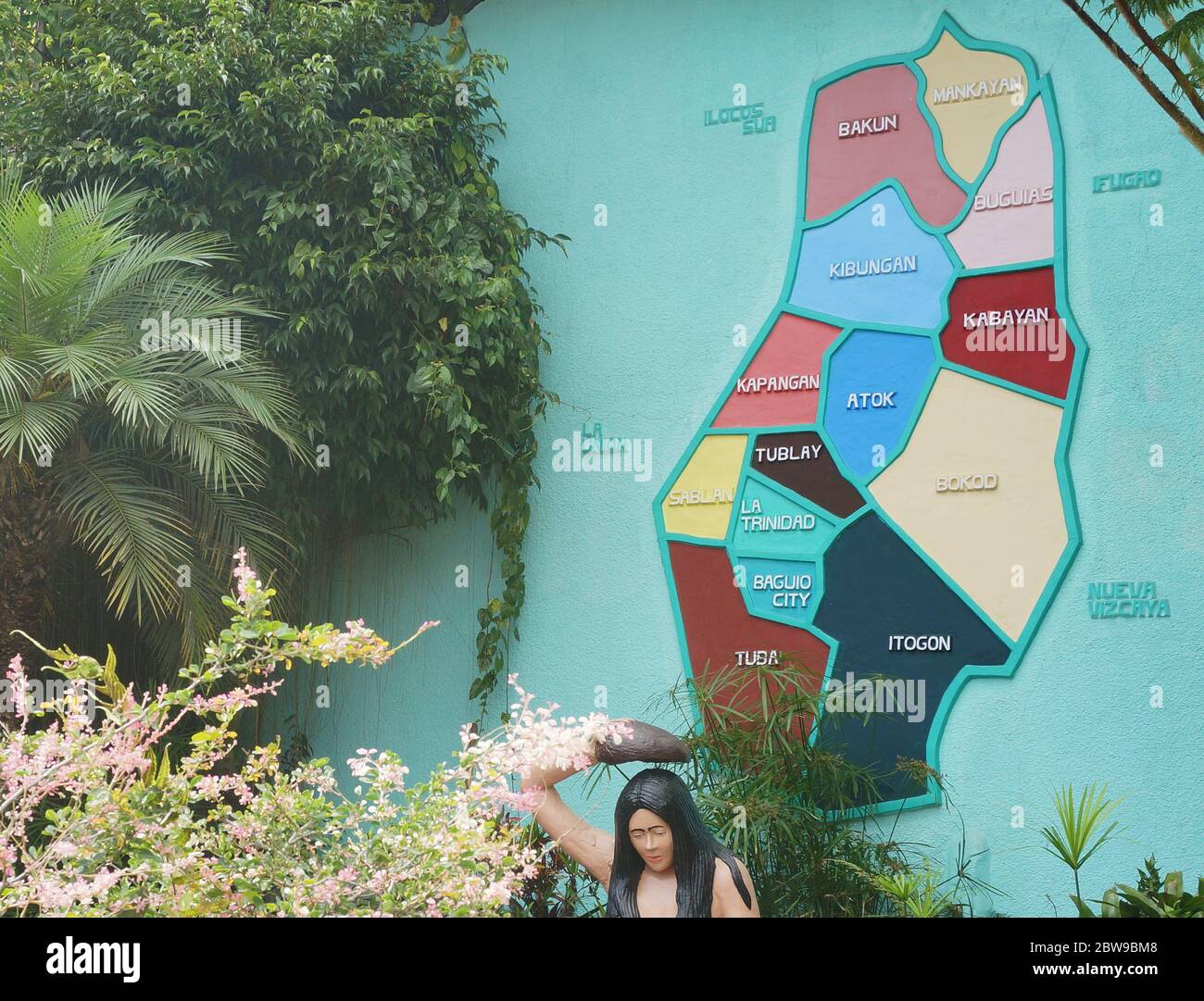 An example of high relief sculpture concept applied in making map. Photo taken in Benguet, Philippines, Southeast Asia on May 14, 2014. Stock Photohttps://www.alamy.com/image-license-details/?v=1https://www.alamy.com/an-example-of-high-relief-sculpture-concept-applied-in-making-map-photo-taken-in-benguet-philippines-southeast-asia-on-may-14-2014-image359780520.html
RF2BW9BM8–An example of high relief sculpture concept applied in making map. Photo taken in Benguet, Philippines, Southeast Asia on May 14, 2014.
 Purple Hydrangea in Full Bloom Stock Photohttps://www.alamy.com/image-license-details/?v=1https://www.alamy.com/purple-hydrangea-in-full-bloom-image554303102.html
RF2R5PK7A–Purple Hydrangea in Full Bloom
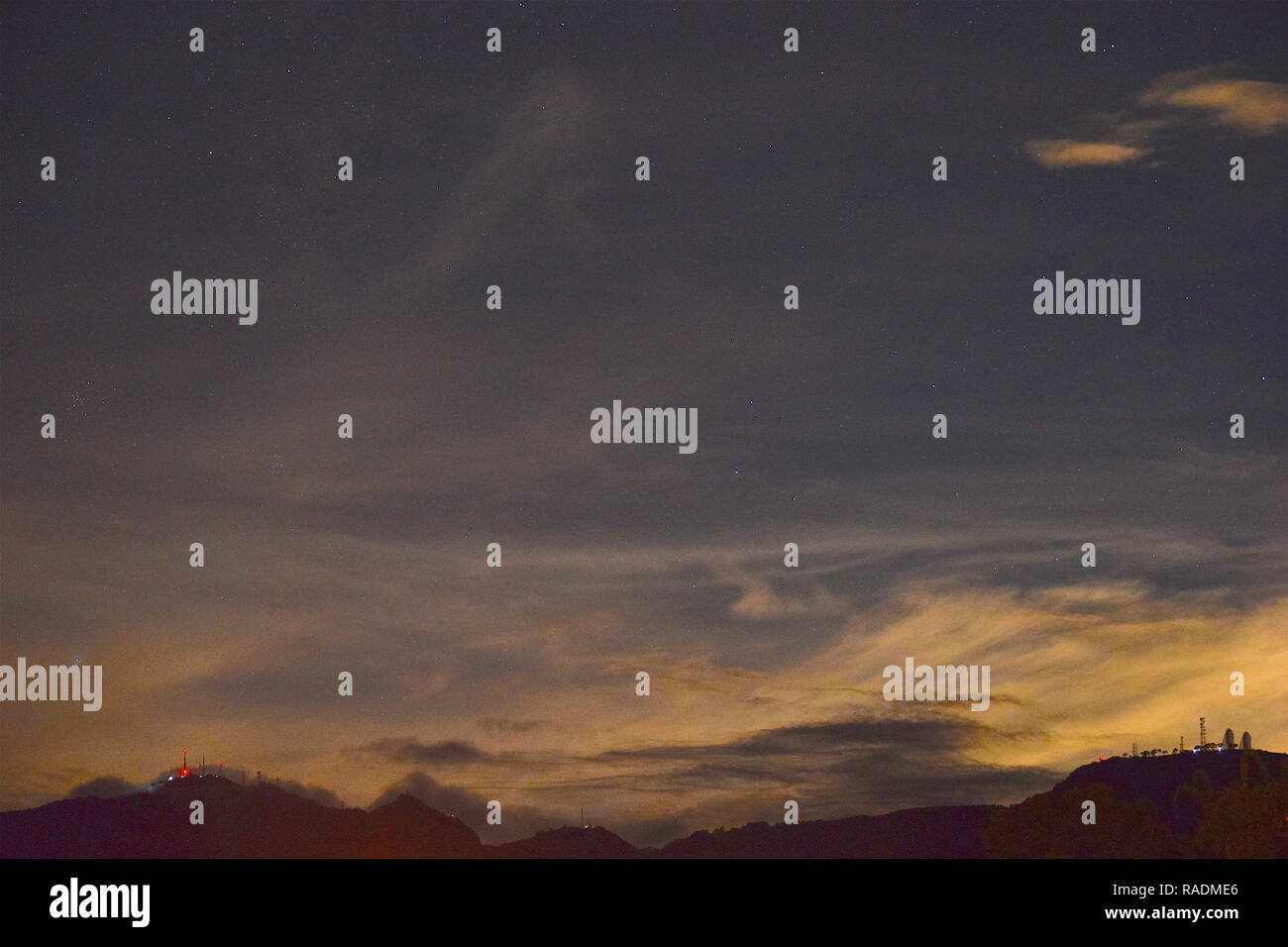 Communication and broadcasting equipment mounted on the summit of Mount Sto. Tomas in Tuba, Benguet, Philippines viewed from different locations. Stock Photohttps://www.alamy.com/image-license-details/?v=1https://www.alamy.com/communication-and-broadcasting-equipment-mounted-on-the-summit-of-mount-sto-tomas-in-tuba-benguet-philippines-viewed-from-different-locations-image230182798.html
RFRADME6–Communication and broadcasting equipment mounted on the summit of Mount Sto. Tomas in Tuba, Benguet, Philippines viewed from different locations.
 Gate of Philippine Military Academy in Loakan, Baguio, Philippines, Southeast Asia. Photo taken on April 21, 2014. Stock Photohttps://www.alamy.com/image-license-details/?v=1https://www.alamy.com/gate-of-philippine-military-academy-in-loakan-baguio-philippines-southeast-asia-photo-taken-on-april-21-2014-image359783881.html
RF2BW9G09–Gate of Philippine Military Academy in Loakan, Baguio, Philippines, Southeast Asia. Photo taken on April 21, 2014.
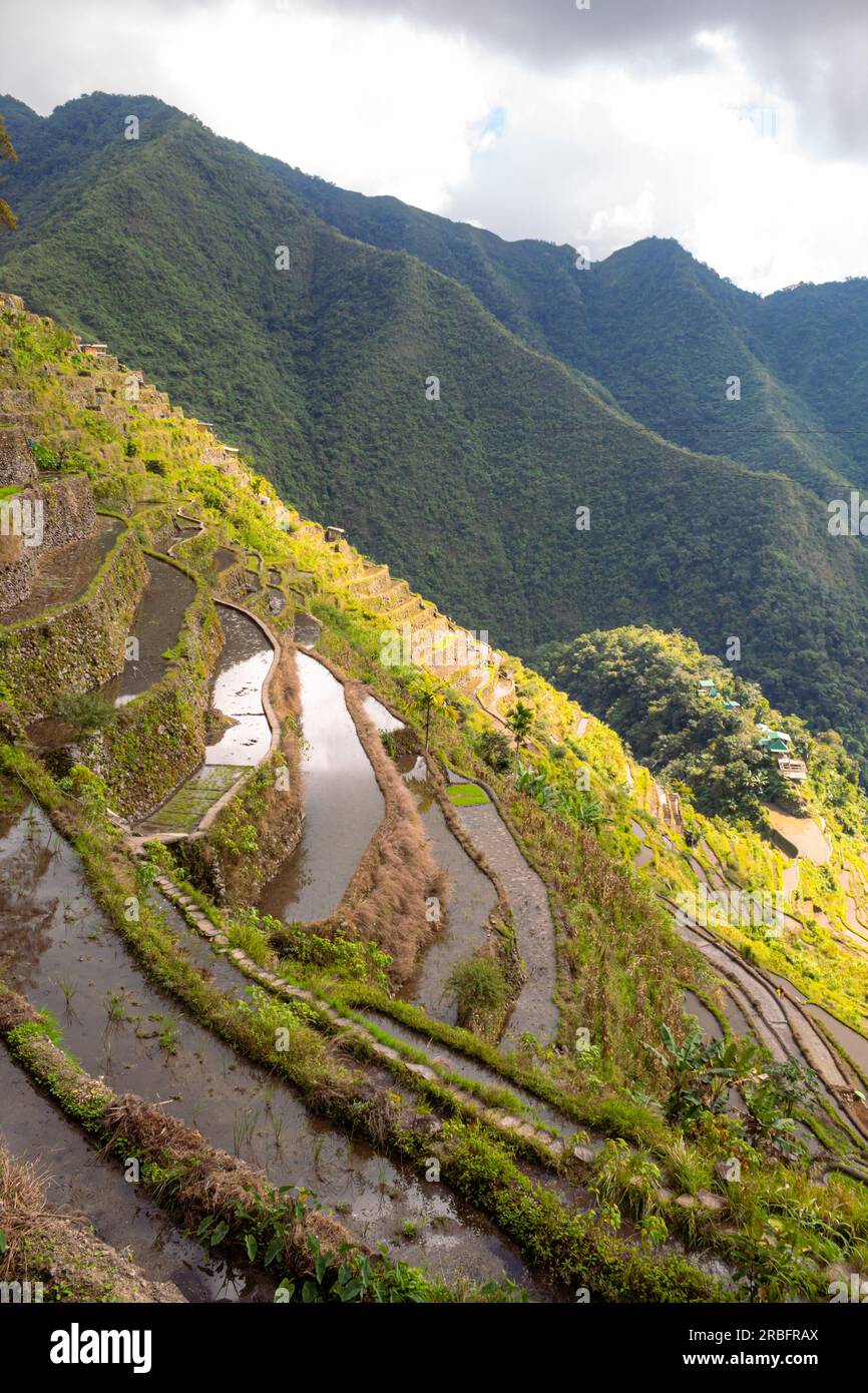 Elevated view of flooded rice terraces during early spring planting season, Batad, Banaue, Mountain Province, Cordillera Administrative Region, Philip Stock Photohttps://www.alamy.com/image-license-details/?v=1https://www.alamy.com/elevated-view-of-flooded-rice-terraces-during-early-spring-planting-season-batad-banaue-mountain-province-cordillera-administrative-region-philip-image557840610.html
RF2RBFRAX–Elevated view of flooded rice terraces during early spring planting season, Batad, Banaue, Mountain Province, Cordillera Administrative Region, Philip
 WPA poster art of rice terraces in Balbalasang-Balbalan National Park or Mount Balbalasang located in Balbalan, Kalinga in the Cordillera Administrati Stock Vectorhttps://www.alamy.com/image-license-details/?v=1https://www.alamy.com/wpa-poster-art-of-rice-terraces-in-balbalasang-balbalan-national-park-or-mount-balbalasang-located-in-balbalan-kalinga-in-the-cordillera-administrati-image607244999.html
RF2X7XB5B–WPA poster art of rice terraces in Balbalasang-Balbalan National Park or Mount Balbalasang located in Balbalan, Kalinga in the Cordillera Administrati
 Our Lady of the Atonement Cathedral, a catholic church in Baguio, Philippines, Southeast Asia. Photo taken on February 14, 2017. Stock Photohttps://www.alamy.com/image-license-details/?v=1https://www.alamy.com/our-lady-of-the-atonement-cathedral-a-catholic-church-in-baguio-philippines-southeast-asia-photo-taken-on-february-14-2017-image359742646.html
RF2BW7KBJ–Our Lady of the Atonement Cathedral, a catholic church in Baguio, Philippines, Southeast Asia. Photo taken on February 14, 2017.
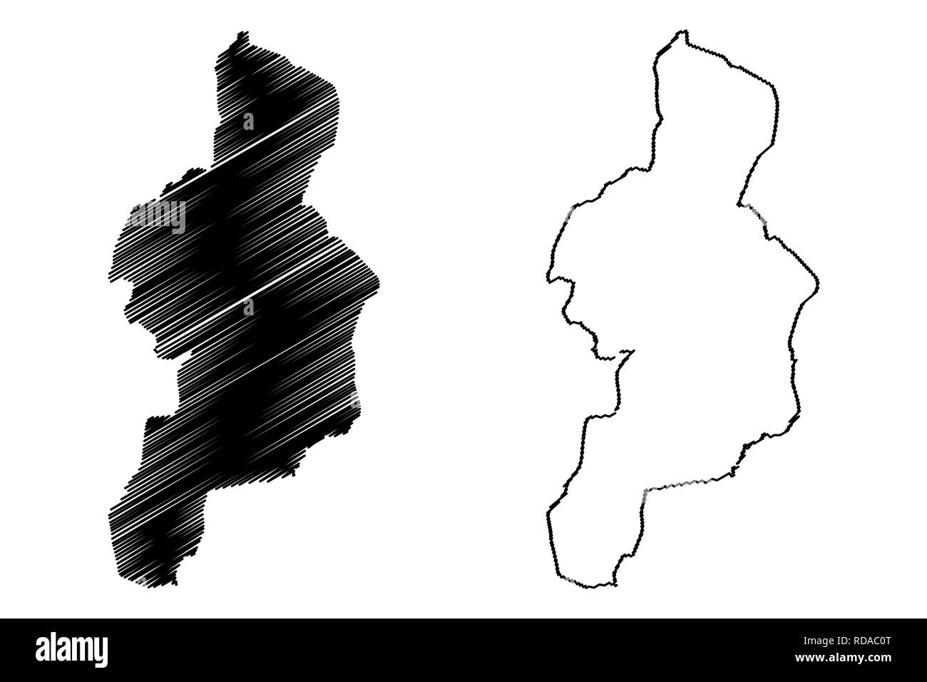 Cordillera Administrative Region (Regions and provinces of the Philippines, Republic of the Philippines) map vector illustration, scribble sketch Cord Stock Vectorhttps://www.alamy.com/image-license-details/?v=1https://www.alamy.com/cordillera-administrative-region-regions-and-provinces-of-the-philippines-republic-of-the-philippines-map-vector-illustration-scribble-sketch-cord-image231954264.html
RFRDAC0T–Cordillera Administrative Region (Regions and provinces of the Philippines, Republic of the Philippines) map vector illustration, scribble sketch Cord
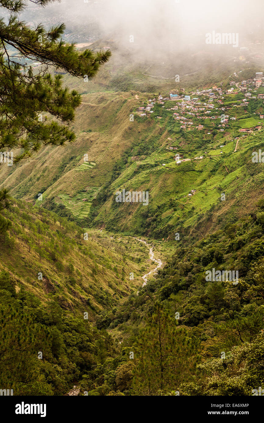 A small village is perched on the edge of a steep slope under misty clouds in the Cordillera Mountains of Baguio, Philippines. Stock Photohttps://www.alamy.com/image-license-details/?v=1https://www.alamy.com/stock-photo-a-small-village-is-perched-on-the-edge-of-a-steep-slope-under-misty-75140710.html
RFEA6XMP–A small village is perched on the edge of a steep slope under misty clouds in the Cordillera Mountains of Baguio, Philippines.
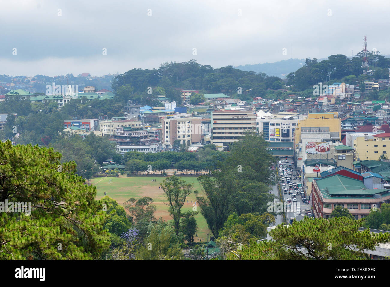 A city with greenery view on a highland area in the Philippines, Southeast Asia. Photo taken in Baguio City, Philippines on April 21, 2014. Stock Photohttps://www.alamy.com/image-license-details/?v=1https://www.alamy.com/a-city-with-greenery-view-on-a-highland-area-in-the-philippines-southeast-asia-photo-taken-in-baguio-city-philippines-on-april-21-2014-image332432126.html
RF2A8RGFX–A city with greenery view on a highland area in the Philippines, Southeast Asia. Photo taken in Baguio City, Philippines on April 21, 2014.
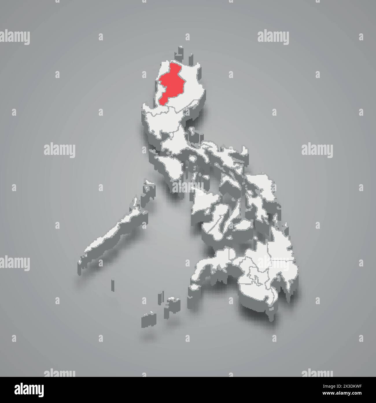 Cordillera Administrative region highlighted in red on a grey Philippines 3d map Stock Vectorhttps://www.alamy.com/image-license-details/?v=1https://www.alamy.com/cordillera-administrative-region-highlighted-in-red-on-a-grey-philippines-3d-map-image604507835.html
RF2X3DKWF–Cordillera Administrative region highlighted in red on a grey Philippines 3d map
 Cordillera, department of Paraguay. Open Street Map. Locations of major cities of the region. Corner auxiliary location maps Stock Photohttps://www.alamy.com/image-license-details/?v=1https://www.alamy.com/cordillera-department-of-paraguay-open-street-map-locations-of-major-cities-of-the-region-corner-auxiliary-location-maps-image516670562.html
RF2N0GAG2–Cordillera, department of Paraguay. Open Street Map. Locations of major cities of the region. Corner auxiliary location maps
 Mountain Province, Philippines: clouds blanketing the Cordillera Mountain Range from Kiltepan Viewdeck. Early morning in Sagada. Vertical copy space. Stock Photohttps://www.alamy.com/image-license-details/?v=1https://www.alamy.com/mountain-province-philippines-clouds-blanketing-the-cordillera-mountain-range-from-kiltepan-viewdeck-early-morning-in-sagada-vertical-copy-space-image472585905.html
RF2JCT441–Mountain Province, Philippines: clouds blanketing the Cordillera Mountain Range from Kiltepan Viewdeck. Early morning in Sagada. Vertical copy space.
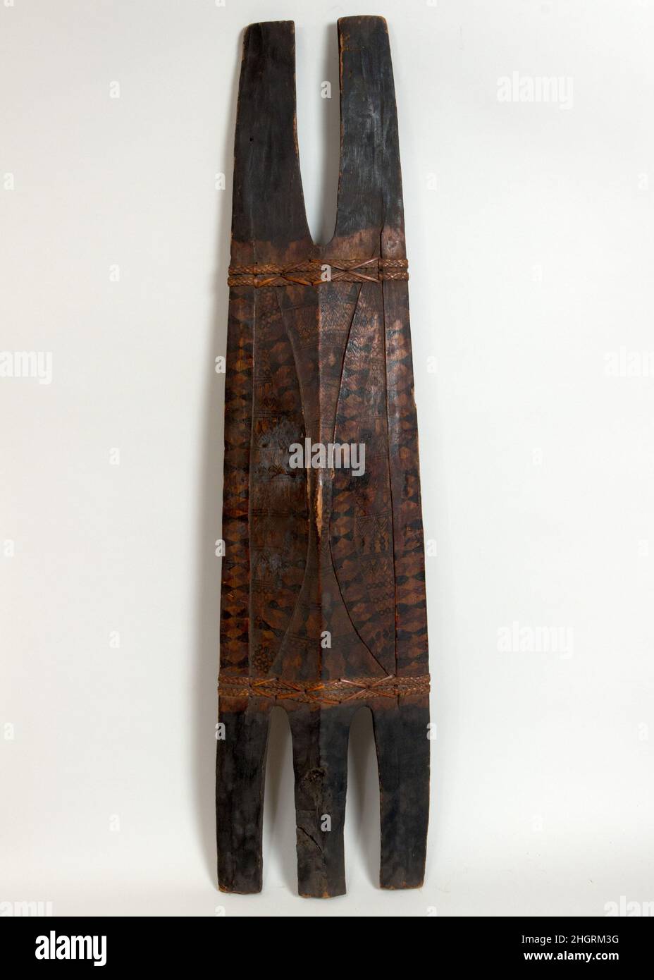 Shield 18th–19th century Philippine, Igorot. Shield. Philippine, Igorot. 18th–19th century. Wood, polychromy. Cordillera Administrative Region. Shields Stock Photohttps://www.alamy.com/image-license-details/?v=1https://www.alamy.com/shield-18th19th-century-philippine-igorot-shield-philippine-igorot-18th19th-century-wood-polychromy-cordillera-administrative-region-shields-image457824740.html
RM2HGRM3G–Shield 18th–19th century Philippine, Igorot. Shield. Philippine, Igorot. 18th–19th century. Wood, polychromy. Cordillera Administrative Region. Shields
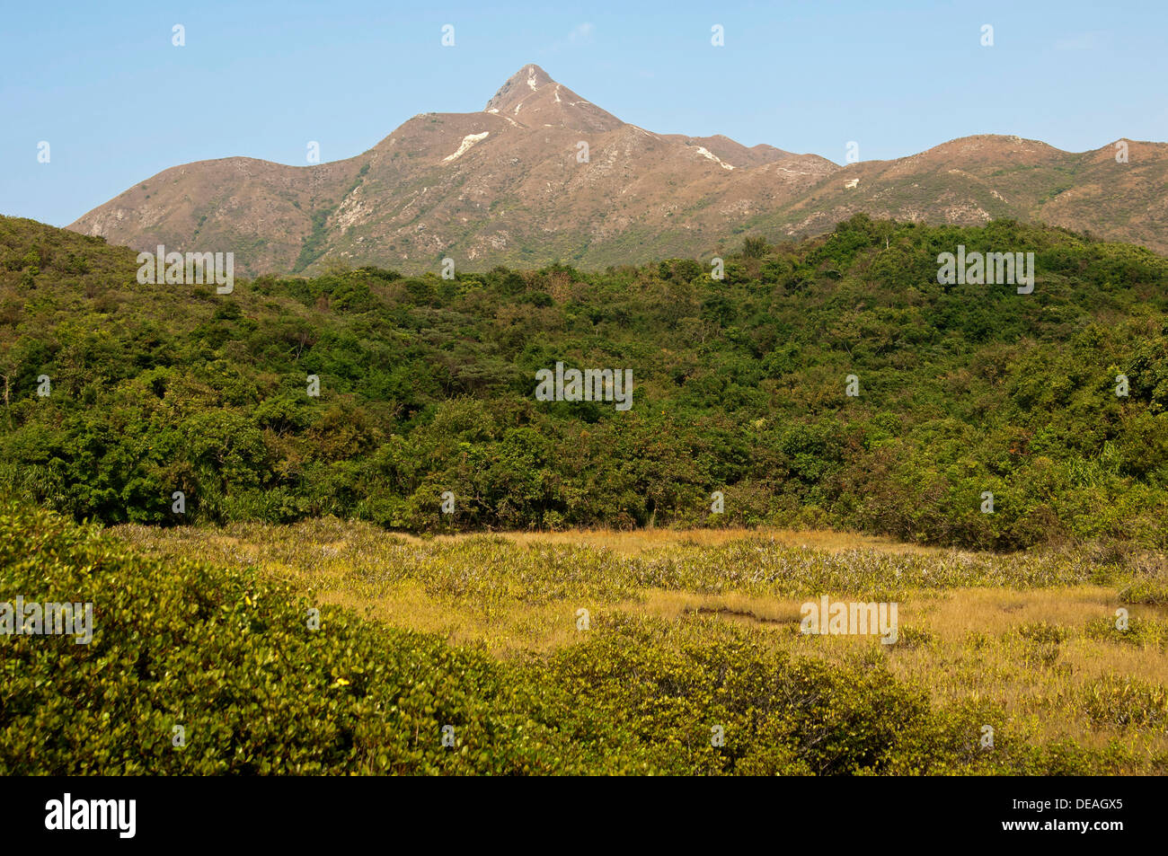 Scrubland with Sharp Peak mountain range, Sai Kung Country Park, Hong Kong, Hong Kong, China, People's Republic of China Stock Photohttps://www.alamy.com/image-license-details/?v=1https://www.alamy.com/scrubland-with-sharp-peak-mountain-range-sai-kung-country-park-hong-image60469085.html
RFDEAGX5–Scrubland with Sharp Peak mountain range, Sai Kung Country Park, Hong Kong, Hong Kong, China, People's Republic of China
 June 5, 2019-Baguio City Philippines : Traditional feather head dress for tourist to put on and take pictures at the Wright park Baguio City Philippin Stock Photohttps://www.alamy.com/image-license-details/?v=1https://www.alamy.com/june-5-2019-baguio-city-philippines-traditional-feather-head-dress-for-tourist-to-put-on-and-take-pictures-at-the-wright-park-baguio-city-philippin-image352792565.html
RF2BDY2ED–June 5, 2019-Baguio City Philippines : Traditional feather head dress for tourist to put on and take pictures at the Wright park Baguio City Philippin
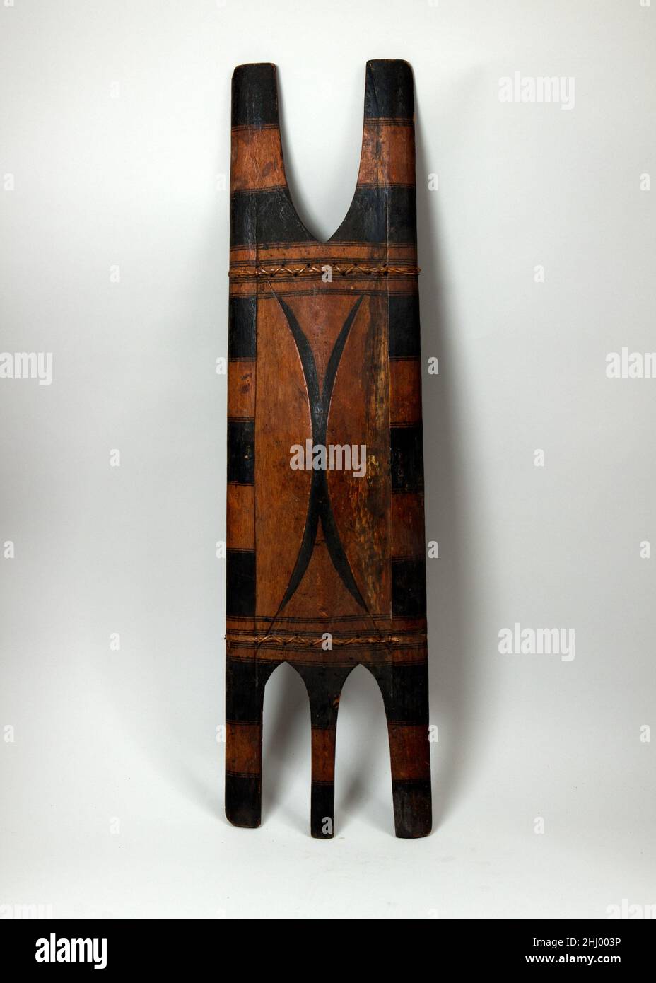 Shield 18th–19th century Philippine, Igorot. Shield. Philippine, Igorot. 18th–19th century. Wood, rattan, polychromy. Cordillera Administrative Region. Shields Stock Photohttps://www.alamy.com/image-license-details/?v=1https://www.alamy.com/shield-18th19th-century-philippine-igorot-shield-philippine-igorot-18th19th-century-wood-rattan-polychromy-cordillera-administrative-region-shields-image458533482.html
RM2HJ003P–Shield 18th–19th century Philippine, Igorot. Shield. Philippine, Igorot. 18th–19th century. Wood, rattan, polychromy. Cordillera Administrative Region. Shields
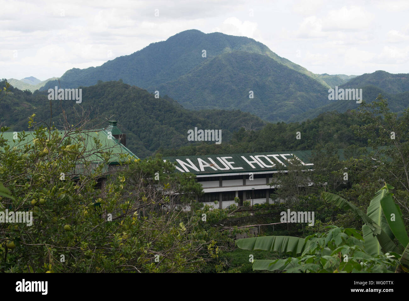 AUGUST 25, 2019-BANAUE IFUGAO PHILIPPINES : Banaue Hotel, a standard hotel isolated in the middle of the forest. Peaceful and clean hotels Stock Photohttps://www.alamy.com/image-license-details/?v=1https://www.alamy.com/august-25-2019-banaue-ifugao-philippines-banaue-hotel-a-standard-hotel-isolated-in-the-middle-of-the-forest-peaceful-and-clean-hotels-image268009530.html
RFWG0TTX–AUGUST 25, 2019-BANAUE IFUGAO PHILIPPINES : Banaue Hotel, a standard hotel isolated in the middle of the forest. Peaceful and clean hotels
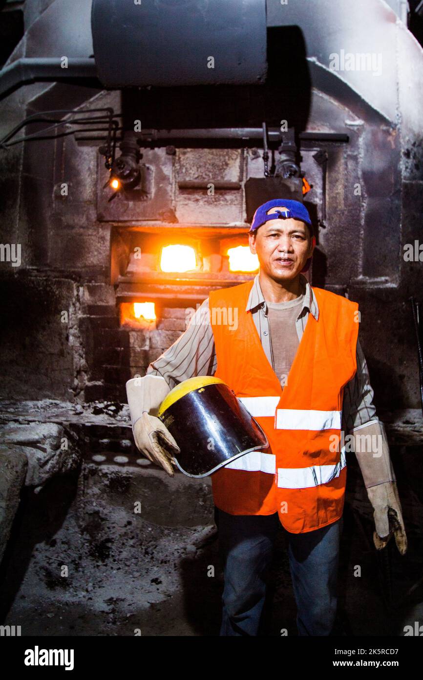 Furnace worker at a gold mining processing plant in Benguet, Philippines Stock Photohttps://www.alamy.com/image-license-details/?v=1https://www.alamy.com/furnace-worker-at-a-gold-mining-processing-plant-in-benguet-philippines-image485478259.html
RF2K5RCD7–Furnace worker at a gold mining processing plant in Benguet, Philippines
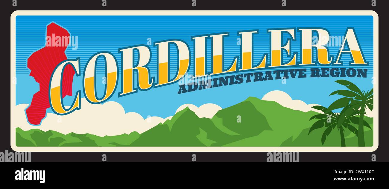 Cordillera administrative region in Philippines. Vector travel plate, vintage tin sign, retro welcome postcard or signboard. Old souvenir sticker ot magnet with mountains landscape and map Stock Vectorhttps://www.alamy.com/image-license-details/?v=1https://www.alamy.com/cordillera-administrative-region-in-philippines-vector-travel-plate-vintage-tin-sign-retro-welcome-postcard-or-signboard-old-souvenir-sticker-ot-magnet-with-mountains-landscape-and-map-image601156316.html
RF2WX110C–Cordillera administrative region in Philippines. Vector travel plate, vintage tin sign, retro welcome postcard or signboard. Old souvenir sticker ot magnet with mountains landscape and map
 Delicious Paella Valencian Served Hot Stock Photohttps://www.alamy.com/image-license-details/?v=1https://www.alamy.com/delicious-paella-valencian-served-hot-image554303107.html
RF2R5PK7F–Delicious Paella Valencian Served Hot
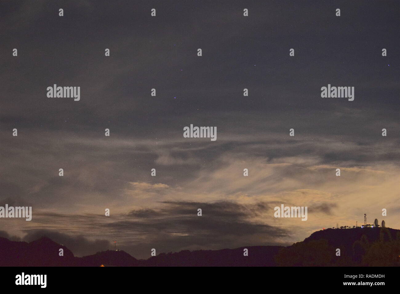 Communication and broadcasting equipment mounted on the summit of Mount Sto. Tomas in Tuba, Benguet, Philippines viewed from different locations. Stock Photohttps://www.alamy.com/image-license-details/?v=1https://www.alamy.com/communication-and-broadcasting-equipment-mounted-on-the-summit-of-mount-sto-tomas-in-tuba-benguet-philippines-viewed-from-different-locations-image230182781.html
RFRADMDH–Communication and broadcasting equipment mounted on the summit of Mount Sto. Tomas in Tuba, Benguet, Philippines viewed from different locations.
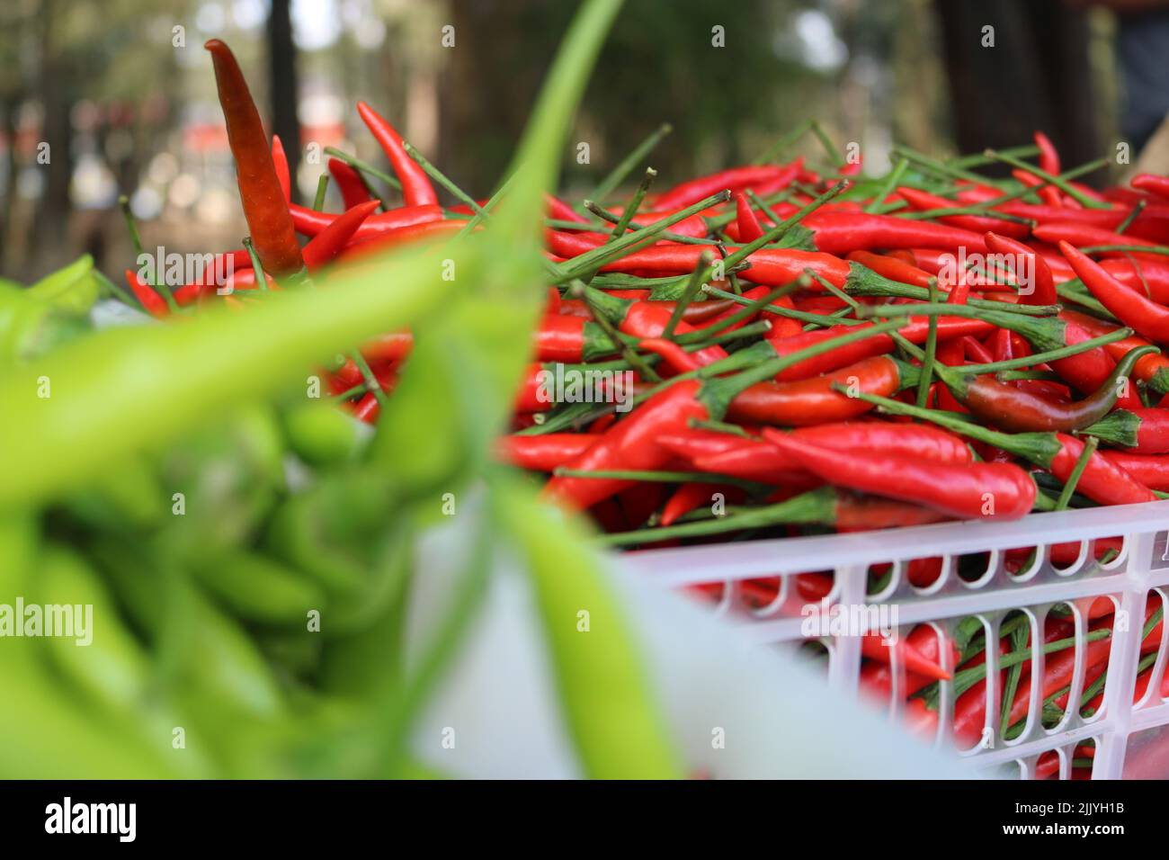 displayed chili peppers inside a crate at a market Stock Photohttps://www.alamy.com/image-license-details/?v=1https://www.alamy.com/displayed-chili-peppers-inside-a-crate-at-a-market-image476349815.html
RF2JJYH1B–displayed chili peppers inside a crate at a market
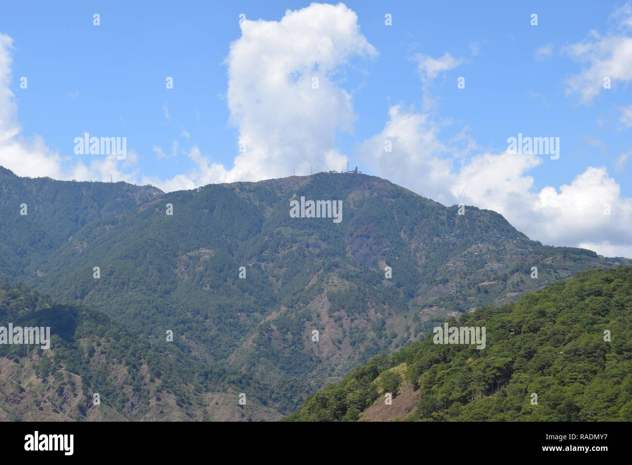 Communication and broadcasting equipment mounted on the summit of Mount Sto. Tomas in Tuba, Benguet, Philippines viewed from different locations. Stock Photohttps://www.alamy.com/image-license-details/?v=1https://www.alamy.com/communication-and-broadcasting-equipment-mounted-on-the-summit-of-mount-sto-tomas-in-tuba-benguet-philippines-viewed-from-different-locations-image230183163.html
RFRADMY7–Communication and broadcasting equipment mounted on the summit of Mount Sto. Tomas in Tuba, Benguet, Philippines viewed from different locations.
 Shield, Philippine, Igorot, 18th–19th century, Cordillera Administrative Region, Philippine, Igorot, Wood, polychromy, H. 38 3/4 in. (98.4 cm); W. 9 1/2 in. (24.1 cm); D. 3 1/2 in. (8.9 cm); Wt. 2 lb. 0.5 oz. (921.4 g), Shields Stock Photohttps://www.alamy.com/image-license-details/?v=1https://www.alamy.com/shield-philippine-igorot-18th19th-century-cordillera-administrative-region-philippine-igorot-wood-polychromy-h-38-34-in-984-cm-w-9-12-in-241-cm-d-3-12-in-89-cm-wt-2-lb-05-oz-9214-g-shields-image344658482.html
RM2B0MFBE–Shield, Philippine, Igorot, 18th–19th century, Cordillera Administrative Region, Philippine, Igorot, Wood, polychromy, H. 38 3/4 in. (98.4 cm); W. 9 1/2 in. (24.1 cm); D. 3 1/2 in. (8.9 cm); Wt. 2 lb. 0.5 oz. (921.4 g), Shields
 Cordillera Administrative Region (Regions and provinces of the Philippines) map is designed cannabis leaf green and black, Cordillera (CAR) map made o Stock Vectorhttps://www.alamy.com/image-license-details/?v=1https://www.alamy.com/cordillera-administrative-region-regions-and-provinces-of-the-philippines-map-is-designed-cannabis-leaf-green-and-black-cordillera-car-map-made-o-image328858808.html
RF2A30PNC–Cordillera Administrative Region (Regions and provinces of the Philippines) map is designed cannabis leaf green and black, Cordillera (CAR) map made o
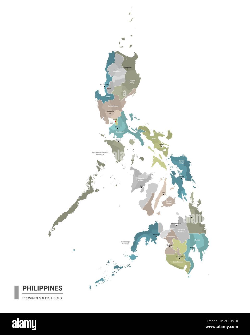 Philippines higt detailed map with subdivisions. Administrative map of Philippines with districts and cities name, colored by states and administrativ Stock Vectorhttps://www.alamy.com/image-license-details/?v=1https://www.alamy.com/philippines-higt-detailed-map-with-subdivisions-administrative-map-of-philippines-with-districts-and-cities-name-colored-by-states-and-administrativ-image387808624.html
RF2DEX5T0–Philippines higt detailed map with subdivisions. Administrative map of Philippines with districts and cities name, colored by states and administrativ
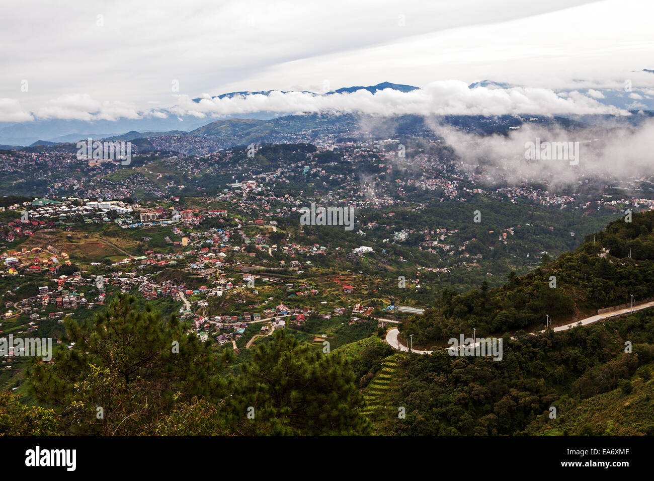 Elevated view of the Cordillera Mountains and Baguio City on Northern Luzon Island, Philippines. Stock Photohttps://www.alamy.com/image-license-details/?v=1https://www.alamy.com/stock-photo-elevated-view-of-the-cordillera-mountains-and-baguio-city-on-northern-75140703.html
RFEA6XMF–Elevated view of the Cordillera Mountains and Baguio City on Northern Luzon Island, Philippines.
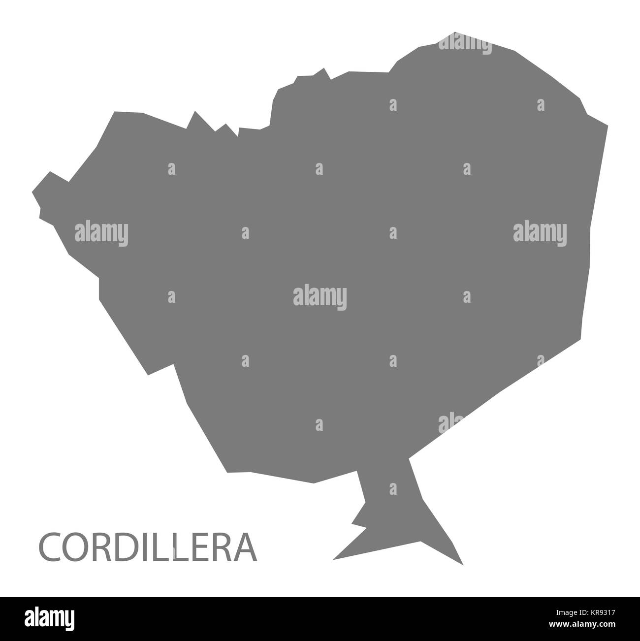 Cordillera Paraguay Map grey Stock Photohttps://www.alamy.com/image-license-details/?v=1https://www.alamy.com/stock-image-cordillera-paraguay-map-grey-169230355.html
RFKR9317–Cordillera Paraguay Map grey
 Shield. Culture: Philippine, Igorot. Dimensions: H. 38 3/4 in. (98.4 cm); W. 9 1/2 in. (24.1 cm); D. 3 1/2 in. (8.9 cm); Wt. 2 lb. 0.5 oz. (921.4 g). Date: 18th-19th century. Museum: Metropolitan Museum of Art, New York, USA. Stock Photohttps://www.alamy.com/image-license-details/?v=1https://www.alamy.com/shield-culture-philippine-igorot-dimensions-h-38-34-in-984-cm-w-9-12-in-241-cm-d-3-12-in-89-cm-wt-2-lb-05-oz-9214-g-date-18th-19th-century-museum-metropolitan-museum-of-art-new-york-usa-image213150298.html
RMPANRAJ–Shield. Culture: Philippine, Igorot. Dimensions: H. 38 3/4 in. (98.4 cm); W. 9 1/2 in. (24.1 cm); D. 3 1/2 in. (8.9 cm); Wt. 2 lb. 0.5 oz. (921.4 g). Date: 18th-19th century. Museum: Metropolitan Museum of Art, New York, USA.
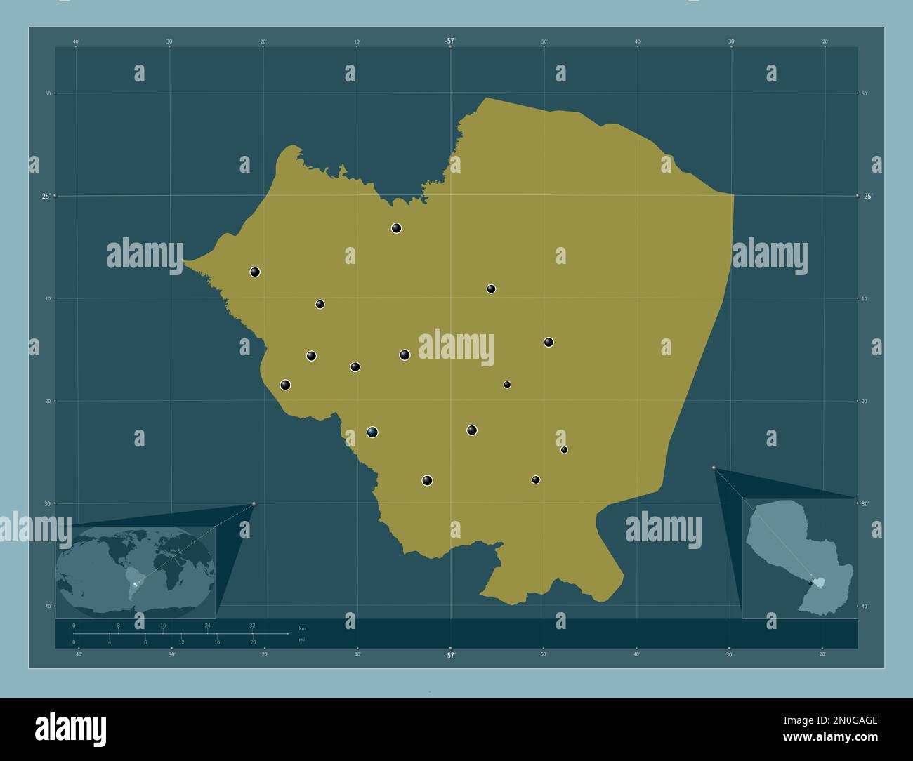 Cordillera, department of Paraguay. Solid color shape. Locations of major cities of the region. Corner auxiliary location maps Stock Photohttps://www.alamy.com/image-license-details/?v=1https://www.alamy.com/cordillera-department-of-paraguay-solid-color-shape-locations-of-major-cities-of-the-region-corner-auxiliary-location-maps-image516670574.html
RF2N0GAGE–Cordillera, department of Paraguay. Solid color shape. Locations of major cities of the region. Corner auxiliary location maps
 Mountain Province, Philippines: the majestic waters of Bomod-ok Falls, a 200-feet wonder hidden deep in a valley in Sagada. Reward after a tough trek. Stock Photohttps://www.alamy.com/image-license-details/?v=1https://www.alamy.com/mountain-province-philippines-the-majestic-waters-of-bomod-ok-falls-a-200-feet-wonder-hidden-deep-in-a-valley-in-sagada-reward-after-a-tough-trek-image472586700.html
RF2JCT54C–Mountain Province, Philippines: the majestic waters of Bomod-ok Falls, a 200-feet wonder hidden deep in a valley in Sagada. Reward after a tough trek.
 Mountain Province, Philippines: two local women, agile seniors holding umbrellas, walk down a cemented road in the town center of Sagada. Stock Photohttps://www.alamy.com/image-license-details/?v=1https://www.alamy.com/mountain-province-philippines-two-local-women-agile-seniors-holding-umbrellas-walk-down-a-cemented-road-in-the-town-center-of-sagada-image472511909.html
RF2JCMNN9–Mountain Province, Philippines: two local women, agile seniors holding umbrellas, walk down a cemented road in the town center of Sagada.
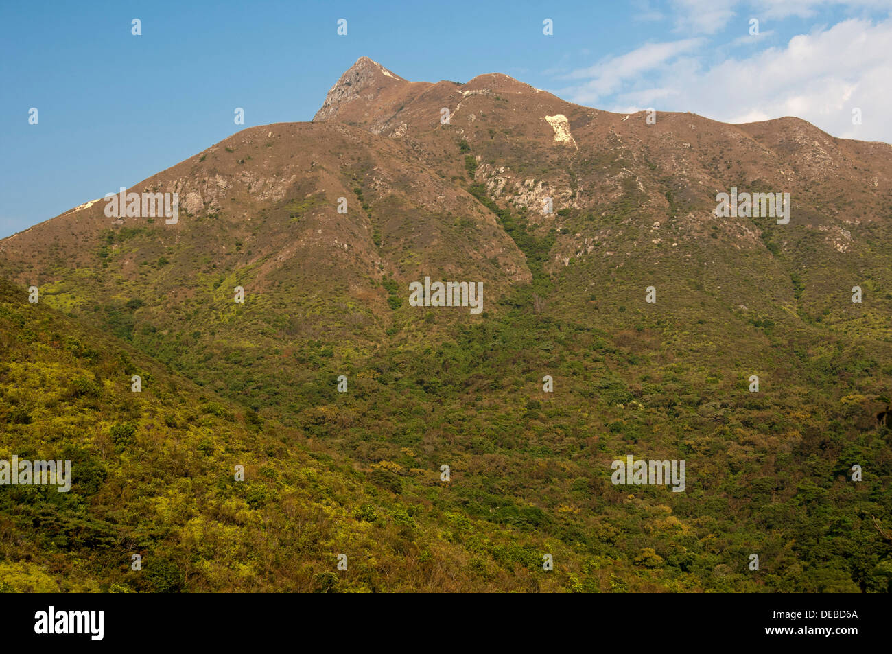 Scrubland with Sharp Peak mountain range, Sai Kung Country Park, Hong Kong, Hong Kong, China, People's Republic of China Stock Photohttps://www.alamy.com/image-license-details/?v=1https://www.alamy.com/scrubland-with-sharp-peak-mountain-range-sai-kung-country-park-hong-image60488130.html
RFDEBD6A–Scrubland with Sharp Peak mountain range, Sai Kung Country Park, Hong Kong, Hong Kong, China, People's Republic of China
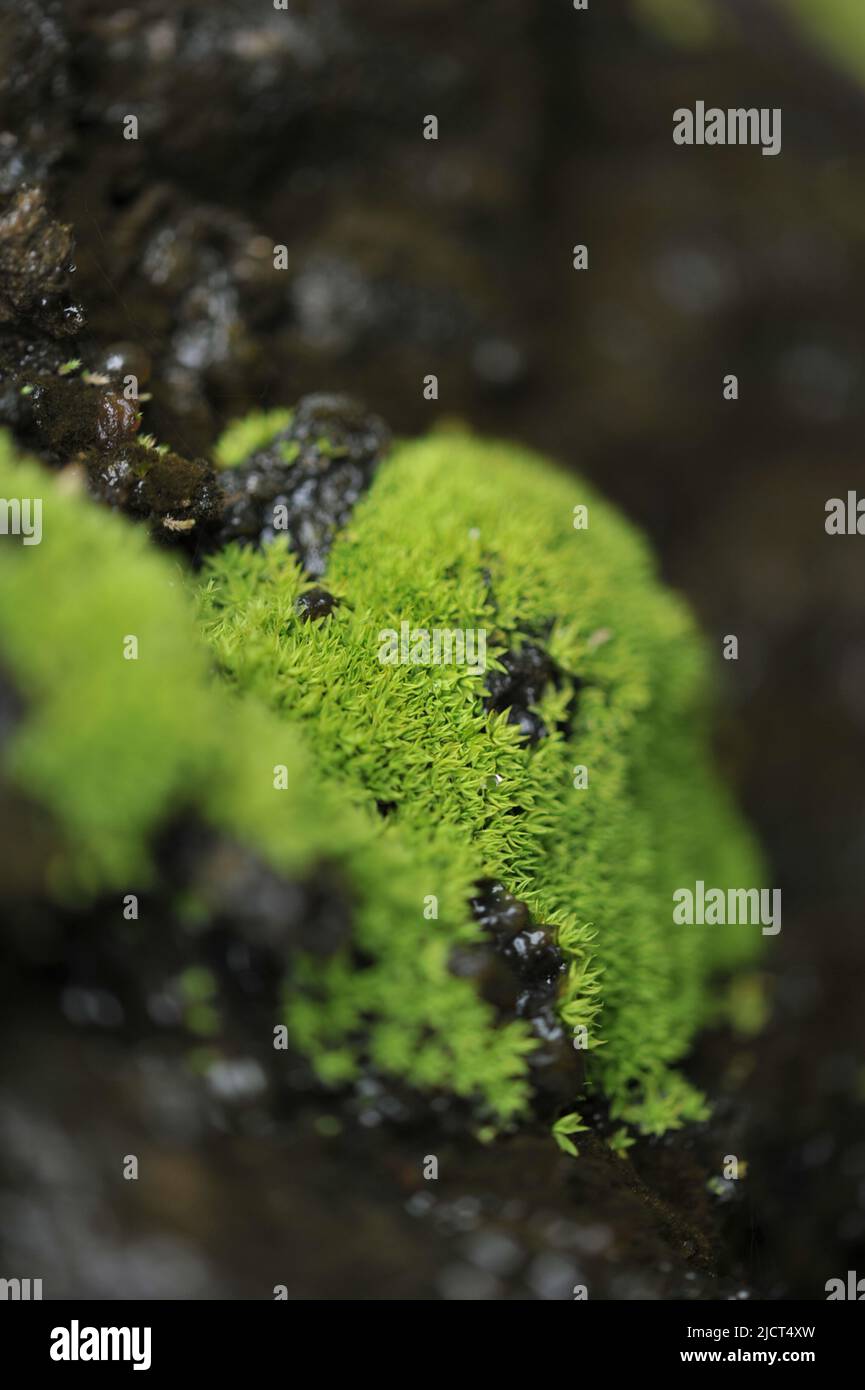 Mountain Province, Philippines: close up of Dicranoweisia cirrata on a rock. Acrocarpous moss that grows in yellow-green tufts. Stock Photohttps://www.alamy.com/image-license-details/?v=1https://www.alamy.com/mountain-province-philippines-close-up-of-dicranoweisia-cirrata-on-a-rock-acrocarpous-moss-that-grows-in-yellow-green-tufts-image472586545.html
RF2JCT4XW–Mountain Province, Philippines: close up of Dicranoweisia cirrata on a rock. Acrocarpous moss that grows in yellow-green tufts.
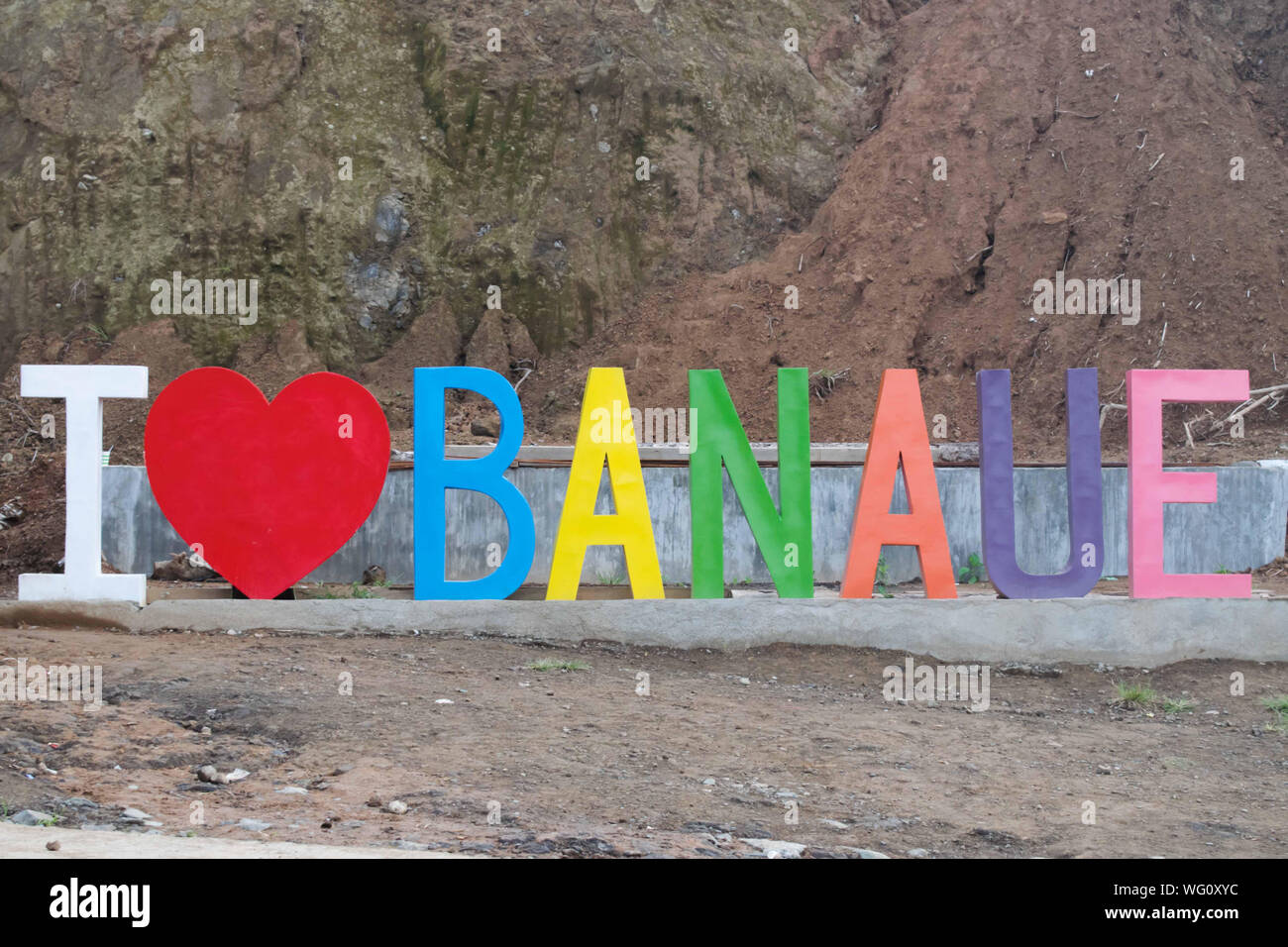 AUGUST 25, 2019-BANAUE IFUGAO PHILIPPINES : Large letterings that spelled ' I HEART BANAUE' displayed at the entrance of the Banaue town. Colourful le Stock Photohttps://www.alamy.com/image-license-details/?v=1https://www.alamy.com/august-25-2019-banaue-ifugao-philippines-large-letterings-that-spelled-i-heart-banaue-displayed-at-the-entrance-of-the-banaue-town-colourful-le-image268011168.html
RFWG0XYC–AUGUST 25, 2019-BANAUE IFUGAO PHILIPPINES : Large letterings that spelled ' I HEART BANAUE' displayed at the entrance of the Banaue town. Colourful le
 A worker at a gold mine and processing plant in Benguet, Philippines Stock Photohttps://www.alamy.com/image-license-details/?v=1https://www.alamy.com/a-worker-at-a-gold-mine-and-processing-plant-in-benguet-philippines-image485476434.html
RF2K5RA42–A worker at a gold mine and processing plant in Benguet, Philippines
 Furnace worker at a gold mining processing plant in Benguet, Philippines Stock Photohttps://www.alamy.com/image-license-details/?v=1https://www.alamy.com/furnace-worker-at-a-gold-mining-processing-plant-in-benguet-philippines-image485478214.html
RF2K5RCBJ–Furnace worker at a gold mining processing plant in Benguet, Philippines
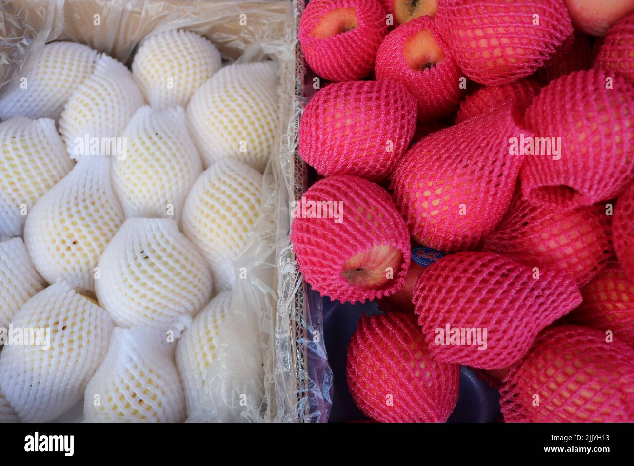 flat lay of fruits on display Stock Photohttps://www.alamy.com/image-license-details/?v=1https://www.alamy.com/flat-lay-of-fruits-on-display-image476349807.html
RF2JJYH13–flat lay of fruits on display
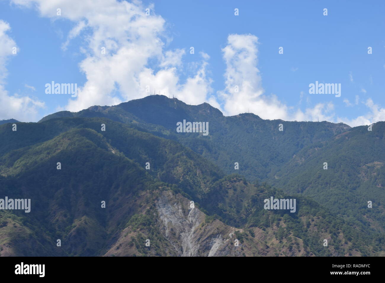 Communication and broadcasting equipment mounted on the summit of Mount Sto. Tomas in Tuba, Benguet, Philippines viewed from different locations. Stock Photohttps://www.alamy.com/image-license-details/?v=1https://www.alamy.com/communication-and-broadcasting-equipment-mounted-on-the-summit-of-mount-sto-tomas-in-tuba-benguet-philippines-viewed-from-different-locations-image230183168.html
RFRADMYC–Communication and broadcasting equipment mounted on the summit of Mount Sto. Tomas in Tuba, Benguet, Philippines viewed from different locations.
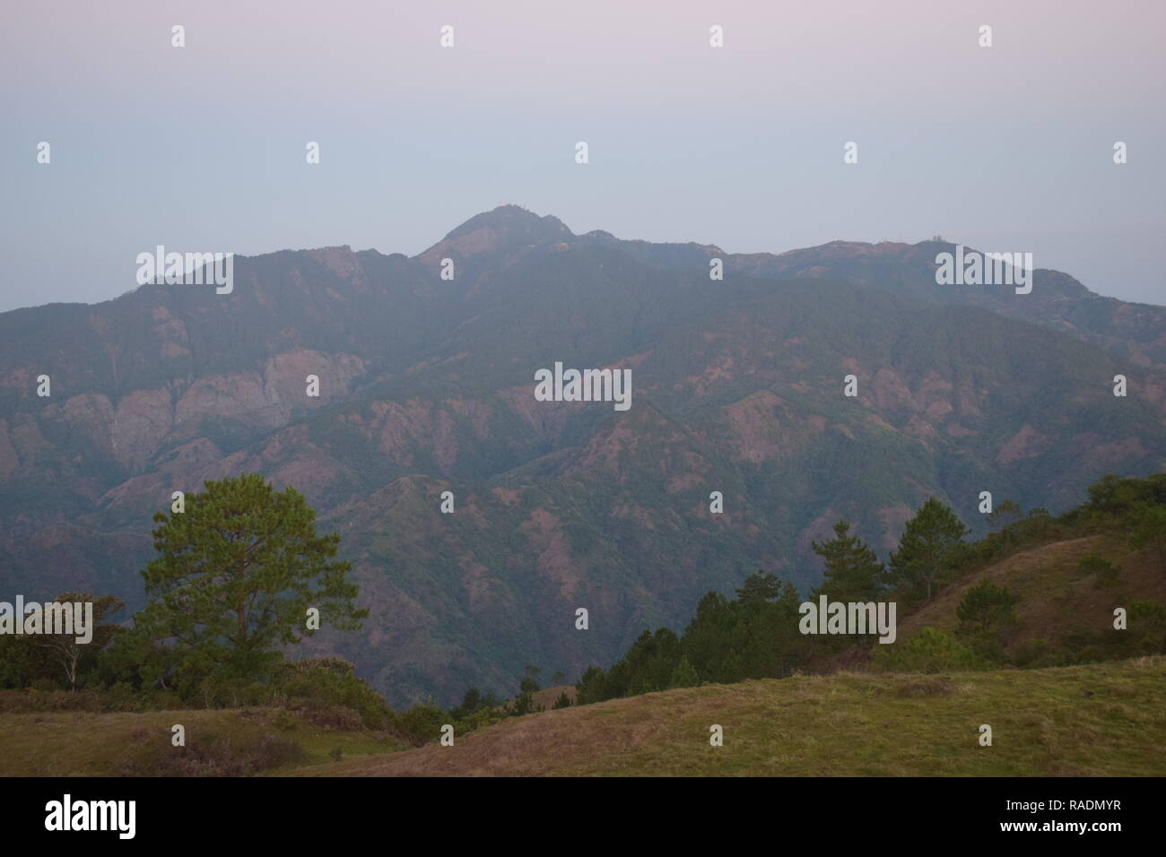 Communication and broadcasting equipment mounted on the summit of Mount Sto. Tomas in Tuba, Benguet, Philippines viewed from different locations. Stock Photohttps://www.alamy.com/image-license-details/?v=1https://www.alamy.com/communication-and-broadcasting-equipment-mounted-on-the-summit-of-mount-sto-tomas-in-tuba-benguet-philippines-viewed-from-different-locations-image230183179.html
RFRADMYR–Communication and broadcasting equipment mounted on the summit of Mount Sto. Tomas in Tuba, Benguet, Philippines viewed from different locations.
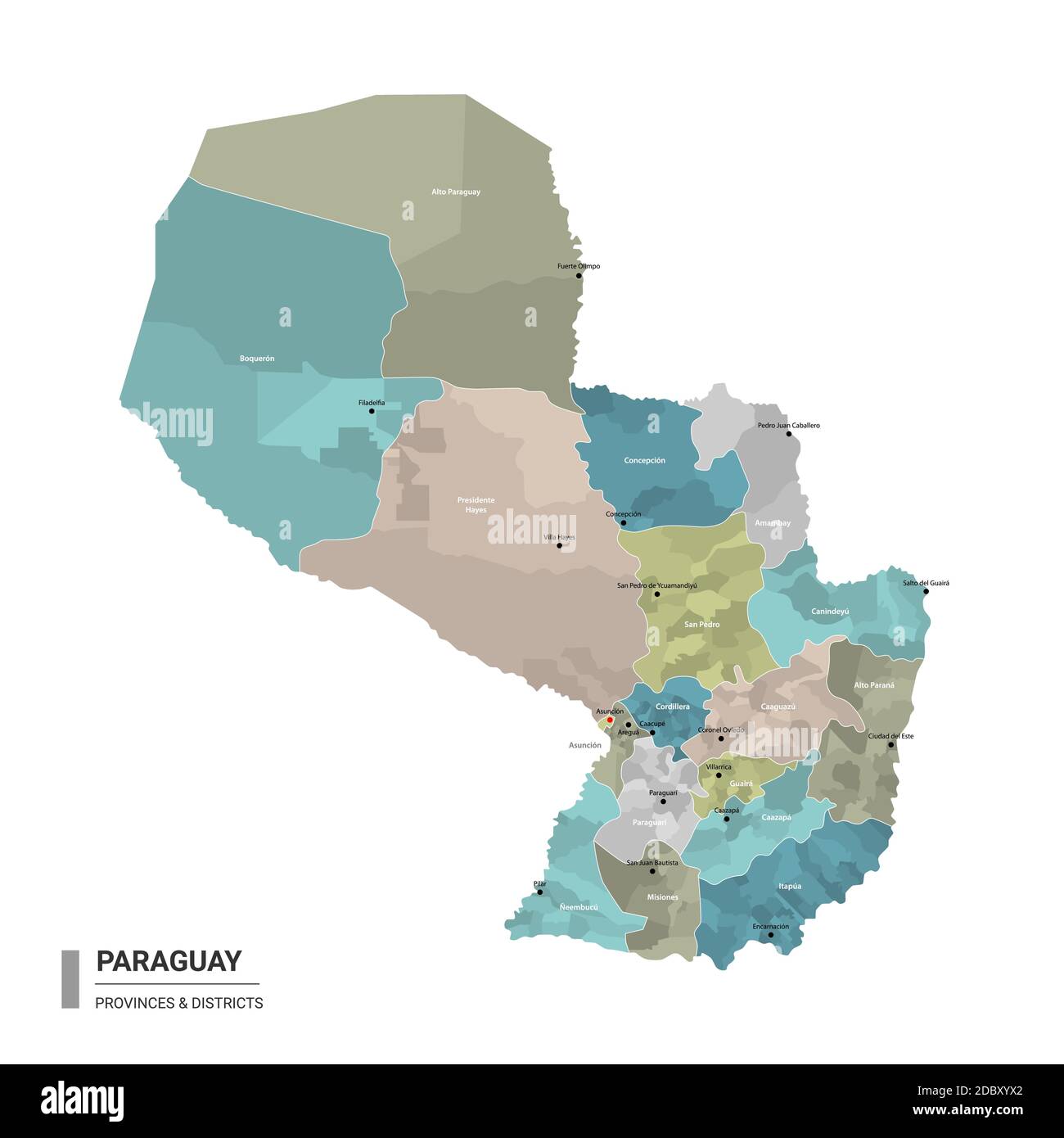 Paraguay higt detailed map with subdivisions. Administrative map of Paraguay with districts and cities name, colored by states and administrative dist Stock Vectorhttps://www.alamy.com/image-license-details/?v=1https://www.alamy.com/paraguay-higt-detailed-map-with-subdivisions-administrative-map-of-paraguay-with-districts-and-cities-name-colored-by-states-and-administrative-dist-image385981962.html
RF2DBXYX2–Paraguay higt detailed map with subdivisions. Administrative map of Paraguay with districts and cities name, colored by states and administrative dist
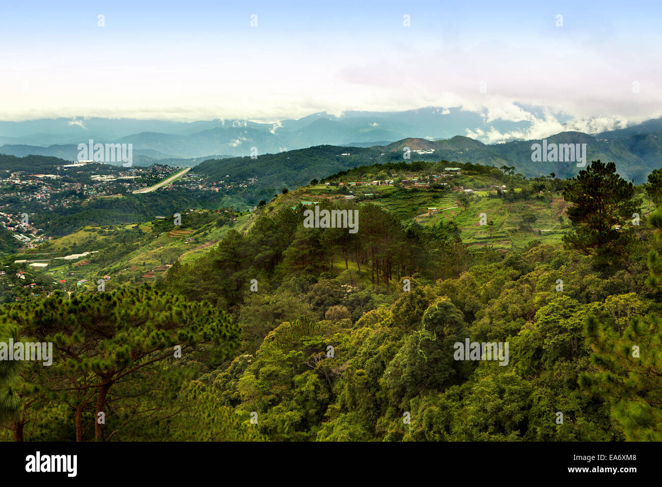 Scenic view of Baguio city and airport in the Cordillera Mountains of Northern Luzon, Philippine Islands. Stock Photohttps://www.alamy.com/image-license-details/?v=1https://www.alamy.com/stock-photo-scenic-view-of-baguio-city-and-airport-in-the-cordillera-mountains-75140696.html
RFEA6XM8–Scenic view of Baguio city and airport in the Cordillera Mountains of Northern Luzon, Philippine Islands.
 Cordillera Department (Departments of Paraguay, Republic of Paraguay) map vector illustration, scribble sketch Cordillera map Stock Vectorhttps://www.alamy.com/image-license-details/?v=1https://www.alamy.com/cordillera-department-departments-of-paraguay-republic-of-paraguay-map-vector-illustration-scribble-sketch-cordillera-map-image327865978.html
RF2A1BGB6–Cordillera Department (Departments of Paraguay, Republic of Paraguay) map vector illustration, scribble sketch Cordillera map
 Shield. Culture: Philippine, Igorot. Dimensions: H. 35 in. (88.9 cm); W. 9 3/4 in. (24.8 cm); D. 2 5/16 in. (5.9 cm); Wt. 1 lb. 13.5 oz. (836.3 g). Date: 18th-19th century. Museum: Metropolitan Museum of Art, New York, USA. Stock Photohttps://www.alamy.com/image-license-details/?v=1https://www.alamy.com/shield-culture-philippine-igorot-dimensions-h-35-in-889-cm-w-9-34-in-248-cm-d-2-516-in-59-cm-wt-1-lb-135-oz-8363-g-date-18th-19th-century-museum-metropolitan-museum-of-art-new-york-usa-image213365400.html
RMPB3HMT–Shield. Culture: Philippine, Igorot. Dimensions: H. 35 in. (88.9 cm); W. 9 3/4 in. (24.8 cm); D. 2 5/16 in. (5.9 cm); Wt. 1 lb. 13.5 oz. (836.3 g). Date: 18th-19th century. Museum: Metropolitan Museum of Art, New York, USA.
 Cordillera, department of Paraguay. Solid color shape. Locations and names of major cities of the region. Corner auxiliary location maps Stock Photohttps://www.alamy.com/image-license-details/?v=1https://www.alamy.com/cordillera-department-of-paraguay-solid-color-shape-locations-and-names-of-major-cities-of-the-region-corner-auxiliary-location-maps-image516670578.html
RF2N0GAGJ–Cordillera, department of Paraguay. Solid color shape. Locations and names of major cities of the region. Corner auxiliary location maps
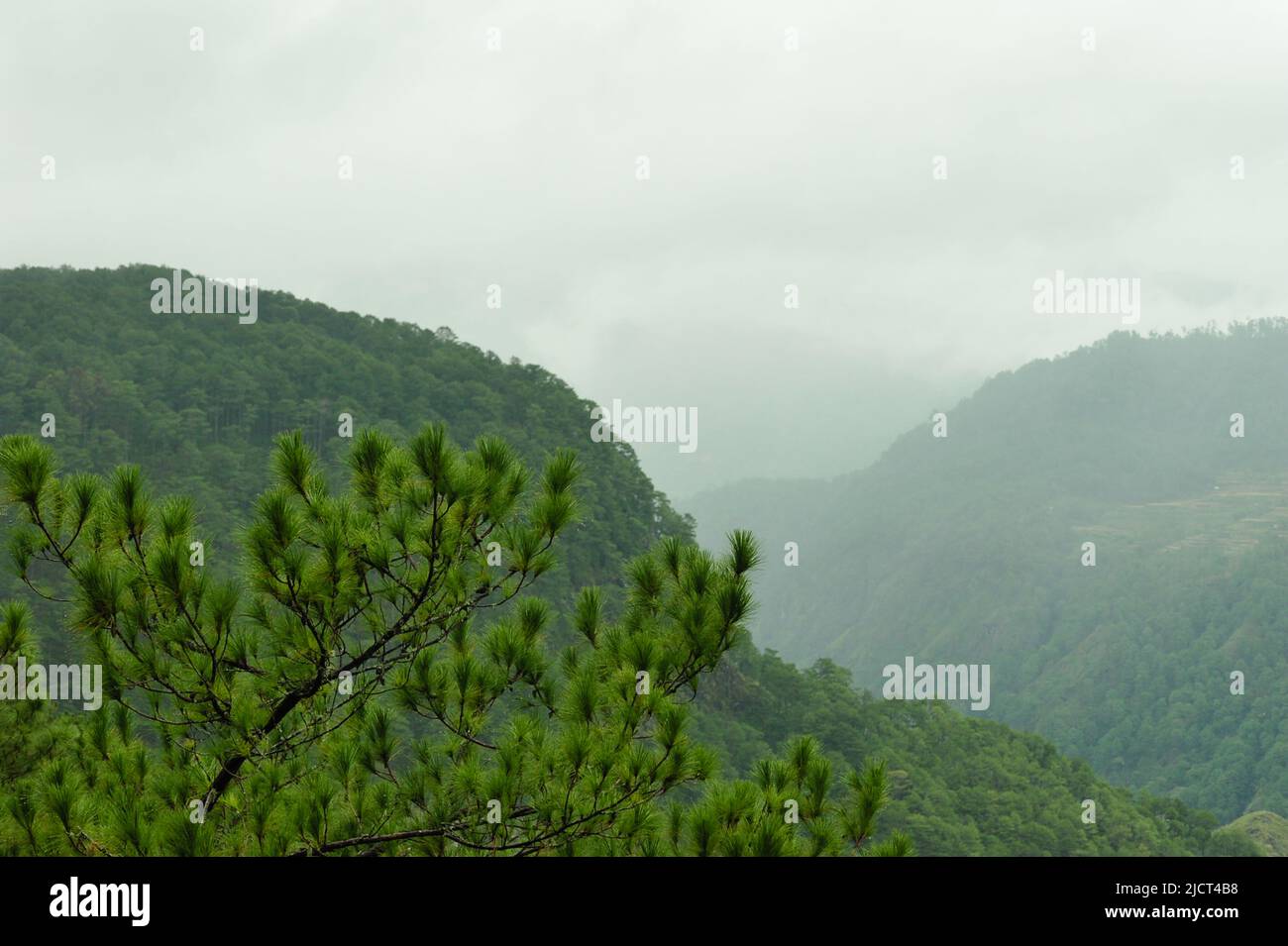 Mountain Province, Philippines: top of a pine tree up close, against the mountains of Sagada on a cold, foggy day. Nature themed horizontal copy space. Stock Photohttps://www.alamy.com/image-license-details/?v=1https://www.alamy.com/mountain-province-philippines-top-of-a-pine-tree-up-close-against-the-mountains-of-sagada-on-a-cold-foggy-day-nature-themed-horizontal-copy-space-image472586108.html
RF2JCT4B8–Mountain Province, Philippines: top of a pine tree up close, against the mountains of Sagada on a cold, foggy day. Nature themed horizontal copy space.
 AUGUST 25, 2019-BANAUE IFUGAO PHILIPPINES : Tourits taking photos in the middle of the road at the Welcom arch in Banaue Ifugao Philippines. Thank you Stock Photohttps://www.alamy.com/image-license-details/?v=1https://www.alamy.com/august-25-2019-banaue-ifugao-philippines-tourits-taking-photos-in-the-middle-of-the-road-at-the-welcom-arch-in-banaue-ifugao-philippines-thank-you-image268011603.html
RFWG0YEY–AUGUST 25, 2019-BANAUE IFUGAO PHILIPPINES : Tourits taking photos in the middle of the road at the Welcom arch in Banaue Ifugao Philippines. Thank you
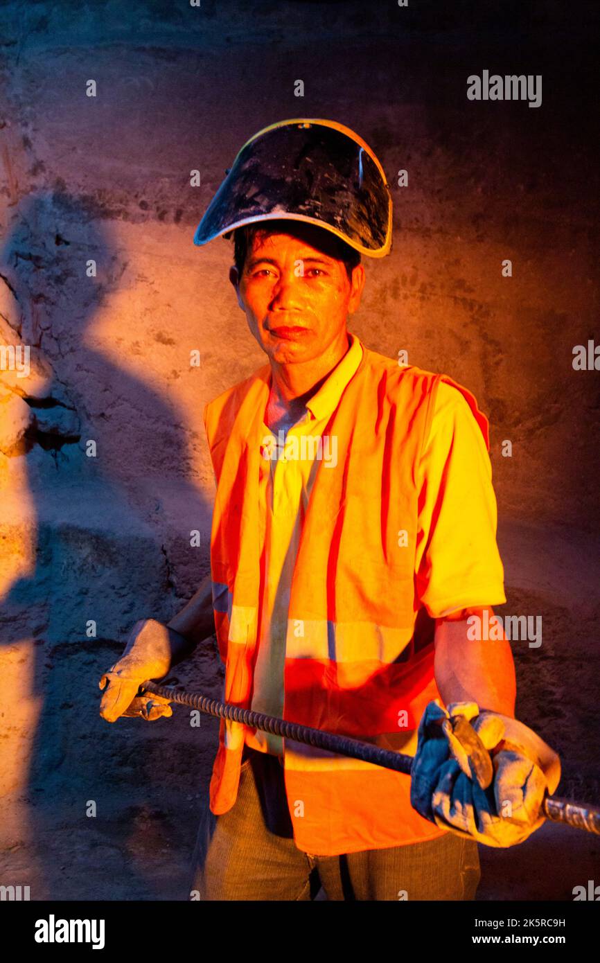 Furnace worker at a gold mining processing plant in Benguet, Philippines Stock Photohttps://www.alamy.com/image-license-details/?v=1https://www.alamy.com/furnace-worker-at-a-gold-mining-processing-plant-in-benguet-philippines-image485478157.html
RF2K5RC9H–Furnace worker at a gold mining processing plant in Benguet, Philippines
 vegetable seedlings potted using recycled paper inside a crate Stock Photohttps://www.alamy.com/image-license-details/?v=1https://www.alamy.com/vegetable-seedlings-potted-using-recycled-paper-inside-a-crate-image477627821.html
RF2JN1R4D–vegetable seedlings potted using recycled paper inside a crate
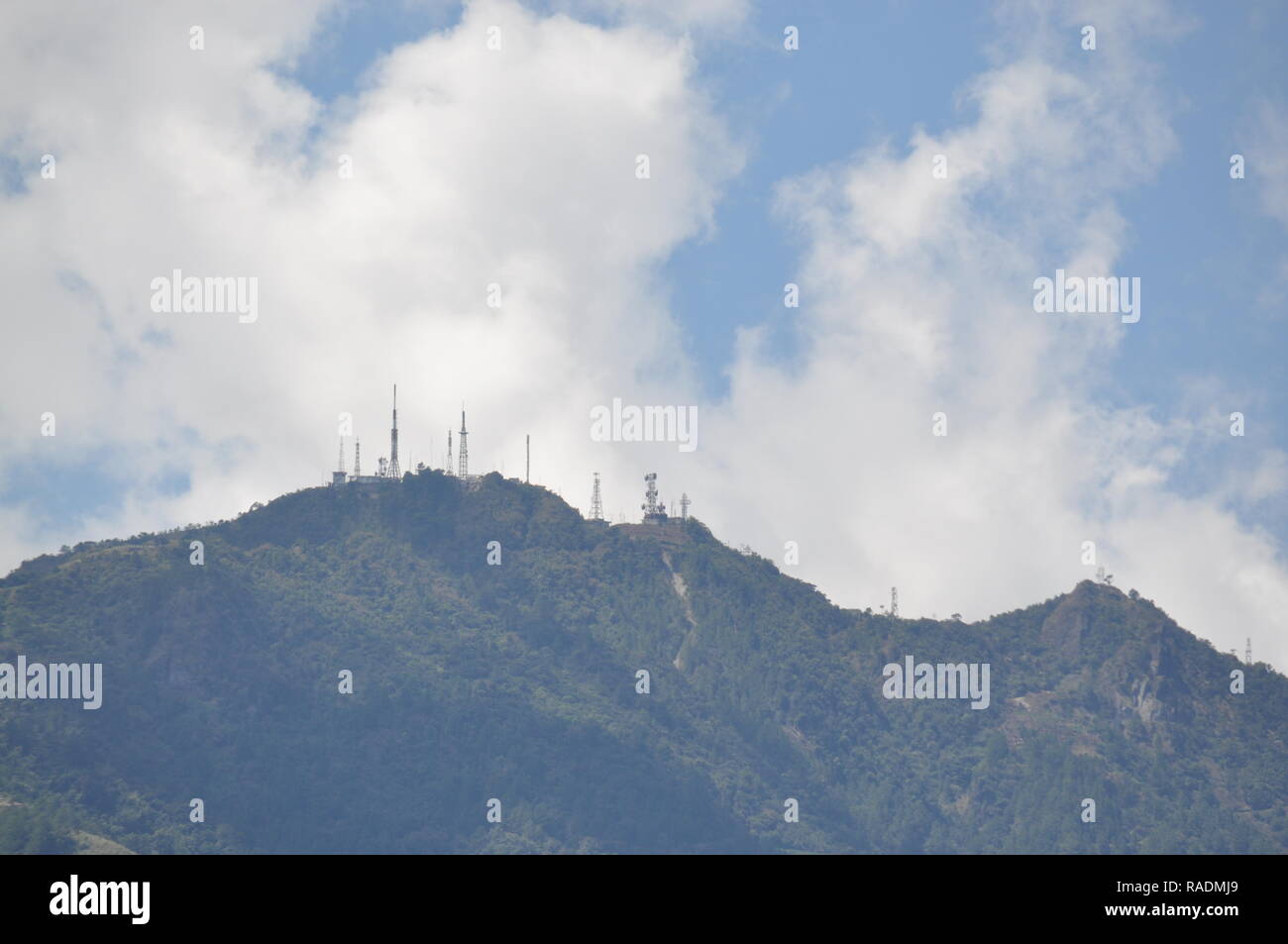 Communication and broadcasting equipment mounted on the summit of Mount Sto. Tomas in Tuba, Benguet, Philippines viewed from different locations. Stock Photohttps://www.alamy.com/image-license-details/?v=1https://www.alamy.com/communication-and-broadcasting-equipment-mounted-on-the-summit-of-mount-sto-tomas-in-tuba-benguet-philippines-viewed-from-different-locations-image230182913.html
RFRADMJ9–Communication and broadcasting equipment mounted on the summit of Mount Sto. Tomas in Tuba, Benguet, Philippines viewed from different locations.
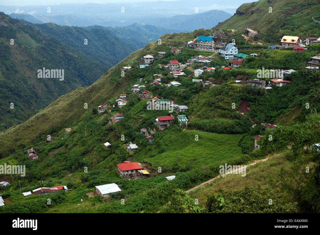 Homes and farms are perched on the steep slopes of mountainsides in Baguio, Philippines. Stock Photohttps://www.alamy.com/image-license-details/?v=1https://www.alamy.com/stock-photo-homes-and-farms-are-perched-on-the-steep-slopes-of-mountainsides-in-75140688.html
RMEA6XM0–Homes and farms are perched on the steep slopes of mountainsides in Baguio, Philippines.