Quick filters:
County fermanagh map Stock Photos and Images
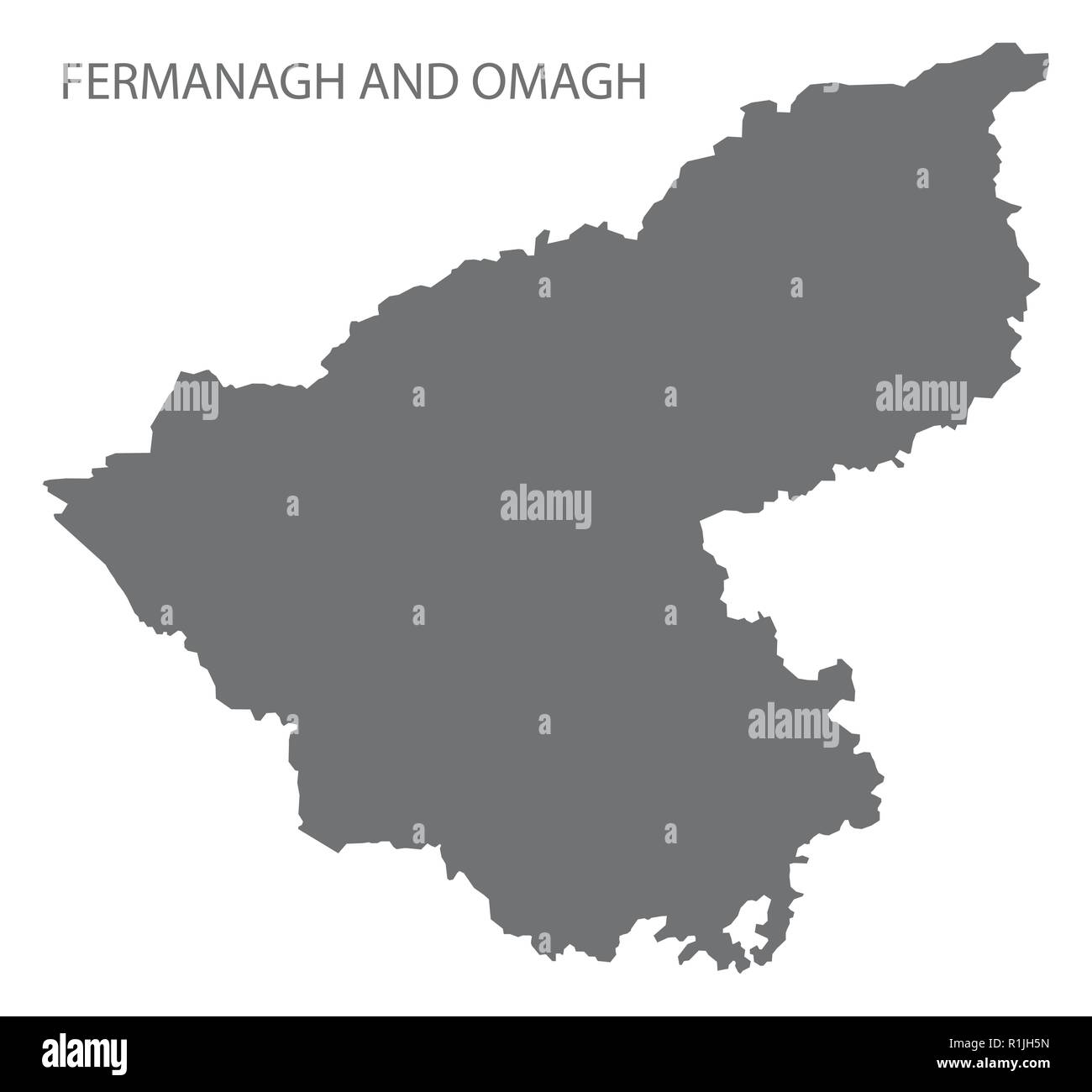 Fermanagh and Omagh map grey Stock Vectorhttps://www.alamy.com/image-license-details/?v=1https://www.alamy.com/fermanagh-and-omagh-map-grey-image224758065.html
RFR1JH5N–Fermanagh and Omagh map grey
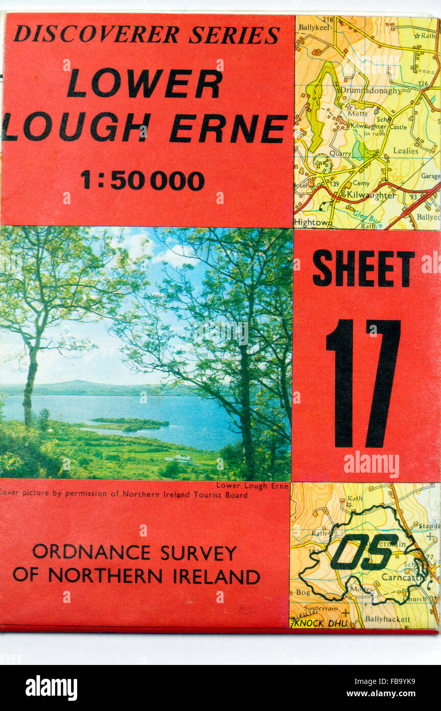 Cover of old 1:50000 Ordnance Survey of Northern Ireland map of Lower Lough Erne, County Fermanagh, Northern Ireland. Stock Photohttps://www.alamy.com/image-license-details/?v=1https://www.alamy.com/stock-photo-cover-of-old-150000-ordnance-survey-of-northern-ireland-map-of-lower-93032333.html
RMFB9YK9–Cover of old 1:50000 Ordnance Survey of Northern Ireland map of Lower Lough Erne, County Fermanagh, Northern Ireland.
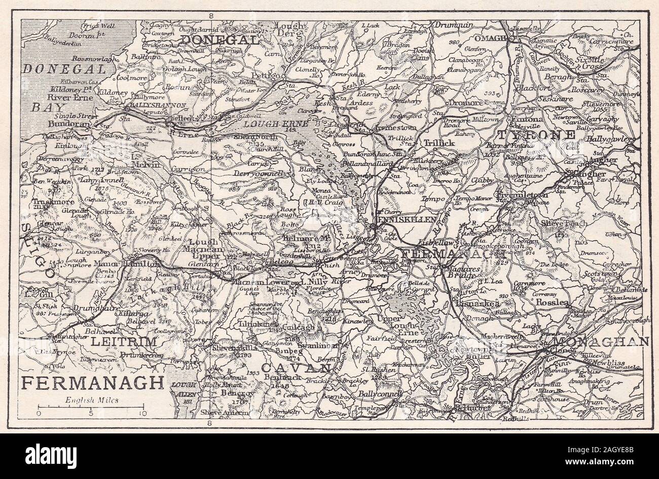 Vintage map of Fermanagh, County Fermanagh, Northern Ireland Stock Photohttps://www.alamy.com/image-license-details/?v=1https://www.alamy.com/vintage-map-of-fermanagh-county-fermanagh-northern-ireland-image337435403.html
RF2AGYE8B–Vintage map of Fermanagh, County Fermanagh, Northern Ireland
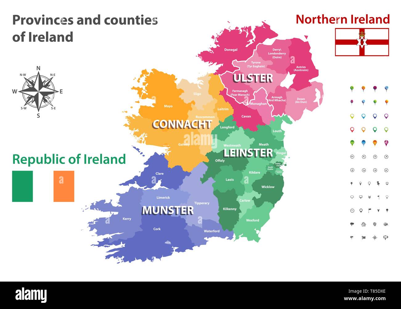 Provinces and counties of Ireland vector map Stock Vectorhttps://www.alamy.com/image-license-details/?v=1https://www.alamy.com/provinces-and-counties-of-ireland-vector-map-image245983094.html
RFT85DXE–Provinces and counties of Ireland vector map
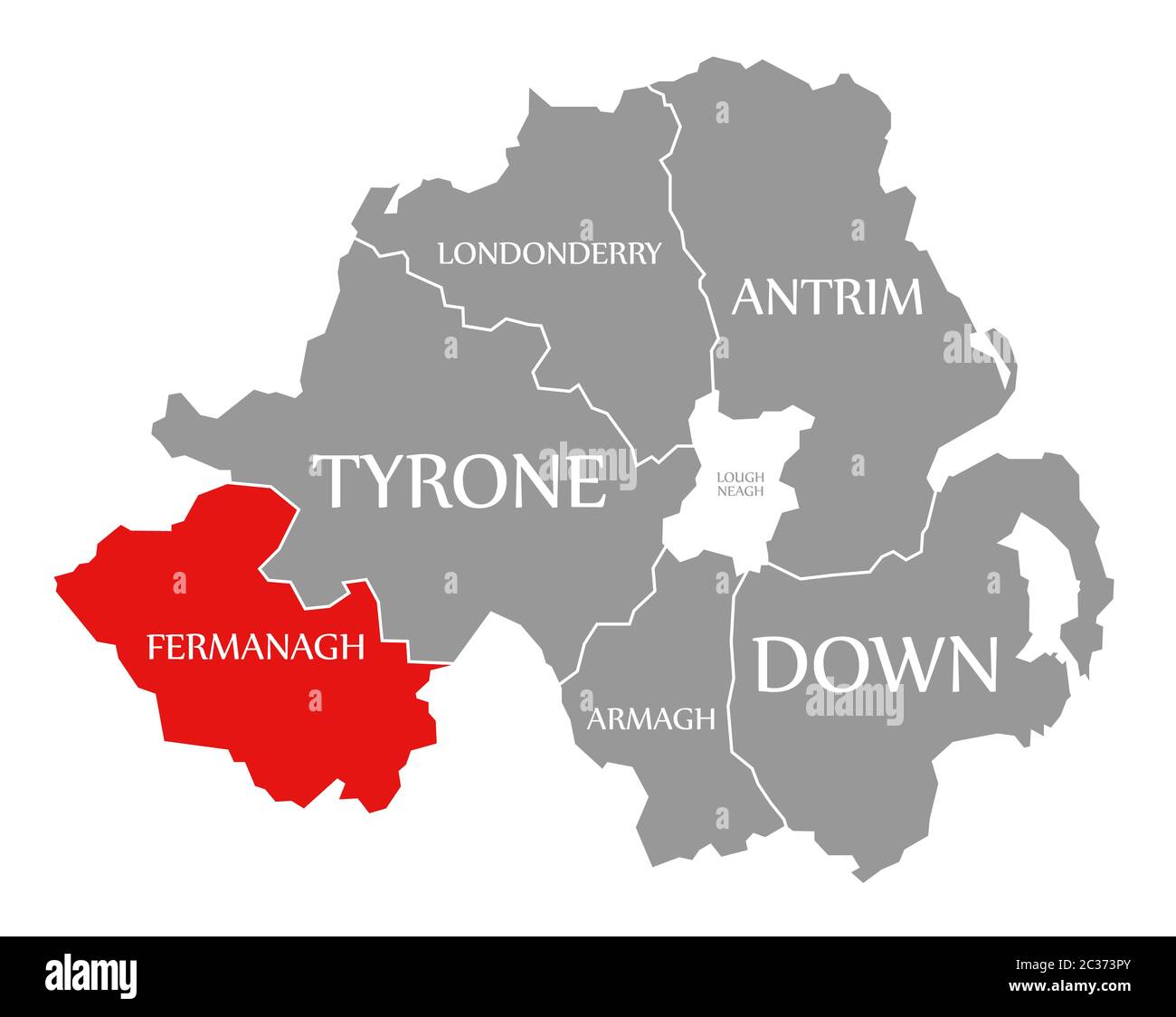 Fermanagh red highlighted in map of Northern Ireland Stock Photohttps://www.alamy.com/image-license-details/?v=1https://www.alamy.com/fermanagh-red-highlighted-in-map-of-northern-ireland-image363418355.html
RF2C373PY–Fermanagh red highlighted in map of Northern Ireland
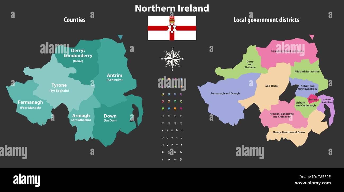 Northern Ireland counties and local government districts vector map Stock Vectorhttps://www.alamy.com/image-license-details/?v=1https://www.alamy.com/northern-ireland-counties-and-local-government-districts-vector-map-image245983402.html
RFT85E9E–Northern Ireland counties and local government districts vector map
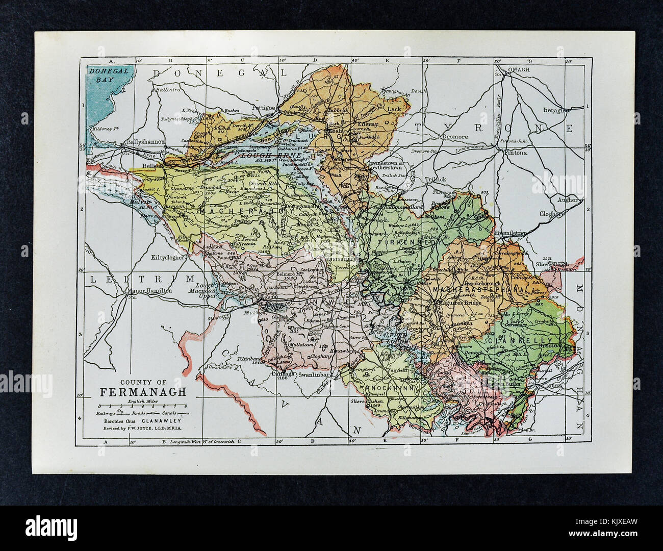 Antique Ireland Map - Fermanagh County - Enniskillen Belleek Lough Erne Ederny Kesh Stock Photohttps://www.alamy.com/image-license-details/?v=1https://www.alamy.com/stock-image-antique-ireland-map-fermanagh-county-enniskillen-belleek-lough-erne-166539153.html
RFKJXEAW–Antique Ireland Map - Fermanagh County - Enniskillen Belleek Lough Erne Ederny Kesh
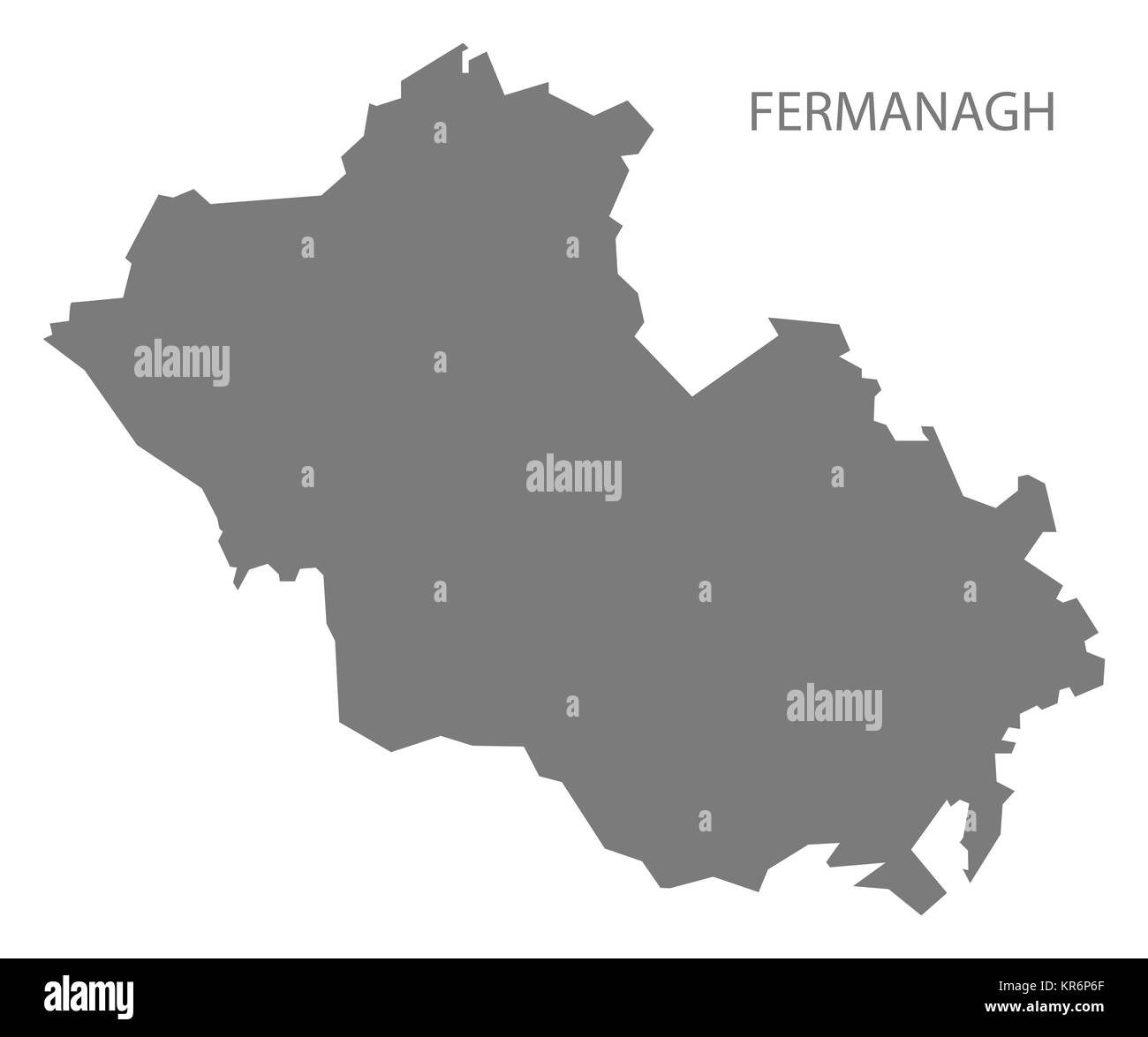 Fermanagh Northern Ireland Map grey Stock Photohttps://www.alamy.com/image-license-details/?v=1https://www.alamy.com/stock-image-fermanagh-northern-ireland-map-grey-169179543.html
RFKR6P6F–Fermanagh Northern Ireland Map grey
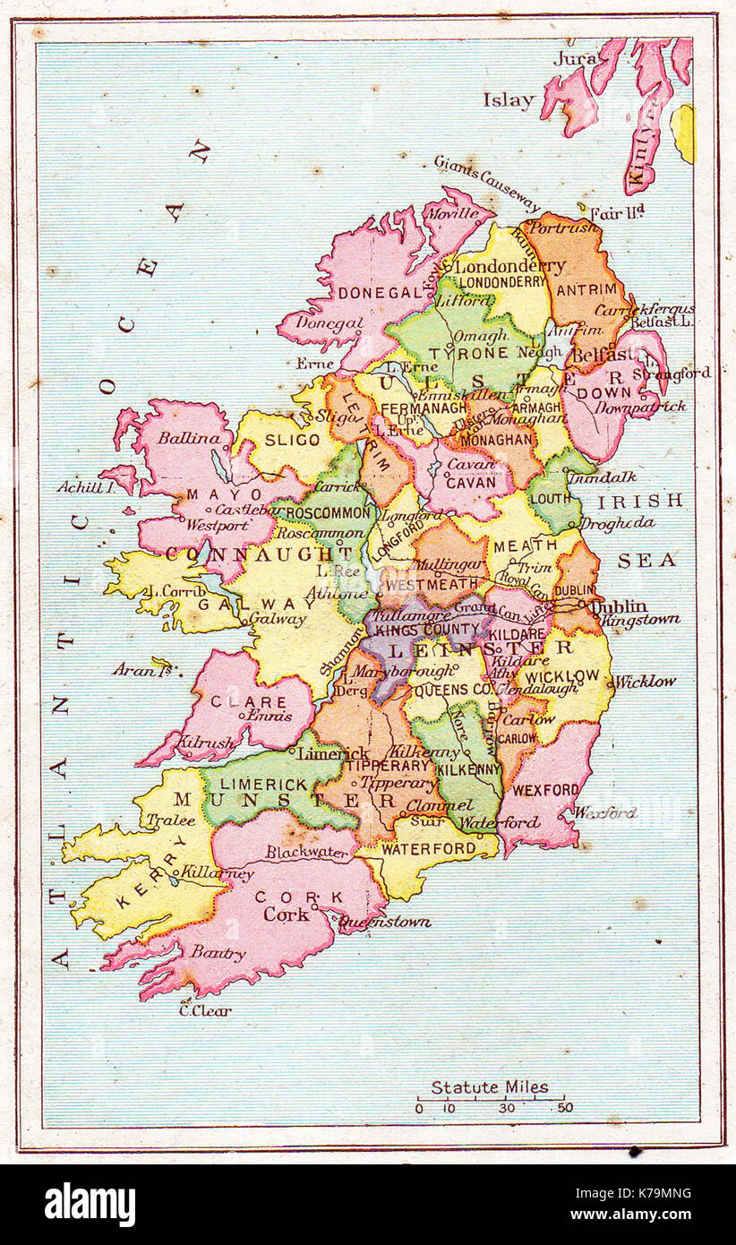 A vintage (1914) map of Ireland Stock Photohttps://www.alamy.com/image-license-details/?v=1https://www.alamy.com/a-vintage-1914-map-of-ireland-image159409756.html
RMK79MNG–A vintage (1914) map of Ireland
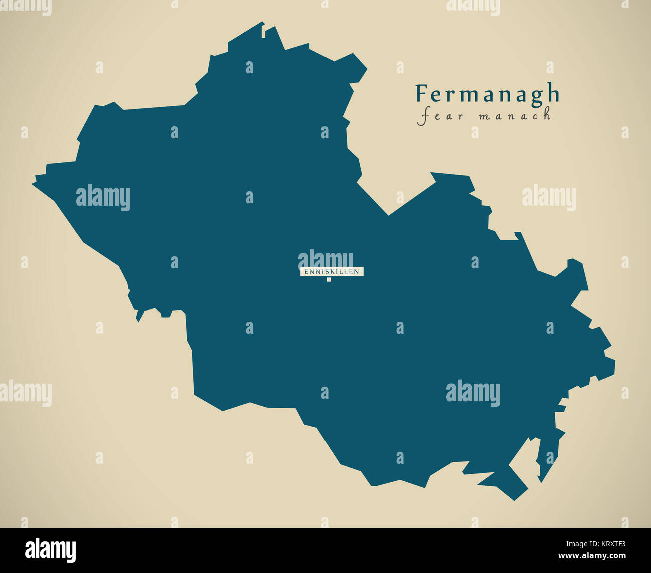 Modern Map - Fermanagh UK Northern Ireland illustration Stock Photohttps://www.alamy.com/image-license-details/?v=1https://www.alamy.com/stock-image-modern-map-fermanagh-uk-northern-ireland-illustration-169620391.html
RFKRXTF3–Modern Map - Fermanagh UK Northern Ireland illustration
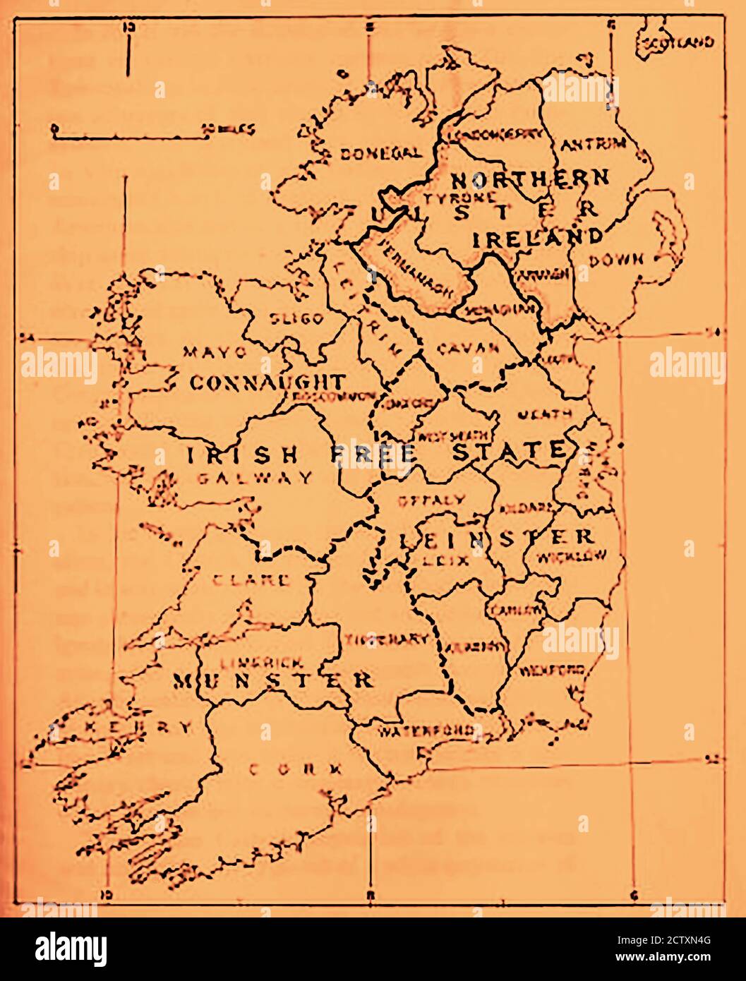 1933 map of Ireland & the Irish Free State (with scale of miles) Stock Photohttps://www.alamy.com/image-license-details/?v=1https://www.alamy.com/1933-map-of-ireland-the-irish-free-state-with-scale-of-miles-image376756816.html
RM2CTXN4G–1933 map of Ireland & the Irish Free State (with scale of miles)
 Fermanagh Northern Ireland map black inverted silhouette illustration Stock Photohttps://www.alamy.com/image-license-details/?v=1https://www.alamy.com/fermanagh-northern-ireland-map-black-inverted-silhouette-illustration-image227122592.html
RFR5E954–Fermanagh Northern Ireland map black inverted silhouette illustration
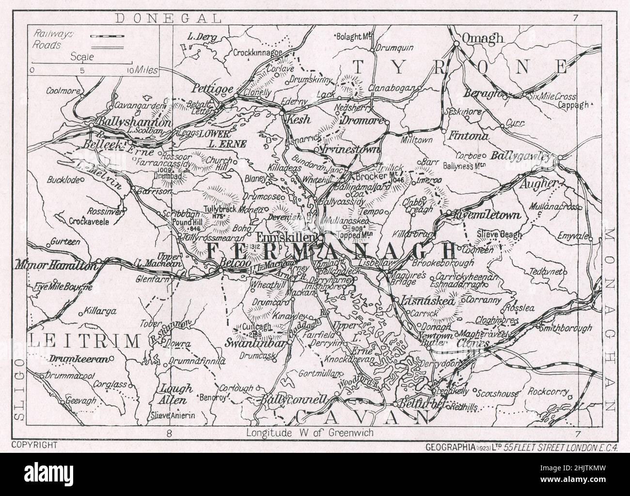 Map of Co. Fermanagh. County Fermanagh (1913) Stock Photohttps://www.alamy.com/image-license-details/?v=1https://www.alamy.com/map-of-co-fermanagh-county-fermanagh-1913-image459075705.html
RF2HJTKMW–Map of Co. Fermanagh. County Fermanagh (1913)
 Fermanagh Northern Ireland map with Ulster banner national flag illustration Stock Photohttps://www.alamy.com/image-license-details/?v=1https://www.alamy.com/fermanagh-northern-ireland-map-with-ulster-banner-national-flag-illustration-image227096485.html
RFR5D3TN–Fermanagh Northern Ireland map with Ulster banner national flag illustration
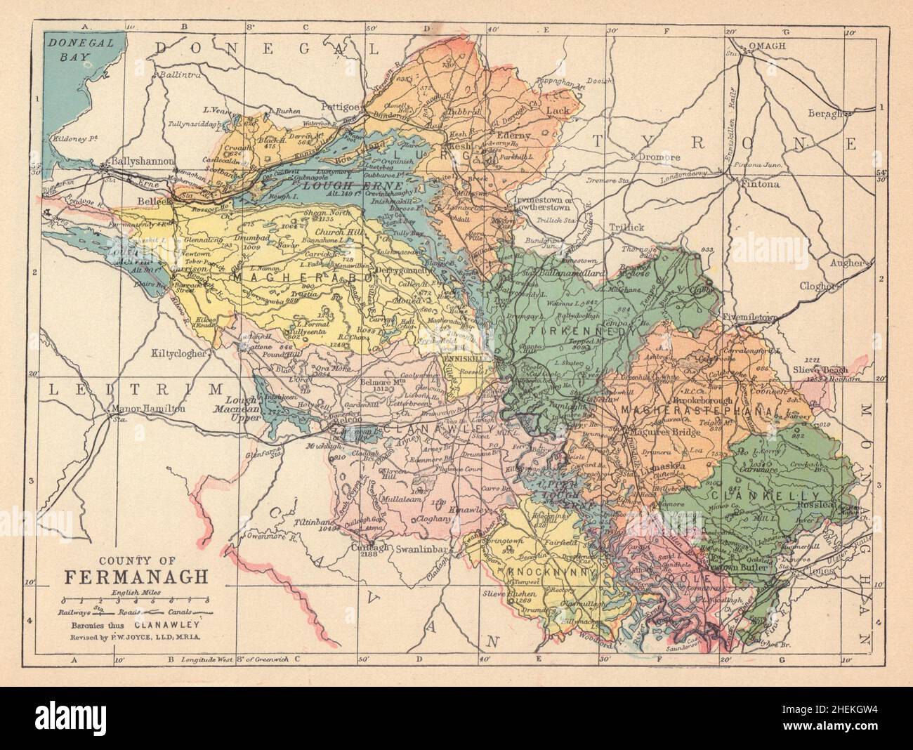 COUNTY FERMANAGH antique map. Ulster. Northern Ireland. JOYCE 1905 old Stock Photohttps://www.alamy.com/image-license-details/?v=1https://www.alamy.com/county-fermanagh-antique-map-ulster-northern-ireland-joyce-1905-old-image456505088.html
RF2HEKGW4–COUNTY FERMANAGH antique map. Ulster. Northern Ireland. JOYCE 1905 old
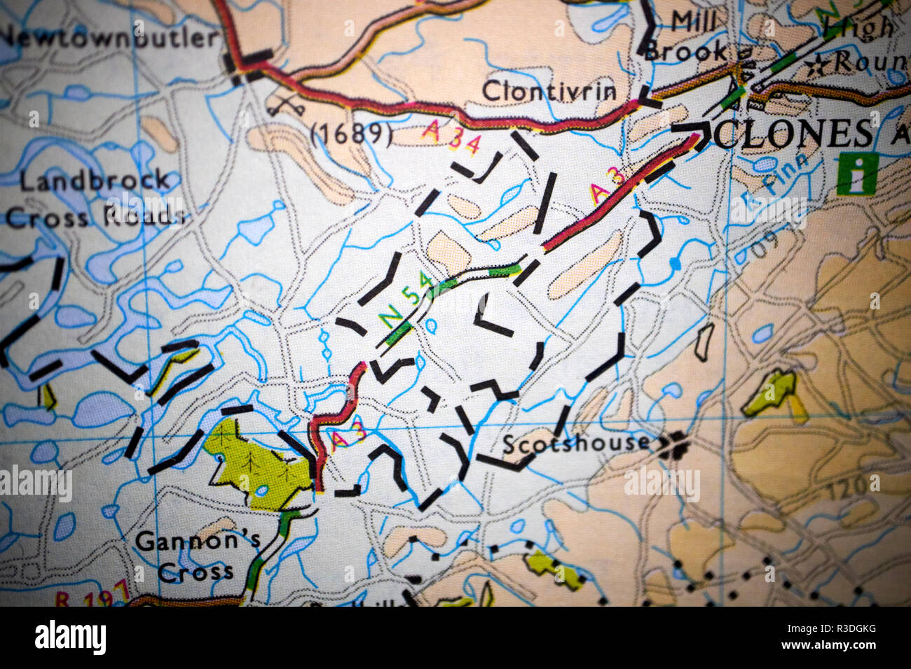 map showing the Drummully polyp or colemans island between northern ireland republic of ireland border Stock Photohttps://www.alamy.com/image-license-details/?v=1https://www.alamy.com/map-showing-the-drummully-polyp-or-colemans-island-between-northern-ireland-republic-of-ireland-border-image225877220.html
RMR3DGKG–map showing the Drummully polyp or colemans island between northern ireland republic of ireland border
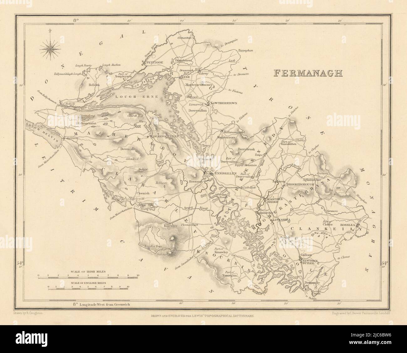 COUNTY FERMANAGH antique map for LEWIS by CREIGHTON & DOWER - Ulster 1837 Stock Photohttps://www.alamy.com/image-license-details/?v=1https://www.alamy.com/county-fermanagh-antique-map-for-lewis-by-creighton-dower-ulster-1837-image472196850.html
RF2JC6BW6–COUNTY FERMANAGH antique map for LEWIS by CREIGHTON & DOWER - Ulster 1837
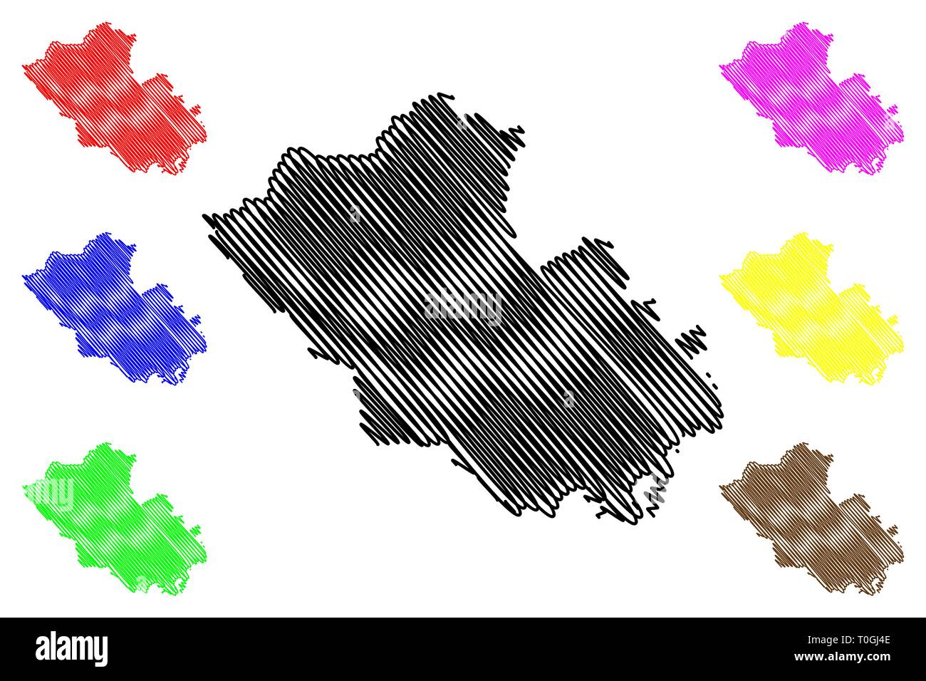 County Fermanagh (United Kingdom, Northern Ireland, Counties of Northern Ireland) map vector illustration, scribble sketch Fermanagh map Stock Vectorhttps://www.alamy.com/image-license-details/?v=1https://www.alamy.com/county-fermanagh-united-kingdom-northern-ireland-counties-of-northern-ireland-map-vector-illustration-scribble-sketch-fermanagh-map-image241310622.html
RFT0GJ4E–County Fermanagh (United Kingdom, Northern Ireland, Counties of Northern Ireland) map vector illustration, scribble sketch Fermanagh map
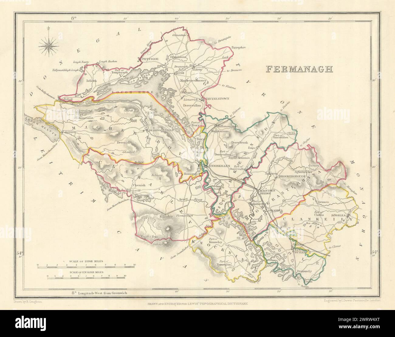 COUNTY FERMANAGH antique map for LEWIS by CREIGHTON & DOWER. Ulster 1850 Stock Photohttps://www.alamy.com/image-license-details/?v=1https://www.alamy.com/county-fermanagh-antique-map-for-lewis-by-creighton-dower-ulster-1850-image599842288.html
RF2WRW4XT–COUNTY FERMANAGH antique map for LEWIS by CREIGHTON & DOWER. Ulster 1850
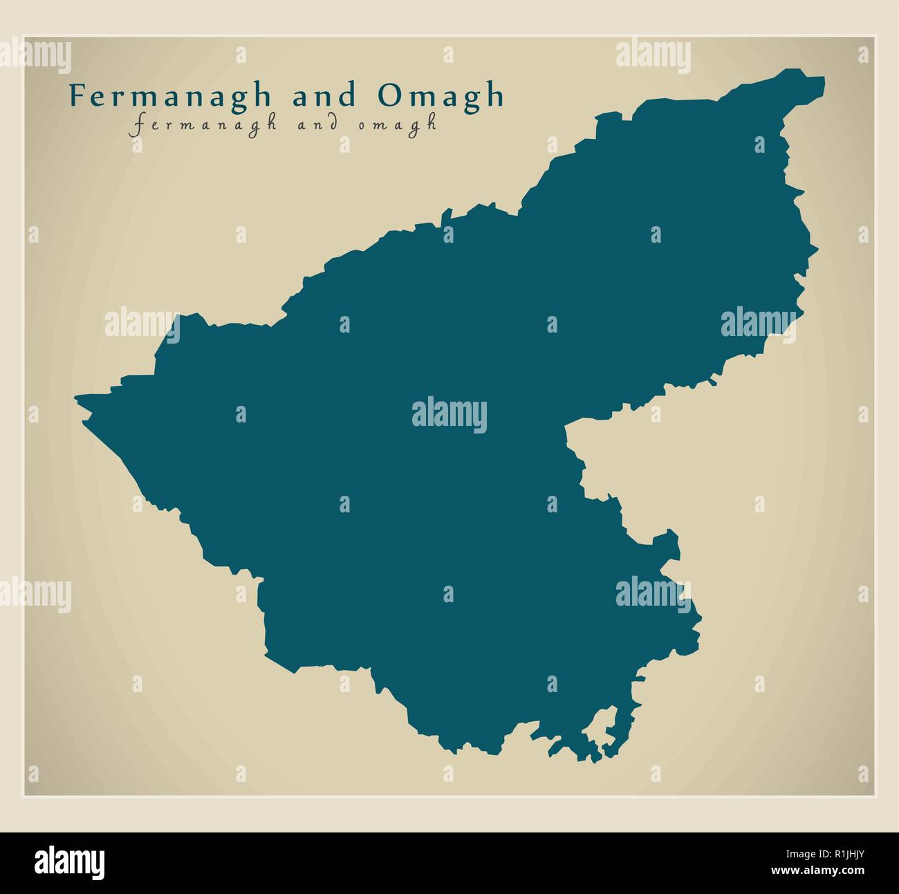 Fermanagh and Omagh district map of Northern Ireland Stock Vectorhttps://www.alamy.com/image-license-details/?v=1https://www.alamy.com/fermanagh-and-omagh-district-map-of-northern-ireland-image224758435.html
RFR1JHJY–Fermanagh and Omagh district map of Northern Ireland
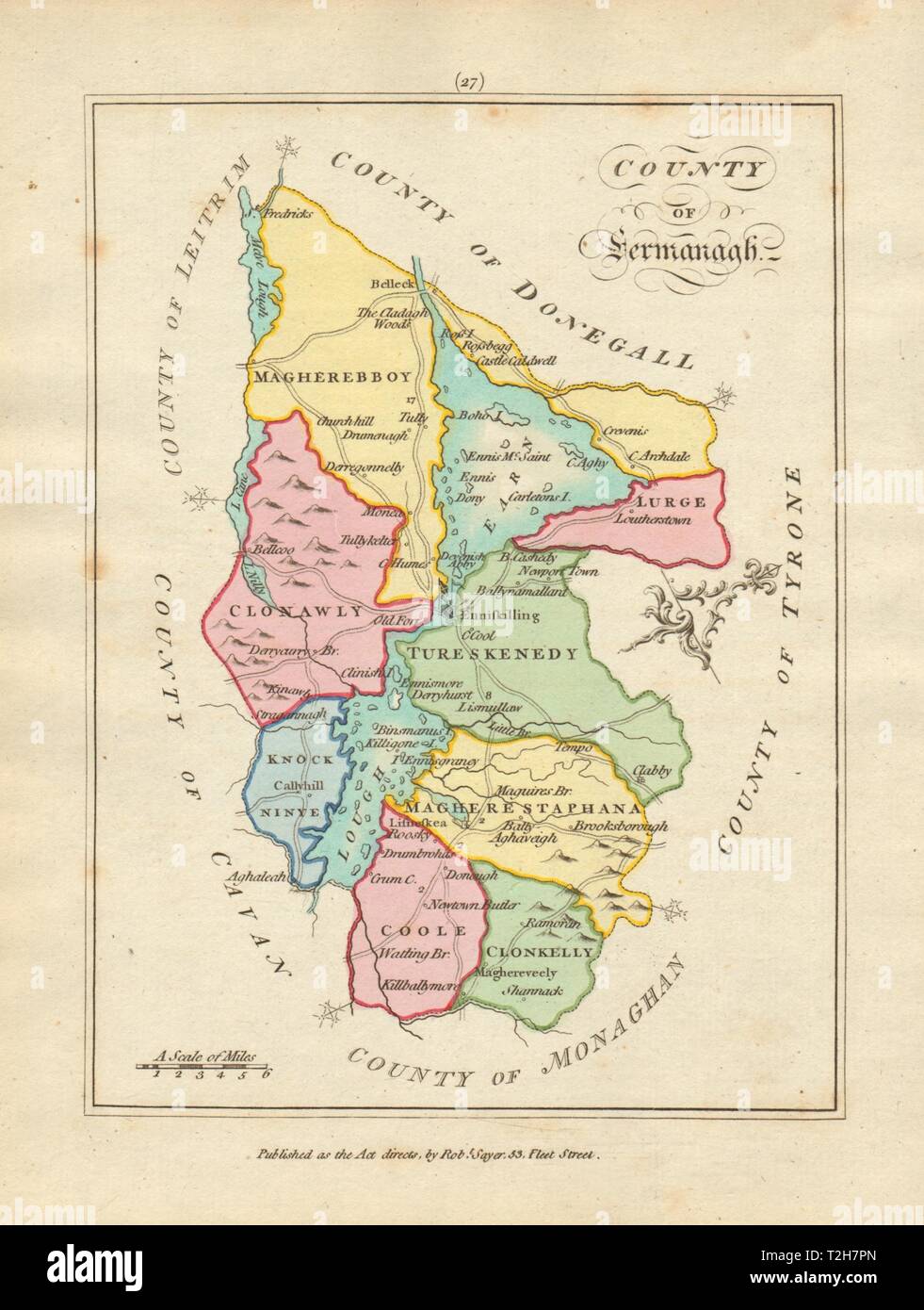 County of Fermanagh, Ulster. Antique copperplate map by Scalé / Sayer 1788 Stock Photohttps://www.alamy.com/image-license-details/?v=1https://www.alamy.com/county-of-fermanagh-ulster-antique-copperplate-map-by-scal-sayer-1788-image242553773.html
RFT2H7PN–County of Fermanagh, Ulster. Antique copperplate map by Scalé / Sayer 1788
 Fermanagh old district watercolor map of Northern Ireland before 2015 Stock Photohttps://www.alamy.com/image-license-details/?v=1https://www.alamy.com/fermanagh-old-district-watercolor-map-of-northern-ireland-before-2015-image224755754.html
RFR1JE76–Fermanagh old district watercolor map of Northern Ireland before 2015
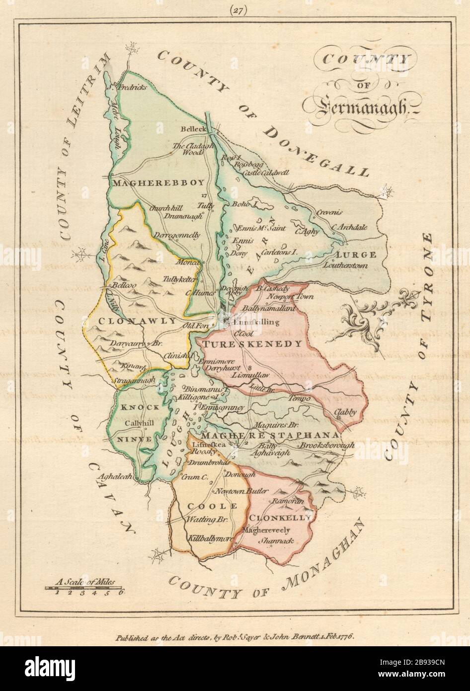 County of Fermanagh, Ulster. Antique copperplate map by Scalé / Sayer 1776 Stock Photohttps://www.alamy.com/image-license-details/?v=1https://www.alamy.com/county-of-fermanagh-ulster-antique-copperplate-map-by-scal-sayer-1776-image349812533.html
RF2B939CN–County of Fermanagh, Ulster. Antique copperplate map by Scalé / Sayer 1776
 Fridays child is loving and giving! 30561120733 o Stock Photohttps://www.alamy.com/image-license-details/?v=1https://www.alamy.com/stock-photo-fridays-child-is-loving-and-giving!-30561120733-o-147097160.html
RMJF8RX0–Fridays child is loving and giving! 30561120733 o
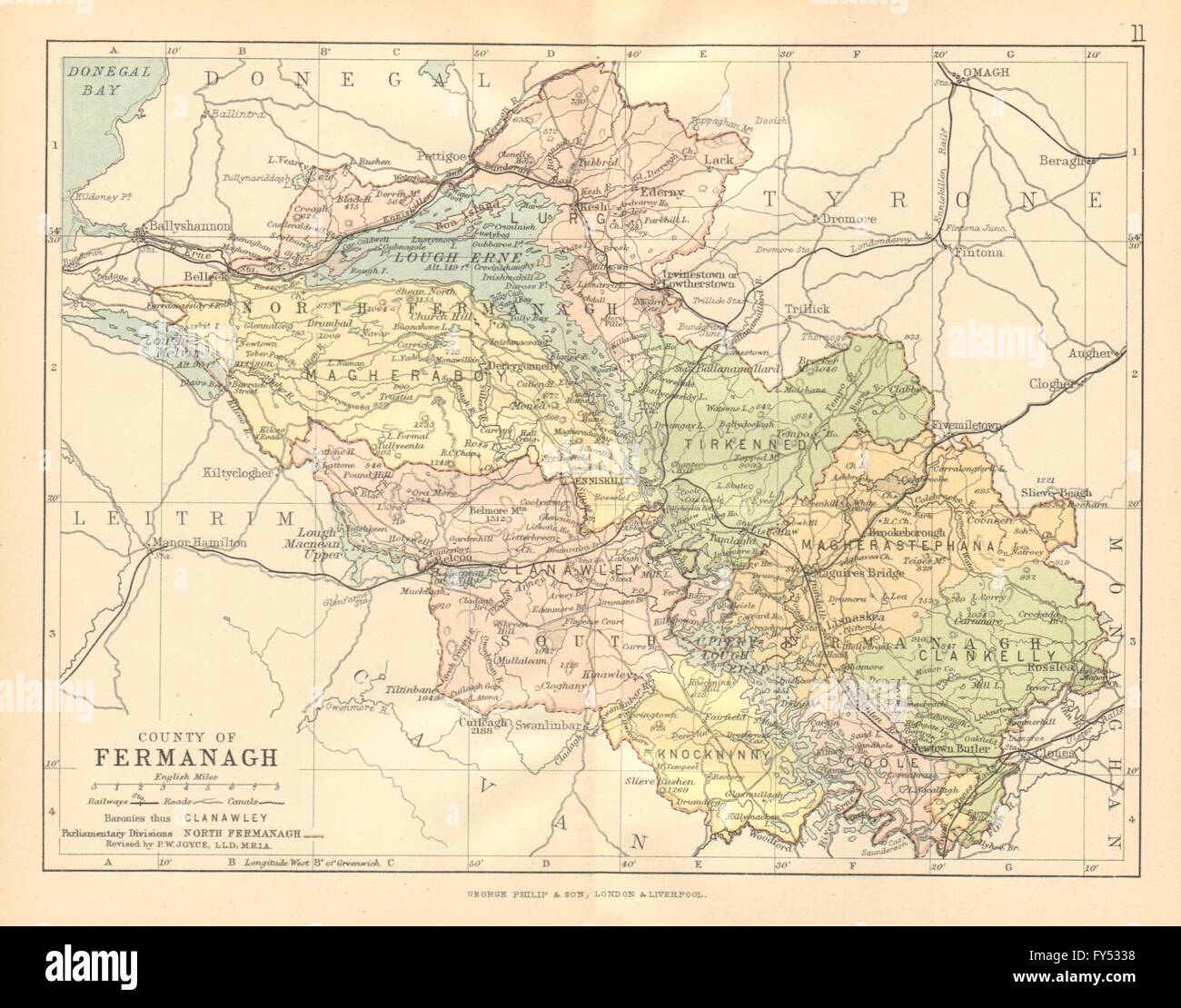 COUNTY FERMANAGH. Antique county map. Ulster. Northern Ireland BARTHOLOMEW c1902 Stock Photohttps://www.alamy.com/image-license-details/?v=1https://www.alamy.com/stock-photo-county-fermanagh-antique-county-map-ulster-northern-ireland-bartholomew-102759756.html
RFFY5338–COUNTY FERMANAGH. Antique county map. Ulster. Northern Ireland BARTHOLOMEW c1902
 Township of Fermanagh, Juniata County, US, United States, Pennsylvania, N 40 36' 56'', S 77 23' 33'', map, Cartascapes Map published in 2024. Explore Cartascapes, a map revealing Earth's diverse landscapes, cultures, and ecosystems. Journey through time and space, discovering the interconnectedness of our planet's past, present, and future. Stock Photohttps://www.alamy.com/image-license-details/?v=1https://www.alamy.com/township-of-fermanagh-juniata-county-us-united-states-pennsylvania-n-40-36-56-s-77-23-33-map-cartascapes-map-published-in-2024-explore-cartascapes-a-map-revealing-earths-diverse-landscapes-cultures-and-ecosystems-journey-through-time-and-space-discovering-the-interconnectedness-of-our-planets-past-present-and-future-image633911736.html
RM2YR94TT–Township of Fermanagh, Juniata County, US, United States, Pennsylvania, N 40 36' 56'', S 77 23' 33'', map, Cartascapes Map published in 2024. Explore Cartascapes, a map revealing Earth's diverse landscapes, cultures, and ecosystems. Journey through time and space, discovering the interconnectedness of our planet's past, present, and future.
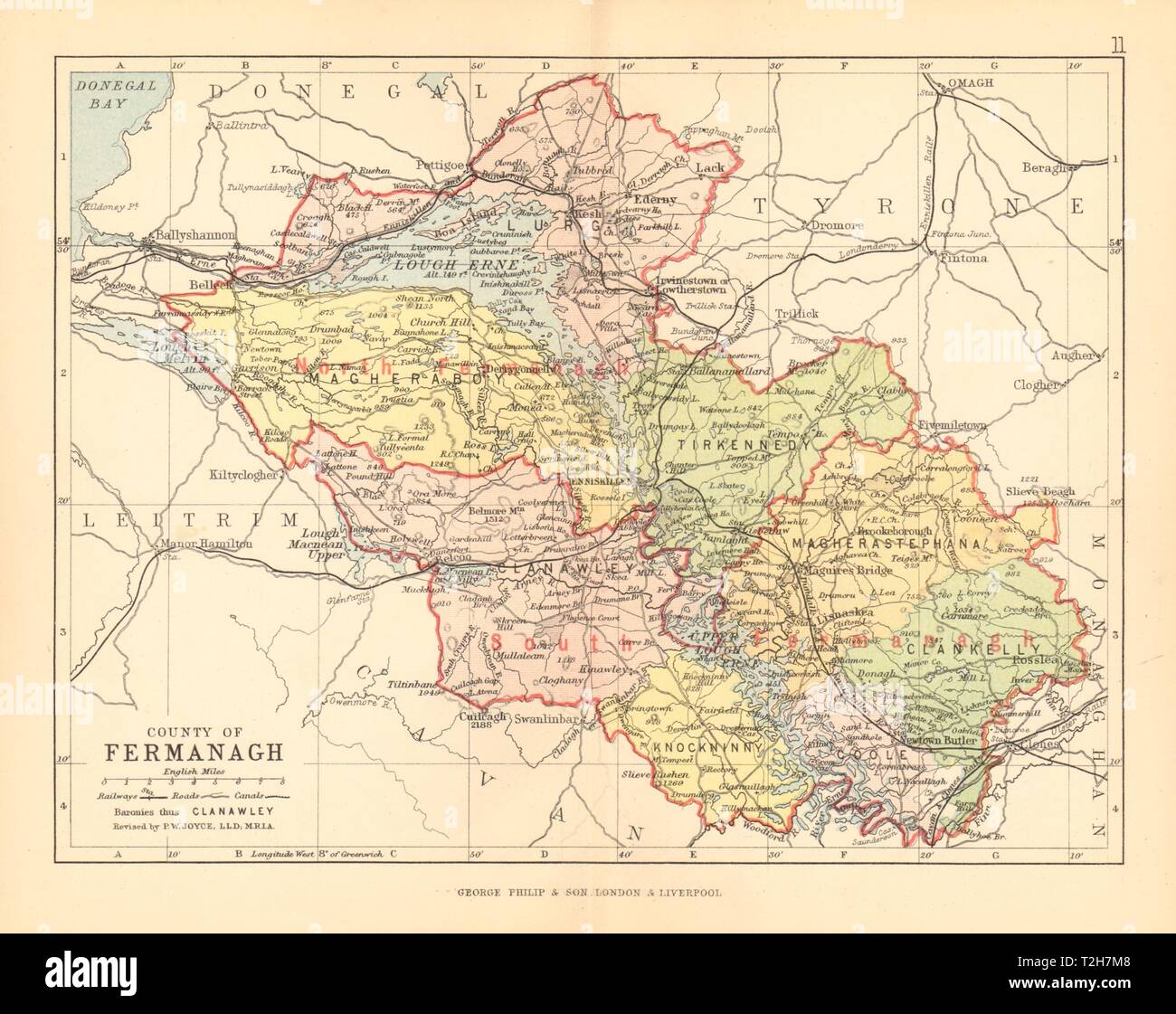 COUNTY FERMANAGH. Antique county map. Ulster. Northern Ireland. BARTHOLOMEW 1886 Stock Photohttps://www.alamy.com/image-license-details/?v=1https://www.alamy.com/county-fermanagh-antique-county-map-ulster-northern-ireland-bartholomew-1886-image242553704.html
RFT2H7M8–COUNTY FERMANAGH. Antique county map. Ulster. Northern Ireland. BARTHOLOMEW 1886
 Enniskillen. County Fermanagh, Ireland LCCN2002717406 Stock Photohttps://www.alamy.com/image-license-details/?v=1https://www.alamy.com/stock-image-enniskillen-county-fermanagh-ireland-lccn2002717406-162750661.html
RMKCNX3H–Enniskillen. County Fermanagh, Ireland LCCN2002717406
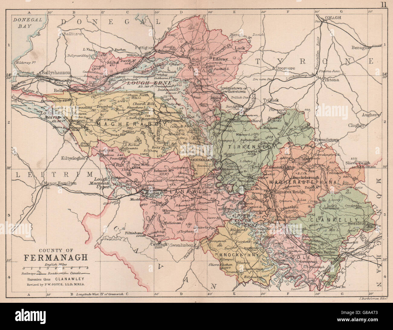 COUNTY FERMANAGH: Antique county map. Ulster. Northern Ireland. BARTHOLOMEW 1882 Stock Photohttps://www.alamy.com/image-license-details/?v=1https://www.alamy.com/stock-photo-county-fermanagh-antique-county-map-ulster-northern-ireland-bartholomew-108402311.html
RFG8A473–COUNTY FERMANAGH: Antique county map. Ulster. Northern Ireland. BARTHOLOMEW 1882
 . Bulletin of the British Museum (Natural History), Geology. 176 VISEAN PRODUCTOIDS FROM COUNTY FERMANAGH 52°. miles 50 Fig. 1. Map of Ireland showing the position of Derrygonelly, from near which the faunas were collected, in relation to the Carboniferous rocks (dotted).. Please note that these images are extracted from scanned page images that may have been digitally enhanced for readability - coloration and appearance of these illustrations may not perfectly resemble the original work.. British Museum (Natural History). London : BM(NH) Stock Photohttps://www.alamy.com/image-license-details/?v=1https://www.alamy.com/bulletin-of-the-british-museum-natural-history-geology-176-visean-productoids-from-county-fermanagh-52-miles-50-fig-1-map-of-ireland-showing-the-position-of-derrygonelly-from-near-which-the-faunas-were-collected-in-relation-to-the-carboniferous-rocks-dotted-please-note-that-these-images-are-extracted-from-scanned-page-images-that-may-have-been-digitally-enhanced-for-readability-coloration-and-appearance-of-these-illustrations-may-not-perfectly-resemble-the-original-work-british-museum-natural-history-london-bmnh-image233976760.html
RMRGJFMT–. Bulletin of the British Museum (Natural History), Geology. 176 VISEAN PRODUCTOIDS FROM COUNTY FERMANAGH 52°. miles 50 Fig. 1. Map of Ireland showing the position of Derrygonelly, from near which the faunas were collected, in relation to the Carboniferous rocks (dotted).. Please note that these images are extracted from scanned page images that may have been digitally enhanced for readability - coloration and appearance of these illustrations may not perfectly resemble the original work.. British Museum (Natural History). London : BM(NH)
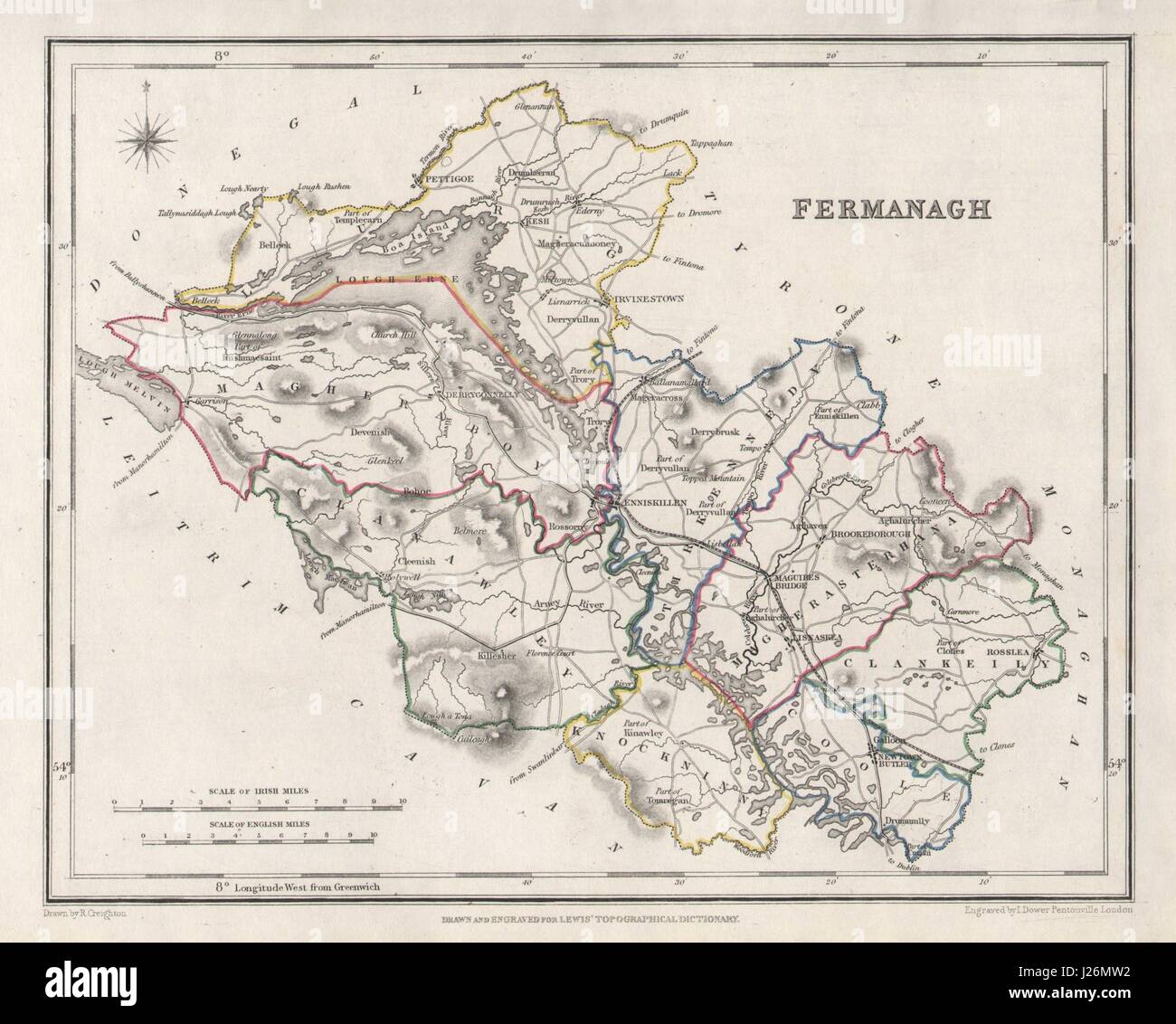 COUNTY FERMANAGH antique map for LEWIS by CREIGHTON & DOWER. Ulster 1846 Stock Photohttps://www.alamy.com/image-license-details/?v=1https://www.alamy.com/stock-photo-county-fermanagh-antique-map-for-lewis-by-creighton-dower-ulster-1846-139060350.html
RFJ26MW2–COUNTY FERMANAGH antique map for LEWIS by CREIGHTON & DOWER. Ulster 1846
 County Fermanagh (United Kingdom, Northern Ireland, Counties of Northern Ireland) map vector illustration, scribble sketch Fermanagh map Stock Vectorhttps://www.alamy.com/image-license-details/?v=1https://www.alamy.com/county-fermanagh-united-kingdom-northern-ireland-counties-of-northern-ireland-map-vector-illustration-scribble-sketch-fermanagh-map-image234628787.html
RFRHM7BF–County Fermanagh (United Kingdom, Northern Ireland, Counties of Northern Ireland) map vector illustration, scribble sketch Fermanagh map
 Fermanagh Northern Ireland Map in grey Stock Vectorhttps://www.alamy.com/image-license-details/?v=1https://www.alamy.com/stock-photo-fermanagh-northern-ireland-map-in-grey-123174554.html
RFH4B2B6–Fermanagh Northern Ireland Map in grey
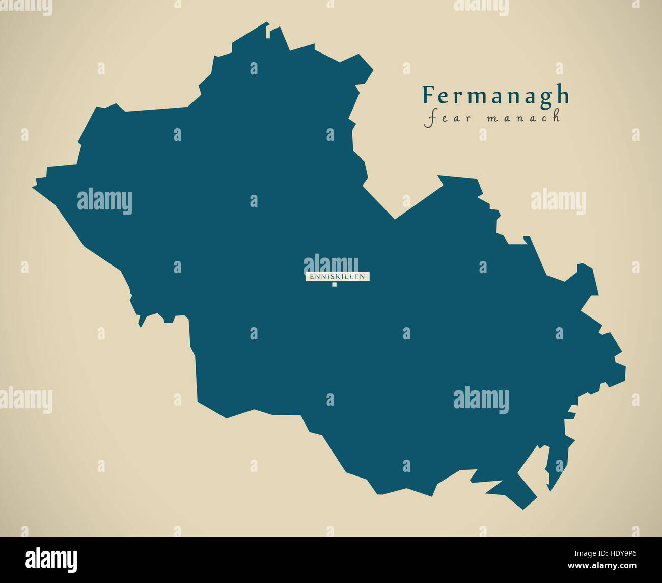 Modern Map - Fermanagh UK Northern Ireland illustration Stock Photohttps://www.alamy.com/image-license-details/?v=1https://www.alamy.com/stock-photo-modern-map-fermanagh-uk-northern-ireland-illustration-129063486.html
RFHDY9P6–Modern Map - Fermanagh UK Northern Ireland illustration
 County Fermanagh, GB, United Kingdom, Northern Ireland, N 54 19' 59'', S 7 30' 0'', map, Cartascapes Map published in 2024. Explore Cartascapes, a map revealing Earth's diverse landscapes, cultures, and ecosystems. Journey through time and space, discovering the interconnectedness of our planet's past, present, and future. Stock Photohttps://www.alamy.com/image-license-details/?v=1https://www.alamy.com/county-fermanagh-gb-united-kingdom-northern-ireland-n-54-19-59-s-7-30-0-map-cartascapes-map-published-in-2024-explore-cartascapes-a-map-revealing-earths-diverse-landscapes-cultures-and-ecosystems-journey-through-time-and-space-discovering-the-interconnectedness-of-our-planets-past-present-and-future-image604172525.html
RM2X2XC65–County Fermanagh, GB, United Kingdom, Northern Ireland, N 54 19' 59'', S 7 30' 0'', map, Cartascapes Map published in 2024. Explore Cartascapes, a map revealing Earth's diverse landscapes, cultures, and ecosystems. Journey through time and space, discovering the interconnectedness of our planet's past, present, and future.
 Devenish Island ruins, Lough Erne. County Fermanagh, Ireland LCCN2002717409 Stock Photohttps://www.alamy.com/image-license-details/?v=1https://www.alamy.com/stock-image-devenish-island-ruins-lough-erne-county-fermanagh-ireland-lccn2002717409-162750563.html
RMKCNX03–Devenish Island ruins, Lough Erne. County Fermanagh, Ireland LCCN2002717409
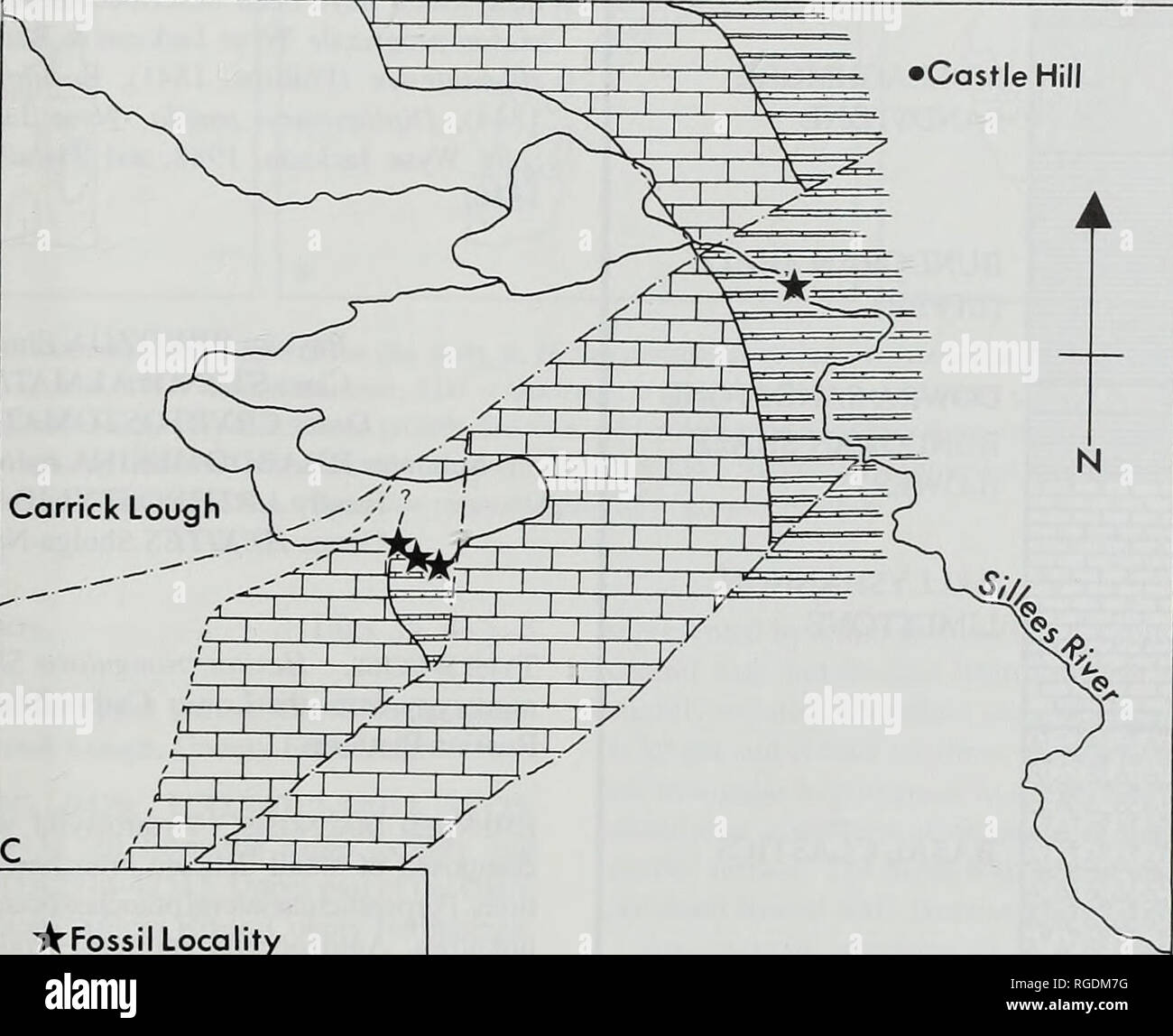 . Bulletin of the Natural Histort Museum. Geology series. ENNISKILLEN I Castle Hill. "A'Fossil Locality â âFault j--L|Dartry Limestone ZUlGlencar Limestone Derrygonnelly 'ig. 1 Location map showing thie collecting localities at Carrick Lough and Sillees River, County Fermanagh, Ireland. tudy material. A number of taxa from these collections have been eassigned and redescribed in the light of taxonomic work carried }ut on the County Fermanagh fauna. I Specimens have been deposited in a number of museums. The largest collection is lodged in the Natural History Museum, London prefix BMNH PD Stock Photohttps://www.alamy.com/image-license-details/?v=1https://www.alamy.com/bulletin-of-the-natural-histort-museum-geology-series-enniskillen-i-castle-hill-quotafossil-locality-fault-j-ldartry-limestone-zulglencar-limestone-derrygonnelly-ig-1-location-map-showing-thie-collecting-localities-at-carrick-lough-and-sillees-river-county-fermanagh-ireland-tudy-material-a-number-of-taxa-from-these-collections-have-been-eassigned-and-redescribed-in-the-light-of-taxonomic-work-carried-ut-on-the-county-fermanagh-fauna-i-specimens-have-been-deposited-in-a-number-of-museums-the-largest-collection-is-lodged-in-the-natural-history-museum-london-prefix-bmnh-pd-image233870548.html
RMRGDM7G–. Bulletin of the Natural Histort Museum. Geology series. ENNISKILLEN I Castle Hill. "A'Fossil Locality â âFault j--L|Dartry Limestone ZUlGlencar Limestone Derrygonnelly 'ig. 1 Location map showing thie collecting localities at Carrick Lough and Sillees River, County Fermanagh, Ireland. tudy material. A number of taxa from these collections have been eassigned and redescribed in the light of taxonomic work carried }ut on the County Fermanagh fauna. I Specimens have been deposited in a number of museums. The largest collection is lodged in the Natural History Museum, London prefix BMNH PD
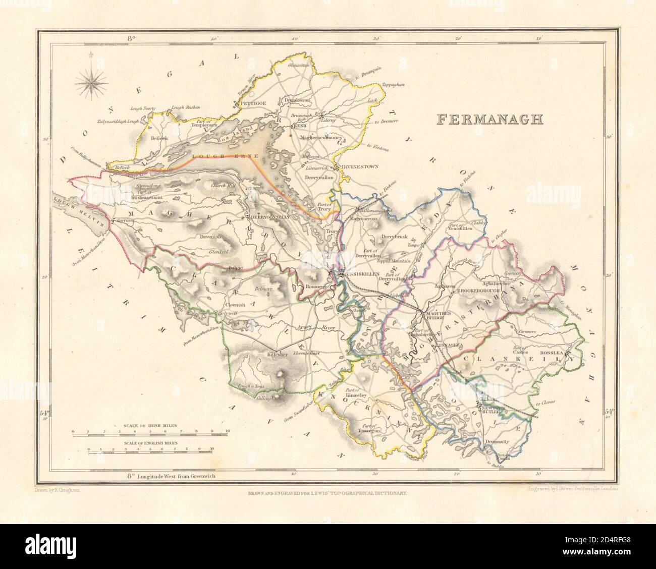 COUNTY FERMANAGH antique map for LEWIS by DOWER & CREIGHTON. Ulster 1846 Stock Photohttps://www.alamy.com/image-license-details/?v=1https://www.alamy.com/county-fermanagh-antique-map-for-lewis-by-dower-creighton-ulster-1846-image381603832.html
RF2D4RFG8–COUNTY FERMANAGH antique map for LEWIS by DOWER & CREIGHTON. Ulster 1846
 County Fermanagh (United Kingdom, Northern Ireland, Counties of Northern Ireland) map vector illustration, scribble sketch Fermanagh map Stock Vectorhttps://www.alamy.com/image-license-details/?v=1https://www.alamy.com/county-fermanagh-united-kingdom-northern-ireland-counties-of-northern-ireland-map-vector-illustration-scribble-sketch-fermanagh-map-image239494149.html
RFRWHW6D–County Fermanagh (United Kingdom, Northern Ireland, Counties of Northern Ireland) map vector illustration, scribble sketch Fermanagh map
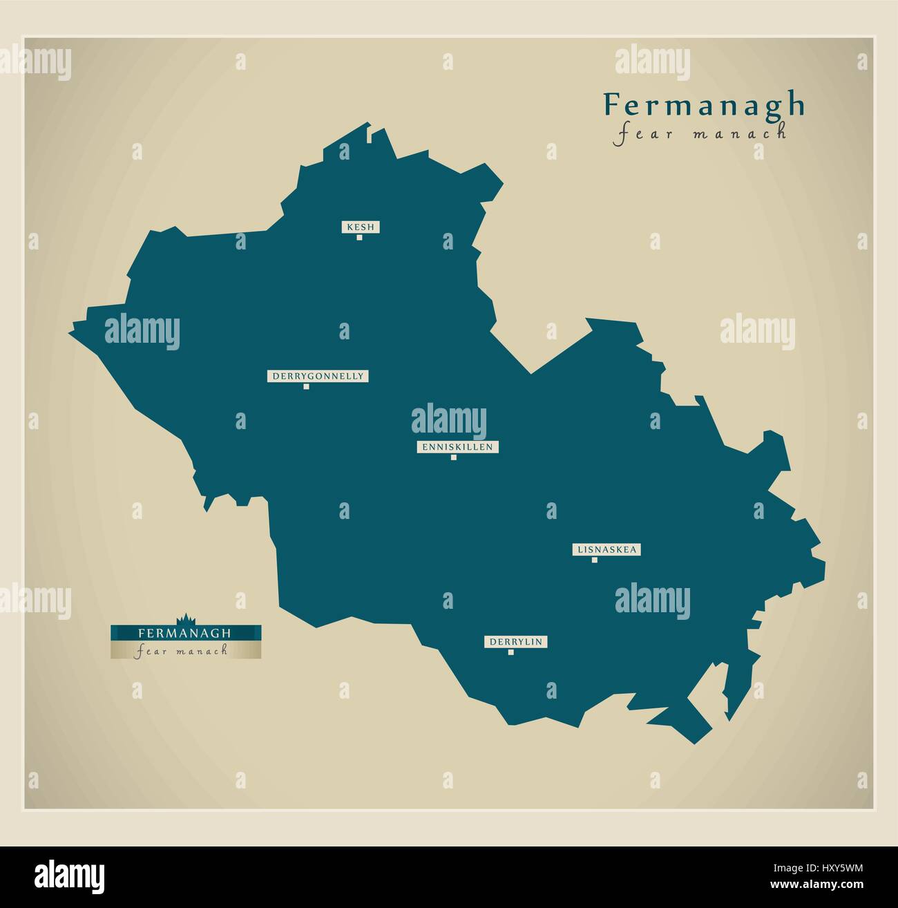 Modern Map - Fermanagh UK Stock Vectorhttps://www.alamy.com/image-license-details/?v=1https://www.alamy.com/stock-photo-modern-map-fermanagh-uk-137050976.html
RFHXY5WM–Modern Map - Fermanagh UK
 Fermanagh Northern Ireland map black inverted silhouette illustration Stock Vectorhttps://www.alamy.com/image-license-details/?v=1https://www.alamy.com/stock-photo-fermanagh-northern-ireland-map-black-inverted-silhouette-illustration-147779387.html
RFJGBX37–Fermanagh Northern Ireland map black inverted silhouette illustration
 County Fermanagh, GB, United Kingdom, Northern Ireland, N 54 19' 59'', S 7 30' 0'', map, Cartascapes Map published in 2024. Explore Cartascapes, a map revealing Earth's diverse landscapes, cultures, and ecosystems. Journey through time and space, discovering the interconnectedness of our planet's past, present, and future. Stock Photohttps://www.alamy.com/image-license-details/?v=1https://www.alamy.com/county-fermanagh-gb-united-kingdom-northern-ireland-n-54-19-59-s-7-30-0-map-cartascapes-map-published-in-2024-explore-cartascapes-a-map-revealing-earths-diverse-landscapes-cultures-and-ecosystems-journey-through-time-and-space-discovering-the-interconnectedness-of-our-planets-past-present-and-future-image604172521.html
RM2X2XC61–County Fermanagh, GB, United Kingdom, Northern Ireland, N 54 19' 59'', S 7 30' 0'', map, Cartascapes Map published in 2024. Explore Cartascapes, a map revealing Earth's diverse landscapes, cultures, and ecosystems. Journey through time and space, discovering the interconnectedness of our planet's past, present, and future.
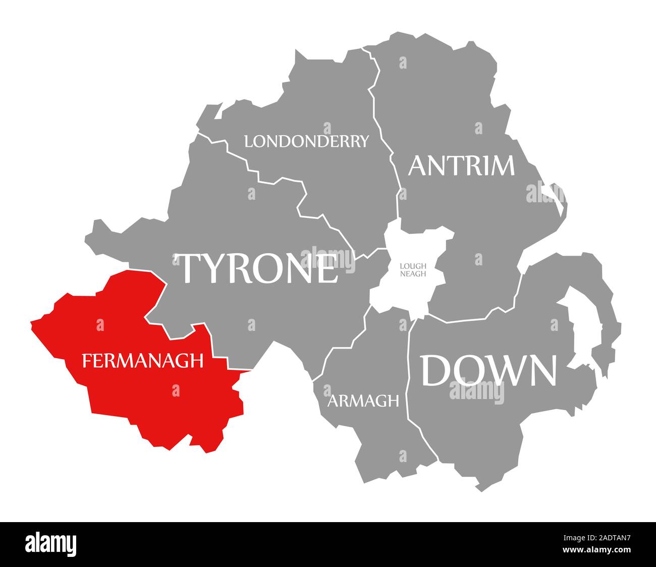 Fermanagh red highlighted in map of Northern Ireland Stock Photohttps://www.alamy.com/image-license-details/?v=1https://www.alamy.com/fermanagh-red-highlighted-in-map-of-northern-ireland-image335522803.html
RF2ADTAN7–Fermanagh red highlighted in map of Northern Ireland
 Thomas Roberts Knock Ninney and Lough Erne from Bellisle, County Fermanagh, Ireland Stock Photohttps://www.alamy.com/image-license-details/?v=1https://www.alamy.com/thomas-roberts-knock-ninney-and-lough-erne-from-bellisle-county-fermanagh-image152786422.html
RMJTG0HX–Thomas Roberts Knock Ninney and Lough Erne from Bellisle, County Fermanagh, Ireland
 Fermanagh and Omagh watercolor district map of Northern Ireland Stock Photohttps://www.alamy.com/image-license-details/?v=1https://www.alamy.com/fermanagh-and-omagh-watercolor-district-map-of-northern-ireland-image242611240.html
RFT2KW34–Fermanagh and Omagh watercolor district map of Northern Ireland
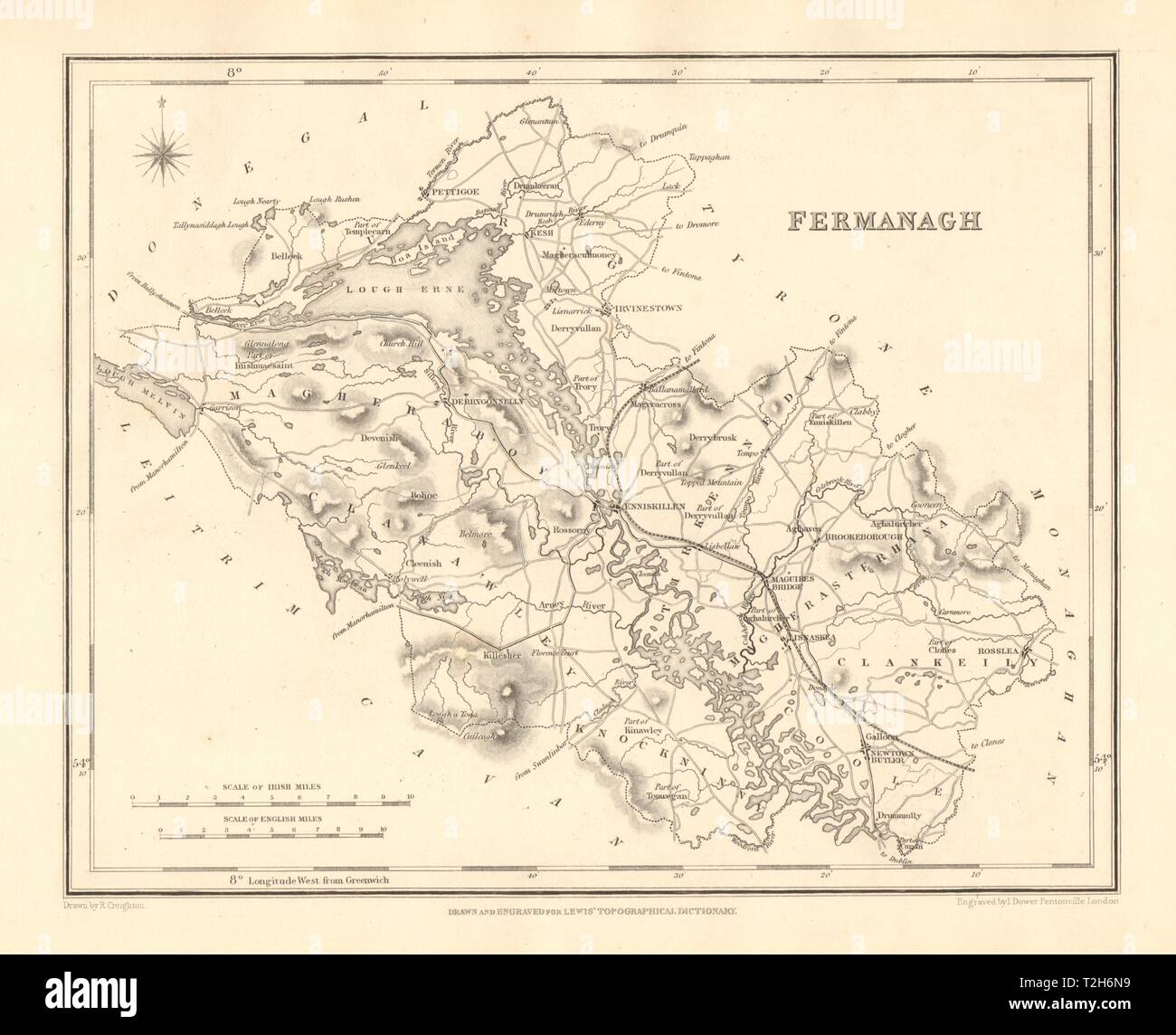 COUNTY FERMANAGH antique map for LEWIS by CREIGHTON & DOWER - Ulster 1846 Stock Photohttps://www.alamy.com/image-license-details/?v=1https://www.alamy.com/county-fermanagh-antique-map-for-lewis-by-creighton-dower-ulster-1846-image242552949.html
RFT2H6N9–COUNTY FERMANAGH antique map for LEWIS by CREIGHTON & DOWER - Ulster 1846
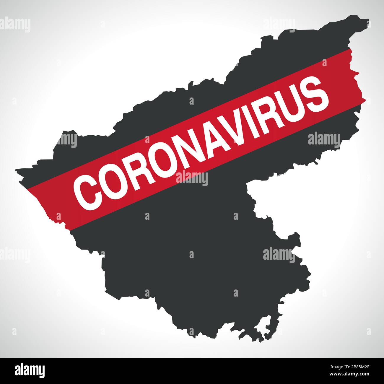 Fermanagh and Omagh NORTHERN IRELAND district map with Coronavirus warning Stock Vectorhttps://www.alamy.com/image-license-details/?v=1https://www.alamy.com/fermanagh-and-omagh-northern-ireland-district-map-with-coronavirus-warning-image349250119.html
RF2B85M2F–Fermanagh and Omagh NORTHERN IRELAND district map with Coronavirus warning
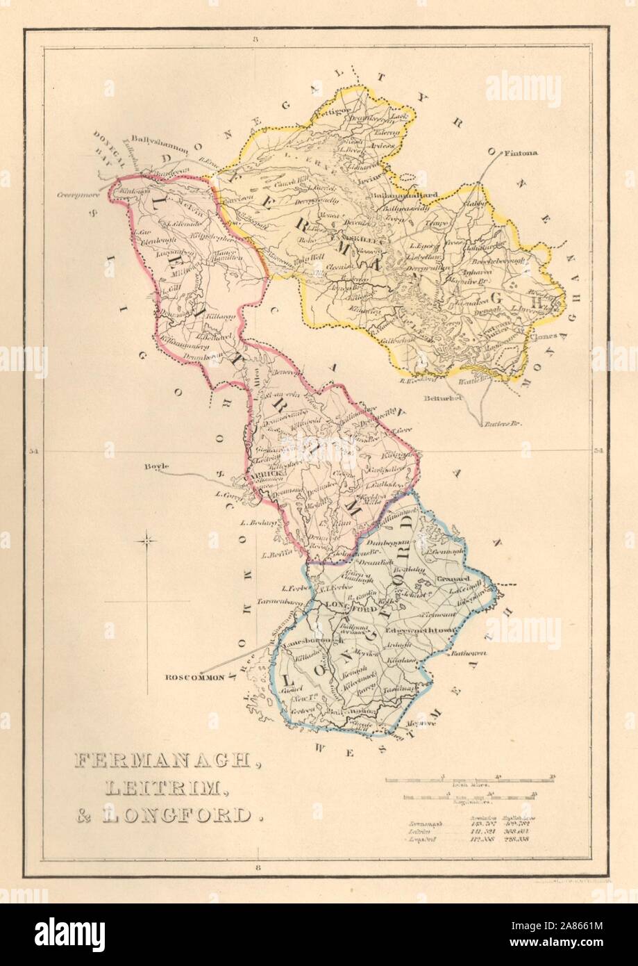 Antique FERMANAGH, LEITRIM, & LONGFORD county map. ADLARD. Ireland Ulster 1843 Stock Photohttps://www.alamy.com/image-license-details/?v=1https://www.alamy.com/antique-fermanagh-leitrim-longford-county-map-adlard-ireland-ulster-1843-image332050704.html
RF2A8661M–Antique FERMANAGH, LEITRIM, & LONGFORD county map. ADLARD. Ireland Ulster 1843
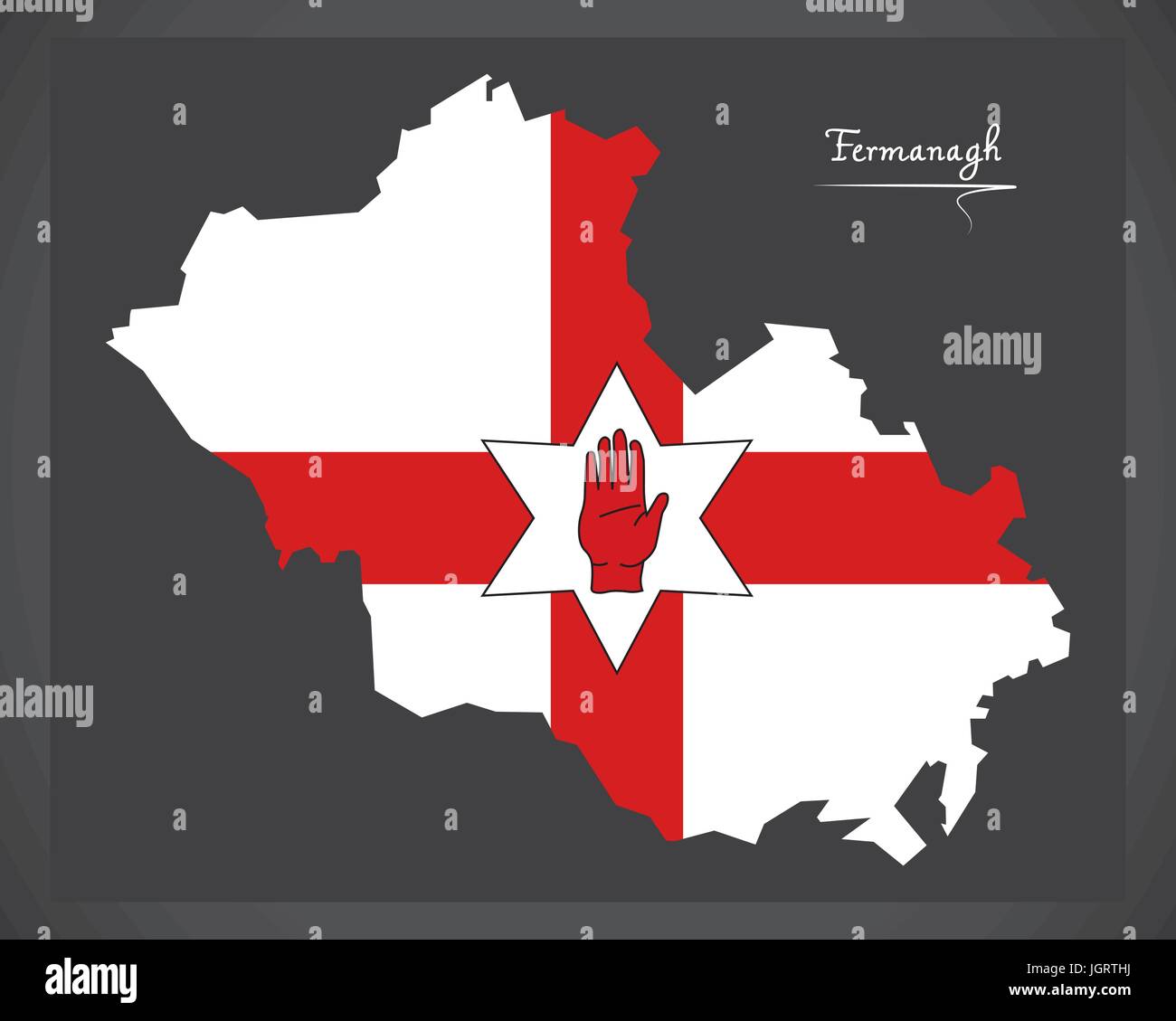 Fermanagh Northern Ireland map with Ulster banner national flag illustration Stock Vectorhttps://www.alamy.com/image-license-details/?v=1https://www.alamy.com/stock-photo-fermanagh-northern-ireland-map-with-ulster-banner-national-flag-illustration-148041646.html
RFJGRTHJ–Fermanagh Northern Ireland map with Ulster banner national flag illustration
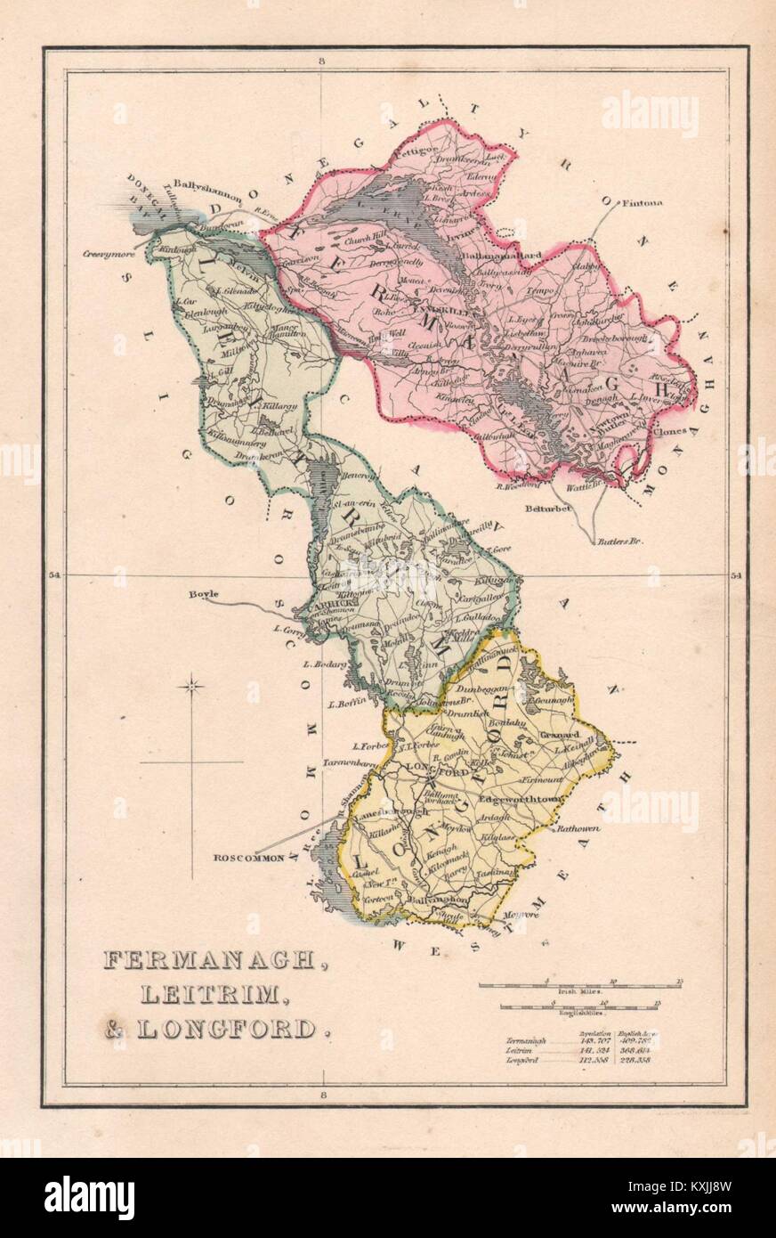 Antique FERMANAGH, LEITRIM, & LONGFORD county map. ADLARD. Ireland Ulster c1841 Stock Photohttps://www.alamy.com/image-license-details/?v=1https://www.alamy.com/stock-photo-antique-fermanagh-leitrim-longford-county-map-adlard-ireland-ulster-171283865.html
RFKXJJ8W–Antique FERMANAGH, LEITRIM, & LONGFORD county map. ADLARD. Ireland Ulster c1841
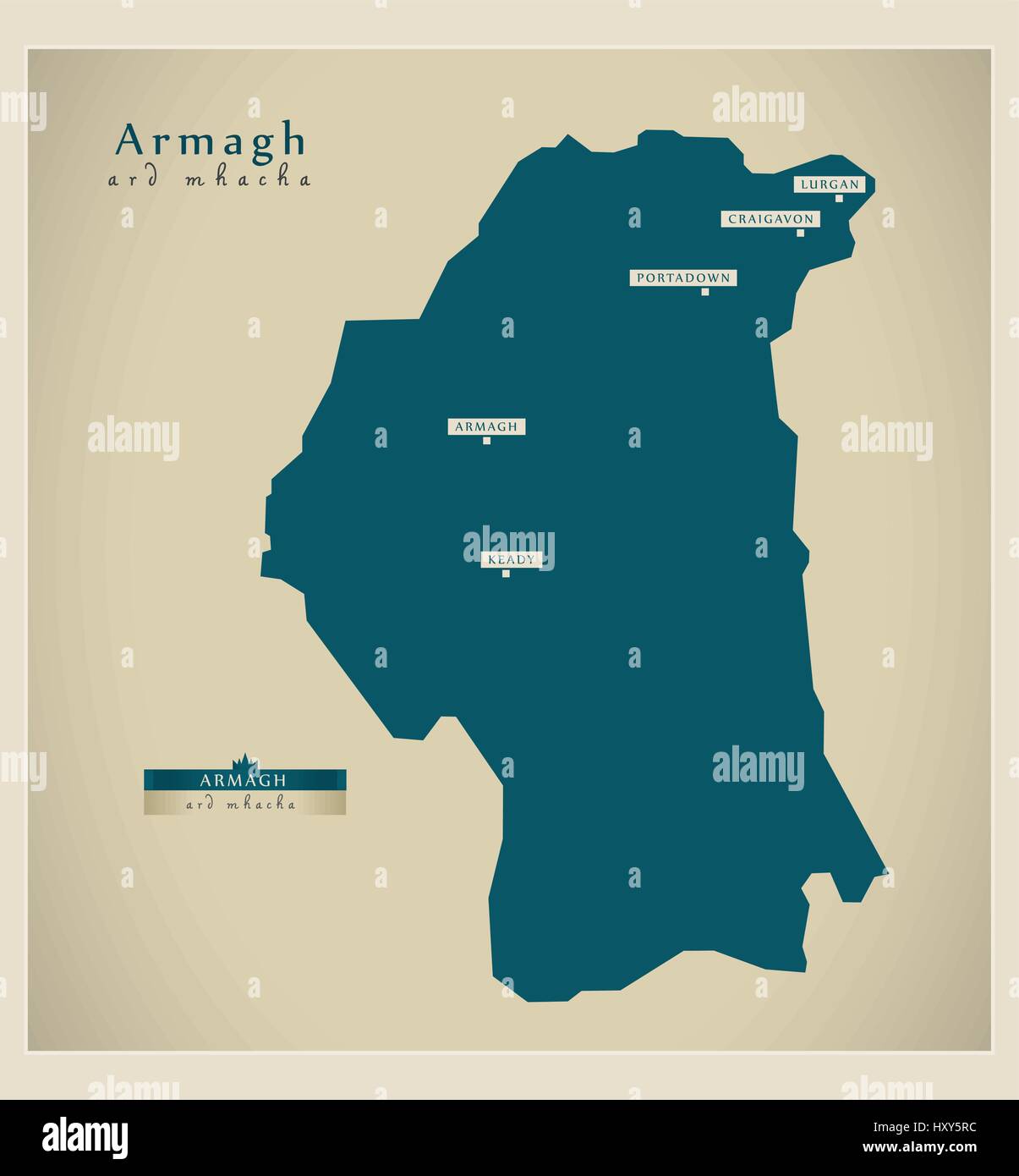 Modern Map - Armagh UK Stock Vectorhttps://www.alamy.com/image-license-details/?v=1https://www.alamy.com/stock-photo-modern-map-armagh-uk-137050912.html
RFHXY5RC–Modern Map - Armagh UK
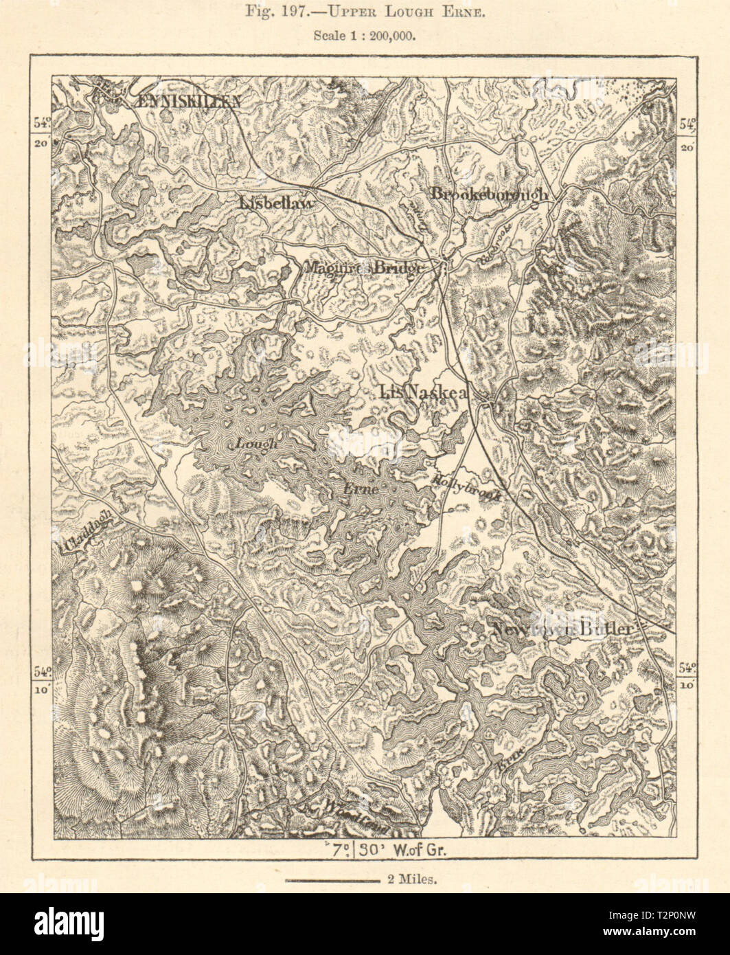 Upper Lough Erne. Enniskillen. County Fermanagh. Sketch map 1885 old Stock Photohttps://www.alamy.com/image-license-details/?v=1https://www.alamy.com/upper-lough-erne-enniskillen-county-fermanagh-sketch-map-1885-old-image242658021.html
RFT2P0NW–Upper Lough Erne. Enniskillen. County Fermanagh. Sketch map 1885 old
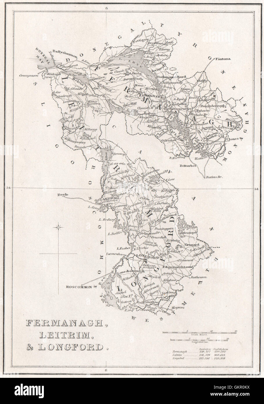 County Fermanagh, County Leitrim, & County Longford. Ireland, 1835 antique map Stock Photohttps://www.alamy.com/image-license-details/?v=1https://www.alamy.com/stock-photo-county-fermanagh-county-leitrim-county-longford-ireland-1835-antique-115446126.html
RFGKR0KX–County Fermanagh, County Leitrim, & County Longford. Ireland, 1835 antique map
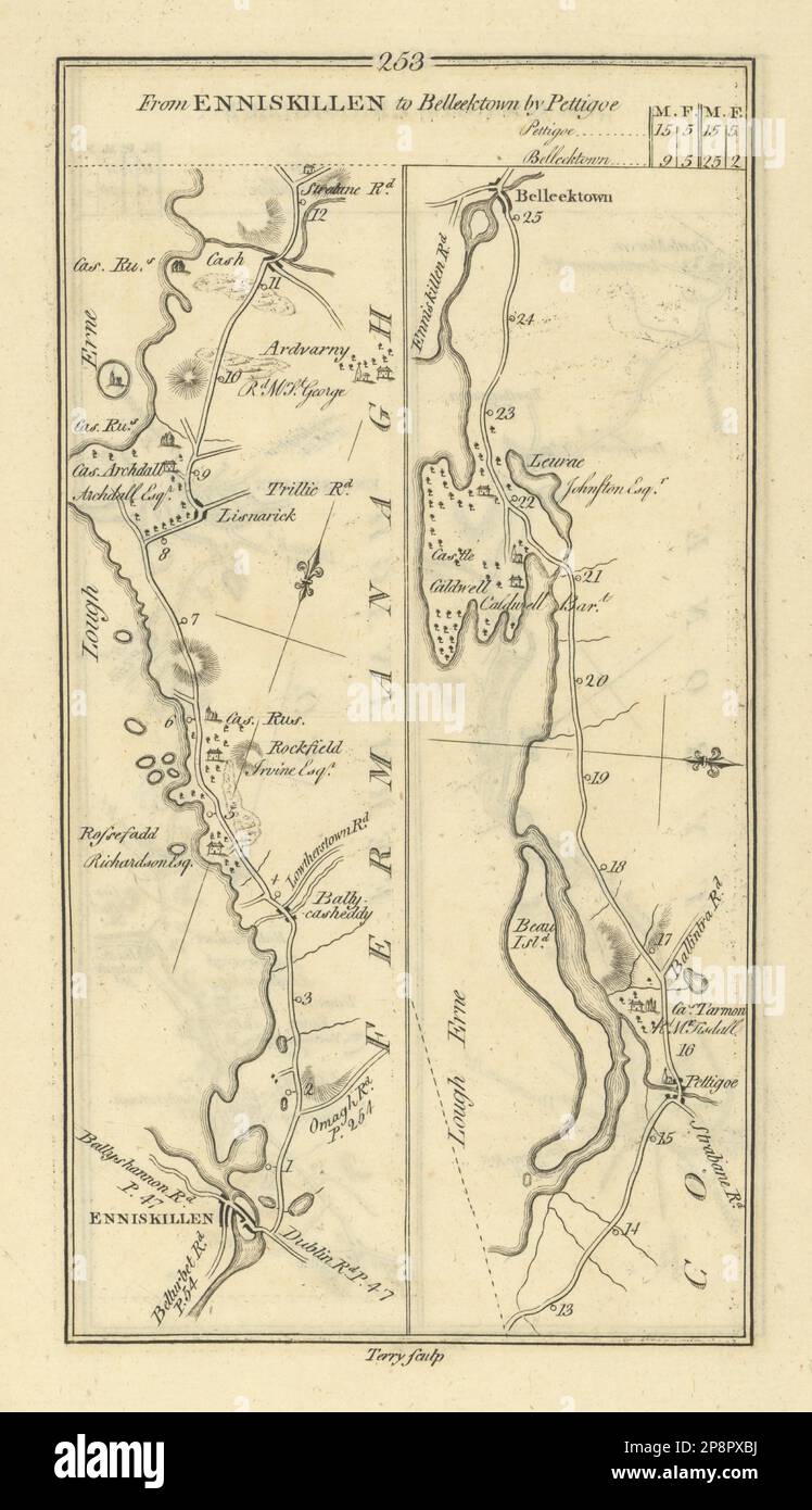 #253 Enniskillen to Belleektown by Pettigoe. Fermanagh. TAYLOR/SKINNER 1778 map Stock Photohttps://www.alamy.com/image-license-details/?v=1https://www.alamy.com/253-enniskillen-to-belleektown-by-pettigoe-fermanagh-taylorskinner-1778-map-image538942310.html
RF2P8PXBJ–#253 Enniskillen to Belleektown by Pettigoe. Fermanagh. TAYLOR/SKINNER 1778 map
 CS p4.264 Castle Coole, Co Fermanagh Morris's County Seats, 1879 Stock Photohttps://www.alamy.com/image-license-details/?v=1https://www.alamy.com/cs-p4264-castle-coole-co-fermanagh-morriss-county-seats-1879-image154602009.html
RMJYEMC9–CS p4.264 Castle Coole, Co Fermanagh Morris's County Seats, 1879
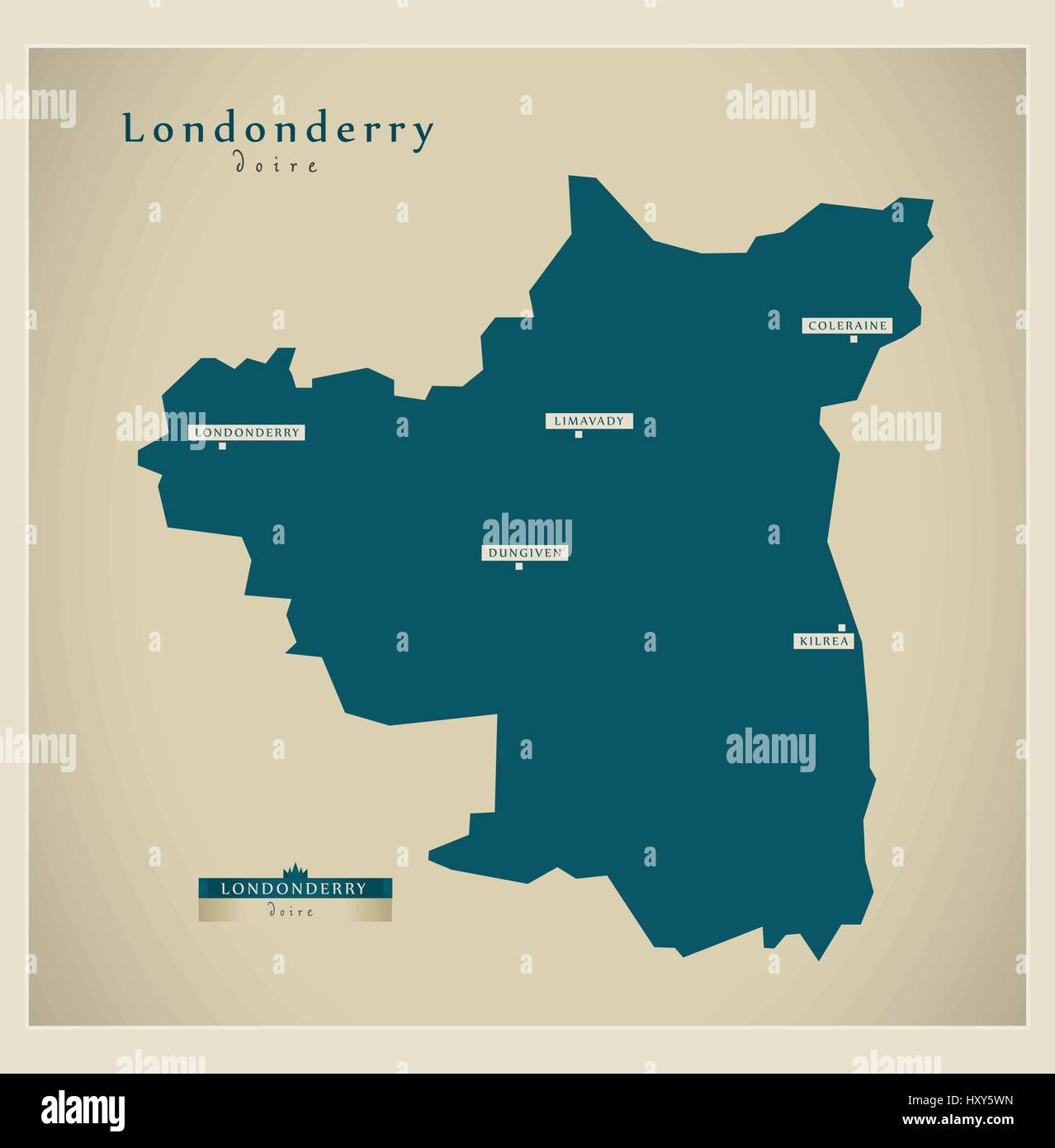 Modern Map - Londonderry UK Stock Vectorhttps://www.alamy.com/image-license-details/?v=1https://www.alamy.com/stock-photo-modern-map-londonderry-uk-137050977.html
RFHXY5WN–Modern Map - Londonderry UK
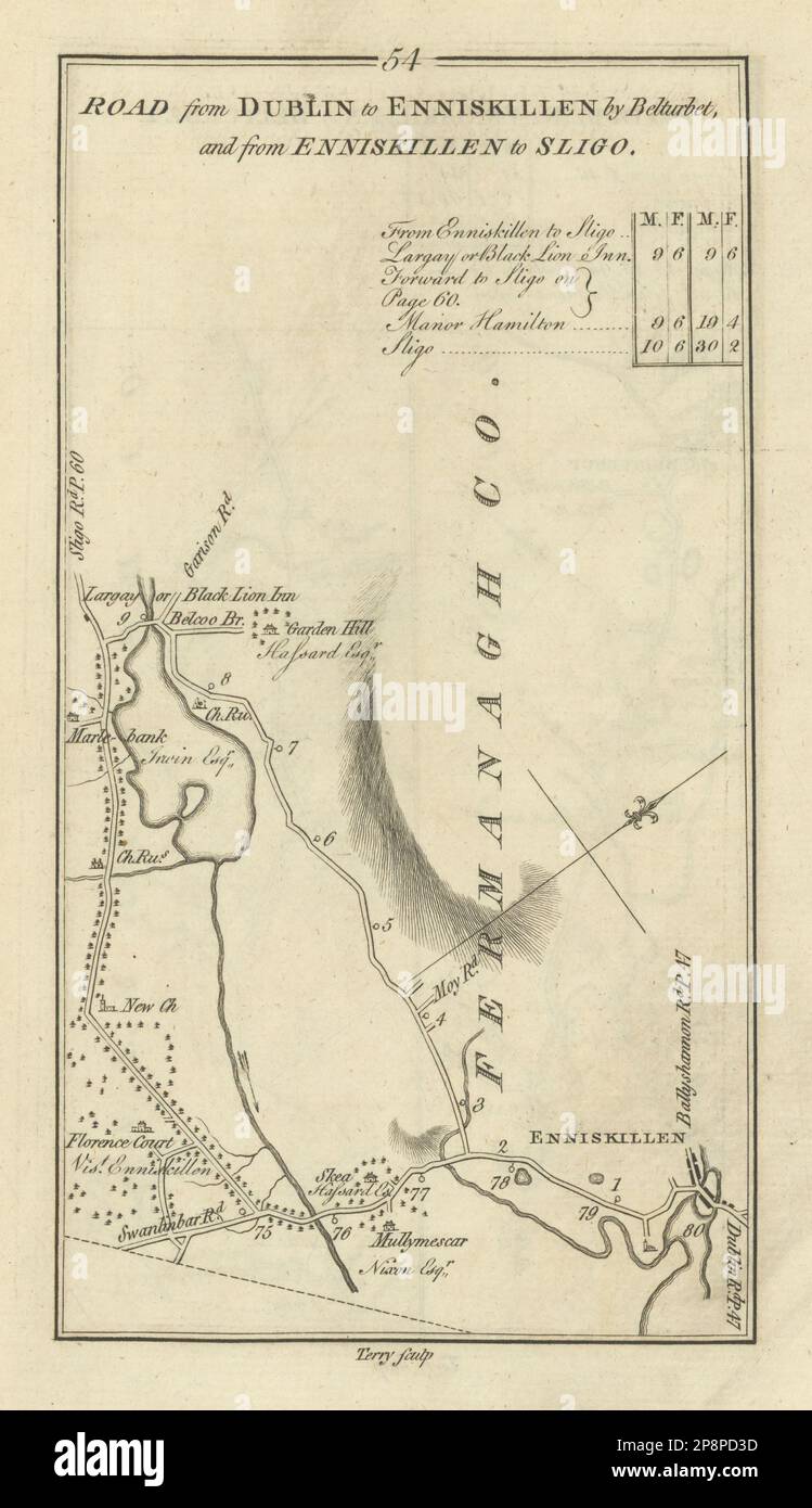 #54 Enniskillen to Sligo. Belcoo Fermanagh. TAYLOR/SKINNER 1778 old map Stock Photohttps://www.alamy.com/image-license-details/?v=1https://www.alamy.com/54-enniskillen-to-sligo-belcoo-fermanagh-taylorskinner-1778-old-map-image538931889.html
RF2P8PD3D–#54 Enniskillen to Sligo. Belcoo Fermanagh. TAYLOR/SKINNER 1778 old map
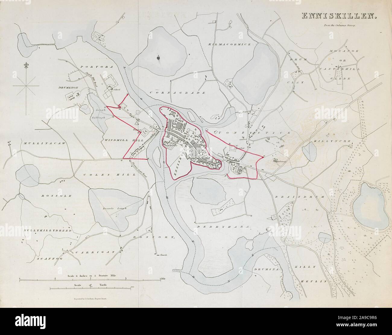 ENNISKILLEN town/borough plan. REFORM ACT. County Fermanagh. Ulster 1832 map Stock Photohttps://www.alamy.com/image-license-details/?v=1https://www.alamy.com/enniskillen-townborough-plan-reform-act-county-fermanagh-ulster-1832-map-image332800026.html
RF2A9C9R6–ENNISKILLEN town/borough plan. REFORM ACT. County Fermanagh. Ulster 1832 map
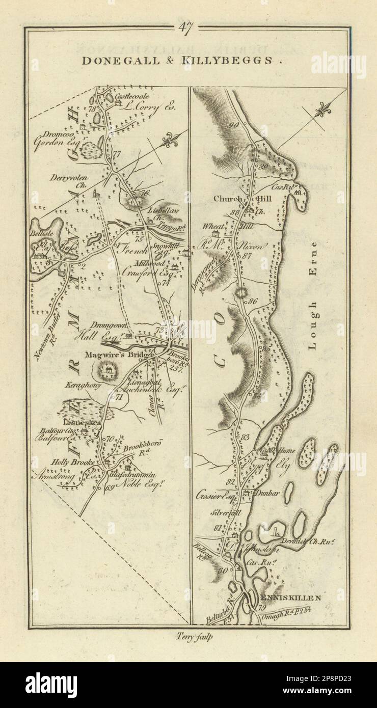 #47 Donegal & Killybegs. Maguiresbridge Enniskillen. TAYLOR/SKINNER 1778 map Stock Photohttps://www.alamy.com/image-license-details/?v=1https://www.alamy.com/47-donegal-killybegs-maguiresbridge-enniskillen-taylorskinner-1778-map-image538931851.html
RF2P8PD23–#47 Donegal & Killybegs. Maguiresbridge Enniskillen. TAYLOR/SKINNER 1778 map
 Thomas Roberts Lough Erne from Knock Ninney, with Bellisle in the distance, County Fermanagh, Ireland Stock Photohttps://www.alamy.com/image-license-details/?v=1https://www.alamy.com/thomas-roberts-lough-erne-from-knock-ninney-with-bellisle-in-the-distance-image152808653.html
RMJTH0YW–Thomas Roberts Lough Erne from Knock Ninney, with Bellisle in the distance, County Fermanagh, Ireland
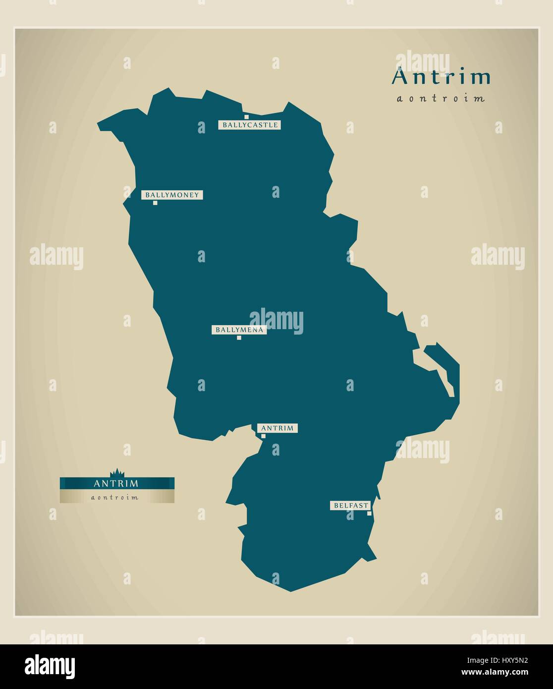 Modern Map - Antrim UK Stock Vectorhttps://www.alamy.com/image-license-details/?v=1https://www.alamy.com/stock-photo-modern-map-antrim-uk-137050846.html
RFHXY5N2–Modern Map - Antrim UK
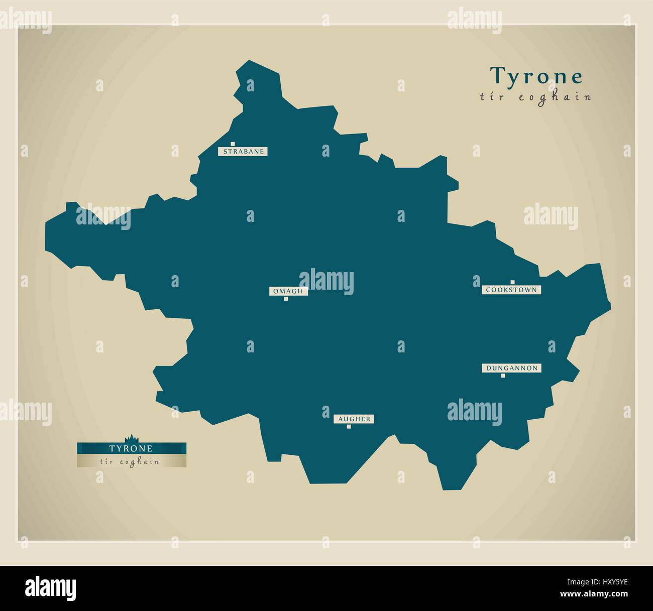 Modern Map - Tyrone UK Stock Vectorhttps://www.alamy.com/image-license-details/?v=1https://www.alamy.com/stock-photo-modern-map-tyrone-uk-137051026.html
RFHXY5YE–Modern Map - Tyrone UK
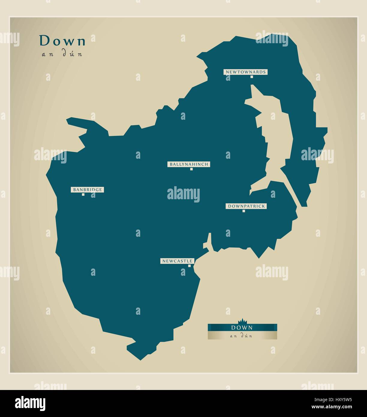 Modern Map - Down UK Stock Vectorhttps://www.alamy.com/image-license-details/?v=1https://www.alamy.com/stock-photo-modern-map-down-uk-137050961.html
RFHXY5W5–Modern Map - Down UK
