Cushing map Cut Out Stock Images
 Cushing, Knox County, US, United States, Maine, N 44 1' 9'', S 69 14' 23'', map, Cartascapes Map published in 2024. Explore Cartascapes, a map revealing Earth's diverse landscapes, cultures, and ecosystems. Journey through time and space, discovering the interconnectedness of our planet's past, present, and future. Stock Photohttps://www.alamy.com/image-license-details/?v=1https://www.alamy.com/cushing-knox-county-us-united-states-maine-n-44-1-9-s-69-14-23-map-cartascapes-map-published-in-2024-explore-cartascapes-a-map-revealing-earths-diverse-landscapes-cultures-and-ecosystems-journey-through-time-and-space-discovering-the-interconnectedness-of-our-planets-past-present-and-future-image621194686.html
RM2Y2HT4E–Cushing, Knox County, US, United States, Maine, N 44 1' 9'', S 69 14' 23'', map, Cartascapes Map published in 2024. Explore Cartascapes, a map revealing Earth's diverse landscapes, cultures, and ecosystems. Journey through time and space, discovering the interconnectedness of our planet's past, present, and future.
 Otho Cushing 1900 Stock Photohttps://www.alamy.com/image-license-details/?v=1https://www.alamy.com/stock-photo-otho-cushing-1900-140310380.html
RMJ47K90–Otho Cushing 1900
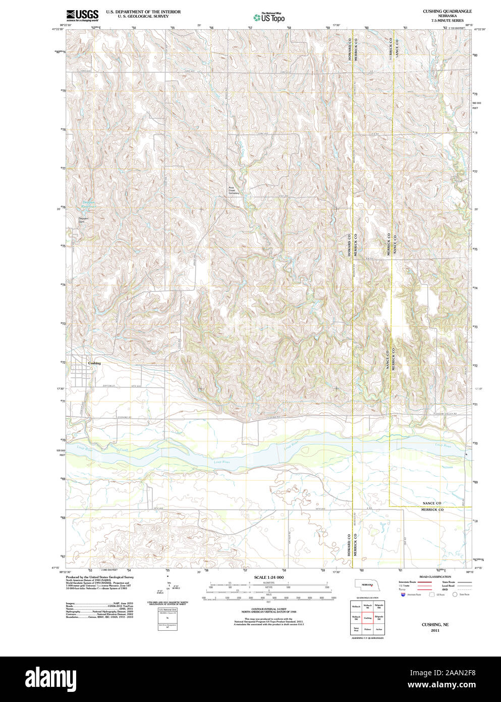 USGS TOPO Map Nebraska NE Cushing 20111114 TM Restoration Stock Photohttps://www.alamy.com/image-license-details/?v=1https://www.alamy.com/usgs-topo-map-nebraska-ne-cushing-20111114-tm-restoration-image333606540.html
RM2AAN2F8–USGS TOPO Map Nebraska NE Cushing 20111114 TM Restoration
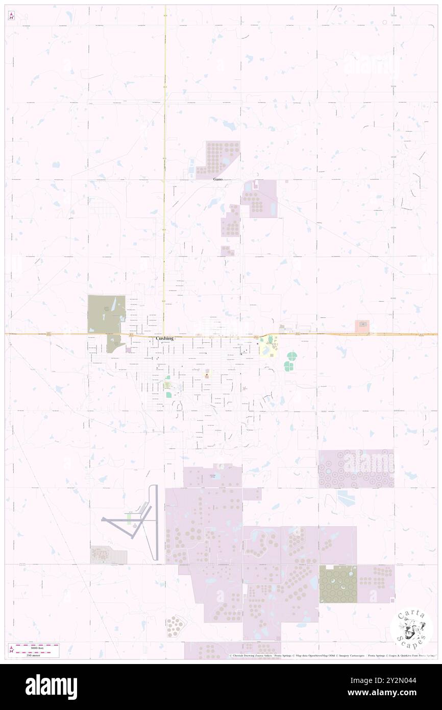 Cushing, Payne County, US, United States, Oklahoma, N 35 59' 6'', S 96 46' 1'', map, Cartascapes Map published in 2024. Explore Cartascapes, a map revealing Earth's diverse landscapes, cultures, and ecosystems. Journey through time and space, discovering the interconnectedness of our planet's past, present, and future. Stock Photohttps://www.alamy.com/image-license-details/?v=1https://www.alamy.com/cushing-payne-county-us-united-states-oklahoma-n-35-59-6-s-96-46-1-map-cartascapes-map-published-in-2024-explore-cartascapes-a-map-revealing-earths-diverse-landscapes-cultures-and-ecosystems-journey-through-time-and-space-discovering-the-interconnectedness-of-our-planets-past-present-and-future-image621263668.html
RM2Y2N044–Cushing, Payne County, US, United States, Oklahoma, N 35 59' 6'', S 96 46' 1'', map, Cartascapes Map published in 2024. Explore Cartascapes, a map revealing Earth's diverse landscapes, cultures, and ecosystems. Journey through time and space, discovering the interconnectedness of our planet's past, present, and future.
 Appletons Cushing William Barker signature Stock Photohttps://www.alamy.com/image-license-details/?v=1https://www.alamy.com/stock-photo-appletons-cushing-william-barker-signature-147459822.html
RMJFWAE6–Appletons Cushing William Barker signature
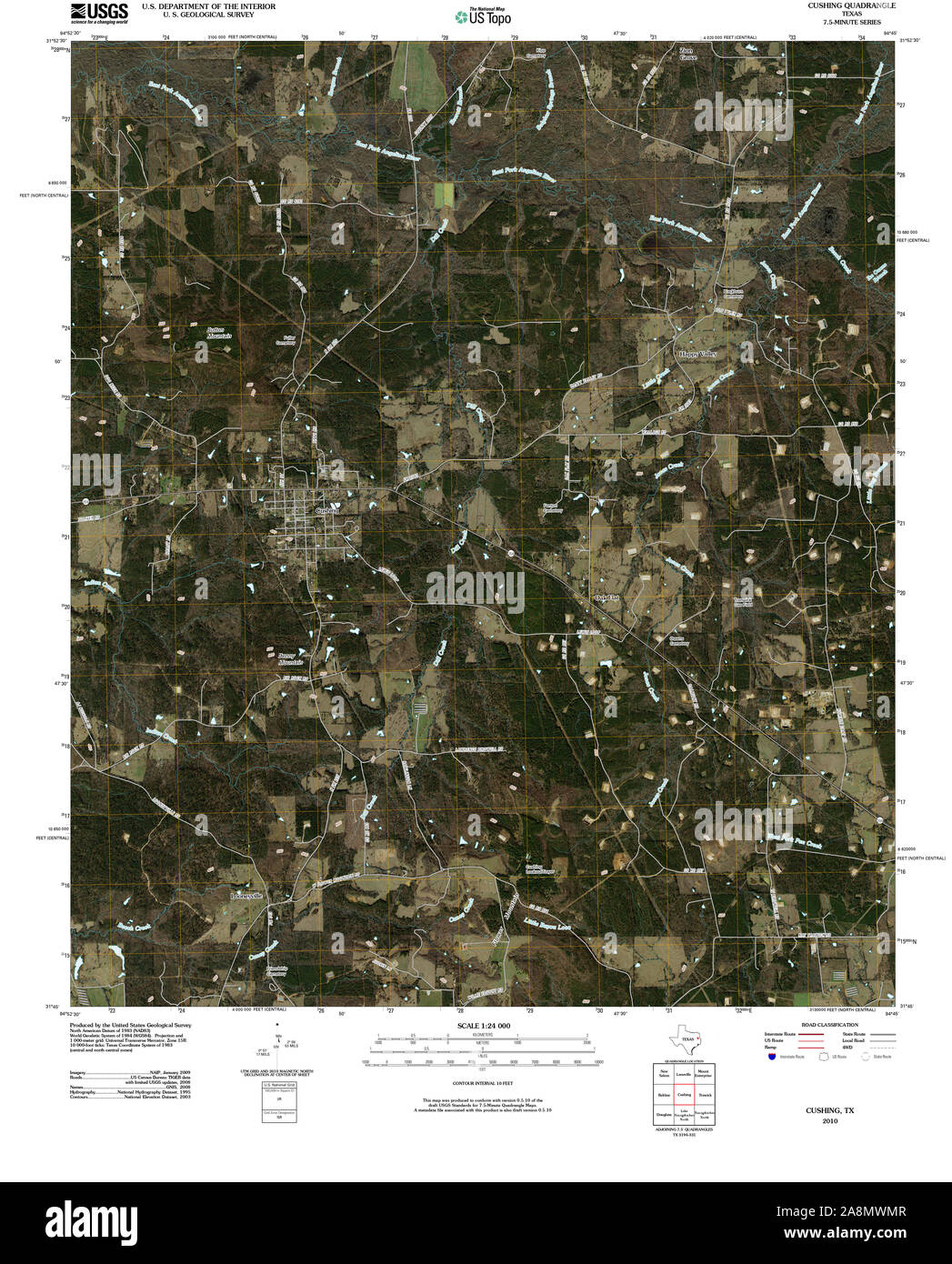 USGS TOPO Map Texas TX Cushing 20100506 TM Restoration Stock Photohttps://www.alamy.com/image-license-details/?v=1https://www.alamy.com/usgs-topo-map-texas-tx-cushing-20100506-tm-restoration-image332373463.html
RM2A8MWMR–USGS TOPO Map Texas TX Cushing 20100506 TM Restoration
 Cushing, Morrison County, US, United States, Minnesota, N 46 8' 22'', S 94 34' 37'', map, Cartascapes Map published in 2024. Explore Cartascapes, a map revealing Earth's diverse landscapes, cultures, and ecosystems. Journey through time and space, discovering the interconnectedness of our planet's past, present, and future. Stock Photohttps://www.alamy.com/image-license-details/?v=1https://www.alamy.com/cushing-morrison-county-us-united-states-minnesota-n-46-8-22-s-94-34-37-map-cartascapes-map-published-in-2024-explore-cartascapes-a-map-revealing-earths-diverse-landscapes-cultures-and-ecosystems-journey-through-time-and-space-discovering-the-interconnectedness-of-our-planets-past-present-and-future-image621415716.html
RM2Y2YX2C–Cushing, Morrison County, US, United States, Minnesota, N 46 8' 22'', S 94 34' 37'', map, Cartascapes Map published in 2024. Explore Cartascapes, a map revealing Earth's diverse landscapes, cultures, and ecosystems. Journey through time and space, discovering the interconnectedness of our planet's past, present, and future.
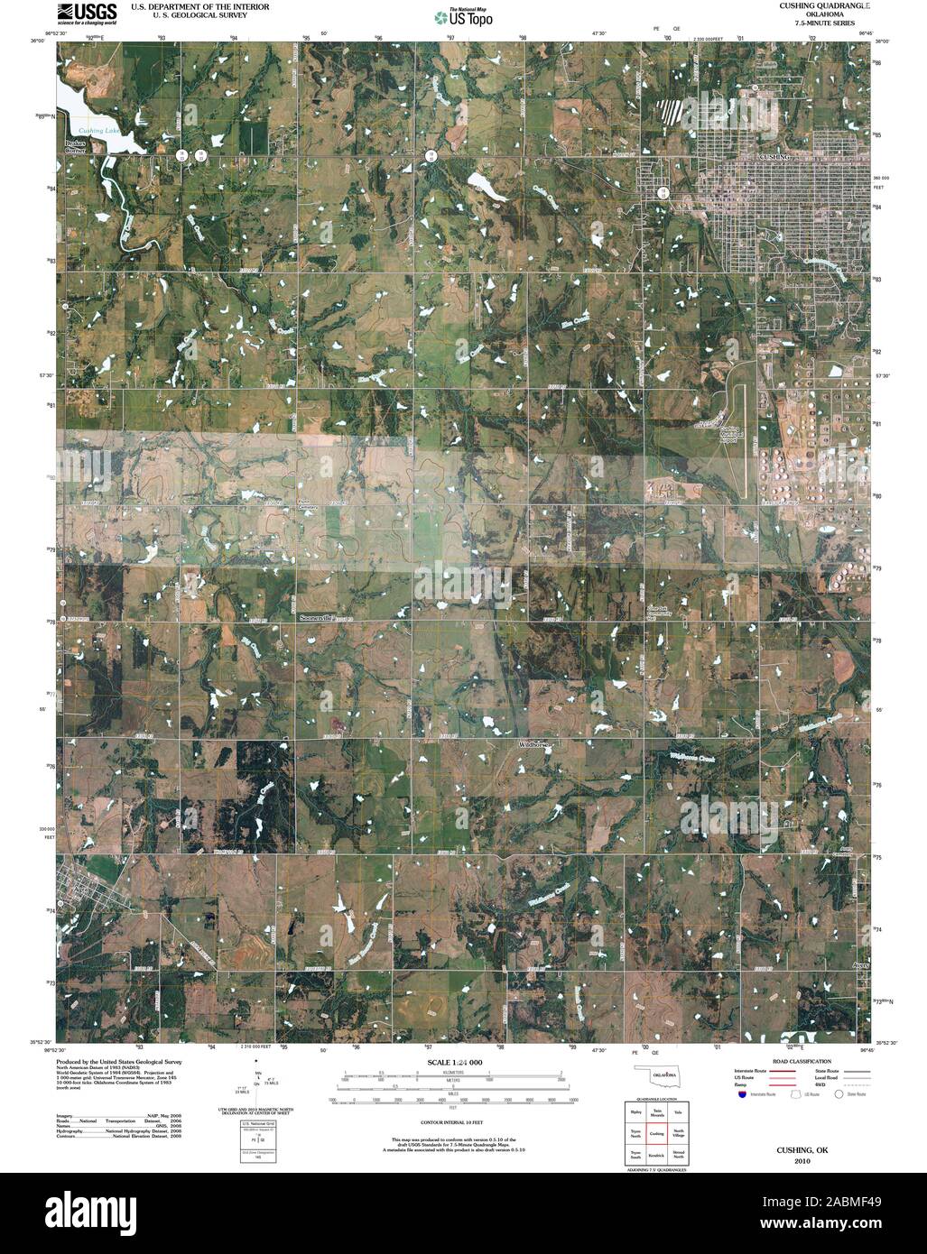 USGS TOPO Map Oklahoma OK Cushing 20100128 TM Restoration Stock Photohttps://www.alamy.com/image-license-details/?v=1https://www.alamy.com/usgs-topo-map-oklahoma-ok-cushing-20100128-tm-restoration-image334209129.html
RM2ABMF49–USGS TOPO Map Oklahoma OK Cushing 20100128 TM Restoration
 Cushing, Payne County, US, United States, Oklahoma, N 35 59' 6'', S 96 46' 1'', map, Cartascapes Map published in 2024. Explore Cartascapes, a map revealing Earth's diverse landscapes, cultures, and ecosystems. Journey through time and space, discovering the interconnectedness of our planet's past, present, and future. Stock Photohttps://www.alamy.com/image-license-details/?v=1https://www.alamy.com/cushing-payne-county-us-united-states-oklahoma-n-35-59-6-s-96-46-1-map-cartascapes-map-published-in-2024-explore-cartascapes-a-map-revealing-earths-diverse-landscapes-cultures-and-ecosystems-journey-through-time-and-space-discovering-the-interconnectedness-of-our-planets-past-present-and-future-image621482294.html
RM2Y32Y06–Cushing, Payne County, US, United States, Oklahoma, N 35 59' 6'', S 96 46' 1'', map, Cartascapes Map published in 2024. Explore Cartascapes, a map revealing Earth's diverse landscapes, cultures, and ecosystems. Journey through time and space, discovering the interconnectedness of our planet's past, present, and future.
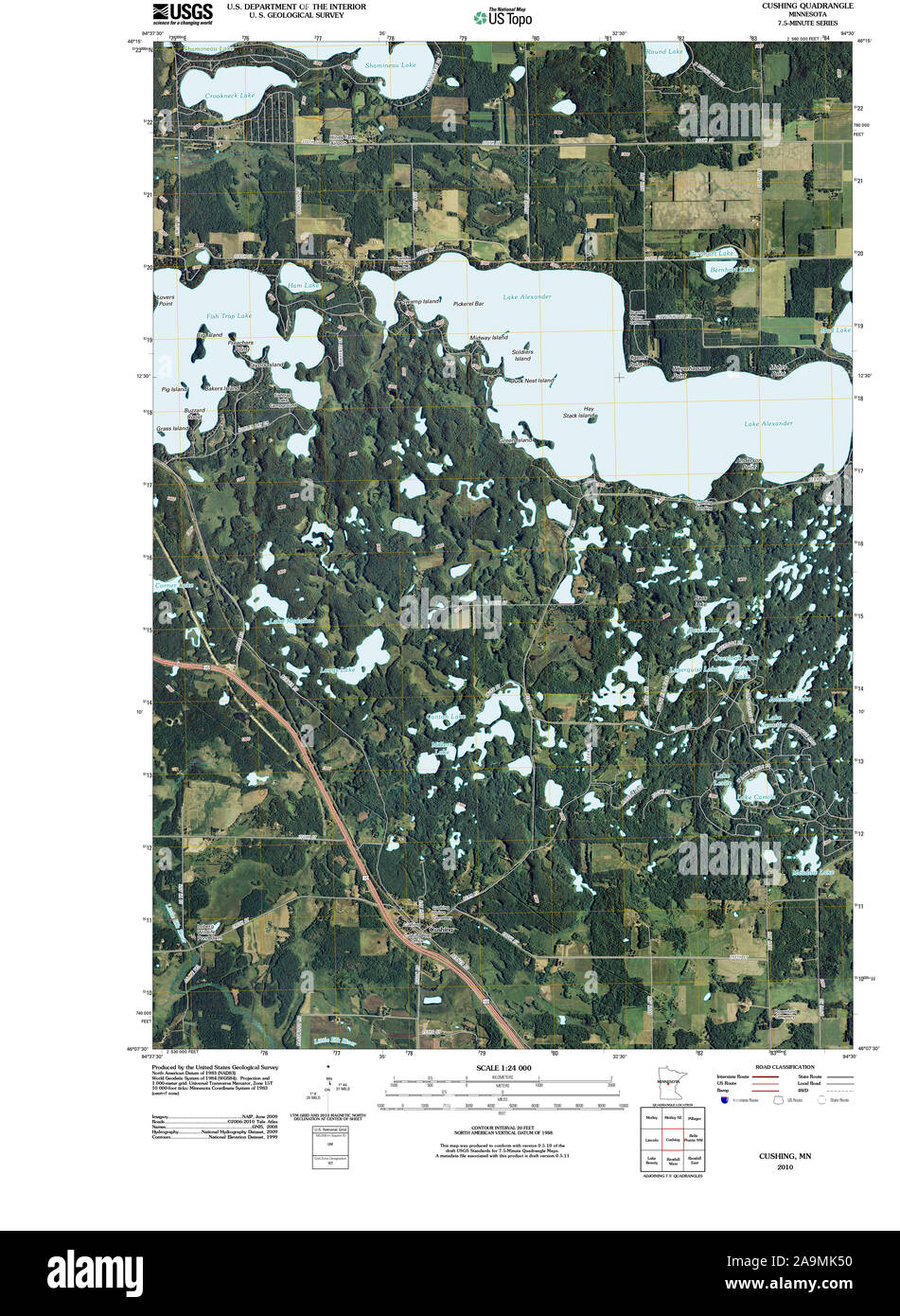 USGS TOPO Map MInnesota MN Cushing 20100817 TM Restoration Stock Photohttps://www.alamy.com/image-license-details/?v=1https://www.alamy.com/usgs-topo-map-minnesota-mn-cushing-20100817-tm-restoration-image332982972.html
RM2A9MK50–USGS TOPO Map MInnesota MN Cushing 20100817 TM Restoration
 Cushing, Howard County, US, United States, Nebraska, N 41 17' 50'', S 98 22' 6'', map, Cartascapes Map published in 2024. Explore Cartascapes, a map revealing Earth's diverse landscapes, cultures, and ecosystems. Journey through time and space, discovering the interconnectedness of our planet's past, present, and future. Stock Photohttps://www.alamy.com/image-license-details/?v=1https://www.alamy.com/cushing-howard-county-us-united-states-nebraska-n-41-17-50-s-98-22-6-map-cartascapes-map-published-in-2024-explore-cartascapes-a-map-revealing-earths-diverse-landscapes-cultures-and-ecosystems-journey-through-time-and-space-discovering-the-interconnectedness-of-our-planets-past-present-and-future-image621230936.html
RM2Y2KEB4–Cushing, Howard County, US, United States, Nebraska, N 41 17' 50'', S 98 22' 6'', map, Cartascapes Map published in 2024. Explore Cartascapes, a map revealing Earth's diverse landscapes, cultures, and ecosystems. Journey through time and space, discovering the interconnectedness of our planet's past, present, and future.
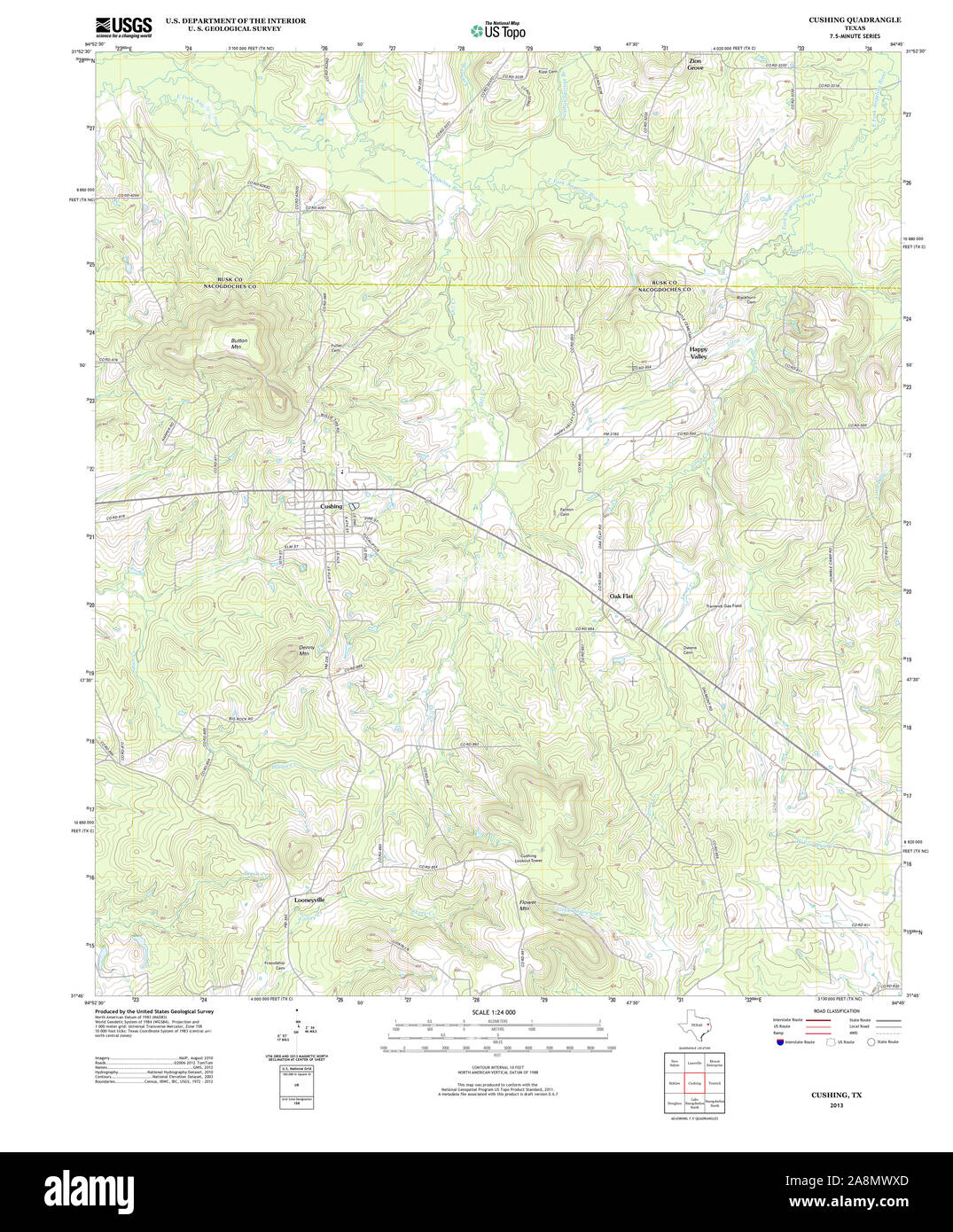 USGS TOPO Map Texas TX Cushing 20130204 TM Restoration Stock Photohttps://www.alamy.com/image-license-details/?v=1https://www.alamy.com/usgs-topo-map-texas-tx-cushing-20130204-tm-restoration-image332373621.html
RM2A8MWXD–USGS TOPO Map Texas TX Cushing 20130204 TM Restoration
 Cushing, Essex County, US, United States, Massachusetts, N 42 50' 34'', S 70 49' 8'', map, Cartascapes Map published in 2024. Explore Cartascapes, a map revealing Earth's diverse landscapes, cultures, and ecosystems. Journey through time and space, discovering the interconnectedness of our planet's past, present, and future. Stock Photohttps://www.alamy.com/image-license-details/?v=1https://www.alamy.com/cushing-essex-county-us-united-states-massachusetts-n-42-50-34-s-70-49-8-map-cartascapes-map-published-in-2024-explore-cartascapes-a-map-revealing-earths-diverse-landscapes-cultures-and-ecosystems-journey-through-time-and-space-discovering-the-interconnectedness-of-our-planets-past-present-and-future-image621447972.html
RM2Y31B6C–Cushing, Essex County, US, United States, Massachusetts, N 42 50' 34'', S 70 49' 8'', map, Cartascapes Map published in 2024. Explore Cartascapes, a map revealing Earth's diverse landscapes, cultures, and ecosystems. Journey through time and space, discovering the interconnectedness of our planet's past, present, and future.
 USGS TOPO Map Oklahoma OK Cushing 20121106 TM Restoration Stock Photohttps://www.alamy.com/image-license-details/?v=1https://www.alamy.com/usgs-topo-map-oklahoma-ok-cushing-20121106-tm-restoration-image334209222.html
RM2ABMF7J–USGS TOPO Map Oklahoma OK Cushing 20121106 TM Restoration
 Cushing, Woodbury County, US, United States, Iowa, N 42 27' 52'', S 95 40' 30'', map, Cartascapes Map published in 2024. Explore Cartascapes, a map revealing Earth's diverse landscapes, cultures, and ecosystems. Journey through time and space, discovering the interconnectedness of our planet's past, present, and future. Stock Photohttps://www.alamy.com/image-license-details/?v=1https://www.alamy.com/cushing-woodbury-county-us-united-states-iowa-n-42-27-52-s-95-40-30-map-cartascapes-map-published-in-2024-explore-cartascapes-a-map-revealing-earths-diverse-landscapes-cultures-and-ecosystems-journey-through-time-and-space-discovering-the-interconnectedness-of-our-planets-past-present-and-future-image621469468.html
RM2Y32AJ4–Cushing, Woodbury County, US, United States, Iowa, N 42 27' 52'', S 95 40' 30'', map, Cartascapes Map published in 2024. Explore Cartascapes, a map revealing Earth's diverse landscapes, cultures, and ecosystems. Journey through time and space, discovering the interconnectedness of our planet's past, present, and future.
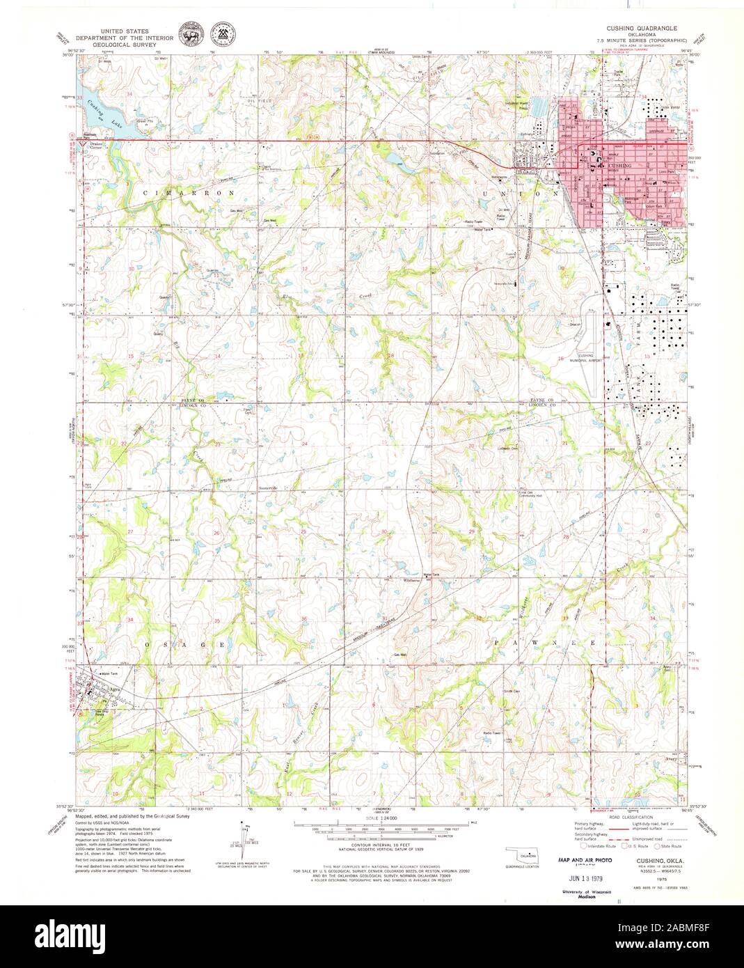 USGS TOPO Map Oklahoma OK Cushing 705705 1975 24000 Restoration Stock Photohttps://www.alamy.com/image-license-details/?v=1https://www.alamy.com/usgs-topo-map-oklahoma-ok-cushing-705705-1975-24000-restoration-image334209247.html
RM2ABMF8F–USGS TOPO Map Oklahoma OK Cushing 705705 1975 24000 Restoration
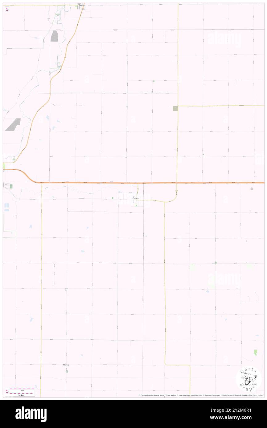 Cushing, Woodbury County, US, United States, Iowa, N 42 27' 52'', S 95 40' 30'', map, Cartascapes Map published in 2024. Explore Cartascapes, a map revealing Earth's diverse landscapes, cultures, and ecosystems. Journey through time and space, discovering the interconnectedness of our planet's past, present, and future. Stock Photohttps://www.alamy.com/image-license-details/?v=1https://www.alamy.com/cushing-woodbury-county-us-united-states-iowa-n-42-27-52-s-95-40-30-map-cartascapes-map-published-in-2024-explore-cartascapes-a-map-revealing-earths-diverse-landscapes-cultures-and-ecosystems-journey-through-time-and-space-discovering-the-interconnectedness-of-our-planets-past-present-and-future-image621246949.html
RM2Y2M6R1–Cushing, Woodbury County, US, United States, Iowa, N 42 27' 52'', S 95 40' 30'', map, Cartascapes Map published in 2024. Explore Cartascapes, a map revealing Earth's diverse landscapes, cultures, and ecosystems. Journey through time and space, discovering the interconnectedness of our planet's past, present, and future.
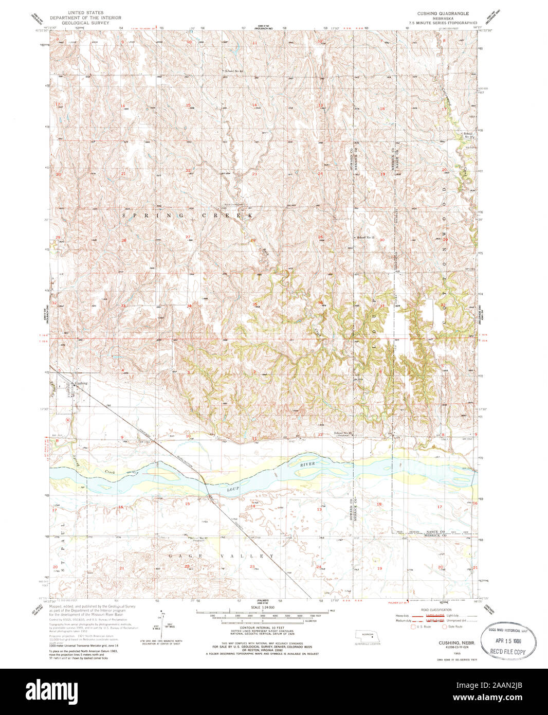 USGS TOPO Map Nebraska NE Cushing 316124 1955 24000 Restoration Stock Photohttps://www.alamy.com/image-license-details/?v=1https://www.alamy.com/usgs-topo-map-nebraska-ne-cushing-316124-1955-24000-restoration-image333606627.html
RM2AAN2JB–USGS TOPO Map Nebraska NE Cushing 316124 1955 24000 Restoration
 Cushing, Howard County, US, United States, Nebraska, N 41 17' 50'', S 98 22' 6'', map, Cartascapes Map published in 2024. Explore Cartascapes, a map revealing Earth's diverse landscapes, cultures, and ecosystems. Journey through time and space, discovering the interconnectedness of our planet's past, present, and future. Stock Photohttps://www.alamy.com/image-license-details/?v=1https://www.alamy.com/cushing-howard-county-us-united-states-nebraska-n-41-17-50-s-98-22-6-map-cartascapes-map-published-in-2024-explore-cartascapes-a-map-revealing-earths-diverse-landscapes-cultures-and-ecosystems-journey-through-time-and-space-discovering-the-interconnectedness-of-our-planets-past-present-and-future-image621371062.html
RM2Y2WW3J–Cushing, Howard County, US, United States, Nebraska, N 41 17' 50'', S 98 22' 6'', map, Cartascapes Map published in 2024. Explore Cartascapes, a map revealing Earth's diverse landscapes, cultures, and ecosystems. Journey through time and space, discovering the interconnectedness of our planet's past, present, and future.
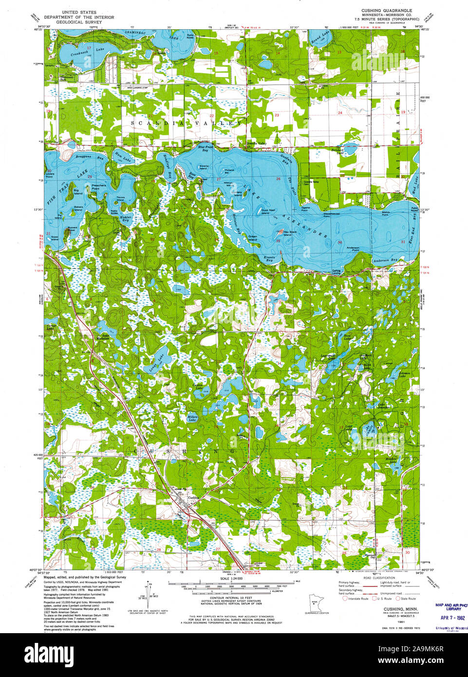 USGS TOPO Map MInnesota MN Cushing 504281 1981 24000 Restoration Stock Photohttps://www.alamy.com/image-license-details/?v=1https://www.alamy.com/usgs-topo-map-minnesota-mn-cushing-504281-1981-24000-restoration-image332983023.html
RM2A9MK6R–USGS TOPO Map MInnesota MN Cushing 504281 1981 24000 Restoration
 Cushing, Polk County, US, United States, Wisconsin, N 45 34' 13'', S 92 39' 3'', map, Cartascapes Map published in 2024. Explore Cartascapes, a map revealing Earth's diverse landscapes, cultures, and ecosystems. Journey through time and space, discovering the interconnectedness of our planet's past, present, and future. Stock Photohttps://www.alamy.com/image-license-details/?v=1https://www.alamy.com/cushing-polk-county-us-united-states-wisconsin-n-45-34-13-s-92-39-3-map-cartascapes-map-published-in-2024-explore-cartascapes-a-map-revealing-earths-diverse-landscapes-cultures-and-ecosystems-journey-through-time-and-space-discovering-the-interconnectedness-of-our-planets-past-present-and-future-image621257187.html
RM2Y2MKTK–Cushing, Polk County, US, United States, Wisconsin, N 45 34' 13'', S 92 39' 3'', map, Cartascapes Map published in 2024. Explore Cartascapes, a map revealing Earth's diverse landscapes, cultures, and ecosystems. Journey through time and space, discovering the interconnectedness of our planet's past, present, and future.
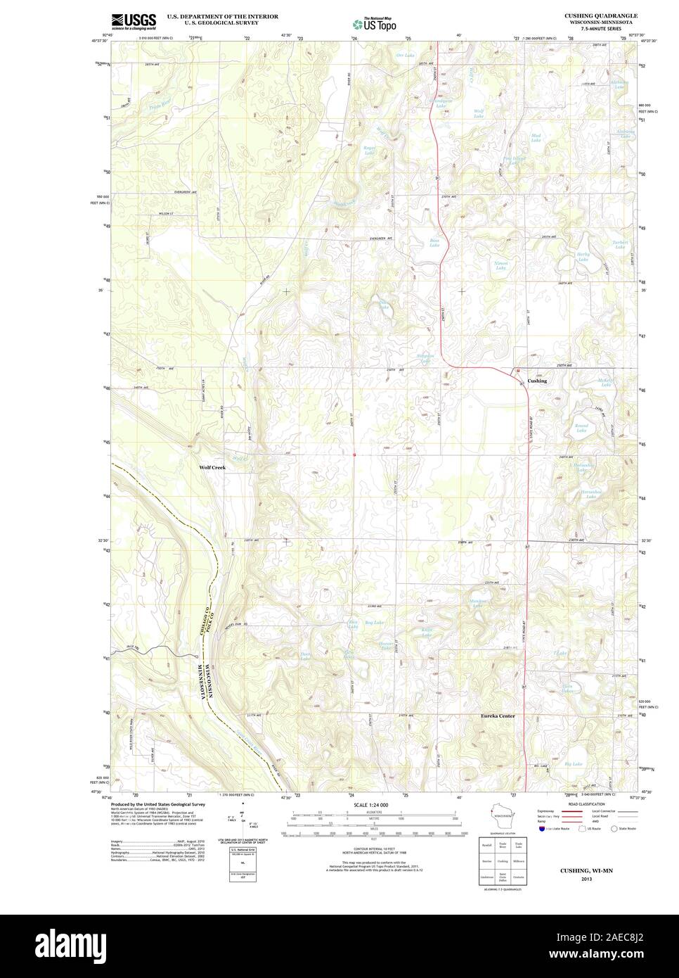 WI Cushing 20130628 TM Restoration Stock Photohttps://www.alamy.com/image-license-details/?v=1https://www.alamy.com/wi-cushing-20130628-tm-restoration-image335872378.html
RM2AEC8J2–WI Cushing 20130628 TM Restoration
 Cushing Briggs, Cumberland County, US, United States, Maine, N 43 49' 51'', S 70 6' 4'', map, Cartascapes Map published in 2024. Explore Cartascapes, a map revealing Earth's diverse landscapes, cultures, and ecosystems. Journey through time and space, discovering the interconnectedness of our planet's past, present, and future. Stock Photohttps://www.alamy.com/image-license-details/?v=1https://www.alamy.com/cushing-briggs-cumberland-county-us-united-states-maine-n-43-49-51-s-70-6-4-map-cartascapes-map-published-in-2024-explore-cartascapes-a-map-revealing-earths-diverse-landscapes-cultures-and-ecosystems-journey-through-time-and-space-discovering-the-interconnectedness-of-our-planets-past-present-and-future-image621225754.html
RM2Y2K7P2–Cushing Briggs, Cumberland County, US, United States, Maine, N 43 49' 51'', S 70 6' 4'', map, Cartascapes Map published in 2024. Explore Cartascapes, a map revealing Earth's diverse landscapes, cultures, and ecosystems. Journey through time and space, discovering the interconnectedness of our planet's past, present, and future.
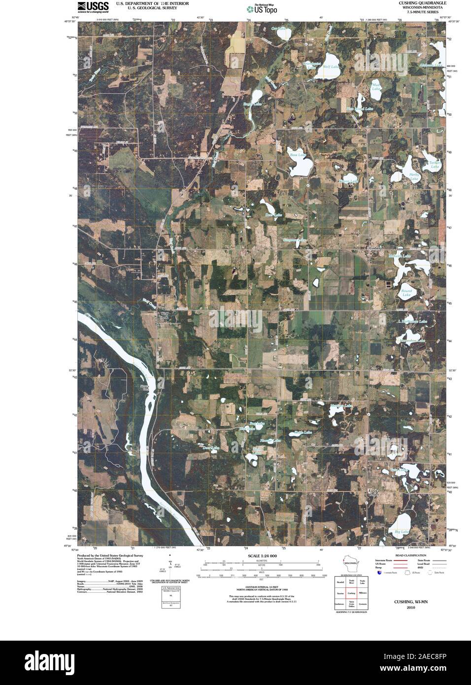 WI Cushing 20100811 TM Restoration Stock Photohttps://www.alamy.com/image-license-details/?v=1https://www.alamy.com/wi-cushing-20100811-tm-restoration-image335872314.html
RM2AEC8FP–WI Cushing 20100811 TM Restoration
 Cushing Island, Cumberland County, US, United States, Maine, N 43 38' 28'', S 70 12' 28'', map, Cartascapes Map published in 2024. Explore Cartascapes, a map revealing Earth's diverse landscapes, cultures, and ecosystems. Journey through time and space, discovering the interconnectedness of our planet's past, present, and future. Stock Photohttps://www.alamy.com/image-license-details/?v=1https://www.alamy.com/cushing-island-cumberland-county-us-united-states-maine-n-43-38-28-s-70-12-28-map-cartascapes-map-published-in-2024-explore-cartascapes-a-map-revealing-earths-diverse-landscapes-cultures-and-ecosystems-journey-through-time-and-space-discovering-the-interconnectedness-of-our-planets-past-present-and-future-image621443066.html
RM2Y314Y6–Cushing Island, Cumberland County, US, United States, Maine, N 43 38' 28'', S 70 12' 28'', map, Cartascapes Map published in 2024. Explore Cartascapes, a map revealing Earth's diverse landscapes, cultures, and ecosystems. Journey through time and space, discovering the interconnectedness of our planet's past, present, and future.
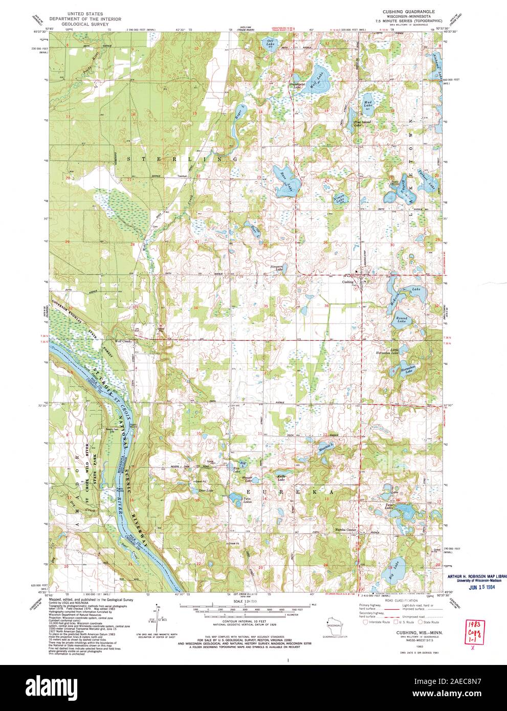 WI Cushing 500318 1983 24000 Restoration Stock Photohttps://www.alamy.com/image-license-details/?v=1https://www.alamy.com/wi-cushing-500318-1983-24000-restoration-image335872467.html
RM2AEC8N7–WI Cushing 500318 1983 24000 Restoration
 Cushing, San Luis Obispo County, US, United States, California, N 35 25' 33'', S 120 36' 14'', map, Cartascapes Map published in 2024. Explore Cartascapes, a map revealing Earth's diverse landscapes, cultures, and ecosystems. Journey through time and space, discovering the interconnectedness of our planet's past, present, and future. Stock Photohttps://www.alamy.com/image-license-details/?v=1https://www.alamy.com/cushing-san-luis-obispo-county-us-united-states-california-n-35-25-33-s-120-36-14-map-cartascapes-map-published-in-2024-explore-cartascapes-a-map-revealing-earths-diverse-landscapes-cultures-and-ecosystems-journey-through-time-and-space-discovering-the-interconnectedness-of-our-planets-past-present-and-future-image621461701.html
RM2Y320MN–Cushing, San Luis Obispo County, US, United States, California, N 35 25' 33'', S 120 36' 14'', map, Cartascapes Map published in 2024. Explore Cartascapes, a map revealing Earth's diverse landscapes, cultures, and ecosystems. Journey through time and space, discovering the interconnectedness of our planet's past, present, and future.
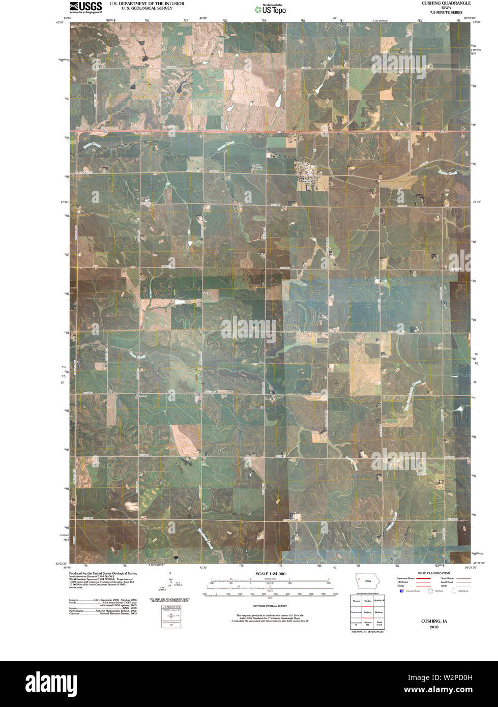 USGS TOPO Maps Iowa IA Cushing 20100427 TM Restoration Stock Photohttps://www.alamy.com/image-license-details/?v=1https://www.alamy.com/usgs-topo-maps-iowa-ia-cushing-20100427-tm-restoration-image259877985.html
RMW2PD0H–USGS TOPO Maps Iowa IA Cushing 20100427 TM Restoration
 Cushing, Nacogdoches County, US, United States, Texas, N 31 48' 52'', S 94 50' 25'', map, Cartascapes Map published in 2024. Explore Cartascapes, a map revealing Earth's diverse landscapes, cultures, and ecosystems. Journey through time and space, discovering the interconnectedness of our planet's past, present, and future. Stock Photohttps://www.alamy.com/image-license-details/?v=1https://www.alamy.com/cushing-nacogdoches-county-us-united-states-texas-n-31-48-52-s-94-50-25-map-cartascapes-map-published-in-2024-explore-cartascapes-a-map-revealing-earths-diverse-landscapes-cultures-and-ecosystems-journey-through-time-and-space-discovering-the-interconnectedness-of-our-planets-past-present-and-future-image620784963.html
RM2Y1Y5FF–Cushing, Nacogdoches County, US, United States, Texas, N 31 48' 52'', S 94 50' 25'', map, Cartascapes Map published in 2024. Explore Cartascapes, a map revealing Earth's diverse landscapes, cultures, and ecosystems. Journey through time and space, discovering the interconnectedness of our planet's past, present, and future.
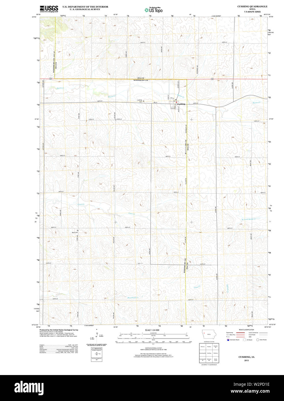 USGS TOPO Maps Iowa IA Cushing 20130416 TM Restoration Stock Photohttps://www.alamy.com/image-license-details/?v=1https://www.alamy.com/usgs-topo-maps-iowa-ia-cushing-20130416-tm-restoration-image259878010.html
RMW2PD1E–USGS TOPO Maps Iowa IA Cushing 20130416 TM Restoration
 Cushing, Nacogdoches County, US, United States, Texas, N 31 48' 52'', S 94 50' 25'', map, Cartascapes Map published in 2024. Explore Cartascapes, a map revealing Earth's diverse landscapes, cultures, and ecosystems. Journey through time and space, discovering the interconnectedness of our planet's past, present, and future. Stock Photohttps://www.alamy.com/image-license-details/?v=1https://www.alamy.com/cushing-nacogdoches-county-us-united-states-texas-n-31-48-52-s-94-50-25-map-cartascapes-map-published-in-2024-explore-cartascapes-a-map-revealing-earths-diverse-landscapes-cultures-and-ecosystems-journey-through-time-and-space-discovering-the-interconnectedness-of-our-planets-past-present-and-future-image620866205.html
RM2Y22W51–Cushing, Nacogdoches County, US, United States, Texas, N 31 48' 52'', S 94 50' 25'', map, Cartascapes Map published in 2024. Explore Cartascapes, a map revealing Earth's diverse landscapes, cultures, and ecosystems. Journey through time and space, discovering the interconnectedness of our planet's past, present, and future.
 USGS TOPO Maps Iowa IA Cushing 174407 1969 24000 Restoration Stock Photohttps://www.alamy.com/image-license-details/?v=1https://www.alamy.com/usgs-topo-maps-iowa-ia-cushing-174407-1969-24000-restoration-image259877946.html
RMW2PCY6–USGS TOPO Maps Iowa IA Cushing 174407 1969 24000 Restoration
 Cushing, Knox County, US, United States, Maine, N 44 1' 9'', S 69 14' 23'', map, Cartascapes Map published in 2024. Explore Cartascapes, a map revealing Earth's diverse landscapes, cultures, and ecosystems. Journey through time and space, discovering the interconnectedness of our planet's past, present, and future. Stock Photohttps://www.alamy.com/image-license-details/?v=1https://www.alamy.com/cushing-knox-county-us-united-states-maine-n-44-1-9-s-69-14-23-map-cartascapes-map-published-in-2024-explore-cartascapes-a-map-revealing-earths-diverse-landscapes-cultures-and-ecosystems-journey-through-time-and-space-discovering-the-interconnectedness-of-our-planets-past-present-and-future-image620865599.html
RM2Y22TBB–Cushing, Knox County, US, United States, Maine, N 44 1' 9'', S 69 14' 23'', map, Cartascapes Map published in 2024. Explore Cartascapes, a map revealing Earth's diverse landscapes, cultures, and ecosystems. Journey through time and space, discovering the interconnectedness of our planet's past, present, and future.
 Cushing, Hillsborough County, US, United States, Florida, N 27 58' 11'', S 82 26' 55'', map, Cartascapes Map published in 2024. Explore Cartascapes, a map revealing Earth's diverse landscapes, cultures, and ecosystems. Journey through time and space, discovering the interconnectedness of our planet's past, present, and future. Stock Photohttps://www.alamy.com/image-license-details/?v=1https://www.alamy.com/cushing-hillsborough-county-us-united-states-florida-n-27-58-11-s-82-26-55-map-cartascapes-map-published-in-2024-explore-cartascapes-a-map-revealing-earths-diverse-landscapes-cultures-and-ecosystems-journey-through-time-and-space-discovering-the-interconnectedness-of-our-planets-past-present-and-future-image620664242.html
RM2Y1NKG2–Cushing, Hillsborough County, US, United States, Florida, N 27 58' 11'', S 82 26' 55'', map, Cartascapes Map published in 2024. Explore Cartascapes, a map revealing Earth's diverse landscapes, cultures, and ecosystems. Journey through time and space, discovering the interconnectedness of our planet's past, present, and future.
 Village of Cushing, Howard County, US, United States, Nebraska, N 41 17' 41'', S 98 22' 9'', map, Cartascapes Map published in 2024. Explore Cartascapes, a map revealing Earth's diverse landscapes, cultures, and ecosystems. Journey through time and space, discovering the interconnectedness of our planet's past, present, and future. Stock Photohttps://www.alamy.com/image-license-details/?v=1https://www.alamy.com/village-of-cushing-howard-county-us-united-states-nebraska-n-41-17-41-s-98-22-9-map-cartascapes-map-published-in-2024-explore-cartascapes-a-map-revealing-earths-diverse-landscapes-cultures-and-ecosystems-journey-through-time-and-space-discovering-the-interconnectedness-of-our-planets-past-present-and-future-image633776618.html
RM2YR30F6–Village of Cushing, Howard County, US, United States, Nebraska, N 41 17' 41'', S 98 22' 9'', map, Cartascapes Map published in 2024. Explore Cartascapes, a map revealing Earth's diverse landscapes, cultures, and ecosystems. Journey through time and space, discovering the interconnectedness of our planet's past, present, and future.
 City of Cushing, Nacogdoches County, US, United States, Texas, N 31 48' 45'', S 94 50' 28'', map, Cartascapes Map published in 2024. Explore Cartascapes, a map revealing Earth's diverse landscapes, cultures, and ecosystems. Journey through time and space, discovering the interconnectedness of our planet's past, present, and future. Stock Photohttps://www.alamy.com/image-license-details/?v=1https://www.alamy.com/city-of-cushing-nacogdoches-county-us-united-states-texas-n-31-48-45-s-94-50-28-map-cartascapes-map-published-in-2024-explore-cartascapes-a-map-revealing-earths-diverse-landscapes-cultures-and-ecosystems-journey-through-time-and-space-discovering-the-interconnectedness-of-our-planets-past-present-and-future-image633800981.html
RM2YR43H9–City of Cushing, Nacogdoches County, US, United States, Texas, N 31 48' 45'', S 94 50' 28'', map, Cartascapes Map published in 2024. Explore Cartascapes, a map revealing Earth's diverse landscapes, cultures, and ecosystems. Journey through time and space, discovering the interconnectedness of our planet's past, present, and future.
 North Cushing, Knox County, US, United States, Maine, N 44 2' 20'', S 69 12' 38'', map, Cartascapes Map published in 2024. Explore Cartascapes, a map revealing Earth's diverse landscapes, cultures, and ecosystems. Journey through time and space, discovering the interconnectedness of our planet's past, present, and future. Stock Photohttps://www.alamy.com/image-license-details/?v=1https://www.alamy.com/north-cushing-knox-county-us-united-states-maine-n-44-2-20-s-69-12-38-map-cartascapes-map-published-in-2024-explore-cartascapes-a-map-revealing-earths-diverse-landscapes-cultures-and-ecosystems-journey-through-time-and-space-discovering-the-interconnectedness-of-our-planets-past-present-and-future-image620775896.html
RM2Y1XNYM–North Cushing, Knox County, US, United States, Maine, N 44 2' 20'', S 69 12' 38'', map, Cartascapes Map published in 2024. Explore Cartascapes, a map revealing Earth's diverse landscapes, cultures, and ecosystems. Journey through time and space, discovering the interconnectedness of our planet's past, present, and future.
 Township of Cushing, Morrison County, US, United States, Minnesota, N 46 9' 2'', S 94 30' 30'', map, Cartascapes Map published in 2024. Explore Cartascapes, a map revealing Earth's diverse landscapes, cultures, and ecosystems. Journey through time and space, discovering the interconnectedness of our planet's past, present, and future. Stock Photohttps://www.alamy.com/image-license-details/?v=1https://www.alamy.com/township-of-cushing-morrison-county-us-united-states-minnesota-n-46-9-2-s-94-30-30-map-cartascapes-map-published-in-2024-explore-cartascapes-a-map-revealing-earths-diverse-landscapes-cultures-and-ecosystems-journey-through-time-and-space-discovering-the-interconnectedness-of-our-planets-past-present-and-future-image633777307.html
RM2YR31BR–Township of Cushing, Morrison County, US, United States, Minnesota, N 46 9' 2'', S 94 30' 30'', map, Cartascapes Map published in 2024. Explore Cartascapes, a map revealing Earth's diverse landscapes, cultures, and ecosystems. Journey through time and space, discovering the interconnectedness of our planet's past, present, and future.
 City of Cushing, Payne County, US, United States, Oklahoma, N 35 58' 47'', S 96 45' 37'', map, Cartascapes Map published in 2024. Explore Cartascapes, a map revealing Earth's diverse landscapes, cultures, and ecosystems. Journey through time and space, discovering the interconnectedness of our planet's past, present, and future. Stock Photohttps://www.alamy.com/image-license-details/?v=1https://www.alamy.com/city-of-cushing-payne-county-us-united-states-oklahoma-n-35-58-47-s-96-45-37-map-cartascapes-map-published-in-2024-explore-cartascapes-a-map-revealing-earths-diverse-landscapes-cultures-and-ecosystems-journey-through-time-and-space-discovering-the-interconnectedness-of-our-planets-past-present-and-future-image633824170.html
RM2YR555E–City of Cushing, Payne County, US, United States, Oklahoma, N 35 58' 47'', S 96 45' 37'', map, Cartascapes Map published in 2024. Explore Cartascapes, a map revealing Earth's diverse landscapes, cultures, and ecosystems. Journey through time and space, discovering the interconnectedness of our planet's past, present, and future.
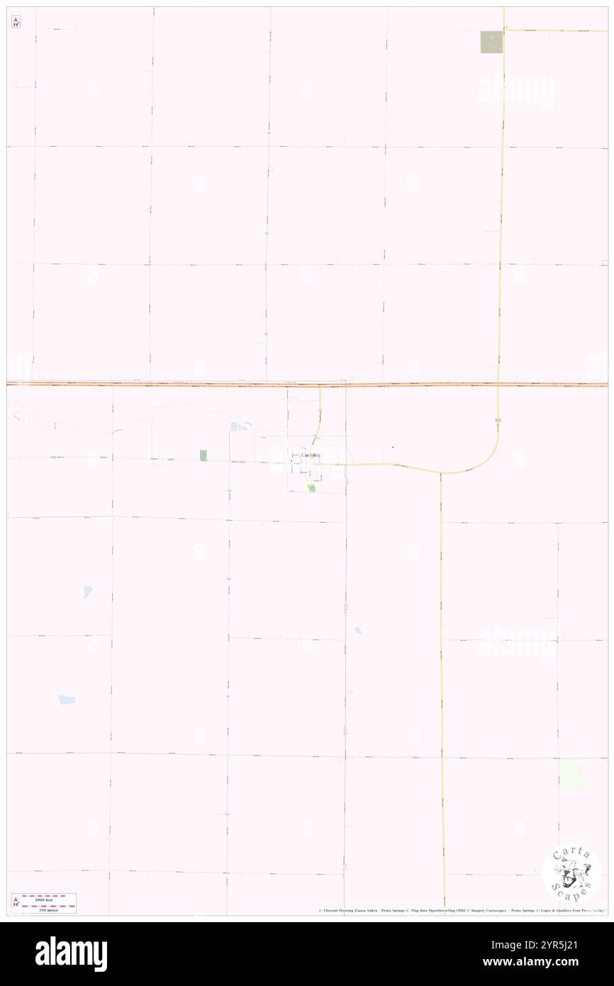 City of Cushing, Woodbury County, US, United States, Iowa, N 42 27' 53'', S 95 40' 32'', map, Cartascapes Map published in 2024. Explore Cartascapes, a map revealing Earth's diverse landscapes, cultures, and ecosystems. Journey through time and space, discovering the interconnectedness of our planet's past, present, and future. Stock Photohttps://www.alamy.com/image-license-details/?v=1https://www.alamy.com/city-of-cushing-woodbury-county-us-united-states-iowa-n-42-27-53-s-95-40-32-map-cartascapes-map-published-in-2024-explore-cartascapes-a-map-revealing-earths-diverse-landscapes-cultures-and-ecosystems-journey-through-time-and-space-discovering-the-interconnectedness-of-our-planets-past-present-and-future-image633834265.html
RM2YR5J21–City of Cushing, Woodbury County, US, United States, Iowa, N 42 27' 53'', S 95 40' 32'', map, Cartascapes Map published in 2024. Explore Cartascapes, a map revealing Earth's diverse landscapes, cultures, and ecosystems. Journey through time and space, discovering the interconnectedness of our planet's past, present, and future.
 South Cushing, Knox County, US, United States, Maine, N 43 59' 40'', S 69 16' 50'', map, Cartascapes Map published in 2024. Explore Cartascapes, a map revealing Earth's diverse landscapes, cultures, and ecosystems. Journey through time and space, discovering the interconnectedness of our planet's past, present, and future. Stock Photohttps://www.alamy.com/image-license-details/?v=1https://www.alamy.com/south-cushing-knox-county-us-united-states-maine-n-43-59-40-s-69-16-50-map-cartascapes-map-published-in-2024-explore-cartascapes-a-map-revealing-earths-diverse-landscapes-cultures-and-ecosystems-journey-through-time-and-space-discovering-the-interconnectedness-of-our-planets-past-present-and-future-image620858483.html
RM2Y22F97–South Cushing, Knox County, US, United States, Maine, N 43 59' 40'', S 69 16' 50'', map, Cartascapes Map published in 2024. Explore Cartascapes, a map revealing Earth's diverse landscapes, cultures, and ecosystems. Journey through time and space, discovering the interconnectedness of our planet's past, present, and future.
 Cushing-Douglass, Nacogdoches County, US, United States, Texas, N 31 43' 50'', S 94 49' 31'', map, Cartascapes Map published in 2024. Explore Cartascapes, a map revealing Earth's diverse landscapes, cultures, and ecosystems. Journey through time and space, discovering the interconnectedness of our planet's past, present, and future. Stock Photohttps://www.alamy.com/image-license-details/?v=1https://www.alamy.com/cushing-douglass-nacogdoches-county-us-united-states-texas-n-31-43-50-s-94-49-31-map-cartascapes-map-published-in-2024-explore-cartascapes-a-map-revealing-earths-diverse-landscapes-cultures-and-ecosystems-journey-through-time-and-space-discovering-the-interconnectedness-of-our-planets-past-present-and-future-image620862329.html
RM2Y22M6H–Cushing-Douglass, Nacogdoches County, US, United States, Texas, N 31 43' 50'', S 94 49' 31'', map, Cartascapes Map published in 2024. Explore Cartascapes, a map revealing Earth's diverse landscapes, cultures, and ecosystems. Journey through time and space, discovering the interconnectedness of our planet's past, present, and future.
 Town of Cushing, Knox County, US, United States, Maine, N 44 0' 37'', S 69 15' 36'', map, Cartascapes Map published in 2024. Explore Cartascapes, a map revealing Earth's diverse landscapes, cultures, and ecosystems. Journey through time and space, discovering the interconnectedness of our planet's past, present, and future. Stock Photohttps://www.alamy.com/image-license-details/?v=1https://www.alamy.com/town-of-cushing-knox-county-us-united-states-maine-n-44-0-37-s-69-15-36-map-cartascapes-map-published-in-2024-explore-cartascapes-a-map-revealing-earths-diverse-landscapes-cultures-and-ecosystems-journey-through-time-and-space-discovering-the-interconnectedness-of-our-planets-past-present-and-future-image633871858.html
RM2YR7A0J–Town of Cushing, Knox County, US, United States, Maine, N 44 0' 37'', S 69 15' 36'', map, Cartascapes Map published in 2024. Explore Cartascapes, a map revealing Earth's diverse landscapes, cultures, and ecosystems. Journey through time and space, discovering the interconnectedness of our planet's past, present, and future.
 Cushing, Laurentides, Canada, Quebec, N 45 35' 37'', W 74 27' 37'', map, Timeless Map published in 2021. Travelers, explorers and adventurers like Florence Nightingale, David Livingstone, Ernest Shackleton, Lewis and Clark and Sherlock Holmes relied on maps to plan travels to the world's most remote corners, Timeless Maps is mapping most locations on the globe, showing the achievement of great dreams Stock Photohttps://www.alamy.com/image-license-details/?v=1https://www.alamy.com/cushing-laurentides-canada-quebec-n-45-35-37-w-74-27-37-map-timeless-map-published-in-2021-travelers-explorers-and-adventurers-like-florence-nightingale-david-livingstone-ernest-shackleton-lewis-and-clark-and-sherlock-holmes-relied-on-maps-to-plan-travels-to-the-worlds-most-remote-corners-timeless-maps-is-mapping-most-locations-on-the-globe-showing-the-achievement-of-great-dreams-image457858315.html
RM2HGW6XK–Cushing, Laurentides, Canada, Quebec, N 45 35' 37'', W 74 27' 37'', map, Timeless Map published in 2021. Travelers, explorers and adventurers like Florence Nightingale, David Livingstone, Ernest Shackleton, Lewis and Clark and Sherlock Holmes relied on maps to plan travels to the world's most remote corners, Timeless Maps is mapping most locations on the globe, showing the achievement of great dreams
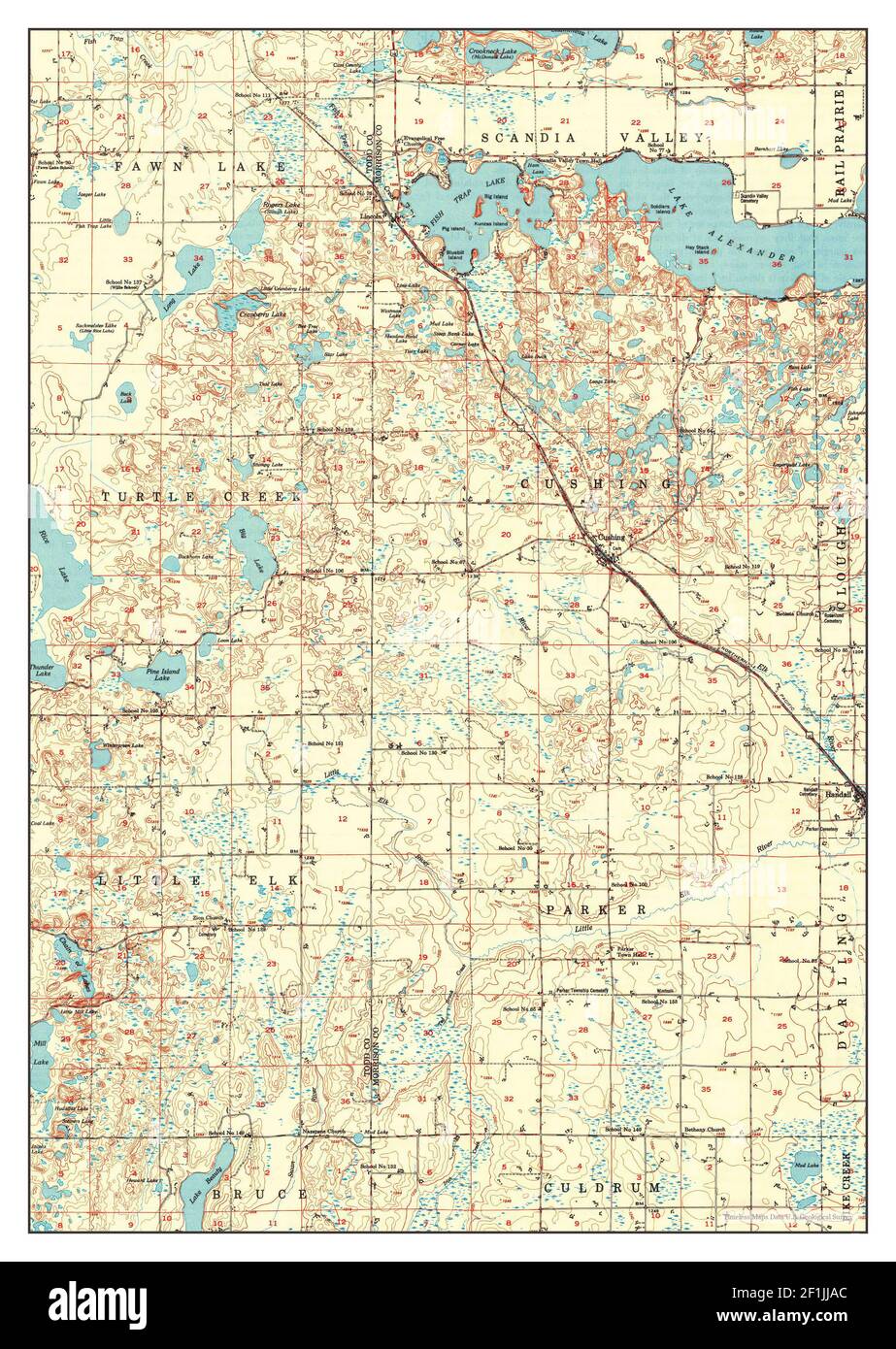 Cushing, Minnesota, map 1950, 1:62500, United States of America by Timeless Maps, data U.S. Geological Survey Stock Photohttps://www.alamy.com/image-license-details/?v=1https://www.alamy.com/cushing-minnesota-map-1950-162500-united-states-of-america-by-timeless-maps-data-us-geological-survey-image414073028.html
RM2F1JJAC–Cushing, Minnesota, map 1950, 1:62500, United States of America by Timeless Maps, data U.S. Geological Survey
 Cushing, Minnesota, map 1948, 1:62500, United States of America by Timeless Maps, data U.S. Geological Survey Stock Photohttps://www.alamy.com/image-license-details/?v=1https://www.alamy.com/cushing-minnesota-map-1948-162500-united-states-of-america-by-timeless-maps-data-us-geological-survey-image414073072.html
RM2F1JJC0–Cushing, Minnesota, map 1948, 1:62500, United States of America by Timeless Maps, data U.S. Geological Survey
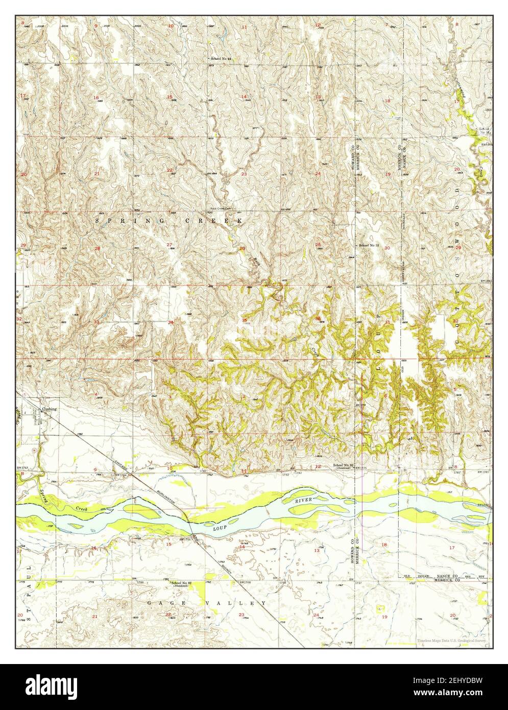 Cushing, Nebraska, map 1955, 1:24000, United States of America by Timeless Maps, data U.S. Geological Survey Stock Photohttps://www.alamy.com/image-license-details/?v=1https://www.alamy.com/cushing-nebraska-map-1955-124000-united-states-of-america-by-timeless-maps-data-us-geological-survey-image406890845.html
RM2EHYDBW–Cushing, Nebraska, map 1955, 1:24000, United States of America by Timeless Maps, data U.S. Geological Survey
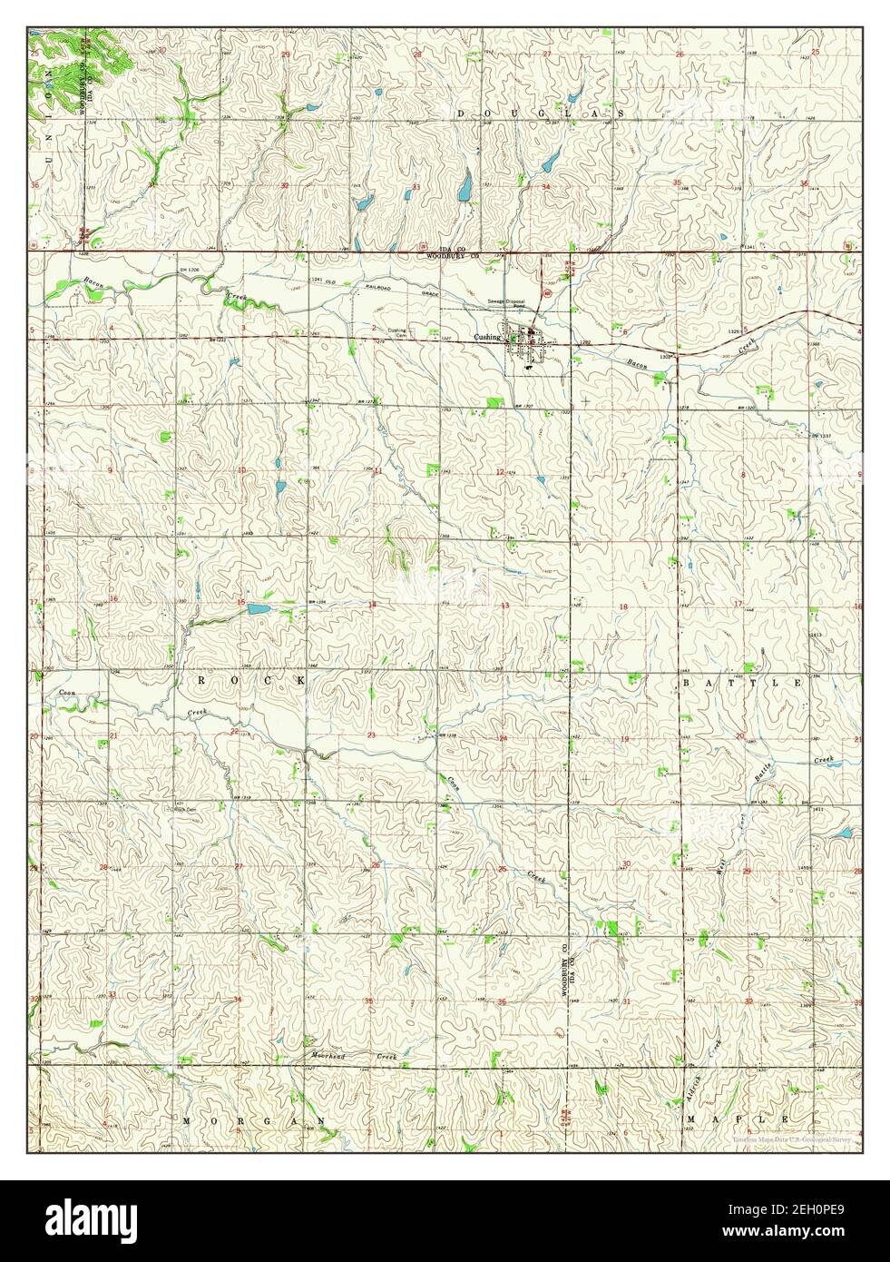 Cushing, Iowa, map 1969, 1:24000, United States of America by Timeless Maps, data U.S. Geological Survey Stock Photohttps://www.alamy.com/image-license-details/?v=1https://www.alamy.com/cushing-iowa-map-1969-124000-united-states-of-america-by-timeless-maps-data-us-geological-survey-image406305265.html
RM2EH0PE9–Cushing, Iowa, map 1969, 1:24000, United States of America by Timeless Maps, data U.S. Geological Survey
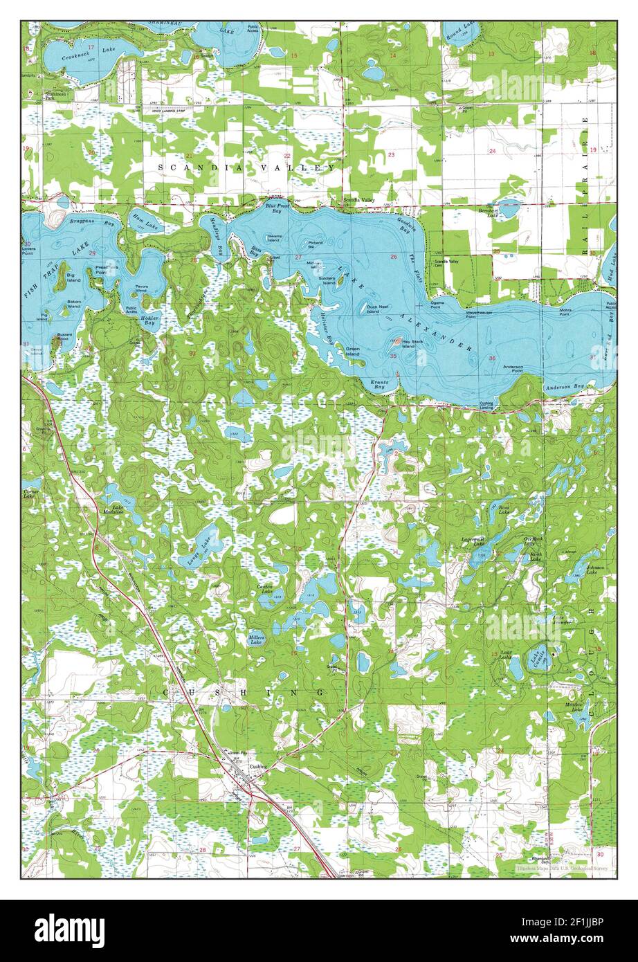 Cushing, Minnesota, map 1981, 1:24000, United States of America by Timeless Maps, data U.S. Geological Survey Stock Photohttps://www.alamy.com/image-license-details/?v=1https://www.alamy.com/cushing-minnesota-map-1981-124000-united-states-of-america-by-timeless-maps-data-us-geological-survey-image414073066.html
RM2F1JJBP–Cushing, Minnesota, map 1981, 1:24000, United States of America by Timeless Maps, data U.S. Geological Survey
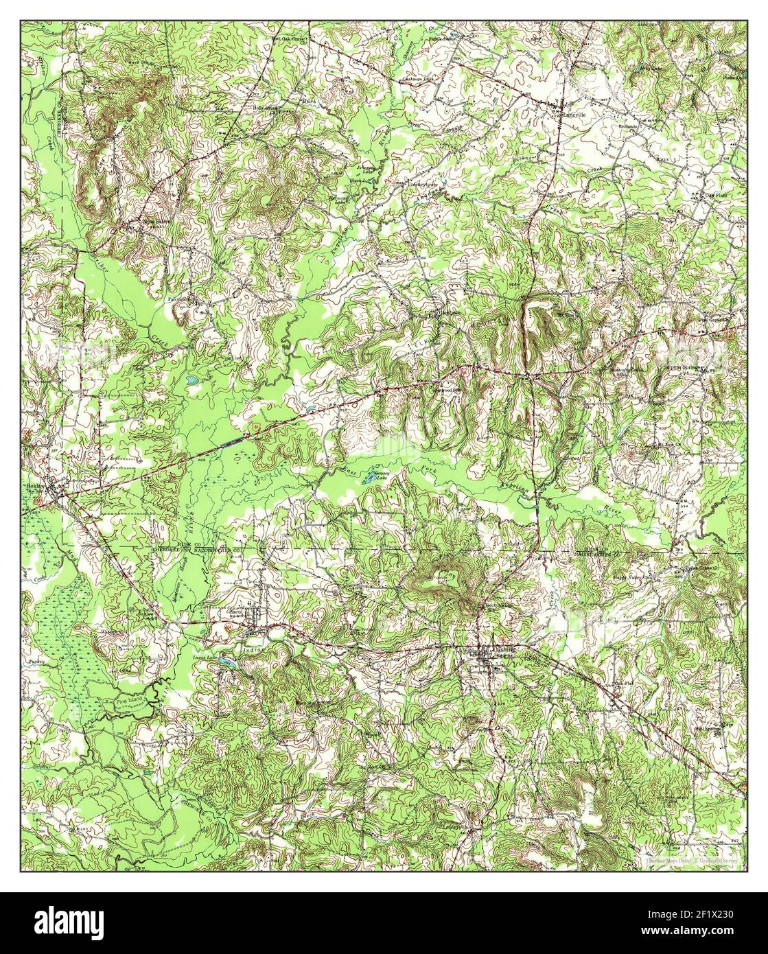 Cushing, Texas, map 1943, 1:62500, United States of America by Timeless Maps, data U.S. Geological Survey Stock Photohttps://www.alamy.com/image-license-details/?v=1https://www.alamy.com/cushing-texas-map-1943-162500-united-states-of-america-by-timeless-maps-data-us-geological-survey-image414235892.html
RM2F1X230–Cushing, Texas, map 1943, 1:62500, United States of America by Timeless Maps, data U.S. Geological Survey
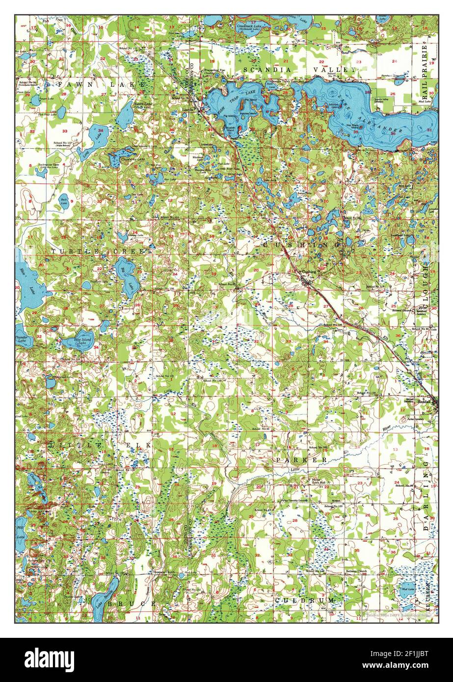 Cushing, Minnesota, map 1948, 1:62500, United States of America by Timeless Maps, data U.S. Geological Survey Stock Photohttps://www.alamy.com/image-license-details/?v=1https://www.alamy.com/cushing-minnesota-map-1948-162500-united-states-of-america-by-timeless-maps-data-us-geological-survey-image414073068.html
RM2F1JJBT–Cushing, Minnesota, map 1948, 1:62500, United States of America by Timeless Maps, data U.S. Geological Survey
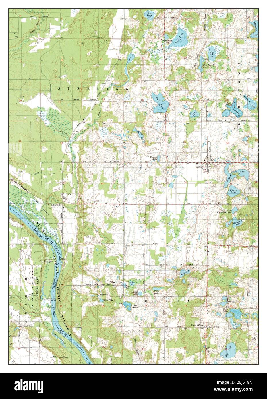 Cushing, Wisconsin, map 1983, 1:24000, United States of America by Timeless Maps, data U.S. Geological Survey Stock Photohttps://www.alamy.com/image-license-details/?v=1https://www.alamy.com/cushing-wisconsin-map-1983-124000-united-states-of-america-by-timeless-maps-data-us-geological-survey-image407031093.html
RM2EJ5T8N–Cushing, Wisconsin, map 1983, 1:24000, United States of America by Timeless Maps, data U.S. Geological Survey
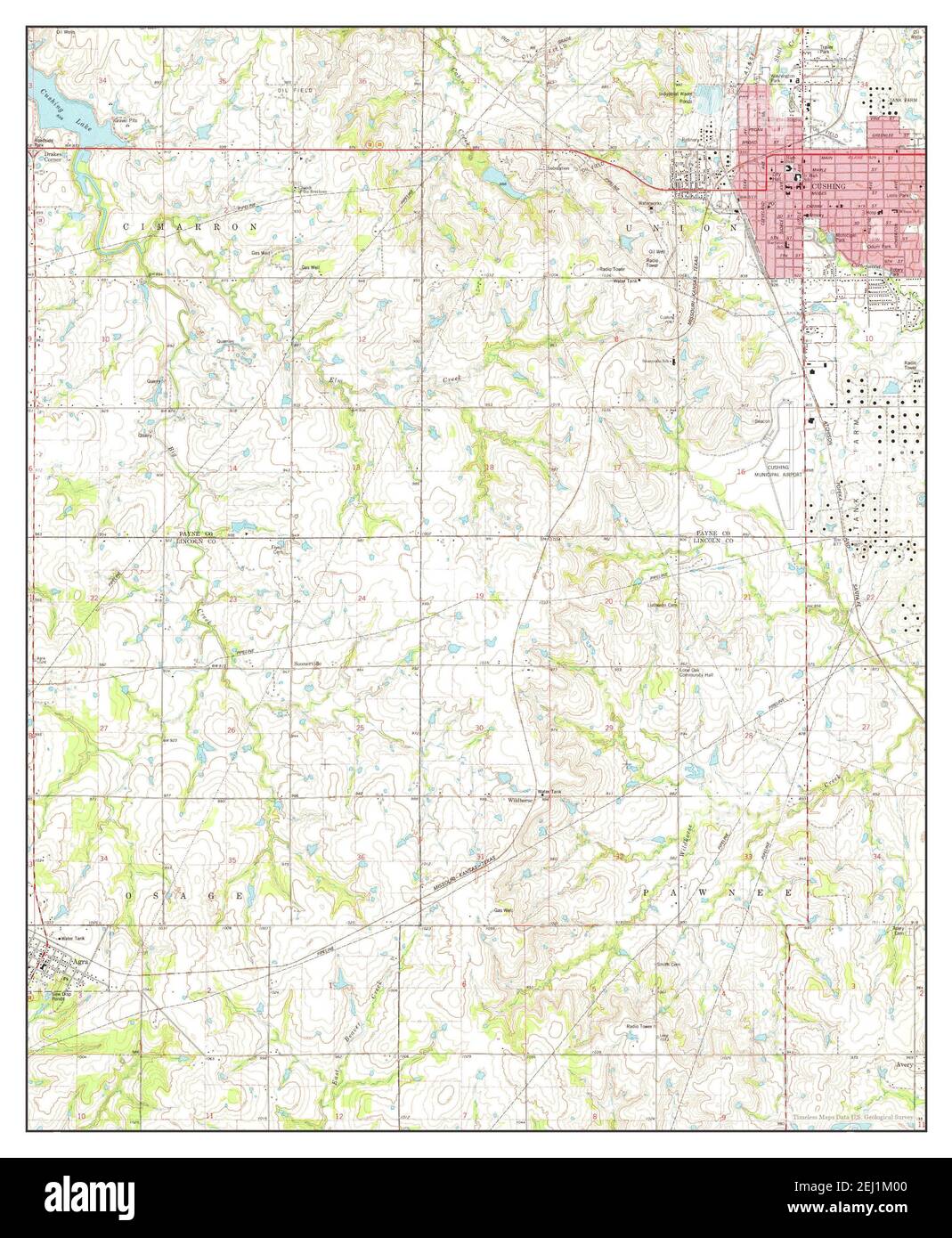 Cushing, Oklahoma, map 1975, 1:24000, United States of America by Timeless Maps, data U.S. Geological Survey Stock Photohttps://www.alamy.com/image-license-details/?v=1https://www.alamy.com/cushing-oklahoma-map-1975-124000-united-states-of-america-by-timeless-maps-data-us-geological-survey-image406939904.html
RM2EJ1M00–Cushing, Oklahoma, map 1975, 1:24000, United States of America by Timeless Maps, data U.S. Geological Survey
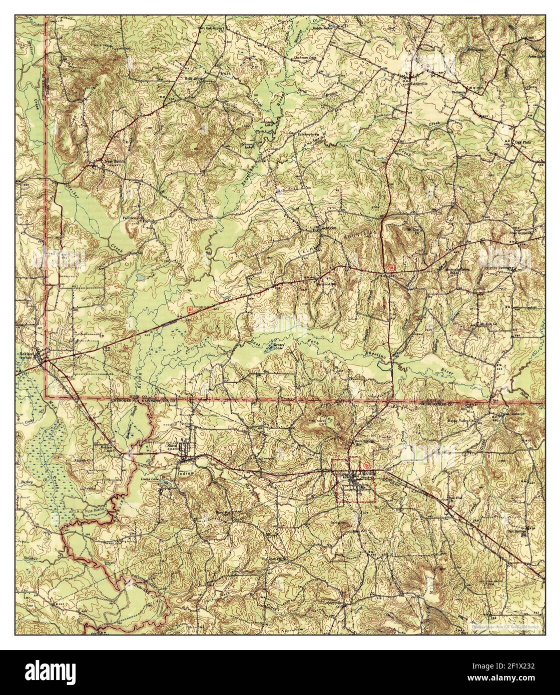 Cushing, Texas, map 1945, 1:62500, United States of America by Timeless Maps, data U.S. Geological Survey Stock Photohttps://www.alamy.com/image-license-details/?v=1https://www.alamy.com/cushing-texas-map-1945-162500-united-states-of-america-by-timeless-maps-data-us-geological-survey-image414235894.html
RM2F1X232–Cushing, Texas, map 1945, 1:62500, United States of America by Timeless Maps, data U.S. Geological Survey
 Cushing, Texas, map 1973, 1:24000, United States of America by Timeless Maps, data U.S. Geological Survey Stock Photohttps://www.alamy.com/image-license-details/?v=1https://www.alamy.com/cushing-texas-map-1973-124000-united-states-of-america-by-timeless-maps-data-us-geological-survey-image406979092.html
RM2EJ3DYG–Cushing, Texas, map 1973, 1:24000, United States of America by Timeless Maps, data U.S. Geological Survey