Quick filters:
Davisville Stock Photos and Images
 Davisville Subway Station (Toronto, CA). Stock Photohttps://www.alamy.com/image-license-details/?v=1https://www.alamy.com/davisville-subway-station-toronto-ca-image220498724.html
RMPPMGAC–Davisville Subway Station (Toronto, CA).
 Davisville New Hampshire USA shown on a Geography map or Road map Stock Photohttps://www.alamy.com/image-license-details/?v=1https://www.alamy.com/davisville-new-hampshire-usa-shown-on-a-geography-map-or-road-map-image428906434.html
RM2FWPAEX–Davisville New Hampshire USA shown on a Geography map or Road map
 younge and Davisville ave drone views downtown Toronto condos and office buildings construction Stock Photohttps://www.alamy.com/image-license-details/?v=1https://www.alamy.com/younge-and-davisville-ave-drone-views-downtown-toronto-condos-and-office-buildings-construction-image459908800.html
RF2HM6JA8–younge and Davisville ave drone views downtown Toronto condos and office buildings construction
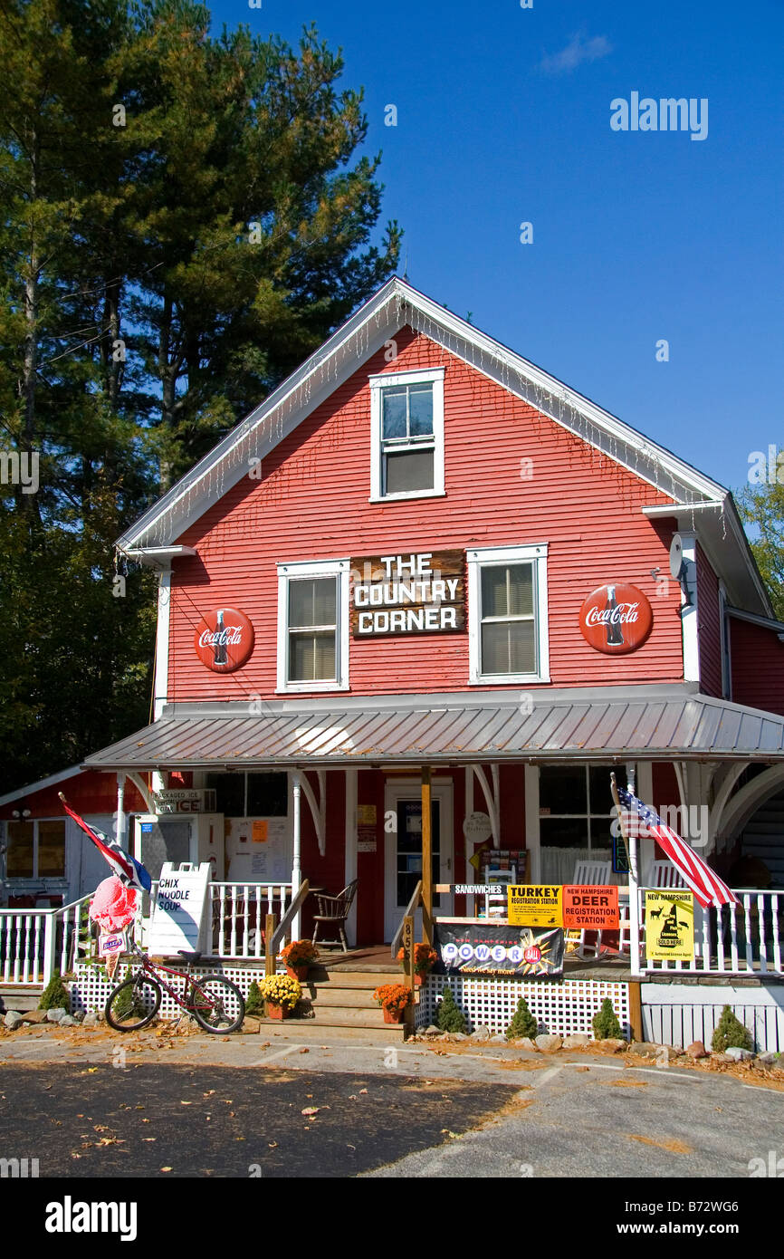 The Country Corner general store located in Davisville New Hampshire USA Stock Photohttps://www.alamy.com/image-license-details/?v=1https://www.alamy.com/stock-photo-the-country-corner-general-store-located-in-davisville-new-hampshire-21576918.html
RMB72WG6–The Country Corner general store located in Davisville New Hampshire USA
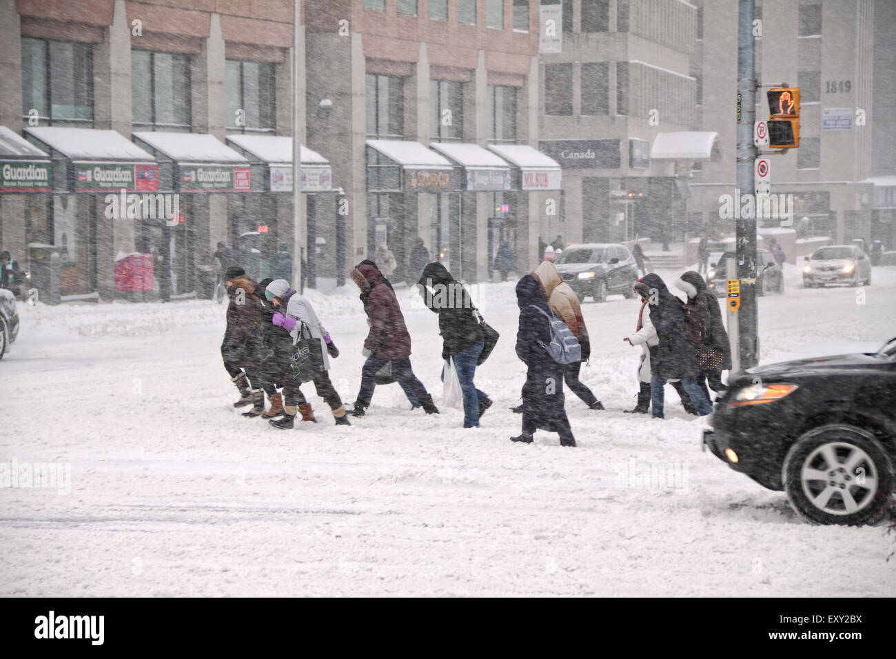 Torontonian leaving Davisville Subway Station and crossing the heavy traffic on Yonge Street in snow storm Stock Photohttps://www.alamy.com/image-license-details/?v=1https://www.alamy.com/stock-photo-torontonian-leaving-davisville-subway-station-and-crossing-the-heavy-85417134.html
RMEXY2BX–Torontonian leaving Davisville Subway Station and crossing the heavy traffic on Yonge Street in snow storm
 . English: This painting depicts veterans as objects of public interest and curiosity after their return to Canada. The setting is the intersection of Davisville Avenue and Yonge Street in Toronto, outside the Orthopaedic Military Hospital, which had 180 beds and an artificial limb factory. The graffiti 'Wizz-Bang Corner,' derived from the name for small caliber enemy shells during the war, may indicate a common gathering spot for veterans to meet, rest, or beg. 'Fragments From France,' in small lettering above the bench, refers to a publication by famous British cartoonist Bruce Bairnsfather Stock Photohttps://www.alamy.com/image-license-details/?v=1https://www.alamy.com/english-this-painting-depicts-veterans-as-objects-of-public-interest-and-curiosity-after-their-return-to-canada-the-setting-is-the-intersection-of-davisville-avenue-and-yonge-street-in-toronto-outside-the-orthopaedic-military-hospital-which-had-180-beds-and-an-artificial-limb-factory-the-graffiti-wizz-bang-corner-derived-from-the-name-for-small-caliber-enemy-shells-during-the-war-may-indicate-a-common-gathering-spot-for-veterans-to-meet-rest-or-beg-fragments-from-france-in-small-lettering-above-the-bench-refers-to-a-publication-by-famous-british-cartoonist-bruce-bairnsfather-image189274064.html
RMMYX500–. English: This painting depicts veterans as objects of public interest and curiosity after their return to Canada. The setting is the intersection of Davisville Avenue and Yonge Street in Toronto, outside the Orthopaedic Military Hospital, which had 180 beds and an artificial limb factory. The graffiti 'Wizz-Bang Corner,' derived from the name for small caliber enemy shells during the war, may indicate a common gathering spot for veterans to meet, rest, or beg. 'Fragments From France,' in small lettering above the bench, refers to a publication by famous British cartoonist Bruce Bairnsfather
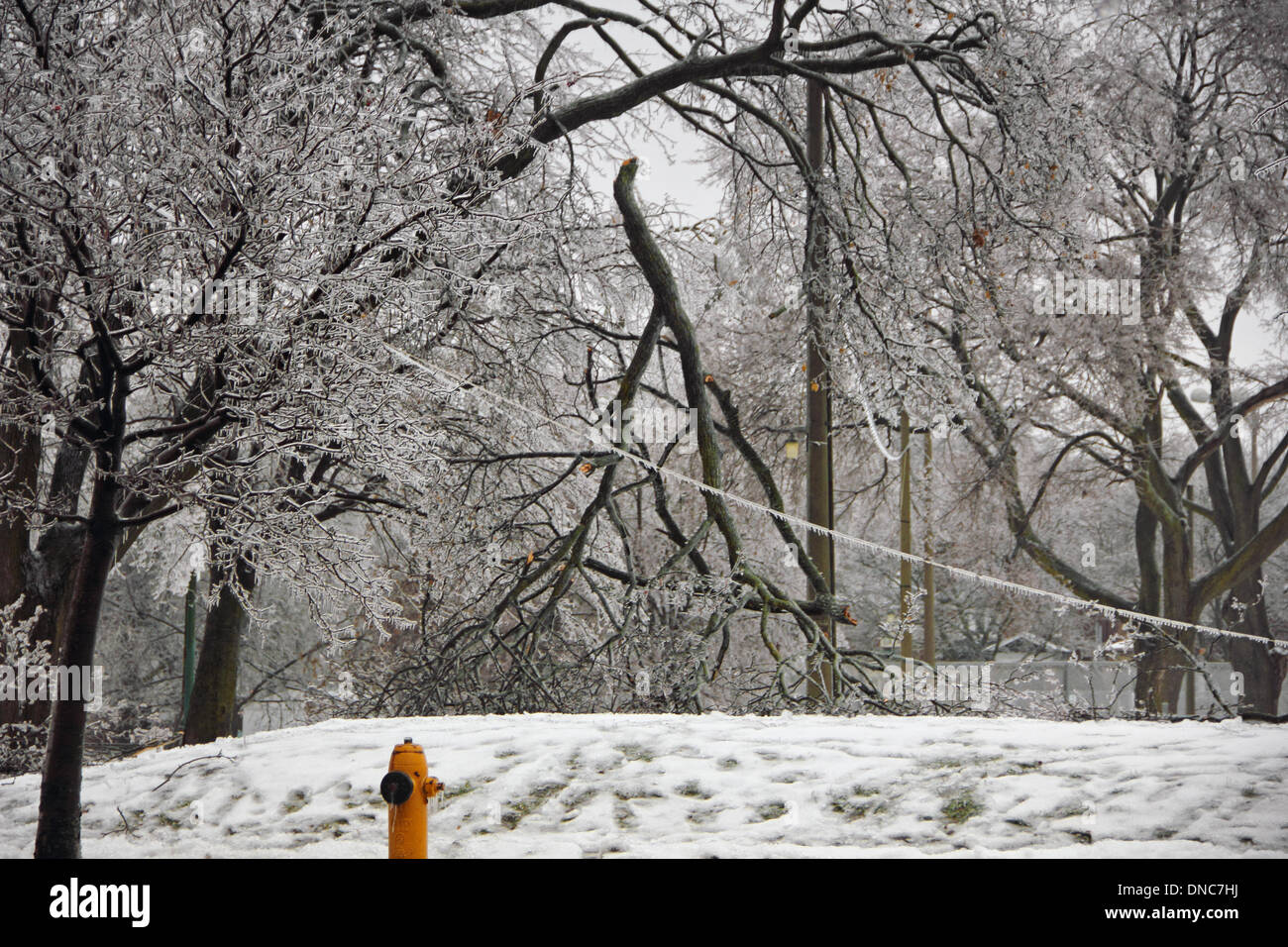 Toronto, Canada. 22nd Dec, 2013. Broken power line and trees due to freezing rain and snow in Davisville Park, or June Rowland Park in Toronto on December 22, 2013 Credit: CharlineXia/Alamy Live News Stock Photohttps://www.alamy.com/image-license-details/?v=1https://www.alamy.com/toronto-canada-22nd-dec-2013-broken-power-line-and-trees-due-to-freezing-image64808286.html
RMDNC7HJ–Toronto, Canada. 22nd Dec, 2013. Broken power line and trees due to freezing rain and snow in Davisville Park, or June Rowland Park in Toronto on December 22, 2013 Credit: CharlineXia/Alamy Live News
 empty train track toronto subway station davisville Stock Photohttps://www.alamy.com/image-license-details/?v=1https://www.alamy.com/stock-photo-empty-train-track-toronto-subway-station-davisville-125235235.html
RMH7MXPY–empty train track toronto subway station davisville
 Toronto, Canada. 8th February 2013. Torontonians and cars struggling on Yonge Street in rush hour during heavy winter snow storm on Yonge Street, near Davisville Subway Station. This is considered to be a Historic Storm and perhaps the biggest snowfall since 2008. Credit: CharlineXia Ontario Canada Collection / Alamy Live News Stock Photohttps://www.alamy.com/image-license-details/?v=1https://www.alamy.com/stock-photo-toronto-canada-8th-february-2013-torontonians-and-cars-struggling-53570145.html
RMD3497D–Toronto, Canada. 8th February 2013. Torontonians and cars struggling on Yonge Street in rush hour during heavy winter snow storm on Yonge Street, near Davisville Subway Station. This is considered to be a Historic Storm and perhaps the biggest snowfall since 2008. Credit: CharlineXia Ontario Canada Collection / Alamy Live News
 Frenchtown, Davisville, Rhode Island. Administrative History of the First Naval District in World War II Stock Photohttps://www.alamy.com/image-license-details/?v=1https://www.alamy.com/frenchtown-davisville-rhode-island-administrative-history-of-the-first-naval-district-in-world-war-ii-image556951894.html
RM2RA39R2–Frenchtown, Davisville, Rhode Island. Administrative History of the First Naval District in World War II
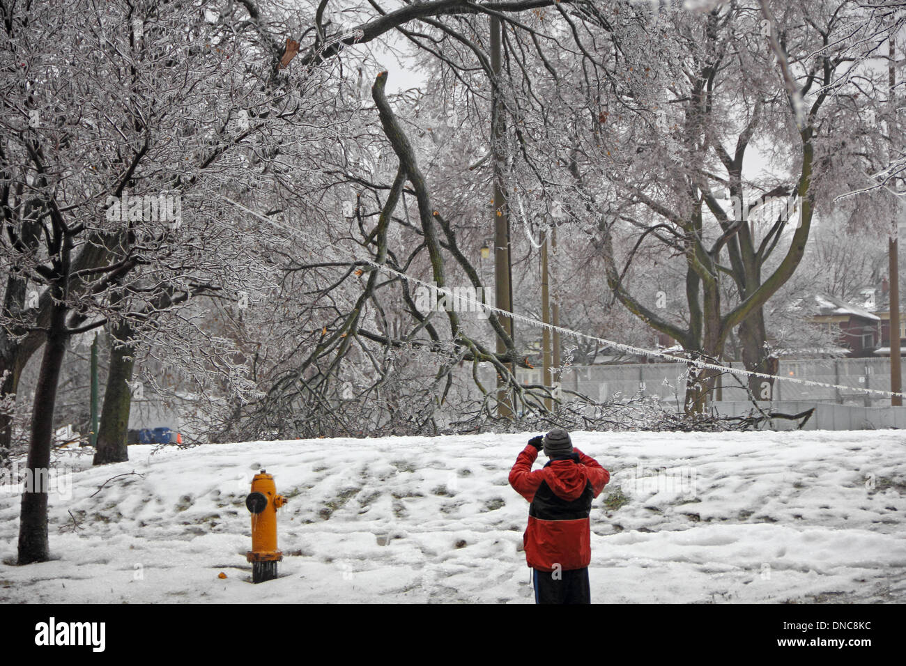 Toronto, Canada. 22nd Dec, 2013. Major Ice Storm and freezing rain caused damages to power lines and trees in Davisville Park in midtown Toronto. An unknown man is taking photographs. Credit: CharlineXia/Alamy Live News Stock Photohttps://www.alamy.com/image-license-details/?v=1https://www.alamy.com/toronto-canada-22nd-dec-2013-major-ice-storm-and-freezing-rain-caused-image64809120.html
RMDNC8KC–Toronto, Canada. 22nd Dec, 2013. Major Ice Storm and freezing rain caused damages to power lines and trees in Davisville Park in midtown Toronto. An unknown man is taking photographs. Credit: CharlineXia/Alamy Live News
 Davisville apartment buildings and street at night in Toronto, Ontario, Canada Stock Photohttps://www.alamy.com/image-license-details/?v=1https://www.alamy.com/davisville-apartment-buildings-and-street-at-night-in-toronto-ontario-canada-image260758925.html
RMW46GJN–Davisville apartment buildings and street at night in Toronto, Ontario, Canada
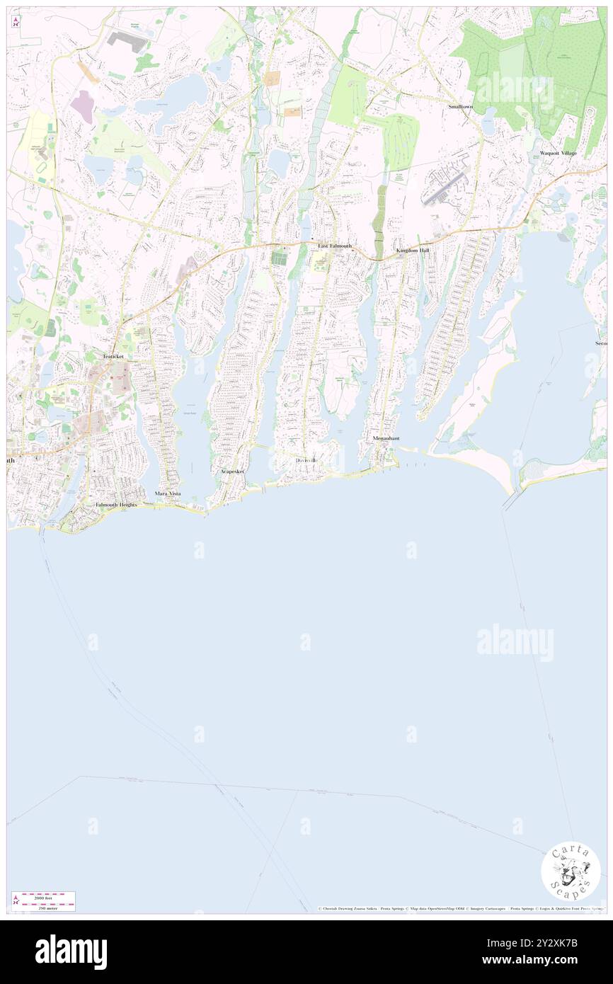 Davisville, Barnstable County, US, United States, Massachusetts, N 41 33' 5'', S 70 33' 48'', map, Cartascapes Map published in 2024. Explore Cartascapes, a map revealing Earth's diverse landscapes, cultures, and ecosystems. Journey through time and space, discovering the interconnectedness of our planet's past, present, and future. Stock Photohttps://www.alamy.com/image-license-details/?v=1https://www.alamy.com/davisville-barnstable-county-us-united-states-massachusetts-n-41-33-5-s-70-33-48-map-cartascapes-map-published-in-2024-explore-cartascapes-a-map-revealing-earths-diverse-landscapes-cultures-and-ecosystems-journey-through-time-and-space-discovering-the-interconnectedness-of-our-planets-past-present-and-future-image621388415.html
RM2Y2XK7B–Davisville, Barnstable County, US, United States, Massachusetts, N 41 33' 5'', S 70 33' 48'', map, Cartascapes Map published in 2024. Explore Cartascapes, a map revealing Earth's diverse landscapes, cultures, and ecosystems. Journey through time and space, discovering the interconnectedness of our planet's past, present, and future.
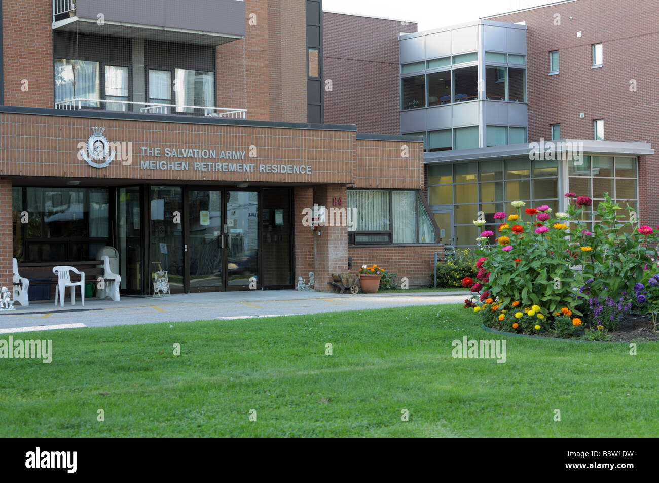 Salvation Army Meighen Retirement Residence in Toronto Canada Stock Photohttps://www.alamy.com/image-license-details/?v=1https://www.alamy.com/stock-photo-salvation-army-meighen-retirement-residence-in-toronto-canada-19604309.html
RMB3W1DW–Salvation Army Meighen Retirement Residence in Toronto Canada
 Davisville Yard under construction in 1953 Stock Photohttps://www.alamy.com/image-license-details/?v=1https://www.alamy.com/davisville-yard-under-construction-in-1953-image470177155.html
RM2J8XBN7–Davisville Yard under construction in 1953
 Trains on Standby Stock Photohttps://www.alamy.com/image-license-details/?v=1https://www.alamy.com/stock-photo-trains-on-standby-103151153.html
RMFYPX9N–Trains on Standby
 Subway Railroad and Station at Night Stock Photohttps://www.alamy.com/image-license-details/?v=1https://www.alamy.com/stock-image-subway-railroad-and-station-at-night-163886945.html
RFKEHKD5–Subway Railroad and Station at Night
 Railroad tracks of Toronto subway system, passenger point of view, Canada Stock Photohttps://www.alamy.com/image-license-details/?v=1https://www.alamy.com/railroad-tracks-of-toronto-subway-system-passenger-point-of-view-canada-image610472305.html
RM2XD5BJ9–Railroad tracks of Toronto subway system, passenger point of view, Canada
 Panoramic view of Sunset with rainclouds over midtown Toronto in summer Stock Photohttps://www.alamy.com/image-license-details/?v=1https://www.alamy.com/panoramic-view-of-sunset-with-rainclouds-over-midtown-toronto-in-summer-image335918890.html
RF2AEEBY6–Panoramic view of Sunset with rainclouds over midtown Toronto in summer
 Davisville Subway Station (Toronto, CA). Stock Photohttps://www.alamy.com/image-license-details/?v=1https://www.alamy.com/davisville-subway-station-toronto-ca-image220498638.html
RMPPMG7A–Davisville Subway Station (Toronto, CA).
 Quonset hut in rhode island Stock Photohttps://www.alamy.com/image-license-details/?v=1https://www.alamy.com/stock-photo-quonset-hut-in-rhode-island-37882293.html
RMC5HK71–Quonset hut in rhode island
 younge and Davisville ave drone views downtown Toronto condos and office buildings construction Stock Photohttps://www.alamy.com/image-license-details/?v=1https://www.alamy.com/younge-and-davisville-ave-drone-views-downtown-toronto-condos-and-office-buildings-construction-image459908795.html
RF2HM6JA3–younge and Davisville ave drone views downtown Toronto condos and office buildings construction
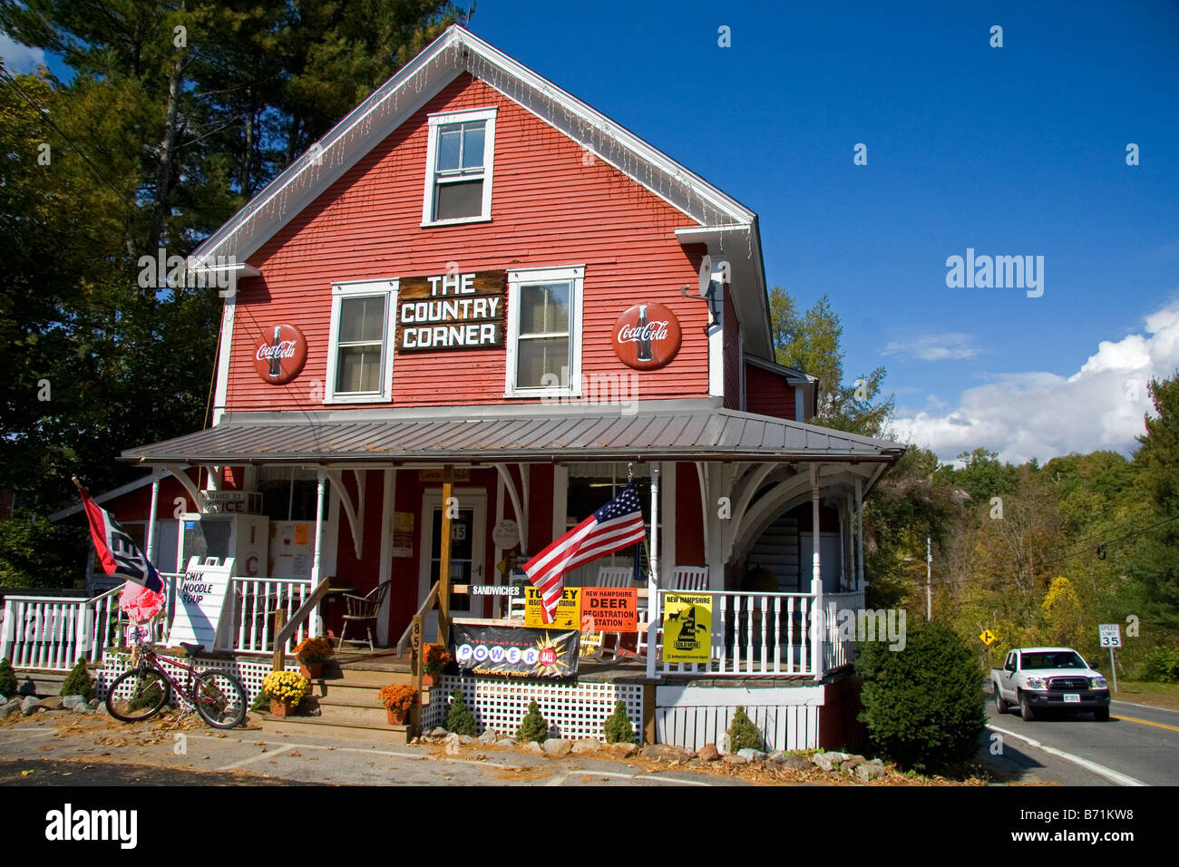 The Country Corner general store located in Davisville New Hampshire USA Stock Photohttps://www.alamy.com/image-license-details/?v=1https://www.alamy.com/stock-photo-the-country-corner-general-store-located-in-davisville-new-hampshire-21550516.html
RMB71KW8–The Country Corner general store located in Davisville New Hampshire USA
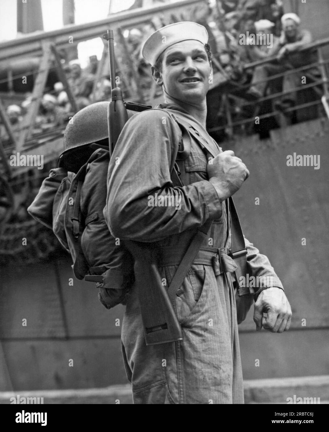 Davisville, Rhode Island: December 26, 1943. This Navy Seabee is heading off for duty in the South Pacific. The Seabees were founded here two years ago on December 28, 1941, ready to work or fight or both. Stock Photohttps://www.alamy.com/image-license-details/?v=1https://www.alamy.com/davisville-rhode-island-december-26-1943-this-navy-seabee-is-heading-off-for-duty-in-the-south-pacific-the-seabees-were-founded-here-two-years-ago-on-december-28-1941-ready-to-work-or-fight-or-both-image558029434.html
RM2RBTC6J–Davisville, Rhode Island: December 26, 1943. This Navy Seabee is heading off for duty in the South Pacific. The Seabees were founded here two years ago on December 28, 1941, ready to work or fight or both.
 . A War Record . English: This painting depicts veterans as objects of public interest and curiosity after their return to Canada. The setting is the intersection of Davisville Avenue and Yonge Street in Toronto, outside the Orthopaedic Military Hospital, which had 180 beds and an artificial limb factory. The graffiti 'Wizz-Bang Corner,' derived from the name for small caliber enemy shells during the war, may indicate a common gathering spot for veterans to meet, rest, or beg. 'Fragments From France,' in small lettering above the bench, refers to a publication by famous British cartoonist Bru Stock Photohttps://www.alamy.com/image-license-details/?v=1https://www.alamy.com/a-war-record-english-this-painting-depicts-veterans-as-objects-of-public-interest-and-curiosity-after-their-return-to-canada-the-setting-is-the-intersection-of-davisville-avenue-and-yonge-street-in-toronto-outside-the-orthopaedic-military-hospital-which-had-180-beds-and-an-artificial-limb-factory-the-graffiti-wizz-bang-corner-derived-from-the-name-for-small-caliber-enemy-shells-during-the-war-may-indicate-a-common-gathering-spot-for-veterans-to-meet-rest-or-beg-fragments-from-france-in-small-lettering-above-the-bench-refers-to-a-publication-by-famous-british-cartoonist-bru-image210890986.html
RMP72WGX–. A War Record . English: This painting depicts veterans as objects of public interest and curiosity after their return to Canada. The setting is the intersection of Davisville Avenue and Yonge Street in Toronto, outside the Orthopaedic Military Hospital, which had 180 beds and an artificial limb factory. The graffiti 'Wizz-Bang Corner,' derived from the name for small caliber enemy shells during the war, may indicate a common gathering spot for veterans to meet, rest, or beg. 'Fragments From France,' in small lettering above the bench, refers to a publication by famous British cartoonist Bru
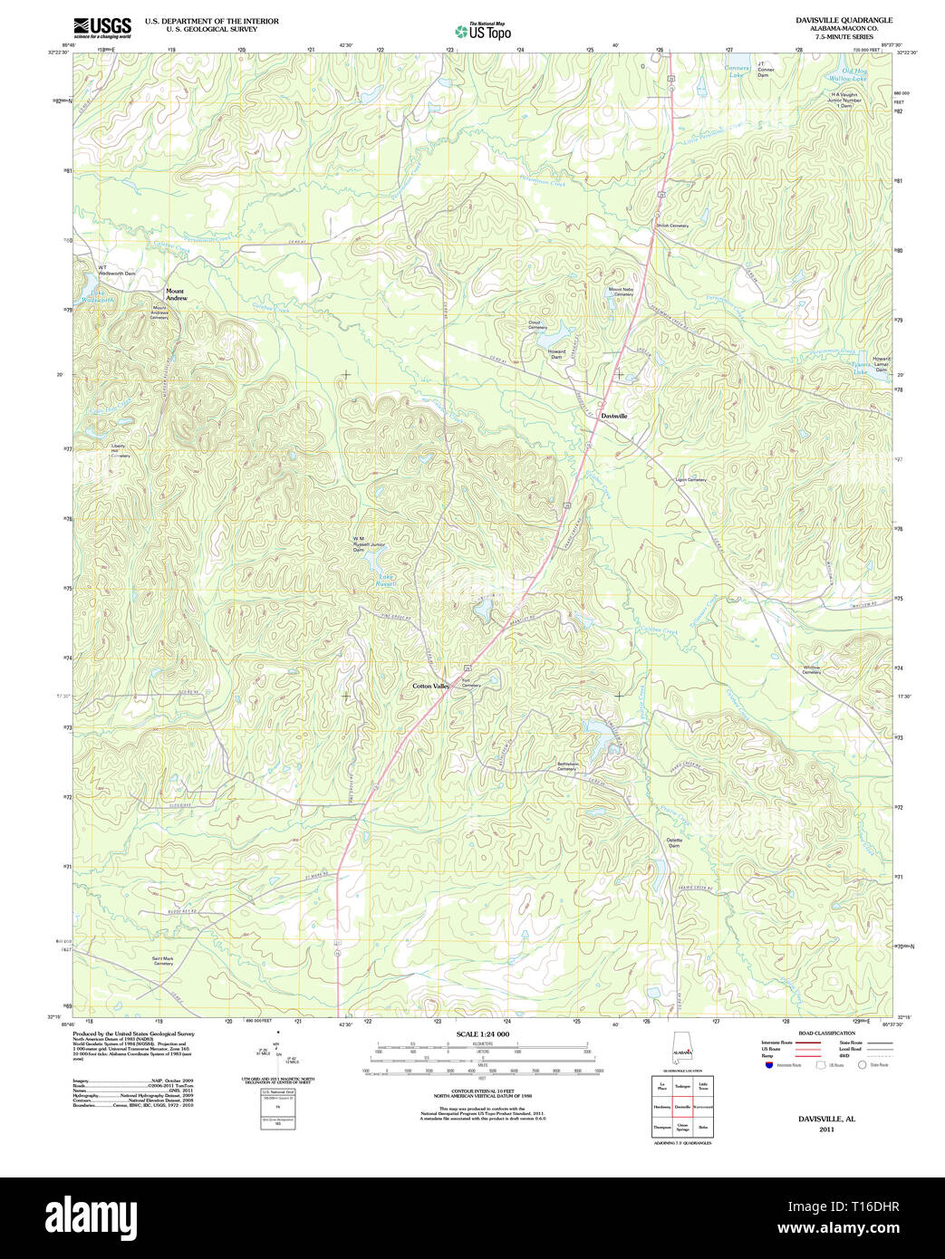 USGS TOPO Map Alabama AL Davisville 20110923 TM Stock Photohttps://www.alamy.com/image-license-details/?v=1https://www.alamy.com/usgs-topo-map-alabama-al-davisville-20110923-tm-image241702211.html
RMT16DHR–USGS TOPO Map Alabama AL Davisville 20110923 TM
 Davisville Yard 1953 Stock Photohttps://www.alamy.com/image-license-details/?v=1https://www.alamy.com/stock-image-davisville-yard-1953-166288749.html
RMKJF2YW–Davisville Yard 1953
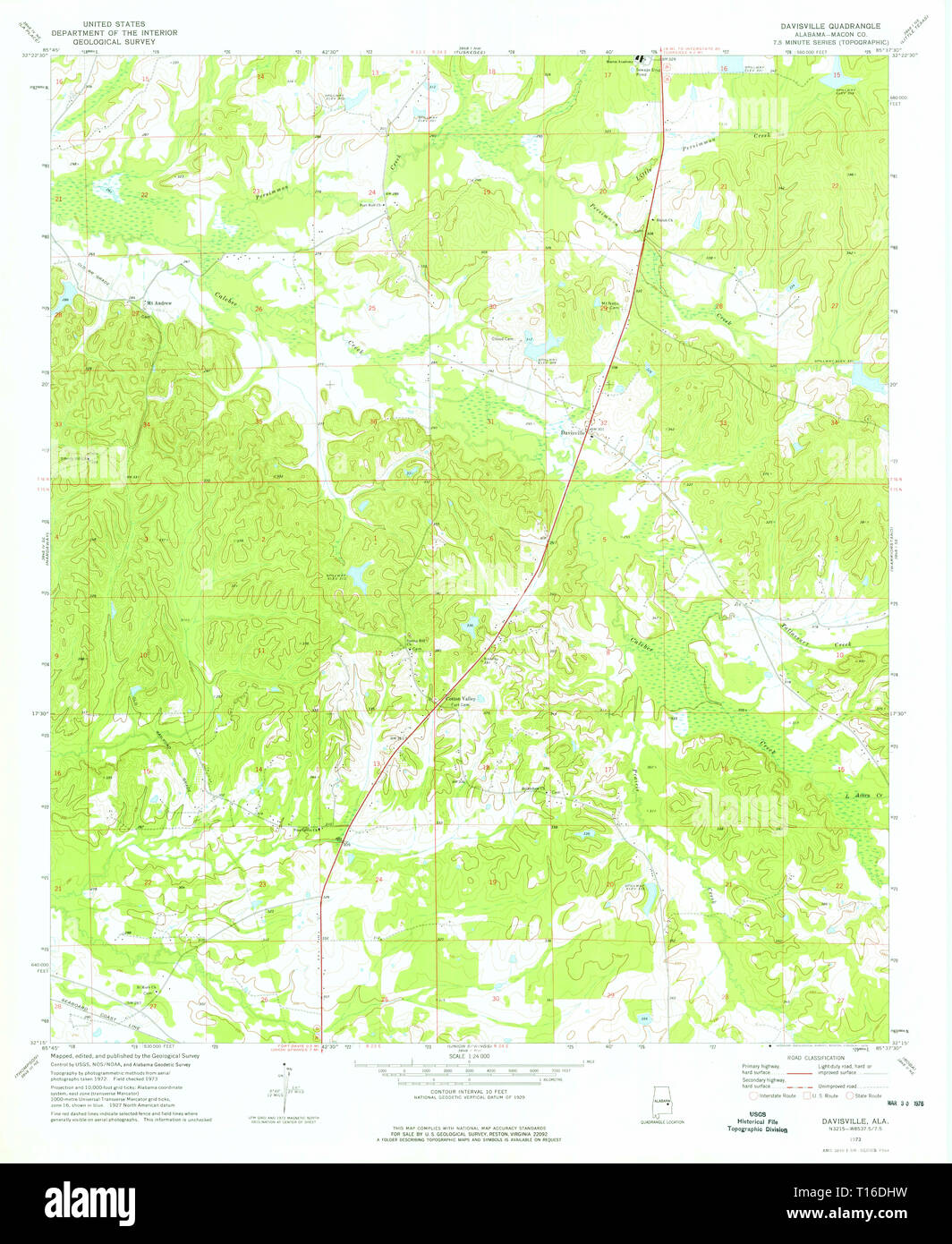 USGS TOPO Map Alabama AL Davisville 303655 1973 24000 Stock Photohttps://www.alamy.com/image-license-details/?v=1https://www.alamy.com/usgs-topo-map-alabama-al-davisville-303655-1973-24000-image241702213.html
RMT16DHW–USGS TOPO Map Alabama AL Davisville 303655 1973 24000
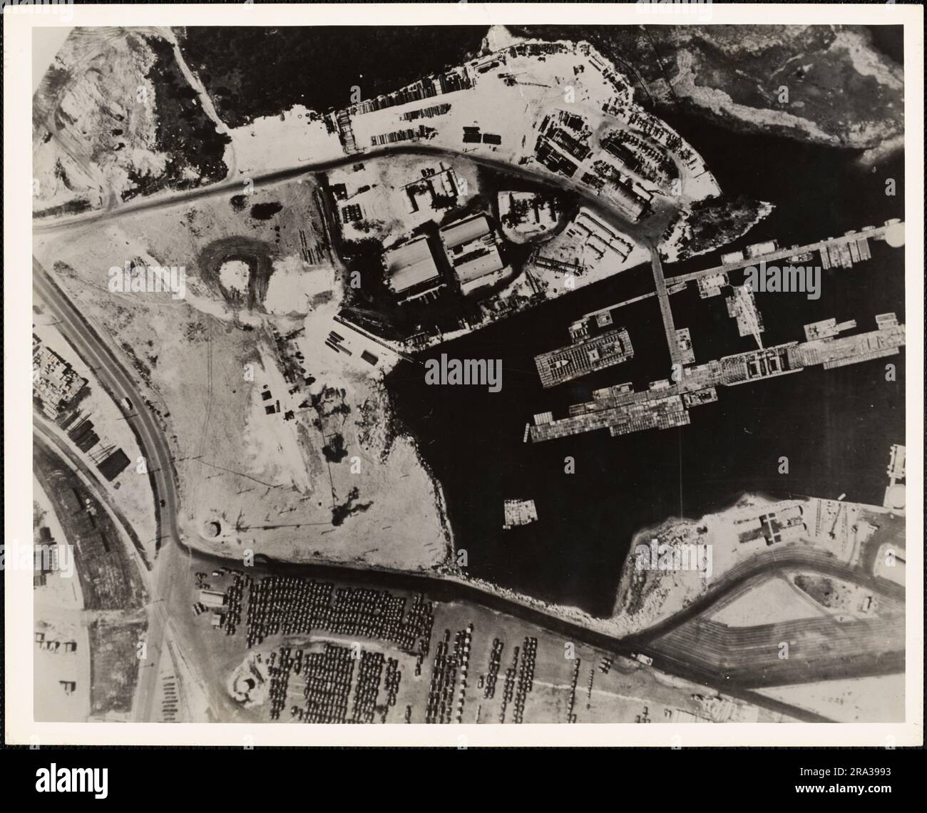 Advance Base Providing Ground, Davisville, Rhode Island. Administrative History of the First Naval District in World War II Stock Photohttps://www.alamy.com/image-license-details/?v=1https://www.alamy.com/advance-base-providing-ground-davisville-rhode-island-administrative-history-of-the-first-naval-district-in-world-war-ii-image556951503.html
RM2RA3993–Advance Base Providing Ground, Davisville, Rhode Island. Administrative History of the First Naval District in World War II
 USGS TOPO Map Alabama AL Davisville 20110923 TM Inverted Stock Photohttps://www.alamy.com/image-license-details/?v=1https://www.alamy.com/usgs-topo-map-alabama-al-davisville-20110923-tm-inverted-image241702207.html
RMT16DHK–USGS TOPO Map Alabama AL Davisville 20110923 TM Inverted
 The sun sets behind Davisville apartment buildings in Toronto, Ontario, Canada Stock Photohttps://www.alamy.com/image-license-details/?v=1https://www.alamy.com/the-sun-sets-behind-davisville-apartment-buildings-in-toronto-ontario-canada-image260758697.html
RMW46GAH–The sun sets behind Davisville apartment buildings in Toronto, Ontario, Canada
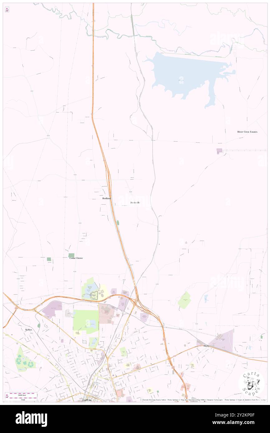 Davisville, Angelina County, US, United States, Texas, N 31 24' 10'', S 94 42' 37'', map, Cartascapes Map published in 2024. Explore Cartascapes, a map revealing Earth's diverse landscapes, cultures, and ecosystems. Journey through time and space, discovering the interconnectedness of our planet's past, present, and future. Stock Photohttps://www.alamy.com/image-license-details/?v=1https://www.alamy.com/davisville-angelina-county-us-united-states-texas-n-31-24-10-s-94-42-37-map-cartascapes-map-published-in-2024-explore-cartascapes-a-map-revealing-earths-diverse-landscapes-cultures-and-ecosystems-journey-through-time-and-space-discovering-the-interconnectedness-of-our-planets-past-present-and-future-image621236911.html
RM2Y2KP0F–Davisville, Angelina County, US, United States, Texas, N 31 24' 10'', S 94 42' 37'', map, Cartascapes Map published in 2024. Explore Cartascapes, a map revealing Earth's diverse landscapes, cultures, and ecosystems. Journey through time and space, discovering the interconnectedness of our planet's past, present, and future.
 Playground in school yard Stock Photohttps://www.alamy.com/image-license-details/?v=1https://www.alamy.com/stock-photo-playground-in-school-yard-19563238.html
RMB3R532–Playground in school yard
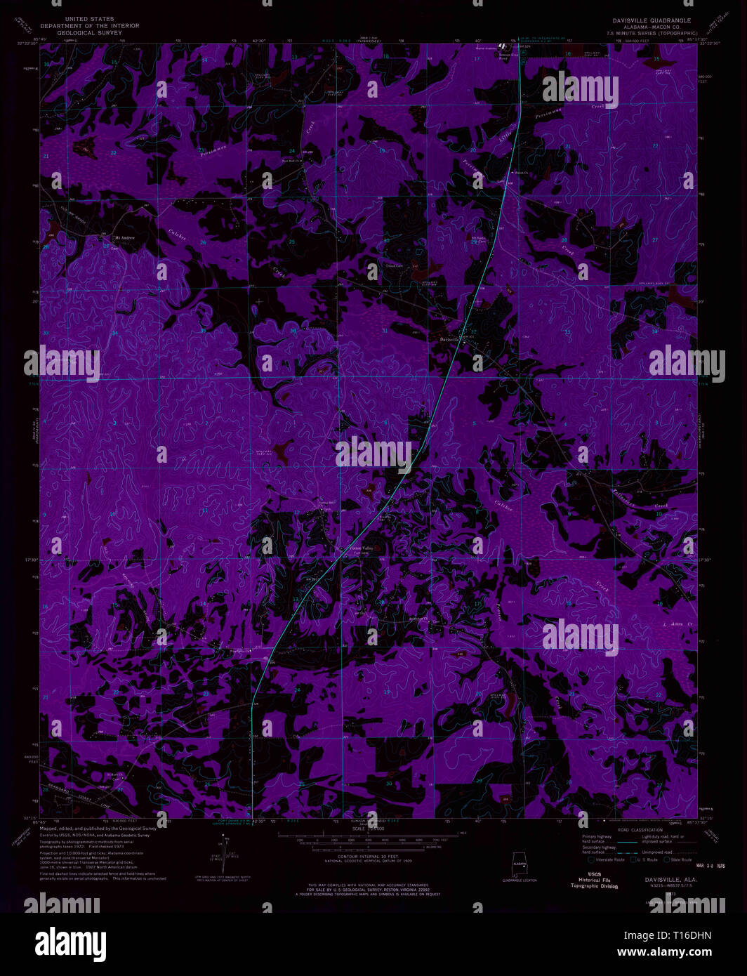 USGS TOPO Map Alabama AL Davisville 303655 1973 24000 Inverted Stock Photohttps://www.alamy.com/image-license-details/?v=1https://www.alamy.com/usgs-topo-map-alabama-al-davisville-303655-1973-24000-inverted-image241702209.html
RMT16DHN–USGS TOPO Map Alabama AL Davisville 303655 1973 24000 Inverted
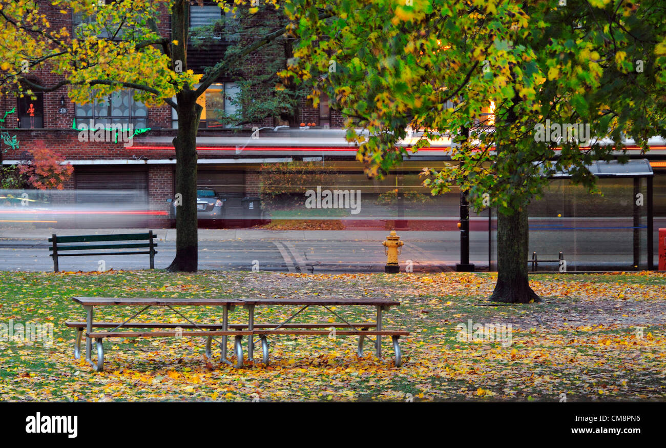 Bus and cars driving through residential street before Hurricane Sandy hits in the evening of October 29, 2012. Homes along the street are decorated for upcoming Halloween. Motion blurs of the trees, leaves and Halloween decorations were due to the high wind. Stock Photohttps://www.alamy.com/image-license-details/?v=1https://www.alamy.com/stock-photo-bus-and-cars-driving-through-residential-street-before-hurricane-sandy-46907314.html
RMCM8PN6–Bus and cars driving through residential street before Hurricane Sandy hits in the evening of October 29, 2012. Homes along the street are decorated for upcoming Halloween. Motion blurs of the trees, leaves and Halloween decorations were due to the high wind.
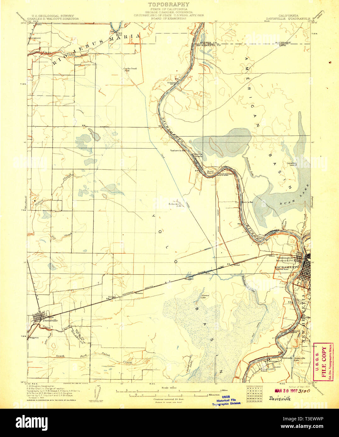 USGS TOPO Map California CA Davisville 297296 1907 62500 Restoration Stock Photohttps://www.alamy.com/image-license-details/?v=1https://www.alamy.com/usgs-topo-map-california-ca-davisville-297296-1907-62500-restoration-image243116770.html
RMT3EWWP–USGS TOPO Map California CA Davisville 297296 1907 62500 Restoration
 Toronto TTC Wheel-Trans Bus parked in front of an apartment building, waiting for disabled customer to board with wheel chair ac Stock Photohttps://www.alamy.com/image-license-details/?v=1https://www.alamy.com/stock-photo-toronto-ttc-wheel-trans-bus-parked-in-front-of-an-apartment-building-84810365.html
RMEWYCDH–Toronto TTC Wheel-Trans Bus parked in front of an apartment building, waiting for disabled customer to board with wheel chair ac
 Railroad tracks of Toronto subway system, passenger point of view, Canada Stock Photohttps://www.alamy.com/image-license-details/?v=1https://www.alamy.com/railroad-tracks-of-toronto-subway-system-passenger-point-of-view-canada-image610472302.html
RM2XD5BJ6–Railroad tracks of Toronto subway system, passenger point of view, Canada
 Davisville Subway Station (Toronto, CA) Stock Photohttps://www.alamy.com/image-license-details/?v=1https://www.alamy.com/davisville-subway-station-toronto-ca-image220498680.html
RMPPMG8T–Davisville Subway Station (Toronto, CA)
 Toronto, Canada. 8th February 2013. People and cars struggling on Yonge Street in rush hour during heavy snowfall on Friday, February 8, 2013. This is considered a Historic Winter Storm in Ontario, perhaps the biggest since 2008.. Credit: CharlineXia Ontario Canada Collection / Alamy Live News Stock Photohttps://www.alamy.com/image-license-details/?v=1https://www.alamy.com/stock-photo-toronto-canada-8th-february-2013-people-and-cars-struggling-on-yonge-53570134.html
RMD34972–Toronto, Canada. 8th February 2013. People and cars struggling on Yonge Street in rush hour during heavy snowfall on Friday, February 8, 2013. This is considered a Historic Winter Storm in Ontario, perhaps the biggest since 2008.. Credit: CharlineXia Ontario Canada Collection / Alamy Live News
 younge and Davisville ave drone views downtown Toronto condos and office buildings construction Stock Photohttps://www.alamy.com/image-license-details/?v=1https://www.alamy.com/younge-and-davisville-ave-drone-views-downtown-toronto-condos-and-office-buildings-construction-image459908772.html
RF2HM6J98–younge and Davisville ave drone views downtown Toronto condos and office buildings construction
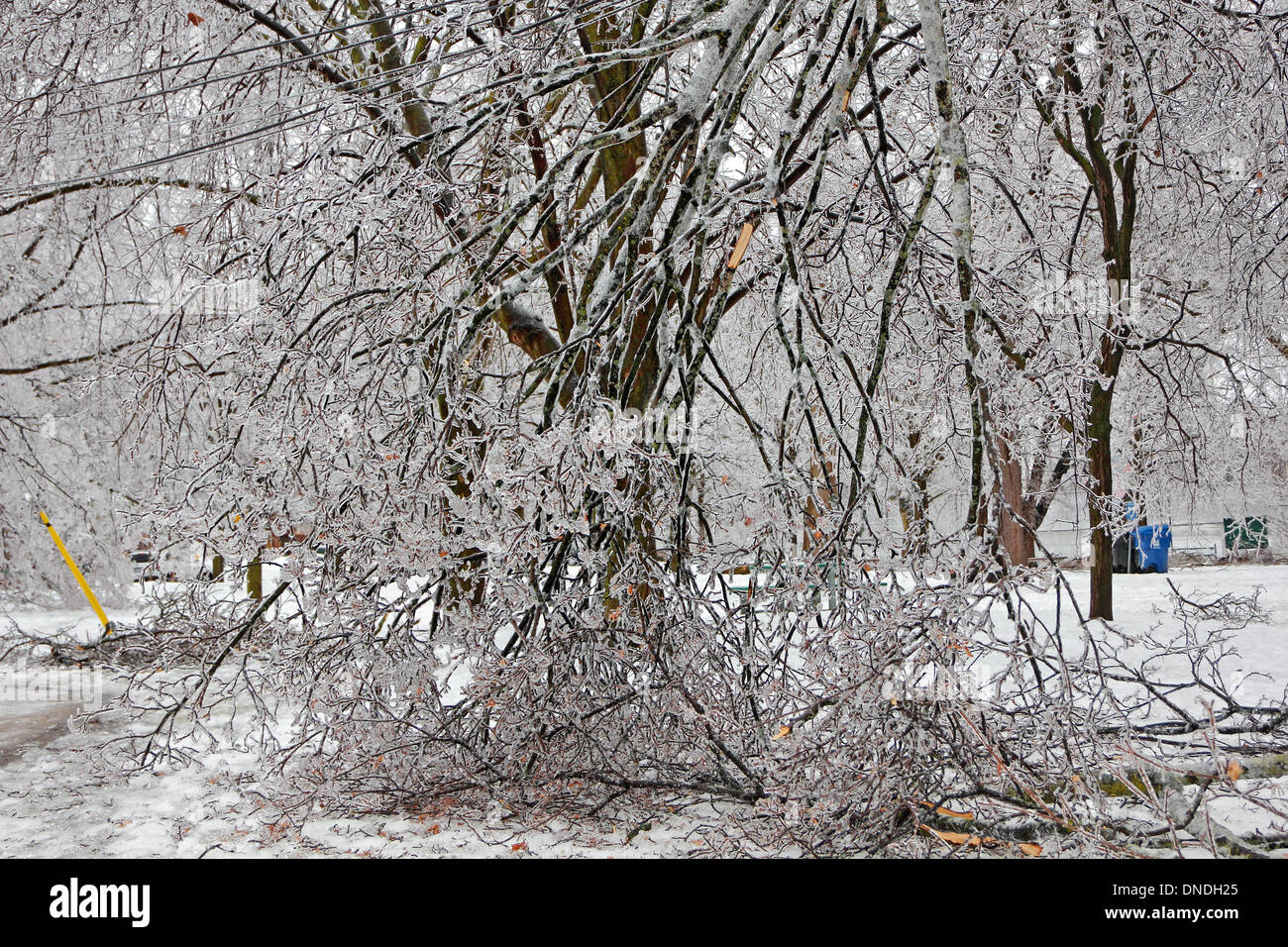 Toronto, Canada. 22nd Dec, 2013. Fallen tree branches and electrical wires tangled together as aftermath of ice storm and freezing rain. Credit: CharlineXia/Alamy Live News Stock Photohttps://www.alamy.com/image-license-details/?v=1https://www.alamy.com/toronto-canada-22nd-dec-2013-fallen-tree-branches-and-electrical-wires-image64837645.html
RMDNDH25–Toronto, Canada. 22nd Dec, 2013. Fallen tree branches and electrical wires tangled together as aftermath of ice storm and freezing rain. Credit: CharlineXia/Alamy Live News
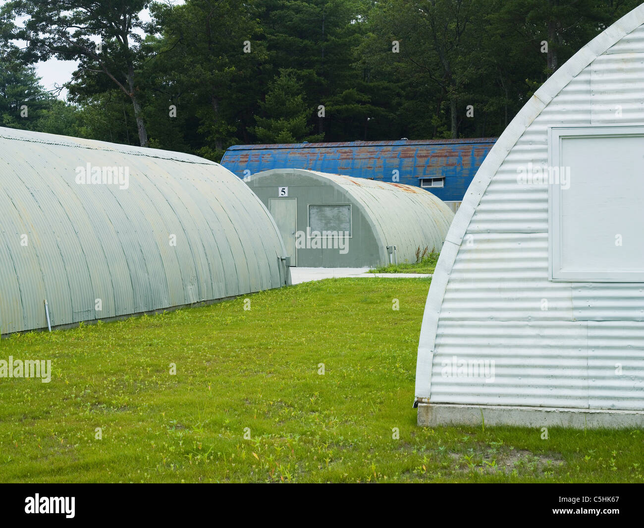 quonset hut in rhode island Stock Photohttps://www.alamy.com/image-license-details/?v=1https://www.alamy.com/stock-photo-quonset-hut-in-rhode-island-37882271.html
RMC5HK67–quonset hut in rhode island
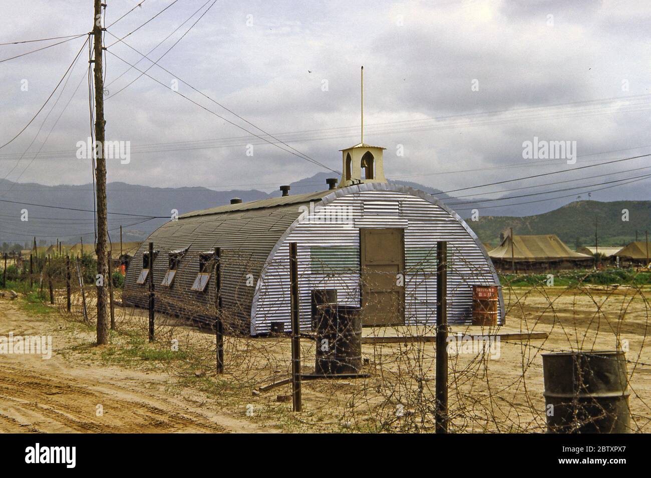 A meeting building/church made from a Quonset hut for the US Army's 40th Infantry, Division Replacement Company during the Korean War campaign, South Korea, 1953. A Quonset hut is a lightweight prefabricated structure of corrugated galvanized steel having a semi-circular cross-section. The design was developed in the United States, based on the Nissen hut first made by the British during World War I. Hundreds of thousands were produced during World War II. The name comes from the site of their first manufacture at Quonset Point, Davisville, Rhode Island. Stock Photohttps://www.alamy.com/image-license-details/?v=1https://www.alamy.com/a-meeting-buildingchurch-made-from-a-quonset-hut-for-the-us-armys-40th-infantry-division-replacement-company-during-the-korean-war-campaign-south-korea-1953-a-quonset-hut-is-a-lightweight-prefabricated-structure-of-corrugated-galvanized-steel-having-a-semi-circular-cross-section-the-design-was-developed-in-the-united-states-based-on-the-nissen-hut-first-made-by-the-british-during-world-war-i-hundreds-of-thousands-were-produced-during-world-war-ii-the-name-comes-from-the-site-of-their-first-manufacture-at-quonset-point-davisville-rhode-island-image359547839.html
RM2BTXPX7–A meeting building/church made from a Quonset hut for the US Army's 40th Infantry, Division Replacement Company during the Korean War campaign, South Korea, 1953. A Quonset hut is a lightweight prefabricated structure of corrugated galvanized steel having a semi-circular cross-section. The design was developed in the United States, based on the Nissen hut first made by the British during World War I. Hundreds of thousands were produced during World War II. The name comes from the site of their first manufacture at Quonset Point, Davisville, Rhode Island.
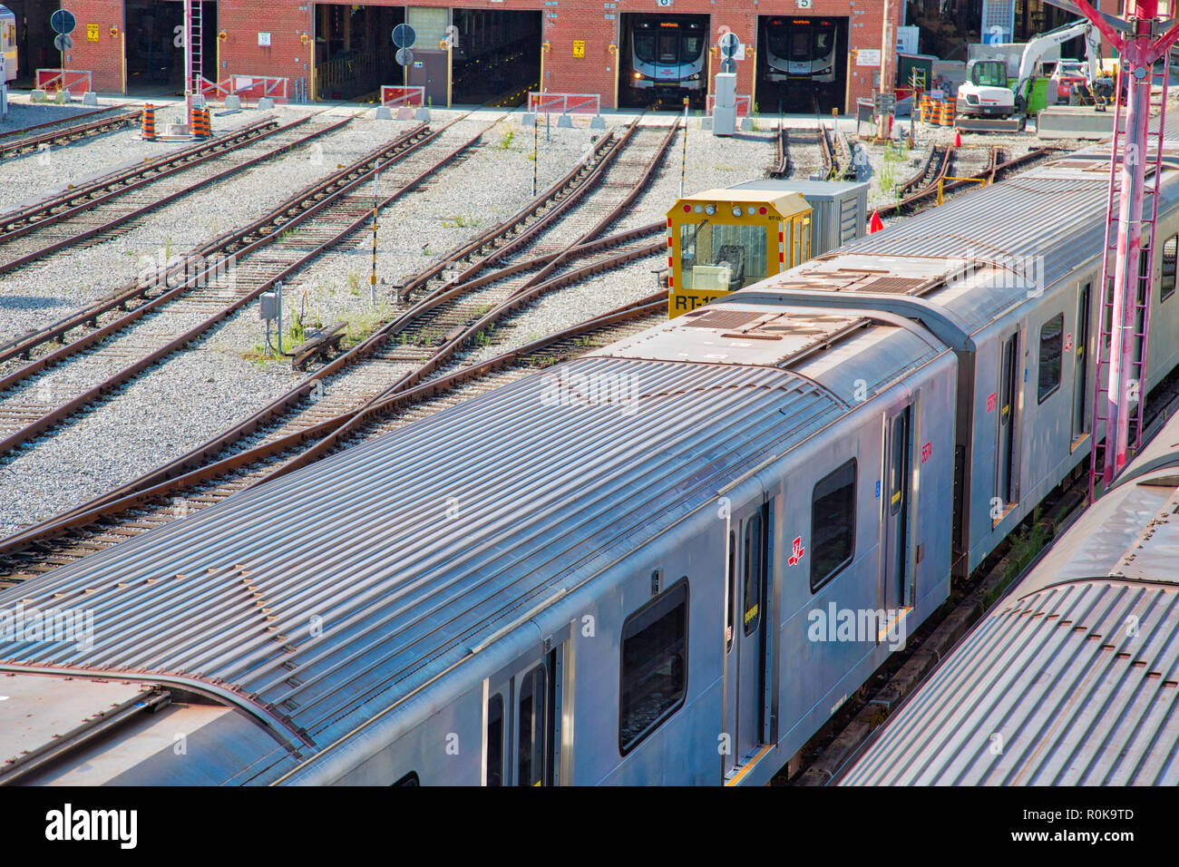 Toronto, Canada-20 August, 2018: Toronto Subway TTC Depot servicing a fleet of subway trains Stock Photohttps://www.alamy.com/image-license-details/?v=1https://www.alamy.com/toronto-canada-20-august-2018-toronto-subway-ttc-depot-servicing-a-fleet-of-subway-trains-image224159613.html
RFR0K9TD–Toronto, Canada-20 August, 2018: Toronto Subway TTC Depot servicing a fleet of subway trains
 Yonge at Davisville 1911 Stock Photohttps://www.alamy.com/image-license-details/?v=1https://www.alamy.com/stock-image-yonge-at-davisville-1911-166242144.html
RMKJCYFC–Yonge at Davisville 1911
 Oblique view of northwest corner, T-17 - Advance Base Depot Davisville, Building T-17, Ninth Street southeast of Davisville Road, Davisville, Washington County, RI Stock Photohttps://www.alamy.com/image-license-details/?v=1https://www.alamy.com/oblique-view-of-northwest-corner-t-17-advance-base-depot-davisville-building-t-17-ninth-street-southeast-of-davisville-road-davisville-washington-county-ri-image249374211.html
RMTDKY9R–Oblique view of northwest corner, T-17 - Advance Base Depot Davisville, Building T-17, Ninth Street southeast of Davisville Road, Davisville, Washington County, RI
 Hut Area, Advance Base Depot, Davisville, Rhode Island. Administrative History of the First Naval District in World War II Stock Photohttps://www.alamy.com/image-license-details/?v=1https://www.alamy.com/hut-area-advance-base-depot-davisville-rhode-island-administrative-history-of-the-first-naval-district-in-world-war-ii-image556952370.html
RM2RA3AC2–Hut Area, Advance Base Depot, Davisville, Rhode Island. Administrative History of the First Naval District in World War II
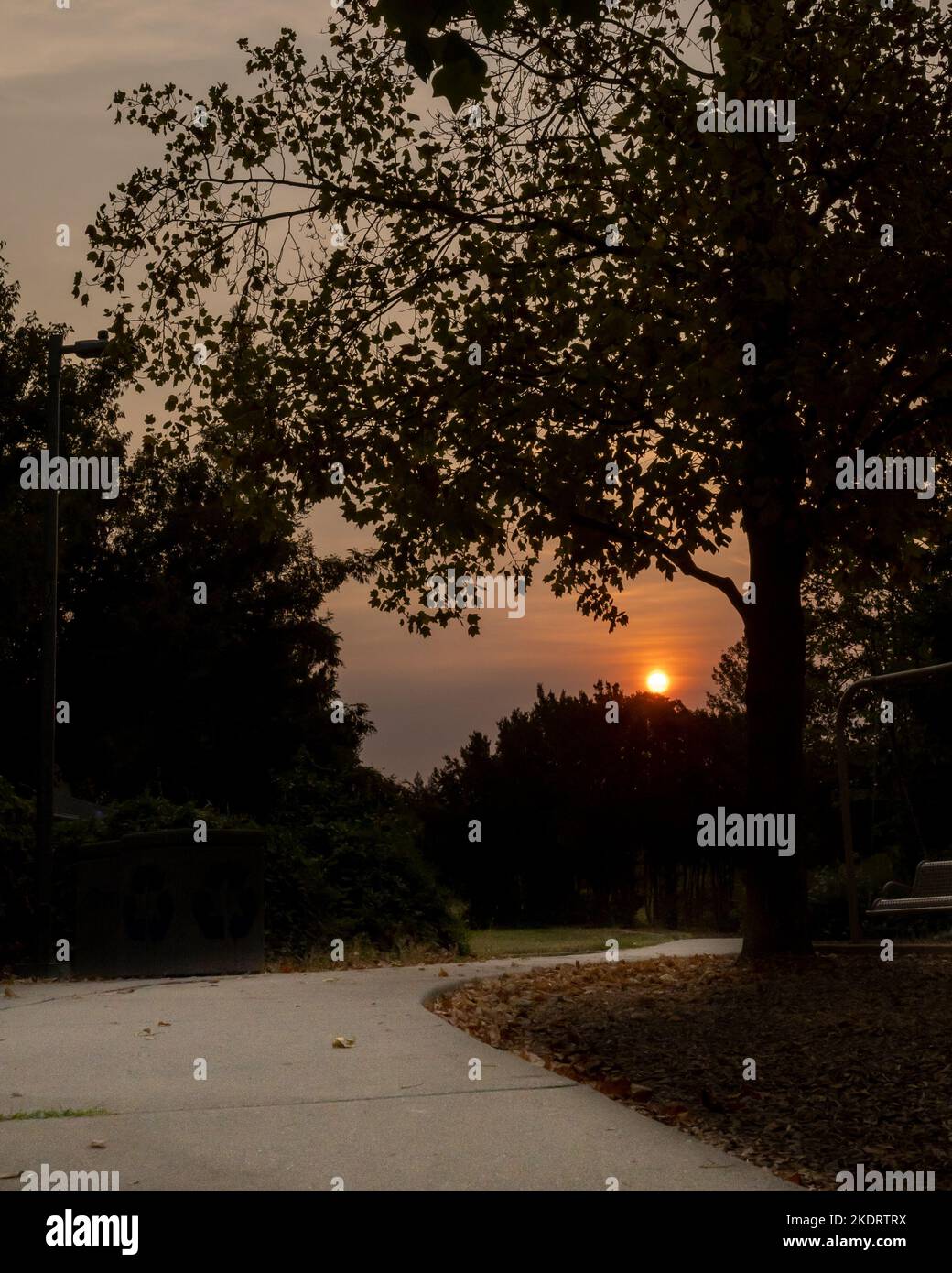 Sunset viewed from the bike path at the Arroyo Park in Davis, California, USA Stock Photohttps://www.alamy.com/image-license-details/?v=1https://www.alamy.com/sunset-viewed-from-the-bike-path-at-the-arroyo-park-in-davis-california-usa-image490405214.html
RF2KDRTRX–Sunset viewed from the bike path at the Arroyo Park in Davis, California, USA
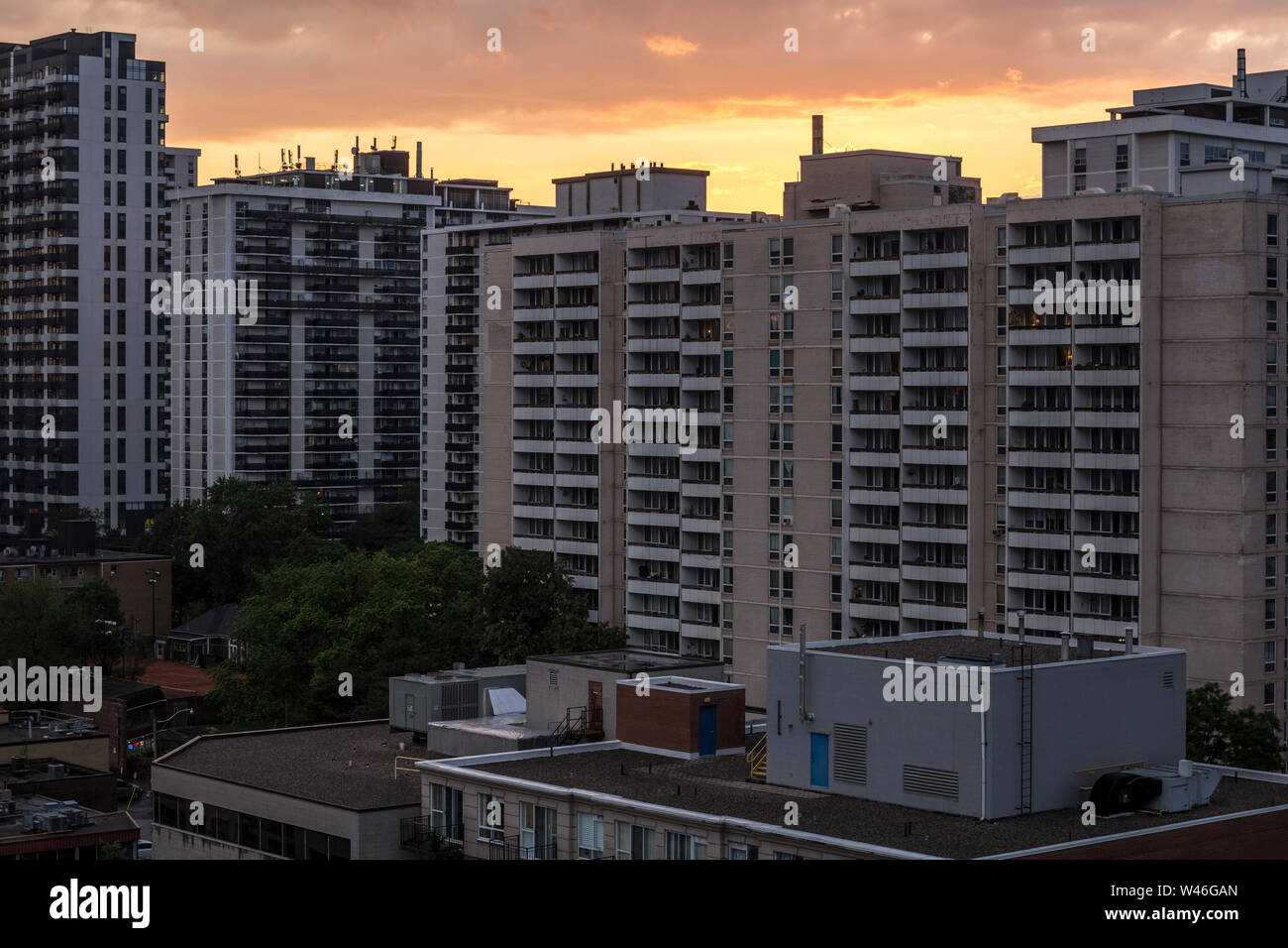 The sun sets behind Davisville apartment buildings in Toronto, Ontario, Canada Stock Photohttps://www.alamy.com/image-license-details/?v=1https://www.alamy.com/the-sun-sets-behind-davisville-apartment-buildings-in-toronto-ontario-canada-image260758701.html
RMW46GAN–The sun sets behind Davisville apartment buildings in Toronto, Ontario, Canada
 Davisville, Jackson County, US, United States, Ohio, N 39 5' 52'', S 82 36' 43'', map, Cartascapes Map published in 2024. Explore Cartascapes, a map revealing Earth's diverse landscapes, cultures, and ecosystems. Journey through time and space, discovering the interconnectedness of our planet's past, present, and future. Stock Photohttps://www.alamy.com/image-license-details/?v=1https://www.alamy.com/davisville-jackson-county-us-united-states-ohio-n-39-5-52-s-82-36-43-map-cartascapes-map-published-in-2024-explore-cartascapes-a-map-revealing-earths-diverse-landscapes-cultures-and-ecosystems-journey-through-time-and-space-discovering-the-interconnectedness-of-our-planets-past-present-and-future-image621413821.html
RM2Y2YRJN–Davisville, Jackson County, US, United States, Ohio, N 39 5' 52'', S 82 36' 43'', map, Cartascapes Map published in 2024. Explore Cartascapes, a map revealing Earth's diverse landscapes, cultures, and ecosystems. Journey through time and space, discovering the interconnectedness of our planet's past, present, and future.
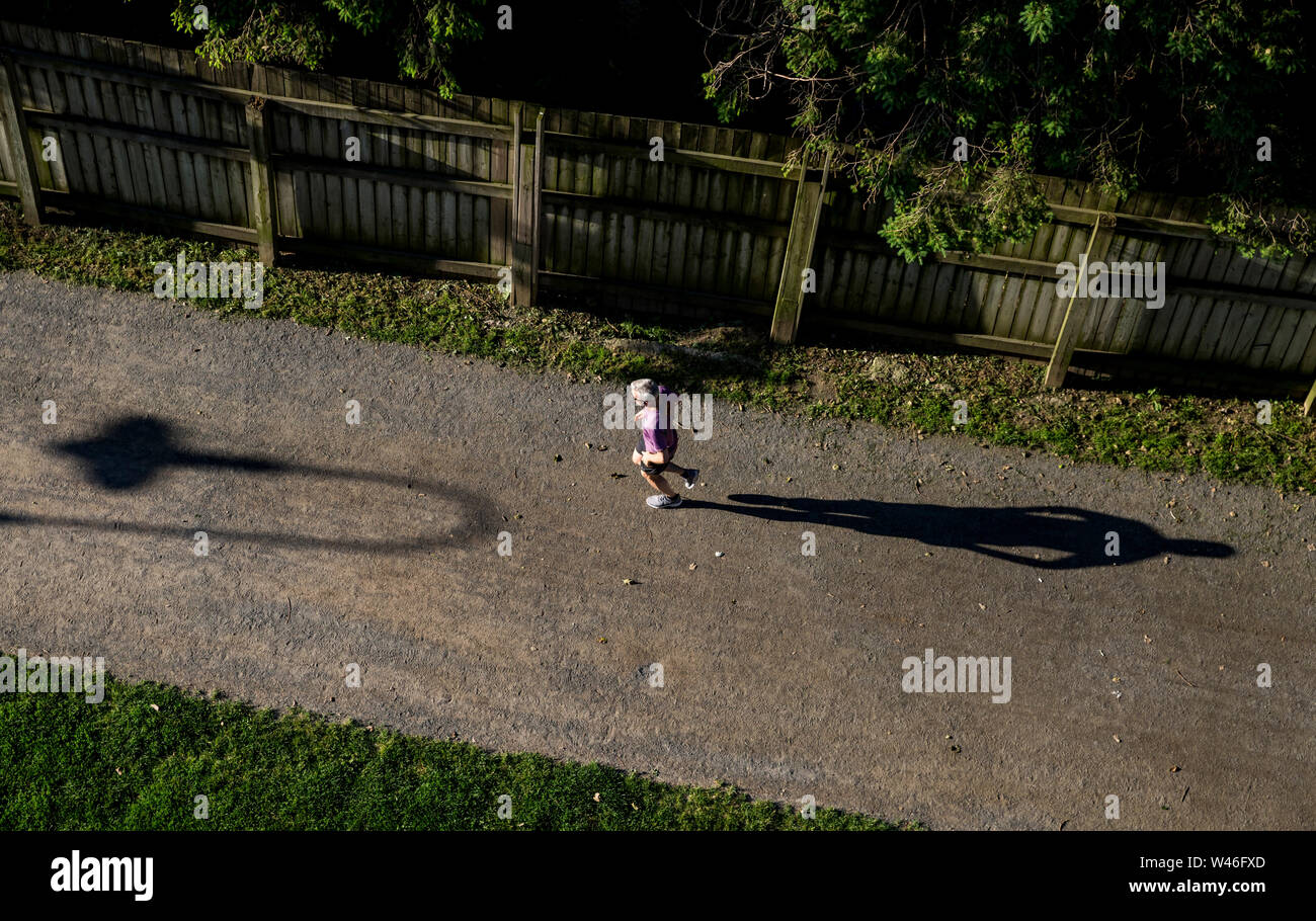 A jogger on the Beltline in Davisville, Toronto, Ontario, Canada Stock Photohttps://www.alamy.com/image-license-details/?v=1https://www.alamy.com/a-jogger-on-the-beltline-in-davisville-toronto-ontario-canada-image260758357.html
RMW46FXD–A jogger on the Beltline in Davisville, Toronto, Ontario, Canada
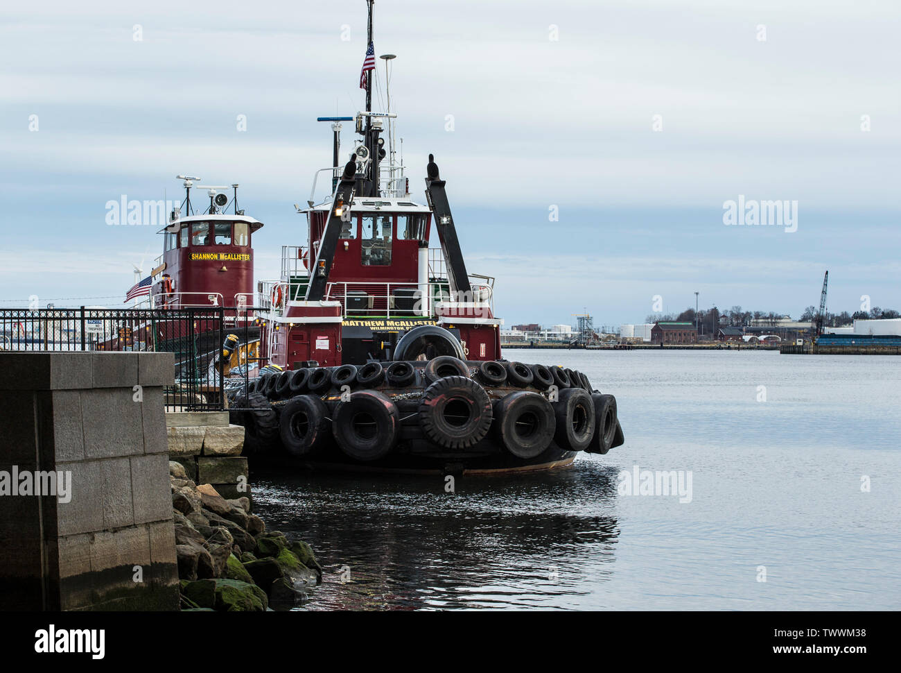 Tugs, India Point, Providence, River, Providence, RI. McAllister Towing has a fleet in excess of 75. Marine transportation service, east coast. Stock Photohttps://www.alamy.com/image-license-details/?v=1https://www.alamy.com/tugs-india-point-providence-river-providence-ri-mcallister-towing-has-a-fleet-in-excess-of-75-marine-transportation-service-east-coast-image256876124.html
RFTWWM38–Tugs, India Point, Providence, River, Providence, RI. McAllister Towing has a fleet in excess of 75. Marine transportation service, east coast.
 . History of Battery B, One Hundred Third Field Artillery, Twenty-sixth Division, with pictorical supplement; . ced him into a car. Thatfinished the loading and for a bunch of rookies we had made prettygood time. We travelled in the ordinary day coaches, twenty-five to a coach,something that we often thought of later on when we were crowded in aHommes 40. At two oclock we left Davisville for the mobilizationpoint of the Fifty-first Field Artillery Brigade. BATTERY PRESENT SIR : Much routine of the A. E. F. came down from G. H. Q. But part of the routine handed down, those oflicers never knew. Stock Photohttps://www.alamy.com/image-license-details/?v=1https://www.alamy.com/history-of-battery-b-one-hundred-third-field-artillery-twenty-sixth-division-with-pictorical-supplement-ced-him-into-a-car-thatfinished-the-loading-and-for-a-bunch-of-rookies-we-had-made-prettygood-time-we-travelled-in-the-ordinary-day-coaches-twenty-five-to-a-coachsomething-that-we-often-thought-of-later-on-when-we-were-crowded-in-ahommes-40-at-two-oclock-we-left-davisville-for-the-mobilizationpoint-of-the-fifty-first-field-artillery-brigade-battery-present-sir-much-routine-of-the-a-e-f-came-down-from-g-h-q-but-part-of-the-routine-handed-down-those-oflicers-never-knew-image371741279.html
RM2CGP7P7–. History of Battery B, One Hundred Third Field Artillery, Twenty-sixth Division, with pictorical supplement; . ced him into a car. Thatfinished the loading and for a bunch of rookies we had made prettygood time. We travelled in the ordinary day coaches, twenty-five to a coach,something that we often thought of later on when we were crowded in aHommes 40. At two oclock we left Davisville for the mobilizationpoint of the Fifty-first Field Artillery Brigade. BATTERY PRESENT SIR : Much routine of the A. E. F. came down from G. H. Q. But part of the routine handed down, those oflicers never knew.
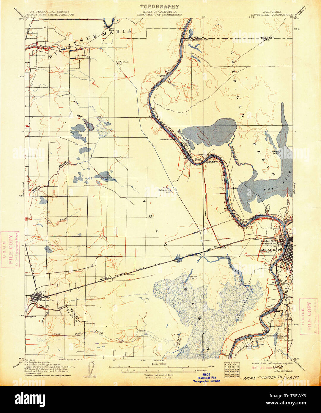 USGS TOPO Map California CA Davisville 297297 1907 62500 Restoration Stock Photohttps://www.alamy.com/image-license-details/?v=1https://www.alamy.com/usgs-topo-map-california-ca-davisville-297297-1907-62500-restoration-image243116779.html
RMT3EWX3–USGS TOPO Map California CA Davisville 297297 1907 62500 Restoration
 40 foot tower built to honor Hannah Robinson, daughter of a wealth Narragansett society man, Rowland Robinson. He disapproved of her marriage to teach Stock Photohttps://www.alamy.com/image-license-details/?v=1https://www.alamy.com/40-foot-tower-built-to-honor-hannah-robinson-daughter-of-a-wealth-narragansett-society-man-rowland-robinson-he-disapproved-of-her-marriage-to-teach-image240160729.html
RFRXM7CW–40 foot tower built to honor Hannah Robinson, daughter of a wealth Narragansett society man, Rowland Robinson. He disapproved of her marriage to teach
 Railroad tracks of Toronto subway system, passenger point of view, Canada Stock Photohttps://www.alamy.com/image-license-details/?v=1https://www.alamy.com/railroad-tracks-of-toronto-subway-system-passenger-point-of-view-canada-image610472297.html
RM2XD5BJ1–Railroad tracks of Toronto subway system, passenger point of view, Canada
 Davisville Subway Station (Toronto, CA). Stock Photohttps://www.alamy.com/image-license-details/?v=1https://www.alamy.com/davisville-subway-station-toronto-ca-image220498812.html
RMPPMGDG–Davisville Subway Station (Toronto, CA).
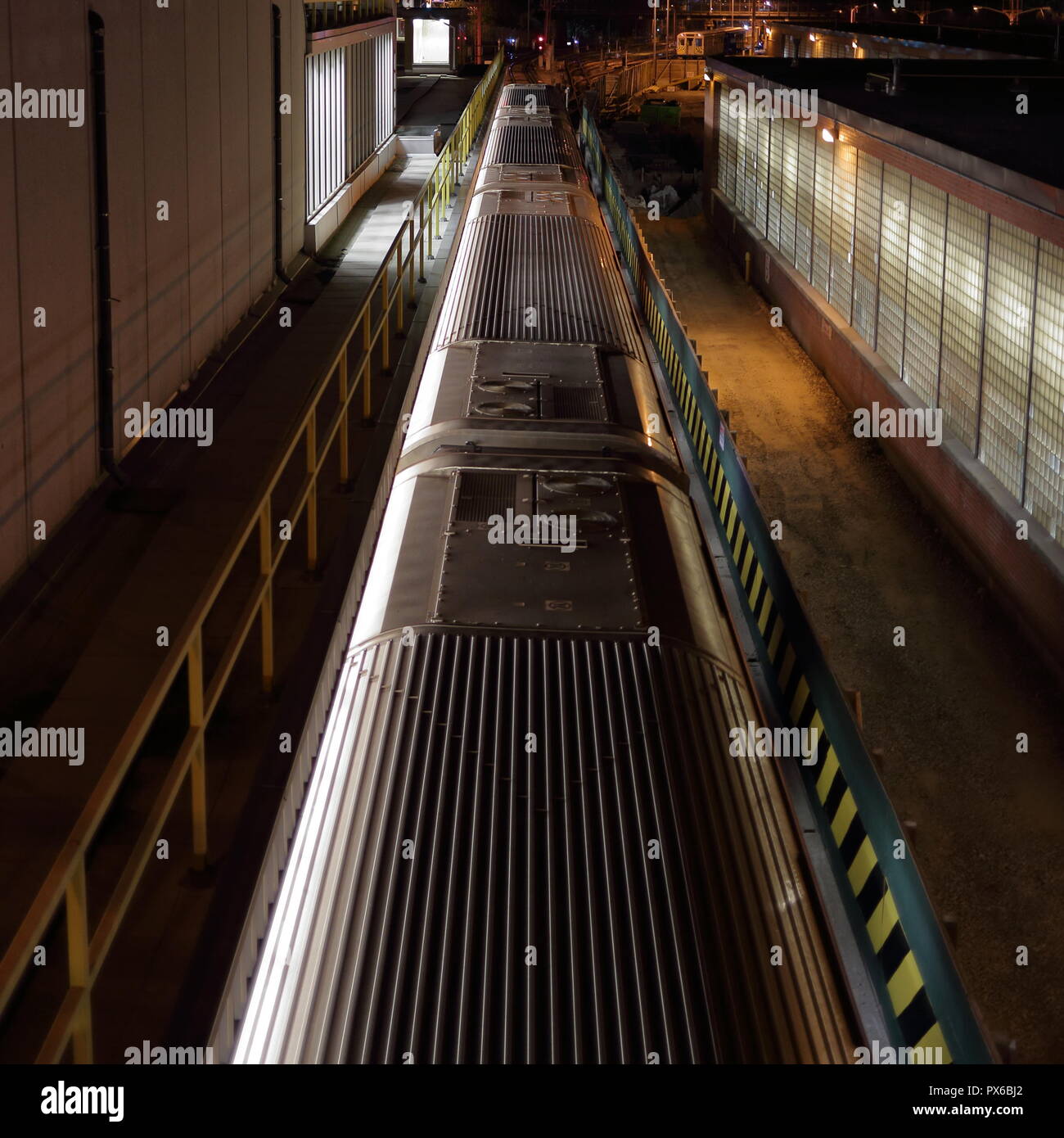 Train pulling into Davisville station at night. Toronto, Ontario, Canada. Stock Photohttps://www.alamy.com/image-license-details/?v=1https://www.alamy.com/train-pulling-into-davisville-station-at-night-toronto-ontario-canada-image222646314.html
RMPX6BJ2–Train pulling into Davisville station at night. Toronto, Ontario, Canada.
 younge and Davisville ave drone views downtown Toronto condos and office buildings construction Stock Photohttps://www.alamy.com/image-license-details/?v=1https://www.alamy.com/younge-and-davisville-ave-drone-views-downtown-toronto-condos-and-office-buildings-construction-image459908789.html
RF2HM6J9W–younge and Davisville ave drone views downtown Toronto condos and office buildings construction
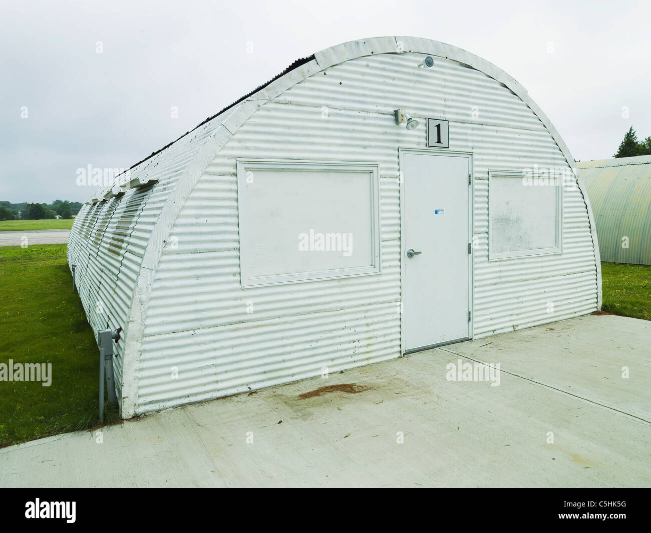 quonset hut in Rhode Island Stock Photohttps://www.alamy.com/image-license-details/?v=1https://www.alamy.com/stock-photo-quonset-hut-in-rhode-island-37882252.html
RMC5HK5G–quonset hut in Rhode Island
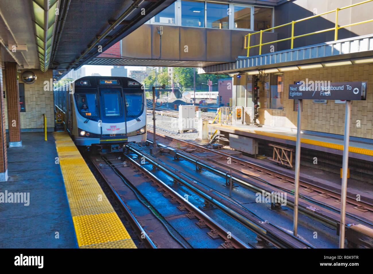 Toronto, Canada-20 August, 2018: Toronto Subway TTC Depot servicing a fleet of subway trains Stock Photohttps://www.alamy.com/image-license-details/?v=1https://www.alamy.com/toronto-canada-20-august-2018-toronto-subway-ttc-depot-servicing-a-fleet-of-subway-trains-image224159623.html
RFR0K9TR–Toronto, Canada-20 August, 2018: Toronto Subway TTC Depot servicing a fleet of subway trains
 Davisville TTC station opening 11847 12 Stock Photohttps://www.alamy.com/image-license-details/?v=1https://www.alamy.com/stock-image-davisville-ttc-station-opening-11847-12-166237325.html
RMKJCNB9–Davisville TTC station opening 11847 12
 Oblique view of northeast corner, T-17 - Advance Base Depot Davisville, Building T-17, Ninth Street southeast of Davisville Road, Davisville, Washington County, RI Stock Photohttps://www.alamy.com/image-license-details/?v=1https://www.alamy.com/oblique-view-of-northeast-corner-t-17-advance-base-depot-davisville-building-t-17-ninth-street-southeast-of-davisville-road-davisville-washington-county-ri-image249374195.html
RMTDKY97–Oblique view of northeast corner, T-17 - Advance Base Depot Davisville, Building T-17, Ninth Street southeast of Davisville Road, Davisville, Washington County, RI
 Arrival of The 70th Battalion, Camp Endicott, Naval Construction Training Center (NCTC), Davisville, Rhode Island. Administrative History of the First Naval District in World War II Stock Photohttps://www.alamy.com/image-license-details/?v=1https://www.alamy.com/arrival-of-the-70th-battalion-camp-endicott-naval-construction-training-center-nctc-davisville-rhode-island-administrative-history-of-the-first-naval-district-in-world-war-ii-image556951166.html
RM2RA38W2–Arrival of The 70th Battalion, Camp Endicott, Naval Construction Training Center (NCTC), Davisville, Rhode Island. Administrative History of the First Naval District in World War II
 Sunset at the Arroyo Park, in Davis wtih sky copy-space and light orange colors, sun setting behind the trees Stock Photohttps://www.alamy.com/image-license-details/?v=1https://www.alamy.com/sunset-at-the-arroyo-park-in-davis-wtih-sky-copy-space-and-light-orange-colors-sun-setting-behind-the-trees-image504430588.html
RF2M8JPA4–Sunset at the Arroyo Park, in Davis wtih sky copy-space and light orange colors, sun setting behind the trees
 Davisville, Macon County, US, United States, Alabama, N 32 19' 39'', S 85 40' 10'', map, Cartascapes Map published in 2024. Explore Cartascapes, a map revealing Earth's diverse landscapes, cultures, and ecosystems. Journey through time and space, discovering the interconnectedness of our planet's past, present, and future. Stock Photohttps://www.alamy.com/image-license-details/?v=1https://www.alamy.com/davisville-macon-county-us-united-states-alabama-n-32-19-39-s-85-40-10-map-cartascapes-map-published-in-2024-explore-cartascapes-a-map-revealing-earths-diverse-landscapes-cultures-and-ecosystems-journey-through-time-and-space-discovering-the-interconnectedness-of-our-planets-past-present-and-future-image621271514.html
RM2Y2NA4A–Davisville, Macon County, US, United States, Alabama, N 32 19' 39'', S 85 40' 10'', map, Cartascapes Map published in 2024. Explore Cartascapes, a map revealing Earth's diverse landscapes, cultures, and ecosystems. Journey through time and space, discovering the interconnectedness of our planet's past, present, and future.
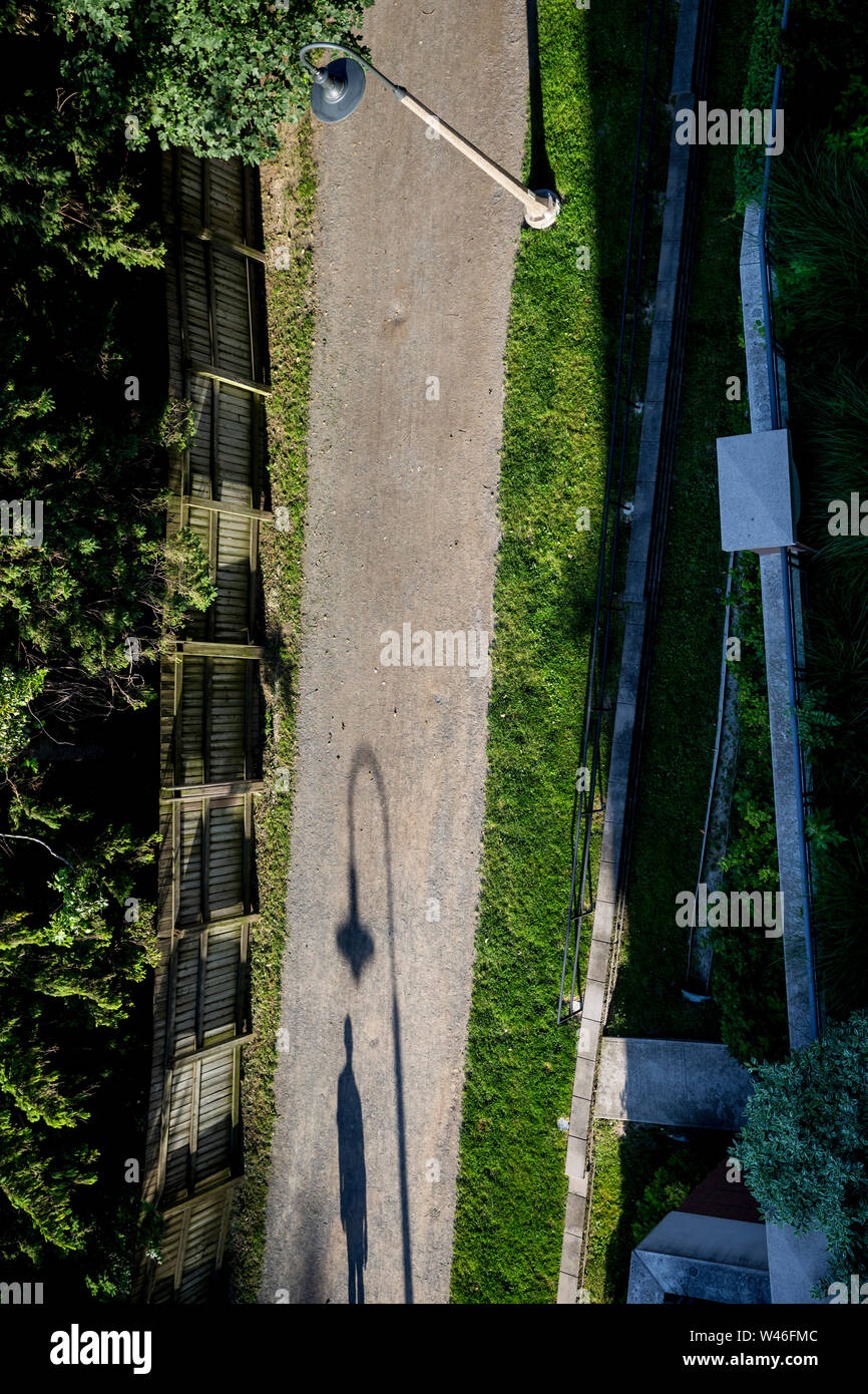 Shadow of a walker on the Beltline in Davisville, Toronto, Ontario, Canada Stock Photohttps://www.alamy.com/image-license-details/?v=1https://www.alamy.com/shadow-of-a-walker-on-the-beltline-in-davisville-toronto-ontario-canada-image260758188.html
RMW46FMC–Shadow of a walker on the Beltline in Davisville, Toronto, Ontario, Canada
 . Breeder and sportsman . gentle-men and some royal eport with the rod is anticipated hytbe paity. Sacramento anglers are not entirely devoted lo trout fishing, last Sundry a partv composed of Mr. and Mrs. C K.Lipman, Mr. and Mrs. J C Brusie, Ira A. Robie, GeorgeNeaie nnd a few others went by train to Davisville for a fewhours Oy-castins for pike in Putah creek. They frund tbewater (oo high for Ibe best results, but caught about twentypike cf nice size. Tbe fly-casters, such of ^them as are not whipping a favor-ite stream for trout to-day and to-morrow, will meet at .^towLake ft trials at cast Stock Photohttps://www.alamy.com/image-license-details/?v=1https://www.alamy.com/breeder-and-sportsman-gentle-men-and-some-royal-eport-with-the-rod-is-anticipated-hytbe-paity-sacramento-anglers-are-not-entirely-devoted-lo-trout-fishing-last-sundry-a-partv-composed-of-mr-and-mrs-c-klipman-mr-and-mrs-j-c-brusie-ira-a-robie-georgeneaie-nnd-a-few-others-went-by-train-to-davisville-for-a-fewhours-oy-castins-for-pike-in-putah-creek-they-frund-tbewater-oo-high-for-ibe-best-results-but-caught-about-twentypike-cf-nice-size-tbe-fly-casters-such-of-them-as-are-not-whipping-a-favor-ite-stream-for-trout-to-day-and-to-morrow-will-meet-at-towlake-ft-trials-at-cast-image369729105.html
RM2CDEH6W–. Breeder and sportsman . gentle-men and some royal eport with the rod is anticipated hytbe paity. Sacramento anglers are not entirely devoted lo trout fishing, last Sundry a partv composed of Mr. and Mrs. C K.Lipman, Mr. and Mrs. J C Brusie, Ira A. Robie, GeorgeNeaie nnd a few others went by train to Davisville for a fewhours Oy-castins for pike in Putah creek. They frund tbewater (oo high for Ibe best results, but caught about twentypike cf nice size. Tbe fly-casters, such of ^them as are not whipping a favor-ite stream for trout to-day and to-morrow, will meet at .^towLake ft trials at cast
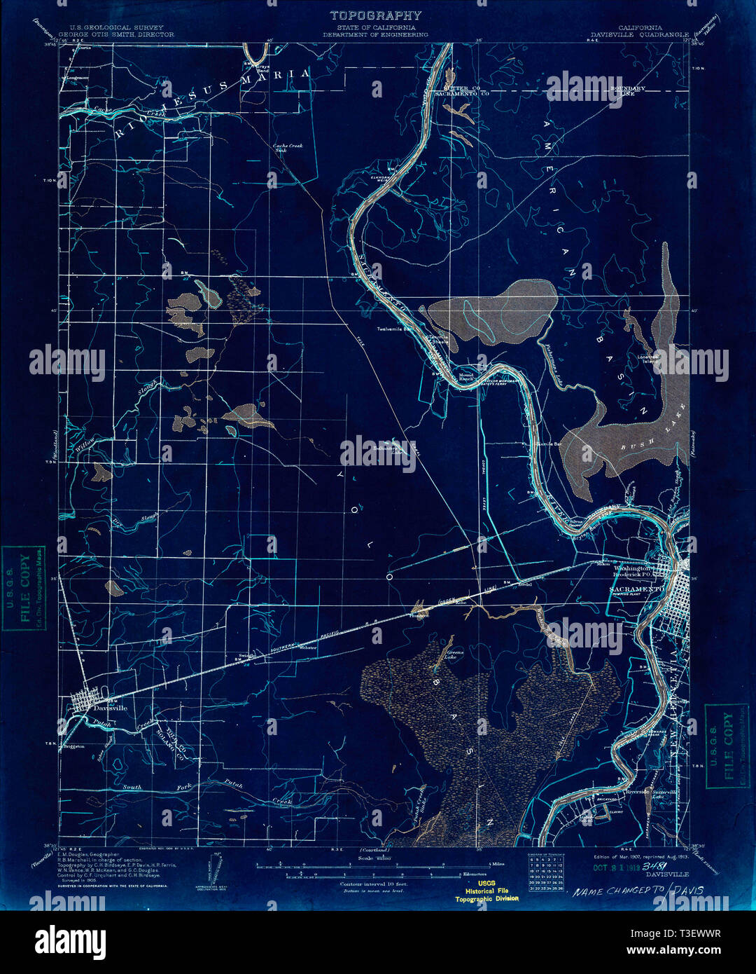 USGS TOPO Map California CA Davisville 297297 1907 62500 Inverted Restoration Stock Photohttps://www.alamy.com/image-license-details/?v=1https://www.alamy.com/usgs-topo-map-california-ca-davisville-297297-1907-62500-inverted-restoration-image243116771.html
RMT3EWWR–USGS TOPO Map California CA Davisville 297297 1907 62500 Inverted Restoration
 Train pulling into Davisville station at night. Toronto, Ontario, Canada. Stock Photohttps://www.alamy.com/image-license-details/?v=1https://www.alamy.com/train-pulling-into-davisville-station-at-night-toronto-ontario-canada-image222646336.html
RMPX6BJT–Train pulling into Davisville station at night. Toronto, Ontario, Canada.
 younge and Davisville ave drone views downtown Toronto condos and office buildings construction Stock Photohttps://www.alamy.com/image-license-details/?v=1https://www.alamy.com/younge-and-davisville-ave-drone-views-downtown-toronto-condos-and-office-buildings-construction-image459908799.html
RF2HM6JA7–younge and Davisville ave drone views downtown Toronto condos and office buildings construction
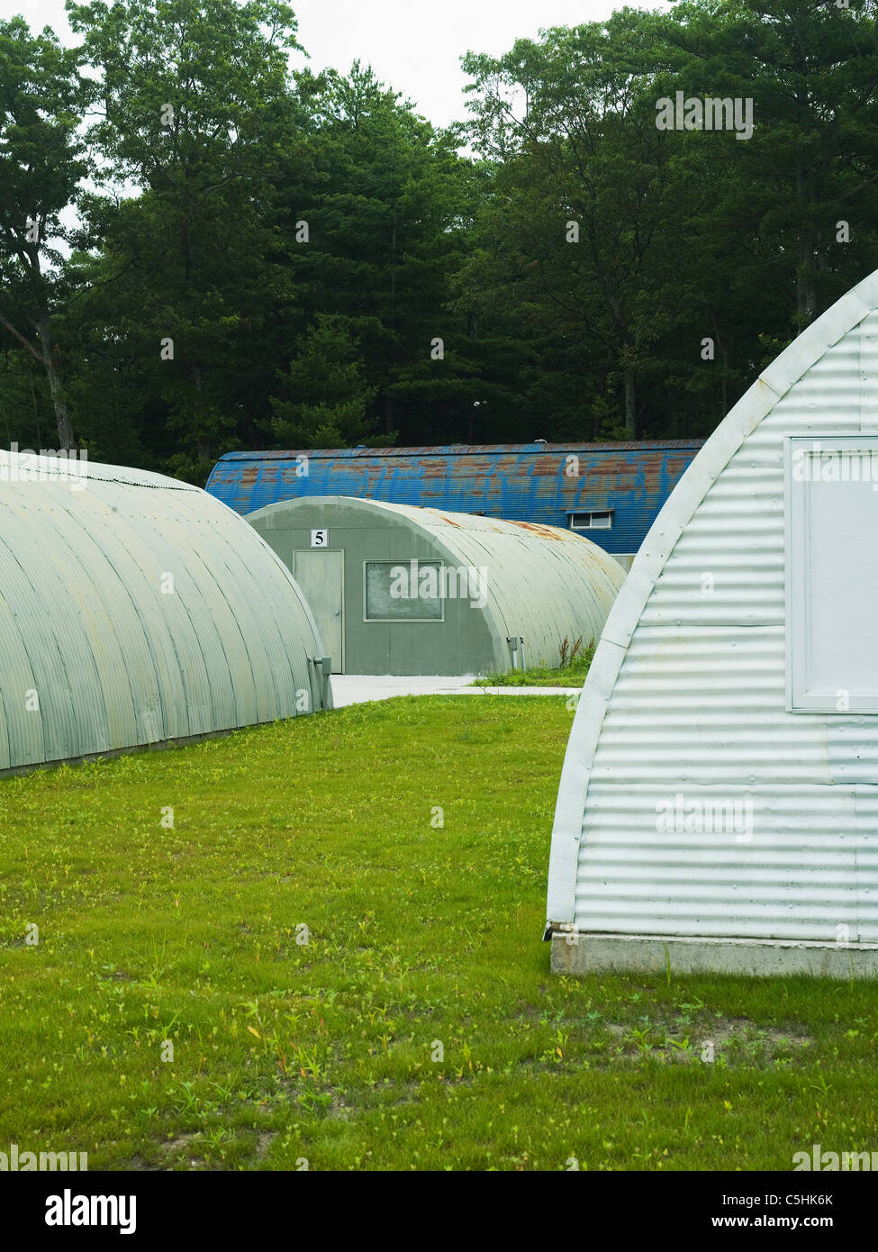 Quoset hut in rhode island. Stock Photohttps://www.alamy.com/image-license-details/?v=1https://www.alamy.com/stock-photo-quoset-hut-in-rhode-island-37882283.html
RMC5HK6K–Quoset hut in rhode island.
 Toronto Subway TTC Depot servicing a fleet of subway trains Stock Photohttps://www.alamy.com/image-license-details/?v=1https://www.alamy.com/toronto-subway-ttc-depot-servicing-a-fleet-of-subway-trains-image224159599.html
RFR0K9RY–Toronto Subway TTC Depot servicing a fleet of subway trains
 Davisville TTC station looking south 11459 1 Stock Photohttps://www.alamy.com/image-license-details/?v=1https://www.alamy.com/stock-image-davisville-ttc-station-looking-south-11459-1-166237246.html
RMKJCN8E–Davisville TTC station looking south 11459 1
 Photographic copy of the Naval Engineering drawing (original is located at Naval Construction Battalion Center, Davisville, RI) Details of typical alterations, dated Nov. 1961 - Advance Base Depot Davisville, Building T-17, Ninth Street southeast of Davisville Road, Davisville, Washington County, RI Stock Photohttps://www.alamy.com/image-license-details/?v=1https://www.alamy.com/photographic-copy-of-the-naval-engineering-drawing-original-is-located-at-naval-construction-battalion-center-davisville-ri-details-of-typical-alterations-dated-nov-1961-advance-base-depot-davisville-building-t-17-ninth-street-southeast-of-davisville-road-davisville-washington-county-ri-image249437337.html
RMTDPRT9–Photographic copy of the Naval Engineering drawing (original is located at Naval Construction Battalion Center, Davisville, RI) Details of typical alterations, dated Nov. 1961 - Advance Base Depot Davisville, Building T-17, Ninth Street southeast of Davisville Road, Davisville, Washington County, RI
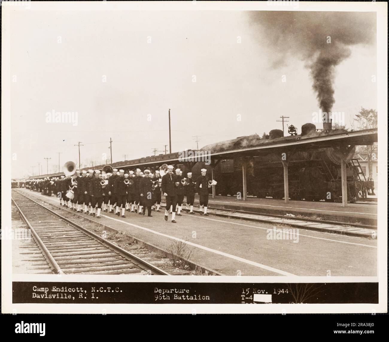 Departure of 96th Battalion from Camp Endicott, Naval Construction Training Center (NCTC), Davisville, Rhode Island. Administrative History of the First Naval District in World War II Stock Photohttps://www.alamy.com/image-license-details/?v=1https://www.alamy.com/departure-of-96th-battalion-from-camp-endicott-naval-construction-training-center-nctc-davisville-rhode-island-administrative-history-of-the-first-naval-district-in-world-war-ii-image556950968.html
RM2RA38J0–Departure of 96th Battalion from Camp Endicott, Naval Construction Training Center (NCTC), Davisville, Rhode Island. Administrative History of the First Naval District in World War II
 Sunset at the Arroyo Park, in Davis wtih sky copy-space and light orange colors, sun setting against the trees Stock Photohttps://www.alamy.com/image-license-details/?v=1https://www.alamy.com/sunset-at-the-arroyo-park-in-davis-wtih-sky-copy-space-and-light-orange-colors-sun-setting-against-the-trees-image504430581.html
RF2M8JP9W–Sunset at the Arroyo Park, in Davis wtih sky copy-space and light orange colors, sun setting against the trees
 Old Davisville, Calhoun County, US, United States, Alabama, N 33 38' 55'', S 85 39' 20'', map, Cartascapes Map published in 2024. Explore Cartascapes, a map revealing Earth's diverse landscapes, cultures, and ecosystems. Journey through time and space, discovering the interconnectedness of our planet's past, present, and future. Stock Photohttps://www.alamy.com/image-license-details/?v=1https://www.alamy.com/old-davisville-calhoun-county-us-united-states-alabama-n-33-38-55-s-85-39-20-map-cartascapes-map-published-in-2024-explore-cartascapes-a-map-revealing-earths-diverse-landscapes-cultures-and-ecosystems-journey-through-time-and-space-discovering-the-interconnectedness-of-our-planets-past-present-and-future-image621221110.html
RM2Y2K1T6–Old Davisville, Calhoun County, US, United States, Alabama, N 33 38' 55'', S 85 39' 20'', map, Cartascapes Map published in 2024. Explore Cartascapes, a map revealing Earth's diverse landscapes, cultures, and ecosystems. Journey through time and space, discovering the interconnectedness of our planet's past, present, and future.
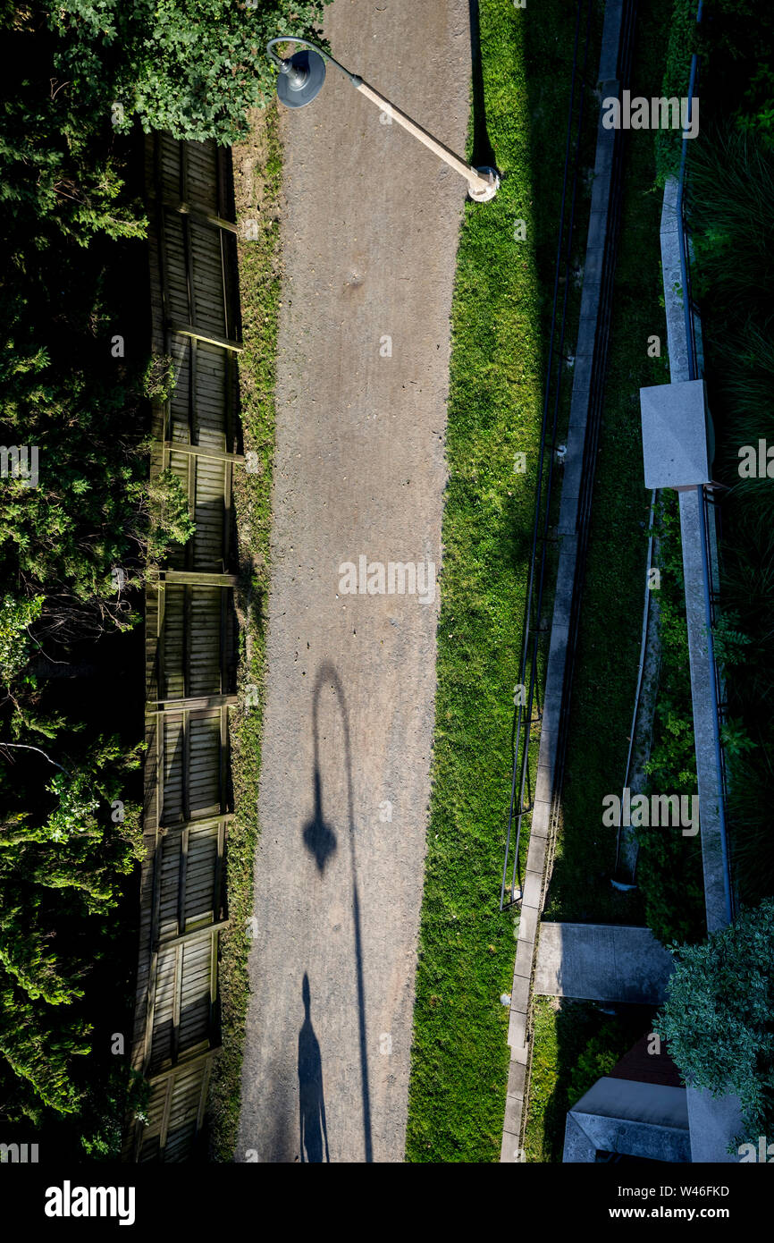 Shadow of a walker on the Beltline in Davisville, Toronto, Ontario, Canada Stock Photohttps://www.alamy.com/image-license-details/?v=1https://www.alamy.com/shadow-of-a-walker-on-the-beltline-in-davisville-toronto-ontario-canada-image260758161.html
RMW46FKD–Shadow of a walker on the Beltline in Davisville, Toronto, Ontario, Canada
 . Portfolio of maps of Spofford's new cabinet cyclopaedia : containing large scale colored maps of each state and territory in the United States, the provinces of Canada, America's new possessions, etc. dale F 13 7 Pontiac J 14 7 Washing-ton.. K 10 6 Hope J 10 6 Pawtuxet. 1156 Ashaway-.S 46 N.Scituate F 106 Kingston. Q 125 Manton. .G 135 Rumford.F 175 Saylesville E 155 Allenton . O 135 S. Ports-mouth ..O204 La Fayette N 134 Mapleville C 84 Rockville .P 54 Barrington Center. .J 184 Potter Hill S 44 Davisville M 144 Harmony. E 94 West Glou-cester.. D 44 Forestdale B104 S. ScituateH 93 Rockland.H Stock Photohttps://www.alamy.com/image-license-details/?v=1https://www.alamy.com/portfolio-of-maps-of-spoffords-new-cabinet-cyclopaedia-containing-large-scale-colored-maps-of-each-state-and-territory-in-the-united-states-the-provinces-of-canada-americas-new-possessions-etc-dale-f-13-7-pontiac-j-14-7-washing-ton-k-10-6-hope-j-10-6-pawtuxet-1156-ashaway-s-46-nscituate-f-106-kingston-q-125-manton-g-135-rumfordf-175-saylesville-e-155-allenton-o-135-s-ports-mouth-o204-la-fayette-n-134-mapleville-c-84-rockville-p-54-barrington-center-j-184-potter-hill-s-44-davisville-m-144-harmony-e-94-west-glou-cester-d-44-forestdale-b104-s-scituateh-93-rocklandh-image370586734.html
RM2CEWK4E–. Portfolio of maps of Spofford's new cabinet cyclopaedia : containing large scale colored maps of each state and territory in the United States, the provinces of Canada, America's new possessions, etc. dale F 13 7 Pontiac J 14 7 Washing-ton.. K 10 6 Hope J 10 6 Pawtuxet. 1156 Ashaway-.S 46 N.Scituate F 106 Kingston. Q 125 Manton. .G 135 Rumford.F 175 Saylesville E 155 Allenton . O 135 S. Ports-mouth ..O204 La Fayette N 134 Mapleville C 84 Rockville .P 54 Barrington Center. .J 184 Potter Hill S 44 Davisville M 144 Harmony. E 94 West Glou-cester.. D 44 Forestdale B104 S. ScituateH 93 Rockland.H
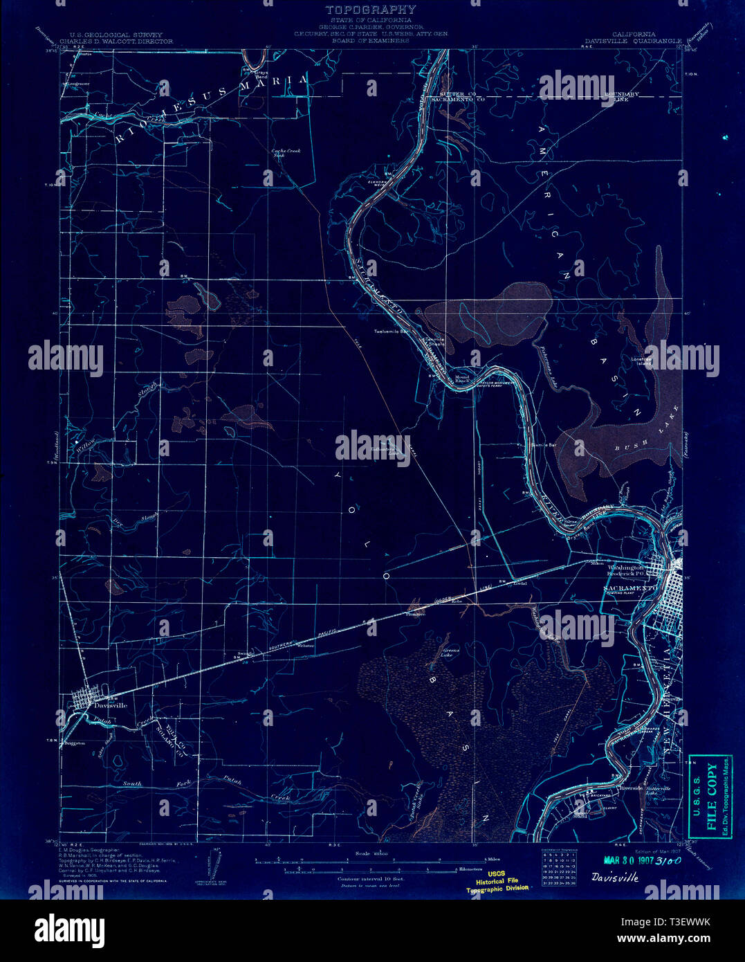 USGS TOPO Map California CA Davisville 297296 1907 62500 Inverted Restoration Stock Photohttps://www.alamy.com/image-license-details/?v=1https://www.alamy.com/usgs-topo-map-california-ca-davisville-297296-1907-62500-inverted-restoration-image243116767.html
RMT3EWWK–USGS TOPO Map California CA Davisville 297296 1907 62500 Inverted Restoration
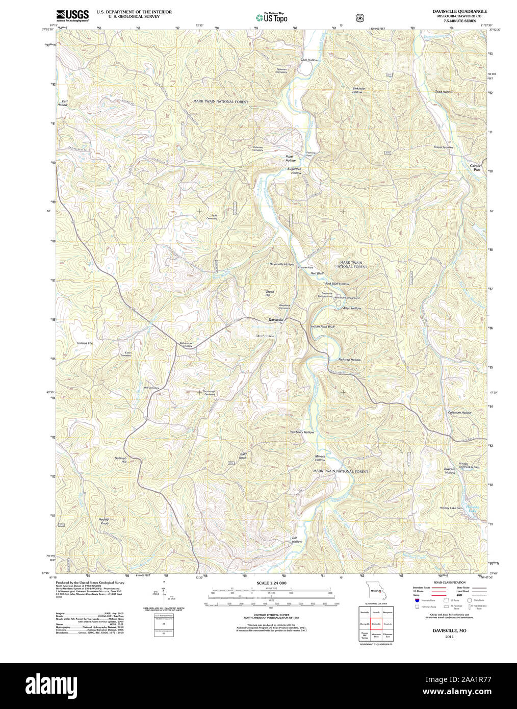 USGS TOPO Map Missouri MO Davisville 20111216 TM Restoration Stock Photohttps://www.alamy.com/image-license-details/?v=1https://www.alamy.com/usgs-topo-map-missouri-mo-davisville-20111216-tm-restoration-image333183739.html
RM2AA1R77–USGS TOPO Map Missouri MO Davisville 20111216 TM Restoration
 younge and Davisville ave drone views downtown Toronto condos and office buildings construction Stock Photohttps://www.alamy.com/image-license-details/?v=1https://www.alamy.com/younge-and-davisville-ave-drone-views-downtown-toronto-condos-and-office-buildings-construction-image459908774.html
RF2HM6J9A–younge and Davisville ave drone views downtown Toronto condos and office buildings construction
 wall of quonset hut Stock Photohttps://www.alamy.com/image-license-details/?v=1https://www.alamy.com/stock-photo-wall-of-quonset-hut-37882298.html
RMC5HK76–wall of quonset hut
 Toronto, Canada-20 August, 2018: Toronto Subway TTC Depot servicing a fleet of subway trains Stock Photohttps://www.alamy.com/image-license-details/?v=1https://www.alamy.com/toronto-canada-20-august-2018-toronto-subway-ttc-depot-servicing-a-fleet-of-subway-trains-image224159602.html
RFR0K9T2–Toronto, Canada-20 August, 2018: Toronto Subway TTC Depot servicing a fleet of subway trains
 TTC Elgington bound train at Davisville station. Cars were made in Scotland, Toronto, Ont. on September 8, 1965 (25074156316) Stock Photohttps://www.alamy.com/image-license-details/?v=1https://www.alamy.com/stock-image-ttc-elgington-bound-train-at-davisville-station-cars-were-made-in-166289744.html
RMKJF47C–TTC Elgington bound train at Davisville station. Cars were made in Scotland, Toronto, Ont. on September 8, 1965 (25074156316)
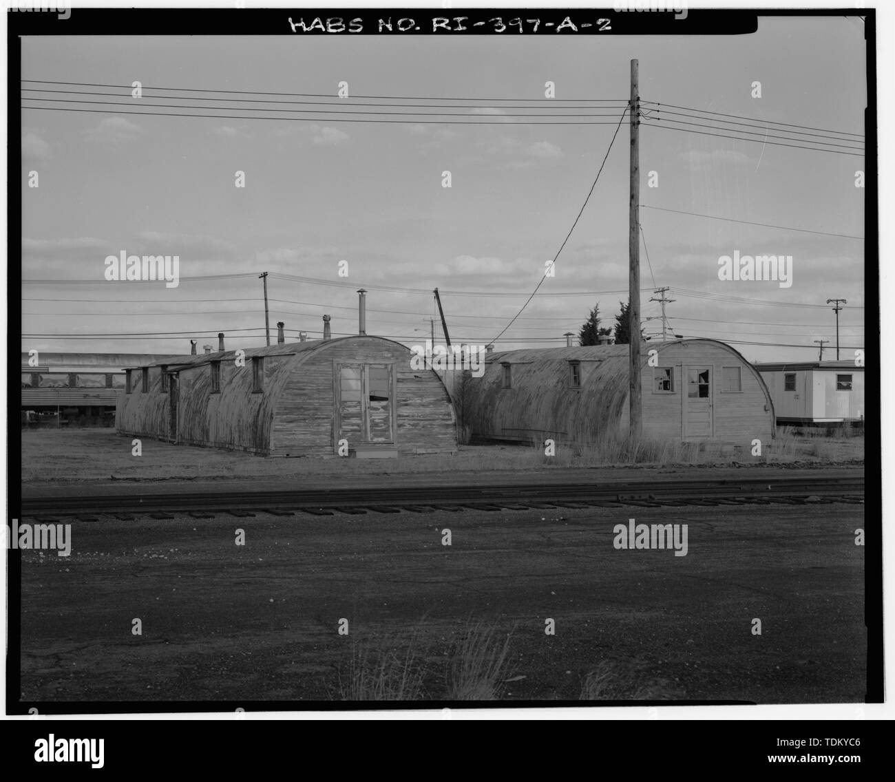 Oblique view of south and west sides; Note WWII-Era railroad tracks in foreground (Taken Dec. 1991) - Advance Base Depot, Davisville, Building A-130, Northeast section of Advance Base Depot, adjacent to Pier No. 1, Davisville, Washington County, RI Stock Photohttps://www.alamy.com/image-license-details/?v=1https://www.alamy.com/oblique-view-of-south-and-west-sides-note-wwii-era-railroad-tracks-in-foreground-taken-dec-1991-advance-base-depot-davisville-building-a-130-northeast-section-of-advance-base-depot-adjacent-to-pier-no-1-davisville-washington-county-ri-image249374278.html
RMTDKYC6–Oblique view of south and west sides; Note WWII-Era railroad tracks in foreground (Taken Dec. 1991) - Advance Base Depot, Davisville, Building A-130, Northeast section of Advance Base Depot, adjacent to Pier No. 1, Davisville, Washington County, RI
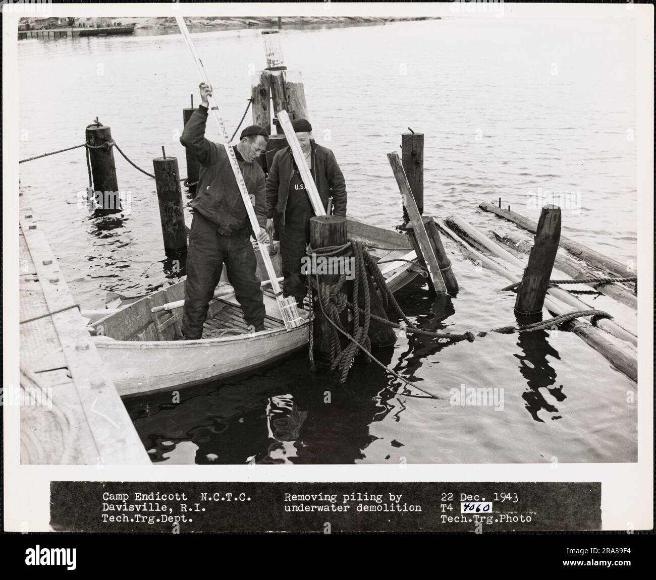 Removing Piling By Underwater Demolition, Camp Endicott, Naval Construction Training Center (NCTC), Davisville, Rhode Island. Administrative History of the First Naval District in World War II Stock Photohttps://www.alamy.com/image-license-details/?v=1https://www.alamy.com/removing-piling-by-underwater-demolition-camp-endicott-naval-construction-training-center-nctc-davisville-rhode-island-administrative-history-of-the-first-naval-district-in-world-war-ii-image556951672.html
RM2RA39F4–Removing Piling By Underwater Demolition, Camp Endicott, Naval Construction Training Center (NCTC), Davisville, Rhode Island. Administrative History of the First Naval District in World War II
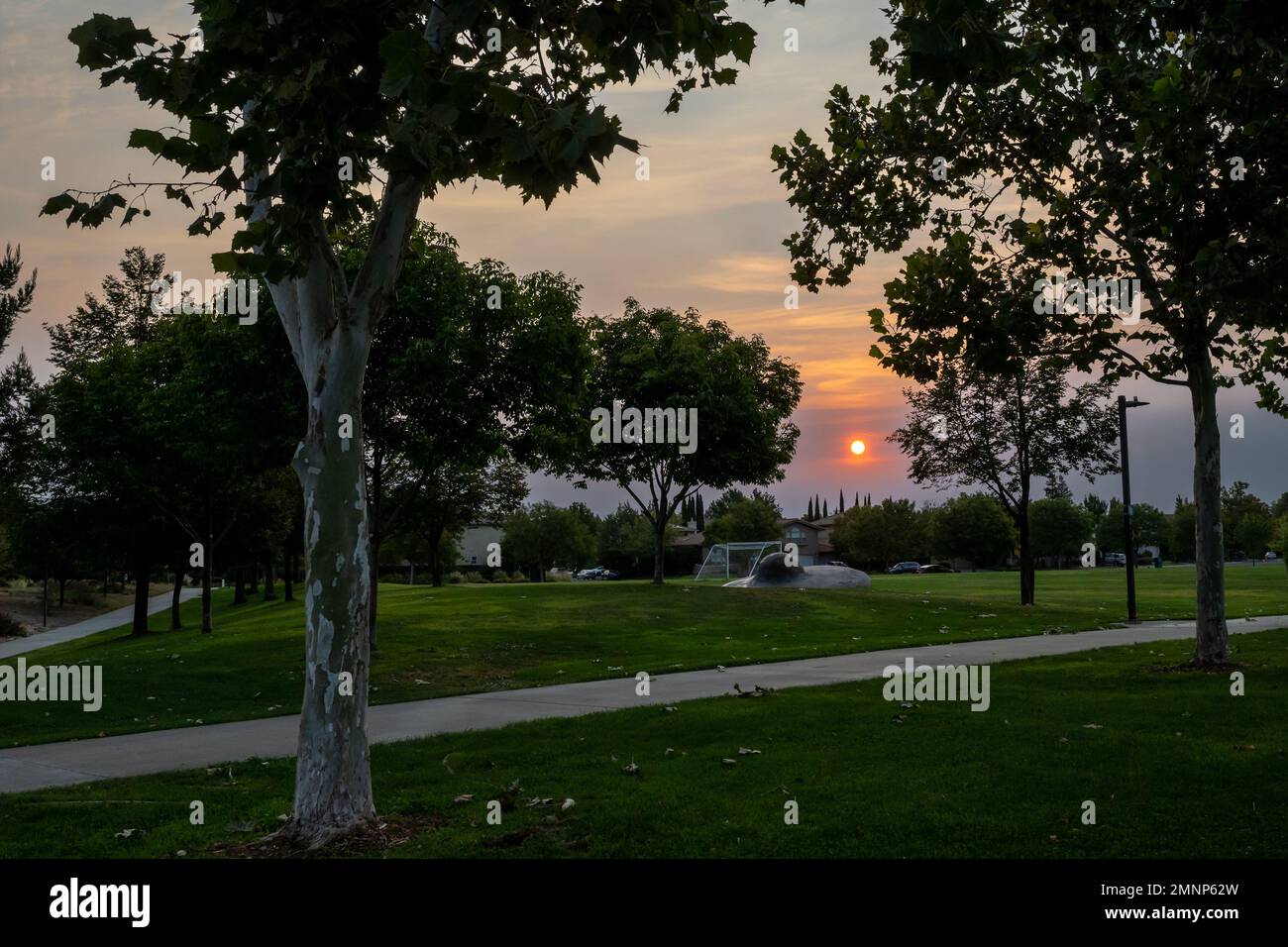 Davis, CA, USA, September 10, 2022. Sunset at the Arroyo Park wtih orange hues, showing the grass, the bike path, the soccer field Stock Photohttps://www.alamy.com/image-license-details/?v=1https://www.alamy.com/davis-ca-usa-september-10-2022-sunset-at-the-arroyo-park-wtih-orange-hues-showing-the-grass-the-bike-path-the-soccer-field-image512496177.html
RF2MNP62W–Davis, CA, USA, September 10, 2022. Sunset at the Arroyo Park wtih orange hues, showing the grass, the bike path, the soccer field
 Davisville, Burlington County, US, United States, New Jersey, N 40 6' 35'', S 74 37' 4'', map, Cartascapes Map published in 2024. Explore Cartascapes, a map revealing Earth's diverse landscapes, cultures, and ecosystems. Journey through time and space, discovering the interconnectedness of our planet's past, present, and future. Stock Photohttps://www.alamy.com/image-license-details/?v=1https://www.alamy.com/davisville-burlington-county-us-united-states-new-jersey-n-40-6-35-s-74-37-4-map-cartascapes-map-published-in-2024-explore-cartascapes-a-map-revealing-earths-diverse-landscapes-cultures-and-ecosystems-journey-through-time-and-space-discovering-the-interconnectedness-of-our-planets-past-present-and-future-image621192636.html
RM2Y2HNF8–Davisville, Burlington County, US, United States, New Jersey, N 40 6' 35'', S 74 37' 4'', map, Cartascapes Map published in 2024. Explore Cartascapes, a map revealing Earth's diverse landscapes, cultures, and ecosystems. Journey through time and space, discovering the interconnectedness of our planet's past, present, and future.
 A man walking on the Beltline in Davisville, Toronto, Ontario, Canada Stock Photohttps://www.alamy.com/image-license-details/?v=1https://www.alamy.com/a-man-walking-on-the-beltline-in-davisville-toronto-ontario-canada-image260758205.html
RMW46FN1–A man walking on the Beltline in Davisville, Toronto, Ontario, Canada
 . The American florist : a weekly journal for the trade. Floriculture; Florists. igi The American Florist. 177. WM. F. KASTING. TiTiisunr Society of American Florists. peach houses and cellars. It was agreed that the association's banquet was the best ever. A. C. Wilshire and Mrs. Wilshire were given hand- some presents by the members, who all agreed that this was the most suc- cessful convention so far held. The new officers elected are : Wal- ter Muston, Davisville, Ont., presi- dent; H. B. Cowan, Peterboro, Ont., first vice-president; Geo. Hopton, Montreal, Que., second vice-president; Juli Stock Photohttps://www.alamy.com/image-license-details/?v=1https://www.alamy.com/the-american-florist-a-weekly-journal-for-the-trade-floriculture-florists-igi-the-american-florist-177-wm-f-kasting-titiisunr-society-of-american-florists-peach-houses-and-cellars-it-was-agreed-that-the-associations-banquet-was-the-best-ever-a-c-wilshire-and-mrs-wilshire-were-given-hand-some-presents-by-the-members-who-all-agreed-that-this-was-the-most-suc-cessful-convention-so-far-held-the-new-officers-elected-are-wal-ter-muston-davisville-ont-presi-dent-h-b-cowan-peterboro-ont-first-vice-president-geo-hopton-montreal-que-second-vice-president-juli-image237352887.html
RMRP4A0R–. The American florist : a weekly journal for the trade. Floriculture; Florists. igi The American Florist. 177. WM. F. KASTING. TiTiisunr Society of American Florists. peach houses and cellars. It was agreed that the association's banquet was the best ever. A. C. Wilshire and Mrs. Wilshire were given hand- some presents by the members, who all agreed that this was the most suc- cessful convention so far held. The new officers elected are : Wal- ter Muston, Davisville, Ont., presi- dent; H. B. Cowan, Peterboro, Ont., first vice-president; Geo. Hopton, Montreal, Que., second vice-president; Juli
 USGS TOPO Map Missouri MO Davisville 322425 1978 24000 Restoration Stock Photohttps://www.alamy.com/image-license-details/?v=1https://www.alamy.com/usgs-topo-map-missouri-mo-davisville-322425-1978-24000-restoration-image333183720.html
RM2AA1R6G–USGS TOPO Map Missouri MO Davisville 322425 1978 24000 Restoration
 younge and Davisville ave drone views downtown Toronto condos and office buildings construction Stock Photohttps://www.alamy.com/image-license-details/?v=1https://www.alamy.com/younge-and-davisville-ave-drone-views-downtown-toronto-condos-and-office-buildings-construction-image459908778.html
RF2HM6J9E–younge and Davisville ave drone views downtown Toronto condos and office buildings construction
 quonset hut in Rhode Island Stock Photohttps://www.alamy.com/image-license-details/?v=1https://www.alamy.com/stock-photo-quonset-hut-in-rhode-island-37882262.html
RMC5HK5X–quonset hut in Rhode Island
 Toronto, Canada-20 August, 2018: Toronto Subway TTC workers providing repair services to Toronto subway stations Stock Photohttps://www.alamy.com/image-license-details/?v=1https://www.alamy.com/toronto-canada-20-august-2018-toronto-subway-ttc-workers-providing-repair-services-to-toronto-subway-stations-image224159616.html
RFR0K9TG–Toronto, Canada-20 August, 2018: Toronto Subway TTC workers providing repair services to Toronto subway stations
 Photographic copy of the Naval Engineering drawing (original is located at Naval Construction Battalion Center, Davisville, RI) Plans, elevations, sections and details, dated Oct. 1942 - Advance Base Depot Davisville, Building T-17, Ninth Street southeast of Davisville Road, Davisville, Washington County, RI Stock Photohttps://www.alamy.com/image-license-details/?v=1https://www.alamy.com/photographic-copy-of-the-naval-engineering-drawing-original-is-located-at-naval-construction-battalion-center-davisville-ri-plans-elevations-sections-and-details-dated-oct-1942-advance-base-depot-davisville-building-t-17-ninth-street-southeast-of-davisville-road-davisville-washington-county-ri-image249437341.html
RMTDPRTD–Photographic copy of the Naval Engineering drawing (original is located at Naval Construction Battalion Center, Davisville, RI) Plans, elevations, sections and details, dated Oct. 1942 - Advance Base Depot Davisville, Building T-17, Ninth Street southeast of Davisville Road, Davisville, Washington County, RI
 P.A.D. 5 Review, Camp Endicott, Naval Construction Training Center (NCTC), Davisville, Rhode Island. Administrative History of the First Naval District in World War II Stock Photohttps://www.alamy.com/image-license-details/?v=1https://www.alamy.com/pad-5-review-camp-endicott-naval-construction-training-center-nctc-davisville-rhode-island-administrative-history-of-the-first-naval-district-in-world-war-ii-image556951768.html
RM2RA39JG–P.A.D. 5 Review, Camp Endicott, Naval Construction Training Center (NCTC), Davisville, Rhode Island. Administrative History of the First Naval District in World War II
 Davis, CA, USA, September 10, 2022. Sunset at the Arroyo Park wtih orange hues, showing the grass, the bike path, the soccer field Stock Photohttps://www.alamy.com/image-license-details/?v=1https://www.alamy.com/davis-ca-usa-september-10-2022-sunset-at-the-arroyo-park-wtih-orange-hues-showing-the-grass-the-bike-path-the-soccer-field-image512496074.html
RF2MNP5Y6–Davis, CA, USA, September 10, 2022. Sunset at the Arroyo Park wtih orange hues, showing the grass, the bike path, the soccer field