Quick filters:
Dawson georgia map Stock Photos and Images
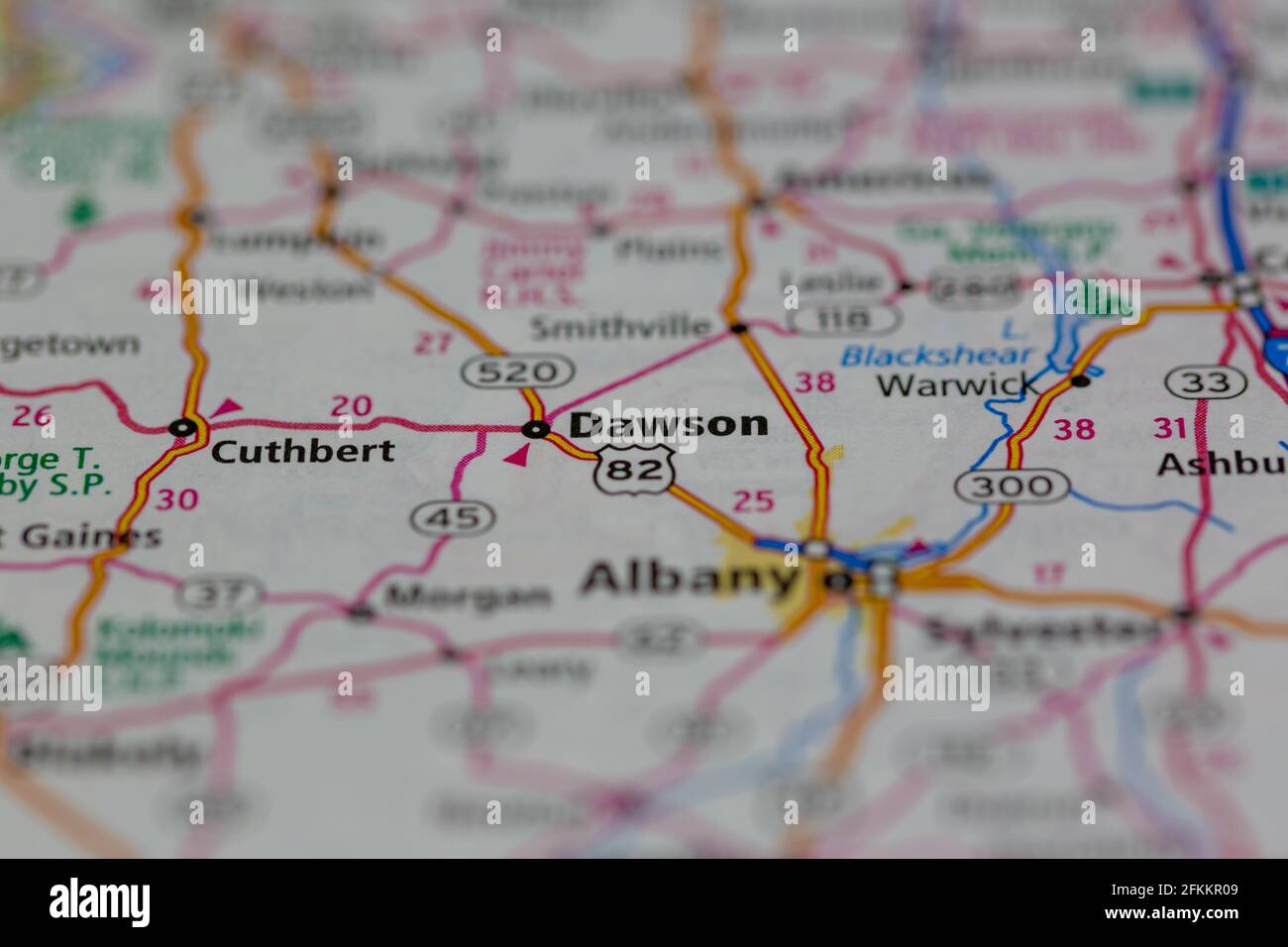 Dawson Georgia USA Shown on a Geography map or road map Stock Photohttps://www.alamy.com/image-license-details/?v=1https://www.alamy.com/dawson-georgia-usa-shown-on-a-geography-map-or-road-map-image425162425.html
RM2FKKR09–Dawson Georgia USA Shown on a Geography map or road map
 Dawsonville, Dawson County, US, United States, Georgia, N 34 25' 16'', S 84 7' 8'', map, Cartascapes Map published in 2024. Explore Cartascapes, a map revealing Earth's diverse landscapes, cultures, and ecosystems. Journey through time and space, discovering the interconnectedness of our planet's past, present, and future. Stock Photohttps://www.alamy.com/image-license-details/?v=1https://www.alamy.com/dawsonville-dawson-county-us-united-states-georgia-n-34-25-16-s-84-7-8-map-cartascapes-map-published-in-2024-explore-cartascapes-a-map-revealing-earths-diverse-landscapes-cultures-and-ecosystems-journey-through-time-and-space-discovering-the-interconnectedness-of-our-planets-past-present-and-future-image621425565.html
RM2Y30AJ5–Dawsonville, Dawson County, US, United States, Georgia, N 34 25' 16'', S 84 7' 8'', map, Cartascapes Map published in 2024. Explore Cartascapes, a map revealing Earth's diverse landscapes, cultures, and ecosystems. Journey through time and space, discovering the interconnectedness of our planet's past, present, and future.
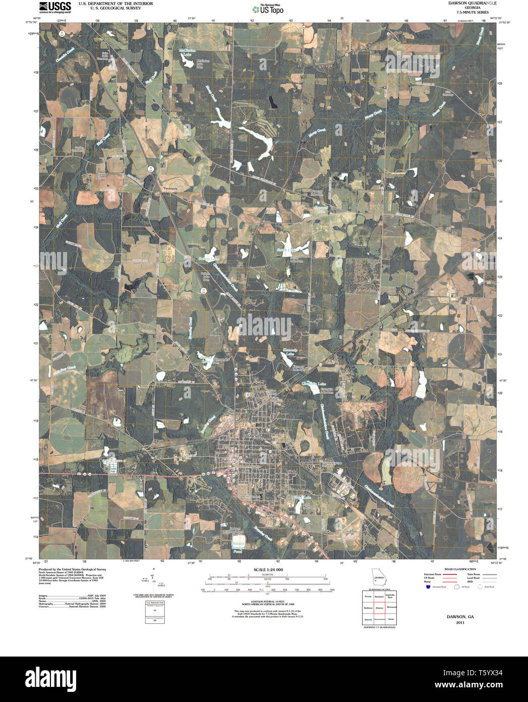 USGS TOPO Map Georgia GA Dawson 20110314 TM Restoration Stock Photohttps://www.alamy.com/image-license-details/?v=1https://www.alamy.com/usgs-topo-map-georgia-ga-dawson-20110314-tm-restoration-image244631608.html
RMT5YX34–USGS TOPO Map Georgia GA Dawson 20110314 TM Restoration
 Sanborn Fire Insurance Map from Dawson, Terrell County, Georgia. Stock Photohttps://www.alamy.com/image-license-details/?v=1https://www.alamy.com/sanborn-fire-insurance-map-from-dawson-terrell-county-georgia-image456361938.html
RM2HED28J–Sanborn Fire Insurance Map from Dawson, Terrell County, Georgia.
 USGS TOPO Map Georgia GA Dawson 245511 1973 24000 Restoration Stock Photohttps://www.alamy.com/image-license-details/?v=1https://www.alamy.com/usgs-topo-map-georgia-ga-dawson-245511-1973-24000-restoration-image244631614.html
RMT5YX3A–USGS TOPO Map Georgia GA Dawson 245511 1973 24000 Restoration
 Map of Dawson in Georgia Stock Photohttps://www.alamy.com/image-license-details/?v=1https://www.alamy.com/map-of-dawson-in-georgia-image364868399.html
RF2C5H5A7–Map of Dawson in Georgia
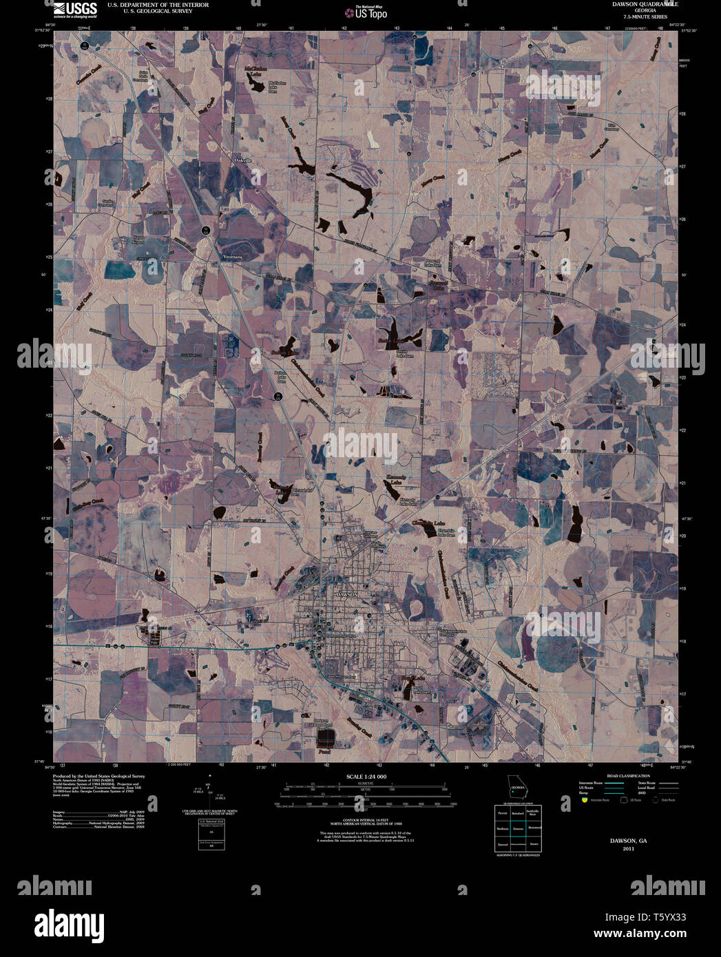 USGS TOPO Map Georgia GA Dawson 20110314 TM Inverted Restoration Stock Photohttps://www.alamy.com/image-license-details/?v=1https://www.alamy.com/usgs-topo-map-georgia-ga-dawson-20110314-tm-inverted-restoration-image244631607.html
RMT5YX33–USGS TOPO Map Georgia GA Dawson 20110314 TM Inverted Restoration
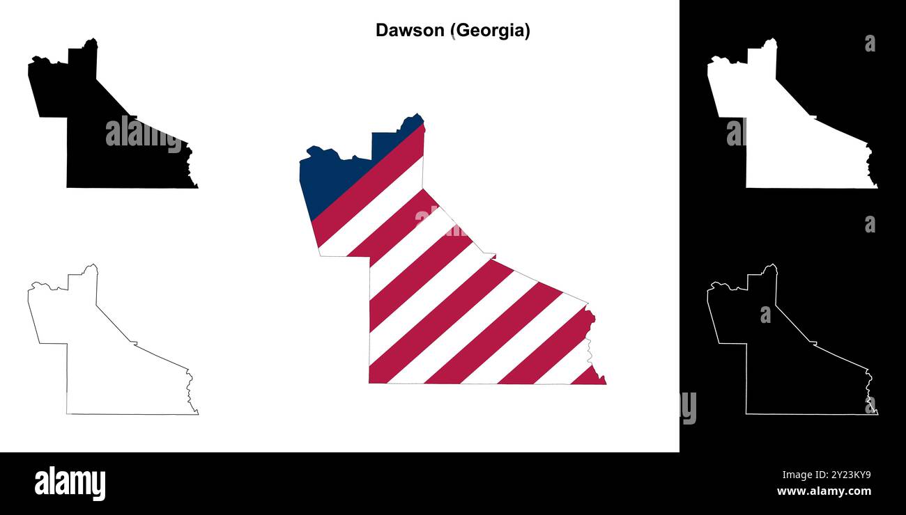 Dawson County (Georgia) outline map set Stock Vectorhttps://www.alamy.com/image-license-details/?v=1https://www.alamy.com/dawson-county-georgia-outline-map-set-image620884077.html
RF2Y23KY9–Dawson County (Georgia) outline map set
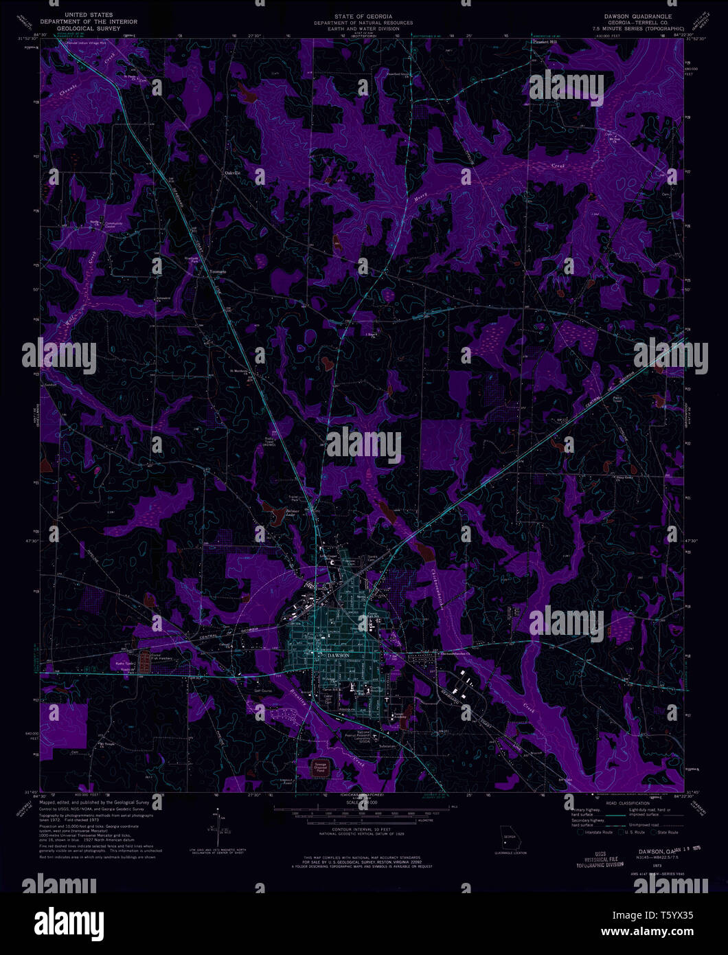 USGS TOPO Map Georgia GA Dawson 245511 1973 24000 Inverted Restoration Stock Photohttps://www.alamy.com/image-license-details/?v=1https://www.alamy.com/usgs-topo-map-georgia-ga-dawson-245511-1973-24000-inverted-restoration-image244631609.html
RMT5YX35–USGS TOPO Map Georgia GA Dawson 245511 1973 24000 Inverted Restoration
 Map of Dawson in Georgia Stock Photohttps://www.alamy.com/image-license-details/?v=1https://www.alamy.com/map-of-dawson-in-georgia-image443925822.html
RF2GP6FWJ–Map of Dawson in Georgia
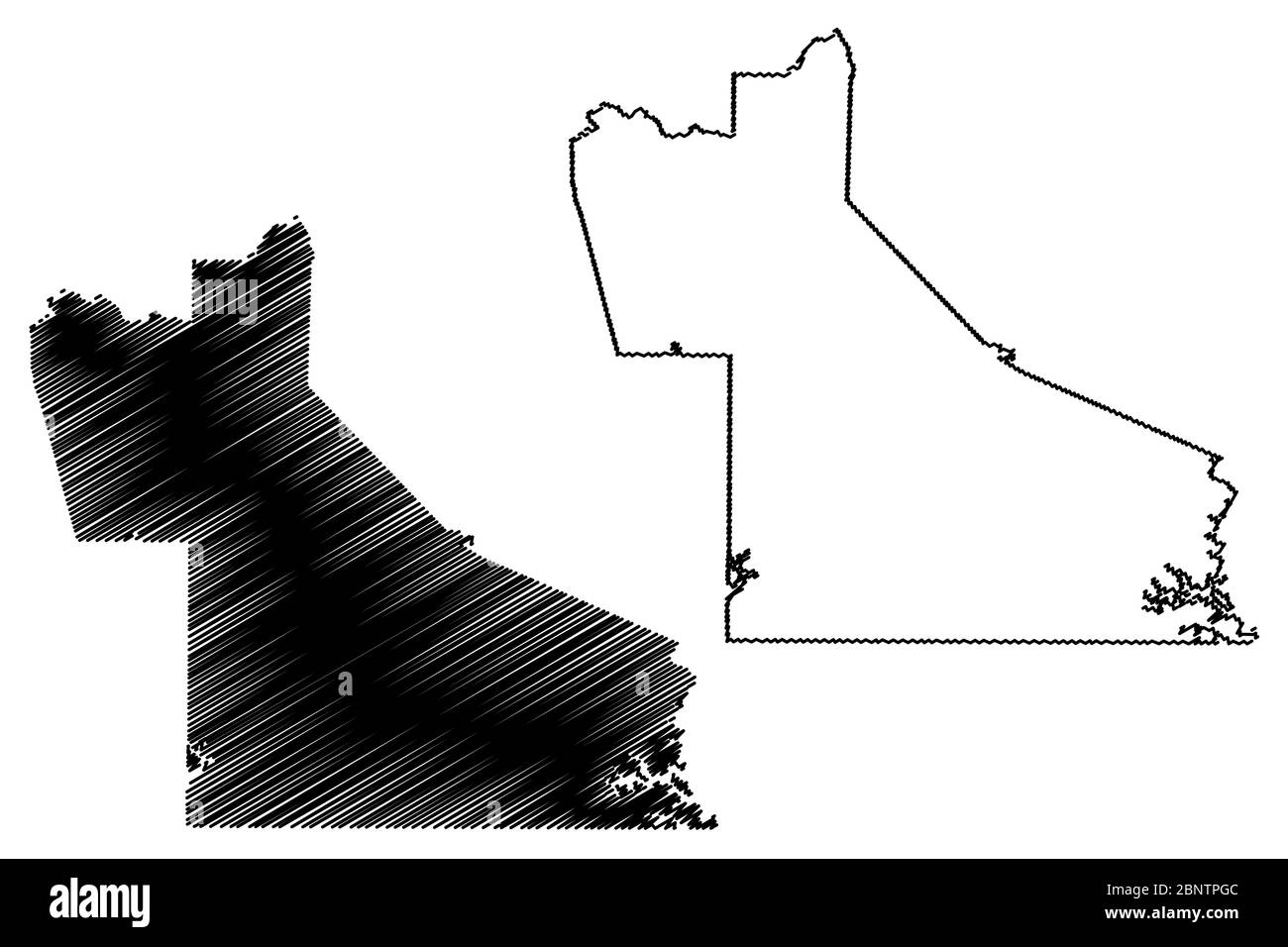 Dawson County, Georgia (U.S. county, United States of America,USA, U.S., US) map vector illustration, scribble sketch Dawson map Stock Vectorhttps://www.alamy.com/image-license-details/?v=1https://www.alamy.com/dawson-county-georgia-us-county-united-states-of-americausa-us-us-map-vector-illustration-scribble-sketch-dawson-map-image357659692.html
RF2BNTPGC–Dawson County, Georgia (U.S. county, United States of America,USA, U.S., US) map vector illustration, scribble sketch Dawson map
 Lumpkin, Dawson County, US, United States, Georgia, N 34 22' 2'', S 84 2' 26'', map, Cartascapes Map published in 2024. Explore Cartascapes, a map revealing Earth's diverse landscapes, cultures, and ecosystems. Journey through time and space, discovering the interconnectedness of our planet's past, present, and future. Stock Photohttps://www.alamy.com/image-license-details/?v=1https://www.alamy.com/lumpkin-dawson-county-us-united-states-georgia-n-34-22-2-s-84-2-26-map-cartascapes-map-published-in-2024-explore-cartascapes-a-map-revealing-earths-diverse-landscapes-cultures-and-ecosystems-journey-through-time-and-space-discovering-the-interconnectedness-of-our-planets-past-present-and-future-image621403603.html
RM2Y2YAHR–Lumpkin, Dawson County, US, United States, Georgia, N 34 22' 2'', S 84 2' 26'', map, Cartascapes Map published in 2024. Explore Cartascapes, a map revealing Earth's diverse landscapes, cultures, and ecosystems. Journey through time and space, discovering the interconnectedness of our planet's past, present, and future.
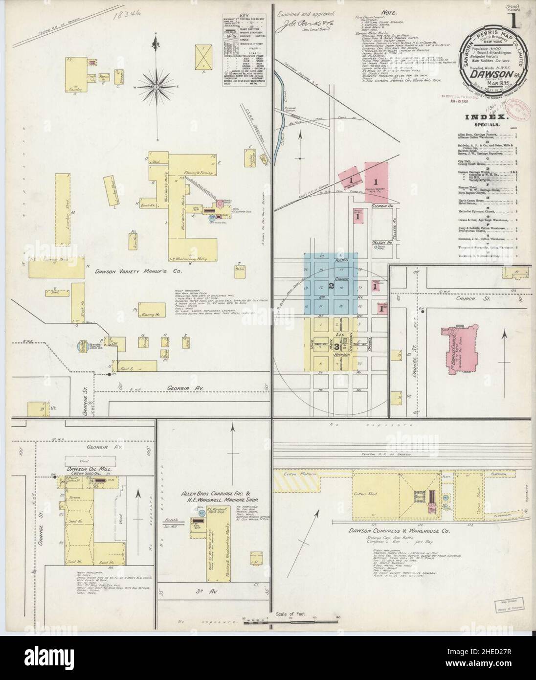 Sanborn Fire Insurance Map from Dawson, Terrell County, Georgia. Stock Photohttps://www.alamy.com/image-license-details/?v=1https://www.alamy.com/sanborn-fire-insurance-map-from-dawson-terrell-county-georgia-image456361915.html
RM2HED27R–Sanborn Fire Insurance Map from Dawson, Terrell County, Georgia.
 Map of Dawson in Georgia Stock Photohttps://www.alamy.com/image-license-details/?v=1https://www.alamy.com/map-of-dawson-in-georgia-image365207052.html
RF2C64H90–Map of Dawson in Georgia
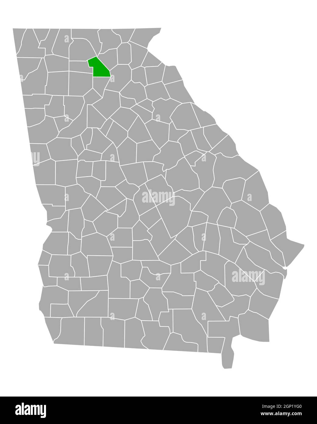 Map of Dawson in Georgia Stock Photohttps://www.alamy.com/image-license-details/?v=1https://www.alamy.com/map-of-dawson-in-georgia-image443825200.html
RF2GP1YG0–Map of Dawson in Georgia
 Dawson County, Georgia (U.S. county, United States of America,USA, U.S., US) map vector illustration, scribble sketch Dawson map Stock Vectorhttps://www.alamy.com/image-license-details/?v=1https://www.alamy.com/dawson-county-georgia-us-county-united-states-of-americausa-us-us-map-vector-illustration-scribble-sketch-dawson-map-image365355639.html
RF2C6BARK–Dawson County, Georgia (U.S. county, United States of America,USA, U.S., US) map vector illustration, scribble sketch Dawson map
 McKee, Dawson County, US, United States, Georgia, N 34 27' 35'', S 84 8' 30'', map, Cartascapes Map published in 2024. Explore Cartascapes, a map revealing Earth's diverse landscapes, cultures, and ecosystems. Journey through time and space, discovering the interconnectedness of our planet's past, present, and future. Stock Photohttps://www.alamy.com/image-license-details/?v=1https://www.alamy.com/mckee-dawson-county-us-united-states-georgia-n-34-27-35-s-84-8-30-map-cartascapes-map-published-in-2024-explore-cartascapes-a-map-revealing-earths-diverse-landscapes-cultures-and-ecosystems-journey-through-time-and-space-discovering-the-interconnectedness-of-our-planets-past-present-and-future-image621280528.html
RM2Y2NNJ8–McKee, Dawson County, US, United States, Georgia, N 34 27' 35'', S 84 8' 30'', map, Cartascapes Map published in 2024. Explore Cartascapes, a map revealing Earth's diverse landscapes, cultures, and ecosystems. Journey through time and space, discovering the interconnectedness of our planet's past, present, and future.
 Sanborn Fire Insurance Map from Dawson, Terrell County, Georgia. Stock Photohttps://www.alamy.com/image-license-details/?v=1https://www.alamy.com/sanborn-fire-insurance-map-from-dawson-terrell-county-georgia-image456361931.html
RM2HED28B–Sanborn Fire Insurance Map from Dawson, Terrell County, Georgia.
 Map of Dawson in Georgia Stock Photohttps://www.alamy.com/image-license-details/?v=1https://www.alamy.com/map-of-dawson-in-georgia-image365810731.html
RF2C7438Y–Map of Dawson in Georgia
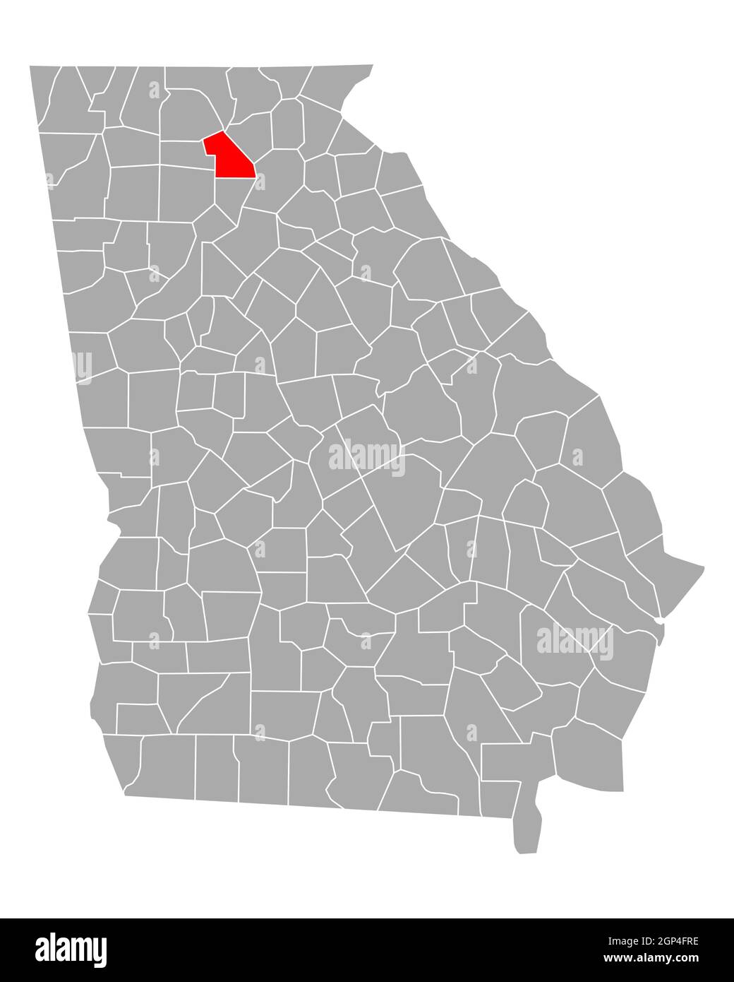 Map of Dawson in Georgia Stock Photohttps://www.alamy.com/image-license-details/?v=1https://www.alamy.com/map-of-dawson-in-georgia-image443881858.html
RF2GP4FRE–Map of Dawson in Georgia
 Dawson County, Georgia (U.S. county, United States of America,USA, U.S., US) map vector illustration, scribble sketch Dawson map Stock Vectorhttps://www.alamy.com/image-license-details/?v=1https://www.alamy.com/dawson-county-georgia-us-county-united-states-of-americausa-us-us-map-vector-illustration-scribble-sketch-dawson-map-image354445083.html
RF2BGJA8Y–Dawson County, Georgia (U.S. county, United States of America,USA, U.S., US) map vector illustration, scribble sketch Dawson map
 Hubbardsville, Dawson County, US, United States, Georgia, N 34 21' 52'', S 84 14' 15'', map, Cartascapes Map published in 2024. Explore Cartascapes, a map revealing Earth's diverse landscapes, cultures, and ecosystems. Journey through time and space, discovering the interconnectedness of our planet's past, present, and future. Stock Photohttps://www.alamy.com/image-license-details/?v=1https://www.alamy.com/hubbardsville-dawson-county-us-united-states-georgia-n-34-21-52-s-84-14-15-map-cartascapes-map-published-in-2024-explore-cartascapes-a-map-revealing-earths-diverse-landscapes-cultures-and-ecosystems-journey-through-time-and-space-discovering-the-interconnectedness-of-our-planets-past-present-and-future-image621226622.html
RM2Y2K8W2–Hubbardsville, Dawson County, US, United States, Georgia, N 34 21' 52'', S 84 14' 15'', map, Cartascapes Map published in 2024. Explore Cartascapes, a map revealing Earth's diverse landscapes, cultures, and ecosystems. Journey through time and space, discovering the interconnectedness of our planet's past, present, and future.
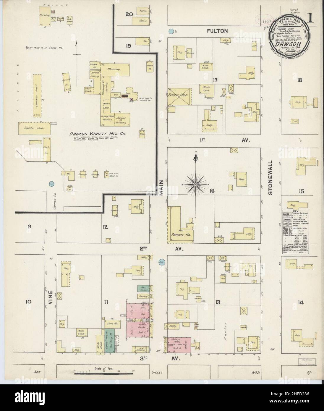 Sanborn Fire Insurance Map from Dawson, Terrell County, Georgia. Stock Photohttps://www.alamy.com/image-license-details/?v=1https://www.alamy.com/sanborn-fire-insurance-map-from-dawson-terrell-county-georgia-image456361926.html
RM2HED286–Sanborn Fire Insurance Map from Dawson, Terrell County, Georgia.
 Terrell County, Georgia (U.S. county, United States of America, USA, U.S., US) map vector illustration, scribble sketch Terrell map Stock Vectorhttps://www.alamy.com/image-license-details/?v=1https://www.alamy.com/terrell-county-georgia-us-county-united-states-of-america-usa-us-us-map-vector-illustration-scribble-sketch-terrell-map-image365659780.html
RF2C6W6NT–Terrell County, Georgia (U.S. county, United States of America, USA, U.S., US) map vector illustration, scribble sketch Terrell map
 Barrettsville, Dawson County, US, United States, Georgia, N 34 20' 23'', S 84 9' 24'', map, Cartascapes Map published in 2024. Explore Cartascapes, a map revealing Earth's diverse landscapes, cultures, and ecosystems. Journey through time and space, discovering the interconnectedness of our planet's past, present, and future. Stock Photohttps://www.alamy.com/image-license-details/?v=1https://www.alamy.com/barrettsville-dawson-county-us-united-states-georgia-n-34-20-23-s-84-9-24-map-cartascapes-map-published-in-2024-explore-cartascapes-a-map-revealing-earths-diverse-landscapes-cultures-and-ecosystems-journey-through-time-and-space-discovering-the-interconnectedness-of-our-planets-past-present-and-future-image621490963.html
RM2Y33A1R–Barrettsville, Dawson County, US, United States, Georgia, N 34 20' 23'', S 84 9' 24'', map, Cartascapes Map published in 2024. Explore Cartascapes, a map revealing Earth's diverse landscapes, cultures, and ecosystems. Journey through time and space, discovering the interconnectedness of our planet's past, present, and future.
 Sanborn Fire Insurance Map from Dawson, Terrell County, Georgia. Stock Photohttps://www.alamy.com/image-license-details/?v=1https://www.alamy.com/sanborn-fire-insurance-map-from-dawson-terrell-county-georgia-image456361923.html
RM2HED283–Sanborn Fire Insurance Map from Dawson, Terrell County, Georgia.
 Terrell County, Georgia (U.S. county, United States of America, USA, U.S., US) map vector illustration, scribble sketch Terrell map Stock Vectorhttps://www.alamy.com/image-license-details/?v=1https://www.alamy.com/terrell-county-georgia-us-county-united-states-of-america-usa-us-us-map-vector-illustration-scribble-sketch-terrell-map-image358701910.html
RF2BRG7XE–Terrell County, Georgia (U.S. county, United States of America, USA, U.S., US) map vector illustration, scribble sketch Terrell map
 Dougherty, Dawson County, US, United States, Georgia, N 34 22' 56'', S 84 3' 53'', map, Cartascapes Map published in 2024. Explore Cartascapes, a map revealing Earth's diverse landscapes, cultures, and ecosystems. Journey through time and space, discovering the interconnectedness of our planet's past, present, and future. Stock Photohttps://www.alamy.com/image-license-details/?v=1https://www.alamy.com/dougherty-dawson-county-us-united-states-georgia-n-34-22-56-s-84-3-53-map-cartascapes-map-published-in-2024-explore-cartascapes-a-map-revealing-earths-diverse-landscapes-cultures-and-ecosystems-journey-through-time-and-space-discovering-the-interconnectedness-of-our-planets-past-present-and-future-image621336970.html
RM2Y2T9J2–Dougherty, Dawson County, US, United States, Georgia, N 34 22' 56'', S 84 3' 53'', map, Cartascapes Map published in 2024. Explore Cartascapes, a map revealing Earth's diverse landscapes, cultures, and ecosystems. Journey through time and space, discovering the interconnectedness of our planet's past, present, and future.
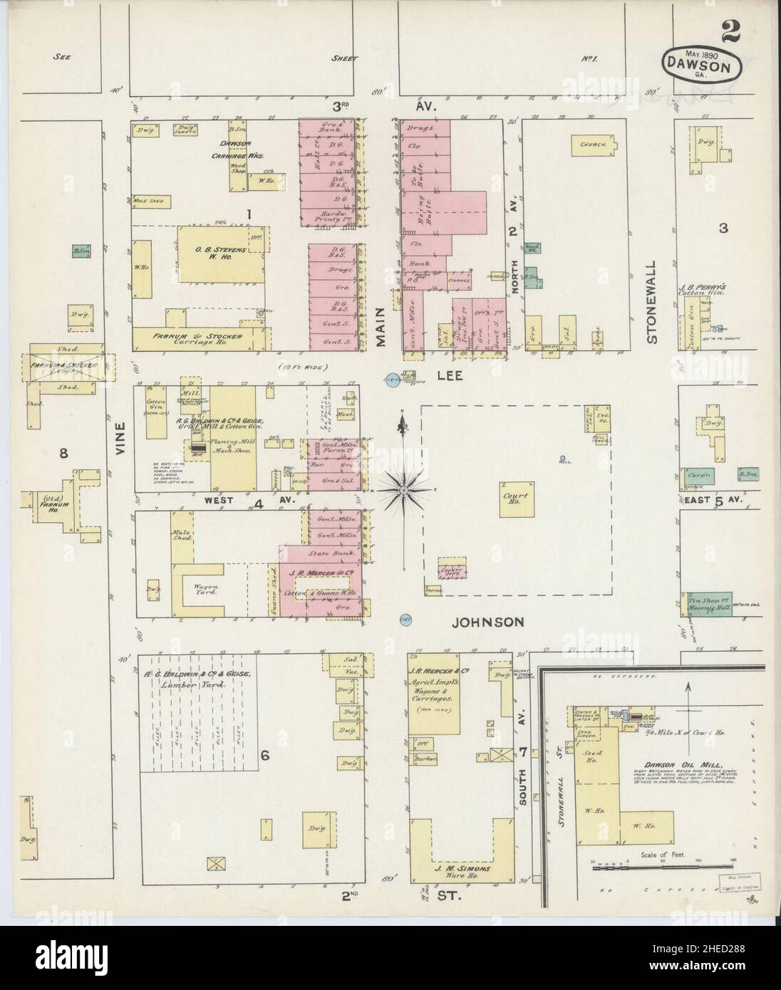 Sanborn Fire Insurance Map from Dawson, Terrell County, Georgia. Stock Photohttps://www.alamy.com/image-license-details/?v=1https://www.alamy.com/sanborn-fire-insurance-map-from-dawson-terrell-county-georgia-image456361928.html
RM2HED288–Sanborn Fire Insurance Map from Dawson, Terrell County, Georgia.
 Terrell County, Georgia (U.S. county, United States of America, USA, U.S., US) map vector illustration, scribble sketch Terrell map Stock Vectorhttps://www.alamy.com/image-license-details/?v=1https://www.alamy.com/terrell-county-georgia-us-county-united-states-of-america-usa-us-us-map-vector-illustration-scribble-sketch-terrell-map-image355540784.html
RF2BJC7W4–Terrell County, Georgia (U.S. county, United States of America, USA, U.S., US) map vector illustration, scribble sketch Terrell map
 Landrum, Dawson County, US, United States, Georgia, N 34 24' 51'', S 84 1' 9'', map, Cartascapes Map published in 2024. Explore Cartascapes, a map revealing Earth's diverse landscapes, cultures, and ecosystems. Journey through time and space, discovering the interconnectedness of our planet's past, present, and future. Stock Photohttps://www.alamy.com/image-license-details/?v=1https://www.alamy.com/landrum-dawson-county-us-united-states-georgia-n-34-24-51-s-84-1-9-map-cartascapes-map-published-in-2024-explore-cartascapes-a-map-revealing-earths-diverse-landscapes-cultures-and-ecosystems-journey-through-time-and-space-discovering-the-interconnectedness-of-our-planets-past-present-and-future-image621324482.html
RM2Y2RNM2–Landrum, Dawson County, US, United States, Georgia, N 34 24' 51'', S 84 1' 9'', map, Cartascapes Map published in 2024. Explore Cartascapes, a map revealing Earth's diverse landscapes, cultures, and ecosystems. Journey through time and space, discovering the interconnectedness of our planet's past, present, and future.
 Emma, Dawson County, US, United States, Georgia, N 34 30' 28'', S 84 13' 26'', map, Cartascapes Map published in 2024. Explore Cartascapes, a map revealing Earth's diverse landscapes, cultures, and ecosystems. Journey through time and space, discovering the interconnectedness of our planet's past, present, and future. Stock Photohttps://www.alamy.com/image-license-details/?v=1https://www.alamy.com/emma-dawson-county-us-united-states-georgia-n-34-30-28-s-84-13-26-map-cartascapes-map-published-in-2024-explore-cartascapes-a-map-revealing-earths-diverse-landscapes-cultures-and-ecosystems-journey-through-time-and-space-discovering-the-interconnectedness-of-our-planets-past-present-and-future-image621174957.html
RM2Y2GXYW–Emma, Dawson County, US, United States, Georgia, N 34 30' 28'', S 84 13' 26'', map, Cartascapes Map published in 2024. Explore Cartascapes, a map revealing Earth's diverse landscapes, cultures, and ecosystems. Journey through time and space, discovering the interconnectedness of our planet's past, present, and future.
 Johntown (historical), Dawson County, US, United States, Georgia, N 34 31' 33'', S 84 15' 7'', map, Cartascapes Map published in 2024. Explore Cartascapes, a map revealing Earth's diverse landscapes, cultures, and ecosystems. Journey through time and space, discovering the interconnectedness of our planet's past, present, and future. Stock Photohttps://www.alamy.com/image-license-details/?v=1https://www.alamy.com/johntown-historical-dawson-county-us-united-states-georgia-n-34-31-33-s-84-15-7-map-cartascapes-map-published-in-2024-explore-cartascapes-a-map-revealing-earths-diverse-landscapes-cultures-and-ecosystems-journey-through-time-and-space-discovering-the-interconnectedness-of-our-planets-past-present-and-future-image621192353.html
RM2Y2HN55–Johntown (historical), Dawson County, US, United States, Georgia, N 34 31' 33'', S 84 15' 7'', map, Cartascapes Map published in 2024. Explore Cartascapes, a map revealing Earth's diverse landscapes, cultures, and ecosystems. Journey through time and space, discovering the interconnectedness of our planet's past, present, and future.
 Blacks Mill, Dawson County, US, United States, Georgia, N 34 23' 48'', S 84 5' 8'', map, Cartascapes Map published in 2024. Explore Cartascapes, a map revealing Earth's diverse landscapes, cultures, and ecosystems. Journey through time and space, discovering the interconnectedness of our planet's past, present, and future. Stock Photohttps://www.alamy.com/image-license-details/?v=1https://www.alamy.com/blacks-mill-dawson-county-us-united-states-georgia-n-34-23-48-s-84-5-8-map-cartascapes-map-published-in-2024-explore-cartascapes-a-map-revealing-earths-diverse-landscapes-cultures-and-ecosystems-journey-through-time-and-space-discovering-the-interconnectedness-of-our-planets-past-present-and-future-image621495071.html
RM2Y33F8F–Blacks Mill, Dawson County, US, United States, Georgia, N 34 23' 48'', S 84 5' 8'', map, Cartascapes Map published in 2024. Explore Cartascapes, a map revealing Earth's diverse landscapes, cultures, and ecosystems. Journey through time and space, discovering the interconnectedness of our planet's past, present, and future.
 Silver City, Dawson County, US, United States, Georgia, N 34 20' 3'', S 84 6' 57'', map, Cartascapes Map published in 2024. Explore Cartascapes, a map revealing Earth's diverse landscapes, cultures, and ecosystems. Journey through time and space, discovering the interconnectedness of our planet's past, present, and future. Stock Photohttps://www.alamy.com/image-license-details/?v=1https://www.alamy.com/silver-city-dawson-county-us-united-states-georgia-n-34-20-3-s-84-6-57-map-cartascapes-map-published-in-2024-explore-cartascapes-a-map-revealing-earths-diverse-landscapes-cultures-and-ecosystems-journey-through-time-and-space-discovering-the-interconnectedness-of-our-planets-past-present-and-future-image621353564.html
RM2Y2W2PM–Silver City, Dawson County, US, United States, Georgia, N 34 20' 3'', S 84 6' 57'', map, Cartascapes Map published in 2024. Explore Cartascapes, a map revealing Earth's diverse landscapes, cultures, and ecosystems. Journey through time and space, discovering the interconnectedness of our planet's past, present, and future.
 Amicalola, Dawson County, US, United States, Georgia, N 34 33' 17'', S 84 15' 8'', map, Cartascapes Map published in 2024. Explore Cartascapes, a map revealing Earth's diverse landscapes, cultures, and ecosystems. Journey through time and space, discovering the interconnectedness of our planet's past, present, and future. Stock Photohttps://www.alamy.com/image-license-details/?v=1https://www.alamy.com/amicalola-dawson-county-us-united-states-georgia-n-34-33-17-s-84-15-8-map-cartascapes-map-published-in-2024-explore-cartascapes-a-map-revealing-earths-diverse-landscapes-cultures-and-ecosystems-journey-through-time-and-space-discovering-the-interconnectedness-of-our-planets-past-present-and-future-image620866495.html
RM2Y22WFB–Amicalola, Dawson County, US, United States, Georgia, N 34 33' 17'', S 84 15' 8'', map, Cartascapes Map published in 2024. Explore Cartascapes, a map revealing Earth's diverse landscapes, cultures, and ecosystems. Journey through time and space, discovering the interconnectedness of our planet's past, present, and future.
 Dawson, Terrell County, US, United States, Georgia, N 31 46' 25'', S 84 26' 52'', map, Cartascapes Map published in 2024. Explore Cartascapes, a map revealing Earth's diverse landscapes, cultures, and ecosystems. Journey through time and space, discovering the interconnectedness of our planet's past, present, and future. Stock Photohttps://www.alamy.com/image-license-details/?v=1https://www.alamy.com/dawson-terrell-county-us-united-states-georgia-n-31-46-25-s-84-26-52-map-cartascapes-map-published-in-2024-explore-cartascapes-a-map-revealing-earths-diverse-landscapes-cultures-and-ecosystems-journey-through-time-and-space-discovering-the-interconnectedness-of-our-planets-past-present-and-future-image620839913.html
RM2Y21KJ1–Dawson, Terrell County, US, United States, Georgia, N 31 46' 25'', S 84 26' 52'', map, Cartascapes Map published in 2024. Explore Cartascapes, a map revealing Earth's diverse landscapes, cultures, and ecosystems. Journey through time and space, discovering the interconnectedness of our planet's past, present, and future.
 Juno, Dawson County, US, United States, Georgia, N 34 28' 33'', S 84 11' 38'', map, Cartascapes Map published in 2024. Explore Cartascapes, a map revealing Earth's diverse landscapes, cultures, and ecosystems. Journey through time and space, discovering the interconnectedness of our planet's past, present, and future. Stock Photohttps://www.alamy.com/image-license-details/?v=1https://www.alamy.com/juno-dawson-county-us-united-states-georgia-n-34-28-33-s-84-11-38-map-cartascapes-map-published-in-2024-explore-cartascapes-a-map-revealing-earths-diverse-landscapes-cultures-and-ecosystems-journey-through-time-and-space-discovering-the-interconnectedness-of-our-planets-past-present-and-future-image620862751.html
RM2Y22MNK–Juno, Dawson County, US, United States, Georgia, N 34 28' 33'', S 84 11' 38'', map, Cartascapes Map published in 2024. Explore Cartascapes, a map revealing Earth's diverse landscapes, cultures, and ecosystems. Journey through time and space, discovering the interconnectedness of our planet's past, present, and future.
 Dawsonville, Dawson County, US, United States, Georgia, N 34 25' 16'', S 84 7' 8'', map, Cartascapes Map published in 2024. Explore Cartascapes, a map revealing Earth's diverse landscapes, cultures, and ecosystems. Journey through time and space, discovering the interconnectedness of our planet's past, present, and future. Stock Photohttps://www.alamy.com/image-license-details/?v=1https://www.alamy.com/dawsonville-dawson-county-us-united-states-georgia-n-34-25-16-s-84-7-8-map-cartascapes-map-published-in-2024-explore-cartascapes-a-map-revealing-earths-diverse-landscapes-cultures-and-ecosystems-journey-through-time-and-space-discovering-the-interconnectedness-of-our-planets-past-present-and-future-image620812787.html
RM2Y20D17–Dawsonville, Dawson County, US, United States, Georgia, N 34 25' 16'', S 84 7' 8'', map, Cartascapes Map published in 2024. Explore Cartascapes, a map revealing Earth's diverse landscapes, cultures, and ecosystems. Journey through time and space, discovering the interconnectedness of our planet's past, present, and future.
 Dawson, Terrell County, US, United States, Georgia, N 31 46' 25'', S 84 26' 52'', map, Cartascapes Map published in 2024. Explore Cartascapes, a map revealing Earth's diverse landscapes, cultures, and ecosystems. Journey through time and space, discovering the interconnectedness of our planet's past, present, and future. Stock Photohttps://www.alamy.com/image-license-details/?v=1https://www.alamy.com/dawson-terrell-county-us-united-states-georgia-n-31-46-25-s-84-26-52-map-cartascapes-map-published-in-2024-explore-cartascapes-a-map-revealing-earths-diverse-landscapes-cultures-and-ecosystems-journey-through-time-and-space-discovering-the-interconnectedness-of-our-planets-past-present-and-future-image620750321.html
RM2Y1WHA9–Dawson, Terrell County, US, United States, Georgia, N 31 46' 25'', S 84 26' 52'', map, Cartascapes Map published in 2024. Explore Cartascapes, a map revealing Earth's diverse landscapes, cultures, and ecosystems. Journey through time and space, discovering the interconnectedness of our planet's past, present, and future.
 Afton, Dawson County, US, United States, Georgia, N 34 30' 1'', S 84 14' 43'', map, Cartascapes Map published in 2024. Explore Cartascapes, a map revealing Earth's diverse landscapes, cultures, and ecosystems. Journey through time and space, discovering the interconnectedness of our planet's past, present, and future. Stock Photohttps://www.alamy.com/image-license-details/?v=1https://www.alamy.com/afton-dawson-county-us-united-states-georgia-n-34-30-1-s-84-14-43-map-cartascapes-map-published-in-2024-explore-cartascapes-a-map-revealing-earths-diverse-landscapes-cultures-and-ecosystems-journey-through-time-and-space-discovering-the-interconnectedness-of-our-planets-past-present-and-future-image620827364.html
RM2Y213HT–Afton, Dawson County, US, United States, Georgia, N 34 30' 1'', S 84 14' 43'', map, Cartascapes Map published in 2024. Explore Cartascapes, a map revealing Earth's diverse landscapes, cultures, and ecosystems. Journey through time and space, discovering the interconnectedness of our planet's past, present, and future.
 Dawson County, Dawson County, US, United States, Georgia, N 34 26' 39'', S 84 10' 14'', map, Cartascapes Map published in 2024. Explore Cartascapes, a map revealing Earth's diverse landscapes, cultures, and ecosystems. Journey through time and space, discovering the interconnectedness of our planet's past, present, and future. Stock Photohttps://www.alamy.com/image-license-details/?v=1https://www.alamy.com/dawson-county-dawson-county-us-united-states-georgia-n-34-26-39-s-84-10-14-map-cartascapes-map-published-in-2024-explore-cartascapes-a-map-revealing-earths-diverse-landscapes-cultures-and-ecosystems-journey-through-time-and-space-discovering-the-interconnectedness-of-our-planets-past-present-and-future-image633890076.html
RM2YR8578–Dawson County, Dawson County, US, United States, Georgia, N 34 26' 39'', S 84 10' 14'', map, Cartascapes Map published in 2024. Explore Cartascapes, a map revealing Earth's diverse landscapes, cultures, and ecosystems. Journey through time and space, discovering the interconnectedness of our planet's past, present, and future.
 Dawson County, Dawson County, US, United States, Georgia, N 34 26' 39'', S 84 10' 14'', map, Cartascapes Map published in 2024. Explore Cartascapes, a map revealing Earth's diverse landscapes, cultures, and ecosystems. Journey through time and space, discovering the interconnectedness of our planet's past, present, and future. Stock Photohttps://www.alamy.com/image-license-details/?v=1https://www.alamy.com/dawson-county-dawson-county-us-united-states-georgia-n-34-26-39-s-84-10-14-map-cartascapes-map-published-in-2024-explore-cartascapes-a-map-revealing-earths-diverse-landscapes-cultures-and-ecosystems-journey-through-time-and-space-discovering-the-interconnectedness-of-our-planets-past-present-and-future-image633790984.html
RM2YR3JT8–Dawson County, Dawson County, US, United States, Georgia, N 34 26' 39'', S 84 10' 14'', map, Cartascapes Map published in 2024. Explore Cartascapes, a map revealing Earth's diverse landscapes, cultures, and ecosystems. Journey through time and space, discovering the interconnectedness of our planet's past, present, and future.
 City of Dawson, Terrell County, US, United States, Georgia, N 31 46' 19'', S 84 26' 37'', map, Cartascapes Map published in 2024. Explore Cartascapes, a map revealing Earth's diverse landscapes, cultures, and ecosystems. Journey through time and space, discovering the interconnectedness of our planet's past, present, and future. Stock Photohttps://www.alamy.com/image-license-details/?v=1https://www.alamy.com/city-of-dawson-terrell-county-us-united-states-georgia-n-31-46-19-s-84-26-37-map-cartascapes-map-published-in-2024-explore-cartascapes-a-map-revealing-earths-diverse-landscapes-cultures-and-ecosystems-journey-through-time-and-space-discovering-the-interconnectedness-of-our-planets-past-present-and-future-image633846283.html
RM2YR65B7–City of Dawson, Terrell County, US, United States, Georgia, N 31 46' 19'', S 84 26' 37'', map, Cartascapes Map published in 2024. Explore Cartascapes, a map revealing Earth's diverse landscapes, cultures, and ecosystems. Journey through time and space, discovering the interconnectedness of our planet's past, present, and future.
 Dawson Estates, Muscogee County, US, United States, Georgia, N 32 26' 27'', S 84 54' 6'', map, Cartascapes Map published in 2024. Explore Cartascapes, a map revealing Earth's diverse landscapes, cultures, and ecosystems. Journey through time and space, discovering the interconnectedness of our planet's past, present, and future. Stock Photohttps://www.alamy.com/image-license-details/?v=1https://www.alamy.com/dawson-estates-muscogee-county-us-united-states-georgia-n-32-26-27-s-84-54-6-map-cartascapes-map-published-in-2024-explore-cartascapes-a-map-revealing-earths-diverse-landscapes-cultures-and-ecosystems-journey-through-time-and-space-discovering-the-interconnectedness-of-our-planets-past-present-and-future-image620850809.html
RM2Y225F5–Dawson Estates, Muscogee County, US, United States, Georgia, N 32 26' 27'', S 84 54' 6'', map, Cartascapes Map published in 2024. Explore Cartascapes, a map revealing Earth's diverse landscapes, cultures, and ecosystems. Journey through time and space, discovering the interconnectedness of our planet's past, present, and future.
 Dawson Heights, Dougherty County, US, United States, Georgia, N 31 36' 24'', S 84 12' 57'', map, Cartascapes Map published in 2024. Explore Cartascapes, a map revealing Earth's diverse landscapes, cultures, and ecosystems. Journey through time and space, discovering the interconnectedness of our planet's past, present, and future. Stock Photohttps://www.alamy.com/image-license-details/?v=1https://www.alamy.com/dawson-heights-dougherty-county-us-united-states-georgia-n-31-36-24-s-84-12-57-map-cartascapes-map-published-in-2024-explore-cartascapes-a-map-revealing-earths-diverse-landscapes-cultures-and-ecosystems-journey-through-time-and-space-discovering-the-interconnectedness-of-our-planets-past-present-and-future-image620752246.html
RM2Y1WKR2–Dawson Heights, Dougherty County, US, United States, Georgia, N 31 36' 24'', S 84 12' 57'', map, Cartascapes Map published in 2024. Explore Cartascapes, a map revealing Earth's diverse landscapes, cultures, and ecosystems. Journey through time and space, discovering the interconnectedness of our planet's past, present, and future.
 City of Dawsonville, Dawson County, US, United States, Georgia, N 34 25' 9'', S 84 7' 11'', map, Cartascapes Map published in 2024. Explore Cartascapes, a map revealing Earth's diverse landscapes, cultures, and ecosystems. Journey through time and space, discovering the interconnectedness of our planet's past, present, and future. Stock Photohttps://www.alamy.com/image-license-details/?v=1https://www.alamy.com/city-of-dawsonville-dawson-county-us-united-states-georgia-n-34-25-9-s-84-7-11-map-cartascapes-map-published-in-2024-explore-cartascapes-a-map-revealing-earths-diverse-landscapes-cultures-and-ecosystems-journey-through-time-and-space-discovering-the-interconnectedness-of-our-planets-past-present-and-future-image633884391.html
RM2YR7X07–City of Dawsonville, Dawson County, US, United States, Georgia, N 34 25' 9'', S 84 7' 11'', map, Cartascapes Map published in 2024. Explore Cartascapes, a map revealing Earth's diverse landscapes, cultures, and ecosystems. Journey through time and space, discovering the interconnectedness of our planet's past, present, and future.
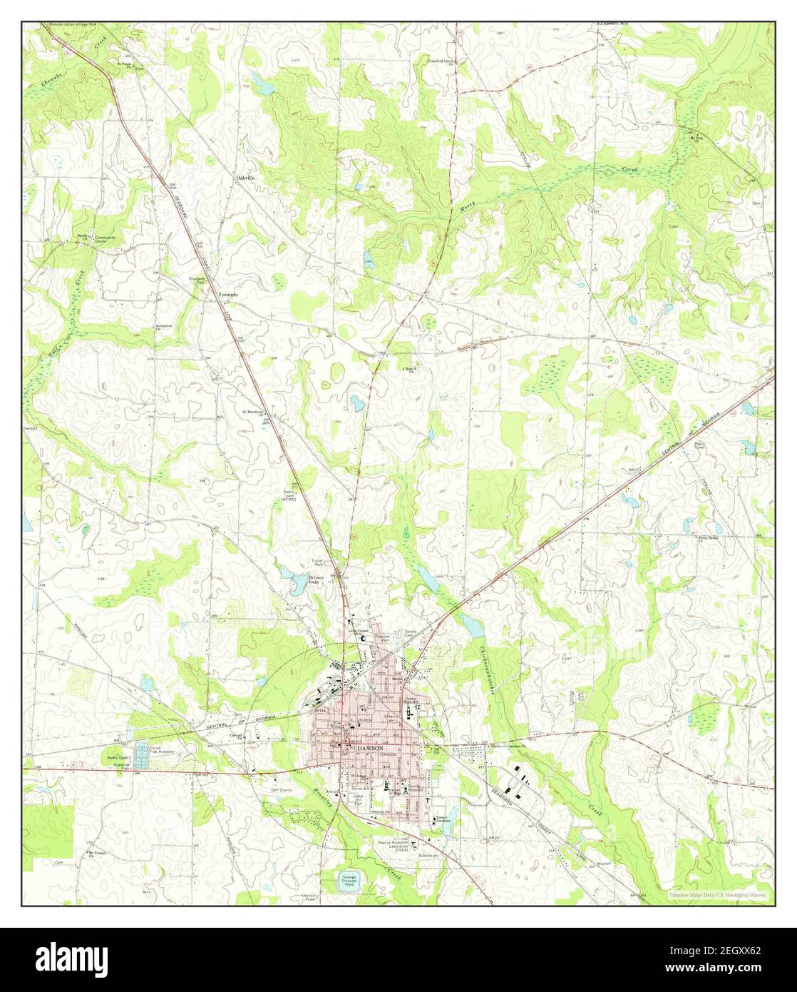 Dawson, Georgia, map 1973, 1:24000, United States of America by Timeless Maps, data U.S. Geological Survey Stock Photohttps://www.alamy.com/image-license-details/?v=1https://www.alamy.com/dawson-georgia-map-1973-124000-united-states-of-america-by-timeless-maps-data-us-geological-survey-image406264266.html
RM2EGXX62–Dawson, Georgia, map 1973, 1:24000, United States of America by Timeless Maps, data U.S. Geological Survey