Denmark map and 18th century Stock Photos and Images
(48)See denmark map and 18th century stock video clipsQuick filters:
Denmark map and 18th century Stock Photos and Images
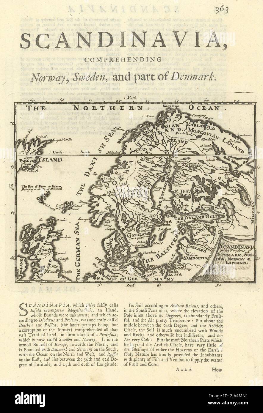 Scandinavia or the Kingdom of Denmark, Sueden, Norway & Lapland. MOLL 1709 map Stock Photohttps://www.alamy.com/image-license-details/?v=1https://www.alamy.com/scandinavia-or-the-kingdom-of-denmark-sueden-norway-lapland-moll-1709-map-image470930573.html
RF2JA4MN1–Scandinavia or the Kingdom of Denmark, Sueden, Norway & Lapland. MOLL 1709 map
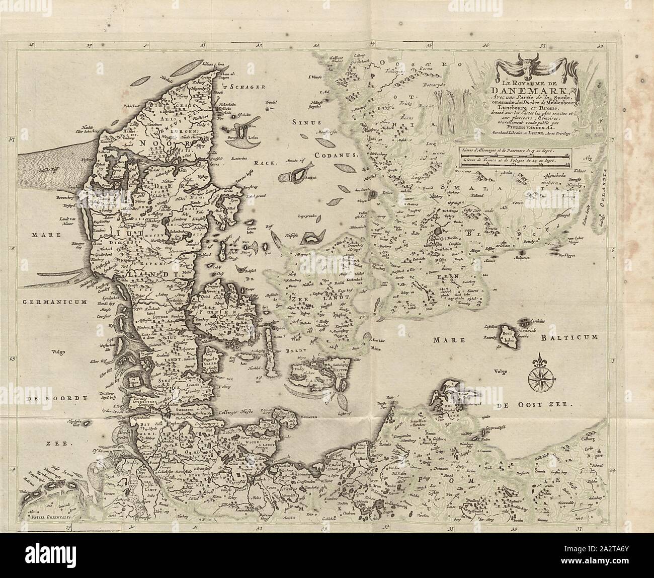 The Kingdom of Denmark, with part of Sweden, Pomerania, Duchez of Meklenburg, Lüneburg and Bremen ..., Map of the Kingdom of Denmark, with the southern territories, Pomerania, Mecklenburg, Lüneburg and Bremen from the 18th century, signed: Dressé sur les Cartes les plus exactes et sur plusieurs Mémoires, nouvellement rendu public par PIERRE VANDER AA, Merchand Libraire A LEIDE, Avec Privilege, Fig. 1, before p. 1, Aa, Pierre vander (rendu public), 1727, Adam Olearius: Voyages très-curieux et très-renommez faits en Moscovie, Tartarie et Perse: dans lequels on trouve une description curieuse Stock Photohttps://www.alamy.com/image-license-details/?v=1https://www.alamy.com/the-kingdom-of-denmark-with-part-of-sweden-pomerania-duchez-of-meklenburg-lneburg-and-bremen-map-of-the-kingdom-of-denmark-with-the-southern-territories-pomerania-mecklenburg-lneburg-and-bremen-from-the-18th-century-signed-dress-sur-les-cartes-les-plus-exactes-et-sur-plusieurs-mmoires-nouvellement-rendu-public-par-pierre-vander-aa-merchand-libraire-a-leide-avec-privilege-fig-1-before-p-1-aa-pierre-vander-rendu-public-1727-adam-olearius-voyages-trs-curieux-et-trs-renommez-faits-en-moscovie-tartarie-et-perse-dans-lequels-on-trouve-une-description-curieuse-image328761187.html
RM2A2TA6Y–The Kingdom of Denmark, with part of Sweden, Pomerania, Duchez of Meklenburg, Lüneburg and Bremen ..., Map of the Kingdom of Denmark, with the southern territories, Pomerania, Mecklenburg, Lüneburg and Bremen from the 18th century, signed: Dressé sur les Cartes les plus exactes et sur plusieurs Mémoires, nouvellement rendu public par PIERRE VANDER AA, Merchand Libraire A LEIDE, Avec Privilege, Fig. 1, before p. 1, Aa, Pierre vander (rendu public), 1727, Adam Olearius: Voyages très-curieux et très-renommez faits en Moscovie, Tartarie et Perse: dans lequels on trouve une description curieuse
 A New Map of Denmark. BAYLY 1782 old antique vintage plan chart Stock Photohttps://www.alamy.com/image-license-details/?v=1https://www.alamy.com/a-new-map-of-denmark-bayly-1782-old-antique-vintage-plan-chart-image242588799.html
RFT2JTDK–A New Map of Denmark. BAYLY 1782 old antique vintage plan chart
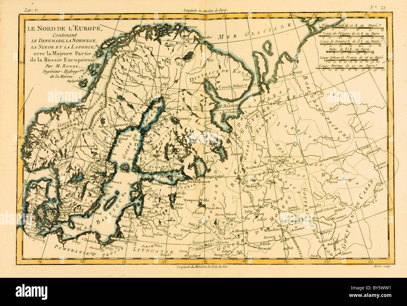 Map of Northern Europe, circa.1760. Stock Photohttps://www.alamy.com/image-license-details/?v=1https://www.alamy.com/stock-photo-map-of-northern-europe-circa1760-33936141.html
RMBY5WW1–Map of Northern Europe, circa.1760.
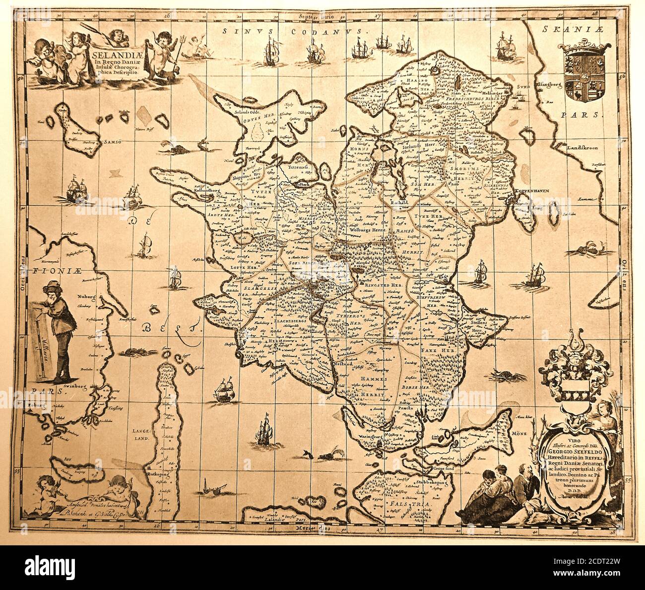 An early 18th century (c1887) map of ZELANDIA aka Sjælland aka Siâland aka Sjlland aka Selandia aka Zealand (Danish Island). Not to be confused with Zelandia, submerged land mass near New Zealand. The exact origin of the Danish name 'Sjælland' is disputed but Sjæl in modern Danish means 'soul'. In Norse mythology as told in the Gylfaginning, the island was created by the goddess Gefjun Stock Photohttps://www.alamy.com/image-license-details/?v=1https://www.alamy.com/an-early-18th-century-c1887-map-of-zelandia-aka-sjlland-aka-siland-aka-sjlland-aka-selandia-aka-zealand-danish-island-not-to-be-confused-with-zelandia-submerged-land-mass-near-new-zealand-the-exact-origin-of-the-danish-name-sjlland-is-disputed-but-sjl-in-modern-danish-means-soul-in-norse-mythology-as-told-in-the-gylfaginning-the-island-was-created-by-the-goddess-gefjun-image369936753.html
RM2CDT22W–An early 18th century (c1887) map of ZELANDIA aka Sjælland aka Siâland aka Sjlland aka Selandia aka Zealand (Danish Island). Not to be confused with Zelandia, submerged land mass near New Zealand. The exact origin of the Danish name 'Sjælland' is disputed but Sjæl in modern Danish means 'soul'. In Norse mythology as told in the Gylfaginning, the island was created by the goddess Gefjun
 A new and correct map of Norway, Sweden and Denmark. Finland. MOORE 1788 Stock Photohttps://www.alamy.com/image-license-details/?v=1https://www.alamy.com/a-new-and-correct-map-of-norway-sweden-and-denmark-finland-moore-1788-image469751320.html
RF2J870GT–A new and correct map of Norway, Sweden and Denmark. Finland. MOORE 1788
 Vintage pictorial map of The Plan of the Fortress Residence of the Royal City of Copenhagen, with its Surroundings. mid 18th century Stock Photohttps://www.alamy.com/image-license-details/?v=1https://www.alamy.com/vintage-pictorial-map-of-the-plan-of-the-fortress-residence-of-the-royal-city-of-copenhagen-with-its-surroundings-mid-18th-century-image624132307.html
RM2Y7BK3F–Vintage pictorial map of The Plan of the Fortress Residence of the Royal City of Copenhagen, with its Surroundings. mid 18th century
 Denmark by Herman Moll. Southern Sweden & Iceland 1709 old antique map chart Stock Photohttps://www.alamy.com/image-license-details/?v=1https://www.alamy.com/denmark-by-herman-moll-southern-sweden-iceland-1709-old-antique-map-chart-image470930577.html
RF2JA4MN5–Denmark by Herman Moll. Southern Sweden & Iceland 1709 old antique map chart
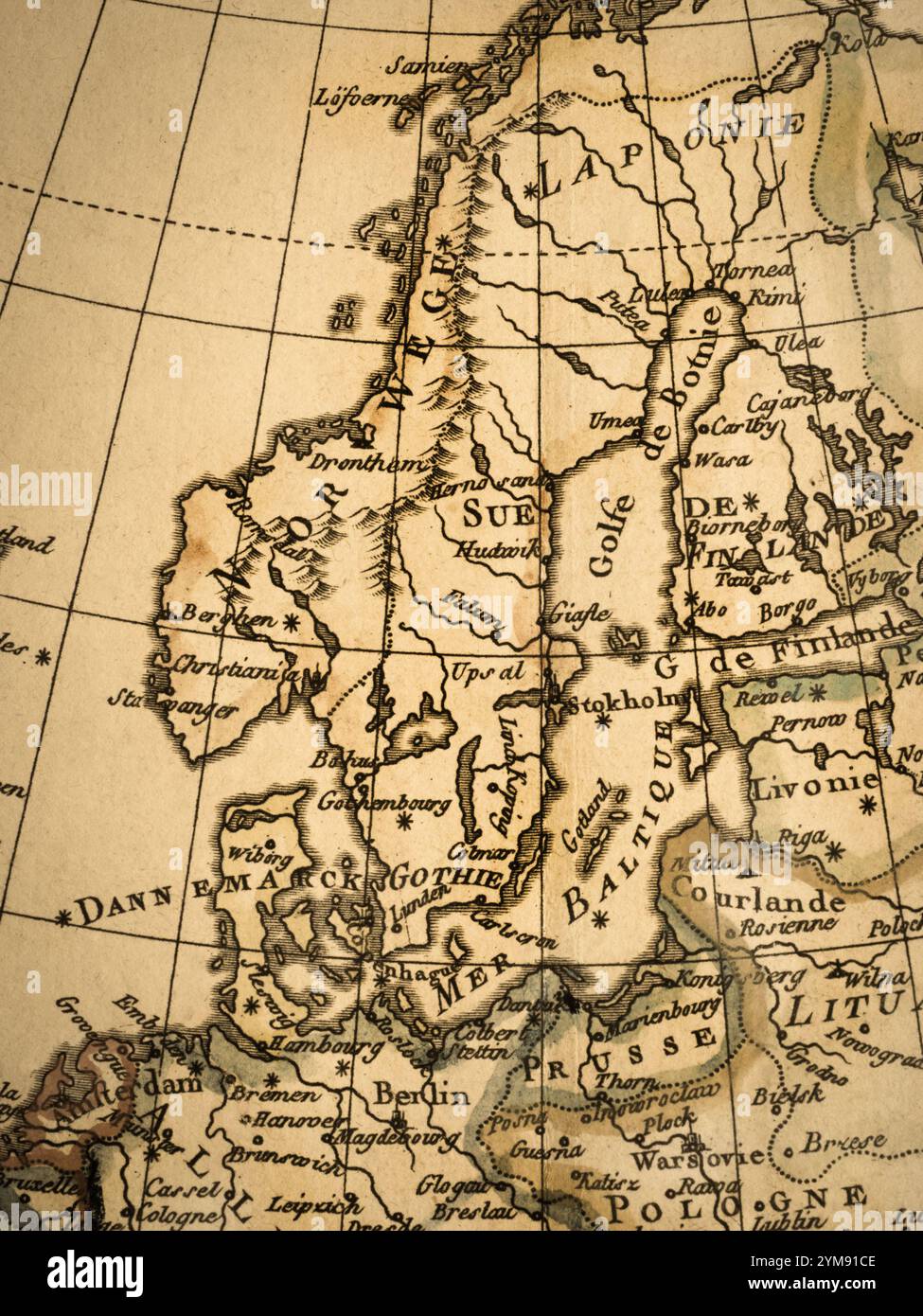 Old Map Northern Europe Stock Photohttps://www.alamy.com/image-license-details/?v=1https://www.alamy.com/old-map-northern-europe-image632065070.html
RF2YM91CE–Old Map Northern Europe
 Royaume de Danemark. Kingdom of Denmark. BONNE 1787 old antique map plan chart Stock Photohttps://www.alamy.com/image-license-details/?v=1https://www.alamy.com/royaume-de-danemark-kingdom-of-denmark-bonne-1787-old-antique-map-plan-chart-image401434036.html
RF2E92W5T–Royaume de Danemark. Kingdom of Denmark. BONNE 1787 old antique map plan chart
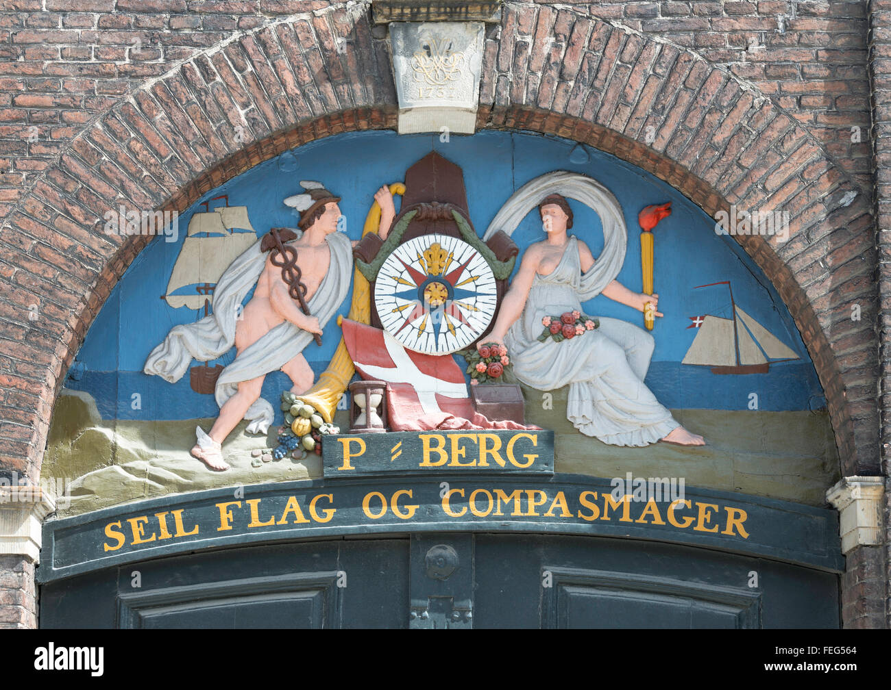 18th century marine plaster relief above doorway, Nyhavn, Copenhagen (Kobenhavn), Kingdom of Denmark Stock Photohttps://www.alamy.com/image-license-details/?v=1https://www.alamy.com/stock-photo-18th-century-marine-plaster-relief-above-doorway-nyhavn-copenhagen-95012348.html
RMFEG564–18th century marine plaster relief above doorway, Nyhavn, Copenhagen (Kobenhavn), Kingdom of Denmark
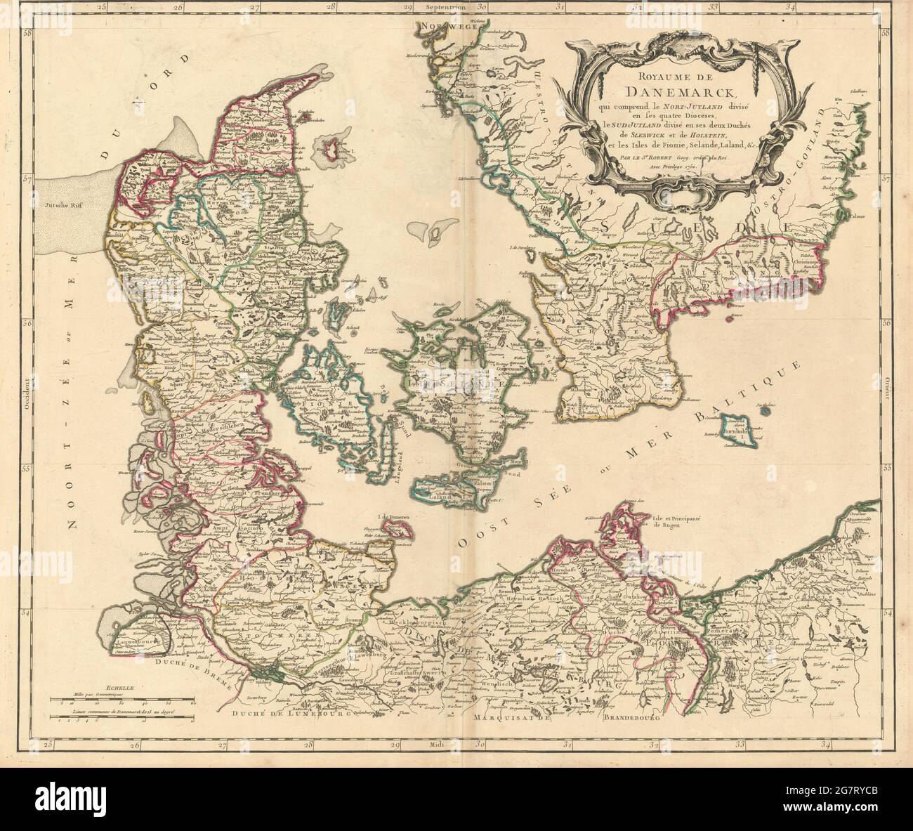 'Royaume de Danemarck…' Denmark & Southern Sweden. ROBERT DE VAUGONDY 1750 map Stock Photohttps://www.alamy.com/image-license-details/?v=1https://www.alamy.com/royaume-de-danemarck-denmark-southern-sweden-robert-de-vaugondy-1750-map-image435088203.html
RF2G7RYCB–'Royaume de Danemarck…' Denmark & Southern Sweden. ROBERT DE VAUGONDY 1750 map
 1780 Bonne Antique Map of Scandinavia including Sweden, Finland, Norway and Denmark. Stock Photohttps://www.alamy.com/image-license-details/?v=1https://www.alamy.com/1780-bonne-antique-map-of-scandinavia-including-sweden-finland-norway-image152050571.html
RFJRAE1F–1780 Bonne Antique Map of Scandinavia including Sweden, Finland, Norway and Denmark.
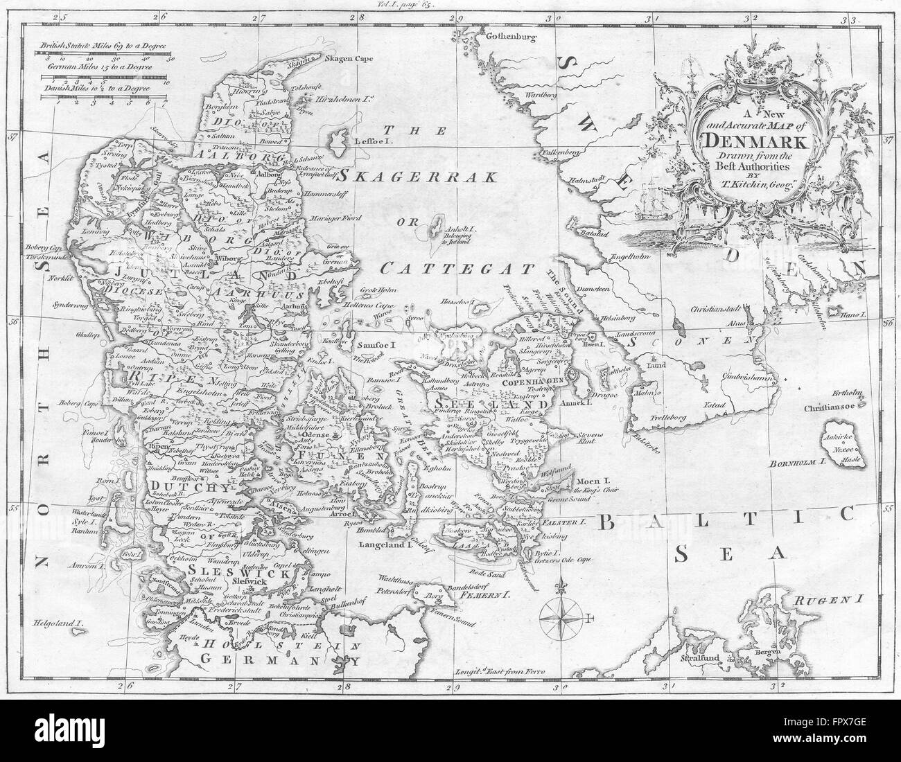 DENMARK: Kitchin, 1752 antique map Stock Photohttps://www.alamy.com/image-license-details/?v=1https://www.alamy.com/stock-photo-denmark-kitchin-1752-antique-map-100150974.html
RFFPX7GE–DENMARK: Kitchin, 1752 antique map
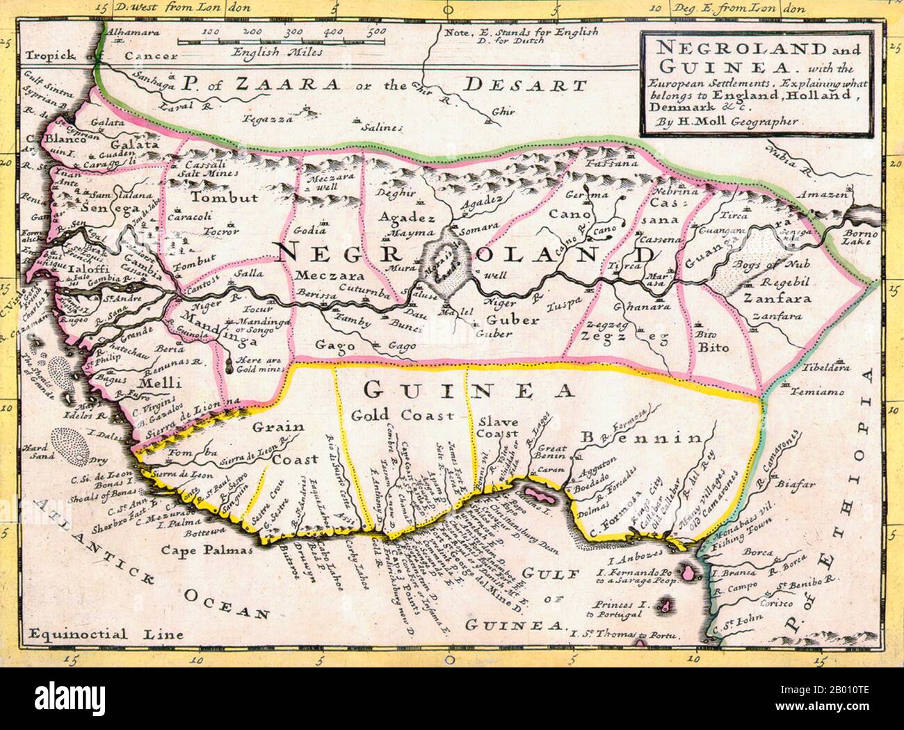 Nigeria: Map of Negroland and Guinea by Herman Moll (1654-1732), showing the Kingdom of Benin ('Bennin') by the Gulf of Guinea, 1727. 'Negroland and Guinea with the European Settlements, Explaining what belongs to England, Holland, Denmark, etc'. By Herman Moll (1654-1732), Geographer. Stock Photohttps://www.alamy.com/image-license-details/?v=1https://www.alamy.com/nigeria-map-of-negroland-and-guinea-by-herman-moll-1654-1732-showing-the-kingdom-of-benin-bennin-by-the-gulf-of-guinea-1727-negroland-and-guinea-with-the-european-settlements-explaining-what-belongs-to-england-holland-denmark-etc-by-herman-moll-1654-1732-geographer-image344229998.html
RM2B010TE–Nigeria: Map of Negroland and Guinea by Herman Moll (1654-1732), showing the Kingdom of Benin ('Bennin') by the Gulf of Guinea, 1727. 'Negroland and Guinea with the European Settlements, Explaining what belongs to England, Holland, Denmark, etc'. By Herman Moll (1654-1732), Geographer.
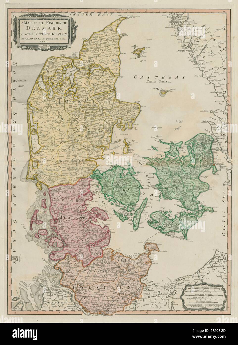 The map of the Kingdom of Denmark with the Duchy of Holstein. FADEN 1790 Stock Photohttps://www.alamy.com/image-license-details/?v=1https://www.alamy.com/the-map-of-the-kingdom-of-denmark-with-the-duchy-of-holstein-faden-1790-image349785981.html
RF2B923GD–The map of the Kingdom of Denmark with the Duchy of Holstein. FADEN 1790
 Vintage hand drawn Homann's map of Denmark from 18th century. All maps are beautifully colored and illustrated showing known world at moment. Stock Photohttps://www.alamy.com/image-license-details/?v=1https://www.alamy.com/vintage-hand-drawn-homanns-map-of-denmark-from-18th-century-all-maps-are-beautifully-colored-and-illustrated-showing-known-world-at-moment-image418993562.html
RF2F9JPFP–Vintage hand drawn Homann's map of Denmark from 18th century. All maps are beautifully colored and illustrated showing known world at moment.
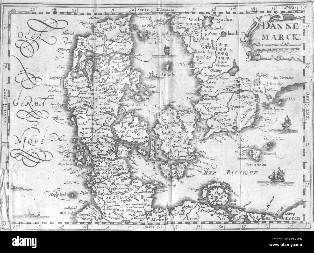 DENMARK: Danne Marck: Martineau, 1700 antique map Stock Photohttps://www.alamy.com/image-license-details/?v=1https://www.alamy.com/stock-photo-denmark-danne-marck-martineau-1700-antique-map-100151222.html
RFFPX7WA–DENMARK: Danne Marck: Martineau, 1700 antique map
 Map of the Faeroe Islands Stock Photohttps://www.alamy.com/image-license-details/?v=1https://www.alamy.com/stock-photo-map-of-the-faeroe-islands-56677550.html
RMD85TP6–Map of the Faeroe Islands
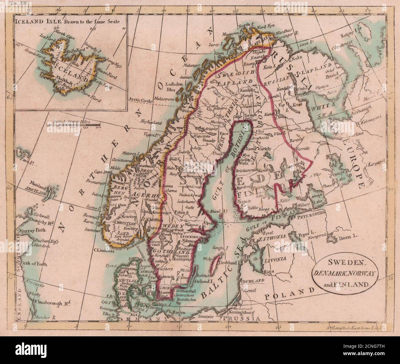 Sweden Denmark Norway and Finland Inset Map of Iceland. Scandinavia. PAYNE 1798 Stock Photohttps://www.alamy.com/image-license-details/?v=1https://www.alamy.com/sweden-denmark-norway-and-finland-inset-map-of-iceland-scandinavia-payne-1798-image374682913.html
RF2CNG7TH–Sweden Denmark Norway and Finland Inset Map of Iceland. Scandinavia. PAYNE 1798
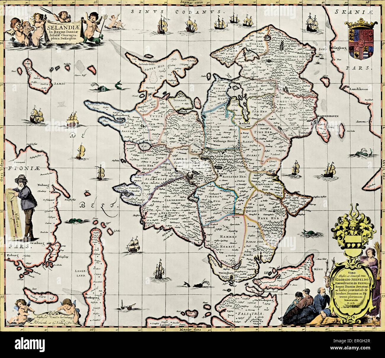 Zealand, Denmark - published in Schenck 's 'Atlas Contractus', 1713. Largest island of Denmark. Stock Photohttps://www.alamy.com/image-license-details/?v=1https://www.alamy.com/stock-photo-zealand-denmark-published-in-schenck-s-atlas-contractus-1713-largest-83343199.html
RMERGH2R–Zealand, Denmark - published in Schenck 's 'Atlas Contractus', 1713. Largest island of Denmark.
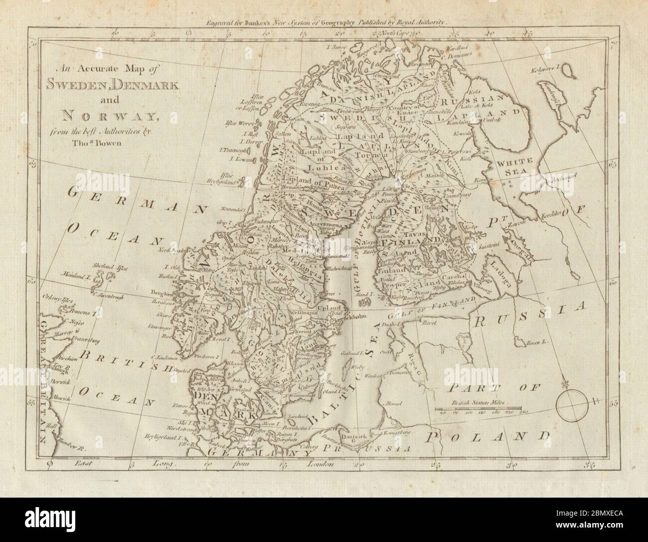 An accurate map of Sweden, Denmark and Norway. BOWEN. Scandinavia 1789 old Stock Photohttps://www.alamy.com/image-license-details/?v=1https://www.alamy.com/an-accurate-map-of-sweden-denmark-and-norway-bowen-scandinavia-1789-old-image357082554.html
RF2BMXECA–An accurate map of Sweden, Denmark and Norway. BOWEN. Scandinavia 1789 old
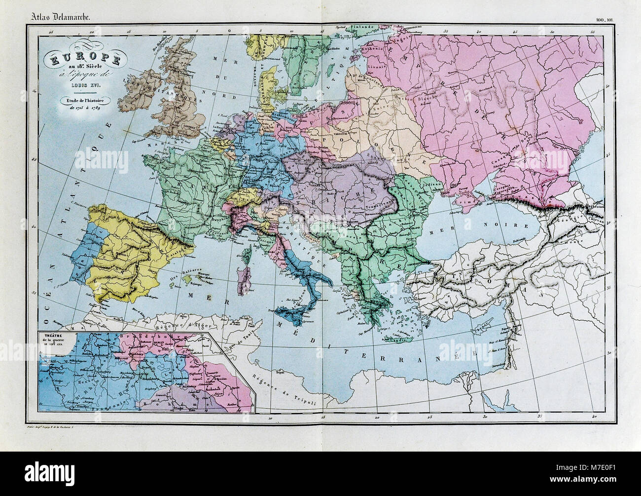 1858 Delamarche Historical Map of Europe in the 18th Century during the Era of Louis XVI of France Stock Photohttps://www.alamy.com/image-license-details/?v=1https://www.alamy.com/stock-photo-1858-delamarche-historical-map-of-europe-in-the-18th-century-during-176714021.html
RFM7E0F1–1858 Delamarche Historical Map of Europe in the 18th Century during the Era of Louis XVI of France
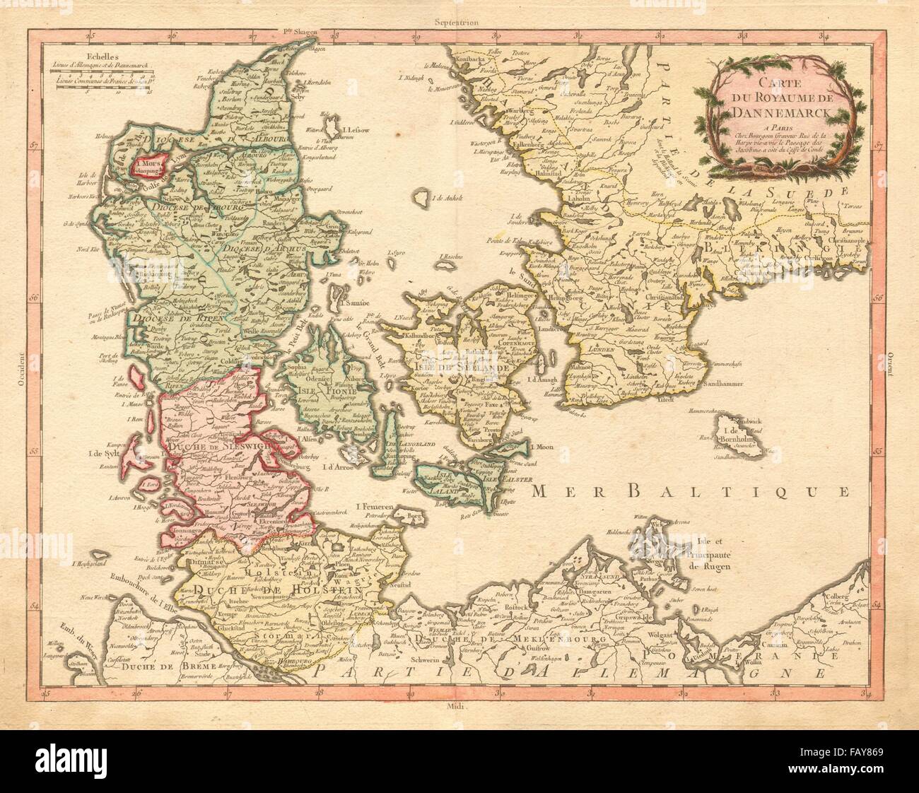 'ROYAUME DE DANNEMARCK' Denmark Schleswig Holstein S Sweden. BOURGOIN, 1766 map Stock Photohttps://www.alamy.com/image-license-details/?v=1https://www.alamy.com/stock-photo-royaume-de-dannemarck-denmark-schleswig-holstein-s-sweden-bourgoin-92797553.html
RFFAY869–'ROYAUME DE DANNEMARCK' Denmark Schleswig Holstein S Sweden. BOURGOIN, 1766 map
 ean- Baptiste Louis Clouet (1729-1790) , abbot , cartographer and geographer . Map of Europe as part of a series of 3 cards (Peru and Mexico) , from the Bonaparte's youth Atlas entitled ' Modern Geography' . The board has a Bonaparte's young hand inscription, 'Mr. de Lisle gives it 860 places instead of 1160 he was given before' and below the map the word 'Egypt' . 1780 Black print heightened with colors. Stock Photohttps://www.alamy.com/image-license-details/?v=1https://www.alamy.com/ean-baptiste-louis-clouet-1729-1790-abbot-cartographer-and-geographer-map-of-europe-as-part-of-a-series-of-3-cards-peru-and-mexico-from-the-bonapartes-youth-atlas-entitled-modern-geography-the-board-has-a-bonapartes-young-hand-inscription-mr-de-lisle-gives-it-860-places-instead-of-1160-he-was-given-before-and-below-the-map-the-word-egypt-1780-black-print-heightened-with-colors-image483539020.html
RM2K2K2XM–ean- Baptiste Louis Clouet (1729-1790) , abbot , cartographer and geographer . Map of Europe as part of a series of 3 cards (Peru and Mexico) , from the Bonaparte's youth Atlas entitled ' Modern Geography' . The board has a Bonaparte's young hand inscription, 'Mr. de Lisle gives it 860 places instead of 1160 he was given before' and below the map the word 'Egypt' . 1780 Black print heightened with colors.
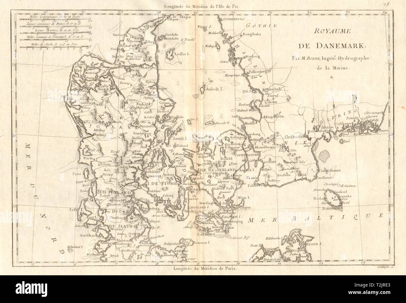 Royaume de Danemark. Kingdom of Denmark. BONNE 1789 old antique map plan chart Stock Photohttps://www.alamy.com/image-license-details/?v=1https://www.alamy.com/royaume-de-danemark-kingdom-of-denmark-bonne-1789-old-antique-map-plan-chart-image242588027.html
RFT2JRE3–Royaume de Danemark. Kingdom of Denmark. BONNE 1789 old antique map plan chart
 Vintage Map of The East Indies by Herman Moll. 1720. With Colonial holding from Denmark, England, France, Holland, Portugal, Spain, . With inset of city maps Stock Photohttps://www.alamy.com/image-license-details/?v=1https://www.alamy.com/vintage-map-of-the-east-indies-by-herman-moll-1720-with-colonial-holding-from-denmark-england-france-holland-portugal-spain-with-inset-of-city-maps-image598255859.html
RM2WN8WCK–Vintage Map of The East Indies by Herman Moll. 1720. With Colonial holding from Denmark, England, France, Holland, Portugal, Spain, . With inset of city maps
 ROYAUME DE DANEMARC'. Denmark Scleswig Holstein S. Sweden. DE L'ISLE, c1769 map Stock Photohttps://www.alamy.com/image-license-details/?v=1https://www.alamy.com/stock-photo-royaume-de-danemarc-denmark-scleswig-holstein-s-sweden-de-lisle-c1769-92798374.html
RFFAY97J–ROYAUME DE DANEMARC'. Denmark Scleswig Holstein S. Sweden. DE L'ISLE, c1769 map
 Old Map Northern Europe Stock Photohttps://www.alamy.com/image-license-details/?v=1https://www.alamy.com/old-map-northern-europe-image632065084.html
RF2YM91D0–Old Map Northern Europe
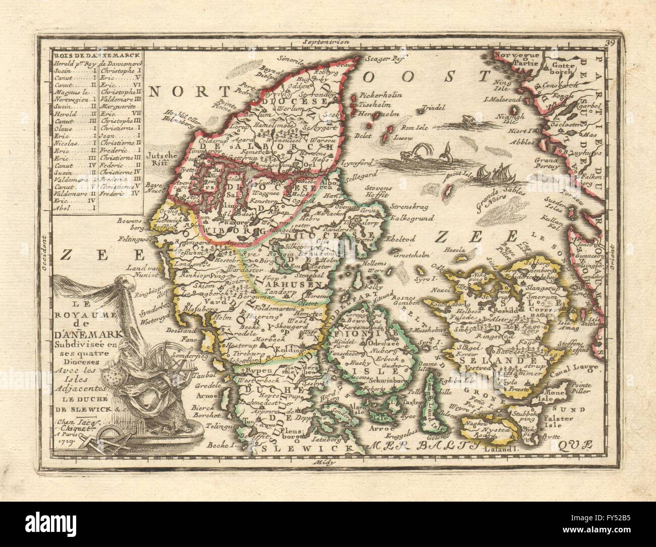 DENMARK. 'Le Royaume de Danemark' by Jacques CHIQUET. Sea Monsters, 1719 map Stock Photohttps://www.alamy.com/image-license-details/?v=1https://www.alamy.com/stock-photo-denmark-le-royaume-de-danemark-by-jacques-chiquet-sea-monsters-1719-102759193.html
RFFY52B5–DENMARK. 'Le Royaume de Danemark' by Jacques CHIQUET. Sea Monsters, 1719 map
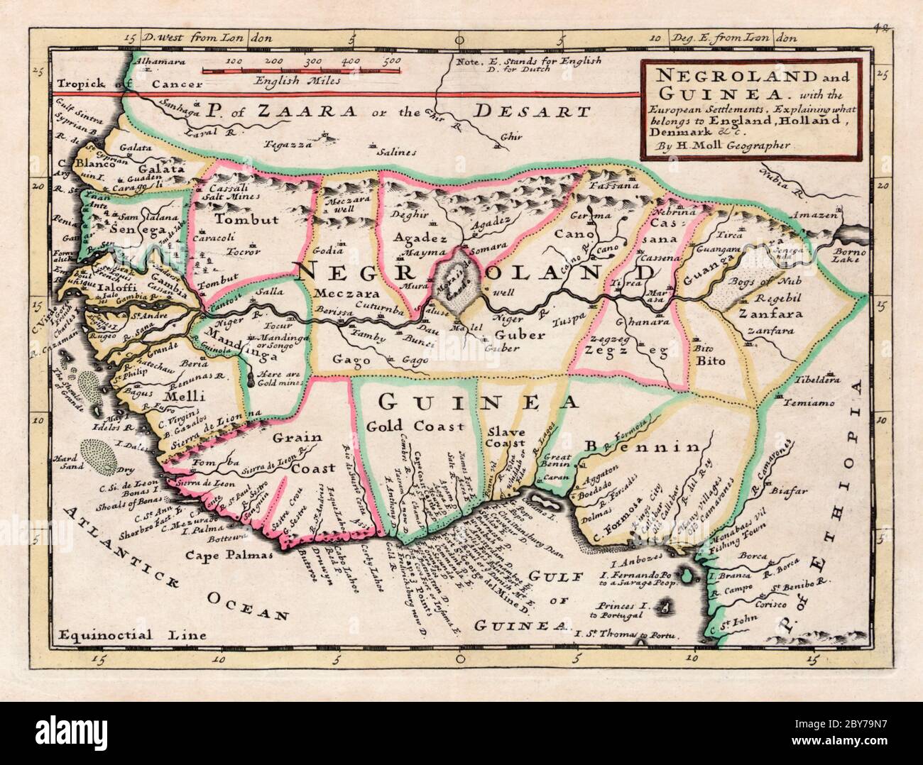 Negroland and Guinea, with the European settlements, explaining what belongs to England, Holland, Denmark etc. By H. Moll, Geographer. From an atlas printed and sold by T. Bowles, London circa 1735. The map covers some of the main slaving areas of equatorial Africa. Stock Photohttps://www.alamy.com/image-license-details/?v=1https://www.alamy.com/negroland-and-guinea-with-the-european-settlements-explaining-what-belongs-to-england-holland-denmark-etc-by-h-moll-geographer-from-an-atlas-printed-and-sold-by-t-bowles-london-circa-1735-the-map-covers-some-of-the-main-slaving-areas-of-equatorial-africa-image360964387.html
RM2BY79N7–Negroland and Guinea, with the European settlements, explaining what belongs to England, Holland, Denmark etc. By H. Moll, Geographer. From an atlas printed and sold by T. Bowles, London circa 1735. The map covers some of the main slaving areas of equatorial Africa.
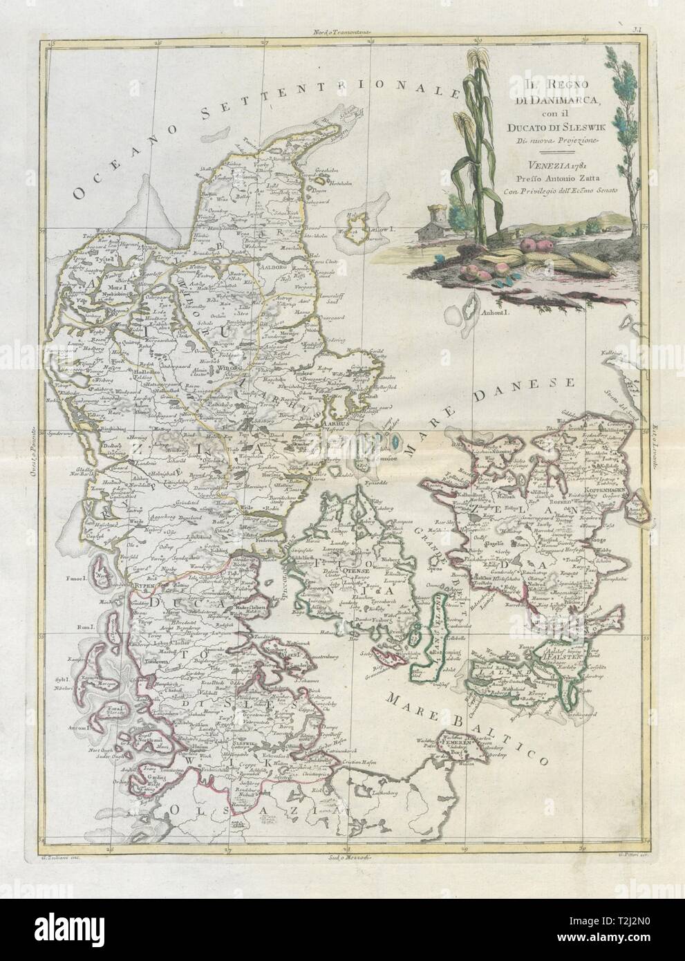 'Il Regno di Danimarca, con… Sleswik'. Denmark & Schleswig. ZATTA 1783 old map Stock Photohttps://www.alamy.com/image-license-details/?v=1https://www.alamy.com/il-regno-di-danimarca-con-sleswik-denmark-schleswig-zatta-1783-old-map-image242571756.html
RFT2J2N0–'Il Regno di Danimarca, con… Sleswik'. Denmark & Schleswig. ZATTA 1783 old map
 The Kingdom of Denmark, with part of Sweden, Pomerania, Duchez of Meklenburg, Lüneburg and Bremen ..., Map of the Kingdom of Denmark, with the southern territories, Pomerania, Mecklenburg, Lüneburg and Bremen from the 18th century, signed: Dressé sur les Cartes les plus exactes et sur plusieurs Mémoires, nouvellement rendu public par PIERRE VANDER AA, Merchand Libraire A LEIDE, Avec Privilege, Fig. 1, before p. 1, Aa, Pierre vander (rendu public), 1727, Adam Olearius: Voyages très-curieux et très-renommez faits en Moscovie, Tartarie et Perse: dans lequels on trouve une description curieuse & l Stock Photohttps://www.alamy.com/image-license-details/?v=1https://www.alamy.com/the-kingdom-of-denmark-with-part-of-sweden-pomerania-duchez-of-meklenburg-lneburg-and-bremen-map-of-the-kingdom-of-denmark-with-the-southern-territories-pomerania-mecklenburg-lneburg-and-bremen-from-the-18th-century-signed-dress-sur-les-cartes-les-plus-exactes-et-sur-plusieurs-mmoires-nouvellement-rendu-public-par-pierre-vander-aa-merchand-libraire-a-leide-avec-privilege-fig-1-before-p-1-aa-pierre-vander-rendu-public-1727-adam-olearius-voyages-trs-curieux-et-trs-renommez-faits-en-moscovie-tartarie-et-perse-dans-lequels-on-trouve-une-description-curieuse-l-image349823894.html
RF2B93RXE–The Kingdom of Denmark, with part of Sweden, Pomerania, Duchez of Meklenburg, Lüneburg and Bremen ..., Map of the Kingdom of Denmark, with the southern territories, Pomerania, Mecklenburg, Lüneburg and Bremen from the 18th century, signed: Dressé sur les Cartes les plus exactes et sur plusieurs Mémoires, nouvellement rendu public par PIERRE VANDER AA, Merchand Libraire A LEIDE, Avec Privilege, Fig. 1, before p. 1, Aa, Pierre vander (rendu public), 1727, Adam Olearius: Voyages très-curieux et très-renommez faits en Moscovie, Tartarie et Perse: dans lequels on trouve une description curieuse & l
 'Le Danemark divisé par provinces…'. Denmark. DESNOS/DE LA TOUR 1771 old map Stock Photohttps://www.alamy.com/image-license-details/?v=1https://www.alamy.com/le-danemark-divis-par-provinces-denmark-desnosde-la-tour-1771-old-map-image242573671.html
RFT2J55B–'Le Danemark divisé par provinces…'. Denmark. DESNOS/DE LA TOUR 1771 old map
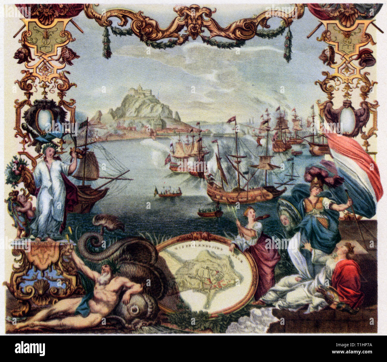 The Capture of Gibraltar, 1704. By Johann August Corvinus (1683-1738) and Paulus Decker the Elder (1677-1713). The Capture of Gibraltar by Anglo-dutch forces of the Grand Alliance between 1st & 3rd August 1704, during the War of the Spanish Succession. Stock Photohttps://www.alamy.com/image-license-details/?v=1https://www.alamy.com/the-capture-of-gibraltar-1704-by-johann-august-corvinus-1683-1738-and-paulus-decker-the-elder-1677-1713-the-capture-of-gibraltar-by-anglo-dutch-forces-of-the-grand-alliance-between-1st-3rd-august-1704-during-the-war-of-the-spanish-succession-image241950446.html
RMT1HP7A–The Capture of Gibraltar, 1704. By Johann August Corvinus (1683-1738) and Paulus Decker the Elder (1677-1713). The Capture of Gibraltar by Anglo-dutch forces of the Grand Alliance between 1st & 3rd August 1704, during the War of the Spanish Succession.
 Les Royaumes de Suede, de Danemark et de Norwege. Scandinavia. BONNE 1787 map Stock Photohttps://www.alamy.com/image-license-details/?v=1https://www.alamy.com/les-royaumes-de-suede-de-danemark-et-de-norwege-scandinavia-bonne-1787-map-image401434067.html
RF2E92W6Y–Les Royaumes de Suede, de Danemark et de Norwege. Scandinavia. BONNE 1787 map
 Vintage copper engraved map of Denmark from 19th century. All maps are beautifully colored and illustrated showing the world at the time. Stock Photohttps://www.alamy.com/image-license-details/?v=1https://www.alamy.com/vintage-copper-engraved-map-of-denmark-from-19th-century-all-maps-are-beautifully-colored-and-illustrated-showing-the-world-at-the-time-image425456826.html
RF2FM56EJ–Vintage copper engraved map of Denmark from 19th century. All maps are beautifully colored and illustrated showing the world at the time.
 'Nouvelle Carte Geographique du Royaume de Dannemarck'. CHATELAINE, 1719 map Stock Photohttps://www.alamy.com/image-license-details/?v=1https://www.alamy.com/stock-photo-nouvelle-carte-geographique-du-royaume-de-dannemarck-chatelaine-1719-93077356.html
RFFBC138–'Nouvelle Carte Geographique du Royaume de Dannemarck'. CHATELAINE, 1719 map
 Fodina ferrea Danmorensis - A Danish Iron Mine (Aubry de La Mottraye's "Travels throughout Europe, Asia and into Part of Africa...," London, 1724, vol. II, pl. 35), 1723-24. Stock Photohttps://www.alamy.com/image-license-details/?v=1https://www.alamy.com/fodina-ferrea-danmorensis-a-danish-iron-mine-aubry-de-la-mottrayes-quottravels-throughout-europe-asia-and-into-part-of-africaquot-london-1724-vol-ii-pl-35-1723-24-image349011498.html
RM2B7PRMA–Fodina ferrea Danmorensis - A Danish Iron Mine (Aubry de La Mottraye's "Travels throughout Europe, Asia and into Part of Africa...," London, 1724, vol. II, pl. 35), 1723-24.
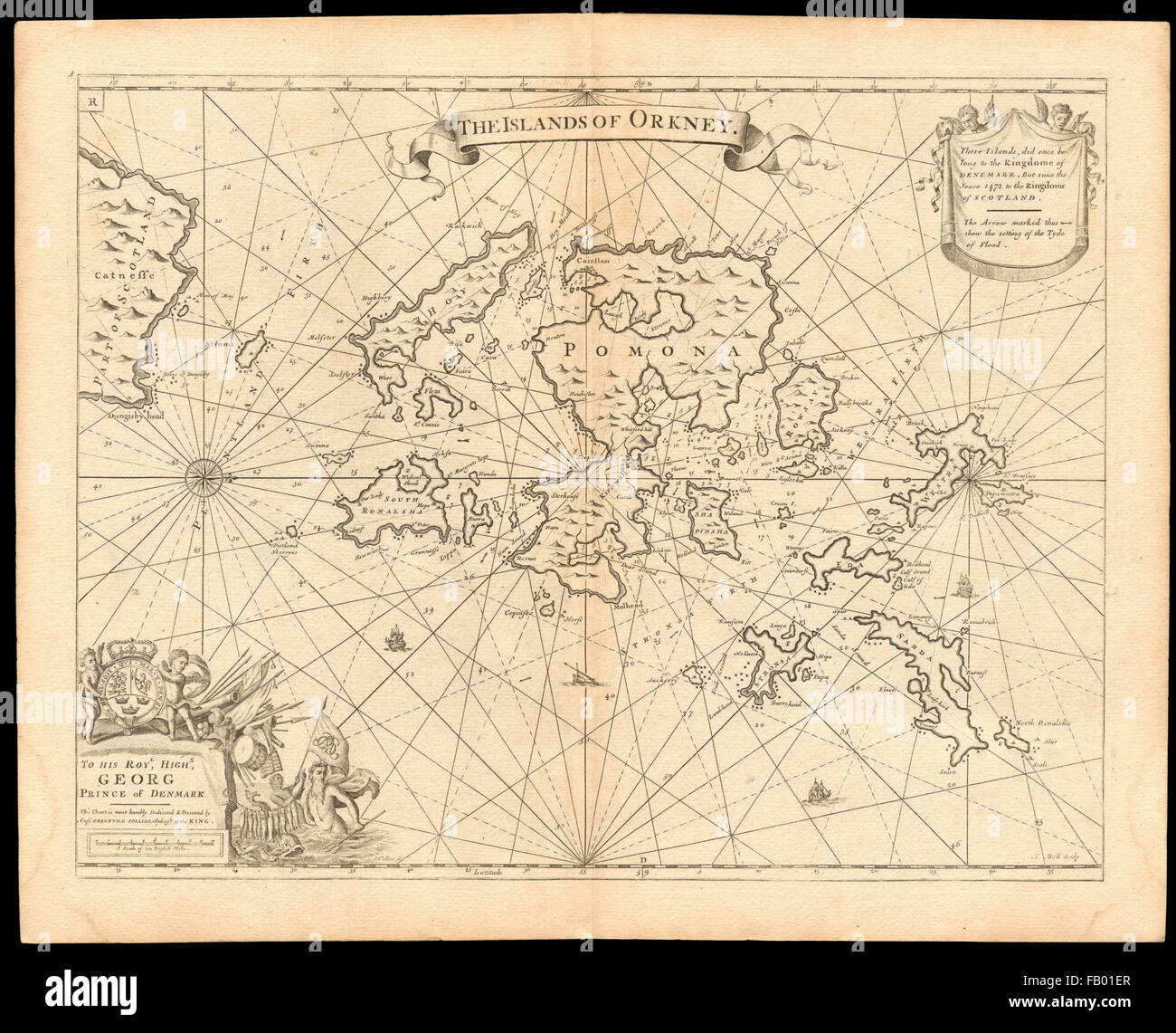 'The Islands of Orkney' sea chart by Capt G. COLLINS. Pomona Hoy &c, c1774 map Stock Photohttps://www.alamy.com/image-license-details/?v=1https://www.alamy.com/stock-photo-the-islands-of-orkney-sea-chart-by-capt-g-collins-pomona-hoy-c-c1774-92814255.html
RFFB01ER–'The Islands of Orkney' sea chart by Capt G. COLLINS. Pomona Hoy &c, c1774 map
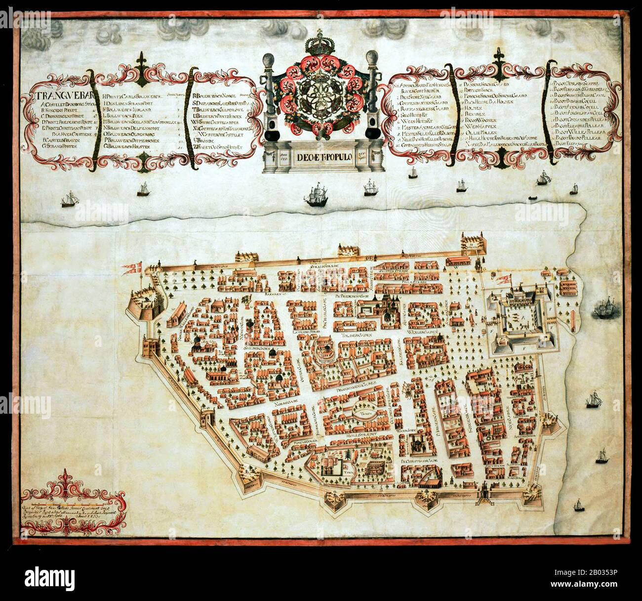 Tharangambadi, formerly Tranquebar, is a town in the Nagapattinam district of the Indian state of Tamil Nadu. It lies 15 kilometres (9.3 mi) north of Karaikal, near the mouth of a distributary of the Kaveri River. It was a Danish colony from 1620 to 1845, and in Danish it is still known as Trankebar. Stock Photohttps://www.alamy.com/image-license-details/?v=1https://www.alamy.com/tharangambadi-formerly-tranquebar-is-a-town-in-the-nagapattinam-district-of-the-indian-state-of-tamil-nadu-it-lies-15-kilometres-93-mi-north-of-karaikal-near-the-mouth-of-a-distributary-of-the-kaveri-river-it-was-a-danish-colony-from-1620-to-1845-and-in-danish-it-is-still-known-as-trankebar-image344277242.html
RM2B0353P–Tharangambadi, formerly Tranquebar, is a town in the Nagapattinam district of the Indian state of Tamil Nadu. It lies 15 kilometres (9.3 mi) north of Karaikal, near the mouth of a distributary of the Kaveri River. It was a Danish colony from 1620 to 1845, and in Danish it is still known as Trankebar.
 'Carta Nuova del Regno di Danimarca…' by Isaac TIRION. DENMARK, c1750 old map Stock Photohttps://www.alamy.com/image-license-details/?v=1https://www.alamy.com/stock-photo-carta-nuova-del-regno-di-danimarca-by-isaac-tirion-denmark-c1750-old-102759183.html
RFFY52AR–'Carta Nuova del Regno di Danimarca…' by Isaac TIRION. DENMARK, c1750 old map
 Tharangambadi, formerly Tranquebar, is a town in the Nagapattinam district of the Indian state of Tamil Nadu. It lies 15 kilometres (9.3 mi) north of Karaikal, near the mouth of a distributary of the Kaveri River. It was a Danish colony from 1620 to 1845, and in Danish it is still known as Trankebar. Stock Photohttps://www.alamy.com/image-license-details/?v=1https://www.alamy.com/tharangambadi-formerly-tranquebar-is-a-town-in-the-nagapattinam-district-of-the-indian-state-of-tamil-nadu-it-lies-15-kilometres-93-mi-north-of-karaikal-near-the-mouth-of-a-distributary-of-the-kaveri-river-it-was-a-danish-colony-from-1620-to-1845-and-in-danish-it-is-still-known-as-trankebar-image344277428.html
RM2B035AC–Tharangambadi, formerly Tranquebar, is a town in the Nagapattinam district of the Indian state of Tamil Nadu. It lies 15 kilometres (9.3 mi) north of Karaikal, near the mouth of a distributary of the Kaveri River. It was a Danish colony from 1620 to 1845, and in Danish it is still known as Trankebar.
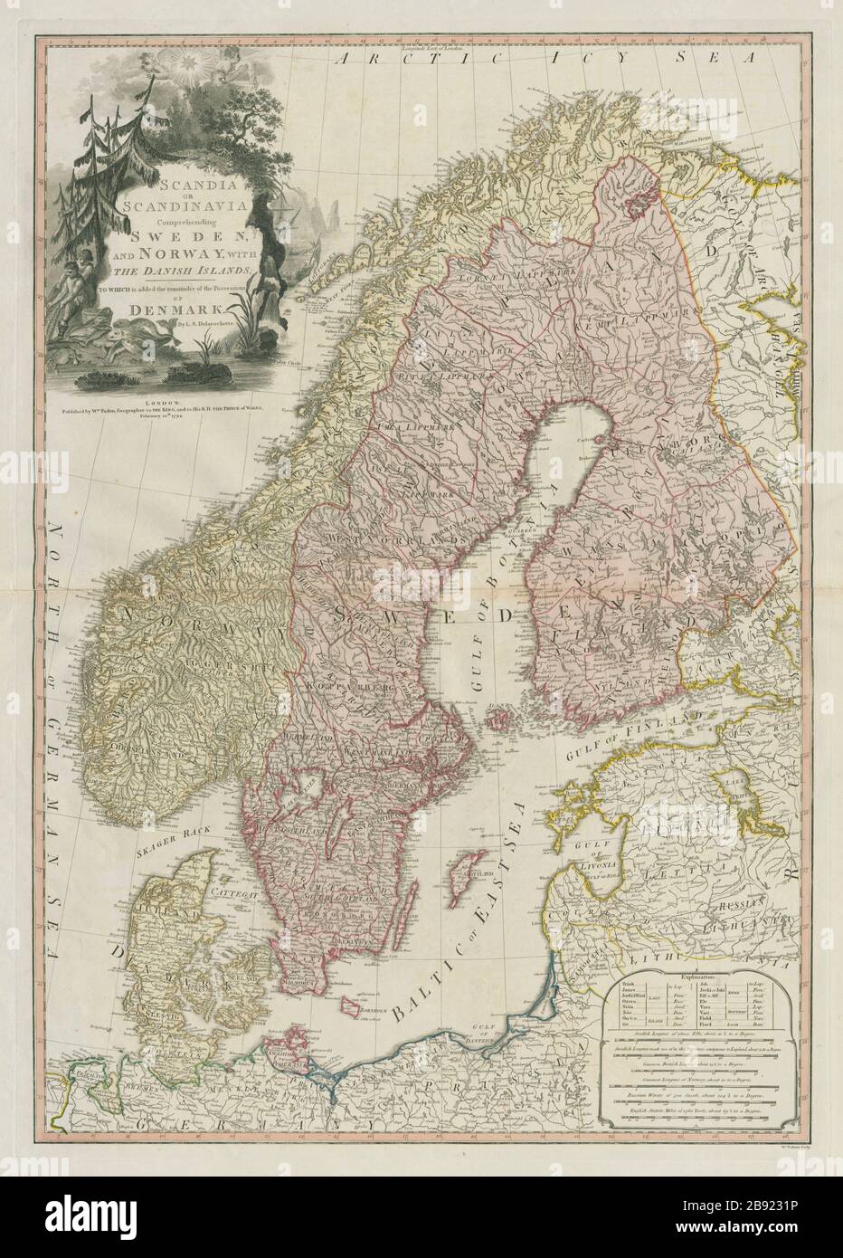 Scandia or Scandinavia comprehending Sweden & Norway DELAROCHETTE/FADEN 1794 map Stock Photohttps://www.alamy.com/image-license-details/?v=1https://www.alamy.com/scandia-or-scandinavia-comprehending-sweden-norway-delarochettefaden-1794-map-image349785570.html
RF2B9231P–Scandia or Scandinavia comprehending Sweden & Norway DELAROCHETTE/FADEN 1794 map
 SCANDINAVIA. 'Les Royaumes de Suède, de Danemark et de Norwege'. BONNE c1780 map Stock Photohttps://www.alamy.com/image-license-details/?v=1https://www.alamy.com/stock-photo-scandinavia-les-royaumes-de-sude-de-danemark-et-de-norwege-bonne-c1780-102759190.html
RFFY52B2–SCANDINAVIA. 'Les Royaumes de Suède, de Danemark et de Norwege'. BONNE c1780 map
 Les Royaumes de Suede, de Danemark et de Norwege. Scandinavia. BONNE 1789 map Stock Photohttps://www.alamy.com/image-license-details/?v=1https://www.alamy.com/les-royaumes-de-suede-de-danemark-et-de-norwege-scandinavia-bonne-1789-map-image242588036.html
RFT2JREC–Les Royaumes de Suede, de Danemark et de Norwege. Scandinavia. BONNE 1789 map
 The Islands of Orkney sea chart by Capt G. COLLINS. Pomona Hoy &c 1723 old map Stock Photohttps://www.alamy.com/image-license-details/?v=1https://www.alamy.com/the-islands-of-orkney-sea-chart-by-capt-g-collins-pomona-hoy-c-1723-old-map-image469749862.html
RF2J86XMP–The Islands of Orkney sea chart by Capt G. COLLINS. Pomona Hoy &c 1723 old map
 'Le Danemark divisé par Provinces et Diocèses…' BRION DE LA TOUR/DESNOS 1766 map Stock Photohttps://www.alamy.com/image-license-details/?v=1https://www.alamy.com/stock-photo-le-danemark-divis-par-provinces-et-diocses-brion-de-la-tourdesnos-123196847.html
RFH4C2RB–'Le Danemark divisé par Provinces et Diocèses…' BRION DE LA TOUR/DESNOS 1766 map