Quick filters:
Derwen road Stock Photos and Images
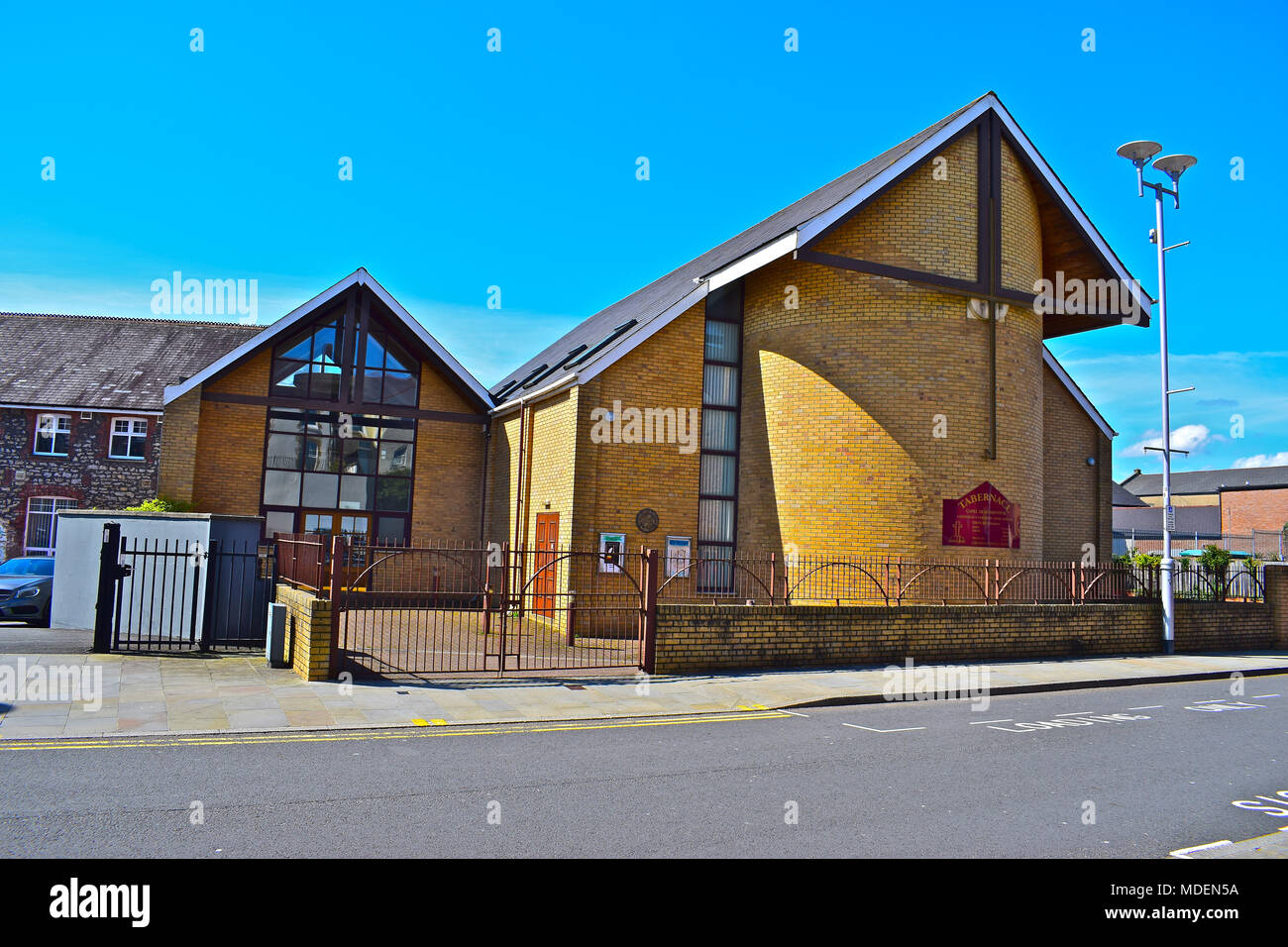 Tabernacl capel yr Annibynwyr Bridgend/Penybont S.Wales. Tabernacle Welsh Independent Chapel, Derwen Road Bridgend. Stock Photohttps://www.alamy.com/image-license-details/?v=1https://www.alamy.com/tabernacl-capel-yr-annibynwyr-bridgendpenybont-swales-tabernacle-welsh-independent-chapel-derwen-road-bridgend-image180418150.html
RFMDEN5A–Tabernacl capel yr Annibynwyr Bridgend/Penybont S.Wales. Tabernacle Welsh Independent Chapel, Derwen Road Bridgend.
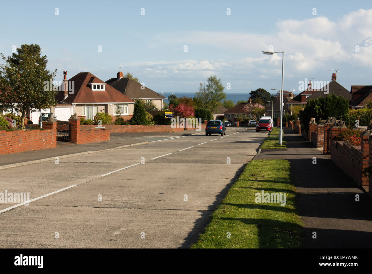 Saunders Way, a suburban street in Derwen Fawr, western Swansea, West Glamorgan, South Wales, U.K. Stock Photohttps://www.alamy.com/image-license-details/?v=1https://www.alamy.com/stock-photo-saunders-way-a-suburban-street-in-derwen-fawr-western-swansea-west-23969811.html
RMBAYWMK–Saunders Way, a suburban street in Derwen Fawr, western Swansea, West Glamorgan, South Wales, U.K.
 The view along Wyndham Street in Bridgend town centre towards Derwen Road in the far distance. Stock Photohttps://www.alamy.com/image-license-details/?v=1https://www.alamy.com/the-view-along-wyndham-street-in-bridgend-town-centre-towards-derwen-road-in-the-far-distance-image354728343.html
RF2BH37HB–The view along Wyndham Street in Bridgend town centre towards Derwen Road in the far distance.
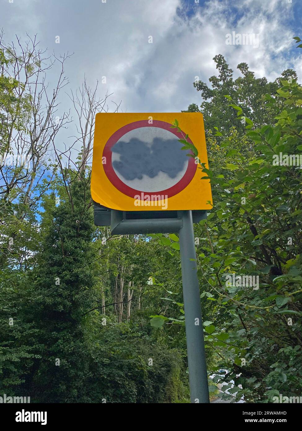 Swansea, UK. 18th Sep, 2023. A 30 mph speed limit road sign in the Derwen Fawr district of Swansea, South Wales is crudely sprayed over. Wales has become the first part in the UK to reduce the speed limits in built-up areas from 30mph to 20mph. The new law came into force from Sunday 17th September 2023. Credit: Phil Rees/Alamy Live News Stock Photohttps://www.alamy.com/image-license-details/?v=1https://www.alamy.com/swansea-uk-18th-sep-2023-a-30-mph-speed-limit-road-sign-in-the-derwen-fawr-district-of-swansea-south-wales-is-crudely-sprayed-over-wales-has-become-the-first-part-in-the-uk-to-reduce-the-speed-limits-in-built-up-areas-from-30mph-to-20mph-the-new-law-came-into-force-from-sunday-17th-september-2023-credit-phil-reesalamy-live-news-image566333865.html
RM2RWAMHD–Swansea, UK. 18th Sep, 2023. A 30 mph speed limit road sign in the Derwen Fawr district of Swansea, South Wales is crudely sprayed over. Wales has become the first part in the UK to reduce the speed limits in built-up areas from 30mph to 20mph. The new law came into force from Sunday 17th September 2023. Credit: Phil Rees/Alamy Live News
 Former fire station in Derwen Road, Bridgend. A grade II Listed Building now in a poor state of repair. Stock Photohttps://www.alamy.com/image-license-details/?v=1https://www.alamy.com/stock-photo-former-fire-station-in-derwen-road-bridgend-a-grade-ii-listed-building-175537643.html
RFM5GC1F–Former fire station in Derwen Road, Bridgend. A grade II Listed Building now in a poor state of repair.
 Derwen, Denbighshire, GB, United Kingdom, Wales, N 53 3' 9'', S 3 23' 9'', map, Cartascapes Map published in 2024. Explore Cartascapes, a map revealing Earth's diverse landscapes, cultures, and ecosystems. Journey through time and space, discovering the interconnectedness of our planet's past, present, and future. Stock Photohttps://www.alamy.com/image-license-details/?v=1https://www.alamy.com/derwen-denbighshire-gb-united-kingdom-wales-n-53-3-9-s-3-23-9-map-cartascapes-map-published-in-2024-explore-cartascapes-a-map-revealing-earths-diverse-landscapes-cultures-and-ecosystems-journey-through-time-and-space-discovering-the-interconnectedness-of-our-planets-past-present-and-future-image604279877.html
RM2X33945–Derwen, Denbighshire, GB, United Kingdom, Wales, N 53 3' 9'', S 3 23' 9'', map, Cartascapes Map published in 2024. Explore Cartascapes, a map revealing Earth's diverse landscapes, cultures, and ecosystems. Journey through time and space, discovering the interconnectedness of our planet's past, present, and future.
 Sax nightclub & bar 4A Derwen Road, Bridgend, S.Wales is a late night club attracting teenagers upwards, opening 10/10.30pm-3.30-4.30am. Stock Photohttps://www.alamy.com/image-license-details/?v=1https://www.alamy.com/sax-nightclub-bar-4a-derwen-road-bridgend-swales-is-a-late-night-club-attracting-teenagers-upwards-opening-101030pm-330-430am-image180418118.html
RFMDEN46–Sax nightclub & bar 4A Derwen Road, Bridgend, S.Wales is a late night club attracting teenagers upwards, opening 10/10.30pm-3.30-4.30am.
 Map, Rivers Wye and Derwen, Derbyshire, England Victorian Engraving, 1840 Stock Photohttps://www.alamy.com/image-license-details/?v=1https://www.alamy.com/map-rivers-wye-and-derwen-derbyshire-england-victorian-engraving-1840-image376767213.html
RM2CTY6BW–Map, Rivers Wye and Derwen, Derbyshire, England Victorian Engraving, 1840
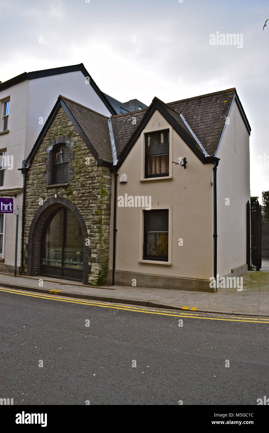 A curious small building next to the old Toll House building Bridgend, S.Wales.It is a Grade II Listed Building-possibly an old coach house/stable. Stock Photohttps://www.alamy.com/image-license-details/?v=1https://www.alamy.com/stock-photo-a-curious-small-building-next-to-the-old-toll-house-building-bridgend-175537640.html
RFM5GC1C–A curious small building next to the old Toll House building Bridgend, S.Wales.It is a Grade II Listed Building-possibly an old coach house/stable.
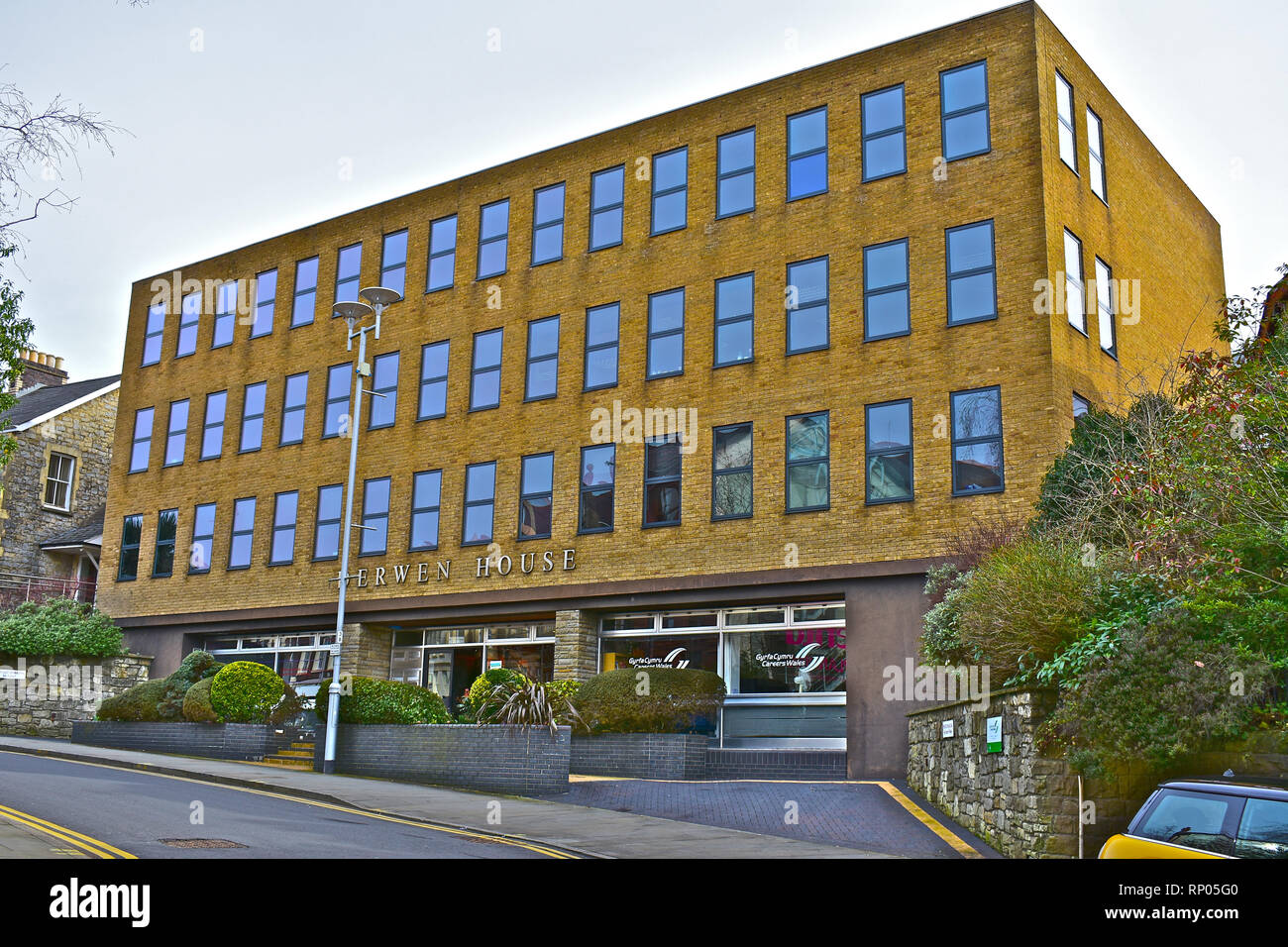 A street view of Derwen House. A modern rectangular office block in Court Road, close to Bridgend town centre. Stock Photohttps://www.alamy.com/image-license-details/?v=1https://www.alamy.com/a-street-view-of-derwen-house-a-modern-rectangular-office-block-in-court-road-close-to-bridgend-town-centre-image237261584.html
RFRP05G0–A street view of Derwen House. A modern rectangular office block in Court Road, close to Bridgend town centre.
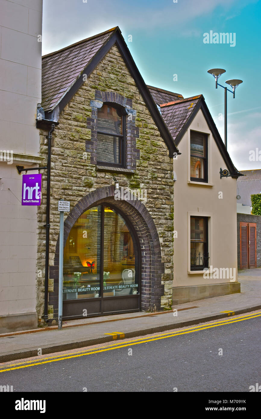 A curious small building next to the old Toll House building Bridgend, S.Wales.It is a Grade II Listed Building-possibly an old coach house/stable. Stock Photohttps://www.alamy.com/image-license-details/?v=1https://www.alamy.com/stock-photo-a-curious-small-building-next-to-the-old-toll-house-building-bridgend-176414103.html
RFM709YK–A curious small building next to the old Toll House building Bridgend, S.Wales.It is a Grade II Listed Building-possibly an old coach house/stable.
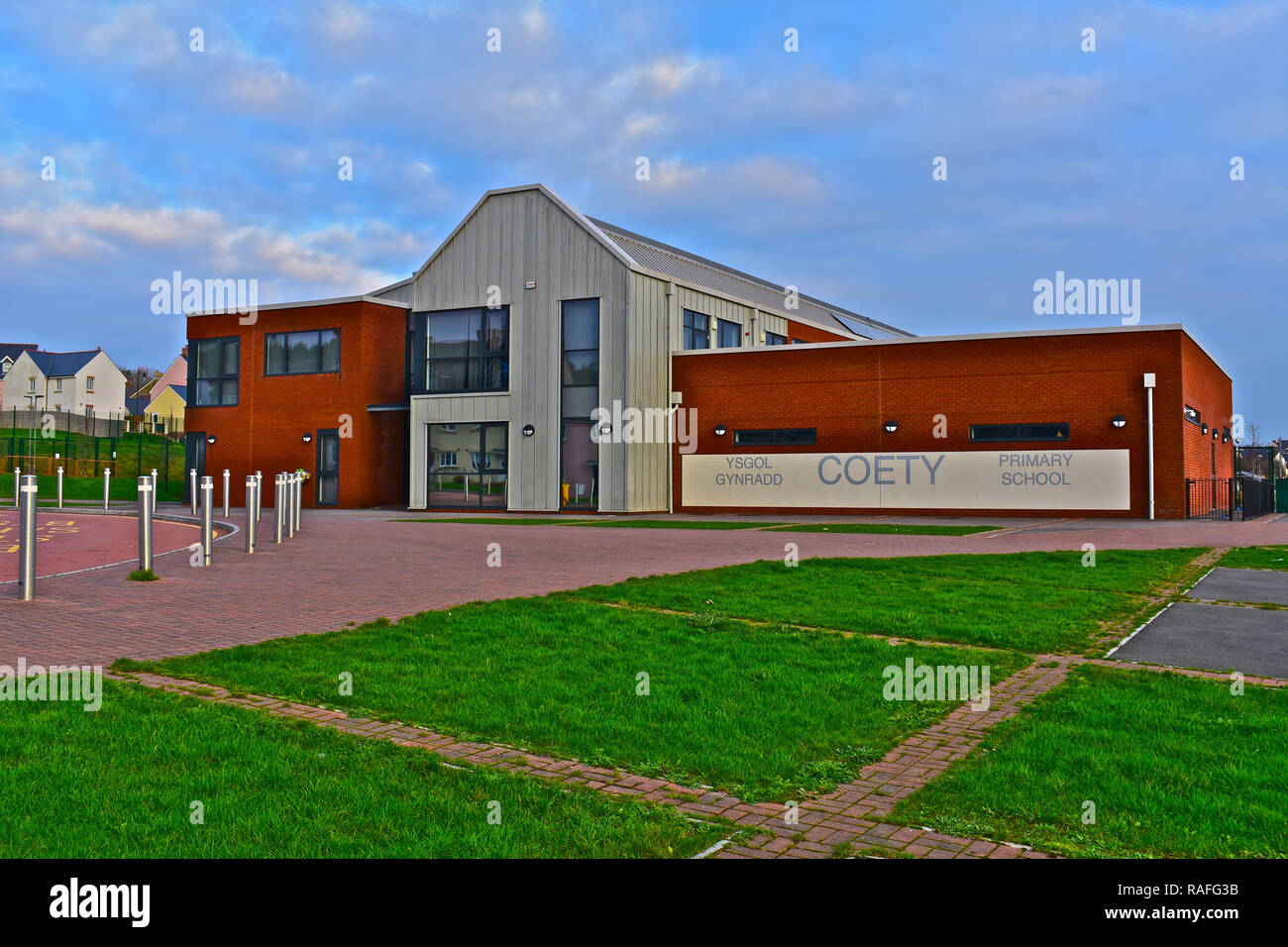 Coety Primary School is now based in this new modern building to cope with large new Parc Derwen housing estate nearby. Coity,Bridgend,S.Wales Stock Photohttps://www.alamy.com/image-license-details/?v=1https://www.alamy.com/coety-primary-school-is-now-based-in-this-new-modern-building-to-cope-with-large-new-parc-derwen-housing-estate-nearby-coitybridgendswales-image230223263.html
RFRAFG3B–Coety Primary School is now based in this new modern building to cope with large new Parc Derwen housing estate nearby. Coity,Bridgend,S.Wales
 Derwen, Denbighshire, GB, United Kingdom, Wales, N 53 3' 9'', S 3 23' 9'', map, Cartascapes Map published in 2024. Explore Cartascapes, a map revealing Earth's diverse landscapes, cultures, and ecosystems. Journey through time and space, discovering the interconnectedness of our planet's past, present, and future. Stock Photohttps://www.alamy.com/image-license-details/?v=1https://www.alamy.com/derwen-denbighshire-gb-united-kingdom-wales-n-53-3-9-s-3-23-9-map-cartascapes-map-published-in-2024-explore-cartascapes-a-map-revealing-earths-diverse-landscapes-cultures-and-ecosystems-journey-through-time-and-space-discovering-the-interconnectedness-of-our-planets-past-present-and-future-image604279880.html
RM2X33948–Derwen, Denbighshire, GB, United Kingdom, Wales, N 53 3' 9'', S 3 23' 9'', map, Cartascapes Map published in 2024. Explore Cartascapes, a map revealing Earth's diverse landscapes, cultures, and ecosystems. Journey through time and space, discovering the interconnectedness of our planet's past, present, and future.
 Coety Primary School is now based in this new modern building to cope with large new Parc Derwen housing estate nearby. Coity,Bridgend,S.Wales Stock Photohttps://www.alamy.com/image-license-details/?v=1https://www.alamy.com/coety-primary-school-is-now-based-in-this-new-modern-building-to-cope-with-large-new-parc-derwen-housing-estate-nearby-coitybridgendswales-image230222995.html
RFRAFFNR–Coety Primary School is now based in this new modern building to cope with large new Parc Derwen housing estate nearby. Coity,Bridgend,S.Wales
 Bryn Derwen Motte, Sir Powys, GB, United Kingdom, Wales, N 52 32' 55'', S 3 14' 6'', map, Cartascapes Map published in 2024. Explore Cartascapes, a map revealing Earth's diverse landscapes, cultures, and ecosystems. Journey through time and space, discovering the interconnectedness of our planet's past, present, and future. Stock Photohttps://www.alamy.com/image-license-details/?v=1https://www.alamy.com/bryn-derwen-motte-sir-powys-gb-united-kingdom-wales-n-52-32-55-s-3-14-6-map-cartascapes-map-published-in-2024-explore-cartascapes-a-map-revealing-earths-diverse-landscapes-cultures-and-ecosystems-journey-through-time-and-space-discovering-the-interconnectedness-of-our-planets-past-present-and-future-image604191835.html
RM2X2Y8RR–Bryn Derwen Motte, Sir Powys, GB, United Kingdom, Wales, N 52 32' 55'', S 3 14' 6'', map, Cartascapes Map published in 2024. Explore Cartascapes, a map revealing Earth's diverse landscapes, cultures, and ecosystems. Journey through time and space, discovering the interconnectedness of our planet's past, present, and future.
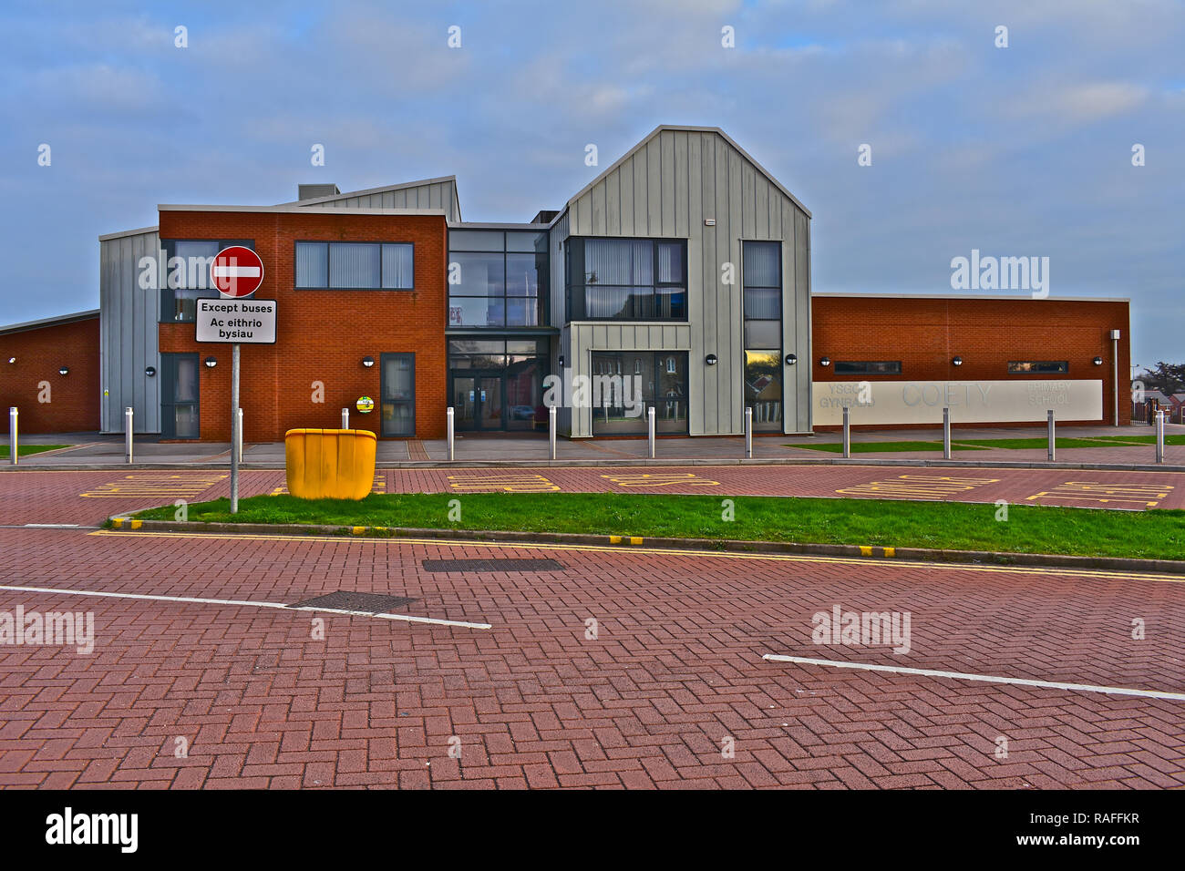 Coety Primary School is now based in this new modern building to cope with large new Parc Derwen housing estate nearby. Coity,Bridgend,S.Wales Stock Photohttps://www.alamy.com/image-license-details/?v=1https://www.alamy.com/coety-primary-school-is-now-based-in-this-new-modern-building-to-cope-with-large-new-parc-derwen-housing-estate-nearby-coitybridgendswales-image230222939.html
RFRAFFKR–Coety Primary School is now based in this new modern building to cope with large new Parc Derwen housing estate nearby. Coity,Bridgend,S.Wales
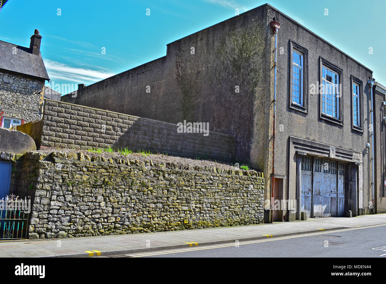 The old fire station in Bridgend S.Wales. It has remained empty for many years and is a Grade II Listed building. Stock Photohttps://www.alamy.com/image-license-details/?v=1https://www.alamy.com/the-old-fire-station-in-bridgend-swales-it-has-remained-empty-for-many-years-and-is-a-grade-ii-listed-building-image180418116.html
RFMDEN44–The old fire station in Bridgend S.Wales. It has remained empty for many years and is a Grade II Listed building.
 The Railway, Inn/Public house close to Bridgend town centre has been established for many years and now attracts an older clientelle. Stock Photohttps://www.alamy.com/image-license-details/?v=1https://www.alamy.com/stock-photo-the-railway-innpublic-house-close-to-bridgend-town-centre-has-been-175537647.html
RFM5GC1K–The Railway, Inn/Public house close to Bridgend town centre has been established for many years and now attracts an older clientelle.
 The Railway, Inn/Public house close to Bridgend town centre has been established for many years and now attracts an older clientelle. Stock Photohttps://www.alamy.com/image-license-details/?v=1https://www.alamy.com/stock-image-the-railway-innpublic-house-close-to-bridgend-town-centre-has-been-167214008.html
RFKM174T–The Railway, Inn/Public house close to Bridgend town centre has been established for many years and now attracts an older clientelle.
 The Dunravan Arms Hotel, Bridgend,S.Wales. Historic local building once a good hotel, then just bars, then nightclub and now unfortunately disused. Stock Photohttps://www.alamy.com/image-license-details/?v=1https://www.alamy.com/stock-photo-the-dunravan-arms-hotel-bridgendswales-historic-local-building-once-173559851.html
RFM2A9A3–The Dunravan Arms Hotel, Bridgend,S.Wales. Historic local building once a good hotel, then just bars, then nightclub and now unfortunately disused.
 The Dunravan Arms Hotel, Bridgend,S.Wales. Historic local building once a good hotel, then just bars, then nightclub and now unfortunately disused. Stock Photohttps://www.alamy.com/image-license-details/?v=1https://www.alamy.com/the-dunravan-arms-hotel-bridgendswales-historic-local-building-once-a-good-hotel-then-just-bars-then-nightclub-and-now-unfortunately-disused-image179075126.html
RFMB9G46–The Dunravan Arms Hotel, Bridgend,S.Wales. Historic local building once a good hotel, then just bars, then nightclub and now unfortunately disused.
 Derwen, Denbighshire, United Kingdom, Wales, N 53 1' 59'', W 3 23' 59'', map, Timeless Map published in 2021. Travelers, explorers and adventurers like Florence Nightingale, David Livingstone, Ernest Shackleton, Lewis and Clark and Sherlock Holmes relied on maps to plan travels to the world's most remote corners, Timeless Maps is mapping most locations on the globe, showing the achievement of great dreams Stock Photohttps://www.alamy.com/image-license-details/?v=1https://www.alamy.com/derwen-denbighshire-united-kingdom-wales-n-53-1-59-w-3-23-59-map-timeless-map-published-in-2021-travelers-explorers-and-adventurers-like-florence-nightingale-david-livingstone-ernest-shackleton-lewis-and-clark-and-sherlock-holmes-relied-on-maps-to-plan-travels-to-the-worlds-most-remote-corners-timeless-maps-is-mapping-most-locations-on-the-globe-showing-the-achievement-of-great-dreams-image439399631.html
RM2GETAKY–Derwen, Denbighshire, United Kingdom, Wales, N 53 1' 59'', W 3 23' 59'', map, Timeless Map published in 2021. Travelers, explorers and adventurers like Florence Nightingale, David Livingstone, Ernest Shackleton, Lewis and Clark and Sherlock Holmes relied on maps to plan travels to the world's most remote corners, Timeless Maps is mapping most locations on the globe, showing the achievement of great dreams