Quick filters:
District railway map Stock Photos and Images
 DISTRICT(1888) p027 - District Railway County Map Stock Photohttps://www.alamy.com/image-license-details/?v=1https://www.alamy.com/stock-photo-district1888-p027-district-railway-county-map-73513009.html
RME7GPGH–DISTRICT(1888) p027 - District Railway County Map
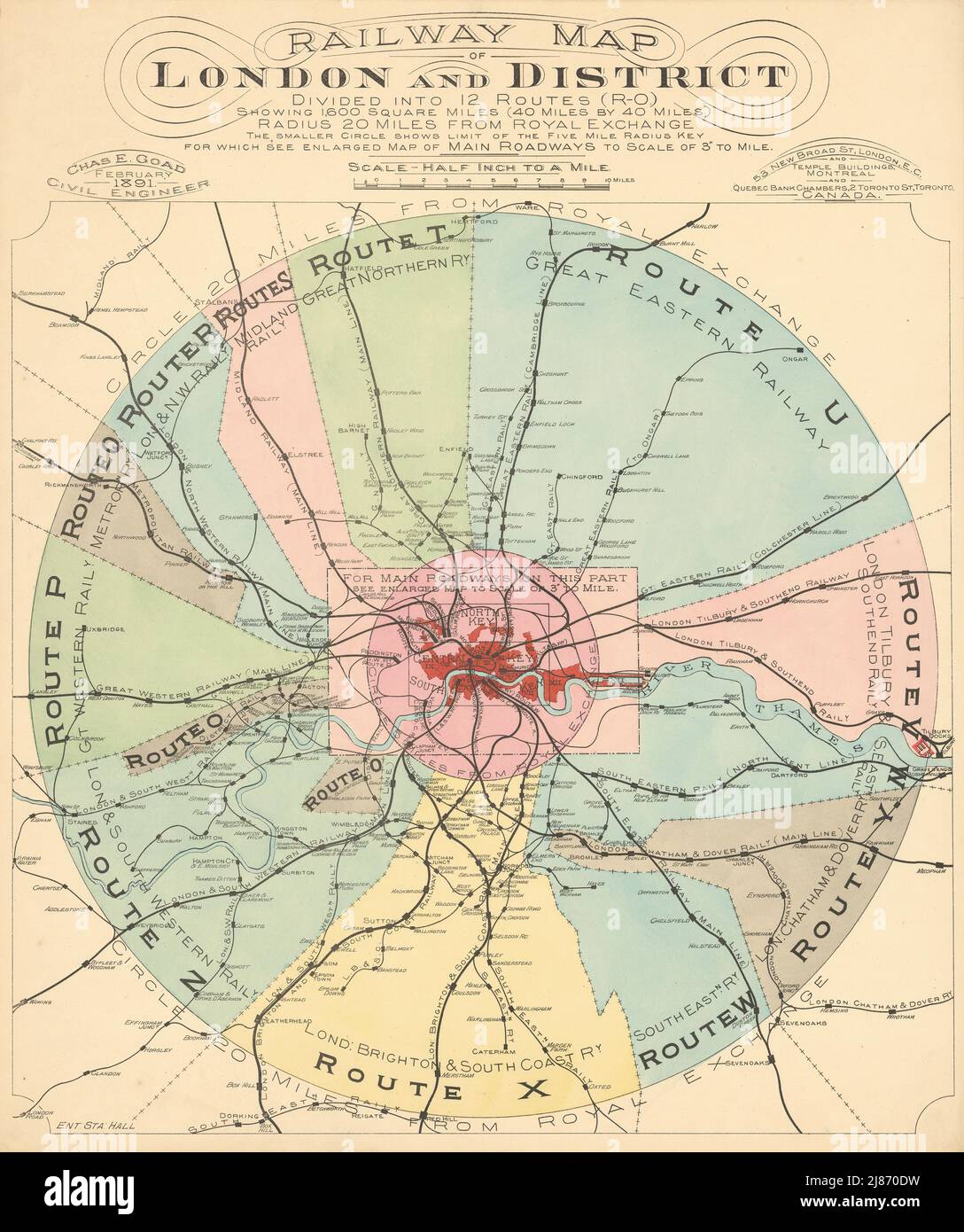 Railway Map of London and District divided into 12 routes 1891 old antique Stock Photohttps://www.alamy.com/image-license-details/?v=1https://www.alamy.com/railway-map-of-london-and-district-divided-into-12-routes-1891-old-antique-image469751237.html
RF2J870DW–Railway Map of London and District divided into 12 routes 1891 old antique
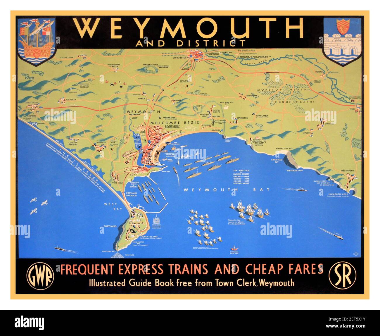 WEYMOUTH Vintage UK Travel Vacation Train Tour Poster Map Coastline 'Dilly’s Weymouth and District, original poster printed for GWR and SR by Baynard 1947 Stock Photohttps://www.alamy.com/image-license-details/?v=1https://www.alamy.com/weymouth-vintage-uk-travel-vacation-train-tour-poster-map-coastline-dillys-weymouth-and-district-original-poster-printed-for-gwr-and-sr-by-baynard-1947-image410720407.html
RM2ET5X1Y–WEYMOUTH Vintage UK Travel Vacation Train Tour Poster Map Coastline 'Dilly’s Weymouth and District, original poster printed for GWR and SR by Baynard 1947
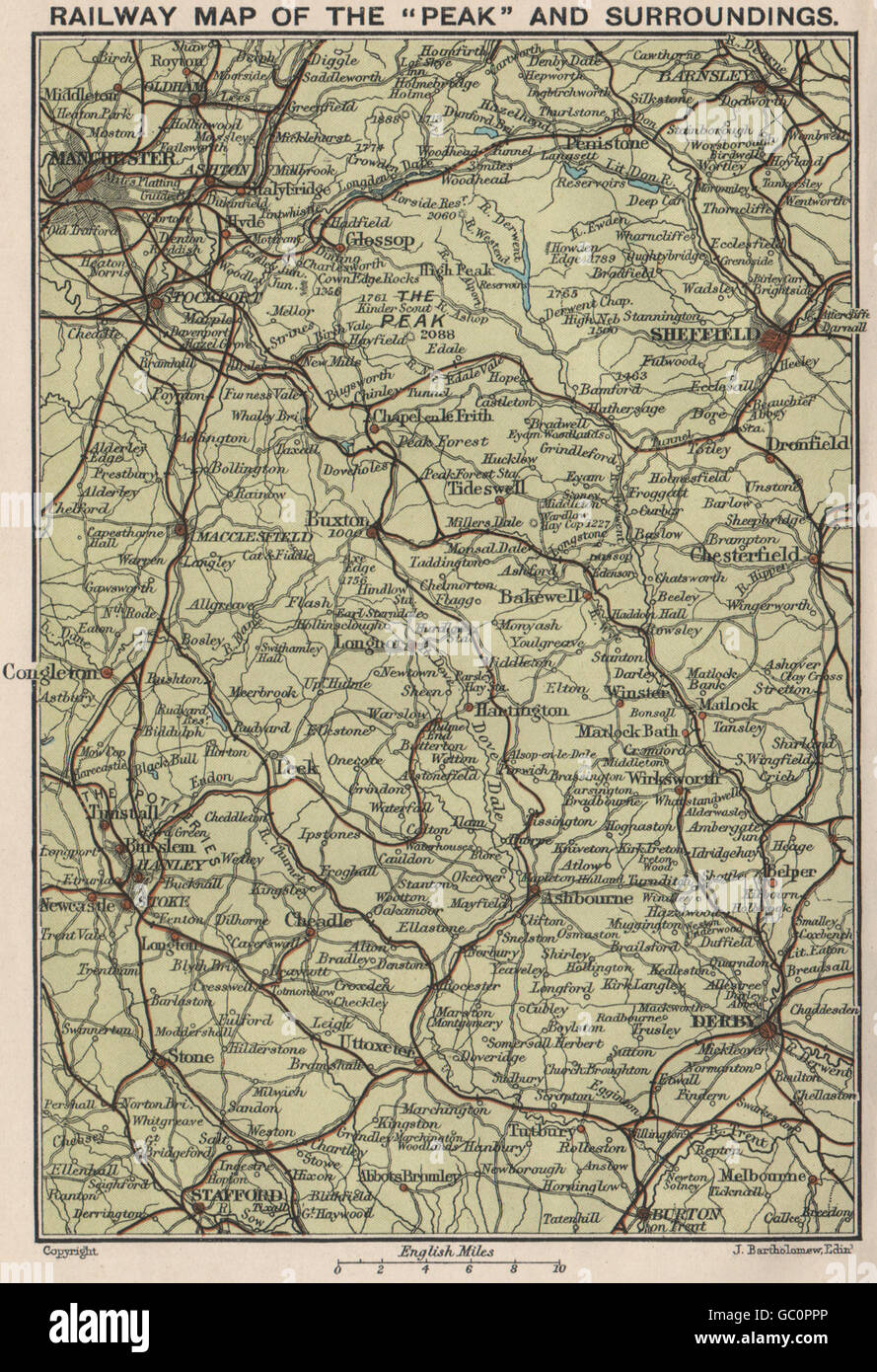 PEAK DISTRICT. Peak & approaches railway map Derby Sheffield Manchester 1903 Stock Photohttps://www.alamy.com/image-license-details/?v=1https://www.alamy.com/stock-photo-peak-district-peak-approaches-railway-map-derby-sheffield-manchester-110655966.html
RFGC0PPP–PEAK DISTRICT. Peak & approaches railway map Derby Sheffield Manchester 1903
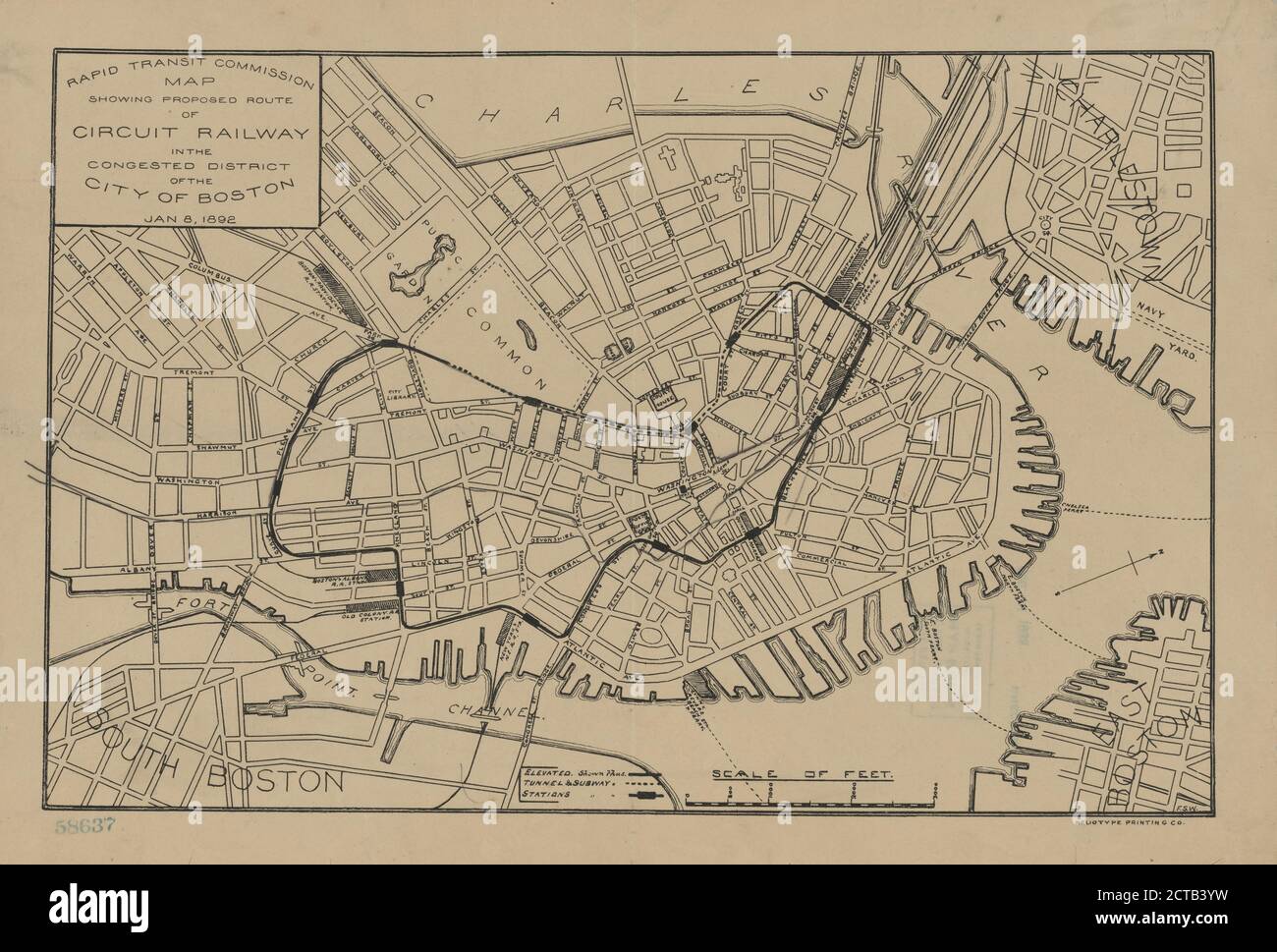 Rapid Transit Commission, map showing proposed route of circuit railway in the congested district of the city of Boston, Jan. 8 1892, cartographic, Maps, 1892 Stock Photohttps://www.alamy.com/image-license-details/?v=1https://www.alamy.com/rapid-transit-commission-map-showing-proposed-route-of-circuit-railway-in-the-congested-district-of-the-city-of-boston-jan-8-1892-cartographic-maps-1892-image376414077.html
RM2CTB3YW–Rapid Transit Commission, map showing proposed route of circuit railway in the congested district of the city of Boston, Jan. 8 1892, cartographic, Maps, 1892
 Proposed LONDON RAILWAY. District Line precursor.Embankment. HAWKSHAW, 1855 map Stock Photohttps://www.alamy.com/image-license-details/?v=1https://www.alamy.com/stock-photo-proposed-london-railway-district-line-precursorembankment-hawkshaw-102713450.html
RFFY301E–Proposed LONDON RAILWAY. District Line precursor.Embankment. HAWKSHAW, 1855 map
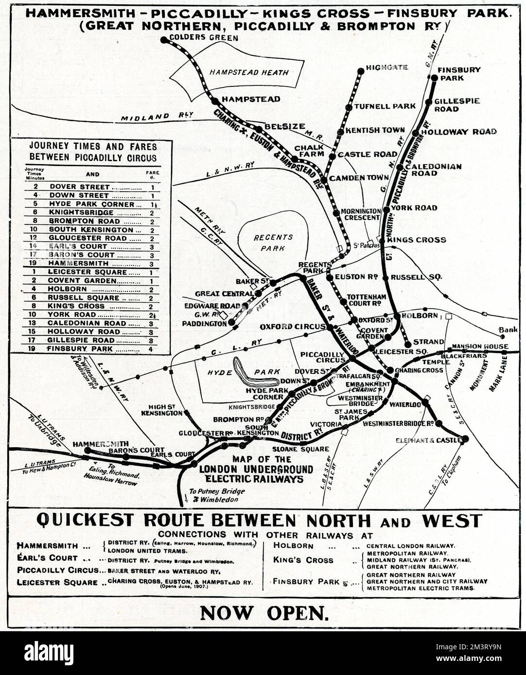 Map of London Underground railway, 1906 Stock Photohttps://www.alamy.com/image-license-details/?v=1https://www.alamy.com/map-of-london-underground-railway-1906-image501470977.html
RM2M3RY9N–Map of London Underground railway, 1906
 Dormagen Railway Station, Düsseldorf District, DE, Germany, North Rhine-Westphalia, N 51 5' 54'', N 6 48' 52'', map, Cartascapes Map published in 2024. Explore Cartascapes, a map revealing Earth's diverse landscapes, cultures, and ecosystems. Journey through time and space, discovering the interconnectedness of our planet's past, present, and future. Stock Photohttps://www.alamy.com/image-license-details/?v=1https://www.alamy.com/dormagen-railway-station-dsseldorf-district-de-germany-north-rhine-westphalia-n-51-5-54-n-6-48-52-map-cartascapes-map-published-in-2024-explore-cartascapes-a-map-revealing-earths-diverse-landscapes-cultures-and-ecosystems-journey-through-time-and-space-discovering-the-interconnectedness-of-our-planets-past-present-and-future-image629756348.html
RM2YGFTJ4–Dormagen Railway Station, Düsseldorf District, DE, Germany, North Rhine-Westphalia, N 51 5' 54'', N 6 48' 52'', map, Cartascapes Map published in 2024. Explore Cartascapes, a map revealing Earth's diverse landscapes, cultures, and ecosystems. Journey through time and space, discovering the interconnectedness of our planet's past, present, and future.
![A map of London highlighting the District Railway of the London Underground. The 'District Railway' Map of London. 5th edition. Scale, 1 mile[ = 95 mm]. London : W.J. Adams & Sons, [1892]. Source: Maps 3485.(105.). Language: English. Stock Photo A map of London highlighting the District Railway of the London Underground. The 'District Railway' Map of London. 5th edition. Scale, 1 mile[ = 95 mm]. London : W.J. Adams & Sons, [1892]. Source: Maps 3485.(105.). Language: English. Stock Photo](https://c8.alamy.com/comp/R56N3D/a-map-of-london-highlighting-the-district-railway-of-the-london-underground-the-district-railway-map-of-london-5th-edition-scale-1-mile-=-95-mm-london-wj-adams-sons-1892-source-maps-3485105-language-english-R56N3D.jpg) A map of London highlighting the District Railway of the London Underground. The 'District Railway' Map of London. 5th edition. Scale, 1 mile[ = 95 mm]. London : W.J. Adams & Sons, [1892]. Source: Maps 3485.(105.). Language: English. Stock Photohttps://www.alamy.com/image-license-details/?v=1https://www.alamy.com/a-map-of-london-highlighting-the-district-railway-of-the-london-underground-the-district-railway-map-of-london-5th-edition-scale-1-mile-=-95-mm-london-wj-adams-sons-1892-source-maps-3485105-language-english-image226956337.html
A map of London highlighting the District Railway of the London Underground. The 'District Railway' Map of London. 5th edition. Scale, 1 mile[ = 95 mm]. London : W.J. Adams & Sons, [1892]. Source: Maps 3485.(105.). Language: English. Stock Photohttps://www.alamy.com/image-license-details/?v=1https://www.alamy.com/a-map-of-london-highlighting-the-district-railway-of-the-london-underground-the-district-railway-map-of-london-5th-edition-scale-1-mile-=-95-mm-london-wj-adams-sons-1892-source-maps-3485105-language-english-image226956337.htmlRMR56N3D–A map of London highlighting the District Railway of the London Underground. The 'District Railway' Map of London. 5th edition. Scale, 1 mile[ = 95 mm]. London : W.J. Adams & Sons, [1892]. Source: Maps 3485.(105.). Language: English.
 SCOTLAND: Glasgow Hotel & Railway chart, 1887 antique map Stock Photohttps://www.alamy.com/image-license-details/?v=1https://www.alamy.com/stock-photo-scotland-glasgow-hotel-railway-chart-1887-antique-map-103742982.html
RFG0NW6E–SCOTLAND: Glasgow Hotel & Railway chart, 1887 antique map
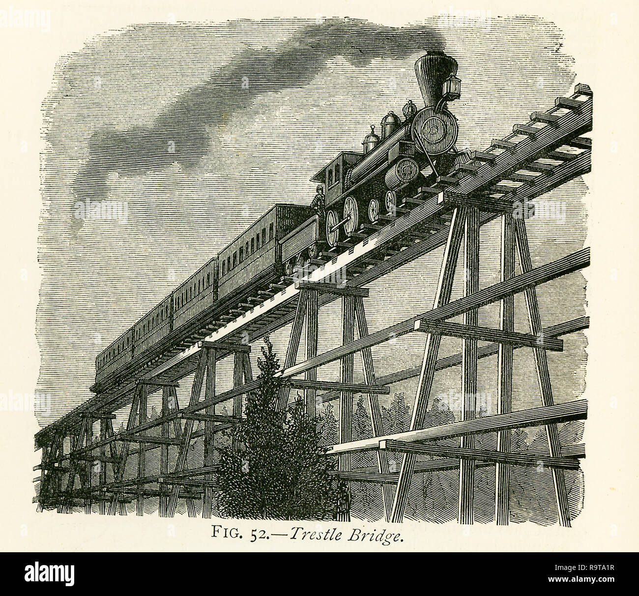 This illustration dates to the 1870s and shows a trestle bridge that is part of the rail line of the Great Pacific railway - the transcontinental railway. At Sherman, 549 miles from Omaha, the line attains the summit of its track over the Black Hills, and the highest point on any railway in the world (in the 1870s), being 8,242 ft. above the level of the sea. Wild and desolate scenery characterizes the district round Sherman, and the hills, in places covered with a dense growth of wood, will furnish an immense supply of timber for years to come. The timber-sheds erected over the line, and the Stock Photohttps://www.alamy.com/image-license-details/?v=1https://www.alamy.com/this-illustration-dates-to-the-1870s-and-shows-a-trestle-bridge-that-is-part-of-the-rail-line-of-the-great-pacific-railway-the-transcontinental-railway-at-sherman-549-miles-from-omaha-the-line-attains-the-summit-of-its-track-over-the-black-hills-and-the-highest-point-on-any-railway-in-the-world-in-the-1870s-being-8242-ft-above-the-level-of-the-sea-wild-and-desolate-scenery-characterizes-the-district-round-sherman-and-the-hills-in-places-covered-with-a-dense-growth-of-wood-will-furnish-an-immense-supply-of-timber-for-years-to-come-the-timber-sheds-erected-over-the-line-and-the-image229801427.html
RFR9TA1R–This illustration dates to the 1870s and shows a trestle bridge that is part of the rail line of the Great Pacific railway - the transcontinental railway. At Sherman, 549 miles from Omaha, the line attains the summit of its track over the Black Hills, and the highest point on any railway in the world (in the 1870s), being 8,242 ft. above the level of the sea. Wild and desolate scenery characterizes the district round Sherman, and the hills, in places covered with a dense growth of wood, will furnish an immense supply of timber for years to come. The timber-sheds erected over the line, and the
RM2YCGN8B–London, UK. 23rd Oct, 2024. The Map House presents the new exhibition Mapping the Tube: 1863-2023 exploring the evolution of London’s Tube system and the iconic London Underground map over 160 years and offers a rare opportunity to see and purchase hand-drawn and annotated manuscripts by Harry Beck on the 50th anniversary of his death. Beck's 1933 pocket map influenced the design of transport maps worldwide. The exhibition runs from 25 Oct - 30 Nov 2024. Image: The Improved District Railway Map of London, price 6d. Credit: Malcolm Park/Alamy Live News
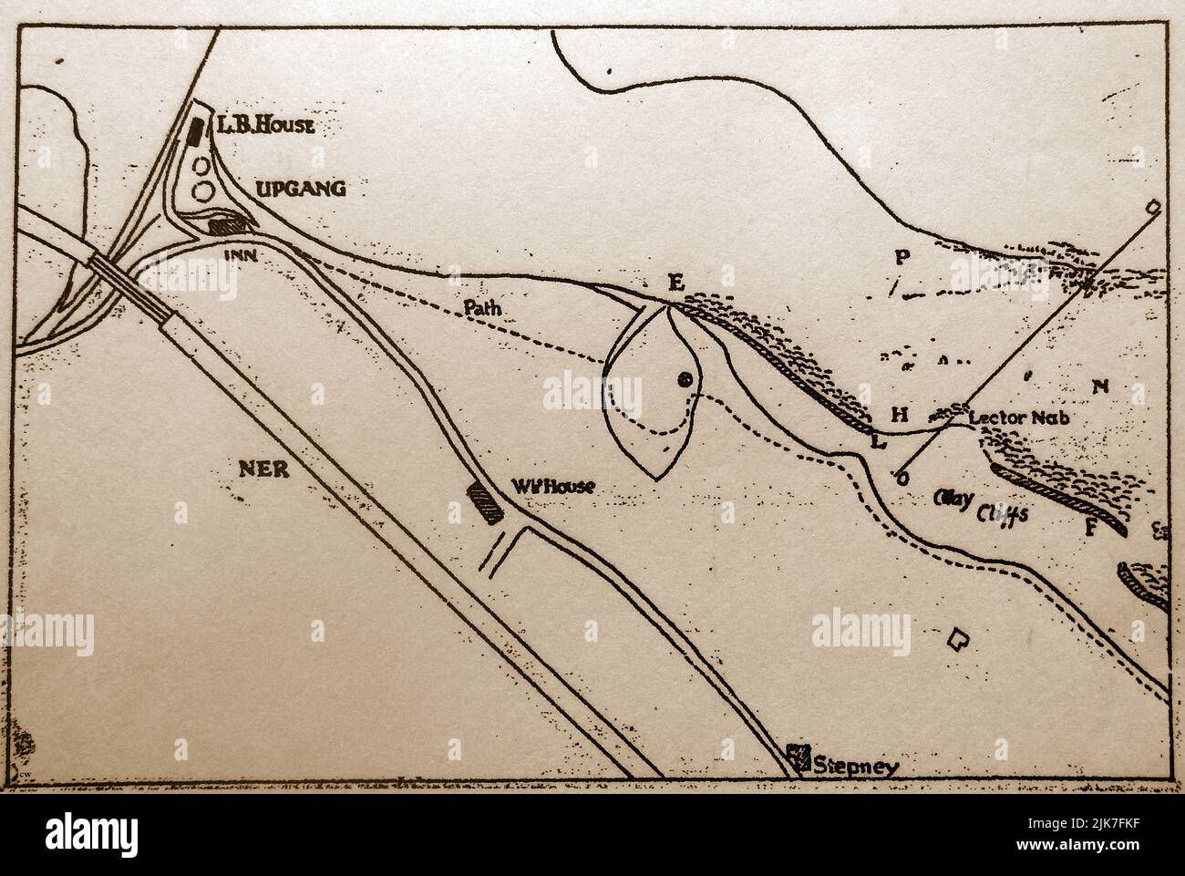 An old map of Whitby (North Yorkshire) district showing the west cliff as it was between Upgang and what is now the football field including the lifeboat house at Upgang (LB House) and the old Mulgrave Castle inn nearby that has now fallen into the sea. it also shows the railway (NER), the White House hotel, cliff footpath and brickworks (building above Stepney) which may have housed the largely undocumented Brick Kiln Inn. Stock Photohttps://www.alamy.com/image-license-details/?v=1https://www.alamy.com/an-old-map-of-whitby-north-yorkshire-district-showing-the-west-cliff-as-it-was-between-upgang-and-what-is-now-the-football-field-including-the-lifeboat-house-at-upgang-lb-house-and-the-old-mulgrave-castle-inn-nearby-that-has-now-fallen-into-the-sea-it-also-shows-the-railway-ner-the-white-house-hotel-cliff-footpath-and-brickworks-building-above-stepney-which-may-have-housed-the-largely-undocumented-brick-kiln-inn-image476524371.html
RM2JK7FKF–An old map of Whitby (North Yorkshire) district showing the west cliff as it was between Upgang and what is now the football field including the lifeboat house at Upgang (LB House) and the old Mulgrave Castle inn nearby that has now fallen into the sea. it also shows the railway (NER), the White House hotel, cliff footpath and brickworks (building above Stepney) which may have housed the largely undocumented Brick Kiln Inn.
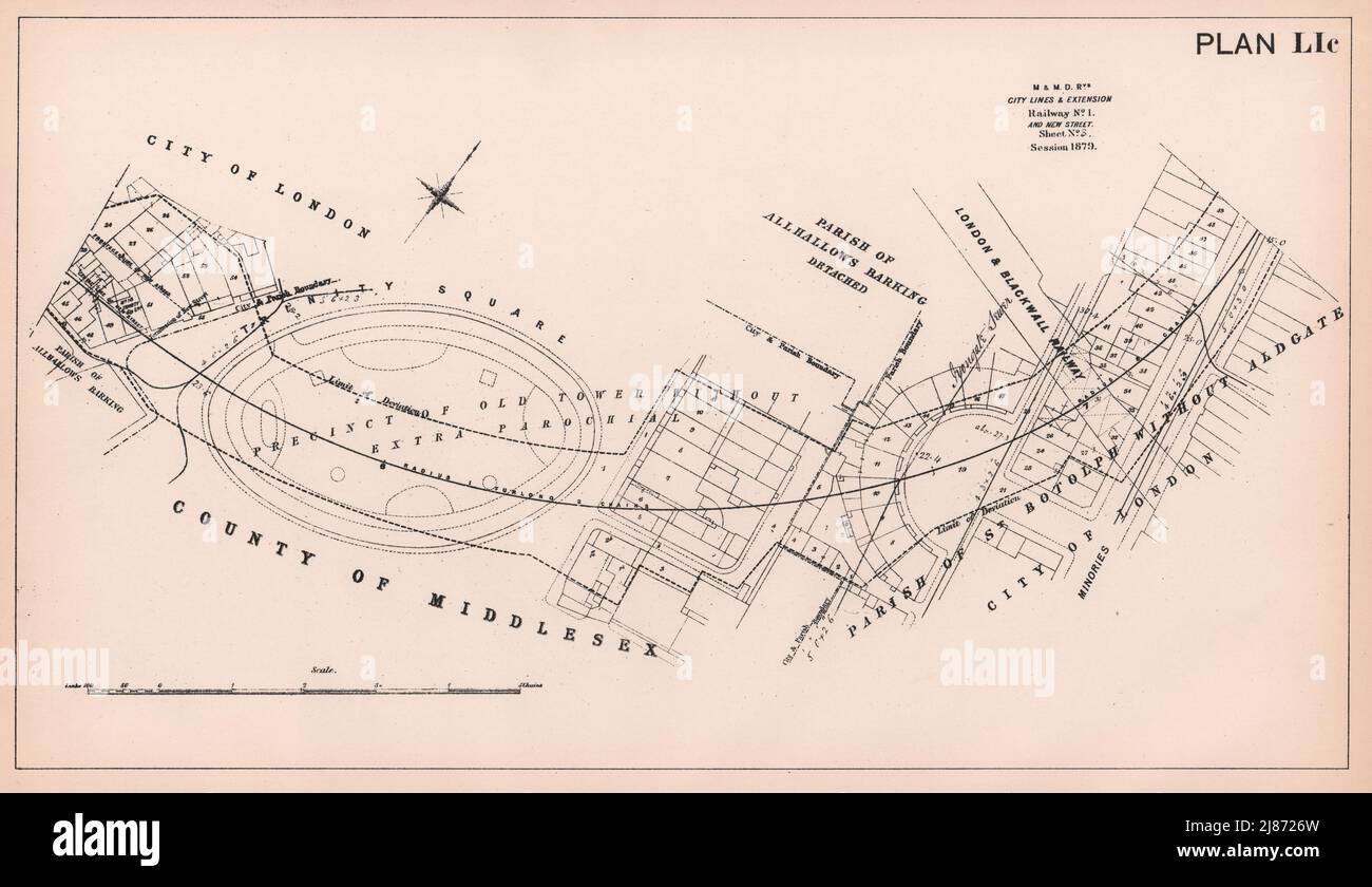 1879 Circle District tube plan. Trinity Square Garden Minories. London 1898 map Stock Photohttps://www.alamy.com/image-license-details/?v=1https://www.alamy.com/1879-circle-district-tube-plan-trinity-square-garden-minories-london-1898-map-image469752609.html
RF2J8726W–1879 Circle District tube plan. Trinity Square Garden Minories. London 1898 map
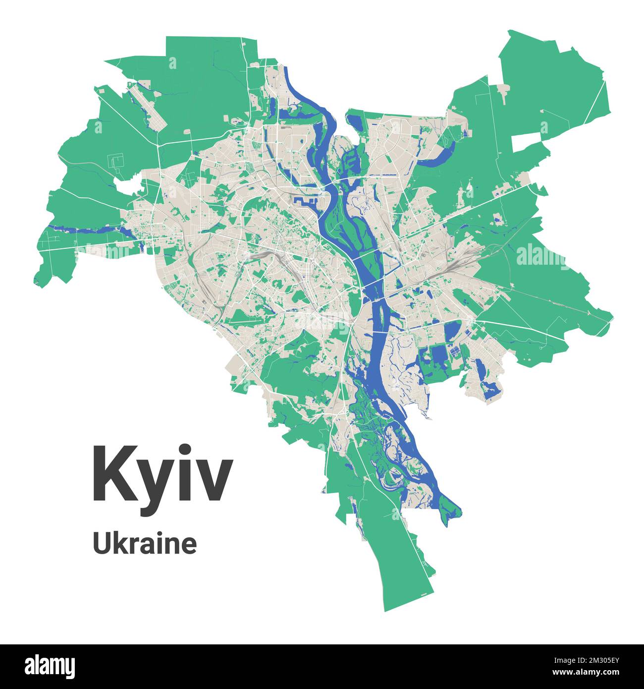 Kyiv city map with administrative borders. Dnieper river, forests, roads, railway. Capital of Ukraine vector illustration. Stock Vectorhttps://www.alamy.com/image-license-details/?v=1https://www.alamy.com/kyiv-city-map-with-administrative-borders-dnieper-river-forests-roads-railway-capital-of-ukraine-vector-illustration-image500948979.html
RF2M305EY–Kyiv city map with administrative borders. Dnieper river, forests, roads, railway. Capital of Ukraine vector illustration.
 MANCHESTER PLAN 1945. Existing Railway System, 1945 vintage map Stock Photohttps://www.alamy.com/image-license-details/?v=1https://www.alamy.com/stock-photo-manchester-plan-1945-existing-railway-system-1945-vintage-map-110814484.html
RFGC8104–MANCHESTER PLAN 1945. Existing Railway System, 1945 vintage map
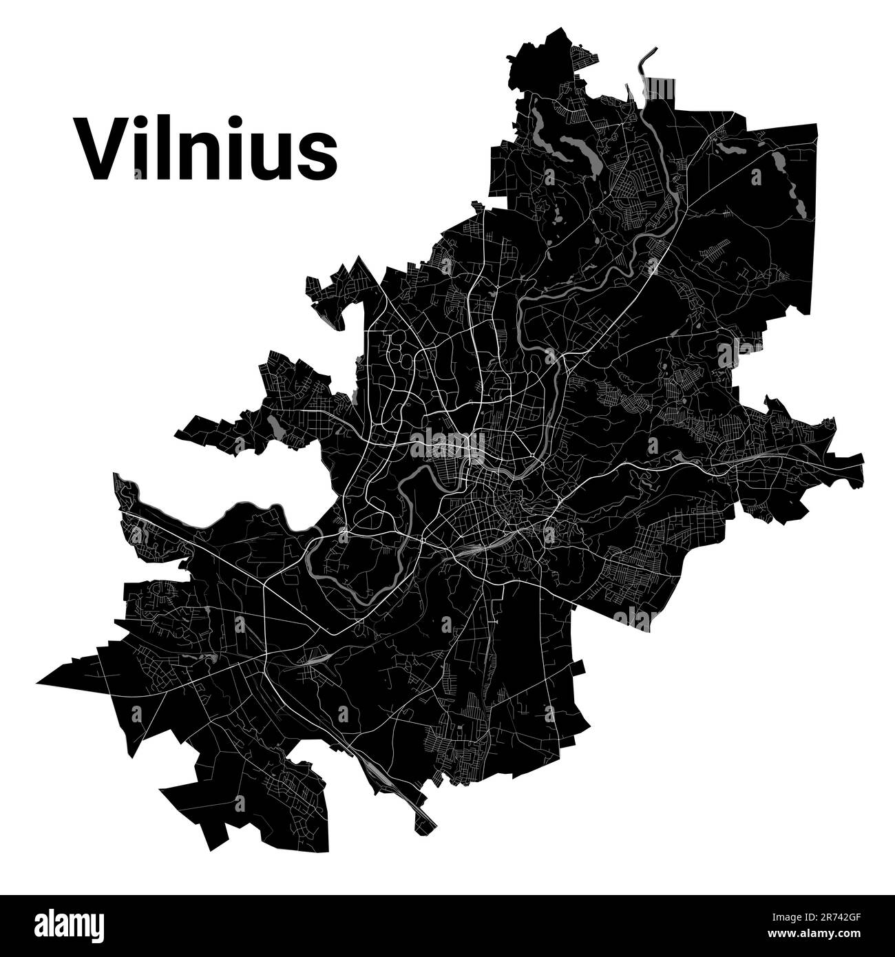 Vilnius city map, detailed administrative borders municipal black and white map, Lithuania. River Neris and Vilnia, roads and railway. Vector illustra Stock Vectorhttps://www.alamy.com/image-license-details/?v=1https://www.alamy.com/vilnius-city-map-detailed-administrative-borders-municipal-black-and-white-map-lithuania-river-neris-and-vilnia-roads-and-railway-vector-illustra-image555124207.html
RF2R742GF–Vilnius city map, detailed administrative borders municipal black and white map, Lithuania. River Neris and Vilnia, roads and railway. Vector illustra
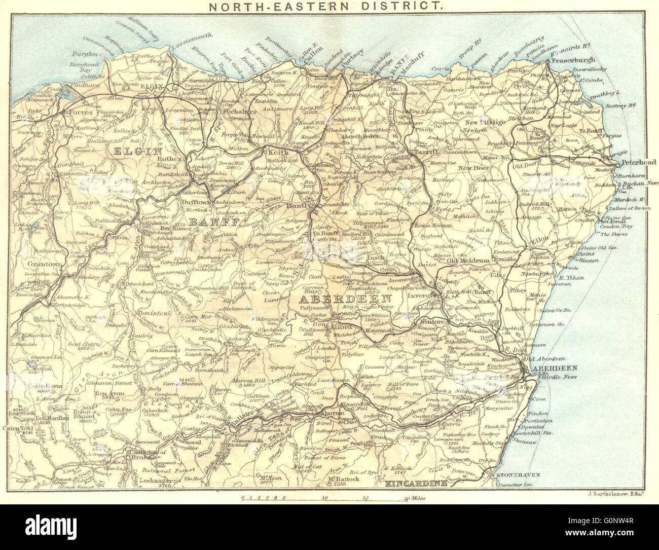 SCOTLAND: North-east District. Banff Elgin Aberdeen Kincardine, 1887 old map Stock Photohttps://www.alamy.com/image-license-details/?v=1https://www.alamy.com/stock-photo-scotland-north-east-district-banff-elgin-aberdeen-kincardine-1887-103742935.html
RFG0NW4R–SCOTLAND: North-east District. Banff Elgin Aberdeen Kincardine, 1887 old map
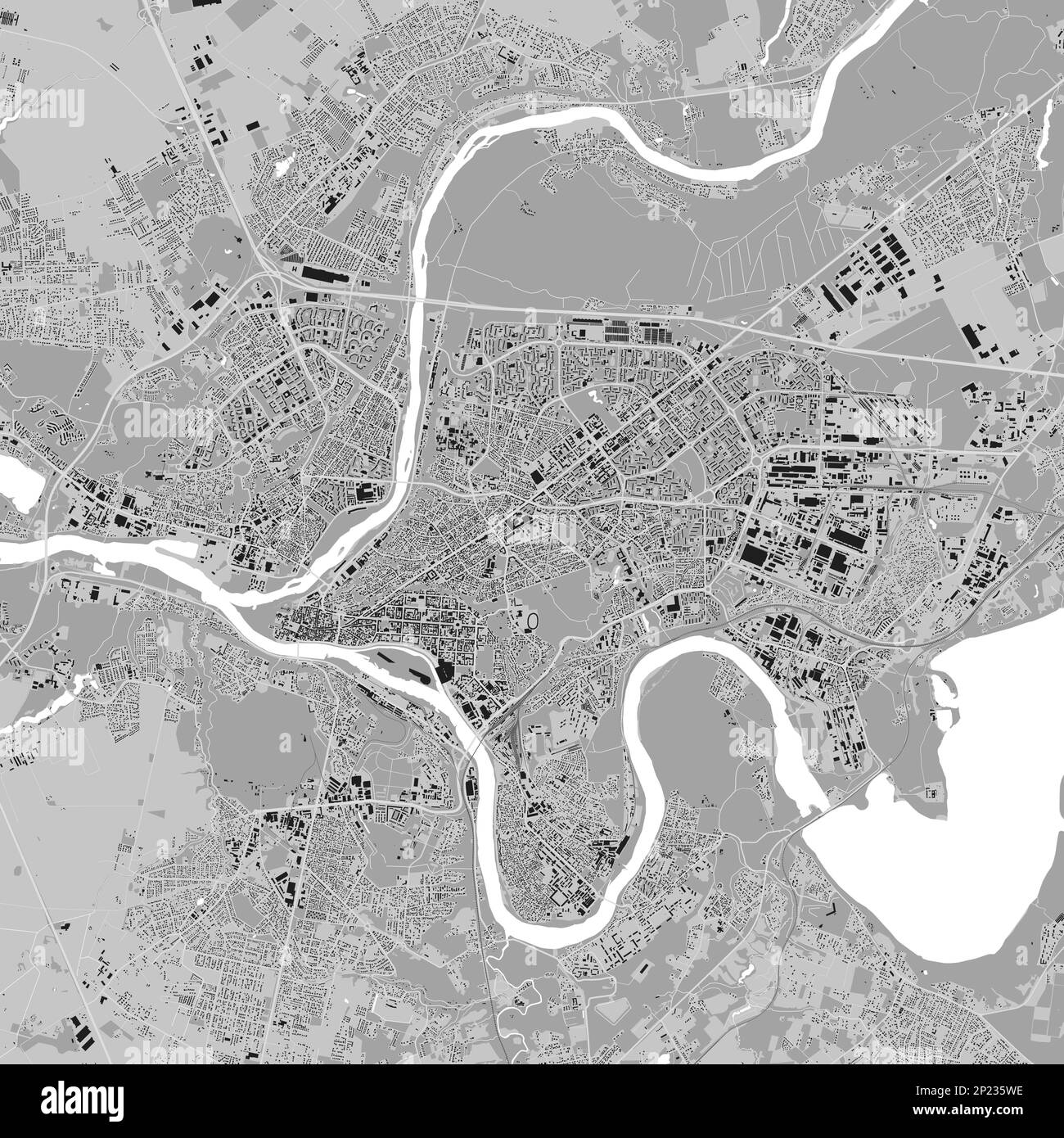 Kaunas city map, grey square urban area municipal map. River Neman and Neris, roads and railway, buildings and parks. Vector illustration. Stock Vectorhttps://www.alamy.com/image-license-details/?v=1https://www.alamy.com/kaunas-city-map-grey-square-urban-area-municipal-map-river-neman-and-neris-roads-and-railway-buildings-and-parks-vector-illustration-image534821210.html
RF2P235WE–Kaunas city map, grey square urban area municipal map. River Neman and Neris, roads and railway, buildings and parks. Vector illustration.
 LONDON ILLUSTR(1877) p6.023 DISTRICT RAILWAY Stock Photohttps://www.alamy.com/image-license-details/?v=1https://www.alamy.com/stock-photo-london-illustr1877-p6023-district-railway-77411379.html
RMEDXB03–LONDON ILLUSTR(1877) p6.023 DISTRICT RAILWAY
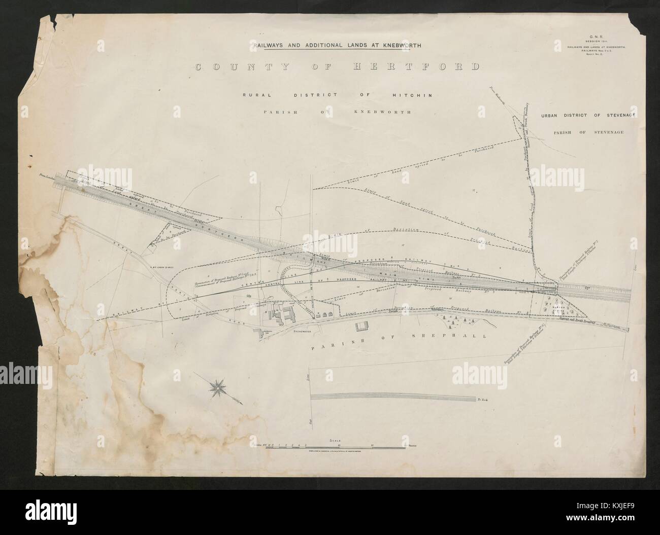 GNR railway plan. Knebworth Hitchin Stevenage Shephalbury Hertfordshire 1911 map Stock Photohttps://www.alamy.com/image-license-details/?v=1https://www.alamy.com/stock-photo-gnr-railway-plan-knebworth-hitchin-stevenage-shephalbury-hertfordshire-171280909.html
RFKXJEF9–GNR railway plan. Knebworth Hitchin Stevenage Shephalbury Hertfordshire 1911 map
 Sign on the Thornhill Trail, a former narrow gauge railway line, Bamford, Peak District, Derbyshire, England, UK Stock Photohttps://www.alamy.com/image-license-details/?v=1https://www.alamy.com/stock-photo-sign-on-the-thornhill-trail-a-former-narrow-gauge-railway-line-bamford-80044219.html
RMEJ6963–Sign on the Thornhill Trail, a former narrow gauge railway line, Bamford, Peak District, Derbyshire, England, UK
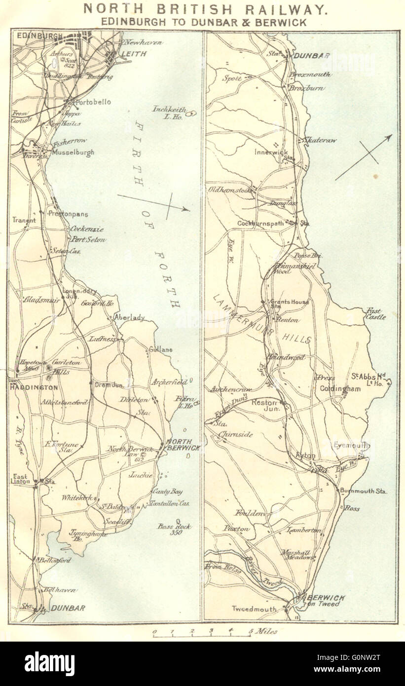 NORTH BRITISH RAILWAY: Edinburgh to Dunbar & Berwick-upon-Tweed, 1887 old map Stock Photohttps://www.alamy.com/image-license-details/?v=1https://www.alamy.com/stock-photo-north-british-railway-edinburgh-to-dunbar-berwick-upon-tweed-1887-103742880.html
RFG0NW2T–NORTH BRITISH RAILWAY: Edinburgh to Dunbar & Berwick-upon-Tweed, 1887 old map
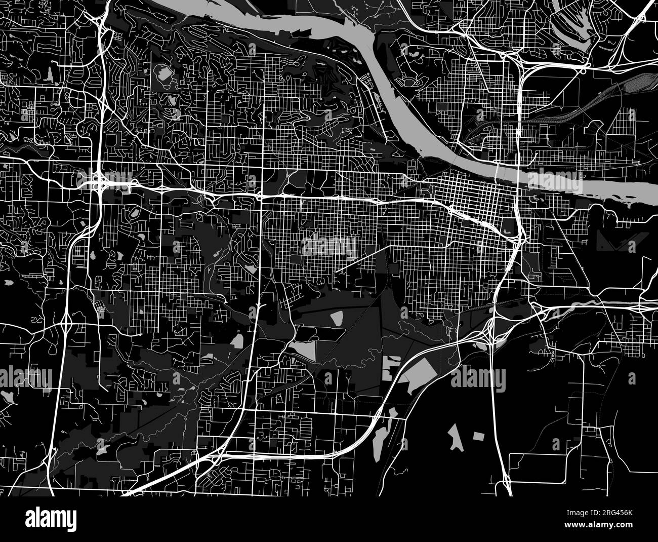 Little Rock city map, capital of the USA state of Arkansas. Municipal administrative black and white area map with rivers and roads, parks and railway Stock Vectorhttps://www.alamy.com/image-license-details/?v=1https://www.alamy.com/little-rock-city-map-capital-of-the-usa-state-of-arkansas-municipal-administrative-black-and-white-area-map-with-rivers-and-roads-parks-and-railway-image560658187.html
RF2RG456K–Little Rock city map, capital of the USA state of Arkansas. Municipal administrative black and white area map with rivers and roads, parks and railway
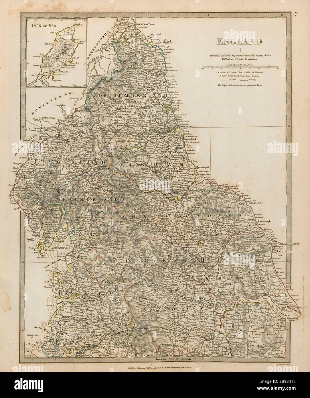 NORTHERN ENGLAND Yorkshire Lake District Durham Northumbs Lancs SDUK 1844 map Stock Photohttps://www.alamy.com/image-license-details/?v=1https://www.alamy.com/northern-england-yorkshire-lake-district-durham-northumbs-lancs-sduk-1844-map-image349808942.html
RF2B934TE–NORTHERN ENGLAND Yorkshire Lake District Durham Northumbs Lancs SDUK 1844 map
 Map of London Underground railway, Hampstead Tube Stock Photohttps://www.alamy.com/image-license-details/?v=1https://www.alamy.com/map-of-london-underground-railway-hampstead-tube-image501470956.html
RM2M3RY90–Map of London Underground railway, Hampstead Tube
 Hamm Railway Bridge, Düsseldorf District, DE, Germany, North Rhine-Westphalia, N 51 12' 30'', N 6 43' 48'', map, Cartascapes Map published in 2024. Explore Cartascapes, a map revealing Earth's diverse landscapes, cultures, and ecosystems. Journey through time and space, discovering the interconnectedness of our planet's past, present, and future. Stock Photohttps://www.alamy.com/image-license-details/?v=1https://www.alamy.com/hamm-railway-bridge-dsseldorf-district-de-germany-north-rhine-westphalia-n-51-12-30-n-6-43-48-map-cartascapes-map-published-in-2024-explore-cartascapes-a-map-revealing-earths-diverse-landscapes-cultures-and-ecosystems-journey-through-time-and-space-discovering-the-interconnectedness-of-our-planets-past-present-and-future-image629404130.html
RM2YFYRAX–Hamm Railway Bridge, Düsseldorf District, DE, Germany, North Rhine-Westphalia, N 51 12' 30'', N 6 43' 48'', map, Cartascapes Map published in 2024. Explore Cartascapes, a map revealing Earth's diverse landscapes, cultures, and ecosystems. Journey through time and space, discovering the interconnectedness of our planet's past, present, and future.
 Map of London Underground railway, for Harrods Stock Photohttps://www.alamy.com/image-license-details/?v=1https://www.alamy.com/map-of-london-underground-railway-for-harrods-image501470952.html
RM2M3RY8T–Map of London Underground railway, for Harrods
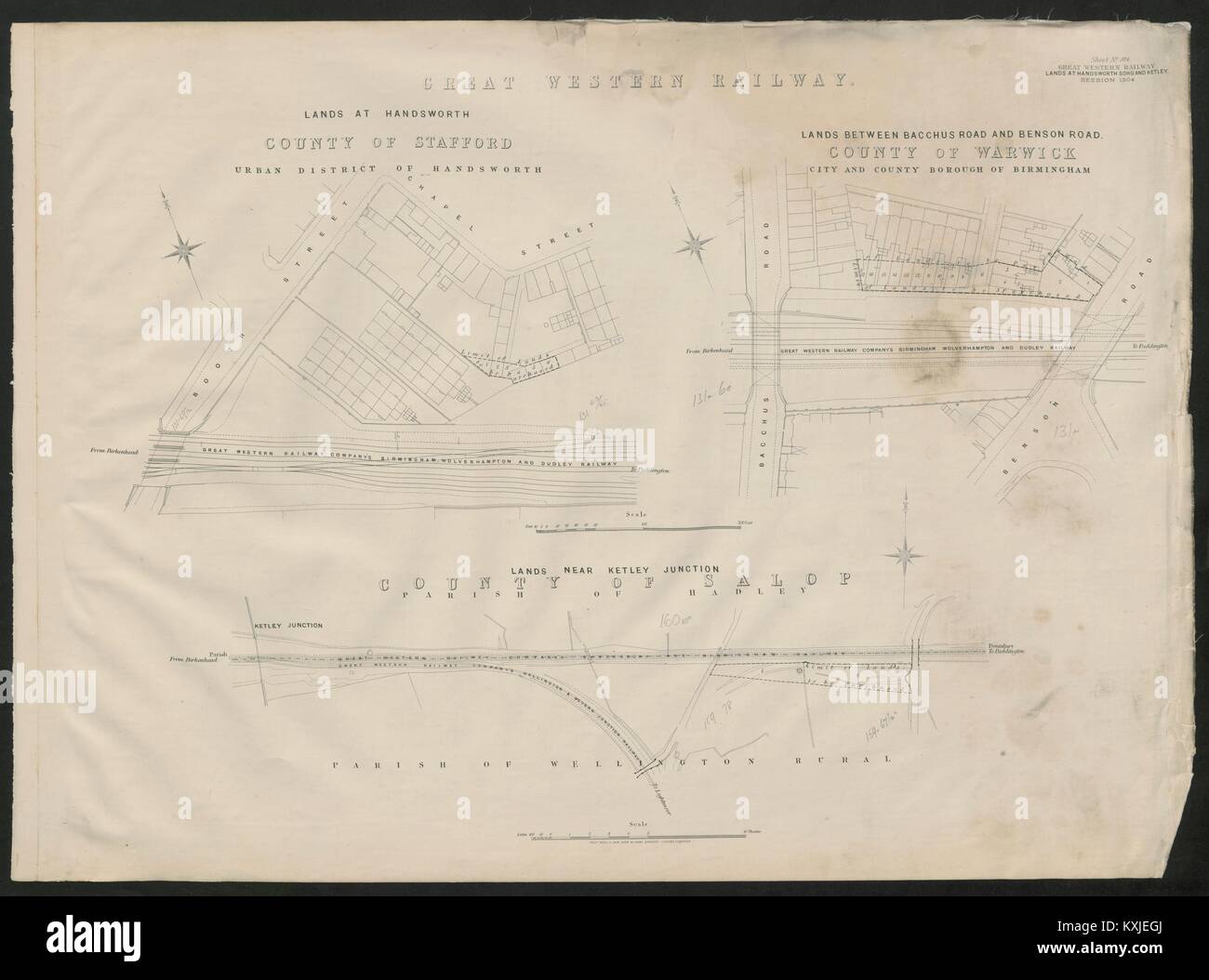 GWR railway plan Birmingham Handsworth Booth Street Bacchus/Benson Road 1904 map Stock Photohttps://www.alamy.com/image-license-details/?v=1https://www.alamy.com/stock-photo-gwr-railway-plan-birmingham-handsworth-booth-street-bacchusbenson-171280946.html
RFKXJEGJ–GWR railway plan Birmingham Handsworth Booth Street Bacchus/Benson Road 1904 map
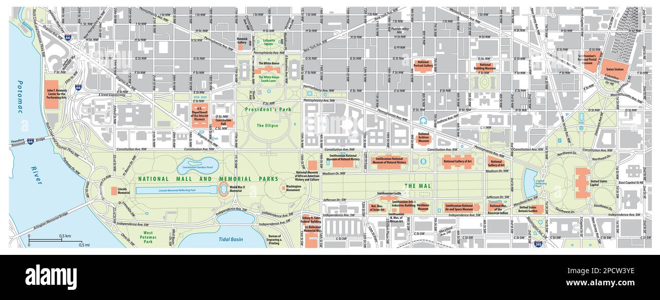 Road map of the National Mall in Washington DC, United States Stock Photohttps://www.alamy.com/image-license-details/?v=1https://www.alamy.com/road-map-of-the-national-mall-in-washington-dc-united-states-image541449202.html
RF2PCW3YE–Road map of the National Mall in Washington DC, United States
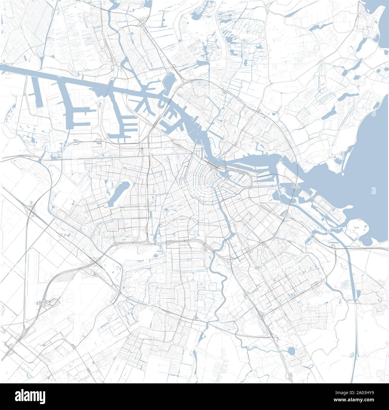 Satellite map of Amsterdam and surrounding areas, Netherlands. Map roads, ring roads and highways, rivers, railway lines Stock Vectorhttps://www.alamy.com/image-license-details/?v=1https://www.alamy.com/satellite-map-of-amsterdam-and-surrounding-areas-netherlands-map-roads-ring-roads-and-highways-rivers-railway-lines-image327076941.html
RF2A03HY9–Satellite map of Amsterdam and surrounding areas, Netherlands. Map roads, ring roads and highways, rivers, railway lines
 Rapid Transit Commission, map showing proposed route of circuit railway in the congested district of the city of Boston, Jan. 8 1892 1892 Stock Photohttps://www.alamy.com/image-license-details/?v=1https://www.alamy.com/rapid-transit-commission-map-showing-proposed-route-of-circuit-railway-in-the-congested-district-of-the-city-of-boston-jan-8-1892-1892-image633226761.html
RM2YP5Y5D–Rapid Transit Commission, map showing proposed route of circuit railway in the congested district of the city of Boston, Jan. 8 1892 1892
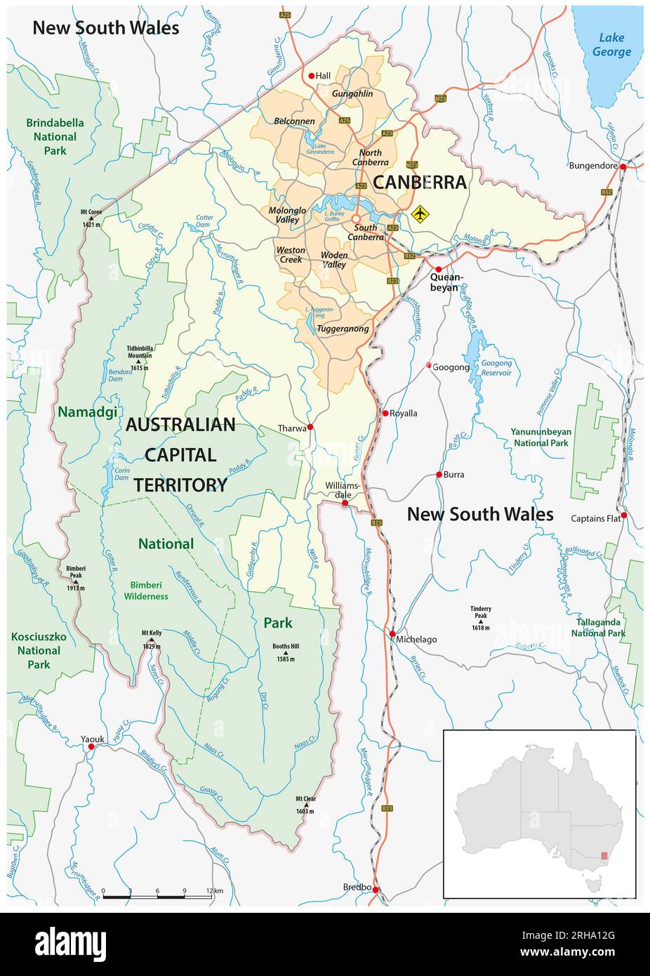 Map of the Australian Capital Territory with the capital canberra Stock Photohttps://www.alamy.com/image-license-details/?v=1https://www.alamy.com/map-of-the-australian-capital-territory-with-the-capital-canberra-image561401304.html
RF2RHA12G–Map of the Australian Capital Territory with the capital canberra
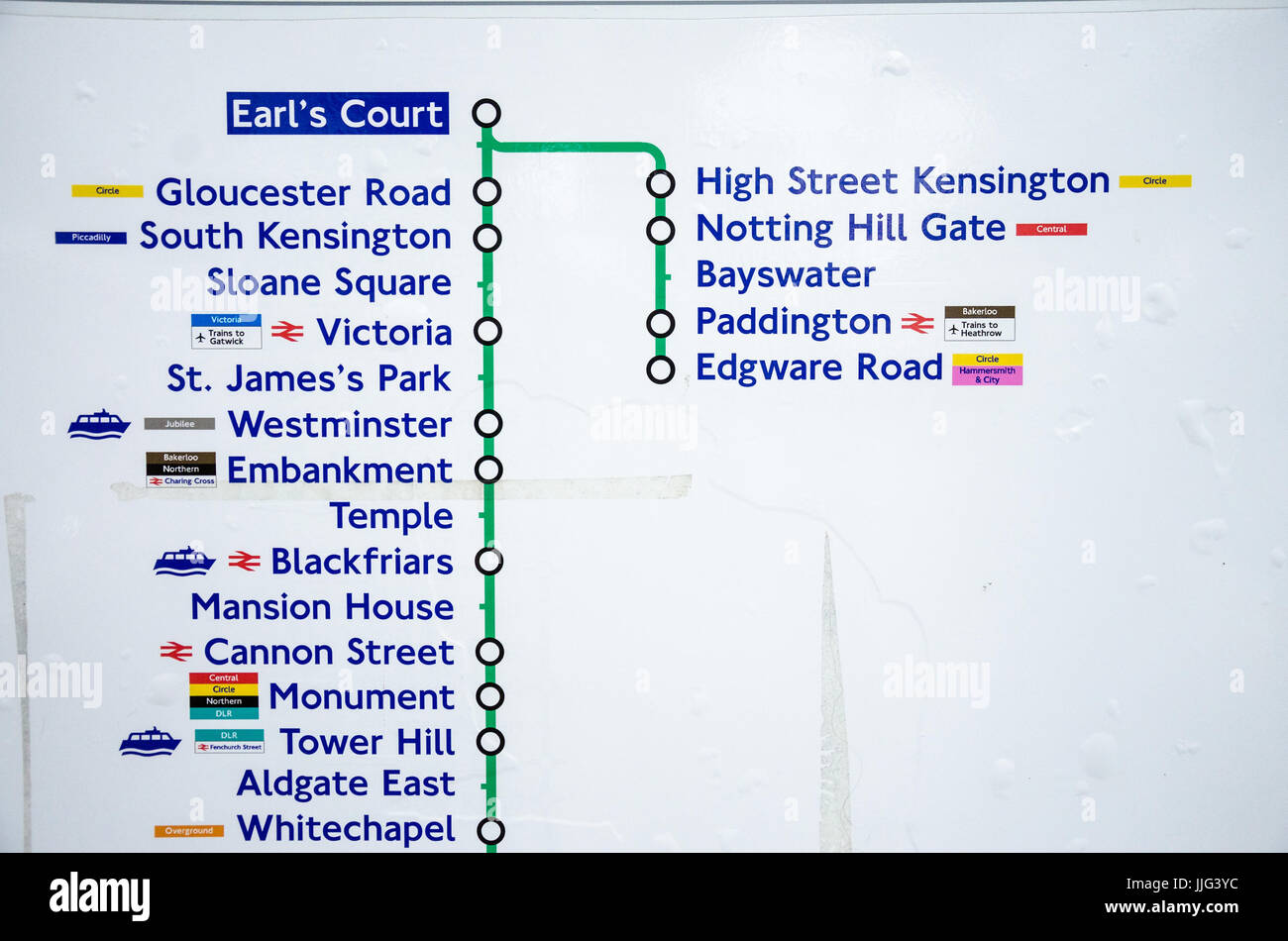 A map showing the stops eastbound from Earl's Court on the District Line on the London Underground. Stock Photohttps://www.alamy.com/image-license-details/?v=1https://www.alamy.com/stock-photo-a-map-showing-the-stops-eastbound-from-earls-court-on-the-district-149101104.html
RMJJG3YC–A map showing the stops eastbound from Earl's Court on the District Line on the London Underground.
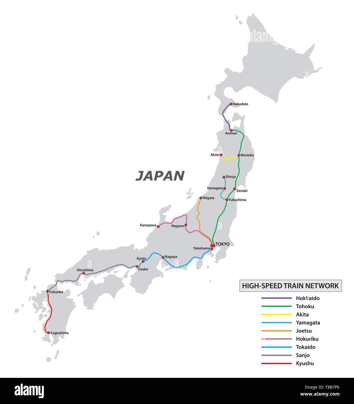 Map of the high speed train network in Japan Stock Vectorhttps://www.alamy.com/image-license-details/?v=1https://www.alamy.com/map-of-the-high-speed-train-network-in-japan-image246109982.html
RFT8B7P6–Map of the high speed train network in Japan
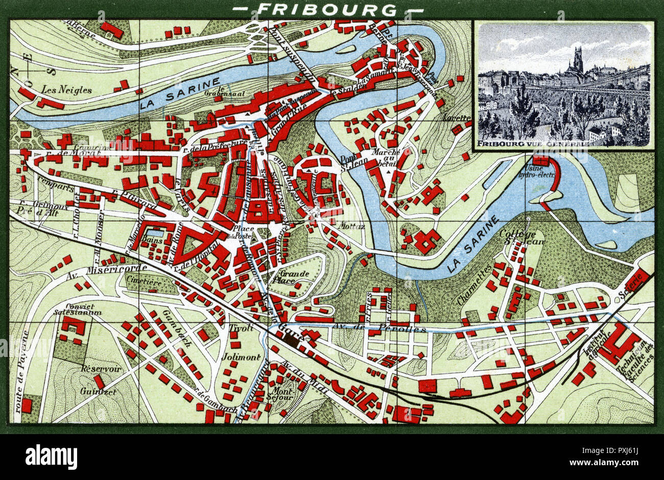 Fribourg, Switzerland - Map of the City Centre Stock Photohttps://www.alamy.com/image-license-details/?v=1https://www.alamy.com/fribourg-switzerland-map-of-the-city-centre-image222905358.html
RMPXJ61J–Fribourg, Switzerland - Map of the City Centre
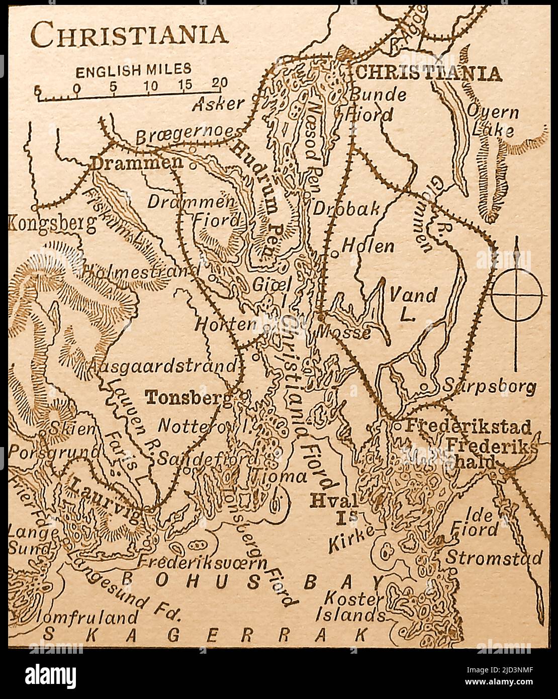 A late 19th century map of Christiania (now Oslo) and district, Norway. Oslo (or Anslo) was destroyed by a fire in 1624, during the reign of King Christian IV, and a new city was built named Christiania (later Kristiania) in honour of the king. It was renamed Oslo again in 1925. -- Et kart over Christiania på slutten av 1800-tallet og distriktet Norge. Oslo (eller Riksriket) ble ødelagt av en brann i 1624, under kong ChristianVS regjeringstid, og en ny by ble bygget ved navn Christiania (senere Kristiania) til ære for kongen. Den ble omdøpt til Oslo igjen i 1925. Stock Photohttps://www.alamy.com/image-license-details/?v=1https://www.alamy.com/a-late-19th-century-map-of-christiania-now-oslo-and-district-norway-oslo-or-anslo-was-destroyed-by-a-fire-in-1624-during-the-reign-of-king-christian-iv-and-a-new-city-was-built-named-christiania-later-kristiania-in-honour-of-the-king-it-was-renamed-oslo-again-in-1925-et-kart-over-christiania-p-slutten-av-1800-tallet-og-distriktet-norge-oslo-eller-riksriket-ble-delagt-av-en-brann-i-1624-under-kong-christianvs-regjeringstid-og-en-ny-by-ble-bygget-ved-navn-christiania-senere-kristiania-til-re-for-kongen-den-ble-omdpt-til-oslo-igjen-i-1925-image472753359.html
RM2JD3NMF–A late 19th century map of Christiania (now Oslo) and district, Norway. Oslo (or Anslo) was destroyed by a fire in 1624, during the reign of King Christian IV, and a new city was built named Christiania (later Kristiania) in honour of the king. It was renamed Oslo again in 1925. -- Et kart over Christiania på slutten av 1800-tallet og distriktet Norge. Oslo (eller Riksriket) ble ødelagt av en brann i 1624, under kong ChristianVS regjeringstid, og en ny by ble bygget ved navn Christiania (senere Kristiania) til ære for kongen. Den ble omdøpt til Oslo igjen i 1925.
 Subway map and machines ticket sales, in Shinjuku Railway station.Tokyo city, Japan, Asia Stock Photohttps://www.alamy.com/image-license-details/?v=1https://www.alamy.com/stock-photo-subway-map-and-machines-ticket-sales-in-shinjuku-railway-stationtokyo-132155270.html
RMHK05B2–Subway map and machines ticket sales, in Shinjuku Railway station.Tokyo city, Japan, Asia
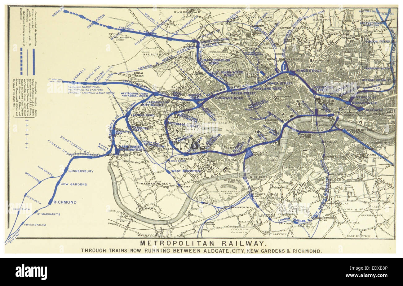 LONDON ILLUSTR(1880) p9.127 DISTRICT RAILWAY Stock Photohttps://www.alamy.com/image-license-details/?v=1https://www.alamy.com/stock-photo-london-illustr1880-p9127-district-railway-77411622.html
RMEDXB8P–LONDON ILLUSTR(1880) p9.127 DISTRICT RAILWAY
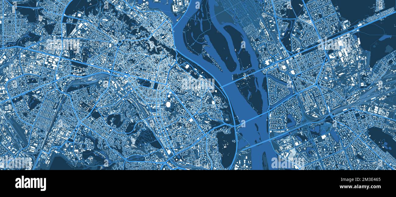 Kyiv city blue map. Dnieper river, buildings, forests, roads, railway. Capital of Ukraine vector illustration. Stock Vectorhttps://www.alamy.com/image-license-details/?v=1https://www.alamy.com/kyiv-city-blue-map-dnieper-river-buildings-forests-roads-railway-capital-of-ukraine-vector-illustration-image501255277.html
RF2M3E465–Kyiv city blue map. Dnieper river, buildings, forests, roads, railway. Capital of Ukraine vector illustration.
 On Saturday 5th December 2015, Storm desmond crashed into the UK, producing the UK's highest ever 24 hour rainfall total at 341.4mm. It flooded many towns including Keswick. This shots shows one of two railway bridges on the old Keswick railway line that were completely destroyed by the floods. Stock Photohttps://www.alamy.com/image-license-details/?v=1https://www.alamy.com/stock-photo-on-saturday-5th-december-2015-storm-desmond-crashed-into-the-uk-producing-93058687.html
RMFBB58F–On Saturday 5th December 2015, Storm desmond crashed into the UK, producing the UK's highest ever 24 hour rainfall total at 341.4mm. It flooded many towns including Keswick. This shots shows one of two railway bridges on the old Keswick railway line that were completely destroyed by the floods.
 1915 Commonwealth of Massachusetts map of the Metropolitan District of Boston showing proposed Eastern Terminal Railway Stock Photohttps://www.alamy.com/image-license-details/?v=1https://www.alamy.com/stock-image-1915-commonwealth-of-massachusetts-map-of-the-metropolitan-district-162163133.html
RMKBR4MD–1915 Commonwealth of Massachusetts map of the Metropolitan District of Boston showing proposed Eastern Terminal Railway
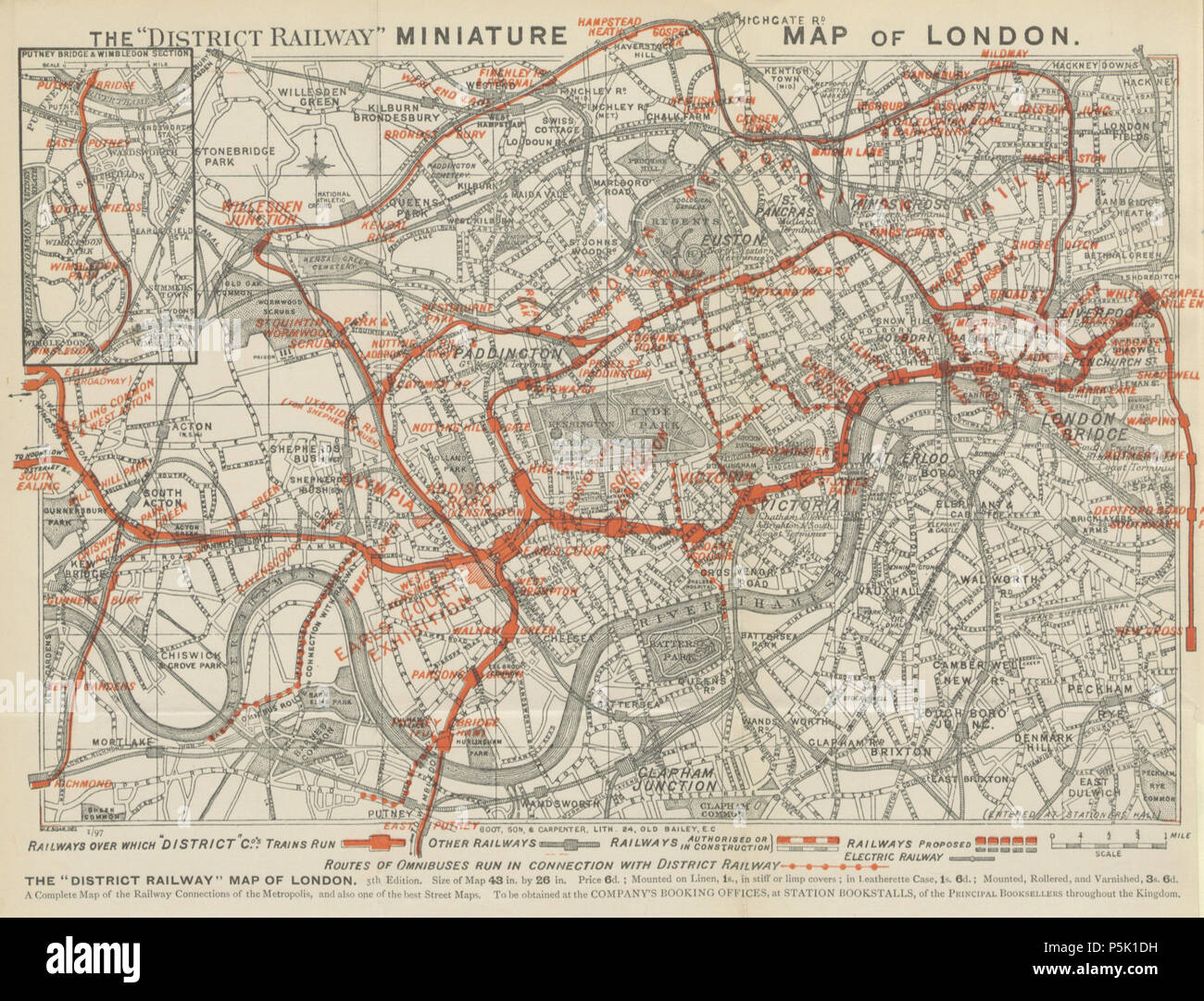 31 The District Railway Miniature Map of London, 1897 Stock Photohttps://www.alamy.com/image-license-details/?v=1https://www.alamy.com/31-the-district-railway-miniature-map-of-london-1897-image210015949.html
RMP5K1DH–31 The District Railway Miniature Map of London, 1897
 DISTRICT(1888) p027 District Railway County Map Stock Photohttps://www.alamy.com/image-license-details/?v=1https://www.alamy.com/district1888-p027-district-railway-county-map-image154601609.html
RMJYEKX1–DISTRICT(1888) p027 District Railway County Map
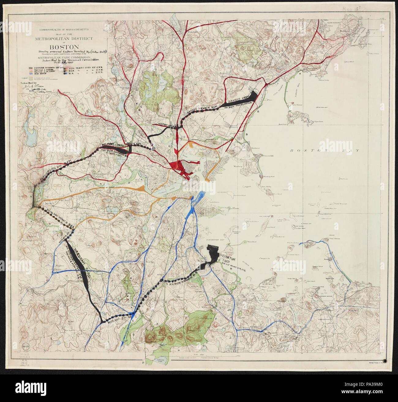 34 1915 Commonwealth of Massachusetts map of the Metropolitan District of Boston showing proposed Eastern Terminal Railway Stock Photohttps://www.alamy.com/image-license-details/?v=1https://www.alamy.com/34-1915-commonwealth-of-massachusetts-map-of-the-metropolitan-district-of-boston-showing-proposed-eastern-terminal-railway-image212744448.html
RMPA39M0–34 1915 Commonwealth of Massachusetts map of the Metropolitan District of Boston showing proposed Eastern Terminal Railway
 Grevenbroich Railway Station, Düsseldorf District, DE, Germany, North Rhine-Westphalia, N 51 5' 38'', N 6 34' 50'', map, Cartascapes Map published in 2024. Explore Cartascapes, a map revealing Earth's diverse landscapes, cultures, and ecosystems. Journey through time and space, discovering the interconnectedness of our planet's past, present, and future. Stock Photohttps://www.alamy.com/image-license-details/?v=1https://www.alamy.com/grevenbroich-railway-station-dsseldorf-district-de-germany-north-rhine-westphalia-n-51-5-38-n-6-34-50-map-cartascapes-map-published-in-2024-explore-cartascapes-a-map-revealing-earths-diverse-landscapes-cultures-and-ecosystems-journey-through-time-and-space-discovering-the-interconnectedness-of-our-planets-past-present-and-future-image629587969.html
RM2YG85TH–Grevenbroich Railway Station, Düsseldorf District, DE, Germany, North Rhine-Westphalia, N 51 5' 38'', N 6 34' 50'', map, Cartascapes Map published in 2024. Explore Cartascapes, a map revealing Earth's diverse landscapes, cultures, and ecosystems. Journey through time and space, discovering the interconnectedness of our planet's past, present, and future.
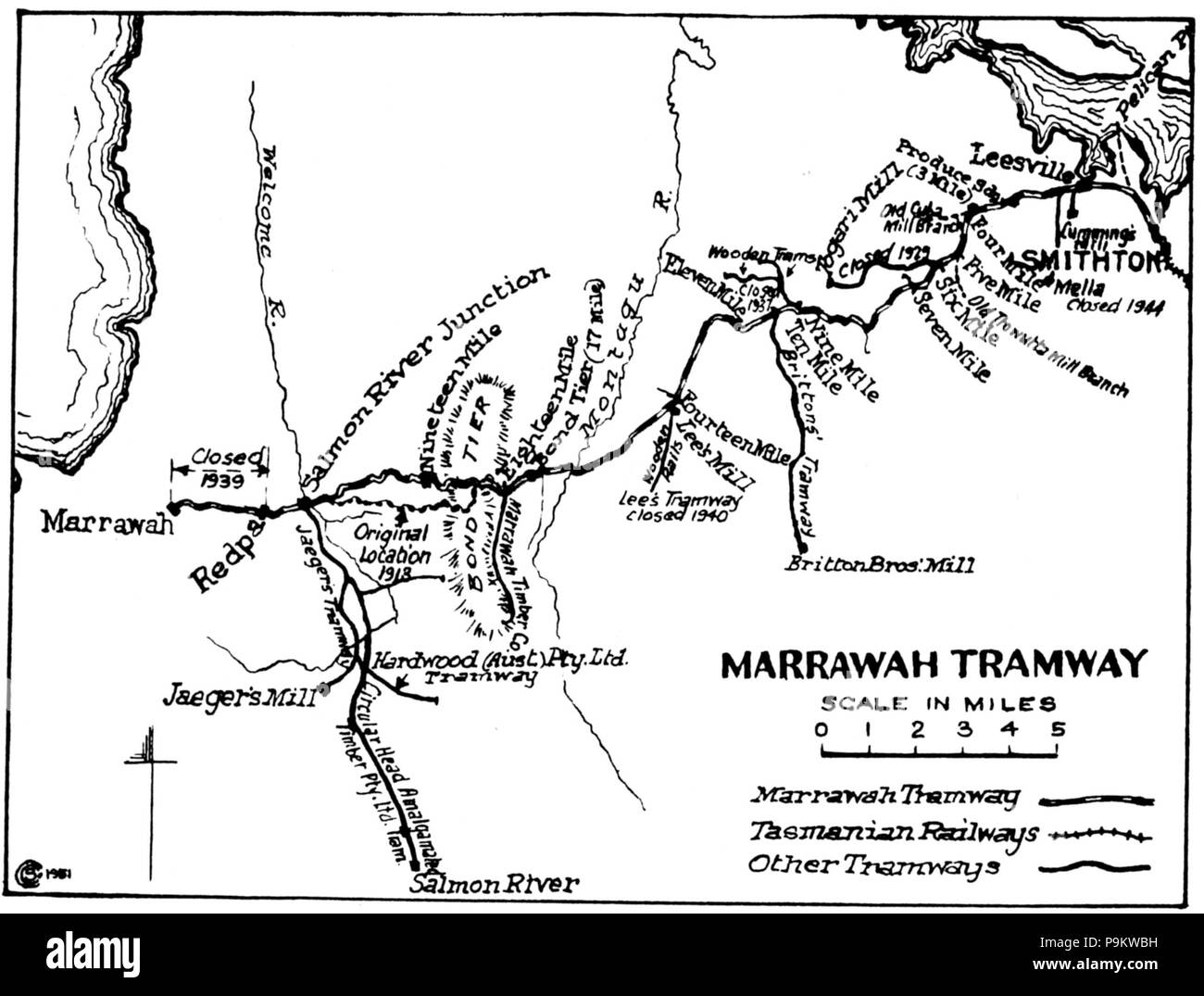 311 The Marrawah Tramway -Map by ‘Wanderer’, ‘Railways and Tramways of the Circular Head District’, Australian Railway Historical Bulletin No.168, October 1951 Stock Photohttps://www.alamy.com/image-license-details/?v=1https://www.alamy.com/311-the-marrawah-tramway-map-by-wanderer-railways-and-tramways-of-the-circular-head-district-australian-railway-historical-bulletin-no168-october-1951-image212493333.html
RMP9KWBH–311 The Marrawah Tramway -Map by ‘Wanderer’, ‘Railways and Tramways of the Circular Head District’, Australian Railway Historical Bulletin No.168, October 1951
 A couple of walkers sit on a bench at Monsal Head overlooking Monsal Dale to read a map. Stock Photohttps://www.alamy.com/image-license-details/?v=1https://www.alamy.com/a-couple-of-walkers-sit-on-a-bench-at-monsal-head-overlooking-monsal-dale-to-read-a-map-image465775762.html
RF2J1NWMJ–A couple of walkers sit on a bench at Monsal Head overlooking Monsal Dale to read a map.
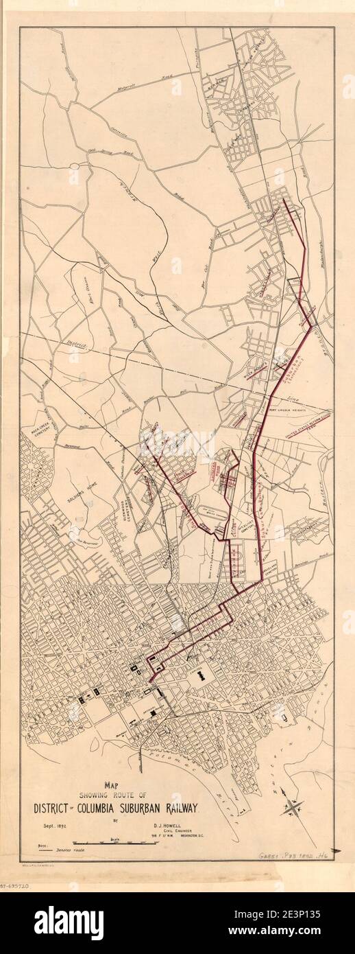 Map showing route of District of Columbia Suburban Railway - Sept. 1892 Stock Photohttps://www.alamy.com/image-license-details/?v=1https://www.alamy.com/map-showing-route-of-district-of-columbia-suburban-railway-sept-1892-image398166249.html
RM2E3P135–Map showing route of District of Columbia Suburban Railway - Sept. 1892
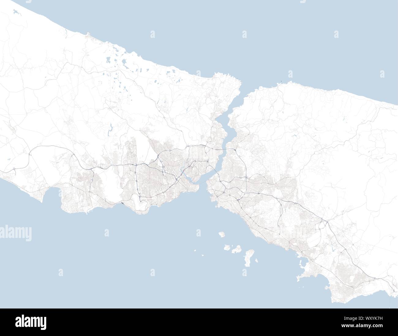 Satellite map of Istanbul and surrounding areas. Turkey. Map roads, ring roads and highways, rivers, railway lines Stock Vectorhttps://www.alamy.com/image-license-details/?v=1https://www.alamy.com/satellite-map-of-istanbul-and-surrounding-areas-turkey-map-roads-ring-roads-and-highways-rivers-railway-lines-image274744389.html
RFWXYK7H–Satellite map of Istanbul and surrounding areas. Turkey. Map roads, ring roads and highways, rivers, railway lines
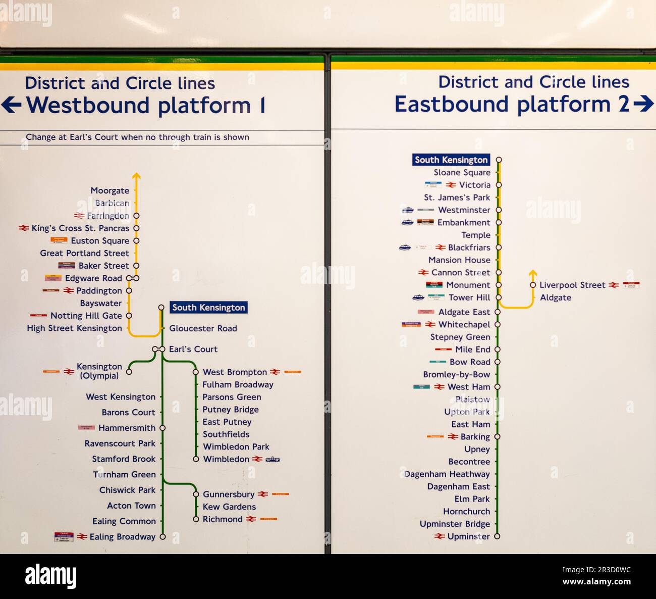 A line direction sign at South Kensington tube station in London, displaying the District and Circle lines. Designed by Edward Johnston and inspired b Stock Photohttps://www.alamy.com/image-license-details/?v=1https://www.alamy.com/a-line-direction-sign-at-south-kensington-tube-station-in-london-displaying-the-district-and-circle-lines-designed-by-edward-johnston-and-inspired-b-image552861832.html
RF2R3D0WC–A line direction sign at South Kensington tube station in London, displaying the District and Circle lines. Designed by Edward Johnston and inspired b
 FIRTH OF CLYDE: Glasgow Greenock Kilmarnock Ayr Dumbartonshire Railway, 1887 map Stock Photohttps://www.alamy.com/image-license-details/?v=1https://www.alamy.com/stock-photo-firth-of-clyde-glasgow-greenock-kilmarnock-ayr-dumbartonshire-railway-103742994.html
RFG0NW6X–FIRTH OF CLYDE: Glasgow Greenock Kilmarnock Ayr Dumbartonshire Railway, 1887 map
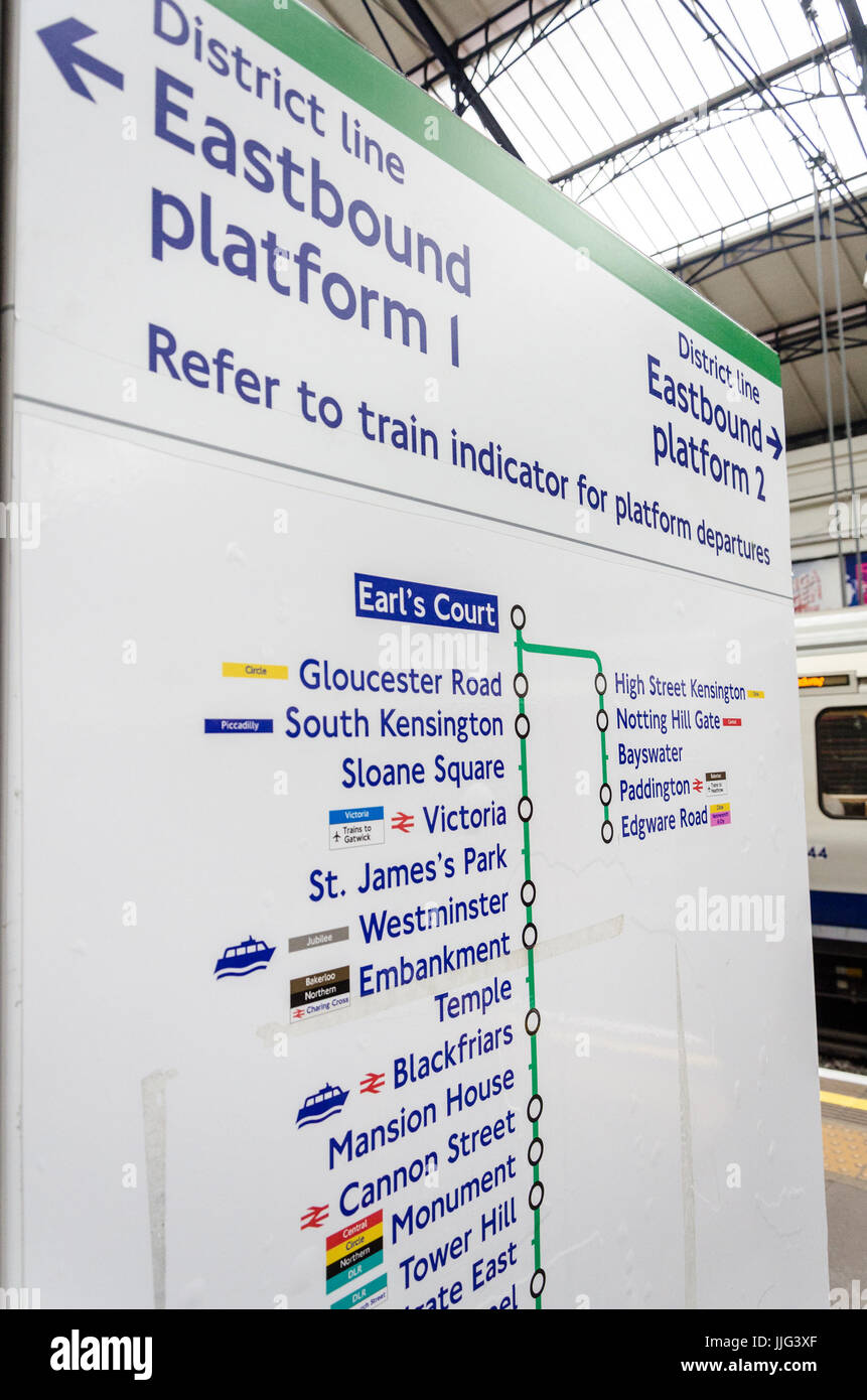 A map showing the stops eastbound from Earl's Court on the District Line on the London Underground. Stock Photohttps://www.alamy.com/image-license-details/?v=1https://www.alamy.com/stock-photo-a-map-showing-the-stops-eastbound-from-earls-court-on-the-district-149101079.html
RMJJG3XF–A map showing the stops eastbound from Earl's Court on the District Line on the London Underground.
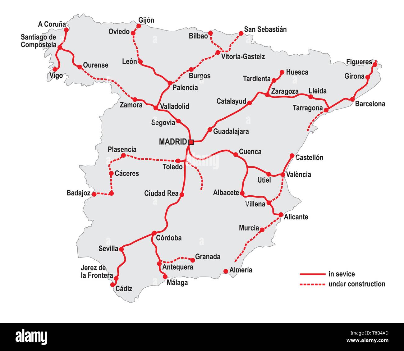 Map of the high speed railway lines in spain Stock Vectorhttps://www.alamy.com/image-license-details/?v=1https://www.alamy.com/map-of-the-high-speed-railway-lines-in-spain-image246107301.html
RFT8B4AD–Map of the high speed railway lines in spain
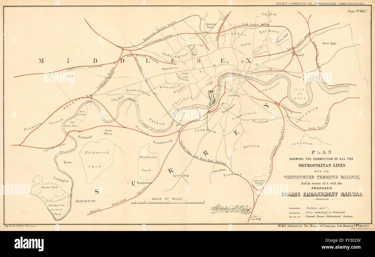 Proposed WESTMINSTER TERMINUS/THAMES EMBANKMENT DISTRICT RAILWAYS, 1855 map Stock Photohttps://www.alamy.com/image-license-details/?v=1https://www.alamy.com/stock-photo-proposed-westminster-terminusthames-embankment-district-railways-1855-102713489.html
RFFY302W–Proposed WESTMINSTER TERMINUS/THAMES EMBANKMENT DISTRICT RAILWAYS, 1855 map
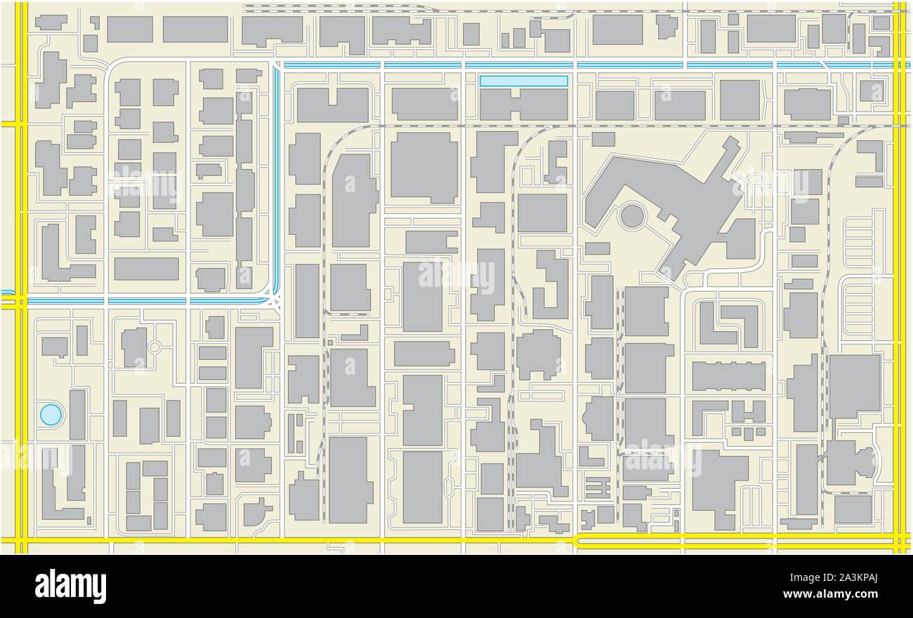 imaginary cadastral plan of an industrial and commercial area Stock Vectorhttps://www.alamy.com/image-license-details/?v=1https://www.alamy.com/imaginary-cadastral-plan-of-an-industrial-and-commercial-area-image329275594.html
RF2A3KPAJ–imaginary cadastral plan of an industrial and commercial area
 Sanndnes, Rogaland, Norway, May 18 2023, Sandnes Station Railway Timetable and Transport Route Map With No People Stock Photohttps://www.alamy.com/image-license-details/?v=1https://www.alamy.com/sanndnes-rogaland-norway-may-18-2023-sandnes-station-railway-timetable-and-transport-route-map-with-no-people-image553195348.html
RM2R4068M–Sanndnes, Rogaland, Norway, May 18 2023, Sandnes Station Railway Timetable and Transport Route Map With No People
 LONDON ILLUSTR(1878) p7.157 DISTRICT RAILWAY Stock Photohttps://www.alamy.com/image-license-details/?v=1https://www.alamy.com/stock-photo-london-illustr1878-p7157-district-railway-77411468.html
RMEDXB38–LONDON ILLUSTR(1878) p7.157 DISTRICT RAILWAY
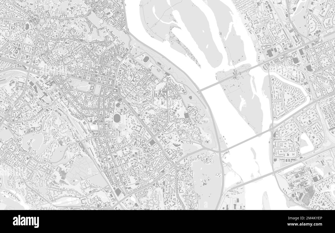 Kyiv city center map with buildings. Dnieper river, forests, roads, railway. Capital of Ukraine vector illustration. Stock Vectorhttps://www.alamy.com/image-license-details/?v=1https://www.alamy.com/kyiv-city-center-map-with-buildings-dnieper-river-forests-roads-railway-capital-of-ukraine-vector-illustration-image501997966.html
RF2M4KYEP–Kyiv city center map with buildings. Dnieper river, forests, roads, railway. Capital of Ukraine vector illustration.
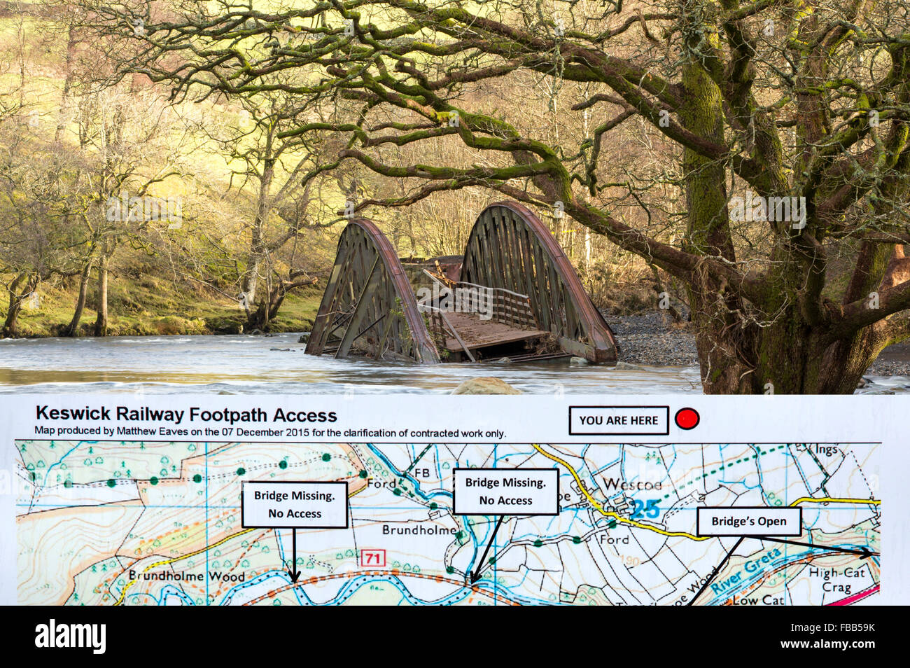 On Saturday 5th December 2015, Storm desmond crashed into the UK, producing the UK's highest ever 24 hour rainfall total at 341.4mm. It flooded many towns including Keswick. This shots shows one of two railway bridges on the old Keswick railway line that were completely destroyed by the floods. It also shows a tree, now sat in the middle of the river, that used to be growing on the river bank. The force of water was such that it has scoured out huge areas of banking and realigned the river in places. Stock Photohttps://www.alamy.com/image-license-details/?v=1https://www.alamy.com/stock-photo-on-saturday-5th-december-2015-storm-desmond-crashed-into-the-uk-producing-93058719.html
RMFBB59K–On Saturday 5th December 2015, Storm desmond crashed into the UK, producing the UK's highest ever 24 hour rainfall total at 341.4mm. It flooded many towns including Keswick. This shots shows one of two railway bridges on the old Keswick railway line that were completely destroyed by the floods. It also shows a tree, now sat in the middle of the river, that used to be growing on the river bank. The force of water was such that it has scoured out huge areas of banking and realigned the river in places.
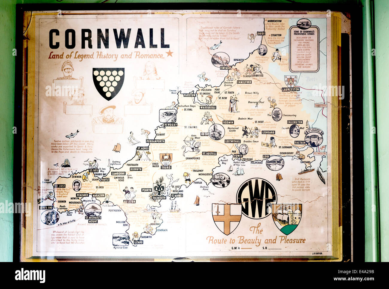 Historic map of Cornwall showing attractions for railway tourists to the county Stock Photohttps://www.alamy.com/image-license-details/?v=1https://www.alamy.com/stock-photo-historic-map-of-cornwall-showing-attractions-for-railway-tourists-71521447.html
RME4A29B–Historic map of Cornwall showing attractions for railway tourists to the county
 Subway map - modern flat design style single isolated object Stock Vectorhttps://www.alamy.com/image-license-details/?v=1https://www.alamy.com/subway-map-modern-flat-design-style-single-isolated-object-image478681690.html
RF2JPNRAJ–Subway map - modern flat design style single isolated object
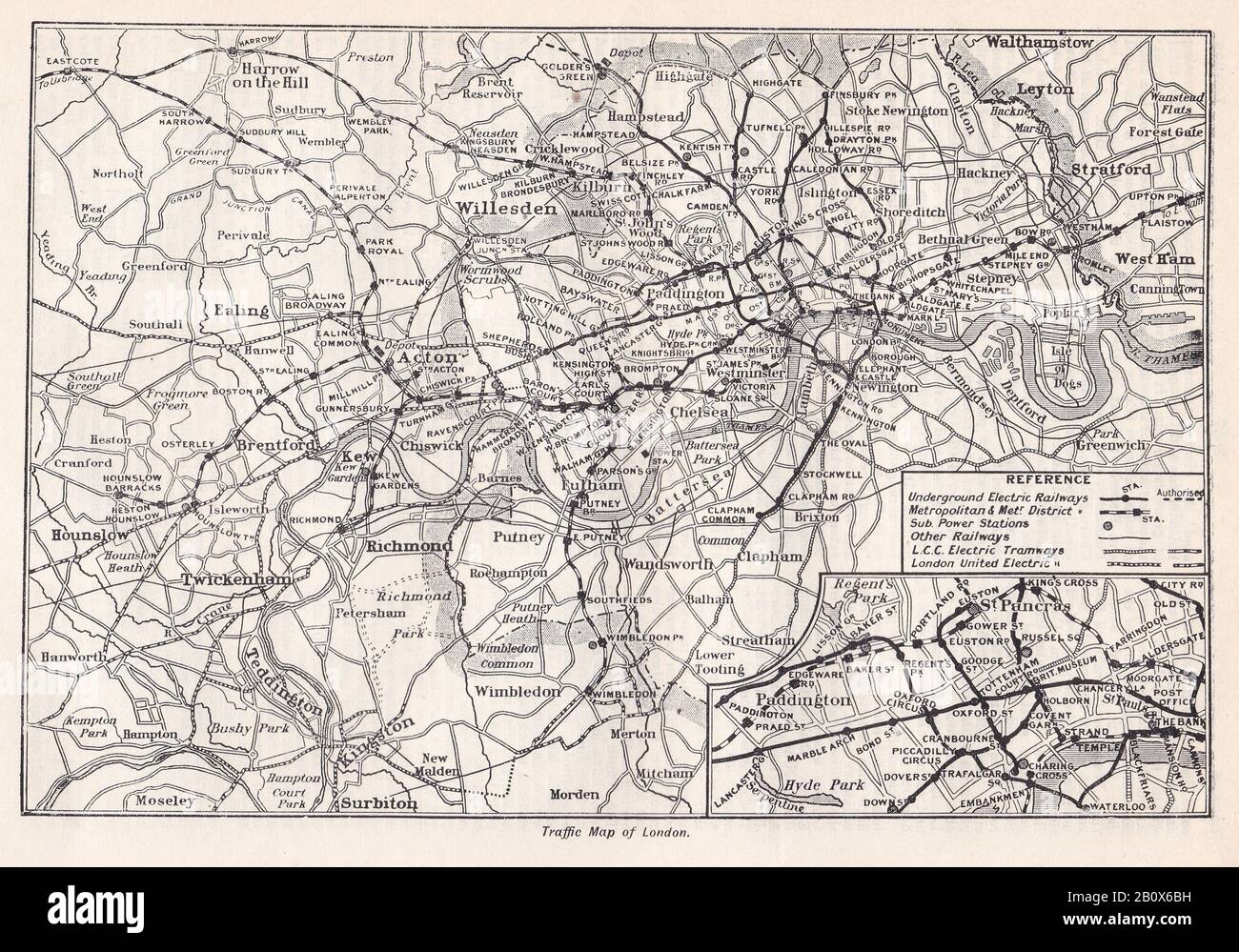 Vintage Traffic Map of London 1900s - Showing underground electric railway, Metropolitan and Met District, L.C.C. Electric Tramway and London Electric. Stock Photohttps://www.alamy.com/image-license-details/?v=1https://www.alamy.com/vintage-traffic-map-of-london-1900s-showing-underground-electric-railway-metropolitan-and-met-district-lcc-electric-tramway-and-london-electric-image344783141.html
RF2B0X6BH–Vintage Traffic Map of London 1900s - Showing underground electric railway, Metropolitan and Met District, L.C.C. Electric Tramway and London Electric.
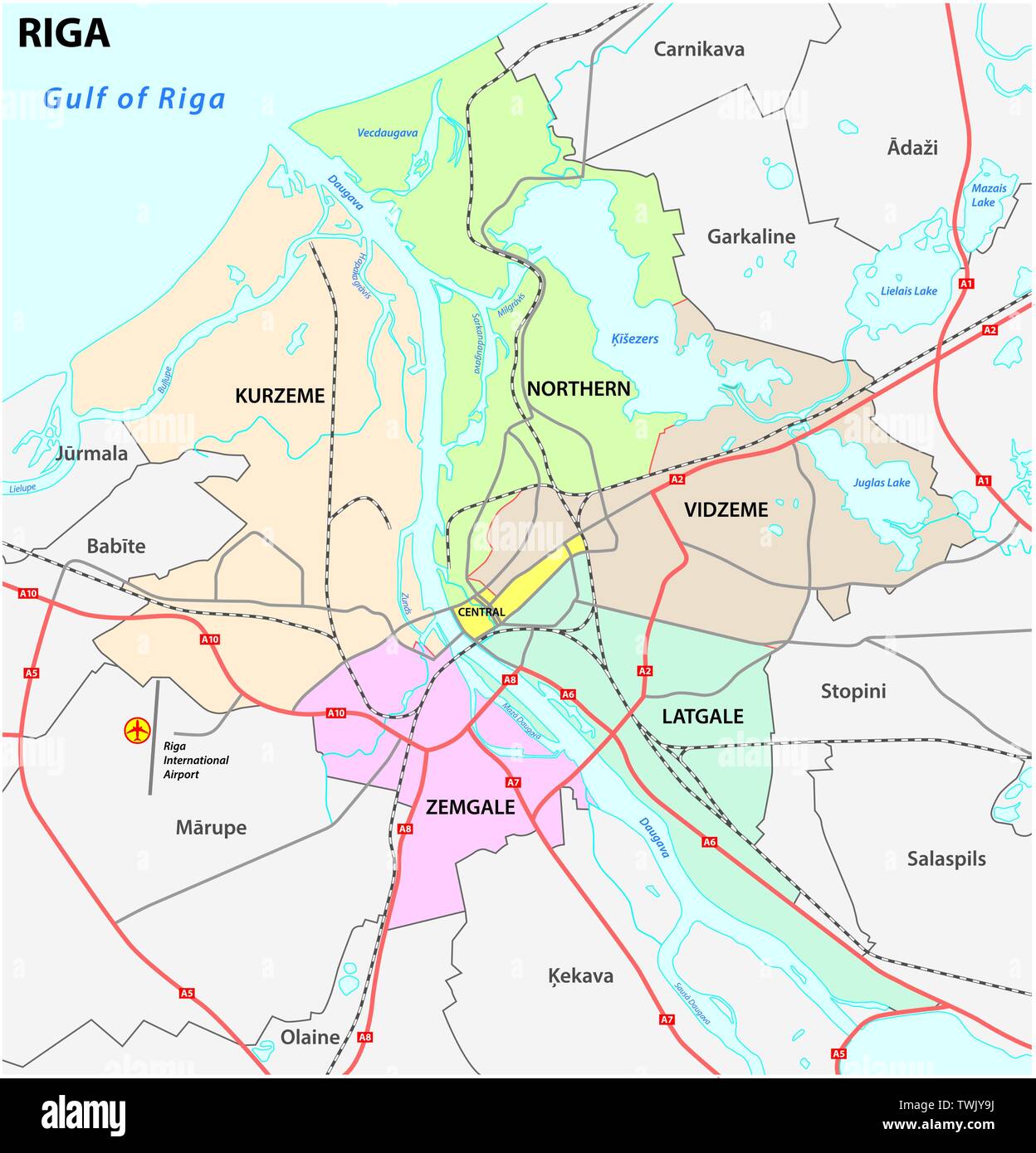 administrative and road map of latvia capital riga Stock Vectorhttps://www.alamy.com/image-license-details/?v=1https://www.alamy.com/administrative-and-road-map-of-latvia-capital-riga-image256728126.html
RFTWJY9J–administrative and road map of latvia capital riga
 Hilden Railway Station, Düsseldorf District, DE, Germany, North Rhine-Westphalia, N 51 10' 3'', N 6 55' 16'', map, Cartascapes Map published in 2024. Explore Cartascapes, a map revealing Earth's diverse landscapes, cultures, and ecosystems. Journey through time and space, discovering the interconnectedness of our planet's past, present, and future. Stock Photohttps://www.alamy.com/image-license-details/?v=1https://www.alamy.com/hilden-railway-station-dsseldorf-district-de-germany-north-rhine-westphalia-n-51-10-3-n-6-55-16-map-cartascapes-map-published-in-2024-explore-cartascapes-a-map-revealing-earths-diverse-landscapes-cultures-and-ecosystems-journey-through-time-and-space-discovering-the-interconnectedness-of-our-planets-past-present-and-future-image629396241.html
RM2YFYD95–Hilden Railway Station, Düsseldorf District, DE, Germany, North Rhine-Westphalia, N 51 10' 3'', N 6 55' 16'', map, Cartascapes Map published in 2024. Explore Cartascapes, a map revealing Earth's diverse landscapes, cultures, and ecosystems. Journey through time and space, discovering the interconnectedness of our planet's past, present, and future.
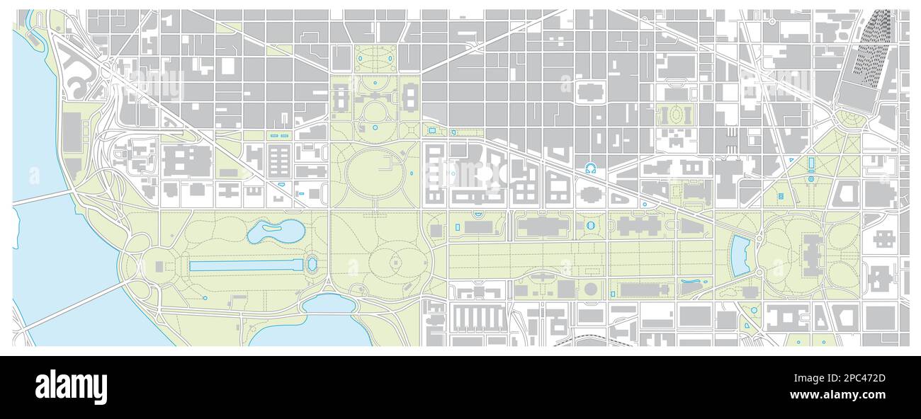 Vector map of the National Mall in Washington DC, United States Stock Photohttps://www.alamy.com/image-license-details/?v=1https://www.alamy.com/vector-map-of-the-national-mall-in-washington-dc-united-states-image540990645.html
RF2PC472D–Vector map of the National Mall in Washington DC, United States
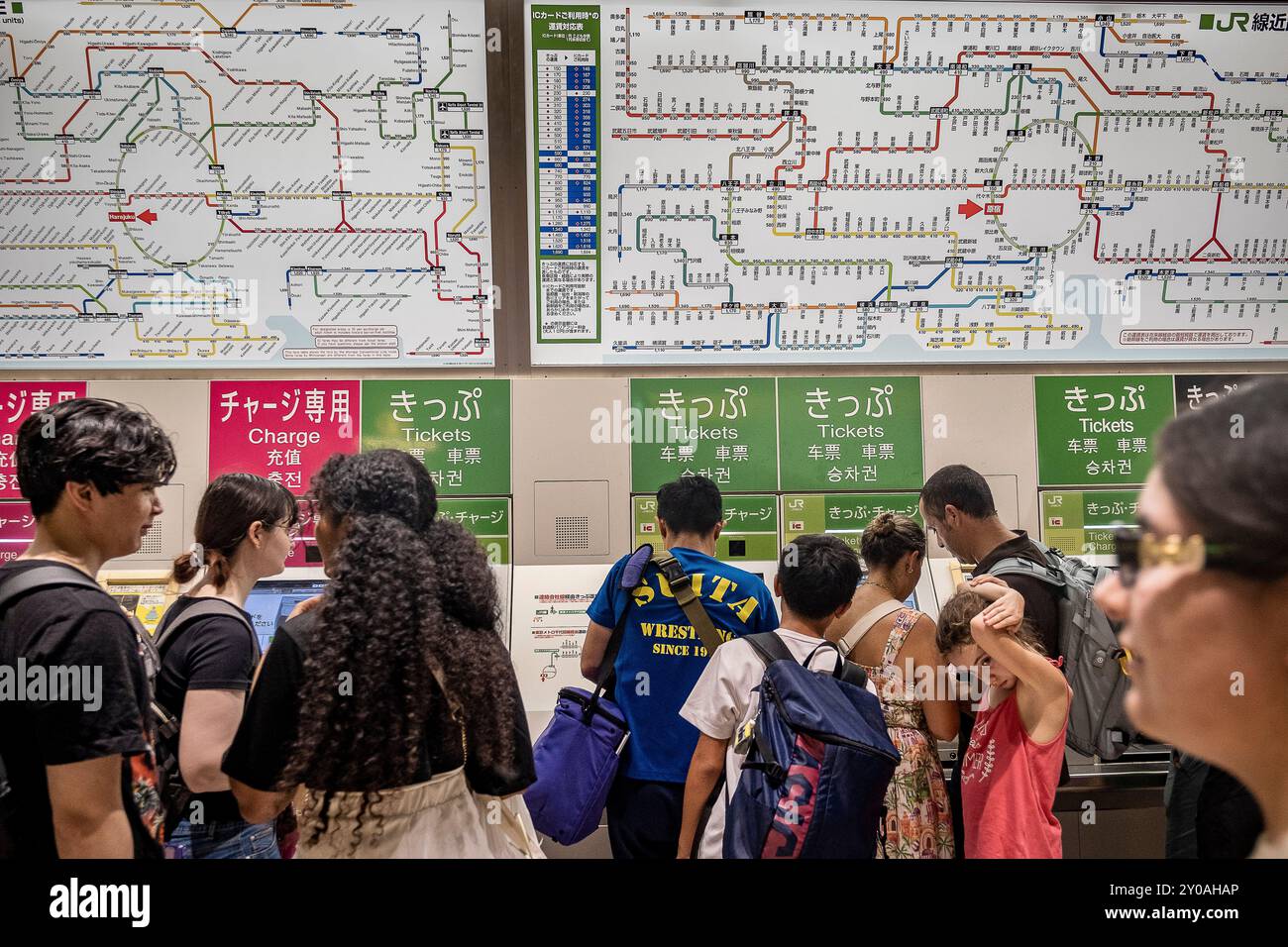 Harajuku Station. Ticket vending machines. Entry to Railway station.JR Yamanote Line.Harajuku,Tokyo, Japan Stock Photohttps://www.alamy.com/image-license-details/?v=1https://www.alamy.com/harajuku-station-ticket-vending-machines-entry-to-railway-stationjr-yamanote-lineharajukutokyo-japan-image619806398.html
RM2Y0AHAP–Harajuku Station. Ticket vending machines. Entry to Railway station.JR Yamanote Line.Harajuku,Tokyo, Japan
 Vector map of Hangang Park on the Hang river in Seoul, South Korea Stock Photohttps://www.alamy.com/image-license-details/?v=1https://www.alamy.com/vector-map-of-hangang-park-on-the-hang-river-in-seoul-south-korea-image547943737.html
RF2PRCYR5–Vector map of Hangang Park on the Hang river in Seoul, South Korea
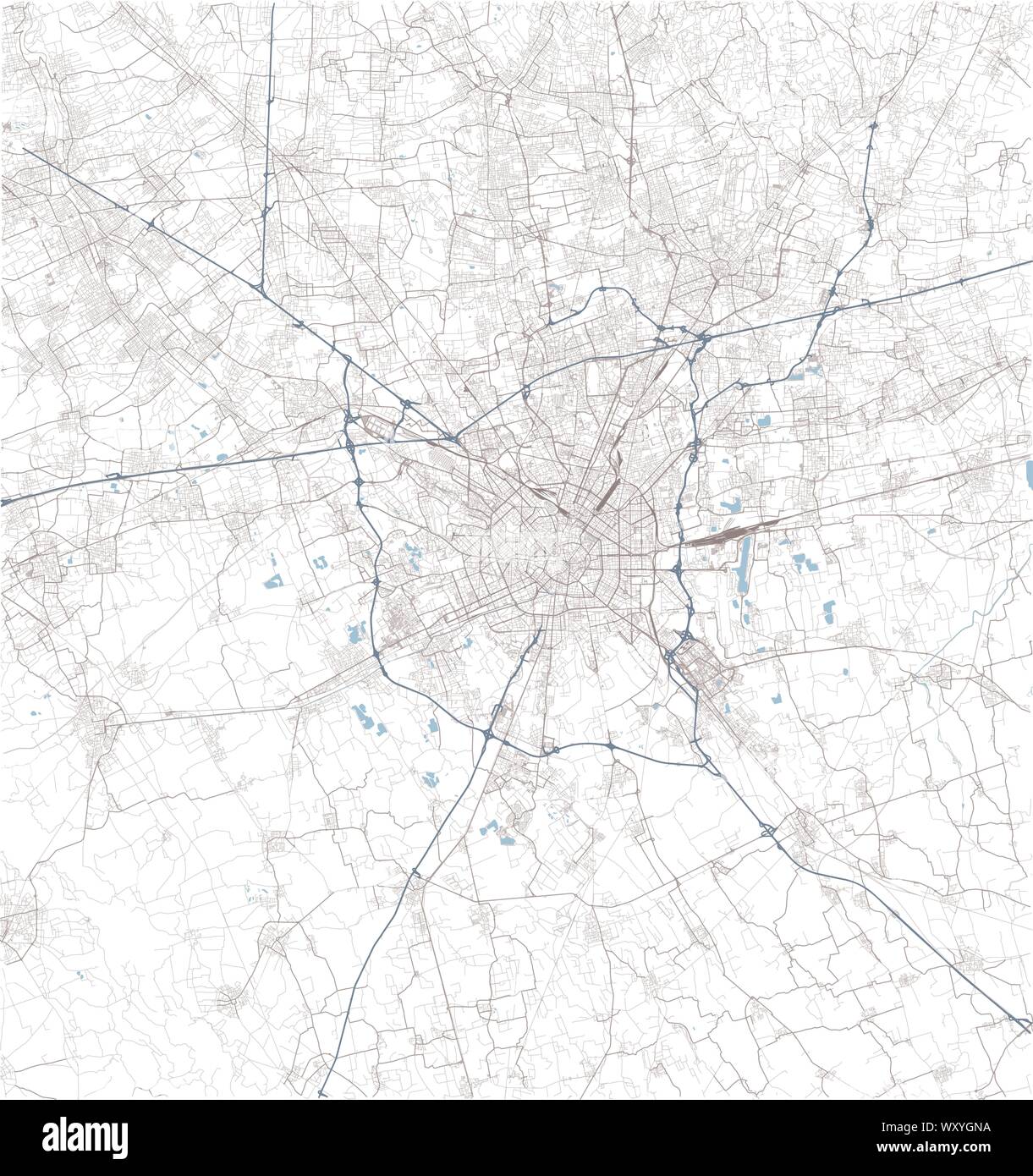 Satellite map of Milan and surrounding areas. Lombardy, Italy. Map roads, ring roads and highways, rivers, railway lines Stock Vectorhttps://www.alamy.com/image-license-details/?v=1https://www.alamy.com/satellite-map-of-milan-and-surrounding-areas-lombardy-italy-map-roads-ring-roads-and-highways-rivers-railway-lines-image274742422.html
RFWXYGNA–Satellite map of Milan and surrounding areas. Lombardy, Italy. Map roads, ring roads and highways, rivers, railway lines
 vector illustration of abstract city map Stock Vectorhttps://www.alamy.com/image-license-details/?v=1https://www.alamy.com/stock-photo-vector-illustration-of-abstract-city-map-111152250.html
RFGCRBR6–vector illustration of abstract city map
 City map of and its surroundings, Stock Photohttps://www.alamy.com/image-license-details/?v=1https://www.alamy.com/city-map-of-and-its-surroundings-image540983836.html
RM2PC3XB8–City map of and its surroundings,
 vector city map Stock Vectorhttps://www.alamy.com/image-license-details/?v=1https://www.alamy.com/vector-city-map-image64658334.html
RFDN5CA6–vector city map
 Metropolitain sign and map on Rue du Bac Paris France Stock Photohttps://www.alamy.com/image-license-details/?v=1https://www.alamy.com/stock-photo-metropolitain-sign-and-map-on-rue-du-bac-paris-france-13502202.html
RMADWRPK–Metropolitain sign and map on Rue du Bac Paris France
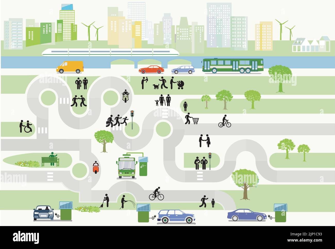 Cityscape with Alternative Energy Sources– City Map, Illustration Stock Vectorhttps://www.alamy.com/image-license-details/?v=1https://www.alamy.com/cityscape-with-alternative-energy-sources-city-map-illustration-image478233983.html
RF2JP1C93–Cityscape with Alternative Energy Sources– City Map, Illustration
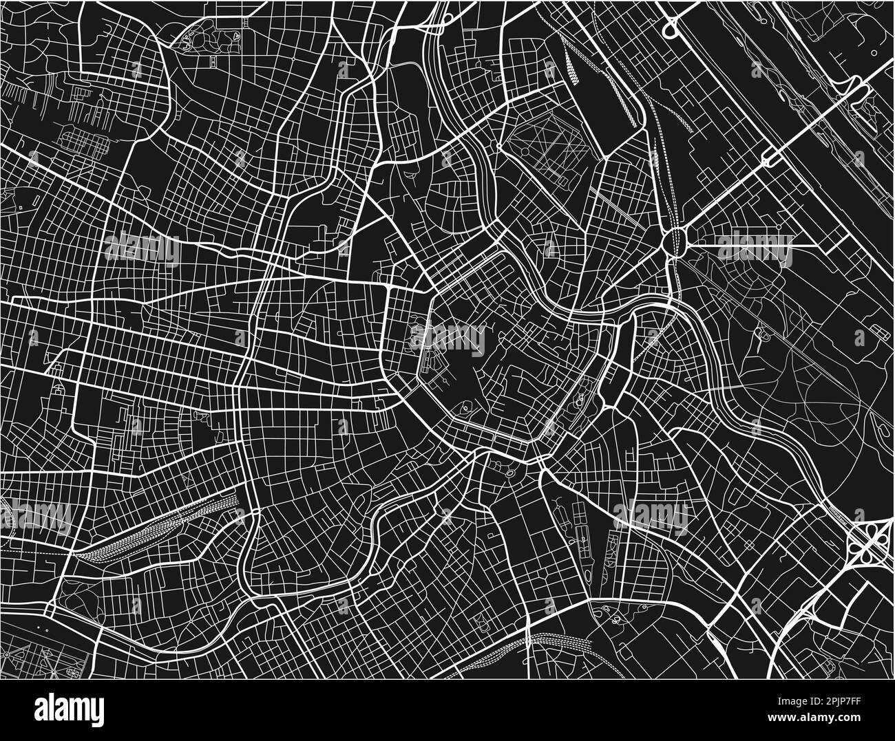 Black and white vector city map of Vienna with well organized separated layers. Stock Vectorhttps://www.alamy.com/image-license-details/?v=1https://www.alamy.com/black-and-white-vector-city-map-of-vienna-with-well-organized-separated-layers-image545074083.html
RF2PJP7FF–Black and white vector city map of Vienna with well organized separated layers.
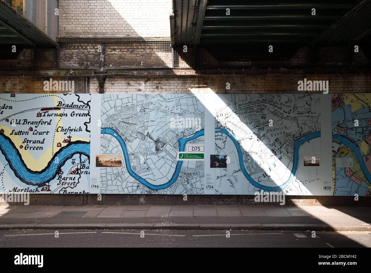 Historic Maps Outside Turnham Green Underground Station, Chiswick, London, W4 Stock Photohttps://www.alamy.com/image-license-details/?v=1https://www.alamy.com/historic-maps-outside-turnham-green-underground-station-chiswick-london-w4-image352043554.html
RF2BCMY42–Historic Maps Outside Turnham Green Underground Station, Chiswick, London, W4
 Image taken from page 47 of 'The District Railway Guide to London, with coloured maps, plans, etc' Image taken from page 47 of 'The District Railway Guide Stock Photohttps://www.alamy.com/image-license-details/?v=1https://www.alamy.com/stock-photo-image-taken-from-page-47-of-the-district-railway-guide-to-london-with-130160069.html
RMHFN8DW–Image taken from page 47 of 'The District Railway Guide to London, with coloured maps, plans, etc' Image taken from page 47 of 'The District Railway Guide
 Kyiv city center map with buildings. Dnieper river, forests, roads, railway. Capital of Ukraine vector illustration. Stock Vectorhttps://www.alamy.com/image-license-details/?v=1https://www.alamy.com/kyiv-city-center-map-with-buildings-dnieper-river-forests-roads-railway-capital-of-ukraine-vector-illustration-image501997679.html
RF2M4KY4F–Kyiv city center map with buildings. Dnieper river, forests, roads, railway. Capital of Ukraine vector illustration.
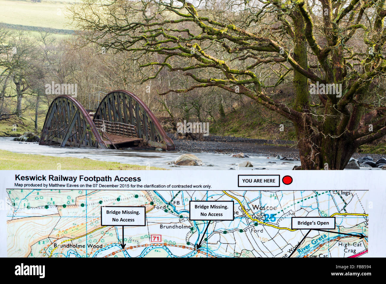 On Saturday 5th December 2015, Storm desmond crashed into the UK, producing the UK's highest ever 24 hour rainfall total at 341.4mm. It flooded many towns including Keswick. This shots shows one of two railway bridges on the old Keswick railway line that were completely destroyed by the floods. It also shows a tree, now sat in the middle of the river, that used to be growing on the river bank. The force of water was such that it has scoured out huge areas of banking and realigned the river in places. Stock Photohttps://www.alamy.com/image-license-details/?v=1https://www.alamy.com/stock-photo-on-saturday-5th-december-2015-storm-desmond-crashed-into-the-uk-producing-93058704.html
RMFBB594–On Saturday 5th December 2015, Storm desmond crashed into the UK, producing the UK's highest ever 24 hour rainfall total at 341.4mm. It flooded many towns including Keswick. This shots shows one of two railway bridges on the old Keswick railway line that were completely destroyed by the floods. It also shows a tree, now sat in the middle of the river, that used to be growing on the river bank. The force of water was such that it has scoured out huge areas of banking and realigned the river in places.
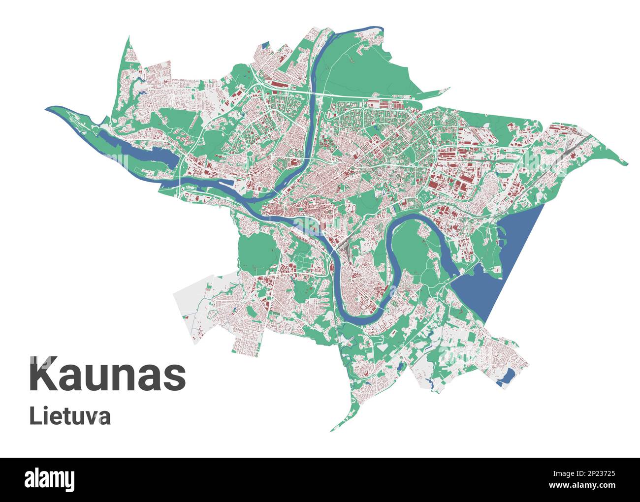 Kaunas city map, detailed administrative borders metropolitan map. River Neman, roads and railway, buildings and parks. Vector illustration. Stock Vectorhttps://www.alamy.com/image-license-details/?v=1https://www.alamy.com/kaunas-city-map-detailed-administrative-borders-metropolitan-map-river-neman-roads-and-railway-buildings-and-parks-vector-illustration-image534822125.html
RF2P23725–Kaunas city map, detailed administrative borders metropolitan map. River Neman, roads and railway, buildings and parks. Vector illustration.
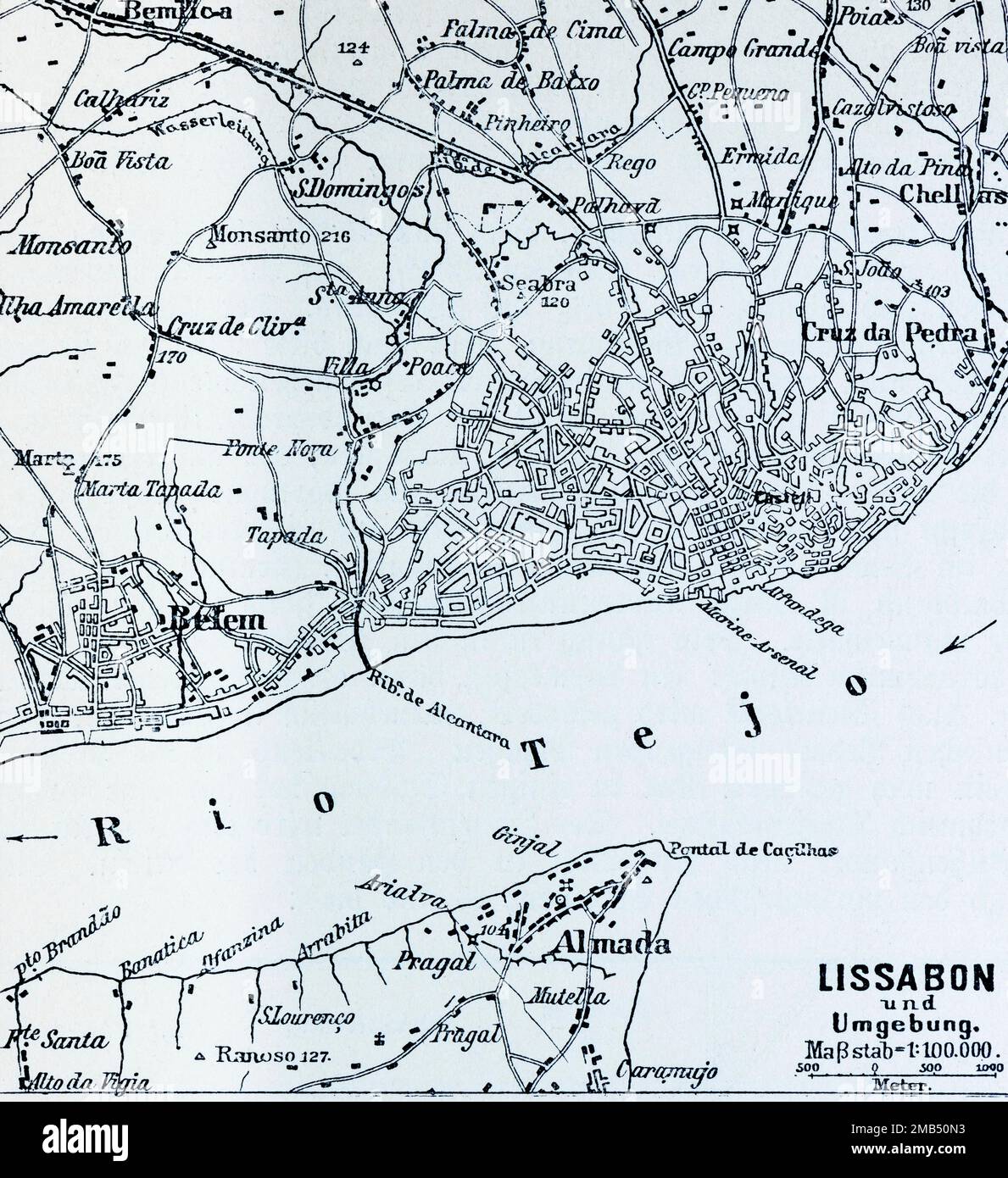 100.000, plan, district, Almada, Belem, railway line, historical illustration 1896, Lisbon and surroundings, Portugal, Rio Tejo Stock Photohttps://www.alamy.com/image-license-details/?v=1https://www.alamy.com/100000-plan-district-almada-belem-railway-line-historical-illustration-1896-lisbon-and-surroundings-portugal-rio-tejo-image505972239.html
RM2MB50N3–100.000, plan, district, Almada, Belem, railway line, historical illustration 1896, Lisbon and surroundings, Portugal, Rio Tejo
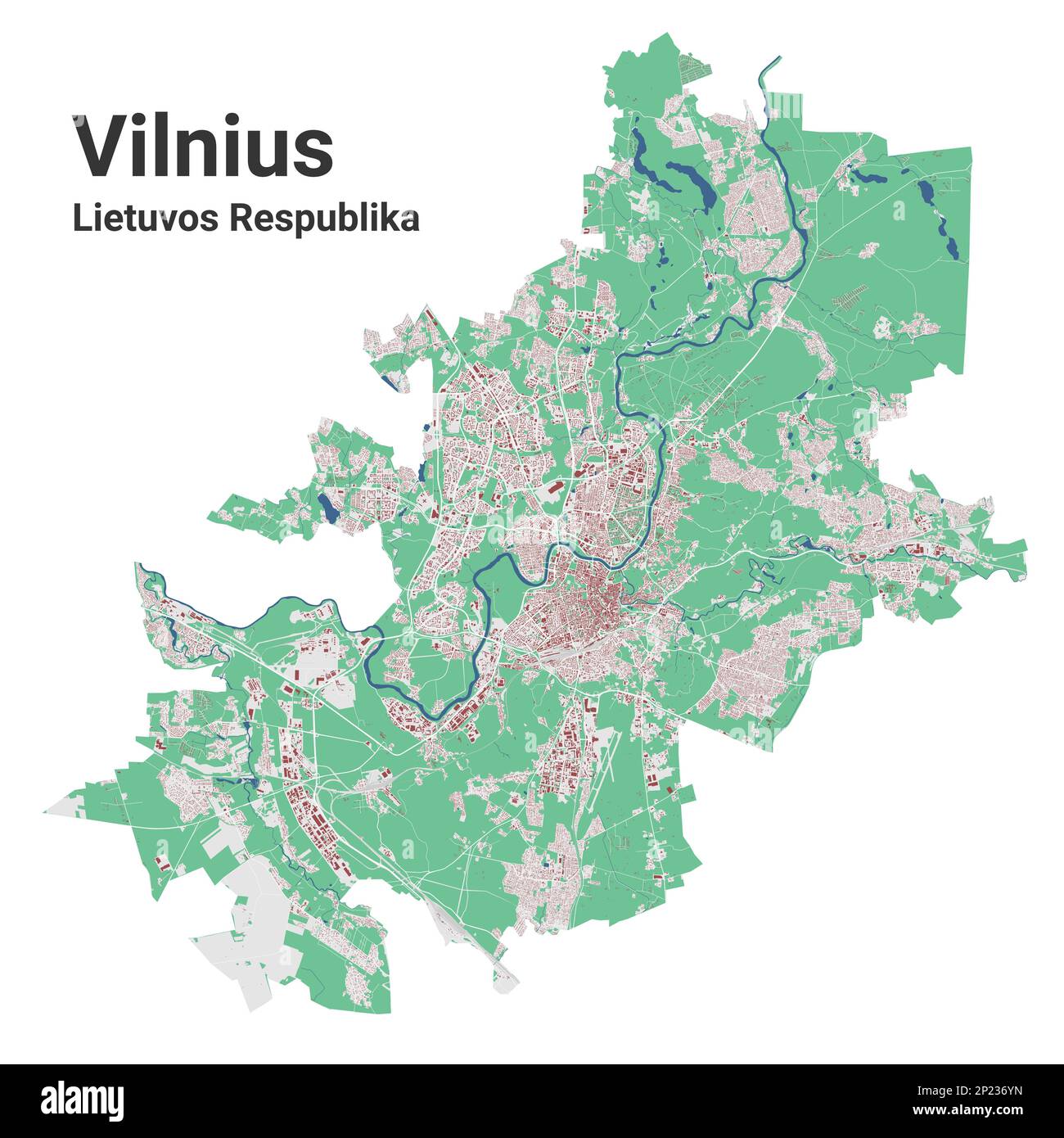 Vilnius city map, detailed administrative borders metropolitan map, Lithuania. River Neris, roads and railway, buildings and parks. Vector illustratio Stock Vectorhttps://www.alamy.com/image-license-details/?v=1https://www.alamy.com/vilnius-city-map-detailed-administrative-borders-metropolitan-map-lithuania-river-neris-roads-and-railway-buildings-and-parks-vector-illustratio-image534822057.html
RF2P236YN–Vilnius city map, detailed administrative borders metropolitan map, Lithuania. River Neris, roads and railway, buildings and parks. Vector illustratio
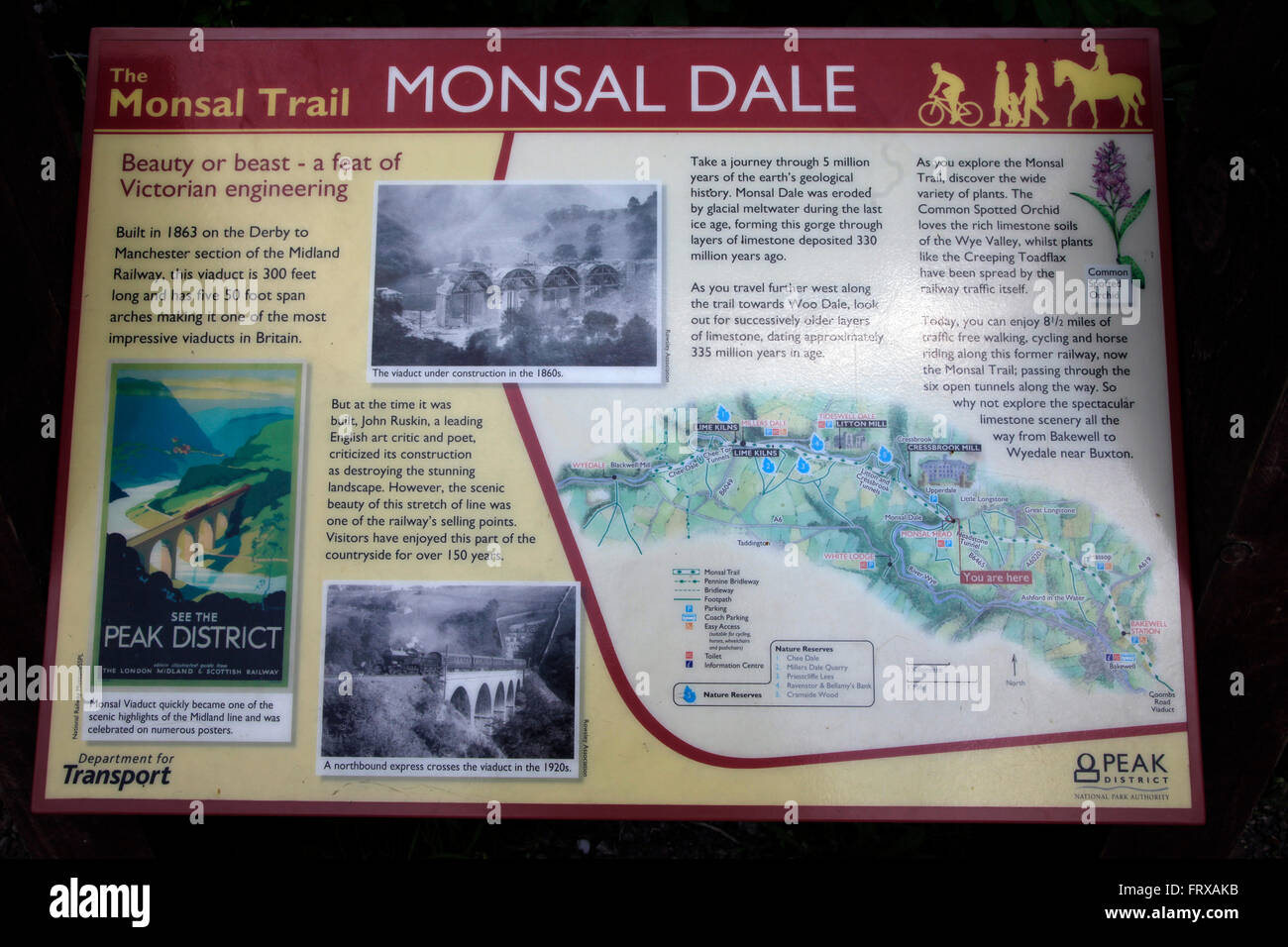 Monsal Dale, Derbyshire, England Stock Photohttps://www.alamy.com/image-license-details/?v=1https://www.alamy.com/stock-photo-monsal-dale-derbyshire-england-100768063.html
RMFRXAKB–Monsal Dale, Derbyshire, England
 Emmerich Railway Station, Düsseldorf District, DE, Germany, North Rhine-Westphalia, N 51 50' 2'', N 6 15' 24'', map, Cartascapes Map published in 2024. Explore Cartascapes, a map revealing Earth's diverse landscapes, cultures, and ecosystems. Journey through time and space, discovering the interconnectedness of our planet's past, present, and future. Stock Photohttps://www.alamy.com/image-license-details/?v=1https://www.alamy.com/emmerich-railway-station-dsseldorf-district-de-germany-north-rhine-westphalia-n-51-50-2-n-6-15-24-map-cartascapes-map-published-in-2024-explore-cartascapes-a-map-revealing-earths-diverse-landscapes-cultures-and-ecosystems-journey-through-time-and-space-discovering-the-interconnectedness-of-our-planets-past-present-and-future-image629663937.html
RM2YGBJNN–Emmerich Railway Station, Düsseldorf District, DE, Germany, North Rhine-Westphalia, N 51 50' 2'', N 6 15' 24'', map, Cartascapes Map published in 2024. Explore Cartascapes, a map revealing Earth's diverse landscapes, cultures, and ecosystems. Journey through time and space, discovering the interconnectedness of our planet's past, present, and future.
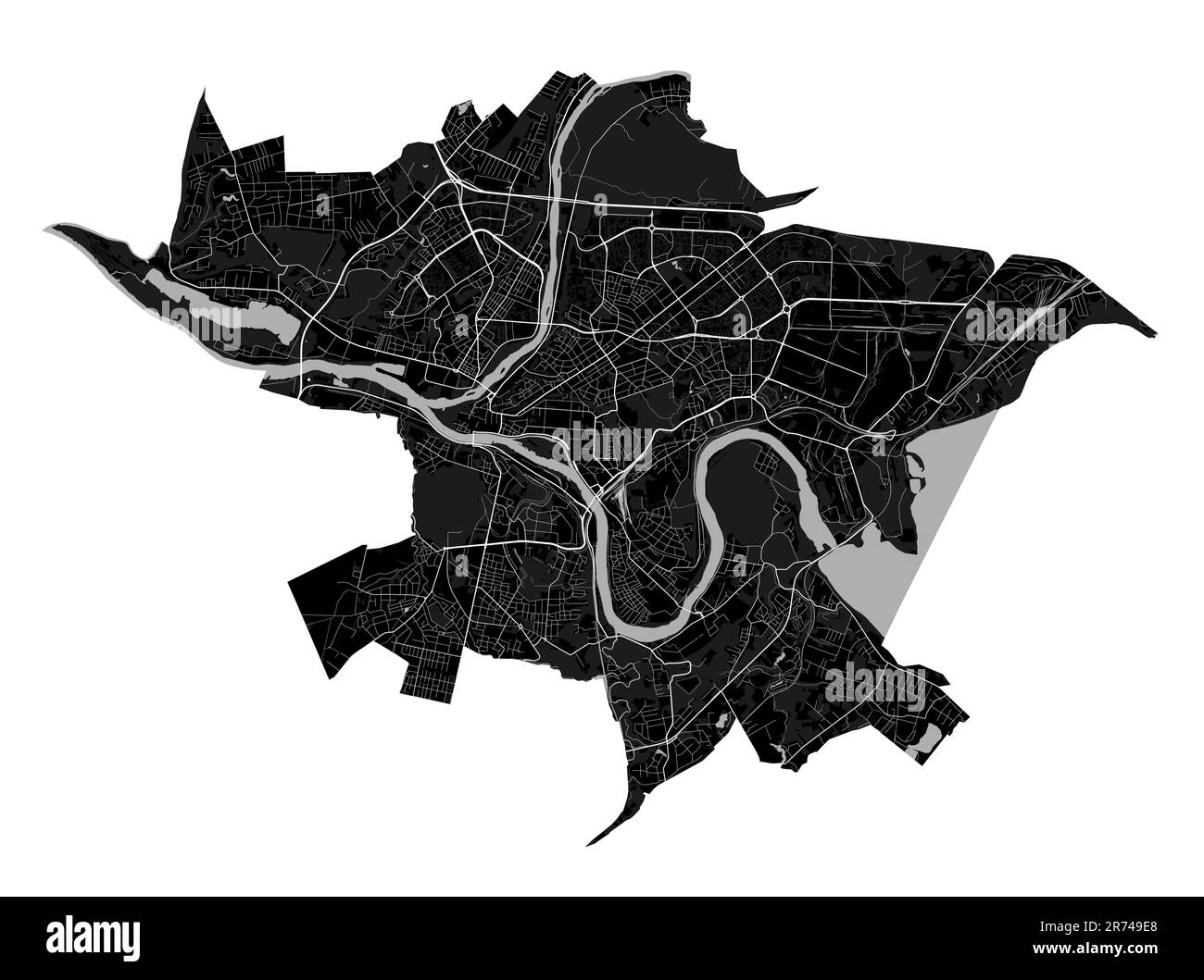 Kaunas city map, detailed administrative borders municipal black and white map. River Neman and Neris, roads and railway. Vector illustration. Stock Vectorhttps://www.alamy.com/image-license-details/?v=1https://www.alamy.com/kaunas-city-map-detailed-administrative-borders-municipal-black-and-white-map-river-neman-and-neris-roads-and-railway-vector-illustration-image555129632.html
RF2R749E8–Kaunas city map, detailed administrative borders municipal black and white map. River Neman and Neris, roads and railway. Vector illustration.
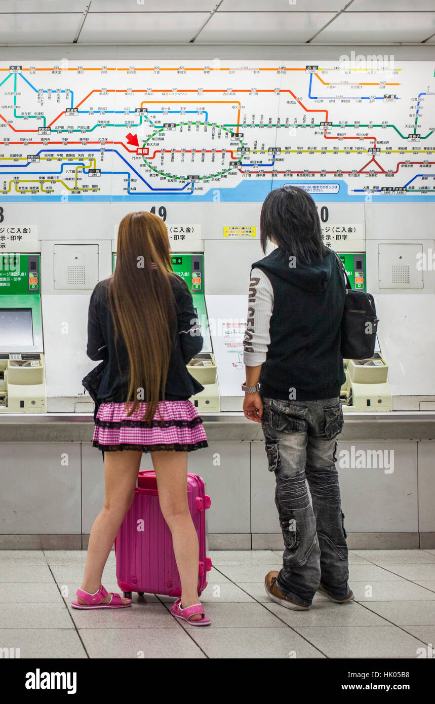 Subway map and machines ticket sales, in Shinjuku Railway station.Tokyo city, Japan, Asia Stock Photohttps://www.alamy.com/image-license-details/?v=1https://www.alamy.com/stock-photo-subway-map-and-machines-ticket-sales-in-shinjuku-railway-stationtokyo-132155276.html
RMHK05B8–Subway map and machines ticket sales, in Shinjuku Railway station.Tokyo city, Japan, Asia
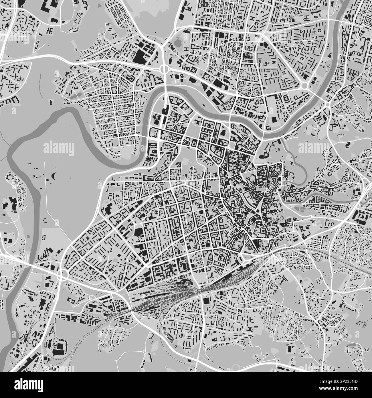 Vilnius city map, grey square urban area municipal map, Lithuania. River Neris and Vilnia, roads and railway, buildings and parks. Vector illustration Stock Vectorhttps://www.alamy.com/image-license-details/?v=1https://www.alamy.com/vilnius-city-map-grey-square-urban-area-municipal-map-lithuania-river-neris-and-vilnia-roads-and-railway-buildings-and-parks-vector-illustration-image534821097.html
RF2P235ND–Vilnius city map, grey square urban area municipal map, Lithuania. River Neris and Vilnia, roads and railway, buildings and parks. Vector illustration
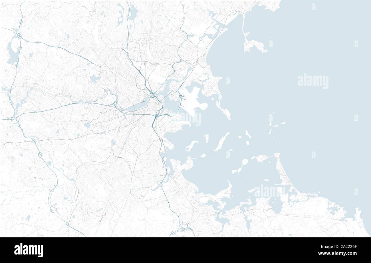 Satellite map of Boston and surrounding areas, Usa. Map roads, ring roads and highways, rivers, railway lines. Transportation map Stock Vectorhttps://www.alamy.com/image-license-details/?v=1https://www.alamy.com/satellite-map-of-boston-and-surrounding-areas-usa-map-roads-ring-roads-and-highways-rivers-railway-lines-transportation-map-image328271959.html
RF2A2226F–Satellite map of Boston and surrounding areas, Usa. Map roads, ring roads and highways, rivers, railway lines. Transportation map
 Kaunas city background map, green urban area municipal map, 1920 1080. River Neman and Neris, roads and railway, buildings and parks. Vector illustrat Stock Vectorhttps://www.alamy.com/image-license-details/?v=1https://www.alamy.com/kaunas-city-background-map-green-urban-area-municipal-map-1920-1080-river-neman-and-neris-roads-and-railway-buildings-and-parks-vector-illustrat-image555950709.html
RF2R8DMPD–Kaunas city background map, green urban area municipal map, 1920 1080. River Neman and Neris, roads and railway, buildings and parks. Vector illustrat
 Westminster underground tube station entrance, serving Circle, District and Jubilee lines, with summer students and tourists Westminster London UK Stock Photohttps://www.alamy.com/image-license-details/?v=1https://www.alamy.com/stock-photo-westminster-underground-tube-station-entrance-serving-circle-district-41371489.html
RMCB8HN5–Westminster underground tube station entrance, serving Circle, District and Jubilee lines, with summer students and tourists Westminster London UK
 Vilnius city background map, green urban area municipal map, Lithuania, 1920 1080. River Neris and Vilnia, roads and railway, buildings and parks. Vec Stock Vectorhttps://www.alamy.com/image-license-details/?v=1https://www.alamy.com/vilnius-city-background-map-green-urban-area-municipal-map-lithuania-1920-1080-river-neris-and-vilnia-roads-and-railway-buildings-and-parks-vec-image555947408.html
RF2R8DGGG–Vilnius city background map, green urban area municipal map, Lithuania, 1920 1080. River Neris and Vilnia, roads and railway, buildings and parks. Vec
 vector city map Stock Vectorhttps://www.alamy.com/image-license-details/?v=1https://www.alamy.com/vector-city-map-image64658319.html
RFDN5C9K–vector city map
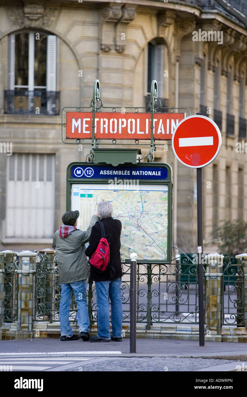 Tourists on foot study Metropolitain subway map for the Paris Metro in Rue du Bac Left Bank Paris France Stock Photohttps://www.alamy.com/image-license-details/?v=1https://www.alamy.com/stock-photo-tourists-on-foot-study-metropolitain-subway-map-for-the-paris-metro-13502204.html
RMADWRPN–Tourists on foot study Metropolitain subway map for the Paris Metro in Rue du Bac Left Bank Paris France
 vector illustration of abstract city map Stock Vectorhttps://www.alamy.com/image-license-details/?v=1https://www.alamy.com/vector-illustration-of-abstract-city-map-image64497567.html
RFDMX38F–vector illustration of abstract city map
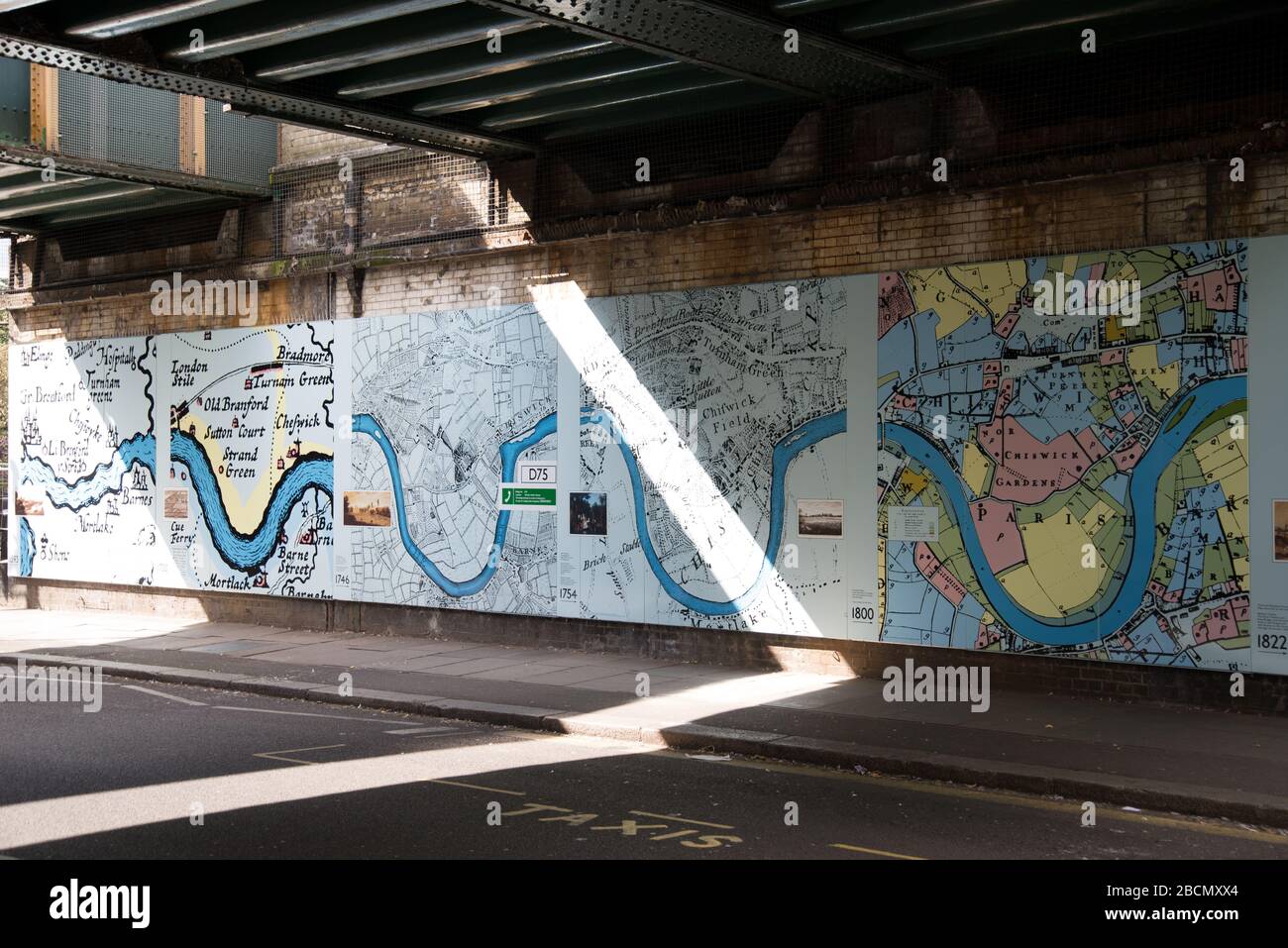 Historic Maps Outside Turnham Green Underground Station, Chiswick, London, W4 Stock Photohttps://www.alamy.com/image-license-details/?v=1https://www.alamy.com/historic-maps-outside-turnham-green-underground-station-chiswick-london-w4-image352043388.html
RF2BCMXX4–Historic Maps Outside Turnham Green Underground Station, Chiswick, London, W4
 DISTRICT(1888) p008 - District Railway (advertisement) Stock Photohttps://www.alamy.com/image-license-details/?v=1https://www.alamy.com/stock-photo-district1888-p008-district-railway-advertisement-73512984.html
RME7GPFM–DISTRICT(1888) p008 - District Railway (advertisement)
 Portion of New York City showing location of hotel and theatre district and its accessibility to the principal hotels and railway stations Stock Photohttps://www.alamy.com/image-license-details/?v=1https://www.alamy.com/portion-of-new-york-city-showing-location-of-hotel-and-theatre-district-and-its-accessibility-to-the-principal-hotels-and-railway-stations-image633309635.html
RM2YP9MW7–Portion of New York City showing location of hotel and theatre district and its accessibility to the principal hotels and railway stations
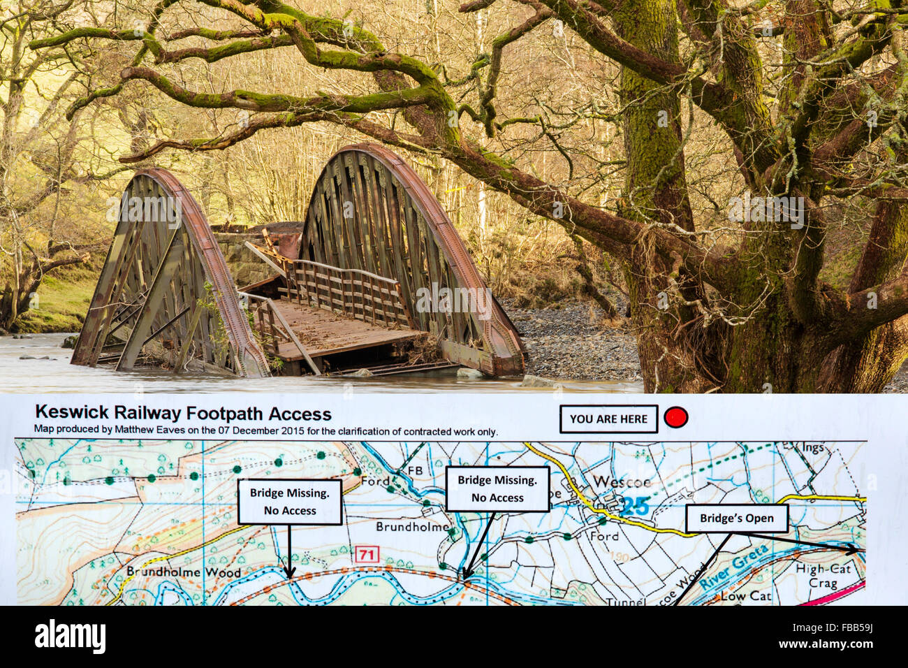 On Saturday 5th December 2015, Storm desmond crashed into the UK, producing the UK's highest ever 24 hour rainfall total at 341. Stock Photohttps://www.alamy.com/image-license-details/?v=1https://www.alamy.com/stock-photo-on-saturday-5th-december-2015-storm-desmond-crashed-into-the-uk-producing-93058718.html
RMFBB59J–On Saturday 5th December 2015, Storm desmond crashed into the UK, producing the UK's highest ever 24 hour rainfall total at 341.
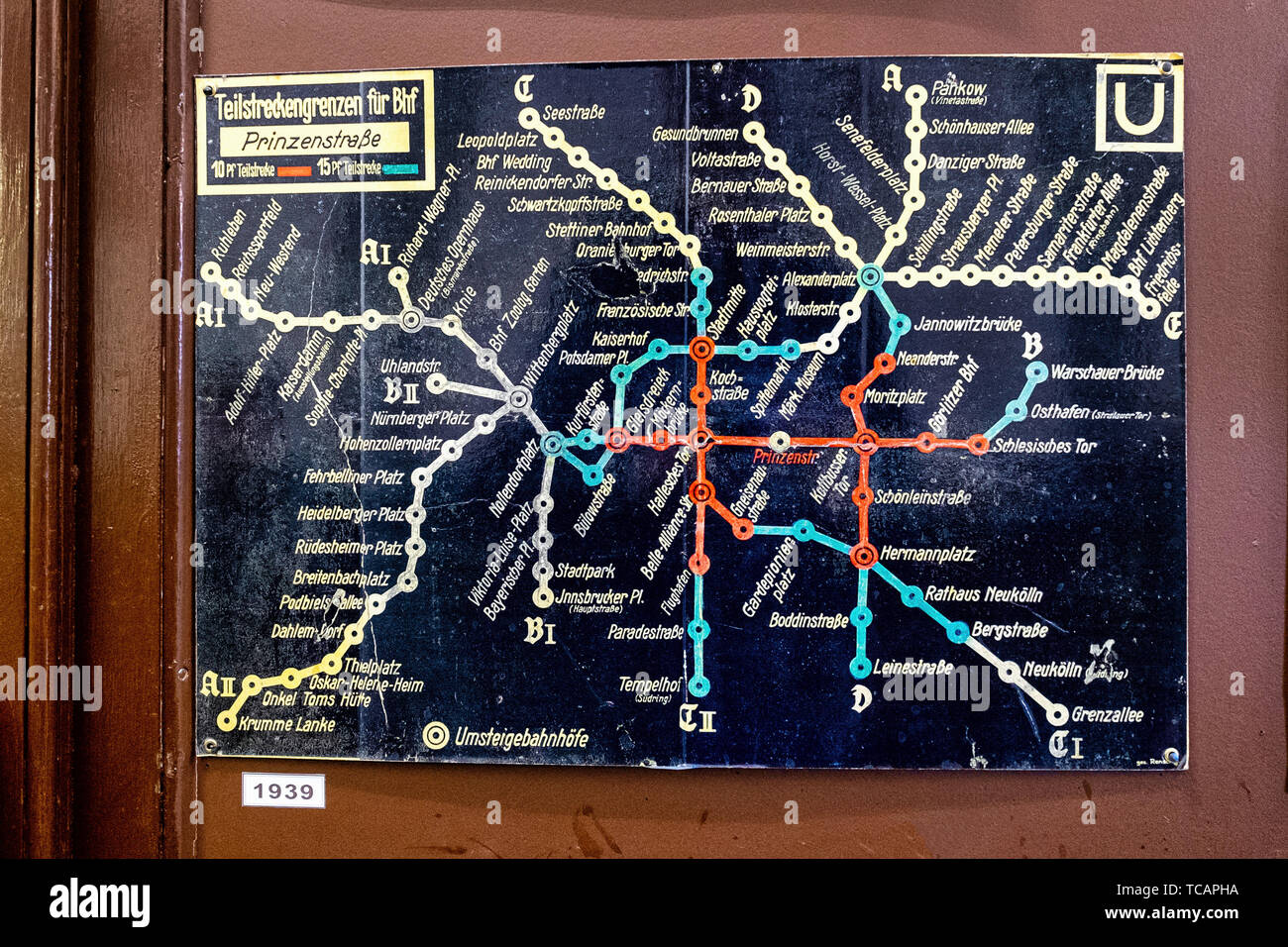 U-Bahn Museum Berlin. Transport museum in one of the former historic control rooms at the Olympia Stadium metro station. Old 1939 U-Bahn map Stock Photohttps://www.alamy.com/image-license-details/?v=1https://www.alamy.com/u-bahn-museum-berlin-transport-museum-in-one-of-the-former-historic-control-rooms-at-the-olympia-stadium-metro-station-old-1939-u-bahn-map-image248558278.html
RMTCAPHA–U-Bahn Museum Berlin. Transport museum in one of the former historic control rooms at the Olympia Stadium metro station. Old 1939 U-Bahn map
