Quick filters:
Djilacoune Stock Photos and Images
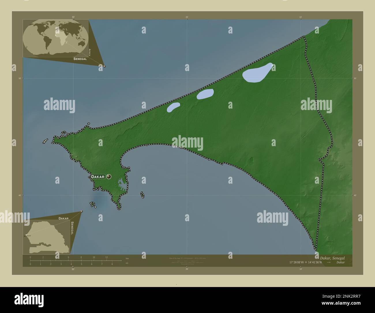 Dakar, region of Senegal. Elevation map colored in wiki style with lakes and rivers. Locations and names of major cities of the region. Corner auxilia Stock Photohttps://www.alamy.com/image-license-details/?v=1https://www.alamy.com/dakar-region-of-senegal-elevation-map-colored-in-wiki-style-with-lakes-and-rivers-locations-and-names-of-major-cities-of-the-region-corner-auxilia-image528052091.html
RF2NK2RR7–Dakar, region of Senegal. Elevation map colored in wiki style with lakes and rivers. Locations and names of major cities of the region. Corner auxilia
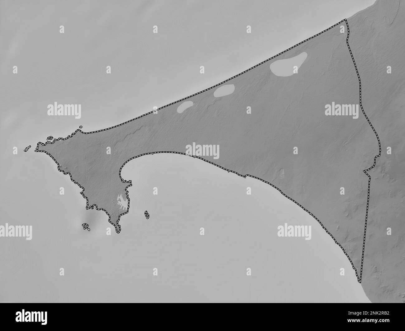 Dakar, region of Senegal. Grayscale elevation map with lakes and rivers Stock Photohttps://www.alamy.com/image-license-details/?v=1https://www.alamy.com/dakar-region-of-senegal-grayscale-elevation-map-with-lakes-and-rivers-image528051750.html
RF2NK2RB2–Dakar, region of Senegal. Grayscale elevation map with lakes and rivers
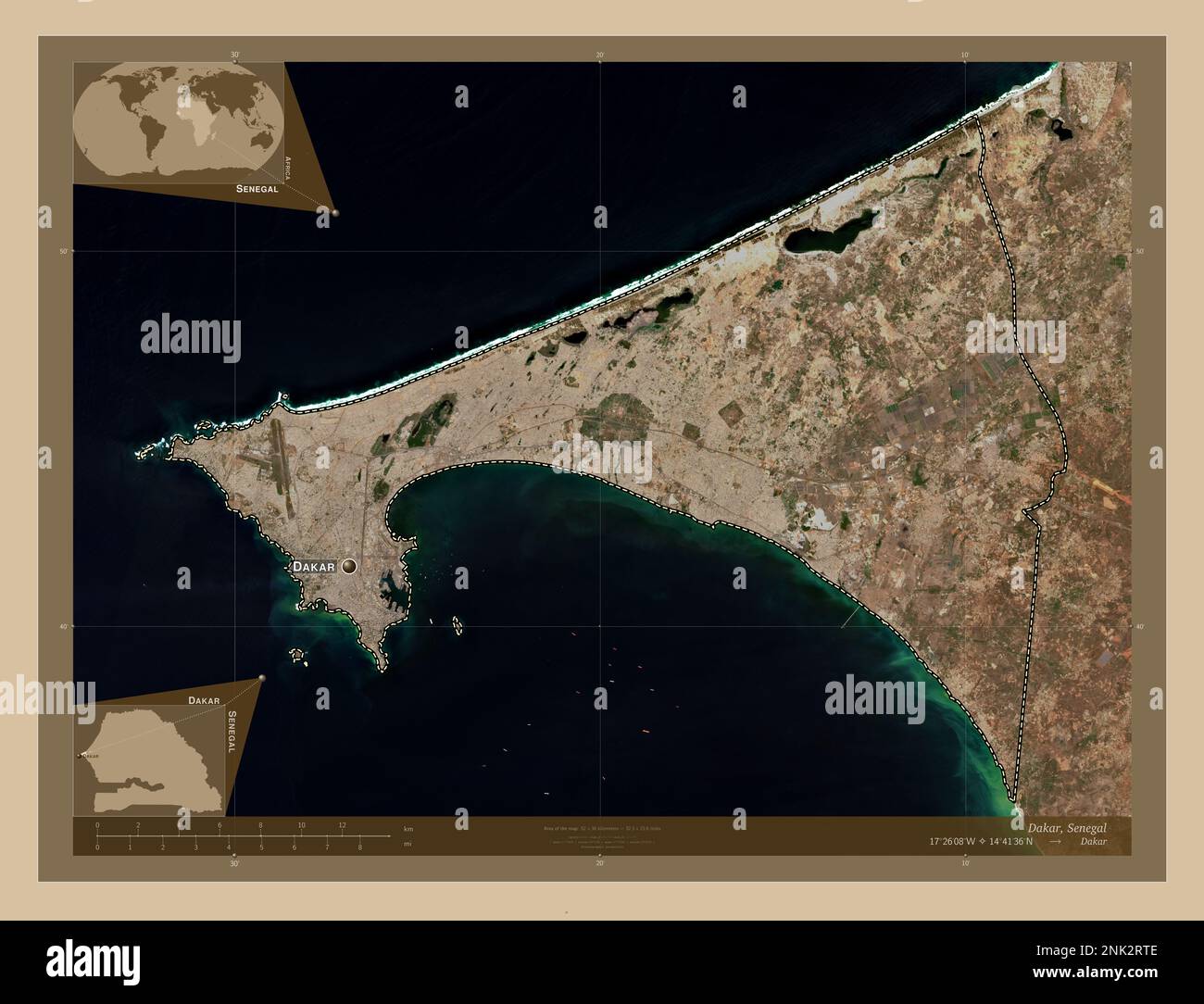 Dakar, region of Senegal. Low resolution satellite map. Locations and names of major cities of the region. Corner auxiliary location maps Stock Photohttps://www.alamy.com/image-license-details/?v=1https://www.alamy.com/dakar-region-of-senegal-low-resolution-satellite-map-locations-and-names-of-major-cities-of-the-region-corner-auxiliary-location-maps-image528052126.html
RF2NK2RTE–Dakar, region of Senegal. Low resolution satellite map. Locations and names of major cities of the region. Corner auxiliary location maps
 Dakar, region of Senegal. Elevation map colored in wiki style with lakes and rivers. Locations of major cities of the region. Corner auxiliary locatio Stock Photohttps://www.alamy.com/image-license-details/?v=1https://www.alamy.com/dakar-region-of-senegal-elevation-map-colored-in-wiki-style-with-lakes-and-rivers-locations-of-major-cities-of-the-region-corner-auxiliary-locatio-image528052133.html
RF2NK2RTN–Dakar, region of Senegal. Elevation map colored in wiki style with lakes and rivers. Locations of major cities of the region. Corner auxiliary locatio
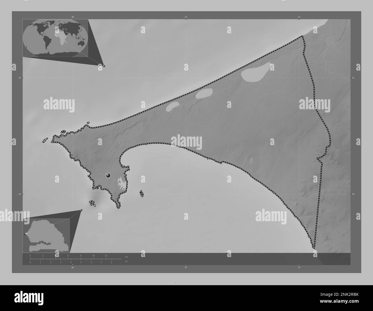 Dakar, region of Senegal. Grayscale elevation map with lakes and rivers. Locations of major cities of the region. Corner auxiliary location maps Stock Photohttps://www.alamy.com/image-license-details/?v=1https://www.alamy.com/dakar-region-of-senegal-grayscale-elevation-map-with-lakes-and-rivers-locations-of-major-cities-of-the-region-corner-auxiliary-location-maps-image528051767.html
RF2NK2RBK–Dakar, region of Senegal. Grayscale elevation map with lakes and rivers. Locations of major cities of the region. Corner auxiliary location maps
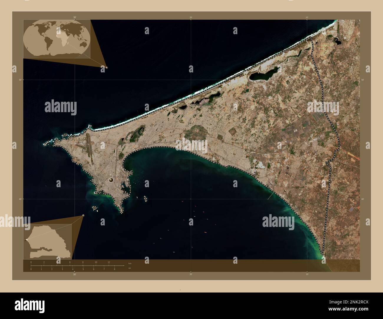 Dakar, region of Senegal. Low resolution satellite map. Locations of major cities of the region. Corner auxiliary location maps Stock Photohttps://www.alamy.com/image-license-details/?v=1https://www.alamy.com/dakar-region-of-senegal-low-resolution-satellite-map-locations-of-major-cities-of-the-region-corner-auxiliary-location-maps-image528051802.html
RF2NK2RCX–Dakar, region of Senegal. Low resolution satellite map. Locations of major cities of the region. Corner auxiliary location maps
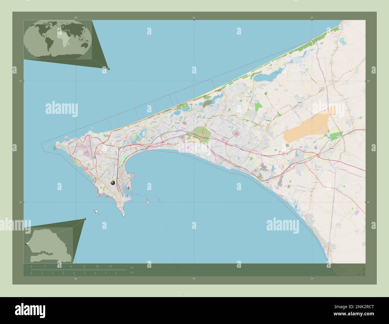 Dakar, region of Senegal. Open Street Map. Locations of major cities of the region. Corner auxiliary location maps Stock Photohttps://www.alamy.com/image-license-details/?v=1https://www.alamy.com/dakar-region-of-senegal-open-street-map-locations-of-major-cities-of-the-region-corner-auxiliary-location-maps-image528051800.html
RF2NK2RCT–Dakar, region of Senegal. Open Street Map. Locations of major cities of the region. Corner auxiliary location maps
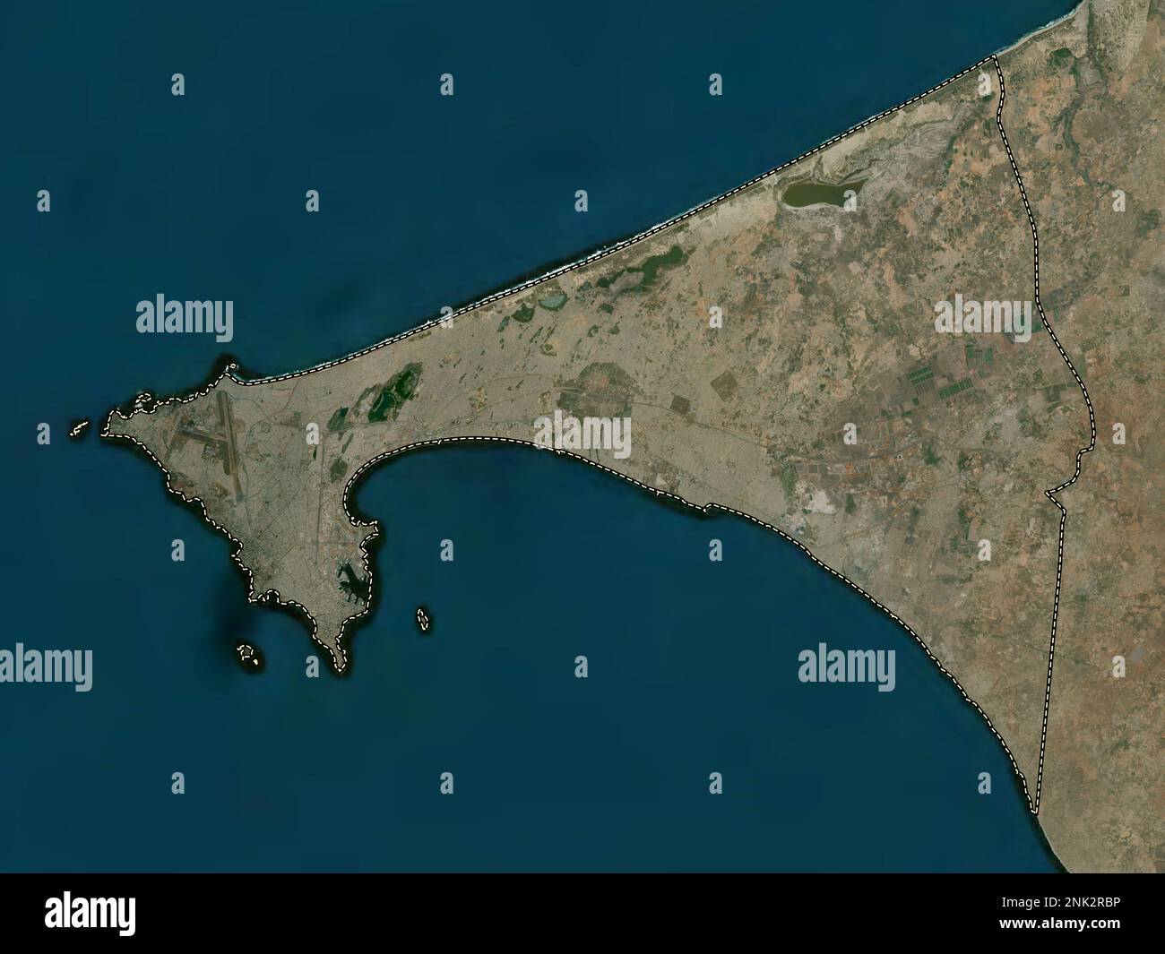 Dakar, region of Senegal. High resolution satellite map Stock Photohttps://www.alamy.com/image-license-details/?v=1https://www.alamy.com/dakar-region-of-senegal-high-resolution-satellite-map-image528051770.html
RF2NK2RBP–Dakar, region of Senegal. High resolution satellite map
 Dakar, region of Senegal. Elevation map colored in sepia tones with lakes and rivers. Locations of major cities of the region. Corner auxiliary locati Stock Photohttps://www.alamy.com/image-license-details/?v=1https://www.alamy.com/dakar-region-of-senegal-elevation-map-colored-in-sepia-tones-with-lakes-and-rivers-locations-of-major-cities-of-the-region-corner-auxiliary-locati-image528052095.html
RF2NK2RRB–Dakar, region of Senegal. Elevation map colored in sepia tones with lakes and rivers. Locations of major cities of the region. Corner auxiliary locati
 Dakar, region of Senegal. Open Street Map. Locations and names of major cities of the region. Corner auxiliary location maps Stock Photohttps://www.alamy.com/image-license-details/?v=1https://www.alamy.com/dakar-region-of-senegal-open-street-map-locations-and-names-of-major-cities-of-the-region-corner-auxiliary-location-maps-image528051768.html
RF2NK2RBM–Dakar, region of Senegal. Open Street Map. Locations and names of major cities of the region. Corner auxiliary location maps
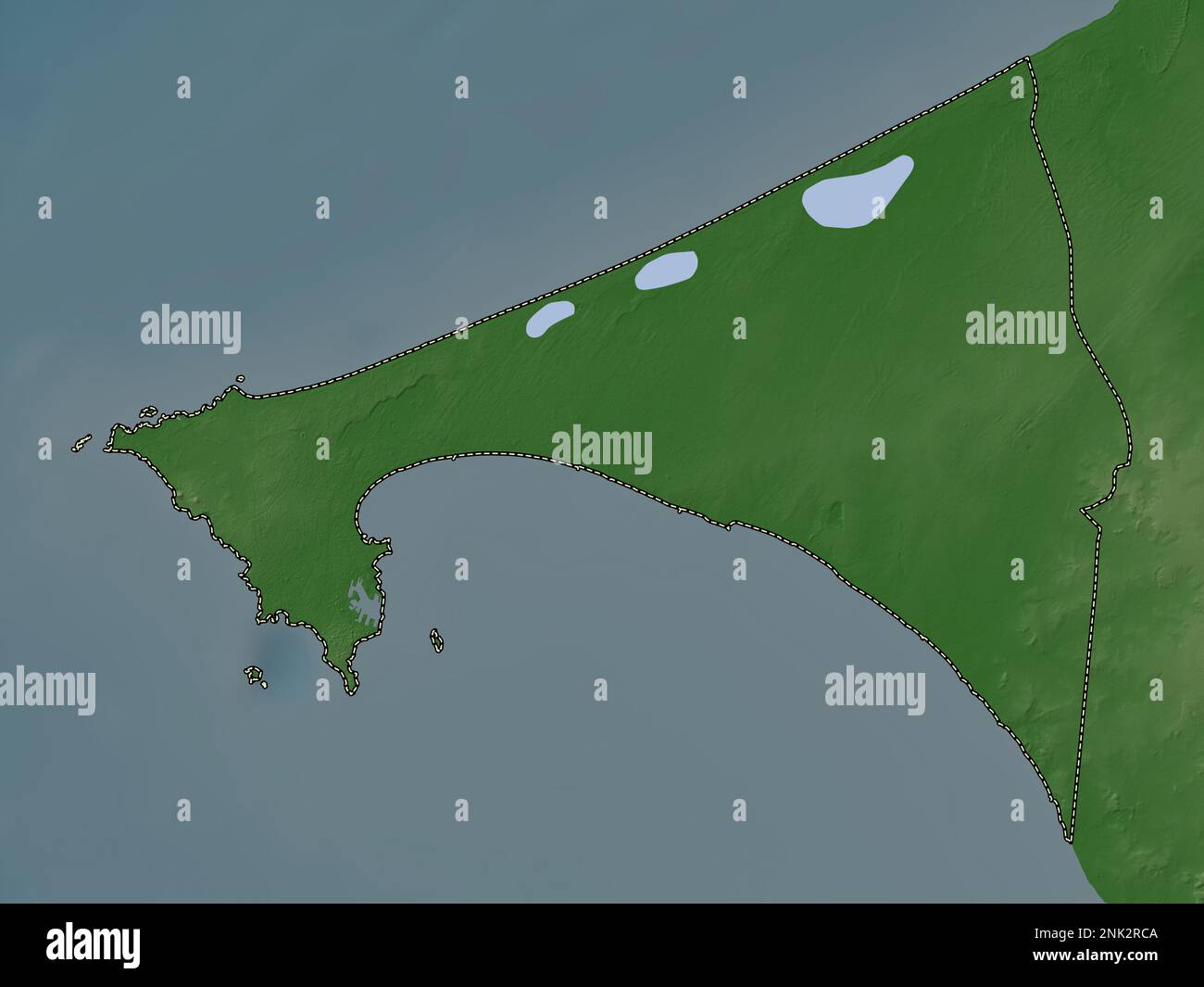 Dakar, region of Senegal. Elevation map colored in wiki style with lakes and rivers Stock Photohttps://www.alamy.com/image-license-details/?v=1https://www.alamy.com/dakar-region-of-senegal-elevation-map-colored-in-wiki-style-with-lakes-and-rivers-image528051786.html
RF2NK2RCA–Dakar, region of Senegal. Elevation map colored in wiki style with lakes and rivers
 Dakar, region of Senegal. Colored elevation map with lakes and rivers. Locations of major cities of the region. Corner auxiliary location maps Stock Photohttps://www.alamy.com/image-license-details/?v=1https://www.alamy.com/dakar-region-of-senegal-colored-elevation-map-with-lakes-and-rivers-locations-of-major-cities-of-the-region-corner-auxiliary-location-maps-image528051808.html
RF2NK2RD4–Dakar, region of Senegal. Colored elevation map with lakes and rivers. Locations of major cities of the region. Corner auxiliary location maps
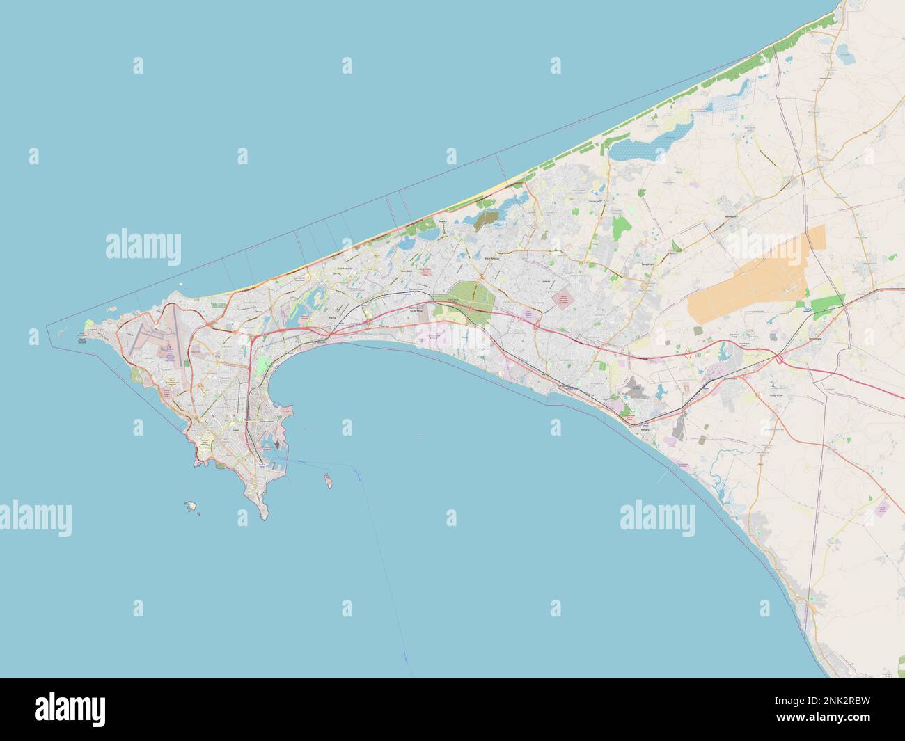 Dakar, region of Senegal. Open Street Map Stock Photohttps://www.alamy.com/image-license-details/?v=1https://www.alamy.com/dakar-region-of-senegal-open-street-map-image528051773.html
RF2NK2RBW–Dakar, region of Senegal. Open Street Map
 Dakar, region of Senegal. Bilevel elevation map with lakes and rivers. Locations of major cities of the region. Corner auxiliary location maps Stock Photohttps://www.alamy.com/image-license-details/?v=1https://www.alamy.com/dakar-region-of-senegal-bilevel-elevation-map-with-lakes-and-rivers-locations-of-major-cities-of-the-region-corner-auxiliary-location-maps-image528051744.html
RF2NK2RAT–Dakar, region of Senegal. Bilevel elevation map with lakes and rivers. Locations of major cities of the region. Corner auxiliary location maps
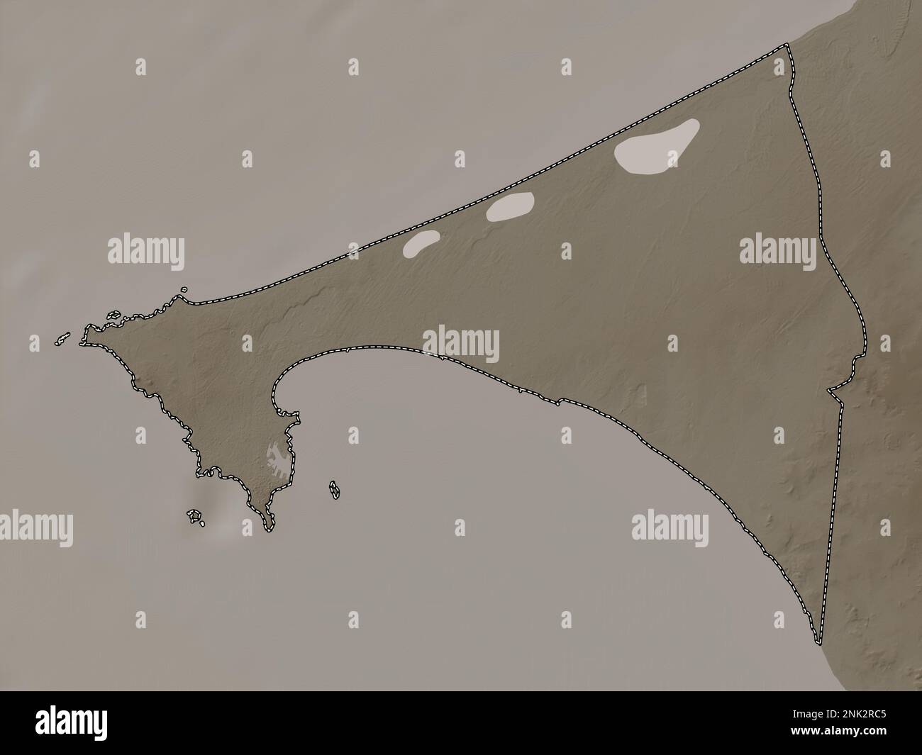 Dakar, region of Senegal. Elevation map colored in sepia tones with lakes and rivers Stock Photohttps://www.alamy.com/image-license-details/?v=1https://www.alamy.com/dakar-region-of-senegal-elevation-map-colored-in-sepia-tones-with-lakes-and-rivers-image528051781.html
RF2NK2RC5–Dakar, region of Senegal. Elevation map colored in sepia tones with lakes and rivers
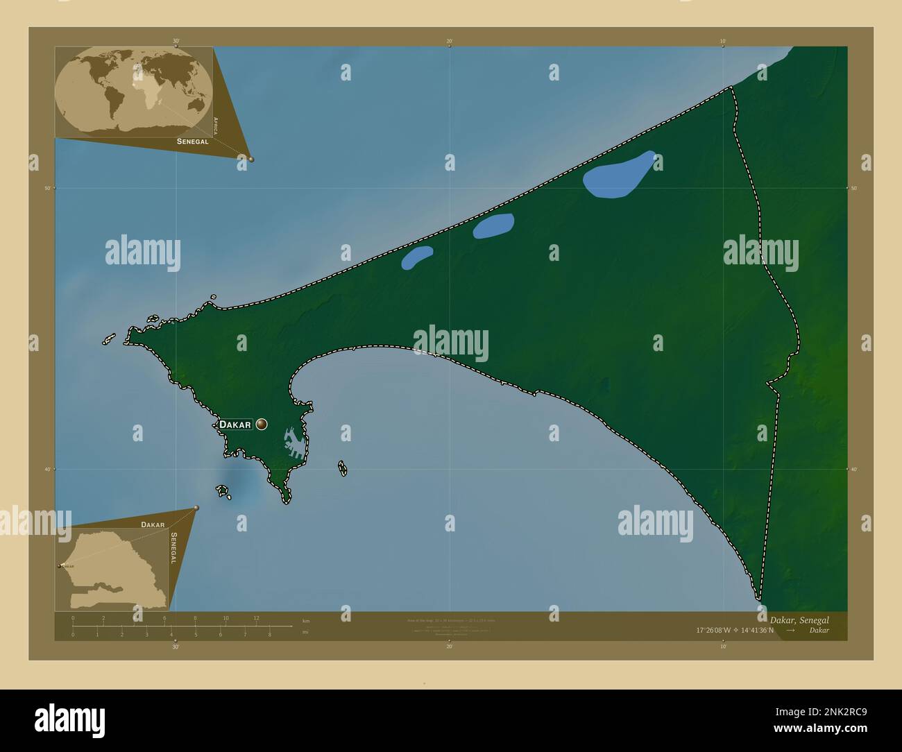 Dakar, region of Senegal. Colored elevation map with lakes and rivers. Locations and names of major cities of the region. Corner auxiliary location ma Stock Photohttps://www.alamy.com/image-license-details/?v=1https://www.alamy.com/dakar-region-of-senegal-colored-elevation-map-with-lakes-and-rivers-locations-and-names-of-major-cities-of-the-region-corner-auxiliary-location-ma-image528051785.html
RF2NK2RC9–Dakar, region of Senegal. Colored elevation map with lakes and rivers. Locations and names of major cities of the region. Corner auxiliary location ma
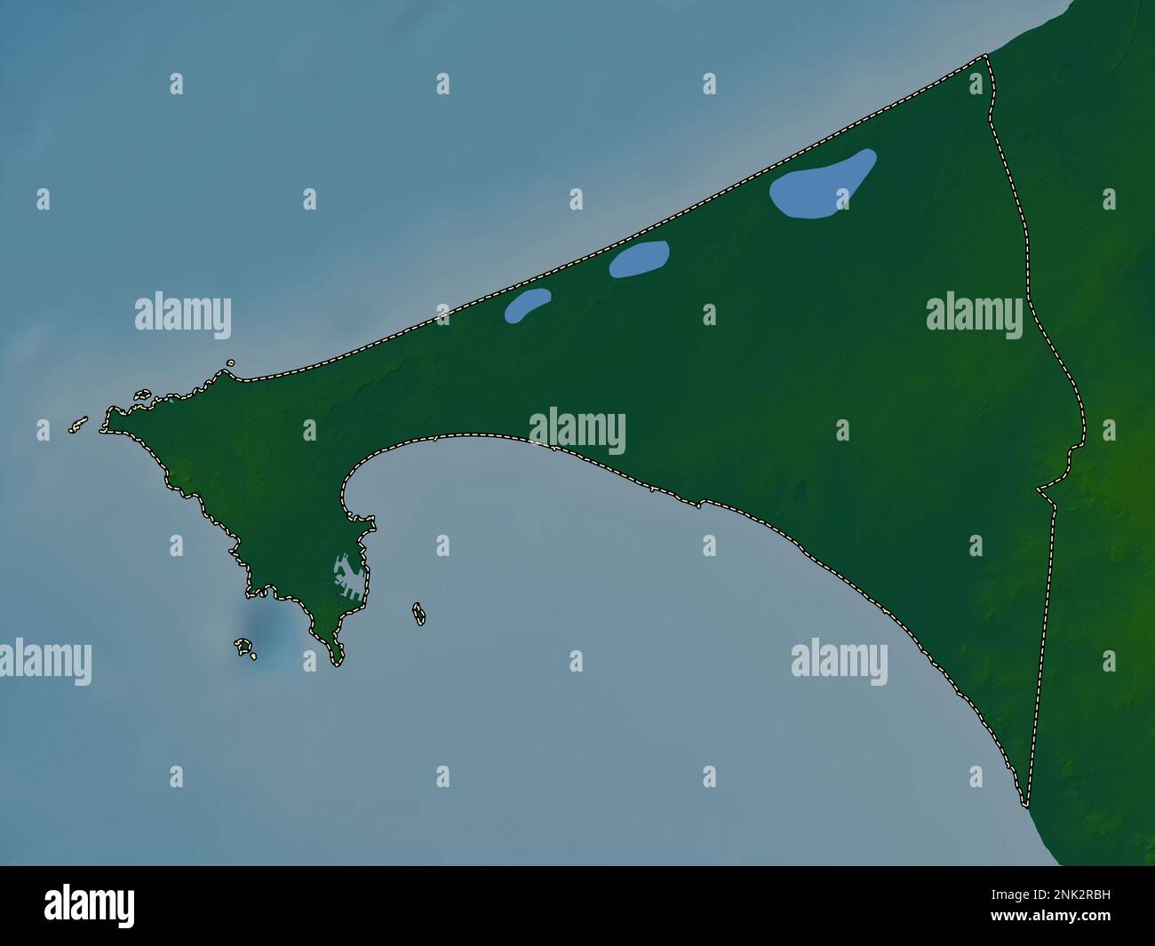 Dakar, region of Senegal. Colored elevation map with lakes and rivers Stock Photohttps://www.alamy.com/image-license-details/?v=1https://www.alamy.com/dakar-region-of-senegal-colored-elevation-map-with-lakes-and-rivers-image528051765.html
RF2NK2RBH–Dakar, region of Senegal. Colored elevation map with lakes and rivers
 Dakar, region of Senegal. Solid color shape. Locations of major cities of the region. Corner auxiliary location maps Stock Photohttps://www.alamy.com/image-license-details/?v=1https://www.alamy.com/dakar-region-of-senegal-solid-color-shape-locations-of-major-cities-of-the-region-corner-auxiliary-location-maps-image528051809.html
RF2NK2RD5–Dakar, region of Senegal. Solid color shape. Locations of major cities of the region. Corner auxiliary location maps
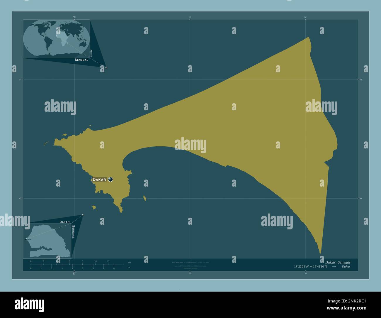 Dakar, region of Senegal. Solid color shape. Locations and names of major cities of the region. Corner auxiliary location maps Stock Photohttps://www.alamy.com/image-license-details/?v=1https://www.alamy.com/dakar-region-of-senegal-solid-color-shape-locations-and-names-of-major-cities-of-the-region-corner-auxiliary-location-maps-image528051777.html
RF2NK2RC1–Dakar, region of Senegal. Solid color shape. Locations and names of major cities of the region. Corner auxiliary location maps
 Dakar, region of Senegal. Elevation map colored in sepia tones with lakes and rivers. Locations and names of major cities of the region. Corner auxili Stock Photohttps://www.alamy.com/image-license-details/?v=1https://www.alamy.com/dakar-region-of-senegal-elevation-map-colored-in-sepia-tones-with-lakes-and-rivers-locations-and-names-of-major-cities-of-the-region-corner-auxili-image528051815.html
RF2NK2RDB–Dakar, region of Senegal. Elevation map colored in sepia tones with lakes and rivers. Locations and names of major cities of the region. Corner auxili
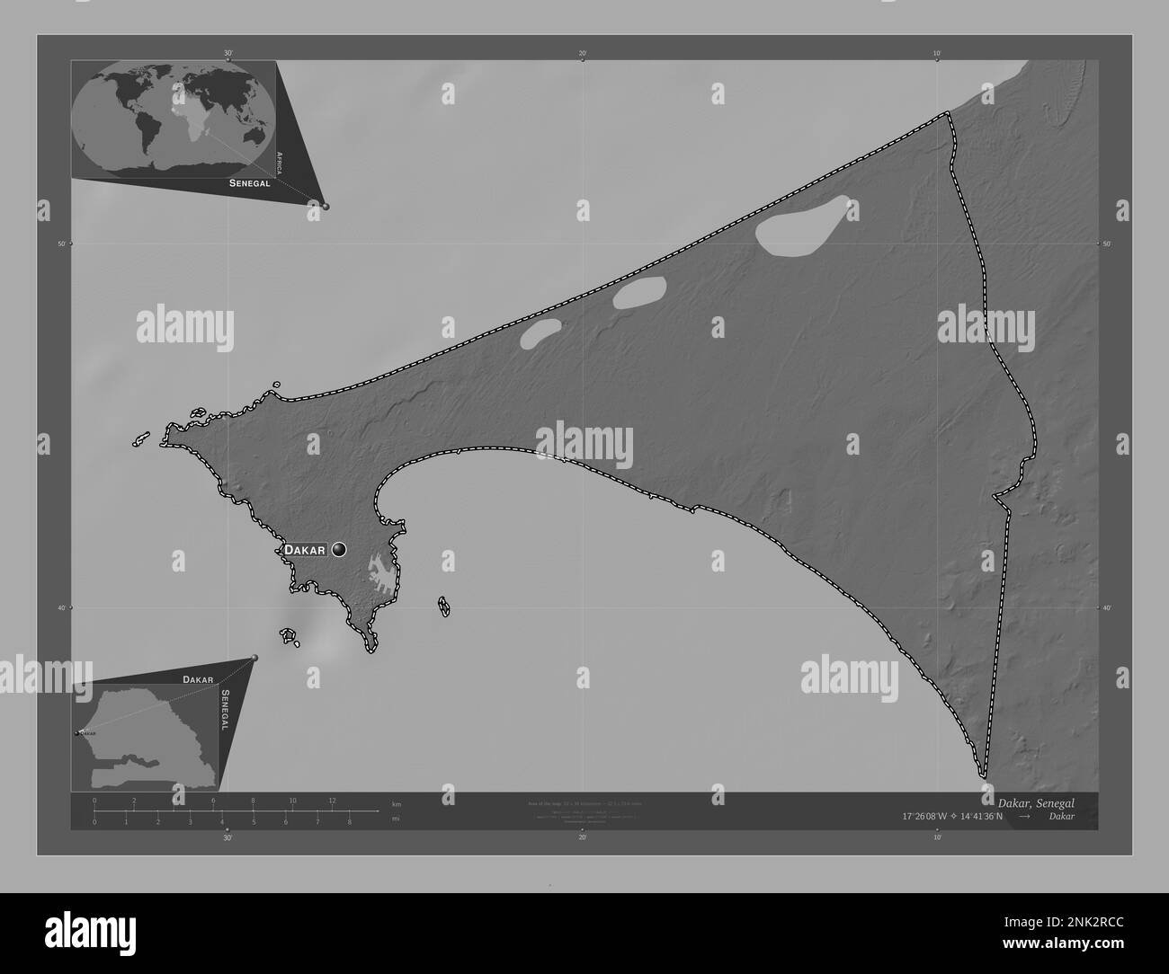 Dakar, region of Senegal. Bilevel elevation map with lakes and rivers. Locations and names of major cities of the region. Corner auxiliary location ma Stock Photohttps://www.alamy.com/image-license-details/?v=1https://www.alamy.com/dakar-region-of-senegal-bilevel-elevation-map-with-lakes-and-rivers-locations-and-names-of-major-cities-of-the-region-corner-auxiliary-location-ma-image528051788.html
RF2NK2RCC–Dakar, region of Senegal. Bilevel elevation map with lakes and rivers. Locations and names of major cities of the region. Corner auxiliary location ma
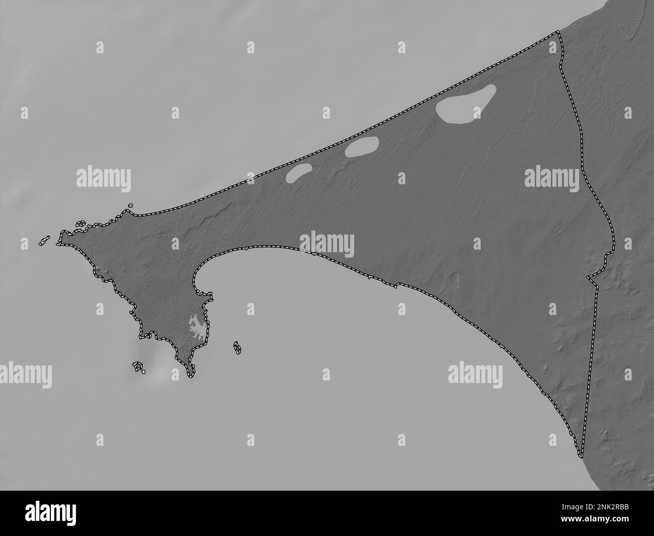 Dakar, region of Senegal. Bilevel elevation map with lakes and rivers Stock Photohttps://www.alamy.com/image-license-details/?v=1https://www.alamy.com/dakar-region-of-senegal-bilevel-elevation-map-with-lakes-and-rivers-image528051759.html
RF2NK2RBB–Dakar, region of Senegal. Bilevel elevation map with lakes and rivers
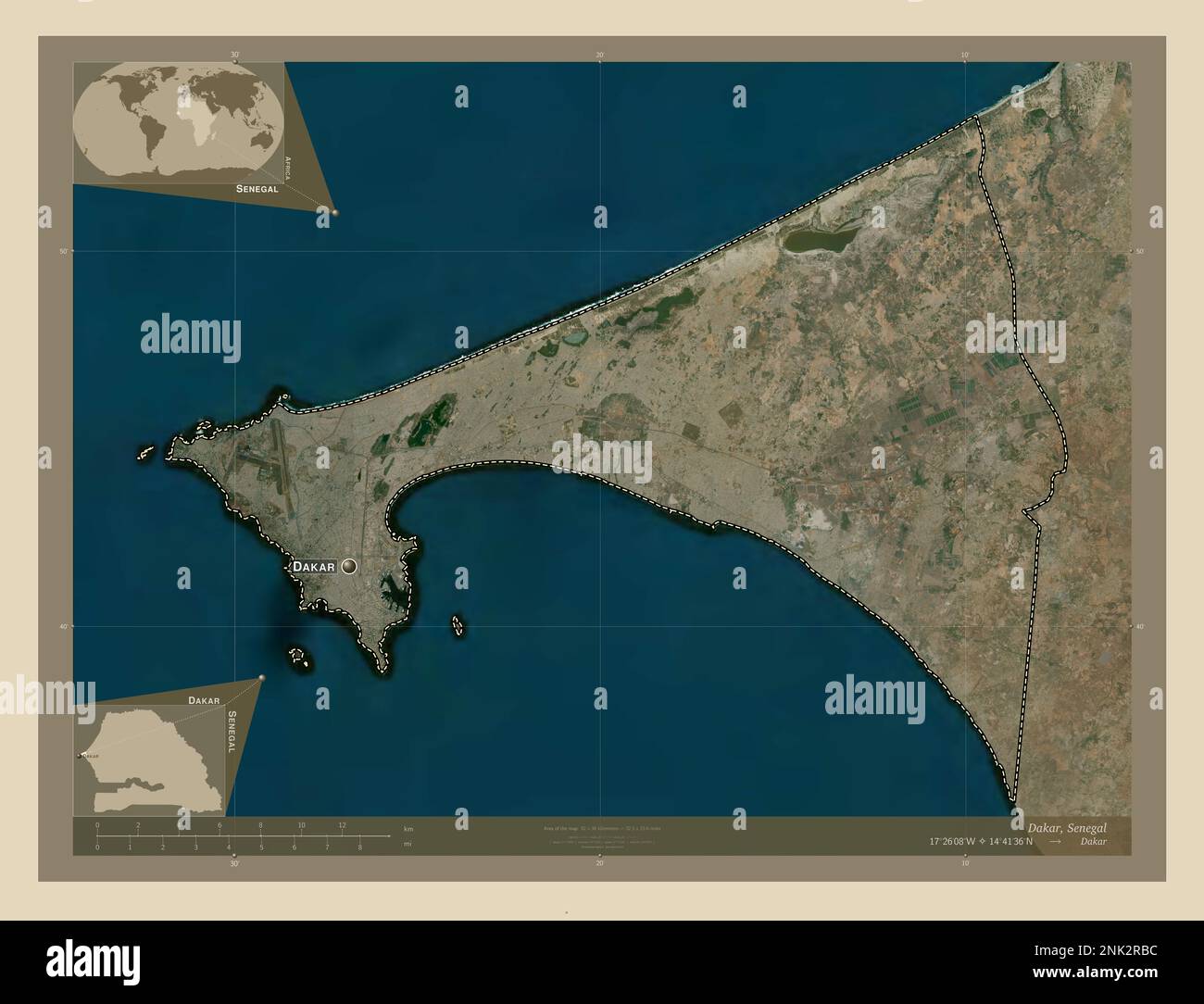 Dakar, region of Senegal. High resolution satellite map. Locations and names of major cities of the region. Corner auxiliary location maps Stock Photohttps://www.alamy.com/image-license-details/?v=1https://www.alamy.com/dakar-region-of-senegal-high-resolution-satellite-map-locations-and-names-of-major-cities-of-the-region-corner-auxiliary-location-maps-image528051760.html
RF2NK2RBC–Dakar, region of Senegal. High resolution satellite map. Locations and names of major cities of the region. Corner auxiliary location maps
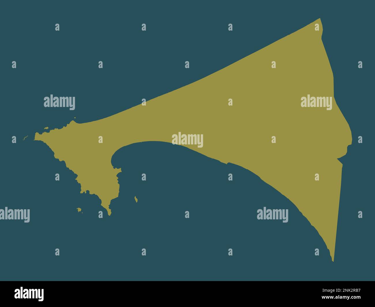 Dakar, region of Senegal. Solid color shape Stock Photohttps://www.alamy.com/image-license-details/?v=1https://www.alamy.com/dakar-region-of-senegal-solid-color-shape-image528051755.html
RF2NK2RB7–Dakar, region of Senegal. Solid color shape
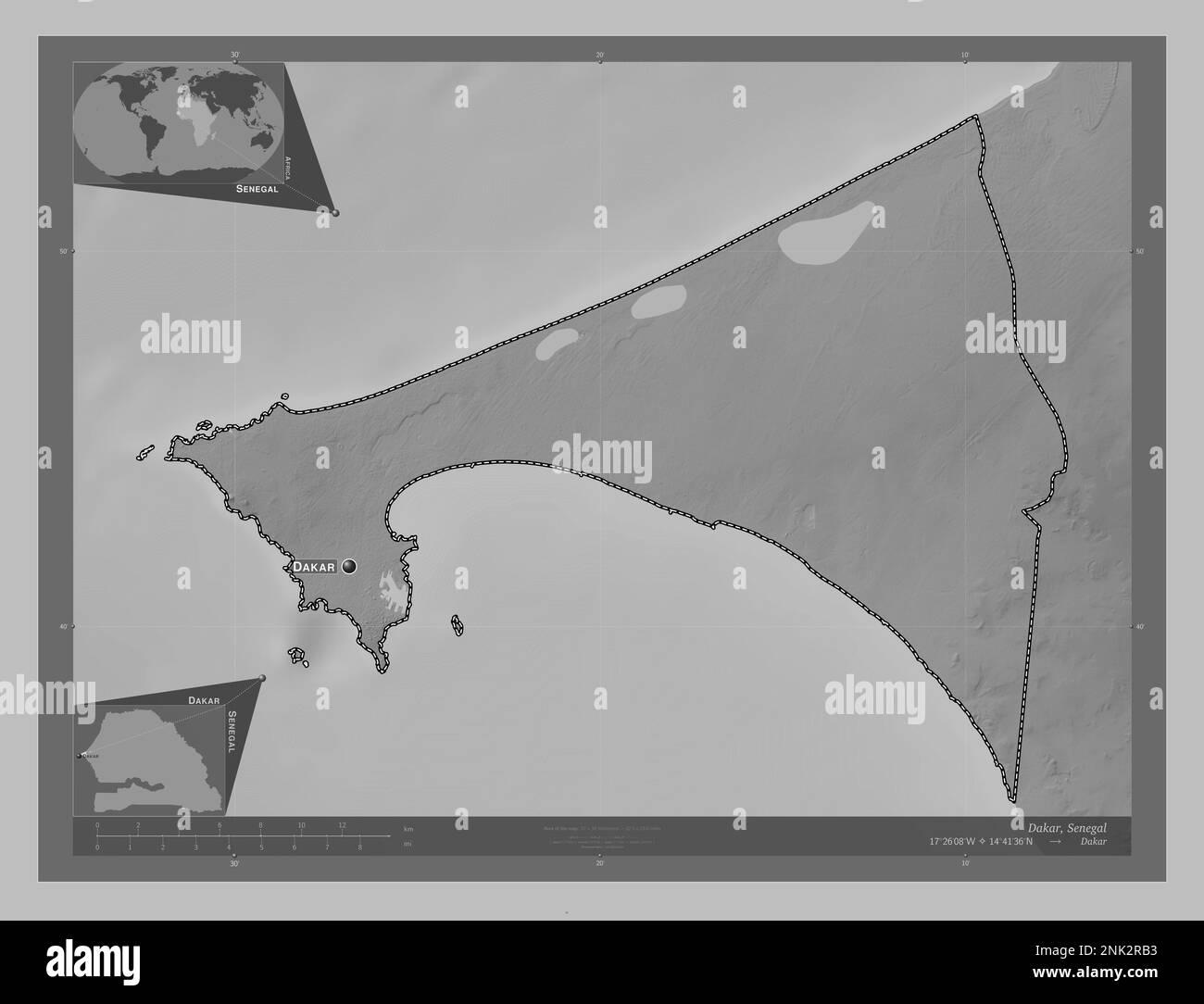 Dakar, region of Senegal. Grayscale elevation map with lakes and rivers. Locations and names of major cities of the region. Corner auxiliary location Stock Photohttps://www.alamy.com/image-license-details/?v=1https://www.alamy.com/dakar-region-of-senegal-grayscale-elevation-map-with-lakes-and-rivers-locations-and-names-of-major-cities-of-the-region-corner-auxiliary-location-image528051751.html
RF2NK2RB3–Dakar, region of Senegal. Grayscale elevation map with lakes and rivers. Locations and names of major cities of the region. Corner auxiliary location
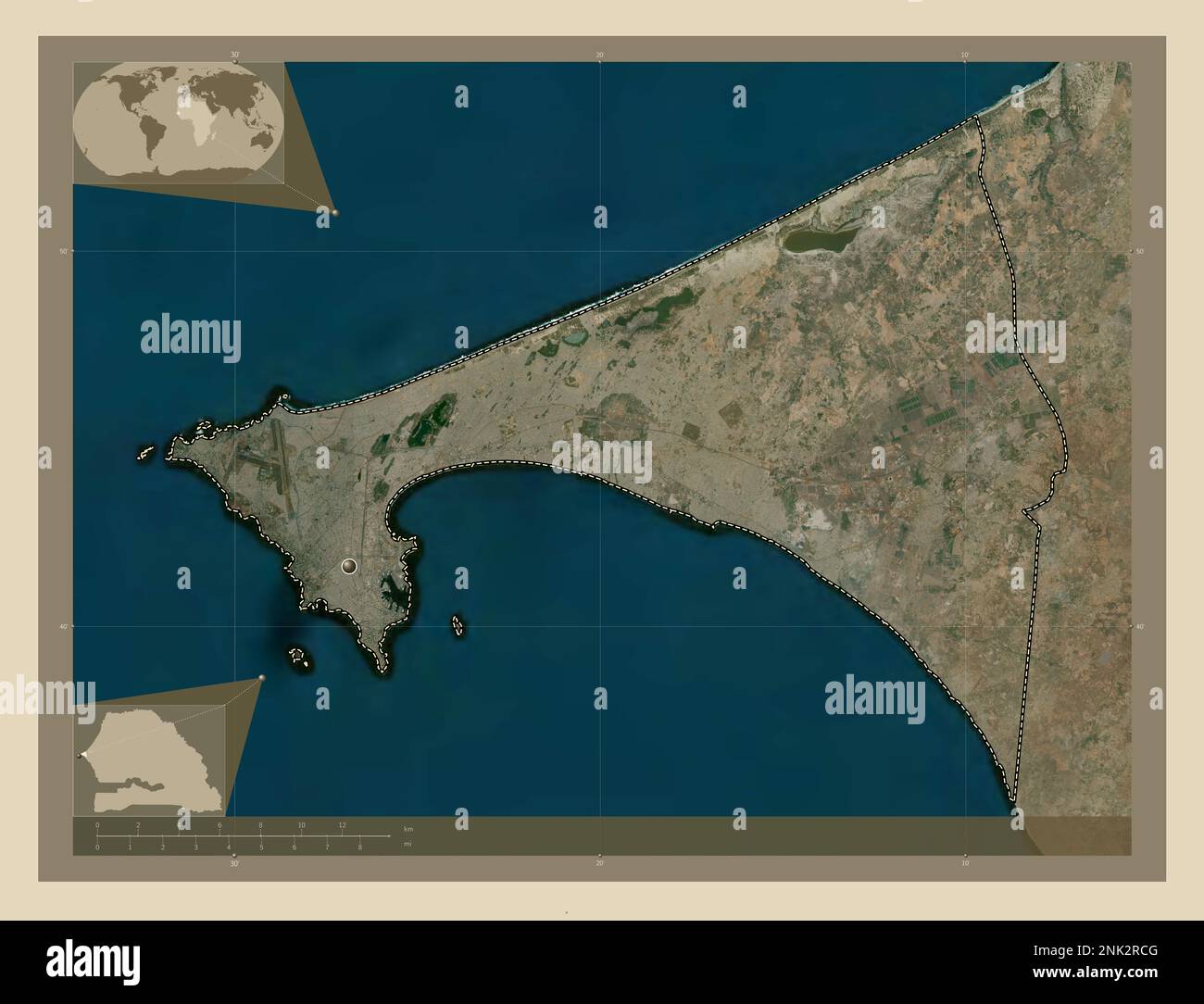 Dakar, region of Senegal. High resolution satellite map. Locations of major cities of the region. Corner auxiliary location maps Stock Photohttps://www.alamy.com/image-license-details/?v=1https://www.alamy.com/dakar-region-of-senegal-high-resolution-satellite-map-locations-of-major-cities-of-the-region-corner-auxiliary-location-maps-image528051792.html
RF2NK2RCG–Dakar, region of Senegal. High resolution satellite map. Locations of major cities of the region. Corner auxiliary location maps
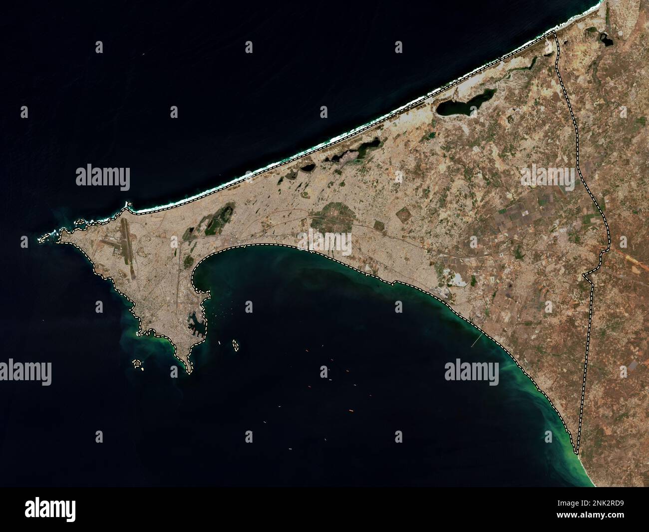 Dakar, region of Senegal. Low resolution satellite map Stock Photohttps://www.alamy.com/image-license-details/?v=1https://www.alamy.com/dakar-region-of-senegal-low-resolution-satellite-map-image528051813.html
RF2NK2RD9–Dakar, region of Senegal. Low resolution satellite map
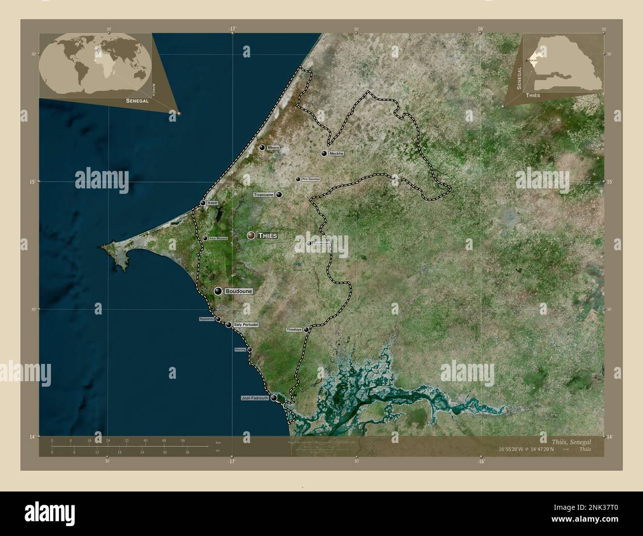 Thies, region of Senegal. High resolution satellite map. Locations and names of major cities of the region. Corner auxiliary location maps Stock Photohttps://www.alamy.com/image-license-details/?v=1https://www.alamy.com/thies-region-of-senegal-high-resolution-satellite-map-locations-and-names-of-major-cities-of-the-region-corner-auxiliary-location-maps-image528061520.html
RF2NK37T0–Thies, region of Senegal. High resolution satellite map. Locations and names of major cities of the region. Corner auxiliary location maps
 Fatick, region of Senegal. Low resolution satellite map. Locations and names of major cities of the region. Corner auxiliary location maps Stock Photohttps://www.alamy.com/image-license-details/?v=1https://www.alamy.com/fatick-region-of-senegal-low-resolution-satellite-map-locations-and-names-of-major-cities-of-the-region-corner-auxiliary-location-maps-image528053055.html
RF2NK2W1K–Fatick, region of Senegal. Low resolution satellite map. Locations and names of major cities of the region. Corner auxiliary location maps
 Sedhiou, region of Senegal. Grayscale elevation map with lakes and rivers. Locations of major cities of the region. Corner auxiliary location maps Stock Photohttps://www.alamy.com/image-license-details/?v=1https://www.alamy.com/sedhiou-region-of-senegal-grayscale-elevation-map-with-lakes-and-rivers-locations-of-major-cities-of-the-region-corner-auxiliary-location-maps-image528059927.html
RF2NK35R3–Sedhiou, region of Senegal. Grayscale elevation map with lakes and rivers. Locations of major cities of the region. Corner auxiliary location maps
 Tambacounda, region of Senegal. Low resolution satellite map. Locations and names of major cities of the region. Corner auxiliary location maps Stock Photohttps://www.alamy.com/image-license-details/?v=1https://www.alamy.com/tambacounda-region-of-senegal-low-resolution-satellite-map-locations-and-names-of-major-cities-of-the-region-corner-auxiliary-location-maps-image528061162.html
RF2NK37B6–Tambacounda, region of Senegal. Low resolution satellite map. Locations and names of major cities of the region. Corner auxiliary location maps
 Thies, region of Senegal. Open Street Map. Locations of major cities of the region. Corner auxiliary location maps Stock Photohttps://www.alamy.com/image-license-details/?v=1https://www.alamy.com/thies-region-of-senegal-open-street-map-locations-of-major-cities-of-the-region-corner-auxiliary-location-maps-image528061835.html
RF2NK3877–Thies, region of Senegal. Open Street Map. Locations of major cities of the region. Corner auxiliary location maps
 Matam, region of Senegal. Open Street Map. Locations and names of major cities of the region. Corner auxiliary location maps Stock Photohttps://www.alamy.com/image-license-details/?v=1https://www.alamy.com/matam-region-of-senegal-open-street-map-locations-and-names-of-major-cities-of-the-region-corner-auxiliary-location-maps-image528058026.html
RF2NK33B6–Matam, region of Senegal. Open Street Map. Locations and names of major cities of the region. Corner auxiliary location maps
 Thies, region of Senegal. Bilevel elevation map with lakes and rivers. Locations of major cities of the region. Corner auxiliary location maps Stock Photohttps://www.alamy.com/image-license-details/?v=1https://www.alamy.com/thies-region-of-senegal-bilevel-elevation-map-with-lakes-and-rivers-locations-of-major-cities-of-the-region-corner-auxiliary-location-maps-image528061479.html
RF2NK37PF–Thies, region of Senegal. Bilevel elevation map with lakes and rivers. Locations of major cities of the region. Corner auxiliary location maps
 Thies, region of Senegal. Open Street Map Stock Photohttps://www.alamy.com/image-license-details/?v=1https://www.alamy.com/thies-region-of-senegal-open-street-map-image528061506.html
RF2NK37RE–Thies, region of Senegal. Open Street Map
 Kedougou, region of Senegal. Solid color shape. Locations and names of major cities of the region. Corner auxiliary location maps Stock Photohttps://www.alamy.com/image-license-details/?v=1https://www.alamy.com/kedougou-region-of-senegal-solid-color-shape-locations-and-names-of-major-cities-of-the-region-corner-auxiliary-location-maps-image528055565.html
RF2NK3079–Kedougou, region of Senegal. Solid color shape. Locations and names of major cities of the region. Corner auxiliary location maps
 Sedhiou, region of Senegal. Low resolution satellite map. Locations of major cities of the region. Corner auxiliary location maps Stock Photohttps://www.alamy.com/image-license-details/?v=1https://www.alamy.com/sedhiou-region-of-senegal-low-resolution-satellite-map-locations-of-major-cities-of-the-region-corner-auxiliary-location-maps-image528060320.html
RF2NK3694–Sedhiou, region of Senegal. Low resolution satellite map. Locations of major cities of the region. Corner auxiliary location maps
 Ziguinchor, region of Senegal. Bilevel elevation map with lakes and rivers. Locations and names of major cities of the region. Corner auxiliary locati Stock Photohttps://www.alamy.com/image-license-details/?v=1https://www.alamy.com/ziguinchor-region-of-senegal-bilevel-elevation-map-with-lakes-and-rivers-locations-and-names-of-major-cities-of-the-region-corner-auxiliary-locati-image528062406.html
RF2NK38YJ–Ziguinchor, region of Senegal. Bilevel elevation map with lakes and rivers. Locations and names of major cities of the region. Corner auxiliary locati
 Kaffrine, region of Senegal. Low resolution satellite map Stock Photohttps://www.alamy.com/image-license-details/?v=1https://www.alamy.com/kaffrine-region-of-senegal-low-resolution-satellite-map-image528053800.html
RF2NK2X08–Kaffrine, region of Senegal. Low resolution satellite map
 Ziguinchor, region of Senegal. Colored elevation map with lakes and rivers. Locations of major cities of the region. Corner auxiliary location maps Stock Photohttps://www.alamy.com/image-license-details/?v=1https://www.alamy.com/ziguinchor-region-of-senegal-colored-elevation-map-with-lakes-and-rivers-locations-of-major-cities-of-the-region-corner-auxiliary-location-maps-image528062909.html
RF2NK39HH–Ziguinchor, region of Senegal. Colored elevation map with lakes and rivers. Locations of major cities of the region. Corner auxiliary location maps
 Diourbel, region of Senegal. High resolution satellite map Stock Photohttps://www.alamy.com/image-license-details/?v=1https://www.alamy.com/diourbel-region-of-senegal-high-resolution-satellite-map-image528052585.html
RF2NK2TCW–Diourbel, region of Senegal. High resolution satellite map
 Kolda, region of Senegal. Grayscale elevation map with lakes and rivers. Locations and names of major cities of the region. Corner auxiliary location Stock Photohttps://www.alamy.com/image-license-details/?v=1https://www.alamy.com/kolda-region-of-senegal-grayscale-elevation-map-with-lakes-and-rivers-locations-and-names-of-major-cities-of-the-region-corner-auxiliary-location-image528056113.html
RF2NK30XW–Kolda, region of Senegal. Grayscale elevation map with lakes and rivers. Locations and names of major cities of the region. Corner auxiliary location
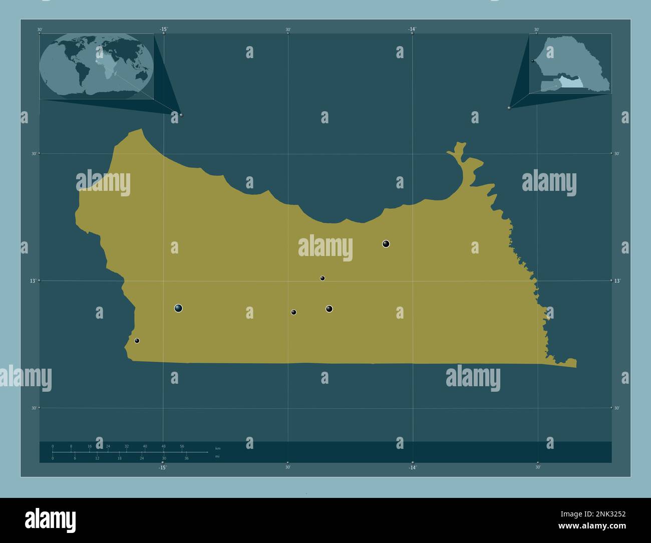 Kolda, region of Senegal. Solid color shape. Locations of major cities of the region. Corner auxiliary location maps Stock Photohttps://www.alamy.com/image-license-details/?v=1https://www.alamy.com/kolda-region-of-senegal-solid-color-shape-locations-of-major-cities-of-the-region-corner-auxiliary-location-maps-image528057070.html
RF2NK3252–Kolda, region of Senegal. Solid color shape. Locations of major cities of the region. Corner auxiliary location maps
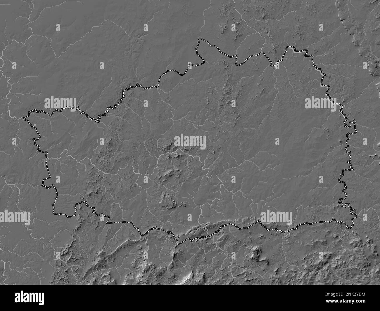 Kedougou, region of Senegal. Bilevel elevation map with lakes and rivers Stock Photohttps://www.alamy.com/image-license-details/?v=1https://www.alamy.com/kedougou-region-of-senegal-bilevel-elevation-map-with-lakes-and-rivers-image528054960.html
RF2NK2YDM–Kedougou, region of Senegal. Bilevel elevation map with lakes and rivers
 Kaolack, region of Senegal. Colored elevation map with lakes and rivers. Locations of major cities of the region. Corner auxiliary location maps Stock Photohttps://www.alamy.com/image-license-details/?v=1https://www.alamy.com/kaolack-region-of-senegal-colored-elevation-map-with-lakes-and-rivers-locations-of-major-cities-of-the-region-corner-auxiliary-location-maps-image528054485.html
RF2NK2XTN–Kaolack, region of Senegal. Colored elevation map with lakes and rivers. Locations of major cities of the region. Corner auxiliary location maps
 Tambacounda, region of Senegal. Bilevel elevation map with lakes and rivers. Locations of major cities of the region. Corner auxiliary location maps Stock Photohttps://www.alamy.com/image-license-details/?v=1https://www.alamy.com/tambacounda-region-of-senegal-bilevel-elevation-map-with-lakes-and-rivers-locations-of-major-cities-of-the-region-corner-auxiliary-location-maps-image528060332.html
RF2NK369G–Tambacounda, region of Senegal. Bilevel elevation map with lakes and rivers. Locations of major cities of the region. Corner auxiliary location maps
 Ziguinchor, region of Senegal. Grayscale elevation map with lakes and rivers. Locations and names of major cities of the region. Corner auxiliary loca Stock Photohttps://www.alamy.com/image-license-details/?v=1https://www.alamy.com/ziguinchor-region-of-senegal-grayscale-elevation-map-with-lakes-and-rivers-locations-and-names-of-major-cities-of-the-region-corner-auxiliary-loca-image528062405.html
RF2NK38YH–Ziguinchor, region of Senegal. Grayscale elevation map with lakes and rivers. Locations and names of major cities of the region. Corner auxiliary loca
 Diourbel, region of Senegal. Colored elevation map with lakes and rivers Stock Photohttps://www.alamy.com/image-license-details/?v=1https://www.alamy.com/diourbel-region-of-senegal-colored-elevation-map-with-lakes-and-rivers-image528052596.html
RF2NK2TD8–Diourbel, region of Senegal. Colored elevation map with lakes and rivers
 Fatick, region of Senegal. Grayscale elevation map with lakes and rivers Stock Photohttps://www.alamy.com/image-license-details/?v=1https://www.alamy.com/fatick-region-of-senegal-grayscale-elevation-map-with-lakes-and-rivers-image528053049.html
RF2NK2W1D–Fatick, region of Senegal. Grayscale elevation map with lakes and rivers
 Sedhiou, region of Senegal. Elevation map colored in wiki style with lakes and rivers Stock Photohttps://www.alamy.com/image-license-details/?v=1https://www.alamy.com/sedhiou-region-of-senegal-elevation-map-colored-in-wiki-style-with-lakes-and-rivers-image528060739.html
RF2NK36T3–Sedhiou, region of Senegal. Elevation map colored in wiki style with lakes and rivers
 Louga, region of Senegal. Open Street Map. Locations of major cities of the region. Corner auxiliary location maps Stock Photohttps://www.alamy.com/image-license-details/?v=1https://www.alamy.com/louga-region-of-senegal-open-street-map-locations-of-major-cities-of-the-region-corner-auxiliary-location-maps-image528057425.html
RF2NK32HN–Louga, region of Senegal. Open Street Map. Locations of major cities of the region. Corner auxiliary location maps
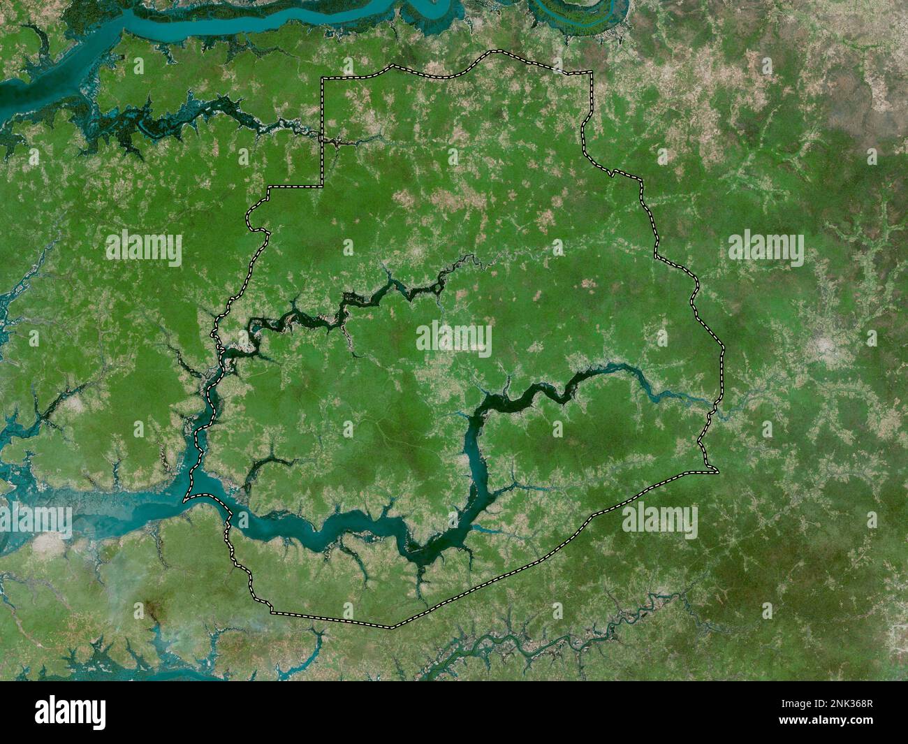 Sedhiou, region of Senegal. High resolution satellite map Stock Photohttps://www.alamy.com/image-license-details/?v=1https://www.alamy.com/sedhiou-region-of-senegal-high-resolution-satellite-map-image528060311.html
RF2NK368R–Sedhiou, region of Senegal. High resolution satellite map
 Kaolack, region of Senegal. Elevation map colored in wiki style with lakes and rivers. Locations and names of major cities of the region. Corner auxil Stock Photohttps://www.alamy.com/image-license-details/?v=1https://www.alamy.com/kaolack-region-of-senegal-elevation-map-colored-in-wiki-style-with-lakes-and-rivers-locations-and-names-of-major-cities-of-the-region-corner-auxil-image528054967.html
RF2NK2YDY–Kaolack, region of Senegal. Elevation map colored in wiki style with lakes and rivers. Locations and names of major cities of the region. Corner auxil
 Kolda, region of Senegal. Colored elevation map with lakes and rivers. Locations of major cities of the region. Corner auxiliary location maps Stock Photohttps://www.alamy.com/image-license-details/?v=1https://www.alamy.com/kolda-region-of-senegal-colored-elevation-map-with-lakes-and-rivers-locations-of-major-cities-of-the-region-corner-auxiliary-location-maps-image528057071.html
RF2NK3253–Kolda, region of Senegal. Colored elevation map with lakes and rivers. Locations of major cities of the region. Corner auxiliary location maps
 Diourbel, region of Senegal. Grayscale elevation map with lakes and rivers Stock Photohttps://www.alamy.com/image-license-details/?v=1https://www.alamy.com/diourbel-region-of-senegal-grayscale-elevation-map-with-lakes-and-rivers-image528052111.html
RF2NK2RRY–Diourbel, region of Senegal. Grayscale elevation map with lakes and rivers
 Fatick, region of Senegal. Bilevel elevation map with lakes and rivers. Locations and names of major cities of the region. Corner auxiliary location m Stock Photohttps://www.alamy.com/image-license-details/?v=1https://www.alamy.com/fatick-region-of-senegal-bilevel-elevation-map-with-lakes-and-rivers-locations-and-names-of-major-cities-of-the-region-corner-auxiliary-location-m-image528053024.html
RF2NK2W0G–Fatick, region of Senegal. Bilevel elevation map with lakes and rivers. Locations and names of major cities of the region. Corner auxiliary location m
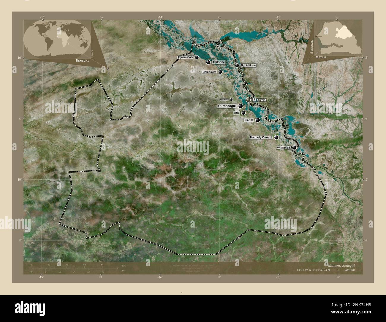 Matam, region of Senegal. High resolution satellite map. Locations and names of major cities of the region. Corner auxiliary location maps Stock Photohttps://www.alamy.com/image-license-details/?v=1https://www.alamy.com/matam-region-of-senegal-high-resolution-satellite-map-locations-and-names-of-major-cities-of-the-region-corner-auxiliary-location-maps-image528058980.html
RF2NK34H8–Matam, region of Senegal. High resolution satellite map. Locations and names of major cities of the region. Corner auxiliary location maps
 Matam, region of Senegal. Solid color shape Stock Photohttps://www.alamy.com/image-license-details/?v=1https://www.alamy.com/matam-region-of-senegal-solid-color-shape-image528058018.html
RF2NK33AX–Matam, region of Senegal. Solid color shape
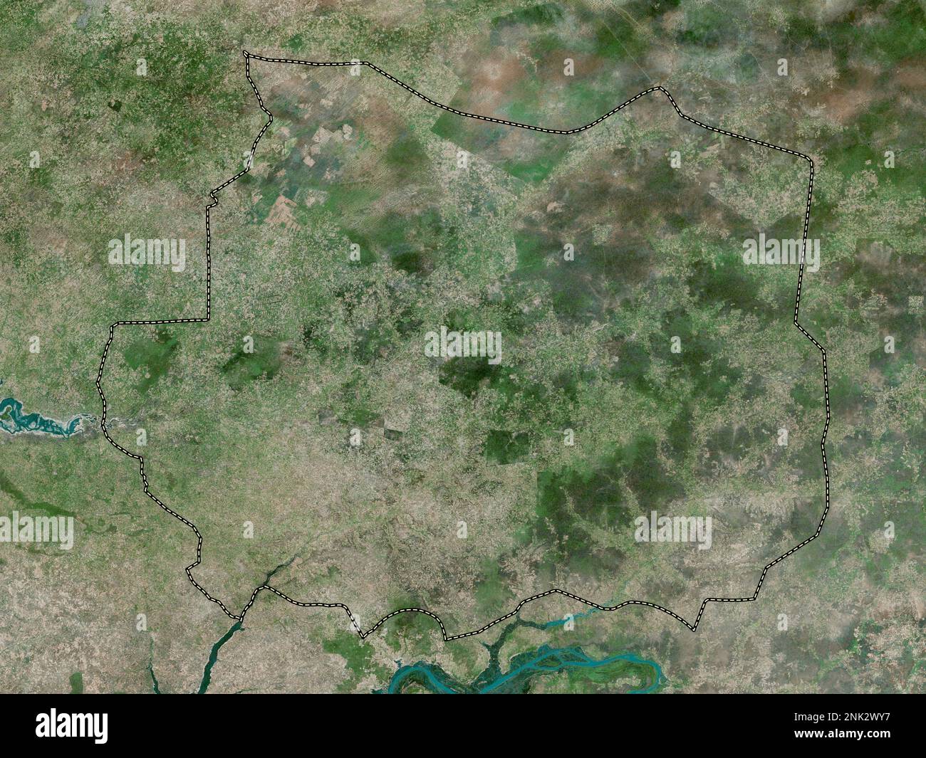 Kaffrine, region of Senegal. High resolution satellite map Stock Photohttps://www.alamy.com/image-license-details/?v=1https://www.alamy.com/kaffrine-region-of-senegal-high-resolution-satellite-map-image528053771.html
RF2NK2WY7–Kaffrine, region of Senegal. High resolution satellite map
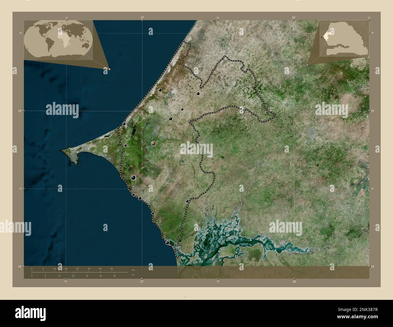 Thies, region of Senegal. High resolution satellite map. Locations of major cities of the region. Corner auxiliary location maps Stock Photohttps://www.alamy.com/image-license-details/?v=1https://www.alamy.com/thies-region-of-senegal-high-resolution-satellite-map-locations-of-major-cities-of-the-region-corner-auxiliary-location-maps-image528061851.html
RF2NK387R–Thies, region of Senegal. High resolution satellite map. Locations of major cities of the region. Corner auxiliary location maps
 Tambacounda, region of Senegal. Grayscale elevation map with lakes and rivers. Locations of major cities of the region. Corner auxiliary location maps Stock Photohttps://www.alamy.com/image-license-details/?v=1https://www.alamy.com/tambacounda-region-of-senegal-grayscale-elevation-map-with-lakes-and-rivers-locations-of-major-cities-of-the-region-corner-auxiliary-location-maps-image528060740.html
RF2NK36T4–Tambacounda, region of Senegal. Grayscale elevation map with lakes and rivers. Locations of major cities of the region. Corner auxiliary location maps
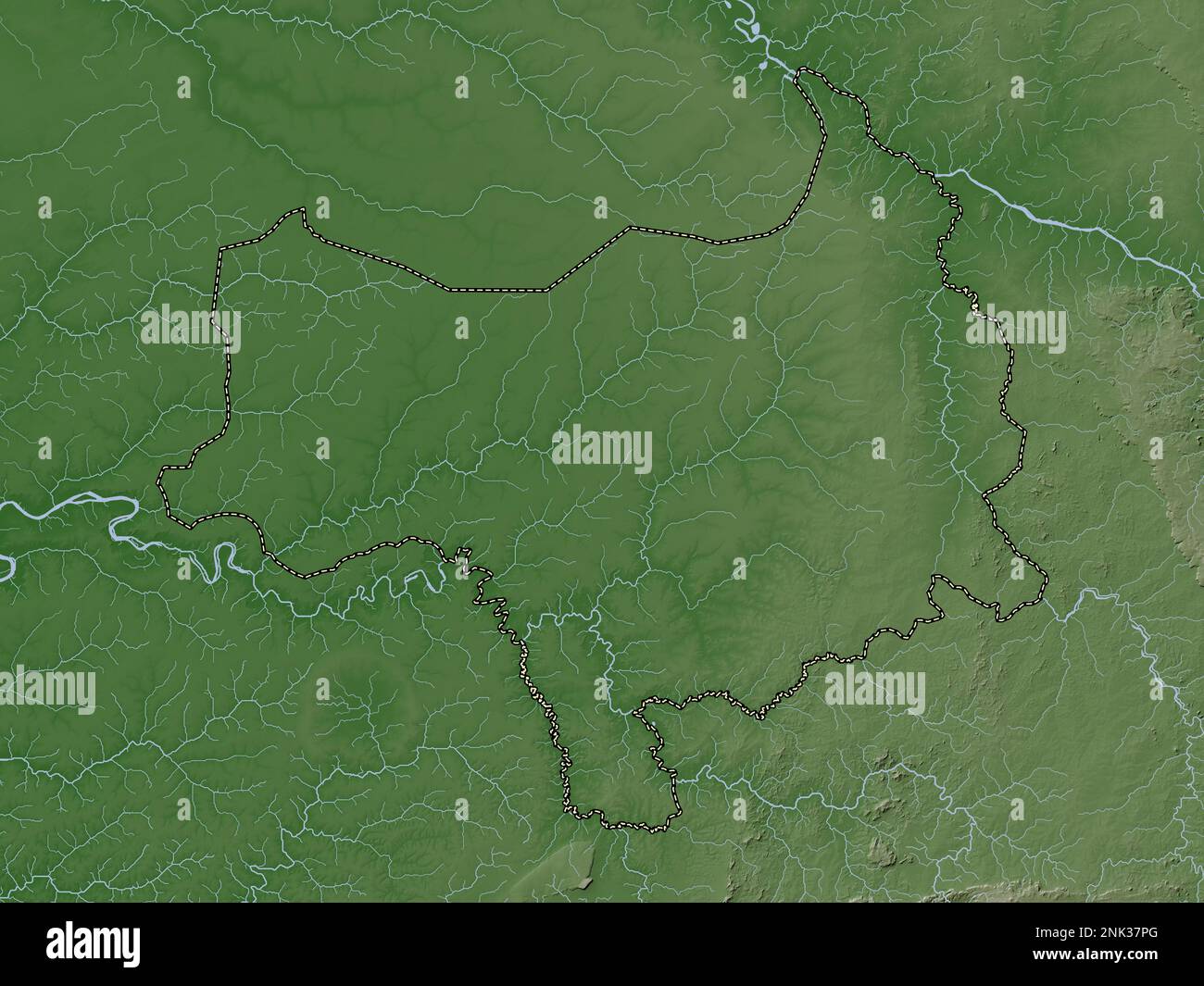 Tambacounda, region of Senegal. Elevation map colored in wiki style with lakes and rivers Stock Photohttps://www.alamy.com/image-license-details/?v=1https://www.alamy.com/tambacounda-region-of-senegal-elevation-map-colored-in-wiki-style-with-lakes-and-rivers-image528061480.html
RF2NK37PG–Tambacounda, region of Senegal. Elevation map colored in wiki style with lakes and rivers
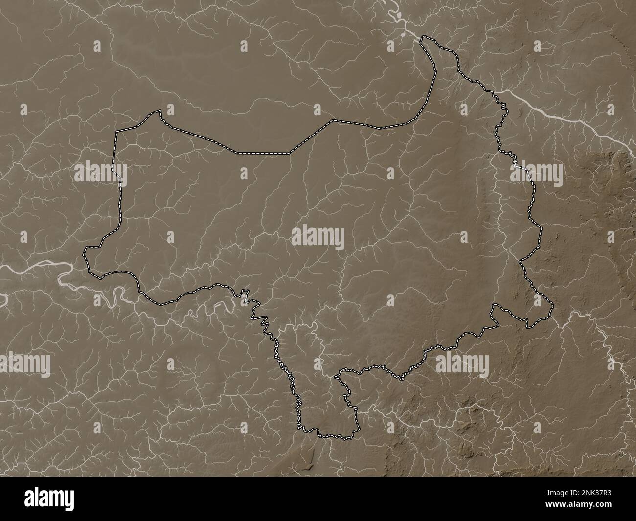 Tambacounda, region of Senegal. Elevation map colored in sepia tones with lakes and rivers Stock Photohttps://www.alamy.com/image-license-details/?v=1https://www.alamy.com/tambacounda-region-of-senegal-elevation-map-colored-in-sepia-tones-with-lakes-and-rivers-image528061495.html
RF2NK37R3–Tambacounda, region of Senegal. Elevation map colored in sepia tones with lakes and rivers
 Kaffrine, region of Senegal. Solid color shape Stock Photohttps://www.alamy.com/image-license-details/?v=1https://www.alamy.com/kaffrine-region-of-senegal-solid-color-shape-image528053781.html
RF2NK2WYH–Kaffrine, region of Senegal. Solid color shape
 Diourbel, region of Senegal. Solid color shape. Locations and names of major cities of the region. Corner auxiliary location maps Stock Photohttps://www.alamy.com/image-license-details/?v=1https://www.alamy.com/diourbel-region-of-senegal-solid-color-shape-locations-and-names-of-major-cities-of-the-region-corner-auxiliary-location-maps-image528052590.html
RF2NK2TD2–Diourbel, region of Senegal. Solid color shape. Locations and names of major cities of the region. Corner auxiliary location maps
 Kedougou, region of Senegal. Low resolution satellite map. Locations of major cities of the region. Corner auxiliary location maps Stock Photohttps://www.alamy.com/image-license-details/?v=1https://www.alamy.com/kedougou-region-of-senegal-low-resolution-satellite-map-locations-of-major-cities-of-the-region-corner-auxiliary-location-maps-image528056111.html
RF2NK30XR–Kedougou, region of Senegal. Low resolution satellite map. Locations of major cities of the region. Corner auxiliary location maps
 Diourbel, region of Senegal. Bilevel elevation map with lakes and rivers. Locations of major cities of the region. Corner auxiliary location maps Stock Photohttps://www.alamy.com/image-license-details/?v=1https://www.alamy.com/diourbel-region-of-senegal-bilevel-elevation-map-with-lakes-and-rivers-locations-of-major-cities-of-the-region-corner-auxiliary-location-maps-image528052159.html
RF2NK2RWK–Diourbel, region of Senegal. Bilevel elevation map with lakes and rivers. Locations of major cities of the region. Corner auxiliary location maps
 Matam, region of Senegal. Colored elevation map with lakes and rivers. Locations of major cities of the region. Corner auxiliary location maps Stock Photohttps://www.alamy.com/image-license-details/?v=1https://www.alamy.com/matam-region-of-senegal-colored-elevation-map-with-lakes-and-rivers-locations-of-major-cities-of-the-region-corner-auxiliary-location-maps-image528058433.html
RF2NK33WN–Matam, region of Senegal. Colored elevation map with lakes and rivers. Locations of major cities of the region. Corner auxiliary location maps
 Ziguinchor, region of Senegal. Bilevel elevation map with lakes and rivers Stock Photohttps://www.alamy.com/image-license-details/?v=1https://www.alamy.com/ziguinchor-region-of-senegal-bilevel-elevation-map-with-lakes-and-rivers-image528062393.html
RF2NK38Y5–Ziguinchor, region of Senegal. Bilevel elevation map with lakes and rivers
 Kolda, region of Senegal. Solid color shape Stock Photohttps://www.alamy.com/image-license-details/?v=1https://www.alamy.com/kolda-region-of-senegal-solid-color-shape-image528057077.html
RF2NK3259–Kolda, region of Senegal. Solid color shape
 Sedhiou, region of Senegal. Elevation map colored in wiki style with lakes and rivers. Locations and names of major cities of the region. Corner auxil Stock Photohttps://www.alamy.com/image-license-details/?v=1https://www.alamy.com/sedhiou-region-of-senegal-elevation-map-colored-in-wiki-style-with-lakes-and-rivers-locations-and-names-of-major-cities-of-the-region-corner-auxil-image528060760.html
RF2NK36TT–Sedhiou, region of Senegal. Elevation map colored in wiki style with lakes and rivers. Locations and names of major cities of the region. Corner auxil
 Louga, region of Senegal. Elevation map colored in wiki style with lakes and rivers. Locations of major cities of the region. Corner auxiliary locatio Stock Photohttps://www.alamy.com/image-license-details/?v=1https://www.alamy.com/louga-region-of-senegal-elevation-map-colored-in-wiki-style-with-lakes-and-rivers-locations-of-major-cities-of-the-region-corner-auxiliary-locatio-image528057647.html
RF2NK32WK–Louga, region of Senegal. Elevation map colored in wiki style with lakes and rivers. Locations of major cities of the region. Corner auxiliary locatio
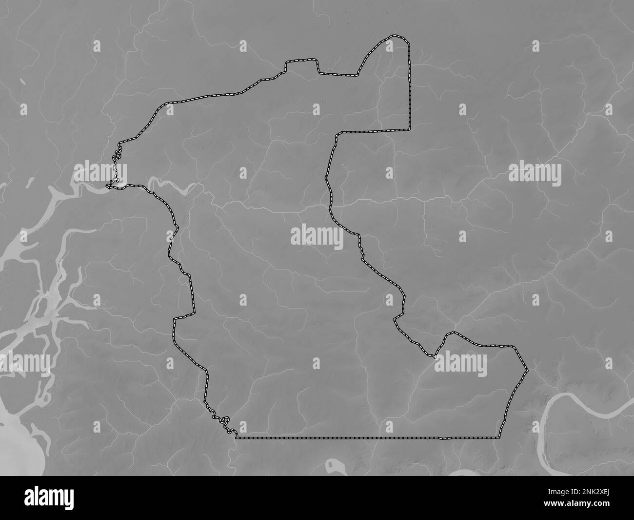 Kaolack, region of Senegal. Grayscale elevation map with lakes and rivers Stock Photohttps://www.alamy.com/image-license-details/?v=1https://www.alamy.com/kaolack-region-of-senegal-grayscale-elevation-map-with-lakes-and-rivers-image528054202.html
RF2NK2XEJ–Kaolack, region of Senegal. Grayscale elevation map with lakes and rivers
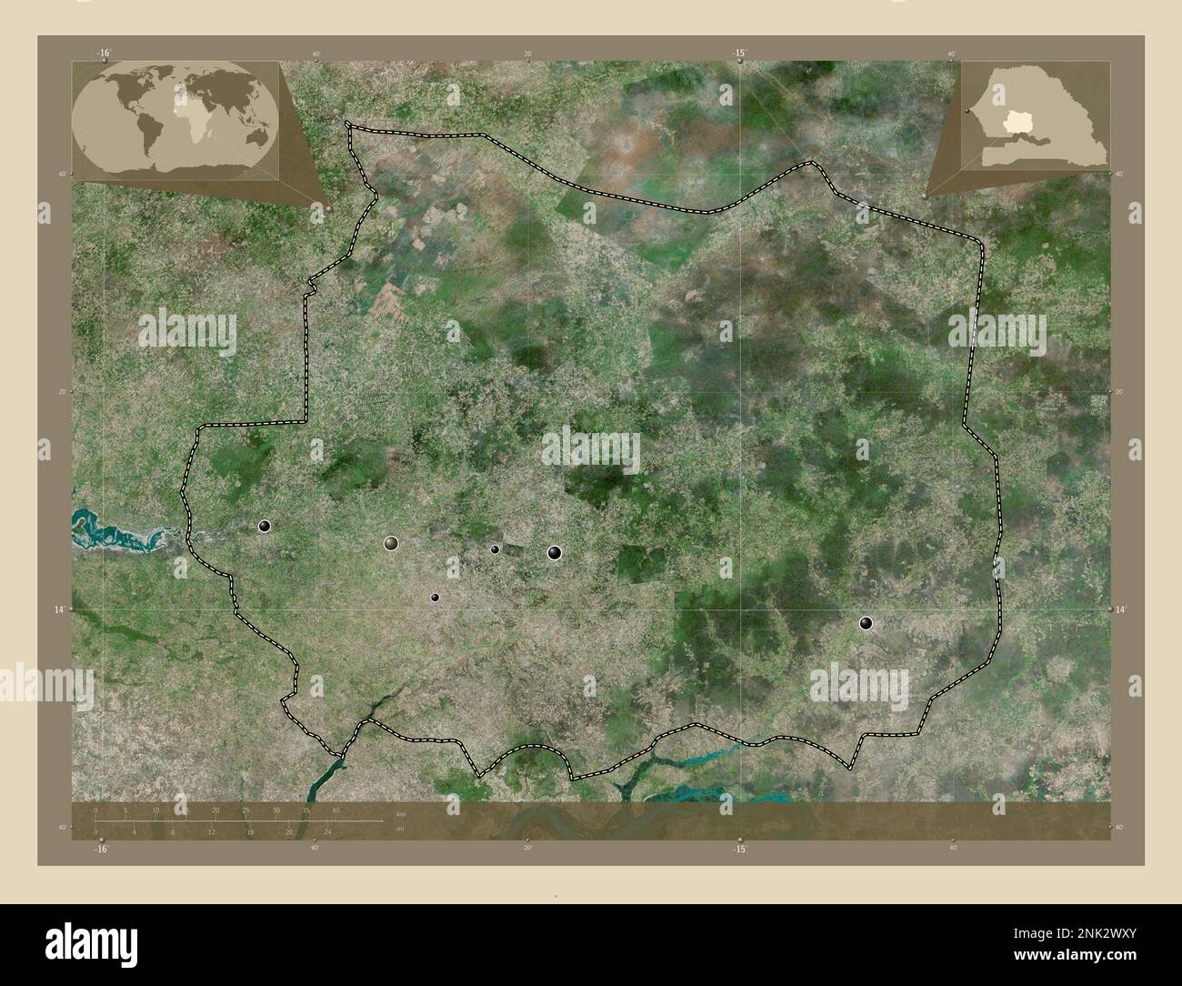 Kaffrine, region of Senegal. High resolution satellite map. Locations of major cities of the region. Corner auxiliary location maps Stock Photohttps://www.alamy.com/image-license-details/?v=1https://www.alamy.com/kaffrine-region-of-senegal-high-resolution-satellite-map-locations-of-major-cities-of-the-region-corner-auxiliary-location-maps-image528053763.html
RF2NK2WXY–Kaffrine, region of Senegal. High resolution satellite map. Locations of major cities of the region. Corner auxiliary location maps
 Tambacounda, region of Senegal. High resolution satellite map Stock Photohttps://www.alamy.com/image-license-details/?v=1https://www.alamy.com/tambacounda-region-of-senegal-high-resolution-satellite-map-image528061159.html
RF2NK37B3–Tambacounda, region of Senegal. High resolution satellite map
 Tambacounda, region of Senegal. Elevation map colored in wiki style with lakes and rivers. Locations of major cities of the region. Corner auxiliary l Stock Photohttps://www.alamy.com/image-license-details/?v=1https://www.alamy.com/tambacounda-region-of-senegal-elevation-map-colored-in-wiki-style-with-lakes-and-rivers-locations-of-major-cities-of-the-region-corner-auxiliary-l-image528061483.html
RF2NK37PK–Tambacounda, region of Senegal. Elevation map colored in wiki style with lakes and rivers. Locations of major cities of the region. Corner auxiliary l
 Fatick, region of Senegal. Solid color shape Stock Photohttps://www.alamy.com/image-license-details/?v=1https://www.alamy.com/fatick-region-of-senegal-solid-color-shape-image528053059.html
RF2NK2W1R–Fatick, region of Senegal. Solid color shape
 Kaffrine, region of Senegal. Grayscale elevation map with lakes and rivers. Locations of major cities of the region. Corner auxiliary location maps Stock Photohttps://www.alamy.com/image-license-details/?v=1https://www.alamy.com/kaffrine-region-of-senegal-grayscale-elevation-map-with-lakes-and-rivers-locations-of-major-cities-of-the-region-corner-auxiliary-location-maps-image528053421.html
RF2NK2WEN–Kaffrine, region of Senegal. Grayscale elevation map with lakes and rivers. Locations of major cities of the region. Corner auxiliary location maps
 Matam, region of Senegal. Open Street Map Stock Photohttps://www.alamy.com/image-license-details/?v=1https://www.alamy.com/matam-region-of-senegal-open-street-map-image528058008.html
RF2NK33AG–Matam, region of Senegal. Open Street Map
 Ziguinchor, region of Senegal. Low resolution satellite map. Locations of major cities of the region. Corner auxiliary location maps Stock Photohttps://www.alamy.com/image-license-details/?v=1https://www.alamy.com/ziguinchor-region-of-senegal-low-resolution-satellite-map-locations-of-major-cities-of-the-region-corner-auxiliary-location-maps-image528062404.html
RF2NK38YG–Ziguinchor, region of Senegal. Low resolution satellite map. Locations of major cities of the region. Corner auxiliary location maps
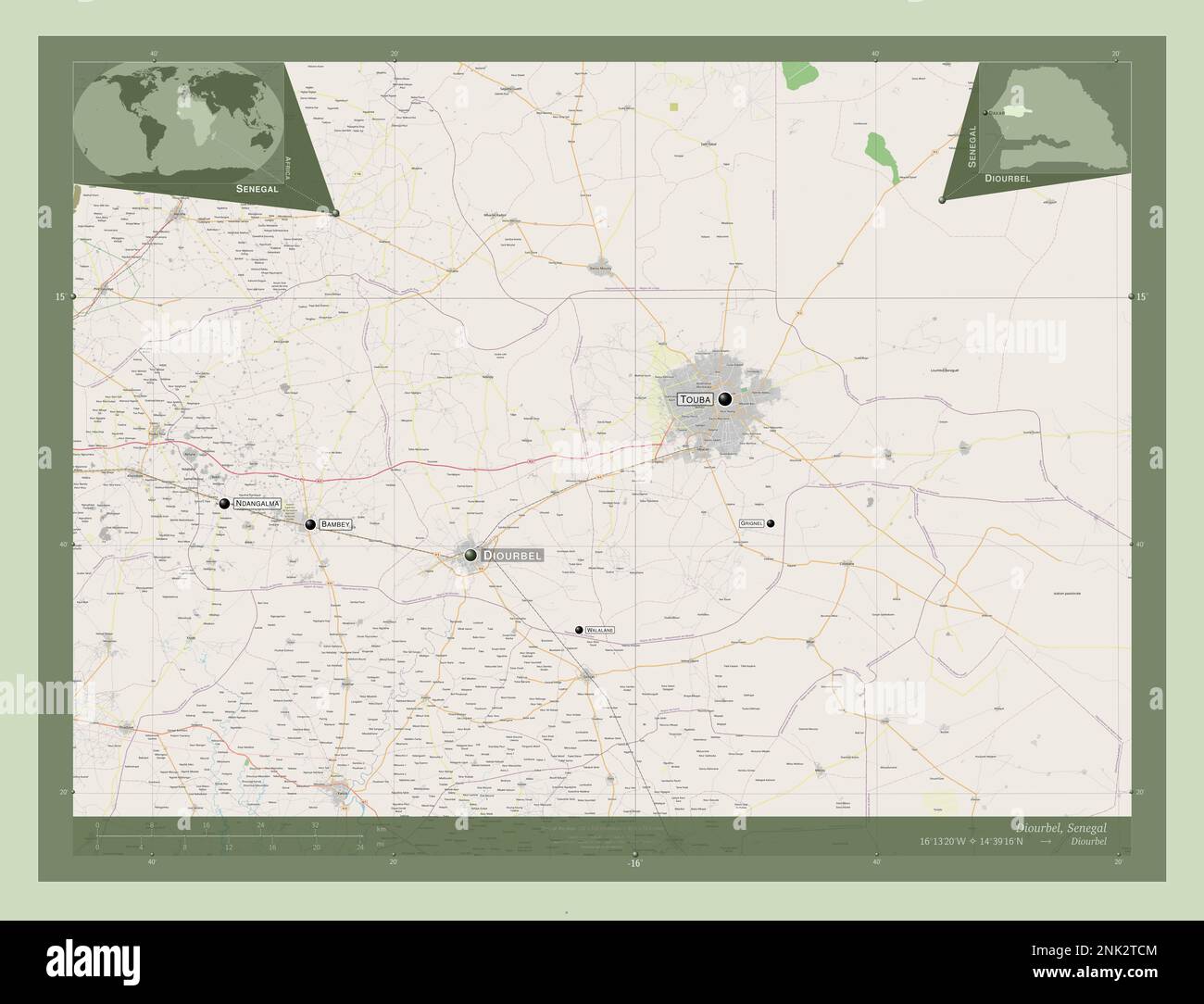 Diourbel, region of Senegal. Open Street Map. Locations and names of major cities of the region. Corner auxiliary location maps Stock Photohttps://www.alamy.com/image-license-details/?v=1https://www.alamy.com/diourbel-region-of-senegal-open-street-map-locations-and-names-of-major-cities-of-the-region-corner-auxiliary-location-maps-image528052580.html
RF2NK2TCM–Diourbel, region of Senegal. Open Street Map. Locations and names of major cities of the region. Corner auxiliary location maps
 Thies, region of Senegal. Open Street Map. Locations and names of major cities of the region. Corner auxiliary location maps Stock Photohttps://www.alamy.com/image-license-details/?v=1https://www.alamy.com/thies-region-of-senegal-open-street-map-locations-and-names-of-major-cities-of-the-region-corner-auxiliary-location-maps-image528061504.html
RF2NK37RC–Thies, region of Senegal. Open Street Map. Locations and names of major cities of the region. Corner auxiliary location maps
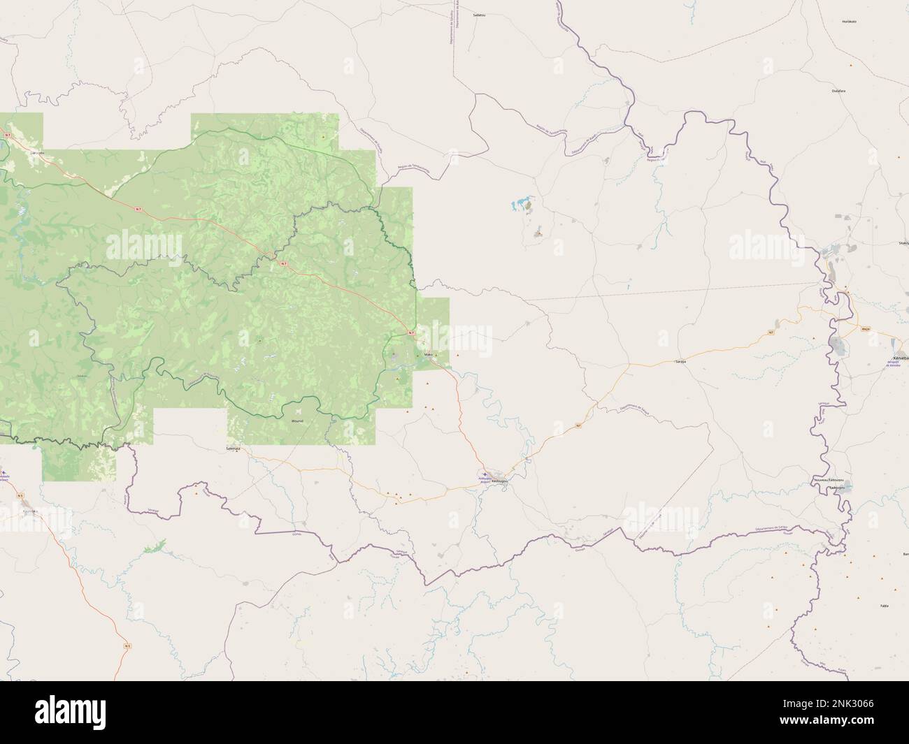 Kedougou, region of Senegal. Open Street Map Stock Photohttps://www.alamy.com/image-license-details/?v=1https://www.alamy.com/kedougou-region-of-senegal-open-street-map-image528055534.html
RF2NK3066–Kedougou, region of Senegal. Open Street Map
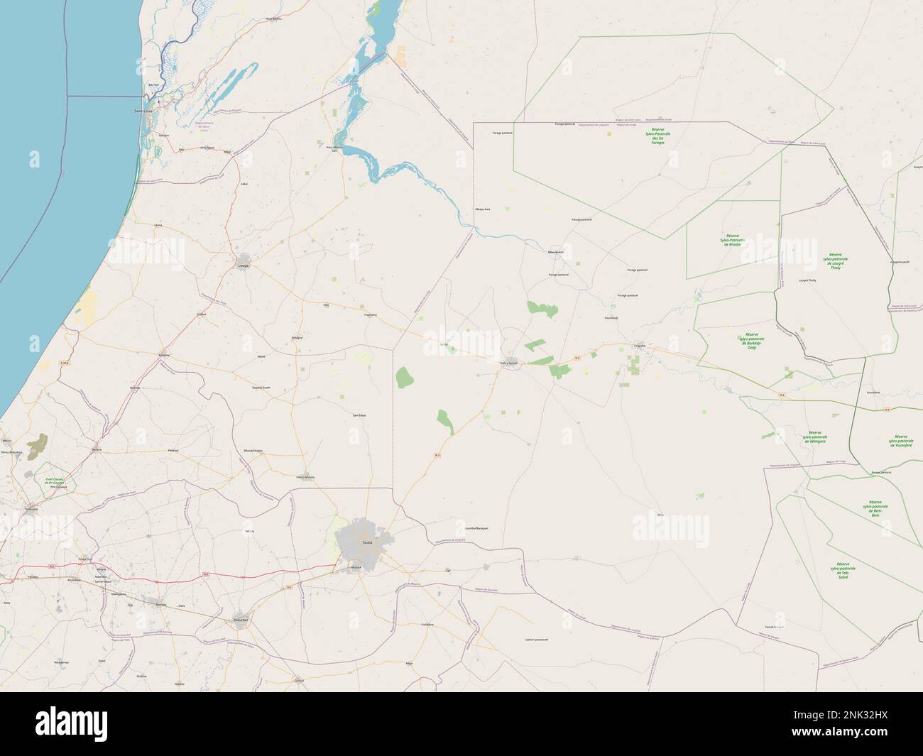 Louga, region of Senegal. Open Street Map Stock Photohttps://www.alamy.com/image-license-details/?v=1https://www.alamy.com/louga-region-of-senegal-open-street-map-image528057430.html
RF2NK32HX–Louga, region of Senegal. Open Street Map
 Ziguinchor, region of Senegal. Open Street Map. Locations of major cities of the region. Corner auxiliary location maps Stock Photohttps://www.alamy.com/image-license-details/?v=1https://www.alamy.com/ziguinchor-region-of-senegal-open-street-map-locations-of-major-cities-of-the-region-corner-auxiliary-location-maps-image528062394.html
RF2NK38Y6–Ziguinchor, region of Senegal. Open Street Map. Locations of major cities of the region. Corner auxiliary location maps
 Louga, region of Senegal. Grayscale elevation map with lakes and rivers. Locations and names of major cities of the region. Corner auxiliary location Stock Photohttps://www.alamy.com/image-license-details/?v=1https://www.alamy.com/louga-region-of-senegal-grayscale-elevation-map-with-lakes-and-rivers-locations-and-names-of-major-cities-of-the-region-corner-auxiliary-location-image528057431.html
RF2NK32HY–Louga, region of Senegal. Grayscale elevation map with lakes and rivers. Locations and names of major cities of the region. Corner auxiliary location
 Fatick, region of Senegal. Grayscale elevation map with lakes and rivers. Locations and names of major cities of the region. Corner auxiliary location Stock Photohttps://www.alamy.com/image-license-details/?v=1https://www.alamy.com/fatick-region-of-senegal-grayscale-elevation-map-with-lakes-and-rivers-locations-and-names-of-major-cities-of-the-region-corner-auxiliary-location-image528052603.html
RF2NK2TDF–Fatick, region of Senegal. Grayscale elevation map with lakes and rivers. Locations and names of major cities of the region. Corner auxiliary location
 Sedhiou, region of Senegal. Elevation map colored in sepia tones with lakes and rivers. Locations of major cities of the region. Corner auxiliary loca Stock Photohttps://www.alamy.com/image-license-details/?v=1https://www.alamy.com/sedhiou-region-of-senegal-elevation-map-colored-in-sepia-tones-with-lakes-and-rivers-locations-of-major-cities-of-the-region-corner-auxiliary-loca-image528060328.html
RF2NK369C–Sedhiou, region of Senegal. Elevation map colored in sepia tones with lakes and rivers. Locations of major cities of the region. Corner auxiliary loca
 Louga, region of Senegal. Grayscale elevation map with lakes and rivers. Locations of major cities of the region. Corner auxiliary location maps Stock Photohttps://www.alamy.com/image-license-details/?v=1https://www.alamy.com/louga-region-of-senegal-grayscale-elevation-map-with-lakes-and-rivers-locations-of-major-cities-of-the-region-corner-auxiliary-location-maps-image528057421.html
RF2NK32HH–Louga, region of Senegal. Grayscale elevation map with lakes and rivers. Locations of major cities of the region. Corner auxiliary location maps
 Ziguinchor, region of Senegal. Solid color shape. Locations and names of major cities of the region. Corner auxiliary location maps Stock Photohttps://www.alamy.com/image-license-details/?v=1https://www.alamy.com/ziguinchor-region-of-senegal-solid-color-shape-locations-and-names-of-major-cities-of-the-region-corner-auxiliary-location-maps-image528062920.html
RF2NK39J0–Ziguinchor, region of Senegal. Solid color shape. Locations and names of major cities of the region. Corner auxiliary location maps
 Sedhiou, region of Senegal. Colored elevation map with lakes and rivers. Locations of major cities of the region. Corner auxiliary location maps Stock Photohttps://www.alamy.com/image-license-details/?v=1https://www.alamy.com/sedhiou-region-of-senegal-colored-elevation-map-with-lakes-and-rivers-locations-of-major-cities-of-the-region-corner-auxiliary-location-maps-image528060327.html
RF2NK369B–Sedhiou, region of Senegal. Colored elevation map with lakes and rivers. Locations of major cities of the region. Corner auxiliary location maps
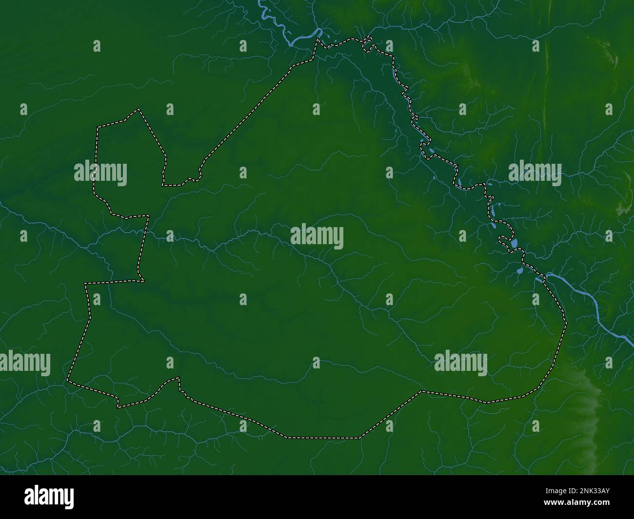 Matam, region of Senegal. Colored elevation map with lakes and rivers Stock Photohttps://www.alamy.com/image-license-details/?v=1https://www.alamy.com/matam-region-of-senegal-colored-elevation-map-with-lakes-and-rivers-image528058019.html
RF2NK33AY–Matam, region of Senegal. Colored elevation map with lakes and rivers
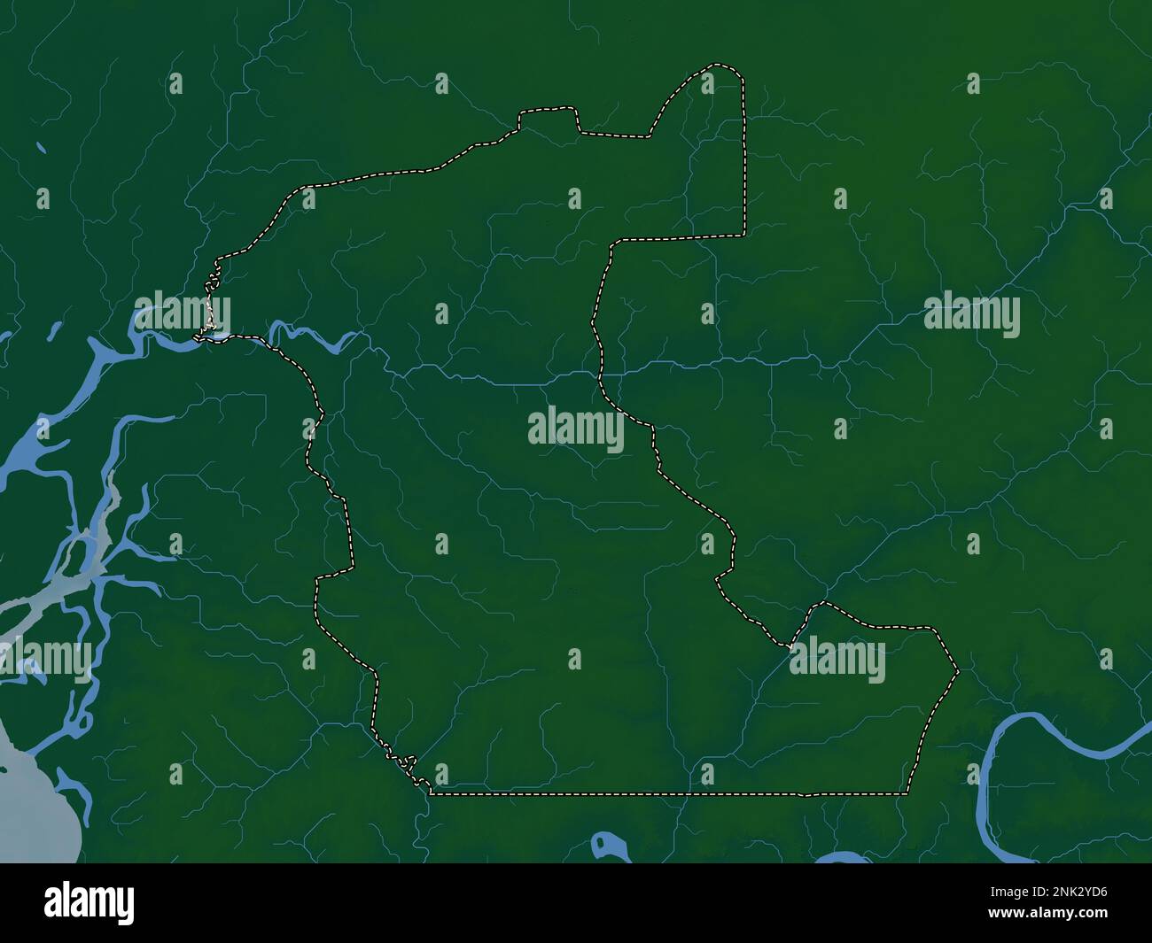 Kaolack, region of Senegal. Colored elevation map with lakes and rivers Stock Photohttps://www.alamy.com/image-license-details/?v=1https://www.alamy.com/kaolack-region-of-senegal-colored-elevation-map-with-lakes-and-rivers-image528054946.html
RF2NK2YD6–Kaolack, region of Senegal. Colored elevation map with lakes and rivers
 Sedhiou, region of Senegal. Open Street Map. Locations of major cities of the region. Corner auxiliary location maps Stock Photohttps://www.alamy.com/image-license-details/?v=1https://www.alamy.com/sedhiou-region-of-senegal-open-street-map-locations-of-major-cities-of-the-region-corner-auxiliary-location-maps-image528060330.html
RF2NK369E–Sedhiou, region of Senegal. Open Street Map. Locations of major cities of the region. Corner auxiliary location maps
 Thies, region of Senegal. Elevation map colored in wiki style with lakes and rivers. Locations of major cities of the region. Corner auxiliary locatio Stock Photohttps://www.alamy.com/image-license-details/?v=1https://www.alamy.com/thies-region-of-senegal-elevation-map-colored-in-wiki-style-with-lakes-and-rivers-locations-of-major-cities-of-the-region-corner-auxiliary-locatio-image528062408.html
RF2NK38YM–Thies, region of Senegal. Elevation map colored in wiki style with lakes and rivers. Locations of major cities of the region. Corner auxiliary locatio
 Sedhiou, region of Senegal. Bilevel elevation map with lakes and rivers. Locations of major cities of the region. Corner auxiliary location maps Stock Photohttps://www.alamy.com/image-license-details/?v=1https://www.alamy.com/sedhiou-region-of-senegal-bilevel-elevation-map-with-lakes-and-rivers-locations-of-major-cities-of-the-region-corner-auxiliary-location-maps-image528059888.html
RF2NK35NM–Sedhiou, region of Senegal. Bilevel elevation map with lakes and rivers. Locations of major cities of the region. Corner auxiliary location maps
 Matam, region of Senegal. Elevation map colored in sepia tones with lakes and rivers. Locations and names of major cities of the region. Corner auxili Stock Photohttps://www.alamy.com/image-license-details/?v=1https://www.alamy.com/matam-region-of-senegal-elevation-map-colored-in-sepia-tones-with-lakes-and-rivers-locations-and-names-of-major-cities-of-the-region-corner-auxili-image528058457.html
RF2NK33XH–Matam, region of Senegal. Elevation map colored in sepia tones with lakes and rivers. Locations and names of major cities of the region. Corner auxili
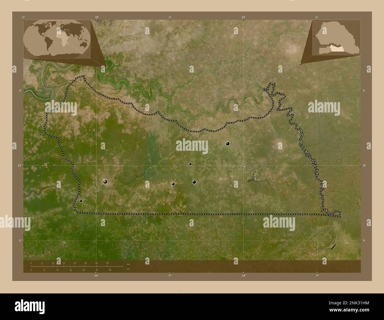 Kolda, region of Senegal. Low resolution satellite map. Locations of major cities of the region. Corner auxiliary location maps Stock Photohttps://www.alamy.com/image-license-details/?v=1https://www.alamy.com/kolda-region-of-senegal-low-resolution-satellite-map-locations-of-major-cities-of-the-region-corner-auxiliary-location-maps-image528056640.html
RF2NK31HM–Kolda, region of Senegal. Low resolution satellite map. Locations of major cities of the region. Corner auxiliary location maps
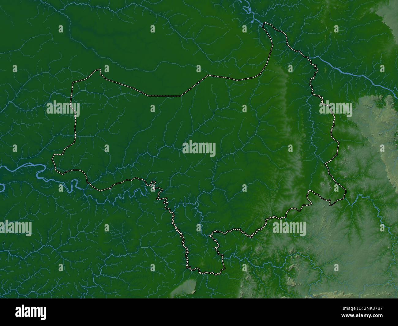 Tambacounda, region of Senegal. Colored elevation map with lakes and rivers Stock Photohttps://www.alamy.com/image-license-details/?v=1https://www.alamy.com/tambacounda-region-of-senegal-colored-elevation-map-with-lakes-and-rivers-image528061163.html
RF2NK37B7–Tambacounda, region of Senegal. Colored elevation map with lakes and rivers
 Kaffrine, region of Senegal. Open Street Map. Locations and names of major cities of the region. Corner auxiliary location maps Stock Photohttps://www.alamy.com/image-license-details/?v=1https://www.alamy.com/kaffrine-region-of-senegal-open-street-map-locations-and-names-of-major-cities-of-the-region-corner-auxiliary-location-maps-image528053808.html
RF2NK2X0G–Kaffrine, region of Senegal. Open Street Map. Locations and names of major cities of the region. Corner auxiliary location maps