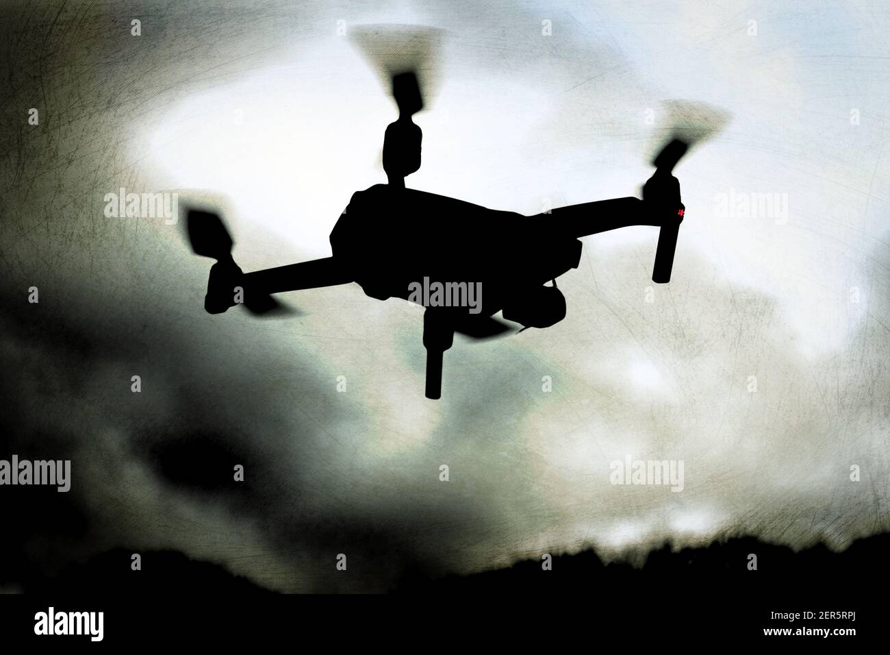
Drohnenfotografie Stock Photos and Images
 Drone Photo of Voidokilia Beach in Peloponnes, Greece Stock Photohttps://www.alamy.com/image-license-details/?v=1https://www.alamy.com/drone-photo-of-voidokilia-beach-in-peloponnes-greece-image565626868.html
RF2RT6ERG–Drone Photo of Voidokilia Beach in Peloponnes, Greece
 Wald, Nadelwald, Taiga, Kiedernwald im Stabbursdalen-Nationalpark mit Gewässern, Seen, Bächen, Flüssen, Stabbursdalen National Park, Nord-Norwegen, Fi Stock Photohttps://www.alamy.com/image-license-details/?v=1https://www.alamy.com/wald-nadelwald-taiga-kiedernwald-im-stabbursdalen-nationalpark-mit-gewssern-seen-bchen-flssen-stabbursdalen-national-park-nord-norwegen-fi-image543450714.html
RM2PG48X2–Wald, Nadelwald, Taiga, Kiedernwald im Stabbursdalen-Nationalpark mit Gewässern, Seen, Bächen, Flüssen, Stabbursdalen National Park, Nord-Norwegen, Fi
 Drohnenaufnahme des Airborne-Museums in Sainte-Mere-Eglise in der Normandie / Frankreich Stock Photohttps://www.alamy.com/image-license-details/?v=1https://www.alamy.com/drohnenaufnahme-des-airborne-museums-in-sainte-mere-eglise-in-der-normandie-frankreich-image567389020.html
RM2RY2PDG–Drohnenaufnahme des Airborne-Museums in Sainte-Mere-Eglise in der Normandie / Frankreich
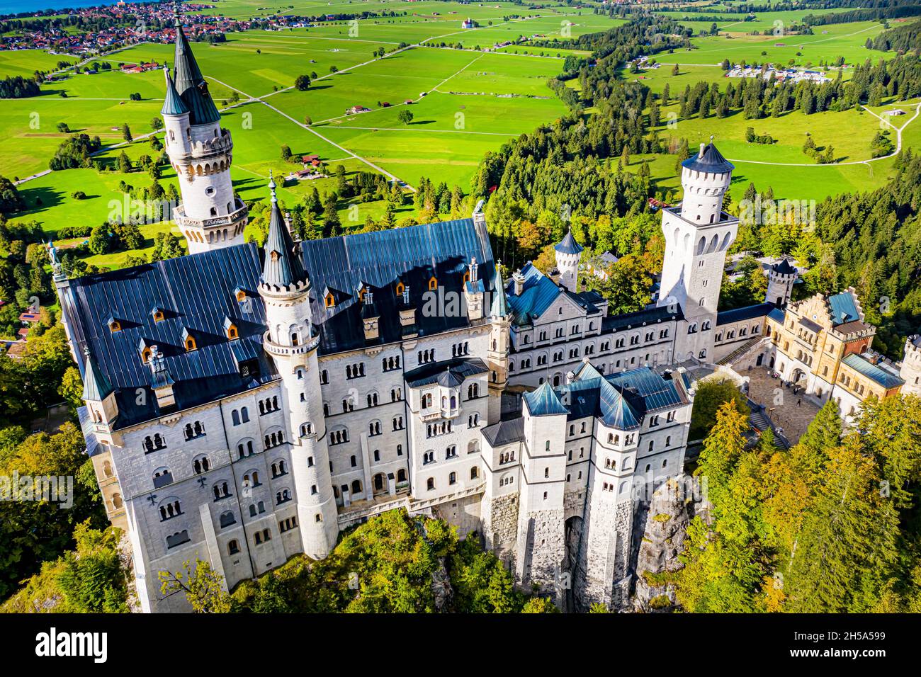 Schloss Neuschwanstein aus der Luft | Aerial Photos of Castle Neuschwanstein Stock Photohttps://www.alamy.com/image-license-details/?v=1https://www.alamy.com/schloss-neuschwanstein-aus-der-luft-aerial-photos-of-castle-neuschwanstein-image450766549.html
RF2H5A599–Schloss Neuschwanstein aus der Luft | Aerial Photos of Castle Neuschwanstein
 Drohnenfotografie, Portugal Stock Photohttps://www.alamy.com/image-license-details/?v=1https://www.alamy.com/drohnenfotografie-portugal-image443677824.html
RM2GNR7GG–Drohnenfotografie, Portugal
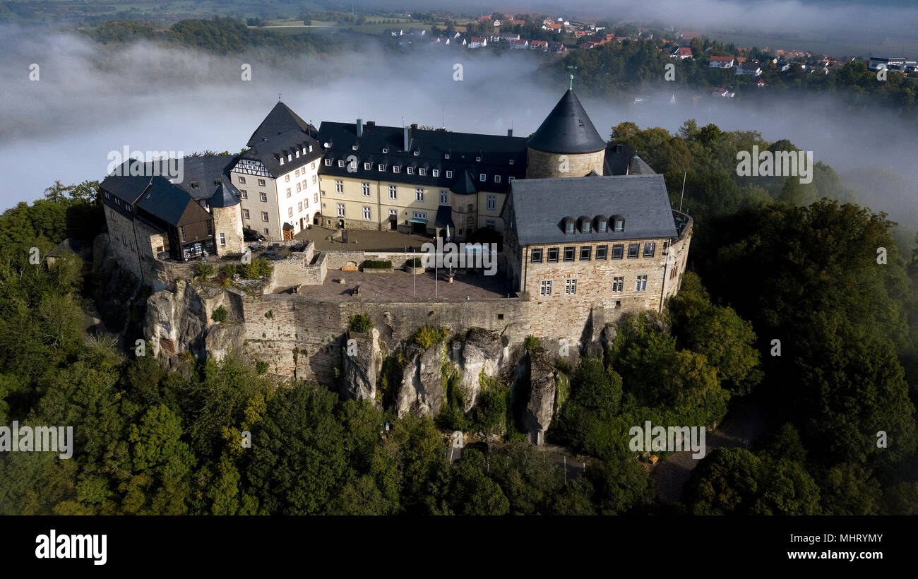 Schloss Waldeck, Hessen, Deutschland Stock Photohttps://www.alamy.com/image-license-details/?v=1https://www.alamy.com/schloss-waldeck-hessen-deutschland-image183079483.html
RMMHRYMY–Schloss Waldeck, Hessen, Deutschland
 Bockwindmühle in Pudagla, Überflugverbot, Drohnen, Insel Usedom, Mecklenburg-Vorpommern, Ostsee, Deutschland, Europa, Stock Photohttps://www.alamy.com/image-license-details/?v=1https://www.alamy.com/bockwindmhle-in-pudagla-berflugverbot-drohnen-insel-usedom-mecklenburg-vorpommern-ostsee-deutschland-europa-image627329417.html
RM2YCH921–Bockwindmühle in Pudagla, Überflugverbot, Drohnen, Insel Usedom, Mecklenburg-Vorpommern, Ostsee, Deutschland, Europa,
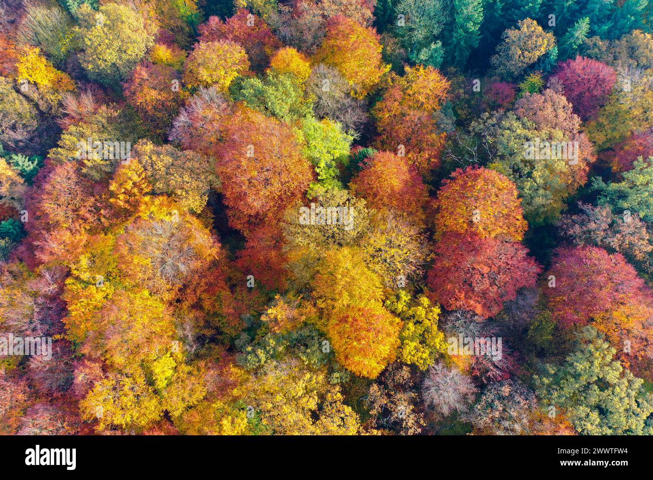 Autumn forest from above, drone photo, Germany, Schleswig-Holstein Stock Photohttps://www.alamy.com/image-license-details/?v=1https://www.alamy.com/autumn-forest-from-above-drone-photo-germany-schleswig-holstein-image601058224.html
RM2WWTFW4–Autumn forest from above, drone photo, Germany, Schleswig-Holstein
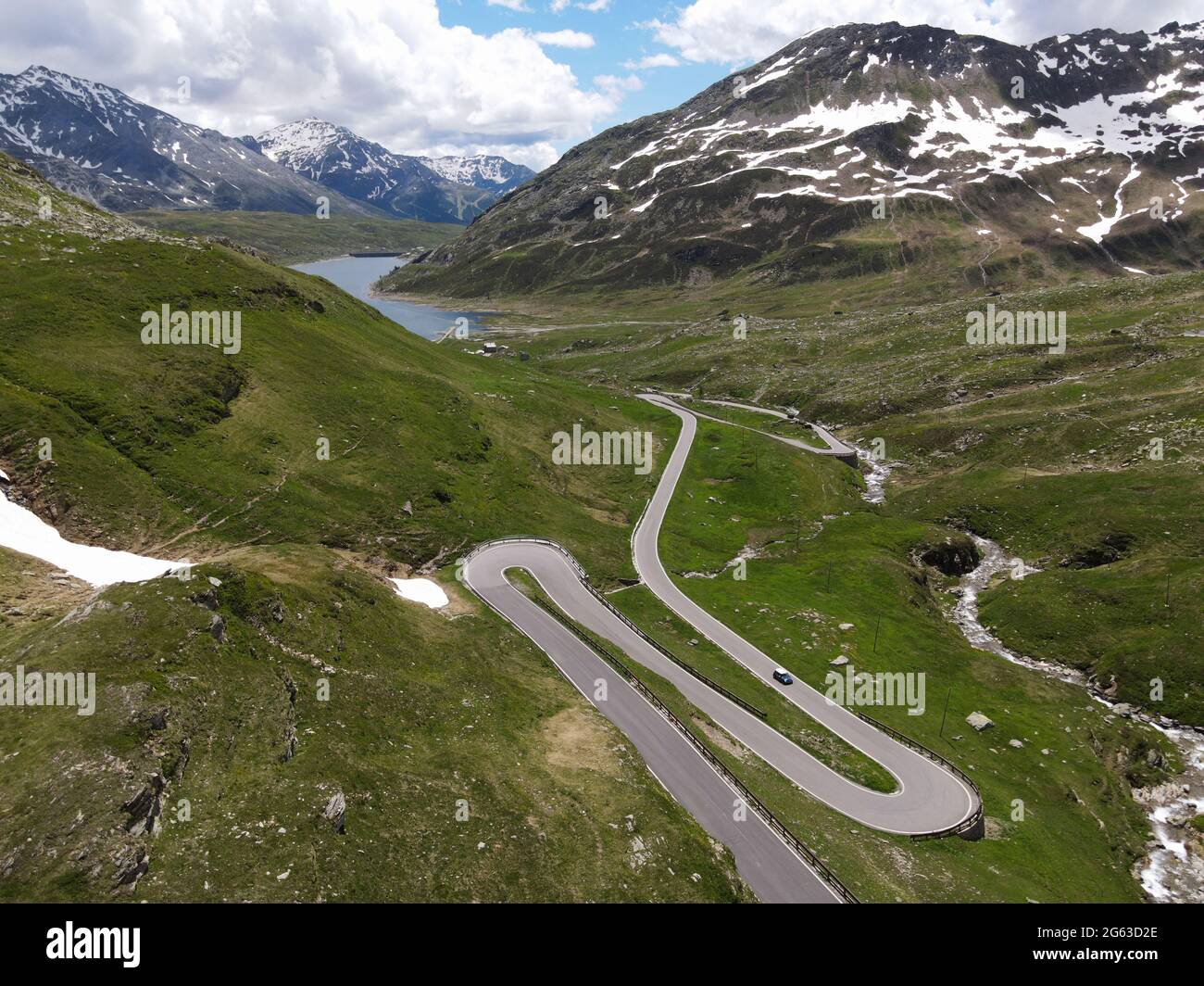 Aerial view of the south side of the Splügen Pass in the direction of Montespluga. Stock Photohttps://www.alamy.com/image-license-details/?v=1https://www.alamy.com/aerial-view-of-the-south-side-of-the-splgen-pass-in-the-direction-of-montespluga-image434023254.html
RM2G63D2E–Aerial view of the south side of the Splügen Pass in the direction of Montespluga.
 Aerial view to Augsburg Stock Photohttps://www.alamy.com/image-license-details/?v=1https://www.alamy.com/aerial-view-to-augsburg-image419046470.html
RF2F9N61A–Aerial view to Augsburg
 Stühlingen, Germany, 31th Mar 2024: The office building of the building materials manufacturer Sto in Stühlingen-Weizen. It was constructed by the arc Stock Photohttps://www.alamy.com/image-license-details/?v=1https://www.alamy.com/sthlingen-germany-31th-mar-2024-the-office-building-of-the-building-materials-manufacturer-sto-in-sthlingen-weizen-it-was-constructed-by-the-arc-image608743719.html
RM2XAAJR3–Stühlingen, Germany, 31th Mar 2024: The office building of the building materials manufacturer Sto in Stühlingen-Weizen. It was constructed by the arc
 Aerial photograph / Panorama of fields for agriculture at sunset Stock Photohttps://www.alamy.com/image-license-details/?v=1https://www.alamy.com/aerial-photograph-panorama-of-fields-for-agriculture-at-sunset-image503080289.html
RF2M6D815–Aerial photograph / Panorama of fields for agriculture at sunset
 Herbst Straße Stock Photohttps://www.alamy.com/image-license-details/?v=1https://www.alamy.com/herbst-strae-image401436043.html
RF2E92YNF–Herbst Straße
 Luftbild von Kloster Freystadt im Naturpark Altmühltal mit Basilika Stock Photohttps://www.alamy.com/image-license-details/?v=1https://www.alamy.com/luftbild-von-kloster-freystadt-im-naturpark-altmhltal-mit-basilika-image459991157.html
RF2HMABBH–Luftbild von Kloster Freystadt im Naturpark Altmühltal mit Basilika
 Saarpolygon in Ensdorf, Saarland, mit einer Drohne fotografiert Stock Photohttps://www.alamy.com/image-license-details/?v=1https://www.alamy.com/saarpolygon-in-ensdorf-saarland-mit-einer-drohne-fotografiert-image592152725.html
RF2WBATRH–Saarpolygon in Ensdorf, Saarland, mit einer Drohne fotografiert
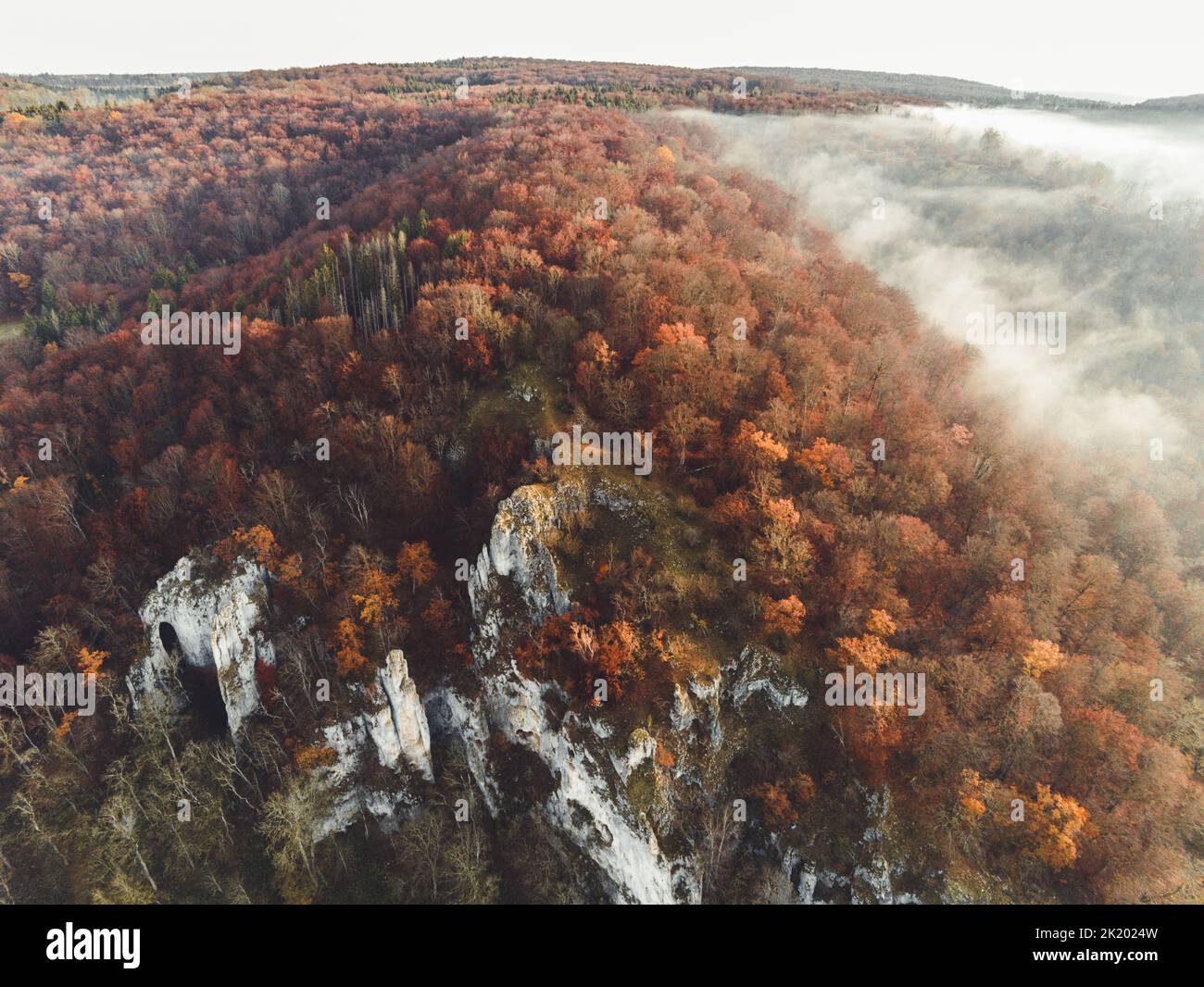 Forest from Above Stock Photohttps://www.alamy.com/image-license-details/?v=1https://www.alamy.com/forest-from-above-image483121321.html
RF2K2024W–Forest from Above
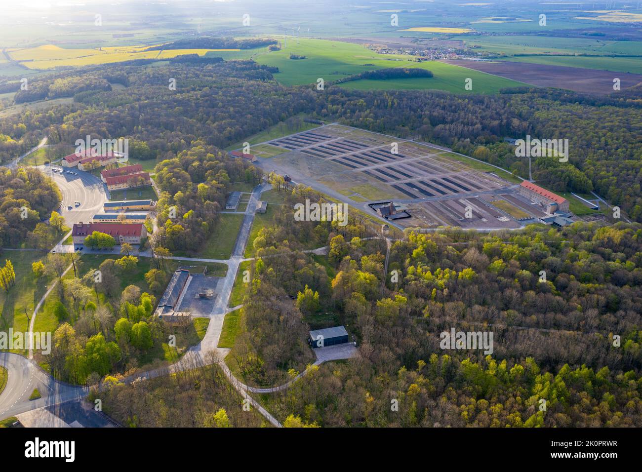 Luftbildaufnahmen Konzentrationslager und Gedenkstätte Buchenwald bei Weimar Stock Photohttps://www.alamy.com/image-license-details/?v=1https://www.alamy.com/luftbildaufnahmen-konzentrationslager-und-gedenksttte-buchenwald-bei-weimar-image482392003.html
RF2K0PRWR–Luftbildaufnahmen Konzentrationslager und Gedenkstätte Buchenwald bei Weimar
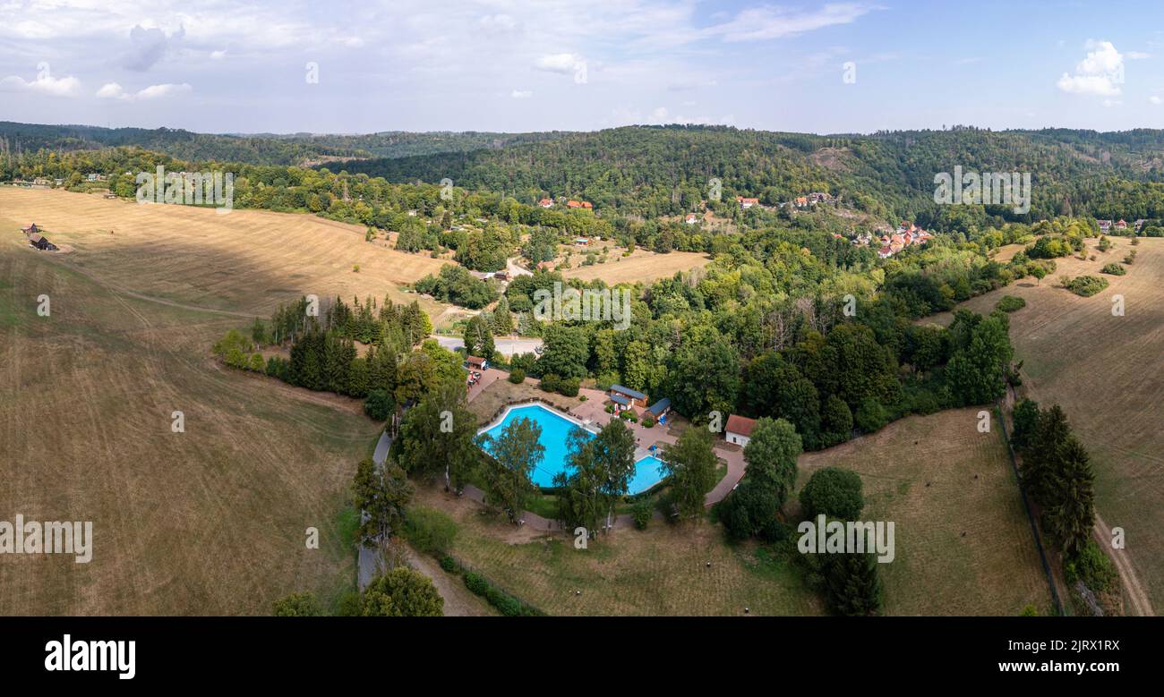 Luftbildaufnahme Altenbrak Bodetal Harz Stock Photohttps://www.alamy.com/image-license-details/?v=1https://www.alamy.com/luftbildaufnahme-altenbrak-bodetal-harz-image479389230.html
RF2JRX1RX–Luftbildaufnahme Altenbrak Bodetal Harz
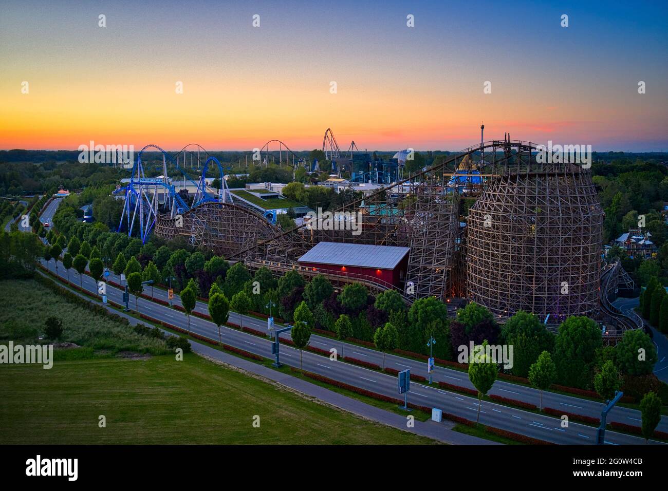 Europa-Park Rust Germany Sunset Aerial Photography Stock Photohttps://www.alamy.com/image-license-details/?v=1https://www.alamy.com/europa-park-rust-germany-sunset-aerial-photography-image430811483.html
RF2G0W4CB–Europa-Park Rust Germany Sunset Aerial Photography
 Drone Photo of Voidokilia Beach in Peloponnes, Greece Stock Photohttps://www.alamy.com/image-license-details/?v=1https://www.alamy.com/drone-photo-of-voidokilia-beach-in-peloponnes-greece-image565626867.html
RF2RT6ERF–Drone Photo of Voidokilia Beach in Peloponnes, Greece
 Wald, Nadelwald, Taiga, Kiedernwald im Stabbursdalen-Nationalpark mit Gewässern, Seen, Bächen, Flüssen, Stabbursdalen National Park, Nord-Norwegen, Fi Stock Photohttps://www.alamy.com/image-license-details/?v=1https://www.alamy.com/wald-nadelwald-taiga-kiedernwald-im-stabbursdalen-nationalpark-mit-gewssern-seen-bchen-flssen-stabbursdalen-national-park-nord-norwegen-fi-image543450701.html
RM2PG48WH–Wald, Nadelwald, Taiga, Kiedernwald im Stabbursdalen-Nationalpark mit Gewässern, Seen, Bächen, Flüssen, Stabbursdalen National Park, Nord-Norwegen, Fi
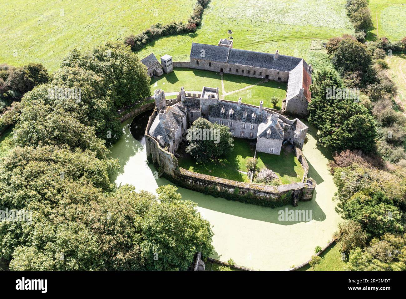 Drohnenaufnahme von Chateau Pirou - Burg Pirou Wasserschloß in der Normandie Stock Photohttps://www.alamy.com/image-license-details/?v=1https://www.alamy.com/drohnenaufnahme-von-chateau-pirou-burg-pirou-wasserschlo-in-der-normandie-image567387460.html
RM2RY2MDT–Drohnenaufnahme von Chateau Pirou - Burg Pirou Wasserschloß in der Normandie
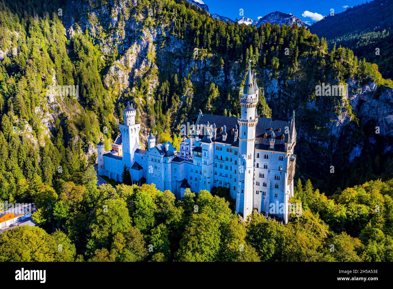 Schloss Neuschwanstein aus der Luft | Aerial Photos of Castle Neuschwanstein Stock Photohttps://www.alamy.com/image-license-details/?v=1https://www.alamy.com/schloss-neuschwanstein-aus-der-luft-aerial-photos-of-castle-neuschwanstein-image450766386.html
RF2H5A53E–Schloss Neuschwanstein aus der Luft | Aerial Photos of Castle Neuschwanstein
 Billwerder Bucht, Rothenburgsort, Hamburg Stock Photohttps://www.alamy.com/image-license-details/?v=1https://www.alamy.com/billwerder-bucht-rothenburgsort-hamburg-image369073562.html
RM2CCCN2J–Billwerder Bucht, Rothenburgsort, Hamburg
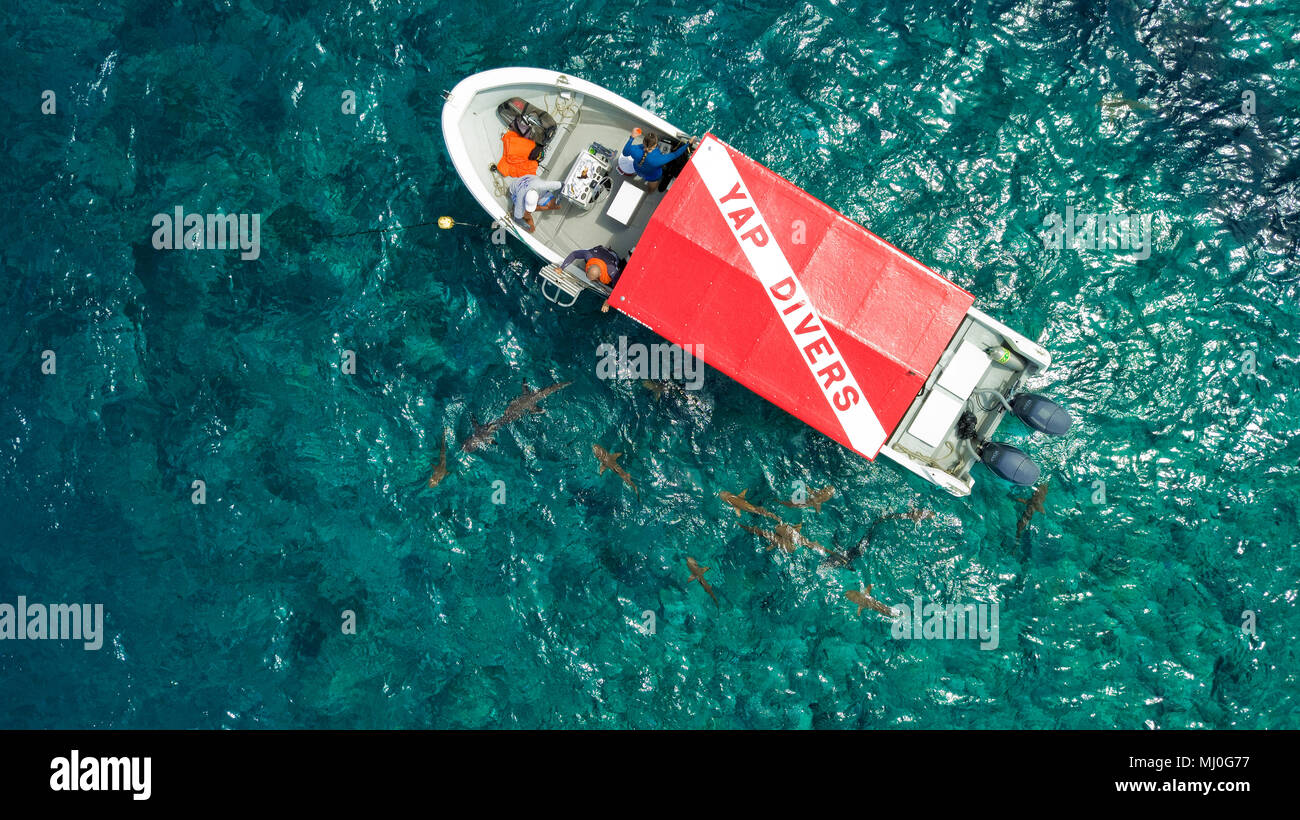 dive boat and sharks, Yap island, Federal States of Micronesa, Australia, Pacific / Yap | Tauchboot und Haiem Föderierte Staaten von Mikronesien, Aust Stock Photohttps://www.alamy.com/image-license-details/?v=1https://www.alamy.com/dive-boat-and-sharks-yap-island-federal-states-of-micronesa-australia-pacific-yap-tauchboot-und-haiem-fderierte-staaten-von-mikronesien-aust-image183180235.html
RMMJ0G77–dive boat and sharks, Yap island, Federal States of Micronesa, Australia, Pacific / Yap | Tauchboot und Haiem Föderierte Staaten von Mikronesien, Aust
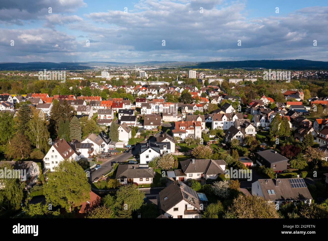 Kassel Nordshausen dahinter der Ortsteil Oberzwehren Kassel Nordshausen dahinter der Ortsteil Oberzwehren, 21. April 2024, Kassel / Hessen / Deutschland, Eibner/ Socher *** Kassel Nordshausen behind the district Oberzwehren Kassel Nordshausen behind the district Oberzwehren, April 21, 2024, Kassel Hessen Germany, Eibner Socher Copyright: xSocher/xEibner-Pressefotox EP kso Stock Photohttps://www.alamy.com/image-license-details/?v=1https://www.alamy.com/kassel-nordshausen-dahinter-der-ortsteil-oberzwehren-kassel-nordshausen-dahinter-der-ortsteil-oberzwehren-21-april-2024-kassel-hessen-deutschland-eibner-socher-kassel-nordshausen-behind-the-district-oberzwehren-kassel-nordshausen-behind-the-district-oberzwehren-april-21-2024-kassel-hessen-germany-eibner-socher-copyright-xsocherxeibner-pressefotox-ep-kso-image603933141.html
RM2X2FETN–Kassel Nordshausen dahinter der Ortsteil Oberzwehren Kassel Nordshausen dahinter der Ortsteil Oberzwehren, 21. April 2024, Kassel / Hessen / Deutschland, Eibner/ Socher *** Kassel Nordshausen behind the district Oberzwehren Kassel Nordshausen behind the district Oberzwehren, April 21, 2024, Kassel Hessen Germany, Eibner Socher Copyright: xSocher/xEibner-Pressefotox EP kso
 Autumn forest from above, drone photo, Germany, Schleswig-Holstein Stock Photohttps://www.alamy.com/image-license-details/?v=1https://www.alamy.com/autumn-forest-from-above-drone-photo-germany-schleswig-holstein-image601057645.html
RM2WWTF4D–Autumn forest from above, drone photo, Germany, Schleswig-Holstein
 Installation 'Zeitfeld' by the artist Klaus Rinke at the entrance to the Volksgarten in the south of Düsseldorf. Stock Photohttps://www.alamy.com/image-license-details/?v=1https://www.alamy.com/installation-zeitfeld-by-the-artist-klaus-rinke-at-the-entrance-to-the-volksgarten-in-the-south-of-dsseldorf-image426660584.html
RM2FP41X0–Installation 'Zeitfeld' by the artist Klaus Rinke at the entrance to the Volksgarten in the south of Düsseldorf.
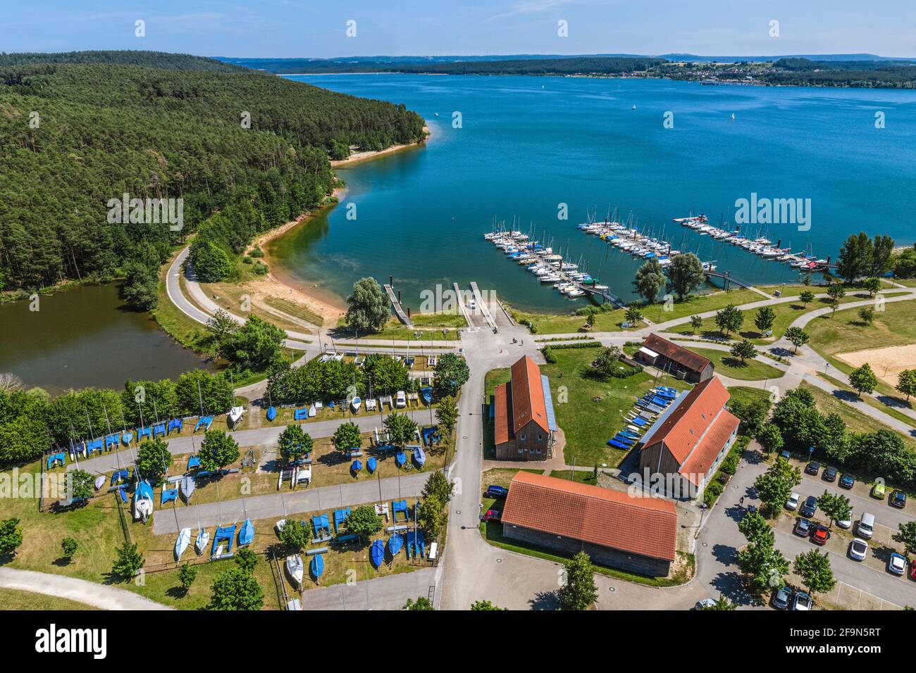 Aerial view to lake centre of Enderndorf on Brombachsee Stock Photohttps://www.alamy.com/image-license-details/?v=1https://www.alamy.com/aerial-view-to-lake-centre-of-enderndorf-on-brombachsee-image419046316.html
RF2F9N5RT–Aerial view to lake centre of Enderndorf on Brombachsee
 Einsiedeln, Switzerland, 17th Mar 2024: Bird's-eye view of Einsiedeln Monastery. The municipality of Einsiedeln is a place of pilgrimage. (Photo by An Stock Photohttps://www.alamy.com/image-license-details/?v=1https://www.alamy.com/einsiedeln-switzerland-17th-mar-2024-birds-eye-view-of-einsiedeln-monastery-the-municipality-of-einsiedeln-is-a-place-of-pilgrimage-photo-by-an-image610232799.html
RM2XCPE4F–Einsiedeln, Switzerland, 17th Mar 2024: Bird's-eye view of Einsiedeln Monastery. The municipality of Einsiedeln is a place of pilgrimage. (Photo by An
 Panorama from Hamburg harbour at sunrise Stock Photohttps://www.alamy.com/image-license-details/?v=1https://www.alamy.com/panorama-from-hamburg-harbour-at-sunrise-image503080166.html
RF2M6D7TP–Panorama from Hamburg harbour at sunrise
 Sonnenlicht Stock Photohttps://www.alamy.com/image-license-details/?v=1https://www.alamy.com/sonnenlicht-image401435294.html
RF2E92XPP–Sonnenlicht
 Luftbild des Donaudurchbruch bei Weltenburg im Naturpark Altmühltal Stock Photohttps://www.alamy.com/image-license-details/?v=1https://www.alamy.com/luftbild-des-donaudurchbruch-bei-weltenburg-im-naturpark-altmhltal-image459991151.html
RF2HMABBB–Luftbild des Donaudurchbruch bei Weltenburg im Naturpark Altmühltal
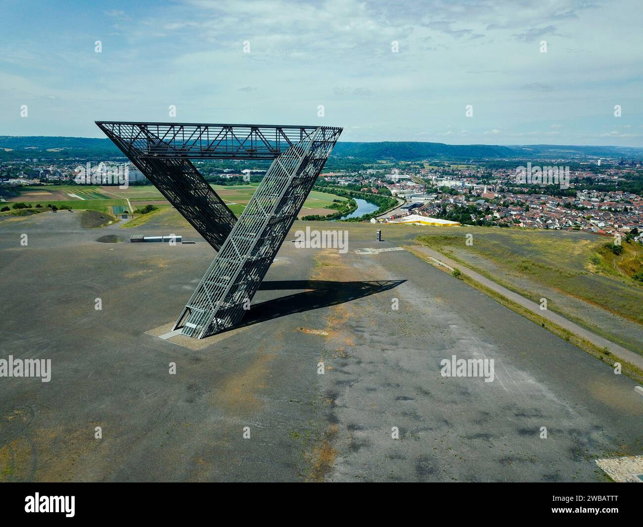 Saarpolygon in Ensdorf, Saarland, mit einer Drohne fotografiert Stock Photohttps://www.alamy.com/image-license-details/?v=1https://www.alamy.com/saarpolygon-in-ensdorf-saarland-mit-einer-drohne-fotografiert-image592152760.html
RF2WBATTT–Saarpolygon in Ensdorf, Saarland, mit einer Drohne fotografiert
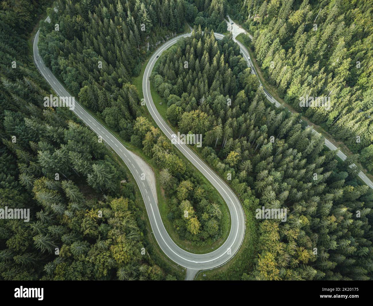 Forest from Above Stock Photohttps://www.alamy.com/image-license-details/?v=1https://www.alamy.com/forest-from-above-image483120601.html
RF2K20175–Forest from Above
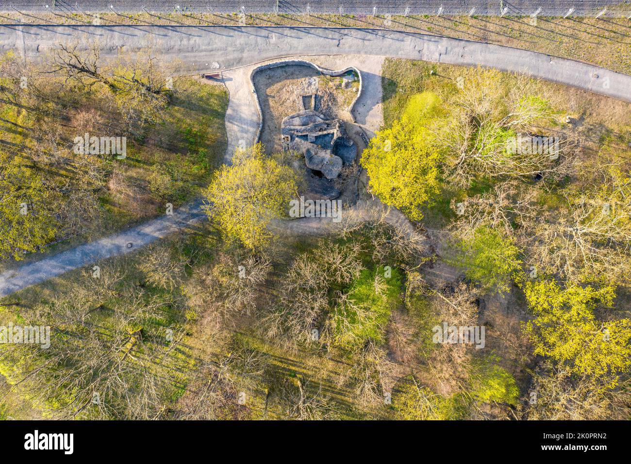 Luftbildaufnahmen Konzentrationslager und Gedenkstätte Buchenwald bei Weimar Stock Photohttps://www.alamy.com/image-license-details/?v=1https://www.alamy.com/luftbildaufnahmen-konzentrationslager-und-gedenksttte-buchenwald-bei-weimar-image482391870.html
RF2K0PRN2–Luftbildaufnahmen Konzentrationslager und Gedenkstätte Buchenwald bei Weimar
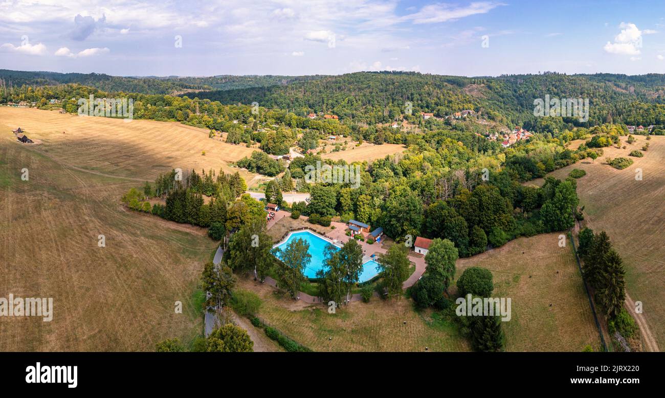 Luftbildaufnahme Altenbrak Bodetal Harz Stock Photohttps://www.alamy.com/image-license-details/?v=1https://www.alamy.com/luftbildaufnahme-altenbrak-bodetal-harz-image479389400.html
RF2JRX220–Luftbildaufnahme Altenbrak Bodetal Harz
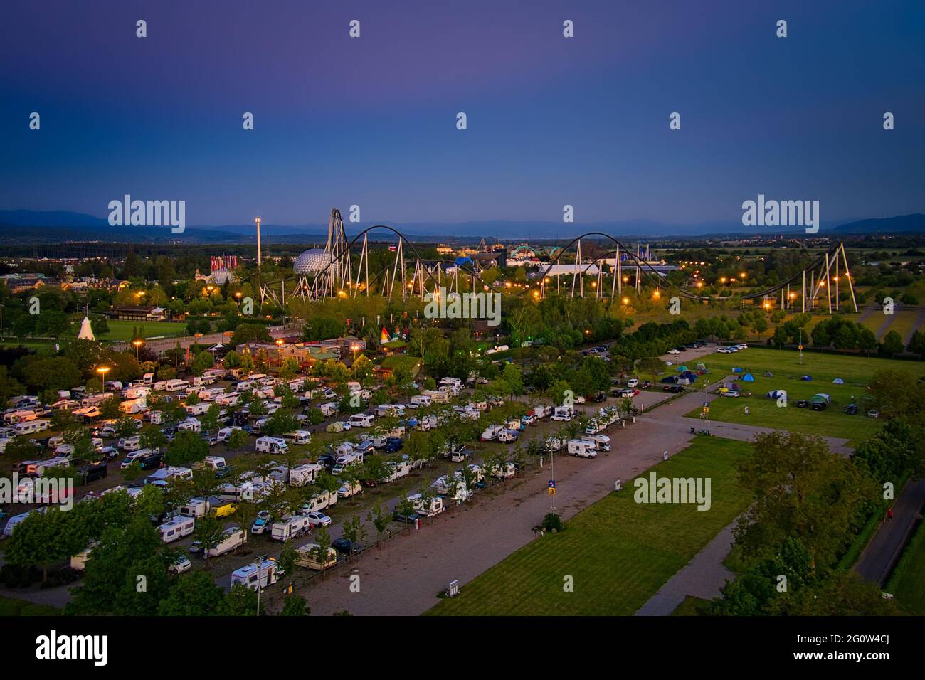 Europa-Park Rust Germany Sunset Aerial Photography Stock Photohttps://www.alamy.com/image-license-details/?v=1https://www.alamy.com/europa-park-rust-germany-sunset-aerial-photography-image430811490.html
RF2G0W4CJ–Europa-Park Rust Germany Sunset Aerial Photography
 Drone Photo of Greek Coast, Beach, Sea, in Sithonia, Chalkidiki, Greece, Stock Photohttps://www.alamy.com/image-license-details/?v=1https://www.alamy.com/drone-photo-of-greek-coast-beach-sea-in-sithonia-chalkidiki-greece-image566260520.html
RF2RW7B20–Drone Photo of Greek Coast, Beach, Sea, in Sithonia, Chalkidiki, Greece,
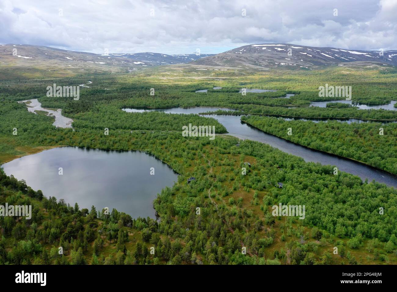 Wald, Nadelwald, Taiga, Kiedernwald im Stabbursdalen-Nationalpark mit Gewässern, Seen, Bächen, Flüssen, Stabbursdalen National Park, Nord-Norwegen, Fi Stock Photohttps://www.alamy.com/image-license-details/?v=1https://www.alamy.com/wald-nadelwald-taiga-kiedernwald-im-stabbursdalen-nationalpark-mit-gewssern-seen-bchen-flssen-stabbursdalen-national-park-nord-norwegen-fi-image543450508.html
RM2PG48JM–Wald, Nadelwald, Taiga, Kiedernwald im Stabbursdalen-Nationalpark mit Gewässern, Seen, Bächen, Flüssen, Stabbursdalen National Park, Nord-Norwegen, Fi
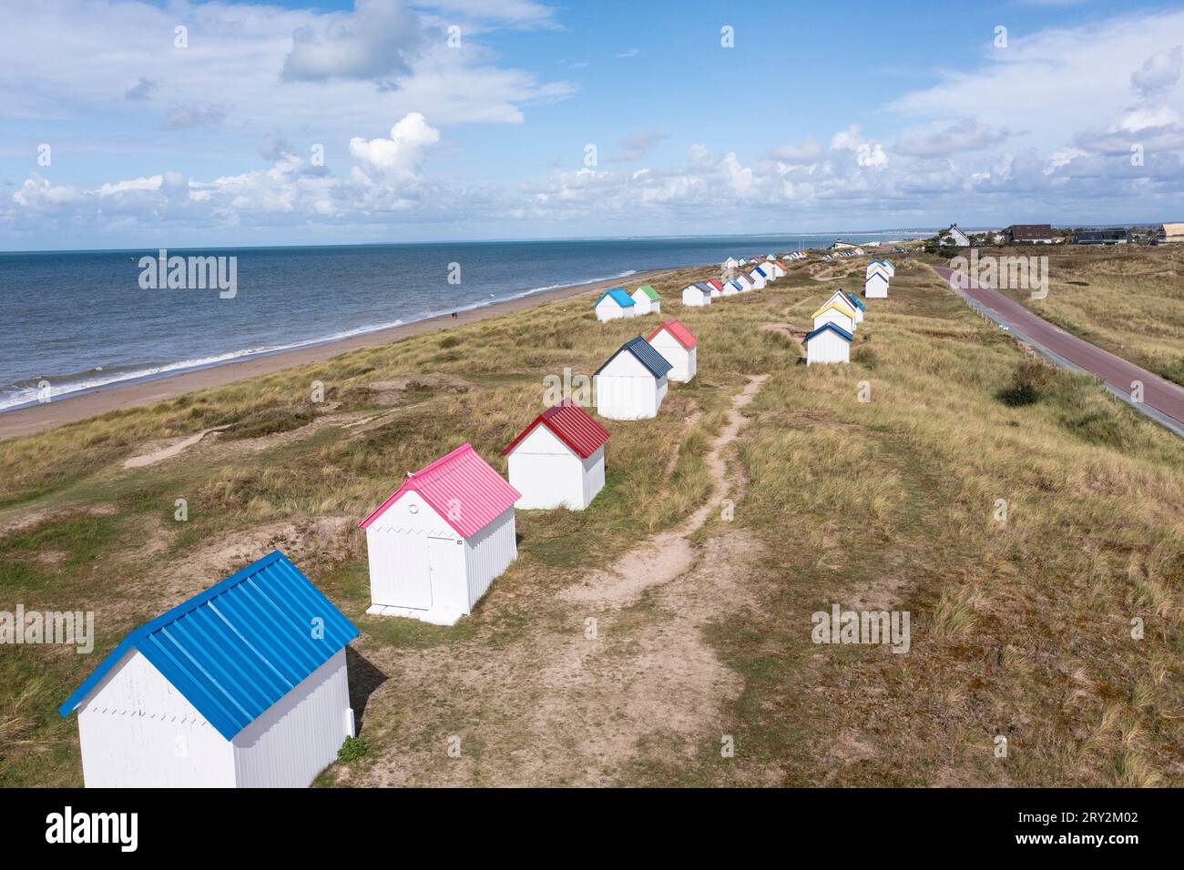 unte Strandhäuser in den Dünen bei Gouville-sur-Mer in der Normandie in Frankreich mit der Drohne Stock Photohttps://www.alamy.com/image-license-details/?v=1https://www.alamy.com/unte-strandhuser-in-den-dnen-bei-gouville-sur-mer-in-der-normandie-in-frankreich-mit-der-drohne-image567387074.html
RM2RY2M02–unte Strandhäuser in den Dünen bei Gouville-sur-Mer in der Normandie in Frankreich mit der Drohne
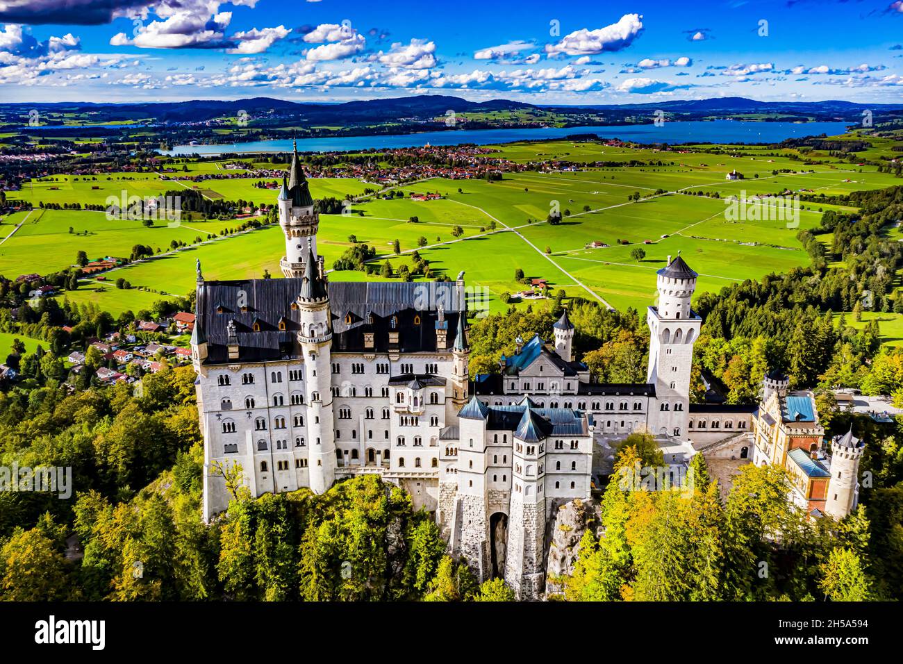 Schloss Neuschwanstein aus der Luft | Aerial Photos of Castle Neuschwanstein Stock Photohttps://www.alamy.com/image-license-details/?v=1https://www.alamy.com/schloss-neuschwanstein-aus-der-luft-aerial-photos-of-castle-neuschwanstein-image450766544.html
RF2H5A594–Schloss Neuschwanstein aus der Luft | Aerial Photos of Castle Neuschwanstein
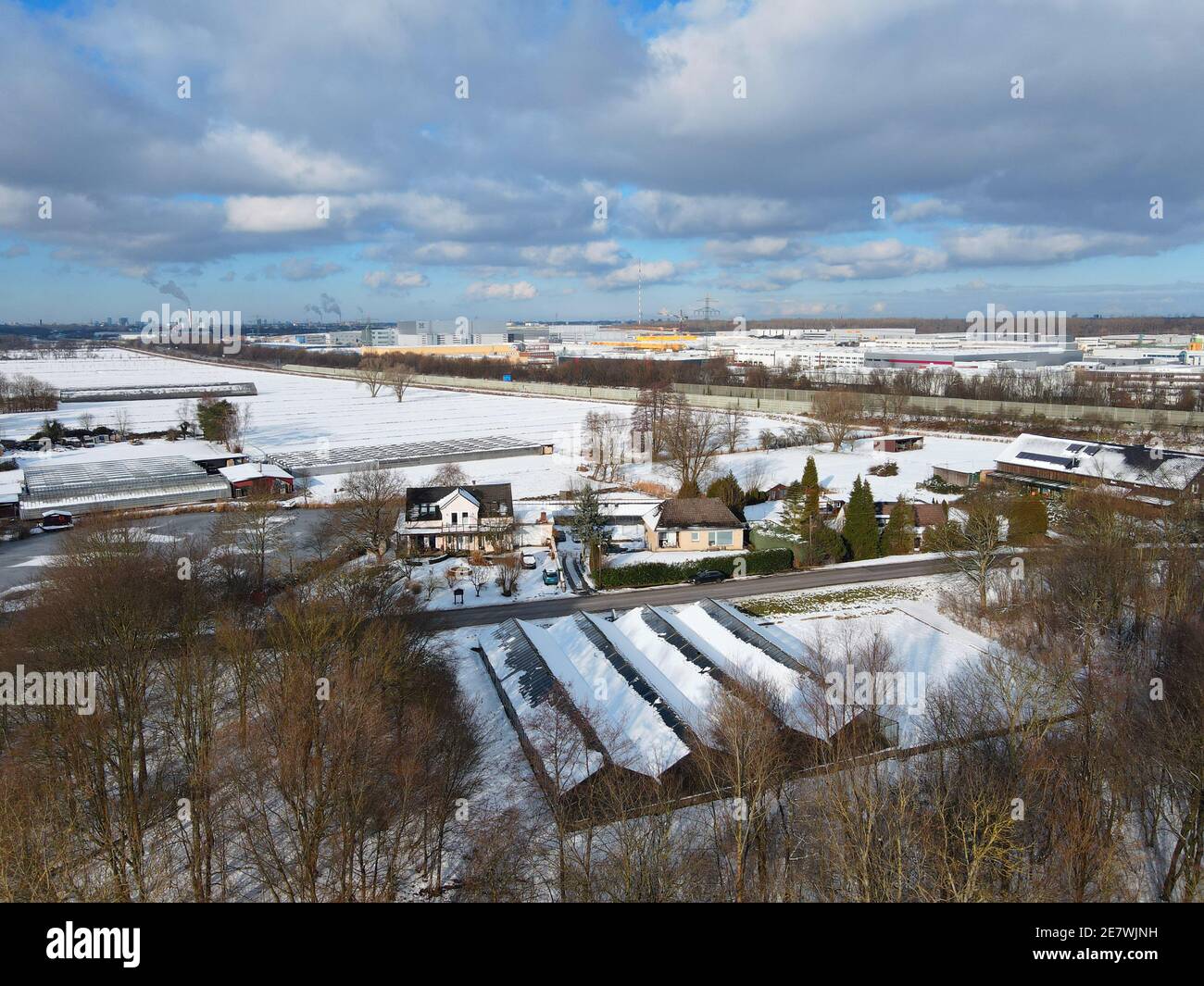 Moorfleet, Hamburg, Deutschland Stock Photohttps://www.alamy.com/image-license-details/?v=1https://www.alamy.com/moorfleet-hamburg-deutschland-image400704573.html
RM2E7WJNH–Moorfleet, Hamburg, Deutschland
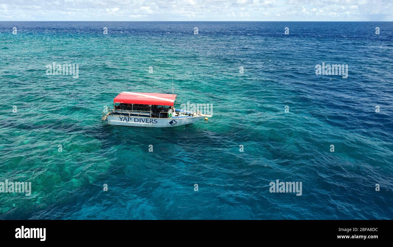 Tauchschiff am Außenriff von Korallenriff, Insel Yap, Yap Island, Südsee, Pazifik, Ozeanien Stock Photohttps://www.alamy.com/image-license-details/?v=1https://www.alamy.com/tauchschiff-am-auenriff-von-korallenriff-insel-yap-yap-island-sdsee-pazifik-ozeanien-image353653368.html
RM2BFA8DC–Tauchschiff am Außenriff von Korallenriff, Insel Yap, Yap Island, Südsee, Pazifik, Ozeanien
 Bockwindmühle in Pudagla, Insel Usedom, Mecklenburg-Vorpommern, Ostsee, Deutschland, Europa, Bockwindmühle in Pudagla, Überflugverbot, Drohnen, Insel Usedom, Mecklenburg-Vorpommern, Ostsee, Deutschland, Europa, *** Bockwindmühle in Pudagla, Insel Usedom, Mecklenburg Vorpommern, Ostsee, Deutschland, Europa, Bockwindmühle in Pudagla, Überflugverbot, Drohnen, Insel Usedom, Mecklenburg Vorpommern, Ostsee, Deutschland, Europa, Stock Photohttps://www.alamy.com/image-license-details/?v=1https://www.alamy.com/bockwindmhle-in-pudagla-insel-usedom-mecklenburg-vorpommern-ostsee-deutschland-europa-bockwindmhle-in-pudagla-berflugverbot-drohnen-insel-usedom-mecklenburg-vorpommern-ostsee-deutschland-europa-bockwindmhle-in-pudagla-insel-usedom-mecklenburg-vorpommern-ostsee-deutschland-europa-bockwindmhle-in-pudagla-berflugverbot-drohnen-insel-usedom-mecklenburg-vorpommern-ostsee-deutschland-europa-image627192794.html
RM2YCB2PJ–Bockwindmühle in Pudagla, Insel Usedom, Mecklenburg-Vorpommern, Ostsee, Deutschland, Europa, Bockwindmühle in Pudagla, Überflugverbot, Drohnen, Insel Usedom, Mecklenburg-Vorpommern, Ostsee, Deutschland, Europa, *** Bockwindmühle in Pudagla, Insel Usedom, Mecklenburg Vorpommern, Ostsee, Deutschland, Europa, Bockwindmühle in Pudagla, Überflugverbot, Drohnen, Insel Usedom, Mecklenburg Vorpommern, Ostsee, Deutschland, Europa,
 Autumn forest from above, drone photo, Germany, Schleswig-Holstein Stock Photohttps://www.alamy.com/image-license-details/?v=1https://www.alamy.com/autumn-forest-from-above-drone-photo-germany-schleswig-holstein-image601057719.html
RM2WWTF73–Autumn forest from above, drone photo, Germany, Schleswig-Holstein
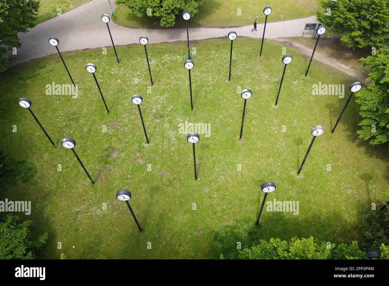 Installation 'Zeitfeld' by the artist Klaus Rinke at the entrance to the Volksgarten in the south of Düsseldorf. Stock Photohttps://www.alamy.com/image-license-details/?v=1https://www.alamy.com/installation-zeitfeld-by-the-artist-klaus-rinke-at-the-entrance-to-the-volksgarten-in-the-south-of-dsseldorf-image426654500.html
RM2FP3P4M–Installation 'Zeitfeld' by the artist Klaus Rinke at the entrance to the Volksgarten in the south of Düsseldorf.
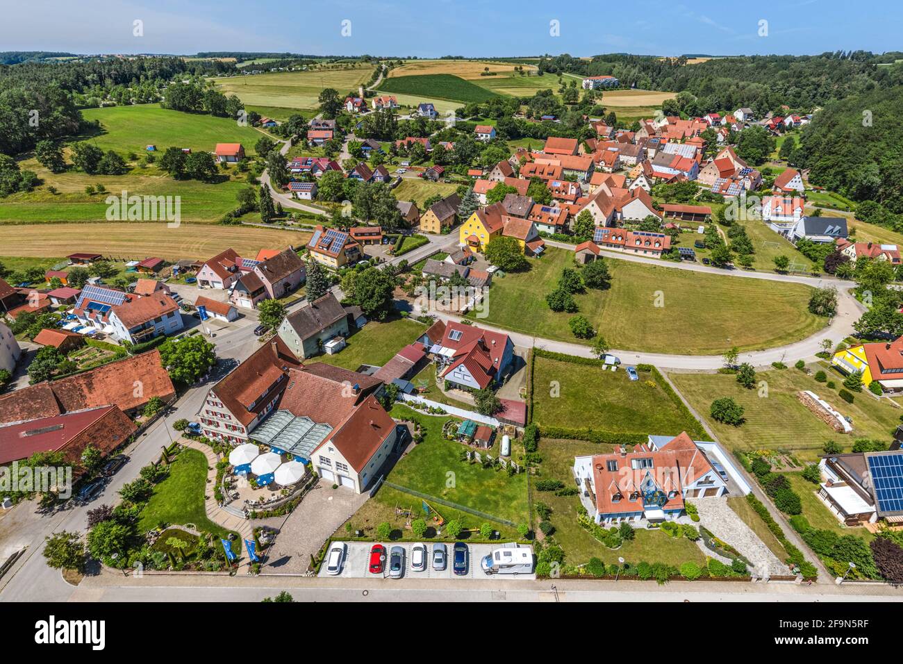 Aerial view to lake centre of Enderndorf on Brombachsee Stock Photohttps://www.alamy.com/image-license-details/?v=1https://www.alamy.com/aerial-view-to-lake-centre-of-enderndorf-on-brombachsee-image419046307.html
RF2F9N5RF–Aerial view to lake centre of Enderndorf on Brombachsee
 Zurich, Switzerland, 19th Oct 2024: Bird's-eye view of the main building of ETH Zurich (Swiss Federal Institute of Technology Zurich). (Photo by Andre Stock Photohttps://www.alamy.com/image-license-details/?v=1https://www.alamy.com/zurich-switzerland-19th-oct-2024-birds-eye-view-of-the-main-building-of-eth-zurich-swiss-federal-institute-of-technology-zurich-photo-by-andre-image634787107.html
RM2YTN1C3–Zurich, Switzerland, 19th Oct 2024: Bird's-eye view of the main building of ETH Zurich (Swiss Federal Institute of Technology Zurich). (Photo by Andre
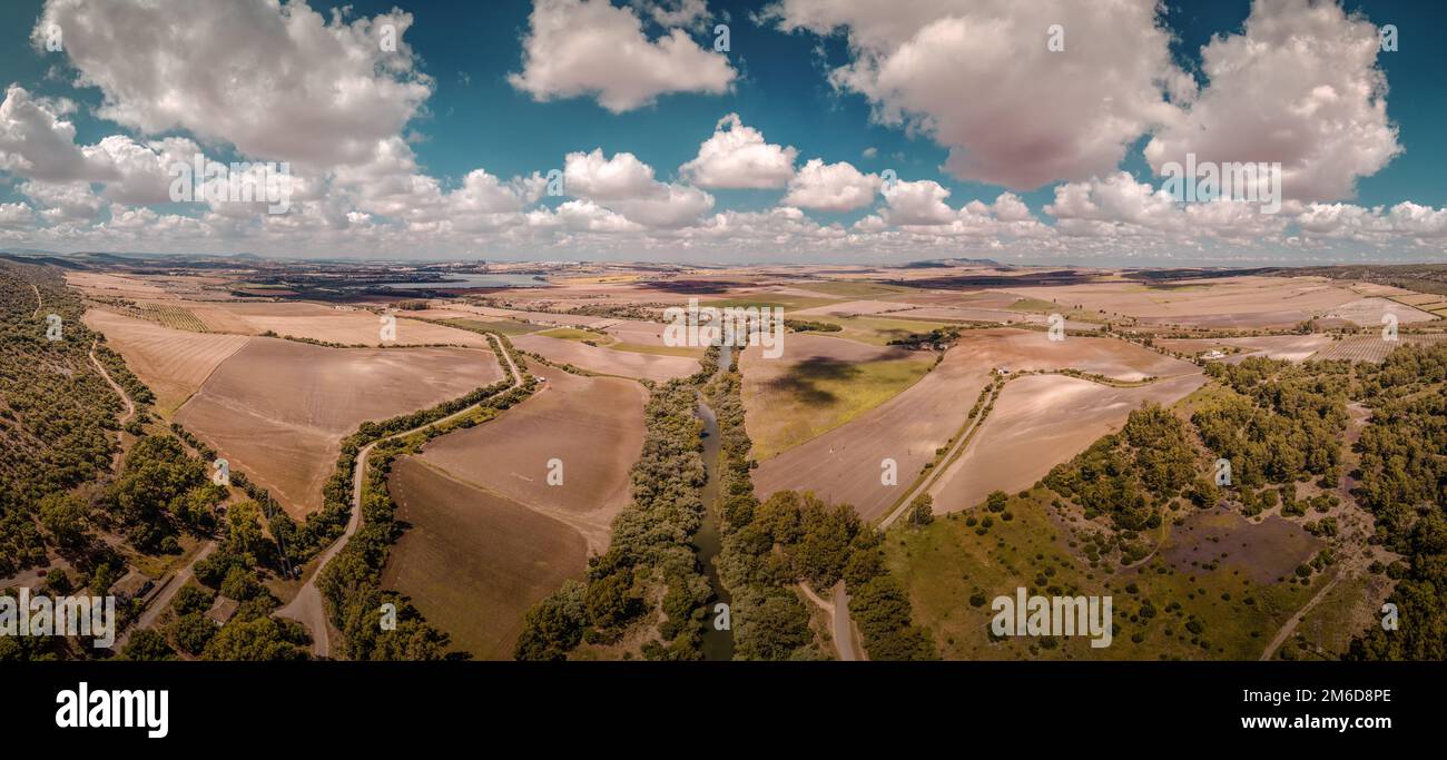 Aerial view of a landscape in Spain / Andalusia with nice weather Stock Photohttps://www.alamy.com/image-license-details/?v=1https://www.alamy.com/aerial-view-of-a-landscape-in-spain-andalusia-with-nice-weather-image503080886.html
RF2M6D8PE–Aerial view of a landscape in Spain / Andalusia with nice weather
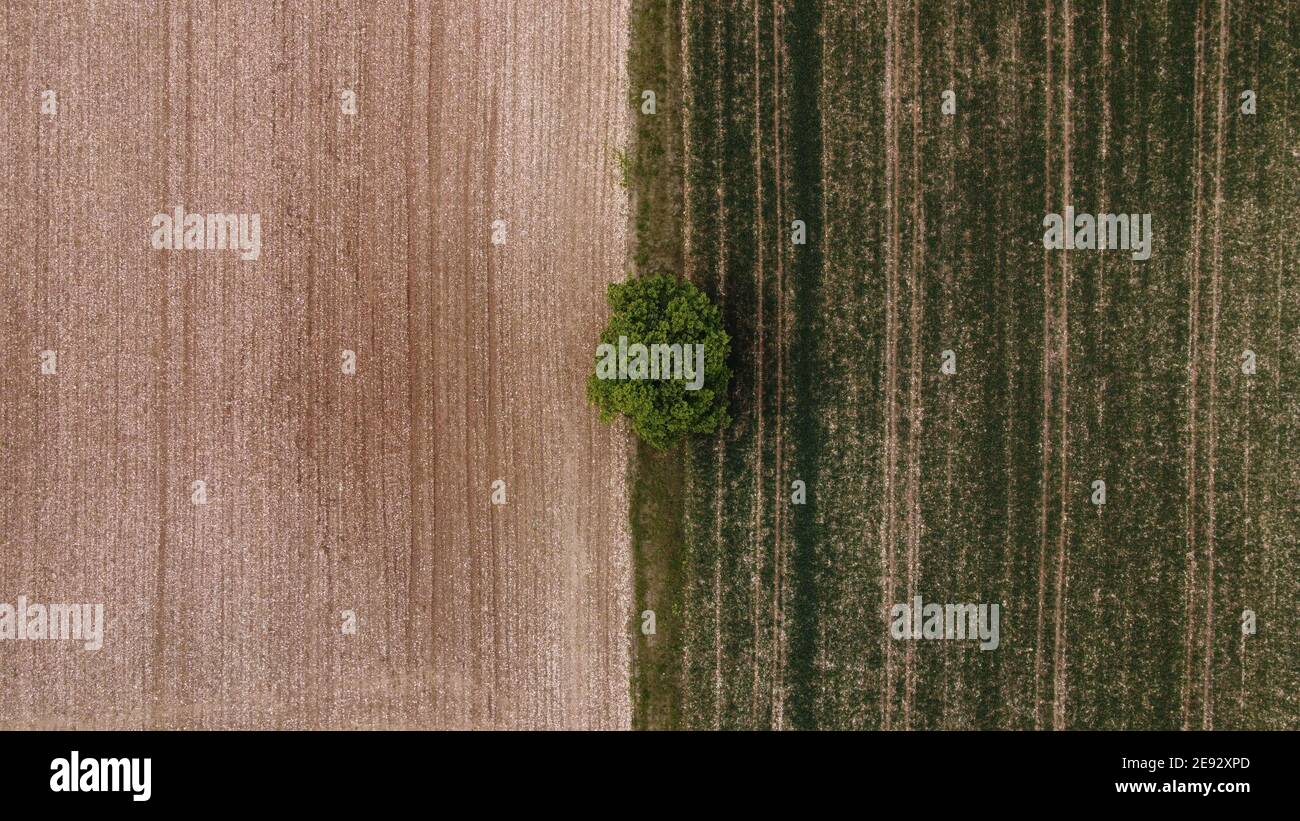 Baum Stock Photohttps://www.alamy.com/image-license-details/?v=1https://www.alamy.com/baum-image401435285.html
RF2E92XPD–Baum
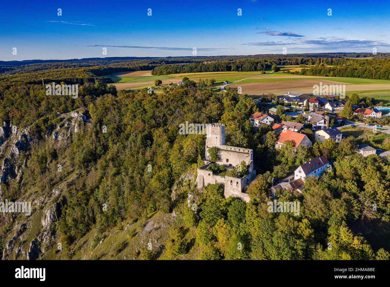 Luftbild von Randeck im Naturpark Altmühltal mit Burg, Ritterschänke und Dorf im Sommer Stock Photohttps://www.alamy.com/image-license-details/?v=1https://www.alamy.com/luftbild-von-randeck-im-naturpark-altmhltal-mit-burg-ritterschnke-und-dorf-im-sommer-image459991154.html
RF2HMABBE–Luftbild von Randeck im Naturpark Altmühltal mit Burg, Ritterschänke und Dorf im Sommer
 Saarpolygon in Ensdorf, Saarland, mit einer Drohne fotografiert Stock Photohttps://www.alamy.com/image-license-details/?v=1https://www.alamy.com/saarpolygon-in-ensdorf-saarland-mit-einer-drohne-fotografiert-image592152728.html
RF2WBATRM–Saarpolygon in Ensdorf, Saarland, mit einer Drohne fotografiert
 view into the swiss alps Stock Photohttps://www.alamy.com/image-license-details/?v=1https://www.alamy.com/view-into-the-swiss-alps-image226705502.html
RFR4R952–view into the swiss alps
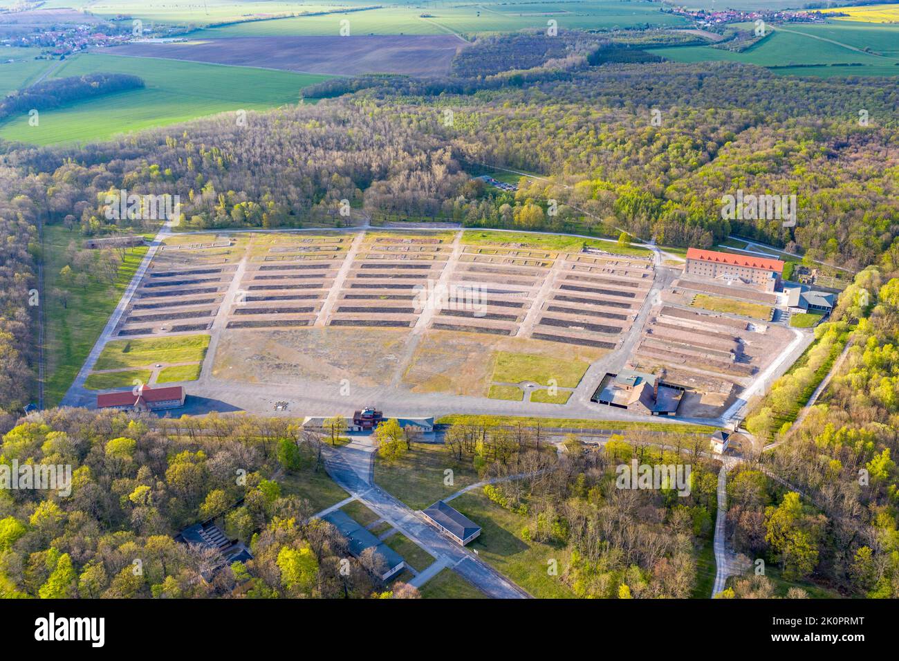 Luftbildaufnahmen Konzentrationslager und Gedenkstätte Buchenwald bei Weimar Stock Photohttps://www.alamy.com/image-license-details/?v=1https://www.alamy.com/luftbildaufnahmen-konzentrationslager-und-gedenksttte-buchenwald-bei-weimar-image482391864.html
RF2K0PRMT–Luftbildaufnahmen Konzentrationslager und Gedenkstätte Buchenwald bei Weimar
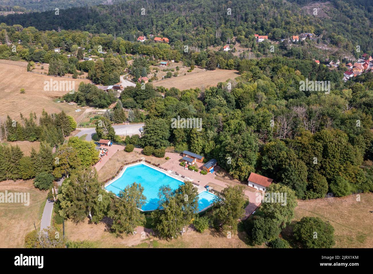 Luftbildaufnahme Altenbrak Bodetal Harz Stock Photohttps://www.alamy.com/image-license-details/?v=1https://www.alamy.com/luftbildaufnahme-altenbrak-bodetal-harz-image479389112.html
RF2JRX1KM–Luftbildaufnahme Altenbrak Bodetal Harz
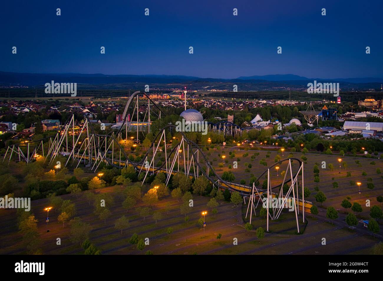 Europa-Park Rust Germany Sunset Aerial Photography Stock Photohttps://www.alamy.com/image-license-details/?v=1https://www.alamy.com/europa-park-rust-germany-sunset-aerial-photography-image430811496.html
RF2G0W4CT–Europa-Park Rust Germany Sunset Aerial Photography
 Drone Photo of Greek Coast, Beach, Sea, in Sithonia, Chalkidiki, Greece, Stock Photohttps://www.alamy.com/image-license-details/?v=1https://www.alamy.com/drone-photo-of-greek-coast-beach-sea-in-sithonia-chalkidiki-greece-image566260543.html
RF2RW7B2R–Drone Photo of Greek Coast, Beach, Sea, in Sithonia, Chalkidiki, Greece,
 Wasserfall, Stromschnelle Pikefossen im Fluss, Fluß Altaelva oder Kautokeinoelva, Finnmark, Nähe Kautokeino, Nord-Norwegen, Norwegen Stock Photohttps://www.alamy.com/image-license-details/?v=1https://www.alamy.com/wasserfall-stromschnelle-pikefossen-im-fluss-flu-altaelva-oder-kautokeinoelva-finnmark-nhe-kautokeino-nord-norwegen-norwegen-image543132284.html
RM2PFHPNG–Wasserfall, Stromschnelle Pikefossen im Fluss, Fluß Altaelva oder Kautokeinoelva, Finnmark, Nähe Kautokeino, Nord-Norwegen, Norwegen
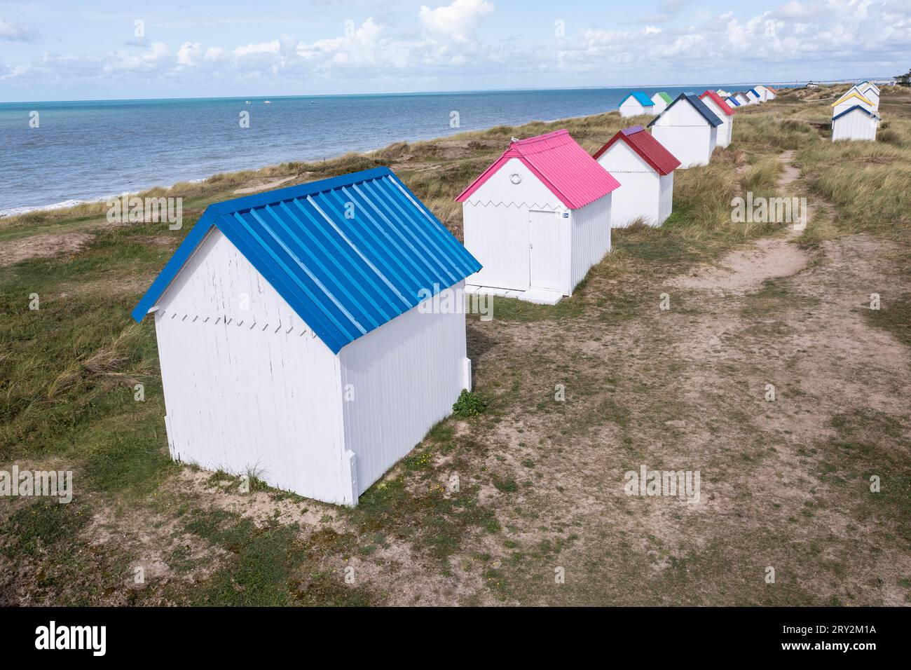 unte Strandhäuser in den Dünen bei Gouville-sur-Mer in der Normandie in Frankreich mit der Drohne Stock Photohttps://www.alamy.com/image-license-details/?v=1https://www.alamy.com/unte-strandhuser-in-den-dnen-bei-gouville-sur-mer-in-der-normandie-in-frankreich-mit-der-drohne-image567387110.html
RM2RY2M1A–unte Strandhäuser in den Dünen bei Gouville-sur-Mer in der Normandie in Frankreich mit der Drohne
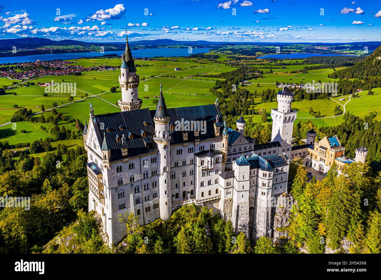 Schloss Neuschwanstein aus der Luft | Aerial Photos of Castle Neuschwanstein Stock Photohttps://www.alamy.com/image-license-details/?v=1https://www.alamy.com/schloss-neuschwanstein-aus-der-luft-aerial-photos-of-castle-neuschwanstein-image450766464.html
RF2H5A568–Schloss Neuschwanstein aus der Luft | Aerial Photos of Castle Neuschwanstein
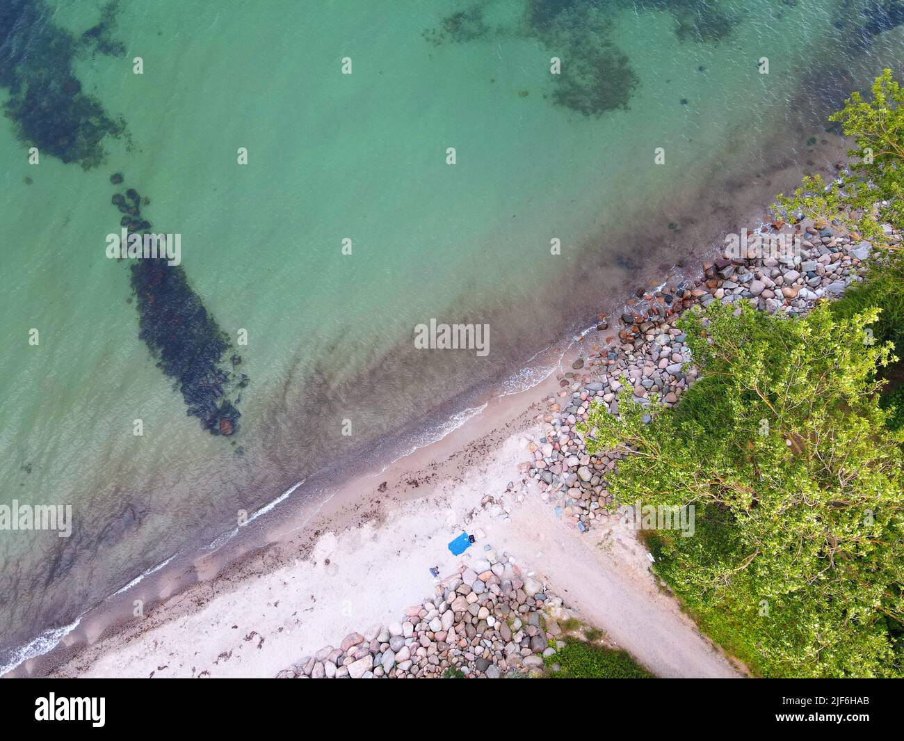 Dahme, Ostsee, Luftaufnahme, Lübecker Bucht, Deutschland Stock Photohttps://www.alamy.com/image-license-details/?v=1https://www.alamy.com/dahme-ostsee-luftaufnahme-lbecker-bucht-deutschland-image474045107.html
RM2JF6HAB–Dahme, Ostsee, Luftaufnahme, Lübecker Bucht, Deutschland
 Haie schwimmen um Tauchboot herum Stock Photohttps://www.alamy.com/image-license-details/?v=1https://www.alamy.com/haie-schwimmen-um-tauchboot-herum-image353793186.html
RM2BFGJPX–Haie schwimmen um Tauchboot herum
 Luftbild, Duisburger Hafen, duisport fish-eye, Duisburg-Nord Hafengebiet mit Ölinsel, Kohleninsel und Schrottinsel, Autobahn A59, Fluss Ruhr und Rhein-Herne-Kanal, links der Fluss Rhein und Fluss Ruhr Mündungsgebiet, unten der Innenhafen, Erdkugel, Fisheye Aufnahme, Fischaugen Aufnahme, 360 Grad Aufnahme, tiny world, little planet, fisheye Bild, Ruhrort, Duisburg, Ruhrgebiet, Nordrhein-Westfalen, Deutschland ACHTUNGxMINDESTHONORARx60xEURO *** Aerial view, Duisburg harbor, duisport fish eye, Duisburg north harbor area with oil island, coal island and scrap island, highway A59, river Ruhr and Rh Stock Photohttps://www.alamy.com/image-license-details/?v=1https://www.alamy.com/luftbild-duisburger-hafen-duisport-fish-eye-duisburg-nord-hafengebiet-mit-linsel-kohleninsel-und-schrottinsel-autobahn-a59-fluss-ruhr-und-rhein-herne-kanal-links-der-fluss-rhein-und-fluss-ruhr-mndungsgebiet-unten-der-innenhafen-erdkugel-fisheye-aufnahme-fischaugen-aufnahme-360-grad-aufnahme-tiny-world-little-planet-fisheye-bild-ruhrort-duisburg-ruhrgebiet-nordrhein-westfalen-deutschland-achtungxmindesthonorarx60xeuro-aerial-view-duisburg-harbor-duisport-fish-eye-duisburg-north-harbor-area-with-oil-island-coal-island-and-scrap-island-highway-a59-river-ruhr-and-rh-image614162756.html
RM2XK5ET4–Luftbild, Duisburger Hafen, duisport fish-eye, Duisburg-Nord Hafengebiet mit Ölinsel, Kohleninsel und Schrottinsel, Autobahn A59, Fluss Ruhr und Rhein-Herne-Kanal, links der Fluss Rhein und Fluss Ruhr Mündungsgebiet, unten der Innenhafen, Erdkugel, Fisheye Aufnahme, Fischaugen Aufnahme, 360 Grad Aufnahme, tiny world, little planet, fisheye Bild, Ruhrort, Duisburg, Ruhrgebiet, Nordrhein-Westfalen, Deutschland ACHTUNGxMINDESTHONORARx60xEURO *** Aerial view, Duisburg harbor, duisport fish eye, Duisburg north harbor area with oil island, coal island and scrap island, highway A59, river Ruhr and Rh
 Autumn forest from above, drone photo, Germany, Schleswig-Holstein Stock Photohttps://www.alamy.com/image-license-details/?v=1https://www.alamy.com/autumn-forest-from-above-drone-photo-germany-schleswig-holstein-image601058062.html
RM2WWTFKA–Autumn forest from above, drone photo, Germany, Schleswig-Holstein
 Installation 'Zeitfeld' by the artist Klaus Rinke at the entrance to the Volksgarten in the south of Düsseldorf. Stock Photohttps://www.alamy.com/image-license-details/?v=1https://www.alamy.com/installation-zeitfeld-by-the-artist-klaus-rinke-at-the-entrance-to-the-volksgarten-in-the-south-of-dsseldorf-image426653922.html
RM2FP3NC2–Installation 'Zeitfeld' by the artist Klaus Rinke at the entrance to the Volksgarten in the south of Düsseldorf.
 Aerial view to lake centre of Enderndorf on Brombachsee Stock Photohttps://www.alamy.com/image-license-details/?v=1https://www.alamy.com/aerial-view-to-lake-centre-of-enderndorf-on-brombachsee-image419046314.html
RF2F9N5RP–Aerial view to lake centre of Enderndorf on Brombachsee
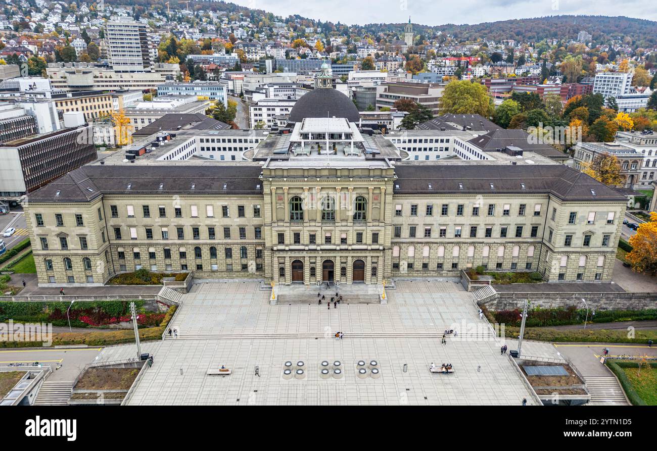 Zurich, Switzerland, 19th Oct 2024: Bird's-eye view of the main building of ETH Zurich (Swiss Federal Institute of Technology Zurich). (Photo by Andre Stock Photohttps://www.alamy.com/image-license-details/?v=1https://www.alamy.com/zurich-switzerland-19th-oct-2024-birds-eye-view-of-the-main-building-of-eth-zurich-swiss-federal-institute-of-technology-zurich-photo-by-andre-image634787137.html
RM2YTN1D5–Zurich, Switzerland, 19th Oct 2024: Bird's-eye view of the main building of ETH Zurich (Swiss Federal Institute of Technology Zurich). (Photo by Andre
 Aerial view of a container terminal in the port of Hamburg in sunshine Stock Photohttps://www.alamy.com/image-license-details/?v=1https://www.alamy.com/aerial-view-of-a-container-terminal-in-the-port-of-hamburg-in-sunshine-image503080239.html
RF2M6D7YB–Aerial view of a container terminal in the port of Hamburg in sunshine
 Felder Stock Photohttps://www.alamy.com/image-license-details/?v=1https://www.alamy.com/felder-image401435291.html
RF2E92XPK–Felder
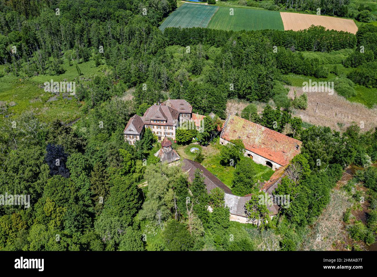 Luftbild Wasserschloß Syburg nähe Nennslingen im Naturpark Altmühltal, Bayern, Deutschland Stock Photohttps://www.alamy.com/image-license-details/?v=1https://www.alamy.com/luftbild-wasserschlo-syburg-nhe-nennslingen-im-naturpark-altmhltal-bayern-deutschland-image459991052.html
RF2HMAB7T–Luftbild Wasserschloß Syburg nähe Nennslingen im Naturpark Altmühltal, Bayern, Deutschland
 Saarpolygon in Ensdorf, Saarland, mit einer Drohne fotografiert Stock Photohttps://www.alamy.com/image-license-details/?v=1https://www.alamy.com/saarpolygon-in-ensdorf-saarland-mit-einer-drohne-fotografiert-image592152770.html
RF2WBATW6–Saarpolygon in Ensdorf, Saarland, mit einer Drohne fotografiert
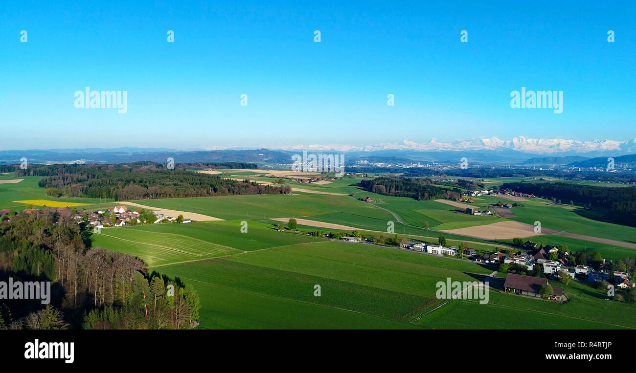 view into the bernese mittelland Stock Photohttps://www.alamy.com/image-license-details/?v=1https://www.alamy.com/view-into-the-bernese-mittelland-image226717646.html
RFR4RTJP–view into the bernese mittelland
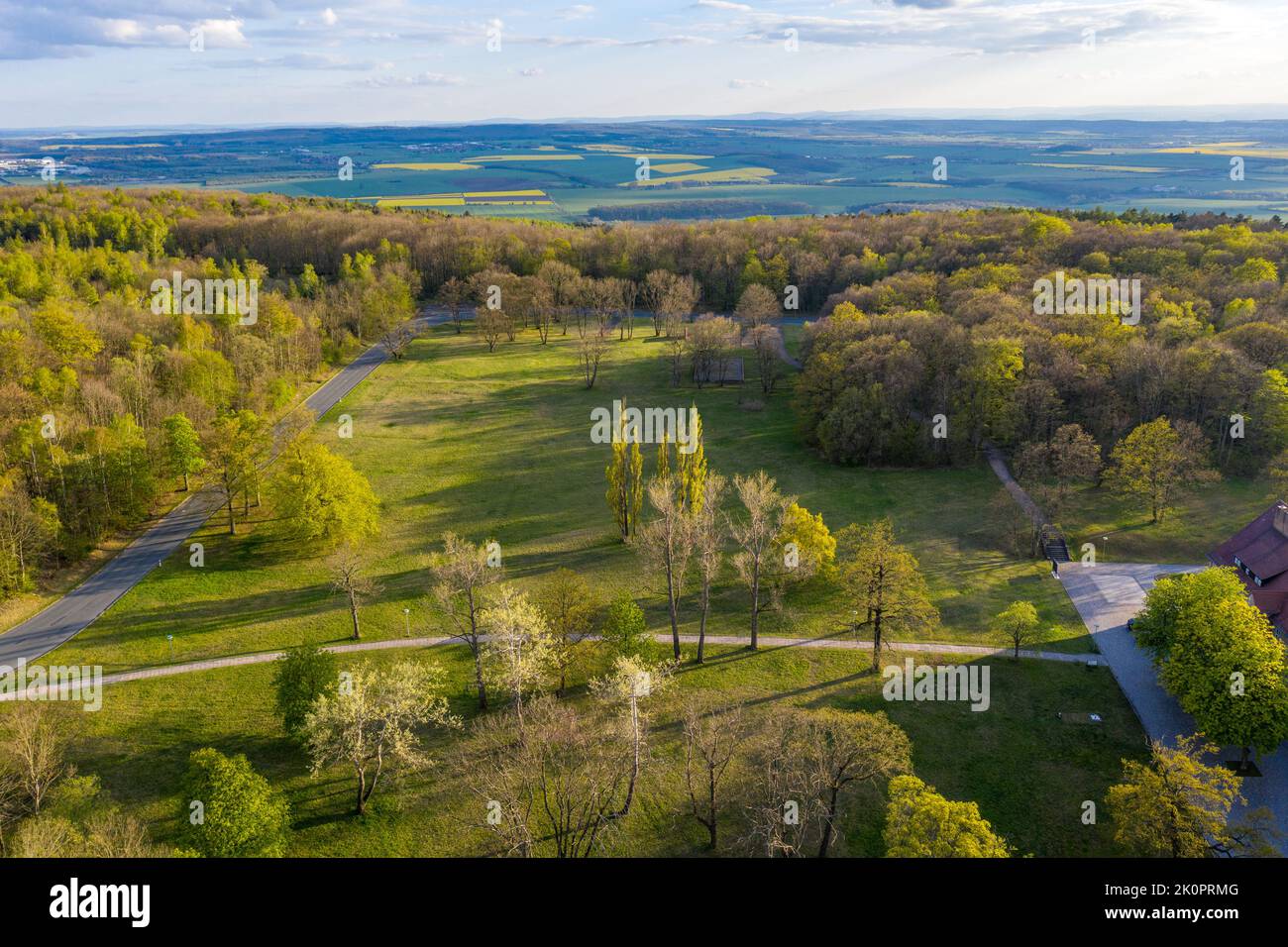 Luftbildaufnahmen Konzentrationslager und Gedenkstätte Buchenwald bei Weimar Stock Photohttps://www.alamy.com/image-license-details/?v=1https://www.alamy.com/luftbildaufnahmen-konzentrationslager-und-gedenksttte-buchenwald-bei-weimar-image482391856.html
RF2K0PRMG–Luftbildaufnahmen Konzentrationslager und Gedenkstätte Buchenwald bei Weimar
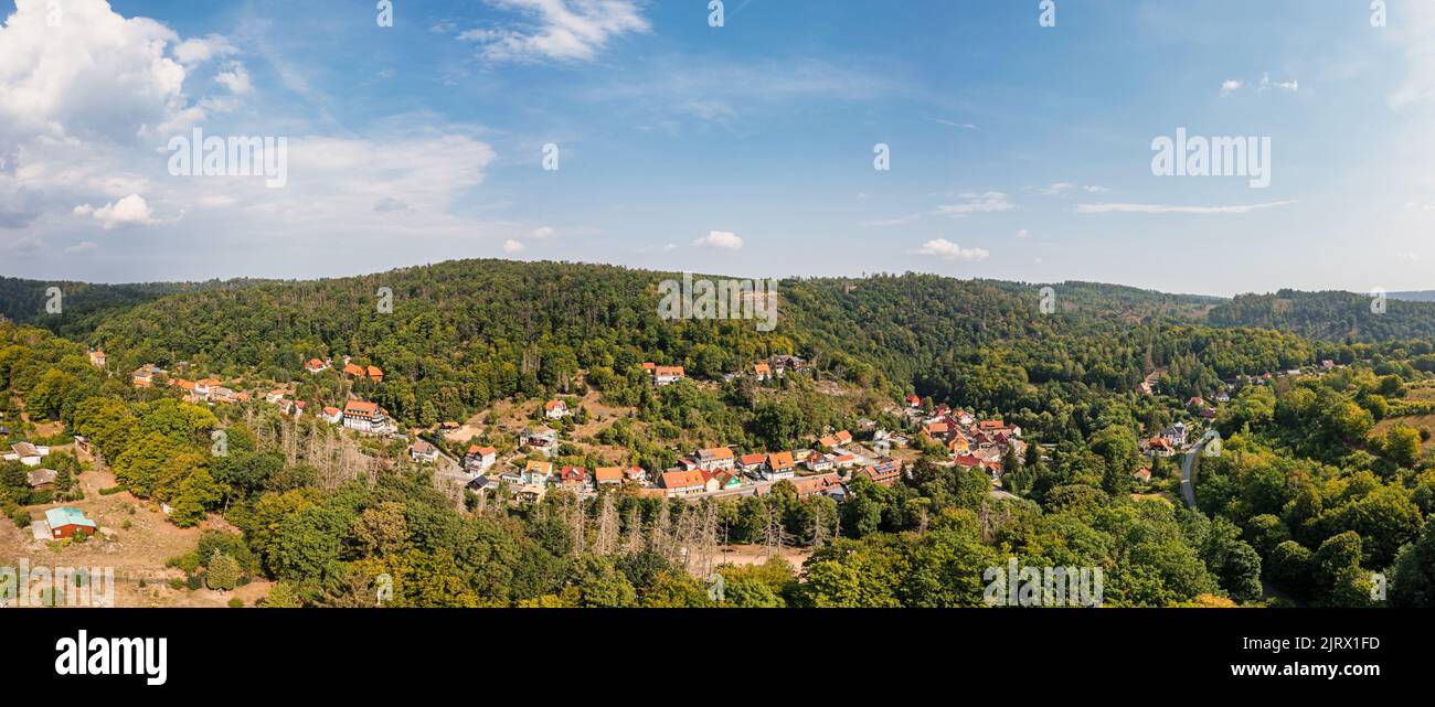 Luftbildaufnahme Altenbrak Bodetal Harz Stock Photohttps://www.alamy.com/image-license-details/?v=1https://www.alamy.com/luftbildaufnahme-altenbrak-bodetal-harz-image479388993.html
RF2JRX1FD–Luftbildaufnahme Altenbrak Bodetal Harz
 Europa-Park Rust Germany Sunset Aerial Photography Stock Photohttps://www.alamy.com/image-license-details/?v=1https://www.alamy.com/europa-park-rust-germany-sunset-aerial-photography-image430811429.html
RF2G0W4AD–Europa-Park Rust Germany Sunset Aerial Photography
 Drone Photo of Greek Coast, Beach, Sea, in Sithonia, Chalkidiki, Greece, Stock Photohttps://www.alamy.com/image-license-details/?v=1https://www.alamy.com/drone-photo-of-greek-coast-beach-sea-in-sithonia-chalkidiki-greece-image566260540.html
RF2RW7B2M–Drone Photo of Greek Coast, Beach, Sea, in Sithonia, Chalkidiki, Greece,
 Wasserfall, Stromschnelle Pikefossen im Fluss, Fluß Altaelva oder Kautokeinoelva, Finnmark, Nähe Kautokeino, Nord-Norwegen, Norwegen Stock Photohttps://www.alamy.com/image-license-details/?v=1https://www.alamy.com/wasserfall-stromschnelle-pikefossen-im-fluss-flu-altaelva-oder-kautokeinoelva-finnmark-nhe-kautokeino-nord-norwegen-norwegen-image543132302.html
RM2PFHPP6–Wasserfall, Stromschnelle Pikefossen im Fluss, Fluß Altaelva oder Kautokeinoelva, Finnmark, Nähe Kautokeino, Nord-Norwegen, Norwegen
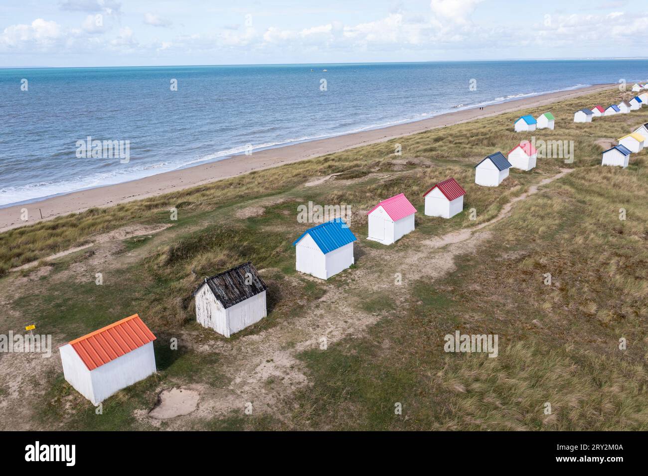 unte Strandhäuser in den Dünen bei Gouville-sur-Mer in der Normandie in Frankreich mit der Drohne Stock Photohttps://www.alamy.com/image-license-details/?v=1https://www.alamy.com/unte-strandhuser-in-den-dnen-bei-gouville-sur-mer-in-der-normandie-in-frankreich-mit-der-drohne-image567387082.html
RM2RY2M0A–unte Strandhäuser in den Dünen bei Gouville-sur-Mer in der Normandie in Frankreich mit der Drohne
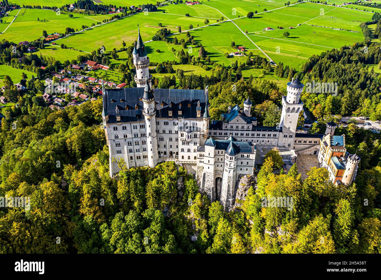 Schloss Neuschwanstein aus der Luft | Aerial Photos of Castle Neuschwanstein Stock Photohttps://www.alamy.com/image-license-details/?v=1https://www.alamy.com/schloss-neuschwanstein-aus-der-luft-aerial-photos-of-castle-neuschwanstein-image450766536.html
RF2H5A58T–Schloss Neuschwanstein aus der Luft | Aerial Photos of Castle Neuschwanstein
 Fernbedienung der DJI Mavic Air 2, Hamburg Stock Photohttps://www.alamy.com/image-license-details/?v=1https://www.alamy.com/fernbedienung-der-dji-mavic-air-2-hamburg-image410129659.html
RM2ER70FR–Fernbedienung der DJI Mavic Air 2, Hamburg
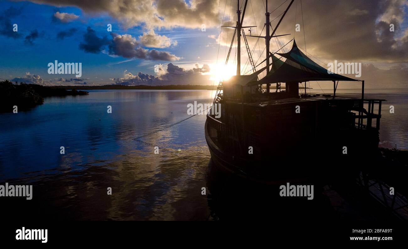 Yap, Mikronesien, Pazifik, Australien Stock Photohttps://www.alamy.com/image-license-details/?v=1https://www.alamy.com/yap-mikronesien-pazifik-australien-image353653268.html
RM2BFA89T–Yap, Mikronesien, Pazifik, Australien
 Luftbild, Ardeywald mit Naherholungsgebiet Hohenstein am Fluss Ruhr, Ruhrviadukt, Erdkugel, Fisheye Aufnahme, Fischaugen Aufnahme, 360 Grad Aufnahme, tiny world, little planet, fisheye Bild, Witten, Ruhrgebiet, Nordrhein-Westfalen, Deutschland ACHTUNGxMINDESTHONORARx60xEURO *** Aerial view, Ardeywald with local recreation area Hohenstein at the river Ruhr, Ruhr viaduct, earth globe, fisheye image, 360 degree image, tiny world, little planet, fisheye image, Witten, Ruhr area, North Rhine-Westphalia, Germany ACHTUNGxMINDESTHONORARx60xEURO Stock Photohttps://www.alamy.com/image-license-details/?v=1https://www.alamy.com/luftbild-ardeywald-mit-naherholungsgebiet-hohenstein-am-fluss-ruhr-ruhrviadukt-erdkugel-fisheye-aufnahme-fischaugen-aufnahme-360-grad-aufnahme-tiny-world-little-planet-fisheye-bild-witten-ruhrgebiet-nordrhein-westfalen-deutschland-achtungxmindesthonorarx60xeuro-aerial-view-ardeywald-with-local-recreation-area-hohenstein-at-the-river-ruhr-ruhr-viaduct-earth-globe-fisheye-image-360-degree-image-tiny-world-little-planet-fisheye-image-witten-ruhr-area-north-rhine-westphalia-germany-achtungxmindesthonorarx60xeuro-image626138483.html
RM2YAK20K–Luftbild, Ardeywald mit Naherholungsgebiet Hohenstein am Fluss Ruhr, Ruhrviadukt, Erdkugel, Fisheye Aufnahme, Fischaugen Aufnahme, 360 Grad Aufnahme, tiny world, little planet, fisheye Bild, Witten, Ruhrgebiet, Nordrhein-Westfalen, Deutschland ACHTUNGxMINDESTHONORARx60xEURO *** Aerial view, Ardeywald with local recreation area Hohenstein at the river Ruhr, Ruhr viaduct, earth globe, fisheye image, 360 degree image, tiny world, little planet, fisheye image, Witten, Ruhr area, North Rhine-Westphalia, Germany ACHTUNGxMINDESTHONORARx60xEURO
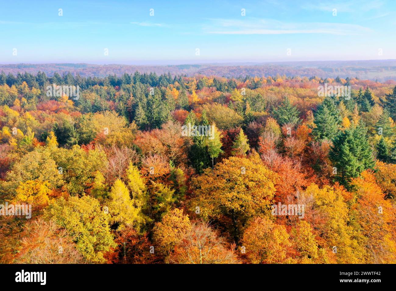 Autumn forest from above, drone photo, Germany, Schleswig-Holstein Stock Photohttps://www.alamy.com/image-license-details/?v=1https://www.alamy.com/autumn-forest-from-above-drone-photo-germany-schleswig-holstein-image601057634.html
RM2WWTF42–Autumn forest from above, drone photo, Germany, Schleswig-Holstein
 Installation 'Zeitfeld' by the artist Klaus Rinke at the entrance to the Volksgarten in the south of Düsseldorf. Stock Photohttps://www.alamy.com/image-license-details/?v=1https://www.alamy.com/installation-zeitfeld-by-the-artist-klaus-rinke-at-the-entrance-to-the-volksgarten-in-the-south-of-dsseldorf-image426659493.html
RM2FP40F1–Installation 'Zeitfeld' by the artist Klaus Rinke at the entrance to the Volksgarten in the south of Düsseldorf.
 Aerial view to lake centre of Enderndorf on Brombachsee Stock Photohttps://www.alamy.com/image-license-details/?v=1https://www.alamy.com/aerial-view-to-lake-centre-of-enderndorf-on-brombachsee-image419046333.html
RF2F9N5TD–Aerial view to lake centre of Enderndorf on Brombachsee
 Zurich, Switzerland, 19th Oct 2024: Bird's-eye view of the main building of ETH Zurich (Swiss Federal Institute of Technology Zurich). (Photo by Andre Stock Photohttps://www.alamy.com/image-license-details/?v=1https://www.alamy.com/zurich-switzerland-19th-oct-2024-birds-eye-view-of-the-main-building-of-eth-zurich-swiss-federal-institute-of-technology-zurich-photo-by-andre-image634787154.html
RM2YTN1DP–Zurich, Switzerland, 19th Oct 2024: Bird's-eye view of the main building of ETH Zurich (Swiss Federal Institute of Technology Zurich). (Photo by Andre
 Panorama from Hamburg harbour promenade in Altona Stock Photohttps://www.alamy.com/image-license-details/?v=1https://www.alamy.com/panorama-from-hamburg-harbour-promenade-in-altona-image503080050.html
RF2M6D7MJ–Panorama from Hamburg harbour promenade in Altona
 Windräder Stock Photohttps://www.alamy.com/image-license-details/?v=1https://www.alamy.com/windrder-image401435287.html
RF2E92XPF–Windräder
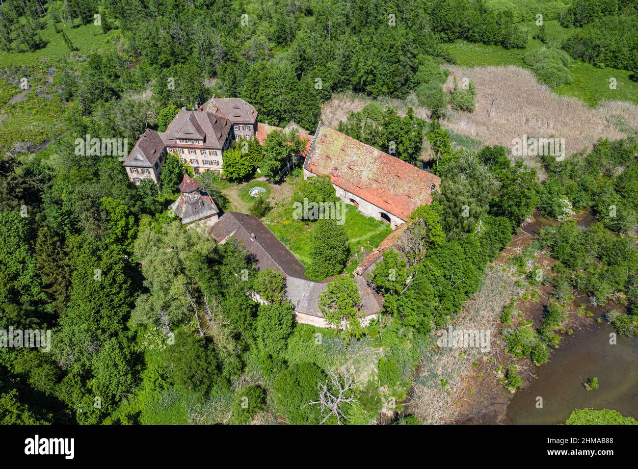 Luftbild Wasserschloß Syburg nähe Nennslingen im Naturpark Altmühltal, Bayern, Deutschland Stock Photohttps://www.alamy.com/image-license-details/?v=1https://www.alamy.com/luftbild-wasserschlo-syburg-nhe-nennslingen-im-naturpark-altmhltal-bayern-deutschland-image459991064.html
RF2HMAB88–Luftbild Wasserschloß Syburg nähe Nennslingen im Naturpark Altmühltal, Bayern, Deutschland
 Saarpolygon in Ensdorf, Saarland, mit einer Drohne fotografiert Stock Photohttps://www.alamy.com/image-license-details/?v=1https://www.alamy.com/saarpolygon-in-ensdorf-saarland-mit-einer-drohne-fotografiert-image592152734.html
RF2WBATRX–Saarpolygon in Ensdorf, Saarland, mit einer Drohne fotografiert
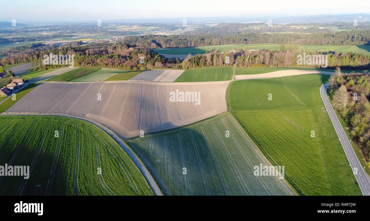 agriculture in zeeland Stock Photohttps://www.alamy.com/image-license-details/?v=1https://www.alamy.com/agriculture-in-zeeland-image226717649.html
RFR4RTJW–agriculture in zeeland
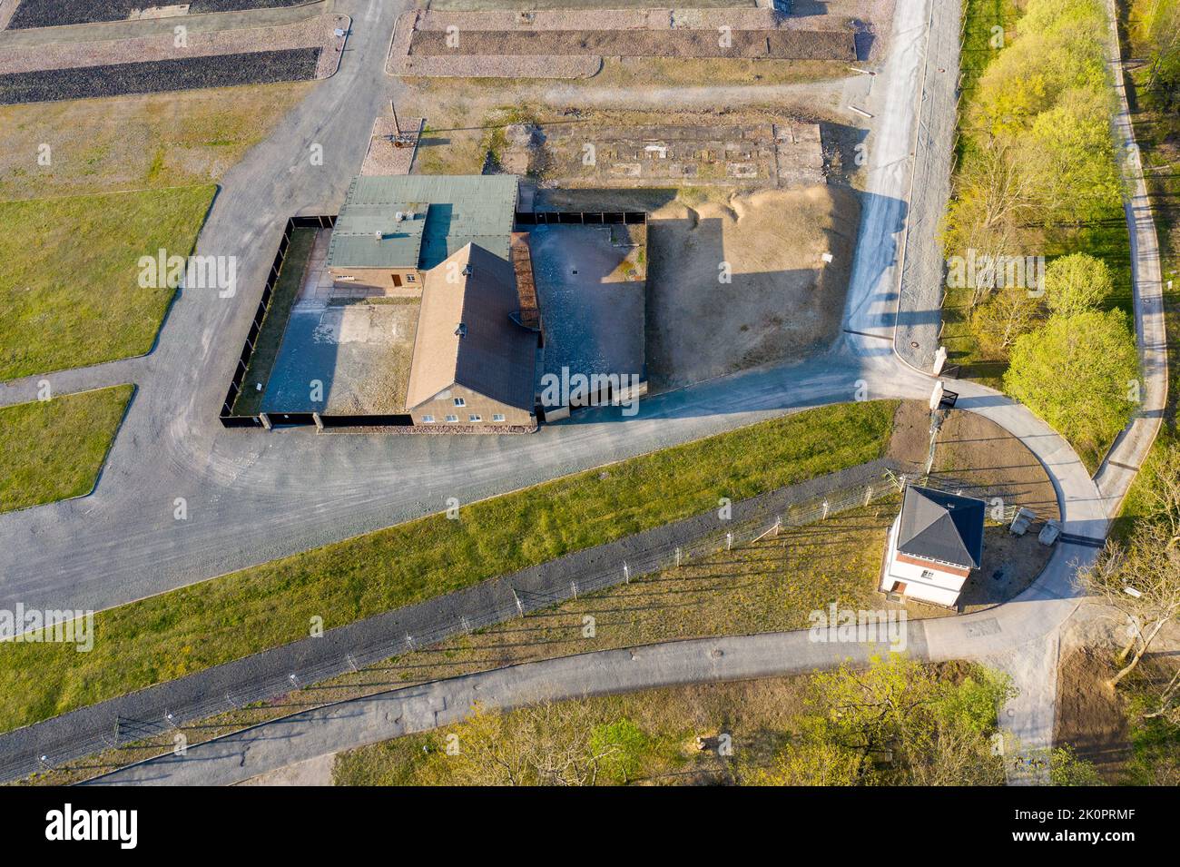 Luftbildaufnahmen Konzentrationslager und Gedenkstätte Buchenwald bei Weimar Stock Photohttps://www.alamy.com/image-license-details/?v=1https://www.alamy.com/luftbildaufnahmen-konzentrationslager-und-gedenksttte-buchenwald-bei-weimar-image482391855.html
RF2K0PRMF–Luftbildaufnahmen Konzentrationslager und Gedenkstätte Buchenwald bei Weimar
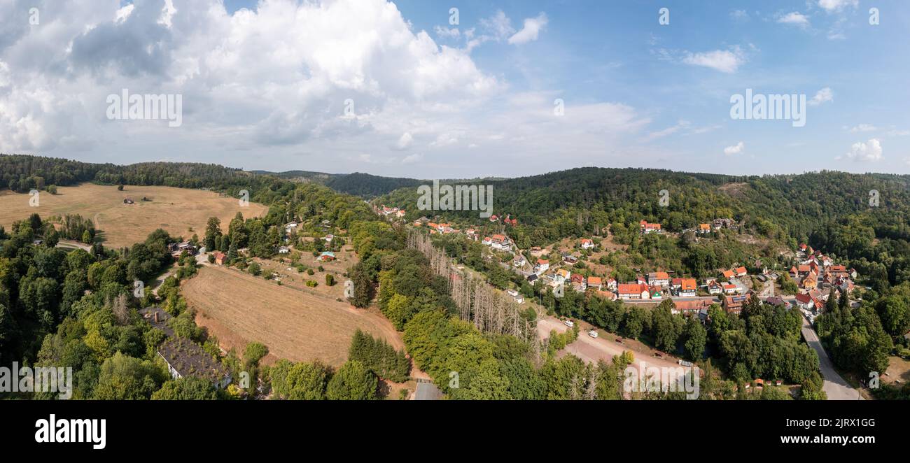 Luftbildaufnahme Altenbrak Bodetal Harz Stock Photohttps://www.alamy.com/image-license-details/?v=1https://www.alamy.com/luftbildaufnahme-altenbrak-bodetal-harz-image479389024.html
RF2JRX1GG–Luftbildaufnahme Altenbrak Bodetal Harz
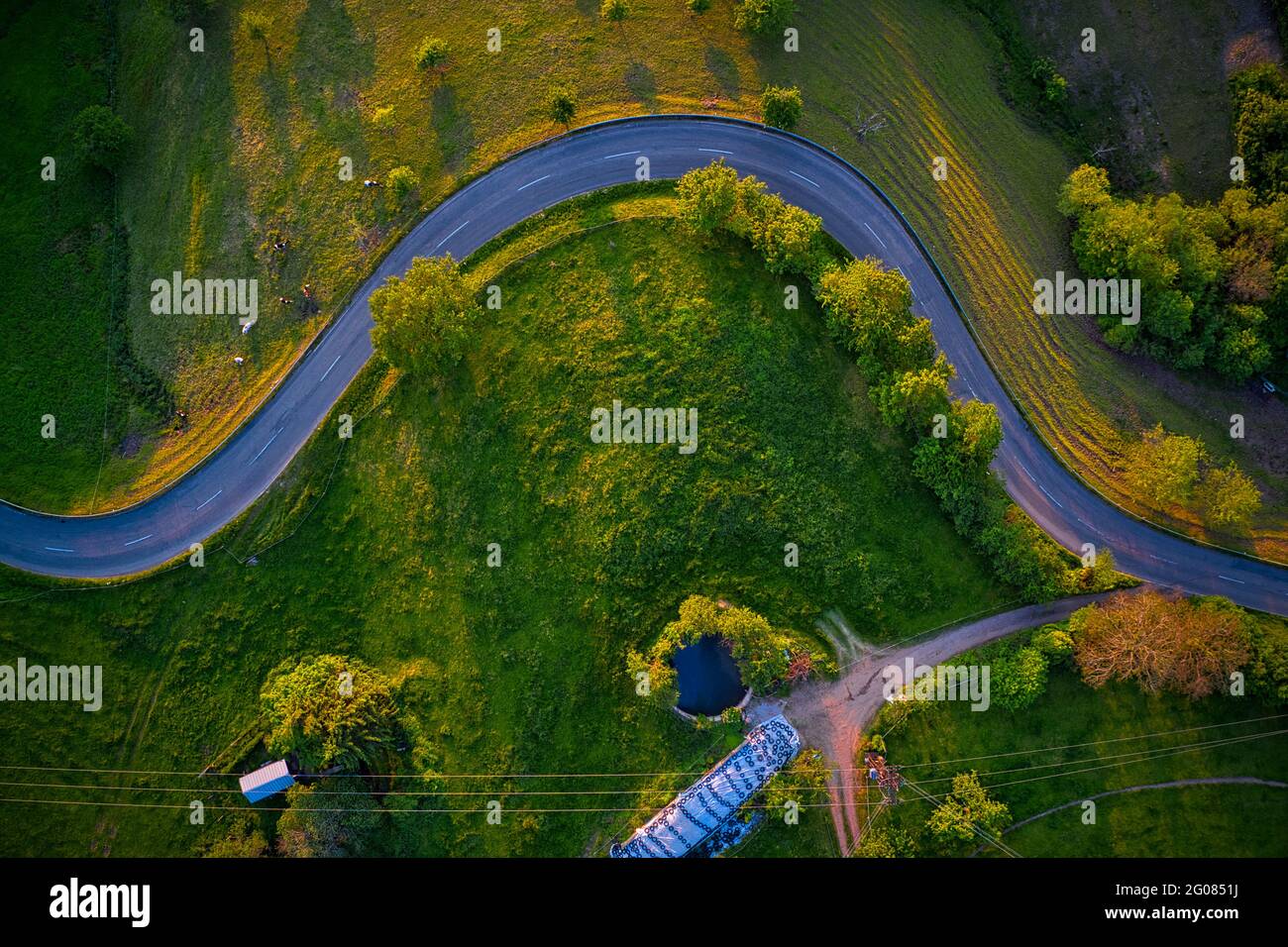 Drone Road Schwarzwald Germany Drohne Stock Photohttps://www.alamy.com/image-license-details/?v=1https://www.alamy.com/drone-road-schwarzwald-germany-drohne-image430438782.html
RF2G0851J–Drone Road Schwarzwald Germany Drohne
 Drone Photo of Greek Coast, Beach, Sea, in Sithonia, Chalkidiki, Greece, Stock Photohttps://www.alamy.com/image-license-details/?v=1https://www.alamy.com/drone-photo-of-greek-coast-beach-sea-in-sithonia-chalkidiki-greece-image566260542.html
RF2RW7B2P–Drone Photo of Greek Coast, Beach, Sea, in Sithonia, Chalkidiki, Greece,
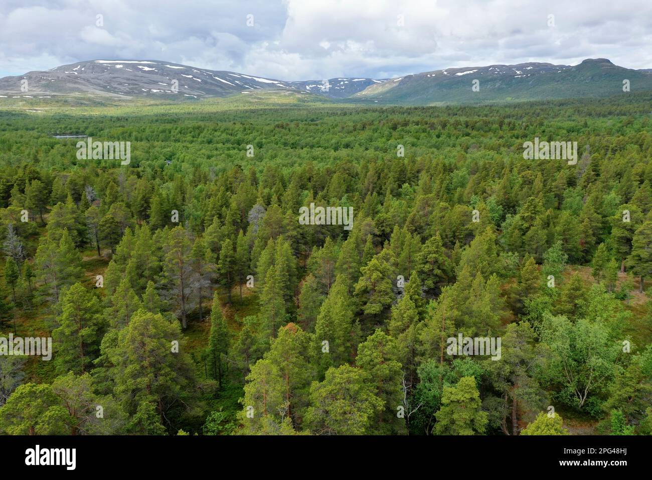 Wald, Nadelwald, Taiga, Kiedernwald im Stabbursdalen-Nationalpark, Stabbursdalen National Park, Nord-Norwegen, Finnmark, Norwegen, Hochfjell, Fjell, w Stock Photohttps://www.alamy.com/image-license-details/?v=1https://www.alamy.com/wald-nadelwald-taiga-kiedernwald-im-stabbursdalen-nationalpark-stabbursdalen-national-park-nord-norwegen-finnmark-norwegen-hochfjell-fjell-w-image543450478.html
RM2PG48HJ–Wald, Nadelwald, Taiga, Kiedernwald im Stabbursdalen-Nationalpark, Stabbursdalen National Park, Nord-Norwegen, Finnmark, Norwegen, Hochfjell, Fjell, w
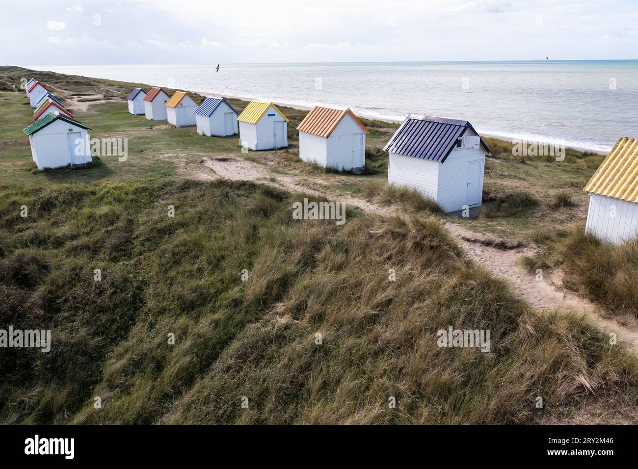 unte Strandhäuser in den Dünen bei Gouville-sur-Mer in der Normandie in Frankreich mit der Drohne Stock Photohttps://www.alamy.com/image-license-details/?v=1https://www.alamy.com/unte-strandhuser-in-den-dnen-bei-gouville-sur-mer-in-der-normandie-in-frankreich-mit-der-drohne-image567387190.html
RM2RY2M46–unte Strandhäuser in den Dünen bei Gouville-sur-Mer in der Normandie in Frankreich mit der Drohne

