Dubois wyoming map Stock Photos and Images
 Dubois Wyoming USA shown on a road map or Geography map Stock Photohttps://www.alamy.com/image-license-details/?v=1https://www.alamy.com/dubois-wyoming-usa-shown-on-a-road-map-or-geography-map-image438045642.html
RM2GCJKK6–Dubois Wyoming USA shown on a road map or Geography map
 Adult male hunters gather around base camp, discussing and looking at a map of the local area. Trucks and tires n the photo. Wearing camouflage Stock Photohttps://www.alamy.com/image-license-details/?v=1https://www.alamy.com/adult-male-hunters-gather-around-base-camp-discussing-and-looking-at-a-map-of-the-local-area-trucks-and-tires-n-the-photo-wearing-camouflage-image220994968.html
RFPRF59C–Adult male hunters gather around base camp, discussing and looking at a map of the local area. Trucks and tires n the photo. Wearing camouflage
 Dubois, Fremont County, US, United States, Wyoming, N 43 32' 0'', S 109 37' 49'', map, Cartascapes Map published in 2024. Explore Cartascapes, a map revealing Earth's diverse landscapes, cultures, and ecosystems. Journey through time and space, discovering the interconnectedness of our planet's past, present, and future. Stock Photohttps://www.alamy.com/image-license-details/?v=1https://www.alamy.com/dubois-fremont-county-us-united-states-wyoming-n-43-32-0-s-109-37-49-map-cartascapes-map-published-in-2024-explore-cartascapes-a-map-revealing-earths-diverse-landscapes-cultures-and-ecosystems-journey-through-time-and-space-discovering-the-interconnectedness-of-our-planets-past-present-and-future-image621469529.html
RM2Y32AM9–Dubois, Fremont County, US, United States, Wyoming, N 43 32' 0'', S 109 37' 49'', map, Cartascapes Map published in 2024. Explore Cartascapes, a map revealing Earth's diverse landscapes, cultures, and ecosystems. Journey through time and space, discovering the interconnectedness of our planet's past, present, and future.
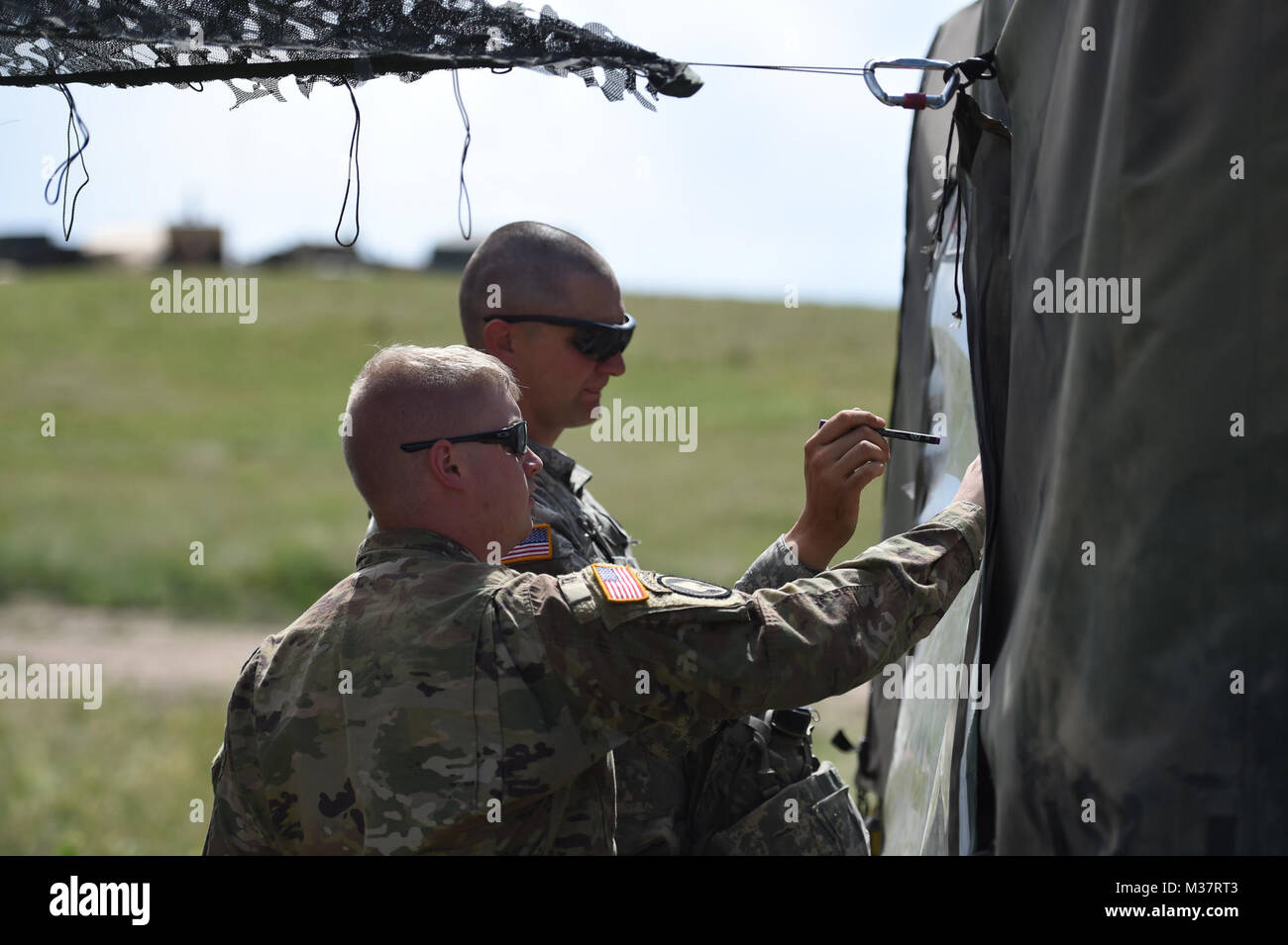 Sgt. Cody Parker, from Casper, battery display operator, and 1st Lt. August Wilson, of DuBois, executive officer, assigned to B Battery, 2nd Battalion, 300th Field Artillery map out a training movement at Camp Guernsey. More than 1000 Wyoming Army National Guard soldiers are converging on Camp Guernsey Joint Training Center this month for their two-week annual training commitment and the Public Affairs Office will feature daily social media posts of our soldiers honing their skills throughout June. (Wyoming Army National Guard photo by Sgt. 1st Class Jimmy McGuire) 170607-Z-CG686-0016 by wyogu Stock Photohttps://www.alamy.com/image-license-details/?v=1https://www.alamy.com/stock-photo-sgt-cody-parker-from-casper-battery-display-operator-and-1st-lt-august-174120019.html
RMM37RT3–Sgt. Cody Parker, from Casper, battery display operator, and 1st Lt. August Wilson, of DuBois, executive officer, assigned to B Battery, 2nd Battalion, 300th Field Artillery map out a training movement at Camp Guernsey. More than 1000 Wyoming Army National Guard soldiers are converging on Camp Guernsey Joint Training Center this month for their two-week annual training commitment and the Public Affairs Office will feature daily social media posts of our soldiers honing their skills throughout June. (Wyoming Army National Guard photo by Sgt. 1st Class Jimmy McGuire) 170607-Z-CG686-0016 by wyogu
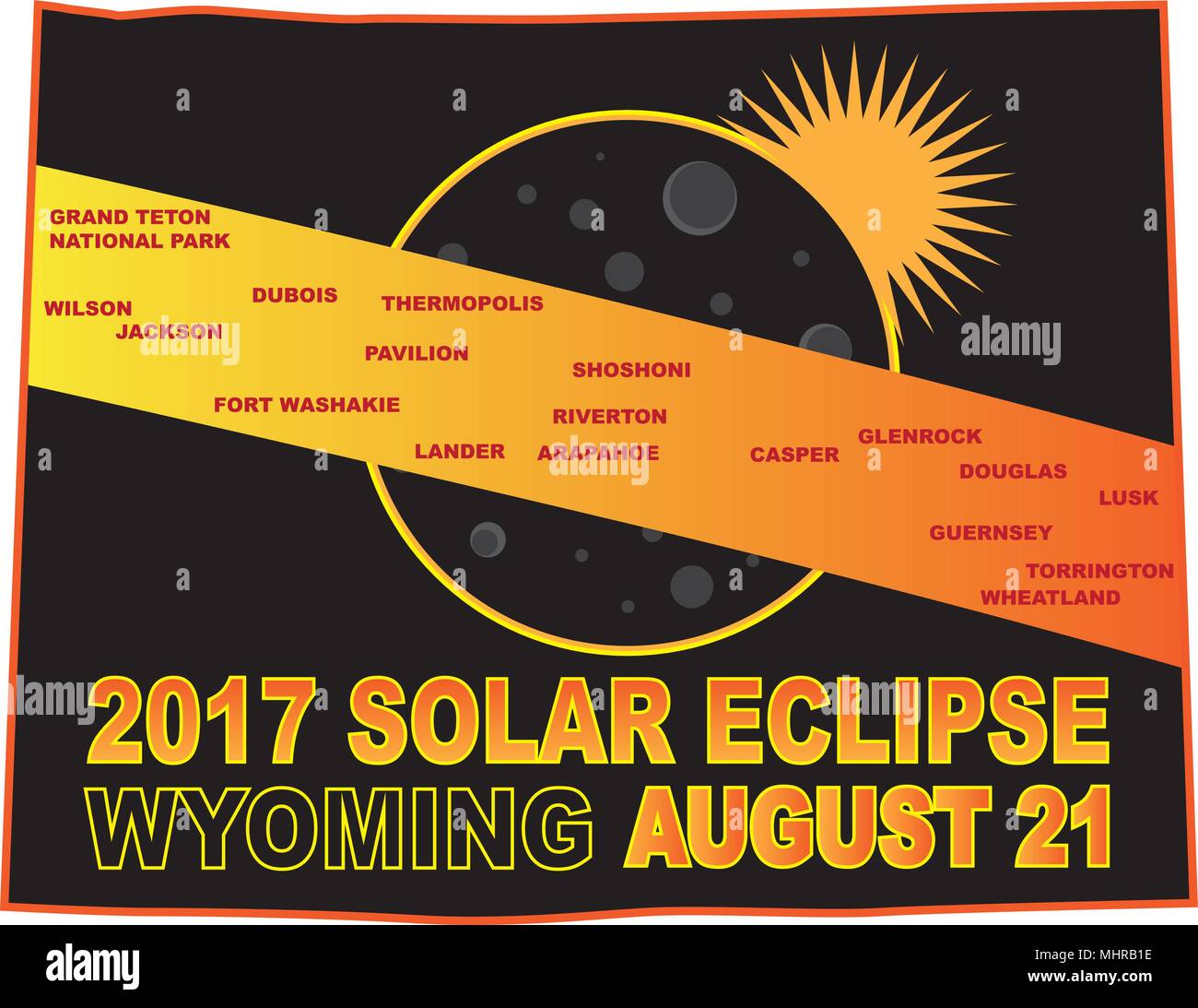 2017 Solar Eclipse Totality across Wyoming State cities map color illustration Stock Vectorhttps://www.alamy.com/image-license-details/?v=1https://www.alamy.com/2017-solar-eclipse-totality-across-wyoming-state-cities-map-color-illustration-image183066394.html
RFMHRB1E–2017 Solar Eclipse Totality across Wyoming State cities map color illustration
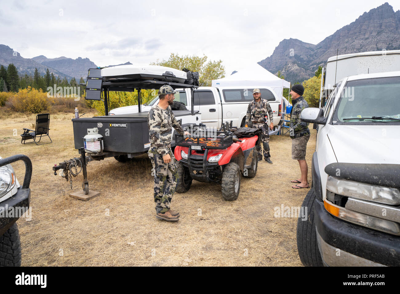 Adult male hunters gather around base camp, discussing plans for the day. Trucks and 4x4 wheelers in the photo. Wearing camouflage Stock Photohttps://www.alamy.com/image-license-details/?v=1https://www.alamy.com/adult-male-hunters-gather-around-base-camp-discussing-plans-for-the-day-trucks-and-4x4-wheelers-in-the-photo-wearing-camouflage-image220994995.html
RFPRF5AB–Adult male hunters gather around base camp, discussing plans for the day. Trucks and 4x4 wheelers in the photo. Wearing camouflage
 Dubois, Fremont County, US, United States, Wyoming, N 43 32' 0'', S 109 37' 49'', map, Cartascapes Map published in 2024. Explore Cartascapes, a map revealing Earth's diverse landscapes, cultures, and ecosystems. Journey through time and space, discovering the interconnectedness of our planet's past, present, and future. Stock Photohttps://www.alamy.com/image-license-details/?v=1https://www.alamy.com/dubois-fremont-county-us-united-states-wyoming-n-43-32-0-s-109-37-49-map-cartascapes-map-published-in-2024-explore-cartascapes-a-map-revealing-earths-diverse-landscapes-cultures-and-ecosystems-journey-through-time-and-space-discovering-the-interconnectedness-of-our-planets-past-present-and-future-image620726078.html
RM2Y1TECE–Dubois, Fremont County, US, United States, Wyoming, N 43 32' 0'', S 109 37' 49'', map, Cartascapes Map published in 2024. Explore Cartascapes, a map revealing Earth's diverse landscapes, cultures, and ecosystems. Journey through time and space, discovering the interconnectedness of our planet's past, present, and future.
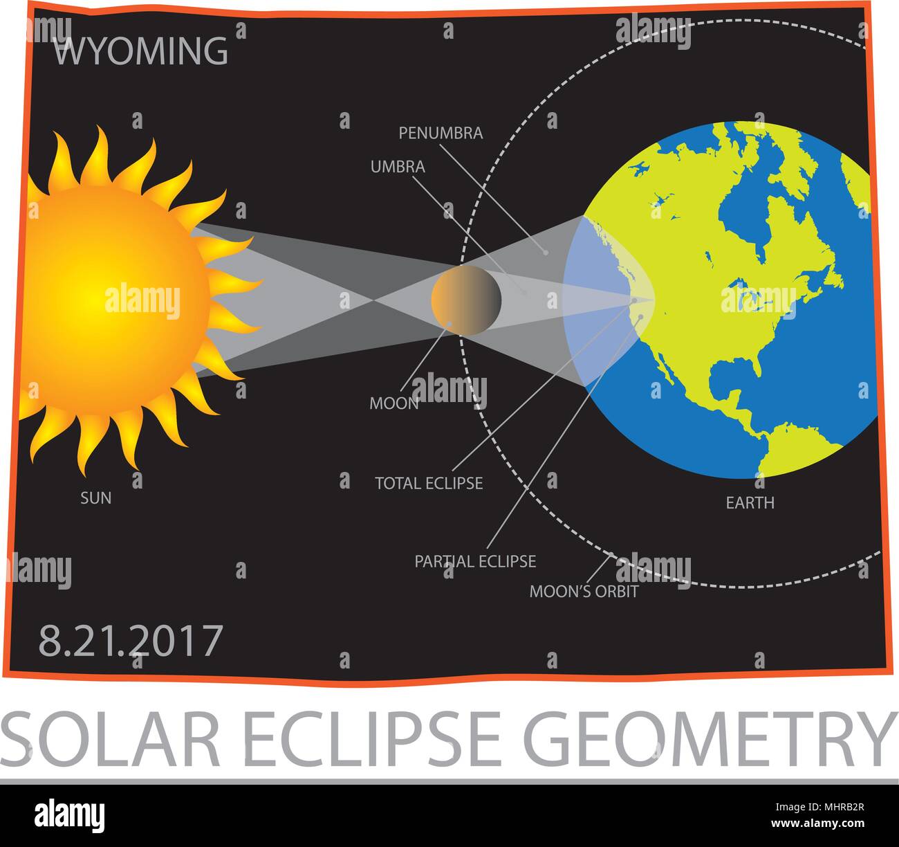 2017 Solar Eclipse Geometry Totality across Wyoming State map color illustration Stock Vectorhttps://www.alamy.com/image-license-details/?v=1https://www.alamy.com/2017-solar-eclipse-geometry-totality-across-wyoming-state-map-color-illustration-image183066431.html
RFMHRB2R–2017 Solar Eclipse Geometry Totality across Wyoming State map color illustration
 Town of Dubois, Fremont County, US, United States, Wyoming, N 43 32' 18'', S 109 38' 37'', map, Cartascapes Map published in 2024. Explore Cartascapes, a map revealing Earth's diverse landscapes, cultures, and ecosystems. Journey through time and space, discovering the interconnectedness of our planet's past, present, and future. Stock Photohttps://www.alamy.com/image-license-details/?v=1https://www.alamy.com/town-of-dubois-fremont-county-us-united-states-wyoming-n-43-32-18-s-109-38-37-map-cartascapes-map-published-in-2024-explore-cartascapes-a-map-revealing-earths-diverse-landscapes-cultures-and-ecosystems-journey-through-time-and-space-discovering-the-interconnectedness-of-our-planets-past-present-and-future-image633812591.html
RM2YR4JBY–Town of Dubois, Fremont County, US, United States, Wyoming, N 43 32' 18'', S 109 38' 37'', map, Cartascapes Map published in 2024. Explore Cartascapes, a map revealing Earth's diverse landscapes, cultures, and ecosystems. Journey through time and space, discovering the interconnectedness of our planet's past, present, and future.
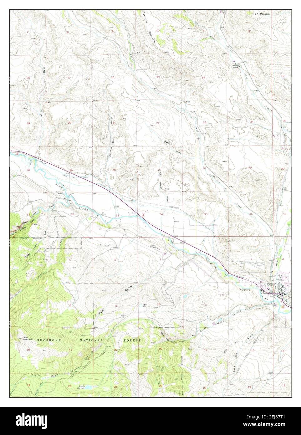 Dubois, Wyoming, map 1956, 1:24000, United States of America by Timeless Maps, data U.S. Geological Survey Stock Photohttps://www.alamy.com/image-license-details/?v=1https://www.alamy.com/dubois-wyoming-map-1956-124000-united-states-of-america-by-timeless-maps-data-us-geological-survey-image407040145.html
RM2EJ67T1–Dubois, Wyoming, map 1956, 1:24000, United States of America by Timeless Maps, data U.S. Geological Survey
 Dubois, Wyoming, map 1991, 1:24000, United States of America by Timeless Maps, data U.S. Geological Survey Stock Photohttps://www.alamy.com/image-license-details/?v=1https://www.alamy.com/dubois-wyoming-map-1991-124000-united-states-of-america-by-timeless-maps-data-us-geological-survey-image407040138.html
RM2EJ67RP–Dubois, Wyoming, map 1991, 1:24000, United States of America by Timeless Maps, data U.S. Geological Survey
 Dubois, Wyoming, map 1956, 1:24000, United States of America by Timeless Maps, data U.S. Geological Survey Stock Photohttps://www.alamy.com/image-license-details/?v=1https://www.alamy.com/dubois-wyoming-map-1956-124000-united-states-of-america-by-timeless-maps-data-us-geological-survey-image414331830.html
RM2F22CDA–Dubois, Wyoming, map 1956, 1:24000, United States of America by Timeless Maps, data U.S. Geological Survey
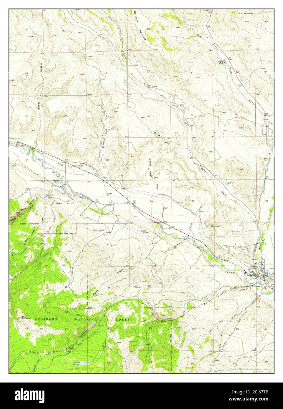 Dubois, Wyoming, map 1956, 1:24000, United States of America by Timeless Maps, data U.S. Geological Survey Stock Photohttps://www.alamy.com/image-license-details/?v=1https://www.alamy.com/dubois-wyoming-map-1956-124000-united-states-of-america-by-timeless-maps-data-us-geological-survey-image407040155.html
RM2EJ67TB–Dubois, Wyoming, map 1956, 1:24000, United States of America by Timeless Maps, data U.S. Geological Survey