Quick filters:
Durham city map Stock Photos and Images
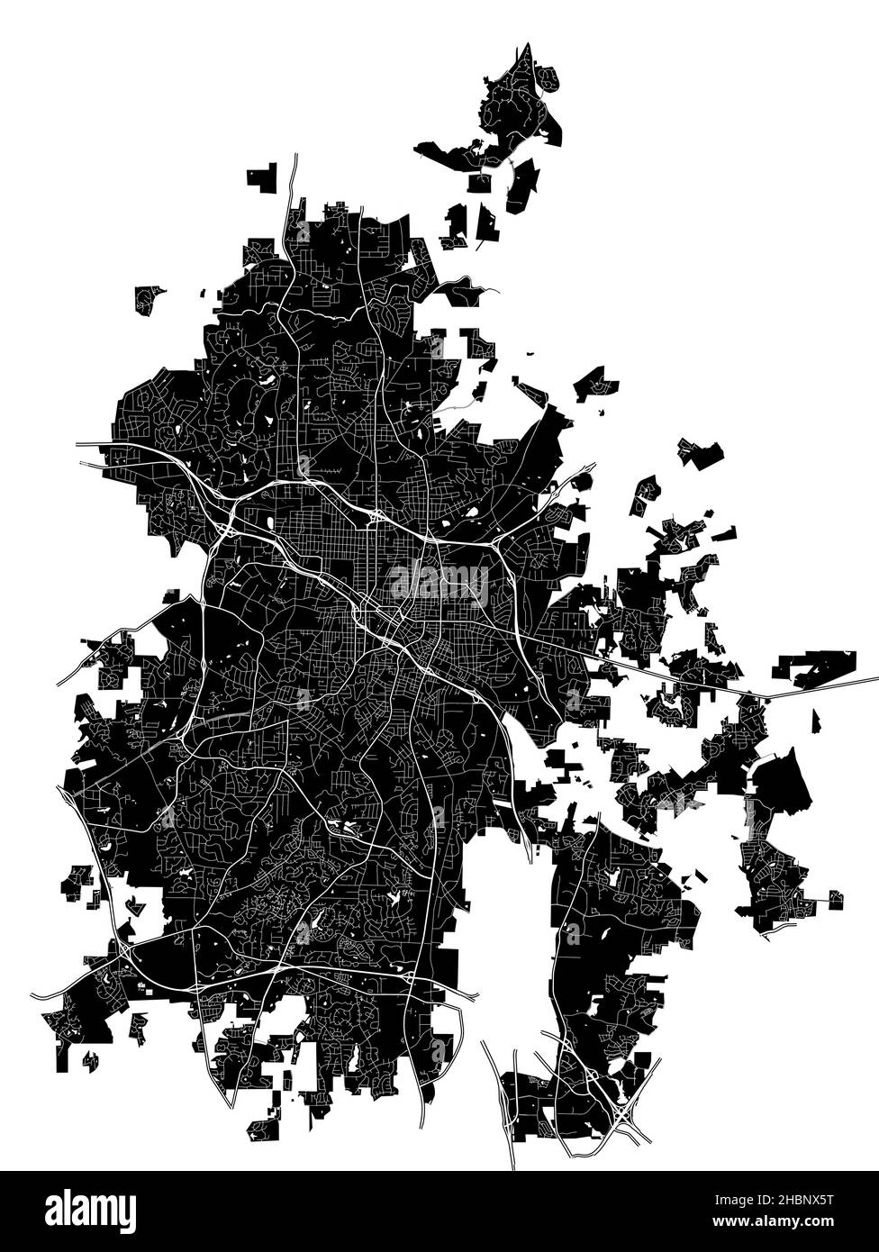 Durham, North Carolina, United States, high resolution vector map with city boundaries, and editable paths. The city map was drawn with white areas an Stock Vectorhttps://www.alamy.com/image-license-details/?v=1https://www.alamy.com/durham-north-carolina-united-states-high-resolution-vector-map-with-city-boundaries-and-editable-paths-the-city-map-was-drawn-with-white-areas-an-image454712324.html
RF2HBNX5T–Durham, North Carolina, United States, high resolution vector map with city boundaries, and editable paths. The city map was drawn with white areas an
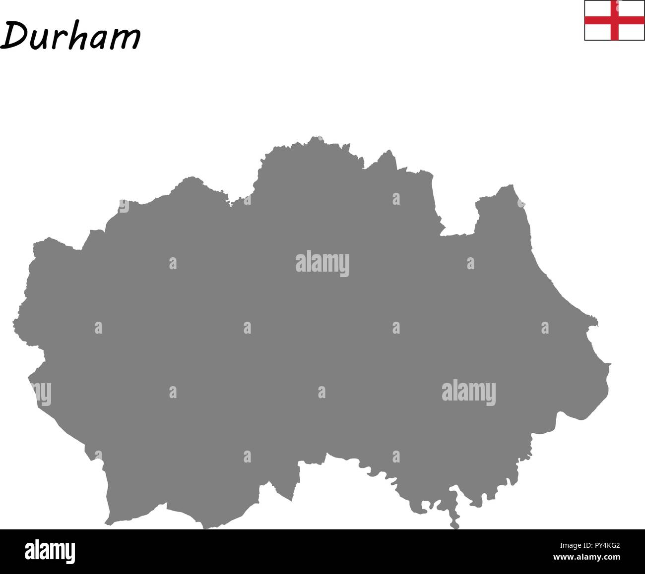
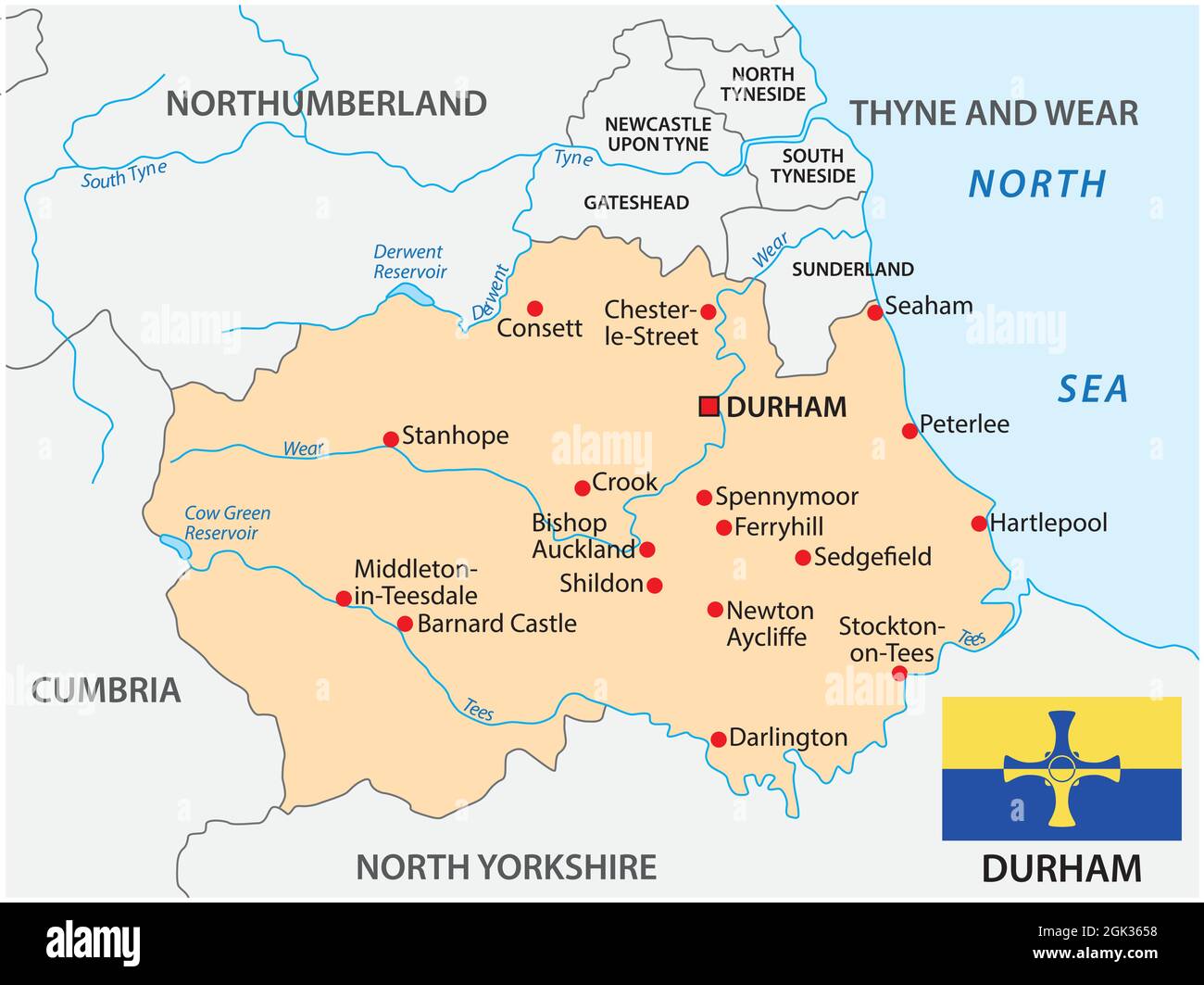 vector map of the county Durham with flag, england Stock Vectorhttps://www.alamy.com/image-license-details/?v=1https://www.alamy.com/vector-map-of-the-county-durham-with-flag-england-image442008372.html
RF2GK3658–vector map of the county Durham with flag, england
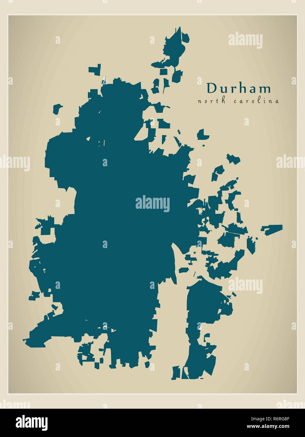 Modern City Map - Durham North Carolina city of the USA Stock Vectorhttps://www.alamy.com/image-license-details/?v=1https://www.alamy.com/modern-city-map-durham-north-carolina-city-of-the-usa-image227940399.html
RFR6RG8F–Modern City Map - Durham North Carolina city of the USA
 Color art map of Durham, North Carolina, UnitedStates in blues and oranges. The color gradations in Durham map follow a random pattern. Stock Vectorhttps://www.alamy.com/image-license-details/?v=1https://www.alamy.com/color-art-map-of-durham-north-carolina-unitedstates-in-blues-and-oranges-the-color-gradations-in-durham-map-follow-a-random-pattern-image398485055.html
RF2E48FN3–Color art map of Durham, North Carolina, UnitedStates in blues and oranges. The color gradations in Durham map follow a random pattern.
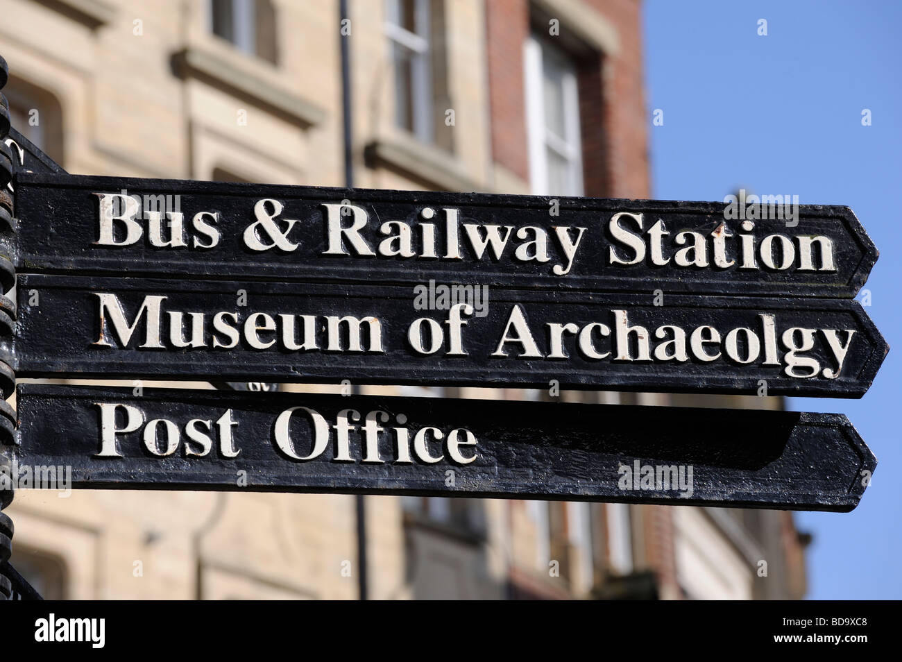 Tourist sign for the Post office The Museum of Archaeolgy and the Post office Street sign Durham City England Stock Photohttps://www.alamy.com/image-license-details/?v=1https://www.alamy.com/stock-photo-tourist-sign-for-the-post-office-the-museum-of-archaeolgy-and-the-25419192.html
RMBD9XC8–Tourist sign for the Post office The Museum of Archaeolgy and the Post office Street sign Durham City England
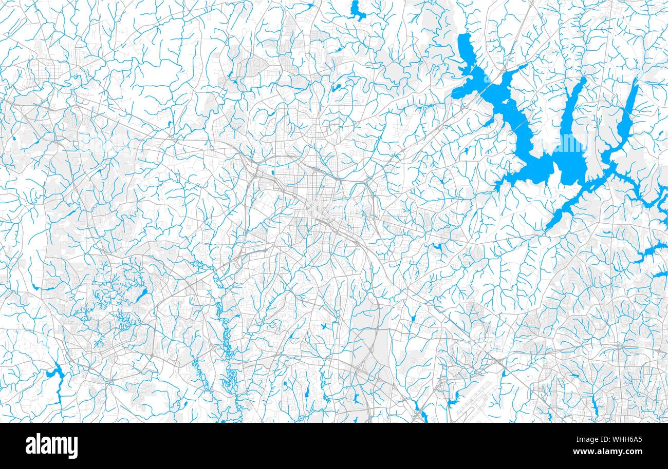 Rich detailed vector area map of Durham, North Carolina, U.S.A.. Map template for home decor. Stock Vectorhttps://www.alamy.com/image-license-details/?v=1https://www.alamy.com/rich-detailed-vector-area-map-of-durham-north-carolina-usa-map-template-for-home-decor-image268982845.html
RFWHH6A5–Rich detailed vector area map of Durham, North Carolina, U.S.A.. Map template for home decor.
 Durham pinned on a map of UK Stock Photohttps://www.alamy.com/image-license-details/?v=1https://www.alamy.com/stock-photo-durham-pinned-on-a-map-of-uk-125354652.html
RFH7XB3T–Durham pinned on a map of UK
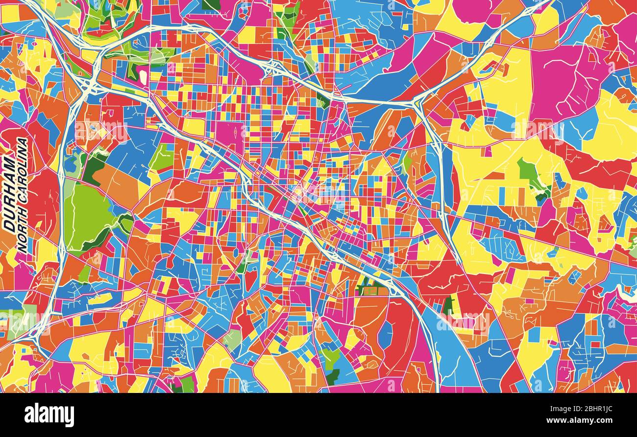 Colorful vector map of Durham, North Carolina, U.S.A.. Art Map template for selfprinting wall art in landscape format. Stock Vectorhttps://www.alamy.com/image-license-details/?v=1https://www.alamy.com/colorful-vector-map-of-durham-north-carolina-usa-art-map-template-for-selfprinting-wall-art-in-landscape-format-image355162708.html
RF2BHR1JC–Colorful vector map of Durham, North Carolina, U.S.A.. Art Map template for selfprinting wall art in landscape format.
 Durham pinned on a map of North Carolina, USA Stock Photohttps://www.alamy.com/image-license-details/?v=1https://www.alamy.com/stock-photo-durham-pinned-on-a-map-of-north-carolina-usa-124412497.html
RFH6BDBD–Durham pinned on a map of North Carolina, USA
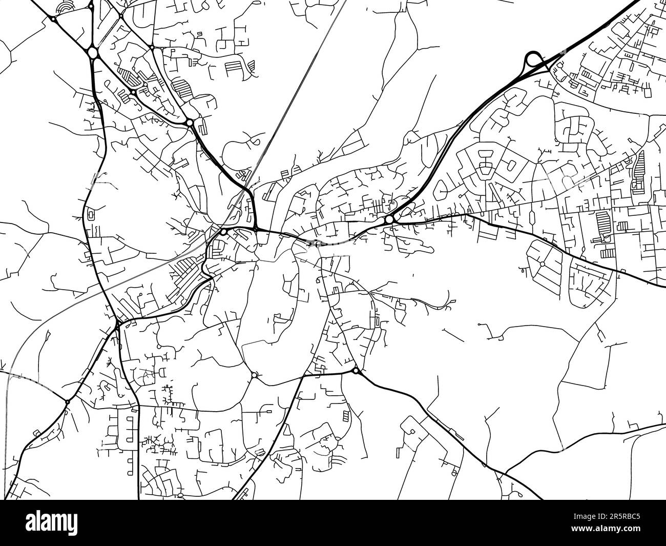 Road map of the city of Durham in the United Kingdom on a white background. Stock Photohttps://www.alamy.com/image-license-details/?v=1https://www.alamy.com/road-map-of-the-city-of-durham-in-the-united-kingdom-on-a-white-background-image554318917.html
RF2R5RBC5–Road map of the city of Durham in the United Kingdom on a white background.
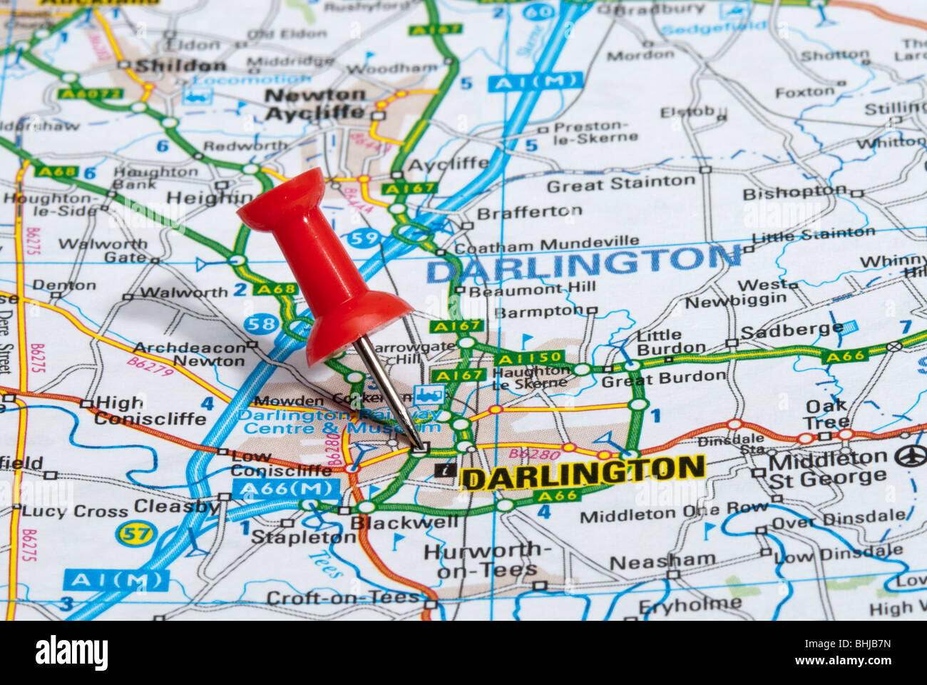 red map pin in road map pointing to city of Darlington Stock Photohttps://www.alamy.com/image-license-details/?v=1https://www.alamy.com/stock-photo-red-map-pin-in-road-map-pointing-to-city-of-darlington-28063497.html
RMBHJB7N–red map pin in road map pointing to city of Darlington
 Durham, North Carolina, logo design. Two in one vector arts. Big logo with vintage letters with nice colored background and one-color-version with map Stock Vectorhttps://www.alamy.com/image-license-details/?v=1https://www.alamy.com/durham-north-carolina-logo-design-two-in-one-vector-arts-big-logo-with-vintage-letters-with-nice-colored-background-and-one-color-version-with-map-image206637766.html
RFP054G6–Durham, North Carolina, logo design. Two in one vector arts. Big logo with vintage letters with nice colored background and one-color-version with map
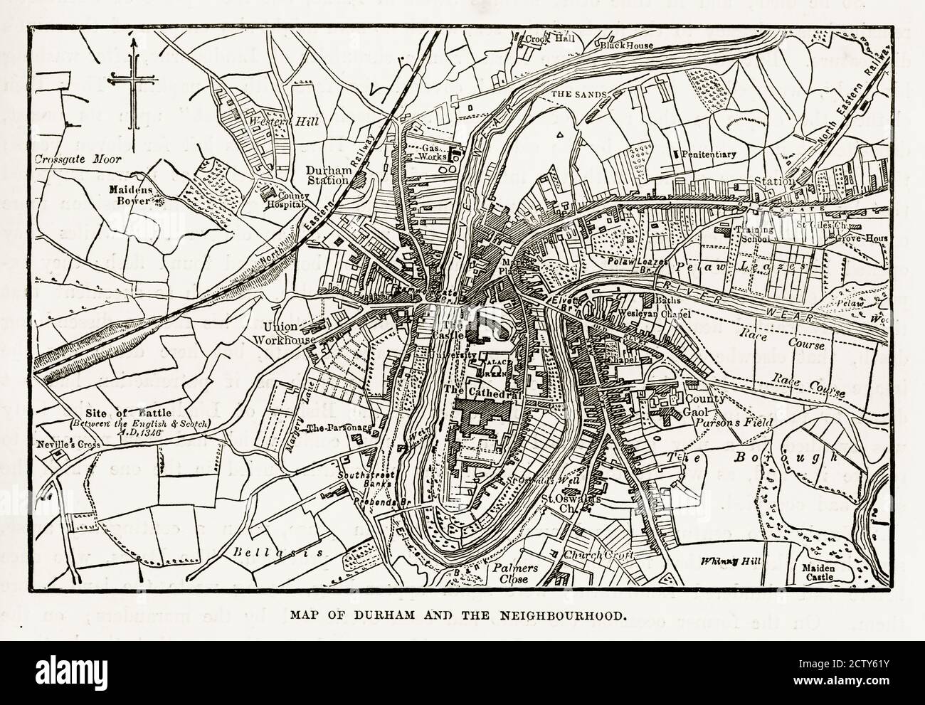 Map of the City of Durham, England Victorian Engraving, 1840 Stock Photohttps://www.alamy.com/image-license-details/?v=1https://www.alamy.com/map-of-the-city-of-durham-england-victorian-engraving-1840-image376766935.html
RM2CTY61Y–Map of the City of Durham, England Victorian Engraving, 1840
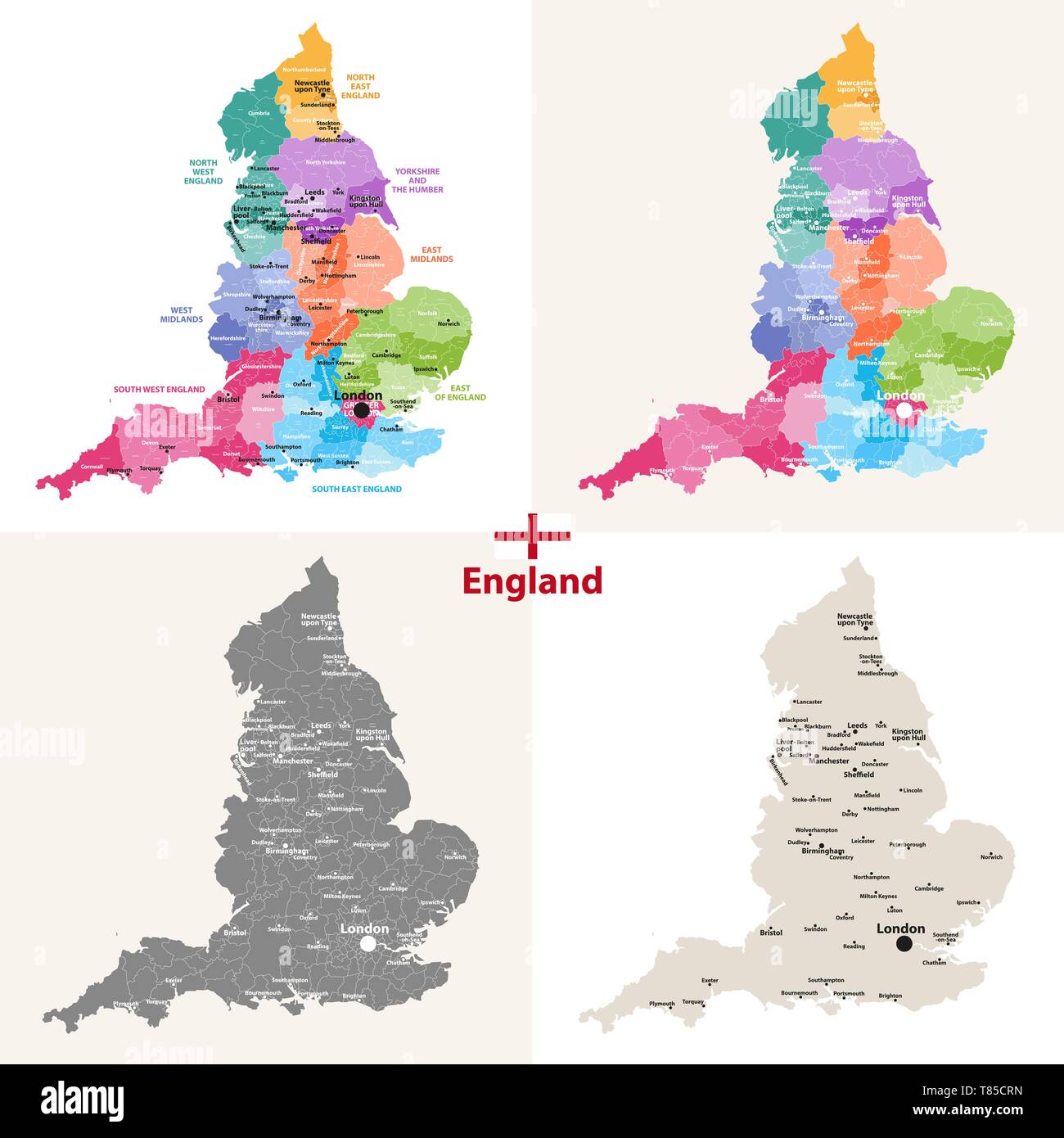 England ceremonial counties vector map Stock Vectorhttps://www.alamy.com/image-license-details/?v=1https://www.alamy.com/england-ceremonial-counties-vector-map-image245982233.html
RFT85CRN–England ceremonial counties vector map
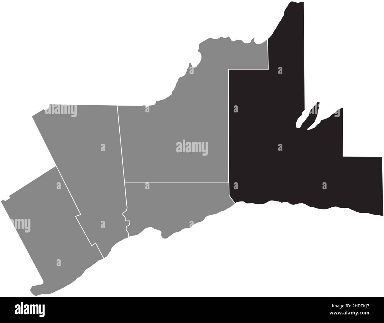 Black flat blank highlighted locator map of the DURHAM REGION inside gray administrative map of Greater Toronto Area Stock Vectorhttps://www.alamy.com/image-license-details/?v=1https://www.alamy.com/black-flat-blank-highlighted-locator-map-of-the-durham-region-inside-gray-administrative-map-of-greater-toronto-area-image456002351.html
RF2HDTKJ7–Black flat blank highlighted locator map of the DURHAM REGION inside gray administrative map of Greater Toronto Area
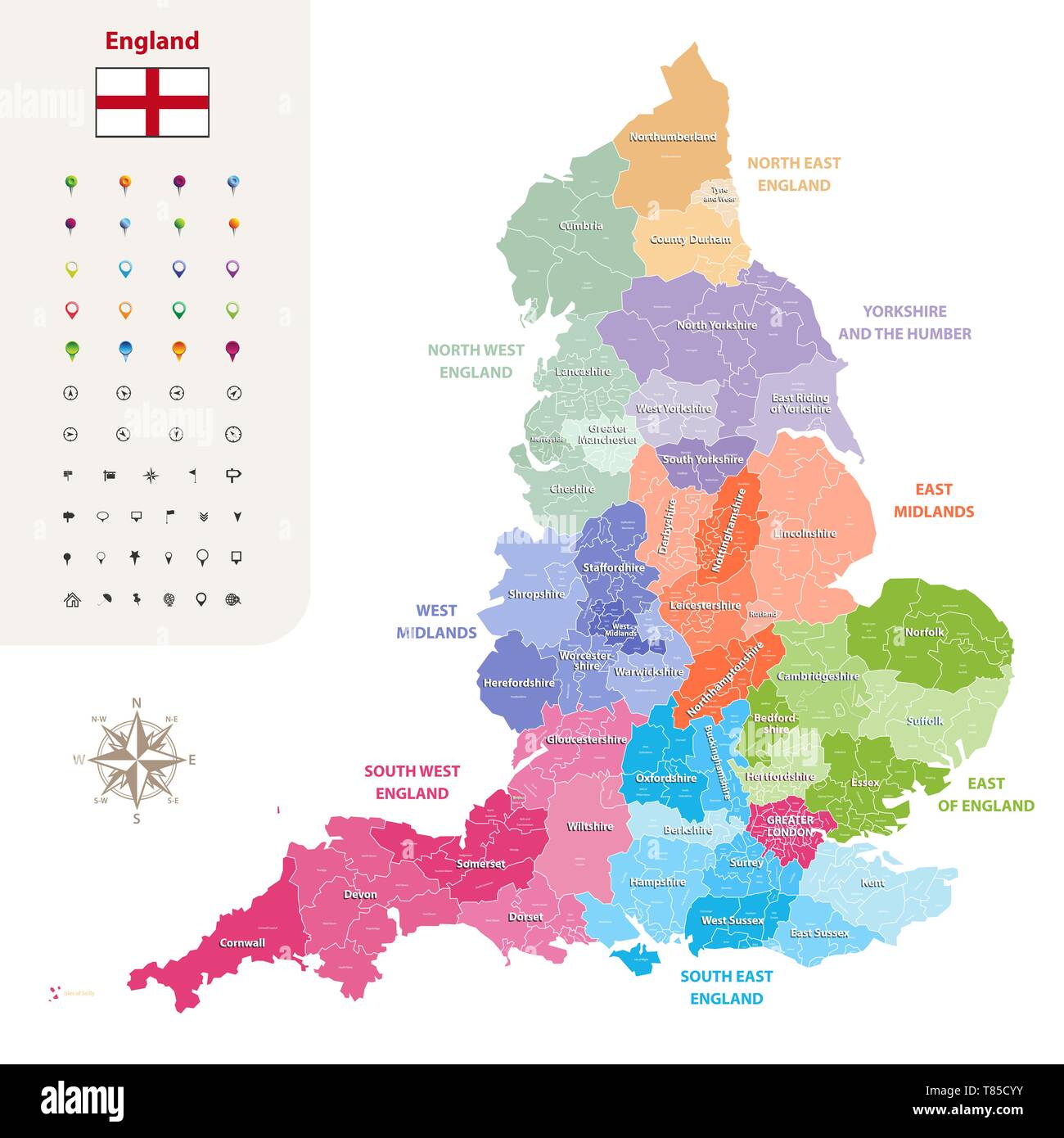 England ceremonial counties vector map Stock Vectorhttps://www.alamy.com/image-license-details/?v=1https://www.alamy.com/england-ceremonial-counties-vector-map-image245982351.html
RFT85CYY–England ceremonial counties vector map
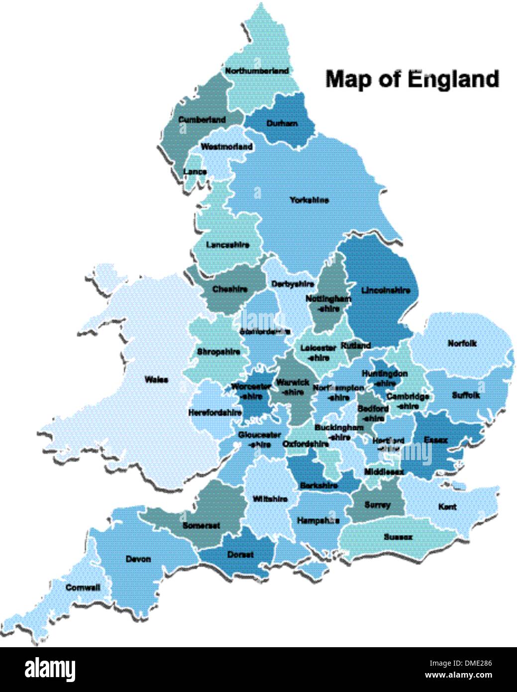 Map of England Stock Vectorhttps://www.alamy.com/image-license-details/?v=1https://www.alamy.com/map-of-england-image64233350.html
RFDME286–Map of England
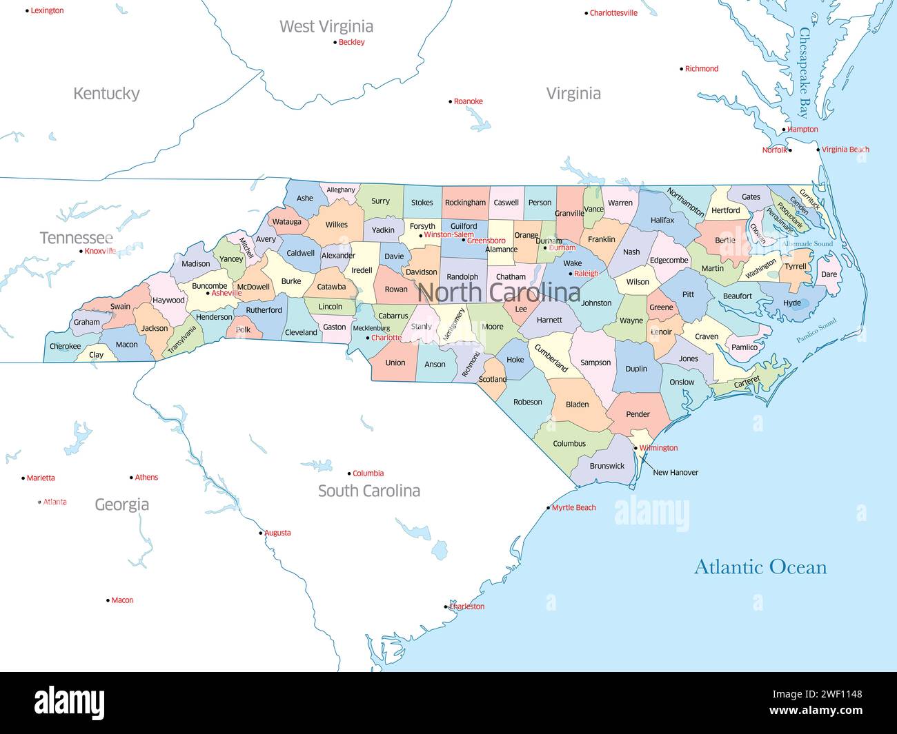 Colorful political map of the counties that make up the state of North Carolina in the United States Stock Photohttps://www.alamy.com/image-license-details/?v=1https://www.alamy.com/colorful-political-map-of-the-counties-that-make-up-the-state-of-north-carolina-in-the-united-states-image594395208.html
RF2WF1148–Colorful political map of the counties that make up the state of North Carolina in the United States
 Durham, UK - 12 July, 2023: Globe artwork 'Gaia' inside Durham Cathedral, Durham City, County Durham, England Stock Photohttps://www.alamy.com/image-license-details/?v=1https://www.alamy.com/durham-uk-12-july-2023-globe-artwork-gaia-inside-durham-cathedral-durham-city-county-durham-england-image566700245.html
RF2RWYBXD–Durham, UK - 12 July, 2023: Globe artwork 'Gaia' inside Durham Cathedral, Durham City, County Durham, England
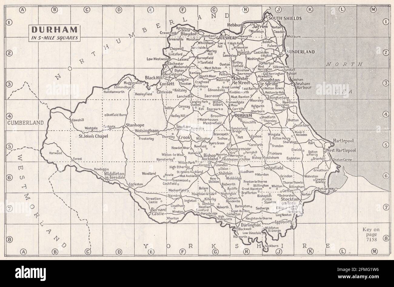 Vintage map of Durham, UK 1930s Stock Photohttps://www.alamy.com/image-license-details/?v=1https://www.alamy.com/vintage-map-of-durham-uk-1930s-image425694674.html
RF2FMG1W6–Vintage map of Durham, UK 1930s
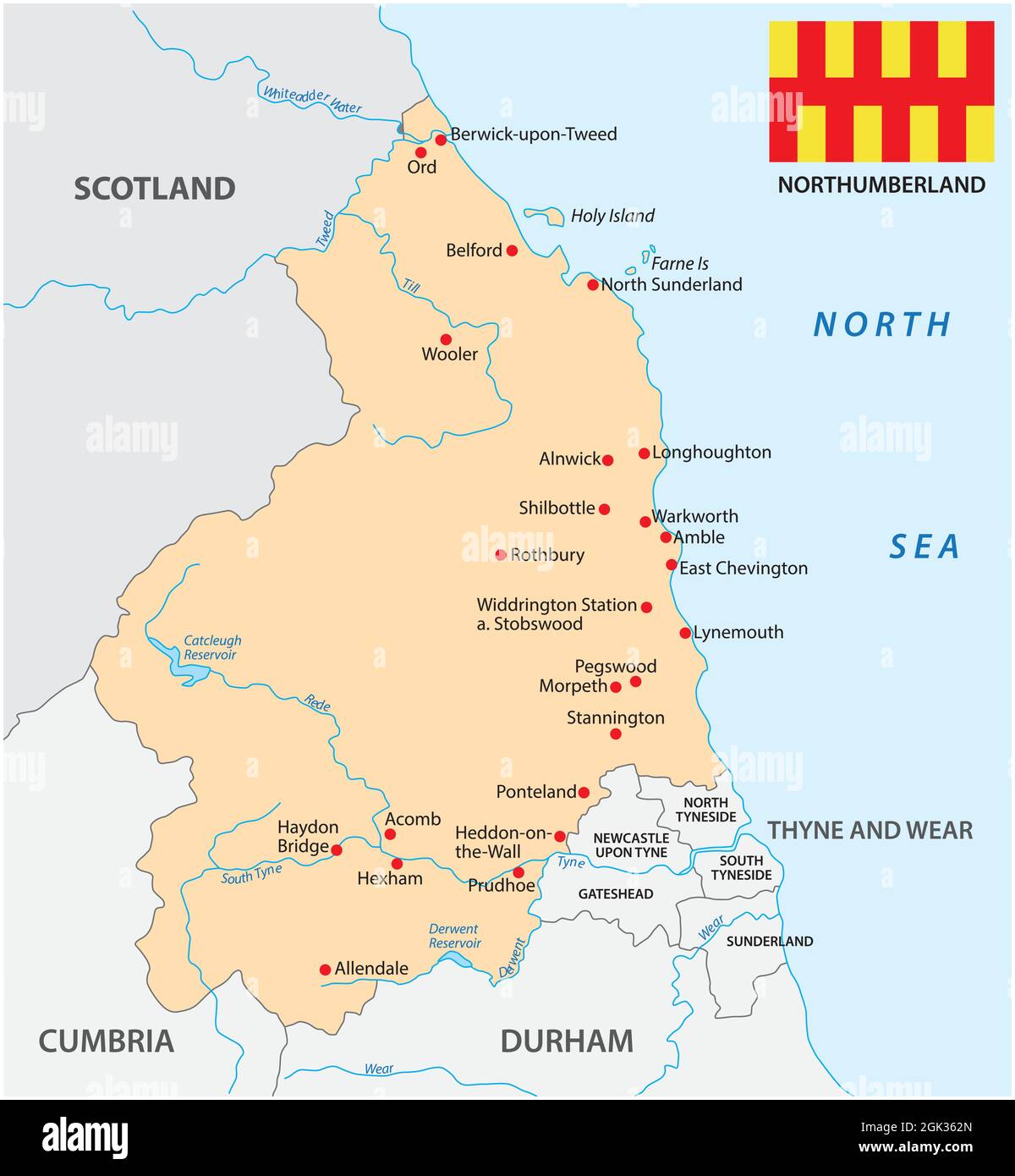 vector map of the county norhhumberland with flag, england Stock Vectorhttps://www.alamy.com/image-license-details/?v=1https://www.alamy.com/vector-map-of-the-county-norhhumberland-with-flag-england-image442008301.html
RF2GK362N–vector map of the county norhhumberland with flag, england
 Durham North Carolina City map with American national flag illustration Stock Vectorhttps://www.alamy.com/image-license-details/?v=1https://www.alamy.com/durham-north-carolina-city-map-with-american-national-flag-illustration-image227940398.html
RFR6RG8E–Durham North Carolina City map with American national flag illustration
 Vintage map of Durham 1900s Stock Photohttps://www.alamy.com/image-license-details/?v=1https://www.alamy.com/vintage-map-of-durham-1900s-image385257570.html
RF2DANYXX–Vintage map of Durham 1900s
 An old map of Africa Stock Photohttps://www.alamy.com/image-license-details/?v=1https://www.alamy.com/stock-photo-an-old-map-of-africa-138569511.html
RFJ1CAR3–An old map of Africa
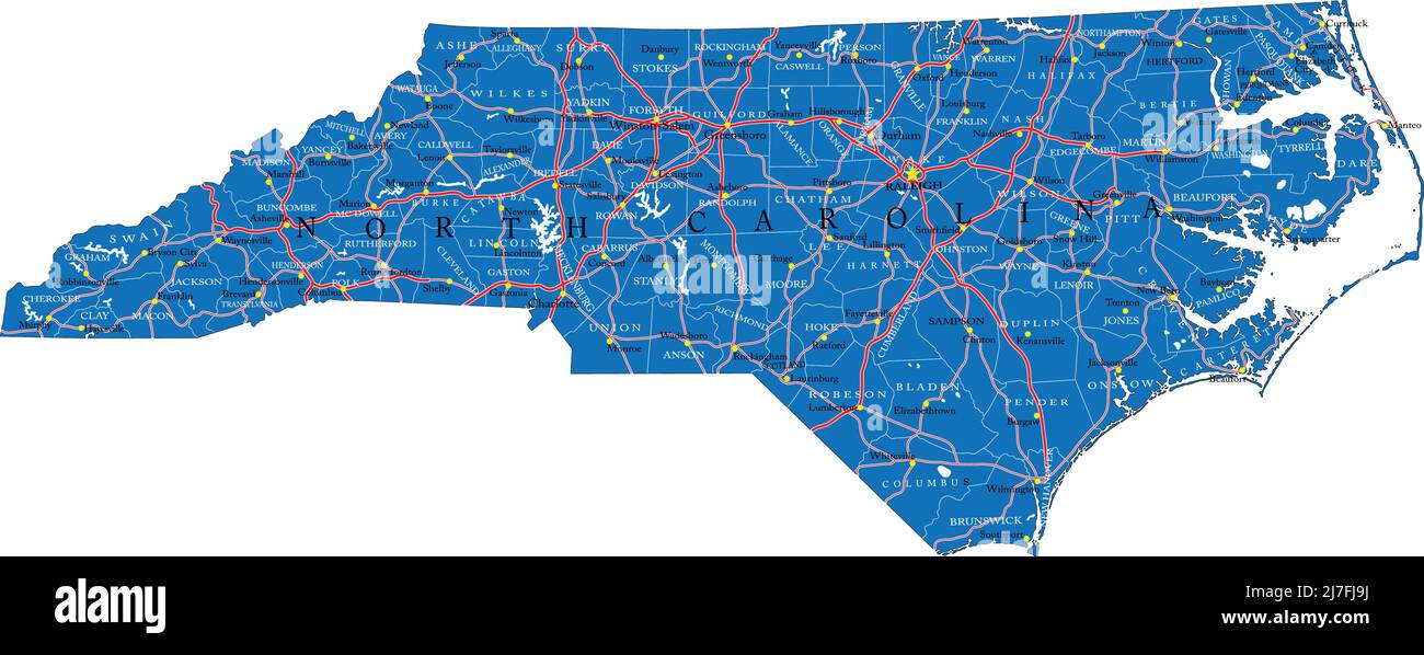 Detailed map of North Carolina state,in vector format,with county borders,roads and major cities. Stock Vectorhttps://www.alamy.com/image-license-details/?v=1https://www.alamy.com/detailed-map-of-north-carolina-statein-vector-formatwith-county-bordersroads-and-major-cities-image469326190.html
RF2J7FJ9J–Detailed map of North Carolina state,in vector format,with county borders,roads and major cities.
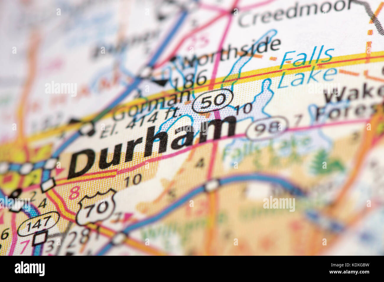 Closeup of Durham, North Carolina on a road map of the United States. Stock Photohttps://www.alamy.com/image-license-details/?v=1https://www.alamy.com/stock-image-closeup-of-durham-north-carolina-on-a-road-map-of-the-united-states-163467469.html
RFKDXGBW–Closeup of Durham, North Carolina on a road map of the United States.
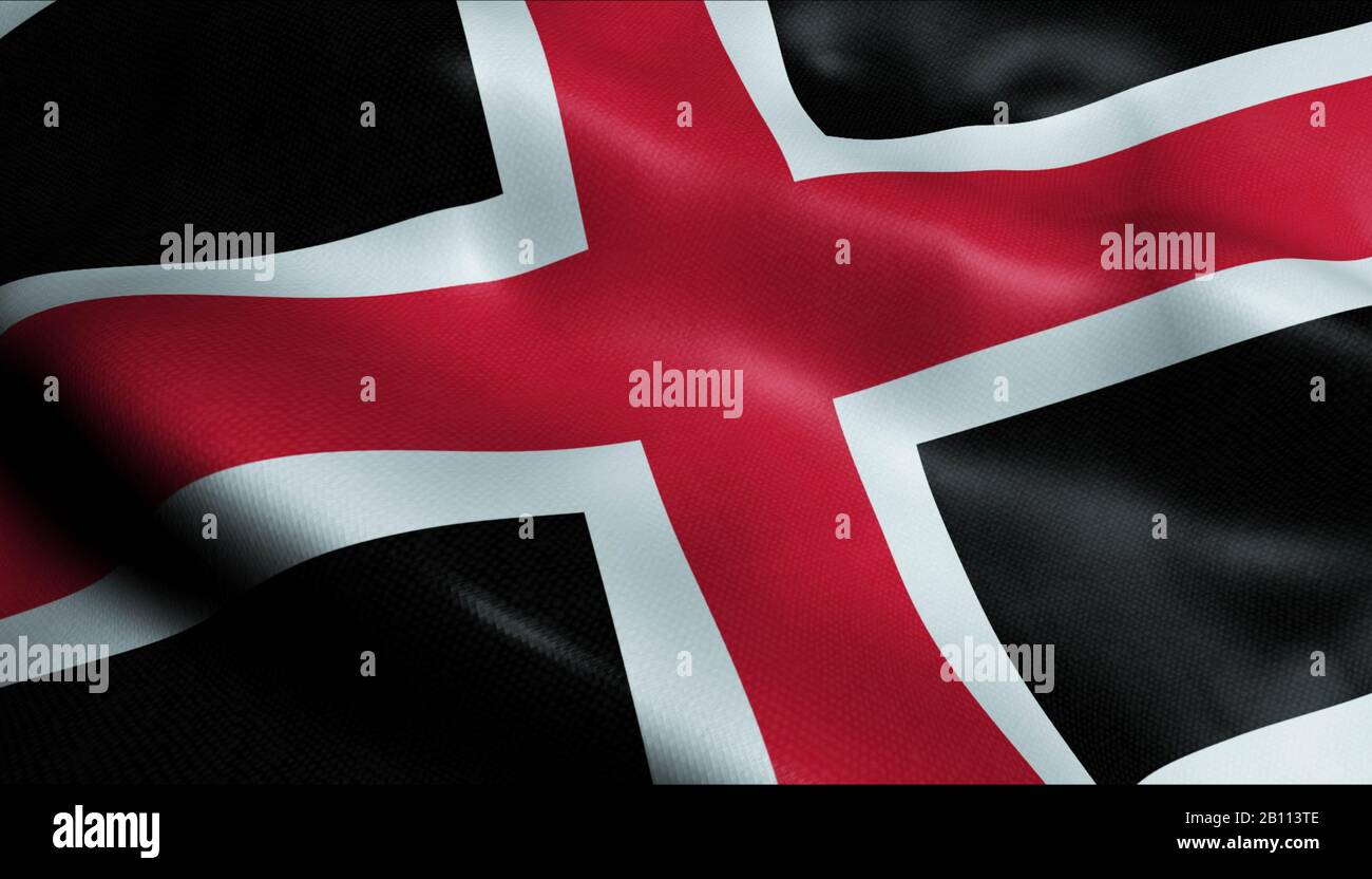 3D Waving United Kingdom City Flag of Durham Closeup View Stock Photohttps://www.alamy.com/image-license-details/?v=1https://www.alamy.com/3d-waving-united-kingdom-city-flag-of-durham-closeup-view-image344847006.html
RF2B113TE–3D Waving United Kingdom City Flag of Durham Closeup View
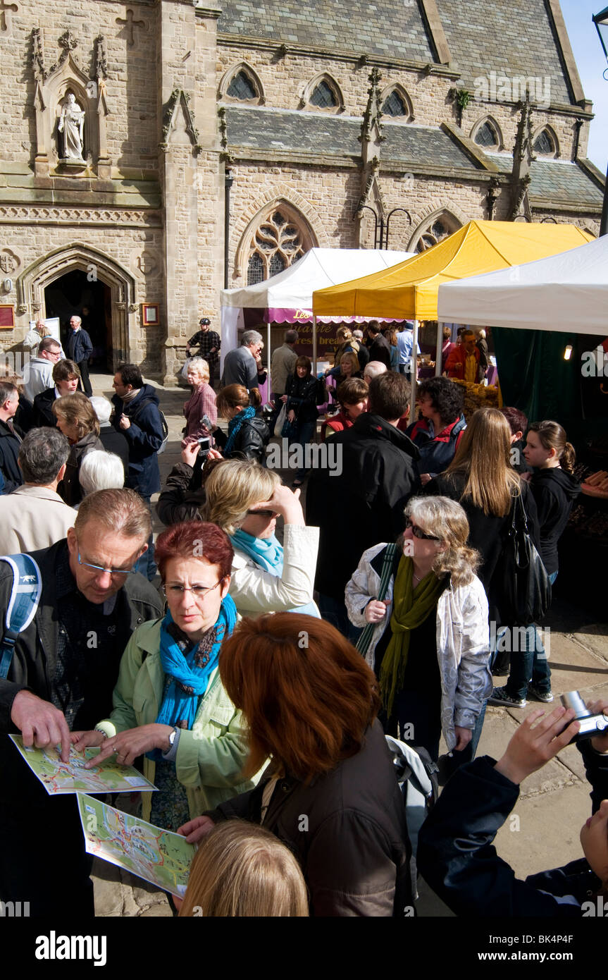 durham County Durham tourist tourists tourism visitor visitors visting uk england history historic city cities town towns maps m Stock Photohttps://www.alamy.com/image-license-details/?v=1https://www.alamy.com/stock-photo-durham-county-durham-tourist-tourists-tourism-visitor-visitors-visting-28994015.html
RMBK4P4F–durham County Durham tourist tourists tourism visitor visitors visting uk england history historic city cities town towns maps m
 Durham, pin on map of USA Stock Photohttps://www.alamy.com/image-license-details/?v=1https://www.alamy.com/durham-pin-on-map-of-usa-image621171112.html
RF2Y2GP2G–Durham, pin on map of USA
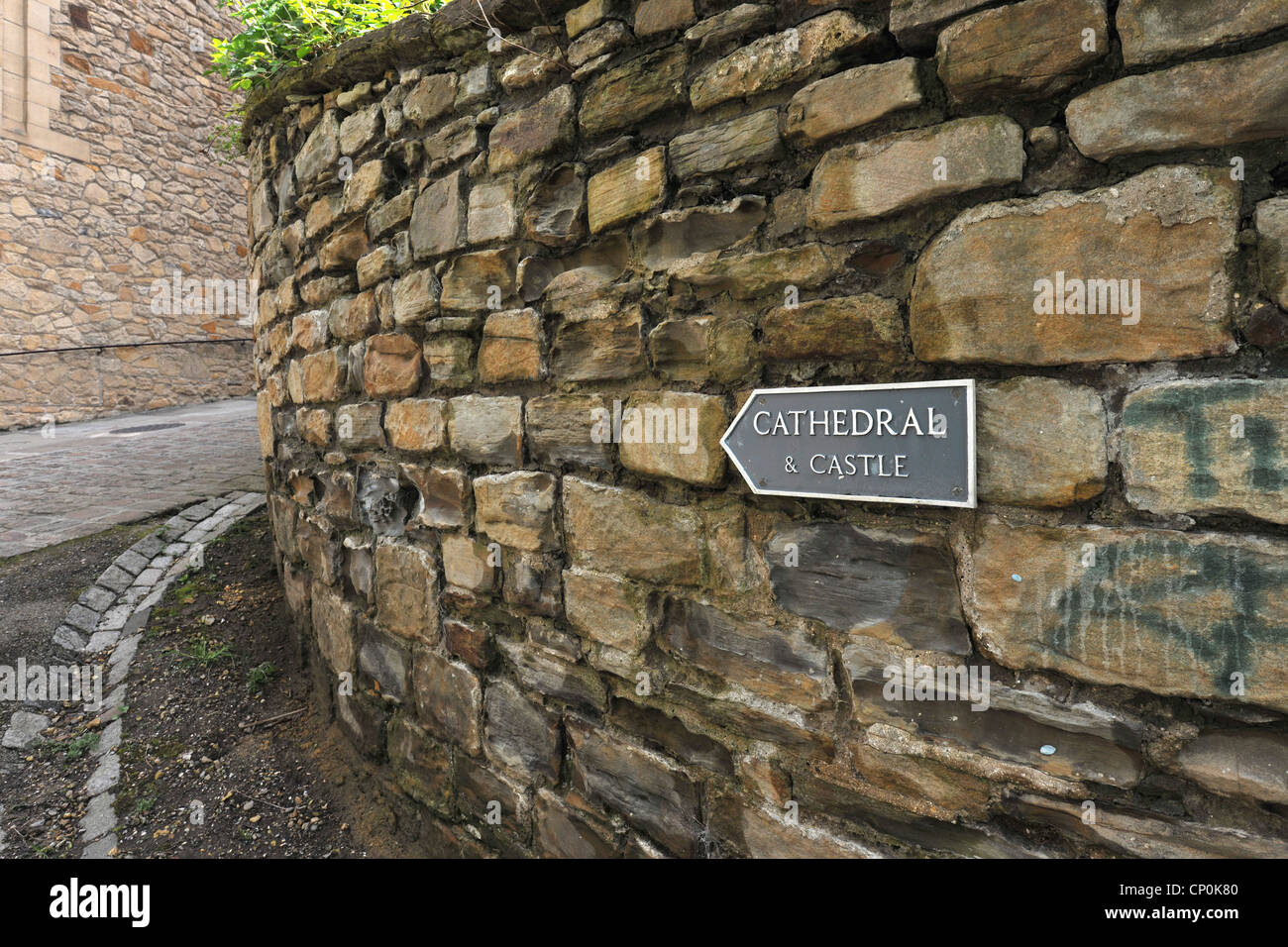 Cathedral and castle tourist and information sign in Durham City Stock Photohttps://www.alamy.com/image-license-details/?v=1https://www.alamy.com/stock-photo-cathedral-and-castle-tourist-and-information-sign-in-durham-city-47958288.html
RMCP0K80–Cathedral and castle tourist and information sign in Durham City
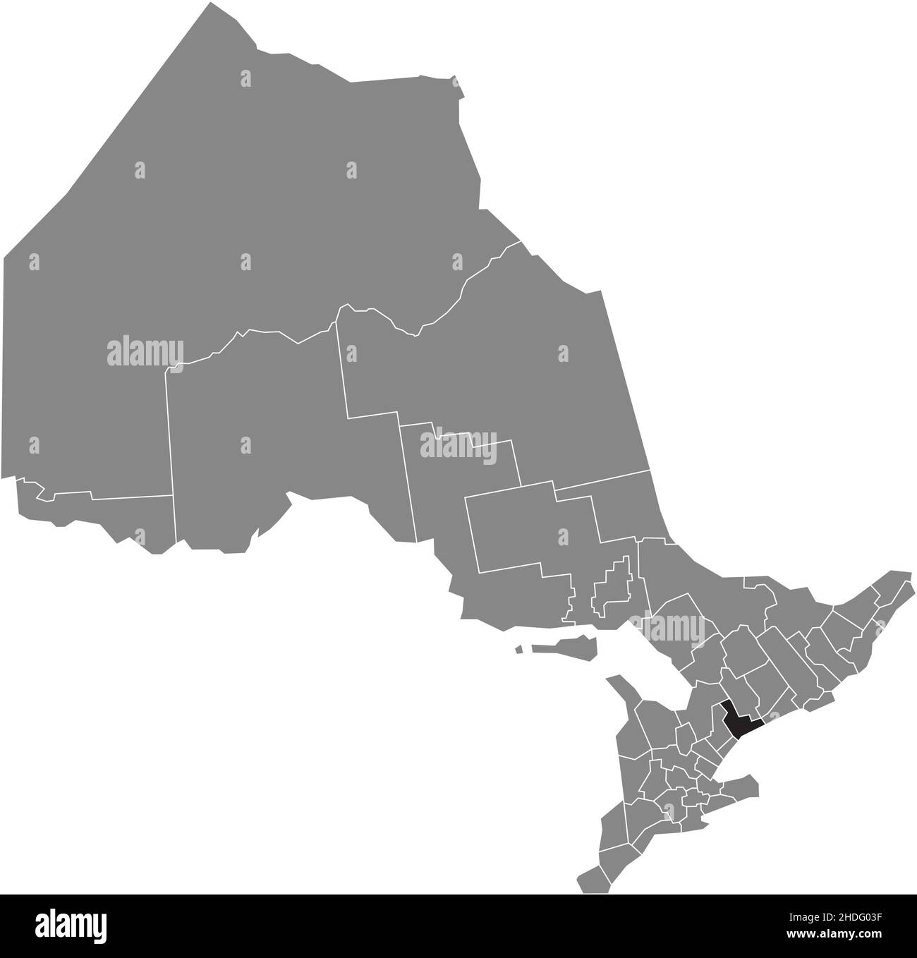 Black flat blank highlighted location map of the DURHAM regional municipality inside gray administrative map of the Canadian province of Ontario, Cana Stock Vectorhttps://www.alamy.com/image-license-details/?v=1https://www.alamy.com/black-flat-blank-highlighted-location-map-of-the-durham-regional-municipality-inside-gray-administrative-map-of-the-canadian-province-of-ontario-cana-image455811427.html
RF2HDG03F–Black flat blank highlighted location map of the DURHAM regional municipality inside gray administrative map of the Canadian province of Ontario, Cana
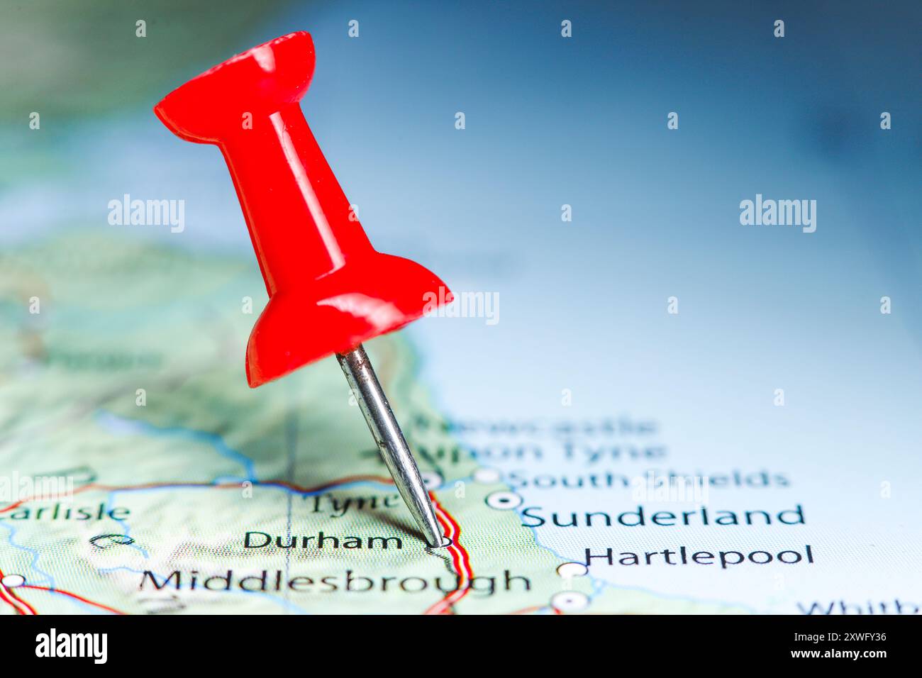 Durham, Great Britain pin on map Stock Photohttps://www.alamy.com/image-license-details/?v=1https://www.alamy.com/durham-great-britain-pin-on-map-image618079818.html
RF2XWFY36–Durham, Great Britain pin on map
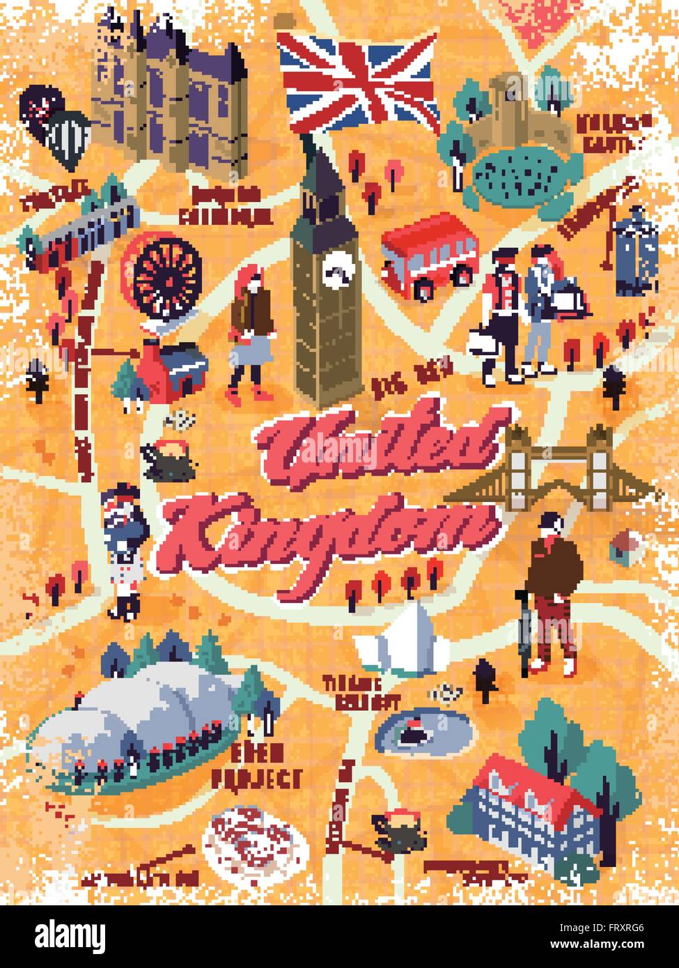 lovely United Kingdom walking map with attractions Stock Vectorhttps://www.alamy.com/image-license-details/?v=1https://www.alamy.com/stock-photo-lovely-united-kingdom-walking-map-with-attractions-100778166.html
RFFRXRG6–lovely United Kingdom walking map with attractions
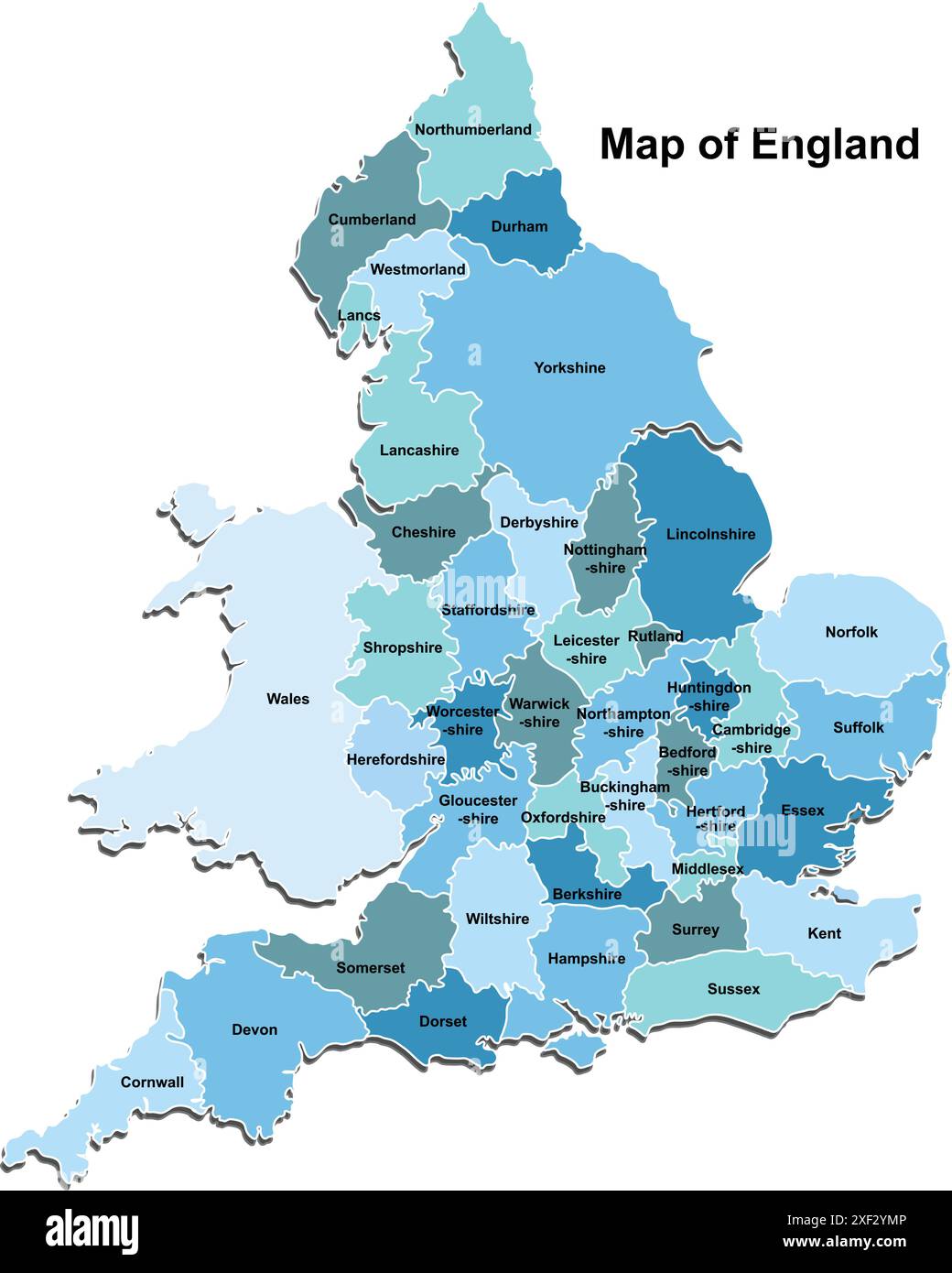 Map of England Stock Vectorhttps://www.alamy.com/image-license-details/?v=1https://www.alamy.com/map-of-england-image611648374.html
RF2XF2YMP–Map of England
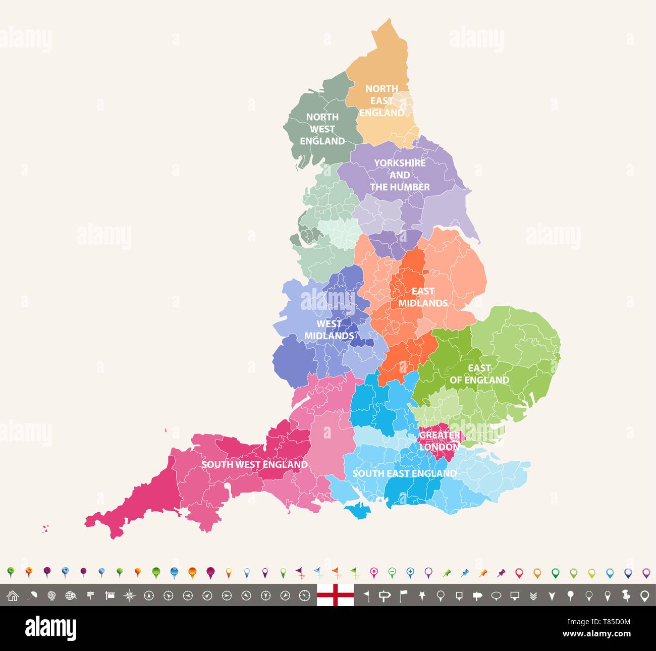 England ceremonial counties vector map Stock Vectorhttps://www.alamy.com/image-license-details/?v=1https://www.alamy.com/england-ceremonial-counties-vector-map-image245982372.html
RFT85D0M–England ceremonial counties vector map
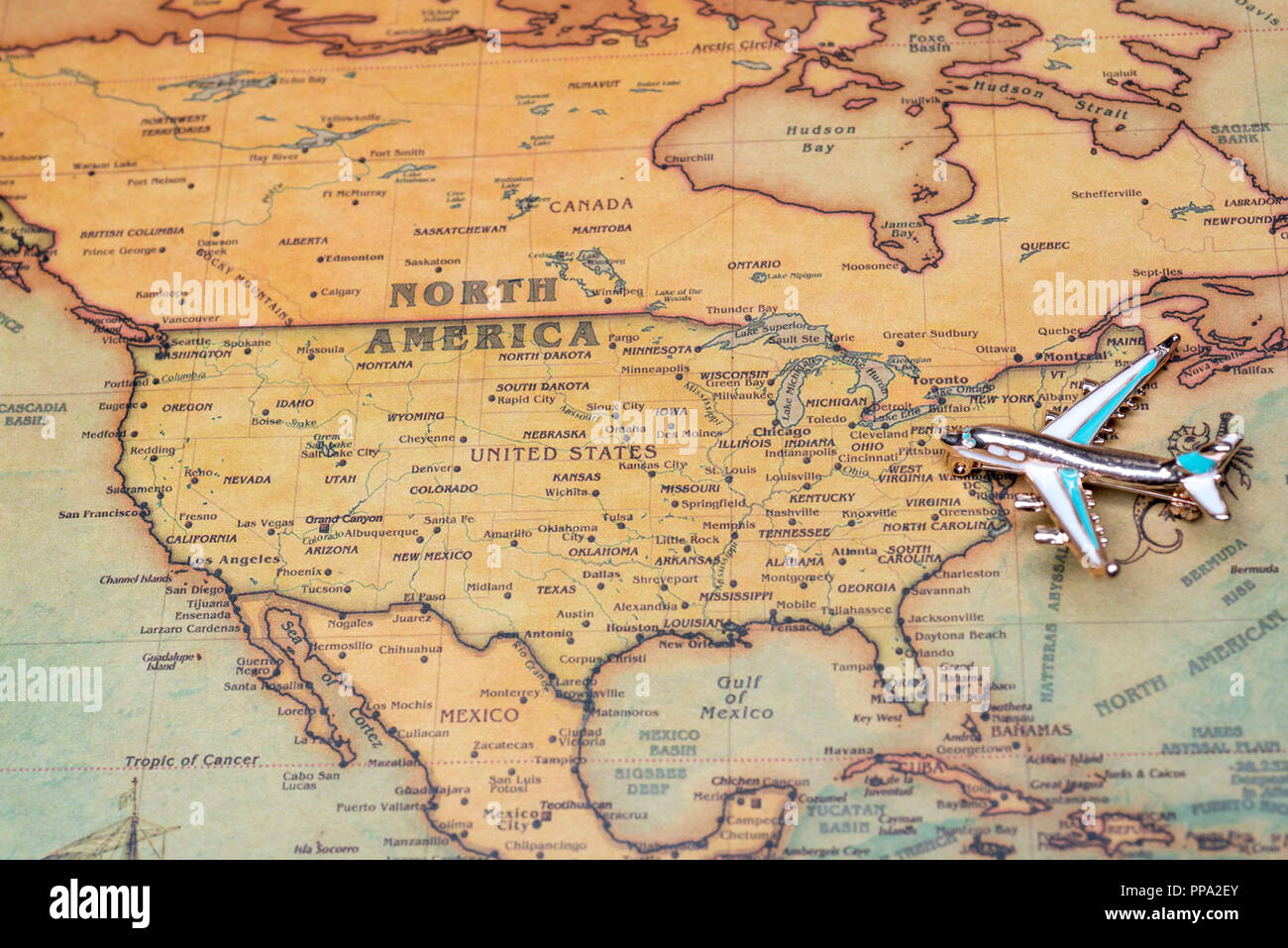 Airplane over a map of North America close-up. Toy airplane on the map background. Stock Photohttps://www.alamy.com/image-license-details/?v=1https://www.alamy.com/airplane-over-a-map-of-north-america-close-up-toy-airplane-on-the-map-background-image220268355.html
RFPPA2EY–Airplane over a map of North America close-up. Toy airplane on the map background.
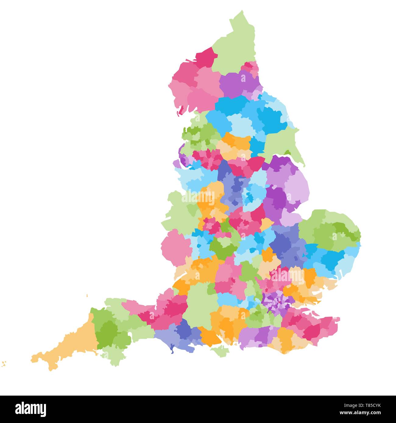 England ceremonial counties vector map Stock Vectorhttps://www.alamy.com/image-license-details/?v=1https://www.alamy.com/england-ceremonial-counties-vector-map-image245982343.html
RFT85CYK–England ceremonial counties vector map
 Durham, UK - 12 July, 2023: Globe artwork 'Gaia' inside Durham Cathedral, Durham City, County Durham, England Stock Photohttps://www.alamy.com/image-license-details/?v=1https://www.alamy.com/durham-uk-12-july-2023-globe-artwork-gaia-inside-durham-cathedral-durham-city-county-durham-england-image566700303.html
RF2RWYC0F–Durham, UK - 12 July, 2023: Globe artwork 'Gaia' inside Durham Cathedral, Durham City, County Durham, England
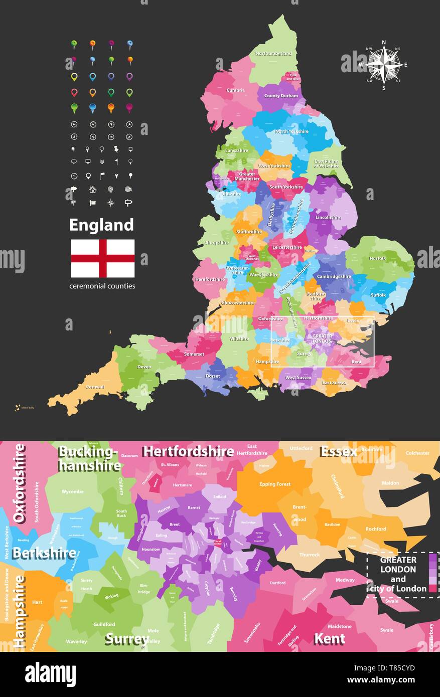 England ceremonial counties vector map Stock Vectorhttps://www.alamy.com/image-license-details/?v=1https://www.alamy.com/england-ceremonial-counties-vector-map-image245982337.html
RFT85CYD–England ceremonial counties vector map
 Top view of Durham, UK retro flag with grunge texture. united kingdom of great Britain, England. no flagpole. Plane layout, design. Flag background Stock Photohttps://www.alamy.com/image-license-details/?v=1https://www.alamy.com/top-view-of-durham-uk-retro-flag-with-grunge-texture-united-kingdom-of-great-britain-england-no-flagpole-plane-layout-design-flag-background-image455747124.html
RF2HDD230–Top view of Durham, UK retro flag with grunge texture. united kingdom of great Britain, England. no flagpole. Plane layout, design. Flag background
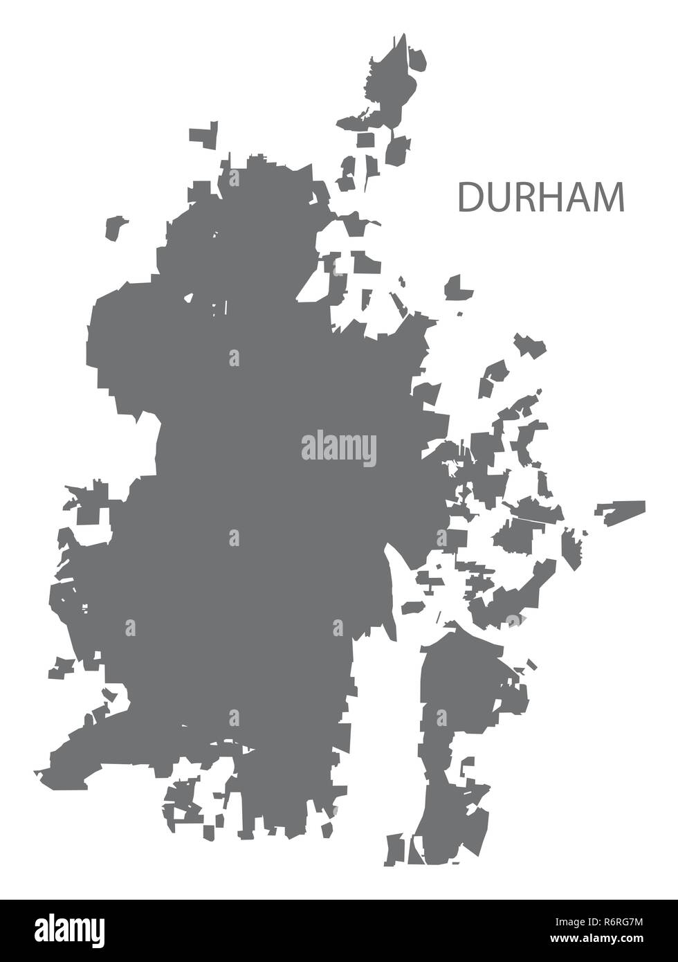 Durham North Carolina city map grey illustration silhouette shape Stock Vectorhttps://www.alamy.com/image-license-details/?v=1https://www.alamy.com/durham-north-carolina-city-map-grey-illustration-silhouette-shape-image227940376.html
RFR6RG7M–Durham North Carolina city map grey illustration silhouette shape
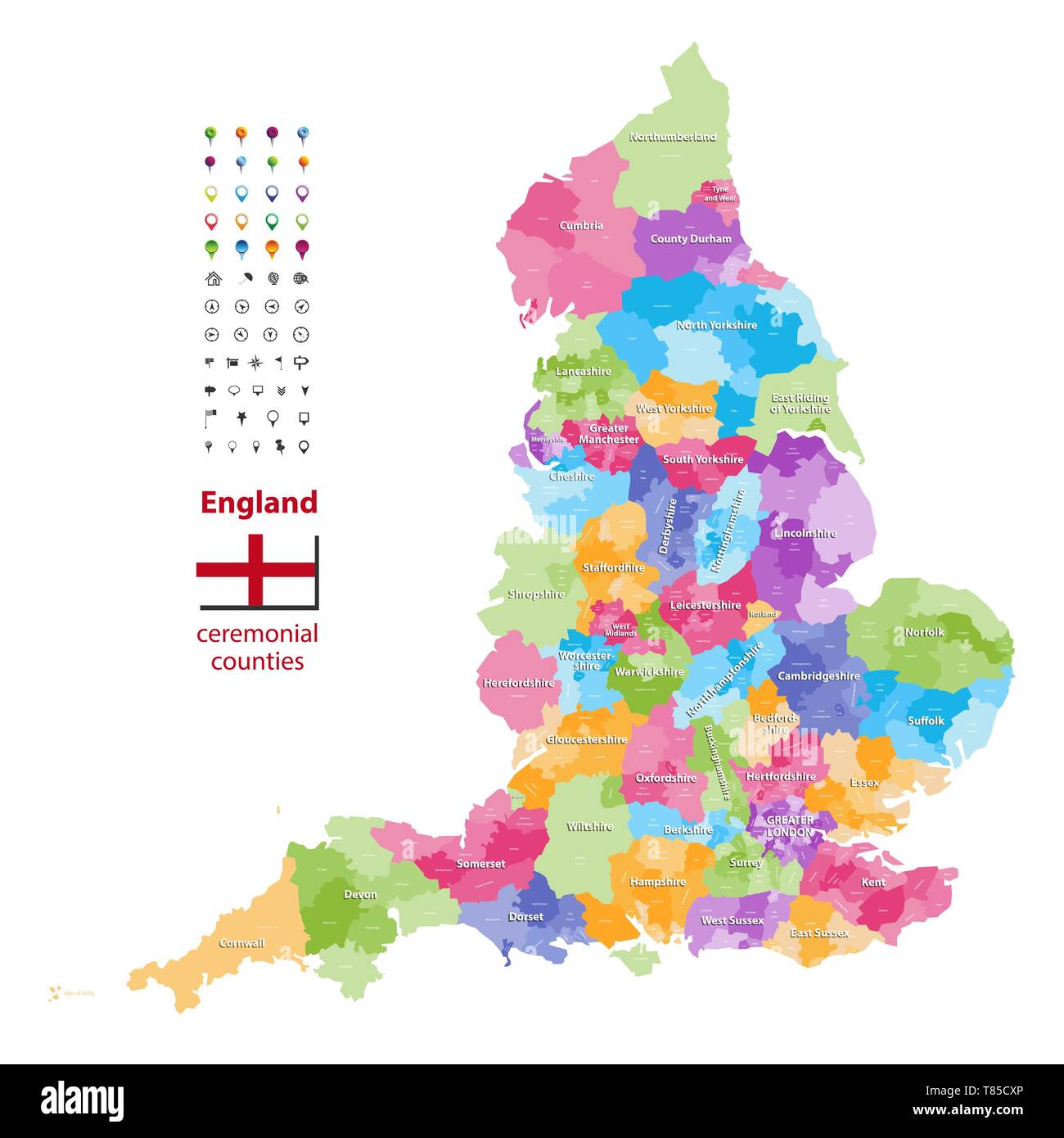 England ceremonial counties vector map Stock Vectorhttps://www.alamy.com/image-license-details/?v=1https://www.alamy.com/england-ceremonial-counties-vector-map-image245982318.html
RFT85CXP–England ceremonial counties vector map
 official flag of Durham, North Carolina untied states of America at cloudy sky background on sunset, panoramic view. USA travel and patriot concept. c Stock Photohttps://www.alamy.com/image-license-details/?v=1https://www.alamy.com/official-flag-of-durham-north-carolina-untied-states-of-america-at-cloudy-sky-background-on-sunset-panoramic-view-usa-travel-and-patriot-concept-c-image488144514.html
RF2KA4W8J–official flag of Durham, North Carolina untied states of America at cloudy sky background on sunset, panoramic view. USA travel and patriot concept. c
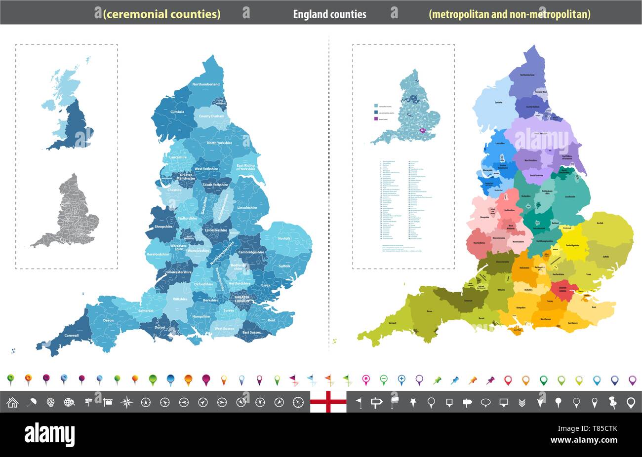 England ceremonial counties vector map Stock Vectorhttps://www.alamy.com/image-license-details/?v=1https://www.alamy.com/england-ceremonial-counties-vector-map-image245982259.html
RFT85CTK–England ceremonial counties vector map
 UK England County Durham,Durham City,Market Place,Japanese woman,female,student students Asian women,map,UK071001087 Stock Photohttps://www.alamy.com/image-license-details/?v=1https://www.alamy.com/stock-photo-uk-england-county-durhamdurham-citymarket-placejapanese-womanfemalestudent-14838775.html
RMAJYWKM–UK England County Durham,Durham City,Market Place,Japanese woman,female,student students Asian women,map,UK071001087
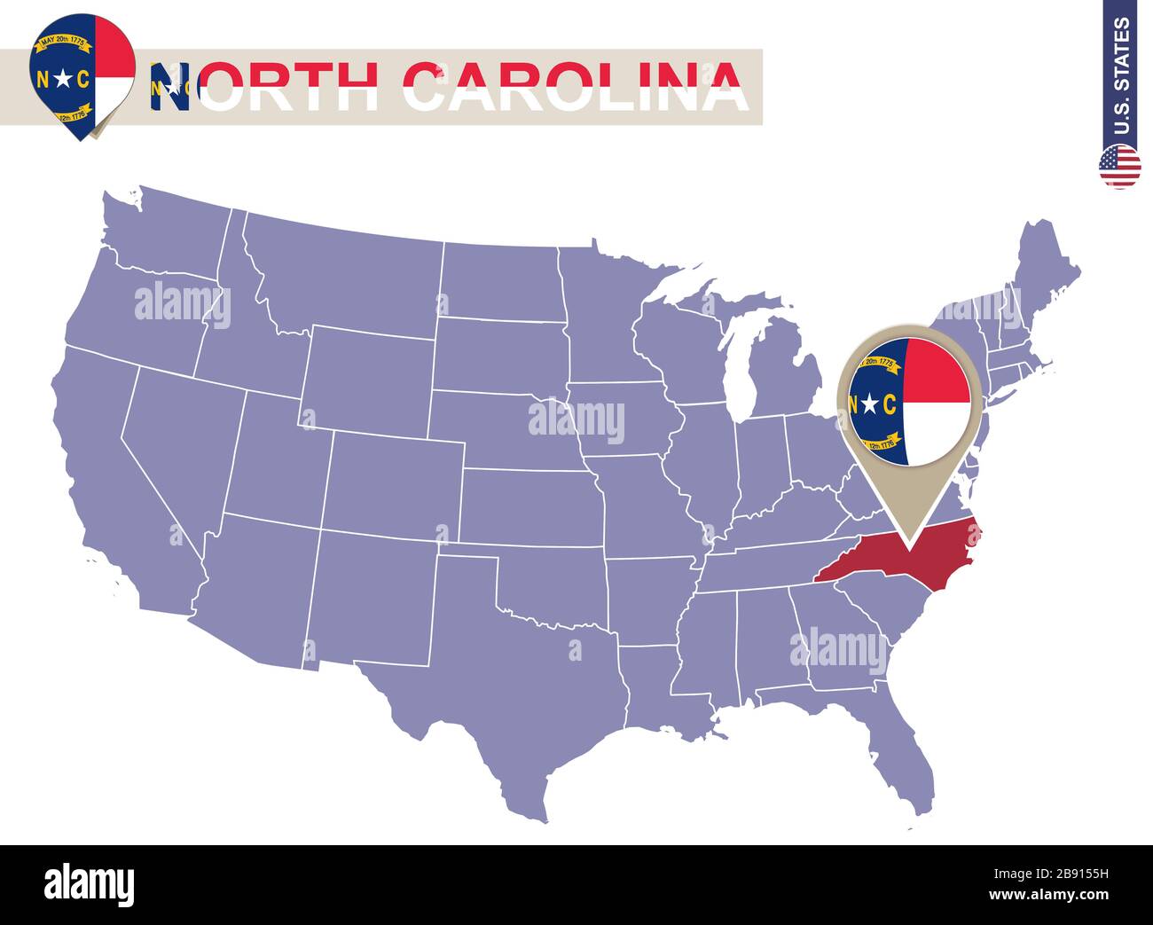 North Carolina State on USA Map. North Carolina flag and map. US States. Stock Vectorhttps://www.alamy.com/image-license-details/?v=1https://www.alamy.com/north-carolina-state-on-usa-map-north-carolina-flag-and-map-us-states-image349765293.html
RF2B9155H–North Carolina State on USA Map. North Carolina flag and map. US States.
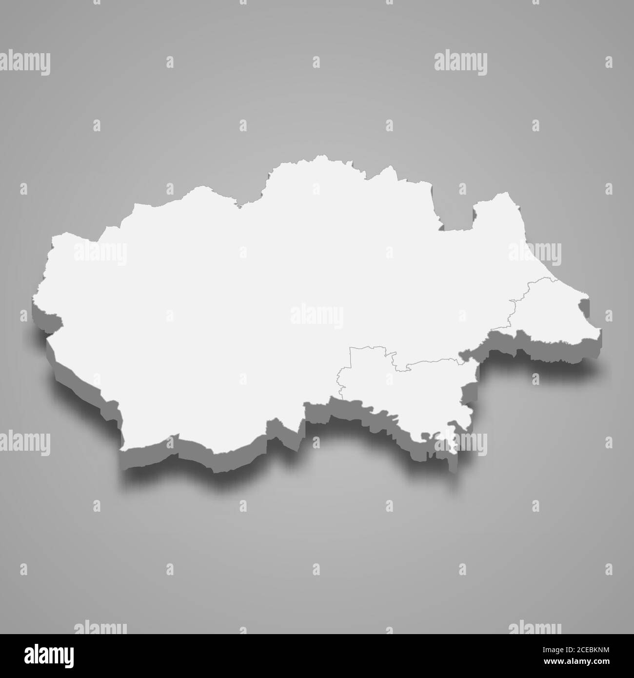 3d map of Durham is a ceremonial county of England Stock Vectorhttps://www.alamy.com/image-license-details/?v=1https://www.alamy.com/3d-map-of-durham-is-a-ceremonial-county-of-england-image370279888.html
RF2CEBKNM–3d map of Durham is a ceremonial county of England
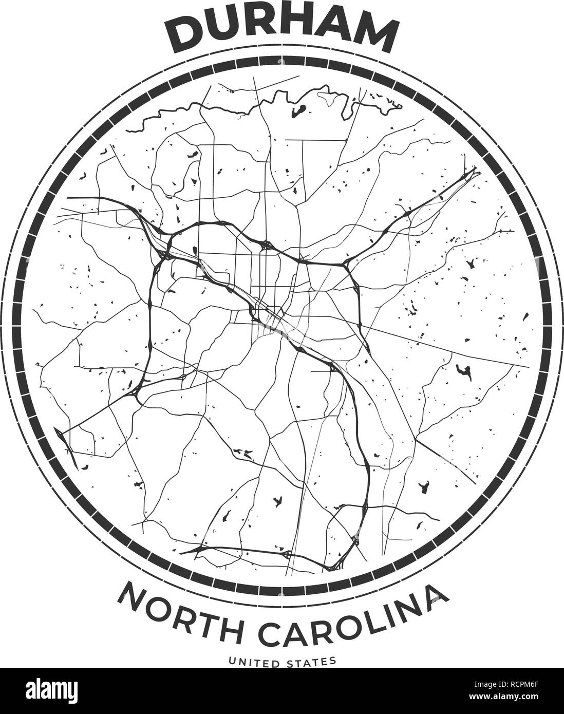 T-shirt map badge of Durham, North Carolina. Tee shirt print typography label badge emblem. Vector illustration Stock Vectorhttps://www.alamy.com/image-license-details/?v=1https://www.alamy.com/t-shirt-map-badge-of-durham-north-carolina-tee-shirt-print-typography-label-badge-emblem-vector-illustration-image231609463.html
RFRCPM6F–T-shirt map badge of Durham, North Carolina. Tee shirt print typography label badge emblem. Vector illustration
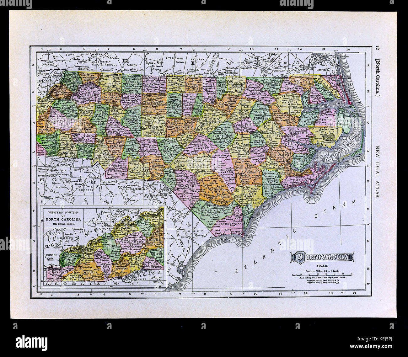 1911 McNally Map - North Carolina Raleigh Durham Outer Bank Asheville Cape Hatteras Stock Photohttps://www.alamy.com/image-license-details/?v=1https://www.alamy.com/stock-image-1911-mcnally-map-north-carolina-raleigh-durham-outer-bank-asheville-163898186.html
RFKEJ5PJ–1911 McNally Map - North Carolina Raleigh Durham Outer Bank Asheville Cape Hatteras
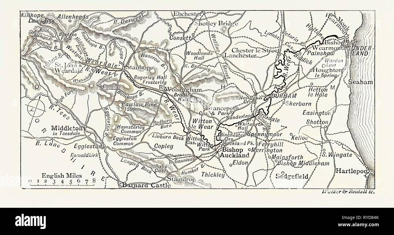 Map of the Course of the Wear, in North East England Rises in the Pennines and Flows Eastwards, Mostly Through County Durham to the North Sea in the City of Sunderland.is One of the Region's Longest Rivers, Wends in a Steep Valley Through the Cathedral City of Durham and Gives Its Name to Weardale in Its Upper Reach and Wearside by Its Mouth. UK Stock Photohttps://www.alamy.com/image-license-details/?v=1https://www.alamy.com/map-of-the-course-of-the-wear-in-north-east-england-rises-in-the-pennines-and-flows-eastwards-mostly-through-county-durham-to-the-north-sea-in-the-city-of-sunderlandis-one-of-the-regions-longest-rivers-wends-in-a-steep-valley-through-the-cathedral-city-of-durham-and-gives-its-name-to-weardale-in-its-upper-reach-and-wearside-by-its-mouth-uk-image240622275.html
RMRYD84K–Map of the Course of the Wear, in North East England Rises in the Pennines and Flows Eastwards, Mostly Through County Durham to the North Sea in the City of Sunderland.is One of the Region's Longest Rivers, Wends in a Steep Valley Through the Cathedral City of Durham and Gives Its Name to Weardale in Its Upper Reach and Wearside by Its Mouth. UK
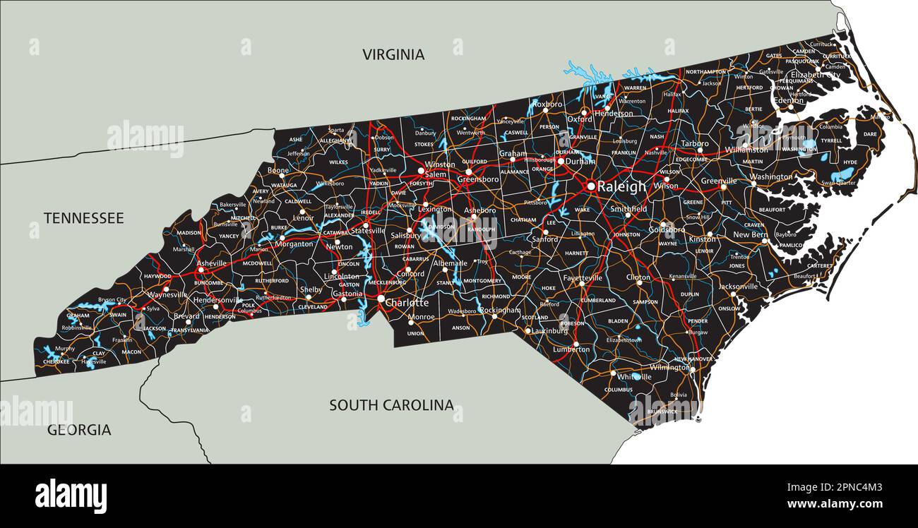 High detailed North Carolina road map with labeling. Stock Vectorhttps://www.alamy.com/image-license-details/?v=1https://www.alamy.com/high-detailed-north-carolina-road-map-with-labeling-image546696307.html
RF2PNC4M3–High detailed North Carolina road map with labeling.
 North Carolina, state of United States of America. Open Street Map Stock Photohttps://www.alamy.com/image-license-details/?v=1https://www.alamy.com/north-carolina-state-of-united-states-of-america-open-street-map-image546017826.html
RF2PM978J–North Carolina, state of United States of America. Open Street Map
 Welcome to Thatcham Sign Stock Photohttps://www.alamy.com/image-license-details/?v=1https://www.alamy.com/welcome-to-thatcham-sign-image591901373.html
RF2WAYC6N–Welcome to Thatcham Sign
 Horse Chestnut tree (Aesculus hippocastanum) in autumn seen over still water of River Wear, Durham City, Durham, England, UK. Stock Photohttps://www.alamy.com/image-license-details/?v=1https://www.alamy.com/horse-chestnut-tree-aesculus-hippocastanum-in-autumn-seen-over-still-image530736.html
RMA81930–Horse Chestnut tree (Aesculus hippocastanum) in autumn seen over still water of River Wear, Durham City, Durham, England, UK.
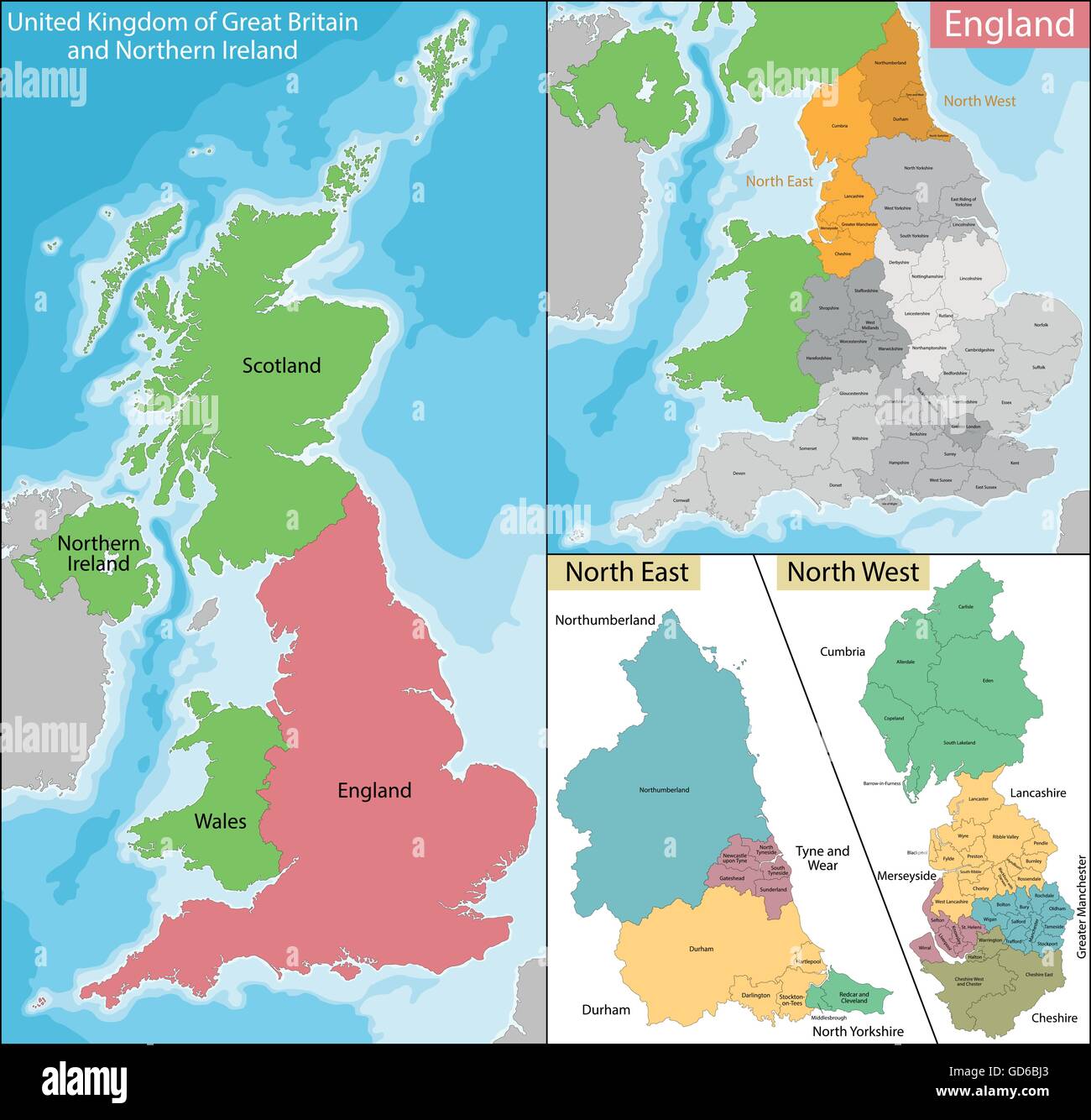 Map of North East and West England Stock Vectorhttps://www.alamy.com/image-license-details/?v=1https://www.alamy.com/stock-photo-map-of-north-east-and-west-england-111393579.html
RFGD6BJ3–Map of North East and West England
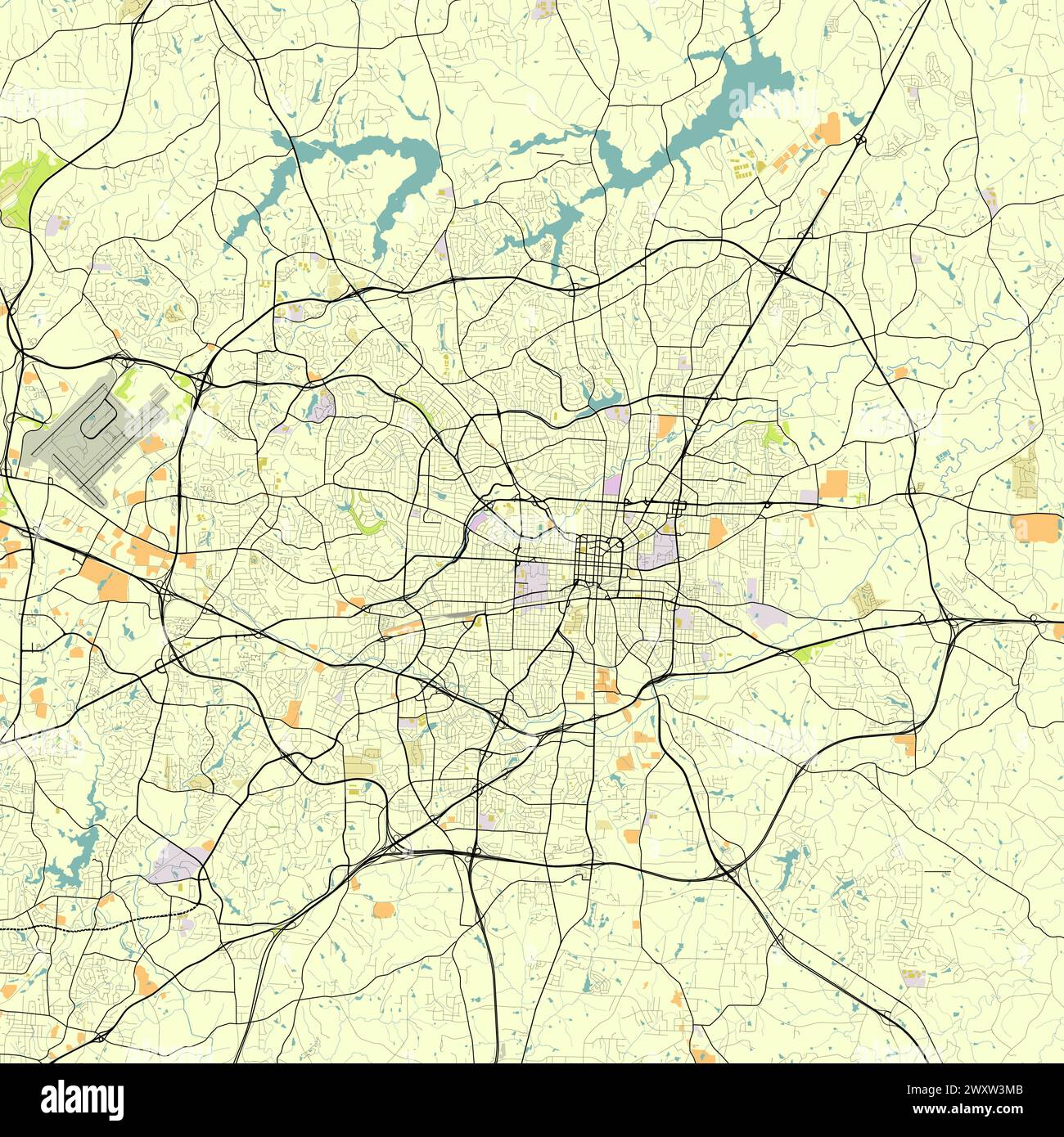 City map of Greensboro North Carolina USA Stock Vectorhttps://www.alamy.com/image-license-details/?v=1https://www.alamy.com/city-map-of-greensboro-north-carolina-usa-image601685291.html
RF2WXW3MB–City map of Greensboro North Carolina USA
 Durham, UK - 12 July, 2023: Globe artwork 'Gaia' inside Durham Cathedral, Durham City, County Durham, England Stock Photohttps://www.alamy.com/image-license-details/?v=1https://www.alamy.com/durham-uk-12-july-2023-globe-artwork-gaia-inside-durham-cathedral-durham-city-county-durham-england-image566700329.html
RF2RWYC1D–Durham, UK - 12 July, 2023: Globe artwork 'Gaia' inside Durham Cathedral, Durham City, County Durham, England
 DURHAM borough/town/city plan for the REFORM ACT. DAWSON, 1832 antique map Stock Photohttps://www.alamy.com/image-license-details/?v=1https://www.alamy.com/stock-photo-durham-boroughtowncity-plan-for-the-reform-act-dawson-1832-antique-93053102.html
RFFBAX52–DURHAM borough/town/city plan for the REFORM ACT. DAWSON, 1832 antique map
 MOSCOW, RUSSIA - JANUARY 17, 2021: Postage stamp printed in United Kingdom shows Milburngate Centre, Durham, Urban Renewal serie, circa 1984 Stock Photohttps://www.alamy.com/image-license-details/?v=1https://www.alamy.com/moscow-russia-january-17-2021-postage-stamp-printed-in-united-kingdom-shows-milburngate-centre-durham-urban-renewal-serie-circa-1984-image417873857.html
RF2F7RPA9–MOSCOW, RUSSIA - JANUARY 17, 2021: Postage stamp printed in United Kingdom shows Milburngate Centre, Durham, Urban Renewal serie, circa 1984
 SUNDERLAND borough/town/city plan. BOUNDARY COMMISSION. Durham. DAWSON 1837 map Stock Photohttps://www.alamy.com/image-license-details/?v=1https://www.alamy.com/sunderland-boroughtowncity-plan-boundary-commission-durham-dawson-1837-map-image599858628.html
RF2WRWWPC–SUNDERLAND borough/town/city plan. BOUNDARY COMMISSION. Durham. DAWSON 1837 map
 Top view of Durham, UK flag. united kingdom of great Britain, England. no flagpole. Plane layout, design. Flag background Stock Photohttps://www.alamy.com/image-license-details/?v=1https://www.alamy.com/top-view-of-durham-uk-flag-united-kingdom-of-great-britain-england-no-flagpole-plane-layout-design-flag-background-image454503152.html
RF2HBCBBC–Top view of Durham, UK flag. united kingdom of great Britain, England. no flagpole. Plane layout, design. Flag background
 Durham Lead, City of Ballarat, Australia, Victoria, S 37 42' 0'', E 143 52' 59'', map, Timeless Map published in 2021. Travelers, explorers and adventurers like Florence Nightingale, David Livingstone, Ernest Shackleton, Lewis and Clark and Sherlock Holmes relied on maps to plan travels to the world's most remote corners, Timeless Maps is mapping most locations on the globe, showing the achievement of great dreams Stock Photohttps://www.alamy.com/image-license-details/?v=1https://www.alamy.com/durham-lead-city-of-ballarat-australia-victoria-s-37-42-0-e-143-52-59-map-timeless-map-published-in-2021-travelers-explorers-and-adventurers-like-florence-nightingale-david-livingstone-ernest-shackleton-lewis-and-clark-and-sherlock-holmes-relied-on-maps-to-plan-travels-to-the-worlds-most-remote-corners-timeless-maps-is-mapping-most-locations-on-the-globe-showing-the-achievement-of-great-dreams-image457813477.html
RM2HGR5N9–Durham Lead, City of Ballarat, Australia, Victoria, S 37 42' 0'', E 143 52' 59'', map, Timeless Map published in 2021. Travelers, explorers and adventurers like Florence Nightingale, David Livingstone, Ernest Shackleton, Lewis and Clark and Sherlock Holmes relied on maps to plan travels to the world's most remote corners, Timeless Maps is mapping most locations on the globe, showing the achievement of great dreams
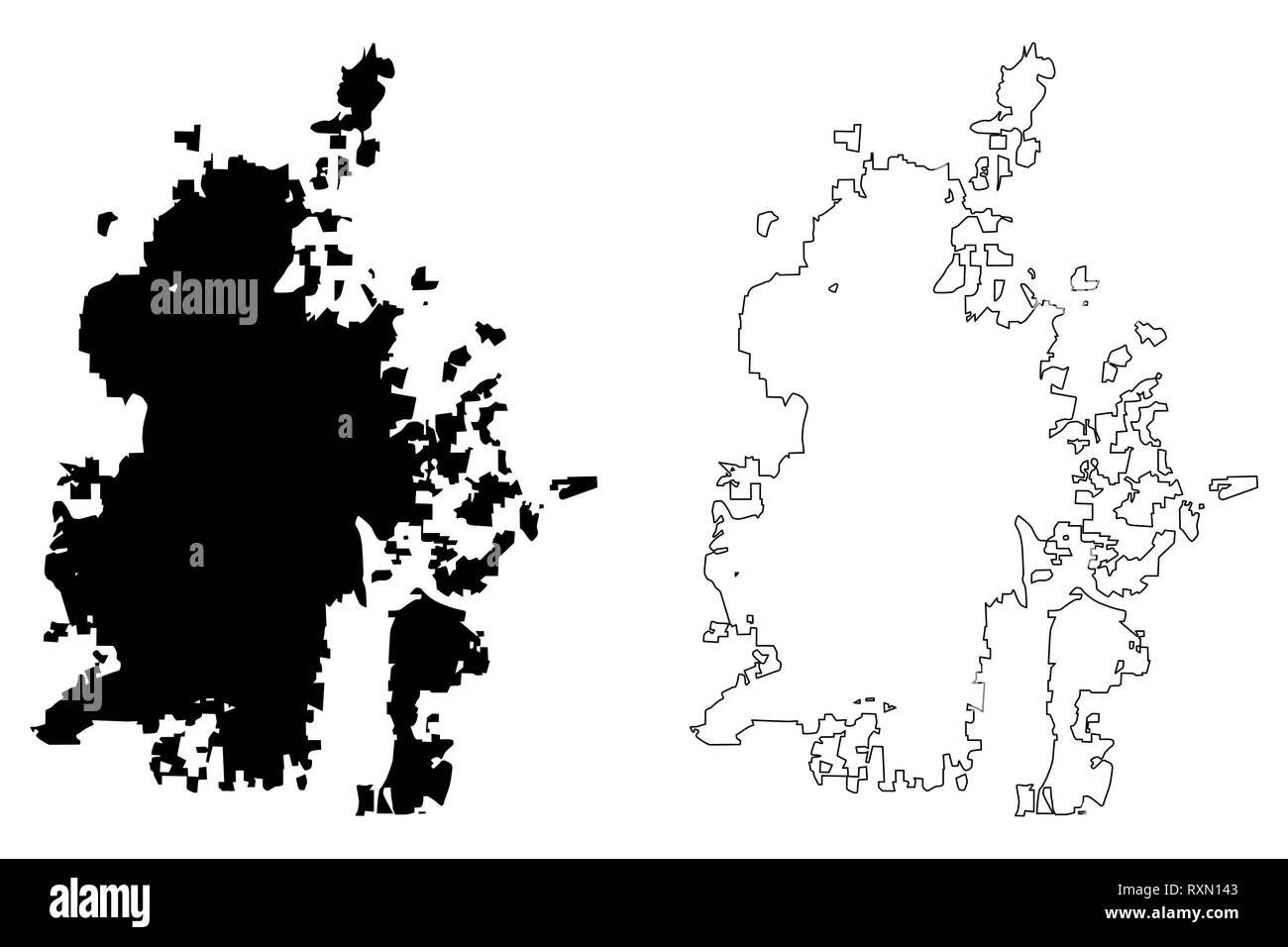 Durham City (United States cities, United States of America, usa city) map vector illustration, scribble sketch City of Durham map Stock Vectorhttps://www.alamy.com/image-license-details/?v=1https://www.alamy.com/durham-city-united-states-cities-united-states-of-america-usa-city-map-vector-illustration-scribble-sketch-city-of-durham-map-image240177731.html
RFRXN143–Durham City (United States cities, United States of America, usa city) map vector illustration, scribble sketch City of Durham map
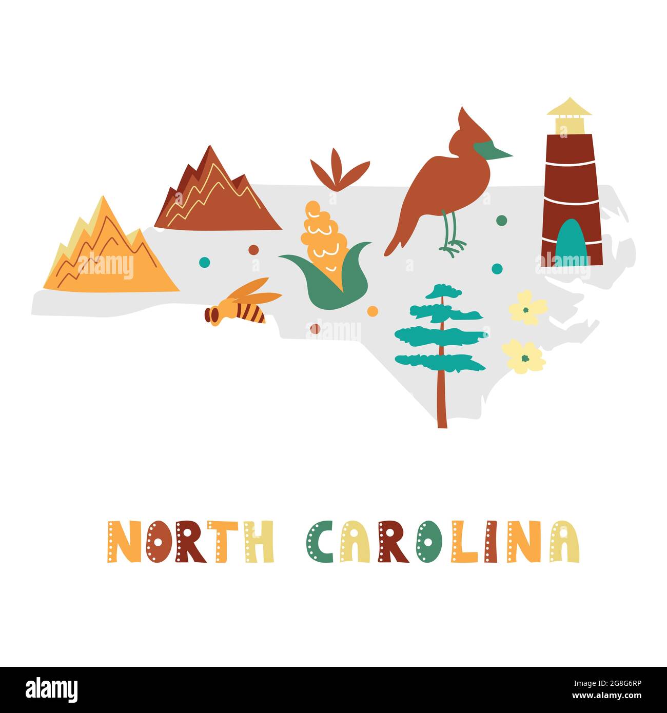 USA map collection. State symbols and nature on gray state silhouette - North Carolina. Cartoon simple style for print Stock Vectorhttps://www.alamy.com/image-license-details/?v=1https://www.alamy.com/usa-map-collection-state-symbols-and-nature-on-gray-state-silhouette-north-carolina-cartoon-simple-style-for-print-image435533050.html
RF2G8G6RP–USA map collection. State symbols and nature on gray state silhouette - North Carolina. Cartoon simple style for print
 MAP OF THE COURSE OF THE WEAR, in North East England rises in the Pennines and flows eastwards, mostly through County Durham Stock Photohttps://www.alamy.com/image-license-details/?v=1https://www.alamy.com/map-of-the-course-of-the-wear-in-north-east-england-rises-in-the-pennines-image60033627.html
RMDDJNE3–MAP OF THE COURSE OF THE WEAR, in North East England rises in the Pennines and flows eastwards, mostly through County Durham
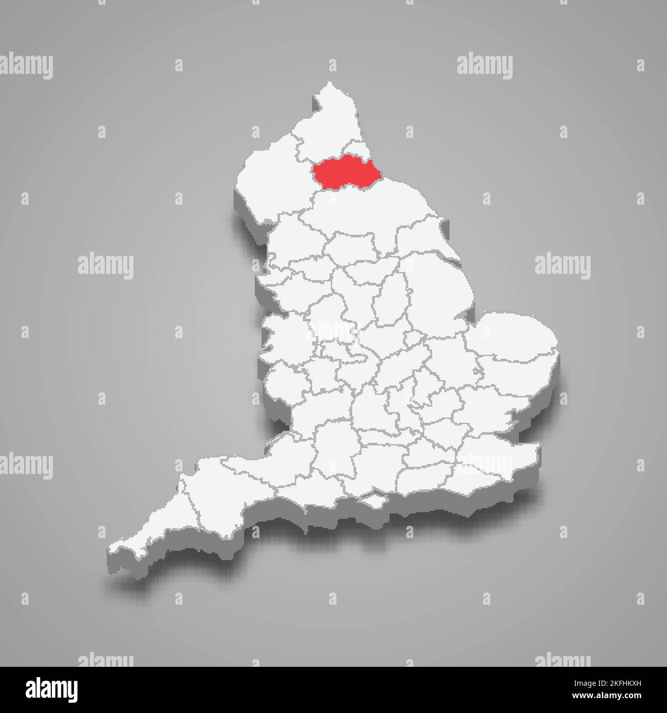 Durham county location within England 3d isometric map Stock Vectorhttps://www.alamy.com/image-license-details/?v=1https://www.alamy.com/durham-county-location-within-england-3d-isometric-map-image491498969.html
RF2KFHKXH–Durham county location within England 3d isometric map
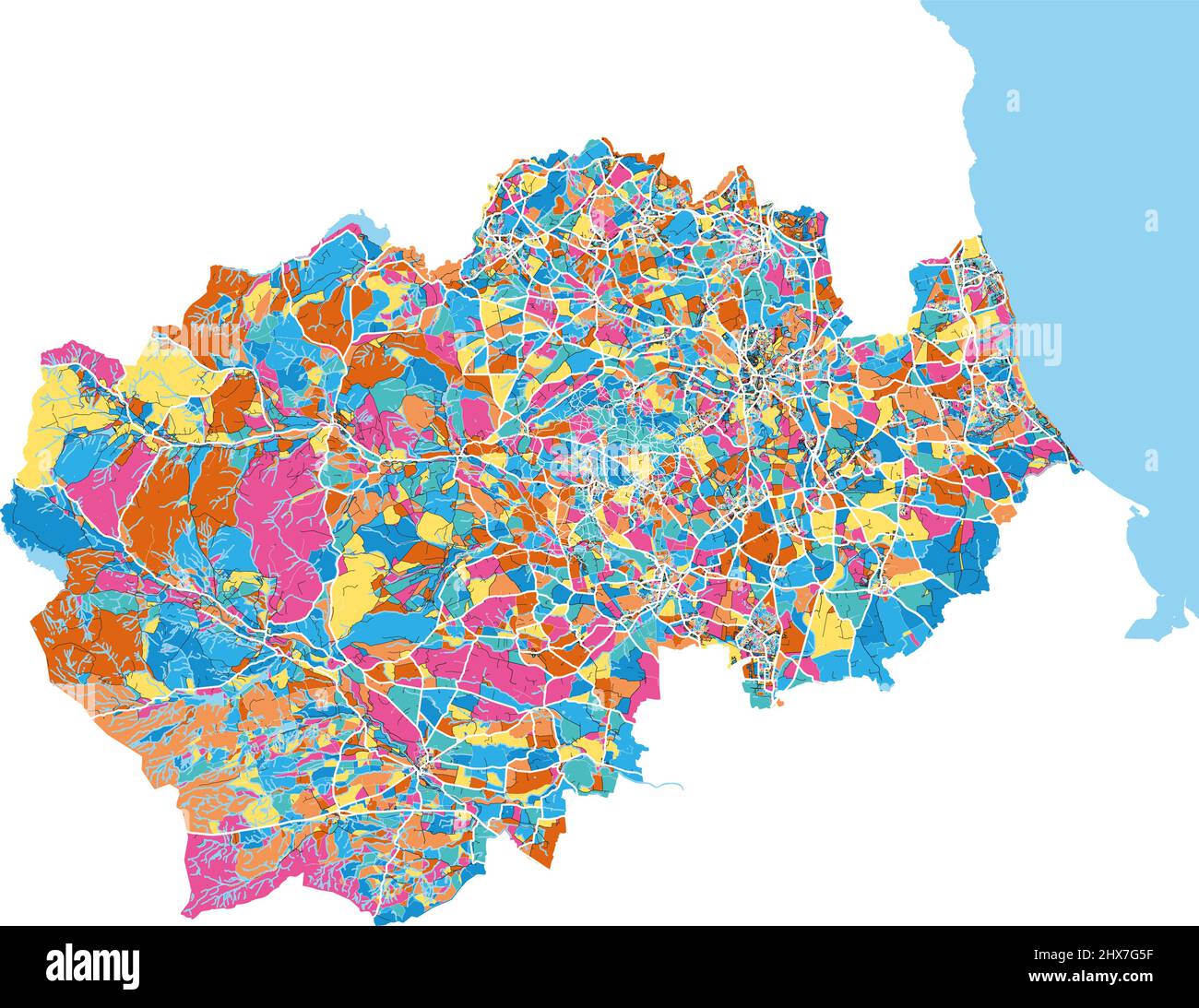 Durham, North East England, England colorful high resolution vector art map with city boundaries. White outlines for main roads. Many details. Blue sh Stock Vectorhttps://www.alamy.com/image-license-details/?v=1https://www.alamy.com/durham-north-east-england-england-colorful-high-resolution-vector-art-map-with-city-boundaries-white-outlines-for-main-roads-many-details-blue-sh-image463616987.html
RF2HX7G5F–Durham, North East England, England colorful high resolution vector art map with city boundaries. White outlines for main roads. Many details. Blue sh
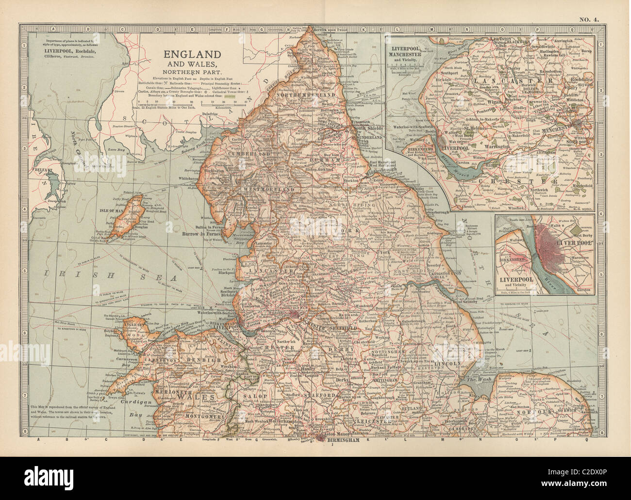 Map of England and Wales Stock Photohttps://www.alamy.com/image-license-details/?v=1https://www.alamy.com/stock-photo-map-of-england-and-wales-35955830.html
RMC2DX0P–Map of England and Wales
RF2JN0C7W–United States, Raleigh city skyline isolated vector illustration, icons
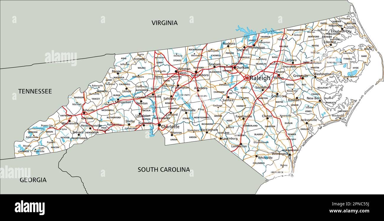 High detailed North Carolina road map with labeling. Stock Vectorhttps://www.alamy.com/image-license-details/?v=1https://www.alamy.com/high-detailed-north-carolina-road-map-with-labeling-image546696686.html
RF2PNC55J–High detailed North Carolina road map with labeling.
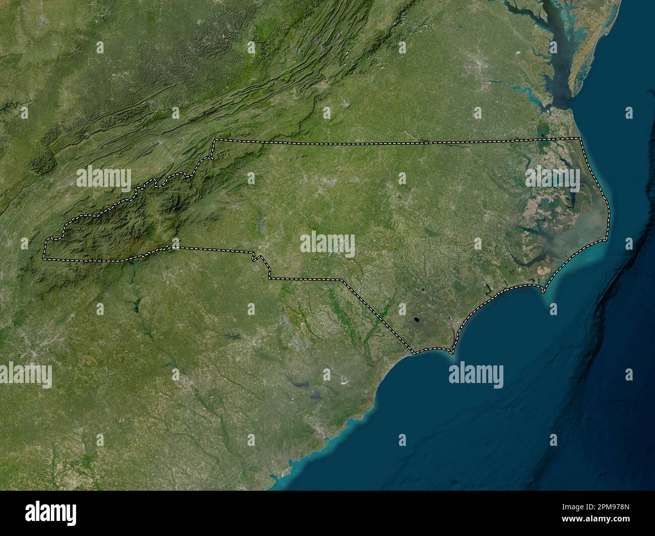 North Carolina, state of United States of America. Low resolution satellite map Stock Photohttps://www.alamy.com/image-license-details/?v=1https://www.alamy.com/north-carolina-state-of-united-states-of-america-low-resolution-satellite-map-image546017829.html
RF2PM978N–North Carolina, state of United States of America. Low resolution satellite map
![Jersey City, V. 4, Double Page Plate No. 40 [Map bounded by Nelson Ave., Paterson Ave., Durham Ave., North St.] 1873 Stock Photo Jersey City, V. 4, Double Page Plate No. 40 [Map bounded by Nelson Ave., Paterson Ave., Durham Ave., North St.] 1873 Stock Photo](https://c8.alamy.com/comp/2YP52J3/jersey-city-v-4-double-page-plate-no-40-map-bounded-by-nelson-ave-paterson-ave-durham-ave-north-st-1873-2YP52J3.jpg) Jersey City, V. 4, Double Page Plate No. 40 [Map bounded by Nelson Ave., Paterson Ave., Durham Ave., North St.] 1873 Stock Photohttps://www.alamy.com/image-license-details/?v=1https://www.alamy.com/jersey-city-v-4-double-page-plate-no-40-map-bounded-by-nelson-ave-paterson-ave-durham-ave-north-st-1873-image633207515.html
Jersey City, V. 4, Double Page Plate No. 40 [Map bounded by Nelson Ave., Paterson Ave., Durham Ave., North St.] 1873 Stock Photohttps://www.alamy.com/image-license-details/?v=1https://www.alamy.com/jersey-city-v-4-double-page-plate-no-40-map-bounded-by-nelson-ave-paterson-ave-durham-ave-north-st-1873-image633207515.htmlRM2YP52J3–Jersey City, V. 4, Double Page Plate No. 40 [Map bounded by Nelson Ave., Paterson Ave., Durham Ave., North St.] 1873
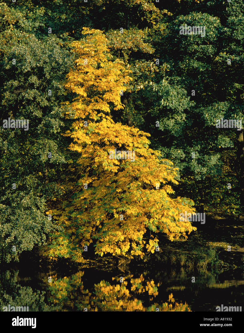 Horse Chestnut tree (Aesculus hippocastanum) in autumn seen over still waters of River Wear, Durham City, Durham, England, UK. Stock Photohttps://www.alamy.com/image-license-details/?v=1https://www.alamy.com/horse-chestnut-tree-aesculus-hippocastanum-in-autumn-seen-over-still-image530738.html
RMA81932–Horse Chestnut tree (Aesculus hippocastanum) in autumn seen over still waters of River Wear, Durham City, Durham, England, UK.
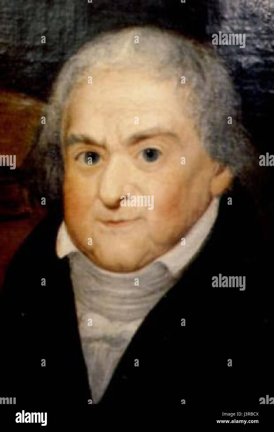 Joseph Boruwlaski Durham City town hall Stock Photohttps://www.alamy.com/image-license-details/?v=1https://www.alamy.com/stock-photo-joseph-boruwlaski-durham-city-town-hall-140040794.html
RMJ3RBCX–Joseph Boruwlaski Durham City town hall
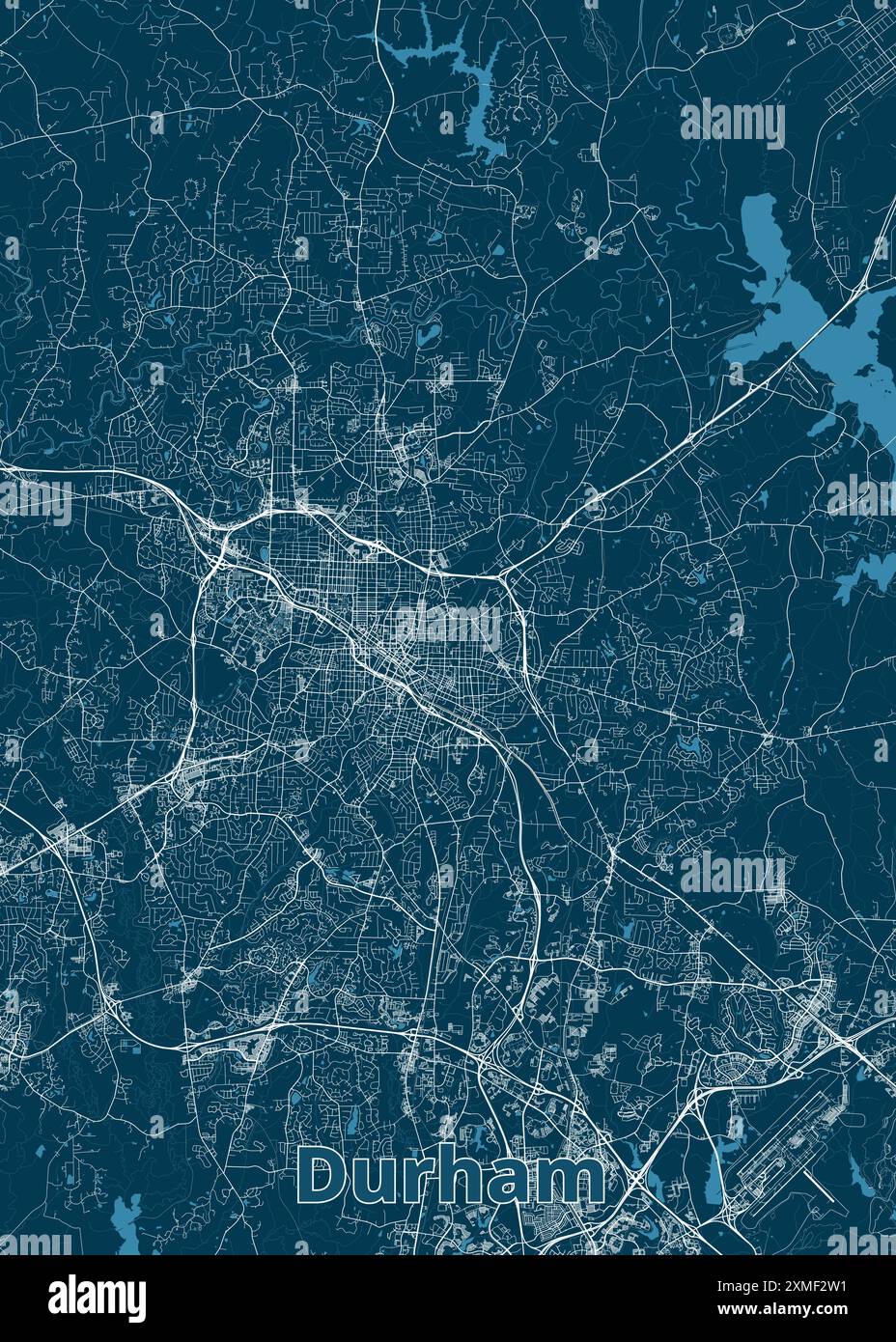 Durham, North Carolina, USA artistic blueprint map poster Stock Vectorhttps://www.alamy.com/image-license-details/?v=1https://www.alamy.com/durham-north-carolina-usa-artistic-blueprint-map-poster-image614987549.html
RF2XMF2W1–Durham, North Carolina, USA artistic blueprint map poster
 Durham, UK - 12 July, 2023: Globe artwork 'Gaia' inside Durham Cathedral, Durham City, County Durham, England Stock Photohttps://www.alamy.com/image-license-details/?v=1https://www.alamy.com/durham-uk-12-july-2023-globe-artwork-gaia-inside-durham-cathedral-durham-city-county-durham-england-image566700239.html
RF2RWYBX7–Durham, UK - 12 July, 2023: Globe artwork 'Gaia' inside Durham Cathedral, Durham City, County Durham, England
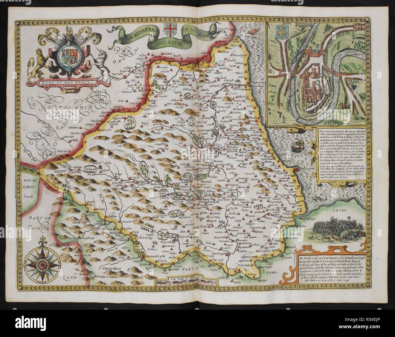 The bishioprick and citie of Durham. A map of the county Durham; inset, the city of Durham. The Theatre of the Empire of Great Britain. London : John Sudbury & George Humble, 1611. Source: Maps C.7.c.20.(2.), f.83. Author: SPEED, JOHN. Stock Photohttps://www.alamy.com/image-license-details/?v=1https://www.alamy.com/the-bishioprick-and-citie-of-durham-a-map-of-the-county-durham-inset-the-city-of-durham-the-theatre-of-the-empire-of-great-britain-london-john-sudbury-george-humble-1611-source-maps-c7c202-f83-author-speed-john-image226951278.html
RMR56EJP–The bishioprick and citie of Durham. A map of the county Durham; inset, the city of Durham. The Theatre of the Empire of Great Britain. London : John Sudbury & George Humble, 1611. Source: Maps C.7.c.20.(2.), f.83. Author: SPEED, JOHN.
![The South West Prospect of the City of Durham. Author Buck, Samuel 12.34.b. Place of publication: [London] Publisher: [unknown publisher]., Date of publication: [1745 c. after] Item type: 1 print Medium: etching Dimensions: sheet 18.8 x 24.8 cm [trimmed within platemark] Former owner: George III, King of Great Britain, 1738-1820 Stock Photo The South West Prospect of the City of Durham. Author Buck, Samuel 12.34.b. Place of publication: [London] Publisher: [unknown publisher]., Date of publication: [1745 c. after] Item type: 1 print Medium: etching Dimensions: sheet 18.8 x 24.8 cm [trimmed within platemark] Former owner: George III, King of Great Britain, 1738-1820 Stock Photo](https://c8.alamy.com/comp/2E9GHK7/the-south-west-prospect-of-the-city-of-durham-author-buck-samuel-1234b-place-of-publication-london-publisher-unknown-publisher-date-of-publication-1745-c-after-item-type-1-print-medium-etching-dimensions-sheet-188-x-248-cm-trimmed-within-platemark-former-owner-george-iii-king-of-great-britain-1738-1820-2E9GHK7.jpg) The South West Prospect of the City of Durham. Author Buck, Samuel 12.34.b. Place of publication: [London] Publisher: [unknown publisher]., Date of publication: [1745 c. after] Item type: 1 print Medium: etching Dimensions: sheet 18.8 x 24.8 cm [trimmed within platemark] Former owner: George III, King of Great Britain, 1738-1820 Stock Photohttps://www.alamy.com/image-license-details/?v=1https://www.alamy.com/the-south-west-prospect-of-the-city-of-durham-author-buck-samuel-1234b-place-of-publication-london-publisher-unknown-publisher-date-of-publication-1745-c-after-item-type-1-print-medium-etching-dimensions-sheet-188-x-248-cm-trimmed-within-platemark-former-owner-george-iii-king-of-great-britain-1738-1820-image401735467.html
The South West Prospect of the City of Durham. Author Buck, Samuel 12.34.b. Place of publication: [London] Publisher: [unknown publisher]., Date of publication: [1745 c. after] Item type: 1 print Medium: etching Dimensions: sheet 18.8 x 24.8 cm [trimmed within platemark] Former owner: George III, King of Great Britain, 1738-1820 Stock Photohttps://www.alamy.com/image-license-details/?v=1https://www.alamy.com/the-south-west-prospect-of-the-city-of-durham-author-buck-samuel-1234b-place-of-publication-london-publisher-unknown-publisher-date-of-publication-1745-c-after-item-type-1-print-medium-etching-dimensions-sheet-188-x-248-cm-trimmed-within-platemark-former-owner-george-iii-king-of-great-britain-1738-1820-image401735467.htmlRM2E9GHK7–The South West Prospect of the City of Durham. Author Buck, Samuel 12.34.b. Place of publication: [London] Publisher: [unknown publisher]., Date of publication: [1745 c. after] Item type: 1 print Medium: etching Dimensions: sheet 18.8 x 24.8 cm [trimmed within platemark] Former owner: George III, King of Great Britain, 1738-1820
 DURHAM borough/town/city plan. BOUNDARY COMMISSION. Durham. DAWSON 1837 map Stock Photohttps://www.alamy.com/image-license-details/?v=1https://www.alamy.com/durham-boroughtowncity-plan-boundary-commission-durham-dawson-1837-map-image336125128.html
RF2AERR0T–DURHAM borough/town/city plan. BOUNDARY COMMISSION. Durham. DAWSON 1837 map
 Top view of flag Durham, North Carolina, untied states of America. USA patriot and travel concept. no flagpole. Plane design, layout. Flag background Stock Photohttps://www.alamy.com/image-license-details/?v=1https://www.alamy.com/top-view-of-flag-durham-north-carolina-untied-states-of-america-usa-patriot-and-travel-concept-no-flagpole-plane-design-layout-flag-background-image455711269.html
RF2HDBCAD–Top view of flag Durham, North Carolina, untied states of America. USA patriot and travel concept. no flagpole. Plane design, layout. Flag background
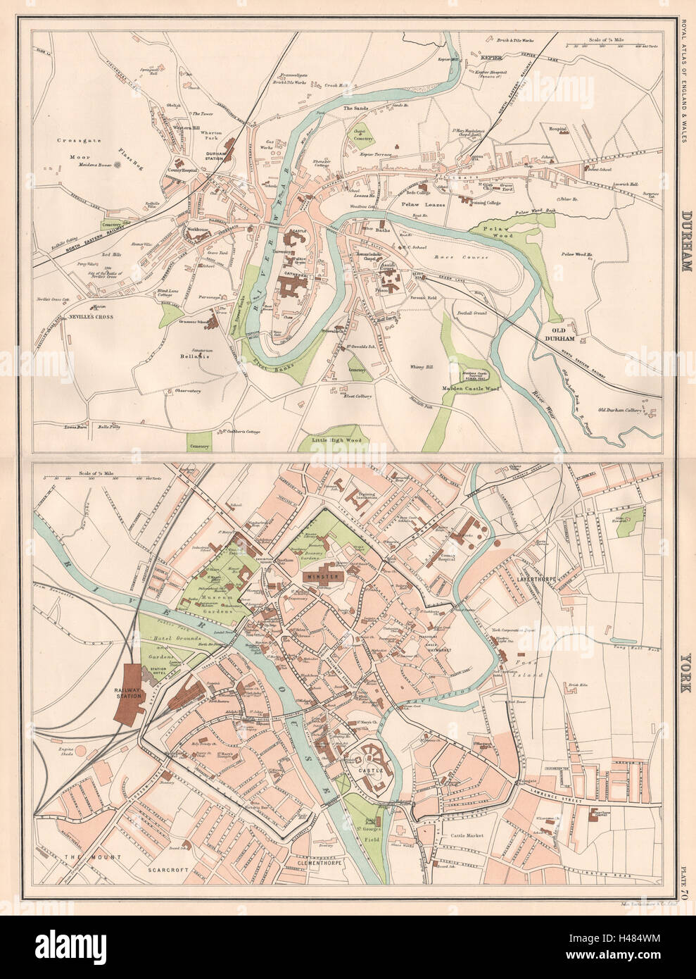 DURHAM & YORK antique town city plans. BARTHOLOMEW 1898 old map chart Stock Photohttps://www.alamy.com/image-license-details/?v=1https://www.alamy.com/stock-photo-durham-york-antique-town-city-plans-bartholomew-1898-old-map-chart-123110672.html
RFH484WM–DURHAM & YORK antique town city plans. BARTHOLOMEW 1898 old map chart
 Durham City (United States cities, United States of America, usa city) map vector illustration, scribble sketch City of Durham map Stock Vectorhttps://www.alamy.com/image-license-details/?v=1https://www.alamy.com/durham-city-united-states-cities-united-states-of-america-usa-city-map-vector-illustration-scribble-sketch-city-of-durham-map-image242115970.html
RFT1W9AX–Durham City (United States cities, United States of America, usa city) map vector illustration, scribble sketch City of Durham map
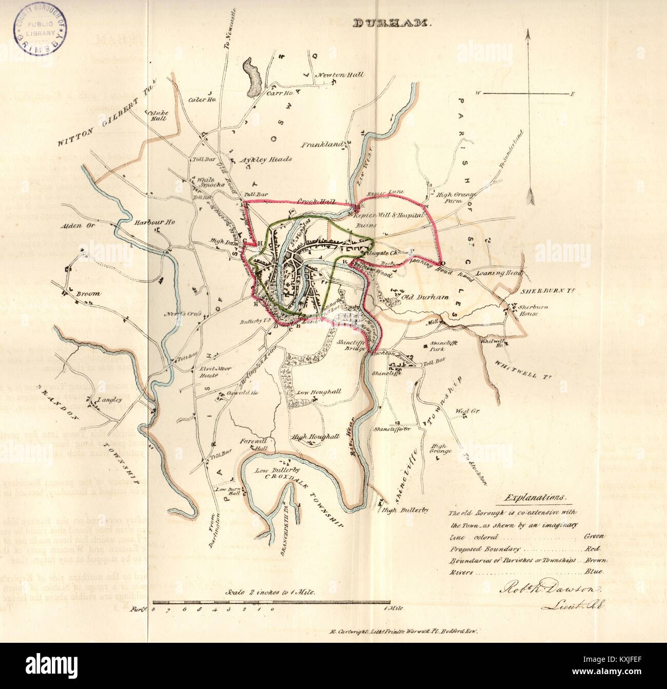 DURHAM town/borough/city plan for the REFORM ACT. DAWSON 1832 old antique map Stock Photohttps://www.alamy.com/image-license-details/?v=1https://www.alamy.com/stock-photo-durham-townboroughcity-plan-for-the-reform-act-dawson-1832-old-antique-171281671.html
RFKXJFEF–DURHAM town/borough/city plan for the REFORM ACT. DAWSON 1832 old antique map
 Roseville, Durham, Canada, Ontario, N 44 5' 33'', W 79 11' 37'', map, Timeless Map published in 2021. Travelers, explorers and adventurers like Florence Nightingale, David Livingstone, Ernest Shackleton, Lewis and Clark and Sherlock Holmes relied on maps to plan travels to the world's most remote corners, Timeless Maps is mapping most locations on the globe, showing the achievement of great dreams Stock Photohttps://www.alamy.com/image-license-details/?v=1https://www.alamy.com/roseville-durham-canada-ontario-n-44-5-33-w-79-11-37-map-timeless-map-published-in-2021-travelers-explorers-and-adventurers-like-florence-nightingale-david-livingstone-ernest-shackleton-lewis-and-clark-and-sherlock-holmes-relied-on-maps-to-plan-travels-to-the-worlds-most-remote-corners-timeless-maps-is-mapping-most-locations-on-the-globe-showing-the-achievement-of-great-dreams-image457881738.html
RM2HGX8R6–Roseville, Durham, Canada, Ontario, N 44 5' 33'', W 79 11' 37'', map, Timeless Map published in 2021. Travelers, explorers and adventurers like Florence Nightingale, David Livingstone, Ernest Shackleton, Lewis and Clark and Sherlock Holmes relied on maps to plan travels to the world's most remote corners, Timeless Maps is mapping most locations on the globe, showing the achievement of great dreams
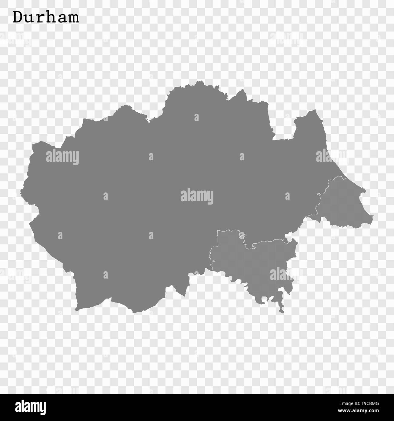 High Quality map of Durham is a county of England, with borders of the districts Stock Vectorhttps://www.alamy.com/image-license-details/?v=1https://www.alamy.com/high-quality-map-of-durham-is-a-county-of-england-with-borders-of-the-districts-image246749680.html
RFT9CBMG–High Quality map of Durham is a county of England, with borders of the districts
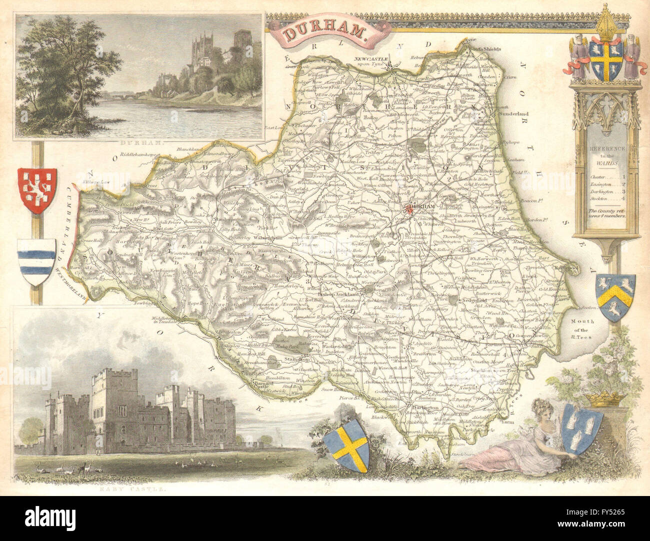 Durham antique hand-coloured county map by Thomas Moule, c1840 Stock Photohttps://www.alamy.com/image-license-details/?v=1https://www.alamy.com/stock-photo-durham-antique-hand-coloured-county-map-by-thomas-moule-c1840-102759053.html
RFFY5265–Durham antique hand-coloured county map by Thomas Moule, c1840
![Image taken from page 8 of 'Durham. [An illustrated history of the city.] pp. 16. Reprinted from “The Hull Quarterly and East Riding Portfolio.”' Image taken from page 8 of 'Durham [An illustrated history Stock Photo Image taken from page 8 of 'Durham. [An illustrated history of the city.] pp. 16. Reprinted from “The Hull Quarterly and East Riding Portfolio.”' Image taken from page 8 of 'Durham [An illustrated history Stock Photo](https://c8.alamy.com/comp/EYRJ1G/image-taken-from-page-8-of-durham-an-illustrated-history-of-the-city-EYRJ1G.jpg) Image taken from page 8 of 'Durham. [An illustrated history of the city.] pp. 16. Reprinted from “The Hull Quarterly and East Riding Portfolio.”' Image taken from page 8 of 'Durham [An illustrated history Stock Photohttps://www.alamy.com/image-license-details/?v=1https://www.alamy.com/stock-photo-image-taken-from-page-8-of-durham-an-illustrated-history-of-the-city-85956236.html
Image taken from page 8 of 'Durham. [An illustrated history of the city.] pp. 16. Reprinted from “The Hull Quarterly and East Riding Portfolio.”' Image taken from page 8 of 'Durham [An illustrated history Stock Photohttps://www.alamy.com/image-license-details/?v=1https://www.alamy.com/stock-photo-image-taken-from-page-8-of-durham-an-illustrated-history-of-the-city-85956236.htmlRMEYRJ1G–Image taken from page 8 of 'Durham. [An illustrated history of the city.] pp. 16. Reprinted from “The Hull Quarterly and East Riding Portfolio.”' Image taken from page 8 of 'Durham [An illustrated history
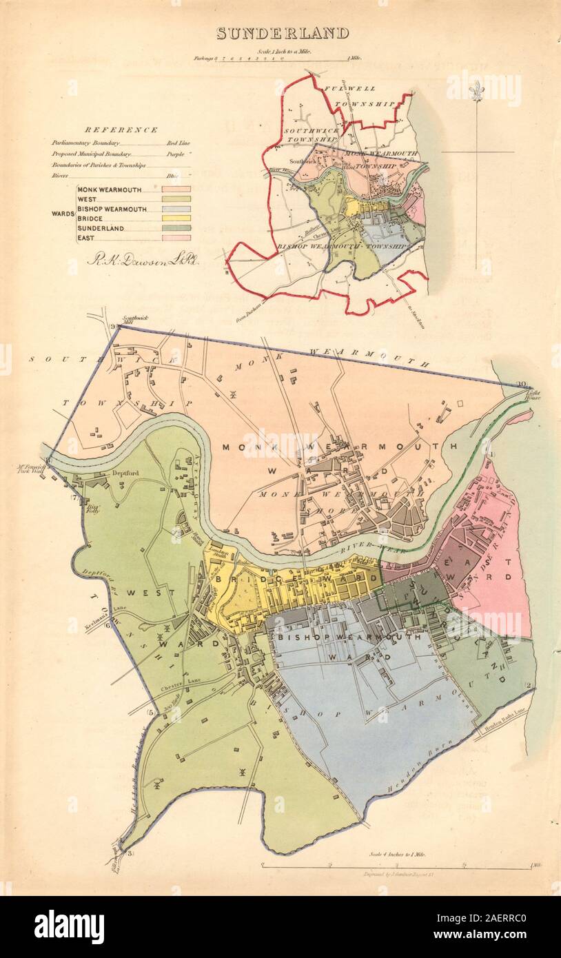 SUNDERLAND borough/town/city plan. BOUNDARY COMMISSION. Durham. DAWSON 1837 map Stock Photohttps://www.alamy.com/image-license-details/?v=1https://www.alamy.com/sunderland-boroughtowncity-plan-boundary-commission-durham-dawson-1837-map-image336125440.html
RF2AERRC0–SUNDERLAND borough/town/city plan. BOUNDARY COMMISSION. Durham. DAWSON 1837 map
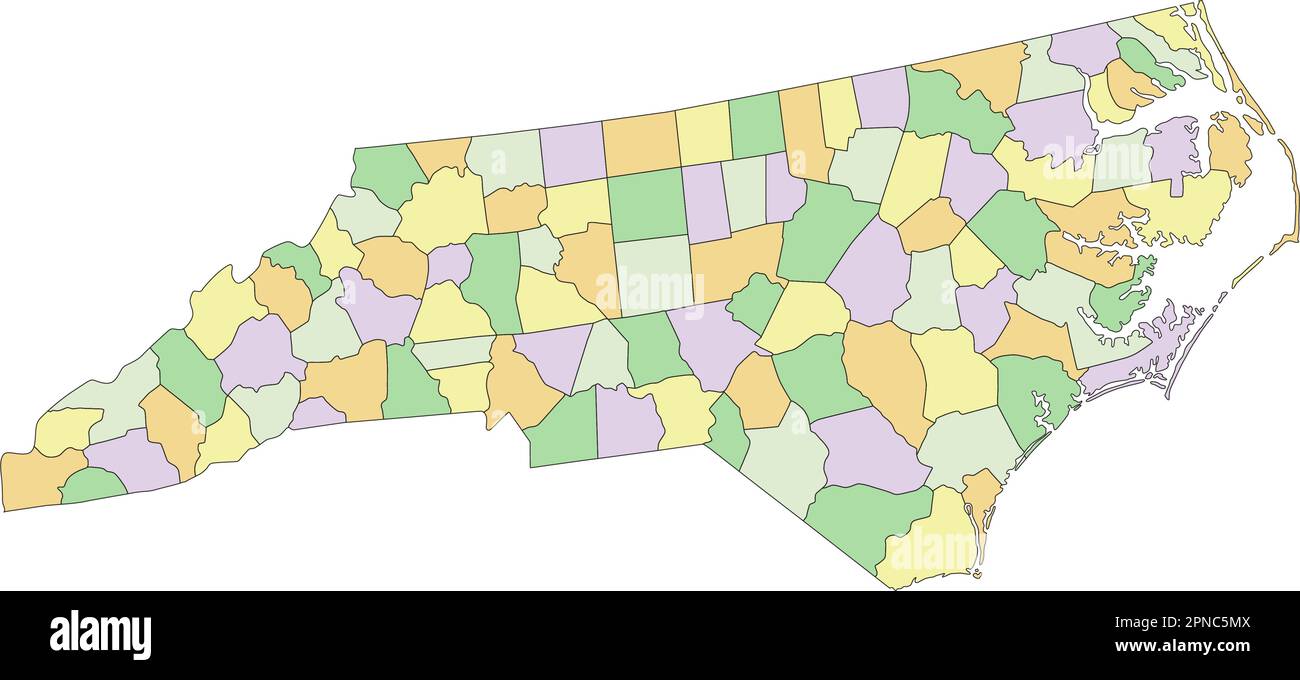 North Carolina - Highly detailed editable political map. Stock Vectorhttps://www.alamy.com/image-license-details/?v=1https://www.alamy.com/north-carolina-highly-detailed-editable-political-map-image546697114.html
RF2PNC5MX–North Carolina - Highly detailed editable political map.
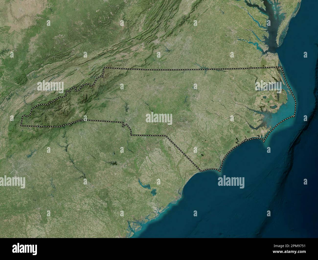 North Carolina, state of United States of America. High resolution satellite map Stock Photohttps://www.alamy.com/image-license-details/?v=1https://www.alamy.com/north-carolina-state-of-united-states-of-america-high-resolution-satellite-map-image546017725.html
RF2PM9751–North Carolina, state of United States of America. High resolution satellite map
![Jersey City, V. 4, Double Page Plate No. 39 [Map bounded by Durham Ave., Paterson Ave., Central Ave., North St.] 1873 Stock Photo Jersey City, V. 4, Double Page Plate No. 39 [Map bounded by Durham Ave., Paterson Ave., Central Ave., North St.] 1873 Stock Photo](https://c8.alamy.com/comp/2YP52J0/jersey-city-v-4-double-page-plate-no-39-map-bounded-by-durham-ave-paterson-ave-central-ave-north-st-1873-2YP52J0.jpg) Jersey City, V. 4, Double Page Plate No. 39 [Map bounded by Durham Ave., Paterson Ave., Central Ave., North St.] 1873 Stock Photohttps://www.alamy.com/image-license-details/?v=1https://www.alamy.com/jersey-city-v-4-double-page-plate-no-39-map-bounded-by-durham-ave-paterson-ave-central-ave-north-st-1873-image633207512.html
Jersey City, V. 4, Double Page Plate No. 39 [Map bounded by Durham Ave., Paterson Ave., Central Ave., North St.] 1873 Stock Photohttps://www.alamy.com/image-license-details/?v=1https://www.alamy.com/jersey-city-v-4-double-page-plate-no-39-map-bounded-by-durham-ave-paterson-ave-central-ave-north-st-1873-image633207512.htmlRM2YP52J0–Jersey City, V. 4, Double Page Plate No. 39 [Map bounded by Durham Ave., Paterson Ave., Central Ave., North St.] 1873
RF2JN06GN–United States, Wilmington city skyline isolated vector illustration, icons
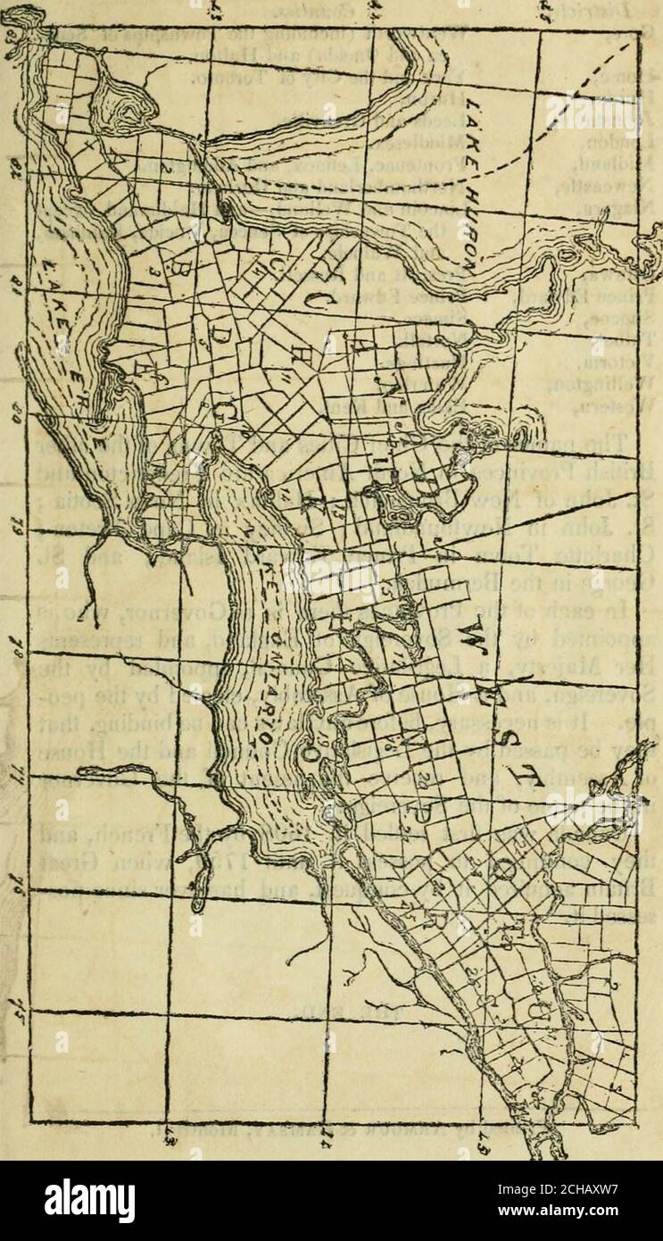 . An introduction to geography, ancient modern, and sacred, with an outline of ancient history . MAP OF CANADA WEST. 139. 140 BRITISH POSSESSIONS IN NORTH AMERICA. Districts. Counties. Gore, Wentworth (including the Townships of Sene- ca and Oneida) and Halton. Home, York and the City of Toronto. Huron, Huron. Johnstown, Leeds and Grenville. London, Middlesex. Midland, Froiitenac, Lennox, and Addington. Newcastle, Northumberland and Durham. Niagara, Lincoln and Welland,—and Haldimand, except the Townships of Seneca, Oneida, Rainham, and Walpole. Ottawa, Prescott and Russell. Prince Edward, Pri Stock Photohttps://www.alamy.com/image-license-details/?v=1https://www.alamy.com/an-introduction-to-geography-ancient-modern-and-sacred-with-an-outline-of-ancient-history-map-of-canada-west-139-140-british-possessions-in-north-america-districts-counties-gore-wentworth-including-the-townships-of-sene-ca-and-oneida-and-halton-home-york-and-the-city-of-toronto-huron-huron-johnstown-leeds-and-grenville-london-middlesex-midland-froiitenac-lennox-and-addington-newcastle-northumberland-and-durham-niagara-lincoln-and-wellandand-haldimand-except-the-townships-of-seneca-oneida-rainham-and-walpole-ottawa-prescott-and-russell-prince-edward-pri-image372107491.html
RM2CHAXW7–. An introduction to geography, ancient modern, and sacred, with an outline of ancient history . MAP OF CANADA WEST. 139. 140 BRITISH POSSESSIONS IN NORTH AMERICA. Districts. Counties. Gore, Wentworth (including the Townships of Sene- ca and Oneida) and Halton. Home, York and the City of Toronto. Huron, Huron. Johnstown, Leeds and Grenville. London, Middlesex. Midland, Froiitenac, Lennox, and Addington. Newcastle, Northumberland and Durham. Niagara, Lincoln and Welland,—and Haldimand, except the Townships of Seneca, Oneida, Rainham, and Walpole. Ottawa, Prescott and Russell. Prince Edward, Pri
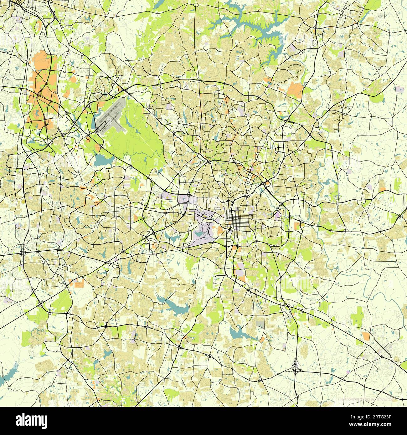 Map of Raleigh, North Carolina, USA Stock Vectorhttps://www.alamy.com/image-license-details/?v=1https://www.alamy.com/map-of-raleigh-north-carolina-usa-image565836426.html
RF2RTG23P–Map of Raleigh, North Carolina, USA
 Durham, UK - 12 July, 2023: Globe artwork 'Gaia' inside Durham Cathedral, Durham City, County Durham, England Stock Photohttps://www.alamy.com/image-license-details/?v=1https://www.alamy.com/durham-uk-12-july-2023-globe-artwork-gaia-inside-durham-cathedral-durham-city-county-durham-england-image566700312.html
RF2RWYC0T–Durham, UK - 12 July, 2023: Globe artwork 'Gaia' inside Durham Cathedral, Durham City, County Durham, England
![North East View of the City of Durham. Author Byrne, William 12.34.e. Place of publication: London Publisher: Published as the Act directs, 25th March 1799, by W. Byrne No. 79 Titchfield Street., Date of publication: [1799] Item type: 1 print Medium: etching and engraving Dimensions: platemark 36.0 x 48.0 cm Former owner: George III, King of Great Britain, 1738-1820 Stock Photo North East View of the City of Durham. Author Byrne, William 12.34.e. Place of publication: London Publisher: Published as the Act directs, 25th March 1799, by W. Byrne No. 79 Titchfield Street., Date of publication: [1799] Item type: 1 print Medium: etching and engraving Dimensions: platemark 36.0 x 48.0 cm Former owner: George III, King of Great Britain, 1738-1820 Stock Photo](https://c8.alamy.com/comp/2E9GHMA/north-east-view-of-the-city-of-durham-author-byrne-william-1234e-place-of-publication-london-publisher-published-as-the-act-directs-25th-march-1799-by-w-byrne-no-79-titchfield-street-date-of-publication-1799-item-type-1-print-medium-etching-and-engraving-dimensions-platemark-360-x-480-cm-former-owner-george-iii-king-of-great-britain-1738-1820-2E9GHMA.jpg) North East View of the City of Durham. Author Byrne, William 12.34.e. Place of publication: London Publisher: Published as the Act directs, 25th March 1799, by W. Byrne No. 79 Titchfield Street., Date of publication: [1799] Item type: 1 print Medium: etching and engraving Dimensions: platemark 36.0 x 48.0 cm Former owner: George III, King of Great Britain, 1738-1820 Stock Photohttps://www.alamy.com/image-license-details/?v=1https://www.alamy.com/north-east-view-of-the-city-of-durham-author-byrne-william-1234e-place-of-publication-london-publisher-published-as-the-act-directs-25th-march-1799-by-w-byrne-no-79-titchfield-street-date-of-publication-1799-item-type-1-print-medium-etching-and-engraving-dimensions-platemark-360-x-480-cm-former-owner-george-iii-king-of-great-britain-1738-1820-image401735498.html
North East View of the City of Durham. Author Byrne, William 12.34.e. Place of publication: London Publisher: Published as the Act directs, 25th March 1799, by W. Byrne No. 79 Titchfield Street., Date of publication: [1799] Item type: 1 print Medium: etching and engraving Dimensions: platemark 36.0 x 48.0 cm Former owner: George III, King of Great Britain, 1738-1820 Stock Photohttps://www.alamy.com/image-license-details/?v=1https://www.alamy.com/north-east-view-of-the-city-of-durham-author-byrne-william-1234e-place-of-publication-london-publisher-published-as-the-act-directs-25th-march-1799-by-w-byrne-no-79-titchfield-street-date-of-publication-1799-item-type-1-print-medium-etching-and-engraving-dimensions-platemark-360-x-480-cm-former-owner-george-iii-king-of-great-britain-1738-1820-image401735498.htmlRM2E9GHMA–North East View of the City of Durham. Author Byrne, William 12.34.e. Place of publication: London Publisher: Published as the Act directs, 25th March 1799, by W. Byrne No. 79 Titchfield Street., Date of publication: [1799] Item type: 1 print Medium: etching and engraving Dimensions: platemark 36.0 x 48.0 cm Former owner: George III, King of Great Britain, 1738-1820
 Top view of retro flag of Durham, North Carolina, untied states of America with grunge texture. USA patriot and travel concept. no flagpole. Plane des Stock Photohttps://www.alamy.com/image-license-details/?v=1https://www.alamy.com/top-view-of-retro-flag-of-durham-north-carolina-untied-states-of-america-with-grunge-texture-usa-patriot-and-travel-concept-no-flagpole-plane-des-image466198141.html
RF2J2D4DH–Top view of retro flag of Durham, North Carolina, untied states of America with grunge texture. USA patriot and travel concept. no flagpole. Plane des
 Durham City (United States cities, United States of America, usa city) map vector illustration, scribble sketch City of Durham map Stock Vectorhttps://www.alamy.com/image-license-details/?v=1https://www.alamy.com/durham-city-united-states-cities-united-states-of-america-usa-city-map-vector-illustration-scribble-sketch-city-of-durham-map-image243487007.html
RFT43P4F–Durham City (United States cities, United States of America, usa city) map vector illustration, scribble sketch City of Durham map
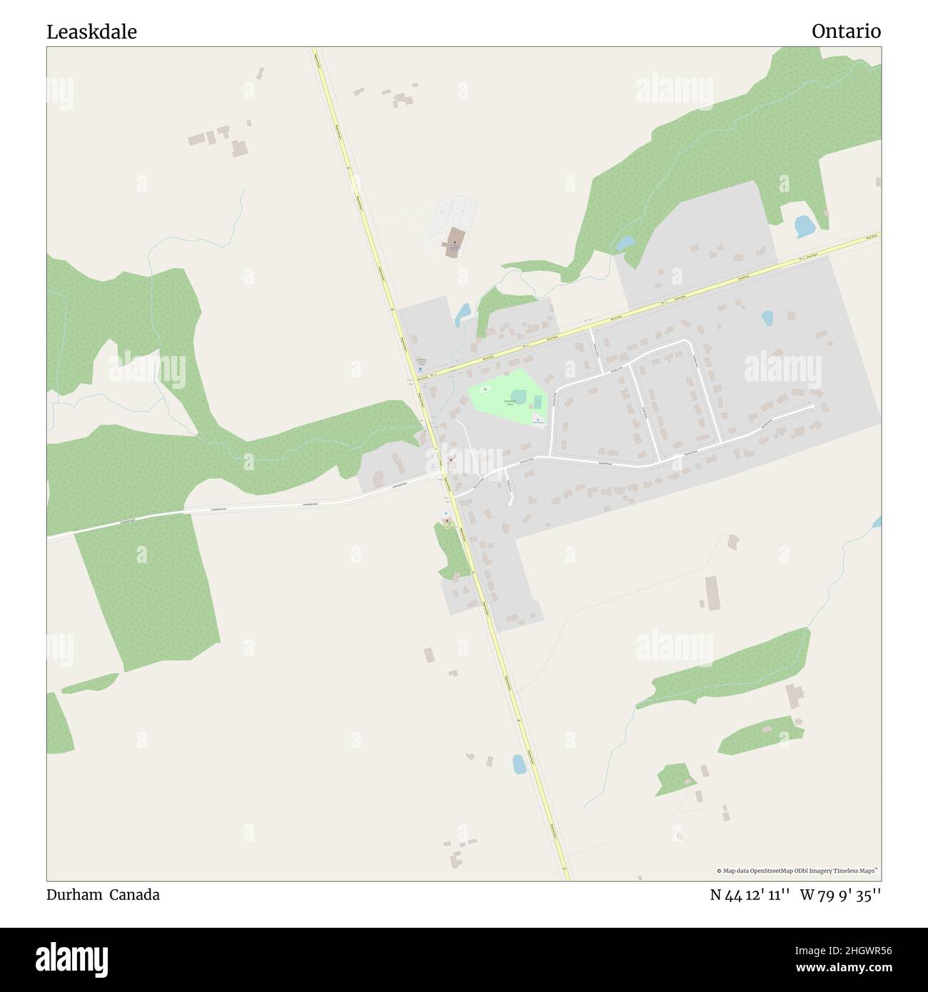 Leaskdale, Durham, Canada, Ontario, N 44 12' 11'', W 79 9' 35'', map, Timeless Map published in 2021. Travelers, explorers and adventurers like Florence Nightingale, David Livingstone, Ernest Shackleton, Lewis and Clark and Sherlock Holmes relied on maps to plan travels to the world's most remote corners, Timeless Maps is mapping most locations on the globe, showing the achievement of great dreams Stock Photohttps://www.alamy.com/image-license-details/?v=1https://www.alamy.com/leaskdale-durham-canada-ontario-n-44-12-11-w-79-9-35-map-timeless-map-published-in-2021-travelers-explorers-and-adventurers-like-florence-nightingale-david-livingstone-ernest-shackleton-lewis-and-clark-and-sherlock-holmes-relied-on-maps-to-plan-travels-to-the-worlds-most-remote-corners-timeless-maps-is-mapping-most-locations-on-the-globe-showing-the-achievement-of-great-dreams-image457871042.html
RM2HGWR56–Leaskdale, Durham, Canada, Ontario, N 44 12' 11'', W 79 9' 35'', map, Timeless Map published in 2021. Travelers, explorers and adventurers like Florence Nightingale, David Livingstone, Ernest Shackleton, Lewis and Clark and Sherlock Holmes relied on maps to plan travels to the world's most remote corners, Timeless Maps is mapping most locations on the globe, showing the achievement of great dreams
