Quick filters:
Eagle pass texas map Stock Photos and Images
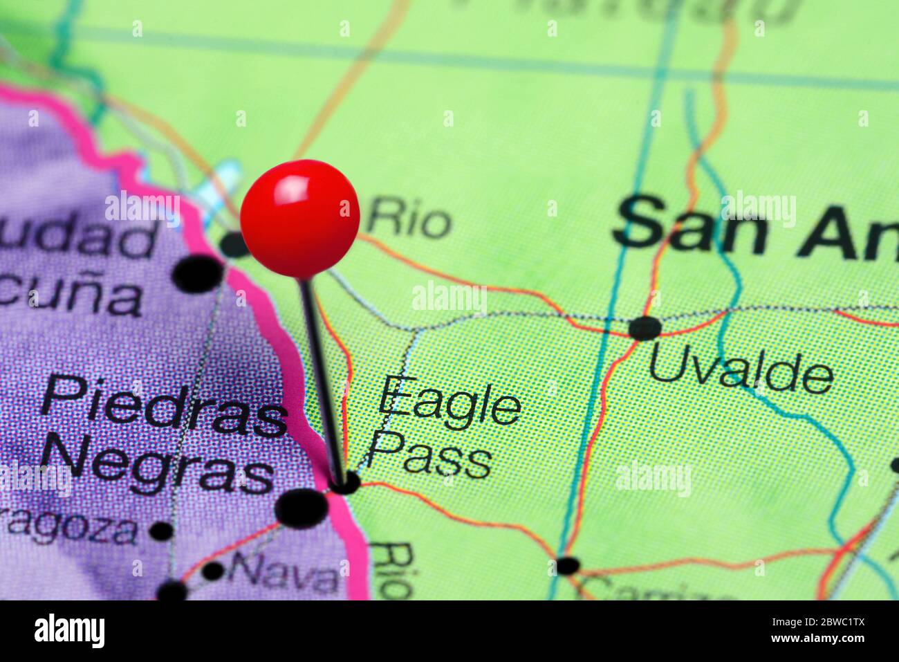 Eagle Pass pinned on a map of Texas, USA Stock Photohttps://www.alamy.com/image-license-details/?v=1https://www.alamy.com/eagle-pass-pinned-on-a-map-of-texas-usa-image359838666.html
RF2BWC1TX–Eagle Pass pinned on a map of Texas, USA
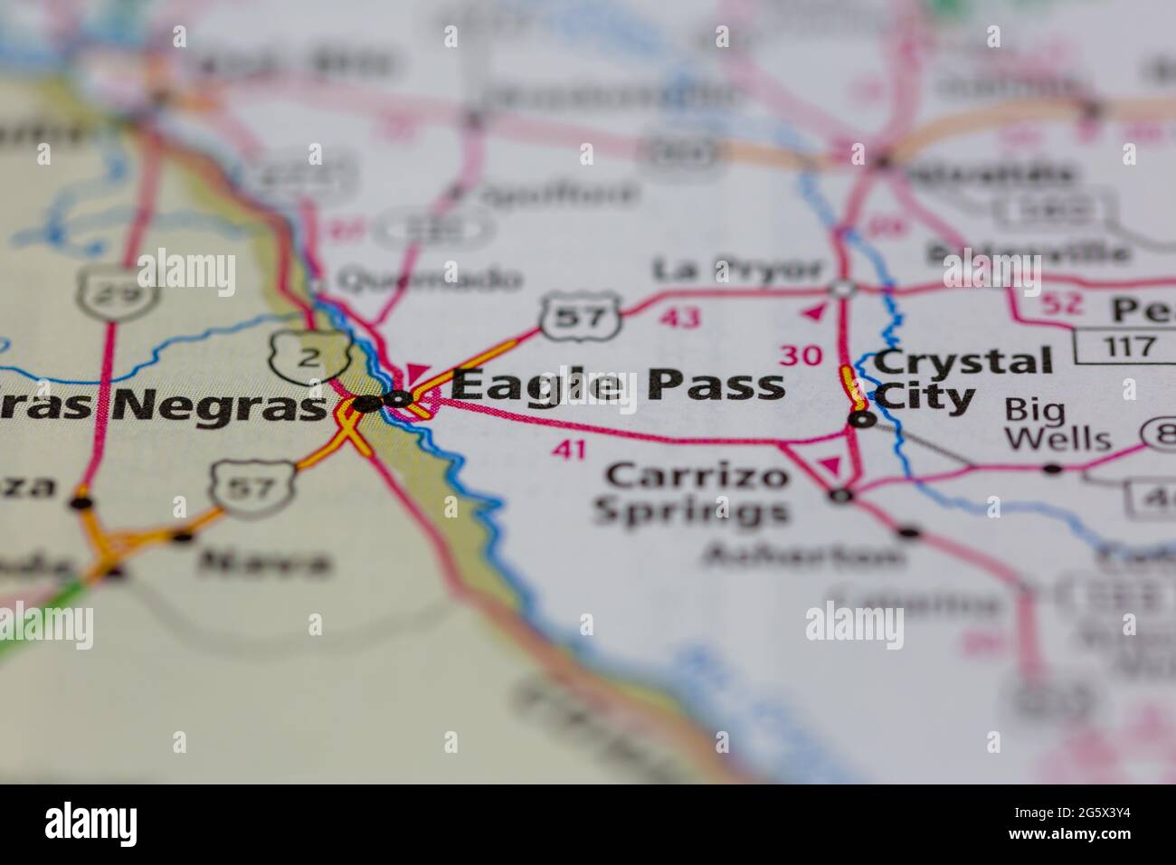 Eagle Pass Texas USA shown on a Geography map or Road map Stock Photohttps://www.alamy.com/image-license-details/?v=1https://www.alamy.com/eagle-pass-texas-usa-shown-on-a-geography-map-or-road-map-image433906344.html
RM2G5X3Y4–Eagle Pass Texas USA shown on a Geography map or Road map
 Eagle Pass, Maverick County, US, United States, Texas, N 28 42' 32'', S 100 29' 58'', map, Cartascapes Map published in 2024. Explore Cartascapes, a map revealing Earth's diverse landscapes, cultures, and ecosystems. Journey through time and space, discovering the interconnectedness of our planet's past, present, and future. Stock Photohttps://www.alamy.com/image-license-details/?v=1https://www.alamy.com/eagle-pass-maverick-county-us-united-states-texas-n-28-42-32-s-100-29-58-map-cartascapes-map-published-in-2024-explore-cartascapes-a-map-revealing-earths-diverse-landscapes-cultures-and-ecosystems-journey-through-time-and-space-discovering-the-interconnectedness-of-our-planets-past-present-and-future-image621218121.html
RM2Y2JX1D–Eagle Pass, Maverick County, US, United States, Texas, N 28 42' 32'', S 100 29' 58'', map, Cartascapes Map published in 2024. Explore Cartascapes, a map revealing Earth's diverse landscapes, cultures, and ecosystems. Journey through time and space, discovering the interconnectedness of our planet's past, present, and future.
 Travel to Texas pop-under banner. Trip banner with passport, tickets, airplane, boarding pass, map and flag of Texas. Vector template. Stock Vectorhttps://www.alamy.com/image-license-details/?v=1https://www.alamy.com/travel-to-texas-pop-under-banner-trip-banner-with-passport-tickets-airplane-boarding-pass-map-and-flag-of-texas-vector-template-image442608166.html
RF2GM2F6E–Travel to Texas pop-under banner. Trip banner with passport, tickets, airplane, boarding pass, map and flag of Texas. Vector template.
 Sanborn Fire Insurance Map from Eagle Pass, Maverick County, Texas. Stock Photohttps://www.alamy.com/image-license-details/?v=1https://www.alamy.com/sanborn-fire-insurance-map-from-eagle-pass-maverick-county-texas-image456380291.html
RM2HEDWM3–Sanborn Fire Insurance Map from Eagle Pass, Maverick County, Texas.
 . The geography of Texas, physical and political. Jmg. 7: 97 98 THE (;eo(;raphy of ^fexas Montague county. The distribution of the Carboniferousrocks of the North Texas coal fields is shown on theaccompanying map (Fig. 72). The northern, known asthe Brazos field, is separated from the southern, knownas the Colorado field, by a belt of Cretaceous rocks. Cretaceous coal is mined at Eagle Pass in what has beentermed the Eagle Pass or Nueces coal field, which lies in. Fig. 73. A Texas Coal Mine, Thurber. Eratii County Maverick county. The output of two mines is aboutthree hundred tons daily. Ligni Stock Photohttps://www.alamy.com/image-license-details/?v=1https://www.alamy.com/the-geography-of-texas-physical-and-political-jmg-7-97-98-the-eoraphy-of-fexas-montague-county-the-distribution-of-the-carboniferousrocks-of-the-north-texas-coal-fields-is-shown-on-theaccompanying-map-fig-72-the-northern-known-asthe-brazos-field-is-separated-from-the-southern-knownas-the-colorado-field-by-a-belt-of-cretaceous-rocks-cretaceous-coal-is-mined-at-eagle-pass-in-what-has-beentermed-the-eagle-pass-or-nueces-coal-field-which-lies-in-fig-73-a-texas-coal-mine-thurber-eratii-county-maverick-county-the-output-of-two-mines-is-aboutthree-hundred-tons-daily-ligni-image337093003.html
RM2AGBWFR–. The geography of Texas, physical and political. Jmg. 7: 97 98 THE (;eo(;raphy of ^fexas Montague county. The distribution of the Carboniferousrocks of the North Texas coal fields is shown on theaccompanying map (Fig. 72). The northern, known asthe Brazos field, is separated from the southern, knownas the Colorado field, by a belt of Cretaceous rocks. Cretaceous coal is mined at Eagle Pass in what has beentermed the Eagle Pass or Nueces coal field, which lies in. Fig. 73. A Texas Coal Mine, Thurber. Eratii County Maverick county. The output of two mines is aboutthree hundred tons daily. Ligni
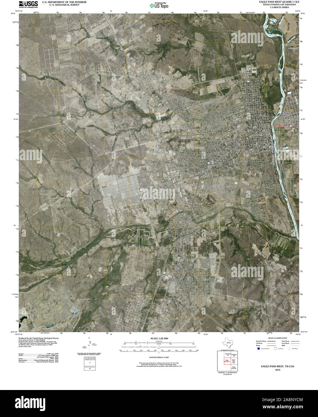 USGS TOPO Map Texas TX Eagle Pass West 20100326 TM Restoration Stock Photohttps://www.alamy.com/image-license-details/?v=1https://www.alamy.com/usgs-topo-map-texas-tx-eagle-pass-west-20100326-tm-restoration-image332396756.html
RM2A8NYCM–USGS TOPO Map Texas TX Eagle Pass West 20100326 TM Restoration
 Maverick County, Texas (Counties in Texas, United States of America,USA, U.S., US) map vector illustration, scribble sketch Maverick map Stock Vectorhttps://www.alamy.com/image-license-details/?v=1https://www.alamy.com/maverick-county-texas-counties-in-texas-united-states-of-americausa-us-us-map-vector-illustration-scribble-sketch-maverick-map-image264503008.html
RFWA9480–Maverick County, Texas (Counties in Texas, United States of America,USA, U.S., US) map vector illustration, scribble sketch Maverick map
 Eagle Pass, Maverick County, US, United States, Texas, N 28 42' 32'', S 100 29' 58'', map, Cartascapes Map published in 2024. Explore Cartascapes, a map revealing Earth's diverse landscapes, cultures, and ecosystems. Journey through time and space, discovering the interconnectedness of our planet's past, present, and future. Stock Photohttps://www.alamy.com/image-license-details/?v=1https://www.alamy.com/eagle-pass-maverick-county-us-united-states-texas-n-28-42-32-s-100-29-58-map-cartascapes-map-published-in-2024-explore-cartascapes-a-map-revealing-earths-diverse-landscapes-cultures-and-ecosystems-journey-through-time-and-space-discovering-the-interconnectedness-of-our-planets-past-present-and-future-image621476279.html
RM2Y32K9B–Eagle Pass, Maverick County, US, United States, Texas, N 28 42' 32'', S 100 29' 58'', map, Cartascapes Map published in 2024. Explore Cartascapes, a map revealing Earth's diverse landscapes, cultures, and ecosystems. Journey through time and space, discovering the interconnectedness of our planet's past, present, and future.
 Sanborn Fire Insurance Map from Eagle Pass, Maverick County, Texas. Stock Photohttps://www.alamy.com/image-license-details/?v=1https://www.alamy.com/sanborn-fire-insurance-map-from-eagle-pass-maverick-county-texas-image456380288.html
RM2HEDWM0–Sanborn Fire Insurance Map from Eagle Pass, Maverick County, Texas.
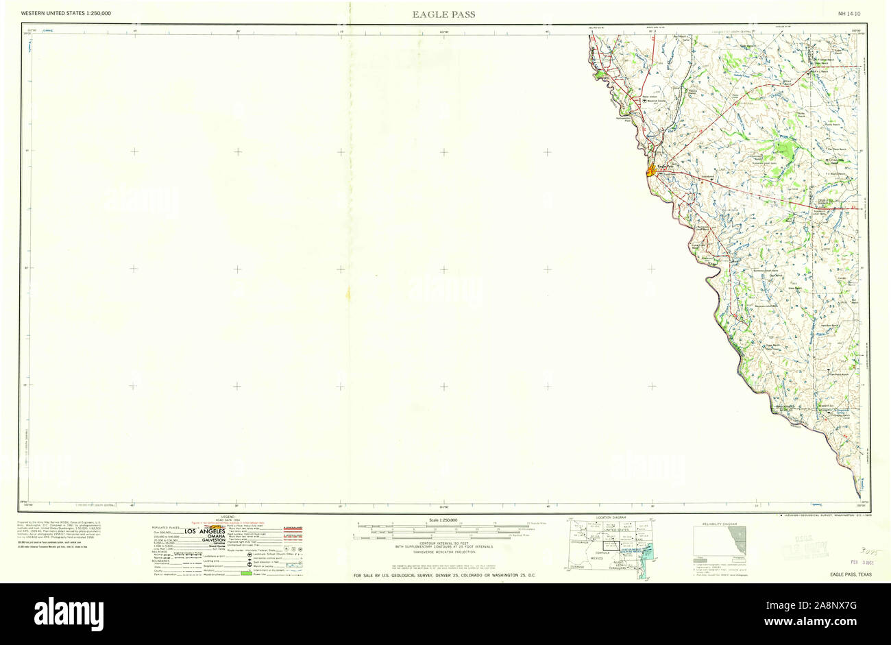 USGS TOPO Map Texas TX Eagle Pass 107766 1965 250000 Restoration Stock Photohttps://www.alamy.com/image-license-details/?v=1https://www.alamy.com/usgs-topo-map-texas-tx-eagle-pass-107766-1965-250000-restoration-image332395828.html
RM2A8NX7G–USGS TOPO Map Texas TX Eagle Pass 107766 1965 250000 Restoration
 Maverick County, Texas (Counties in Texas, United States of America,USA, U.S., US) map vector illustration, scribble sketch Maverick map Stock Vectorhttps://www.alamy.com/image-license-details/?v=1https://www.alamy.com/maverick-county-texas-counties-in-texas-united-states-of-americausa-us-us-map-vector-illustration-scribble-sketch-maverick-map-image271203596.html
RFWN6AXM–Maverick County, Texas (Counties in Texas, United States of America,USA, U.S., US) map vector illustration, scribble sketch Maverick map
 City of Eagle Pass, Maverick County, US, United States, Texas, N 28 42' 42'', S 100 28' 58'', map, Cartascapes Map published in 2024. Explore Cartascapes, a map revealing Earth's diverse landscapes, cultures, and ecosystems. Journey through time and space, discovering the interconnectedness of our planet's past, present, and future. Stock Photohttps://www.alamy.com/image-license-details/?v=1https://www.alamy.com/city-of-eagle-pass-maverick-county-us-united-states-texas-n-28-42-42-s-100-28-58-map-cartascapes-map-published-in-2024-explore-cartascapes-a-map-revealing-earths-diverse-landscapes-cultures-and-ecosystems-journey-through-time-and-space-discovering-the-interconnectedness-of-our-planets-past-present-and-future-image633783141.html
RM2YR38T5–City of Eagle Pass, Maverick County, US, United States, Texas, N 28 42' 42'', S 100 28' 58'', map, Cartascapes Map published in 2024. Explore Cartascapes, a map revealing Earth's diverse landscapes, cultures, and ecosystems. Journey through time and space, discovering the interconnectedness of our planet's past, present, and future.
 Sanborn Fire Insurance Map from Eagle Pass, Maverick County, Texas. Stock Photohttps://www.alamy.com/image-license-details/?v=1https://www.alamy.com/sanborn-fire-insurance-map-from-eagle-pass-maverick-county-texas-image456380298.html
RM2HEDWMA–Sanborn Fire Insurance Map from Eagle Pass, Maverick County, Texas.
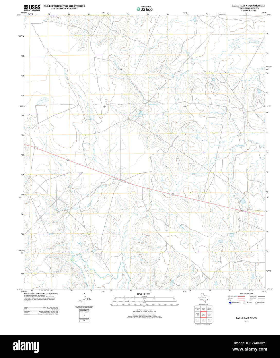 USGS TOPO Map Texas TX Eagle Pass NE 20121217 TM Restoration Stock Photohttps://www.alamy.com/image-license-details/?v=1https://www.alamy.com/usgs-topo-map-texas-tx-eagle-pass-ne-20121217-tm-restoration-image332396396.html
RM2A8NXYT–USGS TOPO Map Texas TX Eagle Pass NE 20121217 TM Restoration
 Maverick County, Texas (Counties in Texas, United States of America,USA, U.S., US) map vector illustration, scribble sketch Maverick map Stock Vectorhttps://www.alamy.com/image-license-details/?v=1https://www.alamy.com/maverick-county-texas-counties-in-texas-united-states-of-americausa-us-us-map-vector-illustration-scribble-sketch-maverick-map-image327961903.html
RF2A1FXN3–Maverick County, Texas (Counties in Texas, United States of America,USA, U.S., US) map vector illustration, scribble sketch Maverick map
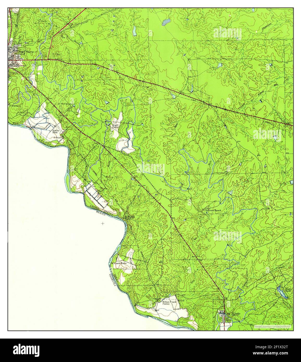 Eagle Pass, Texas, map 1940, 1:62500, United States of America by Timeless Maps, data U.S. Geological Survey Stock Photohttps://www.alamy.com/image-license-details/?v=1https://www.alamy.com/eagle-pass-texas-map-1940-162500-united-states-of-america-by-timeless-maps-data-us-geological-survey-image414236672.html
RM2F1X32T–Eagle Pass, Texas, map 1940, 1:62500, United States of America by Timeless Maps, data U.S. Geological Survey
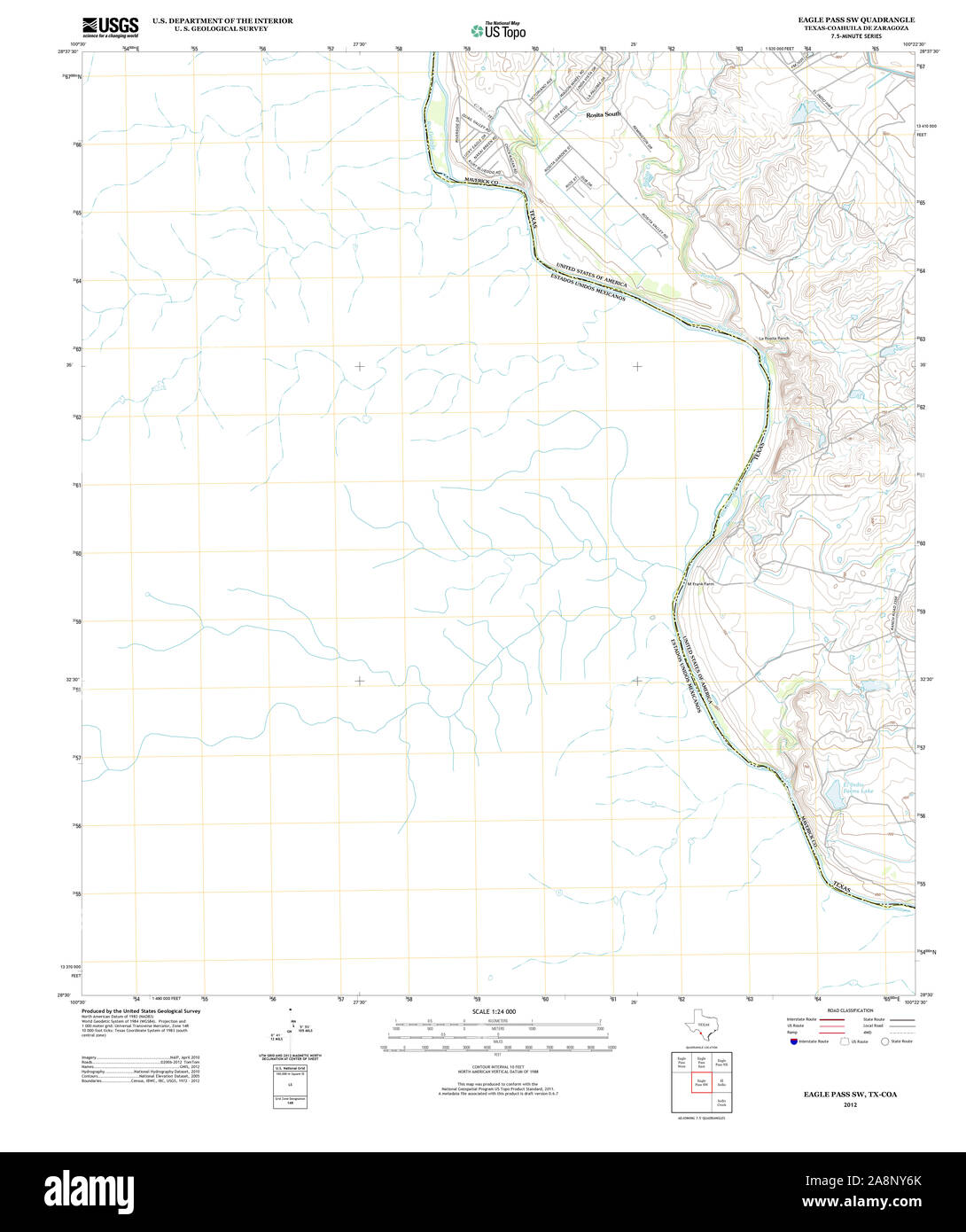 USGS TOPO Map Texas TX Eagle Pass SW 20121214 TM Restoration Stock Photohttps://www.alamy.com/image-license-details/?v=1https://www.alamy.com/usgs-topo-map-texas-tx-eagle-pass-sw-20121214-tm-restoration-image332396587.html
RM2A8NY6K–USGS TOPO Map Texas TX Eagle Pass SW 20121214 TM Restoration
 Eagle Pass, Texas, map 1958, 1:250000, United States of America by Timeless Maps, data U.S. Geological Survey Stock Photohttps://www.alamy.com/image-license-details/?v=1https://www.alamy.com/eagle-pass-texas-map-1958-1250000-united-states-of-america-by-timeless-maps-data-us-geological-survey-image406980164.html
RM2EJ3F9T–Eagle Pass, Texas, map 1958, 1:250000, United States of America by Timeless Maps, data U.S. Geological Survey
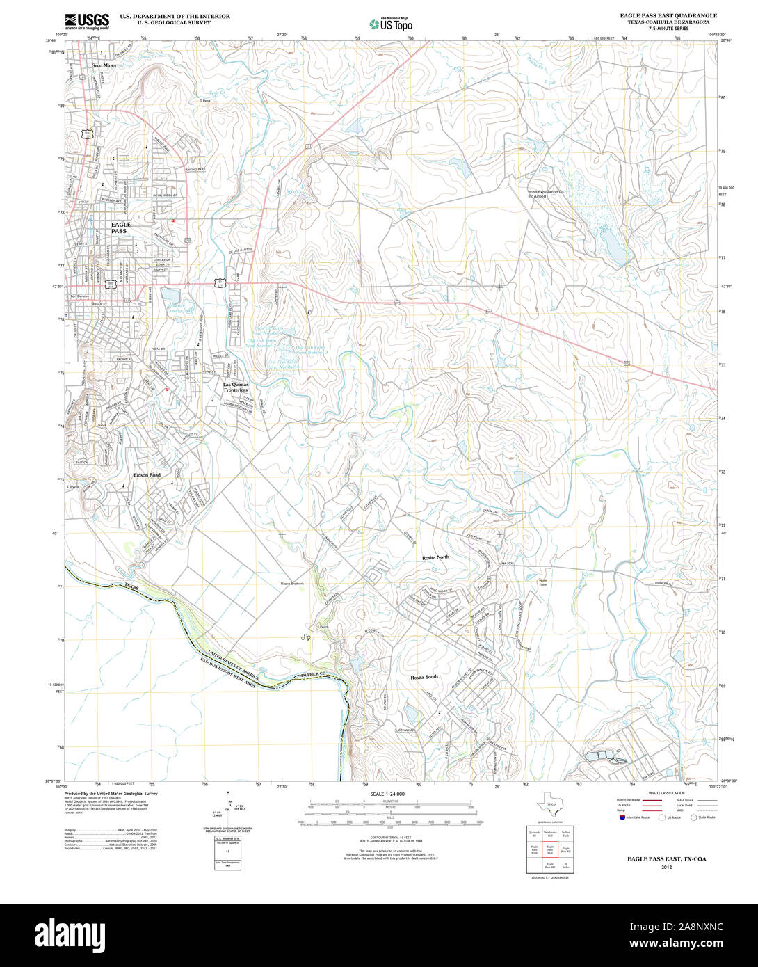 USGS TOPO Map Texas TX Eagle Pass East 20121214 TM Restoration Stock Photohttps://www.alamy.com/image-license-details/?v=1https://www.alamy.com/usgs-topo-map-texas-tx-eagle-pass-east-20121214-tm-restoration-image332396216.html
RM2A8NXNC–USGS TOPO Map Texas TX Eagle Pass East 20121214 TM Restoration
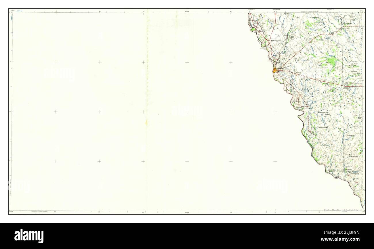 Eagle Pass, Texas, map 1965, 1:250000, United States of America by Timeless Maps, data U.S. Geological Survey Stock Photohttps://www.alamy.com/image-license-details/?v=1https://www.alamy.com/eagle-pass-texas-map-1965-1250000-united-states-of-america-by-timeless-maps-data-us-geological-survey-image406980161.html
RM2EJ3F9N–Eagle Pass, Texas, map 1965, 1:250000, United States of America by Timeless Maps, data U.S. Geological Survey
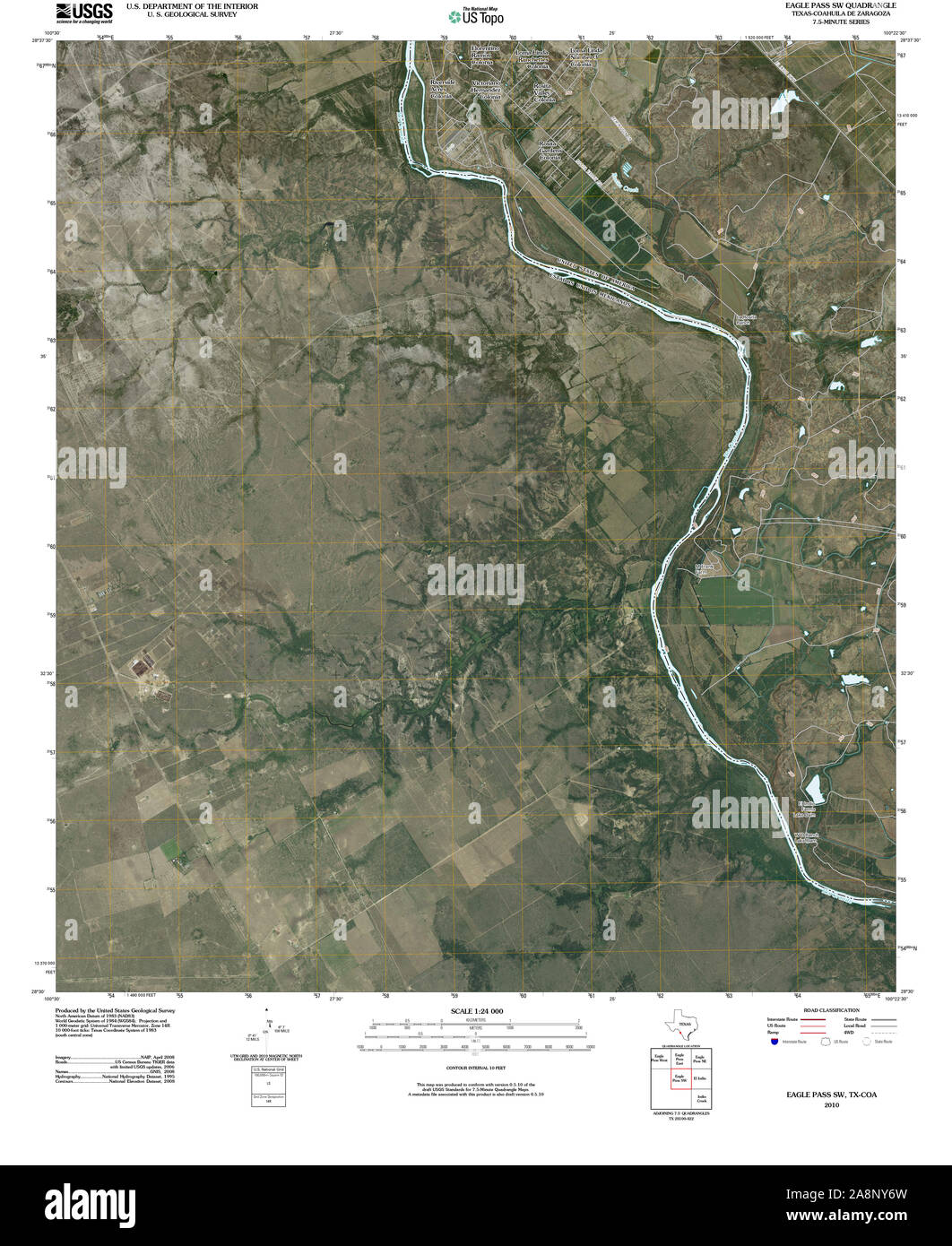 USGS TOPO Map Texas TX Eagle Pass SW 20100519 TM Restoration Stock Photohttps://www.alamy.com/image-license-details/?v=1https://www.alamy.com/usgs-topo-map-texas-tx-eagle-pass-sw-20100519-tm-restoration-image332396593.html
RM2A8NY6W–USGS TOPO Map Texas TX Eagle Pass SW 20100519 TM Restoration
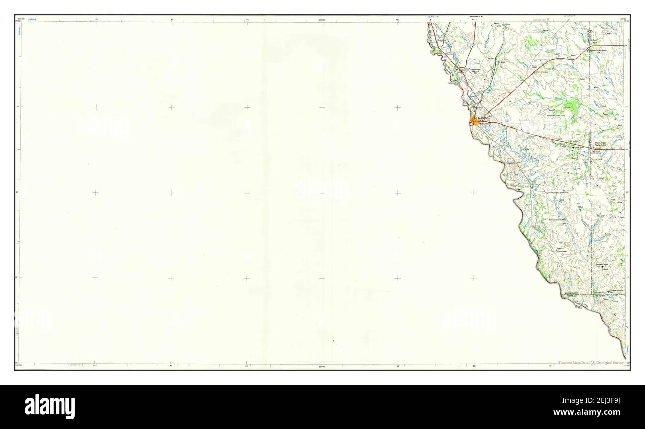 Eagle Pass, Texas, map 1958, 1:250000, United States of America by Timeless Maps, data U.S. Geological Survey Stock Photohttps://www.alamy.com/image-license-details/?v=1https://www.alamy.com/eagle-pass-texas-map-1958-1250000-united-states-of-america-by-timeless-maps-data-us-geological-survey-image406980158.html
RM2EJ3F9J–Eagle Pass, Texas, map 1958, 1:250000, United States of America by Timeless Maps, data U.S. Geological Survey
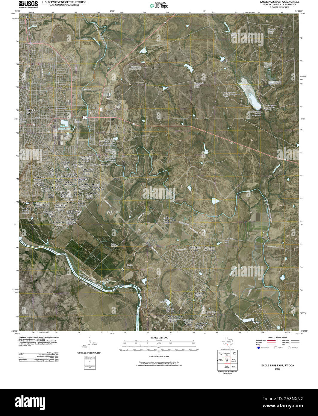 USGS TOPO Map Texas TX Eagle Pass East 20100519 TM Restoration Stock Photohttps://www.alamy.com/image-license-details/?v=1https://www.alamy.com/usgs-topo-map-texas-tx-eagle-pass-east-20100519-tm-restoration-image332396206.html
RM2A8NXN2–USGS TOPO Map Texas TX Eagle Pass East 20100519 TM Restoration
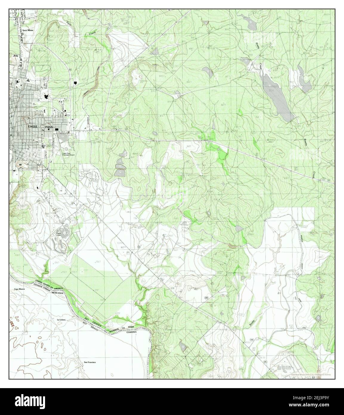 Eagle Pass East, Texas, map 1983, 1:24000, United States of America by Timeless Maps, data U.S. Geological Survey Stock Photohttps://www.alamy.com/image-license-details/?v=1https://www.alamy.com/eagle-pass-east-texas-map-1983-124000-united-states-of-america-by-timeless-maps-data-us-geological-survey-image406980167.html
RM2EJ3F9Y–Eagle Pass East, Texas, map 1983, 1:24000, United States of America by Timeless Maps, data U.S. Geological Survey
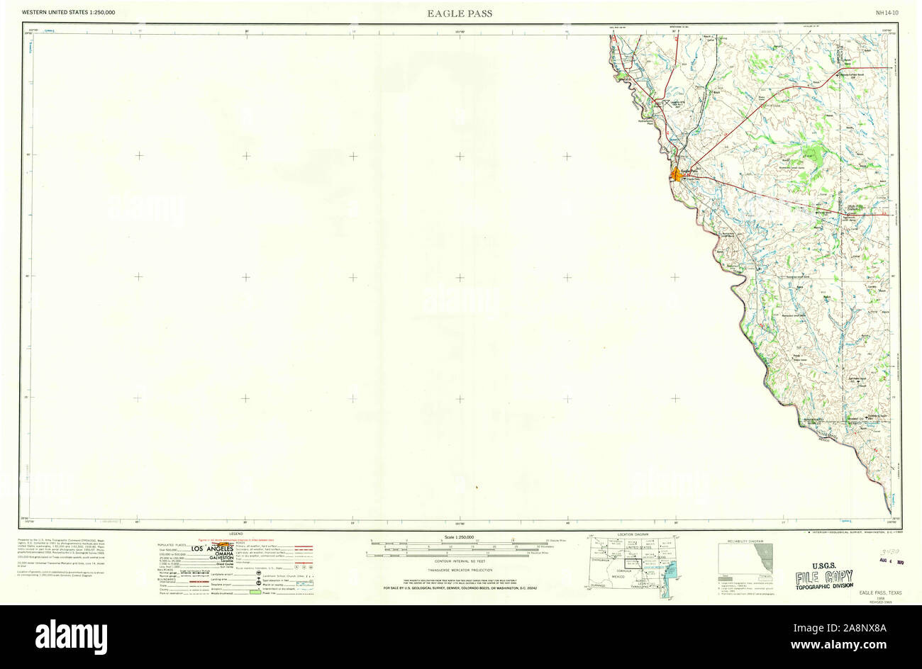 USGS TOPO Map Texas TX Eagle Pass 107767 1958 250000 Restoration Stock Photohttps://www.alamy.com/image-license-details/?v=1https://www.alamy.com/usgs-topo-map-texas-tx-eagle-pass-107767-1958-250000-restoration-image332395850.html
RM2A8NX8A–USGS TOPO Map Texas TX Eagle Pass 107767 1958 250000 Restoration
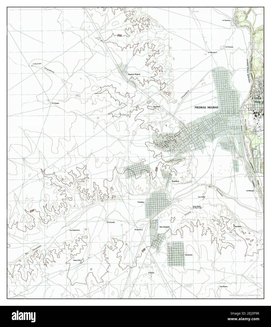 Eagle Pass West, Texas, map 1983, 1:24000, United States of America by Timeless Maps, data U.S. Geological Survey Stock Photohttps://www.alamy.com/image-license-details/?v=1https://www.alamy.com/eagle-pass-west-texas-map-1983-124000-united-states-of-america-by-timeless-maps-data-us-geological-survey-image406980163.html
RM2EJ3F9R–Eagle Pass West, Texas, map 1983, 1:24000, United States of America by Timeless Maps, data U.S. Geological Survey
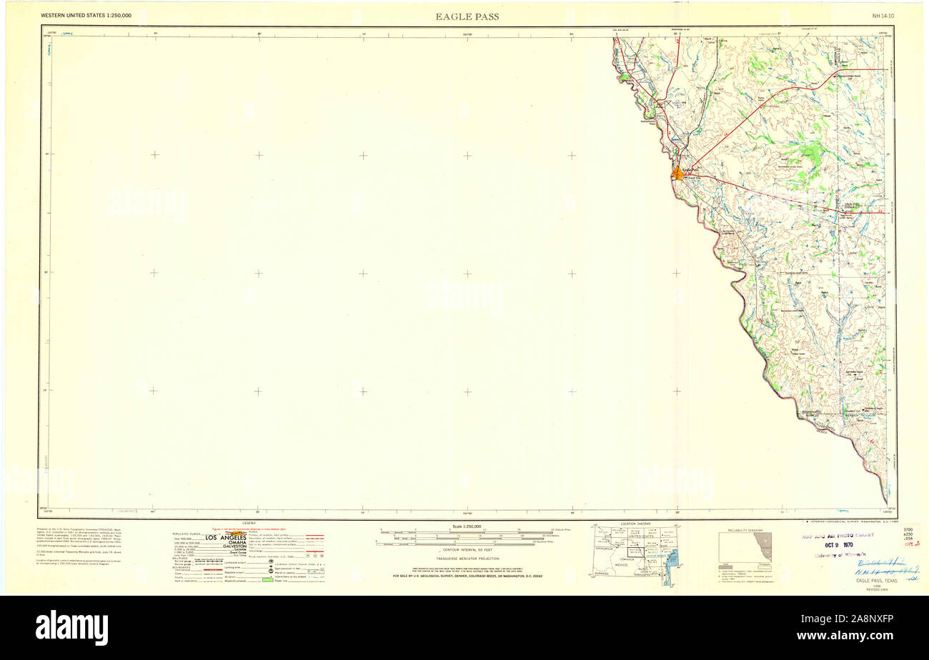 USGS TOPO Map Texas TX Eagle Pass 707328 1958 250000 Restoration Stock Photohttps://www.alamy.com/image-license-details/?v=1https://www.alamy.com/usgs-topo-map-texas-tx-eagle-pass-707328-1958-250000-restoration-image332396058.html
RM2A8NXFP–USGS TOPO Map Texas TX Eagle Pass 707328 1958 250000 Restoration
 Eagle Pass West, Texas, map 1983, 1:24000, United States of America by Timeless Maps, data U.S. Geological Survey Stock Photohttps://www.alamy.com/image-license-details/?v=1https://www.alamy.com/eagle-pass-west-texas-map-1983-124000-united-states-of-america-by-timeless-maps-data-us-geological-survey-image406980162.html
RM2EJ3F9P–Eagle Pass West, Texas, map 1983, 1:24000, United States of America by Timeless Maps, data U.S. Geological Survey
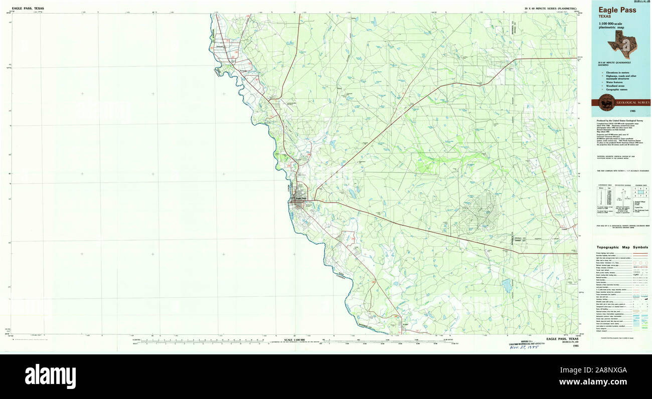 USGS TOPO Map Texas TX Eagle Pass 122281 1985 100000 Restoration Stock Photohttps://www.alamy.com/image-license-details/?v=1https://www.alamy.com/usgs-topo-map-texas-tx-eagle-pass-122281-1985-100000-restoration-image332396074.html
RM2A8NXGA–USGS TOPO Map Texas TX Eagle Pass 122281 1985 100000 Restoration
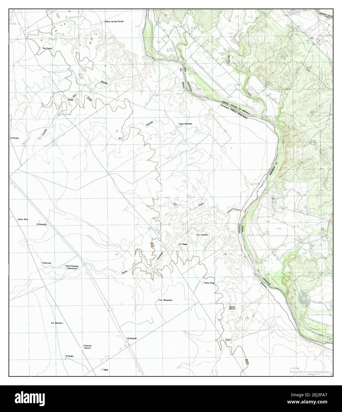 Eagle Pass SW, Texas, map 1983, 1:24000, United States of America by Timeless Maps, data U.S. Geological Survey Stock Photohttps://www.alamy.com/image-license-details/?v=1https://www.alamy.com/eagle-pass-sw-texas-map-1983-124000-united-states-of-america-by-timeless-maps-data-us-geological-survey-image406980175.html
RM2EJ3FA7–Eagle Pass SW, Texas, map 1983, 1:24000, United States of America by Timeless Maps, data U.S. Geological Survey
 USGS TOPO Map Texas TX Eagle Pass 107764 1940 62500 Restoration Stock Photohttps://www.alamy.com/image-license-details/?v=1https://www.alamy.com/usgs-topo-map-texas-tx-eagle-pass-107764-1940-62500-restoration-image332395844.html
RM2A8NX84–USGS TOPO Map Texas TX Eagle Pass 107764 1940 62500 Restoration
 USGS TOPO Map Texas TX Eagle Pass West 20121214 TM Restoration Stock Photohttps://www.alamy.com/image-license-details/?v=1https://www.alamy.com/usgs-topo-map-texas-tx-eagle-pass-west-20121214-tm-restoration-image332396751.html
RM2A8NYCF–USGS TOPO Map Texas TX Eagle Pass West 20121214 TM Restoration
 USGS TOPO Map Texas TX Eagle Pass NE 20100519 TM Restoration Stock Photohttps://www.alamy.com/image-license-details/?v=1https://www.alamy.com/usgs-topo-map-texas-tx-eagle-pass-ne-20100519-tm-restoration-image332396585.html
RM2A8NY6H–USGS TOPO Map Texas TX Eagle Pass NE 20100519 TM Restoration
 USGS TOPO Map Texas TX Eagle Pass East 20121214 TM Inverted Restoration Stock Photohttps://www.alamy.com/image-license-details/?v=1https://www.alamy.com/usgs-topo-map-texas-tx-eagle-pass-east-20121214-tm-inverted-restoration-image332396205.html
RM2A8NXN1–USGS TOPO Map Texas TX Eagle Pass East 20121214 TM Inverted Restoration
 USGS TOPO Map Texas TX Eagle Pass NE 20100519 TM Inverted Restoration Stock Photohttps://www.alamy.com/image-license-details/?v=1https://www.alamy.com/usgs-topo-map-texas-tx-eagle-pass-ne-20100519-tm-inverted-restoration-image332396405.html
RM2A8NY05–USGS TOPO Map Texas TX Eagle Pass NE 20100519 TM Inverted Restoration
 USGS TOPO Map Texas TX Eagle Pass 107767 1958 250000 Inverted Restoration Stock Photohttps://www.alamy.com/image-license-details/?v=1https://www.alamy.com/usgs-topo-map-texas-tx-eagle-pass-107767-1958-250000-inverted-restoration-image332395829.html
RM2A8NX7H–USGS TOPO Map Texas TX Eagle Pass 107767 1958 250000 Inverted Restoration
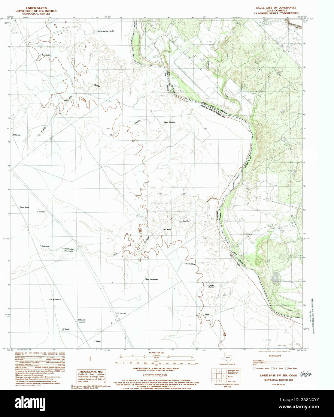 USGS TOPO Map Texas TX Eagle Pass SW 107761 1983 24000 Restoration Stock Photohttps://www.alamy.com/image-license-details/?v=1https://www.alamy.com/usgs-topo-map-texas-tx-eagle-pass-sw-107761-1983-24000-restoration-image332396399.html
RM2A8NXYY–USGS TOPO Map Texas TX Eagle Pass SW 107761 1983 24000 Restoration
 USGS TOPO Map Texas TX Eagle Pass West 107763 1983 24000 Restoration Stock Photohttps://www.alamy.com/image-license-details/?v=1https://www.alamy.com/usgs-topo-map-texas-tx-eagle-pass-west-107763-1983-24000-restoration-image332396583.html
RM2A8NY6F–USGS TOPO Map Texas TX Eagle Pass West 107763 1983 24000 Restoration
 USGS TOPO Map Texas TX Eagle Pass NE 20121217 TM Inverted Restoration Stock Photohttps://www.alamy.com/image-license-details/?v=1https://www.alamy.com/usgs-topo-map-texas-tx-eagle-pass-ne-20121217-tm-inverted-restoration-image332396392.html
RM2A8NXYM–USGS TOPO Map Texas TX Eagle Pass NE 20121217 TM Inverted Restoration
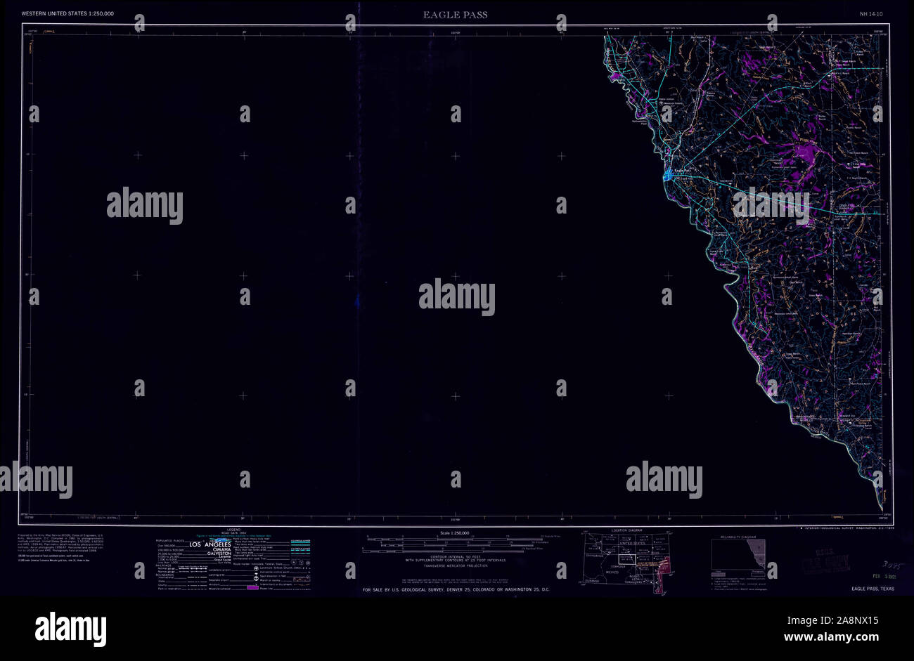 USGS TOPO Map Texas TX Eagle Pass 107766 1965 250000 Inverted Restoration Stock Photohttps://www.alamy.com/image-license-details/?v=1https://www.alamy.com/usgs-topo-map-texas-tx-eagle-pass-107766-1965-250000-inverted-restoration-image332395649.html
RM2A8NX15–USGS TOPO Map Texas TX Eagle Pass 107766 1965 250000 Inverted Restoration
 USGS TOPO Map Texas TX Eagle Pass West 107762 1983 24000 Restoration Stock Photohttps://www.alamy.com/image-license-details/?v=1https://www.alamy.com/usgs-topo-map-texas-tx-eagle-pass-west-107762-1983-24000-restoration-image332396757.html
RM2A8NYCN–USGS TOPO Map Texas TX Eagle Pass West 107762 1983 24000 Restoration
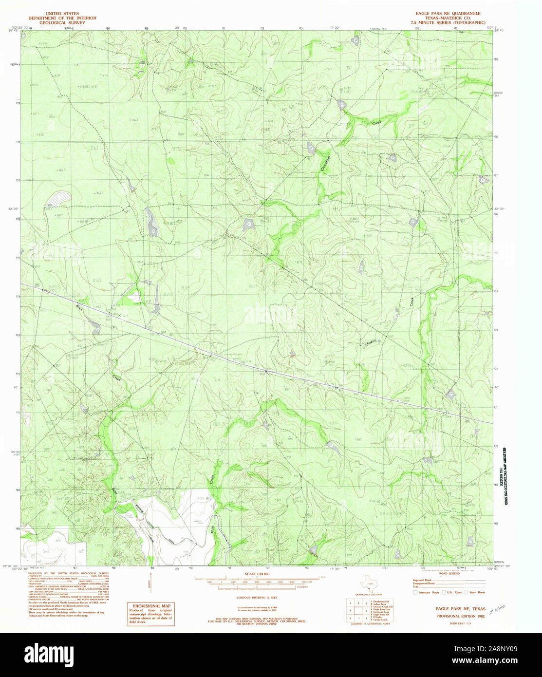 USGS TOPO Map Texas TX Eagle Pass NE 107760 1982 24000 Restoration Stock Photohttps://www.alamy.com/image-license-details/?v=1https://www.alamy.com/usgs-topo-map-texas-tx-eagle-pass-ne-107760-1982-24000-restoration-image332396409.html
RM2A8NY09–USGS TOPO Map Texas TX Eagle Pass NE 107760 1982 24000 Restoration
 USGS TOPO Map Texas TX Eagle Pass East 20100519 TM Inverted Restoration Stock Photohttps://www.alamy.com/image-license-details/?v=1https://www.alamy.com/usgs-topo-map-texas-tx-eagle-pass-east-20100519-tm-inverted-restoration-image332396212.html
RM2A8NXN8–USGS TOPO Map Texas TX Eagle Pass East 20100519 TM Inverted Restoration
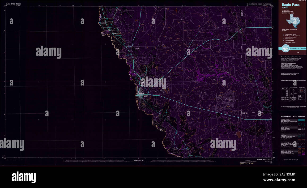 USGS TOPO Map Texas TX Eagle Pass 122281 1985 100000 Inverted Restoration Stock Photohttps://www.alamy.com/image-license-details/?v=1https://www.alamy.com/usgs-topo-map-texas-tx-eagle-pass-122281-1985-100000-inverted-restoration-image332396195.html
RM2A8NXMK–USGS TOPO Map Texas TX Eagle Pass 122281 1985 100000 Inverted Restoration
 USGS TOPO Map Texas TX Eagle Pass 107764 1940 62500 Inverted Restoration Stock Photohttps://www.alamy.com/image-license-details/?v=1https://www.alamy.com/usgs-topo-map-texas-tx-eagle-pass-107764-1940-62500-inverted-restoration-image332395841.html
RM2A8NX81–USGS TOPO Map Texas TX Eagle Pass 107764 1940 62500 Inverted Restoration
 USGS TOPO Map Texas TX Eagle Pass East 107758 1983 24000 Restoration Stock Photohttps://www.alamy.com/image-license-details/?v=1https://www.alamy.com/usgs-topo-map-texas-tx-eagle-pass-east-107758-1983-24000-restoration-image332396093.html
RM2A8NXH1–USGS TOPO Map Texas TX Eagle Pass East 107758 1983 24000 Restoration
 USGS TOPO Map Texas TX Eagle Pass SW 20100519 TM Inverted Restoration Stock Photohttps://www.alamy.com/image-license-details/?v=1https://www.alamy.com/usgs-topo-map-texas-tx-eagle-pass-sw-20100519-tm-inverted-restoration-image332396589.html
RM2A8NY6N–USGS TOPO Map Texas TX Eagle Pass SW 20100519 TM Inverted Restoration
 USGS TOPO Map Texas TX Eagle Pass West 20121214 TM Inverted Restoration Stock Photohttps://www.alamy.com/image-license-details/?v=1https://www.alamy.com/usgs-topo-map-texas-tx-eagle-pass-west-20121214-tm-inverted-restoration-image332396753.html
RM2A8NYCH–USGS TOPO Map Texas TX Eagle Pass West 20121214 TM Inverted Restoration
 USGS TOPO Map Texas TX Eagle Pass West 20100326 TM Inverted Restoration Stock Photohttps://www.alamy.com/image-license-details/?v=1https://www.alamy.com/usgs-topo-map-texas-tx-eagle-pass-west-20100326-tm-inverted-restoration-image332396760.html
RM2A8NYCT–USGS TOPO Map Texas TX Eagle Pass West 20100326 TM Inverted Restoration
 USGS TOPO Map Texas TX Eagle Pass 707328 1958 250000 Inverted Restoration Stock Photohttps://www.alamy.com/image-license-details/?v=1https://www.alamy.com/usgs-topo-map-texas-tx-eagle-pass-707328-1958-250000-inverted-restoration-image332395843.html
RM2A8NX83–USGS TOPO Map Texas TX Eagle Pass 707328 1958 250000 Inverted Restoration
 USGS TOPO Map Texas TX Eagle Pass SW 20121214 TM Inverted Restoration Stock Photohttps://www.alamy.com/image-license-details/?v=1https://www.alamy.com/usgs-topo-map-texas-tx-eagle-pass-sw-20121214-tm-inverted-restoration-image332396578.html
RM2A8NY6A–USGS TOPO Map Texas TX Eagle Pass SW 20121214 TM Inverted Restoration
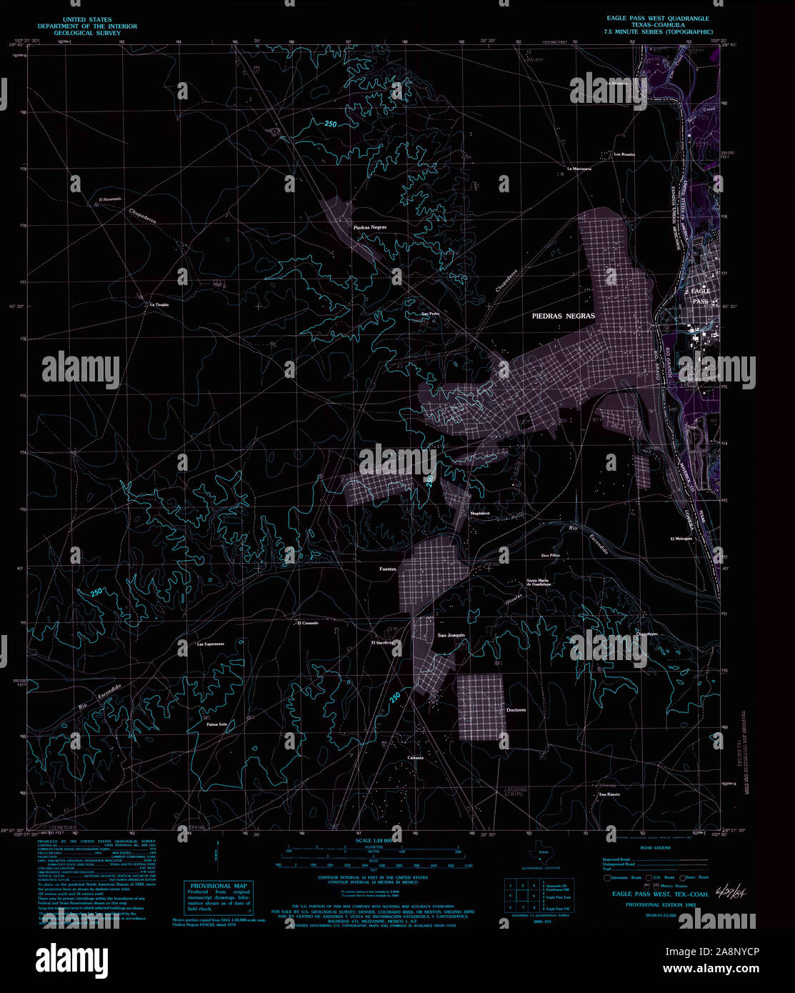 USGS TOPO Map Texas TX Eagle Pass West 107763 1983 24000 Inverted Restoration Stock Photohttps://www.alamy.com/image-license-details/?v=1https://www.alamy.com/usgs-topo-map-texas-tx-eagle-pass-west-107763-1983-24000-inverted-restoration-image332396758.html
RM2A8NYCP–USGS TOPO Map Texas TX Eagle Pass West 107763 1983 24000 Inverted Restoration
 USGS TOPO Map Texas TX Eagle Pass East 107758 1983 24000 Inverted Restoration Stock Photohttps://www.alamy.com/image-license-details/?v=1https://www.alamy.com/usgs-topo-map-texas-tx-eagle-pass-east-107758-1983-24000-inverted-restoration-image332396078.html
RM2A8NXGE–USGS TOPO Map Texas TX Eagle Pass East 107758 1983 24000 Inverted Restoration
 USGS TOPO Map Texas TX Eagle Pass SW 107761 1983 24000 Inverted Restoration Stock Photohttps://www.alamy.com/image-license-details/?v=1https://www.alamy.com/usgs-topo-map-texas-tx-eagle-pass-sw-107761-1983-24000-inverted-restoration-image332396406.html
RM2A8NY06–USGS TOPO Map Texas TX Eagle Pass SW 107761 1983 24000 Inverted Restoration
 USGS TOPO Map Texas TX Eagle Pass NE 107760 1982 24000 Inverted Restoration Stock Photohttps://www.alamy.com/image-license-details/?v=1https://www.alamy.com/usgs-topo-map-texas-tx-eagle-pass-ne-107760-1982-24000-inverted-restoration-image332396408.html
RM2A8NY08–USGS TOPO Map Texas TX Eagle Pass NE 107760 1982 24000 Inverted Restoration
 USGS TOPO Map Texas TX Eagle Pass West 107762 1983 24000 Inverted Restoration Stock Photohttps://www.alamy.com/image-license-details/?v=1https://www.alamy.com/usgs-topo-map-texas-tx-eagle-pass-west-107762-1983-24000-inverted-restoration-image332396617.html
RM2A8NY7N–USGS TOPO Map Texas TX Eagle Pass West 107762 1983 24000 Inverted Restoration