Quick filters:
Egypt satellite image Stock Photos and Images
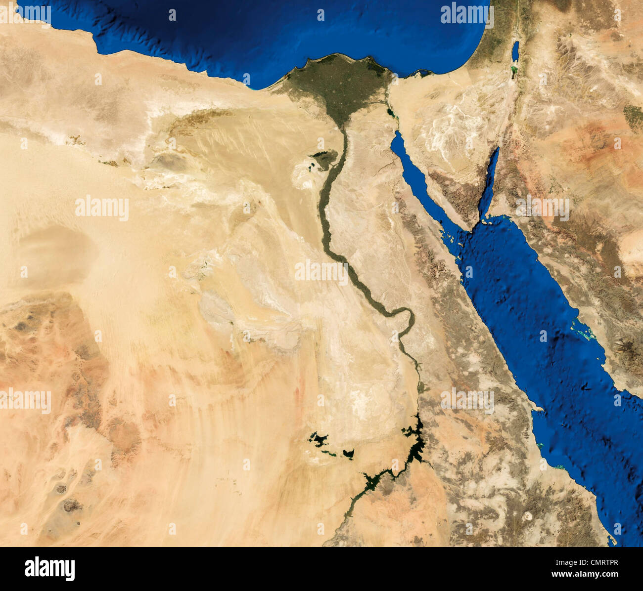 True color Terra/MODIS satellite image of Egypt rendered in Lambert azimuthal equal area projection. Stock Photohttps://www.alamy.com/image-license-details/?v=1https://www.alamy.com/stock-photo-true-color-terramodis-satellite-image-of-egypt-rendered-in-lambert-47238207.html
RMCMRTPR–True color Terra/MODIS satellite image of Egypt rendered in Lambert azimuthal equal area projection.
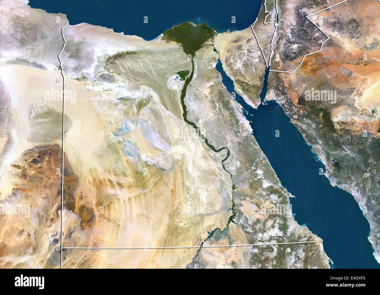 Egypt, True Colour Satellite Image With Border Stock Photohttps://www.alamy.com/image-license-details/?v=1https://www.alamy.com/stock-photo-egypt-true-colour-satellite-image-with-border-71606475.html
RME4DXP3–Egypt, True Colour Satellite Image With Border
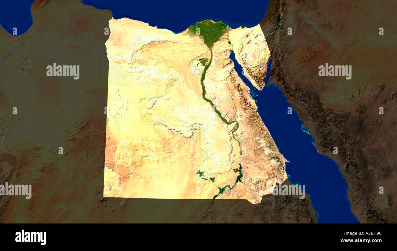 Satellite Image Of Egypt Highlighted Stock Photohttps://www.alamy.com/image-license-details/?v=1https://www.alamy.com/satellite-image-of-egypt-highlighted-image3503515.html
RFA3BH9C–Satellite Image Of Egypt Highlighted
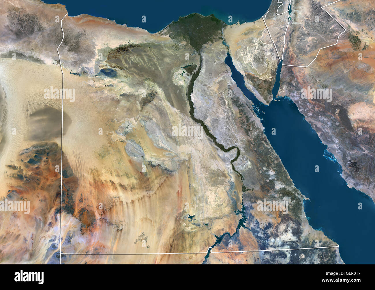 Satellite view of Egypt (with country boundaries). This image was compiled from data acquired by Landsat 8 satellite in 2014. Stock Photohttps://www.alamy.com/image-license-details/?v=1https://www.alamy.com/stock-photo-satellite-view-of-egypt-with-country-boundaries-this-image-was-compiled-112372967.html
RMGER0T7–Satellite view of Egypt (with country boundaries). This image was compiled from data acquired by Landsat 8 satellite in 2014.
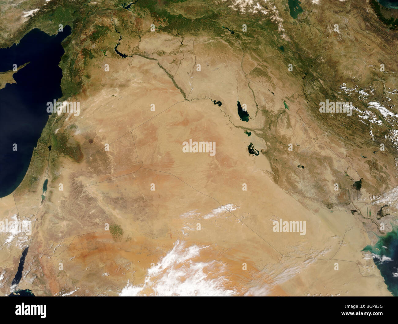 Satellite image of deserts in the Middle East Stock Photohttps://www.alamy.com/image-license-details/?v=1https://www.alamy.com/stock-photo-satellite-image-of-deserts-in-the-middle-east-27534180.html
RMBGP83G–Satellite image of deserts in the Middle East
 Egypt, Satellite Image Stock Photohttps://www.alamy.com/image-license-details/?v=1https://www.alamy.com/stock-photo-egypt-satellite-image-71604119.html
RME4DRNY–Egypt, Satellite Image
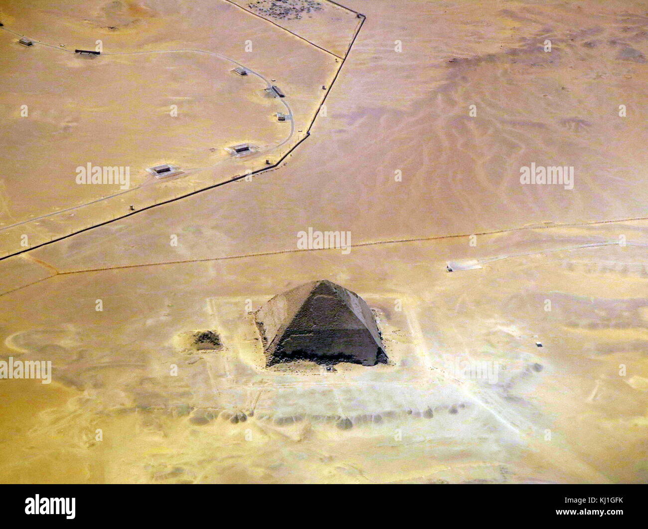 Satellite view of the Bent Pyramid, Egypt. This distinctive shaped ancient Egyptian pyramid is located at the royal necropolis of Dahshur, approximately 40 kilometres south of Cairo. It was built under the Old Kingdom Pharaoh Sneferu (c. 2600 BC). A unique example of early pyramid development in Egypt, this was the second pyramid built by Sneferu. Stock Photohttps://www.alamy.com/image-license-details/?v=1https://www.alamy.com/stock-image-satellite-view-of-the-bent-pyramid-egypt-this-distinctive-shaped-ancient-165992055.html
RMKJ1GFK–Satellite view of the Bent Pyramid, Egypt. This distinctive shaped ancient Egyptian pyramid is located at the royal necropolis of Dahshur, approximately 40 kilometres south of Cairo. It was built under the Old Kingdom Pharaoh Sneferu (c. 2600 BC). A unique example of early pyramid development in Egypt, this was the second pyramid built by Sneferu.
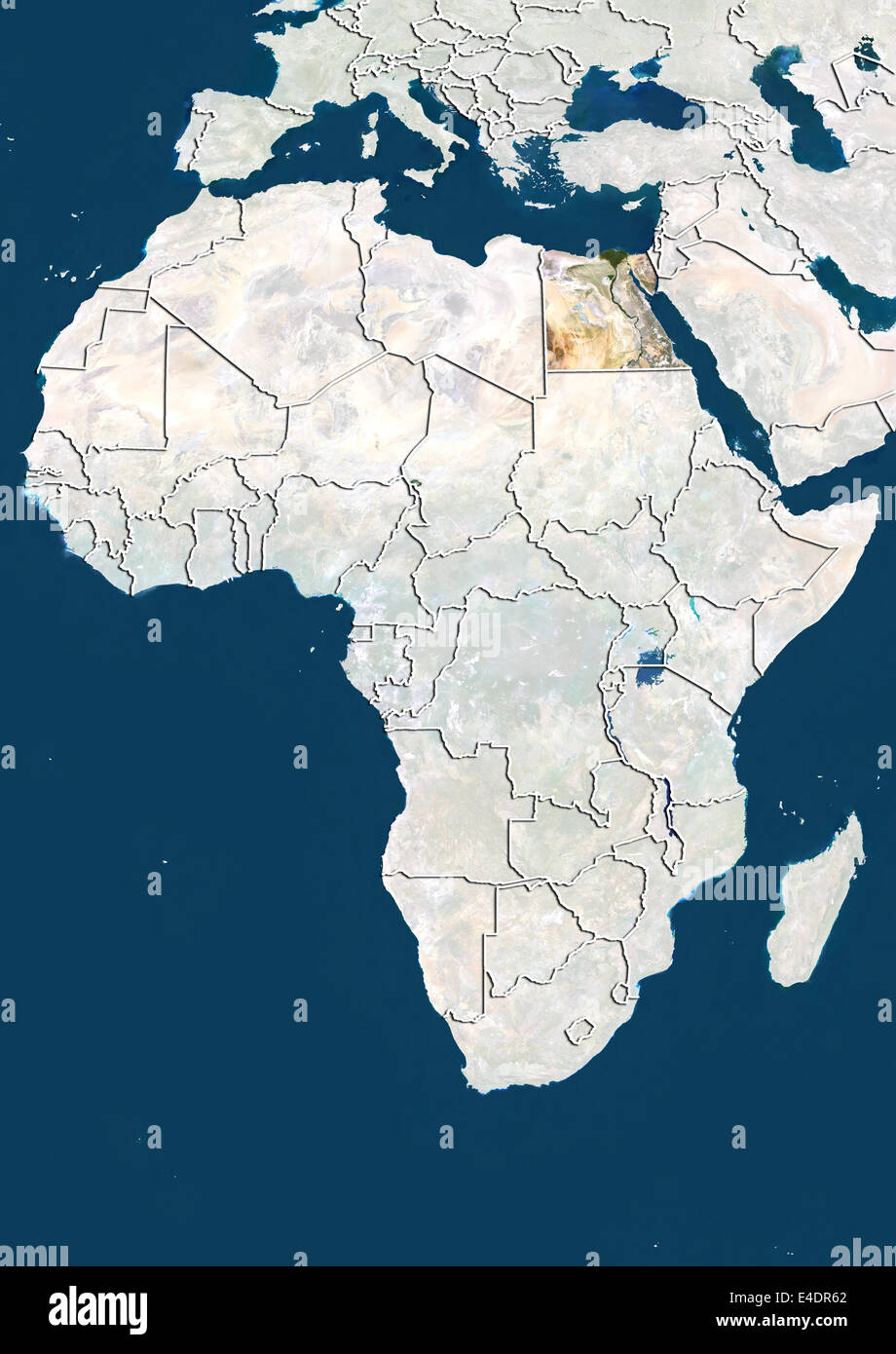 Egypt, Satellite Image Stock Photohttps://www.alamy.com/image-license-details/?v=1https://www.alamy.com/stock-photo-egypt-satellite-image-71603674.html
RME4DR62–Egypt, Satellite Image
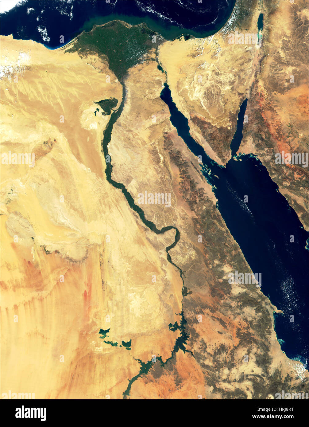 Egypt, Nile Delta and Sinai, MODIS Image Stock Photohttps://www.alamy.com/image-license-details/?v=1https://www.alamy.com/stock-photo-egypt-nile-delta-and-sinai-modis-image-135011717.html
RMHRJ8R1–Egypt, Nile Delta and Sinai, MODIS Image
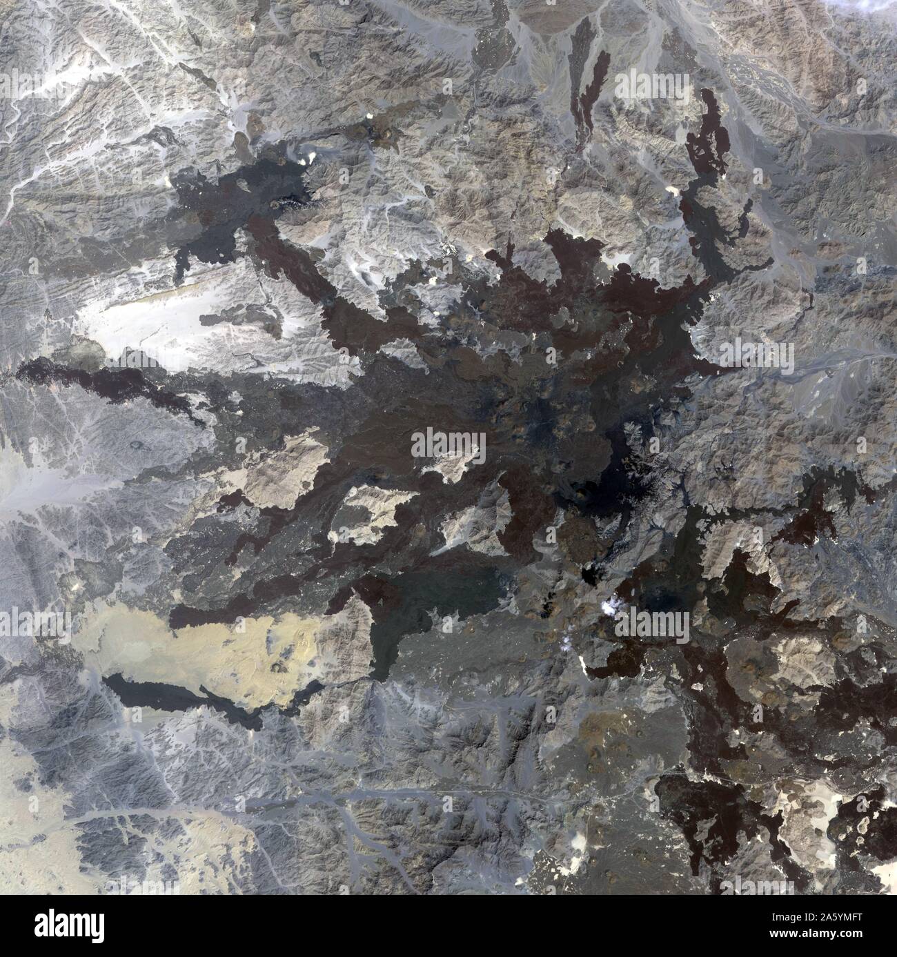 A swarm of thousands of earthquakes that struck the corner of Saudi Arabia nearest to Egypt in 2009 helped reveal that the area is unexpectedly volcanically active. October 8, 2006. Satellite image. Stock Photohttps://www.alamy.com/image-license-details/?v=1https://www.alamy.com/a-swarm-of-thousands-of-earthquakes-that-struck-the-corner-of-saudi-arabia-nearest-to-egypt-in-2009-helped-reveal-that-the-area-is-unexpectedly-volcanically-active-october-8-2006-satellite-image-image330679100.html
RM2A5YMFT–A swarm of thousands of earthquakes that struck the corner of Saudi Arabia nearest to Egypt in 2009 helped reveal that the area is unexpectedly volcanically active. October 8, 2006. Satellite image.
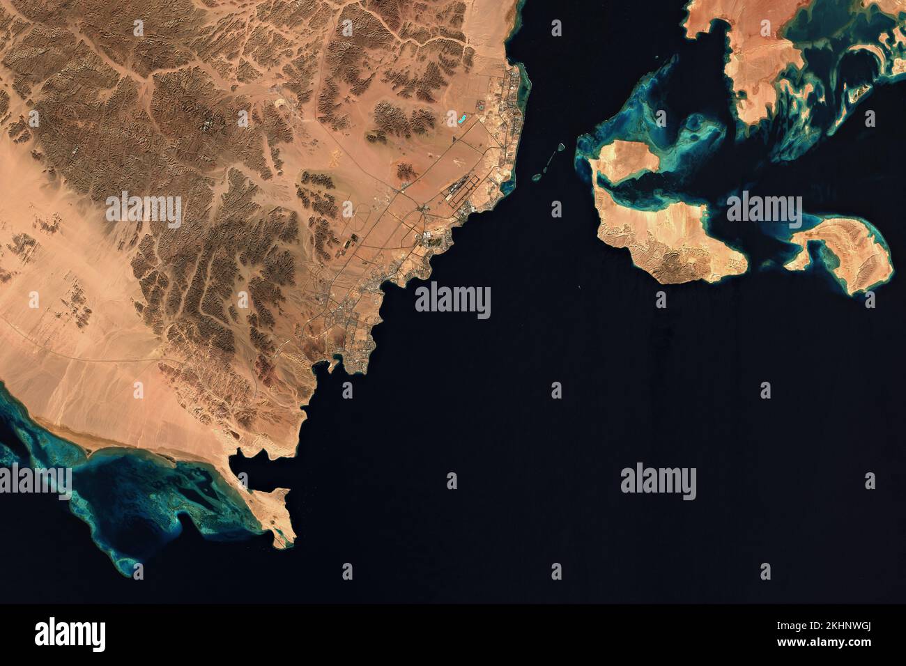 High resolution satellite image of Sharm El Sheikh in Egypt - contains modified Copernicus Sentinel Data (2022) Stock Photohttps://www.alamy.com/image-license-details/?v=1https://www.alamy.com/high-resolution-satellite-image-of-sharm-el-sheikh-in-egypt-contains-modified-copernicus-sentinel-data-2022-image492820514.html
RF2KHNWGJ–High resolution satellite image of Sharm El Sheikh in Egypt - contains modified Copernicus Sentinel Data (2022)
 Mountains dominate the southwestern region of Sinai Peninsula in this satellite image. Stock Photohttps://www.alamy.com/image-license-details/?v=1https://www.alamy.com/mountains-dominate-the-southwestern-region-of-sinai-peninsula-in-this-satellite-image-image575101558.html
RF2TBJ3WA–Mountains dominate the southwestern region of Sinai Peninsula in this satellite image.
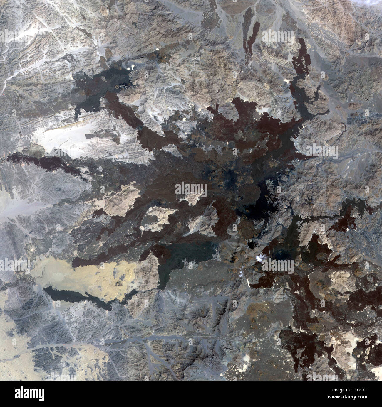 A swarm of thousands of earthquakes that struck the corner of Saudi Arabia nearest to Egypt in 2009 helped reveal that the area is unexpectedly volcanically active. October 8, 2006. Satellite image. Stock Photohttps://www.alamy.com/image-license-details/?v=1https://www.alamy.com/stock-photo-a-swarm-of-thousands-of-earthquakes-that-struck-the-corner-of-saudi-57368384.html
RMD999XT–A swarm of thousands of earthquakes that struck the corner of Saudi Arabia nearest to Egypt in 2009 helped reveal that the area is unexpectedly volcanically active. October 8, 2006. Satellite image.
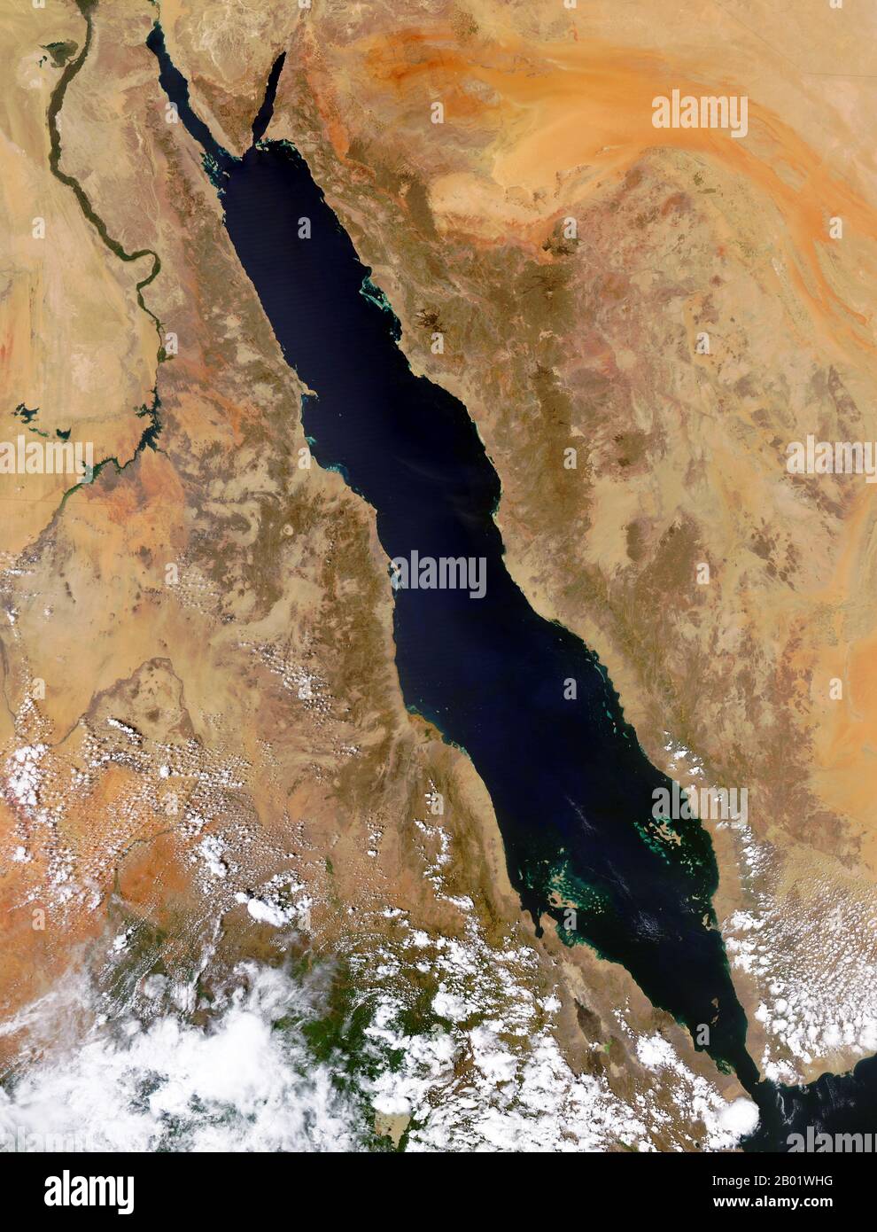 Arabian Peninsula/Middle East: NASA orbital image of the Red Sea area, September 29, 2004. Satellite image of the Red Sea area including (clockwise from top) part or all of the territories of Israel, Jordan, Saudi Arabia, Yemen, Djibouti, Eritrea, Ethiopia, South Sudan, Sudan and Egypt. Stock Photohttps://www.alamy.com/image-license-details/?v=1https://www.alamy.com/arabian-peninsulamiddle-east-nasa-orbital-image-of-the-red-sea-area-september-29-2004-satellite-image-of-the-red-sea-area-including-clockwise-from-top-part-or-all-of-the-territories-of-israel-jordan-saudi-arabia-yemen-djibouti-eritrea-ethiopia-south-sudan-sudan-and-egypt-image344249404.html
RM2B01WHG–Arabian Peninsula/Middle East: NASA orbital image of the Red Sea area, September 29, 2004. Satellite image of the Red Sea area including (clockwise from top) part or all of the territories of Israel, Jordan, Saudi Arabia, Yemen, Djibouti, Eritrea, Ethiopia, South Sudan, Sudan and Egypt.
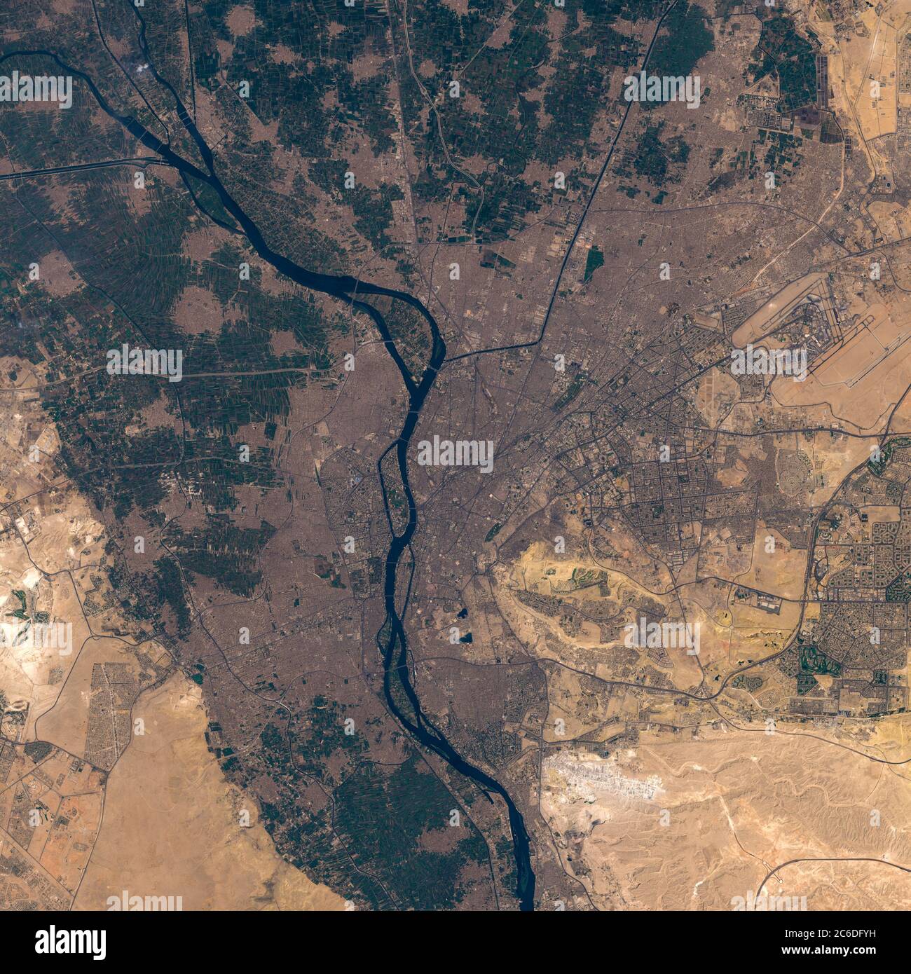 Satellite image of Kairo Stock Photohttps://www.alamy.com/image-license-details/?v=1https://www.alamy.com/satellite-image-of-kairo-image365403573.html
RF2C6DFYH–Satellite image of Kairo
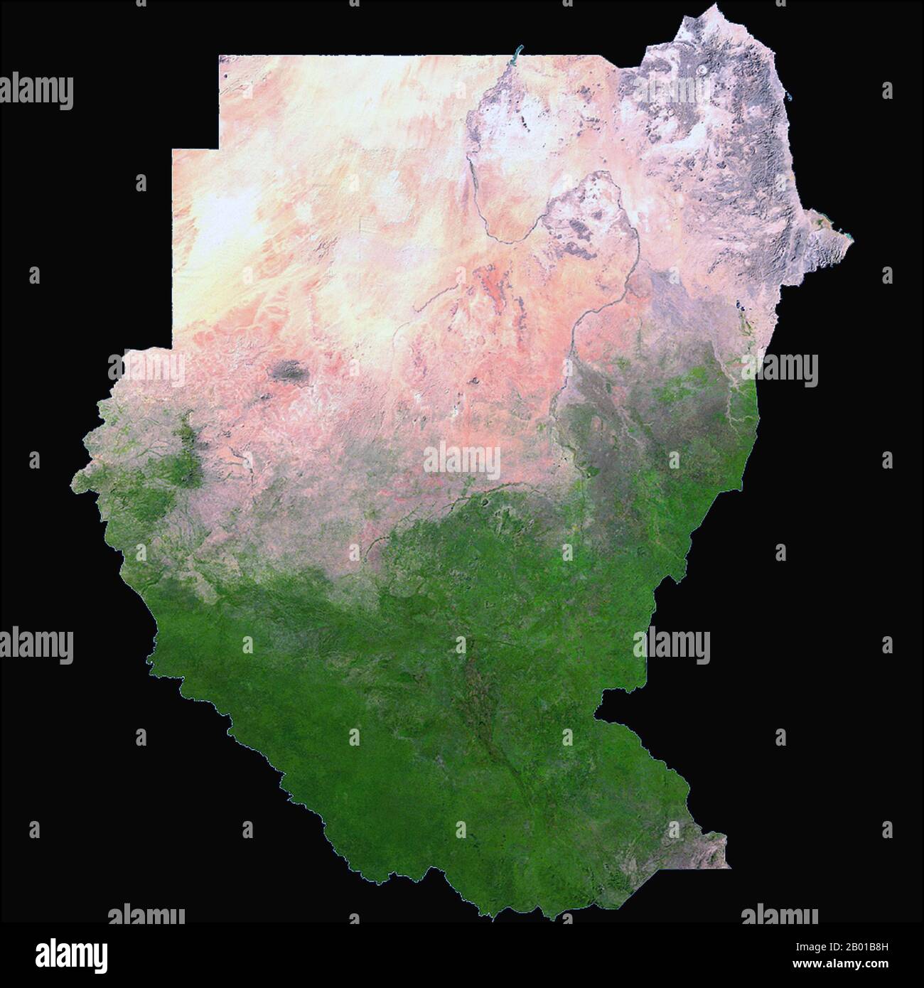 Sudan/South Sudan: A NASA satellite image of Sudan and South Sudan, 2006. The Republic of Sudan (Arabic: Jumhūrīyat al Sūdān), is a country in North Africa. It is bordered by Egypt to the north, the Red Sea to the northeast, Eritrea and Ethiopia to the east, Southern Sudan to the south, Central African Republic to the southwest, Chad to the west and Libya to the northwest. The world's longest river, the Nile, divides the country between east and west sides. Southern Sudan (Arabic:Janūb as-Sūdān) is a landlocked independent country with Juba as its capital city. Stock Photohttps://www.alamy.com/image-license-details/?v=1https://www.alamy.com/sudansouth-sudan-a-nasa-satellite-image-of-sudan-and-south-sudan-2006-the-republic-of-sudan-arabic-jumhryat-al-sdn-is-a-country-in-north-africa-it-is-bordered-by-egypt-to-the-north-the-red-sea-to-the-northeast-eritrea-and-ethiopia-to-the-east-southern-sudan-to-the-south-central-african-republic-to-the-southwest-chad-to-the-west-and-libya-to-the-northwest-the-worlds-longest-river-the-nile-divides-the-country-between-east-and-west-sides-southern-sudan-arabicjanb-as-sdn-is-a-landlocked-independent-country-with-juba-as-its-capital-city-image344238177.html
RM2B01B8H–Sudan/South Sudan: A NASA satellite image of Sudan and South Sudan, 2006. The Republic of Sudan (Arabic: Jumhūrīyat al Sūdān), is a country in North Africa. It is bordered by Egypt to the north, the Red Sea to the northeast, Eritrea and Ethiopia to the east, Southern Sudan to the south, Central African Republic to the southwest, Chad to the west and Libya to the northwest. The world's longest river, the Nile, divides the country between east and west sides. Southern Sudan (Arabic:Janūb as-Sūdān) is a landlocked independent country with Juba as its capital city.
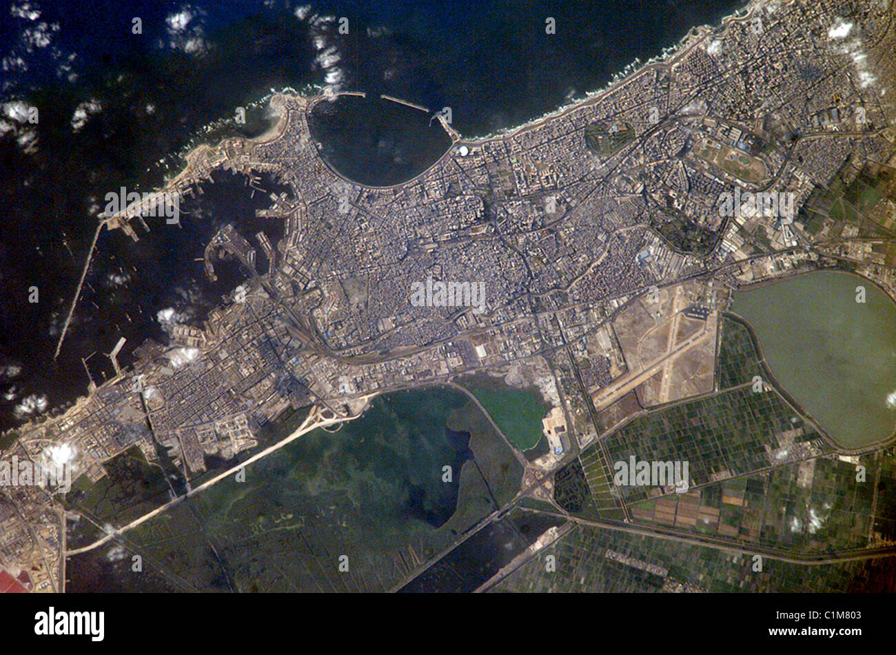 Alexandria, Egypt Stock Photohttps://www.alamy.com/image-license-details/?v=1https://www.alamy.com/stock-photo-alexandria-egypt-35480707.html
RMC1M803–Alexandria, Egypt
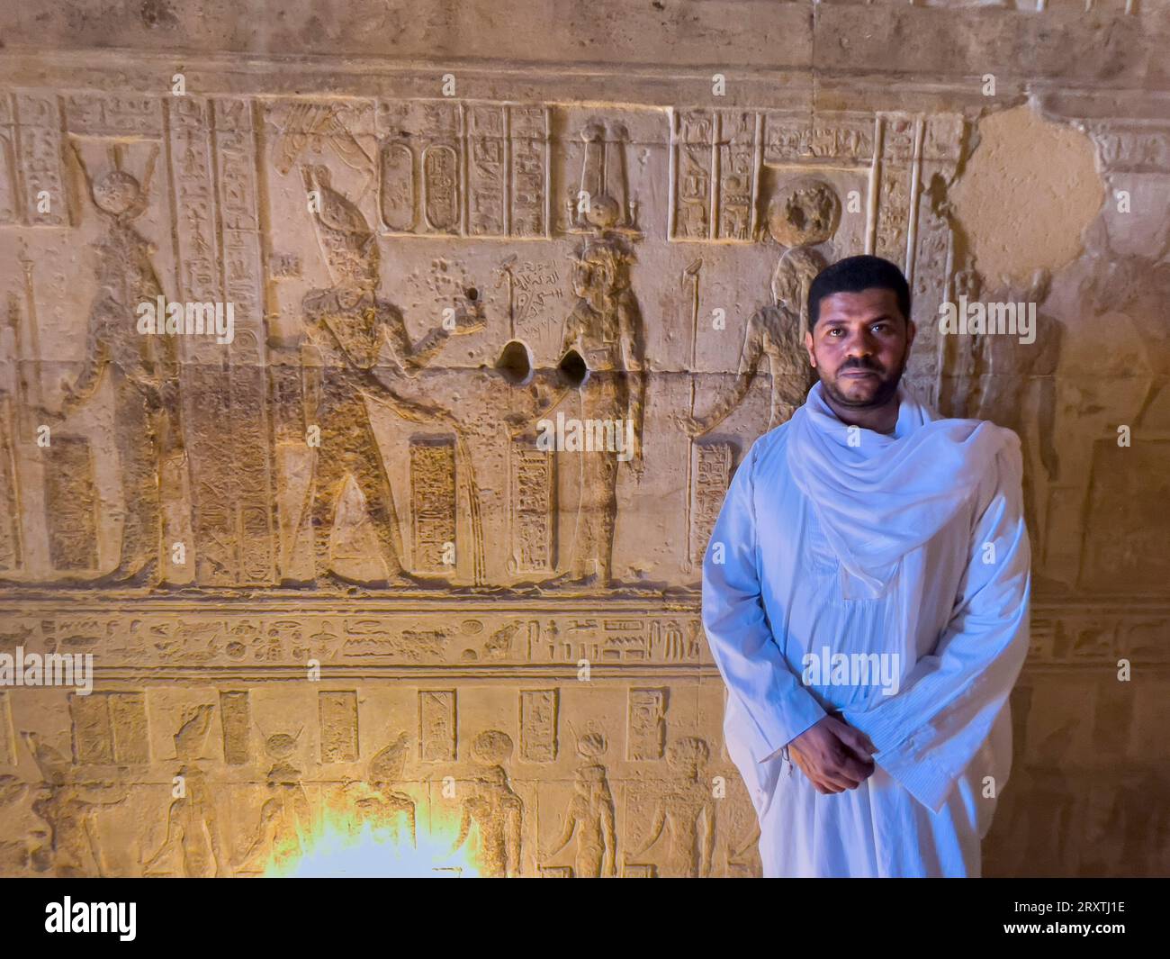 An Egyptian man inside one of the satellite buildings of the Dendera Temple complex, Egypt,North Africa, Africa Stock Photohttps://www.alamy.com/image-license-details/?v=1https://www.alamy.com/an-egyptian-man-inside-one-of-the-satellite-buildings-of-the-dendera-temple-complex-egyptnorth-africa-africa-image567253834.html
RF2RXTJ1E–An Egyptian man inside one of the satellite buildings of the Dendera Temple complex, Egypt,North Africa, Africa
 Irrigation in Egypt seen from space - contains modified Copernicus Sentinel Data (2019) Stock Photohttps://www.alamy.com/image-license-details/?v=1https://www.alamy.com/irrigation-in-egypt-seen-from-space-contains-modified-copernicus-sentinel-data-2019-image243093401.html
RFT3DT35–Irrigation in Egypt seen from space - contains modified Copernicus Sentinel Data (2019)
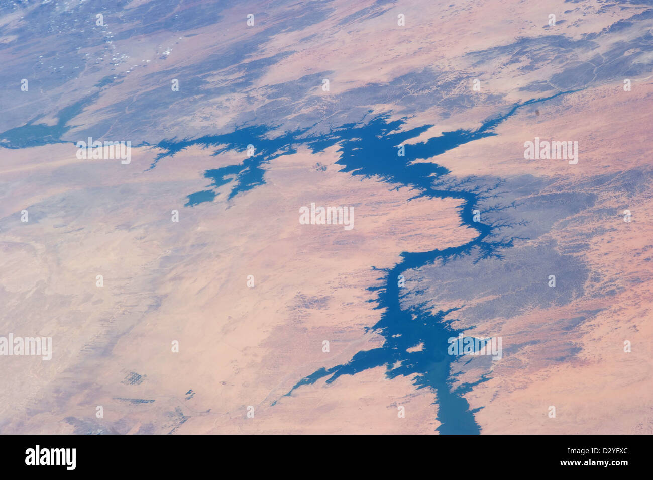 Egypt, Eastern Toshka Lakes and dunes Egypt Stock Photohttps://www.alamy.com/image-license-details/?v=1https://www.alamy.com/stock-photo-egypt-eastern-toshka-lakes-and-dunes-egypt-53465620.html
RMD2YFXC–Egypt, Eastern Toshka Lakes and dunes Egypt
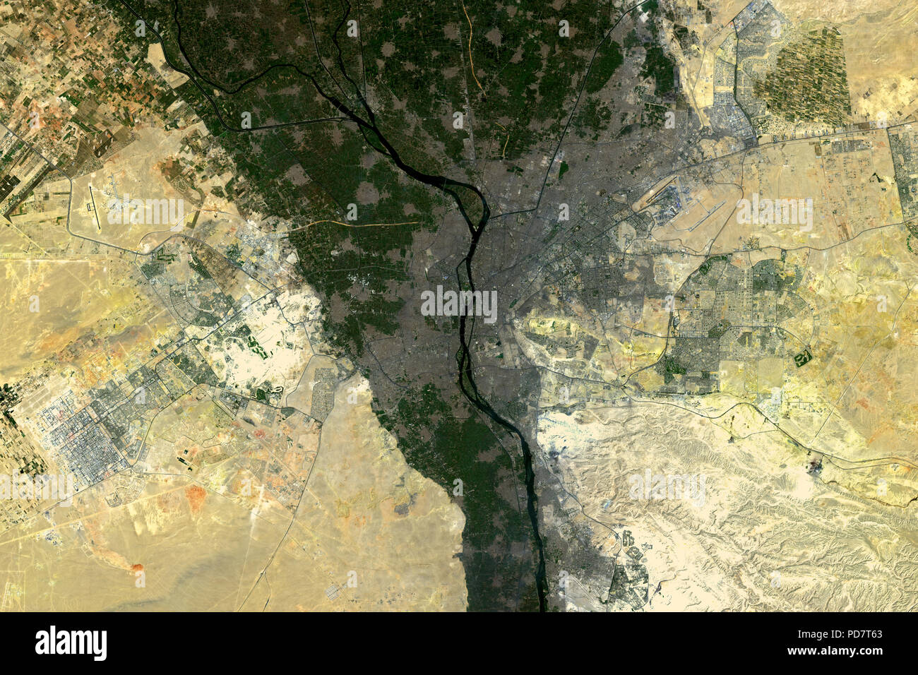 Cairo, the capital of Egypt, seen from space - contains modified Copernicus Sentinel Data 2018 Stock Photohttps://www.alamy.com/image-license-details/?v=1https://www.alamy.com/cairo-the-capital-of-egypt-seen-from-space-contains-modified-copernicus-sentinel-data-2018-image214687595.html
RFPD7T63–Cairo, the capital of Egypt, seen from space - contains modified Copernicus Sentinel Data 2018
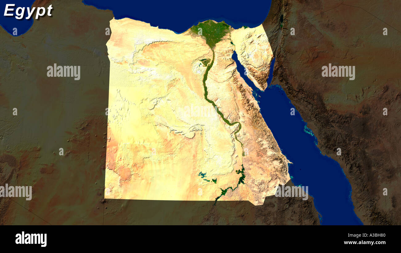 Satellite Image Of Egypt Highlighted Stock Photohttps://www.alamy.com/image-license-details/?v=1https://www.alamy.com/satellite-image-of-egypt-highlighted-image3503487.html
RFA3BH80–Satellite Image Of Egypt Highlighted
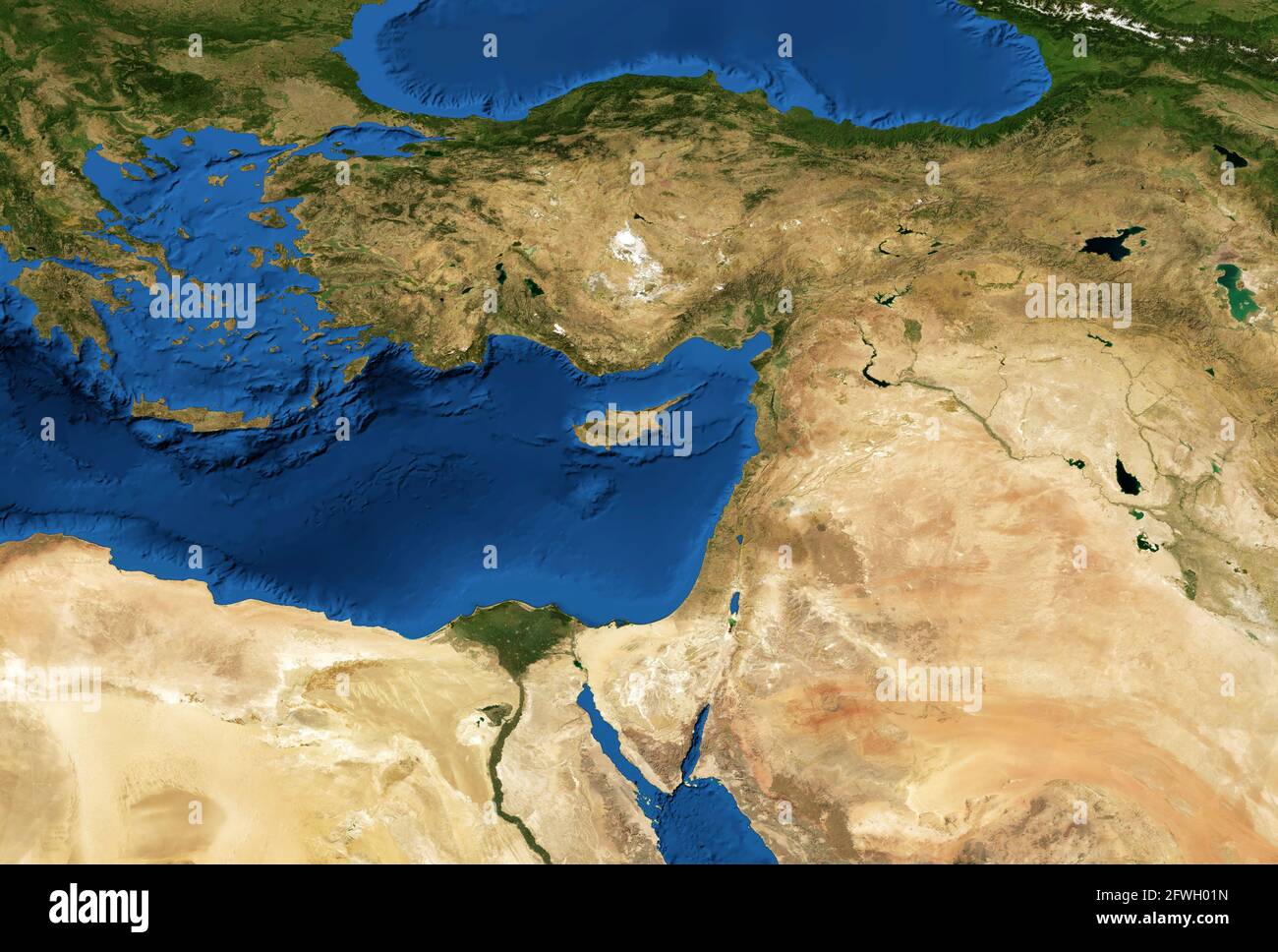 Middle East map in global satellite photo, flat view of part of world from space. Detailed physical map of Turkey, Syria, Israel, Lebanon, Egypt, Jord Stock Photohttps://www.alamy.com/image-license-details/?v=1https://www.alamy.com/middle-east-map-in-global-satellite-photo-flat-view-of-part-of-world-from-space-detailed-physical-map-of-turkey-syria-israel-lebanon-egypt-jord-image428788465.html
RF2FWH01N–Middle East map in global satellite photo, flat view of part of world from space. Detailed physical map of Turkey, Syria, Israel, Lebanon, Egypt, Jord
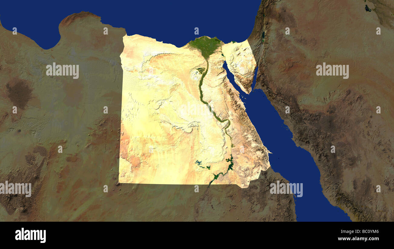 satellite image of egypt with surrounding countries darkened Stock Photohttps://www.alamy.com/image-license-details/?v=1https://www.alamy.com/stock-photo-satellite-image-of-egypt-with-surrounding-countries-darkened-24607974.html
RMBC0YM6–satellite image of egypt with surrounding countries darkened
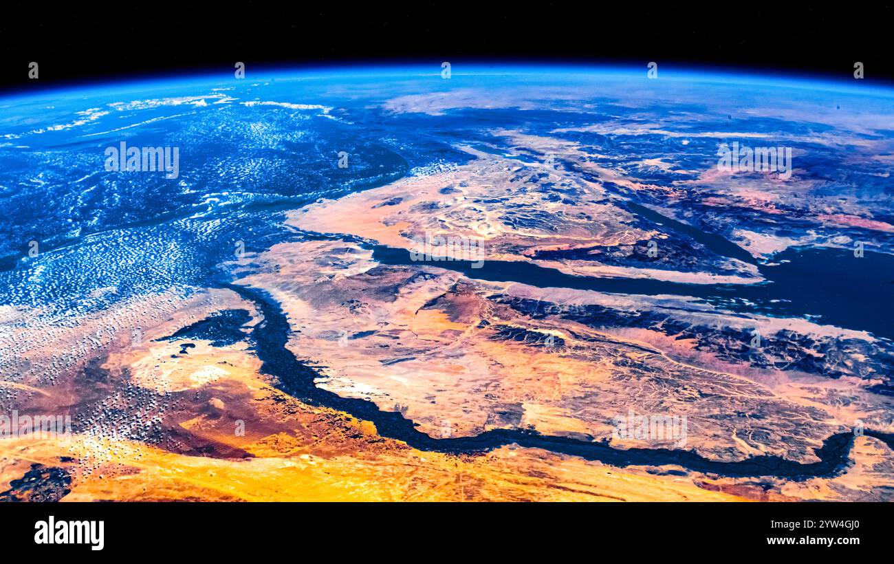 Planet Earth horizon seen from space. Land features in Egypt. Digital enhancement of an image by NASA Stock Photohttps://www.alamy.com/image-license-details/?v=1https://www.alamy.com/planet-earth-horizon-seen-from-space-land-features-in-egypt-digital-enhancement-of-an-image-by-nasa-image635040504.html
RM2YW4GJ0–Planet Earth horizon seen from space. Land features in Egypt. Digital enhancement of an image by NASA
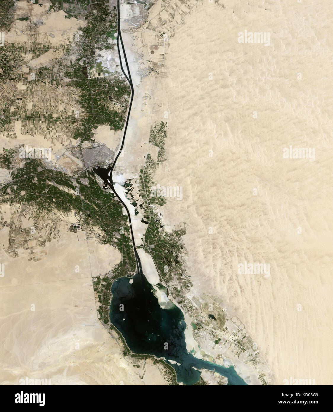 Satellite image of the 'new' Suez Canal Stock Photohttps://www.alamy.com/image-license-details/?v=1https://www.alamy.com/stock-image-satellite-image-of-the-new-suez-canal-162890569.html
RMKD08G9–Satellite image of the 'new' Suez Canal
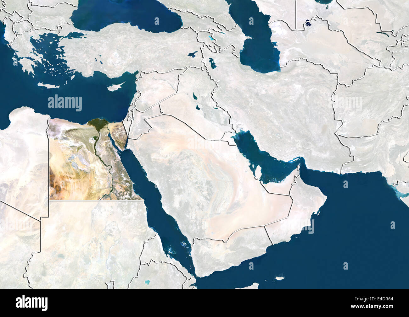 Egypt, Satellite Image Stock Photohttps://www.alamy.com/image-license-details/?v=1https://www.alamy.com/stock-photo-egypt-satellite-image-71603676.html
RME4DR64–Egypt, Satellite Image
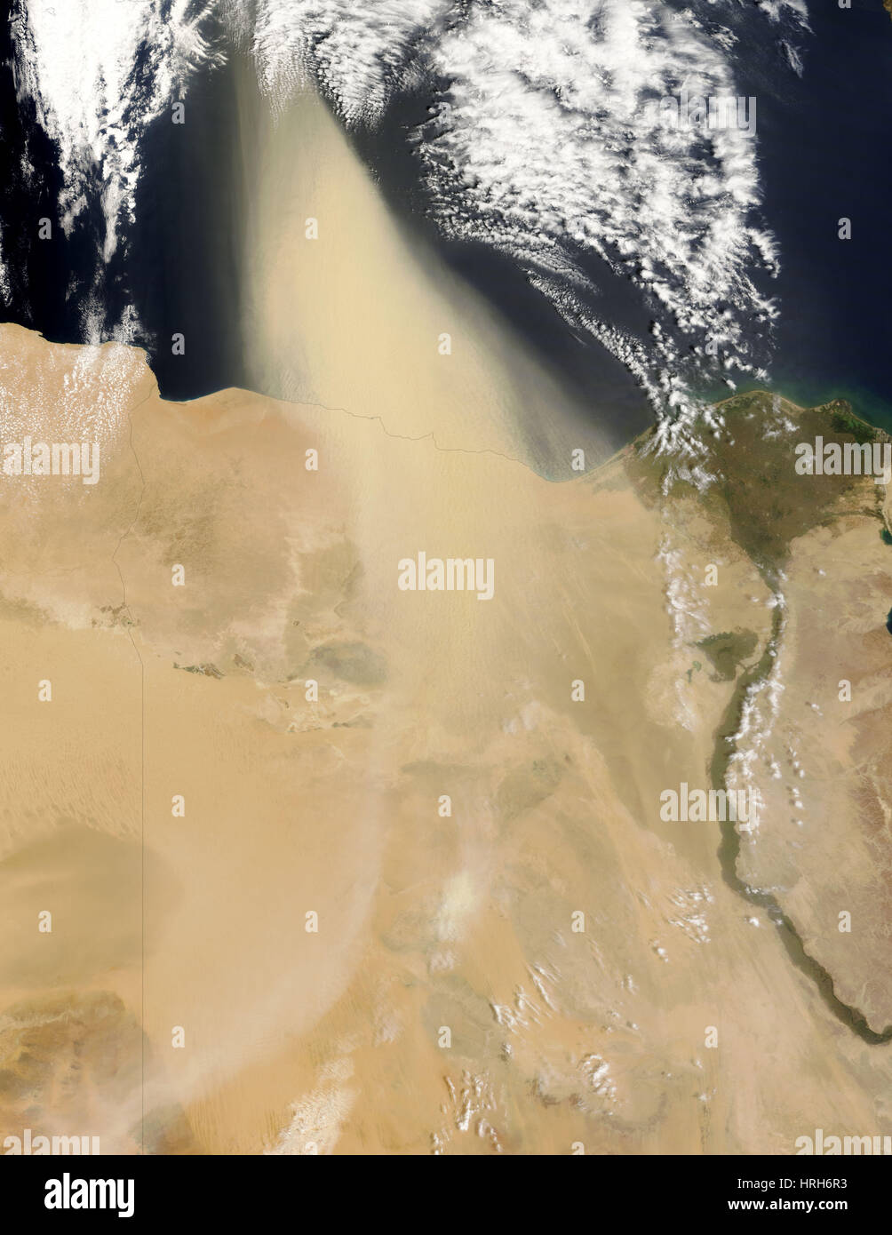 Dust Plume Off Coast of Egypt Stock Photohttps://www.alamy.com/image-license-details/?v=1https://www.alamy.com/stock-photo-dust-plume-off-coast-of-egypt-134988199.html
RMHRH6R3–Dust Plume Off Coast of Egypt
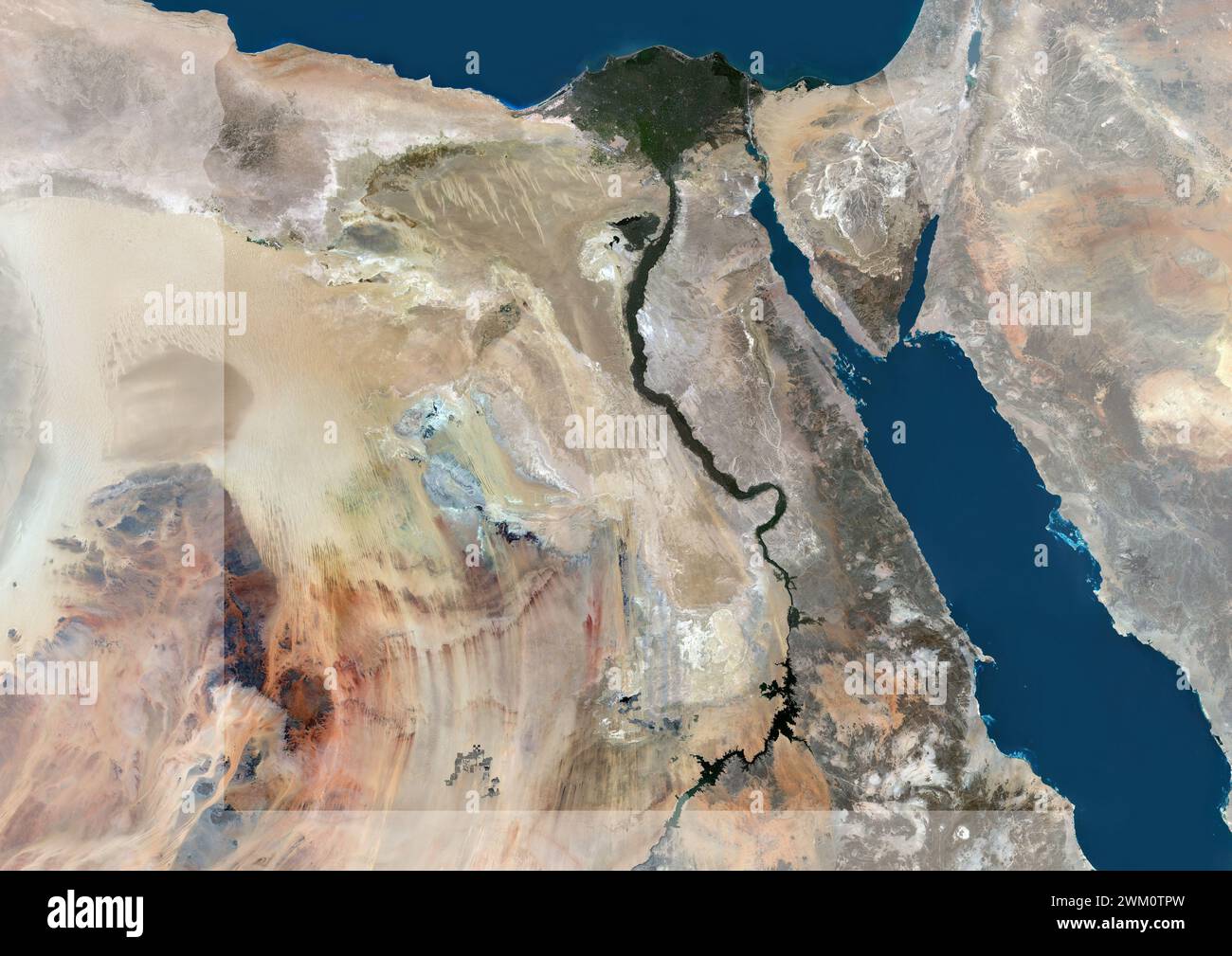 Color satellite image of Egypt, with mask. Stock Photohttps://www.alamy.com/image-license-details/?v=1https://www.alamy.com/color-satellite-image-of-egypt-with-mask-image597465089.html
RM2WM0TPW–Color satellite image of Egypt, with mask.
 Egypt Seen by MODIS Stock Photohttps://www.alamy.com/image-license-details/?v=1https://www.alamy.com/stock-photo-egypt-seen-by-modis-52114798.html
RMD0P0XP–Egypt Seen by MODIS
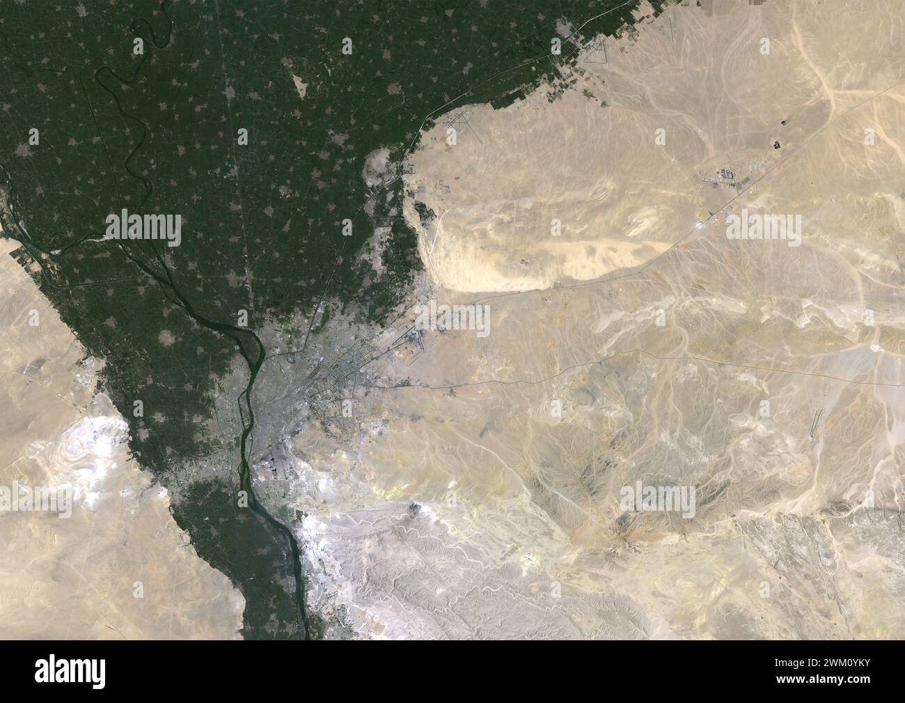 Color satellite image of Cairo, Egypt in 1984. Stock Photohttps://www.alamy.com/image-license-details/?v=1https://www.alamy.com/color-satellite-image-of-cairo-egypt-in-1984-image597467359.html
RM2WM0YKY–Color satellite image of Cairo, Egypt in 1984.
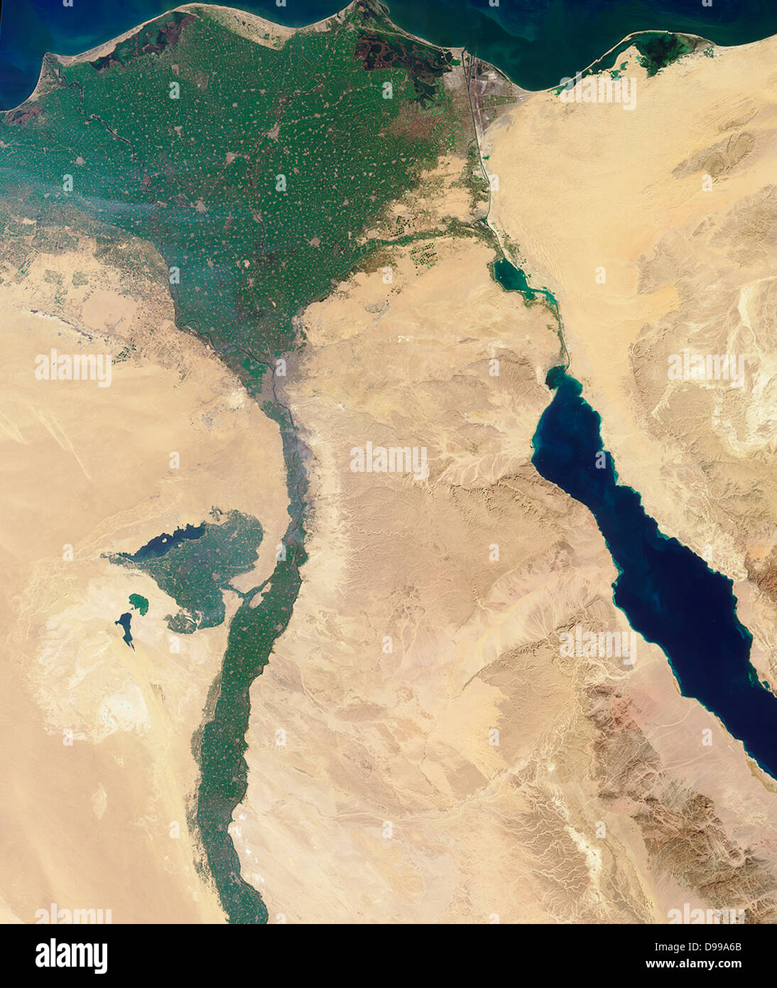 This image of the northern portion of the Nile River was captured by MISR's nadir camera on January 30, 2001 Stock Photohttps://www.alamy.com/image-license-details/?v=1https://www.alamy.com/stock-photo-this-image-of-the-northern-portion-of-the-nile-river-was-captured-57368595.html
RMD99A6B–This image of the northern portion of the Nile River was captured by MISR's nadir camera on January 30, 2001
 Color satellite image of Egypt, with borders and mask. Stock Photohttps://www.alamy.com/image-license-details/?v=1https://www.alamy.com/color-satellite-image-of-egypt-with-borders-and-mask-image597465110.html
RM2WM0TRJ–Color satellite image of Egypt, with borders and mask.
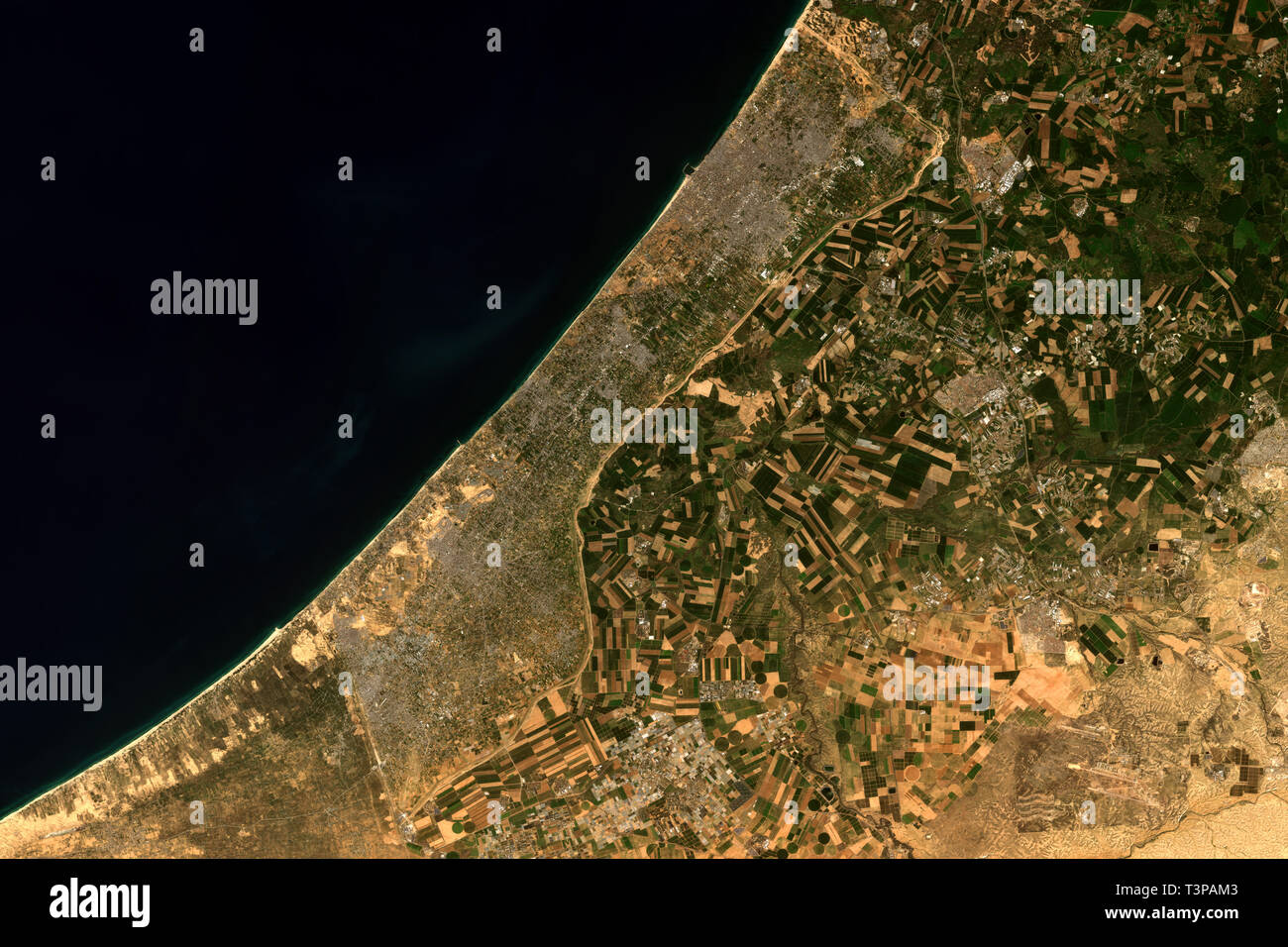 The Gaza Strip, a self-governing Palestinian territory seen from space - contains modified Copernicus Sentinel Data (2019) Stock Photohttps://www.alamy.com/image-license-details/?v=1https://www.alamy.com/the-gaza-strip-a-self-governing-palestinian-territory-seen-from-space-contains-modified-copernicus-sentinel-data-2019-image243280467.html
RFT3PAM3–The Gaza Strip, a self-governing Palestinian territory seen from space - contains modified Copernicus Sentinel Data (2019)
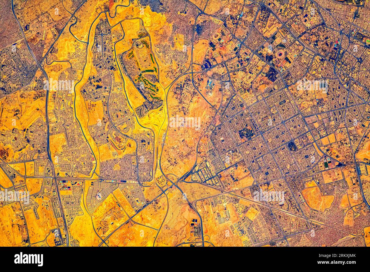 Cairo City, Egypt. Digital enhancement of an image by NASA. Stock Photohttps://www.alamy.com/image-license-details/?v=1https://www.alamy.com/cairo-city-egypt-digital-enhancement-of-an-image-by-nasa-image562995683.html
RM2RKXJMK–Cairo City, Egypt. Digital enhancement of an image by NASA.
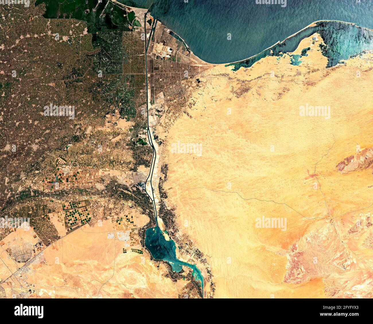 Satellite image of Suez Canal in Egypt Stock Photohttps://www.alamy.com/image-license-details/?v=1https://www.alamy.com/satellite-image-of-suez-canal-in-egypt-image429995723.html
RF2FYFYX3–Satellite image of Suez Canal in Egypt
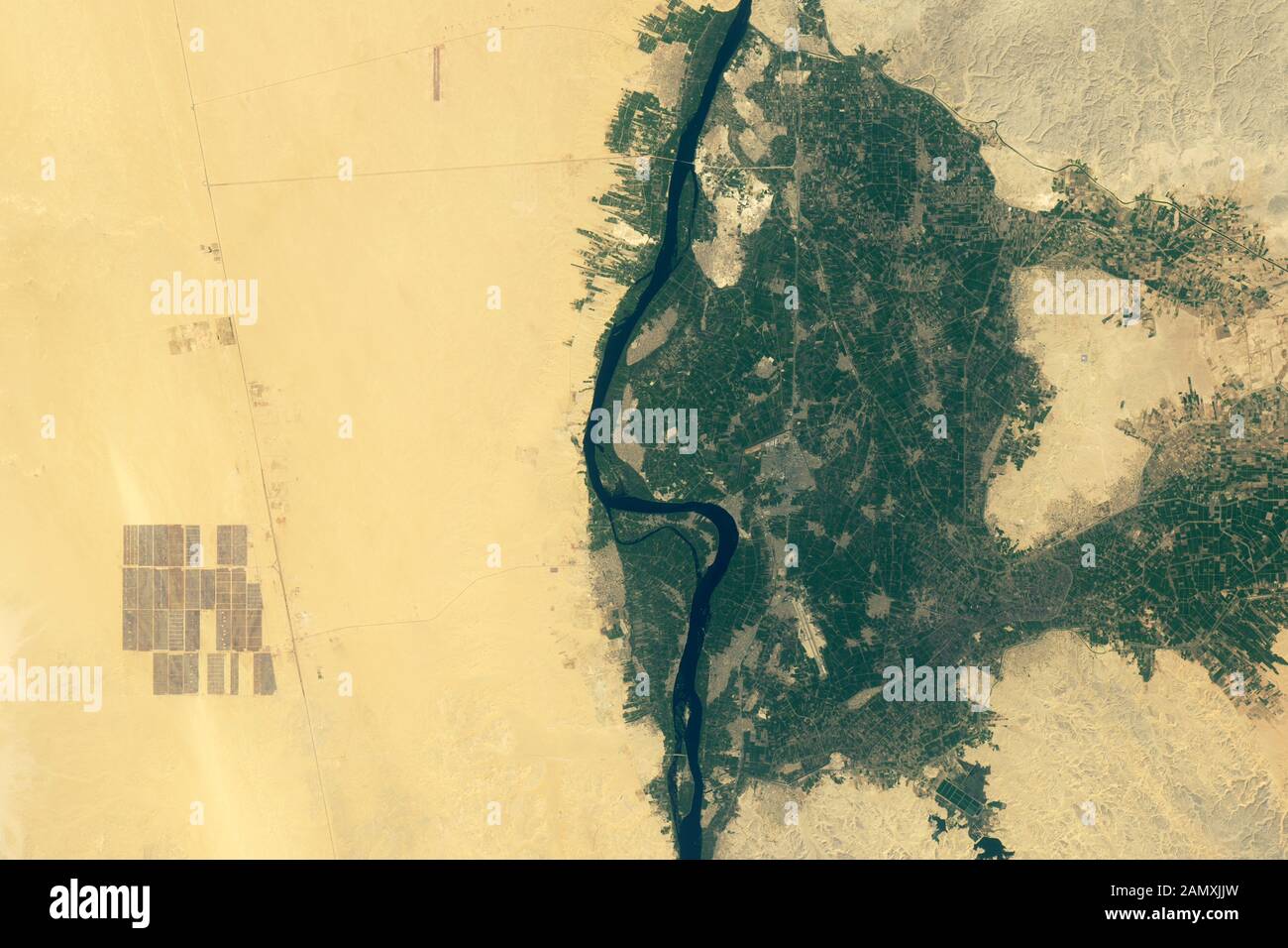 NASA satellite image Benban Solar Park, Aswan province, Egypt, Africa Stock Photohttps://www.alamy.com/image-license-details/?v=1https://www.alamy.com/nasa-satellite-image-benban-solar-park-aswan-province-egypt-africa-image339875505.html
RF2AMXJJW–NASA satellite image Benban Solar Park, Aswan province, Egypt, Africa
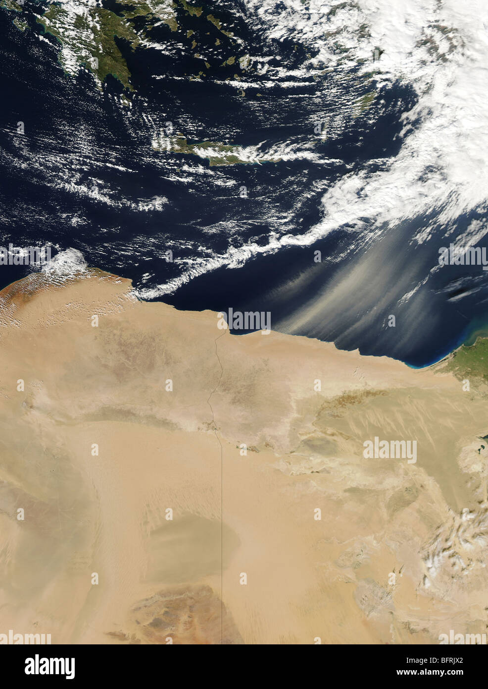 Dust storm over Egypt. Stock Photohttps://www.alamy.com/image-license-details/?v=1https://www.alamy.com/stock-photo-dust-storm-over-egypt-26949946.html
RFBFRJX2–Dust storm over Egypt.
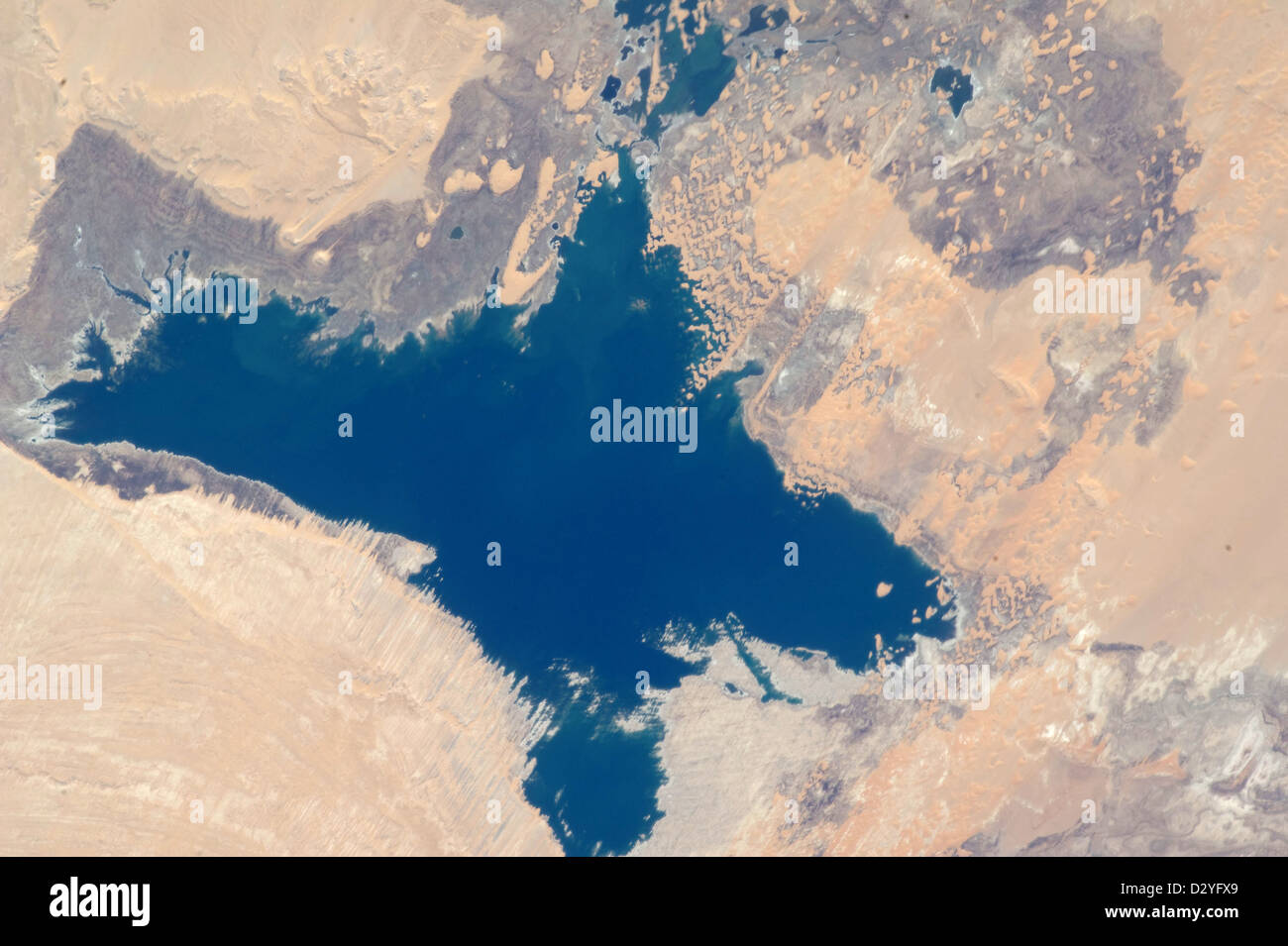 Egypt, Western Toshka Lakes and dunes Egypt Stock Photohttps://www.alamy.com/image-license-details/?v=1https://www.alamy.com/stock-photo-egypt-western-toshka-lakes-and-dunes-egypt-53465617.html
RMD2YFX9–Egypt, Western Toshka Lakes and dunes Egypt
 Physical map of the world, satellite view of the Middle East. Africa, Asia. Reliefs and oceans. Elements of this image are furnished by NASA Stock Photohttps://www.alamy.com/image-license-details/?v=1https://www.alamy.com/physical-map-of-the-world-satellite-view-of-the-middle-east-africa-asia-reliefs-and-oceans-elements-of-this-image-are-furnished-by-nasa-image606715388.html
RF2X727JM–Physical map of the world, satellite view of the Middle East. Africa, Asia. Reliefs and oceans. Elements of this image are furnished by NASA
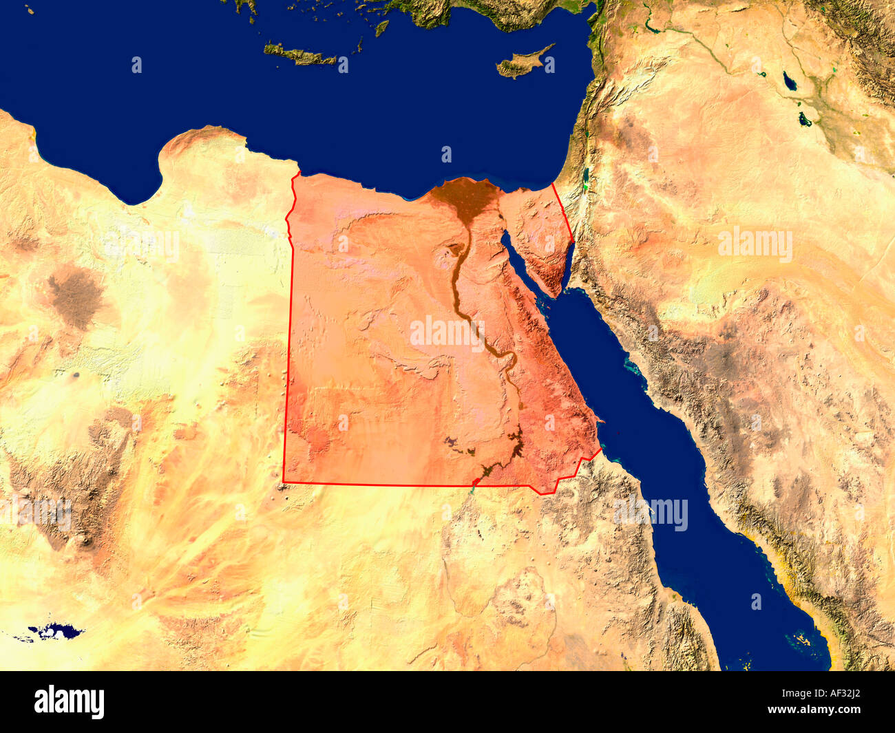 Satellite Image Of Egypt Highlighted Red Stock Photohttps://www.alamy.com/image-license-details/?v=1https://www.alamy.com/satellite-image-of-egypt-highlighted-red-image7894177.html
RFAF32J2–Satellite Image Of Egypt Highlighted Red
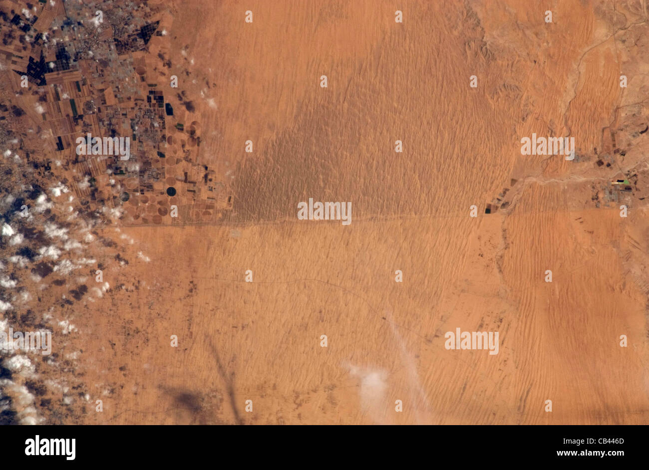 The international border between Egypt. bottom half of the photograph and Israel, top half. Stock Photohttps://www.alamy.com/image-license-details/?v=1https://www.alamy.com/stock-photo-the-international-border-between-egypt-bottom-half-of-the-photograph-41273077.html
RMCB446D–The international border between Egypt. bottom half of the photograph and Israel, top half.
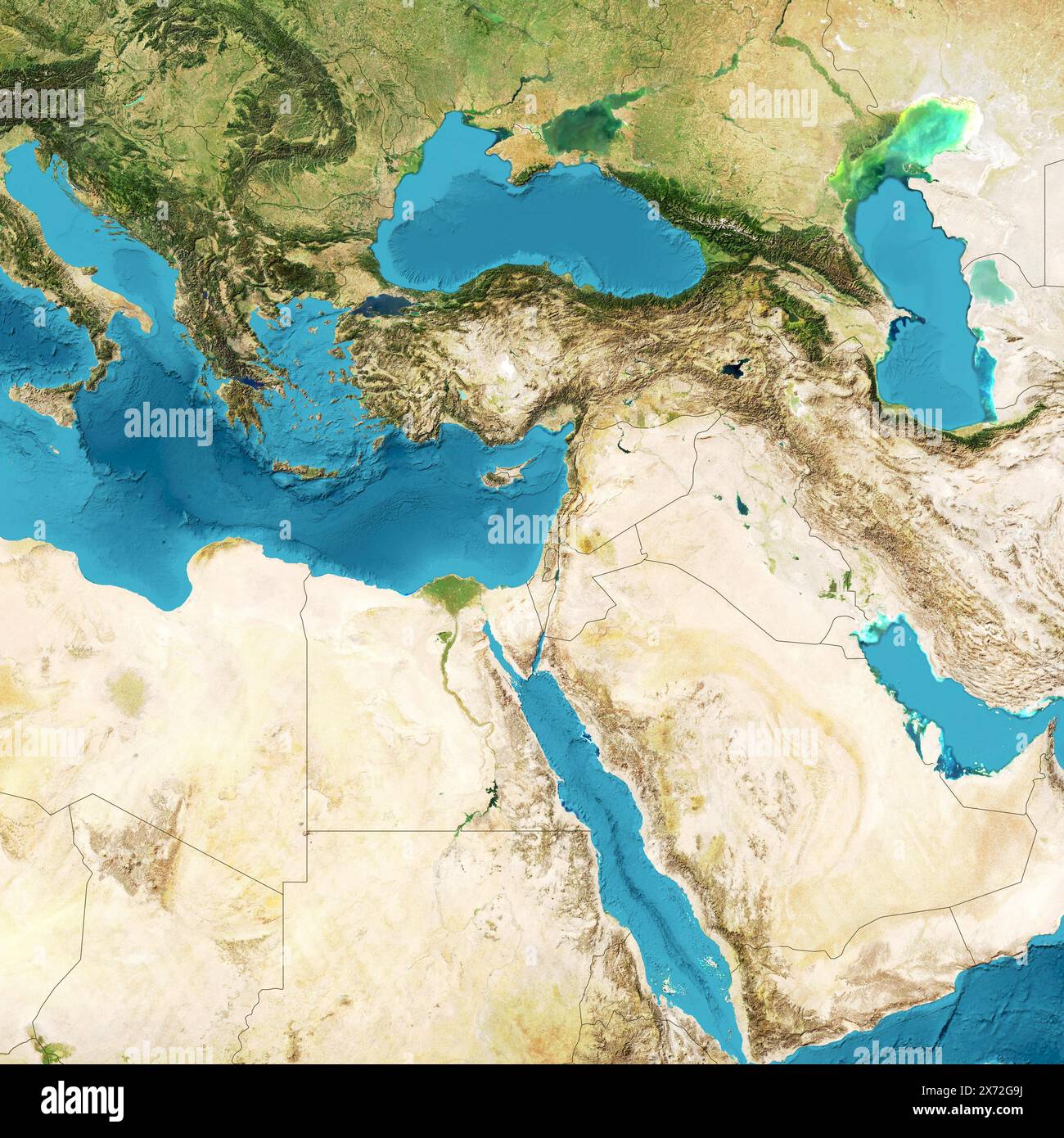 Physical map of the world, satellite view of the Middle East. Africa, Asia. Reliefs and oceans. Elements of this image are furnished by NASA Stock Photohttps://www.alamy.com/image-license-details/?v=1https://www.alamy.com/physical-map-of-the-world-satellite-view-of-the-middle-east-africa-asia-reliefs-and-oceans-elements-of-this-image-are-furnished-by-nasa-image606722190.html
RF2X72G9J–Physical map of the world, satellite view of the Middle East. Africa, Asia. Reliefs and oceans. Elements of this image are furnished by NASA
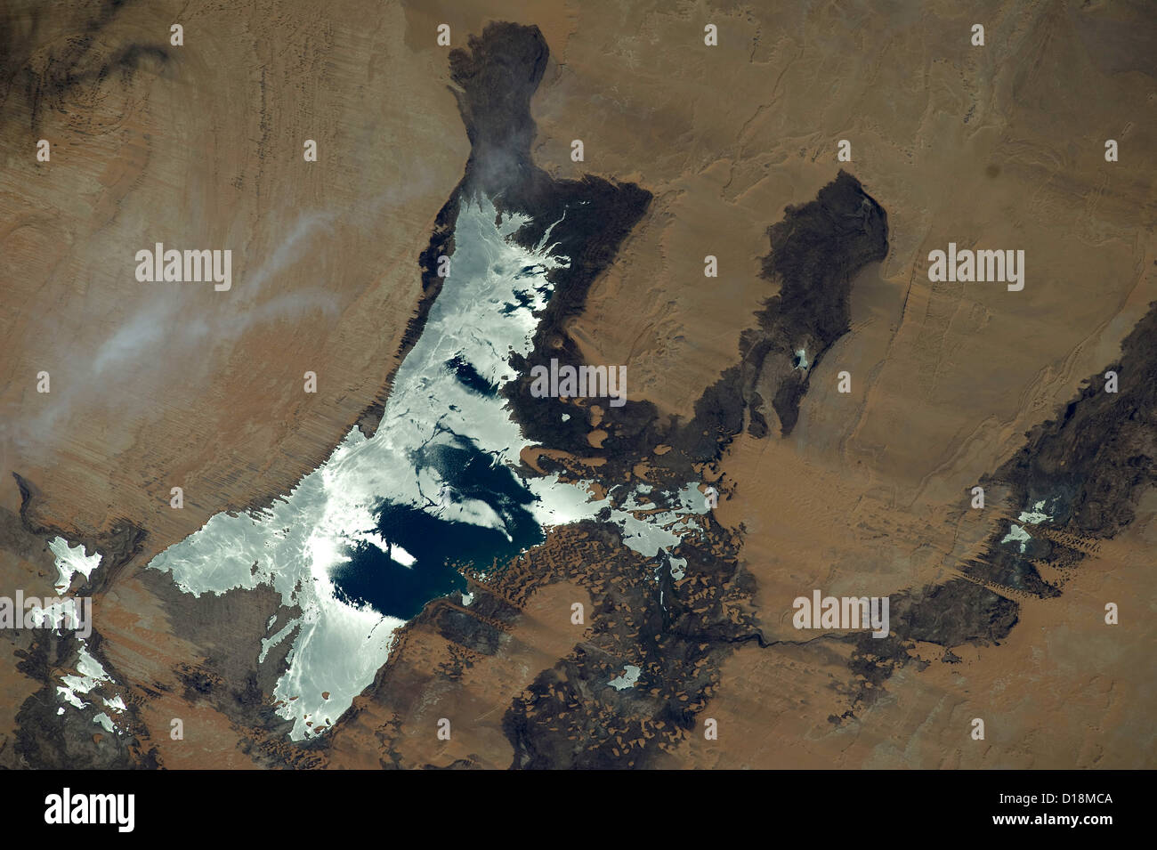 Toshka Lakes, recently formed endorheic lakes in the Sahara Desert of Egypt. Stock Photohttps://www.alamy.com/image-license-details/?v=1https://www.alamy.com/stock-photo-toshka-lakes-recently-formed-endorheic-lakes-in-the-sahara-desert-52437402.html
RMD18MCA–Toshka Lakes, recently formed endorheic lakes in the Sahara Desert of Egypt.
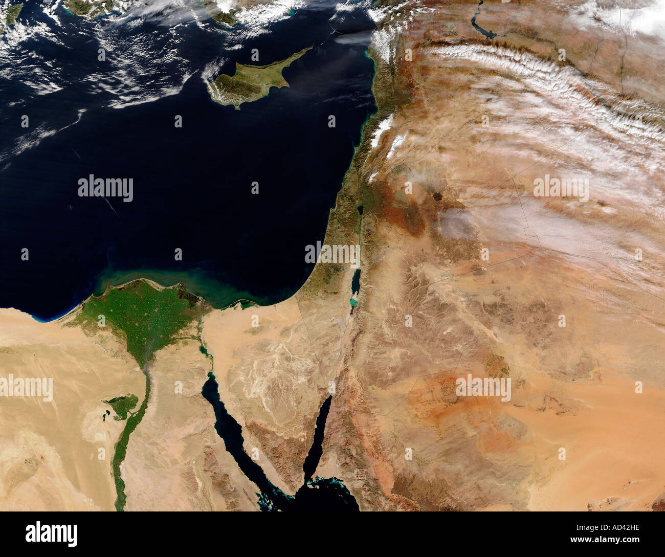 The Middle East, satellite image Stock Photohttps://www.alamy.com/image-license-details/?v=1https://www.alamy.com/the-middle-east-satellite-image-image7598493.html
RFAD42HE–The Middle East, satellite image
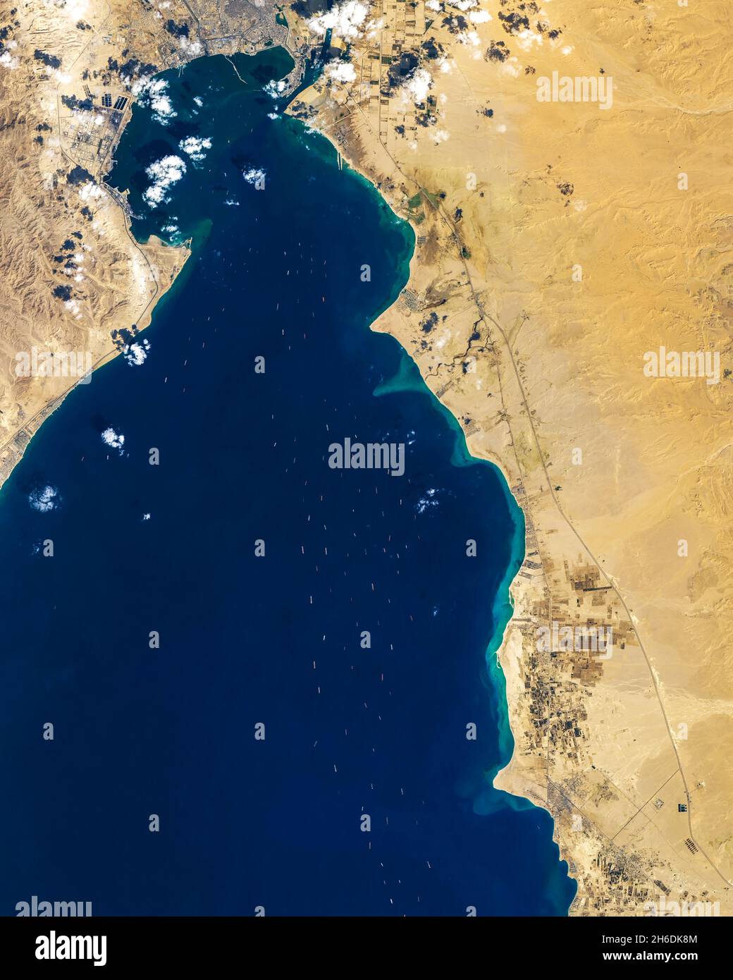 Suez Canal, Egypt, showing lines of ships waiting for pasage through the canal. Stock Photohttps://www.alamy.com/image-license-details/?v=1https://www.alamy.com/suez-canal-egypt-showing-lines-of-ships-waiting-for-pasage-through-the-canal-image451458020.html
RM2H6DK8M–Suez Canal, Egypt, showing lines of ships waiting for pasage through the canal.
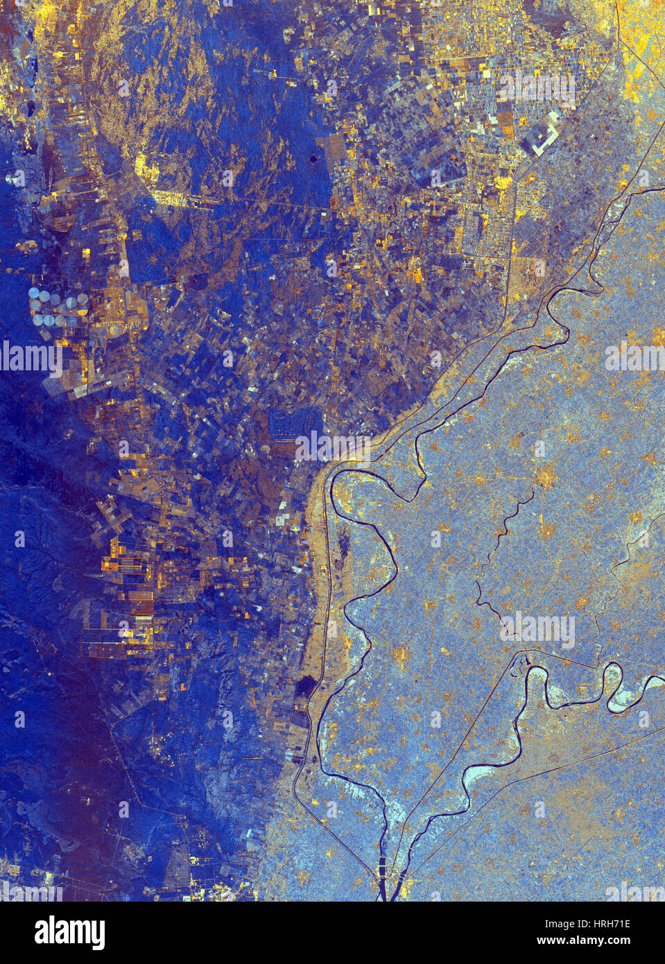 Nile River Delta, Egypt Stock Photohttps://www.alamy.com/image-license-details/?v=1https://www.alamy.com/stock-photo-nile-river-delta-egypt-134988378.html
RMHRH71E–Nile River Delta, Egypt
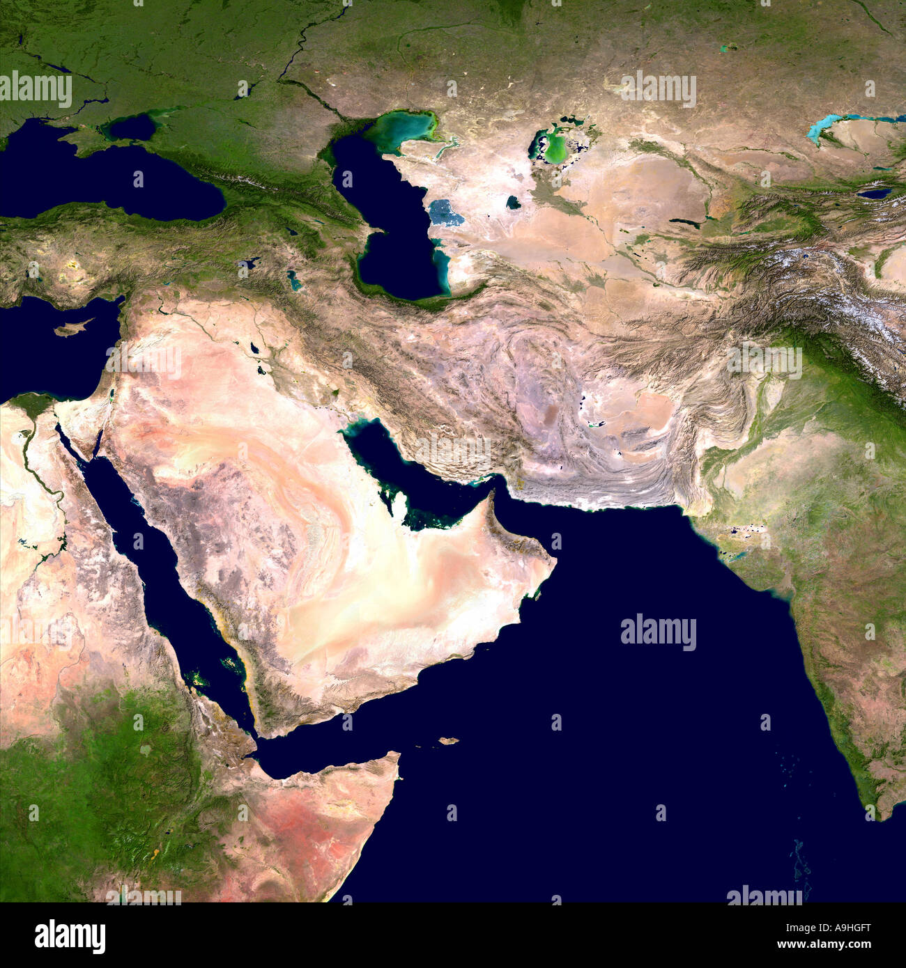 Western Asia and Egypt as seen from Space Stock Photohttps://www.alamy.com/image-license-details/?v=1https://www.alamy.com/stock-photo-western-asia-and-egypt-as-seen-from-space-12370811.html
RMA9HGFT–Western Asia and Egypt as seen from Space
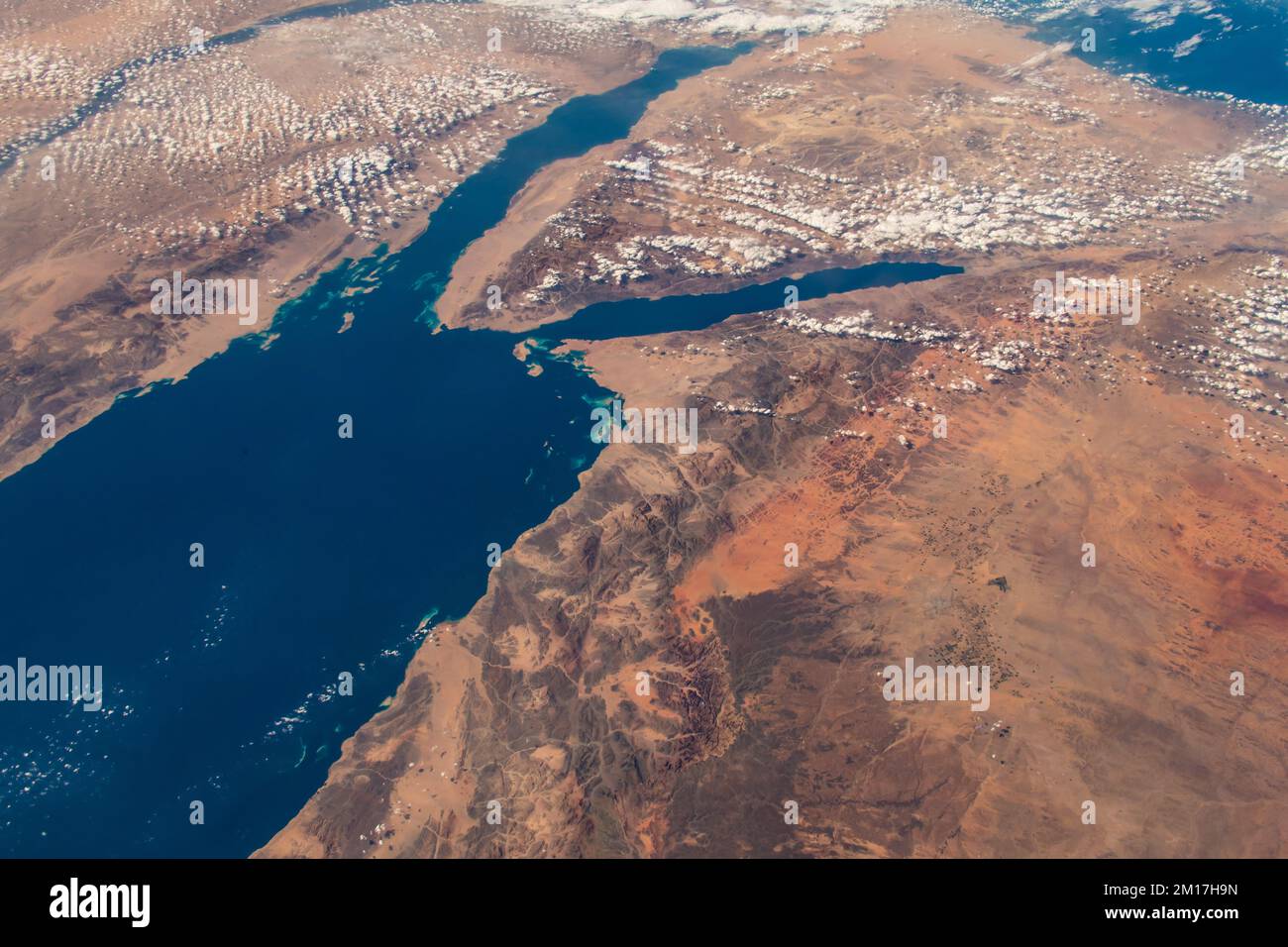 Aerial view of the northern Red Sea in Saudi Arabia. Digitally enhanced. Elements of this image furnished by NASA. Stock Photohttps://www.alamy.com/image-license-details/?v=1https://www.alamy.com/aerial-view-of-the-northern-red-sea-in-saudi-arabia-digitally-enhanced-elements-of-this-image-furnished-by-nasa-image499882593.html
RF2M17H9N–Aerial view of the northern Red Sea in Saudi Arabia. Digitally enhanced. Elements of this image furnished by NASA.
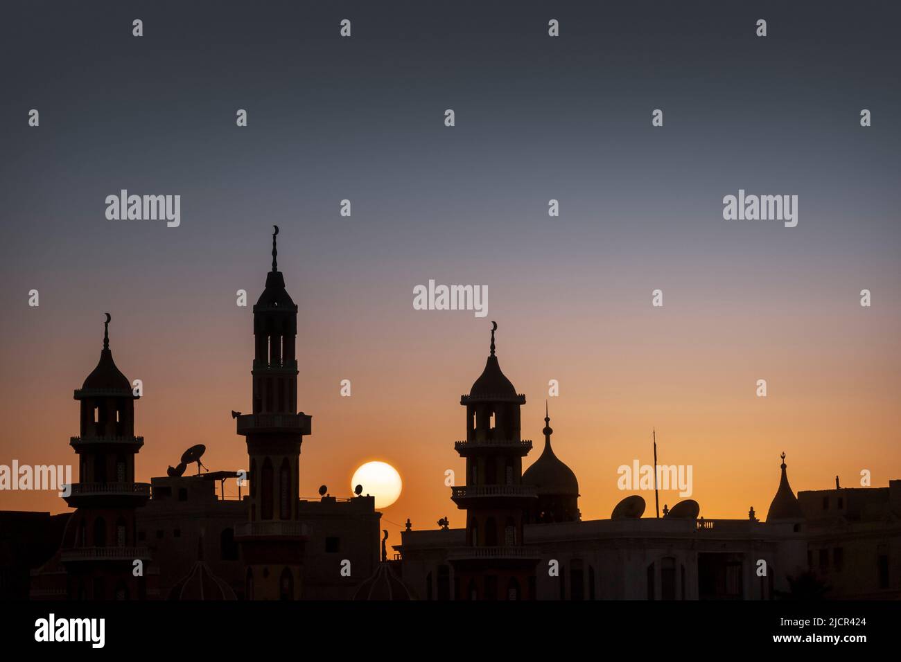 Sunset over Mosques along the River Nile, Egypt Stock Photohttps://www.alamy.com/image-license-details/?v=1https://www.alamy.com/sunset-over-mosques-along-the-river-nile-egypt-image472563900.html
RF2JCR424–Sunset over Mosques along the River Nile, Egypt
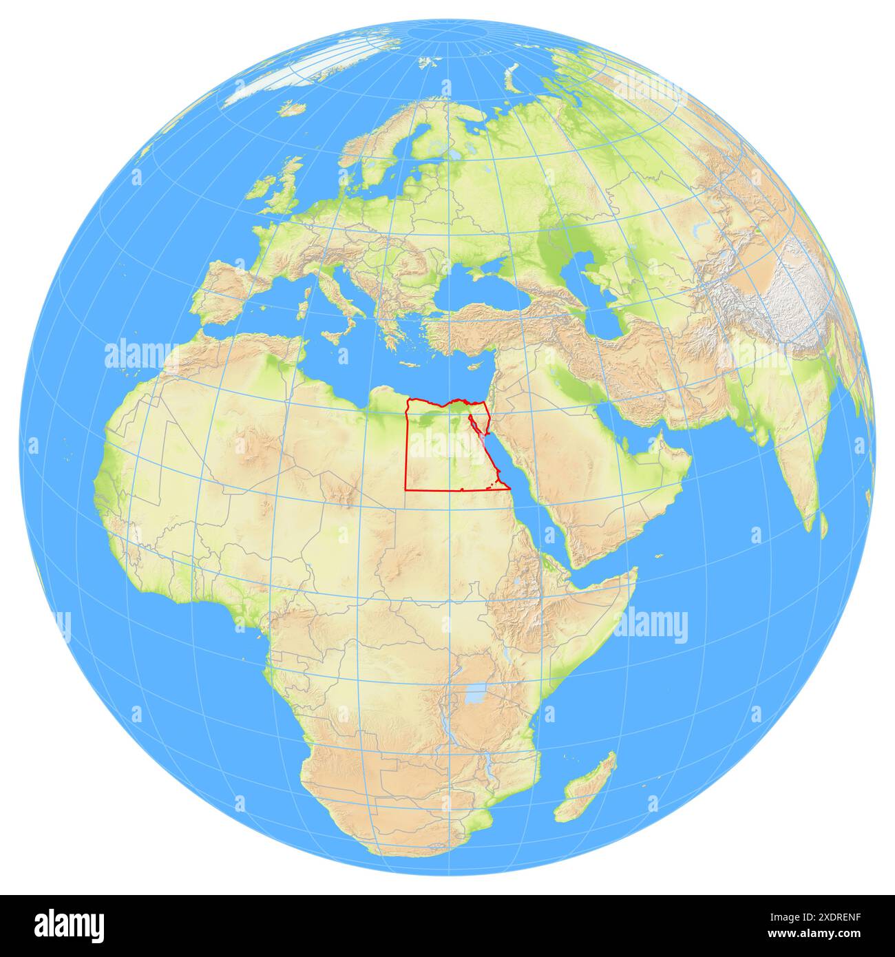 View of the Earth from space showing the location of the country Egypt in Africa. The country is highlighted with a red polygon. Small countries are a Stock Photohttps://www.alamy.com/image-license-details/?v=1https://www.alamy.com/view-of-the-earth-from-space-showing-the-location-of-the-country-egypt-in-africa-the-country-is-highlighted-with-a-red-polygon-small-countries-are-a-image610869883.html
RF2XDRENF–View of the Earth from space showing the location of the country Egypt in Africa. The country is highlighted with a red polygon. Small countries are a
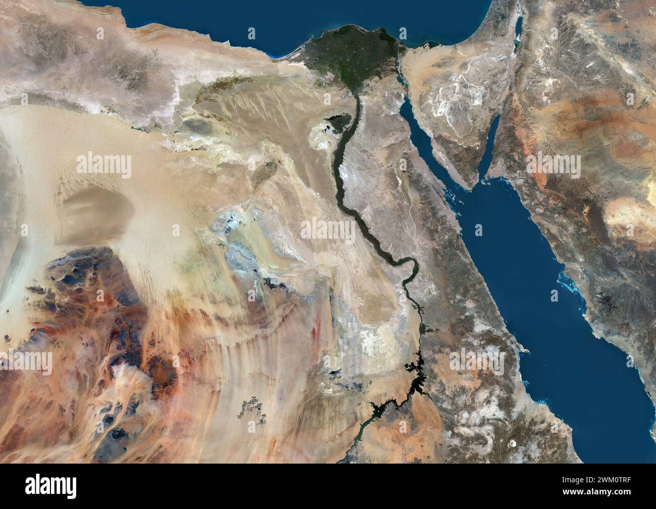 Color satellite image of Egypt and neighbouring countries. Stock Photohttps://www.alamy.com/image-license-details/?v=1https://www.alamy.com/color-satellite-image-of-egypt-and-neighbouring-countries-image597465107.html
RM2WM0TRF–Color satellite image of Egypt and neighbouring countries.
 Shadwan Island in the Red Sea, belonging to Egypt, cropped to square on a satellite image taken in December 31, 2023 Stock Photohttps://www.alamy.com/image-license-details/?v=1https://www.alamy.com/shadwan-island-in-the-red-sea-belonging-to-egypt-cropped-to-square-on-a-satellite-image-taken-in-december-31-2023-image620234040.html
RF2Y122RM–Shadwan Island in the Red Sea, belonging to Egypt, cropped to square on a satellite image taken in December 31, 2023
 Ismailia City, Egypt. Digital enhancement of an image by NASA. Stock Photohttps://www.alamy.com/image-license-details/?v=1https://www.alamy.com/ismailia-city-egypt-digital-enhancement-of-an-image-by-nasa-image562995488.html
RM2RKXJDM–Ismailia City, Egypt. Digital enhancement of an image by NASA.
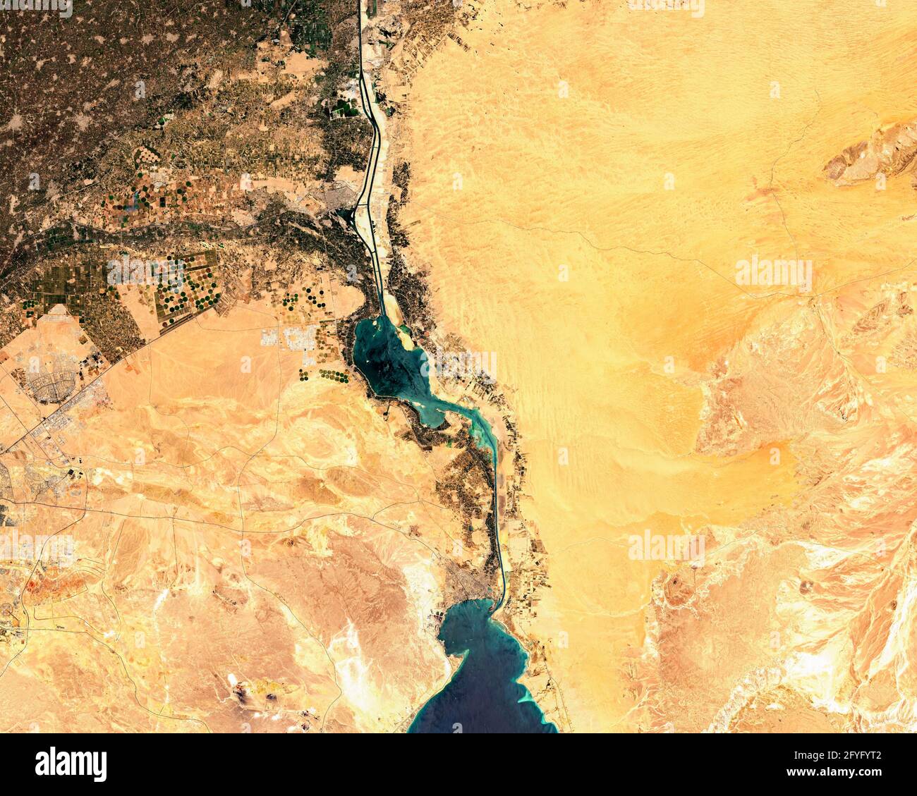 Satellite image of Suez Canal in Egypt Stock Photohttps://www.alamy.com/image-license-details/?v=1https://www.alamy.com/satellite-image-of-suez-canal-in-egypt-image429995666.html
RF2FYFYT2–Satellite image of Suez Canal in Egypt
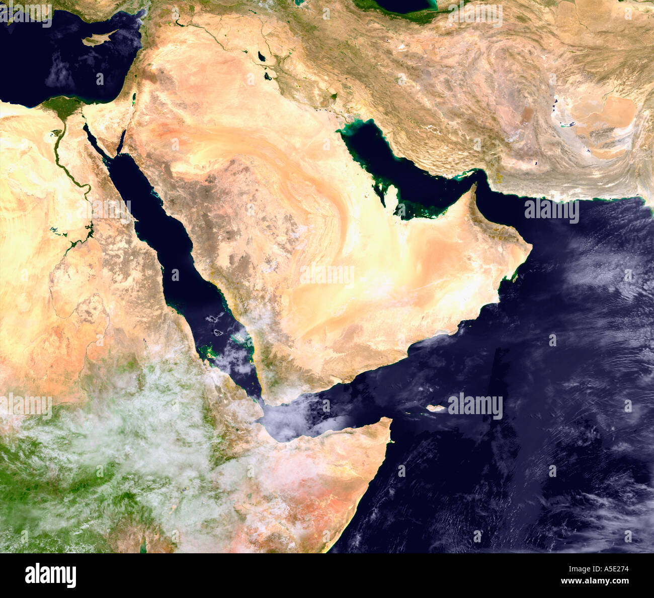 Satellite Image of The Arabian Peninsula Earth from Space Stock Photohttps://www.alamy.com/image-license-details/?v=1https://www.alamy.com/satellite-image-of-the-arabian-peninsula-earth-from-space-image385652.html
RMA5E274–Satellite Image of The Arabian Peninsula Earth from Space
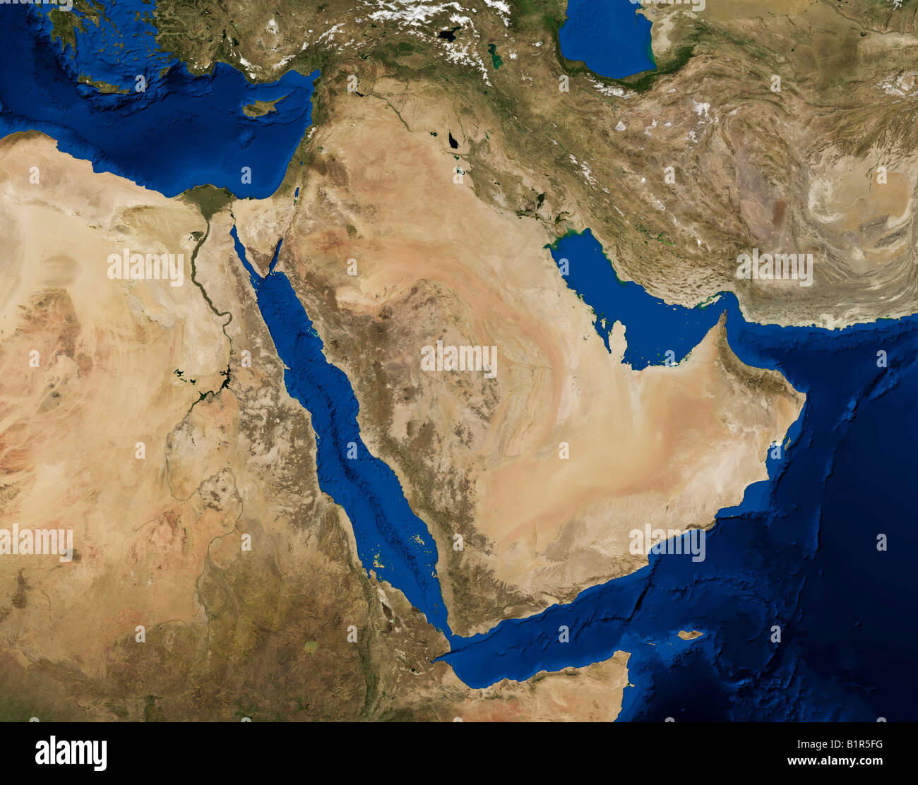 True color Terra/MODIS satellite image of the Arabian peninsula, rendered in Lambert azimuthal equal area projection. Stock Photohttps://www.alamy.com/image-license-details/?v=1https://www.alamy.com/stock-photo-true-color-terramodis-satellite-image-of-the-arabian-peninsula-rendered-18334276.html
RMB1R5FG–True color Terra/MODIS satellite image of the Arabian peninsula, rendered in Lambert azimuthal equal area projection.
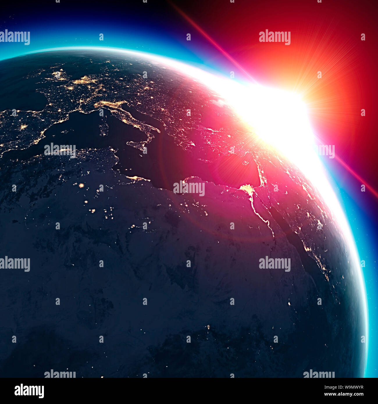 Satellite view of the Earth seen from space. The sun rising over the Europe and north Africa. Cities illuminated in the night. Sunrise Stock Photohttps://www.alamy.com/image-license-details/?v=1https://www.alamy.com/satellite-view-of-the-earth-seen-from-space-the-sun-rising-over-the-europe-and-north-africa-cities-illuminated-in-the-night-sunrise-image264146843.html
RFW9MWYR–Satellite view of the Earth seen from space. The sun rising over the Europe and north Africa. Cities illuminated in the night. Sunrise
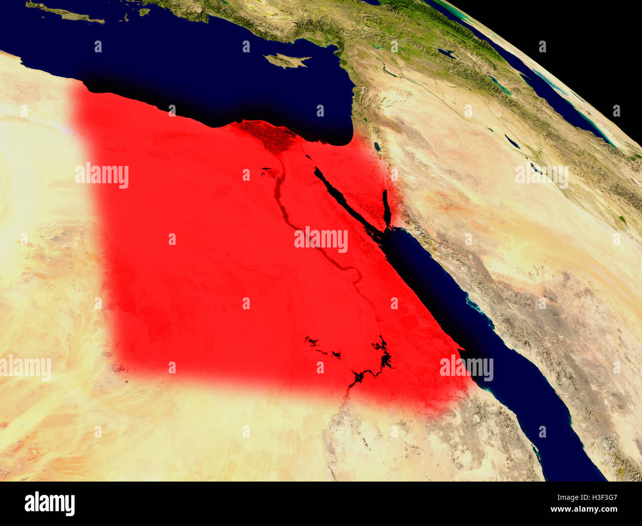 Egypt from space in red. 3D illustration with highly detailed realistic planet surface. Elements of this image furnished by NASA Stock Photohttps://www.alamy.com/image-license-details/?v=1https://www.alamy.com/stock-photo-egypt-from-space-in-red-3d-illustration-with-highly-detailed-realistic-122648631.html
RFH3F3G7–Egypt from space in red. 3D illustration with highly detailed realistic planet surface. Elements of this image furnished by NASA
 Satellite Image of Egypt covered by that Country's Flag Stock Photohttps://www.alamy.com/image-license-details/?v=1https://www.alamy.com/stock-photo-satellite-image-of-egypt-covered-by-that-countrys-flag-10081567.html
RFA0X79M–Satellite Image of Egypt covered by that Country's Flag
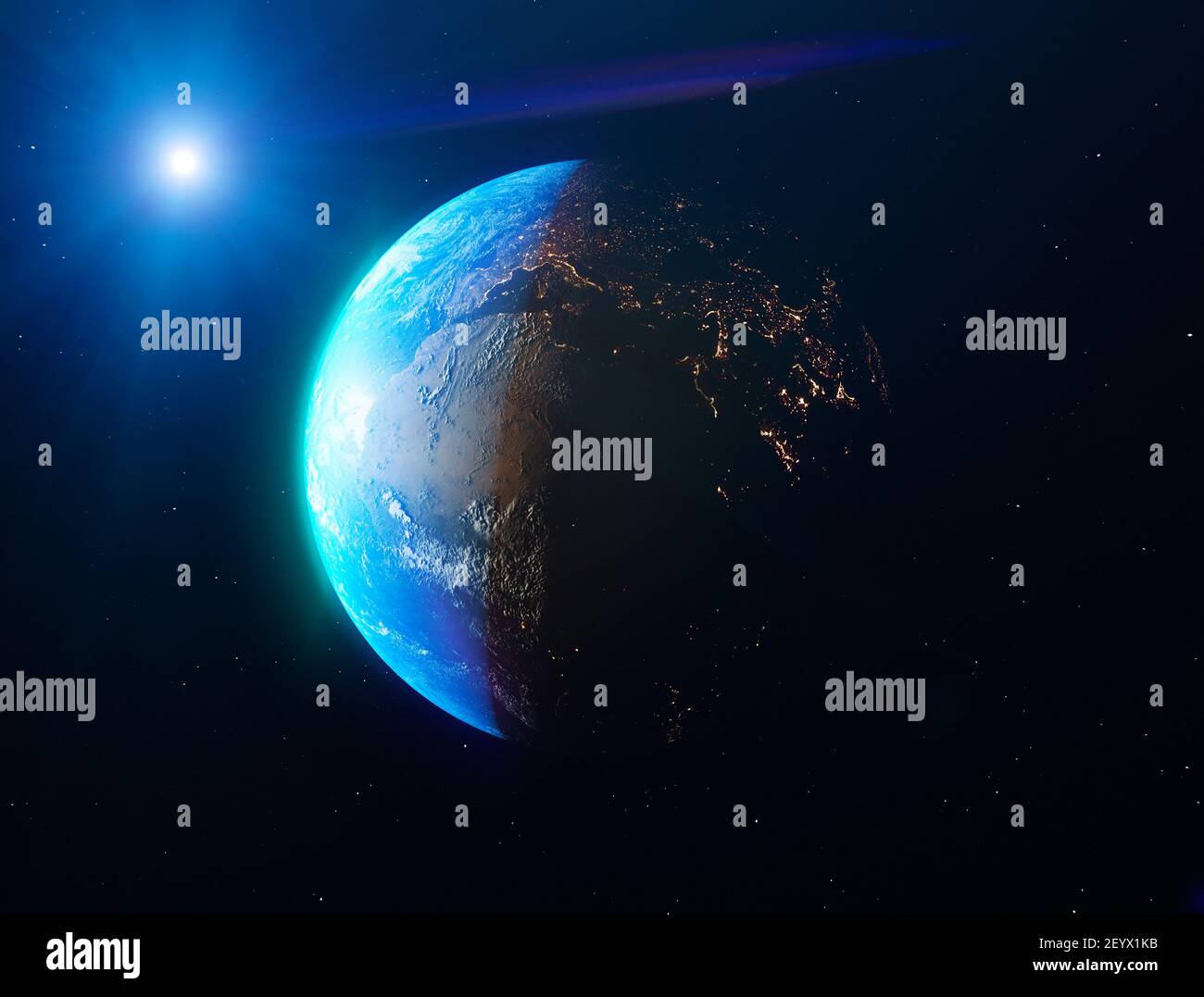 Satellite view of the Earth seen from space. The sun rising over the Europe and north Africa. Cities illuminated in the night. Sunrise Stock Photohttps://www.alamy.com/image-license-details/?v=1https://www.alamy.com/satellite-view-of-the-earth-seen-from-space-the-sun-rising-over-the-europe-and-north-africa-cities-illuminated-in-the-night-sunrise-image413006255.html
RF2EYX1KB–Satellite view of the Earth seen from space. The sun rising over the Europe and north Africa. Cities illuminated in the night. Sunrise
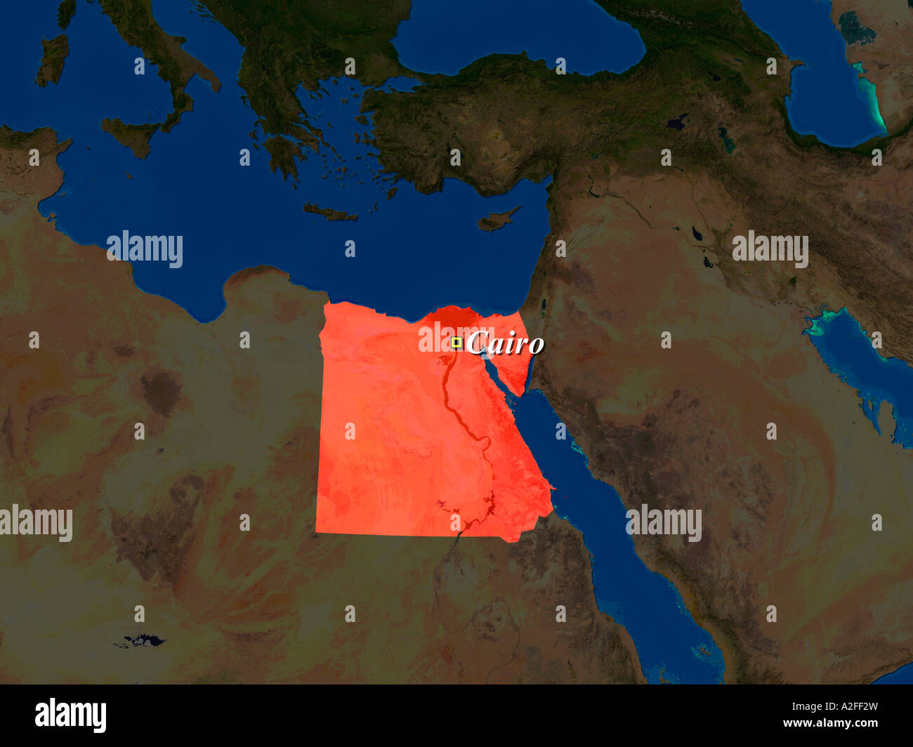 Highlighted Satellite Image Of Egypt With Capital Cairo Shown Stock Photohttps://www.alamy.com/image-license-details/?v=1https://www.alamy.com/stock-photo-highlighted-satellite-image-of-egypt-with-capital-cairo-shown-10507536.html
RFA2FF2W–Highlighted Satellite Image Of Egypt With Capital Cairo Shown
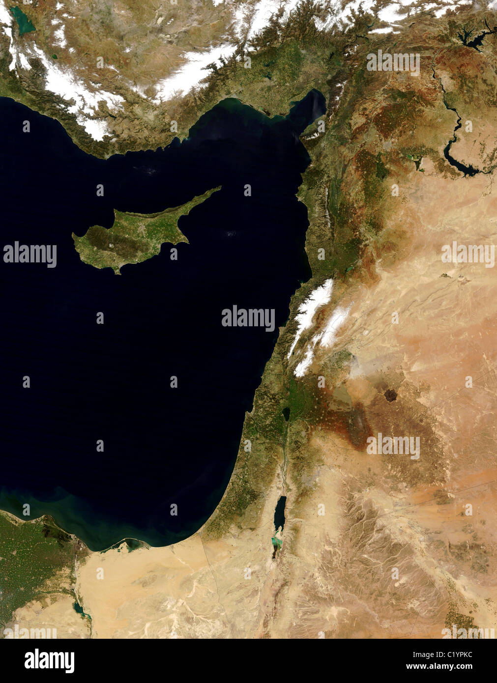 Lebanon, Syria, Israel, Egypt, Jordan, Cyprus and eastern Mediterranean Sea Stock Photohttps://www.alamy.com/image-license-details/?v=1https://www.alamy.com/stock-photo-lebanon-syria-israel-egypt-jordan-cyprus-and-eastern-mediterranean-35645888.html
RMC1YPKC–Lebanon, Syria, Israel, Egypt, Jordan, Cyprus and eastern Mediterranean Sea
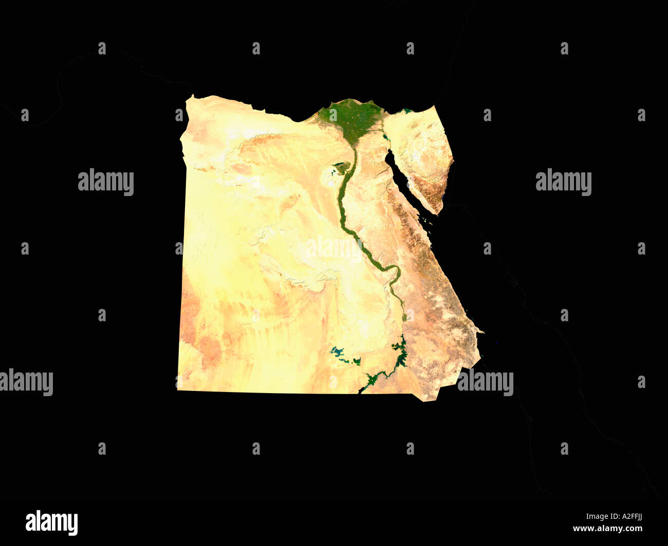 Highlighted Satellite Image Of Egypt Without Surrounding Countries Shown Stock Photohttps://www.alamy.com/image-license-details/?v=1https://www.alamy.com/stock-photo-highlighted-satellite-image-of-egypt-without-surrounding-countries-10507721.html
RFA2FFJJ–Highlighted Satellite Image Of Egypt Without Surrounding Countries Shown
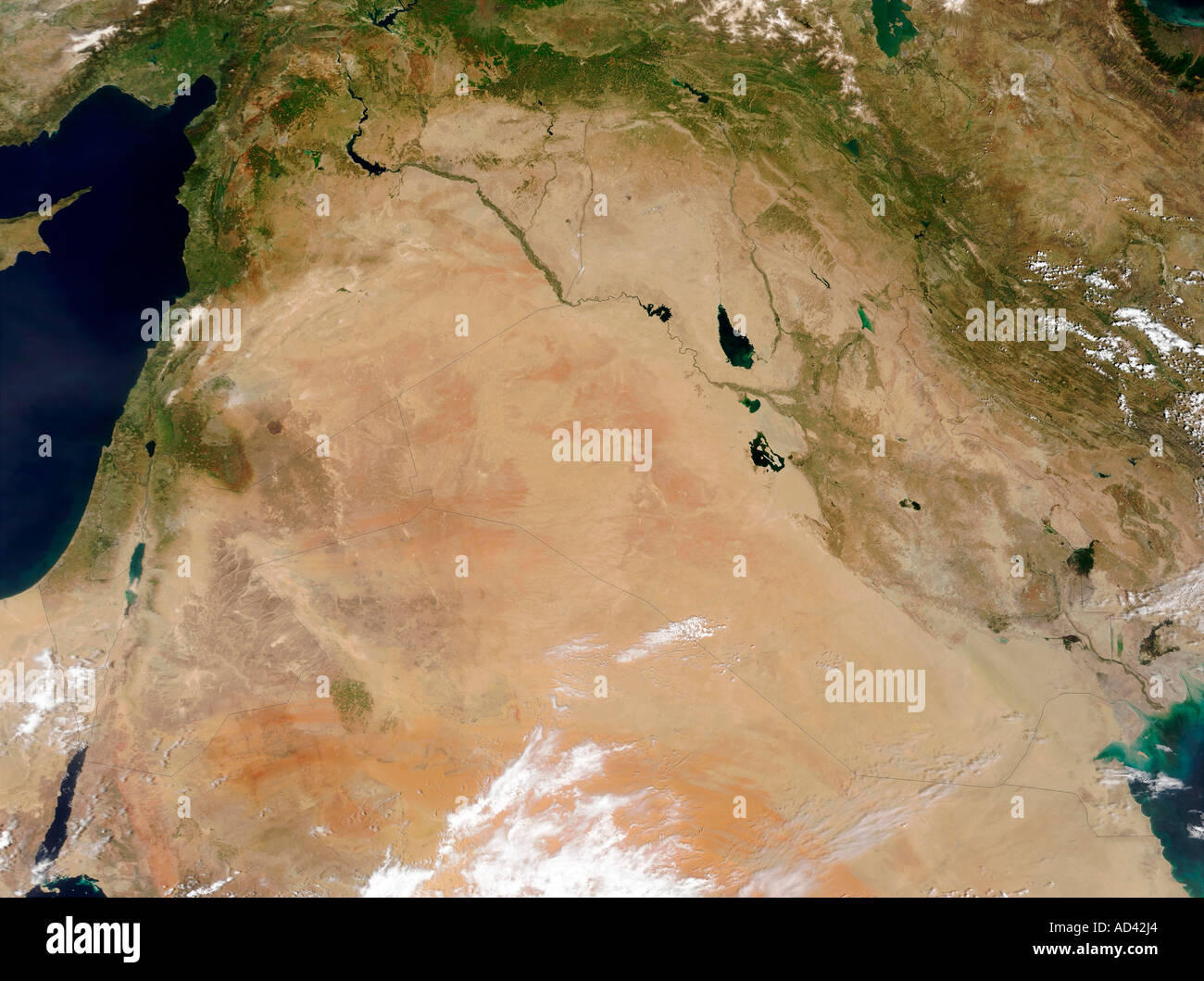 The Middle East, satellite image Stock Photohttps://www.alamy.com/image-license-details/?v=1https://www.alamy.com/the-middle-east-satellite-image-image7598499.html
RFAD42J4–The Middle East, satellite image
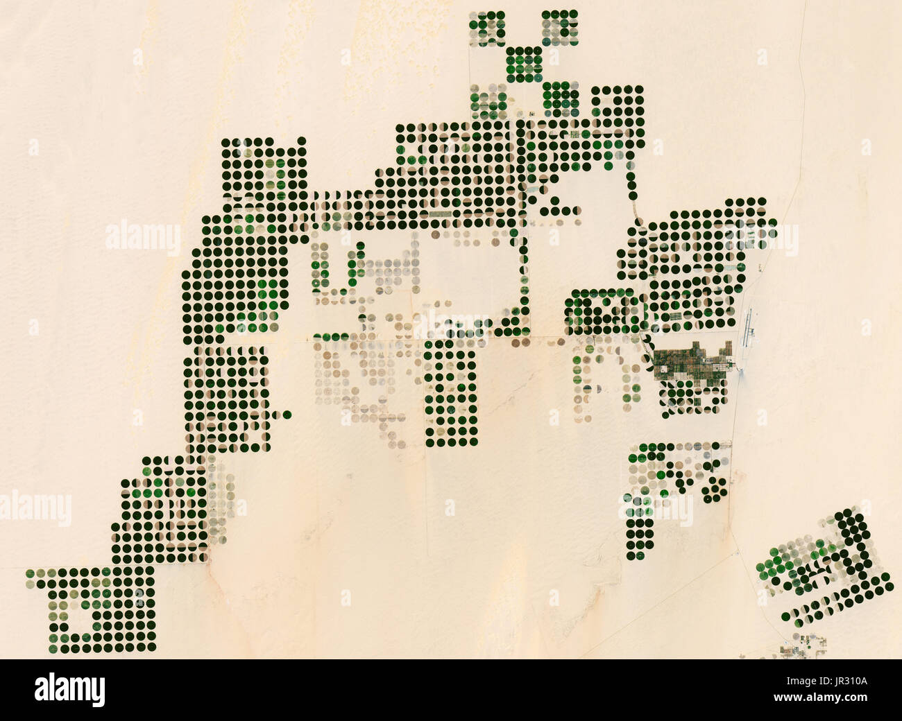 Irrigation in Egypt Stock Photohttps://www.alamy.com/image-license-details/?v=1https://www.alamy.com/irrigation-in-egypt-image151886682.html
RMJR310A–Irrigation in Egypt
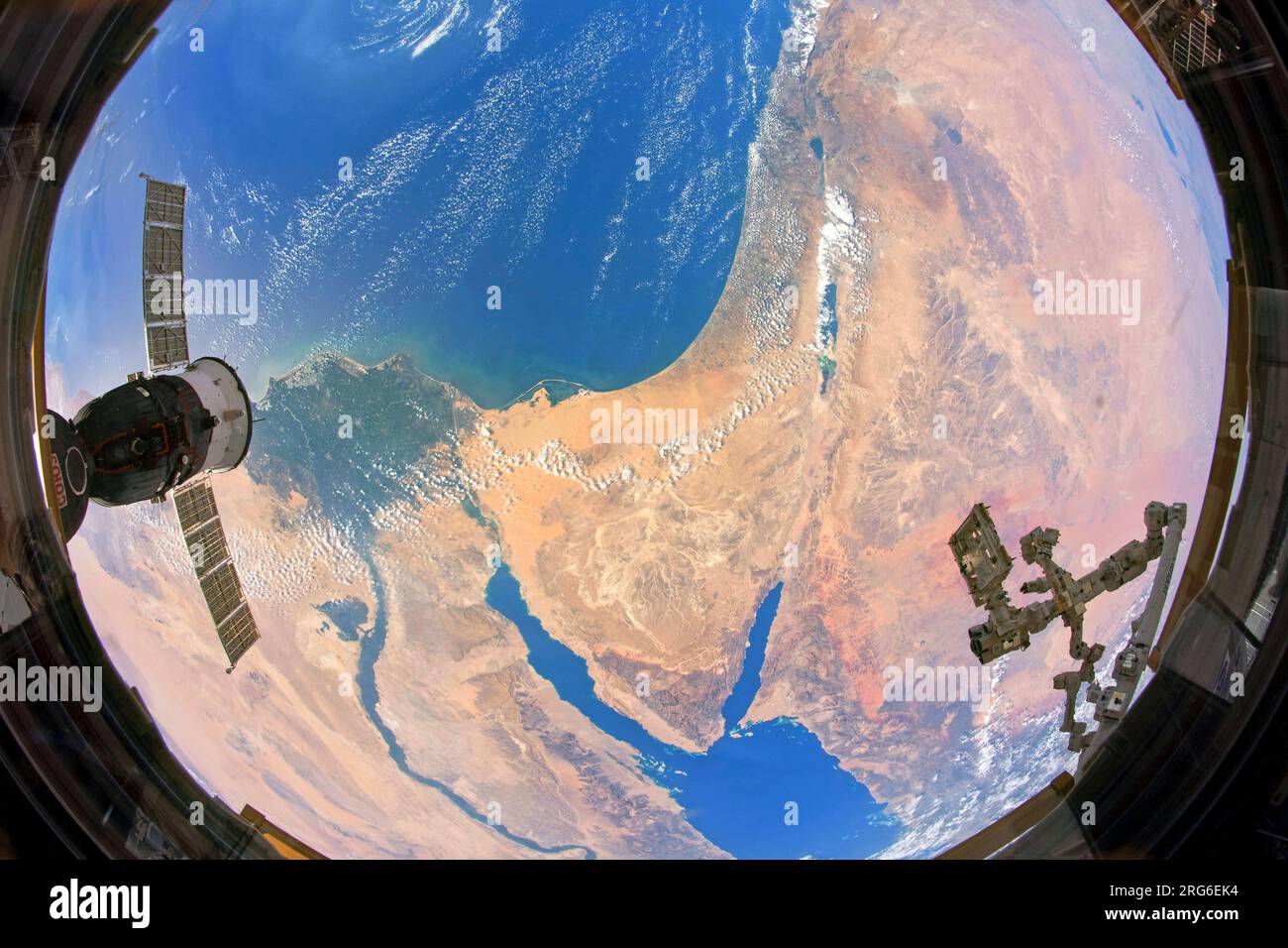 A unique view take from the iSS, of the Nile Delta in Africa and the Sinai Peninsula and Levant in southwest Asia. Stock Photohttps://www.alamy.com/image-license-details/?v=1https://www.alamy.com/a-unique-view-take-from-the-iss-of-the-nile-delta-in-africa-and-the-sinai-peninsula-and-levant-in-southwest-asia-image560709496.html
RF2RG6EK4–A unique view take from the iSS, of the Nile Delta in Africa and the Sinai Peninsula and Levant in southwest Asia.
 Satellite dishes on roof in residential district Stock Photohttps://www.alamy.com/image-license-details/?v=1https://www.alamy.com/satellite-dishes-on-roof-in-residential-district-image327747109.html
RF2A164NW–Satellite dishes on roof in residential district
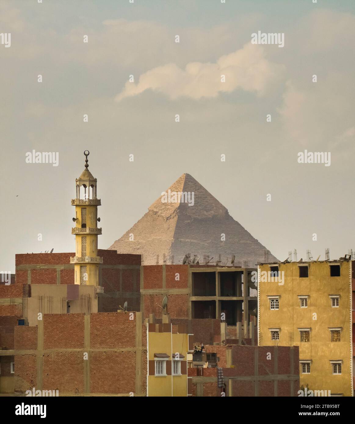 Mosque minaret and The Great Pyramid of Giza in Egypt; Giza, Egypt Stock Photohttps://www.alamy.com/image-license-details/?v=1https://www.alamy.com/mosque-minaret-and-the-great-pyramid-of-giza-in-egypt-giza-egypt-image574905180.html
RF2TB95BT–Mosque minaret and The Great Pyramid of Giza in Egypt; Giza, Egypt
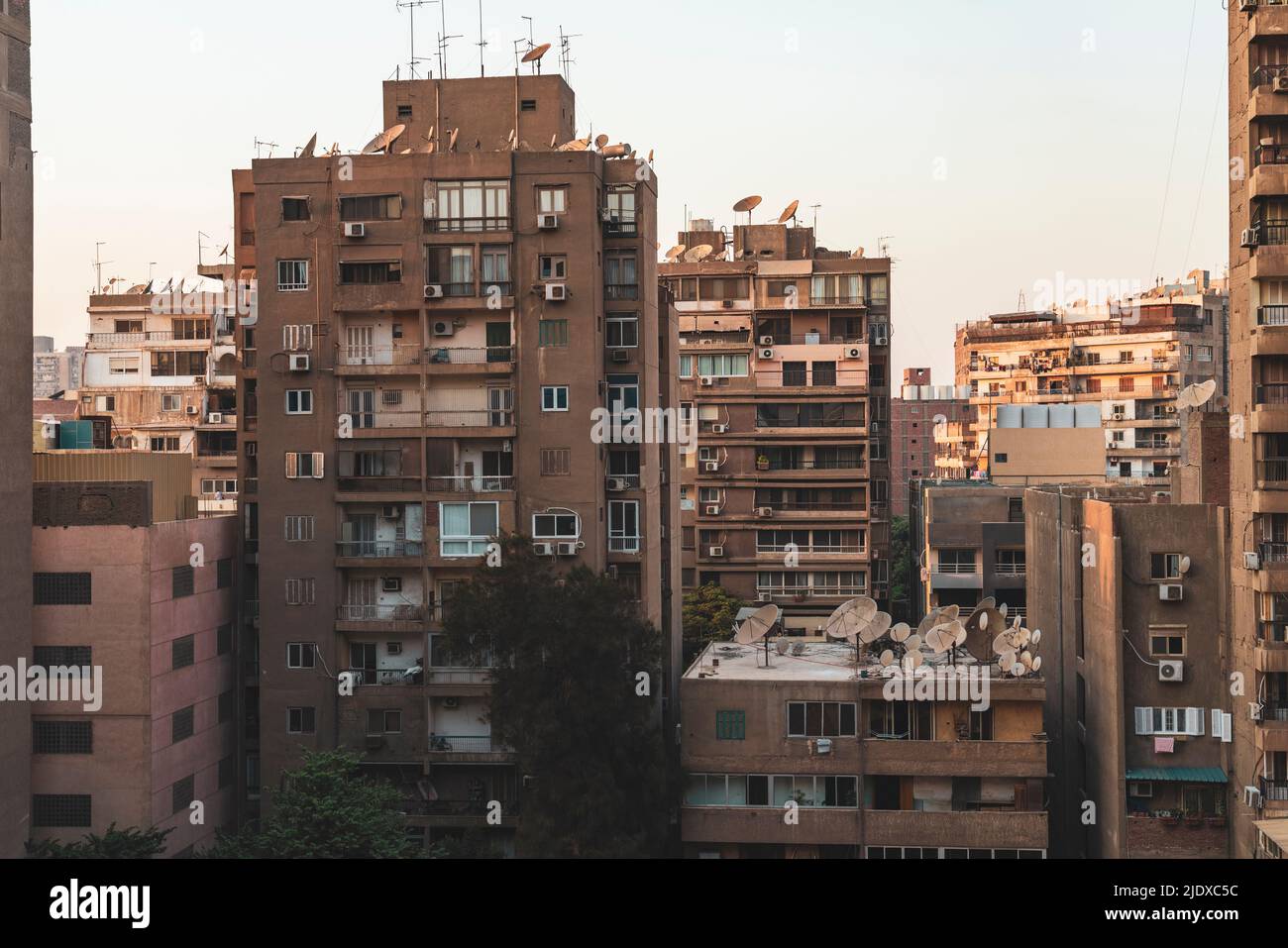 Egypt, Giza Governorate, Giza, Residential buildings in Dokki at dusk Stock Photohttps://www.alamy.com/image-license-details/?v=1https://www.alamy.com/egypt-giza-governorate-giza-residential-buildings-in-dokki-at-dusk-image473250776.html
RF2JDXC5C–Egypt, Giza Governorate, Giza, Residential buildings in Dokki at dusk
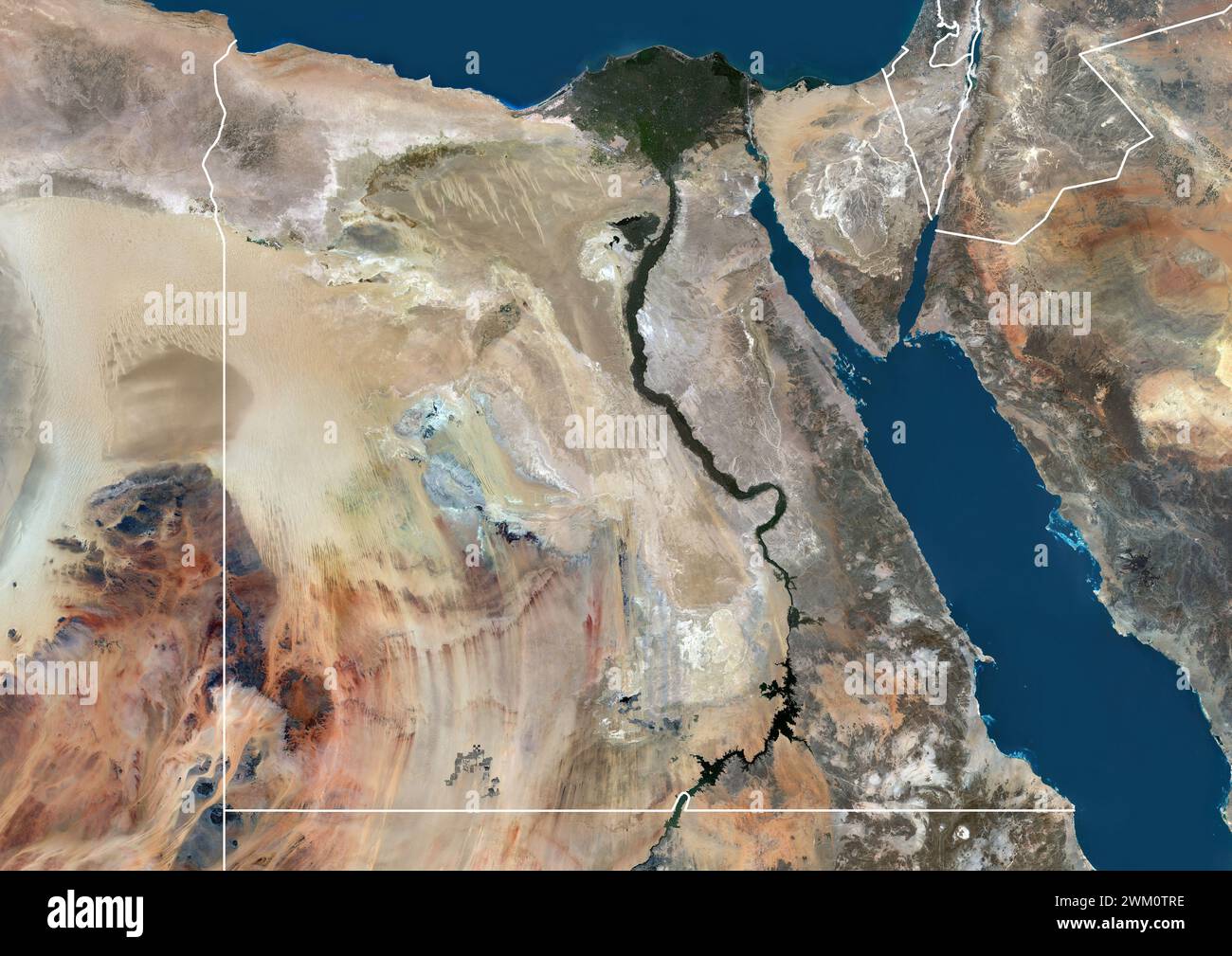 Color satellite image of Egypt and neighbouring countries, with borders. Stock Photohttps://www.alamy.com/image-license-details/?v=1https://www.alamy.com/color-satellite-image-of-egypt-and-neighbouring-countries-with-borders-image597465106.html
RM2WM0TRE–Color satellite image of Egypt and neighbouring countries, with borders.
 Shadwan Island in the Red Sea, belonging to Egypt, isolated on a satellite image taken in December 31, 2023, with distance scale Stock Photohttps://www.alamy.com/image-license-details/?v=1https://www.alamy.com/shadwan-island-in-the-red-sea-belonging-to-egypt-isolated-on-a-satellite-image-taken-in-december-31-2023-with-distance-scale-image619552035.html
RF2XYY0XB–Shadwan Island in the Red Sea, belonging to Egypt, isolated on a satellite image taken in December 31, 2023, with distance scale
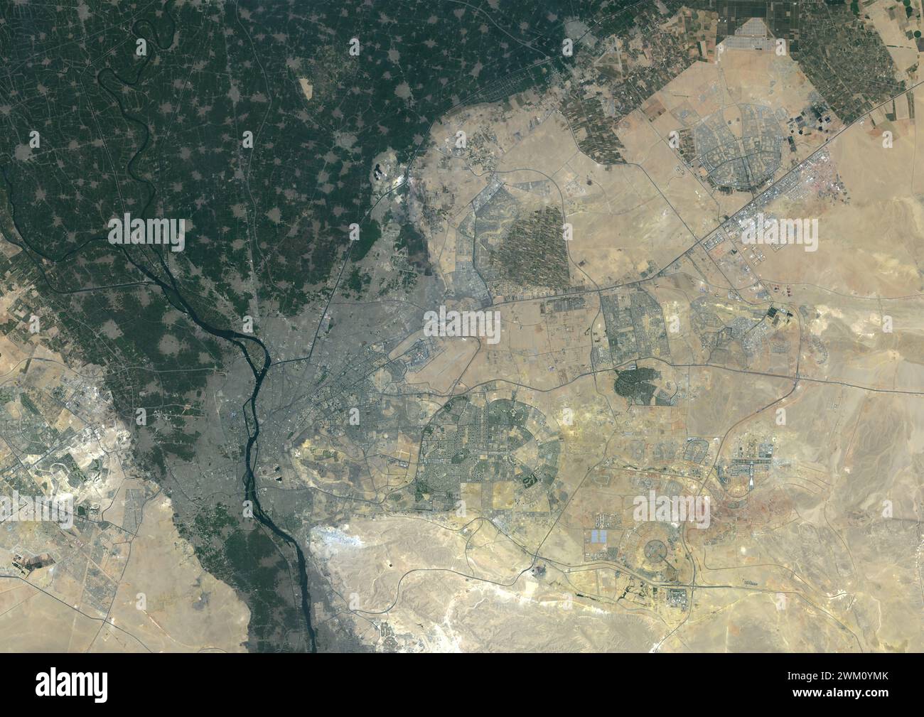 Color satellite image of Cairo and New Cairo City, Egypt in 2022. Stock Photohttps://www.alamy.com/image-license-details/?v=1https://www.alamy.com/color-satellite-image-of-cairo-and-new-cairo-city-egypt-in-2022-image597467379.html
RM2WM0YMK–Color satellite image of Cairo and New Cairo City, Egypt in 2022.
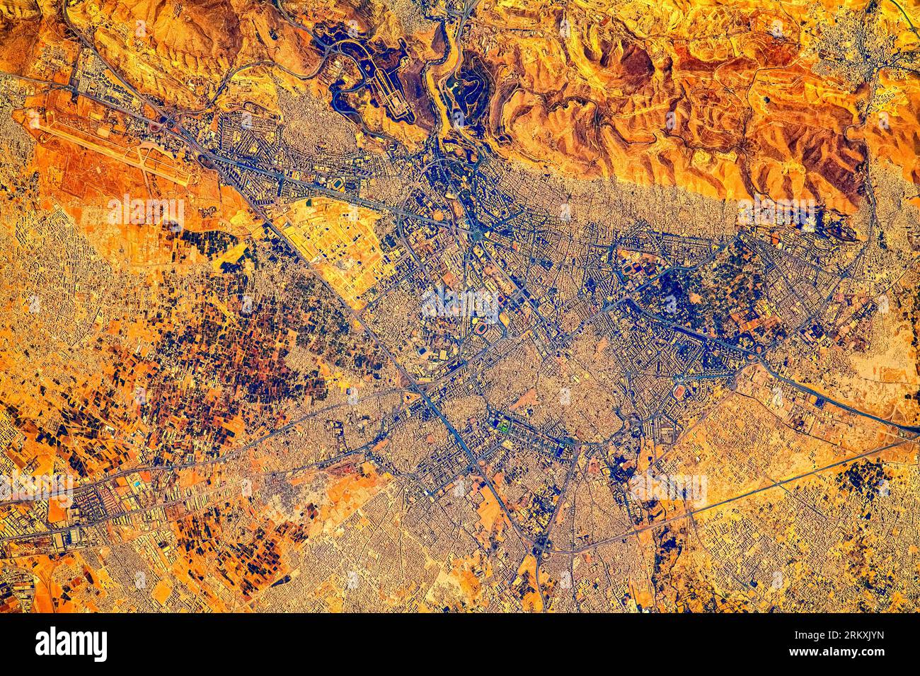 Proximity of Cairo, Egypt. Digital enhancement of an image by NASA. Stock Photohttps://www.alamy.com/image-license-details/?v=1https://www.alamy.com/proximity-of-cairo-egypt-digital-enhancement-of-an-image-by-nasa-image562995881.html
RM2RKXJYN–Proximity of Cairo, Egypt. Digital enhancement of an image by NASA.
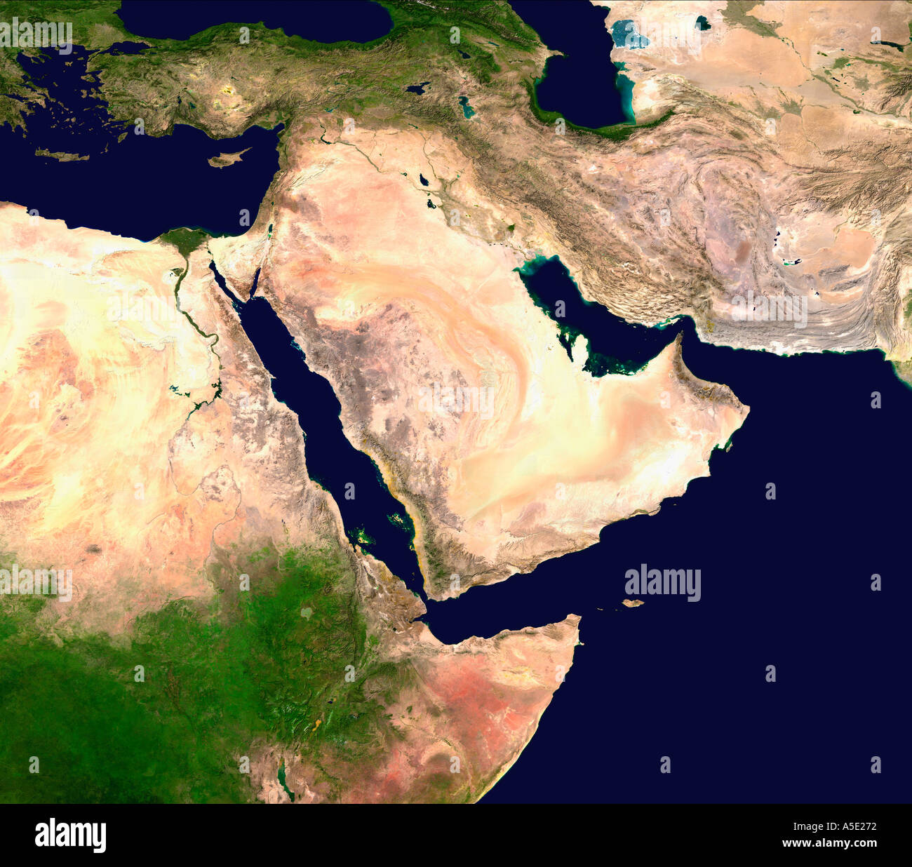 Satellite Image of The Arabian Peninsula Earth from Space Stock Photohttps://www.alamy.com/image-license-details/?v=1https://www.alamy.com/satellite-image-of-the-arabian-peninsula-earth-from-space-image385650.html
RMA5E272–Satellite Image of The Arabian Peninsula Earth from Space
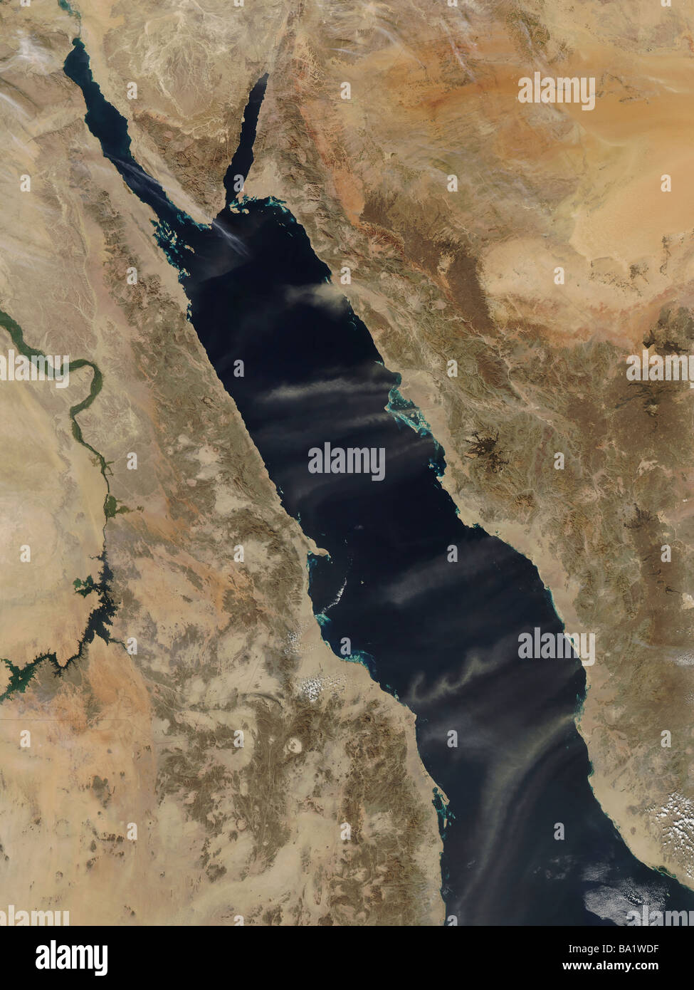 January 14, 2009 - Dust plumes over the Red Sea. Stock Photohttps://www.alamy.com/image-license-details/?v=1https://www.alamy.com/stock-photo-january-14-2009-dust-plumes-over-the-red-sea-23398859.html
RFBA1WDF–January 14, 2009 - Dust plumes over the Red Sea.
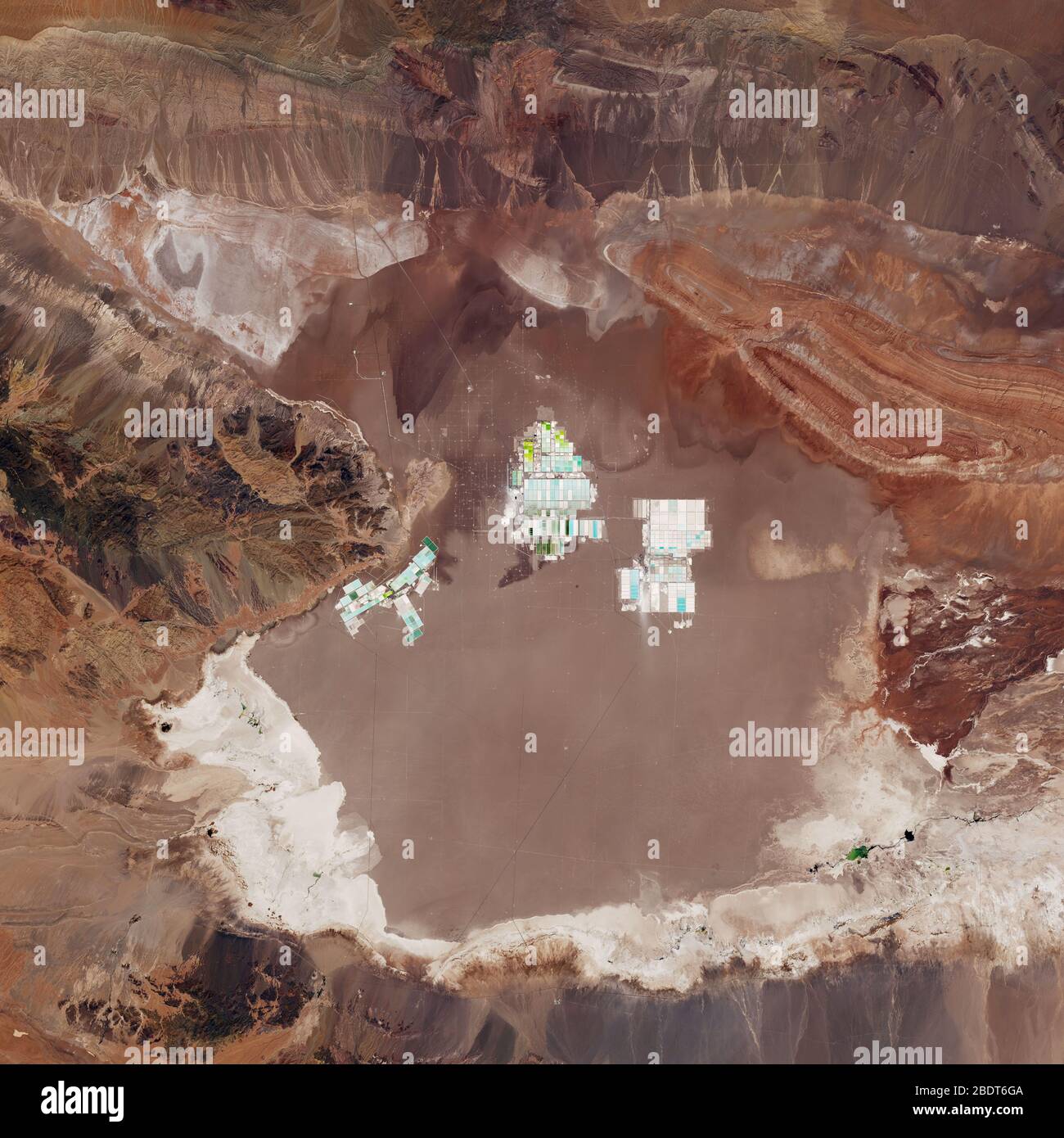 Satellite view of desert and mountain (Elements of this image furnished by NASA) Stock Photohttps://www.alamy.com/image-license-details/?v=1https://www.alamy.com/satellite-view-of-desert-and-mountain-elements-of-this-image-furnished-by-nasa-image352729898.html
RF2BDT6GA–Satellite view of desert and mountain (Elements of this image furnished by NASA)
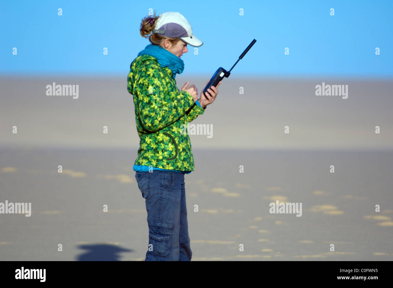 Woman holding satellite phone Sahara Desert Western Egypt Stock Photohttps://www.alamy.com/image-license-details/?v=1https://www.alamy.com/stock-photo-woman-holding-satellite-phone-sahara-desert-western-egypt-34770209.html
RMC0FWN5–Woman holding satellite phone Sahara Desert Western Egypt
 Satellite view of Egypt highlighted in red on planet Earth. 3D illustration. Elements of this image furnished by NASA. Stock Photohttps://www.alamy.com/image-license-details/?v=1https://www.alamy.com/satellite-view-of-egypt-highlighted-in-red-on-planet-earth-3d-illustration-elements-of-this-image-furnished-by-nasa-image208966896.html
RFP3Y7BC–Satellite view of Egypt highlighted in red on planet Earth. 3D illustration. Elements of this image furnished by NASA.
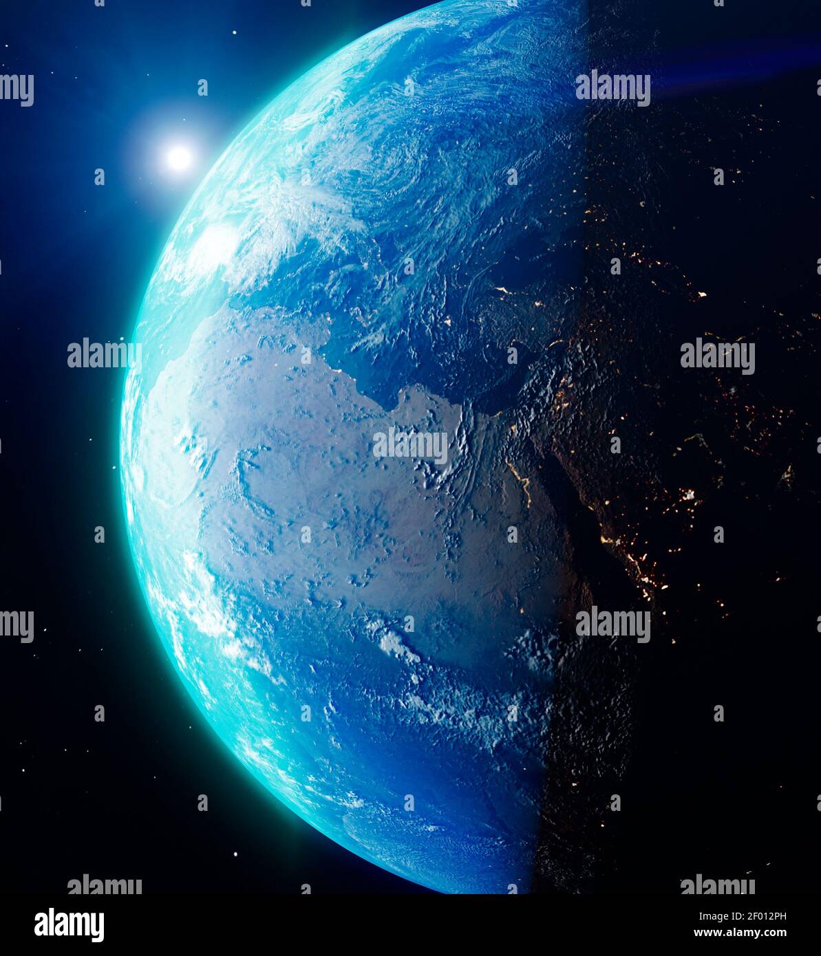 Satellite view of the Earth seen from space. The sun rising over the Europe and north Africa. Cities illuminated in the night. Sunrise Stock Photohttps://www.alamy.com/image-license-details/?v=1https://www.alamy.com/satellite-view-of-the-earth-seen-from-space-the-sun-rising-over-the-europe-and-north-africa-cities-illuminated-in-the-night-sunrise-image413072985.html
RF2F012PH–Satellite view of the Earth seen from space. The sun rising over the Europe and north Africa. Cities illuminated in the night. Sunrise
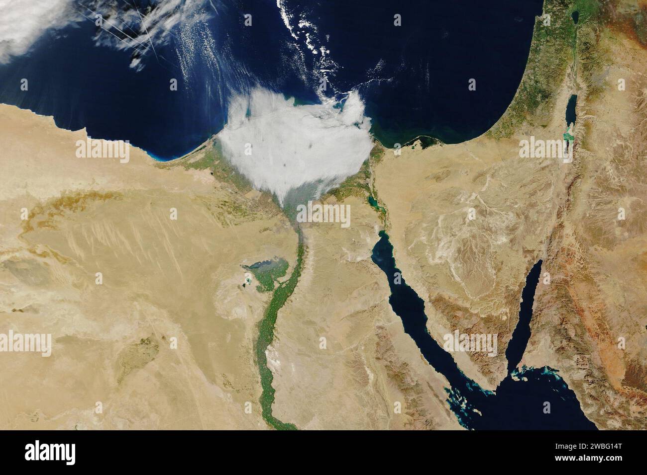 Egypt. 7th Jan, 2024. MODIS (Moderate Resolution Imaging Spectroradiometer) on NASA's Terra satellite passed over the feature on the morning of January 7, 2024, the delta was blanketed with a layer of low clouds, making it look more like a tuft of cotton. The delta's fertile soils support an array of crops including rice, cotton, and corn. However, farmland is in short supply in this water-scarce region as Egypt's population swells and farmers compete with the growth of towns and cities for land. (Credit Image: © NASA Earth/ZUMA Press Wire) EDITORIAL USAGE ONLY! Not for Commercial USAGE! Stock Photohttps://www.alamy.com/image-license-details/?v=1https://www.alamy.com/egypt-7th-jan-2024-modis-moderate-resolution-imaging-spectroradiometer-on-nasas-terra-satellite-passed-over-the-feature-on-the-morning-of-january-7-2024-the-delta-was-blanketed-with-a-layer-of-low-clouds-making-it-look-more-like-a-tuft-of-cotton-the-deltas-fertile-soils-support-an-array-of-crops-including-rice-cotton-and-corn-however-farmland-is-in-short-supply-in-this-water-scarce-region-as-egypts-population-swells-and-farmers-compete-with-the-growth-of-towns-and-cities-for-land-credit-image-nasa-earthzuma-press-wire-editorial-usage-only!-not-for-commercial-usage!-image592265880.html
RM2WBG14T–Egypt. 7th Jan, 2024. MODIS (Moderate Resolution Imaging Spectroradiometer) on NASA's Terra satellite passed over the feature on the morning of January 7, 2024, the delta was blanketed with a layer of low clouds, making it look more like a tuft of cotton. The delta's fertile soils support an array of crops including rice, cotton, and corn. However, farmland is in short supply in this water-scarce region as Egypt's population swells and farmers compete with the growth of towns and cities for land. (Credit Image: © NASA Earth/ZUMA Press Wire) EDITORIAL USAGE ONLY! Not for Commercial USAGE!
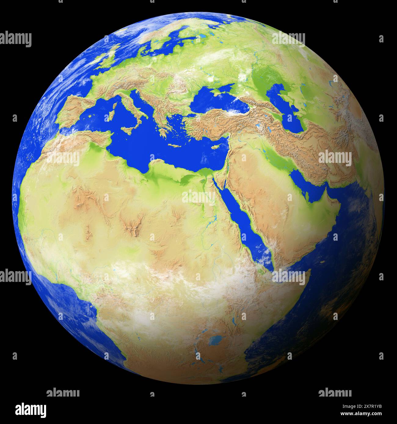 View of the earth from space showing Egypt in the center of the image. Stock Photohttps://www.alamy.com/image-license-details/?v=1https://www.alamy.com/view-of-the-earth-from-space-showing-egypt-in-the-center-of-the-image-image607171919.html
RF2X7R1YB–View of the earth from space showing Egypt in the center of the image.
 Satellite Image Of Egypt Highlighted Stock Photohttps://www.alamy.com/image-license-details/?v=1https://www.alamy.com/satellite-image-of-egypt-highlighted-image3618657.html
RFA4MR62–Satellite Image Of Egypt Highlighted
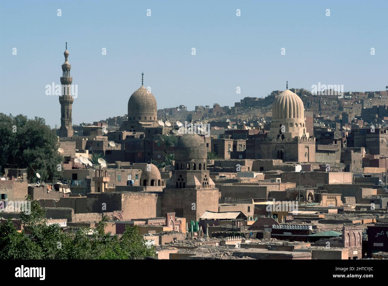 Cairo, Egypt, 2007. A view of the city skyline with mosques, minarets, houses, roofs and satellite dishes, Cairo, Egypt. Stock Photohttps://www.alamy.com/image-license-details/?v=1https://www.alamy.com/cairo-egypt-2007-a-view-of-the-city-skyline-with-mosques-minarets-houses-roofs-and-satellite-dishes-cairo-egypt-image462506420.html
RM2HTCYJC–Cairo, Egypt, 2007. A view of the city skyline with mosques, minarets, houses, roofs and satellite dishes, Cairo, Egypt.
 Straits of Tiran, Red Sea Stock Photohttps://www.alamy.com/image-license-details/?v=1https://www.alamy.com/stock-photo-straits-of-tiran-red-sea-135014679.html
RMHRJCGR–Straits of Tiran, Red Sea
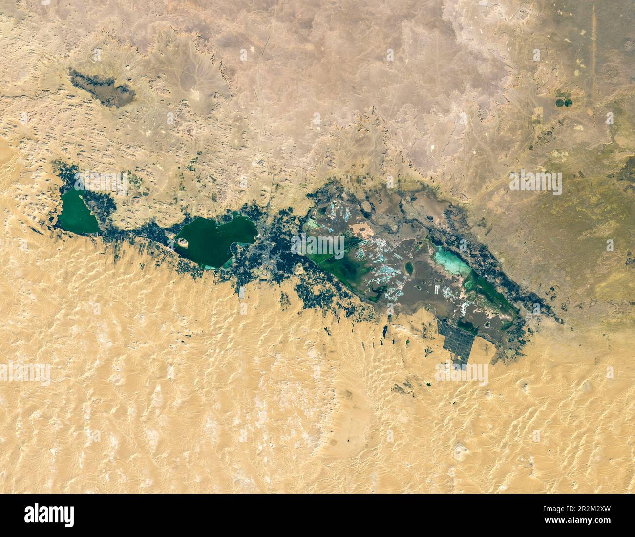 The Siwa Oasis is one of five large oases scattered across Egypt’s Western Desert, a vast sandy expanse that is part of the Sahara. Stock Photohttps://www.alamy.com/image-license-details/?v=1https://www.alamy.com/the-siwa-oasis-is-one-of-five-large-oases-scattered-across-egypts-western-desert-a-vast-sandy-expanse-that-is-part-of-the-sahara-image552402449.html
RM2R2M2XW–The Siwa Oasis is one of five large oases scattered across Egypt’s Western Desert, a vast sandy expanse that is part of the Sahara.
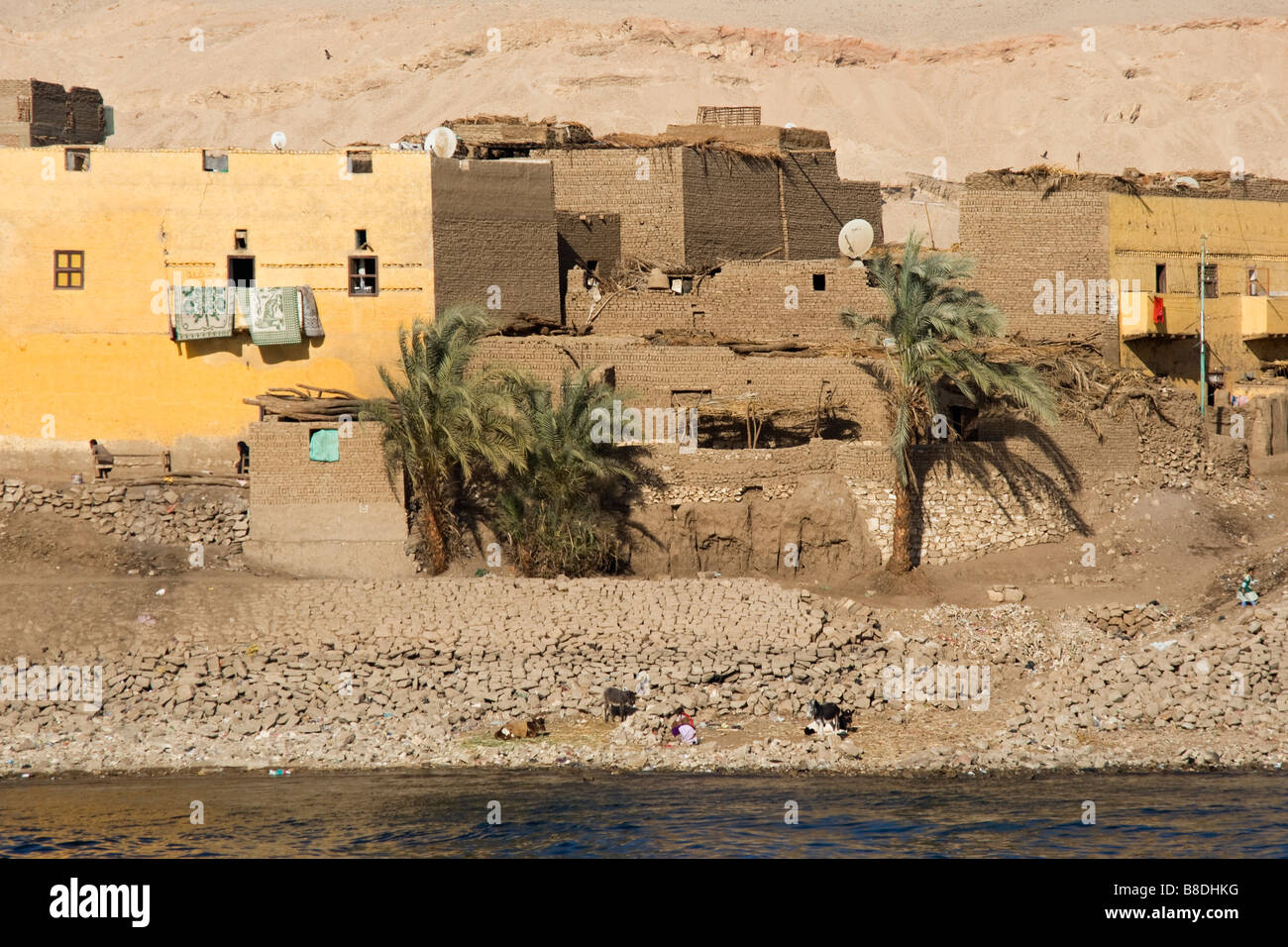 Traditional mud houses on bank of River Nile Stock Photohttps://www.alamy.com/image-license-details/?v=1https://www.alamy.com/stock-photo-traditional-mud-houses-on-bank-of-river-nile-22426868.html
RMB8DHKG–Traditional mud houses on bank of River Nile
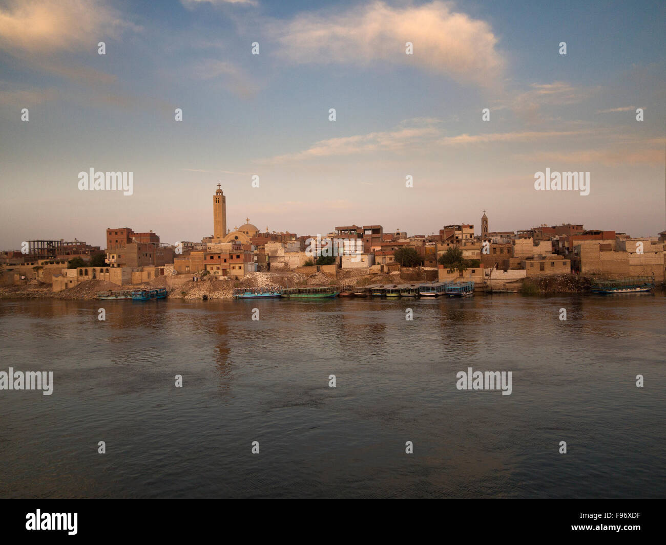 Scenes along The banks of the River Nile in Middle Egypt. Stock Photohttps://www.alamy.com/image-license-details/?v=1https://www.alamy.com/stock-photo-scenes-along-the-banks-of-the-river-nile-in-middle-egypt-91736219.html
RFF96XDF–Scenes along The banks of the River Nile in Middle Egypt.
 Cairo, Egypt. November 26th 2022 Cairo city panorama, cityscape view of the Egyptian capital from the medieval walls of Ibn Tulun Mosque in the Islami Stock Photohttps://www.alamy.com/image-license-details/?v=1https://www.alamy.com/cairo-egypt-november-26th-2022-cairo-city-panorama-cityscape-view-of-the-egyptian-capital-from-the-medieval-walls-of-ibn-tulun-mosque-in-the-islami-image504759467.html
RM2M95NRR–Cairo, Egypt. November 26th 2022 Cairo city panorama, cityscape view of the Egyptian capital from the medieval walls of Ibn Tulun Mosque in the Islami
 Scenes along The banks of the River Nile in Middle Egypt. Stock Photohttps://www.alamy.com/image-license-details/?v=1https://www.alamy.com/stock-photo-scenes-along-the-banks-of-the-river-nile-in-middle-egypt-91724034.html
RMF96AXA–Scenes along The banks of the River Nile in Middle Egypt.
 Shadwan Island in the Red Sea on a satellite image taken in April 30, 2023 Stock Photohttps://www.alamy.com/image-license-details/?v=1https://www.alamy.com/shadwan-island-in-the-red-sea-on-a-satellite-image-taken-in-april-30-2023-image619396862.html
RF2XYKY0E–Shadwan Island in the Red Sea on a satellite image taken in April 30, 2023
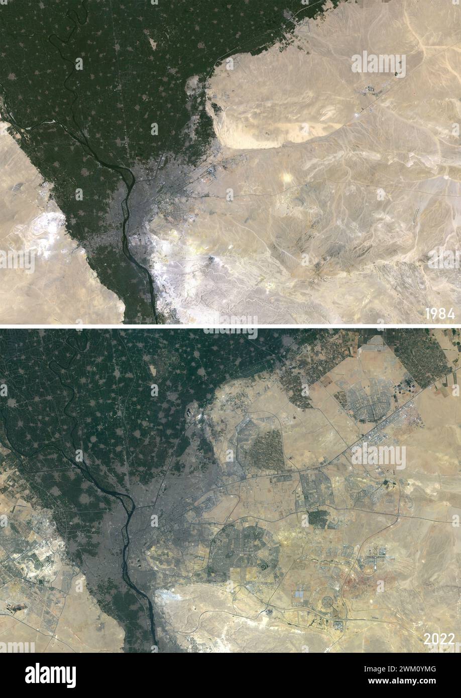 Color satellite image of Cairo, Egypt in 1984 and 2022. The image from 2022 includes the newly built Cairo City. Stock Photohttps://www.alamy.com/image-license-details/?v=1https://www.alamy.com/color-satellite-image-of-cairo-egypt-in-1984-and-2022-the-image-from-2022-includes-the-newly-built-cairo-city-image597467376.html
RM2WM0YMG–Color satellite image of Cairo, Egypt in 1984 and 2022. The image from 2022 includes the newly built Cairo City.
 Land feature in Egypt. Digital enhancement of an image by NASA. Stock Photohttps://www.alamy.com/image-license-details/?v=1https://www.alamy.com/land-feature-in-egypt-digital-enhancement-of-an-image-by-nasa-image562995182.html
RM2RKXJ2P–Land feature in Egypt. Digital enhancement of an image by NASA.
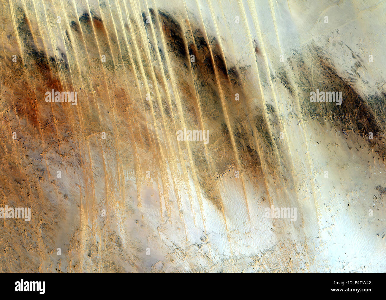 Libyan Desert, Egypt, True Colour Satellite Image. True colour satellite image of the Egyptian part of the Libyan desert, made o Stock Photohttps://www.alamy.com/image-license-details/?v=1https://www.alamy.com/stock-photo-libyan-desert-egypt-true-colour-satellite-image-true-colour-satellite-71605186.html
RME4DW42–Libyan Desert, Egypt, True Colour Satellite Image. True colour satellite image of the Egyptian part of the Libyan desert, made o
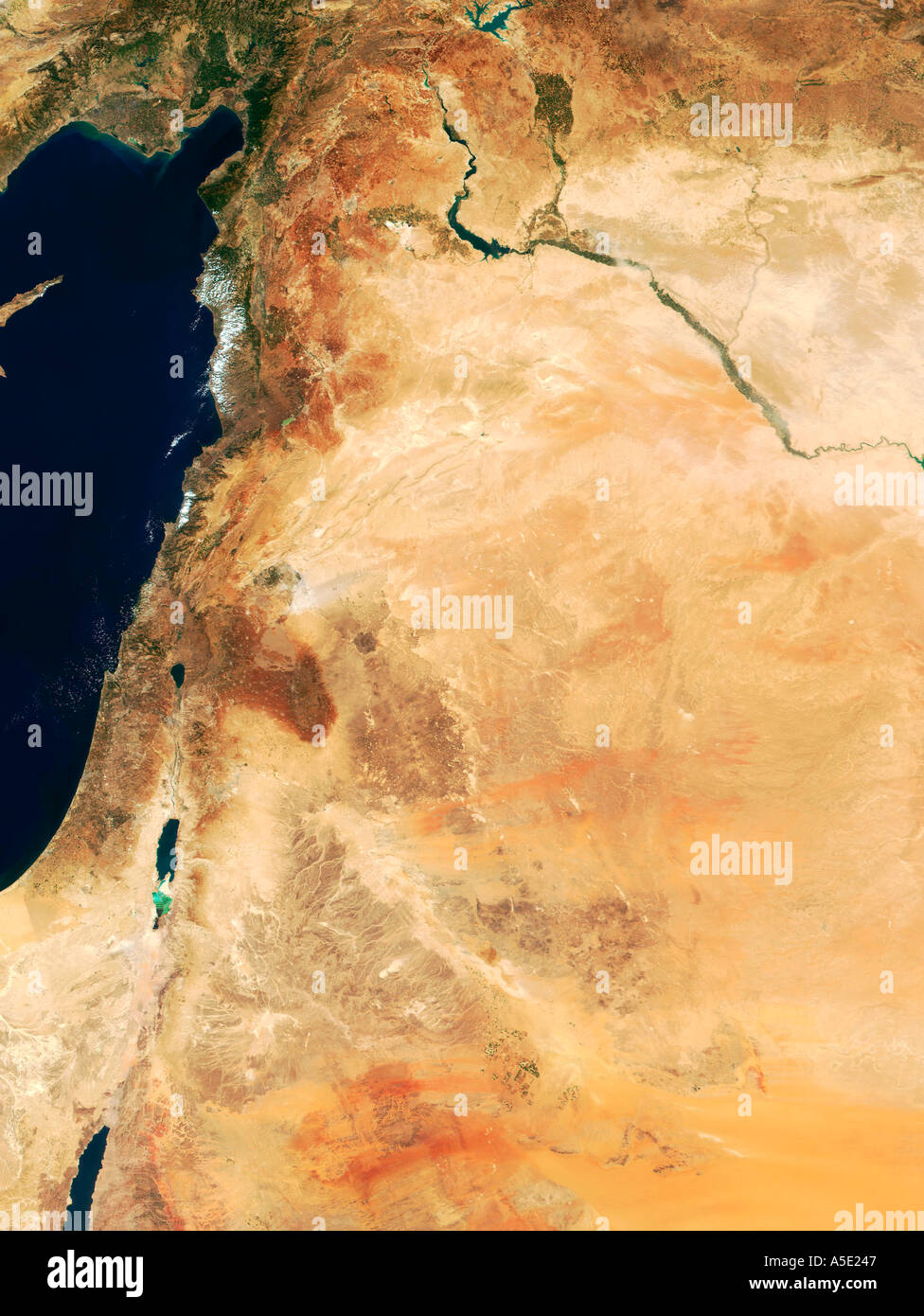 Satellite view of The Near East Region Earth from Space Stock Photohttps://www.alamy.com/image-license-details/?v=1https://www.alamy.com/satellite-view-of-the-near-east-region-earth-from-space-image385607.html
RMA5E247–Satellite view of The Near East Region Earth from Space
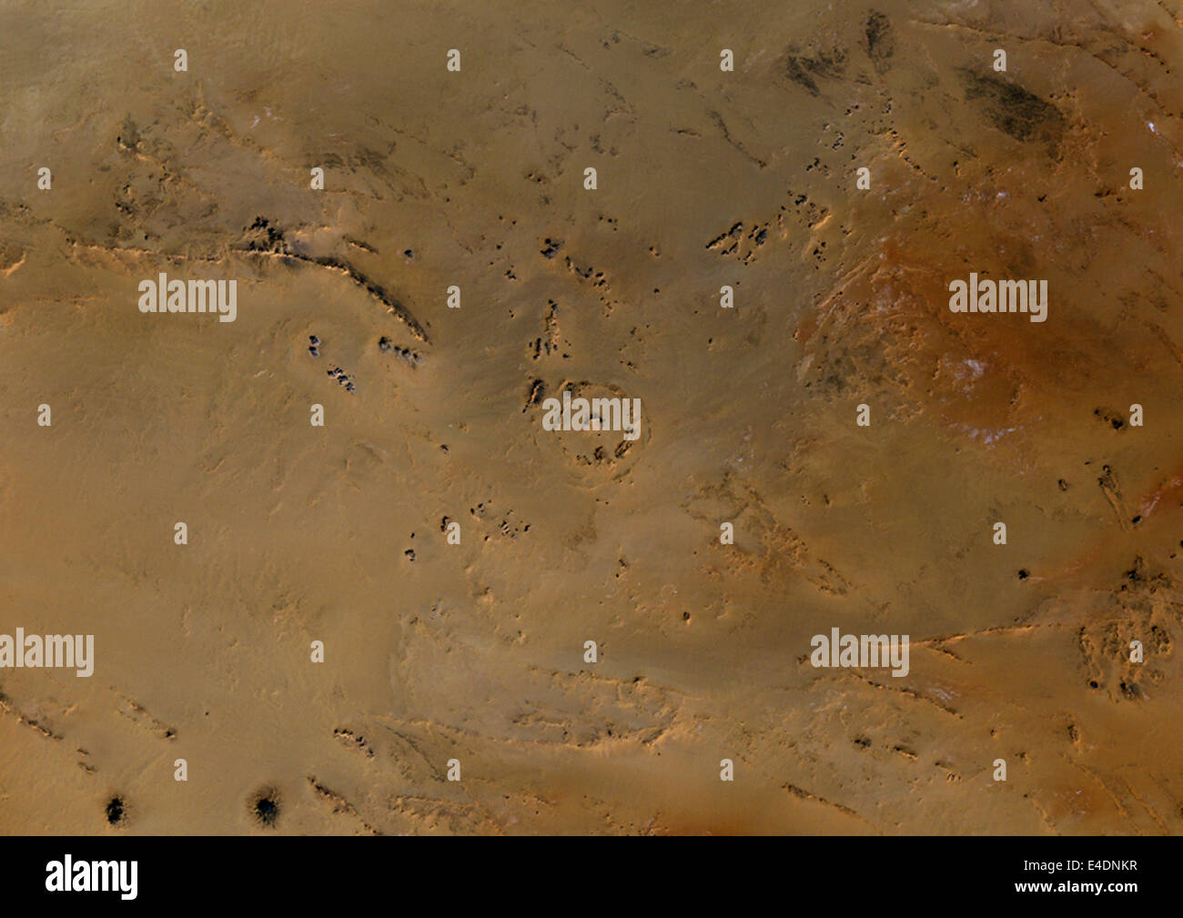 Meteor Impact Crater In The Libyan Desert, Egypt, True Colour Satellite Image. True colour satellite image of an impact structur Stock Photohttps://www.alamy.com/image-license-details/?v=1https://www.alamy.com/stock-photo-meteor-impact-crater-in-the-libyan-desert-egypt-true-colour-satellite-71602491.html
RME4DNKR–Meteor Impact Crater In The Libyan Desert, Egypt, True Colour Satellite Image. True colour satellite image of an impact structur
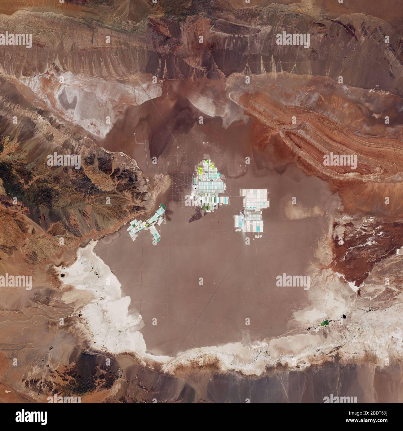 Satellite view of desert and mountain (Elements of this image furnished by NASA) Stock Photohttps://www.alamy.com/image-license-details/?v=1https://www.alamy.com/satellite-view-of-desert-and-mountain-elements-of-this-image-furnished-by-nasa-image352729710.html
RF2BDT69J–Satellite view of desert and mountain (Elements of this image furnished by NASA)
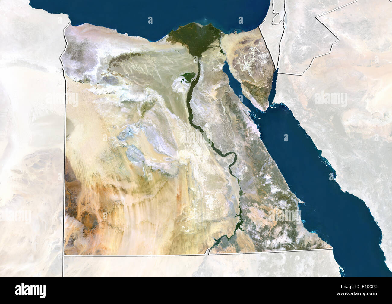 Egypt, True Colour Satellite Image With Border and Mask Stock Photohttps://www.alamy.com/image-license-details/?v=1https://www.alamy.com/stock-photo-egypt-true-colour-satellite-image-with-border-and-mask-71606474.html
RME4DXP2–Egypt, True Colour Satellite Image With Border and Mask
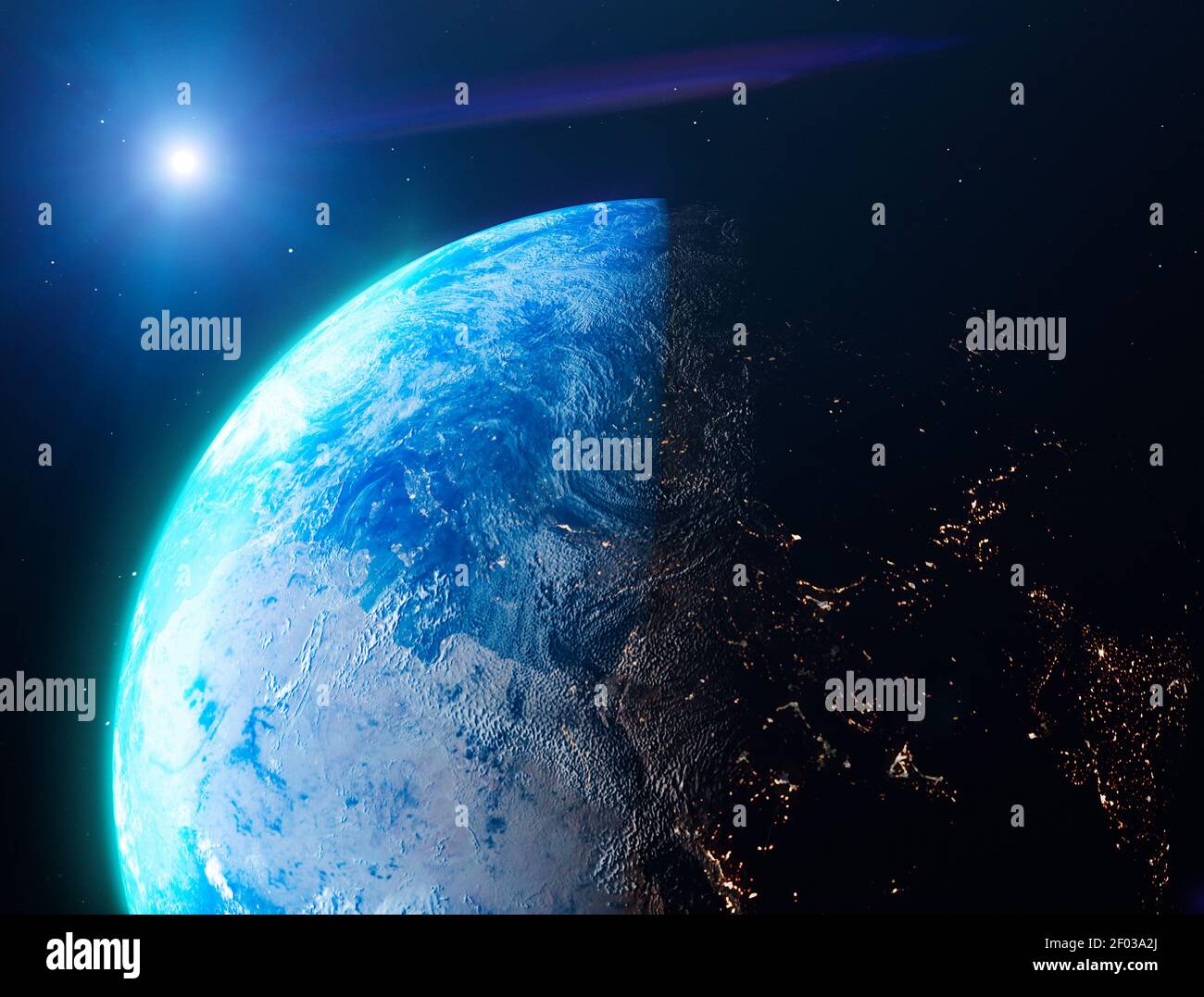 Satellite view of the Earth seen from space. The sun rising over the Europe and north Africa. Cities illuminated in the night. Sunrise Stock Photohttps://www.alamy.com/image-license-details/?v=1https://www.alamy.com/satellite-view-of-the-earth-seen-from-space-the-sun-rising-over-the-europe-and-north-africa-cities-illuminated-in-the-night-sunrise-image413122602.html
RF2F03A2J–Satellite view of the Earth seen from space. The sun rising over the Europe and north Africa. Cities illuminated in the night. Sunrise
 Egypt, True Colour Satellite Image With Mask And Border. Egypt, true colour satellite image with mask and border. North is at to Stock Photohttps://www.alamy.com/image-license-details/?v=1https://www.alamy.com/stock-photo-egypt-true-colour-satellite-image-with-mask-and-border-egypt-true-71606914.html
RME4DY9P–Egypt, True Colour Satellite Image With Mask And Border. Egypt, true colour satellite image with mask and border. North is at to