Elizabethtown kentucky map Stock Photos and Images
(92)See elizabethtown kentucky map stock video clipsQuick filters:
Elizabethtown kentucky map Stock Photos and Images
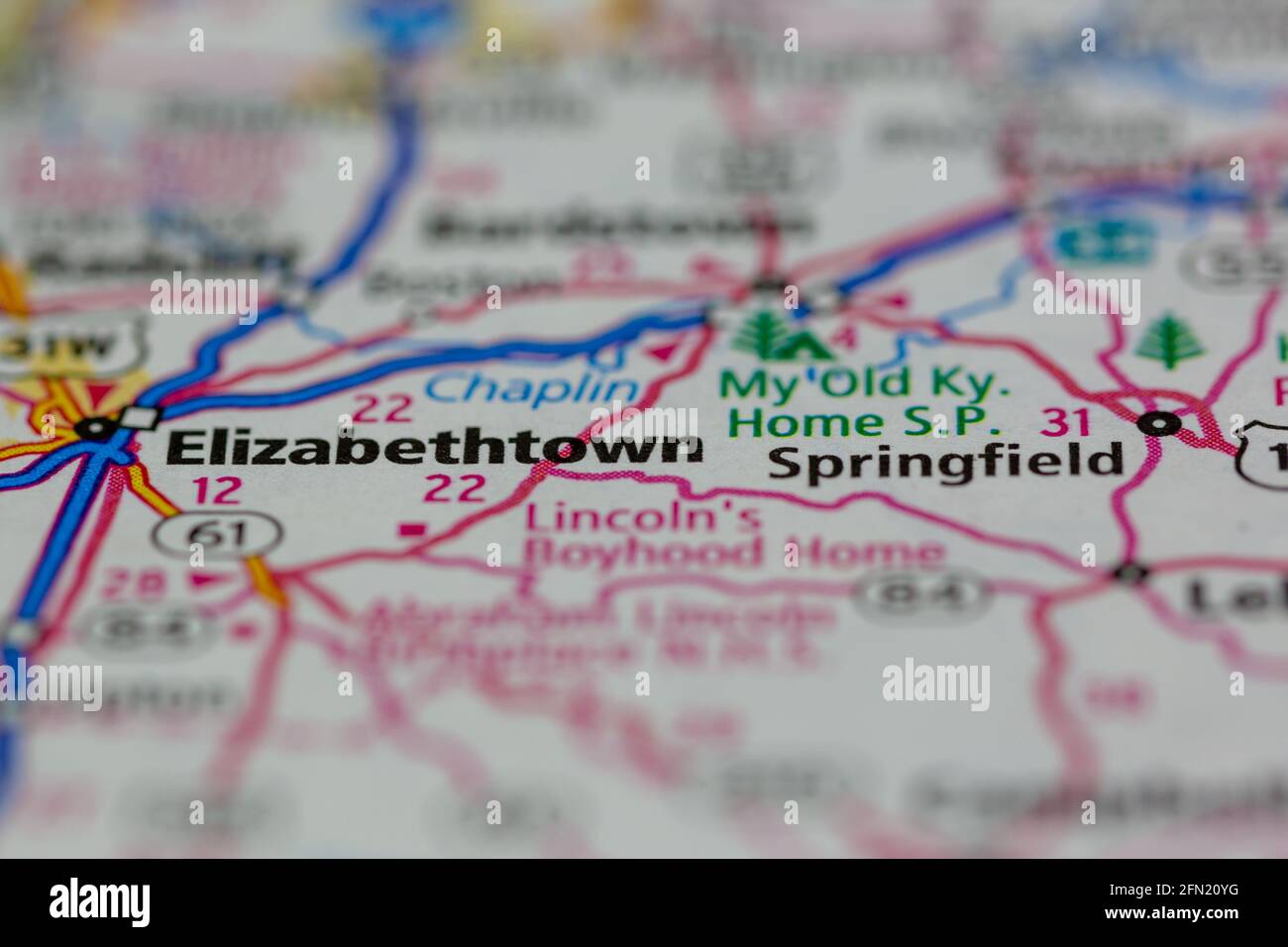 Elizabethtown Kentucky USA shown on a Geography map or road map Stock Photohttps://www.alamy.com/image-license-details/?v=1https://www.alamy.com/elizabethtown-kentucky-usa-shown-on-a-geography-map-or-road-map-image426001284.html
RM2FN20YG–Elizabethtown Kentucky USA shown on a Geography map or road map
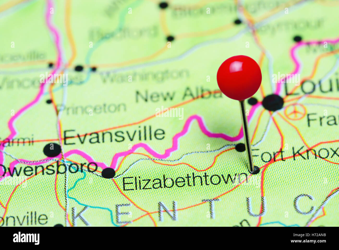 Elizabethtown pinned on a map of Kentucky, USA Stock Photohttps://www.alamy.com/image-license-details/?v=1https://www.alamy.com/stock-photo-elizabethtown-pinned-on-a-map-of-kentucky-usa-124827511.html
RFH72ANB–Elizabethtown pinned on a map of Kentucky, USA
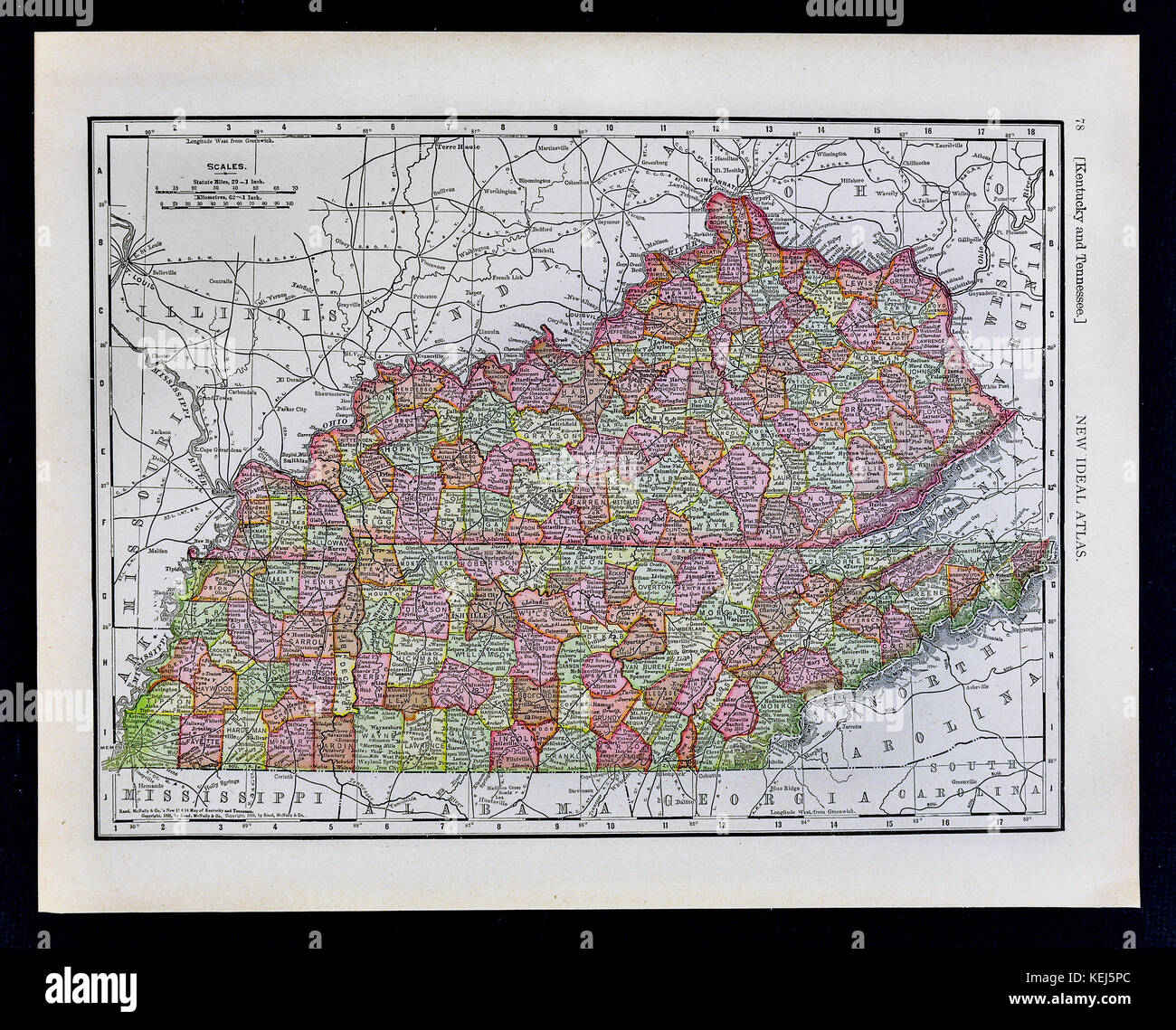 1911 McNally Map - Kentucky Tennessee Nashville Louisville Frankfort Lexington Memphis Stock Photohttps://www.alamy.com/image-license-details/?v=1https://www.alamy.com/stock-image-1911-mcnally-map-kentucky-tennessee-nashville-louisville-frankfort-163898180.html
RFKEJ5PC–1911 McNally Map - Kentucky Tennessee Nashville Louisville Frankfort Lexington Memphis
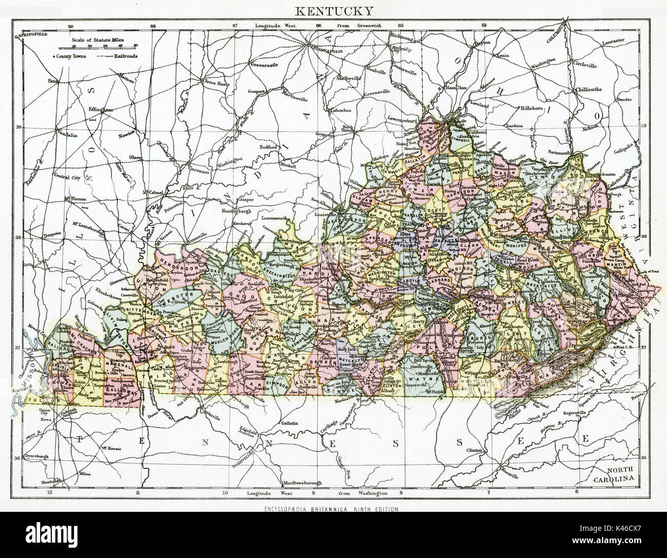 Antique map, circa 1875, of Kentucky Stock Photohttps://www.alamy.com/image-license-details/?v=1https://www.alamy.com/antique-map-circa-1875-of-kentucky-image157493791.html
RMK46CX7–Antique map, circa 1875, of Kentucky
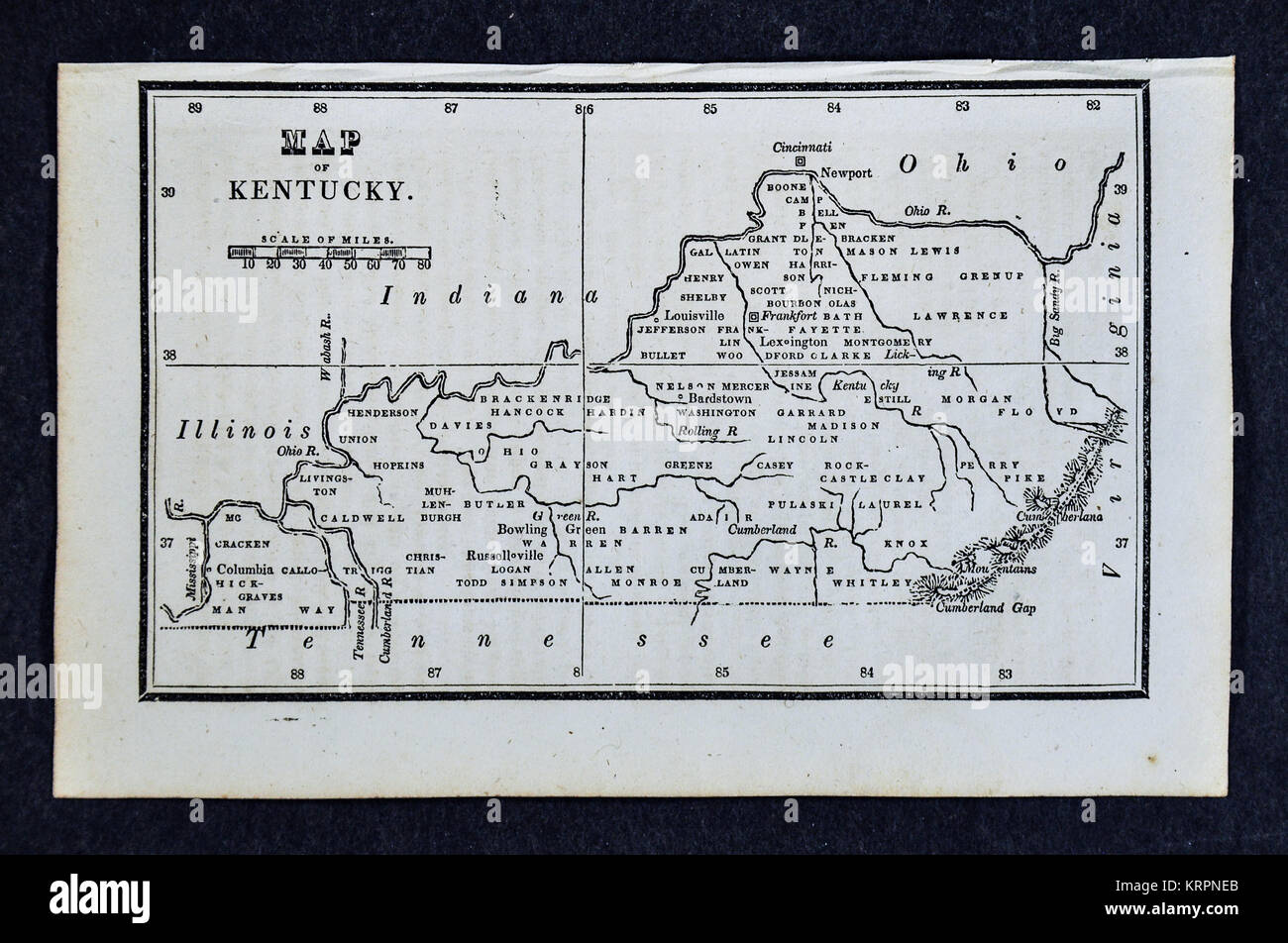 1830 Nathan Hale Map - Kentucky - Louisville Frankfort Lexington - United States Stock Photohttps://www.alamy.com/image-license-details/?v=1https://www.alamy.com/stock-image-1830-nathan-hale-map-kentucky-louisville-frankfort-lexington-united-169530211.html
RFKRPNEB–1830 Nathan Hale Map - Kentucky - Louisville Frankfort Lexington - United States
 Elizabethtown, Hardin County, US, United States, Kentucky, N 37 41' 38'', S 85 51' 32'', map, Cartascapes Map published in 2024. Explore Cartascapes, a map revealing Earth's diverse landscapes, cultures, and ecosystems. Journey through time and space, discovering the interconnectedness of our planet's past, present, and future. Stock Photohttps://www.alamy.com/image-license-details/?v=1https://www.alamy.com/elizabethtown-hardin-county-us-united-states-kentucky-n-37-41-38-s-85-51-32-map-cartascapes-map-published-in-2024-explore-cartascapes-a-map-revealing-earths-diverse-landscapes-cultures-and-ecosystems-journey-through-time-and-space-discovering-the-interconnectedness-of-our-planets-past-present-and-future-image621152805.html
RM2Y2FXMN–Elizabethtown, Hardin County, US, United States, Kentucky, N 37 41' 38'', S 85 51' 32'', map, Cartascapes Map published in 2024. Explore Cartascapes, a map revealing Earth's diverse landscapes, cultures, and ecosystems. Journey through time and space, discovering the interconnectedness of our planet's past, present, and future.
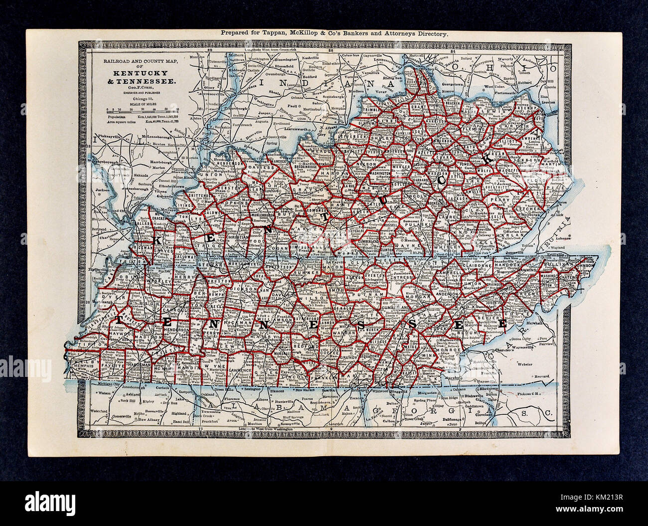 George Cram Antique Map from 1866 Atlas for Attorneys and Bankers: United States - Kentucky & Tennessee - Frankfurt Louisville Lexington Memphis Nashville Knoxville Stock Photohttps://www.alamy.com/image-license-details/?v=1https://www.alamy.com/stock-image-george-cram-antique-map-from-1866-atlas-for-attorneys-and-bankers-167231227.html
RFKM213R–George Cram Antique Map from 1866 Atlas for Attorneys and Bankers: United States - Kentucky & Tennessee - Frankfurt Louisville Lexington Memphis Nashville Knoxville
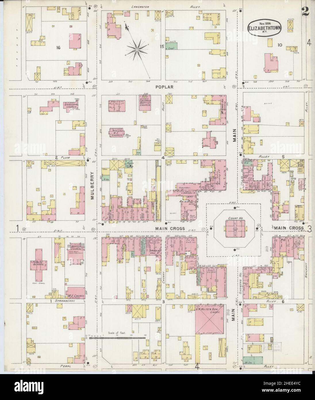 Sanborn Fire Insurance Map from Elizabethtown, Hardin County, Kentucky. Stock Photohttps://www.alamy.com/image-license-details/?v=1https://www.alamy.com/sanborn-fire-insurance-map-from-elizabethtown-hardin-county-kentucky-image456385984.html
RM2HEE4YC–Sanborn Fire Insurance Map from Elizabethtown, Hardin County, Kentucky.
 Kentucky, state of United States of America. Open Street Map Stock Photohttps://www.alamy.com/image-license-details/?v=1https://www.alamy.com/kentucky-state-of-united-states-of-america-open-street-map-image546013448.html
RF2PM91M8–Kentucky, state of United States of America. Open Street Map
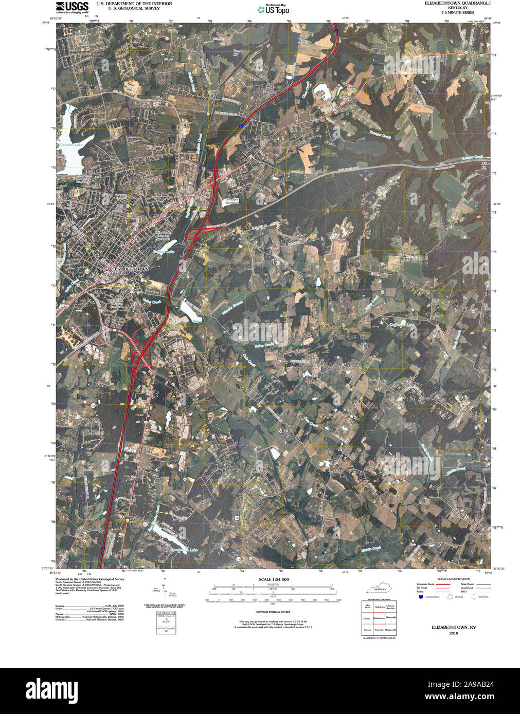 USGS TOPO Map Kentucky KY Elizabethtown 20100409 TM Stock Photohttps://www.alamy.com/image-license-details/?v=1https://www.alamy.com/usgs-topo-map-kentucky-ky-elizabethtown-20100409-tm-image332757100.html
RM2A9AB24–USGS TOPO Map Kentucky KY Elizabethtown 20100409 TM
 Hardin County, Kentucky (U.S. county, United States of America, USA, U.S., US) map vector illustration, scribble sketch Hardin map Stock Vectorhttps://www.alamy.com/image-license-details/?v=1https://www.alamy.com/hardin-county-kentucky-us-county-united-states-of-america-usa-us-us-map-vector-illustration-scribble-sketch-hardin-map-image381668860.html
RF2D4XEEM–Hardin County, Kentucky (U.S. county, United States of America, USA, U.S., US) map vector illustration, scribble sketch Hardin map
 Elizabethtown, Hardin County, US, United States, Kentucky, N 37 41' 38'', S 85 51' 32'', map, Cartascapes Map published in 2024. Explore Cartascapes, a map revealing Earth's diverse landscapes, cultures, and ecosystems. Journey through time and space, discovering the interconnectedness of our planet's past, present, and future. Stock Photohttps://www.alamy.com/image-license-details/?v=1https://www.alamy.com/elizabethtown-hardin-county-us-united-states-kentucky-n-37-41-38-s-85-51-32-map-cartascapes-map-published-in-2024-explore-cartascapes-a-map-revealing-earths-diverse-landscapes-cultures-and-ecosystems-journey-through-time-and-space-discovering-the-interconnectedness-of-our-planets-past-present-and-future-image620708984.html
RM2Y1RMJ0–Elizabethtown, Hardin County, US, United States, Kentucky, N 37 41' 38'', S 85 51' 32'', map, Cartascapes Map published in 2024. Explore Cartascapes, a map revealing Earth's diverse landscapes, cultures, and ecosystems. Journey through time and space, discovering the interconnectedness of our planet's past, present, and future.
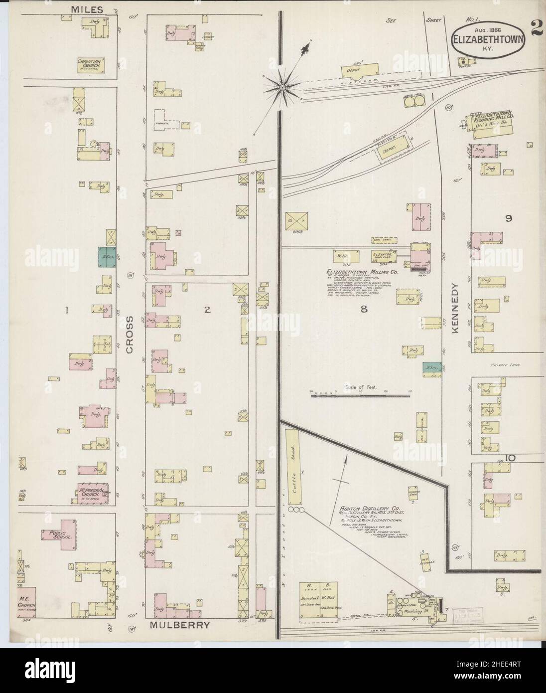 Sanborn Fire Insurance Map from Elizabethtown, Hardin County, Kentucky. Stock Photohttps://www.alamy.com/image-license-details/?v=1https://www.alamy.com/sanborn-fire-insurance-map-from-elizabethtown-hardin-county-kentucky-image456385884.html
RM2HEE4RT–Sanborn Fire Insurance Map from Elizabethtown, Hardin County, Kentucky.
 Kentucky, state of United States of America. Low resolution satellite map Stock Photohttps://www.alamy.com/image-license-details/?v=1https://www.alamy.com/kentucky-state-of-united-states-of-america-low-resolution-satellite-map-image546013679.html
RF2PM920F–Kentucky, state of United States of America. Low resolution satellite map
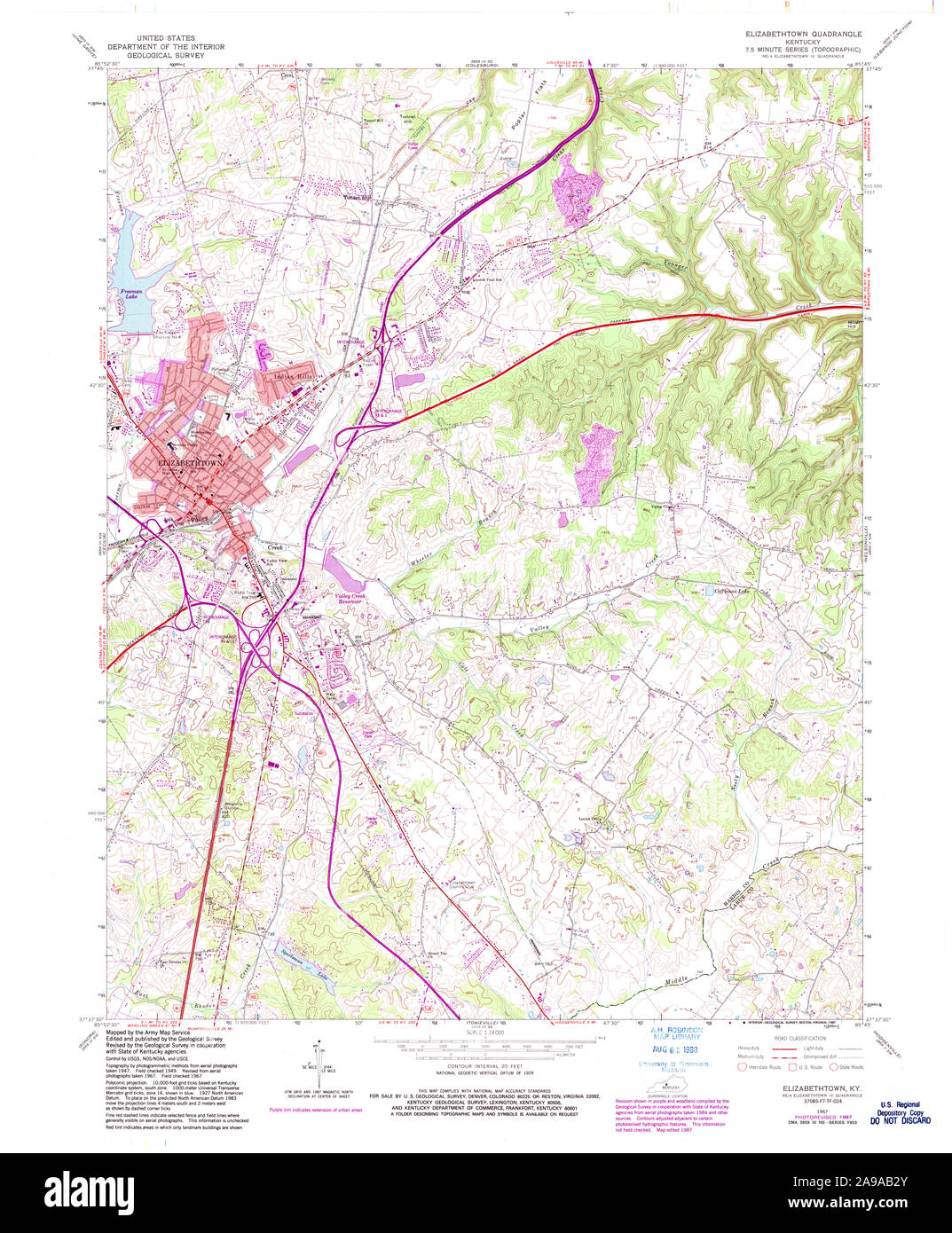 USGS TOPO Map Kentucky KY Elizabethtown 708583 1967 24000 Stock Photohttps://www.alamy.com/image-license-details/?v=1https://www.alamy.com/usgs-topo-map-kentucky-ky-elizabethtown-708583-1967-24000-image332757123.html
RM2A9AB2Y–USGS TOPO Map Kentucky KY Elizabethtown 708583 1967 24000
 Hardin County, Kentucky (U.S. county, United States of America, USA, U.S., US) map vector illustration, scribble sketch Hardin map Stock Vectorhttps://www.alamy.com/image-license-details/?v=1https://www.alamy.com/hardin-county-kentucky-us-county-united-states-of-america-usa-us-us-map-vector-illustration-scribble-sketch-hardin-map-image368750620.html
RF2CBX150–Hardin County, Kentucky (U.S. county, United States of America, USA, U.S., US) map vector illustration, scribble sketch Hardin map
 City of Elizabethtown, Hardin County, US, United States, Kentucky, N 37 42' 13'', S 85 52' 37'', map, Cartascapes Map published in 2024. Explore Cartascapes, a map revealing Earth's diverse landscapes, cultures, and ecosystems. Journey through time and space, discovering the interconnectedness of our planet's past, present, and future. Stock Photohttps://www.alamy.com/image-license-details/?v=1https://www.alamy.com/city-of-elizabethtown-hardin-county-us-united-states-kentucky-n-37-42-13-s-85-52-37-map-cartascapes-map-published-in-2024-explore-cartascapes-a-map-revealing-earths-diverse-landscapes-cultures-and-ecosystems-journey-through-time-and-space-discovering-the-interconnectedness-of-our-planets-past-present-and-future-image633872215.html
RM2YR7ADB–City of Elizabethtown, Hardin County, US, United States, Kentucky, N 37 42' 13'', S 85 52' 37'', map, Cartascapes Map published in 2024. Explore Cartascapes, a map revealing Earth's diverse landscapes, cultures, and ecosystems. Journey through time and space, discovering the interconnectedness of our planet's past, present, and future.
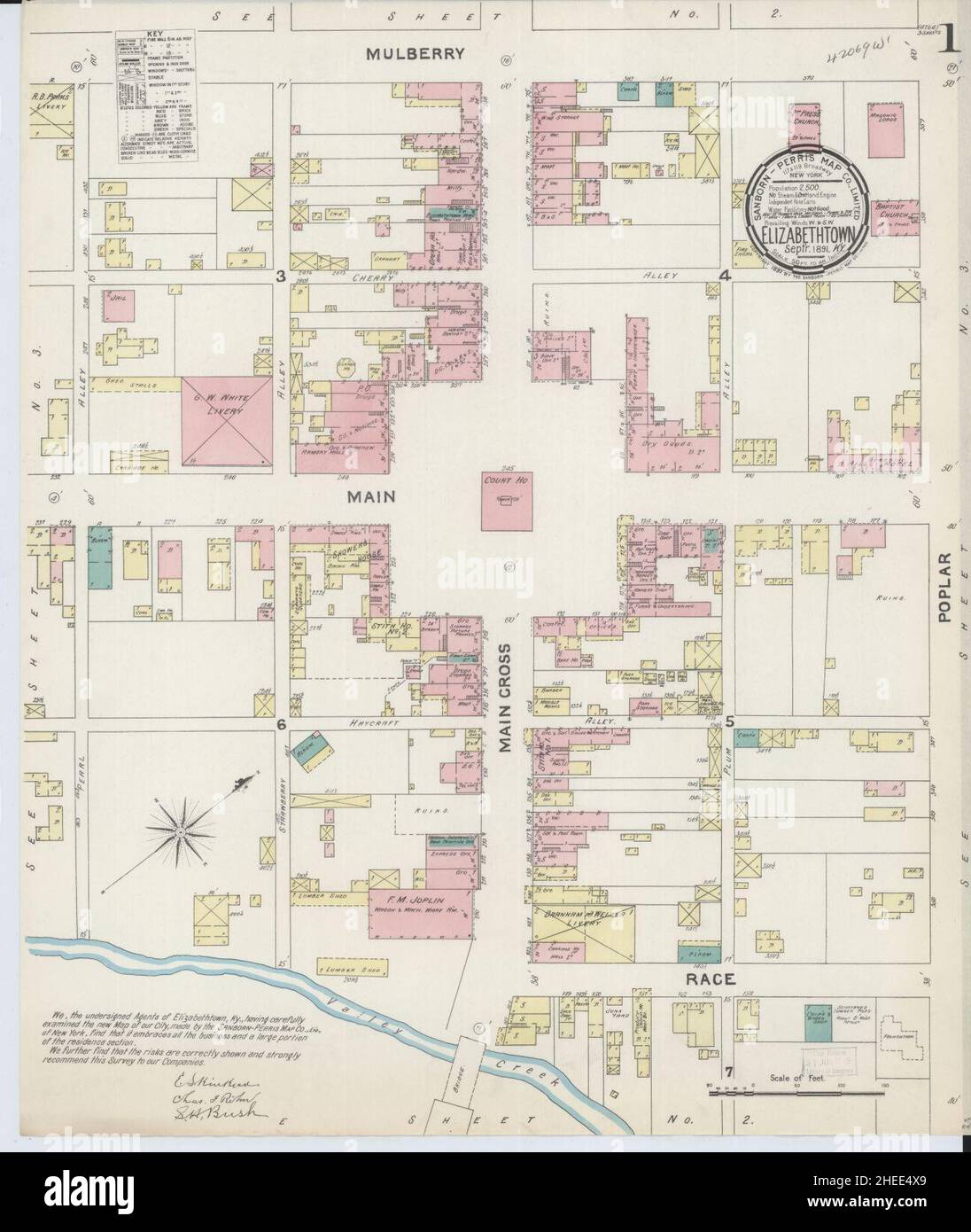 Sanborn Fire Insurance Map from Elizabethtown, Hardin County, Kentucky. Stock Photohttps://www.alamy.com/image-license-details/?v=1https://www.alamy.com/sanborn-fire-insurance-map-from-elizabethtown-hardin-county-kentucky-image456385953.html
RM2HEE4X9–Sanborn Fire Insurance Map from Elizabethtown, Hardin County, Kentucky.
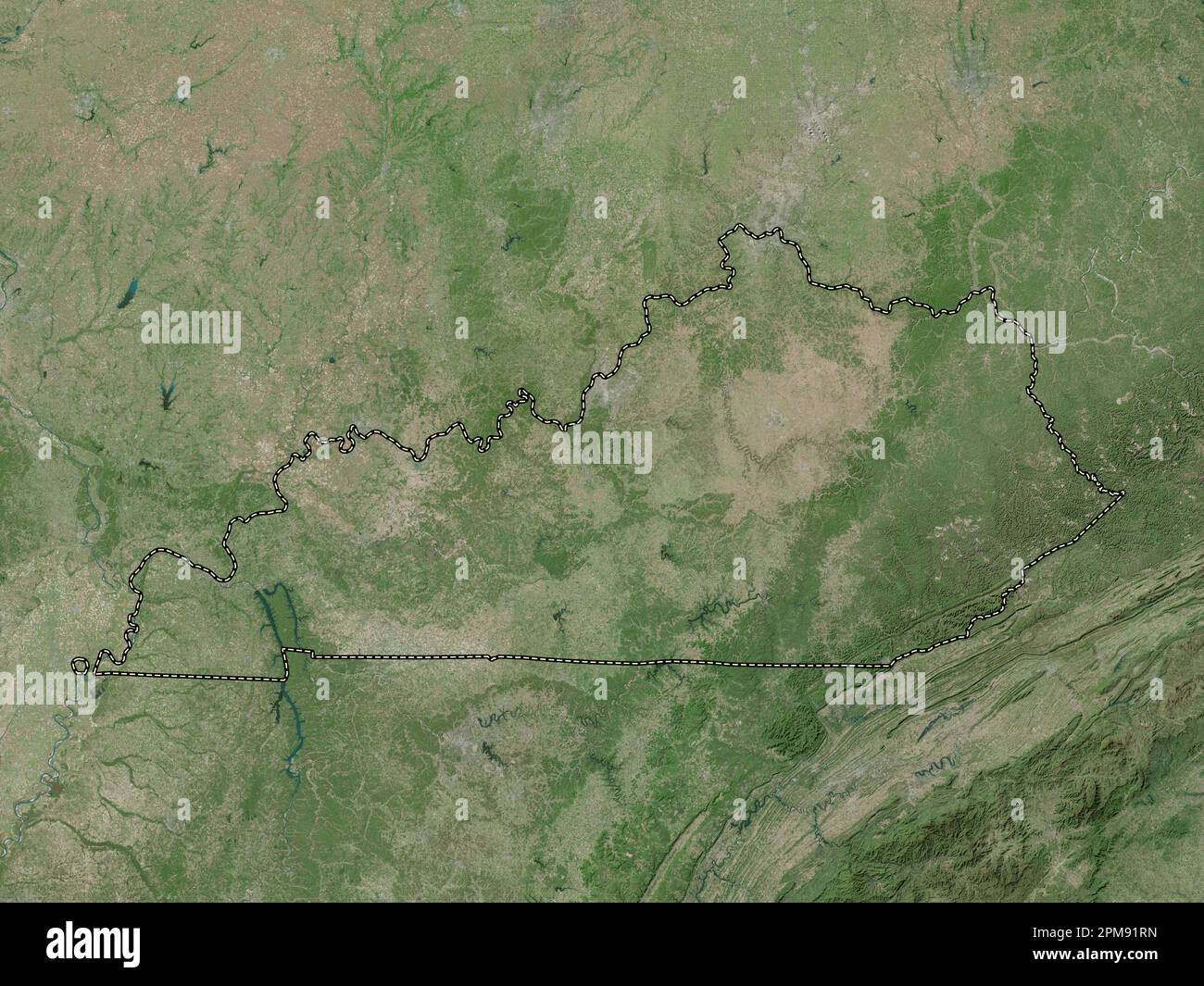 Kentucky, state of United States of America. High resolution satellite map Stock Photohttps://www.alamy.com/image-license-details/?v=1https://www.alamy.com/kentucky-state-of-united-states-of-america-high-resolution-satellite-map-image546013545.html
RF2PM91RN–Kentucky, state of United States of America. High resolution satellite map
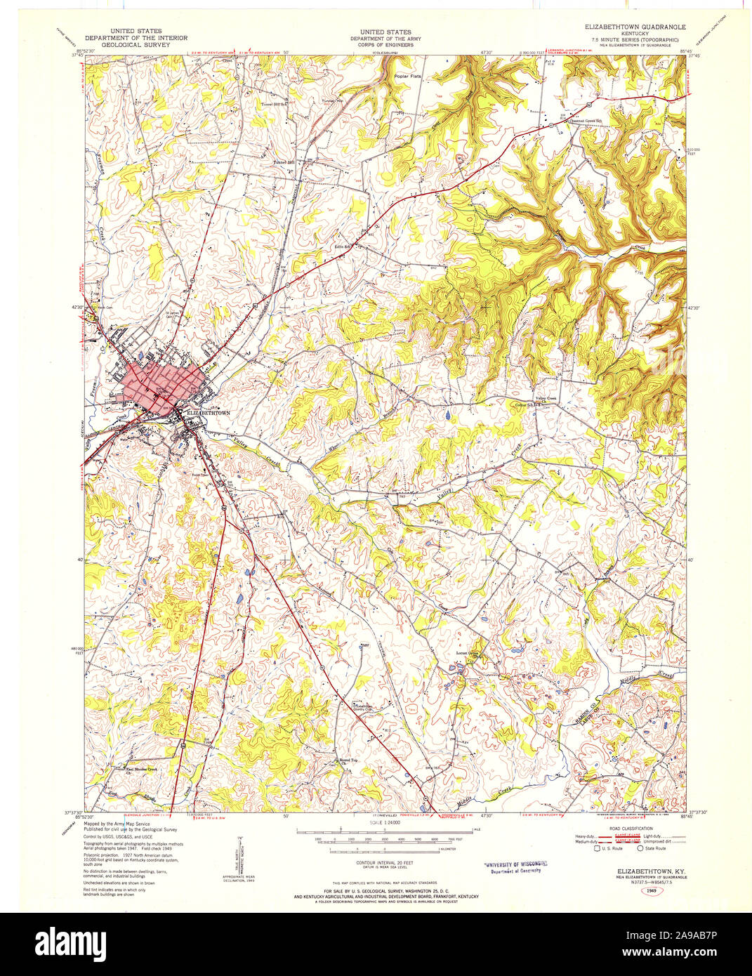 USGS TOPO Map Kentucky KY Elizabethtown 708588 1949 24000 Stock Photohttps://www.alamy.com/image-license-details/?v=1https://www.alamy.com/usgs-topo-map-kentucky-ky-elizabethtown-708588-1949-24000-image332757258.html
RM2A9AB7P–USGS TOPO Map Kentucky KY Elizabethtown 708588 1949 24000
 Hardin County, Kentucky (U.S. county, United States of America, USA, U.S., US) map vector illustration, scribble sketch Hardin map Stock Vectorhttps://www.alamy.com/image-license-details/?v=1https://www.alamy.com/hardin-county-kentucky-us-county-united-states-of-america-usa-us-us-map-vector-illustration-scribble-sketch-hardin-map-image384057726.html
RF2D8R9FA–Hardin County, Kentucky (U.S. county, United States of America, USA, U.S., US) map vector illustration, scribble sketch Hardin map
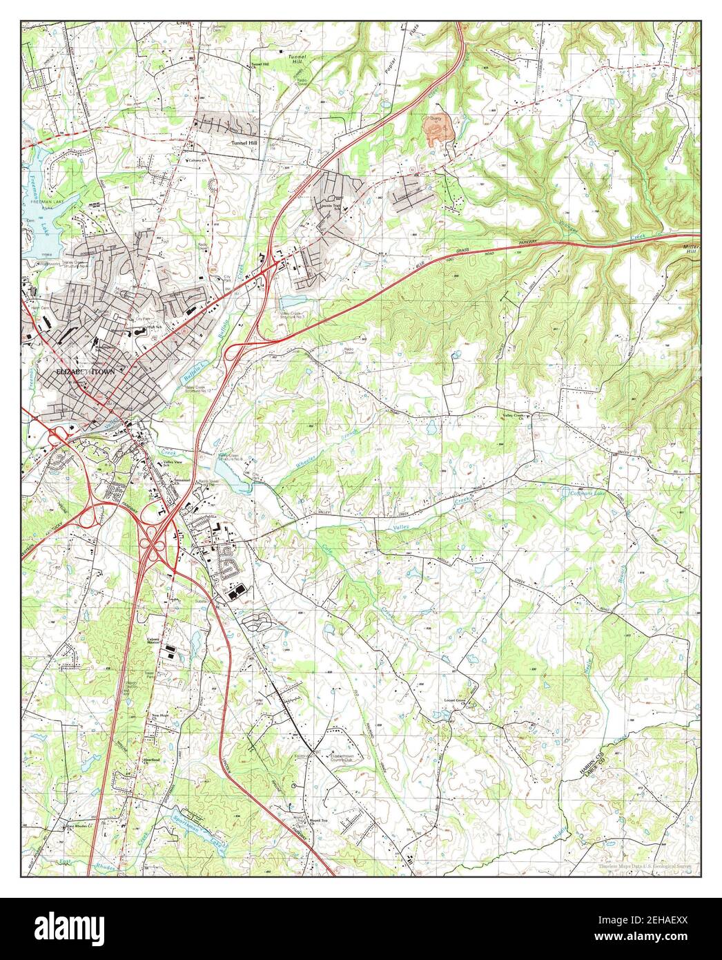 Elizabethtown, Kentucky, map 1991, 1:24000, United States of America by Timeless Maps, data U.S. Geological Survey Stock Photohttps://www.alamy.com/image-license-details/?v=1https://www.alamy.com/elizabethtown-kentucky-map-1991-124000-united-states-of-america-by-timeless-maps-data-us-geological-survey-image406518866.html
RM2EHAEXX–Elizabethtown, Kentucky, map 1991, 1:24000, United States of America by Timeless Maps, data U.S. Geological Survey
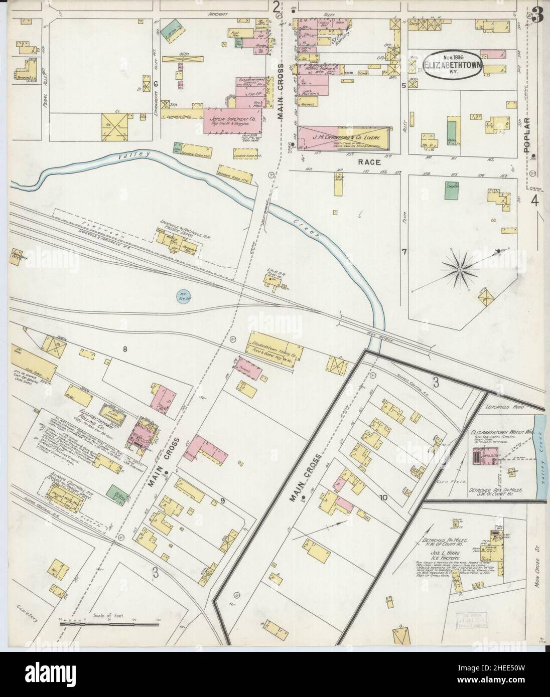 Sanborn Fire Insurance Map from Elizabethtown, Hardin County, Kentucky. Stock Photohttps://www.alamy.com/image-license-details/?v=1https://www.alamy.com/sanborn-fire-insurance-map-from-elizabethtown-hardin-county-kentucky-image456386025.html
RM2HEE50W–Sanborn Fire Insurance Map from Elizabethtown, Hardin County, Kentucky.
 Kentucky, state of United States of America. Bilevel elevation map with lakes and rivers Stock Photohttps://www.alamy.com/image-license-details/?v=1https://www.alamy.com/kentucky-state-of-united-states-of-america-bilevel-elevation-map-with-lakes-and-rivers-image546013356.html
RF2PM91H0–Kentucky, state of United States of America. Bilevel elevation map with lakes and rivers
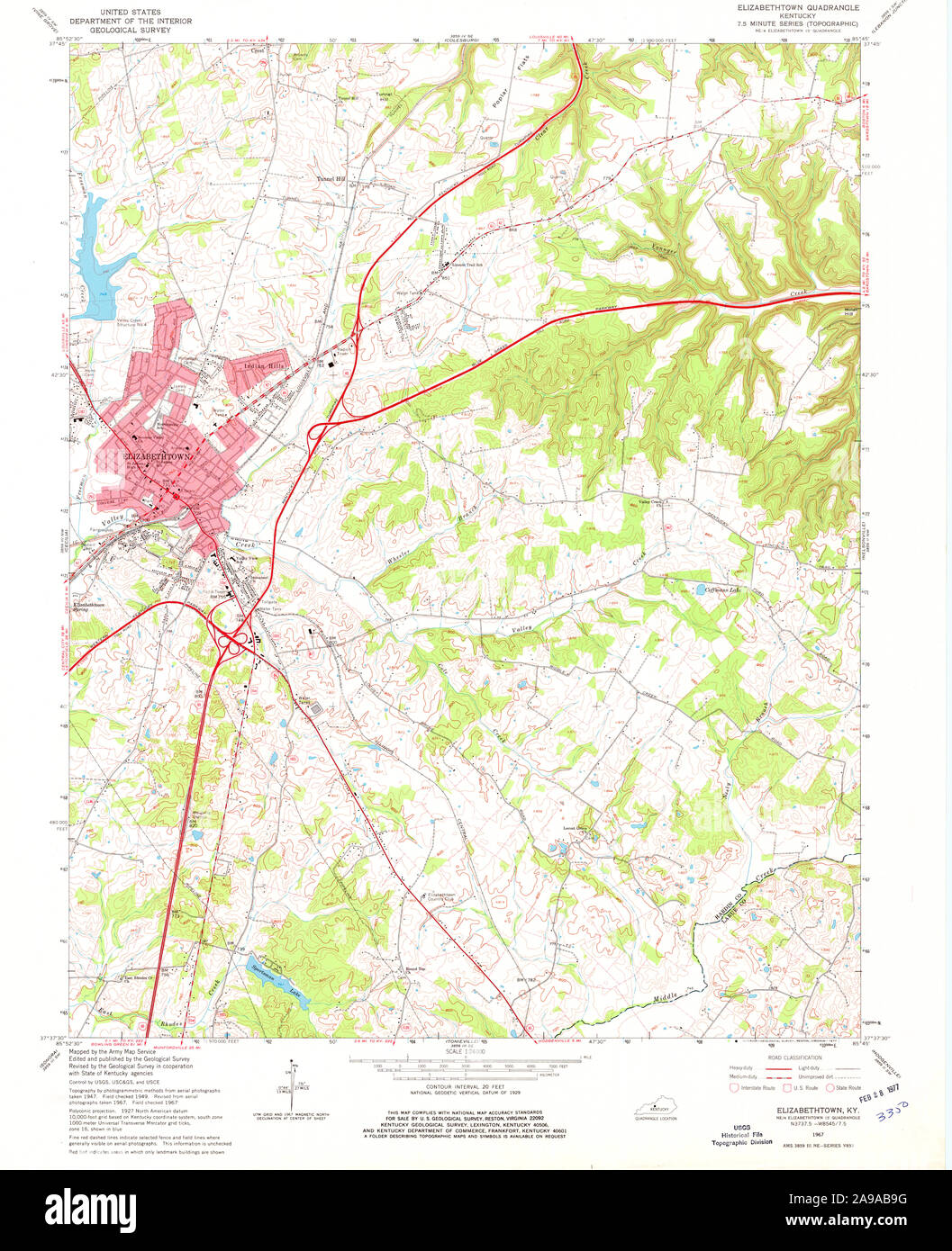 USGS TOPO Map Kentucky KY Elizabethtown 803484 1967 24000 Stock Photohttps://www.alamy.com/image-license-details/?v=1https://www.alamy.com/usgs-topo-map-kentucky-ky-elizabethtown-803484-1967-24000-image332757308.html
RM2A9AB9G–USGS TOPO Map Kentucky KY Elizabethtown 803484 1967 24000
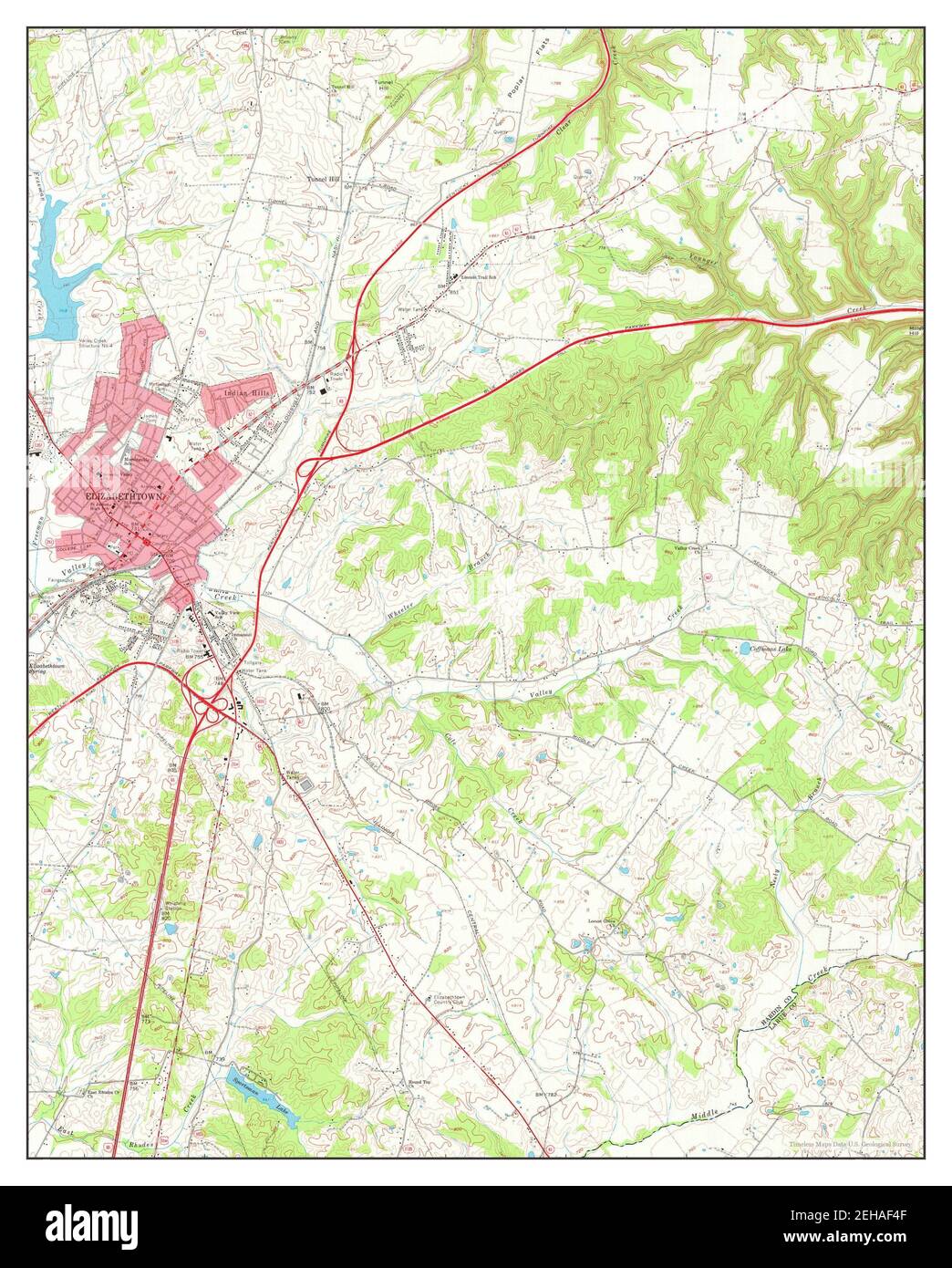 Elizabethtown, Kentucky, map 1967, 1:24000, United States of America by Timeless Maps, data U.S. Geological Survey Stock Photohttps://www.alamy.com/image-license-details/?v=1https://www.alamy.com/elizabethtown-kentucky-map-1967-124000-united-states-of-america-by-timeless-maps-data-us-geological-survey-image406519023.html
RM2EHAF4F–Elizabethtown, Kentucky, map 1967, 1:24000, United States of America by Timeless Maps, data U.S. Geological Survey
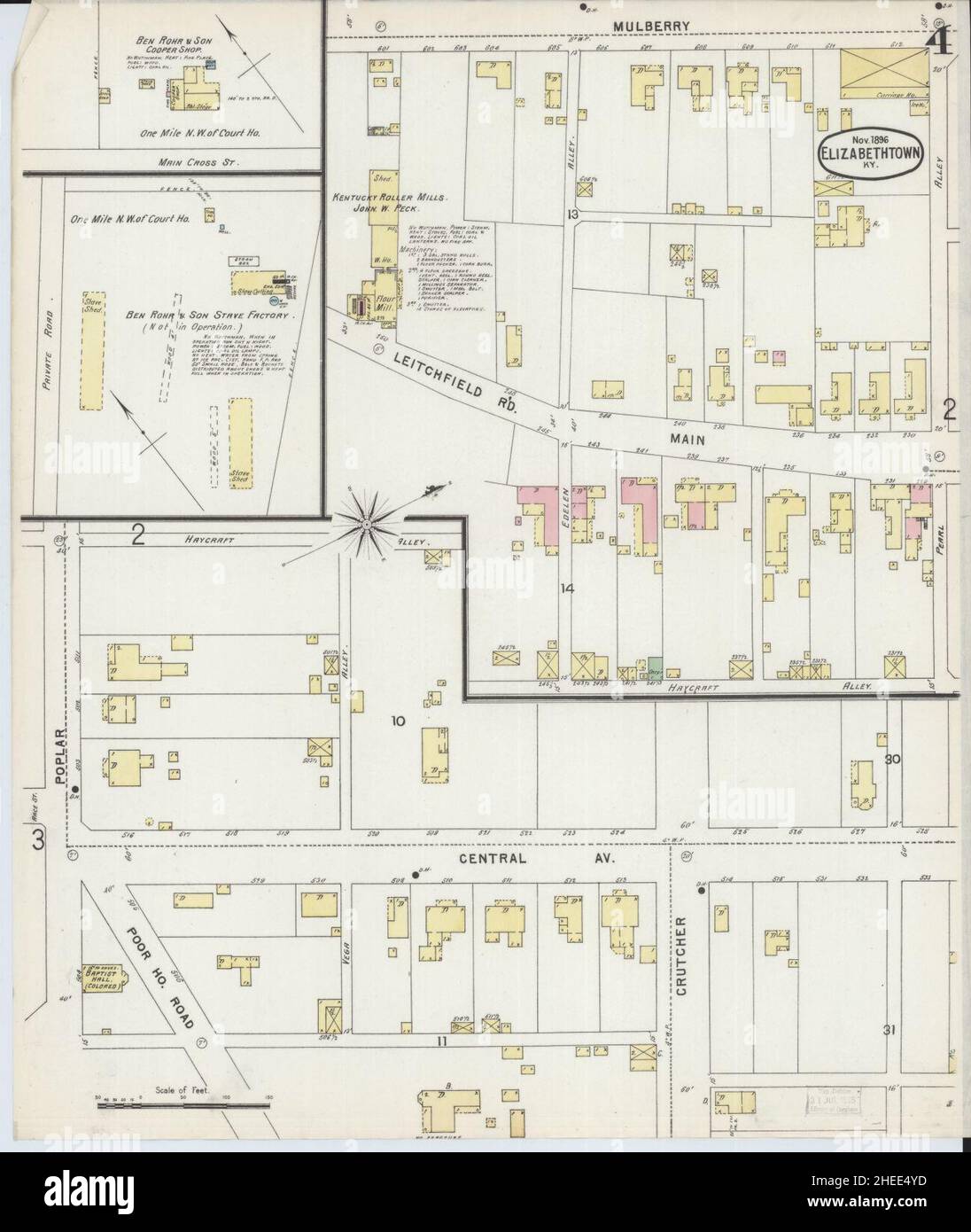 Sanborn Fire Insurance Map from Elizabethtown, Hardin County, Kentucky. Stock Photohttps://www.alamy.com/image-license-details/?v=1https://www.alamy.com/sanborn-fire-insurance-map-from-elizabethtown-hardin-county-kentucky-image456385985.html
RM2HEE4YD–Sanborn Fire Insurance Map from Elizabethtown, Hardin County, Kentucky.
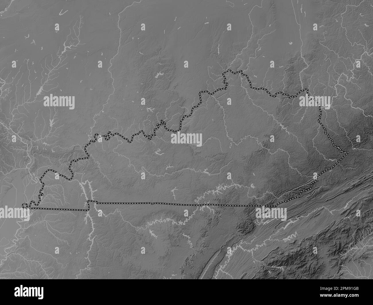 Kentucky, state of United States of America. Grayscale elevation map with lakes and rivers Stock Photohttps://www.alamy.com/image-license-details/?v=1https://www.alamy.com/kentucky-state-of-united-states-of-america-grayscale-elevation-map-with-lakes-and-rivers-image546013339.html
RF2PM91GB–Kentucky, state of United States of America. Grayscale elevation map with lakes and rivers
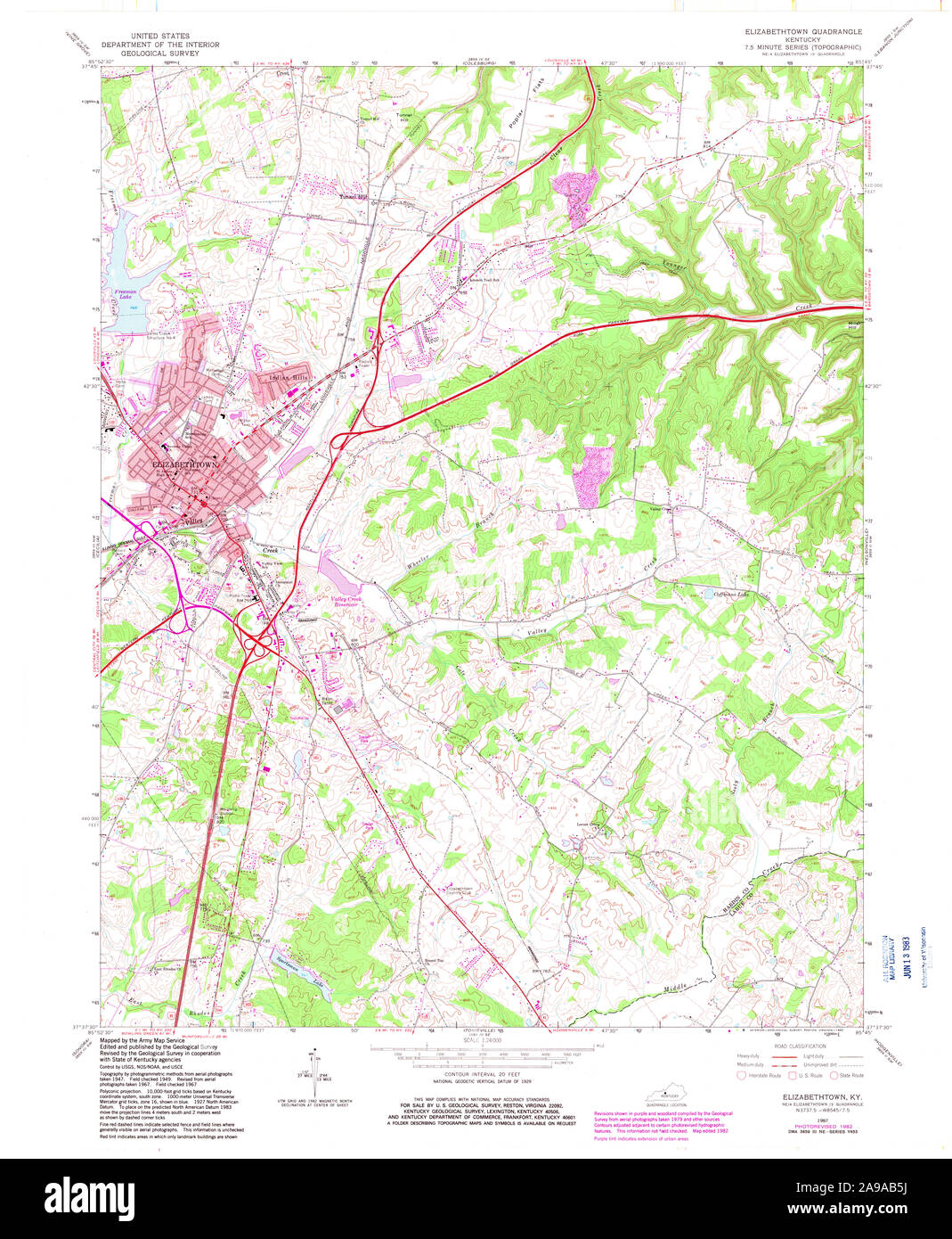 USGS TOPO Map Kentucky KY Elizabethtown 708586 1967 24000 Stock Photohttps://www.alamy.com/image-license-details/?v=1https://www.alamy.com/usgs-topo-map-kentucky-ky-elizabethtown-708586-1967-24000-image332757198.html
RM2A9AB5J–USGS TOPO Map Kentucky KY Elizabethtown 708586 1967 24000
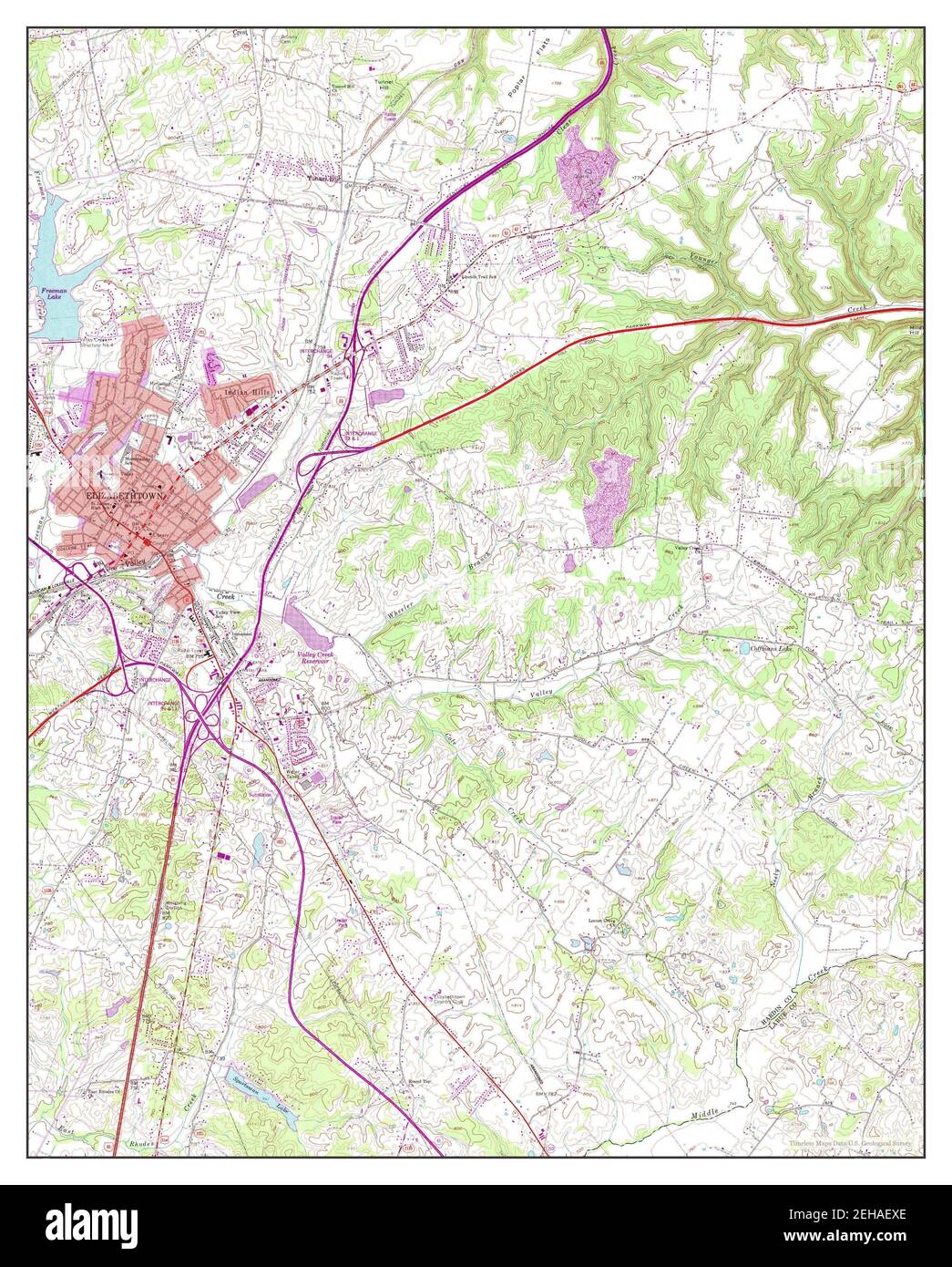 Elizabethtown, Kentucky, map 1967, 1:24000, United States of America by Timeless Maps, data U.S. Geological Survey Stock Photohttps://www.alamy.com/image-license-details/?v=1https://www.alamy.com/elizabethtown-kentucky-map-1967-124000-united-states-of-america-by-timeless-maps-data-us-geological-survey-image406518854.html
RM2EHAEXE–Elizabethtown, Kentucky, map 1967, 1:24000, United States of America by Timeless Maps, data U.S. Geological Survey
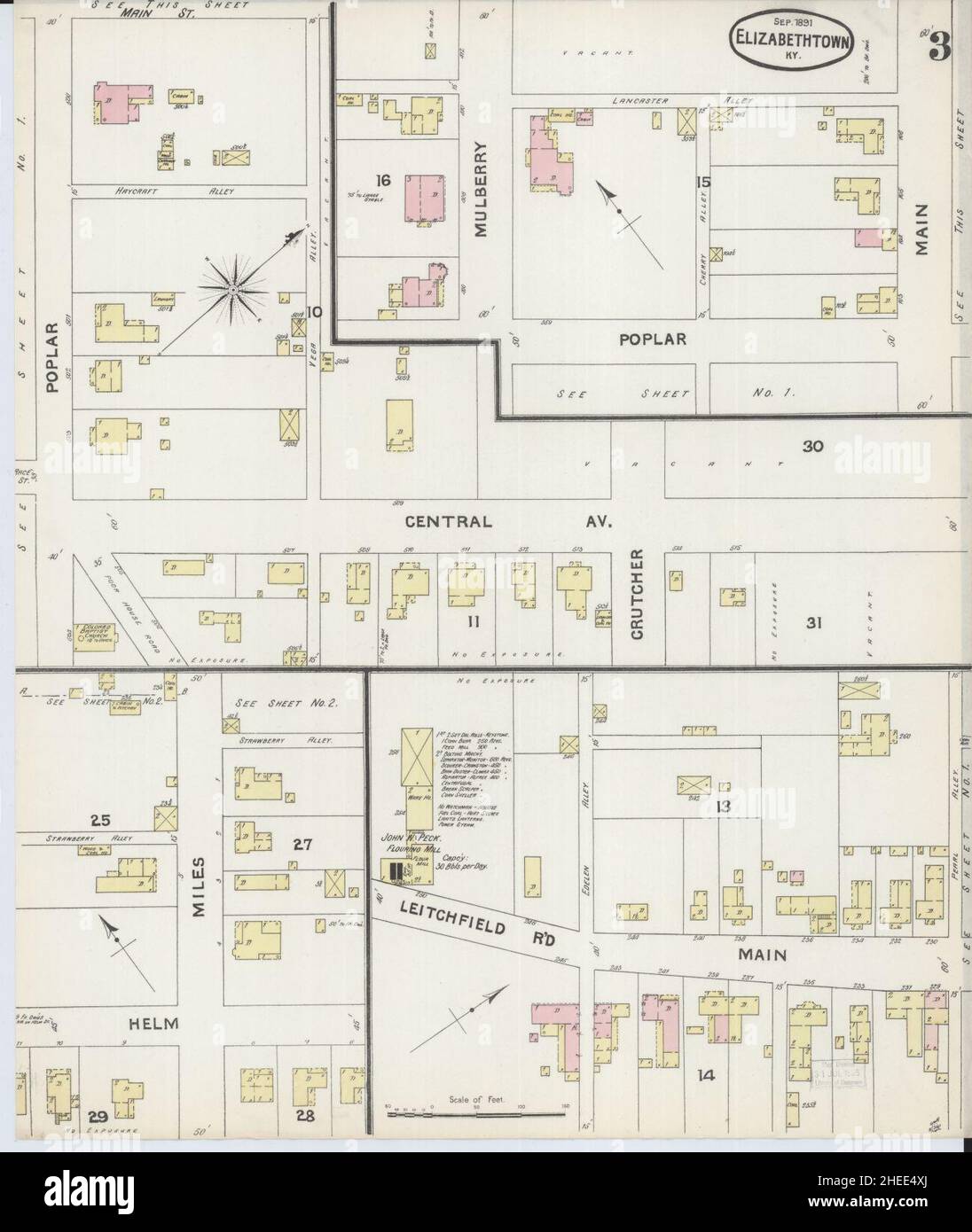 Sanborn Fire Insurance Map from Elizabethtown, Hardin County, Kentucky. Stock Photohttps://www.alamy.com/image-license-details/?v=1https://www.alamy.com/sanborn-fire-insurance-map-from-elizabethtown-hardin-county-kentucky-image456385962.html
RM2HEE4XJ–Sanborn Fire Insurance Map from Elizabethtown, Hardin County, Kentucky.
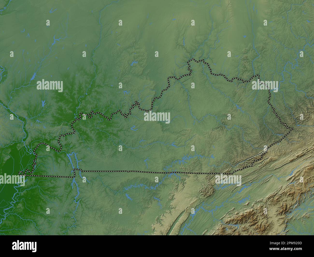 Kentucky, state of United States of America. Colored elevation map with lakes and rivers Stock Photohttps://www.alamy.com/image-license-details/?v=1https://www.alamy.com/kentucky-state-of-united-states-of-america-colored-elevation-map-with-lakes-and-rivers-image546013677.html
RF2PM920D–Kentucky, state of United States of America. Colored elevation map with lakes and rivers
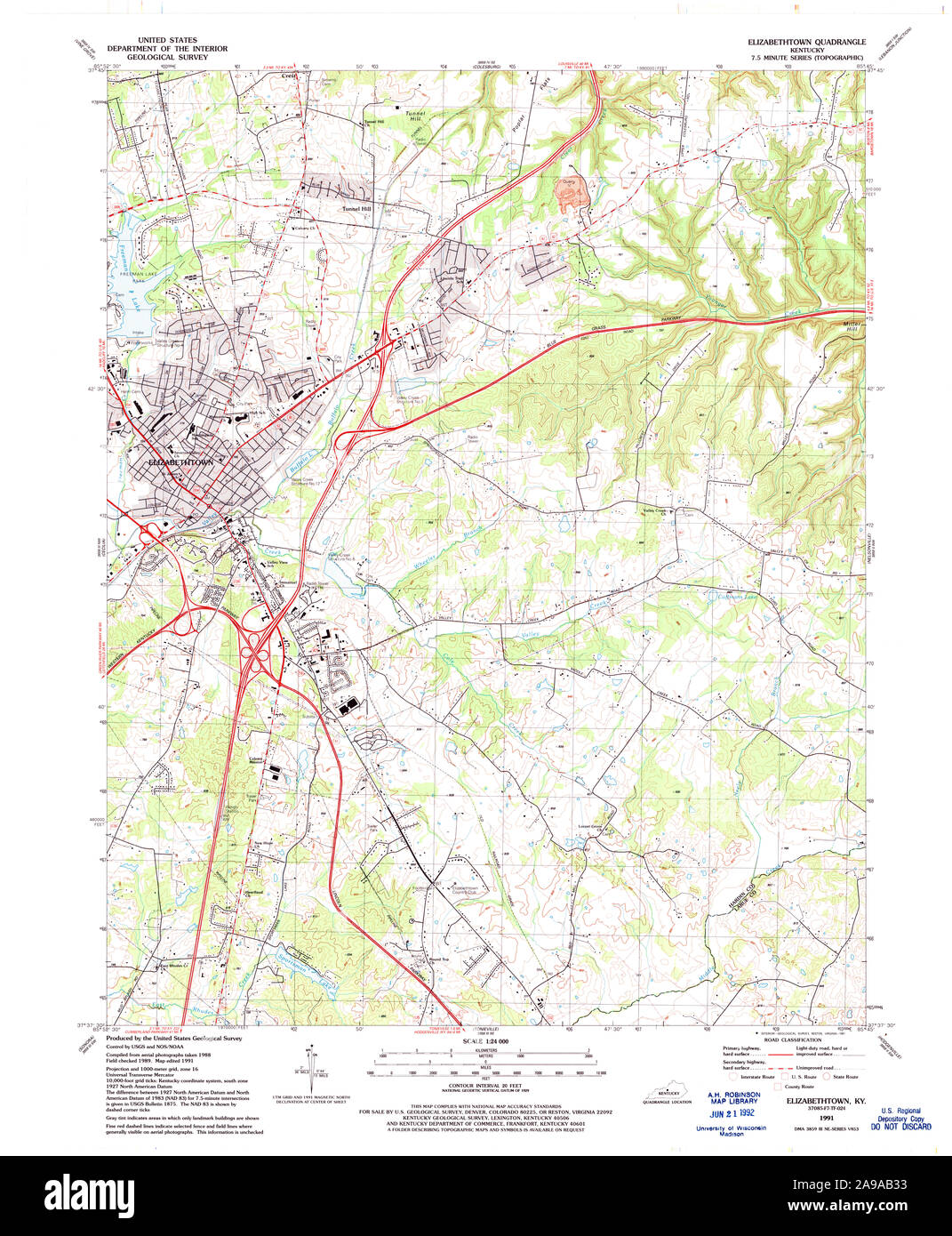 USGS TOPO Map Kentucky KY Elizabethtown 708582 1991 24000 Stock Photohttps://www.alamy.com/image-license-details/?v=1https://www.alamy.com/usgs-topo-map-kentucky-ky-elizabethtown-708582-1991-24000-image332757127.html
RM2A9AB33–USGS TOPO Map Kentucky KY Elizabethtown 708582 1991 24000
 Elizabethtown, Kentucky, map 1949, 1:62500, United States of America by Timeless Maps, data U.S. Geological Survey Stock Photohttps://www.alamy.com/image-license-details/?v=1https://www.alamy.com/elizabethtown-kentucky-map-1949-162500-united-states-of-america-by-timeless-maps-data-us-geological-survey-image414047639.html
RM2F1HDYK–Elizabethtown, Kentucky, map 1949, 1:62500, United States of America by Timeless Maps, data U.S. Geological Survey
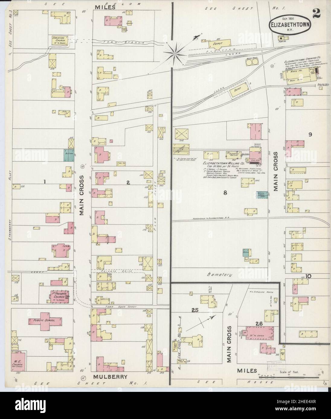 Sanborn Fire Insurance Map from Elizabethtown, Hardin County, Kentucky. Stock Photohttps://www.alamy.com/image-license-details/?v=1https://www.alamy.com/sanborn-fire-insurance-map-from-elizabethtown-hardin-county-kentucky-image456385967.html
RM2HEE4XR–Sanborn Fire Insurance Map from Elizabethtown, Hardin County, Kentucky.
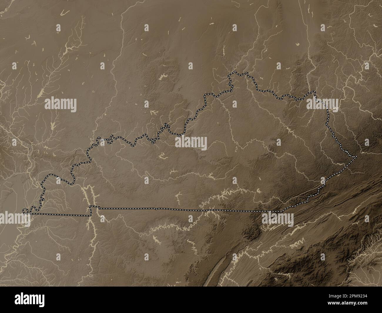 Kentucky, state of United States of America. Elevation map colored in sepia tones with lakes and rivers Stock Photohttps://www.alamy.com/image-license-details/?v=1https://www.alamy.com/kentucky-state-of-united-states-of-america-elevation-map-colored-in-sepia-tones-with-lakes-and-rivers-image546013752.html
RF2PM9234–Kentucky, state of United States of America. Elevation map colored in sepia tones with lakes and rivers
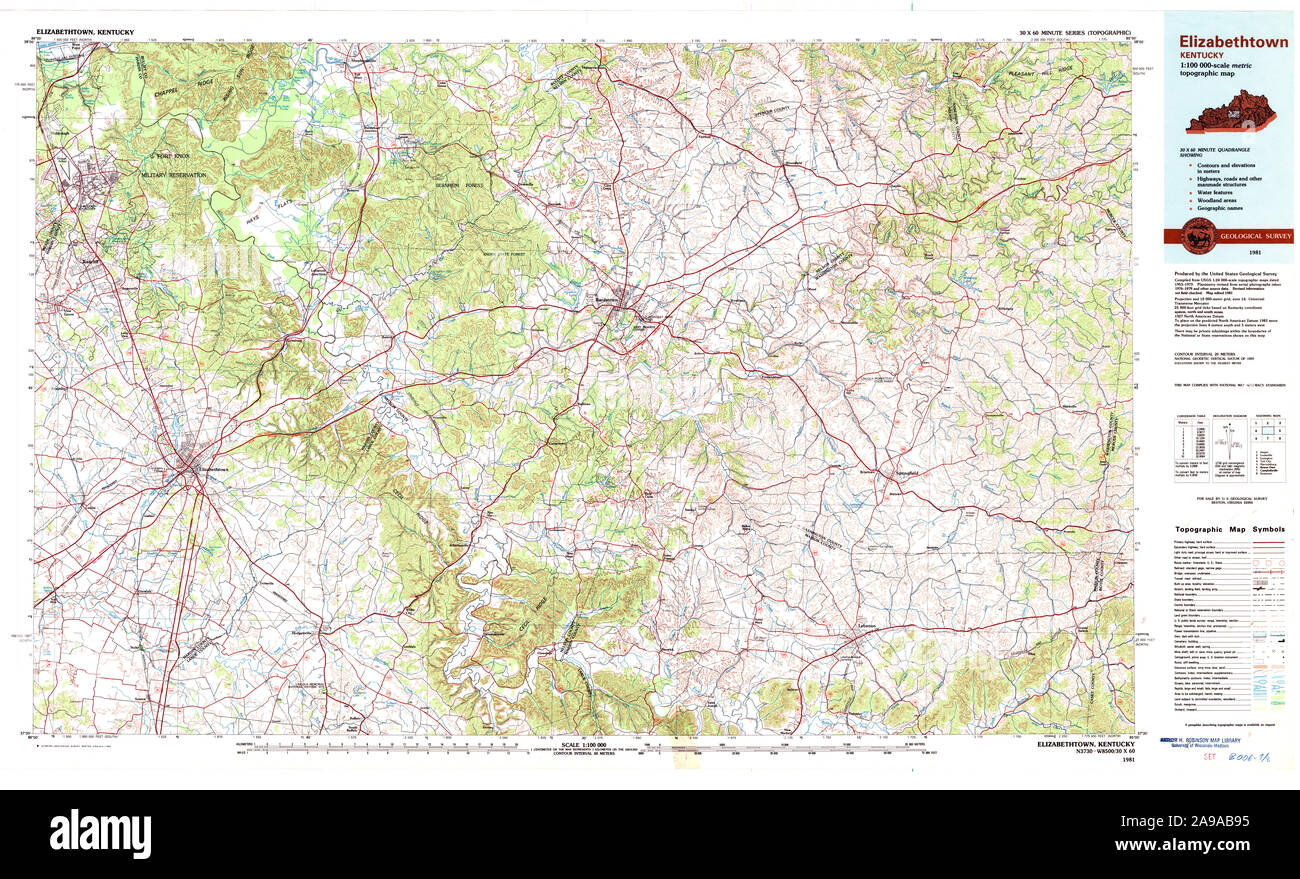 USGS TOPO Map Kentucky KY Elizabethtown 710066 1981 100000 Stock Photohttps://www.alamy.com/image-license-details/?v=1https://www.alamy.com/usgs-topo-map-kentucky-ky-elizabethtown-710066-1981-100000-image332757297.html
RM2A9AB95–USGS TOPO Map Kentucky KY Elizabethtown 710066 1981 100000
 Elizabethtown, Kentucky, map 1960, 1:24000, United States of America by Timeless Maps, data U.S. Geological Survey Stock Photohttps://www.alamy.com/image-license-details/?v=1https://www.alamy.com/elizabethtown-kentucky-map-1960-124000-united-states-of-america-by-timeless-maps-data-us-geological-survey-image406518995.html
RM2EHAF3F–Elizabethtown, Kentucky, map 1960, 1:24000, United States of America by Timeless Maps, data U.S. Geological Survey
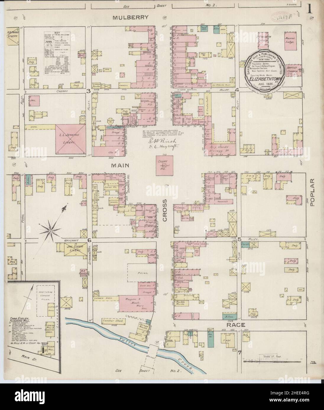 Sanborn Fire Insurance Map from Elizabethtown, Hardin County, Kentucky. Stock Photohttps://www.alamy.com/image-license-details/?v=1https://www.alamy.com/sanborn-fire-insurance-map-from-elizabethtown-hardin-county-kentucky-image456385876.html
RM2HEE4RG–Sanborn Fire Insurance Map from Elizabethtown, Hardin County, Kentucky.
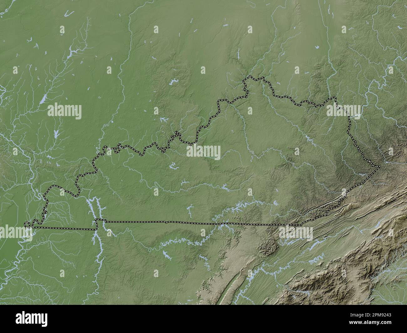 Kentucky, state of United States of America. Elevation map colored in wiki style with lakes and rivers Stock Photohttps://www.alamy.com/image-license-details/?v=1https://www.alamy.com/kentucky-state-of-united-states-of-america-elevation-map-colored-in-wiki-style-with-lakes-and-rivers-image546013779.html
RF2PM9243–Kentucky, state of United States of America. Elevation map colored in wiki style with lakes and rivers
 USGS TOPO Map Kentucky KY Elizabethtown 708585 1938 62500 Stock Photohttps://www.alamy.com/image-license-details/?v=1https://www.alamy.com/usgs-topo-map-kentucky-ky-elizabethtown-708585-1938-62500-image332757160.html
RM2A9AB48–USGS TOPO Map Kentucky KY Elizabethtown 708585 1938 62500
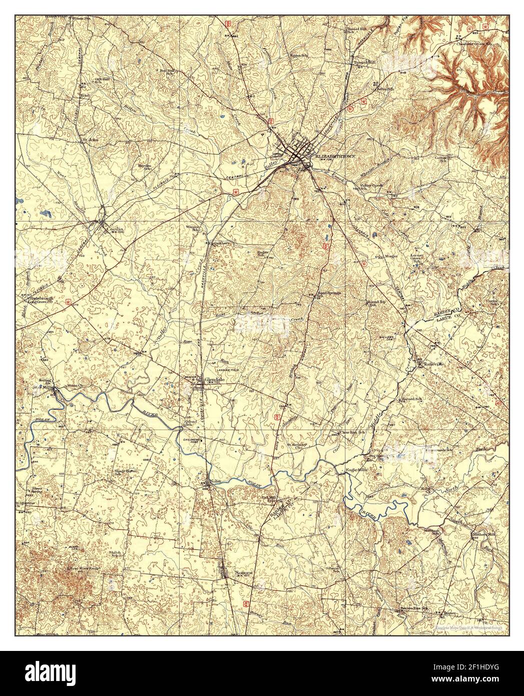 Elizabethtown, Kentucky, map 1938, 1:62500, United States of America by Timeless Maps, data U.S. Geological Survey Stock Photohttps://www.alamy.com/image-license-details/?v=1https://www.alamy.com/elizabethtown-kentucky-map-1938-162500-united-states-of-america-by-timeless-maps-data-us-geological-survey-image414047636.html
RM2F1HDYG–Elizabethtown, Kentucky, map 1938, 1:62500, United States of America by Timeless Maps, data U.S. Geological Survey
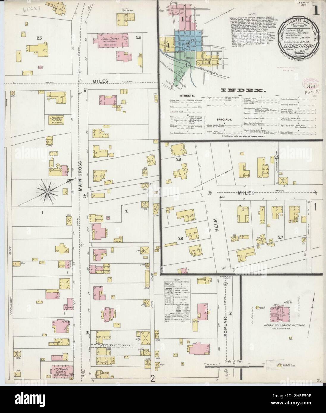 Sanborn Fire Insurance Map from Elizabethtown, Hardin County, Kentucky. Stock Photohttps://www.alamy.com/image-license-details/?v=1https://www.alamy.com/sanborn-fire-insurance-map-from-elizabethtown-hardin-county-kentucky-image456386014.html
RM2HEE50E–Sanborn Fire Insurance Map from Elizabethtown, Hardin County, Kentucky.
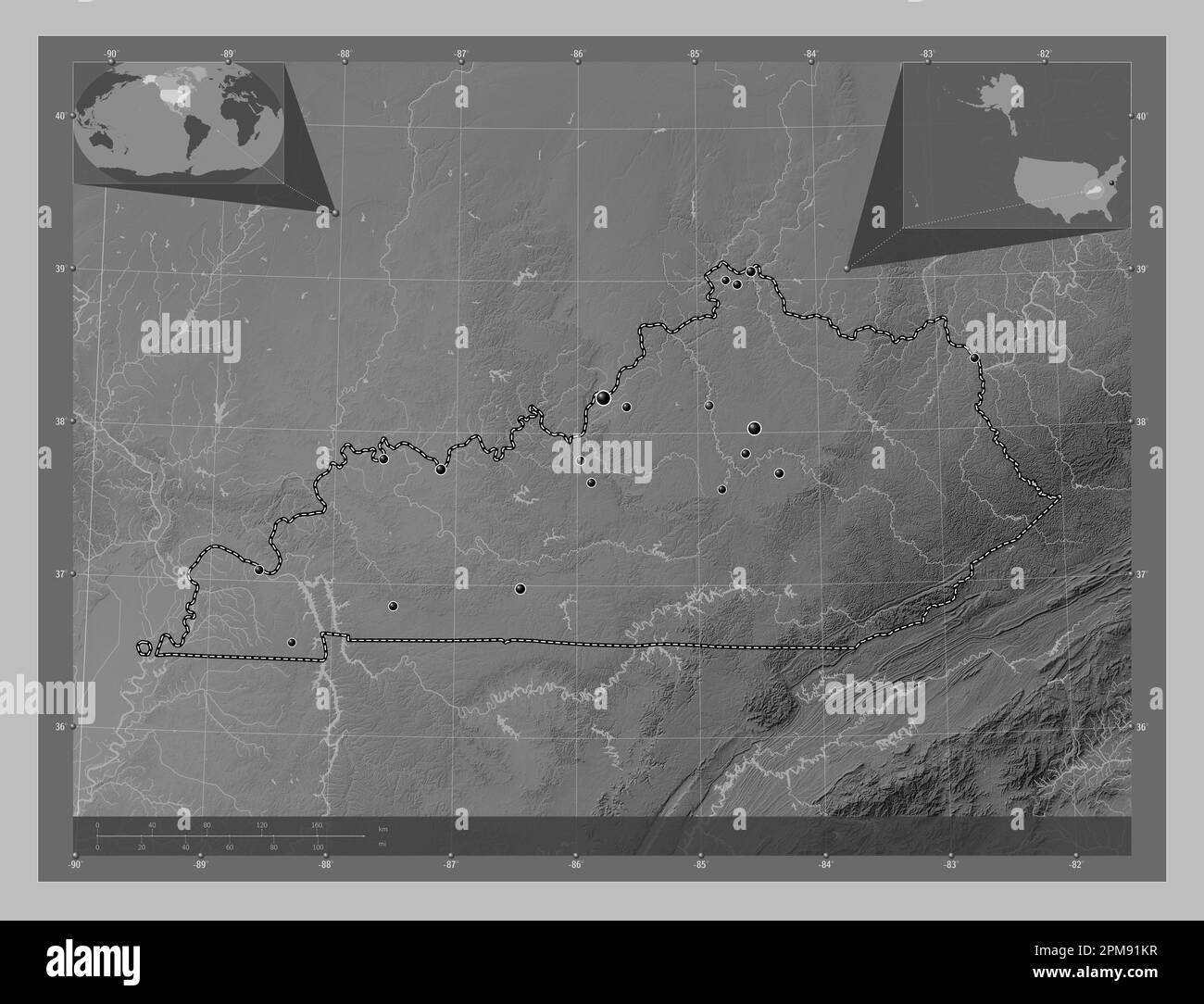 Kentucky, state of United States of America. Grayscale elevation map with lakes and rivers. Locations of major cities of the region. Corner auxiliary Stock Photohttps://www.alamy.com/image-license-details/?v=1https://www.alamy.com/kentucky-state-of-united-states-of-america-grayscale-elevation-map-with-lakes-and-rivers-locations-of-major-cities-of-the-region-corner-auxiliary-image546013435.html
RF2PM91KR–Kentucky, state of United States of America. Grayscale elevation map with lakes and rivers. Locations of major cities of the region. Corner auxiliary
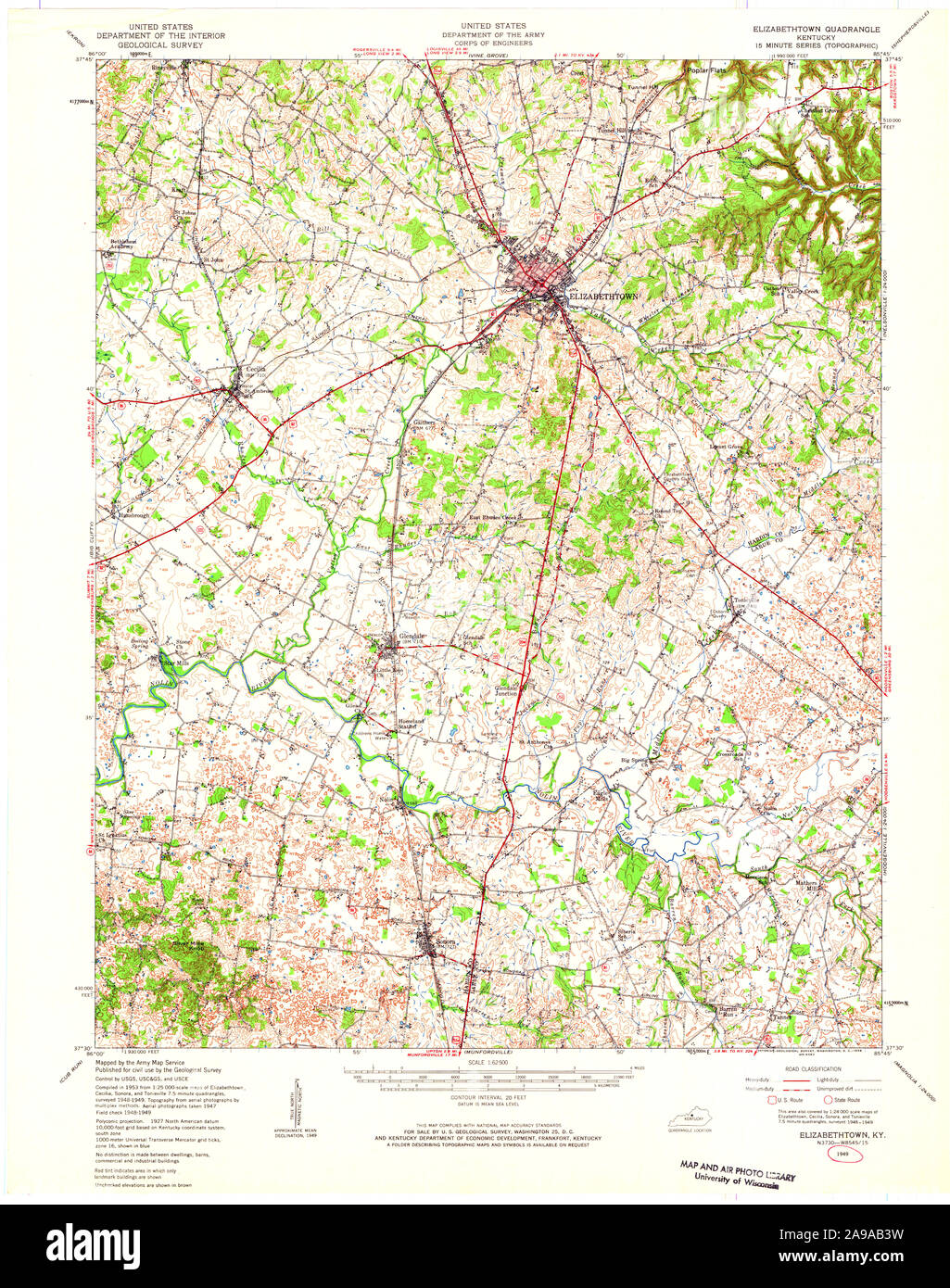 USGS TOPO Map Kentucky KY Elizabethtown 708584 1949 62500 Stock Photohttps://www.alamy.com/image-license-details/?v=1https://www.alamy.com/usgs-topo-map-kentucky-ky-elizabethtown-708584-1949-62500-image332757149.html
RM2A9AB3W–USGS TOPO Map Kentucky KY Elizabethtown 708584 1949 62500
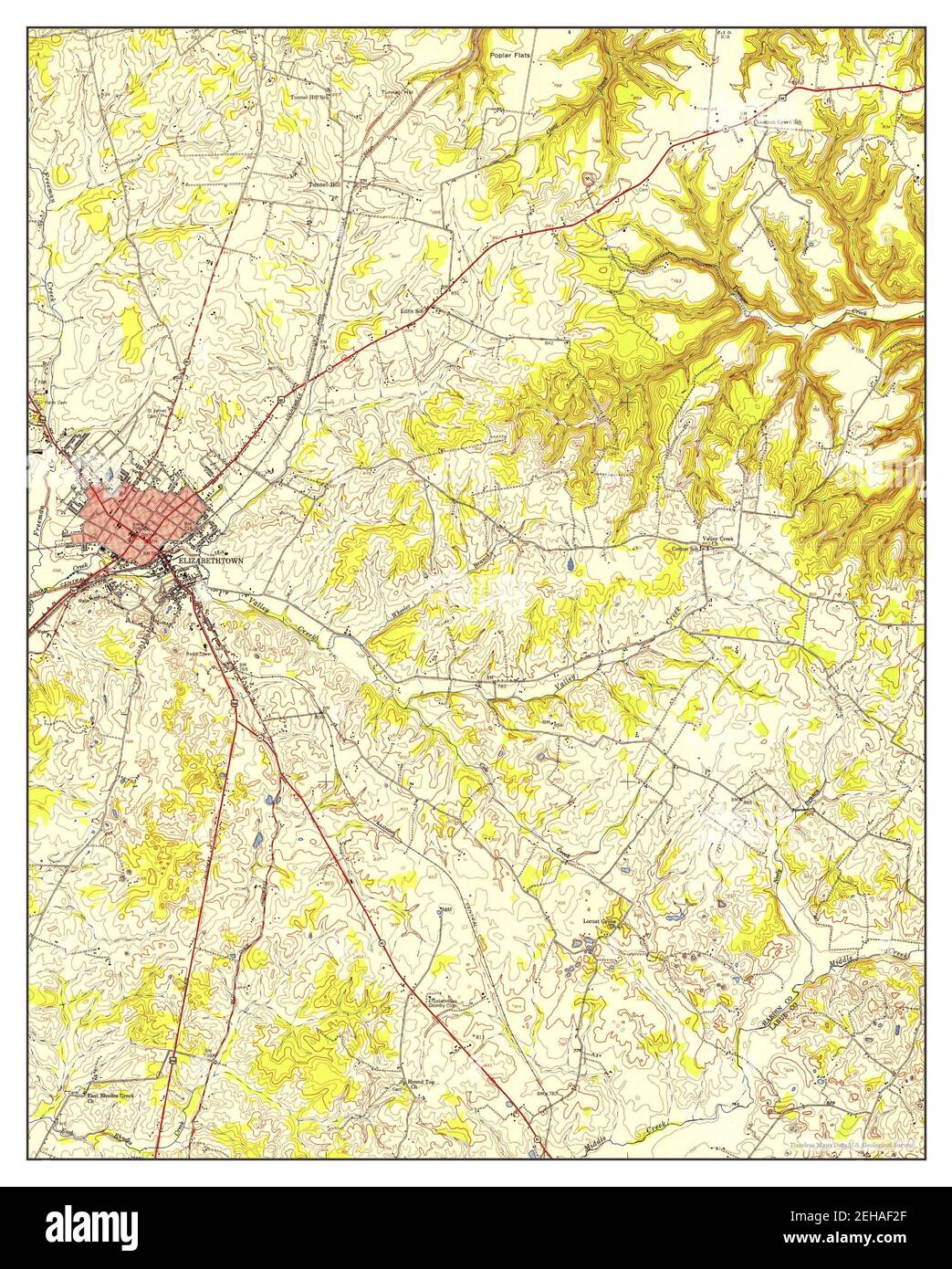 Elizabethtown, Kentucky, map 1949, 1:24000, United States of America by Timeless Maps, data U.S. Geological Survey Stock Photohttps://www.alamy.com/image-license-details/?v=1https://www.alamy.com/elizabethtown-kentucky-map-1949-124000-united-states-of-america-by-timeless-maps-data-us-geological-survey-image406518967.html
RM2EHAF2F–Elizabethtown, Kentucky, map 1949, 1:24000, United States of America by Timeless Maps, data U.S. Geological Survey
 Kentucky, state of United States of America. Open Street Map. Locations of major cities of the region. Corner auxiliary location maps Stock Photohttps://www.alamy.com/image-license-details/?v=1https://www.alamy.com/kentucky-state-of-united-states-of-america-open-street-map-locations-of-major-cities-of-the-region-corner-auxiliary-location-maps-image546013554.html
RF2PM91T2–Kentucky, state of United States of America. Open Street Map. Locations of major cities of the region. Corner auxiliary location maps
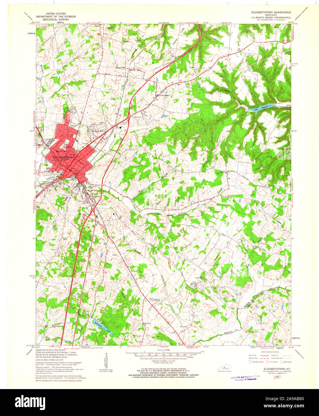 USGS TOPO Map Kentucky KY Elizabethtown 708589 1960 24000 Stock Photohttps://www.alamy.com/image-license-details/?v=1https://www.alamy.com/usgs-topo-map-kentucky-ky-elizabethtown-708589-1960-24000-image332757264.html
RM2A9AB80–USGS TOPO Map Kentucky KY Elizabethtown 708589 1960 24000
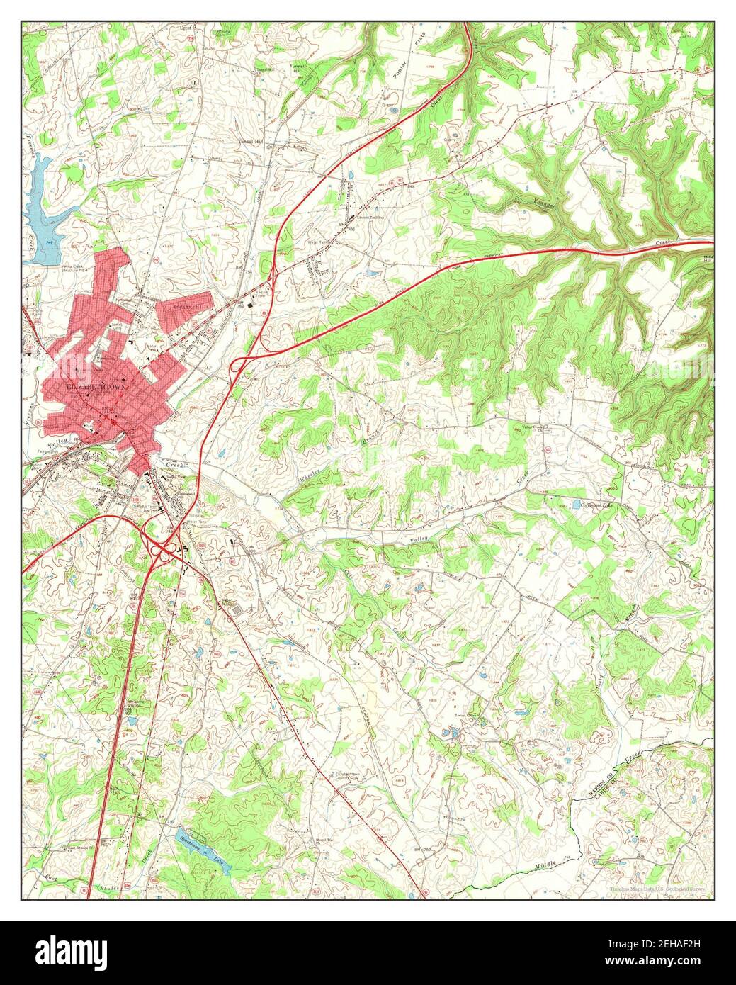 Elizabethtown, Kentucky, map 1967, 1:24000, United States of America by Timeless Maps, data U.S. Geological Survey Stock Photohttps://www.alamy.com/image-license-details/?v=1https://www.alamy.com/elizabethtown-kentucky-map-1967-124000-united-states-of-america-by-timeless-maps-data-us-geological-survey-image406518969.html
RM2EHAF2H–Elizabethtown, Kentucky, map 1967, 1:24000, United States of America by Timeless Maps, data U.S. Geological Survey
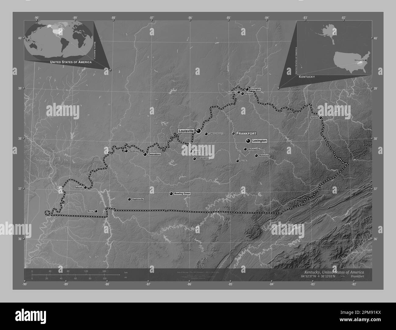 Kentucky, state of United States of America. Grayscale elevation map with lakes and rivers. Locations and names of major cities of the region. Corner Stock Photohttps://www.alamy.com/image-license-details/?v=1https://www.alamy.com/kentucky-state-of-united-states-of-america-grayscale-elevation-map-with-lakes-and-rivers-locations-and-names-of-major-cities-of-the-region-corner-image546013438.html
RF2PM91KX–Kentucky, state of United States of America. Grayscale elevation map with lakes and rivers. Locations and names of major cities of the region. Corner
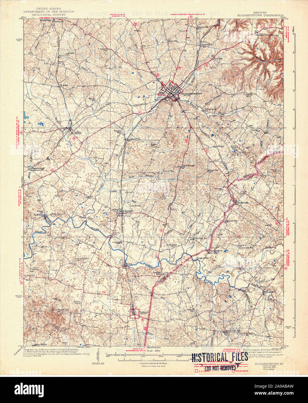 USGS TOPO Map Kentucky KY Elizabethtown 803487 1938 62500 Stock Photohttps://www.alamy.com/image-license-details/?v=1https://www.alamy.com/usgs-topo-map-kentucky-ky-elizabethtown-803487-1938-62500-image332757345.html
RM2A9ABAW–USGS TOPO Map Kentucky KY Elizabethtown 803487 1938 62500
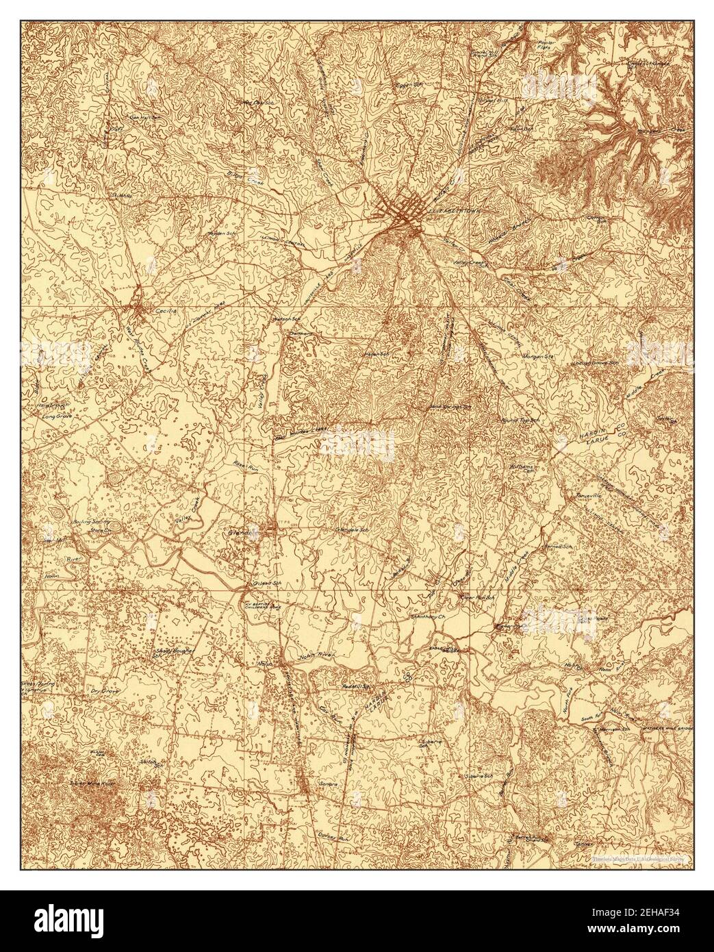 Elizabethtown, Kentucky, map 1935, 1:48000, United States of America by Timeless Maps, data U.S. Geological Survey Stock Photohttps://www.alamy.com/image-license-details/?v=1https://www.alamy.com/elizabethtown-kentucky-map-1935-148000-united-states-of-america-by-timeless-maps-data-us-geological-survey-image406518984.html
RM2EHAF34–Elizabethtown, Kentucky, map 1935, 1:48000, United States of America by Timeless Maps, data U.S. Geological Survey
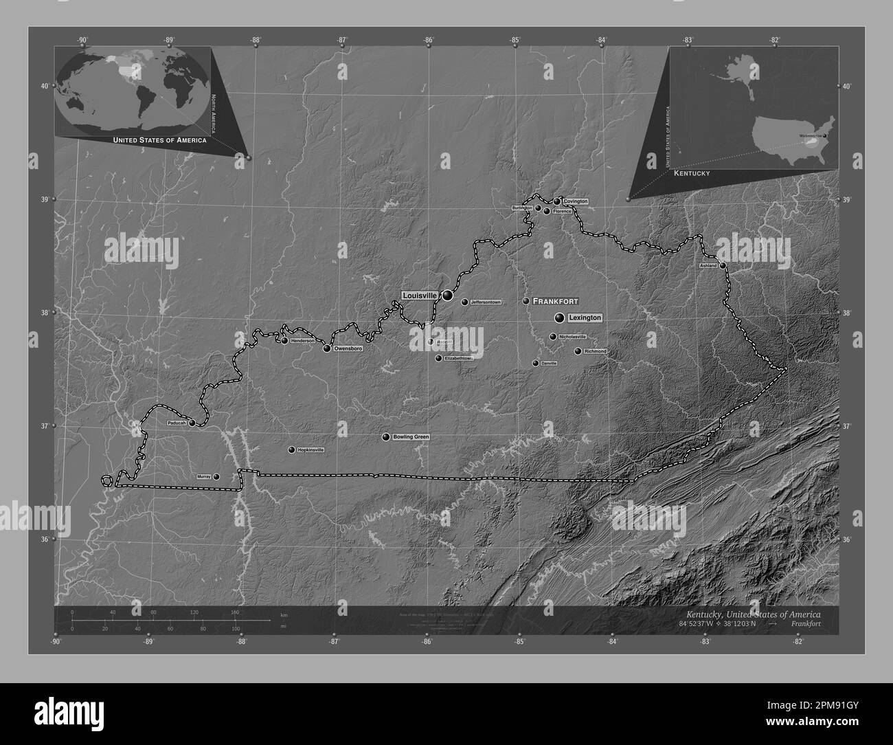 Kentucky, state of United States of America. Bilevel elevation map with lakes and rivers. Locations and names of major cities of the region. Corner au Stock Photohttps://www.alamy.com/image-license-details/?v=1https://www.alamy.com/kentucky-state-of-united-states-of-america-bilevel-elevation-map-with-lakes-and-rivers-locations-and-names-of-major-cities-of-the-region-corner-au-image546013355.html
RF2PM91GY–Kentucky, state of United States of America. Bilevel elevation map with lakes and rivers. Locations and names of major cities of the region. Corner au
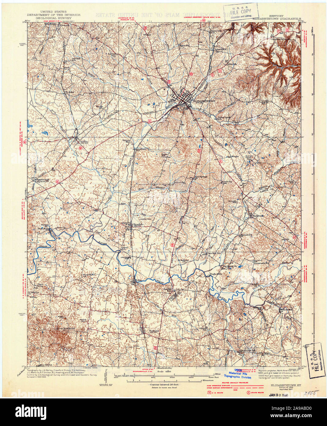 USGS TOPO Map Kentucky KY Elizabethtown 803488 1938 62500 Stock Photohttps://www.alamy.com/image-license-details/?v=1https://www.alamy.com/usgs-topo-map-kentucky-ky-elizabethtown-803488-1938-62500-image332757404.html
RM2A9ABD0–USGS TOPO Map Kentucky KY Elizabethtown 803488 1938 62500
 Elizabethtown, Kentucky, map 1938, 1:62500, United States of America by Timeless Maps, data U.S. Geological Survey Stock Photohttps://www.alamy.com/image-license-details/?v=1https://www.alamy.com/elizabethtown-kentucky-map-1938-162500-united-states-of-america-by-timeless-maps-data-us-geological-survey-image414047640.html
RM2F1HDYM–Elizabethtown, Kentucky, map 1938, 1:62500, United States of America by Timeless Maps, data U.S. Geological Survey
 Kentucky, state of United States of America. Elevation map colored in sepia tones with lakes and rivers. Locations and names of major cities of the re Stock Photohttps://www.alamy.com/image-license-details/?v=1https://www.alamy.com/kentucky-state-of-united-states-of-america-elevation-map-colored-in-sepia-tones-with-lakes-and-rivers-locations-and-names-of-major-cities-of-the-re-image546013673.html
RF2PM9209–Kentucky, state of United States of America. Elevation map colored in sepia tones with lakes and rivers. Locations and names of major cities of the re
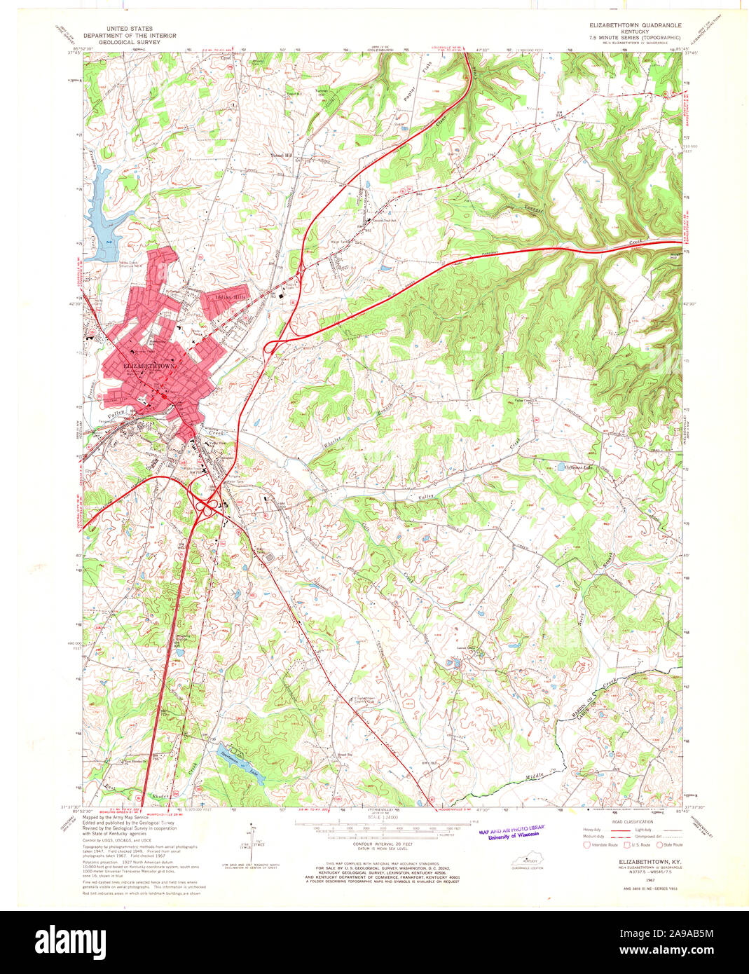 USGS TOPO Map Kentucky KY Elizabethtown 708587 1967 24000 Stock Photohttps://www.alamy.com/image-license-details/?v=1https://www.alamy.com/usgs-topo-map-kentucky-ky-elizabethtown-708587-1967-24000-image332757200.html
RM2A9AB5M–USGS TOPO Map Kentucky KY Elizabethtown 708587 1967 24000
 Elizabethtown, Kentucky, map 1938, 1:62500, United States of America by Timeless Maps, data U.S. Geological Survey Stock Photohttps://www.alamy.com/image-license-details/?v=1https://www.alamy.com/elizabethtown-kentucky-map-1938-162500-united-states-of-america-by-timeless-maps-data-us-geological-survey-image414047635.html
RM2F1HDYF–Elizabethtown, Kentucky, map 1938, 1:62500, United States of America by Timeless Maps, data U.S. Geological Survey
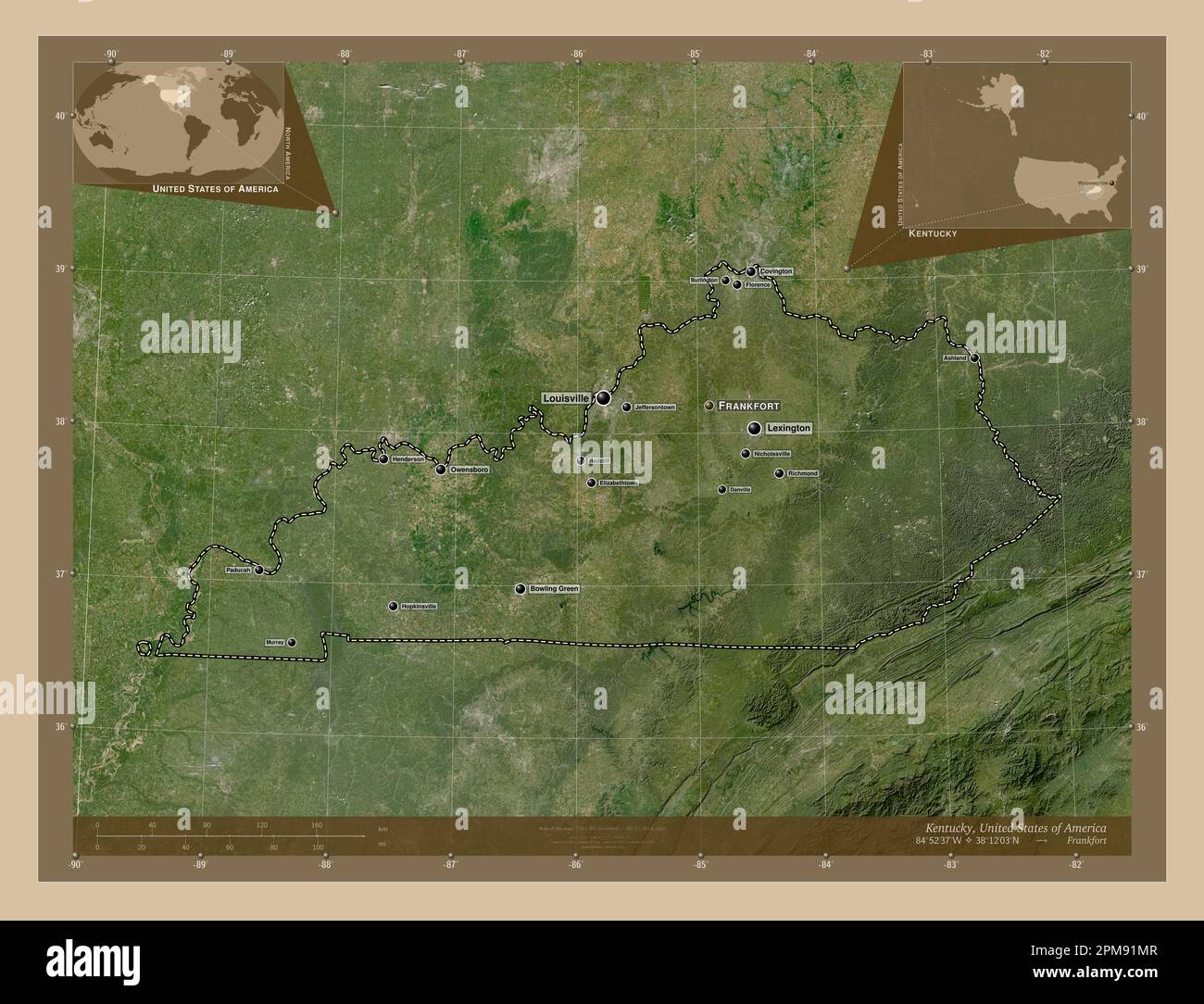 Kentucky, state of United States of America. Low resolution satellite map. Locations and names of major cities of the region. Corner auxiliary locatio Stock Photohttps://www.alamy.com/image-license-details/?v=1https://www.alamy.com/kentucky-state-of-united-states-of-america-low-resolution-satellite-map-locations-and-names-of-major-cities-of-the-region-corner-auxiliary-locatio-image546013463.html
RF2PM91MR–Kentucky, state of United States of America. Low resolution satellite map. Locations and names of major cities of the region. Corner auxiliary locatio
 USGS TOPO Map Kentucky KY Elizabethtown 803486 1935 48000 Stock Photohttps://www.alamy.com/image-license-details/?v=1https://www.alamy.com/usgs-topo-map-kentucky-ky-elizabethtown-803486-1935-48000-image332757356.html
RM2A9ABB8–USGS TOPO Map Kentucky KY Elizabethtown 803486 1935 48000
 Elizabethtown, Kentucky, map 1981, 1:100000, United States of America by Timeless Maps, data U.S. Geological Survey Stock Photohttps://www.alamy.com/image-license-details/?v=1https://www.alamy.com/elizabethtown-kentucky-map-1981-1100000-united-states-of-america-by-timeless-maps-data-us-geological-survey-image406518973.html
RM2EHAF2N–Elizabethtown, Kentucky, map 1981, 1:100000, United States of America by Timeless Maps, data U.S. Geological Survey
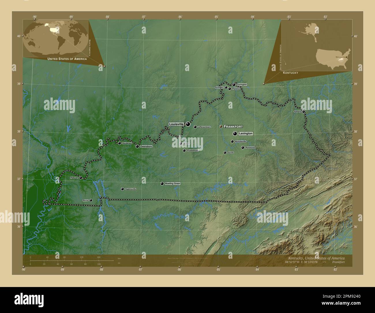 Kentucky, state of United States of America. Colored elevation map with lakes and rivers. Locations and names of major cities of the region. Corner au Stock Photohttps://www.alamy.com/image-license-details/?v=1https://www.alamy.com/kentucky-state-of-united-states-of-america-colored-elevation-map-with-lakes-and-rivers-locations-and-names-of-major-cities-of-the-region-corner-au-image546013776.html
RF2PM9240–Kentucky, state of United States of America. Colored elevation map with lakes and rivers. Locations and names of major cities of the region. Corner au
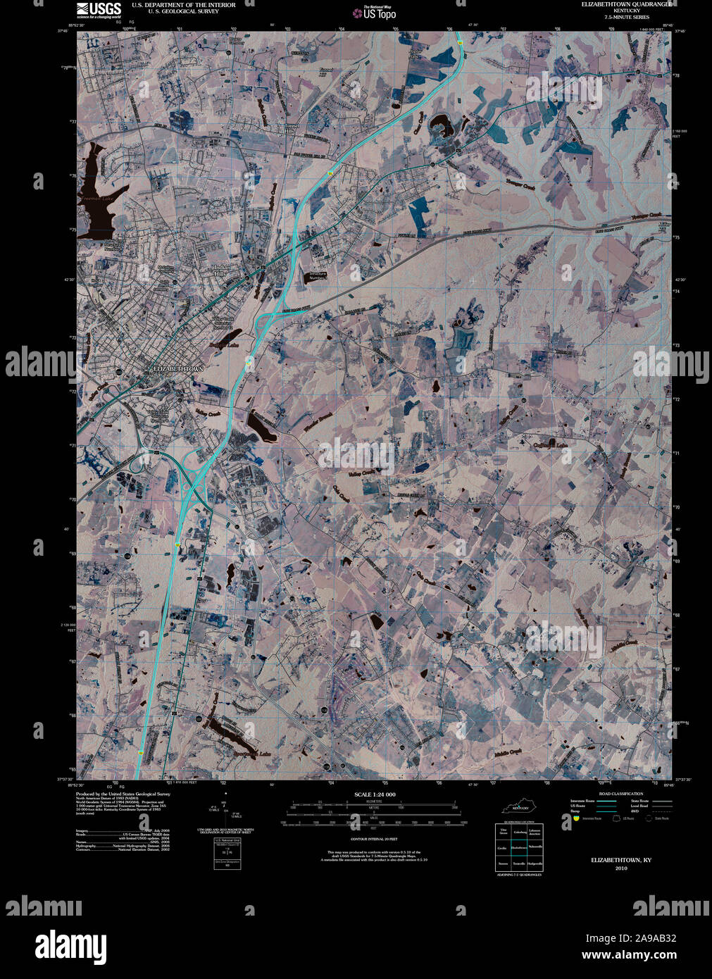 USGS TOPO Map Kentucky KY Elizabethtown 20100409 TM Inverted Stock Photohttps://www.alamy.com/image-license-details/?v=1https://www.alamy.com/usgs-topo-map-kentucky-ky-elizabethtown-20100409-tm-inverted-image332757126.html
RM2A9AB32–USGS TOPO Map Kentucky KY Elizabethtown 20100409 TM Inverted
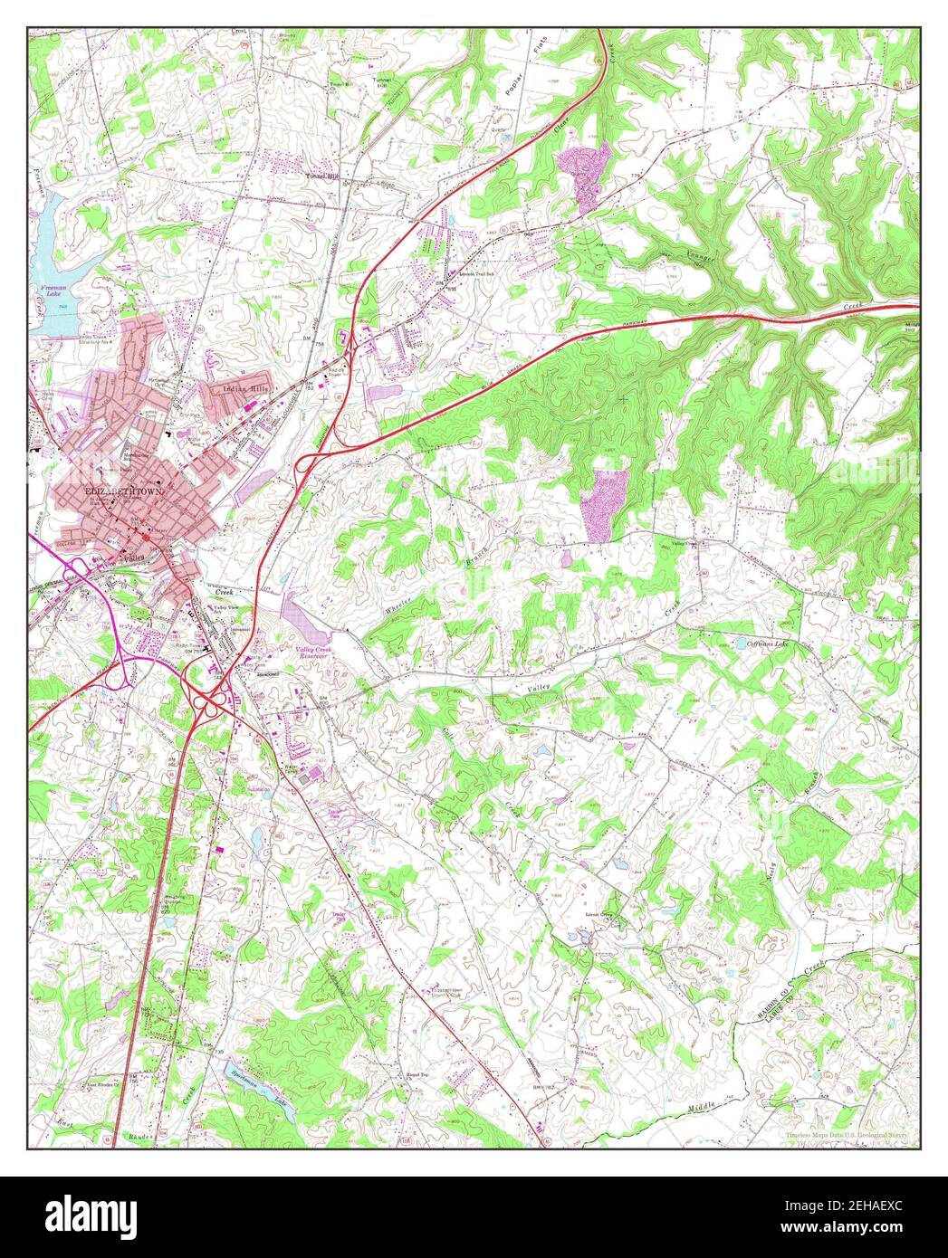 Elizabethtown, Kentucky, map 1967, 1:24000, United States of America by Timeless Maps, data U.S. Geological Survey Stock Photohttps://www.alamy.com/image-license-details/?v=1https://www.alamy.com/elizabethtown-kentucky-map-1967-124000-united-states-of-america-by-timeless-maps-data-us-geological-survey-image406518852.html
RM2EHAEXC–Elizabethtown, Kentucky, map 1967, 1:24000, United States of America by Timeless Maps, data U.S. Geological Survey
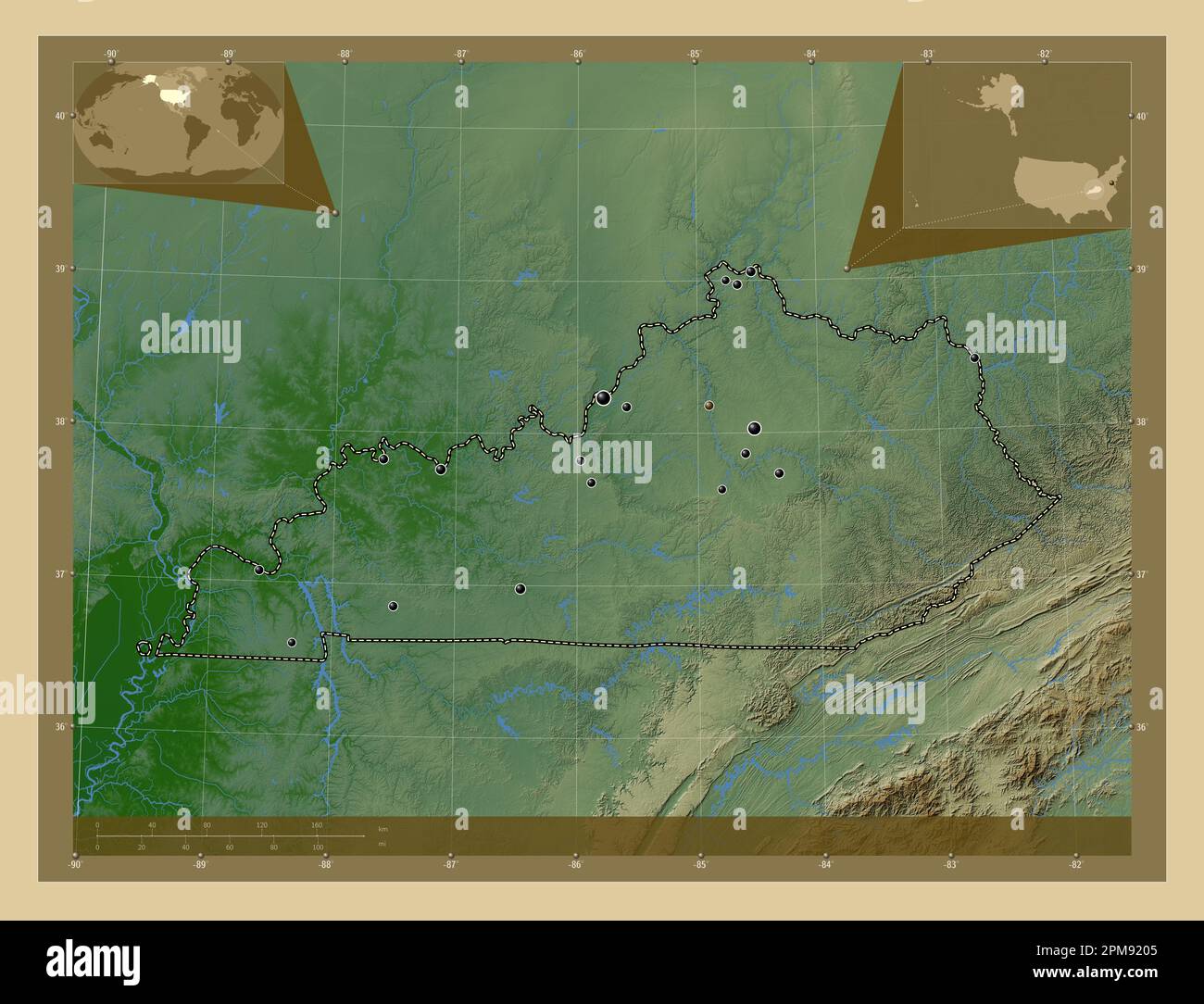 Kentucky, state of United States of America. Colored elevation map with lakes and rivers. Locations of major cities of the region. Corner auxiliary lo Stock Photohttps://www.alamy.com/image-license-details/?v=1https://www.alamy.com/kentucky-state-of-united-states-of-america-colored-elevation-map-with-lakes-and-rivers-locations-of-major-cities-of-the-region-corner-auxiliary-lo-image546013669.html
RF2PM9205–Kentucky, state of United States of America. Colored elevation map with lakes and rivers. Locations of major cities of the region. Corner auxiliary lo
 USGS TOPO Map Kentucky KY Elizabethtown 803485 1960 24000 Stock Photohttps://www.alamy.com/image-license-details/?v=1https://www.alamy.com/usgs-topo-map-kentucky-ky-elizabethtown-803485-1960-24000-image332757298.html
RM2A9AB96–USGS TOPO Map Kentucky KY Elizabethtown 803485 1960 24000
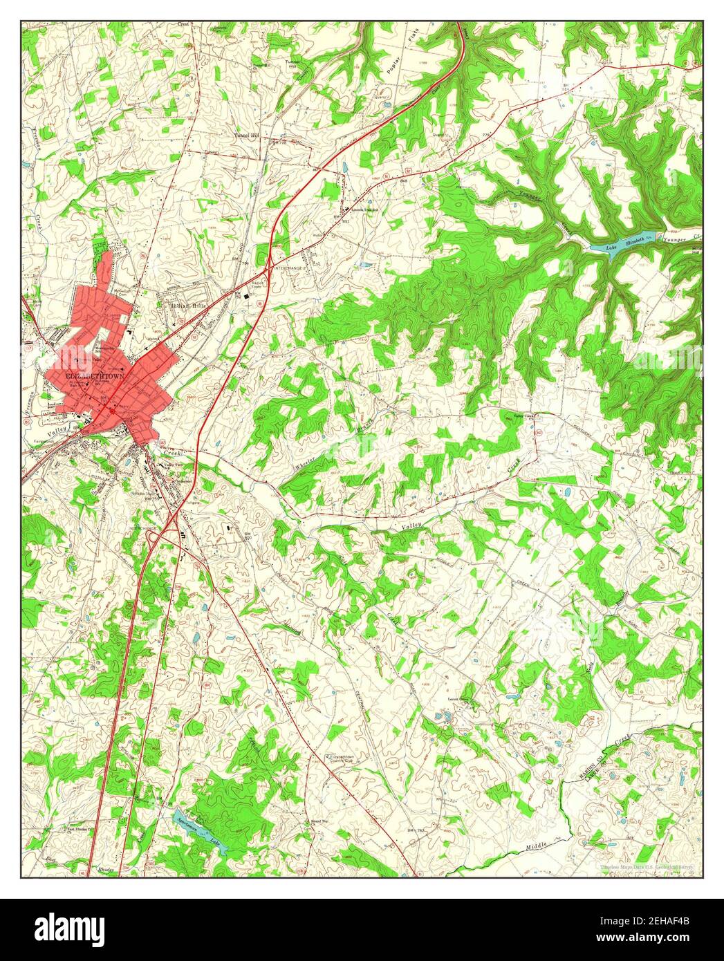 Elizabethtown, Kentucky, map 1960, 1:24000, United States of America by Timeless Maps, data U.S. Geological Survey Stock Photohttps://www.alamy.com/image-license-details/?v=1https://www.alamy.com/elizabethtown-kentucky-map-1960-124000-united-states-of-america-by-timeless-maps-data-us-geological-survey-image406519019.html
RM2EHAF4B–Elizabethtown, Kentucky, map 1960, 1:24000, United States of America by Timeless Maps, data U.S. Geological Survey
 Kentucky, state of United States of America. Low resolution satellite map. Locations of major cities of the region. Corner auxiliary location maps Stock Photohttps://www.alamy.com/image-license-details/?v=1https://www.alamy.com/kentucky-state-of-united-states-of-america-low-resolution-satellite-map-locations-of-major-cities-of-the-region-corner-auxiliary-location-maps-image546013526.html
RF2PM91R2–Kentucky, state of United States of America. Low resolution satellite map. Locations of major cities of the region. Corner auxiliary location maps
 USGS TOPO Map Kentucky KY Elizabethtown 708582 1991 24000 Inverted Stock Photohttps://www.alamy.com/image-license-details/?v=1https://www.alamy.com/usgs-topo-map-kentucky-ky-elizabethtown-708582-1991-24000-inverted-image332757118.html
RM2A9AB2P–USGS TOPO Map Kentucky KY Elizabethtown 708582 1991 24000 Inverted
 Kentucky, state of United States of America. High resolution satellite map. Locations and names of major cities of the region. Corner auxiliary locati Stock Photohttps://www.alamy.com/image-license-details/?v=1https://www.alamy.com/kentucky-state-of-united-states-of-america-high-resolution-satellite-map-locations-and-names-of-major-cities-of-the-region-corner-auxiliary-locati-image546013437.html
RF2PM91KW–Kentucky, state of United States of America. High resolution satellite map. Locations and names of major cities of the region. Corner auxiliary locati
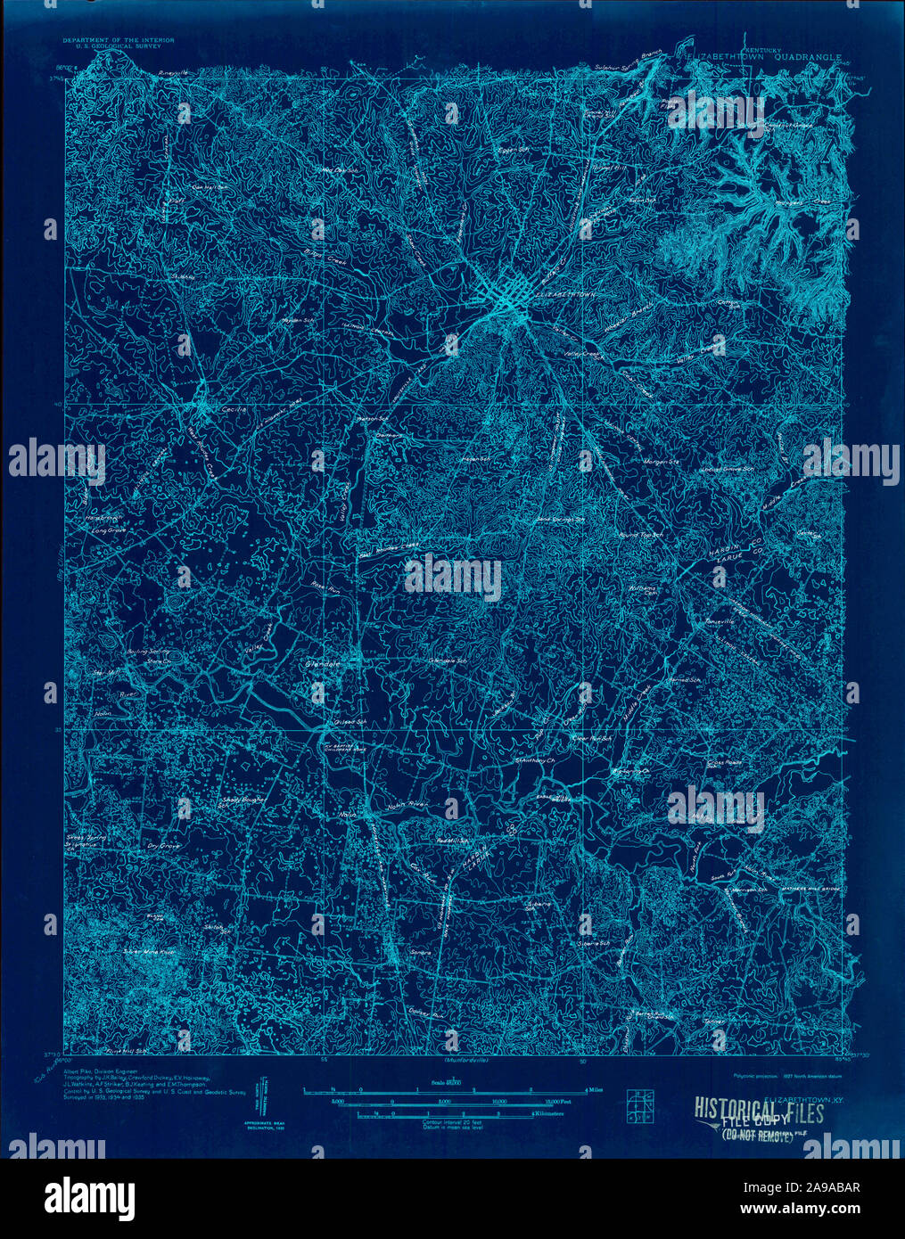 USGS TOPO Map Kentucky KY Elizabethtown 803486 1935 48000 Inverted Stock Photohttps://www.alamy.com/image-license-details/?v=1https://www.alamy.com/usgs-topo-map-kentucky-ky-elizabethtown-803486-1935-48000-inverted-image332757343.html
RM2A9ABAR–USGS TOPO Map Kentucky KY Elizabethtown 803486 1935 48000 Inverted
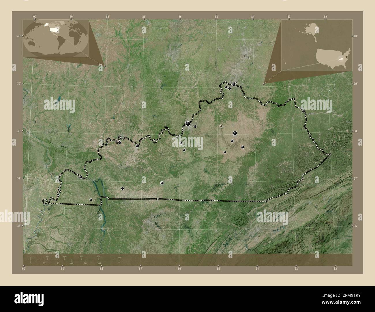 Kentucky, state of United States of America. High resolution satellite map. Locations of major cities of the region. Corner auxiliary location maps Stock Photohttps://www.alamy.com/image-license-details/?v=1https://www.alamy.com/kentucky-state-of-united-states-of-america-high-resolution-satellite-map-locations-of-major-cities-of-the-region-corner-auxiliary-location-maps-image546013551.html
RF2PM91RY–Kentucky, state of United States of America. High resolution satellite map. Locations of major cities of the region. Corner auxiliary location maps
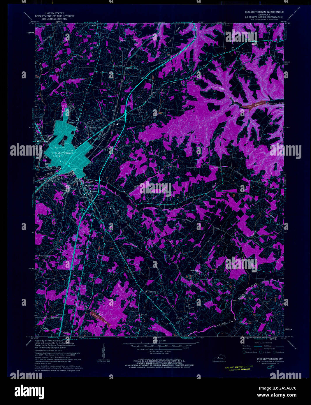 USGS TOPO Map Kentucky KY Elizabethtown 708589 1960 24000 Inverted Stock Photohttps://www.alamy.com/image-license-details/?v=1https://www.alamy.com/usgs-topo-map-kentucky-ky-elizabethtown-708589-1960-24000-inverted-image332757236.html
RM2A9AB70–USGS TOPO Map Kentucky KY Elizabethtown 708589 1960 24000 Inverted
 Kentucky, state of United States of America. Open Street Map. Locations and names of major cities of the region. Corner auxiliary location maps Stock Photohttps://www.alamy.com/image-license-details/?v=1https://www.alamy.com/kentucky-state-of-united-states-of-america-open-street-map-locations-and-names-of-major-cities-of-the-region-corner-auxiliary-location-maps-image546013697.html
RF2PM9215–Kentucky, state of United States of America. Open Street Map. Locations and names of major cities of the region. Corner auxiliary location maps
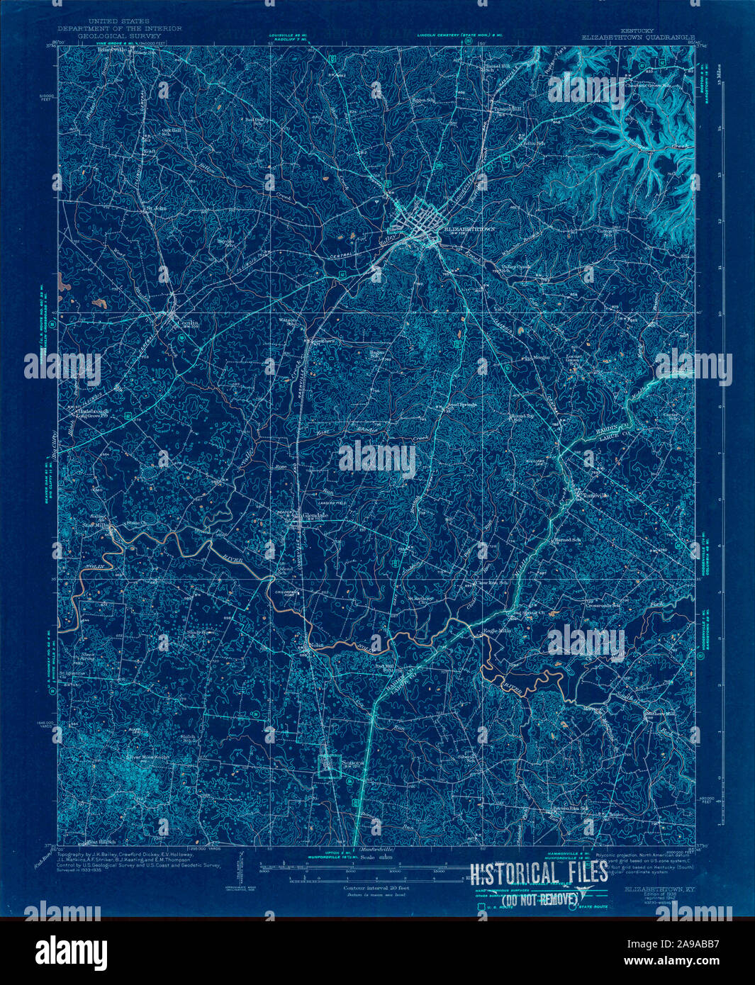 USGS TOPO Map Kentucky KY Elizabethtown 803487 1938 62500 Inverted Stock Photohttps://www.alamy.com/image-license-details/?v=1https://www.alamy.com/usgs-topo-map-kentucky-ky-elizabethtown-803487-1938-62500-inverted-image332757355.html
RM2A9ABB7–USGS TOPO Map Kentucky KY Elizabethtown 803487 1938 62500 Inverted
 Kentucky, state of United States of America. Bilevel elevation map with lakes and rivers. Locations of major cities of the region. Corner auxiliary lo Stock Photohttps://www.alamy.com/image-license-details/?v=1https://www.alamy.com/kentucky-state-of-united-states-of-america-bilevel-elevation-map-with-lakes-and-rivers-locations-of-major-cities-of-the-region-corner-auxiliary-lo-image546013376.html
RF2PM91HM–Kentucky, state of United States of America. Bilevel elevation map with lakes and rivers. Locations of major cities of the region. Corner auxiliary lo
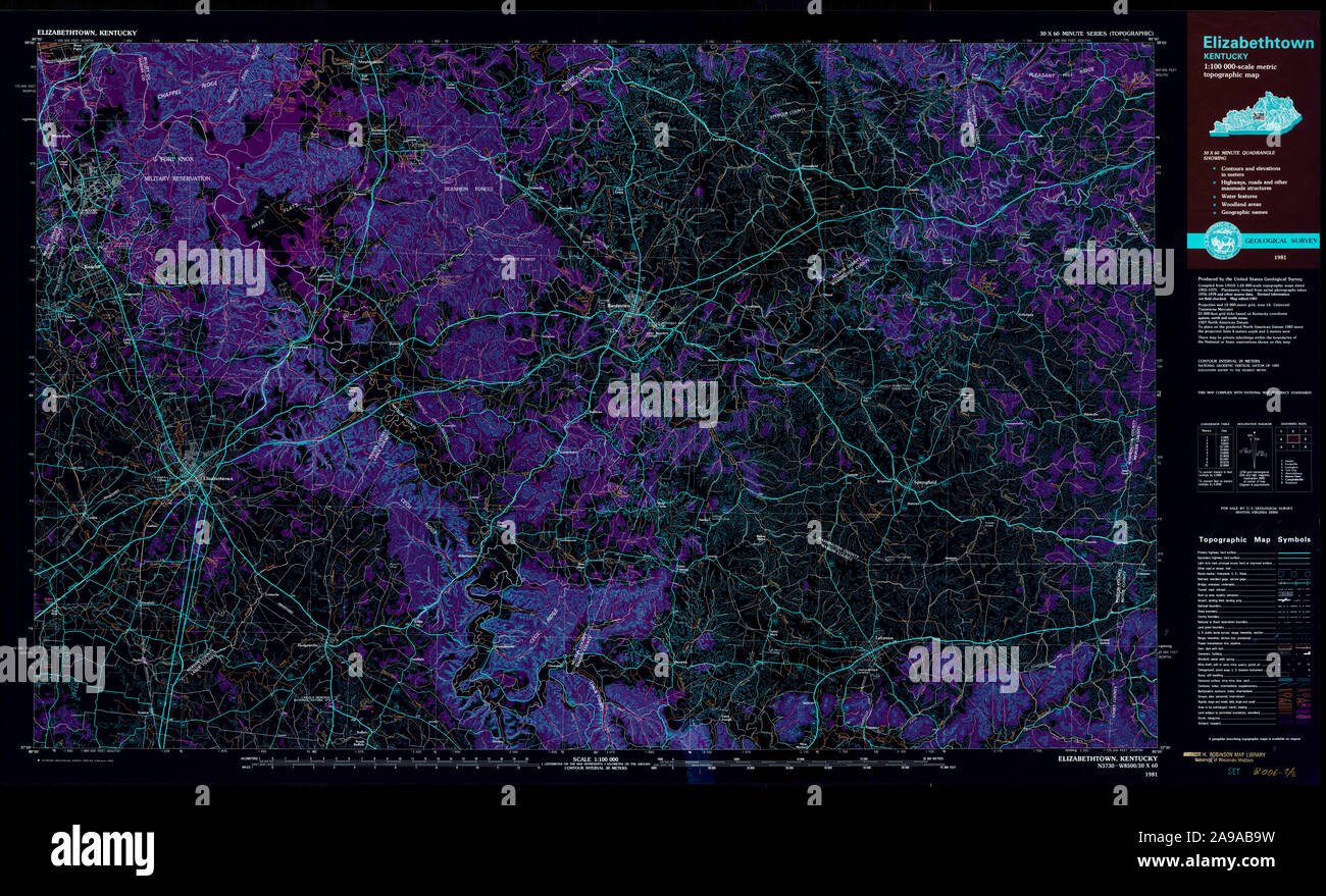 USGS TOPO Map Kentucky KY Elizabethtown 710066 1981 100000 Inverted Stock Photohttps://www.alamy.com/image-license-details/?v=1https://www.alamy.com/usgs-topo-map-kentucky-ky-elizabethtown-710066-1981-100000-inverted-image332757317.html
RM2A9AB9W–USGS TOPO Map Kentucky KY Elizabethtown 710066 1981 100000 Inverted
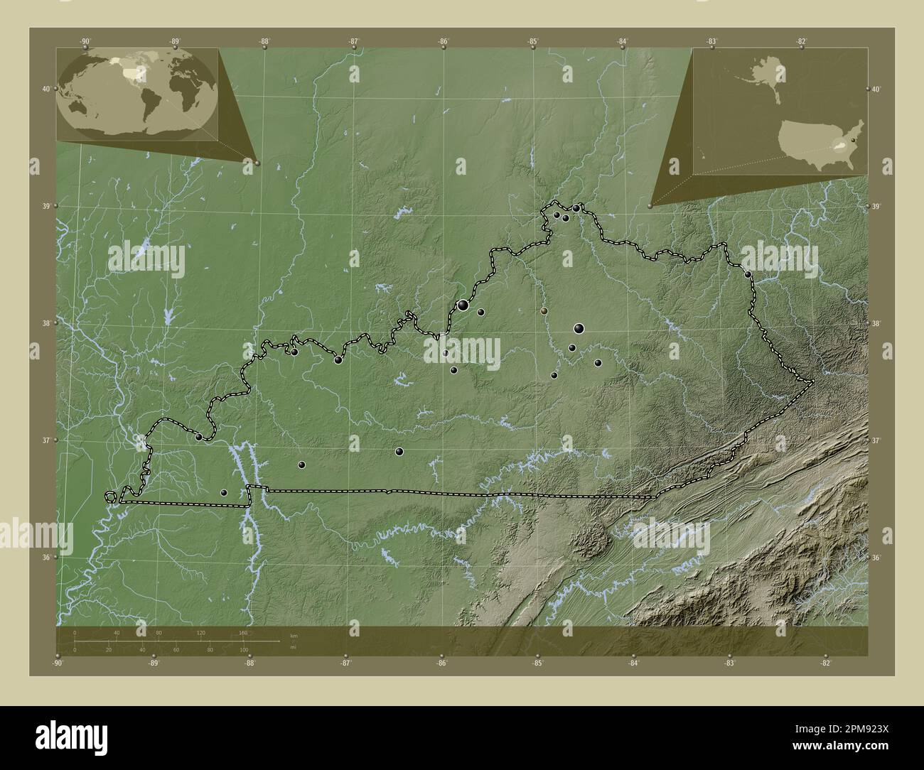 Kentucky, state of United States of America. Elevation map colored in wiki style with lakes and rivers. Locations of major cities of the region. Corne Stock Photohttps://www.alamy.com/image-license-details/?v=1https://www.alamy.com/kentucky-state-of-united-states-of-america-elevation-map-colored-in-wiki-style-with-lakes-and-rivers-locations-of-major-cities-of-the-region-corne-image546013774.html
RF2PM923X–Kentucky, state of United States of America. Elevation map colored in wiki style with lakes and rivers. Locations of major cities of the region. Corne
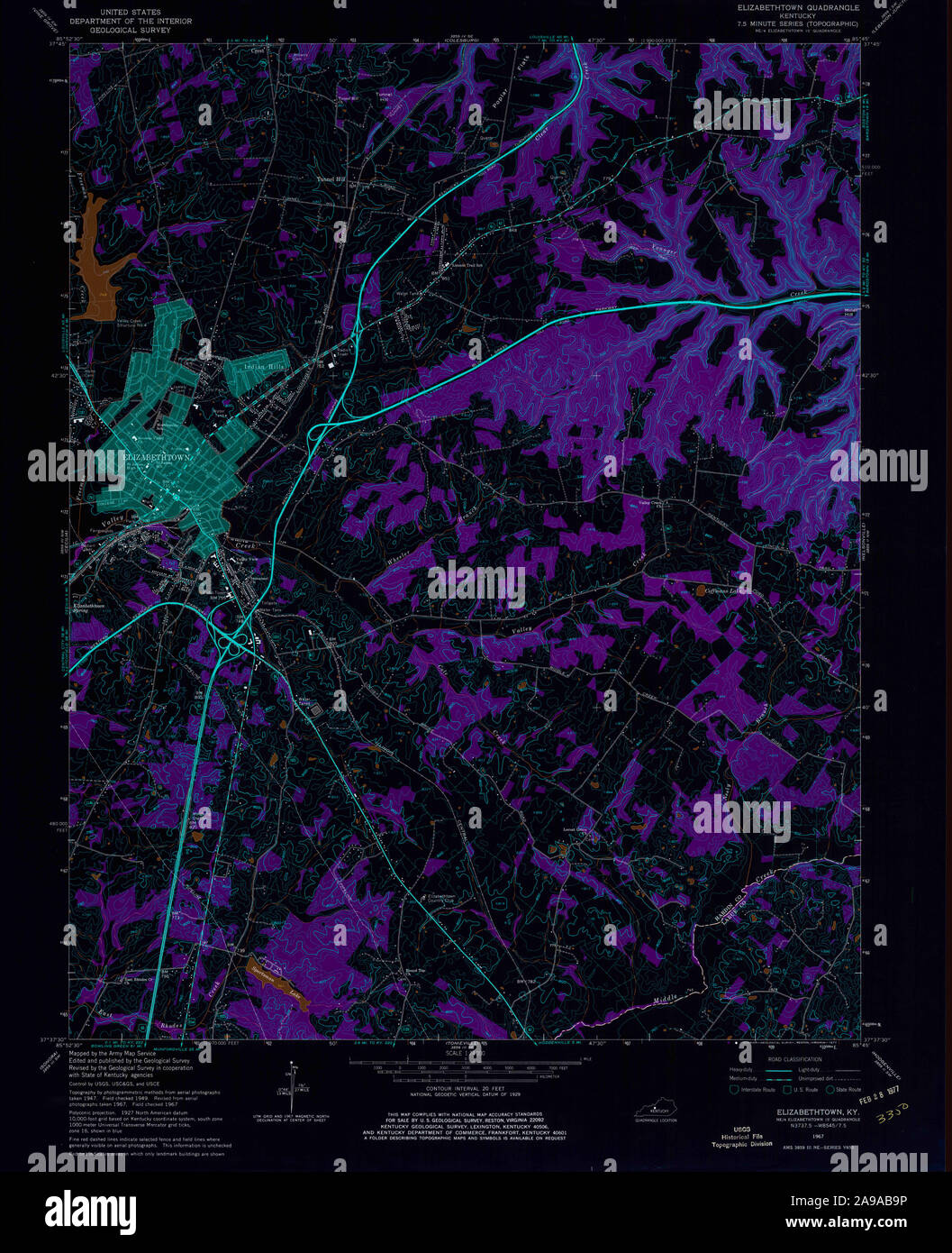 USGS TOPO Map Kentucky KY Elizabethtown 803484 1967 24000 Inverted Stock Photohttps://www.alamy.com/image-license-details/?v=1https://www.alamy.com/usgs-topo-map-kentucky-ky-elizabethtown-803484-1967-24000-inverted-image332757314.html
RM2A9AB9P–USGS TOPO Map Kentucky KY Elizabethtown 803484 1967 24000 Inverted
 Kentucky, state of United States of America. Elevation map colored in wiki style with lakes and rivers. Locations and names of major cities of the reg Stock Photohttps://www.alamy.com/image-license-details/?v=1https://www.alamy.com/kentucky-state-of-united-states-of-america-elevation-map-colored-in-wiki-style-with-lakes-and-rivers-locations-and-names-of-major-cities-of-the-reg-image546013781.html
RF2PM9245–Kentucky, state of United States of America. Elevation map colored in wiki style with lakes and rivers. Locations and names of major cities of the reg
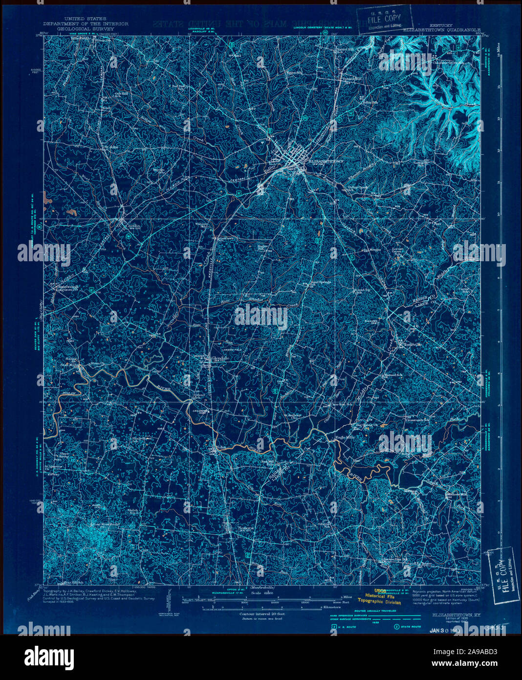 USGS TOPO Map Kentucky KY Elizabethtown 803488 1938 62500 Inverted Stock Photohttps://www.alamy.com/image-license-details/?v=1https://www.alamy.com/usgs-topo-map-kentucky-ky-elizabethtown-803488-1938-62500-inverted-image332757407.html
RM2A9ABD3–USGS TOPO Map Kentucky KY Elizabethtown 803488 1938 62500 Inverted
 Kentucky, state of United States of America. Elevation map colored in sepia tones with lakes and rivers. Locations of major cities of the region. Corn Stock Photohttps://www.alamy.com/image-license-details/?v=1https://www.alamy.com/kentucky-state-of-united-states-of-america-elevation-map-colored-in-sepia-tones-with-lakes-and-rivers-locations-of-major-cities-of-the-region-corn-image546013768.html
RF2PM923M–Kentucky, state of United States of America. Elevation map colored in sepia tones with lakes and rivers. Locations of major cities of the region. Corn
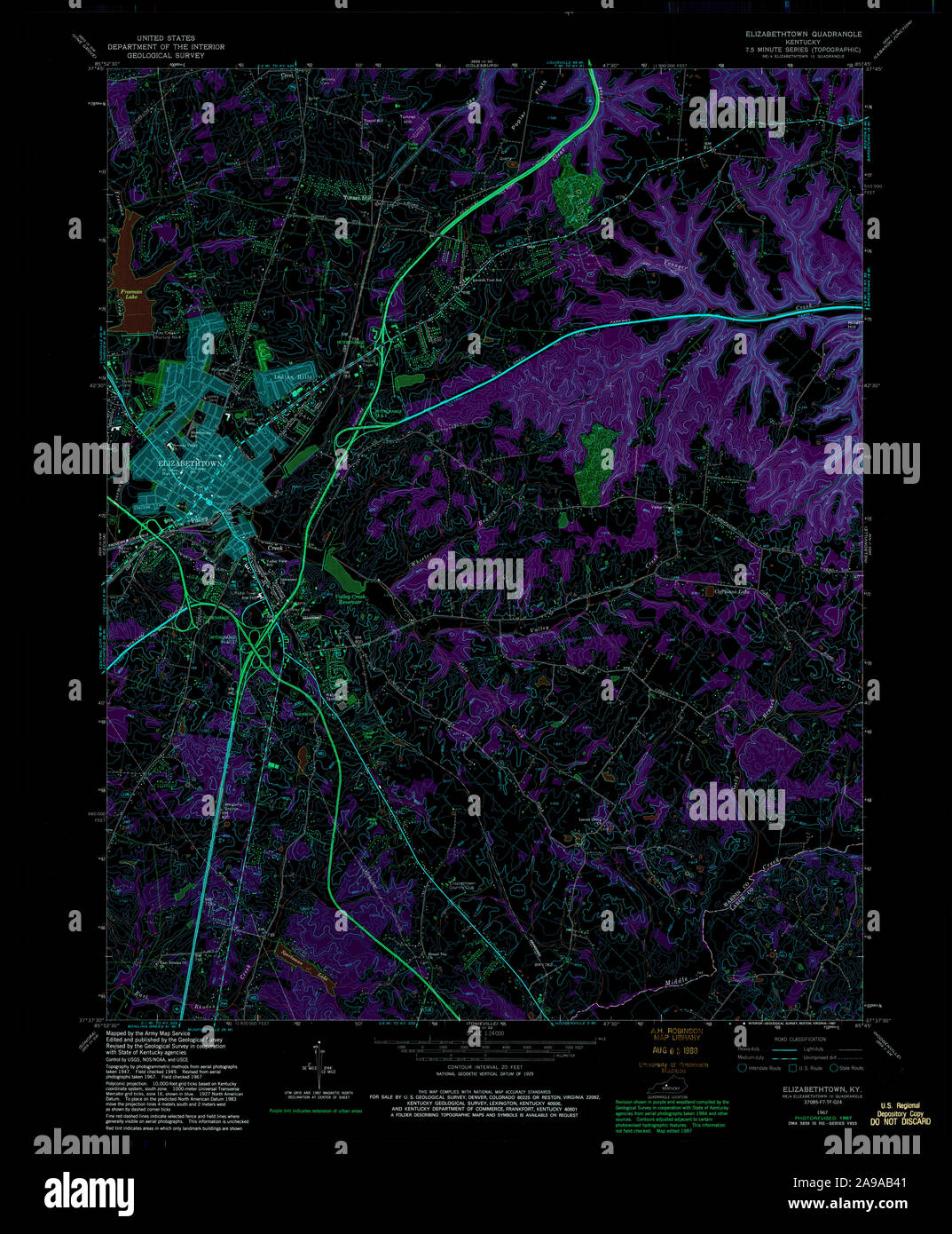 USGS TOPO Map Kentucky KY Elizabethtown 708583 1967 24000 Inverted Stock Photohttps://www.alamy.com/image-license-details/?v=1https://www.alamy.com/usgs-topo-map-kentucky-ky-elizabethtown-708583-1967-24000-inverted-image332757153.html
RM2A9AB41–USGS TOPO Map Kentucky KY Elizabethtown 708583 1967 24000 Inverted
 Kentucky, state of United States of America. Solid color shape Stock Photohttps://www.alamy.com/image-license-details/?v=1https://www.alamy.com/kentucky-state-of-united-states-of-america-solid-color-shape-image546013511.html
RF2PM91PF–Kentucky, state of United States of America. Solid color shape
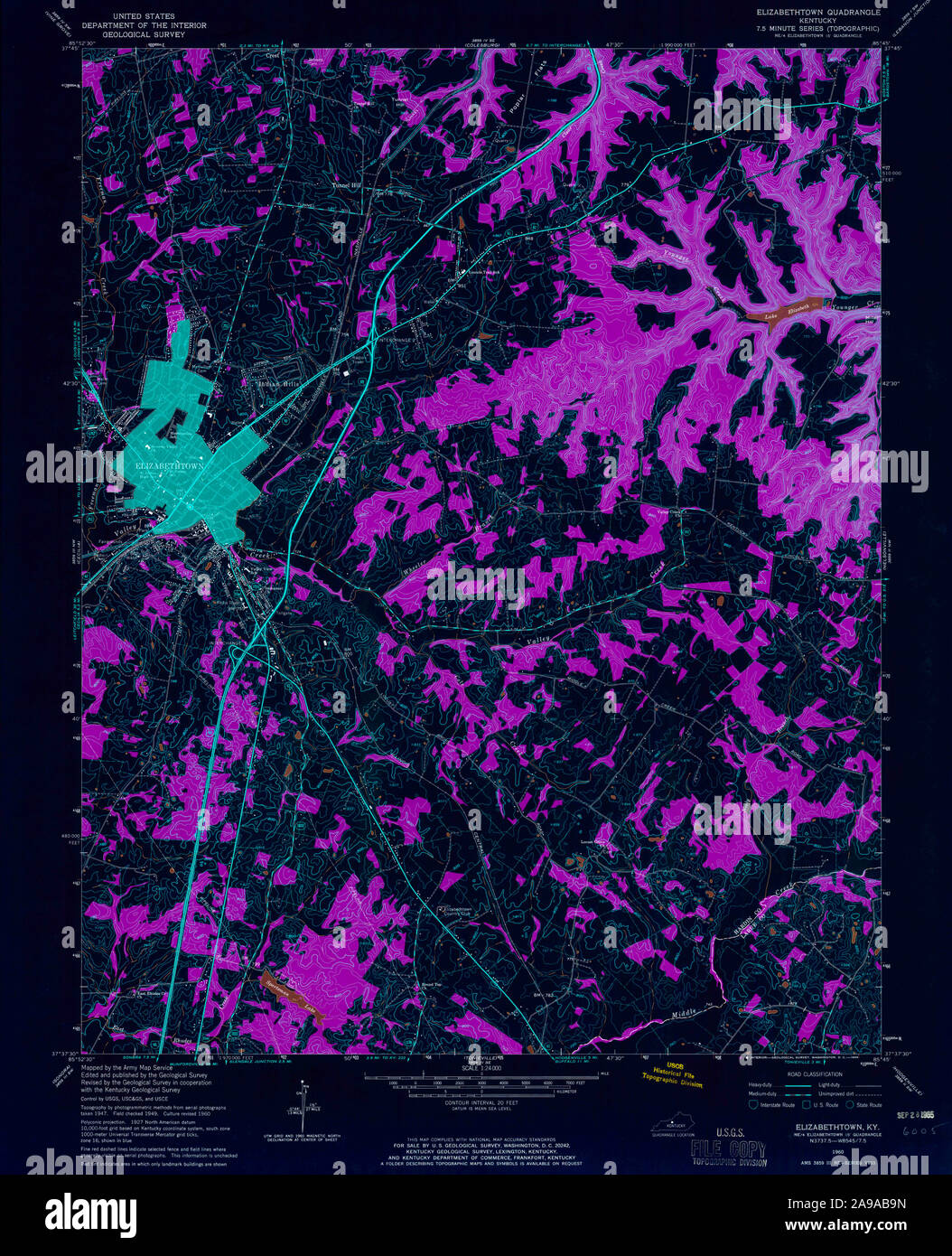 USGS TOPO Map Kentucky KY Elizabethtown 803485 1960 24000 Inverted Stock Photohttps://www.alamy.com/image-license-details/?v=1https://www.alamy.com/usgs-topo-map-kentucky-ky-elizabethtown-803485-1960-24000-inverted-image332757313.html
RM2A9AB9N–USGS TOPO Map Kentucky KY Elizabethtown 803485 1960 24000 Inverted
 Kentucky, state of United States of America. Solid color shape. Locations of major cities of the region. Corner auxiliary location maps Stock Photohttps://www.alamy.com/image-license-details/?v=1https://www.alamy.com/kentucky-state-of-united-states-of-america-solid-color-shape-locations-of-major-cities-of-the-region-corner-auxiliary-location-maps-image546013523.html
RF2PM91PY–Kentucky, state of United States of America. Solid color shape. Locations of major cities of the region. Corner auxiliary location maps
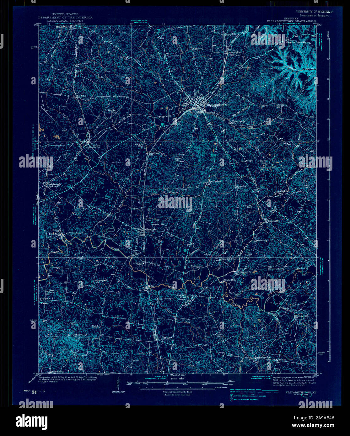 USGS TOPO Map Kentucky KY Elizabethtown 708585 1938 62500 Inverted Stock Photohttps://www.alamy.com/image-license-details/?v=1https://www.alamy.com/usgs-topo-map-kentucky-ky-elizabethtown-708585-1938-62500-inverted-image332757158.html
RM2A9AB46–USGS TOPO Map Kentucky KY Elizabethtown 708585 1938 62500 Inverted
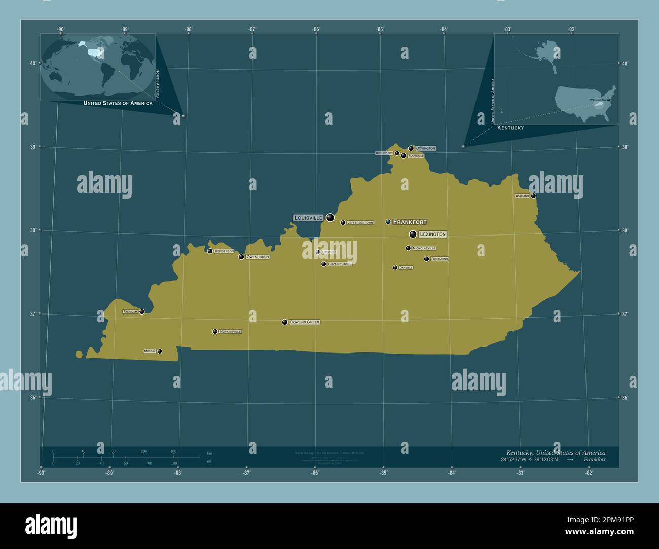 Kentucky, state of United States of America. Solid color shape. Locations and names of major cities of the region. Corner auxiliary location maps Stock Photohttps://www.alamy.com/image-license-details/?v=1https://www.alamy.com/kentucky-state-of-united-states-of-america-solid-color-shape-locations-and-names-of-major-cities-of-the-region-corner-auxiliary-location-maps-image546013518.html
RF2PM91PP–Kentucky, state of United States of America. Solid color shape. Locations and names of major cities of the region. Corner auxiliary location maps
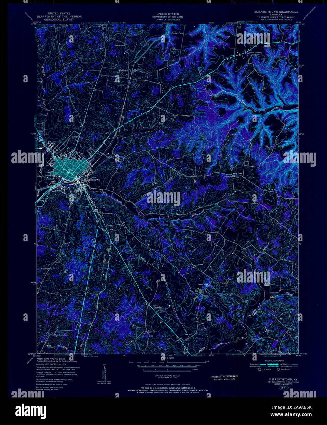 USGS TOPO Map Kentucky KY Elizabethtown 708588 1949 24000 Inverted Stock Photohttps://www.alamy.com/image-license-details/?v=1https://www.alamy.com/usgs-topo-map-kentucky-ky-elizabethtown-708588-1949-24000-inverted-image332757199.html
RM2A9AB5K–USGS TOPO Map Kentucky KY Elizabethtown 708588 1949 24000 Inverted
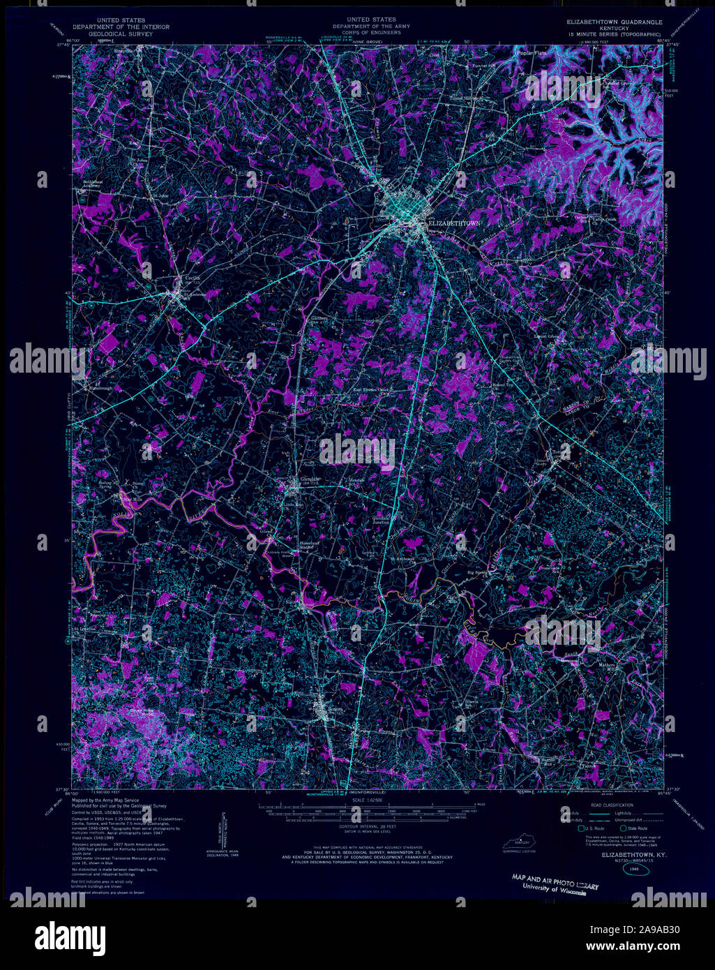 USGS TOPO Map Kentucky KY Elizabethtown 708584 1949 62500 Inverted Stock Photohttps://www.alamy.com/image-license-details/?v=1https://www.alamy.com/usgs-topo-map-kentucky-ky-elizabethtown-708584-1949-62500-inverted-image332757124.html
RM2A9AB30–USGS TOPO Map Kentucky KY Elizabethtown 708584 1949 62500 Inverted
 USGS TOPO Map Kentucky KY Elizabethtown 708587 1967 24000 Inverted Stock Photohttps://www.alamy.com/image-license-details/?v=1https://www.alamy.com/usgs-topo-map-kentucky-ky-elizabethtown-708587-1967-24000-inverted-image332757197.html
RM2A9AB5H–USGS TOPO Map Kentucky KY Elizabethtown 708587 1967 24000 Inverted
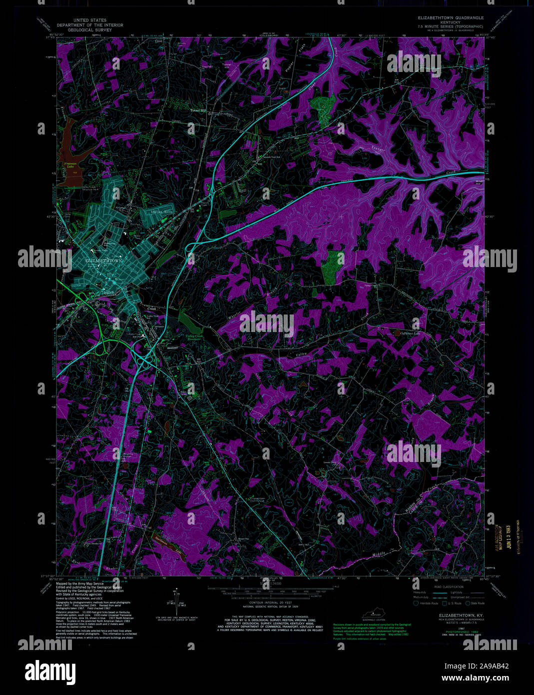 USGS TOPO Map Kentucky KY Elizabethtown 708586 1967 24000 Inverted Stock Photohttps://www.alamy.com/image-license-details/?v=1https://www.alamy.com/usgs-topo-map-kentucky-ky-elizabethtown-708586-1967-24000-inverted-image332757154.html
RM2A9AB42–USGS TOPO Map Kentucky KY Elizabethtown 708586 1967 24000 Inverted