Quick filters:
England historical map Stock Photos and Images
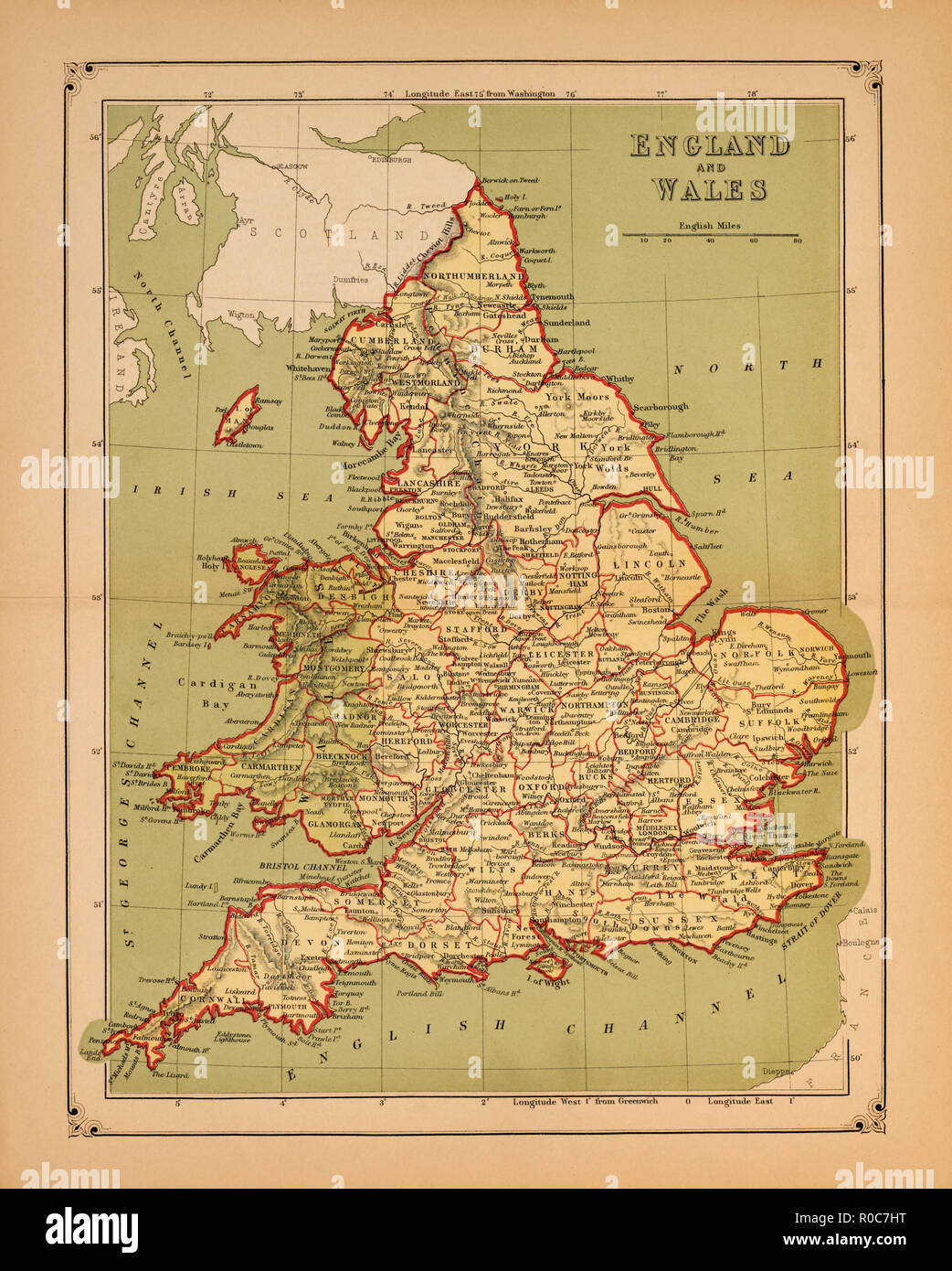 Historical Map of England and Wales Stock Photohttps://www.alamy.com/image-license-details/?v=1https://www.alamy.com/historical-map-of-england-and-wales-image224004196.html
RMR0C7HT–Historical Map of England and Wales
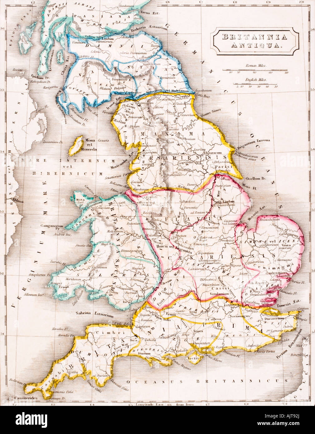 Map of England, Britannia Antiqua. Stock Photohttps://www.alamy.com/image-license-details/?v=1https://www.alamy.com/stock-photo-map-of-england-britannia-antiqua-14804969.html
RMAJT92J–Map of England, Britannia Antiqua.
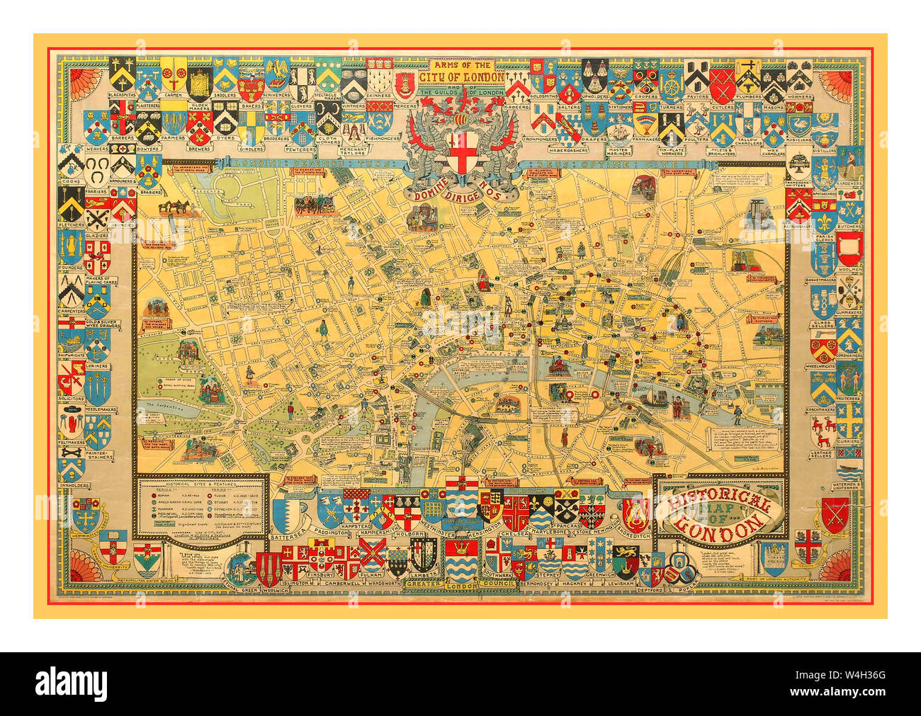 Vintage 1960's map poster of the capital of England -Historical Map of London - by notable cartographer and pictorial map artist Leslie George Bullock (1895-1971) featuring heraldic colourful and detailed illustrations including landmarks, parks, railway lines, historical buildings, people and workers in different period dress. Printed by John Bartholomew and Son. Horizontal. County: UK, year of printing:1969, designer: LG Bullock, Stock Photohttps://www.alamy.com/image-license-details/?v=1https://www.alamy.com/vintage-1960s-map-poster-of-the-capital-of-england-historical-map-of-london-by-notable-cartographer-and-pictorial-map-artist-leslie-george-bullock-1895-1971-featuring-heraldic-colourful-and-detailed-illustrations-including-landmarks-parks-railway-lines-historical-buildings-people-and-workers-in-different-period-dress-printed-by-john-bartholomew-and-son-horizontal-county-uk-year-of-printing1969-designer-lg-bullock-image260989864.html
RMW4H36G–Vintage 1960's map poster of the capital of England -Historical Map of London - by notable cartographer and pictorial map artist Leslie George Bullock (1895-1971) featuring heraldic colourful and detailed illustrations including landmarks, parks, railway lines, historical buildings, people and workers in different period dress. Printed by John Bartholomew and Son. Horizontal. County: UK, year of printing:1969, designer: LG Bullock,
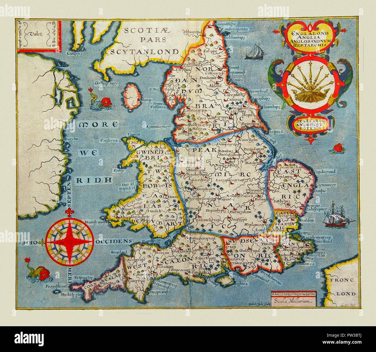 Map Of England 1607 Stock Photohttps://www.alamy.com/image-license-details/?v=1https://www.alamy.com/map-of-england-1607-image221965986.html
RFPW3BTJ–Map Of England 1607
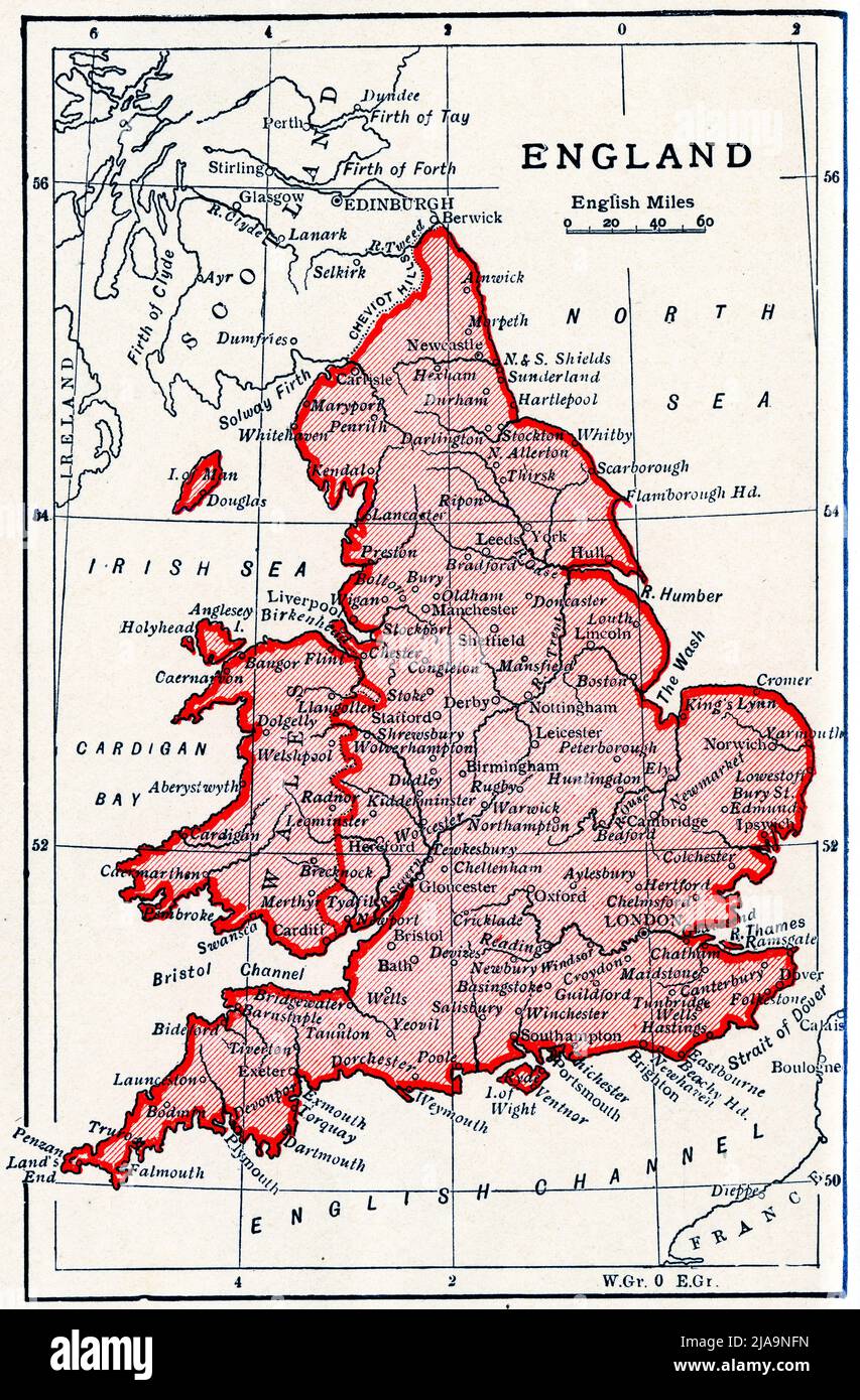 Map of England 600 - 1000 AD Stock Photohttps://www.alamy.com/image-license-details/?v=1https://www.alamy.com/map-of-england-600-1000-ad-image471040969.html
RM2JA9NFN–Map of England 600 - 1000 AD
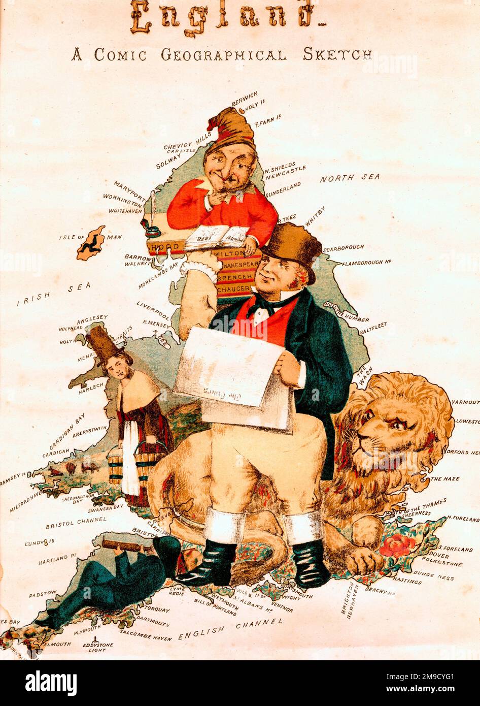 Comic Map Of England Stock Photohttps://www.alamy.com/image-license-details/?v=1https://www.alamy.com/comic-map-of-england-image504917617.html
RM2M9CYG1–Comic Map Of England
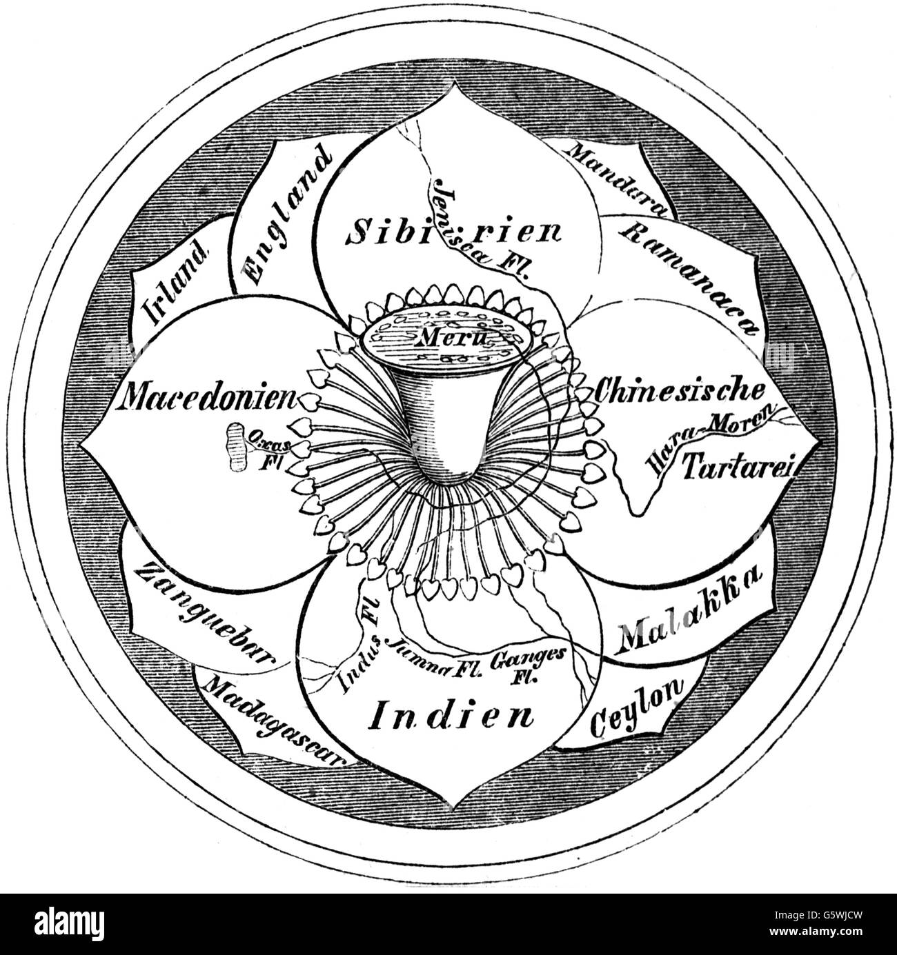 cartography, world map, Hindo world map, the world as a blossom with the mount Meru in the centre, wood engraving, 19th century, India, Siberia, China, Tartar, Macedonia, England, Ireland, Malacca, Ceylon, Sri Lanka, Madagascar, Manduria, Ramanaca, Zanzibar, world picture, world view, world pictures, Asia, cartography, map printing, world map, map of the world, world, worlds, blossom, flower, blossoms, flowers, mount, mountain, peak, peaks, centre, center, centres, centers, historic, historical, Additional-Rights-Clearences-Not Available Stock Photohttps://www.alamy.com/image-license-details/?v=1https://www.alamy.com/stock-photo-cartography-world-map-hindo-world-map-the-world-as-a-blossom-with-106898761.html
RMG5WJCW–cartography, world map, Hindo world map, the world as a blossom with the mount Meru in the centre, wood engraving, 19th century, India, Siberia, China, Tartar, Macedonia, England, Ireland, Malacca, Ceylon, Sri Lanka, Madagascar, Manduria, Ramanaca, Zanzibar, world picture, world view, world pictures, Asia, cartography, map printing, world map, map of the world, world, worlds, blossom, flower, blossoms, flowers, mount, mountain, peak, peaks, centre, center, centres, centers, historic, historical, Additional-Rights-Clearences-Not Available
 Tudor gentleman (detail), from a map of England and wales by John Speed;C1612 Stock Photohttps://www.alamy.com/image-license-details/?v=1https://www.alamy.com/stock-photo-tudor-gentleman-detail-from-a-map-of-england-and-wales-by-john-speedc1612-90851153.html
RMF7PHG1–Tudor gentleman (detail), from a map of England and wales by John Speed;C1612
 Map of England and Wales, 1850. From the New York Public Library. Stock Photohttps://www.alamy.com/image-license-details/?v=1https://www.alamy.com/stock-photo-map-of-england-and-wales-1850-from-the-new-york-public-library-170364114.html
RMKW4N4J–Map of England and Wales, 1850. From the New York Public Library.
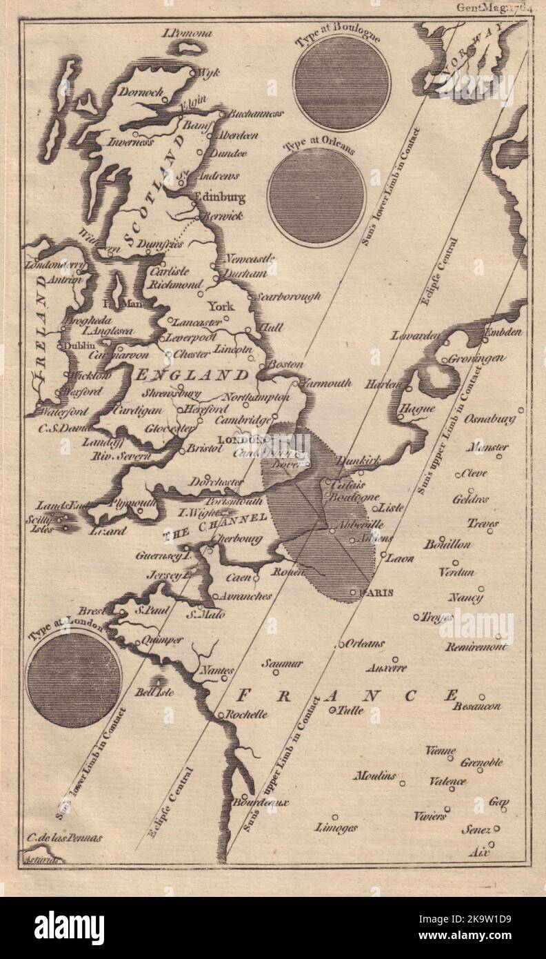 The Solar eclipse of 1 April 1764 across England & France. GENTS MAG 1764 map Stock Photohttps://www.alamy.com/image-license-details/?v=1https://www.alamy.com/the-solar-eclipse-of-1-april-1764-across-england-france-gents-mag-1764-map-image487972165.html
RF2K9W1D9–The Solar eclipse of 1 April 1764 across England & France. GENTS MAG 1764 map
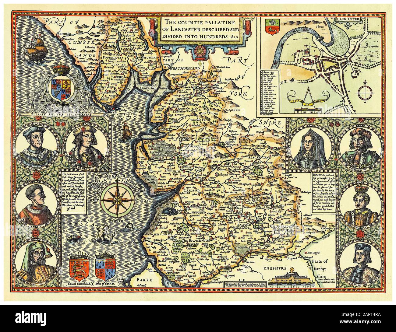 Old Vintage Map of the County of Lancashire, England, UK, early 17th Century illustration, 1610 Stock Photohttps://www.alamy.com/image-license-details/?v=1https://www.alamy.com/old-vintage-map-of-the-county-of-lancashire-england-uk-early-17th-century-illustration-1610-image340545166.html
RM2AP14RA–Old Vintage Map of the County of Lancashire, England, UK, early 17th Century illustration, 1610
 Historical drawing from the 19th century, map of London, England, 1575 Stock Photohttps://www.alamy.com/image-license-details/?v=1https://www.alamy.com/stock-photo-historical-drawing-from-the-19th-century-map-of-london-england-1575-48133794.html
RFCP8K42–Historical drawing from the 19th century, map of London, England, 1575
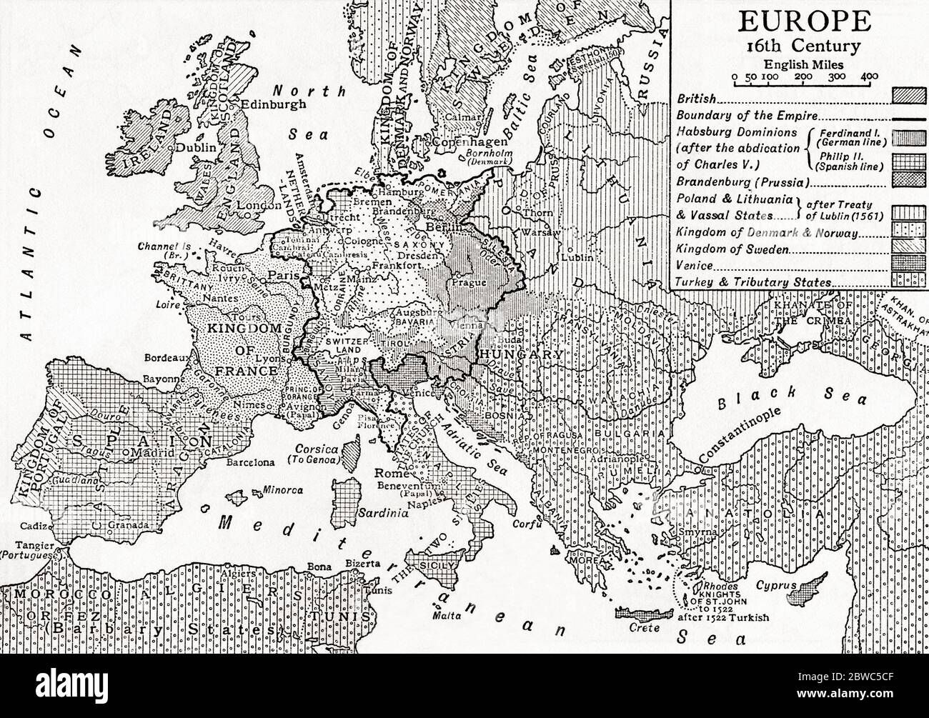 Map of Europe in the 16th century. From Britain and Her Neighbours, 1485 - 1688, published 1923. Stock Photohttps://www.alamy.com/image-license-details/?v=1https://www.alamy.com/map-of-europe-in-the-16th-century-from-britain-and-her-neighbours-1485-1688-published-1923-image359841455.html
RM2BWC5CF–Map of Europe in the 16th century. From Britain and Her Neighbours, 1485 - 1688, published 1923.
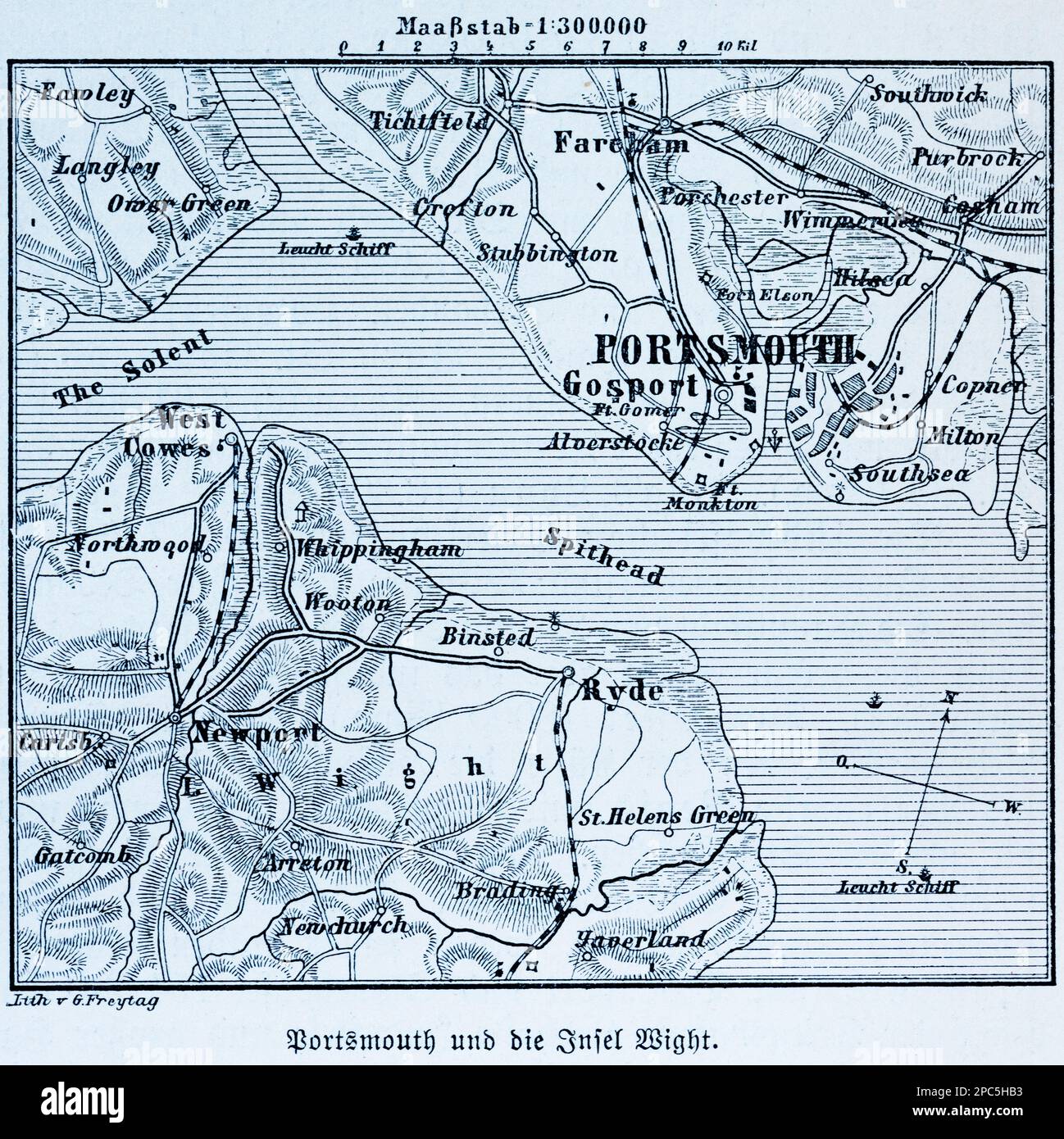 City map of Portsmouth, Isle of Wight, and its surroundings, Portsmouth on the English Channel, Southern England, Western Europe, illustration 1896 Stock Photohttps://www.alamy.com/image-license-details/?v=1https://www.alamy.com/city-map-of-portsmouth-isle-of-wight-and-its-surroundings-portsmouth-on-the-english-channel-southern-england-western-europe-illustration-1896-image541020679.html
RM2PC5HB3–City map of Portsmouth, Isle of Wight, and its surroundings, Portsmouth on the English Channel, Southern England, Western Europe, illustration 1896
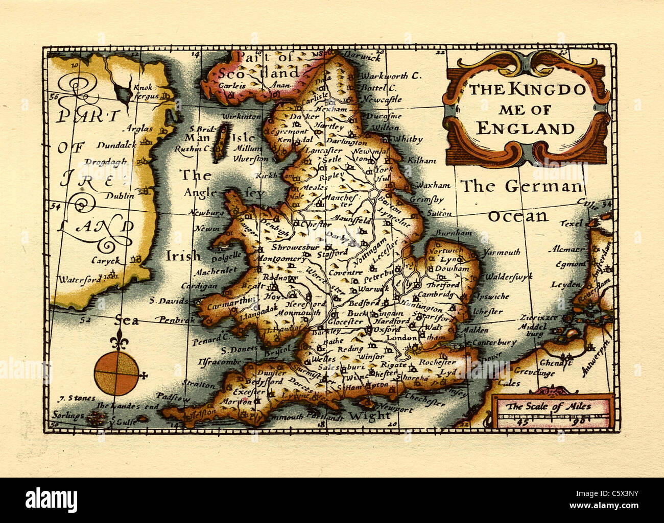 The Kingdome of England- Old English County Map by John Speed, circa 1625 Stock Photohttps://www.alamy.com/image-license-details/?v=1https://www.alamy.com/stock-photo-the-kingdome-of-england-old-english-county-map-by-john-speed-circa-38067735.html
RFC5X3NY–The Kingdome of England- Old English County Map by John Speed, circa 1625
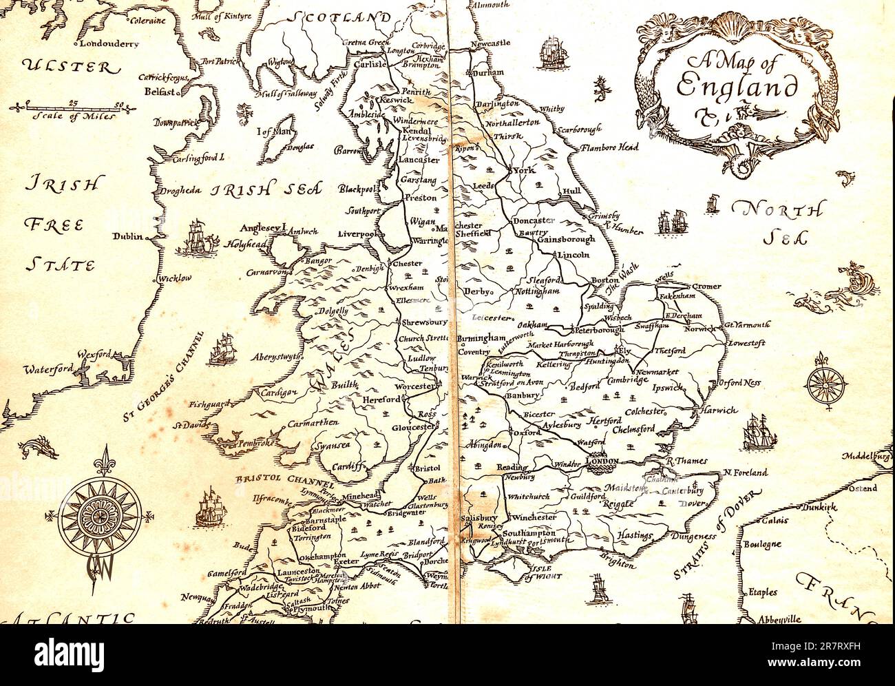 An old map of England 1933. Stock Photohttps://www.alamy.com/image-license-details/?v=1https://www.alamy.com/an-old-map-of-england-1933-image555560085.html
RM2R7RXFH–An old map of England 1933.
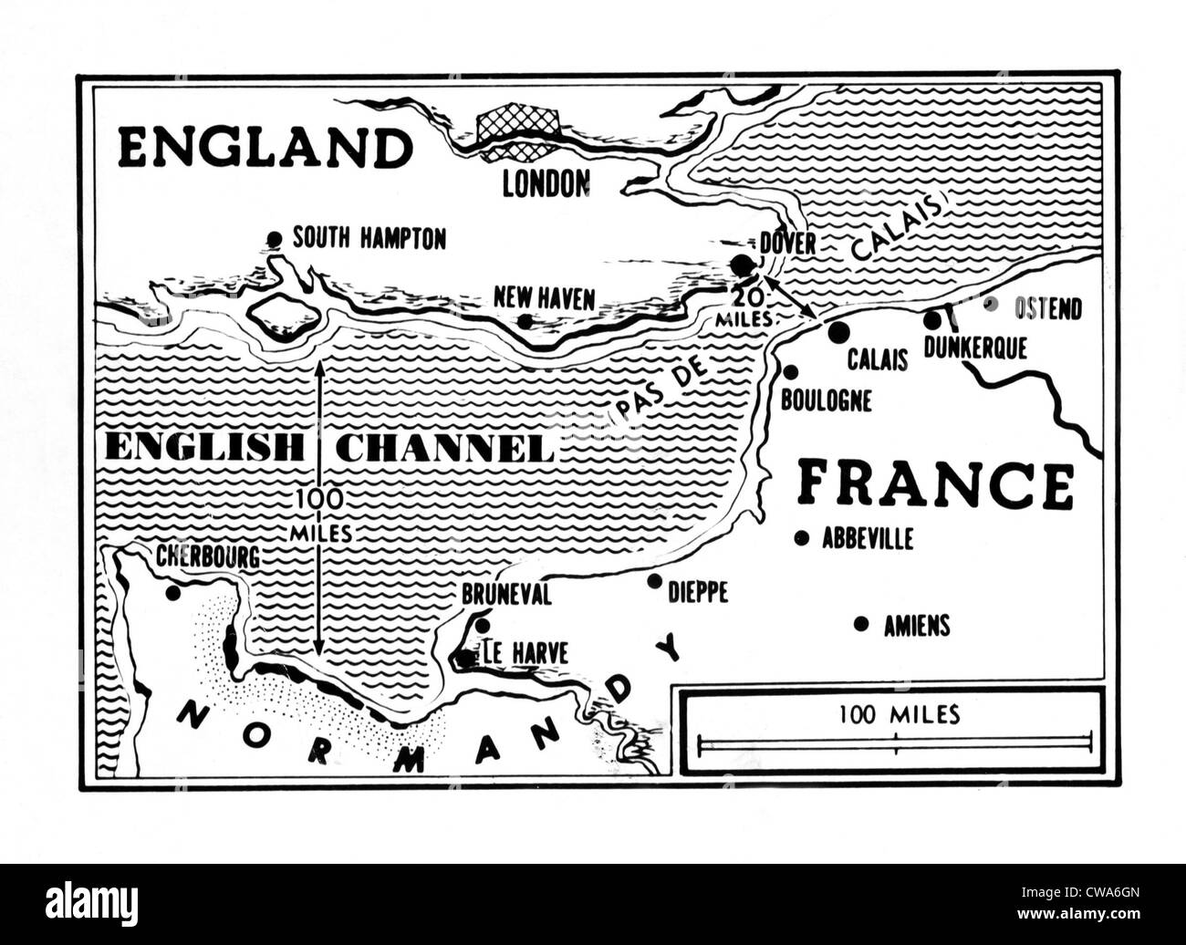 D-Day, map detailing Allies invasion, 1944. Courtesy: CSU Archives / Everett Collection Stock Photohttps://www.alamy.com/image-license-details/?v=1https://www.alamy.com/stock-photo-d-day-map-detailing-allies-invasion-1944-courtesy-csu-archives-everett-50011829.html
RMCWA6GN–D-Day, map detailing Allies invasion, 1944. Courtesy: CSU Archives / Everett Collection
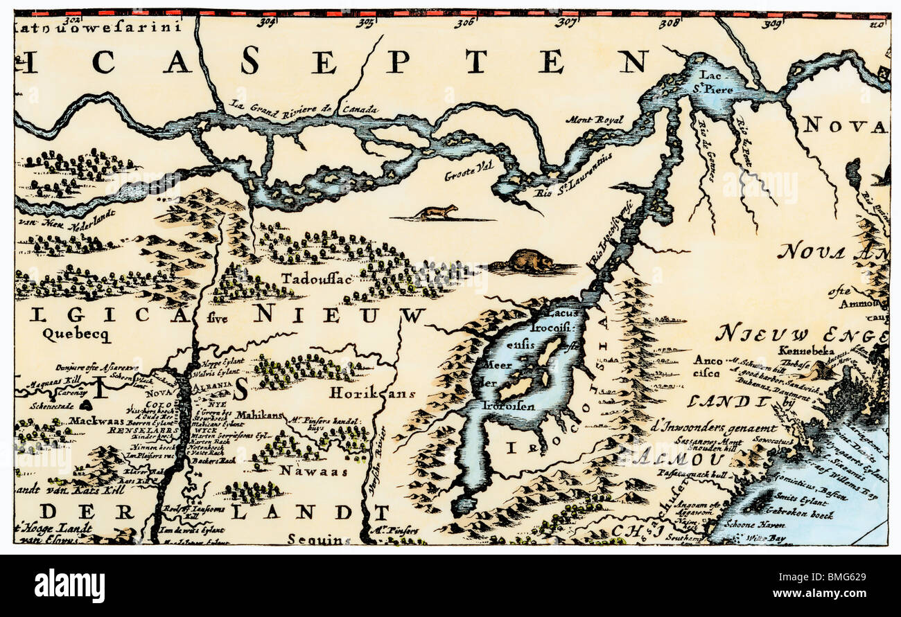 Nova Belgh Tabula, map of New Netherland and New England, 1670. Hand-colored woodcut Stock Photohttps://www.alamy.com/image-license-details/?v=1https://www.alamy.com/stock-photo-nova-belgh-tabula-map-of-new-netherland-and-new-england-1670-hand-29859489.html
RMBMG629–Nova Belgh Tabula, map of New Netherland and New England, 1670. Hand-colored woodcut
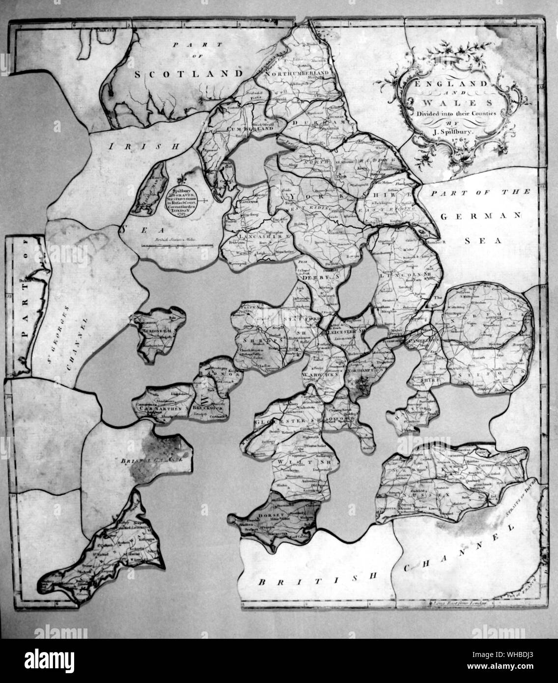 The earliest dated jigsaw puzzle - J. Spilsbury's dissected map of England and Wales, 1767.. Stock Photohttps://www.alamy.com/image-license-details/?v=1https://www.alamy.com/the-earliest-dated-jigsaw-puzzle-j-spilsburys-dissected-map-of-england-and-wales-1767-image268856843.html
RMWHBDJ3–The earliest dated jigsaw puzzle - J. Spilsbury's dissected map of England and Wales, 1767..
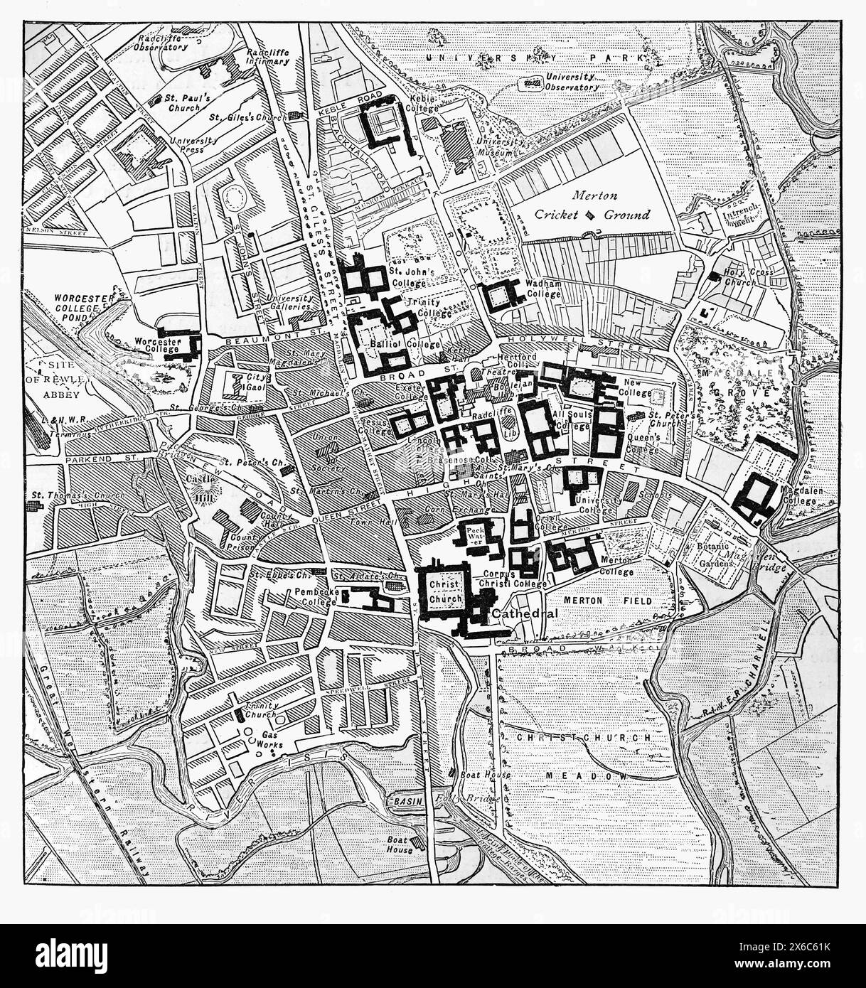 Map of the City of Oxford, England. Late 19th century. Black and White Illustration from Our Own Country Vol III published by Cassell, Petter, Galpin & Co. in the late 19th century. Stock Photohttps://www.alamy.com/image-license-details/?v=1https://www.alamy.com/map-of-the-city-of-oxford-england-late-19th-century-black-and-white-illustration-from-our-own-country-vol-iii-published-by-cassell-petter-galpin-co-in-the-late-19th-century-image606318991.html
RM2X6C61K–Map of the City of Oxford, England. Late 19th century. Black and White Illustration from Our Own Country Vol III published by Cassell, Petter, Galpin & Co. in the late 19th century.
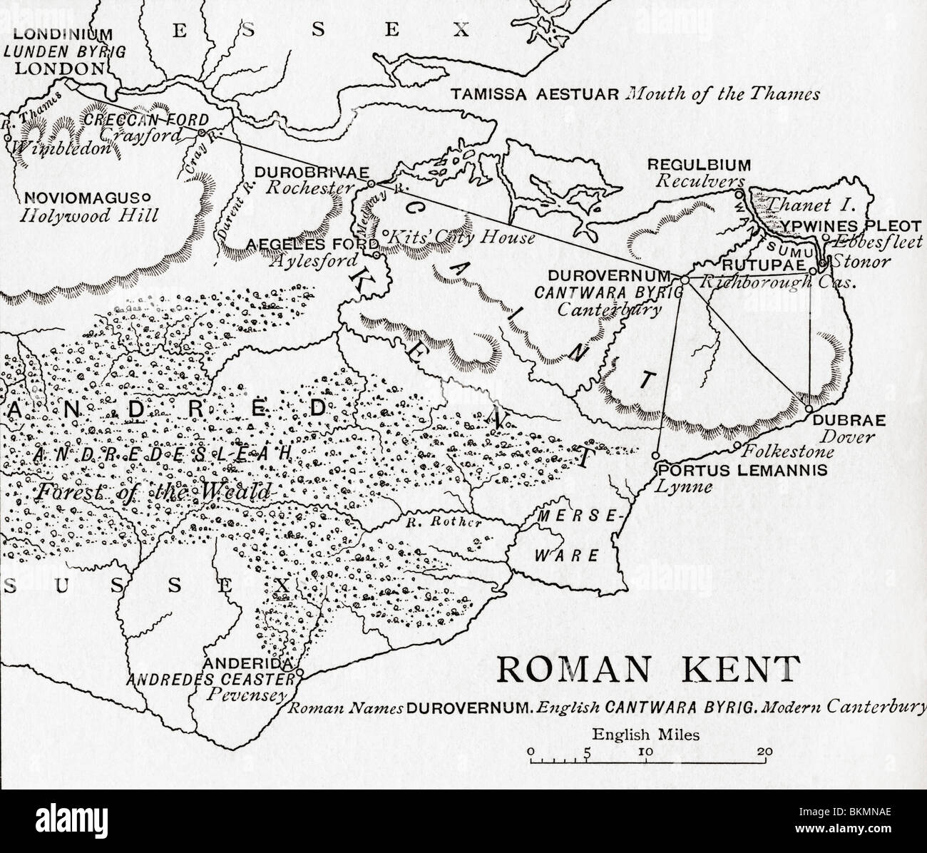 Map of Roman Kent, England. Stock Photohttps://www.alamy.com/image-license-details/?v=1https://www.alamy.com/stock-photo-map-of-roman-kent-england-29344630.html
RMBKMNAE–Map of Roman Kent, England.
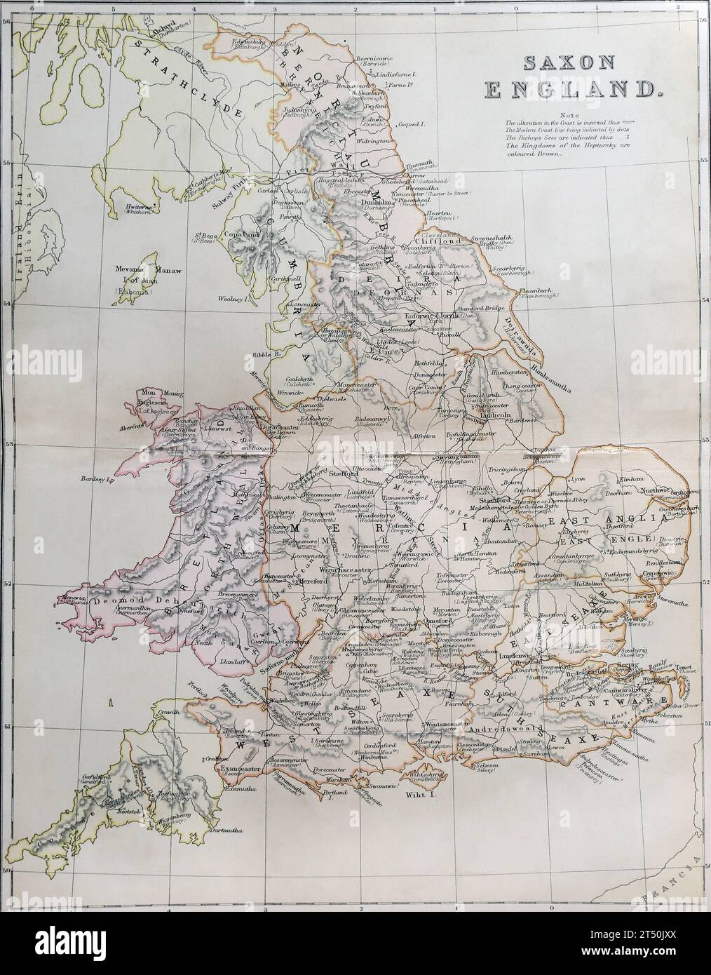 Map of Saxon England from The Popular History of England Volume 1 By Charles Macfarlene and Thomas Archer Stock Photohttps://www.alamy.com/image-license-details/?v=1https://www.alamy.com/map-of-saxon-england-from-the-popular-history-of-england-volume-1-by-charles-macfarlene-and-thomas-archer-image571030290.html
RM2T50JXX–Map of Saxon England from The Popular History of England Volume 1 By Charles Macfarlene and Thomas Archer
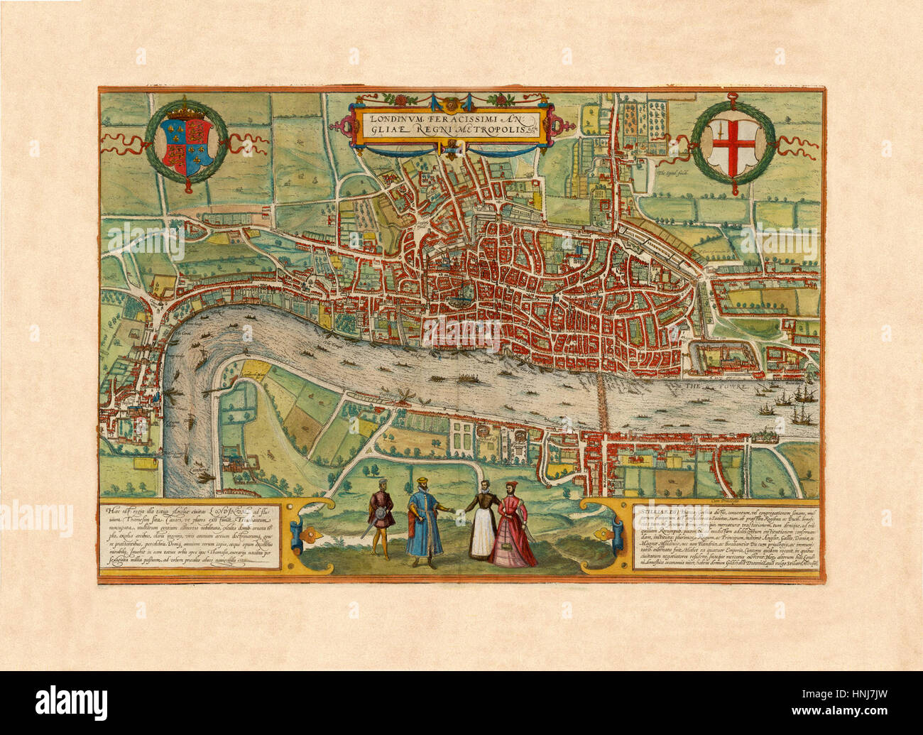 Map Of London 1570 Stock Photohttps://www.alamy.com/image-license-details/?v=1https://www.alamy.com/stock-photo-map-of-london-1570-133781505.html
RFHNJ7JW–Map Of London 1570
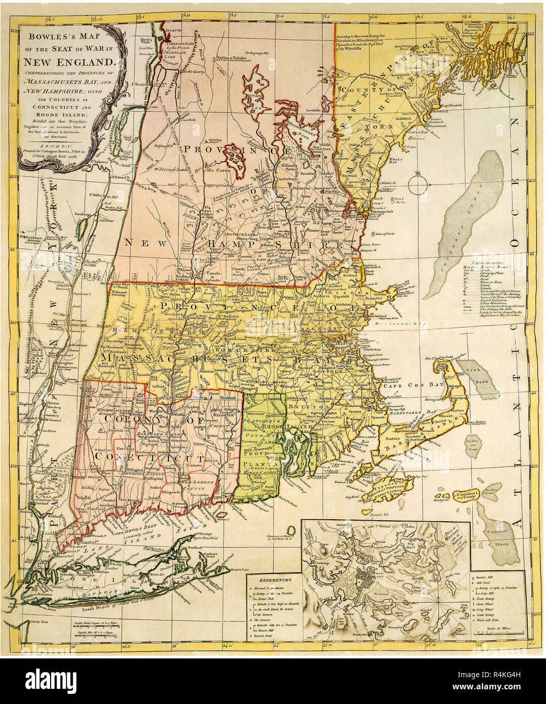 Map of New England 1776, Bowles, C. Stock Photohttps://www.alamy.com/image-license-details/?v=1https://www.alamy.com/map-of-new-england-1776-bowles-c-image226623169.html
RMR4KG4H–Map of New England 1776, Bowles, C.
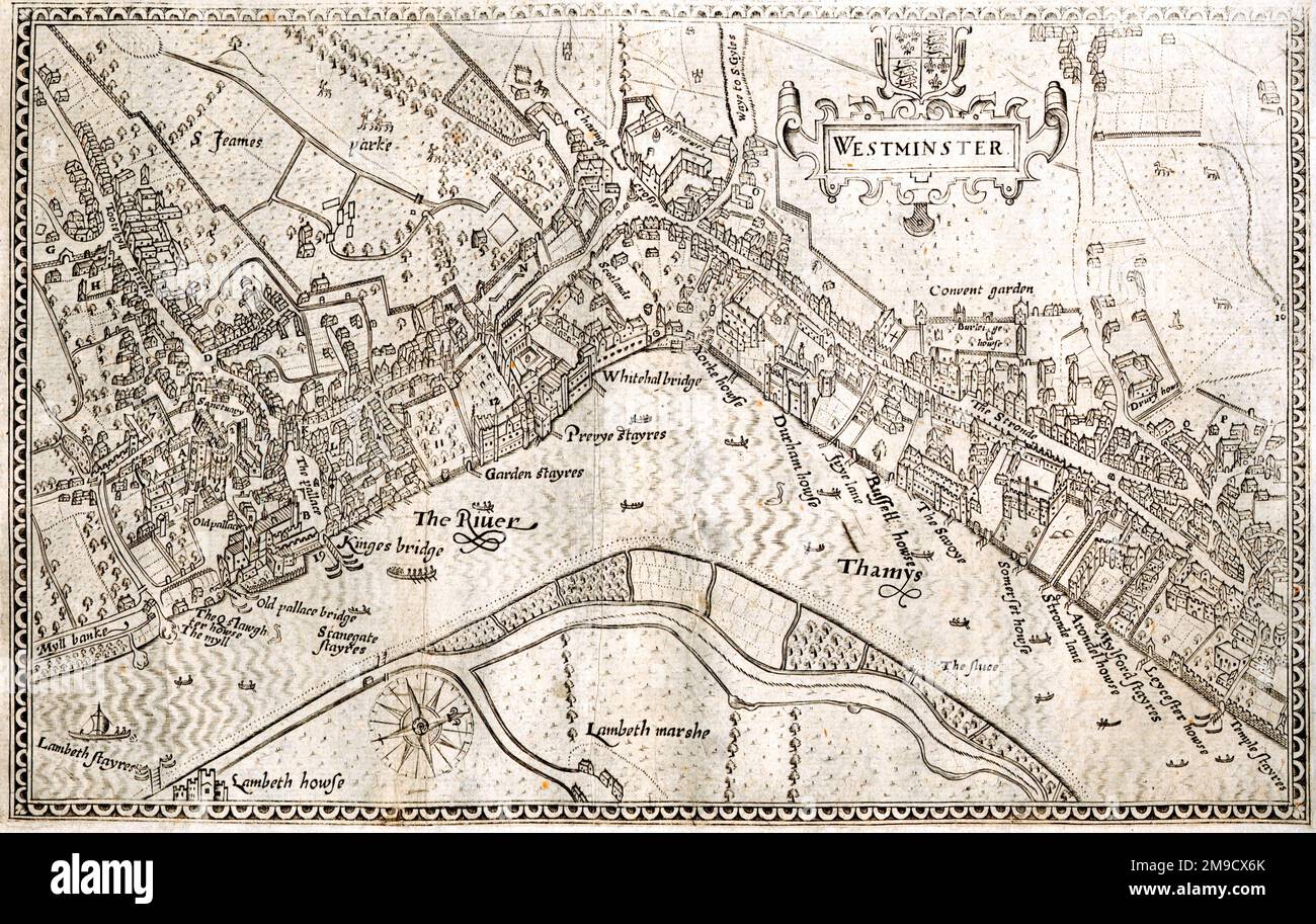 Map of Westminster, London, England Stock Photohttps://www.alamy.com/image-license-details/?v=1https://www.alamy.com/map-of-westminster-london-england-image504916571.html
RM2M9CX6K–Map of Westminster, London, England
 An 18th century antique map displays the English county of Cornwall, England UK, featuring its various towns, roads, and coastlines. An inset further provides a closer view of the Isles of Scilly. Historical print Stock Photohttps://www.alamy.com/image-license-details/?v=1https://www.alamy.com/an-18th-century-antique-map-displays-the-english-county-of-cornwall-england-uk-featuring-its-various-towns-roads-and-coastlines-an-inset-further-provides-a-closer-view-of-the-isles-of-scilly-historical-print-image618918395.html
RM2XXX4MB–An 18th century antique map displays the English county of Cornwall, England UK, featuring its various towns, roads, and coastlines. An inset further provides a closer view of the Isles of Scilly. Historical print
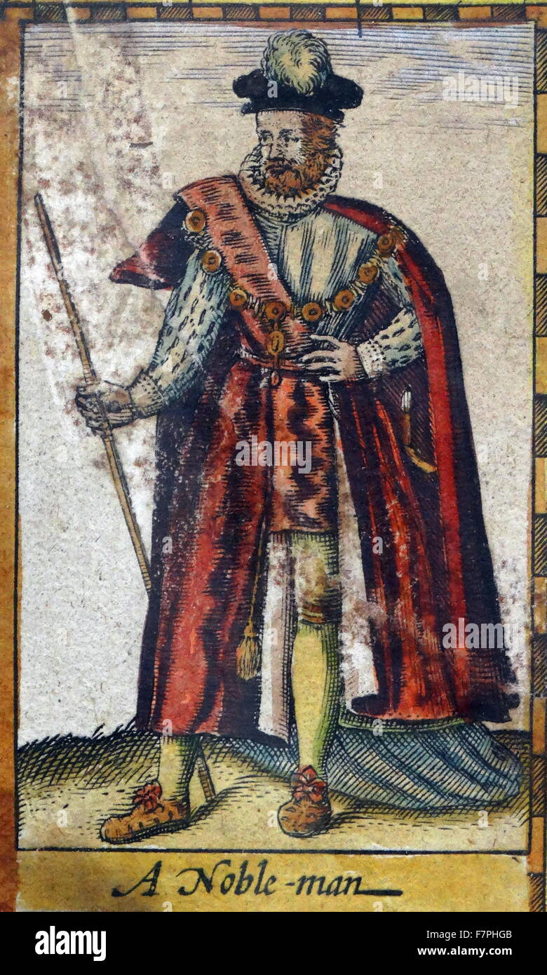 Tudor nobleman (detail), from a map of England and wales by John Speed;C1612 Stock Photohttps://www.alamy.com/image-license-details/?v=1https://www.alamy.com/stock-photo-tudor-nobleman-detail-from-a-map-of-england-and-wales-by-john-speedc1612-90851163.html
RMF7PHGB–Tudor nobleman (detail), from a map of England and wales by John Speed;C1612
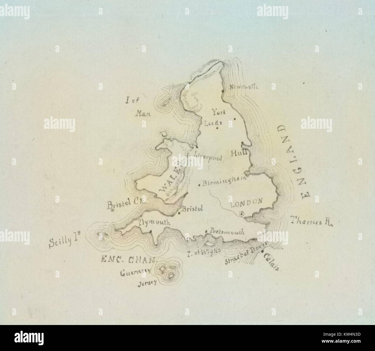 Map of England and Wales, 1850. From the New York Public Library. Note: Image has been digitally colorized using a modern process. Colors may not be period-accurate. Stock Photohttps://www.alamy.com/image-license-details/?v=1https://www.alamy.com/stock-photo-map-of-england-and-wales-1850-from-the-new-york-public-library-note-170364081.html
RMKW4N3D–Map of England and Wales, 1850. From the New York Public Library. Note: Image has been digitally colorized using a modern process. Colors may not be period-accurate.
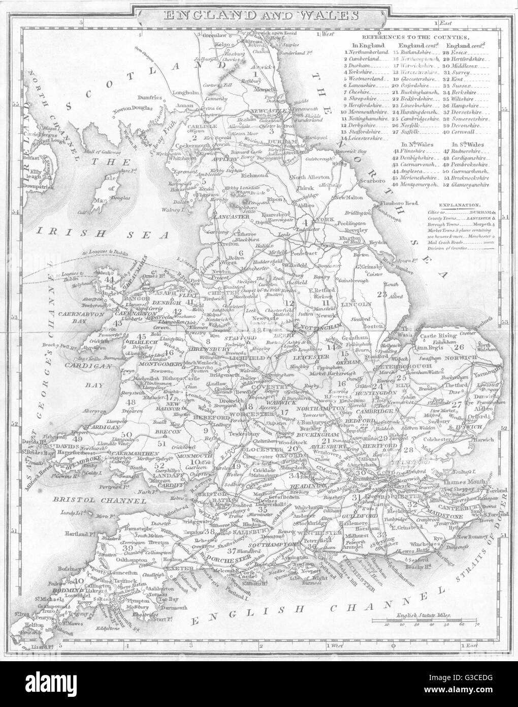 UK: England and Wales. DUGDALE, 1845 antique map Stock Photohttps://www.alamy.com/image-license-details/?v=1https://www.alamy.com/stock-photo-uk-england-and-wales-dugdale-1845-antique-map-105380956.html
RFG3CEDG–UK: England and Wales. DUGDALE, 1845 antique map
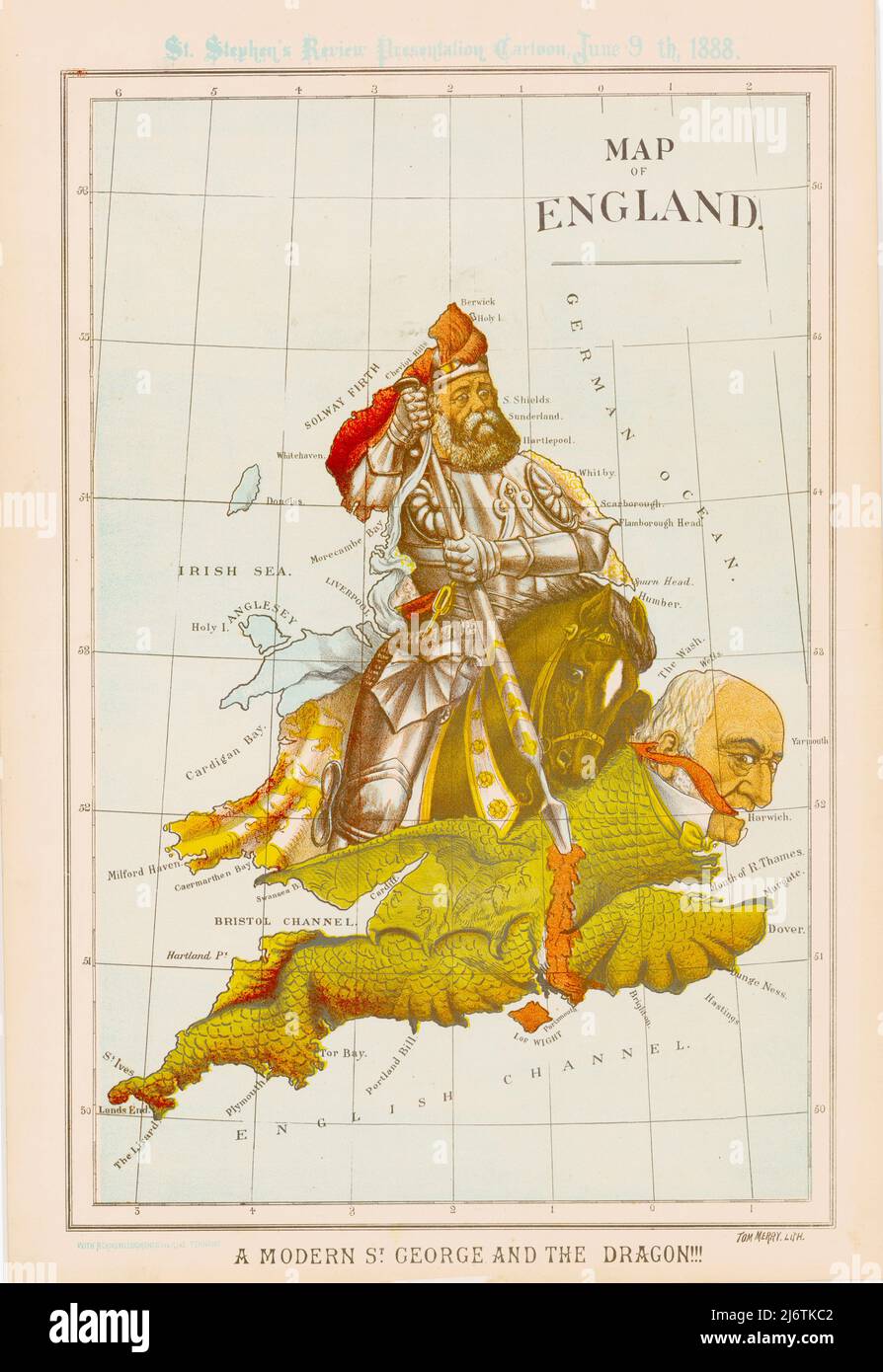 William Mecham Modern St George and the Dragon - Map of England - 1888 Stock Photohttps://www.alamy.com/image-license-details/?v=1https://www.alamy.com/william-mecham-modern-st-george-and-the-dragon-map-of-england-1888-image468909954.html
RF2J6TKC2–William Mecham Modern St George and the Dragon - Map of England - 1888
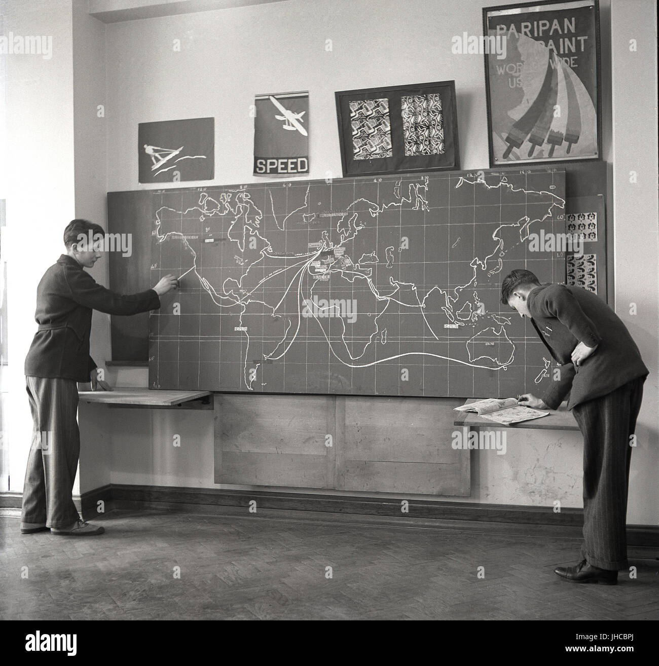 1950s, historical, a male student points to the route from America to the UK on a large blackboard, which has a map of the world showing the different trading routes products such as cod liver oil and honey - and even dried blood! - take to reach their markets. Stock Photohttps://www.alamy.com/image-license-details/?v=1https://www.alamy.com/stock-photo-1950s-historical-a-male-student-points-to-the-route-from-america-to-148404778.html
RMJHCBPJ–1950s, historical, a male student points to the route from America to the UK on a large blackboard, which has a map of the world showing the different trading routes products such as cod liver oil and honey - and even dried blood! - take to reach their markets.
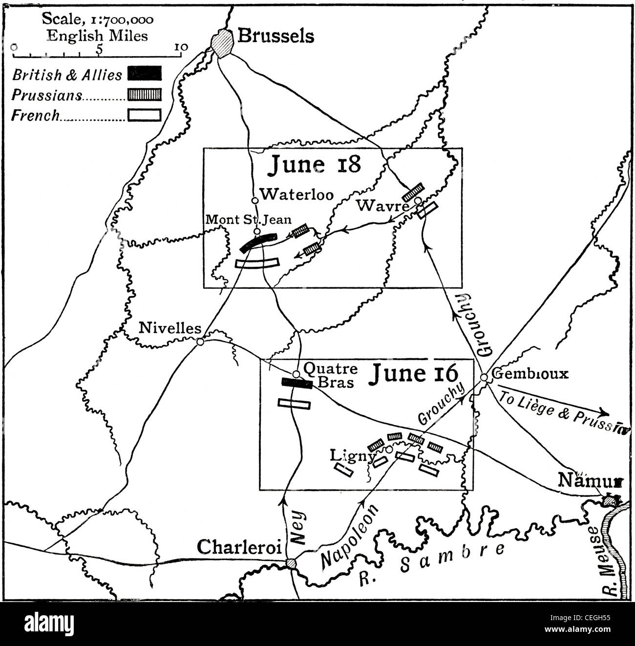 Map of the Waterloo Campaign, 1815. From The Story of England, published 1930. Stock Photohttps://www.alamy.com/image-license-details/?v=1https://www.alamy.com/stock-photo-map-of-the-waterloo-campaign-1815-from-the-story-of-england-published-43390625.html
RMCEGH55–Map of the Waterloo Campaign, 1815. From The Story of England, published 1930.
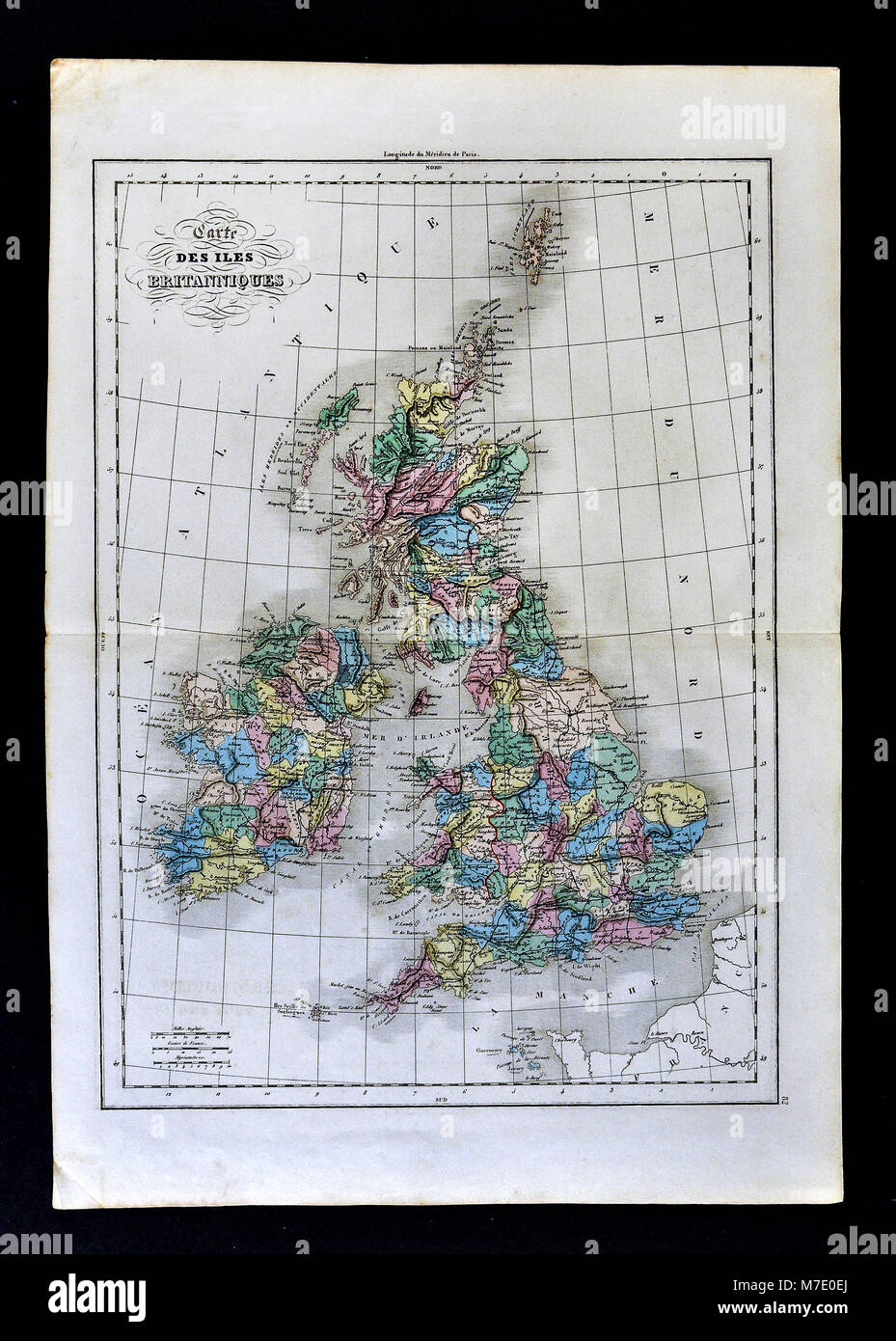 1858 Delamarche Historical Map of the British Isles showing England, Scotland, Wales and Ireland Stock Photohttps://www.alamy.com/image-license-details/?v=1https://www.alamy.com/stock-photo-1858-delamarche-historical-map-of-the-british-isles-showing-england-176714010.html
RFM7E0EJ–1858 Delamarche Historical Map of the British Isles showing England, Scotland, Wales and Ireland
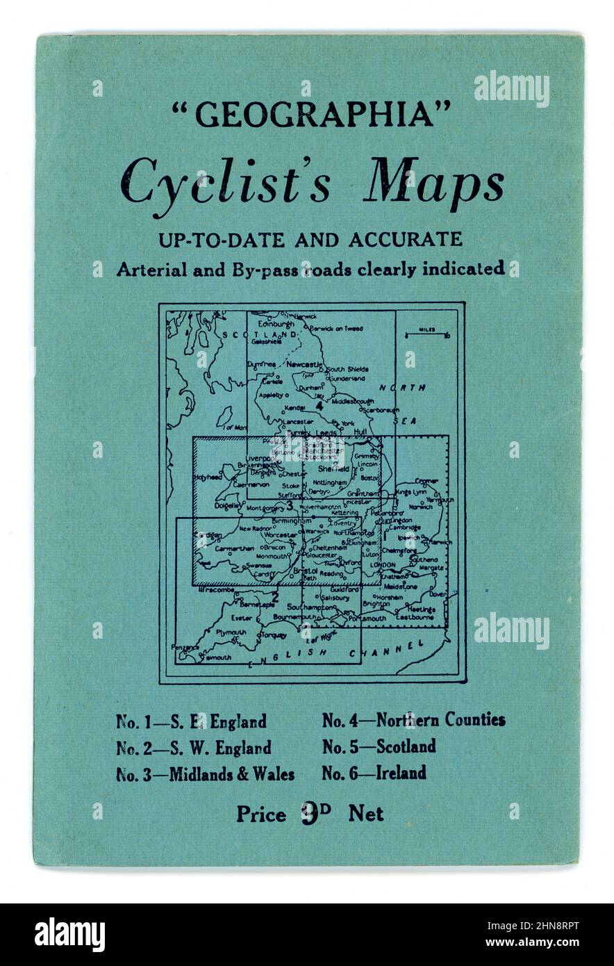 Original 1940's Geographia series Cyclists' Map South East England, . Issue No. 1. Published by Geographia Ltd. 167 Fleet Street, London, EC4. The illustration shows a happy couple out enjoying themselves cycling in the countryside, map reading, waving to another cycling group, circa 1945 / 1946 Stock Photohttps://www.alamy.com/image-license-details/?v=1https://www.alamy.com/original-1940s-geographia-series-cyclists-map-south-east-england-issue-no-1-published-by-geographia-ltd-167-fleet-street-london-ec4-the-illustration-shows-a-happy-couple-out-enjoying-themselves-cycling-in-the-countryside-map-reading-waving-to-another-cycling-group-circa-1945-1946-image460571632.html
RM2HN8RPT–Original 1940's Geographia series Cyclists' Map South East England, . Issue No. 1. Published by Geographia Ltd. 167 Fleet Street, London, EC4. The illustration shows a happy couple out enjoying themselves cycling in the countryside, map reading, waving to another cycling group, circa 1945 / 1946
 Map of Brighton and adjoining parts of Hove. Historical streetmap, Brighton, England, United Kingdom. 'PLAN OF BRIGHTON WITH LATEST IMPROVEMENTS TO 1827' Stock Photohttps://www.alamy.com/image-license-details/?v=1https://www.alamy.com/map-of-brighton-and-adjoining-parts-of-hove-historical-streetmap-brighton-england-united-kingdom-plan-of-brighton-with-latest-improvements-to-1827-image451110039.html
RM2H5WRCR–Map of Brighton and adjoining parts of Hove. Historical streetmap, Brighton, England, United Kingdom. 'PLAN OF BRIGHTON WITH LATEST IMPROVEMENTS TO 1827'
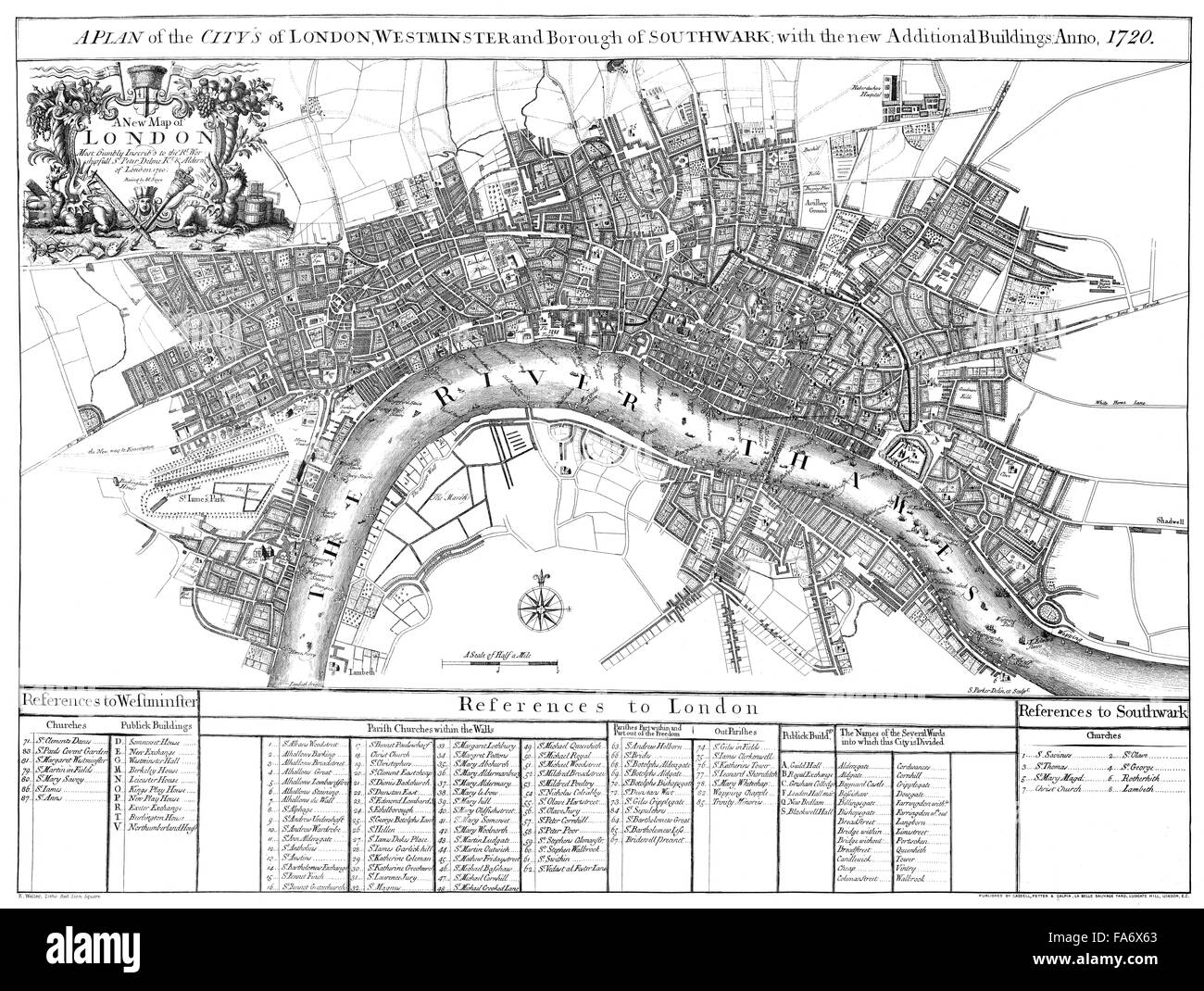 City map of London, England, 1720, Stadtplan von London, 1720 Stock Photohttps://www.alamy.com/image-license-details/?v=1https://www.alamy.com/stock-photo-city-map-of-london-england-1720-stadtplan-von-london-1720-92350667.html
RMFA6X63–City map of London, England, 1720, Stadtplan von London, 1720
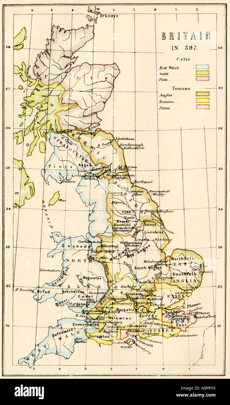 Map of territory controlled by Celts, Picts, Angles, Saxons and other tribes in Britain in 597 AD. Color lithograph Stock Photohttps://www.alamy.com/image-license-details/?v=1https://www.alamy.com/stock-photo-map-of-territory-controlled-by-celts-picts-angles-saxons-and-other-12420013.html
RMA9PPYX–Map of territory controlled by Celts, Picts, Angles, Saxons and other tribes in Britain in 597 AD. Color lithograph
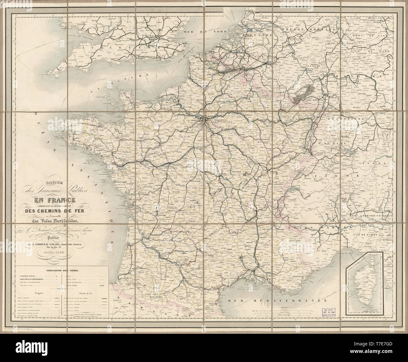 Map of public works in France including the complete network of railways in all the waterways, Published by J. Andriveau-Goujon, 1856 Stock Photohttps://www.alamy.com/image-license-details/?v=1https://www.alamy.com/map-of-public-works-in-france-including-the-complete-network-of-railways-in-all-the-waterways-published-by-j-andriveau-goujon-1856-image245561021.html
RMT7E7GD–Map of public works in France including the complete network of railways in all the waterways, Published by J. Andriveau-Goujon, 1856
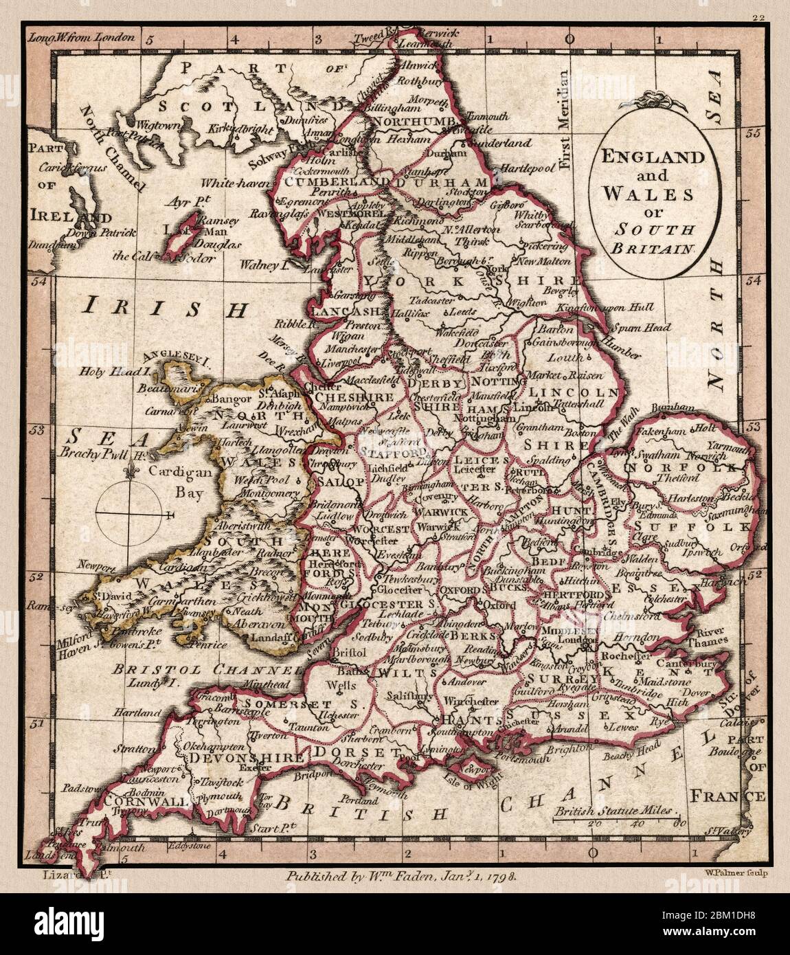 'England and Wales or South Britain.' Map shows geographic divisions circa 1798. This is a beautifully detailed historic map reproduction. Original from a British atlas published by famed cartographer William Faden. Stock Photohttps://www.alamy.com/image-license-details/?v=1https://www.alamy.com/england-and-wales-or-south-britain-map-shows-geographic-divisions-circa-1798-this-is-a-beautifully-detailed-historic-map-reproduction-original-from-a-british-atlas-published-by-famed-cartographer-william-faden-image356533108.html
RM2BM1DH8–'England and Wales or South Britain.' Map shows geographic divisions circa 1798. This is a beautifully detailed historic map reproduction. Original from a British atlas published by famed cartographer William Faden.
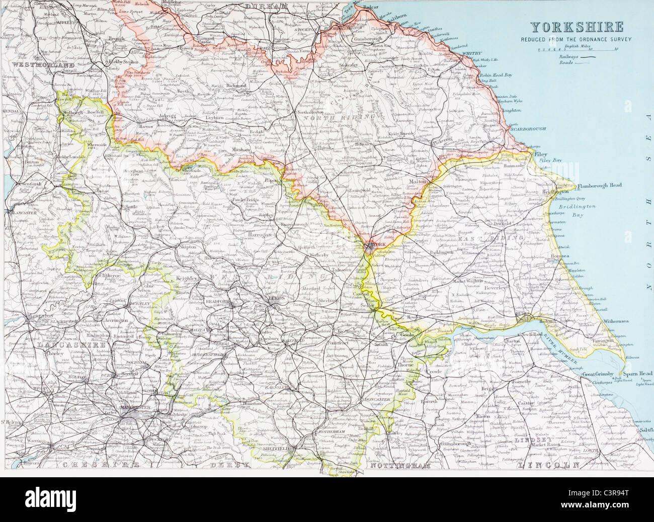 Map of Yorkshire, England in the late19th century. Stock Photohttps://www.alamy.com/image-license-details/?v=1https://www.alamy.com/stock-photo-map-of-yorkshire-england-in-the-late19th-century-36776792.html
RMC3R94T–Map of Yorkshire, England in the late19th century.
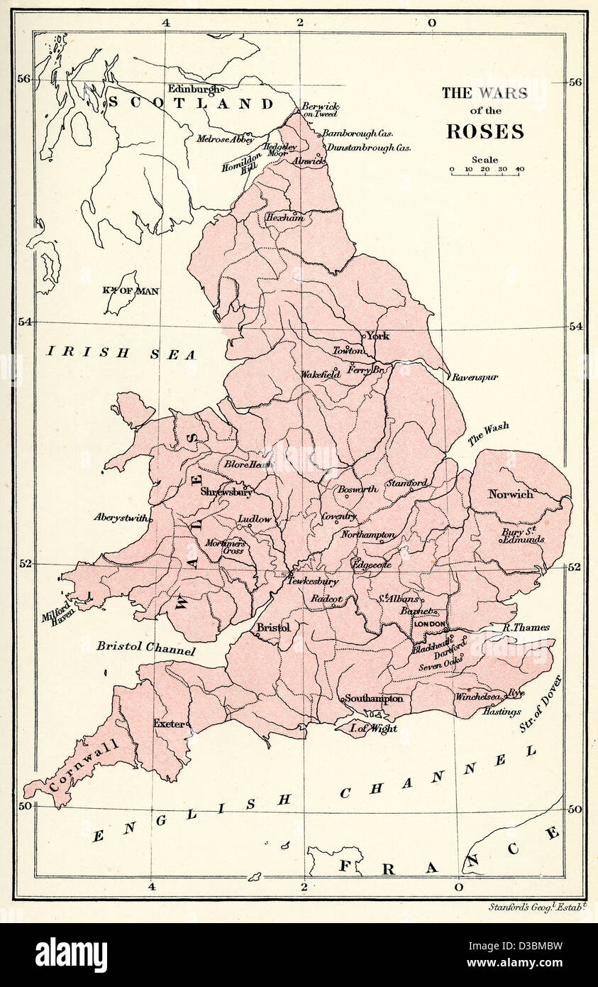 Map of England showing important locations during the Wars of the Roses Stock Photohttps://www.alamy.com/image-license-details/?v=1https://www.alamy.com/stock-photo-map-of-england-showing-important-locations-during-the-wars-of-the-53732557.html
RMD3BMBW–Map of England showing important locations during the Wars of the Roses
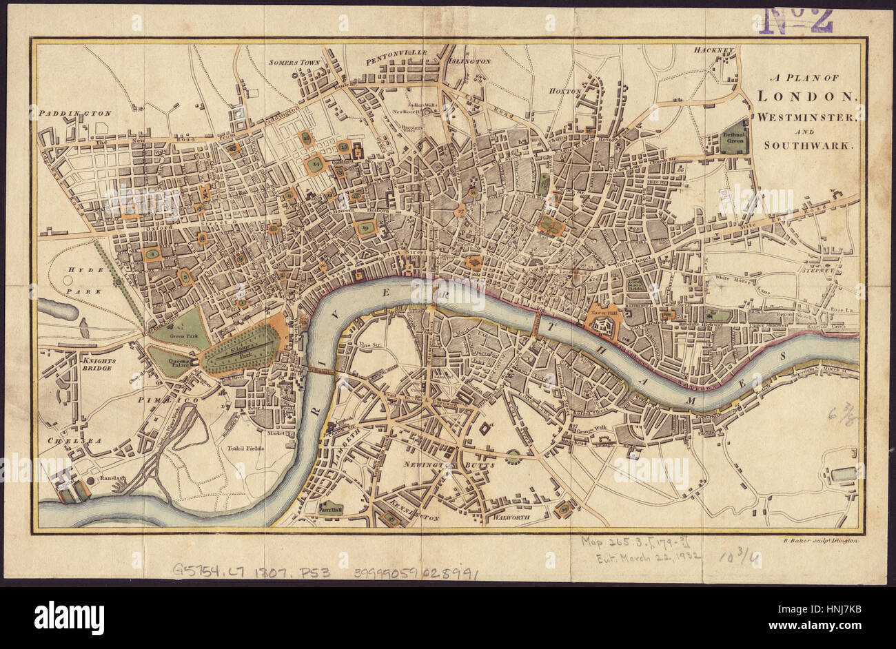 Map Of London 1804 Stock Photohttps://www.alamy.com/image-license-details/?v=1https://www.alamy.com/stock-photo-map-of-london-1804-133781519.html
RFHNJ7KB–Map Of London 1804
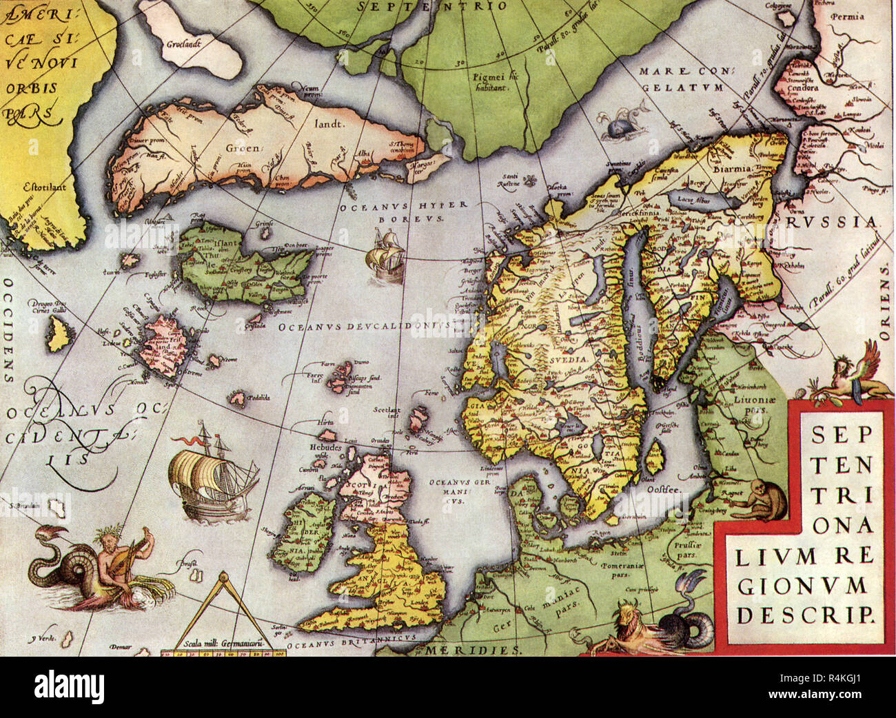 Map of Northern Europe 1570, Ortelius. Stock Photohttps://www.alamy.com/image-license-details/?v=1https://www.alamy.com/map-of-northern-europe-1570-ortelius-image226623545.html
RMR4KGJ1–Map of Northern Europe 1570, Ortelius.
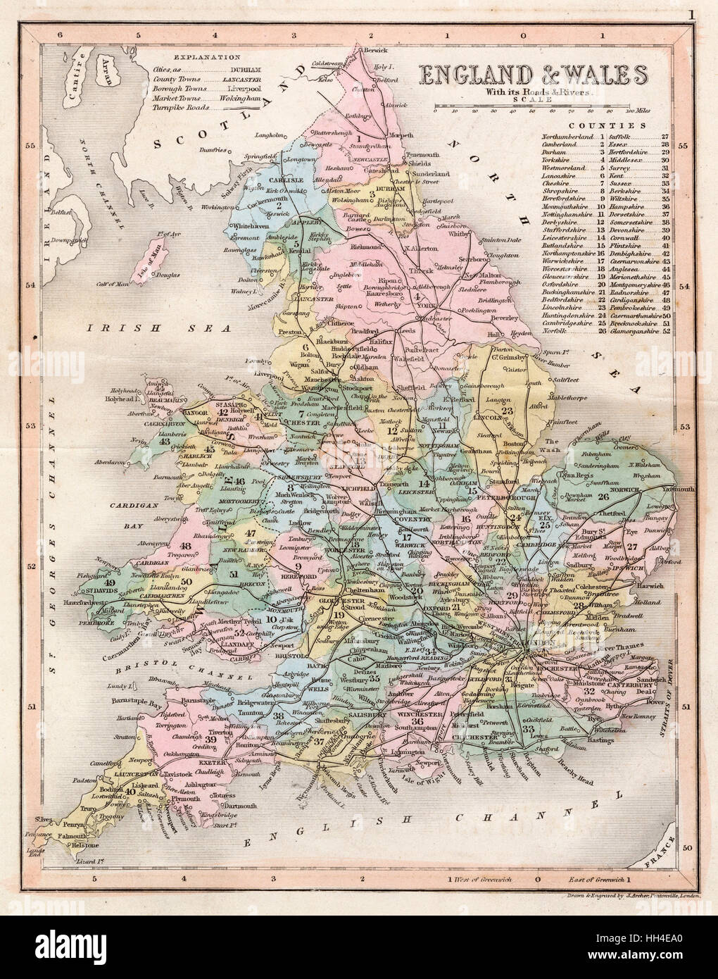 Map of England and Wales showing roads and rivers Stock Photohttps://www.alamy.com/image-license-details/?v=1https://www.alamy.com/stock-photo-map-of-england-and-wales-showing-roads-and-rivers-131020792.html
RMHH4EA0–Map of England and Wales showing roads and rivers
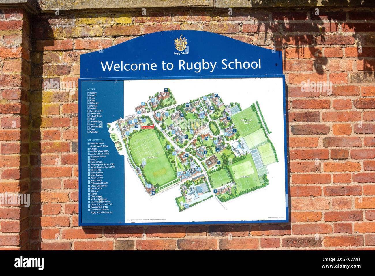 Rugby School map on wall, Rugby School, Barby Road, Rugby, Warwickshire, England, United Kingdom Stock Photohttps://www.alamy.com/image-license-details/?v=1https://www.alamy.com/rugby-school-map-on-wall-rugby-school-barby-road-rugby-warwickshire-england-united-kingdom-image485871681.html
RM2K6DA81–Rugby School map on wall, Rugby School, Barby Road, Rugby, Warwickshire, England, United Kingdom
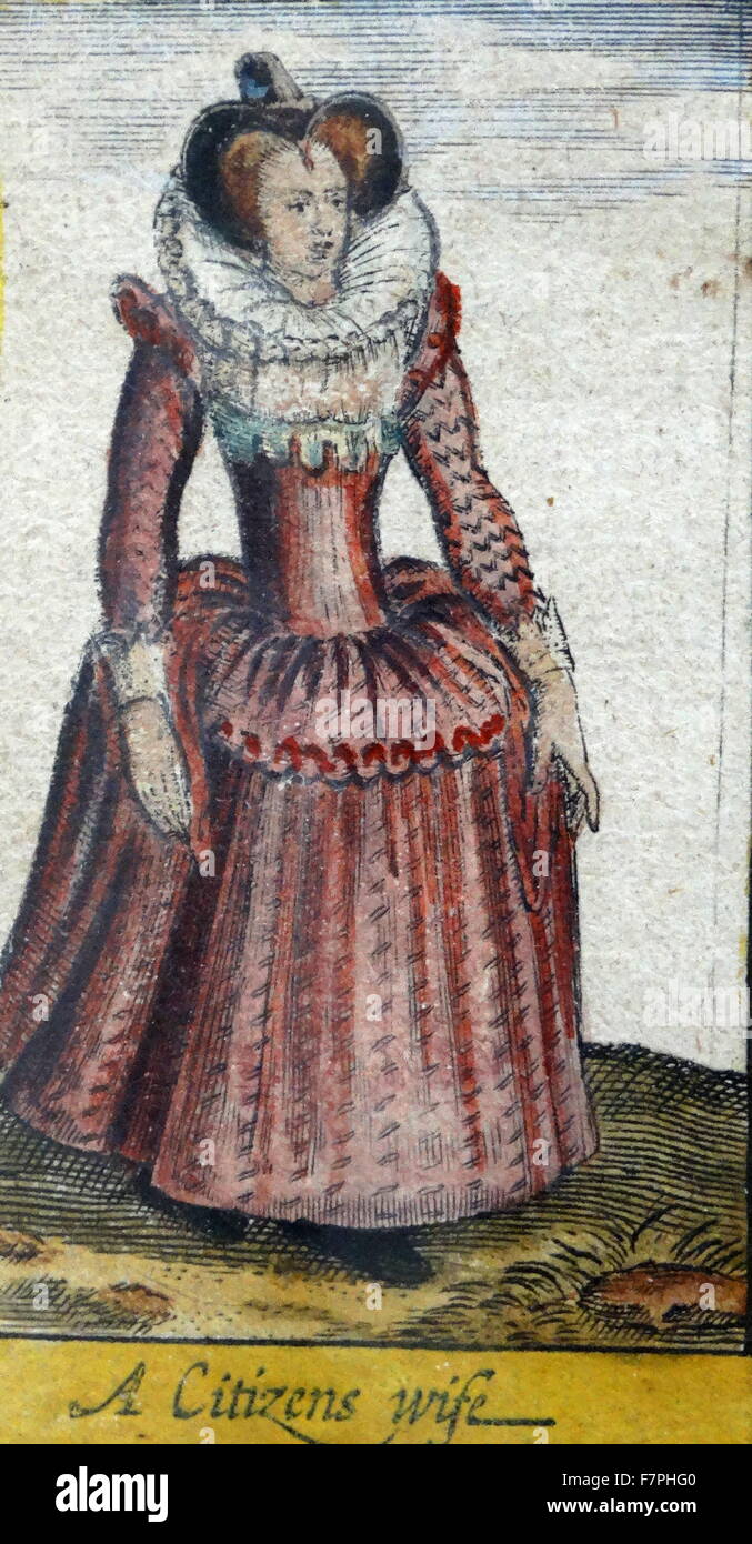 Tudor noblewoman (detail), from a map of England and wales by John Speed;C1612 Stock Photohttps://www.alamy.com/image-license-details/?v=1https://www.alamy.com/stock-photo-tudor-noblewoman-detail-from-a-map-of-england-and-wales-by-john-speedc1612-90851152.html
RMF7PHG0–Tudor noblewoman (detail), from a map of England and wales by John Speed;C1612
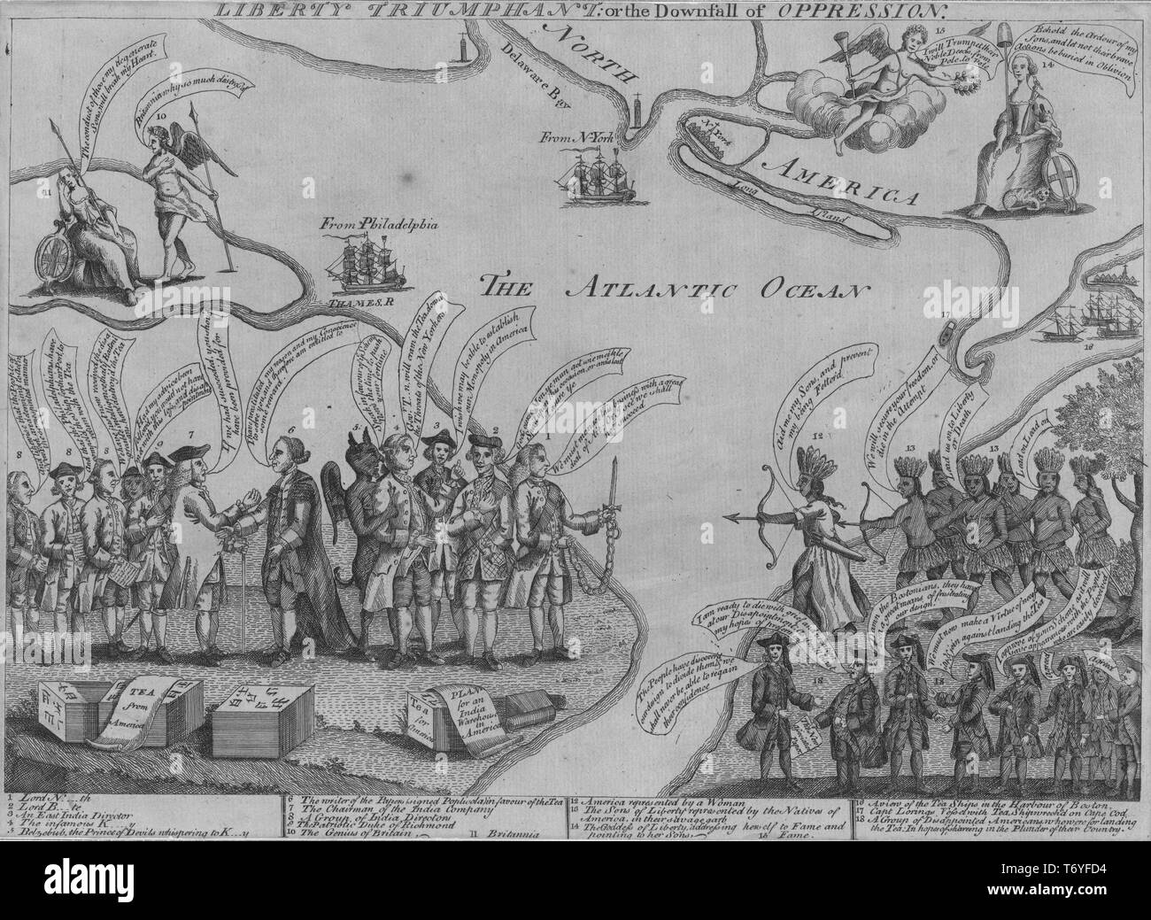 Engraved illustration of the Liberty triumphant, or the downfall of oppression, England colonist's reaction to the British tea tax posed over a map of the northern and mid-Atlantic colonies, by Henry Dawkins, 1775. From the New York Public Library. () Stock Photohttps://www.alamy.com/image-license-details/?v=1https://www.alamy.com/engraved-illustration-of-the-liberty-triumphant-or-the-downfall-of-oppression-england-colonists-reaction-to-the-british-tea-tax-posed-over-a-map-of-the-northern-and-mid-atlantic-colonies-by-henry-dawkins-1775-from-the-new-york-public-library-image245237920.html
RMT6YFD4–Engraved illustration of the Liberty triumphant, or the downfall of oppression, England colonist's reaction to the British tea tax posed over a map of the northern and mid-Atlantic colonies, by Henry Dawkins, 1775. From the New York Public Library. ()
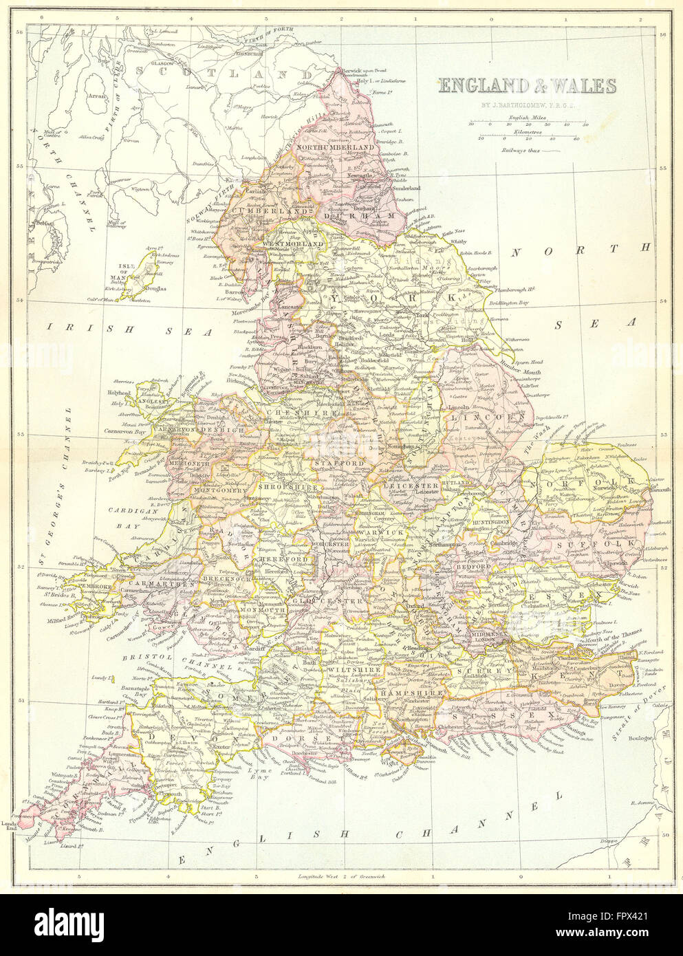 ENGLAND: England Wales: Collins, 1876 antique map Stock Photohttps://www.alamy.com/image-license-details/?v=1https://www.alamy.com/stock-photo-england-england-wales-collins-1876-antique-map-100148217.html
RFFPX421–ENGLAND: England Wales: Collins, 1876 antique map
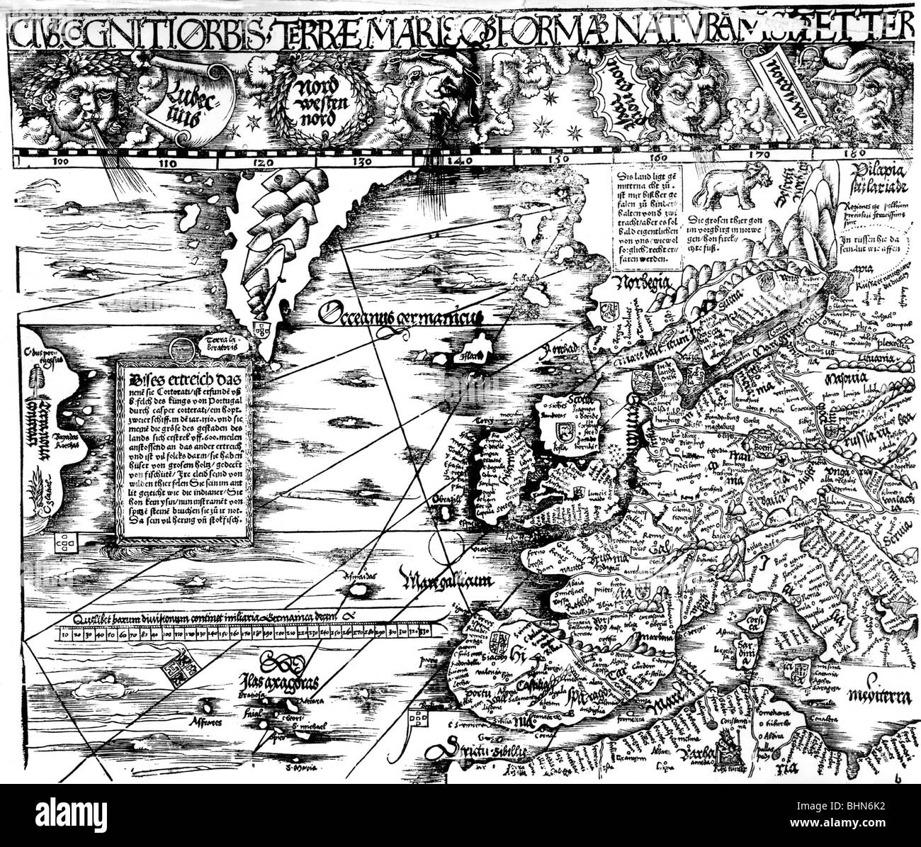 cartography, maps, Western Europe and Atlantic Ocean, 16th century, Spain, France, England, Scotland, Ireland, Iceland, Greenland, Germany, Italy, Norway, Newfoundland, Oceanus Germanicus, Mare Gallicum, scale, map, historic, historical, Stock Photohttps://www.alamy.com/image-license-details/?v=1https://www.alamy.com/stock-photo-cartography-maps-western-europe-and-atlantic-ocean-16th-century-spain-28125750.html
RMBHN6K2–cartography, maps, Western Europe and Atlantic Ocean, 16th century, Spain, France, England, Scotland, Ireland, Iceland, Greenland, Germany, Italy, Norway, Newfoundland, Oceanus Germanicus, Mare Gallicum, scale, map, historic, historical,
 1972, historical, a uniformed male traffic warden looking at a street map with his senior officer, Lewisham, London, England, UK. Parking enforcement began in Britain in September 1960 when the first traffic wardens appeared on the streets of Westminster to issue fines to motorists on behalf of the Metropolitan Police. Stock Photohttps://www.alamy.com/image-license-details/?v=1https://www.alamy.com/1972-historical-a-uniformed-male-traffic-warden-looking-at-a-street-map-with-his-senior-officer-lewisham-london-england-uk-parking-enforcement-began-in-britain-in-september-1960-when-the-first-traffic-wardens-appeared-on-the-streets-of-westminster-to-issue-fines-to-motorists-on-behalf-of-the-metropolitan-police-image328846155.html
RM2A306HF–1972, historical, a uniformed male traffic warden looking at a street map with his senior officer, Lewisham, London, England, UK. Parking enforcement began in Britain in September 1960 when the first traffic wardens appeared on the streets of Westminster to issue fines to motorists on behalf of the Metropolitan Police.
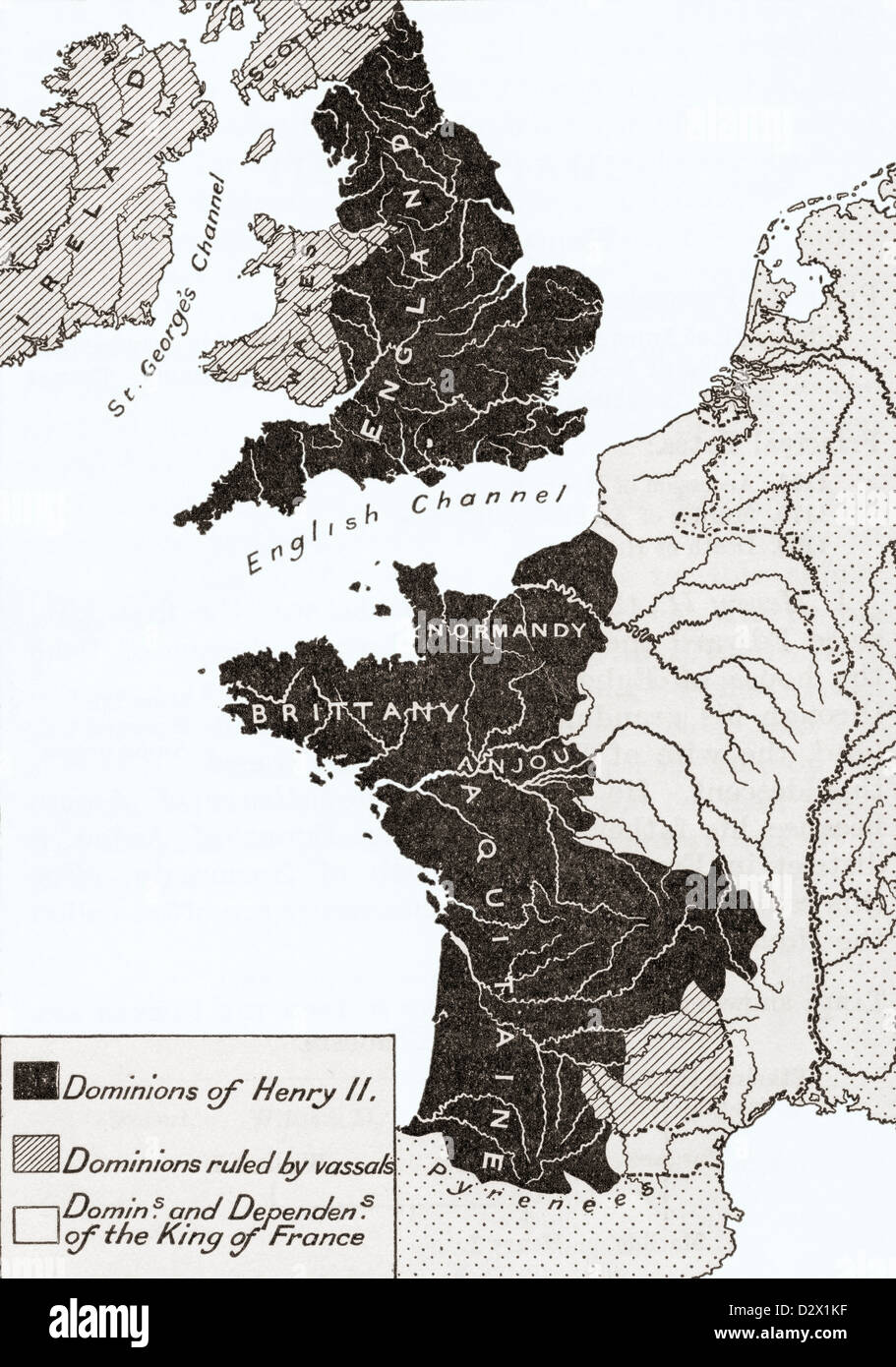 A map showing the Empire of king Henry II of England in the twelfth century Stock Photohttps://www.alamy.com/image-license-details/?v=1https://www.alamy.com/stock-photo-a-map-showing-the-empire-of-king-henry-ii-of-england-in-the-twelfth-53432499.html
RMD2X1KF–A map showing the Empire of king Henry II of England in the twelfth century
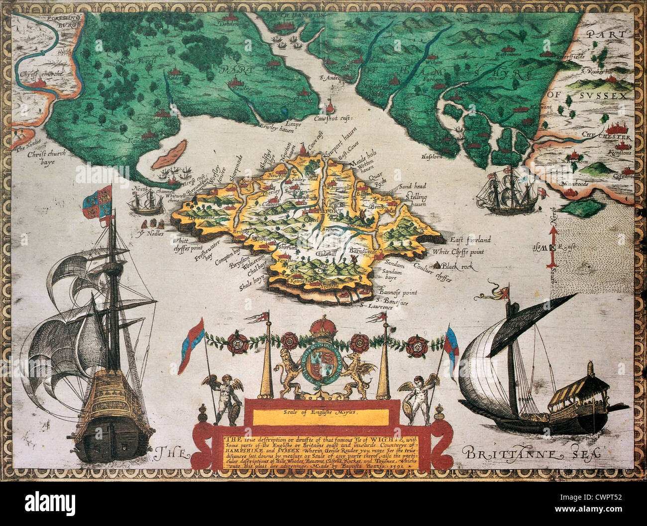 Isle of Wight old map ans southern England Stock Photohttps://www.alamy.com/image-license-details/?v=1https://www.alamy.com/stock-photo-isle-of-wight-old-map-ans-southern-england-50289038.html
RFCWPT52–Isle of Wight old map ans southern England
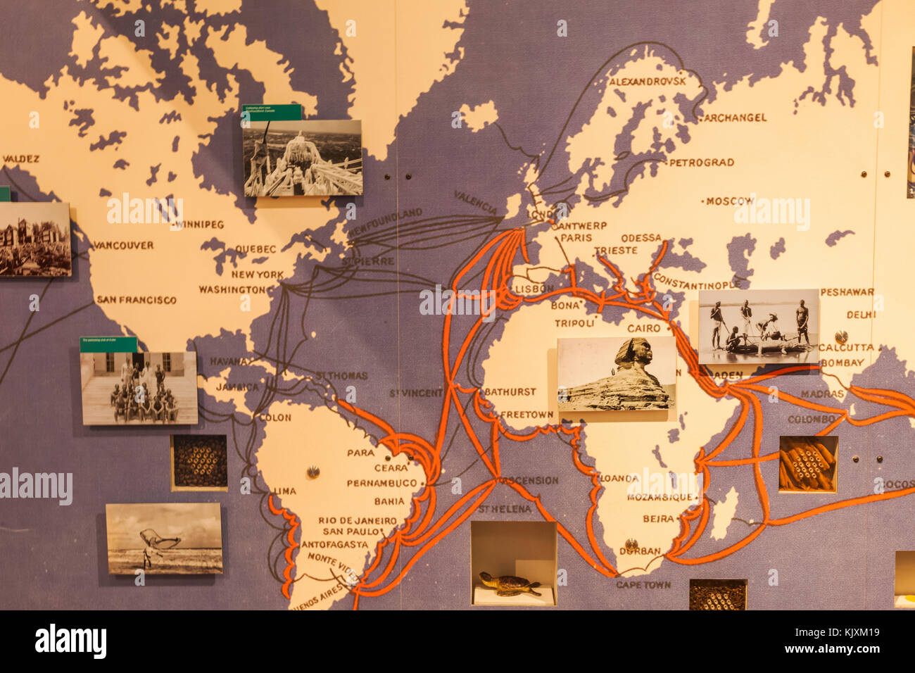 UK,United Kingdom,Great Britain,Britain,England,Cornwall,Porthcurno,Telegraph Museum,World War 2 Tunnels,Historic,Historical,Communication,Communicati Stock Photohttps://www.alamy.com/image-license-details/?v=1https://www.alamy.com/stock-image-ukunited-kingdomgreat-britainbritainenglandcornwallporthcurnotelegraph-166543589.html
RMKJXM19–UK,United Kingdom,Great Britain,Britain,England,Cornwall,Porthcurno,Telegraph Museum,World War 2 Tunnels,Historic,Historical,Communication,Communicati
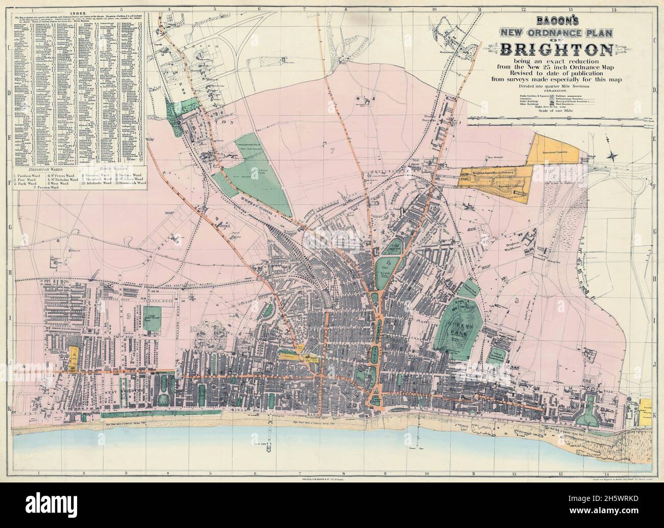 Map of Brighton and adjoining parts of Hove. Historical streetmap, Brighton, England, United Kingdom. BACON'S NEW ORDNANCE PLAN OF BRIGHTON. GW. Bacon (born US 1830, died UK 1922) was a prolific London based book and map publisher active in the mid to late 19th century. Bacon's firm G.W. Bacon and Co. produced a wide variety of maps and guides. Stock Photohttps://www.alamy.com/image-license-details/?v=1https://www.alamy.com/map-of-brighton-and-adjoining-parts-of-hove-historical-streetmap-brighton-england-united-kingdom-bacons-new-ordnance-plan-of-brighton-gw-bacon-born-us-1830-died-uk-1922-was-a-prolific-london-based-book-and-map-publisher-active-in-the-mid-to-late-19th-century-bacons-firm-gw-bacon-and-co-produced-a-wide-variety-of-maps-and-guides-image451110225.html
RM2H5WRKD–Map of Brighton and adjoining parts of Hove. Historical streetmap, Brighton, England, United Kingdom. BACON'S NEW ORDNANCE PLAN OF BRIGHTON. GW. Bacon (born US 1830, died UK 1922) was a prolific London based book and map publisher active in the mid to late 19th century. Bacon's firm G.W. Bacon and Co. produced a wide variety of maps and guides.
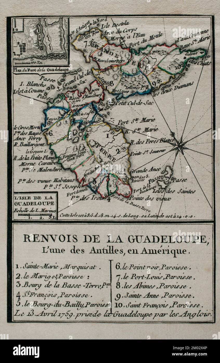 Map of Guadeloupe, 1759. Antilles Archipelago, Caribbean Sea. France took possession of the island on 28 June 1635, after landing at Pointe Allegre. During the Seven Years War, was conquered by England, founding the Port of Pointe-a-Pitre. Taking of the island of Guadeloupe by the British troops on April 13, 1759. Engraving published in 1765 by the cartographer Jean de Beaurain (1696-1771) as an illustration of his Great Map of Germany, with the events that took place during the Seven Years War. French edition, 1765. Military Historical Library of Barcelona (Biblioteca Histórico Militar de Bar Stock Photohttps://www.alamy.com/image-license-details/?v=1https://www.alamy.com/map-of-guadeloupe-1759-antilles-archipelago-caribbean-sea-france-took-possession-of-the-island-on-28-june-1635-after-landing-at-pointe-allegre-during-the-seven-years-war-was-conquered-by-england-founding-the-port-of-pointe-a-pitre-taking-of-the-island-of-guadeloupe-by-the-british-troops-on-april-13-1759-engraving-published-in-1765-by-the-cartographer-jean-de-beaurain-1696-1771-as-an-illustration-of-his-great-map-of-germany-with-the-events-that-took-place-during-the-seven-years-war-french-edition-1765-military-historical-library-of-barcelona-biblioteca-histrico-militar-de-bar-image499165094.html
RM2M02X4P–Map of Guadeloupe, 1759. Antilles Archipelago, Caribbean Sea. France took possession of the island on 28 June 1635, after landing at Pointe Allegre. During the Seven Years War, was conquered by England, founding the Port of Pointe-a-Pitre. Taking of the island of Guadeloupe by the British troops on April 13, 1759. Engraving published in 1765 by the cartographer Jean de Beaurain (1696-1771) as an illustration of his Great Map of Germany, with the events that took place during the Seven Years War. French edition, 1765. Military Historical Library of Barcelona (Biblioteca Histórico Militar de Bar
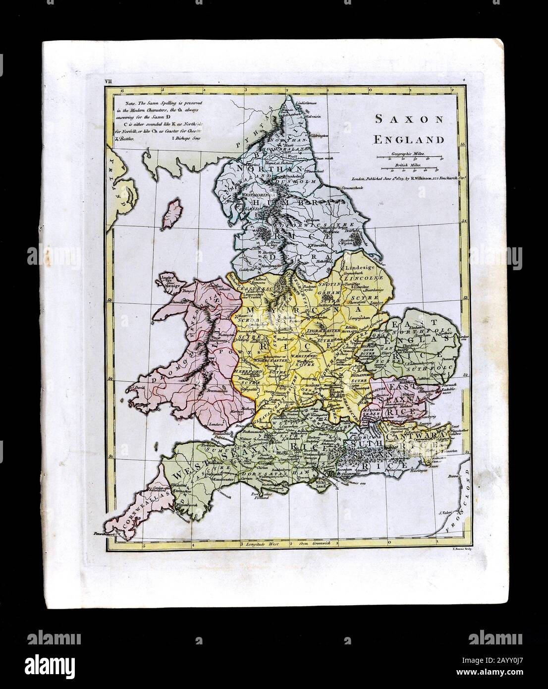 1808 Wilkinson Map Ancient Saxon England Wales Stock Photohttps://www.alamy.com/image-license-details/?v=1https://www.alamy.com/1808-wilkinson-map-ancient-saxon-england-wales-image344185919.html
RM2AYY0J7–1808 Wilkinson Map Ancient Saxon England Wales
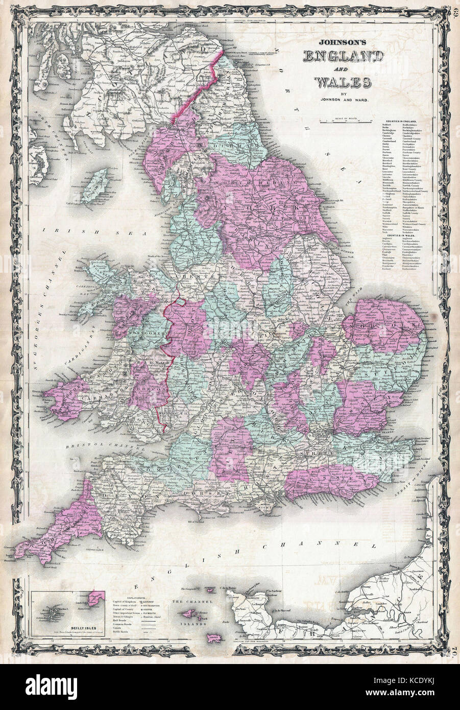 1862, Johnson Map of England and Wales Stock Photohttps://www.alamy.com/image-license-details/?v=1https://www.alamy.com/stock-image-1862-johnson-map-of-england-and-wales-162576278.html
RMKCDYKJ–1862, Johnson Map of England and Wales
 An 18th century vintage map depicts the English county of Surrey England UK, and its surrounding regions, detailing towns, roads, and geographical features. Stock Photohttps://www.alamy.com/image-license-details/?v=1https://www.alamy.com/an-18th-century-vintage-map-depicts-the-english-county-of-surrey-england-uk-and-its-surrounding-regions-detailing-towns-roads-and-geographical-features-image619188369.html
RM2XYAD29–An 18th century vintage map depicts the English county of Surrey England UK, and its surrounding regions, detailing towns, roads, and geographical features.
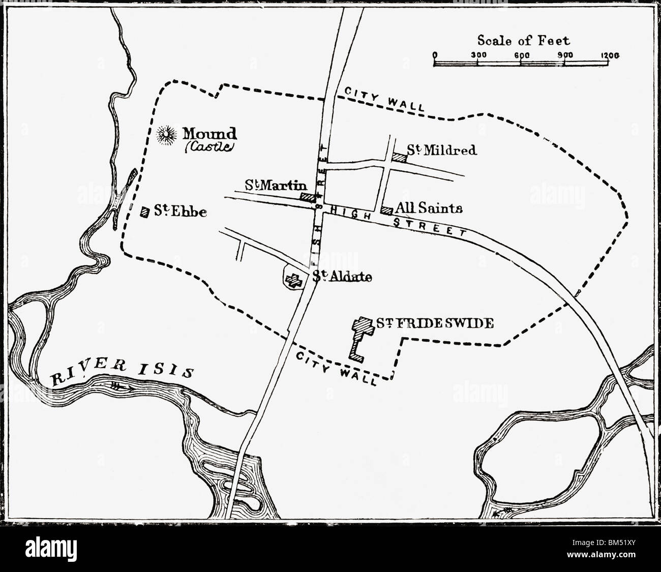 Map of Oxford, England circa 12th or 13th century. Stock Photohttps://www.alamy.com/image-license-details/?v=1https://www.alamy.com/stock-photo-map-of-oxford-england-circa-12th-or-13th-century-29614787.html
RMBM51XY–Map of Oxford, England circa 12th or 13th century.
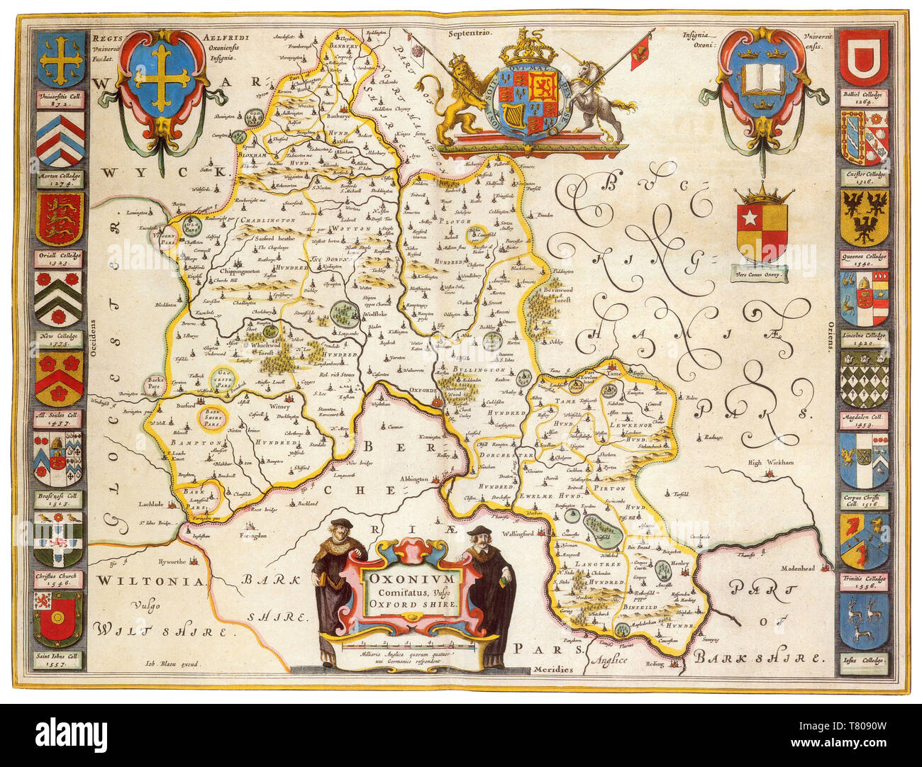 Joan Blaeu, Oxfordshire Map, England, 17th Century Stock Photohttps://www.alamy.com/image-license-details/?v=1https://www.alamy.com/joan-blaeu-oxfordshire-map-england-17th-century-image245869481.html
RMT8090W–Joan Blaeu, Oxfordshire Map, England, 17th Century
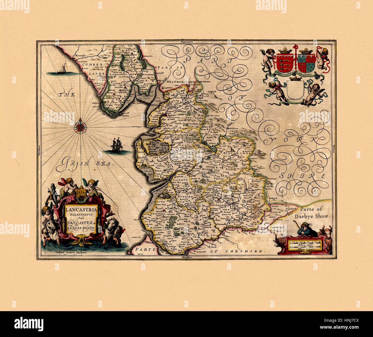 Map Of Lancashire 1646 Stock Photohttps://www.alamy.com/image-license-details/?v=1https://www.alamy.com/stock-photo-map-of-lancashire-1646-133781338.html
RFHNJ7CX–Map Of Lancashire 1646
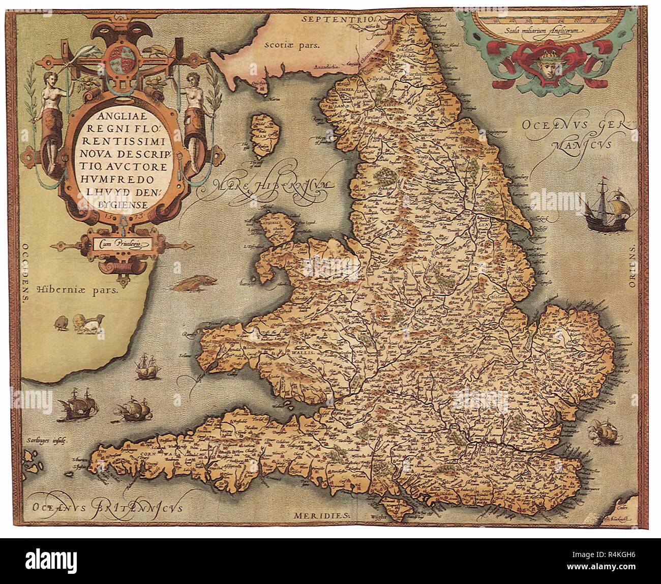 England and Wales, 1573, Lloyd, Humphrey. Stock Photohttps://www.alamy.com/image-license-details/?v=1https://www.alamy.com/england-and-wales-1573-lloyd-humphrey-image226623522.html
RMR4KGH6–England and Wales, 1573, Lloyd, Humphrey.
 Whimsical Map Of England & Wales Stock Photohttps://www.alamy.com/image-license-details/?v=1https://www.alamy.com/whimsical-map-of-england-wales-image504918773.html
RM2M9D119–Whimsical Map Of England & Wales
 Smith's new map of London, 1860 Stock Photohttps://www.alamy.com/image-license-details/?v=1https://www.alamy.com/stock-photo-smiths-new-map-of-london-1860-29709977.html
RMBM9BAH–Smith's new map of London, 1860
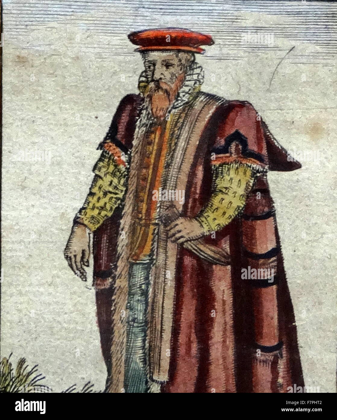 Tudor noblewoman (detail), from a map of England and wales by John Speed;C1612 Stock Photohttps://www.alamy.com/image-license-details/?v=1https://www.alamy.com/stock-photo-tudor-noblewoman-detail-from-a-map-of-england-and-wales-by-john-speedc1612-90851378.html
RMF7PHT2–Tudor noblewoman (detail), from a map of England and wales by John Speed;C1612
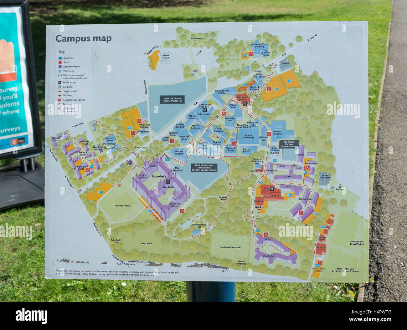 Campus map at Royal Holloway (University of London), Egham Hill, Egham, Surrey, England, United Kingdom Stock Photohttps://www.alamy.com/image-license-details/?v=1https://www.alamy.com/stock-photo-campus-map-at-royal-holloway-university-of-london-egham-hill-egham-136956864.html
RMHXPWTG–Campus map at Royal Holloway (University of London), Egham Hill, Egham, Surrey, England, United Kingdom
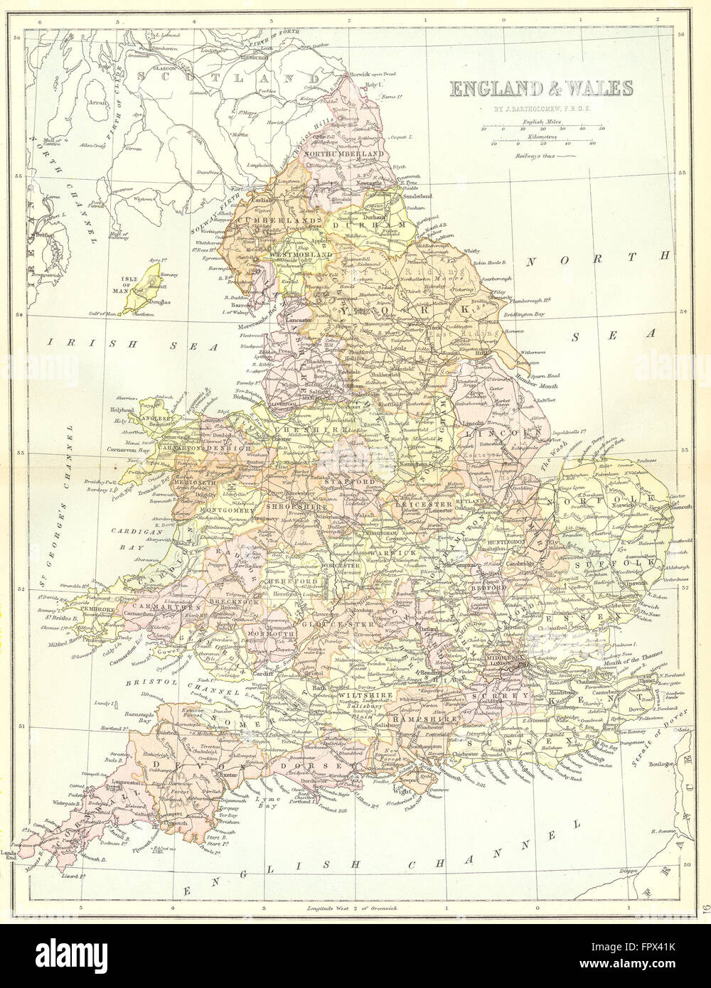 ENGLAND: England Wales: Collins, 1876 antique map Stock Photohttps://www.alamy.com/image-license-details/?v=1https://www.alamy.com/stock-photo-england-england-wales-collins-1876-antique-map-100148207.html
RFFPX41K–ENGLAND: England Wales: Collins, 1876 antique map
 cartography, maps, map of Central Europe at the beginning of the War of the Sixth Coalition in 1813 , war of liberation, Napoleonic Wars, 19th century, historic, historical, Europe, map, maps, France, Germany, Prussia, Austria, Poland, Russia, Italy, England, Spain, Confederation of the Rhine, Additional-Rights-Clearences-Not Available Stock Photohttps://www.alamy.com/image-license-details/?v=1https://www.alamy.com/stock-photo-cartography-maps-map-of-central-europe-at-the-beginning-of-the-war-36909306.html
RMC41A5E–cartography, maps, map of Central Europe at the beginning of the War of the Sixth Coalition in 1813 , war of liberation, Napoleonic Wars, 19th century, historic, historical, Europe, map, maps, France, Germany, Prussia, Austria, Poland, Russia, Italy, England, Spain, Confederation of the Rhine, Additional-Rights-Clearences-Not Available
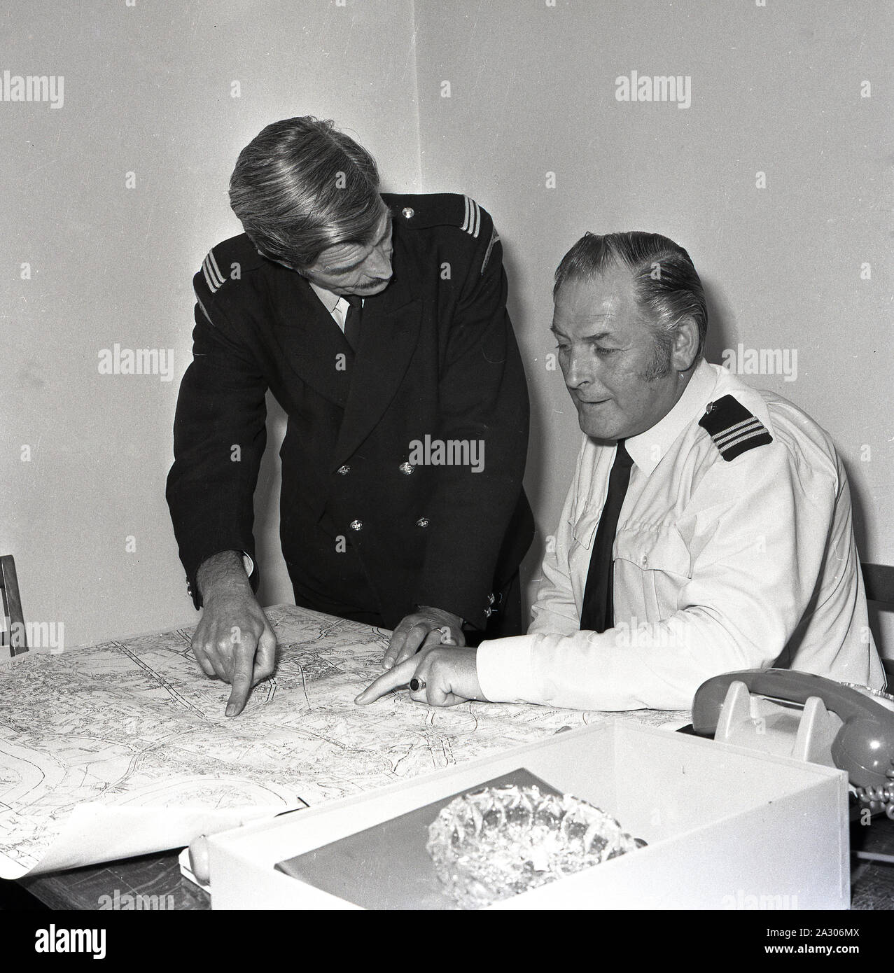 1972, historical, a uniformed male traffic warden looking at a street map with his senior officer, Lewisham, London, England, UK. Parking enforcement began in Britain in September 1960 when the first traffic wardens appeared on the streets of Westminster to issue fines to motorists on behalf of the Metropolitan Police. Stock Photohttps://www.alamy.com/image-license-details/?v=1https://www.alamy.com/1972-historical-a-uniformed-male-traffic-warden-looking-at-a-street-map-with-his-senior-officer-lewisham-london-england-uk-parking-enforcement-began-in-britain-in-september-1960-when-the-first-traffic-wardens-appeared-on-the-streets-of-westminster-to-issue-fines-to-motorists-on-behalf-of-the-metropolitan-police-image328846250.html
RM2A306MX–1972, historical, a uniformed male traffic warden looking at a street map with his senior officer, Lewisham, London, England, UK. Parking enforcement began in Britain in September 1960 when the first traffic wardens appeared on the streets of Westminster to issue fines to motorists on behalf of the Metropolitan Police.
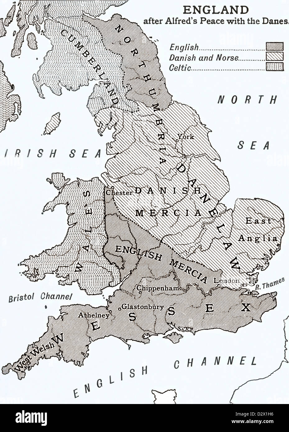 A map of England after king Alfred's peace with the Danes in the 9th century Stock Photohttps://www.alamy.com/image-license-details/?v=1https://www.alamy.com/stock-photo-a-map-of-england-after-king-alfreds-peace-with-the-danes-in-the-9th-53432434.html
RMD2X1H6–A map of England after king Alfred's peace with the Danes in the 9th century
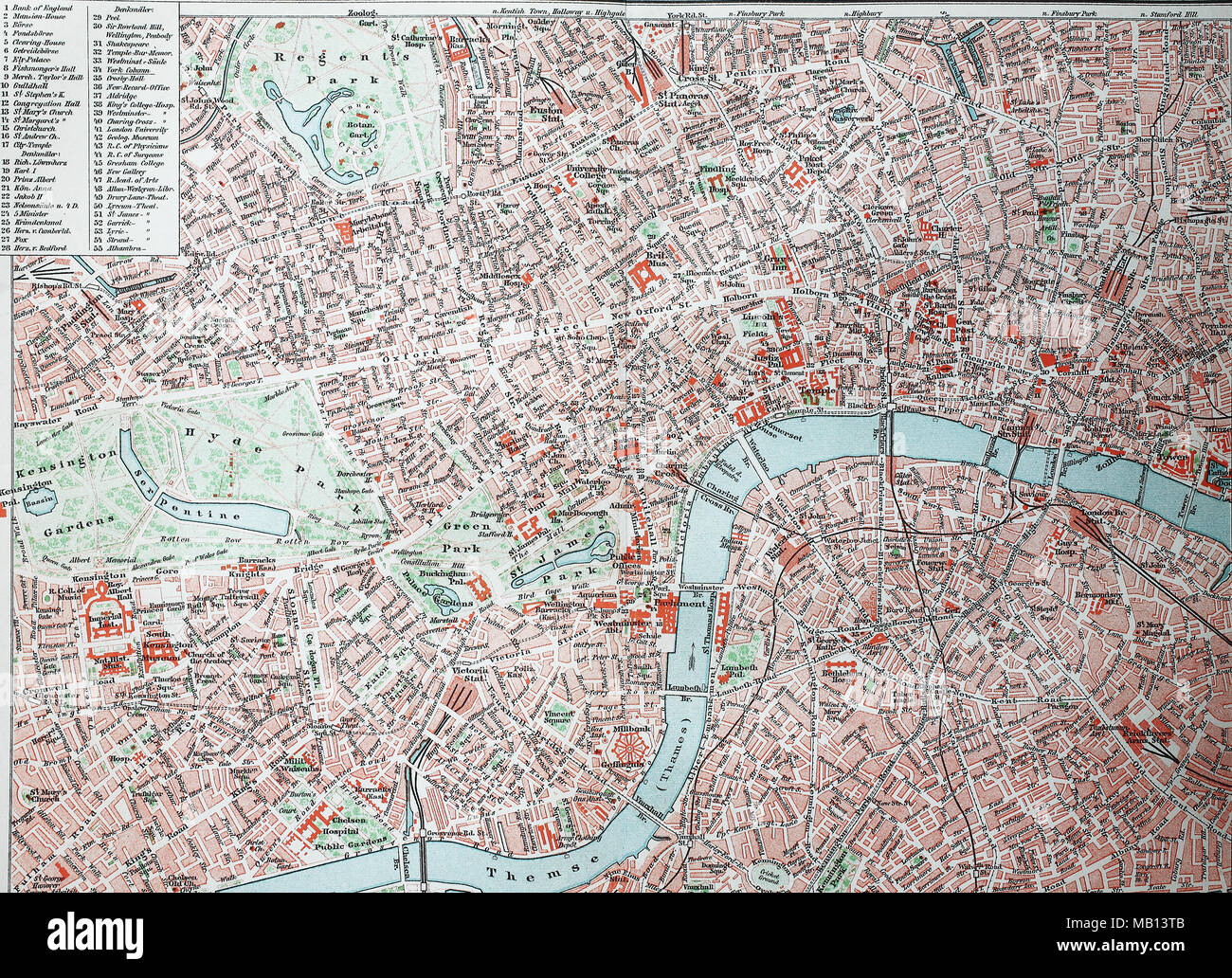 Stadtplan von London, City und Westend, England, 1895, city map of London, digital improved reproduction of an original print from the year 1895 Stock Photohttps://www.alamy.com/image-license-details/?v=1https://www.alamy.com/stadtplan-von-london-city-und-westend-england-1895-city-map-of-london-digital-improved-reproduction-of-an-original-print-from-the-year-1895-image178889883.html
RFMB13TB–Stadtplan von London, City und Westend, England, 1895, city map of London, digital improved reproduction of an original print from the year 1895
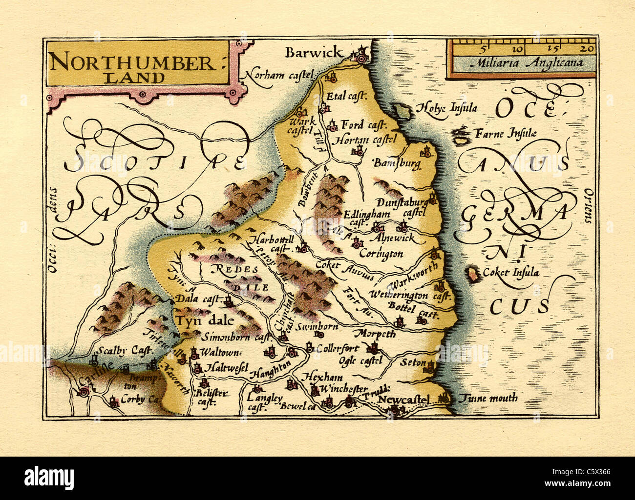 Northumberland - Old English County Map by John Speed, circa 1625 Stock Photohttps://www.alamy.com/image-license-details/?v=1https://www.alamy.com/stock-photo-northumberland-old-english-county-map-by-john-speed-circa-1625-38067294.html
RFC5X366–Northumberland - Old English County Map by John Speed, circa 1625
 Essex is a county in the East of England, north-east of London. One of the home counties, it borders Suffolk and Cambridgeshire to the north, Hertfordshire to the west, Kent across the estuary of the River Thames to the south and London to the south-west. The county town is Chelmsford, the only city in the county. Copperplate engraving From the Encyclopaedia Londinensis or, Universal dictionary of arts, sciences, and literature; Volume VII; Edited by Wilkes, John. Published in London in 1810 Stock Photohttps://www.alamy.com/image-license-details/?v=1https://www.alamy.com/essex-is-a-county-in-the-east-of-england-north-east-of-london-one-of-the-home-counties-it-borders-suffolk-and-cambridgeshire-to-the-north-hertfordshire-to-the-west-kent-across-the-estuary-of-the-river-thames-to-the-south-and-london-to-the-south-west-the-county-town-is-chelmsford-the-only-city-in-the-county-copperplate-engraving-from-the-encyclopaedia-londinensis-or-universal-dictionary-of-arts-sciences-and-literature-volume-vii-edited-by-wilkes-john-published-in-london-in-1810-image432272271.html
RM2G37KKB–Essex is a county in the East of England, north-east of London. One of the home counties, it borders Suffolk and Cambridgeshire to the north, Hertfordshire to the west, Kent across the estuary of the River Thames to the south and London to the south-west. The county town is Chelmsford, the only city in the county. Copperplate engraving From the Encyclopaedia Londinensis or, Universal dictionary of arts, sciences, and literature; Volume VII; Edited by Wilkes, John. Published in London in 1810
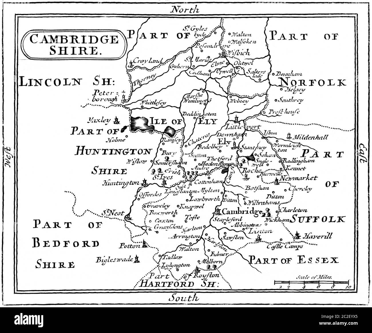 A Map of Cambridgeshire scanned at high resolution from a book published in the 1780s. This image is believed to be free of all copyright. Stock Photohttps://www.alamy.com/image-license-details/?v=1https://www.alamy.com/a-map-of-cambridgeshire-scanned-at-high-resolution-from-a-book-published-in-the-1780s-this-image-is-believed-to-be-free-of-all-copyright-image362976269.html
RM2C2EYX5–A Map of Cambridgeshire scanned at high resolution from a book published in the 1780s. This image is believed to be free of all copyright.
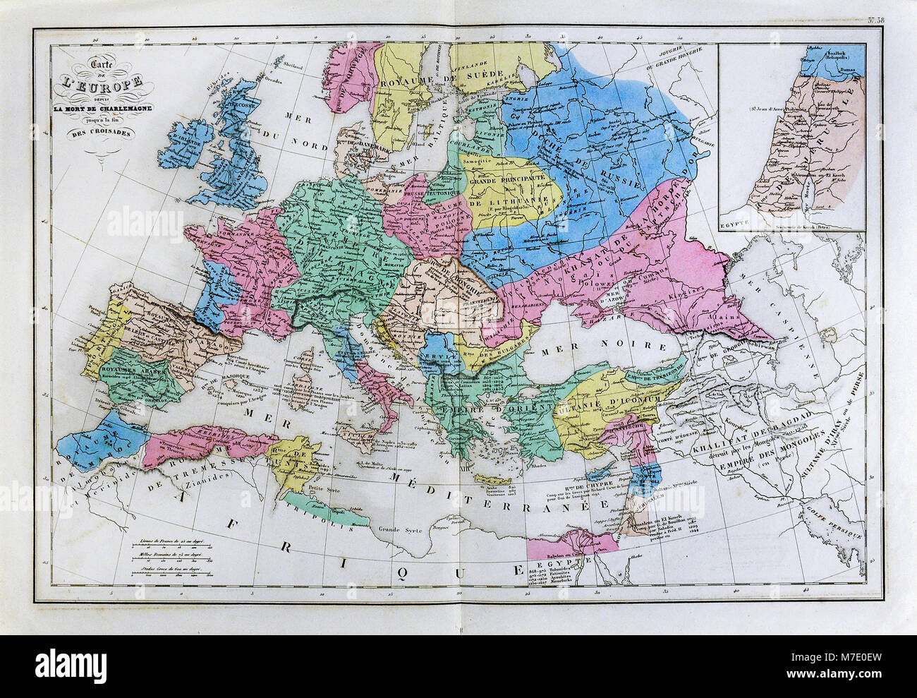 1858 Delamarche Historical Map of Europe after the Death of Charlemagne upto the End of the Crusades Stock Photohttps://www.alamy.com/image-license-details/?v=1https://www.alamy.com/stock-photo-1858-delamarche-historical-map-of-europe-after-the-death-of-charlemagne-176714017.html
RFM7E0EW–1858 Delamarche Historical Map of Europe after the Death of Charlemagne upto the End of the Crusades
 1867, Johnson Map of England and Wales Stock Photohttps://www.alamy.com/image-license-details/?v=1https://www.alamy.com/stock-image-1867-johnson-map-of-england-and-wales-162576572.html
RMKCE024–1867, Johnson Map of England and Wales
 An 18th century vintage map depicts the English county of Sussex England UK, and its surrounding regions, detailing towns, roads, and geographical features. Stock Photohttps://www.alamy.com/image-license-details/?v=1https://www.alamy.com/an-18th-century-vintage-map-depicts-the-english-county-of-sussex-england-uk-and-its-surrounding-regions-detailing-towns-roads-and-geographical-features-image619188462.html
RM2XYAD5J–An 18th century vintage map depicts the English county of Sussex England UK, and its surrounding regions, detailing towns, roads, and geographical features.
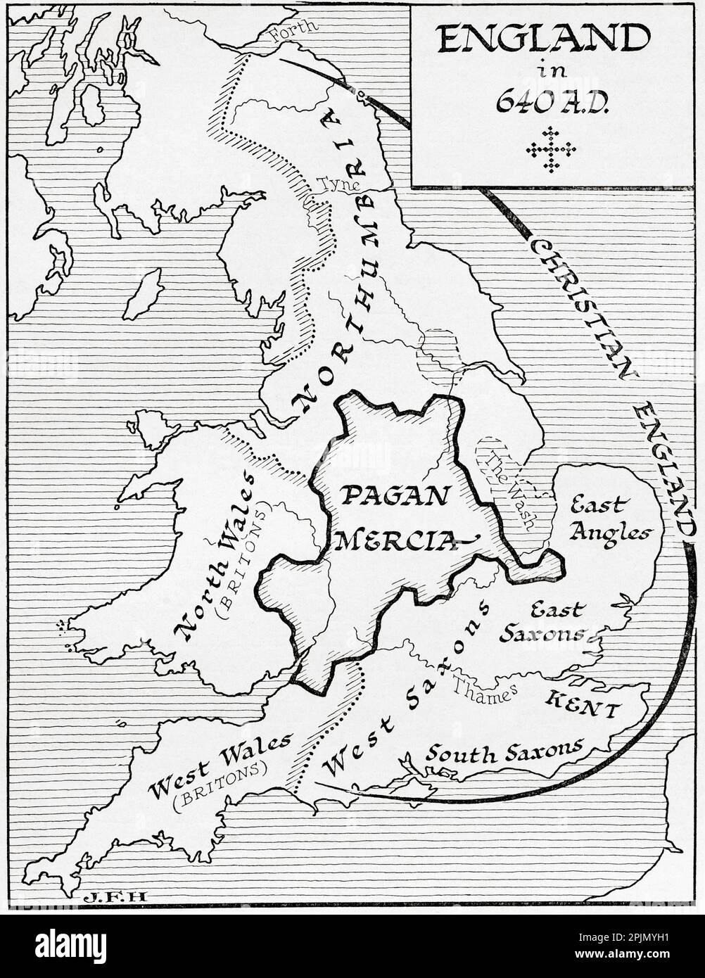 Map of England in 640 A.D. From the book Outline of History by H.G. Wells, published 1920. Stock Photohttps://www.alamy.com/image-license-details/?v=1https://www.alamy.com/map-of-england-in-640-ad-from-the-book-outline-of-history-by-hg-wells-published-1920-image545045901.html
RM2PJMYH1–Map of England in 640 A.D. From the book Outline of History by H.G. Wells, published 1920.
 england,winchester,winchester's military quarter museums,the museum of the king's royal hussars,exhibit of a corporal of the 10th hussars studying a map of the kyber pass with a soldier of the guides cavalry Stock Photohttps://www.alamy.com/image-license-details/?v=1https://www.alamy.com/englandwinchesterwinchesters-military-quarter-museumsthe-museum-of-the-kings-royal-hussarsexhibit-of-a-corporal-of-the-10th-hussars-studying-a-map-of-the-kyber-pass-with-a-soldier-of-the-guides-cavalry-image451244204.html
RM2H63XGC–england,winchester,winchester's military quarter museums,the museum of the king's royal hussars,exhibit of a corporal of the 10th hussars studying a map of the kyber pass with a soldier of the guides cavalry
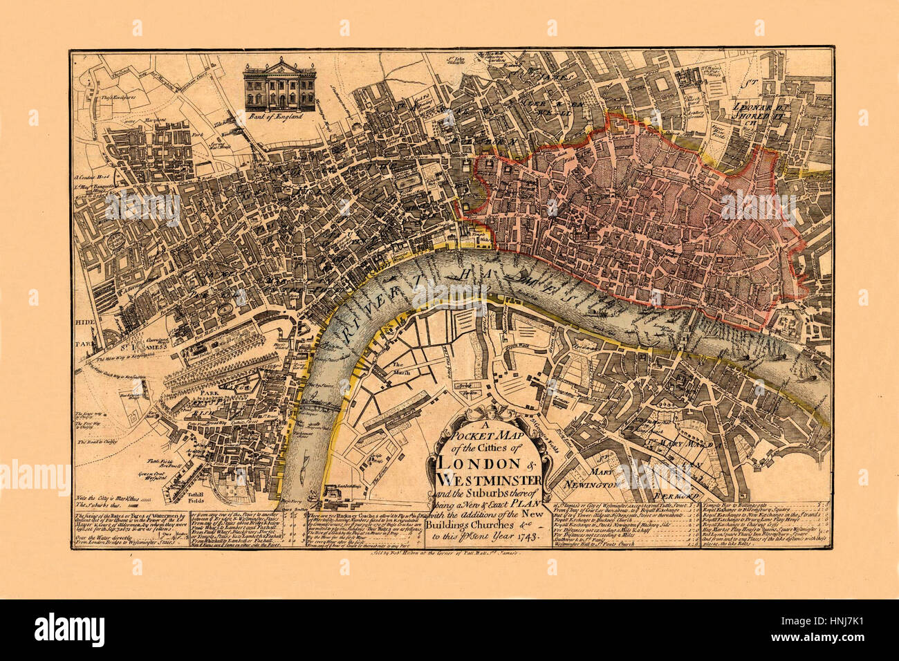 Map Of London 1743 Stock Photohttps://www.alamy.com/image-license-details/?v=1https://www.alamy.com/stock-photo-map-of-london-1743-133781509.html
RFHNJ7K1–Map Of London 1743
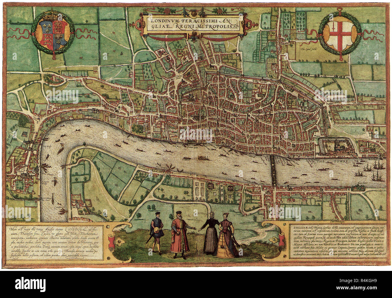 Ancient Map of London 1572, Georg Braun and Frans Hogenber. Stock Photohttps://www.alamy.com/image-license-details/?v=1https://www.alamy.com/ancient-map-of-london-1572-georg-braun-and-frans-hogenber-image226623525.html
RMR4KGH9–Ancient Map of London 1572, Georg Braun and Frans Hogenber.
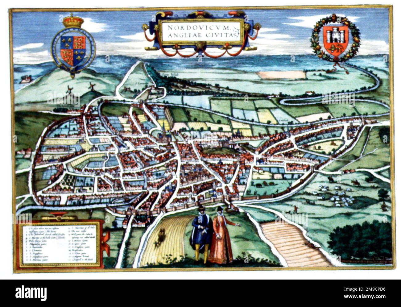 Map of Norwich, Norfolk, England Stock Photohttps://www.alamy.com/image-license-details/?v=1https://www.alamy.com/map-of-norwich-norfolk-england-image504913618.html
RM2M9CPD6–Map of Norwich, Norfolk, England
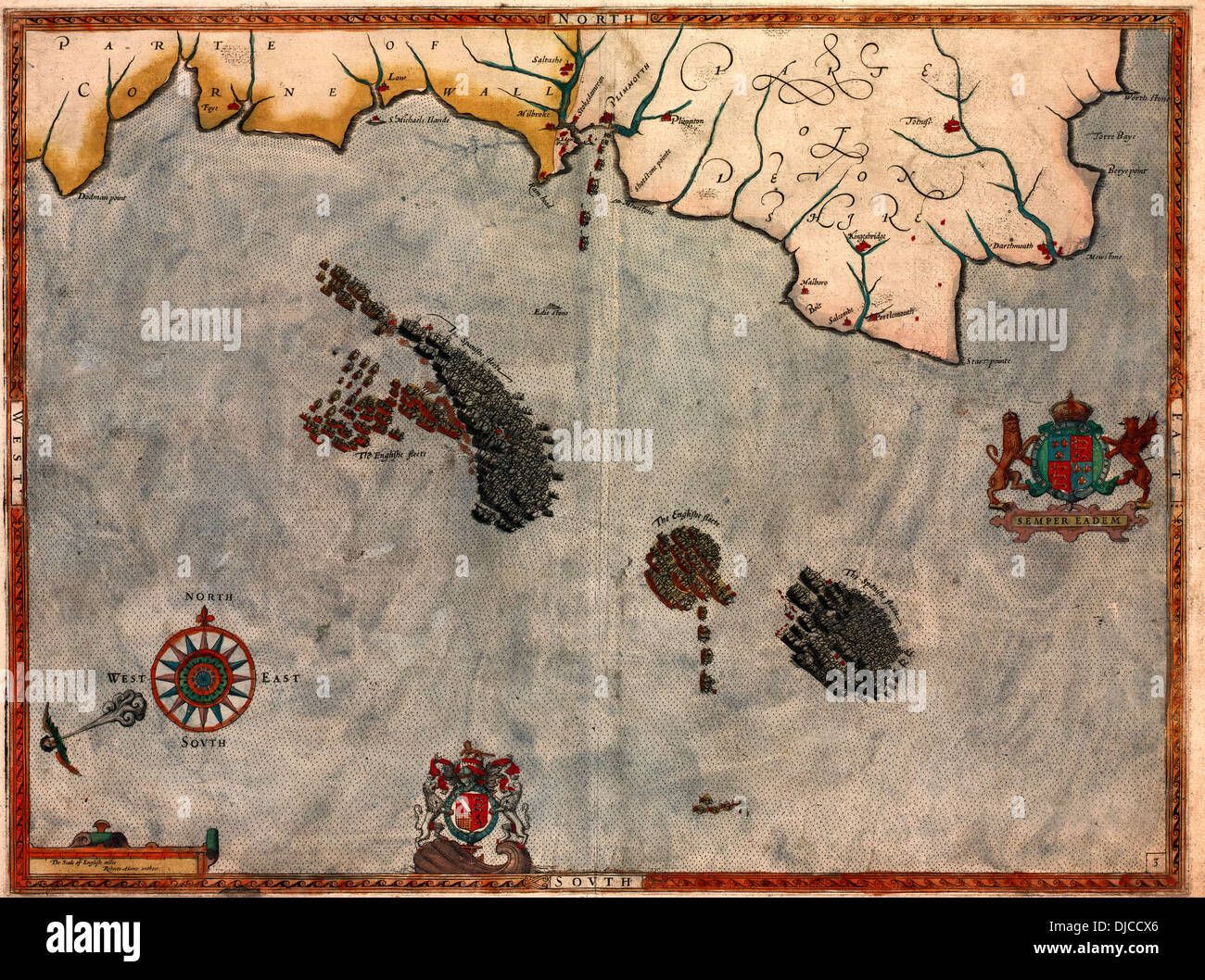 Map of the attack of the Spanish Armada and England's defense, 1588 Stock Photohttps://www.alamy.com/image-license-details/?v=1https://www.alamy.com/map-of-the-attack-of-the-spanish-armada-and-englands-defense-1588-image62968478.html
RMDJCCX6–Map of the attack of the Spanish Armada and England's defense, 1588
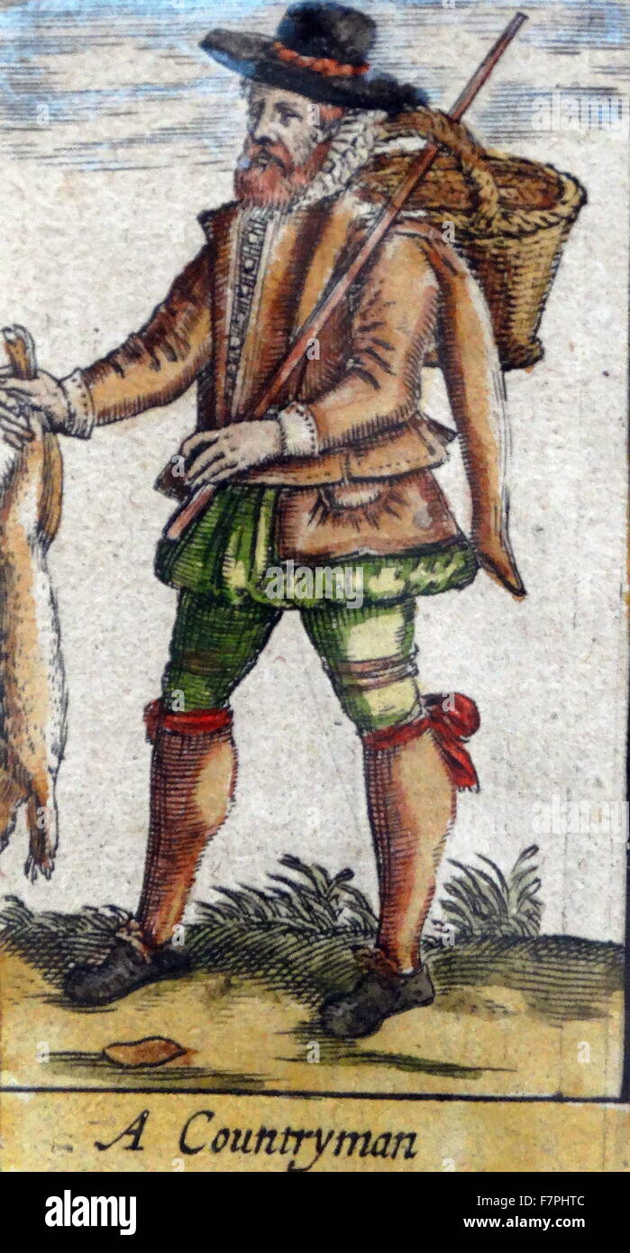 Tudor country man (detail), from a map of England and wales by John Speed;C1612 Stock Photohttps://www.alamy.com/image-license-details/?v=1https://www.alamy.com/stock-photo-tudor-country-man-detail-from-a-map-of-england-and-wales-by-john-speedc1612-90851388.html
RMF7PHTC–Tudor country man (detail), from a map of England and wales by John Speed;C1612
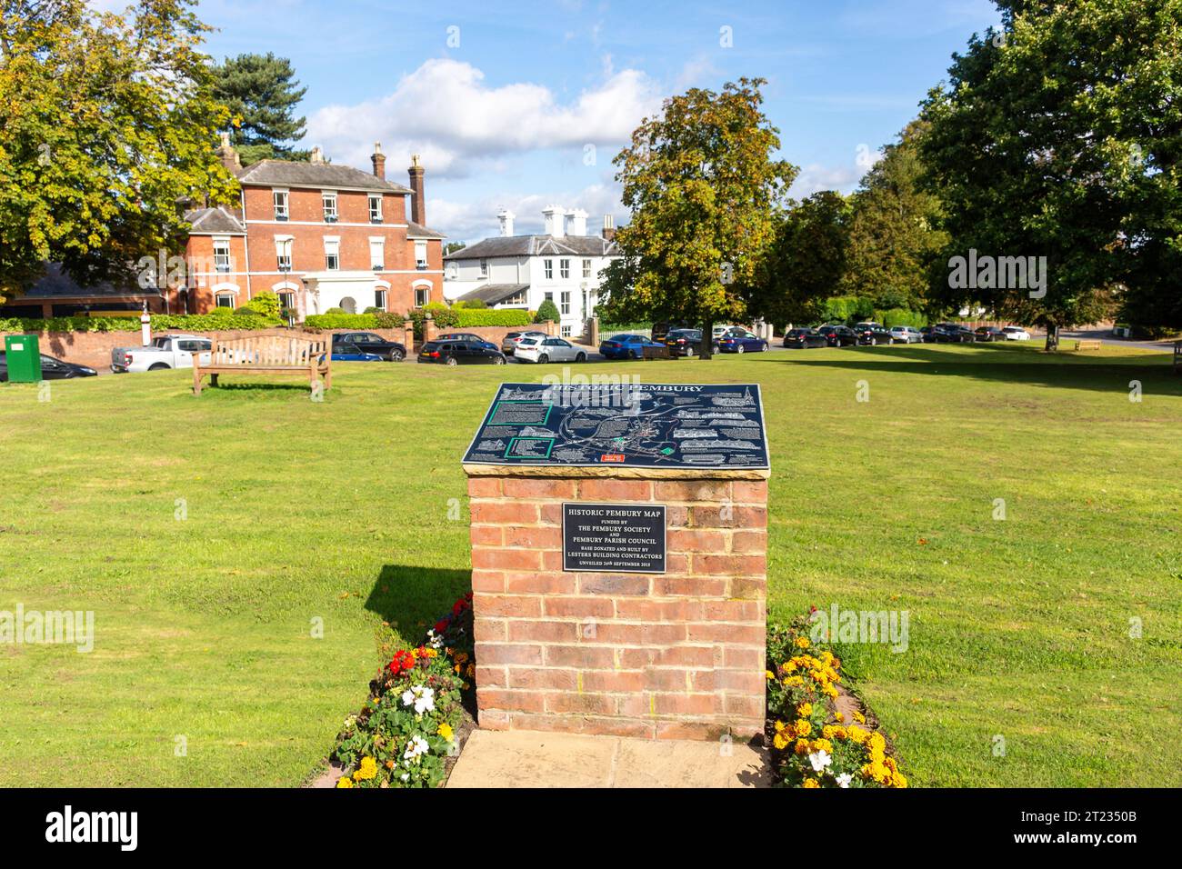 Historic Pembury Map on Village Green, Pembury, Lower Green Road, Kent, England, United Kingdom Stock Photohttps://www.alamy.com/image-license-details/?v=1https://www.alamy.com/historic-pembury-map-on-village-green-pembury-lower-green-road-kent-england-united-kingdom-image569241243.html
RM2T2350B–Historic Pembury Map on Village Green, Pembury, Lower Green Road, Kent, England, United Kingdom
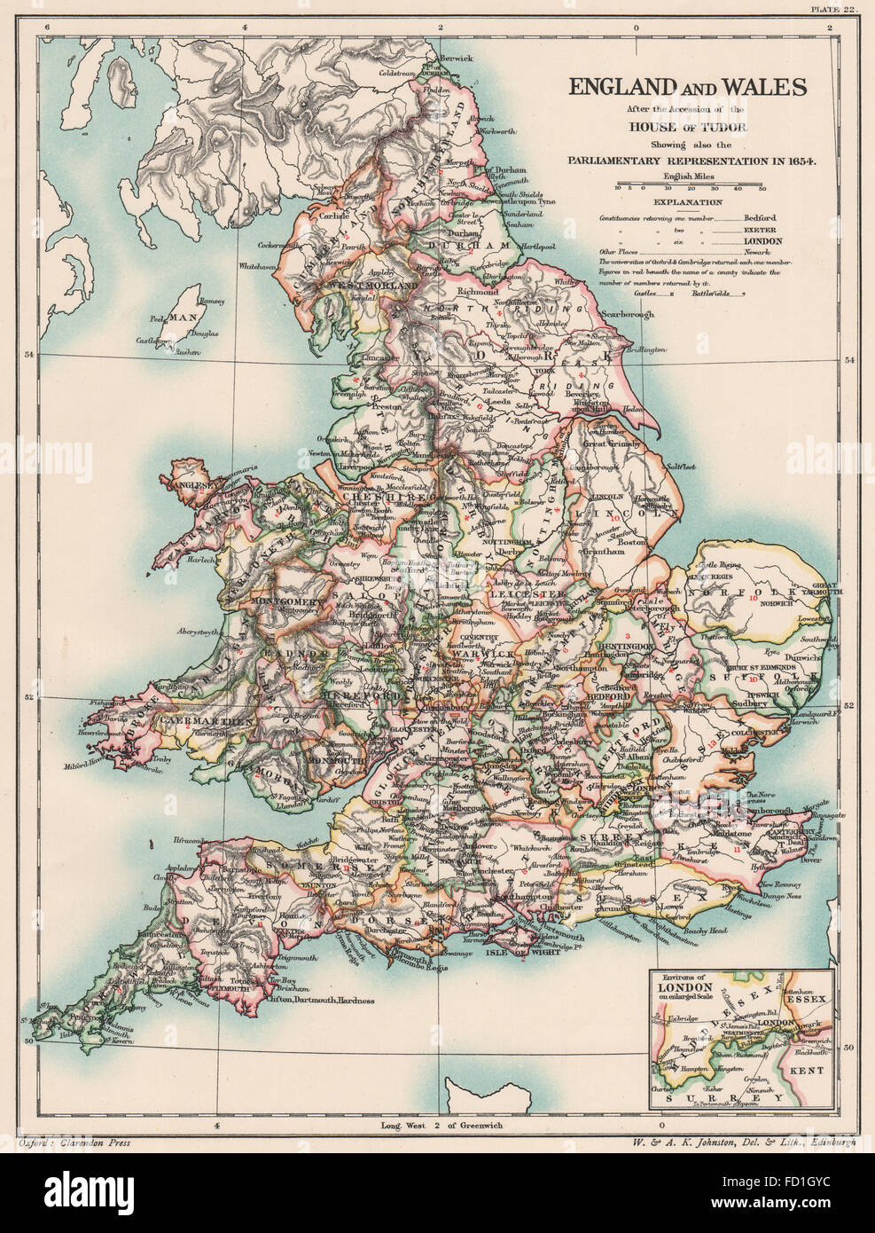 TUDOR BRITAIN: England Wales 1654. Parliamentary representation 1654, 1902 map Stock Photohttps://www.alamy.com/image-license-details/?v=1https://www.alamy.com/stock-photo-tudor-britain-england-wales-1654-parliamentary-representation-1654-94077632.html
RFFD1GYC–TUDOR BRITAIN: England Wales 1654. Parliamentary representation 1654, 1902 map
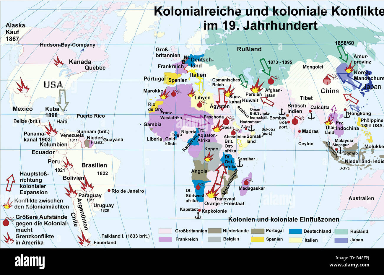 cartography, historical maps, modern times, colonial empires and colonial conflicts in 19th century, historic, historical, colonialism, England, Great Britain, France, Netherlands, Spain, Portugal, Belgium, Russia, Italy, Germany, Japan, Europe, America, Africa, Asia, Australia, Hudson Bay Company, Mexico, USA, Cuba, Carribean, Peru, South America, Brazil, Argentinia, Paraguay, border conflict, French West Africa, Fadoscha, Egypt, South Africa, Congo, India, Indonesia, China, Phillipines, world map, CEAM, Stock Photohttps://www.alamy.com/image-license-details/?v=1https://www.alamy.com/stock-photo-cartography-historical-maps-modern-times-colonial-empires-and-colonial-19857002.html
RMB48FPJ–cartography, historical maps, modern times, colonial empires and colonial conflicts in 19th century, historic, historical, colonialism, England, Great Britain, France, Netherlands, Spain, Portugal, Belgium, Russia, Italy, Germany, Japan, Europe, America, Africa, Asia, Australia, Hudson Bay Company, Mexico, USA, Cuba, Carribean, Peru, South America, Brazil, Argentinia, Paraguay, border conflict, French West Africa, Fadoscha, Egypt, South Africa, Congo, India, Indonesia, China, Phillipines, world map, CEAM,
 Historical picture from 1950s, England of a motorcyclist standing by his motorbike on an empty country road, checking a map. Stock Photohttps://www.alamy.com/image-license-details/?v=1https://www.alamy.com/historical-picture-from-1950s-england-of-a-motorcyclist-standing-by-image61973890.html
RMDGR496–Historical picture from 1950s, England of a motorcyclist standing by his motorbike on an empty country road, checking a map.
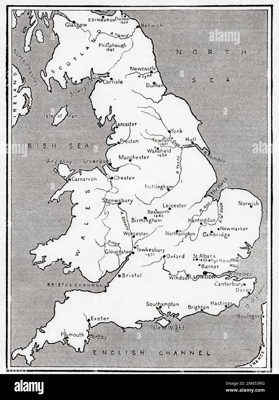 Map of England illustrating the Wars of the Roses, 15th century. From History of England, published 1907 Stock Photohttps://www.alamy.com/image-license-details/?v=1https://www.alamy.com/map-of-england-illustrating-the-wars-of-the-roses-15th-century-from-history-of-england-published-1907-image502901380.html
RM2M653RG–Map of England illustrating the Wars of the Roses, 15th century. From History of England, published 1907
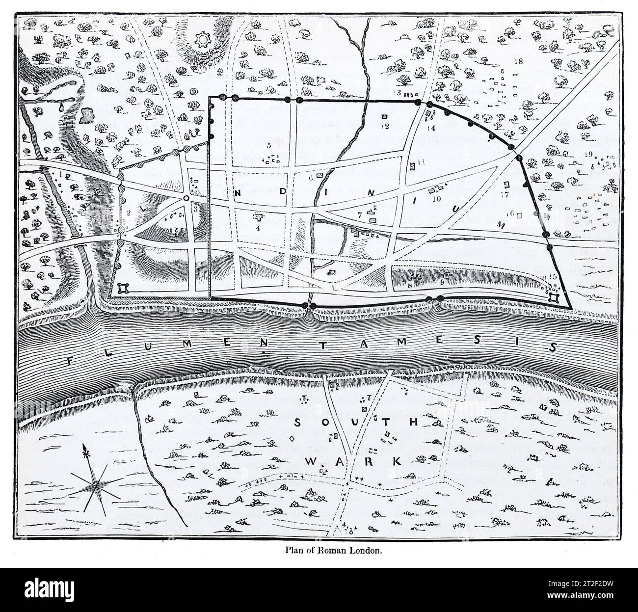 Plan of Roman London. Black and White Illustration from the 'Old England' published by James Sangster in 1860. Stock Photohttps://www.alamy.com/image-license-details/?v=1https://www.alamy.com/plan-of-roman-london-black-and-white-illustration-from-the-old-england-published-by-james-sangster-in-1860-image569502693.html
RM2T2F2DW–Plan of Roman London. Black and White Illustration from the 'Old England' published by James Sangster in 1860.
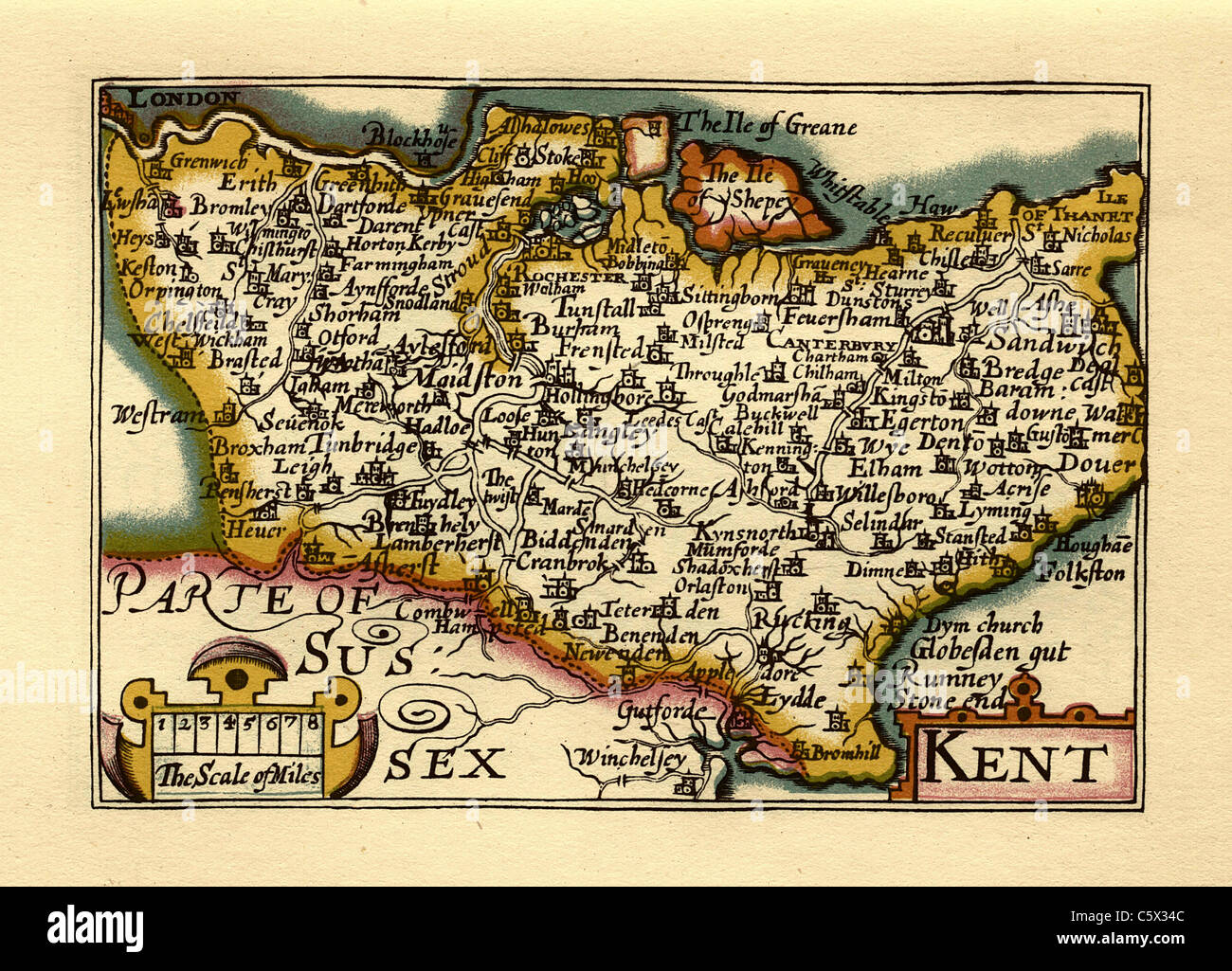 Kent - Old English County Map by John Speed, circa 1625 Stock Photohttps://www.alamy.com/image-license-details/?v=1https://www.alamy.com/stock-photo-kent-old-english-county-map-by-john-speed-circa-1625-38067244.html
RFC5X34C–Kent - Old English County Map by John Speed, circa 1625
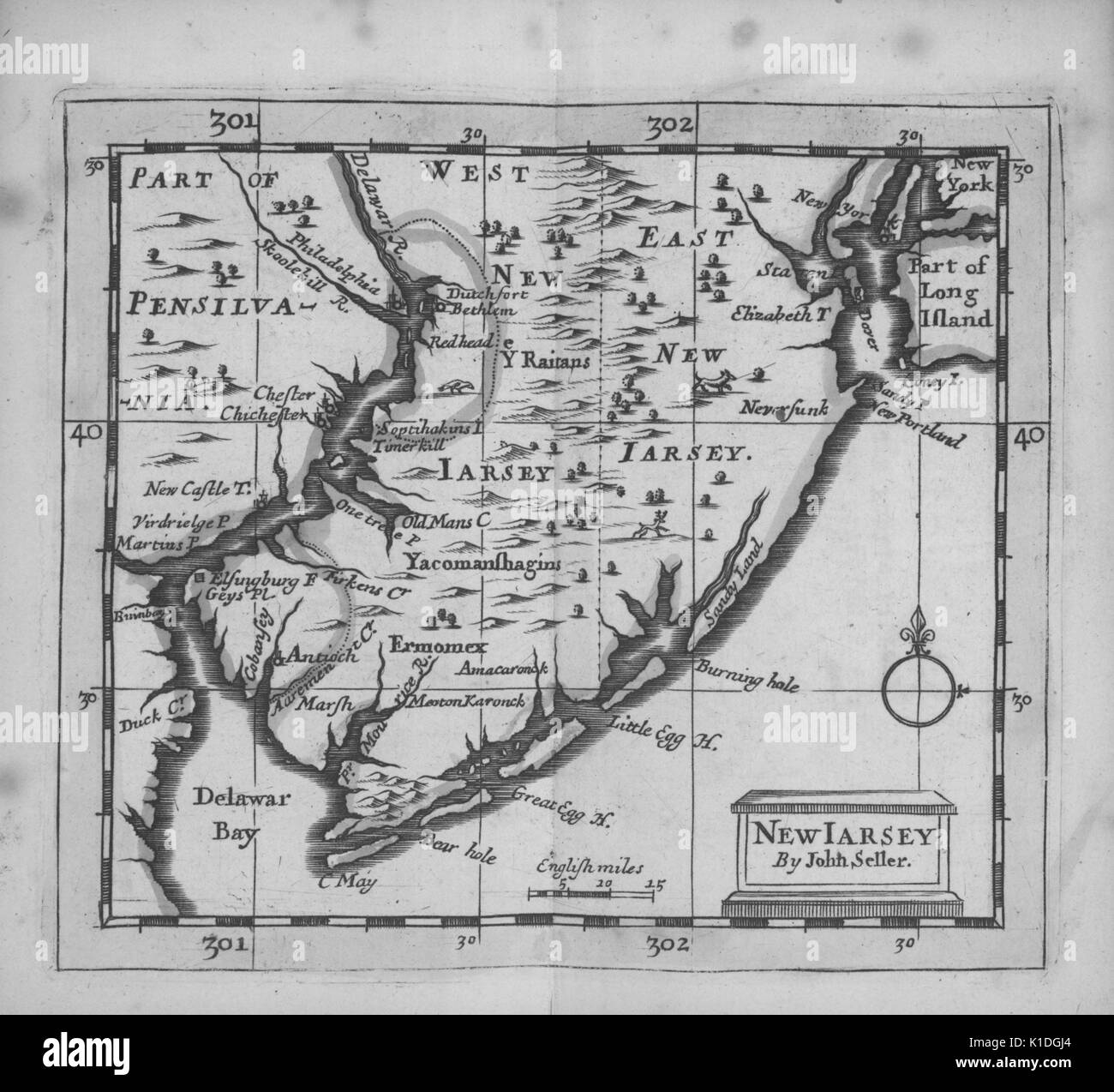 Early map of the State of New Jersey and parts of Pennsylvania, 1703. From the New York Public Library. Stock Photohttps://www.alamy.com/image-license-details/?v=1https://www.alamy.com/early-map-of-the-state-of-new-jersey-and-parts-of-pennsylvania-1703-image155806396.html
RMK1DGJ4–Early map of the State of New Jersey and parts of Pennsylvania, 1703. From the New York Public Library.
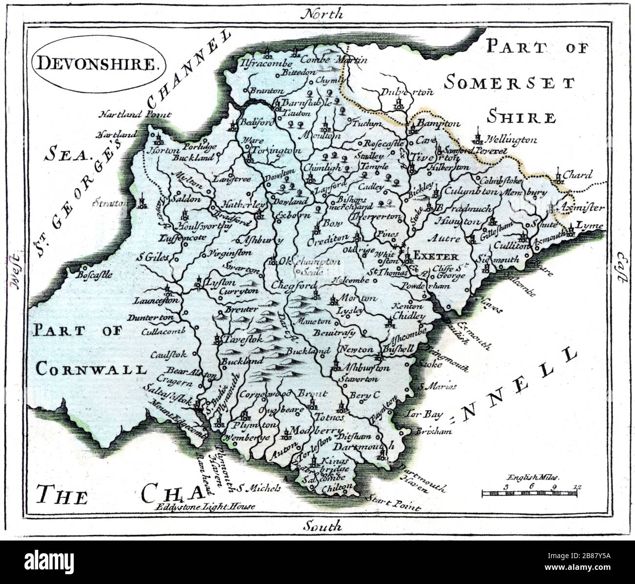 A map of Devonshire scanned at high resolution from a book published around 1786. This image is believed to be free of all copyright restrictions. Stock Photohttps://www.alamy.com/image-license-details/?v=1https://www.alamy.com/a-map-of-devonshire-scanned-at-high-resolution-from-a-book-published-around-1786-this-image-is-believed-to-be-free-of-all-copyright-restrictions-image349299590.html
RM2B87Y5A–A map of Devonshire scanned at high resolution from a book published around 1786. This image is believed to be free of all copyright restrictions.
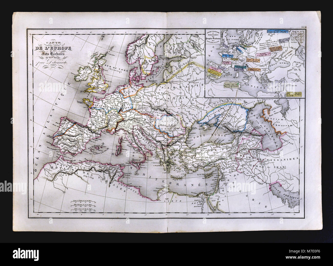 1858 Delamarche Historical Map of Europe showing the Barbarian States in the 6th Century Stock Photohttps://www.alamy.com/image-license-details/?v=1https://www.alamy.com/stock-photo-1858-delamarche-historical-map-of-europe-showing-the-barbarian-states-176714026.html
RFM7E0F6–1858 Delamarche Historical Map of Europe showing the Barbarian States in the 6th Century
 1744, Wren Map of London, England Stock Photohttps://www.alamy.com/image-license-details/?v=1https://www.alamy.com/stock-image-1744-wren-map-of-london-england-162567584.html
RMKCDGH4–1744, Wren Map of London, England
 An 18th century vintage map depicts the English county of Hampshire England UK, and its surrounding regions, detailing towns, roads, and geographical features. Isle of Wight Stock Photohttps://www.alamy.com/image-license-details/?v=1https://www.alamy.com/an-18th-century-vintage-map-depicts-the-english-county-of-hampshire-england-uk-and-its-surrounding-regions-detailing-towns-roads-and-geographical-features-isle-of-wight-image618919367.html
RM2XXX5Y3–An 18th century vintage map depicts the English county of Hampshire England UK, and its surrounding regions, detailing towns, roads, and geographical features. Isle of Wight
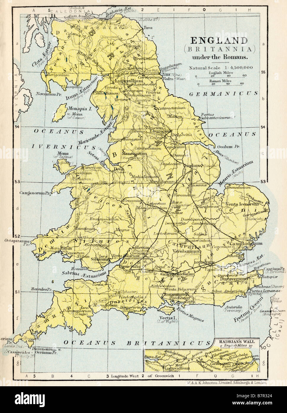 Map of England. Britannia under the Romans Stock Photohttps://www.alamy.com/image-license-details/?v=1https://www.alamy.com/stock-photo-map-of-england-britannia-under-the-romans-22020268.html
RMB7R324–Map of England. Britannia under the Romans
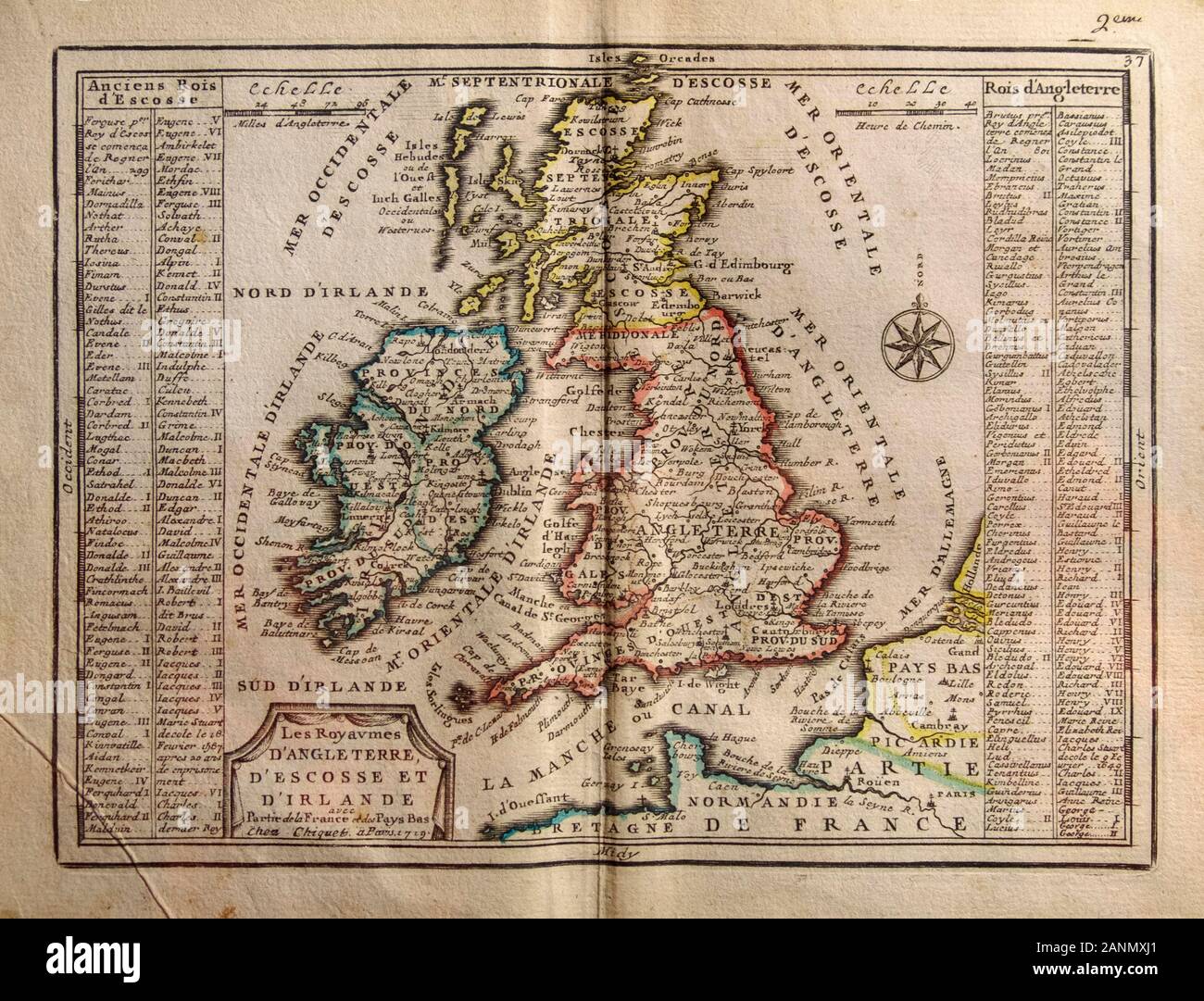 Map of 1719 with the kingdoms of England, Scotland and Ireland and the name of their kings. From Part of France and the Netherlands 1719. Stock Photohttps://www.alamy.com/image-license-details/?v=1https://www.alamy.com/map-of-1719-with-the-kingdoms-of-england-scotland-and-ireland-and-the-name-of-their-kings-from-part-of-france-and-the-netherlands-1719-image340364697.html
RM2ANMXJ1–Map of 1719 with the kingdoms of England, Scotland and Ireland and the name of their kings. From Part of France and the Netherlands 1719.
