English counties map cornwall Stock Photos and Images
(10)See english counties map cornwall stock video clipsQuick filters:
English counties map cornwall Stock Photos and Images
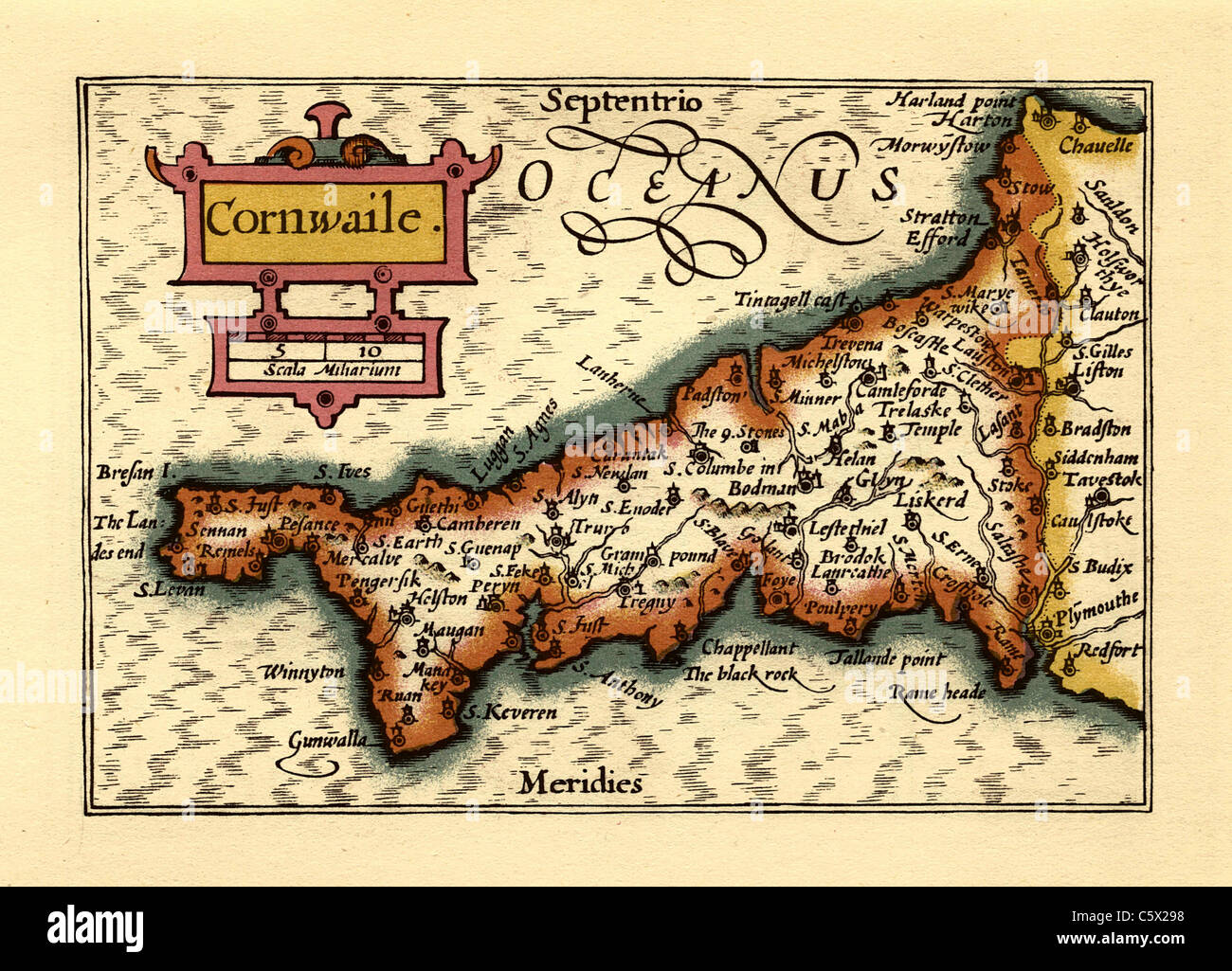 Cornwall (Cornwaile) - Old English County Map by John Speed, circa 1625 Stock Photohttps://www.alamy.com/image-license-details/?v=1https://www.alamy.com/stock-photo-cornwall-cornwaile-old-english-county-map-by-john-speed-circa-1625-38066596.html
RFC5X298–Cornwall (Cornwaile) - Old English County Map by John Speed, circa 1625
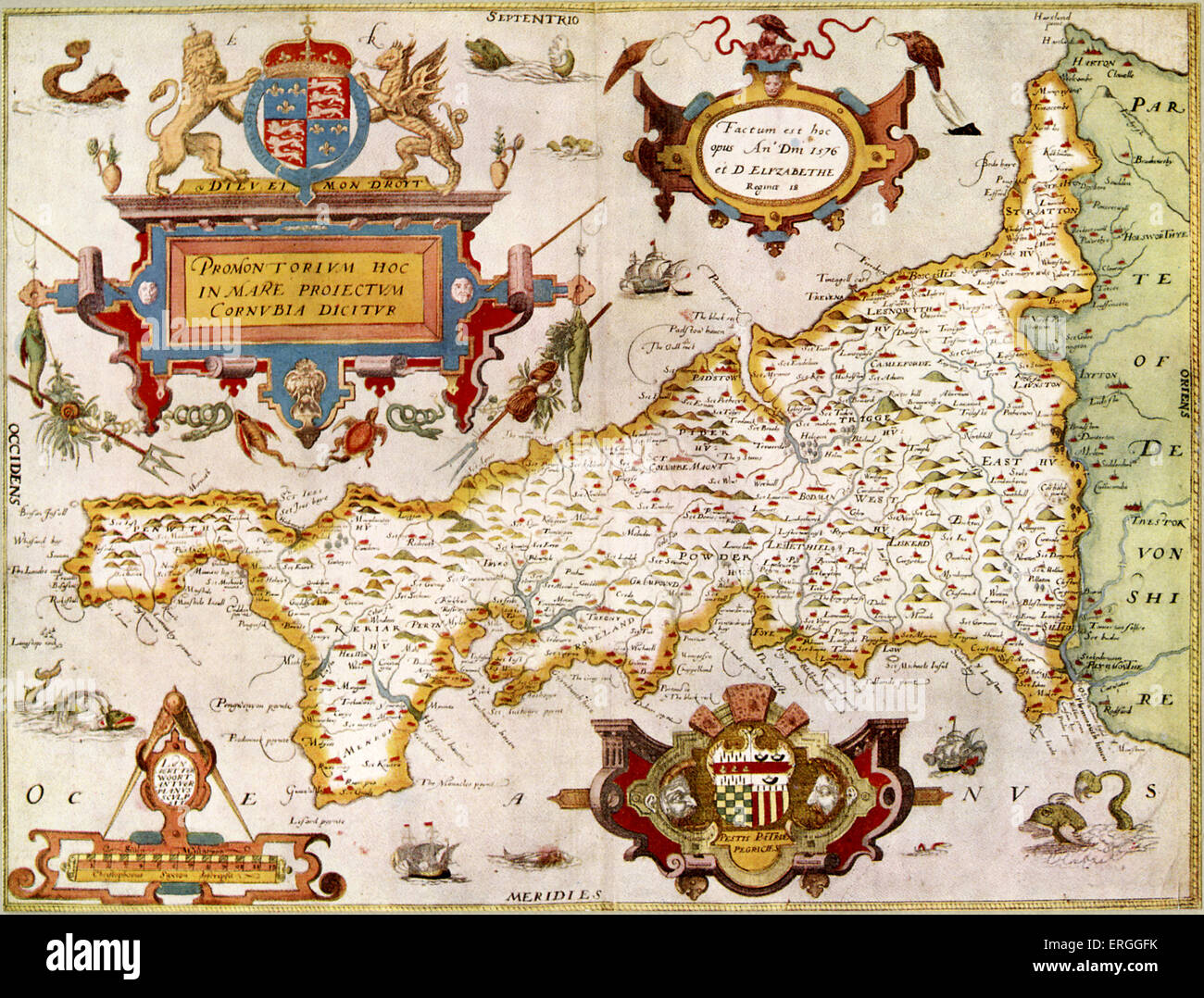 Map of the County of Cornwall in 1576 ( England) in Saxton 's 'Atlas of the Counties of England', 1574 - 9. . (Also entitled: Stock Photohttps://www.alamy.com/image-license-details/?v=1https://www.alamy.com/stock-photo-map-of-the-county-of-cornwall-in-1576-england-in-saxton-s-atlas-of-83342775.html
RMERGGFK–Map of the County of Cornwall in 1576 ( England) in Saxton 's 'Atlas of the Counties of England', 1574 - 9. . (Also entitled:
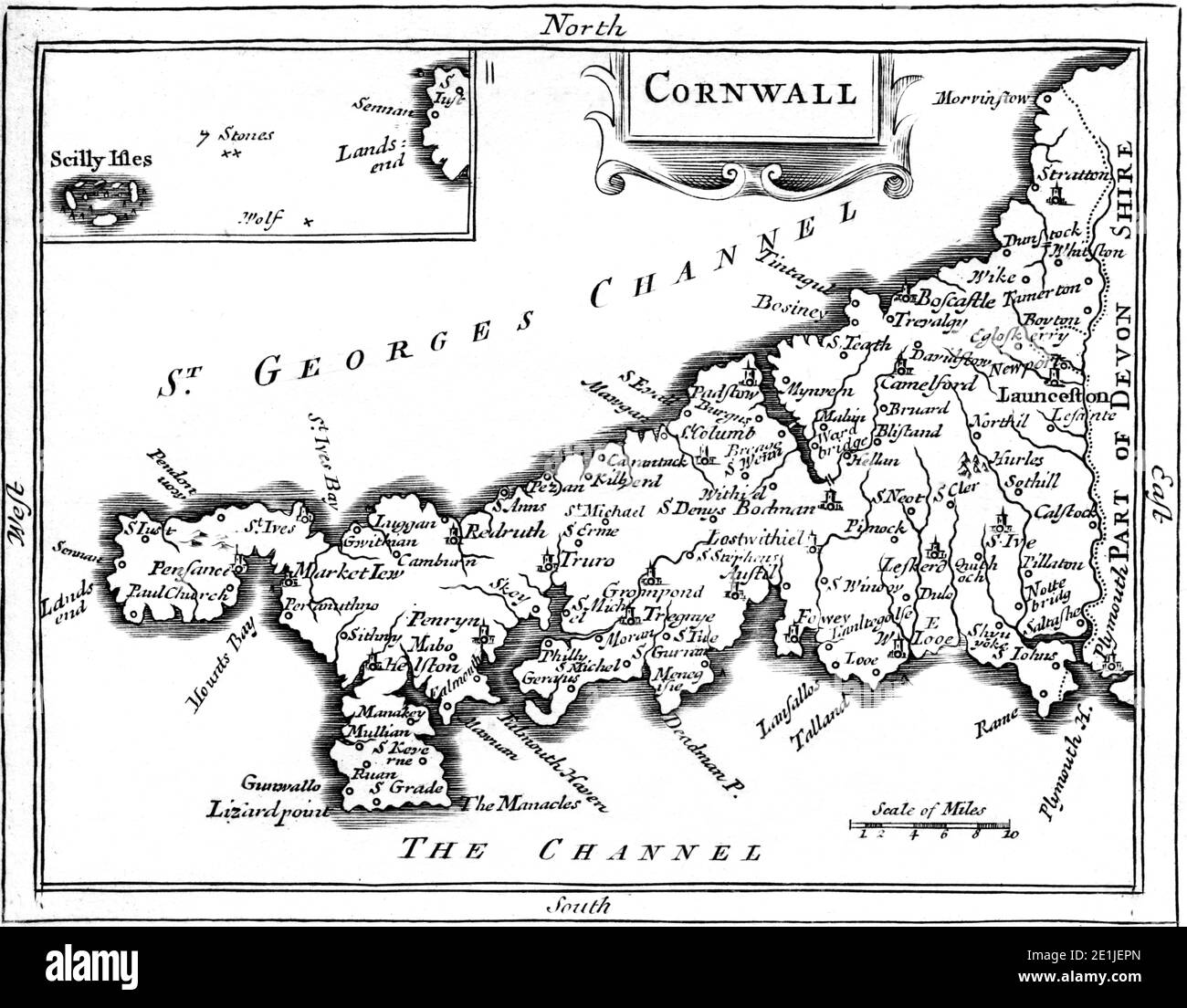 An map of Cornwall scanned at high resolution from a book published in the 1780s. This image is believed to be free of all copyright restrictions. Stock Photohttps://www.alamy.com/image-license-details/?v=1https://www.alamy.com/an-map-of-cornwall-scanned-at-high-resolution-from-a-book-published-in-the-1780s-this-image-is-believed-to-be-free-of-all-copyright-restrictions-image396859869.html
RM2E1JEPN–An map of Cornwall scanned at high resolution from a book published in the 1780s. This image is believed to be free of all copyright restrictions.
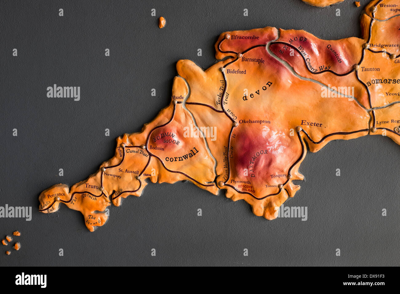 Map showing Cycle Network in Cornwall and Devon Stock Photohttps://www.alamy.com/image-license-details/?v=1https://www.alamy.com/map-showing-cycle-network-in-cornwall-and-devon-image67810935.html
RMDX91F3–Map showing Cycle Network in Cornwall and Devon
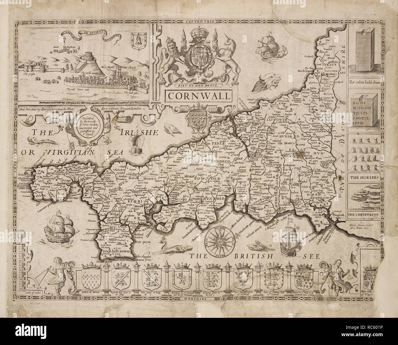 Map of Cornwall. A collection of 37 Maps of the counties of England. [London. H. Overton, 1714. A collection of 37 Maps of the counties of England, being reprints, of J. Speed’s maps, by Henry Overton, together with those of P. Stent reprinted by John Overton, and maps of Derbyshire and Yorkshire engraved by S. Nicholls. Source: Maps.145.c.9 1. Language: English. Stock Photohttps://www.alamy.com/image-license-details/?v=1https://www.alamy.com/map-of-cornwall-a-collection-of-37-maps-of-the-counties-of-england-london-h-overton-1714-a-collection-of-37-maps-of-the-counties-of-england-being-reprints-of-j-speeds-maps-by-henry-overton-together-with-those-of-p-stent-reprinted-by-john-overton-and-maps-of-derbyshire-and-yorkshire-engraved-by-s-nicholls-source-maps145c9-1-language-english-image231242418.html
RMRC601P–Map of Cornwall. A collection of 37 Maps of the counties of England. [London. H. Overton, 1714. A collection of 37 Maps of the counties of England, being reprints, of J. Speed’s maps, by Henry Overton, together with those of P. Stent reprinted by John Overton, and maps of Derbyshire and Yorkshire engraved by S. Nicholls. Source: Maps.145.c.9 1. Language: English.
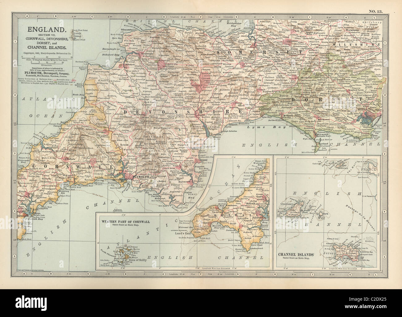 Map of England Stock Photohttps://www.alamy.com/image-license-details/?v=1https://www.alamy.com/stock-photo-map-of-england-35955869.html
RMC2DX25–Map of England
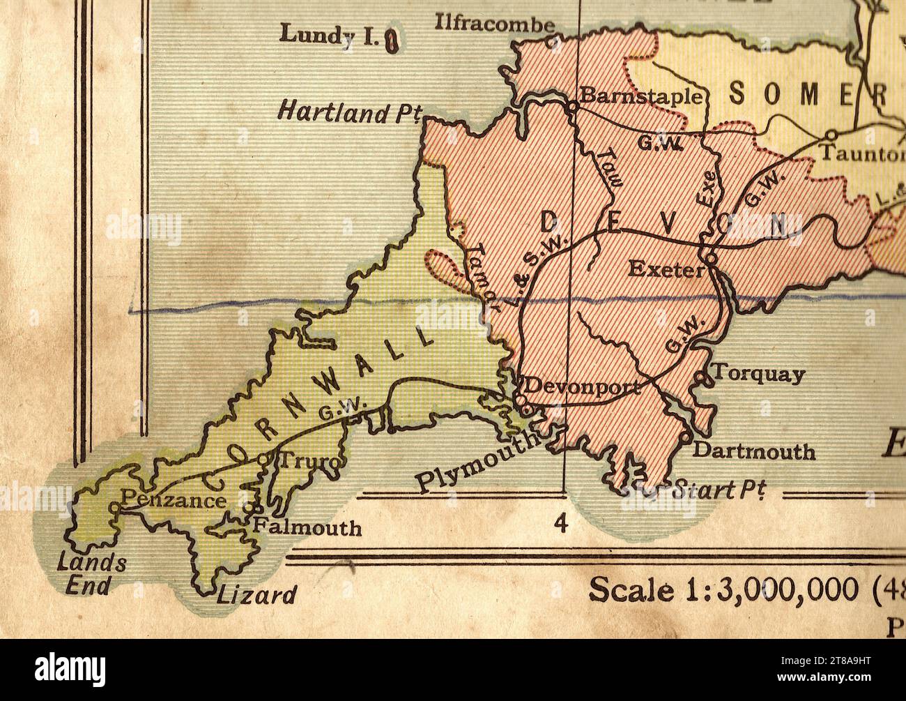 An antique political sepia coloured map of England and Wales showing the counties of Cornwall, Devon and Somerset. Stock Photohttps://www.alamy.com/image-license-details/?v=1https://www.alamy.com/an-antique-political-sepia-coloured-map-of-england-and-wales-showing-the-counties-of-cornwall-devon-and-somerset-image573086468.html
RF2T8A9HT–An antique political sepia coloured map of England and Wales showing the counties of Cornwall, Devon and Somerset.
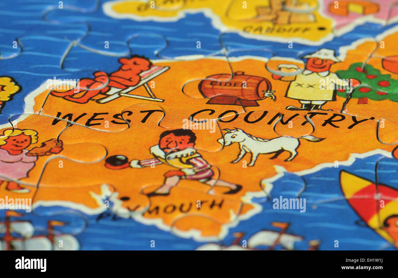 West Country macro image of jigsaw puzzle Stock Photohttps://www.alamy.com/image-license-details/?v=1https://www.alamy.com/stock-photo-west-country-macro-image-of-jigsaw-puzzle-79332222.html
RFEH1W1J–West Country macro image of jigsaw puzzle
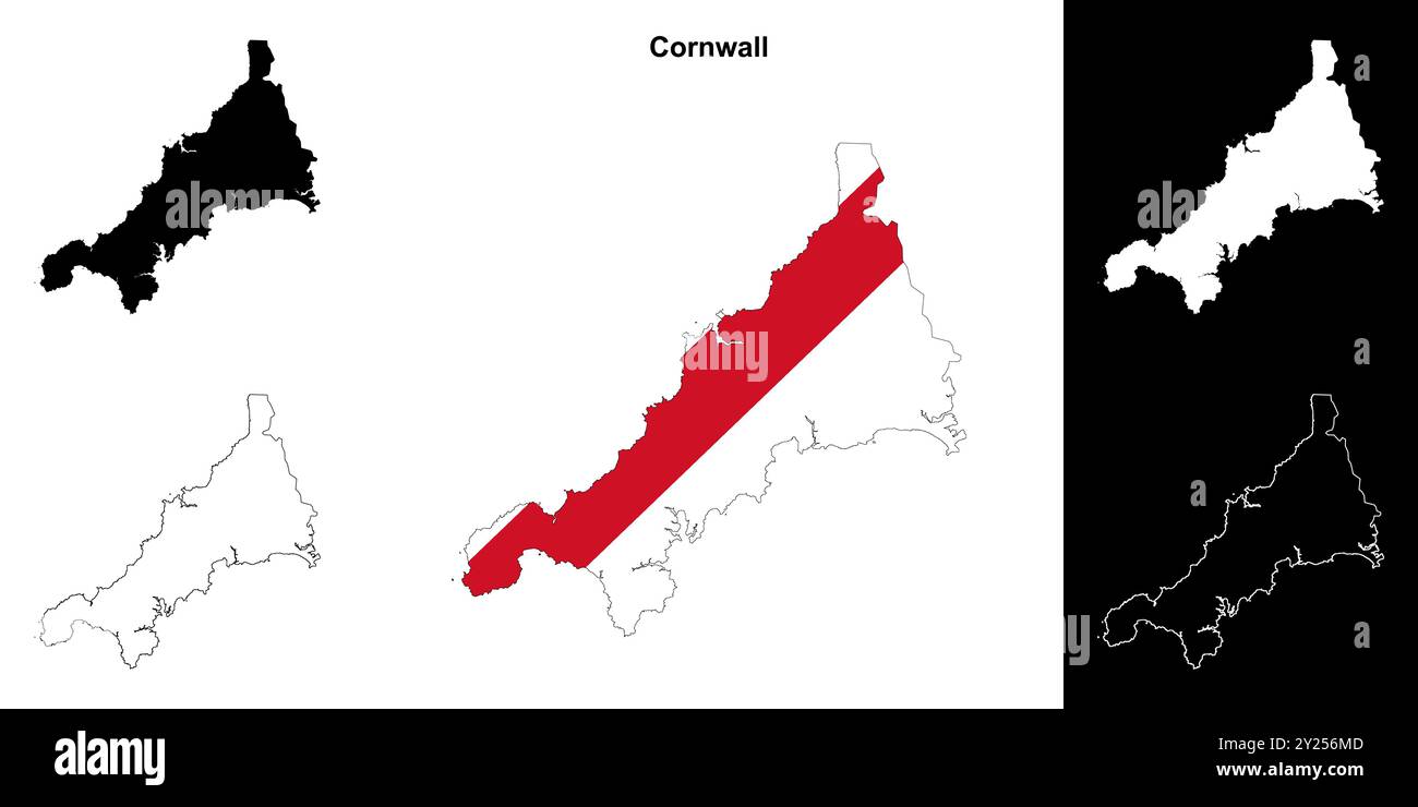 Cornwall blank outline map set Stock Vectorhttps://www.alamy.com/image-license-details/?v=1https://www.alamy.com/cornwall-blank-outline-map-set-image620917597.html
RF2Y256MD–Cornwall blank outline map set
![A map of the Western Circuit of England, containing the Counties of Cornwall, Devon, Dorset, Somerset, Wiltshire and Hampshire. A MAP of the WESTERN CIRCUIT OF England Containing the Counties of CORNWAL, DEVON, DORSET, SOMERSET, WILTS, & HANTS. Geo-hydrographically Delineated on a Scale of a Quarter of an Inch to a Mile. [Bristol] : Published by Benj.n Donne, Bristol, as the Act directs April 30. 1784. Sold in London by M.r Phillips, George Yard, Lombard Street, M.r Wilkinson, Cornhill & M.r Faden, Charing Cross, [April 30. 1784]. 1784. Source: Maps K.Top.6.66.2.TAB. Language: English. Stock Photo A map of the Western Circuit of England, containing the Counties of Cornwall, Devon, Dorset, Somerset, Wiltshire and Hampshire. A MAP of the WESTERN CIRCUIT OF England Containing the Counties of CORNWAL, DEVON, DORSET, SOMERSET, WILTS, & HANTS. Geo-hydrographically Delineated on a Scale of a Quarter of an Inch to a Mile. [Bristol] : Published by Benj.n Donne, Bristol, as the Act directs April 30. 1784. Sold in London by M.r Phillips, George Yard, Lombard Street, M.r Wilkinson, Cornhill & M.r Faden, Charing Cross, [April 30. 1784]. 1784. Source: Maps K.Top.6.66.2.TAB. Language: English. Stock Photo](https://c8.alamy.com/comp/R50M2G/a-map-of-the-western-circuit-of-england-containing-the-counties-of-cornwall-devon-dorset-somerset-wiltshire-and-hampshire-a-map-of-the-western-circuit-of-england-containing-the-counties-of-cornwal-devon-dorset-somerset-wilts-hants-geo-hydrographically-delineated-on-a-scale-of-a-quarter-of-an-inch-to-a-mile-bristol-published-by-benjn-donne-bristol-as-the-act-directs-april-30-1784-sold-in-london-by-mr-phillips-george-yard-lombard-street-mr-wilkinson-cornhill-mr-faden-charing-cross-april-30-1784-1784-source-maps-ktop6662tab-language-english-R50M2G.jpg) A map of the Western Circuit of England, containing the Counties of Cornwall, Devon, Dorset, Somerset, Wiltshire and Hampshire. A MAP of the WESTERN CIRCUIT OF England Containing the Counties of CORNWAL, DEVON, DORSET, SOMERSET, WILTS, & HANTS. Geo-hydrographically Delineated on a Scale of a Quarter of an Inch to a Mile. [Bristol] : Published by Benj.n Donne, Bristol, as the Act directs April 30. 1784. Sold in London by M.r Phillips, George Yard, Lombard Street, M.r Wilkinson, Cornhill & M.r Faden, Charing Cross, [April 30. 1784]. 1784. Source: Maps K.Top.6.66.2.TAB. Language: English. Stock Photohttps://www.alamy.com/image-license-details/?v=1https://www.alamy.com/a-map-of-the-western-circuit-of-england-containing-the-counties-of-cornwall-devon-dorset-somerset-wiltshire-and-hampshire-a-map-of-the-western-circuit-of-england-containing-the-counties-of-cornwal-devon-dorset-somerset-wilts-hants-geo-hydrographically-delineated-on-a-scale-of-a-quarter-of-an-inch-to-a-mile-bristol-published-by-benjn-donne-bristol-as-the-act-directs-april-30-1784-sold-in-london-by-mr-phillips-george-yard-lombard-street-mr-wilkinson-cornhill-mr-faden-charing-cross-april-30-1784-1784-source-maps-ktop6662tab-language-english-image226823816.html
A map of the Western Circuit of England, containing the Counties of Cornwall, Devon, Dorset, Somerset, Wiltshire and Hampshire. A MAP of the WESTERN CIRCUIT OF England Containing the Counties of CORNWAL, DEVON, DORSET, SOMERSET, WILTS, & HANTS. Geo-hydrographically Delineated on a Scale of a Quarter of an Inch to a Mile. [Bristol] : Published by Benj.n Donne, Bristol, as the Act directs April 30. 1784. Sold in London by M.r Phillips, George Yard, Lombard Street, M.r Wilkinson, Cornhill & M.r Faden, Charing Cross, [April 30. 1784]. 1784. Source: Maps K.Top.6.66.2.TAB. Language: English. Stock Photohttps://www.alamy.com/image-license-details/?v=1https://www.alamy.com/a-map-of-the-western-circuit-of-england-containing-the-counties-of-cornwall-devon-dorset-somerset-wiltshire-and-hampshire-a-map-of-the-western-circuit-of-england-containing-the-counties-of-cornwal-devon-dorset-somerset-wilts-hants-geo-hydrographically-delineated-on-a-scale-of-a-quarter-of-an-inch-to-a-mile-bristol-published-by-benjn-donne-bristol-as-the-act-directs-april-30-1784-sold-in-london-by-mr-phillips-george-yard-lombard-street-mr-wilkinson-cornhill-mr-faden-charing-cross-april-30-1784-1784-source-maps-ktop6662tab-language-english-image226823816.htmlRMR50M2G–A map of the Western Circuit of England, containing the Counties of Cornwall, Devon, Dorset, Somerset, Wiltshire and Hampshire. A MAP of the WESTERN CIRCUIT OF England Containing the Counties of CORNWAL, DEVON, DORSET, SOMERSET, WILTS, & HANTS. Geo-hydrographically Delineated on a Scale of a Quarter of an Inch to a Mile. [Bristol] : Published by Benj.n Donne, Bristol, as the Act directs April 30. 1784. Sold in London by M.r Phillips, George Yard, Lombard Street, M.r Wilkinson, Cornhill & M.r Faden, Charing Cross, [April 30. 1784]. 1784. Source: Maps K.Top.6.66.2.TAB. Language: English.