Quick filters:
Ennedi ouest Stock Photos and Images
 Modern Map - Ennedi Ouest region of Chad illustration Stock Vectorhttps://www.alamy.com/image-license-details/?v=1https://www.alamy.com/modern-map-ennedi-ouest-region-of-chad-illustration-image345147225.html
RF2B1EPPH–Modern Map - Ennedi Ouest region of Chad illustration
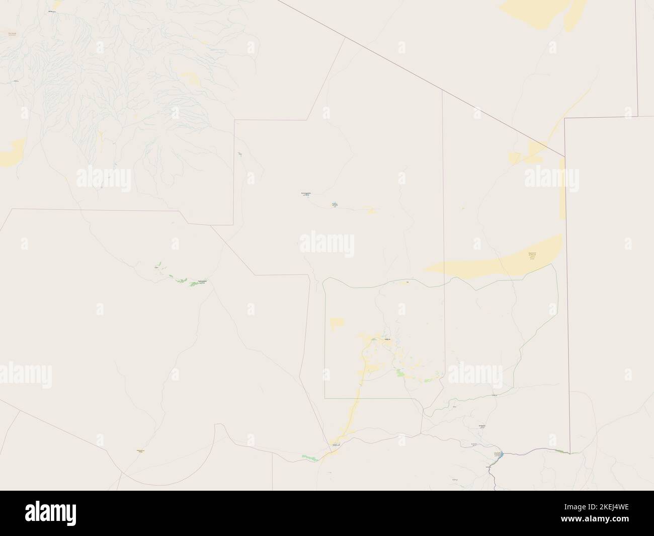 Ennedi Ouest, region of Chad. Open Street Map Stock Photohttps://www.alamy.com/image-license-details/?v=1https://www.alamy.com/ennedi-ouest-region-of-chad-open-street-map-image490894474.html
RF2KEJ4WE–Ennedi Ouest, region of Chad. Open Street Map
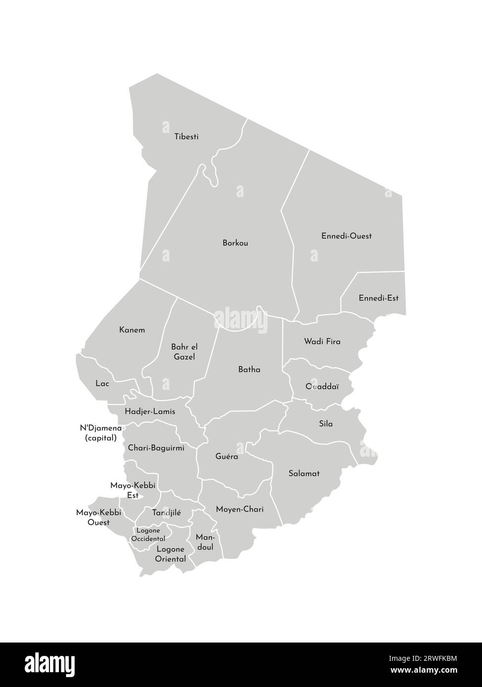 Vector isolated illustration of simplified administrative map of Chad. Borders and names of the regions. Grey silhouettes. White outline Stock Vectorhttps://www.alamy.com/image-license-details/?v=1https://www.alamy.com/vector-isolated-illustration-of-simplified-administrative-map-of-chad-borders-and-names-of-the-regions-grey-silhouettes-white-outline-image566442680.html
RF2RWFKBM–Vector isolated illustration of simplified administrative map of Chad. Borders and names of the regions. Grey silhouettes. White outline
 Ennedi-Ouest Region (Regions of Chad, Republic of Chad) map vector illustration, scribble sketch Ennedi Ouest map Stock Vectorhttps://www.alamy.com/image-license-details/?v=1https://www.alamy.com/ennedi-ouest-region-regions-of-chad-republic-of-chad-map-vector-illustration-scribble-sketch-ennedi-ouest-map-image261760791.html
RFW5T6FK–Ennedi-Ouest Region (Regions of Chad, Republic of Chad) map vector illustration, scribble sketch Ennedi Ouest map
 Ennedi Ouest, region of Chad. Solid color shape Stock Photohttps://www.alamy.com/image-license-details/?v=1https://www.alamy.com/ennedi-ouest-region-of-chad-solid-color-shape-image490894504.html
RF2KEJ4XG–Ennedi Ouest, region of Chad. Solid color shape
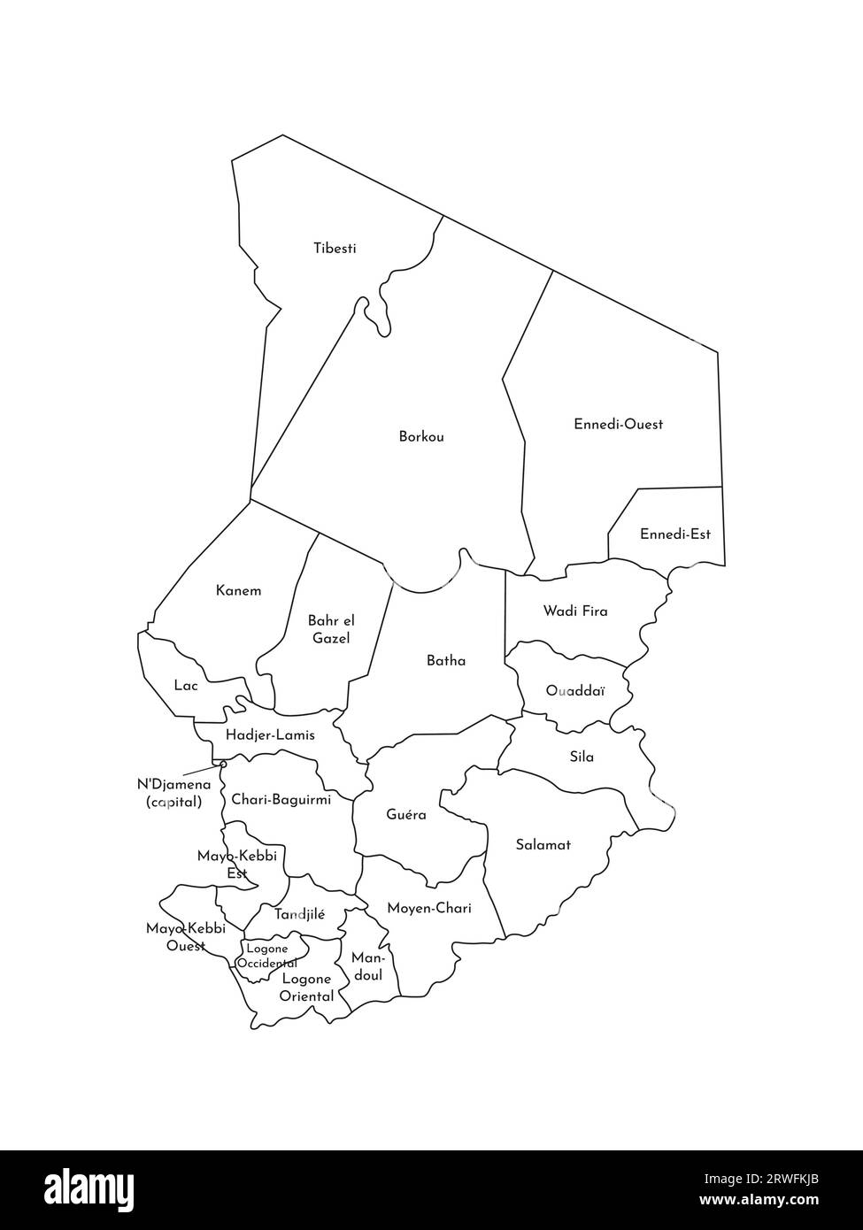 Vector isolated illustration of simplified administrative map of Chad. Borders and names of the regions. Black line silhouettes. Stock Vectorhttps://www.alamy.com/image-license-details/?v=1https://www.alamy.com/vector-isolated-illustration-of-simplified-administrative-map-of-chad-borders-and-names-of-the-regions-black-line-silhouettes-image566442867.html
RF2RWFKJB–Vector isolated illustration of simplified administrative map of Chad. Borders and names of the regions. Black line silhouettes.
 Ennedi-Ouest Region (Regions of Chad, Republic of Chad) map vector illustration, scribble sketch Ennedi Ouest map Stock Vectorhttps://www.alamy.com/image-license-details/?v=1https://www.alamy.com/ennedi-ouest-region-regions-of-chad-republic-of-chad-map-vector-illustration-scribble-sketch-ennedi-ouest-map-image263113661.html
RFW81T4D–Ennedi-Ouest Region (Regions of Chad, Republic of Chad) map vector illustration, scribble sketch Ennedi Ouest map
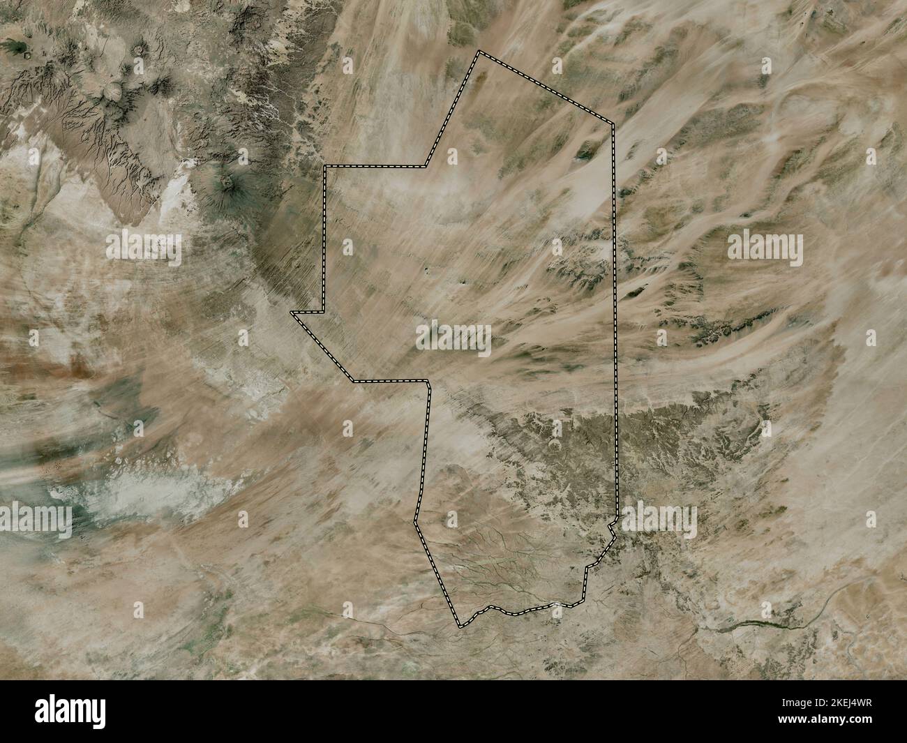 Ennedi Ouest, region of Chad. High resolution satellite map Stock Photohttps://www.alamy.com/image-license-details/?v=1https://www.alamy.com/ennedi-ouest-region-of-chad-high-resolution-satellite-map-image490894483.html
RF2KEJ4WR–Ennedi Ouest, region of Chad. High resolution satellite map
 Vector isolated illustration of simplified administrative map of Chad. Borders of the regions. Grey silhouettes. White outline Stock Vectorhttps://www.alamy.com/image-license-details/?v=1https://www.alamy.com/vector-isolated-illustration-of-simplified-administrative-map-of-chad-borders-of-the-regions-grey-silhouettes-white-outline-image566442512.html
RF2RWFK5M–Vector isolated illustration of simplified administrative map of Chad. Borders of the regions. Grey silhouettes. White outline
 Ennedi-Ouest Region (Regions of Chad, Republic of Chad) map vector illustration, scribble sketch Ennedi Ouest map Stock Vectorhttps://www.alamy.com/image-license-details/?v=1https://www.alamy.com/ennedi-ouest-region-regions-of-chad-republic-of-chad-map-vector-illustration-scribble-sketch-ennedi-ouest-map-image258848967.html
RFW13GDY–Ennedi-Ouest Region (Regions of Chad, Republic of Chad) map vector illustration, scribble sketch Ennedi Ouest map
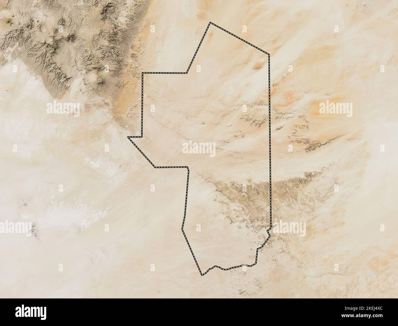 Ennedi Ouest, region of Chad. Low resolution satellite map Stock Photohttps://www.alamy.com/image-license-details/?v=1https://www.alamy.com/ennedi-ouest-region-of-chad-low-resolution-satellite-map-image490894500.html
RF2KEJ4XC–Ennedi Ouest, region of Chad. Low resolution satellite map
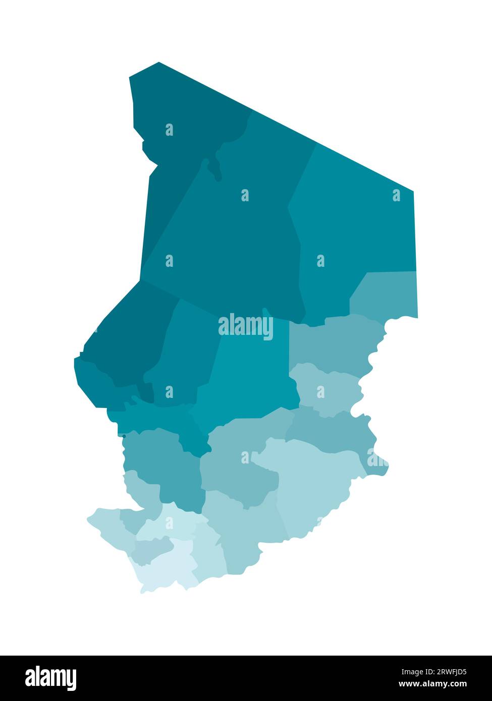 Vector isolated illustration of simplified administrative map of Chad. Borders of the regions. Colorful blue khaki silhouettes. Stock Vectorhttps://www.alamy.com/image-license-details/?v=1https://www.alamy.com/vector-isolated-illustration-of-simplified-administrative-map-of-chad-borders-of-the-regions-colorful-blue-khaki-silhouettes-image566441937.html
RF2RWFJD5–Vector isolated illustration of simplified administrative map of Chad. Borders of the regions. Colorful blue khaki silhouettes.
 Ennedi Ouest, region of Chad. Bilevel elevation map with lakes and rivers Stock Photohttps://www.alamy.com/image-license-details/?v=1https://www.alamy.com/ennedi-ouest-region-of-chad-bilevel-elevation-map-with-lakes-and-rivers-image490894468.html
RF2KEJ4W8–Ennedi Ouest, region of Chad. Bilevel elevation map with lakes and rivers
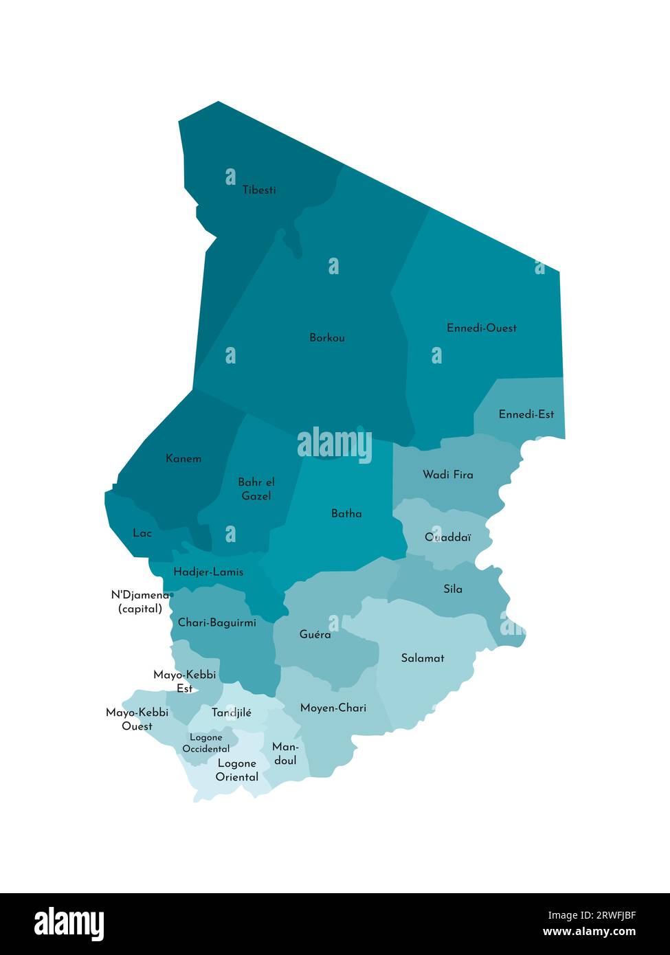 Vector isolated illustration of simplified administrative map of Chad. Borders and names of the regions. Colorful blue khaki silhouettes Stock Vectorhttps://www.alamy.com/image-license-details/?v=1https://www.alamy.com/vector-isolated-illustration-of-simplified-administrative-map-of-chad-borders-and-names-of-the-regions-colorful-blue-khaki-silhouettes-image566441891.html
RF2RWFJBF–Vector isolated illustration of simplified administrative map of Chad. Borders and names of the regions. Colorful blue khaki silhouettes
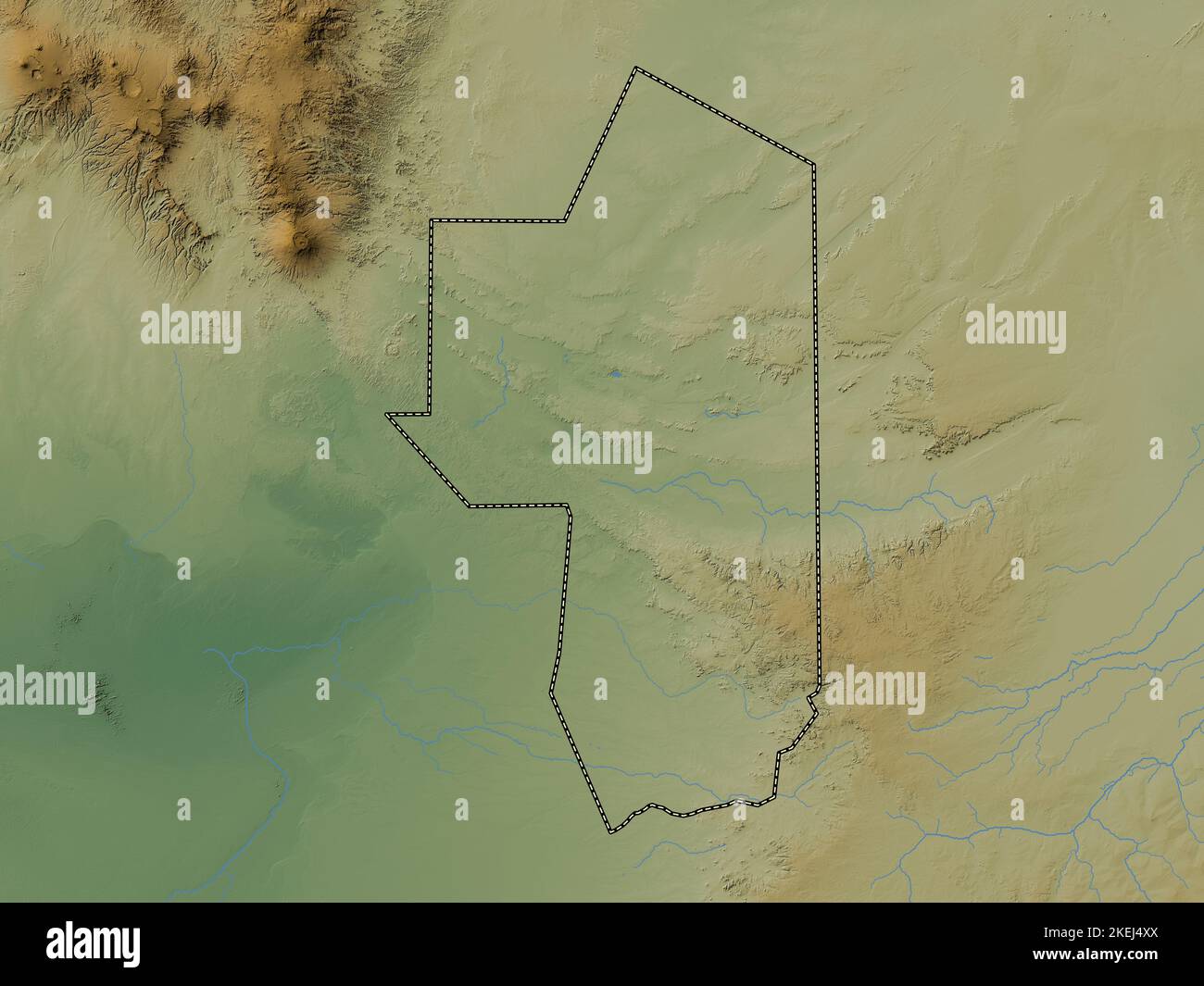 Ennedi Ouest, region of Chad. Colored elevation map with lakes and rivers Stock Photohttps://www.alamy.com/image-license-details/?v=1https://www.alamy.com/ennedi-ouest-region-of-chad-colored-elevation-map-with-lakes-and-rivers-image490894514.html
RF2KEJ4XX–Ennedi Ouest, region of Chad. Colored elevation map with lakes and rivers
 Ennedi Ouest, region of Chad. Grayscale elevation map with lakes and rivers Stock Photohttps://www.alamy.com/image-license-details/?v=1https://www.alamy.com/ennedi-ouest-region-of-chad-grayscale-elevation-map-with-lakes-and-rivers-image490894470.html
RF2KEJ4WA–Ennedi Ouest, region of Chad. Grayscale elevation map with lakes and rivers
 Ennedi Ouest, region of Chad. Open Street Map. Corner auxiliary location maps Stock Photohttps://www.alamy.com/image-license-details/?v=1https://www.alamy.com/ennedi-ouest-region-of-chad-open-street-map-corner-auxiliary-location-maps-image490894506.html
RF2KEJ4XJ–Ennedi Ouest, region of Chad. Open Street Map. Corner auxiliary location maps
 Ennedi Ouest, region of Chad. Solid color shape. Corner auxiliary location maps Stock Photohttps://www.alamy.com/image-license-details/?v=1https://www.alamy.com/ennedi-ouest-region-of-chad-solid-color-shape-corner-auxiliary-location-maps-image490894511.html
RF2KEJ4XR–Ennedi Ouest, region of Chad. Solid color shape. Corner auxiliary location maps
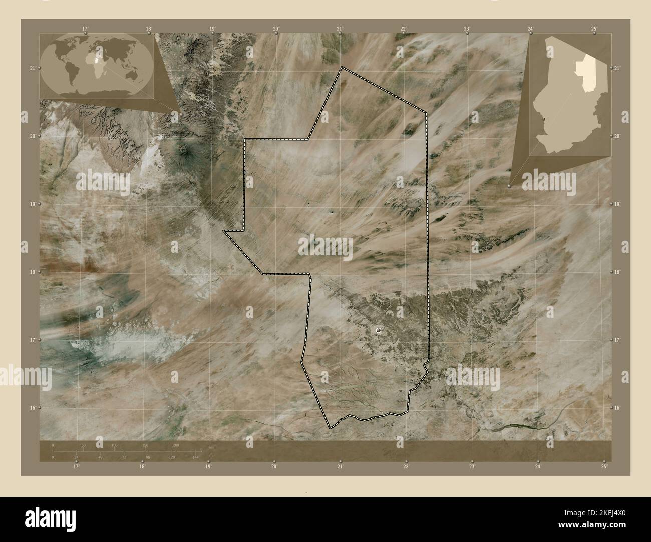 Ennedi Ouest, region of Chad. High resolution satellite map. Corner auxiliary location maps Stock Photohttps://www.alamy.com/image-license-details/?v=1https://www.alamy.com/ennedi-ouest-region-of-chad-high-resolution-satellite-map-corner-auxiliary-location-maps-image490894488.html
RF2KEJ4X0–Ennedi Ouest, region of Chad. High resolution satellite map. Corner auxiliary location maps
 Ennedi Ouest, region of Chad. Low resolution satellite map. Corner auxiliary location maps Stock Photohttps://www.alamy.com/image-license-details/?v=1https://www.alamy.com/ennedi-ouest-region-of-chad-low-resolution-satellite-map-corner-auxiliary-location-maps-image490894513.html
RF2KEJ4XW–Ennedi Ouest, region of Chad. Low resolution satellite map. Corner auxiliary location maps
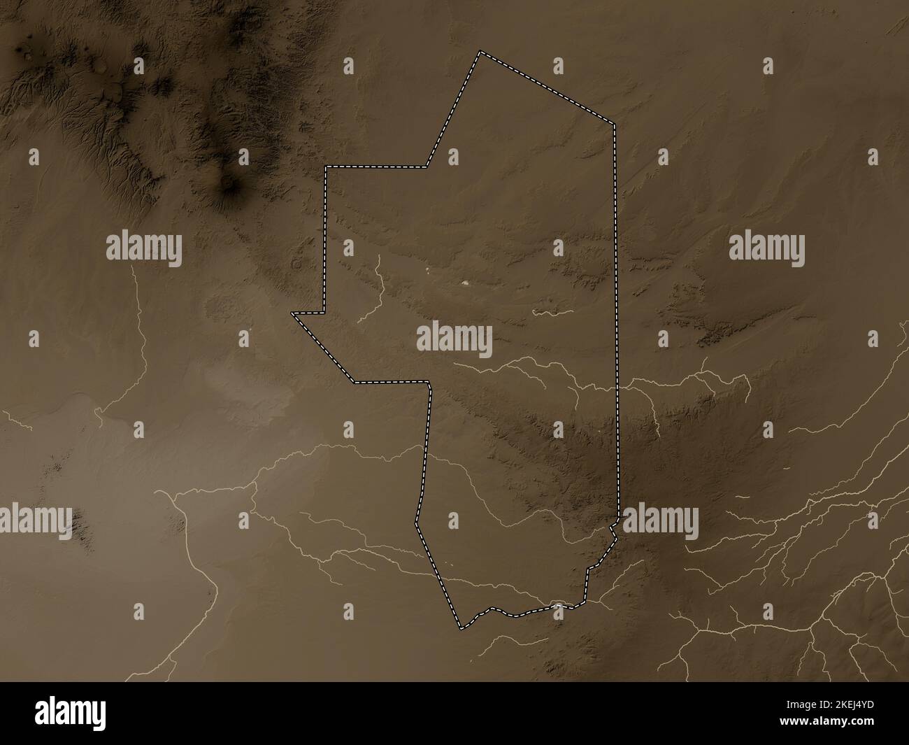 Ennedi Ouest, region of Chad. Elevation map colored in sepia tones with lakes and rivers Stock Photohttps://www.alamy.com/image-license-details/?v=1https://www.alamy.com/ennedi-ouest-region-of-chad-elevation-map-colored-in-sepia-tones-with-lakes-and-rivers-image490894529.html
RF2KEJ4YD–Ennedi Ouest, region of Chad. Elevation map colored in sepia tones with lakes and rivers
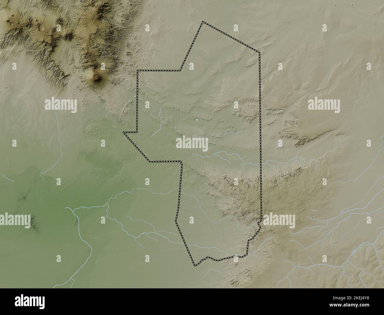 Ennedi Ouest, region of Chad. Elevation map colored in wiki style with lakes and rivers Stock Photohttps://www.alamy.com/image-license-details/?v=1https://www.alamy.com/ennedi-ouest-region-of-chad-elevation-map-colored-in-wiki-style-with-lakes-and-rivers-image490894524.html
RF2KEJ4Y8–Ennedi Ouest, region of Chad. Elevation map colored in wiki style with lakes and rivers
 Ennedi Ouest, region of Chad. Bilevel elevation map with lakes and rivers. Corner auxiliary location maps Stock Photohttps://www.alamy.com/image-license-details/?v=1https://www.alamy.com/ennedi-ouest-region-of-chad-bilevel-elevation-map-with-lakes-and-rivers-corner-auxiliary-location-maps-image490894467.html
RF2KEJ4W7–Ennedi Ouest, region of Chad. Bilevel elevation map with lakes and rivers. Corner auxiliary location maps
 Ennedi Ouest, region of Chad. Grayscale elevation map with lakes and rivers. Corner auxiliary location maps Stock Photohttps://www.alamy.com/image-license-details/?v=1https://www.alamy.com/ennedi-ouest-region-of-chad-grayscale-elevation-map-with-lakes-and-rivers-corner-auxiliary-location-maps-image490894473.html
RF2KEJ4WD–Ennedi Ouest, region of Chad. Grayscale elevation map with lakes and rivers. Corner auxiliary location maps
 Ennedi Ouest, region of Chad. Colored elevation map with lakes and rivers. Corner auxiliary location maps Stock Photohttps://www.alamy.com/image-license-details/?v=1https://www.alamy.com/ennedi-ouest-region-of-chad-colored-elevation-map-with-lakes-and-rivers-corner-auxiliary-location-maps-image490894498.html
RF2KEJ4XA–Ennedi Ouest, region of Chad. Colored elevation map with lakes and rivers. Corner auxiliary location maps
 Ennedi Ouest, region of Chad. Satellite imagery. Shape outlined against its country area. 3D rendering Stock Photohttps://www.alamy.com/image-license-details/?v=1https://www.alamy.com/ennedi-ouest-region-of-chad-satellite-imagery-shape-outlined-against-its-country-area-3d-rendering-image363591283.html
RF2C3F0AY–Ennedi Ouest, region of Chad. Satellite imagery. Shape outlined against its country area. 3D rendering
 Shape of Ennedi Ouest, region of Chad, with its capital isolated on white background. Satellite imagery. 3D rendering Stock Photohttps://www.alamy.com/image-license-details/?v=1https://www.alamy.com/shape-of-ennedi-ouest-region-of-chad-with-its-capital-isolated-on-white-background-satellite-imagery-3d-rendering-image368285335.html
RF2CB4RKK–Shape of Ennedi Ouest, region of Chad, with its capital isolated on white background. Satellite imagery. 3D rendering
 Shape of Ennedi Ouest, region of Chad, and its capital. Distance scale, previews and labels. Satellite imagery. 3D rendering Stock Photohttps://www.alamy.com/image-license-details/?v=1https://www.alamy.com/shape-of-ennedi-ouest-region-of-chad-and-its-capital-distance-scale-previews-and-labels-satellite-imagery-3d-rendering-image368285324.html
RF2CB4RK8–Shape of Ennedi Ouest, region of Chad, and its capital. Distance scale, previews and labels. Satellite imagery. 3D rendering
 Zoom in on Ennedi Ouest (region of Chad) extruded. Oblique perspective. Satellite imagery. 3D rendering Stock Photohttps://www.alamy.com/image-license-details/?v=1https://www.alamy.com/zoom-in-on-ennedi-ouest-region-of-chad-extruded-oblique-perspective-satellite-imagery-3d-rendering-image364303684.html
RF2C4KD1T–Zoom in on Ennedi Ouest (region of Chad) extruded. Oblique perspective. Satellite imagery. 3D rendering
 Zoom in on Ennedi Ouest (region of Chad) outlined. Oblique perspective. Satellite imagery. 3D rendering Stock Photohttps://www.alamy.com/image-license-details/?v=1https://www.alamy.com/zoom-in-on-ennedi-ouest-region-of-chad-outlined-oblique-perspective-satellite-imagery-3d-rendering-image364303677.html
RF2C4KD1H–Zoom in on Ennedi Ouest (region of Chad) outlined. Oblique perspective. Satellite imagery. 3D rendering
 Ennedi Ouest, region of Chad. Open Street Map. Locations of major cities of the region. Corner auxiliary location maps Stock Photohttps://www.alamy.com/image-license-details/?v=1https://www.alamy.com/ennedi-ouest-region-of-chad-open-street-map-locations-of-major-cities-of-the-region-corner-auxiliary-location-maps-image490894469.html
RF2KEJ4W9–Ennedi Ouest, region of Chad. Open Street Map. Locations of major cities of the region. Corner auxiliary location maps
 Ennedi Ouest, region of Chad. Solid color shape. Locations of major cities of the region. Corner auxiliary location maps Stock Photohttps://www.alamy.com/image-license-details/?v=1https://www.alamy.com/ennedi-ouest-region-of-chad-solid-color-shape-locations-of-major-cities-of-the-region-corner-auxiliary-location-maps-image490894508.html
RF2KEJ4XM–Ennedi Ouest, region of Chad. Solid color shape. Locations of major cities of the region. Corner auxiliary location maps
 Shape of Ennedi Ouest, region of Chad, with its capital isolated on white background. Colored elevation map. 3D rendering Stock Photohttps://www.alamy.com/image-license-details/?v=1https://www.alamy.com/shape-of-ennedi-ouest-region-of-chad-with-its-capital-isolated-on-white-background-colored-elevation-map-3d-rendering-image368285266.html
RF2CB4RH6–Shape of Ennedi Ouest, region of Chad, with its capital isolated on white background. Colored elevation map. 3D rendering
 Shape of Ennedi Ouest, region of Chad, with its capital isolated on white background. Bilevel elevation map. 3D rendering Stock Photohttps://www.alamy.com/image-license-details/?v=1https://www.alamy.com/shape-of-ennedi-ouest-region-of-chad-with-its-capital-isolated-on-white-background-bilevel-elevation-map-3d-rendering-image368285255.html
RF2CB4RGR–Shape of Ennedi Ouest, region of Chad, with its capital isolated on white background. Bilevel elevation map. 3D rendering
 Shape of Ennedi Ouest, region of Chad, with its capital isolated on white background. Topographic relief map. 3D rendering Stock Photohttps://www.alamy.com/image-license-details/?v=1https://www.alamy.com/shape-of-ennedi-ouest-region-of-chad-with-its-capital-isolated-on-white-background-topographic-relief-map-3d-rendering-image368285312.html
RF2CB4RJT–Shape of Ennedi Ouest, region of Chad, with its capital isolated on white background. Topographic relief map. 3D rendering
 Shape of Ennedi Ouest, region of Chad, with its capital isolated on white background. Composition of patterned textures. 3D rendering Stock Photohttps://www.alamy.com/image-license-details/?v=1https://www.alamy.com/shape-of-ennedi-ouest-region-of-chad-with-its-capital-isolated-on-white-background-composition-of-patterned-textures-3d-rendering-image368285270.html
RF2CB4RHA–Shape of Ennedi Ouest, region of Chad, with its capital isolated on white background. Composition of patterned textures. 3D rendering
 Shape of Ennedi Ouest, region of Chad, and its capital. Distance scale, previews and labels. Composition of patterned textures. 3D rendering Stock Photohttps://www.alamy.com/image-license-details/?v=1https://www.alamy.com/shape-of-ennedi-ouest-region-of-chad-and-its-capital-distance-scale-previews-and-labels-composition-of-patterned-textures-3d-rendering-image368285268.html
RF2CB4RH8–Shape of Ennedi Ouest, region of Chad, and its capital. Distance scale, previews and labels. Composition of patterned textures. 3D rendering
 Shape of Ennedi Ouest, region of Chad, and its capital. Distance scale, previews and labels. Bilevel elevation map. 3D rendering Stock Photohttps://www.alamy.com/image-license-details/?v=1https://www.alamy.com/shape-of-ennedi-ouest-region-of-chad-and-its-capital-distance-scale-previews-and-labels-bilevel-elevation-map-3d-rendering-image368285254.html
RF2CB4RGP–Shape of Ennedi Ouest, region of Chad, and its capital. Distance scale, previews and labels. Bilevel elevation map. 3D rendering
 Shape of Ennedi Ouest, region of Chad, and its capital. Distance scale, previews and labels. Colored elevation map. 3D rendering Stock Photohttps://www.alamy.com/image-license-details/?v=1https://www.alamy.com/shape-of-ennedi-ouest-region-of-chad-and-its-capital-distance-scale-previews-and-labels-colored-elevation-map-3d-rendering-image368285244.html
RF2CB4RGC–Shape of Ennedi Ouest, region of Chad, and its capital. Distance scale, previews and labels. Colored elevation map. 3D rendering
 Shape of Ennedi Ouest, region of Chad, and its capital. Distance scale, previews and labels. Topographic relief map. 3D rendering Stock Photohttps://www.alamy.com/image-license-details/?v=1https://www.alamy.com/shape-of-ennedi-ouest-region-of-chad-and-its-capital-distance-scale-previews-and-labels-topographic-relief-map-3d-rendering-image368285334.html
RF2CB4RKJ–Shape of Ennedi Ouest, region of Chad, and its capital. Distance scale, previews and labels. Topographic relief map. 3D rendering
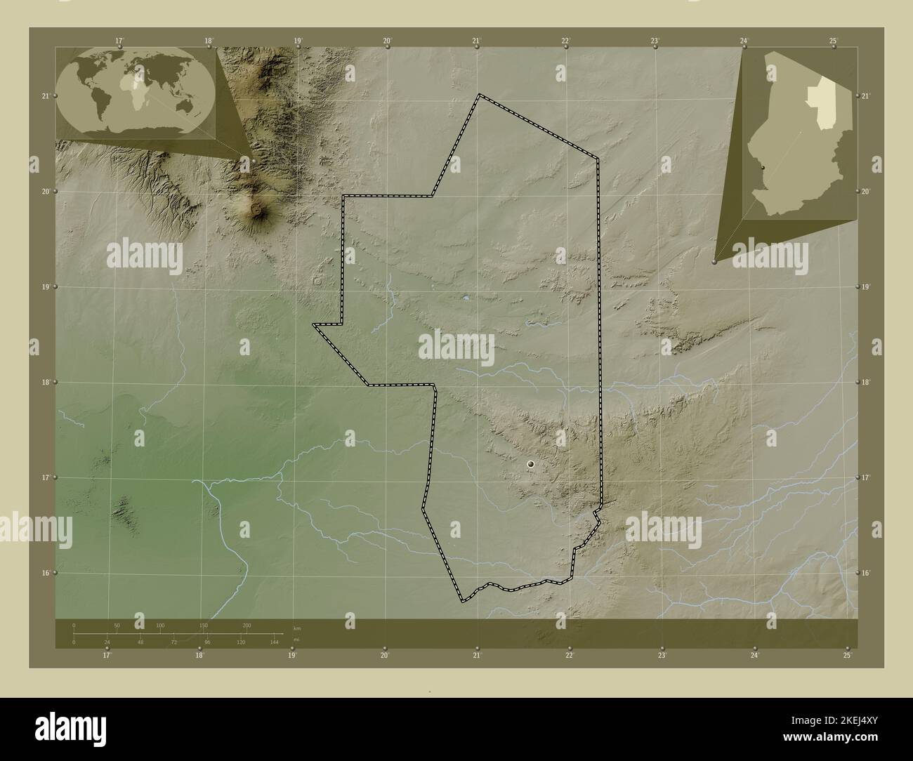 Ennedi Ouest, region of Chad. Elevation map colored in wiki style with lakes and rivers. Corner auxiliary location maps Stock Photohttps://www.alamy.com/image-license-details/?v=1https://www.alamy.com/ennedi-ouest-region-of-chad-elevation-map-colored-in-wiki-style-with-lakes-and-rivers-corner-auxiliary-location-maps-image490894515.html
RF2KEJ4XY–Ennedi Ouest, region of Chad. Elevation map colored in wiki style with lakes and rivers. Corner auxiliary location maps
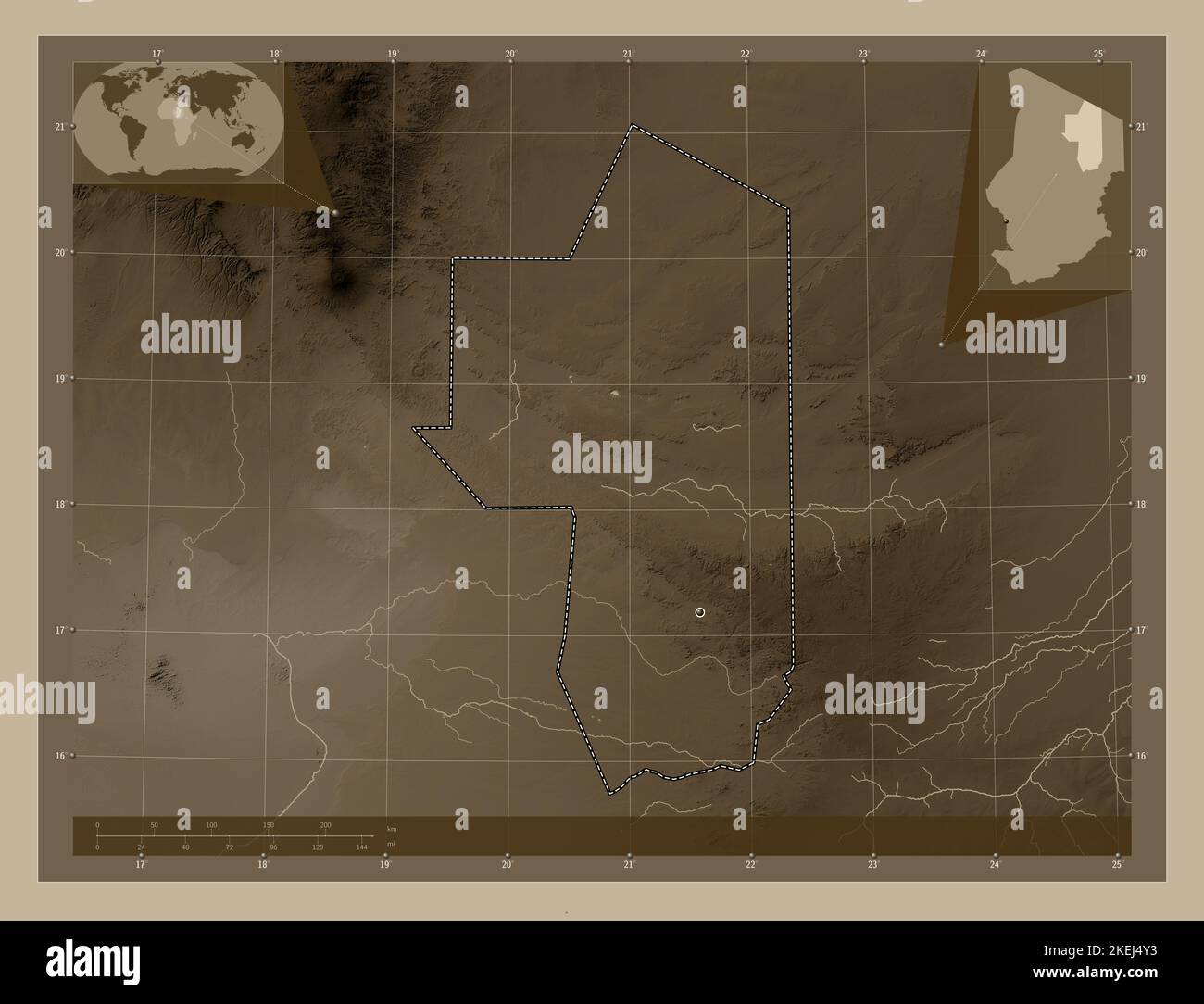 Ennedi Ouest, region of Chad. Elevation map colored in sepia tones with lakes and rivers. Corner auxiliary location maps Stock Photohttps://www.alamy.com/image-license-details/?v=1https://www.alamy.com/ennedi-ouest-region-of-chad-elevation-map-colored-in-sepia-tones-with-lakes-and-rivers-corner-auxiliary-location-maps-image490894519.html
RF2KEJ4Y3–Ennedi Ouest, region of Chad. Elevation map colored in sepia tones with lakes and rivers. Corner auxiliary location maps
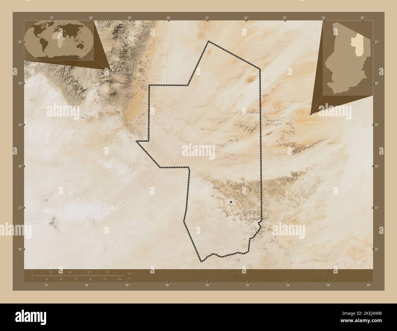 Ennedi Ouest, region of Chad. Low resolution satellite map. Locations of major cities of the region. Corner auxiliary location maps Stock Photohttps://www.alamy.com/image-license-details/?v=1https://www.alamy.com/ennedi-ouest-region-of-chad-low-resolution-satellite-map-locations-of-major-cities-of-the-region-corner-auxiliary-location-maps-image490894471.html
RF2KEJ4WB–Ennedi Ouest, region of Chad. Low resolution satellite map. Locations of major cities of the region. Corner auxiliary location maps
 Ennedi Ouest, region of Chad. High resolution satellite map. Locations of major cities of the region. Corner auxiliary location maps Stock Photohttps://www.alamy.com/image-license-details/?v=1https://www.alamy.com/ennedi-ouest-region-of-chad-high-resolution-satellite-map-locations-of-major-cities-of-the-region-corner-auxiliary-location-maps-image490894477.html
RF2KEJ4WH–Ennedi Ouest, region of Chad. High resolution satellite map. Locations of major cities of the region. Corner auxiliary location maps
 Ennedi Ouest, region of Chad. Solid color shape. Locations and names of major cities of the region. Corner auxiliary location maps Stock Photohttps://www.alamy.com/image-license-details/?v=1https://www.alamy.com/ennedi-ouest-region-of-chad-solid-color-shape-locations-and-names-of-major-cities-of-the-region-corner-auxiliary-location-maps-image490894505.html
RF2KEJ4XH–Ennedi Ouest, region of Chad. Solid color shape. Locations and names of major cities of the region. Corner auxiliary location maps
 Ennedi Ouest, region of Chad. Open Street Map. Locations and names of major cities of the region. Corner auxiliary location maps Stock Photohttps://www.alamy.com/image-license-details/?v=1https://www.alamy.com/ennedi-ouest-region-of-chad-open-street-map-locations-and-names-of-major-cities-of-the-region-corner-auxiliary-location-maps-image490894503.html
RF2KEJ4XF–Ennedi Ouest, region of Chad. Open Street Map. Locations and names of major cities of the region. Corner auxiliary location maps
 Ennedi Ouest, region of Chad. Satellite imagery. Shape presented against its country area with informative overlays. 3D rendering Stock Photohttps://www.alamy.com/image-license-details/?v=1https://www.alamy.com/ennedi-ouest-region-of-chad-satellite-imagery-shape-presented-against-its-country-area-with-informative-overlays-3d-rendering-image363591284.html
RF2C3F0B0–Ennedi Ouest, region of Chad. Satellite imagery. Shape presented against its country area with informative overlays. 3D rendering
 Shape of Ennedi Ouest, region of Chad, with its capital isolated on a solid color background. Satellite imagery. 3D rendering Stock Photohttps://www.alamy.com/image-license-details/?v=1https://www.alamy.com/shape-of-ennedi-ouest-region-of-chad-with-its-capital-isolated-on-a-solid-color-background-satellite-imagery-3d-rendering-image368285313.html
RF2CB4RJW–Shape of Ennedi Ouest, region of Chad, with its capital isolated on a solid color background. Satellite imagery. 3D rendering
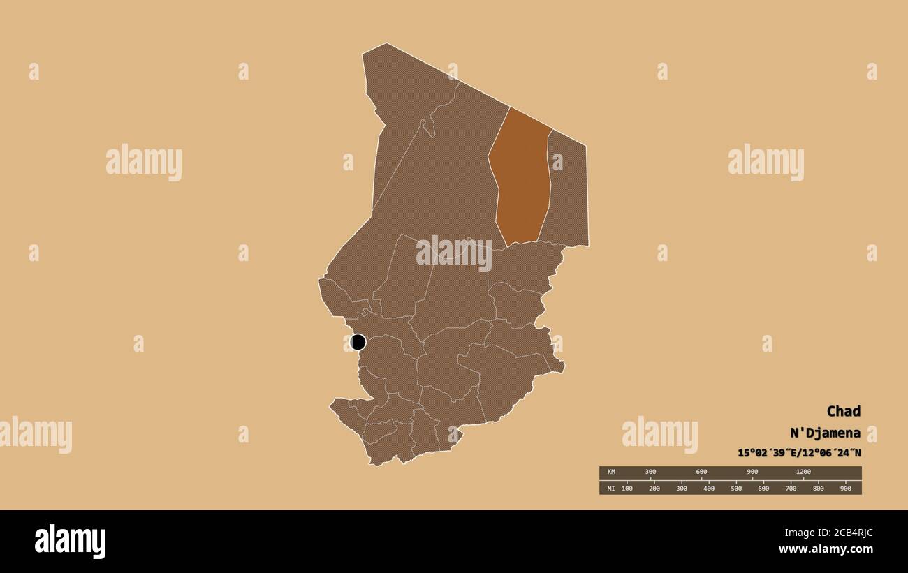 Desaturated shape of Chad with its capital, main regional division and the separated Ennedi Ouest area. Labels. Composition of patterned textures. 3D Stock Photohttps://www.alamy.com/image-license-details/?v=1https://www.alamy.com/desaturated-shape-of-chad-with-its-capital-main-regional-division-and-the-separated-ennedi-ouest-area-labels-composition-of-patterned-textures-3d-image368285300.html
RF2CB4RJC–Desaturated shape of Chad with its capital, main regional division and the separated Ennedi Ouest area. Labels. Composition of patterned textures. 3D
 Desaturated shape of Chad with its capital, main regional division and the separated Ennedi Ouest area. Labels. Satellite imagery. 3D rendering Stock Photohttps://www.alamy.com/image-license-details/?v=1https://www.alamy.com/desaturated-shape-of-chad-with-its-capital-main-regional-division-and-the-separated-ennedi-ouest-area-labels-satellite-imagery-3d-rendering-image368285330.html
RF2CB4RKE–Desaturated shape of Chad with its capital, main regional division and the separated Ennedi Ouest area. Labels. Satellite imagery. 3D rendering
 Ennedi Ouest, region of Chad. Grayscale elevation map with lakes and rivers. Locations and names of major cities of the region. Corner auxiliary locat Stock Photohttps://www.alamy.com/image-license-details/?v=1https://www.alamy.com/ennedi-ouest-region-of-chad-grayscale-elevation-map-with-lakes-and-rivers-locations-and-names-of-major-cities-of-the-region-corner-auxiliary-locat-image490894479.html
RF2KEJ4WK–Ennedi Ouest, region of Chad. Grayscale elevation map with lakes and rivers. Locations and names of major cities of the region. Corner auxiliary locat
 Ennedi Ouest, region of Chad. Colored elevation map with lakes and rivers. Locations of major cities of the region. Corner auxiliary location maps Stock Photohttps://www.alamy.com/image-license-details/?v=1https://www.alamy.com/ennedi-ouest-region-of-chad-colored-elevation-map-with-lakes-and-rivers-locations-of-major-cities-of-the-region-corner-auxiliary-location-maps-image490894512.html
RF2KEJ4XT–Ennedi Ouest, region of Chad. Colored elevation map with lakes and rivers. Locations of major cities of the region. Corner auxiliary location maps
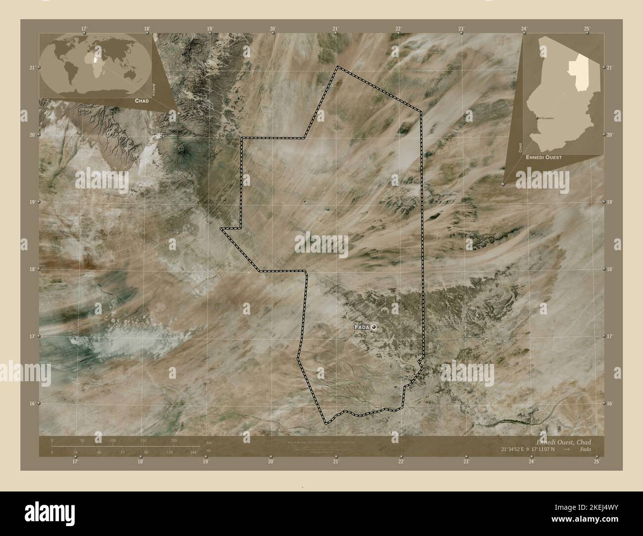 Ennedi Ouest, region of Chad. High resolution satellite map. Locations and names of major cities of the region. Corner auxiliary location maps Stock Photohttps://www.alamy.com/image-license-details/?v=1https://www.alamy.com/ennedi-ouest-region-of-chad-high-resolution-satellite-map-locations-and-names-of-major-cities-of-the-region-corner-auxiliary-location-maps-image490894487.html
RF2KEJ4WY–Ennedi Ouest, region of Chad. High resolution satellite map. Locations and names of major cities of the region. Corner auxiliary location maps
 Ennedi Ouest, region of Chad. Colored elevation map with lakes and rivers. Locations and names of major cities of the region. Corner auxiliary locatio Stock Photohttps://www.alamy.com/image-license-details/?v=1https://www.alamy.com/ennedi-ouest-region-of-chad-colored-elevation-map-with-lakes-and-rivers-locations-and-names-of-major-cities-of-the-region-corner-auxiliary-locatio-image490894501.html
RF2KEJ4XD–Ennedi Ouest, region of Chad. Colored elevation map with lakes and rivers. Locations and names of major cities of the region. Corner auxiliary locatio
 Ennedi Ouest, region of Chad. Low resolution satellite map. Locations and names of major cities of the region. Corner auxiliary location maps Stock Photohttps://www.alamy.com/image-license-details/?v=1https://www.alamy.com/ennedi-ouest-region-of-chad-low-resolution-satellite-map-locations-and-names-of-major-cities-of-the-region-corner-auxiliary-location-maps-image490894510.html
RF2KEJ4XP–Ennedi Ouest, region of Chad. Low resolution satellite map. Locations and names of major cities of the region. Corner auxiliary location maps
 Ennedi Ouest, region of Chad. Bilevel elevation map with lakes and rivers. Locations of major cities of the region. Corner auxiliary location maps Stock Photohttps://www.alamy.com/image-license-details/?v=1https://www.alamy.com/ennedi-ouest-region-of-chad-bilevel-elevation-map-with-lakes-and-rivers-locations-of-major-cities-of-the-region-corner-auxiliary-location-maps-image490894476.html
RF2KEJ4WG–Ennedi Ouest, region of Chad. Bilevel elevation map with lakes and rivers. Locations of major cities of the region. Corner auxiliary location maps
 Ennedi Ouest, region of Chad. Bilevel elevation map with lakes and rivers. Locations and names of major cities of the region. Corner auxiliary locatio Stock Photohttps://www.alamy.com/image-license-details/?v=1https://www.alamy.com/ennedi-ouest-region-of-chad-bilevel-elevation-map-with-lakes-and-rivers-locations-and-names-of-major-cities-of-the-region-corner-auxiliary-locatio-image490894466.html
RF2KEJ4W6–Ennedi Ouest, region of Chad. Bilevel elevation map with lakes and rivers. Locations and names of major cities of the region. Corner auxiliary locatio
 Ennedi Ouest, region of Chad. Grayscale elevation map with lakes and rivers. Locations of major cities of the region. Corner auxiliary location maps Stock Photohttps://www.alamy.com/image-license-details/?v=1https://www.alamy.com/ennedi-ouest-region-of-chad-grayscale-elevation-map-with-lakes-and-rivers-locations-of-major-cities-of-the-region-corner-auxiliary-location-maps-image490894475.html
RF2KEJ4WF–Ennedi Ouest, region of Chad. Grayscale elevation map with lakes and rivers. Locations of major cities of the region. Corner auxiliary location maps
 Shape of Ennedi Ouest, region of Chad, with its capital isolated on a solid color background. Bilevel elevation map. 3D rendering Stock Photohttps://www.alamy.com/image-license-details/?v=1https://www.alamy.com/shape-of-ennedi-ouest-region-of-chad-with-its-capital-isolated-on-a-solid-color-background-bilevel-elevation-map-3d-rendering-image368285259.html
RF2CB4RGY–Shape of Ennedi Ouest, region of Chad, with its capital isolated on a solid color background. Bilevel elevation map. 3D rendering
 Shape of Ennedi Ouest, region of Chad, with its capital isolated on a solid color background. Colored elevation map. 3D rendering Stock Photohttps://www.alamy.com/image-license-details/?v=1https://www.alamy.com/shape-of-ennedi-ouest-region-of-chad-with-its-capital-isolated-on-a-solid-color-background-colored-elevation-map-3d-rendering-image368285250.html
RF2CB4RGJ–Shape of Ennedi Ouest, region of Chad, with its capital isolated on a solid color background. Colored elevation map. 3D rendering
 Shape of Ennedi Ouest, region of Chad, with its capital isolated on a solid color background. Composition of patterned textures. 3D rendering Stock Photohttps://www.alamy.com/image-license-details/?v=1https://www.alamy.com/shape-of-ennedi-ouest-region-of-chad-with-its-capital-isolated-on-a-solid-color-background-composition-of-patterned-textures-3d-rendering-image368285260.html
RF2CB4RH0–Shape of Ennedi Ouest, region of Chad, with its capital isolated on a solid color background. Composition of patterned textures. 3D rendering
 Shape of Ennedi Ouest, region of Chad, with its capital isolated on a solid color background. Topographic relief map. 3D rendering Stock Photohttps://www.alamy.com/image-license-details/?v=1https://www.alamy.com/shape-of-ennedi-ouest-region-of-chad-with-its-capital-isolated-on-a-solid-color-background-topographic-relief-map-3d-rendering-image368285331.html
RF2CB4RKF–Shape of Ennedi Ouest, region of Chad, with its capital isolated on a solid color background. Topographic relief map. 3D rendering
 Desaturated shape of Chad with its capital, main regional division and the separated Ennedi Ouest area. Labels. Topographic relief map. 3D rendering Stock Photohttps://www.alamy.com/image-license-details/?v=1https://www.alamy.com/desaturated-shape-of-chad-with-its-capital-main-regional-division-and-the-separated-ennedi-ouest-area-labels-topographic-relief-map-3d-rendering-image368285318.html
RF2CB4RK2–Desaturated shape of Chad with its capital, main regional division and the separated Ennedi Ouest area. Labels. Topographic relief map. 3D rendering
 Desaturated shape of Chad with its capital, main regional division and the separated Ennedi Ouest area. Labels. Colored elevation map. 3D rendering Stock Photohttps://www.alamy.com/image-license-details/?v=1https://www.alamy.com/desaturated-shape-of-chad-with-its-capital-main-regional-division-and-the-separated-ennedi-ouest-area-labels-colored-elevation-map-3d-rendering-image368285241.html
RF2CB4RG9–Desaturated shape of Chad with its capital, main regional division and the separated Ennedi Ouest area. Labels. Colored elevation map. 3D rendering
 Desaturated shape of Chad with its capital, main regional division and the separated Ennedi Ouest area. Labels. Bilevel elevation map. 3D rendering Stock Photohttps://www.alamy.com/image-license-details/?v=1https://www.alamy.com/desaturated-shape-of-chad-with-its-capital-main-regional-division-and-the-separated-ennedi-ouest-area-labels-bilevel-elevation-map-3d-rendering-image368285267.html
RF2CB4RH7–Desaturated shape of Chad with its capital, main regional division and the separated Ennedi Ouest area. Labels. Bilevel elevation map. 3D rendering
 Shape of Ennedi Ouest, region of Chad, with its capital isolated on solid background. Distance scale, region preview and labels. Composition of patter Stock Photohttps://www.alamy.com/image-license-details/?v=1https://www.alamy.com/shape-of-ennedi-ouest-region-of-chad-with-its-capital-isolated-on-solid-background-distance-scale-region-preview-and-labels-composition-of-patter-image368285307.html
RF2CB4RJK–Shape of Ennedi Ouest, region of Chad, with its capital isolated on solid background. Distance scale, region preview and labels. Composition of patter
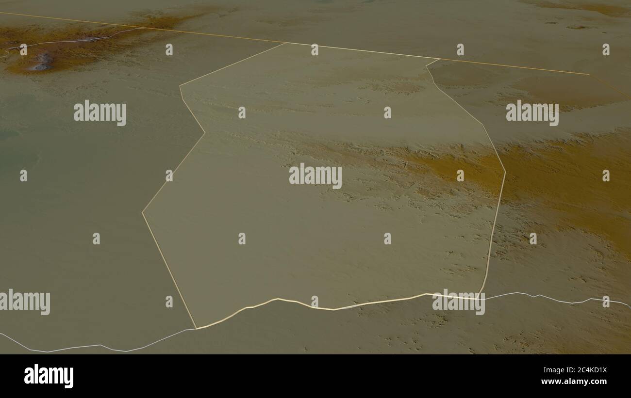 Zoom in on Ennedi Ouest (region of Chad) outlined. Oblique perspective. Topographic relief map with surface waters. 3D rendering Stock Photohttps://www.alamy.com/image-license-details/?v=1https://www.alamy.com/zoom-in-on-ennedi-ouest-region-of-chad-outlined-oblique-perspective-topographic-relief-map-with-surface-waters-3d-rendering-image364303686.html
RF2C4KD1X–Zoom in on Ennedi Ouest (region of Chad) outlined. Oblique perspective. Topographic relief map with surface waters. 3D rendering
 Zoom in on Ennedi Ouest (region of Chad) outlined. Oblique perspective. Bilevel elevation map with surface waters. 3D rendering Stock Photohttps://www.alamy.com/image-license-details/?v=1https://www.alamy.com/zoom-in-on-ennedi-ouest-region-of-chad-outlined-oblique-perspective-bilevel-elevation-map-with-surface-waters-3d-rendering-image364303636.html
RF2C4KD04–Zoom in on Ennedi Ouest (region of Chad) outlined. Oblique perspective. Bilevel elevation map with surface waters. 3D rendering
 Zoom in on Ennedi Ouest (region of Chad) extruded. Oblique perspective. Bilevel elevation map with surface waters. 3D rendering Stock Photohttps://www.alamy.com/image-license-details/?v=1https://www.alamy.com/zoom-in-on-ennedi-ouest-region-of-chad-extruded-oblique-perspective-bilevel-elevation-map-with-surface-waters-3d-rendering-image364303646.html
RF2C4KD0E–Zoom in on Ennedi Ouest (region of Chad) extruded. Oblique perspective. Bilevel elevation map with surface waters. 3D rendering
 Zoom in on Ennedi Ouest (region of Chad) extruded. Oblique perspective. Topographic relief map with surface waters. 3D rendering Stock Photohttps://www.alamy.com/image-license-details/?v=1https://www.alamy.com/zoom-in-on-ennedi-ouest-region-of-chad-extruded-oblique-perspective-topographic-relief-map-with-surface-waters-3d-rendering-image364303674.html
RF2C4KD1E–Zoom in on Ennedi Ouest (region of Chad) extruded. Oblique perspective. Topographic relief map with surface waters. 3D rendering
 Ennedi Ouest, region of Chad. Patterned solids with lakes and rivers. Shape presented against its country area with informative overlays. 3D rendering Stock Photohttps://www.alamy.com/image-license-details/?v=1https://www.alamy.com/ennedi-ouest-region-of-chad-patterned-solids-with-lakes-and-rivers-shape-presented-against-its-country-area-with-informative-overlays-3d-rendering-image363591257.html
RF2C3F0A1–Ennedi Ouest, region of Chad. Patterned solids with lakes and rivers. Shape presented against its country area with informative overlays. 3D rendering
 Shape of Ennedi Ouest, region of Chad, with its capital isolated on solid background. Distance scale, region preview and labels. Satellite imagery. 3D Stock Photohttps://www.alamy.com/image-license-details/?v=1https://www.alamy.com/shape-of-ennedi-ouest-region-of-chad-with-its-capital-isolated-on-solid-background-distance-scale-region-preview-and-labels-satellite-imagery-3d-image368285315.html
RF2CB4RJY–Shape of Ennedi Ouest, region of Chad, with its capital isolated on solid background. Distance scale, region preview and labels. Satellite imagery. 3D
 Shape of Ennedi Ouest, region of Chad, with its capital isolated on solid background. Distance scale, region preview and labels. Bilevel elevation map Stock Photohttps://www.alamy.com/image-license-details/?v=1https://www.alamy.com/shape-of-ennedi-ouest-region-of-chad-with-its-capital-isolated-on-solid-background-distance-scale-region-preview-and-labels-bilevel-elevation-map-image368285251.html
RF2CB4RGK–Shape of Ennedi Ouest, region of Chad, with its capital isolated on solid background. Distance scale, region preview and labels. Bilevel elevation map
 Shape of Ennedi Ouest, region of Chad, with its capital isolated on solid background. Distance scale, region preview and labels. Colored elevation map Stock Photohttps://www.alamy.com/image-license-details/?v=1https://www.alamy.com/shape-of-ennedi-ouest-region-of-chad-with-its-capital-isolated-on-solid-background-distance-scale-region-preview-and-labels-colored-elevation-map-image368285265.html
RF2CB4RH5–Shape of Ennedi Ouest, region of Chad, with its capital isolated on solid background. Distance scale, region preview and labels. Colored elevation map
 Shape of Ennedi Ouest, region of Chad, with its capital isolated on solid background. Distance scale, region preview and labels. Topographic relief ma Stock Photohttps://www.alamy.com/image-license-details/?v=1https://www.alamy.com/shape-of-ennedi-ouest-region-of-chad-with-its-capital-isolated-on-solid-background-distance-scale-region-preview-and-labels-topographic-relief-ma-image368285327.html
RF2CB4RKB–Shape of Ennedi Ouest, region of Chad, with its capital isolated on solid background. Distance scale, region preview and labels. Topographic relief ma
 Zoom in on Ennedi Ouest (region of Chad) outlined. Oblique perspective. Colored and bumped map of the administrative division with surface waters. 3D Stock Photohttps://www.alamy.com/image-license-details/?v=1https://www.alamy.com/zoom-in-on-ennedi-ouest-region-of-chad-outlined-oblique-perspective-colored-and-bumped-map-of-the-administrative-division-with-surface-waters-3d-image364303671.html
RF2C4KD1B–Zoom in on Ennedi Ouest (region of Chad) outlined. Oblique perspective. Colored and bumped map of the administrative division with surface waters. 3D
 Zoom in on Ennedi Ouest (region of Chad) extruded. Oblique perspective. Colored and bumped map of the administrative division with surface waters. 3D Stock Photohttps://www.alamy.com/image-license-details/?v=1https://www.alamy.com/zoom-in-on-ennedi-ouest-region-of-chad-extruded-oblique-perspective-colored-and-bumped-map-of-the-administrative-division-with-surface-waters-3d-image364303642.html
RF2C4KD0A–Zoom in on Ennedi Ouest (region of Chad) extruded. Oblique perspective. Colored and bumped map of the administrative division with surface waters. 3D
 Ennedi Ouest, region of Chad. Elevation map colored in sepia tones with lakes and rivers. Locations of major cities of the region. Corner auxiliary lo Stock Photohttps://www.alamy.com/image-license-details/?v=1https://www.alamy.com/ennedi-ouest-region-of-chad-elevation-map-colored-in-sepia-tones-with-lakes-and-rivers-locations-of-major-cities-of-the-region-corner-auxiliary-lo-image490894528.html
RF2KEJ4YC–Ennedi Ouest, region of Chad. Elevation map colored in sepia tones with lakes and rivers. Locations of major cities of the region. Corner auxiliary lo
 Ennedi Ouest, region of Chad. Elevation map colored in sepia tones with lakes and rivers. Locations and names of major cities of the region. Corner au Stock Photohttps://www.alamy.com/image-license-details/?v=1https://www.alamy.com/ennedi-ouest-region-of-chad-elevation-map-colored-in-sepia-tones-with-lakes-and-rivers-locations-and-names-of-major-cities-of-the-region-corner-au-image490894530.html
RF2KEJ4YE–Ennedi Ouest, region of Chad. Elevation map colored in sepia tones with lakes and rivers. Locations and names of major cities of the region. Corner au
 Ennedi Ouest, region of Chad. Elevation map colored in wiki style with lakes and rivers. Locations and names of major cities of the region. Corner aux Stock Photohttps://www.alamy.com/image-license-details/?v=1https://www.alamy.com/ennedi-ouest-region-of-chad-elevation-map-colored-in-wiki-style-with-lakes-and-rivers-locations-and-names-of-major-cities-of-the-region-corner-aux-image490894518.html
RF2KEJ4Y2–Ennedi Ouest, region of Chad. Elevation map colored in wiki style with lakes and rivers. Locations and names of major cities of the region. Corner aux
 Ennedi Ouest, region of Chad. Elevation map colored in wiki style with lakes and rivers. Locations of major cities of the region. Corner auxiliary loc Stock Photohttps://www.alamy.com/image-license-details/?v=1https://www.alamy.com/ennedi-ouest-region-of-chad-elevation-map-colored-in-wiki-style-with-lakes-and-rivers-locations-of-major-cities-of-the-region-corner-auxiliary-loc-image490894526.html
RF2KEJ4YA–Ennedi Ouest, region of Chad. Elevation map colored in wiki style with lakes and rivers. Locations of major cities of the region. Corner auxiliary loc
 Ennedi Ouest, region of Chad. Diagram showing the location of the region on larger-scale maps. Composition of vector frames and PNG shapes on a solid Stock Photohttps://www.alamy.com/image-license-details/?v=1https://www.alamy.com/ennedi-ouest-region-of-chad-diagram-showing-the-location-of-the-region-on-larger-scale-maps-composition-of-vector-frames-and-png-shapes-on-a-solid-image490894465.html
RF2KEJ4W5–Ennedi Ouest, region of Chad. Diagram showing the location of the region on larger-scale maps. Composition of vector frames and PNG shapes on a solid
 Area of Ennedi Ouest, region of Chad, isolated on a solid background in a georeferenced bounding box. Labels. Satellite imagery. 3D rendering Stock Photohttps://www.alamy.com/image-license-details/?v=1https://www.alamy.com/area-of-ennedi-ouest-region-of-chad-isolated-on-a-solid-background-in-a-georeferenced-bounding-box-labels-satellite-imagery-3d-rendering-image368285326.html
RF2CB4RKA–Area of Ennedi Ouest, region of Chad, isolated on a solid background in a georeferenced bounding box. Labels. Satellite imagery. 3D rendering
 Area of Ennedi Ouest, region of Chad, isolated on a solid background in a georeferenced bounding box. Labels. Composition of patterned textures. 3D re Stock Photohttps://www.alamy.com/image-license-details/?v=1https://www.alamy.com/area-of-ennedi-ouest-region-of-chad-isolated-on-a-solid-background-in-a-georeferenced-bounding-box-labels-composition-of-patterned-textures-3d-re-image368285258.html
RF2CB4RGX–Area of Ennedi Ouest, region of Chad, isolated on a solid background in a georeferenced bounding box. Labels. Composition of patterned textures. 3D re
 Area of Ennedi Ouest, region of Chad, isolated on a solid background in a georeferenced bounding box. Labels. Topographic relief map. 3D rendering Stock Photohttps://www.alamy.com/image-license-details/?v=1https://www.alamy.com/area-of-ennedi-ouest-region-of-chad-isolated-on-a-solid-background-in-a-georeferenced-bounding-box-labels-topographic-relief-map-3d-rendering-image368285329.html
RF2CB4RKD–Area of Ennedi Ouest, region of Chad, isolated on a solid background in a georeferenced bounding box. Labels. Topographic relief map. 3D rendering
 Area of Ennedi Ouest, region of Chad, isolated on a solid background in a georeferenced bounding box. Labels. Bilevel elevation map. 3D rendering Stock Photohttps://www.alamy.com/image-license-details/?v=1https://www.alamy.com/area-of-ennedi-ouest-region-of-chad-isolated-on-a-solid-background-in-a-georeferenced-bounding-box-labels-bilevel-elevation-map-3d-rendering-image368285264.html
RF2CB4RH4–Area of Ennedi Ouest, region of Chad, isolated on a solid background in a georeferenced bounding box. Labels. Bilevel elevation map. 3D rendering
 Area of Ennedi Ouest, region of Chad, isolated on a solid background in a georeferenced bounding box. Labels. Colored elevation map. 3D rendering Stock Photohttps://www.alamy.com/image-license-details/?v=1https://www.alamy.com/area-of-ennedi-ouest-region-of-chad-isolated-on-a-solid-background-in-a-georeferenced-bounding-box-labels-colored-elevation-map-3d-rendering-image368285263.html
RF2CB4RH3–Area of Ennedi Ouest, region of Chad, isolated on a solid background in a georeferenced bounding box. Labels. Colored elevation map. 3D rendering