Quick filters:
Enumclaw map Stock Photos and Images
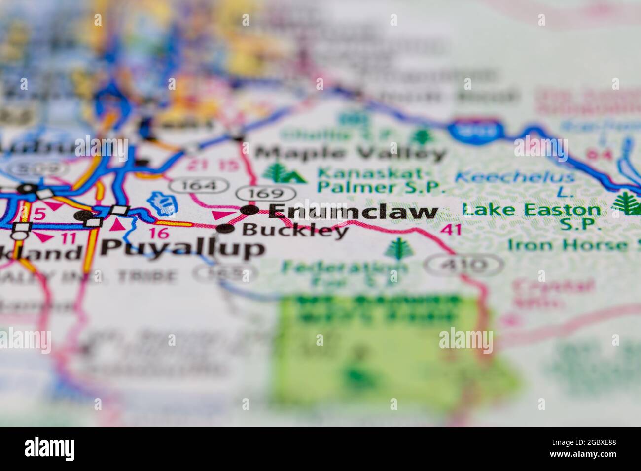 Enumclaw Washington State USA shown on a road map or Geography map Stock Photohttps://www.alamy.com/image-license-details/?v=1https://www.alamy.com/enumclaw-washington-state-usa-shown-on-a-road-map-or-geography-map-image437602376.html
RM2GBXE88–Enumclaw Washington State USA shown on a road map or Geography map
 Enumclaw, King County, US, United States, Washington, N 47 12' 15'', S 121 59' 29'', map, Cartascapes Map published in 2024. Explore Cartascapes, a map revealing Earth's diverse landscapes, cultures, and ecosystems. Journey through time and space, discovering the interconnectedness of our planet's past, present, and future. Stock Photohttps://www.alamy.com/image-license-details/?v=1https://www.alamy.com/enumclaw-king-county-us-united-states-washington-n-47-12-15-s-121-59-29-map-cartascapes-map-published-in-2024-explore-cartascapes-a-map-revealing-earths-diverse-landscapes-cultures-and-ecosystems-journey-through-time-and-space-discovering-the-interconnectedness-of-our-planets-past-present-and-future-image621277434.html
RM2Y2NHKP–Enumclaw, King County, US, United States, Washington, N 47 12' 15'', S 121 59' 29'', map, Cartascapes Map published in 2024. Explore Cartascapes, a map revealing Earth's diverse landscapes, cultures, and ecosystems. Journey through time and space, discovering the interconnectedness of our planet's past, present, and future.
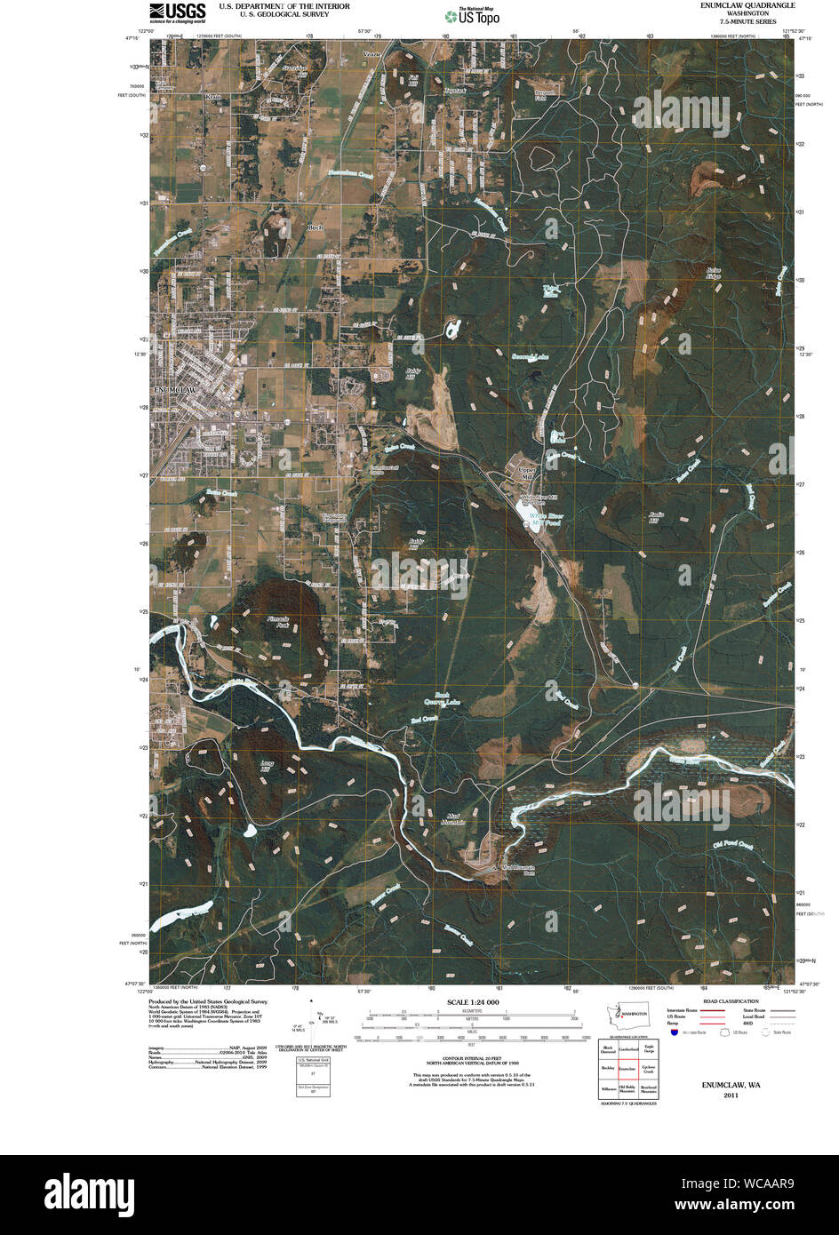 USGS Topo Map Washington State WA Enumclaw 20110503 TM Restoration Stock Photohttps://www.alamy.com/image-license-details/?v=1https://www.alamy.com/usgs-topo-map-washington-state-wa-enumclaw-20110503-tm-restoration-image265759405.html
RMWCAAR9–USGS Topo Map Washington State WA Enumclaw 20110503 TM Restoration
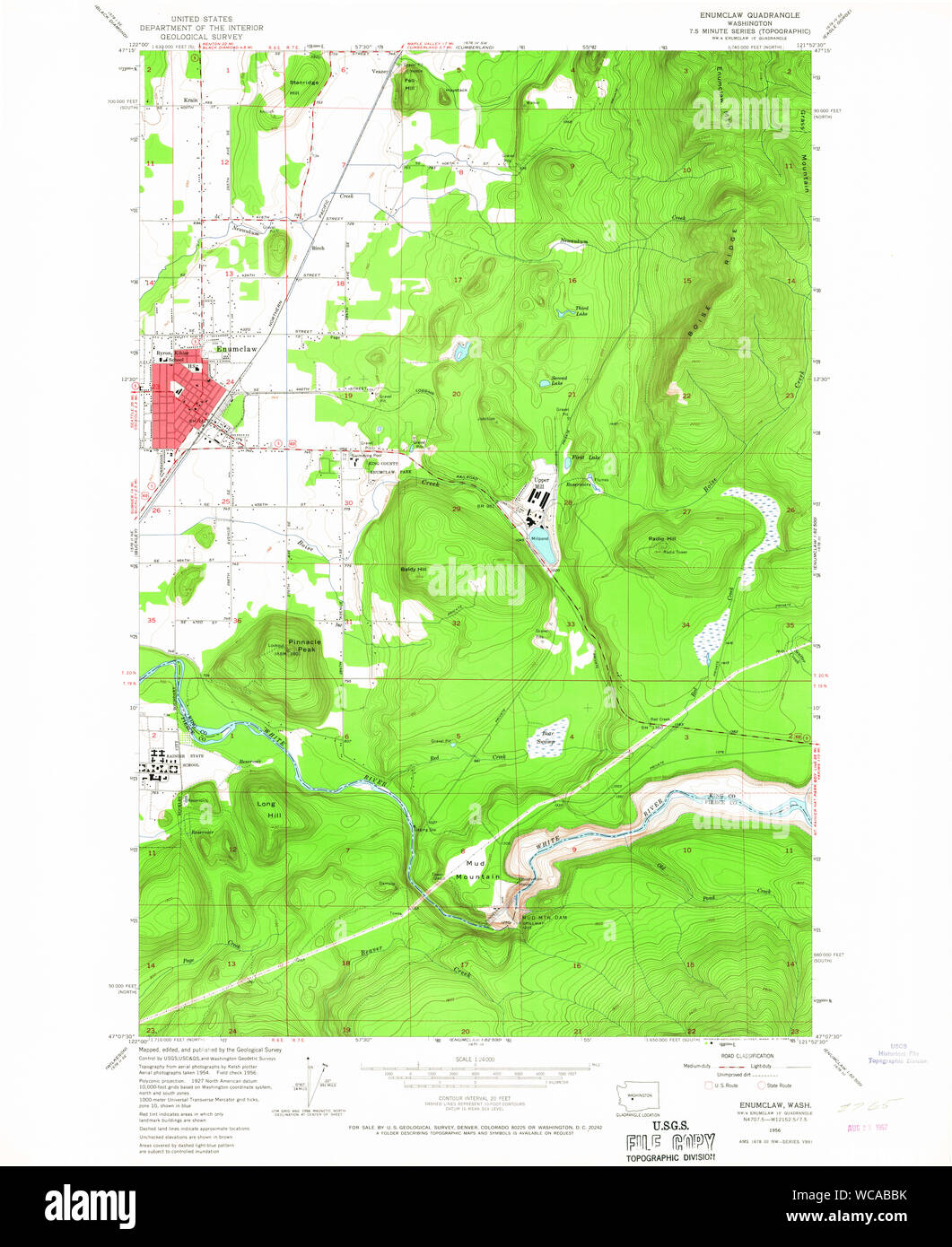 USGS Topo Map Washington State WA Enumclaw 241069 1956 24000 Restoration Stock Photohttps://www.alamy.com/image-license-details/?v=1https://www.alamy.com/usgs-topo-map-washington-state-wa-enumclaw-241069-1956-24000-restoration-image265759863.html
RMWCABBK–USGS Topo Map Washington State WA Enumclaw 241069 1956 24000 Restoration
 Enumclaw, King County, US, United States, Washington, N 47 12' 15'', S 121 59' 29'', map, Cartascapes Map published in 2024. Explore Cartascapes, a map revealing Earth's diverse landscapes, cultures, and ecosystems. Journey through time and space, discovering the interconnectedness of our planet's past, present, and future. Stock Photohttps://www.alamy.com/image-license-details/?v=1https://www.alamy.com/enumclaw-king-county-us-united-states-washington-n-47-12-15-s-121-59-29-map-cartascapes-map-published-in-2024-explore-cartascapes-a-map-revealing-earths-diverse-landscapes-cultures-and-ecosystems-journey-through-time-and-space-discovering-the-interconnectedness-of-our-planets-past-present-and-future-image620854703.html
RM2Y22AE7–Enumclaw, King County, US, United States, Washington, N 47 12' 15'', S 121 59' 29'', map, Cartascapes Map published in 2024. Explore Cartascapes, a map revealing Earth's diverse landscapes, cultures, and ecosystems. Journey through time and space, discovering the interconnectedness of our planet's past, present, and future.
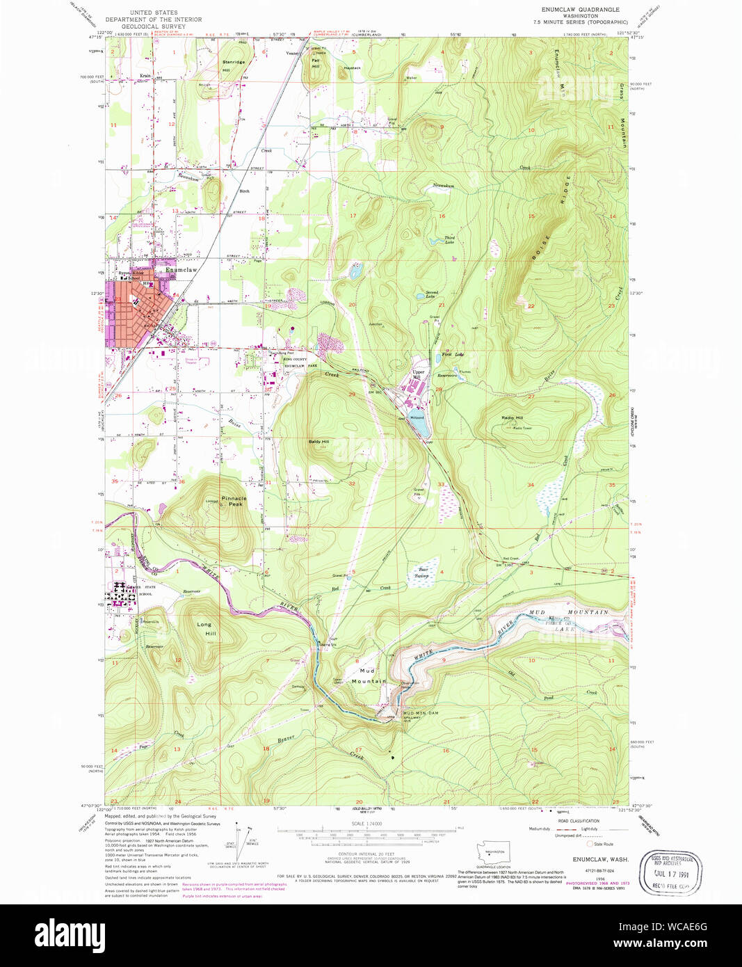 USGS Topo Map Washington State WA Enumclaw 241075 1956 24000 Restoration Stock Photohttps://www.alamy.com/image-license-details/?v=1https://www.alamy.com/usgs-topo-map-washington-state-wa-enumclaw-241075-1956-24000-restoration-image265762072.html
RMWCAE6G–USGS Topo Map Washington State WA Enumclaw 241075 1956 24000 Restoration
 City of Enumclaw, King County, US, United States, Washington, N 47 12' 4'', S 121 59' 24'', map, Cartascapes Map published in 2024. Explore Cartascapes, a map revealing Earth's diverse landscapes, cultures, and ecosystems. Journey through time and space, discovering the interconnectedness of our planet's past, present, and future. Stock Photohttps://www.alamy.com/image-license-details/?v=1https://www.alamy.com/city-of-enumclaw-king-county-us-united-states-washington-n-47-12-4-s-121-59-24-map-cartascapes-map-published-in-2024-explore-cartascapes-a-map-revealing-earths-diverse-landscapes-cultures-and-ecosystems-journey-through-time-and-space-discovering-the-interconnectedness-of-our-planets-past-present-and-future-image633895752.html
RM2YR8CE0–City of Enumclaw, King County, US, United States, Washington, N 47 12' 4'', S 121 59' 24'', map, Cartascapes Map published in 2024. Explore Cartascapes, a map revealing Earth's diverse landscapes, cultures, and ecosystems. Journey through time and space, discovering the interconnectedness of our planet's past, present, and future.
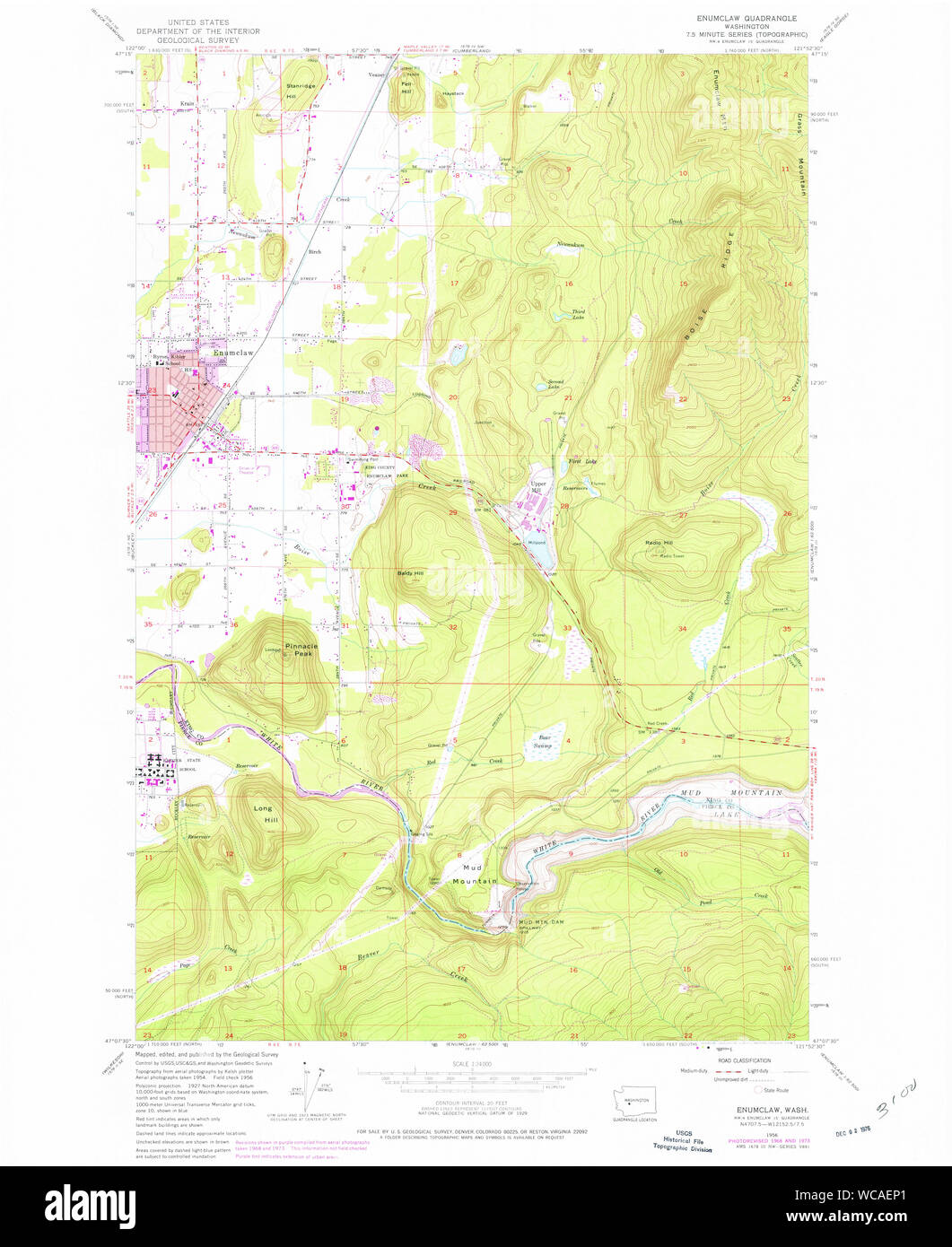 USGS Topo Map Washington State WA Enumclaw 241076 1956 24000 Restoration Stock Photohttps://www.alamy.com/image-license-details/?v=1https://www.alamy.com/usgs-topo-map-washington-state-wa-enumclaw-241076-1956-24000-restoration-image265762505.html
RMWCAEP1–USGS Topo Map Washington State WA Enumclaw 241076 1956 24000 Restoration
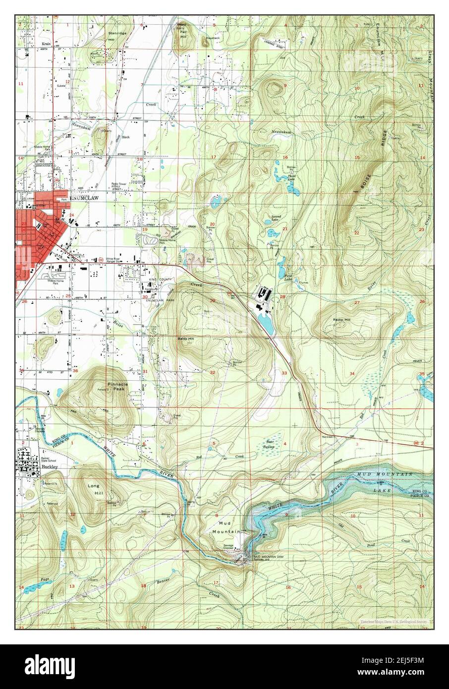 Enumclaw, Washington, map 1997, 1:24000, United States of America by Timeless Maps, data U.S. Geological Survey Stock Photohttps://www.alamy.com/image-license-details/?v=1https://www.alamy.com/enumclaw-washington-map-1997-124000-united-states-of-america-by-timeless-maps-data-us-geological-survey-image407023896.html
RM2EJ5F3M–Enumclaw, Washington, map 1997, 1:24000, United States of America by Timeless Maps, data U.S. Geological Survey
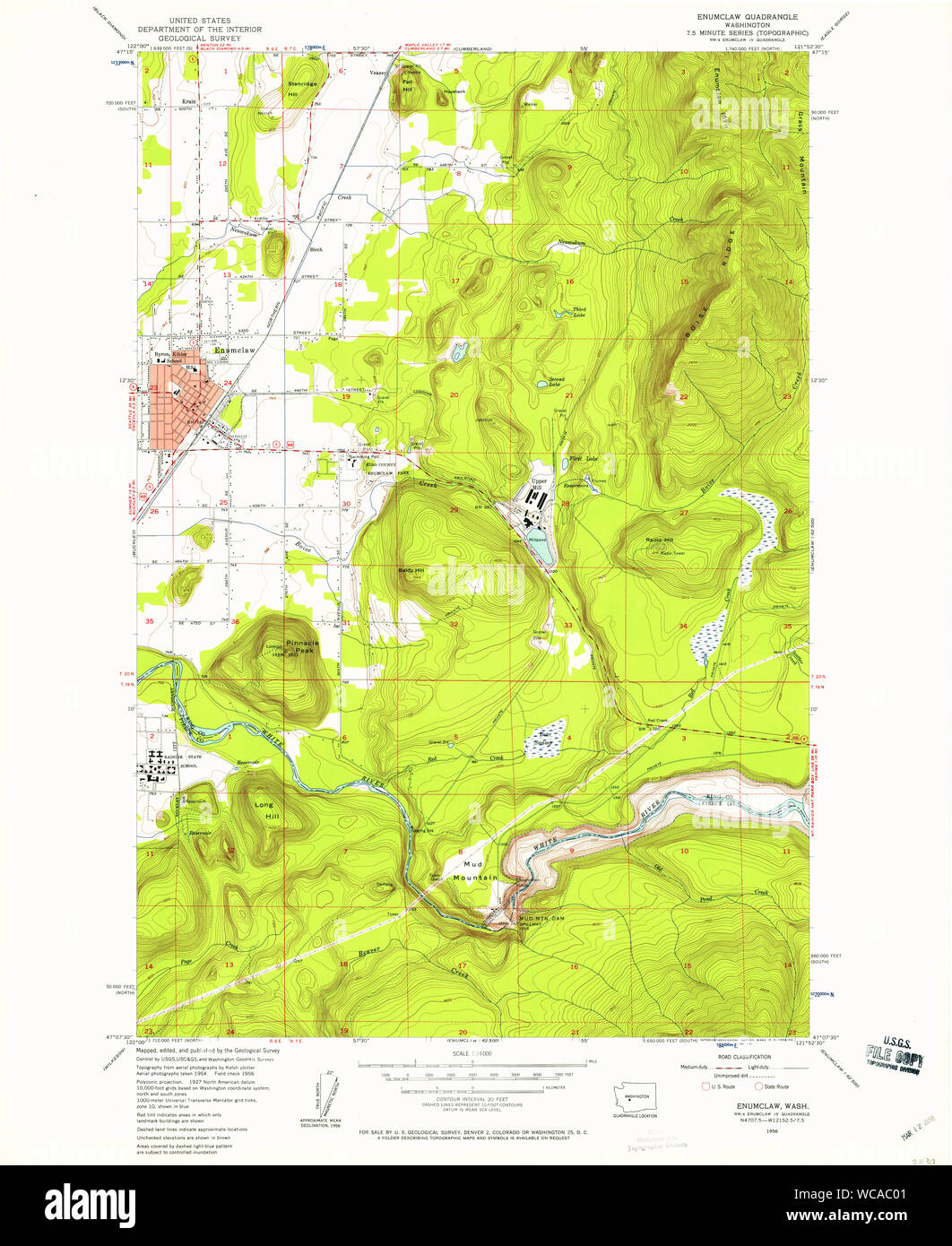 USGS Topo Map Washington State WA Enumclaw 241070 1956 24000 Restoration Stock Photohttps://www.alamy.com/image-license-details/?v=1https://www.alamy.com/usgs-topo-map-washington-state-wa-enumclaw-241070-1956-24000-restoration-image265760321.html
RMWCAC01–USGS Topo Map Washington State WA Enumclaw 241070 1956 24000 Restoration
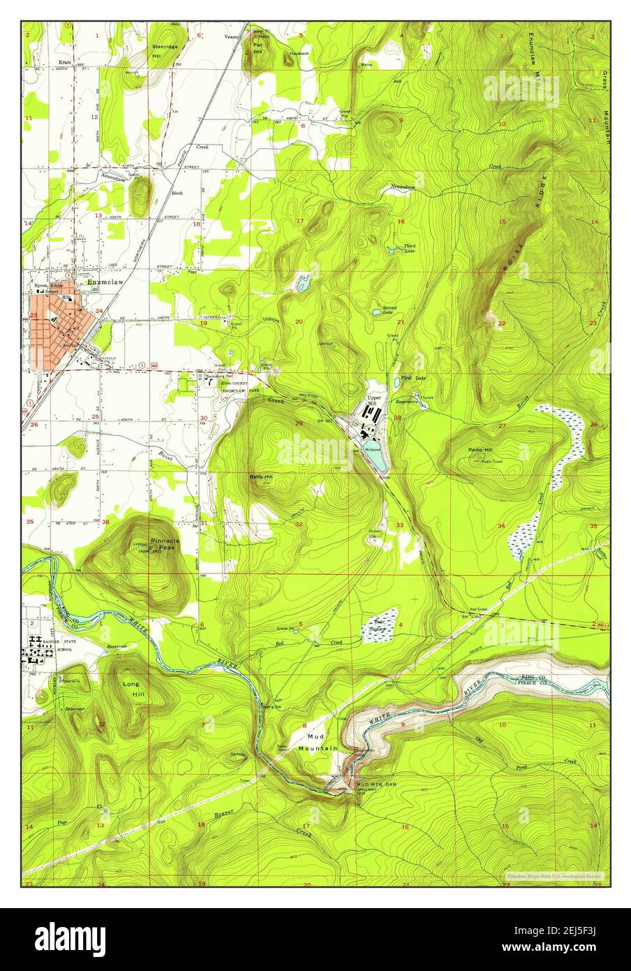 Enumclaw, Washington, map 1956, 1:24000, United States of America by Timeless Maps, data U.S. Geological Survey Stock Photohttps://www.alamy.com/image-license-details/?v=1https://www.alamy.com/enumclaw-washington-map-1956-124000-united-states-of-america-by-timeless-maps-data-us-geological-survey-image407023894.html
RM2EJ5F3J–Enumclaw, Washington, map 1956, 1:24000, United States of America by Timeless Maps, data U.S. Geological Survey
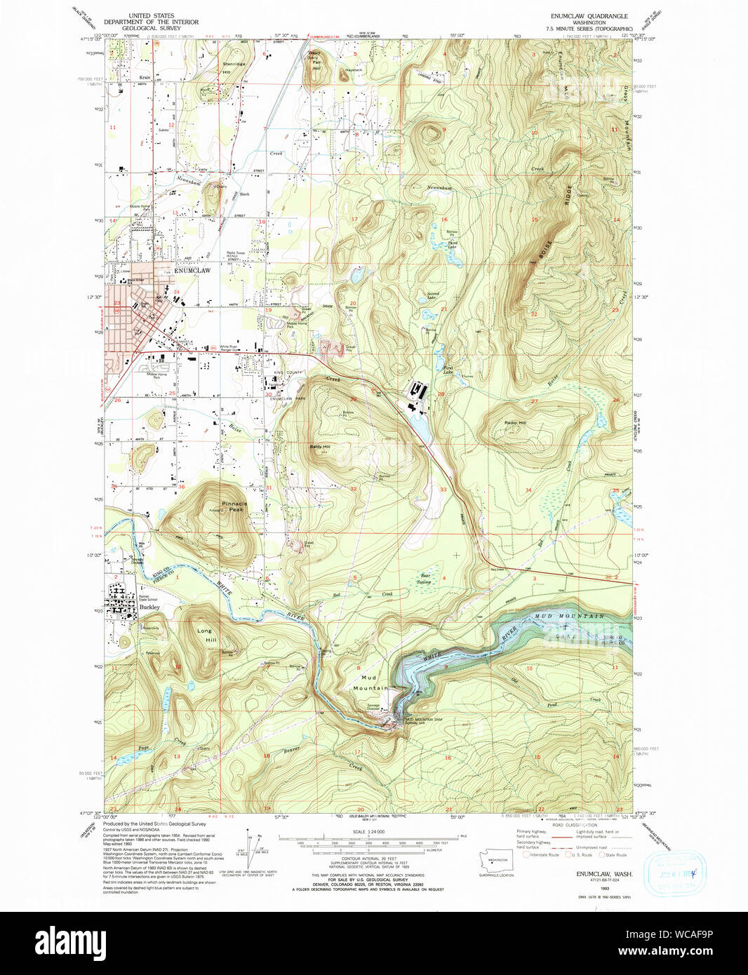 USGS Topo Map Washington State WA Enumclaw 241077 1993 24000 Restoration Stock Photohttps://www.alamy.com/image-license-details/?v=1https://www.alamy.com/usgs-topo-map-washington-state-wa-enumclaw-241077-1993-24000-restoration-image265762946.html
RMWCAF9P–USGS Topo Map Washington State WA Enumclaw 241077 1993 24000 Restoration
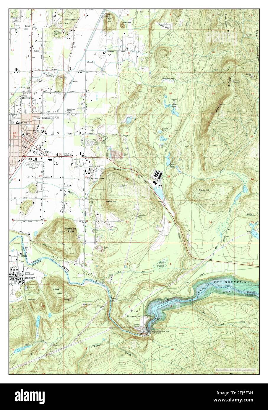 Enumclaw, Washington, map 1993, 1:24000, United States of America by Timeless Maps, data U.S. Geological Survey Stock Photohttps://www.alamy.com/image-license-details/?v=1https://www.alamy.com/enumclaw-washington-map-1993-124000-united-states-of-america-by-timeless-maps-data-us-geological-survey-image407023897.html
RM2EJ5F3N–Enumclaw, Washington, map 1993, 1:24000, United States of America by Timeless Maps, data U.S. Geological Survey
 USGS Topo Map Washington State WA Enumclaw 241078 1997 24000 Restoration Stock Photohttps://www.alamy.com/image-license-details/?v=1https://www.alamy.com/usgs-topo-map-washington-state-wa-enumclaw-241078-1997-24000-restoration-image265763389.html
RMWCAFWH–USGS Topo Map Washington State WA Enumclaw 241078 1997 24000 Restoration
 Enumclaw, Washington, map 1956, 1:24000, United States of America by Timeless Maps, data U.S. Geological Survey Stock Photohttps://www.alamy.com/image-license-details/?v=1https://www.alamy.com/enumclaw-washington-map-1956-124000-united-states-of-america-by-timeless-maps-data-us-geological-survey-image407023887.html
RM2EJ5F3B–Enumclaw, Washington, map 1956, 1:24000, United States of America by Timeless Maps, data U.S. Geological Survey
 USGS Topo Map Washington State WA Enumclaw 241074 1956 24000 Restoration Stock Photohttps://www.alamy.com/image-license-details/?v=1https://www.alamy.com/usgs-topo-map-washington-state-wa-enumclaw-241074-1956-24000-restoration-image265761645.html
RMWCADK9–USGS Topo Map Washington State WA Enumclaw 241074 1956 24000 Restoration
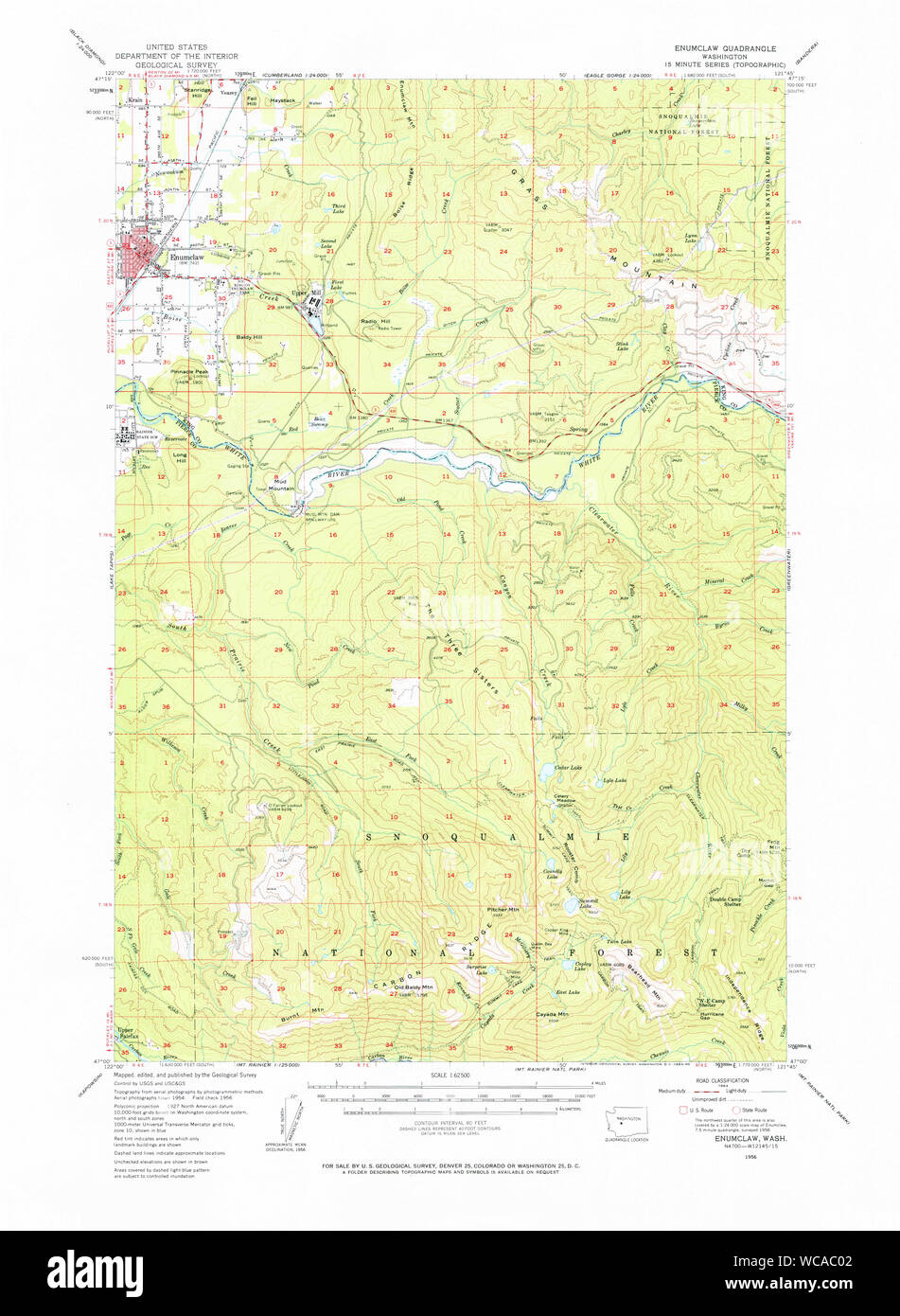 USGS Topo Map Washington State WA Enumclaw 241071 1956 62500 Restoration Stock Photohttps://www.alamy.com/image-license-details/?v=1https://www.alamy.com/usgs-topo-map-washington-state-wa-enumclaw-241071-1956-62500-restoration-image265760322.html
RMWCAC02–USGS Topo Map Washington State WA Enumclaw 241071 1956 62500 Restoration
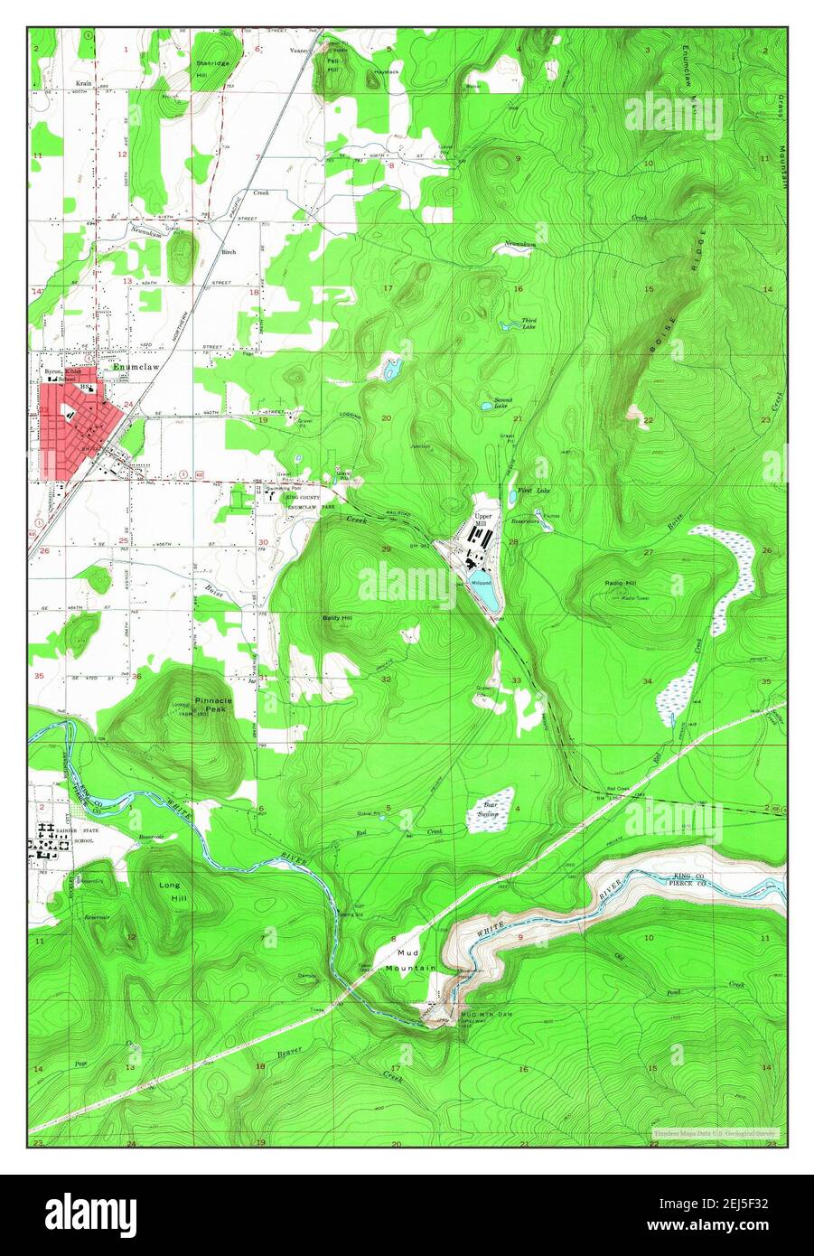 Enumclaw, Washington, map 1956, 1:24000, United States of America by Timeless Maps, data U.S. Geological Survey Stock Photohttps://www.alamy.com/image-license-details/?v=1https://www.alamy.com/enumclaw-washington-map-1956-124000-united-states-of-america-by-timeless-maps-data-us-geological-survey-image407023878.html
RM2EJ5F32–Enumclaw, Washington, map 1956, 1:24000, United States of America by Timeless Maps, data U.S. Geological Survey
 USGS Topo Map Washington State WA Enumclaw 241072 1956 62500 Restoration Stock Photohttps://www.alamy.com/image-license-details/?v=1https://www.alamy.com/usgs-topo-map-washington-state-wa-enumclaw-241072-1956-62500-restoration-image265760777.html
RMWCACG9–USGS Topo Map Washington State WA Enumclaw 241072 1956 62500 Restoration
 Enumclaw, Washington, map 1956, 1:24000, United States of America by Timeless Maps, data U.S. Geological Survey Stock Photohttps://www.alamy.com/image-license-details/?v=1https://www.alamy.com/enumclaw-washington-map-1956-124000-united-states-of-america-by-timeless-maps-data-us-geological-survey-image407023892.html
RM2EJ5F3G–Enumclaw, Washington, map 1956, 1:24000, United States of America by Timeless Maps, data U.S. Geological Survey
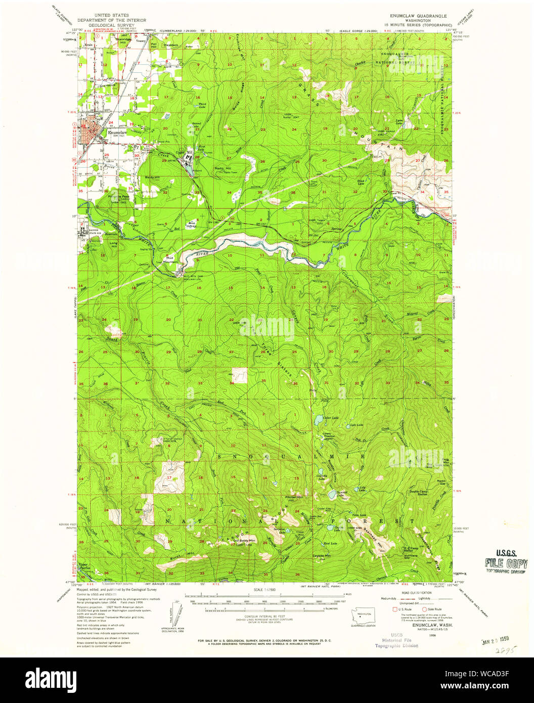 USGS Topo Map Washington State WA Enumclaw 241073 1956 62500 Restoration Stock Photohttps://www.alamy.com/image-license-details/?v=1https://www.alamy.com/usgs-topo-map-washington-state-wa-enumclaw-241073-1956-62500-restoration-image265761203.html
RMWCAD3F–USGS Topo Map Washington State WA Enumclaw 241073 1956 62500 Restoration
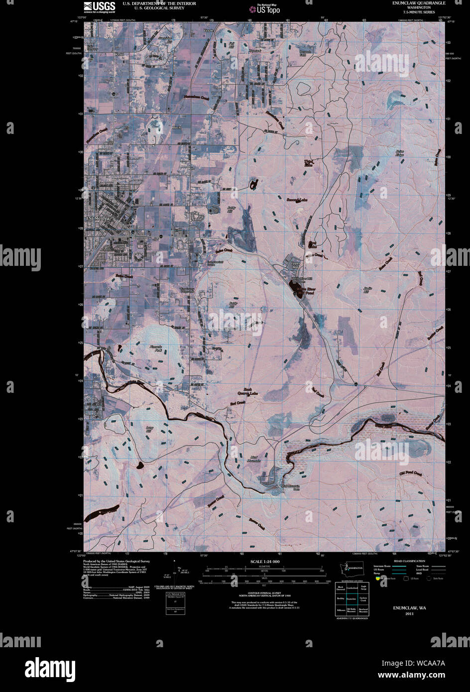 USGS Topo Map Washington State WA Enumclaw 20110503 TM Inverted Restoration Stock Photohttps://www.alamy.com/image-license-details/?v=1https://www.alamy.com/usgs-topo-map-washington-state-wa-enumclaw-20110503-tm-inverted-restoration-image265758958.html
RMWCAA7A–USGS Topo Map Washington State WA Enumclaw 20110503 TM Inverted Restoration
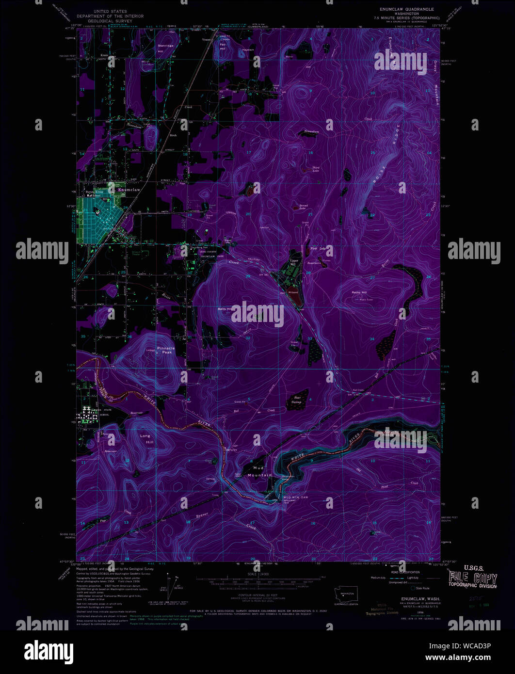 USGS Topo Map Washington State WA Enumclaw 241074 1956 24000 Inverted Restoration Stock Photohttps://www.alamy.com/image-license-details/?v=1https://www.alamy.com/usgs-topo-map-washington-state-wa-enumclaw-241074-1956-24000-inverted-restoration-image265761210.html
RMWCAD3P–USGS Topo Map Washington State WA Enumclaw 241074 1956 24000 Inverted Restoration
 Enumclaw, Washington, map 1956, 1:62500, United States of America by Timeless Maps, data U.S. Geological Survey Stock Photohttps://www.alamy.com/image-license-details/?v=1https://www.alamy.com/enumclaw-washington-map-1956-162500-united-states-of-america-by-timeless-maps-data-us-geological-survey-image414286792.html
RM2F20B0T–Enumclaw, Washington, map 1956, 1:62500, United States of America by Timeless Maps, data U.S. Geological Survey
 USGS Topo Map Washington State WA Enumclaw 241070 1956 24000 Inverted Restoration Stock Photohttps://www.alamy.com/image-license-details/?v=1https://www.alamy.com/usgs-topo-map-washington-state-wa-enumclaw-241070-1956-24000-inverted-restoration-image265759871.html
RMWCABBY–USGS Topo Map Washington State WA Enumclaw 241070 1956 24000 Inverted Restoration
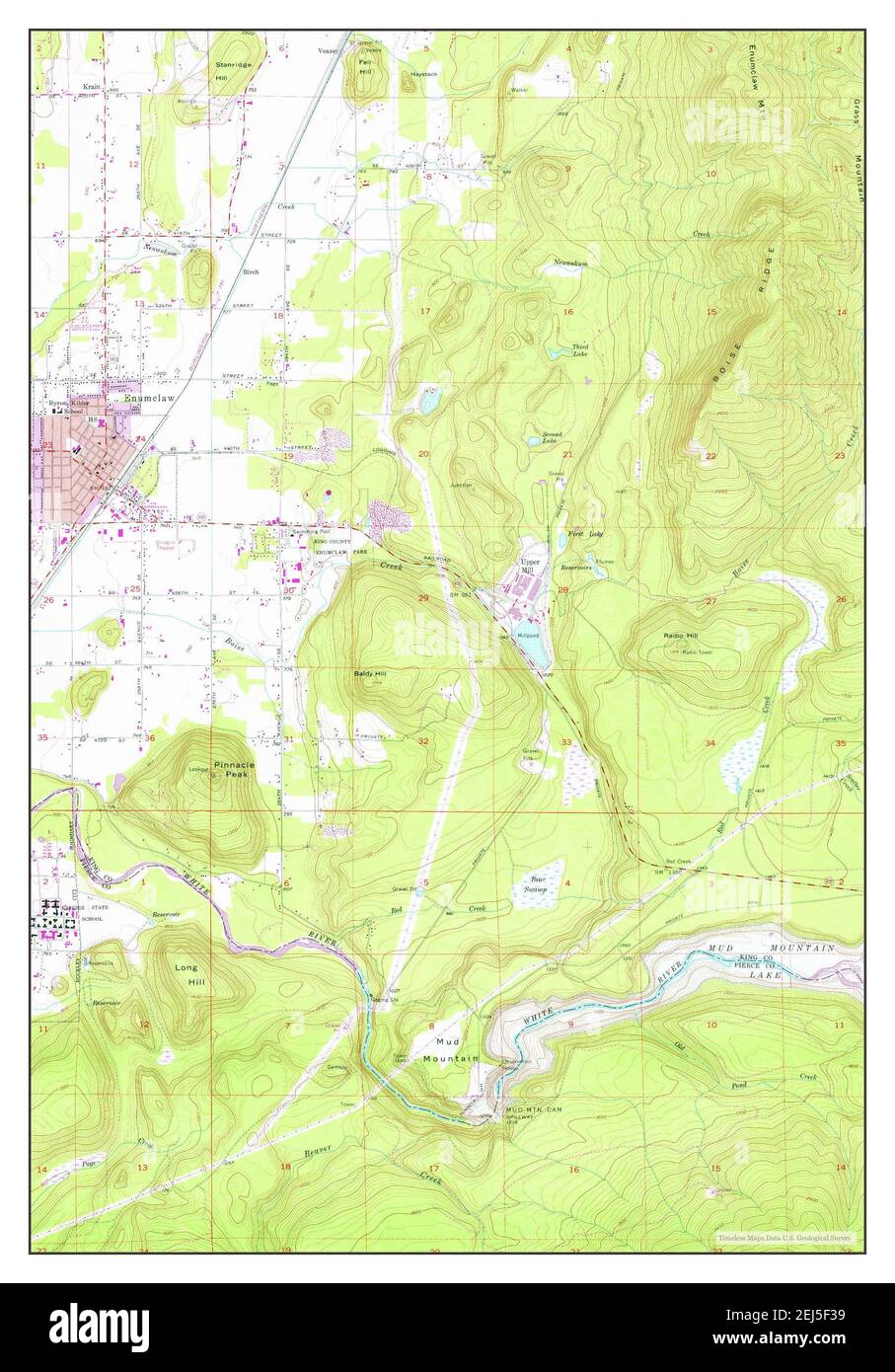 Enumclaw, Washington, map 1956, 1:24000, United States of America by Timeless Maps, data U.S. Geological Survey Stock Photohttps://www.alamy.com/image-license-details/?v=1https://www.alamy.com/enumclaw-washington-map-1956-124000-united-states-of-america-by-timeless-maps-data-us-geological-survey-image407023885.html
RM2EJ5F39–Enumclaw, Washington, map 1956, 1:24000, United States of America by Timeless Maps, data U.S. Geological Survey
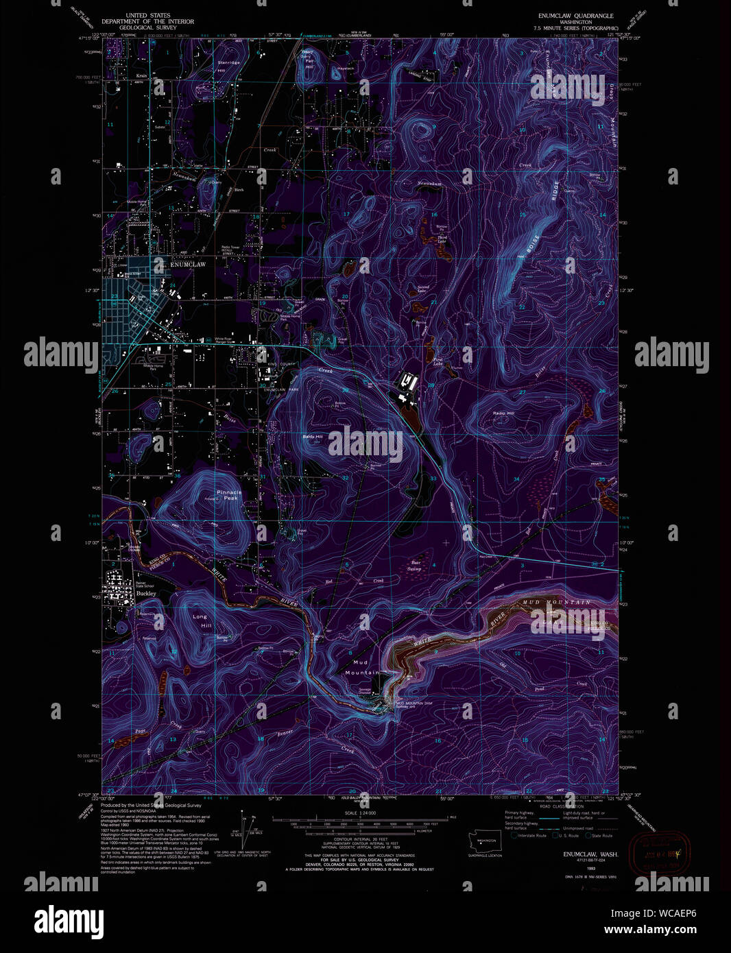 USGS Topo Map Washington State WA Enumclaw 241077 1993 24000 Inverted Restoration Stock Photohttps://www.alamy.com/image-license-details/?v=1https://www.alamy.com/usgs-topo-map-washington-state-wa-enumclaw-241077-1993-24000-inverted-restoration-image265762510.html
RMWCAEP6–USGS Topo Map Washington State WA Enumclaw 241077 1993 24000 Inverted Restoration
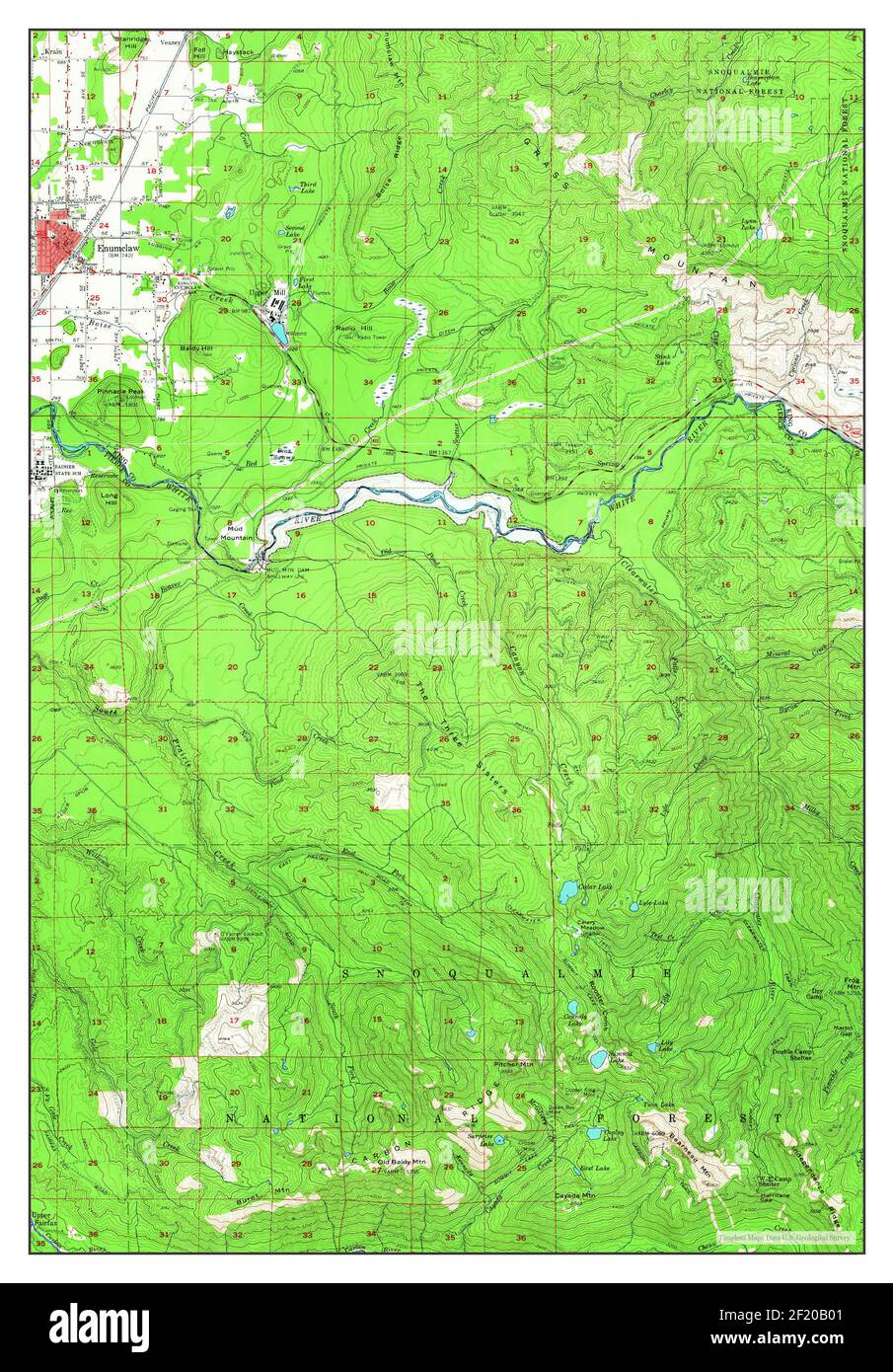 Enumclaw, Washington, map 1956, 1:62500, United States of America by Timeless Maps, data U.S. Geological Survey Stock Photohttps://www.alamy.com/image-license-details/?v=1https://www.alamy.com/enumclaw-washington-map-1956-162500-united-states-of-america-by-timeless-maps-data-us-geological-survey-image414286769.html
RM2F20B01–Enumclaw, Washington, map 1956, 1:62500, United States of America by Timeless Maps, data U.S. Geological Survey
 USGS Topo Map Washington State WA Enumclaw 241075 1956 24000 Inverted Restoration Stock Photohttps://www.alamy.com/image-license-details/?v=1https://www.alamy.com/usgs-topo-map-washington-state-wa-enumclaw-241075-1956-24000-inverted-restoration-image265761647.html
RMWCADKB–USGS Topo Map Washington State WA Enumclaw 241075 1956 24000 Inverted Restoration
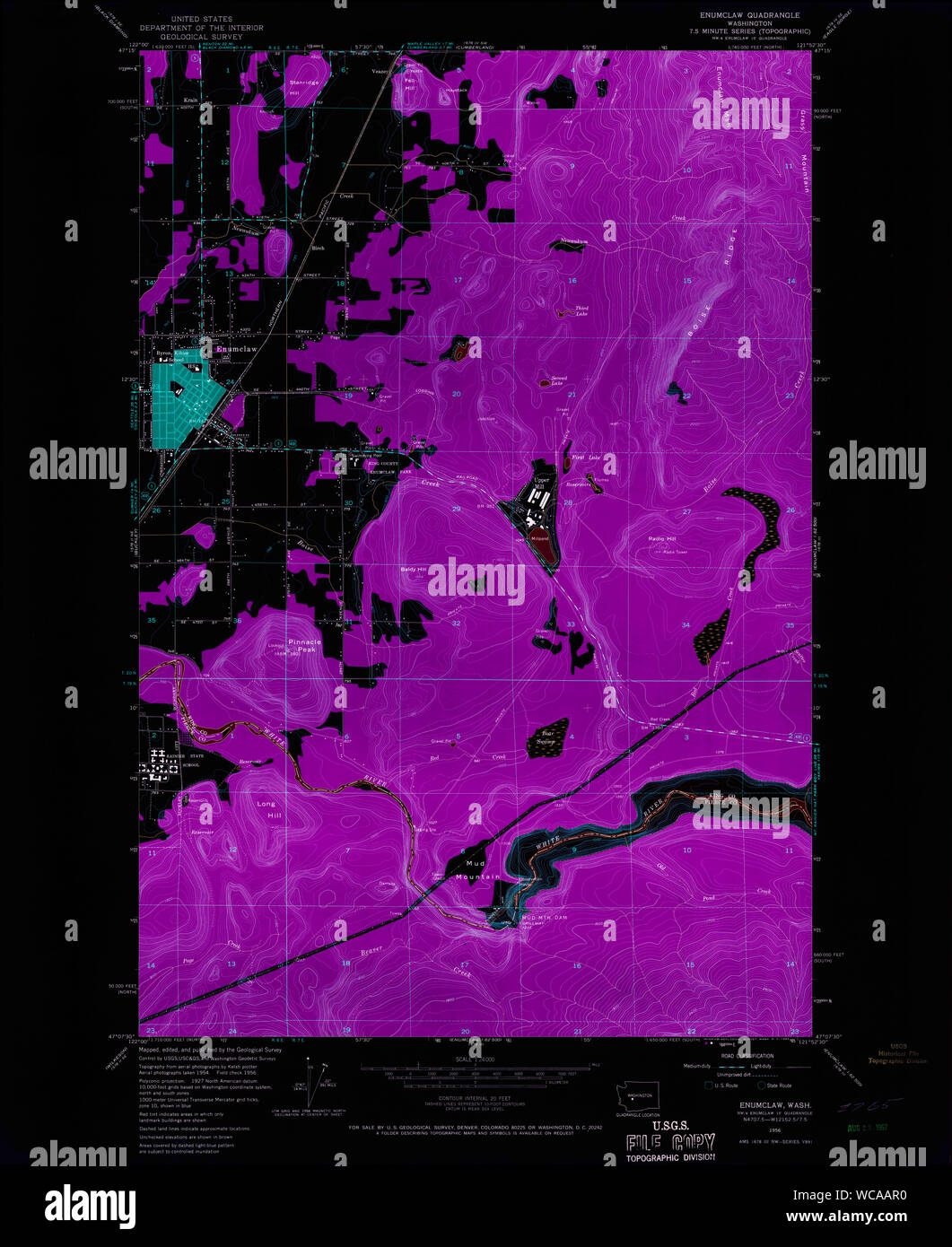 USGS Topo Map Washington State WA Enumclaw 241069 1956 24000 Inverted Restoration Stock Photohttps://www.alamy.com/image-license-details/?v=1https://www.alamy.com/usgs-topo-map-washington-state-wa-enumclaw-241069-1956-24000-inverted-restoration-image265759396.html
RMWCAAR0–USGS Topo Map Washington State WA Enumclaw 241069 1956 24000 Inverted Restoration
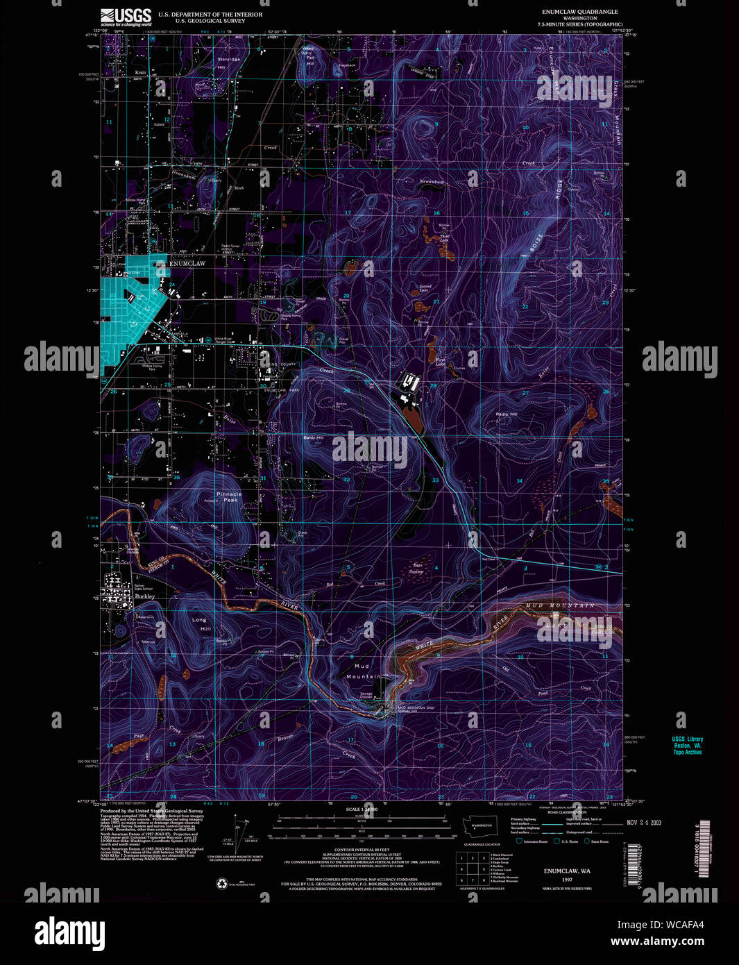 USGS Topo Map Washington State WA Enumclaw 241078 1997 24000 Inverted Restoration Stock Photohttps://www.alamy.com/image-license-details/?v=1https://www.alamy.com/usgs-topo-map-washington-state-wa-enumclaw-241078-1997-24000-inverted-restoration-image265762956.html
RMWCAFA4–USGS Topo Map Washington State WA Enumclaw 241078 1997 24000 Inverted Restoration
 USGS Topo Map Washington State WA Enumclaw 241076 1956 24000 Inverted Restoration Stock Photohttps://www.alamy.com/image-license-details/?v=1https://www.alamy.com/usgs-topo-map-washington-state-wa-enumclaw-241076-1956-24000-inverted-restoration-image265762084.html
RMWCAE70–USGS Topo Map Washington State WA Enumclaw 241076 1956 24000 Inverted Restoration
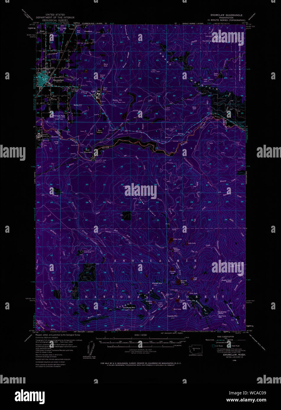 USGS Topo Map Washington State WA Enumclaw 241071 1956 62500 Inverted Restoration Stock Photohttps://www.alamy.com/image-license-details/?v=1https://www.alamy.com/usgs-topo-map-washington-state-wa-enumclaw-241071-1956-62500-inverted-restoration-image265760329.html
RMWCAC09–USGS Topo Map Washington State WA Enumclaw 241071 1956 62500 Inverted Restoration
 USGS Topo Map Washington State WA Enumclaw 241072 1956 62500 Inverted Restoration Stock Photohttps://www.alamy.com/image-license-details/?v=1https://www.alamy.com/usgs-topo-map-washington-state-wa-enumclaw-241072-1956-62500-inverted-restoration-image265760776.html
RMWCACG8–USGS Topo Map Washington State WA Enumclaw 241072 1956 62500 Inverted Restoration
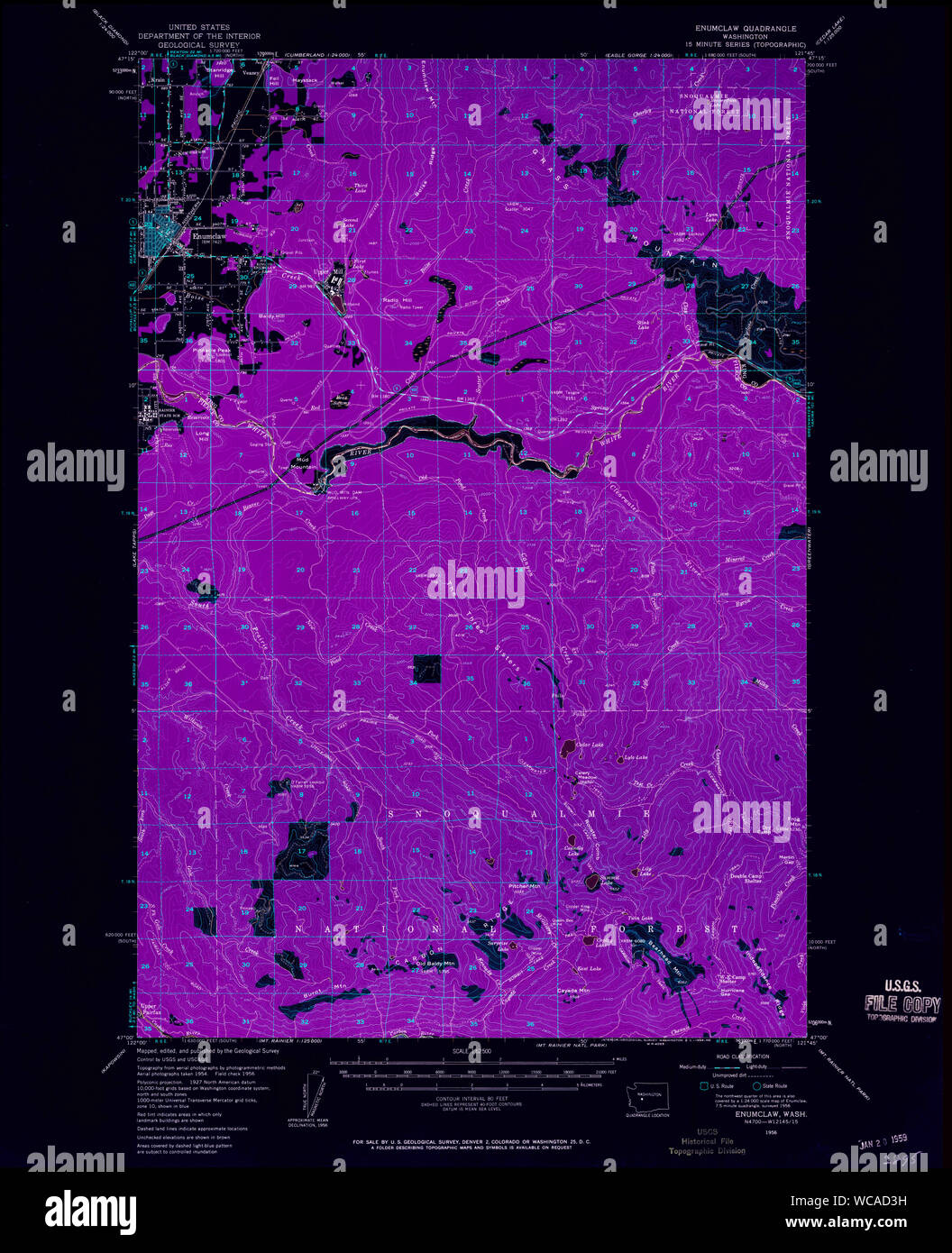 USGS Topo Map Washington State WA Enumclaw 241073 1956 62500 Inverted Restoration Stock Photohttps://www.alamy.com/image-license-details/?v=1https://www.alamy.com/usgs-topo-map-washington-state-wa-enumclaw-241073-1956-62500-inverted-restoration-image265761205.html
RMWCAD3H–USGS Topo Map Washington State WA Enumclaw 241073 1956 62500 Inverted Restoration