Quick filters:
Equator map Stock Photos and Images
 World map with circles of latitudes and longitudes, showing Equator, Greenwich meridian, Arctic and Antarctic Circle, Tropic of Cancer and Capricorn. Stock Photohttps://www.alamy.com/image-license-details/?v=1https://www.alamy.com/world-map-with-circles-of-latitudes-and-longitudes-showing-equator-greenwich-meridian-arctic-and-antarctic-circle-tropic-of-cancer-and-capricorn-image356631743.html
RF2BM5YBY–World map with circles of latitudes and longitudes, showing Equator, Greenwich meridian, Arctic and Antarctic Circle, Tropic of Cancer and Capricorn.
 World Map with Equator Stock Photohttps://www.alamy.com/image-license-details/?v=1https://www.alamy.com/world-map-with-equator-image353179662.html
RM2BEGM7A–World Map with Equator
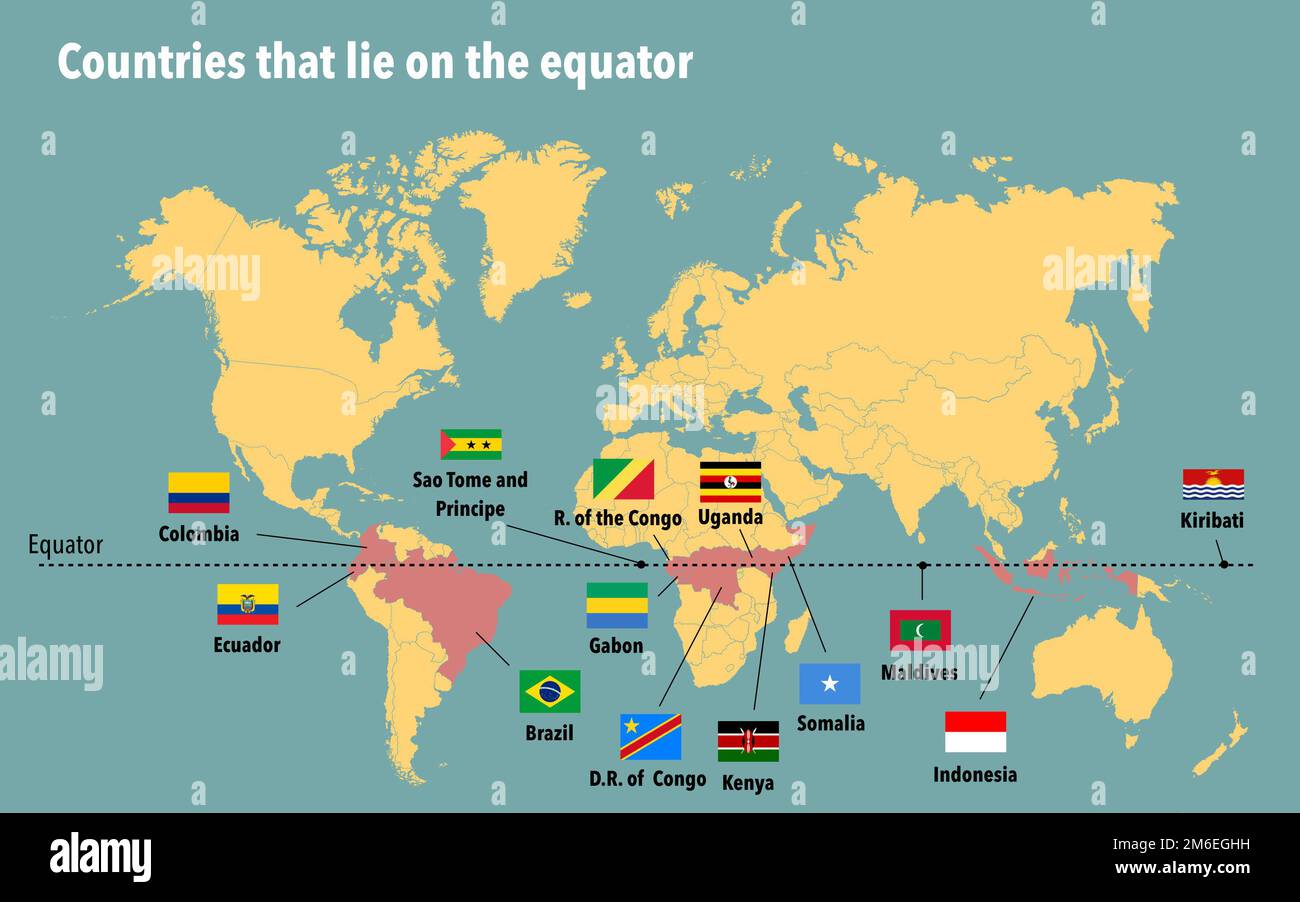 Map of all the countries that lie on the equator Stock Photohttps://www.alamy.com/image-license-details/?v=1https://www.alamy.com/map-of-all-the-countries-that-lie-on-the-equator-image503108973.html
RF2M6EGHH–Map of all the countries that lie on the equator
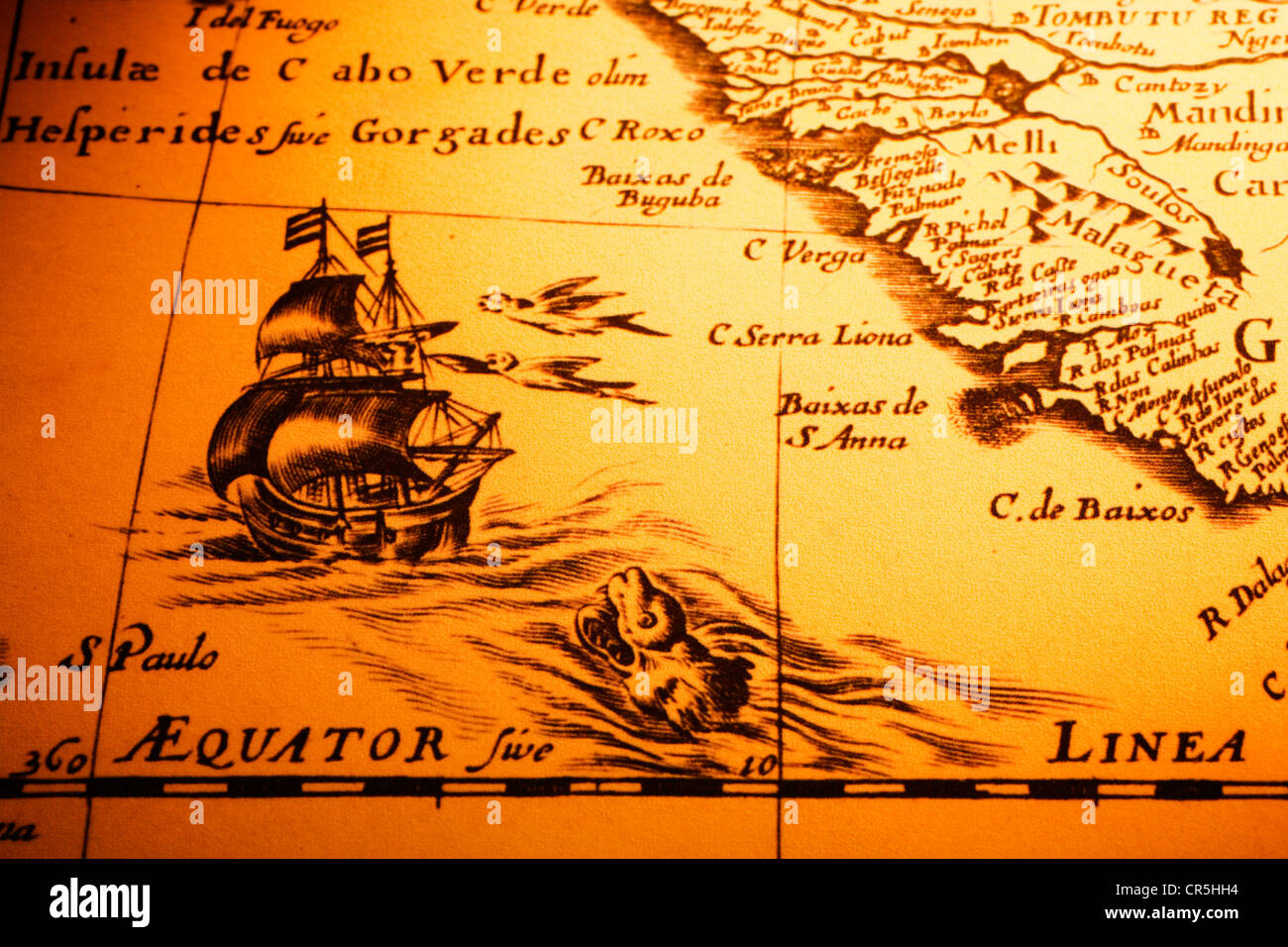 Detail from an old map showing a ship about to cross the equator, a sea monster Stock Photohttps://www.alamy.com/image-license-details/?v=1https://www.alamy.com/stock-photo-detail-from-an-old-map-showing-a-ship-about-to-cross-the-equator-a-48681392.html
RFCR5HH4–Detail from an old map showing a ship about to cross the equator, a sea monster
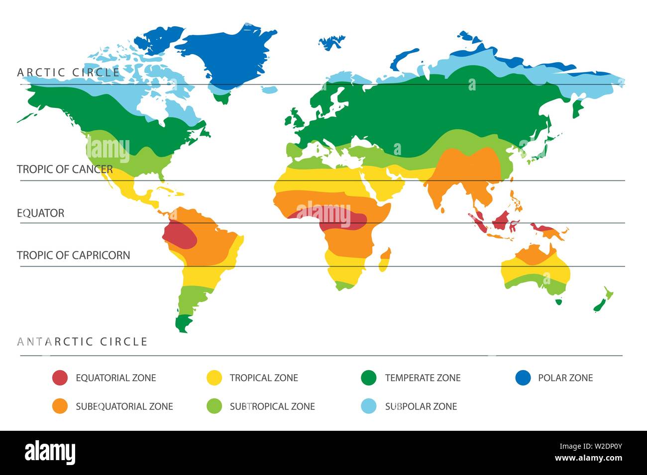 World climate zones map with equator and tropic lines. Vector illustration Stock Vectorhttps://www.alamy.com/image-license-details/?v=1https://www.alamy.com/world-climate-zones-map-with-equator-and-tropic-lines-vector-illustration-image259687483.html
RFW2DP0Y–World climate zones map with equator and tropic lines. Vector illustration
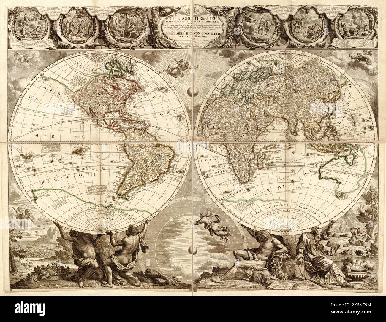 Vintage French illustrated map of the world ca. 1708, map projection has two hemispheres, and insets depict the story of Adam and Eve from the book of Genesis in the Bible Stock Photohttps://www.alamy.com/image-license-details/?v=1https://www.alamy.com/vintage-french-illustrated-map-of-the-world-ca-1708-map-projection-has-two-hemispheres-and-insets-depict-the-story-of-adam-and-eve-from-the-book-of-genesis-in-the-bible-image486050480.html
RM2K6NE9M–Vintage French illustrated map of the world ca. 1708, map projection has two hemispheres, and insets depict the story of Adam and Eve from the book of Genesis in the Bible
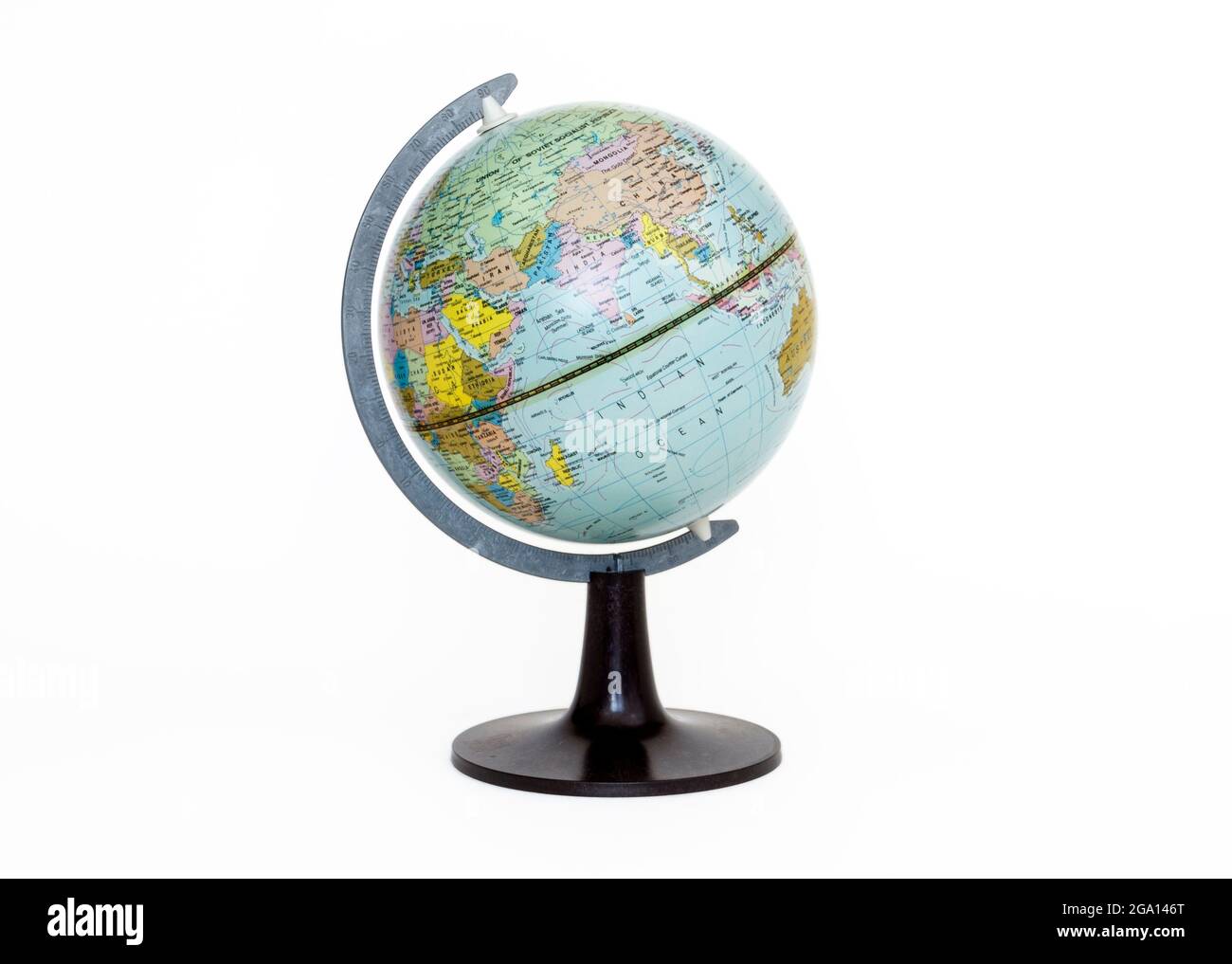 A small geographical globe isolated isolated on a white background, with clipping path Stock Photohttps://www.alamy.com/image-license-details/?v=1https://www.alamy.com/a-small-geographical-globe-isolated-isolated-on-a-white-background-with-clipping-path-image436431040.html
RM2GA146T–A small geographical globe isolated isolated on a white background, with clipping path
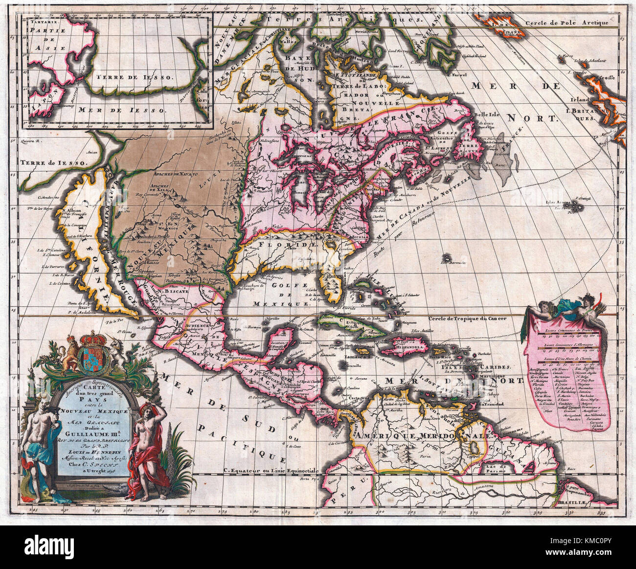 1698 Friar Hennepin map of North America. Covering all of North America from the Equator to the Arctic Stock Photohttps://www.alamy.com/image-license-details/?v=1https://www.alamy.com/stock-image-1698-friar-hennepin-map-of-north-america-covering-all-of-north-america-167450499.html
RMKMC0PY–1698 Friar Hennepin map of North America. Covering all of North America from the Equator to the Arctic
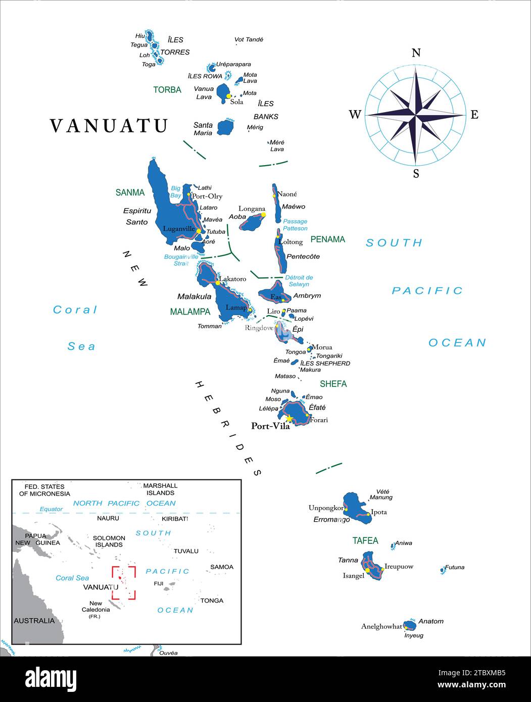 Highly detailed political vector map of Vanuatu with administrative regions and main cities. Stock Vectorhttps://www.alamy.com/image-license-details/?v=1https://www.alamy.com/highly-detailed-political-vector-map-of-vanuatu-with-administrative-regions-and-main-cities-image575290105.html
RF2TBXMB5–Highly detailed political vector map of Vanuatu with administrative regions and main cities.
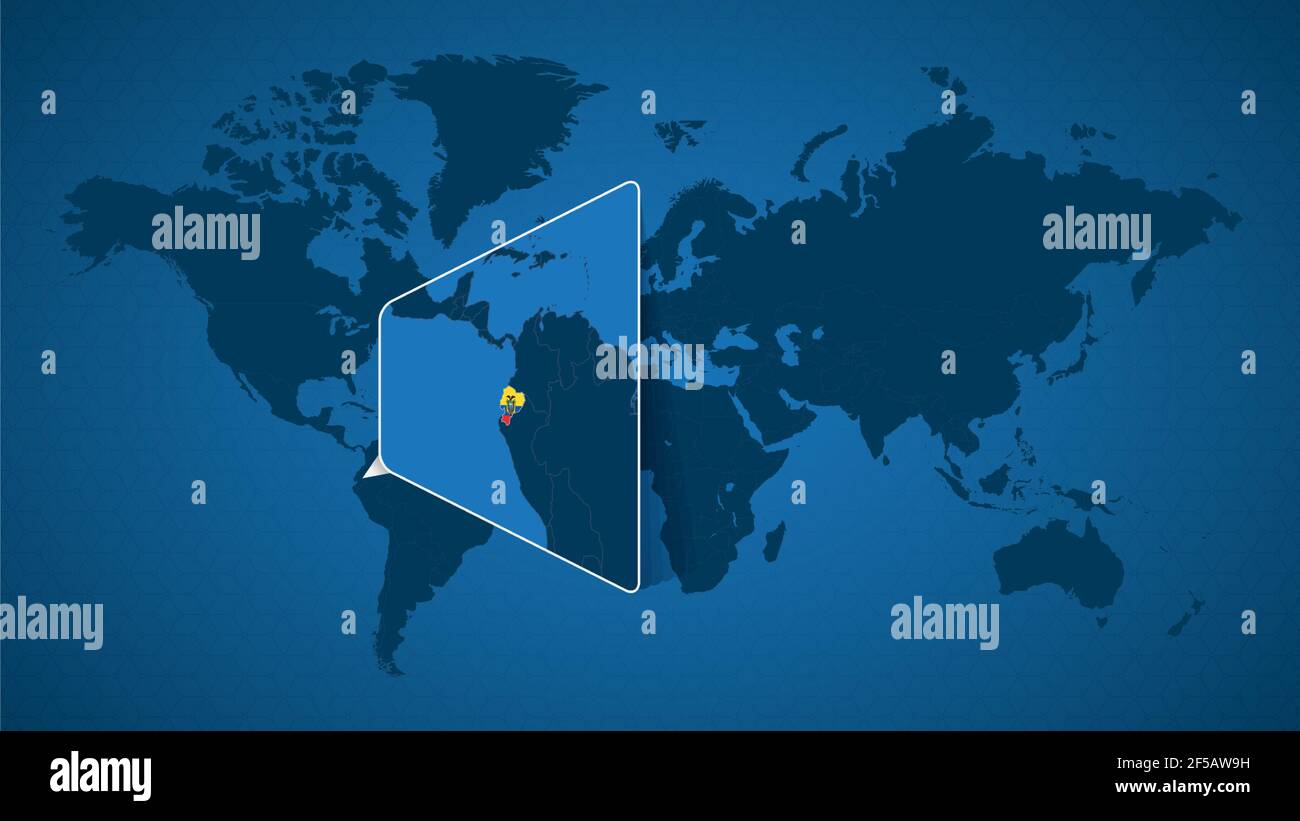 Detailed world map with pinned enlarged map of Ecuador and neighboring countries. Ecuador flag and map. Stock Vectorhttps://www.alamy.com/image-license-details/?v=1https://www.alamy.com/detailed-world-map-with-pinned-enlarged-map-of-ecuador-and-neighboring-countries-ecuador-flag-and-map-image416361501.html
RF2F5AW9H–Detailed world map with pinned enlarged map of Ecuador and neighboring countries. Ecuador flag and map.
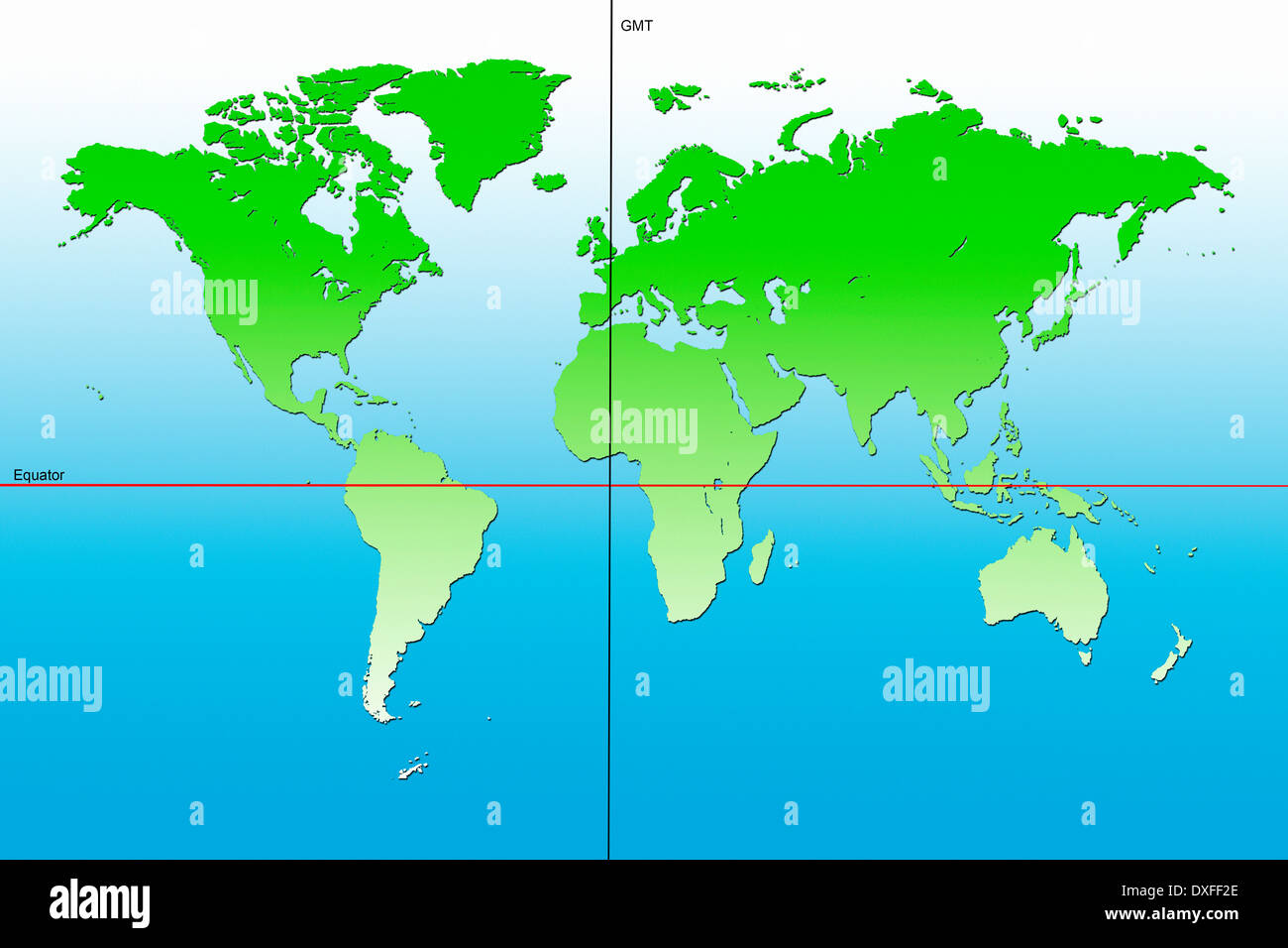 Map of the World - Centered on Europe Stock Photohttps://www.alamy.com/image-license-details/?v=1https://www.alamy.com/map-of-the-world-centered-on-europe-image67953270.html
RFDXFF2E–Map of the World - Centered on Europe
!['New Holland [Australia] with the Adjacent Polynesia.' Map of Australia, New Zealand and other geographical areas shown in this map depicting the area in 1798, This is a beautifully detailed historic map reproduction. Original from a British atlas published by famed cartographer William Faden. Stock Photo 'New Holland [Australia] with the Adjacent Polynesia.' Map of Australia, New Zealand and other geographical areas shown in this map depicting the area in 1798, This is a beautifully detailed historic map reproduction. Original from a British atlas published by famed cartographer William Faden. Stock Photo](https://c8.alamy.com/comp/2BMGMAX/new-holland-australia-with-the-adjacent-polynesia-map-of-australia-new-zealand-and-other-geographical-areas-shown-in-this-map-depicting-the-area-in-1798-this-is-a-beautifully-detailed-historic-map-reproduction-original-from-a-british-atlas-published-by-famed-cartographer-william-faden-2BMGMAX.jpg) 'New Holland [Australia] with the Adjacent Polynesia.' Map of Australia, New Zealand and other geographical areas shown in this map depicting the area in 1798, This is a beautifully detailed historic map reproduction. Original from a British atlas published by famed cartographer William Faden. Stock Photohttps://www.alamy.com/image-license-details/?v=1https://www.alamy.com/new-holland-australia-with-the-adjacent-polynesia-map-of-australia-new-zealand-and-other-geographical-areas-shown-in-this-map-depicting-the-area-in-1798-this-is-a-beautifully-detailed-historic-map-reproduction-original-from-a-british-atlas-published-by-famed-cartographer-william-faden-image356867698.html
'New Holland [Australia] with the Adjacent Polynesia.' Map of Australia, New Zealand and other geographical areas shown in this map depicting the area in 1798, This is a beautifully detailed historic map reproduction. Original from a British atlas published by famed cartographer William Faden. Stock Photohttps://www.alamy.com/image-license-details/?v=1https://www.alamy.com/new-holland-australia-with-the-adjacent-polynesia-map-of-australia-new-zealand-and-other-geographical-areas-shown-in-this-map-depicting-the-area-in-1798-this-is-a-beautifully-detailed-historic-map-reproduction-original-from-a-british-atlas-published-by-famed-cartographer-william-faden-image356867698.htmlRM2BMGMAX–'New Holland [Australia] with the Adjacent Polynesia.' Map of Australia, New Zealand and other geographical areas shown in this map depicting the area in 1798, This is a beautifully detailed historic map reproduction. Original from a British atlas published by famed cartographer William Faden.
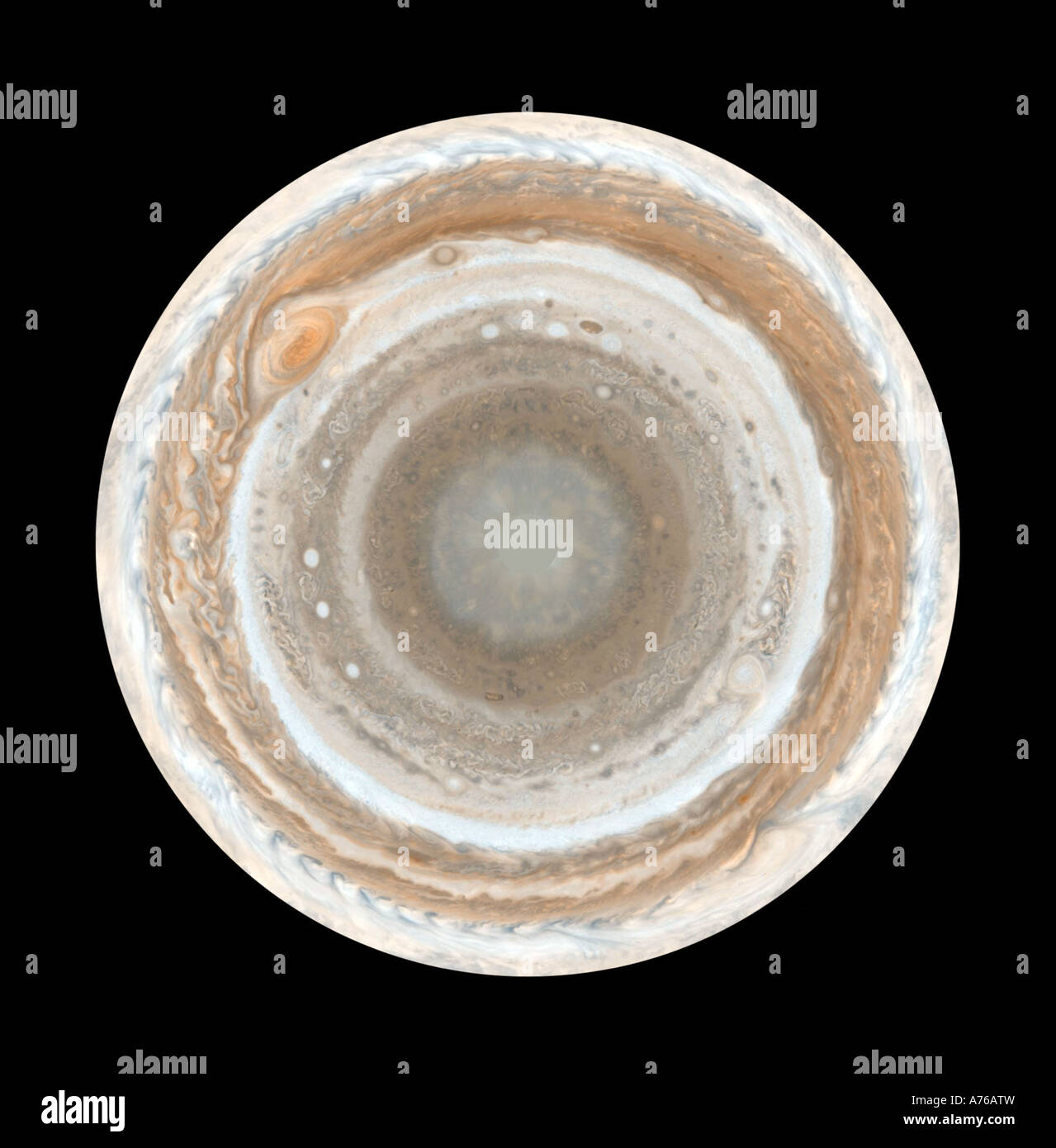 This map of Jupiter is the most detailed global color map of the planet ever produced. Stock Photohttps://www.alamy.com/image-license-details/?v=1https://www.alamy.com/stock-photo-this-map-of-jupiter-is-the-most-detailed-global-color-map-of-the-planet-11738568.html
RFA76ATW–This map of Jupiter is the most detailed global color map of the planet ever produced.
 Red Rocket Stock Globe with clipping path on color background Stock Photohttps://www.alamy.com/image-license-details/?v=1https://www.alamy.com/red-rocket-stock-globe-with-clipping-path-on-color-background-image7892520.html
RFAF2NP9–Red Rocket Stock Globe with clipping path on color background
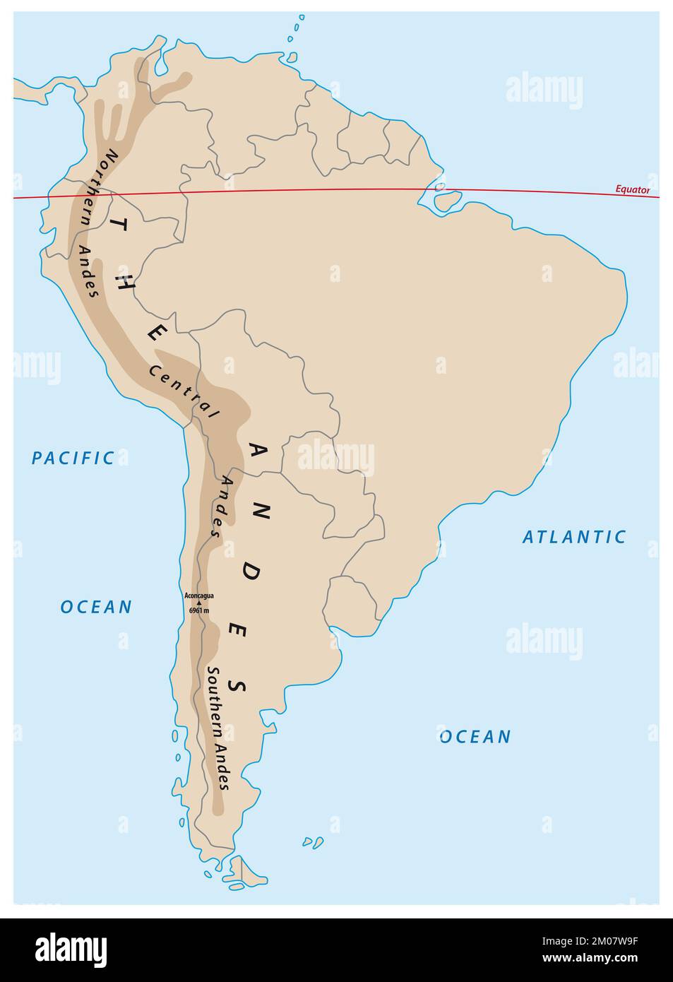 simple outline map of the south american andes mountains Stock Photohttps://www.alamy.com/image-license-details/?v=1https://www.alamy.com/simple-outline-map-of-the-south-american-andes-mountains-image499274203.html
RF2M07W9F–simple outline map of the south american andes mountains
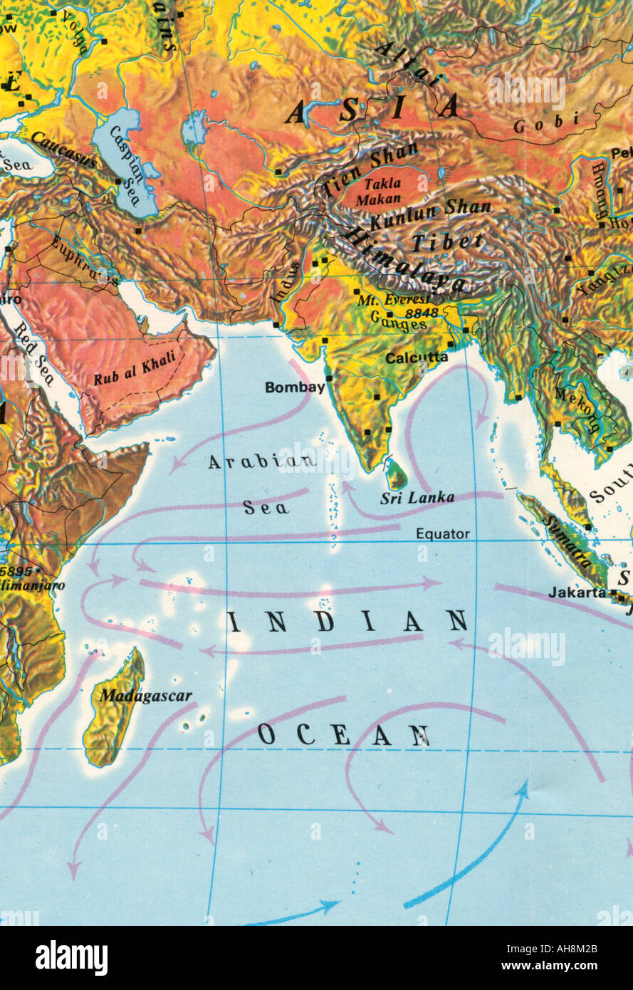 Map of India Asia Indian Ocean Arabian Sea Sri Lanka Equator Madagascar Tibet Indian map Stock Photohttps://www.alamy.com/image-license-details/?v=1https://www.alamy.com/map-of-india-asia-indian-ocean-arabian-sea-sri-lanka-equator-madagascar-image4699178.html
RMAH8M2B–Map of India Asia Indian Ocean Arabian Sea Sri Lanka Equator Madagascar Tibet Indian map
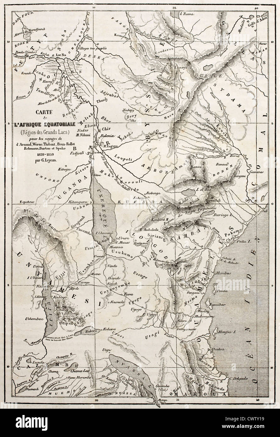 Old map of equatorial Africa Stock Photohttps://www.alamy.com/image-license-details/?v=1https://www.alamy.com/stock-photo-old-map-of-equatorial-africa-50335189.html
RFCWTY19–Old map of equatorial Africa
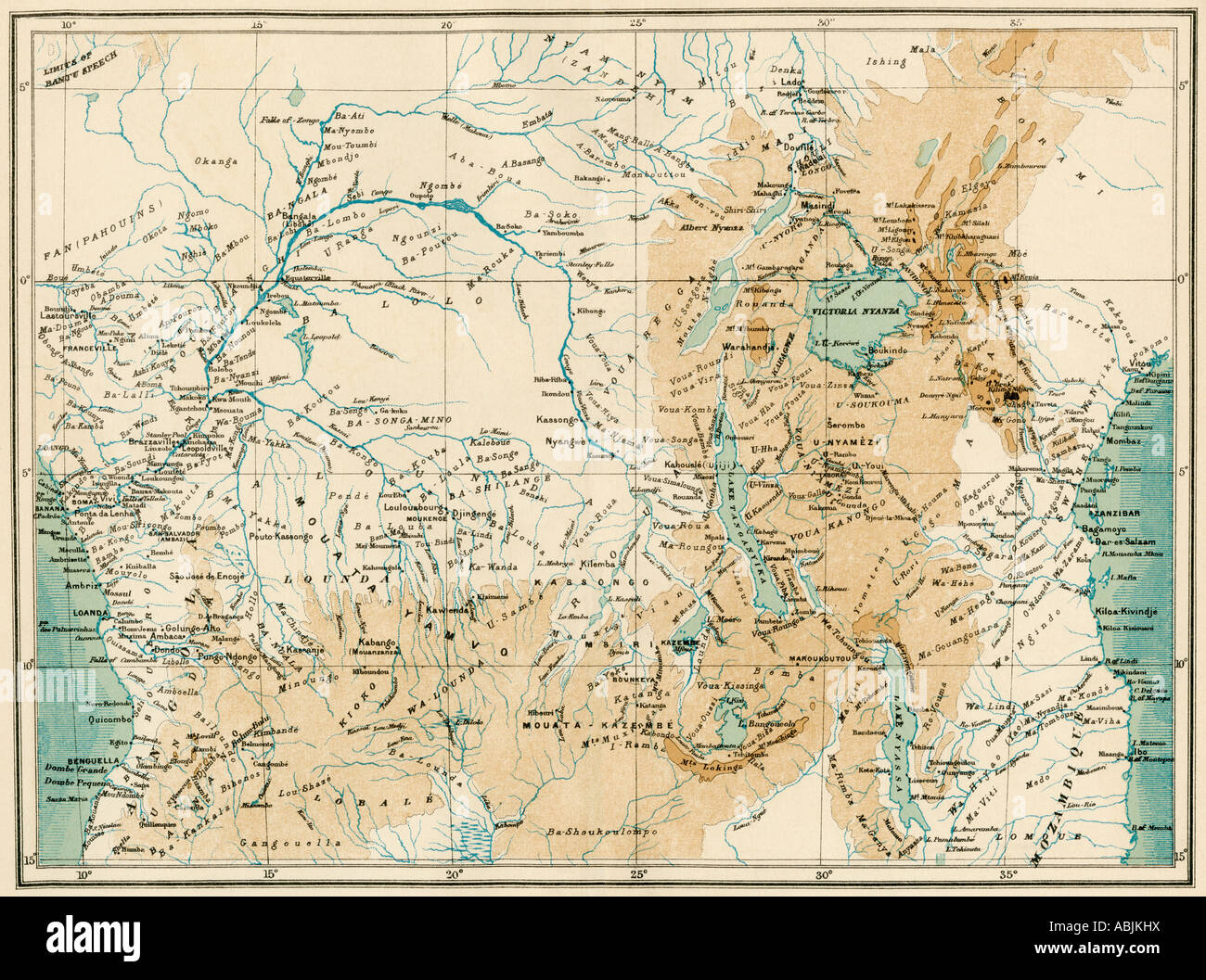 Map of equatorial Africa as known in the 1870s. Color lithograph Stock Photohttps://www.alamy.com/image-license-details/?v=1https://www.alamy.com/stock-photo-map-of-equatorial-africa-as-known-in-the-1870s-color-lithograph-12908101.html
RMABJKHX–Map of equatorial Africa as known in the 1870s. Color lithograph
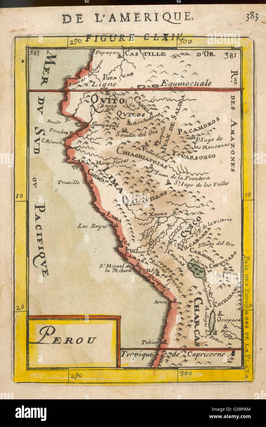 Map of Peru - 1683 - Mallet Stock Photohttps://www.alamy.com/image-license-details/?v=1https://www.alamy.com/stock-photo-map-of-peru-1683-mallet-105365196.html
RMG3BPAM–Map of Peru - 1683 - Mallet
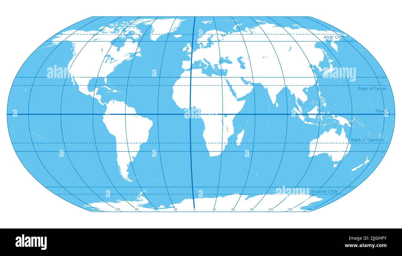 The World, important circles of latitudes and longitudes, blue colored political map. Equator, Greenwich meridian, Arctic and Antarctic Circle, etc. Stock Photohttps://www.alamy.com/image-license-details/?v=1https://www.alamy.com/the-world-important-circles-of-latitudes-and-longitudes-blue-colored-political-map-equator-greenwich-meridian-arctic-and-antarctic-circle-etc-image476108947.html
RF2JJGHPY–The World, important circles of latitudes and longitudes, blue colored political map. Equator, Greenwich meridian, Arctic and Antarctic Circle, etc.
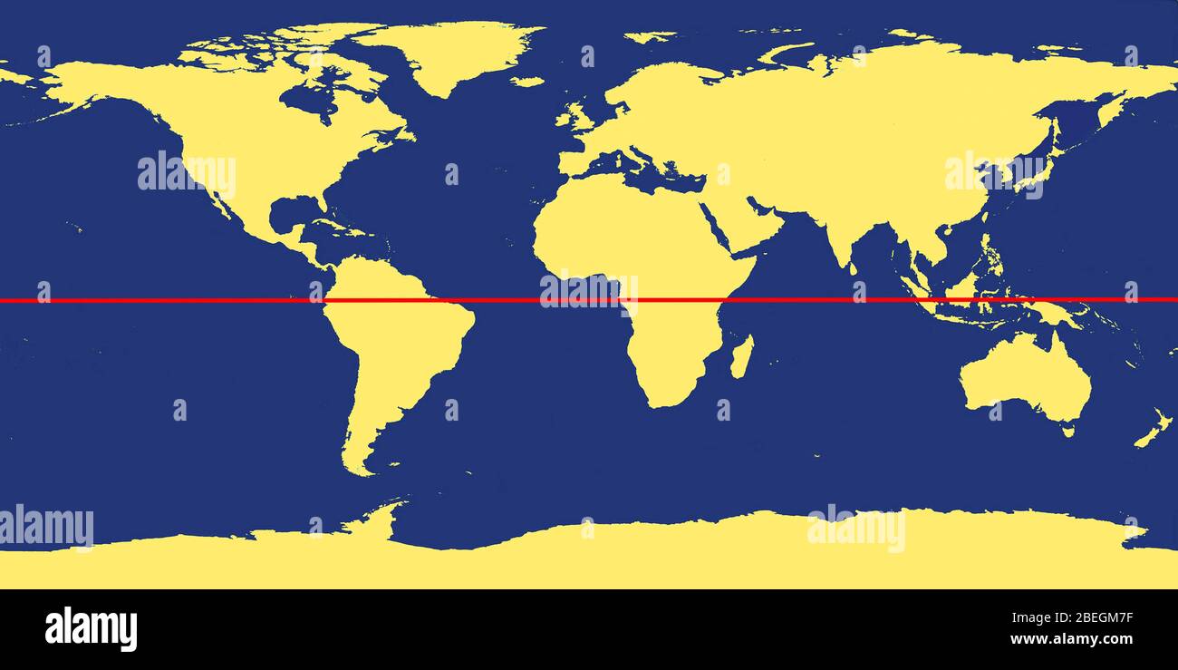 World Map with Equator Stock Photohttps://www.alamy.com/image-license-details/?v=1https://www.alamy.com/world-map-with-equator-image353179667.html
RM2BEGM7F–World Map with Equator
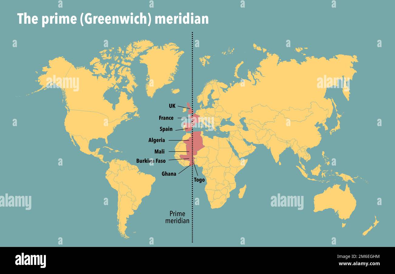 Modern map showing the countries that the prime Greenwich meridian passes through Stock Photohttps://www.alamy.com/image-license-details/?v=1https://www.alamy.com/modern-map-showing-the-countries-that-the-prime-greenwich-meridian-passes-through-image503108976.html
RF2M6EGHM–Modern map showing the countries that the prime Greenwich meridian passes through
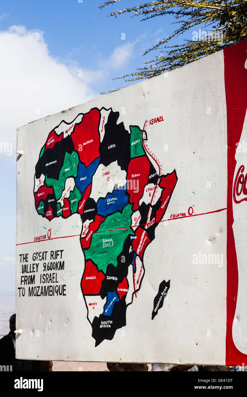 Masai Mara, Kenya. Large hand painted map showing reach of the Rift Valley through Africa. Stock Photohttps://www.alamy.com/image-license-details/?v=1https://www.alamy.com/stock-photo-masai-mara-kenya-large-hand-painted-map-showing-reach-of-the-rift-111956372.html
RFGE41DT–Masai Mara, Kenya. Large hand painted map showing reach of the Rift Valley through Africa.
 Contour map of Equator with a technological electronics circuit. Stock Vectorhttps://www.alamy.com/image-license-details/?v=1https://www.alamy.com/contour-map-of-equator-with-a-technological-electronics-circuit-image432794985.html
RF2G43EBN–Contour map of Equator with a technological electronics circuit.
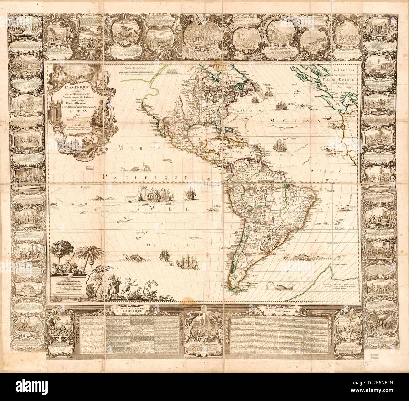 Vintage illustrated French map of the Americas showing the equator and both the Northern and Southern Hemispheres ca. 1755 Stock Photohttps://www.alamy.com/image-license-details/?v=1https://www.alamy.com/vintage-illustrated-french-map-of-the-americas-showing-the-equator-and-both-the-northern-and-southern-hemispheres-ca-1755-image486050481.html
RM2K6NE9N–Vintage illustrated French map of the Americas showing the equator and both the Northern and Southern Hemispheres ca. 1755
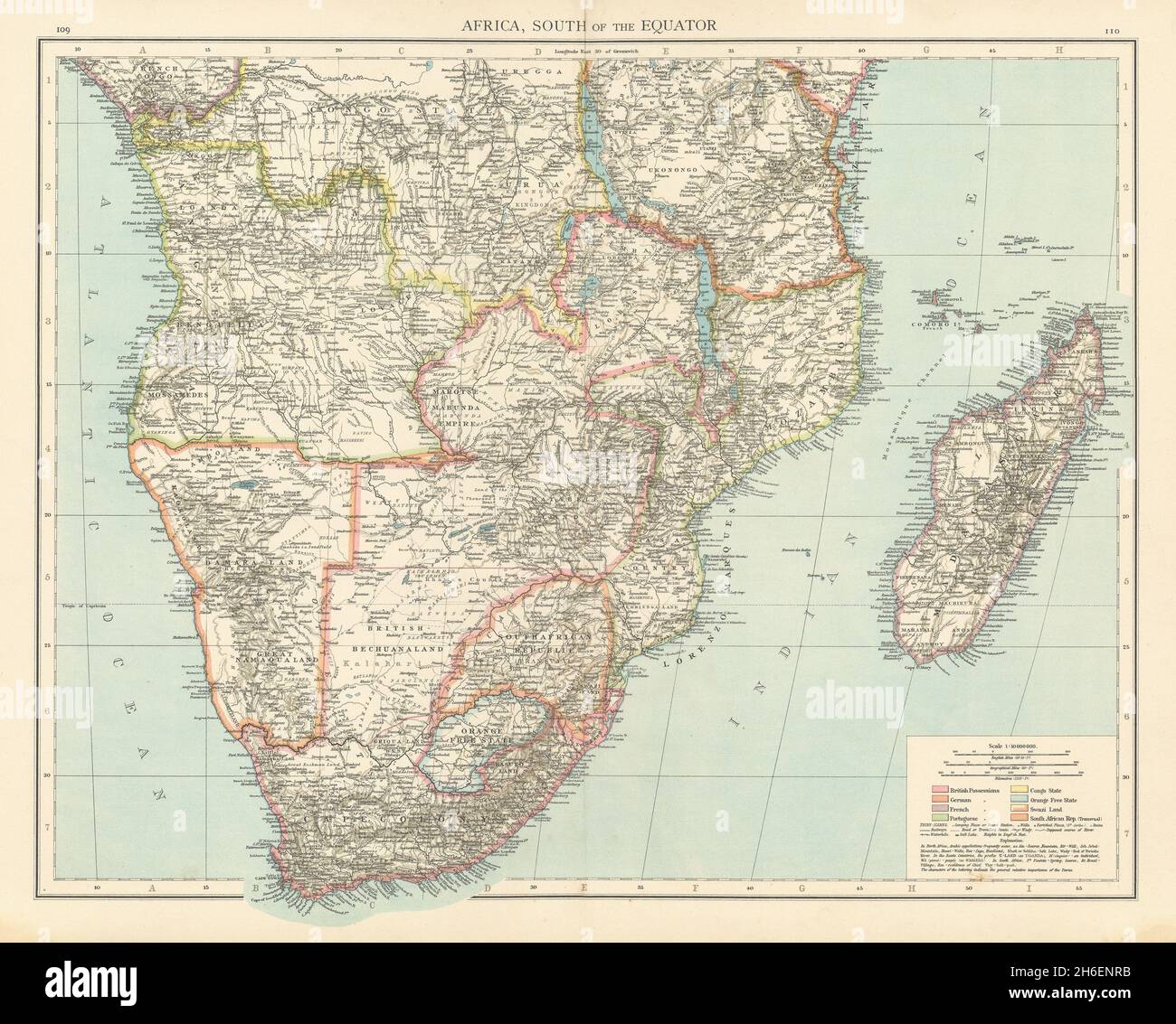 Colonial Southern Africa. British Portuguese German. Madagascar. TIMES 1895 map Stock Photohttps://www.alamy.com/image-license-details/?v=1https://www.alamy.com/colonial-southern-africa-british-portuguese-german-madagascar-times-1895-map-image451481951.html
RF2H6ENRB–Colonial Southern Africa. British Portuguese German. Madagascar. TIMES 1895 map
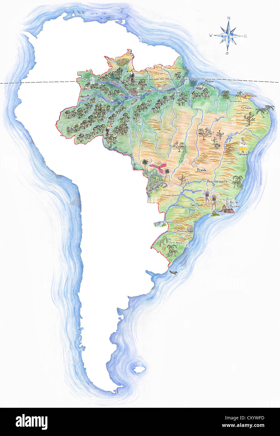 Highly detailed hand-drawn map of Brazil within the outline of South America with a compass rose and the equator Stock Photohttps://www.alamy.com/image-license-details/?v=1https://www.alamy.com/stock-photo-highly-detailed-hand-drawn-map-of-brazil-within-the-outline-of-south-51014529.html
RFCXYWFD–Highly detailed hand-drawn map of Brazil within the outline of South America with a compass rose and the equator
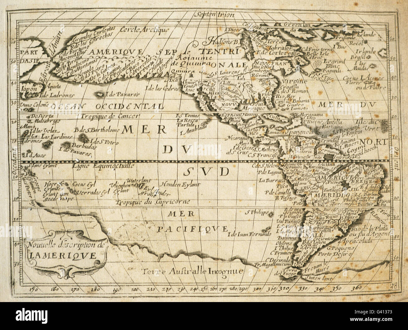 The Americas. Map. 17th century. Engraving. Stock Photohttps://www.alamy.com/image-license-details/?v=1https://www.alamy.com/stock-photo-the-americas-map-17th-century-engraving-105745335.html
RMG41373–The Americas. Map. 17th century. Engraving.
 Equator Stock Photohttps://www.alamy.com/image-license-details/?v=1https://www.alamy.com/stock-photo-equator-11563832.html
RFA6FPRN–Equator
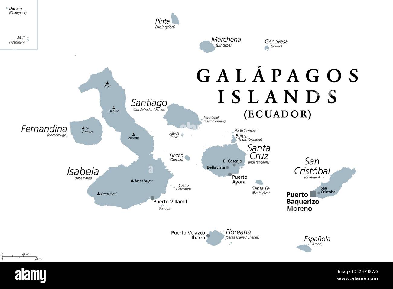 Galapagos Islands, gray political map, archipelago, part of Ecuador Stock Vectorhttps://www.alamy.com/image-license-details/?v=1https://www.alamy.com/galapagos-islands-gray-political-map-archipelago-part-of-ecuador-image461086786.html
RF2HP48W6–Galapagos Islands, gray political map, archipelago, part of Ecuador
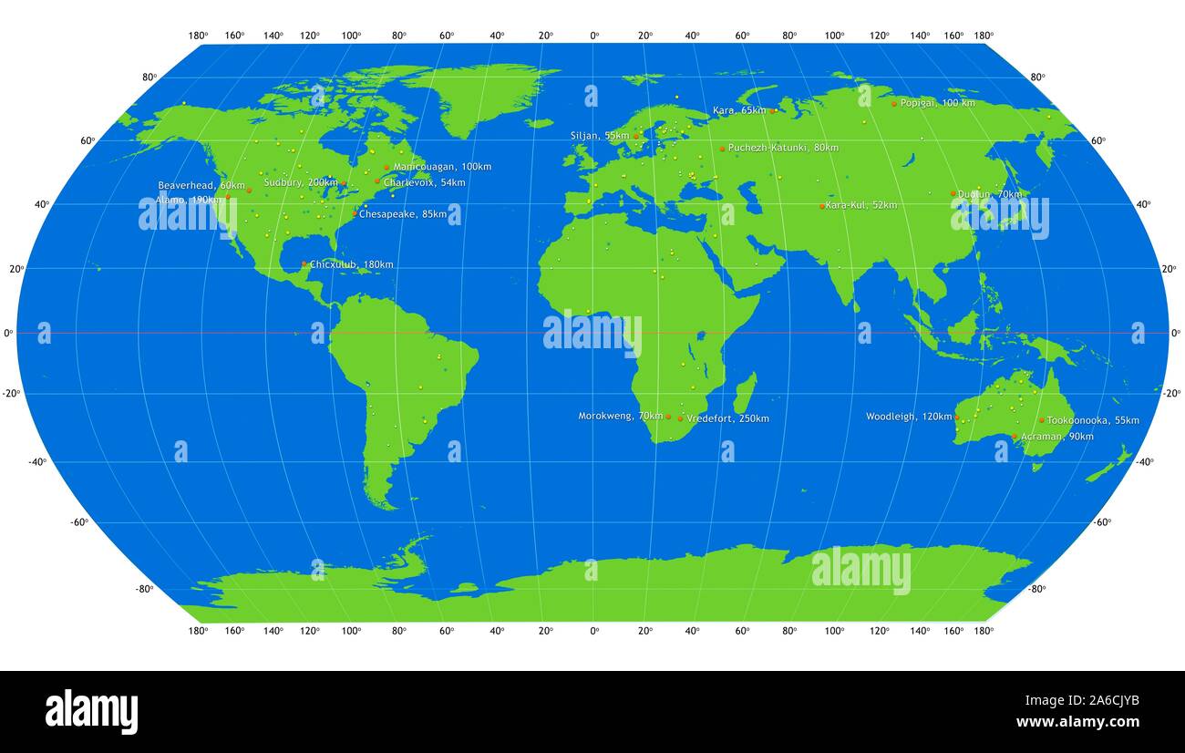 Map of all confirmed impact craters on Earth. The craters are sorted into size groups by colour, as follows. White: 0-5km diameter. Green: 5-10km diameter. Yellow: 10-50km diameter. Orange: greater than 50km diameter. Eighteen craters fall into the latter category, which are labelled. They include Chicxulub in the Gulf of Mexico, which led to the extinction of the dinosaurs, and Vredefort in South Africa, the largest known impact structure in Earth. Stock Photohttps://www.alamy.com/image-license-details/?v=1https://www.alamy.com/map-of-all-confirmed-impact-craters-on-earth-the-craters-are-sorted-into-size-groups-by-colour-as-follows-white-0-5km-diameter-green-5-10km-diameter-yellow-10-50km-diameter-orange-greater-than-50km-diameter-eighteen-craters-fall-into-the-latter-category-which-are-labelled-they-include-chicxulub-in-the-gulf-of-mexico-which-led-to-the-extinction-of-the-dinosaurs-and-vredefort-in-south-africa-the-largest-known-impact-structure-in-earth-image330963231.html
RF2A6CJYB–Map of all confirmed impact craters on Earth. The craters are sorted into size groups by colour, as follows. White: 0-5km diameter. Green: 5-10km diameter. Yellow: 10-50km diameter. Orange: greater than 50km diameter. Eighteen craters fall into the latter category, which are labelled. They include Chicxulub in the Gulf of Mexico, which led to the extinction of the dinosaurs, and Vredefort in South Africa, the largest known impact structure in Earth.
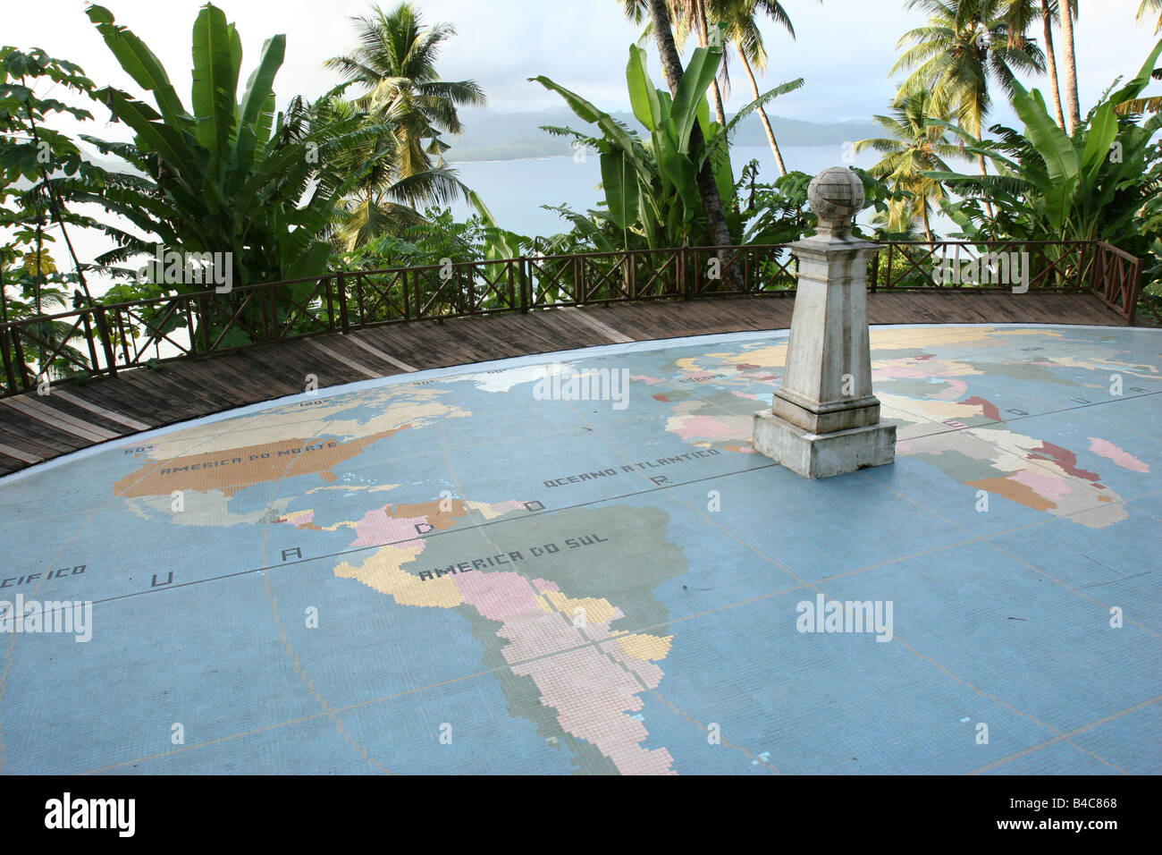 The equator marked with a monument as it crosses Ilhéu das Rolas, in the south of São Tomé and Príncipe. Stock Photohttps://www.alamy.com/image-license-details/?v=1https://www.alamy.com/stock-photo-the-equator-marked-with-a-monument-as-it-crosses-ilhu-das-rolas-in-19938864.html
RMB4C868–The equator marked with a monument as it crosses Ilhéu das Rolas, in the south of São Tomé and Príncipe.
 Red Rocket Stock Globe on gray background Stock Photohttps://www.alamy.com/image-license-details/?v=1https://www.alamy.com/red-rocket-stock-globe-on-gray-background-image7892522.html
RFAF2NPB–Red Rocket Stock Globe on gray background
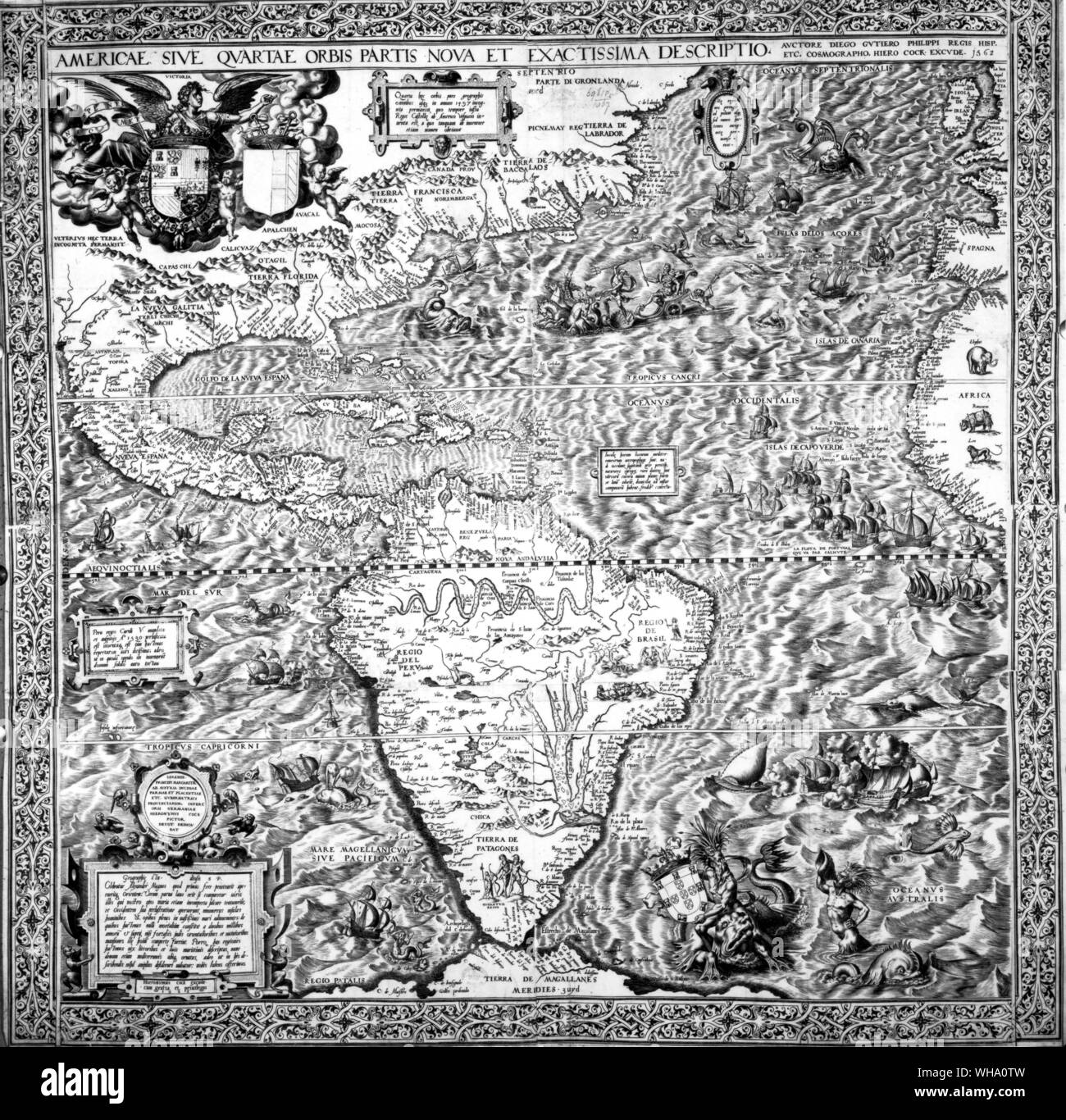 The Southern Continent shown on a 1562 map of the New World: in the monster-ridden Atlantic Da Gama crosses the Line as Neptune approaches the Caribbean. Stock Photohttps://www.alamy.com/image-license-details/?v=1https://www.alamy.com/the-southern-continent-shown-on-a-1562-map-of-the-new-world-in-the-monster-ridden-atlantic-da-gama-crosses-the-line-as-neptune-approaches-the-caribbean-image268824889.html
RMWHA0TW–The Southern Continent shown on a 1562 map of the New World: in the monster-ridden Atlantic Da Gama crosses the Line as Neptune approaches the Caribbean.
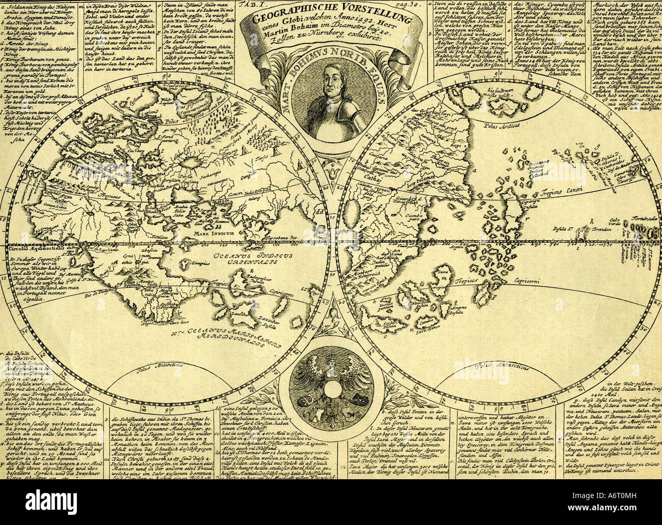 cartoraphy, world maps, map after globe by Martin Behaim, 1492, Stock Photohttps://www.alamy.com/image-license-details/?v=1https://www.alamy.com/stock-photo-cartoraphy-world-maps-map-after-globe-by-martin-behaim-1492-11641072.html
RMA6T0MH–cartoraphy, world maps, map after globe by Martin Behaim, 1492,
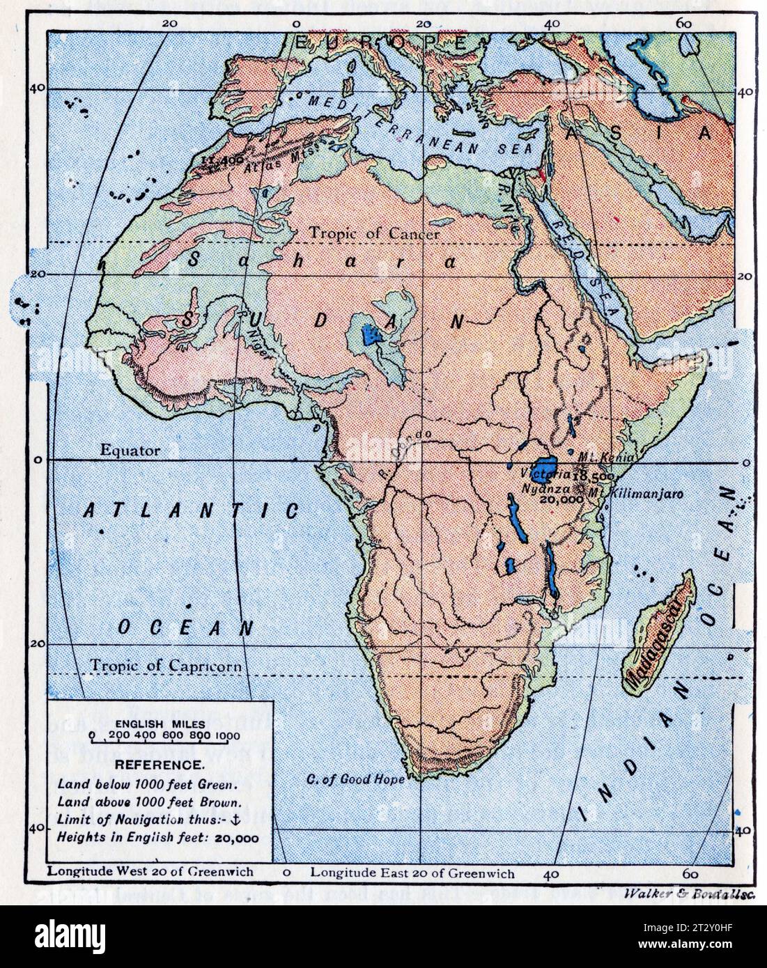 map of Africa circa 1910 from a school geography text book Stock Photohttps://www.alamy.com/image-license-details/?v=1https://www.alamy.com/map-of-africa-circa-1910-from-a-school-geography-text-book-image569764651.html
RM2T2Y0HF–map of Africa circa 1910 from a school geography text book
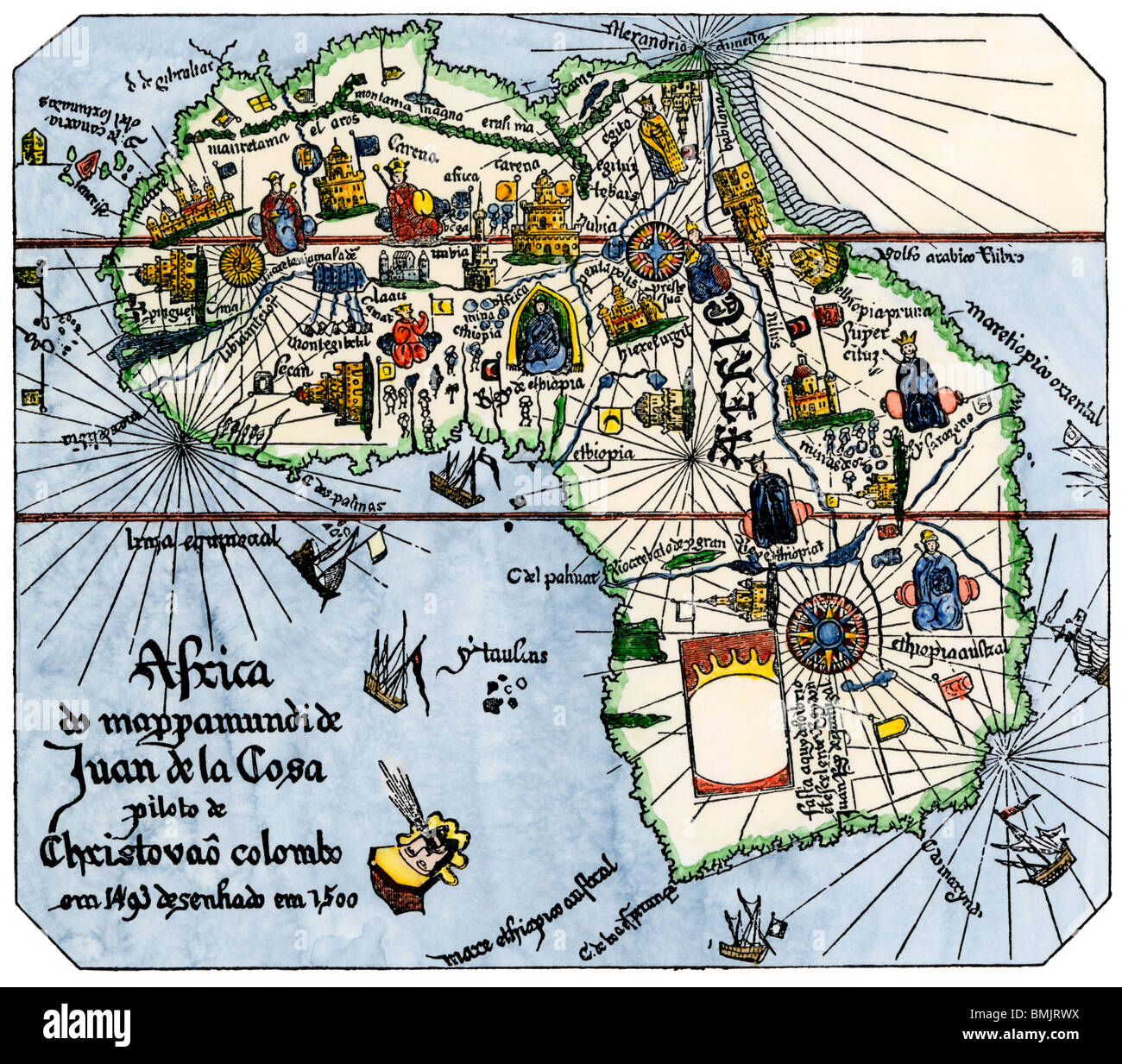 Africa as known after Vasco da Gama's discoveries, from map of Juan de la Cosa, 1500. Hand-colored woodcut Stock Photohttps://www.alamy.com/image-license-details/?v=1https://www.alamy.com/stock-photo-africa-as-known-after-vasco-da-gamas-discoveries-from-map-of-juan-29917382.html
RMBMJRWX–Africa as known after Vasco da Gama's discoveries, from map of Juan de la Cosa, 1500. Hand-colored woodcut
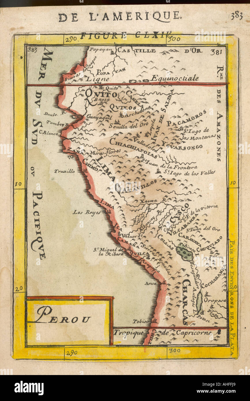 Map Of Peru 1683 Mallet Stock Photohttps://www.alamy.com/image-license-details/?v=1https://www.alamy.com/map-of-peru-1683-mallet-image8262248.html
RMAHFFJ9–Map Of Peru 1683 Mallet
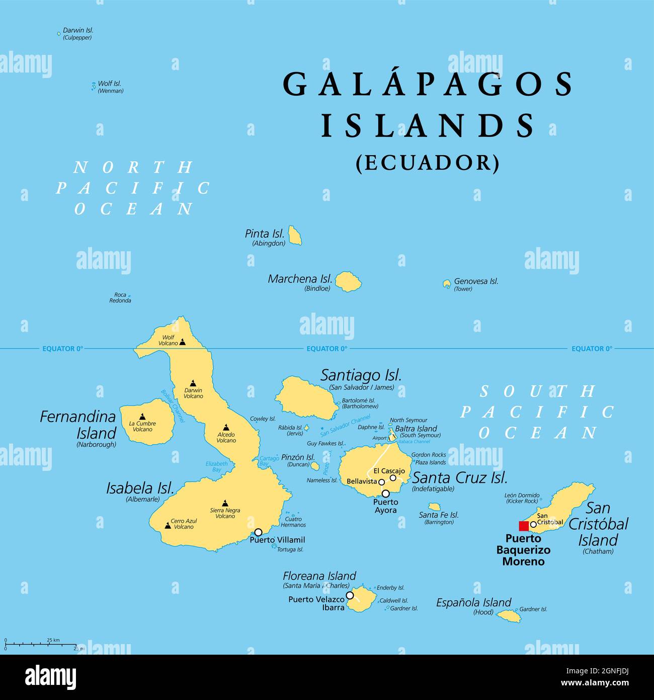 Galapagos Islands, Ecuador, political map with capital Puerto Baquerizo Moreno. Archipelago of volcanic islands on either equator side in the Pacific. Stock Photohttps://www.alamy.com/image-license-details/?v=1https://www.alamy.com/galapagos-islands-ecuador-political-map-with-capital-puerto-baquerizo-moreno-archipelago-of-volcanic-islands-on-either-equator-side-in-the-pacific-image443510750.html
RF2GNFJDJ–Galapagos Islands, Ecuador, political map with capital Puerto Baquerizo Moreno. Archipelago of volcanic islands on either equator side in the Pacific.
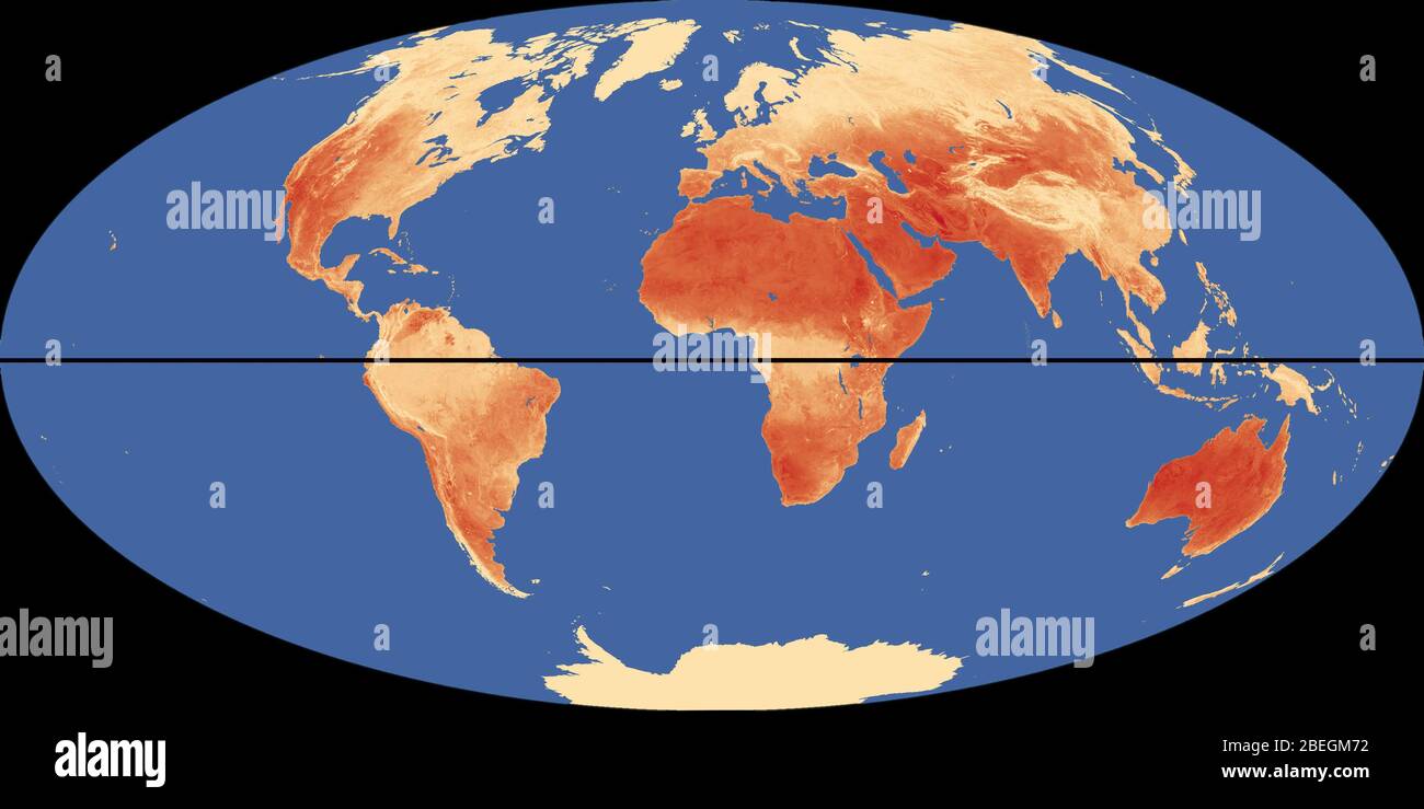 World Map with Equator and Hottest Places Stock Photohttps://www.alamy.com/image-license-details/?v=1https://www.alamy.com/world-map-with-equator-and-hottest-places-image353179654.html
RM2BEGM72–World Map with Equator and Hottest Places
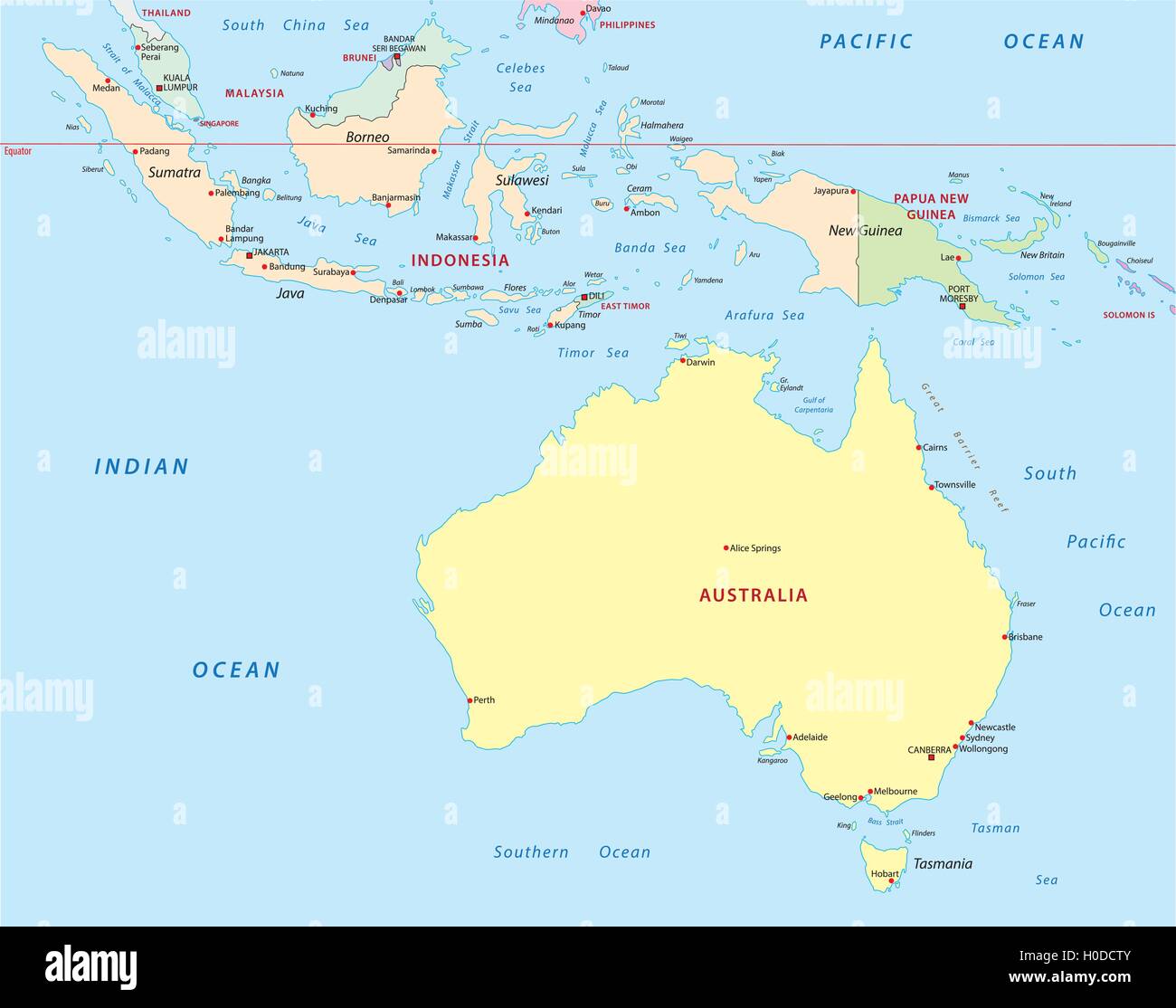 indonesia, australia, papua new guinea map Stock Vectorhttps://www.alamy.com/image-license-details/?v=1https://www.alamy.com/stock-photo-indonesia-australia-papua-new-guinea-map-120768059.html
RFH0DCTY–indonesia, australia, papua new guinea map
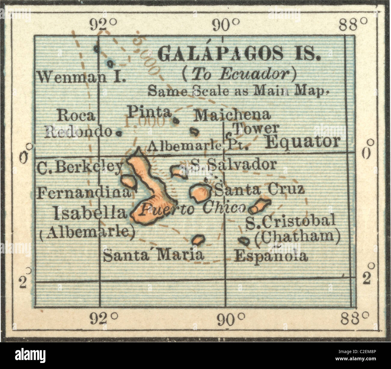 Map of Galapagos Islands Stock Photohttps://www.alamy.com/image-license-details/?v=1https://www.alamy.com/stock-photo-map-of-galapagos-islands-35973302.html
RMC2EM8P–Map of Galapagos Islands
RF2G4FM62–Contour map of Equator with icons of technology, business, science, communication
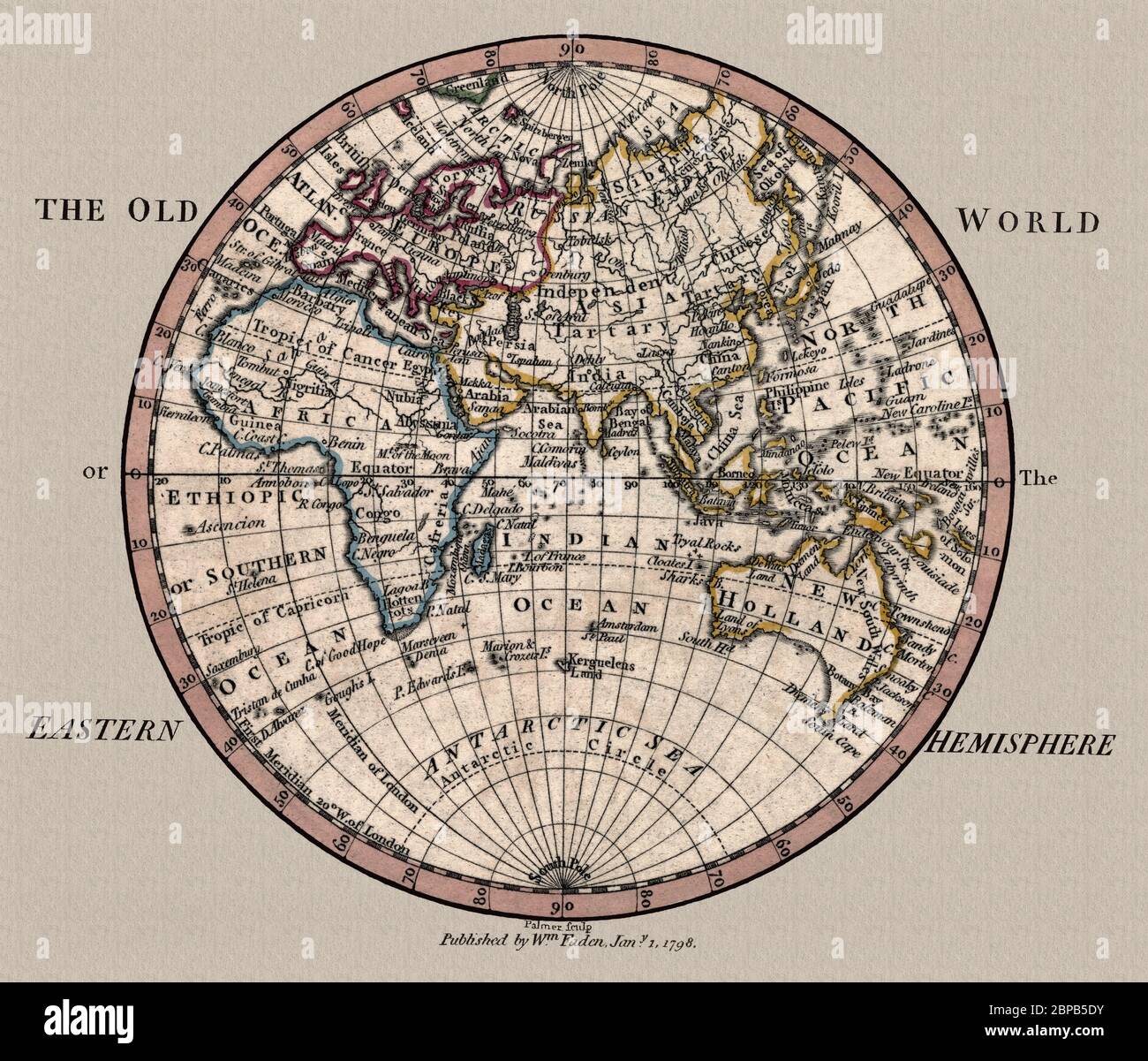 'The Old World: Eastern Hemisphere.' Map shows geographic divisions circa 1798, This is a beautifully detailed historic map reproduction. Original from a British atlas published by famed cartographer William Faden. Stock Photohttps://www.alamy.com/image-license-details/?v=1https://www.alamy.com/the-old-world-eastern-hemisphere-map-shows-geographic-divisions-circa-1798-this-is-a-beautifully-detailed-historic-map-reproduction-original-from-a-british-atlas-published-by-famed-cartographer-william-faden-image357975575.html
RM2BPB5DY–'The Old World: Eastern Hemisphere.' Map shows geographic divisions circa 1798, This is a beautifully detailed historic map reproduction. Original from a British atlas published by famed cartographer William Faden.
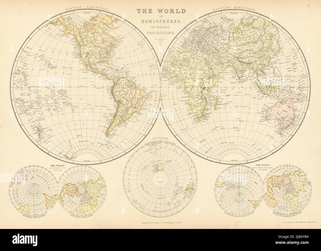 WORLD IN HEMISPHERES. Equatorial Antarctic London planes. BLACKIE 1886 old map Stock Photohttps://www.alamy.com/image-license-details/?v=1https://www.alamy.com/world-in-hemispheres-equatorial-antarctic-london-planes-blackie-1886-old-map-image469750376.html
RF2J86YB4–WORLD IN HEMISPHERES. Equatorial Antarctic London planes. BLACKIE 1886 old map
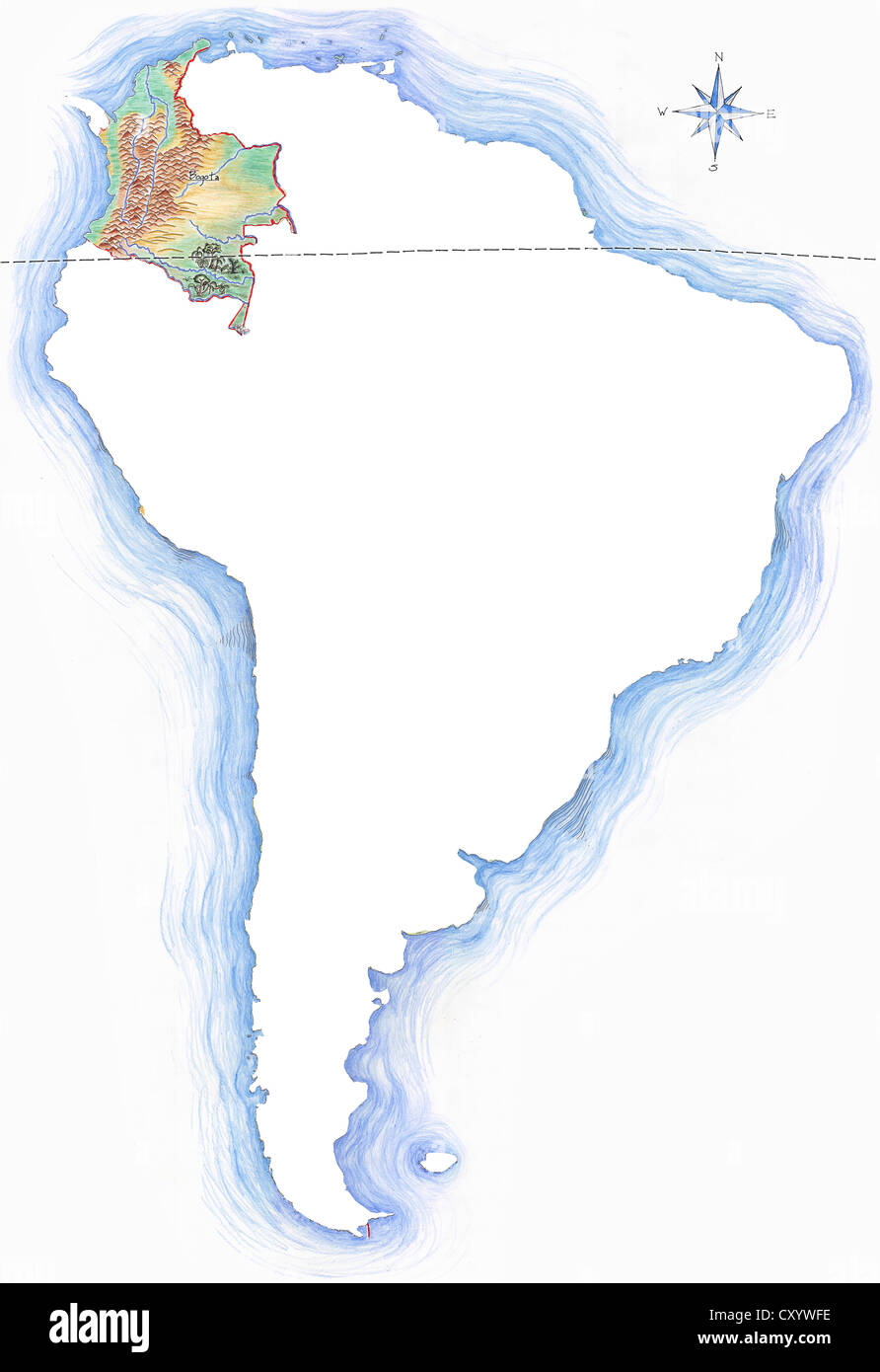 Highly detailed hand-drawn map of Colombia within the outline of South America with a compass rose and the equator Stock Photohttps://www.alamy.com/image-license-details/?v=1https://www.alamy.com/stock-photo-highly-detailed-hand-drawn-map-of-colombia-within-the-outline-of-south-51014530.html
RFCXYWFE–Highly detailed hand-drawn map of Colombia within the outline of South America with a compass rose and the equator
 Vintage historical Illustrated Map of Southern Africa, from the Equator to Cape of Good Hope by Elizabeth Verseyl Visscher. (French Language) 1730 Stock Photohttps://www.alamy.com/image-license-details/?v=1https://www.alamy.com/vintage-historical-illustrated-map-of-southern-africa-from-the-equator-to-cape-of-good-hope-by-elizabeth-verseyl-visscher-french-language-1730-image598428091.html
RM2WNGN3R–Vintage historical Illustrated Map of Southern Africa, from the Equator to Cape of Good Hope by Elizabeth Verseyl Visscher. (French Language) 1730
 Equator Stock Photohttps://www.alamy.com/image-license-details/?v=1https://www.alamy.com/stock-photo-equator-11563829.html
RFA6FPRJ–Equator
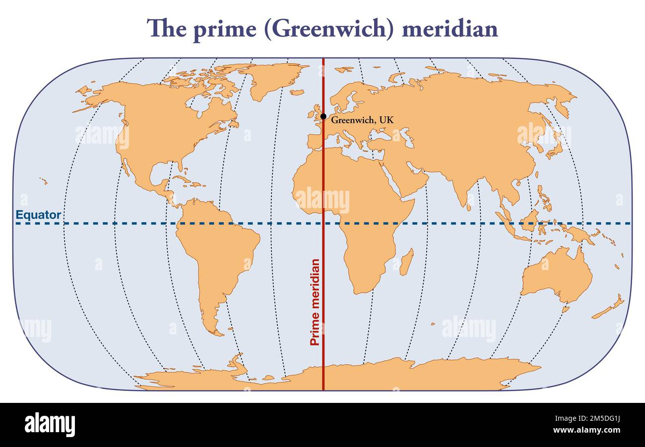 Map with the Greenwich prime meridian Stock Photohttps://www.alamy.com/image-license-details/?v=1https://www.alamy.com/map-with-the-greenwich-prime-meridian-image502471918.html
RF2M5DG1J–Map with the Greenwich prime meridian
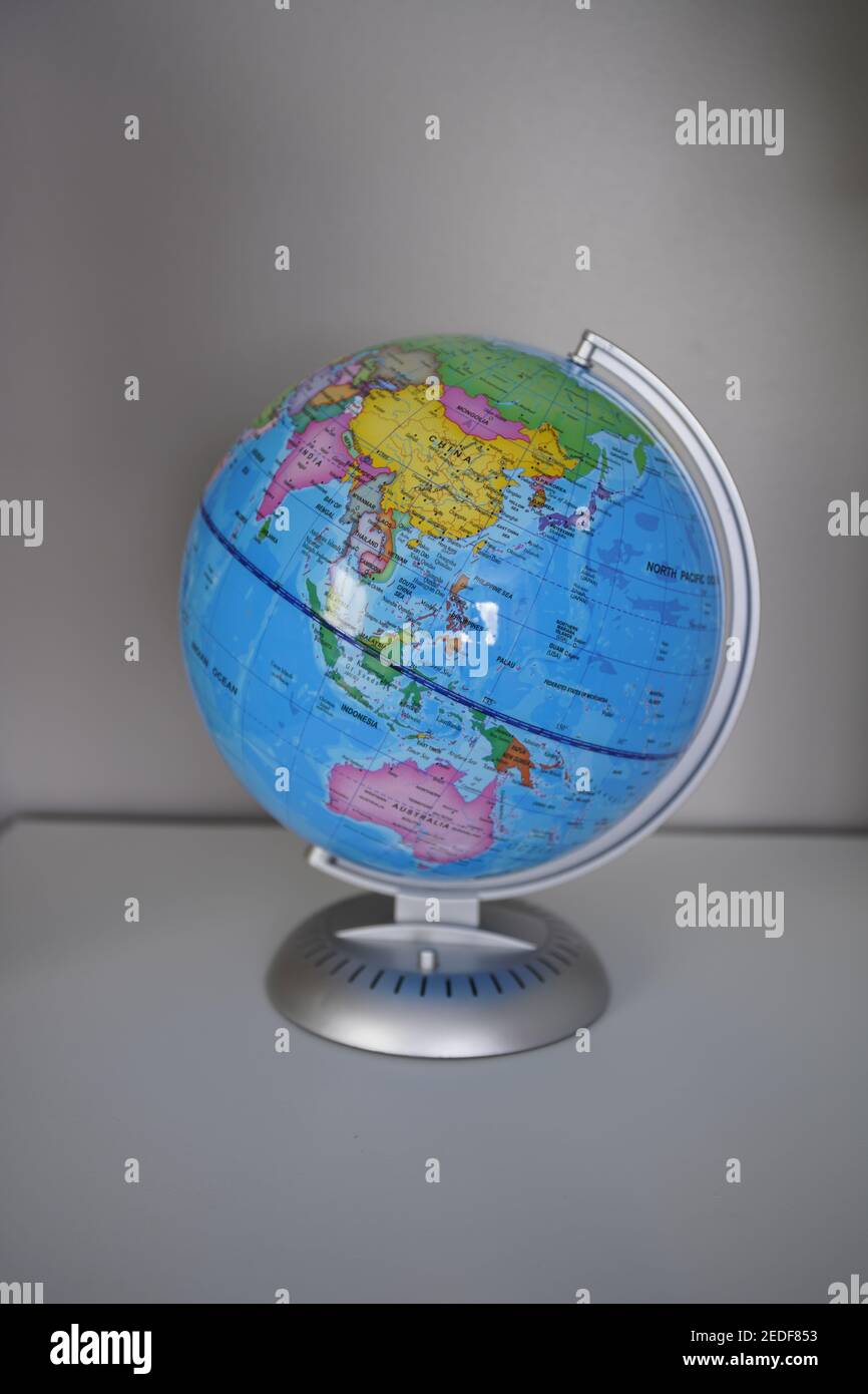 Earth Ocean Globe World Geography Map on the desk Stock Photohttps://www.alamy.com/image-license-details/?v=1https://www.alamy.com/earth-ocean-globe-world-geography-map-on-the-desk-image404164687.html
RF2EDF853–Earth Ocean Globe World Geography Map on the desk
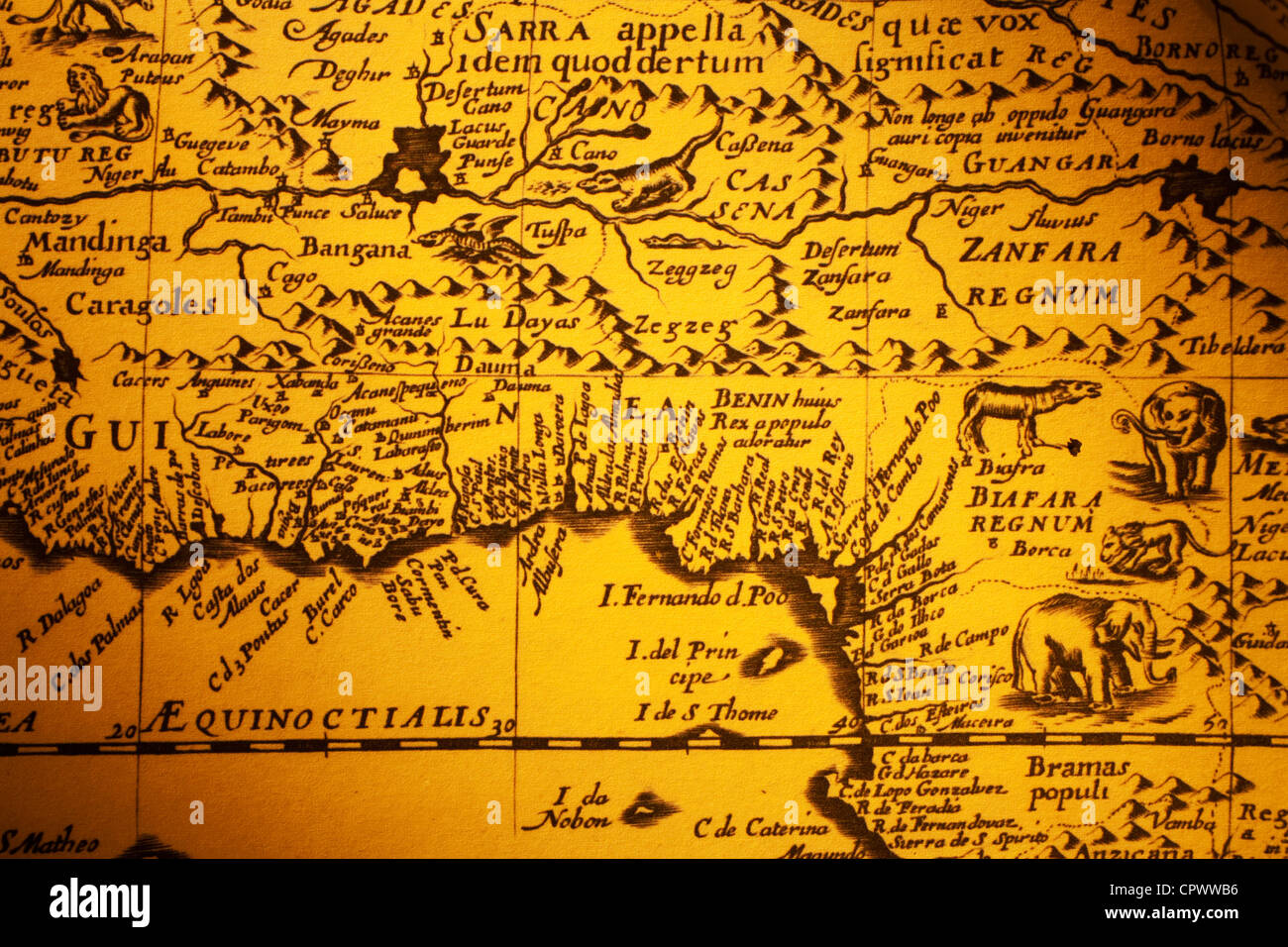 Old map of Africa which includes drawings of the animals living there. Map is from 1640 and is out of copyright. Stock Photohttps://www.alamy.com/image-license-details/?v=1https://www.alamy.com/stock-photo-old-map-of-africa-which-includes-drawings-of-the-animals-living-there-48511882.html
RFCPWWB6–Old map of Africa which includes drawings of the animals living there. Map is from 1640 and is out of copyright.
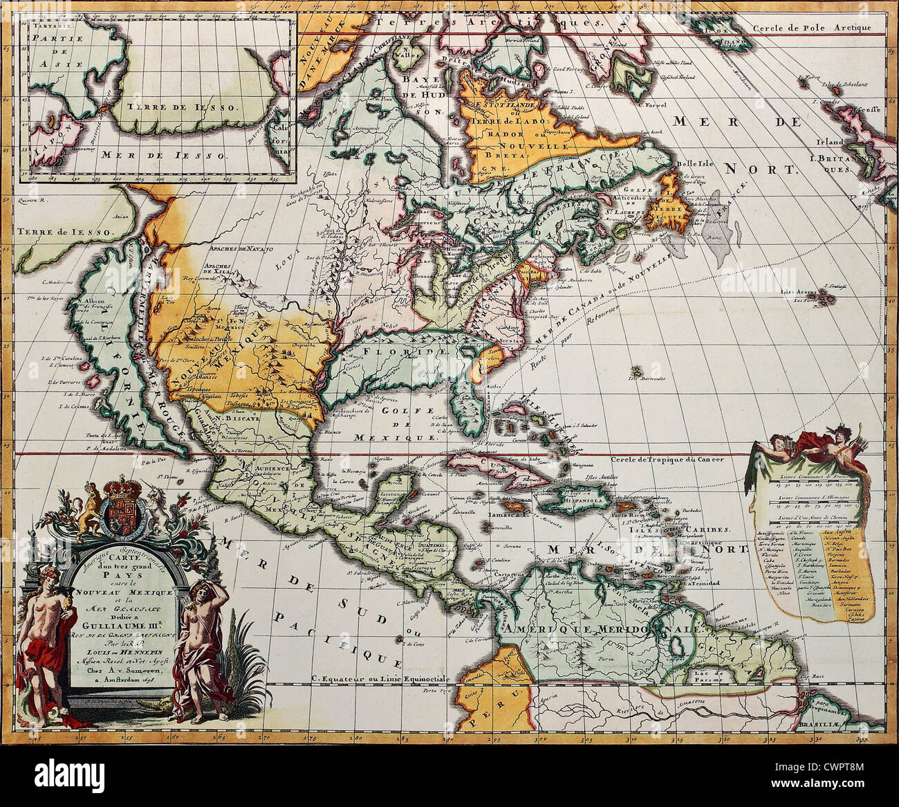 North America old map Stock Photohttps://www.alamy.com/image-license-details/?v=1https://www.alamy.com/stock-photo-north-america-old-map-50289140.html
RFCWPT8M–North America old map
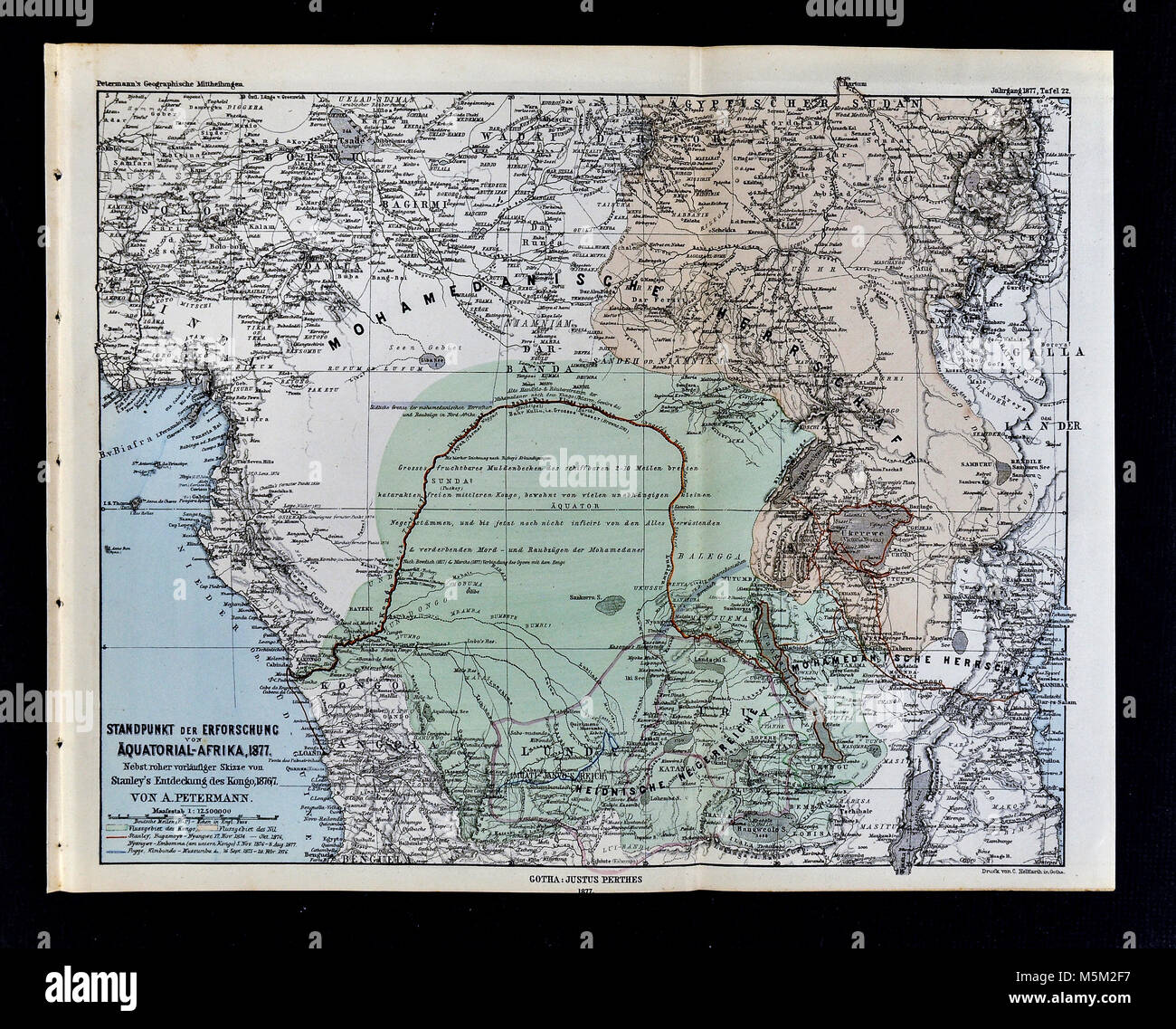 1877 Petermann Mittheilungen Map of Equatorial Africa Stock Photohttps://www.alamy.com/image-license-details/?v=1https://www.alamy.com/stock-photo-1877-petermann-mittheilungen-map-of-equatorial-africa-175617995.html
RFM5M2F7–1877 Petermann Mittheilungen Map of Equatorial Africa
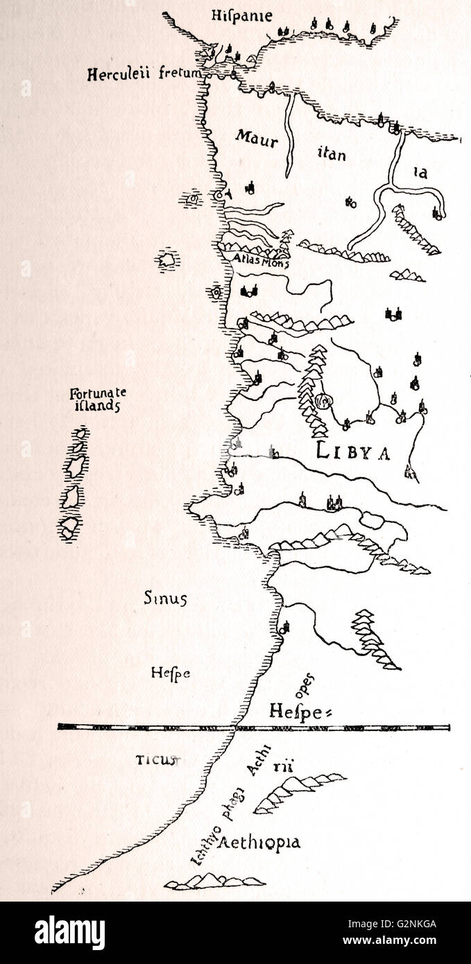 The coast of Africa, after Ptolemy (Mercator's edition). This map shows the extent of Hanno's voyage from the Pillars of Hercules, past the Equator, to what is now called Sierra Leone. Stock Photohttps://www.alamy.com/image-license-details/?v=1https://www.alamy.com/stock-photo-the-coast-of-africa-after-ptolemy-mercators-edition-this-map-shows-104967866.html
RMG2NKGA–The coast of Africa, after Ptolemy (Mercator's edition). This map shows the extent of Hanno's voyage from the Pillars of Hercules, past the Equator, to what is now called Sierra Leone.
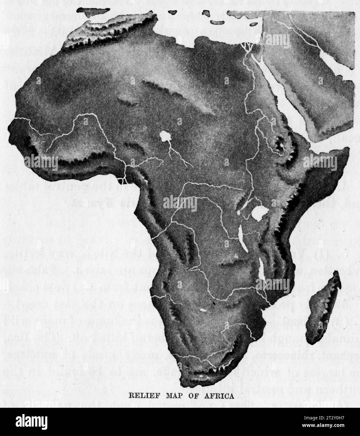 relief map of Africa circa 1910 from a school geography text book Stock Photohttps://www.alamy.com/image-license-details/?v=1https://www.alamy.com/relief-map-of-africa-circa-1910-from-a-school-geography-text-book-image569764643.html
RM2T2Y0H7–relief map of Africa circa 1910 from a school geography text book
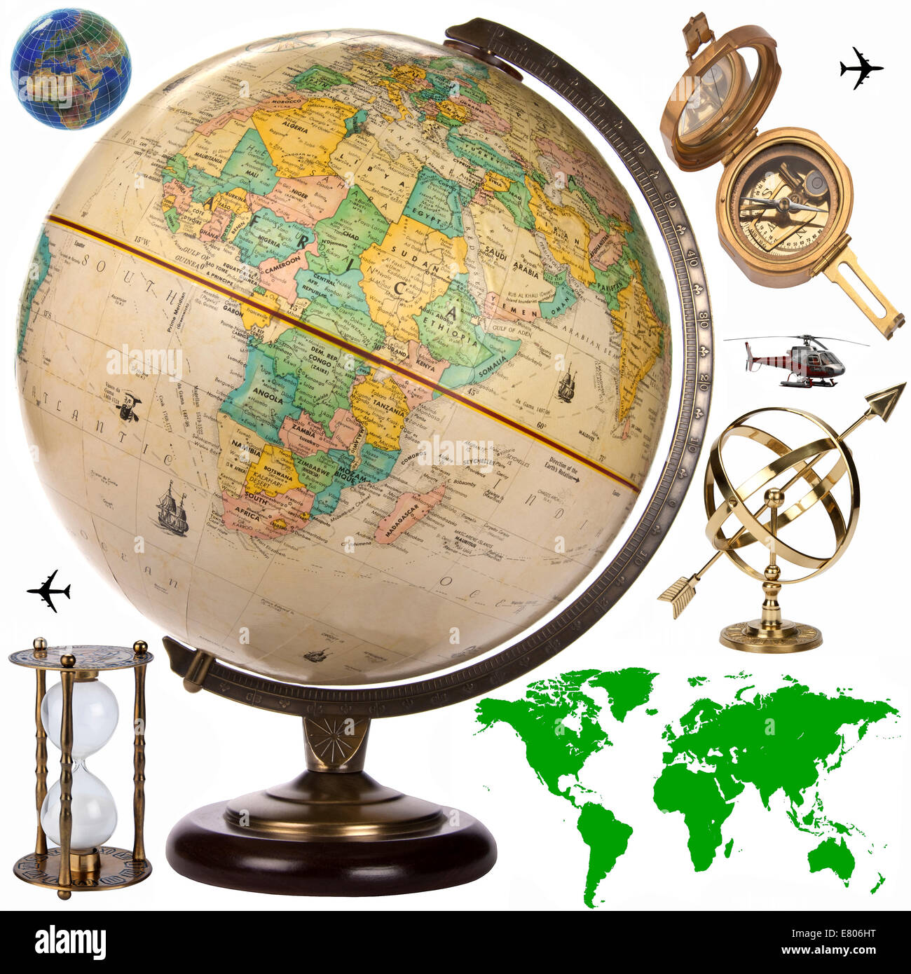 Map, Globe and travel objects for cutout Stock Photohttps://www.alamy.com/image-license-details/?v=1https://www.alamy.com/stock-photo-map-globe-and-travel-objects-for-cutout-73763924.html
RFE806HT–Map, Globe and travel objects for cutout
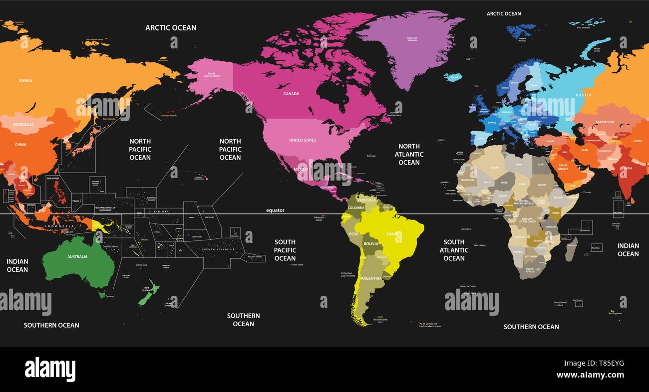 vector world map colored by continents and centered by America Stock Vectorhttps://www.alamy.com/image-license-details/?v=1https://www.alamy.com/vector-world-map-colored-by-continents-and-centered-by-america-image245983908.html
RFT85EYG–vector world map colored by continents and centered by America
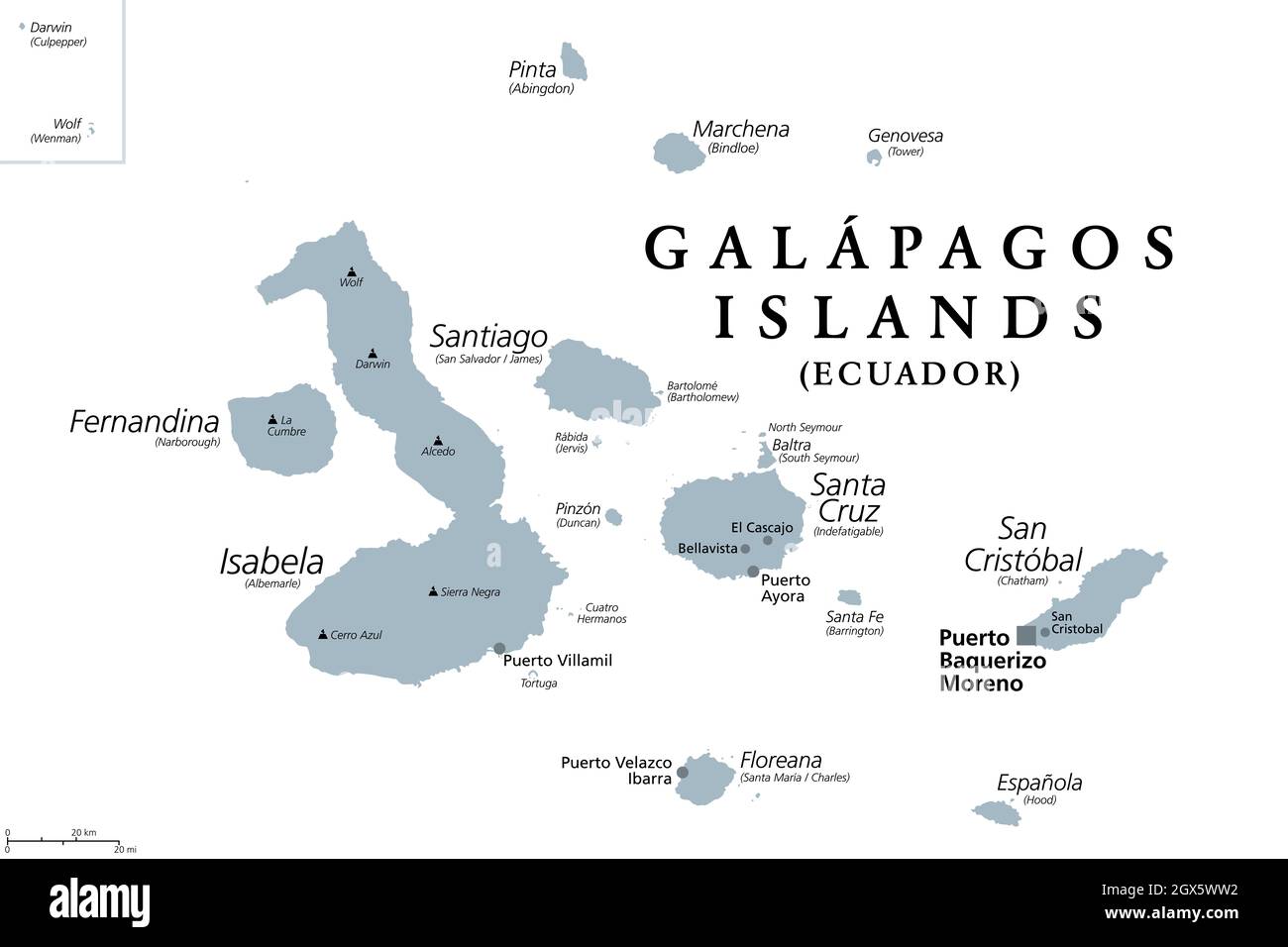 Galapagos Islands, Ecuador, gray political map, capital Puerto Baquerizo Moreno. Archipelago of volcanic islands on either side of equator in Pacific. Stock Photohttps://www.alamy.com/image-license-details/?v=1https://www.alamy.com/galapagos-islands-ecuador-gray-political-map-capital-puerto-baquerizo-moreno-archipelago-of-volcanic-islands-on-either-side-of-equator-in-pacific-image446370318.html
RF2GX5WW2–Galapagos Islands, Ecuador, gray political map, capital Puerto Baquerizo Moreno. Archipelago of volcanic islands on either side of equator in Pacific.
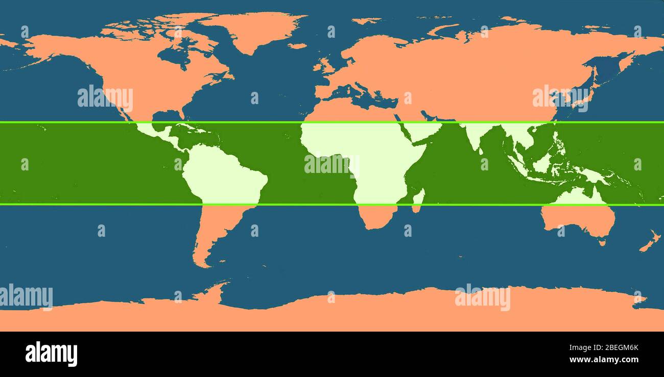 World Map with Tropic Zone Stock Photohttps://www.alamy.com/image-license-details/?v=1https://www.alamy.com/world-map-with-tropic-zone-image353179643.html
RM2BEGM6K–World Map with Tropic Zone
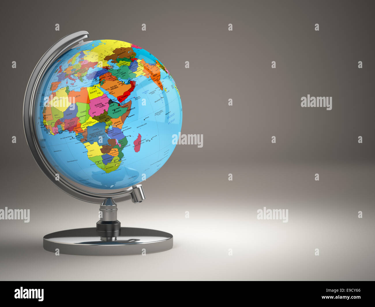 Globe with political map on grey background. 3d Stock Photohttps://www.alamy.com/image-license-details/?v=1https://www.alamy.com/stock-photo-globe-with-political-map-on-grey-background-3d-74658142.html
RFE9CY66–Globe with political map on grey background. 3d
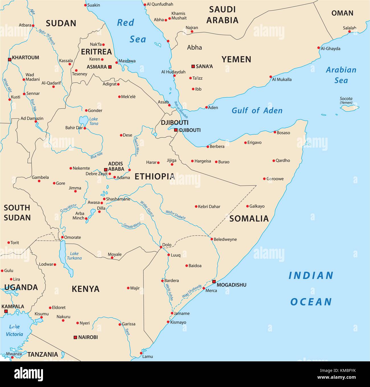 horn of africa vector map Stock Vectorhttps://www.alamy.com/image-license-details/?v=1https://www.alamy.com/stock-image-horn-of-africa-vector-map-167440439.html
RFKMBFYK–horn of africa vector map
 Map of Equator like a cute machine with buttons, panels and levers. Isolated. White background. Stock Vectorhttps://www.alamy.com/image-license-details/?v=1https://www.alamy.com/map-of-equator-like-a-cute-machine-with-buttons-panels-and-levers-isolated-white-background-image433202295.html
RF2G4P1XF–Map of Equator like a cute machine with buttons, panels and levers. Isolated. White background.
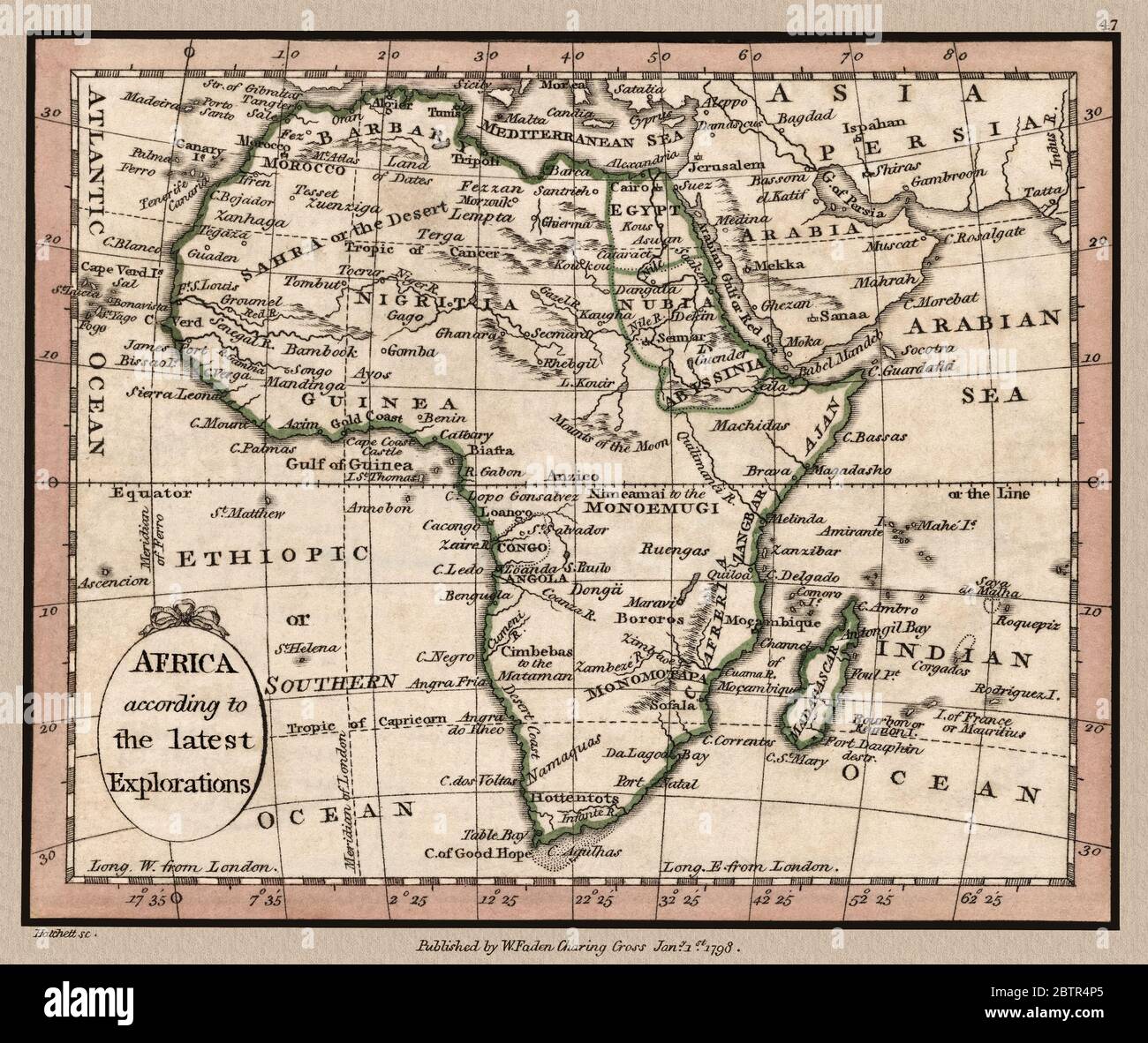 'Africa according to the latest Explorations.' Map shows important landmarks of the African continent. This is a beautifully detailed historic map reproduction. Original from a British atlas published by famed cartographer William Faden was created circa 1798. Stock Photohttps://www.alamy.com/image-license-details/?v=1https://www.alamy.com/africa-according-to-the-latest-explorations-map-shows-important-landmarks-of-the-african-continent-this-is-a-beautifully-detailed-historic-map-reproduction-original-from-a-british-atlas-published-by-famed-cartographer-william-faden-was-created-circa-1798-image359467757.html
RM2BTR4P5–'Africa according to the latest Explorations.' Map shows important landmarks of the African continent. This is a beautifully detailed historic map reproduction. Original from a British atlas published by famed cartographer William Faden was created circa 1798.
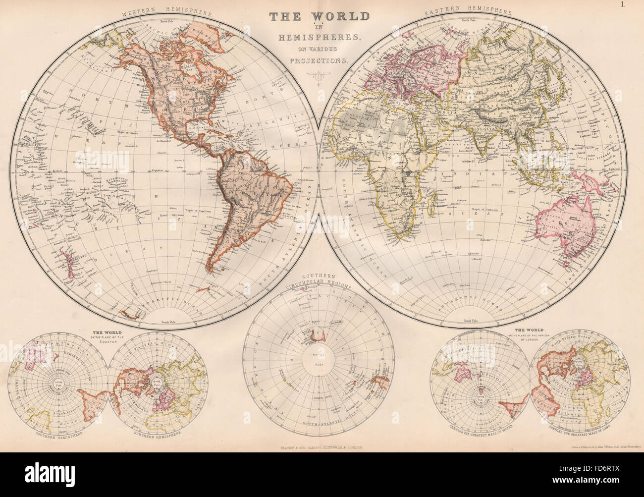 WORLD IN HEMISPHERES: Equatorial Antarctic London planes. BLACKIE, 1882 map Stock Photohttps://www.alamy.com/image-license-details/?v=1https://www.alamy.com/stock-photo-world-in-hemispheres-equatorial-antarctic-london-planes-blackie-1882-94192810.html
RFFD6RTX–WORLD IN HEMISPHERES: Equatorial Antarctic London planes. BLACKIE, 1882 map
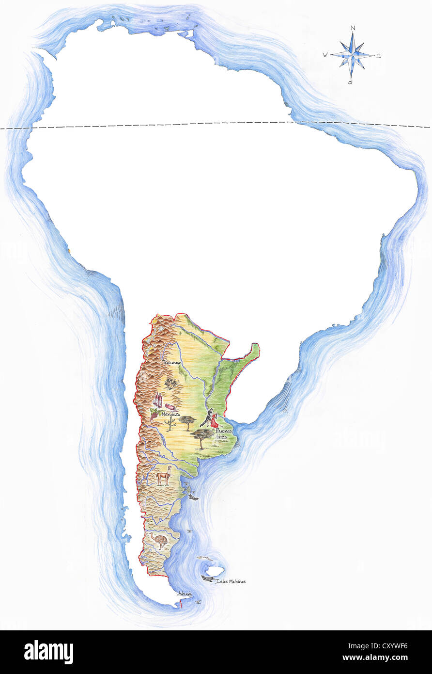 Highly detailed hand-drawn map of Argentina within the outline of South America with a compass rose and the equator Stock Photohttps://www.alamy.com/image-license-details/?v=1https://www.alamy.com/stock-photo-highly-detailed-hand-drawn-map-of-argentina-within-the-outline-of-51014522.html
RFCXYWF6–Highly detailed hand-drawn map of Argentina within the outline of South America with a compass rose and the equator
 World globe - Indian ocean Stock Photohttps://www.alamy.com/image-license-details/?v=1https://www.alamy.com/stock-photo-world-globe-indian-ocean-59350976.html
RFDCFJNM–World globe - Indian ocean
 Editable map of Africa with all countries. Stock Photohttps://www.alamy.com/image-license-details/?v=1https://www.alamy.com/editable-map-of-africa-with-all-countries-image412195260.html
RF2EXH378–Editable map of Africa with all countries.
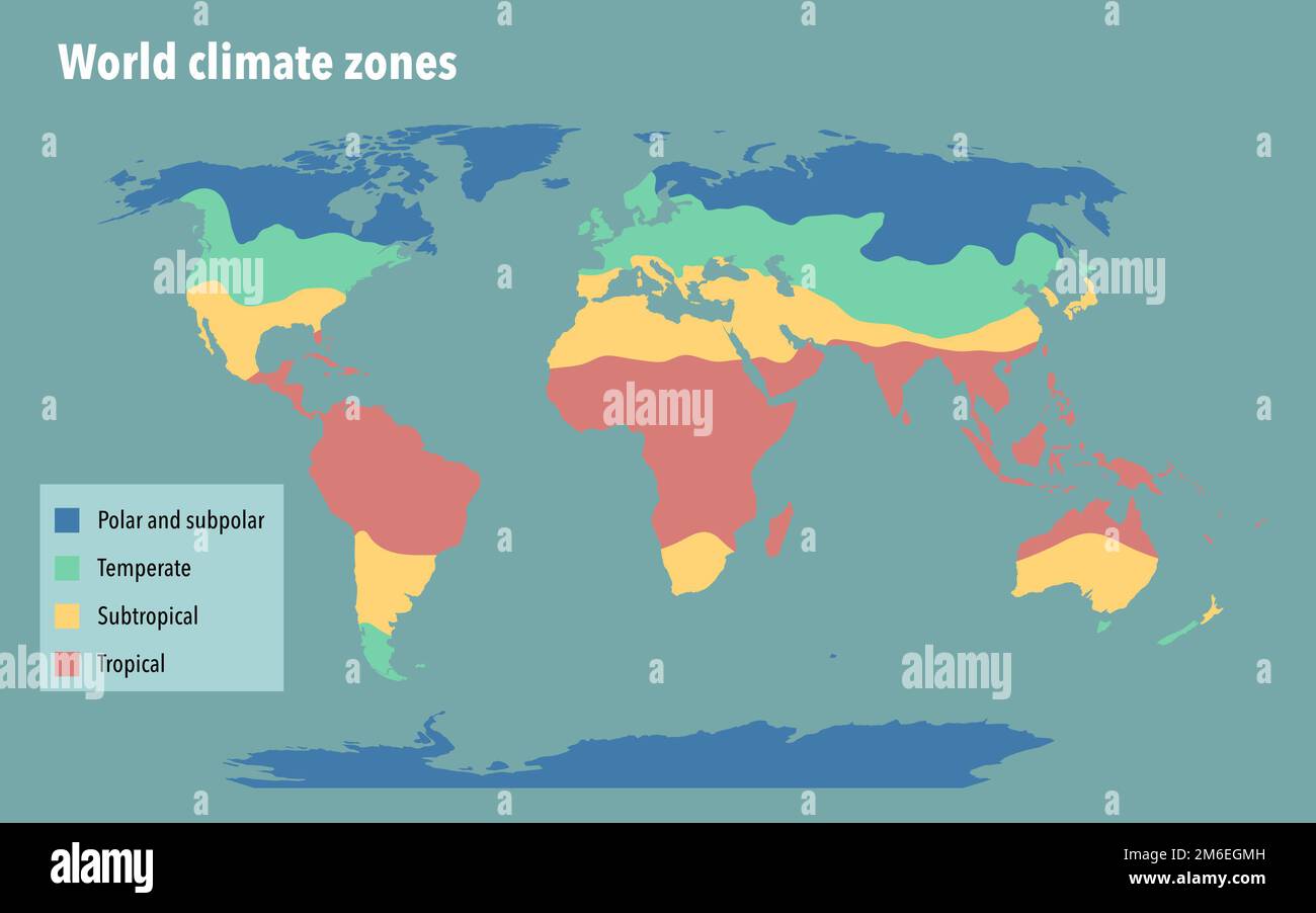 World climate zone map Stock Photohttps://www.alamy.com/image-license-details/?v=1https://www.alamy.com/world-climate-zone-map-image503109057.html
RF2M6EGMH–World climate zone map
 Earth Ocean Globe World Geography Map on the desk Stock Photohttps://www.alamy.com/image-license-details/?v=1https://www.alamy.com/earth-ocean-globe-world-geography-map-on-the-desk-image404164530.html
RF2EDF7YE–Earth Ocean Globe World Geography Map on the desk
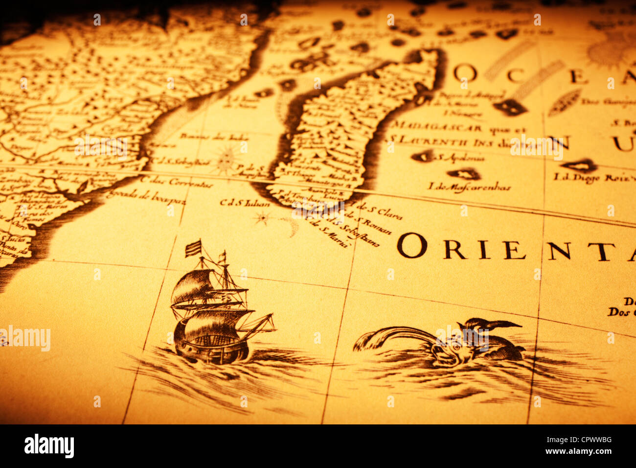 Detail from an old map showing a ship off Madagascar, a sea monster and the coast of Africa. Stock Photohttps://www.alamy.com/image-license-details/?v=1https://www.alamy.com/stock-photo-detail-from-an-old-map-showing-a-ship-off-madagascar-a-sea-monster-48511892.html
RFCPWWBG–Detail from an old map showing a ship off Madagascar, a sea monster and the coast of Africa.
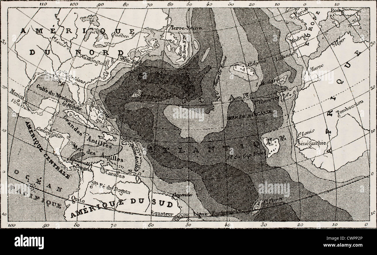 Old map of Atlantic Ocean depth Stock Photohttps://www.alamy.com/image-license-details/?v=1https://www.alamy.com/stock-photo-old-map-of-atlantic-ocean-depth-50287406.html
RFCWPP2P–Old map of Atlantic Ocean depth
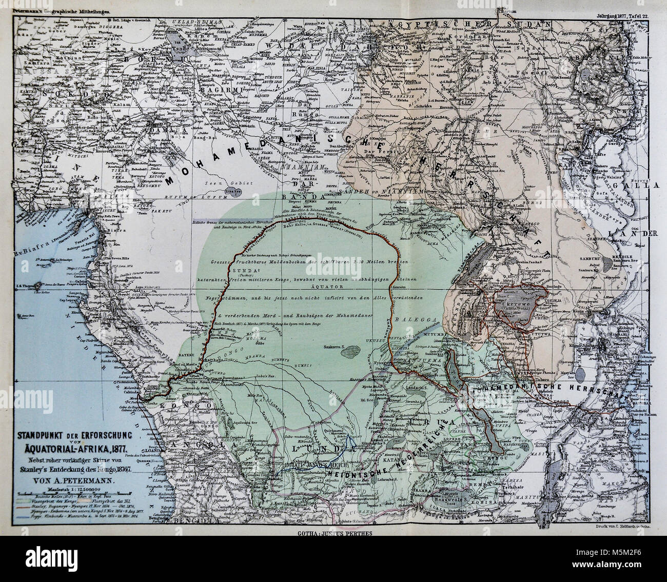 1877 Petermann Mittheilungen Map of Equatorial Africa Stock Photohttps://www.alamy.com/image-license-details/?v=1https://www.alamy.com/stock-photo-1877-petermann-mittheilungen-map-of-equatorial-africa-175617994.html
RFM5M2F6–1877 Petermann Mittheilungen Map of Equatorial Africa
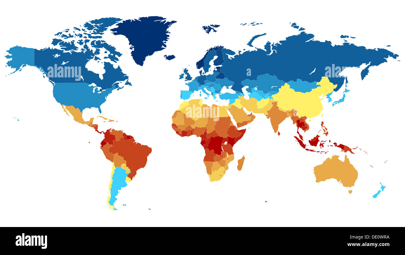 Detailed world map with countries. Colored in various colors: from red on equator to deep blue near poles. Stock Photohttps://www.alamy.com/image-license-details/?v=1https://www.alamy.com/detailed-world-map-with-countries-colored-in-various-colors-from-red-image60256542.html
RFDE0WRA–Detailed world map with countries. Colored in various colors: from red on equator to deep blue near poles.
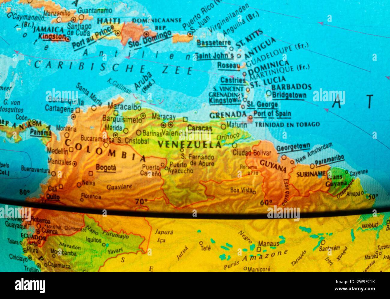 Part of the globe where the northern part of South-America and a part of the Caribbean Sea is displayed. The thick curved black line is the equator. Stock Photohttps://www.alamy.com/image-license-details/?v=1https://www.alamy.com/part-of-the-globe-where-the-northern-part-of-south-america-and-a-part-of-the-caribbean-sea-is-displayed-the-thick-curved-black-line-is-the-equator-image591015311.html
RF2W9F21K–Part of the globe where the northern part of South-America and a part of the Caribbean Sea is displayed. The thick curved black line is the equator.
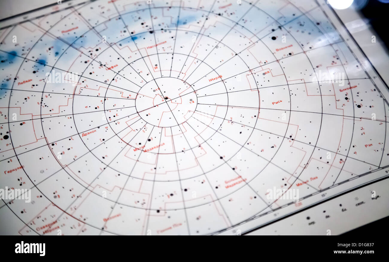 Astronomical paper star map fragment with constellations names on Russian Stock Photohttps://www.alamy.com/image-license-details/?v=1https://www.alamy.com/stock-photo-astronomical-paper-star-map-fragment-with-constellations-names-on-52603355.html
RFD1G837–Astronomical paper star map fragment with constellations names on Russian
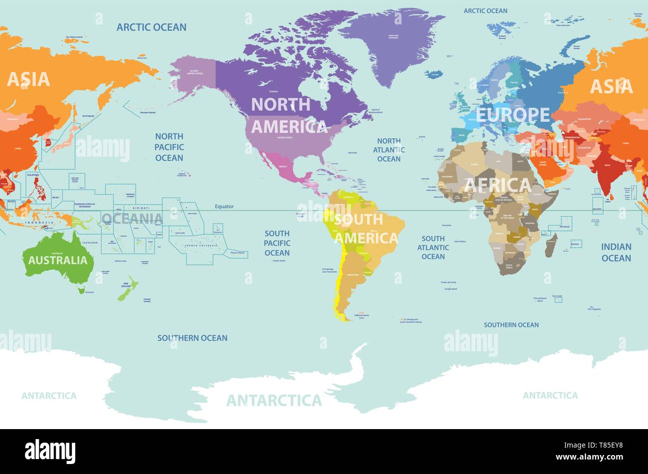 vector world map colored by continents and centered by America Stock Vectorhttps://www.alamy.com/image-license-details/?v=1https://www.alamy.com/vector-world-map-colored-by-continents-and-centered-by-america-image245983900.html
RFT85EY8–vector world map colored by continents and centered by America
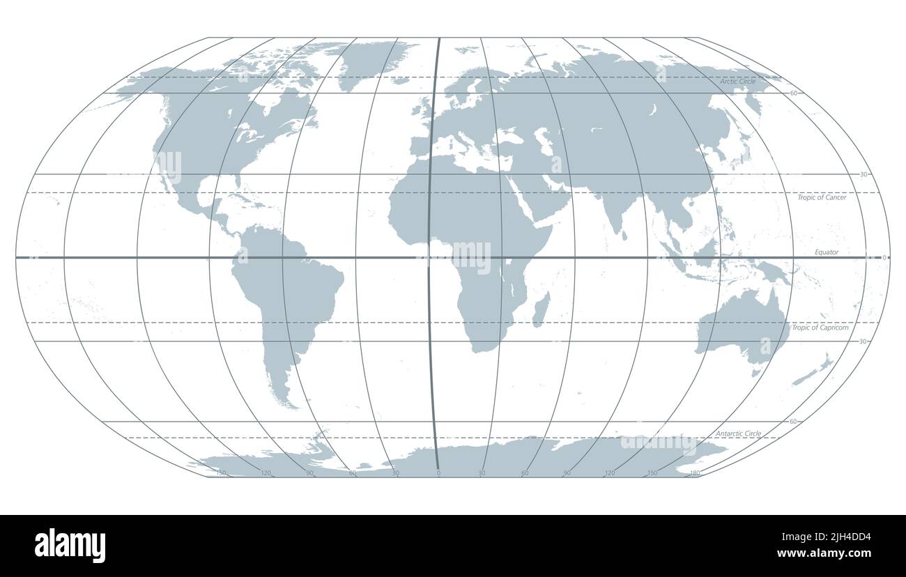 The world with most important circles of latitudes and longitudes, gray political map. Equator, Greenwich meridian, Arctic and Antarctic Circle ... Stock Photohttps://www.alamy.com/image-license-details/?v=1https://www.alamy.com/the-world-with-most-important-circles-of-latitudes-and-longitudes-gray-political-map-equator-greenwich-meridian-arctic-and-antarctic-circle-image475227456.html
RF2JH4DD4–The world with most important circles of latitudes and longitudes, gray political map. Equator, Greenwich meridian, Arctic and Antarctic Circle ...
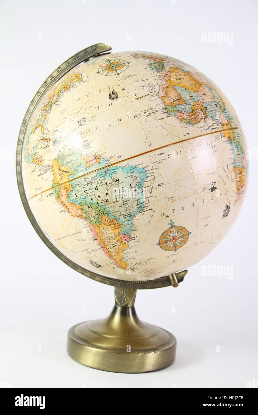 Globe Stock Photohttps://www.alamy.com/image-license-details/?v=1https://www.alamy.com/stock-photo-globe-135006719.html
RFHRJ2CF–Globe
 Globe with political map on white isolated background. 3d Stock Photohttps://www.alamy.com/image-license-details/?v=1https://www.alamy.com/stock-photo-globe-with-political-map-on-white-isolated-background-3d-74263250.html
RFE8PYEX–Globe with political map on white isolated background. 3d
 horn of africa vector map Stock Vectorhttps://www.alamy.com/image-license-details/?v=1https://www.alamy.com/stock-image-horn-of-africa-vector-map-167440444.html
RFKMBFYT–horn of africa vector map
 Map of Equator full of fruits and vegetables (tomato , apple, orange , eggplant, cabbage, cucumber , broccoli, grapes, arugula, banana, peppers, squas Stock Vectorhttps://www.alamy.com/image-license-details/?v=1https://www.alamy.com/map-of-equator-full-of-fruits-and-vegetables-tomato-apple-orange-eggplant-cabbage-cucumber-broccoli-grapes-arugula-banana-peppers-squas-image433065424.html
RF2G4FRA8–Map of Equator full of fruits and vegetables (tomato , apple, orange , eggplant, cabbage, cucumber , broccoli, grapes, arugula, banana, peppers, squas
 Modern or vintage retro brown globe world map with equator and South America continent as home office decoration and plant in background Stock Photohttps://www.alamy.com/image-license-details/?v=1https://www.alamy.com/modern-or-vintage-retro-brown-globe-world-map-with-equator-and-south-america-continent-as-home-office-decoration-and-plant-in-background-image525416311.html
RF2NEPNT7–Modern or vintage retro brown globe world map with equator and South America continent as home office decoration and plant in background
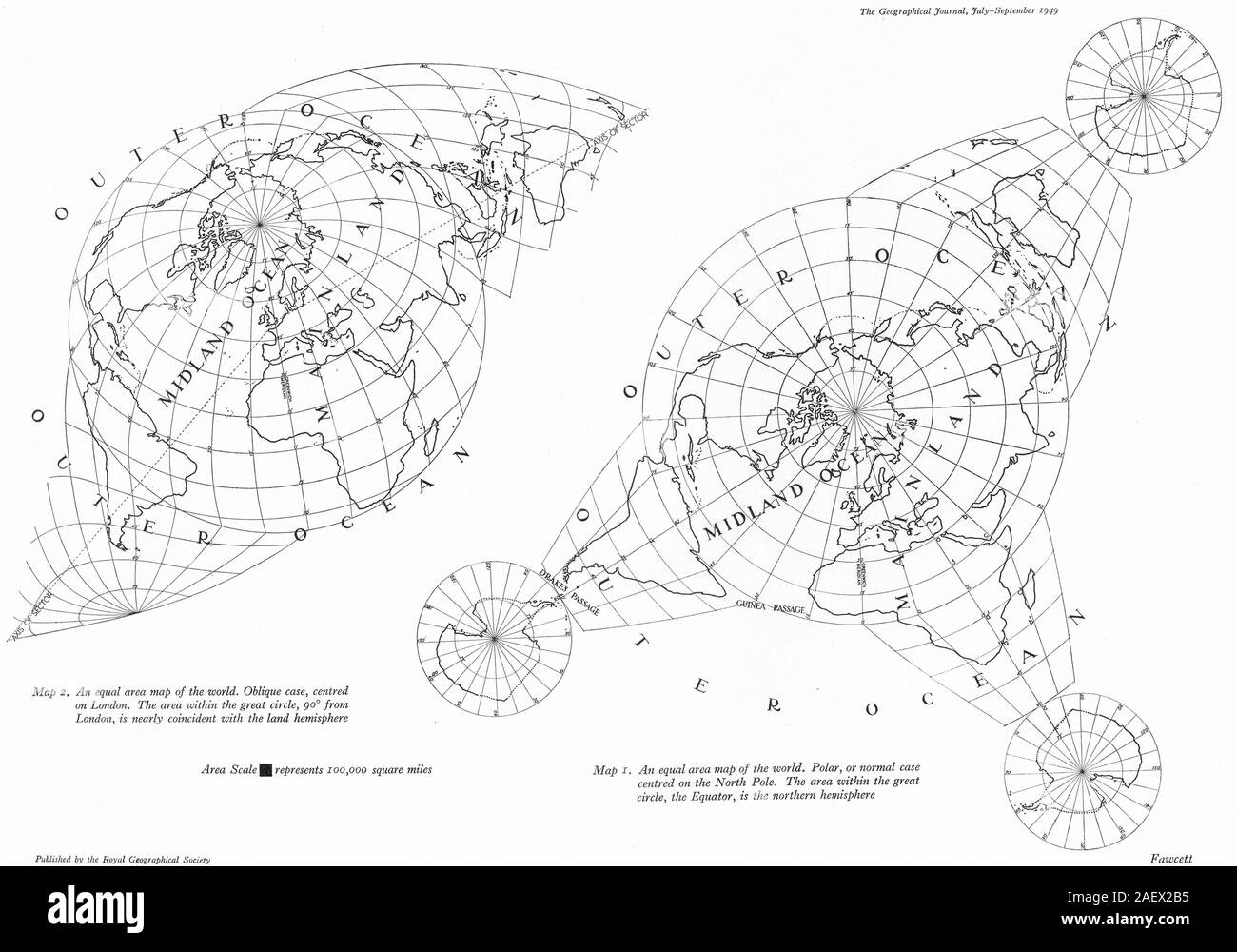 WORLD Equal area map.Polar case(North pole);Oblique(London)land hemisphere 1949 Stock Photohttps://www.alamy.com/image-license-details/?v=1https://www.alamy.com/world-equal-area-mappolar-casenorth-poleobliquelondonland-hemisphere-1949-image336174809.html
RF2AEX2B5–WORLD Equal area map.Polar case(North pole);Oblique(London)land hemisphere 1949
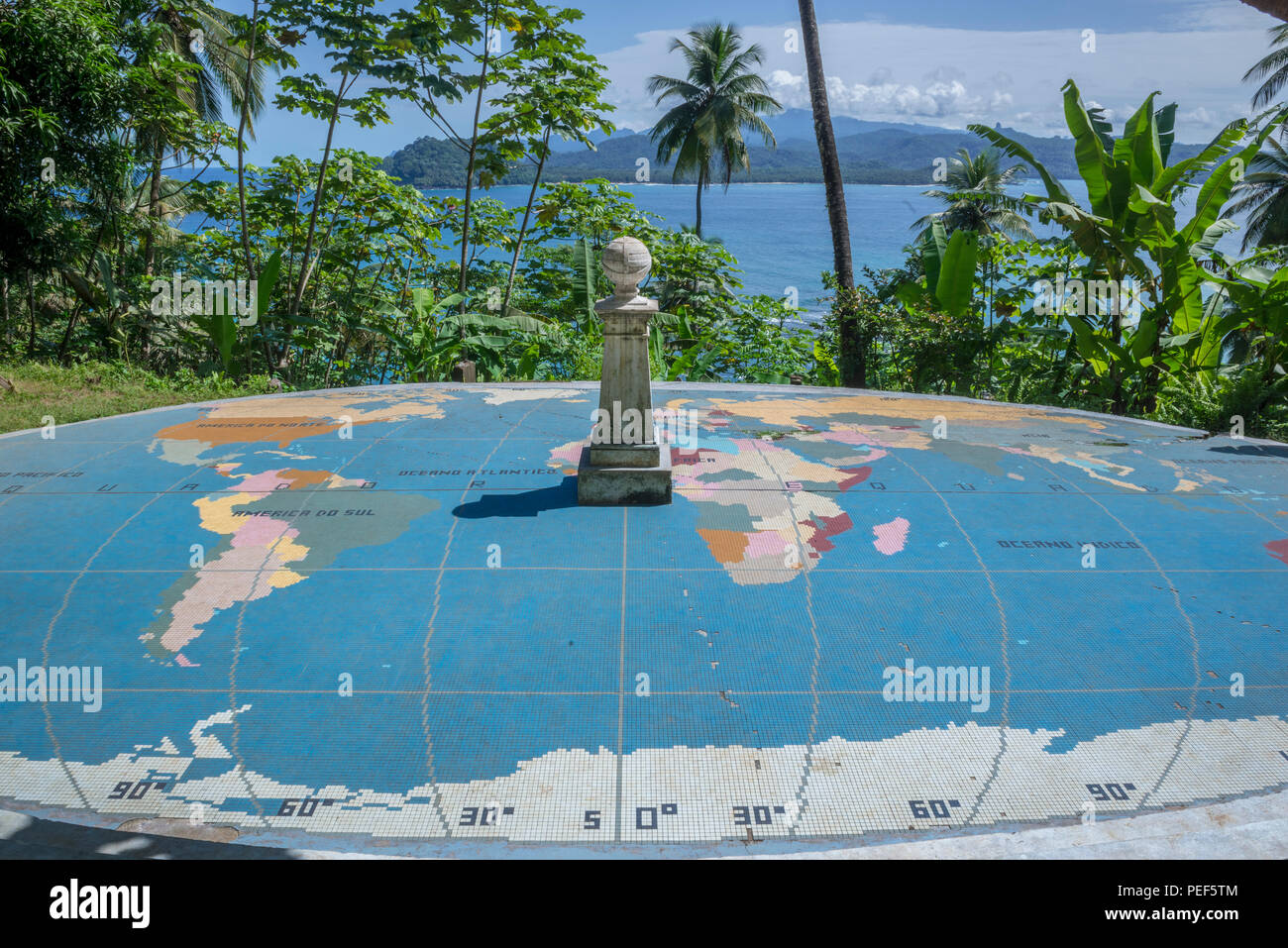 World map mosaic marks the exact location of the parallels zero and Equator, Rólas, São Tomé and Príncipe Stock Photohttps://www.alamy.com/image-license-details/?v=1https://www.alamy.com/world-map-mosaic-marks-the-exact-location-of-the-parallels-zero-and-equator-rlas-so-tom-and-prncipe-image215463492.html
RFPEF5TM–World map mosaic marks the exact location of the parallels zero and Equator, Rólas, São Tomé and Príncipe
 Globe Stock Photohttps://www.alamy.com/image-license-details/?v=1https://www.alamy.com/stock-photo-globe-59350991.html
RFDCFJP7–Globe
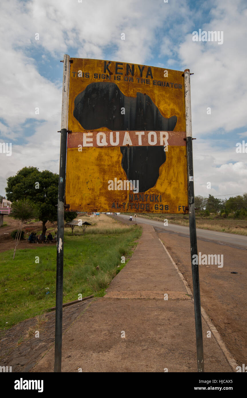 Sign marking the equator line dividing north and south hemispheres, Nanyuku, Kenya Stock Photohttps://www.alamy.com/image-license-details/?v=1https://www.alamy.com/stock-photo-sign-marking-the-equator-line-dividing-north-and-south-hemispheres-131808381.html
RFHJCAX5–Sign marking the equator line dividing north and south hemispheres, Nanyuku, Kenya
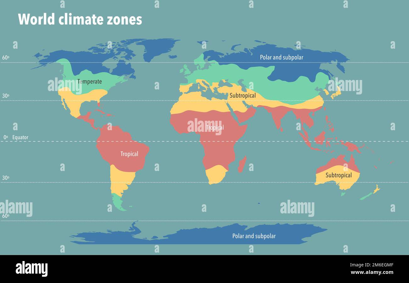 World climate zone map Stock Photohttps://www.alamy.com/image-license-details/?v=1https://www.alamy.com/world-climate-zone-map-image503109055.html
RF2M6EGMF–World climate zone map
 Earth Ocean Globe World Geography Map on the desk Stock Photohttps://www.alamy.com/image-license-details/?v=1https://www.alamy.com/earth-ocean-globe-world-geography-map-on-the-desk-image404165364.html
RF2EDF918–Earth Ocean Globe World Geography Map on the desk
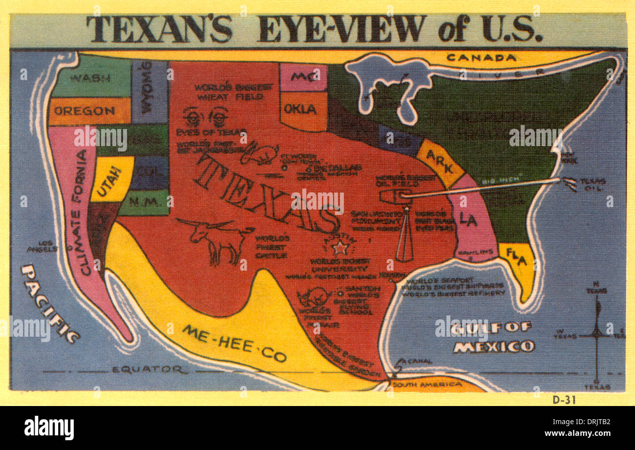 A Texan's eye view of the USA Stock Photohttps://www.alamy.com/image-license-details/?v=1https://www.alamy.com/a-texans-eye-view-of-the-usa-image66182454.html
RMDRJTB2–A Texan's eye view of the USA
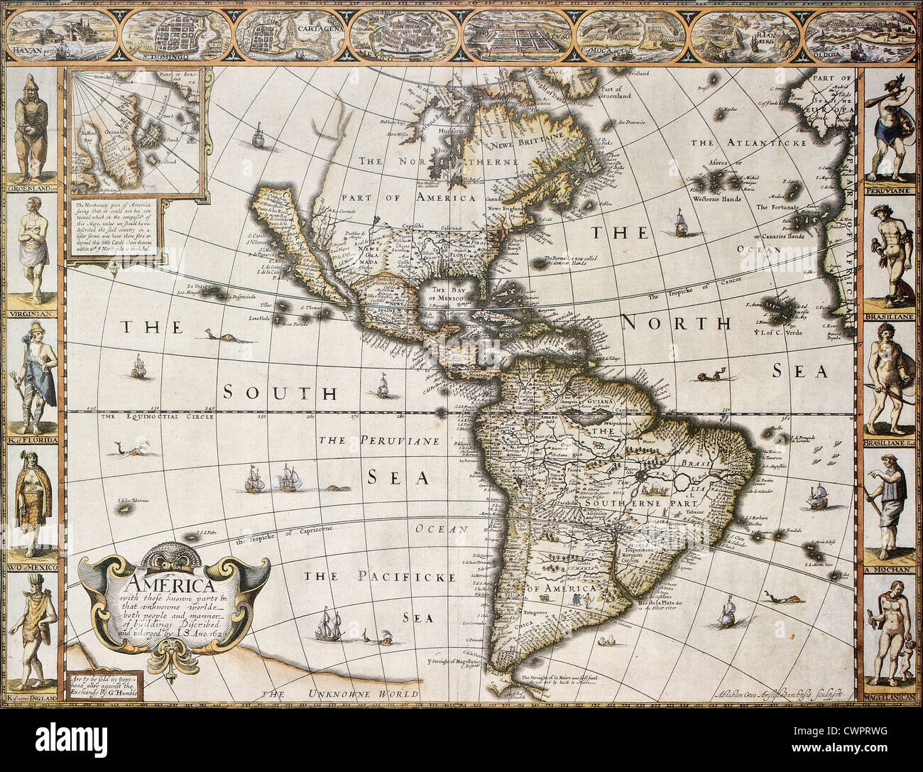 America old map with Greenland insert map Stock Photohttps://www.alamy.com/image-license-details/?v=1https://www.alamy.com/stock-photo-america-old-map-with-greenland-insert-map-50288828.html
RFCWPRWG–America old map with Greenland insert map
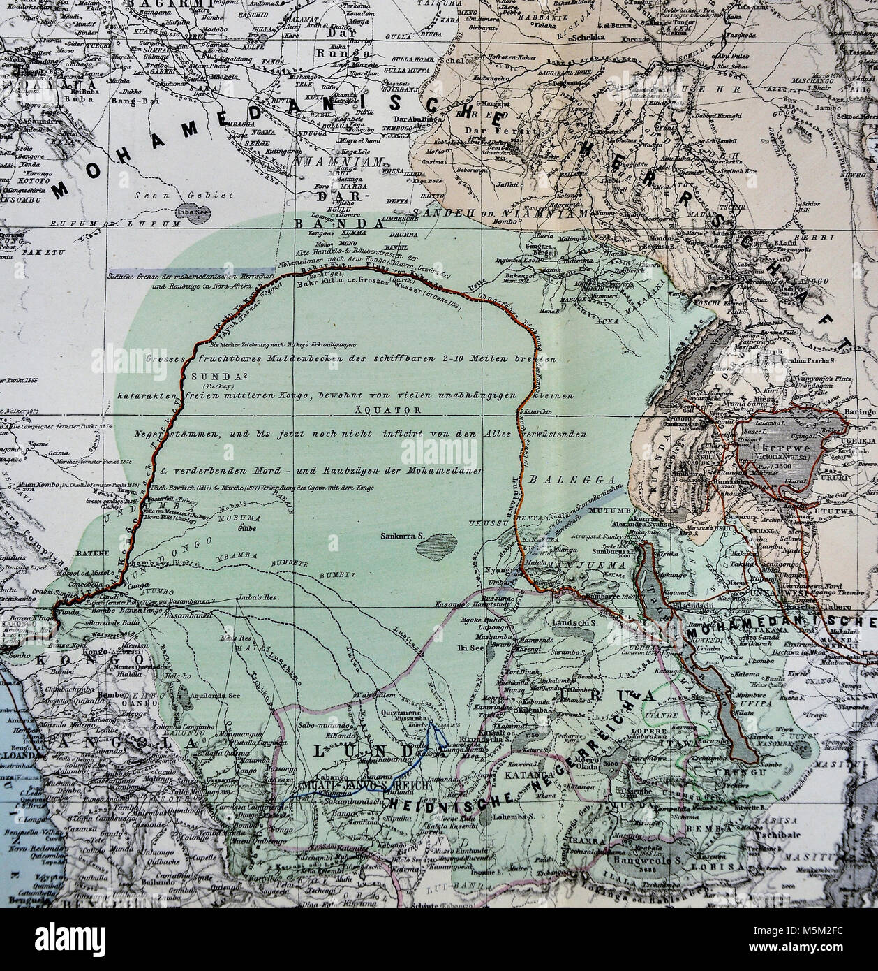 1877 Petermann Mittheilungen Map of Equatorial Africa Stock Photohttps://www.alamy.com/image-license-details/?v=1https://www.alamy.com/stock-photo-1877-petermann-mittheilungen-map-of-equatorial-africa-175618000.html
RFM5M2FC–1877 Petermann Mittheilungen Map of Equatorial Africa
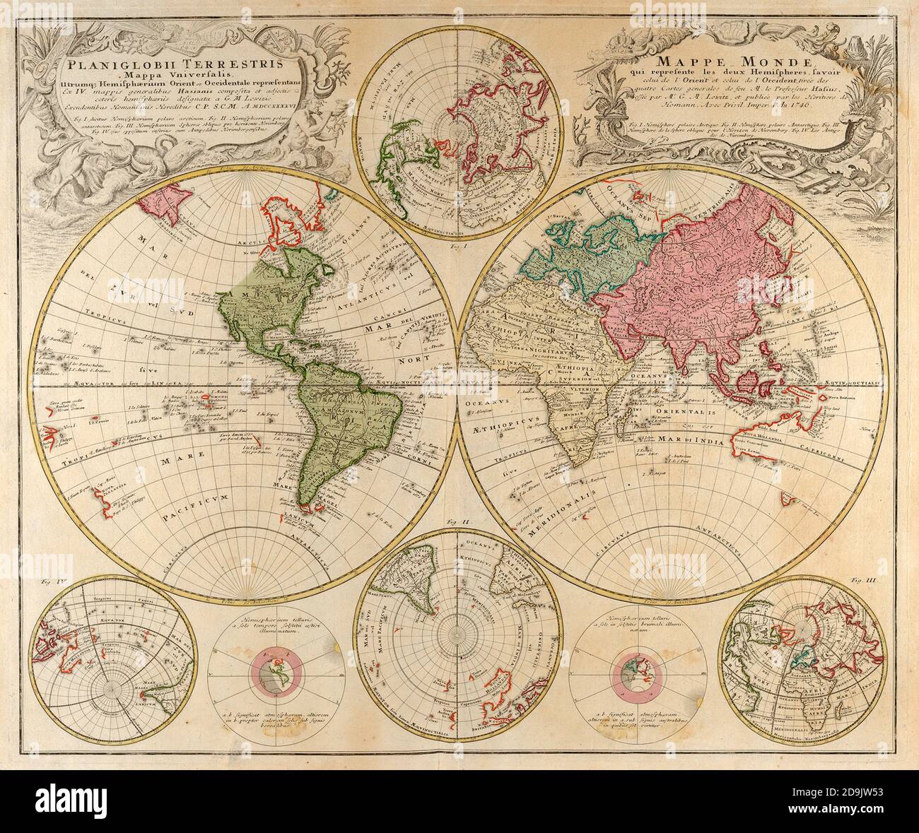 Planiglobii Terrestris Mappa Universalis. World map in colour printed in Germany in 1746 Stock Photohttps://www.alamy.com/image-license-details/?v=1https://www.alamy.com/planiglobii-terrestris-mappa-universalis-world-map-in-colour-printed-in-germany-in-1746-image384574879.html
RF2D9JW53–Planiglobii Terrestris Mappa Universalis. World map in colour printed in Germany in 1746
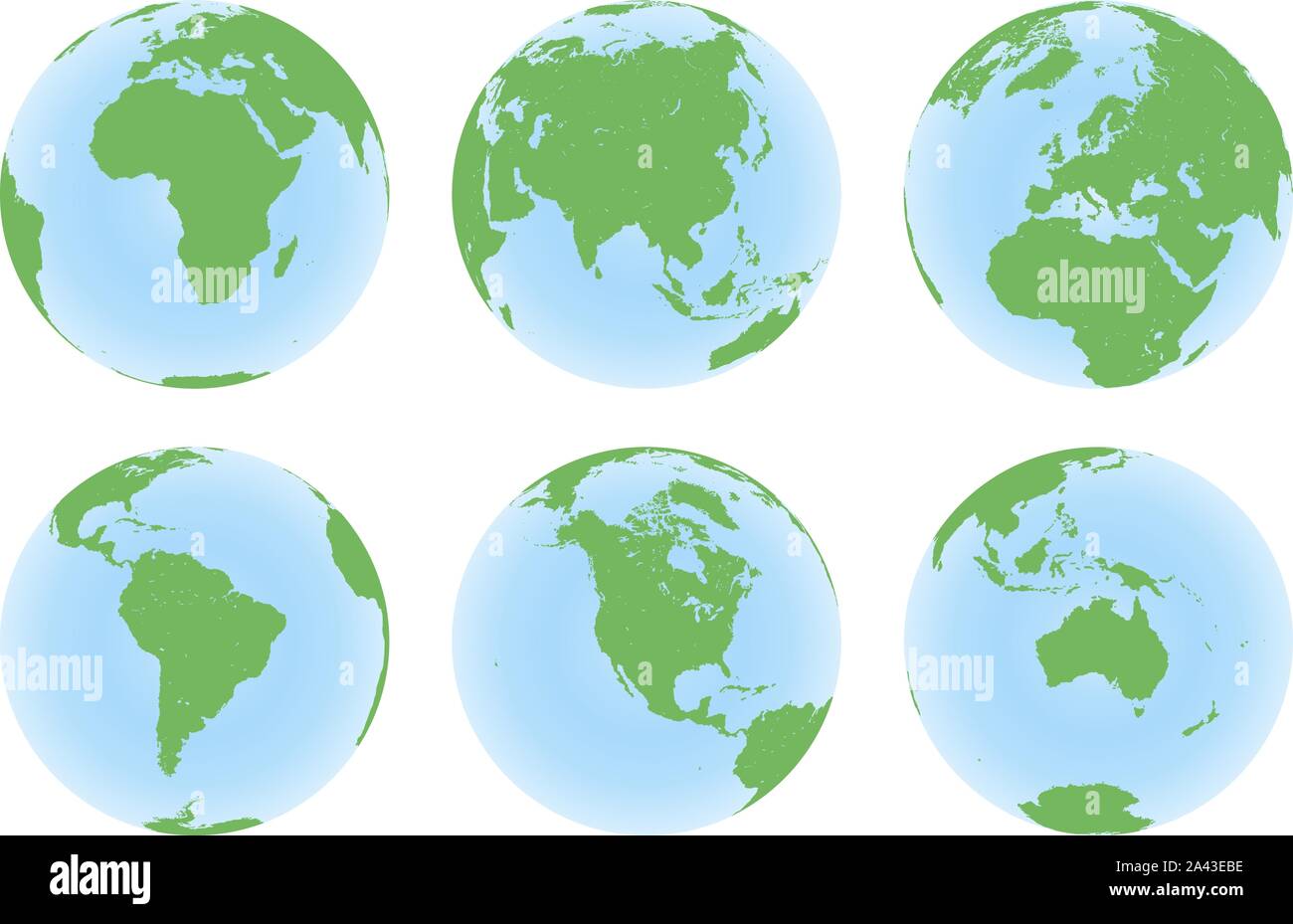 Set of six planet Earth globes with green land map Stock Vectorhttps://www.alamy.com/image-license-details/?v=1https://www.alamy.com/set-of-six-planet-earth-globes-with-green-land-map-image329532770.html
RF2A43EBE–Set of six planet Earth globes with green land map
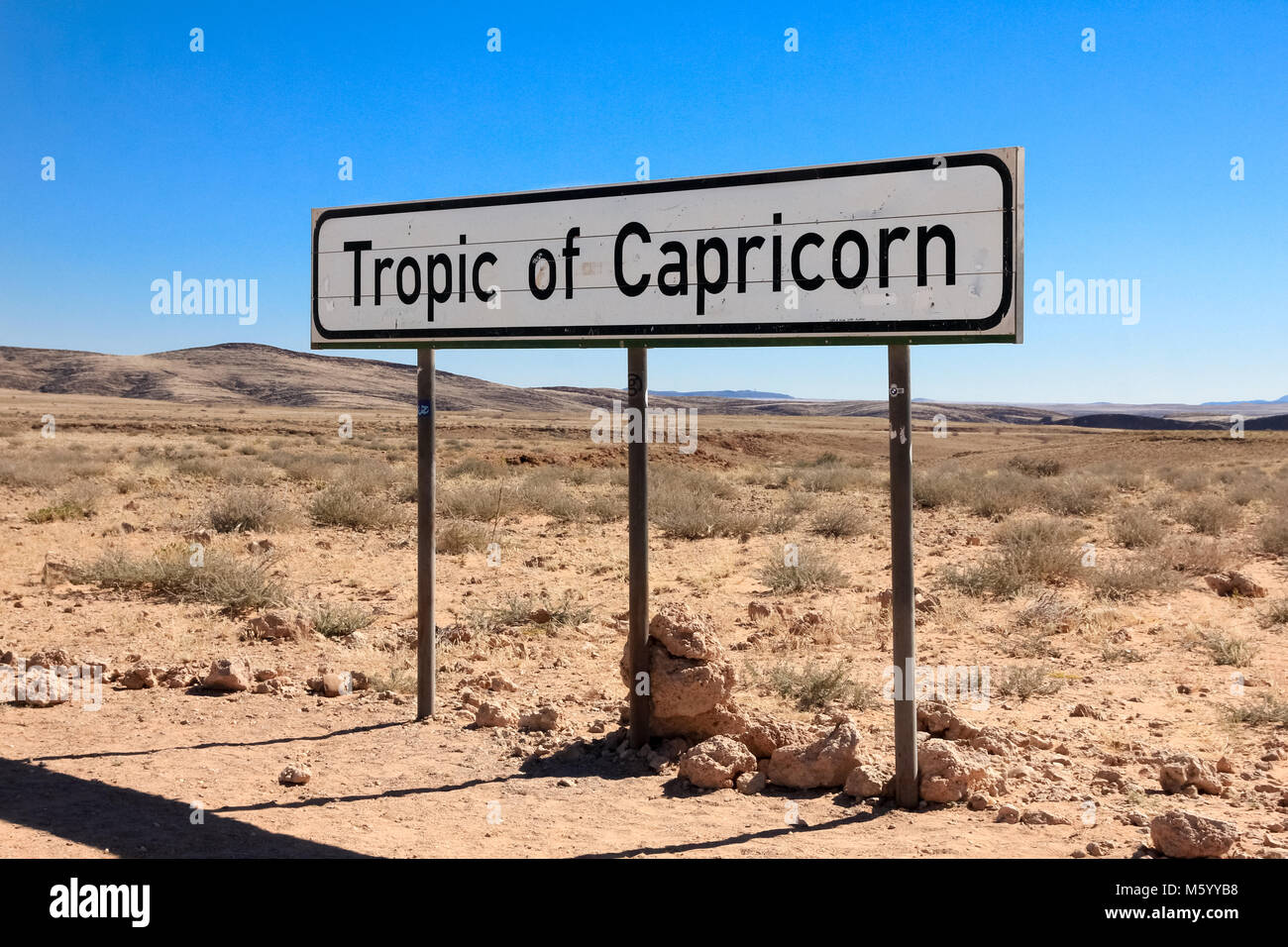 Road sign marking the Tropic of Capricorn in the desert. Stock Photohttps://www.alamy.com/image-license-details/?v=1https://www.alamy.com/stock-photo-road-sign-marking-the-tropic-of-capricorn-in-the-desert-175791148.html
RFM5YYB8–Road sign marking the Tropic of Capricorn in the desert.
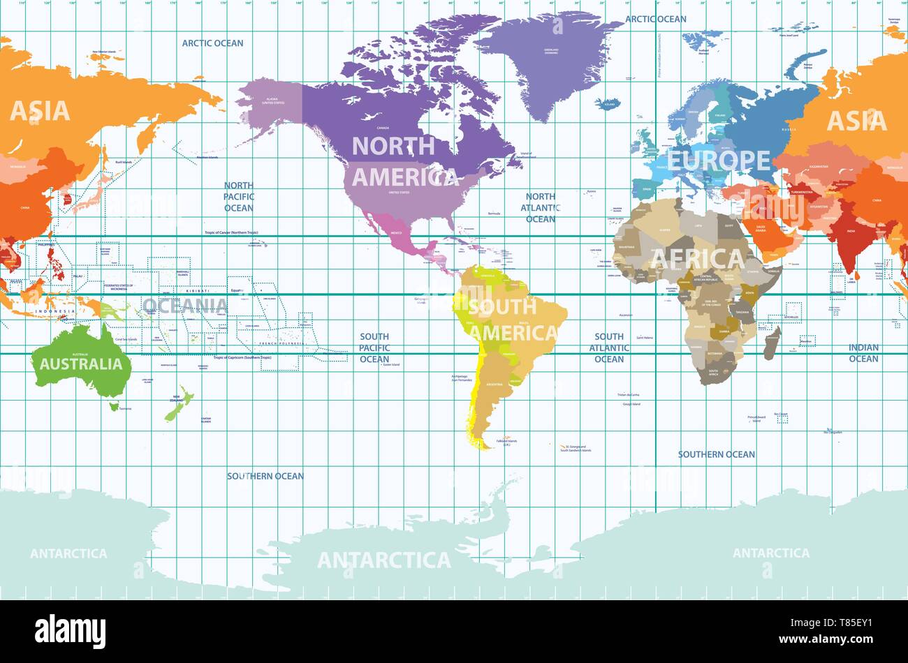 vector world map colored by continents and centered by America Stock Vectorhttps://www.alamy.com/image-license-details/?v=1https://www.alamy.com/vector-world-map-colored-by-continents-and-centered-by-america-image245983893.html
RFT85EY1–vector world map colored by continents and centered by America
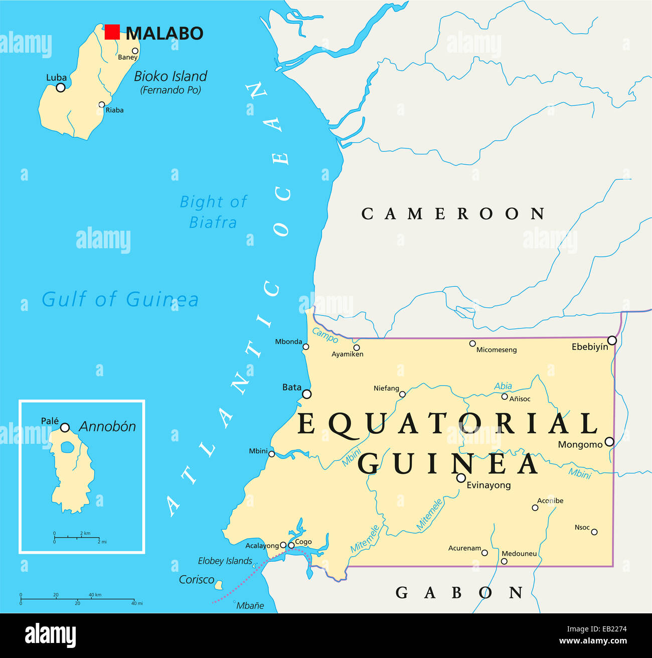 Equatorial Guinea Political Map with capital Malabo, national borders, important cities and rivers. English labeling and scaling Stock Photohttps://www.alamy.com/image-license-details/?v=1https://www.alamy.com/stock-photo-equatorial-guinea-political-map-with-capital-malabo-national-borders-75648360.html
RFEB2274–Equatorial Guinea Political Map with capital Malabo, national borders, important cities and rivers. English labeling and scaling
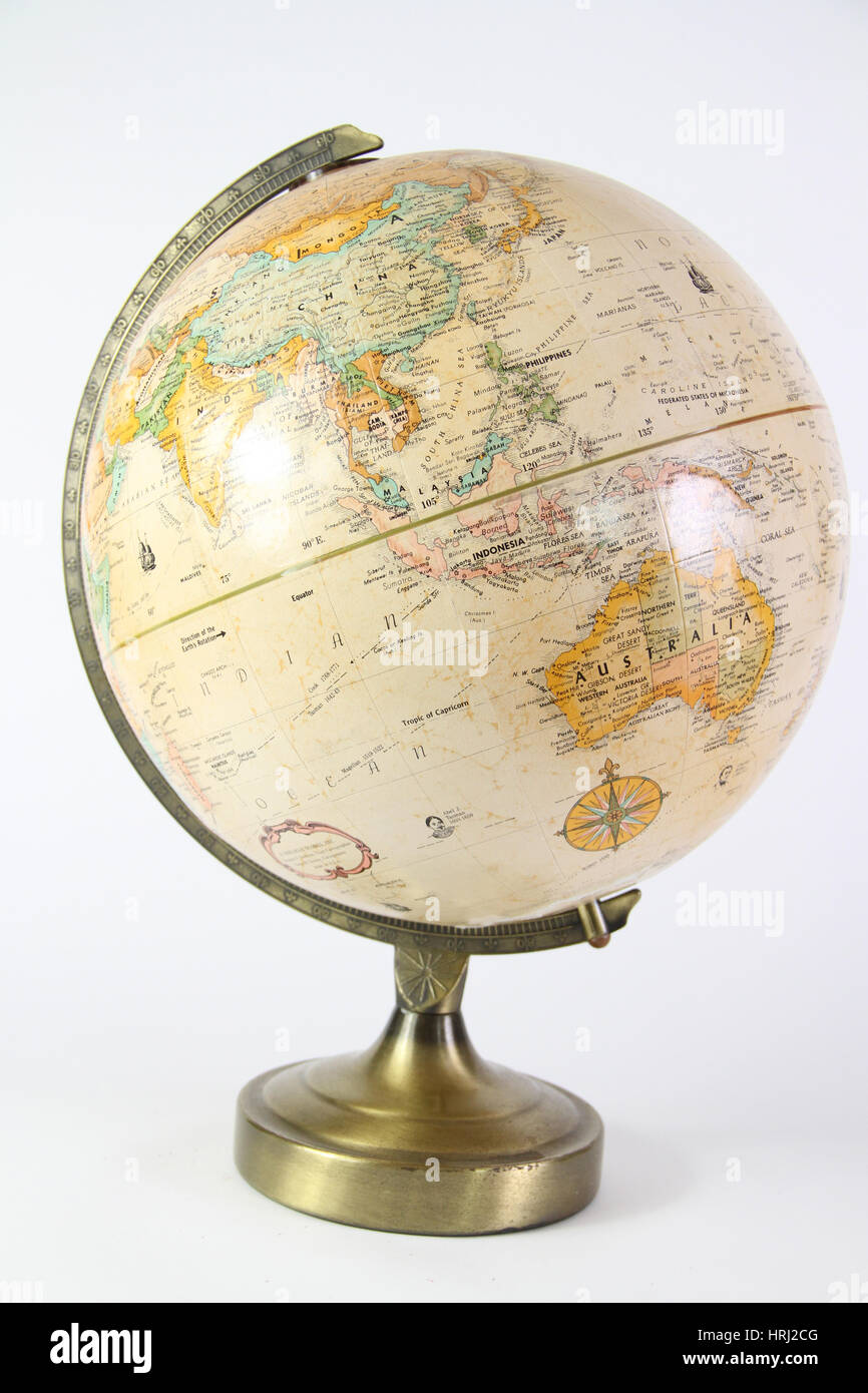 Globe Stock Photohttps://www.alamy.com/image-license-details/?v=1https://www.alamy.com/stock-photo-globe-135006720.html
RFHRJ2CG–Globe
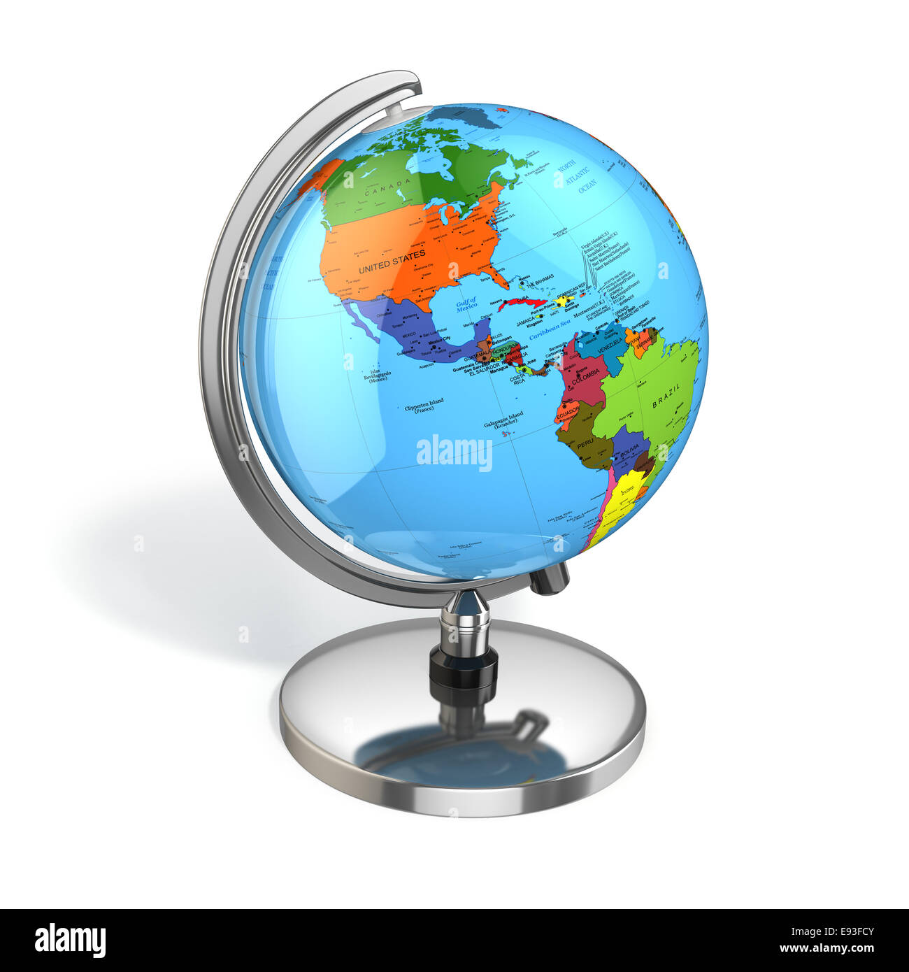 Globe with political map on white isolated background. 3d Stock Photohttps://www.alamy.com/image-license-details/?v=1https://www.alamy.com/stock-photo-globe-with-political-map-on-white-isolated-background-3d-74451355.html
RFE93FCY–Globe with political map on white isolated background. 3d
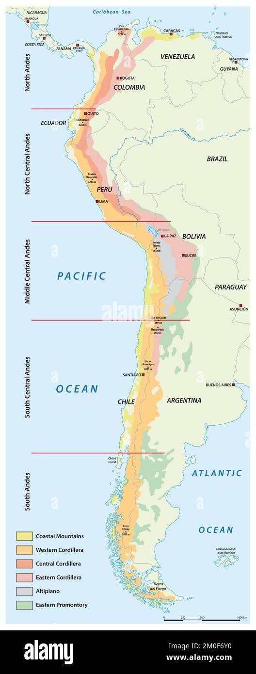 Map of the divisions of the South American mountains Andes Stock Photohttps://www.alamy.com/image-license-details/?v=1https://www.alamy.com/map-of-the-divisions-of-the-south-american-mountains-andes-image499435412.html
RF2M0F6Y0–Map of the divisions of the South American mountains Andes
 Map Equator covered in money, bank notes of one hundred dollars. On the map there is glass reflection. Conceptual. Stock Vectorhttps://www.alamy.com/image-license-details/?v=1https://www.alamy.com/stock-photo-map-equator-covered-in-money-bank-notes-of-one-hundred-dollars-on-123400021.html
RFH4N9YH–Map Equator covered in money, bank notes of one hundred dollars. On the map there is glass reflection. Conceptual.