Ethiopia map Black & White Stock Photos
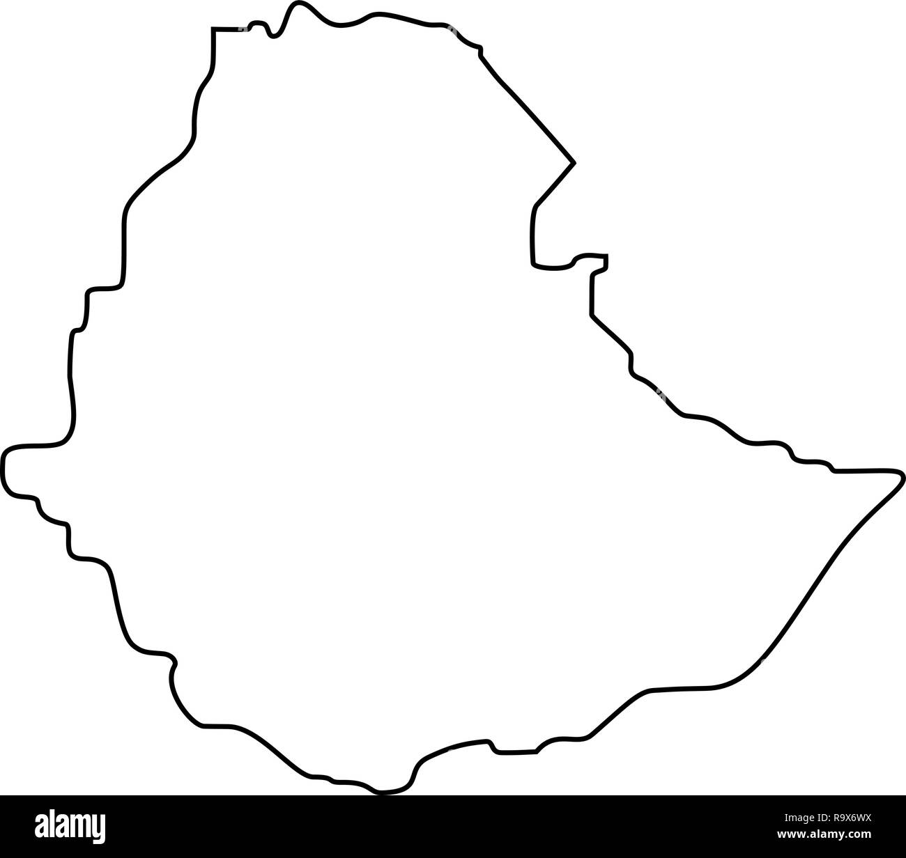 map of Ethiopia -outline. Silhouette of Ethiopia map vector illustration Stock Vectorhttps://www.alamy.com/image-license-details/?v=1https://www.alamy.com/map-of-ethiopia-outline-silhouette-of-ethiopia-map-vector-illustration-image229842870.html
RFR9X6WX–map of Ethiopia -outline. Silhouette of Ethiopia map vector illustration
 Map showing journey of Belgian forces from the Congo to Ethiopia Stock Photohttps://www.alamy.com/image-license-details/?v=1https://www.alamy.com/map-showing-journey-of-belgian-forces-from-the-congo-to-ethiopia-image342951596.html
RM2AWXP78–Map showing journey of Belgian forces from the Congo to Ethiopia
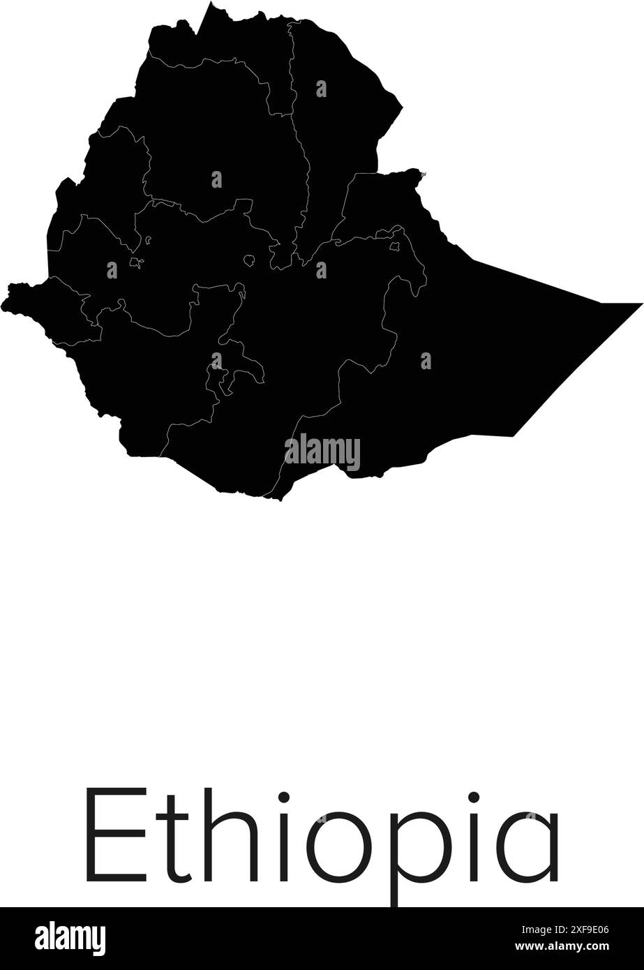 Ethiopia Map Vector Illustration - Silhouette, Outline, Ethiopia Travel and Tourism Map Stock Vectorhttps://www.alamy.com/image-license-details/?v=1https://www.alamy.com/ethiopia-map-vector-illustration-silhouette-outline-ethiopia-travel-and-tourism-map-image611791270.html
RF2XF9E06–Ethiopia Map Vector Illustration - Silhouette, Outline, Ethiopia Travel and Tourism Map
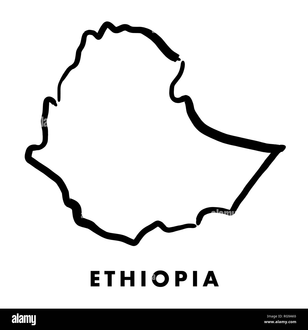 Ethiopia simple map outline - smooth simplified country shape map vector. Stock Vectorhttps://www.alamy.com/image-license-details/?v=1https://www.alamy.com/ethiopia-simple-map-outline-smooth-simplified-country-shape-map-vector-image233775226.html
RFRG9AK6–Ethiopia simple map outline - smooth simplified country shape map vector.
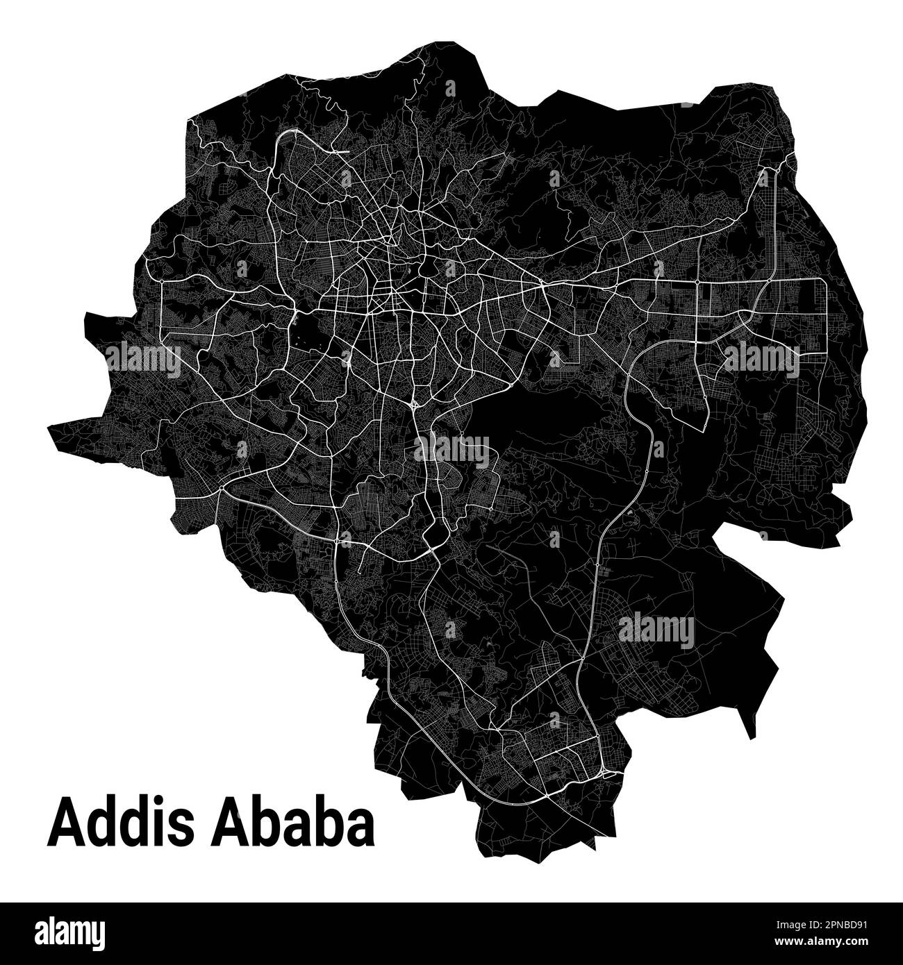 Addis Ababa, Ethiopia map. Detailed black map of Addis Ababa city administrative area. Cityscape poster metropolitan aria view. Black land with white Stock Vectorhttps://www.alamy.com/image-license-details/?v=1https://www.alamy.com/addis-ababa-ethiopia-map-detailed-black-map-of-addis-ababa-city-administrative-area-cityscape-poster-metropolitan-aria-view-black-land-with-white-image546681101.html
RF2PNBD91–Addis Ababa, Ethiopia map. Detailed black map of Addis Ababa city administrative area. Cityscape poster metropolitan aria view. Black land with white
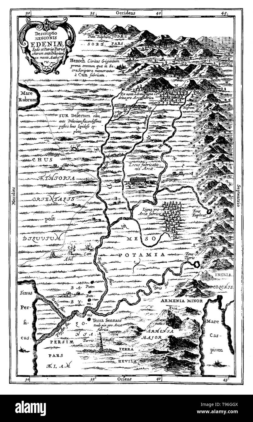 Map of Ediniae: comprising of Ethiopia, Mesopotamia, etc. The Garden of Eden is considered to be mythological by most scholars. However there have been suggestions for its supposed location: for example, at the head of the Persian Gulf, in southern Mesopotamia (now Iraq) where the Tigris and Euphrates rivers run into the sea; and in the Armenian Highlands or Armenian Plateau. No artist credited, undated. Stock Photohttps://www.alamy.com/image-license-details/?v=1https://www.alamy.com/map-of-ediniae-comprising-of-ethiopia-mesopotamia-etc-the-garden-of-eden-is-considered-to-be-mythological-by-most-scholars-however-there-have-been-suggestions-for-its-supposed-location-for-example-at-the-head-of-the-persian-gulf-in-southern-mesopotamia-now-iraq-where-the-tigris-and-euphrates-rivers-run-into-the-sea-and-in-the-armenian-highlands-or-armenian-plateau-no-artist-credited-undated-image246621786.html
RMT96GGX–Map of Ediniae: comprising of Ethiopia, Mesopotamia, etc. The Garden of Eden is considered to be mythological by most scholars. However there have been suggestions for its supposed location: for example, at the head of the Persian Gulf, in southern Mesopotamia (now Iraq) where the Tigris and Euphrates rivers run into the sea; and in the Armenian Highlands or Armenian Plateau. No artist credited, undated.
 Set of state maps of Ethiopia with regions and municipalities division. Department borders, isolated vector maps on white background. Stock Vectorhttps://www.alamy.com/image-license-details/?v=1https://www.alamy.com/set-of-state-maps-of-ethiopia-with-regions-and-municipalities-division-department-borders-isolated-vector-maps-on-white-background-image592411691.html
RF2WBPK4B–Set of state maps of Ethiopia with regions and municipalities division. Department borders, isolated vector maps on white background.
 Ethiopia Map. Ethiopian Black silhouette and outline map isolated on white background. Federal Democratic Republic of Ethiopia Territory Border Bounda Stock Vectorhttps://www.alamy.com/image-license-details/?v=1https://www.alamy.com/ethiopia-map-ethiopian-black-silhouette-and-outline-map-isolated-on-white-background-federal-democratic-republic-of-ethiopia-territory-border-bounda-image462125919.html
RF2HRRJ93–Ethiopia Map. Ethiopian Black silhouette and outline map isolated on white background. Federal Democratic Republic of Ethiopia Territory Border Bounda
 ETHIOPIA: Gondar, sketch map, c1885 Stock Photohttps://www.alamy.com/image-license-details/?v=1https://www.alamy.com/stock-photo-ethiopia-gondar-sketch-map-c1885-102606733.html
RFFXX3X5–ETHIOPIA: Gondar, sketch map, c1885
 Ethiopia Map. Ethiopian Country Map. Black and White National Nation Outline Geography Border Boundary Shape Territory Vector Illustration EPS Clipart Stock Vectorhttps://www.alamy.com/image-license-details/?v=1https://www.alamy.com/ethiopia-map-ethiopian-country-map-black-and-white-national-nation-outline-geography-border-boundary-shape-territory-vector-illustration-eps-clipart-image477281986.html
RF2JME216–Ethiopia Map. Ethiopian Country Map. Black and White National Nation Outline Geography Border Boundary Shape Territory Vector Illustration EPS Clipart
 Ethiopia Map grey Stock Photohttps://www.alamy.com/image-license-details/?v=1https://www.alamy.com/stock-image-ethiopia-map-grey-169151106.html
RFKR5DXX–Ethiopia Map grey
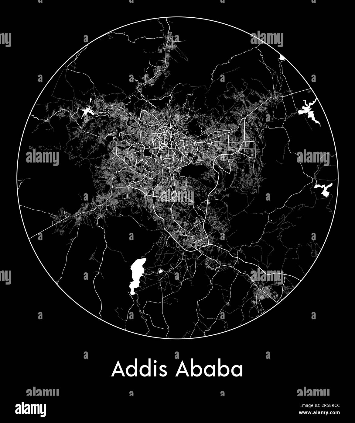 City Map Addis Ababa Ethiopia Africa vector illustration Stock Vectorhttps://www.alamy.com/image-license-details/?v=1https://www.alamy.com/city-map-addis-ababa-ethiopia-africa-vector-illustration-image554130764.html
RF2R5ERCC–City Map Addis Ababa Ethiopia Africa vector illustration
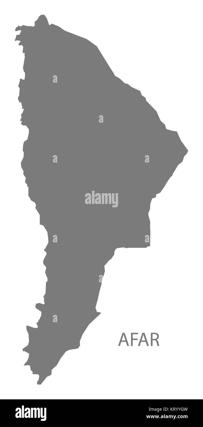 Afar Ethiopia Map grey Stock Photohttps://www.alamy.com/image-license-details/?v=1https://www.alamy.com/stock-image-afar-ethiopia-map-grey-169644745.html
RFKRYYGW–Afar Ethiopia Map grey
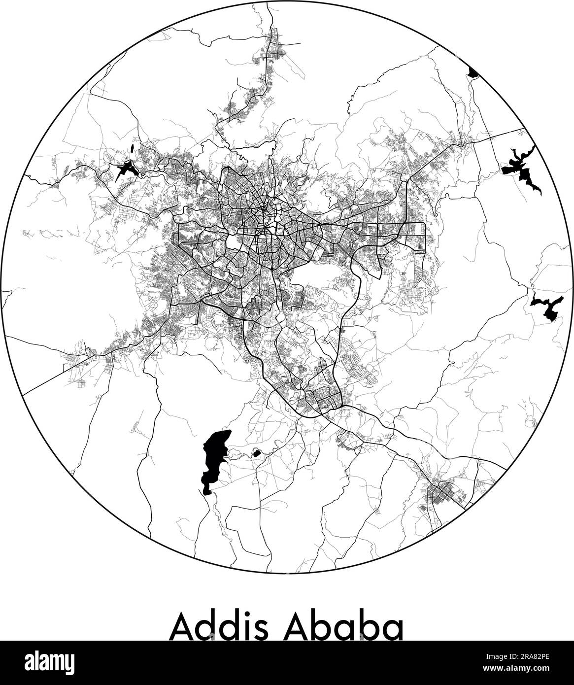 City Map Addis Ababa Ethiopia Africa vector illustration black white Stock Vectorhttps://www.alamy.com/image-license-details/?v=1https://www.alamy.com/city-map-addis-ababa-ethiopia-africa-vector-illustration-black-white-image557056150.html
RF2RA82PE–City Map Addis Ababa Ethiopia Africa vector illustration black white
 Vector halftone Dotted map of Ethiopia country for your design, Travel Illustration concept. Stock Vectorhttps://www.alamy.com/image-license-details/?v=1https://www.alamy.com/vector-halftone-dotted-map-of-ethiopia-country-for-your-design-travel-illustration-concept-image434102482.html
RF2G67242–Vector halftone Dotted map of Ethiopia country for your design, Travel Illustration concept.
RF2WWMPYN–ethiopia map icon vector illustration design
RF2WWHBNR–Ethiopia map icon illustration template design
 Background Addis Ababa map, Ethiopia, white and light grey city poster. Vector map with roads and water. Widescreen proportion, digital flat design ro Stock Vectorhttps://www.alamy.com/image-license-details/?v=1https://www.alamy.com/background-addis-ababa-map-ethiopia-white-and-light-grey-city-poster-vector-map-with-roads-and-water-widescreen-proportion-digital-flat-design-ro-image562484580.html
RF2RK3AR0–Background Addis Ababa map, Ethiopia, white and light grey city poster. Vector map with roads and water. Widescreen proportion, digital flat design ro
 Ethiopia map outline vector illustration Stock Vectorhttps://www.alamy.com/image-license-details/?v=1https://www.alamy.com/ethiopia-map-outline-vector-illustration-image366597629.html
RF2C8BY0D–Ethiopia map outline vector illustration
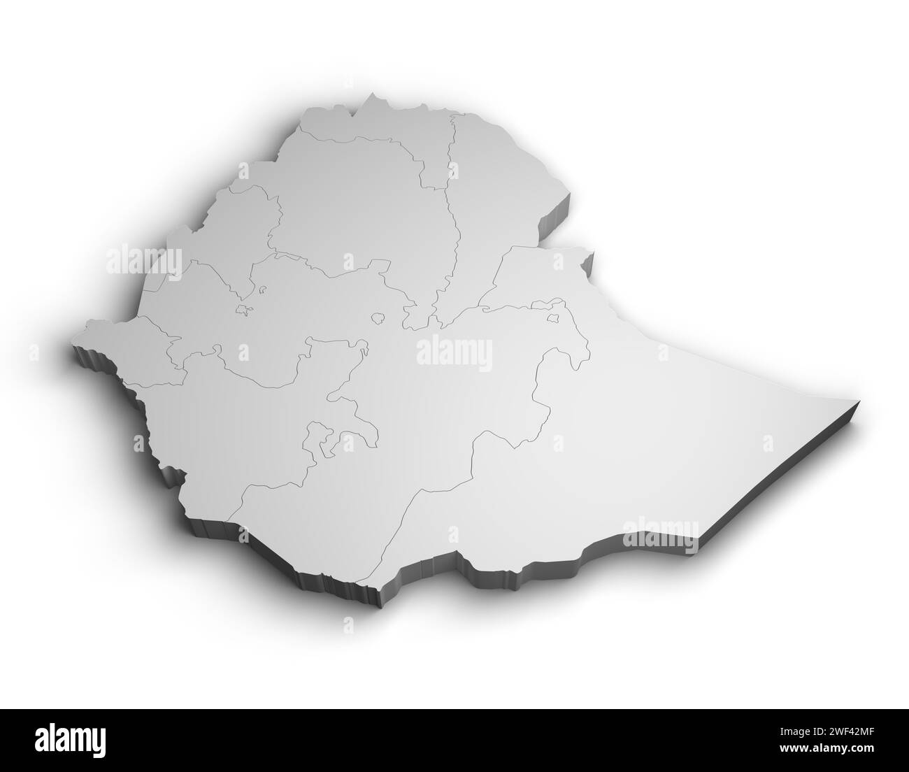 3d Ethiopia map illustration white background isolate Stock Photohttps://www.alamy.com/image-license-details/?v=1https://www.alamy.com/3d-ethiopia-map-illustration-white-background-isolate-image594462303.html
RF2WF42MF–3d Ethiopia map illustration white background isolate
 Ethiopia map. Blank vector map of the Country. Borders of Ethiopia for your infographic. Vector illustration. Stock Vectorhttps://www.alamy.com/image-license-details/?v=1https://www.alamy.com/ethiopia-map-blank-vector-map-of-the-country-borders-of-ethiopia-for-your-infographic-vector-illustration-image501777673.html
RF2M49XF5–Ethiopia map. Blank vector map of the Country. Borders of Ethiopia for your infographic. Vector illustration.
 Historic map of Abyssina, departments of Tigrie and Amhara, Ethiopia, East Africa, Dr. Richard Andree, Abessinien, Land und Volk, Leipzig 1869 Stock Photohttps://www.alamy.com/image-license-details/?v=1https://www.alamy.com/historic-map-of-abyssina-departments-of-tigrie-and-amhara-ethiopia-east-africa-dr-richard-andree-abessinien-land-und-volk-leipzig-1869-image410799097.html
RM2ET9EC9–Historic map of Abyssina, departments of Tigrie and Amhara, Ethiopia, East Africa, Dr. Richard Andree, Abessinien, Land und Volk, Leipzig 1869
RF2E13538–Map of Ethiopia administrative regions departments with icons. Map location pin, arrow, looking glass, signboard, man, bicycle, car, airplane, house.
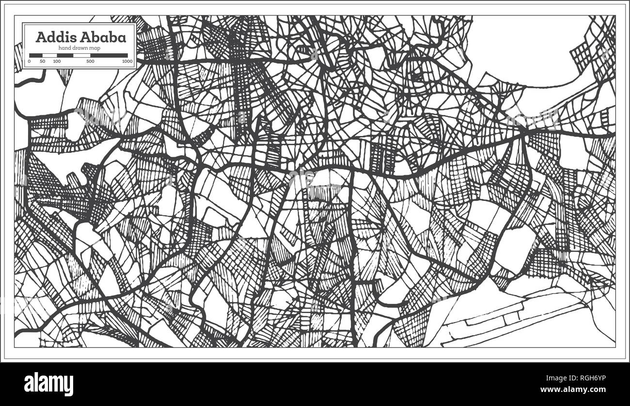 Addis Ababa Ethiopia City Map in Retro Style. Outline Map. Vector Illustration. Stock Vectorhttps://www.alamy.com/image-license-details/?v=1https://www.alamy.com/addis-ababa-ethiopia-city-map-in-retro-style-outline-map-vector-illustration-image233947946.html
RFRGH6YP–Addis Ababa Ethiopia City Map in Retro Style. Outline Map. Vector Illustration.
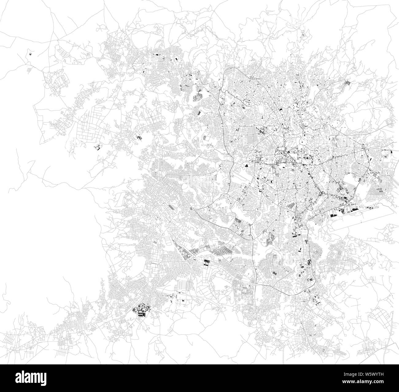 Satellite map of Addis Ababa, it is the capital and largest city of Ethiopia. Africa. Map of streets and buildings of the town center Stock Vectorhttps://www.alamy.com/image-license-details/?v=1https://www.alamy.com/satellite-map-of-addis-ababa-it-is-the-capital-and-largest-city-of-ethiopia-africa-map-of-streets-and-buildings-of-the-town-center-image261799457.html
RFW5WYTH–Satellite map of Addis Ababa, it is the capital and largest city of Ethiopia. Africa. Map of streets and buildings of the town center
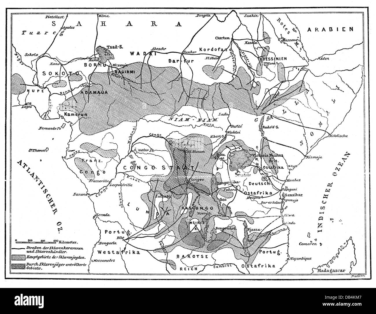 slavery, slave trade, map of the territories of the African slave trade, according to E. Jung, late 19th century, human trafficking, trafficking in human beings, slaves, slave, Central Africa, Belgian Congo, French Congo, congo, German East Africa, Portuguese East Africa, Sub-Saharan Africa, Kasongon, Ethiopia, French, Belgian, German, Germans, Portuguese, colony, colonies, dependency, dependencies, topographic map, topographic maps, cartography, map printing, slavery, slaveries, map, maps, abolition of slave trade, historic, historical, Additional-Rights-Clearences-Not Available Stock Photohttps://www.alamy.com/image-license-details/?v=1https://www.alamy.com/stock-photo-slavery-slave-trade-map-of-the-territories-of-the-african-slave-trade-58495591.html
RMDB4KM7–slavery, slave trade, map of the territories of the African slave trade, according to E. Jung, late 19th century, human trafficking, trafficking in human beings, slaves, slave, Central Africa, Belgian Congo, French Congo, congo, German East Africa, Portuguese East Africa, Sub-Saharan Africa, Kasongon, Ethiopia, French, Belgian, German, Germans, Portuguese, colony, colonies, dependency, dependencies, topographic map, topographic maps, cartography, map printing, slavery, slaveries, map, maps, abolition of slave trade, historic, historical, Additional-Rights-Clearences-Not Available
 map of Ethiopia -outline. Silhouette of Ethiopia map illustration Stock Photohttps://www.alamy.com/image-license-details/?v=1https://www.alamy.com/map-of-ethiopia-outline-silhouette-of-ethiopia-map-illustration-image230124704.html
RFRAB2BC–map of Ethiopia -outline. Silhouette of Ethiopia map illustration
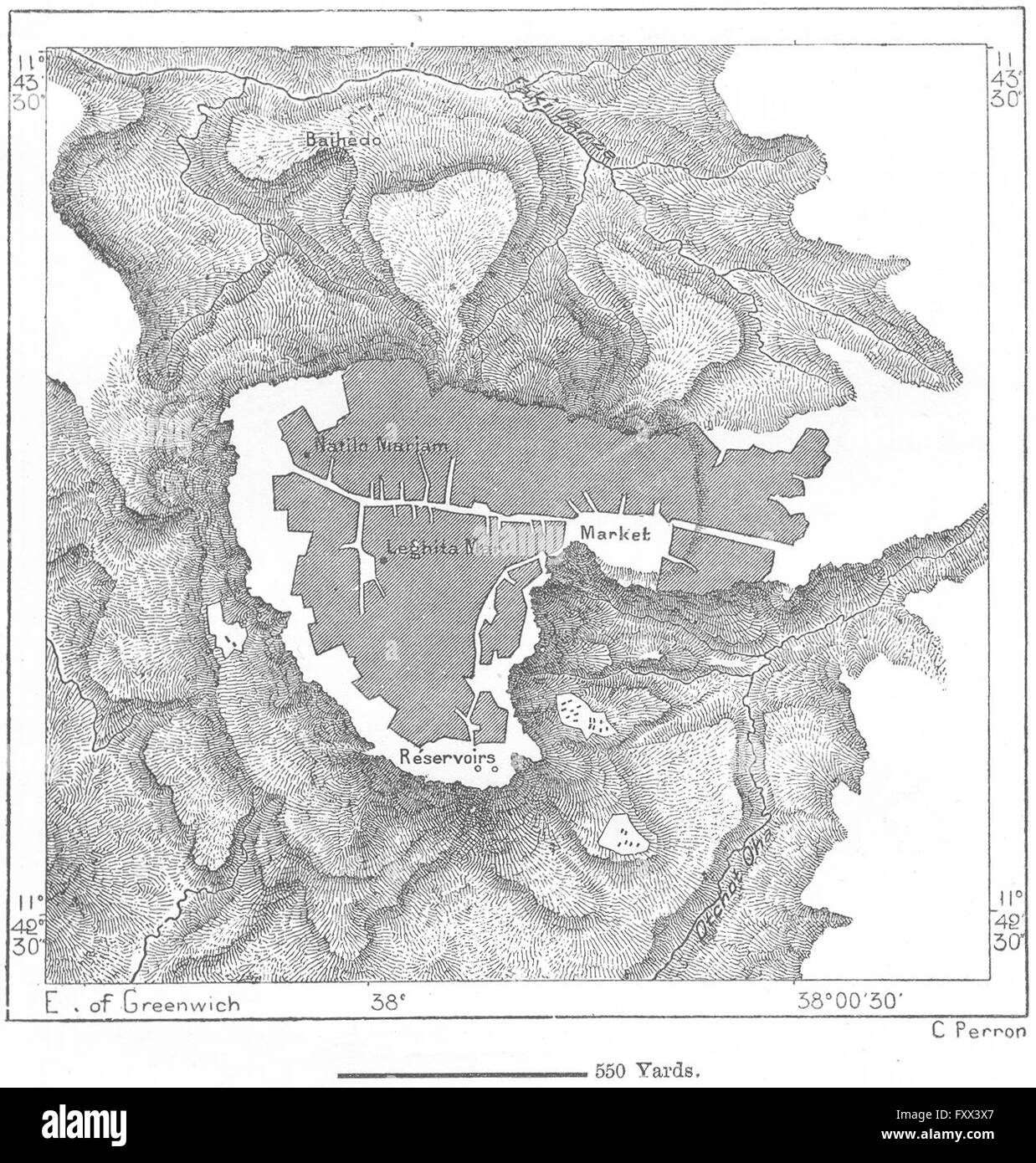 ETHIOPIA: Mahdera-Mariam, sketch map, c1885 Stock Photohttps://www.alamy.com/image-license-details/?v=1https://www.alamy.com/stock-photo-ethiopia-mahdera-mariam-sketch-map-c1885-102606735.html
RFFXX3X7–ETHIOPIA: Mahdera-Mariam, sketch map, c1885
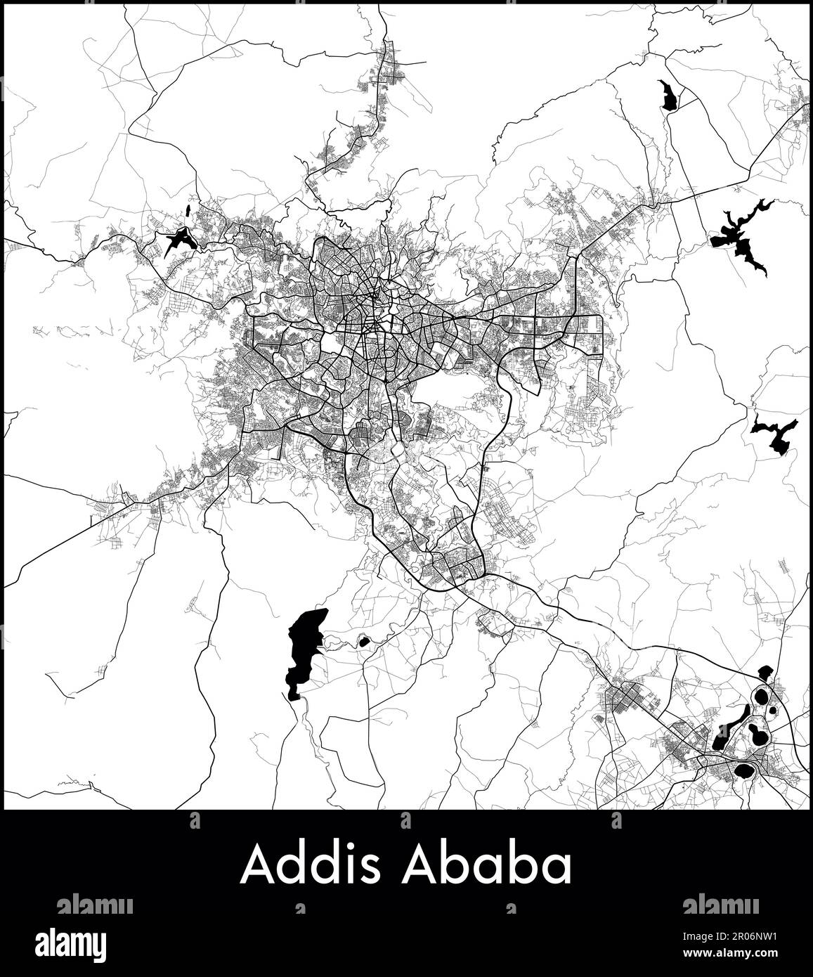 City Map Africa Ethiopia Addis Ababa vector illustration Stock Vectorhttps://www.alamy.com/image-license-details/?v=1https://www.alamy.com/city-map-africa-ethiopia-addis-ababa-vector-illustration-image550880653.html
RF2R06NW1–City Map Africa Ethiopia Addis Ababa vector illustration
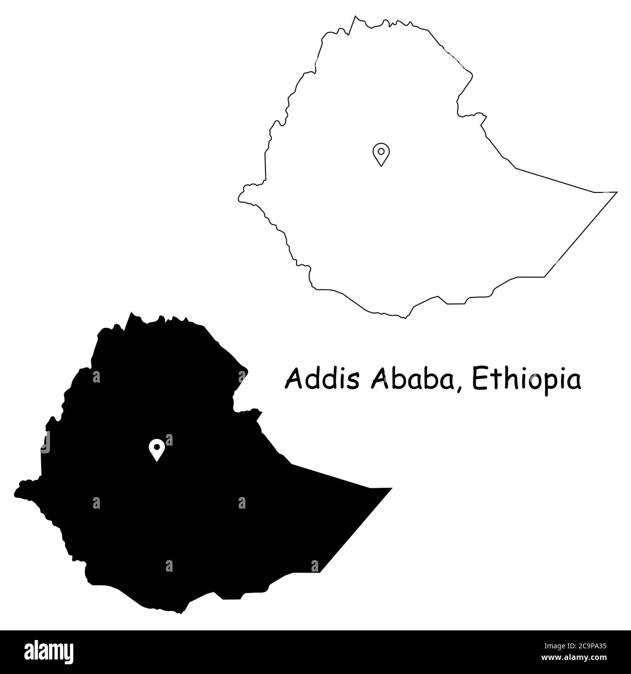 Addis Ababa Ethiopia. Detailed Country Map with Location Pin on Capital City Black silhouette and outline maps isolated on white background EPS Vector Stock Vectorhttps://www.alamy.com/image-license-details/?v=1https://www.alamy.com/addis-ababa-ethiopia-detailed-country-map-with-location-pin-on-capital-city-black-silhouette-and-outline-maps-isolated-on-white-background-eps-vector-image367440505.html
RF2C9PA35–Addis Ababa Ethiopia. Detailed Country Map with Location Pin on Capital City Black silhouette and outline maps isolated on white background EPS Vector
 Ethiopia vector country map outline Stock Vectorhttps://www.alamy.com/image-license-details/?v=1https://www.alamy.com/ethiopia-vector-country-map-outline-image474384865.html
RF2JFP2MH–Ethiopia vector country map outline
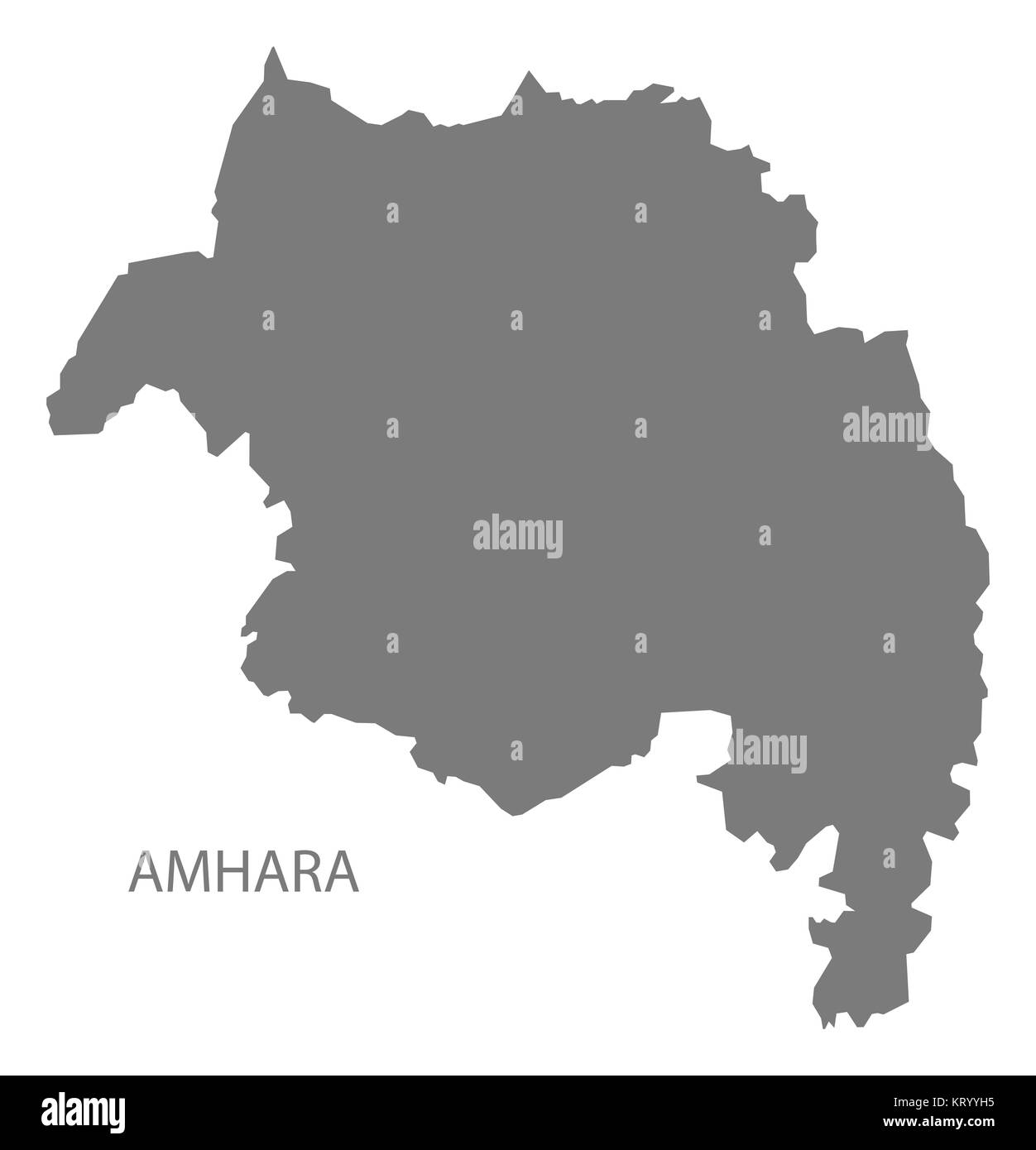 Amhara Ethiopia Map grey Stock Photohttps://www.alamy.com/image-license-details/?v=1https://www.alamy.com/stock-image-amhara-ethiopia-map-grey-169644753.html
RFKRYYH5–Amhara Ethiopia Map grey
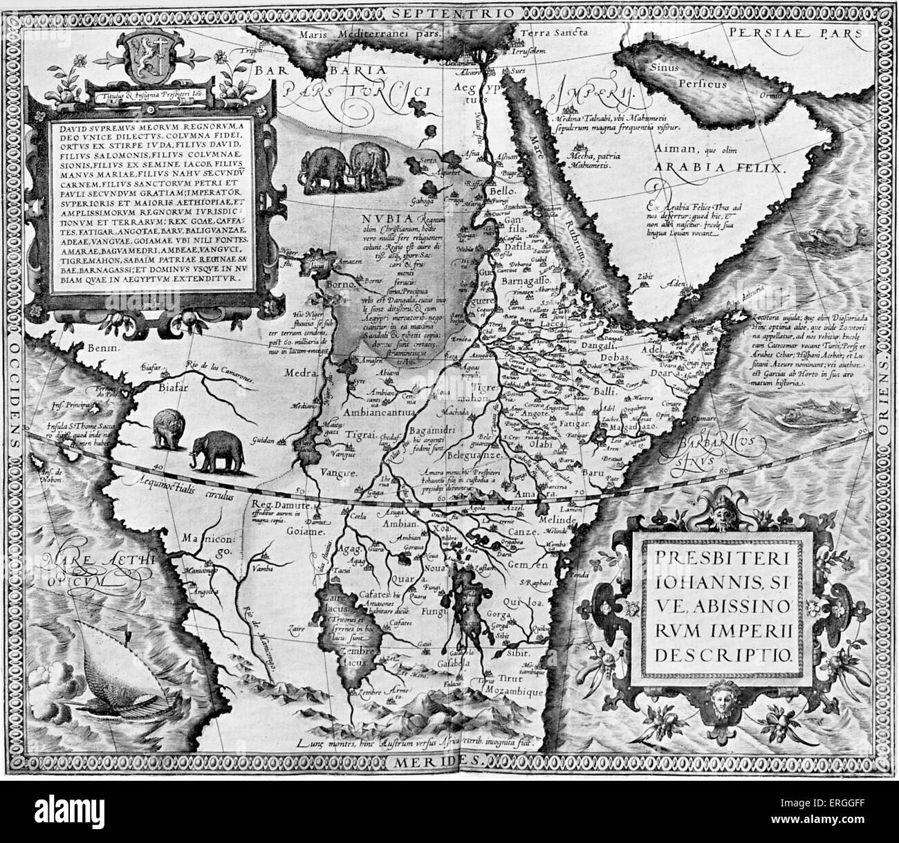 The Empire of Preseter John, or Abyssinia - map in 'Theatrum Orbis Tearrarum' by Abraham Ortelius, 1573. (Full title: Stock Photohttps://www.alamy.com/image-license-details/?v=1https://www.alamy.com/stock-photo-the-empire-of-preseter-john-or-abyssinia-map-in-theatrum-orbis-tearrarum-83342771.html
RMERGGFF–The Empire of Preseter John, or Abyssinia - map in 'Theatrum Orbis Tearrarum' by Abraham Ortelius, 1573. (Full title:
 Ethiopia highlighted on a Grayscale elevation map with lakes and rivers Stock Photohttps://www.alamy.com/image-license-details/?v=1https://www.alamy.com/ethiopia-highlighted-on-a-grayscale-elevation-map-with-lakes-and-rivers-image591412296.html
RF2WA54BM–Ethiopia highlighted on a Grayscale elevation map with lakes and rivers
RF2WWMRJM–ethiopia map icon vector illustration design
RF2WWHBH2–Ethiopia map icon illustration template design
 Line map of Ethiopia vector stock illustration design template. Editable stroke. Vector eps 10. Stock Vectorhttps://www.alamy.com/image-license-details/?v=1https://www.alamy.com/line-map-of-ethiopia-vector-stock-illustration-design-template-editable-stroke-vector-eps-10-image442895481.html
RF2GMFHKN–Line map of Ethiopia vector stock illustration design template. Editable stroke. Vector eps 10.
 Ethiopia map outline vector illustration Stock Vectorhttps://www.alamy.com/image-license-details/?v=1https://www.alamy.com/ethiopia-map-outline-vector-illustration-image366597830.html
RF2C8BY7J–Ethiopia map outline vector illustration
 Abstract dotted black and white halftone effect vector map of Ethiopia. Country map digital dotted design vector illustration. Stock Vectorhttps://www.alamy.com/image-license-details/?v=1https://www.alamy.com/abstract-dotted-black-and-white-halftone-effect-vector-map-of-ethiopia-country-map-digital-dotted-design-vector-illustration-image452221984.html
RF2H7MDN4–Abstract dotted black and white halftone effect vector map of Ethiopia. Country map digital dotted design vector illustration.
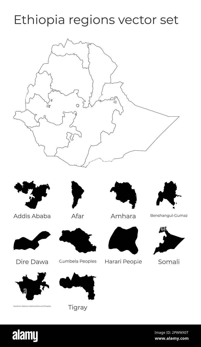 Ethiopia map with shapes of regions. Blank vector map of the Country with regions. Borders of the country for your infographic. Vector illustration. Stock Vectorhttps://www.alamy.com/image-license-details/?v=1https://www.alamy.com/ethiopia-map-with-shapes-of-regions-blank-vector-map-of-the-country-with-regions-borders-of-the-country-for-your-infographic-vector-illustration-image549457016.html
RF2PWWX0T–Ethiopia map with shapes of regions. Blank vector map of the Country with regions. Borders of the country for your infographic. Vector illustration.
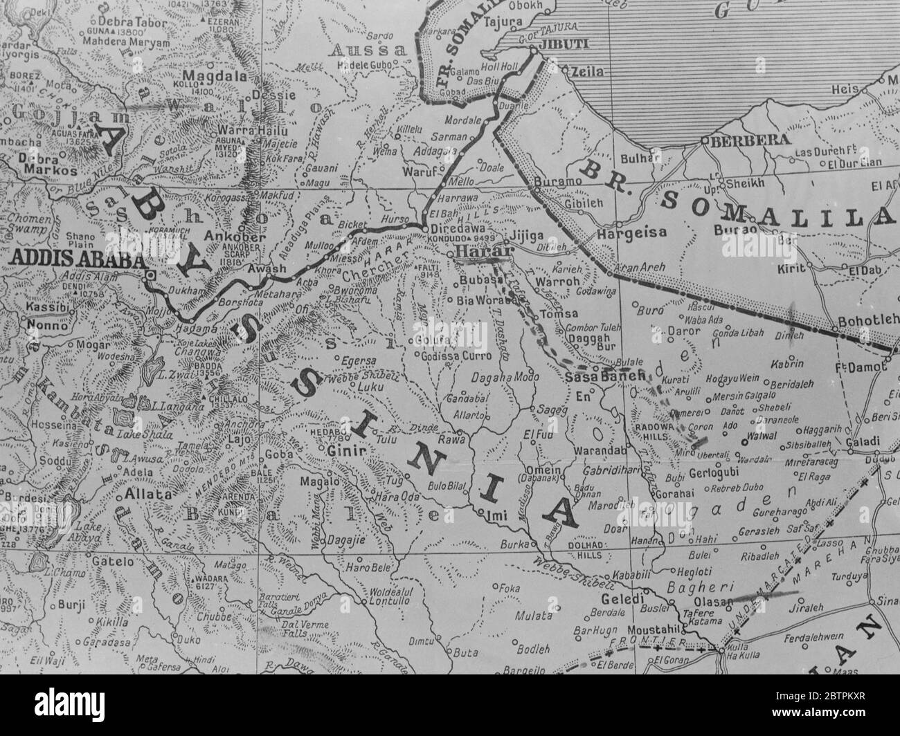 Map of Abyssinia . 1935 Stock Photohttps://www.alamy.com/image-license-details/?v=1https://www.alamy.com/map-of-abyssinia-1935-image359457695.html
RM2BTPKXR–Map of Abyssinia . 1935
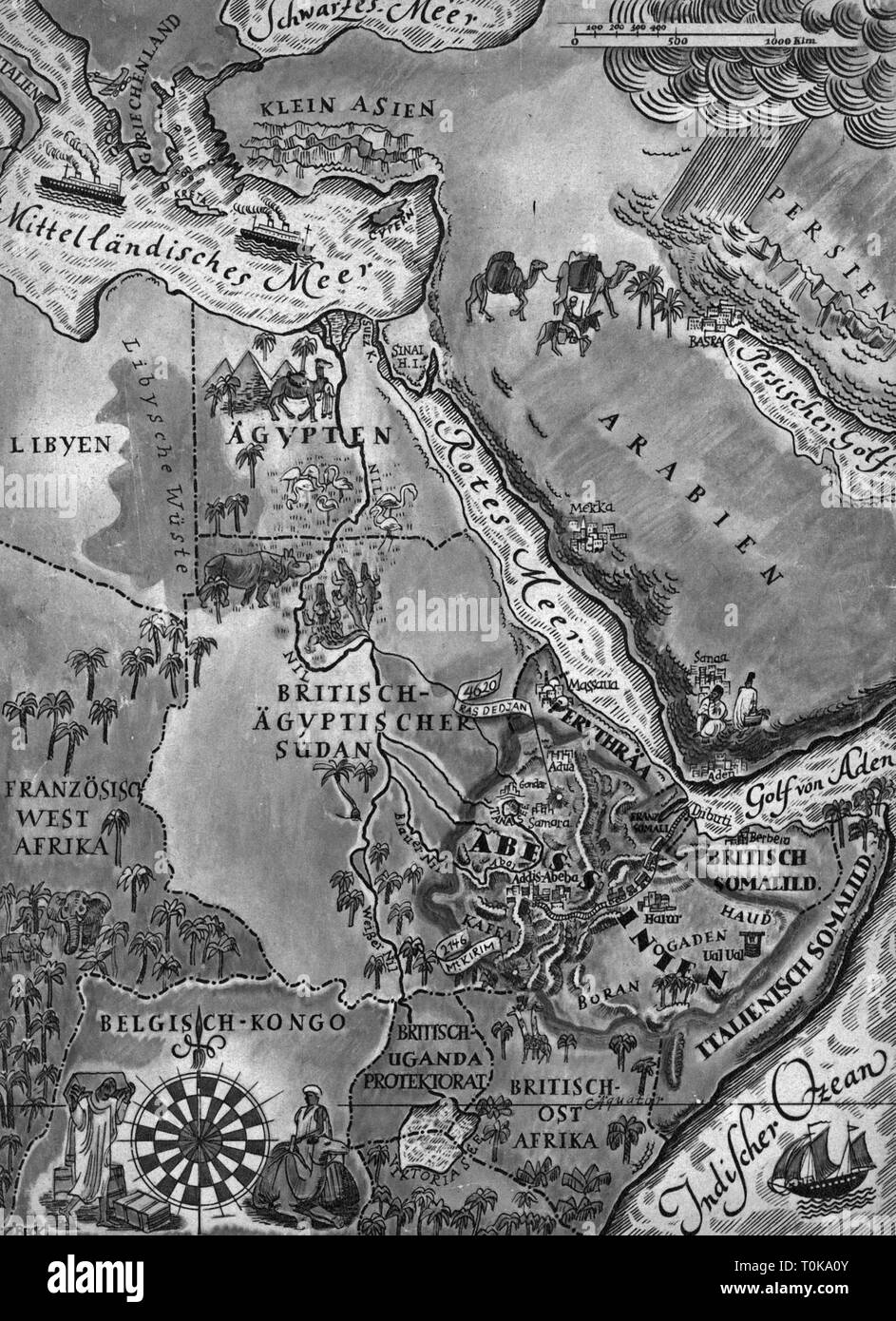 colonialism, Africa, East Africa, map, from: 'Die Woche', Berlin, 1935, Additional-Rights-Clearance-Info-Not-Available Stock Photohttps://www.alamy.com/image-license-details/?v=1https://www.alamy.com/colonialism-africa-east-africa-map-from-die-woche-berlin-1935-additional-rights-clearance-info-not-available-image241370107.html
RMT0KA0Y–colonialism, Africa, East Africa, map, from: 'Die Woche', Berlin, 1935, Additional-Rights-Clearance-Info-Not-Available
 Ethiopia Map Black Silhouette, Vector illustration eps 10 Stock Vectorhttps://www.alamy.com/image-license-details/?v=1https://www.alamy.com/ethiopia-map-black-silhouette-vector-illustration-eps-10-image340791158.html
RF2APCAGP–Ethiopia Map Black Silhouette, Vector illustration eps 10
 Silhouette of a Algeria Country land Map Stock Vectorhttps://www.alamy.com/image-license-details/?v=1https://www.alamy.com/silhouette-of-a-algeria-country-land-map-image622218962.html
RF2Y48EHP–Silhouette of a Algeria Country land Map
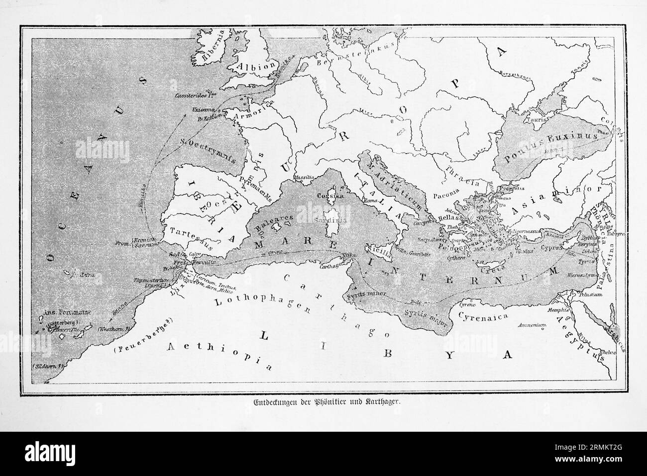 Discoveries of the Phoenicians and Carthaginians, historical map, Mare Internum, Mediterranean Sea, Aethopia, Ethiopia, Palestine, Iberia, Iberian Stock Photohttps://www.alamy.com/image-license-details/?v=1https://www.alamy.com/discoveries-of-the-phoenicians-and-carthaginians-historical-map-mare-internum-mediterranean-sea-aethopia-ethiopia-palestine-iberia-iberian-image563460872.html
RM2RMKT2G–Discoveries of the Phoenicians and Carthaginians, historical map, Mare Internum, Mediterranean Sea, Aethopia, Ethiopia, Palestine, Iberia, Iberian
 High detailed isolated map - Ethiopia Stock Vectorhttps://www.alamy.com/image-license-details/?v=1https://www.alamy.com/high-detailed-isolated-map-ethiopia-image546410938.html
RF2PMY4MA–High detailed isolated map - Ethiopia
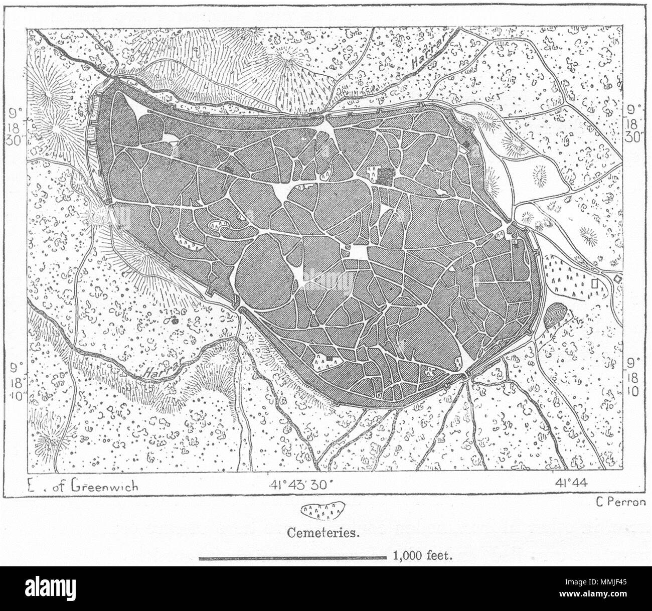 ETHIOPIA. Harar, sketch map c1885 old antique vintage plan chart Stock Photohttps://www.alamy.com/image-license-details/?v=1https://www.alamy.com/ethiopia-harar-sketch-map-c1885-old-antique-vintage-plan-chart-image184803813.html
RFMMJF45–ETHIOPIA. Harar, sketch map c1885 old antique vintage plan chart
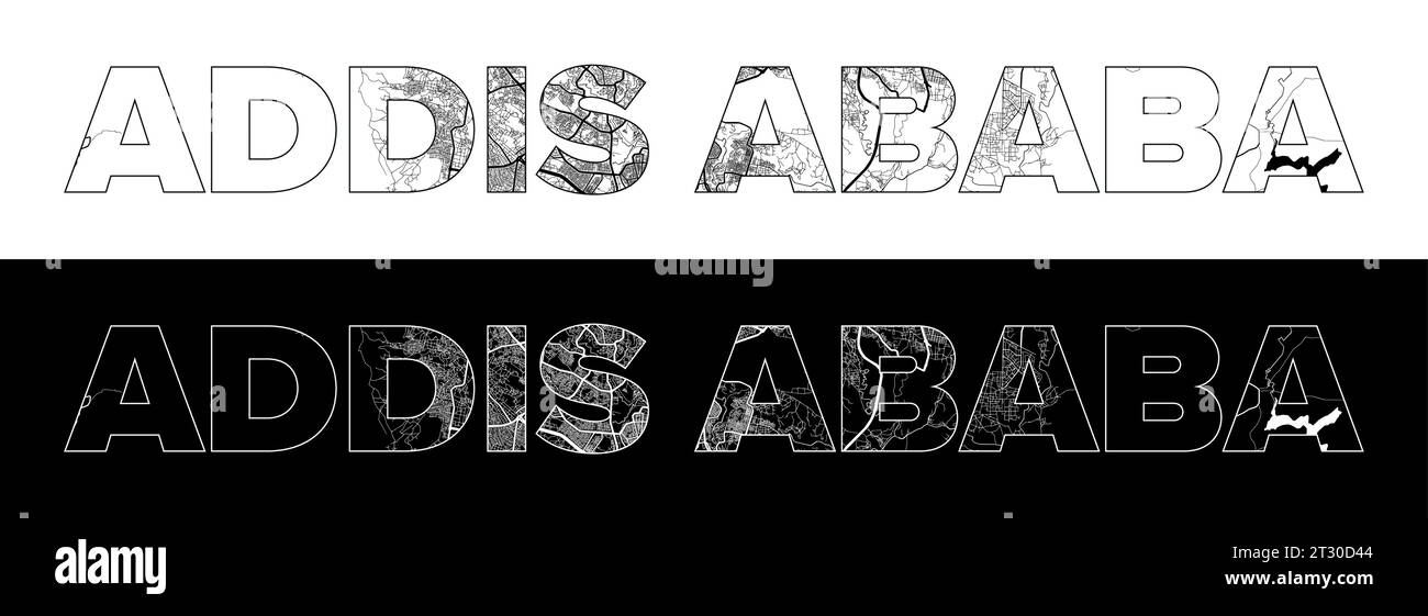 Addis Ababa City Name (Ethiopia, Africa) with black white city map illustration vector Stock Vectorhttps://www.alamy.com/image-license-details/?v=1https://www.alamy.com/addis-ababa-city-name-ethiopia-africa-with-black-white-city-map-illustration-vector-image569796420.html
RF2T30D44–Addis Ababa City Name (Ethiopia, Africa) with black white city map illustration vector
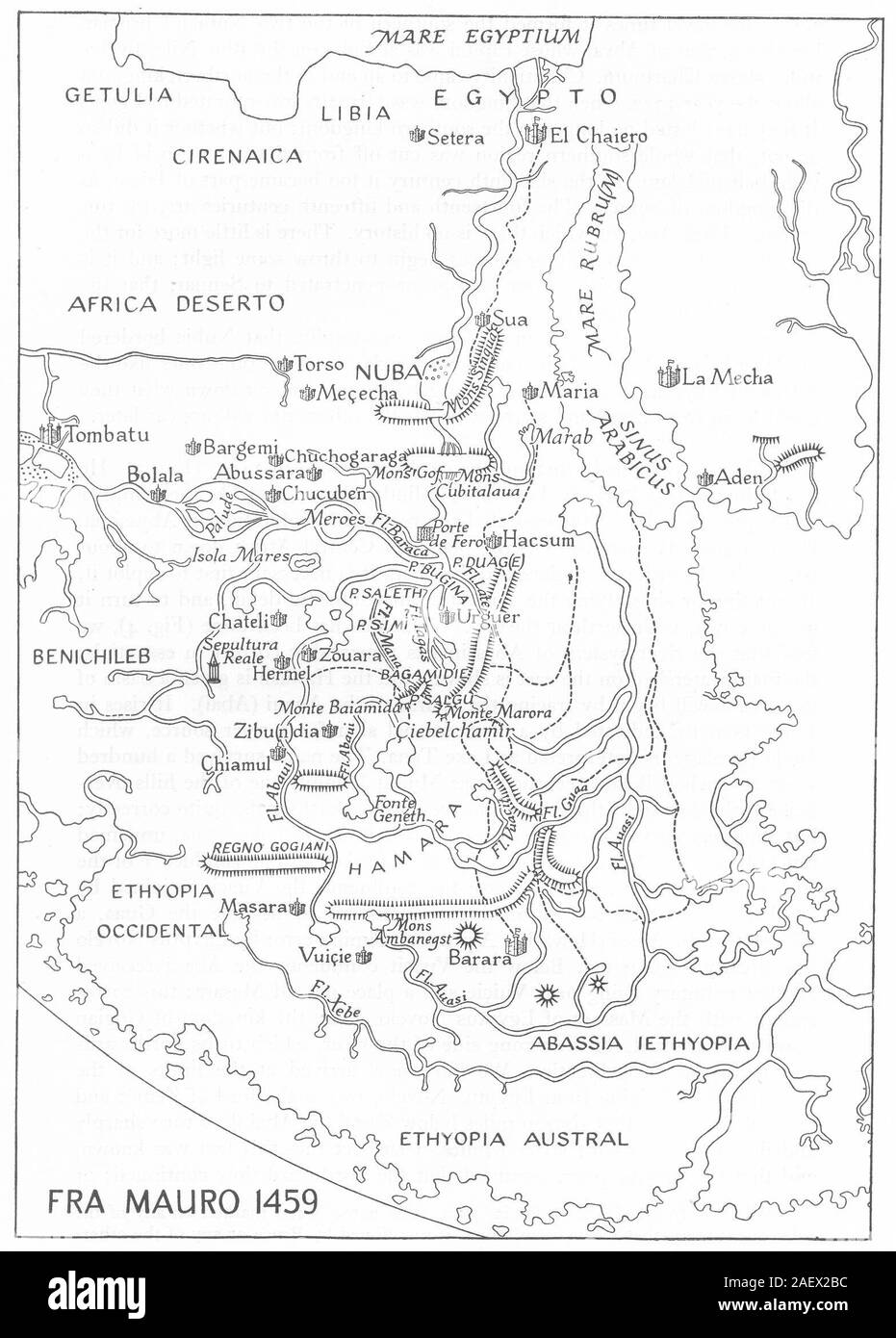 EGYPT. Fra Mauro, 1459. Ethiopia Africa. RGS map 1949 old vintage chart Stock Photohttps://www.alamy.com/image-license-details/?v=1https://www.alamy.com/egypt-fra-mauro-1459-ethiopia-africa-rgs-map-1949-old-vintage-chart-image336174816.html
RF2AEX2BC–EGYPT. Fra Mauro, 1459. Ethiopia Africa. RGS map 1949 old vintage chart
 Ethiopia vector country map silhouette Stock Vectorhttps://www.alamy.com/image-license-details/?v=1https://www.alamy.com/ethiopia-vector-country-map-silhouette-image465579307.html
RF2J1CY4B–Ethiopia vector country map silhouette
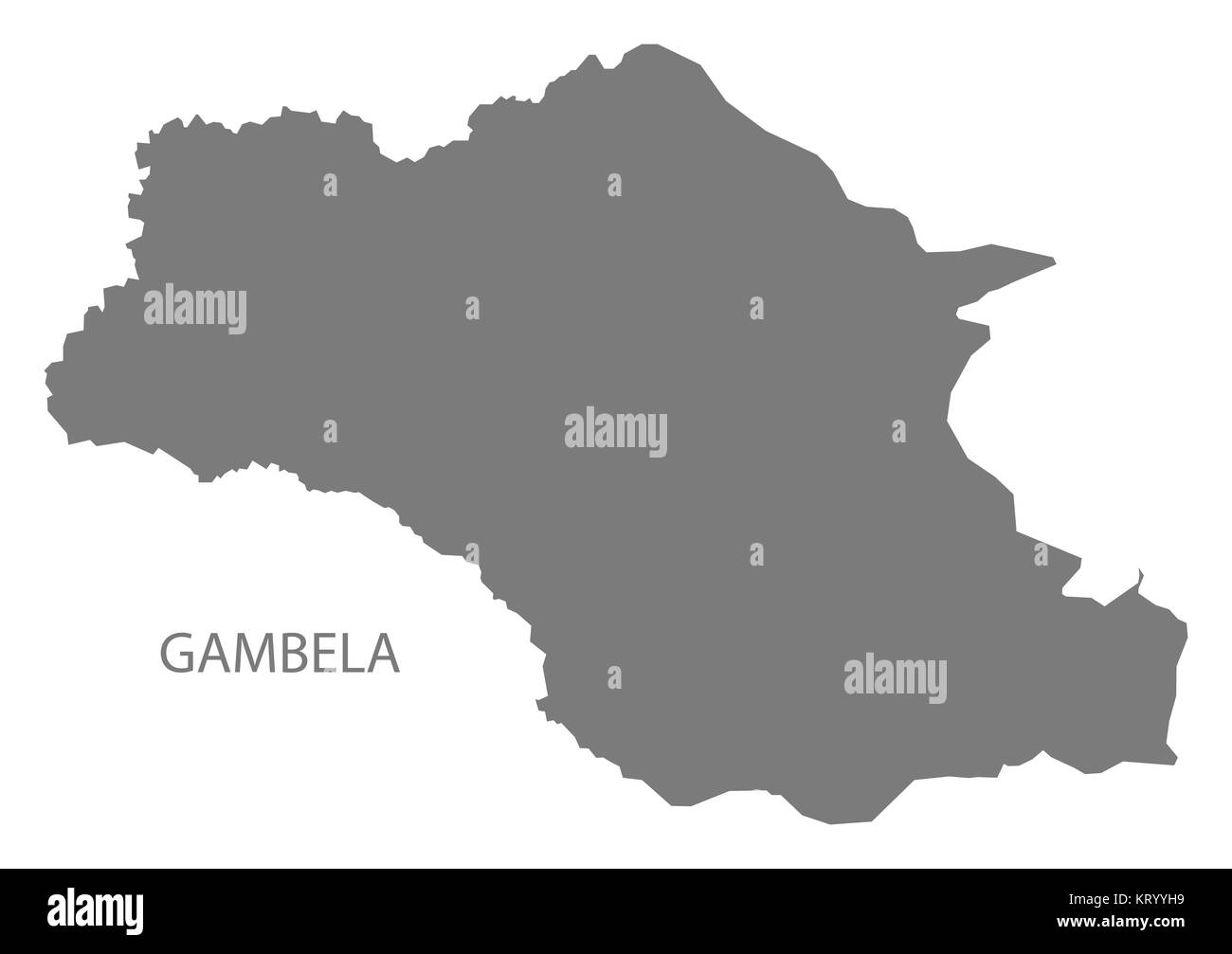 Gambela Ethiopia Map grey Stock Photohttps://www.alamy.com/image-license-details/?v=1https://www.alamy.com/stock-image-gambela-ethiopia-map-grey-169644757.html
RFKRYYH9–Gambela Ethiopia Map grey
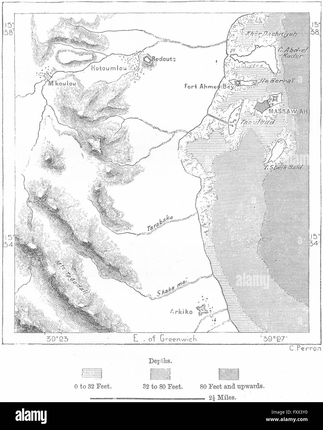 ERITREA: Massawa, sketch map, c1885 Stock Photohttps://www.alamy.com/image-license-details/?v=1https://www.alamy.com/stock-photo-eritrea-massawa-sketch-map-c1885-102606756.html
RFFXX3Y0–ERITREA: Massawa, sketch map, c1885
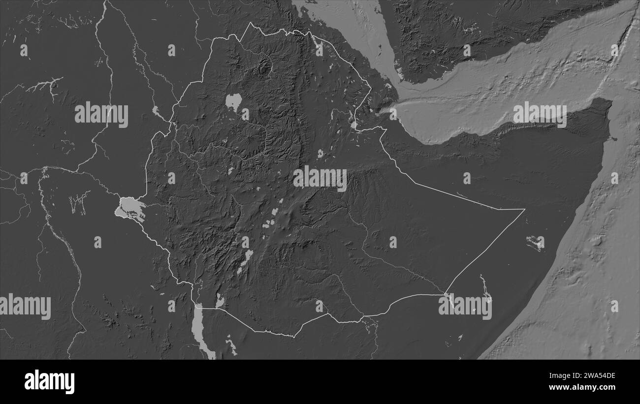 Ethiopia outlined on a Bilevel elevation map with lakes and rivers Stock Photohttps://www.alamy.com/image-license-details/?v=1https://www.alamy.com/ethiopia-outlined-on-a-bilevel-elevation-map-with-lakes-and-rivers-image591412346.html
RF2WA54DE–Ethiopia outlined on a Bilevel elevation map with lakes and rivers
RF2WWMRE0–ethiopia map icon vector illustration design
 Simple (only sharp corners) map of Ethiopia vector drawing. Mercator projection. Filled and outline version. Stock Vectorhttps://www.alamy.com/image-license-details/?v=1https://www.alamy.com/simple-only-sharp-corners-map-of-ethiopia-vector-drawing-mercator-projection-filled-and-outline-version-image228639974.html
RFR7YCHA–Simple (only sharp corners) map of Ethiopia vector drawing. Mercator projection. Filled and outline version.
 Ethiopia outline silhouette map illustration Stock Vectorhttps://www.alamy.com/image-license-details/?v=1https://www.alamy.com/stock-photo-ethiopia-outline-silhouette-map-illustration-137900688.html
RFJ09WMG–Ethiopia outline silhouette map illustration
 Ethiopia map outline vector illustration Stock Vectorhttps://www.alamy.com/image-license-details/?v=1https://www.alamy.com/ethiopia-map-outline-vector-illustration-image366598051.html
RF2C8BYFF–Ethiopia map outline vector illustration
 Abstract map of Ethiopia showing the area of the country with a pattern of black circles Stock Vectorhttps://www.alamy.com/image-license-details/?v=1https://www.alamy.com/abstract-map-of-ethiopia-showing-the-area-of-the-country-with-a-pattern-of-black-circles-image613298949.html
RF2XHP51W–Abstract map of Ethiopia showing the area of the country with a pattern of black circles
 Ethiopia map. Map of Ethiopia in dotted style. Borders of the country filled with rectangles for your design. Vector illustration. Stock Vectorhttps://www.alamy.com/image-license-details/?v=1https://www.alamy.com/ethiopia-map-map-of-ethiopia-in-dotted-style-borders-of-the-country-filled-with-rectangles-for-your-design-vector-illustration-image550630336.html
RF2PYRAH4–Ethiopia map. Map of Ethiopia in dotted style. Borders of the country filled with rectangles for your design. Vector illustration.
 Map of Somalia and Ethiopia on grey model of Earth. 3D illustration Stock Photohttps://www.alamy.com/image-license-details/?v=1https://www.alamy.com/stock-photo-map-of-somalia-and-ethiopia-on-grey-model-of-earth-3d-illustration-106740916.html
RFG5JD3G–Map of Somalia and Ethiopia on grey model of Earth. 3D illustration
 Ethiopia outline map isolated on white background Stock Vectorhttps://www.alamy.com/image-license-details/?v=1https://www.alamy.com/ethiopia-outline-map-isolated-on-white-background-image612488198.html
RF2XGD6XE–Ethiopia outline map isolated on white background
RME9FJRK–Engraved illustration of a Map of Africa from Iconographic Encyclopedia of Science, Literature and Art, Published in 1851
 Ethiopia silhouette map isolated on white background Stock Vectorhttps://www.alamy.com/image-license-details/?v=1https://www.alamy.com/ethiopia-silhouette-map-isolated-on-white-background-image443704406.html
RF2GNTDDX–Ethiopia silhouette map isolated on white background
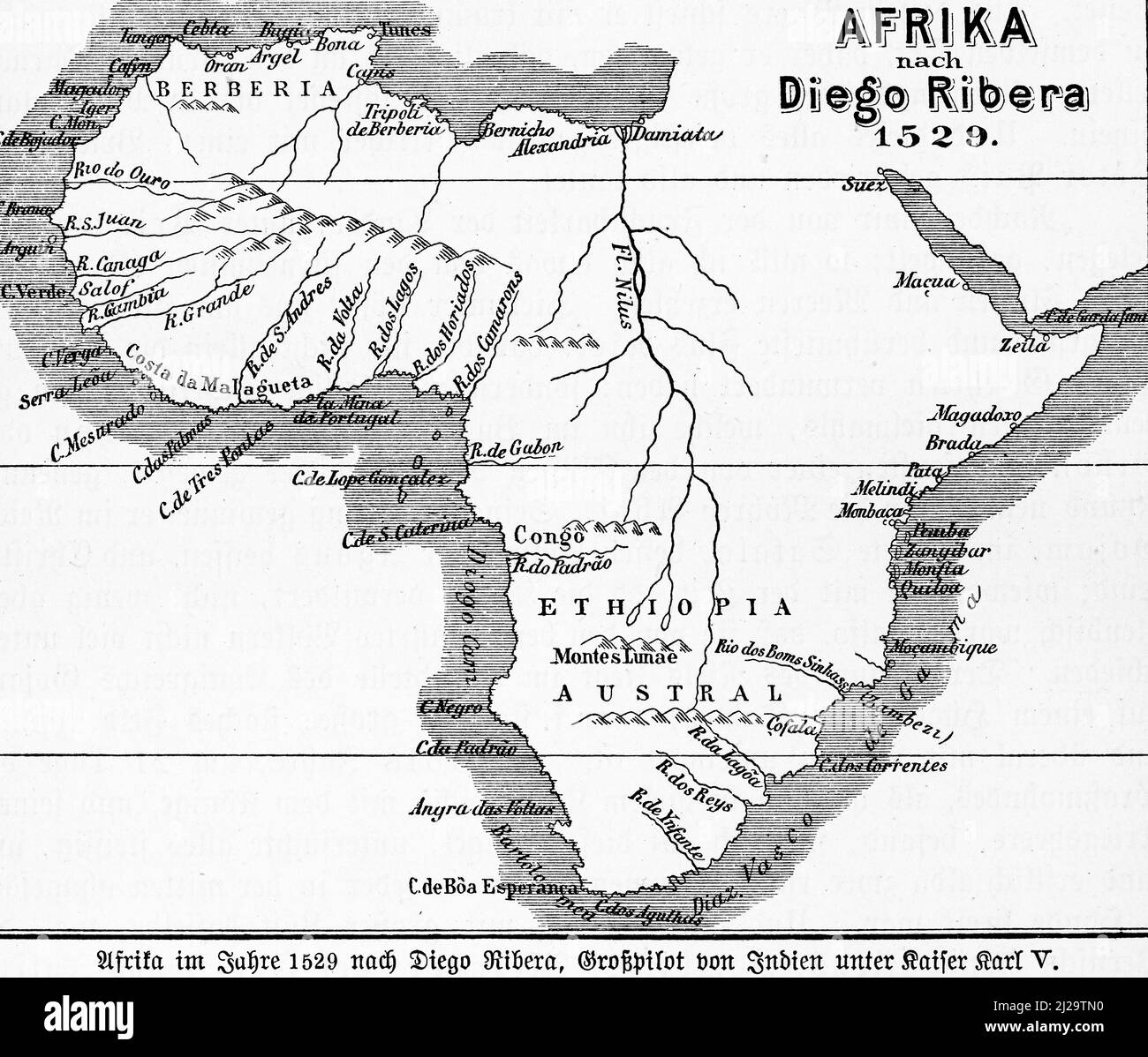 Map Africa 1529, 16th century, Diego Ribera, Red Sea, Atlantic Ocean, Mediterranean Sea, coasts, Nile sources, Tripoli, Atlas Mountains, Senegal Stock Photohttps://www.alamy.com/image-license-details/?v=1https://www.alamy.com/map-africa-1529-16th-century-diego-ribera-red-sea-atlantic-ocean-mediterranean-sea-coasts-nile-sources-tripoli-atlas-mountains-senegal-image466126220.html
RM2J29TN0–Map Africa 1529, 16th century, Diego Ribera, Red Sea, Atlantic Ocean, Mediterranean Sea, coasts, Nile sources, Tripoli, Atlas Mountains, Senegal
 Map with dot - Ethiopia . Template for your design Stock Vectorhttps://www.alamy.com/image-license-details/?v=1https://www.alamy.com/map-with-dot-ethiopia-template-for-your-design-image246456513.html
RFT8Y1P9–Map with dot - Ethiopia . Template for your design
 Ethiopia blank outline map design Stock Vectorhttps://www.alamy.com/image-license-details/?v=1https://www.alamy.com/ethiopia-blank-outline-map-design-image620754610.html
RF2Y1WPRE–Ethiopia blank outline map design
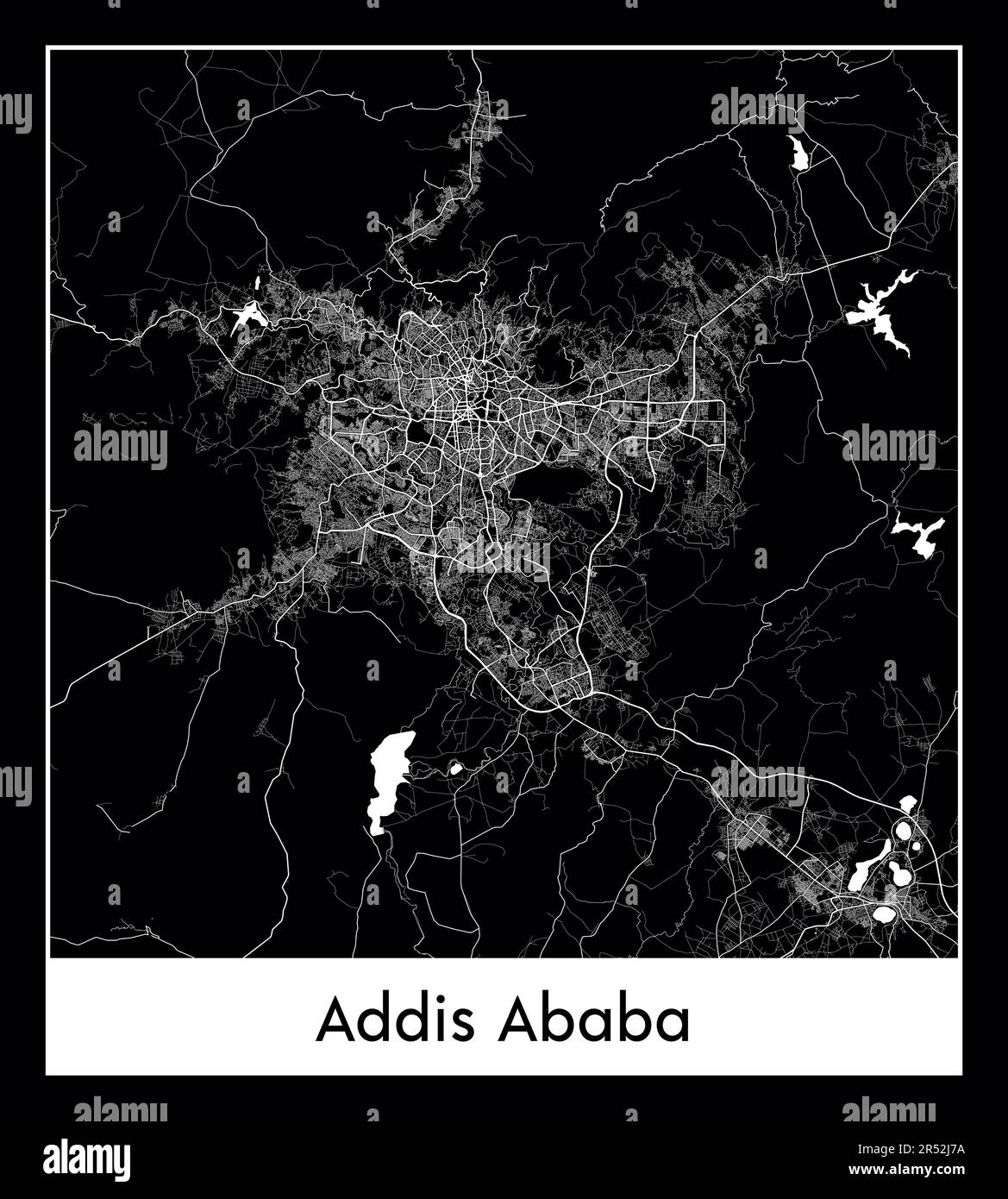 Minimal city map of Addis Ababa (Ethiopia Africa) Stock Vectorhttps://www.alamy.com/image-license-details/?v=1https://www.alamy.com/minimal-city-map-of-addis-ababa-ethiopia-africa-image553863278.html
RF2R52J7A–Minimal city map of Addis Ababa (Ethiopia Africa)
 Vector map Ethiopia. Isolated vector Illustration. Black on White background. EPS 10 Illustration. Stock Vectorhttps://www.alamy.com/image-license-details/?v=1https://www.alamy.com/vector-map-ethiopia-isolated-vector-illustration-black-on-white-background-eps-10-illustration-image359694944.html
RF2BW5EG0–Vector map Ethiopia. Isolated vector Illustration. Black on White background. EPS 10 Illustration.
RF2WTYWJJ–Ethiopia country simplified map. Thick black outline contour. Simple vector icon
 Harari Ethiopia Map grey Stock Photohttps://www.alamy.com/image-license-details/?v=1https://www.alamy.com/stock-image-harari-ethiopia-map-grey-169644758.html
RFKRYYHA–Harari Ethiopia Map grey
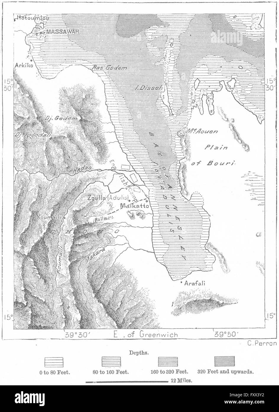 ERITREA: Gulf of Zula, sketch map, c1885 Stock Photohttps://www.alamy.com/image-license-details/?v=1https://www.alamy.com/stock-photo-eritrea-gulf-of-zula-sketch-map-c1885-102606758.html
RFFXX3Y2–ERITREA: Gulf of Zula, sketch map, c1885
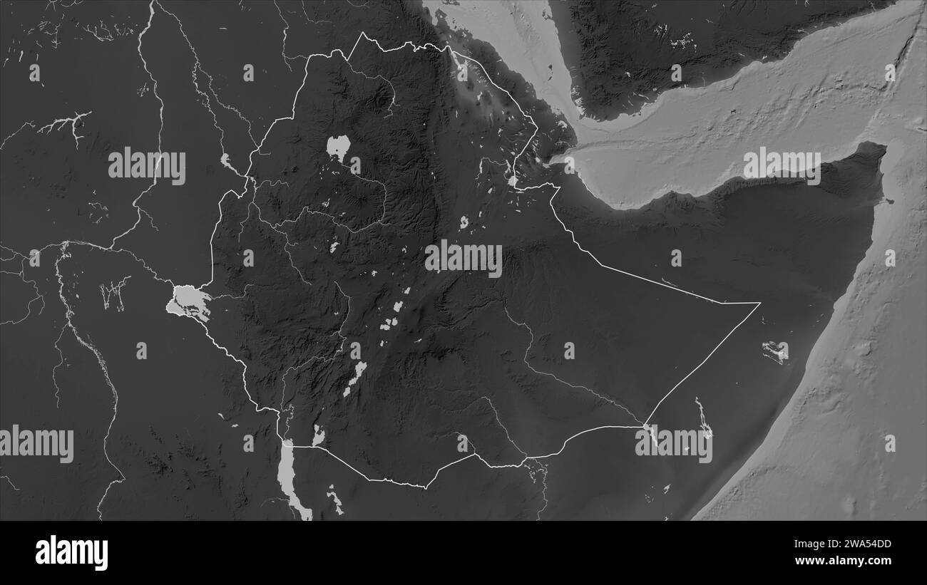 Ethiopia outlined on a Grayscale elevation map with lakes and rivers Stock Photohttps://www.alamy.com/image-license-details/?v=1https://www.alamy.com/ethiopia-outlined-on-a-grayscale-elevation-map-with-lakes-and-rivers-image591412345.html
RF2WA54DD–Ethiopia outlined on a Grayscale elevation map with lakes and rivers
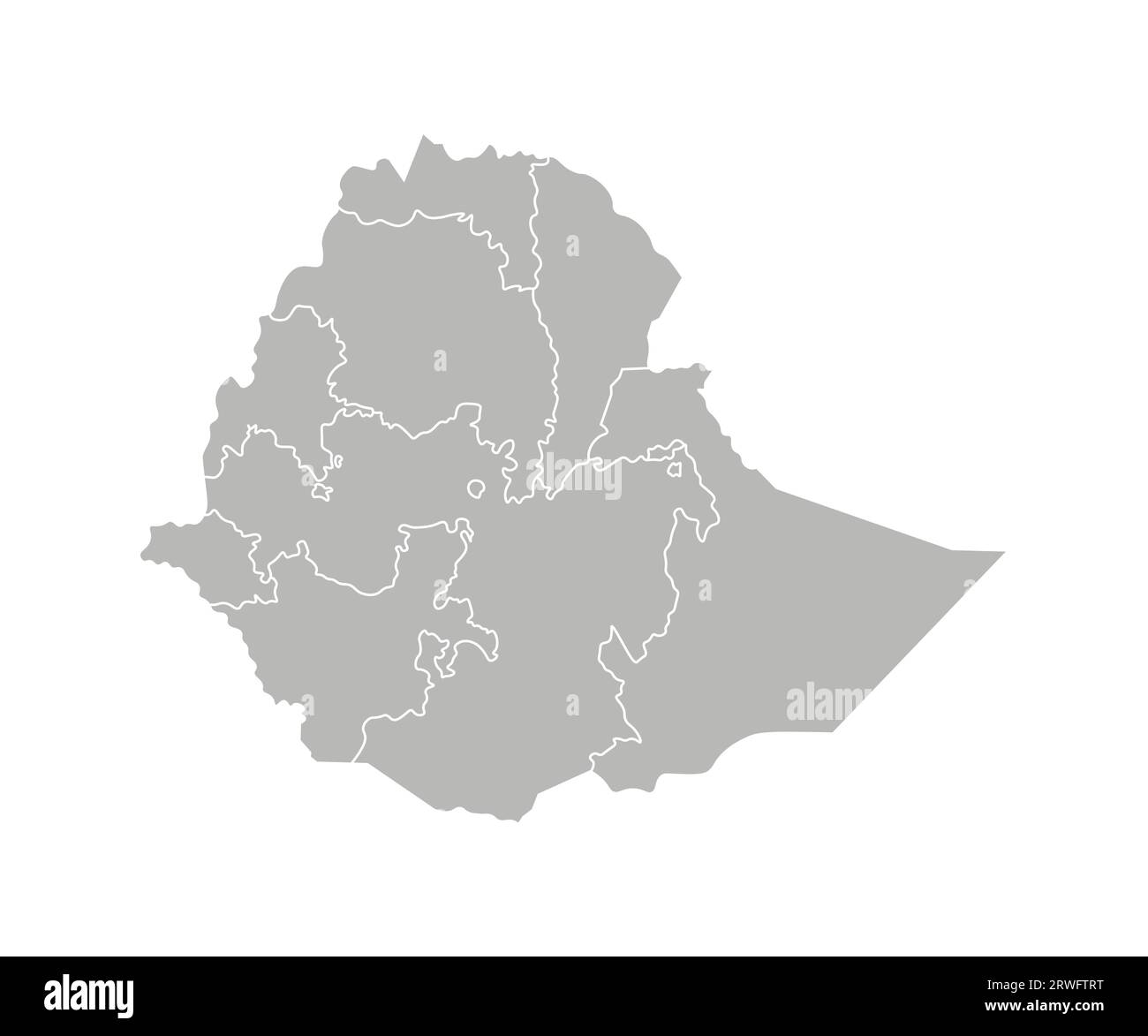 Vector isolated illustration of simplified administrative map of Ethiopia. Borders of the regions. Grey silhouettes. White outline. Stock Vectorhttps://www.alamy.com/image-license-details/?v=1https://www.alamy.com/vector-isolated-illustration-of-simplified-administrative-map-of-ethiopia-borders-of-the-regions-grey-silhouettes-white-outline-image566446940.html
RF2RWFTRT–Vector isolated illustration of simplified administrative map of Ethiopia. Borders of the regions. Grey silhouettes. White outline.
 Vector map Ethiopia and Addis Ababa. Country and capital. Isolated vector Illustration. Outline. EPS 10 Illustration. Stock Vectorhttps://www.alamy.com/image-license-details/?v=1https://www.alamy.com/vector-map-ethiopia-and-addis-ababa-country-and-capital-isolated-vector-illustration-outline-eps-10-illustration-image359697747.html
RF2BW5J43–Vector map Ethiopia and Addis Ababa. Country and capital. Isolated vector Illustration. Outline. EPS 10 Illustration.
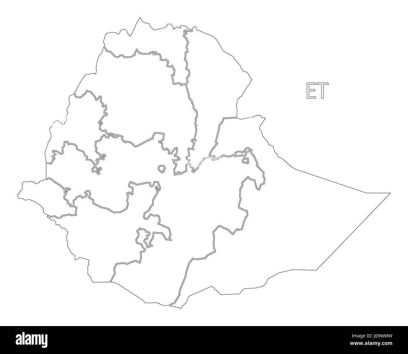 Ethiopia outline silhouette map illustration with regions Stock Vectorhttps://www.alamy.com/image-license-details/?v=1https://www.alamy.com/stock-photo-ethiopia-outline-silhouette-map-illustration-with-regions-137900697.html
RFJ09WMW–Ethiopia outline silhouette map illustration with regions
 Vector map Ethiopia and Addis Ababa. Country and capital. Isolated vector Illustration. Black on White background. EPS 10 Illustration. Stock Vectorhttps://www.alamy.com/image-license-details/?v=1https://www.alamy.com/vector-map-ethiopia-and-addis-ababa-country-and-capital-isolated-vector-illustration-black-on-white-background-eps-10-illustration-image359697539.html
RF2BW5HTK–Vector map Ethiopia and Addis Ababa. Country and capital. Isolated vector Illustration. Black on White background. EPS 10 Illustration.
 European situation spoils map on Post Office department floor. Washington, D.C., April 12. The huge map on the floor of the Post Office Department here is all out of kilter these days due to the aggression in Europe. Many are the embarrassing questions being asked officials about when Mr. Farley is going to do something about Ethiopia, Austria and Czechoslovakia. The answer so far has been - nothing. Probably the Post Office is waiting to see what will happen next on the continent. Miss Edna Strain is inspecting the damage done by the ambitious dictators. 4-12-39 Abstract/medium: 1 negative : Stock Photohttps://www.alamy.com/image-license-details/?v=1https://www.alamy.com/european-situation-spoils-map-on-post-office-department-floor-washington-dc-april-12-the-huge-map-on-the-floor-of-the-post-office-department-here-is-all-out-of-kilter-these-days-due-to-the-aggression-in-europe-many-are-the-embarrassing-questions-being-asked-officials-about-when-mr-farley-is-going-to-do-something-about-ethiopia-austria-and-czechoslovakia-the-answer-so-far-has-been-nothing-probably-the-post-office-is-waiting-to-see-what-will-happen-next-on-the-continent-miss-edna-strain-is-inspecting-the-damage-done-by-the-ambitious-dictators-4-12-39-abstractmedium-1-negative-image265045522.html
RMWB5T7E–European situation spoils map on Post Office department floor. Washington, D.C., April 12. The huge map on the floor of the Post Office Department here is all out of kilter these days due to the aggression in Europe. Many are the embarrassing questions being asked officials about when Mr. Farley is going to do something about Ethiopia, Austria and Czechoslovakia. The answer so far has been - nothing. Probably the Post Office is waiting to see what will happen next on the continent. Miss Edna Strain is inspecting the damage done by the ambitious dictators. 4-12-39 Abstract/medium: 1 negative :
 Stencil map of Ethiopia. Simple and minimal transparent map of Ethiopia. Black rectangle with cut shape of the country. Creative vector illustration. Stock Vectorhttps://www.alamy.com/image-license-details/?v=1https://www.alamy.com/stencil-map-of-ethiopia-simple-and-minimal-transparent-map-of-ethiopia-black-rectangle-with-cut-shape-of-the-country-creative-vector-illustration-image555800504.html
RF2R86W60–Stencil map of Ethiopia. Simple and minimal transparent map of Ethiopia. Black rectangle with cut shape of the country. Creative vector illustration.
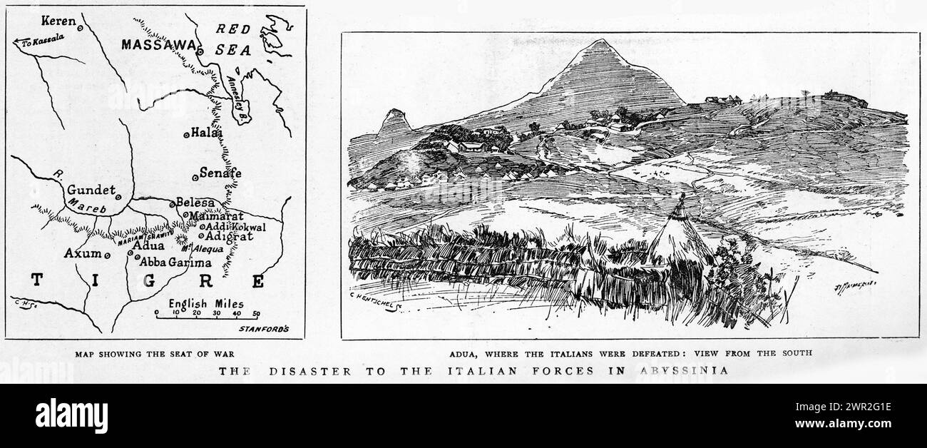 Engraving of the Italian forces defeated in Abyssinia, circa 1896. The Battle of Adwa was the climactic battle of the First Italo-Ethiopian War. The Ethiopian forces defeated the Italian invading force on Sunday 1 March 1896, near the town of Adwa, ending Italian plans to dominate the country.. Stock Photohttps://www.alamy.com/image-license-details/?v=1https://www.alamy.com/engraving-of-the-italian-forces-defeated-in-abyssinia-circa-1896-the-battle-of-adwa-was-the-climactic-battle-of-the-first-italo-ethiopian-war-the-ethiopian-forces-defeated-the-italian-invading-force-on-sunday-1-march-1896-near-the-town-of-adwa-ending-italian-plans-to-dominate-the-country-image599346090.html
RM2WR2G1E–Engraving of the Italian forces defeated in Abyssinia, circa 1896. The Battle of Adwa was the climactic battle of the First Italo-Ethiopian War. The Ethiopian forces defeated the Italian invading force on Sunday 1 March 1896, near the town of Adwa, ending Italian plans to dominate the country..
 black vector africa map on white background Stock Vectorhttps://www.alamy.com/image-license-details/?v=1https://www.alamy.com/black-vector-africa-map-on-white-background-image600470306.html
RF2WTWP02–black vector africa map on white background
RF2AT7PY0–Africa map icon. Simple drawing. Isolated vector illustration.
 Africa silhouette map Stock Vectorhttps://www.alamy.com/image-license-details/?v=1https://www.alamy.com/africa-silhouette-map-image328279112.html
RF2A22BA0–Africa silhouette map
 Vector map illustration of Suez Canal, Sinai Peninsula, Red Sea and Arab Peninsula Stock Photohttps://www.alamy.com/image-license-details/?v=1https://www.alamy.com/vector-map-illustration-of-suez-canal-sinai-peninsula-red-sea-and-arab-peninsula-image592544236.html
RF2WC0M64–Vector map illustration of Suez Canal, Sinai Peninsula, Red Sea and Arab Peninsula
 3d map of Ethiopia with borders of regions Stock Vectorhttps://www.alamy.com/image-license-details/?v=1https://www.alamy.com/3d-map-of-ethiopia-with-borders-of-regions-image359541300.html
RF2BTXEGM–3d map of Ethiopia with borders of regions
 Ethiopia contry Map illustration black. Stock Photohttps://www.alamy.com/image-license-details/?v=1https://www.alamy.com/ethiopia-contry-map-illustration-black-image177702103.html
RFM930RK–Ethiopia contry Map illustration black.
 Lake Tana (Africa, Ethiopia) map vector illustration, scribble sketch Tsana map Stock Vectorhttps://www.alamy.com/image-license-details/?v=1https://www.alamy.com/lake-tana-africa-ethiopia-map-vector-illustration-scribble-sketch-tsana-map-image559894497.html
RF2REWB41–Lake Tana (Africa, Ethiopia) map vector illustration, scribble sketch Tsana map
 East Timor-Guinea Bissau 3D White Maps Stock Photohttps://www.alamy.com/image-license-details/?v=1https://www.alamy.com/stock-photo-east-timor-guinea-bissau-3d-white-maps-26650847.html
RFBFA1BY–East Timor-Guinea Bissau 3D White Maps
RF2WNX678–Ethiopia country simplified map. Black dotted outline contour. Simple vector icon.
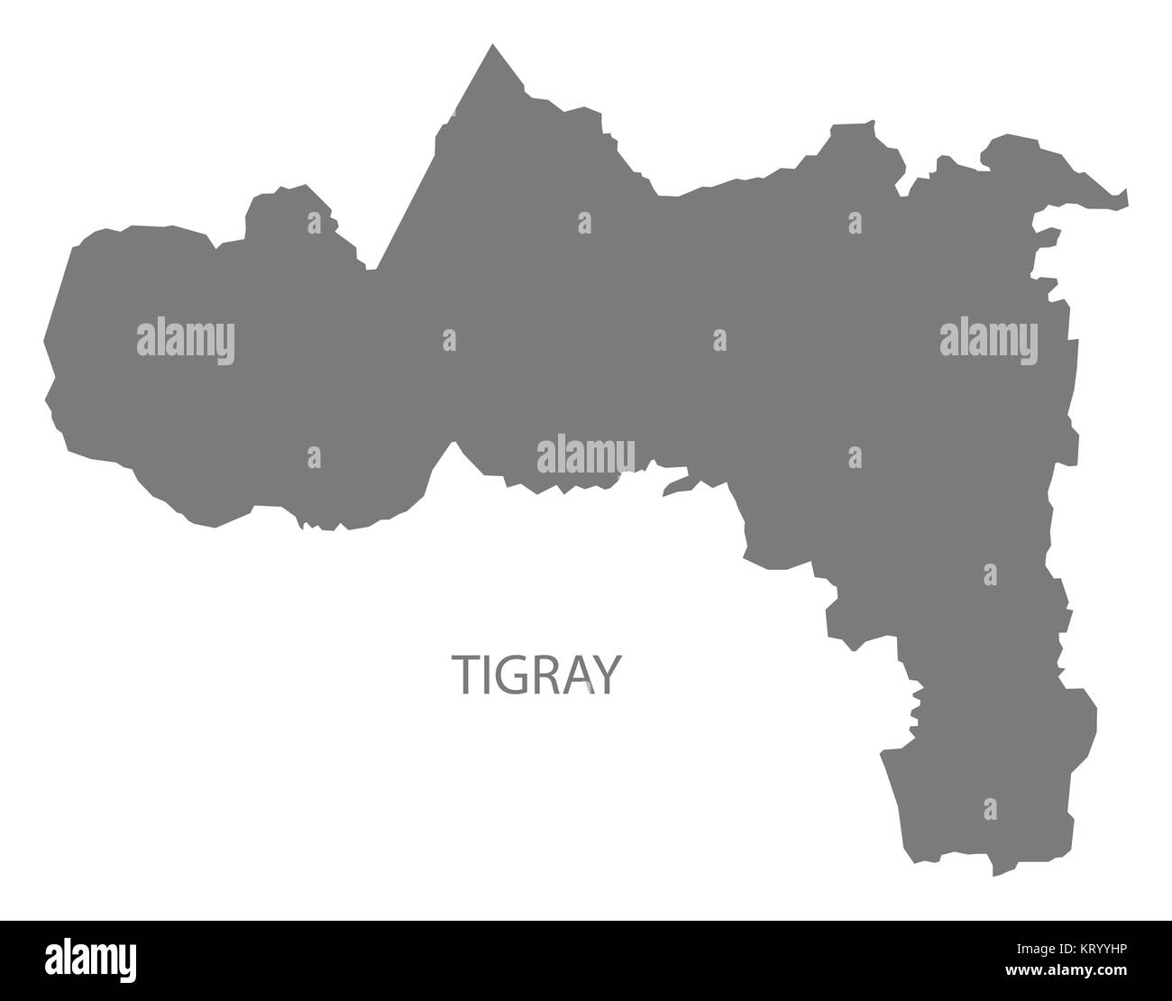 Tigray Ethiopia Map grey Stock Photohttps://www.alamy.com/image-license-details/?v=1https://www.alamy.com/stock-image-tigray-ethiopia-map-grey-169644770.html
RFKRYYHP–Tigray Ethiopia Map grey
 Ethiopia outline silhouette over a white background Stock Photohttps://www.alamy.com/image-license-details/?v=1https://www.alamy.com/ethiopia-outline-silhouette-over-a-white-background-image503560241.html
RF2M77469–Ethiopia outline silhouette over a white background
 Ethiopia highlighted on a Bilevel elevation map with lakes and rivers Stock Photohttps://www.alamy.com/image-license-details/?v=1https://www.alamy.com/ethiopia-highlighted-on-a-bilevel-elevation-map-with-lakes-and-rivers-image591412307.html
RF2WA54C3–Ethiopia highlighted on a Bilevel elevation map with lakes and rivers
 Vector isolated illustration of simplified administrative map of Ethiopia. Borders and names of the regions. Black line silhouettes. Stock Vectorhttps://www.alamy.com/image-license-details/?v=1https://www.alamy.com/vector-isolated-illustration-of-simplified-administrative-map-of-ethiopia-borders-and-names-of-the-regions-black-line-silhouettes-image566447162.html
RF2RWFW3P–Vector isolated illustration of simplified administrative map of Ethiopia. Borders and names of the regions. Black line silhouettes.
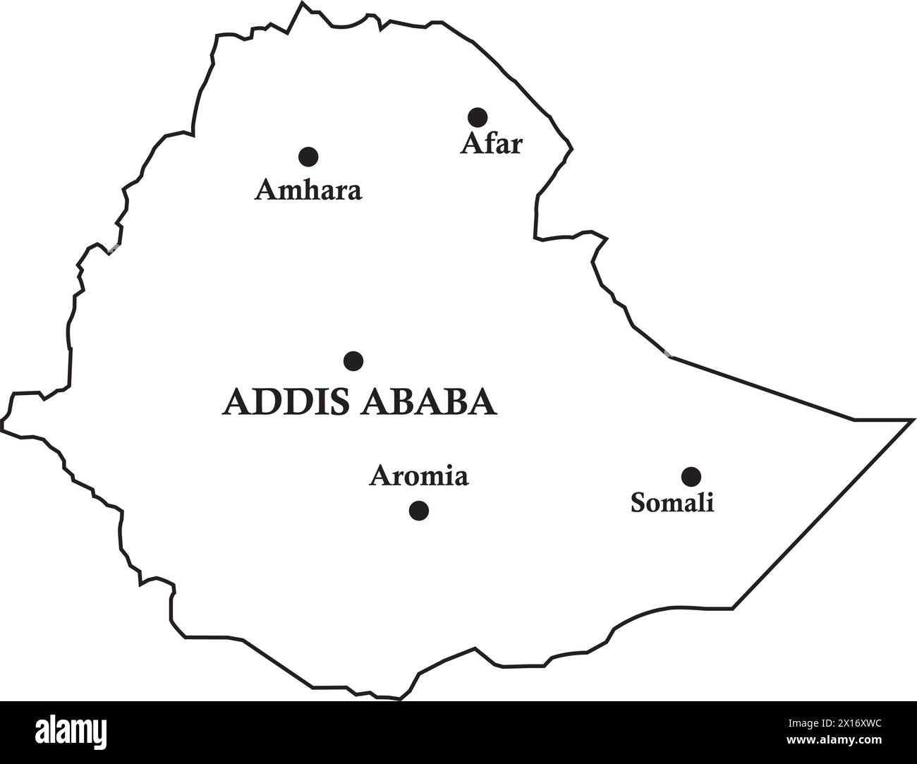 Ethiopia country map,vector illustration simple design Stock Vectorhttps://www.alamy.com/image-license-details/?v=1https://www.alamy.com/ethiopia-country-mapvector-illustration-simple-design-image603130344.html
RF2X16XWC–Ethiopia country map,vector illustration simple design
 Map of the Belgo-Congolese expedition to Ethiopia Stock Photohttps://www.alamy.com/image-license-details/?v=1https://www.alamy.com/map-of-the-belgo-congolese-expedition-to-ethiopia-image534809343.html
RM2P22JNK–Map of the Belgo-Congolese expedition to Ethiopia
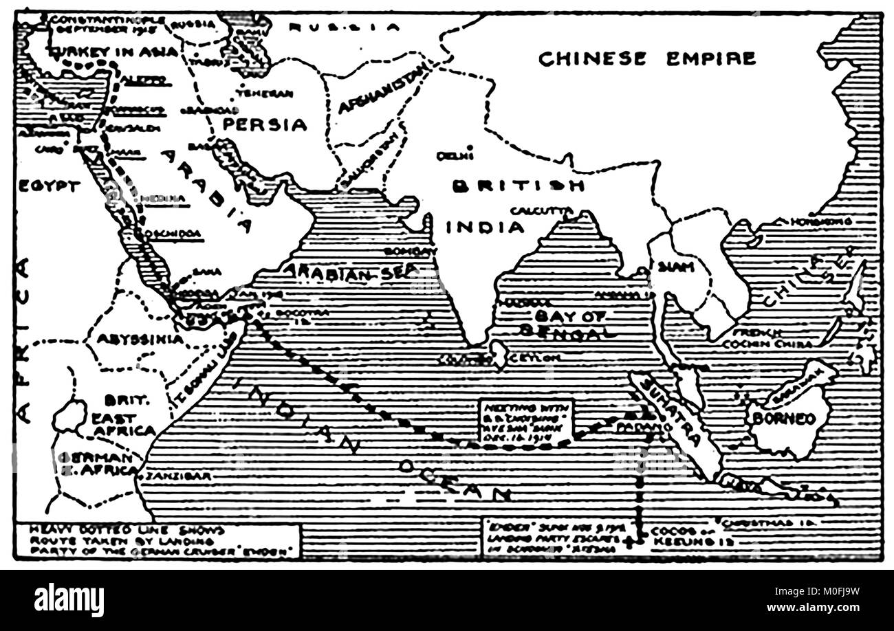 WWI - A 1917 map showing military activity in the 1914-1918 First World War showing the cruise of the German cruiser SMS Emden and its place of landing Stock Photohttps://www.alamy.com/image-license-details/?v=1https://www.alamy.com/stock-photo-wwi-a-1917-map-showing-military-activity-in-the-1914-1918-first-world-172447349.html
RMM0FJ9W–WWI - A 1917 map showing military activity in the 1914-1918 First World War showing the cruise of the German cruiser SMS Emden and its place of landing
RF2AYTDT3–Africa map. Monochrome Africa continent icon. Vector
 Ethiopia - communication network map of country. Ethiopia trendy geometric design on dark background. Technology, internet, network, telecommunication Stock Vectorhttps://www.alamy.com/image-license-details/?v=1https://www.alamy.com/ethiopia-communication-network-map-of-country-ethiopia-trendy-geometric-design-on-dark-background-technology-internet-network-telecommunication-image513308341.html
RF2MR360N–Ethiopia - communication network map of country. Ethiopia trendy geometric design on dark background. Technology, internet, network, telecommunication
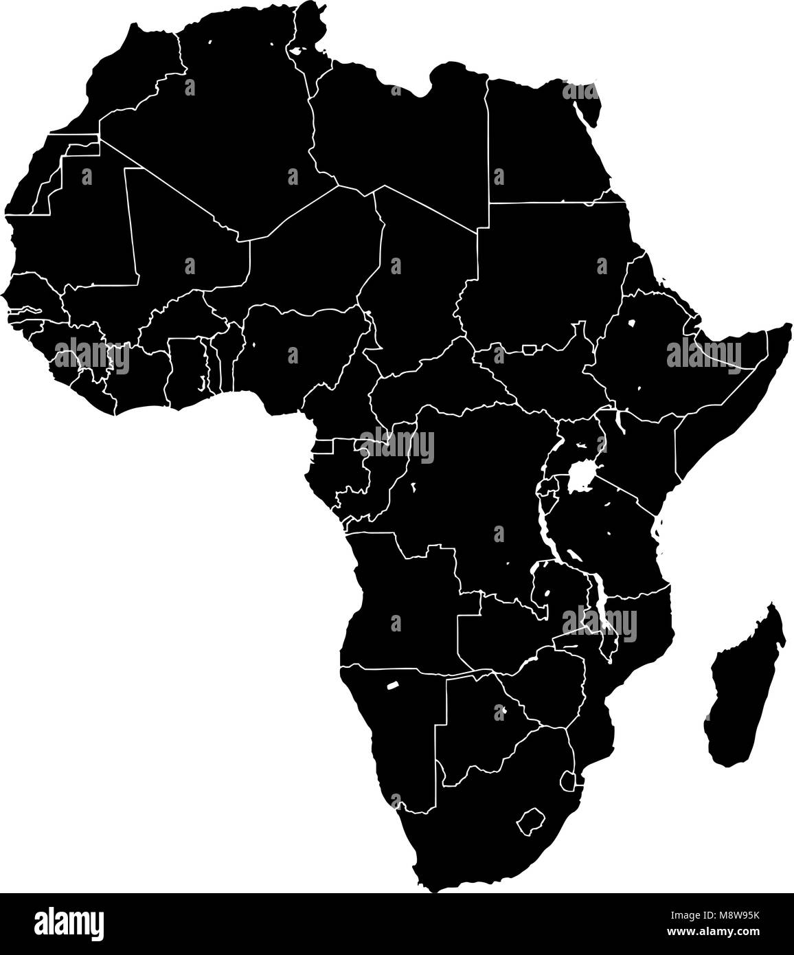 Africa silhouette vector map. Black and white version usable for travel marketing, real estate and education. Stock Vectorhttps://www.alamy.com/image-license-details/?v=1https://www.alamy.com/stock-photo-africa-silhouette-vector-map-black-and-white-version-usable-for-travel-177576943.html
RFM8W95K–Africa silhouette vector map. Black and white version usable for travel marketing, real estate and education.

