Europe map borders outline Stock Photos and Images
(7,154)See europe map borders outline stock video clipsQuick filters:
Europe map borders outline Stock Photos and Images
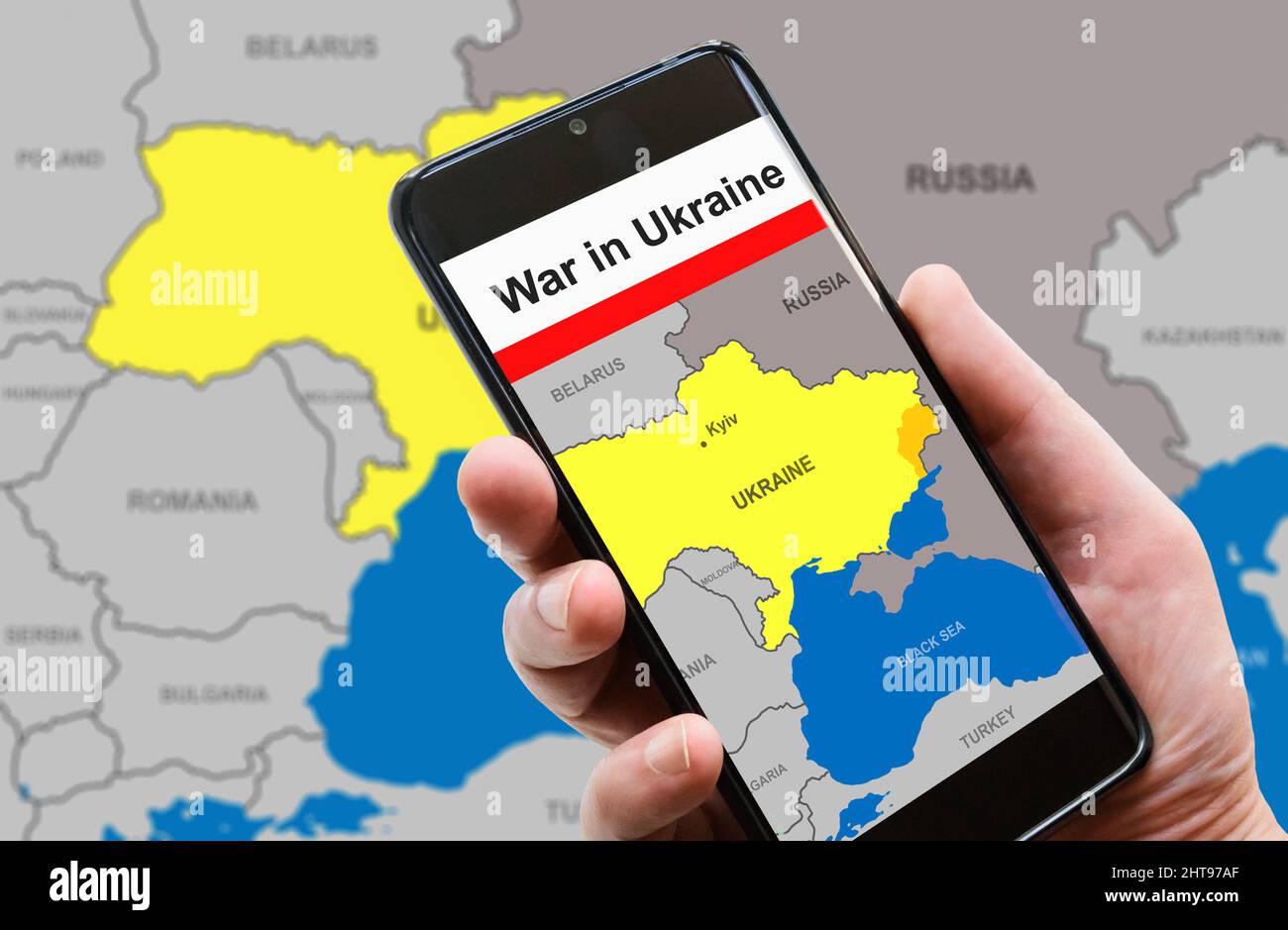 War in Ukraine on mobile phone screen. Ukraine and Russia borders with Donbass on Europe map. Ukrainian-Russian conflict in smartphone. Concept of med Stock Photohttps://www.alamy.com/image-license-details/?v=1https://www.alamy.com/war-in-ukraine-on-mobile-phone-screen-ukraine-and-russia-borders-with-donbass-on-europe-map-ukrainian-russian-conflict-in-smartphone-concept-of-med-image462424663.html
RF2HT97AF–War in Ukraine on mobile phone screen. Ukraine and Russia borders with Donbass on Europe map. Ukrainian-Russian conflict in smartphone. Concept of med
 New York, USA - July 6, 2023: Portugal country shape on map ipad macro close up view Stock Photohttps://www.alamy.com/image-license-details/?v=1https://www.alamy.com/new-york-usa-july-6-2023-portugal-country-shape-on-map-ipad-macro-close-up-view-image558478013.html
RF2RCGTB9–New York, USA - July 6, 2023: Portugal country shape on map ipad macro close up view
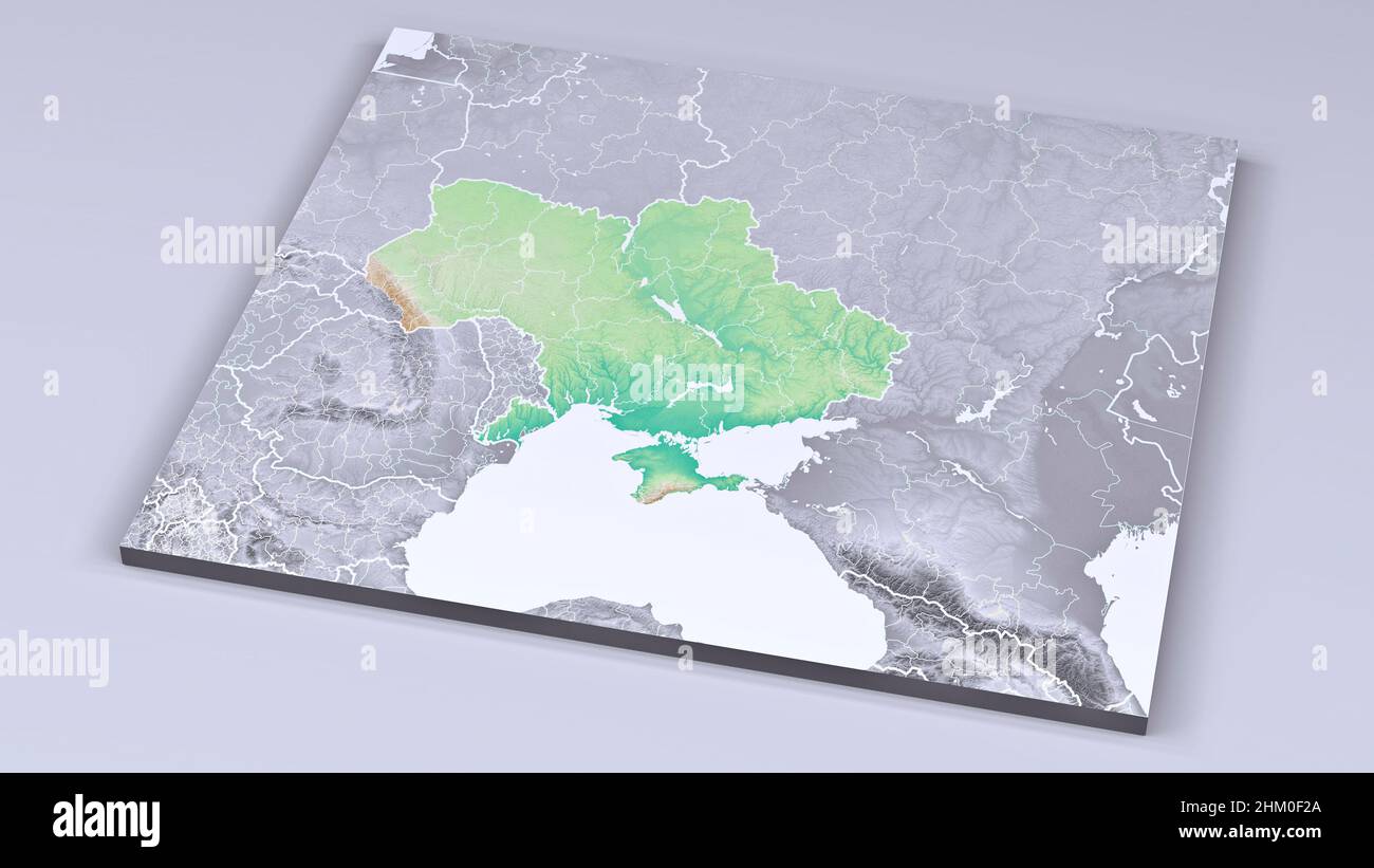 Physical map of Europe, Ukraine and borders. Russia and Belarus, Crimea and the Black Sea. Borders and provinces of Ukraine, map. Military maneuvers Stock Photohttps://www.alamy.com/image-license-details/?v=1https://www.alamy.com/physical-map-of-europe-ukraine-and-borders-russia-and-belarus-crimea-and-the-black-sea-borders-and-provinces-of-ukraine-map-military-maneuvers-image459774514.html
RF2HM0F2A–Physical map of Europe, Ukraine and borders. Russia and Belarus, Crimea and the Black Sea. Borders and provinces of Ukraine, map. Military maneuvers
 Map of Malta isolated on white background with clipping path Stock Photohttps://www.alamy.com/image-license-details/?v=1https://www.alamy.com/stock-photo-map-of-malta-isolated-on-white-background-with-clipping-path-21983209.html
RMB7NBPH–Map of Malta isolated on white background with clipping path
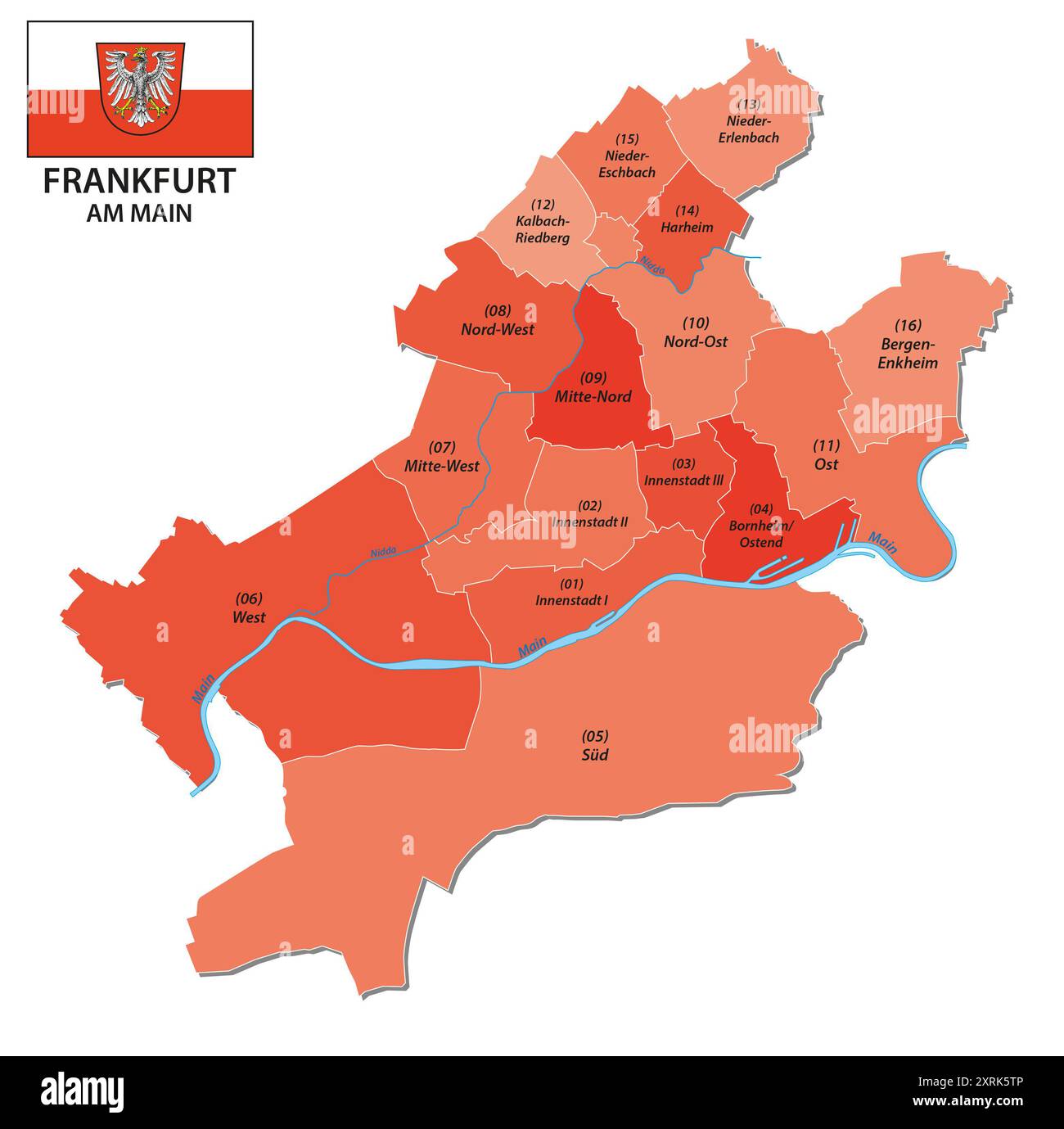 administrative vector map of Frankfurt with all districts Stock Photohttps://www.alamy.com/image-license-details/?v=1https://www.alamy.com/administrative-vector-map-of-frankfurt-with-all-districts-image616921670.html
RF2XRK5TP–administrative vector map of Frankfurt with all districts
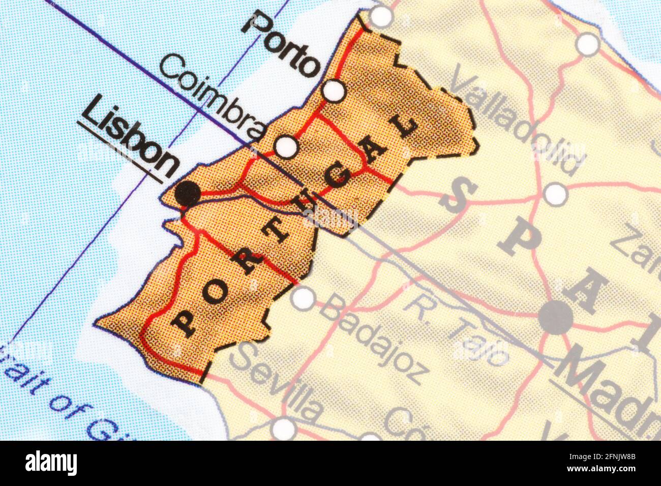 Map of Portugal highlighted from the outline Stock Photohttps://www.alamy.com/image-license-details/?v=1https://www.alamy.com/map-of-portugal-highlighted-from-the-outline-image426371579.html
RF2FNJW8B–Map of Portugal highlighted from the outline
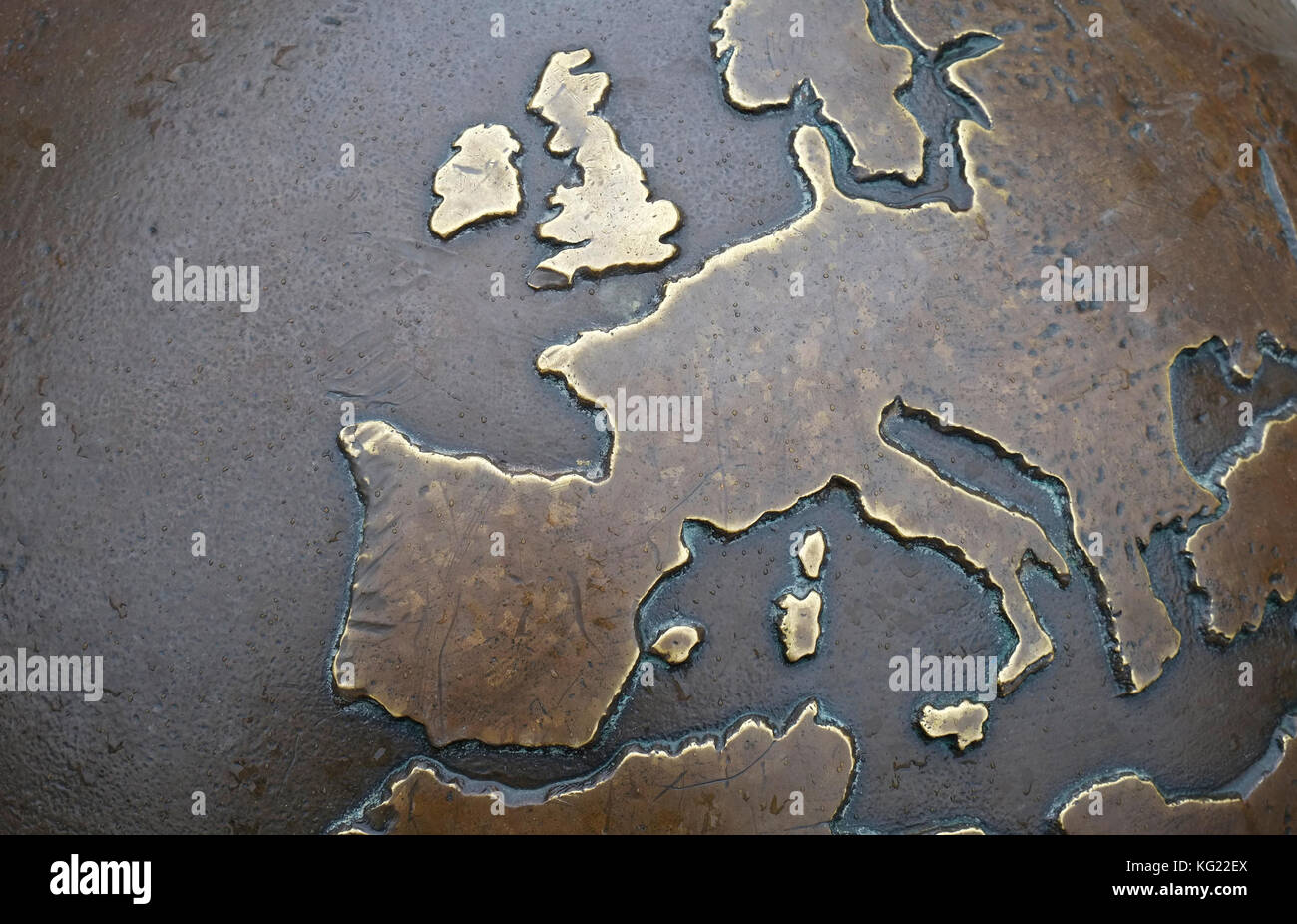 metal map of europe Stock Photohttps://www.alamy.com/image-license-details/?v=1https://www.alamy.com/stock-image-metal-map-of-europe-164773698.html
RMKG22EX–metal map of europe
 map, outline of Ireland designed with clover Stock Photohttps://www.alamy.com/image-license-details/?v=1https://www.alamy.com/map-outline-of-ireland-designed-with-clover-image597333883.html
RF2WKPWCY–map, outline of Ireland designed with clover
 Finland Map with Flag Colors on Light Blue Background Stock Photohttps://www.alamy.com/image-license-details/?v=1https://www.alamy.com/finland-map-with-flag-colors-on-light-blue-background-image617674230.html
RF2XTWDNX–Finland Map with Flag Colors on Light Blue Background
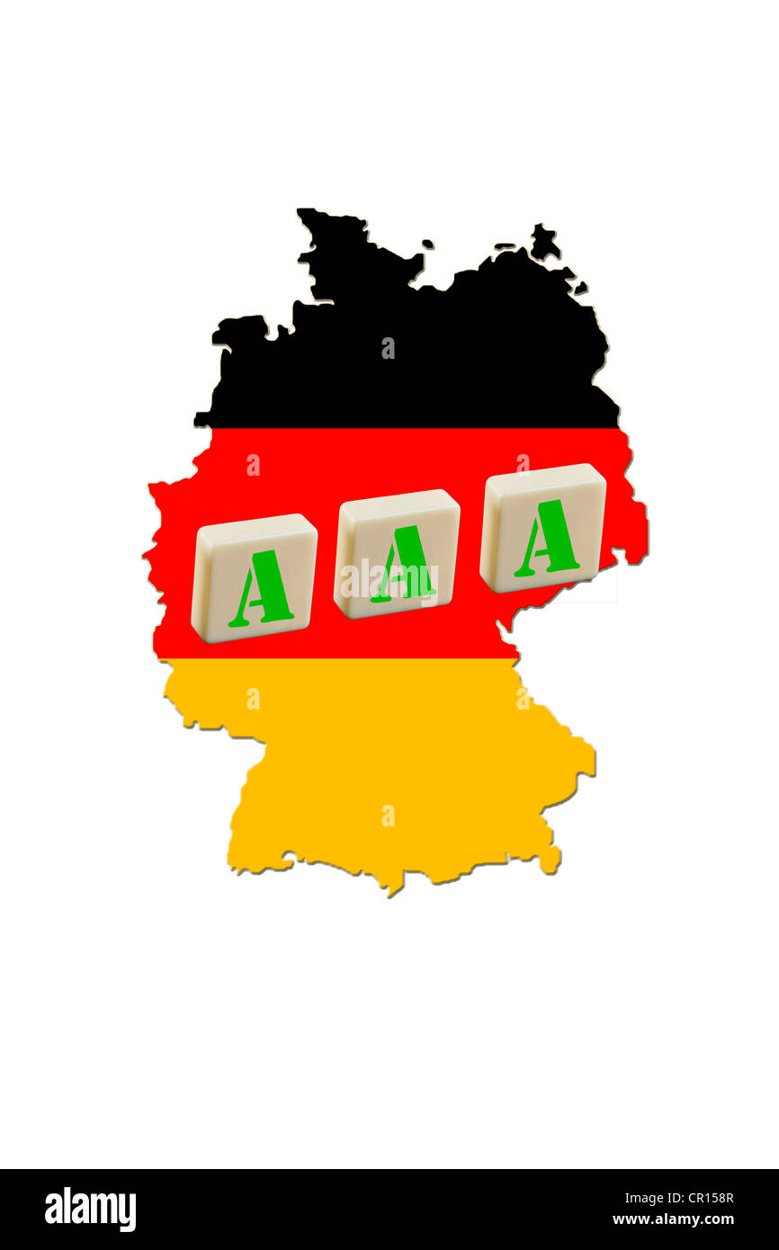 Map of Germany, symbolic image for Triple A ratings by rating agencies Stock Photohttps://www.alamy.com/image-license-details/?v=1https://www.alamy.com/stock-photo-map-of-germany-symbolic-image-for-triple-a-ratings-by-rating-agencies-48583943.html
RFCR158R–Map of Germany, symbolic image for Triple A ratings by rating agencies
 Map of Belgium with regions and borders Stock Photohttps://www.alamy.com/image-license-details/?v=1https://www.alamy.com/map-of-belgium-with-regions-and-borders-image640915143.html
RM2S6M5PF–Map of Belgium with regions and borders
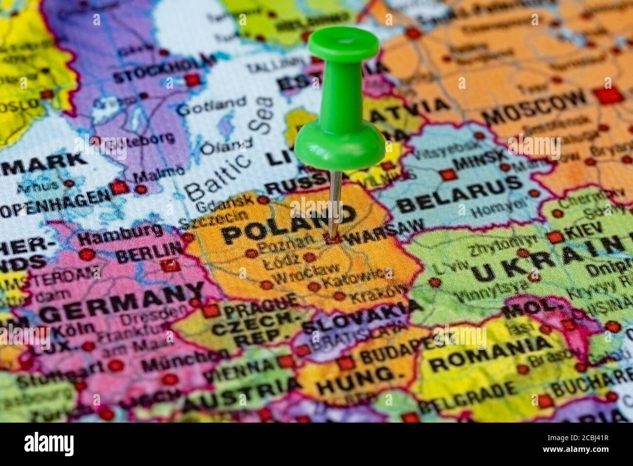 Administrative map with geotag in Warsaw, Poland Stock Photohttps://www.alamy.com/image-license-details/?v=1https://www.alamy.com/administrative-map-with-geotag-in-warsaw-poland-image368577267.html
RF2CBJ41R–Administrative map with geotag in Warsaw, Poland
 England and Wales silhouette. Nicely shaped map with rounded edges for elegant look. Stock Photohttps://www.alamy.com/image-license-details/?v=1https://www.alamy.com/england-and-wales-silhouette-nicely-shaped-map-with-rounded-edges-for-elegant-look-image376906249.html
RF2CW5FND–England and Wales silhouette. Nicely shaped map with rounded edges for elegant look.
 Country outline of Great Britain with England Scotland and Wales Stock Photohttps://www.alamy.com/image-license-details/?v=1https://www.alamy.com/country-outline-of-great-britain-with-england-scotland-and-wales-image362867354.html
RF2C2A10A–Country outline of Great Britain with England Scotland and Wales
 Global map isolated on white background Stock Photohttps://www.alamy.com/image-license-details/?v=1https://www.alamy.com/global-map-isolated-on-white-background-image208357765.html
RFP2YECN–Global map isolated on white background
 map of germany Stock Photohttps://www.alamy.com/image-license-details/?v=1https://www.alamy.com/map-of-germany-image225501171.html
RFR2TD17–map of germany
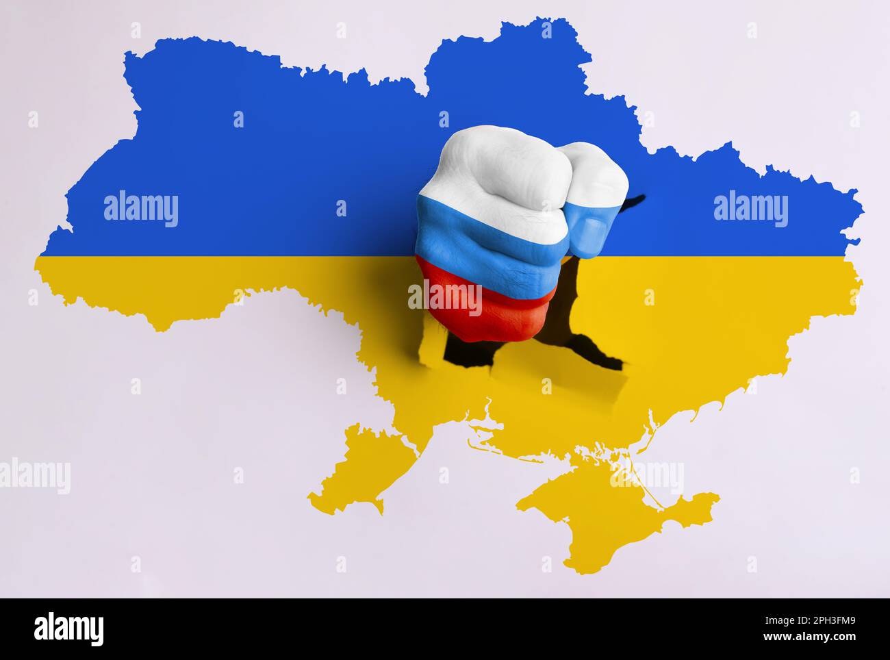 Russian aggression against Ukraine. Man breaking through map of Ukraine with fist painted in colors of Russian flag Stock Photohttps://www.alamy.com/image-license-details/?v=1https://www.alamy.com/russian-aggression-against-ukraine-man-breaking-through-map-of-ukraine-with-fist-painted-in-colors-of-russian-flag-image544048745.html
RF2PH3FM9–Russian aggression against Ukraine. Man breaking through map of Ukraine with fist painted in colors of Russian flag
 Europe hand drawn map, continent silhouette, stylized contour borders, black line. Stock Vectorhttps://www.alamy.com/image-license-details/?v=1https://www.alamy.com/europe-hand-drawn-map-continent-silhouette-stylized-contour-borders-black-line-image611852185.html
RF2XFC7KN–Europe hand drawn map, continent silhouette, stylized contour borders, black line.
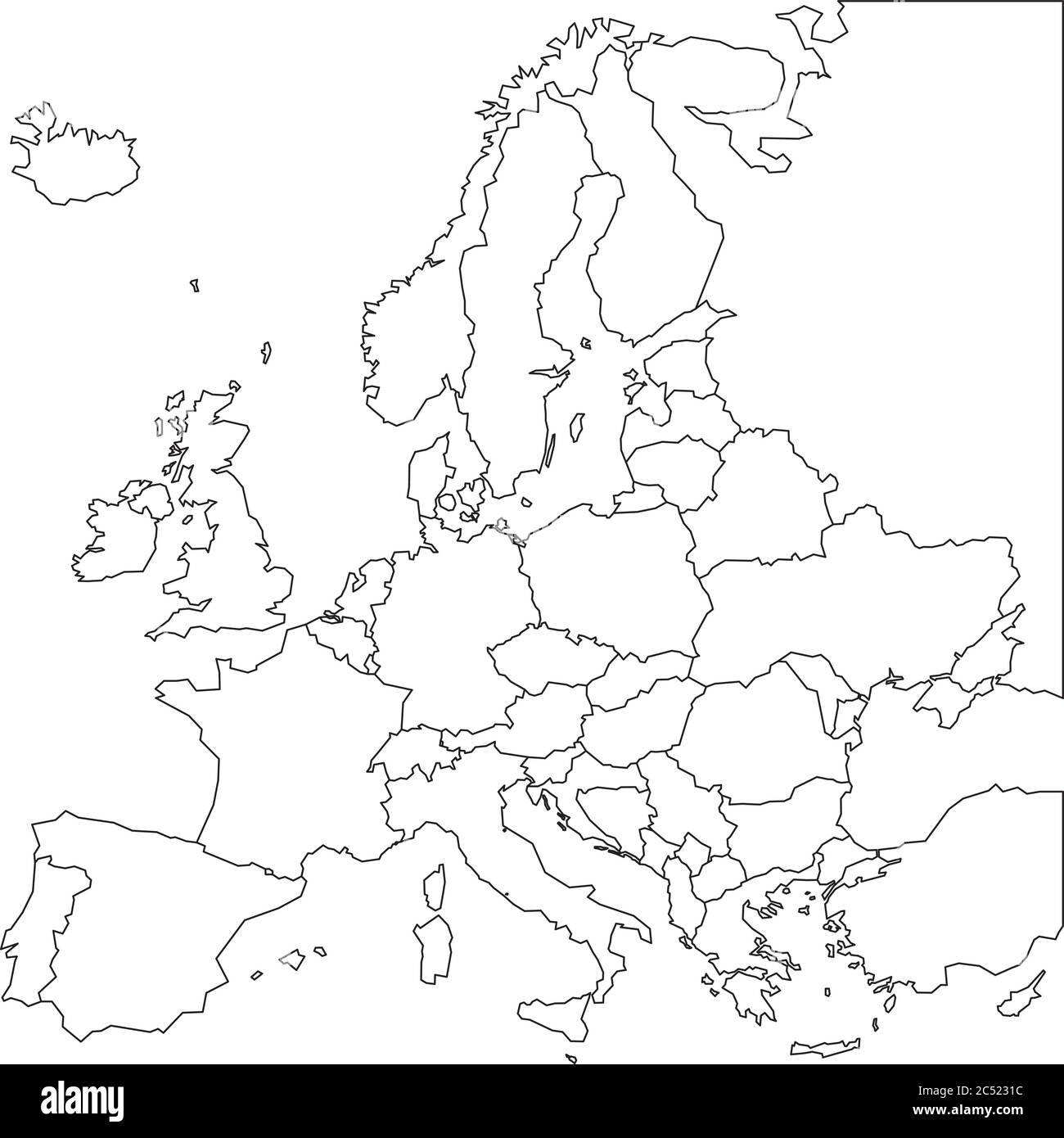 Blank outline map of Europe. Simplified wireframe map of black lined borders. Vector illustration. Stock Vectorhttps://www.alamy.com/image-license-details/?v=1https://www.alamy.com/blank-outline-map-of-europe-simplified-wireframe-map-of-black-lined-borders-vector-illustration-image364537304.html
RF2C5231C–Blank outline map of Europe. Simplified wireframe map of black lined borders. Vector illustration.
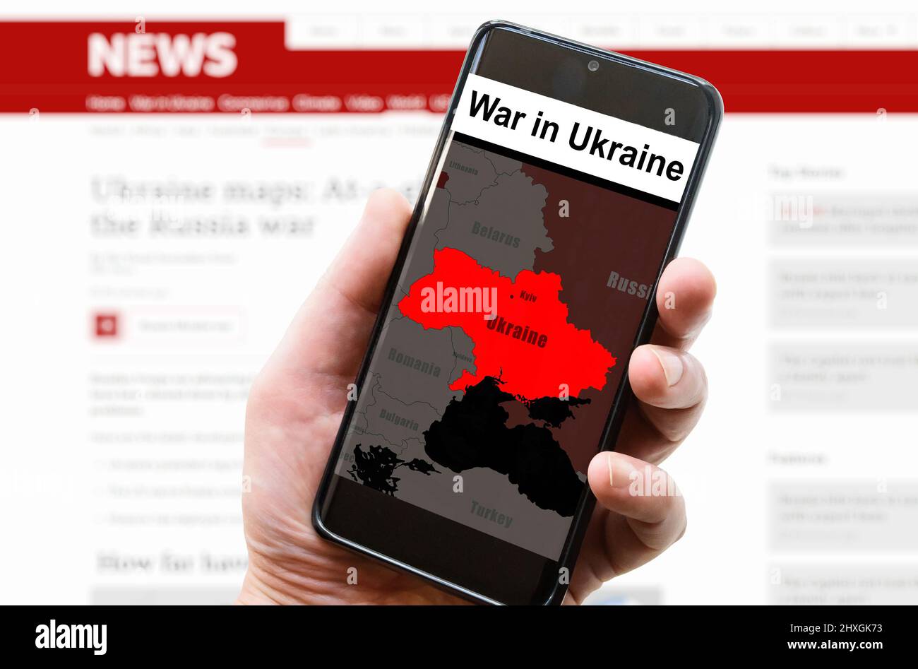 War in Ukraine on mobile phone screen. Ukraine and Russia borders with Donbass on Europe map. Ukrainian-Russian conflict in smartphone. Concept of med Stock Photohttps://www.alamy.com/image-license-details/?v=1https://www.alamy.com/war-in-ukraine-on-mobile-phone-screen-ukraine-and-russia-borders-with-donbass-on-europe-map-ukrainian-russian-conflict-in-smartphone-concept-of-med-image463816951.html
RF2HXGK73–War in Ukraine on mobile phone screen. Ukraine and Russia borders with Donbass on Europe map. Ukrainian-Russian conflict in smartphone. Concept of med
 New York, USA - July 6, 2023: Norway country shape on map ipad macro close up view Stock Photohttps://www.alamy.com/image-license-details/?v=1https://www.alamy.com/new-york-usa-july-6-2023-norway-country-shape-on-map-ipad-macro-close-up-view-image558481891.html
RF2RCH19R–New York, USA - July 6, 2023: Norway country shape on map ipad macro close up view
 Physical map of Europe, Ukraine and borders. Russia and Belarus, Crimea and the Black Sea. Borders and provinces of Ukraine, map. Military maneuvers Stock Photohttps://www.alamy.com/image-license-details/?v=1https://www.alamy.com/physical-map-of-europe-ukraine-and-borders-russia-and-belarus-crimea-and-the-black-sea-borders-and-provinces-of-ukraine-map-military-maneuvers-image468211555.html
RF2J5MTH7–Physical map of Europe, Ukraine and borders. Russia and Belarus, Crimea and the Black Sea. Borders and provinces of Ukraine, map. Military maneuvers
 Map of Malta isolated on white background with clipping path Stock Photohttps://www.alamy.com/image-license-details/?v=1https://www.alamy.com/stock-photo-map-of-malta-isolated-on-white-background-with-clipping-path-21983325.html
RMB7NBXN–Map of Malta isolated on white background with clipping path
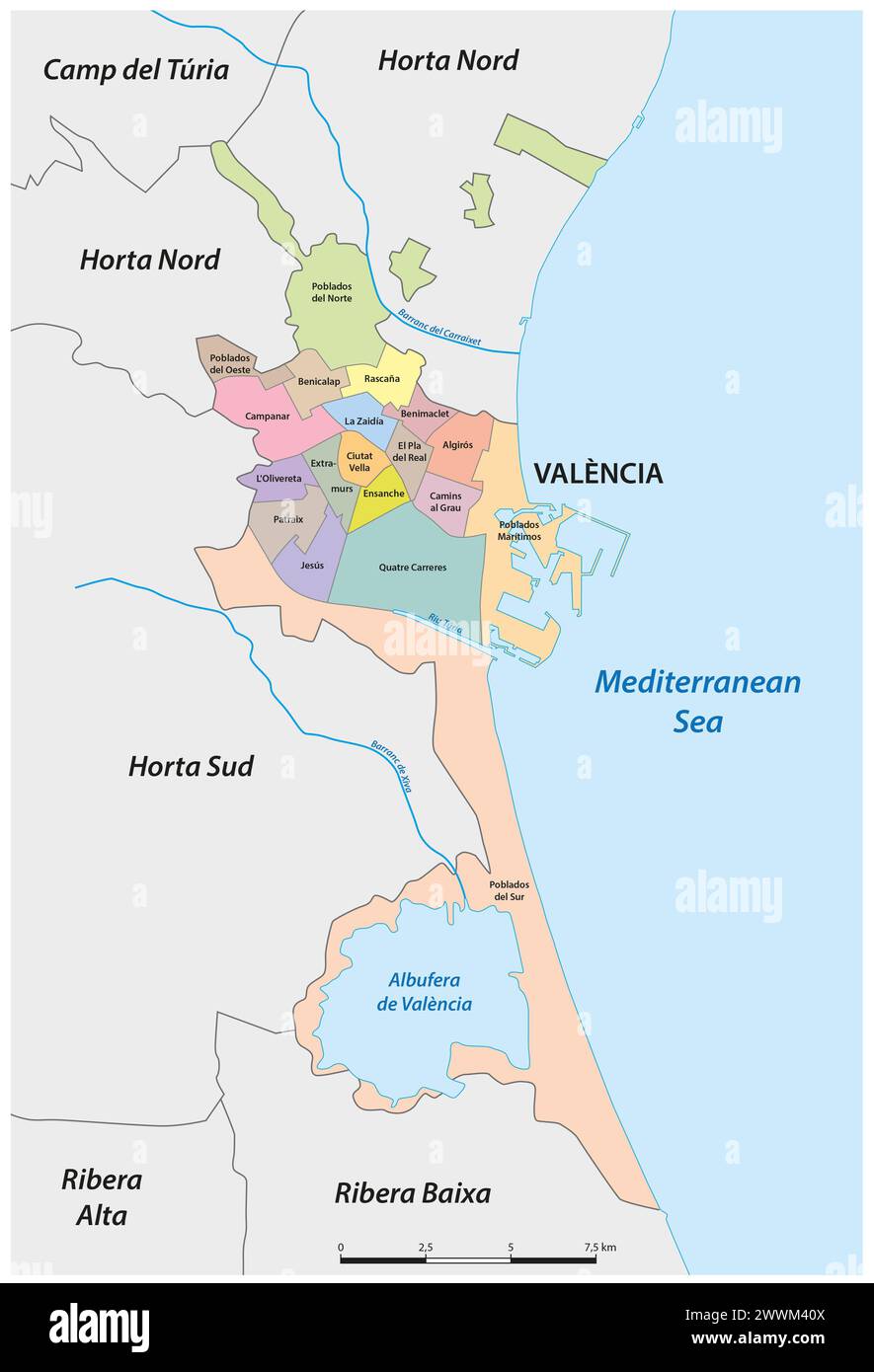 Administrative vector map of the Spanish city of Valencia Stock Photohttps://www.alamy.com/image-license-details/?v=1https://www.alamy.com/administrative-vector-map-of-the-spanish-city-of-valencia-image600961114.html
RF2WWM40X–Administrative vector map of the Spanish city of Valencia
 Map of Greece highlighted from the outline Stock Photohttps://www.alamy.com/image-license-details/?v=1https://www.alamy.com/map-of-greece-highlighted-from-the-outline-image426371507.html
RF2FNJW5R–Map of Greece highlighted from the outline
 Republic of Austria flag in country silhouette. Landmass and borders as outline, within the banner of the nation in colors red and white. Stock Photohttps://www.alamy.com/image-license-details/?v=1https://www.alamy.com/stock-photo-republic-of-austria-flag-in-country-silhouette-landmass-and-borders-173103584.html
RFM1HFAT–Republic of Austria flag in country silhouette. Landmass and borders as outline, within the banner of the nation in colors red and white.
 Pen and post it on France map. Stock Photohttps://www.alamy.com/image-license-details/?v=1https://www.alamy.com/stock-photo-pen-and-post-it-on-france-map-74963254.html
RFE9XTB2–Pen and post it on France map.
 Moldova Map with National Flag Colors and Emblem on Light Blue Background with Copy Space. Stock Photohttps://www.alamy.com/image-license-details/?v=1https://www.alamy.com/moldova-map-with-national-flag-colors-and-emblem-on-light-blue-background-with-copy-space-image617287373.html
RF2XT7T9H–Moldova Map with National Flag Colors and Emblem on Light Blue Background with Copy Space.
 Outline Map of Ukraine with waving Ukrainian national flag for design purpose Stock Photohttps://www.alamy.com/image-license-details/?v=1https://www.alamy.com/outline-map-of-ukraine-with-waving-ukrainian-national-flag-for-design-purpose-image467210730.html
RF2J4381E–Outline Map of Ukraine with waving Ukrainian national flag for design purpose
 Map of Switzerland with regions and borders Stock Photohttps://www.alamy.com/image-license-details/?v=1https://www.alamy.com/map-of-switzerland-with-regions-and-borders-image640915349.html
RM2S6M61W–Map of Switzerland with regions and borders
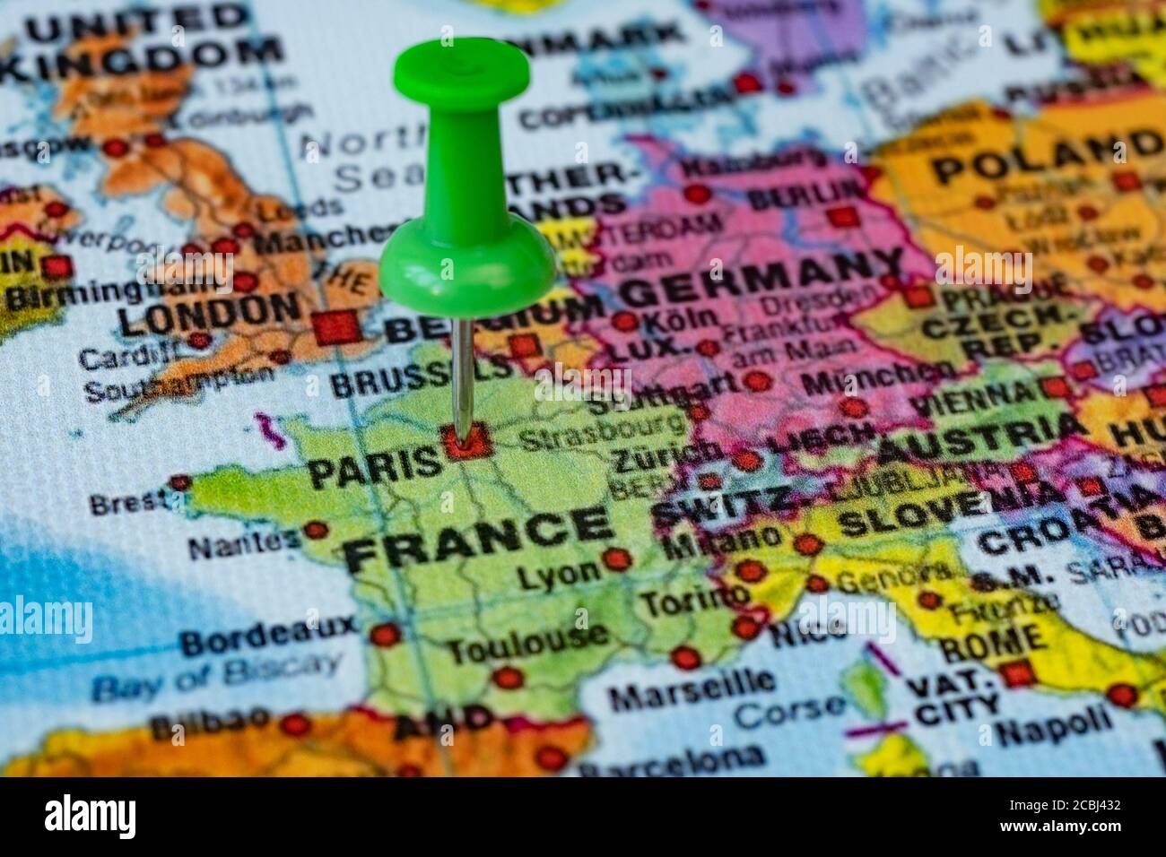 Map with destination point in Paris, France Stock Photohttps://www.alamy.com/image-license-details/?v=1https://www.alamy.com/map-with-destination-point-in-paris-france-image368577302.html
RF2CBJ432–Map with destination point in Paris, France
 Switzerland country outline dark silhouette map, national borders, country shape Stock Vectorhttps://www.alamy.com/image-license-details/?v=1https://www.alamy.com/switzerland-country-outline-dark-silhouette-map-national-borders-country-shape-image466137812.html
RF2J2ABF0–Switzerland country outline dark silhouette map, national borders, country shape
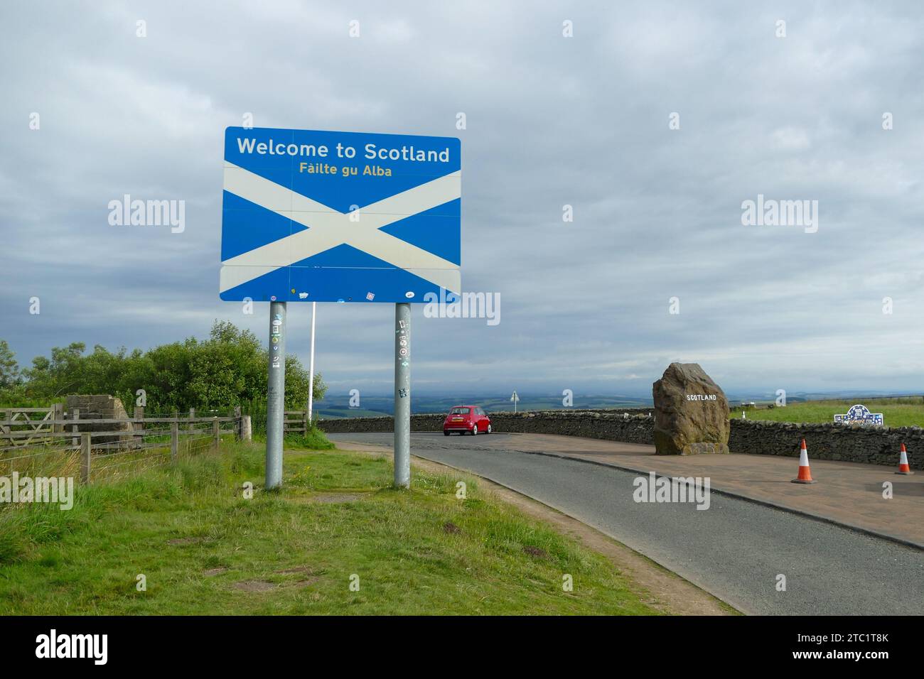 Edinburgh, Scotland - July 24 2016: Borders between England and Scotland with Welcome to Scotland road sign Stock Photohttps://www.alamy.com/image-license-details/?v=1https://www.alamy.com/edinburgh-scotland-july-24-2016-borders-between-england-and-scotland-with-welcome-to-scotland-road-sign-image575359027.html
RF2TC1T8K–Edinburgh, Scotland - July 24 2016: Borders between England and Scotland with Welcome to Scotland road sign
 Global map isolated on white background Stock Photohttps://www.alamy.com/image-license-details/?v=1https://www.alamy.com/global-map-isolated-on-white-background-image208357759.html
RFP2YECF–Global map isolated on white background
 map of germany Stock Photohttps://www.alamy.com/image-license-details/?v=1https://www.alamy.com/map-of-germany-image225501175.html
RFR2TD1B–map of germany
 Glowing Map of Austria, modern blue outline map, on dark Background Stock Photohttps://www.alamy.com/image-license-details/?v=1https://www.alamy.com/glowing-map-of-austria-modern-blue-outline-map-on-dark-background-image404913809.html
RF2EENBKD–Glowing Map of Austria, modern blue outline map, on dark Background
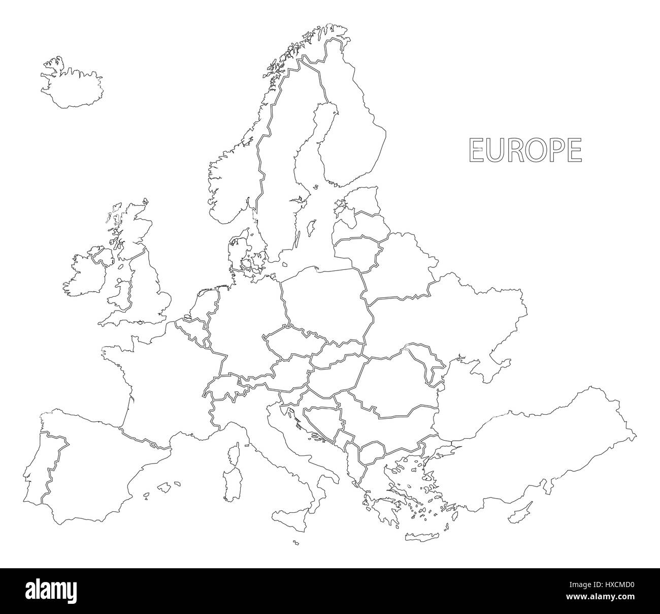 Europe outline silhouette map with countries Stock Vectorhttps://www.alamy.com/image-license-details/?v=1https://www.alamy.com/stock-photo-europe-outline-silhouette-map-with-countries-136733100.html
RFHXCMD0–Europe outline silhouette map with countries
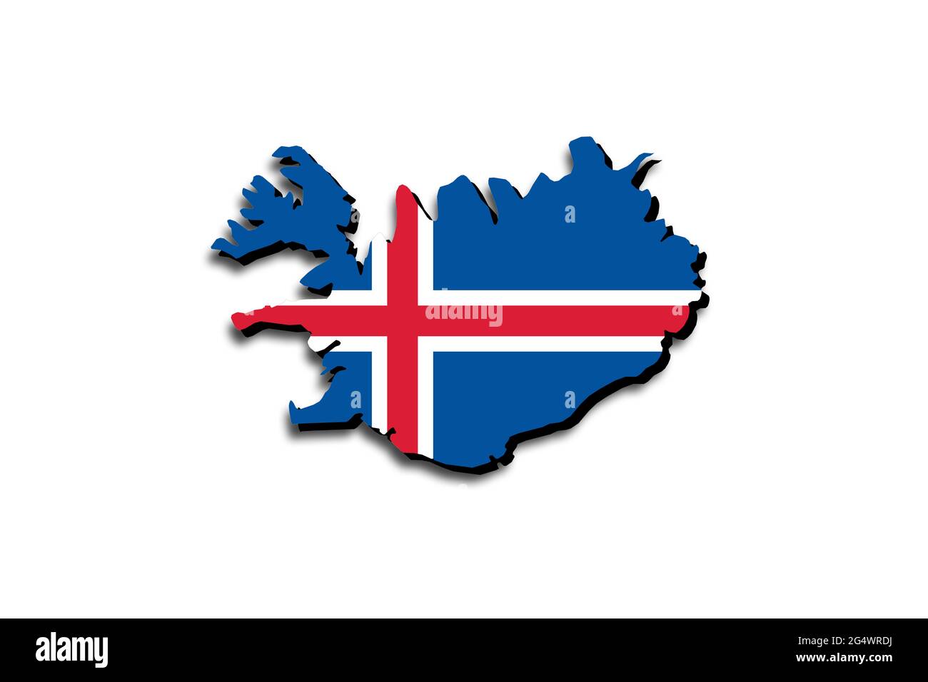 Outline map of Iceland with the national flag superimposed over the country. 3D graphics casting a shadow on the white background Stock Photohttps://www.alamy.com/image-license-details/?v=1https://www.alamy.com/outline-map-of-iceland-with-the-national-flag-superimposed-over-the-country-3d-graphics-casting-a-shadow-on-the-white-background-image433285038.html
RF2G4WRDJ–Outline map of Iceland with the national flag superimposed over the country. 3D graphics casting a shadow on the white background
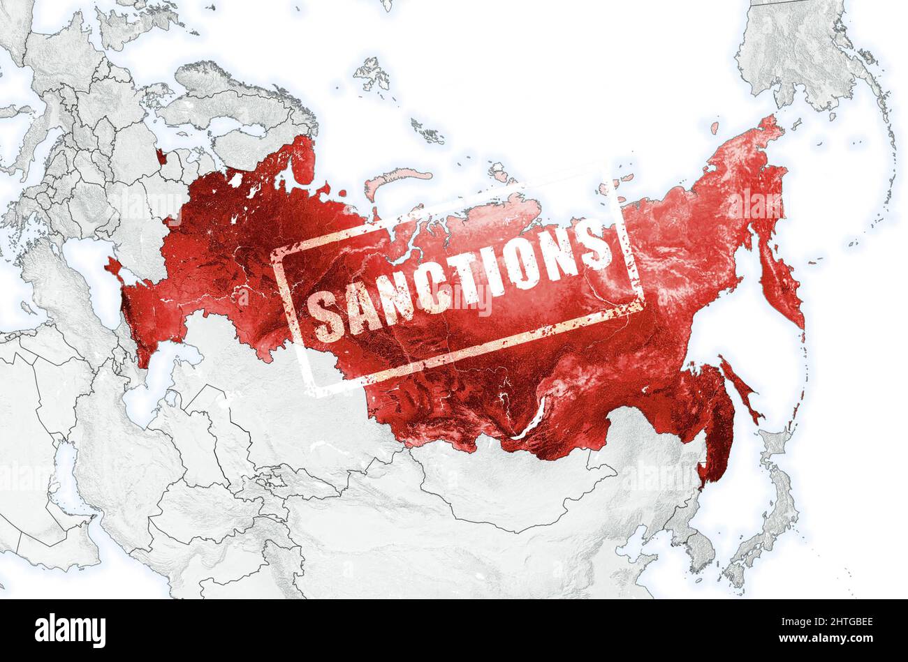 Russia on World map with countries borders. Stamp Sanctions on Russian territory in Eurasia. Concept of war in Ukraine, crisis, economic sanctions, po Stock Photohttps://www.alamy.com/image-license-details/?v=1https://www.alamy.com/russia-on-world-map-with-countries-borders-stamp-sanctions-on-russian-territory-in-eurasia-concept-of-war-in-ukraine-crisis-economic-sanctions-po-image462581574.html
RF2HTGBEE–Russia on World map with countries borders. Stamp Sanctions on Russian territory in Eurasia. Concept of war in Ukraine, crisis, economic sanctions, po
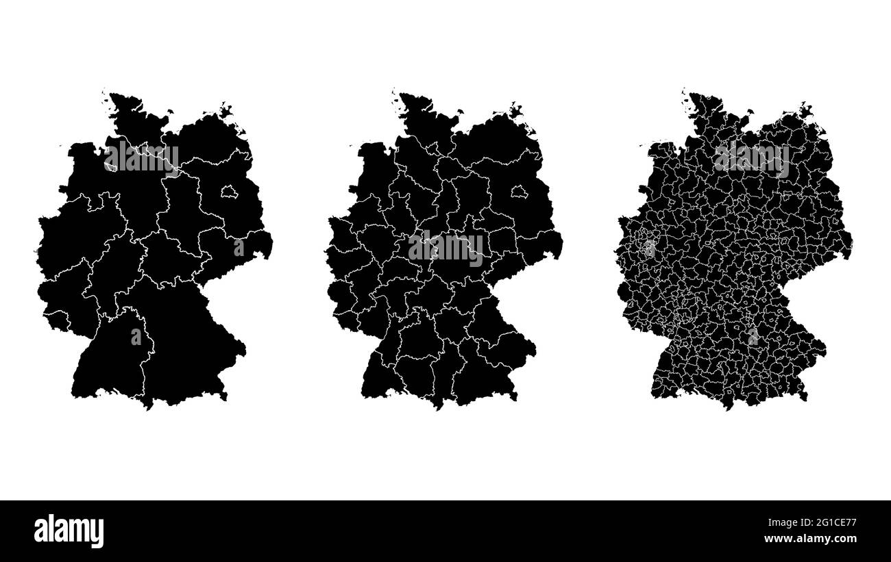 Germany map municipal, region, state division. Administrative borders, outline black on white background vector illustration. Stock Vectorhttps://www.alamy.com/image-license-details/?v=1https://www.alamy.com/germany-map-municipal-region-state-division-administrative-borders-outline-black-on-white-background-vector-illustration-image431148459.html
RF2G1CE77–Germany map municipal, region, state division. Administrative borders, outline black on white background vector illustration.
 Italy borders blank map. Stock Vectorhttps://www.alamy.com/image-license-details/?v=1https://www.alamy.com/stock-photo-italy-borders-blank-map-124173886.html
RFH60H1J–Italy borders blank map.
 Outline map of country of France in blue isolated on white background Stock Photohttps://www.alamy.com/image-license-details/?v=1https://www.alamy.com/stock-photo-outline-map-of-country-of-france-in-blue-isolated-on-white-background-21610795.html
RMB74CP3–Outline map of country of France in blue isolated on white background
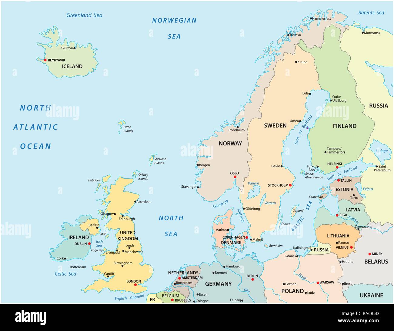 Political and administrative vector map of northern europe with state borders Stock Vectorhttps://www.alamy.com/image-license-details/?v=1https://www.alamy.com/political-and-administrative-vector-map-of-northern-europe-with-state-borders-image230031241.html
RFRA6R5D–Political and administrative vector map of northern europe with state borders
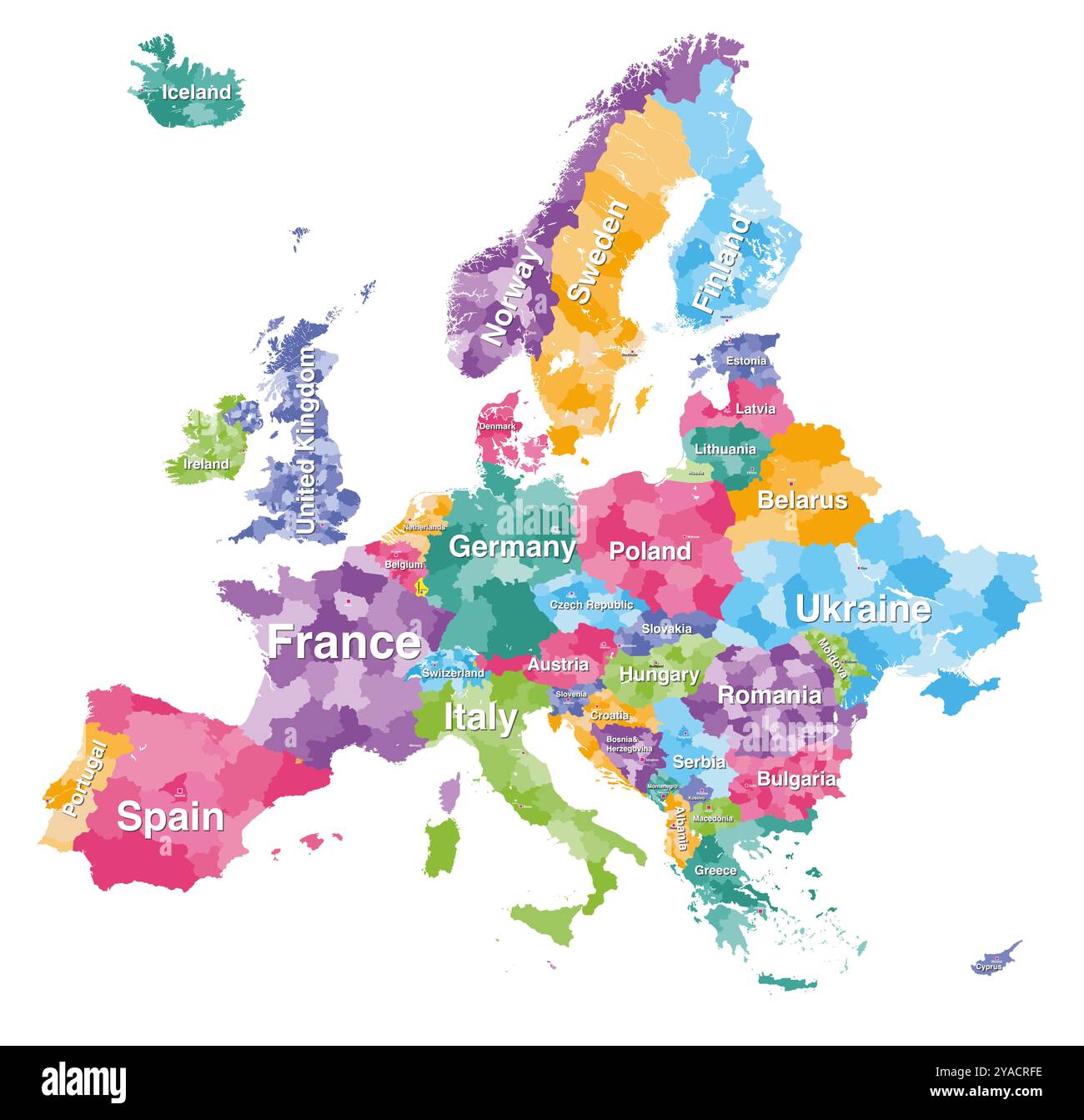 Europe detailed colored map with administrative divisions borders. Vector illustration Stock Vectorhttps://www.alamy.com/image-license-details/?v=1https://www.alamy.com/europe-detailed-colored-map-with-administrative-divisions-borders-vector-illustration-image626001698.html
RF2YACRFE–Europe detailed colored map with administrative divisions borders. Vector illustration
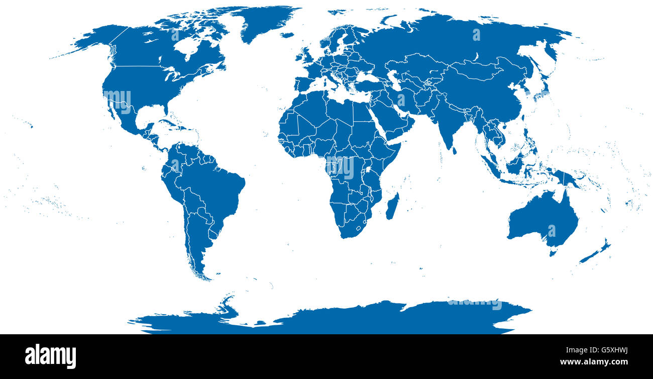 World political map outline. Detailed map of the world with shorelines and national borders under the Robinson projection. Stock Photohttps://www.alamy.com/image-license-details/?v=1https://www.alamy.com/stock-photo-world-political-map-outline-detailed-map-of-the-world-with-shorelines-106920286.html
RFG5XHWJ–World political map outline. Detailed map of the world with shorelines and national borders under the Robinson projection.
 Pen and post it on France map. Stock Photohttps://www.alamy.com/image-license-details/?v=1https://www.alamy.com/stock-photo-pen-and-post-it-on-france-map-74963113.html
RFE9XT61–Pen and post it on France map.
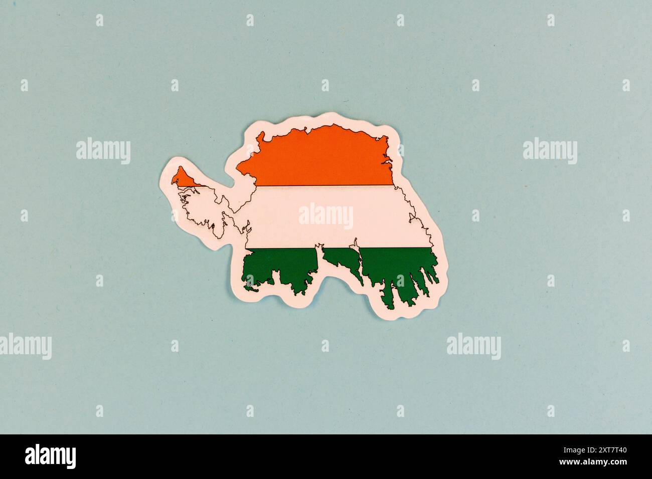 Ireland Map with National Tricolor Flag on Light Blue Background with Copy Space. Stock Photohttps://www.alamy.com/image-license-details/?v=1https://www.alamy.com/ireland-map-with-national-tricolor-flag-on-light-blue-background-with-copy-space-image617287216.html
RF2XT7T40–Ireland Map with National Tricolor Flag on Light Blue Background with Copy Space.
 Outline Map of Ukraine with waving Ukrainian national flag for design purpose Stock Photohttps://www.alamy.com/image-license-details/?v=1https://www.alamy.com/outline-map-of-ukraine-with-waving-ukrainian-national-flag-for-design-purpose-image467210733.html
RF2J4381H–Outline Map of Ukraine with waving Ukrainian national flag for design purpose
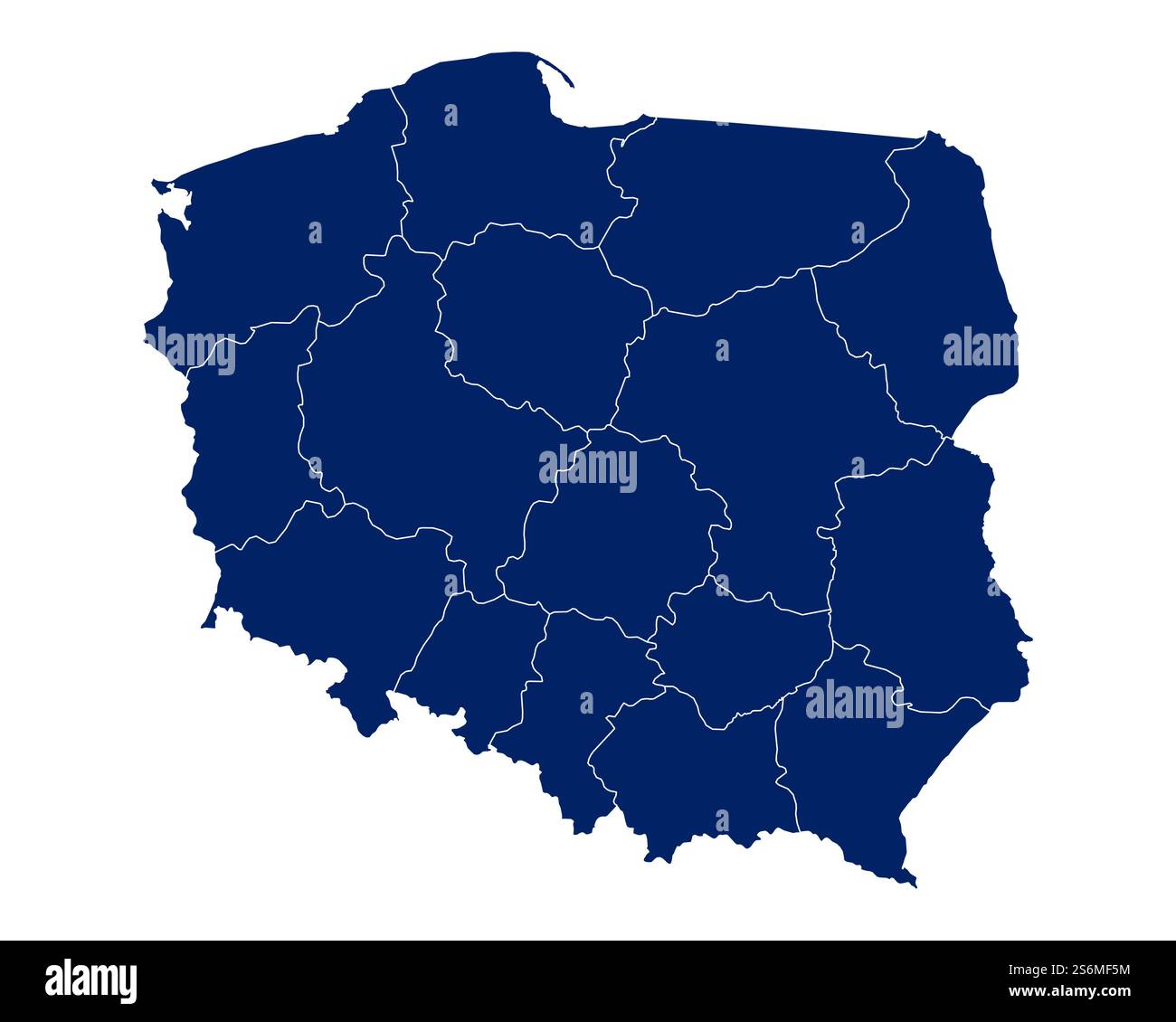 Map of Poland with regions and borders Stock Photohttps://www.alamy.com/image-license-details/?v=1https://www.alamy.com/map-of-poland-with-regions-and-borders-image640922512.html
RM2S6MF5M–Map of Poland with regions and borders
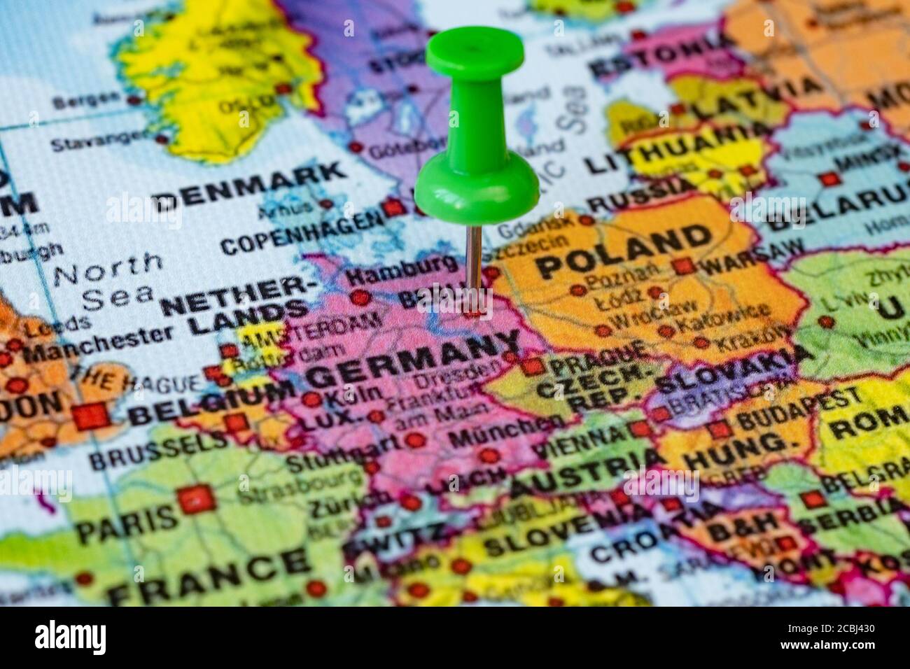 Push pin on political map in Berlin, Germany Stock Photohttps://www.alamy.com/image-license-details/?v=1https://www.alamy.com/push-pin-on-political-map-in-berlin-germany-image368577300.html
RF2CBJ430–Push pin on political map in Berlin, Germany
 Map of Europe and Poland. Vector Illustration. Shape and graphic illustration. Stock Vectorhttps://www.alamy.com/image-license-details/?v=1https://www.alamy.com/map-of-europe-and-poland-vector-illustration-shape-and-graphic-illustration-image350676118.html
RF2BAEJY2–Map of Europe and Poland. Vector Illustration. Shape and graphic illustration.
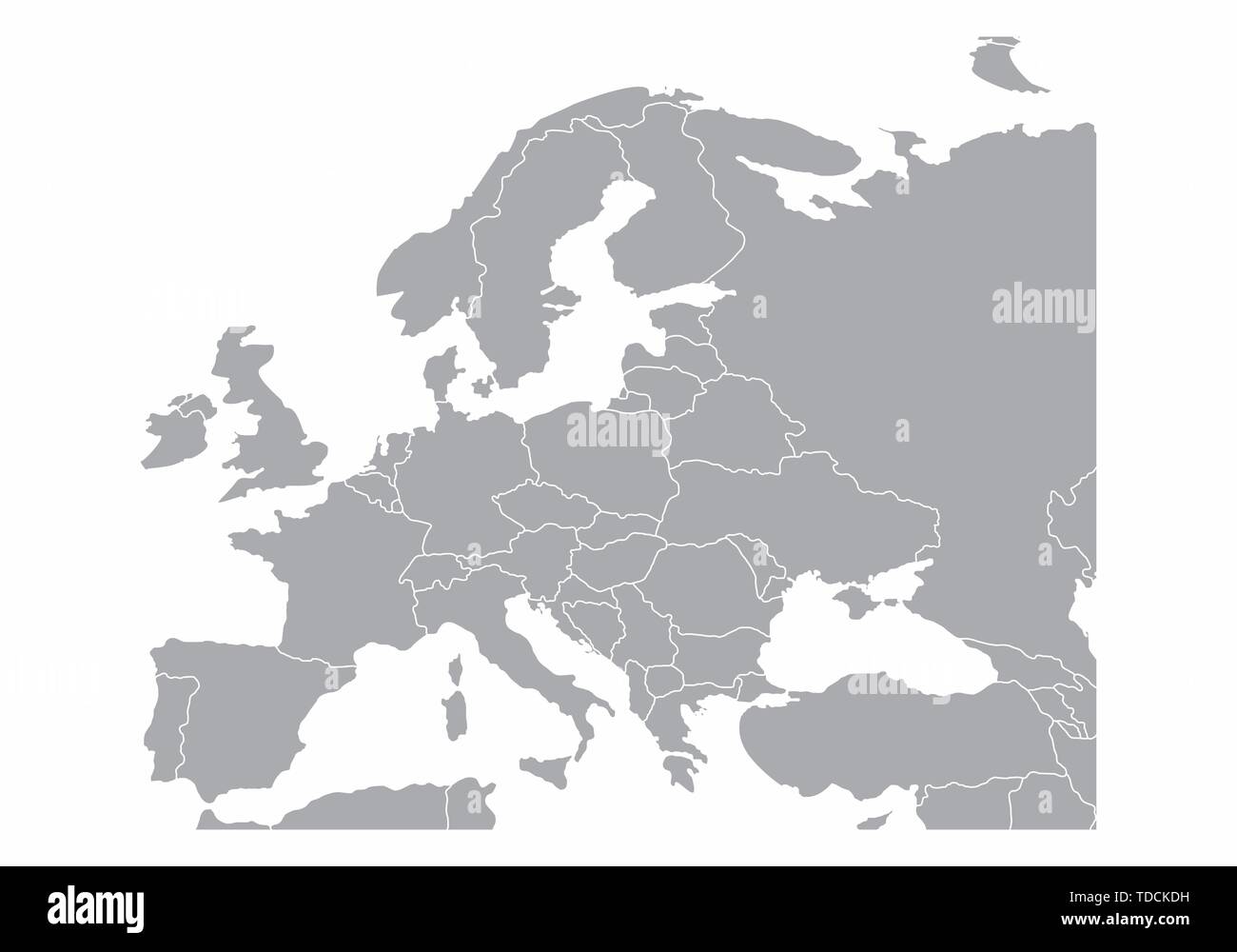 Europe gray map isolated on white background Stock Vectorhttps://www.alamy.com/image-license-details/?v=1https://www.alamy.com/europe-gray-map-isolated-on-white-background-image249214381.html
RFTDCKDH–Europe gray map isolated on white background
 Moldova Map Vector Illustration - Silhouette, Outline, Moldova Travel and Tourism Map Stock Vectorhttps://www.alamy.com/image-license-details/?v=1https://www.alamy.com/moldova-map-vector-illustration-silhouette-outline-moldova-travel-and-tourism-map-image611781952.html
RF2XF923C–Moldova Map Vector Illustration - Silhouette, Outline, Moldova Travel and Tourism Map
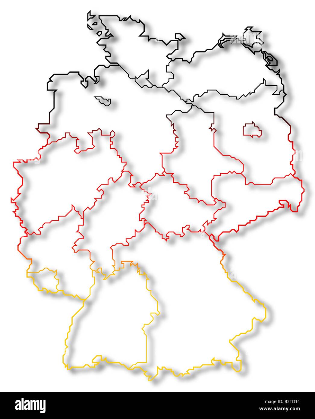 map of germany Stock Photohttps://www.alamy.com/image-license-details/?v=1https://www.alamy.com/map-of-germany-image225501168.html
RFR2TD14–map of germany
 Glowing Map of Monaco, modern blue outline map, on dark Background Stock Photohttps://www.alamy.com/image-license-details/?v=1https://www.alamy.com/glowing-map-of-monaco-modern-blue-outline-map-on-dark-background-image404913946.html
RF2EENBTA–Glowing Map of Monaco, modern blue outline map, on dark Background
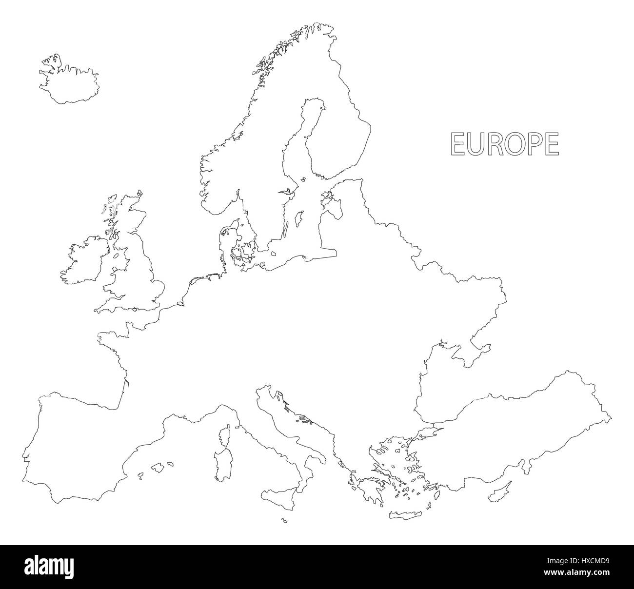 Europe outline silhouette map illustration in black and white Stock Vectorhttps://www.alamy.com/image-license-details/?v=1https://www.alamy.com/stock-photo-europe-outline-silhouette-map-illustration-in-black-and-white-136733109.html
RFHXCMD9–Europe outline silhouette map illustration in black and white
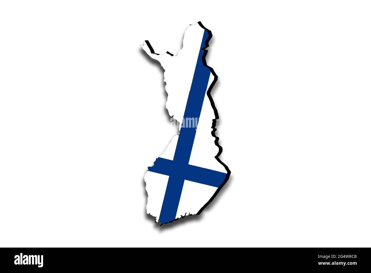 Outline map of Finland with the national flag superimposed over the country. 3D graphics casting a shadow on the white background Stock Photohttps://www.alamy.com/image-license-details/?v=1https://www.alamy.com/outline-map-of-finland-with-the-national-flag-superimposed-over-the-country-3d-graphics-casting-a-shadow-on-the-white-background-image433285003.html
RF2G4WRCB–Outline map of Finland with the national flag superimposed over the country. 3D graphics casting a shadow on the white background
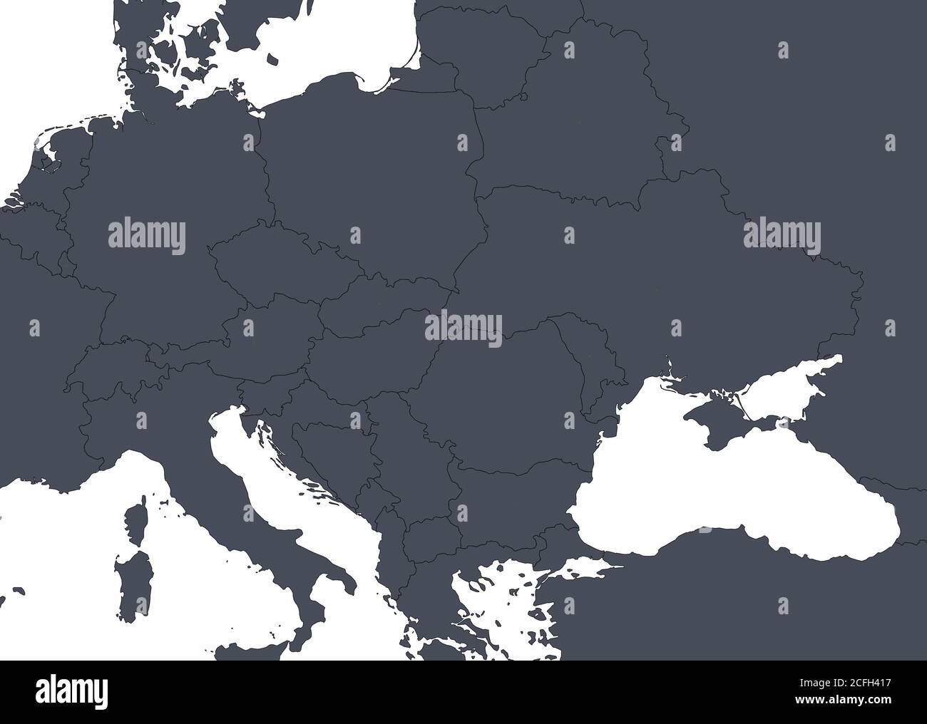 Europe outline map with countries borders. Detail of World political map, central and eastern European region with silhouette. Earth isolated on white Stock Photohttps://www.alamy.com/image-license-details/?v=1https://www.alamy.com/europe-outline-map-with-countries-borders-detail-of-world-political-map-central-and-eastern-european-region-with-silhouette-earth-isolated-on-white-image371013923.html
RF2CFH417–Europe outline map with countries borders. Detail of World political map, central and eastern European region with silhouette. Earth isolated on white
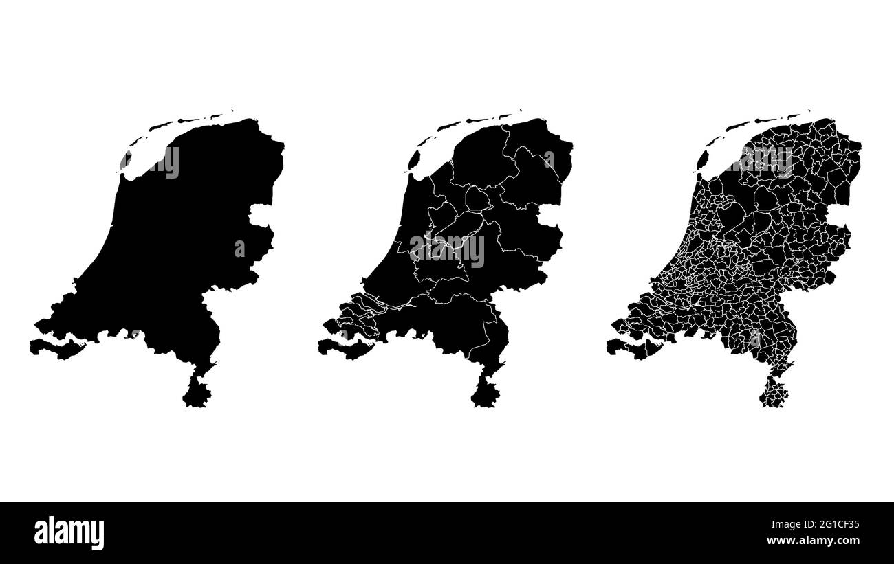 Netherlands map municipal, region, state division. Administrative borders, outline black on white background vector illustration. Stock Vectorhttps://www.alamy.com/image-license-details/?v=1https://www.alamy.com/netherlands-map-municipal-region-state-division-administrative-borders-outline-black-on-white-background-vector-illustration-image431149129.html
RF2G1CF35–Netherlands map municipal, region, state division. Administrative borders, outline black on white background vector illustration.
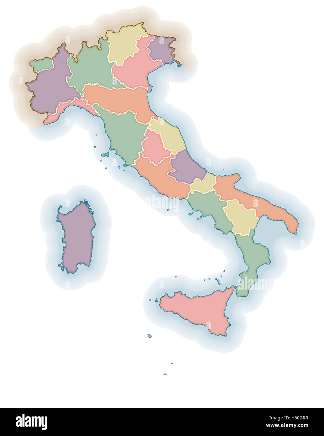 Italian regions borders blank map. Political map of Italy. One layer for each region. Stock Vectorhttps://www.alamy.com/image-license-details/?v=1https://www.alamy.com/stock-photo-italian-regions-borders-blank-map-political-map-of-italy-one-layer-124173723.html
RFH60GRR–Italian regions borders blank map. Political map of Italy. One layer for each region.
 Outline map of Italy isolated on white background Stock Photohttps://www.alamy.com/image-license-details/?v=1https://www.alamy.com/stock-photo-outline-map-of-italy-isolated-on-white-background-21834957.html
RMB7EJKW–Outline map of Italy isolated on white background
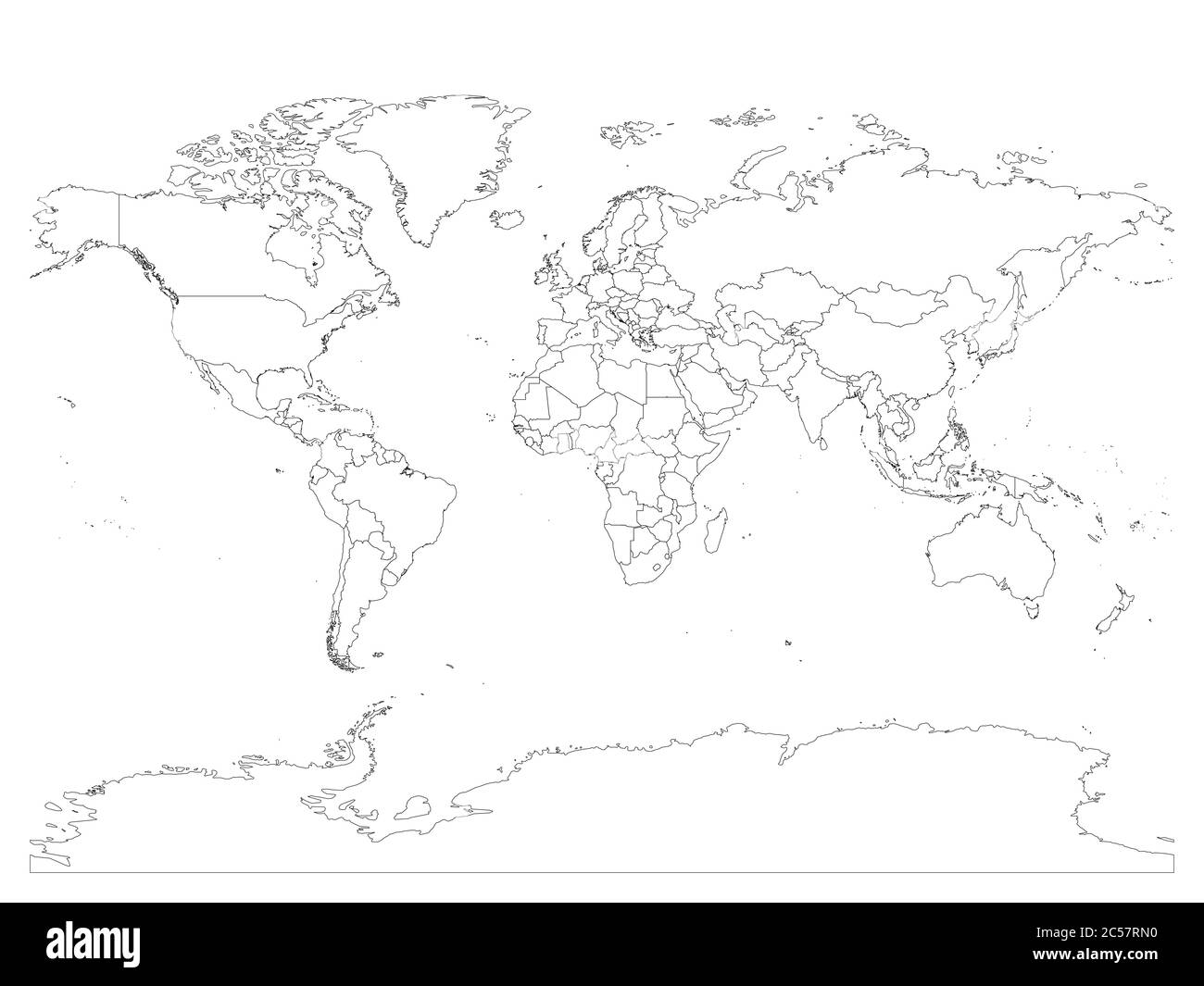 World map with country borders, thin black outline on white background. Simple high detail line vector wireframe. Stock Vectorhttps://www.alamy.com/image-license-details/?v=1https://www.alamy.com/world-map-with-country-borders-thin-black-outline-on-white-background-simple-high-detail-line-vector-wireframe-image364663292.html
RF2C57RN0–World map with country borders, thin black outline on white background. Simple high detail line vector wireframe.
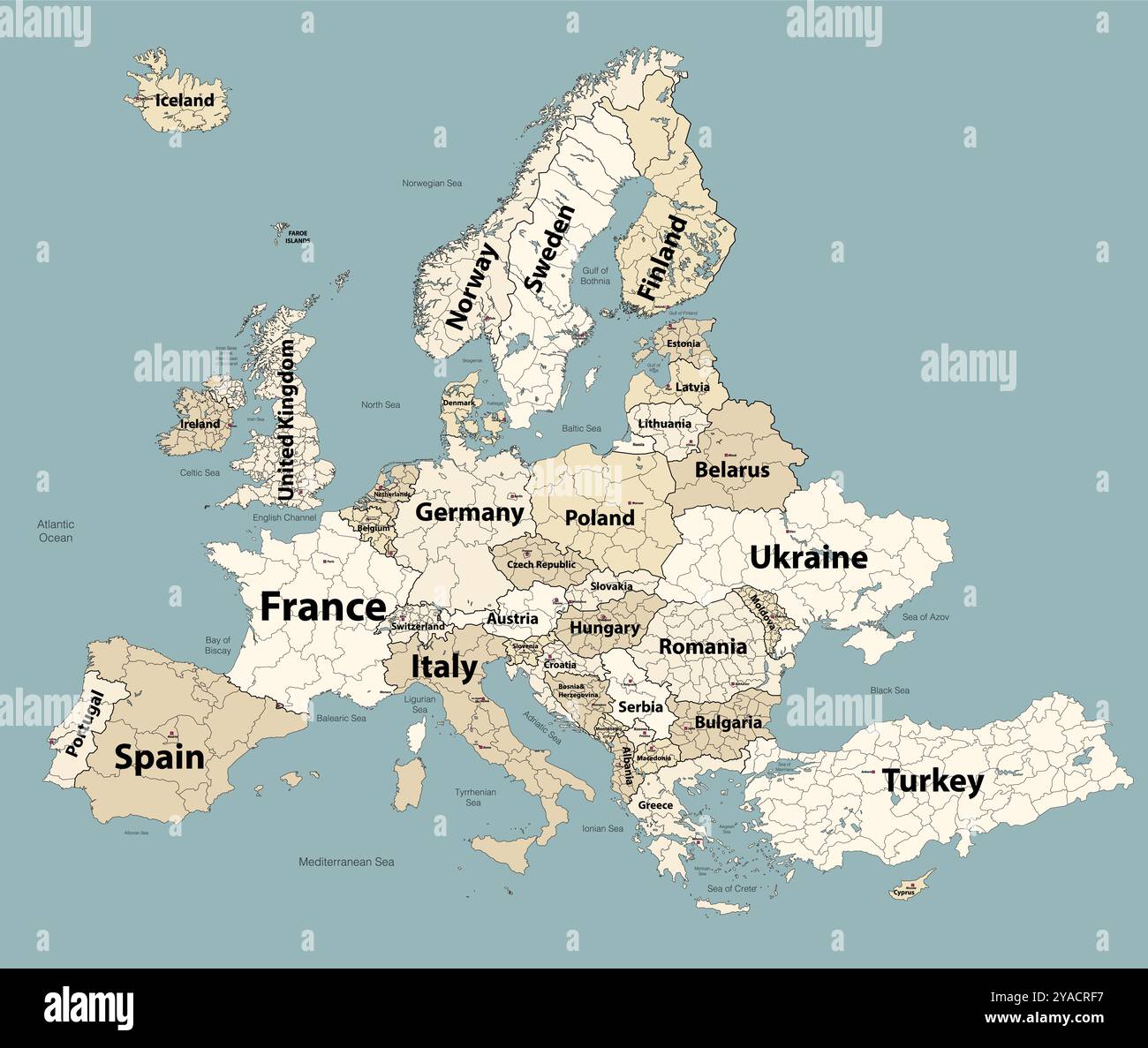 Europe map with administrative divisions borders. Soft beige color palette. Vector illustration Stock Vectorhttps://www.alamy.com/image-license-details/?v=1https://www.alamy.com/europe-map-with-administrative-divisions-borders-soft-beige-color-palette-vector-illustration-image626001691.html
RF2YACRF7–Europe map with administrative divisions borders. Soft beige color palette. Vector illustration
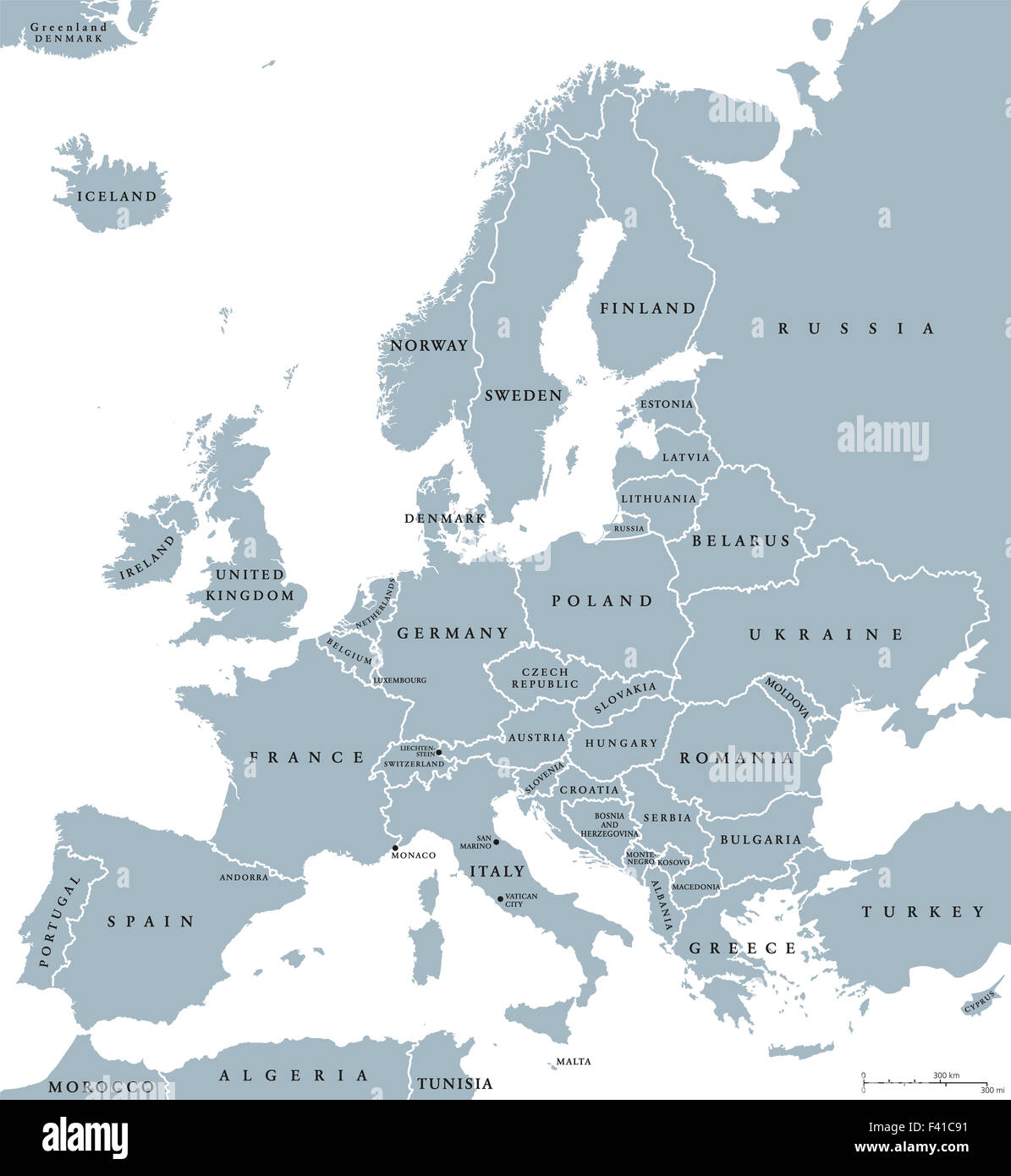 Europe countries political map with national borders and country names. English labeling and scaling. Illustration on white. Stock Photohttps://www.alamy.com/image-license-details/?v=1https://www.alamy.com/stock-photo-europe-countries-political-map-with-national-borders-and-country-names-88542077.html
RFF41C91–Europe countries political map with national borders and country names. English labeling and scaling. Illustration on white.
 Close up image of a smile face on France map. Stock Photohttps://www.alamy.com/image-license-details/?v=1https://www.alamy.com/stock-photo-close-up-image-of-a-smile-face-on-france-map-74963110.html
RFE9XT5X–Close up image of a smile face on France map.
 Slovenia Map with Flag Colors on Light Blue Background Stock Photohttps://www.alamy.com/image-license-details/?v=1https://www.alamy.com/slovenia-map-with-flag-colors-on-light-blue-background-image617696601.html
RF2XTXE8W–Slovenia Map with Flag Colors on Light Blue Background
 Outline Map of Ukraine on waving Ukrainian national flag background for design purpose Stock Photohttps://www.alamy.com/image-license-details/?v=1https://www.alamy.com/outline-map-of-ukraine-on-waving-ukrainian-national-flag-background-for-design-purpose-image467210823.html
RF2J4384R–Outline Map of Ukraine on waving Ukrainian national flag background for design purpose
 Map of Switzerland with place name sign of Vaud Stock Photohttps://www.alamy.com/image-license-details/?v=1https://www.alamy.com/map-of-switzerland-with-place-name-sign-of-vaud-image640915142.html
RM2S6M5PE–Map of Switzerland with place name sign of Vaud
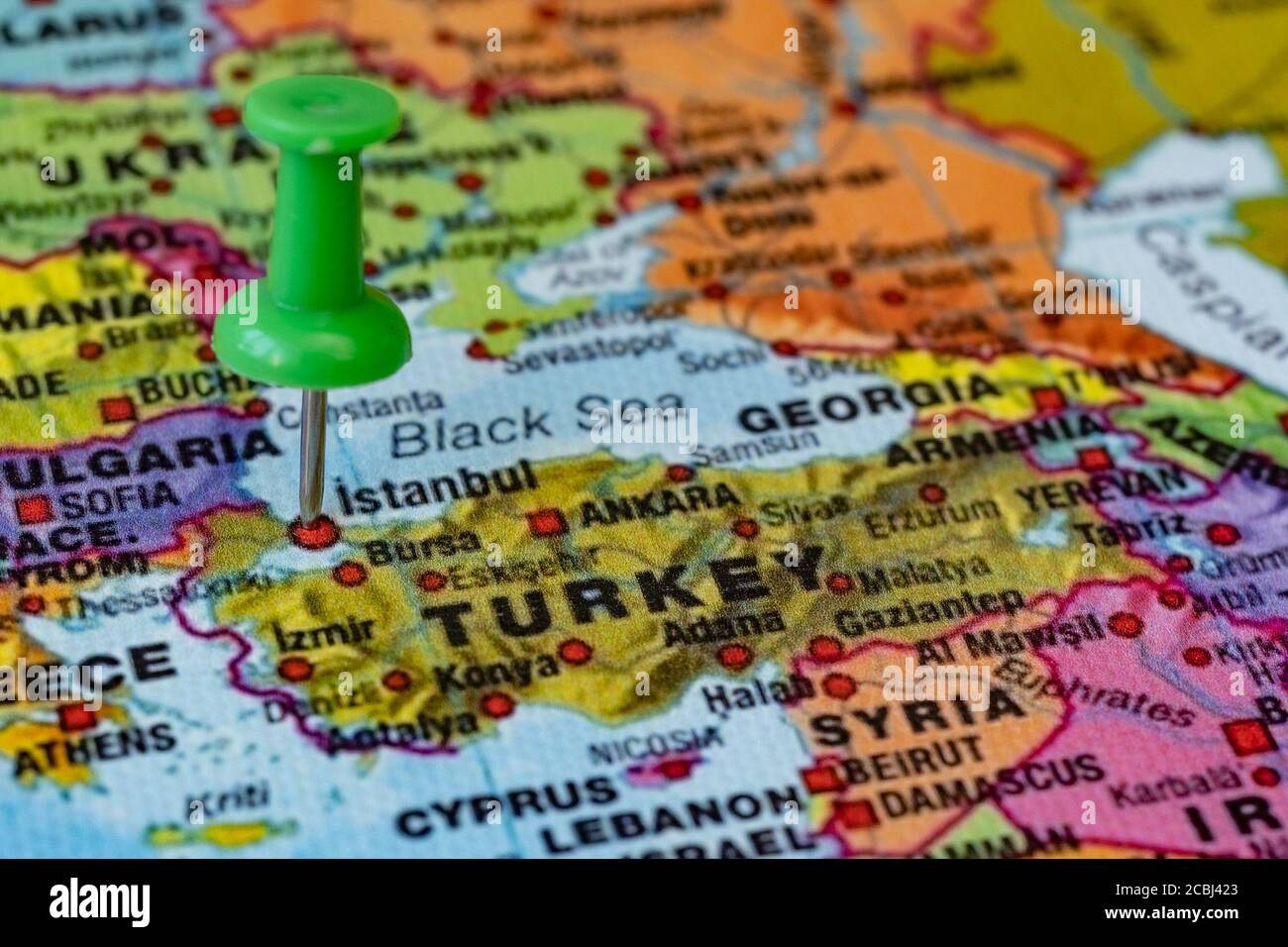 Push pin pointing location on map of istanbul, Turkey Stock Photohttps://www.alamy.com/image-license-details/?v=1https://www.alamy.com/push-pin-pointing-location-on-map-of-istanbul-turkey-image368577275.html
RF2CBJ423–Push pin pointing location on map of istanbul, Turkey
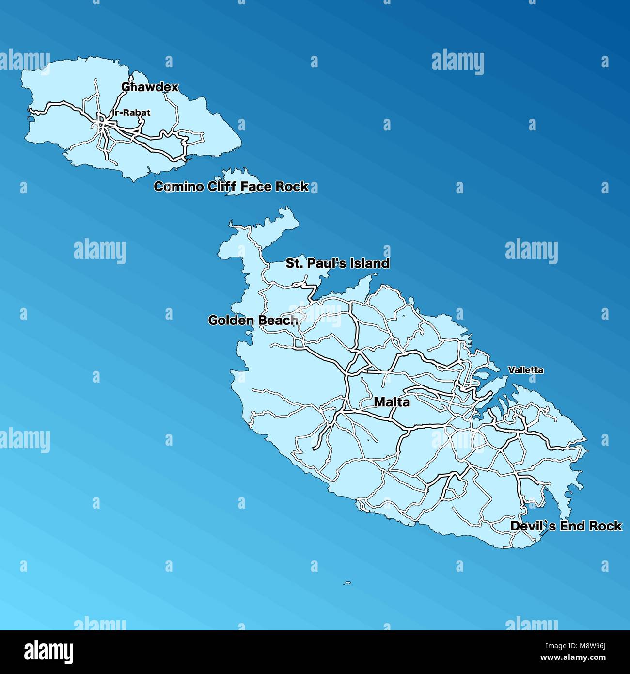 Malta Vector Map. Two-toned Silhouette Version. Rich details for borders, neighbours and islands. Usable for travel marketing, real estate and educati Stock Vectorhttps://www.alamy.com/image-license-details/?v=1https://www.alamy.com/stock-photo-malta-vector-map-two-toned-silhouette-version-rich-details-for-borders-177576970.html
RFM8W96J–Malta Vector Map. Two-toned Silhouette Version. Rich details for borders, neighbours and islands. Usable for travel marketing, real estate and educati
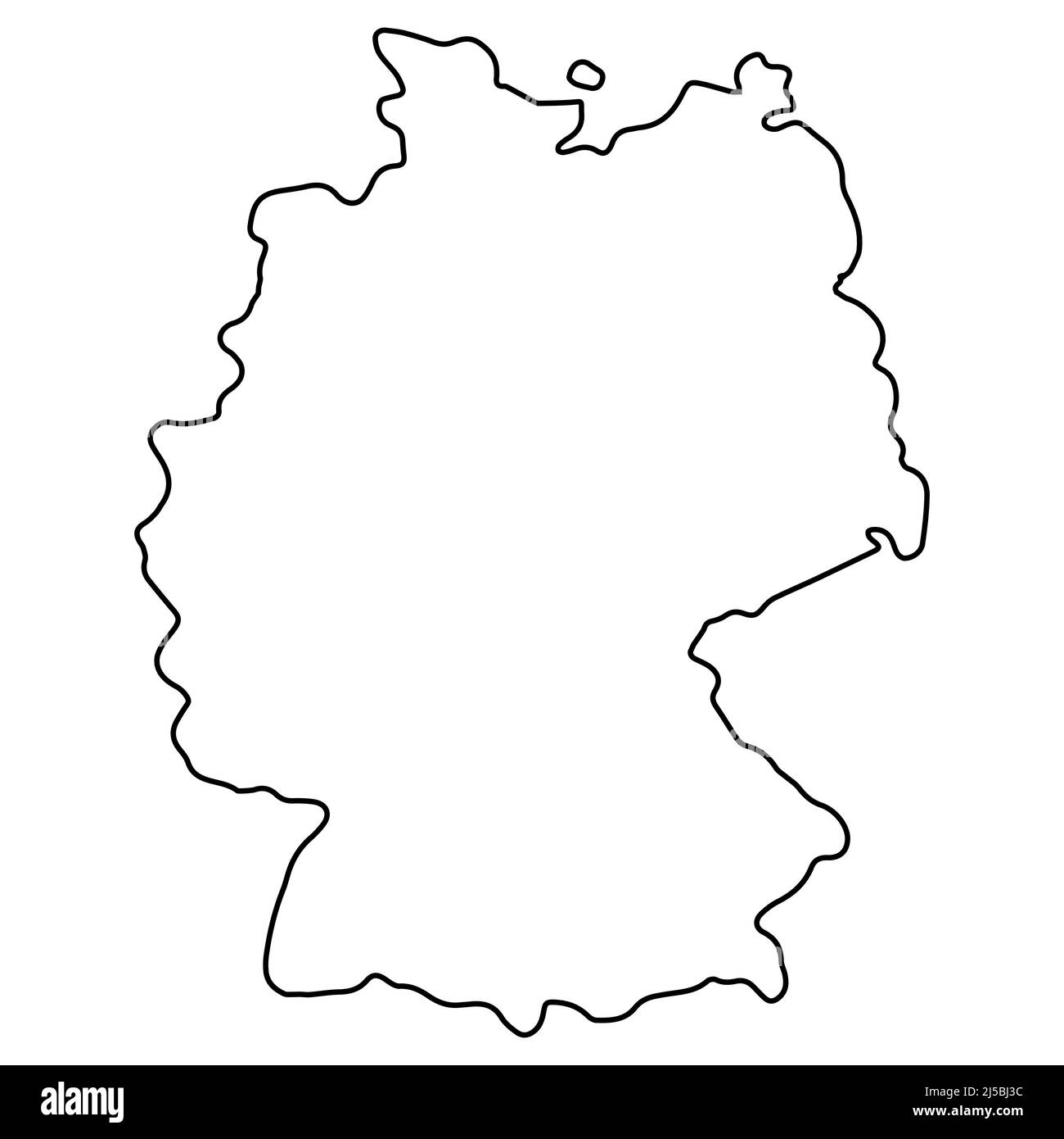 Outline map of Germany, geographic borders of the country deutschland, deutsch land Stock Vectorhttps://www.alamy.com/image-license-details/?v=1https://www.alamy.com/outline-map-of-germany-geographic-borders-of-the-country-deutschland-deutsch-land-image468008896.html
RF2J5BJ3C–Outline map of Germany, geographic borders of the country deutschland, deutsch land
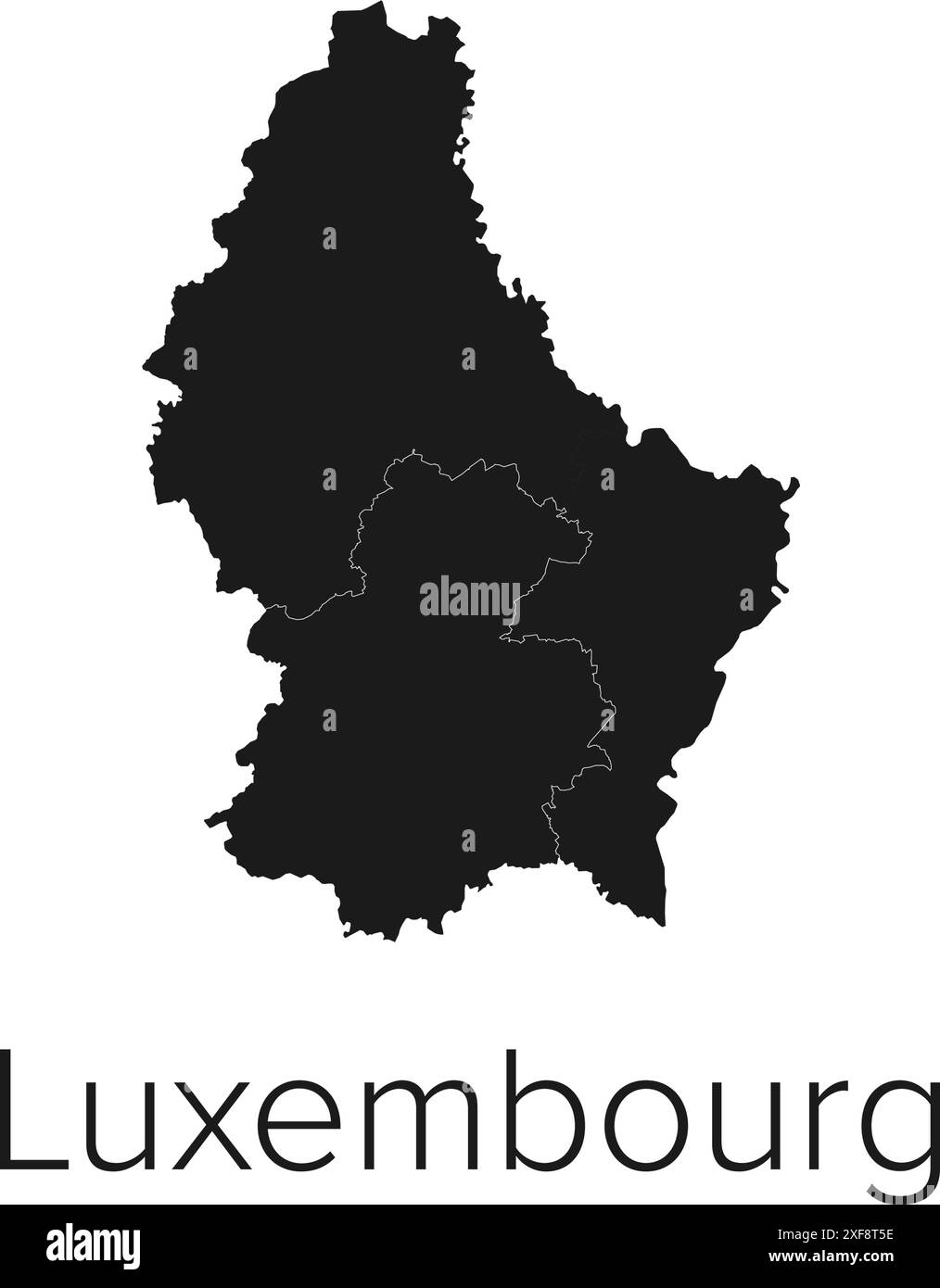 Luxembourg Map Vector Illustration - Silhouette, Outline, Luxembourg Travel and Tourism Map Stock Vectorhttps://www.alamy.com/image-license-details/?v=1https://www.alamy.com/luxembourg-map-vector-illustration-silhouette-outline-luxembourg-travel-and-tourism-map-image611777306.html
RF2XF8T5E–Luxembourg Map Vector Illustration - Silhouette, Outline, Luxembourg Travel and Tourism Map
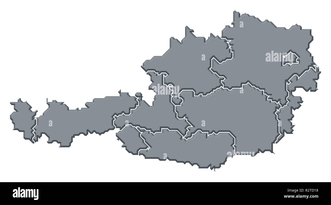 map of austria Stock Photohttps://www.alamy.com/image-license-details/?v=1https://www.alamy.com/map-of-austria-image225501172.html
RFR2TD18–map of austria
 Glowing Map of Germany, modern blue outline map, on dark Background Stock Photohttps://www.alamy.com/image-license-details/?v=1https://www.alamy.com/glowing-map-of-germany-modern-blue-outline-map-on-dark-background-image404913940.html
RF2EENBT4–Glowing Map of Germany, modern blue outline map, on dark Background
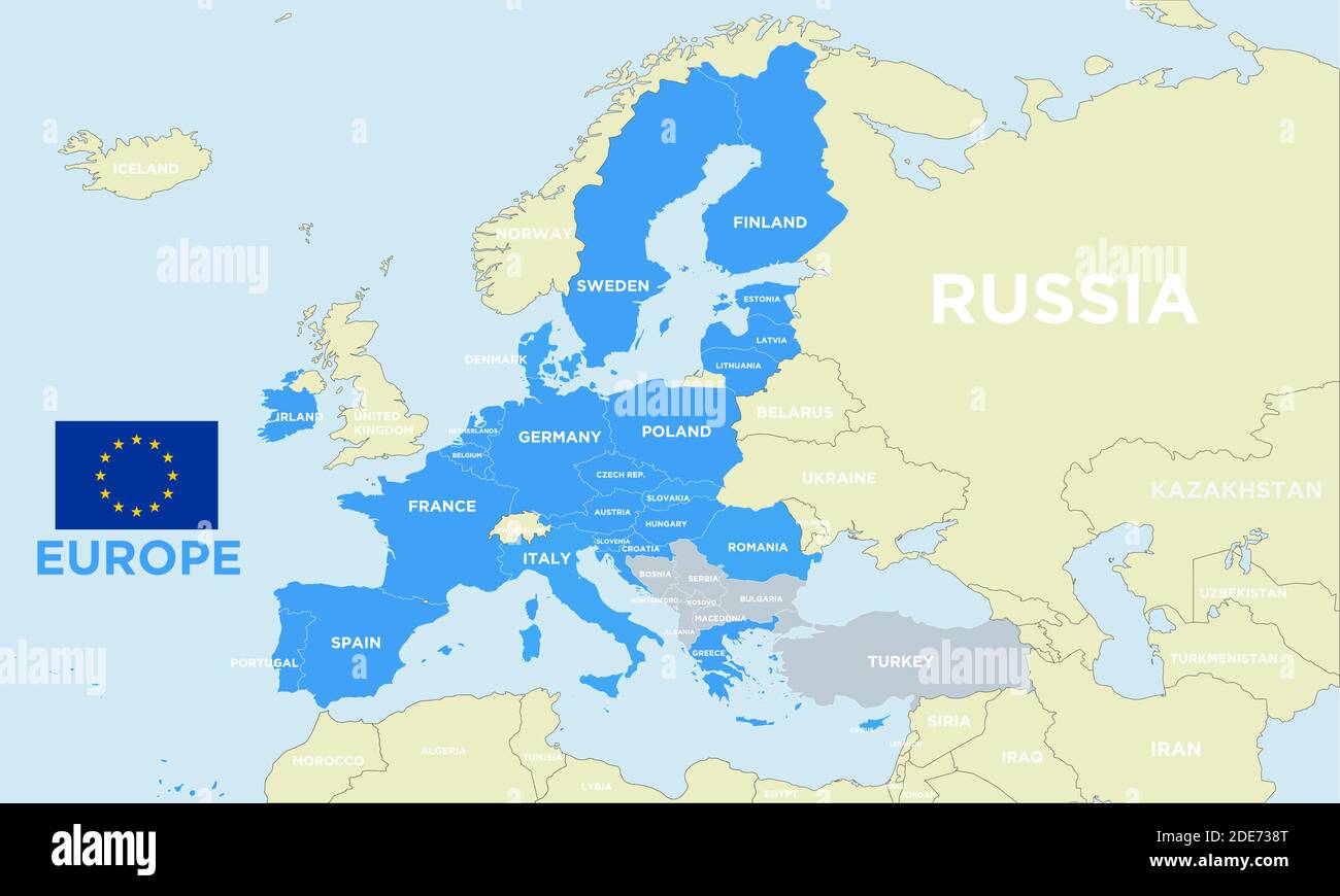 Vector geopolitical map of Europe, with borders, updated to 2021 post brexit, with separate layers, and european community flag. Stock Vectorhttps://www.alamy.com/image-license-details/?v=1https://www.alamy.com/vector-geopolitical-map-of-europe-with-borders-updated-to-2021-post-brexit-with-separate-layers-and-european-community-flag-image387389544.html
RF2DE738T–Vector geopolitical map of Europe, with borders, updated to 2021 post brexit, with separate layers, and european community flag.
 Outline map of Sweden with the national flag superimposed over the country. 3D graphics casting a shadow on the white background Stock Photohttps://www.alamy.com/image-license-details/?v=1https://www.alamy.com/outline-map-of-sweden-with-the-national-flag-superimposed-over-the-country-3d-graphics-casting-a-shadow-on-the-white-background-image433285113.html
RF2G4WRG9–Outline map of Sweden with the national flag superimposed over the country. 3D graphics casting a shadow on the white background
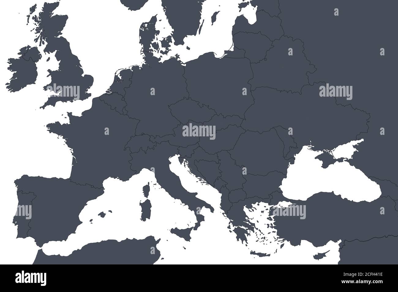 Europe outline map with countries borders. Detail of World political map, central European region with silhouette. Earth isolated on white background, Stock Photohttps://www.alamy.com/image-license-details/?v=1https://www.alamy.com/europe-outline-map-with-countries-borders-detail-of-world-political-map-central-european-region-with-silhouette-earth-isolated-on-white-background-image371013930.html
RF2CFH41E–Europe outline map with countries borders. Detail of World political map, central European region with silhouette. Earth isolated on white background,
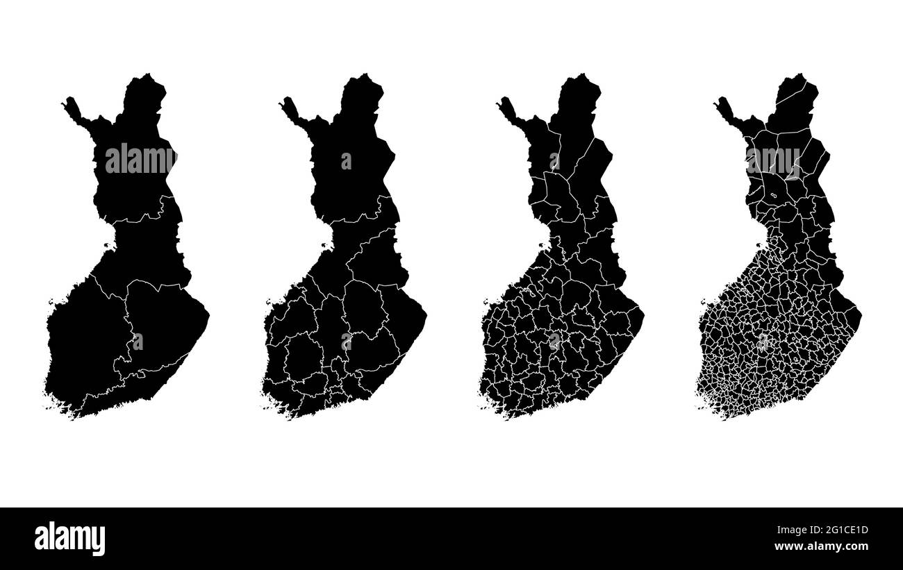 Finland map municipal, region, state division. Administrative borders, outline black on white background vector illustration. Stock Vectorhttps://www.alamy.com/image-license-details/?v=1https://www.alamy.com/finland-map-municipal-region-state-division-administrative-borders-outline-black-on-white-background-vector-illustration-image431148297.html
RF2G1CE1D–Finland map municipal, region, state division. Administrative borders, outline black on white background vector illustration.
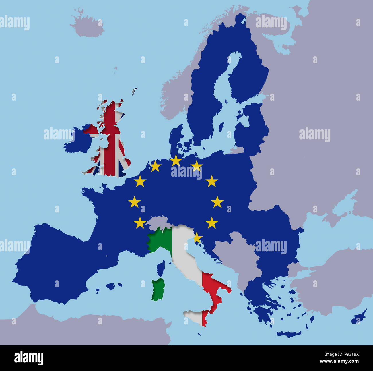 UK Italy leaving the EU with the Brexit exit out Stock Photohttps://www.alamy.com/image-license-details/?v=1https://www.alamy.com/uk-italy-leaving-the-eu-with-the-brexit-exit-out-image212141326.html
RFP93TBX–UK Italy leaving the EU with the Brexit exit out
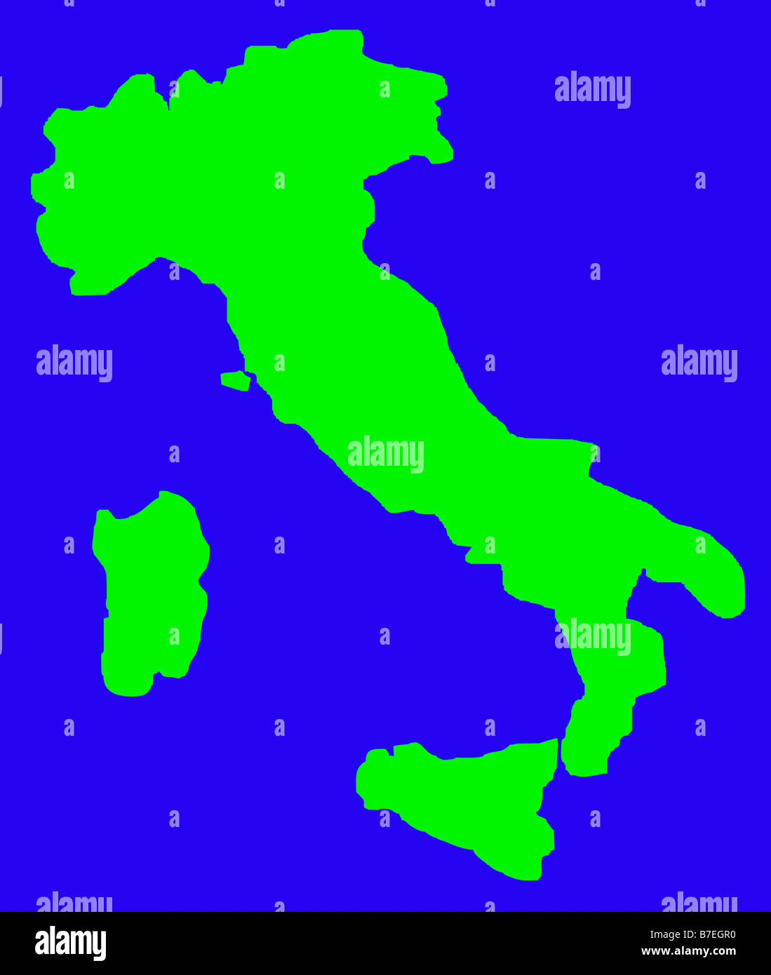 Outline map of Italy in green isolated on blue background Stock Photohttps://www.alamy.com/image-license-details/?v=1https://www.alamy.com/stock-photo-outline-map-of-italy-in-green-isolated-on-blue-background-21833476.html
RMB7EGR0–Outline map of Italy in green isolated on blue background
 Close up focus to Germany on a colorful world globe in an educational or travel concept of international destinations Stock Photohttps://www.alamy.com/image-license-details/?v=1https://www.alamy.com/close-up-focus-to-germany-on-a-colorful-world-globe-in-an-educational-or-travel-concept-of-international-destinations-image260382336.html
RFW3HC94–Close up focus to Germany on a colorful world globe in an educational or travel concept of international destinations
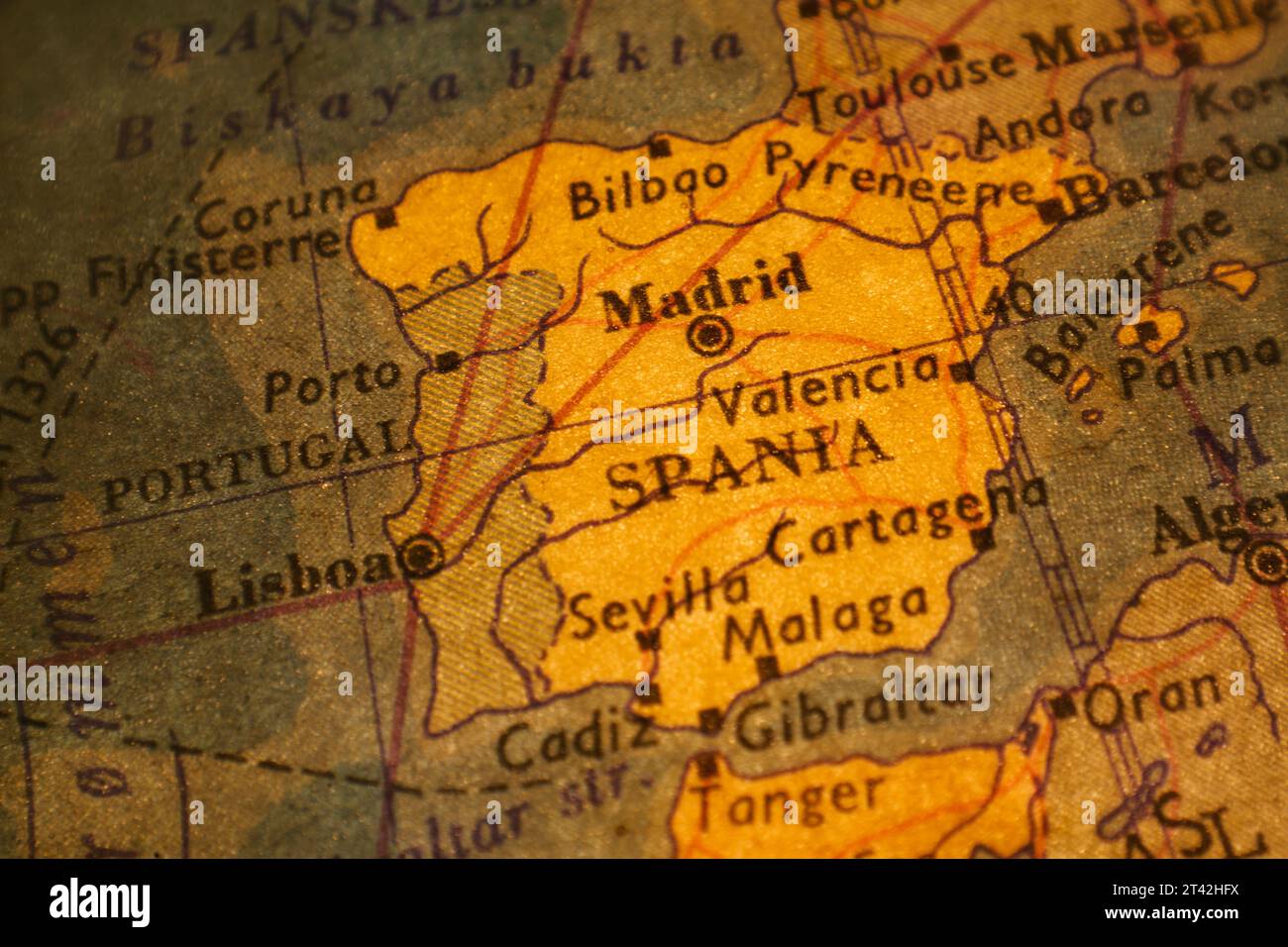 A detailed map of Spain with clearly defined borders Stock Photohttps://www.alamy.com/image-license-details/?v=1https://www.alamy.com/a-detailed-map-of-spain-with-clearly-defined-borders-image570458446.html
RF2T42HFX–A detailed map of Spain with clearly defined borders
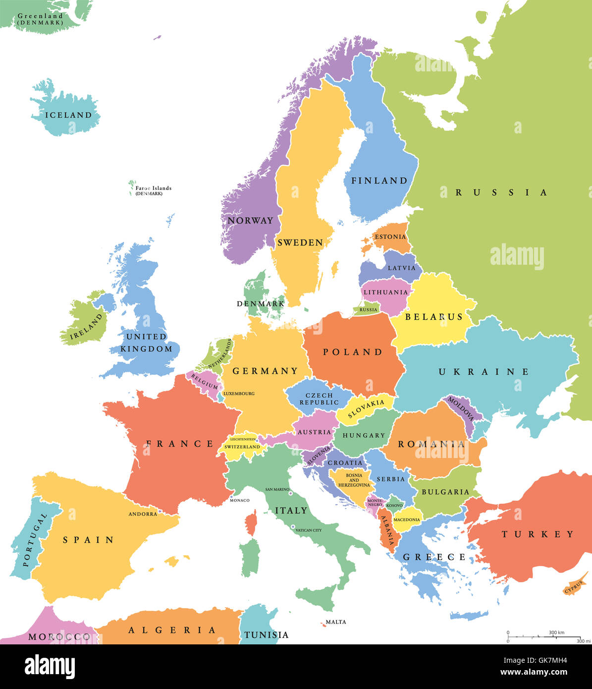 Europe single states political map. All countries in different colors, with national borders and country names. English labeling Stock Photohttps://www.alamy.com/image-license-details/?v=1https://www.alamy.com/stock-photo-europe-single-states-political-map-all-countries-in-different-colors-115110496.html
RFGK7MH4–Europe single states political map. All countries in different colors, with national borders and country names. English labeling
 Close up image of a smile face on France map. Stock Photohttps://www.alamy.com/image-license-details/?v=1https://www.alamy.com/stock-photo-close-up-image-of-a-smile-face-on-france-map-74963250.html
RFE9XTAX–Close up image of a smile face on France map.
 Map of Italy with National Flag on Light Blue Background Stock Photohttps://www.alamy.com/image-license-details/?v=1https://www.alamy.com/map-of-italy-with-national-flag-on-light-blue-background-image617531706.html
RF2XTJYYP–Map of Italy with National Flag on Light Blue Background
 Outline Map of Ukraine with waving Ukrainian national flag on white background for design purpose Stock Photohttps://www.alamy.com/image-license-details/?v=1https://www.alamy.com/outline-map-of-ukraine-with-waving-ukrainian-national-flag-on-white-background-for-design-purpose-image467210816.html
RF2J4384G–Outline Map of Ukraine with waving Ukrainian national flag on white background for design purpose
 Map of Switzerland with place name sign of Lausanne Stock Photohttps://www.alamy.com/image-license-details/?v=1https://www.alamy.com/map-of-switzerland-with-place-name-sign-of-lausanne-image640914470.html
RM2S6M4XE–Map of Switzerland with place name sign of Lausanne
 Travel destination marked with push pin in Madrid, Spain Stock Photohttps://www.alamy.com/image-license-details/?v=1https://www.alamy.com/travel-destination-marked-with-push-pin-in-madrid-spain-image368577289.html
RF2CBJ42H–Travel destination marked with push pin in Madrid, Spain
 Spain Vector Map. Two-toned Silhouette Version. Rich details for borders, neighbours and islands. Usable for travel marketing, real estate and educati Stock Vectorhttps://www.alamy.com/image-license-details/?v=1https://www.alamy.com/stock-photo-spain-vector-map-two-toned-silhouette-version-rich-details-for-borders-177576991.html
RFM8W97B–Spain Vector Map. Two-toned Silhouette Version. Rich details for borders, neighbours and islands. Usable for travel marketing, real estate and educati
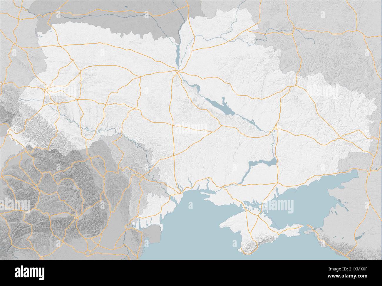 Map of Eastern Europe, Ukraine and neighboring states, satellite view, sides and factions. Allied states. Main roads and urban centers. War map Stock Photohttps://www.alamy.com/image-license-details/?v=1https://www.alamy.com/map-of-eastern-europe-ukraine-and-neighboring-states-satellite-view-sides-and-factions-allied-states-main-roads-and-urban-centers-war-map-image463910063.html
RF2HXMX0F–Map of Eastern Europe, Ukraine and neighboring states, satellite view, sides and factions. Allied states. Main roads and urban centers. War map
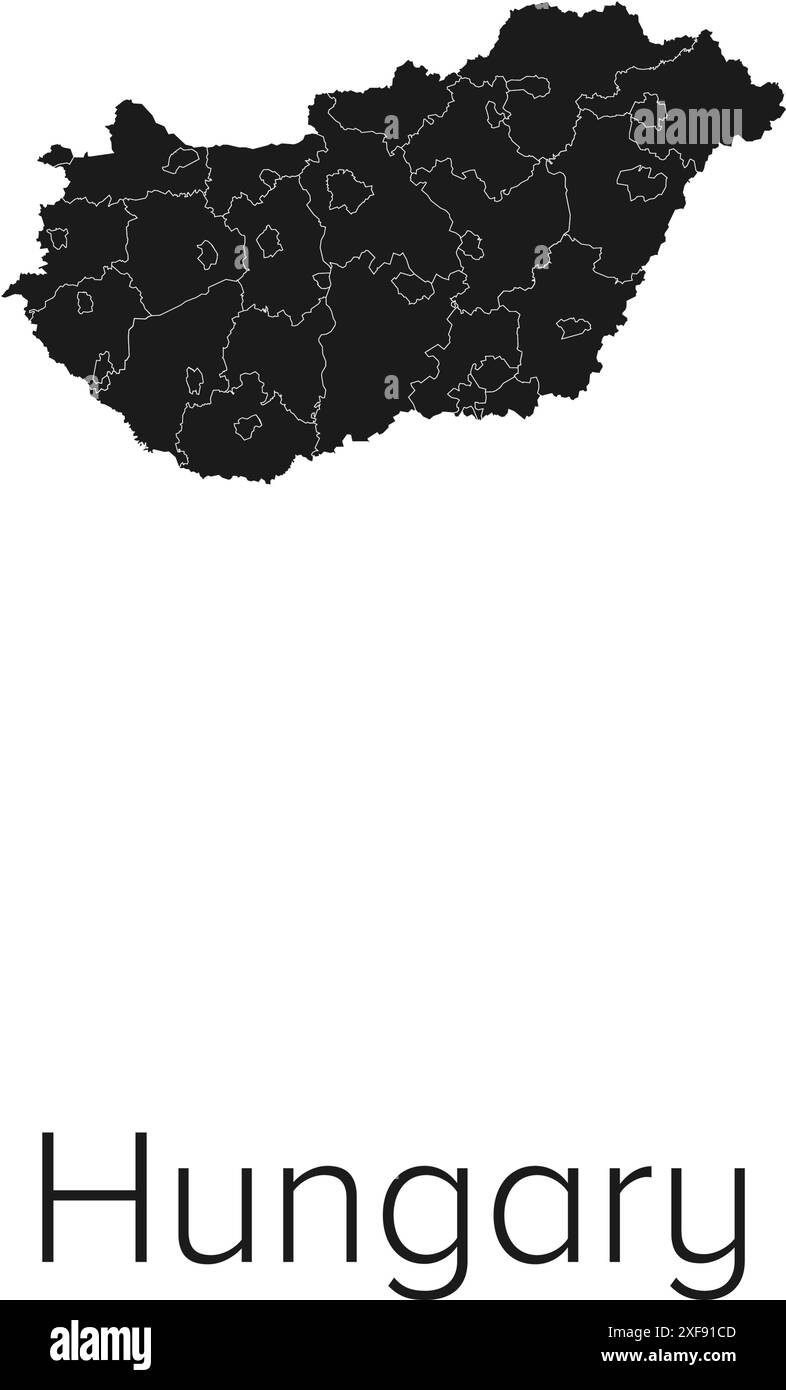 Hungary Map Vector Illustration - Silhouette, Outline, Hungary Travel and Tourism Map Stock Vectorhttps://www.alamy.com/image-license-details/?v=1https://www.alamy.com/hungary-map-vector-illustration-silhouette-outline-hungary-travel-and-tourism-map-image611781421.html
RF2XF91CD–Hungary Map Vector Illustration - Silhouette, Outline, Hungary Travel and Tourism Map
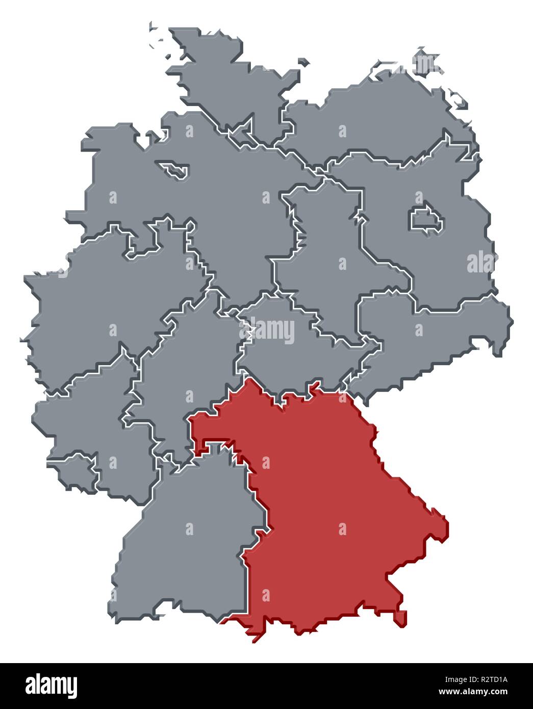 map of germany,bavaria highlighted Stock Photohttps://www.alamy.com/image-license-details/?v=1https://www.alamy.com/map-of-germanybavaria-highlighted-image225501174.html
RFR2TD1A–map of germany,bavaria highlighted
 Glowing Map of Malta, modern blue outline map, on dark Background Stock Photohttps://www.alamy.com/image-license-details/?v=1https://www.alamy.com/glowing-map-of-malta-modern-blue-outline-map-on-dark-background-image404913954.html
RF2EENBTJ–Glowing Map of Malta, modern blue outline map, on dark Background
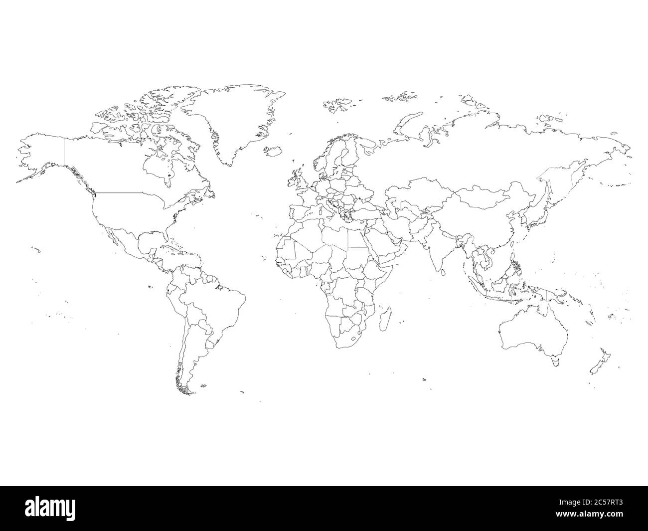 World map with country borders, thin black outline on white background. Simple high detail line vector wireframe. Stock Vectorhttps://www.alamy.com/image-license-details/?v=1https://www.alamy.com/world-map-with-country-borders-thin-black-outline-on-white-background-simple-high-detail-line-vector-wireframe-image364663379.html
RF2C57RT3–World map with country borders, thin black outline on white background. Simple high detail line vector wireframe.
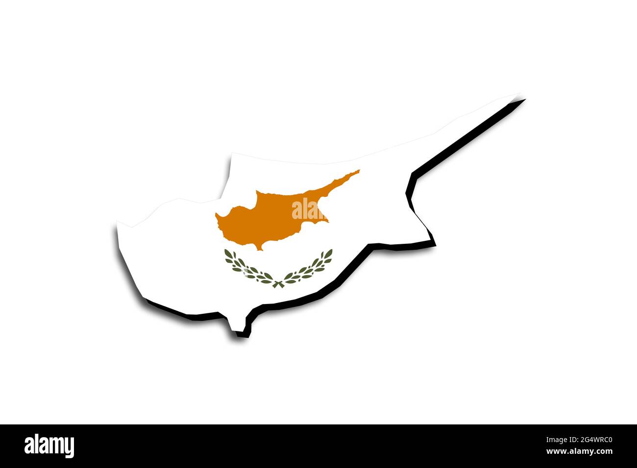 Outline map of Cyprus with the national flag superimposed over the country. 3D graphics casting a shadow on the white background Stock Photohttps://www.alamy.com/image-license-details/?v=1https://www.alamy.com/outline-map-of-cyprus-with-the-national-flag-superimposed-over-the-country-3d-graphics-casting-a-shadow-on-the-white-background-image433284992.html
RF2G4WRC0–Outline map of Cyprus with the national flag superimposed over the country. 3D graphics casting a shadow on the white background
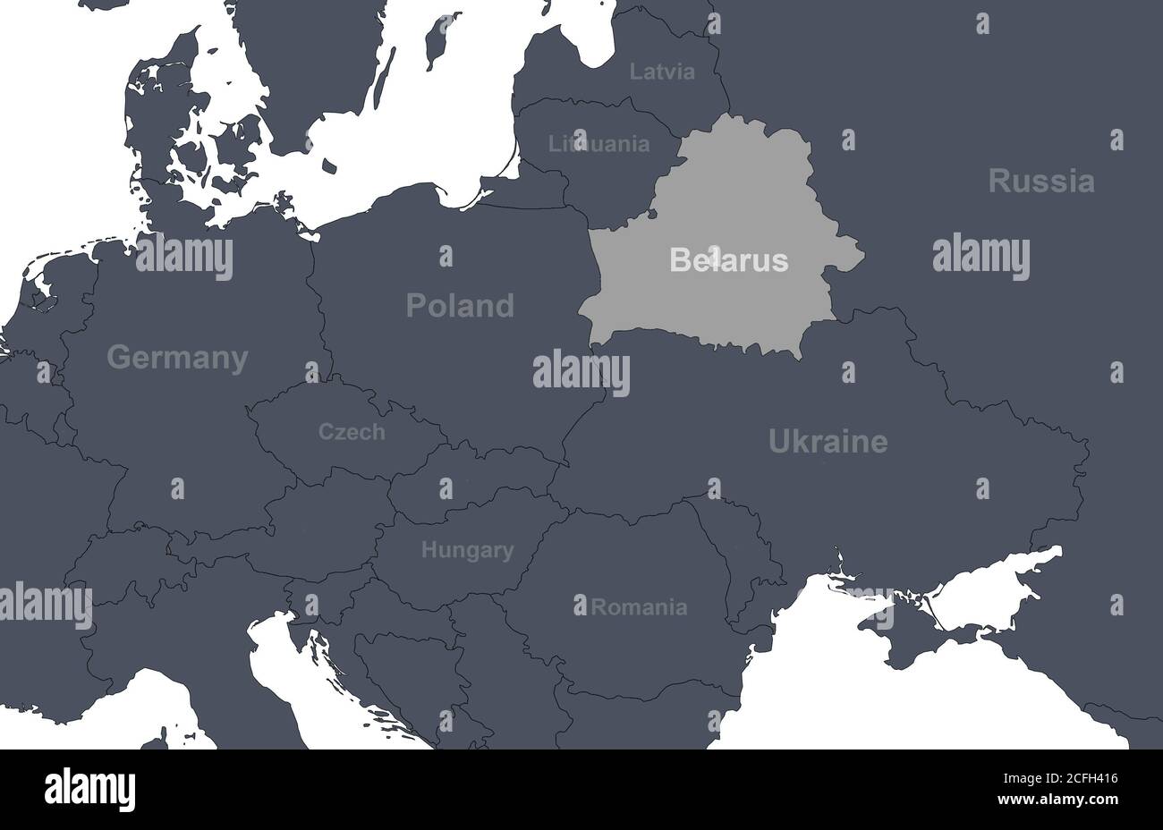 Belarus on Europe outline map with countries borders. Detail of World political map, central and eastern European region with silhouette. Earth isolat Stock Photohttps://www.alamy.com/image-license-details/?v=1https://www.alamy.com/belarus-on-europe-outline-map-with-countries-borders-detail-of-world-political-map-central-and-eastern-european-region-with-silhouette-earth-isolat-image371013922.html
RF2CFH416–Belarus on Europe outline map with countries borders. Detail of World political map, central and eastern European region with silhouette. Earth isolat
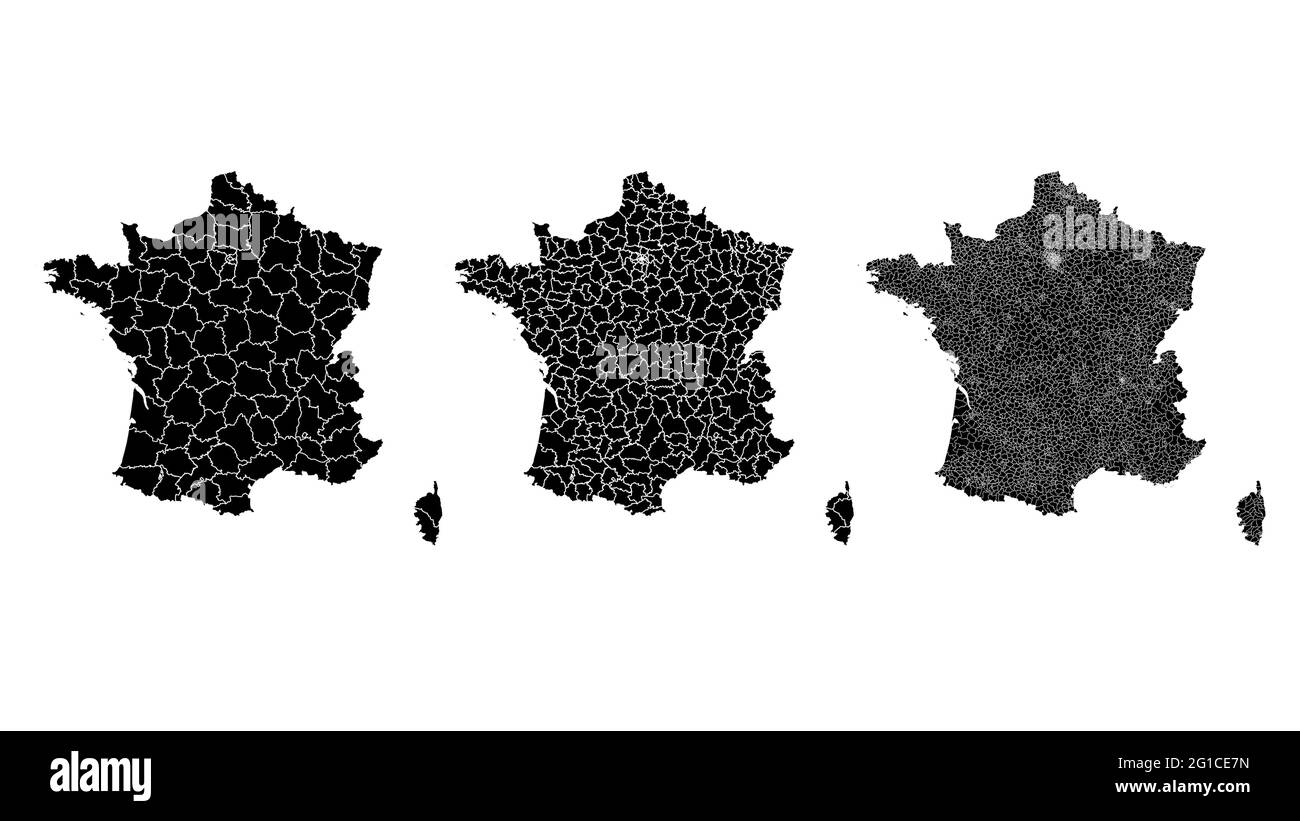 France map municipal, region, state division. Administrative borders, outline black on white background vector illustration. Stock Vectorhttps://www.alamy.com/image-license-details/?v=1https://www.alamy.com/france-map-municipal-region-state-division-administrative-borders-outline-black-on-white-background-vector-illustration-image431148473.html
RF2G1CE7N–France map municipal, region, state division. Administrative borders, outline black on white background vector illustration.
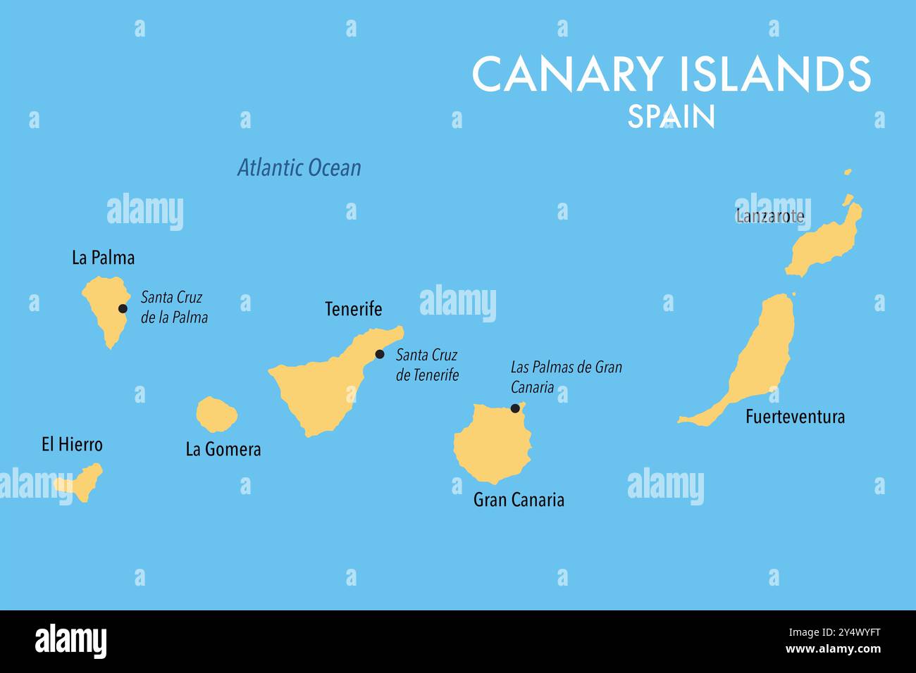 Map of the Canary Islands of Spain Stock Photohttps://www.alamy.com/image-license-details/?v=1https://www.alamy.com/map-of-the-canary-islands-of-spain-image622602284.html
RF2Y4WYFT–Map of the Canary Islands of Spain
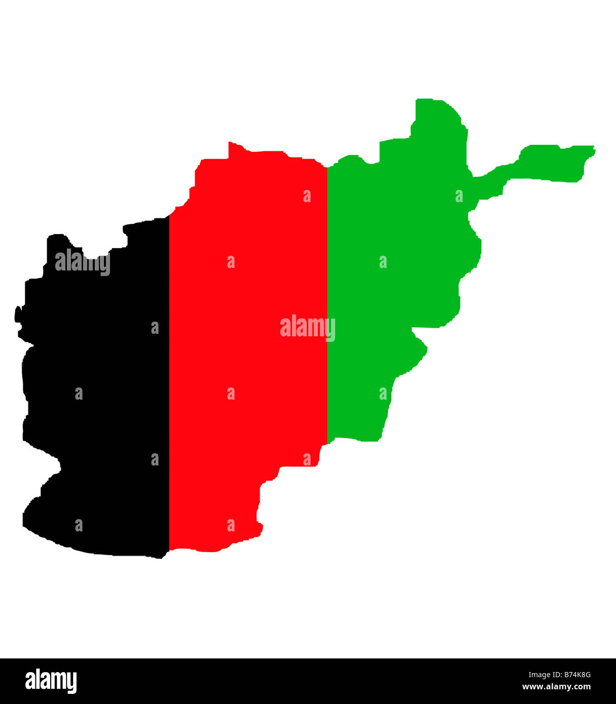 Islamic Republic of Afghanistan map outline in colors of national flag Stock Photohttps://www.alamy.com/image-license-details/?v=1https://www.alamy.com/stock-photo-islamic-republic-of-afghanistan-map-outline-in-colors-of-national-21615904.html
RMB74K8G–Islamic Republic of Afghanistan map outline in colors of national flag
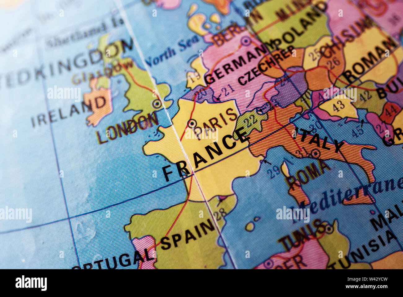 Selective focus to France and Italy on a multicolored world globe with copyspace on the sea in a travel, political or educational concept Stock Photohttps://www.alamy.com/image-license-details/?v=1https://www.alamy.com/selective-focus-to-france-and-italy-on-a-multicolored-world-globe-with-copyspace-on-the-sea-in-a-travel-political-or-educational-concept-image260679577.html
RFW42YCW–Selective focus to France and Italy on a multicolored world globe with copyspace on the sea in a travel, political or educational concept