Quick filters:
Fault lines Stock Photos and Images
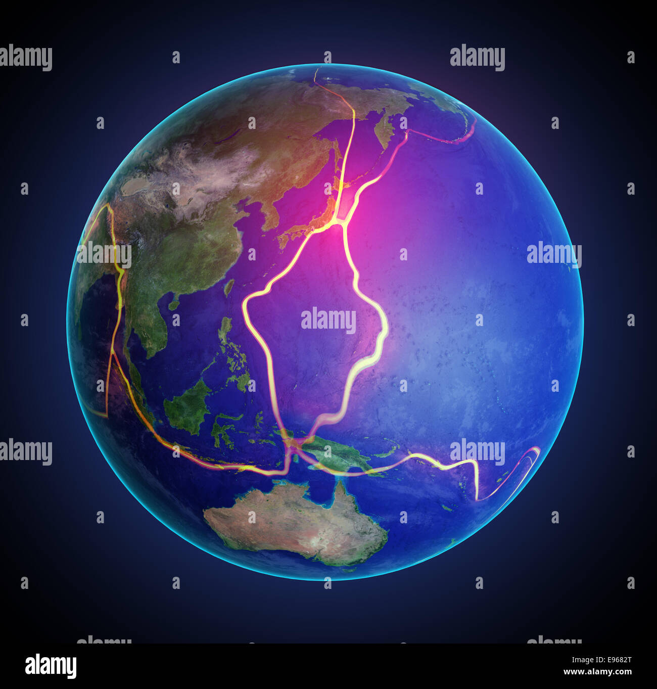 Earth's fault lines between tectonic plates in the East Asia region Stock Photohttps://www.alamy.com/image-license-details/?v=1https://www.alamy.com/stock-photo-earths-fault-lines-between-tectonic-plates-in-the-east-asia-region-74511440.html
RFE9682T–Earth's fault lines between tectonic plates in the East Asia region
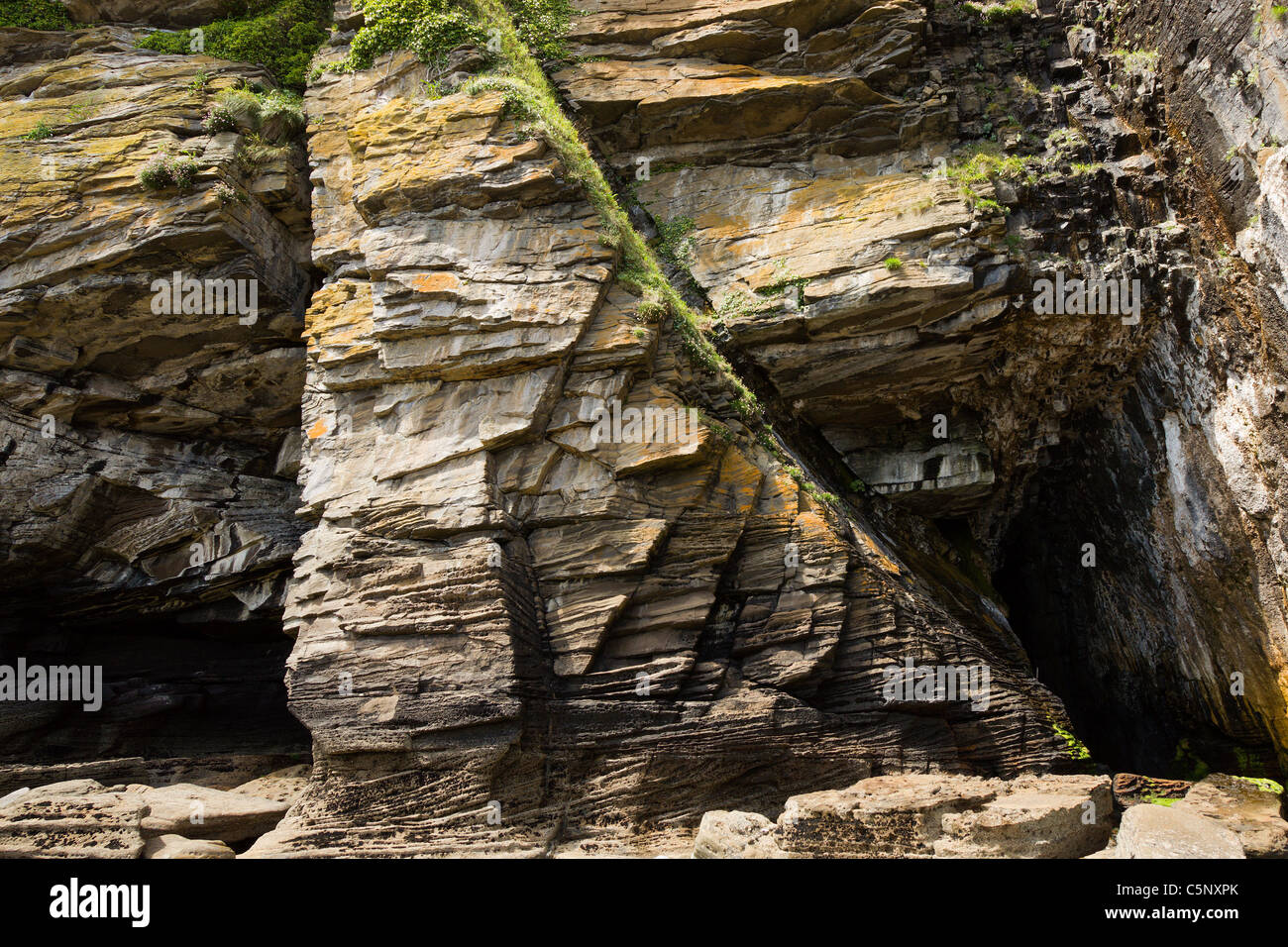 Sea cliff near Glasnakille on the Isle of Skye, Scotland, showing fault lines and eroded igneous intrusions in sedimentary rock. Stock Photohttps://www.alamy.com/image-license-details/?v=1https://www.alamy.com/stock-photo-sea-cliff-near-glasnakille-on-the-isle-of-skye-scotland-showing-fault-37976027.html
RMC5NXPK–Sea cliff near Glasnakille on the Isle of Skye, Scotland, showing fault lines and eroded igneous intrusions in sedimentary rock.
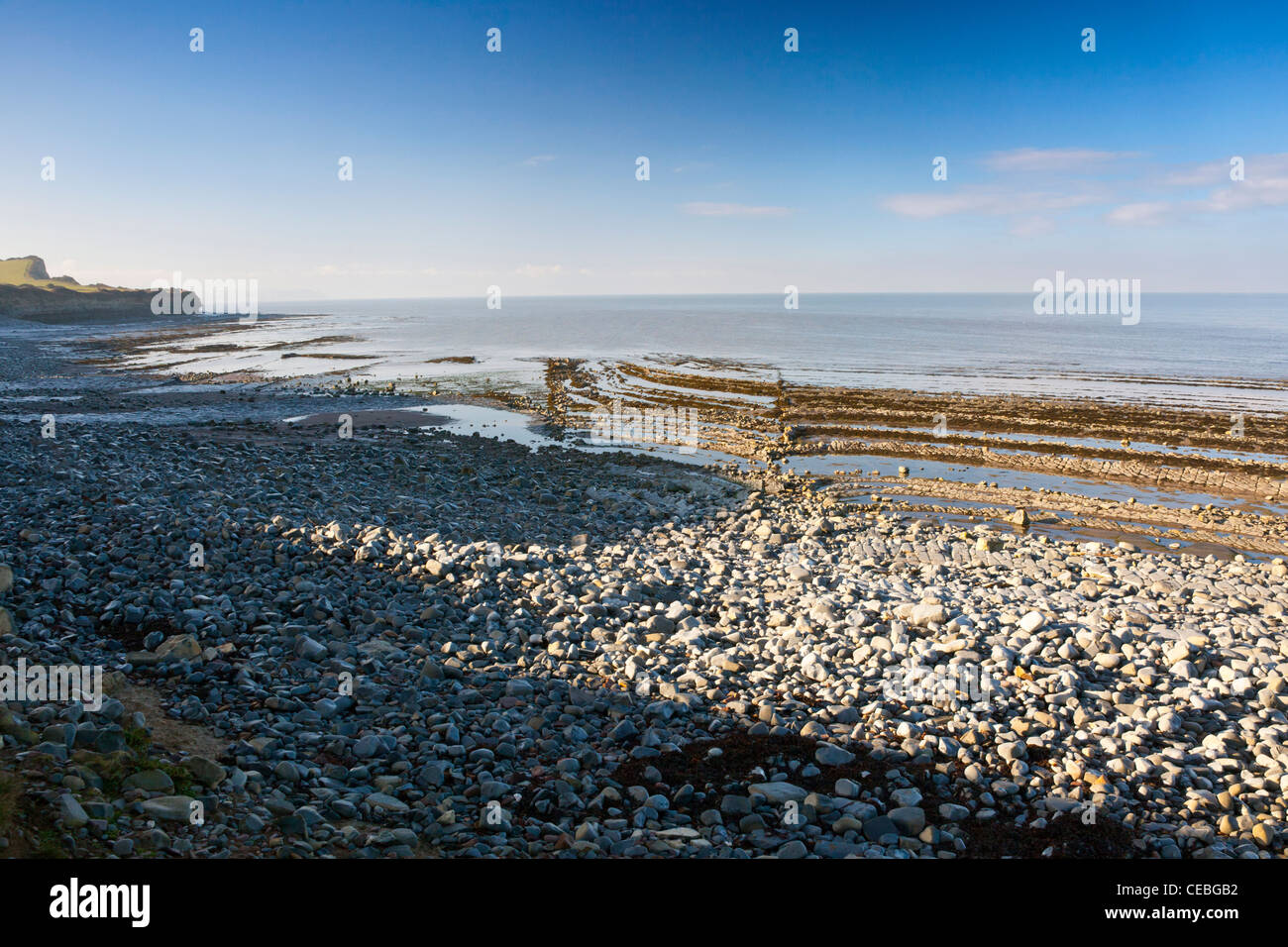 Dramatic blue lias rock strata and visible fault lines on the beach at Kilve on the Bristol Channel, Somerset, England, UK Stock Photohttps://www.alamy.com/image-license-details/?v=1https://www.alamy.com/stock-photo-dramatic-blue-lias-rock-strata-and-visible-fault-lines-on-the-beach-43280246.html
RMCEBGB2–Dramatic blue lias rock strata and visible fault lines on the beach at Kilve on the Bristol Channel, Somerset, England, UK
 Earthquake fault line in roadcut, Interstate 40, Kingman, Arizona, USA, North America Stock Photohttps://www.alamy.com/image-license-details/?v=1https://www.alamy.com/stock-photo-earthquake-fault-line-in-roadcut-interstate-40-kingman-arizona-usa-20592050.html
RMB5E1AA–Earthquake fault line in roadcut, Interstate 40, Kingman, Arizona, USA, North America
 Fault lines cracks in the rock face causing Property apartments subsidence on The Carmenes del Mar urbanisation in Herradura, Co Stock Photohttps://www.alamy.com/image-license-details/?v=1https://www.alamy.com/stock-photo-fault-lines-cracks-in-the-rock-face-causing-property-apartments-subsidence-106768459.html
RMG5KM77–Fault lines cracks in the rock face causing Property apartments subsidence on The Carmenes del Mar urbanisation in Herradura, Co
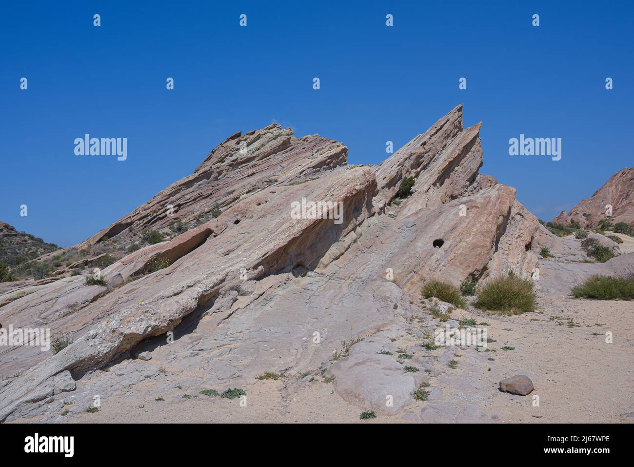 How Mountains are made by tectonic plate collision, geology earthquake fault lines, where to look for oil, how to find oil Stock Photohttps://www.alamy.com/image-license-details/?v=1https://www.alamy.com/how-mountains-are-made-by-tectonic-plate-collision-geology-earthquake-fault-lines-where-to-look-for-oil-how-to-find-oil-image468541766.html
RF2J67WPE–How Mountains are made by tectonic plate collision, geology earthquake fault lines, where to look for oil, how to find oil
 Cracks in the cement of a skateboard park / skatepark - visual metaphor for fault lines appearing, cracks appearing, poor maintenance. Stock Photohttps://www.alamy.com/image-license-details/?v=1https://www.alamy.com/cracks-in-the-cement-of-a-skateboard-park-skatepark-visual-metaphor-for-fault-lines-appearing-cracks-appearing-poor-maintenance-image260082003.html
RFW33N6Y–Cracks in the cement of a skateboard park / skatepark - visual metaphor for fault lines appearing, cracks appearing, poor maintenance.
 Glitch displacement type letters with fault lines. Vector illustration Stock Vectorhttps://www.alamy.com/image-license-details/?v=1https://www.alamy.com/stock-photo-glitch-displacement-type-letters-with-fault-lines-vector-illustration-134364356.html
RFHPGR30–Glitch displacement type letters with fault lines. Vector illustration
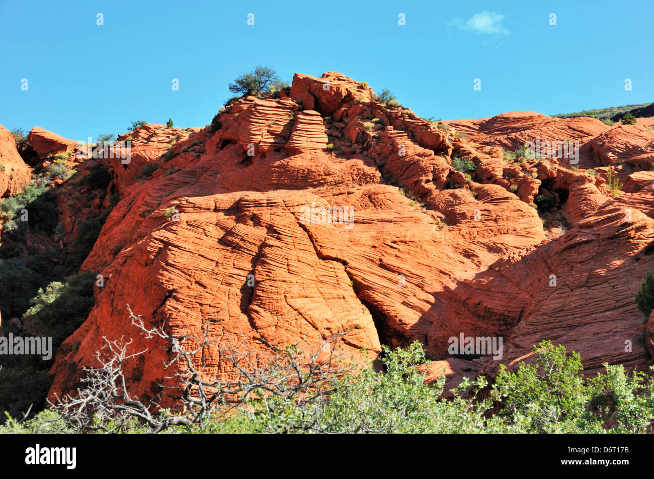 Red rock formation at Snow Canyon State Park showing eroded, uplifted sedimentary rock with fractures and fault lines Stock Photohttps://www.alamy.com/image-license-details/?v=1https://www.alamy.com/stock-photo-red-rock-formation-at-snow-canyon-state-park-showing-eroded-uplifted-55846879.html
RFD6T17B–Red rock formation at Snow Canyon State Park showing eroded, uplifted sedimentary rock with fractures and fault lines
 Slickenside: top rock shows areas of frictional movement along fault line. The striations are linear slickenlines showing the direction of movement. Stock Photohttps://www.alamy.com/image-license-details/?v=1https://www.alamy.com/slickenside-top-rock-shows-areas-of-frictional-movement-along-fault-line-the-striations-are-linear-slickenlines-showing-the-direction-of-movement-image551212802.html
RM2R0NWFE–Slickenside: top rock shows areas of frictional movement along fault line. The striations are linear slickenlines showing the direction of movement.
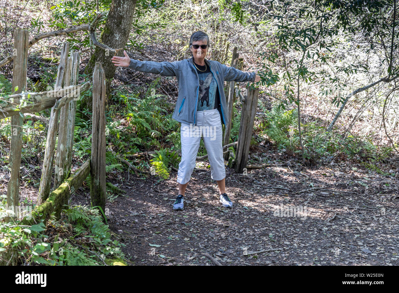 Woman straddling the San Andreas Fault showing the size of the movement that was caused during an earthquake in LosTrancos Palo Alto California USA Stock Photohttps://www.alamy.com/image-license-details/?v=1https://www.alamy.com/woman-straddling-the-san-andreas-fault-showing-the-size-of-the-movement-that-was-caused-during-an-earthquake-in-lostrancos-palo-alto-california-usa-image259505589.html
RMW25E0N–Woman straddling the San Andreas Fault showing the size of the movement that was caused during an earthquake in LosTrancos Palo Alto California USA
 Crevasse in the earth caused by 2007 earthquake, 150km south of Lima, Peru, South America Stock Photohttps://www.alamy.com/image-license-details/?v=1https://www.alamy.com/crevasse-in-the-earth-caused-by-2007-earthquake-150km-south-of-lima-image157523768.html
RMK47R4T–Crevasse in the earth caused by 2007 earthquake, 150km south of Lima, Peru, South America
 Abstract image of a block of marble Stock Photohttps://www.alamy.com/image-license-details/?v=1https://www.alamy.com/abstract-image-of-a-block-of-marble-image224735176.html
RFR1HG08–Abstract image of a block of marble
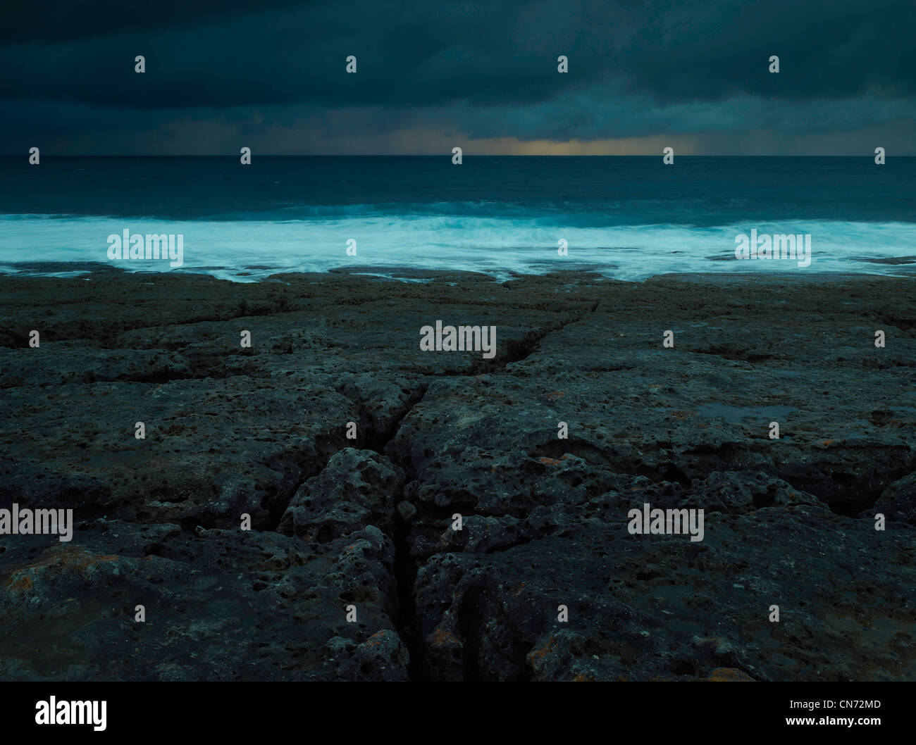 Eroded sloping rock platform in incoming weather, Booderee National Park, NSW Australia Stock Photohttps://www.alamy.com/image-license-details/?v=1https://www.alamy.com/stock-photo-eroded-sloping-rock-platform-in-incoming-weather-booderee-national-47484317.html
RMCN72MD–Eroded sloping rock platform in incoming weather, Booderee National Park, NSW Australia
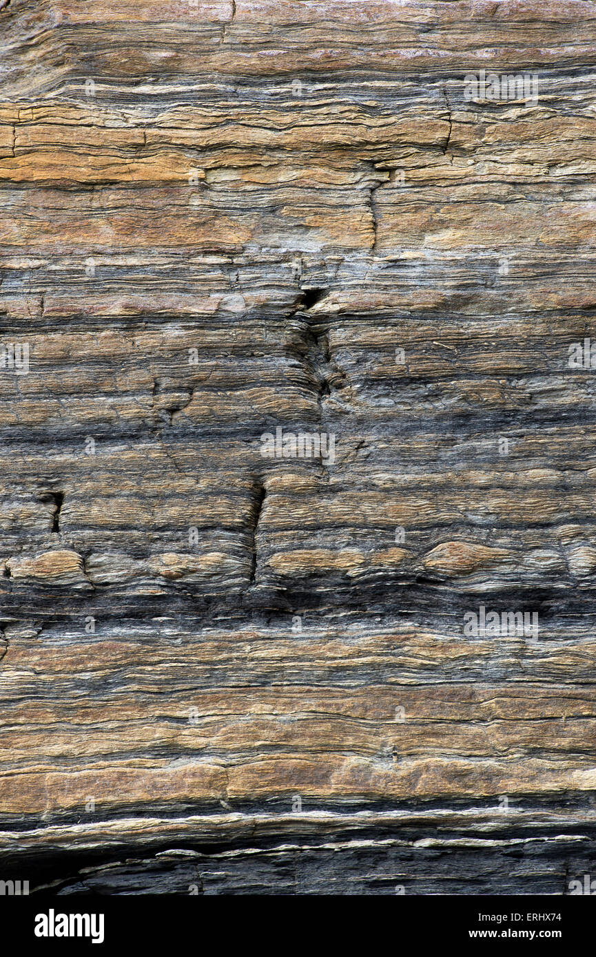 Carboniferous Rocks at Scremerston, Berwick Upon Tweed, Northumberland, England Stock Photohttps://www.alamy.com/image-license-details/?v=1https://www.alamy.com/stock-photo-carboniferous-rocks-at-scremerston-berwick-upon-tweed-northumberland-83372328.html
RMERHX74–Carboniferous Rocks at Scremerston, Berwick Upon Tweed, Northumberland, England
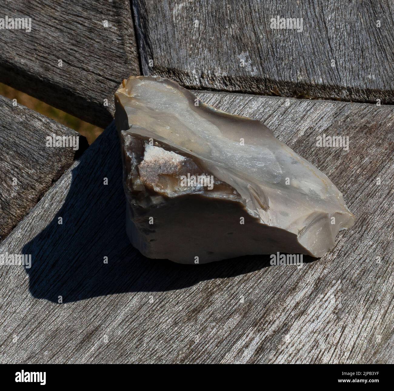 Example of flint-knapping; a larger piece of flint is struck along fault lines by a smaller piece of flint to produce a sharp edge for a hand axe Stock Photohttps://www.alamy.com/image-license-details/?v=1https://www.alamy.com/example-of-flint-knapping-a-larger-piece-of-flint-is-struck-along-fault-lines-by-a-smaller-piece-of-flint-to-produce-a-sharp-edge-for-a-hand-axe-image478446963.html
RM2JPB3YF–Example of flint-knapping; a larger piece of flint is struck along fault lines by a smaller piece of flint to produce a sharp edge for a hand axe
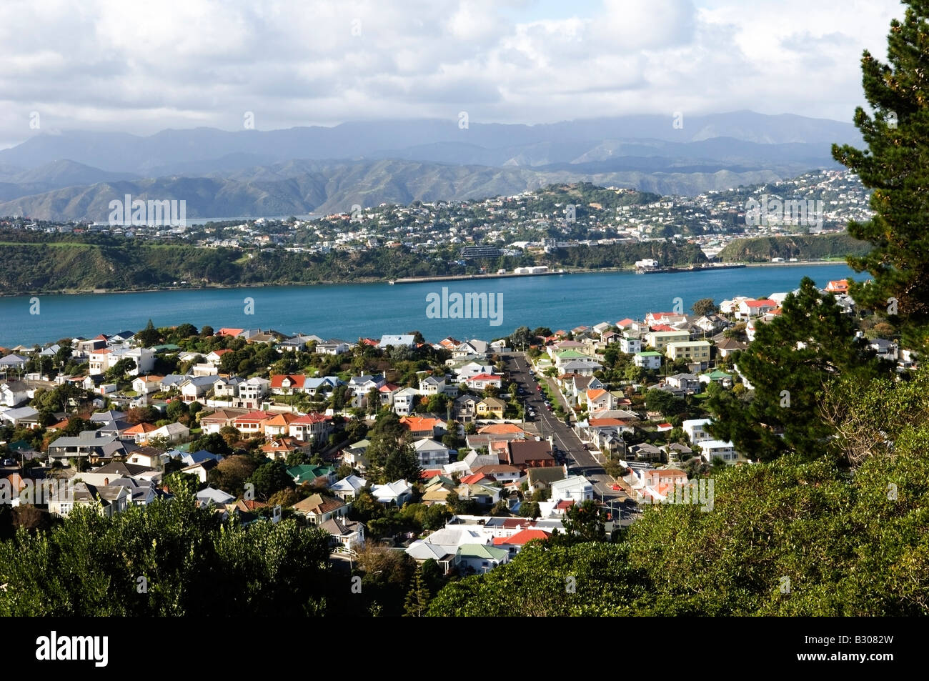 Expansive view from Hataitai to Rimutaka Range, Wellington Harbour, New Zealand Stock Photohttps://www.alamy.com/image-license-details/?v=1https://www.alamy.com/stock-photo-expansive-view-from-hataitai-to-rimutaka-range-wellington-harbour-19060689.html
RMB3082W–Expansive view from Hataitai to Rimutaka Range, Wellington Harbour, New Zealand
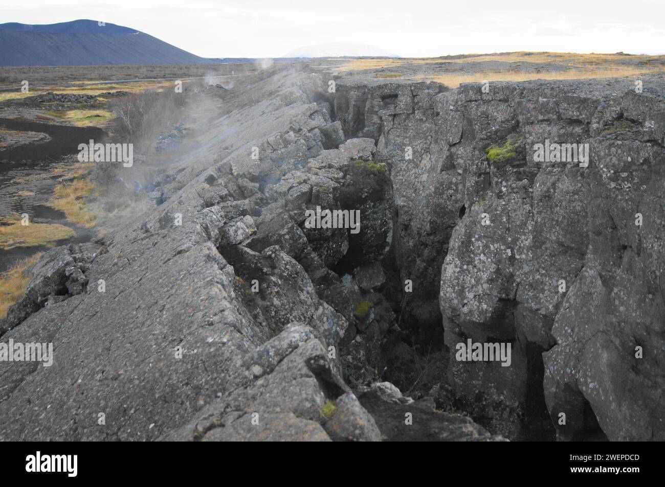 Fault Line above Grjotagja Cave - Geothermal Hot Spring, Lake Myvatn, Northern Iceland Stock Photohttps://www.alamy.com/image-license-details/?v=1https://www.alamy.com/fault-line-above-grjotagja-cave-geothermal-hot-spring-lake-myvatn-northern-iceland-image594251181.html
RM2WEPDCD–Fault Line above Grjotagja Cave - Geothermal Hot Spring, Lake Myvatn, Northern Iceland
 iodine painting of bruise on knee close up Stock Photohttps://www.alamy.com/image-license-details/?v=1https://www.alamy.com/iodine-painting-of-bruise-on-knee-close-up-image65830791.html
RFDR2RRK–iodine painting of bruise on knee close up
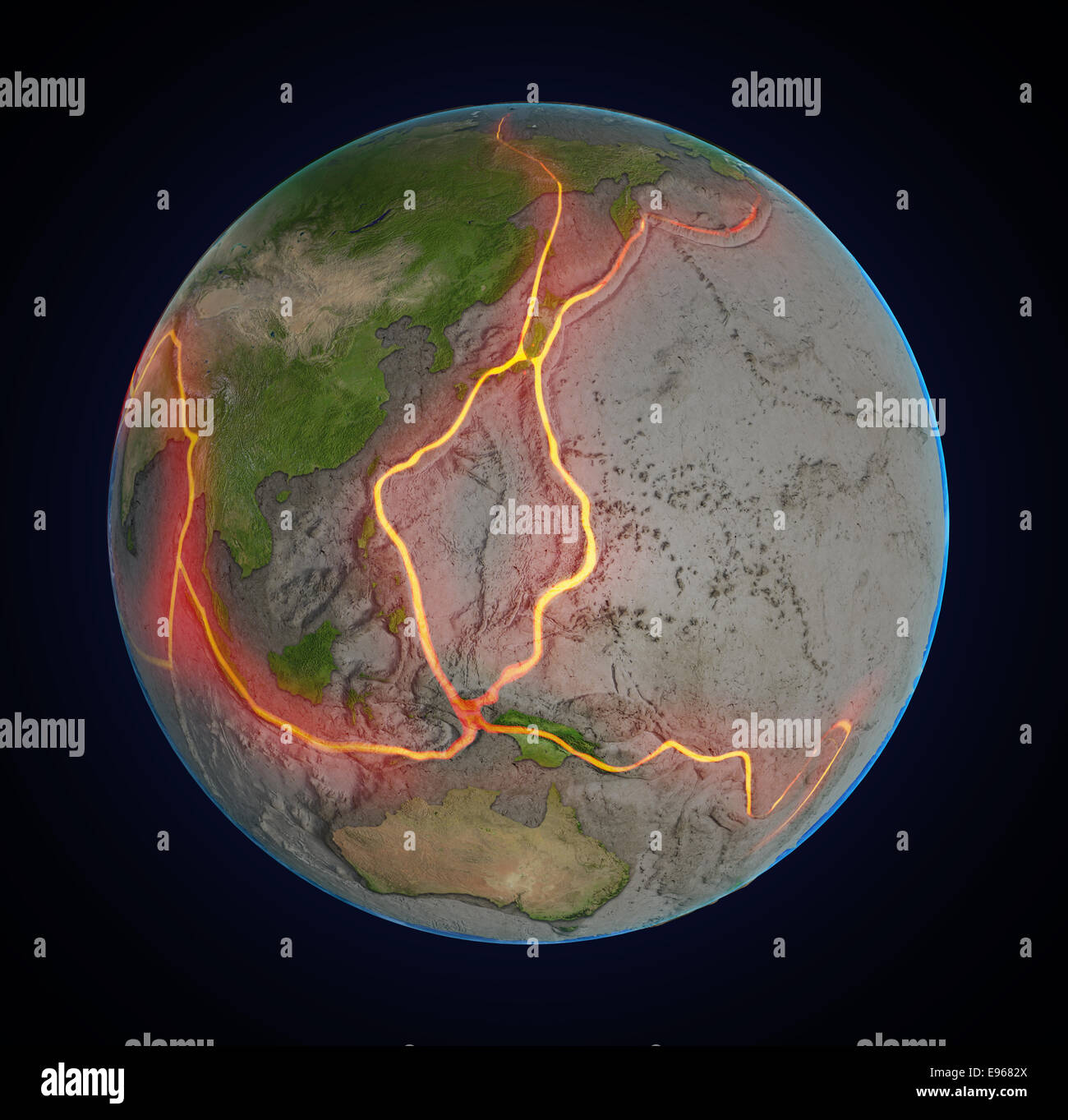 Earth's fault lines between tectonic plates in the East Asia region Stock Photohttps://www.alamy.com/image-license-details/?v=1https://www.alamy.com/stock-photo-earths-fault-lines-between-tectonic-plates-in-the-east-asia-region-74511442.html
RFE9682X–Earth's fault lines between tectonic plates in the East Asia region
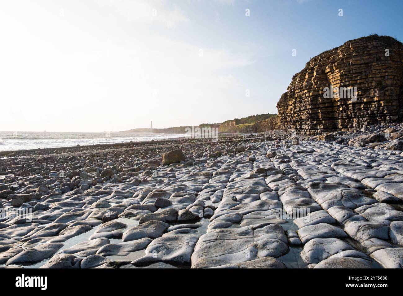 A view from Rhoose point, a coastline with cliffs showing rock strata and erosion, the beach is rocky with fault lines and grey pebbles Stock Photohttps://www.alamy.com/image-license-details/?v=1https://www.alamy.com/a-view-from-rhoose-point-a-coastline-with-cliffs-showing-rock-strata-and-erosion-the-beach-is-rocky-with-fault-lines-and-grey-pebbles-image628907784.html
RF2YF5688–A view from Rhoose point, a coastline with cliffs showing rock strata and erosion, the beach is rocky with fault lines and grey pebbles
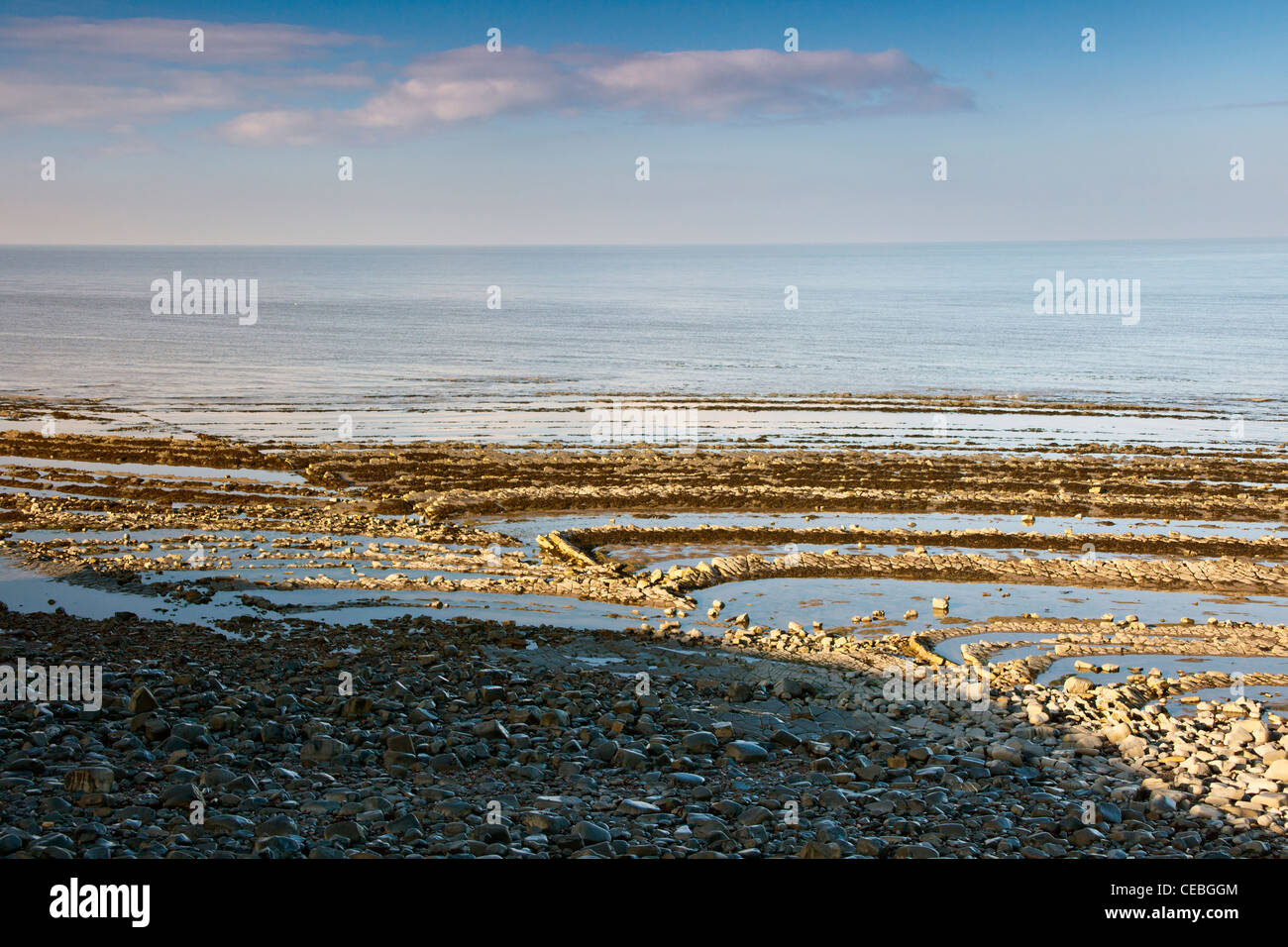 Dramatic blue lias rock strata and visible fault lines on the beach at Kilve on the Bristol Channel, Somerset, England, UK Stock Photohttps://www.alamy.com/image-license-details/?v=1https://www.alamy.com/stock-photo-dramatic-blue-lias-rock-strata-and-visible-fault-lines-on-the-beach-43280404.html
RMCEBGGM–Dramatic blue lias rock strata and visible fault lines on the beach at Kilve on the Bristol Channel, Somerset, England, UK
 Che Guevara Memorial where he is buried, fault lines of Cuban socialism, Santa Clara, Cuba, West Indies, Caribbean, Central America Stock Photohttps://www.alamy.com/image-license-details/?v=1https://www.alamy.com/che-guevara-memorial-where-he-is-buried-fault-lines-of-cuban-socialism-santa-clara-cuba-west-indies-caribbean-central-america-image537386946.html
RF2P682EX–Che Guevara Memorial where he is buried, fault lines of Cuban socialism, Santa Clara, Cuba, West Indies, Caribbean, Central America
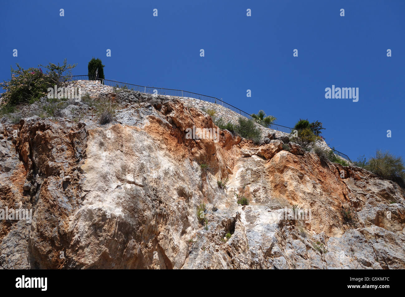 Fault lines cracks in the rock face causing Property apartments subsidence on The Carmenes del Mar urbanisation in Herradura, Co Stock Photohttps://www.alamy.com/image-license-details/?v=1https://www.alamy.com/stock-photo-fault-lines-cracks-in-the-rock-face-causing-property-apartments-subsidence-106768464.html
RMG5KM7C–Fault lines cracks in the rock face causing Property apartments subsidence on The Carmenes del Mar urbanisation in Herradura, Co
 A deeply divided USA, showing heightened polarization and extreme divisions in a 3D puzzle, conceptual image. Fault lines. Economic. Social. Political. Blue and Red. Stock Photohttps://www.alamy.com/image-license-details/?v=1https://www.alamy.com/a-deeply-divided-usa-showing-heightened-polarization-and-extreme-divisions-in-a-3d-puzzle-conceptual-image-fault-lines-economic-social-political-blue-and-red-image311810354.html
RMS38582–A deeply divided USA, showing heightened polarization and extreme divisions in a 3D puzzle, conceptual image. Fault lines. Economic. Social. Political. Blue and Red.
 Cracks in the cement of a skateboard park / skatepark - visual metaphor for fault lines appearing, cracks appearing, poor maintenance. Stock Photohttps://www.alamy.com/image-license-details/?v=1https://www.alamy.com/cracks-in-the-cement-of-a-skateboard-park-skatepark-visual-metaphor-for-fault-lines-appearing-cracks-appearing-poor-maintenance-image260081877.html
RFW33N2D–Cracks in the cement of a skateboard park / skatepark - visual metaphor for fault lines appearing, cracks appearing, poor maintenance.
 Glitch displacement type letters with fault lines. Vector illustration Stock Vectorhttps://www.alamy.com/image-license-details/?v=1https://www.alamy.com/stock-photo-glitch-displacement-type-letters-with-fault-lines-vector-illustration-134364351.html
RFHPGR2R–Glitch displacement type letters with fault lines. Vector illustration
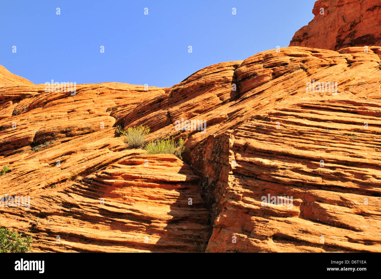 Red rock formation at Snow Canyon State Park showing eroded, uplifted sedimentary rock with fractures and fault lines Stock Photohttps://www.alamy.com/image-license-details/?v=1https://www.alamy.com/stock-photo-red-rock-formation-at-snow-canyon-state-park-showing-eroded-uplifted-55847074.html
RFD6T1EA–Red rock formation at Snow Canyon State Park showing eroded, uplifted sedimentary rock with fractures and fault lines
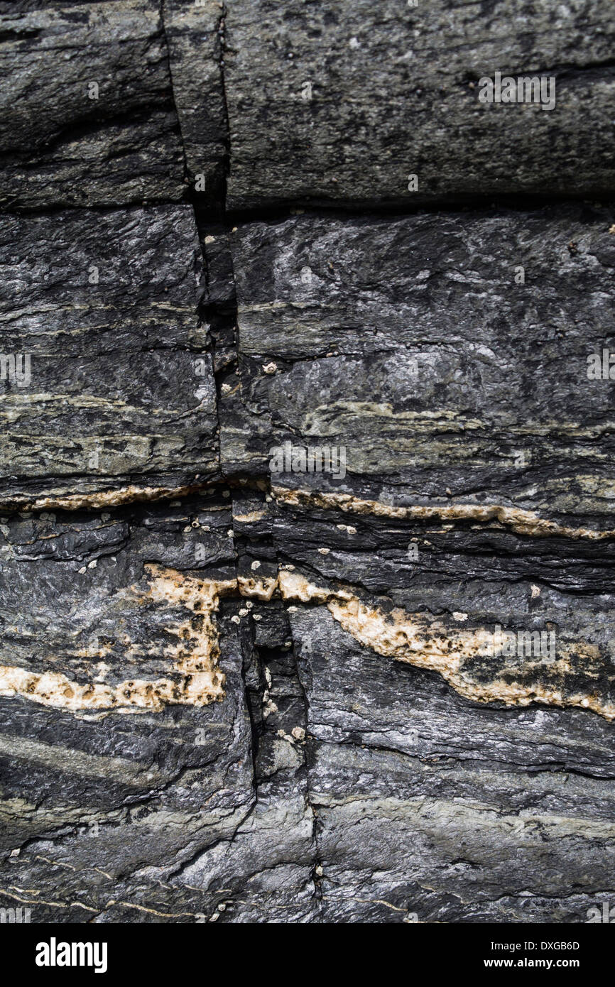 Close up of metamorphic rock at Saligo Bay, Islay, showing fault lines in rock and quartz intrusion Stock Photohttps://www.alamy.com/image-license-details/?v=1https://www.alamy.com/close-up-of-metamorphic-rock-at-saligo-bay-islay-showing-fault-lines-image67972197.html
RMDXGB6D–Close up of metamorphic rock at Saligo Bay, Islay, showing fault lines in rock and quartz intrusion
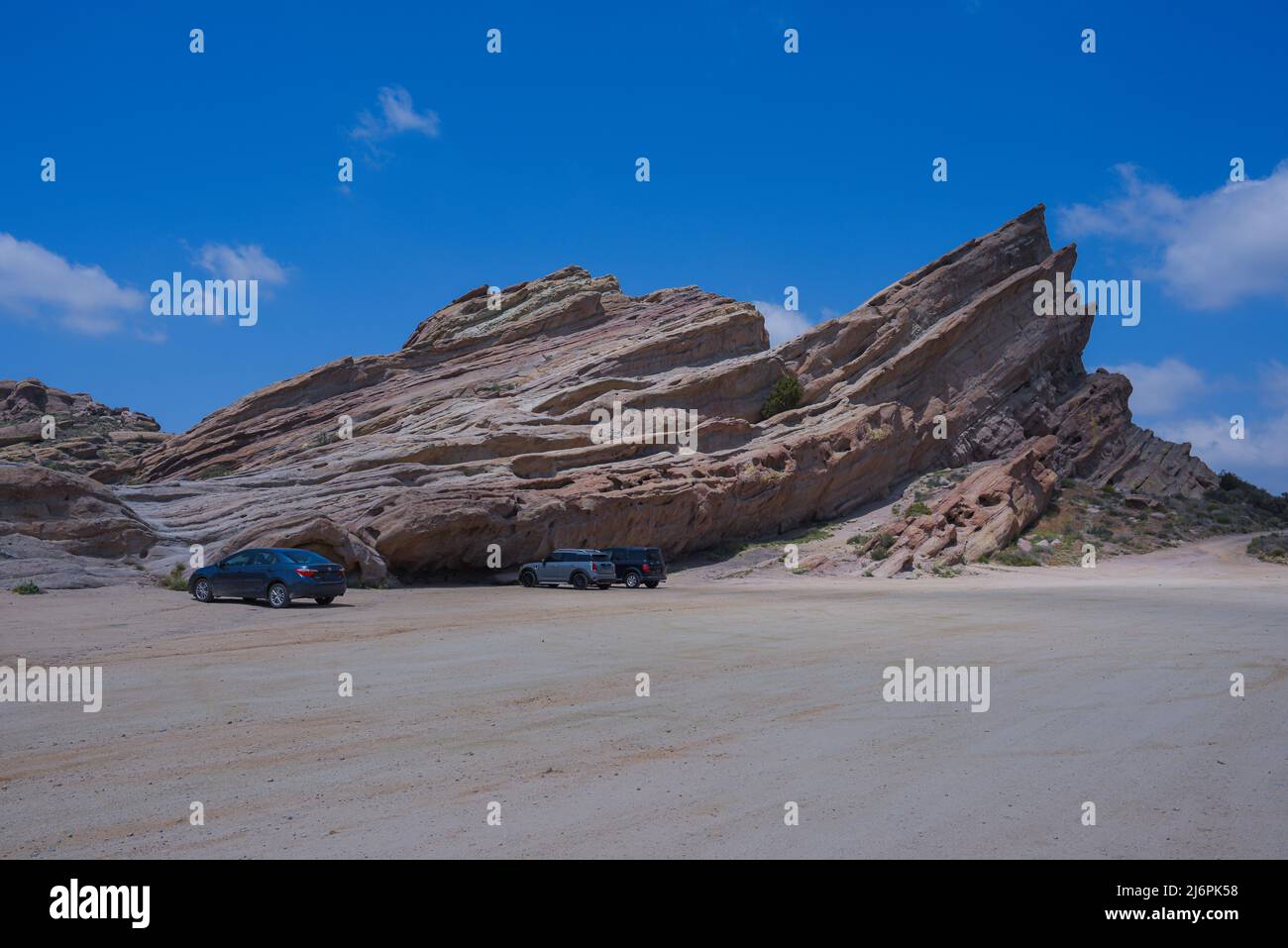 Earthquake tectonic plate collision Stock Photohttps://www.alamy.com/image-license-details/?v=1https://www.alamy.com/earthquake-tectonic-plate-collision-image468865860.html
RF2J6PK58–Earthquake tectonic plate collision
 Crevasse in the earth caused by 2007 earthquake, 150km south of Lima, Peru, South America Stock Photohttps://www.alamy.com/image-license-details/?v=1https://www.alamy.com/crevasse-in-the-earth-caused-by-2007-earthquake-150km-south-of-lima-image157523749.html
RMK47R45–Crevasse in the earth caused by 2007 earthquake, 150km south of Lima, Peru, South America
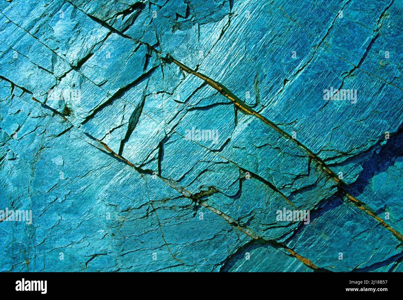 rock formation, Stock Photohttps://www.alamy.com/image-license-details/?v=1https://www.alamy.com/rock-formation-image465478979.html
RM2J18B57–rock formation,
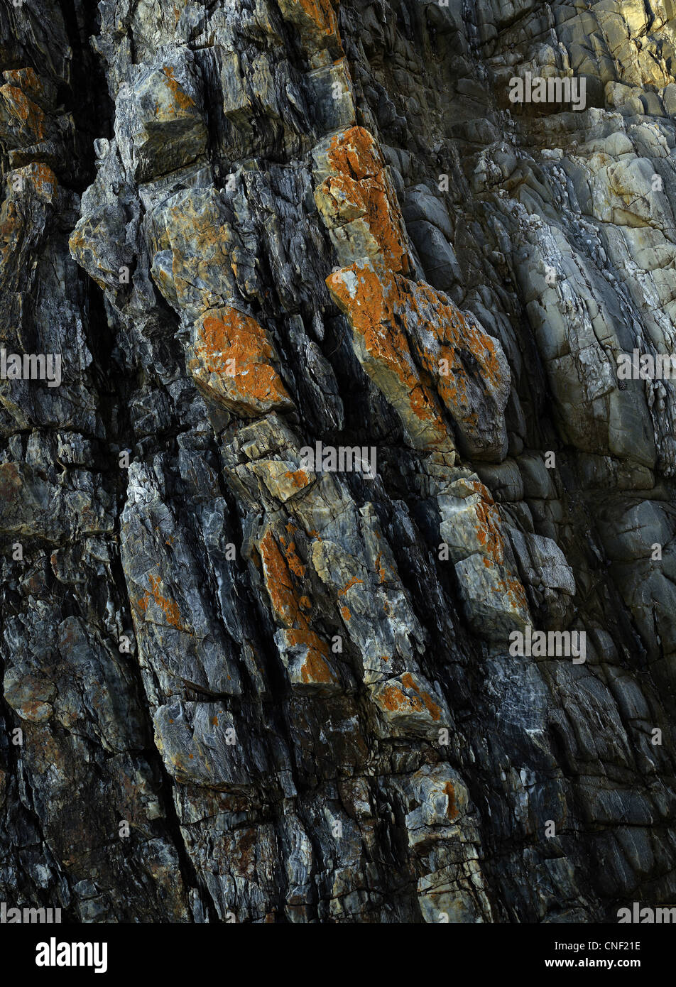 Fault lines in detail on sea side folded rock layers, Bermagui NSW Australia Stock Photohttps://www.alamy.com/image-license-details/?v=1https://www.alamy.com/stock-photo-fault-lines-in-detail-on-sea-side-folded-rock-layers-bermagui-nsw-47659402.html
RFCNF21E–Fault lines in detail on sea side folded rock layers, Bermagui NSW Australia
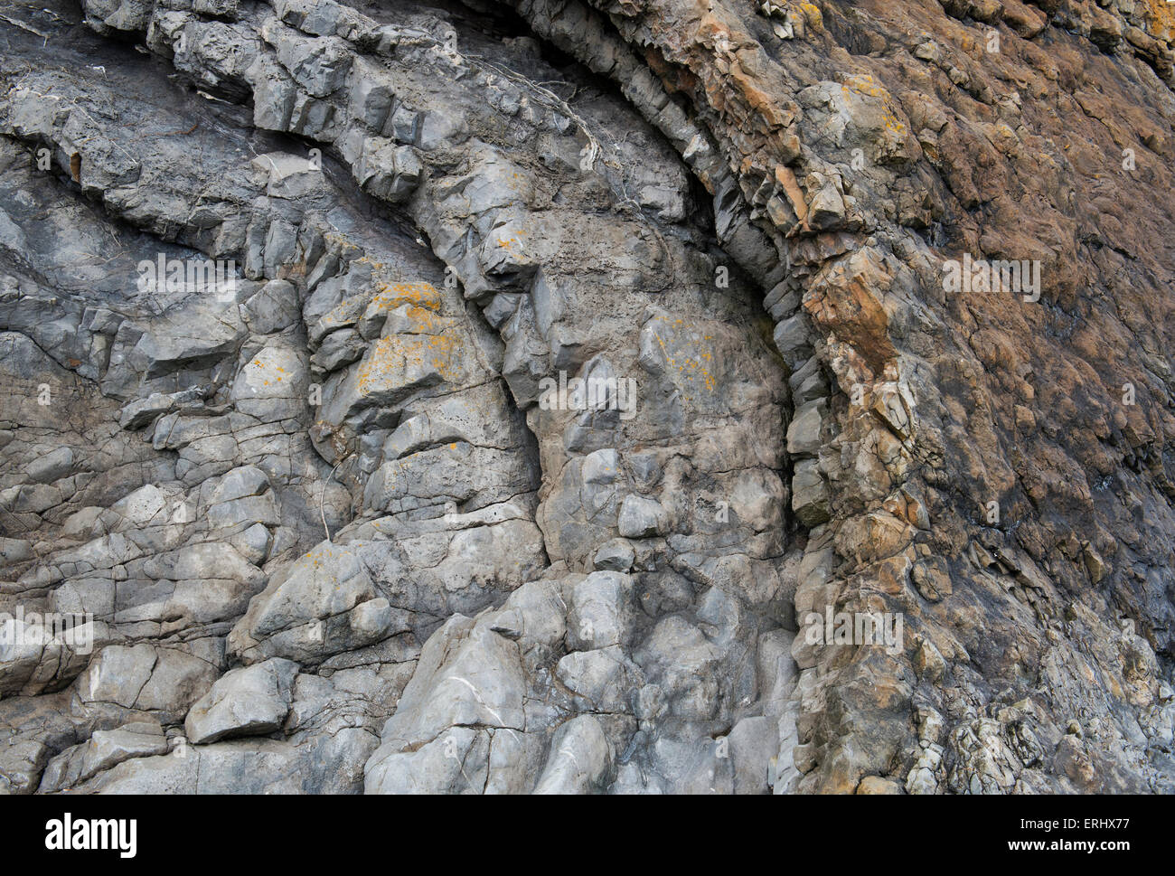 Carboniferous Rocks at Saltpan Rocks, Scremerston, Berwick Upon Tweed, Northumberland, England Stock Photohttps://www.alamy.com/image-license-details/?v=1https://www.alamy.com/stock-photo-carboniferous-rocks-at-saltpan-rocks-scremerston-berwick-upon-tweed-83372331.html
RMERHX77–Carboniferous Rocks at Saltpan Rocks, Scremerston, Berwick Upon Tweed, Northumberland, England
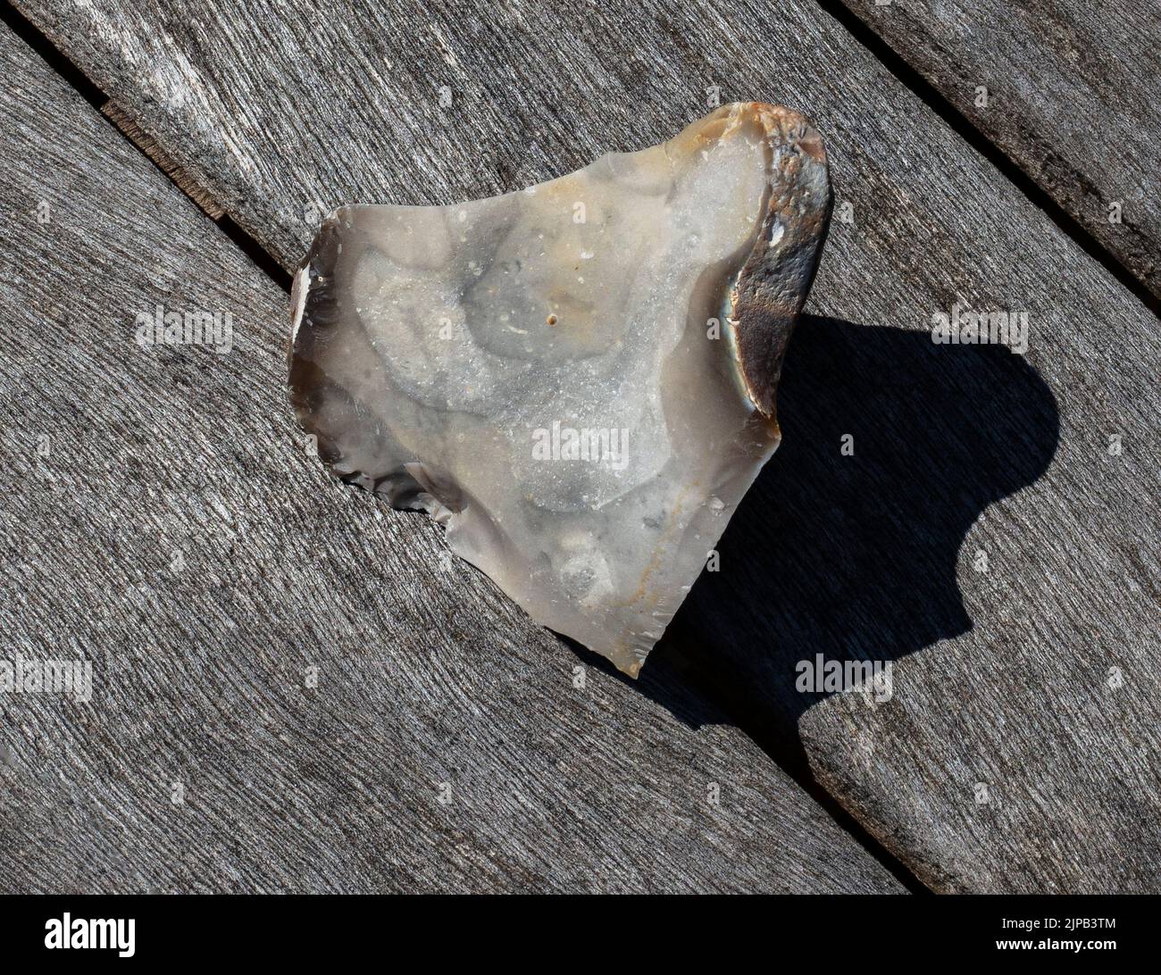 Example of flint-knapping; a larger piece of flint is struck along fault lines by a smaller piece of flint to produce a sharp edge for a hand axe Stock Photohttps://www.alamy.com/image-license-details/?v=1https://www.alamy.com/example-of-flint-knapping-a-larger-piece-of-flint-is-struck-along-fault-lines-by-a-smaller-piece-of-flint-to-produce-a-sharp-edge-for-a-hand-axe-image478446884.html
RM2JPB3TM–Example of flint-knapping; a larger piece of flint is struck along fault lines by a smaller piece of flint to produce a sharp edge for a hand axe
 Baviaanskloof, south africa Stock Photohttps://www.alamy.com/image-license-details/?v=1https://www.alamy.com/baviaanskloof-south-africa-image226076768.html
RFR3PK68–Baviaanskloof, south africa
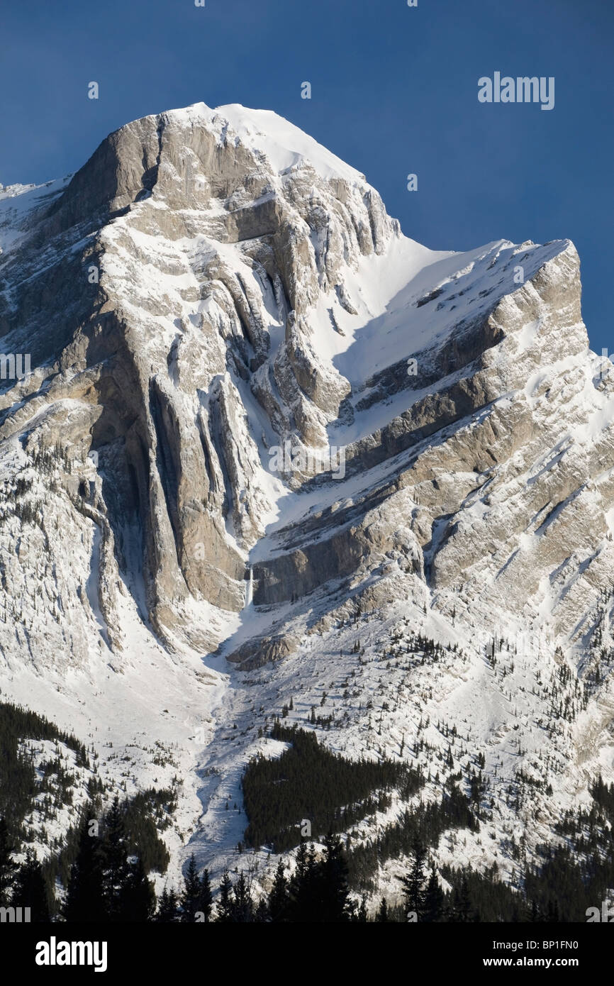 Alberta, Canada; Snow Covered Mountain With Dramatic Fault Lines In Kananaskis Country Stock Photohttps://www.alamy.com/image-license-details/?v=1https://www.alamy.com/stock-photo-alberta-canada-snow-covered-mountain-with-dramatic-fault-lines-in-30767100.html
RFBP1FN0–Alberta, Canada; Snow Covered Mountain With Dramatic Fault Lines In Kananaskis Country
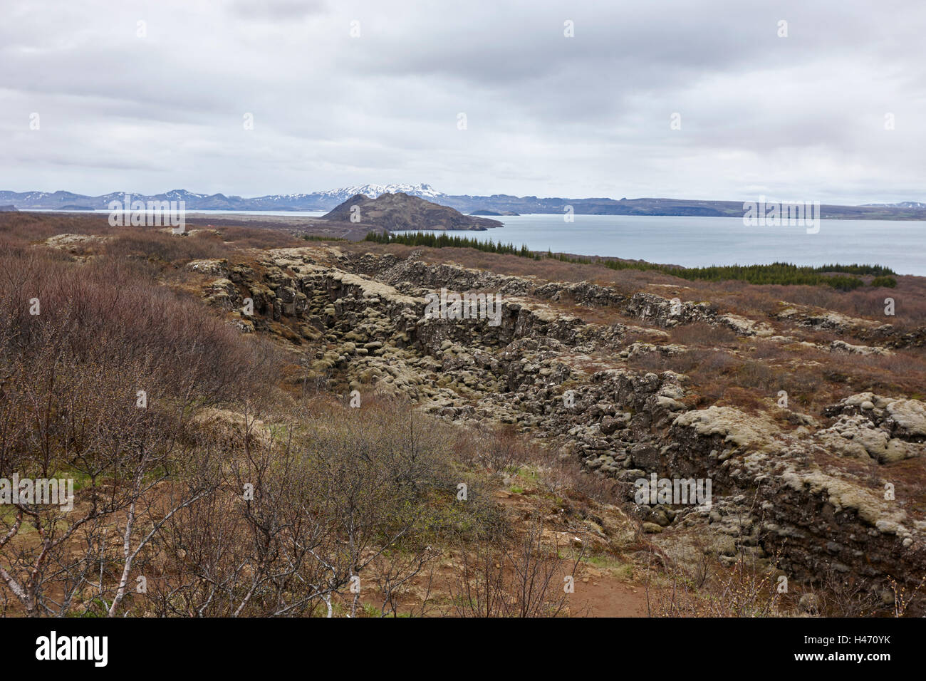 fissures in the continental plates at thingvellir national park Iceland Stock Photohttps://www.alamy.com/image-license-details/?v=1https://www.alamy.com/stock-photo-fissures-in-the-continental-plates-at-thingvellir-national-park-iceland-123085639.html
RMH470YK–fissures in the continental plates at thingvellir national park Iceland
 The 'nick' in the middle distance is Dover Fault which c540m years ago marked boundary between Laurentia & Gondwana and so modern America & Europe. Stock Photohttps://www.alamy.com/image-license-details/?v=1https://www.alamy.com/the-nick-in-the-middle-distance-is-dover-fault-which-c540m-years-ago-marked-boundary-between-laurentia-gondwana-and-so-modern-america-europe-image458112399.html
RM2HH8R13–The 'nick' in the middle distance is Dover Fault which c540m years ago marked boundary between Laurentia & Gondwana and so modern America & Europe.
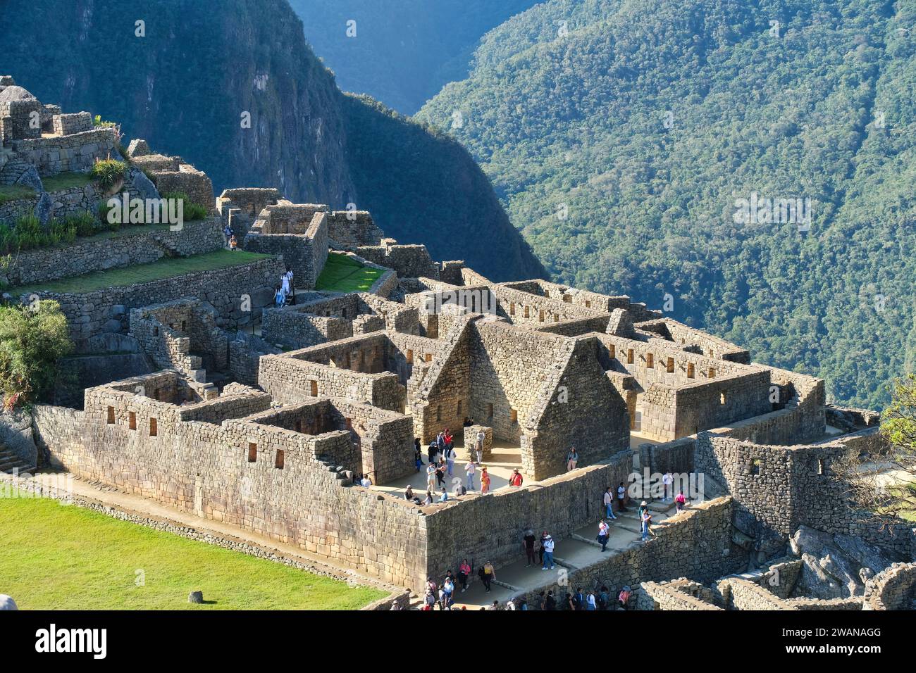 In fact, right underneath where Machu Picchu was built run several fractures or tectonic fault lines, and amazingly, there’s evidence that the Incas k Stock Photohttps://www.alamy.com/image-license-details/?v=1https://www.alamy.com/in-fact-right-underneath-where-machu-picchu-was-built-run-several-fractures-or-tectonic-fault-lines-and-amazingly-theres-evidence-that-the-incas-k-image591768368.html
RM2WANAGG–In fact, right underneath where Machu Picchu was built run several fractures or tectonic fault lines, and amazingly, there’s evidence that the Incas k
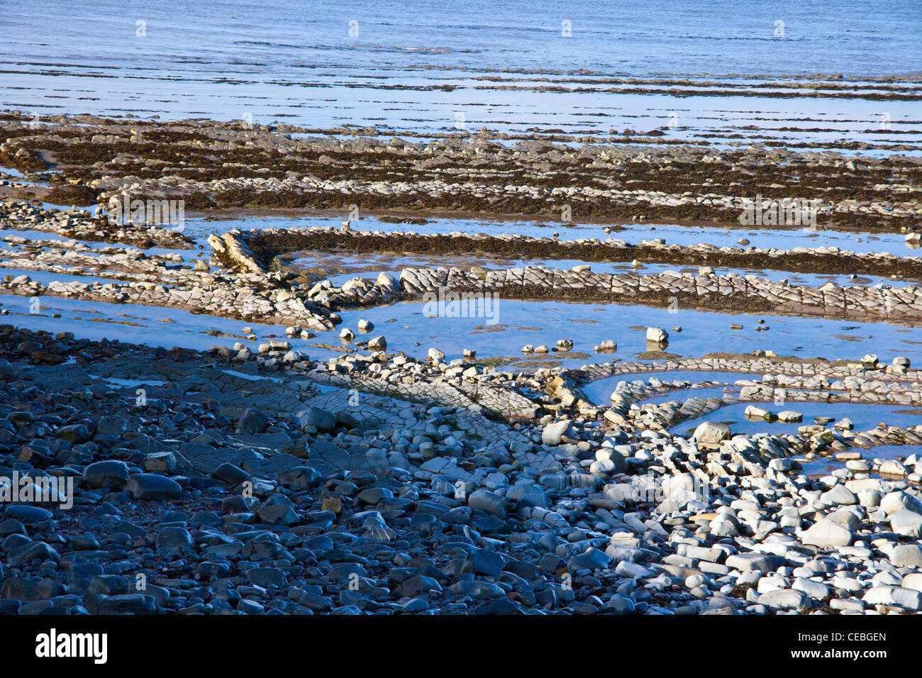 Dramatic blue lias rock strata and visible fault lines on the beach at Kilve on the Bristol Channel, Somerset, England, UK Stock Photohttps://www.alamy.com/image-license-details/?v=1https://www.alamy.com/stock-photo-dramatic-blue-lias-rock-strata-and-visible-fault-lines-on-the-beach-43280349.html
RMCEBGEN–Dramatic blue lias rock strata and visible fault lines on the beach at Kilve on the Bristol Channel, Somerset, England, UK
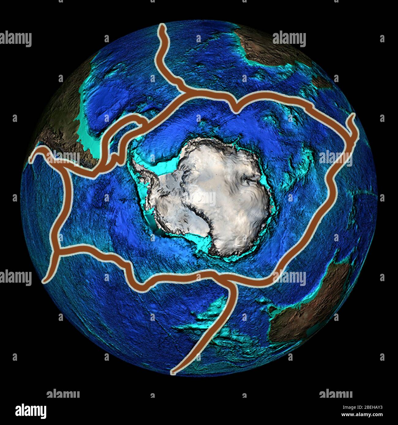 Fault Lines around Antarctica, Illustration Stock Photohttps://www.alamy.com/image-license-details/?v=1https://www.alamy.com/fault-lines-around-antarctica-illustration-image353194327.html
RM2BEHAY3–Fault Lines around Antarctica, Illustration
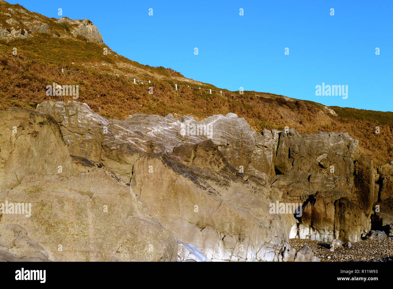 En echelons veins on fault line at Caswell bay Gower Wales Stock Photohttps://www.alamy.com/image-license-details/?v=1https://www.alamy.com/en-echelons-veins-on-fault-line-at-caswell-bay-gower-wales-image224391247.html
RMR11W93–En echelons veins on fault line at Caswell bay Gower Wales
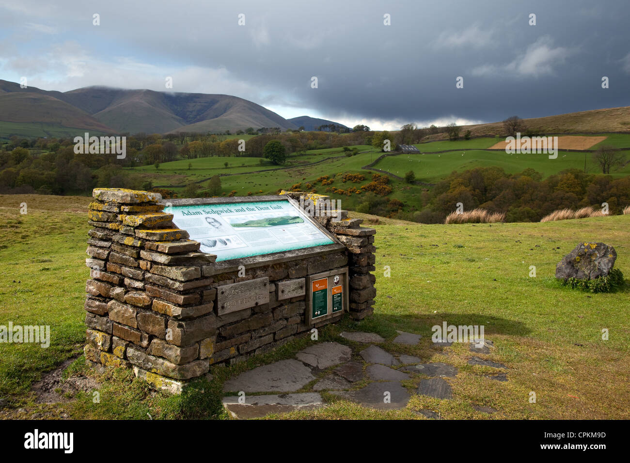 Sedgewick, West Wensleydale Signs and Information Point The Dent Fault Lines System part of the Pennine Boundary Fault, Dent, UK Stock Photohttps://www.alamy.com/image-license-details/?v=1https://www.alamy.com/stock-photo-sedgewick-west-wensleydale-signs-and-information-point-the-dent-fault-48376201.html
RMCPKM9D–Sedgewick, West Wensleydale Signs and Information Point The Dent Fault Lines System part of the Pennine Boundary Fault, Dent, UK
 Cracks in the cement of a skateboard park / skatepark - visual metaphor for fault lines appearing, cracks appearing, poor maintenance. Stock Photohttps://www.alamy.com/image-license-details/?v=1https://www.alamy.com/cracks-in-the-cement-of-a-skateboard-park-skatepark-visual-metaphor-for-fault-lines-appearing-cracks-appearing-poor-maintenance-image260081582.html
RFW33MKX–Cracks in the cement of a skateboard park / skatepark - visual metaphor for fault lines appearing, cracks appearing, poor maintenance.
 Colorful eroded Navajo sandstone in the White Pocket Recreation Area, Vermilion Cliffs National Monument, Arizona. Displaced fault lines are evident Stock Photohttps://www.alamy.com/image-license-details/?v=1https://www.alamy.com/colorful-eroded-navajo-sandstone-in-the-white-pocket-recreation-area-vermilion-cliffs-national-monument-arizona-displaced-fault-lines-are-evident-image595762451.html
RM2WH792B–Colorful eroded Navajo sandstone in the White Pocket Recreation Area, Vermilion Cliffs National Monument, Arizona. Displaced fault lines are evident
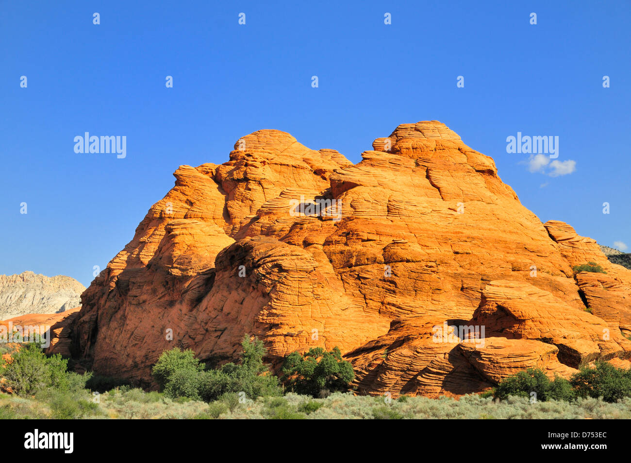 Red rock formation at Snow Canyon State Park showing eroded, uplifted sedimentary rock with fractures and fault lines. Stock Photohttps://www.alamy.com/image-license-details/?v=1https://www.alamy.com/stock-photo-red-rock-formation-at-snow-canyon-state-park-showing-eroded-uplifted-56046212.html
RFD753EC–Red rock formation at Snow Canyon State Park showing eroded, uplifted sedimentary rock with fractures and fault lines.
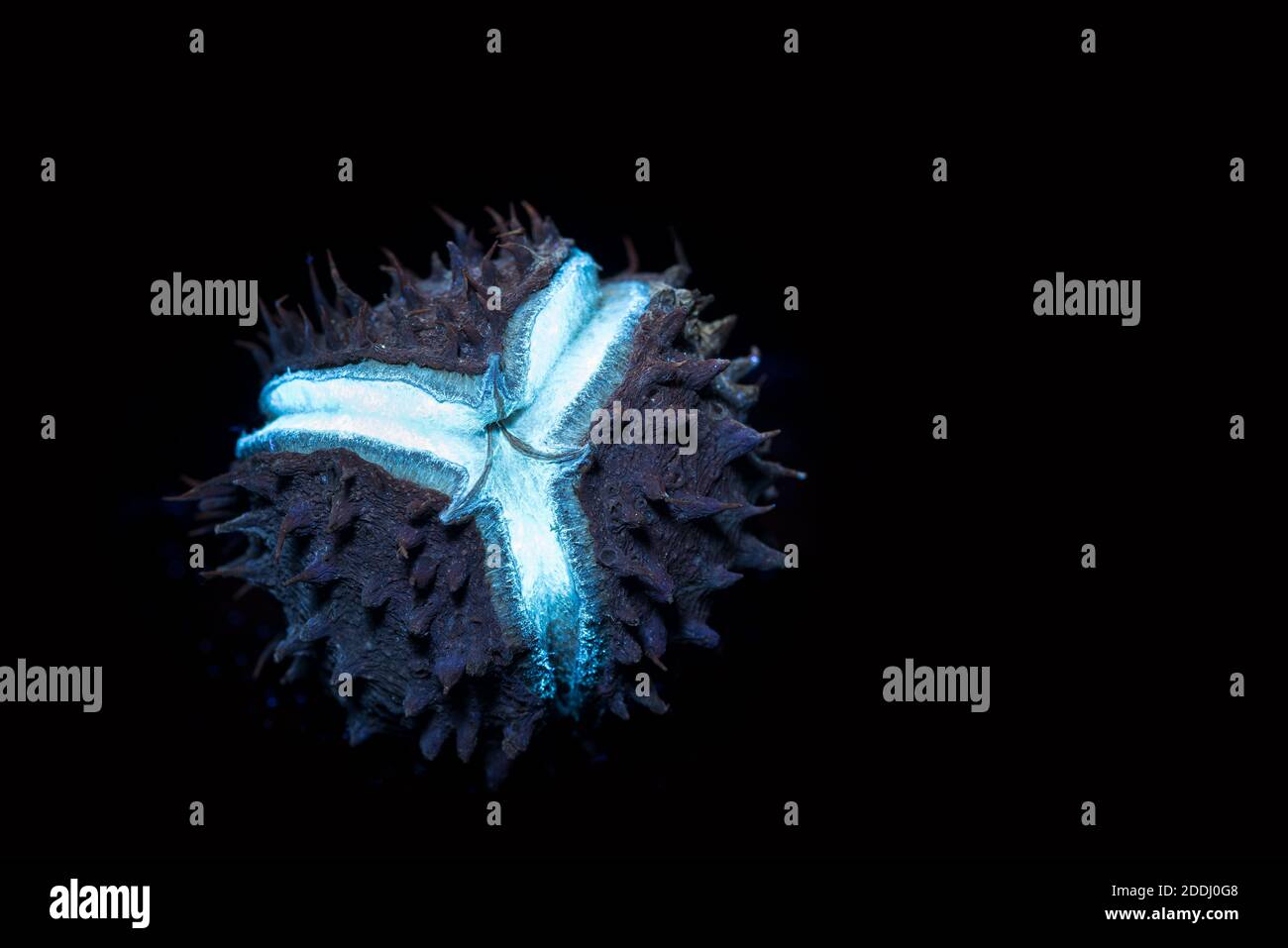 Studio shot of horse chestnut seed under UV light showing red traces of chlorophyll in the skin and the fault lines in shell where it will split Stock Photohttps://www.alamy.com/image-license-details/?v=1https://www.alamy.com/studio-shot-of-horse-chestnut-seed-under-uv-light-showing-red-traces-of-chlorophyll-in-the-skin-and-the-fault-lines-in-shell-where-it-will-split-image387014216.html
RM2DDJ0G8–Studio shot of horse chestnut seed under UV light showing red traces of chlorophyll in the skin and the fault lines in shell where it will split
 Wildflowers grow around amongst the power line towers that cross the Temblor Range in the Carrizo Plain National Monument. Stock Photohttps://www.alamy.com/image-license-details/?v=1https://www.alamy.com/wildflowers-grow-around-amongst-the-power-line-towers-that-cross-the-temblor-range-in-the-carrizo-plain-national-monument-image243296247.html
RMT3R2RK–Wildflowers grow around amongst the power line towers that cross the Temblor Range in the Carrizo Plain National Monument.
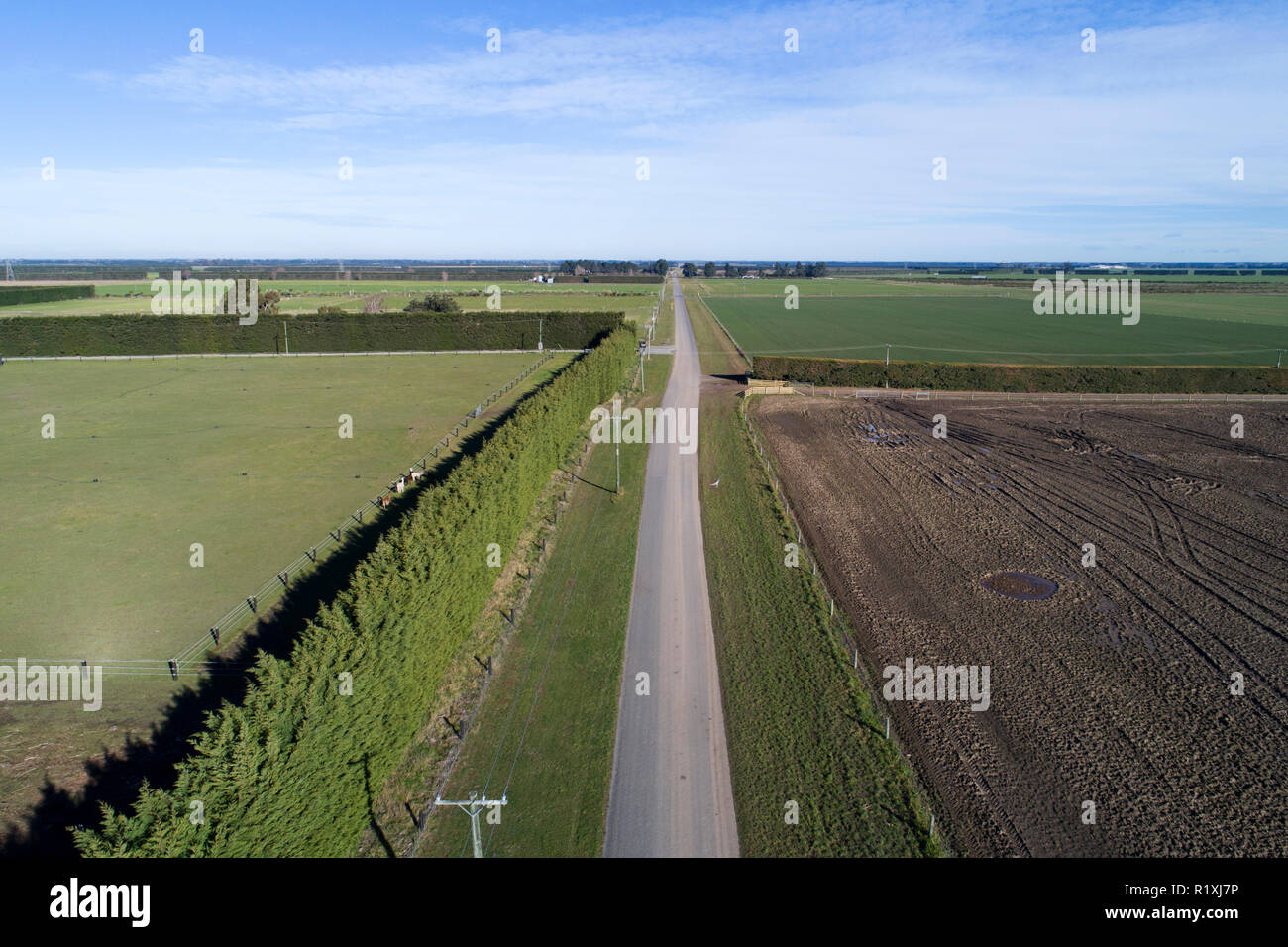 Road moved 4 metres sideways across fault line after earthquake, 4th September 2010, near Darfield, Canterbury, South Island, New Zealand - aerial Stock Photohttps://www.alamy.com/image-license-details/?v=1https://www.alamy.com/road-moved-4-metres-sideways-across-fault-line-after-earthquake-4th-september-2010-near-darfield-canterbury-south-island-new-zealand-aerial-image224934522.html
RMR1XJ7P–Road moved 4 metres sideways across fault line after earthquake, 4th September 2010, near Darfield, Canterbury, South Island, New Zealand - aerial
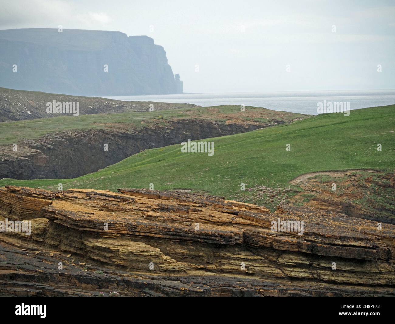 clifftop view across geos (clefts in rocks along fault lines) along the North west coast near Brough of Birsay Orkney, Scotland,UK Stock Photohttps://www.alamy.com/image-license-details/?v=1https://www.alamy.com/clifftop-view-across-geos-clefts-in-rocks-along-fault-lines-along-the-north-west-coast-near-brough-of-birsay-orkney-scotlanduk-image452881719.html
RM2H8PF73–clifftop view across geos (clefts in rocks along fault lines) along the North west coast near Brough of Birsay Orkney, Scotland,UK
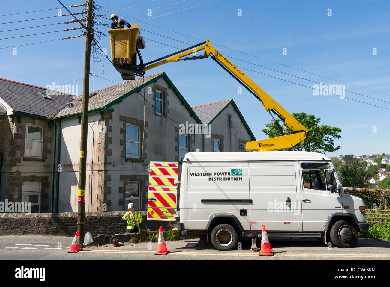 Western Power Distribution workers working on electric power lines. Stock Photohttps://www.alamy.com/image-license-details/?v=1https://www.alamy.com/stock-photo-western-power-distribution-workers-working-on-electric-power-lines-49921753.html
RMCW63KN–Western Power Distribution workers working on electric power lines.
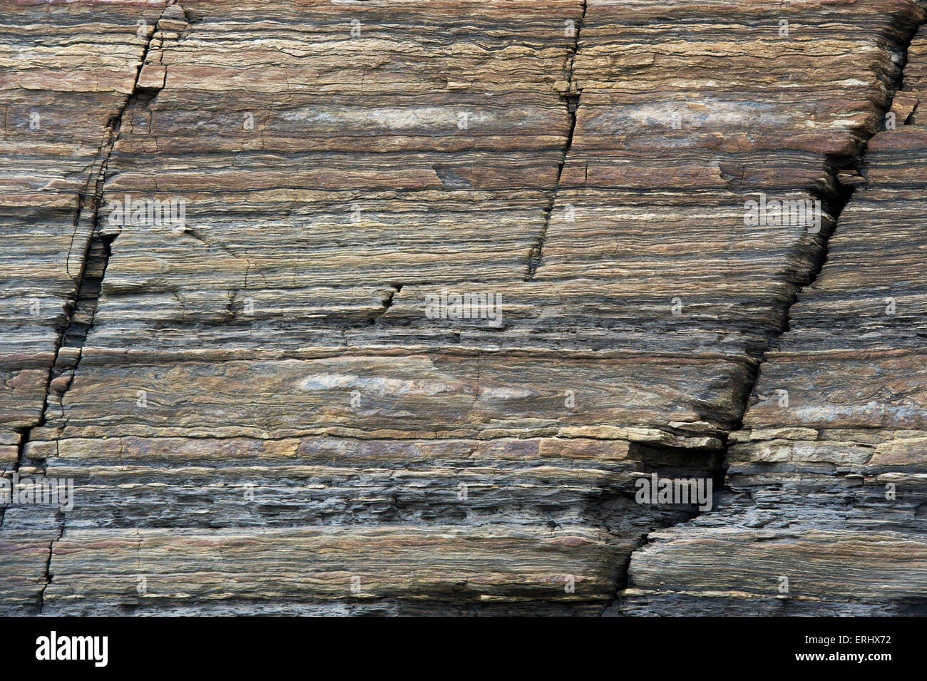 Carboniferous Rocks at Scremerston, Berwick Upon Tweed, Northumberland, England Stock Photohttps://www.alamy.com/image-license-details/?v=1https://www.alamy.com/stock-photo-carboniferous-rocks-at-scremerston-berwick-upon-tweed-northumberland-83372326.html
RMERHX72–Carboniferous Rocks at Scremerston, Berwick Upon Tweed, Northumberland, England
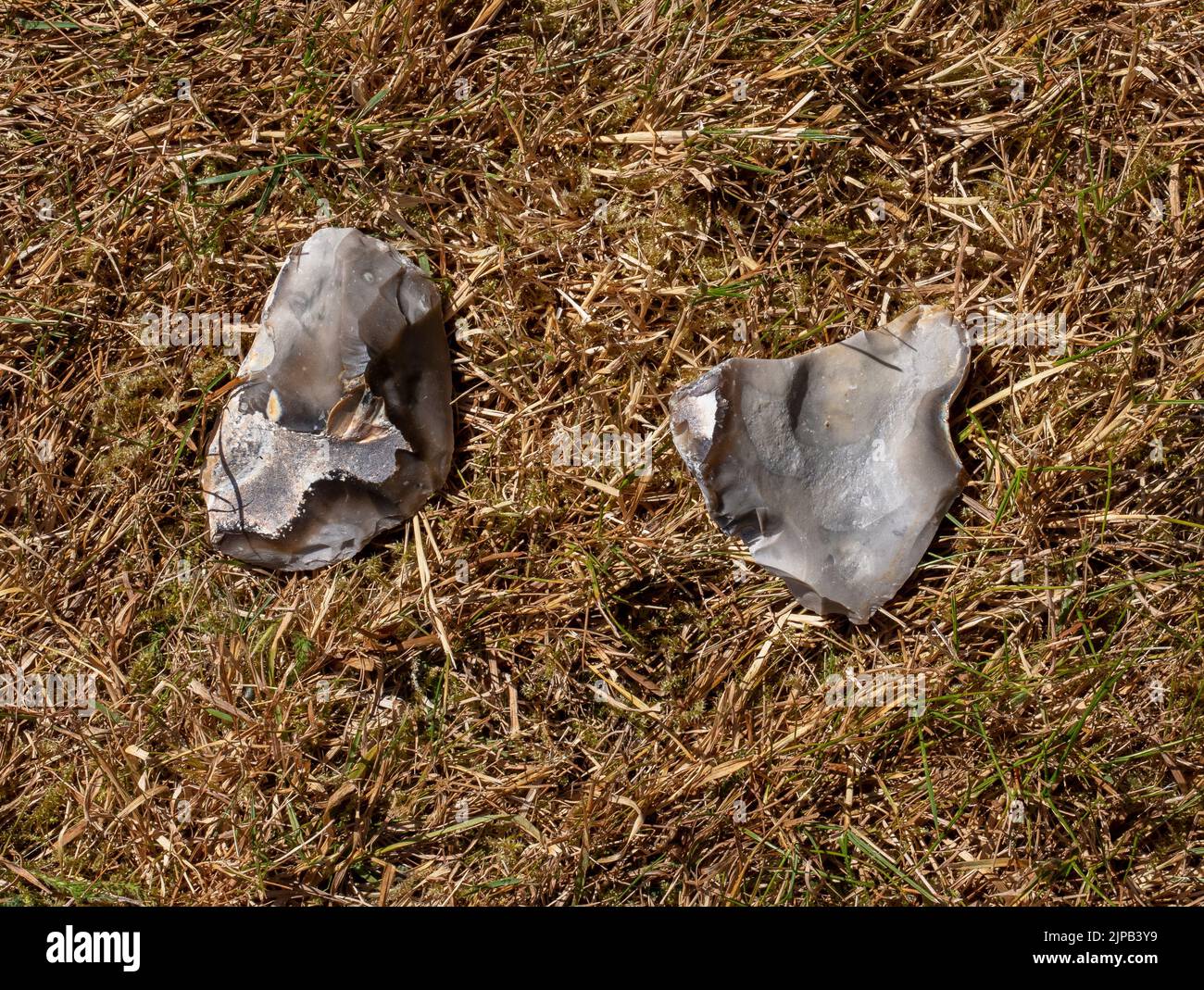 Example of flint-knapping; a larger piece of flint is struck along fault lines by a smaller piece of flint to produce a sharp edge for a hand axe Stock Photohttps://www.alamy.com/image-license-details/?v=1https://www.alamy.com/example-of-flint-knapping-a-larger-piece-of-flint-is-struck-along-fault-lines-by-a-smaller-piece-of-flint-to-produce-a-sharp-edge-for-a-hand-axe-image478446957.html
RM2JPB3Y9–Example of flint-knapping; a larger piece of flint is struck along fault lines by a smaller piece of flint to produce a sharp edge for a hand axe
 Baviaanskloof, south africa Stock Photohttps://www.alamy.com/image-license-details/?v=1https://www.alamy.com/baviaanskloof-south-africa-image226076715.html
RFR3PK4B–Baviaanskloof, south africa
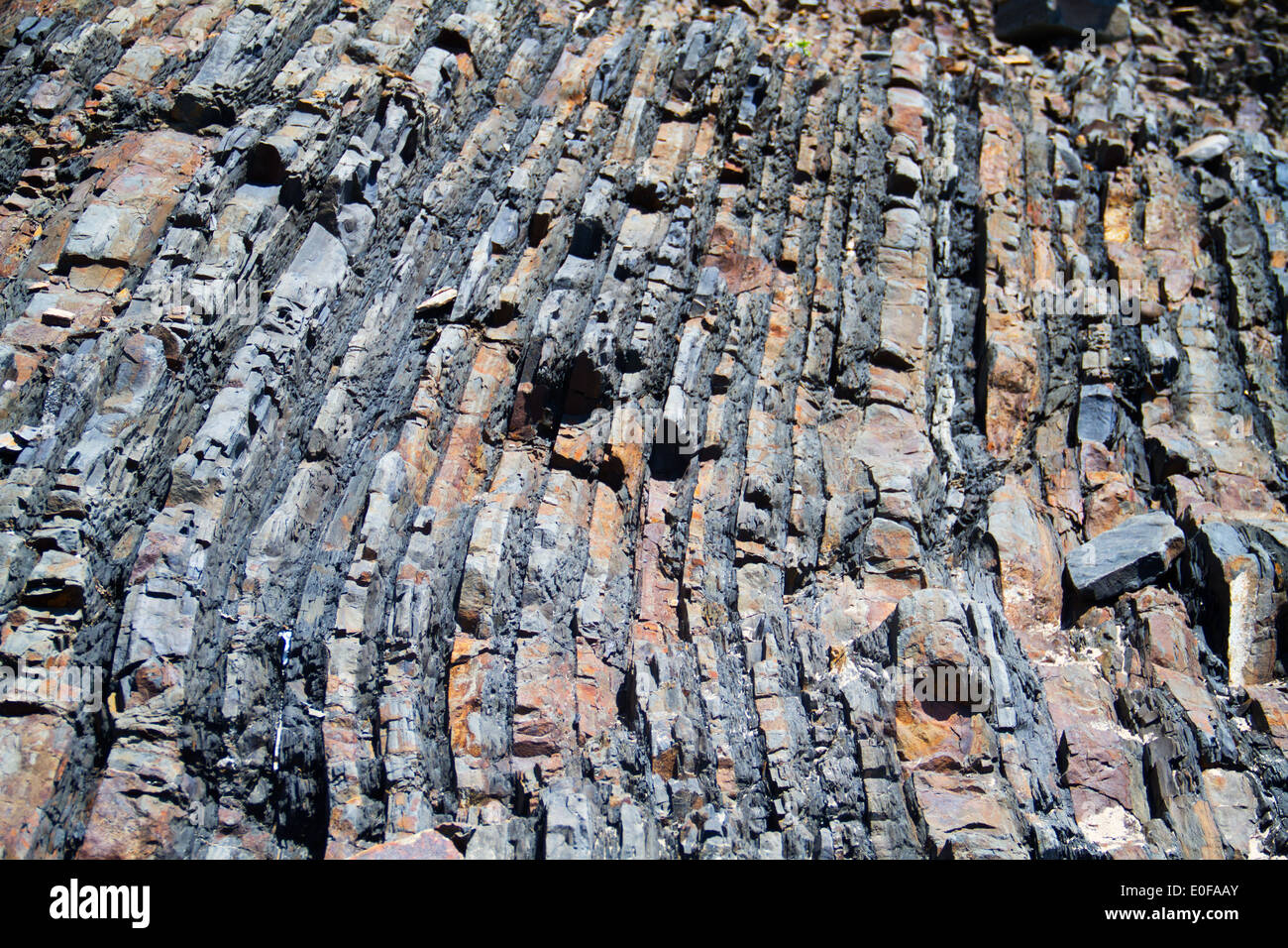 Layered rock near the west-coast of Portugal Stock Photohttps://www.alamy.com/image-license-details/?v=1https://www.alamy.com/layered-rock-near-the-west-coast-of-portugal-image69178899.html
RFE0FAAY–Layered rock near the west-coast of Portugal
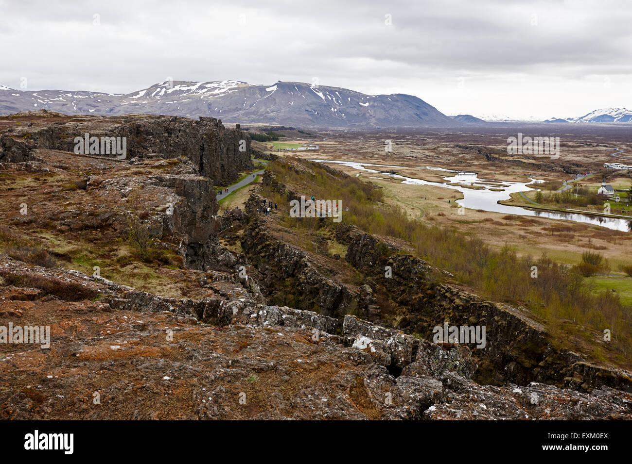 Almannagja fault line in the mid-atlantic ridge north american plate Thingvellir national park iceland Stock Photohttps://www.alamy.com/image-license-details/?v=1https://www.alamy.com/stock-photo-almannagja-fault-line-in-the-mid-atlantic-ridge-north-american-plate-85261986.html
RMEXM0EX–Almannagja fault line in the mid-atlantic ridge north american plate Thingvellir national park iceland
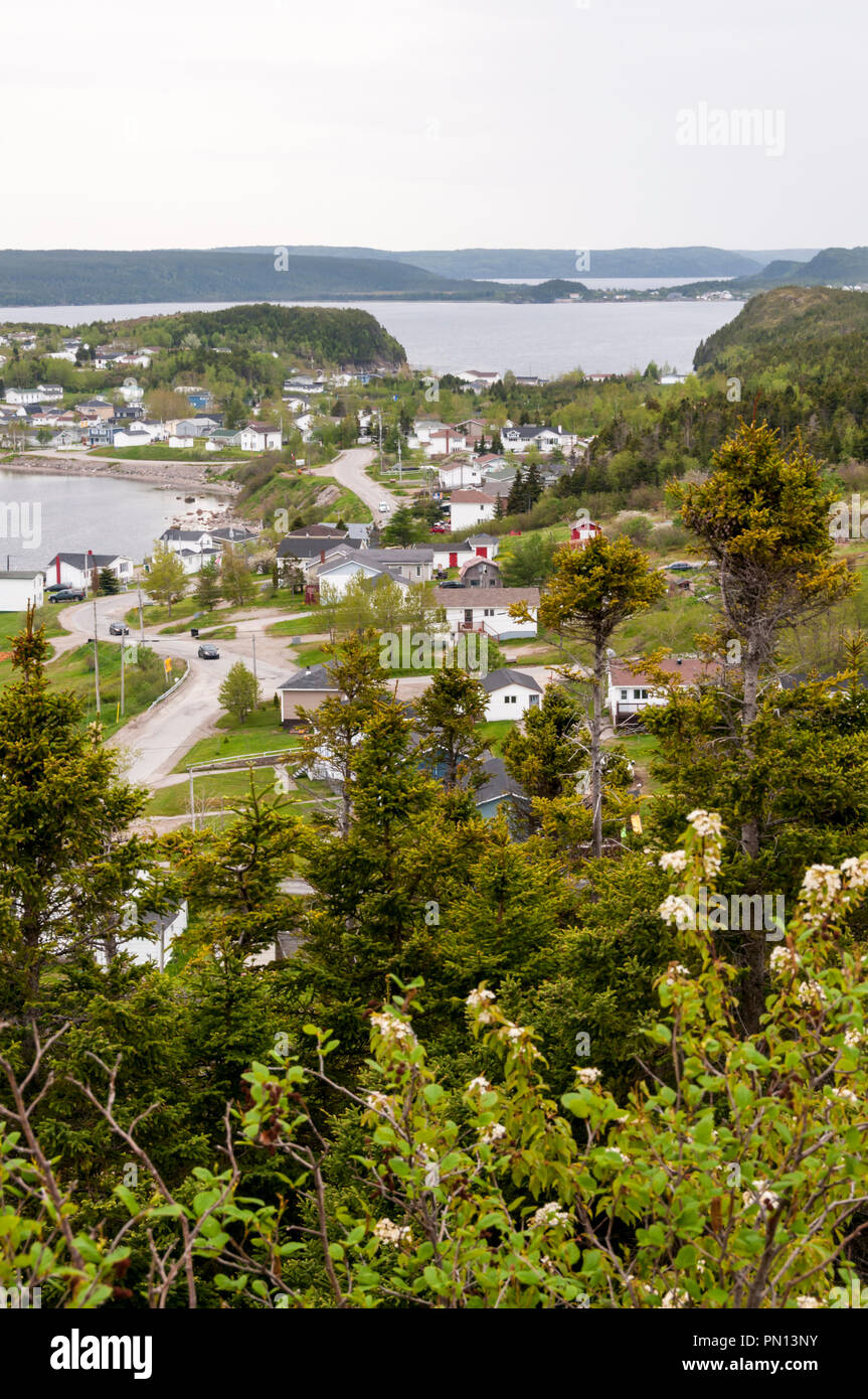 The 'nick' in the middle distance is Dover Fault which c540m years ago marked boundary between Laurentia & Gondwana and so modern America & Europe. Stock Photohttps://www.alamy.com/image-license-details/?v=1https://www.alamy.com/the-nick-in-the-middle-distance-is-dover-fault-which-c540m-years-ago-marked-boundary-between-laurentia-gondwana-and-so-modern-america-europe-image219457111.html
RMPN13NY–The 'nick' in the middle distance is Dover Fault which c540m years ago marked boundary between Laurentia & Gondwana and so modern America & Europe.
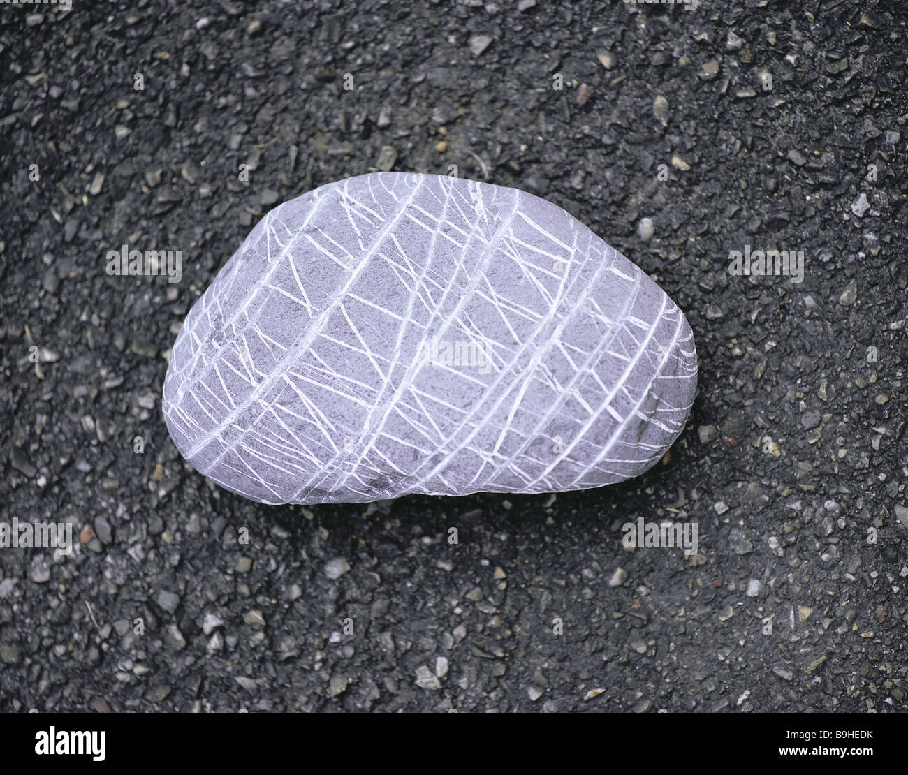 Stones pattern lines asphalt tar-blankets shingle river-shingle oval gray limestone structure Gran strips inclusion touched Stock Photohttps://www.alamy.com/image-license-details/?v=1https://www.alamy.com/stock-photo-stones-pattern-lines-asphalt-tar-blankets-shingle-river-shingle-oval-23126815.html
RMB9HEDK–Stones pattern lines asphalt tar-blankets shingle river-shingle oval gray limestone structure Gran strips inclusion touched
 Handwriting text Are You Safe. Business overview Free from danger Not anticipating any Harm Hurt physically Woman Holding Tablet Presenting Futuristic Lines And Modern Technology. Stock Photohttps://www.alamy.com/image-license-details/?v=1https://www.alamy.com/handwriting-text-are-you-safe-business-overview-free-from-danger-not-anticipating-any-harm-hurt-physically-woman-holding-tablet-presenting-futuristic-lines-and-modern-technology-image547903480.html
RF2PRB4DC–Handwriting text Are You Safe. Business overview Free from danger Not anticipating any Harm Hurt physically Woman Holding Tablet Presenting Futuristic Lines And Modern Technology.
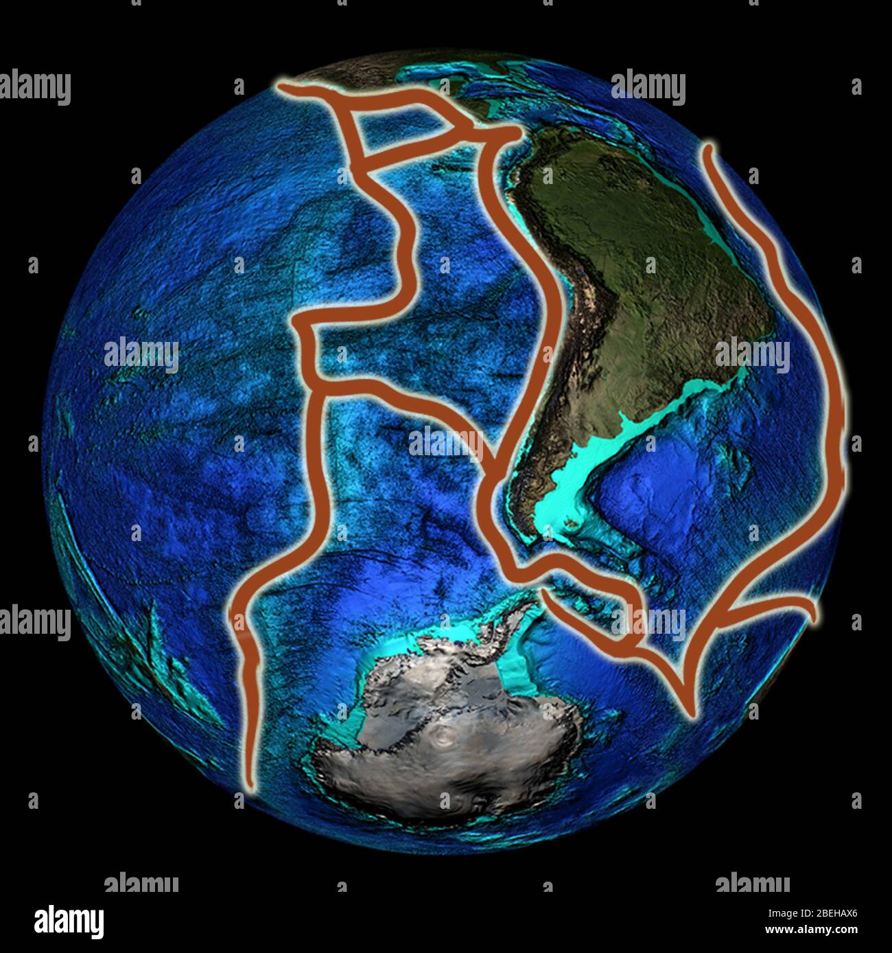 An illustration of the planet earth and its fault lines in South America. Stock Photohttps://www.alamy.com/image-license-details/?v=1https://www.alamy.com/an-illustration-of-the-planet-earth-and-its-fault-lines-in-south-america-image353194302.html
RM2BEHAX6–An illustration of the planet earth and its fault lines in South America.
 Tamsin Davis (top left), Serena Davis (top right) and Adam Whitaker of Fault Line Living outside the Royal Geographical Society (with IBG) in London after being presented with the Royal Geographical Society (with IBG) and Land Rover 2010 'Go Beyond' Bursary, which includes 10,000 and a Land Rover Defender 110, to travel 15,000 miles from Iceland to Iran over a 12 week period to gain a detailed understanding of the issues faced by communities living on fault lines. Stock Photohttps://www.alamy.com/image-license-details/?v=1https://www.alamy.com/stock-photo-tamsin-davis-top-left-serena-davis-top-right-and-adam-whitaker-of-111071080.html
RMGCKM88–Tamsin Davis (top left), Serena Davis (top right) and Adam Whitaker of Fault Line Living outside the Royal Geographical Society (with IBG) in London after being presented with the Royal Geographical Society (with IBG) and Land Rover 2010 'Go Beyond' Bursary, which includes 10,000 and a Land Rover Defender 110, to travel 15,000 miles from Iceland to Iran over a 12 week period to gain a detailed understanding of the issues faced by communities living on fault lines.
 Iridescent liquid stream lines. Stock Photohttps://www.alamy.com/image-license-details/?v=1https://www.alamy.com/iridescent-liquid-stream-lines-image465047246.html
RF2J0GME6–Iridescent liquid stream lines.
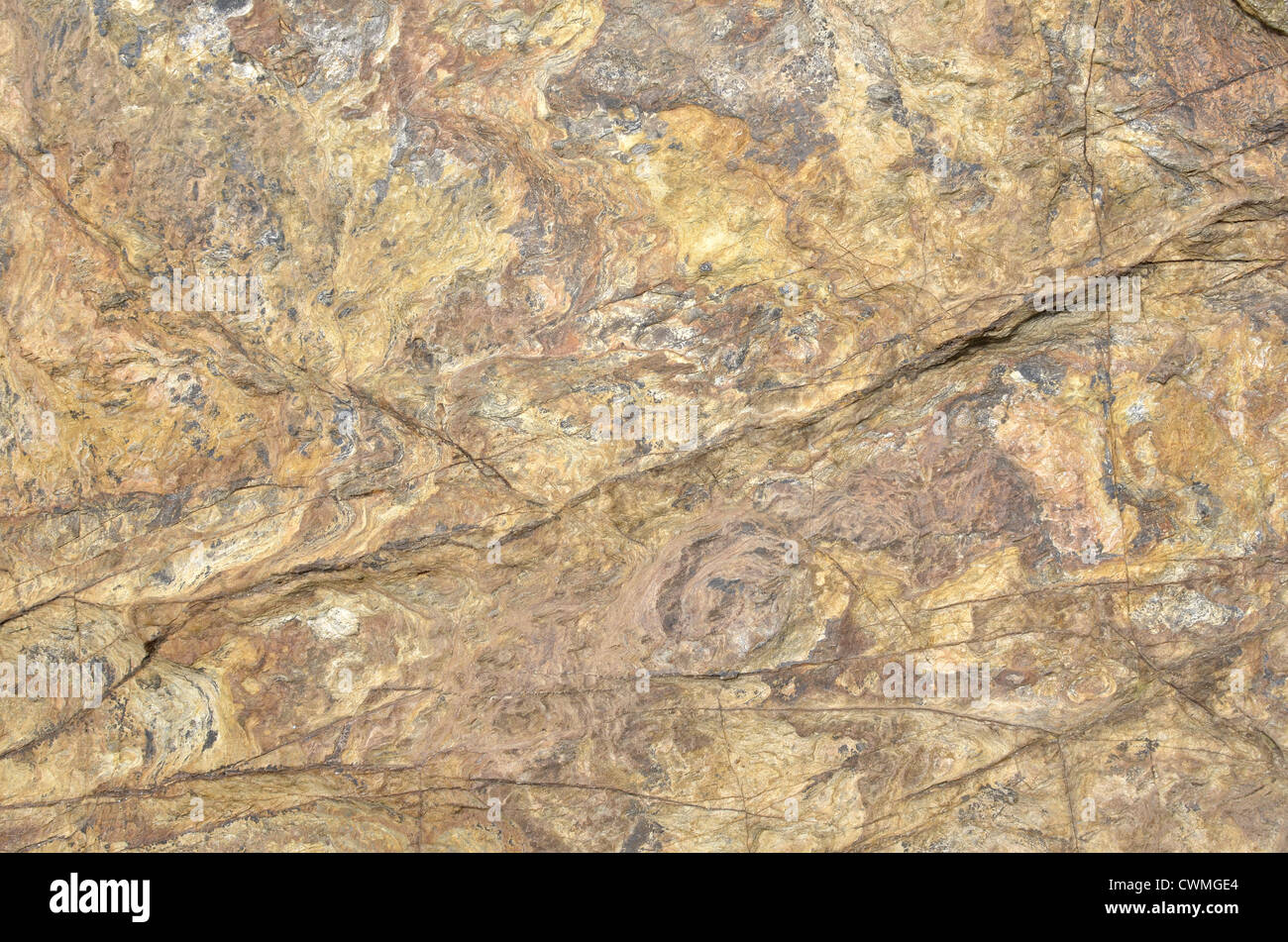 Cornwall - shoreline rock texture wallpaper background in region between Par Sands and Polkerris. Concept 'fall on stony ground', fault geology. Stock Photohttps://www.alamy.com/image-license-details/?v=1https://www.alamy.com/stock-photo-cornwall-shoreline-rock-texture-wallpaper-background-in-region-between-50239116.html
RFCWMGE4–Cornwall - shoreline rock texture wallpaper background in region between Par Sands and Polkerris. Concept 'fall on stony ground', fault geology.
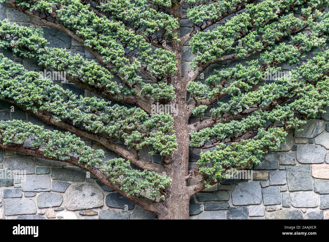 Very unusual flat tree with rock wall behind it, nice abstract patterns, geometrical shape of fishbone diagram or fault tree diagram. Stock Photohttps://www.alamy.com/image-license-details/?v=1https://www.alamy.com/very-unusual-flat-tree-with-rock-wall-behind-it-nice-abstract-patterns-geometrical-shape-of-fishbone-diagram-or-fault-tree-diagram-image333559431.html
RF2AAJXCR–Very unusual flat tree with rock wall behind it, nice abstract patterns, geometrical shape of fishbone diagram or fault tree diagram.
 Egg-shaped cooking or storage container with convex lenticular bottom and rad-stamp decoration on the neck. Baking WII. Glues and additions, many fault lines, pot, pot, pottery, turntable (Badorf), h: 30.3 cm, diam: 27.4 cm, vmec 750-900 AD, The Netherlands, Utrecht, Wijk bij Duurstede, Wijk bij Duurstede , Dorestad Stock Photohttps://www.alamy.com/image-license-details/?v=1https://www.alamy.com/egg-shaped-cooking-or-storage-container-with-convex-lenticular-bottom-and-rad-stamp-decoration-on-the-neck-baking-wii-glues-and-additions-many-fault-lines-pot-pot-pottery-turntable-badorf-h-303-cm-diam-274-cm-vmec-750-900-ad-the-netherlands-utrecht-wijk-bij-duurstede-wijk-bij-duurstede-dorestad-image344555037.html
RM2B0FRD1–Egg-shaped cooking or storage container with convex lenticular bottom and rad-stamp decoration on the neck. Baking WII. Glues and additions, many fault lines, pot, pot, pottery, turntable (Badorf), h: 30.3 cm, diam: 27.4 cm, vmec 750-900 AD, The Netherlands, Utrecht, Wijk bij Duurstede, Wijk bij Duurstede , Dorestad
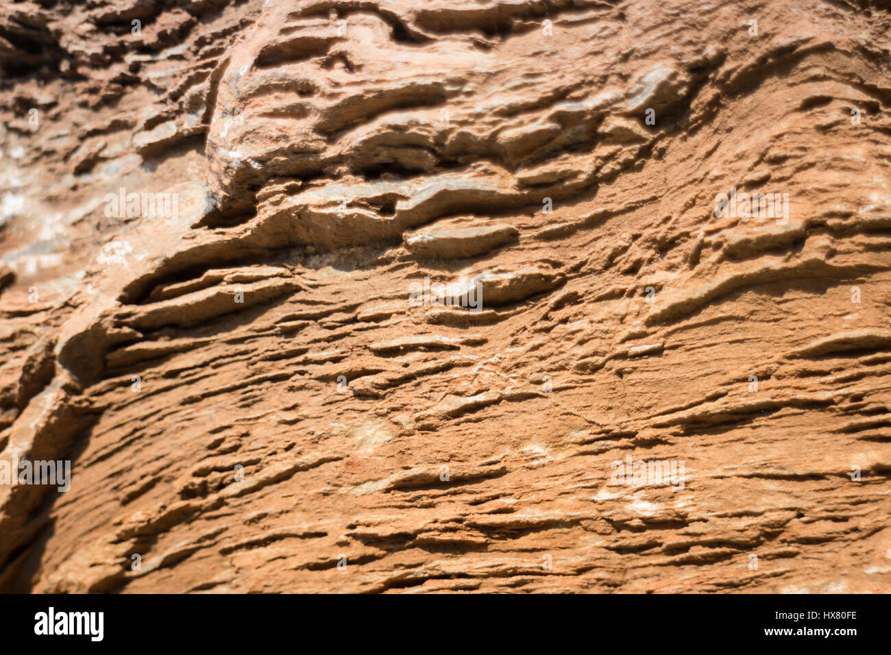 Stone Formation Showing Fault Lines, stock photo Stock Photohttps://www.alamy.com/image-license-details/?v=1https://www.alamy.com/stock-photo-stone-formation-showing-fault-lines-stock-photo-136629682.html
RFHX80FE–Stone Formation Showing Fault Lines, stock photo
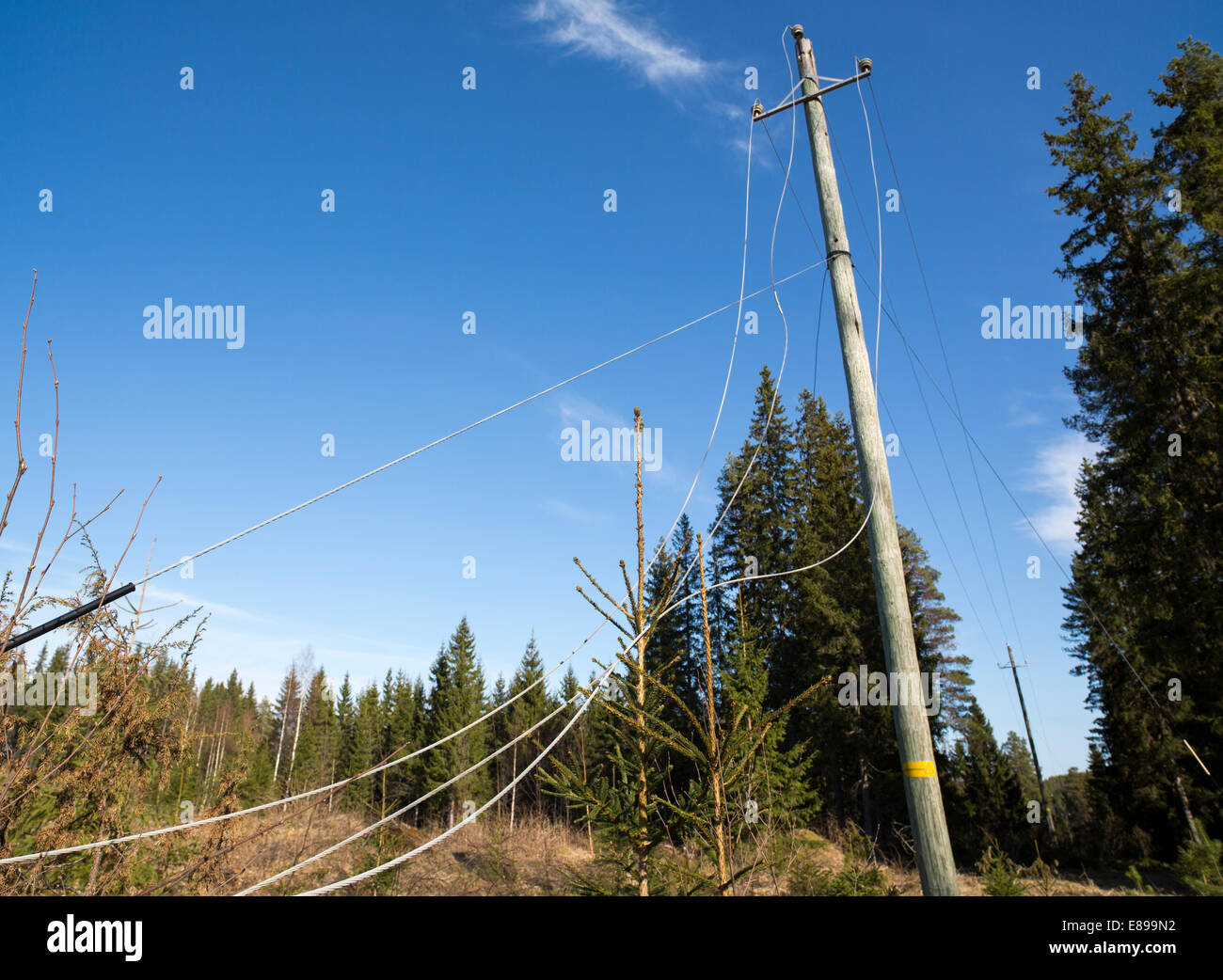 Faulty power lines at electricity grid after storm , Finland Stock Photohttps://www.alamy.com/image-license-details/?v=1https://www.alamy.com/stock-photo-faulty-power-lines-at-electricity-grid-after-storm-finland-73963934.html
RFE899N2–Faulty power lines at electricity grid after storm , Finland
 Road moved 4 metres sideways across faultline after earthquake, 4th September 2010, near Darfield, Canterbury, South Island, New Zealand - aerial Stock Photohttps://www.alamy.com/image-license-details/?v=1https://www.alamy.com/road-moved-4-metres-sideways-across-faultline-after-earthquake-4th-september-2010-near-darfield-canterbury-south-island-new-zealand-aerial-image224934542.html
RMR1XJ8E–Road moved 4 metres sideways across faultline after earthquake, 4th September 2010, near Darfield, Canterbury, South Island, New Zealand - aerial
 clifftop view across geo (coastal cleft in rocks along fault lines) with Sea Thrift & nesting Fulmar on North west coast of Orkney, Scotland,UK Stock Photohttps://www.alamy.com/image-license-details/?v=1https://www.alamy.com/clifftop-view-across-geo-coastal-cleft-in-rocks-along-fault-lines-with-sea-thrift-nesting-fulmar-on-north-west-coast-of-orkney-scotlanduk-image452881725.html
RM2H8PF79–clifftop view across geo (coastal cleft in rocks along fault lines) with Sea Thrift & nesting Fulmar on North west coast of Orkney, Scotland,UK
 Earthquake Damage around Kaiapoi, just north of Christchurch, New Zealand, 7.1 magnitude, 4th September 2010: damaged railway lines. Stock Photohttps://www.alamy.com/image-license-details/?v=1https://www.alamy.com/stock-photo-earthquake-damage-around-kaiapoi-just-north-of-christchurch-new-zealand-73680987.html
RFE7TCRR–Earthquake Damage around Kaiapoi, just north of Christchurch, New Zealand, 7.1 magnitude, 4th September 2010: damaged railway lines.
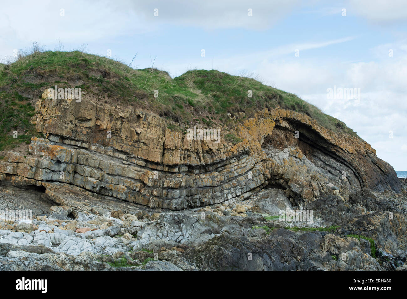 Carboniferous Rocks at Saltpan Rocks, Scremerston, Berwick Upon Tweed, Northumberland, England Stock Photohttps://www.alamy.com/image-license-details/?v=1https://www.alamy.com/stock-photo-carboniferous-rocks-at-saltpan-rocks-scremerston-berwick-upon-tweed-83372352.html
RMERHX80–Carboniferous Rocks at Saltpan Rocks, Scremerston, Berwick Upon Tweed, Northumberland, England
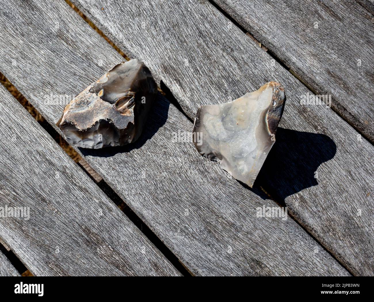 Example of flint-knapping; a larger piece of flint is struck along fault lines by a smaller piece of flint to produce a sharp edge for a hand axe Stock Photohttps://www.alamy.com/image-license-details/?v=1https://www.alamy.com/example-of-flint-knapping-a-larger-piece-of-flint-is-struck-along-fault-lines-by-a-smaller-piece-of-flint-to-produce-a-sharp-edge-for-a-hand-axe-image478446913.html
RM2JPB3WN–Example of flint-knapping; a larger piece of flint is struck along fault lines by a smaller piece of flint to produce a sharp edge for a hand axe
 Baviaanskloof, south africa Stock Photohttps://www.alamy.com/image-license-details/?v=1https://www.alamy.com/baviaanskloof-south-africa-image226076769.html
RFR3PK69–Baviaanskloof, south africa
 World globe with earthquake in Nepal red sign on blue background Stock Photohttps://www.alamy.com/image-license-details/?v=1https://www.alamy.com/stock-photo-world-globe-with-earthquake-in-nepal-red-sign-on-blue-background-85462452.html
RFEY146C–World globe with earthquake in Nepal red sign on blue background
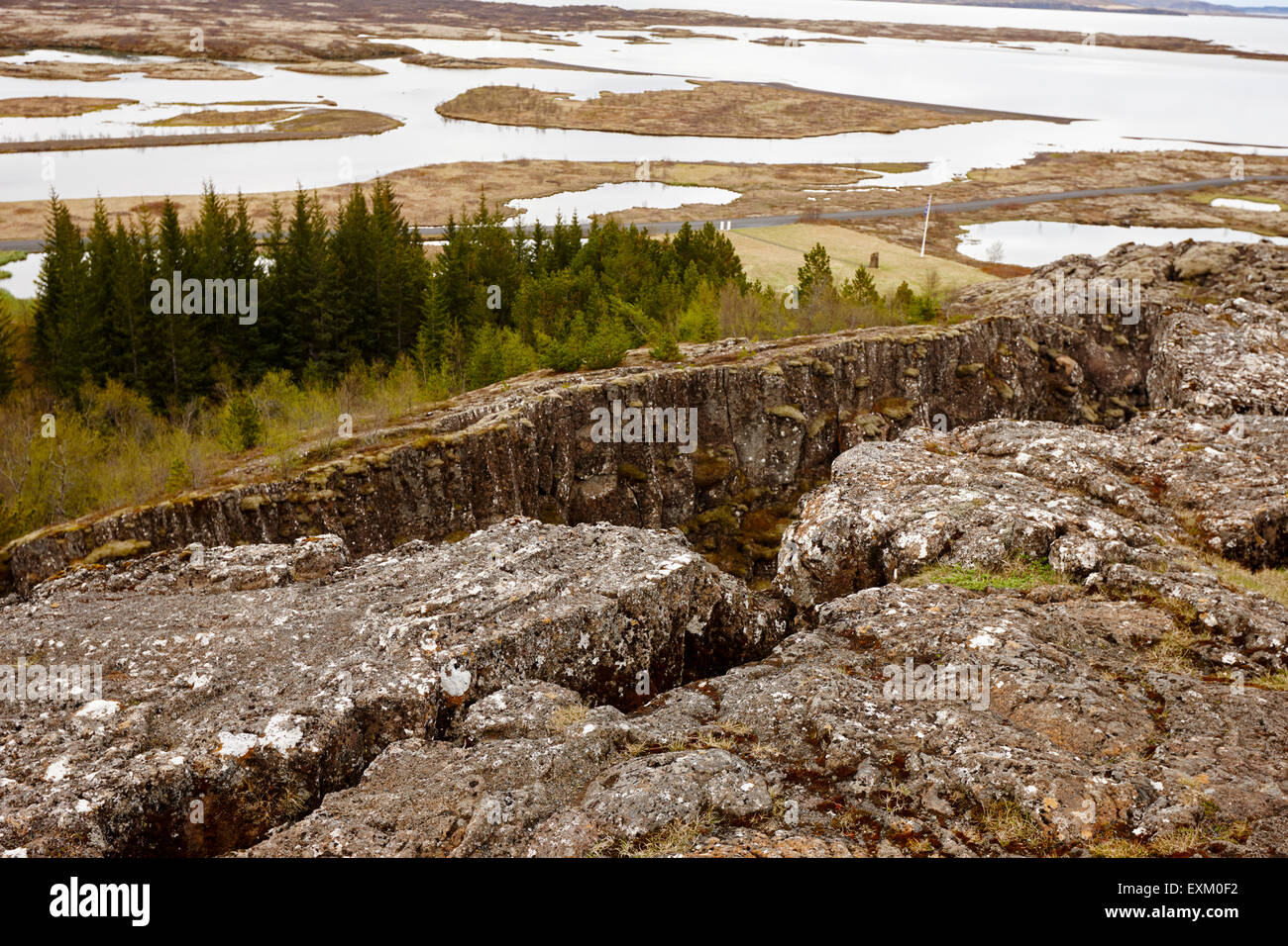 Almannagja fault line in the mid-atlantic ridge north american plate Thingvellir national park iceland Stock Photohttps://www.alamy.com/image-license-details/?v=1https://www.alamy.com/stock-photo-almannagja-fault-line-in-the-mid-atlantic-ridge-north-american-plate-85261990.html
RMEXM0F2–Almannagja fault line in the mid-atlantic ridge north american plate Thingvellir national park iceland
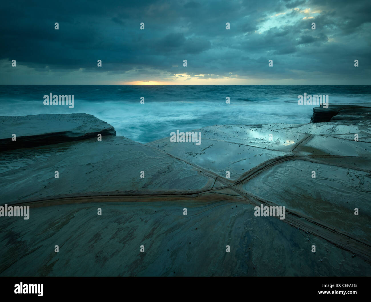 fault lines in sandstone rock platform, Bouddi National Park, NSW Australia Stock Photohttps://www.alamy.com/image-license-details/?v=1https://www.alamy.com/stock-photo-fault-lines-in-sandstone-rock-platform-bouddi-national-park-nsw-australia-43363728.html
RMCEFATG–fault lines in sandstone rock platform, Bouddi National Park, NSW Australia
 Chalk cliffs at the eastern end of the bay and beach at Beer, Devon, England showing joint lines and embedded flint Stock Photohttps://www.alamy.com/image-license-details/?v=1https://www.alamy.com/stock-photo-chalk-cliffs-at-the-eastern-end-of-the-bay-and-beach-at-beer-devon-38312893.html
RMC698DH–Chalk cliffs at the eastern end of the bay and beach at Beer, Devon, England showing joint lines and embedded flint
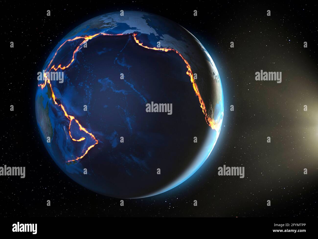 Pacific Ring of Fire, illustration Stock Photohttps://www.alamy.com/image-license-details/?v=1https://www.alamy.com/pacific-ring-of-fire-illustration-image430103038.html
RF2FYMTPP–Pacific Ring of Fire, illustration
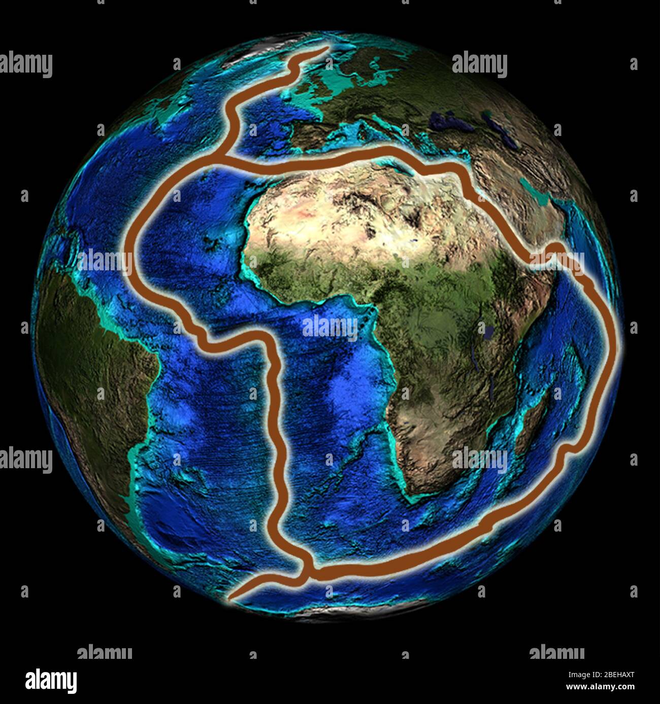 Fault Lines around Africa, Illustration Stock Photohttps://www.alamy.com/image-license-details/?v=1https://www.alamy.com/fault-lines-around-africa-illustration-image353194320.html
RM2BEHAXT–Fault Lines around Africa, Illustration
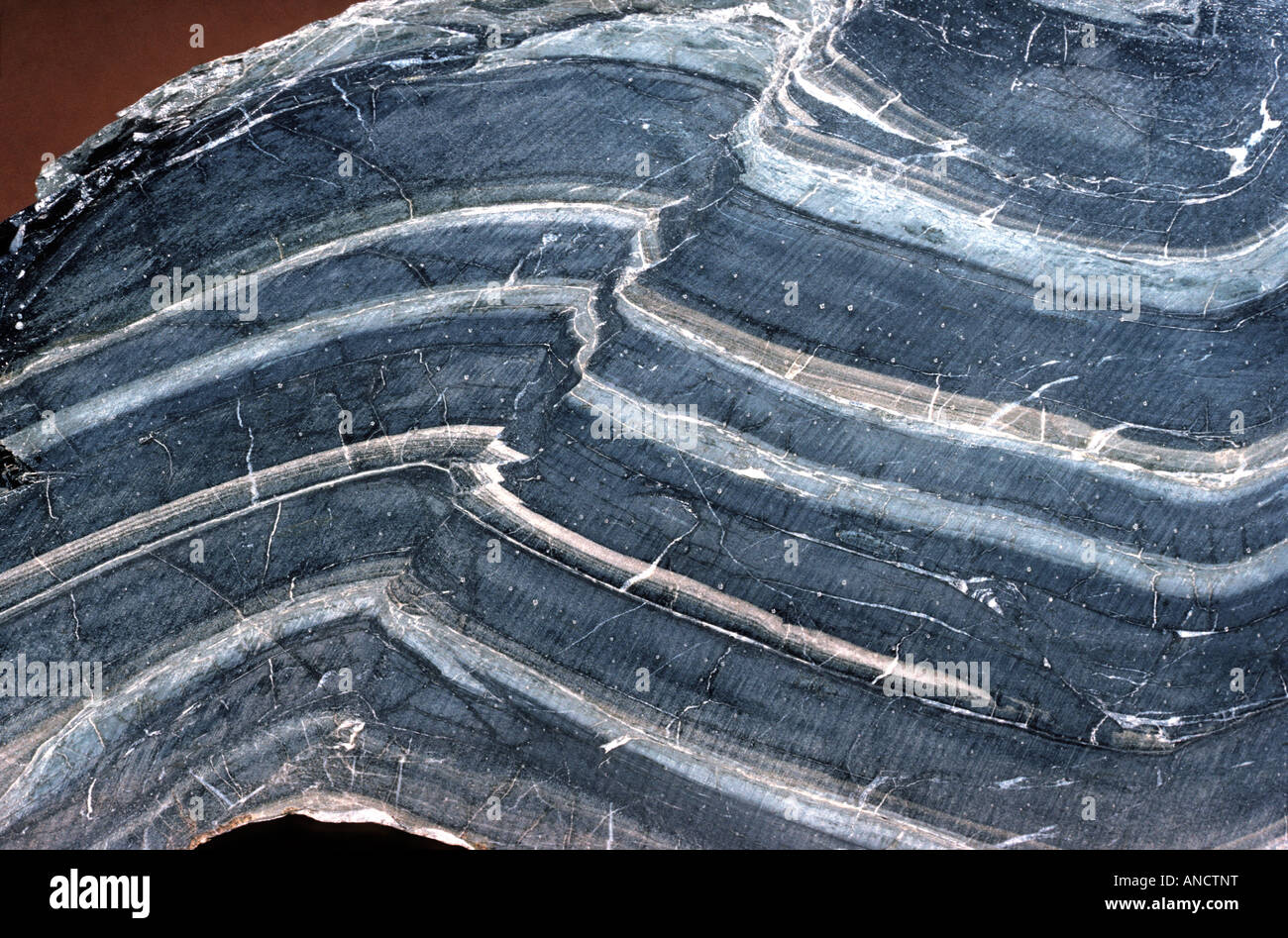 Synclinal Fold in Shale with Fault Line Stock Photohttps://www.alamy.com/image-license-details/?v=1https://www.alamy.com/stock-photo-synclinal-fold-in-shale-with-fault-line-15487619.html
RMANCTNT–Synclinal Fold in Shale with Fault Line
 Defects in playground. Damaged lines in outdoor handball court. Stock Photohttps://www.alamy.com/image-license-details/?v=1https://www.alamy.com/defects-in-playground-damaged-lines-in-outdoor-handball-court-image370170340.html
RF2CE6M18–Defects in playground. Damaged lines in outdoor handball court.
 Cornwall - shoreline rock texture wallpaper background in region between Par Sands and Polkerris. Concept 'International Rock Day', fault geology. Stock Photohttps://www.alamy.com/image-license-details/?v=1https://www.alamy.com/stock-photo-cornwall-shoreline-rock-texture-wallpaper-background-in-region-between-50238893.html
RFCWMG65–Cornwall - shoreline rock texture wallpaper background in region between Par Sands and Polkerris. Concept 'International Rock Day', fault geology.
 An abandoned trailer sits among the wildlflowers on the Temblor Range in Carrizo Plain National Monument. Stock Photohttps://www.alamy.com/image-license-details/?v=1https://www.alamy.com/an-abandoned-trailer-sits-among-the-wildlflowers-on-the-temblor-range-in-carrizo-plain-national-monument-image243296259.html
RMT3R2T3–An abandoned trailer sits among the wildlflowers on the Temblor Range in Carrizo Plain National Monument.
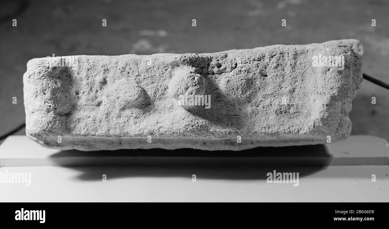 Altar. Limestone. Restored from 2 pieces. Cracked on the fault lines. No image on the front. There is a tree on both sides. The back is undecorated. On the mana in the middle an apple, left and right remains of a fruit., Altar, stone, limestone, 68 x 42.5 x 11.5 cm, 70 kg, roman 150-250, the Netherlands, Zeeland, Noord-Beveland , Colijnsplaat, Oosterschelde Stock Photohttps://www.alamy.com/image-license-details/?v=1https://www.alamy.com/altar-limestone-restored-from-2-pieces-cracked-on-the-fault-lines-no-image-on-the-front-there-is-a-tree-on-both-sides-the-back-is-undecorated-on-the-mana-in-the-middle-an-apple-left-and-right-remains-of-a-fruit-altar-stone-limestone-68-x-425-x-115-cm-70-kg-roman-150-250-the-netherlands-zeeland-noord-beveland-colijnsplaat-oosterschelde-image344563699.html
RM2B0G6EB–Altar. Limestone. Restored from 2 pieces. Cracked on the fault lines. No image on the front. There is a tree on both sides. The back is undecorated. On the mana in the middle an apple, left and right remains of a fruit., Altar, stone, limestone, 68 x 42.5 x 11.5 cm, 70 kg, roman 150-250, the Netherlands, Zeeland, Noord-Beveland , Colijnsplaat, Oosterschelde
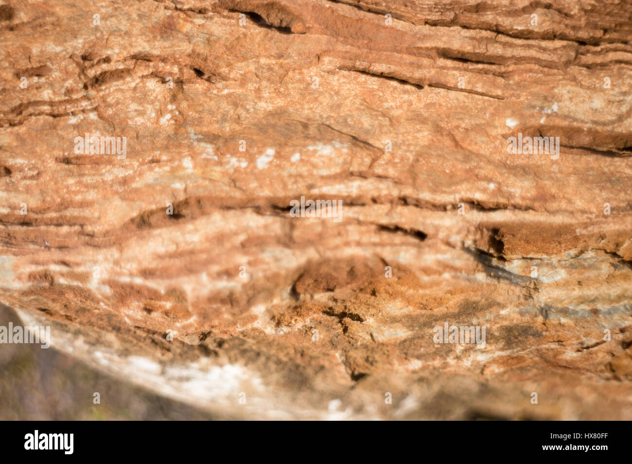 Stone Formation Showing Fault Lines, stock photo Stock Photohttps://www.alamy.com/image-license-details/?v=1https://www.alamy.com/stock-photo-stone-formation-showing-fault-lines-stock-photo-136629683.html
RFHX80FF–Stone Formation Showing Fault Lines, stock photo
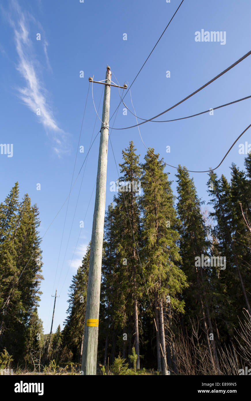 Faulty power lines at electricity grid after storm , Finland Stock Photohttps://www.alamy.com/image-license-details/?v=1https://www.alamy.com/stock-photo-faulty-power-lines-at-electricity-grid-after-storm-finland-73963937.html
RFE899N5–Faulty power lines at electricity grid after storm , Finland
 Hedge moved 4 metres sideways across faultline by earthquake, 4th September 2010, near Darfield, Canterbury, South Island, New Zealand - drone aerial Stock Photohttps://www.alamy.com/image-license-details/?v=1https://www.alamy.com/hedge-moved-4-metres-sideways-across-faultline-by-earthquake-4th-september-2010-near-darfield-canterbury-south-island-new-zealand-drone-aerial-image224934462.html
RMR1XJ5J–Hedge moved 4 metres sideways across faultline by earthquake, 4th September 2010, near Darfield, Canterbury, South Island, New Zealand - drone aerial
 Kings Canyon, aerial, Stock Photohttps://www.alamy.com/image-license-details/?v=1https://www.alamy.com/stock-photo-kings-canyon-aerial-122734396.html
RMH3K0Y8–Kings Canyon, aerial,
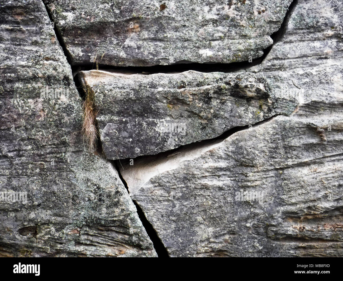 Cracks in rock at Dunns Swamp NSW Australia Stock Photohttps://www.alamy.com/image-license-details/?v=1https://www.alamy.com/cracks-in-rock-at-dunns-swamp-nsw-australia-image179053013.html
RFMB8FXD–Cracks in rock at Dunns Swamp NSW Australia
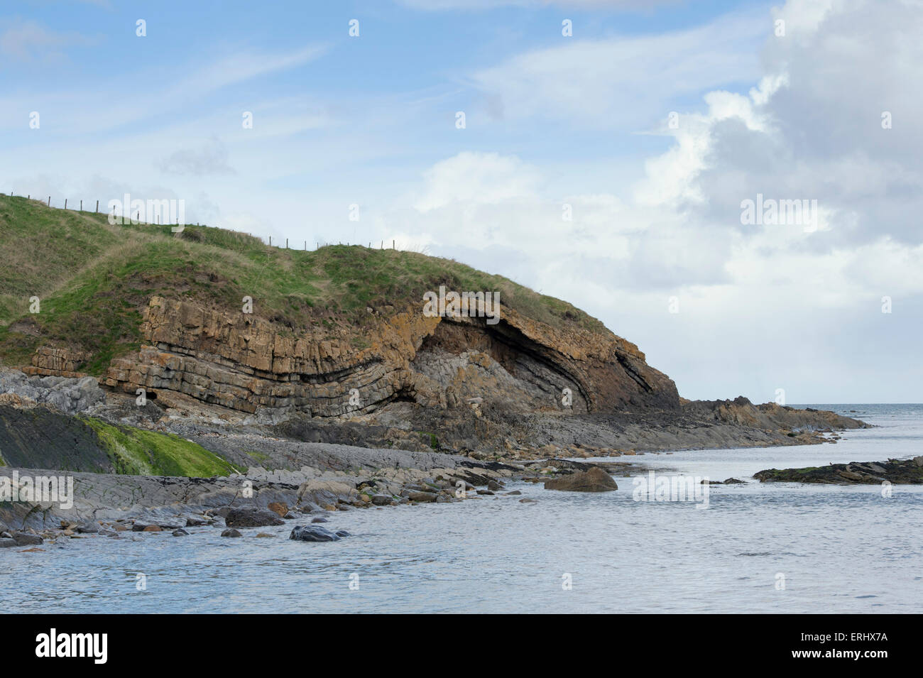 Carboniferous Rocks at Saltpan Rocks, Scremerston, Berwick Upon Tweed, Northumberland, England Stock Photohttps://www.alamy.com/image-license-details/?v=1https://www.alamy.com/stock-photo-carboniferous-rocks-at-saltpan-rocks-scremerston-berwick-upon-tweed-83372334.html
RMERHX7A–Carboniferous Rocks at Saltpan Rocks, Scremerston, Berwick Upon Tweed, Northumberland, England
 Tennis ball near a net on a tennis court Stock Photohttps://www.alamy.com/image-license-details/?v=1https://www.alamy.com/stock-photo-tennis-ball-near-a-net-on-a-tennis-court-310410586.html
RFS10BTA–Tennis ball near a net on a tennis court
 Baviaanskloof, south africa Stock Photohttps://www.alamy.com/image-license-details/?v=1https://www.alamy.com/baviaanskloof-south-africa-image226076713.html
RFR3PK49–Baviaanskloof, south africa
RF2G05WDY–Error sign. Vector icon in bold line style
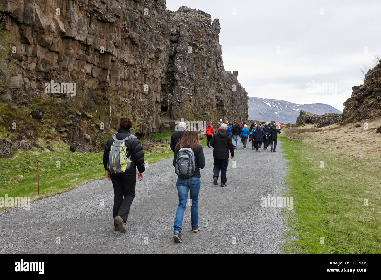 tourists walk through the Almannagja fault line in the mid-atlantic ridge north american plate Thingvellir national park iceland Stock Photohttps://www.alamy.com/image-license-details/?v=1https://www.alamy.com/stock-photo-tourists-walk-through-the-almannagja-fault-line-in-the-mid-atlantic-84479091.html
RMEWC9XB–tourists walk through the Almannagja fault line in the mid-atlantic ridge north american plate Thingvellir national park iceland
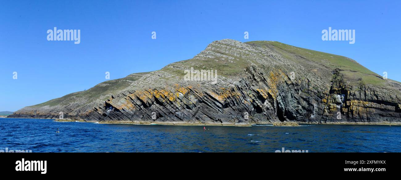 Sea cliffs, geological section through Cambrian and Ordovician sedimentary rocks with faulted monocline fold structure. Rocks include Nant-pig Musdstones, Abersoch, Gwynedd, Wales, UK Stock Photohttps://www.alamy.com/image-license-details/?v=1https://www.alamy.com/sea-cliffs-geological-section-through-cambrian-and-ordovician-sedimentary-rocks-with-faulted-monocline-fold-structure-rocks-include-nant-pig-musdstones-abersoch-gwynedd-wales-uk-image612043486.html
RM2XFMYKX–Sea cliffs, geological section through Cambrian and Ordovician sedimentary rocks with faulted monocline fold structure. Rocks include Nant-pig Musdstones, Abersoch, Gwynedd, Wales, UK
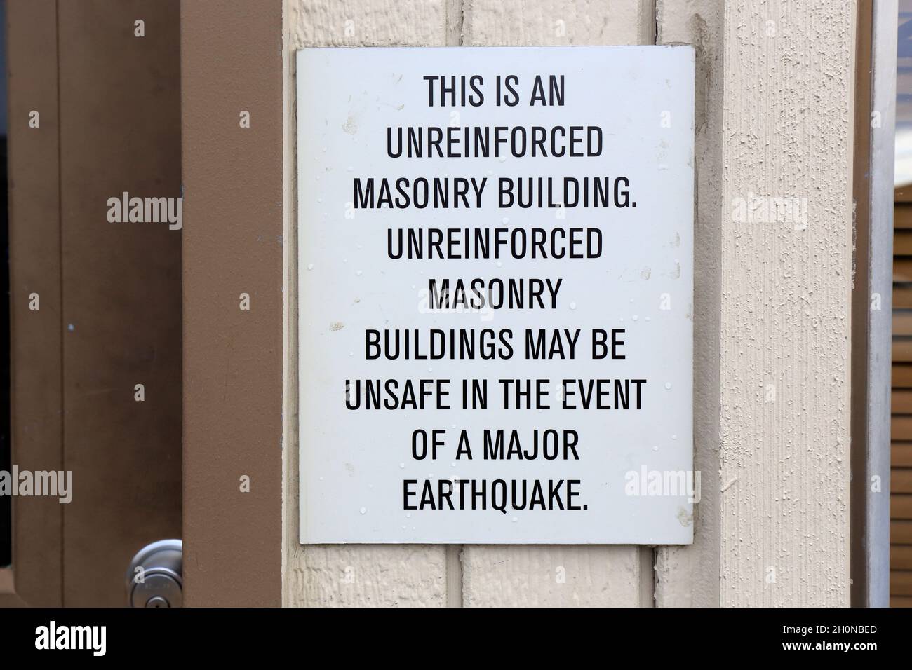 A sign on a building indicating structure is an unreinforced masonry building and may be unsafe in the event of an earthquake, in Portland, Oregon. Stock Photohttps://www.alamy.com/image-license-details/?v=1https://www.alamy.com/a-sign-on-a-building-indicating-structure-is-an-unreinforced-masonry-building-and-may-be-unsafe-in-the-event-of-an-earthquake-in-portland-oregon-image447939589.html
RM2H0NBED–A sign on a building indicating structure is an unreinforced masonry building and may be unsafe in the event of an earthquake, in Portland, Oregon.
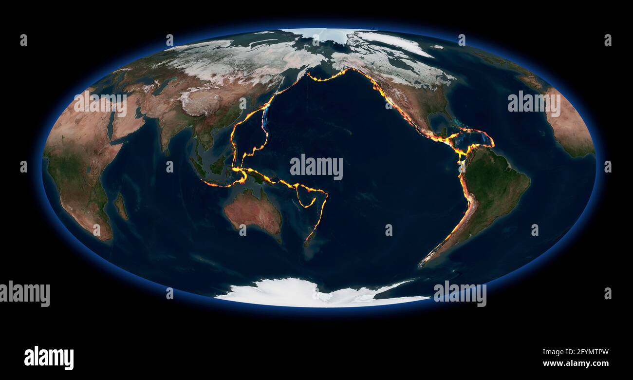 Pacific Ring of Fire, illustration Stock Photohttps://www.alamy.com/image-license-details/?v=1https://www.alamy.com/pacific-ring-of-fire-illustration-image430103041.html
RF2FYMTPW–Pacific Ring of Fire, illustration

