Quick filters:
Fenton map Stock Photos and Images
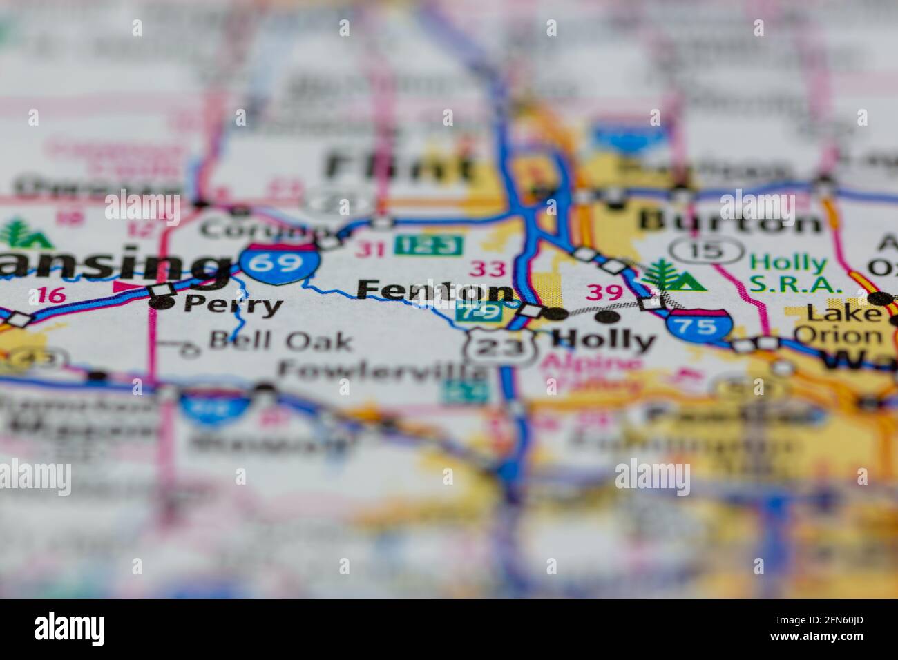 Fenton Michigan USA shown on a Geography map or road map Stock Photohttps://www.alamy.com/image-license-details/?v=1https://www.alamy.com/fenton-michigan-usa-shown-on-a-geography-map-or-road-map-image426088837.html
RM2FN60JD–Fenton Michigan USA shown on a Geography map or road map
 Quality Inn On Fenton, NZ, New Zealand, Bay of Plenty, S 38 8' 34'', N 176 15' 12'', map, Cartascapes Map published in 2024. Explore Cartascapes, a map revealing Earth's diverse landscapes, cultures, and ecosystems. Journey through time and space, discovering the interconnectedness of our planet's past, present, and future. Stock Photohttps://www.alamy.com/image-license-details/?v=1https://www.alamy.com/quality-inn-on-fenton-nz-new-zealand-bay-of-plenty-s-38-8-34-n-176-15-12-map-cartascapes-map-published-in-2024-explore-cartascapes-a-map-revealing-earths-diverse-landscapes-cultures-and-ecosystems-journey-through-time-and-space-discovering-the-interconnectedness-of-our-planets-past-present-and-future-image634042524.html
RM2YRF3KT–Quality Inn On Fenton, NZ, New Zealand, Bay of Plenty, S 38 8' 34'', N 176 15' 12'', map, Cartascapes Map published in 2024. Explore Cartascapes, a map revealing Earth's diverse landscapes, cultures, and ecosystems. Journey through time and space, discovering the interconnectedness of our planet's past, present, and future.
 Fenton vivandiere Stock Photohttps://www.alamy.com/image-license-details/?v=1https://www.alamy.com/stock-photo-fenton-vivandiere-142966190.html
RMJ8GJRA–Fenton vivandiere
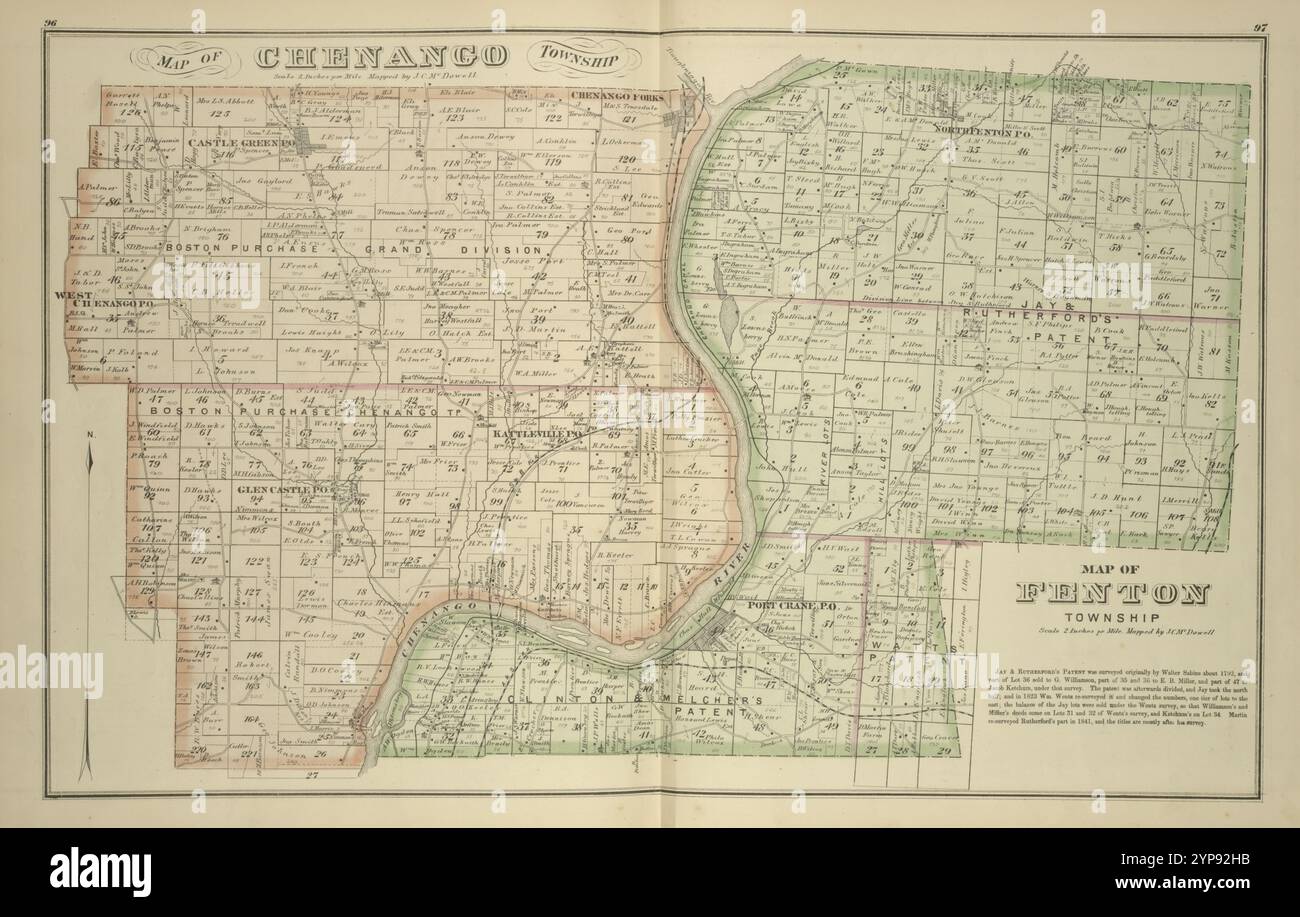 Map of Chenango Township, Map of Fenton Township 1876 Stock Photohttps://www.alamy.com/image-license-details/?v=1https://www.alamy.com/map-of-chenango-township-map-of-fenton-township-1876-image633295303.html
RM2YP92HB–Map of Chenango Township, Map of Fenton Township 1876
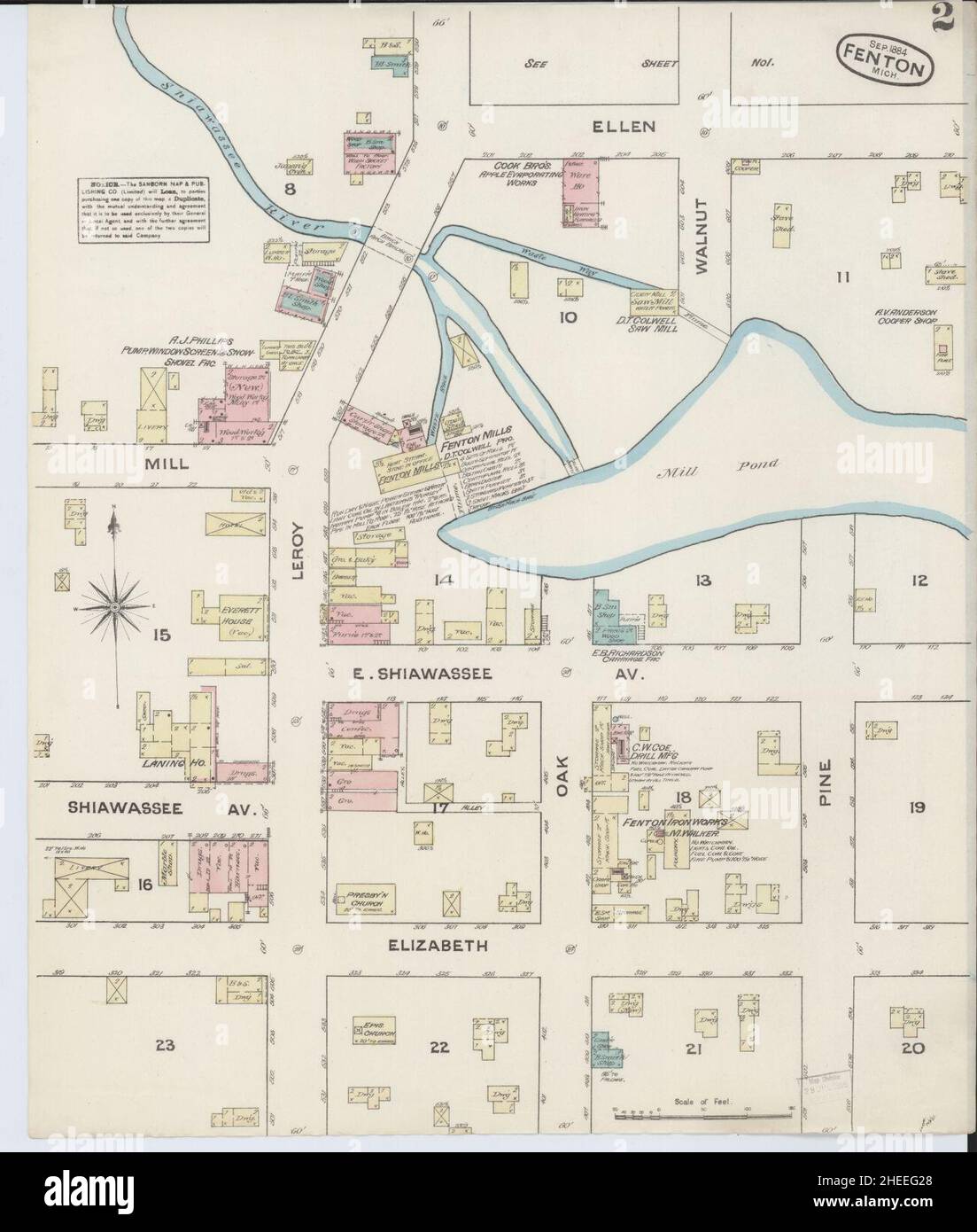 Sanborn Fire Insurance Map from Fenton, Genesee County, Michigan. Stock Photohttps://www.alamy.com/image-license-details/?v=1https://www.alamy.com/sanborn-fire-insurance-map-from-fenton-genesee-county-michigan-image456394688.html
RM2HEEG28–Sanborn Fire Insurance Map from Fenton, Genesee County, Michigan.
 Map of Chenango Township, Map of Fenton Township Cartographic. Atlases, Maps. 1876. Lionel Pincus and Princess Firyal Map Division. Broome County (N.Y.) Stock Photohttps://www.alamy.com/image-license-details/?v=1https://www.alamy.com/map-of-chenango-township-map-of-fenton-township-cartographic-atlases-maps-1876-lionel-pincus-and-princess-firyal-map-division-broome-county-ny-image484348573.html
RM2K3YYF9–Map of Chenango Township, Map of Fenton Township Cartographic. Atlases, Maps. 1876. Lionel Pincus and Princess Firyal Map Division. Broome County (N.Y.)
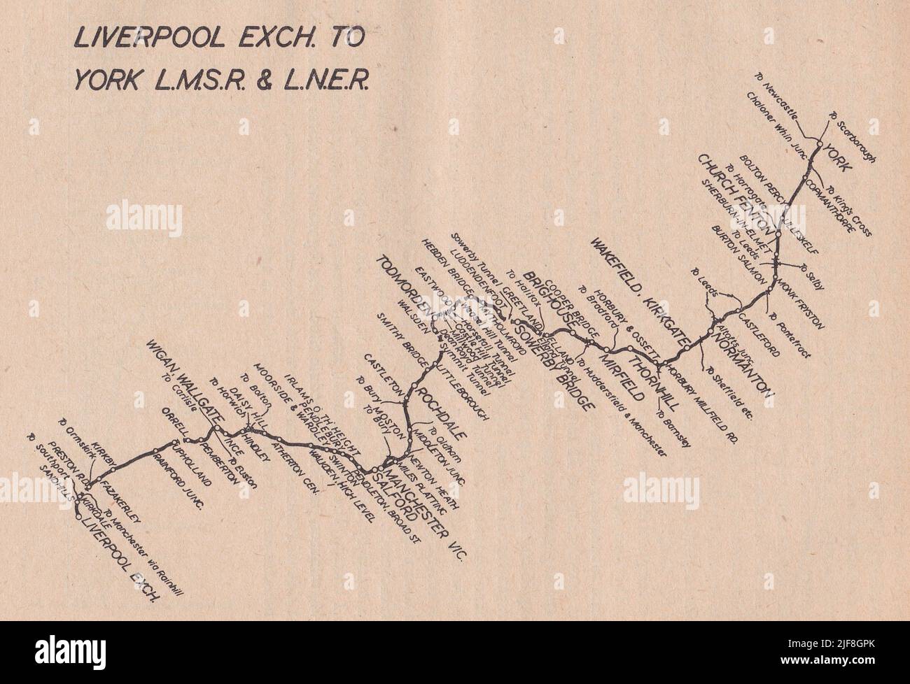 Vintage railway map - Liverpool Exchange to York L.M.S.R & L.N.E.R. Stock Photohttps://www.alamy.com/image-license-details/?v=1https://www.alamy.com/vintage-railway-map-liverpool-exchange-to-york-lmsr-lner-image474088571.html
RF2JF8GPK–Vintage railway map - Liverpool Exchange to York L.M.S.R & L.N.E.R.
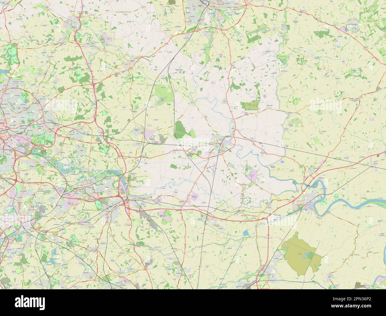 Selby, non metropolitan district of England - Great Britain. Open Street Map Stock Photohttps://www.alamy.com/image-license-details/?v=1https://www.alamy.com/selby-non-metropolitan-district-of-england-great-britain-open-street-map-image546500362.html
RF2PN36P2–Selby, non metropolitan district of England - Great Britain. Open Street Map
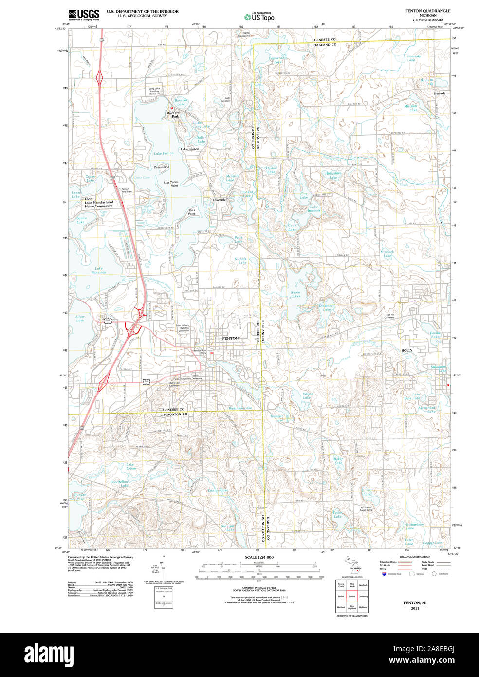 USGS TOPO Map Michigan MI Fenton 20111020 TM Stock Photohttps://www.alamy.com/image-license-details/?v=1https://www.alamy.com/usgs-topo-map-michigan-mi-fenton-20111020-tm-image332230658.html
RM2A8EBGJ–USGS TOPO Map Michigan MI Fenton 20111020 TM
 . The uncharted island . ou knowwot Sir Waler said in is prisin, an wot e intendedto do wen e got out, Id like to know ? There was certainly room for inquiry here, andNed felt that the old servant Fenton counted for morein the narrative than it would be pleasant to admit.But he was saved the humiliation of a weak defenceby Martin clamouring for the map. A little sheepishly Ned dipped his hand into thedepths of his inner pocket and produced his chart—Old Hookey nodding approval--and Wallace andMartin were soon burrowing into it, while Hookeymaintained a somewhat contemptuous reserve. Hewas a tr Stock Photohttps://www.alamy.com/image-license-details/?v=1https://www.alamy.com/the-uncharted-island-ou-knowwot-sir-waler-said-in-is-prisin-an-wot-e-intendedto-do-wen-e-got-out-id-like-to-know-there-was-certainly-room-for-inquiry-here-andned-felt-that-the-old-servant-fenton-counted-for-morein-the-narrative-than-it-would-be-pleasant-to-admitbut-he-was-saved-the-humiliation-of-a-weak-defenceby-martin-clamouring-for-the-map-a-little-sheepishly-ned-dipped-his-hand-into-thedepths-of-his-inner-pocket-and-produced-his-chartold-hookey-nodding-approval-and-wallace-andmartin-were-soon-burrowing-into-it-while-hookeymaintained-a-somewhat-contemptuous-reserve-hewas-a-tr-image374822600.html
RM2CNPJ1C–. The uncharted island . ou knowwot Sir Waler said in is prisin, an wot e intendedto do wen e got out, Id like to know ? There was certainly room for inquiry here, andNed felt that the old servant Fenton counted for morein the narrative than it would be pleasant to admit.But he was saved the humiliation of a weak defenceby Martin clamouring for the map. A little sheepishly Ned dipped his hand into thedepths of his inner pocket and produced his chart—Old Hookey nodding approval--and Wallace andMartin were soon burrowing into it, while Hookeymaintained a somewhat contemptuous reserve. Hewas a tr
 Close up of silk embroidery depicting map of England and Wales C 1794 in the Drawing Room Stock Photohttps://www.alamy.com/image-license-details/?v=1https://www.alamy.com/stock-photo-close-up-of-silk-embroidery-depicting-map-of-england-and-wales-c-1794-22703990.html
RMB8X74P–Close up of silk embroidery depicting map of England and Wales C 1794 in the Drawing Room
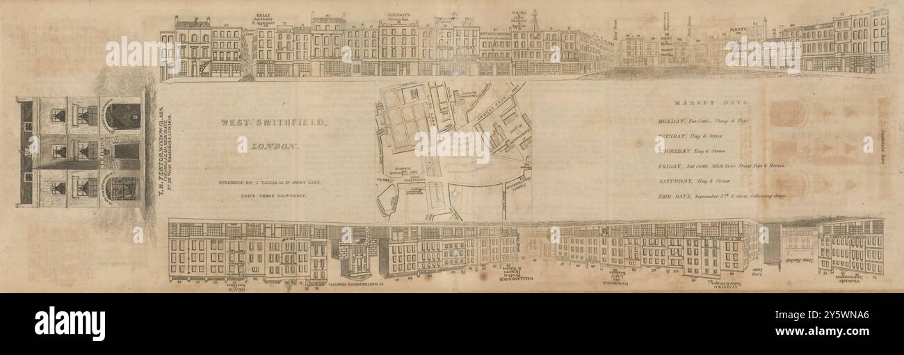 Tallis London Street View #47 West Smithfield 1839 old antique map plan chart Stock Photohttps://www.alamy.com/image-license-details/?v=1https://www.alamy.com/tallis-london-street-view-47-west-smithfield-1839-old-antique-map-plan-chart-image623212078.html
RF2Y5WNA6–Tallis London Street View #47 West Smithfield 1839 old antique map plan chart
 FENTON(1717) Poems on several occasions Stock Photohttps://www.alamy.com/image-license-details/?v=1https://www.alamy.com/stock-photo-fenton1717-poems-on-several-occasions-76848854.html
RMED0NDX–FENTON(1717) Poems on several occasions
 Executive On Fenton, NZ, New Zealand, Bay of Plenty, S 38 8' 50'', N 176 15' 12'', map, Cartascapes Map published in 2024. Explore Cartascapes, a map revealing Earth's diverse landscapes, cultures, and ecosystems. Journey through time and space, discovering the interconnectedness of our planet's past, present, and future. Stock Photohttps://www.alamy.com/image-license-details/?v=1https://www.alamy.com/executive-on-fenton-nz-new-zealand-bay-of-plenty-s-38-8-50-n-176-15-12-map-cartascapes-map-published-in-2024-explore-cartascapes-a-map-revealing-earths-diverse-landscapes-cultures-and-ecosystems-journey-through-time-and-space-discovering-the-interconnectedness-of-our-planets-past-present-and-future-image634087073.html
RM2YRH4EW–Executive On Fenton, NZ, New Zealand, Bay of Plenty, S 38 8' 50'', N 176 15' 12'', map, Cartascapes Map published in 2024. Explore Cartascapes, a map revealing Earth's diverse landscapes, cultures, and ecosystems. Journey through time and space, discovering the interconnectedness of our planet's past, present, and future.
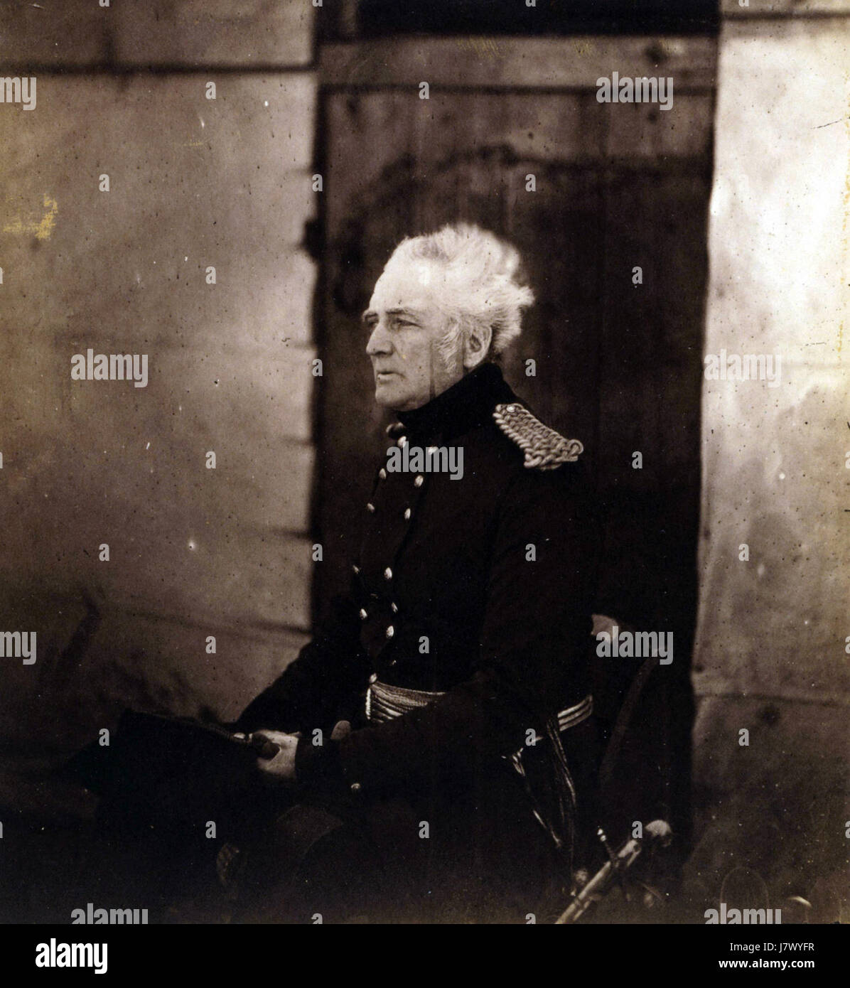 Fenton George Brown Stock Photohttps://www.alamy.com/image-license-details/?v=1https://www.alamy.com/stock-photo-fenton-george-brown-142555947.html
RMJ7WYFR–Fenton George Brown
 North Fenton, Fenton TP.; Triangle, Triangle TP. ; Whitney's Point. 1876 Stock Photohttps://www.alamy.com/image-license-details/?v=1https://www.alamy.com/north-fenton-fenton-tp-triangle-triangle-tp-whitneys-point-1876-image633295153.html
RM2YP92C1–North Fenton, Fenton TP.; Triangle, Triangle TP. ; Whitney's Point. 1876
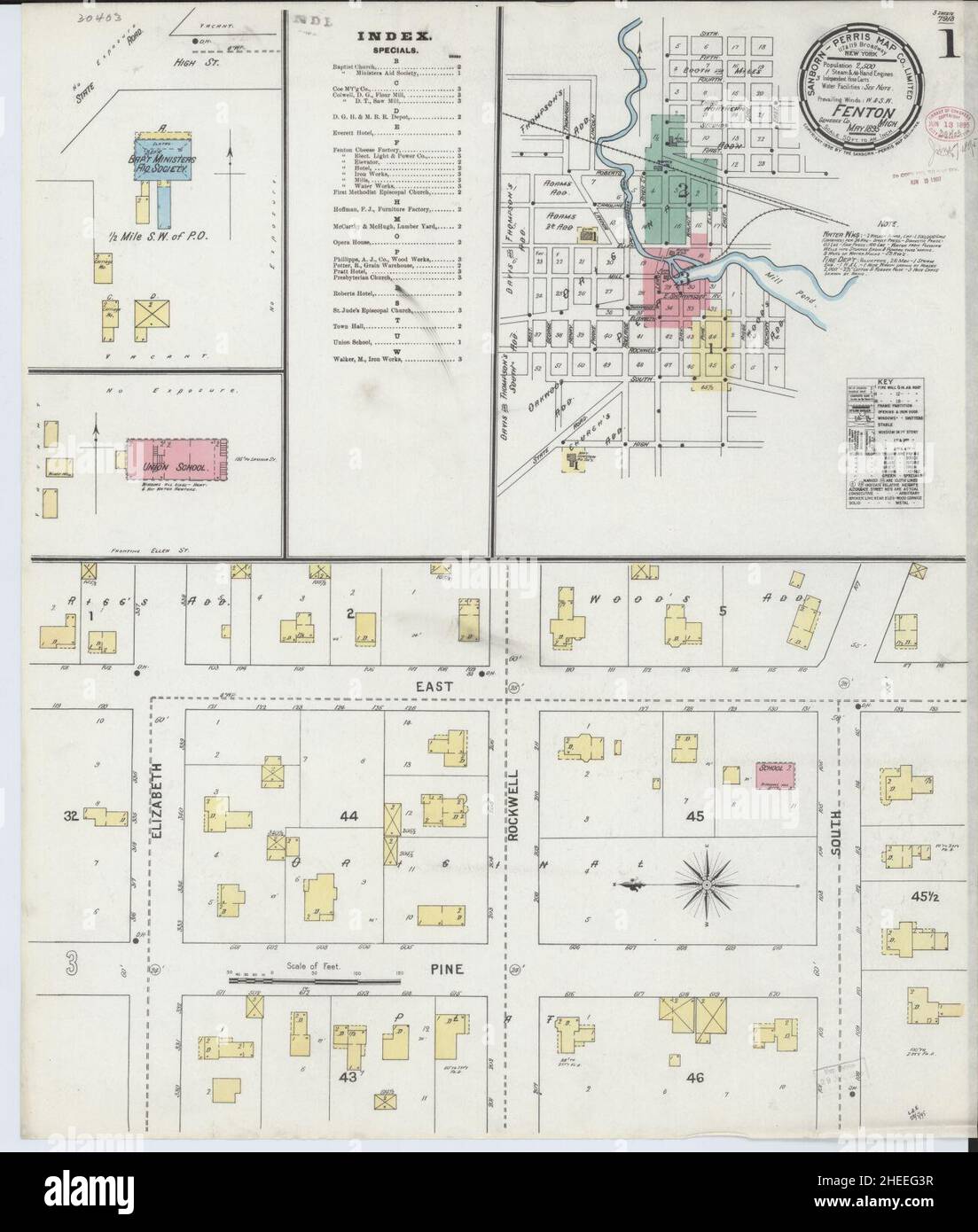 Sanborn Fire Insurance Map from Fenton, Genesee County, Michigan. Stock Photohttps://www.alamy.com/image-license-details/?v=1https://www.alamy.com/sanborn-fire-insurance-map-from-fenton-genesee-county-michigan-image456394731.html
RM2HEEG3R–Sanborn Fire Insurance Map from Fenton, Genesee County, Michigan.
 North Fenton, Fenton TP.; Triangle, Triangle TP. ; Whitney's Point. Cartographic. Atlases, Maps. 1876. Lionel Pincus and Princess Firyal Map Division. Broome County (N.Y.) Stock Photohttps://www.alamy.com/image-license-details/?v=1https://www.alamy.com/north-fenton-fenton-tp-triangle-triangle-tp-whitneys-point-cartographic-atlases-maps-1876-lionel-pincus-and-princess-firyal-map-division-broome-county-ny-image484352054.html
RM2K403YJ–North Fenton, Fenton TP.; Triangle, Triangle TP. ; Whitney's Point. Cartographic. Atlases, Maps. 1876. Lionel Pincus and Princess Firyal Map Division. Broome County (N.Y.)
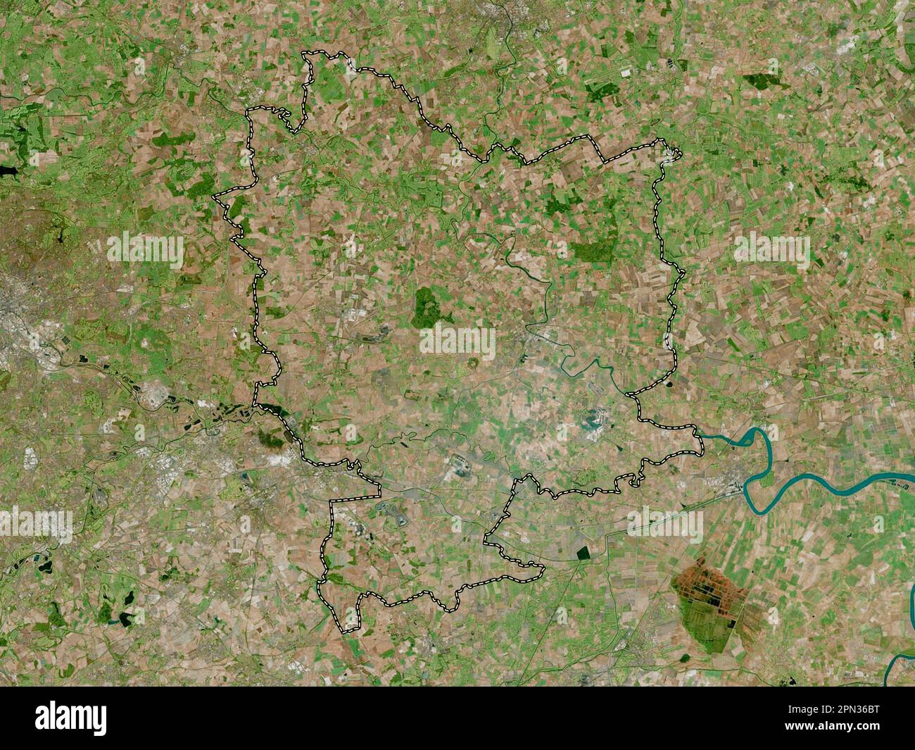 Selby, non metropolitan district of England - Great Britain. High resolution satellite map Stock Photohttps://www.alamy.com/image-license-details/?v=1https://www.alamy.com/selby-non-metropolitan-district-of-england-great-britain-high-resolution-satellite-map-image546500076.html
RF2PN36BT–Selby, non metropolitan district of England - Great Britain. High resolution satellite map
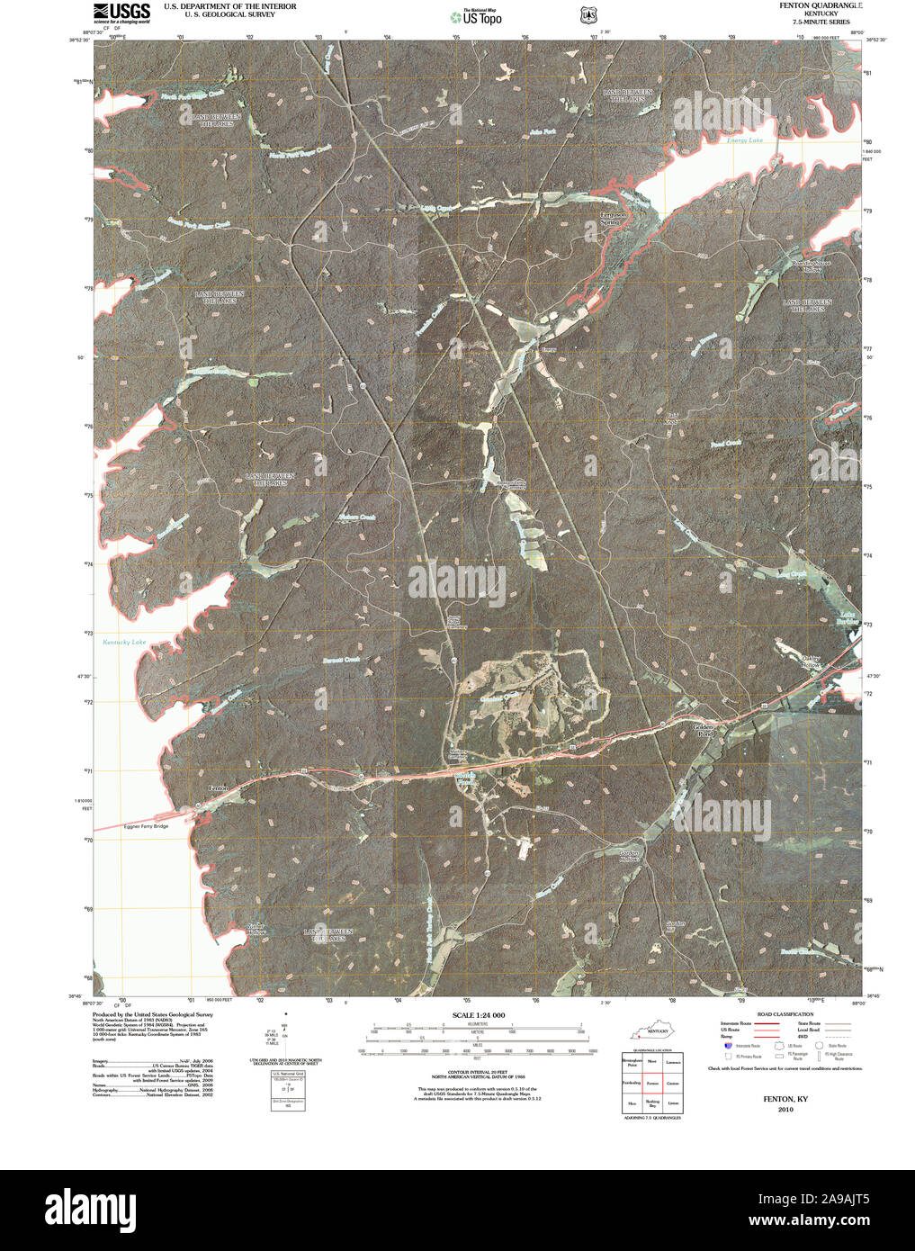 USGS TOPO Map Kentucky KY Fenton 20101116 TM Stock Photohttps://www.alamy.com/image-license-details/?v=1https://www.alamy.com/usgs-topo-map-kentucky-ky-fenton-20101116-tm-image332763205.html
RM2A9AJT5–USGS TOPO Map Kentucky KY Fenton 20101116 TM
 Tallis London Street View #47 West Smithfield 1839 old antique map plan chart Stock Photohttps://www.alamy.com/image-license-details/?v=1https://www.alamy.com/tallis-london-street-view-47-west-smithfield-1839-old-antique-map-plan-chart-image622798717.html
RF2Y56X39–Tallis London Street View #47 West Smithfield 1839 old antique map plan chart
![9 of '[The Odyssey of Homer. [Translated into English verse, by Pope, W. Broome, and E. Fenton; with notes by W. Broome.] (A g Stock Photo 9 of '[The Odyssey of Homer. [Translated into English verse, by Pope, W. Broome, and E. Fenton; with notes by W. Broome.] (A g Stock Photo](https://c8.alamy.com/comp/FFKPY7/9-of-the-odyssey-of-homer-translated-into-english-verse-by-pope-w-FFKPY7.jpg) 9 of '[The Odyssey of Homer. [Translated into English verse, by Pope, W. Broome, and E. Fenton; with notes by W. Broome.] (A g Stock Photohttps://www.alamy.com/image-license-details/?v=1https://www.alamy.com/stock-photo-9-of-the-odyssey-of-homer-translated-into-english-verse-by-pope-w-95706779.html
9 of '[The Odyssey of Homer. [Translated into English verse, by Pope, W. Broome, and E. Fenton; with notes by W. Broome.] (A g Stock Photohttps://www.alamy.com/image-license-details/?v=1https://www.alamy.com/stock-photo-9-of-the-odyssey-of-homer-translated-into-english-verse-by-pope-w-95706779.htmlRMFFKPY7–9 of '[The Odyssey of Homer. [Translated into English verse, by Pope, W. Broome, and E. Fenton; with notes by W. Broome.] (A g
 Township of Fenton, Kossuth County, US, United States, Iowa, N 43 12' 42'', S 94 23' 1'', map, Cartascapes Map published in 2024. Explore Cartascapes, a map revealing Earth's diverse landscapes, cultures, and ecosystems. Journey through time and space, discovering the interconnectedness of our planet's past, present, and future. Stock Photohttps://www.alamy.com/image-license-details/?v=1https://www.alamy.com/township-of-fenton-kossuth-county-us-united-states-iowa-n-43-12-42-s-94-23-1-map-cartascapes-map-published-in-2024-explore-cartascapes-a-map-revealing-earths-diverse-landscapes-cultures-and-ecosystems-journey-through-time-and-space-discovering-the-interconnectedness-of-our-planets-past-present-and-future-image633883872.html
RM2YR7W9M–Township of Fenton, Kossuth County, US, United States, Iowa, N 43 12' 42'', S 94 23' 1'', map, Cartascapes Map published in 2024. Explore Cartascapes, a map revealing Earth's diverse landscapes, cultures, and ecosystems. Journey through time and space, discovering the interconnectedness of our planet's past, present, and future.
 Fenton George Brown crop Stock Photohttps://www.alamy.com/image-license-details/?v=1https://www.alamy.com/stock-photo-fenton-george-brown-crop-142555992.html
RMJ7WYHC–Fenton George Brown crop
 Res. of A.E. Kattell, Chenange TP, Co.; Samuel Miller, Elias B. Miller; Res. of Samuel Miller, N.Fenton, Broome Co. 1876 Stock Photohttps://www.alamy.com/image-license-details/?v=1https://www.alamy.com/res-of-ae-kattell-chenange-tp-co-samuel-miller-elias-b-miller-res-of-samuel-miller-nfenton-broome-co-1876-image633295304.html
RM2YP92HC–Res. of A.E. Kattell, Chenange TP, Co.; Samuel Miller, Elias B. Miller; Res. of Samuel Miller, N.Fenton, Broome Co. 1876
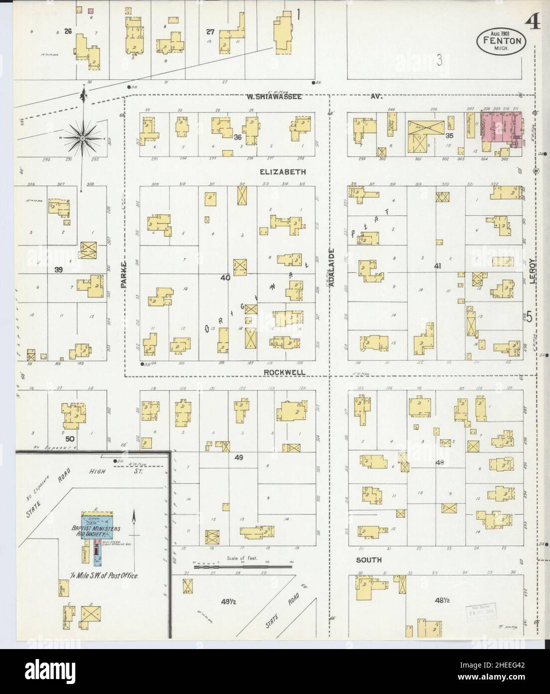 Sanborn Fire Insurance Map from Fenton, Genesee County, Michigan. Stock Photohttps://www.alamy.com/image-license-details/?v=1https://www.alamy.com/sanborn-fire-insurance-map-from-fenton-genesee-county-michigan-image456394738.html
RM2HEEG42–Sanborn Fire Insurance Map from Fenton, Genesee County, Michigan.
 Res. of A.E. Kattell, Chenange TP, Co.; Samuel Miller, Elias B. Miller; Res. of Samuel Miller, N.Fenton, Broome Co. Cartographic. Atlases, Maps. 1876. Lionel Pincus and Princess Firyal Map Division. Broome County (N.Y.), Farms , New York (State) Stock Photohttps://www.alamy.com/image-license-details/?v=1https://www.alamy.com/res-of-ae-kattell-chenange-tp-co-samuel-miller-elias-b-miller-res-of-samuel-miller-nfenton-broome-co-cartographic-atlases-maps-1876-lionel-pincus-and-princess-firyal-map-division-broome-county-ny-farms-new-york-state-image484339878.html
RM2K3YGCP–Res. of A.E. Kattell, Chenange TP, Co.; Samuel Miller, Elias B. Miller; Res. of Samuel Miller, N.Fenton, Broome Co. Cartographic. Atlases, Maps. 1876. Lionel Pincus and Princess Firyal Map Division. Broome County (N.Y.), Farms , New York (State)
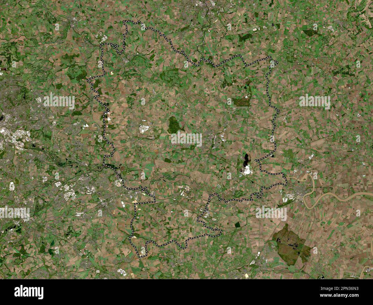 Selby, non metropolitan district of England - Great Britain. Low resolution satellite map Stock Photohttps://www.alamy.com/image-license-details/?v=1https://www.alamy.com/selby-non-metropolitan-district-of-england-great-britain-low-resolution-satellite-map-image546500335.html
RF2PN36N3–Selby, non metropolitan district of England - Great Britain. Low resolution satellite map
 USGS TOPO Map Louisiana LA Fenton 20120321 TM Restoration Stock Photohttps://www.alamy.com/image-license-details/?v=1https://www.alamy.com/usgs-topo-map-louisiana-la-fenton-20120321-tm-restoration-image260552106.html
RMW3W4TA–USGS TOPO Map Louisiana LA Fenton 20120321 TM Restoration
![2 of '[The Odyssey of Homer. [Translated into English verse, by Pope, W. Broome, and E. Fenton; with notes by W. Broome.] (A g Stock Photo 2 of '[The Odyssey of Homer. [Translated into English verse, by Pope, W. Broome, and E. Fenton; with notes by W. Broome.] (A g Stock Photo](https://c8.alamy.com/comp/FFKW4C/2-of-the-odyssey-of-homer-translated-into-english-verse-by-pope-w-FFKW4C.jpg) 2 of '[The Odyssey of Homer. [Translated into English verse, by Pope, W. Broome, and E. Fenton; with notes by W. Broome.] (A g Stock Photohttps://www.alamy.com/image-license-details/?v=1https://www.alamy.com/stock-photo-2-of-the-odyssey-of-homer-translated-into-english-verse-by-pope-w-95708492.html
2 of '[The Odyssey of Homer. [Translated into English verse, by Pope, W. Broome, and E. Fenton; with notes by W. Broome.] (A g Stock Photohttps://www.alamy.com/image-license-details/?v=1https://www.alamy.com/stock-photo-2-of-the-odyssey-of-homer-translated-into-english-verse-by-pope-w-95708492.htmlRMFFKW4C–2 of '[The Odyssey of Homer. [Translated into English verse, by Pope, W. Broome, and E. Fenton; with notes by W. Broome.] (A g
 Fenton Park, Rotorua District, NZ, New Zealand, Bay of Plenty, S 38 9' 4'', N 176 15' 28'', map, Cartascapes Map published in 2024. Explore Cartascapes, a map revealing Earth's diverse landscapes, cultures, and ecosystems. Journey through time and space, discovering the interconnectedness of our planet's past, present, and future. Stock Photohttps://www.alamy.com/image-license-details/?v=1https://www.alamy.com/fenton-park-rotorua-district-nz-new-zealand-bay-of-plenty-s-38-9-4-n-176-15-28-map-cartascapes-map-published-in-2024-explore-cartascapes-a-map-revealing-earths-diverse-landscapes-cultures-and-ecosystems-journey-through-time-and-space-discovering-the-interconnectedness-of-our-planets-past-present-and-future-image633977257.html
RM2YRC4CW–Fenton Park, Rotorua District, NZ, New Zealand, Bay of Plenty, S 38 9' 4'', N 176 15' 28'', map, Cartascapes Map published in 2024. Explore Cartascapes, a map revealing Earth's diverse landscapes, cultures, and ecosystems. Journey through time and space, discovering the interconnectedness of our planet's past, present, and future.
 Fenton vivandiere & soldier Stock Photohttps://www.alamy.com/image-license-details/?v=1https://www.alamy.com/stock-photo-fenton-vivandiere-soldier-142966191.html
RMJ8GJRB–Fenton vivandiere & soldier
 Res. of J.W. & Jeremiah Holt, N.Fenton, Broome Co., N.Y. ; William Williamson, Garret Williamson; Res. of William Williamson, N.Fenton, Broome Co., N.Y. 1876 Stock Photohttps://www.alamy.com/image-license-details/?v=1https://www.alamy.com/res-of-jw-jeremiah-holt-nfenton-broome-co-ny-william-williamson-garret-williamson-res-of-william-williamson-nfenton-broome-co-ny-1876-image633295305.html
RM2YP92HD–Res. of J.W. & Jeremiah Holt, N.Fenton, Broome Co., N.Y. ; William Williamson, Garret Williamson; Res. of William Williamson, N.Fenton, Broome Co., N.Y. 1876
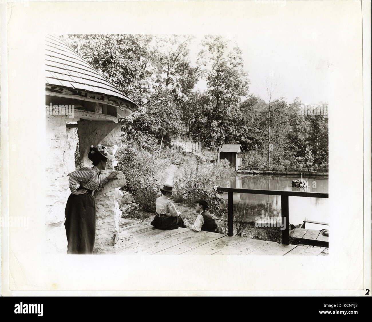 Group at Spring Lake Park, east of Fenton, Missouri Stock Photohttps://www.alamy.com/image-license-details/?v=1https://www.alamy.com/stock-image-group-at-spring-lake-park-east-of-fenton-missouri-162751851.html
RMKCNYJ3–Group at Spring Lake Park, east of Fenton, Missouri
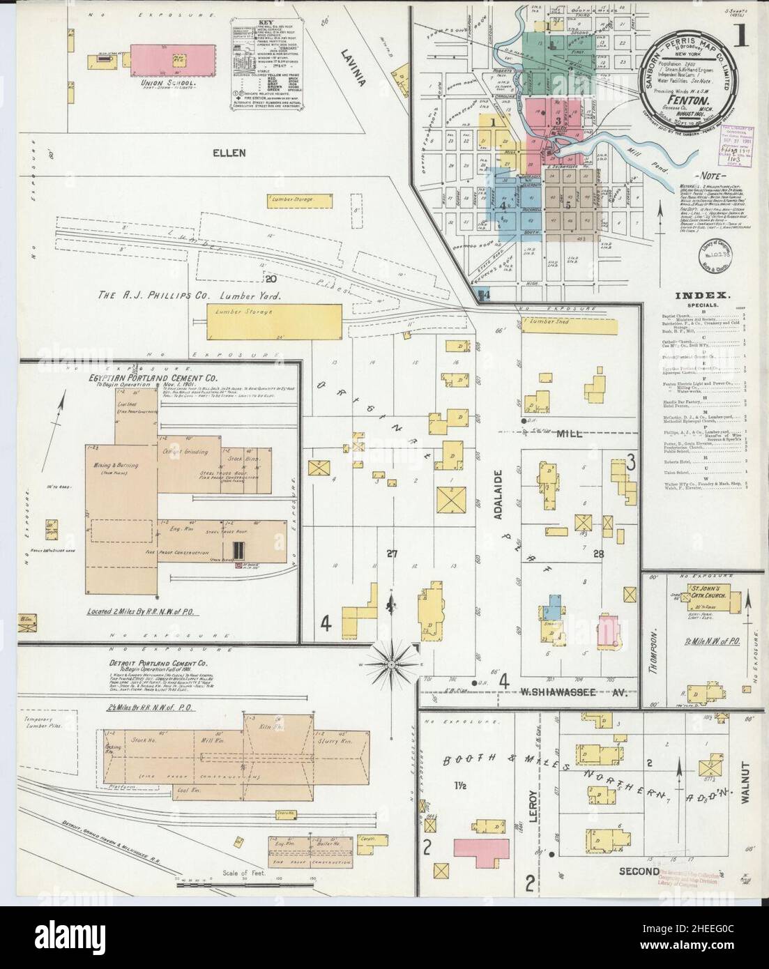 Sanborn Fire Insurance Map from Fenton, Genesee County, Michigan. Stock Photohttps://www.alamy.com/image-license-details/?v=1https://www.alamy.com/sanborn-fire-insurance-map-from-fenton-genesee-county-michigan-image456394636.html
RM2HEEG0C–Sanborn Fire Insurance Map from Fenton, Genesee County, Michigan.
 Bicycle party resting in Fenton, Missouri, 12 September 1897 Stock Photohttps://www.alamy.com/image-license-details/?v=1https://www.alamy.com/stock-image-bicycle-party-resting-in-fenton-missouri-12-september-1897-162785267.html
RMKCRE7F–Bicycle party resting in Fenton, Missouri, 12 September 1897
 Res. of J.W. & Jeremiah Holt, N.Fenton, Broome Co., N.Y. ; William Williamson, Garret Williamson; Res. of William Williamson, N.Fenton, Broome Co., N.Y. Cartographic. Atlases, Maps. 1876. Lionel Pincus and Princess Firyal Map Division. Broome County (N.Y.), Houses , New York (State) Stock Photohttps://www.alamy.com/image-license-details/?v=1https://www.alamy.com/res-of-jw-jeremiah-holt-nfenton-broome-co-ny-william-williamson-garret-williamson-res-of-william-williamson-nfenton-broome-co-ny-cartographic-atlases-maps-1876-lionel-pincus-and-princess-firyal-map-division-broome-county-ny-houses-new-york-state-image484334959.html
RM2K3YA53–Res. of J.W. & Jeremiah Holt, N.Fenton, Broome Co., N.Y. ; William Williamson, Garret Williamson; Res. of William Williamson, N.Fenton, Broome Co., N.Y. Cartographic. Atlases, Maps. 1876. Lionel Pincus and Princess Firyal Map Division. Broome County (N.Y.), Houses , New York (State)
 Pitcher, Norton and Fenton, 1842 1847 Bennington Museum Bennington, VT DSC08961 Stock Photohttps://www.alamy.com/image-license-details/?v=1https://www.alamy.com/pitcher-norton-and-fenton-1842-1847-bennington-museum-bennington-vt-image153757763.html
RMJX47GK–Pitcher, Norton and Fenton, 1842 1847 Bennington Museum Bennington, VT DSC08961
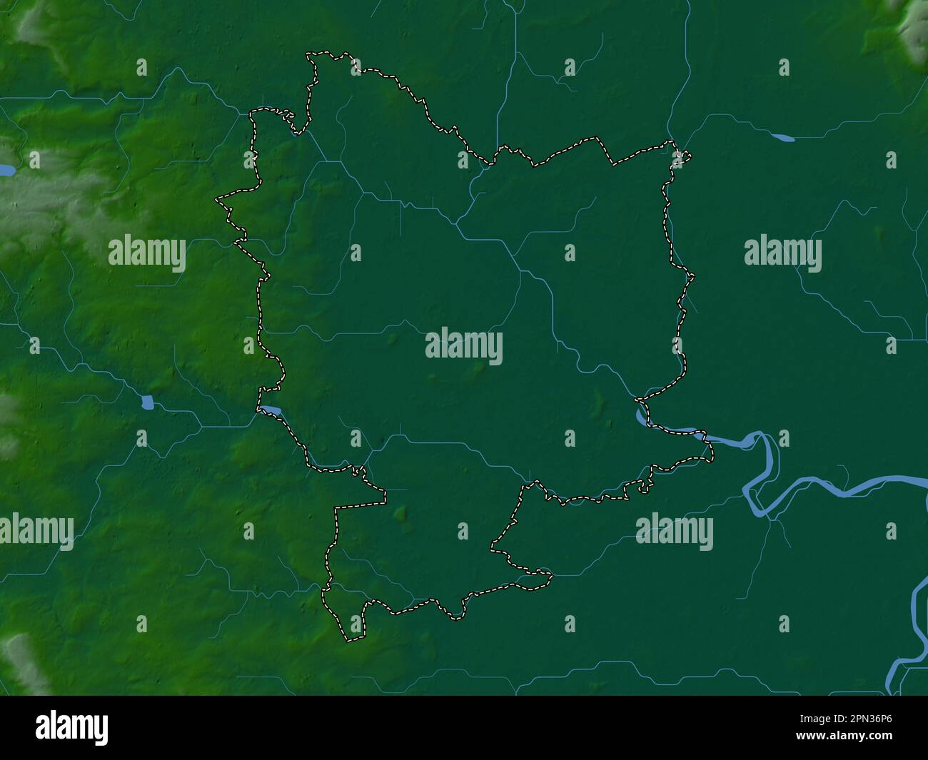 Selby, non metropolitan district of England - Great Britain. Colored elevation map with lakes and rivers Stock Photohttps://www.alamy.com/image-license-details/?v=1https://www.alamy.com/selby-non-metropolitan-district-of-england-great-britain-colored-elevation-map-with-lakes-and-rivers-image546500366.html
RF2PN36P6–Selby, non metropolitan district of England - Great Britain. Colored elevation map with lakes and rivers
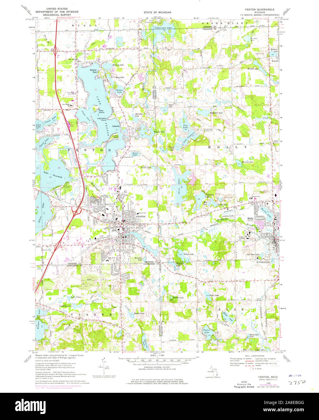 USGS TOPO Map Michigan MI Fenton 276091 1969 24000 Stock Photohttps://www.alamy.com/image-license-details/?v=1https://www.alamy.com/usgs-topo-map-michigan-mi-fenton-276091-1969-24000-image332230656.html
RM2A8EBGG–USGS TOPO Map Michigan MI Fenton 276091 1969 24000
![[The Odyssey of Homer. [Translated into English verse, by Pope, W. Broome, and E. Fenton; with notes by W. Broome.] (A general view of the Epic poem, and of the Iliad and Odyssey, extracted from Bossu. Postscript, by Mr Pope. Homer's Battle of the Frogs and Mice [translated by T. Parnell], corrected by Mr Pope.)] Image taken from page 14 of '[The Odyssey of Homer Stock Photo [The Odyssey of Homer. [Translated into English verse, by Pope, W. Broome, and E. Fenton; with notes by W. Broome.] (A general view of the Epic poem, and of the Iliad and Odyssey, extracted from Bossu. Postscript, by Mr Pope. Homer's Battle of the Frogs and Mice [translated by T. Parnell], corrected by Mr Pope.)] Image taken from page 14 of '[The Odyssey of Homer Stock Photo](https://c8.alamy.com/comp/HC32RK/the-odyssey-of-homer-translated-into-english-verse-by-pope-w-broome-HC32RK.jpg) [The Odyssey of Homer. [Translated into English verse, by Pope, W. Broome, and E. Fenton; with notes by W. Broome.] (A general view of the Epic poem, and of the Iliad and Odyssey, extracted from Bossu. Postscript, by Mr Pope. Homer's Battle of the Frogs and Mice [translated by T. Parnell], corrected by Mr Pope.)] Image taken from page 14 of '[The Odyssey of Homer Stock Photohttps://www.alamy.com/image-license-details/?v=1https://www.alamy.com/stock-photo-the-odyssey-of-homer-translated-into-english-verse-by-pope-w-broome-127916535.html
[The Odyssey of Homer. [Translated into English verse, by Pope, W. Broome, and E. Fenton; with notes by W. Broome.] (A general view of the Epic poem, and of the Iliad and Odyssey, extracted from Bossu. Postscript, by Mr Pope. Homer's Battle of the Frogs and Mice [translated by T. Parnell], corrected by Mr Pope.)] Image taken from page 14 of '[The Odyssey of Homer Stock Photohttps://www.alamy.com/image-license-details/?v=1https://www.alamy.com/stock-photo-the-odyssey-of-homer-translated-into-english-verse-by-pope-w-broome-127916535.htmlRMHC32RK–[The Odyssey of Homer. [Translated into English verse, by Pope, W. Broome, and E. Fenton; with notes by W. Broome.] (A general view of the Epic poem, and of the Iliad and Odyssey, extracted from Bossu. Postscript, by Mr Pope. Homer's Battle of the Frogs and Mice [translated by T. Parnell], corrected by Mr Pope.)] Image taken from page 14 of '[The Odyssey of Homer
 City of Fenton, Genesee County, US, United States, Michigan, N 42 47' 57'', S 83 42' 51'', map, Cartascapes Map published in 2024. Explore Cartascapes, a map revealing Earth's diverse landscapes, cultures, and ecosystems. Journey through time and space, discovering the interconnectedness of our planet's past, present, and future. Stock Photohttps://www.alamy.com/image-license-details/?v=1https://www.alamy.com/city-of-fenton-genesee-county-us-united-states-michigan-n-42-47-57-s-83-42-51-map-cartascapes-map-published-in-2024-explore-cartascapes-a-map-revealing-earths-diverse-landscapes-cultures-and-ecosystems-journey-through-time-and-space-discovering-the-interconnectedness-of-our-planets-past-present-and-future-image633836964.html
RM2YR5NEC–City of Fenton, Genesee County, US, United States, Michigan, N 42 47' 57'', S 83 42' 51'', map, Cartascapes Map published in 2024. Explore Cartascapes, a map revealing Earth's diverse landscapes, cultures, and ecosystems. Journey through time and space, discovering the interconnectedness of our planet's past, present, and future.
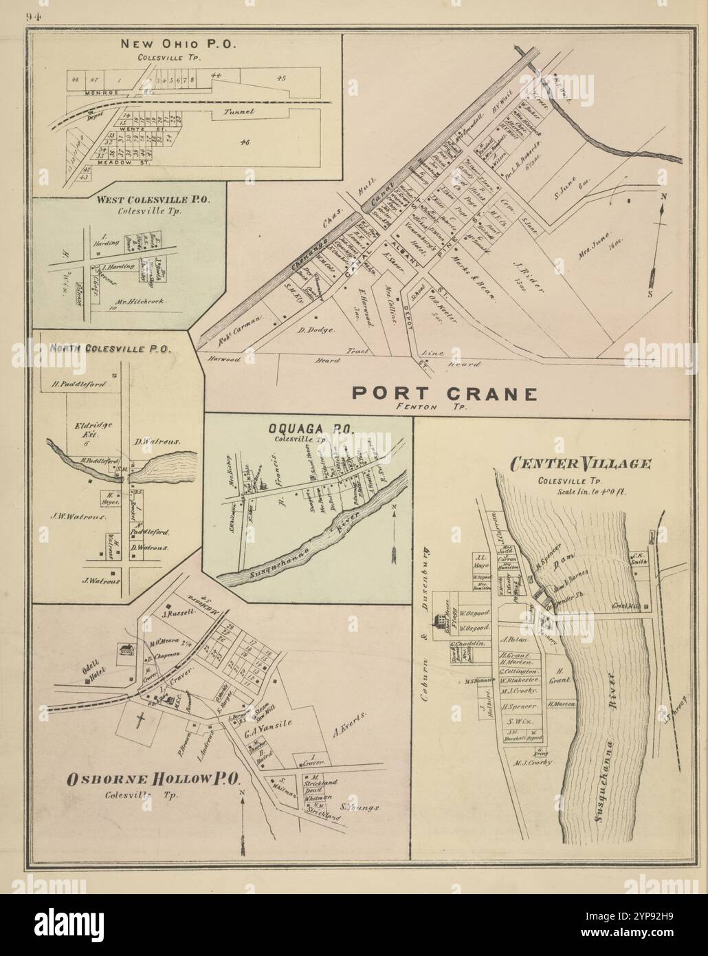 New Ohio P.O., Colesville TP; Port Crane, Fenton TP; West Colesville P.O., Colesville TP; North Colesvilles P.O.; Oquaga P.O., Colesville TP; Center Village, Colesville TP; Osborne Hollow P.O., Colesville TP 1876 Stock Photohttps://www.alamy.com/image-license-details/?v=1https://www.alamy.com/new-ohio-po-colesville-tp-port-crane-fenton-tp-west-colesville-po-colesville-tp-north-colesvilles-po-oquaga-po-colesville-tp-center-village-colesville-tp-osborne-hollow-po-colesville-tp-1876-image633295301.html
RM2YP92H9–New Ohio P.O., Colesville TP; Port Crane, Fenton TP; West Colesville P.O., Colesville TP; North Colesvilles P.O.; Oquaga P.O., Colesville TP; Center Village, Colesville TP; Osborne Hollow P.O., Colesville TP 1876
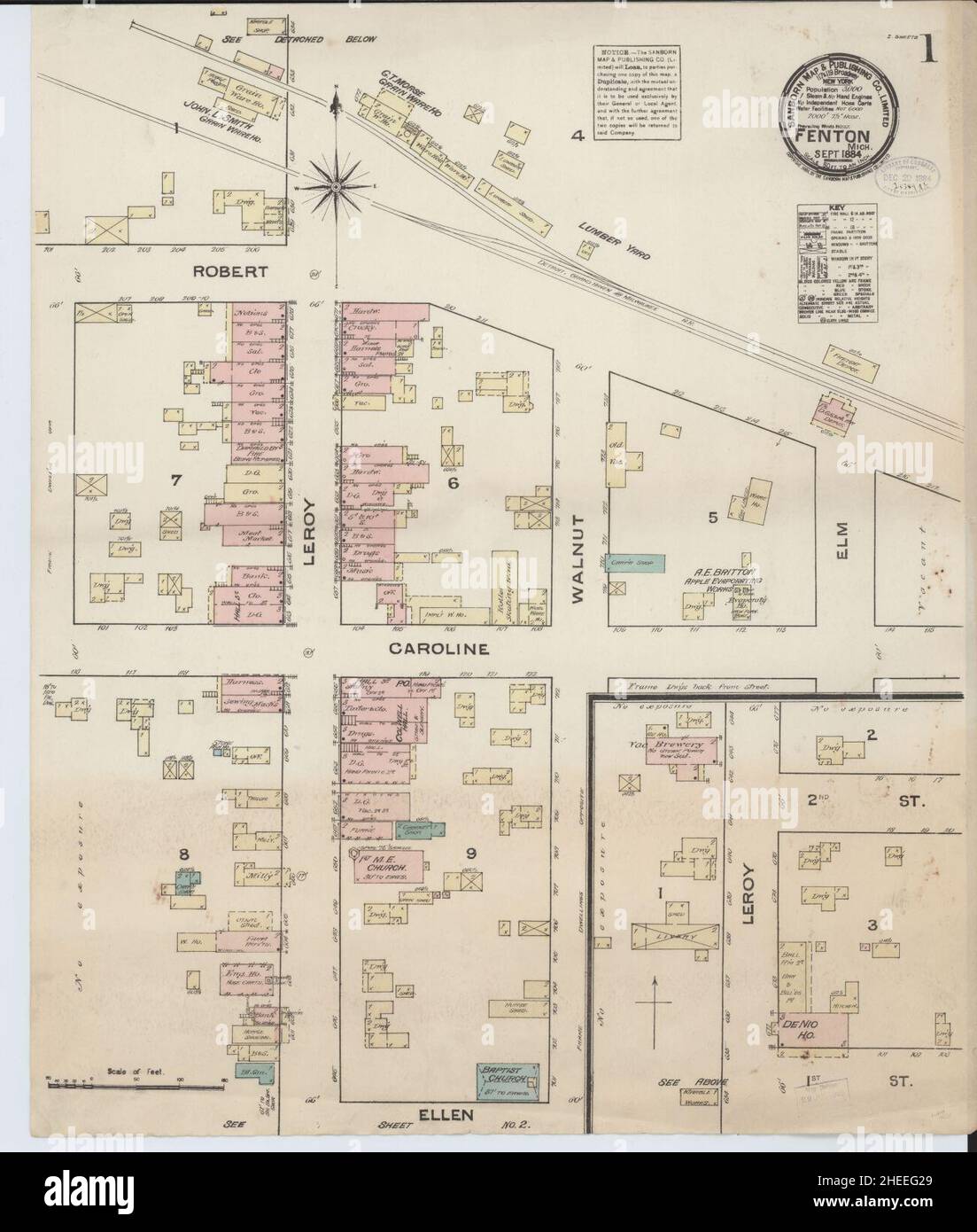 Sanborn Fire Insurance Map from Fenton, Genesee County, Michigan. Stock Photohttps://www.alamy.com/image-license-details/?v=1https://www.alamy.com/sanborn-fire-insurance-map-from-fenton-genesee-county-michigan-image456394689.html
RM2HEEG29–Sanborn Fire Insurance Map from Fenton, Genesee County, Michigan.
 New Ohio P.O., Colesville TP; Port Crane, Fenton TP; West Colesville P.O., Colesville TP; North Colesvilles P.O.; Oquaga P.O., Colesville TP; Center Village, Colesville TP; Osborne Hollow P.O., Colesville TP Cartographic. Atlases, Maps. 1876. Lionel Pincus and Princess Firyal Map Division. Broome County (N.Y.), Colesville (N.Y.) Stock Photohttps://www.alamy.com/image-license-details/?v=1https://www.alamy.com/new-ohio-po-colesville-tp-port-crane-fenton-tp-west-colesville-po-colesville-tp-north-colesvilles-po-oquaga-po-colesville-tp-center-village-colesville-tp-osborne-hollow-po-colesville-tp-cartographic-atlases-maps-1876-lionel-pincus-and-princess-firyal-map-division-broome-county-ny-colesville-ny-image484351333.html
RM2K4031W–New Ohio P.O., Colesville TP; Port Crane, Fenton TP; West Colesville P.O., Colesville TP; North Colesvilles P.O.; Oquaga P.O., Colesville TP; Center Village, Colesville TP; Osborne Hollow P.O., Colesville TP Cartographic. Atlases, Maps. 1876. Lionel Pincus and Princess Firyal Map Division. Broome County (N.Y.), Colesville (N.Y.)
 Pitcher, Norton and Fenton, 1842 1847 Bennington Museum Bennington, VT DSC08961 Stock Photohttps://www.alamy.com/image-license-details/?v=1https://www.alamy.com/pitcher-norton-and-fenton-1842-1847-bennington-museum-bennington-vt-image153145457.html
RMJW4AGH–Pitcher, Norton and Fenton, 1842 1847 Bennington Museum Bennington, VT DSC08961
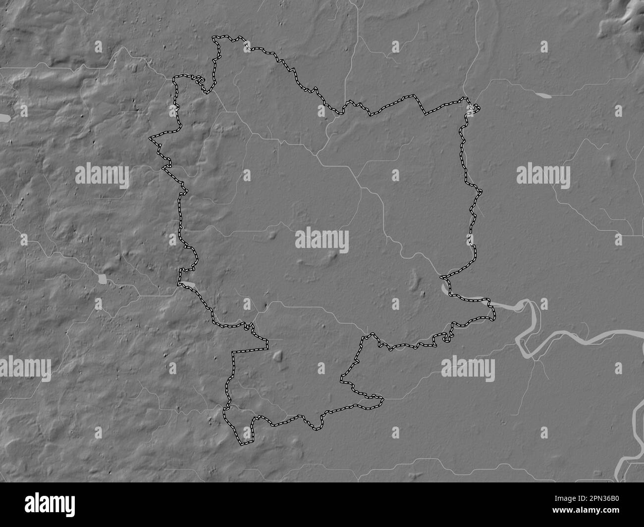 Selby, non metropolitan district of England - Great Britain. Bilevel elevation map with lakes and rivers Stock Photohttps://www.alamy.com/image-license-details/?v=1https://www.alamy.com/selby-non-metropolitan-district-of-england-great-britain-bilevel-elevation-map-with-lakes-and-rivers-image546500052.html
RF2PN36B0–Selby, non metropolitan district of England - Great Britain. Bilevel elevation map with lakes and rivers
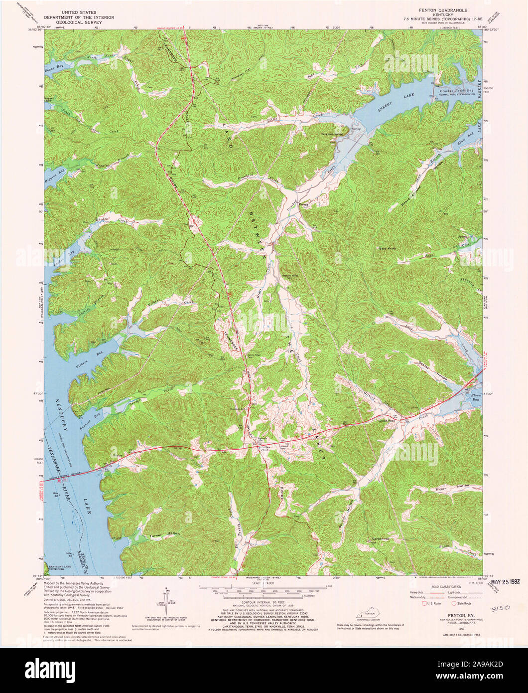 USGS TOPO Map Kentucky KY Fenton 803518 1967 24000 Stock Photohttps://www.alamy.com/image-license-details/?v=1https://www.alamy.com/usgs-topo-map-kentucky-ky-fenton-803518-1967-24000-image332763381.html
RM2A9AK2D–USGS TOPO Map Kentucky KY Fenton 803518 1967 24000
 38 of 'The Conway in the Stereoscope. Illustrated by Roger Fenton ... With notes, descriptive and historical, by James Bridge Stock Photohttps://www.alamy.com/image-license-details/?v=1https://www.alamy.com/stock-photo-38-of-the-conway-in-the-stereoscope-illustrated-by-roger-fenton-with-95710671.html
RMFFKYX7–38 of 'The Conway in the Stereoscope. Illustrated by Roger Fenton ... With notes, descriptive and historical, by James Bridge
 Village of Fenton, Jefferson Davis Parish, US, United States, Louisiana, N 30 21' 49'', S 92 54' 59'', map, Cartascapes Map published in 2024. Explore Cartascapes, a map revealing Earth's diverse landscapes, cultures, and ecosystems. Journey through time and space, discovering the interconnectedness of our planet's past, present, and future. Stock Photohttps://www.alamy.com/image-license-details/?v=1https://www.alamy.com/village-of-fenton-jefferson-davis-parish-us-united-states-louisiana-n-30-21-49-s-92-54-59-map-cartascapes-map-published-in-2024-explore-cartascapes-a-map-revealing-earths-diverse-landscapes-cultures-and-ecosystems-journey-through-time-and-space-discovering-the-interconnectedness-of-our-planets-past-present-and-future-image633857538.html
RM2YR6KN6–Village of Fenton, Jefferson Davis Parish, US, United States, Louisiana, N 30 21' 49'', S 92 54' 59'', map, Cartascapes Map published in 2024. Explore Cartascapes, a map revealing Earth's diverse landscapes, cultures, and ecosystems. Journey through time and space, discovering the interconnectedness of our planet's past, present, and future.
 Res. of L.S. Morsman, Derby. Erie Co, N.Y. ; Erie Preserving Company Brant, N.Y. B, Fenton, Presr. ; Res. of Stephen Bennett, Esq. Derby, Erie Co, N.Y. Town of Evans. ; Res. of Alfred Marvel Town of Elma. ; Res. and Tenant House of Stephen Northup Elma ; Res. of Luther Landon, Eden Center, N.Y. ; Residence of R. Clark Rider, Sardinia Erie County, N.Y. 1880 by F.W. Beers & Co. Stock Photohttps://www.alamy.com/image-license-details/?v=1https://www.alamy.com/res-of-ls-morsman-derby-erie-co-ny-erie-preserving-company-brant-ny-b-fenton-presr-res-of-stephen-bennett-esq-derby-erie-co-ny-town-of-evans-res-of-alfred-marvel-town-of-elma-res-and-tenant-house-of-stephen-northup-elma-res-of-luther-landon-eden-center-ny-residence-of-r-clark-rider-sardinia-erie-county-ny-1880-by-fw-beers-co-image633308047.html
RM2YP9JTF–Res. of L.S. Morsman, Derby. Erie Co, N.Y. ; Erie Preserving Company Brant, N.Y. B, Fenton, Presr. ; Res. of Stephen Bennett, Esq. Derby, Erie Co, N.Y. Town of Evans. ; Res. of Alfred Marvel Town of Elma. ; Res. and Tenant House of Stephen Northup Elma ; Res. of Luther Landon, Eden Center, N.Y. ; Residence of R. Clark Rider, Sardinia Erie County, N.Y. 1880 by F.W. Beers & Co.
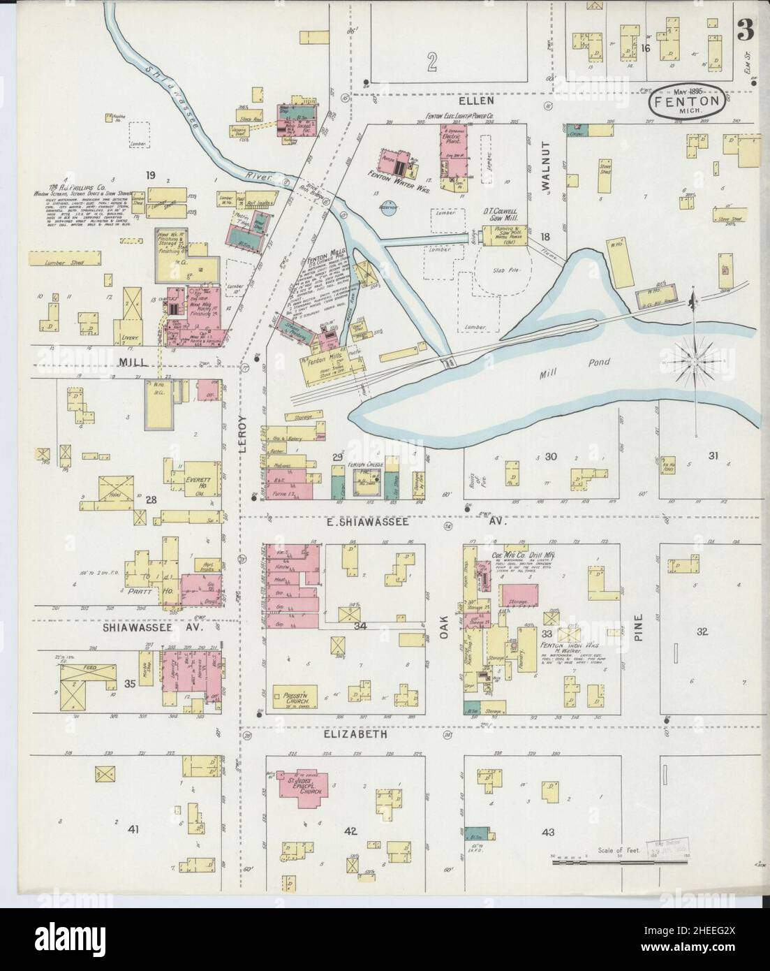 Sanborn Fire Insurance Map from Fenton, Genesee County, Michigan. Stock Photohttps://www.alamy.com/image-license-details/?v=1https://www.alamy.com/sanborn-fire-insurance-map-from-fenton-genesee-county-michigan-image456394706.html
RM2HEEG2X–Sanborn Fire Insurance Map from Fenton, Genesee County, Michigan.
 Book flask, Lyman, Fenton & Co Bennington Museum Bennington, VT DSC08967 Stock Photohttps://www.alamy.com/image-license-details/?v=1https://www.alamy.com/book-flask-lyman-fenton-co-bennington-museum-bennington-vt-dsc08967-image153145463.html
RMJW4AGR–Book flask, Lyman, Fenton & Co Bennington Museum Bennington, VT DSC08967
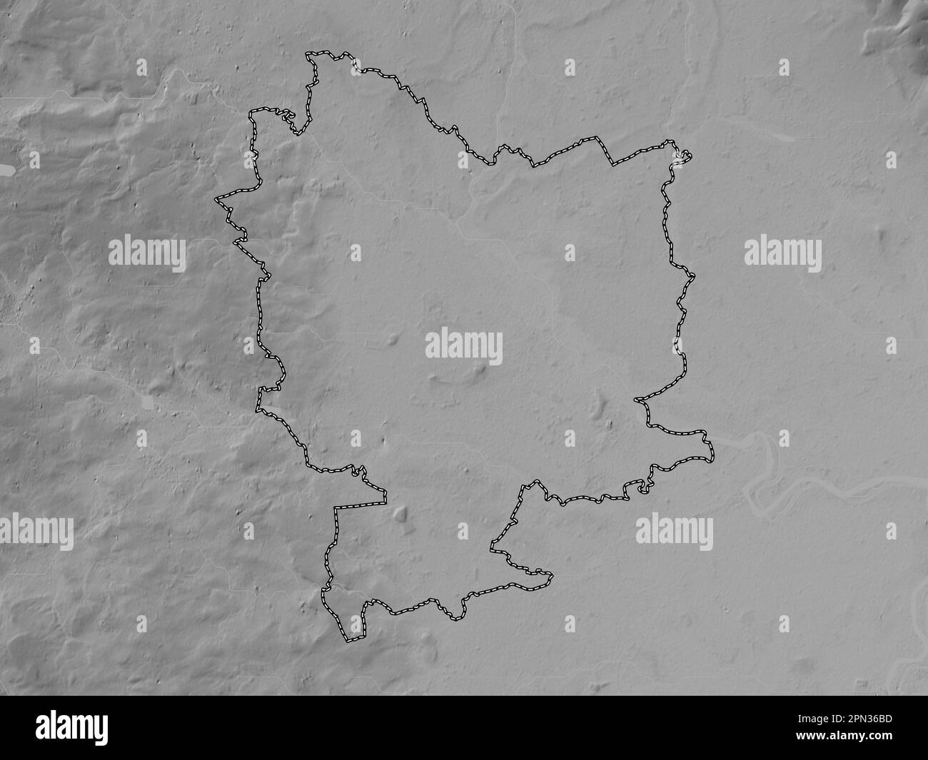 Selby, non metropolitan district of England - Great Britain. Grayscale elevation map with lakes and rivers Stock Photohttps://www.alamy.com/image-license-details/?v=1https://www.alamy.com/selby-non-metropolitan-district-of-england-great-britain-grayscale-elevation-map-with-lakes-and-rivers-image546500065.html
RF2PN36BD–Selby, non metropolitan district of England - Great Britain. Grayscale elevation map with lakes and rivers
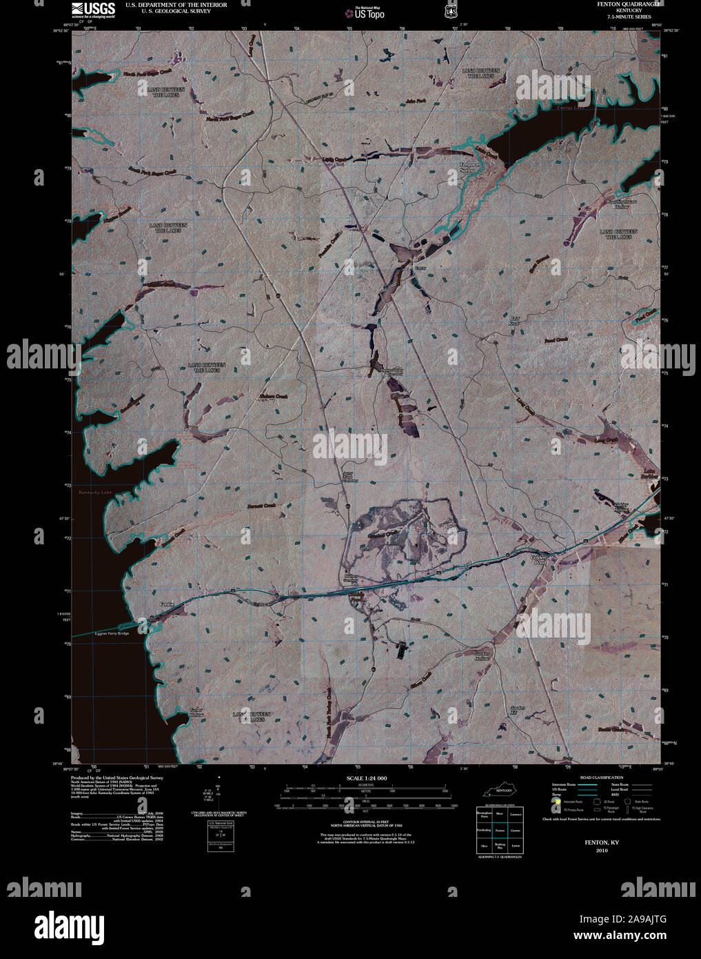 USGS TOPO Map Kentucky KY Fenton 20101116 TM Inverted Stock Photohttps://www.alamy.com/image-license-details/?v=1https://www.alamy.com/usgs-topo-map-kentucky-ky-fenton-20101116-tm-inverted-image332763216.html
RM2A9AJTG–USGS TOPO Map Kentucky KY Fenton 20101116 TM Inverted
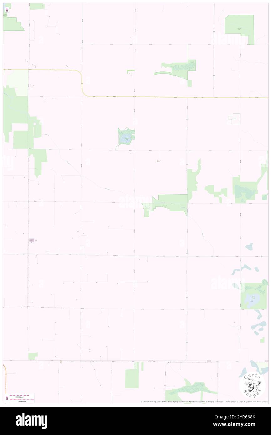 Township of Fenton, Murray County, US, United States, Minnesota, N 43 53' 30'', S 95 53' 0'', map, Cartascapes Map published in 2024. Explore Cartascapes, a map revealing Earth's diverse landscapes, cultures, and ecosystems. Journey through time and space, discovering the interconnectedness of our planet's past, present, and future. Stock Photohttps://www.alamy.com/image-license-details/?v=1https://www.alamy.com/township-of-fenton-murray-county-us-united-states-minnesota-n-43-53-30-s-95-53-0-map-cartascapes-map-published-in-2024-explore-cartascapes-a-map-revealing-earths-diverse-landscapes-cultures-and-ecosystems-journey-through-time-and-space-discovering-the-interconnectedness-of-our-planets-past-present-and-future-image633846995.html
RM2YR668K–Township of Fenton, Murray County, US, United States, Minnesota, N 43 53' 30'', S 95 53' 0'', map, Cartascapes Map published in 2024. Explore Cartascapes, a map revealing Earth's diverse landscapes, cultures, and ecosystems. Journey through time and space, discovering the interconnectedness of our planet's past, present, and future.
 Sanborn Fire Insurance Map from Fenton, Genesee County, Michigan. Stock Photohttps://www.alamy.com/image-license-details/?v=1https://www.alamy.com/sanborn-fire-insurance-map-from-fenton-genesee-county-michigan-image456394650.html
RM2HEEG0X–Sanborn Fire Insurance Map from Fenton, Genesee County, Michigan.
 Water keg, Norton & Fenton, 1842 1847 Bennington Museum Bennington, VT DSC08957 Stock Photohttps://www.alamy.com/image-license-details/?v=1https://www.alamy.com/water-keg-norton-fenton-1842-1847-bennington-museum-bennington-vt-image153757759.html
RMJX47GF–Water keg, Norton & Fenton, 1842 1847 Bennington Museum Bennington, VT DSC08957
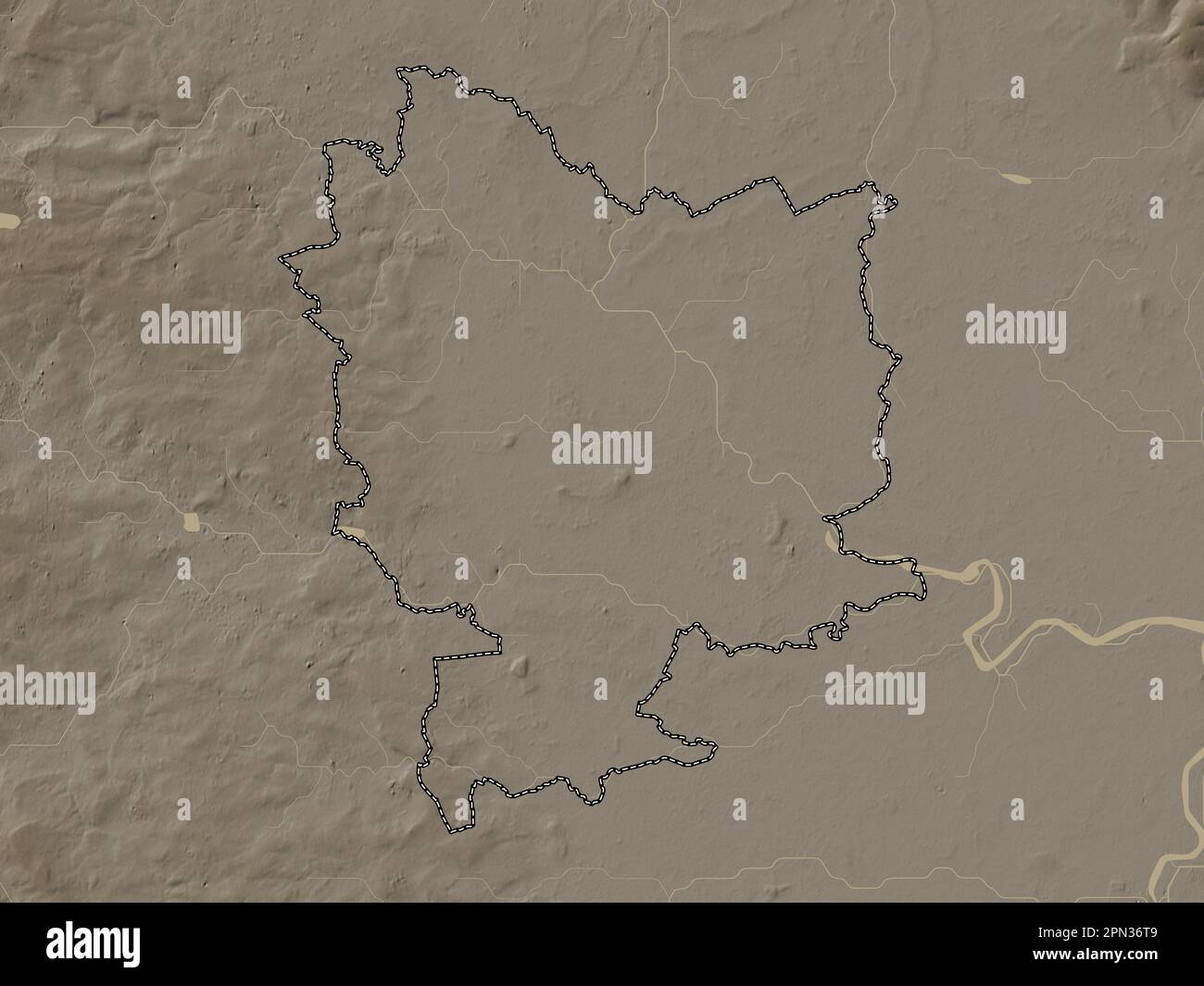 Selby, non metropolitan district of England - Great Britain. Elevation map colored in sepia tones with lakes and rivers Stock Photohttps://www.alamy.com/image-license-details/?v=1https://www.alamy.com/selby-non-metropolitan-district-of-england-great-britain-elevation-map-colored-in-sepia-tones-with-lakes-and-rivers-image546500425.html
RF2PN36T9–Selby, non metropolitan district of England - Great Britain. Elevation map colored in sepia tones with lakes and rivers
 USGS TOPO Map Kentucky KY Fenton 708649 1967 24000 Stock Photohttps://www.alamy.com/image-license-details/?v=1https://www.alamy.com/usgs-topo-map-kentucky-ky-fenton-708649-1967-24000-image332763291.html
RM2A9AJY7–USGS TOPO Map Kentucky KY Fenton 708649 1967 24000
 City of Fenton, Kossuth County, US, United States, Iowa, N 43 13' 5'', S 94 25' 40'', map, Cartascapes Map published in 2024. Explore Cartascapes, a map revealing Earth's diverse landscapes, cultures, and ecosystems. Journey through time and space, discovering the interconnectedness of our planet's past, present, and future. Stock Photohttps://www.alamy.com/image-license-details/?v=1https://www.alamy.com/city-of-fenton-kossuth-county-us-united-states-iowa-n-43-13-5-s-94-25-40-map-cartascapes-map-published-in-2024-explore-cartascapes-a-map-revealing-earths-diverse-landscapes-cultures-and-ecosystems-journey-through-time-and-space-discovering-the-interconnectedness-of-our-planets-past-present-and-future-image633881204.html
RM2YR7NXC–City of Fenton, Kossuth County, US, United States, Iowa, N 43 13' 5'', S 94 25' 40'', map, Cartascapes Map published in 2024. Explore Cartascapes, a map revealing Earth's diverse landscapes, cultures, and ecosystems. Journey through time and space, discovering the interconnectedness of our planet's past, present, and future.
 Port Fenton, , AU, Australia, Tasmania, S 41 9' 38'', N 146 15' 4'', map, Cartascapes Map published in 2024. Explore Cartascapes, a map revealing Earth's diverse landscapes, cultures, and ecosystems. Journey through time and space, discovering the interconnectedness of our planet's past, present, and future. Stock Photohttps://www.alamy.com/image-license-details/?v=1https://www.alamy.com/port-fenton-au-australia-tasmania-s-41-9-38-n-146-15-4-map-cartascapes-map-published-in-2024-explore-cartascapes-a-map-revealing-earths-diverse-landscapes-cultures-and-ecosystems-journey-through-time-and-space-discovering-the-interconnectedness-of-our-planets-past-present-and-future-image625389804.html
RM2Y9CY24–Port Fenton, , AU, Australia, Tasmania, S 41 9' 38'', N 146 15' 4'', map, Cartascapes Map published in 2024. Explore Cartascapes, a map revealing Earth's diverse landscapes, cultures, and ecosystems. Journey through time and space, discovering the interconnectedness of our planet's past, present, and future.
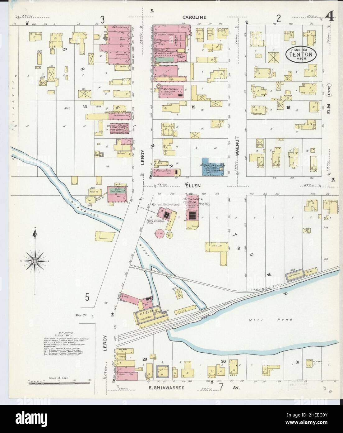 Sanborn Fire Insurance Map from Fenton, Genesee County, Michigan. Stock Photohttps://www.alamy.com/image-license-details/?v=1https://www.alamy.com/sanborn-fire-insurance-map-from-fenton-genesee-county-michigan-image456394651.html
RM2HEEG0Y–Sanborn Fire Insurance Map from Fenton, Genesee County, Michigan.
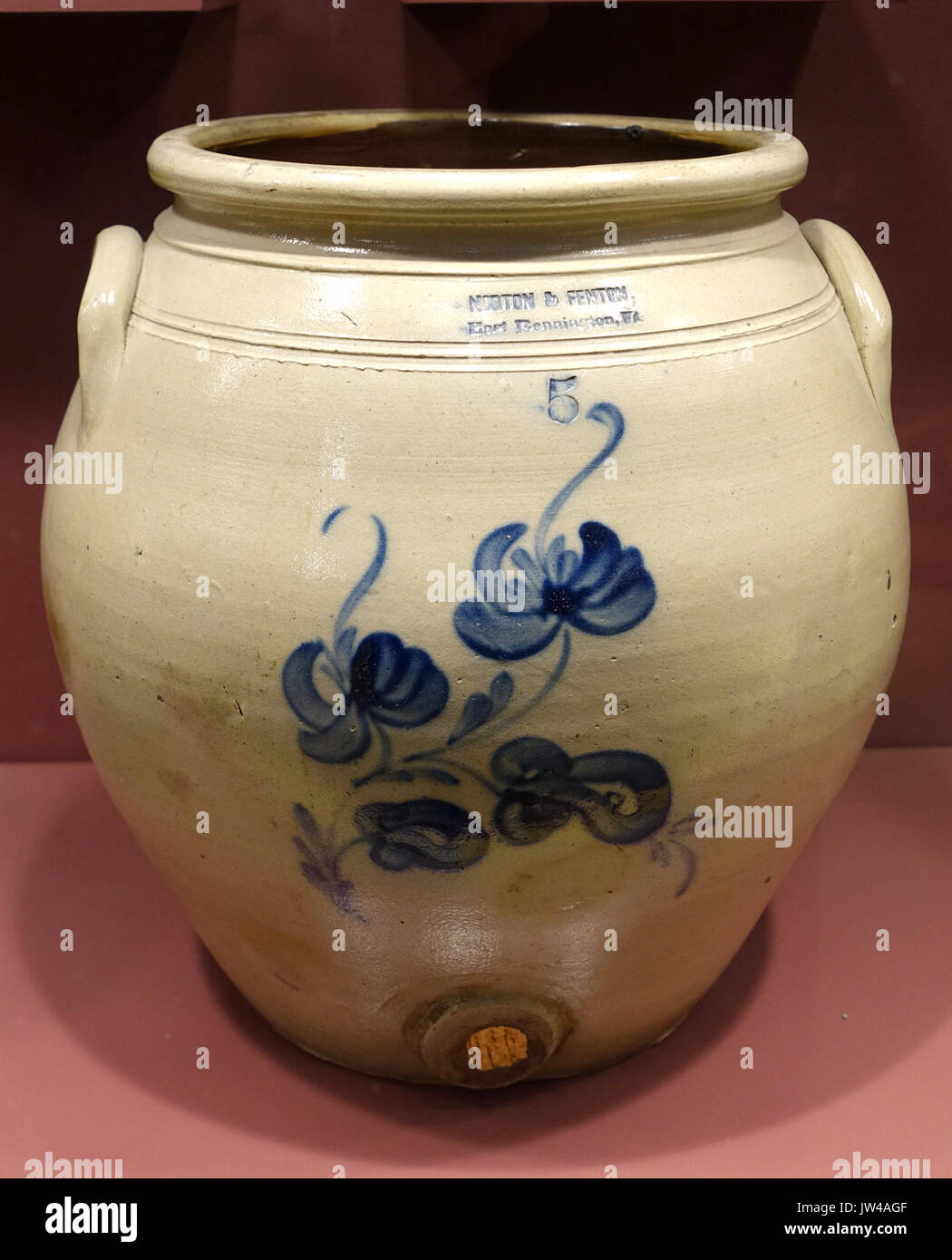 Water keg, Norton & Fenton, 1842 1847 Bennington Museum Bennington, VT DSC08957 Stock Photohttps://www.alamy.com/image-license-details/?v=1https://www.alamy.com/water-keg-norton-fenton-1842-1847-bennington-museum-bennington-vt-image153145455.html
RMJW4AGF–Water keg, Norton & Fenton, 1842 1847 Bennington Museum Bennington, VT DSC08957
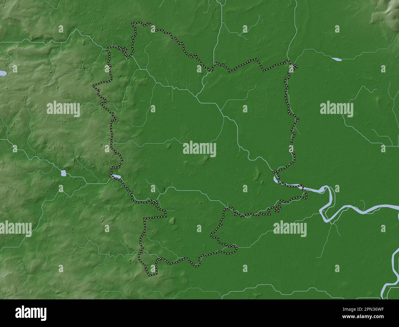 Selby, non metropolitan district of England - Great Britain. Elevation map colored in wiki style with lakes and rivers Stock Photohttps://www.alamy.com/image-license-details/?v=1https://www.alamy.com/selby-non-metropolitan-district-of-england-great-britain-elevation-map-colored-in-wiki-style-with-lakes-and-rivers-image546500459.html
RF2PN36WF–Selby, non metropolitan district of England - Great Britain. Elevation map colored in wiki style with lakes and rivers
 Fenton, Reuben E. Frewsburg, Chatauqua Co., N.Y. To James C. Dobbin (NYPL b11868620-5327281) Stock Photohttps://www.alamy.com/image-license-details/?v=1https://www.alamy.com/stock-photo-fenton-reuben-e-frewsburg-chatauqua-co-ny-to-james-c-dobbin-nypl-b11868620-148474422.html
RMJHFGHX–Fenton, Reuben E. Frewsburg, Chatauqua Co., N.Y. To James C. Dobbin (NYPL b11868620-5327281)
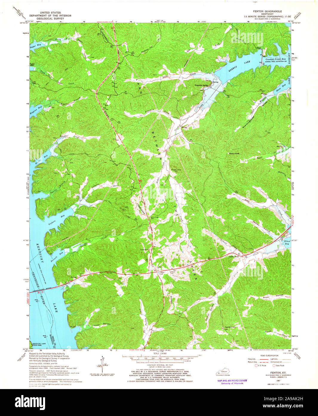 USGS TOPO Map Kentucky KY Fenton 708651 1967 24000 Stock Photohttps://www.alamy.com/image-license-details/?v=1https://www.alamy.com/usgs-topo-map-kentucky-ky-fenton-708651-1967-24000-image332763385.html
RM2A9AK2H–USGS TOPO Map Kentucky KY Fenton 708651 1967 24000
 Port Fenton, , AU, Australia, Tasmania, S 41 10' 0'', N 146 15' 0'', map, Cartascapes Map published in 2024. Explore Cartascapes, a map revealing Earth's diverse landscapes, cultures, and ecosystems. Journey through time and space, discovering the interconnectedness of our planet's past, present, and future. Stock Photohttps://www.alamy.com/image-license-details/?v=1https://www.alamy.com/port-fenton-au-australia-tasmania-s-41-10-0-n-146-15-0-map-cartascapes-map-published-in-2024-explore-cartascapes-a-map-revealing-earths-diverse-landscapes-cultures-and-ecosystems-journey-through-time-and-space-discovering-the-interconnectedness-of-our-planets-past-present-and-future-image625392476.html
RM2Y9D2DG–Port Fenton, , AU, Australia, Tasmania, S 41 10' 0'', N 146 15' 0'', map, Cartascapes Map published in 2024. Explore Cartascapes, a map revealing Earth's diverse landscapes, cultures, and ecosystems. Journey through time and space, discovering the interconnectedness of our planet's past, present, and future.
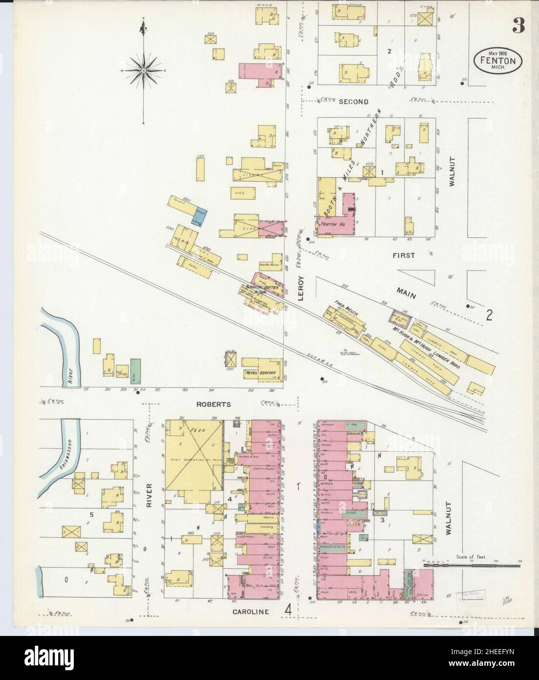 Sanborn Fire Insurance Map from Fenton, Genesee County, Michigan. Stock Photohttps://www.alamy.com/image-license-details/?v=1https://www.alamy.com/sanborn-fire-insurance-map-from-fenton-genesee-county-michigan-image456394617.html
RM2HEEFYN–Sanborn Fire Insurance Map from Fenton, Genesee County, Michigan.
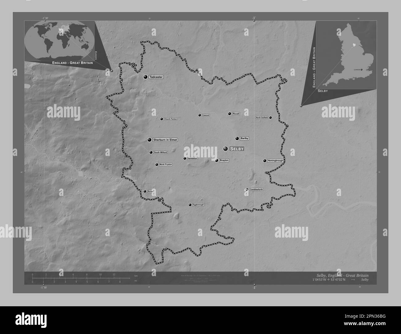 Selby, non metropolitan district of England - Great Britain. Grayscale elevation map with lakes and rivers. Locations and names of major cities of the Stock Photohttps://www.alamy.com/image-license-details/?v=1https://www.alamy.com/selby-non-metropolitan-district-of-england-great-britain-grayscale-elevation-map-with-lakes-and-rivers-locations-and-names-of-major-cities-of-the-image546500068.html
RF2PN36BG–Selby, non metropolitan district of England - Great Britain. Grayscale elevation map with lakes and rivers. Locations and names of major cities of the
 Fenton, Reuben E. Frewsburg, Chatauqua Co., N.Y. To James C. Dobbin (NYPL b11868620-5327282) Stock Photohttps://www.alamy.com/image-license-details/?v=1https://www.alamy.com/stock-photo-fenton-reuben-e-frewsburg-chatauqua-co-ny-to-james-c-dobbin-nypl-b11868620-148474423.html
RMJHFGHY–Fenton, Reuben E. Frewsburg, Chatauqua Co., N.Y. To James C. Dobbin (NYPL b11868620-5327282)
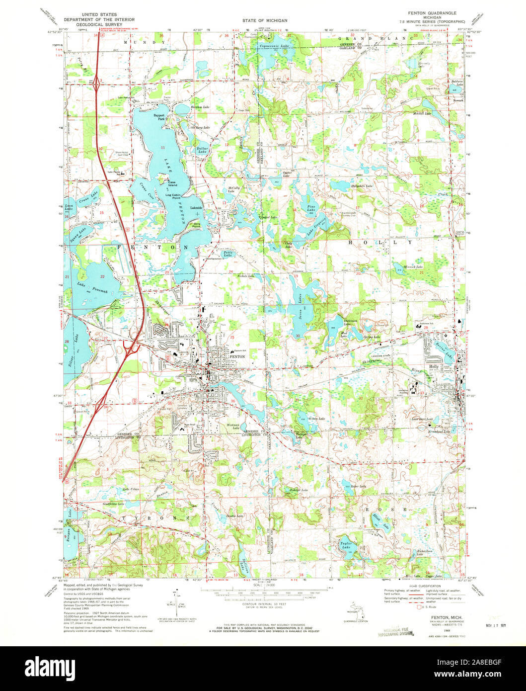 USGS TOPO Map Michigan MI Fenton 276090 1969 24000 Stock Photohttps://www.alamy.com/image-license-details/?v=1https://www.alamy.com/usgs-topo-map-michigan-mi-fenton-276090-1969-24000-image332230655.html
RM2A8EBGF–USGS TOPO Map Michigan MI Fenton 276090 1969 24000
 Dish, Fenton Art Glass Company, Williamstown WV, 1906 1920, glass Bennington Museum Bennington, VT DSC08902 Stock Photohttps://www.alamy.com/image-license-details/?v=1https://www.alamy.com/dish-fenton-art-glass-company-williamstown-wv-1906-1920-glass-bennington-image153145425.html
RMJW4AFD–Dish, Fenton Art Glass Company, Williamstown WV, 1906 1920, glass Bennington Museum Bennington, VT DSC08902
 Fenton East, Toowoomba, AU, Australia, Queensland, S 27 48' 7'', N 151 46' 9'', map, Cartascapes Map published in 2024. Explore Cartascapes, a map revealing Earth's diverse landscapes, cultures, and ecosystems. Journey through time and space, discovering the interconnectedness of our planet's past, present, and future. Stock Photohttps://www.alamy.com/image-license-details/?v=1https://www.alamy.com/fenton-east-toowoomba-au-australia-queensland-s-27-48-7-n-151-46-9-map-cartascapes-map-published-in-2024-explore-cartascapes-a-map-revealing-earths-diverse-landscapes-cultures-and-ecosystems-journey-through-time-and-space-discovering-the-interconnectedness-of-our-planets-past-present-and-future-image625497779.html
RM2Y9HTPB–Fenton East, Toowoomba, AU, Australia, Queensland, S 27 48' 7'', N 151 46' 9'', map, Cartascapes Map published in 2024. Explore Cartascapes, a map revealing Earth's diverse landscapes, cultures, and ecosystems. Journey through time and space, discovering the interconnectedness of our planet's past, present, and future.
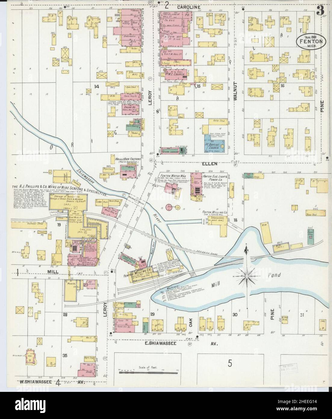 Sanborn Fire Insurance Map from Fenton, Genesee County, Michigan. Stock Photohttps://www.alamy.com/image-license-details/?v=1https://www.alamy.com/sanborn-fire-insurance-map-from-fenton-genesee-county-michigan-image456394656.html
RM2HEEG14–Sanborn Fire Insurance Map from Fenton, Genesee County, Michigan.
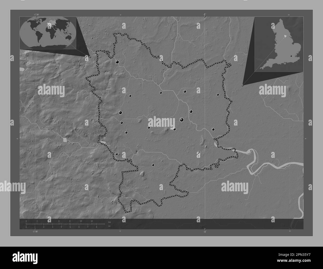 Selby, non metropolitan district of England - Great Britain. Bilevel elevation map with lakes and rivers. Locations of major cities of the region. Cor Stock Photohttps://www.alamy.com/image-license-details/?v=1https://www.alamy.com/selby-non-metropolitan-district-of-england-great-britain-bilevel-elevation-map-with-lakes-and-rivers-locations-of-major-cities-of-the-region-cor-image546499723.html
RF2PN35Y7–Selby, non metropolitan district of England - Great Britain. Bilevel elevation map with lakes and rivers. Locations of major cities of the region. Cor
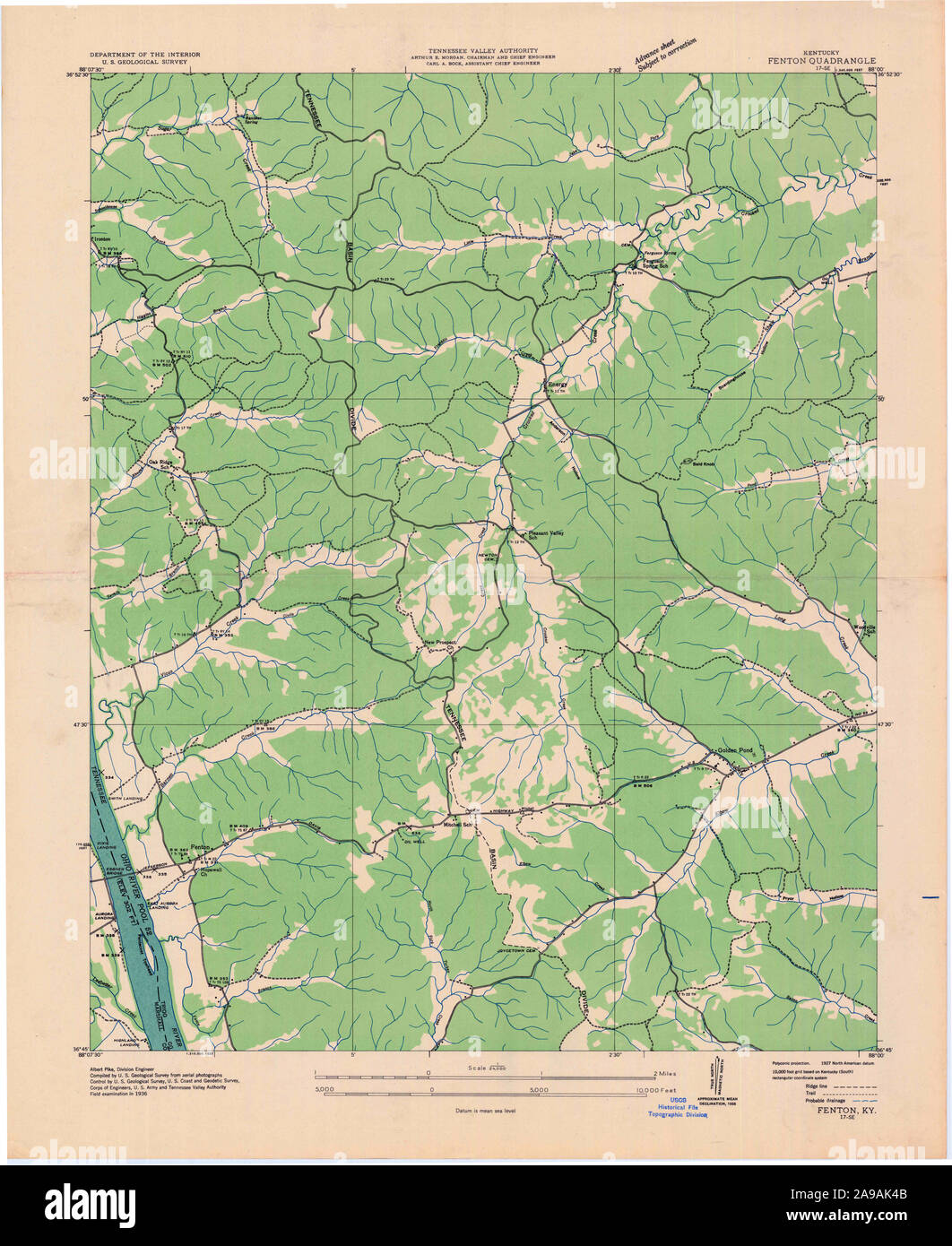 USGS TOPO Map Kentucky KY Fenton 803519 1936 24000 Stock Photohttps://www.alamy.com/image-license-details/?v=1https://www.alamy.com/usgs-topo-map-kentucky-ky-fenton-803519-1936-24000-image332763435.html
RM2A9AK4B–USGS TOPO Map Kentucky KY Fenton 803519 1936 24000
 Dish, Fenton Art Glass Company, Williamstown WV, 1906 1920, glass Bennington Museum Bennington, VT DSC08902 Stock Photohttps://www.alamy.com/image-license-details/?v=1https://www.alamy.com/dish-fenton-art-glass-company-williamstown-wv-1906-1920-glass-bennington-image153757720.html
RMJX47F4–Dish, Fenton Art Glass Company, Williamstown WV, 1906 1920, glass Bennington Museum Bennington, VT DSC08902
 Fenton, Onkaparinga, AU, Australia, South Australia, S 35 13' 55'', N 138 34' 55'', map, Cartascapes Map published in 2024. Explore Cartascapes, a map revealing Earth's diverse landscapes, cultures, and ecosystems. Journey through time and space, discovering the interconnectedness of our planet's past, present, and future. Stock Photohttps://www.alamy.com/image-license-details/?v=1https://www.alamy.com/fenton-onkaparinga-au-australia-south-australia-s-35-13-55-n-138-34-55-map-cartascapes-map-published-in-2024-explore-cartascapes-a-map-revealing-earths-diverse-landscapes-cultures-and-ecosystems-journey-through-time-and-space-discovering-the-interconnectedness-of-our-planets-past-present-and-future-image625676157.html
RM2Y9X091–Fenton, Onkaparinga, AU, Australia, South Australia, S 35 13' 55'', N 138 34' 55'', map, Cartascapes Map published in 2024. Explore Cartascapes, a map revealing Earth's diverse landscapes, cultures, and ecosystems. Journey through time and space, discovering the interconnectedness of our planet's past, present, and future.
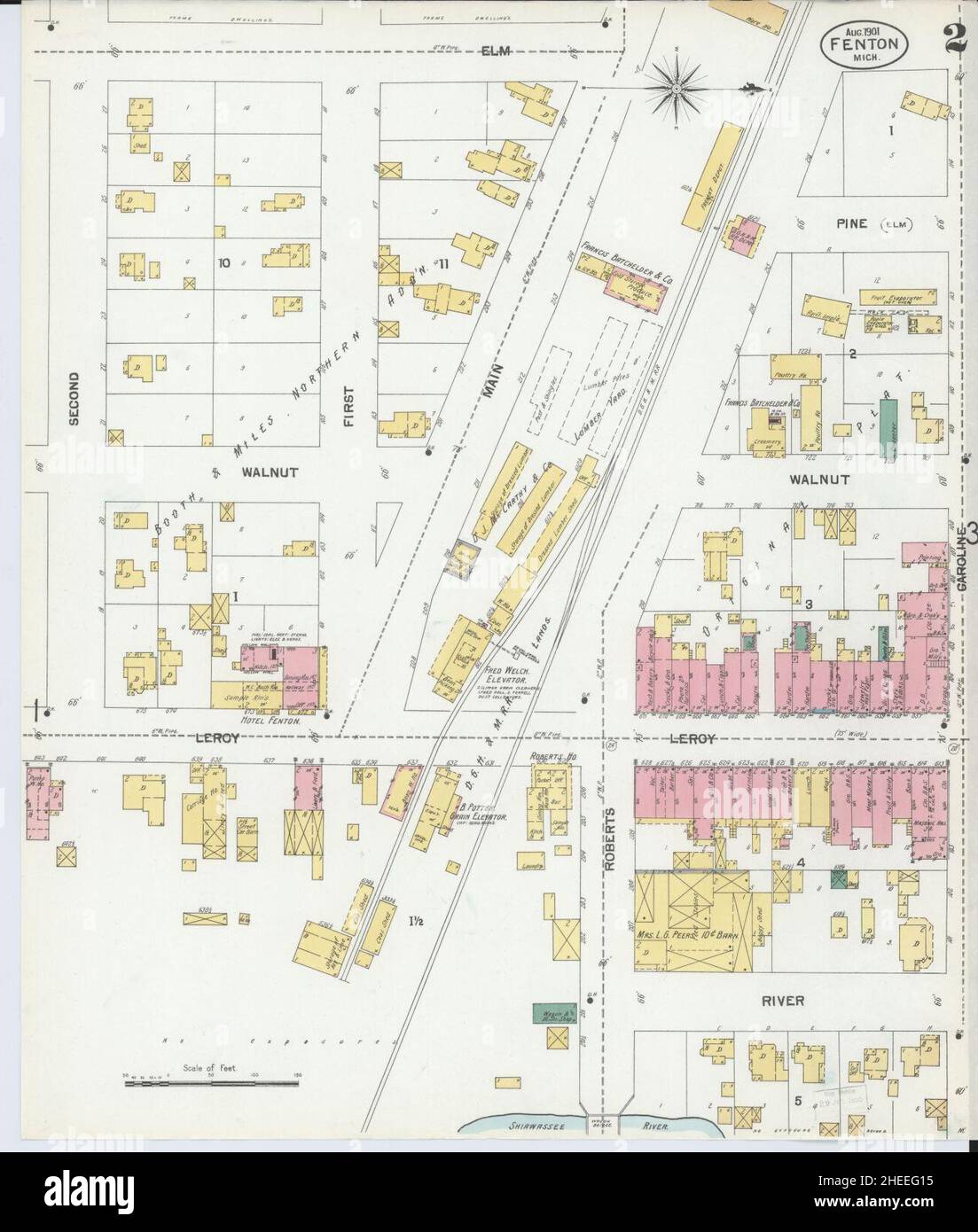 Sanborn Fire Insurance Map from Fenton, Genesee County, Michigan. Stock Photohttps://www.alamy.com/image-license-details/?v=1https://www.alamy.com/sanborn-fire-insurance-map-from-fenton-genesee-county-michigan-image456394657.html
RM2HEEG15–Sanborn Fire Insurance Map from Fenton, Genesee County, Michigan.
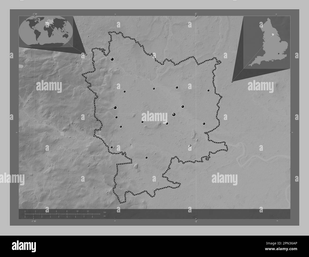 Selby, non metropolitan district of England - Great Britain. Grayscale elevation map with lakes and rivers. Locations of major cities of the region. C Stock Photohttps://www.alamy.com/image-license-details/?v=1https://www.alamy.com/selby-non-metropolitan-district-of-england-great-britain-grayscale-elevation-map-with-lakes-and-rivers-locations-of-major-cities-of-the-region-c-image546500046.html
RF2PN36AP–Selby, non metropolitan district of England - Great Britain. Grayscale elevation map with lakes and rivers. Locations of major cities of the region. C
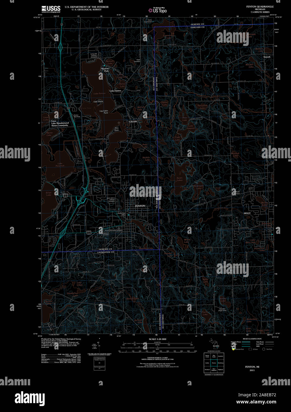 USGS TOPO Map Michigan MI Fenton 20111020 TM Inverted Stock Photohttps://www.alamy.com/image-license-details/?v=1https://www.alamy.com/usgs-topo-map-michigan-mi-fenton-20111020-tm-inverted-image332230390.html
RM2A8EB72–USGS TOPO Map Michigan MI Fenton 20111020 TM Inverted
 Bowl, Millersburg Glass, Imperial Glass, Fenton Art Glass, or Northwood Glass companies, Ohio or West Virginia, 1905 1920, glass Bennington Museum Bennington, VT DSC08899 Stock Photohttps://www.alamy.com/image-license-details/?v=1https://www.alamy.com/bowl-millersburg-glass-imperial-glass-fenton-art-glass-or-northwood-image153145423.html
RMJW4AFB–Bowl, Millersburg Glass, Imperial Glass, Fenton Art Glass, or Northwood Glass companies, Ohio or West Virginia, 1905 1920, glass Bennington Museum Bennington, VT DSC08899
 Fenton Airfield, , AU, Australia, Northern Territory, S 13 37' 22'', N 131 20' 15'', map, Cartascapes Map published in 2024. Explore Cartascapes, a map revealing Earth's diverse landscapes, cultures, and ecosystems. Journey through time and space, discovering the interconnectedness of our planet's past, present, and future. Stock Photohttps://www.alamy.com/image-license-details/?v=1https://www.alamy.com/fenton-airfield-au-australia-northern-territory-s-13-37-22-n-131-20-15-map-cartascapes-map-published-in-2024-explore-cartascapes-a-map-revealing-earths-diverse-landscapes-cultures-and-ecosystems-journey-through-time-and-space-discovering-the-interconnectedness-of-our-planets-past-present-and-future-image625423992.html
RM2Y9EEK4–Fenton Airfield, , AU, Australia, Northern Territory, S 13 37' 22'', N 131 20' 15'', map, Cartascapes Map published in 2024. Explore Cartascapes, a map revealing Earth's diverse landscapes, cultures, and ecosystems. Journey through time and space, discovering the interconnectedness of our planet's past, present, and future.
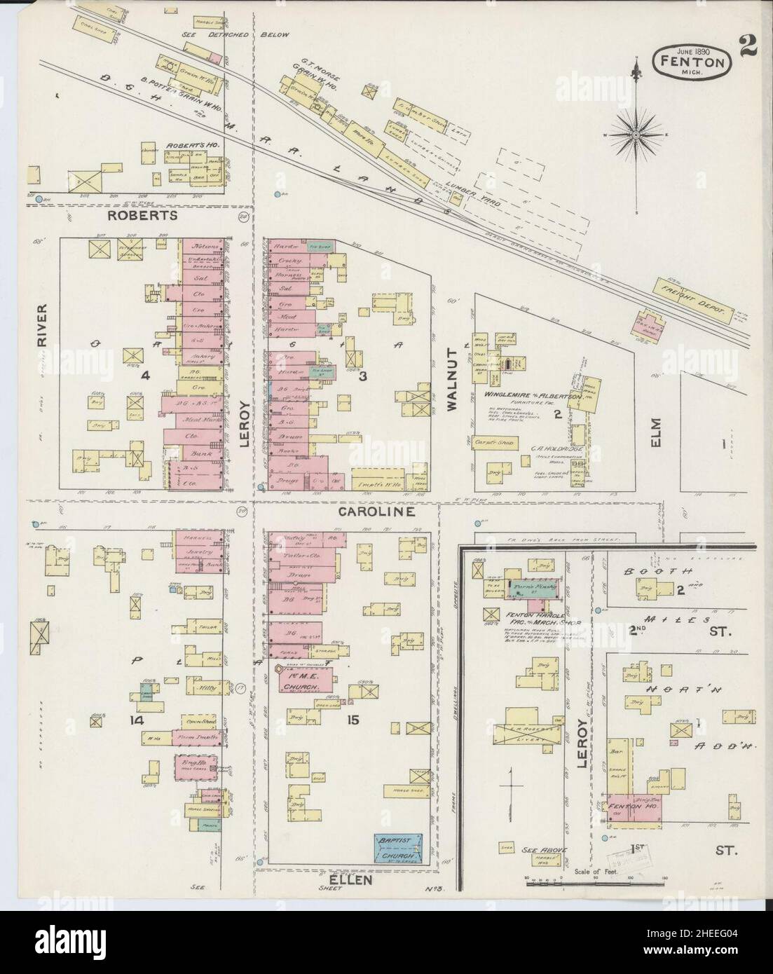 Sanborn Fire Insurance Map from Fenton, Genesee County, Michigan. Stock Photohttps://www.alamy.com/image-license-details/?v=1https://www.alamy.com/sanborn-fire-insurance-map-from-fenton-genesee-county-michigan-image456394628.html
RM2HEEG04–Sanborn Fire Insurance Map from Fenton, Genesee County, Michigan.
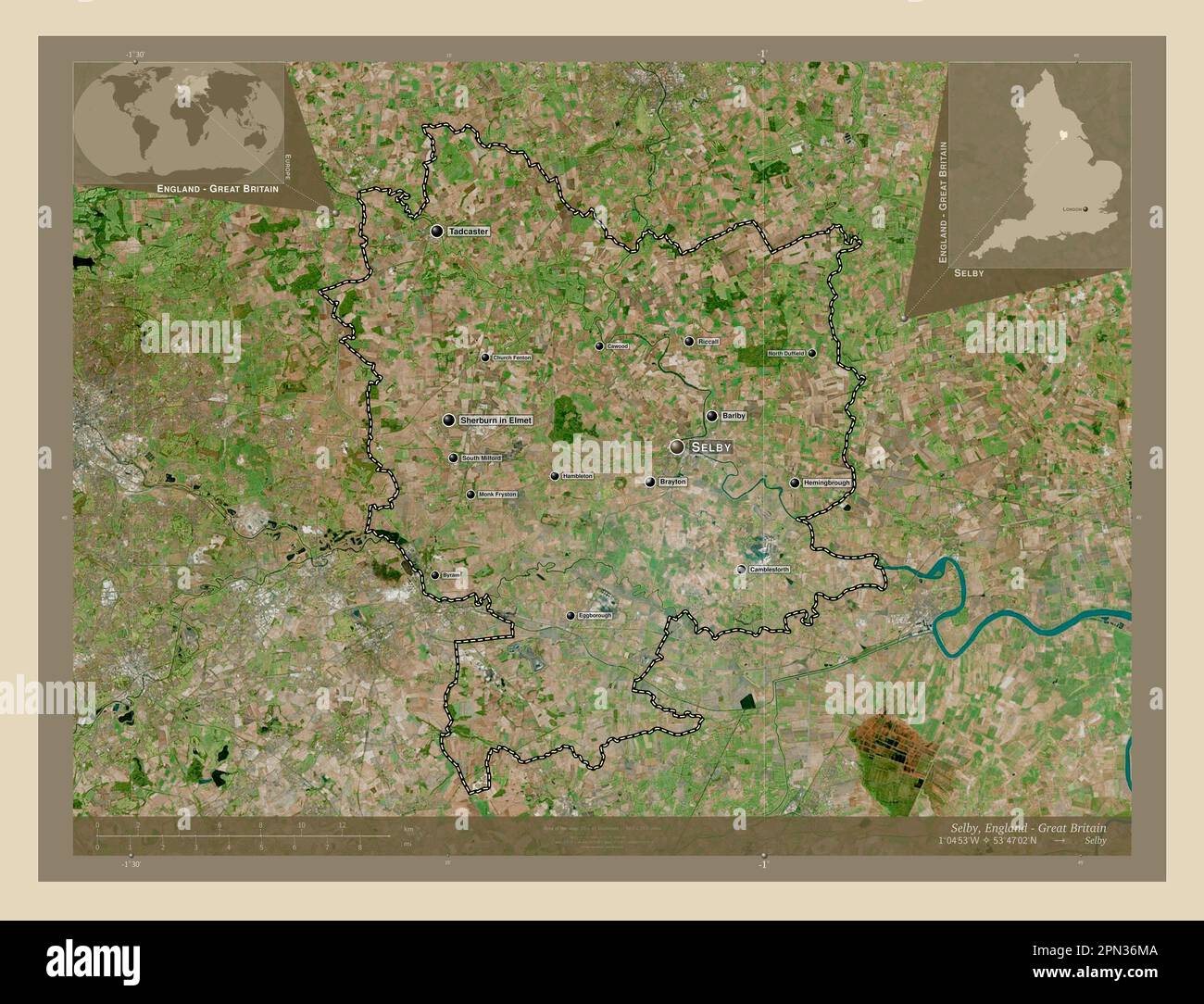 Selby, non metropolitan district of England - Great Britain. High resolution satellite map. Locations and names of major cities of the region. Corner Stock Photohttps://www.alamy.com/image-license-details/?v=1https://www.alamy.com/selby-non-metropolitan-district-of-england-great-britain-high-resolution-satellite-map-locations-and-names-of-major-cities-of-the-region-corner-image546500314.html
RF2PN36MA–Selby, non metropolitan district of England - Great Britain. High resolution satellite map. Locations and names of major cities of the region. Corner
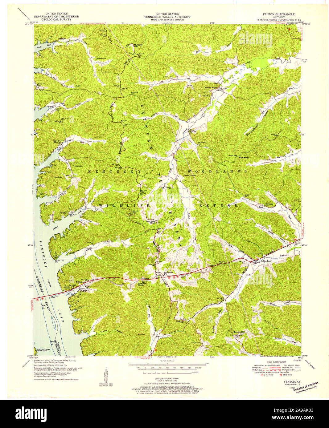 USGS TOPO Map Kentucky KY Fenton 708650 1950 24000 Stock Photohttps://www.alamy.com/image-license-details/?v=1https://www.alamy.com/usgs-topo-map-kentucky-ky-fenton-708650-1950-24000-image332763315.html
RM2A9AK03–USGS TOPO Map Kentucky KY Fenton 708650 1950 24000
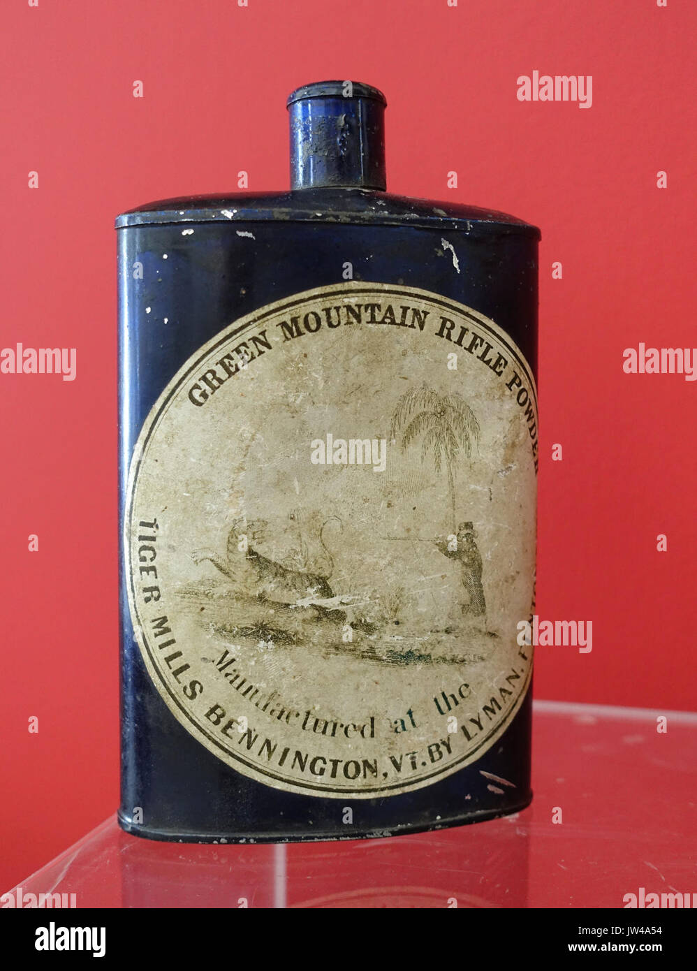 Green Mountain Rifle Powder, manufactured at the Tiger Mills, Bennington VT, by Lyman, Fenton Co , undated, tinned iron with pewter cap Bennington Museum Bennington, VT DSC08613 Stock Photohttps://www.alamy.com/image-license-details/?v=1https://www.alamy.com/green-mountain-rifle-powder-manufactured-at-the-tiger-mills-bennington-image153145136.html
RMJW4A54–Green Mountain Rifle Powder, manufactured at the Tiger Mills, Bennington VT, by Lyman, Fenton Co , undated, tinned iron with pewter cap Bennington Museum Bennington, VT DSC08613
 Fenton Patches, , AU, Australia, Northern Territory, S 12 11' 30'', N 130 42' 29'', map, Cartascapes Map published in 2024. Explore Cartascapes, a map revealing Earth's diverse landscapes, cultures, and ecosystems. Journey through time and space, discovering the interconnectedness of our planet's past, present, and future. Stock Photohttps://www.alamy.com/image-license-details/?v=1https://www.alamy.com/fenton-patches-au-australia-northern-territory-s-12-11-30-n-130-42-29-map-cartascapes-map-published-in-2024-explore-cartascapes-a-map-revealing-earths-diverse-landscapes-cultures-and-ecosystems-journey-through-time-and-space-discovering-the-interconnectedness-of-our-planets-past-present-and-future-image625478167.html
RM2Y9GYNY–Fenton Patches, , AU, Australia, Northern Territory, S 12 11' 30'', N 130 42' 29'', map, Cartascapes Map published in 2024. Explore Cartascapes, a map revealing Earth's diverse landscapes, cultures, and ecosystems. Journey through time and space, discovering the interconnectedness of our planet's past, present, and future.
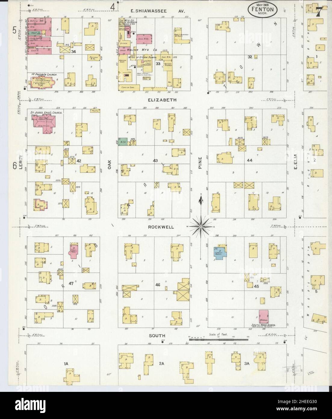 Sanborn Fire Insurance Map from Fenton, Genesee County, Michigan. Stock Photohttps://www.alamy.com/image-license-details/?v=1https://www.alamy.com/sanborn-fire-insurance-map-from-fenton-genesee-county-michigan-image456394708.html
RM2HEEG30–Sanborn Fire Insurance Map from Fenton, Genesee County, Michigan.
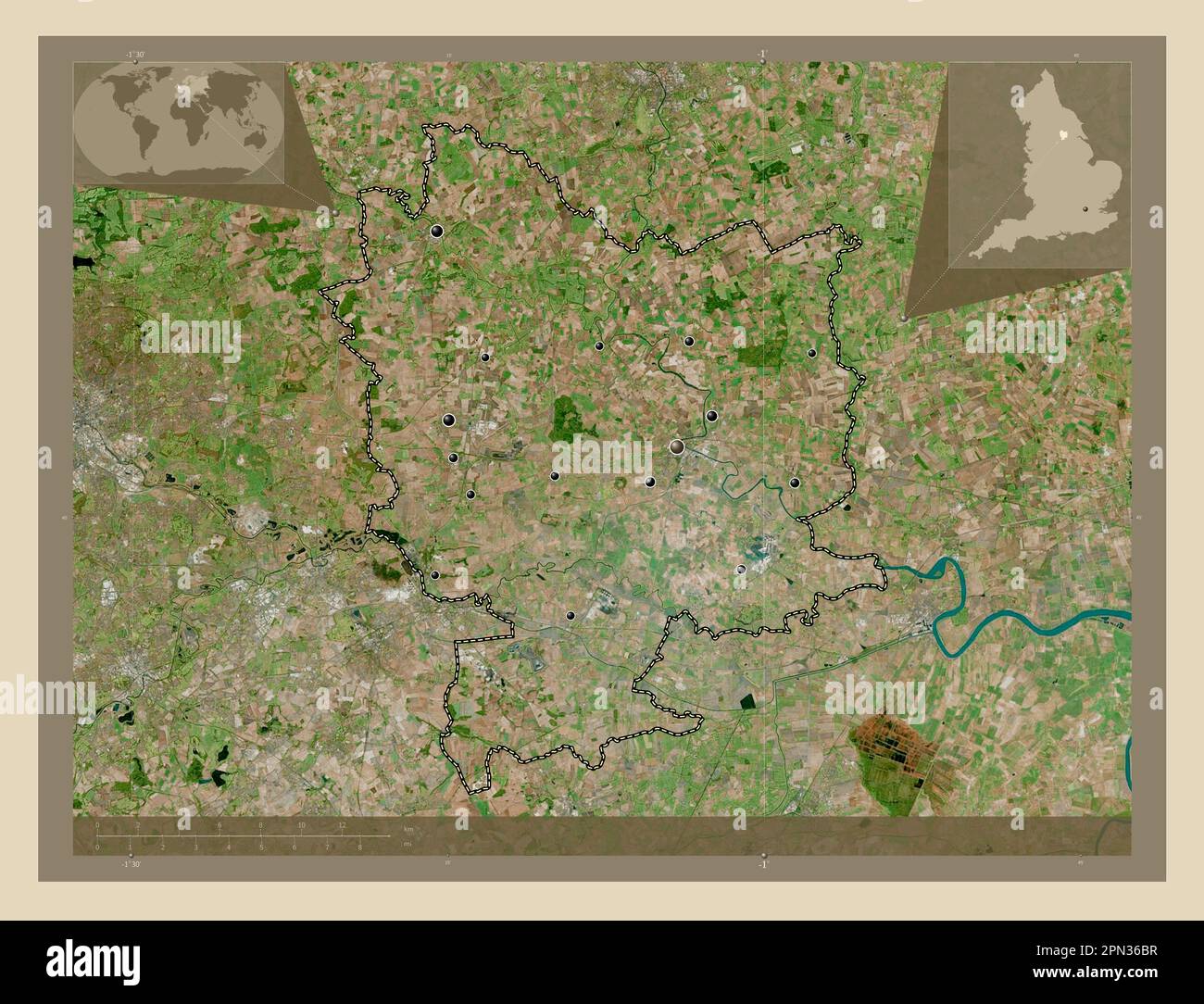 Selby, non metropolitan district of England - Great Britain. High resolution satellite map. Locations of major cities of the region. Corner auxiliary Stock Photohttps://www.alamy.com/image-license-details/?v=1https://www.alamy.com/selby-non-metropolitan-district-of-england-great-britain-high-resolution-satellite-map-locations-of-major-cities-of-the-region-corner-auxiliary-image546500075.html
RF2PN36BR–Selby, non metropolitan district of England - Great Britain. High resolution satellite map. Locations of major cities of the region. Corner auxiliary
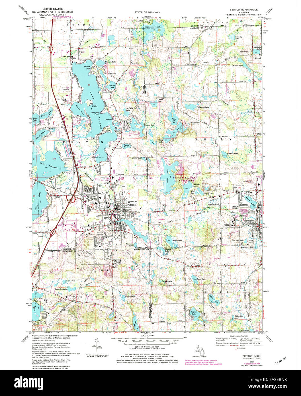 USGS TOPO Map Michigan MI Fenton 276092 1969 24000 Stock Photohttps://www.alamy.com/image-license-details/?v=1https://www.alamy.com/usgs-topo-map-michigan-mi-fenton-276092-1969-24000-image332230806.html
RM2A8EBNX–USGS TOPO Map Michigan MI Fenton 276092 1969 24000
 Dish, Millersburg Glass, Imperial Glass, Fenton Art Glass, or Northwood Glass companies, Ohio or West Virginia, 1905 1920, glass Bennington Museum Bennington, VT DSC08898 Stock Photohttps://www.alamy.com/image-license-details/?v=1https://www.alamy.com/dish-millersburg-glass-imperial-glass-fenton-art-glass-or-northwood-image153145422.html
RMJW4AFA–Dish, Millersburg Glass, Imperial Glass, Fenton Art Glass, or Northwood Glass companies, Ohio or West Virginia, 1905 1920, glass Bennington Museum Bennington, VT DSC08898
 Fenton Hall, Alpine, AU, Australia, Victoria, S 36 26' 54'', N 146 57' 29'', map, Cartascapes Map published in 2024. Explore Cartascapes, a map revealing Earth's diverse landscapes, cultures, and ecosystems. Journey through time and space, discovering the interconnectedness of our planet's past, present, and future. Stock Photohttps://www.alamy.com/image-license-details/?v=1https://www.alamy.com/fenton-hall-alpine-au-australia-victoria-s-36-26-54-n-146-57-29-map-cartascapes-map-published-in-2024-explore-cartascapes-a-map-revealing-earths-diverse-landscapes-cultures-and-ecosystems-journey-through-time-and-space-discovering-the-interconnectedness-of-our-planets-past-present-and-future-image625559521.html
RM2Y9MKFD–Fenton Hall, Alpine, AU, Australia, Victoria, S 36 26' 54'', N 146 57' 29'', map, Cartascapes Map published in 2024. Explore Cartascapes, a map revealing Earth's diverse landscapes, cultures, and ecosystems. Journey through time and space, discovering the interconnectedness of our planet's past, present, and future.
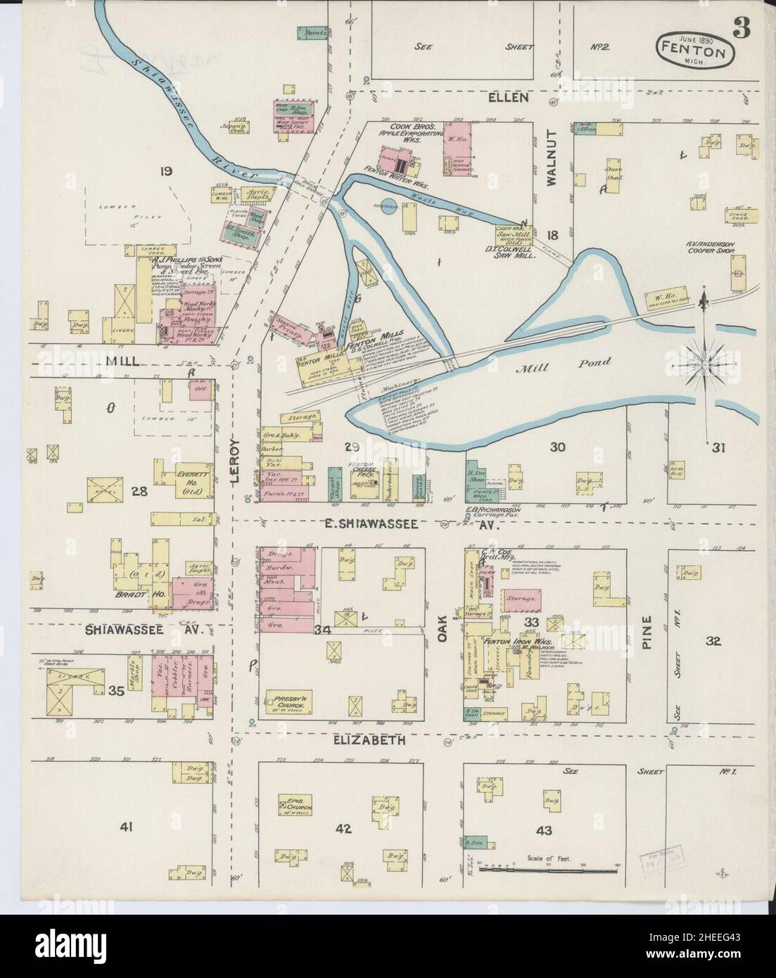 Sanborn Fire Insurance Map from Fenton, Genesee County, Michigan. Stock Photohttps://www.alamy.com/image-license-details/?v=1https://www.alamy.com/sanborn-fire-insurance-map-from-fenton-genesee-county-michigan-image456394739.html
RM2HEEG43–Sanborn Fire Insurance Map from Fenton, Genesee County, Michigan.
 Selby, non metropolitan district of England - Great Britain. Colored elevation map with lakes and rivers. Locations and names of major cities of the r Stock Photohttps://www.alamy.com/image-license-details/?v=1https://www.alamy.com/selby-non-metropolitan-district-of-england-great-britain-colored-elevation-map-with-lakes-and-rivers-locations-and-names-of-major-cities-of-the-r-image546500370.html
RF2PN36PA–Selby, non metropolitan district of England - Great Britain. Colored elevation map with lakes and rivers. Locations and names of major cities of the r
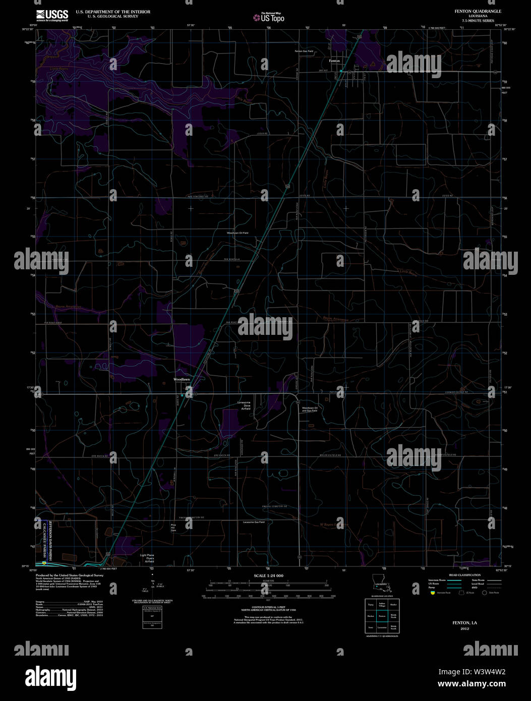 USGS TOPO Map Louisiana LA Fenton 20120321 TM Inverted Restoration Stock Photohttps://www.alamy.com/image-license-details/?v=1https://www.alamy.com/usgs-topo-map-louisiana-la-fenton-20120321-tm-inverted-restoration-image260552126.html
RMW3W4W2–USGS TOPO Map Louisiana LA Fenton 20120321 TM Inverted Restoration
 Dish, Millersburg Glass, Imperial Glass, Fenton Art Glass, or Northwood Glass companies, Ohio or West Virginia, 1905 1920, glass Bennington Museum Bennington, VT DSC08898 Stock Photohttps://www.alamy.com/image-license-details/?v=1https://www.alamy.com/dish-millersburg-glass-imperial-glass-fenton-art-glass-or-northwood-image153757717.html
RMJX47F1–Dish, Millersburg Glass, Imperial Glass, Fenton Art Glass, or Northwood Glass companies, Ohio or West Virginia, 1905 1920, glass Bennington Museum Bennington, VT DSC08898
 Fenton, Balonne Shire, AU, Australia, Queensland, S 28 55' 55'', N 148 44' 56'', map, Cartascapes Map published in 2024. Explore Cartascapes, a map revealing Earth's diverse landscapes, cultures, and ecosystems. Journey through time and space, discovering the interconnectedness of our planet's past, present, and future. Stock Photohttps://www.alamy.com/image-license-details/?v=1https://www.alamy.com/fenton-balonne-shire-au-australia-queensland-s-28-55-55-n-148-44-56-map-cartascapes-map-published-in-2024-explore-cartascapes-a-map-revealing-earths-diverse-landscapes-cultures-and-ecosystems-journey-through-time-and-space-discovering-the-interconnectedness-of-our-planets-past-present-and-future-image625513952.html
RM2Y9JHC0–Fenton, Balonne Shire, AU, Australia, Queensland, S 28 55' 55'', N 148 44' 56'', map, Cartascapes Map published in 2024. Explore Cartascapes, a map revealing Earth's diverse landscapes, cultures, and ecosystems. Journey through time and space, discovering the interconnectedness of our planet's past, present, and future.
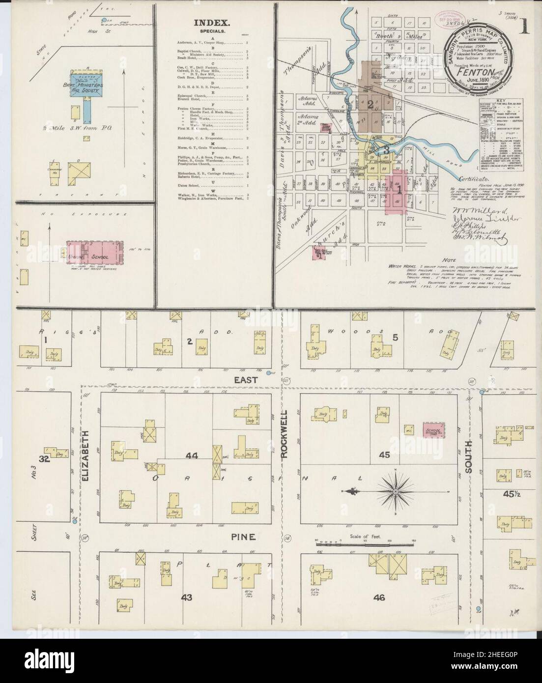 Sanborn Fire Insurance Map from Fenton, Genesee County, Michigan. Stock Photohttps://www.alamy.com/image-license-details/?v=1https://www.alamy.com/sanborn-fire-insurance-map-from-fenton-genesee-county-michigan-image456394646.html
RM2HEEG0P–Sanborn Fire Insurance Map from Fenton, Genesee County, Michigan.