Quick filters:
Fiji map Stock Photos and Images
 Fiji political map with capital Suva, islands, important cities and reefs. English labeling and scaling. Illustration. Stock Photohttps://www.alamy.com/image-license-details/?v=1https://www.alamy.com/stock-photo-fiji-political-map-with-capital-suva-islands-important-cities-and-105684845.html
RFG3XA2N–Fiji political map with capital Suva, islands, important cities and reefs. English labeling and scaling. Illustration.
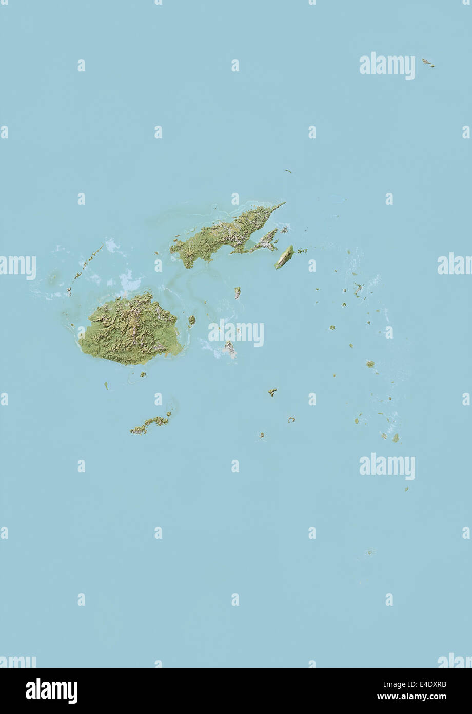 Fiji, Relief Map Stock Photohttps://www.alamy.com/image-license-details/?v=1https://www.alamy.com/stock-photo-fiji-relief-map-71606511.html
RME4DXRB–Fiji, Relief Map
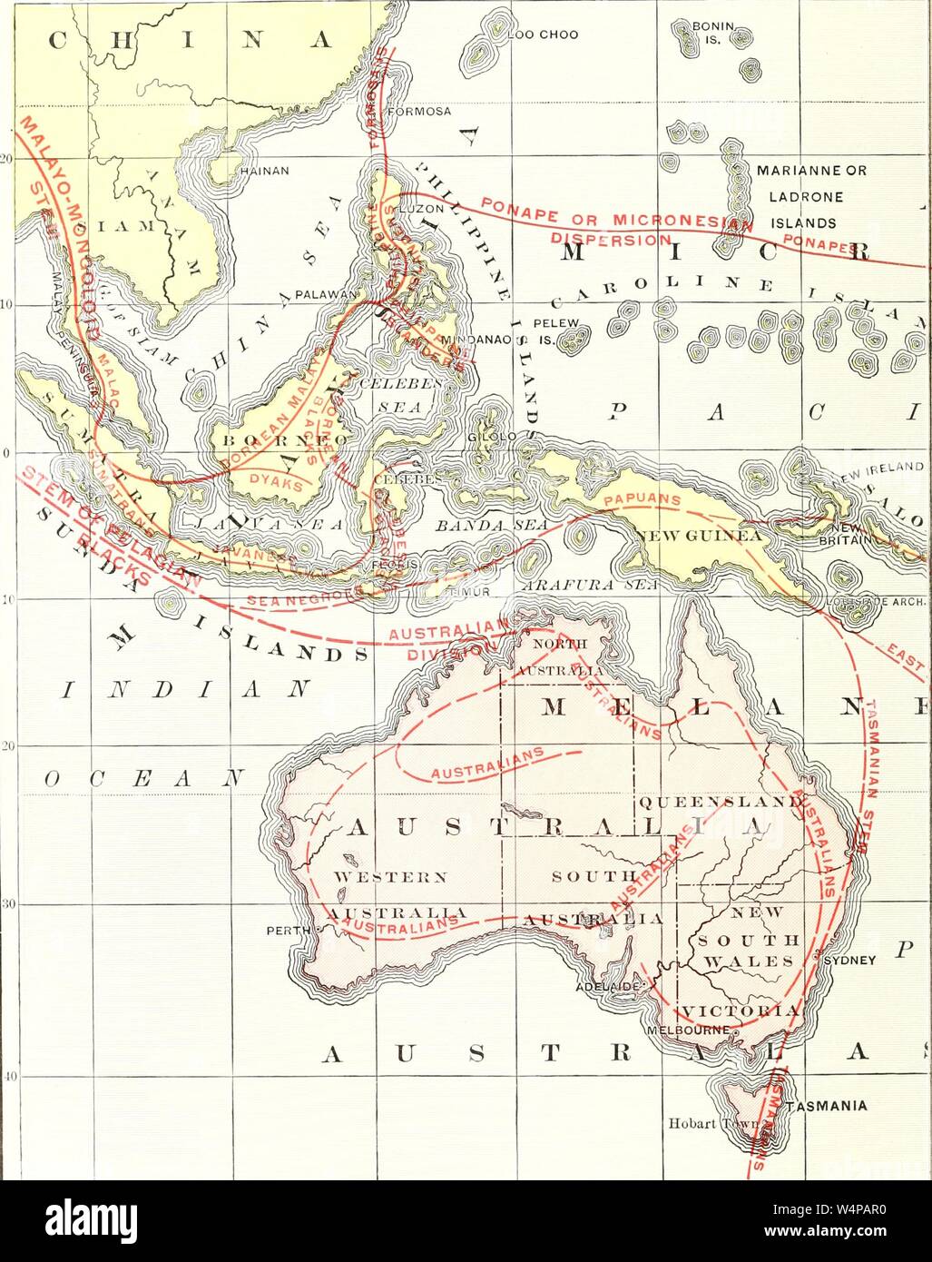 Engraved map of the geographical distribution of Brown Polynesians and Pelagian Blacks, from the book 'Ridpath's Universal history' by John Clark Ridpath, 1897. Courtesy Internet Archive. () Stock Photohttps://www.alamy.com/image-license-details/?v=1https://www.alamy.com/engraved-map-of-the-geographical-distribution-of-brown-polynesians-and-pelagian-blacks-from-the-book-ridpaths-universal-history-by-john-clark-ridpath-1897-courtesy-internet-archive-image261105572.html
RMW4PAR0–Engraved map of the geographical distribution of Brown Polynesians and Pelagian Blacks, from the book 'Ridpath's Universal history' by John Clark Ridpath, 1897. Courtesy Internet Archive. ()
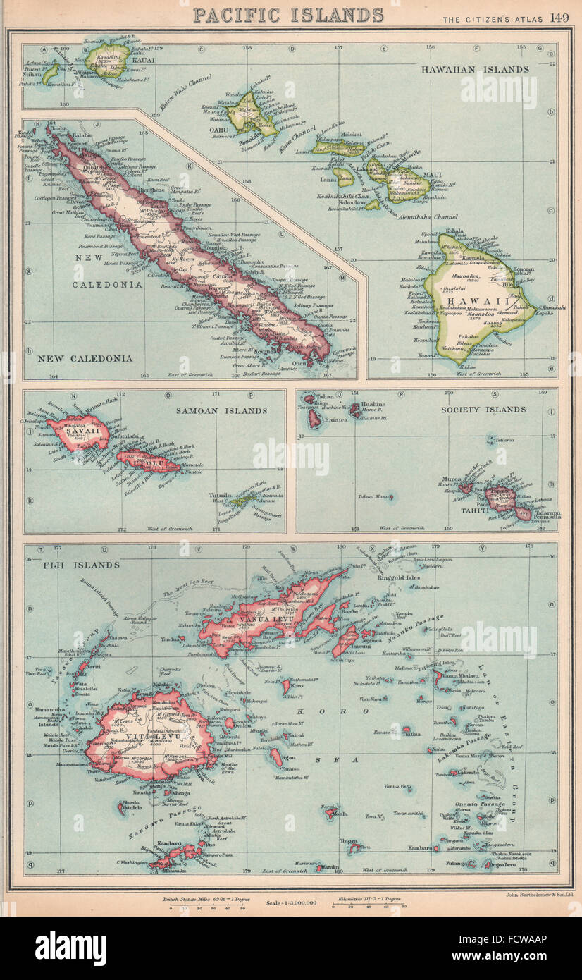 PACIFIC ISLANDS: Hawaii Samoa Society Islands Fiji New Caledonia, 1924 old map Stock Photohttps://www.alamy.com/image-license-details/?v=1https://www.alamy.com/stock-photo-pacific-islands-hawaii-samoa-society-islands-fiji-new-caledonia-1924-93984654.html
RFFCWAAP–PACIFIC ISLANDS: Hawaii Samoa Society Islands Fiji New Caledonia, 1924 old map
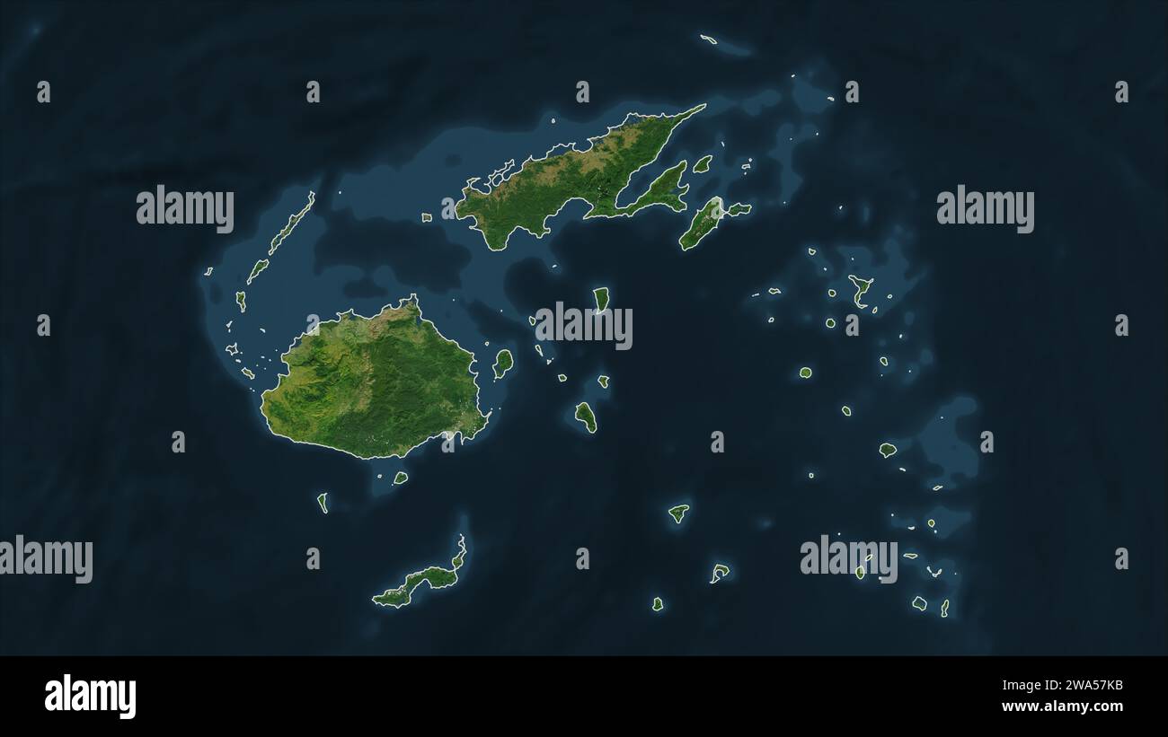 Fiji outlined on a high resolution satellite map Stock Photohttps://www.alamy.com/image-license-details/?v=1https://www.alamy.com/fiji-outlined-on-a-high-resolution-satellite-map-image591414863.html
RF2WA57KB–Fiji outlined on a high resolution satellite map
 Map of Fiji Stock Photohttps://www.alamy.com/image-license-details/?v=1https://www.alamy.com/stock-photo-map-of-fiji-11563738.html
RFA6FPFR–Map of Fiji
RF2KYRYR2–Fiji Map Silhouette Pixelated generative pattern illustration
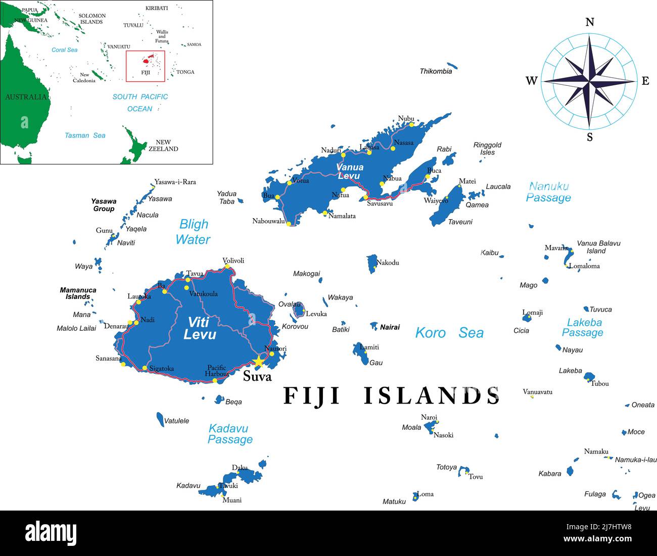 Highly detailed vector map of Fiji with main cities and roads. Stock Vectorhttps://www.alamy.com/image-license-details/?v=1https://www.alamy.com/highly-detailed-vector-map-of-fiji-with-main-cities-and-roads-image469375236.html
RF2J7HTW8–Highly detailed vector map of Fiji with main cities and roads.
 Abstract Dotted Halftone with starry effect in dark Blue background with map of Fiji. Digital dotted technology design sphere and structure. vector il Stock Vectorhttps://www.alamy.com/image-license-details/?v=1https://www.alamy.com/abstract-dotted-halftone-with-starry-effect-in-dark-blue-background-with-map-of-fiji-digital-dotted-technology-design-sphere-and-structure-vector-il-image449586617.html
RF2H3CC8W–Abstract Dotted Halftone with starry effect in dark Blue background with map of Fiji. Digital dotted technology design sphere and structure. vector il
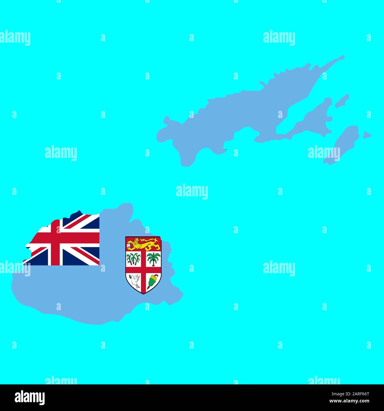 Fiji Map flag Vector illustration eps 10. Stock Vectorhttps://www.alamy.com/image-license-details/?v=1https://www.alamy.com/fiji-map-flag-vector-illustration-eps-10-image341468256.html
RF2ARF66T–Fiji Map flag Vector illustration eps 10.
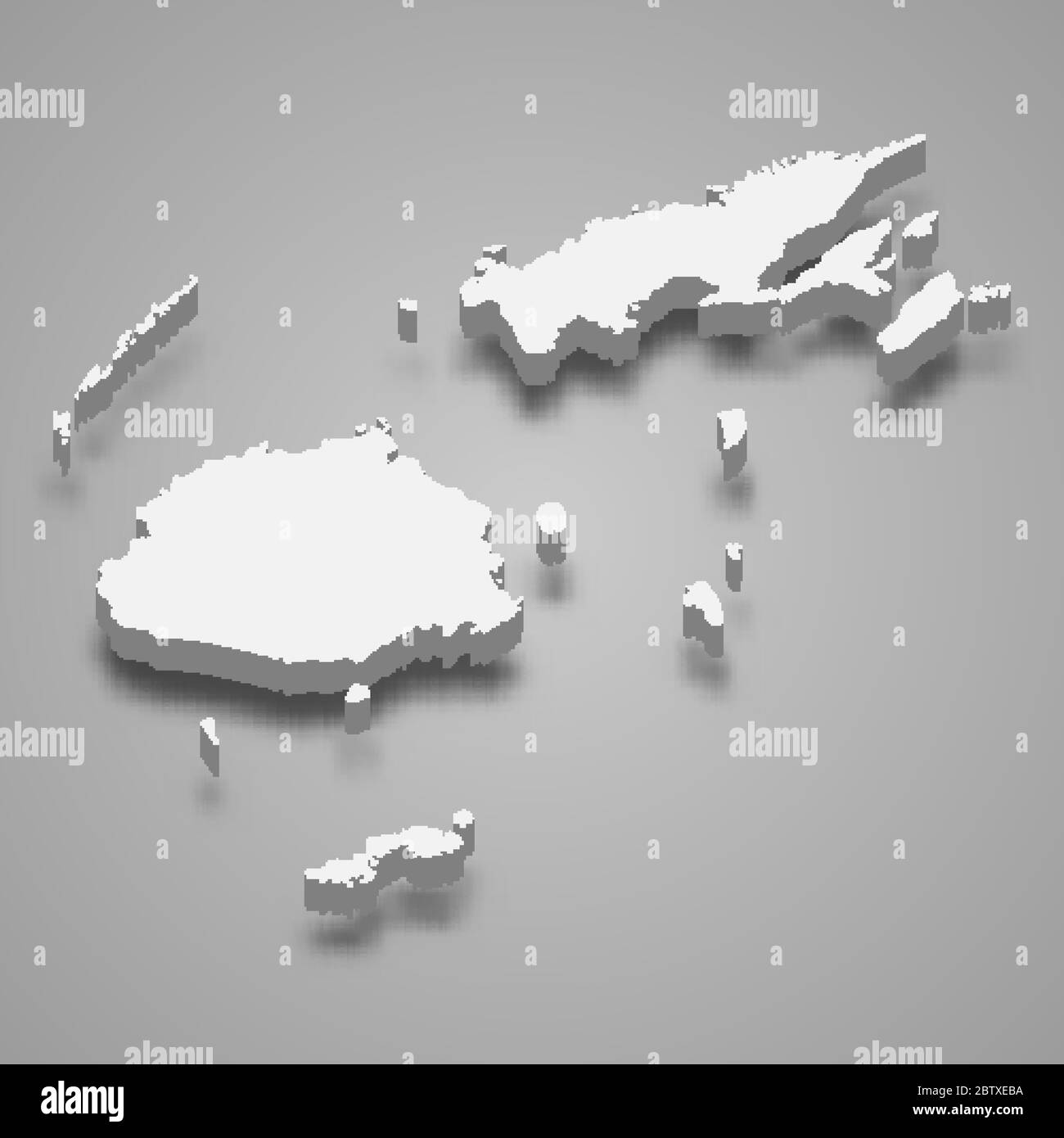 3d map of Fiji with borders of regions Stock Vectorhttps://www.alamy.com/image-license-details/?v=1https://www.alamy.com/3d-map-of-fiji-with-borders-of-regions-image359541150.html
RF2BTXEBA–3d map of Fiji with borders of regions
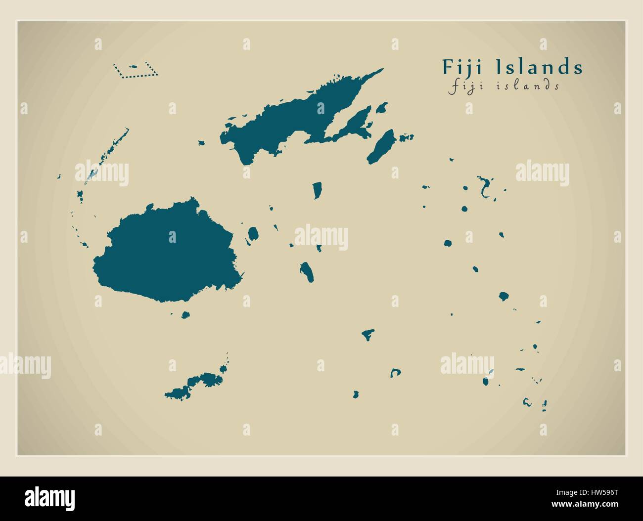 Modern Map - Fiji Islands FJ Stock Vectorhttps://www.alamy.com/image-license-details/?v=1https://www.alamy.com/stock-photo-modern-map-fiji-islands-fj-135955984.html
RFHW596T–Modern Map - Fiji Islands FJ
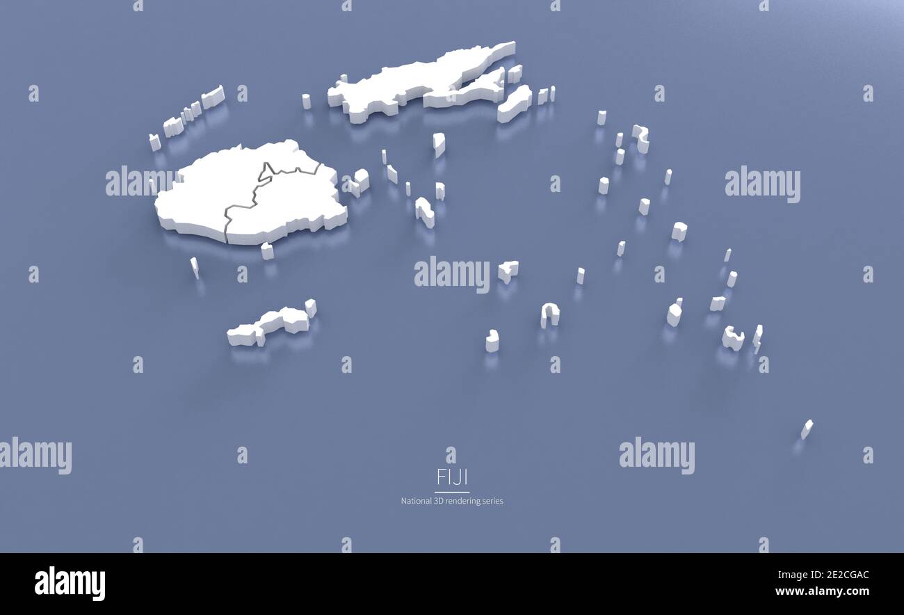 Fiji Map. 3d rendering maps of countries. Stock Photohttps://www.alamy.com/image-license-details/?v=1https://www.alamy.com/fiji-map-3d-rendering-maps-of-countries-image397344036.html
RF2E2CGAC–Fiji Map. 3d rendering maps of countries.
 . English: This a wonderful example of John Thompson’s 1814 Map of Australia, New Zealand, New Guinea and parts of Polynesia. Extends from Western Australia and the Celebes eastward as far as New Caledonia and the Fiji Islands. Extends southward as far as New Zealand and Chatham Island. Notes the discoveries of important explorers in the region including Captain Grant, Captain Bandin, Captain Cook, Captain Flinders, Captain Bass, Captain Dampier, and others. Make notes on terrain, soil, water sources, and safe ports. This map was prepared around the same time that Captain Flinders published t Stock Photohttps://www.alamy.com/image-license-details/?v=1https://www.alamy.com/english-this-a-wonderful-example-of-john-thompsons-1814-map-of-australia-new-zealand-new-guinea-and-parts-of-polynesia-extends-from-western-australia-and-the-celebes-eastward-as-far-as-new-caledonia-and-the-fiji-islands-extends-southward-as-far-as-new-zealand-and-chatham-island-notes-the-discoveries-of-important-explorers-in-the-region-including-captain-grant-captain-bandin-captain-cook-captain-flinders-captain-bass-captain-dampier-and-others-make-notes-on-terrain-soil-water-sources-and-safe-ports-this-map-was-prepared-around-the-same-time-that-captain-flinders-published-t-image184930888.html
RMMMT96G–. English: This a wonderful example of John Thompson’s 1814 Map of Australia, New Zealand, New Guinea and parts of Polynesia. Extends from Western Australia and the Celebes eastward as far as New Caledonia and the Fiji Islands. Extends southward as far as New Zealand and Chatham Island. Notes the discoveries of important explorers in the region including Captain Grant, Captain Bandin, Captain Cook, Captain Flinders, Captain Bass, Captain Dampier, and others. Make notes on terrain, soil, water sources, and safe ports. This map was prepared around the same time that Captain Flinders published t
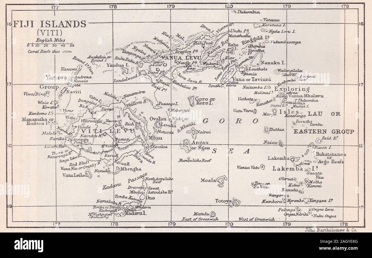 Vintage map of Fiji Islands, country in the South Pacific Stock Photohttps://www.alamy.com/image-license-details/?v=1https://www.alamy.com/vintage-map-of-fiji-islands-country-in-the-south-pacific-image337435408.html
RF2AGYE8G–Vintage map of Fiji Islands, country in the South Pacific
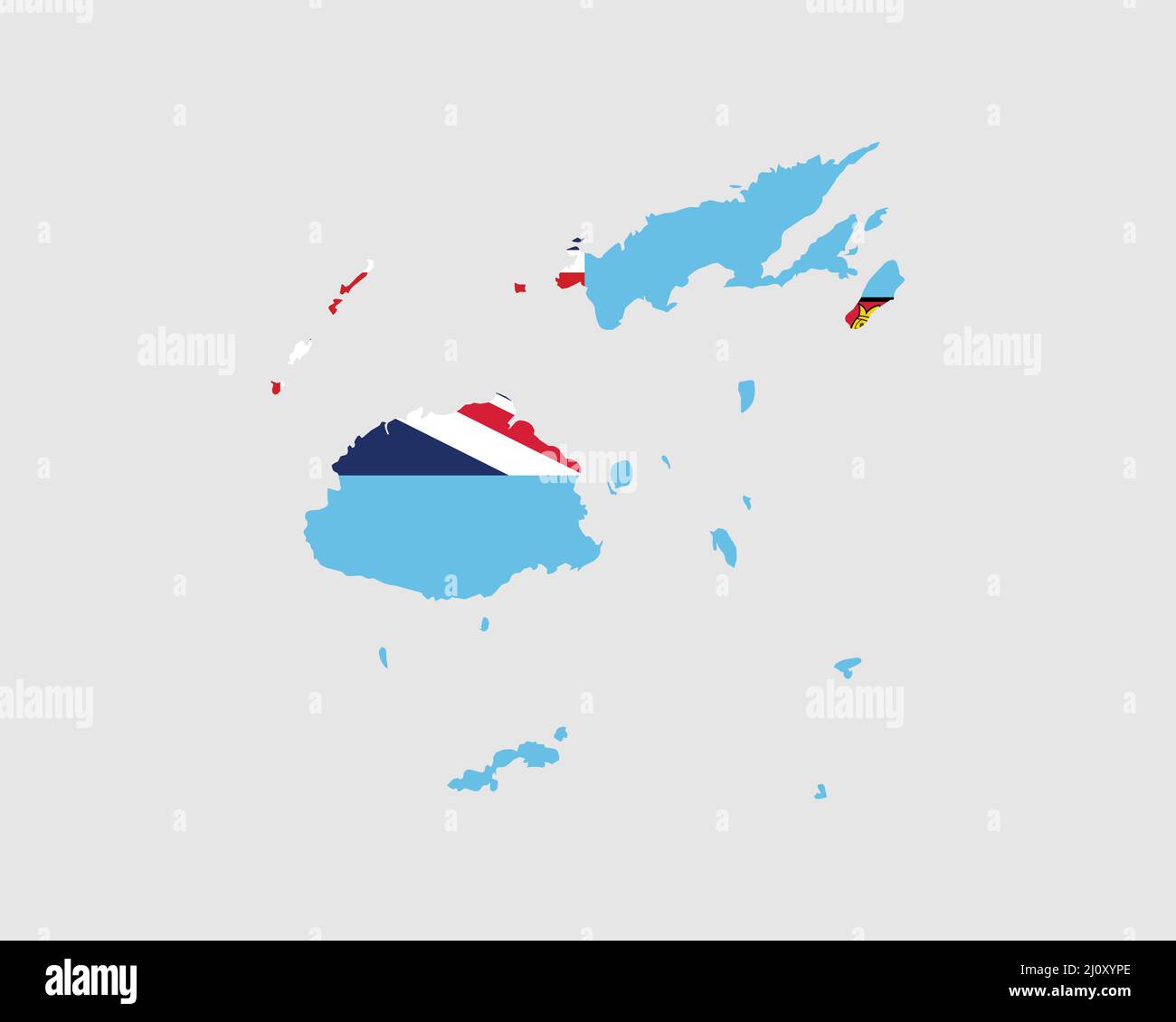 Fiji Map Flag. Map of Fiji with the Fijian country banner. Vector Illustration. Stock Vectorhttps://www.alamy.com/image-license-details/?v=1https://www.alamy.com/fiji-map-flag-map-of-fiji-with-the-fijian-country-banner-vector-illustration-image465272486.html
RF2J0XYPE–Fiji Map Flag. Map of Fiji with the Fijian country banner. Vector Illustration.
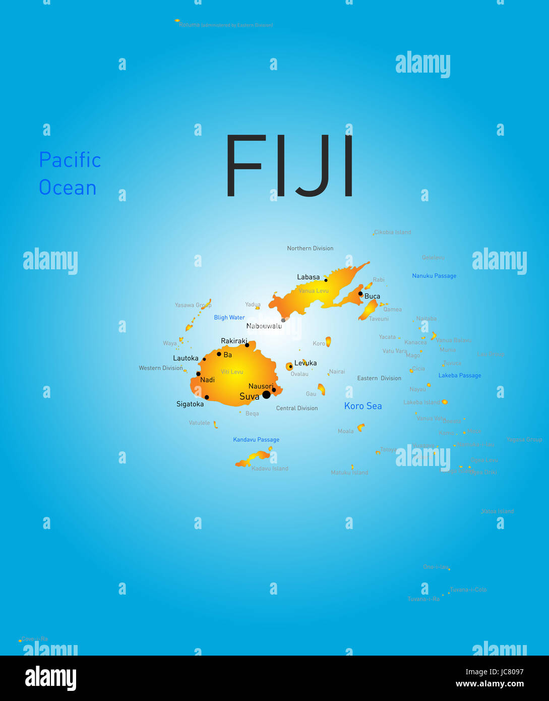 Vector color map of Fiji Stock Photohttps://www.alamy.com/image-license-details/?v=1https://www.alamy.com/stock-photo-vector-color-map-of-fiji-145234691.html
RFJC8097–Vector color map of Fiji
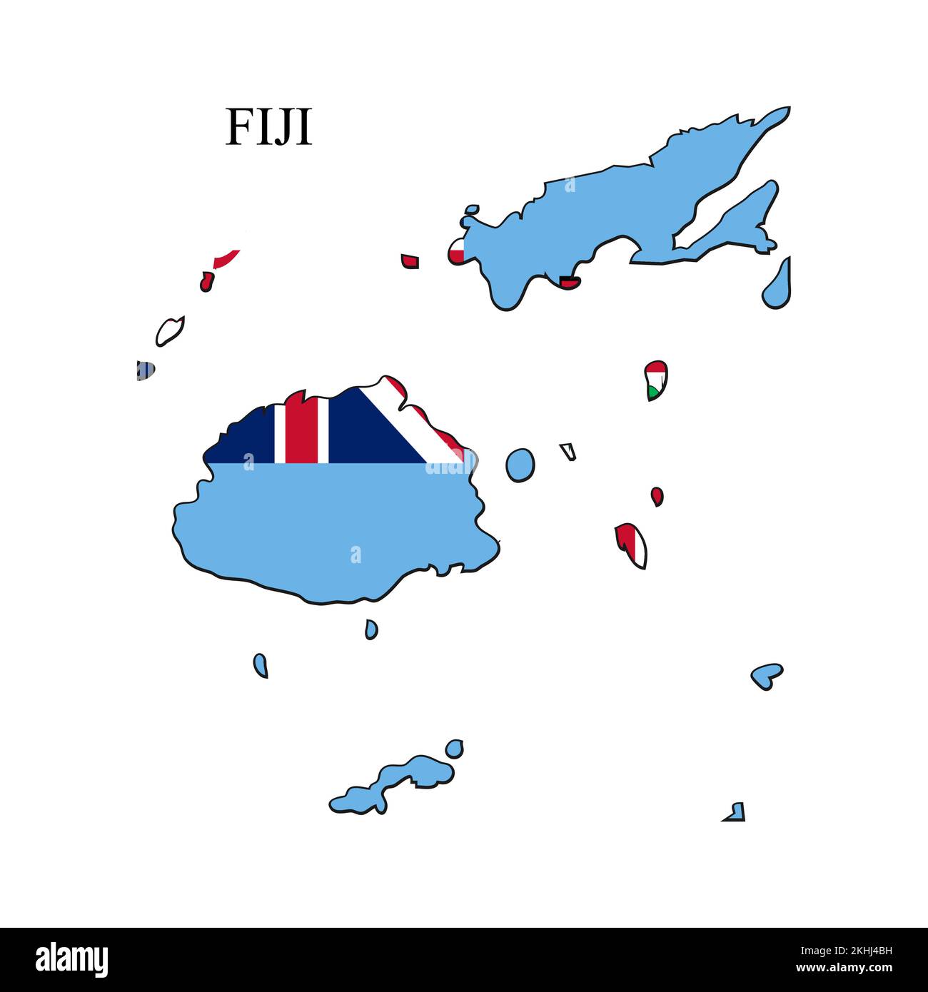 Fiji map vector illustration. Global economy. Famous country. Oceania region. Polynesia island Stock Vectorhttps://www.alamy.com/image-license-details/?v=1https://www.alamy.com/fiji-map-vector-illustration-global-economy-famous-country-oceania-region-polynesia-island-image492738053.html
RF2KHJ4BH–Fiji map vector illustration. Global economy. Famous country. Oceania region. Polynesia island
 Fiji MAP in Blue, Country Border, Fiji Map, Border line of Fiji, Geographic Map Stock Vectorhttps://www.alamy.com/image-license-details/?v=1https://www.alamy.com/fiji-map-in-blue-country-border-fiji-map-border-line-of-fiji-geographic-map-image633376521.html
RF2YPCP61–Fiji MAP in Blue, Country Border, Fiji Map, Border line of Fiji, Geographic Map
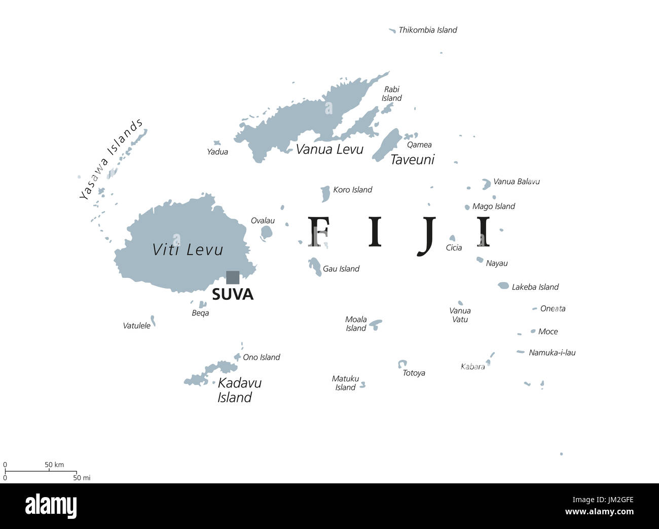 Fiji political map with capital Suva. Republic, archipelago and island country in Melanesia in the South Pacific Ocean. Gray illustration. Stock Photohttps://www.alamy.com/image-license-details/?v=1https://www.alamy.com/fiji-political-map-with-capital-suva-republic-archipelago-and-island-image150032946.html
RFJM2GFE–Fiji political map with capital Suva. Republic, archipelago and island country in Melanesia in the South Pacific Ocean. Gray illustration.
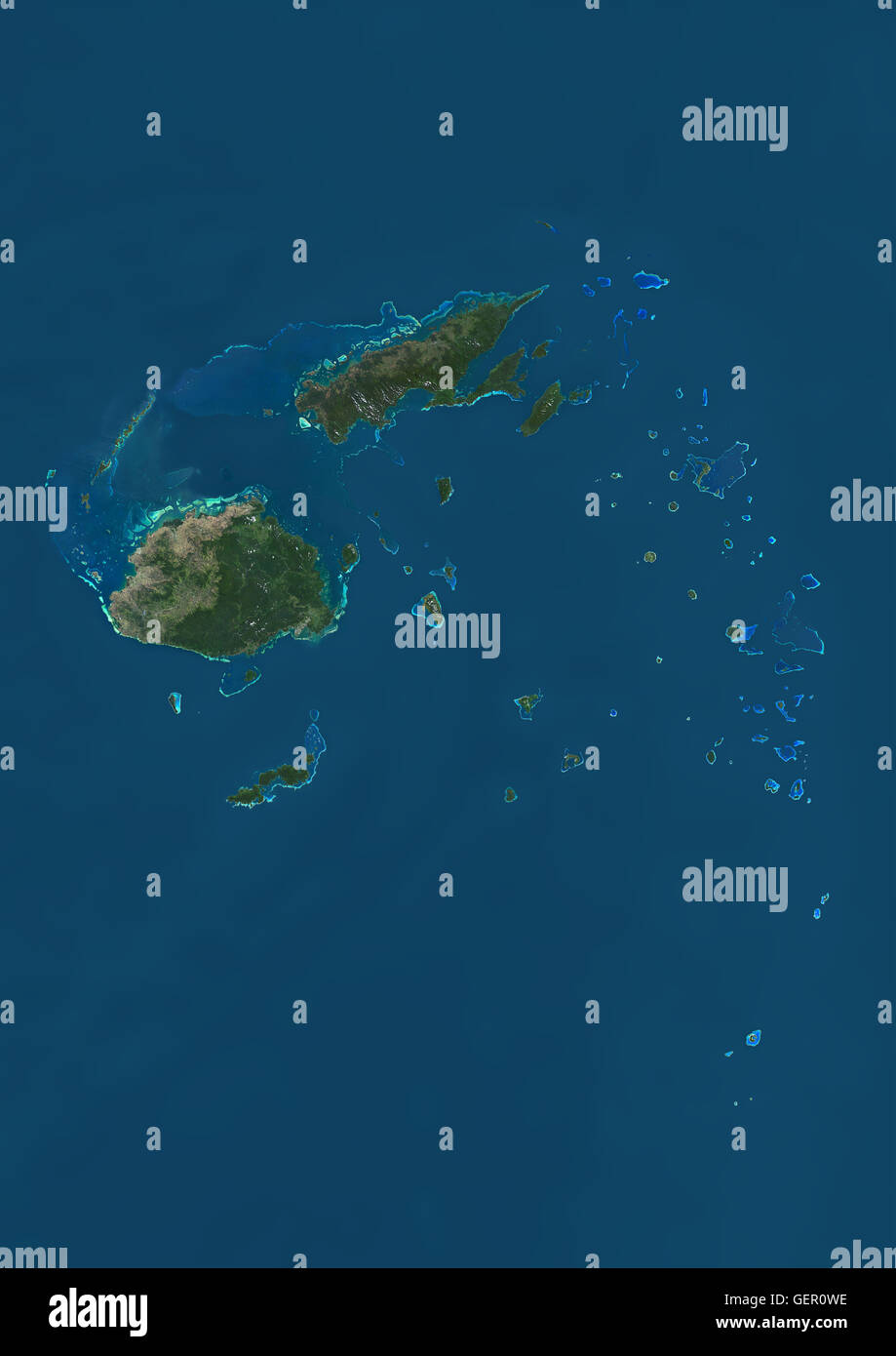 Satellite view of the Fiji Islands. This image was compiled from data acquired by Landsat 8 satellite in 2014. Stock Photohttps://www.alamy.com/image-license-details/?v=1https://www.alamy.com/stock-photo-satellite-view-of-the-fiji-islands-this-image-was-compiled-from-data-112373002.html
RMGER0WE–Satellite view of the Fiji Islands. This image was compiled from data acquired by Landsat 8 satellite in 2014.
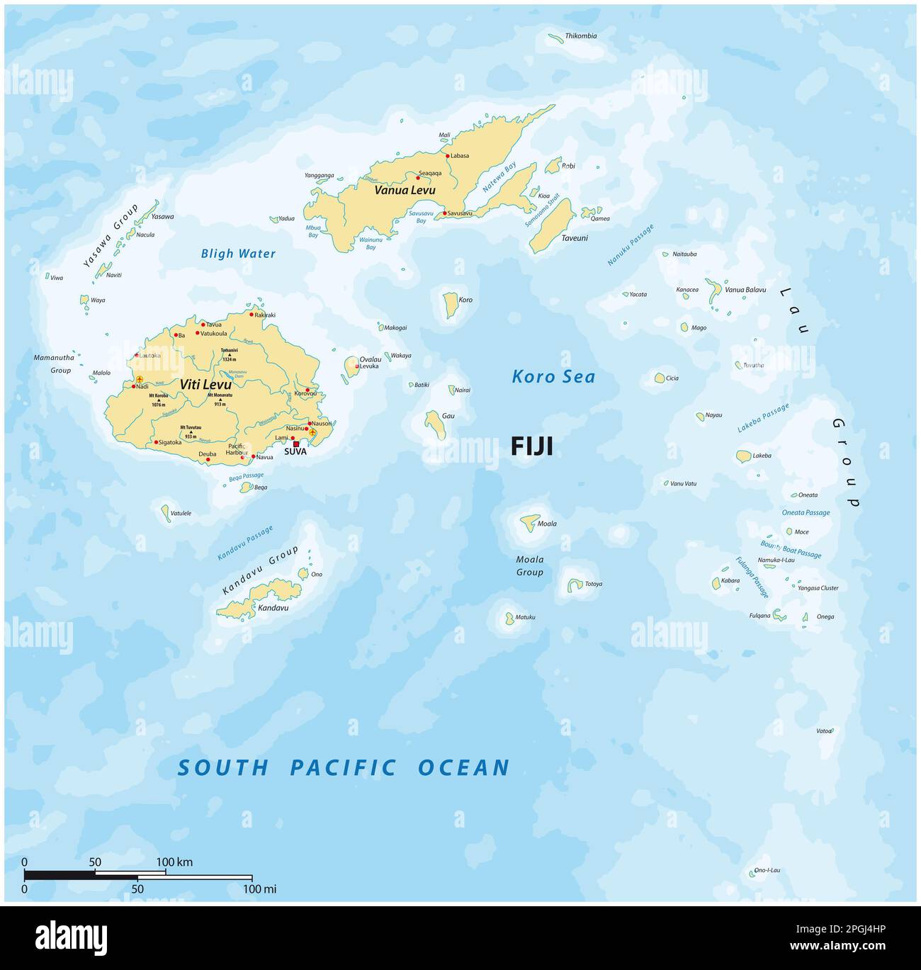 Map of the South Pacific island state of Republic Fiji Stock Photohttps://www.alamy.com/image-license-details/?v=1https://www.alamy.com/map-of-the-south-pacific-island-state-of-republic-fiji-image543754674.html
RF2PGJ4HP–Map of the South Pacific island state of Republic Fiji
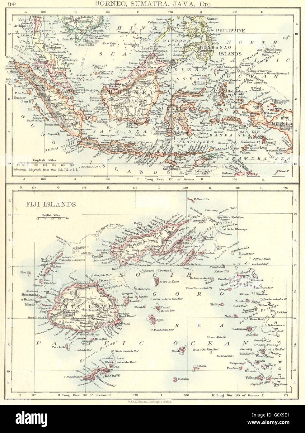 INDONESIA: Borneo, Sumatra, Java; Fiji Islands Viti Levu Vanu Levu, 1897 map Stock Photohttps://www.alamy.com/image-license-details/?v=1https://www.alamy.com/stock-photo-indonesia-borneo-sumatra-java-fiji-islands-viti-levu-vanu-levu-1897-103840409.html
RFG0X9E1–INDONESIA: Borneo, Sumatra, Java; Fiji Islands Viti Levu Vanu Levu, 1897 map
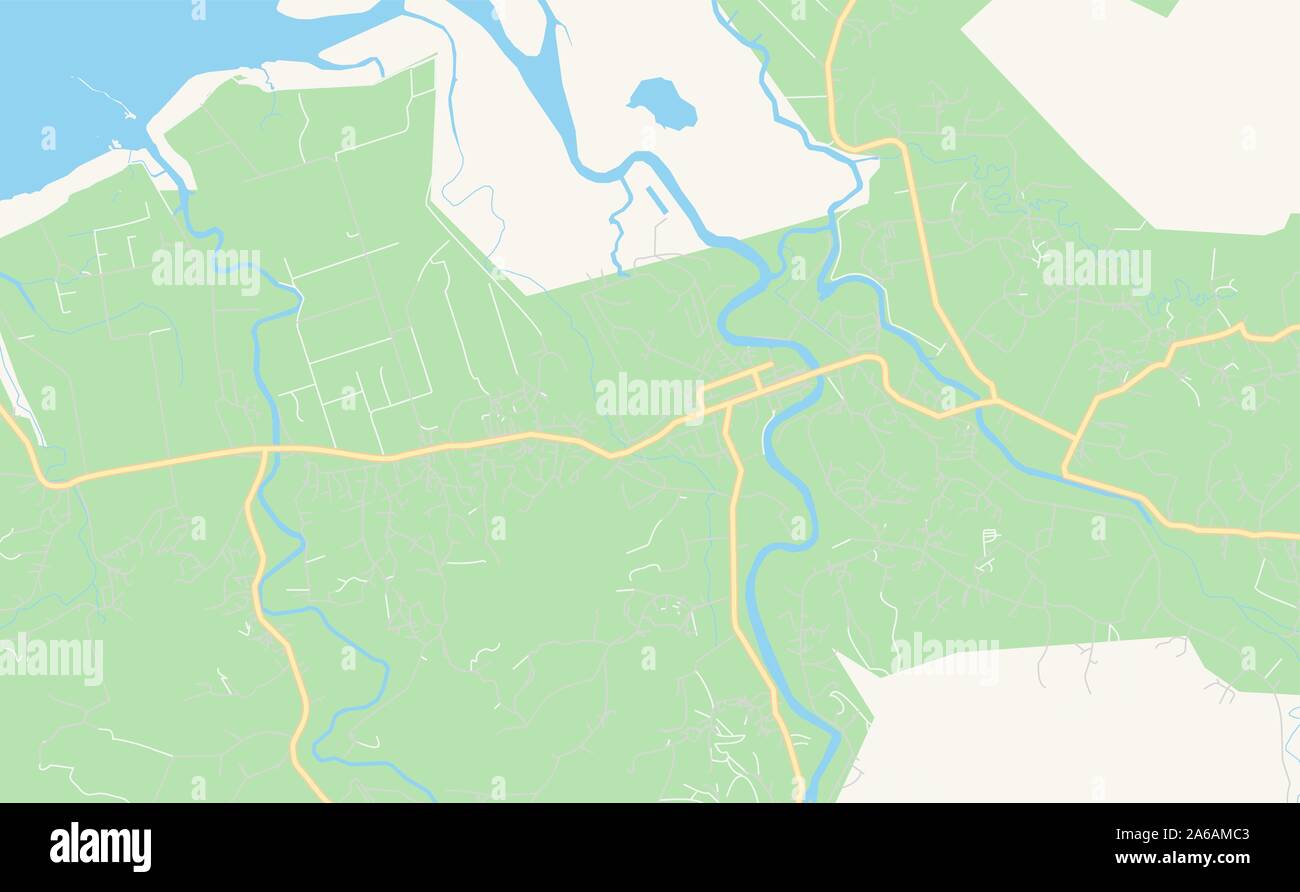 Printable street map of Labasa, Fiji. Map template for business use. Stock Vectorhttps://www.alamy.com/image-license-details/?v=1https://www.alamy.com/printable-street-map-of-labasa-fiji-map-template-for-business-use-image330920467.html
RF2A6AMC3–Printable street map of Labasa, Fiji. Map template for business use.
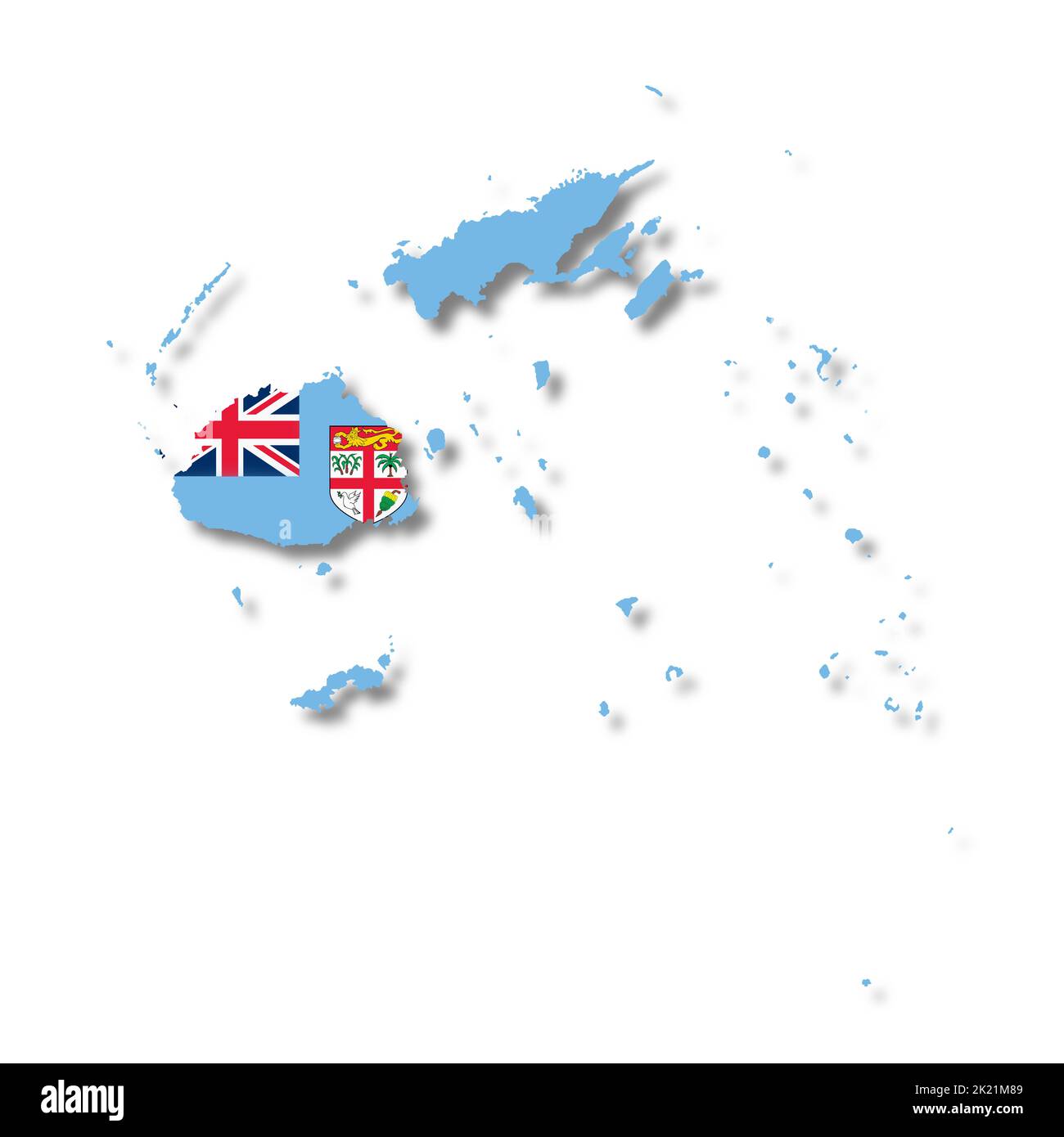 Fiji map on white background with clipping path to remove shadow 3d illustration Stock Photohttps://www.alamy.com/image-license-details/?v=1https://www.alamy.com/fiji-map-on-white-background-with-clipping-path-to-remove-shadow-3d-illustration-image483157481.html
RF2K21M89–Fiji map on white background with clipping path to remove shadow 3d illustration
 Engraved map of the geographical distribution of Brown Polynesians and Pelagian Blacks, from the book 'Ridpath's Universal history' by John Clark Ridpath, 1897. Courtesy Internet Archive. () Stock Photohttps://www.alamy.com/image-license-details/?v=1https://www.alamy.com/engraved-map-of-the-geographical-distribution-of-brown-polynesians-and-pelagian-blacks-from-the-book-ridpaths-universal-history-by-john-clark-ridpath-1897-courtesy-internet-archive-image261105430.html
RMW4PAHX–Engraved map of the geographical distribution of Brown Polynesians and Pelagian Blacks, from the book 'Ridpath's Universal history' by John Clark Ridpath, 1897. Courtesy Internet Archive. ()
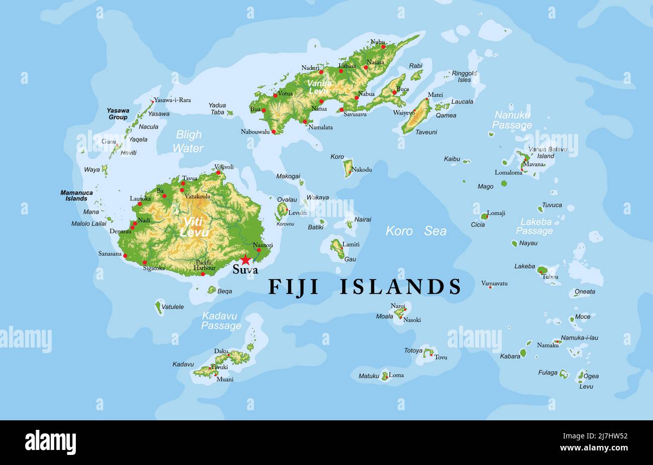 Highly detailed physical map of Fiji islands,in vector format,with all the relief forms,regions and big cities. Stock Vectorhttps://www.alamy.com/image-license-details/?v=1https://www.alamy.com/highly-detailed-physical-map-of-fiji-islandsin-vector-formatwith-all-the-relief-formsregions-and-big-cities-image469375454.html
RF2J7HW52–Highly detailed physical map of Fiji islands,in vector format,with all the relief forms,regions and big cities.
 A Cannibal Feast in Fiji, 1869 (1898) Stock Photohttps://www.alamy.com/image-license-details/?v=1https://www.alamy.com/stock-photo-a-cannibal-feast-in-fiji-1869-1898-139473850.html
RMJ2WG8X–A Cannibal Feast in Fiji, 1869 (1898)
 Fiji map 1827 Dumont d'Urville. Stock Photohttps://www.alamy.com/image-license-details/?v=1https://www.alamy.com/fiji-map-1827-dumont-durville-image329611988.html
RM2A473CM–Fiji map 1827 Dumont d'Urville.
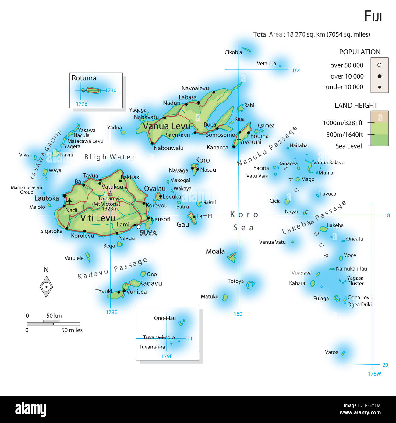 Map of Fiji Stock Photohttps://www.alamy.com/image-license-details/?v=1https://www.alamy.com/map-of-fiji-image216072800.html
RMPFEY1M–Map of Fiji
 Fiji Magnified Map and Flag, Fiji Enlargement Maps Stock Vectorhttps://www.alamy.com/image-license-details/?v=1https://www.alamy.com/fiji-magnified-map-and-flag-fiji-enlargement-maps-image623316561.html
RF2Y62EHN–Fiji Magnified Map and Flag, Fiji Enlargement Maps
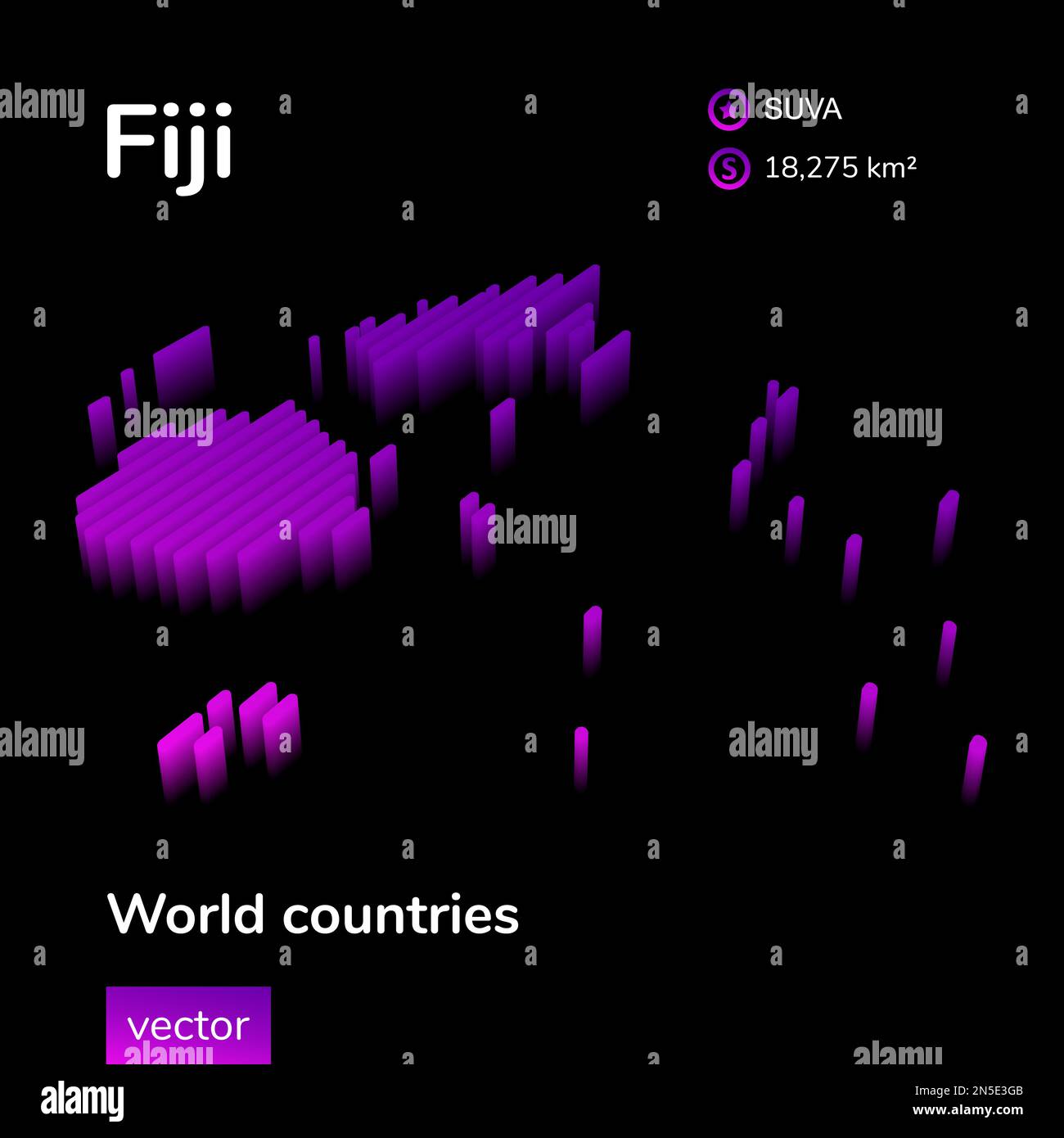 Fiji 3D map. Stylized neon isometric striped vector Map of Fiji is in violet and pink colors on black background. Educational banner. Stock Vectorhttps://www.alamy.com/image-license-details/?v=1https://www.alamy.com/fiji-3d-map-stylized-neon-isometric-striped-vector-map-of-fiji-is-in-violet-and-pink-colors-on-black-background-educational-banner-image519694459.html
RF2N5E3GB–Fiji 3D map. Stylized neon isometric striped vector Map of Fiji is in violet and pink colors on black background. Educational banner.
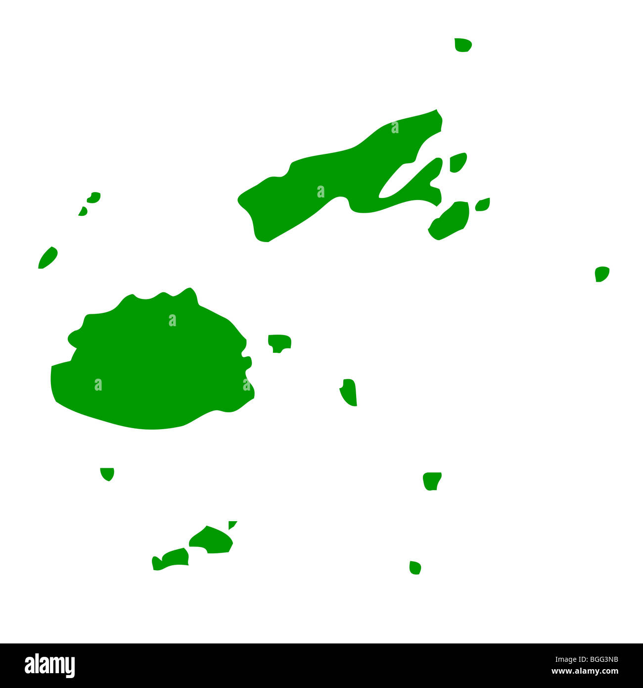 Map of Fiji Islands, isolated on white background. Stock Photohttps://www.alamy.com/image-license-details/?v=1https://www.alamy.com/stock-photo-map-of-fiji-islands-isolated-on-white-background-27399047.html
RMBGG3NB–Map of Fiji Islands, isolated on white background.
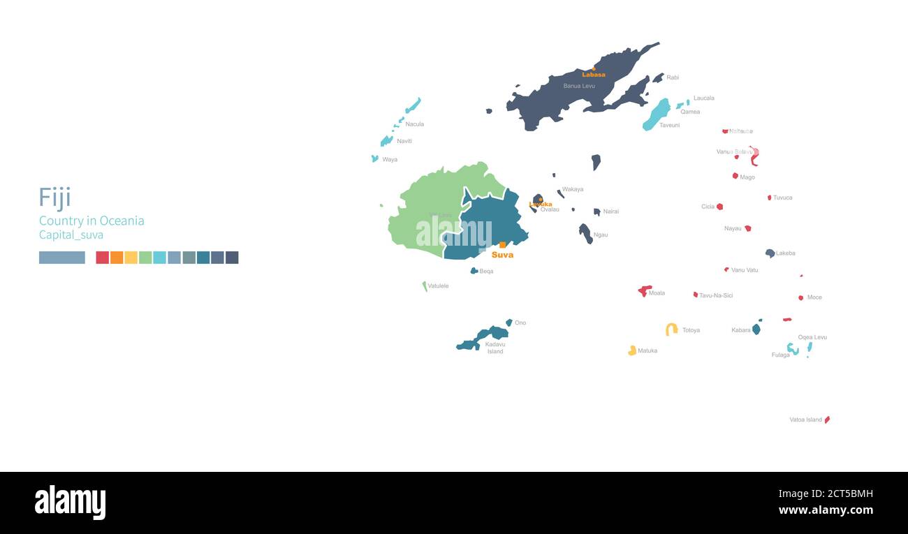 Fiji map. Colorful detailed vector map of the Oceania, South pacific country. Stock Vectorhttps://www.alamy.com/image-license-details/?v=1https://www.alamy.com/fiji-map-colorful-detailed-vector-map-of-the-oceania-south-pacific-country-image376288433.html
RF2CT5BMH–Fiji map. Colorful detailed vector map of the Oceania, South pacific country.
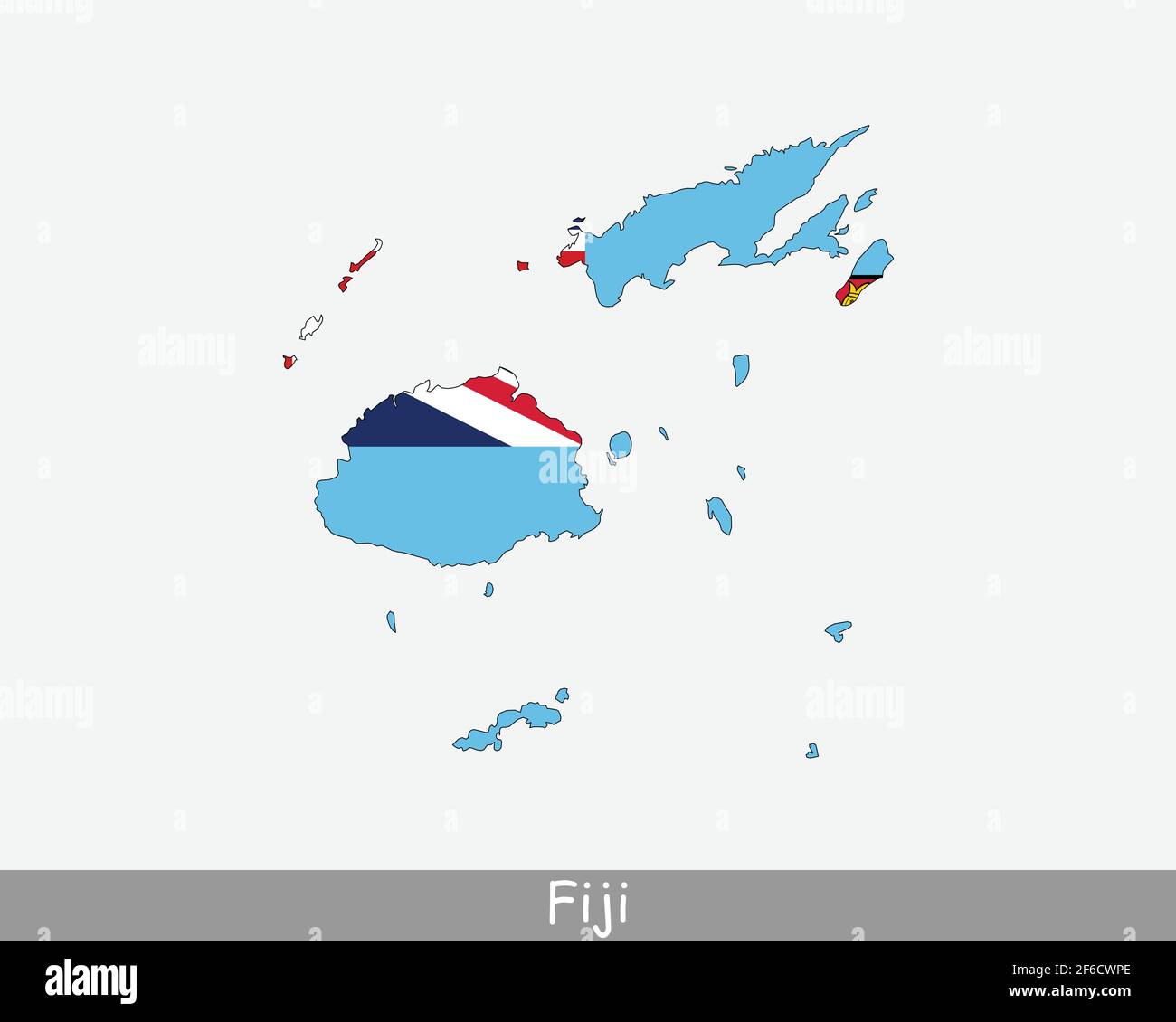 Fiji Map Flag. Map of Fiji with the Fijian national flag isolated on white background. Vector Illustration. Stock Vectorhttps://www.alamy.com/image-license-details/?v=1https://www.alamy.com/fiji-map-flag-map-of-fiji-with-the-fijian-national-flag-isolated-on-white-background-vector-illustration-image417020422.html
RF2F6CWPE–Fiji Map Flag. Map of Fiji with the Fijian national flag isolated on white background. Vector Illustration.
RF2DF59PE–fiji map icon logo vector symbol design
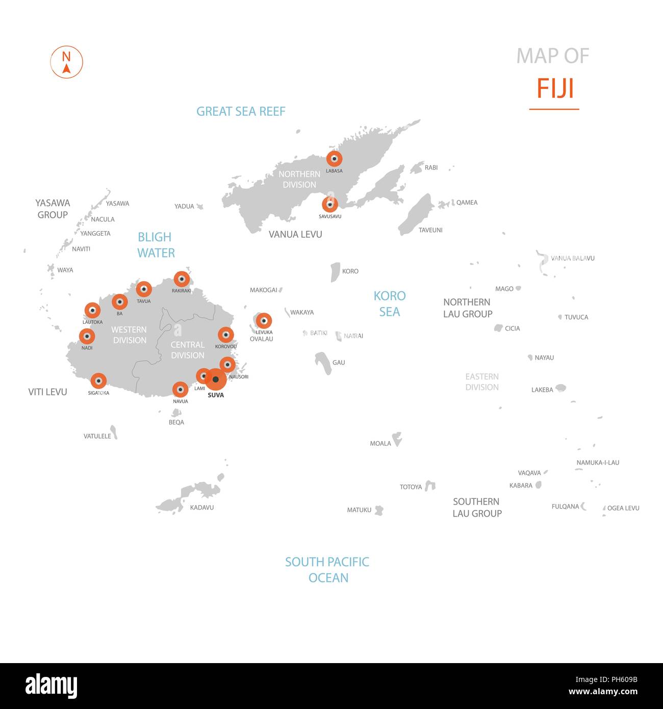 Stylized vector Fiji map showing big cities, capital Suva, administrative divisions. Stock Vectorhttps://www.alamy.com/image-license-details/?v=1https://www.alamy.com/stylized-vector-fiji-map-showing-big-cities-capital-suva-administrative-divisions-image217105543.html
RFPH609B–Stylized vector Fiji map showing big cities, capital Suva, administrative divisions.
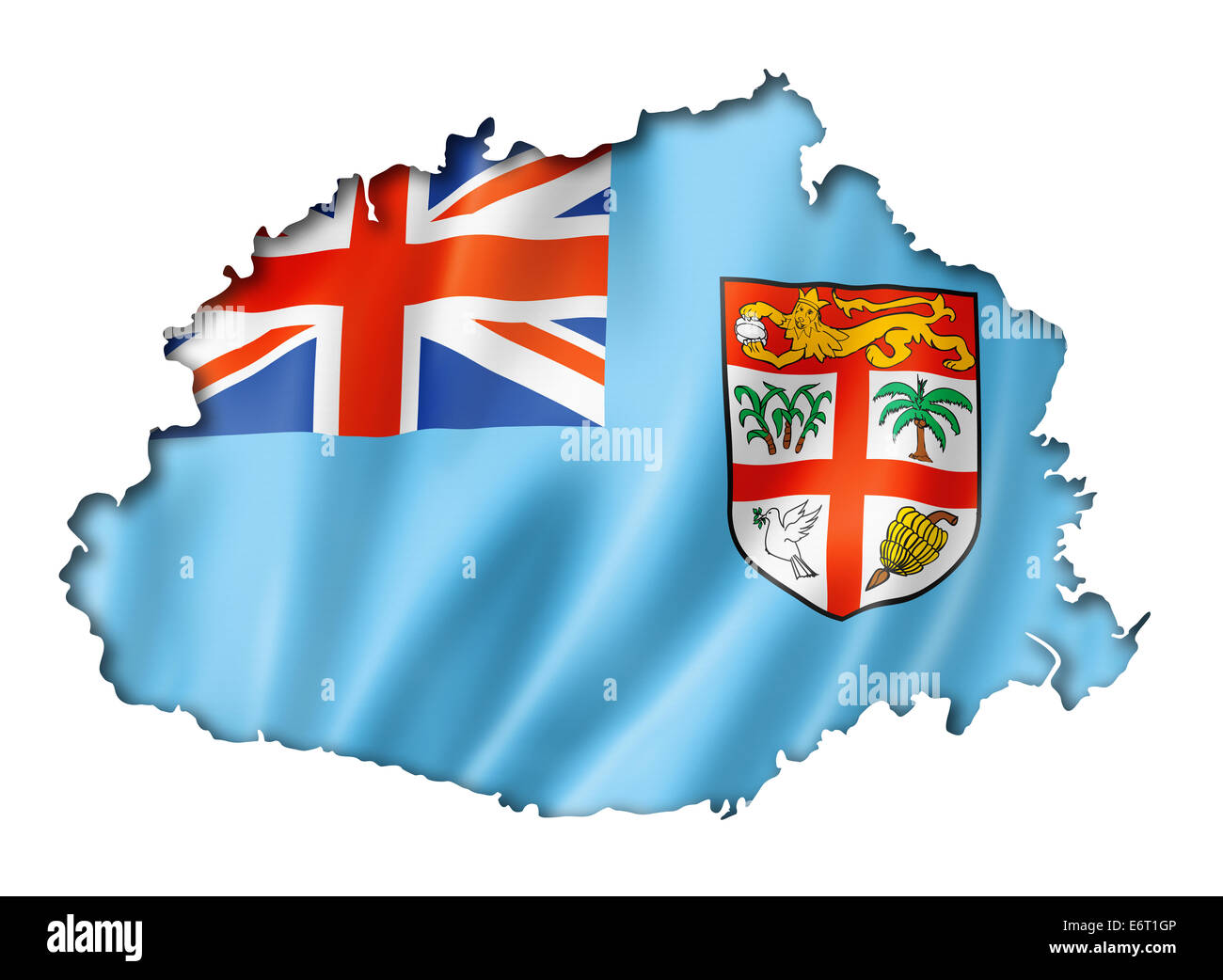 Fiji flag map, three dimensional render, isolated on white Stock Photohttps://www.alamy.com/image-license-details/?v=1https://www.alamy.com/stock-photo-fiji-flag-map-three-dimensional-render-isolated-on-white-73057510.html
RFE6T1GP–Fiji flag map, three dimensional render, isolated on white
RF2K230CE–Vector isolated geometric illustration with simplified icy blue silhouette of Fiji map. Pixel art style for NFT template. Dotted logo with gradient te
 Map of Fiji Islands Stock Photohttps://www.alamy.com/image-license-details/?v=1https://www.alamy.com/stock-photo-map-of-fiji-islands-35972616.html
RMC2EKC8–Map of Fiji Islands
RFM386J6–Fiji map icon. Business concept Fiji pictogram. Vector illustration on green background.
 AUSTRALASIA. Melbourne plan. Fiji Viti/Vanua Levu. Otago Port Phillip, 1906 map Stock Photohttps://www.alamy.com/image-license-details/?v=1https://www.alamy.com/stock-photo-australasia-melbourne-plan-fiji-vitivanua-levu-otago-port-phillip-102758143.html
RFFY511K–AUSTRALASIA. Melbourne plan. Fiji Viti/Vanua Levu. Otago Port Phillip, 1906 map
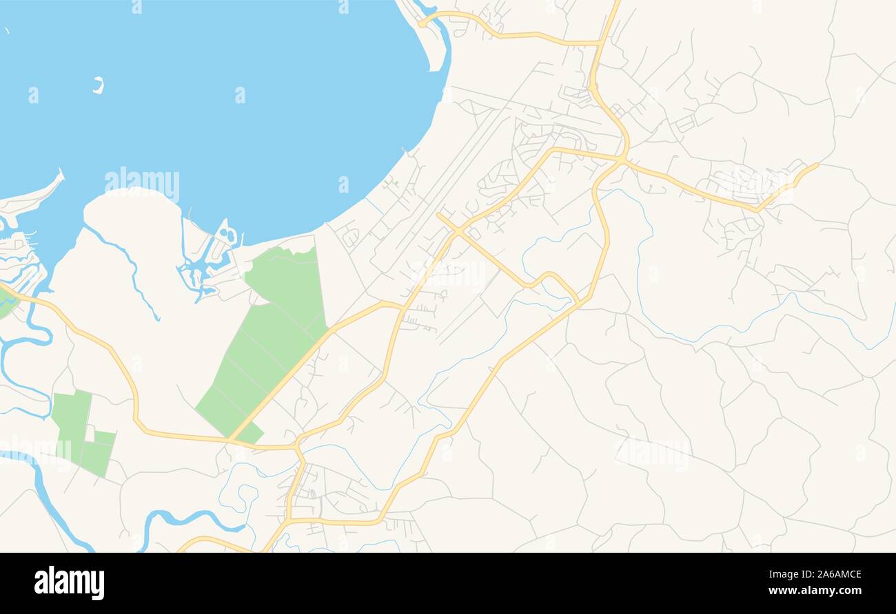 Printable street map of Nadi, Fiji. Map template for business use. Stock Vectorhttps://www.alamy.com/image-license-details/?v=1https://www.alamy.com/printable-street-map-of-nadi-fiji-map-template-for-business-use-image330920478.html
RF2A6AMCE–Printable street map of Nadi, Fiji. Map template for business use.
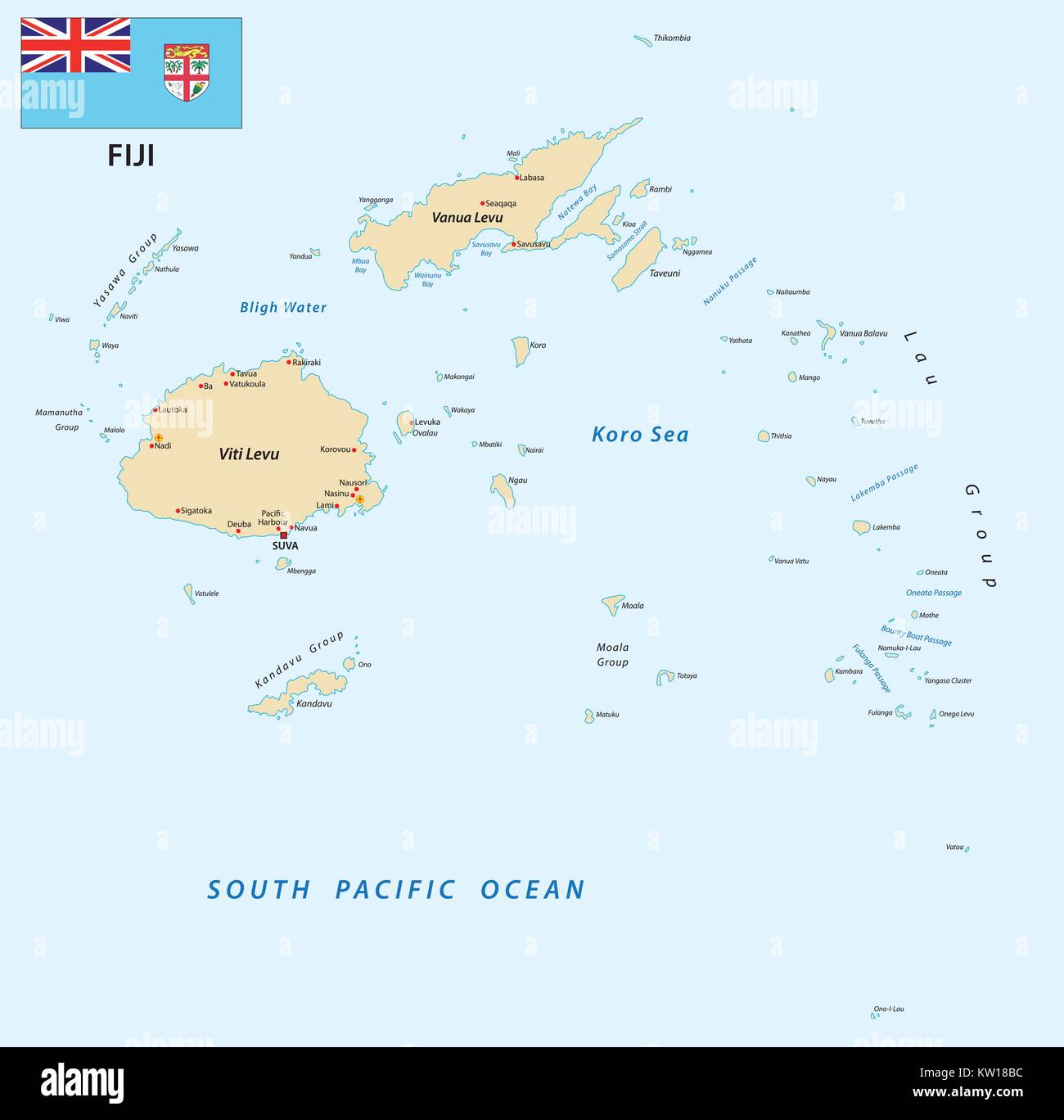 Republic of Fiji vector map with flag Stock Vectorhttps://www.alamy.com/image-license-details/?v=1https://www.alamy.com/stock-photo-republic-of-fiji-vector-map-with-flag-170288256.html
RFKW18BC–Republic of Fiji vector map with flag
 High detailed flag of Fiji. National Fiji flag. Oceania. 3D illustration. Stock Photohttps://www.alamy.com/image-license-details/?v=1https://www.alamy.com/high-detailed-flag-of-fiji-national-fiji-flag-oceania-3d-illustration-image591795333.html
RF2WAPGYH–High detailed flag of Fiji. National Fiji flag. Oceania. 3D illustration.
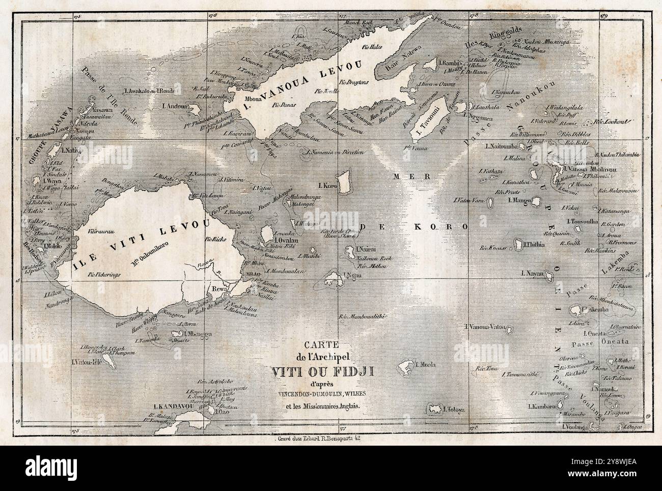 Map of the Fijian archipelago, after Vincendon-Dumoulin, Wilkes and the English missionaries, 19th century. From Le Tour du Monde, published Paris, 1860. Stock Photohttps://www.alamy.com/image-license-details/?v=1https://www.alamy.com/map-of-the-fijian-archipelago-after-vincendon-dumoulin-wilkes-and-the-english-missionaries-19th-century-from-le-tour-du-monde-published-paris-1860-image625053810.html
RM2Y8WJEA–Map of the Fijian archipelago, after Vincendon-Dumoulin, Wilkes and the English missionaries, 19th century. From Le Tour du Monde, published Paris, 1860.
 Fiji map 1827 Dumont d'Urville Stock Photohttps://www.alamy.com/image-license-details/?v=1https://www.alamy.com/fiji-map-1827-dumont-durville-image159172208.html
RMK6XWNM–Fiji map 1827 Dumont d'Urville
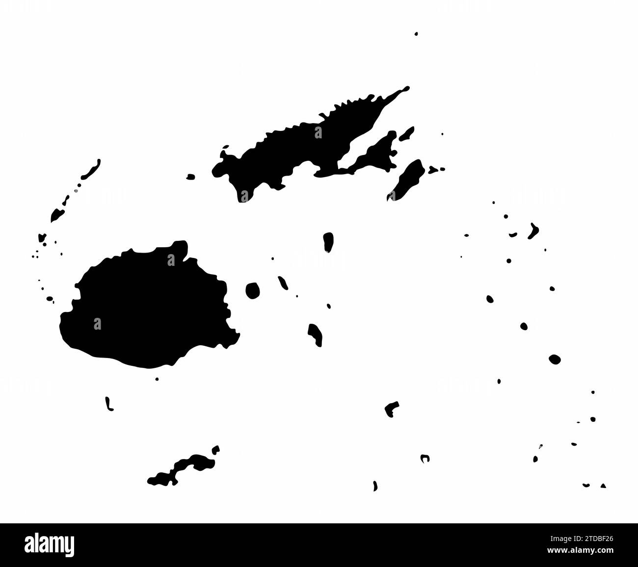 Fiji map silhouette isolated on white background Stock Vectorhttps://www.alamy.com/image-license-details/?v=1https://www.alamy.com/fiji-map-silhouette-isolated-on-white-background-image576185966.html
RF2TDBF26–Fiji map silhouette isolated on white background
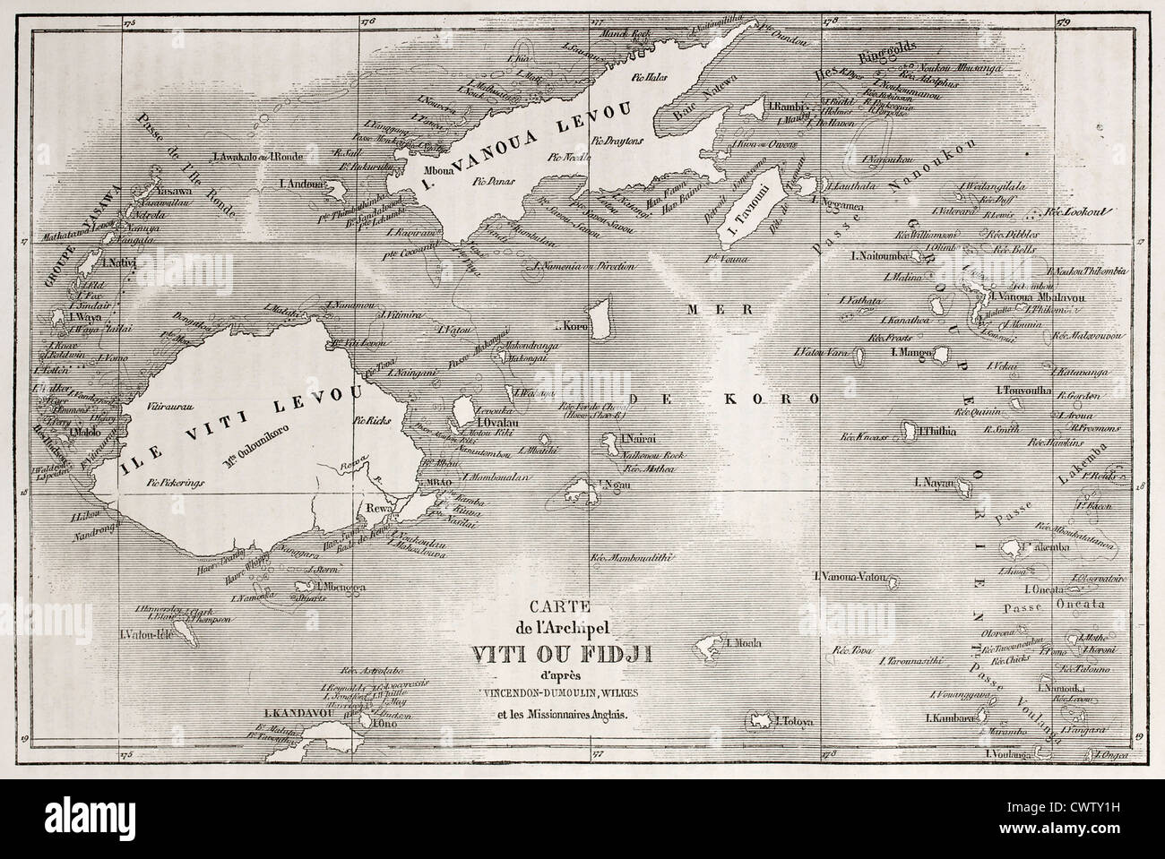 Old map of Fiji islands Stock Photohttps://www.alamy.com/image-license-details/?v=1https://www.alamy.com/stock-photo-old-map-of-fiji-islands-50335197.html
RFCWTY1H–Old map of Fiji islands
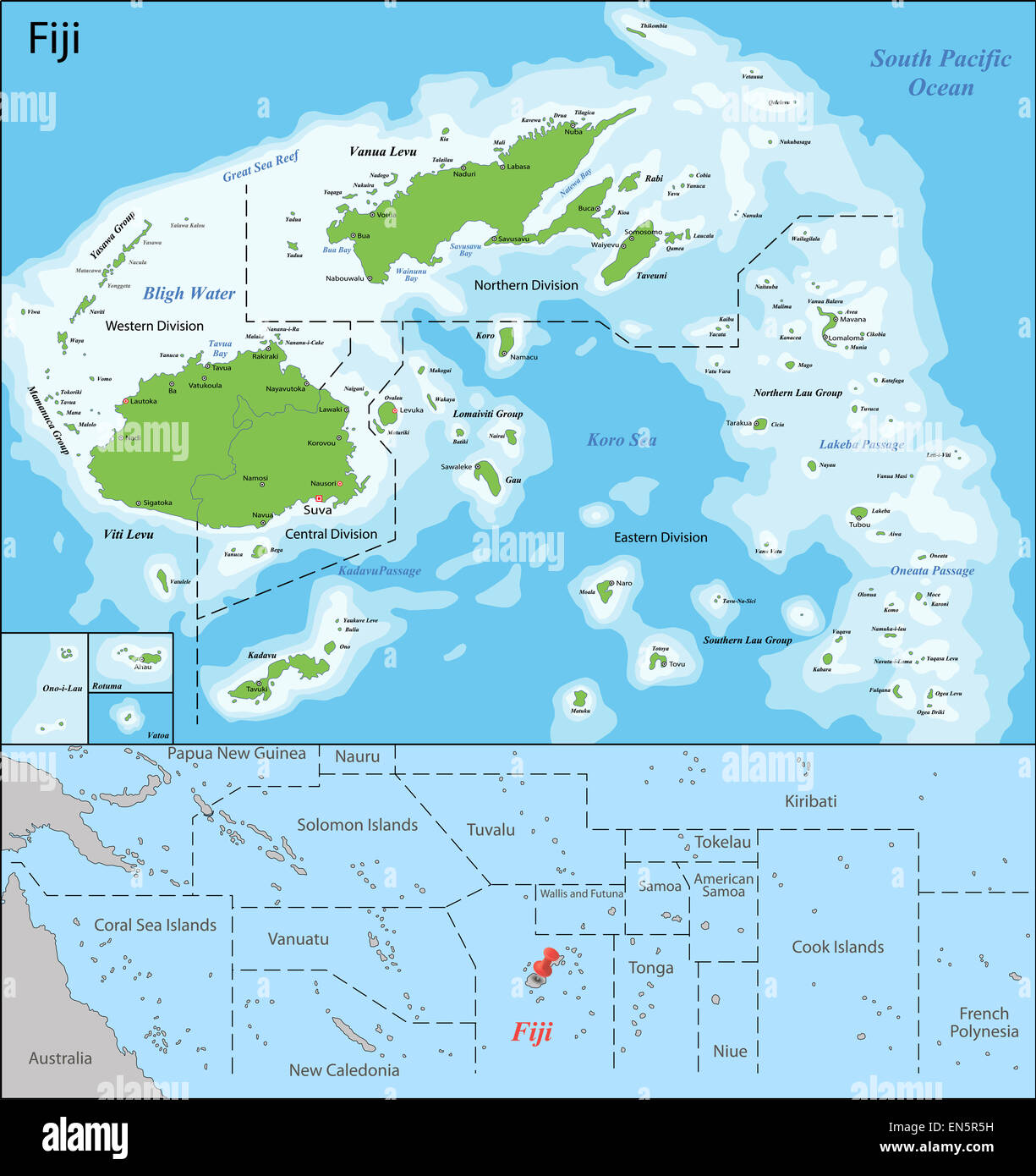 Fiji map Stock Photohttps://www.alamy.com/image-license-details/?v=1https://www.alamy.com/stock-photo-fiji-map-81877197.html
RFEN5R5H–Fiji map
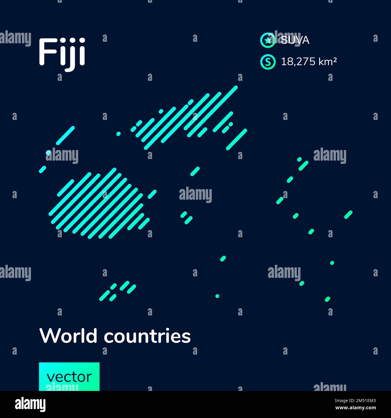 Vector creative digital neon flat line art abstract simple map of Fiji with green, mint, turquoise striped texture on dark blue background. Educationa Stock Vectorhttps://www.alamy.com/image-license-details/?v=1https://www.alamy.com/vector-creative-digital-neon-flat-line-art-abstract-simple-map-of-fiji-with-green-mint-turquoise-striped-texture-on-dark-blue-background-educationa-image502207443.html
RF2M51EM3–Vector creative digital neon flat line art abstract simple map of Fiji with green, mint, turquoise striped texture on dark blue background. Educationa
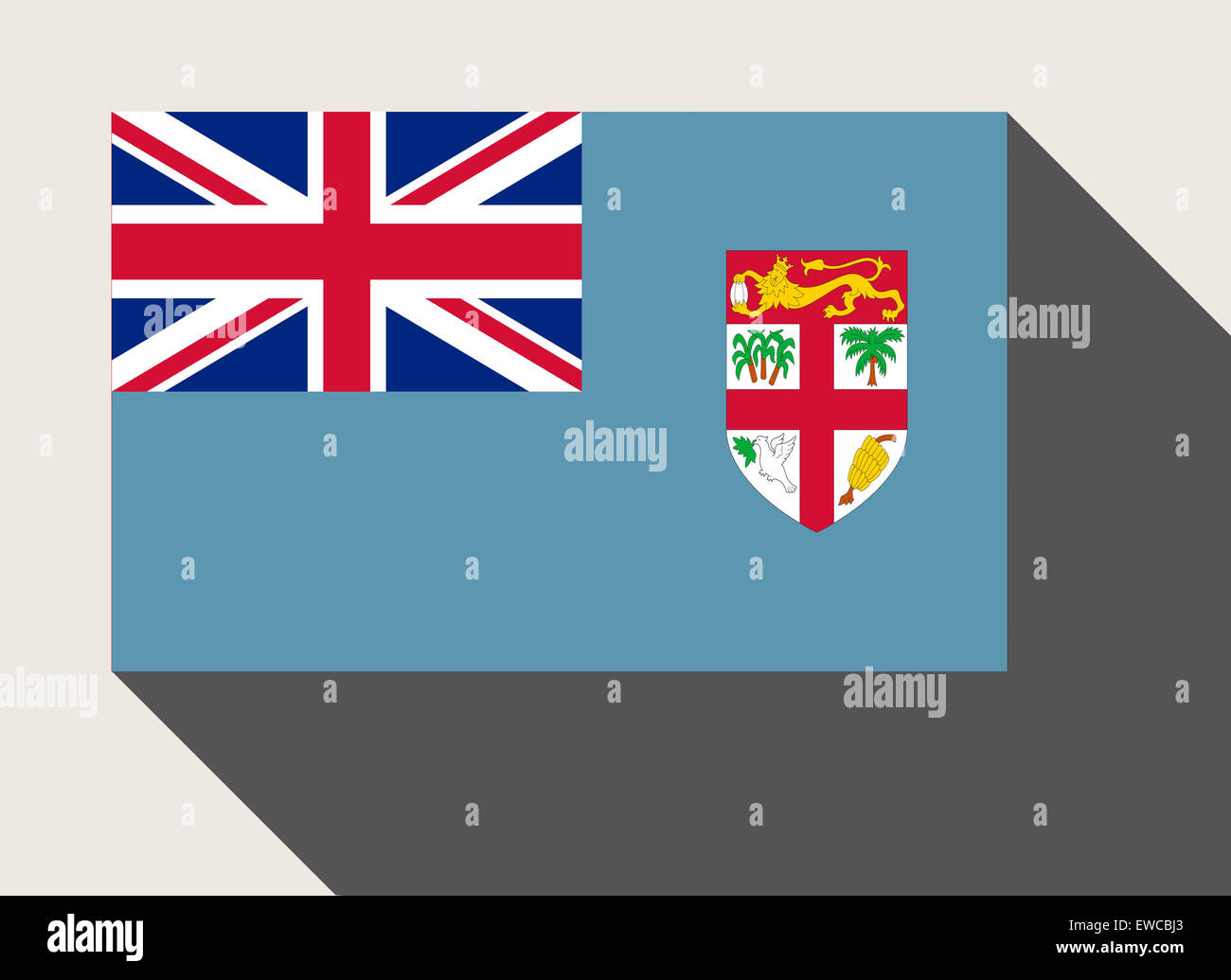 Fiji flag in flat web design style. Stock Photohttps://www.alamy.com/image-license-details/?v=1https://www.alamy.com/stock-photo-fiji-flag-in-flat-web-design-style-84480427.html
RMEWCBJ3–Fiji flag in flat web design style.
 An illustration of the flag of UK on a Fiji map Stock Vectorhttps://www.alamy.com/image-license-details/?v=1https://www.alamy.com/an-illustration-of-the-flag-of-uk-on-a-fiji-map-image504331032.html
RF2M8E7AG–An illustration of the flag of UK on a Fiji map
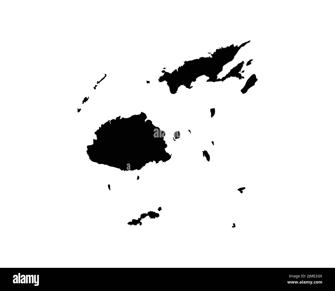 Fiji Map. Fijian Country Map. Black and White National Nation Outline Geography Border Boundary Shape Territory Vector Illustration EPS Clipart Stock Vectorhttps://www.alamy.com/image-license-details/?v=1https://www.alamy.com/fiji-map-fijian-country-map-black-and-white-national-nation-outline-geography-border-boundary-shape-territory-vector-illustration-eps-clipart-image477282426.html
RF2JME2GX–Fiji Map. Fijian Country Map. Black and White National Nation Outline Geography Border Boundary Shape Territory Vector Illustration EPS Clipart
 A tourist souvenir tea cloth map of Fiji, and the surrounding islands in the South Pacific in Fiji in the South Pacific. Stock Photohttps://www.alamy.com/image-license-details/?v=1https://www.alamy.com/a-tourist-souvenir-tea-cloth-map-of-fiji-and-the-surrounding-islands-in-the-south-pacific-in-fiji-in-the-south-pacific-image381625883.html
RM2D4TFKR–A tourist souvenir tea cloth map of Fiji, and the surrounding islands in the South Pacific in Fiji in the South Pacific.
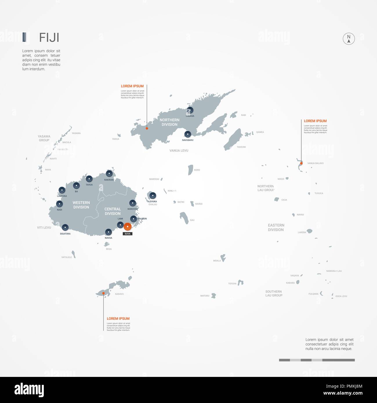 Fiji map with borders, cities, capital and administrative divisions. Infographic vector map. Editable layers clearly labeled. Stock Vectorhttps://www.alamy.com/image-license-details/?v=1https://www.alamy.com/fiji-map-with-borders-cities-capital-and-administrative-divisions-infographic-vector-map-editable-layers-clearly-labeled-image219248980.html
RFPMKJ8M–Fiji map with borders, cities, capital and administrative divisions. Infographic vector map. Editable layers clearly labeled.
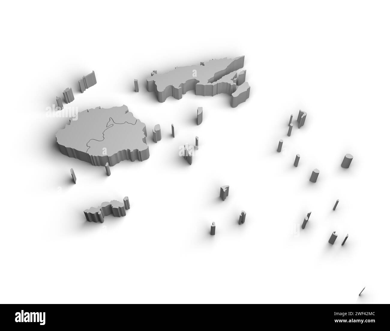 3d Fiji map illustration white background isolate Stock Photohttps://www.alamy.com/image-license-details/?v=1https://www.alamy.com/3d-fiji-map-illustration-white-background-isolate-image594462300.html
RF2WF42MC–3d Fiji map illustration white background isolate
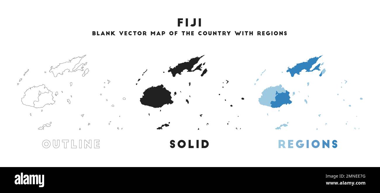 Fiji map. Borders of Fiji for your infographic. Vector country shape. Vector illustration. Stock Vectorhttps://www.alamy.com/image-license-details/?v=1https://www.alamy.com/fiji-map-borders-of-fiji-for-your-infographic-vector-country-shape-vector-illustration-image512326964.html
RF2MNEE7G–Fiji map. Borders of Fiji for your infographic. Vector country shape. Vector illustration.
RF2RWFW3Y–Vector isolated illustration icon with simplified blue silhouette of Fiji map. Polygonal geometric style. White background.
RFPXD47N–Vector cartoon Fiji map icon in comic style. Fiji sign illustration pictogram. Cartography map business splash effect concept.
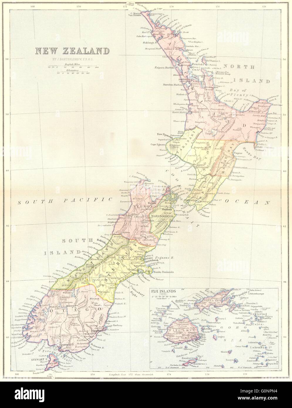 NEW ZEALAND: & Fiji map, 1870 Stock Photohttps://www.alamy.com/image-license-details/?v=1https://www.alamy.com/stock-photo-new-zealand-fiji-map-1870-103741040.html
RFG0NPN4–NEW ZEALAND: & Fiji map, 1870
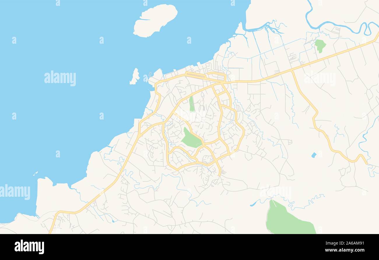 Printable street map of Lautoka, Fiji. Map template for business use. Stock Vectorhttps://www.alamy.com/image-license-details/?v=1https://www.alamy.com/printable-street-map-of-lautoka-fiji-map-template-for-business-use-image330920381.html
RF2A6AM91–Printable street map of Lautoka, Fiji. Map template for business use.
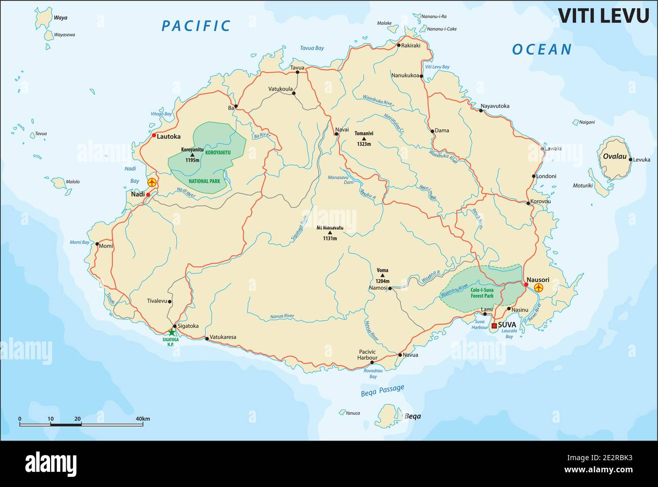 vector road map of Viti Levu, Republic of Fiji Stock Vectorhttps://www.alamy.com/image-license-details/?v=1https://www.alamy.com/vector-road-map-of-viti-levu-republic-of-fiji-image397581831.html
RF2E2RBK3–vector road map of Viti Levu, Republic of Fiji
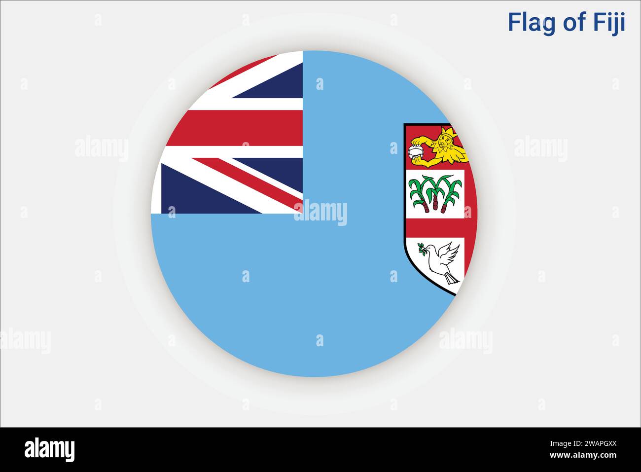 High detailed flag of Fiji. National Fiji flag. Oceania. 3D illustration. Stock Vectorhttps://www.alamy.com/image-license-details/?v=1https://www.alamy.com/high-detailed-flag-of-fiji-national-fiji-flag-oceania-3d-illustration-image591795314.html
RF2WAPGXX–High detailed flag of Fiji. National Fiji flag. Oceania. 3D illustration.
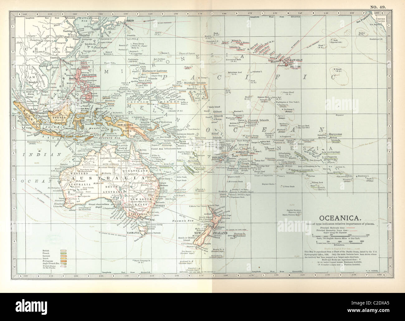 Map of Oceania Stock Photohttps://www.alamy.com/image-license-details/?v=1https://www.alamy.com/stock-photo-map-of-oceania-35956093.html
RMC2DXA5–Map of Oceania
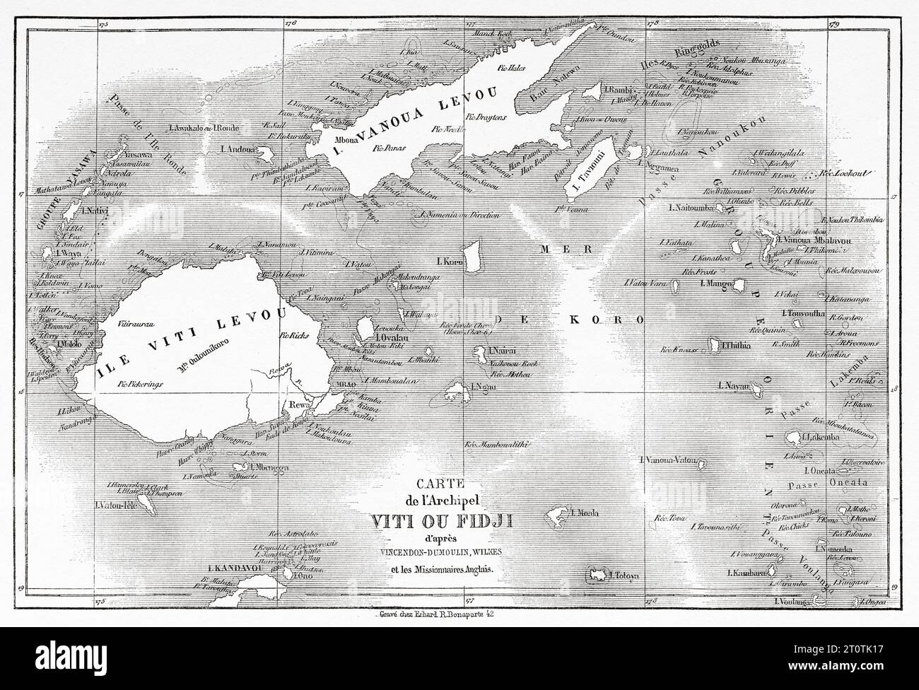 Old map of Fiji islands. Melanesia, Oceania in the southwestern Pacific Ocean. Voyage to the Great Viti, great equinoctial ocean by John Denis Macdonald 1855. Old 19th century engraving from Le Tour du Monde 1860 Stock Photohttps://www.alamy.com/image-license-details/?v=1https://www.alamy.com/old-map-of-fiji-islands-melanesia-oceania-in-the-southwestern-pacific-ocean-voyage-to-the-great-viti-great-equinoctial-ocean-by-john-denis-macdonald-1855-old-19th-century-engraving-from-le-tour-du-monde-1860-image568483923.html
RM2T0TK17–Old map of Fiji islands. Melanesia, Oceania in the southwestern Pacific Ocean. Voyage to the Great Viti, great equinoctial ocean by John Denis Macdonald 1855. Old 19th century engraving from Le Tour du Monde 1860
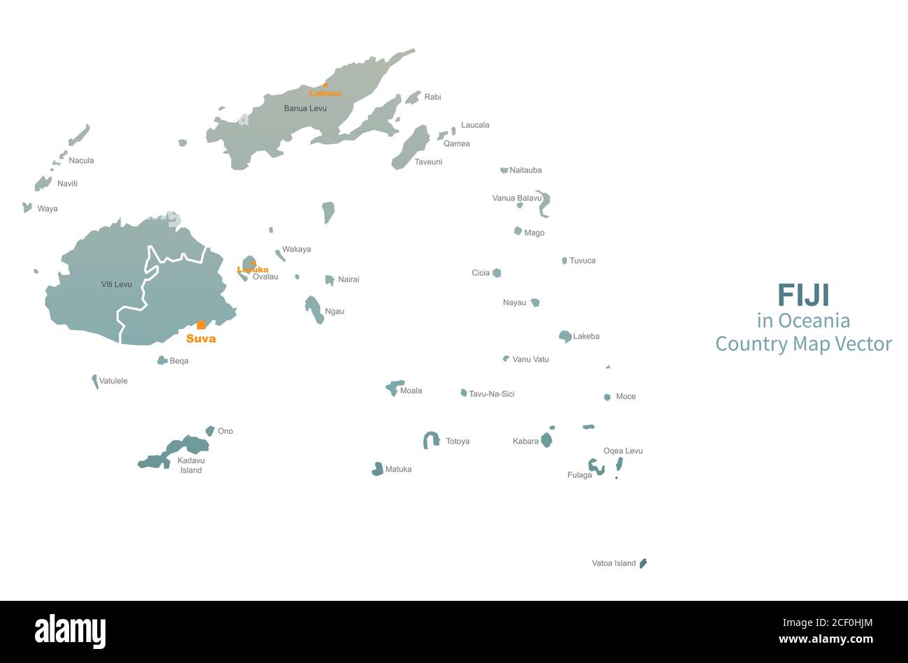 Fiji Vector map. South Pacific Country map. Stock Vectorhttps://www.alamy.com/image-license-details/?v=1https://www.alamy.com/fiji-vector-map-south-pacific-country-map-image370651420.html
RF2CF0HJM–Fiji Vector map. South Pacific Country map.
 Rugby Union - IRB Rugby World Cup 2007 - Quarter Final - South Africa v Fiji - Marseille. A fan uses a map to shade from the sun Stock Photohttps://www.alamy.com/image-license-details/?v=1https://www.alamy.com/stock-photo-rugby-union-irb-rugby-world-cup-2007-quarter-final-south-africa-v-109669376.html
RMGABTBC–Rugby Union - IRB Rugby World Cup 2007 - Quarter Final - South Africa v Fiji - Marseille. A fan uses a map to shade from the sun
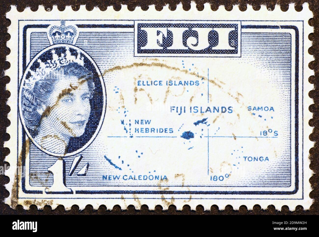 Map of Fiji in the ocean, postage stamp Stock Photohttps://www.alamy.com/image-license-details/?v=1https://www.alamy.com/map-of-fiji-in-the-ocean-postage-stamp-image384618713.html
RF2D9MW2H–Map of Fiji in the ocean, postage stamp
 Fiji islands map. Vector creative digital neon flat line art abstract simple map with violet, purple, pink striped texture on black background. Educat Stock Vectorhttps://www.alamy.com/image-license-details/?v=1https://www.alamy.com/fiji-islands-map-vector-creative-digital-neon-flat-line-art-abstract-simple-map-with-violet-purple-pink-striped-texture-on-black-background-educat-image501781504.html
RF2M4A3C0–Fiji islands map. Vector creative digital neon flat line art abstract simple map with violet, purple, pink striped texture on black background. Educat
 Red arrow pointing Fiji islands on the map of Pacific ocean Stock Photohttps://www.alamy.com/image-license-details/?v=1https://www.alamy.com/stock-photo-red-arrow-pointing-fiji-islands-on-the-map-of-pacific-ocean-129379329.html
RMHEDMJ9–Red arrow pointing Fiji islands on the map of Pacific ocean
 Map of Fiji Stock Photohttps://www.alamy.com/image-license-details/?v=1https://www.alamy.com/stock-photo-map-of-fiji-11563733.html
RFA6FPFJ–Map of Fiji
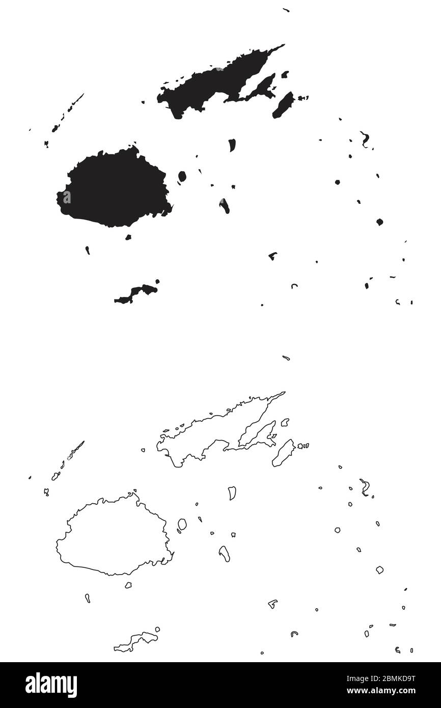 Fiji Country Map. Black silhouette and outline isolated on white background. EPS Vector Stock Vectorhttps://www.alamy.com/image-license-details/?v=1https://www.alamy.com/fiji-country-map-black-silhouette-and-outline-isolated-on-white-background-eps-vector-image356928036.html
RF2BMKD9T–Fiji Country Map. Black silhouette and outline isolated on white background. EPS Vector
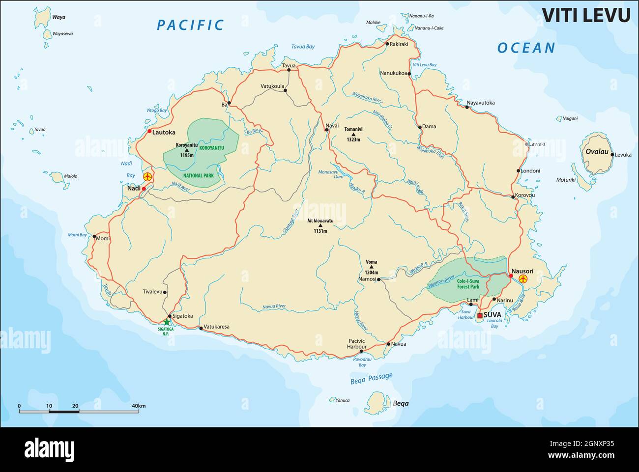 vector road map of Viti Levu, Republic of Fiji Stock Vectorhttps://www.alamy.com/image-license-details/?v=1https://www.alamy.com/vector-road-map-of-viti-levu-republic-of-fiji-image443755065.html
RF2GNXP35–vector road map of Viti Levu, Republic of Fiji
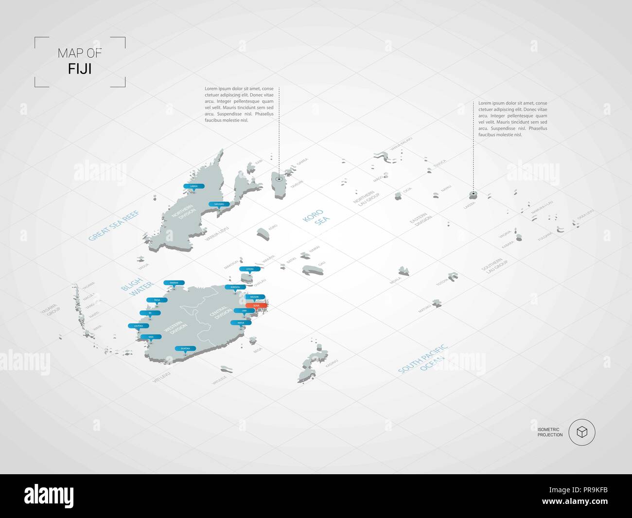 Isometric 3D Fiji map. Stylized vector map illustration with cities, borders, capital, administrative divisions and pointer marks; gradient backgroun Stock Vectorhttps://www.alamy.com/image-license-details/?v=1https://www.alamy.com/isometric-3d-fiji-map-stylized-vector-map-illustration-with-cities-borders-capital-administrative-divisions-and-pointer-marks-gradient-backgroun-image220874399.html
RFPR9KFB–Isometric 3D Fiji map. Stylized vector map illustration with cities, borders, capital, administrative divisions and pointer marks; gradient backgroun
 Fiji map with gray tone on white background,illustration,textured , Symbols of Fiji,for advertising ,promote, TV commercial, ads, web design, magazin Stock Photohttps://www.alamy.com/image-license-details/?v=1https://www.alamy.com/fiji-map-with-gray-tone-on-white-backgroundillustrationtextured-symbols-of-fijifor-advertising-promote-tv-commercial-ads-web-design-magazin-image358740592.html
RF2BRJ180–Fiji map with gray tone on white background,illustration,textured , Symbols of Fiji,for advertising ,promote, TV commercial, ads, web design, magazin
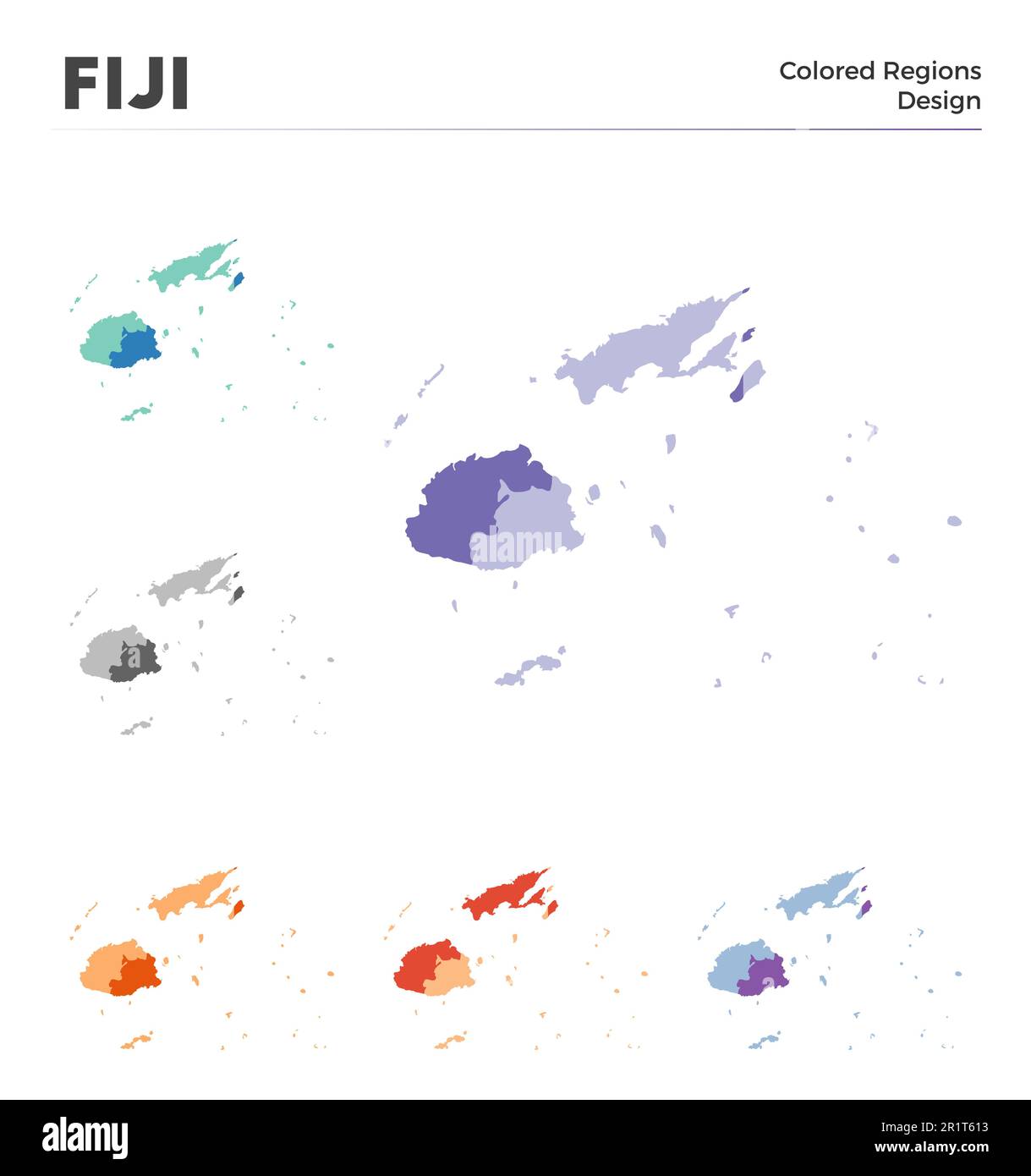 Fiji map collection. Borders of Fiji for your infographic. Colored country regions. Vector illustration. Stock Vectorhttps://www.alamy.com/image-license-details/?v=1https://www.alamy.com/fiji-map-collection-borders-of-fiji-for-your-infographic-colored-country-regions-vector-illustration-image551878015.html
RF2R1T613–Fiji map collection. Borders of Fiji for your infographic. Colored country regions. Vector illustration.
RF2RWFTRK–Vector isolated illustration icon with simplified blue silhouette of Fiji map. Polygonal geometric style, triangular shapes. White background.
RFPD0W44–Vector cartoon Fiji map icon in comic style. Fiji sign illustration pictogram. Cartography map business splash effect concept.
 How the peaks of Fiji are thrust from the Pacific. Fiji Islands (1923 map) Stock Photohttps://www.alamy.com/image-license-details/?v=1https://www.alamy.com/how-the-peaks-of-fiji-are-thrust-from-the-pacific-fiji-islands-1923-map-image459041392.html
RF2HJR3YC–How the peaks of Fiji are thrust from the Pacific. Fiji Islands (1923 map)
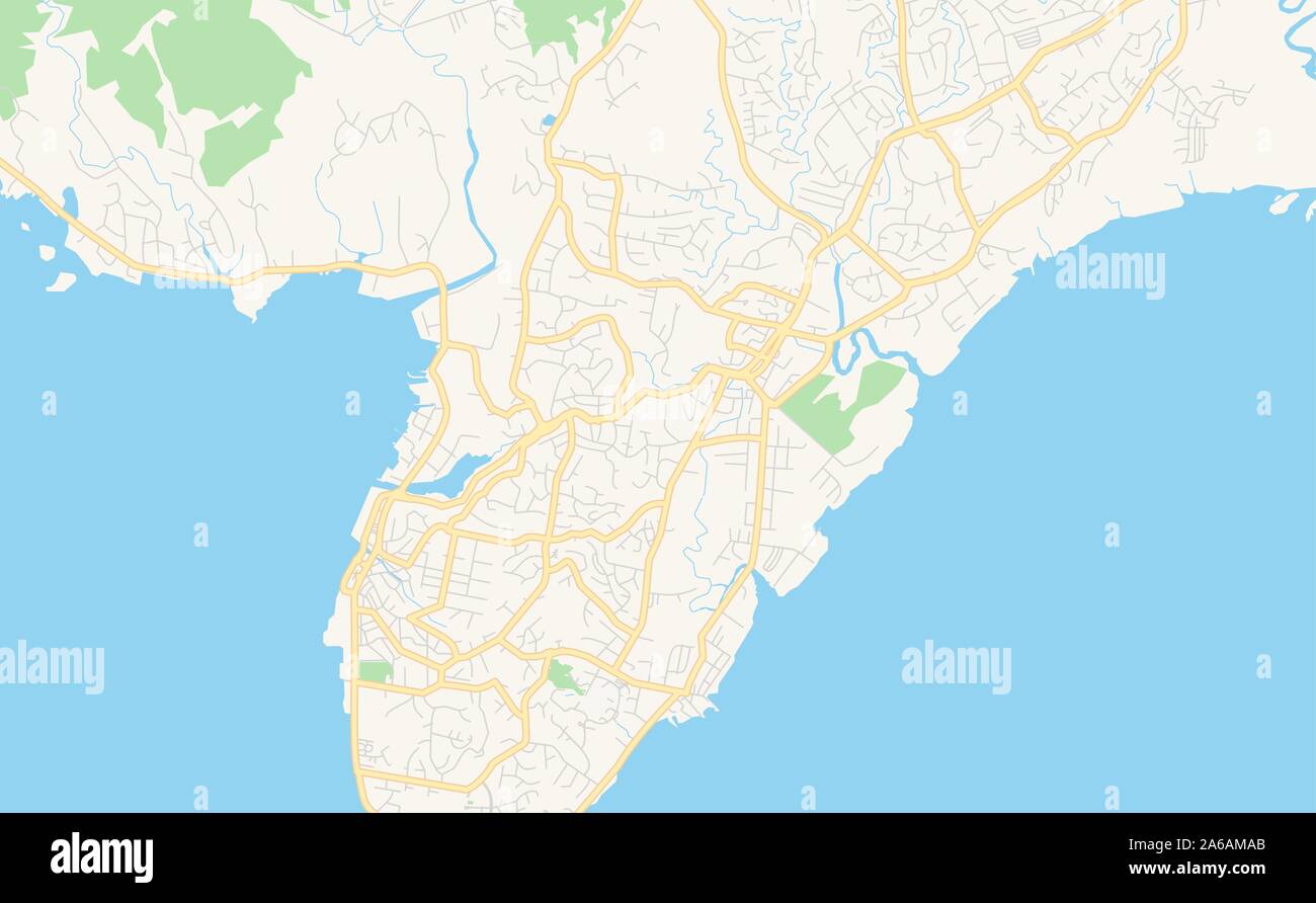 Printable street map of Suva, Fiji. Map template for business use. Stock Vectorhttps://www.alamy.com/image-license-details/?v=1https://www.alamy.com/printable-street-map-of-suva-fiji-map-template-for-business-use-image330920419.html
RF2A6AMAB–Printable street map of Suva, Fiji. Map template for business use.
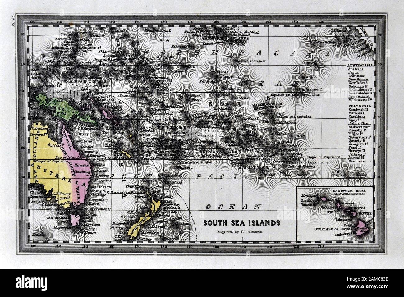 1834 Carey Map of Oceania or Oceanica - Australia New Zealand Hawaii Polynesia South Pacific Stock Photohttps://www.alamy.com/image-license-details/?v=1https://www.alamy.com/1834-carey-map-of-oceania-or-oceanica-australia-new-zealand-hawaii-polynesia-south-pacific-image339559903.html
RF2AMC83B–1834 Carey Map of Oceania or Oceanica - Australia New Zealand Hawaii Polynesia South Pacific
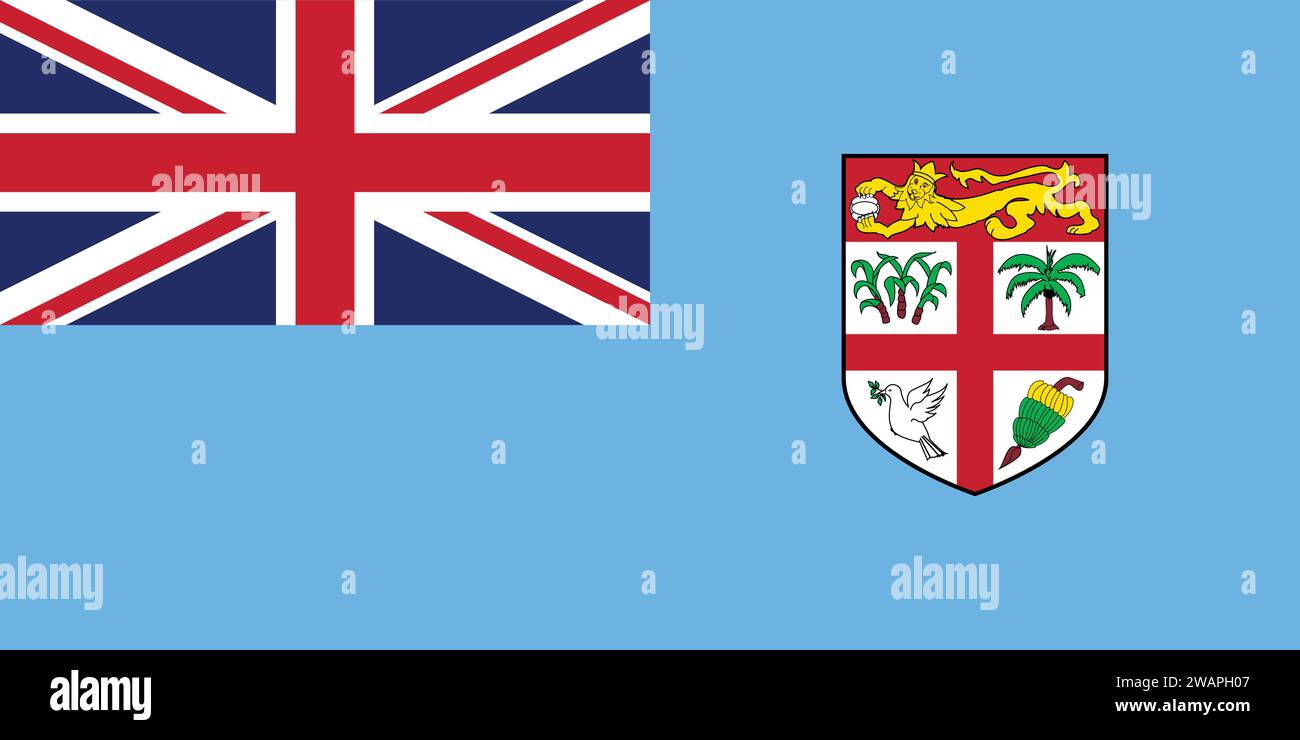 High detailed flag of Fiji. National Fiji flag. Oceania. 3D illustration. Stock Vectorhttps://www.alamy.com/image-license-details/?v=1https://www.alamy.com/high-detailed-flag-of-fiji-national-fiji-flag-oceania-3d-illustration-image591795351.html
RF2WAPH07–High detailed flag of Fiji. National Fiji flag. Oceania. 3D illustration.
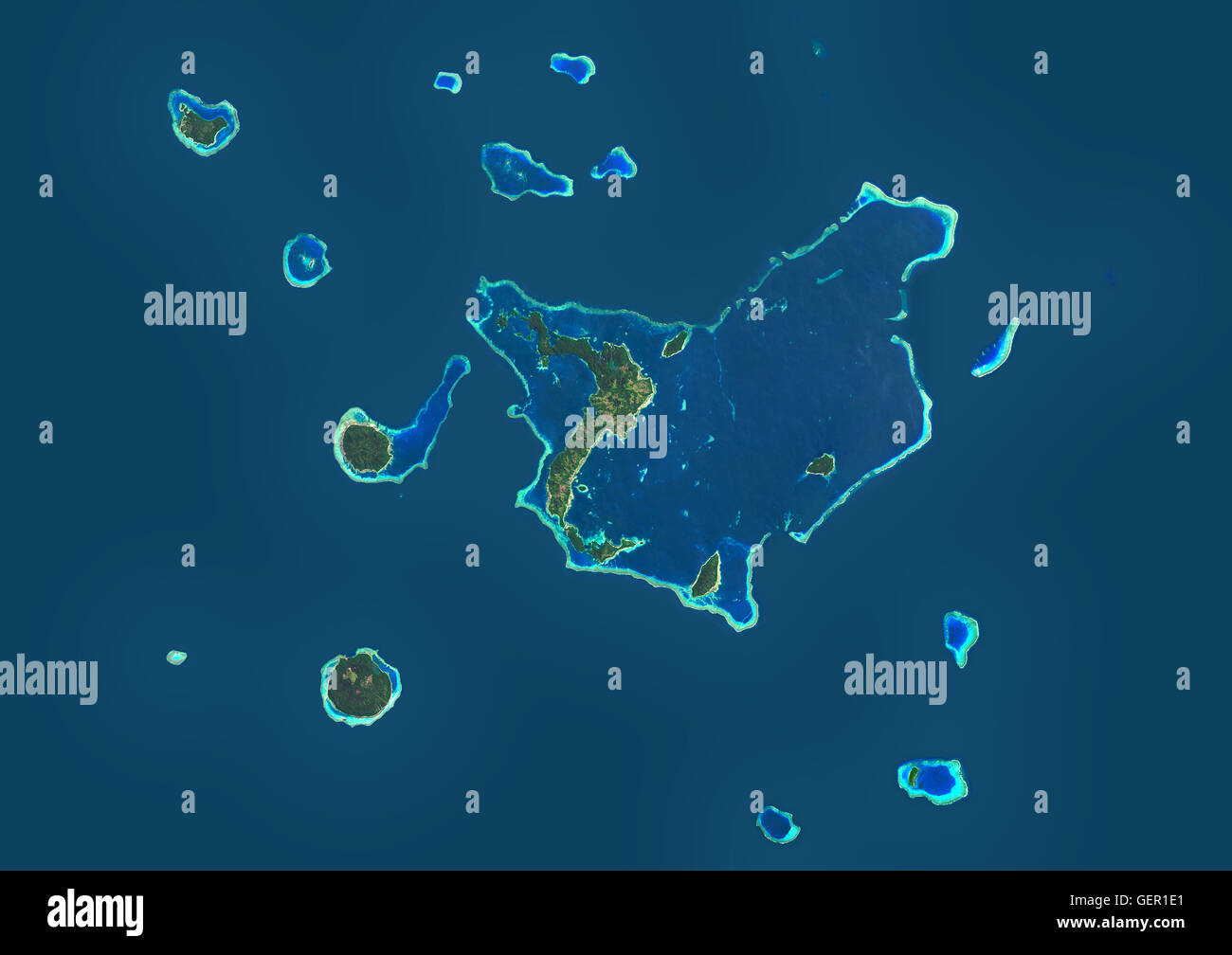 Satellite view of Vanua Balavu Island, Fiji. This image was compiled from data acquired by Landsat 8 satellite in 2014. Stock Photohttps://www.alamy.com/image-license-details/?v=1https://www.alamy.com/stock-photo-satellite-view-of-vanua-balavu-island-fiji-this-image-was-compiled-112373465.html
RMGER1E1–Satellite view of Vanua Balavu Island, Fiji. This image was compiled from data acquired by Landsat 8 satellite in 2014.
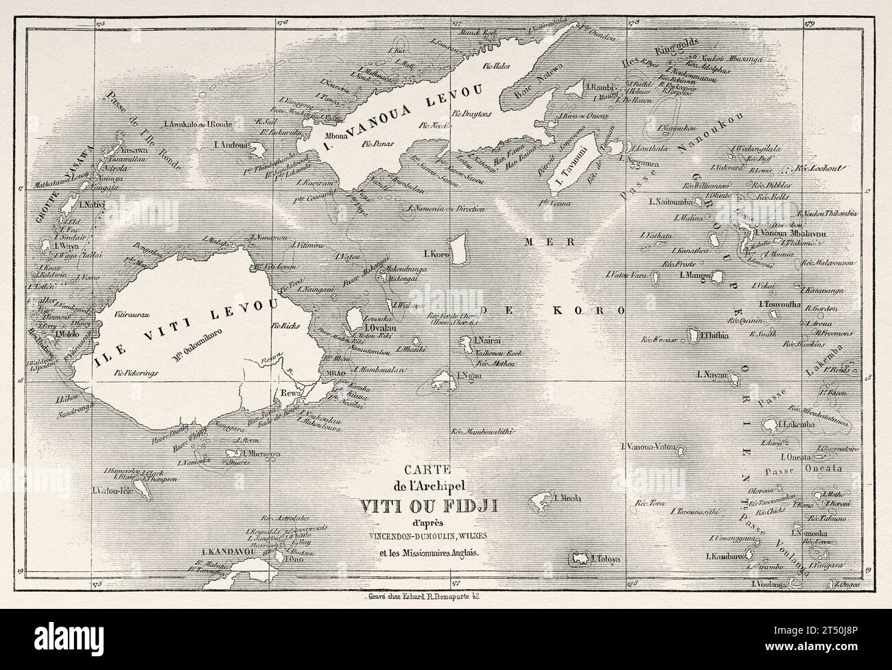 Old map of Fiji islands. Melanesia, Oceania in the southwestern Pacific Ocean. Voyage to the Great Viti, great equinoctial ocean by John Denis Macdonald 1855. Old 19th century engraving from Le Tour du Monde 1860 Stock Photohttps://www.alamy.com/image-license-details/?v=1https://www.alamy.com/old-map-of-fiji-islands-melanesia-oceania-in-the-southwestern-pacific-ocean-voyage-to-the-great-viti-great-equinoctial-ocean-by-john-denis-macdonald-1855-old-19th-century-engraving-from-le-tour-du-monde-1860-image571029782.html
RM2T50J8P–Old map of Fiji islands. Melanesia, Oceania in the southwestern Pacific Ocean. Voyage to the Great Viti, great equinoctial ocean by John Denis Macdonald 1855. Old 19th century engraving from Le Tour du Monde 1860
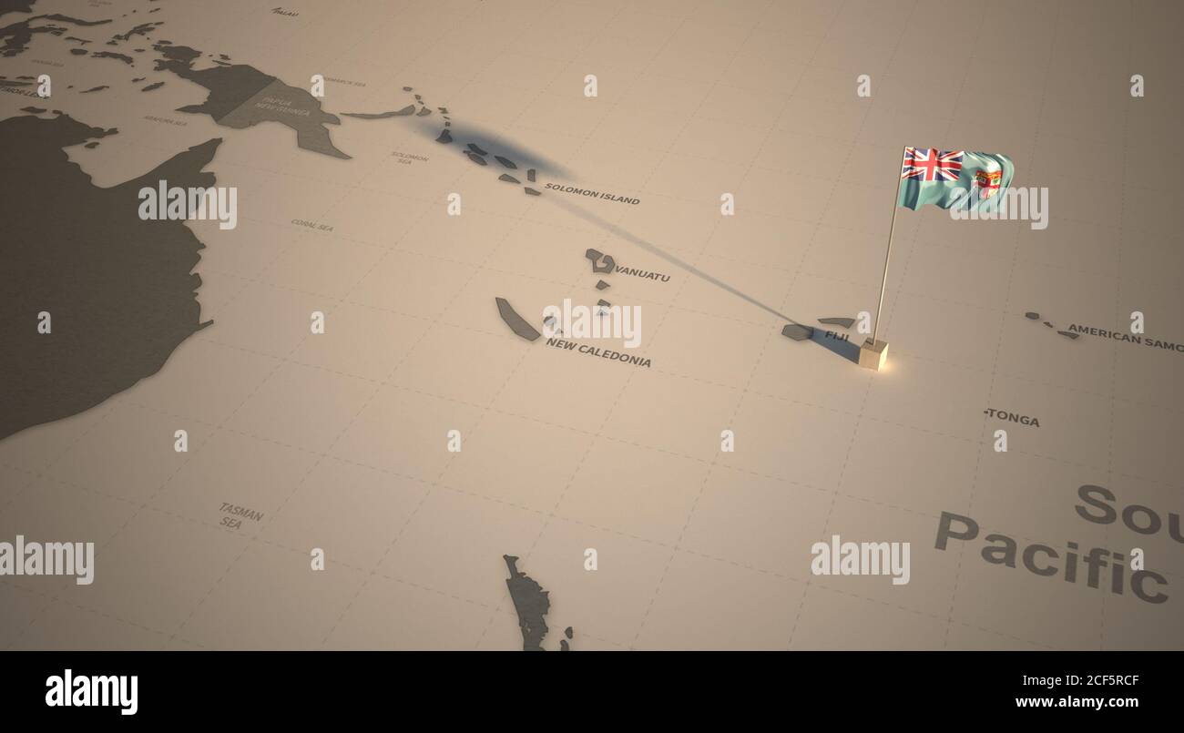 Flag on the map of Fiji. Vintage Map and Flag of South Pacific Countries Series 3D Rendering Stock Photohttps://www.alamy.com/image-license-details/?v=1https://www.alamy.com/flag-on-the-map-of-fiji-vintage-map-and-flag-of-south-pacific-countries-series-3d-rendering-image370765711.html
RF2CF5RCF–Flag on the map of Fiji. Vintage Map and Flag of South Pacific Countries Series 3D Rendering
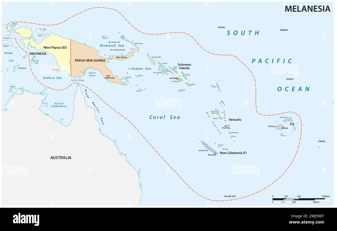 Administrative vector map of the Pacific island group Melanesia Stock Photohttps://www.alamy.com/image-license-details/?v=1https://www.alamy.com/administrative-vector-map-of-the-pacific-island-group-melanesia-image596333384.html
RF2WJ598T–Administrative vector map of the Pacific island group Melanesia
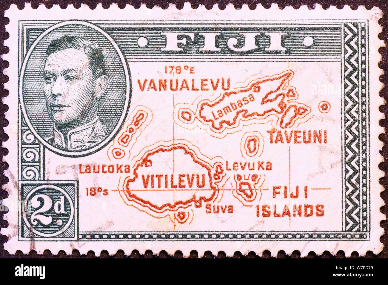 Map of Fiji Islands on old postage stamp Stock Photohttps://www.alamy.com/image-license-details/?v=1https://www.alamy.com/map-of-fiji-islands-on-old-postage-stamp-image262951453.html
RFW7PD79–Map of Fiji Islands on old postage stamp
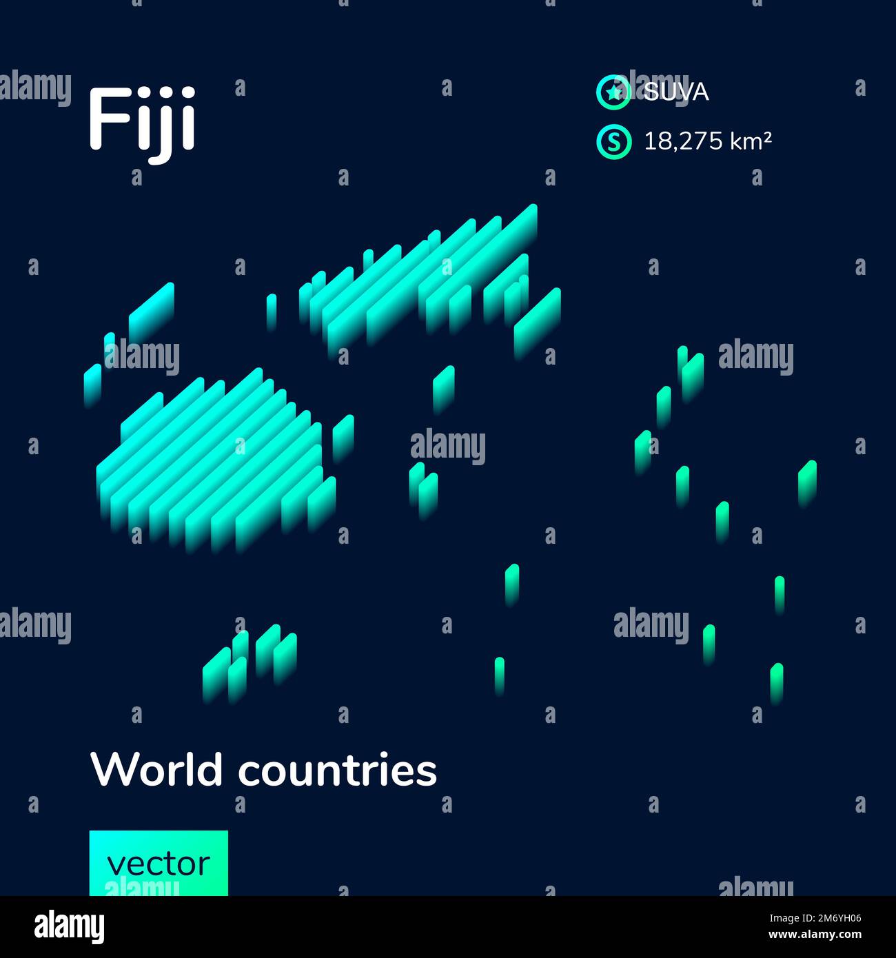 Stylized neon isometric striped vector 3D map of Fiji. Stock Vectorhttps://www.alamy.com/image-license-details/?v=1https://www.alamy.com/stylized-neon-isometric-striped-vector-3d-map-of-fiji-image503394646.html
RF2M6YH06–Stylized neon isometric striped vector 3D map of Fiji.
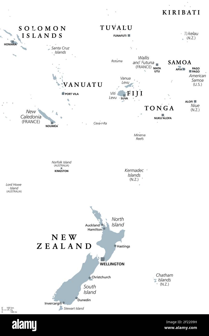 New Zealand and southern Polynesia, gray political map with capitals. Solomon Islands, Vanuatu, Fiji, Tonga, Samoa and New Caledonia. Stock Photohttps://www.alamy.com/image-license-details/?v=1https://www.alamy.com/new-zealand-and-southern-polynesia-gray-political-map-with-capitals-solomon-islands-vanuatu-fiji-tonga-samoa-and-new-caledonia-image414322317.html
RF2F2209H–New Zealand and southern Polynesia, gray political map with capitals. Solomon Islands, Vanuatu, Fiji, Tonga, Samoa and New Caledonia.
 Fiji on the map of Australasia (Oceania) in soft grunge and vintage style, like old paper with watercolor painting. Stock Photohttps://www.alamy.com/image-license-details/?v=1https://www.alamy.com/fiji-on-the-map-of-australasia-oceania-in-soft-grunge-and-vintage-style-like-old-paper-with-watercolor-painting-image616074977.html
RF2XP8HWN–Fiji on the map of Australasia (Oceania) in soft grunge and vintage style, like old paper with watercolor painting.
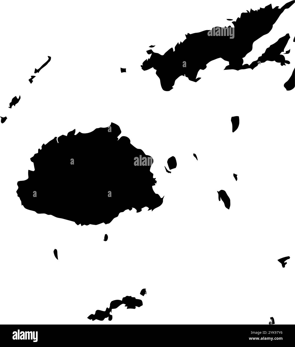 A contour map of Fiji. Vector graphic illustration on a transparent background with black country's borders Stock Vectorhttps://www.alamy.com/image-license-details/?v=1https://www.alamy.com/a-contour-map-of-fiji-vector-graphic-illustration-on-a-transparent-background-with-black-countrys-borders-image631455530.html
RF2YK97Y6–A contour map of Fiji. Vector graphic illustration on a transparent background with black country's borders
 Close-up of a red pushpin on a map of Fiji Stock Photohttps://www.alamy.com/image-license-details/?v=1https://www.alamy.com/stock-photo-close-up-of-a-red-pushpin-on-a-map-of-fiji-84924021.html
RFEX4HCN–Close-up of a red pushpin on a map of Fiji
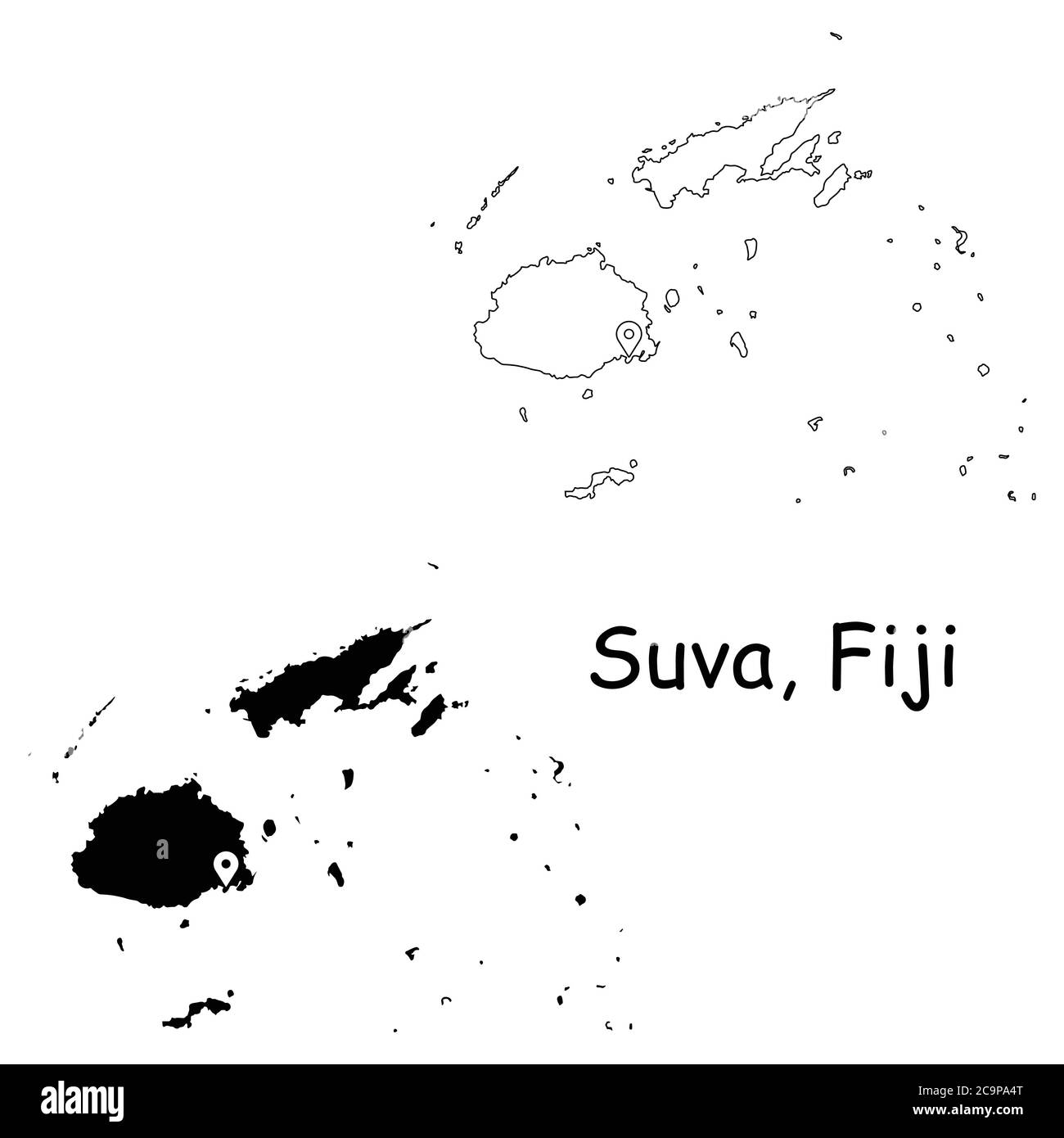 Suva Fiji. Detailed Country Map with Location Pin on Capital City. Black silhouette and outline maps isolated on white background. EPS Vector Stock Vectorhttps://www.alamy.com/image-license-details/?v=1https://www.alamy.com/suva-fiji-detailed-country-map-with-location-pin-on-capital-city-black-silhouette-and-outline-maps-isolated-on-white-background-eps-vector-image367440552.html
RF2C9PA4T–Suva Fiji. Detailed Country Map with Location Pin on Capital City. Black silhouette and outline maps isolated on white background. EPS Vector
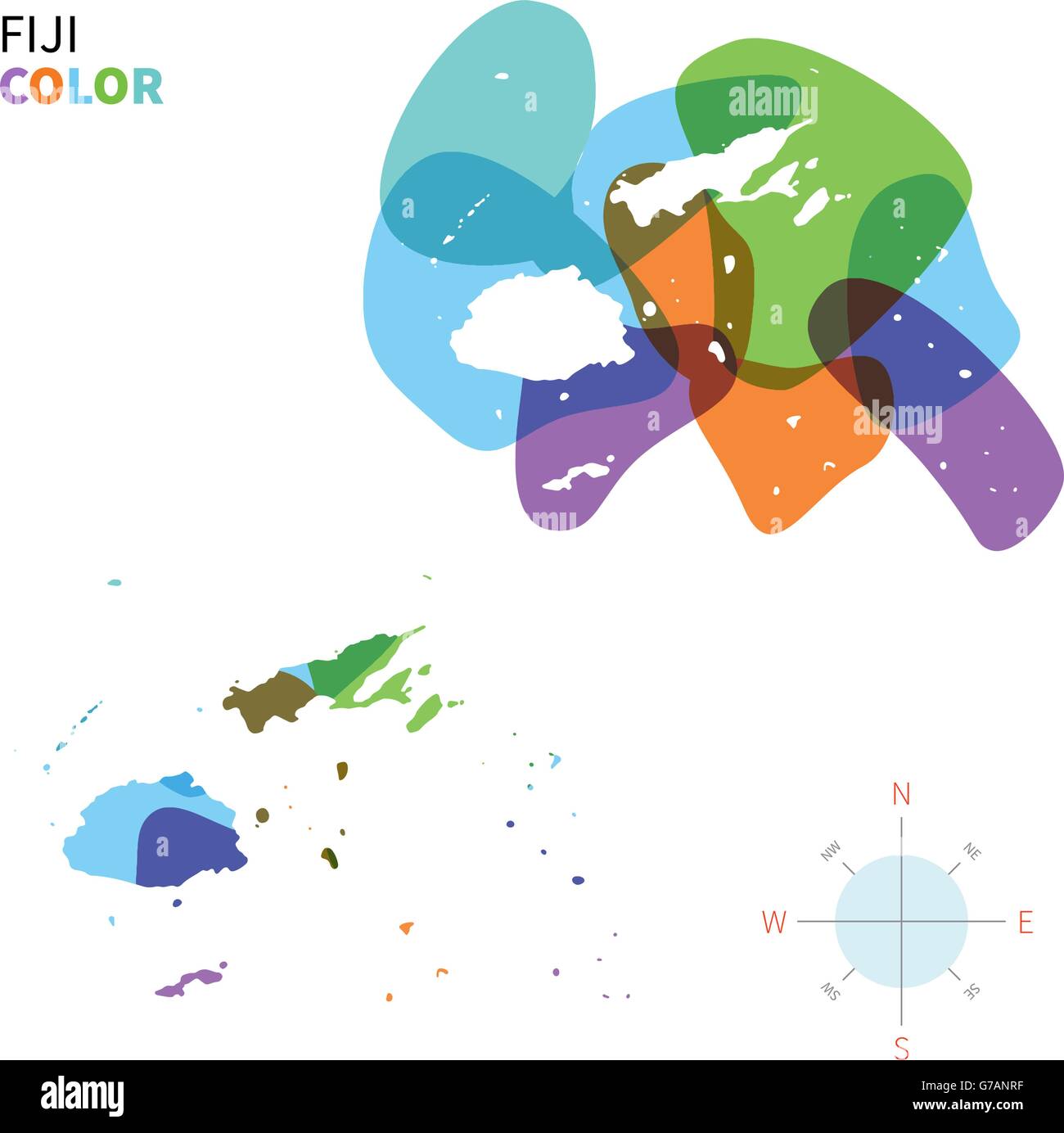 Abstract vector color map of Fiji Stock Vectorhttps://www.alamy.com/image-license-details/?v=1https://www.alamy.com/stock-photo-abstract-vector-color-map-of-fiji-107801443.html
RFG7ANRF–Abstract vector color map of Fiji
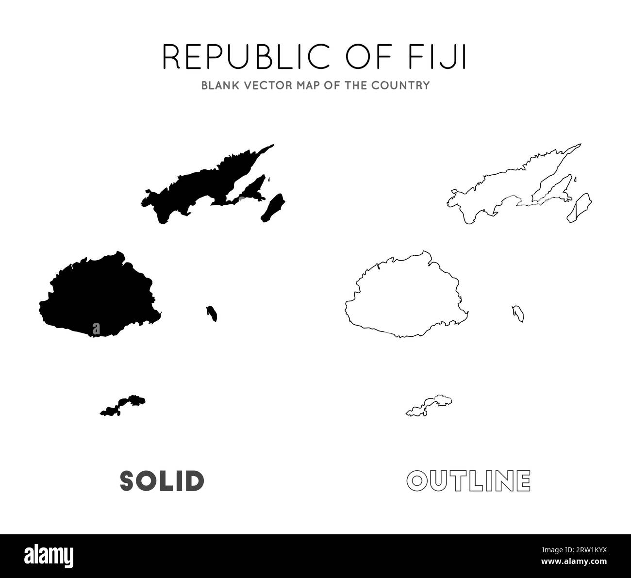 Fiji map. Blank vector map of the Country. Borders of Fiji for your infographic. Vector illustration. Stock Vectorhttps://www.alamy.com/image-license-details/?v=1https://www.alamy.com/fiji-map-blank-vector-map-of-the-country-borders-of-fiji-for-your-infographic-vector-illustration-image566135806.html
RF2RW1KYX–Fiji map. Blank vector map of the Country. Borders of Fiji for your infographic. Vector illustration.
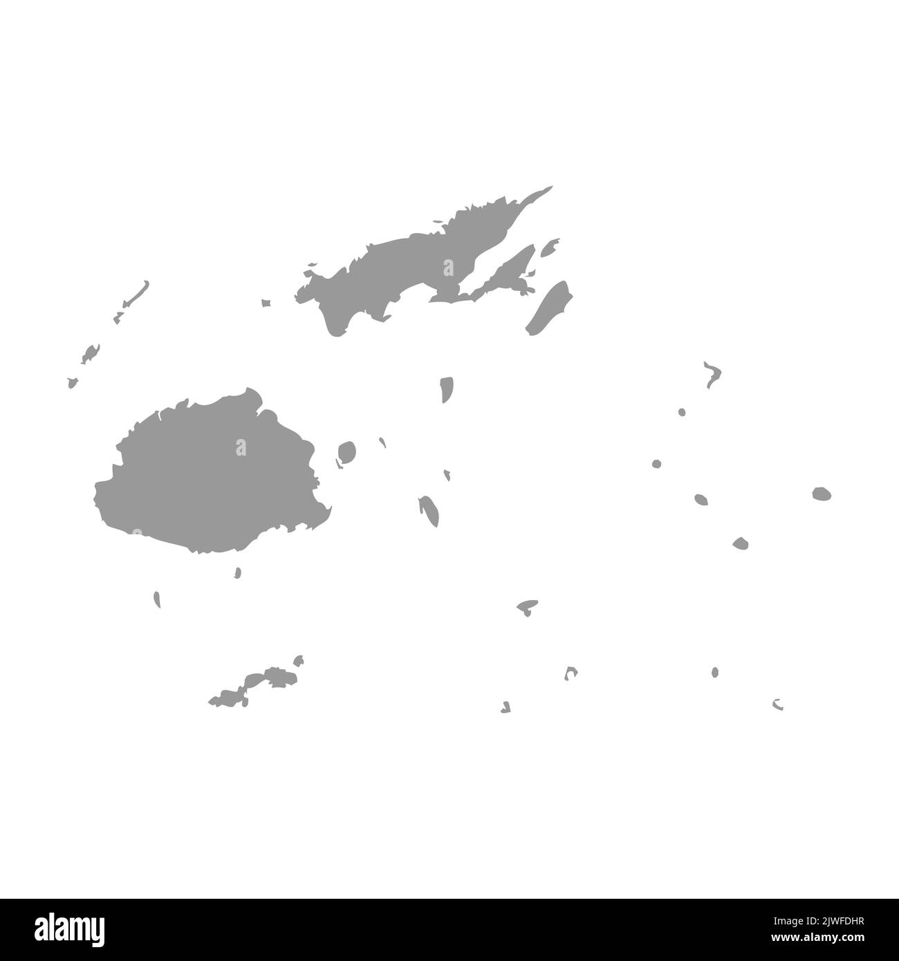 Fiji vector country map silhouette Stock Vectorhttps://www.alamy.com/image-license-details/?v=1https://www.alamy.com/fiji-vector-country-map-silhouette-image480386307.html
RF2JWFDHR–Fiji vector country map silhouette
 Fiji highlighted on a high resolution satellite map Stock Photohttps://www.alamy.com/image-license-details/?v=1https://www.alamy.com/fiji-highlighted-on-a-high-resolution-satellite-map-image591414854.html
RF2WA57K2–Fiji highlighted on a high resolution satellite map
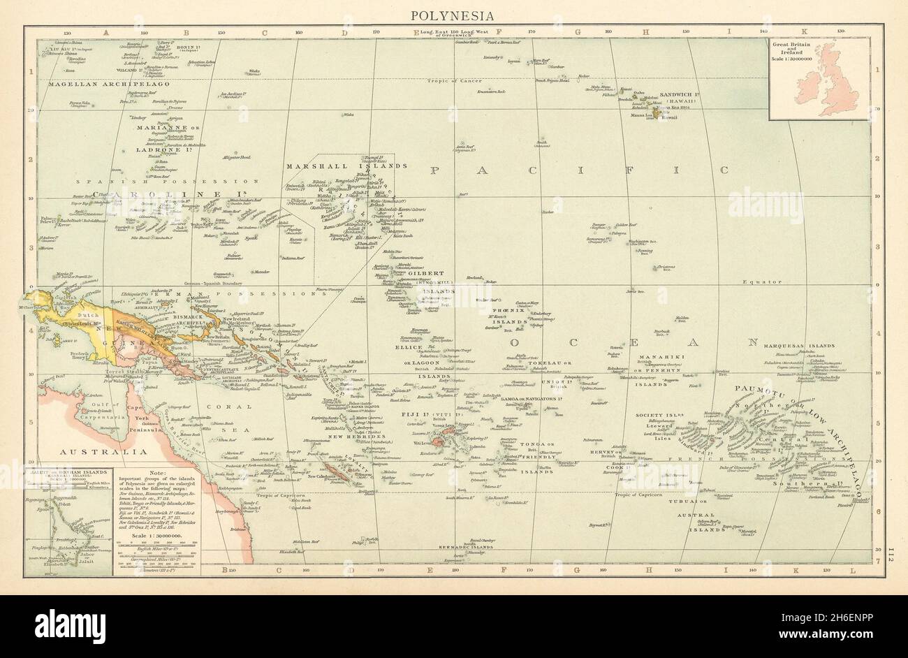 Pacific Islands. Polynesia Micronesia Melanesia. Fiji Caroline &c TIMES 1895 map Stock Photohttps://www.alamy.com/image-license-details/?v=1https://www.alamy.com/pacific-islands-polynesia-micronesia-melanesia-fiji-caroline-c-times-1895-map-image451481934.html
RF2H6ENPP–Pacific Islands. Polynesia Micronesia Melanesia. Fiji Caroline &c TIMES 1895 map
 Fiji pin on a world map. Fiji travel destination planning pinned Stock Photohttps://www.alamy.com/image-license-details/?v=1https://www.alamy.com/fiji-pin-on-a-world-map-fiji-travel-destination-planning-pinned-image459468326.html
RF2HKEGF2–Fiji pin on a world map. Fiji travel destination planning pinned