Quick filters:
Forked river map Stock Photos and Images
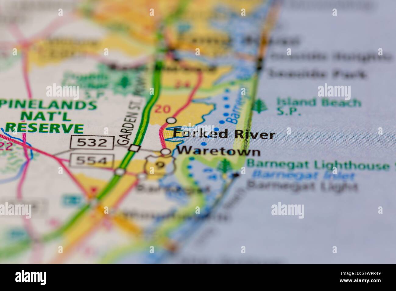 Forked River New Jersey USA shown on a Geography map or road map Stock Photohttps://www.alamy.com/image-license-details/?v=1https://www.alamy.com/forked-river-new-jersey-usa-shown-on-a-geography-map-or-road-map-image428916329.html
RM2FWPR49–Forked River New Jersey USA shown on a Geography map or road map
 Forked River Beach, Ocean County, US, United States, New Jersey, N 39 49' 1'', S 74 10' 12'', map, Cartascapes Map published in 2024. Explore Cartascapes, a map revealing Earth's diverse landscapes, cultures, and ecosystems. Journey through time and space, discovering the interconnectedness of our planet's past, present, and future. Stock Photohttps://www.alamy.com/image-license-details/?v=1https://www.alamy.com/forked-river-beach-ocean-county-us-united-states-new-jersey-n-39-49-1-s-74-10-12-map-cartascapes-map-published-in-2024-explore-cartascapes-a-map-revealing-earths-diverse-landscapes-cultures-and-ecosystems-journey-through-time-and-space-discovering-the-interconnectedness-of-our-planets-past-present-and-future-image621322178.html
RM2Y2RJNP–Forked River Beach, Ocean County, US, United States, New Jersey, N 39 49' 1'', S 74 10' 12'', map, Cartascapes Map published in 2024. Explore Cartascapes, a map revealing Earth's diverse landscapes, cultures, and ecosystems. Journey through time and space, discovering the interconnectedness of our planet's past, present, and future.
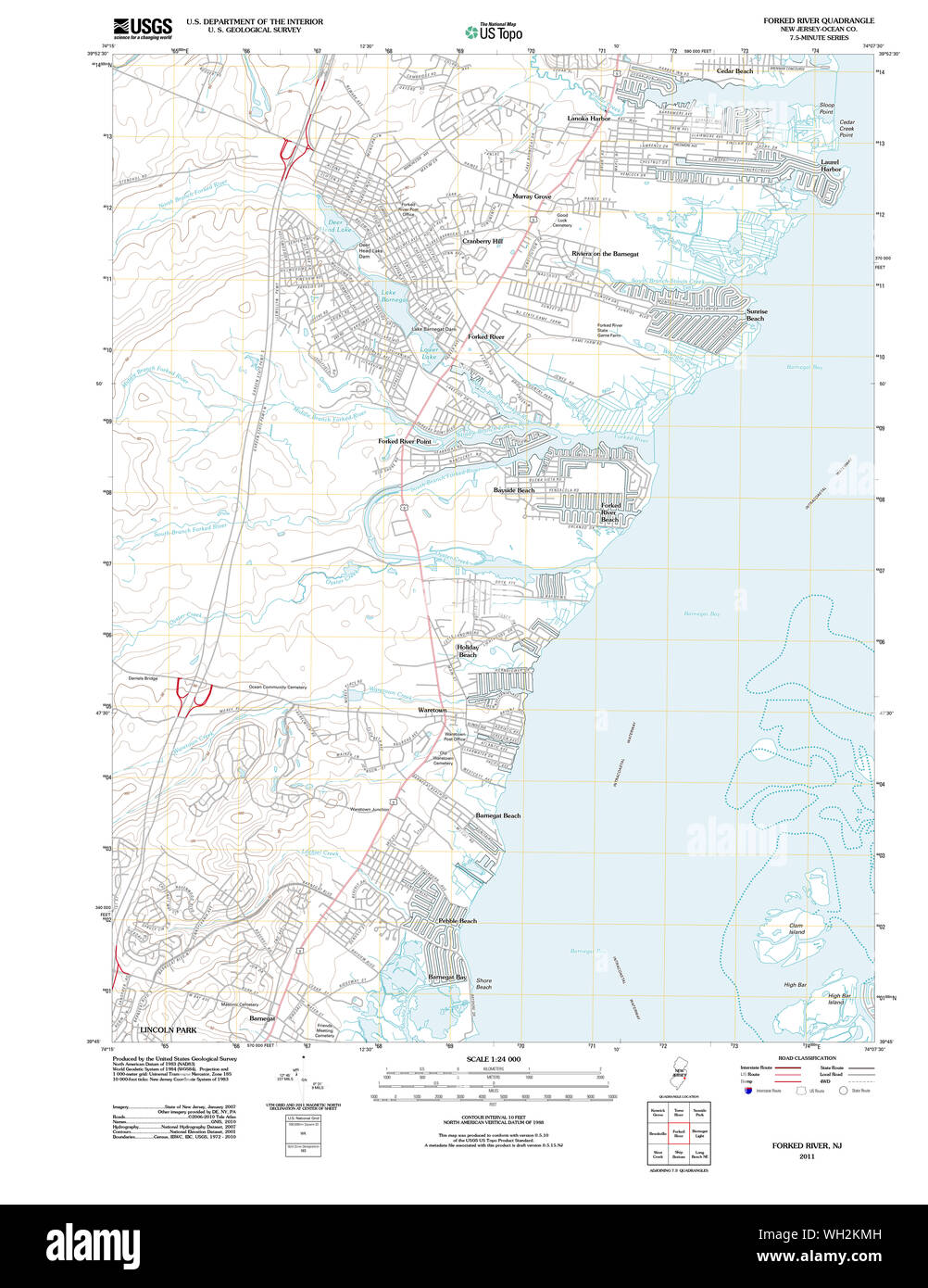 USGS TOPO Map New Jersey NJ Forked River 20110426 TM Restoration Stock Photohttps://www.alamy.com/image-license-details/?v=1https://www.alamy.com/usgs-topo-map-new-jersey-nj-forked-river-20110426-tm-restoration-image268664049.html
RMWH2KMH–USGS TOPO Map New Jersey NJ Forked River 20110426 TM Restoration
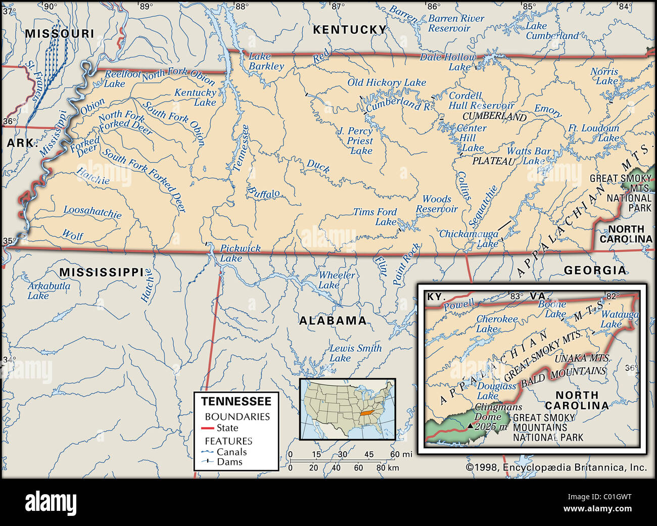 Physical map of Tennessee Stock Photohttps://www.alamy.com/image-license-details/?v=1https://www.alamy.com/stock-photo-physical-map-of-tennessee-34455956.html
RMC01GWT–Physical map of Tennessee
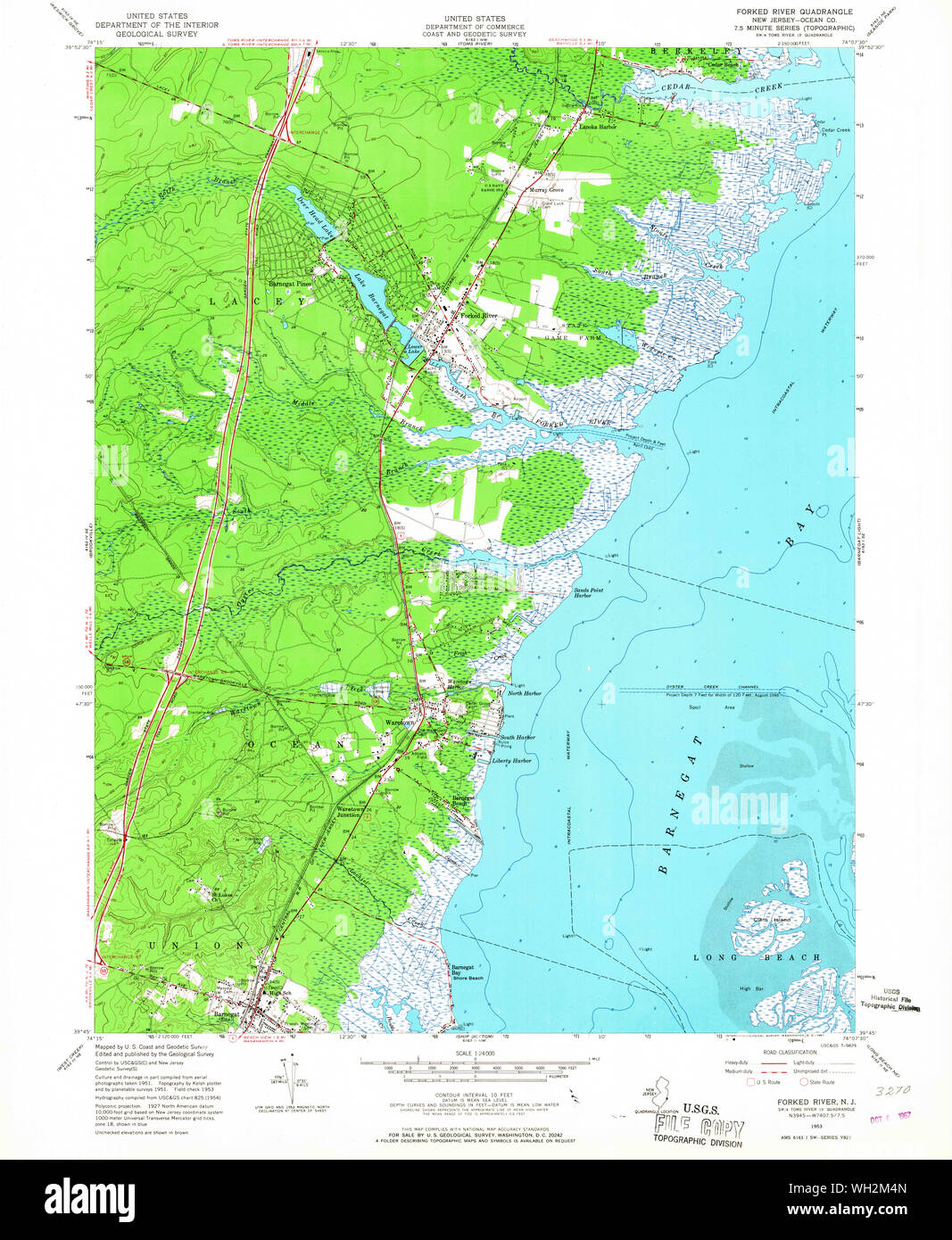 USGS TOPO Map New Jersey NJ Forked River 254387 1953 24000 Restoration Stock Photohttps://www.alamy.com/image-license-details/?v=1https://www.alamy.com/usgs-topo-map-new-jersey-nj-forked-river-254387-1953-24000-restoration-image268664389.html
RMWH2M4N–USGS TOPO Map New Jersey NJ Forked River 254387 1953 24000 Restoration
 Forked River, Ocean County, US, United States, New Jersey, N 39 50' 23'', S 74 11' 24'', map, Cartascapes Map published in 2024. Explore Cartascapes, a map revealing Earth's diverse landscapes, cultures, and ecosystems. Journey through time and space, discovering the interconnectedness of our planet's past, present, and future. Stock Photohttps://www.alamy.com/image-license-details/?v=1https://www.alamy.com/forked-river-ocean-county-us-united-states-new-jersey-n-39-50-23-s-74-11-24-map-cartascapes-map-published-in-2024-explore-cartascapes-a-map-revealing-earths-diverse-landscapes-cultures-and-ecosystems-journey-through-time-and-space-discovering-the-interconnectedness-of-our-planets-past-present-and-future-image620902646.html
RM2Y24FJE–Forked River, Ocean County, US, United States, New Jersey, N 39 50' 23'', S 74 11' 24'', map, Cartascapes Map published in 2024. Explore Cartascapes, a map revealing Earth's diverse landscapes, cultures, and ecosystems. Journey through time and space, discovering the interconnectedness of our planet's past, present, and future.
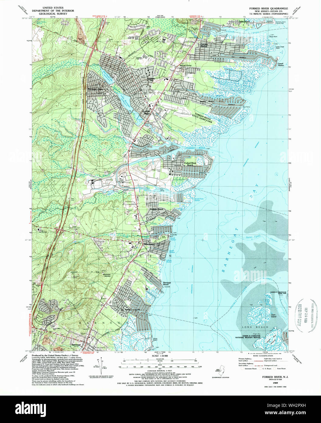 USGS TOPO Map New Jersey NJ Forked River 254391 1989 24000 Restoration Stock Photohttps://www.alamy.com/image-license-details/?v=1https://www.alamy.com/usgs-topo-map-new-jersey-nj-forked-river-254391-1989-24000-restoration-image268666569.html
RMWH2PXH–USGS TOPO Map New Jersey NJ Forked River 254391 1989 24000 Restoration
 Forked River Point, Ocean County, US, United States, New Jersey, N 39 49' 34'', S 74 11' 50'', map, Cartascapes Map published in 2024. Explore Cartascapes, a map revealing Earth's diverse landscapes, cultures, and ecosystems. Journey through time and space, discovering the interconnectedness of our planet's past, present, and future. Stock Photohttps://www.alamy.com/image-license-details/?v=1https://www.alamy.com/forked-river-point-ocean-county-us-united-states-new-jersey-n-39-49-34-s-74-11-50-map-cartascapes-map-published-in-2024-explore-cartascapes-a-map-revealing-earths-diverse-landscapes-cultures-and-ecosystems-journey-through-time-and-space-discovering-the-interconnectedness-of-our-planets-past-present-and-future-image620846585.html
RM2Y22049–Forked River Point, Ocean County, US, United States, New Jersey, N 39 49' 34'', S 74 11' 50'', map, Cartascapes Map published in 2024. Explore Cartascapes, a map revealing Earth's diverse landscapes, cultures, and ecosystems. Journey through time and space, discovering the interconnectedness of our planet's past, present, and future.
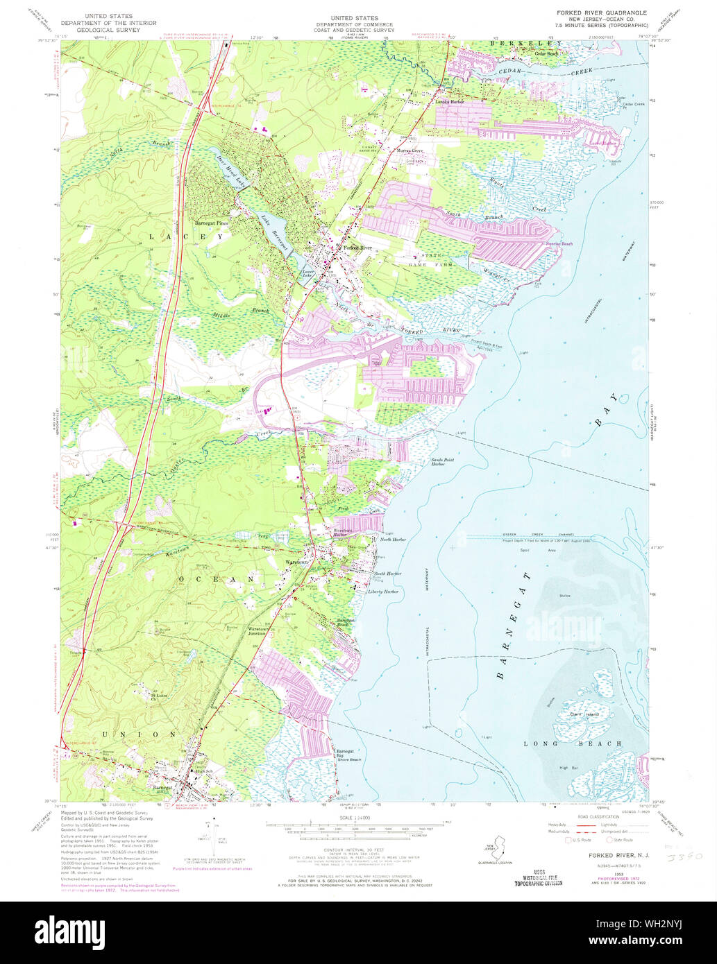 USGS TOPO Map New Jersey NJ Forked River 254389 1953 24000 Restoration Stock Photohttps://www.alamy.com/image-license-details/?v=1https://www.alamy.com/usgs-topo-map-new-jersey-nj-forked-river-254389-1953-24000-restoration-image268665814.html
RMWH2NYJ–USGS TOPO Map New Jersey NJ Forked River 254389 1953 24000 Restoration
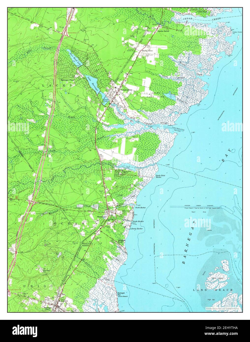 Forked River, New Jersey, map 1953, 1:24000, United States of America by Timeless Maps, data U.S. Geological Survey Stock Photohttps://www.alamy.com/image-license-details/?v=1https://www.alamy.com/forked-river-new-jersey-map-1953-124000-united-states-of-america-by-timeless-maps-data-us-geological-survey-image406899622.html
RM2EHYTHA–Forked River, New Jersey, map 1953, 1:24000, United States of America by Timeless Maps, data U.S. Geological Survey
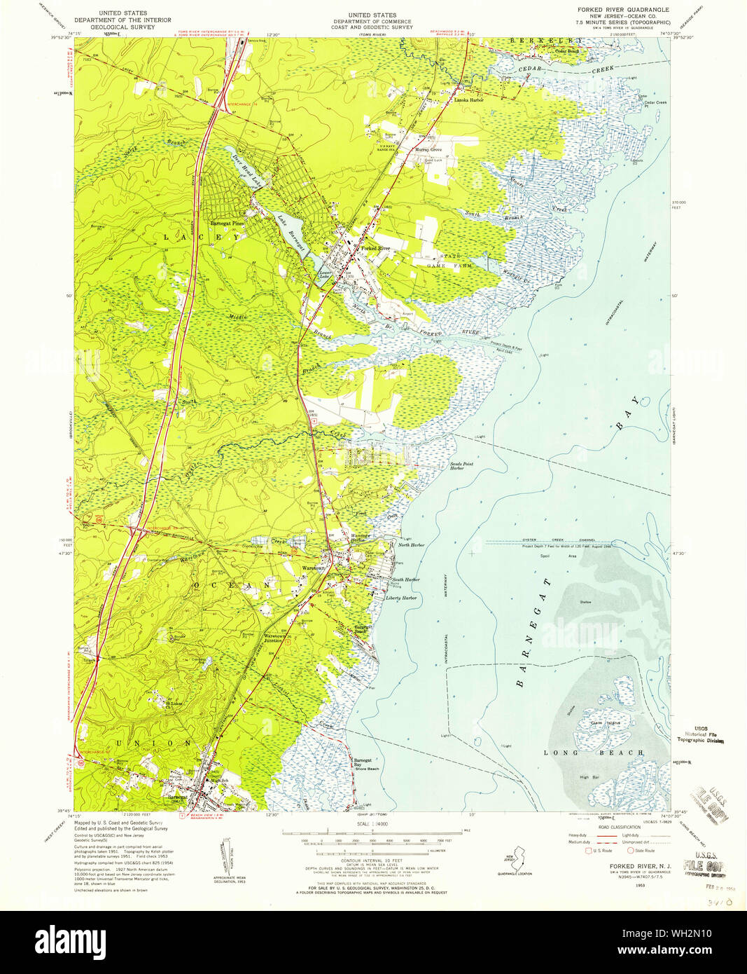 USGS TOPO Map New Jersey NJ Forked River 254388 1953 24000 Restoration Stock Photohttps://www.alamy.com/image-license-details/?v=1https://www.alamy.com/usgs-topo-map-new-jersey-nj-forked-river-254388-1953-24000-restoration-image268665068.html
RMWH2N10–USGS TOPO Map New Jersey NJ Forked River 254388 1953 24000 Restoration
 USGS TOPO Map New Jersey NJ Forked River 20110426 TM Inverted Restoration Stock Photohttps://www.alamy.com/image-license-details/?v=1https://www.alamy.com/usgs-topo-map-new-jersey-nj-forked-river-20110426-tm-inverted-restoration-image268663726.html
RMWH2K92–USGS TOPO Map New Jersey NJ Forked River 20110426 TM Inverted Restoration
 USGS TOPO Map New Jersey NJ Forked River 254389 1953 24000 Inverted Restoration Stock Photohttps://www.alamy.com/image-license-details/?v=1https://www.alamy.com/usgs-topo-map-new-jersey-nj-forked-river-254389-1953-24000-inverted-restoration-image268665464.html
RMWH2NF4–USGS TOPO Map New Jersey NJ Forked River 254389 1953 24000 Inverted Restoration
 USGS TOPO Map New Jersey NJ Forked River 254391 1989 24000 Inverted Restoration Stock Photohttps://www.alamy.com/image-license-details/?v=1https://www.alamy.com/usgs-topo-map-new-jersey-nj-forked-river-254391-1989-24000-inverted-restoration-image268665825.html
RMWH2P01–USGS TOPO Map New Jersey NJ Forked River 254391 1989 24000 Inverted Restoration
 USGS TOPO Map New Jersey NJ Forked River 254388 1953 24000 Inverted Restoration Stock Photohttps://www.alamy.com/image-license-details/?v=1https://www.alamy.com/usgs-topo-map-new-jersey-nj-forked-river-254388-1953-24000-inverted-restoration-image268664723.html
RMWH2MGK–USGS TOPO Map New Jersey NJ Forked River 254388 1953 24000 Inverted Restoration
 USGS TOPO Map New Jersey NJ Forked River 254387 1953 24000 Inverted Restoration Stock Photohttps://www.alamy.com/image-license-details/?v=1https://www.alamy.com/usgs-topo-map-new-jersey-nj-forked-river-254387-1953-24000-inverted-restoration-image268664050.html
RMWH2KMJ–USGS TOPO Map New Jersey NJ Forked River 254387 1953 24000 Inverted Restoration