Quick filters:
Fourche lafave Stock Photos and Images
 Nimrod Dam on the Fourche LaFave River, Ouachita Mountains, Highway 7, Arkansas. Stock Photohttps://www.alamy.com/image-license-details/?v=1https://www.alamy.com/nimrod-dam-on-the-fourche-lafave-river-ouachita-mountains-highway-7-arkansas-image344008239.html
RM2AYJX0F–Nimrod Dam on the Fourche LaFave River, Ouachita Mountains, Highway 7, Arkansas.
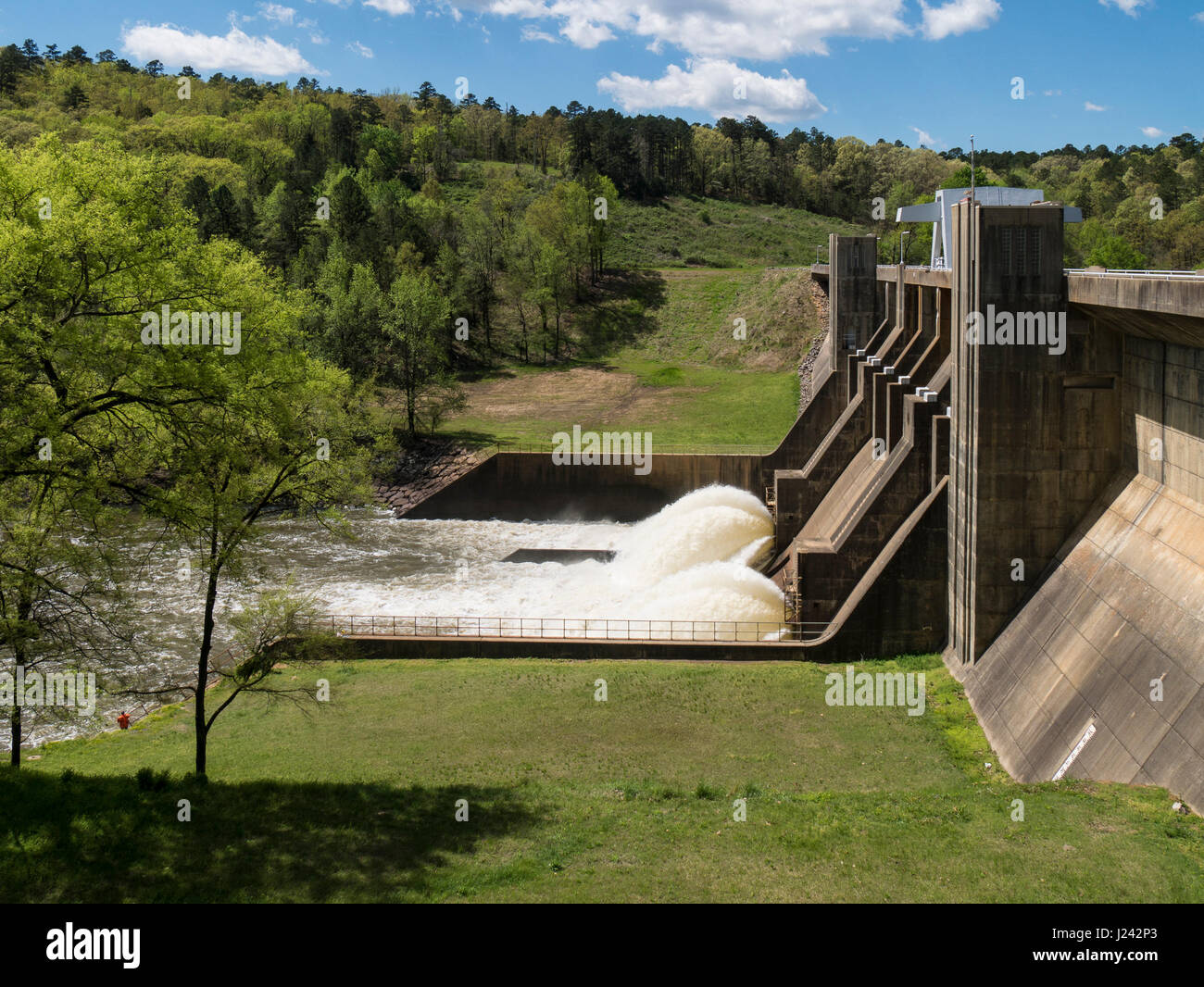 Nimrod Dam, Arkansas Highway 7, Arkansas. Stock Photohttps://www.alamy.com/image-license-details/?v=1https://www.alamy.com/stock-photo-nimrod-dam-arkansas-highway-7-arkansas-139002251.html
RMJ242P3–Nimrod Dam, Arkansas Highway 7, Arkansas.
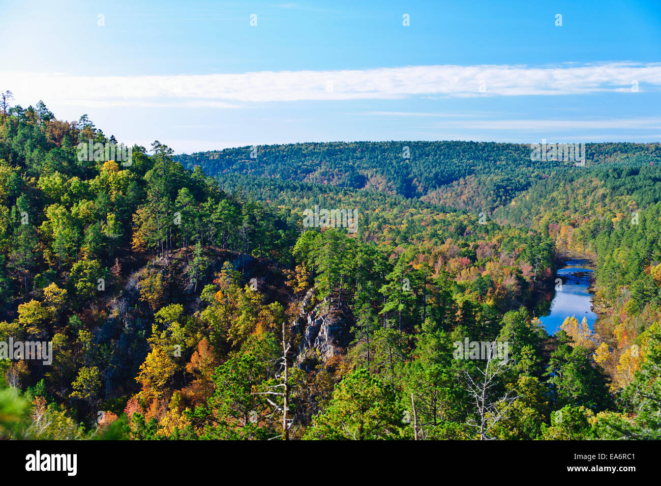 View up South Fourche Lafave River, Ouachita Mountains near Cove Creek Lake; Hollis, Arkansas, United States of America Stock Photohttps://www.alamy.com/image-license-details/?v=1https://www.alamy.com/stock-photo-view-up-south-fourche-lafave-river-ouachita-mountains-near-cove-creek-75138113.html
RFEA6RC1–View up South Fourche Lafave River, Ouachita Mountains near Cove Creek Lake; Hollis, Arkansas, United States of America
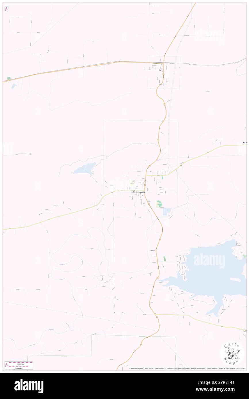 Township of Fourche Lafave, Perry County, US, United States, Arkansas, N 35 0' 24'', S 92 48' 33'', map, Cartascapes Map published in 2024. Explore Cartascapes, a map revealing Earth's diverse landscapes, cultures, and ecosystems. Journey through time and space, discovering the interconnectedness of our planet's past, present, and future. Stock Photohttps://www.alamy.com/image-license-details/?v=1https://www.alamy.com/township-of-fourche-lafave-perry-county-us-united-states-arkansas-n-35-0-24-s-92-48-33-map-cartascapes-map-published-in-2024-explore-cartascapes-a-map-revealing-earths-diverse-landscapes-cultures-and-ecosystems-journey-through-time-and-space-discovering-the-interconnectedness-of-our-planets-past-present-and-future-image633904881.html
RM2YR8T41–Township of Fourche Lafave, Perry County, US, United States, Arkansas, N 35 0' 24'', S 92 48' 33'', map, Cartascapes Map published in 2024. Explore Cartascapes, a map revealing Earth's diverse landscapes, cultures, and ecosystems. Journey through time and space, discovering the interconnectedness of our planet's past, present, and future.
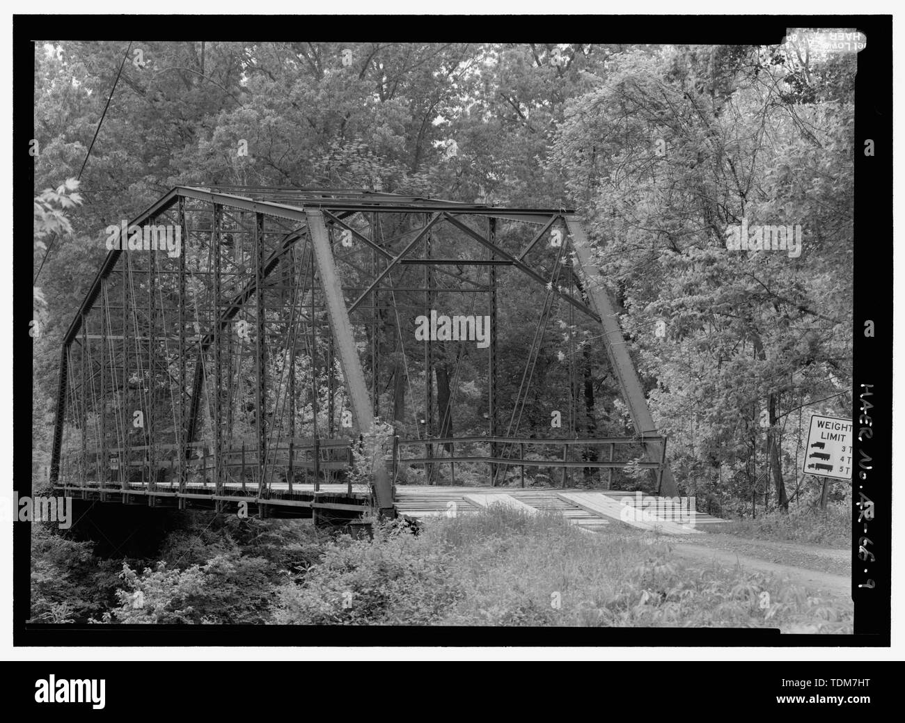 PERSPECTIVE VIEW OF NORTH PORTAL - Nimrod Bridge, Spanning Fourche Lafave River at CR 18, Nimrod, Perry County, AR Stock Photohttps://www.alamy.com/image-license-details/?v=1https://www.alamy.com/perspective-view-of-north-portal-nimrod-bridge-spanning-fourche-lafave-river-at-cr-18-nimrod-perry-county-ar-image249380708.html
RMTDM7HT–PERSPECTIVE VIEW OF NORTH PORTAL - Nimrod Bridge, Spanning Fourche Lafave River at CR 18, Nimrod, Perry County, AR
 Nimrod Dam on the Fourche LaFave River, Ouachita Mountains, Highway 7, Arkansas. Stock Photohttps://www.alamy.com/image-license-details/?v=1https://www.alamy.com/nimrod-dam-on-the-fourche-lafave-river-ouachita-mountains-highway-7-arkansas-image344008162.html
RM2AYJWWP–Nimrod Dam on the Fourche LaFave River, Ouachita Mountains, Highway 7, Arkansas.
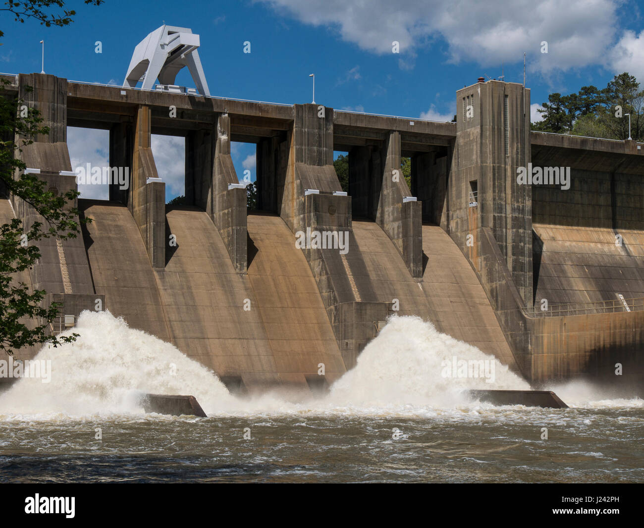 Nimrod Dam, Arkansas Highway 7, Arkansas. Stock Photohttps://www.alamy.com/image-license-details/?v=1https://www.alamy.com/stock-photo-nimrod-dam-arkansas-highway-7-arkansas-139002265.html
RMJ242PH–Nimrod Dam, Arkansas Highway 7, Arkansas.
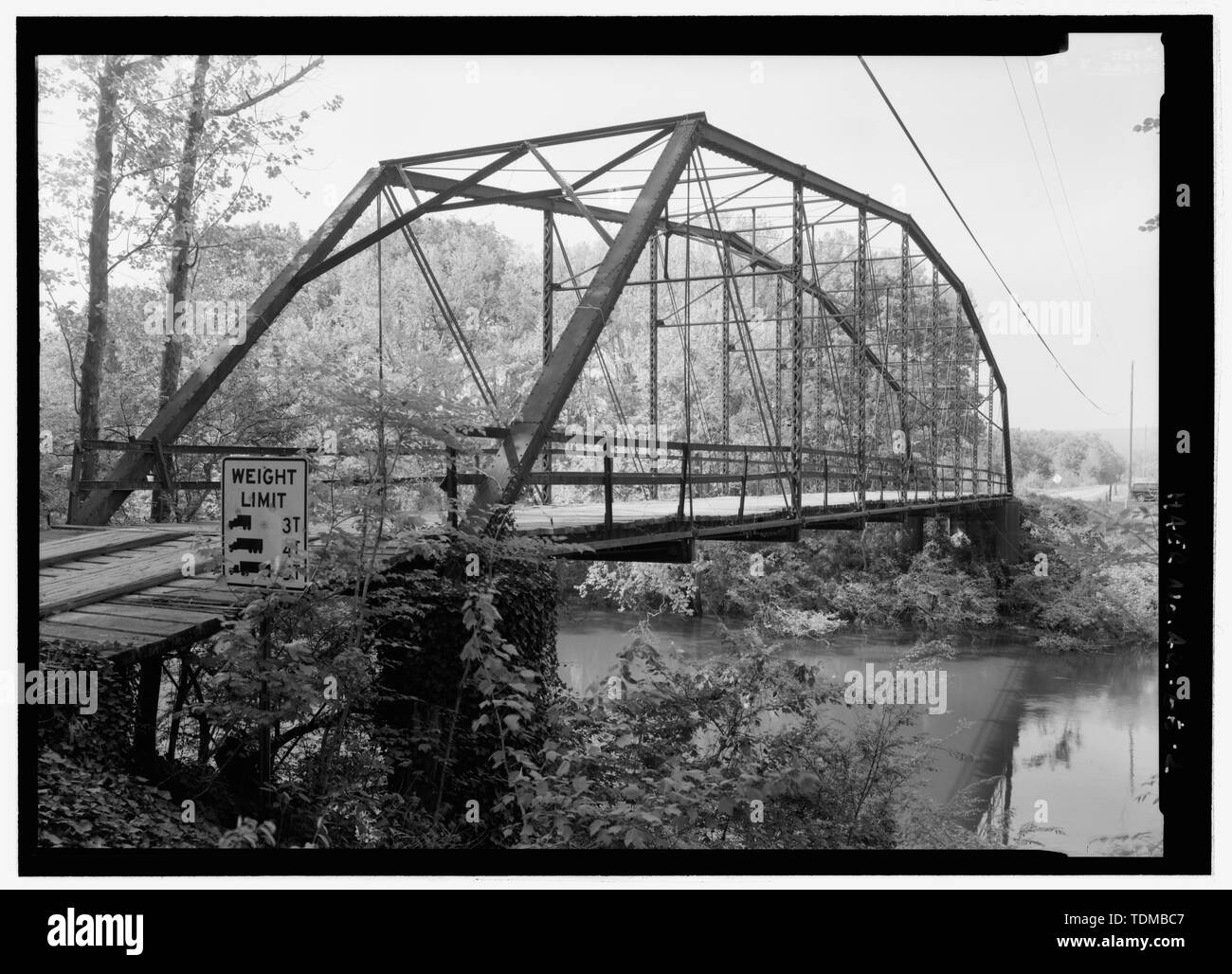 PERSPECTIVE LOOKING NNW FROM SOUTH BANK - Nimrod Bridge, Spanning Fourche Lafave River at CR 18, Nimrod, Perry County, AR Stock Photohttps://www.alamy.com/image-license-details/?v=1https://www.alamy.com/perspective-looking-nnw-from-south-bank-nimrod-bridge-spanning-fourche-lafave-river-at-cr-18-nimrod-perry-county-ar-image249383687.html
RMTDMBC7–PERSPECTIVE LOOKING NNW FROM SOUTH BANK - Nimrod Bridge, Spanning Fourche Lafave River at CR 18, Nimrod, Perry County, AR
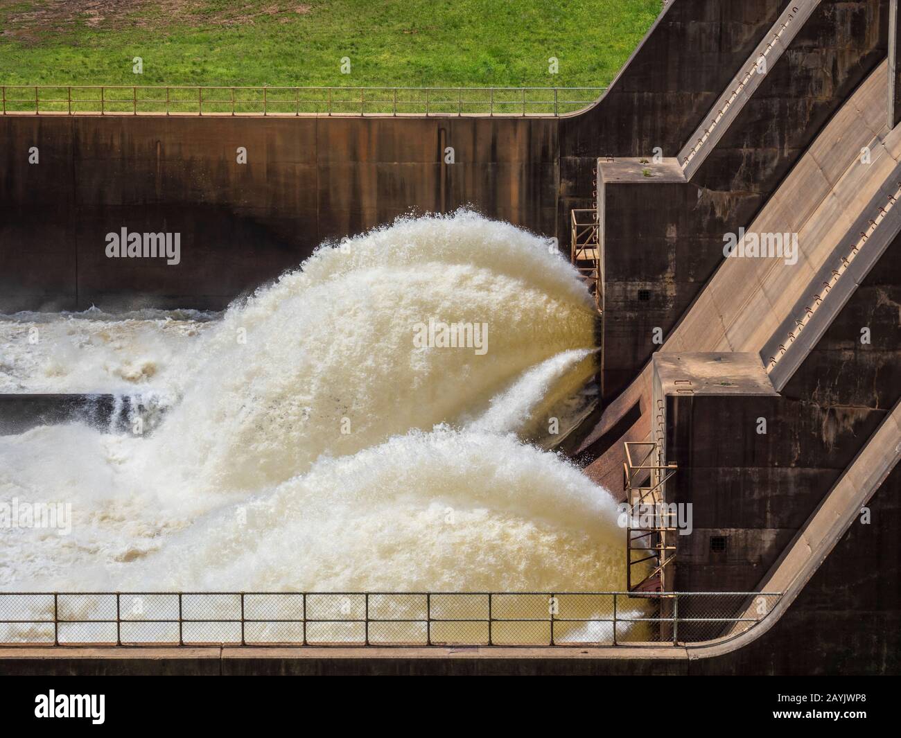 Water jets out from the Nimrod Dam on the Fourche LaFave River, Ouachita Mountains, Highway 7, Arkansas. Stock Photohttps://www.alamy.com/image-license-details/?v=1https://www.alamy.com/water-jets-out-from-the-nimrod-dam-on-the-fourche-lafave-river-ouachita-mountains-highway-7-arkansas-image344008064.html
RM2AYJWP8–Water jets out from the Nimrod Dam on the Fourche LaFave River, Ouachita Mountains, Highway 7, Arkansas.
 Nimrod Dam, Arkansas Highway 7, Arkansas. Stock Photohttps://www.alamy.com/image-license-details/?v=1https://www.alamy.com/stock-photo-nimrod-dam-arkansas-highway-7-arkansas-139002256.html
RMJ242P8–Nimrod Dam, Arkansas Highway 7, Arkansas.
 RAILING DETAIL, SOUTH PORTAL - Fourche Lafave Bridge, Spanning Fourche Lafave River at State Highway 7, Nimrod, Perry County, AR Stock Photohttps://www.alamy.com/image-license-details/?v=1https://www.alamy.com/railing-detail-south-portal-fourche-lafave-bridge-spanning-fourche-lafave-river-at-state-highway-7-nimrod-perry-county-ar-image256668039.html
RMTWG6KK–RAILING DETAIL, SOUTH PORTAL - Fourche Lafave Bridge, Spanning Fourche Lafave River at State Highway 7, Nimrod, Perry County, AR
 Water jets out from the Nimrod Dam on the Fourche LaFave River, Ouachita Mountains, Highway 7, Arkansas. Stock Photohttps://www.alamy.com/image-license-details/?v=1https://www.alamy.com/water-jets-out-from-the-nimrod-dam-on-the-fourche-lafave-river-ouachita-mountains-highway-7-arkansas-image344008053.html
RM2AYJWNW–Water jets out from the Nimrod Dam on the Fourche LaFave River, Ouachita Mountains, Highway 7, Arkansas.
 Nimrod Dam, Arkansas Highway 7, Arkansas. Stock Photohttps://www.alamy.com/image-license-details/?v=1https://www.alamy.com/stock-photo-nimrod-dam-arkansas-highway-7-arkansas-139002254.html
RMJ242P6–Nimrod Dam, Arkansas Highway 7, Arkansas.
 NORTH ABUTMENT DETAIL LOOKING WEST Fourche Lafave Bridge, Spanning Fourche Lafave River at State Highway 7, Nimrod, Perry County, AR Stock Photohttps://www.alamy.com/image-license-details/?v=1https://www.alamy.com/north-abutment-detail-looking-west-fourche-lafave-bridge-spanning-fourche-lafave-river-at-state-highway-7-nimrod-perry-county-ar-image248316979.html
RMTBYPRF–NORTH ABUTMENT DETAIL LOOKING WEST Fourche Lafave Bridge, Spanning Fourche Lafave River at State Highway 7, Nimrod, Perry County, AR
 Water jets out from the Nimrod Dam on the Fourche LaFave River, Ouachita Mountains, Highway 7, Arkansas. Stock Photohttps://www.alamy.com/image-license-details/?v=1https://www.alamy.com/water-jets-out-from-the-nimrod-dam-on-the-fourche-lafave-river-ouachita-mountains-highway-7-arkansas-image344008079.html
RM2AYJWPR–Water jets out from the Nimrod Dam on the Fourche LaFave River, Ouachita Mountains, Highway 7, Arkansas.
 Nimrod Dam, Arkansas Highway 7, Arkansas. Stock Photohttps://www.alamy.com/image-license-details/?v=1https://www.alamy.com/stock-photo-nimrod-dam-arkansas-highway-7-arkansas-139002252.html
RMJ242P4–Nimrod Dam, Arkansas Highway 7, Arkansas.
 ROADSCAPE AND BRIDGE DECK LOOKING SOUTH - Fourche Lafave Bridge, Spanning Fourche Lafave River at State Highway 7, Nimrod, Perry County, AR Stock Photohttps://www.alamy.com/image-license-details/?v=1https://www.alamy.com/roadscape-and-bridge-deck-looking-south-fourche-lafave-bridge-spanning-fourche-lafave-river-at-state-highway-7-nimrod-perry-county-ar-image256679795.html
RMTWGNKF–ROADSCAPE AND BRIDGE DECK LOOKING SOUTH - Fourche Lafave Bridge, Spanning Fourche Lafave River at State Highway 7, Nimrod, Perry County, AR
 Water jets out from the Nimrod Dam on the Fourche LaFave River, Ouachita Mountains, Highway 7, Arkansas. Stock Photohttps://www.alamy.com/image-license-details/?v=1https://www.alamy.com/water-jets-out-from-the-nimrod-dam-on-the-fourche-lafave-river-ouachita-mountains-highway-7-arkansas-image344008250.html
RM2AYJX0X–Water jets out from the Nimrod Dam on the Fourche LaFave River, Ouachita Mountains, Highway 7, Arkansas.
 Nimrod Dam, Arkansas Highway 7, Arkansas. Stock Photohttps://www.alamy.com/image-license-details/?v=1https://www.alamy.com/stock-photo-nimrod-dam-arkansas-highway-7-arkansas-139002266.html
RMJ242PJ–Nimrod Dam, Arkansas Highway 7, Arkansas.
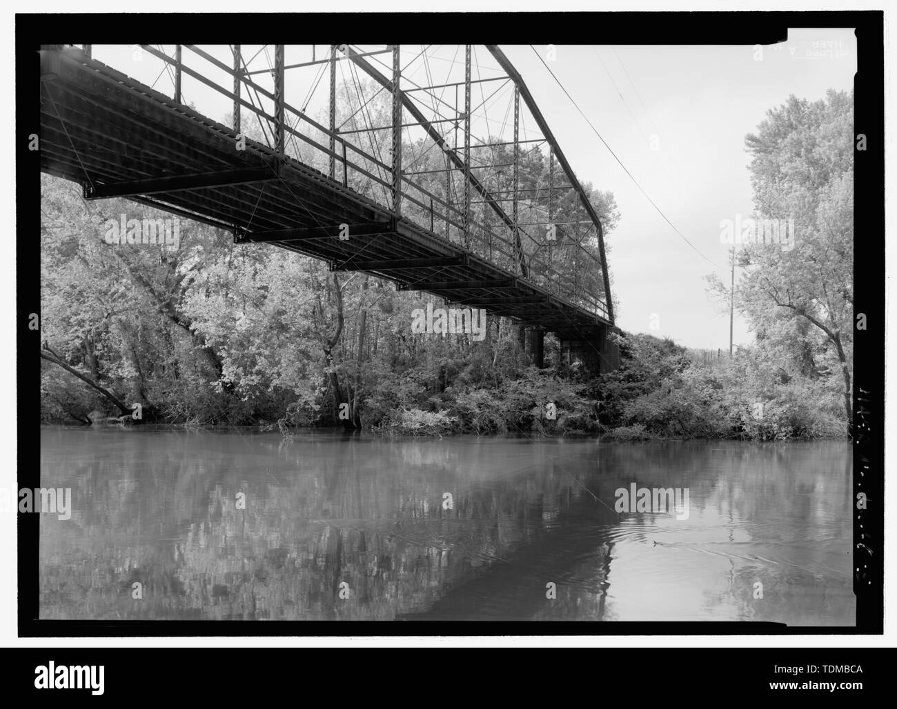 PERSPECTIVE LOOKING NNW FROM SOUTH BANK NEAR WATER LEVEL - Nimrod Bridge, Spanning Fourche Lafave River at CR 18, Nimrod, Perry County, AR Stock Photohttps://www.alamy.com/image-license-details/?v=1https://www.alamy.com/perspective-looking-nnw-from-south-bank-near-water-level-nimrod-bridge-spanning-fourche-lafave-river-at-cr-18-nimrod-perry-county-ar-image249383690.html
RMTDMBCA–PERSPECTIVE LOOKING NNW FROM SOUTH BANK NEAR WATER LEVEL - Nimrod Bridge, Spanning Fourche Lafave River at CR 18, Nimrod, Perry County, AR
 Water jets out from the Nimrod Dam on the Fourche LaFave River, Ouachita Mountains, Highway 7, Arkansas. Stock Photohttps://www.alamy.com/image-license-details/?v=1https://www.alamy.com/water-jets-out-from-the-nimrod-dam-on-the-fourche-lafave-river-ouachita-mountains-highway-7-arkansas-image344008151.html
RM2AYJWWB–Water jets out from the Nimrod Dam on the Fourche LaFave River, Ouachita Mountains, Highway 7, Arkansas.
 Nimrod Dam, Arkansas Highway 7, Arkansas. Stock Photohttps://www.alamy.com/image-license-details/?v=1https://www.alamy.com/stock-photo-nimrod-dam-arkansas-highway-7-arkansas-139002258.html
RMJ242PA–Nimrod Dam, Arkansas Highway 7, Arkansas.
 SE BY 120 DEGREES, OBLIQUE PERSPECTIVE FROM NORTH BANK - Fourche Lafave Bridge, Spanning Fourche Lafave River at State Highway 7, Nimrod, Perry County, AR Stock Photohttps://www.alamy.com/image-license-details/?v=1https://www.alamy.com/se-by-120-degrees-oblique-perspective-from-north-bank-fourche-lafave-bridge-spanning-fourche-lafave-river-at-state-highway-7-nimrod-perry-county-ar-image256695068.html
RMTWHD50–SE BY 120 DEGREES, OBLIQUE PERSPECTIVE FROM NORTH BANK - Fourche Lafave Bridge, Spanning Fourche Lafave River at State Highway 7, Nimrod, Perry County, AR
 Water jets out from the Nimrod Dam on the Fourche LaFave River, Ouachita Mountains, Highway 7, Arkansas. Stock Photohttps://www.alamy.com/image-license-details/?v=1https://www.alamy.com/water-jets-out-from-the-nimrod-dam-on-the-fourche-lafave-river-ouachita-mountains-highway-7-arkansas-image344007988.html
RM2AYJWKG–Water jets out from the Nimrod Dam on the Fourche LaFave River, Ouachita Mountains, Highway 7, Arkansas.
 Nimrod Dam, Arkansas Highway 7, Arkansas. Stock Photohttps://www.alamy.com/image-license-details/?v=1https://www.alamy.com/stock-photo-nimrod-dam-arkansas-highway-7-arkansas-139002247.html
RMJ242NY–Nimrod Dam, Arkansas Highway 7, Arkansas.
 PERSPECTIVE FROM 8' ABOVE WATER LEVEL LOOKING SE - Fourche Lafave Bridge, Spanning Fourche Lafave River at State Highway 7, Nimrod, Perry County, AR Stock Photohttps://www.alamy.com/image-license-details/?v=1https://www.alamy.com/perspective-from-8-above-water-level-looking-se-fourche-lafave-bridge-spanning-fourche-lafave-river-at-state-highway-7-nimrod-perry-county-ar-image249383597.html
RMTDMB91–PERSPECTIVE FROM 8' ABOVE WATER LEVEL LOOKING SE - Fourche Lafave Bridge, Spanning Fourche Lafave River at State Highway 7, Nimrod, Perry County, AR
 Nimrod Dam on the Fourche LaFave River, Ouachita Mountains, Highway 7, Arkansas. Stock Photohttps://www.alamy.com/image-license-details/?v=1https://www.alamy.com/nimrod-dam-on-the-fourche-lafave-river-ouachita-mountains-highway-7-arkansas-image344008264.html
RM2AYJX1C–Nimrod Dam on the Fourche LaFave River, Ouachita Mountains, Highway 7, Arkansas.
 Main entry door, Nimrod Dam, Arkansas Highway 7, Arkansas. Stock Photohttps://www.alamy.com/image-license-details/?v=1https://www.alamy.com/stock-photo-main-entry-door-nimrod-dam-arkansas-highway-7-arkansas-139002267.html
RMJ242PK–Main entry door, Nimrod Dam, Arkansas Highway 7, Arkansas.
 Nimrod Dam on the Fourche LaFave River, Ouachita Mountains, Highway 7, Arkansas. Stock Photohttps://www.alamy.com/image-license-details/?v=1https://www.alamy.com/nimrod-dam-on-the-fourche-lafave-river-ouachita-mountains-highway-7-arkansas-image344008272.html
RM2AYJX1M–Nimrod Dam on the Fourche LaFave River, Ouachita Mountains, Highway 7, Arkansas.
