Quick filters:
Frenchtown nj Stock Photos and Images
 Store fronts in Frenchtown, New Jersey Stock Photohttps://www.alamy.com/image-license-details/?v=1https://www.alamy.com/stock-photo-store-fronts-in-frenchtown-new-jersey-49496528.html
RMCTEN94–Store fronts in Frenchtown, New Jersey
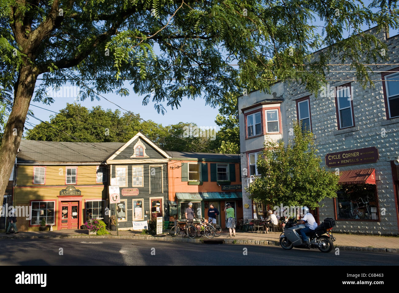 Frenchtown, New Jersey, a village on the Delaware River Stock Photohttps://www.alamy.com/image-license-details/?v=1https://www.alamy.com/stock-photo-frenchtown-new-jersey-a-village-on-the-delaware-river-38353451.html
RMC6B463–Frenchtown, New Jersey, a village on the Delaware River
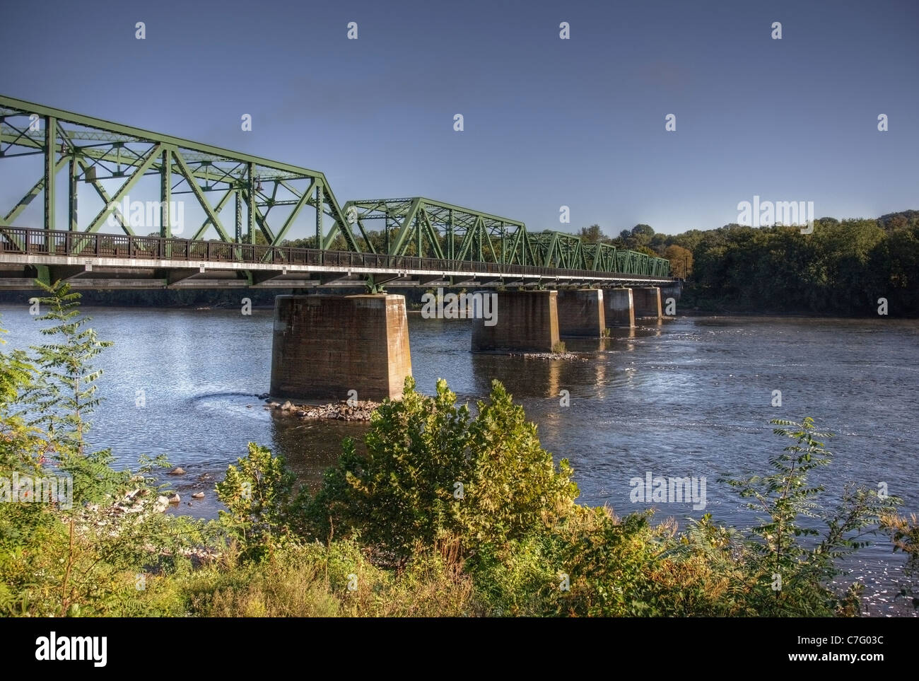 Bridge over the Delaware River in Frenchtown, New Jersey Stock Photohttps://www.alamy.com/image-license-details/?v=1https://www.alamy.com/stock-photo-bridge-over-the-delaware-river-in-frenchtown-new-jersey-39074656.html
RMC7G03C–Bridge over the Delaware River in Frenchtown, New Jersey
 The Uhlerstown-Frenchtown Bridge from Frenchtown, New Jersey to Uherlstown, Pennsylvania. The bridge crosses the Delaware River. Stock Photohttps://www.alamy.com/image-license-details/?v=1https://www.alamy.com/stock-photo-the-uhlerstown-frenchtown-bridge-from-frenchtown-new-jersey-to-uherlstown-171652567.html
RFKY7CGR–The Uhlerstown-Frenchtown Bridge from Frenchtown, New Jersey to Uherlstown, Pennsylvania. The bridge crosses the Delaware River.
 Boat launch site,on Giving Pond,reflections,blue skies,clouds, into the Delaware River,outside Frenchtown,New Jersey.Near Lambertville,NJ,New Hope Pa. Stock Photohttps://www.alamy.com/image-license-details/?v=1https://www.alamy.com/boat-launch-siteon-giving-pondreflectionsblue-skiesclouds-into-the-delaware-riveroutside-frenchtownnew-jerseynear-lambertvillenjnew-hope-pa-image458880455.html
RF2HJFPKK–Boat launch site,on Giving Pond,reflections,blue skies,clouds, into the Delaware River,outside Frenchtown,New Jersey.Near Lambertville,NJ,New Hope Pa.
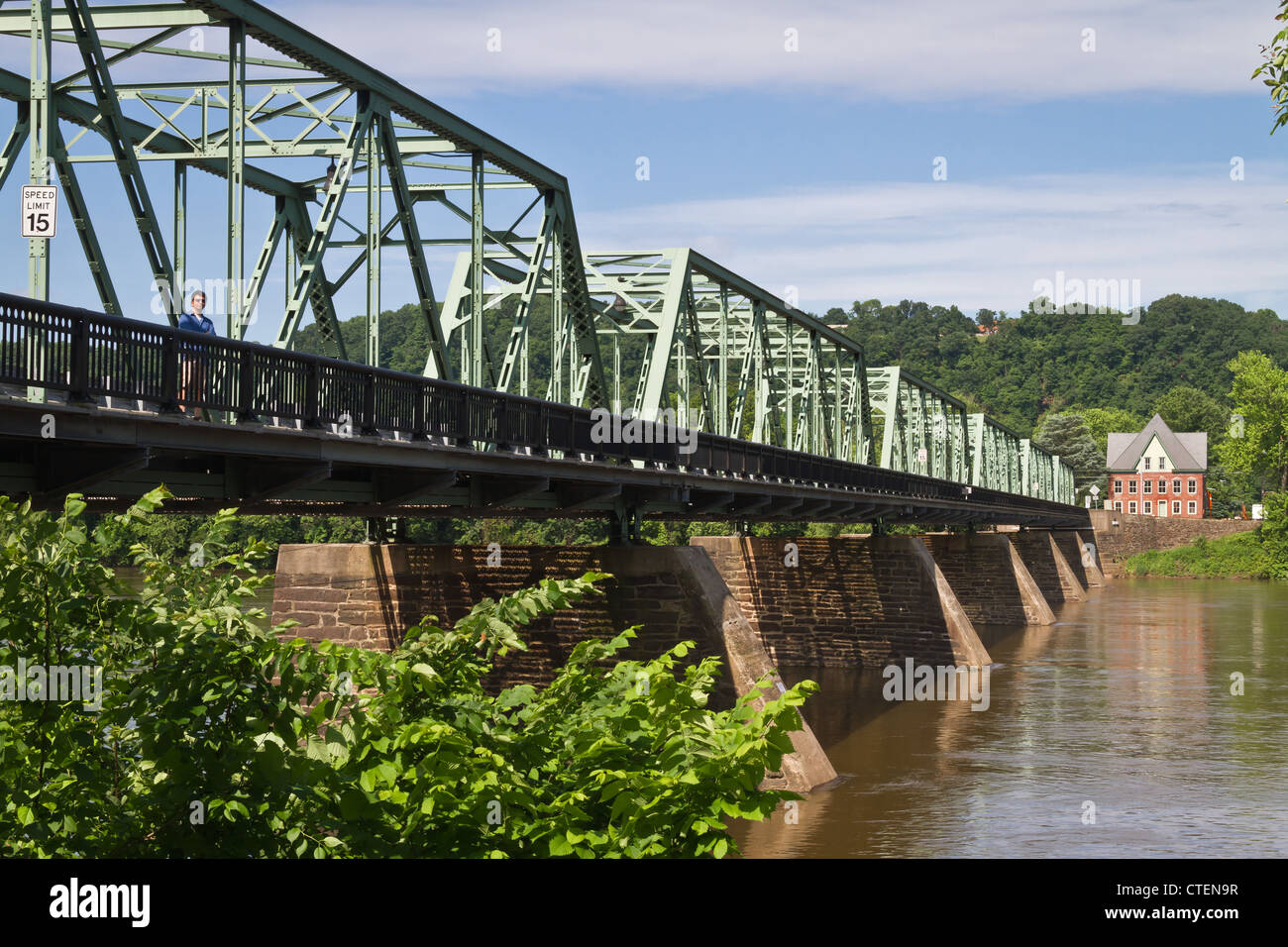 The bridge spanning the Delaware River in Frenchtown, New Jersey Stock Photohttps://www.alamy.com/image-license-details/?v=1https://www.alamy.com/stock-photo-the-bridge-spanning-the-delaware-river-in-frenchtown-new-jersey-49496547.html
RMCTEN9R–The bridge spanning the Delaware River in Frenchtown, New Jersey
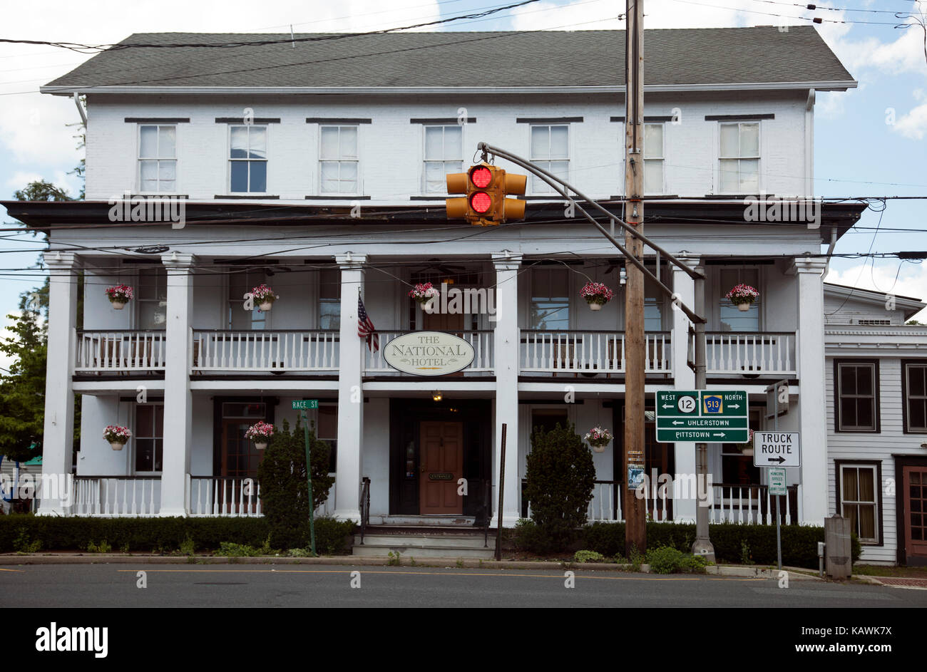 National Hotel in Frenchtown New Jersey in USA Stock Photohttps://www.alamy.com/image-license-details/?v=1https://www.alamy.com/stock-image-national-hotel-in-frenchtown-new-jersey-in-usa-161603790.html
RMKAWK7X–National Hotel in Frenchtown New Jersey in USA
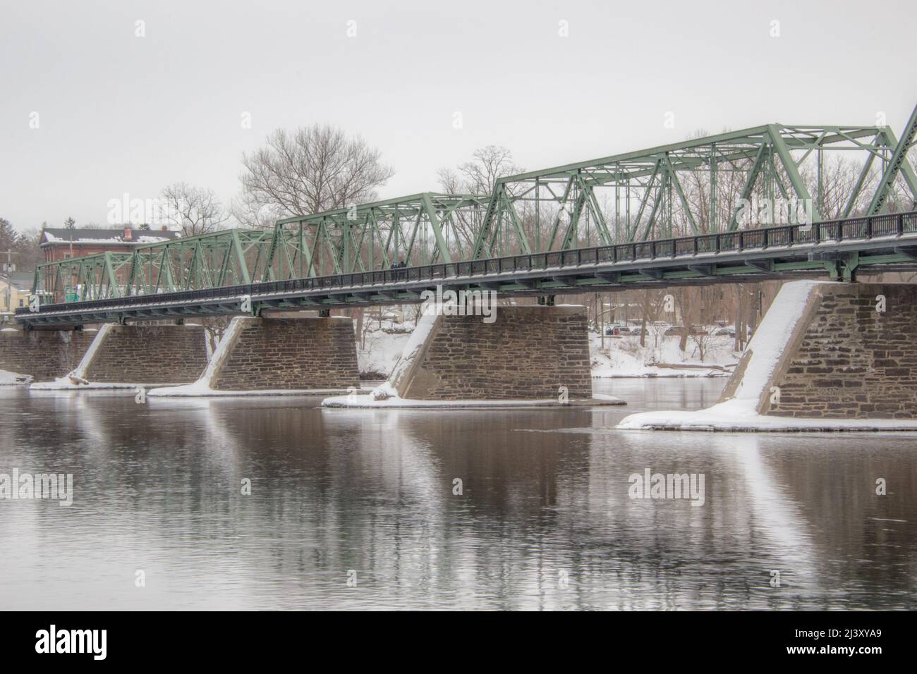 Frenchtown Bridge Stock Photohttps://www.alamy.com/image-license-details/?v=1https://www.alamy.com/frenchtown-bridge-image467116113.html
RF2J3XYA9–Frenchtown Bridge
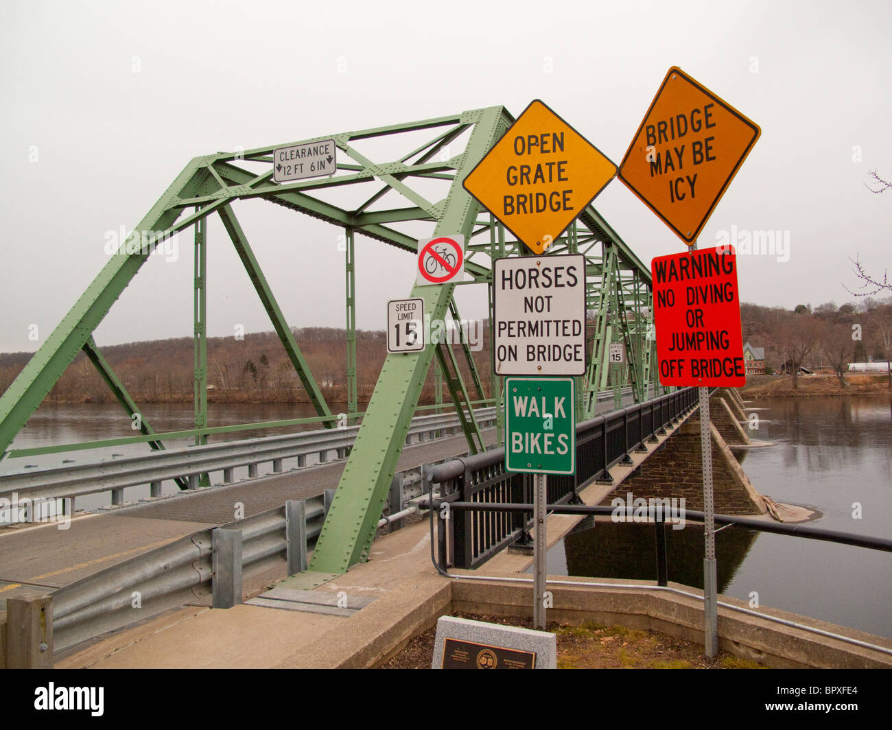 Stock Photohttps://www.alamy.com/image-license-details/?v=1https://www.alamy.com/stock-photo--31315708.html
RMBPXFE4–
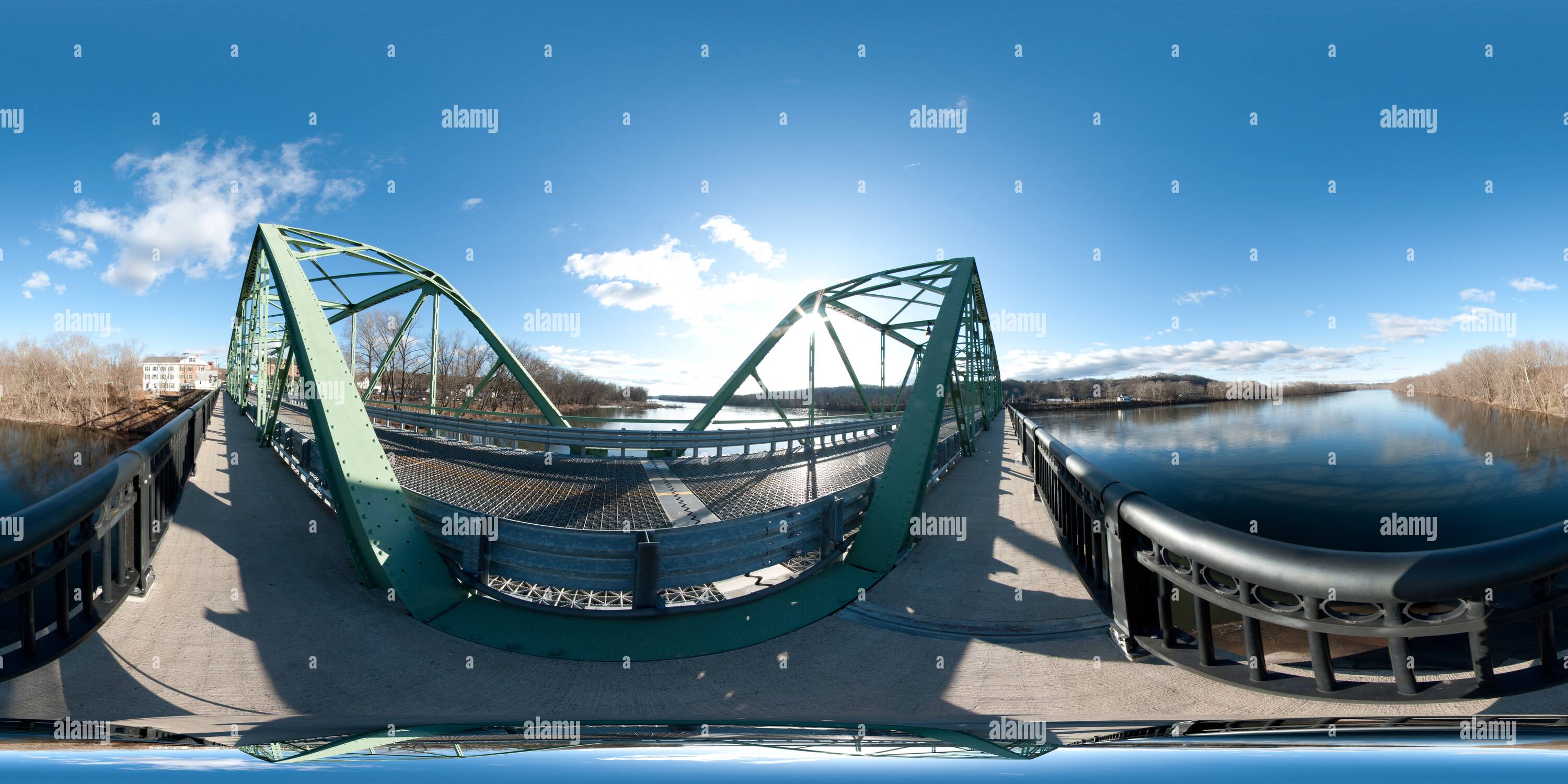 360 degree panoramic view of Frenchtown Nj Bridge To Pennhttps://www.alamy.com/image-license-details/?v=1https://www.alamy.com/360-degree-panoramic-view-of-frenchtown-nj-bridge-to-penn-image219133285.html
RF360°PMEAMN–Frenchtown Nj Bridge To Penn
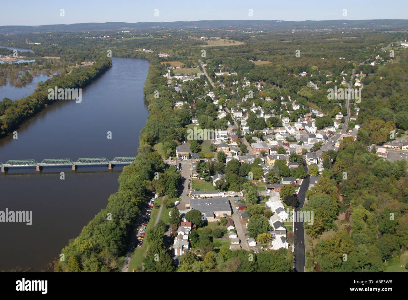 Aerial view of Frenchtown, New Jersey, located on the Delaware River. Stock Photohttps://www.alamy.com/image-license-details/?v=1https://www.alamy.com/aerial-view-of-frenchtown-new-jersey-located-on-the-delaware-river-image6604247.html
RMA6F3W8–Aerial view of Frenchtown, New Jersey, located on the Delaware River.
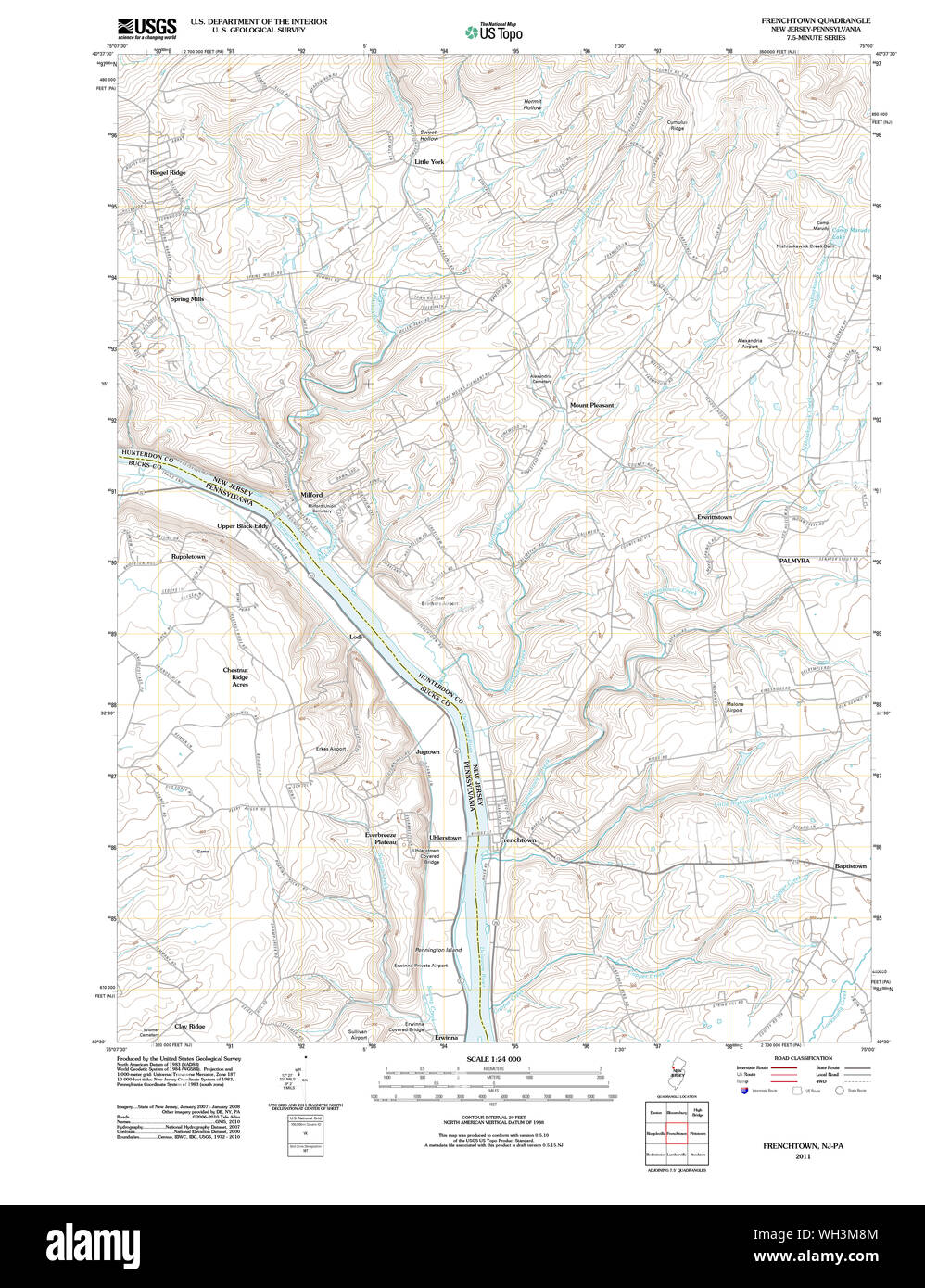 USGS TOPO Map New Jersey NJ Frenchtown 20110505 TM Restoration Stock Photohttps://www.alamy.com/image-license-details/?v=1https://www.alamy.com/usgs-topo-map-new-jersey-nj-frenchtown-20110505-tm-restoration-image268686452.html
RMWH3M8M–USGS TOPO Map New Jersey NJ Frenchtown 20110505 TM Restoration
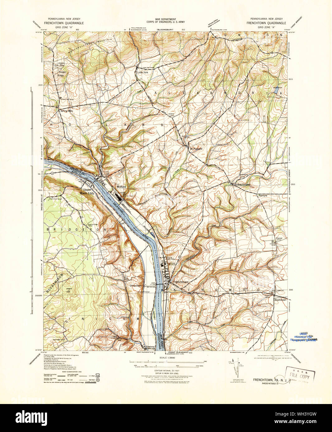 USGS TOPO Map New Jersey NJ Frenchtown 255048 1943 31680 Restoration Stock Photohttps://www.alamy.com/image-license-details/?v=1https://www.alamy.com/usgs-topo-map-new-jersey-nj-frenchtown-255048-1943-31680-restoration-image268692169.html
RMWH3YGW–USGS TOPO Map New Jersey NJ Frenchtown 255048 1943 31680 Restoration
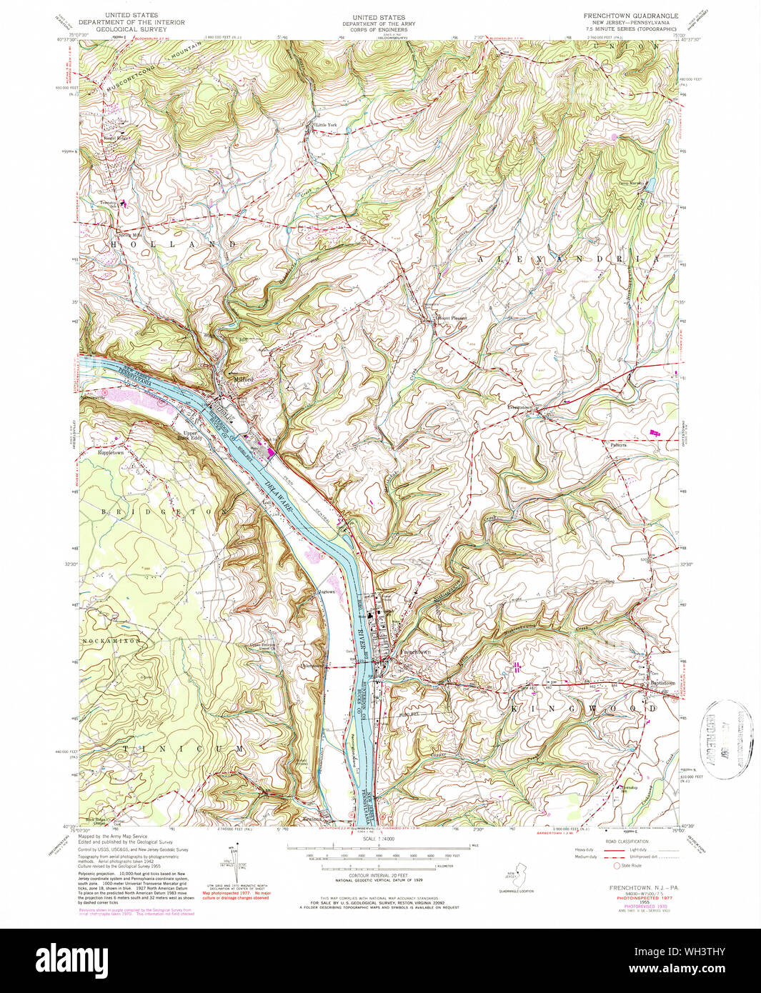 USGS TOPO Map New Jersey NJ Frenchtown 254414 1955 24000 Restoration Stock Photohttps://www.alamy.com/image-license-details/?v=1https://www.alamy.com/usgs-topo-map-new-jersey-nj-frenchtown-254414-1955-24000-restoration-image268689847.html
RMWH3THY–USGS TOPO Map New Jersey NJ Frenchtown 254414 1955 24000 Restoration
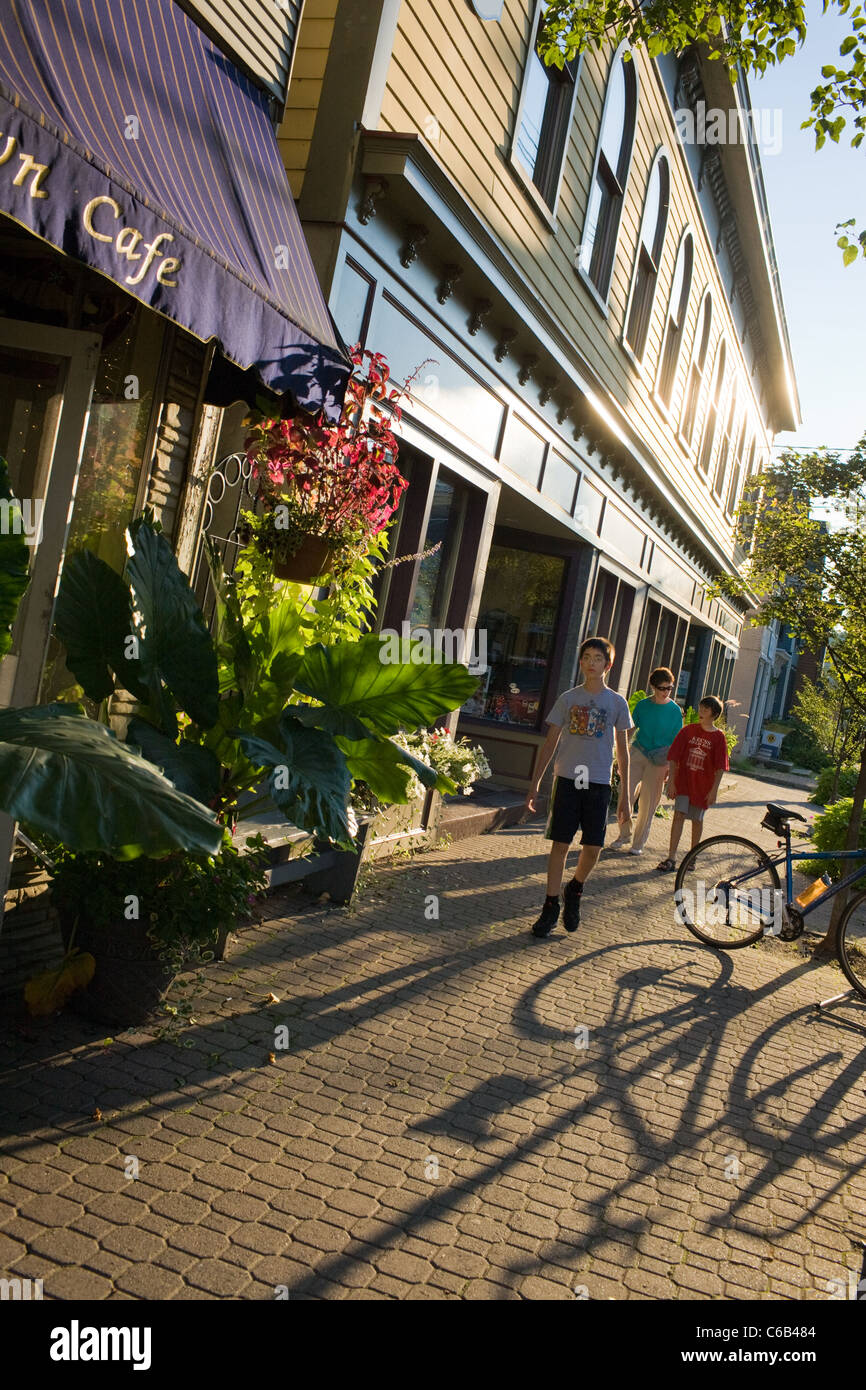 Frenchtown, New Jersey, a village on the Delaware River Stock Photohttps://www.alamy.com/image-license-details/?v=1https://www.alamy.com/stock-photo-frenchtown-new-jersey-a-village-on-the-delaware-river-38353508.html
RMC6B484–Frenchtown, New Jersey, a village on the Delaware River
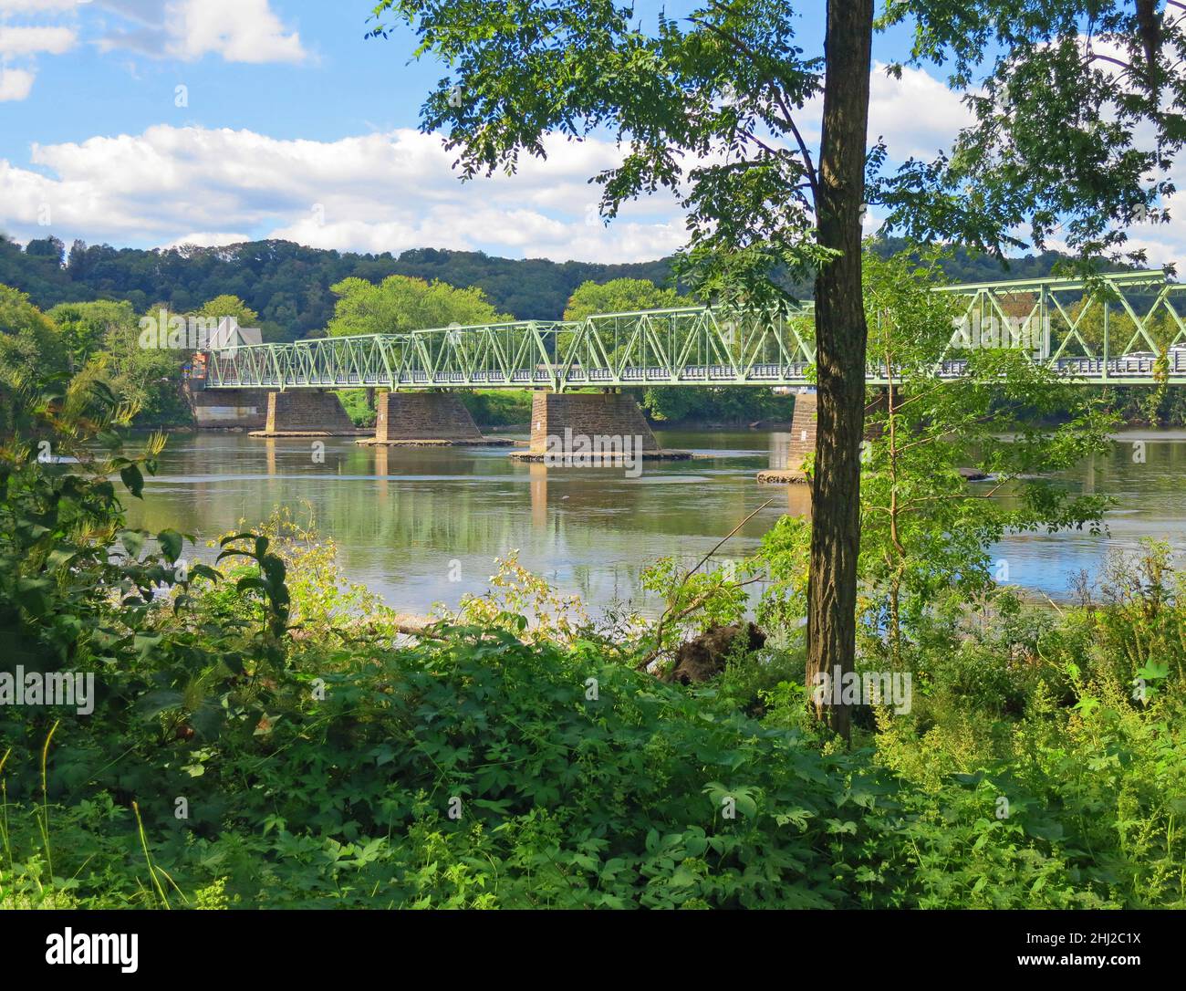 Uhlerstown/Frenchtown Bridge over the Delaware River.,Metal, with reflections, in Frenchtown,New Jersey USA. Stock Photohttps://www.alamy.com/image-license-details/?v=1https://www.alamy.com/uhlerstownfrenchtown-bridge-over-the-delaware-rivermetal-with-reflections-in-frenchtownnew-jersey-usa-image458586742.html
RF2HJ2C1X–Uhlerstown/Frenchtown Bridge over the Delaware River.,Metal, with reflections, in Frenchtown,New Jersey USA.
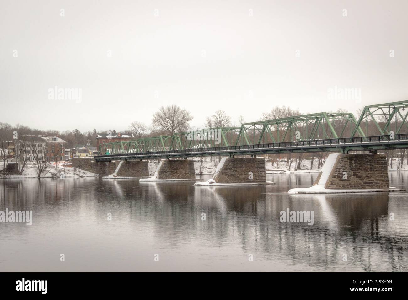 Frenchtown Bridge Stock Photohttps://www.alamy.com/image-license-details/?v=1https://www.alamy.com/frenchtown-bridge-image467116097.html
RF2J3XY9N–Frenchtown Bridge
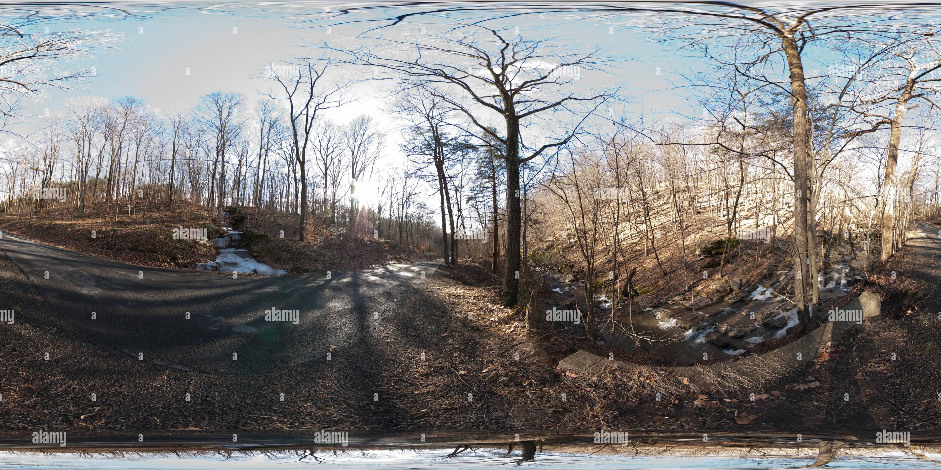 360 degree panoramic view of Warsaw Road Creek Frenchtown Njhttps://www.alamy.com/image-license-details/?v=1https://www.alamy.com/360-degree-panoramic-view-of-warsaw-road-creek-frenchtown-nj-image219133286.html
RF360°PMEAMP–Warsaw Road Creek Frenchtown Nj
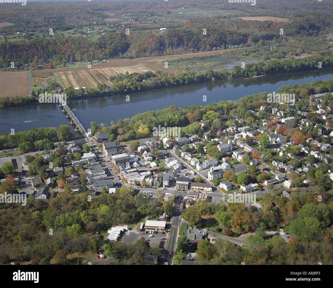 Aerial view of Frenchtown, New Jersey, located on the Delaware River. Stock Photohttps://www.alamy.com/image-license-details/?v=1https://www.alamy.com/aerial-view-of-frenchtown-new-jersey-located-on-the-delaware-river-image6922914.html
RMA8JBP3–Aerial view of Frenchtown, New Jersey, located on the Delaware River.
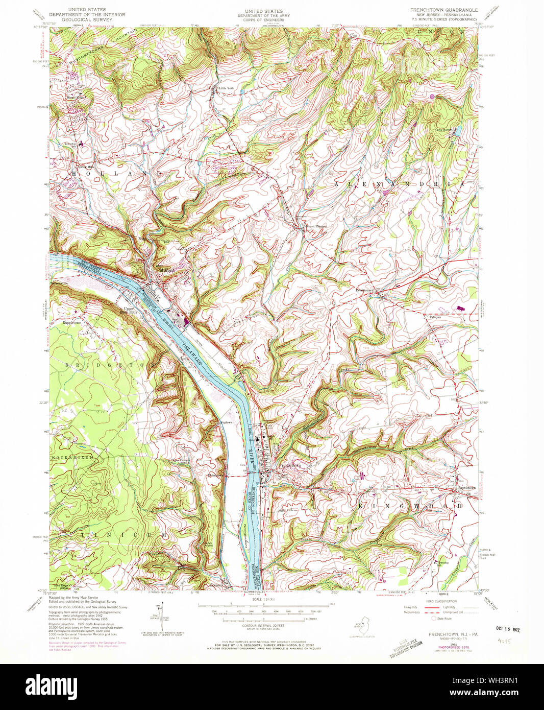 USGS TOPO Map New Jersey NJ Frenchtown 254413 1955 24000 Restoration Stock Photohttps://www.alamy.com/image-license-details/?v=1https://www.alamy.com/usgs-topo-map-new-jersey-nj-frenchtown-254413-1955-24000-restoration-image268689149.html
RMWH3RN1–USGS TOPO Map New Jersey NJ Frenchtown 254413 1955 24000 Restoration
 Frenchtown, New Jersey, a village on the Delaware River Stock Photohttps://www.alamy.com/image-license-details/?v=1https://www.alamy.com/stock-photo-frenchtown-new-jersey-a-village-on-the-delaware-river-49834912.html
RMCW24X8–Frenchtown, New Jersey, a village on the Delaware River
 Entrance to Uhlerstown/Frenchtown Bridge,Metal,with many traffic signs in Frenchtown,New Jersey USA. Stock Photohttps://www.alamy.com/image-license-details/?v=1https://www.alamy.com/entrance-to-uhlerstownfrenchtown-bridgemetalwith-many-traffic-signs-in-frenchtownnew-jersey-usa-image458586572.html
RF2HJ2BRT–Entrance to Uhlerstown/Frenchtown Bridge,Metal,with many traffic signs in Frenchtown,New Jersey USA.
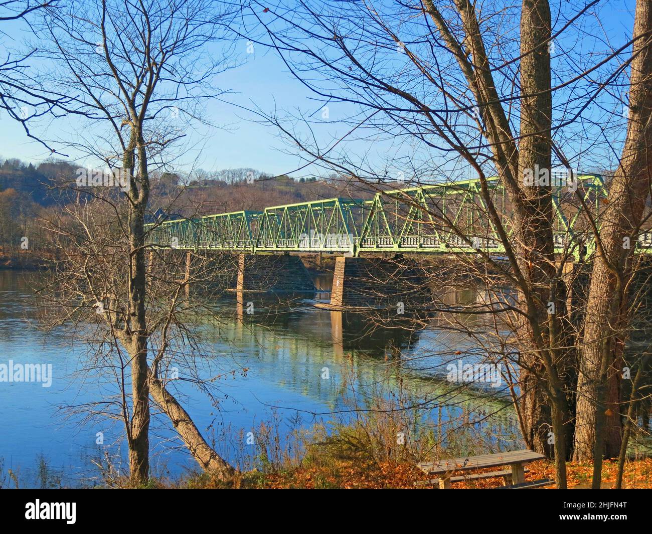 Uhlerstown–Frenchtown Bridge over the Delaware river at sunset with reflections. Tinicum Township, in Bucks County, Pennsylvania, USA. Stock Photohttps://www.alamy.com/image-license-details/?v=1https://www.alamy.com/uhlerstownfrenchtown-bridge-over-the-delaware-river-at-sunset-with-reflections-tinicum-township-in-bucks-county-pennsylvania-usa-image458879256.html
RF2HJFN4T–Uhlerstown–Frenchtown Bridge over the Delaware river at sunset with reflections. Tinicum Township, in Bucks County, Pennsylvania, USA.
 Boat launch site,on Giving Pond,reflections,blue skies,clouds, into the Delaware River,outside Frenchtown,New Jersey.Near Lambertville,NJ New Hope,Pa. Stock Photohttps://www.alamy.com/image-license-details/?v=1https://www.alamy.com/boat-launch-siteon-giving-pondreflectionsblue-skiesclouds-into-the-delaware-riveroutside-frenchtownnew-jerseynear-lambertvillenj-new-hopepa-image458880590.html
RF2HJFPTE–Boat launch site,on Giving Pond,reflections,blue skies,clouds, into the Delaware River,outside Frenchtown,New Jersey.Near Lambertville,NJ New Hope,Pa.
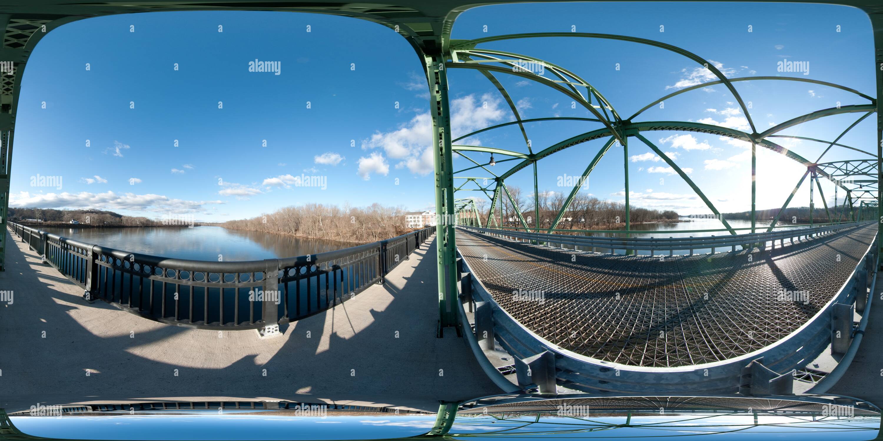 360 degree panoramic view of Frenchtown Nj Bridge To Penn 2https://www.alamy.com/image-license-details/?v=1https://www.alamy.com/360-degree-panoramic-view-of-frenchtown-nj-bridge-to-penn-2-image219133287.html
RF360°PMEAMR–Frenchtown Nj Bridge To Penn 2
 Empty Park bench overlooking a lake,pond called Neshaminy Creek in Tyler State Park in Bucks County,Pennsylvania USA. Stock Photohttps://www.alamy.com/image-license-details/?v=1https://www.alamy.com/empty-park-bench-overlooking-a-lakepond-called-neshaminy-creek-in-tyler-state-park-in-bucks-countypennsylvania-usa-image457704604.html
RF2HGJ6W0–Empty Park bench overlooking a lake,pond called Neshaminy Creek in Tyler State Park in Bucks County,Pennsylvania USA.
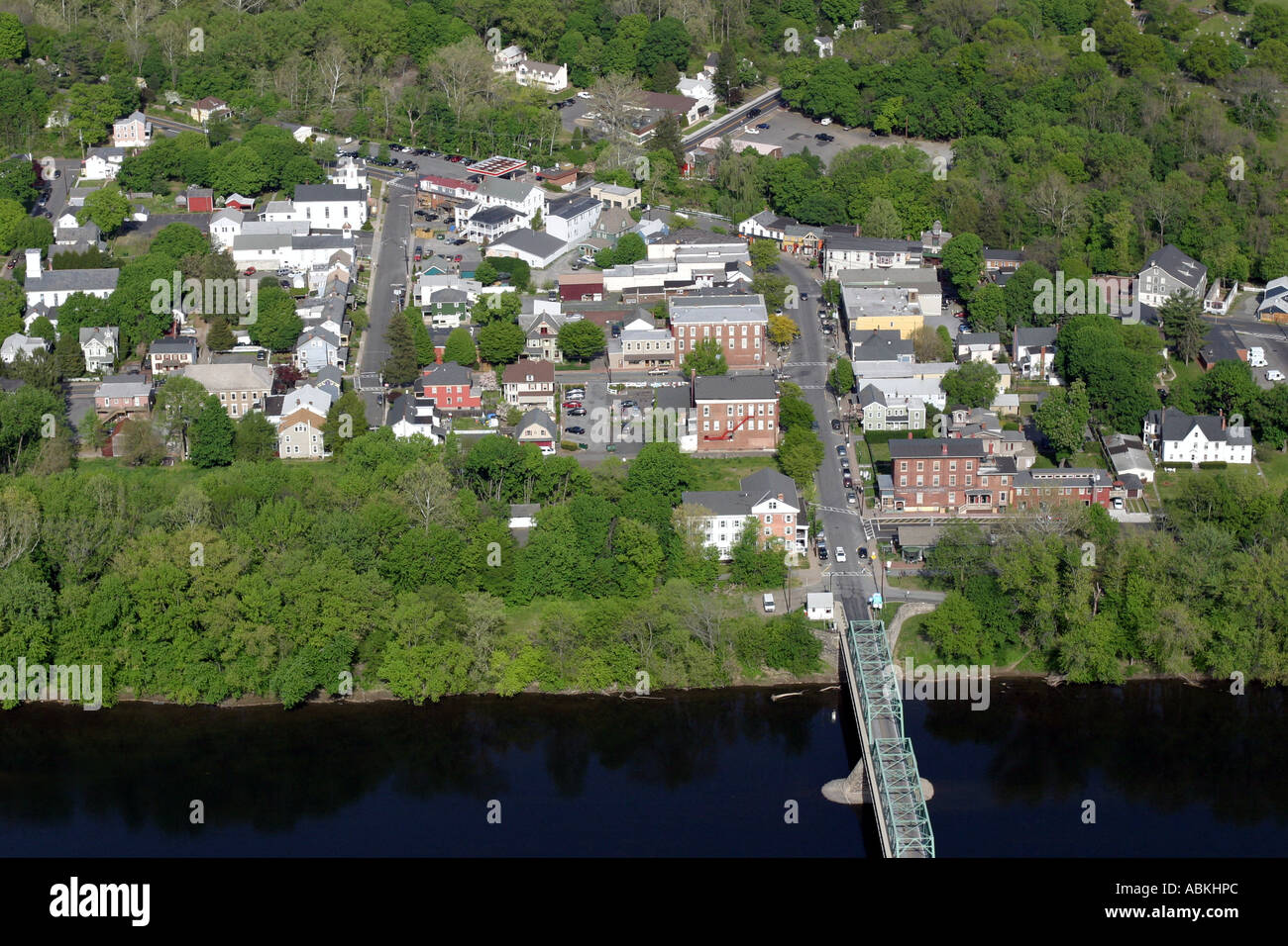 Aerial view of Frenchtown, New Jersey, U.S.A. Stock Photohttps://www.alamy.com/image-license-details/?v=1https://www.alamy.com/aerial-view-of-frenchtown-new-jersey-usa-image7381035.html
RMABKHPC–Aerial view of Frenchtown, New Jersey, U.S.A.
 Lambertville NJ,New Hope,PA bridge. On a gray and foggy day. Stock Photohttps://www.alamy.com/image-license-details/?v=1https://www.alamy.com/lambertville-njnew-hopepa-bridge-on-a-gray-and-foggy-day-image494592623.html
RF2KMJHX7–Lambertville NJ,New Hope,PA bridge. On a gray and foggy day.
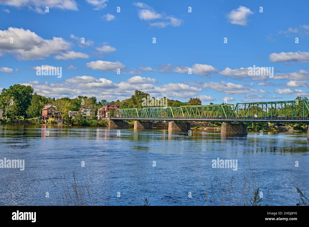 Lambertville NJ,New Hope,PA bridge.The six-span, 1,053 foot-long bridge from New Hope, PA to Lambertville, NJ. Stock Photohttps://www.alamy.com/image-license-details/?v=1https://www.alamy.com/lambertville-njnew-hopepa-bridgethe-six-span-1053-foot-long-bridge-from-new-hope-pa-to-lambertville-nj-image457706234.html
RF2HGJ8Y6–Lambertville NJ,New Hope,PA bridge.The six-span, 1,053 foot-long bridge from New Hope, PA to Lambertville, NJ.
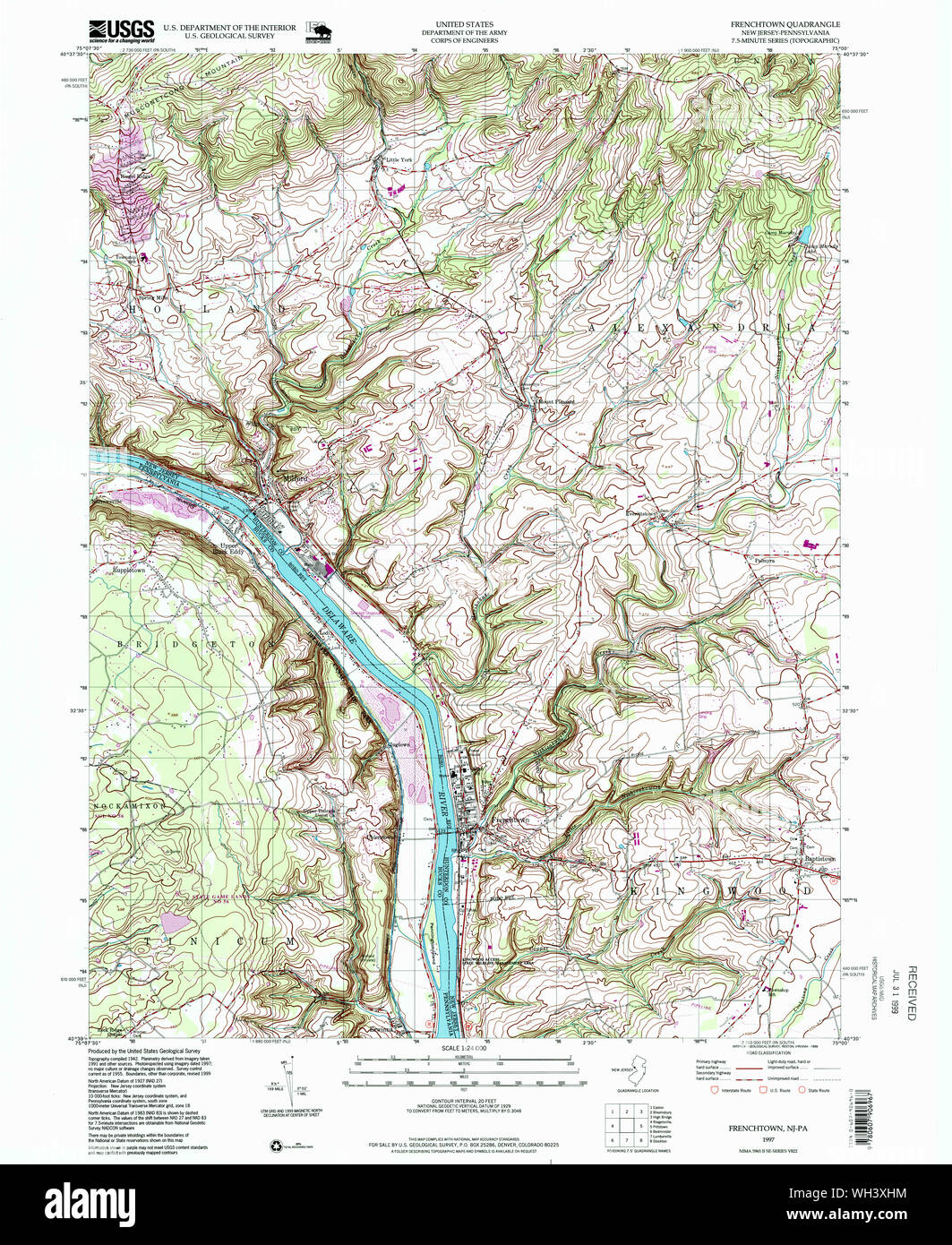 USGS TOPO Map New Jersey NJ Frenchtown 254417 1997 24000 Restoration Stock Photohttps://www.alamy.com/image-license-details/?v=1https://www.alamy.com/usgs-topo-map-new-jersey-nj-frenchtown-254417-1997-24000-restoration-image268691408.html
RMWH3XHM–USGS TOPO Map New Jersey NJ Frenchtown 254417 1997 24000 Restoration
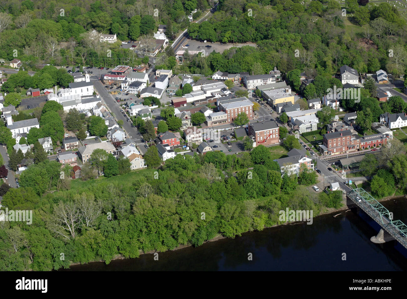 Aerial view of Frenchtown, New Jersey, U.S.A. Stock Photohttps://www.alamy.com/image-license-details/?v=1https://www.alamy.com/aerial-view-of-frenchtown-new-jersey-usa-image7381037.html
RMABKHPE–Aerial view of Frenchtown, New Jersey, U.S.A.
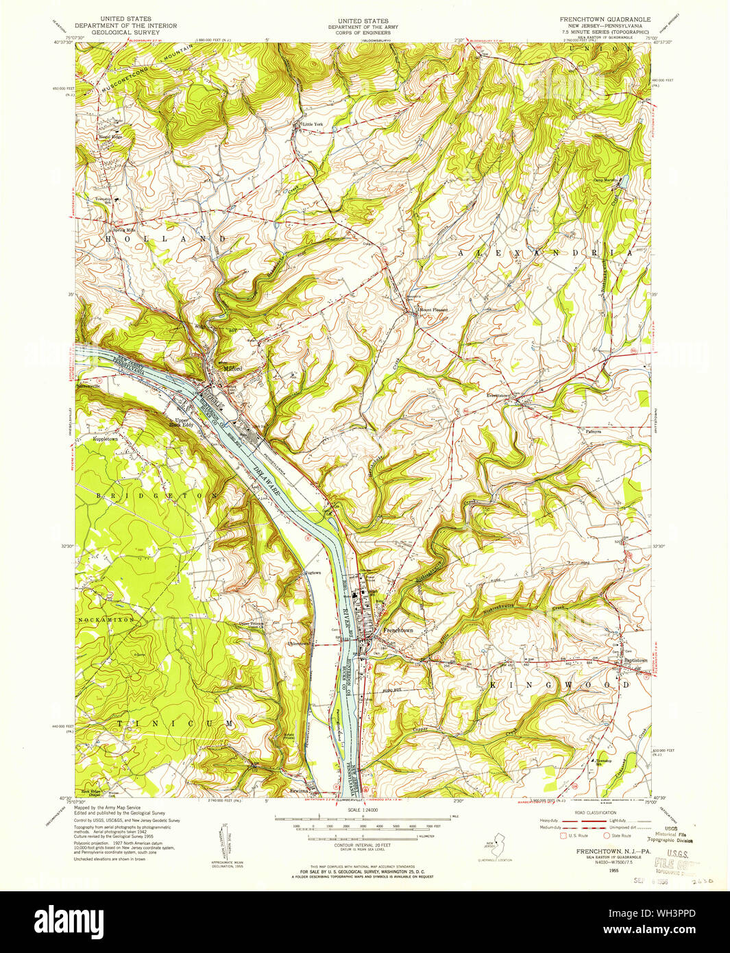 USGS TOPO Map New Jersey NJ Frenchtown 254412 1955 24000 Restoration Stock Photohttps://www.alamy.com/image-license-details/?v=1https://www.alamy.com/usgs-topo-map-new-jersey-nj-frenchtown-254412-1955-24000-restoration-image268688405.html
RMWH3PPD–USGS TOPO Map New Jersey NJ Frenchtown 254412 1955 24000 Restoration
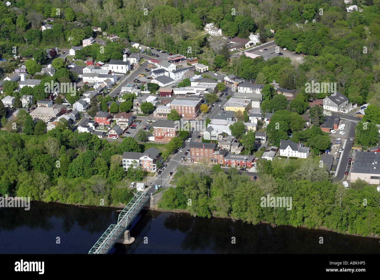 Aerial view of Frenchtown, New Jersey, U.S.A. Stock Photohttps://www.alamy.com/image-license-details/?v=1https://www.alamy.com/aerial-view-of-frenchtown-new-jersey-usa-image7381028.html
RMABKHP5–Aerial view of Frenchtown, New Jersey, U.S.A.
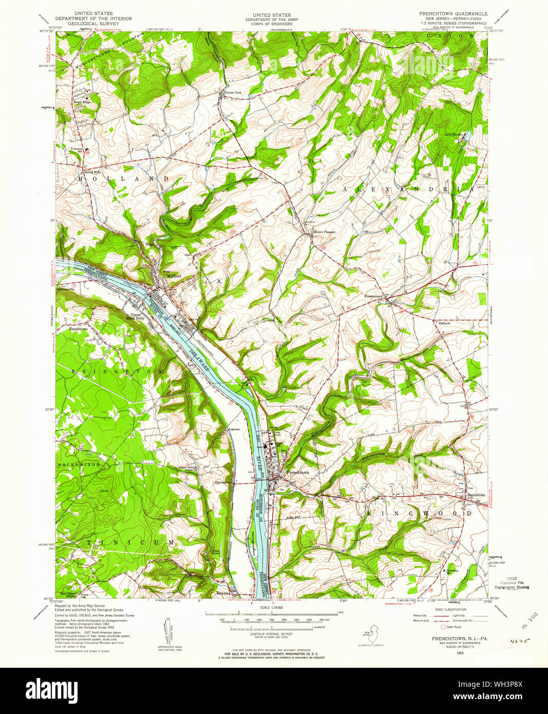 USGS TOPO Map New Jersey NJ Frenchtown 254411 1955 24000 Restoration Stock Photohttps://www.alamy.com/image-license-details/?v=1https://www.alamy.com/usgs-topo-map-new-jersey-nj-frenchtown-254411-1955-24000-restoration-image268688026.html
RMWH3P8X–USGS TOPO Map New Jersey NJ Frenchtown 254411 1955 24000 Restoration
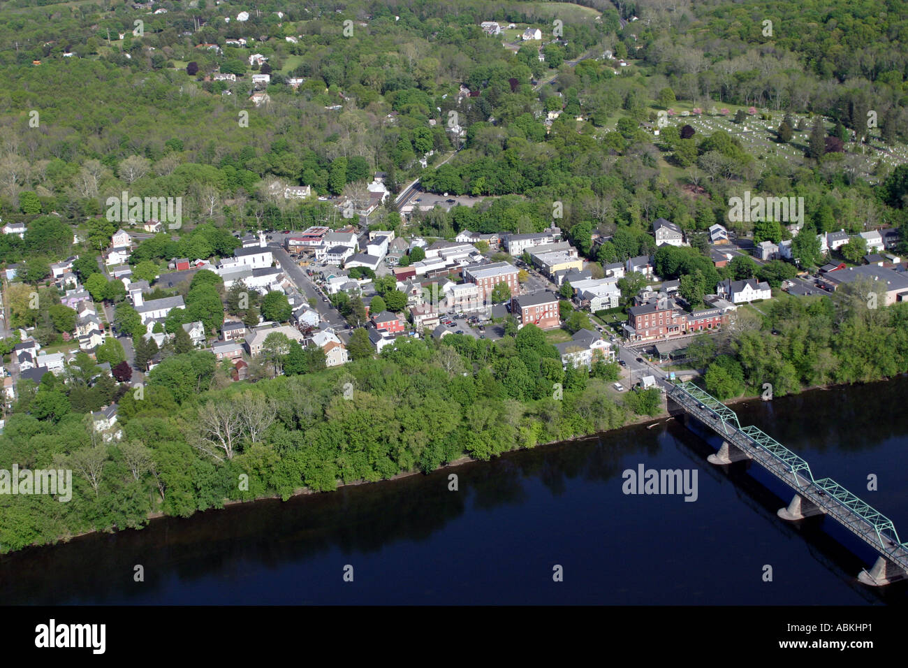 Aerial view of Frenchtown, New Jersey, U.S.A. Stock Photohttps://www.alamy.com/image-license-details/?v=1https://www.alamy.com/aerial-view-of-frenchtown-new-jersey-usa-image7381024.html
RMABKHP1–Aerial view of Frenchtown, New Jersey, U.S.A.
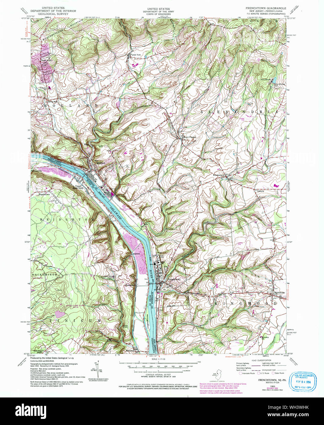 USGS TOPO Map New Jersey NJ Frenchtown 254416 1955 24000 Restoration Stock Photohttps://www.alamy.com/image-license-details/?v=1https://www.alamy.com/usgs-topo-map-new-jersey-nj-frenchtown-254416-1955-24000-restoration-image268690623.html
RMWH3WHK–USGS TOPO Map New Jersey NJ Frenchtown 254416 1955 24000 Restoration
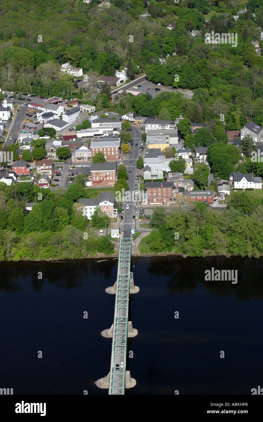 Aerial view of Frenchtown, New Jersey, U.S.A. Stock Photohttps://www.alamy.com/image-license-details/?v=1https://www.alamy.com/aerial-view-of-frenchtown-new-jersey-usa-image7381031.html
RMABKHP8–Aerial view of Frenchtown, New Jersey, U.S.A.
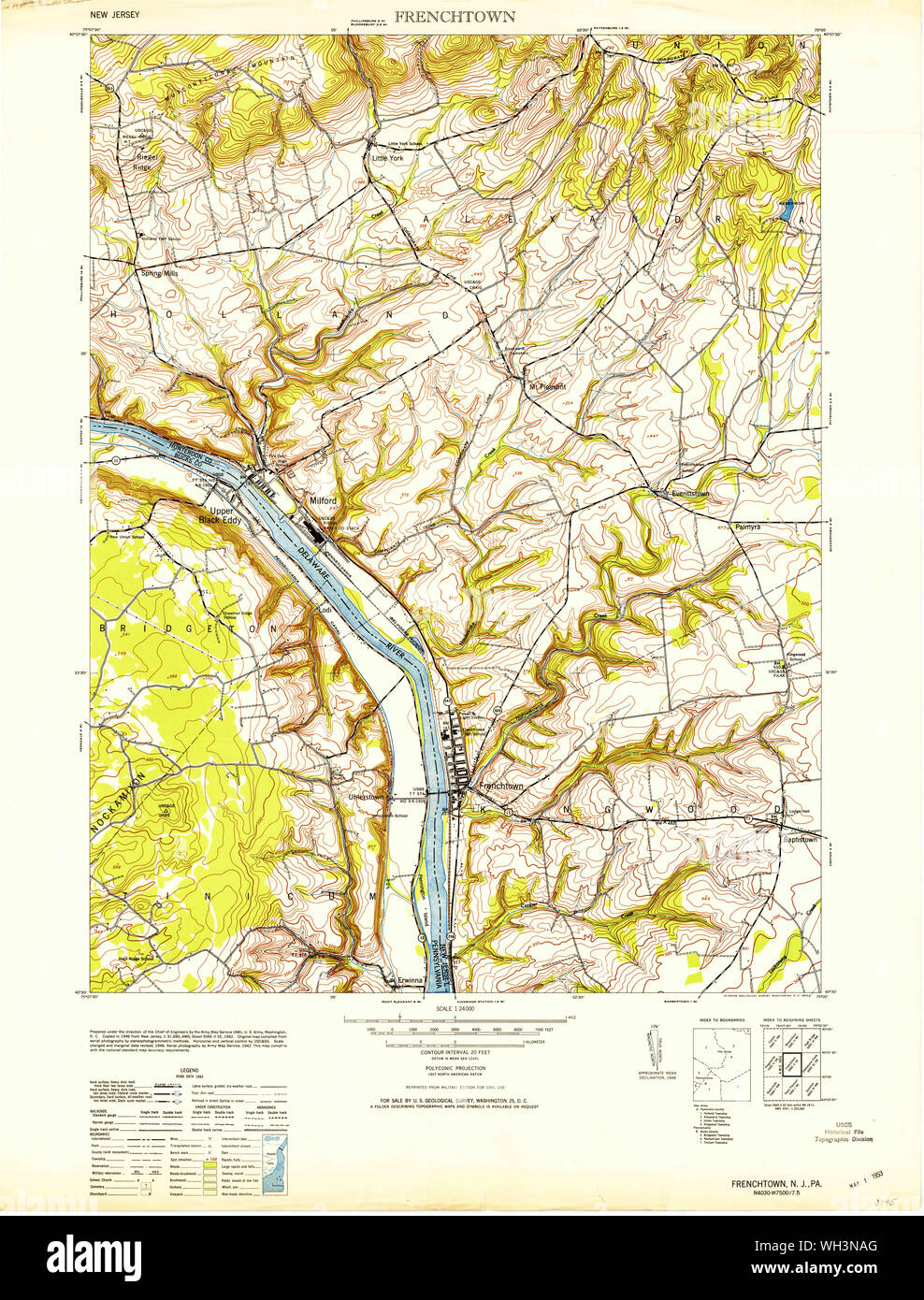 USGS TOPO Map New Jersey NJ Frenchtown 254409 1953 24000 Restoration Stock Photohttps://www.alamy.com/image-license-details/?v=1https://www.alamy.com/usgs-topo-map-new-jersey-nj-frenchtown-254409-1953-24000-restoration-image268687288.html
RMWH3NAG–USGS TOPO Map New Jersey NJ Frenchtown 254409 1953 24000 Restoration
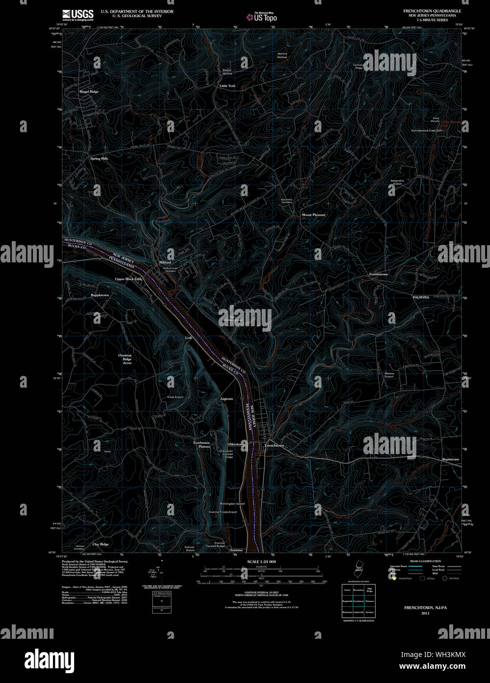 USGS TOPO Map New Jersey NJ Frenchtown 20110505 TM Inverted Restoration Stock Photohttps://www.alamy.com/image-license-details/?v=1https://www.alamy.com/usgs-topo-map-new-jersey-nj-frenchtown-20110505-tm-inverted-restoration-image268686010.html
RMWH3KMX–USGS TOPO Map New Jersey NJ Frenchtown 20110505 TM Inverted Restoration
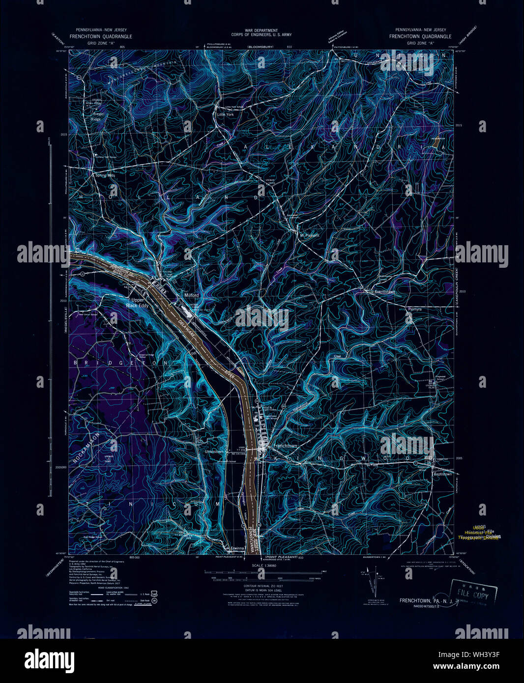 USGS TOPO Map New Jersey NJ Frenchtown 255048 1943 31680 Inverted Restoration Stock Photohttps://www.alamy.com/image-license-details/?v=1https://www.alamy.com/usgs-topo-map-new-jersey-nj-frenchtown-255048-1943-31680-inverted-restoration-image268691795.html
RMWH3Y3F–USGS TOPO Map New Jersey NJ Frenchtown 255048 1943 31680 Inverted Restoration
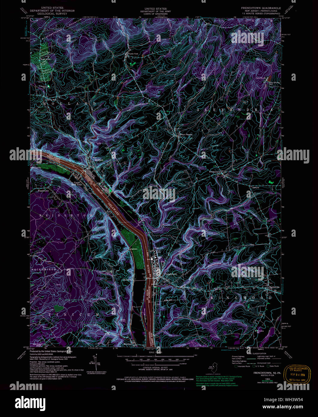 USGS TOPO Map New Jersey NJ Frenchtown 254416 1955 24000 Inverted Restoration Stock Photohttps://www.alamy.com/image-license-details/?v=1https://www.alamy.com/usgs-topo-map-new-jersey-nj-frenchtown-254416-1955-24000-inverted-restoration-image268690272.html
RMWH3W54–USGS TOPO Map New Jersey NJ Frenchtown 254416 1955 24000 Inverted Restoration
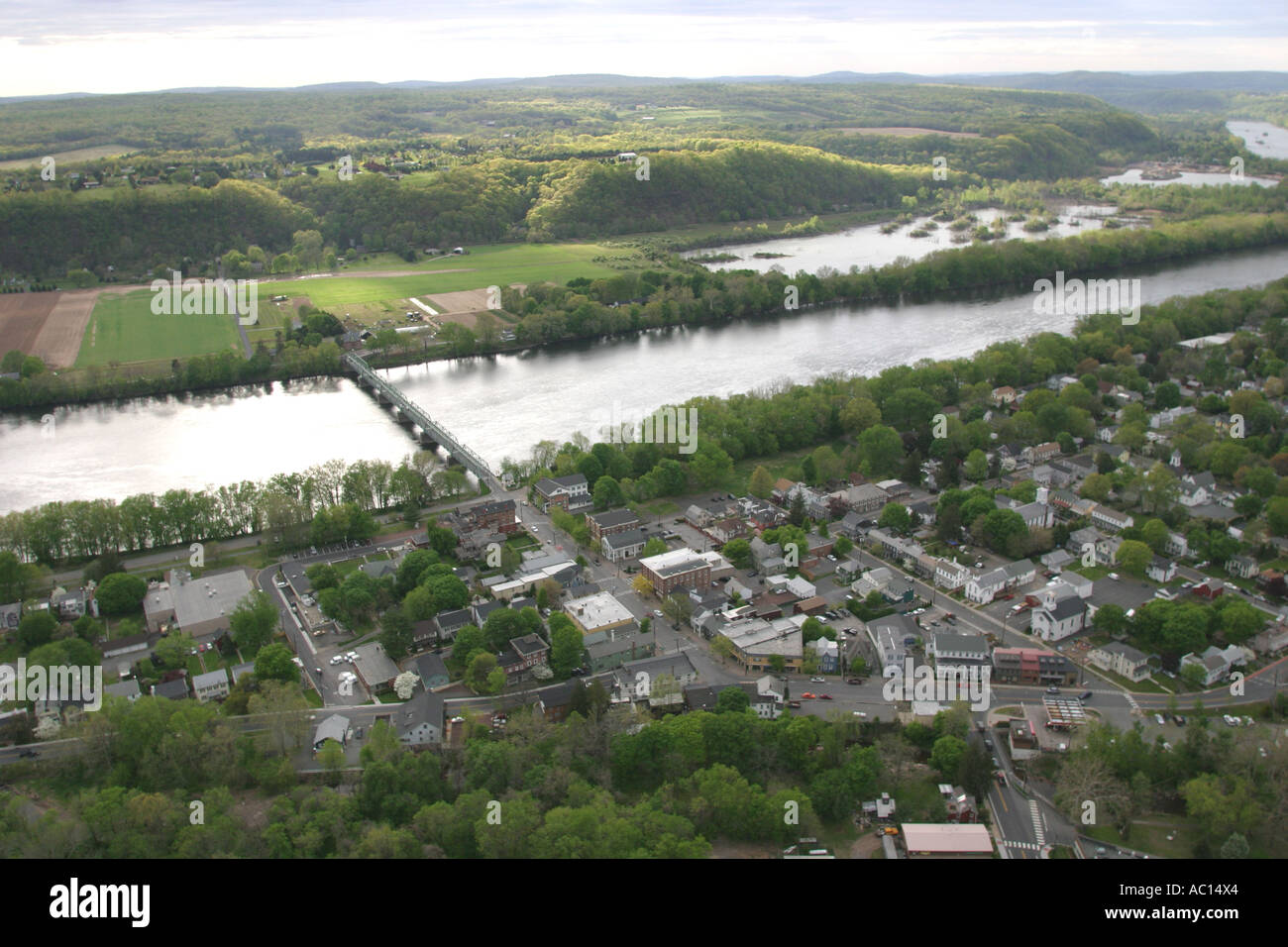 Aerial view of Frenchtown, located on the Delaware River in New Jersey, U.S.A. Stock Photohttps://www.alamy.com/image-license-details/?v=1https://www.alamy.com/aerial-view-of-frenchtown-located-on-the-delaware-river-in-new-jersey-image7432355.html
RMAC14X4–Aerial view of Frenchtown, located on the Delaware River in New Jersey, U.S.A.
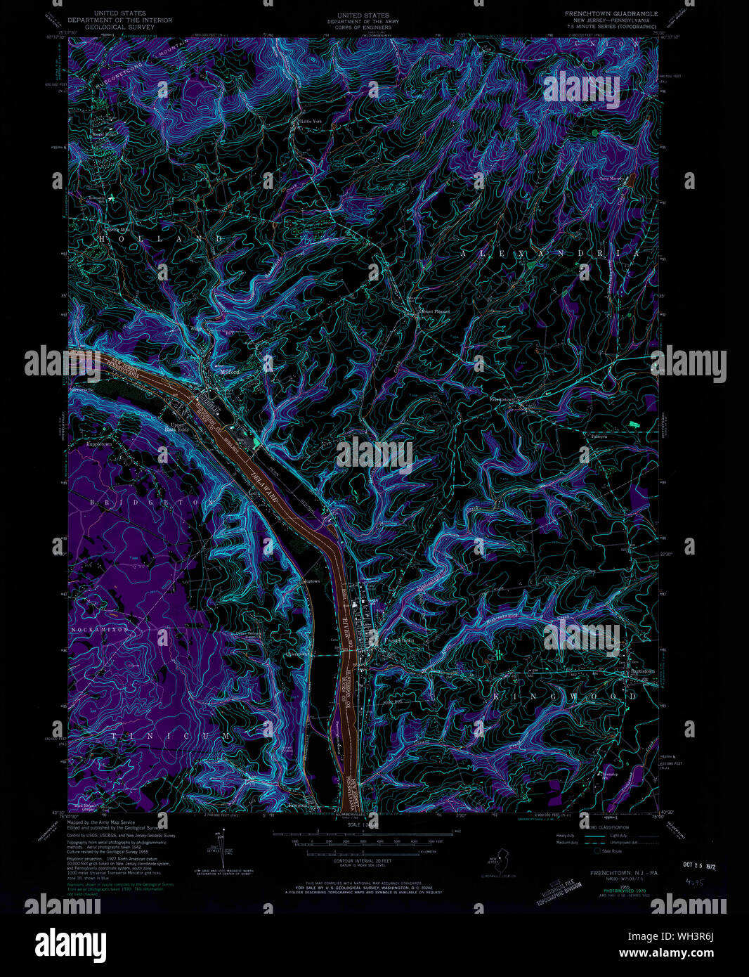 USGS TOPO Map New Jersey NJ Frenchtown 254413 1955 24000 Inverted Restoration Stock Photohttps://www.alamy.com/image-license-details/?v=1https://www.alamy.com/usgs-topo-map-new-jersey-nj-frenchtown-254413-1955-24000-inverted-restoration-image268688746.html
RMWH3R6J–USGS TOPO Map New Jersey NJ Frenchtown 254413 1955 24000 Inverted Restoration
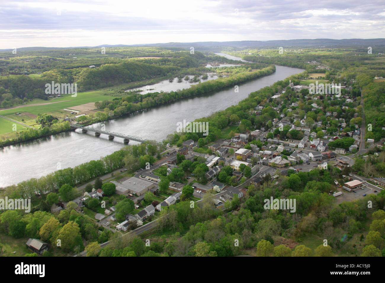 Aerial view of Frenchtown, located on the Delaware River in New Jersey, U.S.A. Stock Photohttps://www.alamy.com/image-license-details/?v=1https://www.alamy.com/aerial-view-of-frenchtown-located-on-the-delaware-river-in-new-jersey-image7432415.html
RMAC15J0–Aerial view of Frenchtown, located on the Delaware River in New Jersey, U.S.A.
 USGS TOPO Map New Jersey NJ Frenchtown 254417 1997 24000 Inverted Restoration Stock Photohttps://www.alamy.com/image-license-details/?v=1https://www.alamy.com/usgs-topo-map-new-jersey-nj-frenchtown-254417-1997-24000-inverted-restoration-image268690999.html
RMWH3X33–USGS TOPO Map New Jersey NJ Frenchtown 254417 1997 24000 Inverted Restoration
 Aerial view of Frenchtown, located on the Delaware River in New Jersey, U.S.A. Stock Photohttps://www.alamy.com/image-license-details/?v=1https://www.alamy.com/aerial-view-of-frenchtown-located-on-the-delaware-river-in-new-jersey-image7432384.html
RMAC15G1–Aerial view of Frenchtown, located on the Delaware River in New Jersey, U.S.A.
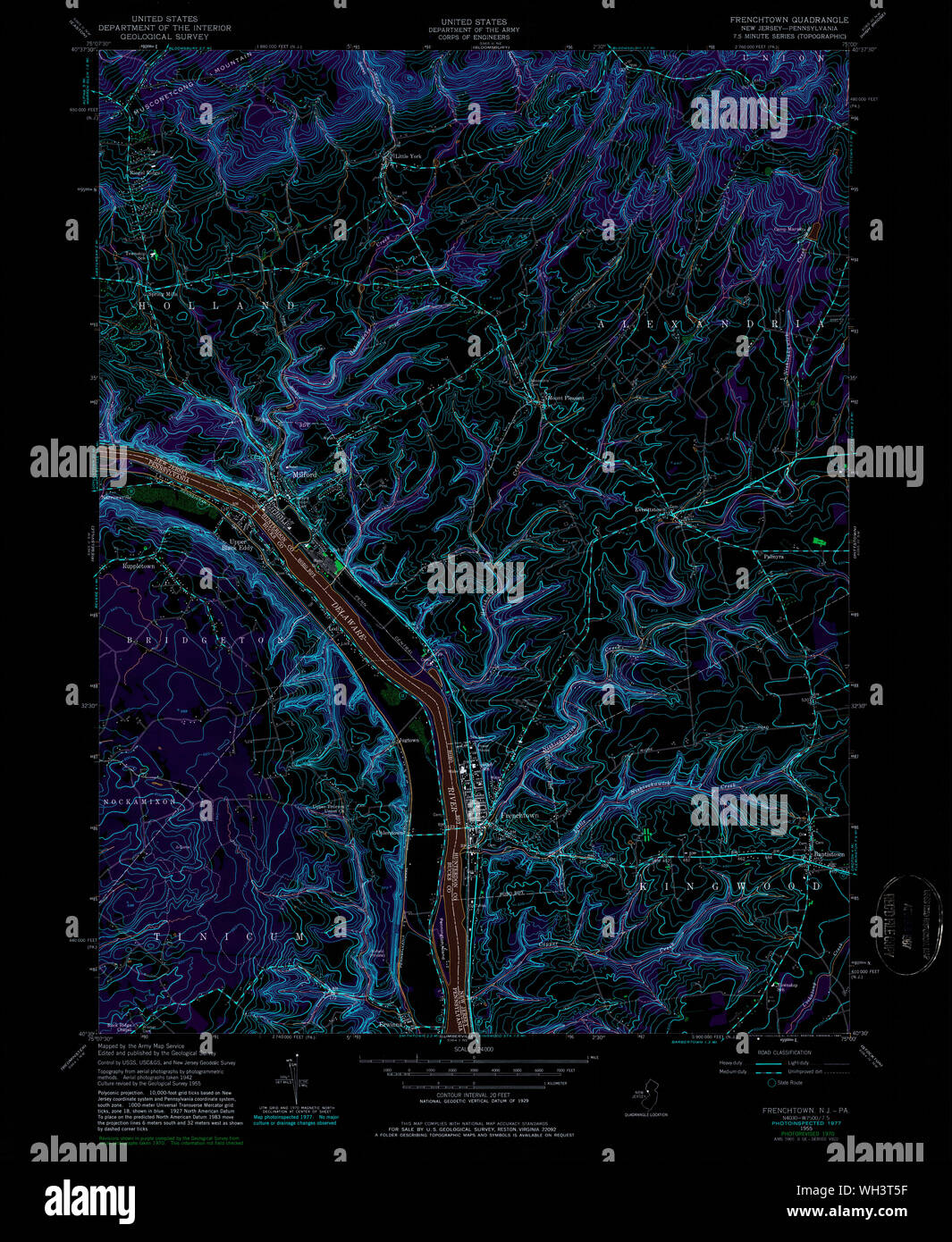 USGS TOPO Map New Jersey NJ Frenchtown 254414 1955 24000 Inverted Restoration Stock Photohttps://www.alamy.com/image-license-details/?v=1https://www.alamy.com/usgs-topo-map-new-jersey-nj-frenchtown-254414-1955-24000-inverted-restoration-image268689499.html
RMWH3T5F–USGS TOPO Map New Jersey NJ Frenchtown 254414 1955 24000 Inverted Restoration
 Aerial view of Frenchtown, located on the Delaware River in New Jersey, U.S.A. Stock Photohttps://www.alamy.com/image-license-details/?v=1https://www.alamy.com/aerial-view-of-frenchtown-located-on-the-delaware-river-in-new-jersey-image7432326.html
RMAC14T7–Aerial view of Frenchtown, located on the Delaware River in New Jersey, U.S.A.
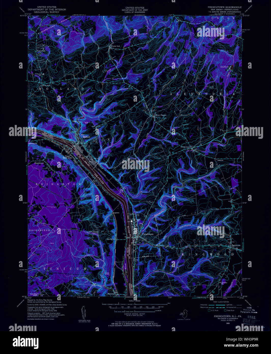 USGS TOPO Map New Jersey NJ Frenchtown 254412 1955 24000 Inverted Restoration Stock Photohttps://www.alamy.com/image-license-details/?v=1https://www.alamy.com/usgs-topo-map-new-jersey-nj-frenchtown-254412-1955-24000-inverted-restoration-image268688051.html
RMWH3P9R–USGS TOPO Map New Jersey NJ Frenchtown 254412 1955 24000 Inverted Restoration
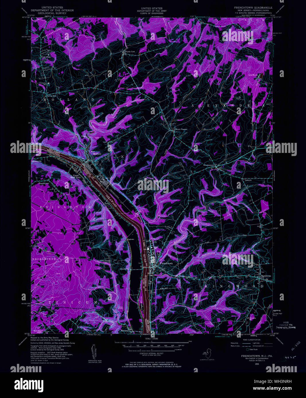 USGS TOPO Map New Jersey NJ Frenchtown 254411 1955 24000 Inverted Restoration Stock Photohttps://www.alamy.com/image-license-details/?v=1https://www.alamy.com/usgs-topo-map-new-jersey-nj-frenchtown-254411-1955-24000-inverted-restoration-image268687653.html
RMWH3NRH–USGS TOPO Map New Jersey NJ Frenchtown 254411 1955 24000 Inverted Restoration
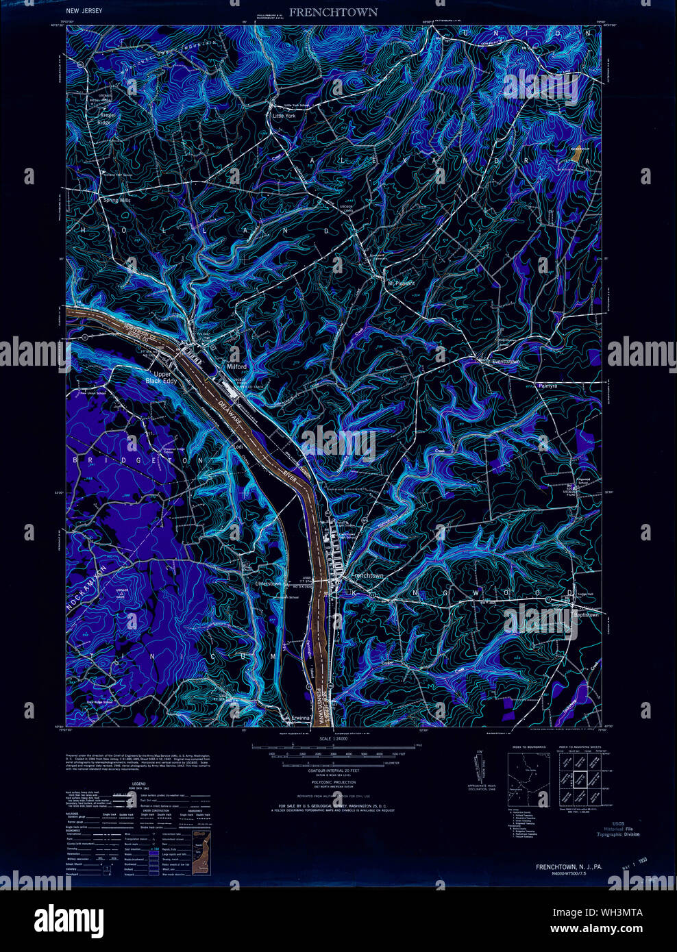 USGS TOPO Map New Jersey NJ Frenchtown 254409 1953 24000 Inverted Restoration Stock Photohttps://www.alamy.com/image-license-details/?v=1https://www.alamy.com/usgs-topo-map-new-jersey-nj-frenchtown-254409-1953-24000-inverted-restoration-image268686890.html
RMWH3MTA–USGS TOPO Map New Jersey NJ Frenchtown 254409 1953 24000 Inverted Restoration
 USGS TOPO Map Pennsylvania NJ Frenchtown 20110505 TM Restoration Stock Photohttps://www.alamy.com/image-license-details/?v=1https://www.alamy.com/usgs-topo-map-pennsylvania-nj-frenchtown-20110505-tm-restoration-image334384826.html
RM2AC0F76–USGS TOPO Map Pennsylvania NJ Frenchtown 20110505 TM Restoration
 USGS TOPO Map Pennsylvania NJ Frenchtown 254414 1955 24000 Restoration Stock Photohttps://www.alamy.com/image-license-details/?v=1https://www.alamy.com/usgs-topo-map-pennsylvania-nj-frenchtown-254414-1955-24000-restoration-image334385050.html
RM2AC0FF6–USGS TOPO Map Pennsylvania NJ Frenchtown 254414 1955 24000 Restoration
 USGS TOPO Map Pennsylvania NJ Frenchtown 254416 1955 24000 Restoration Stock Photohttps://www.alamy.com/image-license-details/?v=1https://www.alamy.com/usgs-topo-map-pennsylvania-nj-frenchtown-254416-1955-24000-restoration-image334385031.html
RM2AC0FEF–USGS TOPO Map Pennsylvania NJ Frenchtown 254416 1955 24000 Restoration
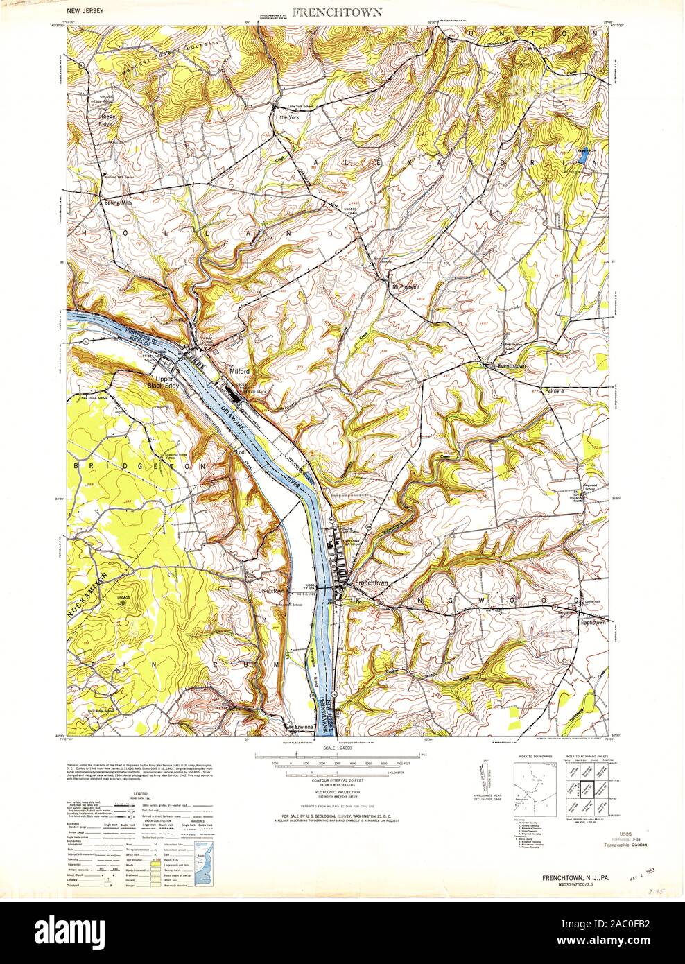 USGS TOPO Map Pennsylvania NJ Frenchtown 254409 1953 24000 Restoration Stock Photohttps://www.alamy.com/image-license-details/?v=1https://www.alamy.com/usgs-topo-map-pennsylvania-nj-frenchtown-254409-1953-24000-restoration-image334384934.html
RM2AC0FB2–USGS TOPO Map Pennsylvania NJ Frenchtown 254409 1953 24000 Restoration
 USGS TOPO Map Pennsylvania NJ Frenchtown 254413 1955 24000 Restoration Stock Photohttps://www.alamy.com/image-license-details/?v=1https://www.alamy.com/usgs-topo-map-pennsylvania-nj-frenchtown-254413-1955-24000-restoration-image334384993.html
RM2AC0FD5–USGS TOPO Map Pennsylvania NJ Frenchtown 254413 1955 24000 Restoration
 USGS TOPO Map Pennsylvania NJ Frenchtown 254417 1997 24000 Restoration Stock Photohttps://www.alamy.com/image-license-details/?v=1https://www.alamy.com/usgs-topo-map-pennsylvania-nj-frenchtown-254417-1997-24000-restoration-image334385135.html
RM2AC0FJ7–USGS TOPO Map Pennsylvania NJ Frenchtown 254417 1997 24000 Restoration
 USGS TOPO Map Pennsylvania NJ Frenchtown 255048 1943 31680 Restoration Stock Photohttps://www.alamy.com/image-license-details/?v=1https://www.alamy.com/usgs-topo-map-pennsylvania-nj-frenchtown-255048-1943-31680-restoration-image334385123.html
RM2AC0FHR–USGS TOPO Map Pennsylvania NJ Frenchtown 255048 1943 31680 Restoration
 USGS TOPO Map Pennsylvania NJ Frenchtown 20110505 TM Inverted Restoration Stock Photohttps://www.alamy.com/image-license-details/?v=1https://www.alamy.com/usgs-topo-map-pennsylvania-nj-frenchtown-20110505-tm-inverted-restoration-image334384827.html
RM2AC0F77–USGS TOPO Map Pennsylvania NJ Frenchtown 20110505 TM Inverted Restoration
 USGS TOPO Map Pennsylvania NJ Frenchtown 254411 1955 24000 Restoration Stock Photohttps://www.alamy.com/image-license-details/?v=1https://www.alamy.com/usgs-topo-map-pennsylvania-nj-frenchtown-254411-1955-24000-restoration-image334384888.html
RM2AC0F9C–USGS TOPO Map Pennsylvania NJ Frenchtown 254411 1955 24000 Restoration
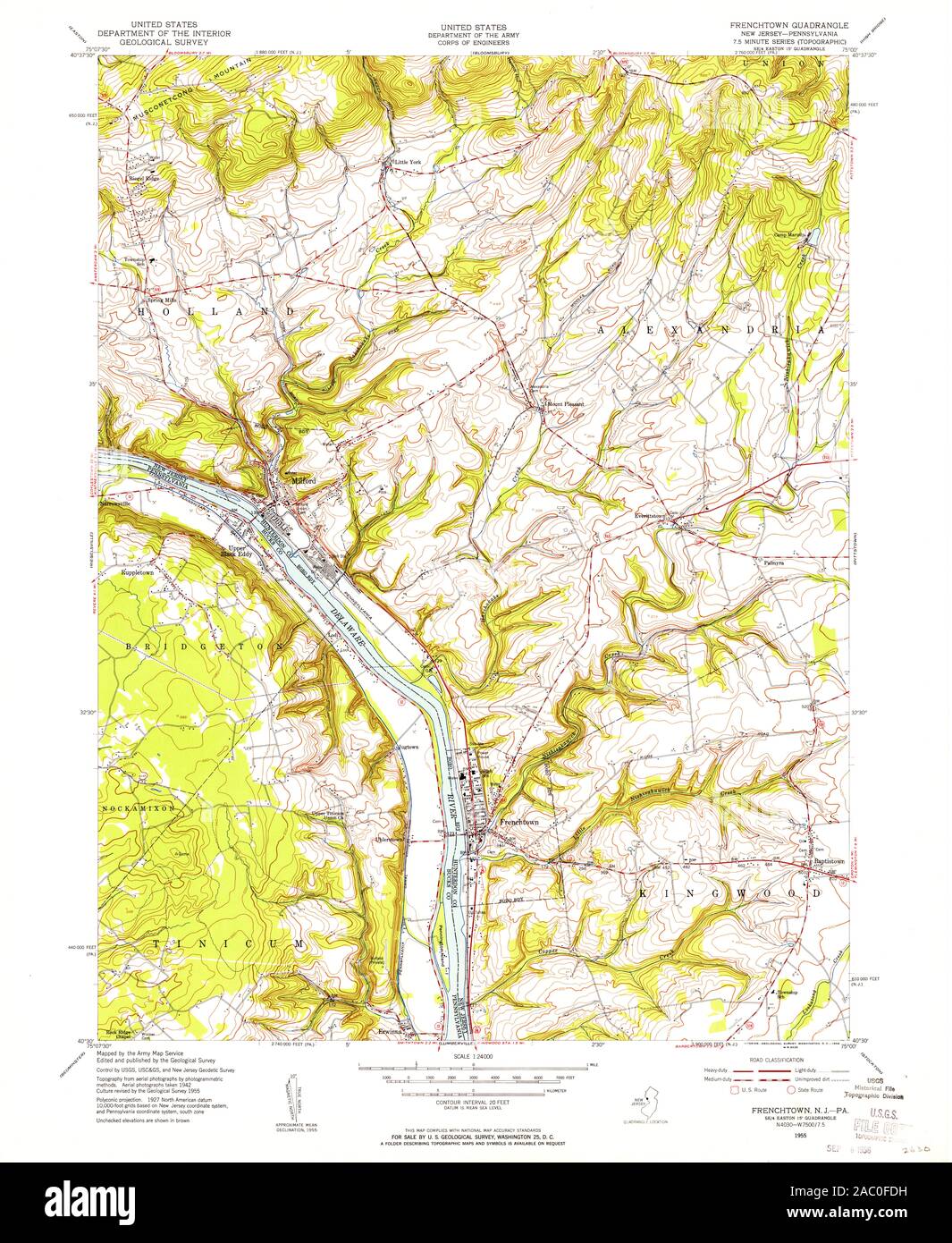 USGS TOPO Map Pennsylvania NJ Frenchtown 254412 1955 24000 Restoration Stock Photohttps://www.alamy.com/image-license-details/?v=1https://www.alamy.com/usgs-topo-map-pennsylvania-nj-frenchtown-254412-1955-24000-restoration-image334385005.html
RM2AC0FDH–USGS TOPO Map Pennsylvania NJ Frenchtown 254412 1955 24000 Restoration
 USGS TOPO Map Pennsylvania NJ Frenchtown 254417 1997 24000 Inverted Restoration Stock Photohttps://www.alamy.com/image-license-details/?v=1https://www.alamy.com/usgs-topo-map-pennsylvania-nj-frenchtown-254417-1997-24000-inverted-restoration-image334385173.html
RM2AC0FKH–USGS TOPO Map Pennsylvania NJ Frenchtown 254417 1997 24000 Inverted Restoration
 USGS TOPO Map Pennsylvania NJ Frenchtown 254411 1955 24000 Inverted Restoration Stock Photohttps://www.alamy.com/image-license-details/?v=1https://www.alamy.com/usgs-topo-map-pennsylvania-nj-frenchtown-254411-1955-24000-inverted-restoration-image334384897.html
RM2AC0F9N–USGS TOPO Map Pennsylvania NJ Frenchtown 254411 1955 24000 Inverted Restoration
 USGS TOPO Map Pennsylvania NJ Frenchtown 254413 1955 24000 Inverted Restoration Stock Photohttps://www.alamy.com/image-license-details/?v=1https://www.alamy.com/usgs-topo-map-pennsylvania-nj-frenchtown-254413-1955-24000-inverted-restoration-image334384991.html
RM2AC0FD3–USGS TOPO Map Pennsylvania NJ Frenchtown 254413 1955 24000 Inverted Restoration
 USGS TOPO Map Pennsylvania NJ Frenchtown 254409 1953 24000 Inverted Restoration Stock Photohttps://www.alamy.com/image-license-details/?v=1https://www.alamy.com/usgs-topo-map-pennsylvania-nj-frenchtown-254409-1953-24000-inverted-restoration-image334384896.html
RM2AC0F9M–USGS TOPO Map Pennsylvania NJ Frenchtown 254409 1953 24000 Inverted Restoration
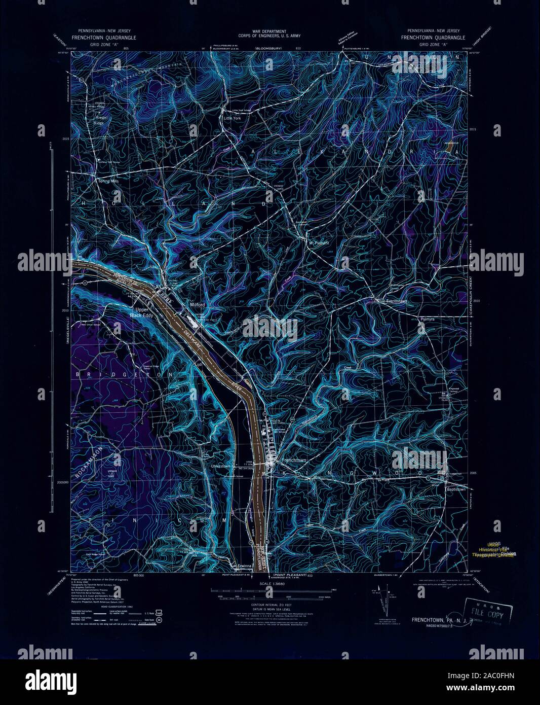 USGS TOPO Map Pennsylvania NJ Frenchtown 255048 1943 31680 Inverted Restoration Stock Photohttps://www.alamy.com/image-license-details/?v=1https://www.alamy.com/usgs-topo-map-pennsylvania-nj-frenchtown-255048-1943-31680-inverted-restoration-image334385121.html
RM2AC0FHN–USGS TOPO Map Pennsylvania NJ Frenchtown 255048 1943 31680 Inverted Restoration
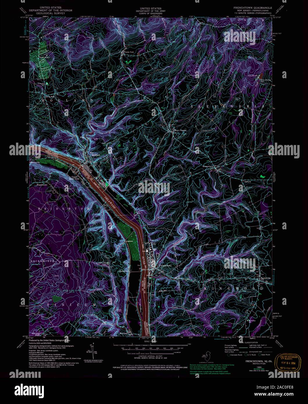 USGS TOPO Map Pennsylvania NJ Frenchtown 254416 1955 24000 Inverted Restoration Stock Photohttps://www.alamy.com/image-license-details/?v=1https://www.alamy.com/usgs-topo-map-pennsylvania-nj-frenchtown-254416-1955-24000-inverted-restoration-image334385024.html
RM2AC0FE8–USGS TOPO Map Pennsylvania NJ Frenchtown 254416 1955 24000 Inverted Restoration
 USGS TOPO Map Pennsylvania NJ Frenchtown 254414 1955 24000 Inverted Restoration Stock Photohttps://www.alamy.com/image-license-details/?v=1https://www.alamy.com/usgs-topo-map-pennsylvania-nj-frenchtown-254414-1955-24000-inverted-restoration-image334385025.html
RM2AC0FE9–USGS TOPO Map Pennsylvania NJ Frenchtown 254414 1955 24000 Inverted Restoration
 USGS TOPO Map Pennsylvania NJ Frenchtown 254412 1955 24000 Inverted Restoration Stock Photohttps://www.alamy.com/image-license-details/?v=1https://www.alamy.com/usgs-topo-map-pennsylvania-nj-frenchtown-254412-1955-24000-inverted-restoration-image334384963.html
RM2AC0FC3–USGS TOPO Map Pennsylvania NJ Frenchtown 254412 1955 24000 Inverted Restoration