Quick filters:
Frontier explorers Stock Photos and Images
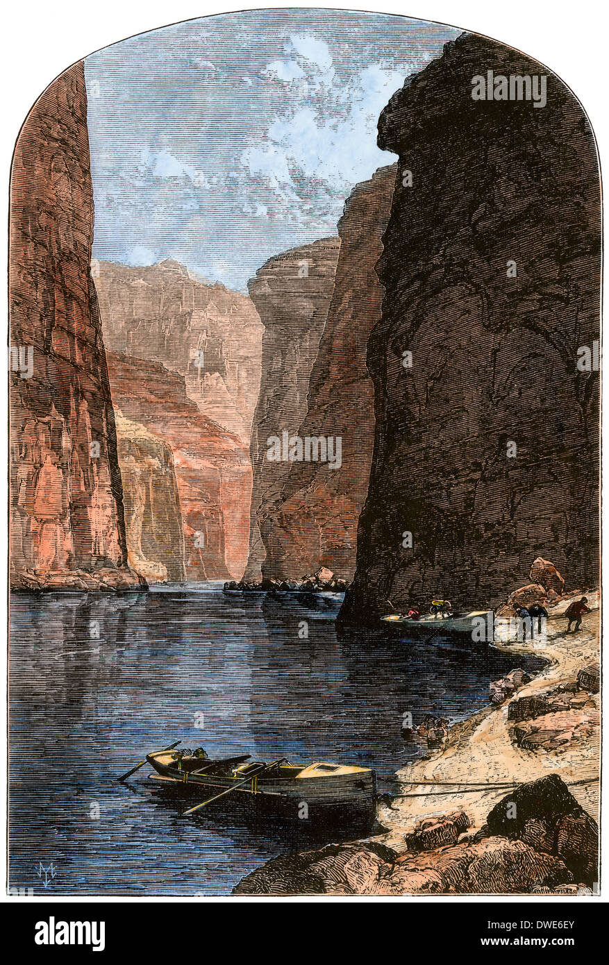 Powell's men mooring their boats in Marble Canyon, Grand Canyon expedition, 1870s. Hand-colored woodcut Stock Photohttps://www.alamy.com/image-license-details/?v=1https://www.alamy.com/powells-men-mooring-their-boats-in-marble-canyon-grand-canyon-expedition-image67309955.html
RMDWE6EY–Powell's men mooring their boats in Marble Canyon, Grand Canyon expedition, 1870s. Hand-colored woodcut
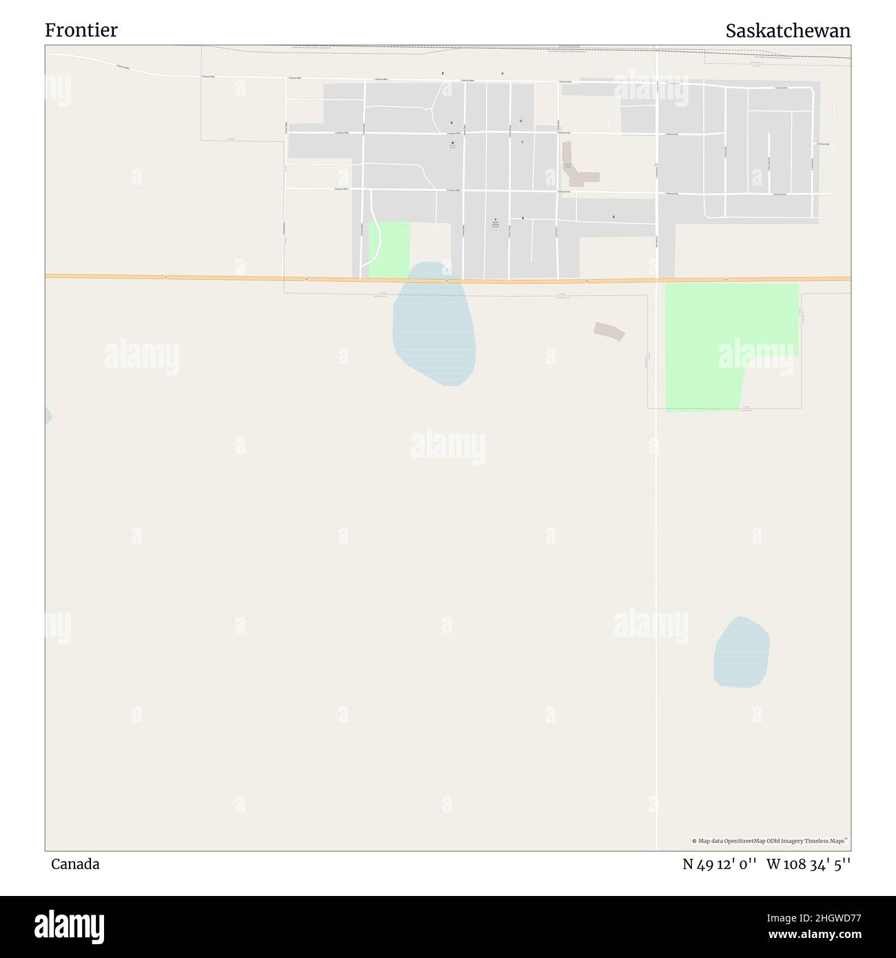 Frontier, Canada, Saskatchewan, N 49 12' 0'', W 108 34' 5'', map, Timeless Map published in 2021. Travelers, explorers and adventurers like Florence Nightingale, David Livingstone, Ernest Shackleton, Lewis and Clark and Sherlock Holmes relied on maps to plan travels to the world's most remote corners, Timeless Maps is mapping most locations on the globe, showing the achievement of great dreams Stock Photohttps://www.alamy.com/image-license-details/?v=1https://www.alamy.com/frontier-canada-saskatchewan-n-49-12-0-w-108-34-5-map-timeless-map-published-in-2021-travelers-explorers-and-adventurers-like-florence-nightingale-david-livingstone-ernest-shackleton-lewis-and-clark-and-sherlock-holmes-relied-on-maps-to-plan-travels-to-the-worlds-most-remote-corners-timeless-maps-is-mapping-most-locations-on-the-globe-showing-the-achievement-of-great-dreams-image457863259.html
RM2HGWD77–Frontier, Canada, Saskatchewan, N 49 12' 0'', W 108 34' 5'', map, Timeless Map published in 2021. Travelers, explorers and adventurers like Florence Nightingale, David Livingstone, Ernest Shackleton, Lewis and Clark and Sherlock Holmes relied on maps to plan travels to the world's most remote corners, Timeless Maps is mapping most locations on the globe, showing the achievement of great dreams
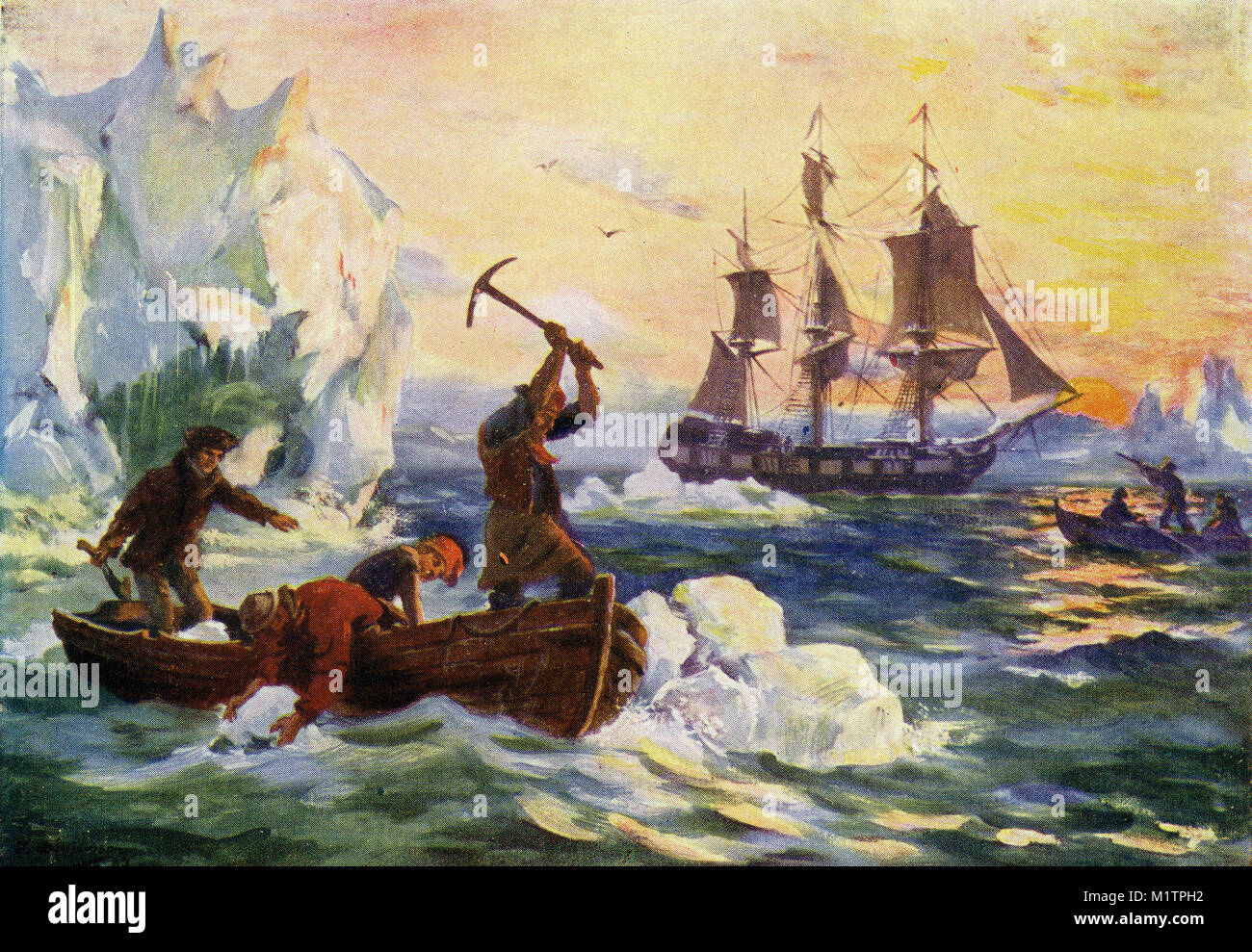 Halftone illustration of arctic explorers gathering icebergs to melt down for fresh water, while others shoot seabirds for food, circa 1900. From an original image in How Other People Live by H. Clive Barnard, 1918. Stock Photohttps://www.alamy.com/image-license-details/?v=1https://www.alamy.com/stock-photo-halftone-illustration-of-arctic-explorers-gathering-icebergs-to-melt-173262910.html
RMM1TPH2–Halftone illustration of arctic explorers gathering icebergs to melt down for fresh water, while others shoot seabirds for food, circa 1900. From an original image in How Other People Live by H. Clive Barnard, 1918.
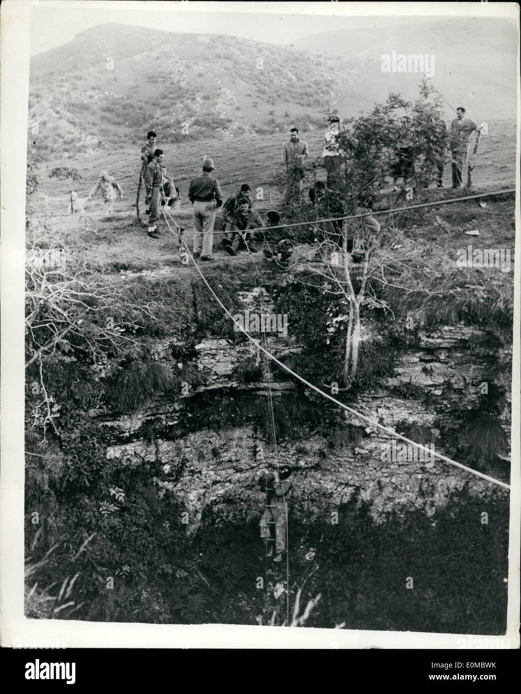 Aug. 08, 1954 - Italian Team Descends Abyss Of Preta: A team of cave explorers and scientists made its first major descent on Thursday into the Abyss of Preta, said to be the world's deepest, in the Lessinia Mountains, twenty miles north of Verona. Headed by Walter Mucci, of the Society of Natural science of Trieste, the group hopes to beat the 2,159-foot record descent of a French expedition near the Franco-Spanish frontier which claimed the life of Marcel Loubens Stock Photohttps://www.alamy.com/image-license-details/?v=1https://www.alamy.com/aug-08-1954-italian-team-descends-abyss-of-preta-a-team-of-cave-explorers-image69289855.html
RME0MBWK–Aug. 08, 1954 - Italian Team Descends Abyss Of Preta: A team of cave explorers and scientists made its first major descent on Thursday into the Abyss of Preta, said to be the world's deepest, in the Lessinia Mountains, twenty miles north of Verona. Headed by Walter Mucci, of the Society of Natural science of Trieste, the group hopes to beat the 2,159-foot record descent of a French expedition near the Franco-Spanish frontier which claimed the life of Marcel Loubens
 Frontier scuba diving on the rugged North Shore, Maui, Hawaii, USA (MR) Stock Photohttps://www.alamy.com/image-license-details/?v=1https://www.alamy.com/frontier-scuba-diving-on-the-rugged-north-shore-maui-hawaii-usa-mr-image264727939.html
RMWAKB57–Frontier scuba diving on the rugged North Shore, Maui, Hawaii, USA (MR)
 Lewis and Clark Meeting Sculpture - Falls of the Ohio River - Indiana Stock Photohttps://www.alamy.com/image-license-details/?v=1https://www.alamy.com/lewis-and-clark-meeting-sculpture-falls-of-the-ohio-river-indiana-image447890331.html
RM2H0K4K7–Lewis and Clark Meeting Sculpture - Falls of the Ohio River - Indiana
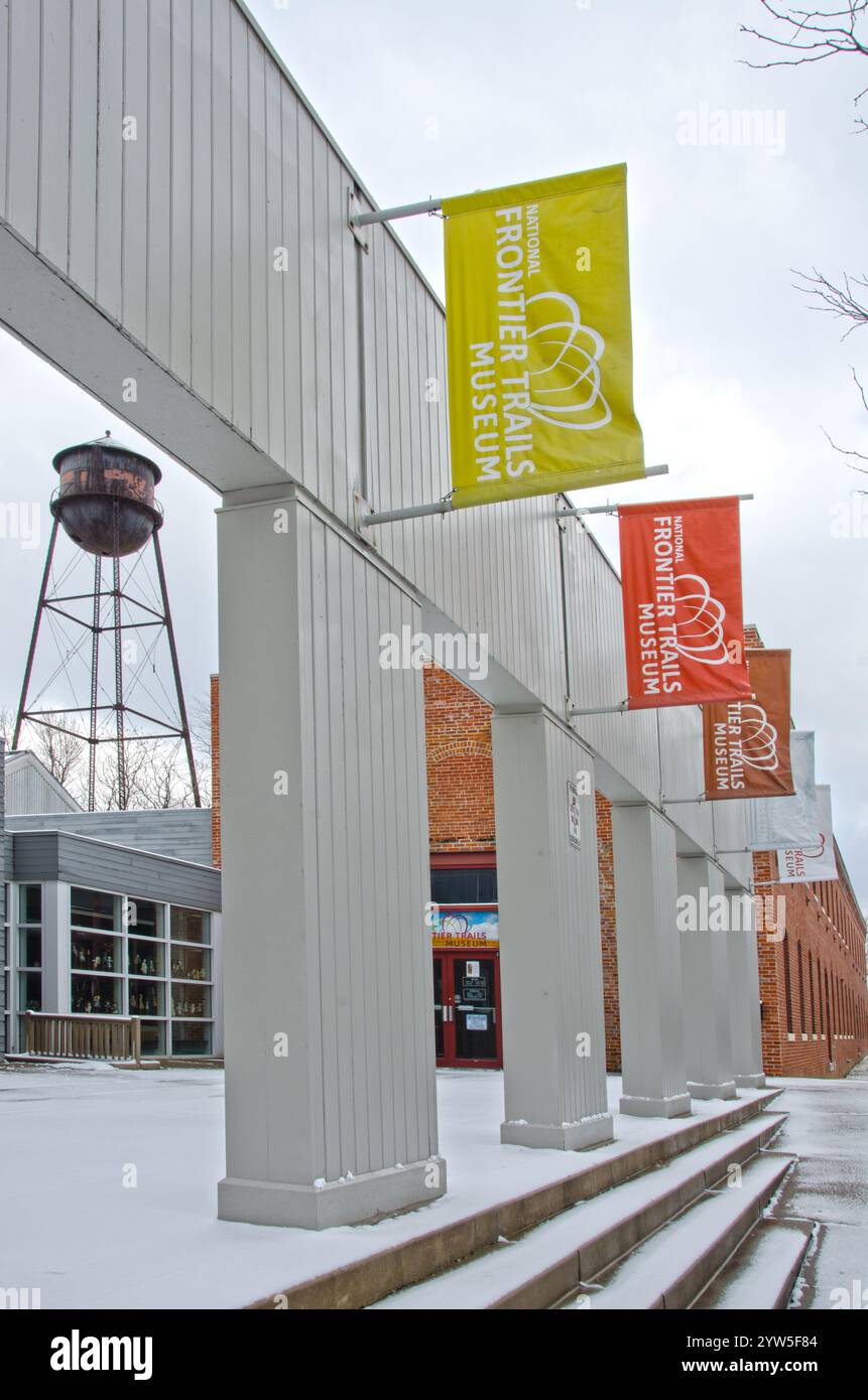 The National Frontier Trails Museum in Independence, Missouri is an interpretive center and research library for the three major frontier western trai Stock Photohttps://www.alamy.com/image-license-details/?v=1https://www.alamy.com/the-national-frontier-trails-museum-in-independence-missouri-is-an-interpretive-center-and-research-library-for-the-three-major-frontier-western-trai-image635061396.html
RF2YW5F84–The National Frontier Trails Museum in Independence, Missouri is an interpretive center and research library for the three major frontier western trai
 A desert safari leader plans his route on a map of the Gilf Kebir and Jebel Uweinat area of the Sahara Desert, in the Western Desert region of Egypt. Stock Photohttps://www.alamy.com/image-license-details/?v=1https://www.alamy.com/stock-photo-a-desert-safari-leader-plans-his-route-on-a-map-of-the-gilf-kebir-27014402.html
RMBFXH42–A desert safari leader plans his route on a map of the Gilf Kebir and Jebel Uweinat area of the Sahara Desert, in the Western Desert region of Egypt.
 Antique 1895 engraving, 'Land Surveying Has Its Risks.' Stock Photohttps://www.alamy.com/image-license-details/?v=1https://www.alamy.com/stock-photo-antique-1895-engraving-land-surveying-has-its-risks-72305815.html
RME5HPPF–Antique 1895 engraving, 'Land Surveying Has Its Risks.'
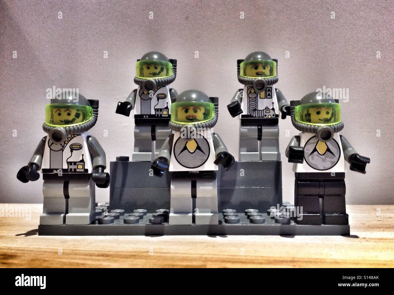 Vintage Lego Space Explorers Stock Photohttps://www.alamy.com/image-license-details/?v=1https://www.alamy.com/stock-photo-vintage-lego-space-explorers-310495659.html
RMS148AK–Vintage Lego Space Explorers
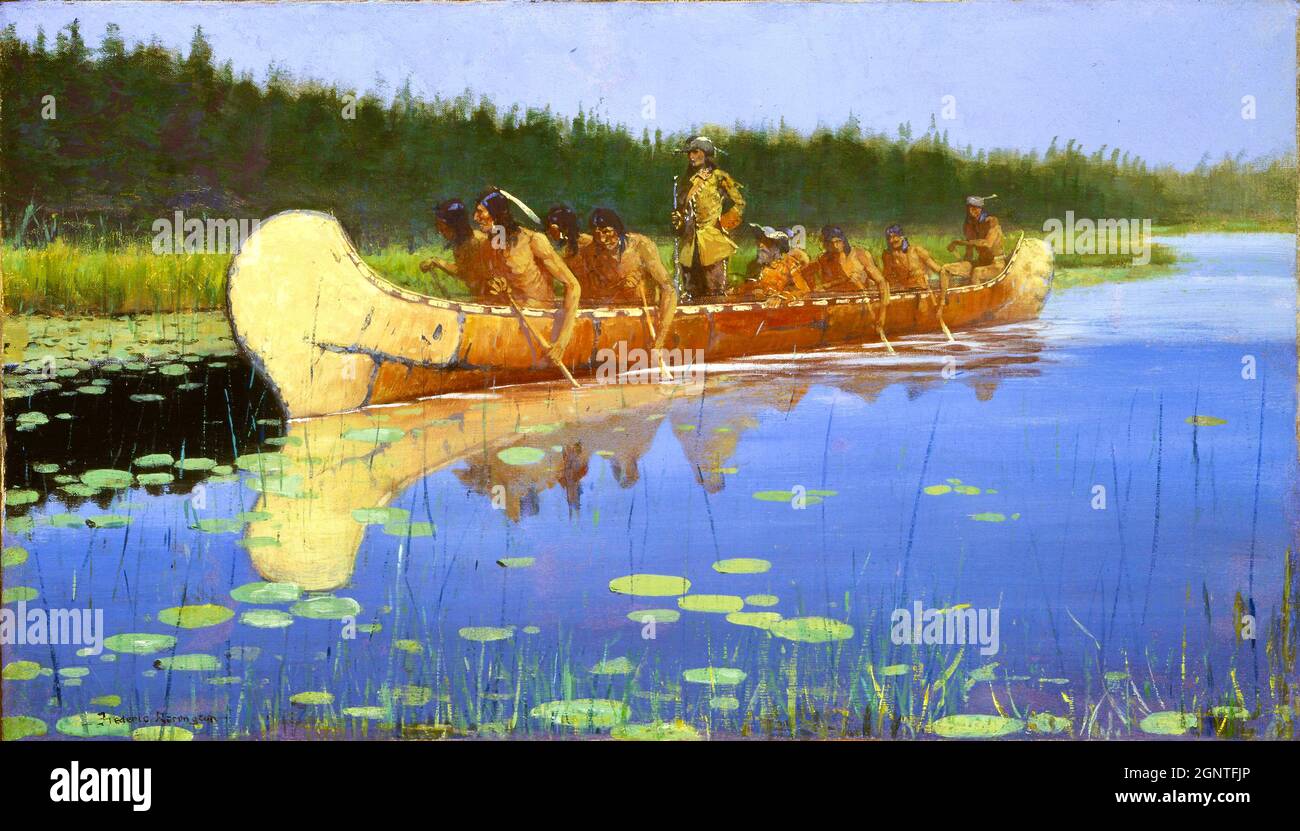 Frederick Remington artwork - Bark canoe in shallow waters with native americans transporting two 'explorers' - Radisson and Groseilliers Stock Photohttps://www.alamy.com/image-license-details/?v=1https://www.alamy.com/frederick-remington-artwork-bark-canoe-in-shallow-waters-with-native-americans-transporting-two-explorers-radisson-and-groseilliers-image443706110.html
RF2GNTFJP–Frederick Remington artwork - Bark canoe in shallow waters with native americans transporting two 'explorers' - Radisson and Groseilliers
 St Charles, MO - June 8, 2021: Artist Pat Kennedy created this bronze monument of explorers Captain Meriwether Lewis (right), Captain William Clark (l Stock Photohttps://www.alamy.com/image-license-details/?v=1https://www.alamy.com/st-charles-mo-june-8-2021-artist-pat-kennedy-created-this-bronze-monument-of-explorers-captain-meriwether-lewis-right-captain-william-clark-l-image434253722.html
RF2G6DY1E–St Charles, MO - June 8, 2021: Artist Pat Kennedy created this bronze monument of explorers Captain Meriwether Lewis (right), Captain William Clark (l
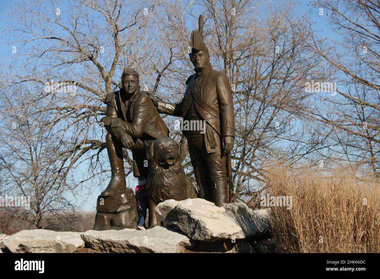 Frontier Park in St. Charles, Missouri, USA Lewis and Clark statue. Stock Photohttps://www.alamy.com/image-license-details/?v=1https://www.alamy.com/frontier-park-in-st-charles-missouri-usa-lewis-and-clark-statue-image459284824.html
RF2HK66DC–Frontier Park in St. Charles, Missouri, USA Lewis and Clark statue.
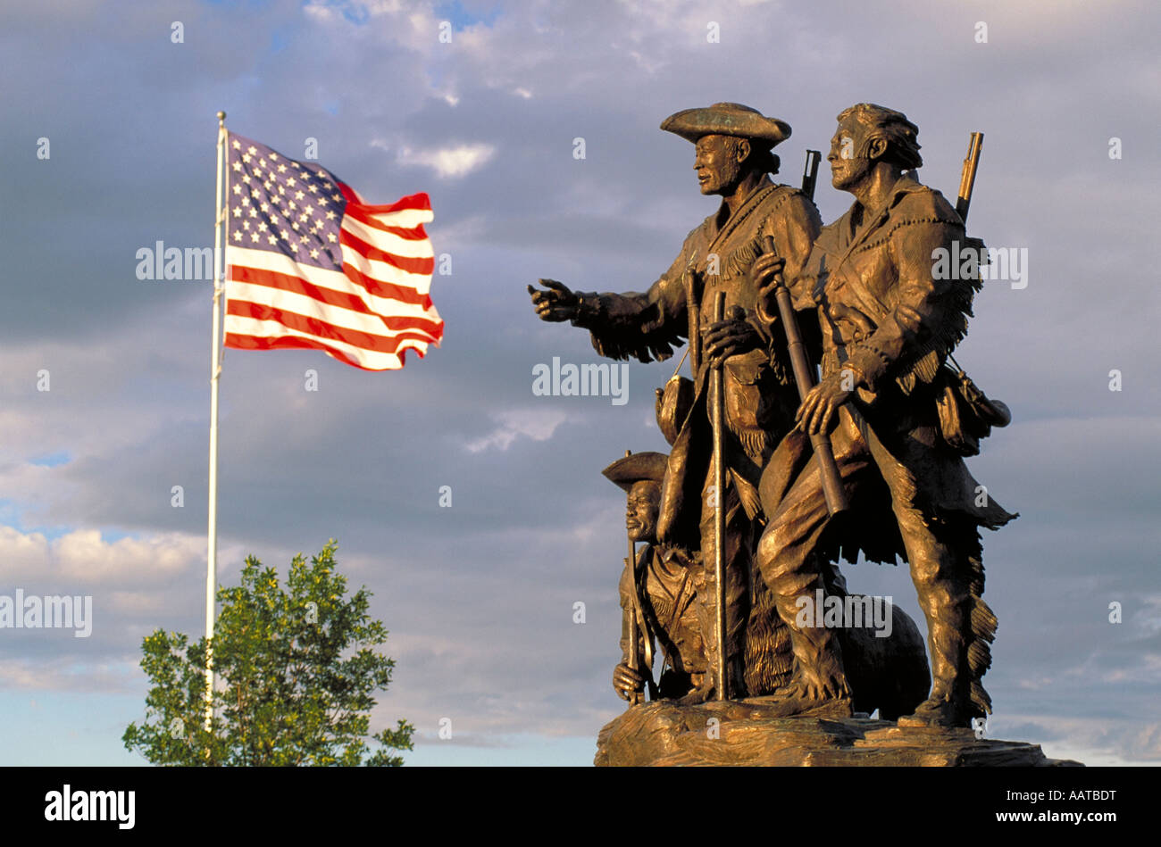 Elk263 3418 Montana Great Falls Lewis & Clark statue Explorers at the Portage by Bob Scriver Stock Photohttps://www.alamy.com/image-license-details/?v=1https://www.alamy.com/stock-photo-elk263-3418-montana-great-falls-lewis-clark-statue-explorers-at-the-12698387.html
RMAATBDT–Elk263 3418 Montana Great Falls Lewis & Clark statue Explorers at the Portage by Bob Scriver
 Crow Creek mining camp. Girdwood, AK, shown in lush green sumer foliage Stock Photohttps://www.alamy.com/image-license-details/?v=1https://www.alamy.com/stock-photo-crow-creek-mining-camp-girdwood-ak-shown-in-lush-green-sumer-foliage-79084211.html
RMEGJGM3–Crow Creek mining camp. Girdwood, AK, shown in lush green sumer foliage
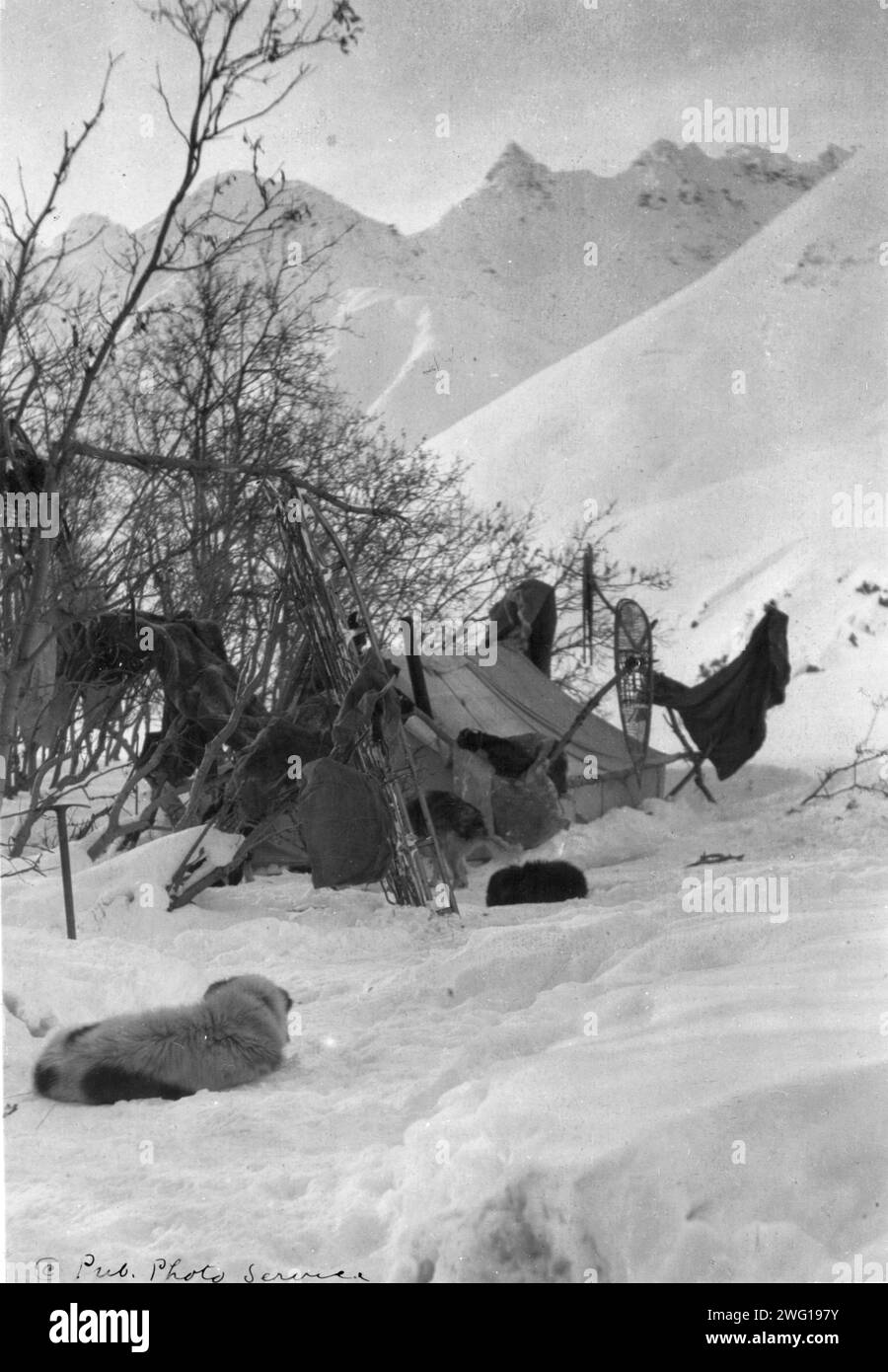 Explorer's tent and belongings anchored securely so they won't be blown away, between c1900 and c1930. Stock Photohttps://www.alamy.com/image-license-details/?v=1https://www.alamy.com/explorers-tent-and-belongings-anchored-securely-so-they-wont-be-blown-away-between-c1900-and-c1930-image595016239.html
RM2WG197Y–Explorer's tent and belongings anchored securely so they won't be blown away, between c1900 and c1930.
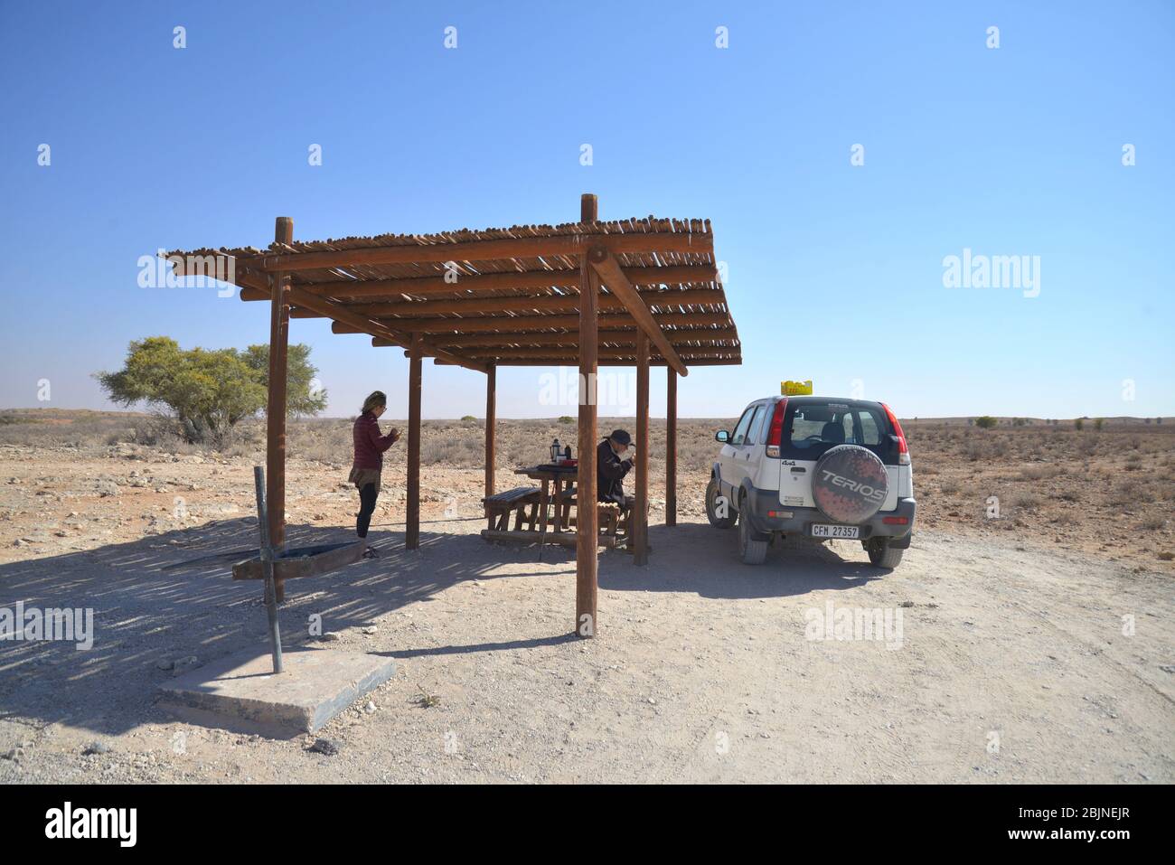 South African outdoor photos by Friedrich von Horsten. Stock Photohttps://www.alamy.com/image-license-details/?v=1https://www.alamy.com/south-african-outdoor-photos-by-friedrich-von-horsten-image355743663.html
RM2BJNEJR–South African outdoor photos by Friedrich von Horsten.
 Frontiersman - Retro Clip Art Illustration Stock Vectorhttps://www.alamy.com/image-license-details/?v=1https://www.alamy.com/frontiersman-retro-clip-art-illustration-image181235203.html
RFMERY9R–Frontiersman - Retro Clip Art Illustration
 The story of Africa and its explorers . f salt—an article muchneeded by the pastoral people of the lake, onaccount of their immense herds of cattle.Even as far as Karagwe this relief from thepresence of the Wanyoro was felt with equallyhappy effect on the fortunes of the travellers,for on the south-west frontier of the kingdomthe expedition was supplied with grain, ban-anas, and cattle, voluntarily contributed bya grateful king and people. When it isremembered that Mr. Stanleys party con-sisted of 800 souls, who, in ordinary circum-stances, would have needed forty bales ofcloth and twenty sack Stock Photohttps://www.alamy.com/image-license-details/?v=1https://www.alamy.com/the-story-of-africa-and-its-explorers-f-saltan-article-muchneeded-by-the-pastoral-people-of-the-lake-onaccount-of-their-immense-herds-of-cattleeven-as-far-as-karagwe-this-relief-from-thepresence-of-the-wanyoro-was-felt-with-equallyhappy-effect-on-the-fortunes-of-the-travellersfor-on-the-south-west-frontier-of-the-kingdomthe-expedition-was-supplied-with-grain-ban-anas-and-cattle-voluntarily-contributed-bya-grateful-king-and-people-when-it-isremembered-that-mr-stanleys-party-con-sisted-of-800-souls-who-in-ordinary-circum-stances-would-have-needed-forty-bales-ofcloth-and-twenty-sack-image338062588.html
RM2AJ027T–The story of Africa and its explorers . f salt—an article muchneeded by the pastoral people of the lake, onaccount of their immense herds of cattle.Even as far as Karagwe this relief from thepresence of the Wanyoro was felt with equallyhappy effect on the fortunes of the travellers,for on the south-west frontier of the kingdomthe expedition was supplied with grain, ban-anas, and cattle, voluntarily contributed bya grateful king and people. When it isremembered that Mr. Stanleys party con-sisted of 800 souls, who, in ordinary circum-stances, would have needed forty bales ofcloth and twenty sack
 Exploring a tropical rain forest such as in Central or South America. Hand-colored woodcut Stock Photohttps://www.alamy.com/image-license-details/?v=1https://www.alamy.com/exploring-a-tropical-rain-forest-such-as-in-central-or-south-america-image3756056.html
RMA69M19–Exploring a tropical rain forest such as in Central or South America. Hand-colored woodcut
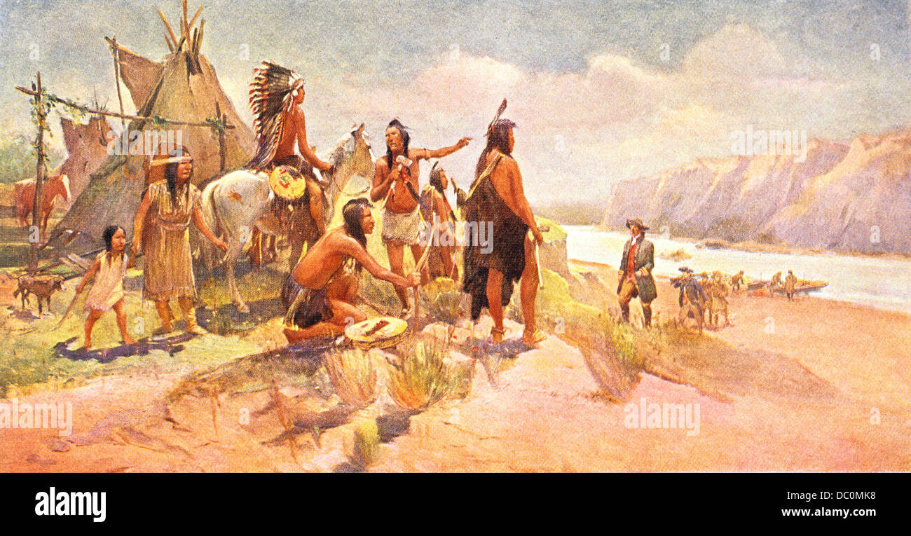 1800s 1802 TO 1806 SCENE LEWIS & CLARK EXPEDITION MEETING NATIVE AMERICAN TRIBE OF THE NORTHWEST Stock Photohttps://www.alamy.com/image-license-details/?v=1https://www.alamy.com/stock-photo-1800s-1802-to-1806-scene-lewis-clark-expedition-meeting-native-american-59023196.html
RMDC0MK8–1800s 1802 TO 1806 SCENE LEWIS & CLARK EXPEDITION MEETING NATIVE AMERICAN TRIBE OF THE NORTHWEST
 Usa, Colorado Springs,Colorado Springs , Pioneers Museum travel landmark vector illustration Stock Vectorhttps://www.alamy.com/image-license-details/?v=1https://www.alamy.com/usa-colorado-springscolorado-springs-pioneers-museum-travel-landmark-vector-illustration-image544524845.html
RF2PHW6YW–Usa, Colorado Springs,Colorado Springs , Pioneers Museum travel landmark vector illustration
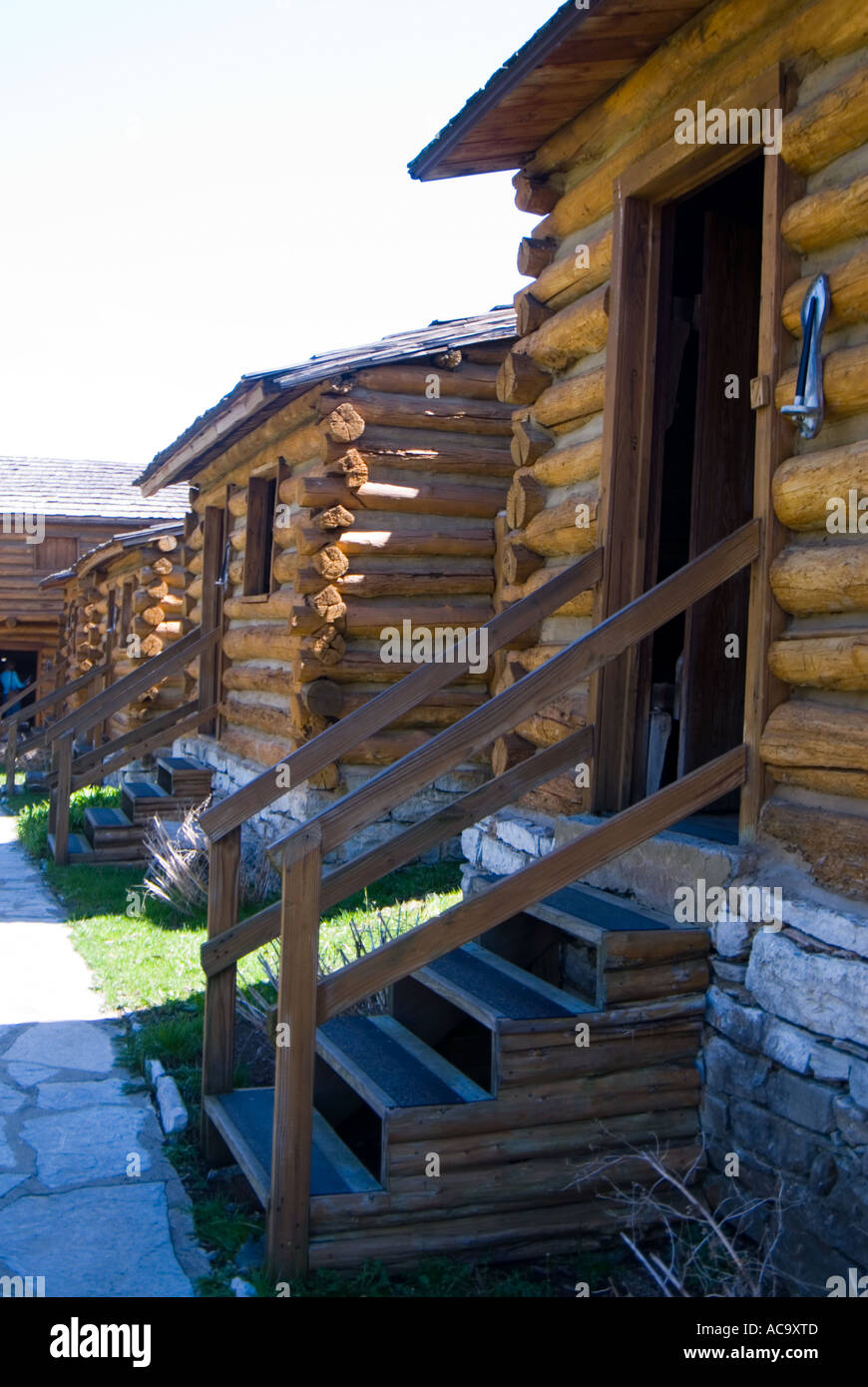 Fort Harrod pioneer fort at Harrodsburg Stock Photohttps://www.alamy.com/image-license-details/?v=1https://www.alamy.com/fort-harrod-pioneer-fort-at-harrodsburg-image7479564.html
RMAC9XTD–Fort Harrod pioneer fort at Harrodsburg
 Frontier scuba diving on the rugged North Shore, Maui, Hawaii, USA (MR) Stock Photohttps://www.alamy.com/image-license-details/?v=1https://www.alamy.com/frontier-scuba-diving-on-the-rugged-north-shore-maui-hawaii-usa-mr-image264727940.html
RMWAKB58–Frontier scuba diving on the rugged North Shore, Maui, Hawaii, USA (MR)
 Analog astronauts participate in a Mars simulation expedition in the Dhofar Region, Oman during AMADEE-18. The image captures the spirit of exploration and the quest for knowledge, showcasing teamwork and perseverance. Stock Photohttps://www.alamy.com/image-license-details/?v=1https://www.alamy.com/analog-astronauts-participate-in-a-mars-simulation-expedition-in-the-dhofar-region-oman-during-amadee-18-the-image-captures-the-spirit-of-exploration-and-the-quest-for-knowledge-showcasing-teamwork-and-perseverance-image615836836.html
RF2XNWP4M–Analog astronauts participate in a Mars simulation expedition in the Dhofar Region, Oman during AMADEE-18. The image captures the spirit of exploration and the quest for knowledge, showcasing teamwork and perseverance.
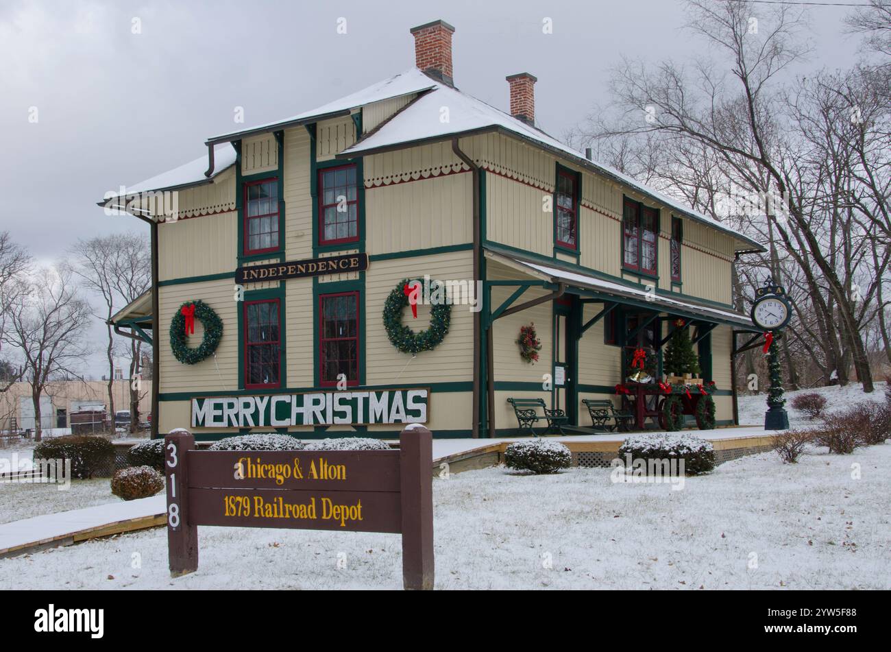 The Chicago Alton Railroad Depot has been restored and sits alongside the National Frontier Trails Museum in Independence, Missouri. Stock Photohttps://www.alamy.com/image-license-details/?v=1https://www.alamy.com/the-chicago-alton-railroad-depot-has-been-restored-and-sits-alongside-the-national-frontier-trails-museum-in-independence-missouri-image635061400.html
RF2YW5F88–The Chicago Alton Railroad Depot has been restored and sits alongside the National Frontier Trails Museum in Independence, Missouri.
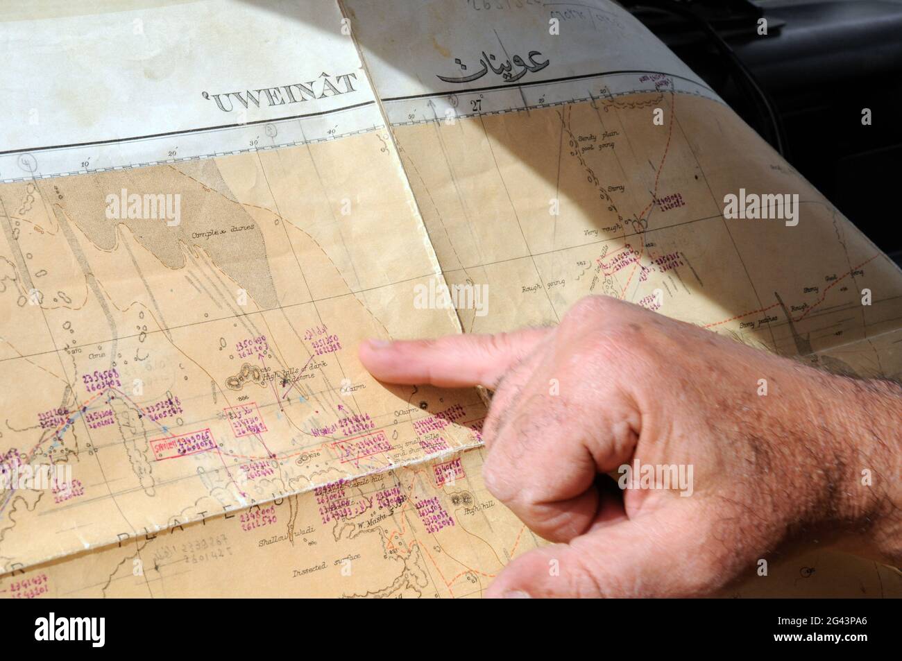 A desert safari leader plans his route on a map of the Gilf Kebir and Jebel Uweinat area of the Sahara Desert, in the Western Desert region of Egypt. Stock Photohttps://www.alamy.com/image-license-details/?v=1https://www.alamy.com/a-desert-safari-leader-plans-his-route-on-a-map-of-the-gilf-kebir-and-jebel-uweinat-area-of-the-sahara-desert-in-the-western-desert-region-of-egypt-image432801214.html
RM2G43PA6–A desert safari leader plans his route on a map of the Gilf Kebir and Jebel Uweinat area of the Sahara Desert, in the Western Desert region of Egypt.
 Lewis and Clark Information Center Stock Photohttps://www.alamy.com/image-license-details/?v=1https://www.alamy.com/lewis-and-clark-information-center-image4677814.html
RFAH1MB7–Lewis and Clark Information Center
 An adelie penguin in the Antarctic Stock Photohttps://www.alamy.com/image-license-details/?v=1https://www.alamy.com/stock-photo-an-adelie-penguin-in-the-antarctic-13557138.html
RMAE3K8K–An adelie penguin in the Antarctic
 Exploring history on a beautiful winter day at The Mission San Jose at Missions National Historical Park in San Antonio, TX, USA Stock Photohttps://www.alamy.com/image-license-details/?v=1https://www.alamy.com/stock-photo-exploring-history-on-a-beautiful-winter-day-at-the-mission-san-jose-130583116.html
RFHGCG2M–Exploring history on a beautiful winter day at The Mission San Jose at Missions National Historical Park in San Antonio, TX, USA
 Metal statues of a camel train to commemorate Alfred Canning surveying a new stock route, Cue, Murchison Region, Western Australia, Australia Stock Photohttps://www.alamy.com/image-license-details/?v=1https://www.alamy.com/metal-statues-of-a-camel-train-to-commemorate-alfred-canning-surveying-a-new-stock-route-cue-murchison-region-western-australia-australia-image443643346.html
RM2GNNKH6–Metal statues of a camel train to commemorate Alfred Canning surveying a new stock route, Cue, Murchison Region, Western Australia, Australia
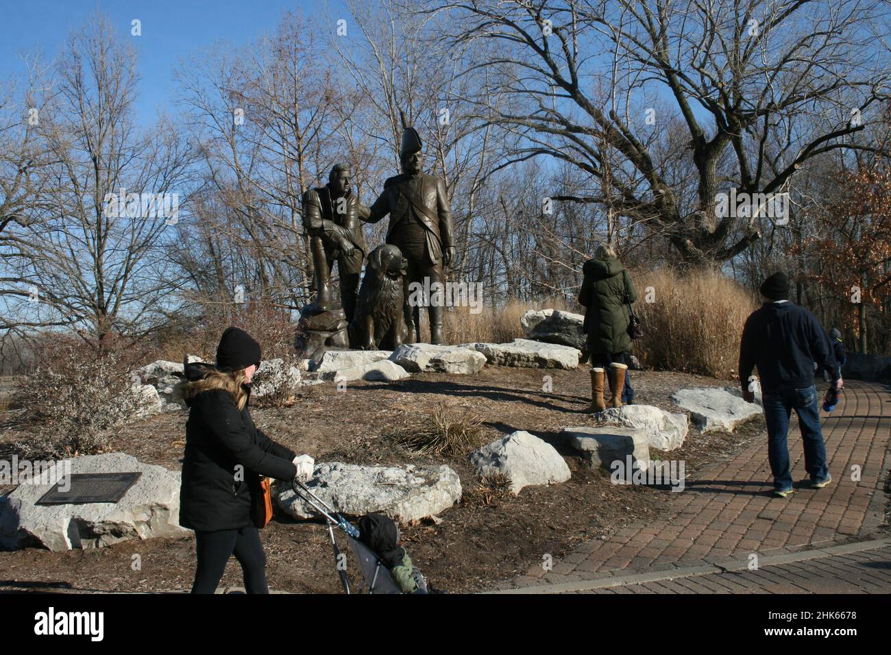 Frontier Park in St. Charles, Missouri, USA Lewis and Clark statue. Stock Photohttps://www.alamy.com/image-license-details/?v=1https://www.alamy.com/frontier-park-in-st-charles-missouri-usa-lewis-and-clark-statue-image459284652.html
RF2HK6678–Frontier Park in St. Charles, Missouri, USA Lewis and Clark statue.
 . The earth and its inhabitants .. . Easb oFG-eenwich Depths. 0to25 Fathoms. 25 Fathoms and upwards. .30 Miles. encroachments of the white squatters, the natives assembled in congress in 1854, and resolved thenceforth to sell no land at any price, and even prevent the Euro- peans from penetrating into their domain. Since that time conflicts have taken place, British troops have crossed the frontier, and sundry tracts have been detached from the territory. Nevertheless this Native Reserve still constitutes a well defined region, till recently almost inaccessible to explorers unprovided with Stock Photohttps://www.alamy.com/image-license-details/?v=1https://www.alamy.com/the-earth-and-its-inhabitants-easb-ofg-eenwich-depths-0to25-fathoms-25-fathoms-and-upwards-30-miles-encroachments-of-the-white-squatters-the-natives-assembled-in-congress-in-1854-and-resolved-thenceforth-to-sell-no-land-at-any-price-and-even-prevent-the-euro-peans-from-penetrating-into-their-domain-since-that-time-conflicts-have-taken-place-british-troops-have-crossed-the-frontier-and-sundry-tracts-have-been-detached-from-the-territory-nevertheless-this-native-reserve-still-constitutes-a-well-defined-region-till-recently-almost-inaccessible-to-explorers-unprovided-with-image178487775.html
RMMAAPYB–. The earth and its inhabitants .. . Easb oFG-eenwich Depths. 0to25 Fathoms. 25 Fathoms and upwards. .30 Miles. encroachments of the white squatters, the natives assembled in congress in 1854, and resolved thenceforth to sell no land at any price, and even prevent the Euro- peans from penetrating into their domain. Since that time conflicts have taken place, British troops have crossed the frontier, and sundry tracts have been detached from the territory. Nevertheless this Native Reserve still constitutes a well defined region, till recently almost inaccessible to explorers unprovided with
 Crow Creek mining camp. Girdwood, AK Stock Photohttps://www.alamy.com/image-license-details/?v=1https://www.alamy.com/stock-photo-crow-creek-mining-camp-girdwood-ak-79084227.html
RMEGJGMK–Crow Creek mining camp. Girdwood, AK
 Explorer's Camp in the Taiga, 1909. Photographs documenting various stages in the construction of dirt roads in the Tomsk region by workers and engineers of the road-building department of the Russian Resettlement Administration. The albums date from 1906-8 and 1909. The Russian state paid for the construction of roads such as those depicted in the albums in order to connect settlers with a railroad line, a navigable river, or commercial-industrial centers. The overall purpose of the road-building program was to promote the colonization of the taiga (moist coniferous forest regions) of Siberia Stock Photohttps://www.alamy.com/image-license-details/?v=1https://www.alamy.com/explorers-camp-in-the-taiga-1909-photographs-documenting-various-stages-in-the-construction-of-dirt-roads-in-the-tomsk-region-by-workers-and-engineers-of-the-road-building-department-of-the-russian-resettlement-administration-the-albums-date-from-1906-8-and-1909-the-russian-state-paid-for-the-construction-of-roads-such-as-those-depicted-in-the-albums-in-order-to-connect-settlers-with-a-railroad-line-a-navigable-river-or-commercial-industrial-centers-the-overall-purpose-of-the-road-building-program-was-to-promote-the-colonization-of-the-taiga-moist-coniferous-forest-regions-of-siberia-image595019631.html
RM2WG1DH3–Explorer's Camp in the Taiga, 1909. Photographs documenting various stages in the construction of dirt roads in the Tomsk region by workers and engineers of the road-building department of the Russian Resettlement Administration. The albums date from 1906-8 and 1909. The Russian state paid for the construction of roads such as those depicted in the albums in order to connect settlers with a railroad line, a navigable river, or commercial-industrial centers. The overall purpose of the road-building program was to promote the colonization of the taiga (moist coniferous forest regions) of Siberia
 South African outdoor photos by Friedrich von Horsten. Stock Photohttps://www.alamy.com/image-license-details/?v=1https://www.alamy.com/south-african-outdoor-photos-by-friedrich-von-horsten-image355744451.html
RM2BJNFJY–South African outdoor photos by Friedrich von Horsten.
 . The story of Africa and its explorers. ^?**=«i«B(^-*^1>ttB.^,—ir«wa^^. 82 THE STOEY OF AFRICA. supposed to be the case. Sir LambertPlayfair* (p. 83) divides it, in his admirabledescription of that French colony, into twodistinct regions, the lower and the upperSahara; the one consisting of a vast depres-sion of sand and clay, stretching in the eastas far as the frontier of Tunis, the other of arocky plateau, frequently attaining considerableelevation, extending on the west to the bordersof Morocco. I Altogether, though the boundaries of theSahara are naturally rather vague, its areaArea a Stock Photohttps://www.alamy.com/image-license-details/?v=1https://www.alamy.com/the-story-of-africa-and-its-explorers-=ib-1gtttbirwa-82-the-stoey-of-africa-supposed-to-be-the-case-sir-lambertplayfair-p-83-divides-it-in-his-admirabledescription-of-that-french-colony-into-twodistinct-regions-the-lower-and-the-uppersahara-the-one-consisting-of-a-vast-depres-sion-of-sand-and-clay-stretching-in-the-eastas-far-as-the-frontier-of-tunis-the-other-of-arocky-plateau-frequently-attaining-considerableelevation-extending-on-the-west-to-the-bordersof-morocco-i-altogether-though-the-boundaries-of-thesahara-are-naturally-rather-vague-its-areaarea-a-image337155026.html
RM2AGEMJX–. The story of Africa and its explorers. ^?**=«i«B(^-*^1>ttB.^,—ir«wa^^. 82 THE STOEY OF AFRICA. supposed to be the case. Sir LambertPlayfair* (p. 83) divides it, in his admirabledescription of that French colony, into twodistinct regions, the lower and the upperSahara; the one consisting of a vast depres-sion of sand and clay, stretching in the eastas far as the frontier of Tunis, the other of arocky plateau, frequently attaining considerableelevation, extending on the west to the bordersof Morocco. I Altogether, though the boundaries of theSahara are naturally rather vague, its areaArea a
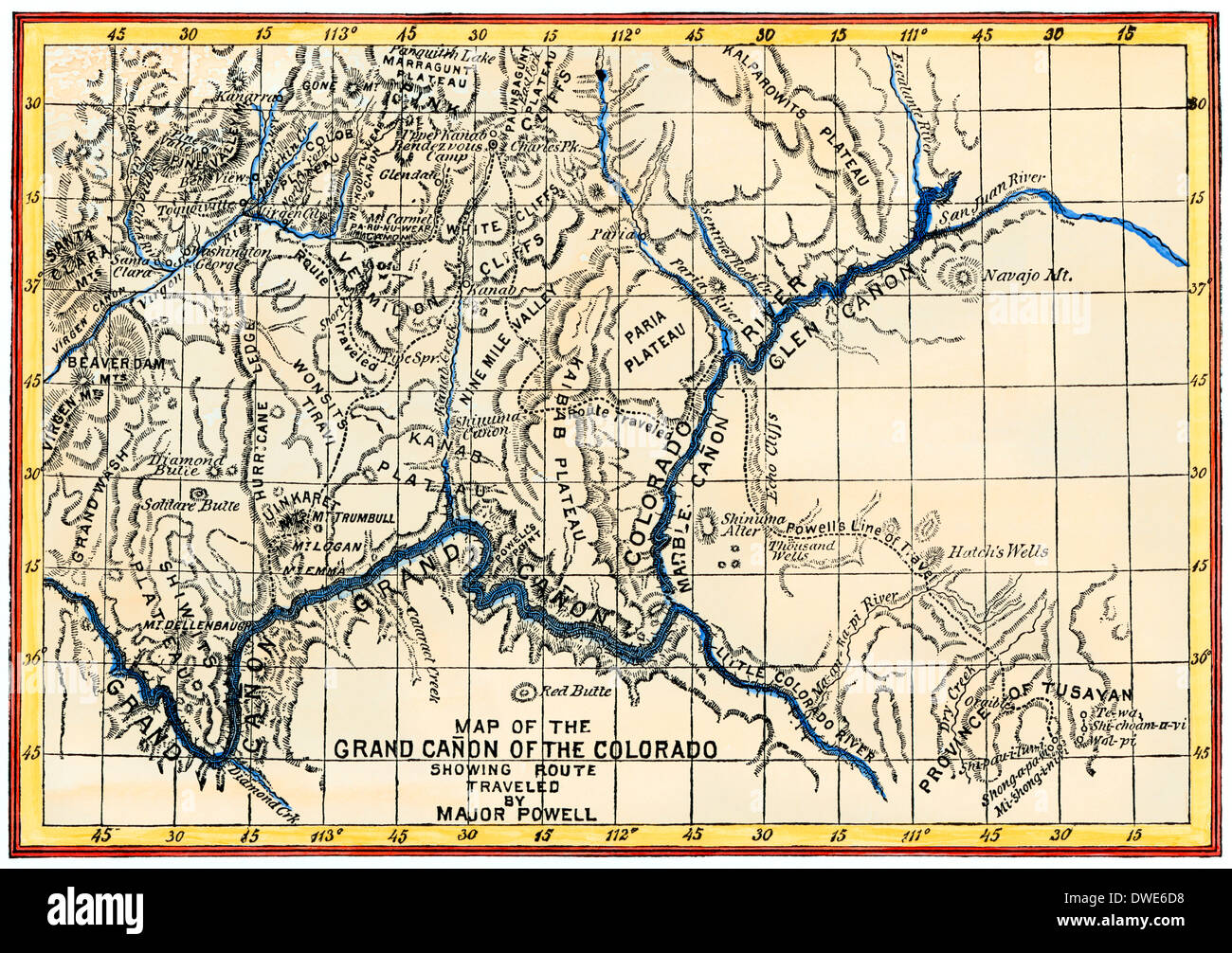 Map of the Grand Canyon drawn by the Powell expedition, 1870s. Digitally colored woodcut Stock Photohttps://www.alamy.com/image-license-details/?v=1https://www.alamy.com/map-of-the-grand-canyon-drawn-by-the-powell-expedition-1870s-digitally-image67309908.html
RMDWE6D8–Map of the Grand Canyon drawn by the Powell expedition, 1870s. Digitally colored woodcut
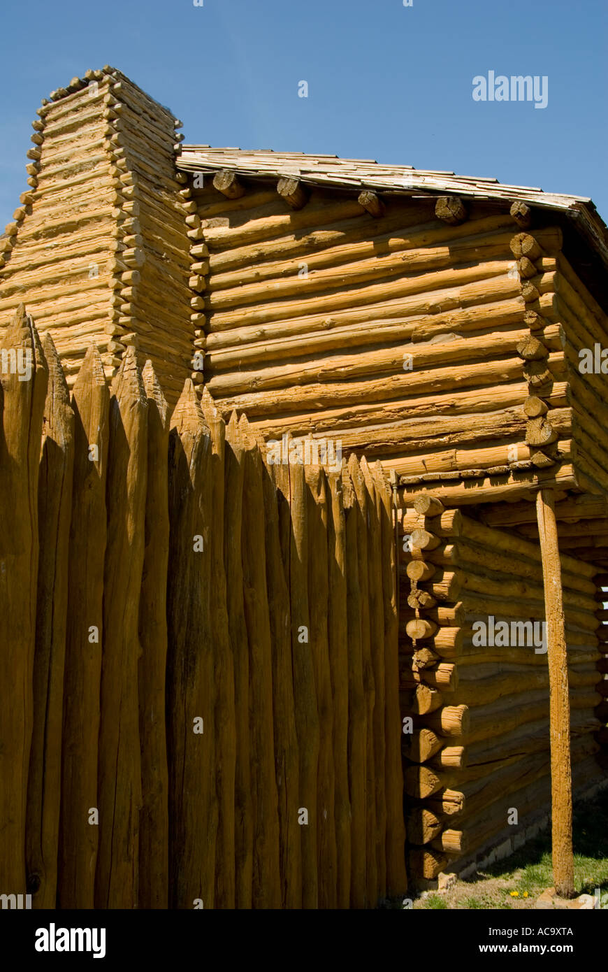 Fort Harrod pioneer fort at Harrodsburg Stock Photohttps://www.alamy.com/image-license-details/?v=1https://www.alamy.com/fort-harrod-pioneer-fort-at-harrodsburg-image7479561.html
RMAC9XTA–Fort Harrod pioneer fort at Harrodsburg
 Frontier scuba diving on the rugged North Shore, Maui, Hawaii, USA (MR) Stock Photohttps://www.alamy.com/image-license-details/?v=1https://www.alamy.com/frontier-scuba-diving-on-the-rugged-north-shore-maui-hawaii-usa-mr-image264727936.html
RMWAKB54–Frontier scuba diving on the rugged North Shore, Maui, Hawaii, USA (MR)
 Lewis and Clark Camp Display Stock Photohttps://www.alamy.com/image-license-details/?v=1https://www.alamy.com/lewis-and-clark-camp-display-image4677812.html
RFAH1MB5–Lewis and Clark Camp Display
 Pair Adele penguins Antarctica Stock Photohttps://www.alamy.com/image-license-details/?v=1https://www.alamy.com/stock-photo-pair-adele-penguins-antarctica-15447532.html
RMAN8HDH–Pair Adele penguins Antarctica
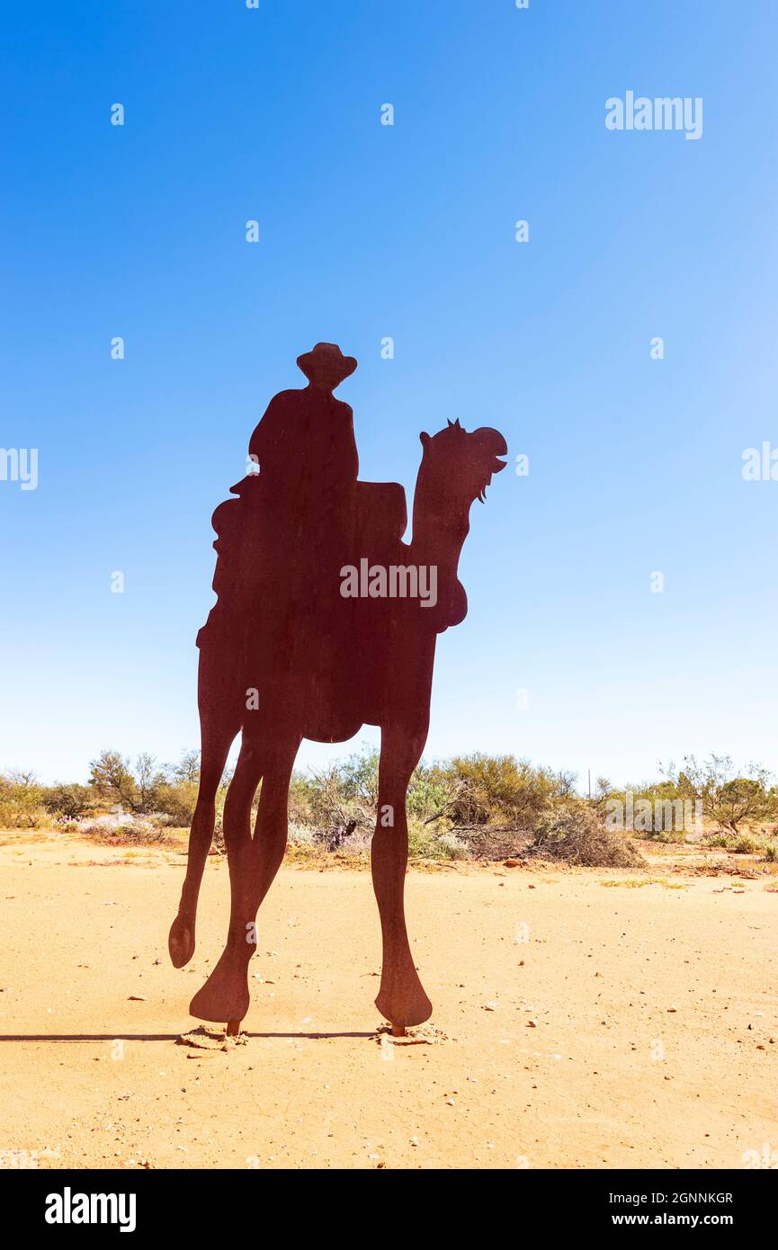 Metal statue of Alfred Canning riding a camel while surveying a new stock route, Cue, Murchison Region, Western Australia, Australia Stock Photohttps://www.alamy.com/image-license-details/?v=1https://www.alamy.com/metal-statue-of-alfred-canning-riding-a-camel-while-surveying-a-new-stock-route-cue-murchison-region-western-australia-australia-image443643335.html
RM2GNNKGR–Metal statue of Alfred Canning riding a camel while surveying a new stock route, Cue, Murchison Region, Western Australia, Australia
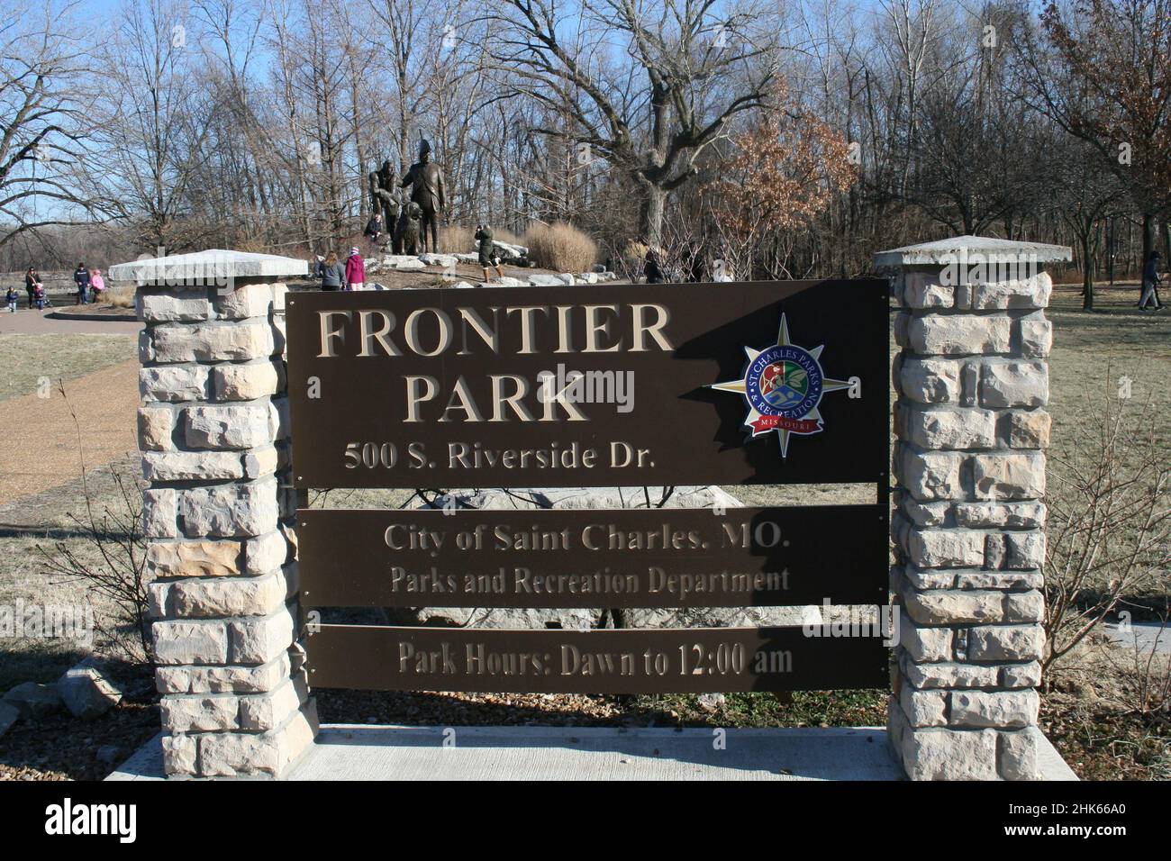 Frontier Park in St. Charles, Missouri, USA Lewis and Clark statue. Stock Photohttps://www.alamy.com/image-license-details/?v=1https://www.alamy.com/frontier-park-in-st-charles-missouri-usa-lewis-and-clark-statue-image459284728.html
RF2HK66A0–Frontier Park in St. Charles, Missouri, USA Lewis and Clark statue.
 Crow Creek mining camp. Girdwood, AK, shown in lush green sumer foliage Stock Photohttps://www.alamy.com/image-license-details/?v=1https://www.alamy.com/stock-photo-crow-creek-mining-camp-girdwood-ak-shown-in-lush-green-sumer-foliage-79084213.html
RMEGJGM5–Crow Creek mining camp. Girdwood, AK, shown in lush green sumer foliage
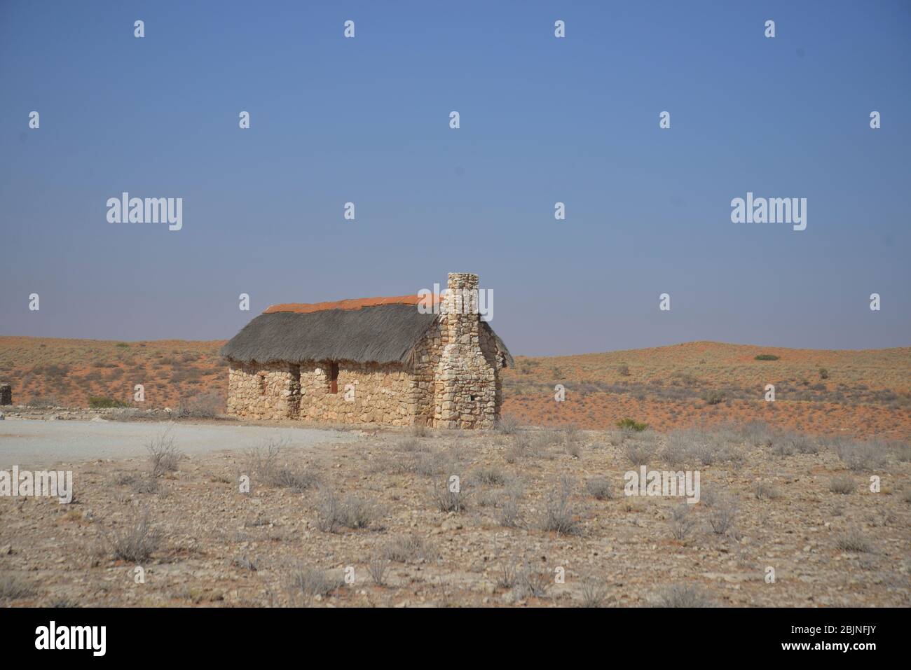
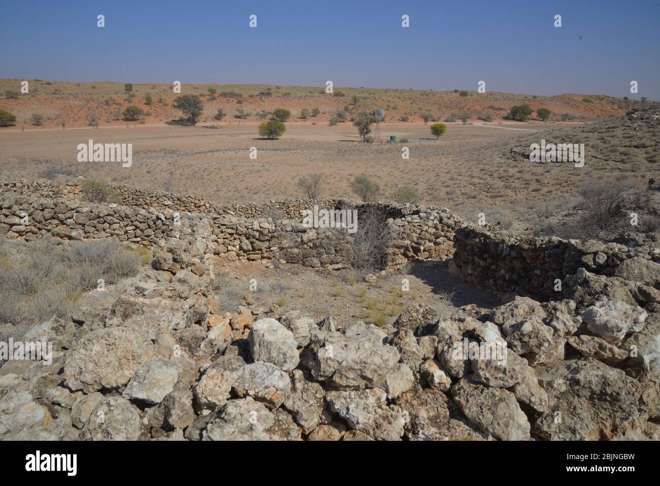 South African outdoor photos by Friedrich von Horsten. Ruins of old settler farming in Kalahari desert. Stock Photohttps://www.alamy.com/image-license-details/?v=1https://www.alamy.com/south-african-outdoor-photos-by-friedrich-von-horsten-ruins-of-old-settler-farming-in-kalahari-desert-image355745037.html
RM2BJNGBW–South African outdoor photos by Friedrich von Horsten. Ruins of old settler farming in Kalahari desert.
 The passing of the frontier : a chronicle of the old West . rty, indeed, would have made nice measure-ments for the Saxon cattle-range. Little, however, was the value of this land un-derstood by the explorers; and, for more thanhalf a century afterwards, it commonly was sup-posed to be useless for the occupation of whitemen and suitable only as a hunting-ground forsavage tribes. Most of us can remember theschool maps of our own youth, showing a vastregion marked, vaguely, The Great AmericanDesert, which was considered hopeless for anyhuman industry, but much of which has sinceproved as rich as Stock Photohttps://www.alamy.com/image-license-details/?v=1https://www.alamy.com/the-passing-of-the-frontier-a-chronicle-of-the-old-west-rty-indeed-would-have-made-nice-measure-ments-for-the-saxon-cattle-range-little-however-was-the-value-of-this-land-un-derstood-by-the-explorers-and-for-more-thanhalf-a-century-afterwards-it-commonly-was-sup-posed-to-be-useless-for-the-occupation-of-whitemen-and-suitable-only-as-a-hunting-ground-forsavage-tribes-most-of-us-can-remember-theschool-maps-of-our-own-youth-showing-a-vastregion-marked-vaguely-the-great-americandesert-which-was-considered-hopeless-for-anyhuman-industry-but-much-of-which-has-sinceproved-as-rich-as-image342990924.html
RM2AX0GBT–The passing of the frontier : a chronicle of the old West . rty, indeed, would have made nice measure-ments for the Saxon cattle-range. Little, however, was the value of this land un-derstood by the explorers; and, for more thanhalf a century afterwards, it commonly was sup-posed to be useless for the occupation of whitemen and suitable only as a hunting-ground forsavage tribes. Most of us can remember theschool maps of our own youth, showing a vastregion marked, vaguely, The Great AmericanDesert, which was considered hopeless for anyhuman industry, but much of which has sinceproved as rich as
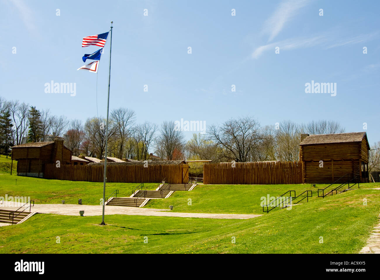 Fort Harrod pioneer fort at Harrodsburg Kentucky Stock Photohttps://www.alamy.com/image-license-details/?v=1https://www.alamy.com/fort-harrod-pioneer-fort-at-harrodsburg-kentucky-image7479604.html
RMAC9XY5–Fort Harrod pioneer fort at Harrodsburg Kentucky
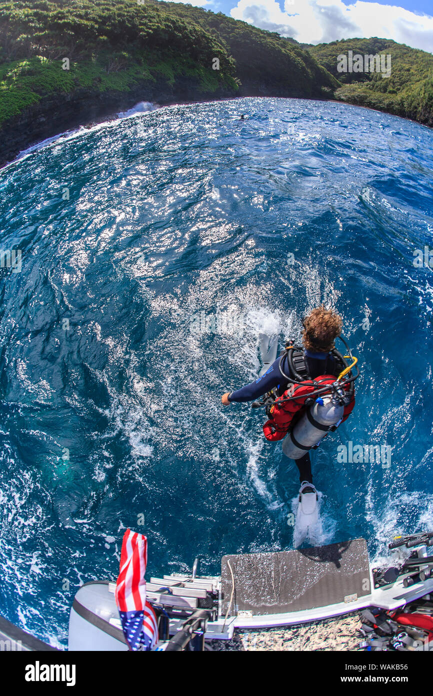 Frontier scuba diving on the rugged North Shore, Maui, Hawaii, USA (MR) Stock Photohttps://www.alamy.com/image-license-details/?v=1https://www.alamy.com/frontier-scuba-diving-on-the-rugged-north-shore-maui-hawaii-usa-mr-image264727938.html
RMWAKB56–Frontier scuba diving on the rugged North Shore, Maui, Hawaii, USA (MR)
 ice breaker at Port Lockroy Antarctica Stock Photohttps://www.alamy.com/image-license-details/?v=1https://www.alamy.com/stock-photo-ice-breaker-at-port-lockroy-antarctica-15447438.html
RMAN8H5K–ice breaker at Port Lockroy Antarctica
 South African outdoor photos by Friedrich von Horsten. Stock Photohttps://www.alamy.com/image-license-details/?v=1https://www.alamy.com/south-african-outdoor-photos-by-friedrich-von-horsten-image355745681.html
RM2BJNH6W–South African outdoor photos by Friedrich von Horsten.
 The old New York frontier : its wars with Indians and Tories, its missionary schools, pioneers, and land titles, 1614-1800 . (From portrait in the State Library, at Albany, that was copied from an originalowned by Sir John Johnson. ) PART II Missionaries and theFrench War 1650-1769 Jesuits and Church ofEngland Men 1650-1746 AFTER the first explorers, seeking to extendthe fur trade, came the Jesuits, interested inpromoting the spiritual welfare of the sav-ages. The traders came from Fort Orange and NewAmsterdam, the missionaries from the ancient St.Lawrence settlements of New France. Before 165 Stock Photohttps://www.alamy.com/image-license-details/?v=1https://www.alamy.com/the-old-new-york-frontier-its-wars-with-indians-and-tories-its-missionary-schools-pioneers-and-land-titles-1614-1800-from-portrait-in-the-state-library-at-albany-that-was-copied-from-an-originalowned-by-sir-john-johnson-part-ii-missionaries-and-thefrench-war-1650-1769-jesuits-and-church-ofengland-men-1650-1746-after-the-first-explorers-seeking-to-extendthe-fur-trade-came-the-jesuits-interested-inpromoting-the-spiritual-welfare-of-the-sav-ages-the-traders-came-from-fort-orange-and-newamsterdam-the-missionaries-from-the-ancient-stlawrence-settlements-of-new-france-before-165-image339442469.html
RM2AM6X99–The old New York frontier : its wars with Indians and Tories, its missionary schools, pioneers, and land titles, 1614-1800 . (From portrait in the State Library, at Albany, that was copied from an originalowned by Sir John Johnson. ) PART II Missionaries and theFrench War 1650-1769 Jesuits and Church ofEngland Men 1650-1746 AFTER the first explorers, seeking to extendthe fur trade, came the Jesuits, interested inpromoting the spiritual welfare of the sav-ages. The traders came from Fort Orange and NewAmsterdam, the missionaries from the ancient St.Lawrence settlements of New France. Before 165
 Gentoo penguin chick in Antarctica Stock Photohttps://www.alamy.com/image-license-details/?v=1https://www.alamy.com/stock-photo-gentoo-penguin-chick-in-antarctica-13201253.html
RFACNT3J–Gentoo penguin chick in Antarctica
 . The story of Africa and its explorers. houghso small that in no direction is it more thantwo days march in breadth; andeven that journey few care to take, BafMrmi.for the Tibboos, who inhabit it,bear the worst of reputations as brigands.Baghirmi lies on the eastern frontier ofBornu, Lake Tchad and Waday adjoining iton its other sides, the entire area of thecountry being about 71,000 square miles,through the centre of which the Shari flowsfor a considerable portion of its course. Thepopulation is at present about a million and ahalf in number—of the Songhai type (Vol. I.,p. 293)—and, thoughno Stock Photohttps://www.alamy.com/image-license-details/?v=1https://www.alamy.com/the-story-of-africa-and-its-explorers-houghso-small-that-in-no-direction-is-it-more-thantwo-days-march-in-breadth-andeven-that-journey-few-care-to-take-bafmrmifor-the-tibboos-who-inhabit-itbear-the-worst-of-reputations-as-brigandsbaghirmi-lies-on-the-eastern-frontier-ofbornu-lake-tchad-and-waday-adjoining-iton-its-other-sides-the-entire-area-of-thecountry-being-about-71000-square-milesthrough-the-centre-of-which-the-shari-flowsfor-a-considerable-portion-of-its-course-thepopulation-is-at-present-about-a-million-and-ahalf-in-numberof-the-songhai-type-vol-ip-293and-thoughno-image337091185.html
RM2AGBR6W–. The story of Africa and its explorers. houghso small that in no direction is it more thantwo days march in breadth; andeven that journey few care to take, BafMrmi.for the Tibboos, who inhabit it,bear the worst of reputations as brigands.Baghirmi lies on the eastern frontier ofBornu, Lake Tchad and Waday adjoining iton its other sides, the entire area of thecountry being about 71,000 square miles,through the centre of which the Shari flowsfor a considerable portion of its course. Thepopulation is at present about a million and ahalf in number—of the Songhai type (Vol. I.,p. 293)—and, thoughno
 Antarctica gentoo penguin adult and chicks Stock Photohttps://www.alamy.com/image-license-details/?v=1https://www.alamy.com/stock-photo-antarctica-gentoo-penguin-adult-and-chicks-15447569.html
RMAN8HGJ–Antarctica gentoo penguin adult and chicks
 . Ox-team days on the Oregon Trail /by Ezra Meeker ; revised and edited by Howard R. Driggs. NORTH AMERICA -J—?<. Frontier This map shows the main divisions of North America as they werewhen Ezra Meeker was born. The shading in the Arctic regionshows how much there was still for the explorers to discover. The Oregon Country is shown as part of the United States, althoughthe whole region was in dispute between the United States andGreat Britain. In the United States itself the settled part of thecountry was east of the dotted Une that runs from Lake Ontarioto the Gulf of Mexico. West of this Stock Photohttps://www.alamy.com/image-license-details/?v=1https://www.alamy.com/ox-team-days-on-the-oregon-trail-by-ezra-meeker-revised-and-edited-by-howard-r-driggs-north-america-jlt-frontier-this-map-shows-the-main-divisions-of-north-america-as-they-werewhen-ezra-meeker-was-born-the-shading-in-the-arctic-regionshows-how-much-there-was-still-for-the-explorers-to-discover-the-oregon-country-is-shown-as-part-of-the-united-states-althoughthe-whole-region-was-in-dispute-between-the-united-states-andgreat-britain-in-the-united-states-itself-the-settled-part-of-thecountry-was-east-of-the-dotted-une-that-runs-from-lake-ontarioto-the-gulf-of-mexico-west-of-this-image336968886.html
RM2AG6772–. Ox-team days on the Oregon Trail /by Ezra Meeker ; revised and edited by Howard R. Driggs. NORTH AMERICA -J—?<. Frontier This map shows the main divisions of North America as they werewhen Ezra Meeker was born. The shading in the Arctic regionshows how much there was still for the explorers to discover. The Oregon Country is shown as part of the United States, althoughthe whole region was in dispute between the United States andGreat Britain. In the United States itself the settled part of thecountry was east of the dotted Une that runs from Lake Ontarioto the Gulf of Mexico. West of this
 . Two African trips, with notes and suggestions on big game preservation in Africa; . alofficers reserve, I venture to think that that intentionshould be definitely stated. As regards the other great territories the official reportsseem designed to encourage traders to enter, and one failsto see why explorers and sportsmen may not follow. I amreferring to Darfur, Kordofan, and the vast regions lyingto the south of the Sobat and Ghazal rivers as far south asthe Uganda frontier—an area of at least 400,000 squaremiles. Throughout these regions the natives are given toagricultural pursuits, wish t Stock Photohttps://www.alamy.com/image-license-details/?v=1https://www.alamy.com/two-african-trips-with-notes-and-suggestions-on-big-game-preservation-in-africa-alofficers-reserve-i-venture-to-think-that-that-intentionshould-be-definitely-stated-as-regards-the-other-great-territories-the-official-reportsseem-designed-to-encourage-traders-to-enter-and-one-failsto-see-why-explorers-and-sportsmen-may-not-follow-i-amreferring-to-darfur-kordofan-and-the-vast-regions-lyingto-the-south-of-the-sobat-and-ghazal-rivers-as-far-south-asthe-uganda-frontieran-area-of-at-least-400000-squaremiles-throughout-these-regions-the-natives-are-given-toagricultural-pursuits-wish-t-image370162231.html
RM2CE69KK–. Two African trips, with notes and suggestions on big game preservation in Africa; . alofficers reserve, I venture to think that that intentionshould be definitely stated. As regards the other great territories the official reportsseem designed to encourage traders to enter, and one failsto see why explorers and sportsmen may not follow. I amreferring to Darfur, Kordofan, and the vast regions lyingto the south of the Sobat and Ghazal rivers as far south asthe Uganda frontier—an area of at least 400,000 squaremiles. Throughout these regions the natives are given toagricultural pursuits, wish t