Gaeltacht area ireland Stock Photos and Images
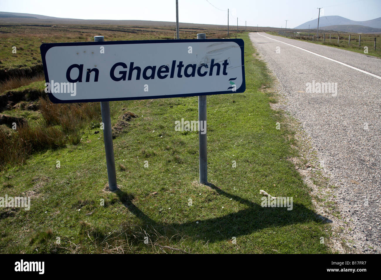 an ghaeltacht sign at side of road in north county mayo republic of ireland it signifies entrance irish gaelic speaking area Stock Photohttps://www.alamy.com/image-license-details/?v=1https://www.alamy.com/stock-photo-an-ghaeltacht-sign-at-side-of-road-in-north-county-mayo-republic-of-17991099.html
RMB17FR7–an ghaeltacht sign at side of road in north county mayo republic of ireland it signifies entrance irish gaelic speaking area
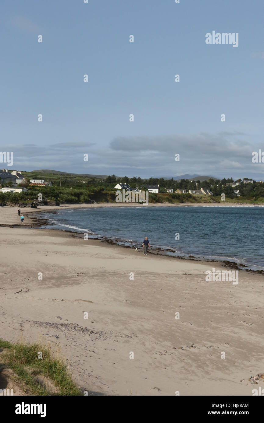 The beach at Ballinskelligs, County Kerry, Ireland. Stock Photohttps://www.alamy.com/image-license-details/?v=1https://www.alamy.com/stock-photo-the-beach-at-ballinskelligs-county-kerry-ireland-131718572.html
RMHJ88AM–The beach at Ballinskelligs, County Kerry, Ireland.
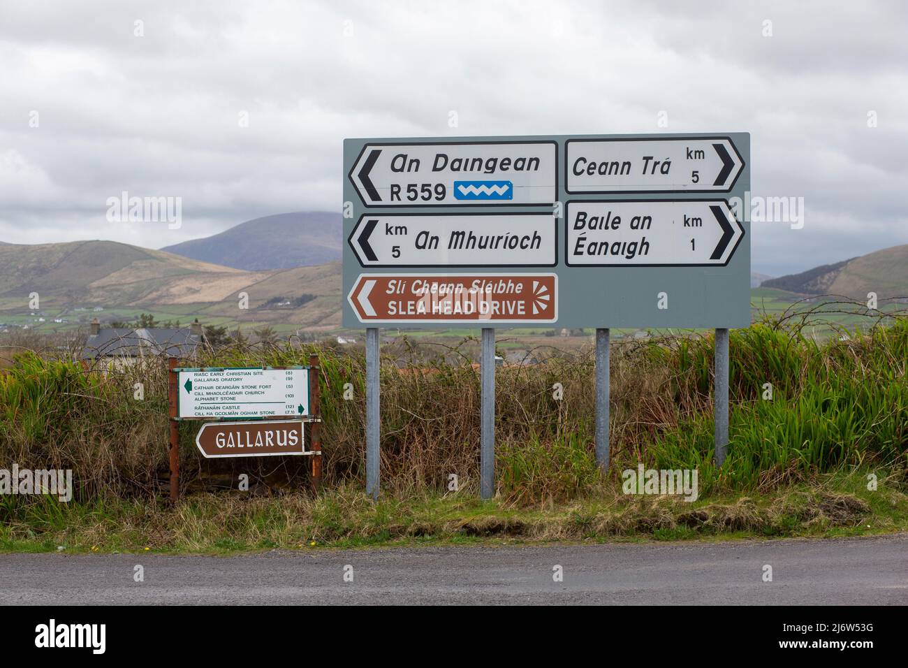 Bilingual signs in a beautiful landscape in the West Kerry Gaeltacht in Ireland Stock Photohttps://www.alamy.com/image-license-details/?v=1https://www.alamy.com/bilingual-signs-in-a-beautiful-landscape-in-the-west-kerry-gaeltacht-in-ireland-image468920692.html
RM2J6W53G–Bilingual signs in a beautiful landscape in the West Kerry Gaeltacht in Ireland
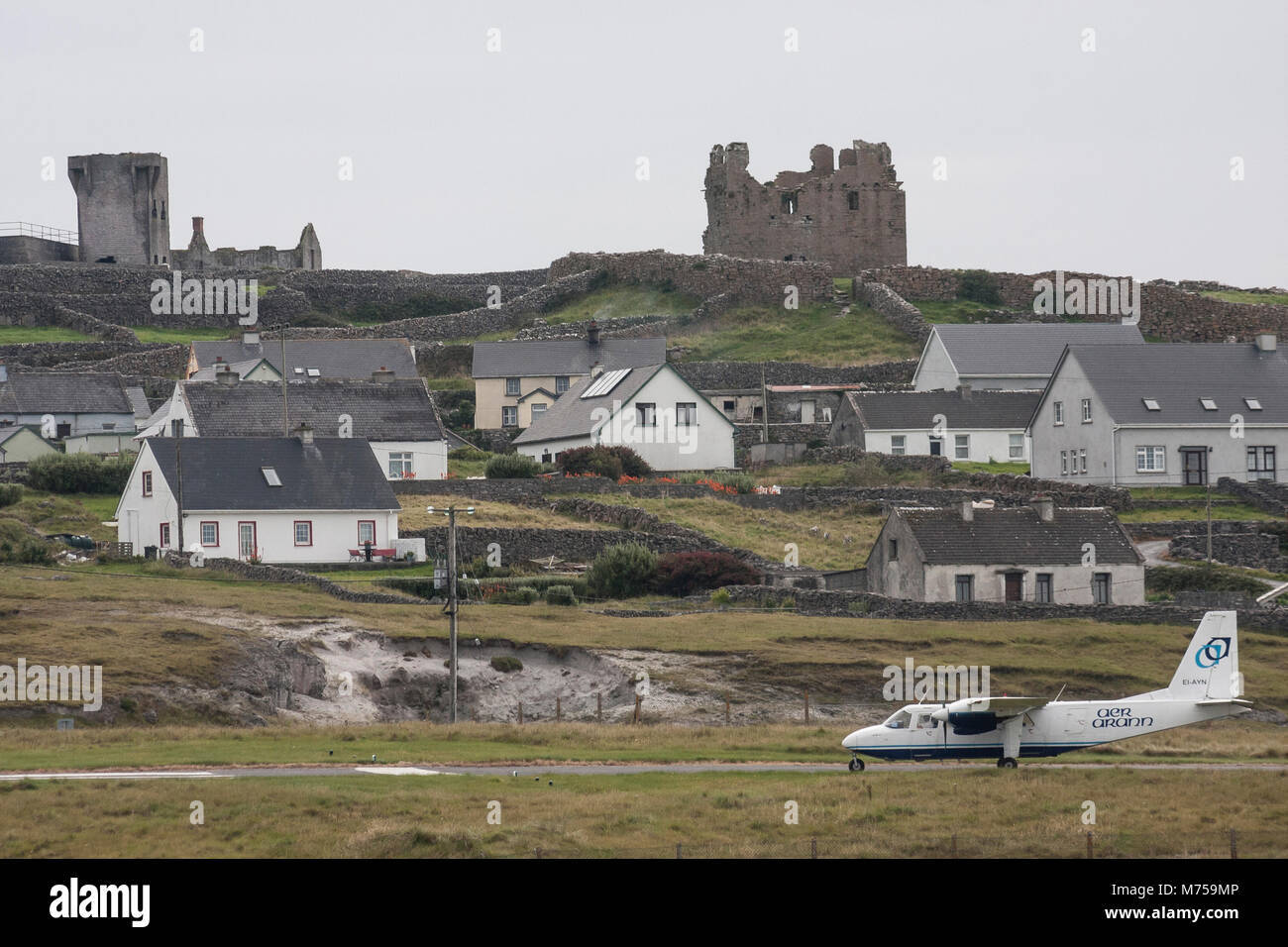 Aer Arann plane on the runway at Inis Oirr Aerodrome on the island of Inisheer, one of the Aran Islands in County Galway, Ireland. Stock Photohttps://www.alamy.com/image-license-details/?v=1https://www.alamy.com/stock-photo-aer-arann-plane-on-the-runway-at-inis-oirr-aerodrome-on-the-island-176523670.html
RMM759MP–Aer Arann plane on the runway at Inis Oirr Aerodrome on the island of Inisheer, one of the Aran Islands in County Galway, Ireland.
 A view of houses near Mount Brandon in the Irish-speaking Kerry Gaeltacht area along the Wild Atlantic Way. Baile na bPoc, Kerry, Ireland Stock Photohttps://www.alamy.com/image-license-details/?v=1https://www.alamy.com/a-view-of-houses-near-mount-brandon-in-the-irish-speaking-kerry-gaeltacht-area-along-the-wild-atlantic-way-baile-na-bpoc-kerry-ireland-image564431098.html
RM2RP81HE–A view of houses near Mount Brandon in the Irish-speaking Kerry Gaeltacht area along the Wild Atlantic Way. Baile na bPoc, Kerry, Ireland
 Boats low tide harbour County Donegal Ireland Teelin harbour Gaeltacht area Ireland. Stock Photohttps://www.alamy.com/image-license-details/?v=1https://www.alamy.com/boats-low-tide-harbour-county-donegal-ireland-teelin-harbour-gaeltacht-area-ireland-image612510127.html
RM2XGE6WK–Boats low tide harbour County Donegal Ireland Teelin harbour Gaeltacht area Ireland.
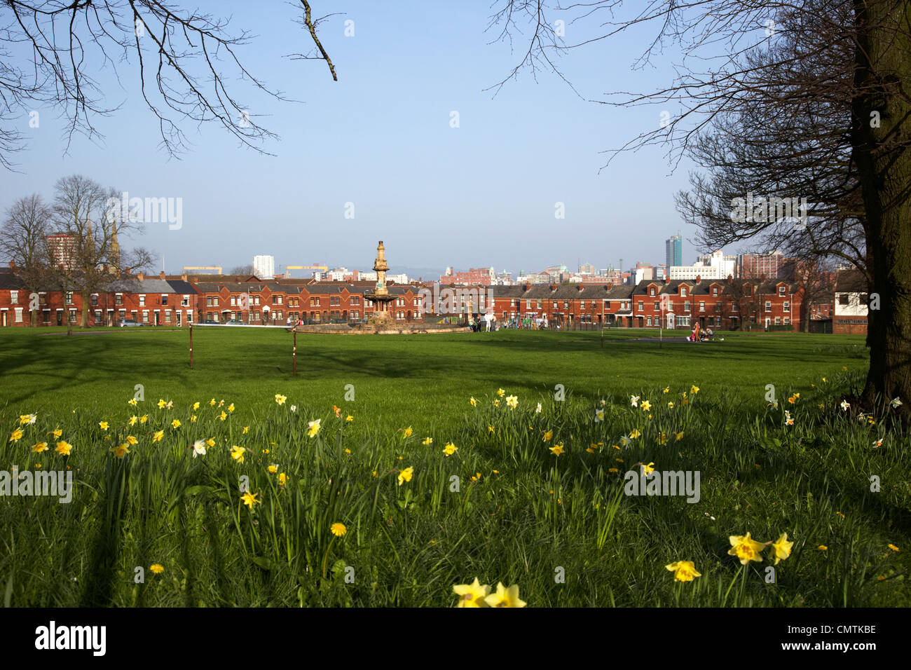 dunville park lower falls road area gaeltacht quarter belfast northern ireland uk Stock Photohttps://www.alamy.com/image-license-details/?v=1https://www.alamy.com/stock-photo-dunville-park-lower-falls-road-area-gaeltacht-quarter-belfast-northern-47255922.html
RMCMTKBE–dunville park lower falls road area gaeltacht quarter belfast northern ireland uk
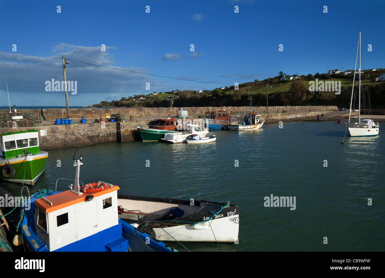 Ballynagaul Pier, The Ring Gaeltacht Area, County Waterford, Ireland Stock Photohttps://www.alamy.com/image-license-details/?v=1https://www.alamy.com/stock-photo-ballynagaul-pier-the-ring-gaeltacht-area-county-waterford-ireland-41399565.html
RMCB9WFW–Ballynagaul Pier, The Ring Gaeltacht Area, County Waterford, Ireland
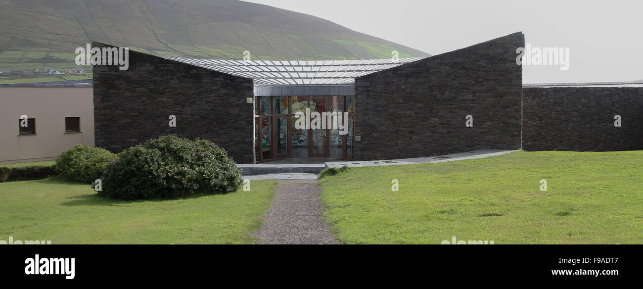 Modern visitor centre in the west of Ireland, exterior of The Blasket Centre at Dunquin on the Dingle Peninsula, Co Kerry, Ireland. Stock Photohttps://www.alamy.com/image-license-details/?v=1https://www.alamy.com/stock-photo-modern-visitor-centre-in-the-west-of-ireland-exterior-of-the-blasket-91814135.html
RMF9ADT7–Modern visitor centre in the west of Ireland, exterior of The Blasket Centre at Dunquin on the Dingle Peninsula, Co Kerry, Ireland.
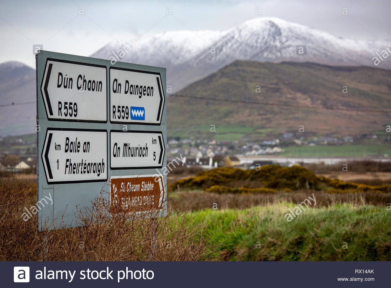 Snow on the mountains in the Irish-speaking area of West Kerry as a sign shows the way to the villages in the area. Stock Photohttps://www.alamy.com/image-license-details/?v=1https://www.alamy.com/snow-on-the-mountains-in-the-irish-speaking-area-of-west-kerry-as-a-sign-shows-the-way-to-the-villages-in-the-area-image239741227.html
RMRX14AK–Snow on the mountains in the Irish-speaking area of West Kerry as a sign shows the way to the villages in the area.
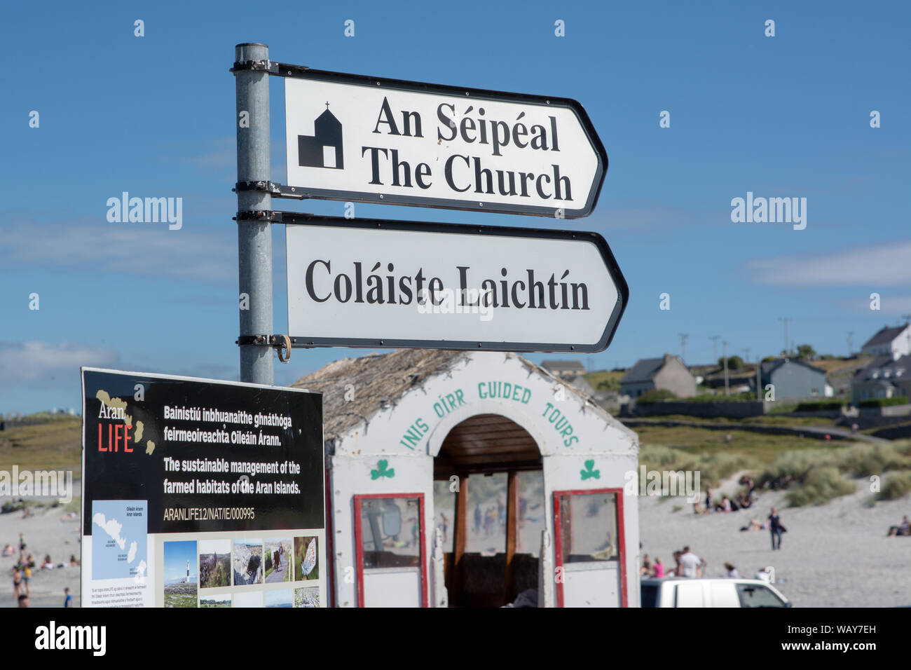 Sign in the Irish language on Inis Oirr, one of the Aran Islands, off the west coast of Ireland Stock Photohttps://www.alamy.com/image-license-details/?v=1https://www.alamy.com/sign-in-the-irish-language-on-inis-oirr-one-of-the-aran-islands-off-the-west-coast-of-ireland-image264900681.html
RMWAY7EH–Sign in the Irish language on Inis Oirr, one of the Aran Islands, off the west coast of Ireland
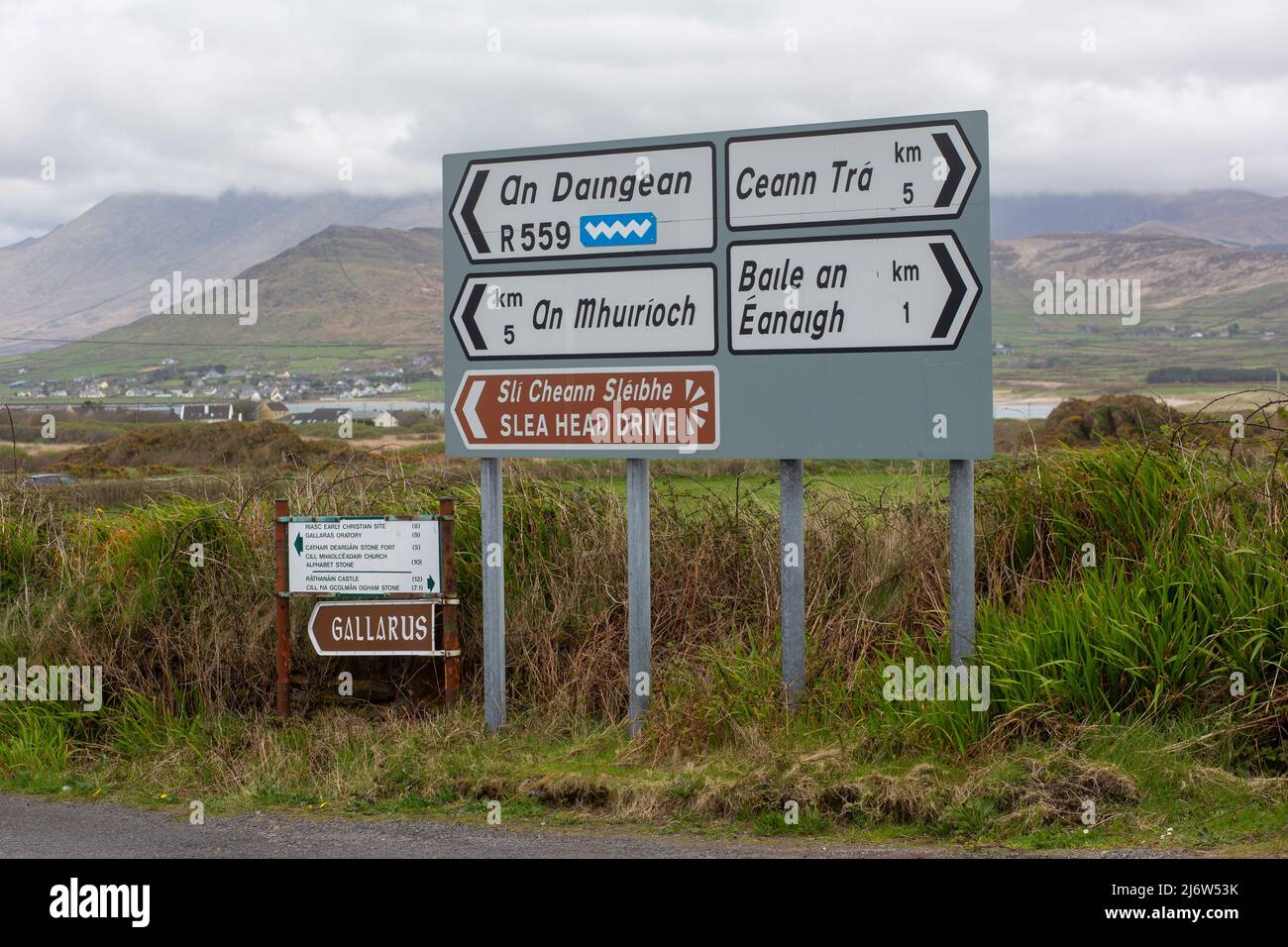 Beautiful landscape in the West Kerry Gaeltacht Stock Photohttps://www.alamy.com/image-license-details/?v=1https://www.alamy.com/beautiful-landscape-in-the-west-kerry-gaeltacht-image468920695.html
RM2J6W53K–Beautiful landscape in the West Kerry Gaeltacht
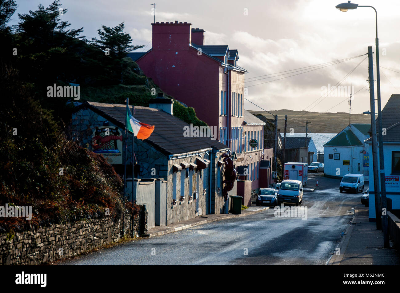 Burtonport, County Donegal, Ireland. Once a major fishing port on the Atlantic ocean coast. Stock Photohttps://www.alamy.com/image-license-details/?v=1https://www.alamy.com/stock-photo-burtonport-county-donegal-ireland-once-a-major-fishing-port-on-the-175852556.html
RMM62NMC–Burtonport, County Donegal, Ireland. Once a major fishing port on the Atlantic ocean coast.
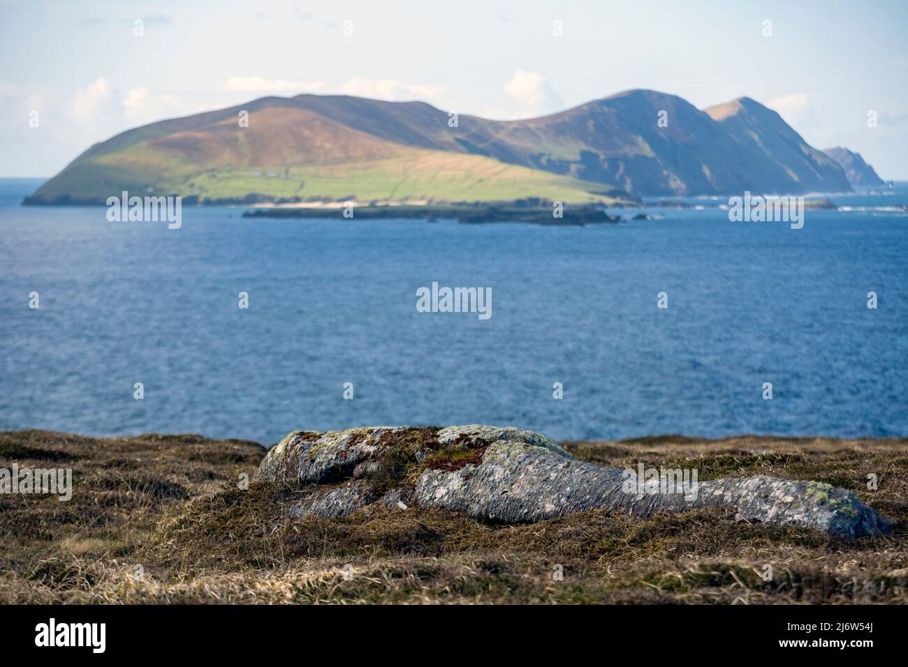 Beautiful landscape in the West Kerry Gaeltacht showing the Great Blasket Island in the distance Stock Photohttps://www.alamy.com/image-license-details/?v=1https://www.alamy.com/beautiful-landscape-in-the-west-kerry-gaeltacht-showing-the-great-blasket-island-in-the-distance-image468920722.html
RM2J6W54J–Beautiful landscape in the West Kerry Gaeltacht showing the Great Blasket Island in the distance
 IRELAND, Connemara, Inishboffin island, Inis Bo Finne (Island of the White Cow) lies seven miles off Galway’s coast. The island is 5.7km by 4km. Stock Photohttps://www.alamy.com/image-license-details/?v=1https://www.alamy.com/ireland-connemara-inishboffin-island-inis-bo-finne-island-of-the-white-cow-lies-seven-miles-off-galways-coast-the-island-is-57km-by-4km-image221346459.html
RMPT35JK–IRELAND, Connemara, Inishboffin island, Inis Bo Finne (Island of the White Cow) lies seven miles off Galway’s coast. The island is 5.7km by 4km.
 A view of a part of the West Kerry Gaeltacht on the Atlantic coastline of Ireland Stock Photohttps://www.alamy.com/image-license-details/?v=1https://www.alamy.com/stock-photo-a-view-of-a-part-of-the-west-kerry-gaeltacht-on-the-atlantic-coastline-174573238.html
RMM40DXE–A view of a part of the West Kerry Gaeltacht on the Atlantic coastline of Ireland
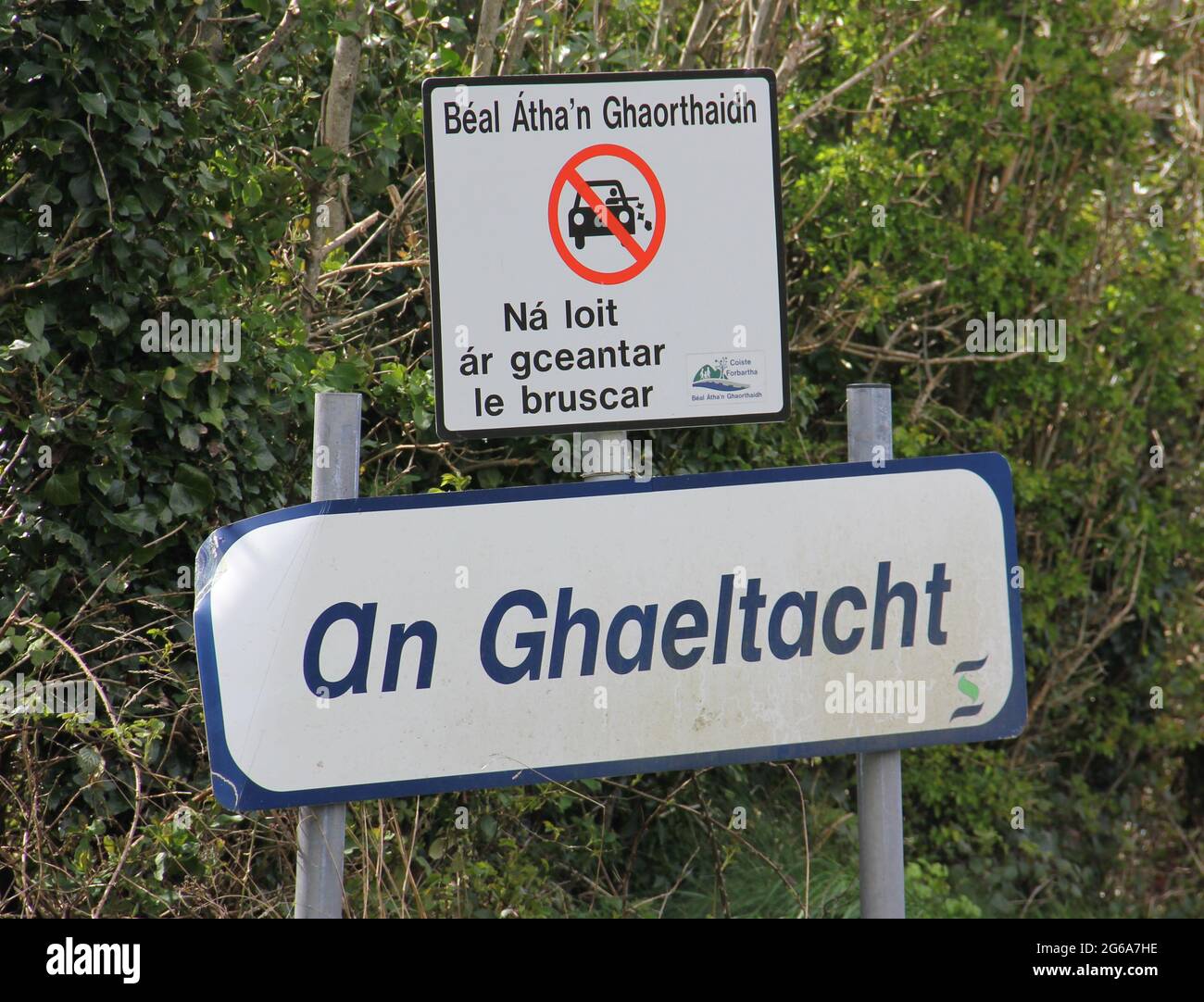 An Gaeltacht Stock Photohttps://www.alamy.com/image-license-details/?v=1https://www.alamy.com/an-gaeltacht-image434172634.html
RF2G6A7HE–An Gaeltacht
 A blue Gaeltacht sign on the island of Inisheern near Galway showing that the area is an Irish-speaking area. Stock Photohttps://www.alamy.com/image-license-details/?v=1https://www.alamy.com/a-blue-gaeltacht-sign-on-the-island-of-inisheern-near-galway-showing-that-the-area-is-an-irish-speaking-area-image332452236.html
RM2A8TE64–A blue Gaeltacht sign on the island of Inisheern near Galway showing that the area is an Irish-speaking area.
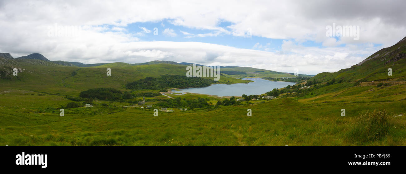 Dunlewey or Dunlewy is a small Gaeltacht village in the Gweedore area of County Donegal, Ireland. It sits in the Poisoned Glen, at the foot of Mount E Stock Photohttps://www.alamy.com/image-license-details/?v=1https://www.alamy.com/dunlewey-or-dunlewy-is-a-small-gaeltacht-village-in-the-gweedore-area-of-county-donegal-ireland-it-sits-in-the-poisoned-glen-at-the-foot-of-mount-e-image213892625.html
RFPBYJ69–Dunlewey or Dunlewy is a small Gaeltacht village in the Gweedore area of County Donegal, Ireland. It sits in the Poisoned Glen, at the foot of Mount E
 Bloody Foreland coastline in the Gaeltacht area of Donegal. Wild Atlantic Way - Ireland. Stock Photohttps://www.alamy.com/image-license-details/?v=1https://www.alamy.com/bloody-foreland-coastline-in-the-gaeltacht-area-of-donegal-wild-atlantic-way-ireland-image244004237.html
RFT4Y9W1–Bloody Foreland coastline in the Gaeltacht area of Donegal. Wild Atlantic Way - Ireland.
 Cars winding valley country road Ireland autumn Glencolmcille Valley Gaeltacht area County Donegal Stock Photohttps://www.alamy.com/image-license-details/?v=1https://www.alamy.com/cars-winding-valley-country-road-ireland-autumn-glencolmcille-valley-gaeltacht-area-county-donegal-image612510081.html
RM2XGE6T1–Cars winding valley country road Ireland autumn Glencolmcille Valley Gaeltacht area County Donegal
 View over looking the Poison Glen and Dunlewy Lake in County Donegal Ireland Stock Photohttps://www.alamy.com/image-license-details/?v=1https://www.alamy.com/stock-photo-view-over-looking-the-poison-glen-and-dunlewy-lake-in-county-donegal-25362364.html
RMBD79XM–View over looking the Poison Glen and Dunlewy Lake in County Donegal Ireland
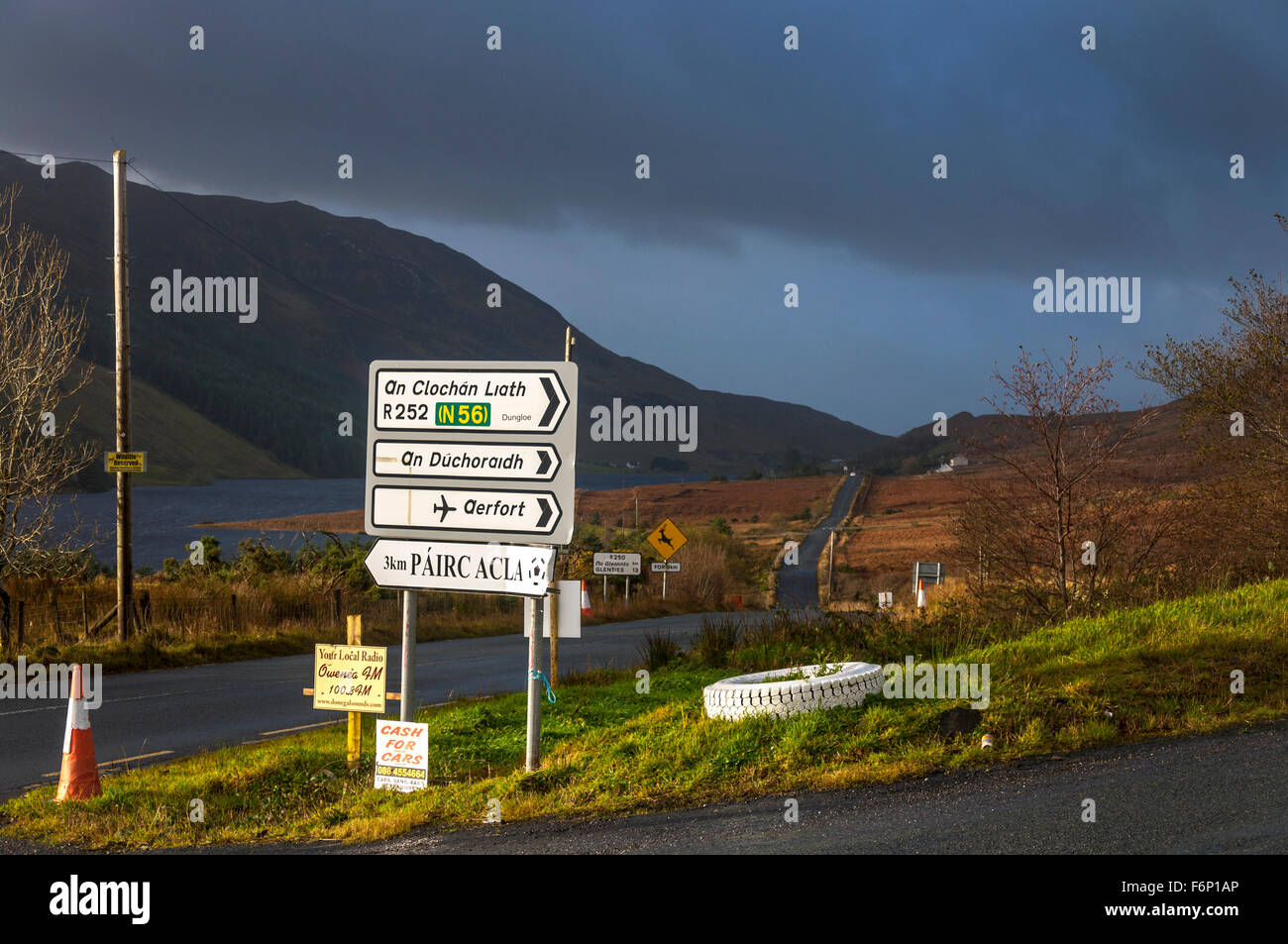 Gaelic language roadsign at Fintown, County Donegal, Ireland. The landscape in November. Stock Photohttps://www.alamy.com/image-license-details/?v=1https://www.alamy.com/stock-photo-gaelic-language-roadsign-at-fintown-county-donegal-ireland-the-landscape-90223806.html
RMF6P1AP–Gaelic language roadsign at Fintown, County Donegal, Ireland. The landscape in November.
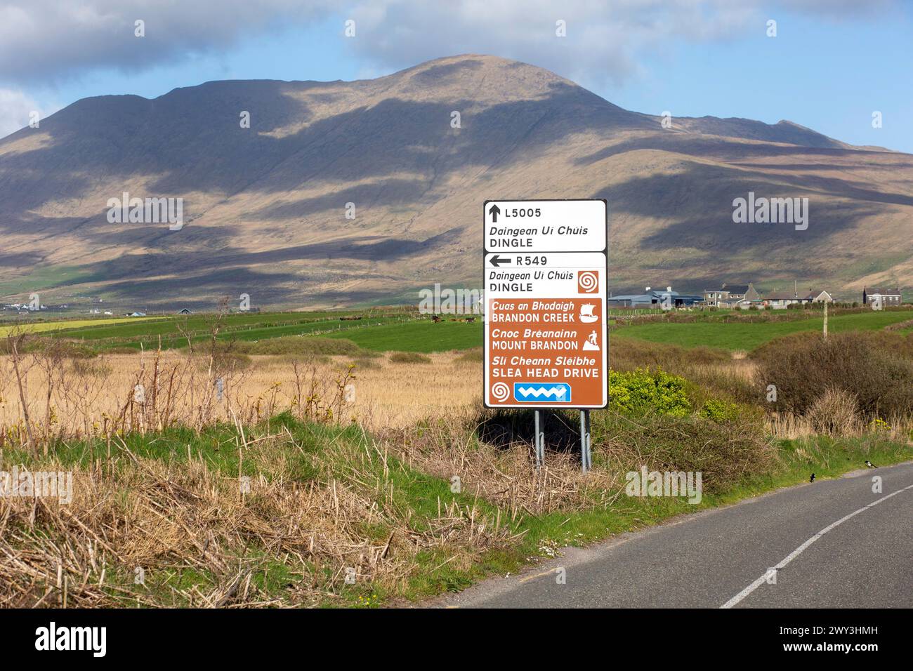 An Irish language road sign in the heart of the Kerry Gaeltacht or Irish-speaking area showing the way to Dingle and Mount Brandon Stock Photohttps://www.alamy.com/image-license-details/?v=1https://www.alamy.com/an-irish-language-road-sign-in-the-heart-of-the-kerry-gaeltacht-or-irish-speaking-area-showing-the-way-to-dingle-and-mount-brandon-image601827985.html
RM2WY3HMH–An Irish language road sign in the heart of the Kerry Gaeltacht or Irish-speaking area showing the way to Dingle and Mount Brandon
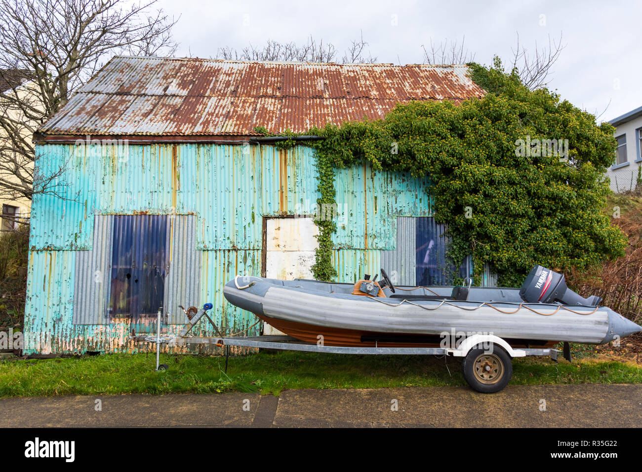 Burtonport, old corrugated iron shed and rib boat in County Donegal, Ireland Stock Photohttps://www.alamy.com/image-license-details/?v=1https://www.alamy.com/burtonport-old-corrugated-iron-shed-and-rib-boat-in-county-donegal-ireland-image225701114.html
RMR35G22–Burtonport, old corrugated iron shed and rib boat in County Donegal, Ireland
 dunville park lower falls road area gaeltacht quarter belfast northern ireland uk Stock Photohttps://www.alamy.com/image-license-details/?v=1https://www.alamy.com/stock-photo-dunville-park-lower-falls-road-area-gaeltacht-quarter-belfast-northern-47256017.html
RMCMTKEW–dunville park lower falls road area gaeltacht quarter belfast northern ireland uk
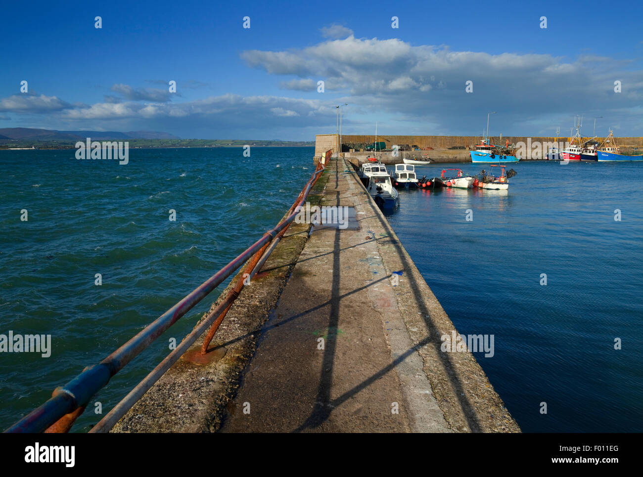 Choppy seas outside and calm inside Helvick Harbour, An Ring AKA the Ring Peninsula, Gaelic Speaking Area, County Waterford, Ireland Stock Photohttps://www.alamy.com/image-license-details/?v=1https://www.alamy.com/stock-photo-choppy-seas-outside-and-calm-inside-helvick-harbour-an-ring-aka-the-86074984.html
RMF011EG–Choppy seas outside and calm inside Helvick Harbour, An Ring AKA the Ring Peninsula, Gaelic Speaking Area, County Waterford, Ireland
 Doochary County Donegal Ireland Waterfall in the Gaeltacht or Irish speaking area of Donegal Stock Photohttps://www.alamy.com/image-license-details/?v=1https://www.alamy.com/stock-photo-doochary-county-donegal-ireland-waterfall-in-the-gaeltacht-or-irish-16999564.html
RMAY5GHH–Doochary County Donegal Ireland Waterfall in the Gaeltacht or Irish speaking area of Donegal
 Tiny stone cottage on Cape Clear Island in County Cork Stock Photohttps://www.alamy.com/image-license-details/?v=1https://www.alamy.com/stock-photo-tiny-stone-cottage-on-cape-clear-island-in-county-cork-149396772.html
RMJK1H30–Tiny stone cottage on Cape Clear Island in County Cork
 Sign in the Irish language on Inis Oirr, one of the Aran Islands, off the west coast of Ireland Stock Photohttps://www.alamy.com/image-license-details/?v=1https://www.alamy.com/sign-in-the-irish-language-on-inis-oirr-one-of-the-aran-islands-off-the-west-coast-of-ireland-image264900658.html
RMWAY7DP–Sign in the Irish language on Inis Oirr, one of the Aran Islands, off the west coast of Ireland
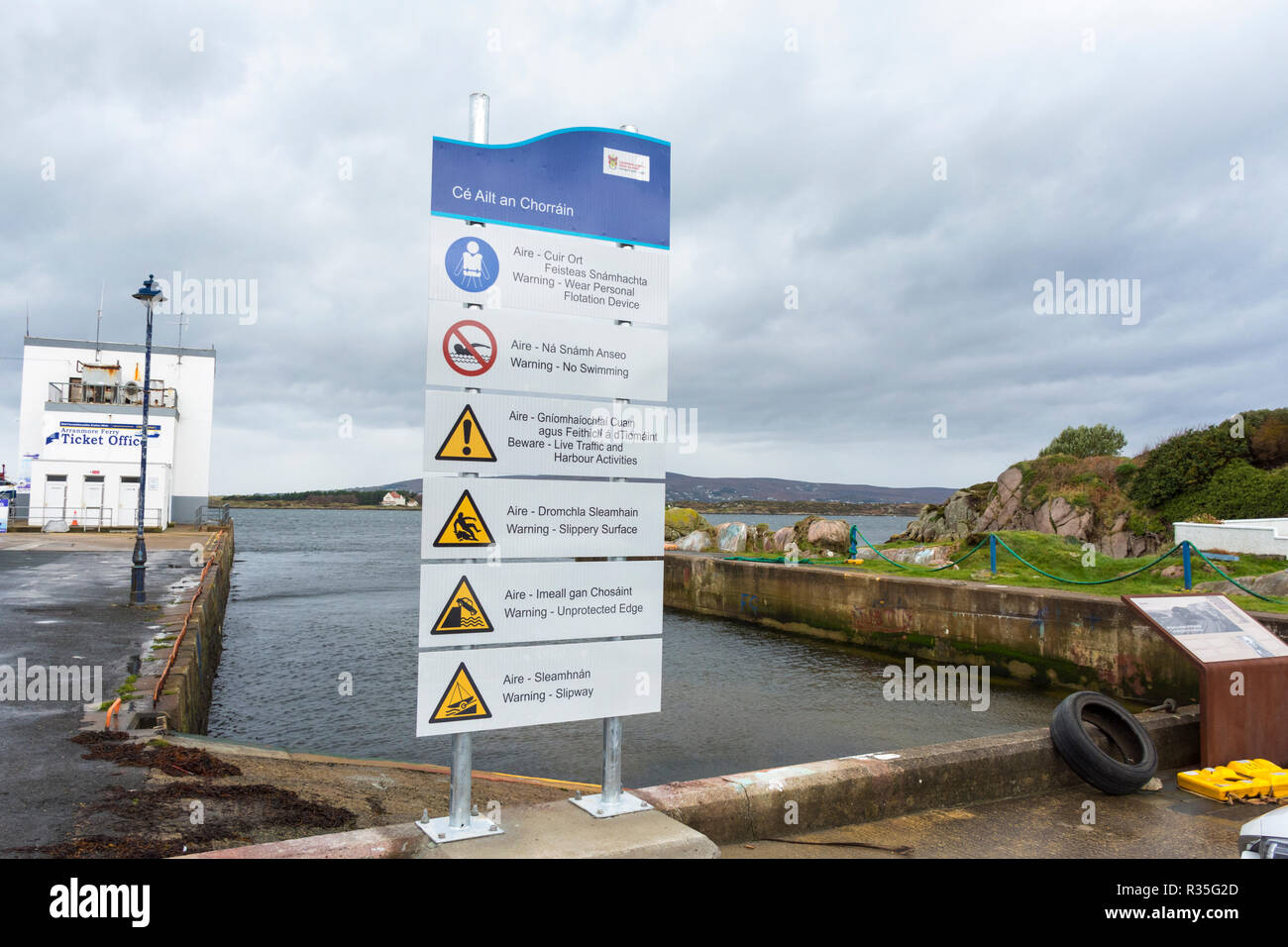 Burtonport harbour safety signage in County Donegal, Ireland Stock Photohttps://www.alamy.com/image-license-details/?v=1https://www.alamy.com/burtonport-harbour-safety-signage-in-county-donegal-ireland-image225701125.html
RMR35G2D–Burtonport harbour safety signage in County Donegal, Ireland
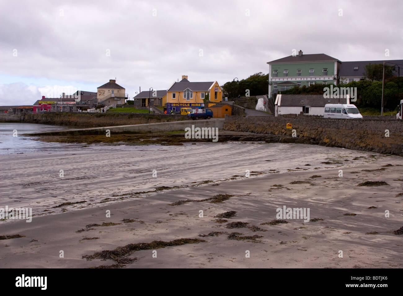 Kilronan Beach, Inis Mor (Inismore) Island, Aran Islands, County Galway, Ireland Stock Photohttps://www.alamy.com/image-license-details/?v=1https://www.alamy.com/stock-photo-kilronan-beach-inis-mor-inismore-island-aran-islands-county-galway-25742394.html
RFBDTJK6–Kilronan Beach, Inis Mor (Inismore) Island, Aran Islands, County Galway, Ireland
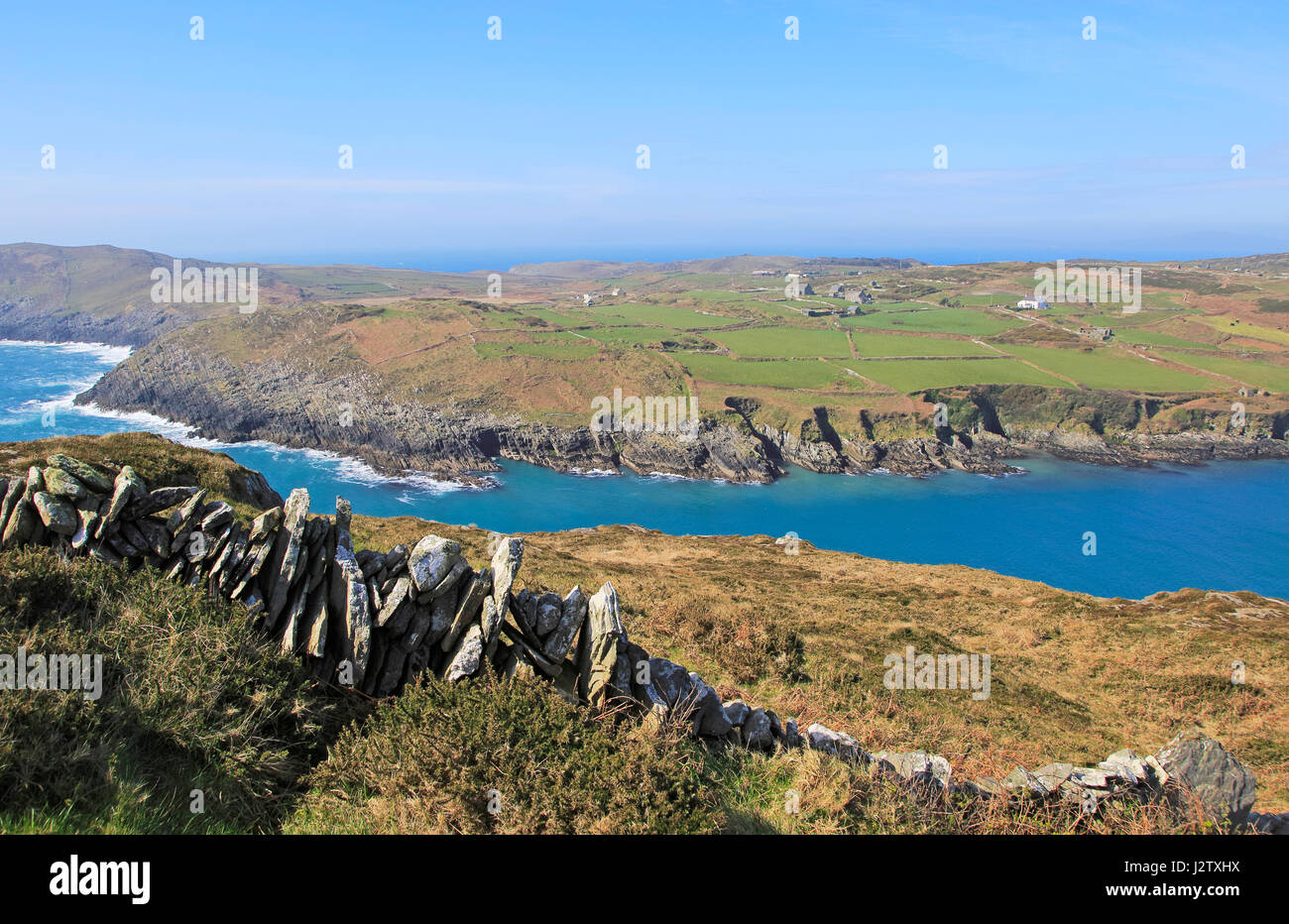 Headland on South Harbour, Cape Clear Island, County Cork, Ireland, Irish Republic Stock Photohttps://www.alamy.com/image-license-details/?v=1https://www.alamy.com/stock-photo-headland-on-south-harbour-cape-clear-island-county-cork-ireland-irish-139459990.html
RMJ2TXHX–Headland on South Harbour, Cape Clear Island, County Cork, Ireland, Irish Republic
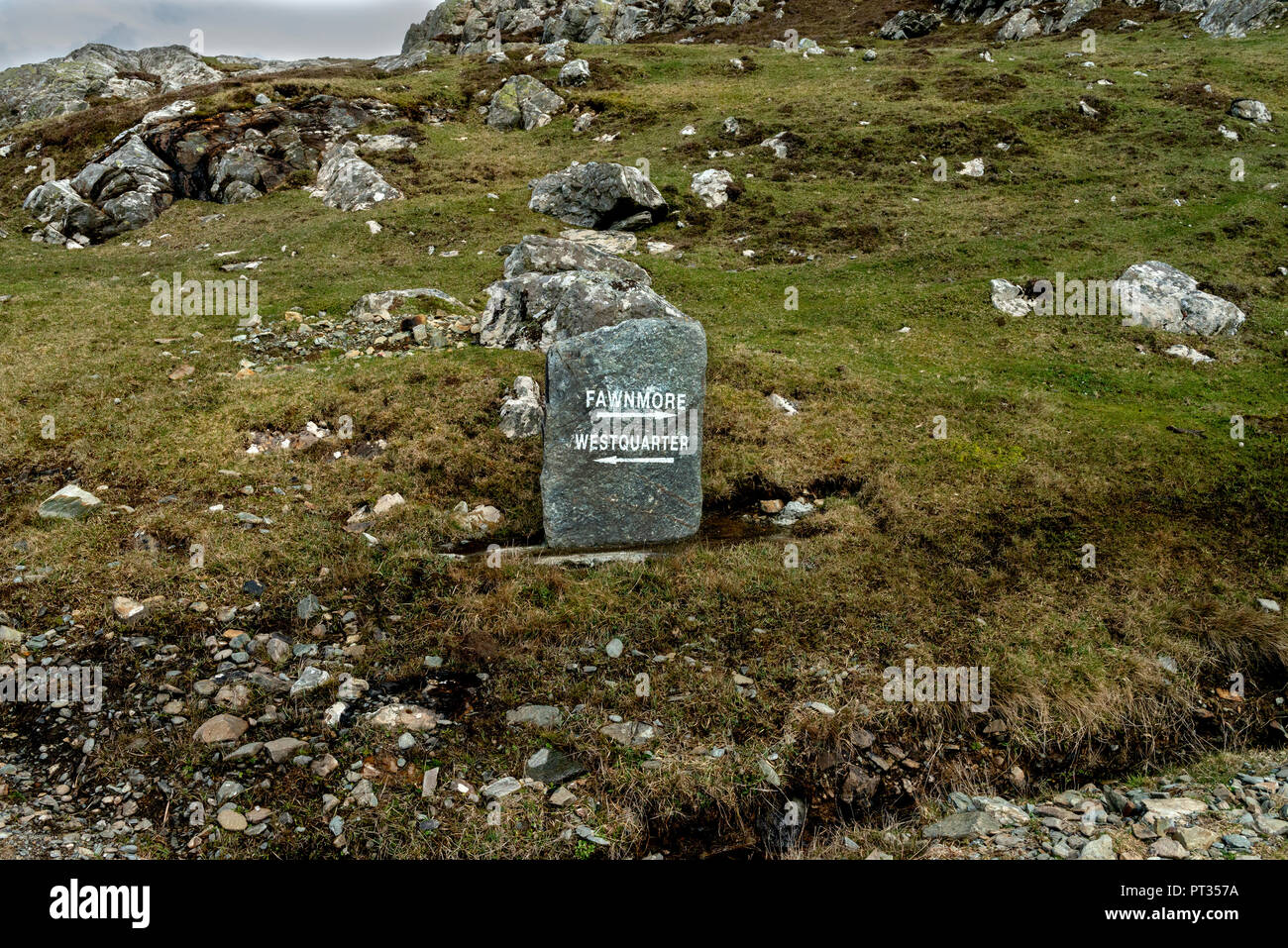 IRELAND, Connemara, Inishboffin island, Inis Bo Finne (Island of the White Cow) lies seven miles off Galway’s coast. The island is 5.7km by 4km. Stock Photohttps://www.alamy.com/image-license-details/?v=1https://www.alamy.com/ireland-connemara-inishboffin-island-inis-bo-finne-island-of-the-white-cow-lies-seven-miles-off-galways-coast-the-island-is-57km-by-4km-image221346142.html
RMPT357A–IRELAND, Connemara, Inishboffin island, Inis Bo Finne (Island of the White Cow) lies seven miles off Galway’s coast. The island is 5.7km by 4km.
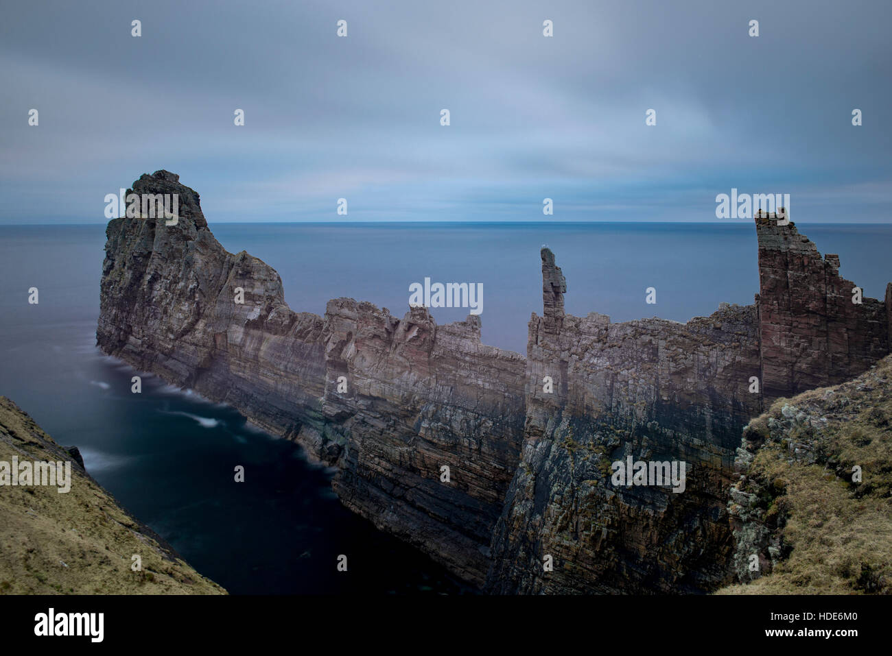 Spectacular coast of remote Tory island in Ireland. Tormore ridge. Stock Photohttps://www.alamy.com/image-license-details/?v=1https://www.alamy.com/stock-photo-spectacular-coast-of-remote-tory-island-in-ireland-tormore-ridge-128775696.html
RFHDE6M0–Spectacular coast of remote Tory island in Ireland. Tormore ridge.
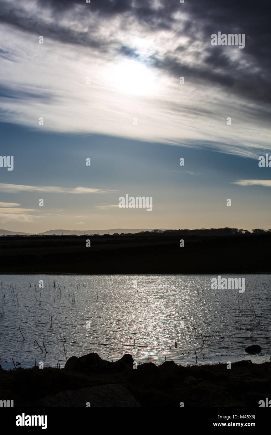 winter sun shines on flooded field, North Mayo, Ireland Stock Photohttps://www.alamy.com/image-license-details/?v=1https://www.alamy.com/stock-photo-winter-sun-shines-on-flooded-field-north-mayo-ireland-174692634.html
RFM45X6J–winter sun shines on flooded field, North Mayo, Ireland
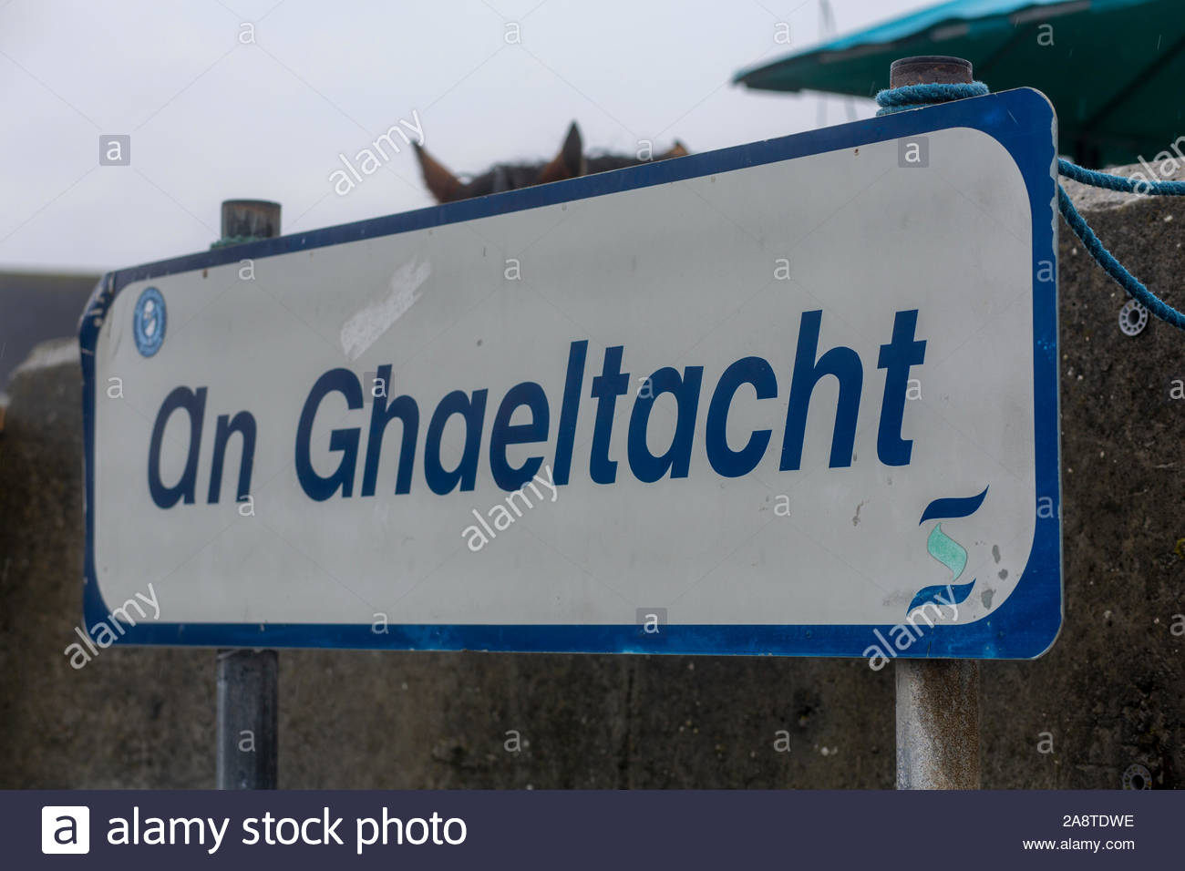 A blue Gaeltacht sign on the island of Inisheern near Galway showing that the area is an Irish-speaking area. Stock Photohttps://www.alamy.com/image-license-details/?v=1https://www.alamy.com/a-blue-gaeltacht-sign-on-the-island-of-inisheern-near-galway-showing-that-the-area-is-an-irish-speaking-area-image332451994.html
RM2A8TDWE–A blue Gaeltacht sign on the island of Inisheern near Galway showing that the area is an Irish-speaking area.
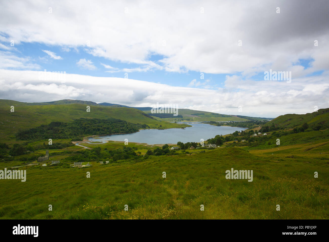 Dunlewey or Dunlewy is a small Gaeltacht village in the Gweedore area of County Donegal, Ireland. It sits in the Poisoned Glen, at the foot of Mount E Stock Photohttps://www.alamy.com/image-license-details/?v=1https://www.alamy.com/dunlewey-or-dunlewy-is-a-small-gaeltacht-village-in-the-gweedore-area-of-county-donegal-ireland-it-sits-in-the-poisoned-glen-at-the-foot-of-mount-e-image213893198.html
RFPBYJXP–Dunlewey or Dunlewy is a small Gaeltacht village in the Gweedore area of County Donegal, Ireland. It sits in the Poisoned Glen, at the foot of Mount E
 Hills in the West Kerry Gaeltacht in Ireland, an Irish-speaking part of the country renowned for its beauty. Stock Photohttps://www.alamy.com/image-license-details/?v=1https://www.alamy.com/hills-in-the-west-kerry-gaeltacht-in-ireland-an-irish-speaking-part-of-the-country-renowned-for-its-beauty-image365341061.html
RF2C6AM71–Hills in the West Kerry Gaeltacht in Ireland, an Irish-speaking part of the country renowned for its beauty.
 Bloody Foreland coastline in the Gaeltacht area of Donegal. Wild Atlantic Way - Ireland. Stock Photohttps://www.alamy.com/image-license-details/?v=1https://www.alamy.com/bloody-foreland-coastline-in-the-gaeltacht-area-of-donegal-wild-atlantic-way-ireland-image244004236.html
RFT4Y9W0–Bloody Foreland coastline in the Gaeltacht area of Donegal. Wild Atlantic Way - Ireland.
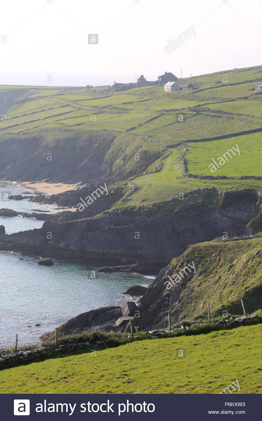 A section of the coastline near Dunquin on the Dingle peninsula in County Kerry , an area where Irish is spoken. Stock Photohttps://www.alamy.com/image-license-details/?v=1https://www.alamy.com/a-section-of-the-coastline-near-dunquin-on-the-dingle-peninsula-in-county-kerry-an-area-where-irish-is-spoken-image210650527.html
RMP6KXW3–A section of the coastline near Dunquin on the Dingle peninsula in County Kerry , an area where Irish is spoken.
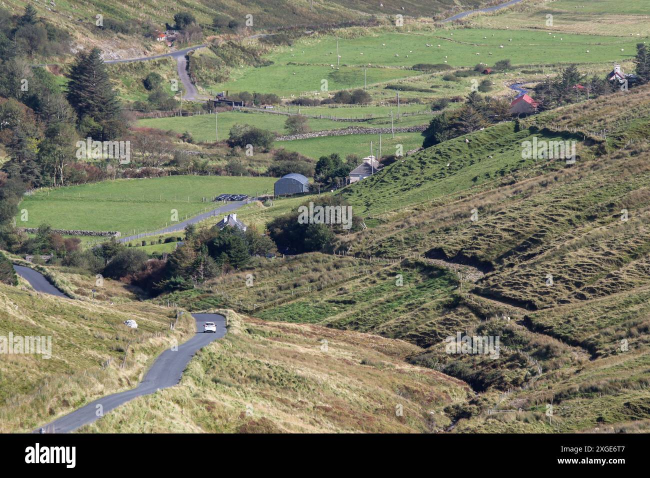 White car winding rural country road County Donegal Ireland - Glencolmcille Valley Gaeltacht area region. Stock Photohttps://www.alamy.com/image-license-details/?v=1https://www.alamy.com/white-car-winding-rural-country-road-county-donegal-ireland-glencolmcille-valley-gaeltacht-area-region-image612510087.html
RM2XGE6T7–White car winding rural country road County Donegal Ireland - Glencolmcille Valley Gaeltacht area region.
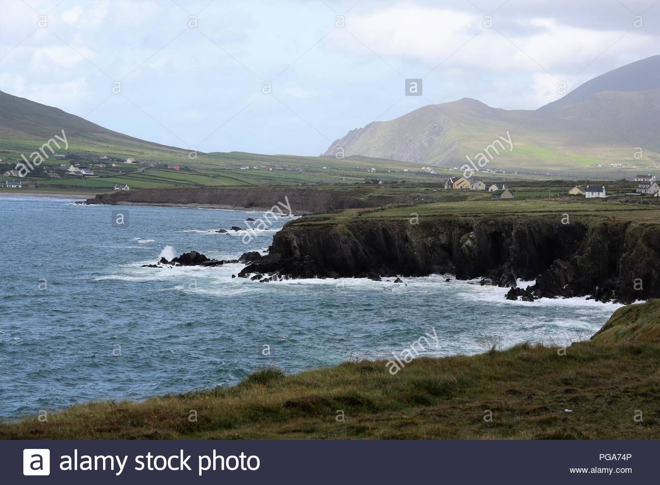 The Atlantic Ocean near the cliff top close to Ballydavid in County Kerry Ireland Stock Photohttps://www.alamy.com/image-license-details/?v=1https://www.alamy.com/the-atlantic-ocean-near-the-cliff-top-close-to-ballydavid-in-county-kerry-ireland-image216584054.html
RMPGA74P–The Atlantic Ocean near the cliff top close to Ballydavid in County Kerry Ireland
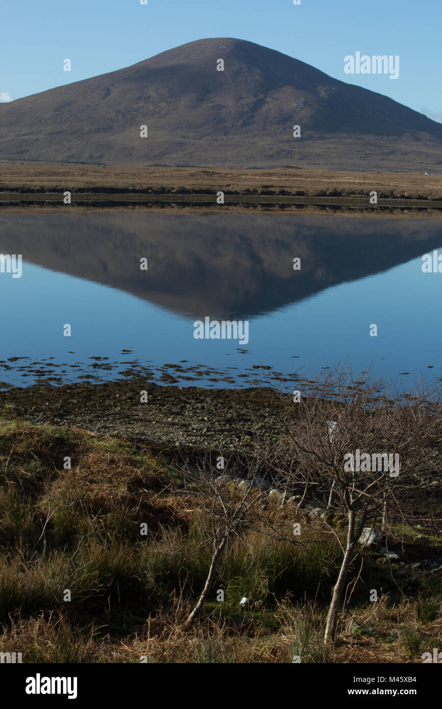 Slievemore hilltop, Achill Island, rising over Bellacragher Bay across from Ballycroy National Park, County Mayo, Ireland Stock Photohttps://www.alamy.com/image-license-details/?v=1https://www.alamy.com/stock-photo-slievemore-hilltop-achill-island-rising-over-bellacragher-bay-across-174692760.html
RFM45XB4–Slievemore hilltop, Achill Island, rising over Bellacragher Bay across from Ballycroy National Park, County Mayo, Ireland
 falls road entrance to dunville park lower falls road area gaeltacht quarter belfast northern ireland uk Stock Photohttps://www.alamy.com/image-license-details/?v=1https://www.alamy.com/stock-photo-falls-road-entrance-to-dunville-park-lower-falls-road-area-gaeltacht-47255706.html
RMCMTK3P–falls road entrance to dunville park lower falls road area gaeltacht quarter belfast northern ireland uk
 Helvick Harbour, The Ring Peninsula, Gaelic Speaking Area, County Waterford, Ireland Stock Photohttps://www.alamy.com/image-license-details/?v=1https://www.alamy.com/stock-photo-helvick-harbour-the-ring-peninsula-gaelic-speaking-area-county-waterford-41399651.html
RMCB9WJY–Helvick Harbour, The Ring Peninsula, Gaelic Speaking Area, County Waterford, Ireland
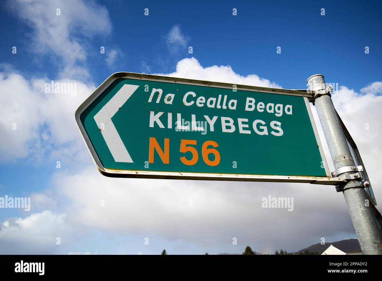 bilingual sign for killybegs na cealla beaga n56 gaeltacht area county donegal republic of ireland Stock Photohttps://www.alamy.com/image-license-details/?v=1https://www.alamy.com/bilingual-sign-for-killybegs-na-cealla-beaga-n56-gaeltacht-area-county-donegal-republic-of-ireland-image547274310.html
RM2PPADY2–bilingual sign for killybegs na cealla beaga n56 gaeltacht area county donegal republic of ireland
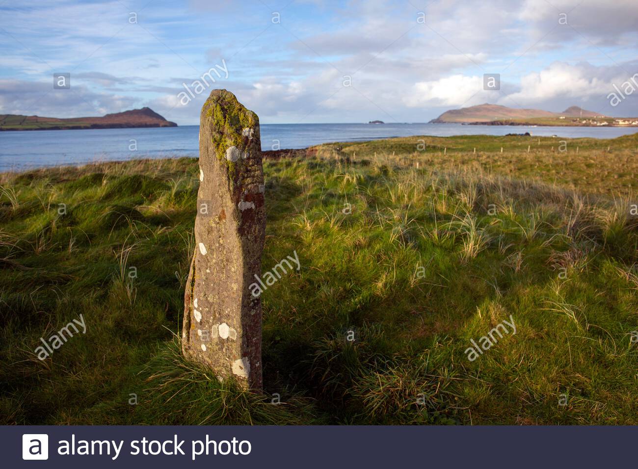 A standing stone along the Wild Atlantic Way in County Kerry Ireland. Stock Photohttps://www.alamy.com/image-license-details/?v=1https://www.alamy.com/a-standing-stone-along-the-wild-atlantic-way-in-county-kerry-ireland-image365339708.html
RM2C6AJEM–A standing stone along the Wild Atlantic Way in County Kerry Ireland.
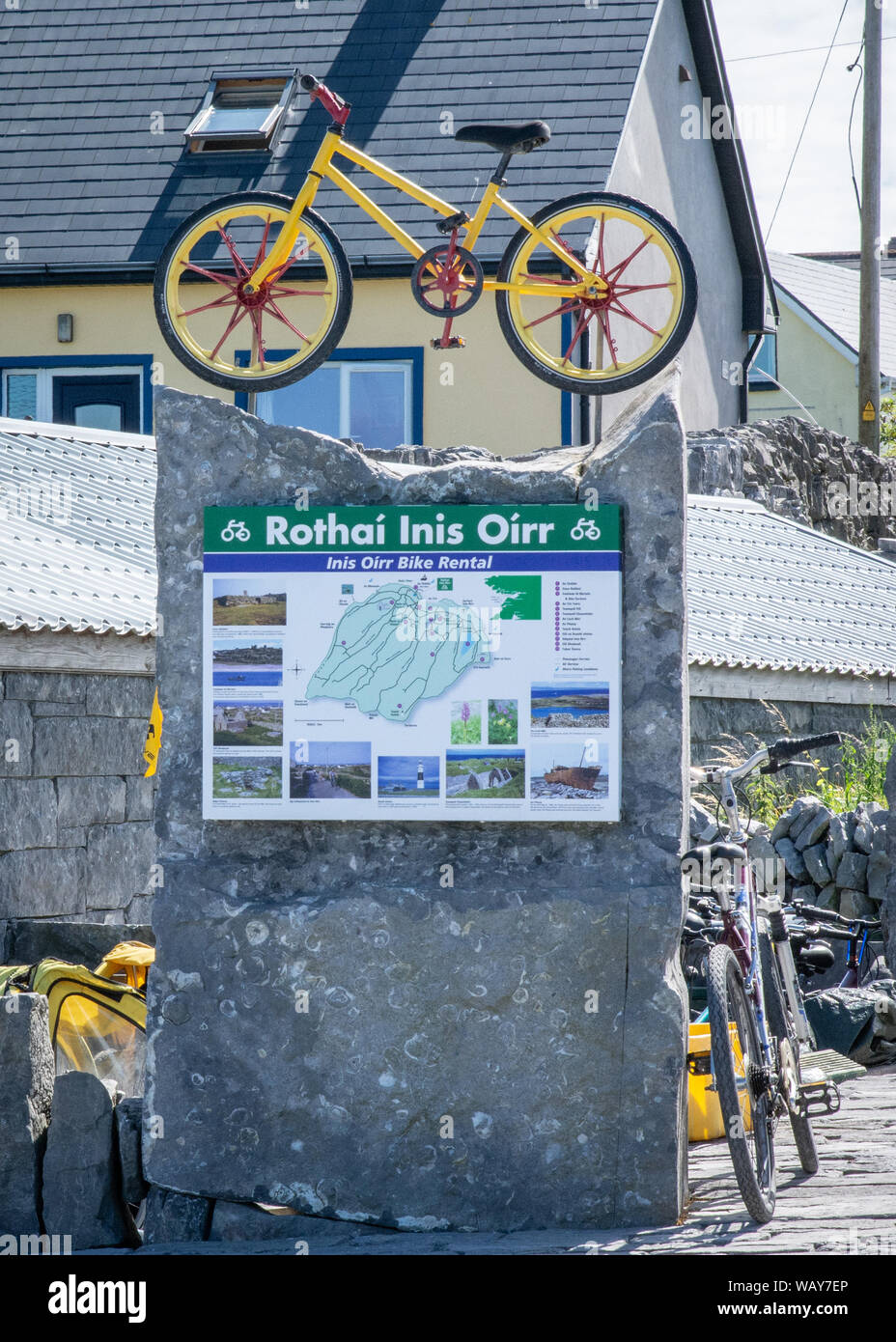 Sign in the Irish language on Inis Oirr, one of the Aran Islands, off the west coast of Ireland Stock Photohttps://www.alamy.com/image-license-details/?v=1https://www.alamy.com/sign-in-the-irish-language-on-inis-oirr-one-of-the-aran-islands-off-the-west-coast-of-ireland-image264900686.html
RMWAY7EP–Sign in the Irish language on Inis Oirr, one of the Aran Islands, off the west coast of Ireland
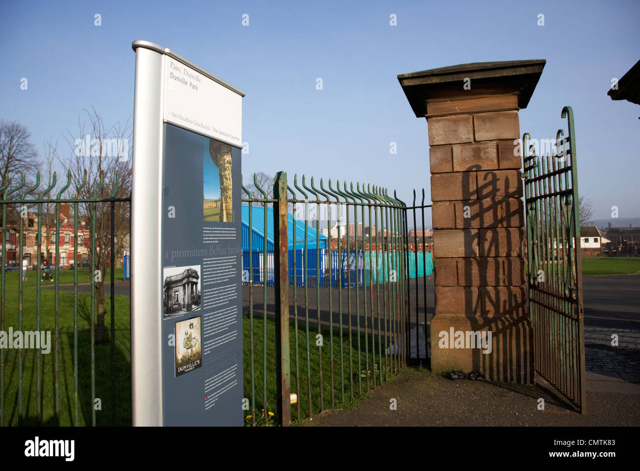 falls road entrance to dunville park lower falls road area gaeltacht quarter belfast northern ireland uk Stock Photohttps://www.alamy.com/image-license-details/?v=1https://www.alamy.com/stock-photo-falls-road-entrance-to-dunville-park-lower-falls-road-area-gaeltacht-47255827.html
RMCMTK83–falls road entrance to dunville park lower falls road area gaeltacht quarter belfast northern ireland uk
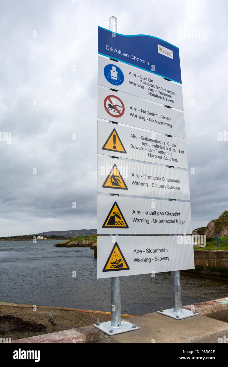 Burtonport harbour safety signage in County Donegal, Ireland Stock Photohttps://www.alamy.com/image-license-details/?v=1https://www.alamy.com/burtonport-harbour-safety-signage-in-county-donegal-ireland-image225701126.html
RMR35G2E–Burtonport harbour safety signage in County Donegal, Ireland
 R263 wild atlantic way road on a wet overcast day in the gaeltacht area of county donegal republic of ireland Stock Photohttps://www.alamy.com/image-license-details/?v=1https://www.alamy.com/r263-wild-atlantic-way-road-on-a-wet-overcast-day-in-the-gaeltacht-area-of-county-donegal-republic-of-ireland-image549378826.html
RM2PWPA8A–R263 wild atlantic way road on a wet overcast day in the gaeltacht area of county donegal republic of ireland
 IRELAND, Connemara, Inishboffin island, Inis Bo Finne (Island of the White Cow) rock formation on the beach Stock Photohttps://www.alamy.com/image-license-details/?v=1https://www.alamy.com/ireland-connemara-inishboffin-island-inis-bo-finne-island-of-the-white-cow-rock-formation-on-the-beach-image221346971.html
RMPT368Y–IRELAND, Connemara, Inishboffin island, Inis Bo Finne (Island of the White Cow) rock formation on the beach
 South Harbour bay, Cape Clear Island, County Cork, Ireland, Irish Republic Stock Photohttps://www.alamy.com/image-license-details/?v=1https://www.alamy.com/stock-photo-south-harbour-bay-cape-clear-island-county-cork-ireland-irish-republic-139460002.html
RMJ2TXJA–South Harbour bay, Cape Clear Island, County Cork, Ireland, Irish Republic
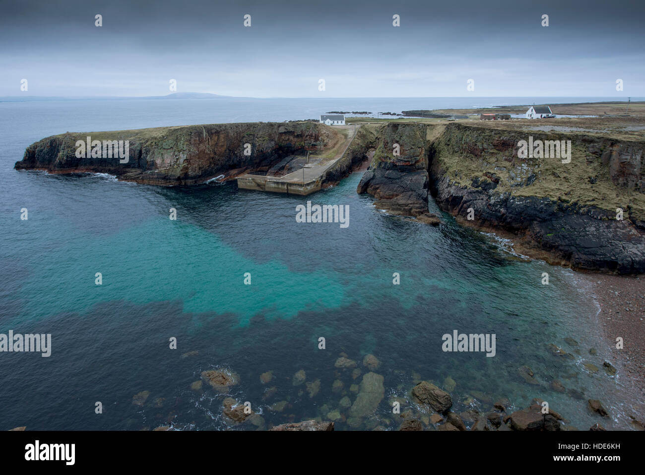 Spectacular coast of remote Tory island in Ireland Stock Photohttps://www.alamy.com/image-license-details/?v=1https://www.alamy.com/stock-photo-spectacular-coast-of-remote-tory-island-in-ireland-128775685.html
RFHDE6KH–Spectacular coast of remote Tory island in Ireland
 Beautiful landscape in the West Kerry Gaeltacht Stock Photohttps://www.alamy.com/image-license-details/?v=1https://www.alamy.com/beautiful-landscape-in-the-west-kerry-gaeltacht-image468920703.html
RM2J6W53Y–Beautiful landscape in the West Kerry Gaeltacht
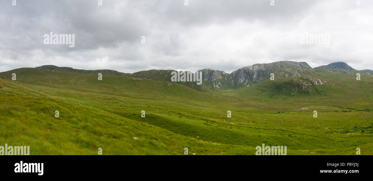 Dunlewey or Dunlewy is a small Gaeltacht village in the Gweedore area of County Donegal, Ireland. It sits in the Poisoned Glen, at the foot of Mount E Stock Photohttps://www.alamy.com/image-license-details/?v=1https://www.alamy.com/dunlewey-or-dunlewy-is-a-small-gaeltacht-village-in-the-gweedore-area-of-county-donegal-ireland-it-sits-in-the-poisoned-glen-at-the-foot-of-mount-e-image213892606.html
RFPBYJ5J–Dunlewey or Dunlewy is a small Gaeltacht village in the Gweedore area of County Donegal, Ireland. It sits in the Poisoned Glen, at the foot of Mount E
 Walking trail on Inishboffin island on the Wild Atlantic Way in Donegal in Ireland Europe Stock Photohttps://www.alamy.com/image-license-details/?v=1https://www.alamy.com/walking-trail-on-inishboffin-island-on-the-wild-atlantic-way-in-donegal-in-ireland-europe-image603291076.html
RF2X1E7WT–Walking trail on Inishboffin island on the Wild Atlantic Way in Donegal in Ireland Europe
 Bloody Foreland coastline in the Gaeltacht area of Donegal. Wild Atlantic Way - Ireland. Stock Photohttps://www.alamy.com/image-license-details/?v=1https://www.alamy.com/bloody-foreland-coastline-in-the-gaeltacht-area-of-donegal-wild-atlantic-way-ireland-image244004632.html
RFT4YAB4–Bloody Foreland coastline in the Gaeltacht area of Donegal. Wild Atlantic Way - Ireland.
 Pony and Trap, Near Helvick Harbour, Ring Gaeltacht Region, County Waterford, Ireland Stock Photohttps://www.alamy.com/image-license-details/?v=1https://www.alamy.com/stock-photo-pony-and-trap-near-helvick-harbour-ring-gaeltacht-region-county-waterford-24585342.html
RMBBYXRX–Pony and Trap, Near Helvick Harbour, Ring Gaeltacht Region, County Waterford, Ireland
 Road rural Ireland. Rural valley Irish landscape County Donegal Glencolmcille Valley Gaeltacht area of south-west Donegal Ireland. Stock Photohttps://www.alamy.com/image-license-details/?v=1https://www.alamy.com/road-rural-ireland-rural-valley-irish-landscape-county-donegal-glencolmcille-valley-gaeltacht-area-of-south-west-donegal-ireland-image612510085.html
RM2XGE6T5–Road rural Ireland. Rural valley Irish landscape County Donegal Glencolmcille Valley Gaeltacht area of south-west Donegal Ireland.
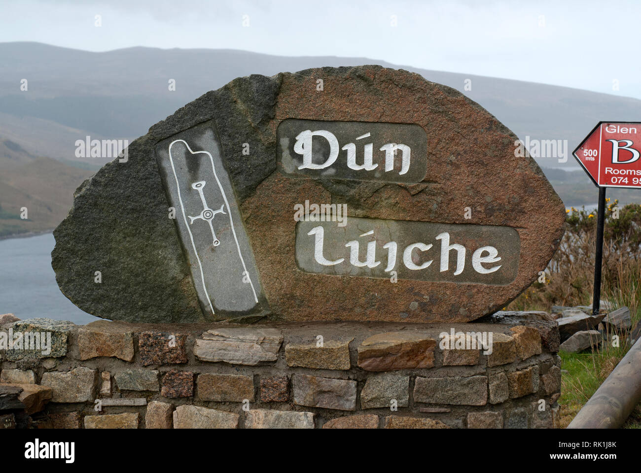 Dún Lúiche (Dunlewey) stone sign, County Donegal, Ireland Stock Photohttps://www.alamy.com/image-license-details/?v=1https://www.alamy.com/dn-liche-dunlewey-stone-sign-county-donegal-ireland-image235449555.html
RMRK1J8K–Dún Lúiche (Dunlewey) stone sign, County Donegal, Ireland
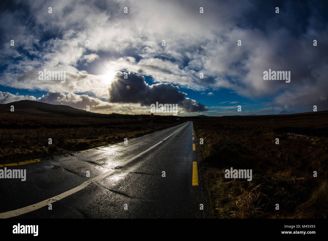 lonely Irish coastal road in winter sunshine Stock Photohttps://www.alamy.com/image-license-details/?v=1https://www.alamy.com/stock-photo-lonely-irish-coastal-road-in-winter-sunshine-174692703.html
RFM45X93–lonely Irish coastal road in winter sunshine
 Helvick Fishing Harbour, Ring, Gaeltacht (Gaelic Speaking Area), County Waterford, Ireland Stock Photohttps://www.alamy.com/image-license-details/?v=1https://www.alamy.com/stock-photo-helvick-fishing-harbour-ring-gaeltacht-gaelic-speaking-area-county-13324034.html
RMAD6WEY–Helvick Fishing Harbour, Ring, Gaeltacht (Gaelic Speaking Area), County Waterford, Ireland
 Memorial plaque on Cape Clear Island in County Cork Stock Photohttps://www.alamy.com/image-license-details/?v=1https://www.alamy.com/memorial-plaque-on-cape-clear-island-in-county-cork-image150087789.html
RMJM52E5–Memorial plaque on Cape Clear Island in County Cork
 wonderful panorama on Beara Peninsula, Co Cork, Ireland Stock Photohttps://www.alamy.com/image-license-details/?v=1https://www.alamy.com/wonderful-panorama-on-beara-peninsula-co-cork-ireland-image261075724.html
RFW4N0N0–wonderful panorama on Beara Peninsula, Co Cork, Ireland
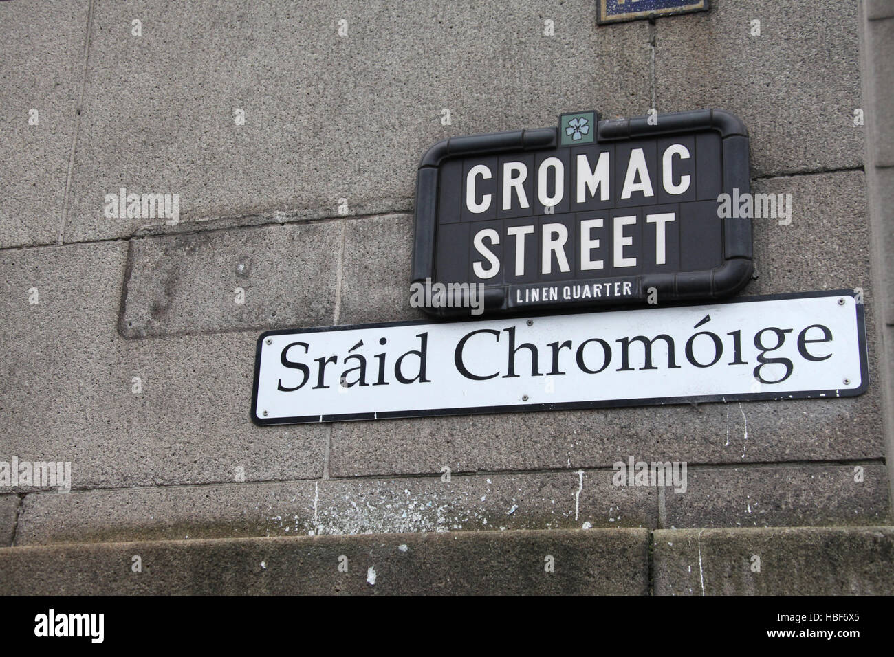 Linen Quarter Street Sign in Belfast Stock Photohttps://www.alamy.com/image-license-details/?v=1https://www.alamy.com/stock-photo-linen-quarter-street-sign-in-belfast-127568509.html
RMHBF6X5–Linen Quarter Street Sign in Belfast
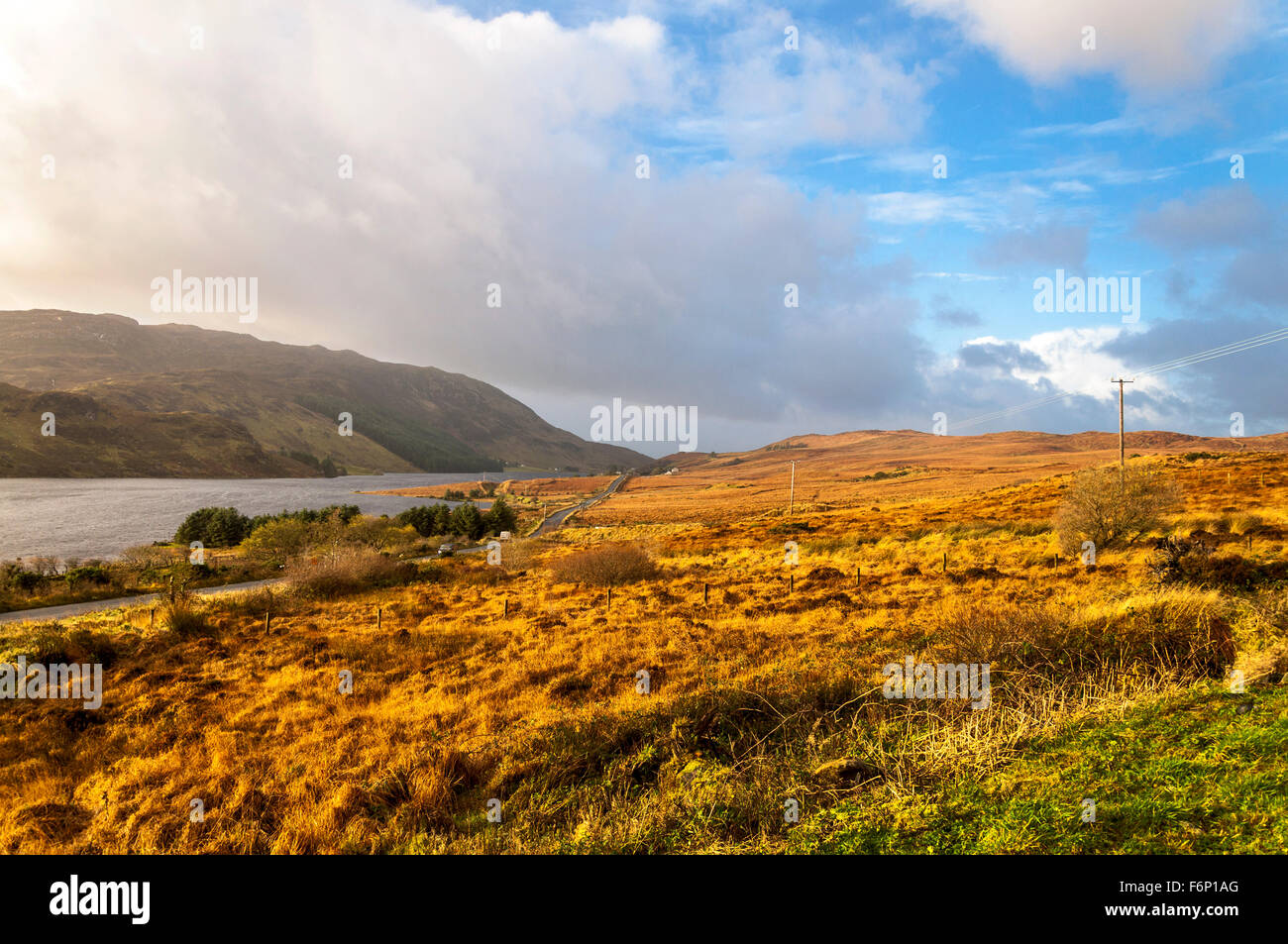 Lough Finn at Fintown, County Donegal, Ireland. The landscape in November. Stock Photohttps://www.alamy.com/image-license-details/?v=1https://www.alamy.com/stock-photo-lough-finn-at-fintown-county-donegal-ireland-the-landscape-in-november-90223800.html
RMF6P1AG–Lough Finn at Fintown, County Donegal, Ireland. The landscape in November.
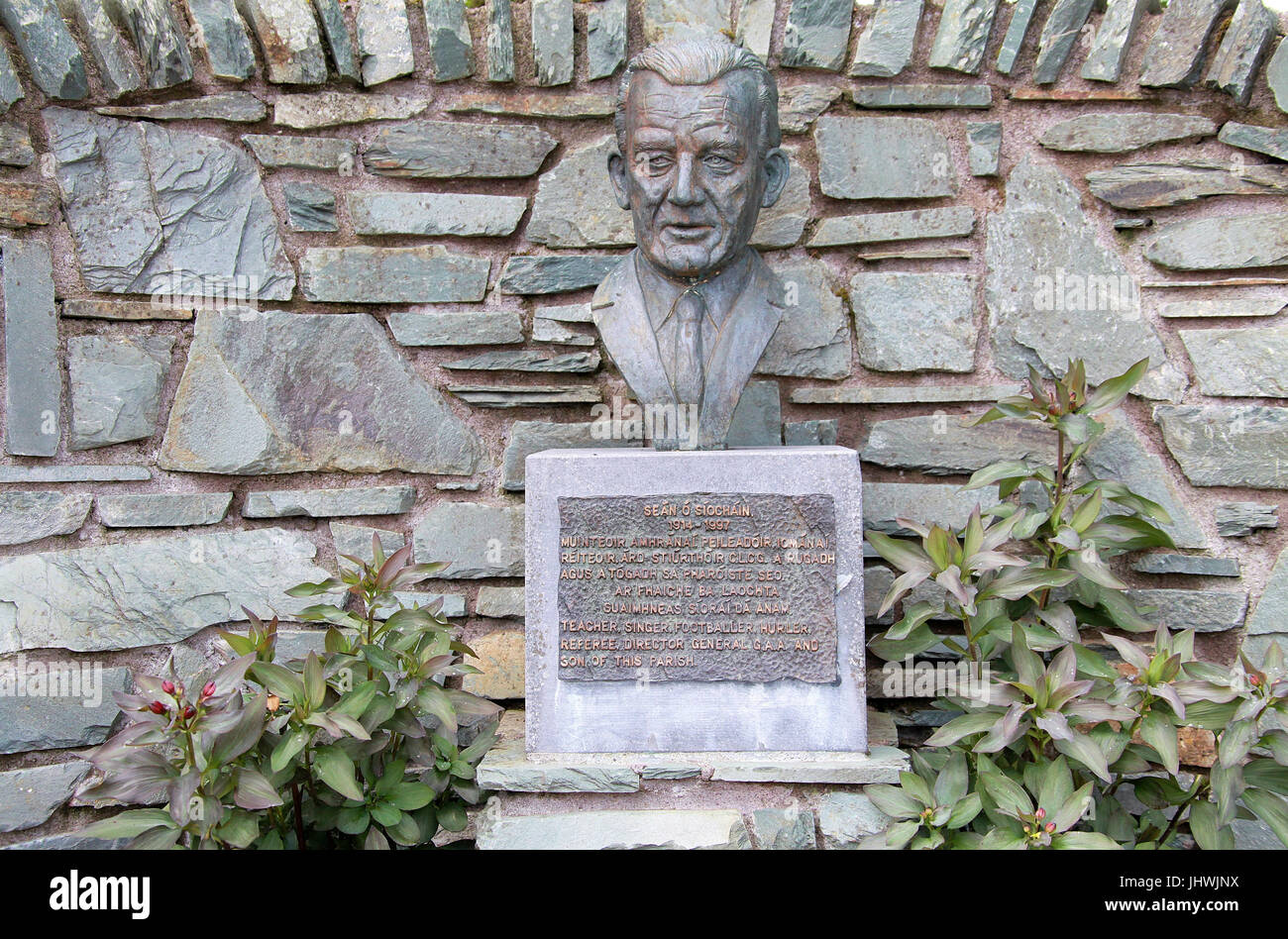 Sean O Siochain Memorial at Kilnamartyra Stock Photohttps://www.alamy.com/image-license-details/?v=1https://www.alamy.com/stock-photo-sean-o-siochain-memorial-at-kilnamartyra-148695622.html
RMJHWJNX–Sean O Siochain Memorial at Kilnamartyra
 Wild Atlantic Way the ocean from Cruit Island, County Donegal, Ireland Stock Photohttps://www.alamy.com/image-license-details/?v=1https://www.alamy.com/stock-photo-wild-atlantic-way-the-ocean-from-cruit-island-county-donegal-ireland-90010826.html
RMF6C9MA–Wild Atlantic Way the ocean from Cruit Island, County Donegal, Ireland
 R263 wild atlantic way road on a wet overcast day in the gaeltacht area of county donegal republic of ireland Stock Photohttps://www.alamy.com/image-license-details/?v=1https://www.alamy.com/r263-wild-atlantic-way-road-on-a-wet-overcast-day-in-the-gaeltacht-area-of-county-donegal-republic-of-ireland-image549378837.html
RM2PWPA8N–R263 wild atlantic way road on a wet overcast day in the gaeltacht area of county donegal republic of ireland
 Currach, Currag . Old fishing boast - IRELAND, Connemara, Inishboffin island, Inis Bo Finne (Island of the White Cow) Stock Photohttps://www.alamy.com/image-license-details/?v=1https://www.alamy.com/currach-currag-old-fishing-boast-ireland-connemara-inishboffin-island-inis-bo-finne-island-of-the-white-cow-image221285549.html
RMPT0BY9–Currach, Currag . Old fishing boast - IRELAND, Connemara, Inishboffin island, Inis Bo Finne (Island of the White Cow)
 South Harbour bay, Cape Clear Island, County Cork, Ireland, Irish Republic Stock Photohttps://www.alamy.com/image-license-details/?v=1https://www.alamy.com/stock-photo-south-harbour-bay-cape-clear-island-county-cork-ireland-irish-republic-139460009.html
RMJ2TXJH–South Harbour bay, Cape Clear Island, County Cork, Ireland, Irish Republic
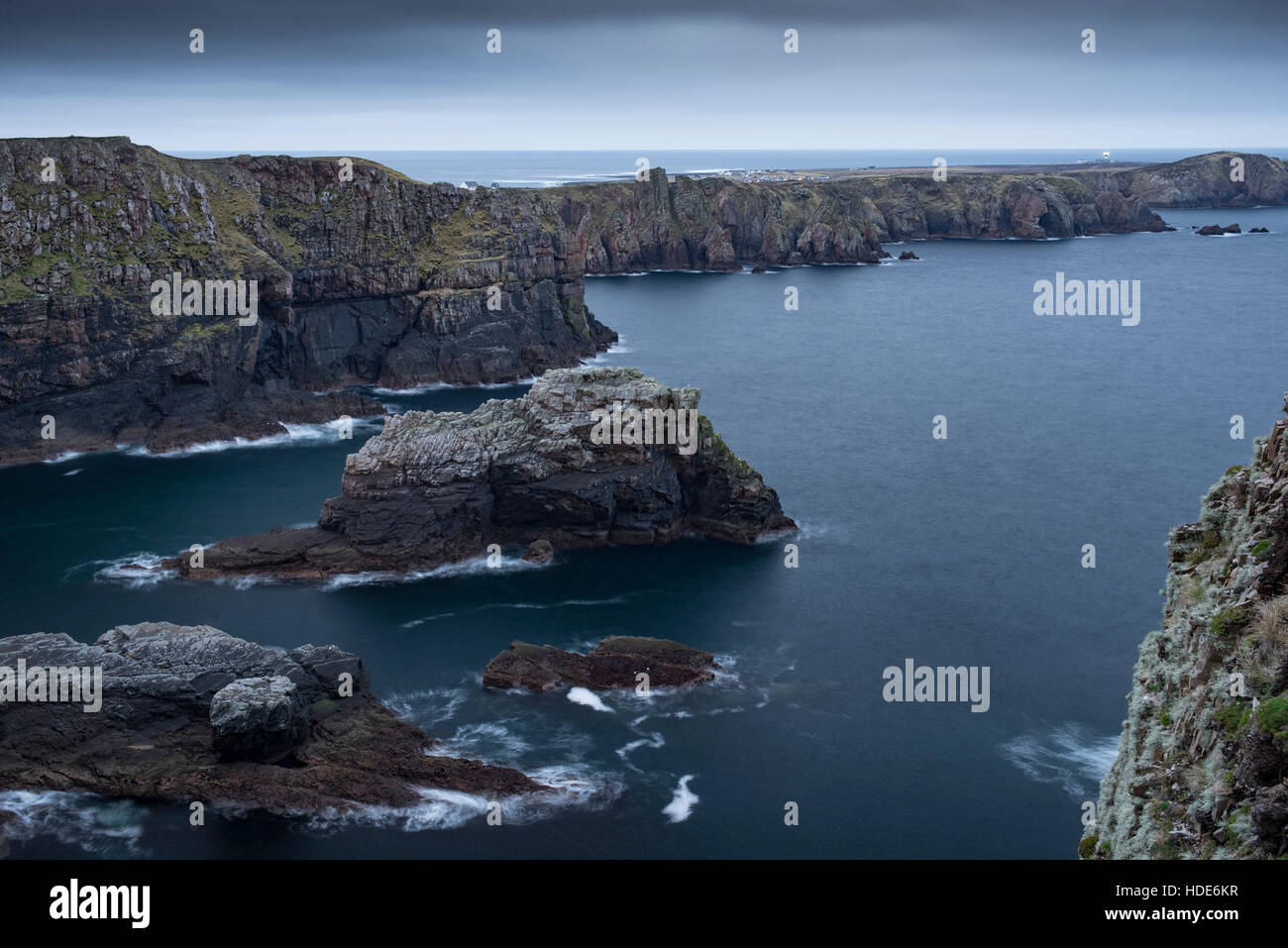 Spectacular coast of remote Tory island in Ireland Stock Photohttps://www.alamy.com/image-license-details/?v=1https://www.alamy.com/stock-photo-spectacular-coast-of-remote-tory-island-in-ireland-128775691.html
RFHDE6KR–Spectacular coast of remote Tory island in Ireland
 Beautiful landscape in the West Kerry Gaeltacht Stock Photohttps://www.alamy.com/image-license-details/?v=1https://www.alamy.com/beautiful-landscape-in-the-west-kerry-gaeltacht-image468920699.html
RM2J6W53R–Beautiful landscape in the West Kerry Gaeltacht
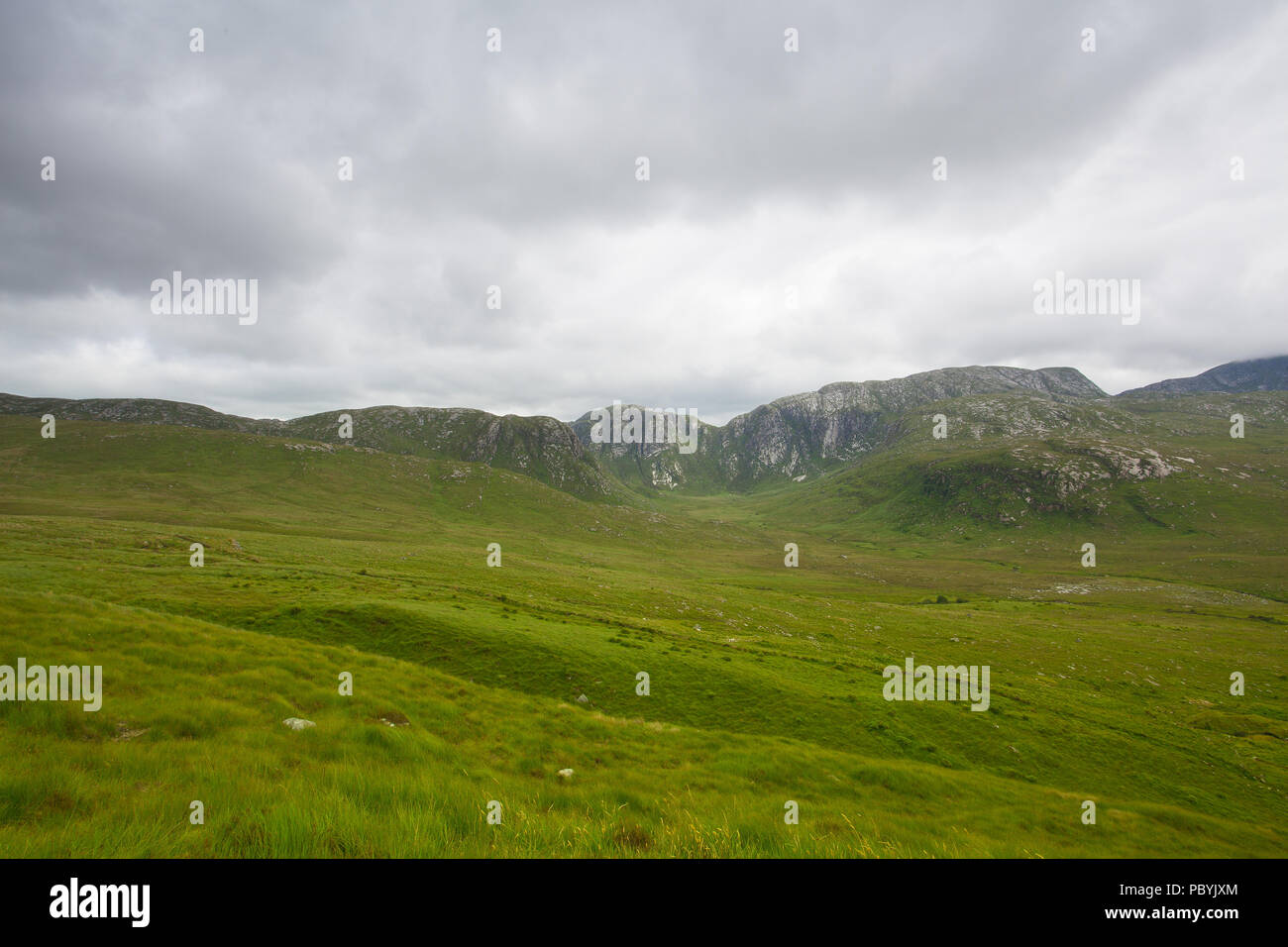 Landscape in Dunlewey or Dunlewy. It is a small Gaeltacht village in the Gweedore area of County Donegal, Ireland. It sits in the Poisoned Glen, at th Stock Photohttps://www.alamy.com/image-license-details/?v=1https://www.alamy.com/landscape-in-dunlewey-or-dunlewy-it-is-a-small-gaeltacht-village-in-the-gweedore-area-of-county-donegal-ireland-it-sits-in-the-poisoned-glen-at-th-image213893196.html
RFPBYJXM–Landscape in Dunlewey or Dunlewy. It is a small Gaeltacht village in the Gweedore area of County Donegal, Ireland. It sits in the Poisoned Glen, at th
 A road sign on the Dingle peninsula in two languages, Irish (Gaelic) and English. The area is bilingual and part of the Gaeltacht. Stock Photohttps://www.alamy.com/image-license-details/?v=1https://www.alamy.com/a-road-sign-on-the-dingle-peninsula-in-two-languages-irish-gaelic-and-english-the-area-is-bilingual-and-part-of-the-gaeltacht-image470377288.html
RM2J97F0T–A road sign on the Dingle peninsula in two languages, Irish (Gaelic) and English. The area is bilingual and part of the Gaeltacht.
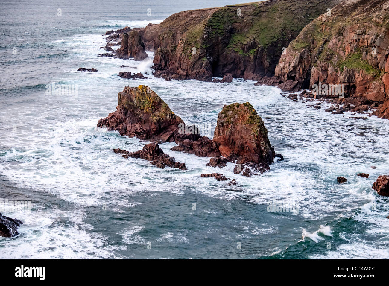 Bloody Foreland coastline in the Gaeltacht area of Donegal. Wild Atlantic Way - Ireland. Stock Photohttps://www.alamy.com/image-license-details/?v=1https://www.alamy.com/bloody-foreland-coastline-in-the-gaeltacht-area-of-donegal-wild-atlantic-way-ireland-image244004675.html
RFT4YACK–Bloody Foreland coastline in the Gaeltacht area of Donegal. Wild Atlantic Way - Ireland.
 A graveyard wall and headstones as photographed from a public road in the West Kerry Gaeltacht in Ireland on a damp day. Stock Photohttps://www.alamy.com/image-license-details/?v=1https://www.alamy.com/a-graveyard-wall-and-headstones-as-photographed-from-a-public-road-in-the-west-kerry-gaeltacht-in-ireland-on-a-damp-day-image365339716.html
RM2C6AJF0–A graveyard wall and headstones as photographed from a public road in the West Kerry Gaeltacht in Ireland on a damp day.
 A red and white warning sign in Irish and English beside a wooden stile at the Fintown Railway track in a Gaeltacht area of County Donegal, Ireland. Stock Photohttps://www.alamy.com/image-license-details/?v=1https://www.alamy.com/a-red-and-white-warning-sign-in-irish-and-english-beside-a-wooden-stile-at-the-fintown-railway-track-in-a-gaeltacht-area-of-county-donegal-ireland-image350457579.html
RM2BA4M63–A red and white warning sign in Irish and English beside a wooden stile at the Fintown Railway track in a Gaeltacht area of County Donegal, Ireland.
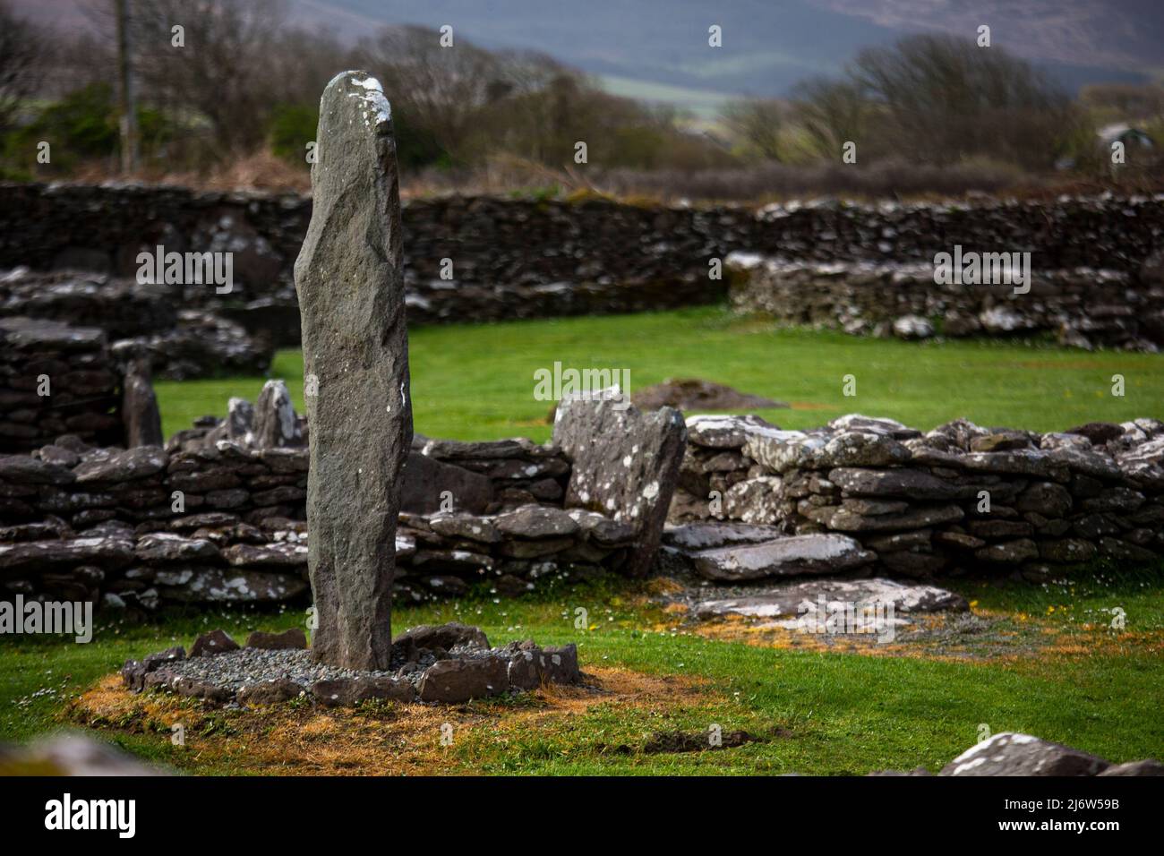 Standing stone at the riasc monastic settlement in Kerry Stock Photohttps://www.alamy.com/image-license-details/?v=1https://www.alamy.com/standing-stone-at-the-riasc-monastic-settlement-in-kerry-image468920855.html
RM2J6W59B–Standing stone at the riasc monastic settlement in Kerry
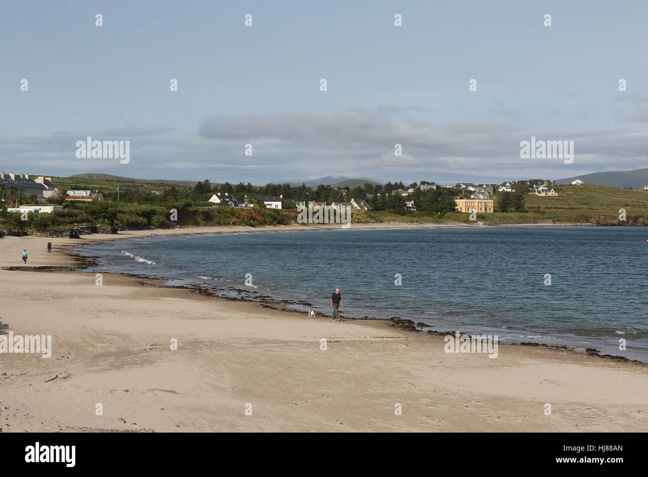 People walking on County Kerry beach. The sandy beach at Ballinskelligs, County Kerry, Ireland. Stock Photohttps://www.alamy.com/image-license-details/?v=1https://www.alamy.com/stock-photo-people-walking-on-county-kerry-beach-the-sandy-beach-at-ballinskelligs-131718573.html
RMHJ88AN–People walking on County Kerry beach. The sandy beach at Ballinskelligs, County Kerry, Ireland.
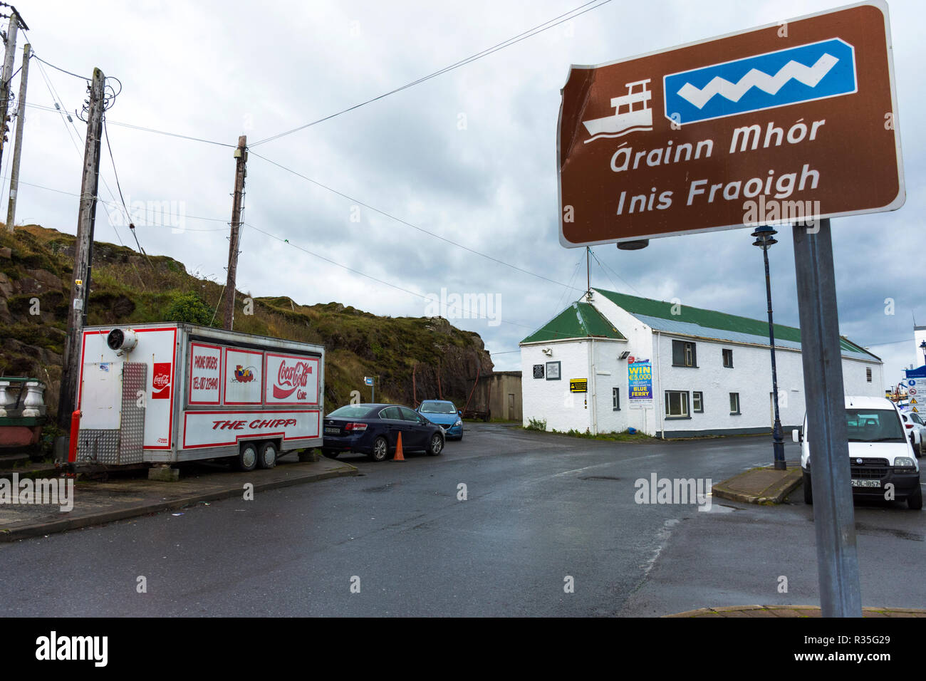 Burtonport harbour signage in County Donegal, Ireland Stock Photohttps://www.alamy.com/image-license-details/?v=1https://www.alamy.com/burtonport-harbour-signage-in-county-donegal-ireland-image225701121.html
RMR35G29–Burtonport harbour signage in County Donegal, Ireland
 A road sign on the Dingle peninsula in two languages, Irish (Gaelic) and English.The area is bilingual and part of the Gaeltacht. Stock Photohttps://www.alamy.com/image-license-details/?v=1https://www.alamy.com/a-road-sign-on-the-dingle-peninsula-in-two-languages-irish-gaelic-and-englishthe-area-is-bilingual-and-part-of-the-gaeltacht-image470377067.html
RM2J97EMY–A road sign on the Dingle peninsula in two languages, Irish (Gaelic) and English.The area is bilingual and part of the Gaeltacht.
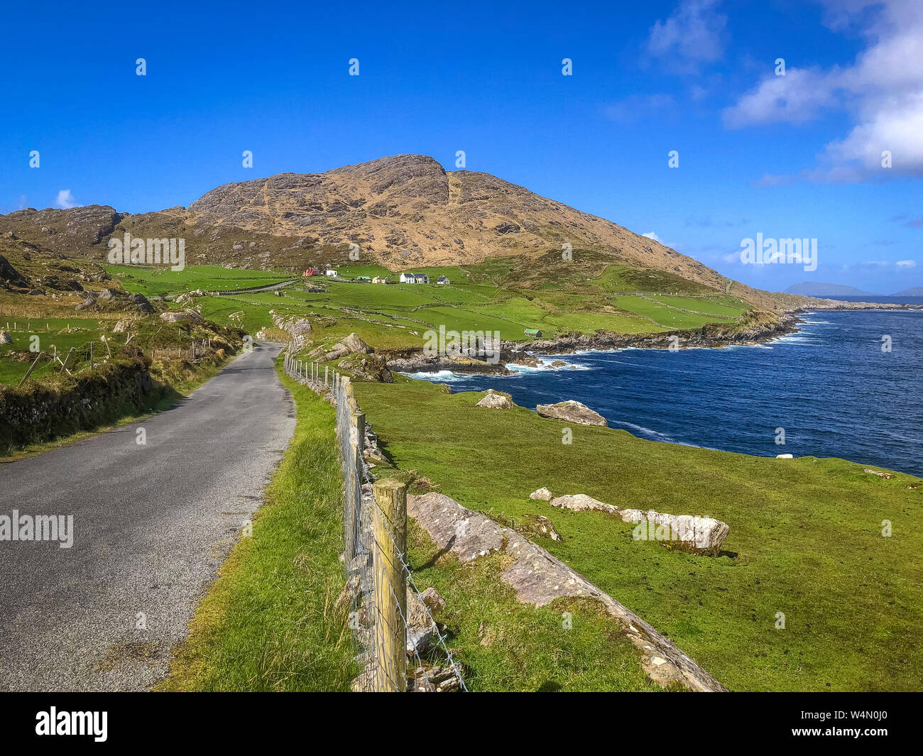 wonderful panorama on Beara Peninsula, Co Cork, Ireland Stock Photohttps://www.alamy.com/image-license-details/?v=1https://www.alamy.com/wonderful-panorama-on-beara-peninsula-co-cork-ireland-image261075640.html
RFW4N0J0–wonderful panorama on Beara Peninsula, Co Cork, Ireland
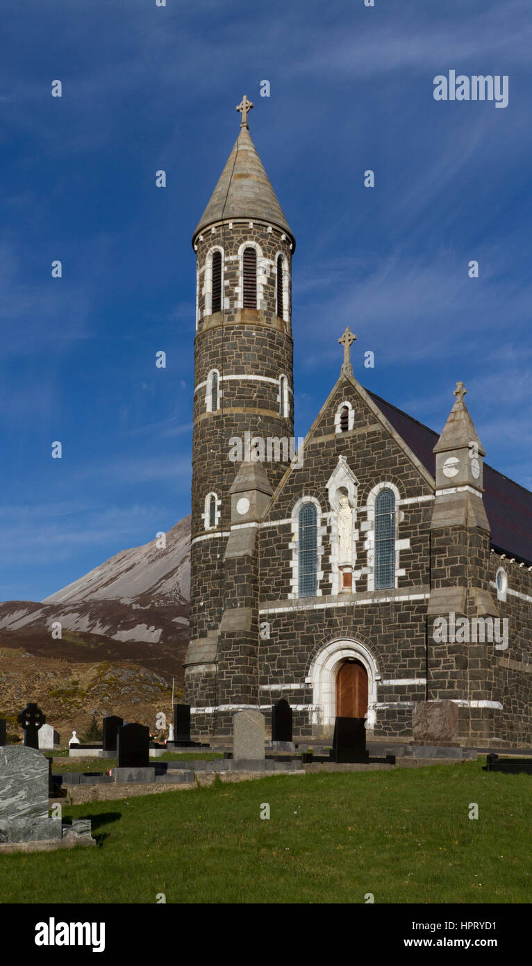 Dunlewey Roman Catholic Church, Church of the Sacred Heart, Co. Donegal, Ireland Stock Photohttps://www.alamy.com/image-license-details/?v=1https://www.alamy.com/stock-photo-dunlewey-roman-catholic-church-church-of-the-sacred-heart-co-donegal-134521437.html
RMHPRYD1–Dunlewey Roman Catholic Church, Church of the Sacred Heart, Co. Donegal, Ireland
 Beautiful landscape in the West Kerry Gaeltacht Stock Photohttps://www.alamy.com/image-license-details/?v=1https://www.alamy.com/beautiful-landscape-in-the-west-kerry-gaeltacht-image468920731.html
RM2J6W54Y–Beautiful landscape in the West Kerry Gaeltacht
 Sean O Siochain Memorial at Kilnamartyra Stock Photohttps://www.alamy.com/image-license-details/?v=1https://www.alamy.com/stock-photo-sean-o-siochain-memorial-at-kilnamartyra-148695608.html
RMJHWJNC–Sean O Siochain Memorial at Kilnamartyra
 Beautiful landscape in the West Kerry Gaeltacht Stock Photohttps://www.alamy.com/image-license-details/?v=1https://www.alamy.com/beautiful-landscape-in-the-west-kerry-gaeltacht-image468920758.html
RM2J6W55X–Beautiful landscape in the West Kerry Gaeltacht
 R263 wild atlantic way road on a wet overcast day in the gaeltacht area of county donegal republic of ireland Stock Photohttps://www.alamy.com/image-license-details/?v=1https://www.alamy.com/r263-wild-atlantic-way-road-on-a-wet-overcast-day-in-the-gaeltacht-area-of-county-donegal-republic-of-ireland-image549378828.html
RM2PWPA8C–R263 wild atlantic way road on a wet overcast day in the gaeltacht area of county donegal republic of ireland
 The effects of salt, IRELAND, Connemara, Inishboffin island, Inis Bo Finne (Island of the White Cow) lies seven miles off Galway’s coast. Stock Photohttps://www.alamy.com/image-license-details/?v=1https://www.alamy.com/the-effects-of-salt-ireland-connemara-inishboffin-island-inis-bo-finne-island-of-the-white-cow-lies-seven-miles-off-galways-coast-image221285632.html
RMPT0C28–The effects of salt, IRELAND, Connemara, Inishboffin island, Inis Bo Finne (Island of the White Cow) lies seven miles off Galway’s coast.
 South Harbour bay, Cape Clear Island, County Cork, Ireland, Irish Republic Stock Photohttps://www.alamy.com/image-license-details/?v=1https://www.alamy.com/stock-photo-south-harbour-bay-cape-clear-island-county-cork-ireland-irish-republic-139459996.html
RMJ2TXJ4–South Harbour bay, Cape Clear Island, County Cork, Ireland, Irish Republic
 Glen Bay Beach, a small bay west of Glencolumbkille. on the Wild Atlantic Way, County Donegal, Republic of Ireland. Stock Photohttps://www.alamy.com/image-license-details/?v=1https://www.alamy.com/glen-bay-beach-a-small-bay-west-of-glencolumbkille-on-the-wild-atlantic-way-county-donegal-republic-of-ireland-image245581402.html
RMT7F5GA–Glen Bay Beach, a small bay west of Glencolumbkille. on the Wild Atlantic Way, County Donegal, Republic of Ireland.
 'The Journey' a glasswork window at the reception area of the Blasket Centre. Designed by Róisín de Buitléar and executed by Kawala’s Glass Studios Stock Photohttps://www.alamy.com/image-license-details/?v=1https://www.alamy.com/the-journey-a-glasswork-window-at-the-reception-area-of-the-blasket-image65402278.html
RMDPB97J–'The Journey' a glasswork window at the reception area of the Blasket Centre. Designed by Róisín de Buitléar and executed by Kawala’s Glass Studios
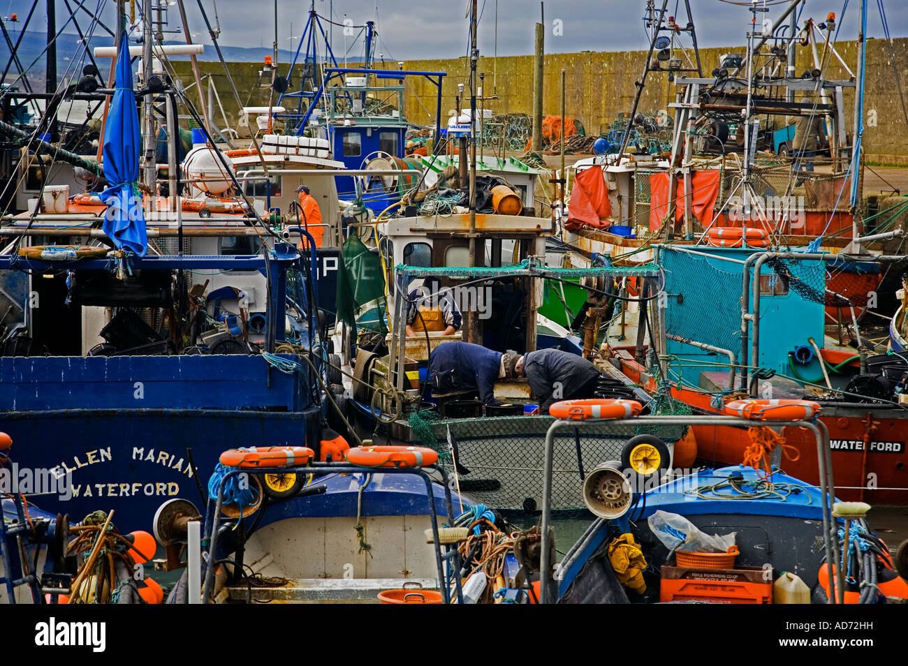 Helvick Fishing Harbour, Ring Gaeltacht (Gaelic Speaking Area) County Waterford, Ireland Stock Photohttps://www.alamy.com/image-license-details/?v=1https://www.alamy.com/stock-photo-helvick-fishing-harbour-ring-gaeltacht-gaelic-speaking-area-county-13325740.html
RMAD72HH–Helvick Fishing Harbour, Ring Gaeltacht (Gaelic Speaking Area) County Waterford, Ireland
 Ireland, County Donegal, The Rosses, cottage on country road by the sea Stock Photohttps://www.alamy.com/image-license-details/?v=1https://www.alamy.com/ireland-county-donegal-the-rosses-cottage-on-country-road-by-the-sea-image216033855.html
RMPFD5AR–Ireland, County Donegal, The Rosses, cottage on country road by the sea
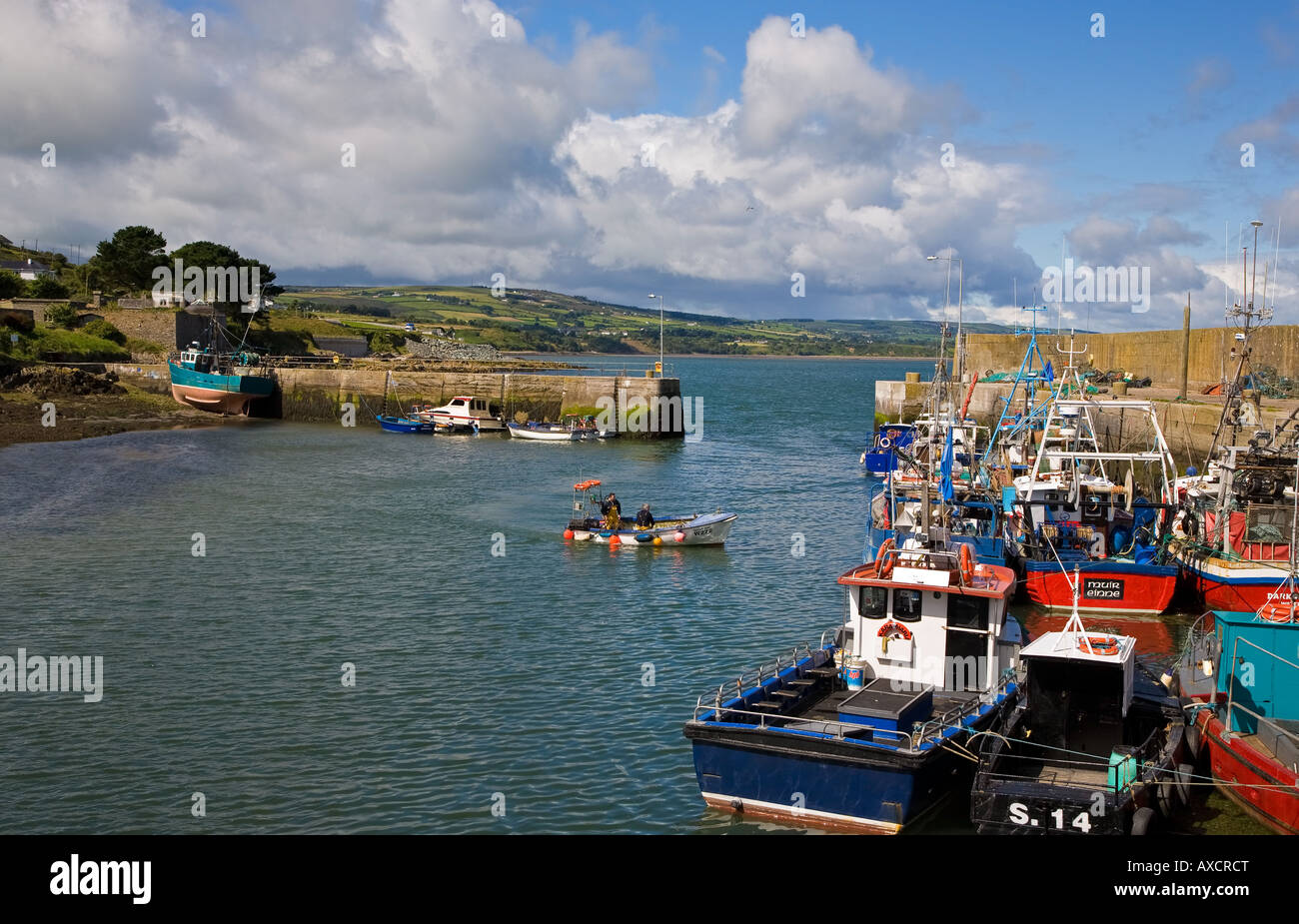 Fishing Boats in Helvick Port, Ring - Gaelic Speaking Area, County Waterford, Ireland Stock Photohttps://www.alamy.com/image-license-details/?v=1https://www.alamy.com/stock-photo-fishing-boats-in-helvick-port-ring-gaelic-speaking-area-county-waterford-16804295.html
RMAXCRCT–Fishing Boats in Helvick Port, Ring - Gaelic Speaking Area, County Waterford, Ireland
 Plaque to Sean O'Riada - Ballyvourney / Coolea Stock Photohttps://www.alamy.com/image-license-details/?v=1https://www.alamy.com/plaque-to-sean-oriada-ballyvourney-coolea-image447696948.html
RF2H0AA0M–Plaque to Sean O'Riada - Ballyvourney / Coolea
 Small fishing boats arriving in Helvick Harbour. An Ring, the Gaeltacht, Irish speaking Area, County Waterford, Ireland Stock Photohttps://www.alamy.com/image-license-details/?v=1https://www.alamy.com/stock-photo-small-fishing-boats-arriving-in-helvick-harbour-an-ring-the-gaeltacht-16804290.html
RMAXCRCK–Small fishing boats arriving in Helvick Harbour. An Ring, the Gaeltacht, Irish speaking Area, County Waterford, Ireland
 Bloody Foreland coastline in the Gaeltacht area of Donegal. Wild Atlantic Way - Ireland. Stock Photohttps://www.alamy.com/image-license-details/?v=1https://www.alamy.com/bloody-foreland-coastline-in-the-gaeltacht-area-of-donegal-wild-atlantic-way-ireland-image244004567.html
RFT4YA8R–Bloody Foreland coastline in the Gaeltacht area of Donegal. Wild Atlantic Way - Ireland.