Quick filters:
Ganges river delta Stock Photos and Images
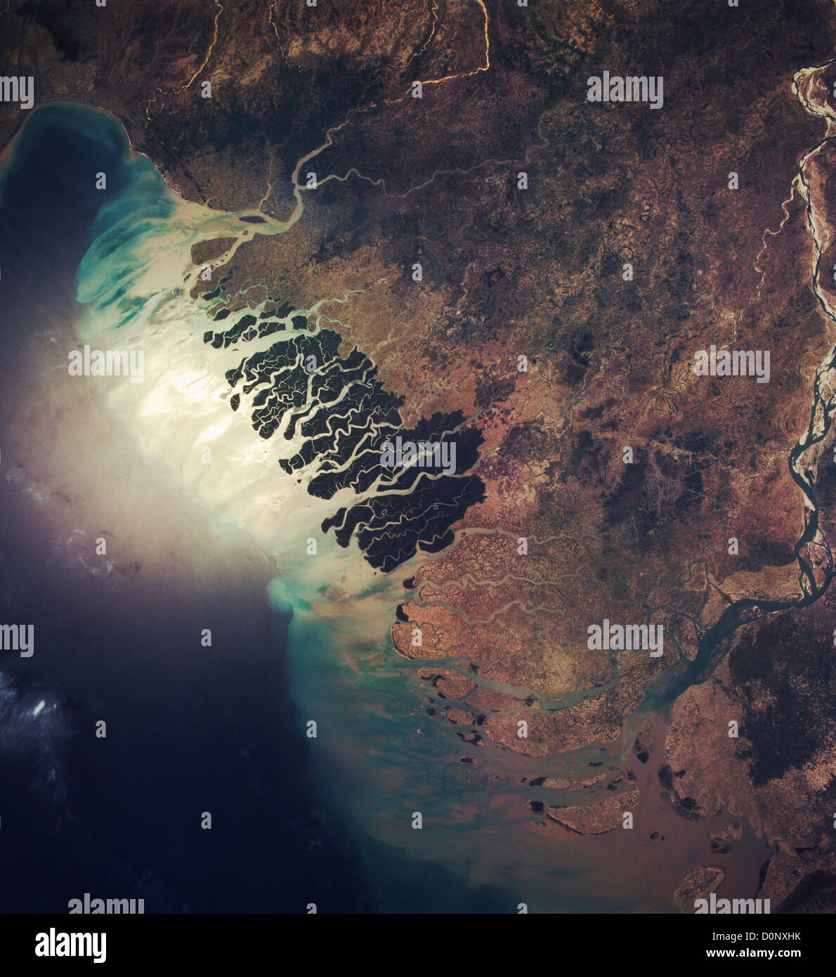 View From Space of the Ganges River Delta Stock Photohttps://www.alamy.com/image-license-details/?v=1https://www.alamy.com/stock-photo-view-from-space-of-the-ganges-river-delta-52112975.html
RMD0NXHK–View From Space of the Ganges River Delta
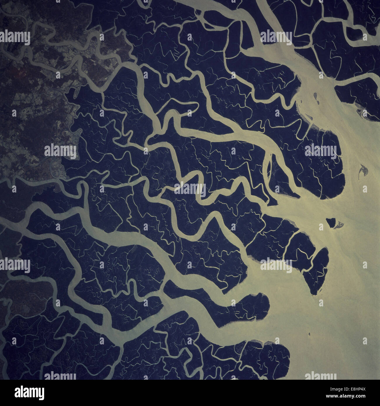 Ganges River Delta Stock Photohttps://www.alamy.com/image-license-details/?v=1https://www.alamy.com/stock-photo-ganges-river-delta-74149290.html
RME8HP4X–Ganges River Delta
 Ganges River Delta Stock Photohttps://www.alamy.com/image-license-details/?v=1https://www.alamy.com/ganges-river-delta-image185802389.html
RMMP80RH–Ganges River Delta
 A stunning sunset looking over the holiest of rivers in India. Ganges delta in Sundarbans, West Bengal, India Stock Photohttps://www.alamy.com/image-license-details/?v=1https://www.alamy.com/stock-photo-a-stunning-sunset-looking-over-the-holiest-of-rivers-in-india-ganges-50103373.html
RMCWEBA5–A stunning sunset looking over the holiest of rivers in India. Ganges delta in Sundarbans, West Bengal, India
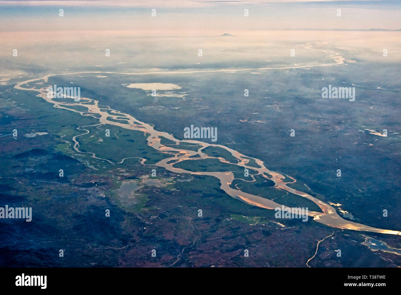 Aerial view of Meghna River and the Ganges Delta, India Stock Photohttps://www.alamy.com/image-license-details/?v=1https://www.alamy.com/aerial-view-of-meghna-river-and-the-ganges-delta-india-image242984266.html
RMT38TWE–Aerial view of Meghna River and the Ganges Delta, India
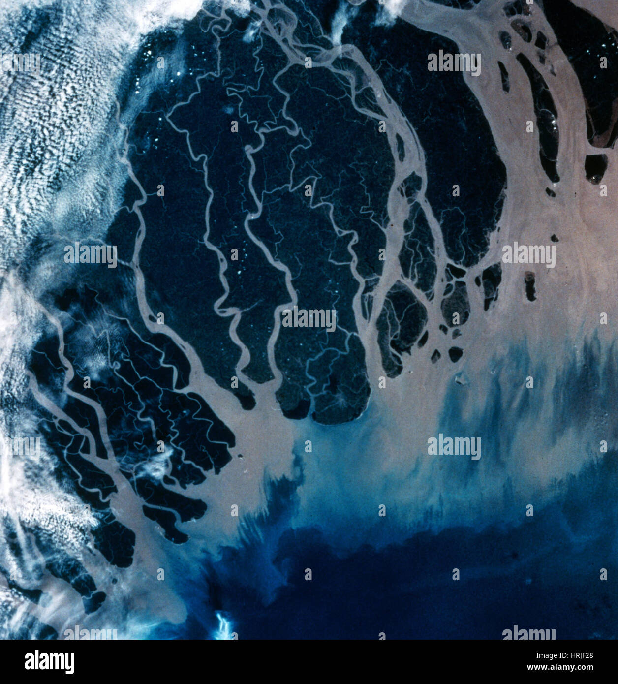 Ganges River Delta, Bangladesh, India Stock Photohttps://www.alamy.com/image-license-details/?v=1https://www.alamy.com/stock-photo-ganges-river-delta-bangladesh-india-135016624.html
RMHRJF28–Ganges River Delta, Bangladesh, India
 India Sunderbans Poor rural community Small ferry used to take passengers across the Ganges delta Stock Photohttps://www.alamy.com/image-license-details/?v=1https://www.alamy.com/stock-photo-india-sunderbans-poor-rural-community-small-ferry-used-to-take-passengers-19648850.html
RMB3Y28J–India Sunderbans Poor rural community Small ferry used to take passengers across the Ganges delta
 Bangladesh , village Kalabogi at river Shibsha close to bay of bengal, peoples are most affected by climate change Stock Photohttps://www.alamy.com/image-license-details/?v=1https://www.alamy.com/stock-photo-bangladesh-village-kalabogi-at-river-shibsha-close-to-bay-of-bengal-48751547.html
RMCR8R2K–Bangladesh , village Kalabogi at river Shibsha close to bay of bengal, peoples are most affected by climate change
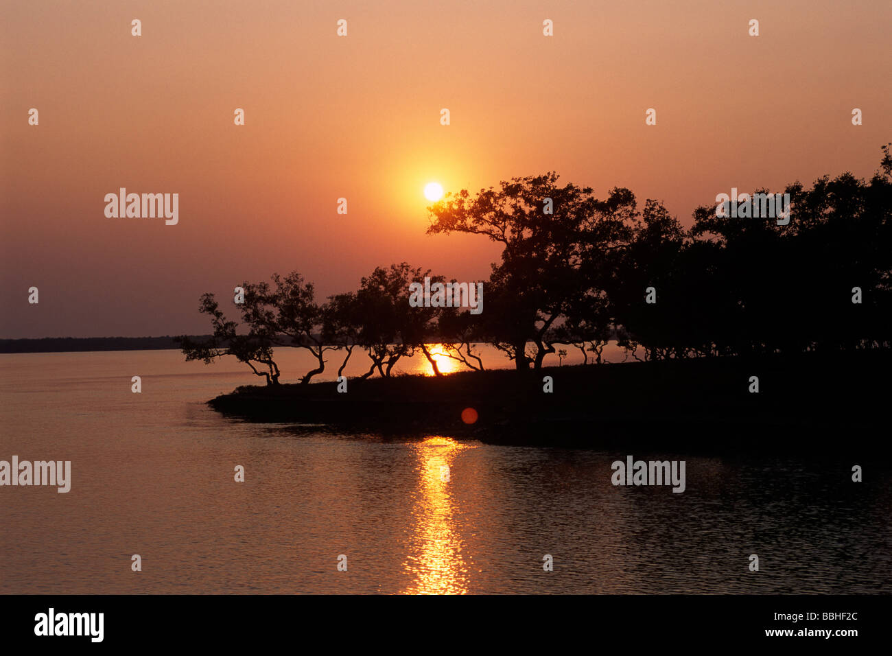 India, West Bengal, Sunderbans, Ganges Delta, mangrove trees at sunset Stock Photohttps://www.alamy.com/image-license-details/?v=1https://www.alamy.com/stock-photo-india-west-bengal-sunderbans-ganges-delta-mangrove-trees-at-sunset-24356596.html
RMBBHF2C–India, West Bengal, Sunderbans, Ganges Delta, mangrove trees at sunset
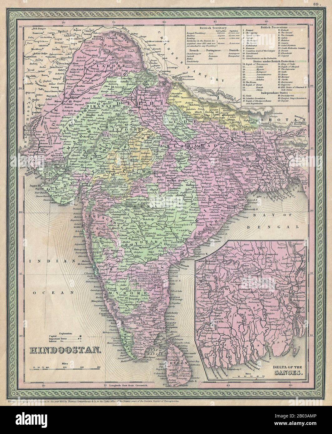 India: American map of the Indian subcontinent, with princely states and British possessions colour-coded, as well as a lower right inset detailing the Ganges River Delta. Lithographic engraving by Samuel Augustus Mitchell (1790-1868), 1850. Samuel Augustus Mitchell (1790-1868) was an American geographer born in Connecticut. Stock Photohttps://www.alamy.com/image-license-details/?v=1https://www.alamy.com/india-american-map-of-the-indian-subcontinent-with-princely-states-and-british-possessions-colour-coded-as-well-as-a-lower-right-inset-detailing-the-ganges-river-delta-lithographic-engraving-by-samuel-augustus-mitchell-1790-1868-1850-samuel-augustus-mitchell-1790-1868-was-an-american-geographer-born-in-connecticut-image344281638.html
RM2B03AMP–India: American map of the Indian subcontinent, with princely states and British possessions colour-coded, as well as a lower right inset detailing the Ganges River Delta. Lithographic engraving by Samuel Augustus Mitchell (1790-1868), 1850. Samuel Augustus Mitchell (1790-1868) was an American geographer born in Connecticut.
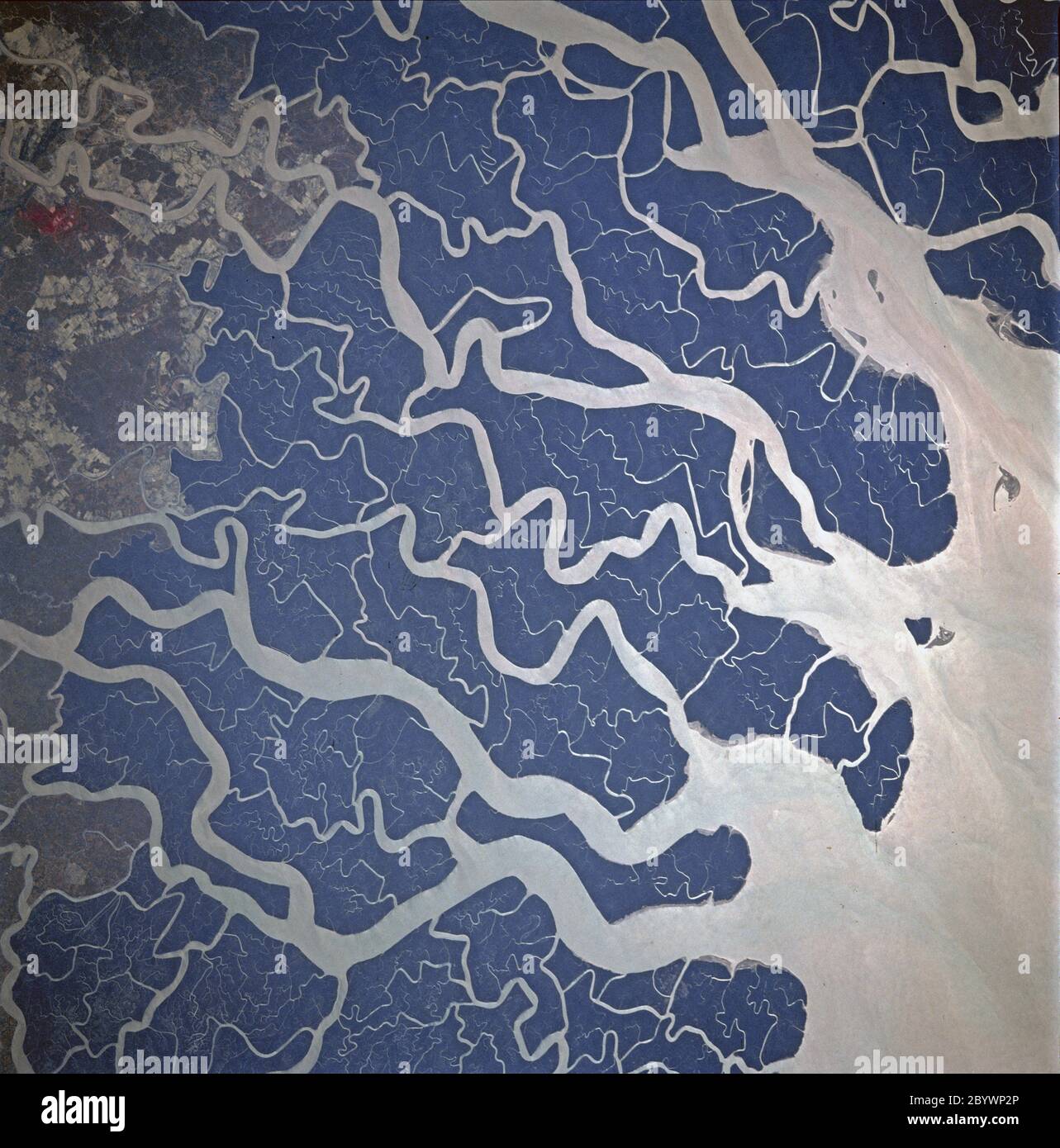 STS087-707-092 (19 November - 5 December 1997) --- Featured in this view is the Ganges River delta. A glacier at about 22,100 feet in the Himalayas is the source of the Ganges River. Hundreds of miles later and joined by other tributaries the Ganges delta enters the Bay of Bengal. The delta, at 200 miles wide (320 kilometers) is one of the most fertile and densely populated regions of the world. The eastern side of the delta changes rapidly and forms new land because of rapid sedimentation. The southern part of the delta has a darker appearance because of tidal forests, swampland, and man Stock Photohttps://www.alamy.com/image-license-details/?v=1https://www.alamy.com/sts087-707-092-19-november-5-december-1997-featured-in-this-view-is-the-ganges-river-delta-a-glacier-at-about-22100-feet-in-the-himalayas-is-the-source-of-the-ganges-river-hundreds-of-miles-later-and-joined-by-other-tributaries-the-ganges-delta-enters-the-bay-of-bengal-the-delta-at-200-miles-wide-320-kilometers-is-one-of-the-most-fertile-and-densely-populated-regions-of-the-world-the-eastern-side-of-the-delta-changes-rapidly-and-forms-new-land-because-of-rapid-sedimentation-the-southern-part-of-the-delta-has-a-darker-appearance-because-of-tidal-forests-swampland-and-man-image361369198.html
RM2BYWP2P–STS087-707-092 (19 November - 5 December 1997) --- Featured in this view is the Ganges River delta. A glacier at about 22,100 feet in the Himalayas is the source of the Ganges River. Hundreds of miles later and joined by other tributaries the Ganges delta enters the Bay of Bengal. The delta, at 200 miles wide (320 kilometers) is one of the most fertile and densely populated regions of the world. The eastern side of the delta changes rapidly and forms new land because of rapid sedimentation. The southern part of the delta has a darker appearance because of tidal forests, swampland, and man
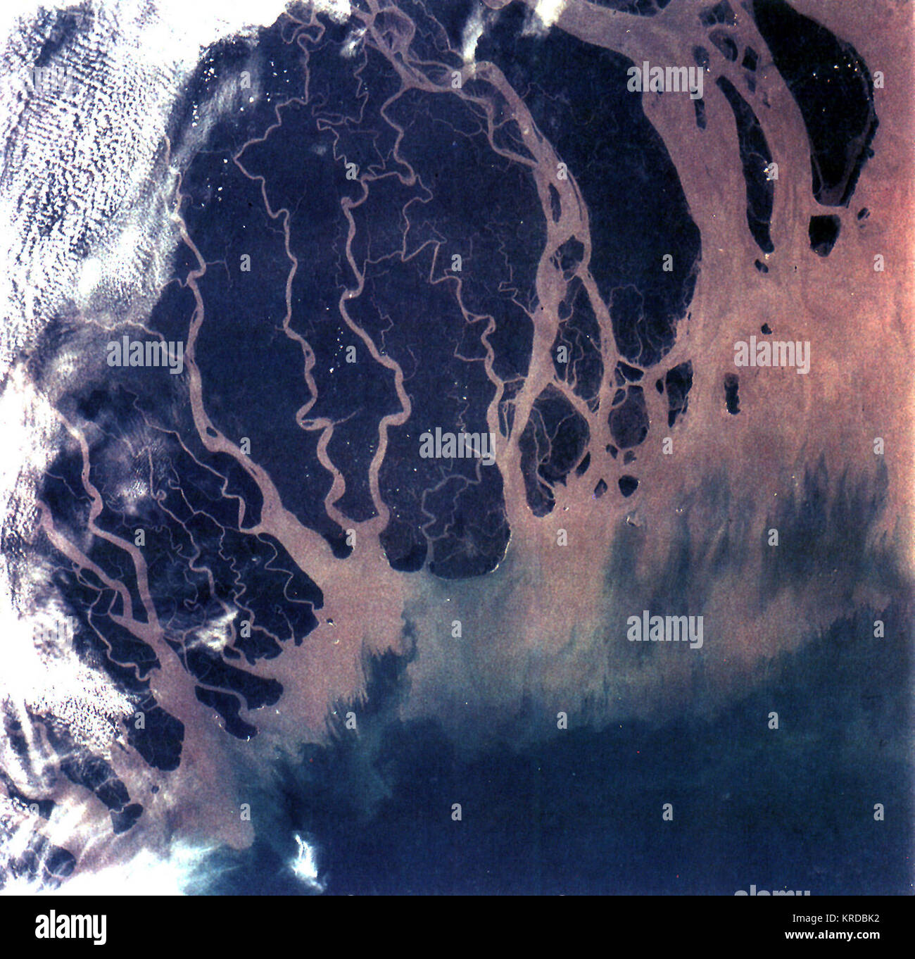 Ganges River Delta, Bangladesh, India Stock Photohttps://www.alamy.com/image-license-details/?v=1https://www.alamy.com/stock-image-ganges-river-delta-bangladesh-india-169324934.html
RMKRDBK2–Ganges River Delta, Bangladesh, India
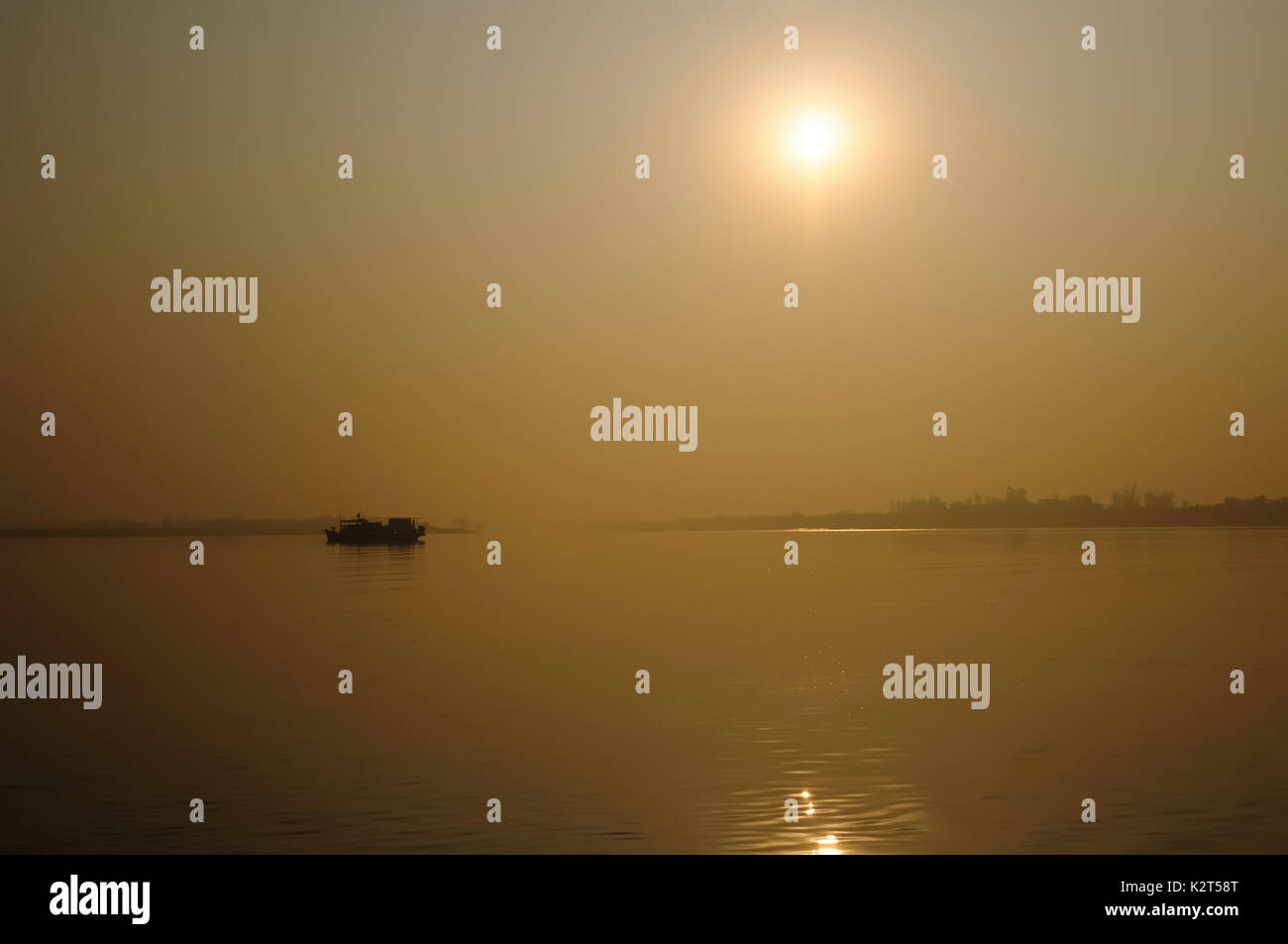 Sunset on the area of the biggest Ganges river delta of world in the west Bengal Stock Photohttps://www.alamy.com/image-license-details/?v=1https://www.alamy.com/sunset-on-the-area-of-the-biggest-ganges-river-delta-of-world-in-the-image156653640.html
RFK2T58T–Sunset on the area of the biggest Ganges river delta of world in the west Bengal
 Mohammad Khokon sits next to what used to be his family's house. A flash flood washed it into the Jamuna River in Sirajganj, Bangladesh in 2007. Global warming cause the monsoon rain and floods to start earlier. Global warming also accellerate the melting of the ice and snow in the Himalayas, which feeds into the already saturated rivers that make the Ganges Delta. The result is devastating to people who live in the densely populated delta area. While the Himalayas and flooding wreak havoc from the north, rising sea levels cause salt water intrusion in the low-lying agricultural zones along th Stock Photohttps://www.alamy.com/image-license-details/?v=1https://www.alamy.com/mohammad-khokon-sits-next-to-what-used-to-be-his-familys-house-a-flash-flood-washed-it-into-the-jamuna-river-in-sirajganj-bangladesh-in-2007-global-warming-cause-the-monsoon-rain-and-floods-to-start-earlier-global-warming-also-accellerate-the-melting-of-the-ice-and-snow-in-the-himalayas-which-feeds-into-the-already-saturated-rivers-that-make-the-ganges-delta-the-result-is-devastating-to-people-who-live-in-the-densely-populated-delta-area-while-the-himalayas-and-flooding-wreak-havoc-from-the-north-rising-sea-levels-cause-salt-water-intrusion-in-the-low-lying-agricultural-zones-along-th-image616791427.html
RM2XRD7N7–Mohammad Khokon sits next to what used to be his family's house. A flash flood washed it into the Jamuna River in Sirajganj, Bangladesh in 2007. Global warming cause the monsoon rain and floods to start earlier. Global warming also accellerate the melting of the ice and snow in the Himalayas, which feeds into the already saturated rivers that make the Ganges Delta. The result is devastating to people who live in the densely populated delta area. While the Himalayas and flooding wreak havoc from the north, rising sea levels cause salt water intrusion in the low-lying agricultural zones along th
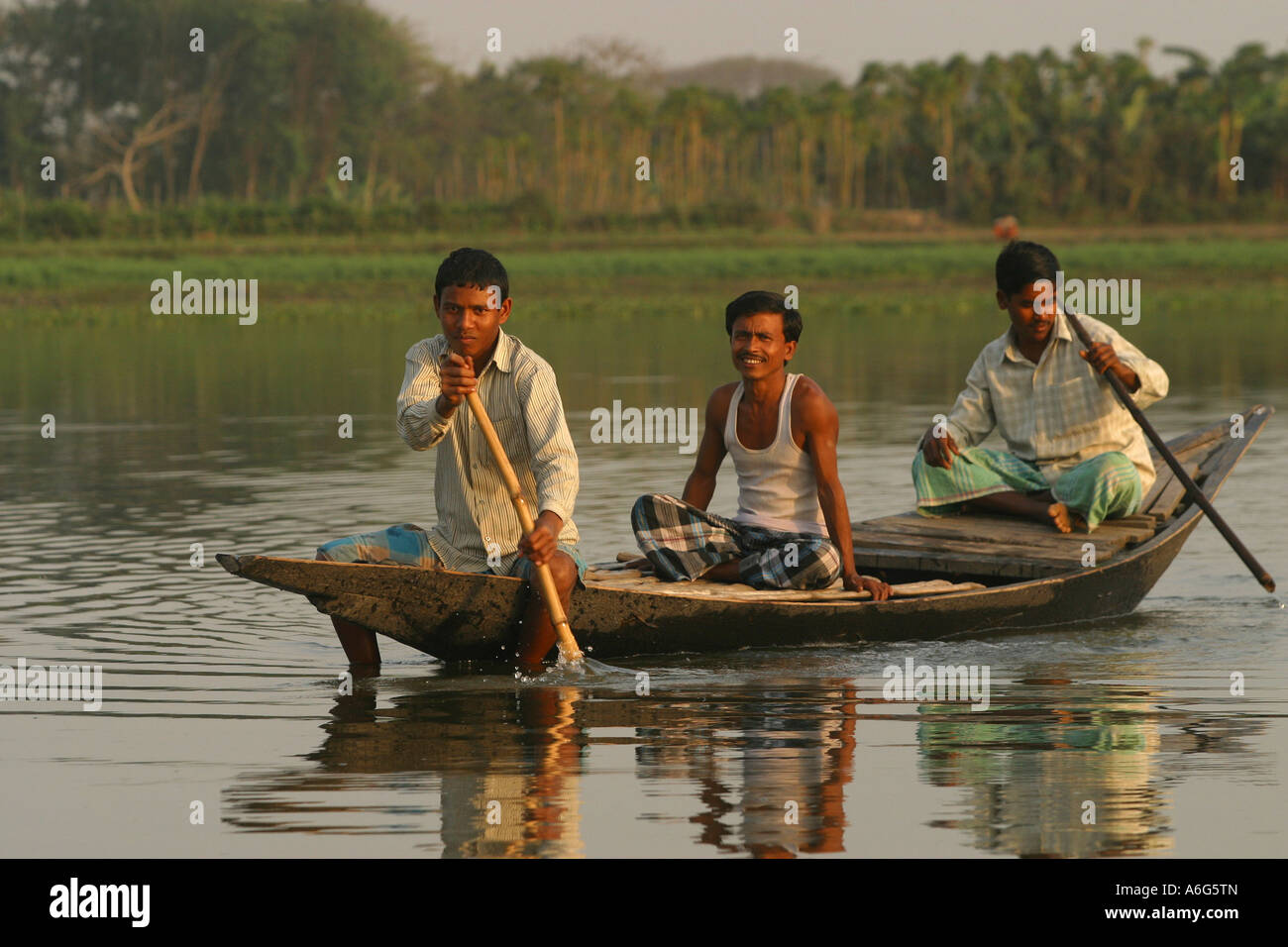 Indian men paddling in a canoe on a river at the Ganges delta, Westbengalia, India Stock Photohttps://www.alamy.com/image-license-details/?v=1https://www.alamy.com/stock-photo-indian-men-paddling-in-a-canoe-on-a-river-at-the-ganges-delta-westbengalia-11567540.html
RMA6G5TN–Indian men paddling in a canoe on a river at the Ganges delta, Westbengalia, India
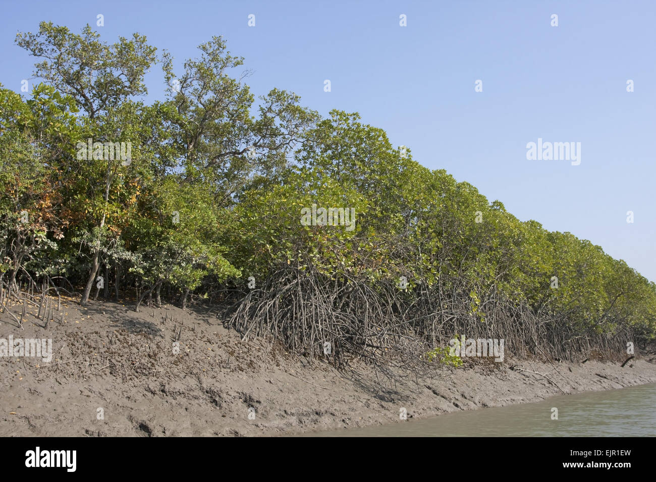 Mangrove forest habitat, Sundarbans, Ganges Delta, West Bengal, India, March Stock Photohttps://www.alamy.com/image-license-details/?v=1https://www.alamy.com/stock-photo-mangrove-forest-habitat-sundarbans-ganges-delta-west-bengal-india-80411377.html
RMEJR1EW–Mangrove forest habitat, Sundarbans, Ganges Delta, West Bengal, India, March
 Sheaves of jute plant are soaked in the water of the river Padma to soften the skin of the plant so that it can be stripped for extraction of the fiber within. The ‘golden fiber’ of Bangladesh is one of the important natural fibres after cotton in terms of cultivation and usage. Cultivation is dependent on the climate, season, and soil. Almost 85% of the world's jute cultivation is concentrated in the Ganges Delta. This fertile geographic region is shared by both Bangladesh and India. About four months after planting, harvesting begins. Its cultivation has reduced with more land being used for Stock Photohttps://www.alamy.com/image-license-details/?v=1https://www.alamy.com/sheaves-of-jute-plant-are-soaked-in-the-water-of-the-river-padma-to-soften-the-skin-of-the-plant-so-that-it-can-be-stripped-for-extraction-of-the-fiber-within-the-golden-fiber-of-bangladesh-is-one-of-the-important-natural-fibres-after-cotton-in-terms-of-cultivation-and-usage-cultivation-is-dependent-on-the-climate-season-and-soil-almost-85-of-the-worlds-jute-cultivation-is-concentrated-in-the-ganges-delta-this-fertile-geographic-region-is-shared-by-both-bangladesh-and-india-about-four-months-after-planting-harvesting-begins-its-cultivation-has-reduced-with-more-land-being-used-for-image431615032.html
RM2G25NAG–Sheaves of jute plant are soaked in the water of the river Padma to soften the skin of the plant so that it can be stripped for extraction of the fiber within. The ‘golden fiber’ of Bangladesh is one of the important natural fibres after cotton in terms of cultivation and usage. Cultivation is dependent on the climate, season, and soil. Almost 85% of the world's jute cultivation is concentrated in the Ganges Delta. This fertile geographic region is shared by both Bangladesh and India. About four months after planting, harvesting begins. Its cultivation has reduced with more land being used for
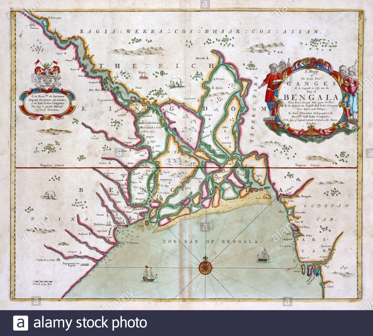 Ganges Delta, Bay of Bengal, India, vintage map from 1702 Stock Photohttps://www.alamy.com/image-license-details/?v=1https://www.alamy.com/ganges-delta-bay-of-bengal-india-vintage-map-from-1702-image397846418.html
RM2E37D4J–Ganges Delta, Bay of Bengal, India, vintage map from 1702
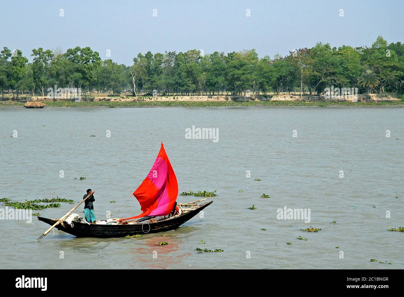 The Ganges Delta in Bangladesh. A small fishing boat with a red sail being rowed on the river in the Ganges Delta. Unidentifiable people. Stock Photohttps://www.alamy.com/image-license-details/?v=1https://www.alamy.com/the-ganges-delta-in-bangladesh-a-small-fishing-boat-with-a-red-sail-being-rowed-on-the-river-in-the-ganges-delta-unidentifiable-people-image362290791.html
RF2C1BNGR–The Ganges Delta in Bangladesh. A small fishing boat with a red sail being rowed on the river in the Ganges Delta. Unidentifiable people.
 INDIA / BANGLADESH - 12 October 2020 - The International Space Station was orbiting above the southern coast of India and Bangladesh, near the vast m Stock Photohttps://www.alamy.com/image-license-details/?v=1https://www.alamy.com/india-bangladesh-12-october-2020-the-international-space-station-was-orbiting-above-the-southern-coast-of-india-and-bangladesh-near-the-vast-m-image383090783.html
RM2D7785K–INDIA / BANGLADESH - 12 October 2020 - The International Space Station was orbiting above the southern coast of India and Bangladesh, near the vast m
 Aerial view of some parts of the Ganges Delta (Sundarbans Delta) lying below rain clouds, seen from a flight to Kolkata in West Bengal state, India. Stock Photohttps://www.alamy.com/image-license-details/?v=1https://www.alamy.com/aerial-view-of-some-parts-of-the-ganges-delta-sundarbans-delta-lying-below-rain-clouds-seen-from-a-flight-to-kolkata-in-west-bengal-state-india-image359605861.html
RM2BW1CXD–Aerial view of some parts of the Ganges Delta (Sundarbans Delta) lying below rain clouds, seen from a flight to Kolkata in West Bengal state, India.
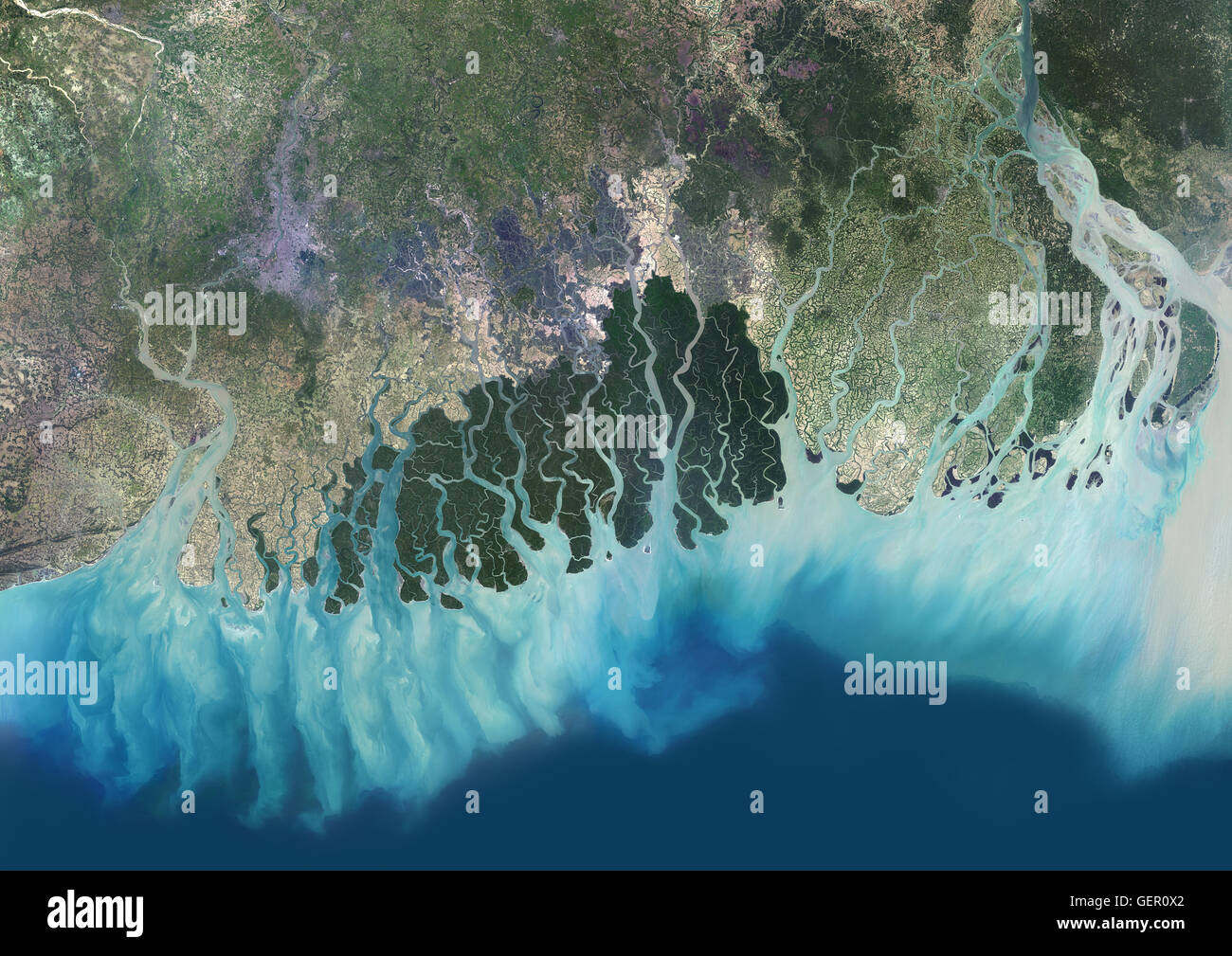 Satellite view of the Ganges River Delta, Bangladesh, India. Also known as the Brahmaputra Delta, it empties into the Bay of Bengal. Kolkata sits within the lower Ganges Delta along the Hooghly River (at west on the image). This image was compiled from da Stock Photohttps://www.alamy.com/image-license-details/?v=1https://www.alamy.com/stock-photo-satellite-view-of-the-ganges-river-delta-bangladesh-india-also-known-112373018.html
RMGER0X2–Satellite view of the Ganges River Delta, Bangladesh, India. Also known as the Brahmaputra Delta, it empties into the Bay of Bengal. Kolkata sits within the lower Ganges Delta along the Hooghly River (at west on the image). This image was compiled from da
 A stunning sunset looking over the holiest of rivers in India. Ganges delta in Sundarbans, West Bengal, India Stock Photohttps://www.alamy.com/image-license-details/?v=1https://www.alamy.com/stock-photo-a-stunning-sunset-looking-over-the-holiest-of-rivers-in-india-ganges-50104592.html
RMCWECWM–A stunning sunset looking over the holiest of rivers in India. Ganges delta in Sundarbans, West Bengal, India
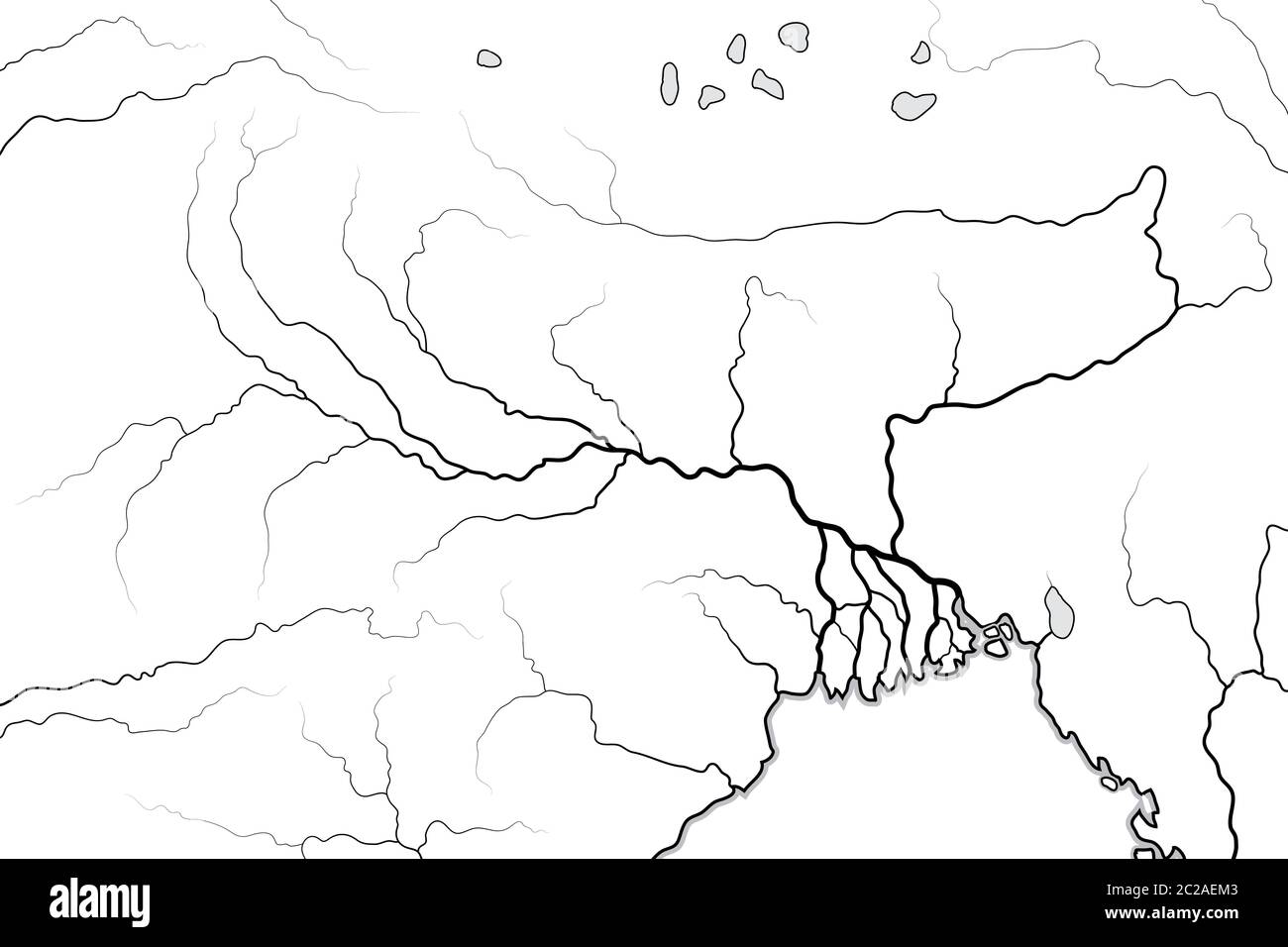 World Map of The GANGES RIVER Valley & Delta: India, Nepal, Bengal, Bangladesh. Geographic chart. Stock Photohttps://www.alamy.com/image-license-details/?v=1https://www.alamy.com/world-map-of-the-ganges-river-valley-delta-india-nepal-bengal-bangladesh-geographic-chart-image362878099.html
RM2C2AEM3–World Map of The GANGES RIVER Valley & Delta: India, Nepal, Bengal, Bangladesh. Geographic chart.
 Dark monsoon rain clouds over the Pasur river, Ganges delta, Bangladesh, November 2008 Stock Photohttps://www.alamy.com/image-license-details/?v=1https://www.alamy.com/stock-photo-dark-monsoon-rain-clouds-over-the-pasur-river-ganges-delta-bangladesh-71427312.html
RME45P7C–Dark monsoon rain clouds over the Pasur river, Ganges delta, Bangladesh, November 2008
 vector Map of the combined catchment areas of the Ganges, Brahmaputra and Meghna rivers. Stock Vectorhttps://www.alamy.com/image-license-details/?v=1https://www.alamy.com/vector-map-of-the-combined-catchment-areas-of-the-ganges-brahmaputra-and-meghna-rivers-image219597745.html
RFPN7F4H–vector Map of the combined catchment areas of the Ganges, Brahmaputra and Meghna rivers.
 Bangladesh , village Kalabogi at river Shibsha close to bay of bengal, peoples are most affected by climate change, fish with gear net Stock Photohttps://www.alamy.com/image-license-details/?v=1https://www.alamy.com/stock-photo-bangladesh-village-kalabogi-at-river-shibsha-close-to-bay-of-bengal-48748694.html
RMCR8KCP–Bangladesh , village Kalabogi at river Shibsha close to bay of bengal, peoples are most affected by climate change, fish with gear net
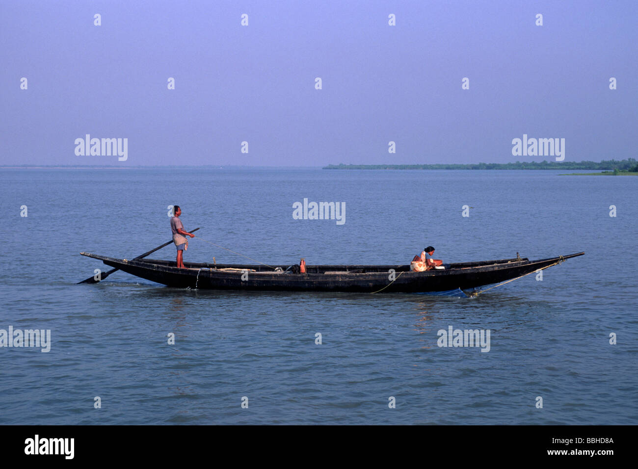 India, West Bengal, Sunderbans, Ganges Delta, fishermen Stock Photohttps://www.alamy.com/image-license-details/?v=1https://www.alamy.com/stock-photo-india-west-bengal-sunderbans-ganges-delta-fishermen-24355194.html
RMBBHD8A–India, West Bengal, Sunderbans, Ganges Delta, fishermen
 B/W of a ferryman punting his small boat across a tributary of the Ganges. Bangladesh Stock Photohttps://www.alamy.com/image-license-details/?v=1https://www.alamy.com/stock-photo-bw-of-a-ferryman-punting-his-small-boat-across-a-tributary-of-the-10174345.html
RMA183CX–B/W of a ferryman punting his small boat across a tributary of the Ganges. Bangladesh
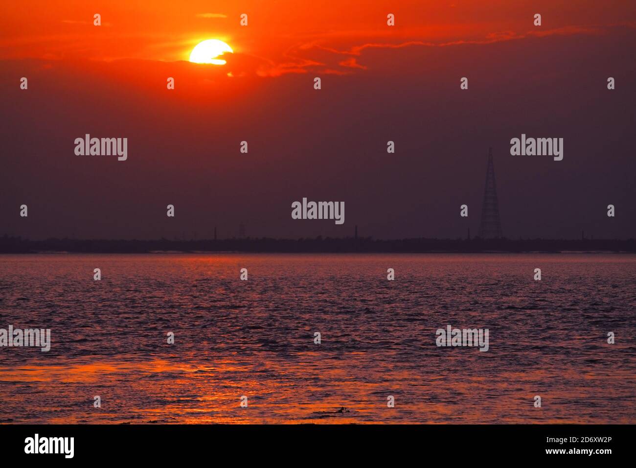 beautiful view of ganga river during dusk in summer, west bengal in india Stock Photohttps://www.alamy.com/image-license-details/?v=1https://www.alamy.com/beautiful-view-of-ganga-river-during-dusk-in-summer-west-bengal-in-india-image382906462.html
RF2D6XW2P–beautiful view of ganga river during dusk in summer, west bengal in india
![Infographic of the course of the Ganges River and its delta, on the Indian subcontinent. [Adobe Illustrator (.ai); 5669x3661]. Stock Photo Infographic of the course of the Ganges River and its delta, on the Indian subcontinent. [Adobe Illustrator (.ai); 5669x3661]. Stock Photo](https://c8.alamy.com/comp/2NEBM03/infographic-of-the-course-of-the-ganges-river-and-its-delta-on-the-indian-subcontinent-adobe-illustrator-ai-5669x3661-2NEBM03.jpg) Infographic of the course of the Ganges River and its delta, on the Indian subcontinent. [Adobe Illustrator (.ai); 5669x3661]. Stock Photohttps://www.alamy.com/image-license-details/?v=1https://www.alamy.com/infographic-of-the-course-of-the-ganges-river-and-its-delta-on-the-indian-subcontinent-adobe-illustrator-ai-5669x3661-image525173379.html
Infographic of the course of the Ganges River and its delta, on the Indian subcontinent. [Adobe Illustrator (.ai); 5669x3661]. Stock Photohttps://www.alamy.com/image-license-details/?v=1https://www.alamy.com/infographic-of-the-course-of-the-ganges-river-and-its-delta-on-the-indian-subcontinent-adobe-illustrator-ai-5669x3661-image525173379.htmlRM2NEBM03–Infographic of the course of the Ganges River and its delta, on the Indian subcontinent. [Adobe Illustrator (.ai); 5669x3661].
 Sunset on the area of the biggest Ganges river delta of world in the west Bengal Stock Photohttps://www.alamy.com/image-license-details/?v=1https://www.alamy.com/sunset-on-the-area-of-the-biggest-ganges-river-delta-of-world-in-the-image156653647.html
RFK2T593–Sunset on the area of the biggest Ganges river delta of world in the west Bengal
 Mohammad Khokon next to what used to be his family's house. A flash flood washed it into the Jamuna River in Sirajganj, Bangladesh in 2007. Global warming cause the monsoon rain and floods to start earlier. Global warming also accellerate the melting of the ice and snow in the Himalayas, which feeds into the already saturated rivers that make the Ganges Delta. The result is devastating to people who live in the densely populated delta area. While the Himalayas and flooding wreak havoc from the north, rising sea levels cause salt water intrusion in the low-lying agricultural zones along th Stock Photohttps://www.alamy.com/image-license-details/?v=1https://www.alamy.com/mohammad-khokon-next-to-what-used-to-be-his-familys-house-a-flash-flood-washed-it-into-the-jamuna-river-in-sirajganj-bangladesh-in-2007-global-warming-cause-the-monsoon-rain-and-floods-to-start-earlier-global-warming-also-accellerate-the-melting-of-the-ice-and-snow-in-the-himalayas-which-feeds-into-the-already-saturated-rivers-that-make-the-ganges-delta-the-result-is-devastating-to-people-who-live-in-the-densely-populated-delta-area-while-the-himalayas-and-flooding-wreak-havoc-from-the-north-rising-sea-levels-cause-salt-water-intrusion-in-the-low-lying-agricultural-zones-along-th-image245837115.html
RMT7XRMY–Mohammad Khokon next to what used to be his family's house. A flash flood washed it into the Jamuna River in Sirajganj, Bangladesh in 2007. Global warming cause the monsoon rain and floods to start earlier. Global warming also accellerate the melting of the ice and snow in the Himalayas, which feeds into the already saturated rivers that make the Ganges Delta. The result is devastating to people who live in the densely populated delta area. While the Himalayas and flooding wreak havoc from the north, rising sea levels cause salt water intrusion in the low-lying agricultural zones along th
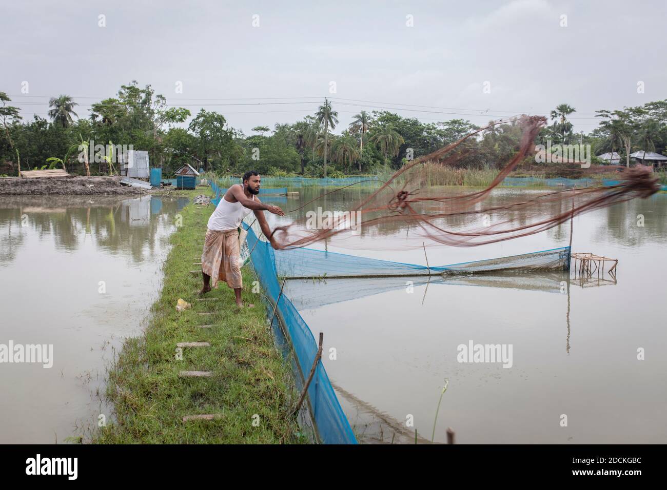 Man casts net, pond systems of a shrimp farm (Penaeus monodon), are bred in the Ganges delta in farms, Mongla, Sundarbans, Bangladesh Stock Photohttps://www.alamy.com/image-license-details/?v=1https://www.alamy.com/man-casts-net-pond-systems-of-a-shrimp-farm-penaeus-monodon-are-bred-in-the-ganges-delta-in-farms-mongla-sundarbans-bangladesh-image386433920.html
RM2DCKGBC–Man casts net, pond systems of a shrimp farm (Penaeus monodon), are bred in the Ganges delta in farms, Mongla, Sundarbans, Bangladesh
 Village water storage pond, Sundarbans, Ganges Delta, West Bengal, India, March Stock Photohttps://www.alamy.com/image-license-details/?v=1https://www.alamy.com/stock-photo-village-water-storage-pond-sundarbans-ganges-delta-west-bengal-india-80408866.html
RMEJPX96–Village water storage pond, Sundarbans, Ganges Delta, West Bengal, India, March
 Cones of jute, the ‘golden fiber’ of Bangladesh is being dried along the banks of the river Padma, after harvesting by farmers. Jute is one of the important natural fibres after cotton in terms of cultivation and usage. Cultivation is dependent on the climate, season, and soil. Almost 85% of the world's jute cultivation is concentrated in the Ganges Delta. This fertile geographic region is shared by both Bangladesh and India. About four months after planting, harvesting begins. Its cultivation has reduced with more land being used for paddy cultivation and demand being replaced by plastic. How Stock Photohttps://www.alamy.com/image-license-details/?v=1https://www.alamy.com/cones-of-jute-the-golden-fiber-of-bangladesh-is-being-dried-along-the-banks-of-the-river-padma-after-harvesting-by-farmers-jute-is-one-of-the-important-natural-fibres-after-cotton-in-terms-of-cultivation-and-usage-cultivation-is-dependent-on-the-climate-season-and-soil-almost-85-of-the-worlds-jute-cultivation-is-concentrated-in-the-ganges-delta-this-fertile-geographic-region-is-shared-by-both-bangladesh-and-india-about-four-months-after-planting-harvesting-begins-its-cultivation-has-reduced-with-more-land-being-used-for-paddy-cultivation-and-demand-being-replaced-by-plastic-how-image431615331.html
RM2G25NN7–Cones of jute, the ‘golden fiber’ of Bangladesh is being dried along the banks of the river Padma, after harvesting by farmers. Jute is one of the important natural fibres after cotton in terms of cultivation and usage. Cultivation is dependent on the climate, season, and soil. Almost 85% of the world's jute cultivation is concentrated in the Ganges Delta. This fertile geographic region is shared by both Bangladesh and India. About four months after planting, harvesting begins. Its cultivation has reduced with more land being used for paddy cultivation and demand being replaced by plastic. How
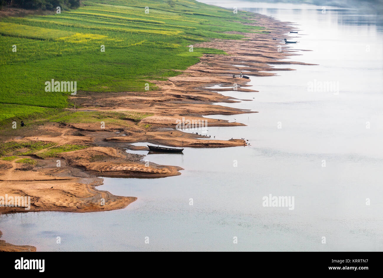 The sprouted crops in the delta of the Ganges River. Stock Photohttps://www.alamy.com/image-license-details/?v=1https://www.alamy.com/stock-image-the-sprouted-crops-in-the-delta-of-the-ganges-river-169554707.html
RFKRRTN7–The sprouted crops in the delta of the Ganges River.
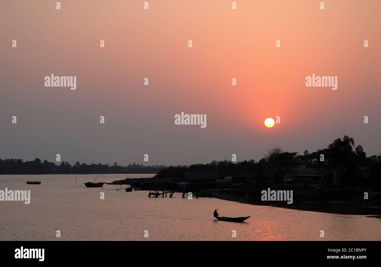 Sunset over the Ganges Delta in Bangladesh. A small boat being paddled on the river and silhouetted in a pink light. Unidentifiable person. Stock Photohttps://www.alamy.com/image-license-details/?v=1https://www.alamy.com/sunset-over-the-ganges-delta-in-bangladesh-a-small-boat-being-paddled-on-the-river-and-silhouetted-in-a-pink-light-unidentifiable-person-image362290963.html
RF2C1BNPY–Sunset over the Ganges Delta in Bangladesh. A small boat being paddled on the river and silhouetted in a pink light. Unidentifiable person.
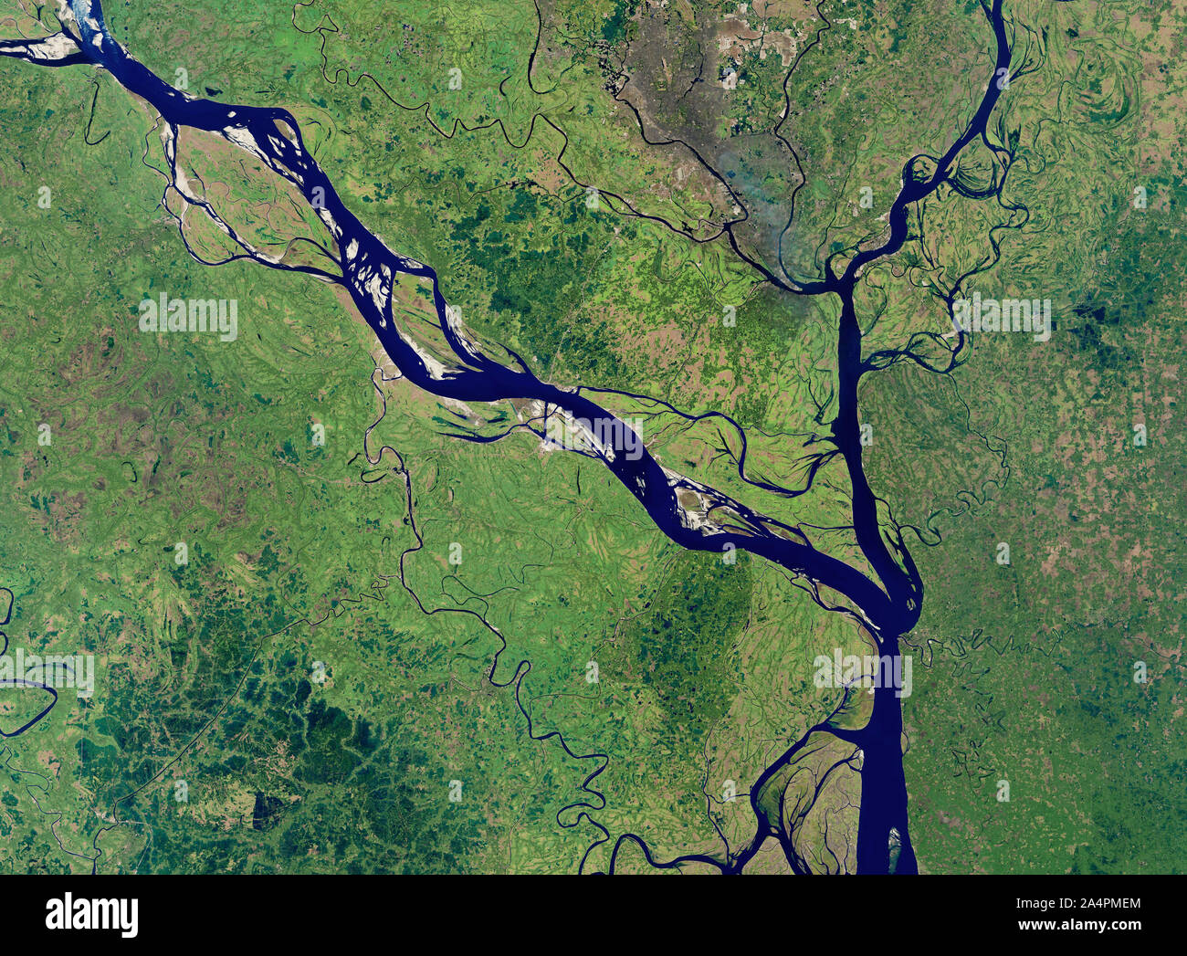 Satellite view of Padma River, Bangladesh, January 20, 2018, by NASA/Joshua Stevens/DPA Stock Photohttps://www.alamy.com/image-license-details/?v=1https://www.alamy.com/satellite-view-of-padma-river-bangladesh-january-20-2018-by-nasajoshua-stevensdpa-image329954652.html
RF2A4PMEM–Satellite view of Padma River, Bangladesh, January 20, 2018, by NASA/Joshua Stevens/DPA
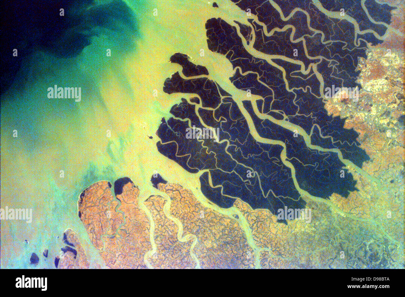 South of the confluence of the Ganges and Brahmaputra Rivers (not shown in this image) and north of the Bay of Bengal, lies the Stock Photohttps://www.alamy.com/image-license-details/?v=1https://www.alamy.com/stock-photo-south-of-the-confluence-of-the-ganges-and-brahmaputra-rivers-not-shown-57347930.html
RMD98BTA–South of the confluence of the Ganges and Brahmaputra Rivers (not shown in this image) and north of the Bay of Bengal, lies the
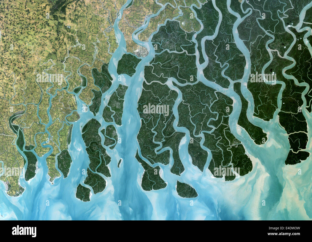 Ganges Delta, India And Bangladesh, True Colour Satellite Image. True colour satellite image of the Ganges River that forms an e Stock Photohttps://www.alamy.com/image-license-details/?v=1https://www.alamy.com/stock-photo-ganges-delta-india-and-bangladesh-true-colour-satellite-image-true-71605181.html
RME4DW3W–Ganges Delta, India And Bangladesh, True Colour Satellite Image. True colour satellite image of the Ganges River that forms an e
 A stunning sunset looking over the holiest of rivers in India. Ganges delta in Sundarbans, West Bengal, India Stock Photohttps://www.alamy.com/image-license-details/?v=1https://www.alamy.com/stock-photo-a-stunning-sunset-looking-over-the-holiest-of-rivers-in-india-ganges-50103637.html
RMCWEBKH–A stunning sunset looking over the holiest of rivers in India. Ganges delta in Sundarbans, West Bengal, India
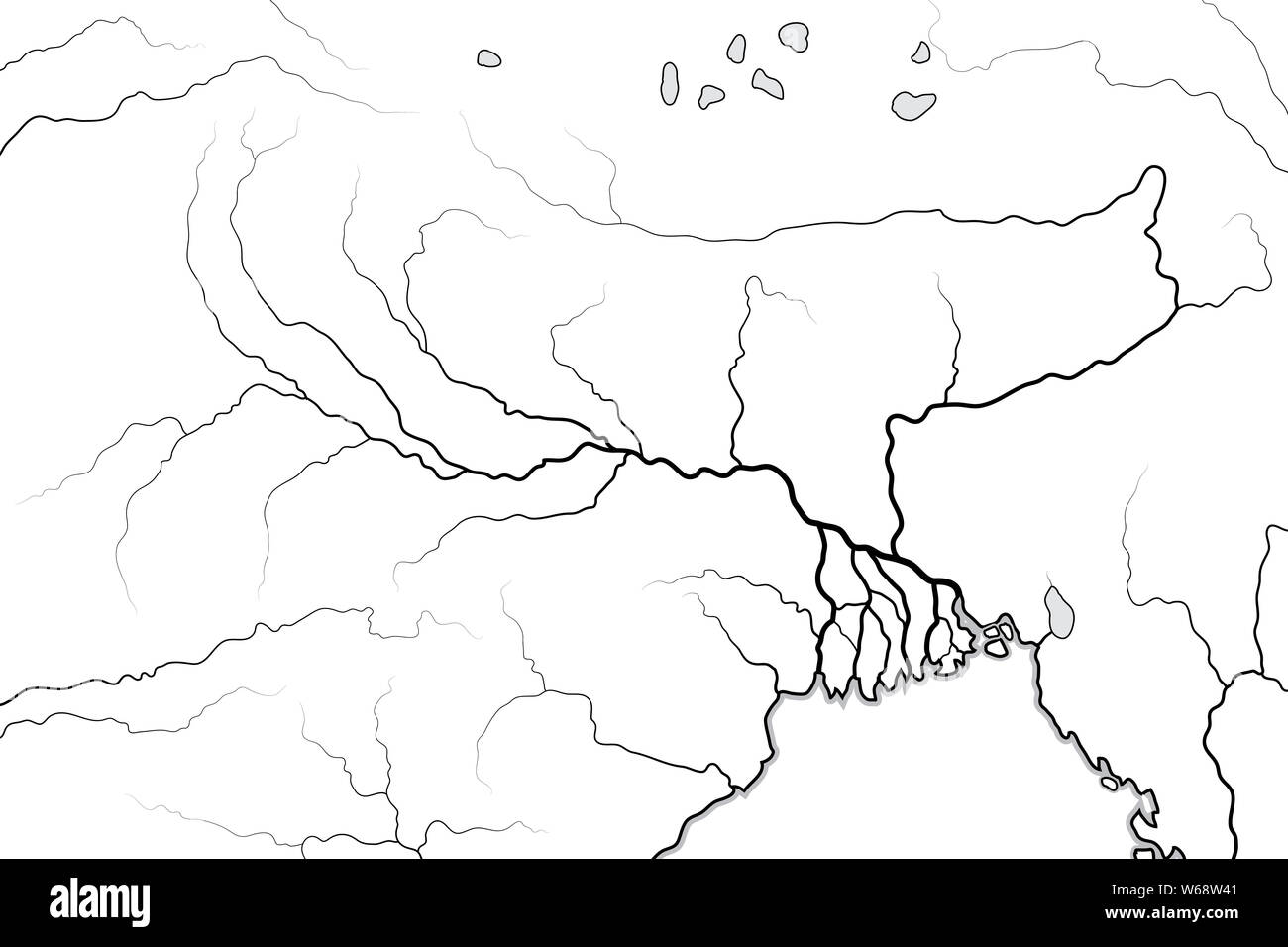 World Map of The GANGES RIVER Valley & Delta: Ganges River And Brahmaputra River, and their Delta, India, Himalayas, Nepal, Bengal, Bangladesh, Myanma Stock Photohttps://www.alamy.com/image-license-details/?v=1https://www.alamy.com/world-map-of-the-ganges-river-valley-delta-ganges-river-and-brahmaputra-river-and-their-delta-india-himalayas-nepal-bengal-bangladesh-myanma-image262038785.html
RFW68W41–World Map of The GANGES RIVER Valley & Delta: Ganges River And Brahmaputra River, and their Delta, India, Himalayas, Nepal, Bengal, Bangladesh, Myanma
 Map of the Provinces of the Lower Ganges. Artist: Unknown. Stock Photohttps://www.alamy.com/image-license-details/?v=1https://www.alamy.com/map-of-the-provinces-of-the-lower-ganges-artist-unknown-image218485878.html
RMPKCTY2–Map of the Provinces of the Lower Ganges. Artist: Unknown.
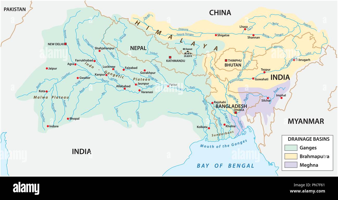 vector Map of the combined catchment areas of the Ganges, Brahmaputra and Meghna rivers. Stock Vectorhttps://www.alamy.com/image-license-details/?v=1https://www.alamy.com/vector-map-of-the-combined-catchment-areas-of-the-ganges-brahmaputra-and-meghna-rivers-image219597785.html
RFPN7F61–vector Map of the combined catchment areas of the Ganges, Brahmaputra and Meghna rivers.
 INDIA, West Bengal, Ganges river delta Sundarbans , Sagar Island , broken dyke due to sea erosion and rising sea levels, girl carry infant Stock Photohttps://www.alamy.com/image-license-details/?v=1https://www.alamy.com/stock-photo-india-west-bengal-ganges-river-delta-sundarbans-sagar-island-broken-141120455.html
RMJ5GGG7–INDIA, West Bengal, Ganges river delta Sundarbans , Sagar Island , broken dyke due to sea erosion and rising sea levels, girl carry infant
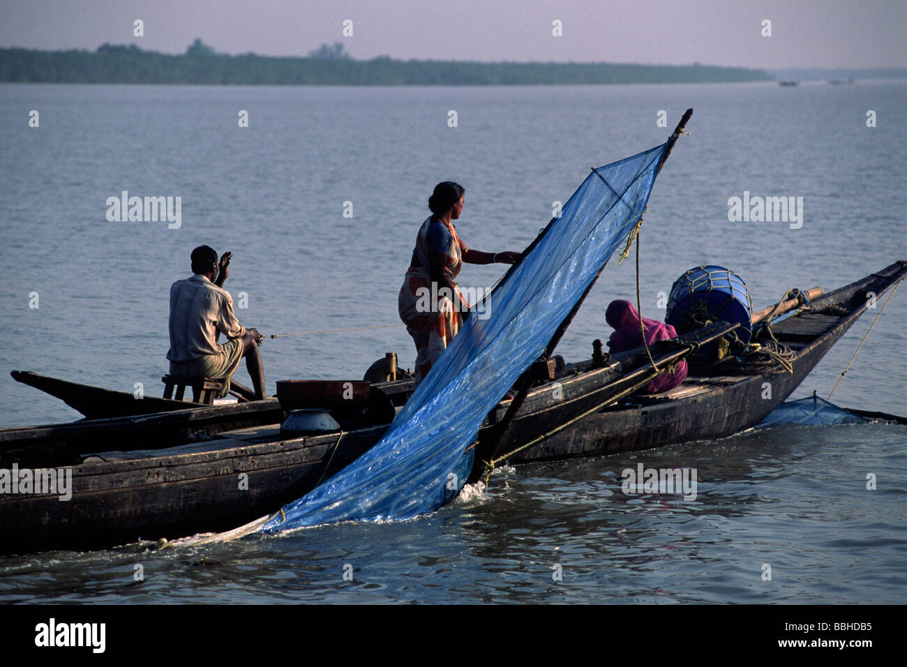 India, West Bengal, Sunderbans, Ganges Delta, fishermen Stock Photohttps://www.alamy.com/image-license-details/?v=1https://www.alamy.com/stock-photo-india-west-bengal-sunderbans-ganges-delta-fishermen-24355273.html
RMBBHDB5–India, West Bengal, Sunderbans, Ganges Delta, fishermen
 Villagers living in former river bed now dry due to siltation, complex effects of climate change, Ganges delta, Bangladesh, November 2008 Stock Photohttps://www.alamy.com/image-license-details/?v=1https://www.alamy.com/stock-photo-villagers-living-in-former-river-bed-now-dry-due-to-siltation-complex-71427313.html
RME45P7D–Villagers living in former river bed now dry due to siltation, complex effects of climate change, Ganges delta, Bangladesh, November 2008
 hanra, beautiful fishing village near small town diamond harbour, located on the bank of river ganges in west bengal, india Stock Photohttps://www.alamy.com/image-license-details/?v=1https://www.alamy.com/hanra-beautiful-fishing-village-near-small-town-diamond-harbour-located-on-the-bank-of-river-ganges-in-west-bengal-india-image600564367.html
RF2WW21YB–hanra, beautiful fishing village near small town diamond harbour, located on the bank of river ganges in west bengal, india
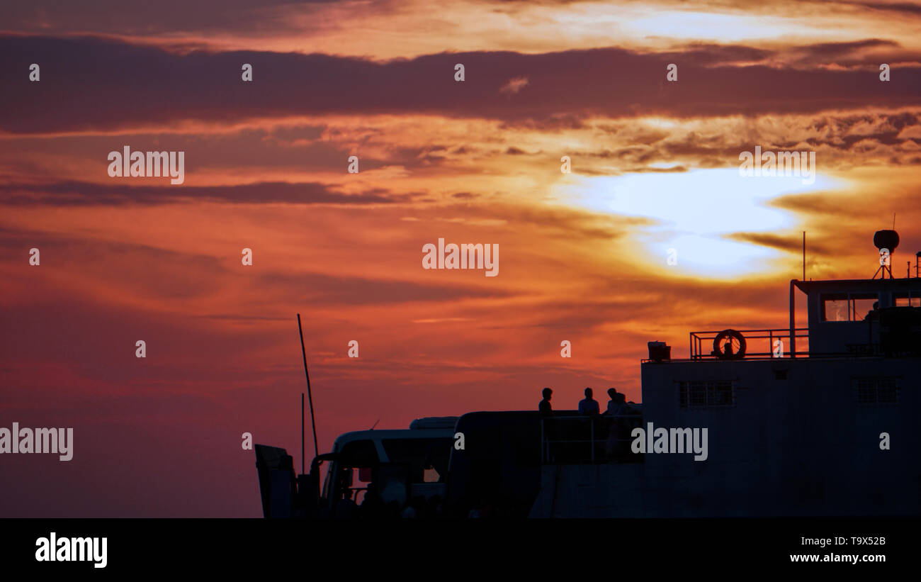 The Padma River of Bangladesh Stock Photohttps://www.alamy.com/image-license-details/?v=1https://www.alamy.com/the-padma-river-of-bangladesh-image247051795.html
RFT9X52B–The Padma River of Bangladesh
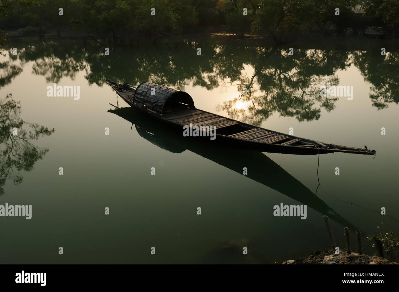 Traditional fishing boat in the delta of the Ganges River in Sundarbans Jungle National Park in India Stock Photohttps://www.alamy.com/image-license-details/?v=1https://www.alamy.com/stock-photo-traditional-fishing-boat-in-the-delta-of-the-ganges-river-in-sundarbans-133002042.html
RFHMANCX–Traditional fishing boat in the delta of the Ganges River in Sundarbans Jungle National Park in India
 Mohammad Khokon next to what used to be his family's house. A flash flood washed it into the Jamuna River in Sirajganj, Bangladesh in 2007. Global warming cause the monsoon rain and floods to start earlier. Global warming also accellerate the melting of the ice and snow in the Himalayas, which feeds into the already saturated rivers that make the Ganges Delta. The result is devastating to people who live in the densely populated delta area. While the Himalayas and flooding wreak havoc from the north, rising sea levels cause salt water intrusion in the low-lying agricultural zones along th Stock Photohttps://www.alamy.com/image-license-details/?v=1https://www.alamy.com/mohammad-khokon-next-to-what-used-to-be-his-familys-house-a-flash-flood-washed-it-into-the-jamuna-river-in-sirajganj-bangladesh-in-2007-global-warming-cause-the-monsoon-rain-and-floods-to-start-earlier-global-warming-also-accellerate-the-melting-of-the-ice-and-snow-in-the-himalayas-which-feeds-into-the-already-saturated-rivers-that-make-the-ganges-delta-the-result-is-devastating-to-people-who-live-in-the-densely-populated-delta-area-while-the-himalayas-and-flooding-wreak-havoc-from-the-north-rising-sea-levels-cause-salt-water-intrusion-in-the-low-lying-agricultural-zones-along-th-image245837099.html
RMT7XRMB–Mohammad Khokon next to what used to be his family's house. A flash flood washed it into the Jamuna River in Sirajganj, Bangladesh in 2007. Global warming cause the monsoon rain and floods to start earlier. Global warming also accellerate the melting of the ice and snow in the Himalayas, which feeds into the already saturated rivers that make the Ganges Delta. The result is devastating to people who live in the densely populated delta area. While the Himalayas and flooding wreak havoc from the north, rising sea levels cause salt water intrusion in the low-lying agricultural zones along th
 Man casts net, pond systems of a shrimp farm (Penaeus monodon), are bred in the Ganges delta in farms, Mongla, Sundarbans, Bangladesh Stock Photohttps://www.alamy.com/image-license-details/?v=1https://www.alamy.com/man-casts-net-pond-systems-of-a-shrimp-farm-penaeus-monodon-are-bred-in-the-ganges-delta-in-farms-mongla-sundarbans-bangladesh-image386433922.html
RM2DCKGBE–Man casts net, pond systems of a shrimp farm (Penaeus monodon), are bred in the Ganges delta in farms, Mongla, Sundarbans, Bangladesh
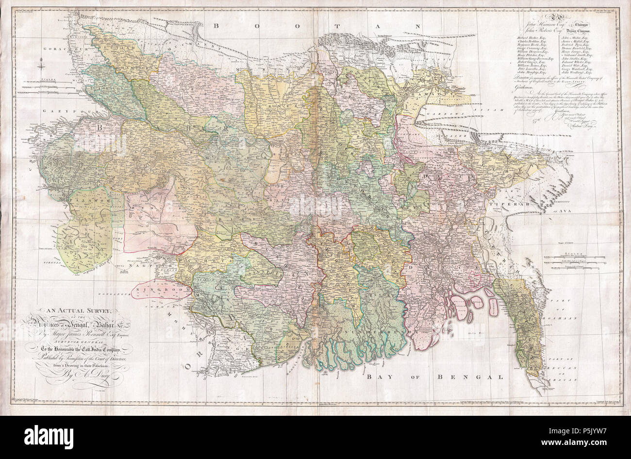 An Actual Survey, of the Provinces of Bengal, Bahar & c. by Major James Rennell Esq. Engineer to the Honorable the East India Company. Published by Permission of the Court of Directors from a Drawing in their Possession by A. Dury. English: An altogether spectacular wall sized map of those parts of Bengal and Bihar, India. Follows the course of the Ganges River from Varanasi (Benares) eastward to the Ganges Delta and the Bay of Bengal. Includes Varanasi (Benares), Dacca (Dahka, Bengladesh), and Patna among many other important Indian cities. Bounded on the north by the Himalaya Mountains and Stock Photohttps://www.alamy.com/image-license-details/?v=1https://www.alamy.com/an-actual-survey-of-the-provinces-of-bengal-bahar-c-by-major-james-rennell-esq-engineer-to-the-honorable-the-east-india-company-published-by-permission-of-the-court-of-directors-from-a-drawing-in-their-possession-by-a-dury-english-an-altogether-spectacular-wall-sized-map-of-those-parts-of-bengal-and-bihar-india-follows-the-course-of-the-ganges-river-from-varanasi-benares-eastward-to-the-ganges-delta-and-the-bay-of-bengal-includes-varanasi-benares-dacca-dahka-bengladesh-and-patna-among-many-other-important-indian-cities-bounded-on-the-north-by-the-himalaya-mountains-and-image210014707.html
RMP5JYW7–An Actual Survey, of the Provinces of Bengal, Bahar & c. by Major James Rennell Esq. Engineer to the Honorable the East India Company. Published by Permission of the Court of Directors from a Drawing in their Possession by A. Dury. English: An altogether spectacular wall sized map of those parts of Bengal and Bihar, India. Follows the course of the Ganges River from Varanasi (Benares) eastward to the Ganges Delta and the Bay of Bengal. Includes Varanasi (Benares), Dacca (Dahka, Bengladesh), and Patna among many other important Indian cities. Bounded on the north by the Himalaya Mountains and
 Local wooden boats beached along the banks of the Meghna river, waiting for passengers or tourists, in Rajshahi, a north western division in Bangladesh. The Meghna River is one of the major rivers in Bangladesh, one of the three that form the Ganges Delta the largest delta on earth, which fans out to the Bay of Bengal. The Meghna is formed due to the confluence of the Surma and Kushiyara rivers originating from the hilly regions of eastern India down to Chandpur. Meghna is hydrographically referred to as the Upper Meghna. After the Padma joins, it is referred to as the Lower Meghna. Stock Photohttps://www.alamy.com/image-license-details/?v=1https://www.alamy.com/local-wooden-boats-beached-along-the-banks-of-the-meghna-river-waiting-for-passengers-or-tourists-in-rajshahi-a-north-western-division-in-bangladesh-the-meghna-river-is-one-of-the-major-rivers-in-bangladesh-one-of-the-three-that-form-the-ganges-delta-the-largest-delta-on-earth-which-fans-out-to-the-bay-of-bengal-the-meghna-is-formed-due-to-the-confluence-of-the-surma-and-kushiyara-rivers-originating-from-the-hilly-regions-of-eastern-india-down-to-chandpur-meghna-is-hydrographically-referred-to-as-the-upper-meghna-after-the-padma-joins-it-is-referred-to-as-the-lower-meghna-image457105317.html
RM2HFJXDW–Local wooden boats beached along the banks of the Meghna river, waiting for passengers or tourists, in Rajshahi, a north western division in Bangladesh. The Meghna River is one of the major rivers in Bangladesh, one of the three that form the Ganges Delta the largest delta on earth, which fans out to the Bay of Bengal. The Meghna is formed due to the confluence of the Surma and Kushiyara rivers originating from the hilly regions of eastern India down to Chandpur. Meghna is hydrographically referred to as the Upper Meghna. After the Padma joins, it is referred to as the Lower Meghna.
 Soil erosion banks of the Ganges River. Stock Photohttps://www.alamy.com/image-license-details/?v=1https://www.alamy.com/stock-image-soil-erosion-banks-of-the-ganges-river-169554705.html
RFKRRTN5–Soil erosion banks of the Ganges River.
 Sunset over the Ganges Delta in Bangladesh. A small boat paddled on the river silhouetted against the sun in a golden light. Unidentifiable people. Stock Photohttps://www.alamy.com/image-license-details/?v=1https://www.alamy.com/sunset-over-the-ganges-delta-in-bangladesh-a-small-boat-paddled-on-the-river-silhouetted-against-the-sun-in-a-golden-light-unidentifiable-people-image362290946.html
RF2C1BNPA–Sunset over the Ganges Delta in Bangladesh. A small boat paddled on the river silhouetted against the sun in a golden light. Unidentifiable people.
 59/19 Unloading coconuts from river boats, Buriganga River Dhaka 1981 Stock Photohttps://www.alamy.com/image-license-details/?v=1https://www.alamy.com/5919-unloading-coconuts-from-river-boats-buriganga-river-dhaka-1981-image240893641.html
RMRYWJ89–59/19 Unloading coconuts from river boats, Buriganga River Dhaka 1981
![Passengers queue: boat ferry at a jetty in the Ganges delta in the Indian state of West Bengal. [automated translation] Stock Photo Passengers queue: boat ferry at a jetty in the Ganges delta in the Indian state of West Bengal. [automated translation] Stock Photo](https://c8.alamy.com/comp/2FNF51M/passengers-queue-boat-ferry-at-a-jetty-in-the-ganges-delta-in-the-indian-state-of-west-bengal-automated-translation-2FNF51M.jpg) Passengers queue: boat ferry at a jetty in the Ganges delta in the Indian state of West Bengal. [automated translation] Stock Photohttps://www.alamy.com/image-license-details/?v=1https://www.alamy.com/passengers-queue-boat-ferry-at-a-jetty-in-the-ganges-delta-in-the-indian-state-of-west-bengal-automated-translation-image426289856.html
Passengers queue: boat ferry at a jetty in the Ganges delta in the Indian state of West Bengal. [automated translation] Stock Photohttps://www.alamy.com/image-license-details/?v=1https://www.alamy.com/passengers-queue-boat-ferry-at-a-jetty-in-the-ganges-delta-in-the-indian-state-of-west-bengal-automated-translation-image426289856.htmlRM2FNF51M–Passengers queue: boat ferry at a jetty in the Ganges delta in the Indian state of West Bengal. [automated translation]
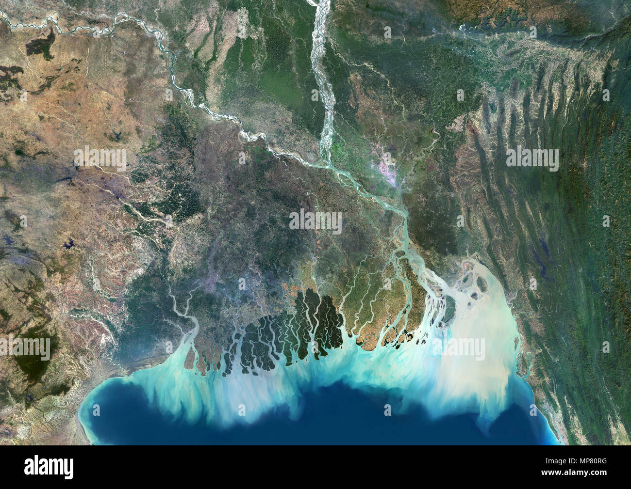 Ganges River Delta Stock Photohttps://www.alamy.com/image-license-details/?v=1https://www.alamy.com/ganges-river-delta-image185802388.html
RMMP80RG–Ganges River Delta
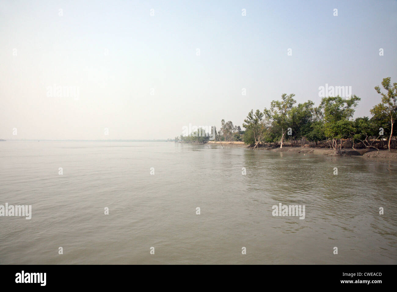 A stunning sunrise looking over the holiest of rivers in India. Ganges delta in Sundarbans, West Bengal, India. Stock Photohttps://www.alamy.com/image-license-details/?v=1https://www.alamy.com/stock-photo-a-stunning-sunrise-looking-over-the-holiest-of-rivers-in-india-ganges-50102653.html
RFCWEACD–A stunning sunrise looking over the holiest of rivers in India. Ganges delta in Sundarbans, West Bengal, India.
 Large groups of people cross the river every day in boats to get to their homes. Stock Photohttps://www.alamy.com/image-license-details/?v=1https://www.alamy.com/stock-photo-large-groups-of-people-cross-the-river-every-day-in-boats-to-get-to-75464353.html
RMEANKFD–Large groups of people cross the river every day in boats to get to their homes.
 (150119) -- CALCUTTA, Jan. 19, 2015 (Xinhua) -- Local people take a ferry boat at the Sunderbans area of the Ganges Delta in West Bengal, India, Jan. 17, 2015. The Ganges Delta is a river delta in the South Asia region of Bengal, consisting of Bangladesh and the state of West Bengal, India. It is the world's largest delta. As a UNESCO world heritage, the Sunderbans area of India shelters lots of mangrove forest and animals. Local people live on fishing, farming and use the ferry boats to commute. Many villages use the solar power due to lack of normal electricity supply. (Xinhua/Zheng Huansong Stock Photohttps://www.alamy.com/image-license-details/?v=1https://www.alamy.com/stock-photo-150119-calcutta-jan-19-2015-xinhua-local-people-take-a-ferry-boat-77837554.html
RMEEHPGJ–(150119) -- CALCUTTA, Jan. 19, 2015 (Xinhua) -- Local people take a ferry boat at the Sunderbans area of the Ganges Delta in West Bengal, India, Jan. 17, 2015. The Ganges Delta is a river delta in the South Asia region of Bengal, consisting of Bangladesh and the state of West Bengal, India. It is the world's largest delta. As a UNESCO world heritage, the Sunderbans area of India shelters lots of mangrove forest and animals. Local people live on fishing, farming and use the ferry boats to commute. Many villages use the solar power due to lack of normal electricity supply. (Xinhua/Zheng Huansong
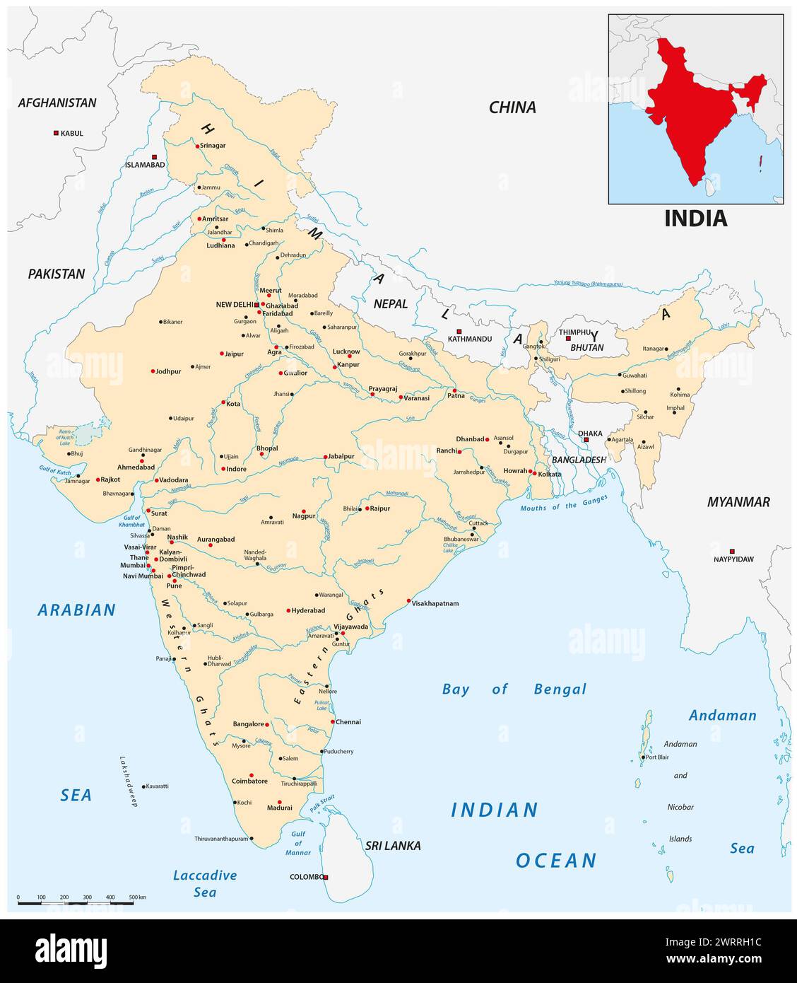 India map with the main cities Stock Photohttps://www.alamy.com/image-license-details/?v=1https://www.alamy.com/india-map-with-the-main-cities-image599807864.html
RF2WRRH1C–India map with the main cities
 INDIA, West Bengal, Ganges river delta Sundarbans , Sagar Island , broken dyke due to sea erosion and rising sea levels, girl carry infant Stock Photohttps://www.alamy.com/image-license-details/?v=1https://www.alamy.com/stock-photo-india-west-bengal-ganges-river-delta-sundarbans-sagar-island-broken-141120437.html
RMJ5GGFH–INDIA, West Bengal, Ganges river delta Sundarbans , Sagar Island , broken dyke due to sea erosion and rising sea levels, girl carry infant
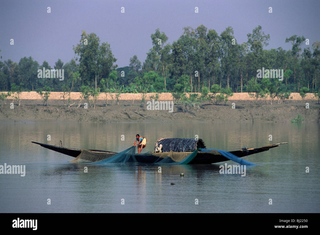 India, West Bengal, Sunderbans, Ganges Delta, fishermen Stock Photohttps://www.alamy.com/image-license-details/?v=1https://www.alamy.com/stock-photo-india-west-bengal-sunderbans-ganges-delta-fishermen-28319788.html
RMBJ2250–India, West Bengal, Sunderbans, Ganges Delta, fishermen
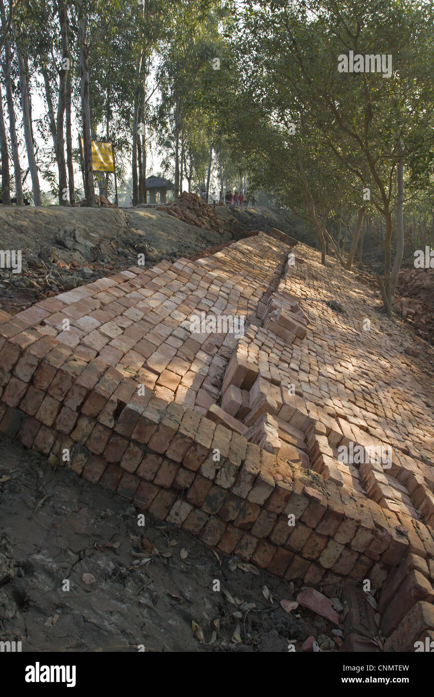 Bricks used for flood defence repairs, Sundarbans, Ganges Delta, West Bengal, India Stock Photohttps://www.alamy.com/image-license-details/?v=1https://www.alamy.com/stock-photo-bricks-used-for-flood-defence-repairs-sundarbans-ganges-delta-west-47786785.html
RMCNMTEW–Bricks used for flood defence repairs, Sundarbans, Ganges Delta, West Bengal, India
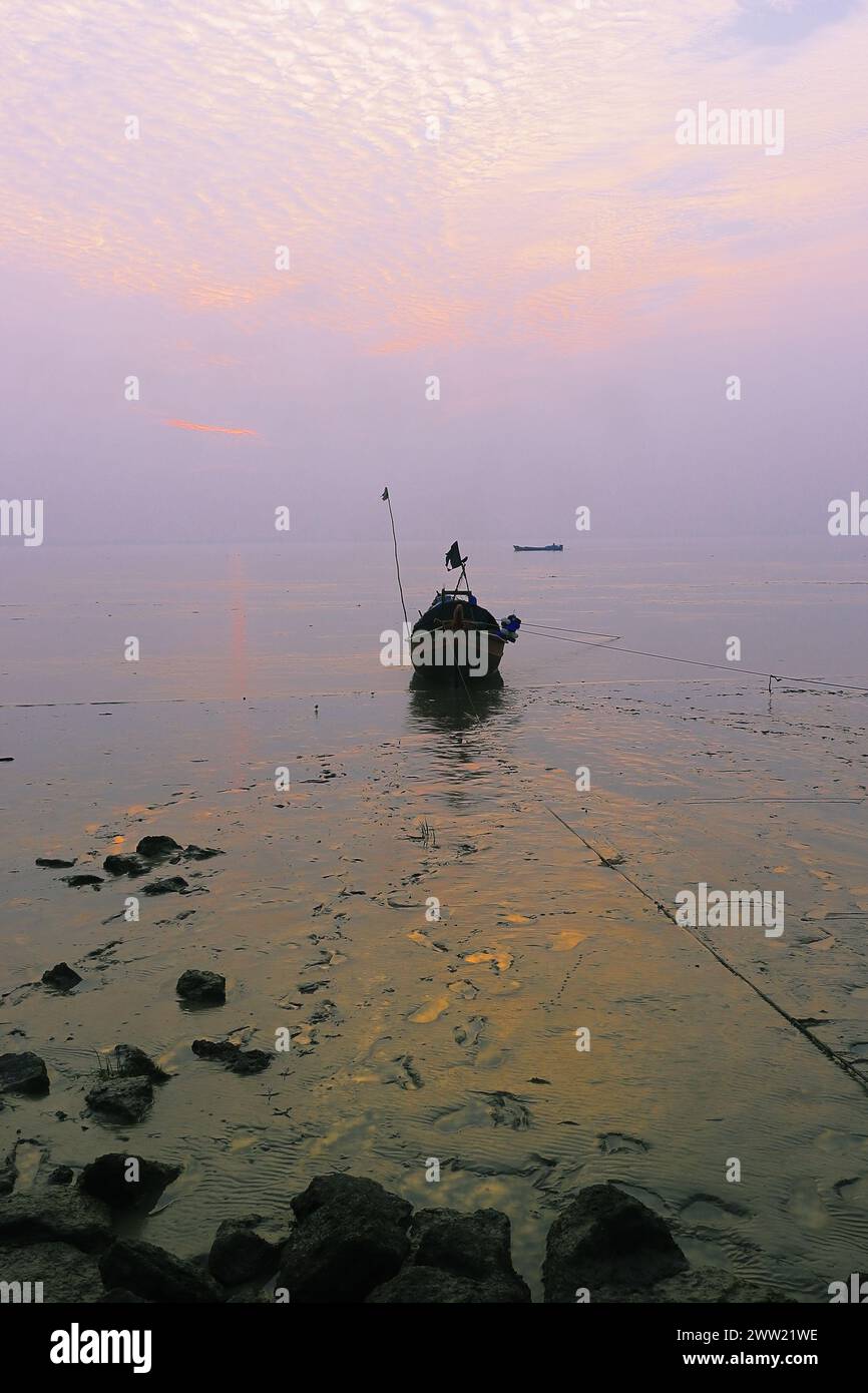 hanra, beautiful fishing village near small town diamond harbour, located on the bank of river ganges in west bengal, india Stock Photohttps://www.alamy.com/image-license-details/?v=1https://www.alamy.com/hanra-beautiful-fishing-village-near-small-town-diamond-harbour-located-on-the-bank-of-river-ganges-in-west-bengal-india-image600564314.html
RF2WW21WE–hanra, beautiful fishing village near small town diamond harbour, located on the bank of river ganges in west bengal, india
 The Gorai-Madhumati River is one of the longest rivers in Bangladesh and a distributary of the Ganges. Stock Photohttps://www.alamy.com/image-license-details/?v=1https://www.alamy.com/the-gorai-madhumati-river-is-one-of-the-longest-rivers-in-bangladesh-and-a-distributary-of-the-ganges-image453137630.html
RF2H965JP–The Gorai-Madhumati River is one of the longest rivers in Bangladesh and a distributary of the Ganges.
 The bicycle as the only means of transport in the delta of the Ganges River in India Stock Photohttps://www.alamy.com/image-license-details/?v=1https://www.alamy.com/stock-photo-the-bicycle-as-the-only-means-of-transport-in-the-delta-of-the-ganges-133001635.html
RFHMAMXB–The bicycle as the only means of transport in the delta of the Ganges River in India
 Mohammad Khokon next to what used to be his family's house. A flash flood washed it into the Jamuna River in Sirajganj, Bangladesh in 2007. Global warming cause the monsoon rain and floods to start earlier. Global warming also accellerate the melting of the ice and snow in the Himalayas, which feeds into the already saturated rivers that make the Ganges Delta. The result is devastating to people who live in the densely populated delta area. While the Himalayas and flooding wreak havoc from the north, rising sea levels cause salt water intrusion in the low-lying agricultural zones along th Stock Photohttps://www.alamy.com/image-license-details/?v=1https://www.alamy.com/mohammad-khokon-next-to-what-used-to-be-his-familys-house-a-flash-flood-washed-it-into-the-jamuna-river-in-sirajganj-bangladesh-in-2007-global-warming-cause-the-monsoon-rain-and-floods-to-start-earlier-global-warming-also-accellerate-the-melting-of-the-ice-and-snow-in-the-himalayas-which-feeds-into-the-already-saturated-rivers-that-make-the-ganges-delta-the-result-is-devastating-to-people-who-live-in-the-densely-populated-delta-area-while-the-himalayas-and-flooding-wreak-havoc-from-the-north-rising-sea-levels-cause-salt-water-intrusion-in-the-low-lying-agricultural-zones-along-th-image245836750.html
RMT7XR7X–Mohammad Khokon next to what used to be his family's house. A flash flood washed it into the Jamuna River in Sirajganj, Bangladesh in 2007. Global warming cause the monsoon rain and floods to start earlier. Global warming also accellerate the melting of the ice and snow in the Himalayas, which feeds into the already saturated rivers that make the Ganges Delta. The result is devastating to people who live in the densely populated delta area. While the Himalayas and flooding wreak havoc from the north, rising sea levels cause salt water intrusion in the low-lying agricultural zones along th
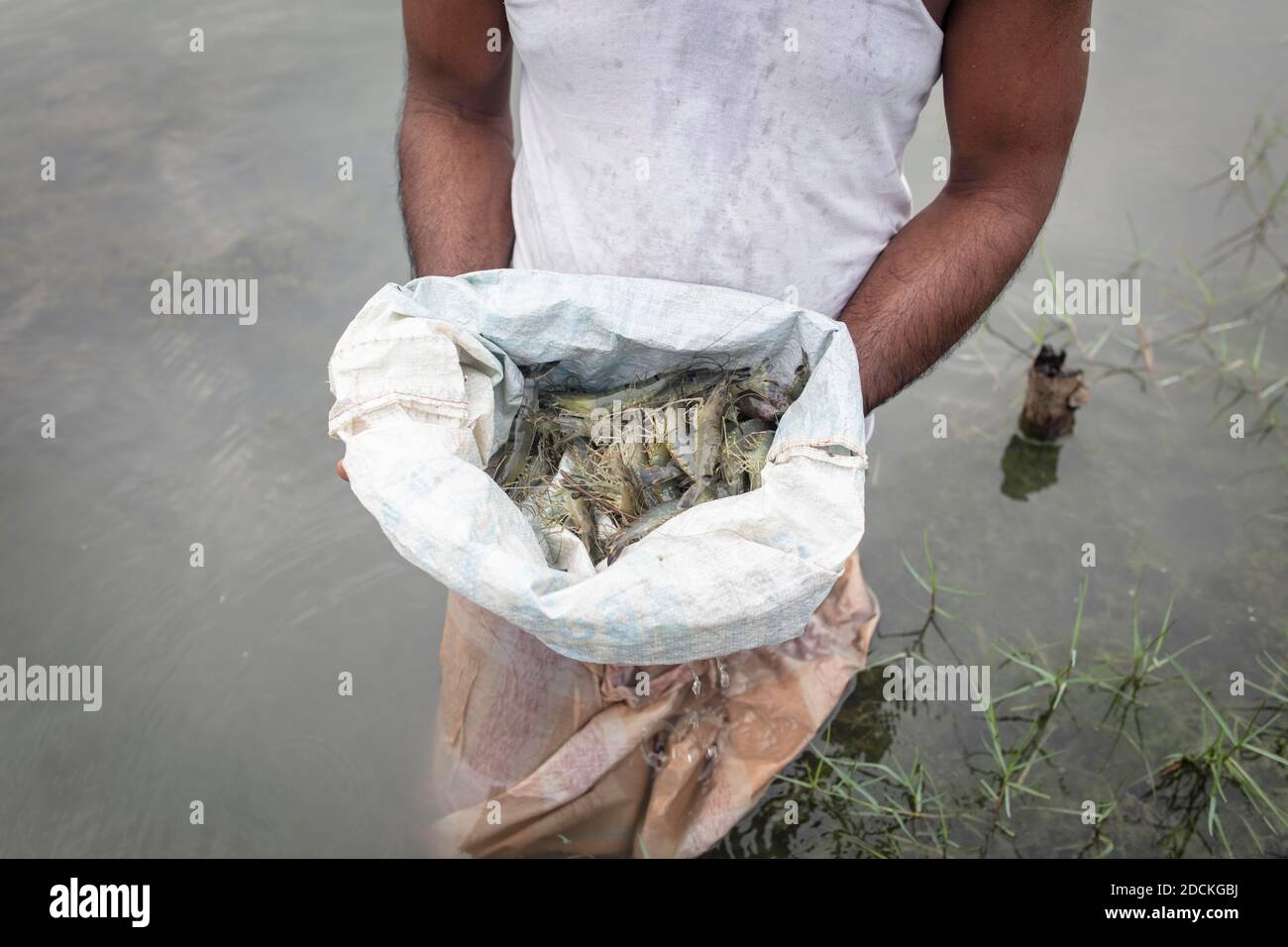 A man looks at harvested shrimps (Penaeus monodon) on a farm in an open sack, shrimps are farmed in the Ganges delta, Mongla, Sundarbans, Bangladesh Stock Photohttps://www.alamy.com/image-license-details/?v=1https://www.alamy.com/a-man-looks-at-harvested-shrimps-penaeus-monodon-on-a-farm-in-an-open-sack-shrimps-are-farmed-in-the-ganges-delta-mongla-sundarbans-bangladesh-image386433926.html
RM2DCKGBJ–A man looks at harvested shrimps (Penaeus monodon) on a farm in an open sack, shrimps are farmed in the Ganges delta, Mongla, Sundarbans, Bangladesh
 . English: An altogether spectacular wall sized map of those parts of Bengal and Bihar, India. Follows the course of the Ganges River from Varanasi (Benares) eastward to the Ganges Delta and the Bay of Bengal. Includes Varanasi (Benares), Dacca (Dahka, Bengladesh), and Patna among many other important Indian cities. Bounded on the north by the Himalaya Mountains and the border with Bhutan. One of the first accurate maps of the interior of India. Laid out from primary surveys done by James Rennell, the first modern cartographer to map the interior of India. Notes cities, markets, battlefields, Stock Photohttps://www.alamy.com/image-license-details/?v=1https://www.alamy.com/english-an-altogether-spectacular-wall-sized-map-of-those-parts-of-bengal-and-bihar-india-follows-the-course-of-the-ganges-river-from-varanasi-benares-eastward-to-the-ganges-delta-and-the-bay-of-bengal-includes-varanasi-benares-dacca-dahka-bengladesh-and-patna-among-many-other-important-indian-cities-bounded-on-the-north-by-the-himalaya-mountains-and-the-border-with-bhutan-one-of-the-first-accurate-maps-of-the-interior-of-india-laid-out-from-primary-surveys-done-by-james-rennell-the-first-modern-cartographer-to-map-the-interior-of-india-notes-cities-markets-battlefields-image185009494.html
RMMMYWDX–. English: An altogether spectacular wall sized map of those parts of Bengal and Bihar, India. Follows the course of the Ganges River from Varanasi (Benares) eastward to the Ganges Delta and the Bay of Bengal. Includes Varanasi (Benares), Dacca (Dahka, Bengladesh), and Patna among many other important Indian cities. Bounded on the north by the Himalaya Mountains and the border with Bhutan. One of the first accurate maps of the interior of India. Laid out from primary surveys done by James Rennell, the first modern cartographer to map the interior of India. Notes cities, markets, battlefields,
 Local wooden boats beached along the banks of the Meghna river, waiting for passengers or tourists, in Rajshahi, a north western division in Bangladesh. The Meghna River is one of the major rivers in Bangladesh, one of the three that form the Ganges Delta the largest delta on earth, which fans out to the Bay of Bengal. The Meghna is formed due to the confluence of the Surma and Kushiyara rivers originating from the hilly regions of eastern India down to Chandpur. Meghna is hydrographically referred to as the Upper Meghna. After the Padma joins, it is referred to as the Lower Meghna. Stock Photohttps://www.alamy.com/image-license-details/?v=1https://www.alamy.com/local-wooden-boats-beached-along-the-banks-of-the-meghna-river-waiting-for-passengers-or-tourists-in-rajshahi-a-north-western-division-in-bangladesh-the-meghna-river-is-one-of-the-major-rivers-in-bangladesh-one-of-the-three-that-form-the-ganges-delta-the-largest-delta-on-earth-which-fans-out-to-the-bay-of-bengal-the-meghna-is-formed-due-to-the-confluence-of-the-surma-and-kushiyara-rivers-originating-from-the-hilly-regions-of-eastern-india-down-to-chandpur-meghna-is-hydrographically-referred-to-as-the-upper-meghna-after-the-padma-joins-it-is-referred-to-as-the-lower-meghna-image457105264.html
RM2HFJXC0–Local wooden boats beached along the banks of the Meghna river, waiting for passengers or tourists, in Rajshahi, a north western division in Bangladesh. The Meghna River is one of the major rivers in Bangladesh, one of the three that form the Ganges Delta the largest delta on earth, which fans out to the Bay of Bengal. The Meghna is formed due to the confluence of the Surma and Kushiyara rivers originating from the hilly regions of eastern India down to Chandpur. Meghna is hydrographically referred to as the Upper Meghna. After the Padma joins, it is referred to as the Lower Meghna.
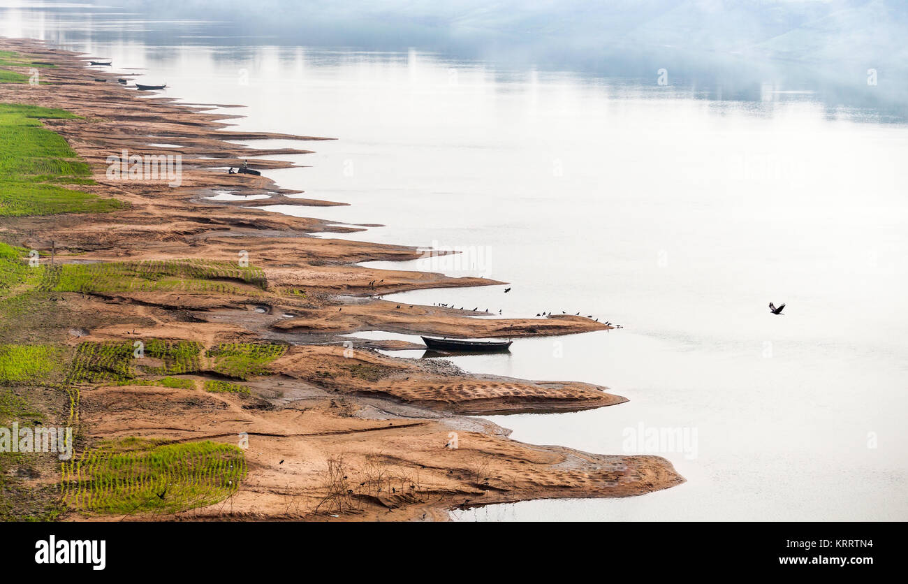 Birds on the Ganges River shallow. Stock Photohttps://www.alamy.com/image-license-details/?v=1https://www.alamy.com/stock-image-birds-on-the-ganges-river-shallow-169554704.html
RFKRRTN4–Birds on the Ganges River shallow.
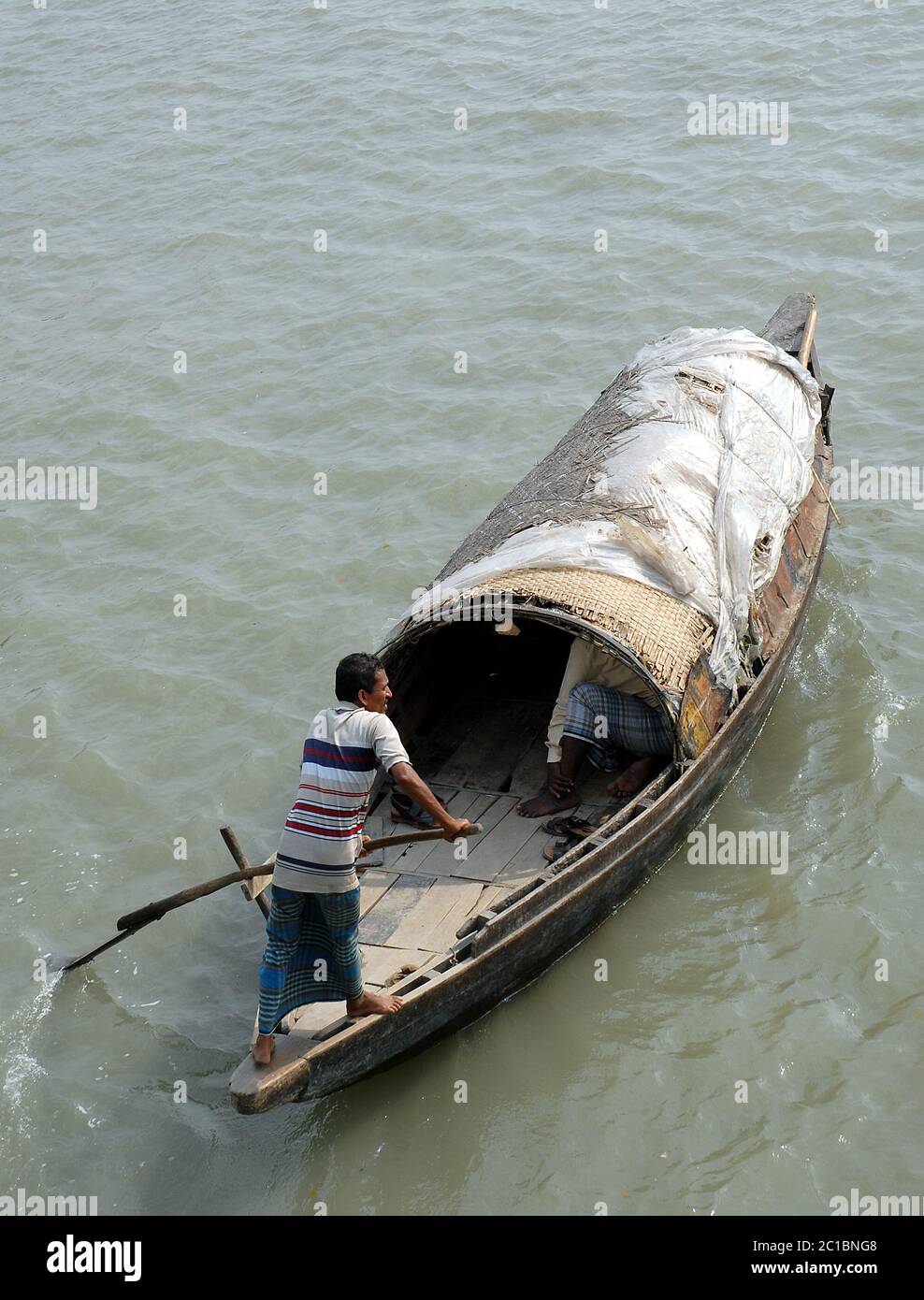 The Ganges Delta in Bangladesh. A small fishing boat being rowed on the river in the Ganges Delta. Stock Photohttps://www.alamy.com/image-license-details/?v=1https://www.alamy.com/the-ganges-delta-in-bangladesh-a-small-fishing-boat-being-rowed-on-the-river-in-the-ganges-delta-image362290776.html
RF2C1BNG8–The Ganges Delta in Bangladesh. A small fishing boat being rowed on the river in the Ganges Delta.
 Delta of ganges river in planet earth, aerial view from outer space Stock Photohttps://www.alamy.com/image-license-details/?v=1https://www.alamy.com/delta-of-ganges-river-in-planet-earth-aerial-view-from-outer-space-image616682707.html
RF2XR892B–Delta of ganges river in planet earth, aerial view from outer space
 India Sunderbans Poor rural community Small ferry used to take passengers across the Ganges delta Stock Photohttps://www.alamy.com/image-license-details/?v=1https://www.alamy.com/stock-photo-india-sunderbans-poor-rural-community-small-ferry-used-to-take-passengers-19679634.html
RMB40DG2–India Sunderbans Poor rural community Small ferry used to take passengers across the Ganges delta
 Sundarbans National Park, Bangladesh Stock Photohttps://www.alamy.com/image-license-details/?v=1https://www.alamy.com/sundarbans-national-park-bangladesh-image556020726.html
RM2R8GX32–Sundarbans National Park, Bangladesh
 A stunning sunset looking over the holiest of rivers in India. Ganges delta in Sundarbans, West Bengal, India Stock Photohttps://www.alamy.com/image-license-details/?v=1https://www.alamy.com/stock-photo-a-stunning-sunset-looking-over-the-holiest-of-rivers-in-india-ganges-50103785.html
RMCWEBTW–A stunning sunset looking over the holiest of rivers in India. Ganges delta in Sundarbans, West Bengal, India
 Coastal mangrove forest at Dhal Chhar. Dhal Char is one of the numerous islands in the delta of the Meghna River in the wider Ganges Delta region. Bho Stock Photohttps://www.alamy.com/image-license-details/?v=1https://www.alamy.com/coastal-mangrove-forest-at-dhal-chhar-dhal-char-is-one-of-the-numerous-islands-in-the-delta-of-the-meghna-river-in-the-wider-ganges-delta-region-bho-image555809108.html
RM2R87858–Coastal mangrove forest at Dhal Chhar. Dhal Char is one of the numerous islands in the delta of the Meghna River in the wider Ganges Delta region. Bho
 (150119) -- CALCUTTA, Jan. 19, 2015 (Xinhua) -- Local people take a ferry boat at the Sunderbans area of the Ganges Delta in West Bengal, India, Jan. 17, 2015. The Ganges Delta is a river delta in the South Asia region of Bengal, consisting of Bangladesh and the state of West Bengal, India. It is the world's largest delta. As a UNESCO world heritage, the Sunderbans area of India shelters lots of mangrove forest and animals. Local people live on fishing, farming and use the ferry boats to commute. Many villages use the solar power due to lack of normal electricity supply. (Xinhua/Zheng Huansong Stock Photohttps://www.alamy.com/image-license-details/?v=1https://www.alamy.com/stock-photo-150119-calcutta-jan-19-2015-xinhua-local-people-take-a-ferry-boat-77837542.html
RMEEHPG6–(150119) -- CALCUTTA, Jan. 19, 2015 (Xinhua) -- Local people take a ferry boat at the Sunderbans area of the Ganges Delta in West Bengal, India, Jan. 17, 2015. The Ganges Delta is a river delta in the South Asia region of Bengal, consisting of Bangladesh and the state of West Bengal, India. It is the world's largest delta. As a UNESCO world heritage, the Sunderbans area of India shelters lots of mangrove forest and animals. Local people live on fishing, farming and use the ferry boats to commute. Many villages use the solar power due to lack of normal electricity supply. (Xinhua/Zheng Huansong
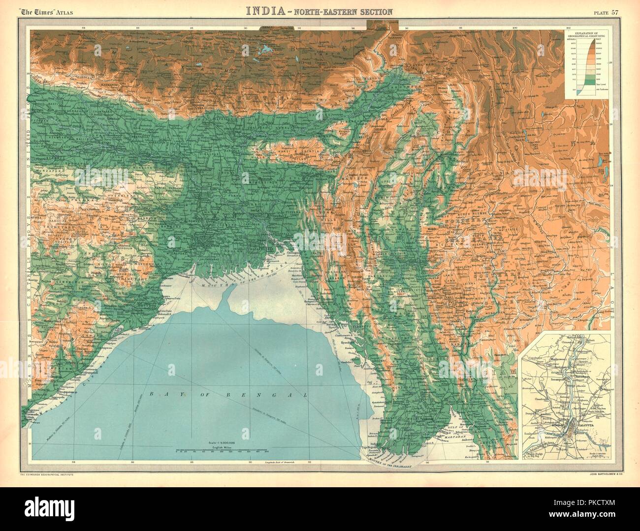 Geographical map of the north-eastern section of India, early 20th century. Artist: Unknown. Stock Photohttps://www.alamy.com/image-license-details/?v=1https://www.alamy.com/geographical-map-of-the-north-eastern-section-of-india-early-20th-century-artist-unknown-image218485868.html
RMPKCTXM–Geographical map of the north-eastern section of India, early 20th century. Artist: Unknown.
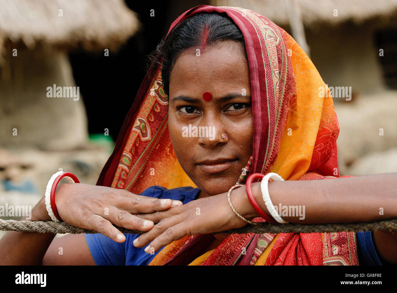 INDIA, Ganges river delta Sundarbans in West-Bengal , Sagar Island, Bengali woman in sari / INDIEN Westbengalen Gangesdelta Sundarbans , Sagar Island, bengalische Frau im Sari Stock Photohttps://www.alamy.com/image-license-details/?v=1https://www.alamy.com/stock-photo-india-ganges-river-delta-sundarbans-in-west-bengal-sagar-island-bengali-119430878.html
RMGX8F8E–INDIA, Ganges river delta Sundarbans in West-Bengal , Sagar Island, Bengali woman in sari / INDIEN Westbengalen Gangesdelta Sundarbans , Sagar Island, bengalische Frau im Sari
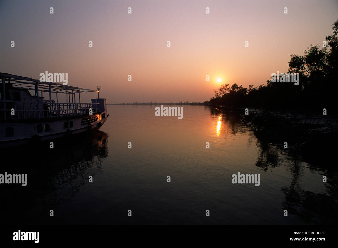 India, West Bengal, Sunderbans, Ganges Delta, sunset Stock Photohttps://www.alamy.com/image-license-details/?v=1https://www.alamy.com/stock-photo-india-west-bengal-sunderbans-ganges-delta-sunset-24354832.html
RMBBHCRC–India, West Bengal, Sunderbans, Ganges Delta, sunset
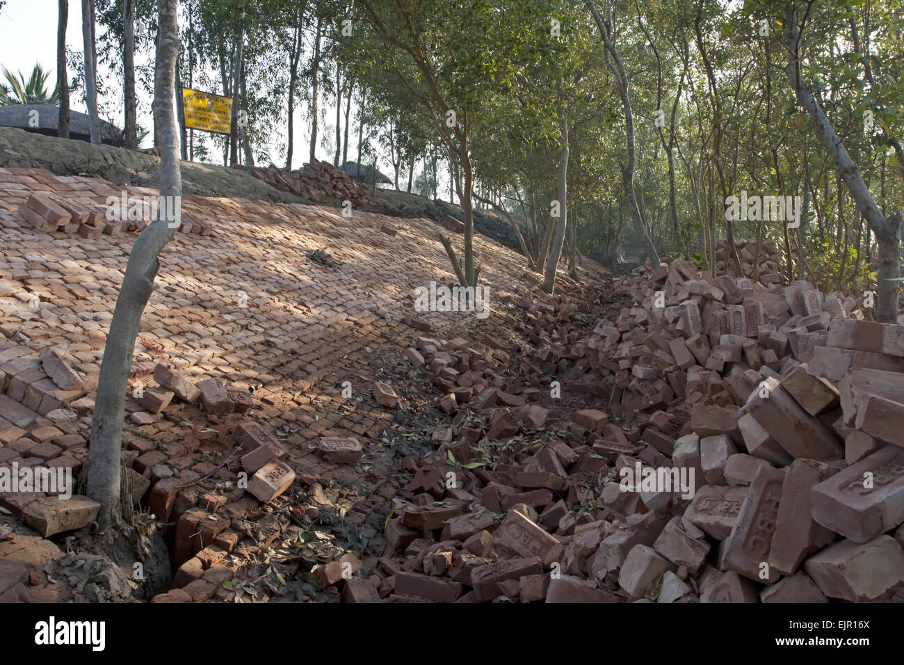 Bricks used for flood defence repairs, Sundarbans, Ganges Delta, West Bengal, India, March Stock Photohttps://www.alamy.com/image-license-details/?v=1https://www.alamy.com/stock-photo-bricks-used-for-flood-defence-repairs-sundarbans-ganges-delta-west-80411154.html
RMEJR16X–Bricks used for flood defence repairs, Sundarbans, Ganges Delta, West Bengal, India, March
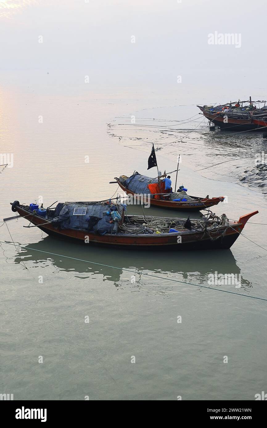 hanra, beautiful fishing village near small town diamond harbour, located on the bank of river ganges in west bengal, india Stock Photohttps://www.alamy.com/image-license-details/?v=1https://www.alamy.com/hanra-beautiful-fishing-village-near-small-town-diamond-harbour-located-on-the-bank-of-river-ganges-in-west-bengal-india-image600564321.html
RF2WW21WN–hanra, beautiful fishing village near small town diamond harbour, located on the bank of river ganges in west bengal, india
 Local people take a ferry boat at the Sunderbans area of the Ganges Delta in West Bengal, India, Jan. 17, 2015. The Ganges Delta is a river delta in the South Asia region of Bengal, consisting of Bangladesh and the state of West Bengal, India. It is the world s largest delta. As a UNESCO world heritage, the Sunderbans area of India shelters lots of mangrove forest and animals. Local people live on fishing, farming and use the ferry boats to commute. Many villages use the solar power due to lack of normal electricity supply. ) (lmz) INDIA-GANGES DELTA-DAILY LIFE ZhengxHuansong PUBLICATIONxNOTxI Stock Photohttps://www.alamy.com/image-license-details/?v=1https://www.alamy.com/local-people-take-a-ferry-boat-at-the-sunderbans-area-of-the-ganges-delta-in-west-bengal-india-jan-17-2015-the-ganges-delta-is-a-river-delta-in-the-south-asia-region-of-bengal-consisting-of-bangladesh-and-the-state-of-west-bengal-india-it-is-the-world-s-largest-delta-as-a-unesco-world-heritage-the-sunderbans-area-of-india-shelters-lots-of-mangrove-forest-and-animals-local-people-live-on-fishing-farming-and-use-the-ferry-boats-to-commute-many-villages-use-the-solar-power-due-to-lack-of-normal-electricity-supply-lmz-india-ganges-delta-daily-life-zhengxhuansong-publicationxnotxi-image563680232.html
RM2RN1RTT–Local people take a ferry boat at the Sunderbans area of the Ganges Delta in West Bengal, India, Jan. 17, 2015. The Ganges Delta is a river delta in the South Asia region of Bengal, consisting of Bangladesh and the state of West Bengal, India. It is the world s largest delta. As a UNESCO world heritage, the Sunderbans area of India shelters lots of mangrove forest and animals. Local people live on fishing, farming and use the ferry boats to commute. Many villages use the solar power due to lack of normal electricity supply. ) (lmz) INDIA-GANGES DELTA-DAILY LIFE ZhengxHuansong PUBLICATIONxNOTxI
 SUNDERBANS, INDIA - DECEMBER 12: Indian woman searching the delta of the Ganges River for the food in the Sundarbans Jungle National Park in India, Su Stock Photohttps://www.alamy.com/image-license-details/?v=1https://www.alamy.com/stock-photo-sunderbans-india-december-12-indian-woman-searching-the-delta-of-the-133002002.html
RFHMANBE–SUNDERBANS, INDIA - DECEMBER 12: Indian woman searching the delta of the Ganges River for the food in the Sundarbans Jungle National Park in India, Su
 Mohammad Khokon next to what used to be his family's house. A flash flood washed it into the Jamuna River in Sirajganj, Bangladesh in 2007. Global warming cause the monsoon rain and floods to start earlier. Global warming also accellerate the melting of the ice and snow in the Himalayas, which feeds into the already saturated rivers that make the Ganges Delta. The result is devastating to people who live in the densely populated delta area. While the Himalayas and flooding wreak havoc from the north, rising sea levels cause salt water intrusion in the low-lying agricultural zones along th Stock Photohttps://www.alamy.com/image-license-details/?v=1https://www.alamy.com/mohammad-khokon-next-to-what-used-to-be-his-familys-house-a-flash-flood-washed-it-into-the-jamuna-river-in-sirajganj-bangladesh-in-2007-global-warming-cause-the-monsoon-rain-and-floods-to-start-earlier-global-warming-also-accellerate-the-melting-of-the-ice-and-snow-in-the-himalayas-which-feeds-into-the-already-saturated-rivers-that-make-the-ganges-delta-the-result-is-devastating-to-people-who-live-in-the-densely-populated-delta-area-while-the-himalayas-and-flooding-wreak-havoc-from-the-north-rising-sea-levels-cause-salt-water-intrusion-in-the-low-lying-agricultural-zones-along-th-image245837041.html
RMT7XRJ9–Mohammad Khokon next to what used to be his family's house. A flash flood washed it into the Jamuna River in Sirajganj, Bangladesh in 2007. Global warming cause the monsoon rain and floods to start earlier. Global warming also accellerate the melting of the ice and snow in the Himalayas, which feeds into the already saturated rivers that make the Ganges Delta. The result is devastating to people who live in the densely populated delta area. While the Himalayas and flooding wreak havoc from the north, rising sea levels cause salt water intrusion in the low-lying agricultural zones along th
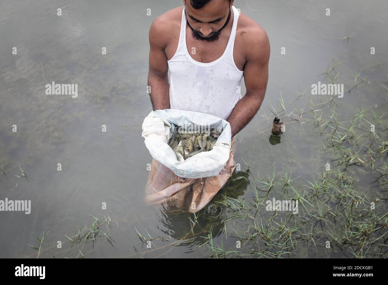 A man looks at harvested shrimps (Penaeus monodon) on a farm in an open sack, shrimps are farmed in the Ganges delta, Mongla, Sundarbans, Bangladesh Stock Photohttps://www.alamy.com/image-license-details/?v=1https://www.alamy.com/a-man-looks-at-harvested-shrimps-penaeus-monodon-on-a-farm-in-an-open-sack-shrimps-are-farmed-in-the-ganges-delta-mongla-sundarbans-bangladesh-image386433909.html
RM2DCKGB1–A man looks at harvested shrimps (Penaeus monodon) on a farm in an open sack, shrimps are farmed in the Ganges delta, Mongla, Sundarbans, Bangladesh
 . English: An extremely attractive example of S. A. Mitchell Sr.’s 1853 map of India. Covers the subcontinent in considerable detail. Princely states and British possessions are color coded. An inset in the lower right hand quadrant details the Delta of the Ganges River. Surrounded by the green border common to Mitchell maps from the 1850s. Prepared by S. A. Mitchell for issued as plate no. 69 in the 1853 edition of his New Universal Atlas . Dated and copyrighted, “Entered according to act of Congress, in the year 1850, by Thomas Cowperthwait & Co., in the Clerks office of the District court Stock Photohttps://www.alamy.com/image-license-details/?v=1https://www.alamy.com/english-an-extremely-attractive-example-of-s-a-mitchell-srs-1853-map-of-india-covers-the-subcontinent-in-considerable-detail-princely-states-and-british-possessions-are-color-coded-an-inset-in-the-lower-right-hand-quadrant-details-the-delta-of-the-ganges-river-surrounded-by-the-green-border-common-to-mitchell-maps-from-the-1850s-prepared-by-s-a-mitchell-for-issued-as-plate-no-69-in-the-1853-edition-of-his-new-universal-atlas-dated-and-copyrighted-entered-according-to-act-of-congress-in-the-year-1850-by-thomas-cowperthwait-co-in-the-clerks-office-of-the-district-court-image184948764.html
RMMMW410–. English: An extremely attractive example of S. A. Mitchell Sr.’s 1853 map of India. Covers the subcontinent in considerable detail. Princely states and British possessions are color coded. An inset in the lower right hand quadrant details the Delta of the Ganges River. Surrounded by the green border common to Mitchell maps from the 1850s. Prepared by S. A. Mitchell for issued as plate no. 69 in the 1853 edition of his New Universal Atlas . Dated and copyrighted, “Entered according to act of Congress, in the year 1850, by Thomas Cowperthwait & Co., in the Clerks office of the District court
 Local wooden boats beached along the banks of the Meghna river, waiting for passengers or tourists, in Rajshahi, a north western division in Bangladesh. The Meghna River is one of the major rivers in Bangladesh, one of the three that form the Ganges Delta the largest delta on earth, which fans out to the Bay of Bengal. The Meghna is formed due to the confluence of the Surma and Kushiyara rivers originating from the hilly regions of eastern India down to Chandpur. Meghna is hydrographically referred to as the Upper Meghna. After the Padma joins, it is referred to as the Lower Meghna. Stock Photohttps://www.alamy.com/image-license-details/?v=1https://www.alamy.com/local-wooden-boats-beached-along-the-banks-of-the-meghna-river-waiting-for-passengers-or-tourists-in-rajshahi-a-north-western-division-in-bangladesh-the-meghna-river-is-one-of-the-major-rivers-in-bangladesh-one-of-the-three-that-form-the-ganges-delta-the-largest-delta-on-earth-which-fans-out-to-the-bay-of-bengal-the-meghna-is-formed-due-to-the-confluence-of-the-surma-and-kushiyara-rivers-originating-from-the-hilly-regions-of-eastern-india-down-to-chandpur-meghna-is-hydrographically-referred-to-as-the-upper-meghna-after-the-padma-joins-it-is-referred-to-as-the-lower-meghna-image457105322.html
RM2HFJXE2–Local wooden boats beached along the banks of the Meghna river, waiting for passengers or tourists, in Rajshahi, a north western division in Bangladesh. The Meghna River is one of the major rivers in Bangladesh, one of the three that form the Ganges Delta the largest delta on earth, which fans out to the Bay of Bengal. The Meghna is formed due to the confluence of the Surma and Kushiyara rivers originating from the hilly regions of eastern India down to Chandpur. Meghna is hydrographically referred to as the Upper Meghna. After the Padma joins, it is referred to as the Lower Meghna.
 The Gorai-Madhumati River is one of the longest rivers in Bangladesh and a tributary of the Ganges. This river of Bangladesh is full of amazing beauty Stock Photohttps://www.alamy.com/image-license-details/?v=1https://www.alamy.com/the-gorai-madhumati-river-is-one-of-the-longest-rivers-in-bangladesh-and-a-tributary-of-the-ganges-this-river-of-bangladesh-is-full-of-amazing-beauty-image453137431.html
RF2H965BK–The Gorai-Madhumati River is one of the longest rivers in Bangladesh and a tributary of the Ganges. This river of Bangladesh is full of amazing beauty
 The Ganges Delta in southern Bangladesh. Silhouettes of boats being rowed on the river in golden light. No recognizable people. Stock Photohttps://www.alamy.com/image-license-details/?v=1https://www.alamy.com/the-ganges-delta-in-southern-bangladesh-silhouettes-of-boats-being-rowed-on-the-river-in-golden-light-no-recognizable-people-image362290644.html
RF2C1BNBG–The Ganges Delta in southern Bangladesh. Silhouettes of boats being rowed on the river in golden light. No recognizable people.
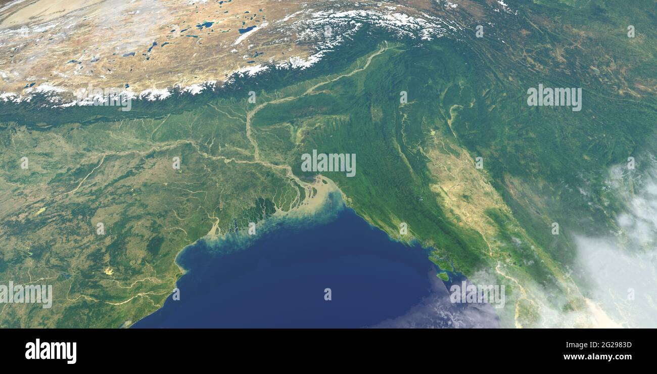 Delta of ganges river in planet earth, aerial view from outer space Stock Photohttps://www.alamy.com/image-license-details/?v=1https://www.alamy.com/delta-of-ganges-river-in-planet-earth-aerial-view-from-outer-space-image431692449.html
RF2G2983D–Delta of ganges river in planet earth, aerial view from outer space
 Traditional fishing boat in the delta of the Ganges River in Sundarbans Jungle National Park in India Stock Photohttps://www.alamy.com/image-license-details/?v=1https://www.alamy.com/traditional-fishing-boat-in-the-delta-of-the-ganges-river-in-sundarbans-jungle-national-park-in-india-image448507583.html
RM2H1K7YY–Traditional fishing boat in the delta of the Ganges River in Sundarbans Jungle National Park in India
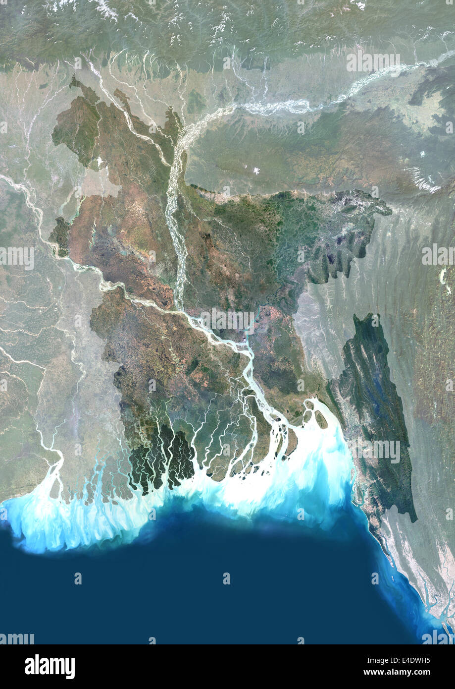 Bangladesh, Asia, True Colour Satellite Image With Mask. Satellite view of Bangladesh (with mask). This image was compiled from Stock Photohttps://www.alamy.com/image-license-details/?v=1https://www.alamy.com/stock-photo-bangladesh-asia-true-colour-satellite-image-with-mask-satellite-view-71605553.html
RME4DWH5–Bangladesh, Asia, True Colour Satellite Image With Mask. Satellite view of Bangladesh (with mask). This image was compiled from
 A stunning sunset looking over the holiest of rivers in India. Ganges delta in Sundarbans, West Bengal, India Stock Photohttps://www.alamy.com/image-license-details/?v=1https://www.alamy.com/stock-photo-a-stunning-sunset-looking-over-the-holiest-of-rivers-in-india-ganges-50104434.html
RMCWECM2–A stunning sunset looking over the holiest of rivers in India. Ganges delta in Sundarbans, West Bengal, India
 Coastal mangrove forest at Dhal Chhar. Dhal Char is one of the numerous islands in the delta of the Meghna River in the wider Ganges Delta region. Bho Stock Photohttps://www.alamy.com/image-license-details/?v=1https://www.alamy.com/coastal-mangrove-forest-at-dhal-chhar-dhal-char-is-one-of-the-numerous-islands-in-the-delta-of-the-meghna-river-in-the-wider-ganges-delta-region-bho-image555812133.html
RM2R87C19–Coastal mangrove forest at Dhal Chhar. Dhal Char is one of the numerous islands in the delta of the Meghna River in the wider Ganges Delta region. Bho