Quick filters:
General map of peru Stock Photos and Images
 Map of Peru from the article ' BUSINESS OPPORTUNITIES IN PERU ' By H. Guillaume, F. R. G. S. , Consul General for Peru at Southampton, England from The Engineering Magazine DEVOTED TO INDUSTRIAL PROGRESS Volume VII April to September, 1894 NEW YORK The Engineering Magazine Co Stock Photohttps://www.alamy.com/image-license-details/?v=1https://www.alamy.com/map-of-peru-from-the-article-business-opportunities-in-peru-by-h-guillaume-f-r-g-s-consul-general-for-peru-at-southampton-england-from-the-engineering-magazine-devoted-to-industrial-progress-volume-vii-april-to-september-1894-new-york-the-engineering-magazine-co-image475988872.html
RF2JJB4JG–Map of Peru from the article ' BUSINESS OPPORTUNITIES IN PERU ' By H. Guillaume, F. R. G. S. , Consul General for Peru at Southampton, England from The Engineering Magazine DEVOTED TO INDUSTRIAL PROGRESS Volume VII April to September, 1894 NEW YORK The Engineering Magazine Co
 2011.10.17.093632 Convento San Ramón Nonato Buenos Aires Stock Photohttps://www.alamy.com/image-license-details/?v=1https://www.alamy.com/stock-photo-20111017093632-convento-san-ramn-nonato-buenos-aires-147387176.html
RMJFP1RM–2011.10.17.093632 Convento San Ramón Nonato Buenos Aires
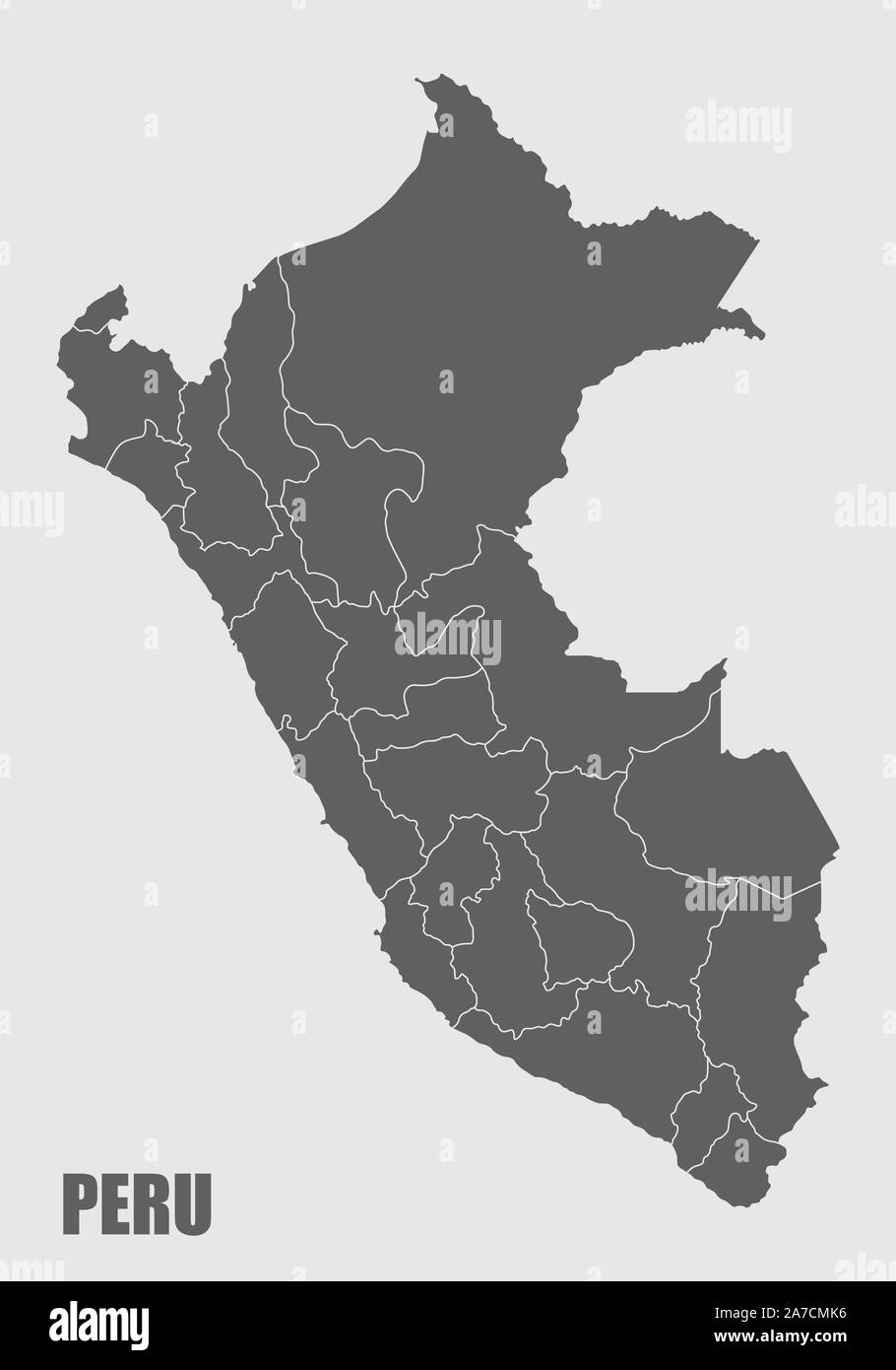 Peru regions map Stock Vectorhttps://www.alamy.com/image-license-details/?v=1https://www.alamy.com/peru-regions-map-image331579226.html
RF2A7CMK6–Peru regions map
 AMERICA DEL SUR. PERU. SIGLO XVIII. PLANO DE LA RADA DE ARICA. Situado en la costa del Perú, a 18,29 grados de latitud Austral y Plano de la villa de Arica, vista general, con el poblado de San Miguel de Sapa, Rada de Arica, Valle de Arica y otros detalles situados en un plano o mapa del año 1879 que pasó a pertenecer a Chile. Grabado francés del año 1716. Biblioteca de Cataluña. Barcelona. Stock Photohttps://www.alamy.com/image-license-details/?v=1https://www.alamy.com/america-del-sur-peru-siglo-xviii-plano-de-la-rada-de-arica-situado-en-la-costa-del-per-a-1829-grados-de-latitud-austral-y-plano-de-la-villa-de-arica-vista-general-con-el-poblado-de-san-miguel-de-sapa-rada-de-arica-valle-de-arica-y-otros-detalles-situados-en-un-plano-o-mapa-del-ao-1879-que-pas-a-pertenecer-a-chile-grabado-francs-del-ao-1716-biblioteca-de-catalua-barcelona-image209661861.html
RMP52WRH–AMERICA DEL SUR. PERU. SIGLO XVIII. PLANO DE LA RADA DE ARICA. Situado en la costa del Perú, a 18,29 grados de latitud Austral y Plano de la villa de Arica, vista general, con el poblado de San Miguel de Sapa, Rada de Arica, Valle de Arica y otros detalles situados en un plano o mapa del año 1879 que pasó a pertenecer a Chile. Grabado francés del año 1716. Biblioteca de Cataluña. Barcelona.
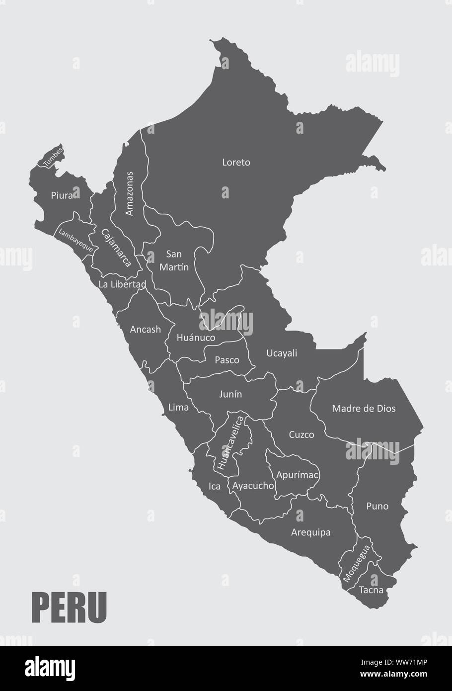 Peru regions map Stock Vectorhttps://www.alamy.com/image-license-details/?v=1https://www.alamy.com/peru-regions-map-image273676950.html
RFWW71MP–Peru regions map
 MFPS D Mapa General del Peru, 1865 Stock Photohttps://www.alamy.com/image-license-details/?v=1https://www.alamy.com/stock-photo-mfps-d-mapa-general-del-peru-1865-140294077.html
RMJ46XEN–MFPS D Mapa General del Peru, 1865
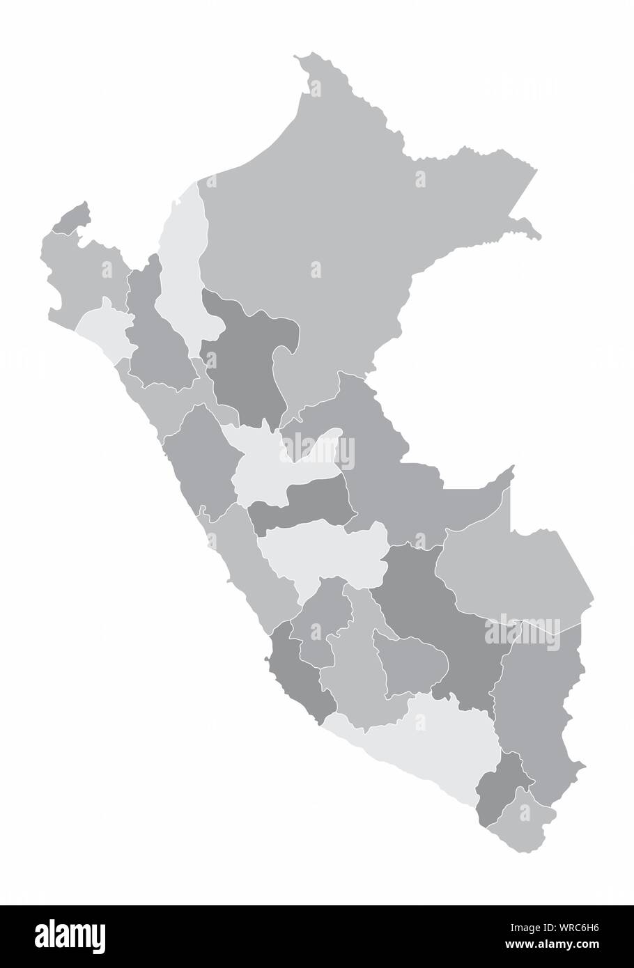 Peru regions map Stock Vectorhttps://www.alamy.com/image-license-details/?v=1https://www.alamy.com/peru-regions-map-image272561218.html
RFWRC6H6–Peru regions map
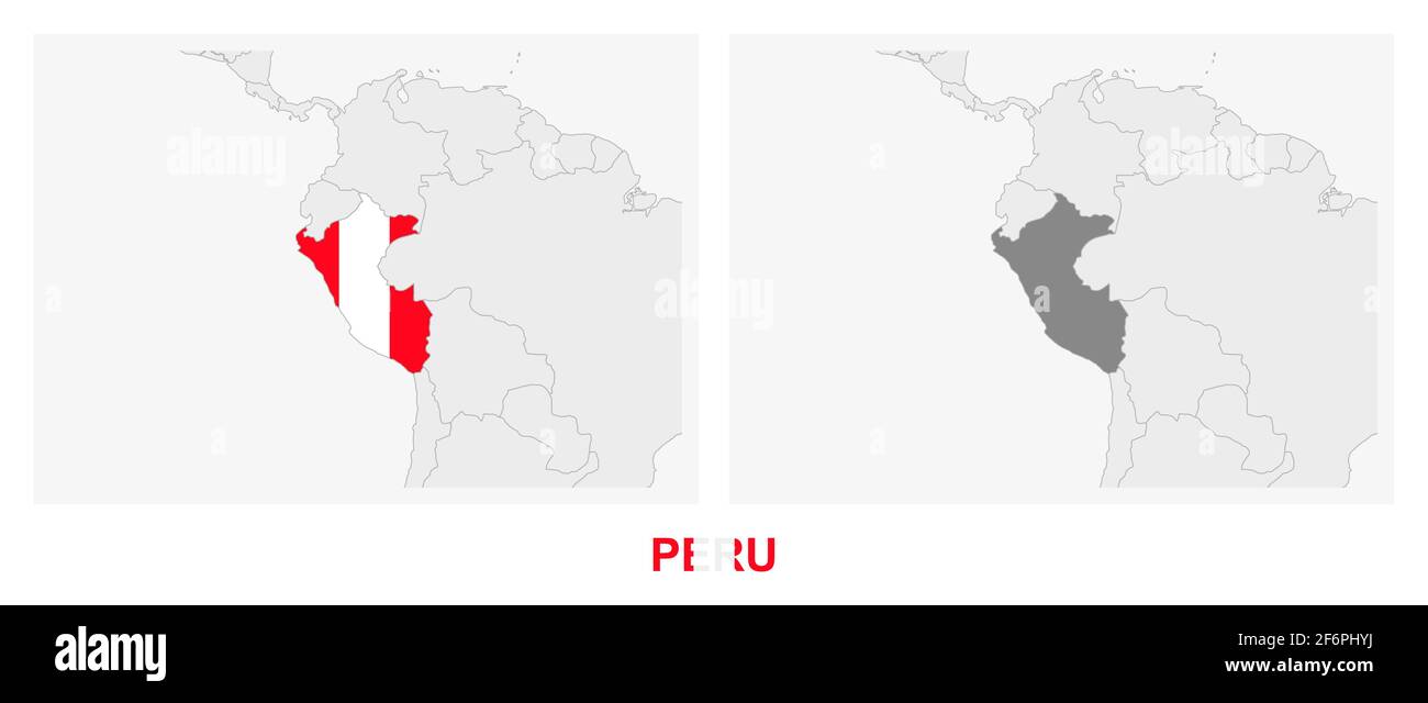 Two versions of the map of Peru, with the flag of Peru and highlighted in dark grey. Vector map. Stock Vectorhttps://www.alamy.com/image-license-details/?v=1https://www.alamy.com/two-versions-of-the-map-of-peru-with-the-flag-of-peru-and-highlighted-in-dark-grey-vector-map-image417233814.html
RF2F6PHYJ–Two versions of the map of Peru, with the flag of Peru and highlighted in dark grey. Vector map.
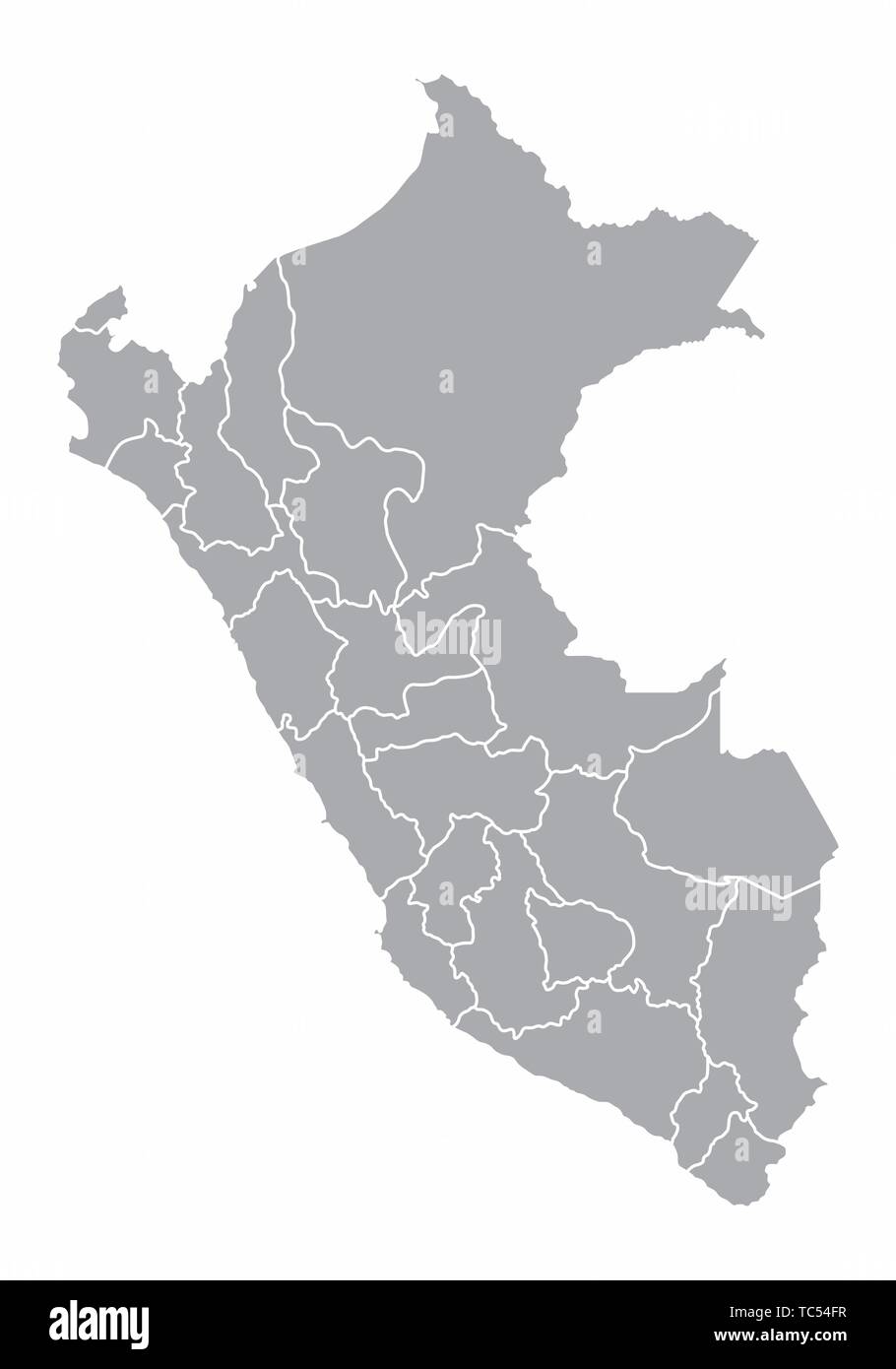 A gray map of Peru divided into provinces Stock Vectorhttps://www.alamy.com/image-license-details/?v=1https://www.alamy.com/a-gray-map-of-peru-divided-into-provinces-image248434363.html
RFTC54FR–A gray map of Peru divided into provinces
 World map in perspective showing the location of the country Peru with detailed map with flag of Peru. Vector illustration. Stock Vectorhttps://www.alamy.com/image-license-details/?v=1https://www.alamy.com/world-map-in-perspective-showing-the-location-of-the-country-peru-with-detailed-map-with-flag-of-peru-vector-illustration-image471789442.html
RF2JBFT6X–World map in perspective showing the location of the country Peru with detailed map with flag of Peru. Vector illustration.
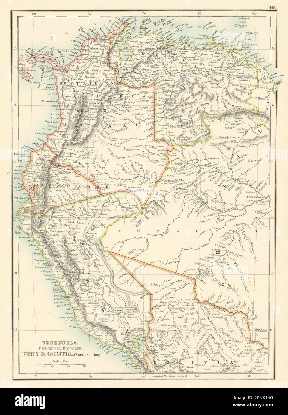 Venezuela, Colombia, Equador & Peru. Andean States Ecuador. BARTHOLOMEW 1898 map Stock Photohttps://www.alamy.com/image-license-details/?v=1https://www.alamy.com/venezuela-colombia-equador-peru-andean-states-ecuador-bartholomew-1898-map-image546847184.html
RF2PNK14G–Venezuela, Colombia, Equador & Peru. Andean States Ecuador. BARTHOLOMEW 1898 map
 Peru map on white background with clipping path 3d illustration Stock Photohttps://www.alamy.com/image-license-details/?v=1https://www.alamy.com/peru-map-on-white-background-with-clipping-path-3d-illustration-image546183571.html
RF2PMGPM3–Peru map on white background with clipping path 3d illustration
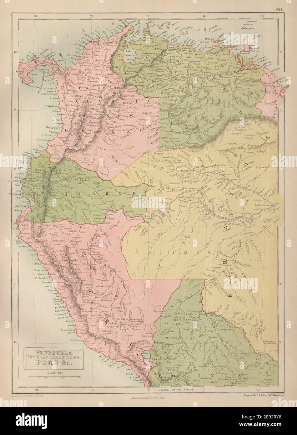 Venezuela, Colombia, Equador & Peru. Andean States Ecuador. BARTHOLOMEW 1870 map Stock Photohttps://www.alamy.com/image-license-details/?v=1https://www.alamy.com/venezuela-colombia-equador-peru-andean-states-ecuador-bartholomew-1870-map-image401433068.html
RF2E92RY8–Venezuela, Colombia, Equador & Peru. Andean States Ecuador. BARTHOLOMEW 1870 map
 Mexico, its ancient and modern civilisation, history and political conditions, topography and natural resources, industries and general development; . ND TRAVEL IN PERU SECOND EDITION WITH A MAP AND NUMEROUS ILLUSTRATIONS Medium Svo. Cloth. OPINIONS OF THE PRESS. It would indeed be difficult to find any book on modern SouthAmerica which contains a larger amount of valuable informationfor every class of reader.—The Times. Mr. Enock has written a delightful book, crowded withmaterial of surpassing interest and value for the geographer,the historian, the naturalist, the engineer, and the travelle Stock Photohttps://www.alamy.com/image-license-details/?v=1https://www.alamy.com/mexico-its-ancient-and-modern-civilisation-history-and-political-conditions-topography-and-natural-resources-industries-and-general-development-nd-travel-in-peru-second-edition-with-a-map-and-numerous-illustrations-medium-svo-cloth-opinions-of-the-press-it-would-indeed-be-difficult-to-find-any-book-on-modern-southamerica-which-contains-a-larger-amount-of-valuable-informationfor-every-class-of-readerthe-times-mr-enock-has-written-a-delightful-book-crowded-withmaterial-of-surpassing-interest-and-value-for-the-geographerthe-historian-the-naturalist-the-engineer-and-the-travelle-image339948164.html
RM2AN1Y9T–Mexico, its ancient and modern civilisation, history and political conditions, topography and natural resources, industries and general development; . ND TRAVEL IN PERU SECOND EDITION WITH A MAP AND NUMEROUS ILLUSTRATIONS Medium Svo. Cloth. OPINIONS OF THE PRESS. It would indeed be difficult to find any book on modern SouthAmerica which contains a larger amount of valuable informationfor every class of reader.—The Times. Mr. Enock has written a delightful book, crowded withmaterial of surpassing interest and value for the geographer,the historian, the naturalist, the engineer, and the travelle
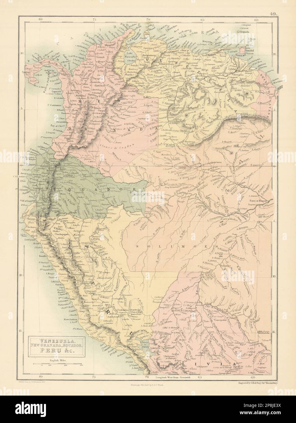 Venezuela, Colombia, Equador & Peru. Andean States Ecuador. BARTHOLOMEW 1862 map Stock Photohttps://www.alamy.com/image-license-details/?v=1https://www.alamy.com/venezuela-colombia-equador-peru-andean-states-ecuador-bartholomew-1862-map-image538844878.html
RF2P8JE3X–Venezuela, Colombia, Equador & Peru. Andean States Ecuador. BARTHOLOMEW 1862 map
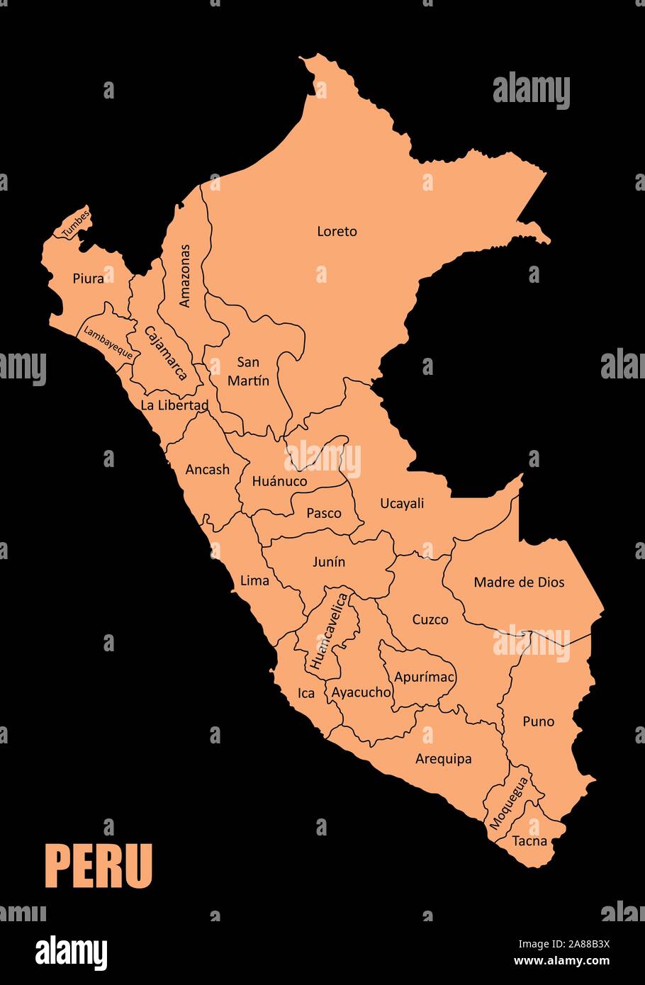 Peru regions map Stock Vectorhttps://www.alamy.com/image-license-details/?v=1https://www.alamy.com/peru-regions-map-image332098590.html
RF2A88B3X–Peru regions map
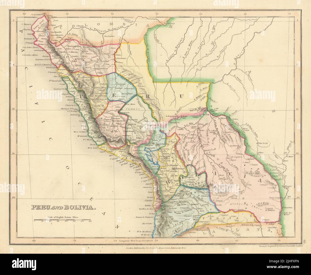 Peru and Bolivia in provinces by John Dower 1845 old antique map plan chart Stock Photohttps://www.alamy.com/image-license-details/?v=1https://www.alamy.com/peru-and-bolivia-in-provinces-by-john-dower-1845-old-antique-map-plan-chart-image475479193.html
RF2JHFXFN–Peru and Bolivia in provinces by John Dower 1845 old antique map plan chart
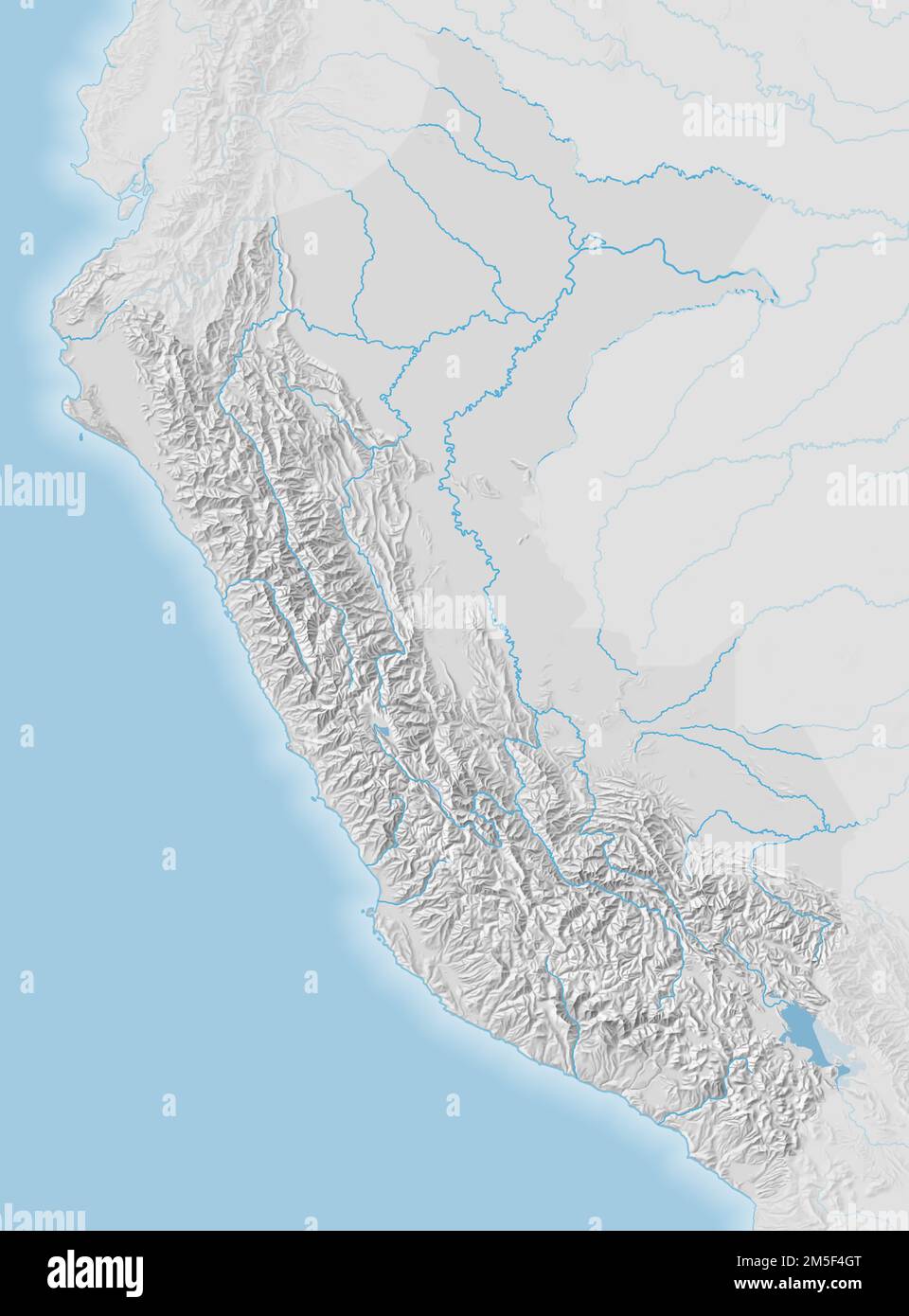 Topographic map of Peru Stock Photohttps://www.alamy.com/image-license-details/?v=1https://www.alamy.com/topographic-map-of-peru-image502506840.html
RF2M5F4GT–Topographic map of Peru
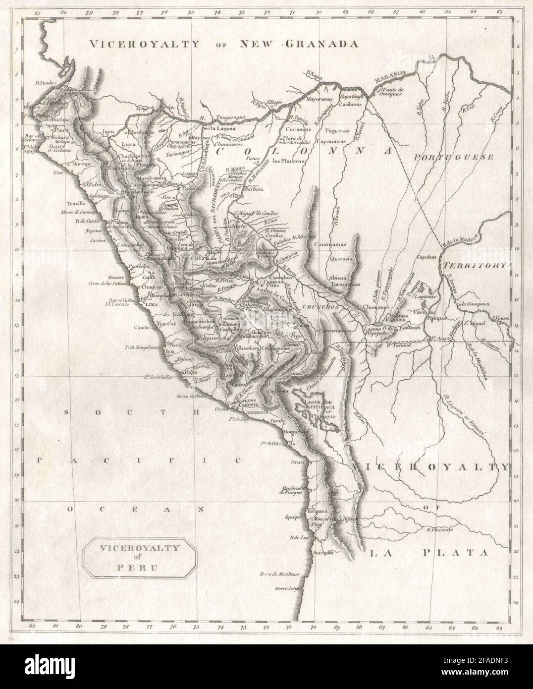 Viceroyalty of Peru by Arrowsmith & Lewis 1812 old antique map plan chart Stock Photohttps://www.alamy.com/image-license-details/?v=1https://www.alamy.com/viceroyalty-of-peru-by-arrowsmith-lewis-1812-old-antique-map-plan-chart-image419497655.html
RF2FADNF3–Viceroyalty of Peru by Arrowsmith & Lewis 1812 old antique map plan chart
 Political map of Peru with the several regions. Stock Photohttps://www.alamy.com/image-license-details/?v=1https://www.alamy.com/stock-photo-political-map-of-peru-with-the-several-regions-48985615.html
RFCRKDJ7–Political map of Peru with the several regions.
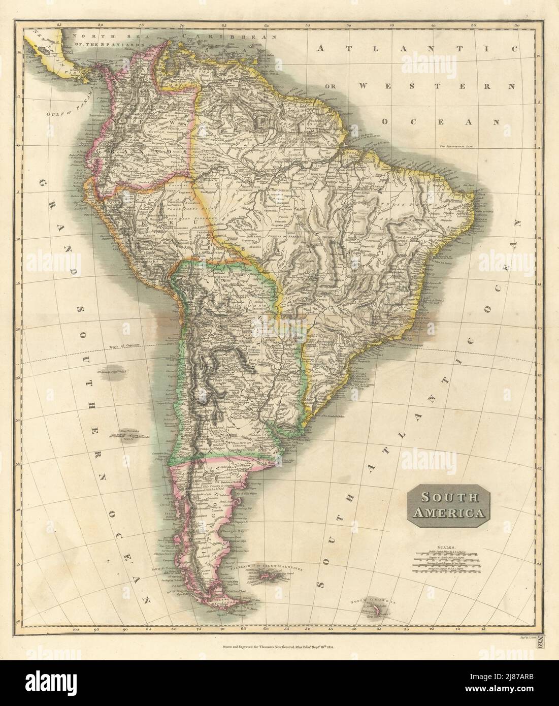 'South America'. New Granada & Peru Viceroyalties. Tucuman. THOMSON 1817 map Stock Photohttps://www.alamy.com/image-license-details/?v=1https://www.alamy.com/south-america-new-granada-peru-viceroyalties-tucuman-thomson-1817-map-image469759343.html
RF2J87ARB–'South America'. New Granada & Peru Viceroyalties. Tucuman. THOMSON 1817 map
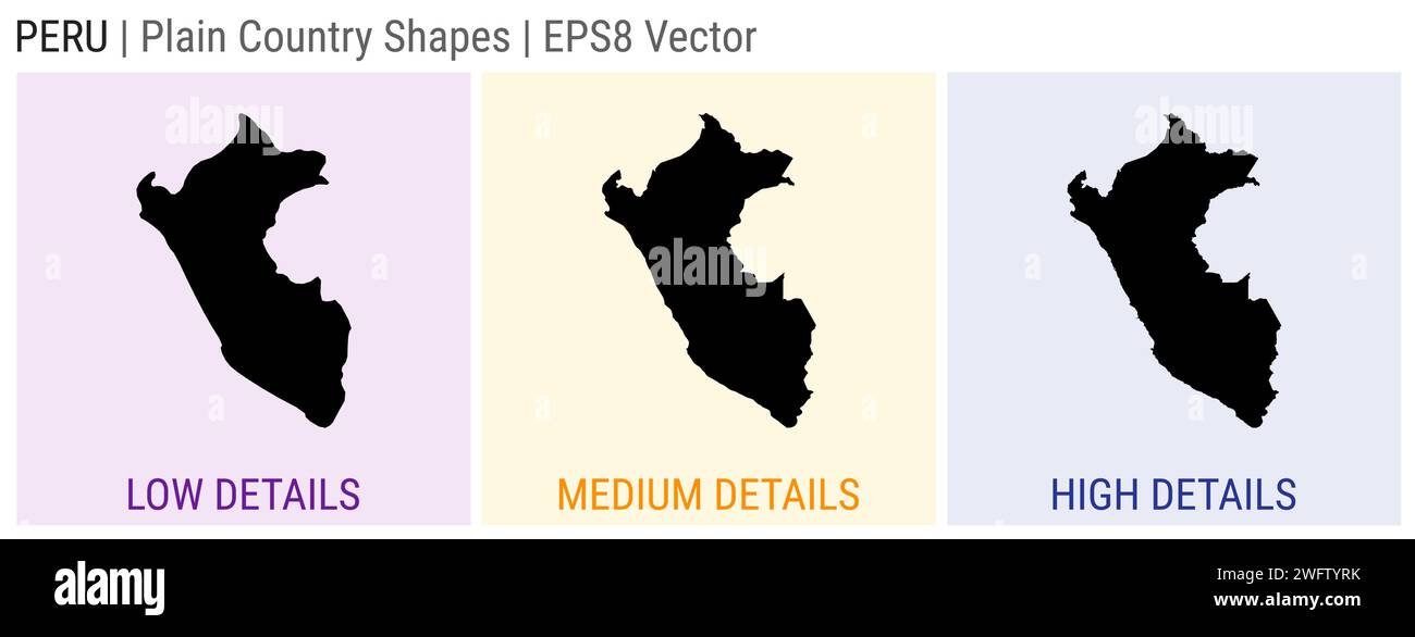 Peru - plain country shape. Low, medium and high detailed maps of Peru. EPS8 Vector illustration. Stock Vectorhttps://www.alamy.com/image-license-details/?v=1https://www.alamy.com/peru-plain-country-shape-low-medium-and-high-detailed-maps-of-peru-eps8-vector-illustration-image594921031.html
RF2WFTYRK–Peru - plain country shape. Low, medium and high detailed maps of Peru. EPS8 Vector illustration.
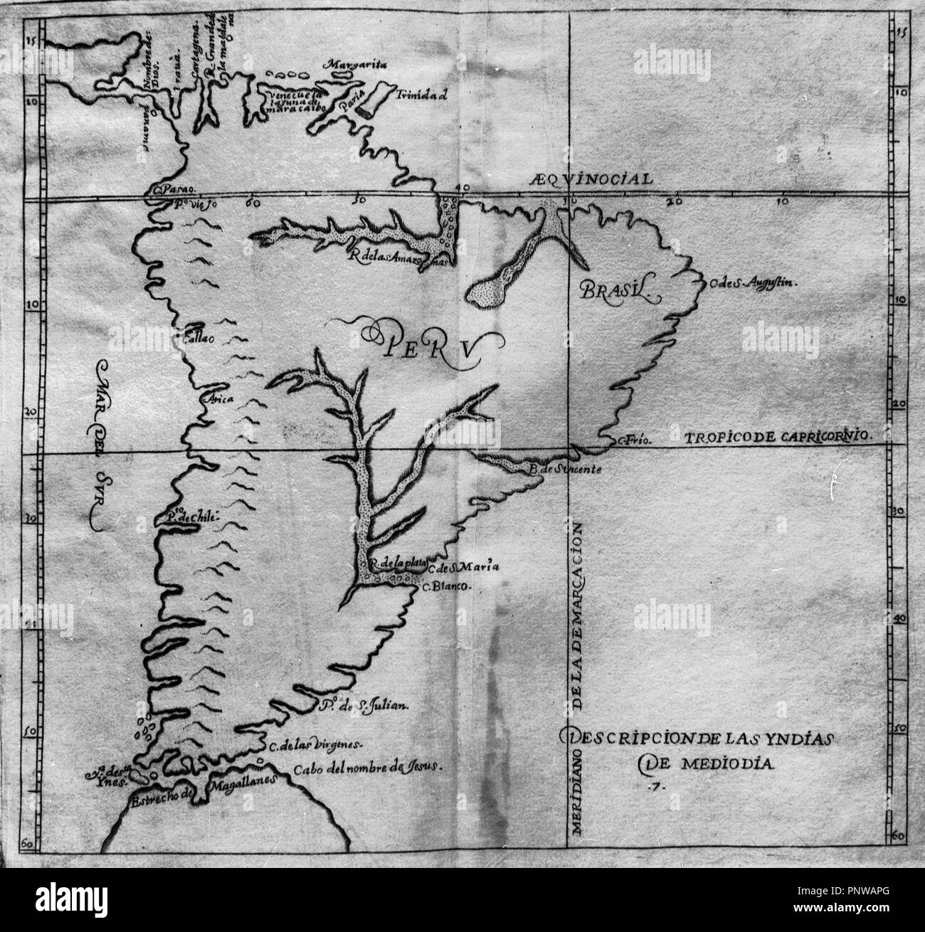 MAPA DE AMERICA DEL SUR - HISTORIA GENERAL DE LAS INDIAS OCCIDENTALES - SIGLO XVI. Author: HERRERA Y TORDESILLAS ANTONIO. Location: INSTITUTO DE COOPERACION IBEROAMERICANA. MADRID. SPAIN. Stock Photohttps://www.alamy.com/image-license-details/?v=1https://www.alamy.com/mapa-de-america-del-sur-historia-general-de-las-indias-occidentales-siglo-xvi-author-herrera-y-tordesillas-antonio-location-instituto-de-cooperacion-iberoamericana-madrid-spain-image219989464.html
RMPNWAPG–MAPA DE AMERICA DEL SUR - HISTORIA GENERAL DE LAS INDIAS OCCIDENTALES - SIGLO XVI. Author: HERRERA Y TORDESILLAS ANTONIO. Location: INSTITUTO DE COOPERACION IBEROAMERICANA. MADRID. SPAIN.
 Image taken from page 401 of 'Two Years in Peru, with exploration of its antiquities ... With map by D. Barrera; and ... illustrations' Image taken from page 401 of 'Two Ye Stock Photohttps://www.alamy.com/image-license-details/?v=1https://www.alamy.com/stock-photo-image-taken-from-page-401-of-two-years-in-peru-with-exploration-of-132332113.html
RMHK86XW–Image taken from page 401 of 'Two Years in Peru, with exploration of its antiquities ... With map by D. Barrera; and ... illustrations' Image taken from page 401 of 'Two Ye
 Historia General del Perú pg 41 Stock Photohttps://www.alamy.com/image-license-details/?v=1https://www.alamy.com/stock-photo-historia-general-del-per-pg-41-147596528.html
RMJG3GTG–Historia General del Perú pg 41
 The township and community high school movement in Illinois . B. GIRLS DOLL CLASS, LA SALLE-PERU TOWNSHIP HIGH SCHOOL. HISTORY OF THE MOVEMENT. 25 La Salle-Peru, Oak Park, Evanston^ New Trier, Dekalb, and others,have attained a nation-wide reputation. In the southern portion MAP ILLINOIS TOWNSHIP HIGH SCHOOLSIN ILLIN OI5 UP TO ANDINCLUDING 1906-. of the State, where, under the general school law, high schools of anyconsequence were practically impossible, the township and com- 26 TOWNSHIP AND COMMUNITY HIGH SCHOOLS. munity high school laws have brought about the organization of agroup of fine Stock Photohttps://www.alamy.com/image-license-details/?v=1https://www.alamy.com/the-township-and-community-high-school-movement-in-illinois-b-girls-doll-class-la-salle-peru-township-high-school-history-of-the-movement-25-la-salle-peru-oak-park-evanston-new-trier-dekalb-and-othershave-attained-a-nation-wide-reputation-in-the-southern-portion-map-illinois-township-high-schoolsin-illin-oi5-up-to-andincluding-1906-of-the-state-where-under-the-general-school-law-high-schools-of-anyconsequence-were-practically-impossible-the-township-and-com-26-township-and-community-high-schools-munity-high-school-laws-have-brought-about-the-organization-of-agroup-of-fine-image338385425.html
RM2AJEP1N–The township and community high school movement in Illinois . B. GIRLS DOLL CLASS, LA SALLE-PERU TOWNSHIP HIGH SCHOOL. HISTORY OF THE MOVEMENT. 25 La Salle-Peru, Oak Park, Evanston^ New Trier, Dekalb, and others,have attained a nation-wide reputation. In the southern portion MAP ILLINOIS TOWNSHIP HIGH SCHOOLSIN ILLIN OI5 UP TO ANDINCLUDING 1906-. of the State, where, under the general school law, high schools of anyconsequence were practically impossible, the township and com- 26 TOWNSHIP AND COMMUNITY HIGH SCHOOLS. munity high school laws have brought about the organization of agroup of fine
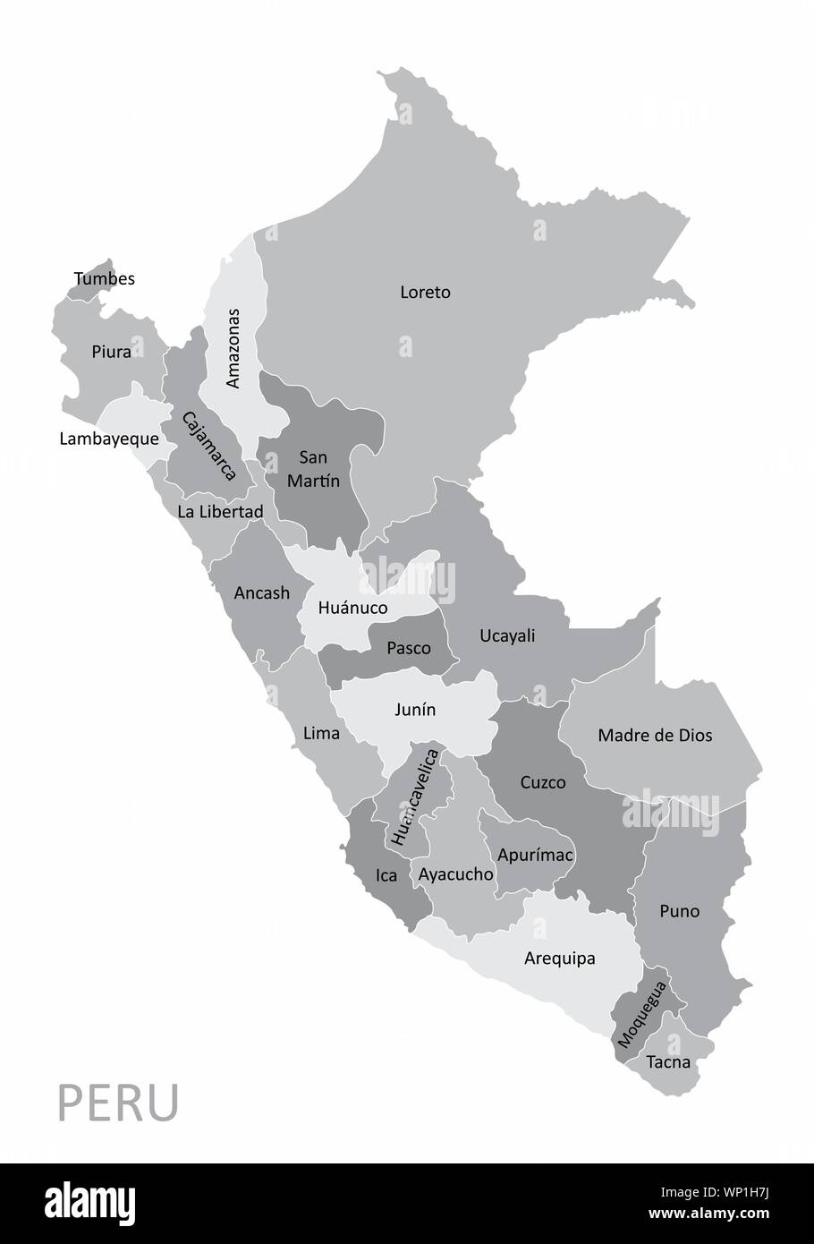 Peru regions map Stock Vectorhttps://www.alamy.com/image-license-details/?v=1https://www.alamy.com/peru-regions-map-image271713446.html
RFWP1H7J–Peru regions map
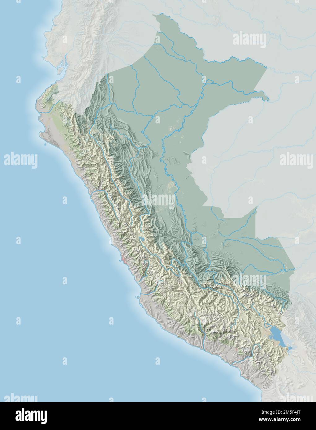 Topographic map of Peru Stock Photohttps://www.alamy.com/image-license-details/?v=1https://www.alamy.com/topographic-map-of-peru-image502506896.html
RF2M5F4JT–Topographic map of Peru
 Political map of Peru with the several regions. Stock Photohttps://www.alamy.com/image-license-details/?v=1https://www.alamy.com/stock-photo-political-map-of-peru-with-the-several-regions-48985572.html
RFCRKDGM–Political map of Peru with the several regions.
 'Peru, Chili & La Plata' Viceroyalty. Argentina Bolivia Chile. THOMSON 1817 map Stock Photohttps://www.alamy.com/image-license-details/?v=1https://www.alamy.com/peru-chili-la-plata-viceroyalty-argentina-bolivia-chile-thomson-1817-map-image401432804.html
RF2E92RHT–'Peru, Chili & La Plata' Viceroyalty. Argentina Bolivia Chile. THOMSON 1817 map
 MAPA DE AMERICA DEL SUR - HISTORIA GENERAL DE LAS INDIAS OCCIDENTALES - SIGLO XVI. Author: HERRERA Y TORDESILLAS ANTONIO. Location: BIBLIOTECA NACIONAL-COLECCION. MADRID. SPAIN. Stock Photohttps://www.alamy.com/image-license-details/?v=1https://www.alamy.com/mapa-de-america-del-sur-historia-general-de-las-indias-occidentales-siglo-xvi-author-herrera-y-tordesillas-antonio-location-biblioteca-nacional-coleccion-madrid-spain-image219884602.html
RMPNMH1E–MAPA DE AMERICA DEL SUR - HISTORIA GENERAL DE LAS INDIAS OCCIDENTALES - SIGLO XVI. Author: HERRERA Y TORDESILLAS ANTONIO. Location: BIBLIOTECA NACIONAL-COLECCION. MADRID. SPAIN.
 Image taken from page 326 of 'Two Years in Peru, with exploration of its antiquities ... With map by D. Barrera; and ... illustrations' Image taken from page 326 of 'Two Ye Stock Photohttps://www.alamy.com/image-license-details/?v=1https://www.alamy.com/stock-photo-image-taken-from-page-326-of-two-years-in-peru-with-exploration-of-132302998.html
RMHK6WR2–Image taken from page 326 of 'Two Years in Peru, with exploration of its antiquities ... With map by D. Barrera; and ... illustrations' Image taken from page 326 of 'Two Ye
 Historia General del Perú pg 32 Stock Photohttps://www.alamy.com/image-license-details/?v=1https://www.alamy.com/stock-photo-historia-general-del-per-pg-32-147596527.html
RMJG3GTF–Historia General del Perú pg 32
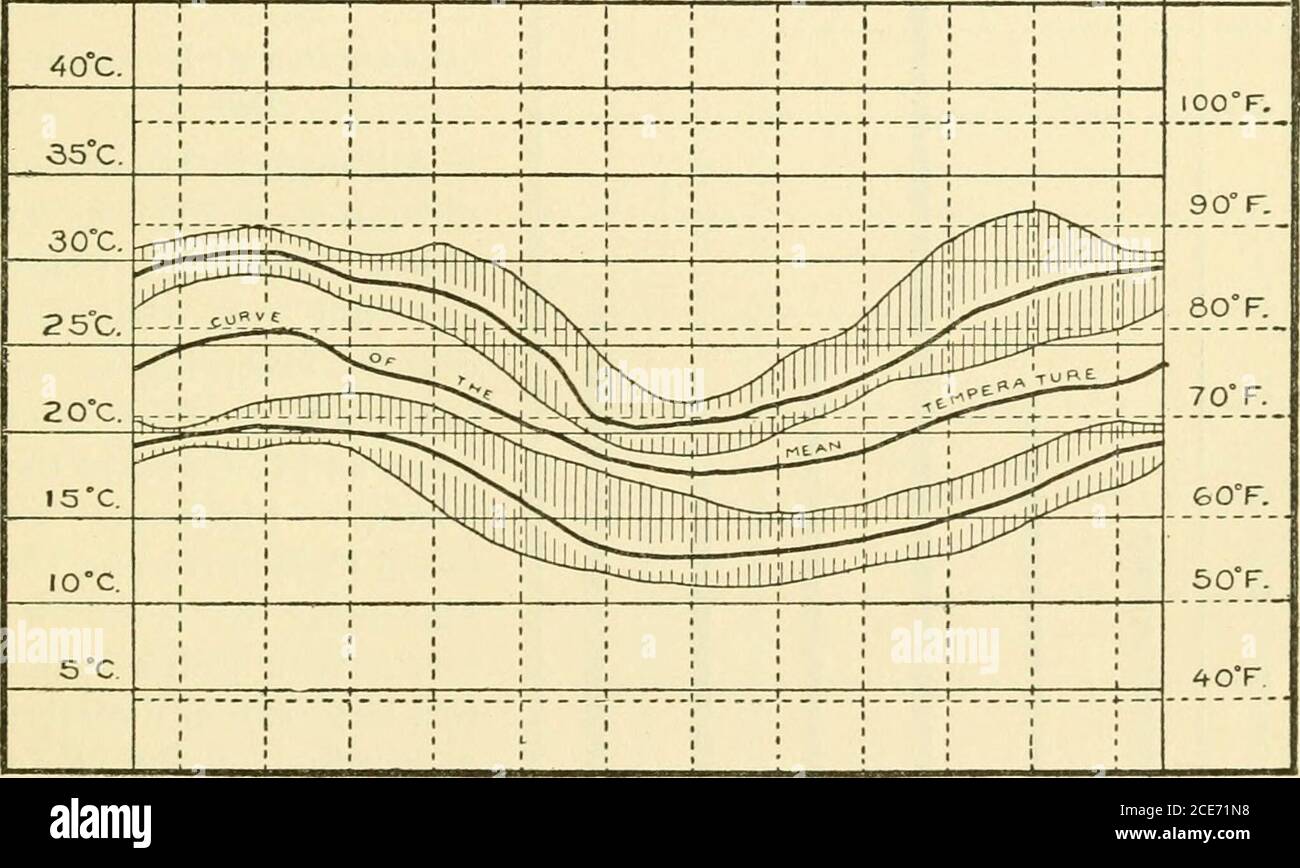 . Annual report of the Board of Regents of the Smithsonian Institution . ns of the Andes region. The main features of the Andes are the Cordilleras proper, whichwill be described in some detail later. Corresponding with them GEOLOGY OF PERU—ADAMS. 389 are the great inter-Andean valleys, which are occupied by streamstributary to the Amazon and which are shown in a general wayon the hachured map, and which may be named from the riversoccupying them. On the Pacific slope there is one inter-Andean val-ley between the Cordillera Negra and Blanca known as the Valleyof Huaylas (Callejon de Huaylas). Stock Photohttps://www.alamy.com/image-license-details/?v=1https://www.alamy.com/annual-report-of-the-board-of-regents-of-the-smithsonian-institution-ns-of-the-andes-region-the-main-features-of-the-andes-are-the-cordilleras-proper-whichwill-be-described-in-some-detail-later-corresponding-with-them-geology-of-peruadams-389-are-the-great-inter-andean-valleys-which-are-occupied-by-streamstributary-to-the-amazon-and-which-are-shown-in-a-general-wayon-the-hachured-map-and-which-may-be-named-from-the-riversoccupying-them-on-the-pacific-slope-there-is-one-inter-andean-val-ley-between-the-cordillera-negra-and-blanca-known-as-the-valleyof-huaylas-callejon-de-huaylas-image370177956.html
RM2CE71N8–. Annual report of the Board of Regents of the Smithsonian Institution . ns of the Andes region. The main features of the Andes are the Cordilleras proper, whichwill be described in some detail later. Corresponding with them GEOLOGY OF PERU—ADAMS. 389 are the great inter-Andean valleys, which are occupied by streamstributary to the Amazon and which are shown in a general wayon the hachured map, and which may be named from the riversoccupying them. On the Pacific slope there is one inter-Andean val-ley between the Cordillera Negra and Blanca known as the Valleyof Huaylas (Callejon de Huaylas).
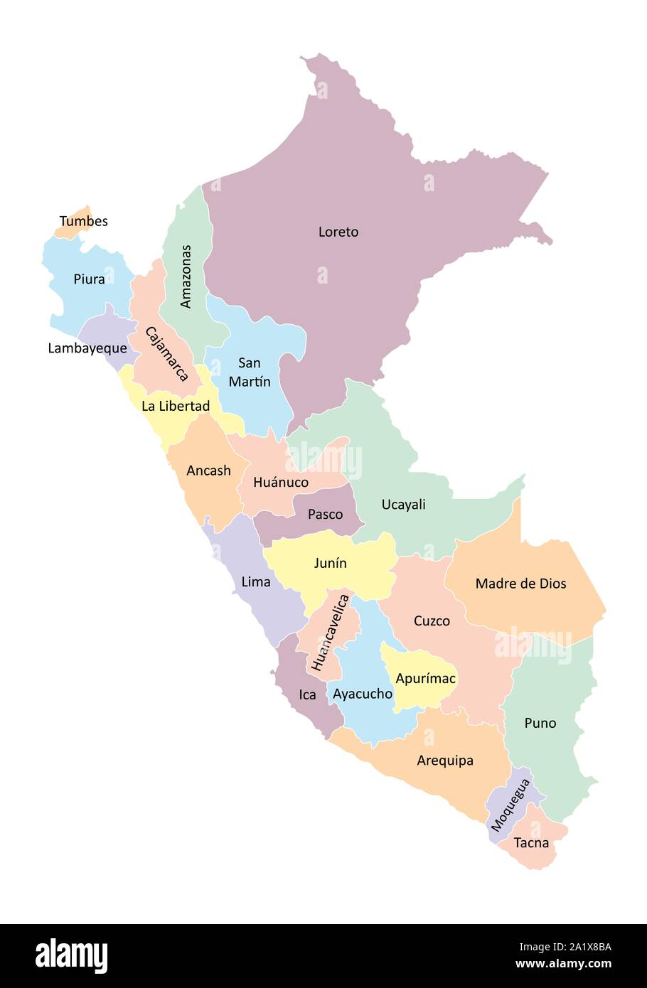 Peru regions map Stock Vectorhttps://www.alamy.com/image-license-details/?v=1https://www.alamy.com/peru-regions-map-image328188990.html
RF2A1X8BA–Peru regions map
 Political map of Peru with the several regions. Stock Photohttps://www.alamy.com/image-license-details/?v=1https://www.alamy.com/stock-photo-political-map-of-peru-with-the-several-regions-48985650.html
RFCRKDKE–Political map of Peru with the several regions.
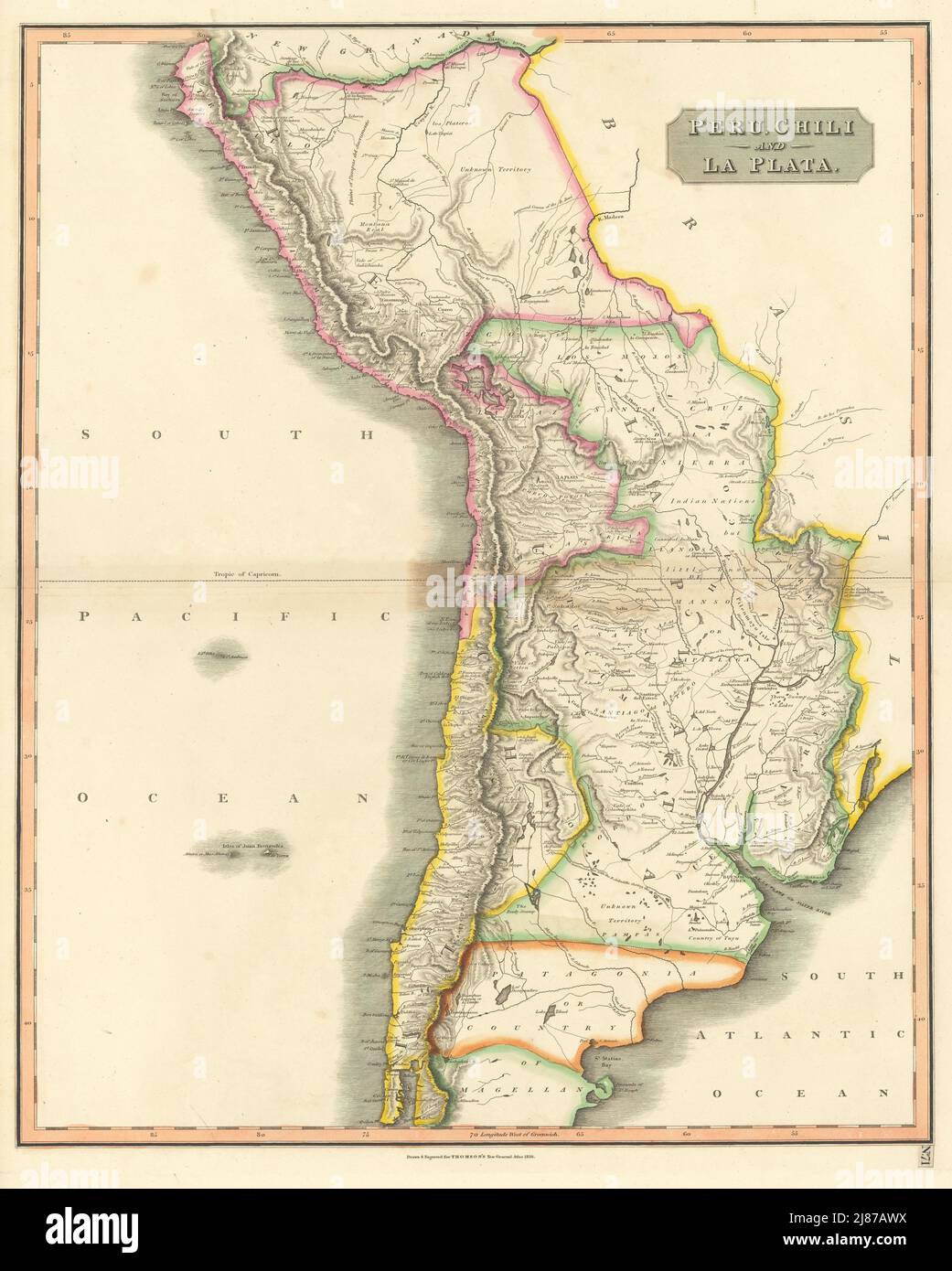 'Peru, Chili & La Plata' Viceroyalty. Argentina Chile Bolivia. THOMSON 1817 map Stock Photohttps://www.alamy.com/image-license-details/?v=1https://www.alamy.com/peru-chili-la-plata-viceroyalty-argentina-chile-bolivia-thomson-1817-map-image469759414.html
RF2J87AWX–'Peru, Chili & La Plata' Viceroyalty. Argentina Chile Bolivia. THOMSON 1817 map
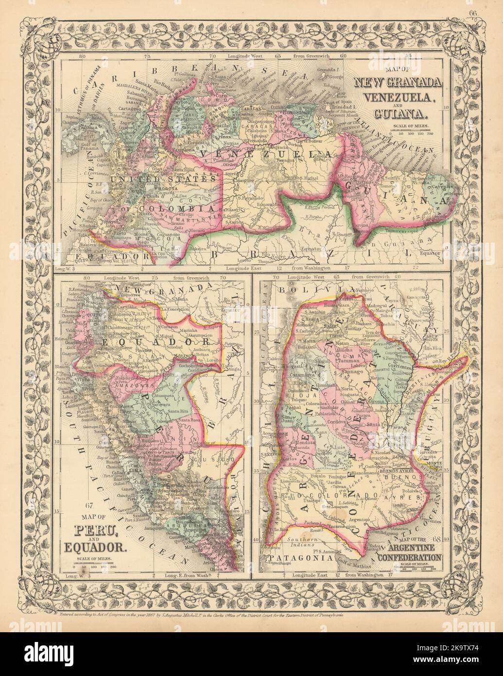 New Granada Venezuela Guiana Peru Equador Argentine Argentina MITCHELL 1869 map Stock Photohttps://www.alamy.com/image-license-details/?v=1https://www.alamy.com/new-granada-venezuela-guiana-peru-equador-argentine-argentina-mitchell-1869-map-image487969640.html
RF2K9TX74–New Granada Venezuela Guiana Peru Equador Argentine Argentina MITCHELL 1869 map
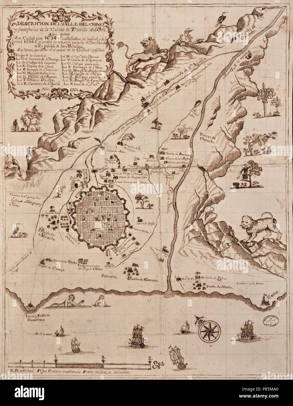 Planisferia del Valle del Cimo y Ciudad Trujillo,1760. Museum: Archivo General de Indias. Stock Photohttps://www.alamy.com/image-license-details/?v=1https://www.alamy.com/planisferia-del-valle-del-cimo-y-ciudad-trujillo1760-museum-archivo-general-de-indias-image211567384.html
RMP85MA0–Planisferia del Valle del Cimo y Ciudad Trujillo,1760. Museum: Archivo General de Indias.
 Guerre du Paraguay. - Combat et Peru-HuơAA, près de Rio-Hondo (3 aoơBBt 1867). Charge de cavalerie brésiliene du général Andrade Neves Stock Photohttps://www.alamy.com/image-license-details/?v=1https://www.alamy.com/stock-photo-guerre-du-paraguay-combat-et-peru-huaa-prs-de-rio-hondo-3-aobbt-1867-147584386.html
RMJG31AX–Guerre du Paraguay. - Combat et Peru-HuơAA, près de Rio-Hondo (3 aoơBBt 1867). Charge de cavalerie brésiliene du général Andrade Neves
 Image taken from page 382 of 'Two Years in Peru, with exploration of its antiquities ... With map by D. Barrera; and ... illustrations' Image taken from page 382 of 'Two Ye Stock Photohttps://www.alamy.com/image-license-details/?v=1https://www.alamy.com/stock-photo-image-taken-from-page-382-of-two-years-in-peru-with-exploration-of-132330074.html
RMHK84A2–Image taken from page 382 of 'Two Years in Peru, with exploration of its antiquities ... With map by D. Barrera; and ... illustrations' Image taken from page 382 of 'Two Ye
 . Railroad record, and journal of commerce, banking, manufactures and statistics . 14hours, and at St. Louis in 28 hours. Freight shipped to Indianapolis and all other pointsWest and North without delay, at cheapest rates. Cars run from Lawrenceburgh to Terre Haute, Lafay-ette, Peru and Chicago, without unloading.Office, foot of Main Street, corner of Water Street. SIDNEY RICE,Cincinnati, Sept. 28. 1654. Agent. General Map Establishment, No. 3 College Hall, Walnut St., CincinnatiE. MENDENHALLL, MAP, BOOK & PRINT SELLER, Has constantly on hand Guide Books of all kinds, School Apparatus, and Out Stock Photohttps://www.alamy.com/image-license-details/?v=1https://www.alamy.com/railroad-record-and-journal-of-commerce-banking-manufactures-and-statistics-14hours-and-at-st-louis-in-28-hours-freight-shipped-to-indianapolis-and-all-other-pointswest-and-north-without-delay-at-cheapest-rates-cars-run-from-lawrenceburgh-to-terre-haute-lafay-ette-peru-and-chicago-without-unloadingoffice-foot-of-main-street-corner-of-water-street-sidney-ricecincinnati-sept-28-1654-agent-general-map-establishment-no-3-college-hall-walnut-st-cincinnatie-mendenhalll-map-book-print-seller-has-constantly-on-hand-guide-books-of-all-kinds-school-apparatus-and-out-image371955386.html
RM2CH40TX–. Railroad record, and journal of commerce, banking, manufactures and statistics . 14hours, and at St. Louis in 28 hours. Freight shipped to Indianapolis and all other pointsWest and North without delay, at cheapest rates. Cars run from Lawrenceburgh to Terre Haute, Lafay-ette, Peru and Chicago, without unloading.Office, foot of Main Street, corner of Water Street. SIDNEY RICE,Cincinnati, Sept. 28. 1654. Agent. General Map Establishment, No. 3 College Hall, Walnut St., CincinnatiE. MENDENHALLL, MAP, BOOK & PRINT SELLER, Has constantly on hand Guide Books of all kinds, School Apparatus, and Out
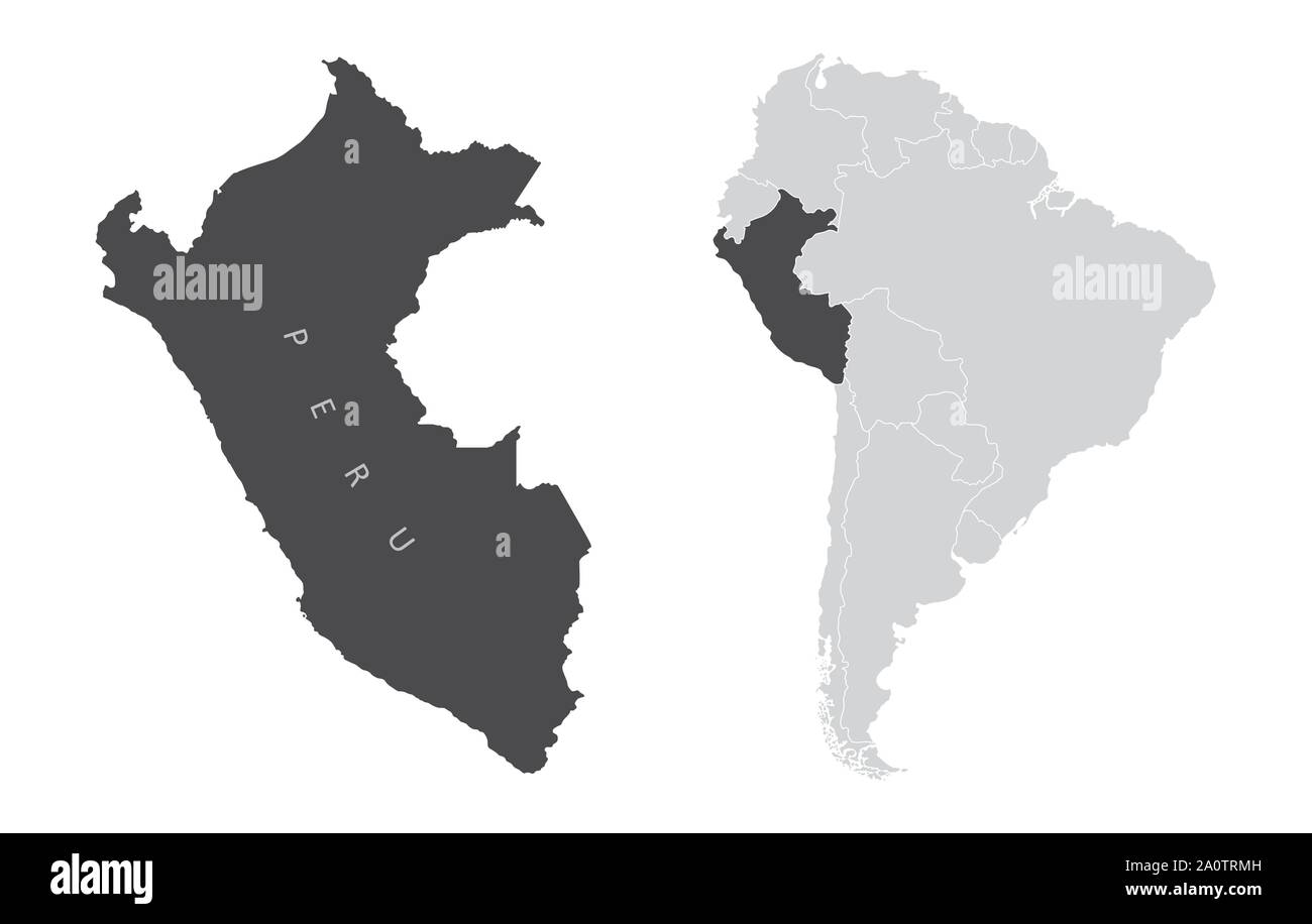 The Peru map and its location in South America Stock Vectorhttps://www.alamy.com/image-license-details/?v=1https://www.alamy.com/the-peru-map-and-its-location-in-south-america-image327542449.html
RF2A0TRMH–The Peru map and its location in South America
 Political map of Peru with the several regions. Stock Photohttps://www.alamy.com/image-license-details/?v=1https://www.alamy.com/stock-photo-political-map-of-peru-with-the-several-regions-48985564.html
RFCRKDGC–Political map of Peru with the several regions.
 Colton's Peru and Bolivia w/ Litoral coast pre 1879 War. Lima plan 1869 map Stock Photohttps://www.alamy.com/image-license-details/?v=1https://www.alamy.com/coltons-peru-and-bolivia-w-litoral-coast-pre-1879-war-lima-plan-1869-map-image419540312.html
RF2FAFKXG–Colton's Peru and Bolivia w/ Litoral coast pre 1879 War. Lima plan 1869 map
 Map of the Strait of Magellan. National Library. Madrid. Author: HERRERA Y TORDESILLAS ANTONIO. Location: BIBLIOTECA NACIONAL-COLECCION. MADRID. SPAIN. Stock Photohttps://www.alamy.com/image-license-details/?v=1https://www.alamy.com/map-of-the-strait-of-magellan-national-library-madrid-author-herrera-y-tordesillas-antonio-location-biblioteca-nacional-coleccion-madrid-spain-image219835806.html
RMPNJAPP–Map of the Strait of Magellan. National Library. Madrid. Author: HERRERA Y TORDESILLAS ANTONIO. Location: BIBLIOTECA NACIONAL-COLECCION. MADRID. SPAIN.
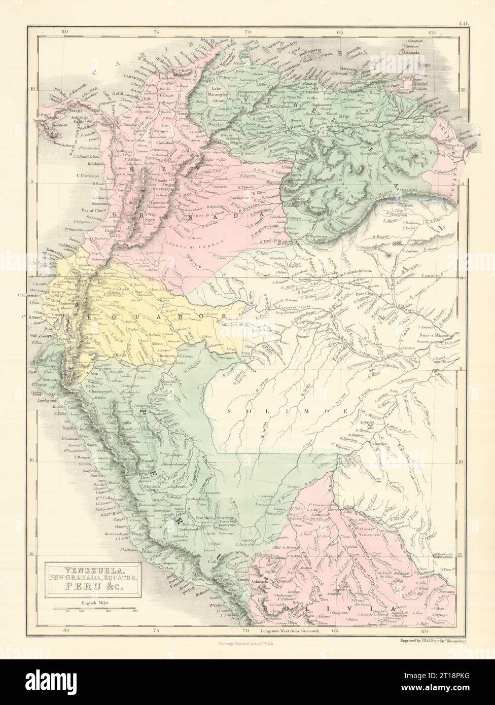 Andean States. Venezuela New Granada Ecuador Peru Colombia. SIDNEY HALL 1854 map Stock Photohttps://www.alamy.com/image-license-details/?v=1https://www.alamy.com/andean-states-venezuela-new-granada-ecuador-peru-colombia-sidney-hall-1854-map-image568750212.html
RF2T18PKG–Andean States. Venezuela New Granada Ecuador Peru Colombia. SIDNEY HALL 1854 map
 Image taken from page 188 of 'Two Years in Peru, with exploration of its antiquities ... With map by D. Barrera; and ... illustrations' Image taken from page 188 of 'Two Ye Stock Photohttps://www.alamy.com/image-license-details/?v=1https://www.alamy.com/stock-photo-image-taken-from-page-188-of-two-years-in-peru-with-exploration-of-132271213.html
RMHK5D7W–Image taken from page 188 of 'Two Years in Peru, with exploration of its antiquities ... With map by D. Barrera; and ... illustrations' Image taken from page 188 of 'Two Ye
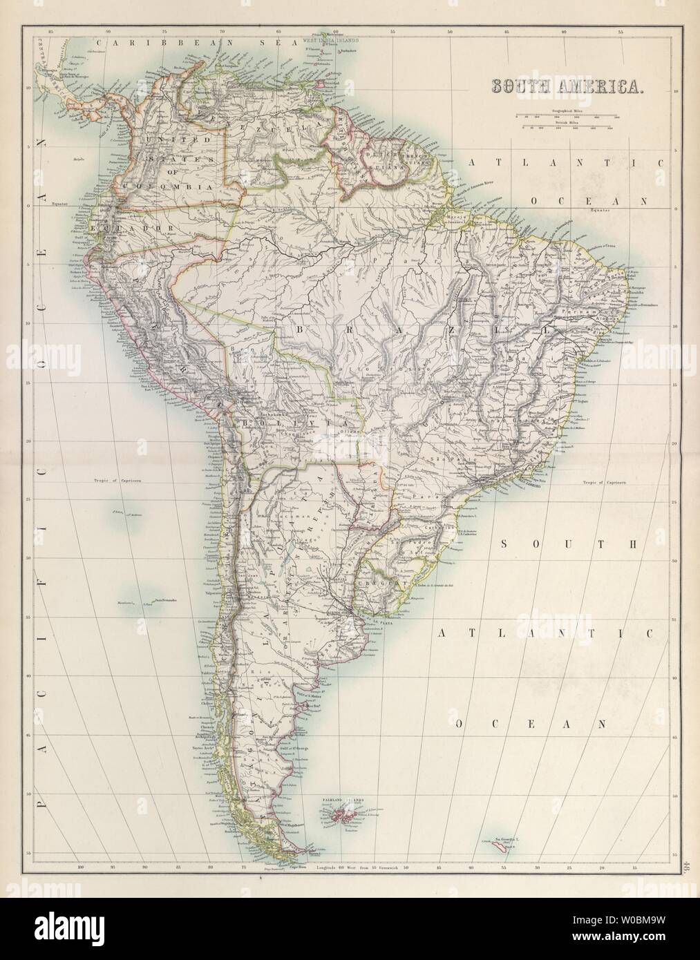 South America. Railways Brazil Bolivia Peru Chile Argentina BARTHOLOMEW 1898 map Stock Photohttps://www.alamy.com/image-license-details/?v=1https://www.alamy.com/south-america-railways-brazil-bolivia-peru-chile-argentina-bartholomew-1898-map-image258412949.html
RFW0BM9W–South America. Railways Brazil Bolivia Peru Chile Argentina BARTHOLOMEW 1898 map
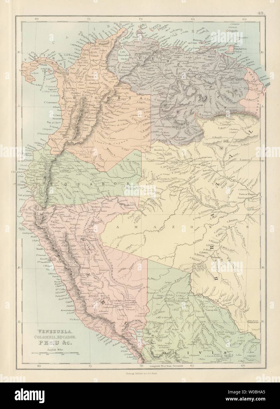 Venezuela, Colombia, Equador & Peru. Andean States Ecuador. BARTHOLOMEW 1882 map Stock Photohttps://www.alamy.com/image-license-details/?v=1https://www.alamy.com/venezuela-colombia-equador-peru-andean-states-ecuador-bartholomew-1882-map-image258410605.html
RFW0BHA5–Venezuela, Colombia, Equador & Peru. Andean States Ecuador. BARTHOLOMEW 1882 map
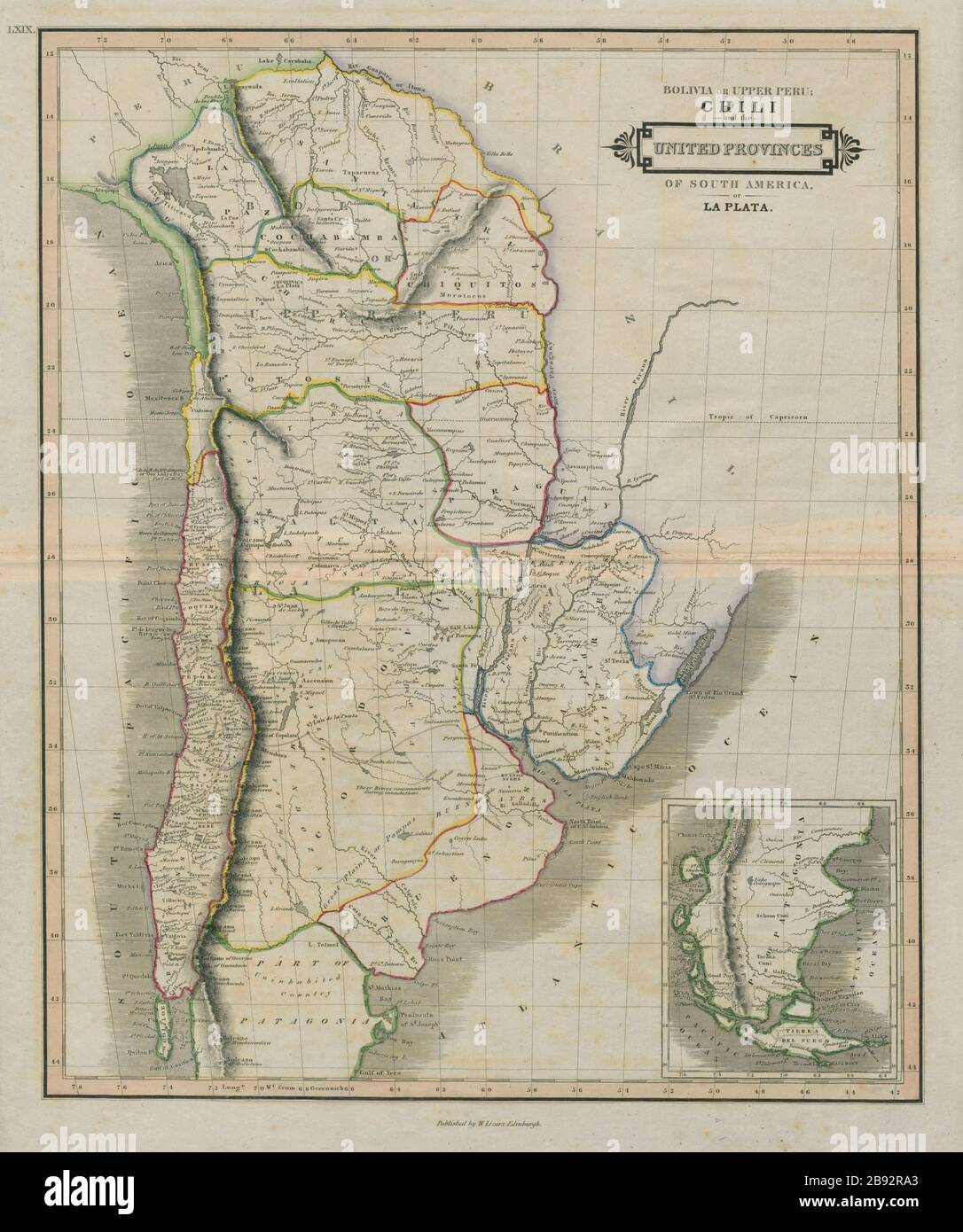 Bolivia or Upper Peru. Chili. United Provinces of La Plata. LIZARS 1842 map Stock Photohttps://www.alamy.com/image-license-details/?v=1https://www.alamy.com/bolivia-or-upper-peru-chili-united-provinces-of-la-plata-lizars-1842-map-image349801483.html
RF2B92RA3–Bolivia or Upper Peru. Chili. United Provinces of La Plata. LIZARS 1842 map
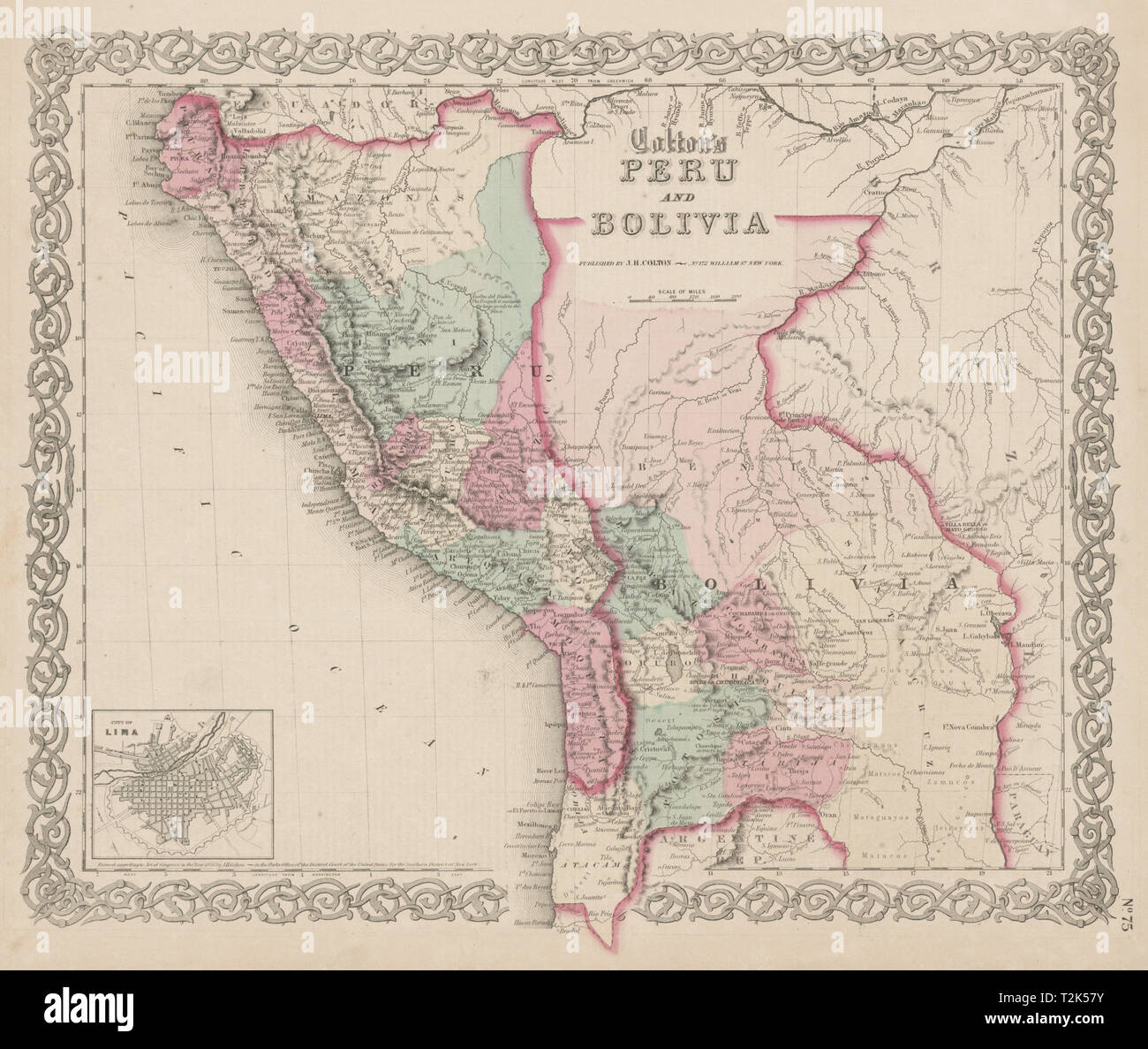 'Colton's Peru and Bolivia' w/ Litoral coast pre 1879 War. Lima plan 1863 map Stock Photohttps://www.alamy.com/image-license-details/?v=1https://www.alamy.com/coltons-peru-and-bolivia-w-litoral-coast-pre-1879-war-lima-plan-1863-map-image242595695.html
RFT2K57Y–'Colton's Peru and Bolivia' w/ Litoral coast pre 1879 War. Lima plan 1863 map
 . Railroad record, and journal of commerce, banking, manufactures and statistics . Morning Train, passengers arrive at Chicago in 14hours, and at St. Louis in 28 hours. Freight shipped to Indianapolis and all other pointsWest and North without delay, at cheapest rates. Cars run from Lawrenceburgh to Terre Haute, Lafay-ette, Peru and Chicago, without unloading.Office, foot of Main Street, corner of Water Street. SIDNEY RICE,Cincinnati, Sept. 28.1854. Agent. General Map Establishment, No. 3 College Hall, Walnut St., CincinnatiE.MENDEm-IALLL, MAP, BOOK & PRINT SELLER, Has constantly on hand Guid Stock Photohttps://www.alamy.com/image-license-details/?v=1https://www.alamy.com/railroad-record-and-journal-of-commerce-banking-manufactures-and-statistics-morning-train-passengers-arrive-at-chicago-in-14hours-and-at-st-louis-in-28-hours-freight-shipped-to-indianapolis-and-all-other-pointswest-and-north-without-delay-at-cheapest-rates-cars-run-from-lawrenceburgh-to-terre-haute-lafay-ette-peru-and-chicago-without-unloadingoffice-foot-of-main-street-corner-of-water-street-sidney-ricecincinnati-sept-281854-agent-general-map-establishment-no-3-college-hall-walnut-st-cincinnatiemendem-ialll-map-book-print-seller-has-constantly-on-hand-guid-image371950354.html
RM2CH3PD6–. Railroad record, and journal of commerce, banking, manufactures and statistics . Morning Train, passengers arrive at Chicago in 14hours, and at St. Louis in 28 hours. Freight shipped to Indianapolis and all other pointsWest and North without delay, at cheapest rates. Cars run from Lawrenceburgh to Terre Haute, Lafay-ette, Peru and Chicago, without unloading.Office, foot of Main Street, corner of Water Street. SIDNEY RICE,Cincinnati, Sept. 28.1854. Agent. General Map Establishment, No. 3 College Hall, Walnut St., CincinnatiE.MENDEm-IALLL, MAP, BOOK & PRINT SELLER, Has constantly on hand Guid
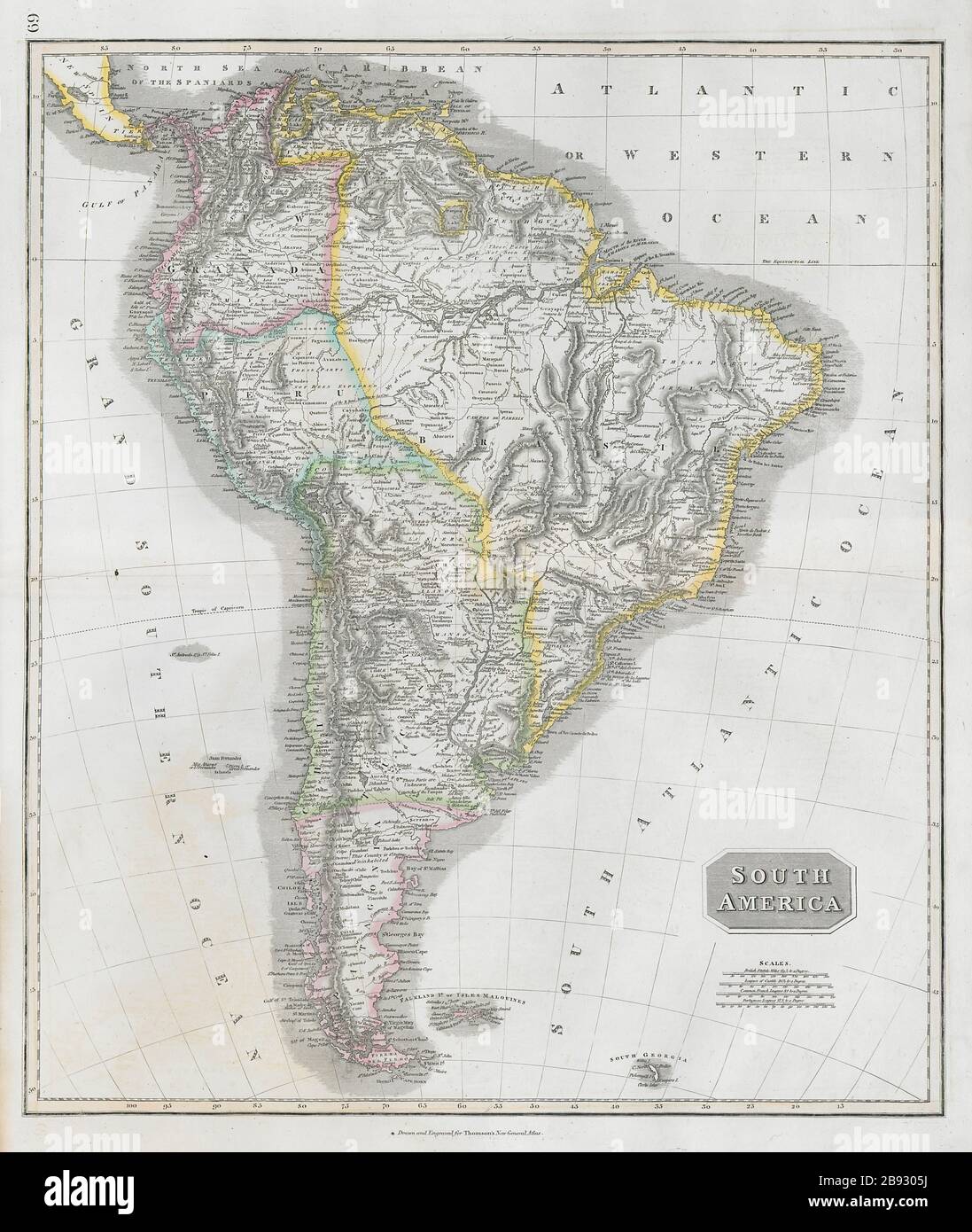 'South America'. New Granada & Peru Viceroyalties. Tucuman. THOMSON 1830 map Stock Photohttps://www.alamy.com/image-license-details/?v=1https://www.alamy.com/south-america-new-granada-peru-viceroyalties-tucuman-thomson-1830-map-image349805278.html
RF2B9305J–'South America'. New Granada & Peru Viceroyalties. Tucuman. THOMSON 1830 map
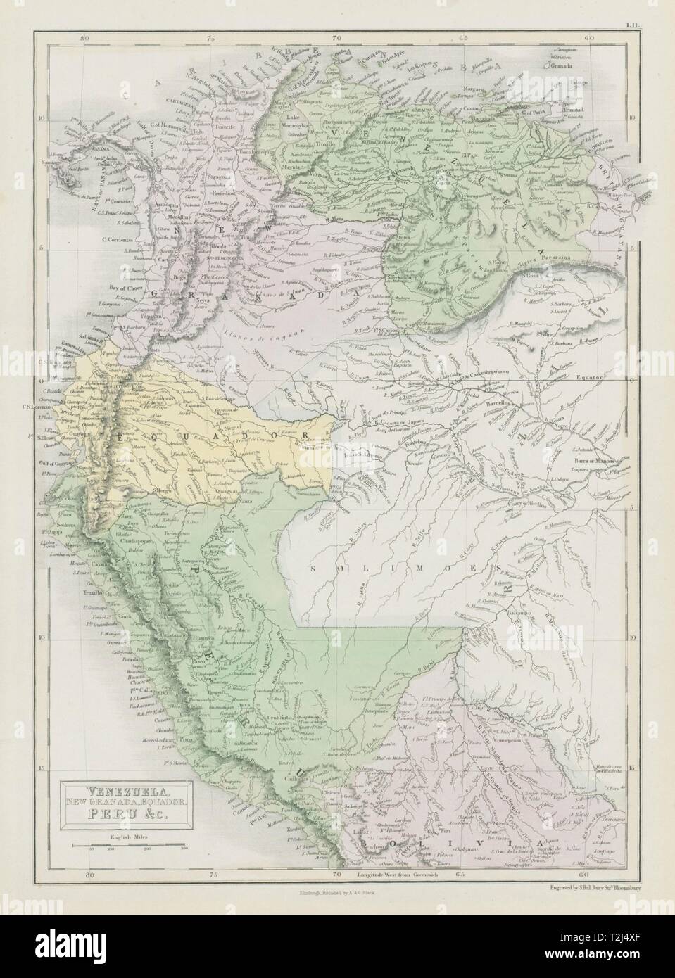 Andean States. Venezuela New Granada Ecuador Peru Colombia. SIDNEY HALL 1856 map Stock Photohttps://www.alamy.com/image-license-details/?v=1https://www.alamy.com/andean-states-venezuela-new-granada-ecuador-peru-colombia-sidney-hall-1856-map-image242573479.html
RFT2J4XF–Andean States. Venezuela New Granada Ecuador Peru Colombia. SIDNEY HALL 1856 map
 PERU & BOLIVIA: & British French Dutch Guiana Guyana Suriname.BLACKIE, 1893 map Stock Photohttps://www.alamy.com/image-license-details/?v=1https://www.alamy.com/stock-photo-peru-bolivia-british-french-dutch-guiana-guyana-surinameblackie-1893-94685363.html
RFFE1843–PERU & BOLIVIA: & British French Dutch Guiana Guyana Suriname.BLACKIE, 1893 map
 Political map of Peru with the several regions. Stock Photohttps://www.alamy.com/image-license-details/?v=1https://www.alamy.com/stock-photo-political-map-of-peru-with-the-several-regions-48985340.html
RFCRKD8C–Political map of Peru with the several regions.
 Lower Peru, Brazil & Paraguay. Central South America. LIZARS 1842 old map Stock Photohttps://www.alamy.com/image-license-details/?v=1https://www.alamy.com/lower-peru-brazil-paraguay-central-south-america-lizars-1842-old-map-image349801430.html
RF2B92R86–Lower Peru, Brazil & Paraguay. Central South America. LIZARS 1842 old map
 'South America'. New Granada & Peru Viceroyalties. Tucuman. THOMSON 1817 map Stock Photohttps://www.alamy.com/image-license-details/?v=1https://www.alamy.com/stock-photo-south-america-new-granada-peru-viceroyalties-tucuman-thomson-1817-139229017.html
RFJ2EC0W–'South America'. New Granada & Peru Viceroyalties. Tucuman. THOMSON 1817 map
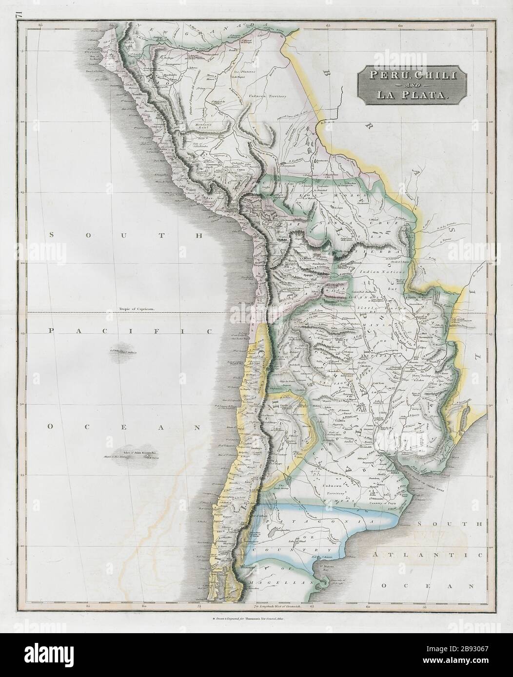 'Peru, Chili & La Plata' Viceroyalty. Argentina Chile Bolivia. THOMSON 1830 map Stock Photohttps://www.alamy.com/image-license-details/?v=1https://www.alamy.com/peru-chili-la-plata-viceroyalty-argentina-chile-bolivia-thomson-1830-map-image349805295.html
RF2B93067–'Peru, Chili & La Plata' Viceroyalty. Argentina Chile Bolivia. THOMSON 1830 map
 Image taken from page 264 of 'Two Years in Peru, with exploration of its antiquities ... With map by D. Barrera; and ... illustrations' Image taken from page 264 of 'Two Ye Stock Photohttps://www.alamy.com/image-license-details/?v=1https://www.alamy.com/stock-photo-image-taken-from-page-264-of-two-years-in-peru-with-exploration-of-132294318.html
RMHK6EN2–Image taken from page 264 of 'Two Years in Peru, with exploration of its antiquities ... With map by D. Barrera; and ... illustrations' Image taken from page 264 of 'Two Ye
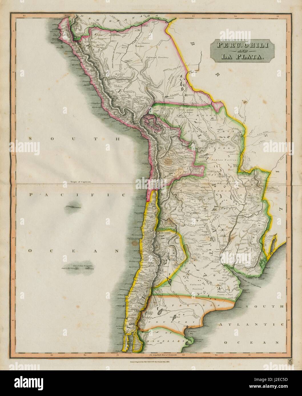 'Peru, Chili & La Plata' Viceroyalty. Argentina Chile Bolivia. THOMSON 1817 map Stock Photohttps://www.alamy.com/image-license-details/?v=1https://www.alamy.com/stock-photo-peru-chili-la-plata-viceroyalty-argentina-chile-bolivia-thomson-1817-139229145.html
RFJ2EC5D–'Peru, Chili & La Plata' Viceroyalty. Argentina Chile Bolivia. THOMSON 1817 map
 . Railroad record, and journal of commerce, banking, manufactures and statistics . rain, passengers arrive at Chicago in 14hours, and at St. Louis in 28 hours. Freight shipped to Indianapolis and all other pointsWest and North without delay, at cheapest rates. Cars run from Lawrenceburgh to Terre Haute, Lafay-ette, Peru and Chirago, without unloading. Office, foot of Main Street, corner of Water Street. SIDNEY RICE.Cincinnati, Sept. 28.1854. Agent. General Map bs.Lblisiiment, No. 3 College Hall, Walnut St., CincinnatiE. MENDENHALLL, MAP, BOOK & PRINT SELLER, Has constantly on hand Guide Books Stock Photohttps://www.alamy.com/image-license-details/?v=1https://www.alamy.com/railroad-record-and-journal-of-commerce-banking-manufactures-and-statistics-rain-passengers-arrive-at-chicago-in-14hours-and-at-st-louis-in-28-hours-freight-shipped-to-indianapolis-and-all-other-pointswest-and-north-without-delay-at-cheapest-rates-cars-run-from-lawrenceburgh-to-terre-haute-lafay-ette-peru-and-chirago-without-unloading-office-foot-of-main-street-corner-of-water-street-sidney-ricecincinnati-sept-281854-agent-general-map-bslblisiiment-no-3-college-hall-walnut-st-cincinnatie-mendenhalll-map-book-print-seller-has-constantly-on-hand-guide-books-image371960521.html
RM2CH47C9–. Railroad record, and journal of commerce, banking, manufactures and statistics . rain, passengers arrive at Chicago in 14hours, and at St. Louis in 28 hours. Freight shipped to Indianapolis and all other pointsWest and North without delay, at cheapest rates. Cars run from Lawrenceburgh to Terre Haute, Lafay-ette, Peru and Chirago, without unloading. Office, foot of Main Street, corner of Water Street. SIDNEY RICE.Cincinnati, Sept. 28.1854. Agent. General Map bs.Lblisiiment, No. 3 College Hall, Walnut St., CincinnatiE. MENDENHALLL, MAP, BOOK & PRINT SELLER, Has constantly on hand Guide Books
 Political map of Peru with the several regions. Stock Photohttps://www.alamy.com/image-license-details/?v=1https://www.alamy.com/stock-photo-political-map-of-peru-with-the-several-regions-48985341.html
RFCRKD8D–Political map of Peru with the several regions.
 Image taken from page 282 of 'Over the Andes from the Argentine to Chili and Peru ... With illustrations' Image taken from page 282 of 'Over the Andes from Stock Photohttps://www.alamy.com/image-license-details/?v=1https://www.alamy.com/stock-photo-image-taken-from-page-282-of-over-the-andes-from-the-argentine-to-127886046.html
RMHC1KXP–Image taken from page 282 of 'Over the Andes from the Argentine to Chili and Peru ... With illustrations' Image taken from page 282 of 'Over the Andes from
 Political map of Peru with the several regions. Stock Photohttps://www.alamy.com/image-license-details/?v=1https://www.alamy.com/stock-photo-political-map-of-peru-with-the-several-regions-48985679.html
RFCRKDMF–Political map of Peru with the several regions.
 Image taken from page 180 of 'Peru: incidents of ravel and exploration in the Land of the Incas. ... With illustrations' Image taken from page 180 of 'Peru incidents of ravel Stock Photohttps://www.alamy.com/image-license-details/?v=1https://www.alamy.com/stock-photo-image-taken-from-page-180-of-peru-incidents-of-ravel-and-exploration-130084197.html
RMHFHRM5–Image taken from page 180 of 'Peru: incidents of ravel and exploration in the Land of the Incas. ... With illustrations' Image taken from page 180 of 'Peru incidents of ravel
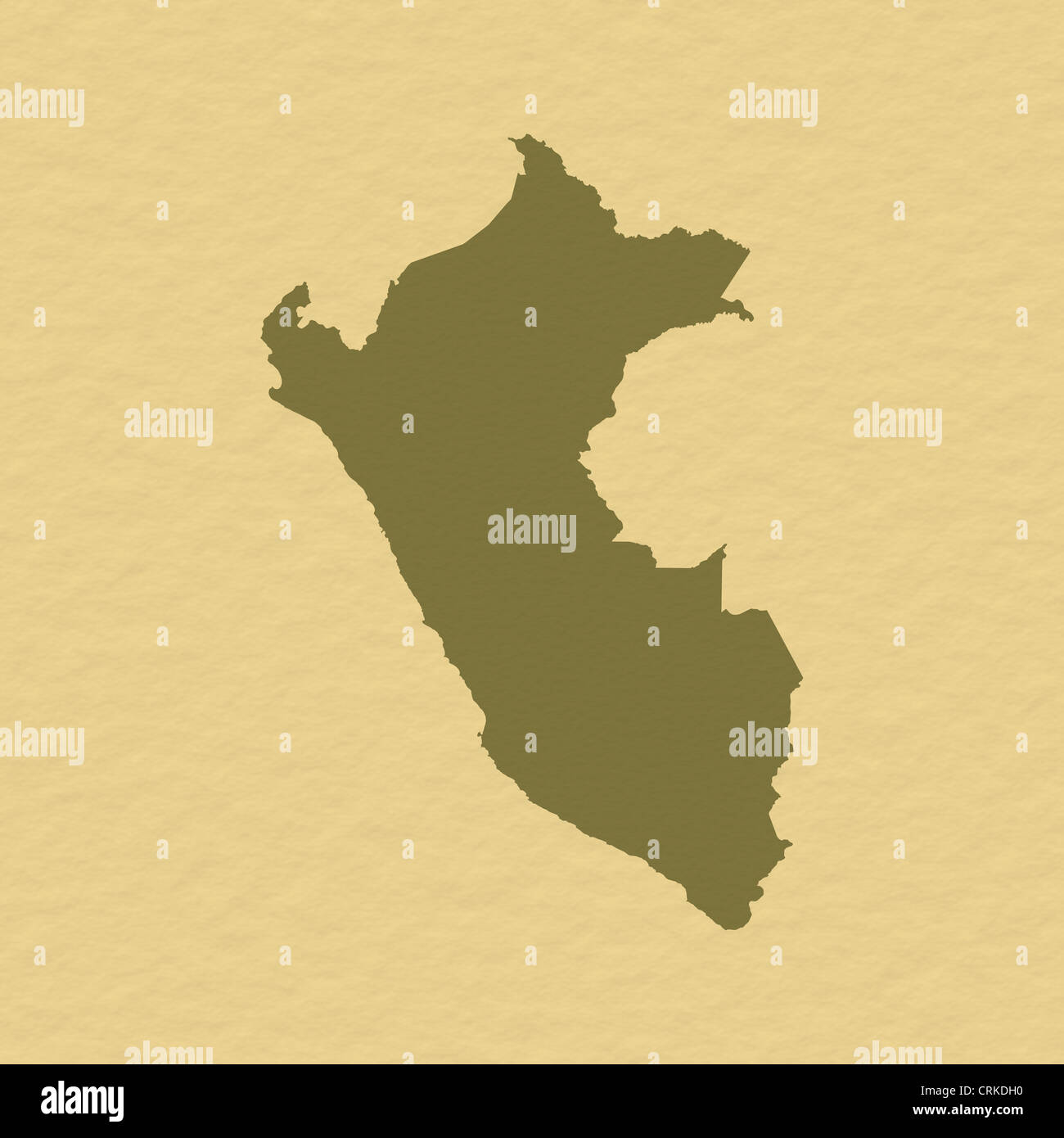 Political map of Peru with the several regions. Stock Photohttps://www.alamy.com/image-license-details/?v=1https://www.alamy.com/stock-photo-political-map-of-peru-with-the-several-regions-48985580.html
RFCRKDH0–Political map of Peru with the several regions.
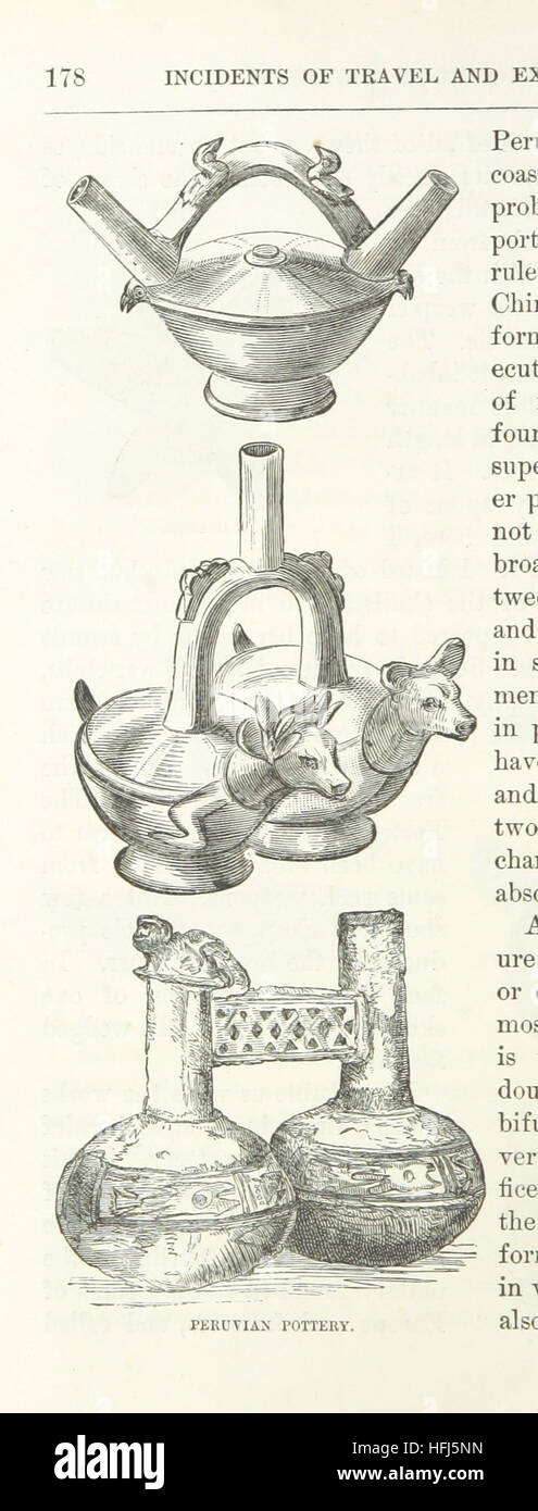 Image taken from page 208 of 'Peru: incidents of ravel and exploration in the Land of the Incas. ... With illustrations' Image taken from page 208 of 'Peru incidents of ravel Stock Photohttps://www.alamy.com/image-license-details/?v=1https://www.alamy.com/stock-photo-image-taken-from-page-208-of-peru-incidents-of-ravel-and-exploration-130092081.html
RMHFJ5NN–Image taken from page 208 of 'Peru: incidents of ravel and exploration in the Land of the Incas. ... With illustrations' Image taken from page 208 of 'Peru incidents of ravel
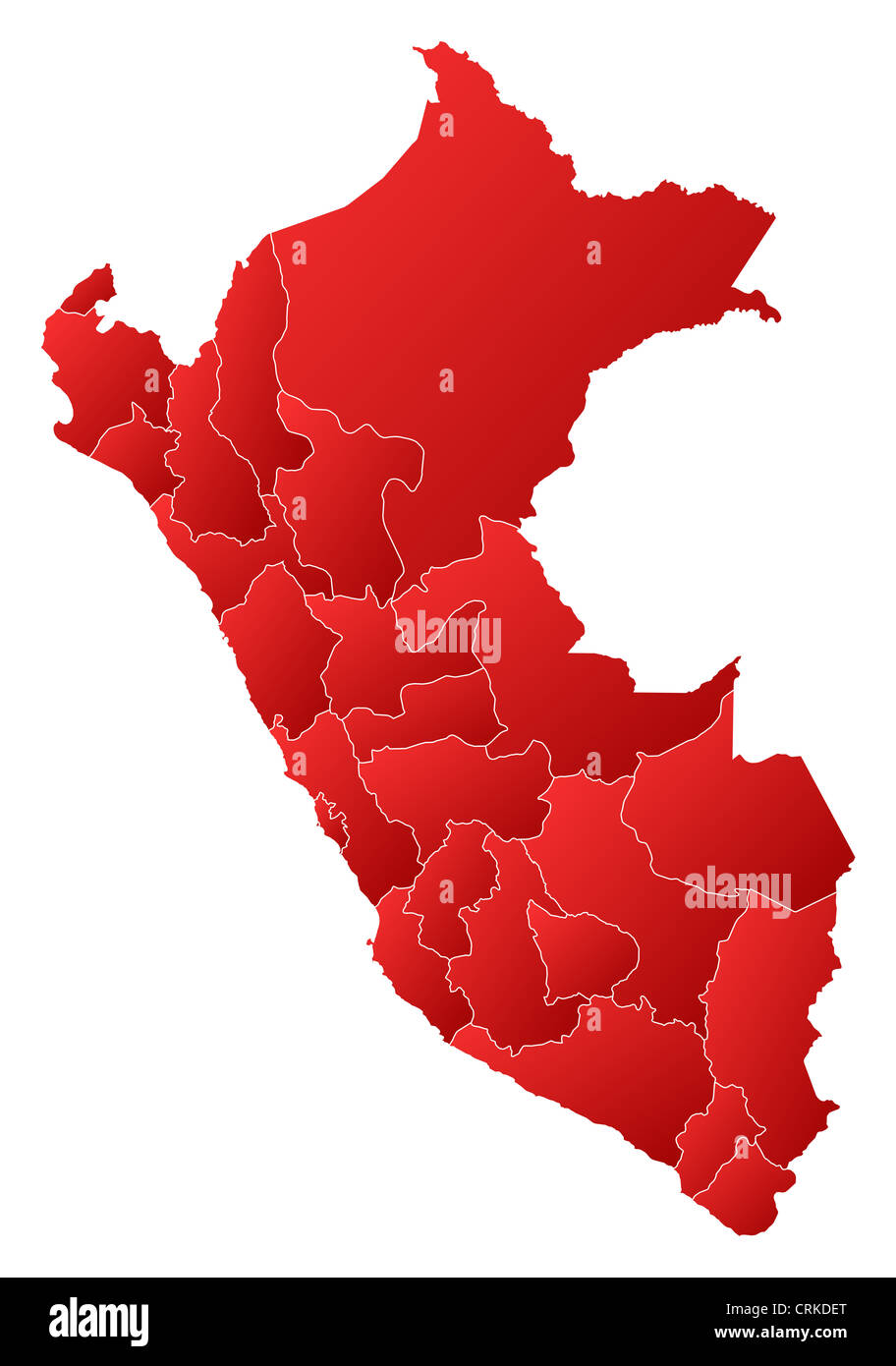 Political map of Peru with the several regions. Stock Photohttps://www.alamy.com/image-license-details/?v=1https://www.alamy.com/stock-photo-political-map-of-peru-with-the-several-regions-48985520.html
RFCRKDET–Political map of Peru with the several regions.
 Image taken from page 46 of 'Peru: incidents of ravel and exploration in the Land of the Incas. ... With illustrations' Image taken from page 46 of 'Peru incidents of ravel Stock Photohttps://www.alamy.com/image-license-details/?v=1https://www.alamy.com/stock-photo-image-taken-from-page-46-of-peru-incidents-of-ravel-and-exploration-130158938.html
RMHFN71E–Image taken from page 46 of 'Peru: incidents of ravel and exploration in the Land of the Incas. ... With illustrations' Image taken from page 46 of 'Peru incidents of ravel
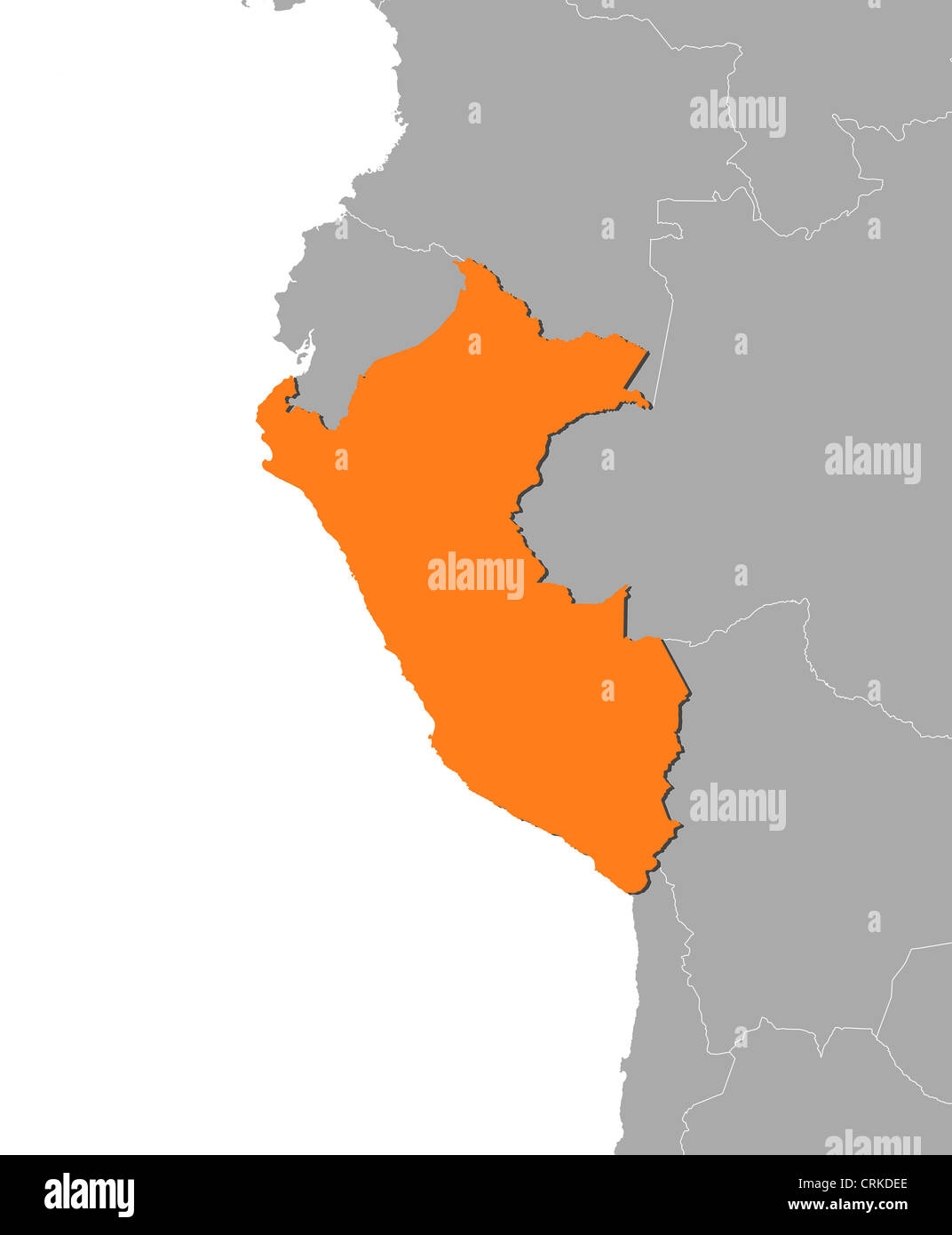 Political map of Peru with the several regions. Stock Photohttps://www.alamy.com/image-license-details/?v=1https://www.alamy.com/stock-photo-political-map-of-peru-with-the-several-regions-48985510.html
RFCRKDEE–Political map of Peru with the several regions.
 Image taken from page 293 of 'Peru: incidents of ravel and exploration in the Land of the Incas. ... With illustrations' Image taken from page 293 of 'Peru incidents of ravel Stock Photohttps://www.alamy.com/image-license-details/?v=1https://www.alamy.com/stock-photo-image-taken-from-page-293-of-peru-incidents-of-ravel-and-exploration-130133247.html
RMHFM27Y–Image taken from page 293 of 'Peru: incidents of ravel and exploration in the Land of the Incas. ... With illustrations' Image taken from page 293 of 'Peru incidents of ravel
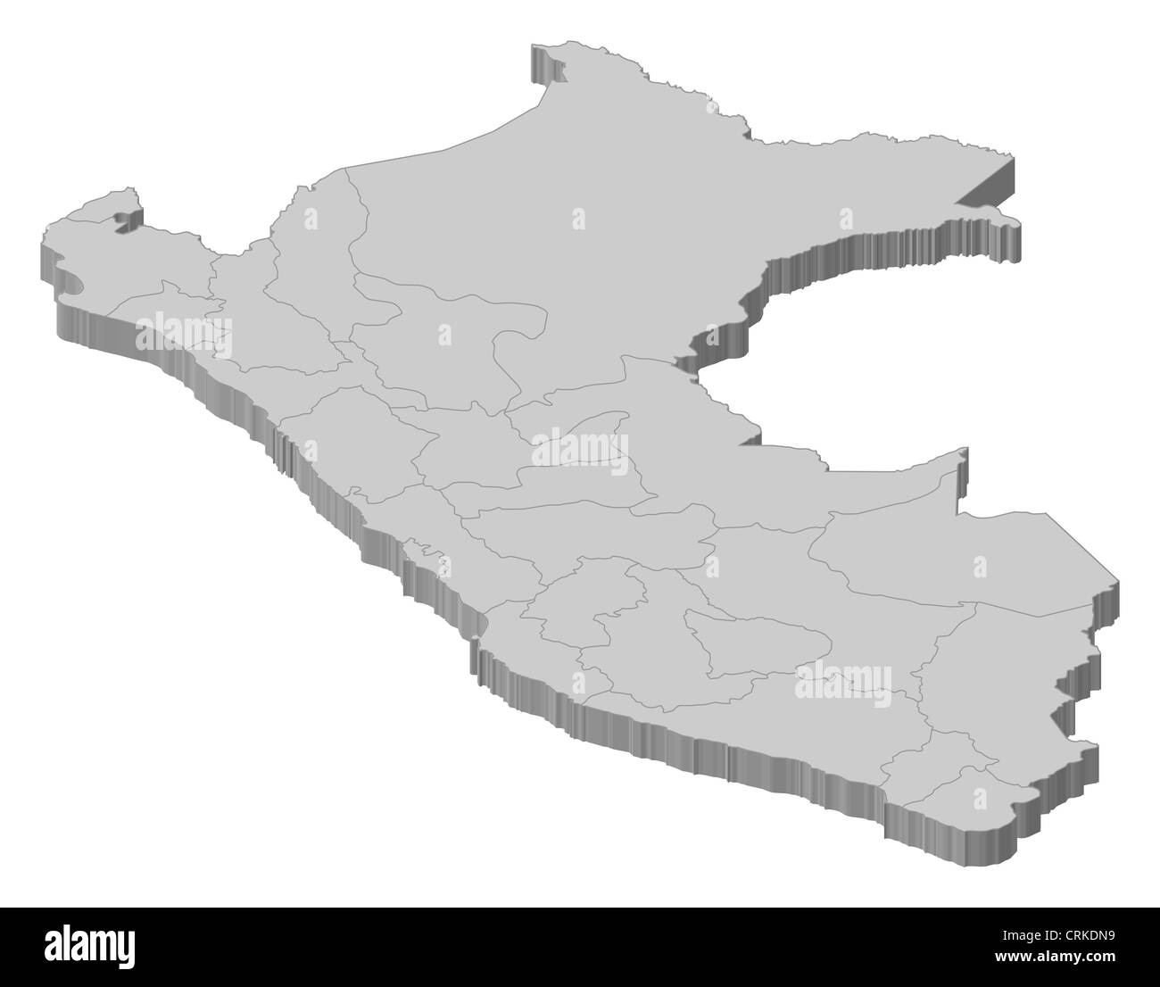 Political map of Peru with the several regions. Stock Photohttps://www.alamy.com/image-license-details/?v=1https://www.alamy.com/stock-photo-political-map-of-peru-with-the-several-regions-48985701.html
RFCRKDN9–Political map of Peru with the several regions.
![Image taken from page 642 of 'A magyar nemzet tortenete. Szerkeszti Szilágyi S. [With maps and illustrations.]' Image taken from page 642 of 'A magyar nemzet tortenete Stock Photo Image taken from page 642 of 'A magyar nemzet tortenete. Szerkeszti Szilágyi S. [With maps and illustrations.]' Image taken from page 642 of 'A magyar nemzet tortenete Stock Photo](https://c8.alamy.com/comp/HBYJ18/image-taken-from-page-642-of-a-magyar-nemzet-tortenete-szerkeszti-HBYJ18.jpg) Image taken from page 642 of 'A magyar nemzet tortenete. Szerkeszti Szilágyi S. [With maps and illustrations.]' Image taken from page 642 of 'A magyar nemzet tortenete Stock Photohttps://www.alamy.com/image-license-details/?v=1https://www.alamy.com/stock-photo-image-taken-from-page-642-of-a-magyar-nemzet-tortenete-szerkeszti-127840644.html
Image taken from page 642 of 'A magyar nemzet tortenete. Szerkeszti Szilágyi S. [With maps and illustrations.]' Image taken from page 642 of 'A magyar nemzet tortenete Stock Photohttps://www.alamy.com/image-license-details/?v=1https://www.alamy.com/stock-photo-image-taken-from-page-642-of-a-magyar-nemzet-tortenete-szerkeszti-127840644.htmlRMHBYJ18–Image taken from page 642 of 'A magyar nemzet tortenete. Szerkeszti Szilágyi S. [With maps and illustrations.]' Image taken from page 642 of 'A magyar nemzet tortenete
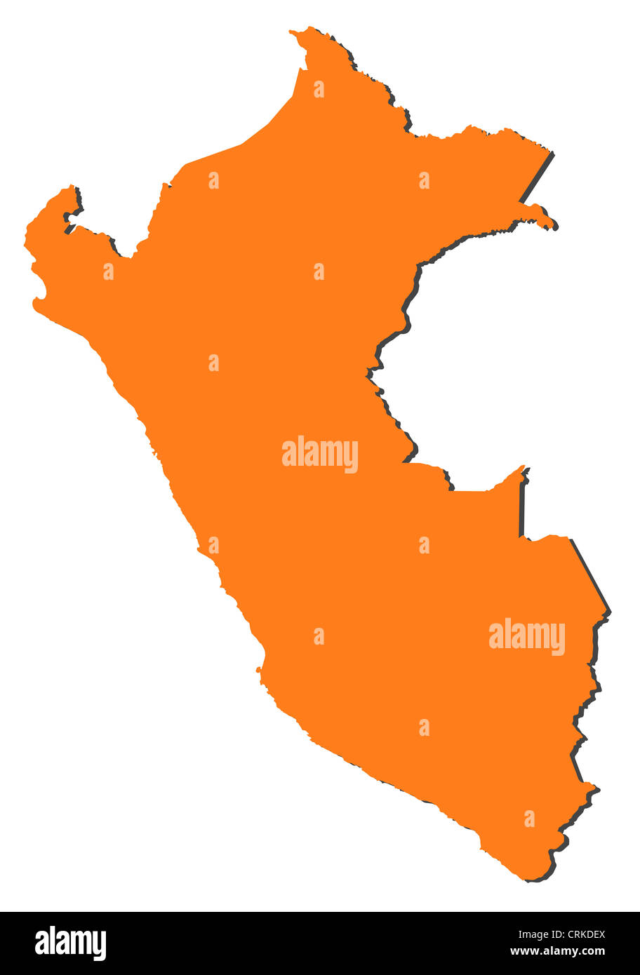 Political map of Peru with the several regions. Stock Photohttps://www.alamy.com/image-license-details/?v=1https://www.alamy.com/stock-photo-political-map-of-peru-with-the-several-regions-48985522.html
RFCRKDEX–Political map of Peru with the several regions.
![Image taken from page 338 of 'The Countries of the World: being a popular description of the various continents, islands, rivers, seas, and peoples of the globe. [With plates.]' Image taken from page 338 of 'The Countries of the Stock Photo Image taken from page 338 of 'The Countries of the World: being a popular description of the various continents, islands, rivers, seas, and peoples of the globe. [With plates.]' Image taken from page 338 of 'The Countries of the Stock Photo](https://c8.alamy.com/comp/HBN88T/image-taken-from-page-338-of-the-countries-of-the-world-being-a-popular-HBN88T.jpg) Image taken from page 338 of 'The Countries of the World: being a popular description of the various continents, islands, rivers, seas, and peoples of the globe. [With plates.]' Image taken from page 338 of 'The Countries of the Stock Photohttps://www.alamy.com/image-license-details/?v=1https://www.alamy.com/stock-photo-image-taken-from-page-338-of-the-countries-of-the-world-being-a-popular-127701304.html
Image taken from page 338 of 'The Countries of the World: being a popular description of the various continents, islands, rivers, seas, and peoples of the globe. [With plates.]' Image taken from page 338 of 'The Countries of the Stock Photohttps://www.alamy.com/image-license-details/?v=1https://www.alamy.com/stock-photo-image-taken-from-page-338-of-the-countries-of-the-world-being-a-popular-127701304.htmlRMHBN88T–Image taken from page 338 of 'The Countries of the World: being a popular description of the various continents, islands, rivers, seas, and peoples of the globe. [With plates.]' Image taken from page 338 of 'The Countries of the
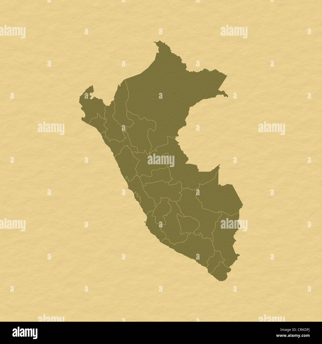 Political map of Peru with the several regions. Stock Photohttps://www.alamy.com/image-license-details/?v=1https://www.alamy.com/stock-photo-political-map-of-peru-with-the-several-regions-48985542.html
RFCRKDFJ–Political map of Peru with the several regions.
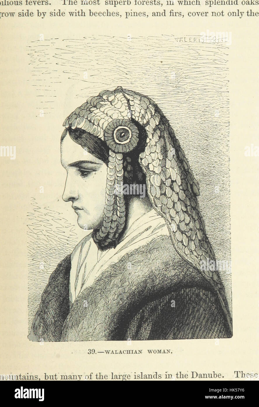 Image taken from page 139 of 'The Human Race, ... illustrated by ... engravings on wood, and ... chromolithographs' Image taken from page 139 of 'The Stock Photohttps://www.alamy.com/image-license-details/?v=1https://www.alamy.com/stock-photo-image-taken-from-page-139-of-the-human-race-illustrated-by-engravings-132267050.html
RMHK57Y6–Image taken from page 139 of 'The Human Race, ... illustrated by ... engravings on wood, and ... chromolithographs' Image taken from page 139 of 'The
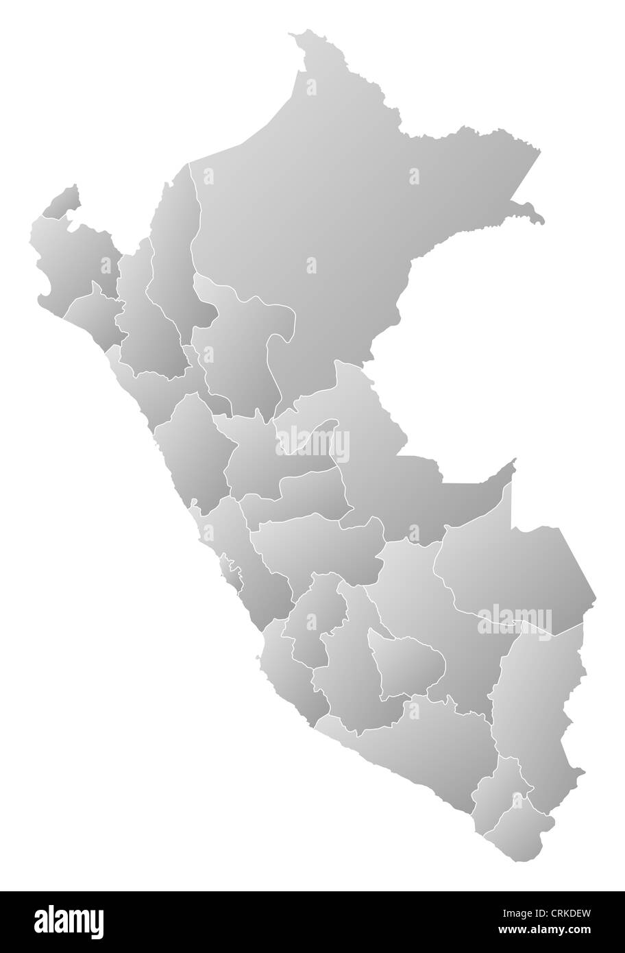 Political map of Peru with the several regions. Stock Photohttps://www.alamy.com/image-license-details/?v=1https://www.alamy.com/stock-photo-political-map-of-peru-with-the-several-regions-48985521.html
RFCRKDEW–Political map of Peru with the several regions.
 Image taken from page 405 of 'History of the Pacific States of North America' Image taken from page 405 of 'History of the Pacific Stock Photohttps://www.alamy.com/image-license-details/?v=1https://www.alamy.com/stock-photo-image-taken-from-page-405-of-history-of-the-pacific-states-of-north-130151902.html
RMHFMX26–Image taken from page 405 of 'History of the Pacific States of North America' Image taken from page 405 of 'History of the Pacific
 Political map of Peru with the several regions. Stock Photohttps://www.alamy.com/image-license-details/?v=1https://www.alamy.com/stock-photo-political-map-of-peru-with-the-several-regions-48985722.html
RFCRKDP2–Political map of Peru with the several regions.
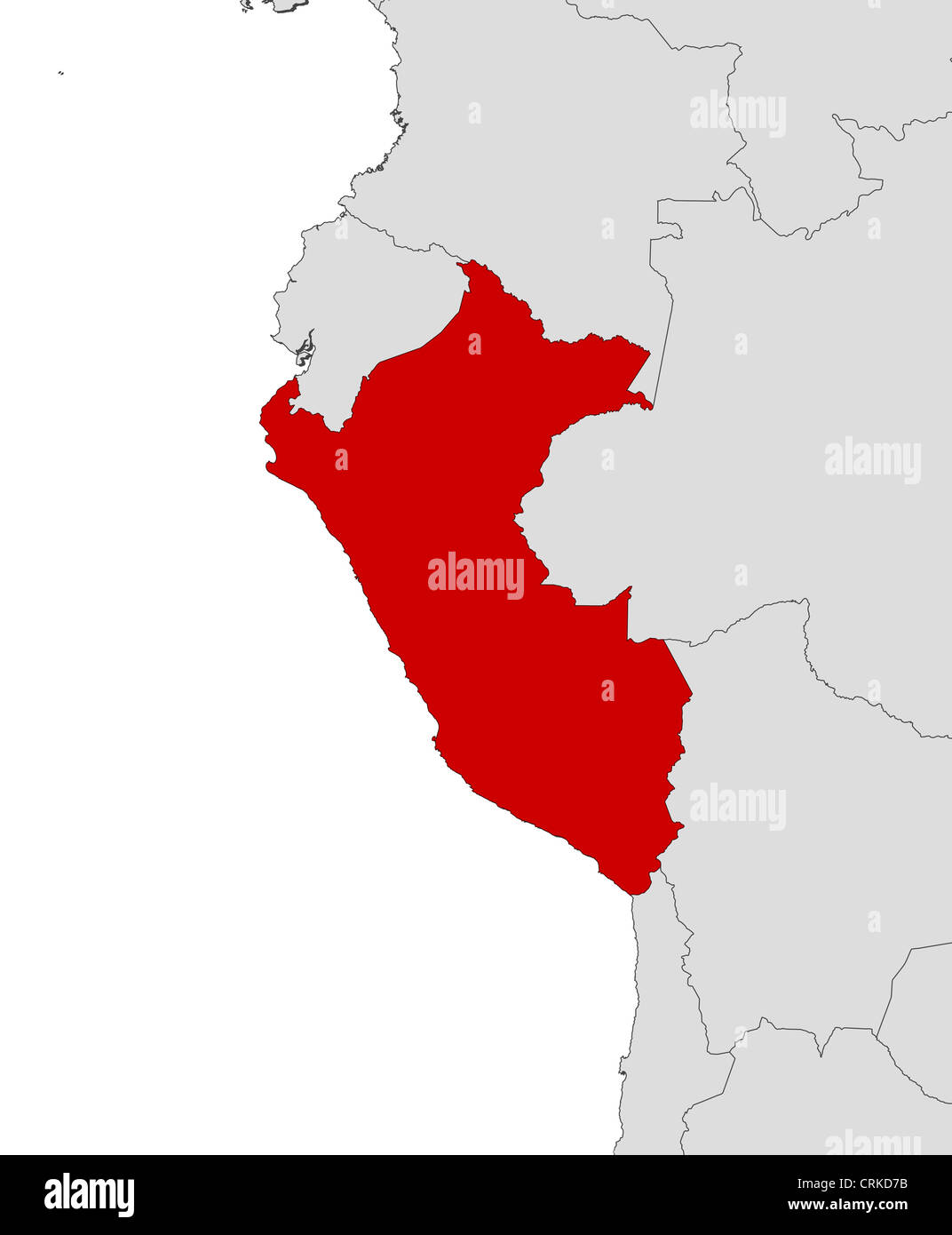 Political map of Peru with the several regions. Stock Photohttps://www.alamy.com/image-license-details/?v=1https://www.alamy.com/stock-photo-political-map-of-peru-with-the-several-regions-48985311.html
RFCRKD7B–Political map of Peru with the several regions.
 Political map of Peru with the several regions. Stock Photohttps://www.alamy.com/image-license-details/?v=1https://www.alamy.com/stock-photo-political-map-of-peru-with-the-several-regions-48985305.html
RFCRKD75–Political map of Peru with the several regions.
 Political map of Peru with the several regions. Stock Photohttps://www.alamy.com/image-license-details/?v=1https://www.alamy.com/stock-photo-political-map-of-peru-with-the-several-regions-48985391.html
RFCRKDA7–Political map of Peru with the several regions.
 Political map of Peru with the several regions. Stock Photohttps://www.alamy.com/image-license-details/?v=1https://www.alamy.com/stock-photo-political-map-of-peru-with-the-several-regions-48985307.html
RFCRKD77–Political map of Peru with the several regions.
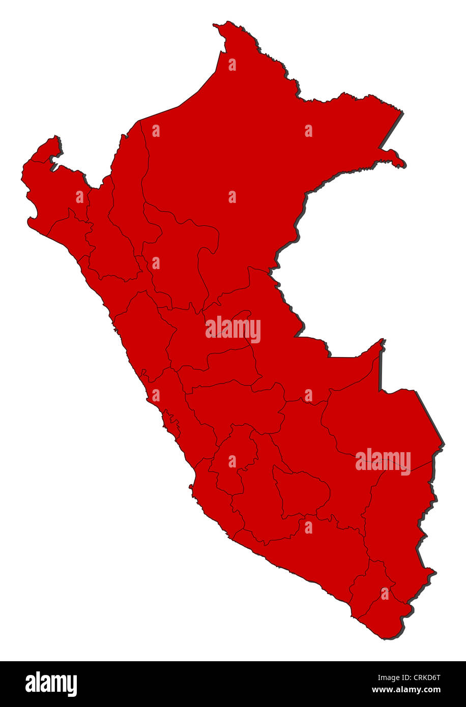 Political map of Peru with the several regions. Stock Photohttps://www.alamy.com/image-license-details/?v=1https://www.alamy.com/stock-photo-political-map-of-peru-with-the-several-regions-48985296.html
RFCRKD6T–Political map of Peru with the several regions.
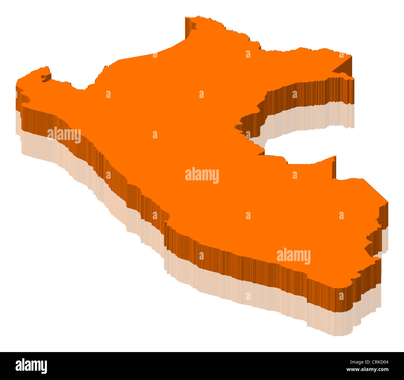 Political map of Peru with the several regions. Stock Photohttps://www.alamy.com/image-license-details/?v=1https://www.alamy.com/stock-photo-political-map-of-peru-with-the-several-regions-48985108.html
RFCRKD04–Political map of Peru with the several regions.
 Political map of Peru with the several regions. Stock Photohttps://www.alamy.com/image-license-details/?v=1https://www.alamy.com/stock-photo-political-map-of-peru-with-the-several-regions-48985284.html
RFCRKD6C–Political map of Peru with the several regions.
 Political map of Peru with the several regions. Stock Photohttps://www.alamy.com/image-license-details/?v=1https://www.alamy.com/stock-photo-political-map-of-peru-with-the-several-regions-48985287.html
RFCRKD6F–Political map of Peru with the several regions.
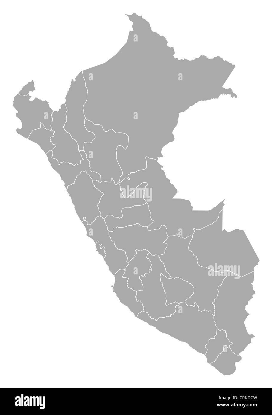 Political map of Peru with the several regions. Stock Photohttps://www.alamy.com/image-license-details/?v=1https://www.alamy.com/stock-photo-political-map-of-peru-with-the-several-regions-48985465.html
RFCRKDCW–Political map of Peru with the several regions.
 Political map of Peru with the several regions. Stock Photohttps://www.alamy.com/image-license-details/?v=1https://www.alamy.com/stock-photo-political-map-of-peru-with-the-several-regions-48985223.html
RFCRKD47–Political map of Peru with the several regions.
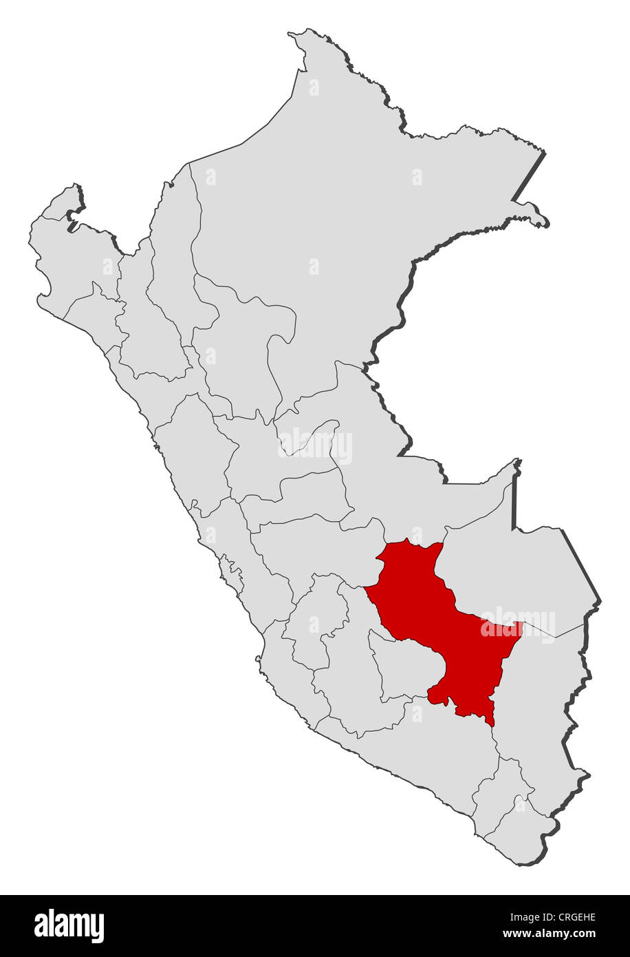 Political map of Peru with the several regions where Cusco is highlighted. Stock Photohttps://www.alamy.com/image-license-details/?v=1https://www.alamy.com/stock-photo-political-map-of-peru-with-the-several-regions-where-cusco-is-highlighted-48920522.html
RFCRGEHE–Political map of Peru with the several regions where Cusco is highlighted.
 Political map of Peru with the several regions where Ucayali is highlighted. Stock Photohttps://www.alamy.com/image-license-details/?v=1https://www.alamy.com/stock-photo-political-map-of-peru-with-the-several-regions-where-ucayali-is-highlighted-48985502.html
RFCRKDE6–Political map of Peru with the several regions where Ucayali is highlighted.
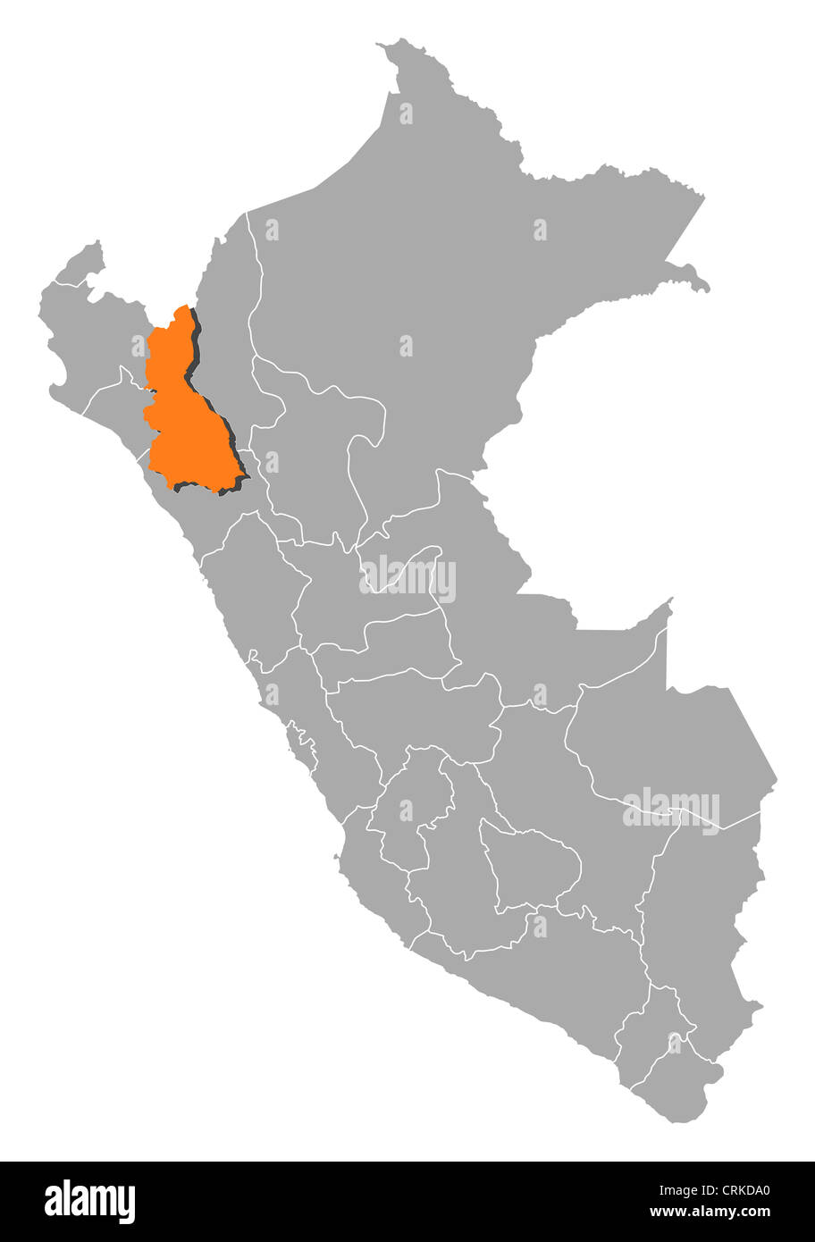 Political map of Peru with the several regions where Cajamarca is highlighted. Stock Photohttps://www.alamy.com/image-license-details/?v=1https://www.alamy.com/stock-photo-political-map-of-peru-with-the-several-regions-where-cajamarca-is-48985384.html
RFCRKDA0–Political map of Peru with the several regions where Cajamarca is highlighted.
 Political map of Peru with the several regions where Puno is highlighted. Stock Photohttps://www.alamy.com/image-license-details/?v=1https://www.alamy.com/stock-photo-political-map-of-peru-with-the-several-regions-where-puno-is-highlighted-48985245.html
RFCRKD51–Political map of Peru with the several regions where Puno is highlighted.
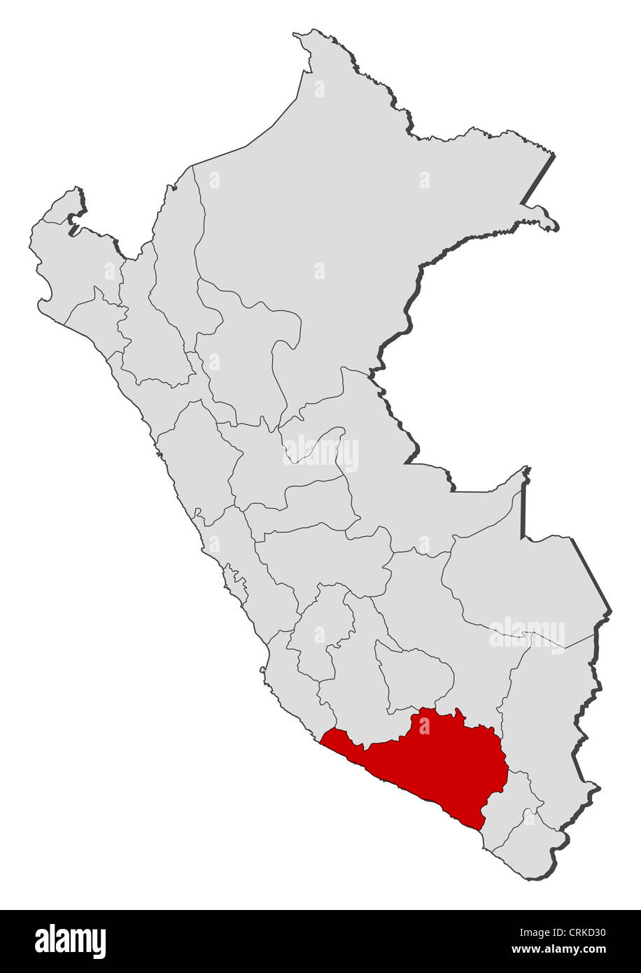 Political map of Peru with the several regions where Arequipa is highlighted. Stock Photohttps://www.alamy.com/image-license-details/?v=1https://www.alamy.com/stock-photo-political-map-of-peru-with-the-several-regions-where-arequipa-is-highlighted-48985188.html
RFCRKD30–Political map of Peru with the several regions where Arequipa is highlighted.
 Political map of Peru with the several regions where Piura is highlighted. Stock Photohttps://www.alamy.com/image-license-details/?v=1https://www.alamy.com/stock-photo-political-map-of-peru-with-the-several-regions-where-piura-is-highlighted-48985475.html
RFCRKDD7–Political map of Peru with the several regions where Piura is highlighted.
 Political map of Peru with the several regions where Ancash is highlighted. Stock Photohttps://www.alamy.com/image-license-details/?v=1https://www.alamy.com/stock-photo-political-map-of-peru-with-the-several-regions-where-ancash-is-highlighted-48985362.html
RFCRKD96–Political map of Peru with the several regions where Ancash is highlighted.
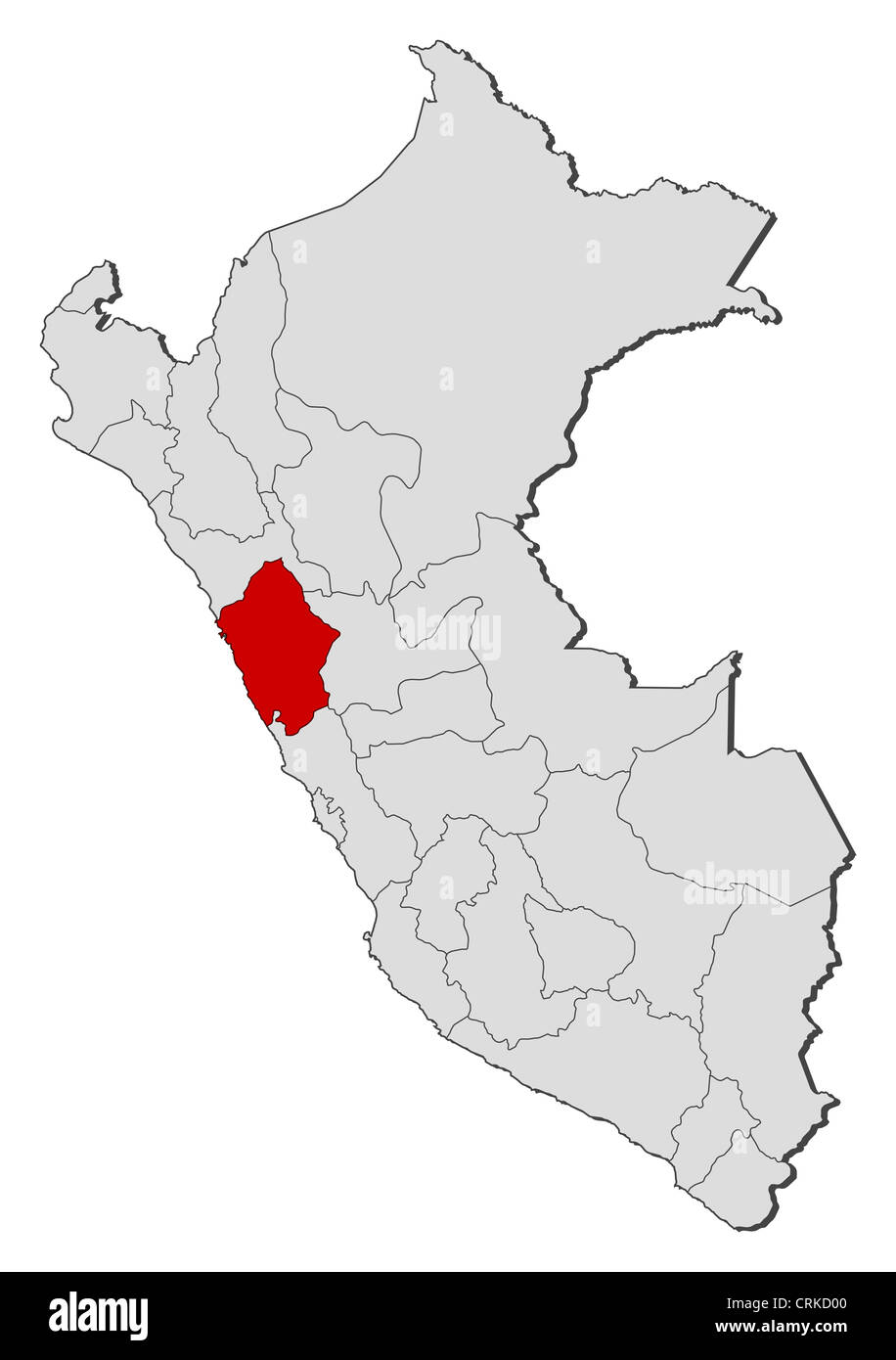 Political map of Peru with the several regions where Ancash is highlighted. Stock Photohttps://www.alamy.com/image-license-details/?v=1https://www.alamy.com/stock-photo-political-map-of-peru-with-the-several-regions-where-ancash-is-highlighted-48985104.html
RFCRKD00–Political map of Peru with the several regions where Ancash is highlighted.