Geological survey map minerals Stock Photos and Images
(6)See geological survey map minerals stock video clipsQuick filters:
Geological survey map minerals Stock Photos and Images
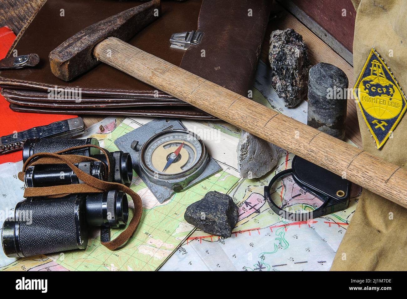
 Still life with tools of a field geologist - field vintage geology concept Stock Photohttps://www.alamy.com/image-license-details/?v=1https://www.alamy.com/still-life-with-tools-of-a-field-geologist-field-vintage-geology-concept-image465739498.html
RF2J1M7DE–Still life with tools of a field geologist - field vintage geology concept
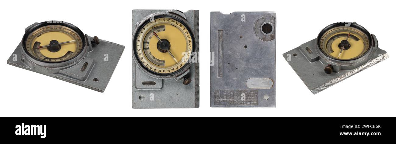
 Mountain geological compass on white background Collection. Stock Photohttps://www.alamy.com/image-license-details/?v=1https://www.alamy.com/mountain-geological-compass-on-white-background-collection-image594644587.html
RF2WFCB6K–Mountain geological compass on white background Collection.
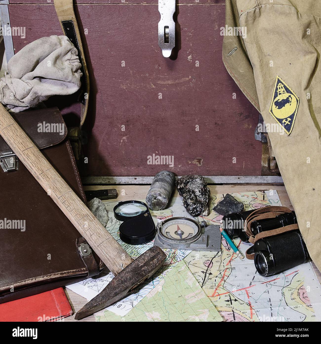
 Still life with tools of a field geologist - field vintage geology concept Stock Photohttps://www.alamy.com/image-license-details/?v=1https://www.alamy.com/still-life-with-tools-of-a-field-geologist-field-vintage-geology-concept-image465739419.html
RF2J1M7AK–Still life with tools of a field geologist - field vintage geology concept
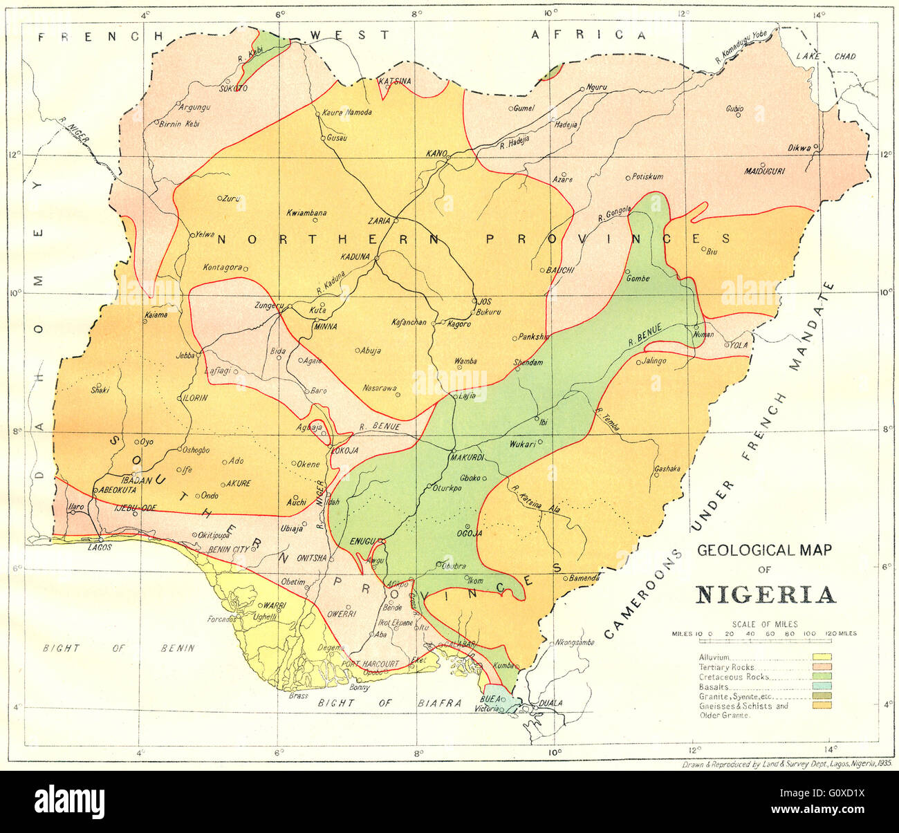
 NIGERIA: Geological Map of Nigeria, 1936 Stock Photohttps://www.alamy.com/image-license-details/?v=1https://www.alamy.com/stock-photo-nigeria-geological-map-of-nigeria-1936-103843206.html
RFG0XD1X–NIGERIA: Geological Map of Nigeria, 1936
 . Ontario Sessional Papers, 1897-98, No.33-66. «^^-/} Areas id ojljief) occur oattrope cf Nep>)eiit)t Syentfit. ^ INDEX MAP OF Corundum Region Economic Geology of Eastern Ontario Corundum and other Minerals By Willet G. Miller Introduction THIS preliminaiy Rep(jrt un the EconomicGeology of Eastern Ontario deals moreparticularly with the occurrence ofcorundum in the counties of Hastings, Ren-frew and Peterborough, but a few notes arealso given on other minerals. In October, 1896, Mr. W. F. Ferrier,litholtjgist of the Geological Survey of Can-ada, reported the occurrence of coiundum inthe to^ Stock Photohttps://www.alamy.com/image-license-details/?v=1https://www.alamy.com/ontario-sessional-papers-1897-98-no33-66-areas-id-ojljief-occur-oattrope-cf-nepgteiitt-syentfit-index-map-of-corundum-region-economic-geology-of-eastern-ontario-corundum-and-other-minerals-by-willet-g-miller-introduction-this-preliminaiy-repjrt-un-the-economicgeology-of-eastern-ontario-deals-moreparticularly-with-the-occurrence-ofcorundum-in-the-counties-of-hastings-ren-frew-and-peterborough-but-a-few-notes-arealso-given-on-other-minerals-in-october-1896-mr-w-f-ferrierlitholtjgist-of-the-geological-survey-of-can-ada-reported-the-occurrence-of-coiundum-inthe-to-image336838563.html
RM2AG090K–. Ontario Sessional Papers, 1897-98, No.33-66. «^^-/} Areas id ojljief) occur oattrope cf Nep>)eiit)t Syentfit. ^ INDEX MAP OF Corundum Region Economic Geology of Eastern Ontario Corundum and other Minerals By Willet G. Miller Introduction THIS preliminaiy Rep(jrt un the EconomicGeology of Eastern Ontario deals moreparticularly with the occurrence ofcorundum in the counties of Hastings, Ren-frew and Peterborough, but a few notes arealso given on other minerals. In October, 1896, Mr. W. F. Ferrier,litholtjgist of the Geological Survey of Can-ada, reported the occurrence of coiundum inthe to^
 British Columbia : Kamloops sheet, topography, economic minerals, & glacial striae. Relief shown by contours and shading. 'To accompany report by George M. Dawson C.M.G., L.L.D., F.R.S. At head of map: Geological Survey of Canada. 'Sheet No.12.' '557.'.. Kamloops sheet : topography, economic minerals & glacial striae. Kamloops sheet : topography, economic minerals & glacial striae, Thompson-Nicola Regional District Stock Photohttps://www.alamy.com/image-license-details/?v=1https://www.alamy.com/british-columbia-kamloops-sheet-topography-economic-minerals-glacial-striae-relief-shown-by-contours-and-shading-to-accompany-report-by-george-m-dawson-cmg-lld-frs-at-head-of-map-geological-survey-of-canada-sheet-no12-557-kamloops-sheet-topography-economic-minerals-glacial-striae-kamloops-sheet-topography-economic-minerals-glacial-striae-thompson-nicola-regional-district-image502723241.html
RM2M5W0HD–British Columbia : Kamloops sheet, topography, economic minerals, & glacial striae. Relief shown by contours and shading. 'To accompany report by George M. Dawson C.M.G., L.L.D., F.R.S. At head of map: Geological Survey of Canada. 'Sheet No.12.' '557.'.. Kamloops sheet : topography, economic minerals & glacial striae. Kamloops sheet : topography, economic minerals & glacial striae, Thompson-Nicola Regional District