Quick filters:
Geopolitical regions Stock Photos and Images
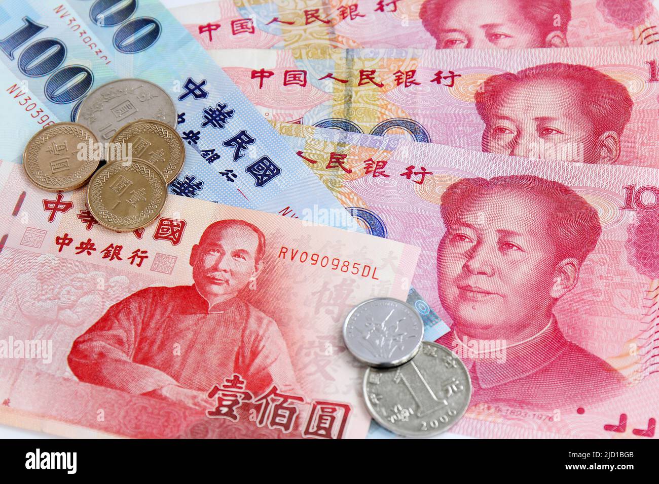 Chinese Yuan vs Taiwan Dollars - two currencies for these geopolitical regions with close trading Stock Photohttps://www.alamy.com/image-license-details/?v=1https://www.alamy.com/chinese-yuan-vs-taiwan-dollars-two-currencies-for-these-geopolitical-regions-with-close-trading-image472701499.html
RF2JD1BGB–Chinese Yuan vs Taiwan Dollars - two currencies for these geopolitical regions with close trading
 A boy embraces our beautiful planet earth. Concept, save the planet, environmental conservation, climate change, geopolitical and other related glob Stock Photohttps://www.alamy.com/image-license-details/?v=1https://www.alamy.com/a-boy-embraces-our-beautiful-planet-earth-concept-save-the-planet-environmental-conservation-climate-change-geopolitical-and-other-related-glob-image627312066.html
RF2YCGEXA–A boy embraces our beautiful planet earth. Concept, save the planet, environmental conservation, climate change, geopolitical and other related glob
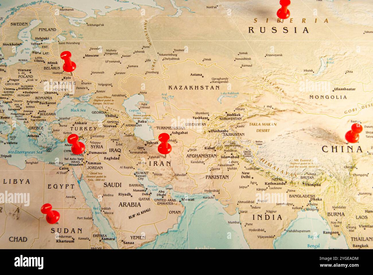 Minimalist map highlighting Yemen, Israel, Palestine, and Iran, representing regions of historical and ongoing conflict. Stock Photohttps://www.alamy.com/image-license-details/?v=1https://www.alamy.com/minimalist-map-highlighting-yemen-israel-palestine-and-iran-representing-regions-of-historical-and-ongoing-conflict-image629723296.html
RF2YGEADM–Minimalist map highlighting Yemen, Israel, Palestine, and Iran, representing regions of historical and ongoing conflict.
 Unpaved road in remote high Himalayas cold desert regions of Ladakh in wide angle Stock Photohttps://www.alamy.com/image-license-details/?v=1https://www.alamy.com/unpaved-road-in-remote-high-himalayas-cold-desert-regions-of-ladakh-in-wide-angle-image493403233.html
RF2KJMCT1–Unpaved road in remote high Himalayas cold desert regions of Ladakh in wide angle
 General view of Surkh-Darra village in Bamyan province. Surkh-Darra was one of the regions hardest hit by drought in 2019. Stock Photohttps://www.alamy.com/image-license-details/?v=1https://www.alamy.com/general-view-of-surkh-darra-village-in-bamyan-province-surkh-darra-was-one-of-the-regions-hardest-hit-by-drought-in-2019-image433236428.html
RM2G4RHDG–General view of Surkh-Darra village in Bamyan province. Surkh-Darra was one of the regions hardest hit by drought in 2019.
 Unpaved road in remote high Himalayas cold desert regions of Ladakh in wide angle Stock Photohttps://www.alamy.com/image-license-details/?v=1https://www.alamy.com/unpaved-road-in-remote-high-himalayas-cold-desert-regions-of-ladakh-in-wide-angle-image493403267.html
RF2KJMCW7–Unpaved road in remote high Himalayas cold desert regions of Ladakh in wide angle
 Administrative map of the regions in the Spanish Autonomous community of Murcia Stock Photohttps://www.alamy.com/image-license-details/?v=1https://www.alamy.com/administrative-map-of-the-regions-in-the-spanish-autonomous-community-of-murcia-image551382836.html
RF2R11JC4–Administrative map of the regions in the Spanish Autonomous community of Murcia
 hand hands environment Stock Photohttps://www.alamy.com/image-license-details/?v=1https://www.alamy.com/stock-photo-hand-hands-environment-114930084.html
RFGJYEDT–hand hands environment
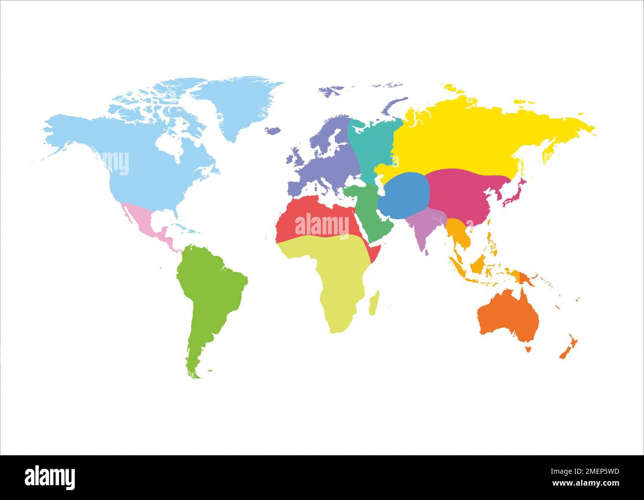 Geopolitical units of the world Stock Photohttps://www.alamy.com/image-license-details/?v=1https://www.alamy.com/geopolitical-units-of-the-world-image508193433.html
RM2MEP5WD–Geopolitical units of the world
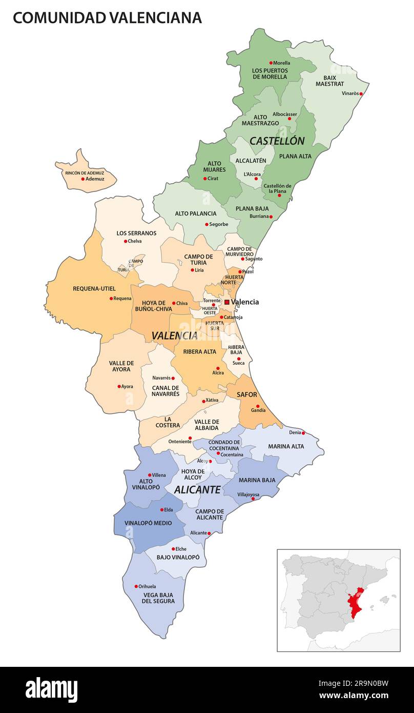 Administrative map of the regions of the Spanish Autonomous Community of Valencia Stock Photohttps://www.alamy.com/image-license-details/?v=1https://www.alamy.com/administrative-map-of-the-regions-of-the-spanish-autonomous-community-of-valencia-image556725005.html
RF2R9N0BW–Administrative map of the regions of the Spanish Autonomous Community of Valencia
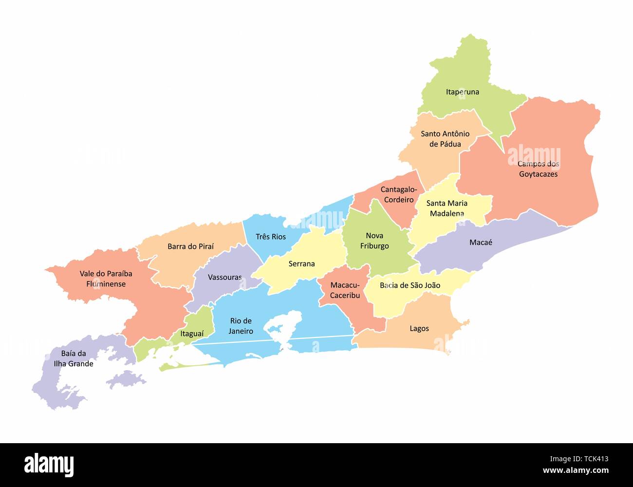 A colorful map of the Rio de Janeiro State divided into regions, Brazil Stock Vectorhttps://www.alamy.com/image-license-details/?v=1https://www.alamy.com/a-colorful-map-of-the-rio-de-janeiro-state-divided-into-regions-brazil-image248741279.html
RFTCK413–A colorful map of the Rio de Janeiro State divided into regions, Brazil
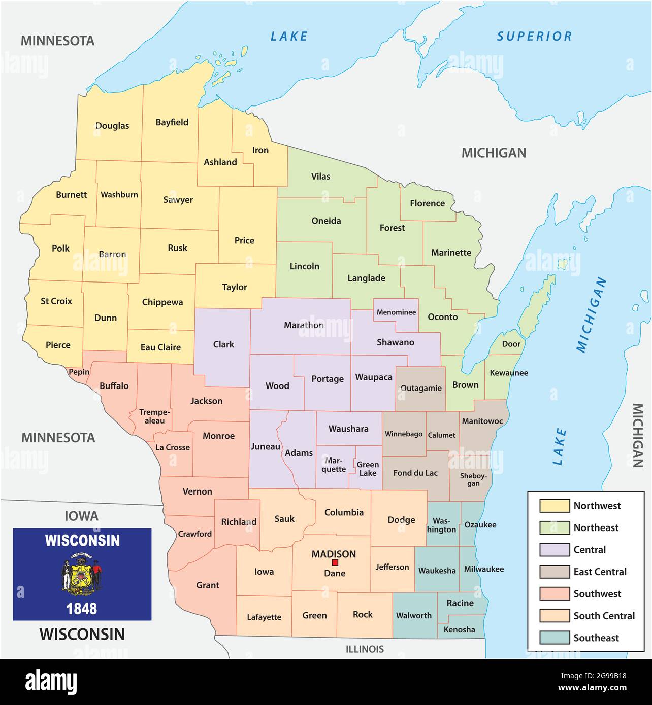 Vector map of the regions of the US state of Wisconsin with flag Stock Vectorhttps://www.alamy.com/image-license-details/?v=1https://www.alamy.com/vector-map-of-the-regions-of-the-us-state-of-wisconsin-with-flag-image435997332.html
RF2G99B18–Vector map of the regions of the US state of Wisconsin with flag
 Intelligence report acronym INTREP text macro closeup, typewriter typed intel insight facts summary reporting document concept, brief concise bulletin Stock Photohttps://www.alamy.com/image-license-details/?v=1https://www.alamy.com/intelligence-report-acronym-intrep-text-macro-closeup-typewriter-typed-intel-insight-facts-summary-reporting-document-concept-brief-concise-bulletin-image441998155.html
RF2GK2N4B–Intelligence report acronym INTREP text macro closeup, typewriter typed intel insight facts summary reporting document concept, brief concise bulletin
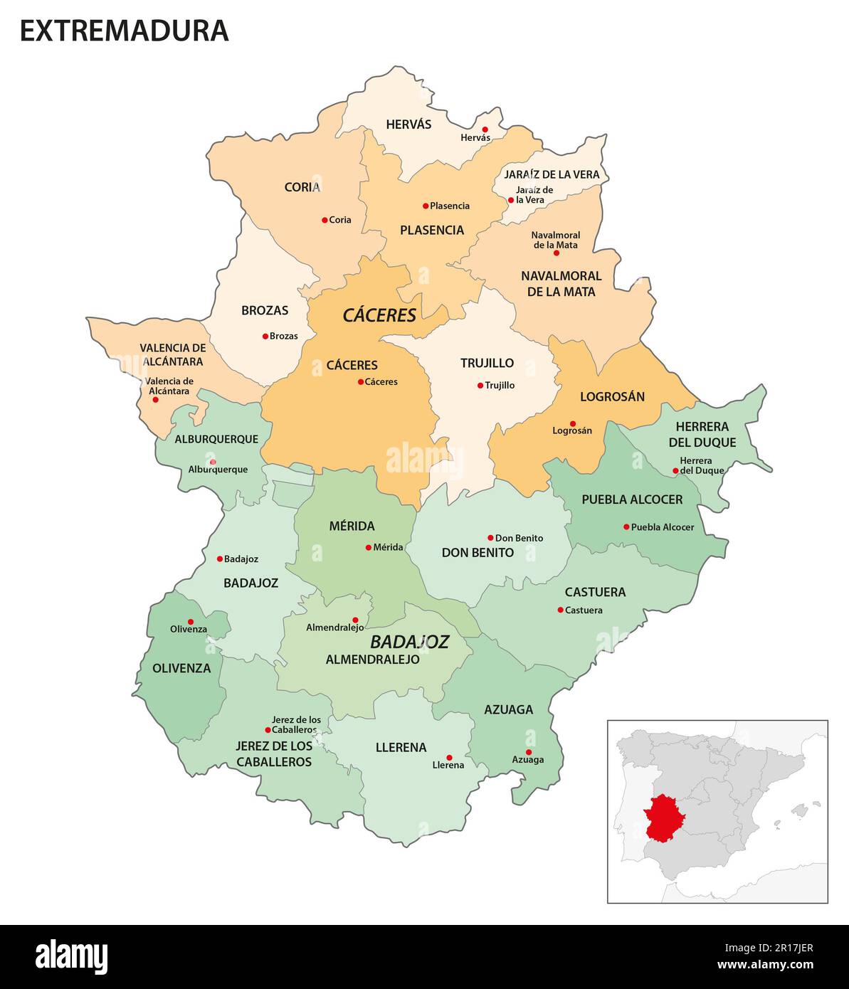 Administrative map of the regions in the Spanish Autonomous community of Extremadura Stock Photohttps://www.alamy.com/image-license-details/?v=1https://www.alamy.com/administrative-map-of-the-regions-in-the-spanish-autonomous-community-of-extremadura-image551514623.html
RF2R17JER–Administrative map of the regions in the Spanish Autonomous community of Extremadura
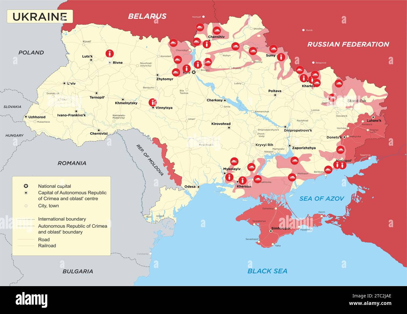 Ukraine war map. Russia in Ukraine and the Middle East. Russian military conflict with Ukraine. Russian Agression. Geopolitical concept illustration. Stock Photohttps://www.alamy.com/image-license-details/?v=1https://www.alamy.com/ukraine-war-map-russia-in-ukraine-and-the-middle-east-russian-military-conflict-with-ukraine-russian-agression-geopolitical-concept-illustration-image575376326.html
RF2TC2JAE–Ukraine war map. Russia in Ukraine and the Middle East. Russian military conflict with Ukraine. Russian Agression. Geopolitical concept illustration.
 Boy holding the world earth ball in his hand Stock Photohttps://www.alamy.com/image-license-details/?v=1https://www.alamy.com/stock-photo-boy-holding-the-world-earth-ball-in-his-hand-114565630.html
RFGJAWHJ–Boy holding the world earth ball in his hand
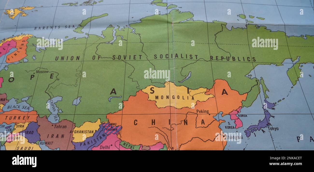 Closeup of colorful vintage map showing USSR, Iran, Mongolia, China, Turkey Stock Photohttps://www.alamy.com/image-license-details/?v=1https://www.alamy.com/closeup-of-colorful-vintage-map-showing-ussr-iran-mongolia-china-turkey-image528218848.html
RF2NKACET–Closeup of colorful vintage map showing USSR, Iran, Mongolia, China, Turkey
 Boy holding blow up ball of the Earth world Stock Photohttps://www.alamy.com/image-license-details/?v=1https://www.alamy.com/stock-photo-boy-holding-blow-up-ball-of-the-earth-world-90479709.html
RFF75KP5–Boy holding blow up ball of the Earth world
RF2XW284T–World Map Globe Icon, Clipart
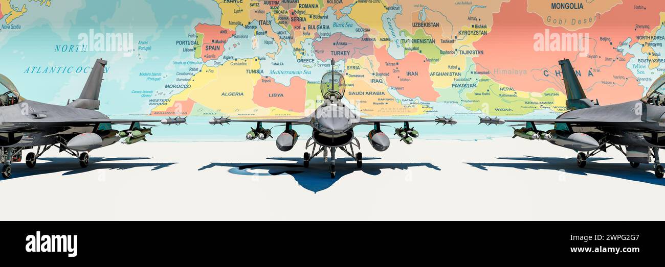 Fighter Jets Positioned Over a Strategic Global Map Highlighting International Borders Stock Photohttps://www.alamy.com/image-license-details/?v=1https://www.alamy.com/fighter-jets-positioned-over-a-strategic-global-map-highlighting-international-borders-image599028199.html
RF2WPG2G7–Fighter Jets Positioned Over a Strategic Global Map Highlighting International Borders
 A young boy holding the earth world ball in his hand against a black background. Images from Nasa. Stock Photohttps://www.alamy.com/image-license-details/?v=1https://www.alamy.com/a-young-boy-holding-the-earth-world-ball-in-his-hand-against-a-black-background-images-from-nasa-image627314787.html
RF2YCGJBF–A young boy holding the earth world ball in his hand against a black background. Images from Nasa.
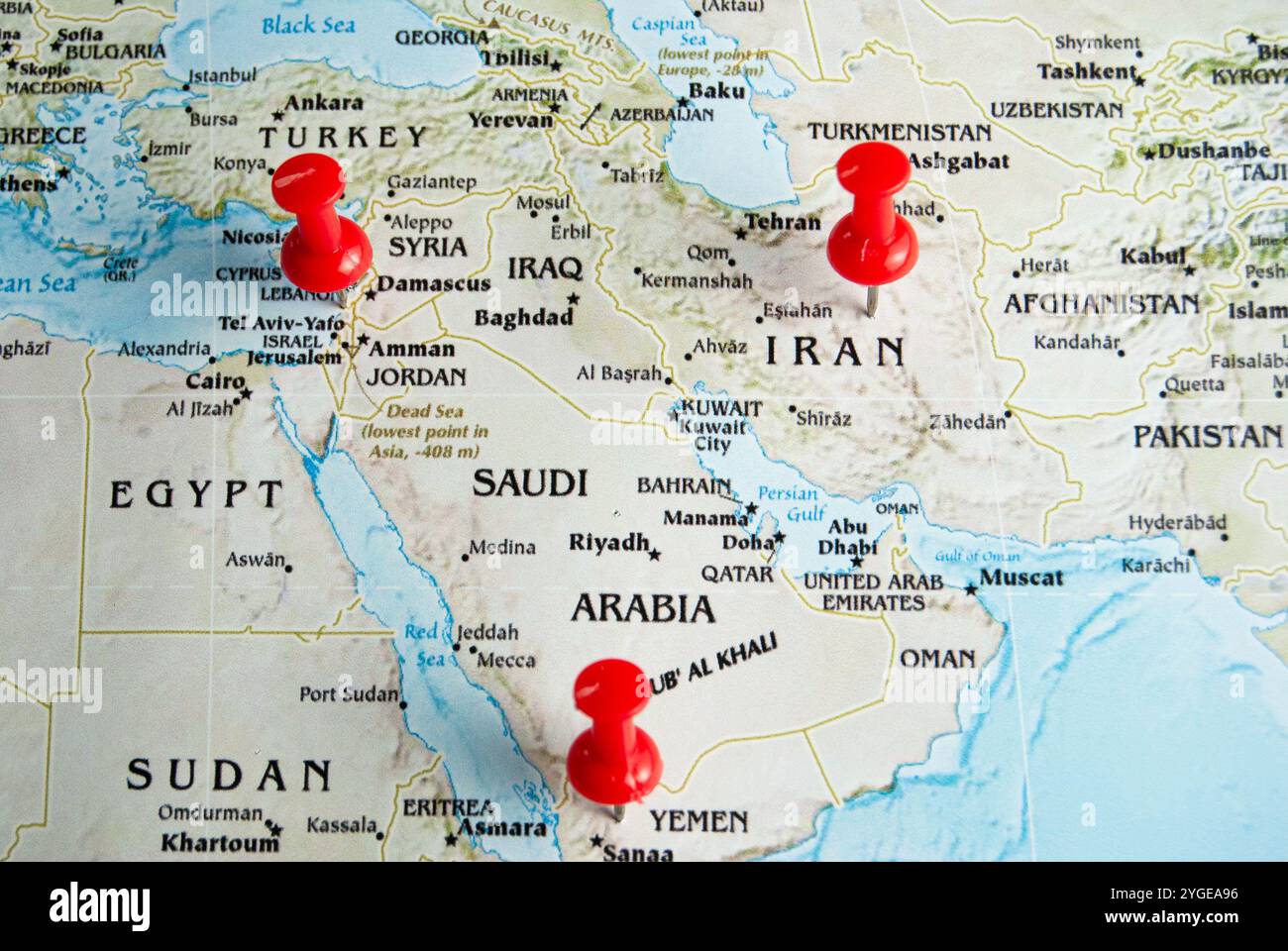 Minimalist map highlighting Yemen, Israel, Palestine, and Iran, representing regions of historical and ongoing conflict. Stock Photohttps://www.alamy.com/image-license-details/?v=1https://www.alamy.com/minimalist-map-highlighting-yemen-israel-palestine-and-iran-representing-regions-of-historical-and-ongoing-conflict-image629723170.html
RF2YGEA96–Minimalist map highlighting Yemen, Israel, Palestine, and Iran, representing regions of historical and ongoing conflict.
 A school student holding the earth, world earth in his hands and smiling. Shadow under shoes. Stock Photohttps://www.alamy.com/image-license-details/?v=1https://www.alamy.com/a-school-student-holding-the-earth-world-earth-in-his-hands-and-smiling-shadow-under-shoes-image627314277.html
RF2YCGHN9–A school student holding the earth, world earth in his hands and smiling. Shadow under shoes.
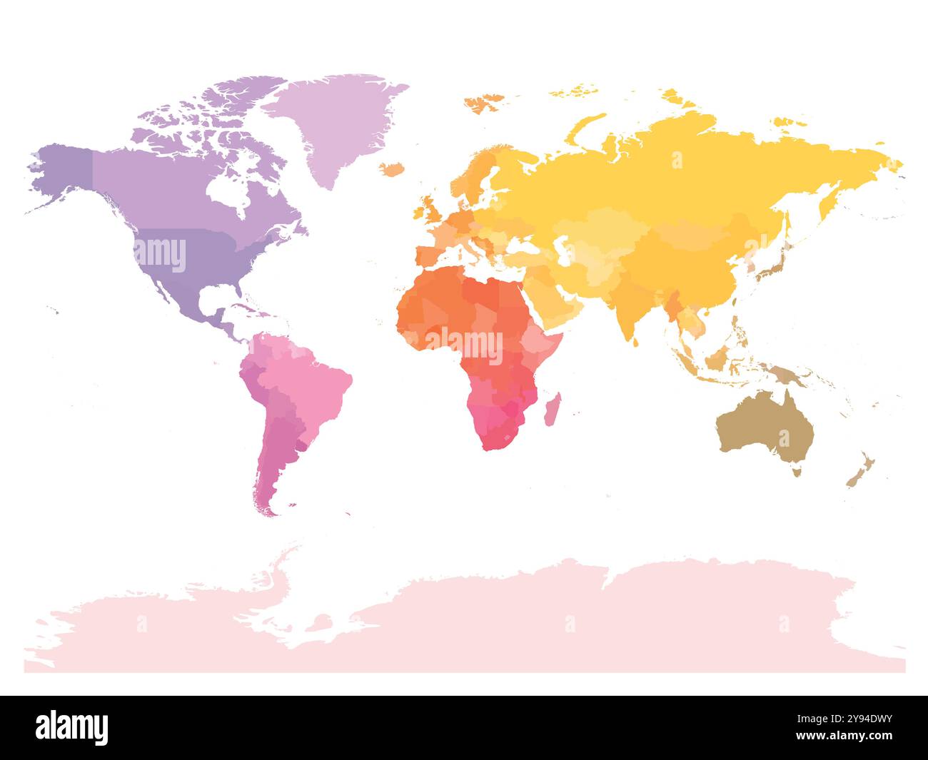 This political world map illustrates the boundaries between countries, highlighting various regions with distinct colors to represent different nations and territories across the globe. Stock Vectorhttps://www.alamy.com/image-license-details/?v=1https://www.alamy.com/this-political-world-map-illustrates-the-boundaries-between-countries-highlighting-various-regions-with-distinct-colors-to-represent-different-nations-and-territories-across-the-globe-image625203879.html
RF2Y94DWY–This political world map illustrates the boundaries between countries, highlighting various regions with distinct colors to represent different nations and territories across the globe.
 education science student Stock Photohttps://www.alamy.com/image-license-details/?v=1https://www.alamy.com/stock-photo-education-science-student-114930085.html
RFGJYEDW–education science student
 travel education student globe planet earth world schoolboy boy lad male Stock Photohttps://www.alamy.com/image-license-details/?v=1https://www.alamy.com/stock-photo-travel-education-student-globe-planet-earth-world-schoolboy-boy-lad-141819959.html
RFJ6MCPF–travel education student globe planet earth world schoolboy boy lad male
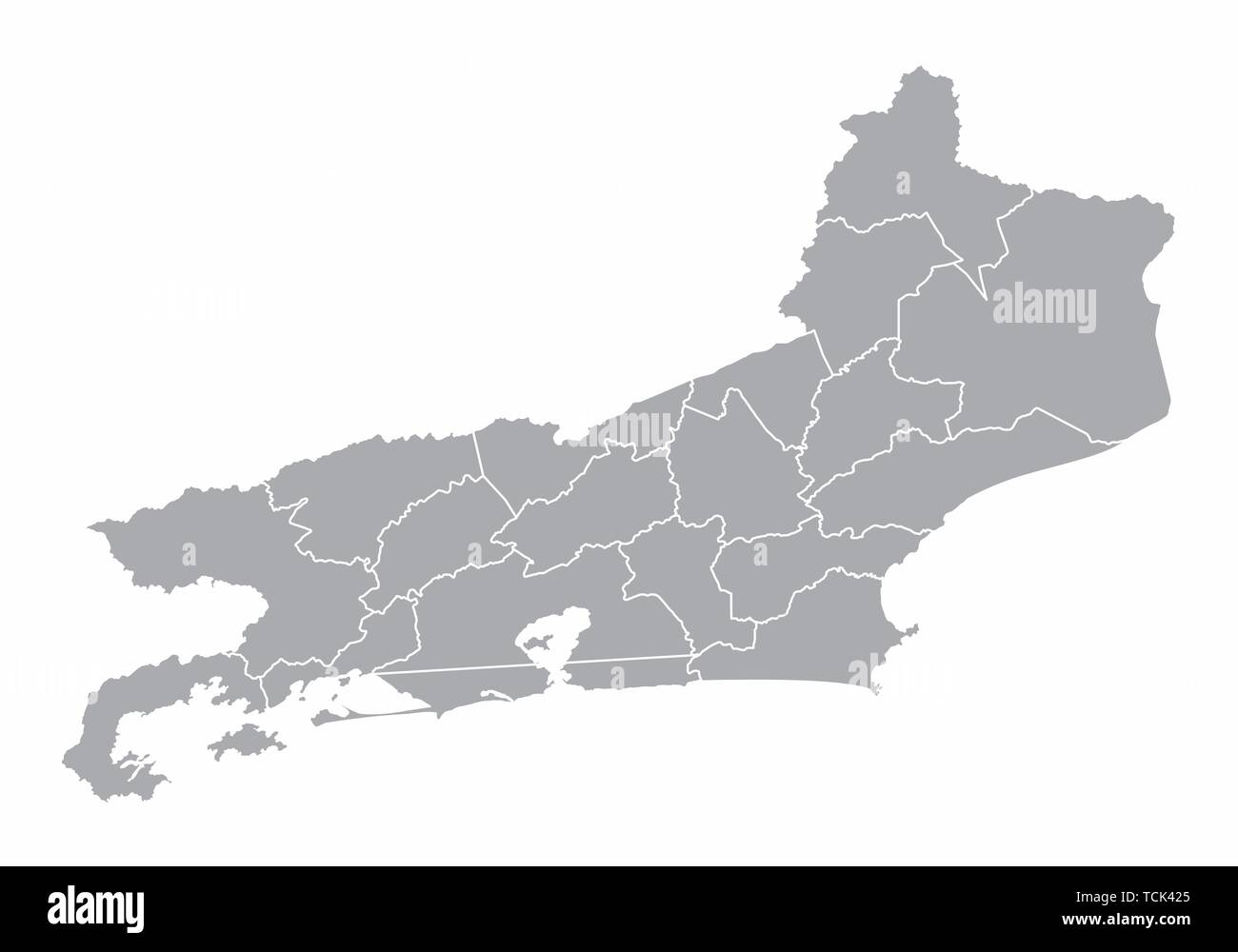 A gray map of the Rio de Janeiro State divided into regions, Brazil Stock Vectorhttps://www.alamy.com/image-license-details/?v=1https://www.alamy.com/a-gray-map-of-the-rio-de-janeiro-state-divided-into-regions-brazil-image248741309.html
RFTCK425–A gray map of the Rio de Janeiro State divided into regions, Brazil
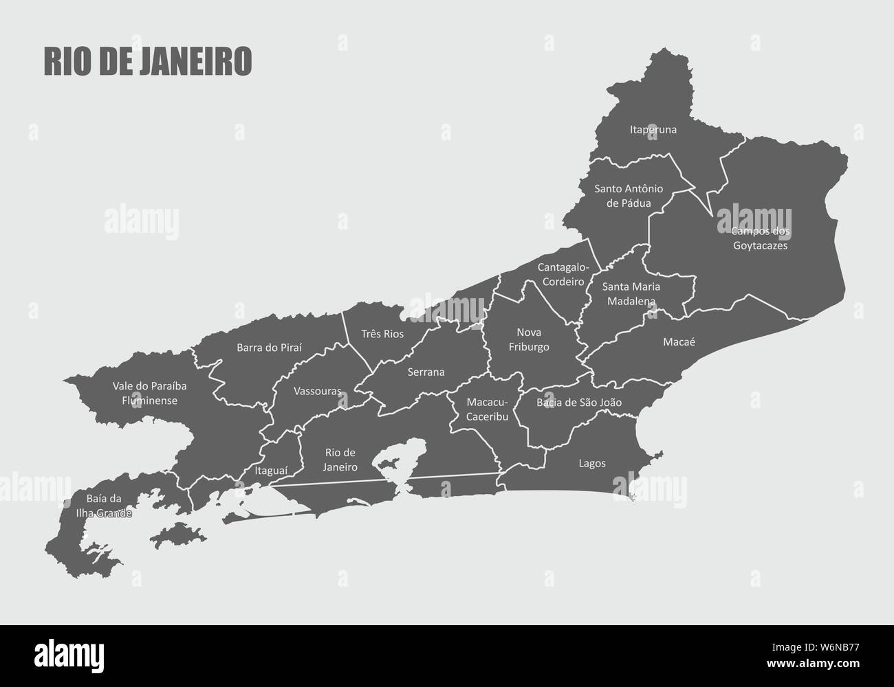 The Rio de Janeiro State map divided into regions with labels Stock Vectorhttps://www.alamy.com/image-license-details/?v=1https://www.alamy.com/the-rio-de-janeiro-state-map-divided-into-regions-with-labels-image262313275.html
RFW6NB77–The Rio de Janeiro State map divided into regions with labels
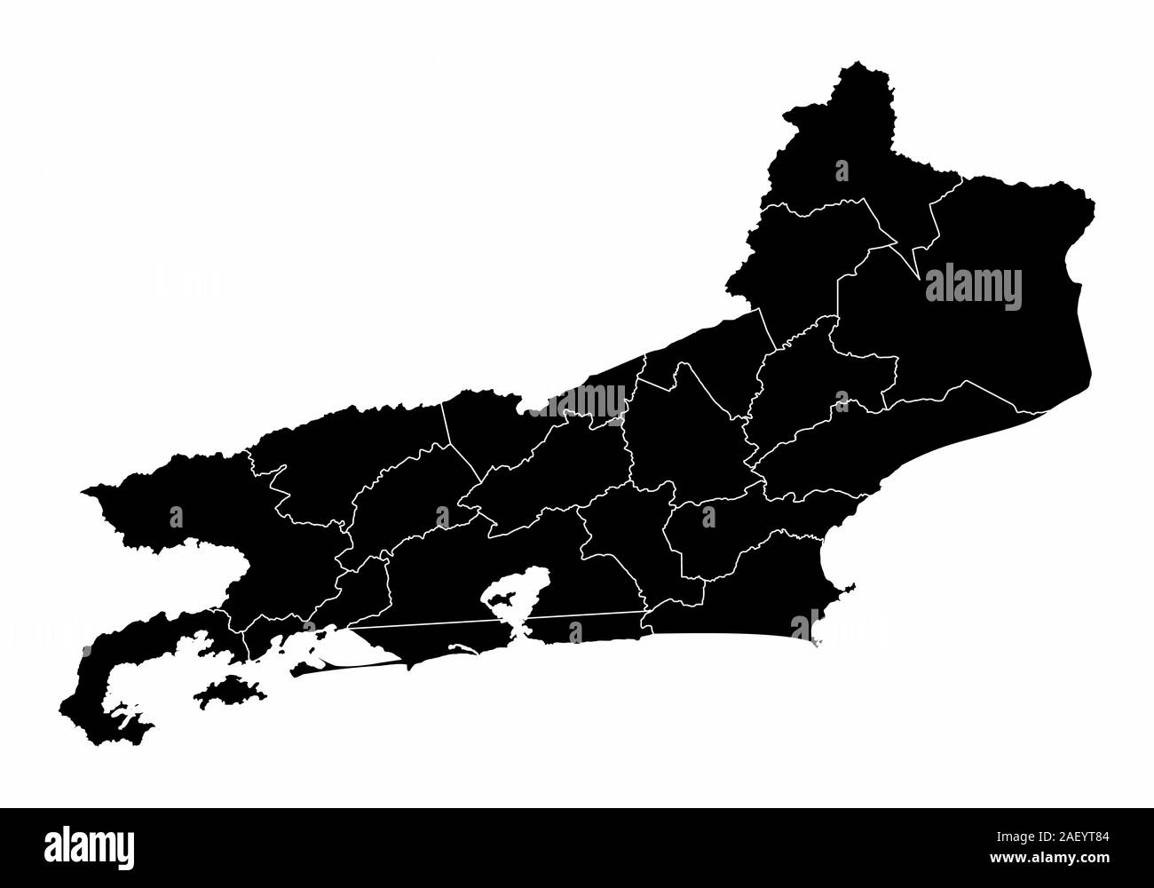 Rio de Janeiro State microregions map Stock Vectorhttps://www.alamy.com/image-license-details/?v=1https://www.alamy.com/rio-de-janeiro-state-microregions-map-image336213924.html
RF2AEYT84–Rio de Janeiro State microregions map
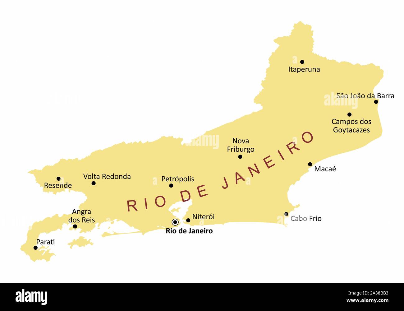 Rio de Janeiro State cities map Stock Vectorhttps://www.alamy.com/image-license-details/?v=1https://www.alamy.com/rio-de-janeiro-state-cities-map-image332098791.html
RF2A88BB3–Rio de Janeiro State cities map
 School student holding the world in his hands Stock Photohttps://www.alamy.com/image-license-details/?v=1https://www.alamy.com/stock-photo-school-student-holding-the-world-in-his-hands-90479710.html
RFF75KP6–School student holding the world in his hands
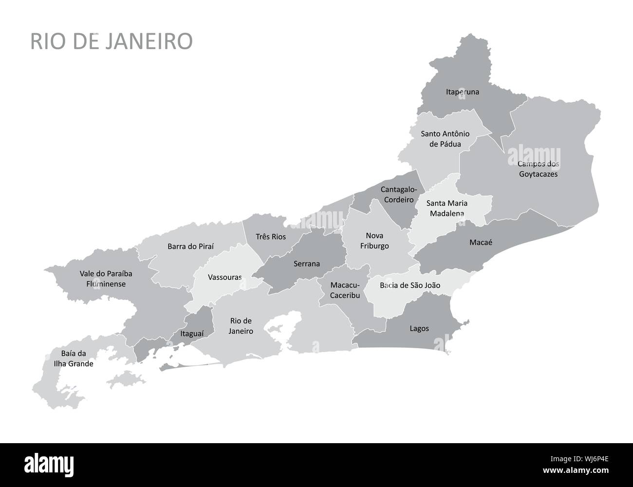 Rio de Janeiro State regions map Stock Vectorhttps://www.alamy.com/image-license-details/?v=1https://www.alamy.com/rio-de-janeiro-state-regions-map-image269368414.html
RFWJ6P4E–Rio de Janeiro State regions map
 A student schoolboy holds a blow up ball of the Earth. Pictures of the Earth from Nasa. Eg, geography, astronomy, travel, environment, geo politics Stock Photohttps://www.alamy.com/image-license-details/?v=1https://www.alamy.com/a-student-schoolboy-holds-a-blow-up-ball-of-the-earth-pictures-of-the-earth-from-nasa-eg-geography-astronomy-travel-environment-geo-politics-image627314327.html
RF2YCGHR3–A student schoolboy holds a blow up ball of the Earth. Pictures of the Earth from Nasa. Eg, geography, astronomy, travel, environment, geo politics
 This political world map displays countries outlined in a grid of squares, illustrating geopolitical boundaries in a unique and abstract manner. It offers a modern representation of global geography. Stock Vectorhttps://www.alamy.com/image-license-details/?v=1https://www.alamy.com/this-political-world-map-displays-countries-outlined-in-a-grid-of-squares-illustrating-geopolitical-boundaries-in-a-unique-and-abstract-manner-it-offers-a-modern-representation-of-global-geography-image629529739.html
RF2YG5FGY–This political world map displays countries outlined in a grid of squares, illustrating geopolitical boundaries in a unique and abstract manner. It offers a modern representation of global geography.
 environment enviroment science globe planet earth world possession holding Stock Photohttps://www.alamy.com/image-license-details/?v=1https://www.alamy.com/stock-photo-environment-enviroment-science-globe-planet-earth-world-possession-141819949.html
RFJ6MCP5–environment enviroment science globe planet earth world possession holding
 Smiling boy holding the world earth Stock Photohttps://www.alamy.com/image-license-details/?v=1https://www.alamy.com/stock-photo-smiling-boy-holding-the-world-earth-90479711.html
RFF75KP7–Smiling boy holding the world earth
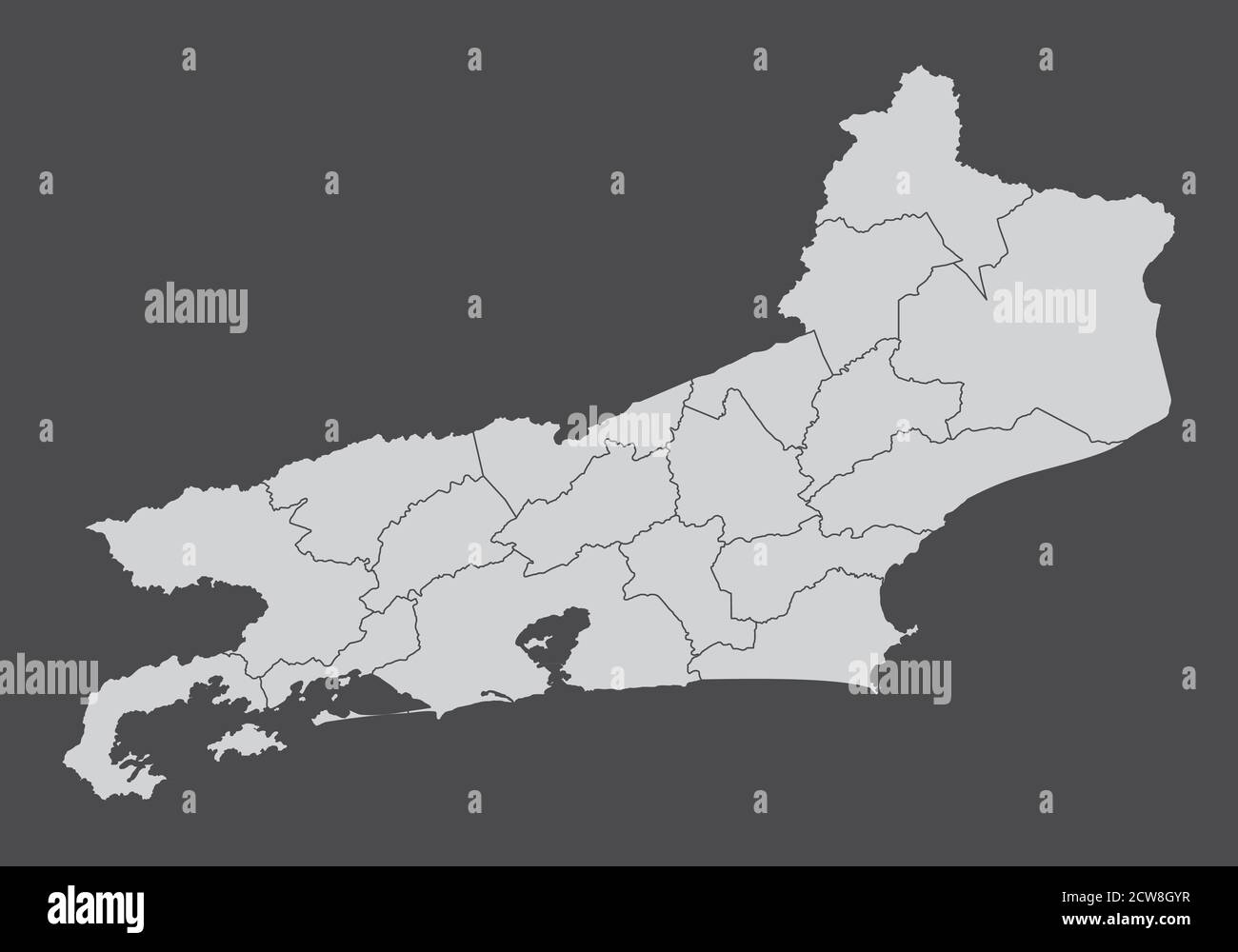 Rio de Janeiro State regions map Stock Vectorhttps://www.alamy.com/image-license-details/?v=1https://www.alamy.com/rio-de-janeiro-state-regions-map-image376973067.html
RF2CW8GYR–Rio de Janeiro State regions map
 Boy holding Earth in his hand and looking with wonder fascinatio Stock Photohttps://www.alamy.com/image-license-details/?v=1https://www.alamy.com/stock-photo-boy-holding-earth-in-his-hand-and-looking-with-wonder-fascinatio-114565621.html
RFGJAWH9–Boy holding Earth in his hand and looking with wonder fascinatio
 Caring for Earth. Smiling school student holds the earth in his hands. Images of earth from Nasa satellite. Stock Photohttps://www.alamy.com/image-license-details/?v=1https://www.alamy.com/caring-for-earth-smiling-school-student-holds-the-earth-in-his-hands-images-of-earth-from-nasa-satellite-image627311402.html
RF2YCGE2J–Caring for Earth. Smiling school student holds the earth in his hands. Images of earth from Nasa satellite.
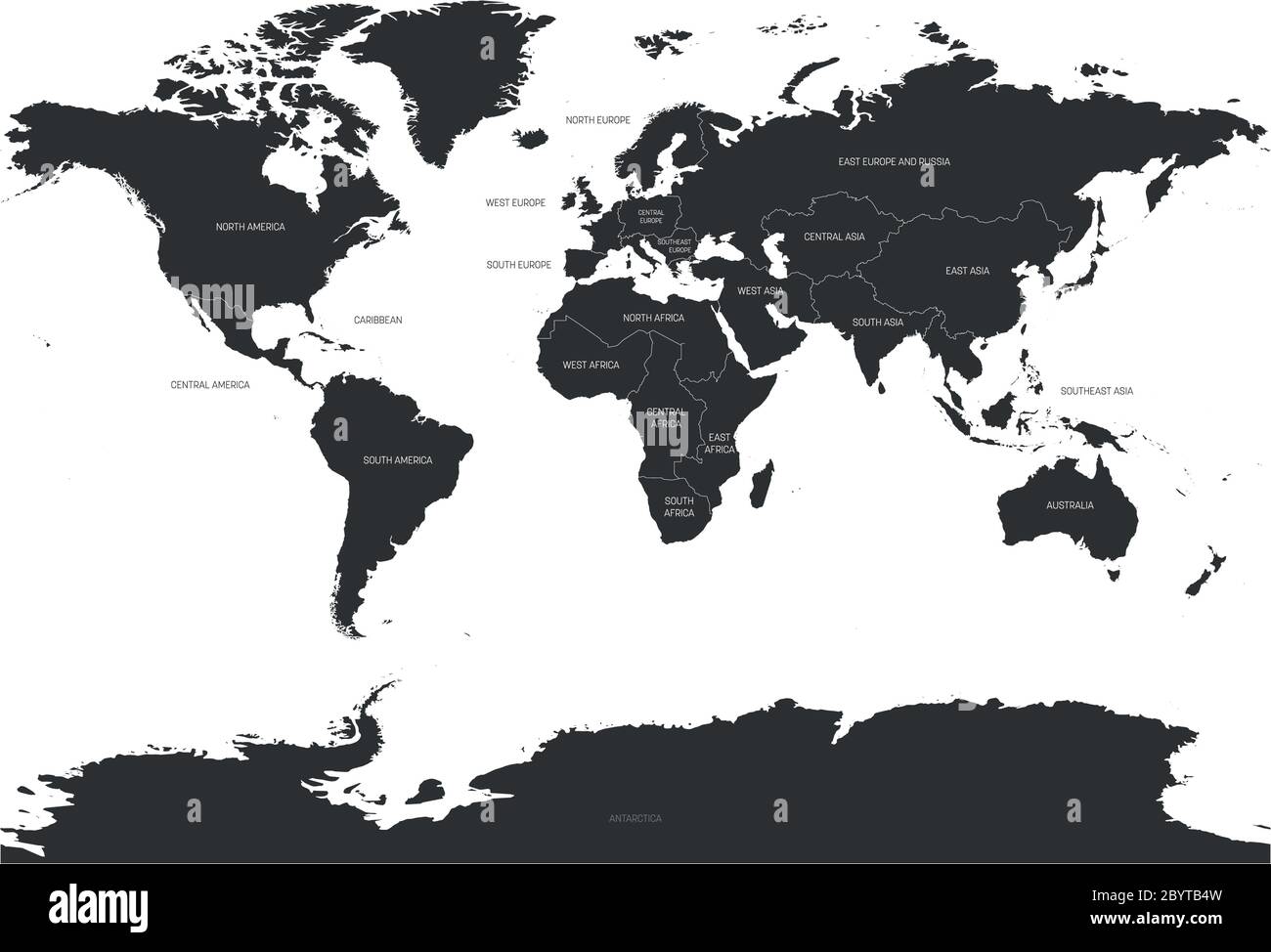 Map of World divided into regions. Simple flat vector illustration. Stock Vectorhttps://www.alamy.com/image-license-details/?v=1https://www.alamy.com/map-of-world-divided-into-regions-simple-flat-vector-illustration-image361338681.html
RF2BYTB4W–Map of World divided into regions. Simple flat vector illustration.
 A young boy student looks at the world with amazement and curiosity against a dark background. Slight motion in left hand Stock Photohttps://www.alamy.com/image-license-details/?v=1https://www.alamy.com/a-young-boy-student-looks-at-the-world-with-amazement-and-curiosity-against-a-dark-background-slight-motion-in-left-hand-image627314198.html
RF2YCGHJE–A young boy student looks at the world with amazement and curiosity against a dark background. Slight motion in left hand
 Love and care for the Earth or environment Stock Photohttps://www.alamy.com/image-license-details/?v=1https://www.alamy.com/love-and-care-for-the-earth-or-environment-image627309950.html
RF2YCGC6P–Love and care for the Earth or environment
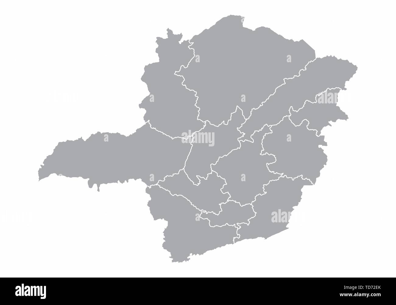 Minas Gerais State regions Stock Vectorhttps://www.alamy.com/image-license-details/?v=1https://www.alamy.com/minas-gerais-state-regions-image249091323.html
RFTD72EK–Minas Gerais State regions
 Love and care for the Earth or environment Stock Photohttps://www.alamy.com/image-license-details/?v=1https://www.alamy.com/stock-photo-love-and-care-for-the-earth-or-environment-114676016.html
RFGJFXC0–Love and care for the Earth or environment
 Map of World divided into regions. Simple flat vector illustration. Stock Vectorhttps://www.alamy.com/image-license-details/?v=1https://www.alamy.com/map-of-world-divided-into-regions-simple-flat-vector-illustration-image364677334.html
RF2C58DJE–Map of World divided into regions. Simple flat vector illustration.
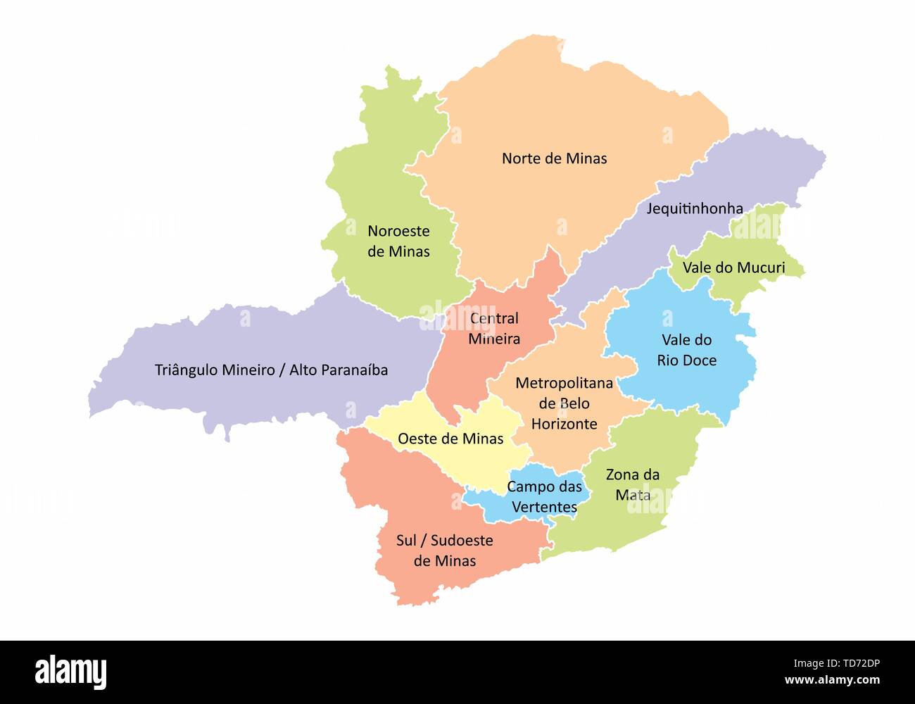 Minas Gerais State regions Stock Vectorhttps://www.alamy.com/image-license-details/?v=1https://www.alamy.com/minas-gerais-state-regions-image249091298.html
RFTD72DP–Minas Gerais State regions
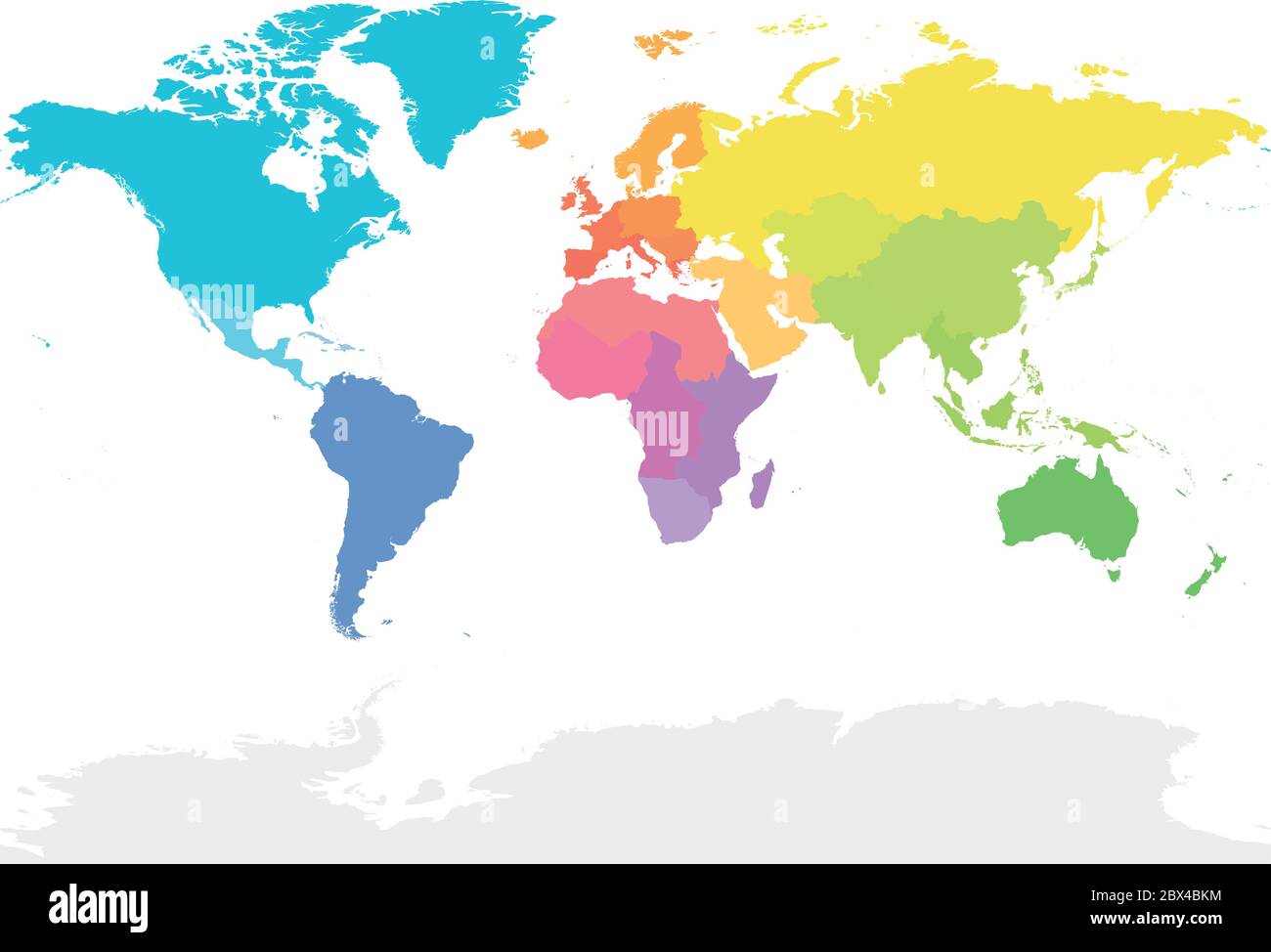 Colorful map of World divided into regions. Simple flat vector illustration. Stock Vectorhttps://www.alamy.com/image-license-details/?v=1https://www.alamy.com/colorful-map-of-world-divided-into-regions-simple-flat-vector-illustration-image360285400.html
RF2BX4BKM–Colorful map of World divided into regions. Simple flat vector illustration.
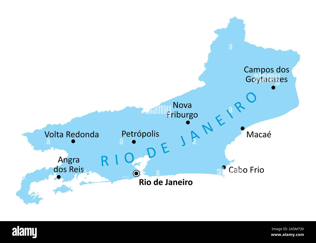 Rio de Janeiro State cities map Stock Vectorhttps://www.alamy.com/image-license-details/?v=1https://www.alamy.com/rio-de-janeiro-state-cities-map-image330514884.html
RF2A5M730–Rio de Janeiro State cities map
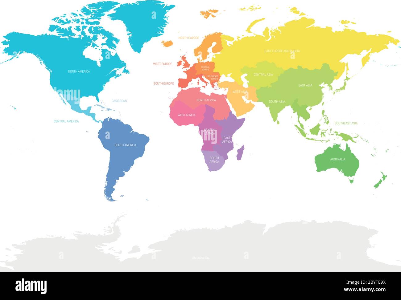 Colorful map of World divided into regions. Simple flat vector illustration. Stock Vectorhttps://www.alamy.com/image-license-details/?v=1https://www.alamy.com/colorful-map-of-world-divided-into-regions-simple-flat-vector-illustration-image361341174.html
RF2BYTE9X–Colorful map of World divided into regions. Simple flat vector illustration.
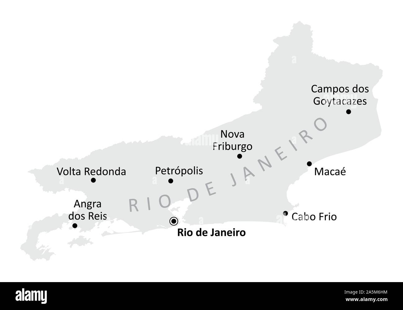 Rio de Janeiro State cities map Stock Vectorhttps://www.alamy.com/image-license-details/?v=1https://www.alamy.com/rio-de-janeiro-state-cities-map-image330514512.html
RF2A5M6HM–Rio de Janeiro State cities map
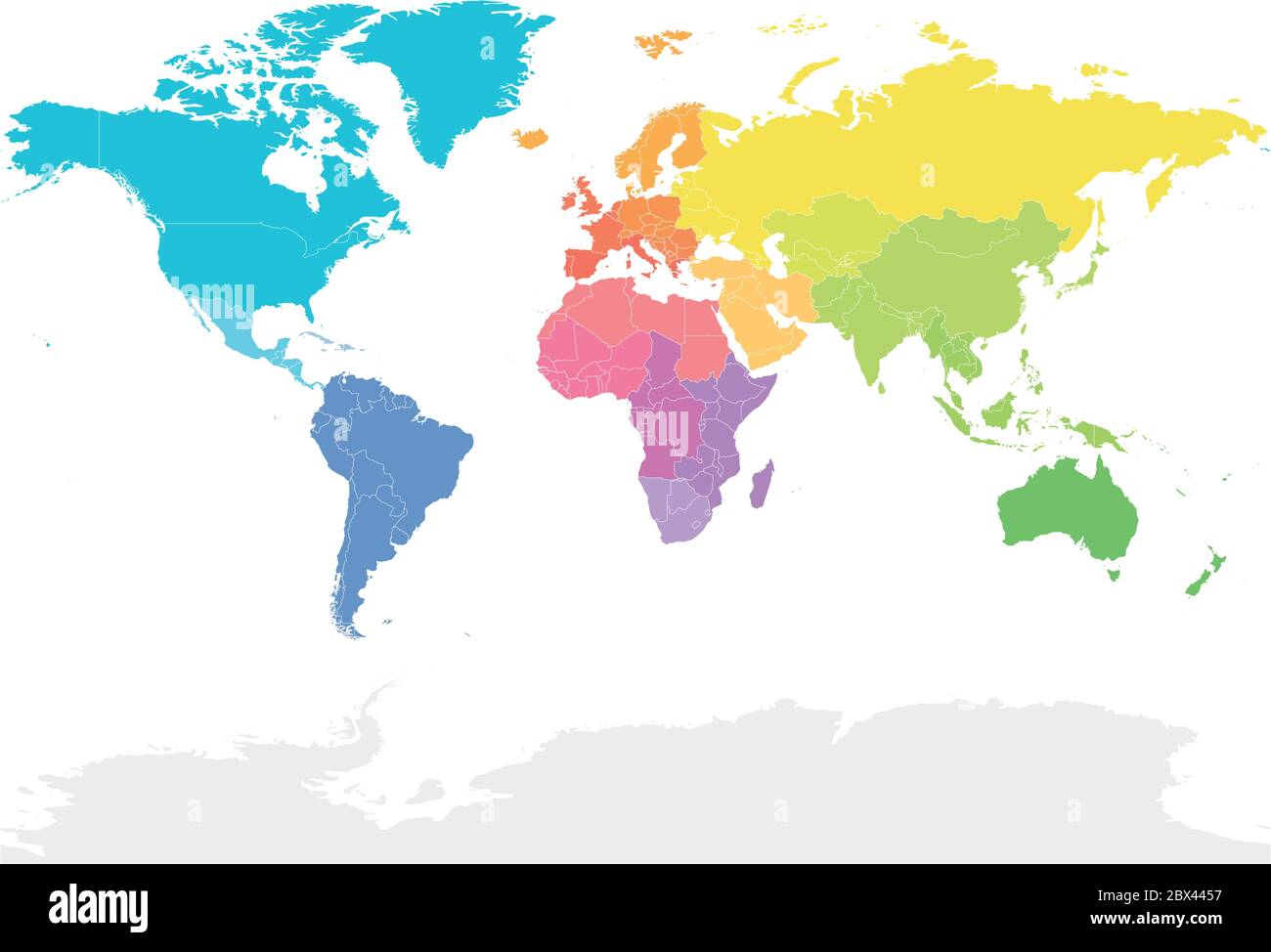 Colorful map of World divided into regions. Simple flat vector illustration. Stock Vectorhttps://www.alamy.com/image-license-details/?v=1https://www.alamy.com/colorful-map-of-world-divided-into-regions-simple-flat-vector-illustration-image360279507.html
RF2BX4457–Colorful map of World divided into regions. Simple flat vector illustration.
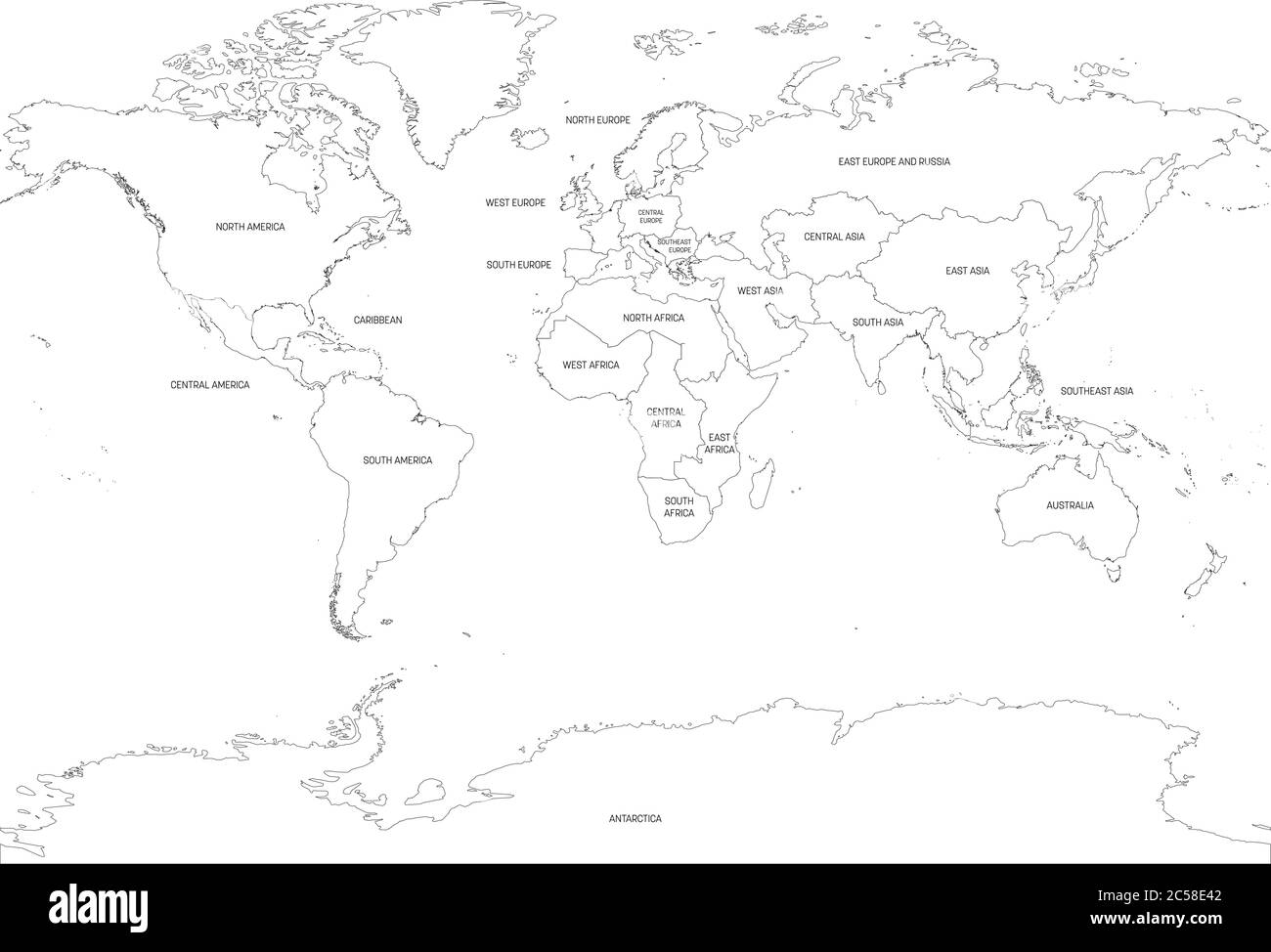 Map of World divided into regions. Thin black outline map. Simple flat vector illustration. Stock Vectorhttps://www.alamy.com/image-license-details/?v=1https://www.alamy.com/map-of-world-divided-into-regions-thin-black-outline-map-simple-flat-vector-illustration-image364677714.html
RF2C58E42–Map of World divided into regions. Thin black outline map. Simple flat vector illustration.
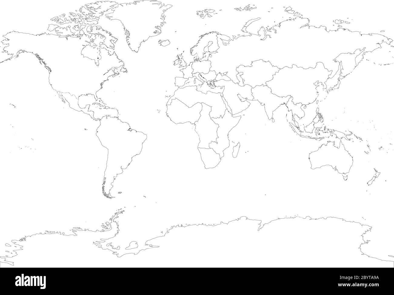 Map of World divided into regions. Thin black outline map. Simple flat vector illustration. Stock Vectorhttps://www.alamy.com/image-license-details/?v=1https://www.alamy.com/map-of-world-divided-into-regions-thin-black-outline-map-simple-flat-vector-illustration-image361338022.html
RF2BYTA9A–Map of World divided into regions. Thin black outline map. Simple flat vector illustration.
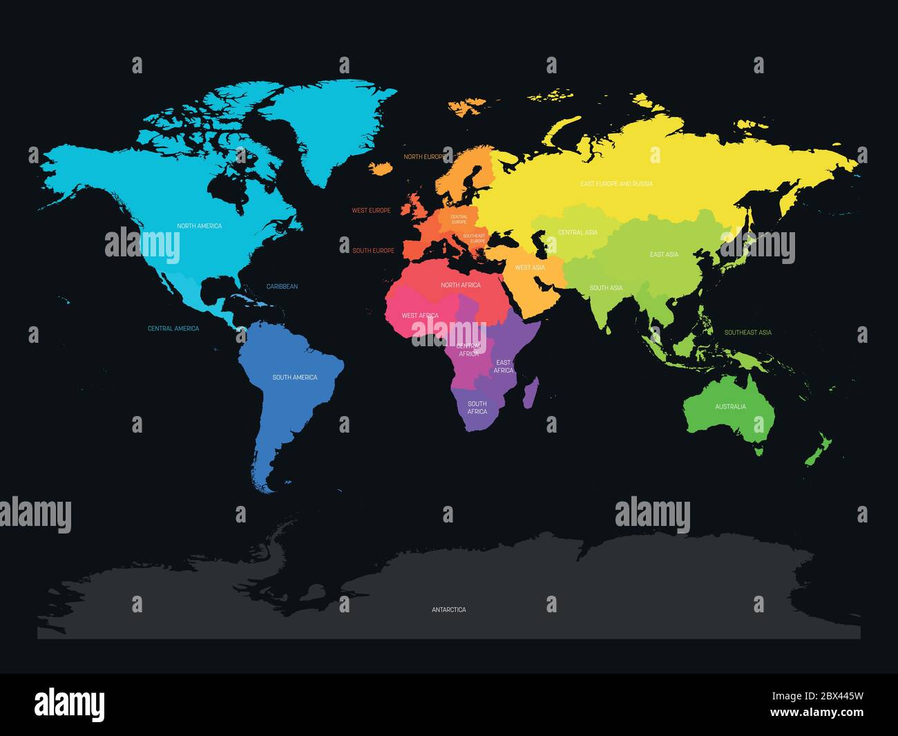 Colorful map of World divided into regions on dark grey background. Simple flat vector illustration. Stock Vectorhttps://www.alamy.com/image-license-details/?v=1https://www.alamy.com/colorful-map-of-world-divided-into-regions-on-dark-grey-background-simple-flat-vector-illustration-image360279525.html
RF2BX445W–Colorful map of World divided into regions on dark grey background. Simple flat vector illustration.
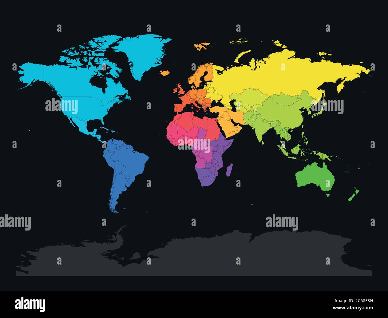 Colorful map of World divided into regions on dark grey background. Simple flat vector illustration. Stock Vectorhttps://www.alamy.com/image-license-details/?v=1https://www.alamy.com/colorful-map-of-world-divided-into-regions-on-dark-grey-background-simple-flat-vector-illustration-image364677701.html
RF2C58E3H–Colorful map of World divided into regions on dark grey background. Simple flat vector illustration.
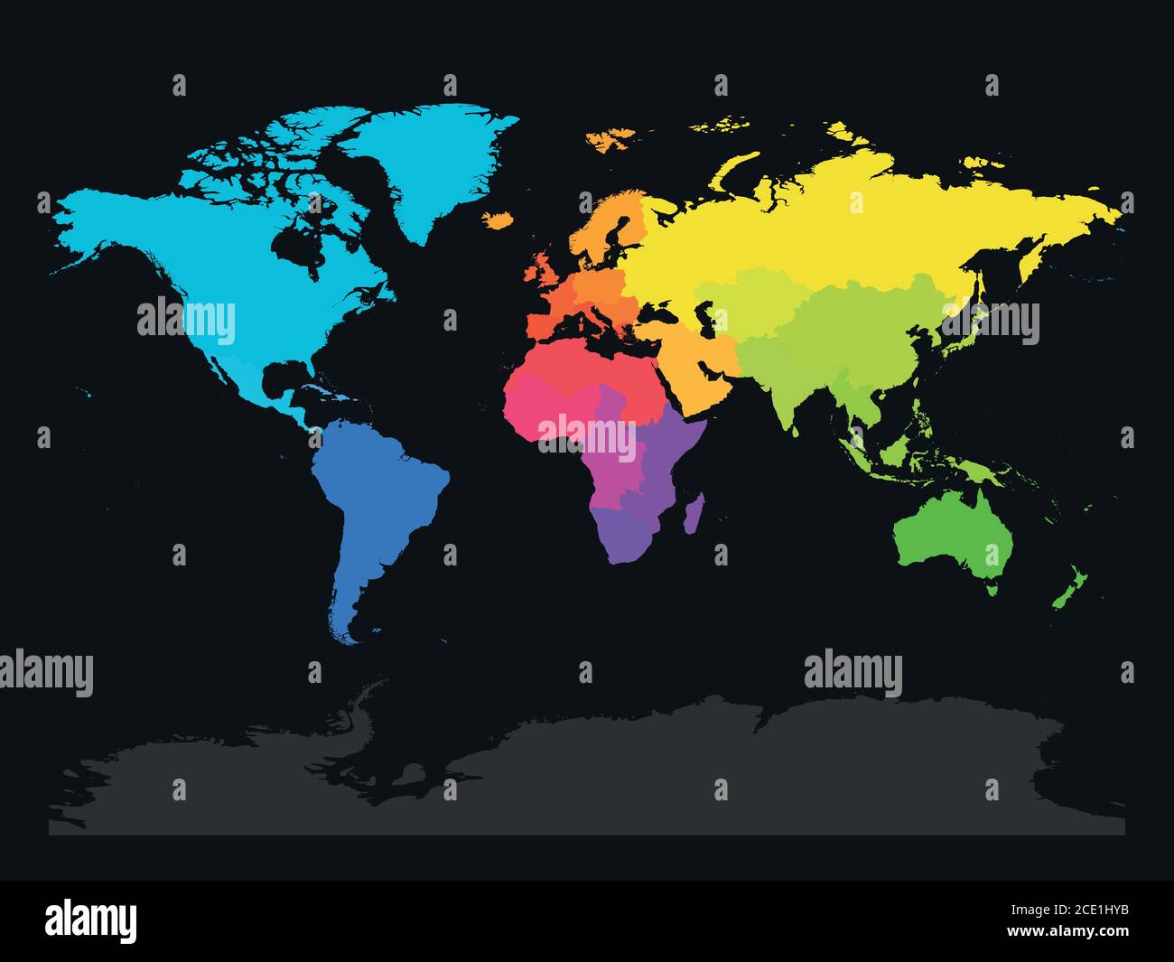 Colorful map of World divided into regions on dark grey background. Simple flat vector illustration. Stock Vectorhttps://www.alamy.com/image-license-details/?v=1https://www.alamy.com/colorful-map-of-world-divided-into-regions-on-dark-grey-background-simple-flat-vector-illustration-image370058959.html
RF2CE1HYB–Colorful map of World divided into regions on dark grey background. Simple flat vector illustration.