Quick filters:
Germany map 1800 Stock Photos and Images
 GERMANY: Vint scarce, 1800 antique map Stock Photohttps://www.alamy.com/image-license-details/?v=1https://www.alamy.com/stock-photo-germany-vint-scarce-1800-antique-map-100100615.html
RFFPRY9Y–GERMANY: Vint scarce, 1800 antique map
 . Deutsch: General-Karte von Deutschland und der Schweitz. Nro. 92. Kolorierter Kupferstich . 1791. Franz Johann Joseph von Reilly (1766–1820) Alternative names Reilly, Franz Johann Joseph von Description Austrian publisher and writer Date of birth/death 18 August 1766 6 July 1820 Location of birth/death Vienna Vienna Work period 1790 – 1800 Work location Vienna Authority control : Q113944 VIAF: 102371035 ISNI: 0000 0001 1839 240X LCCN: n88624007 GND: 118748017 SUDOC: 158784243 WorldCat 851 Map of Germany and Switzerland in 1791 by Reilly 092 Stock Photohttps://www.alamy.com/image-license-details/?v=1https://www.alamy.com/deutsch-general-karte-von-deutschland-und-der-schweitz-nro-92-kolorierter-kupferstich-1791-franz-johann-joseph-von-reilly-17661820-alternative-names-reilly-franz-johann-joseph-von-description-austrian-publisher-and-writer-date-of-birthdeath-18-august-1766-6-july-1820-location-of-birthdeath-vienna-vienna-work-period-1790-1800-work-location-vienna-authority-control-q113944-viaf102371035-isni0000-0001-1839-240x-lccnn88624007-gnd118748017-sudoc158784243-worldcat-851-map-of-germany-and-switzerland-in-1791-by-reilly-092-image185693156.html
RMMP31EC–. Deutsch: General-Karte von Deutschland und der Schweitz. Nro. 92. Kolorierter Kupferstich . 1791. Franz Johann Joseph von Reilly (1766–1820) Alternative names Reilly, Franz Johann Joseph von Description Austrian publisher and writer Date of birth/death 18 August 1766 6 July 1820 Location of birth/death Vienna Vienna Work period 1790 – 1800 Work location Vienna Authority control : Q113944 VIAF: 102371035 ISNI: 0000 0001 1839 240X LCCN: n88624007 GND: 118748017 SUDOC: 158784243 WorldCat 851 Map of Germany and Switzerland in 1791 by Reilly 092
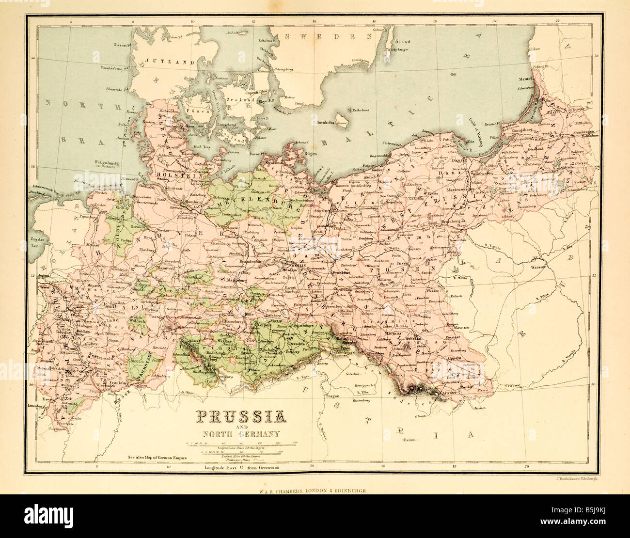 prussia and north germany 1880 map cartography Stock Photohttps://www.alamy.com/image-license-details/?v=1https://www.alamy.com/stock-photo-prussia-and-north-germany-1880-map-cartography-20686390.html
RFB5J9KJ–prussia and north germany 1880 map cartography
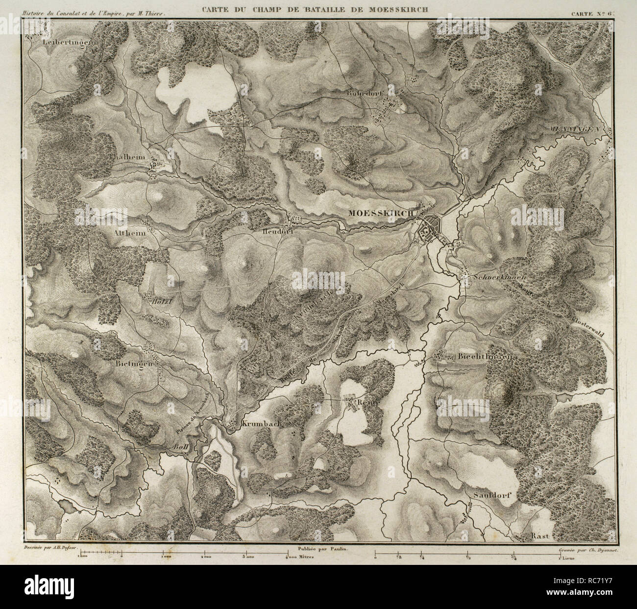 Map of the Battle of Moesskirch, 4th-5th May 1800, between the armies of France and the Holy German Roman Empire. War of the Second Coalition (context of the French Revolutionary Wars, with French victory). Atlas de l'Histoire du Consulat et de l'Empire. History of the Consulate and the Empire of France under Napoleon by Marie Joseph Louis Adolphe Thiers (1797-1877). Drawings by Dufour, engravings by Dyonnet. Edited in Paris, 1864. Stock Photohttps://www.alamy.com/image-license-details/?v=1https://www.alamy.com/map-of-the-battle-of-moesskirch-4th-5th-may-1800-between-the-armies-of-france-and-the-holy-german-roman-empire-war-of-the-second-coalition-context-of-the-french-revolutionary-wars-with-french-victory-atlas-de-lhistoire-du-consulat-et-de-lempire-history-of-the-consulate-and-the-empire-of-france-under-napoleon-by-marie-joseph-louis-adolphe-thiers-1797-1877-drawings-by-dufour-engravings-by-dyonnet-edited-in-paris-1864-image231265867.html
RMRC71Y7–Map of the Battle of Moesskirch, 4th-5th May 1800, between the armies of France and the Holy German Roman Empire. War of the Second Coalition (context of the French Revolutionary Wars, with French victory). Atlas de l'Histoire du Consulat et de l'Empire. History of the Consulate and the Empire of France under Napoleon by Marie Joseph Louis Adolphe Thiers (1797-1877). Drawings by Dufour, engravings by Dyonnet. Edited in Paris, 1864.
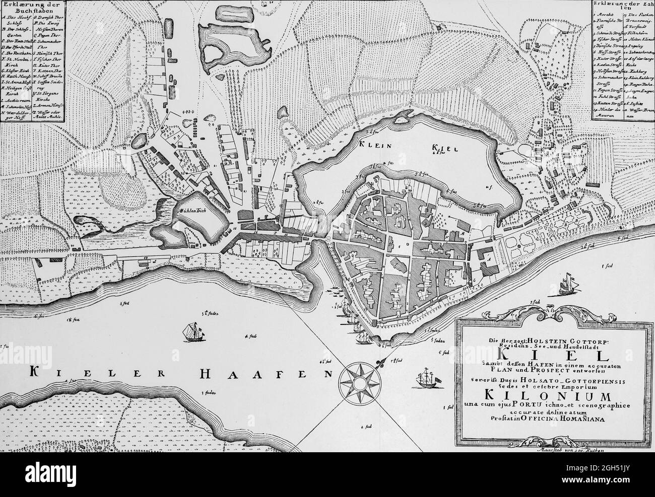 Historic map of Kiel or Kilonium at about 1800, Dukal residence of Holstein-Gottorf, illustration , Schleswig-Holstein, North Germany, Stock Photohttps://www.alamy.com/image-license-details/?v=1https://www.alamy.com/historic-map-of-kiel-or-kilonium-at-about-1800-dukal-residence-of-holstein-gottorf-illustration-schleswig-holstein-north-germany-image440819427.html
RM2GH51JY–Historic map of Kiel or Kilonium at about 1800, Dukal residence of Holstein-Gottorf, illustration , Schleswig-Holstein, North Germany,
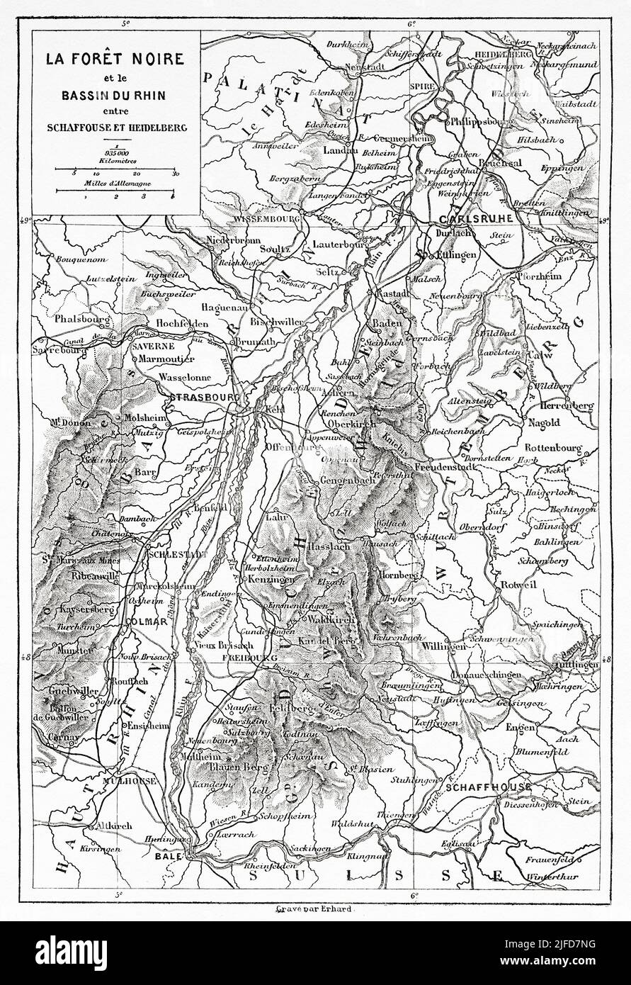 Old map. The Black Forest and the Rhine Basin in Schaffhausen and Heidelberg route, Black Forest, State of Baden-Wurttemberg, Germany. Europe. Trip to the Black Forest by Alfred Michiels 1867 from Le Tour du Monde 1867 Stock Photohttps://www.alamy.com/image-license-details/?v=1https://www.alamy.com/old-map-the-black-forest-and-the-rhine-basin-in-schaffhausen-and-heidelberg-route-black-forest-state-of-baden-wurttemberg-germany-europe-trip-to-the-black-forest-by-alfred-michiels-1867-from-le-tour-du-monde-1867-image474191244.html
RM2JFD7NG–Old map. The Black Forest and the Rhine Basin in Schaffhausen and Heidelberg route, Black Forest, State of Baden-Wurttemberg, Germany. Europe. Trip to the Black Forest by Alfred Michiels 1867 from Le Tour du Monde 1867
 27 1800 Dantzick detail of map Empire of Germany by Carey BPL 12325 Stock Photohttps://www.alamy.com/image-license-details/?v=1https://www.alamy.com/27-1800-dantzick-detail-of-map-empire-of-germany-by-carey-bpl-12325-image210015129.html
RMP5K0C9–27 1800 Dantzick detail of map Empire of Germany by Carey BPL 12325
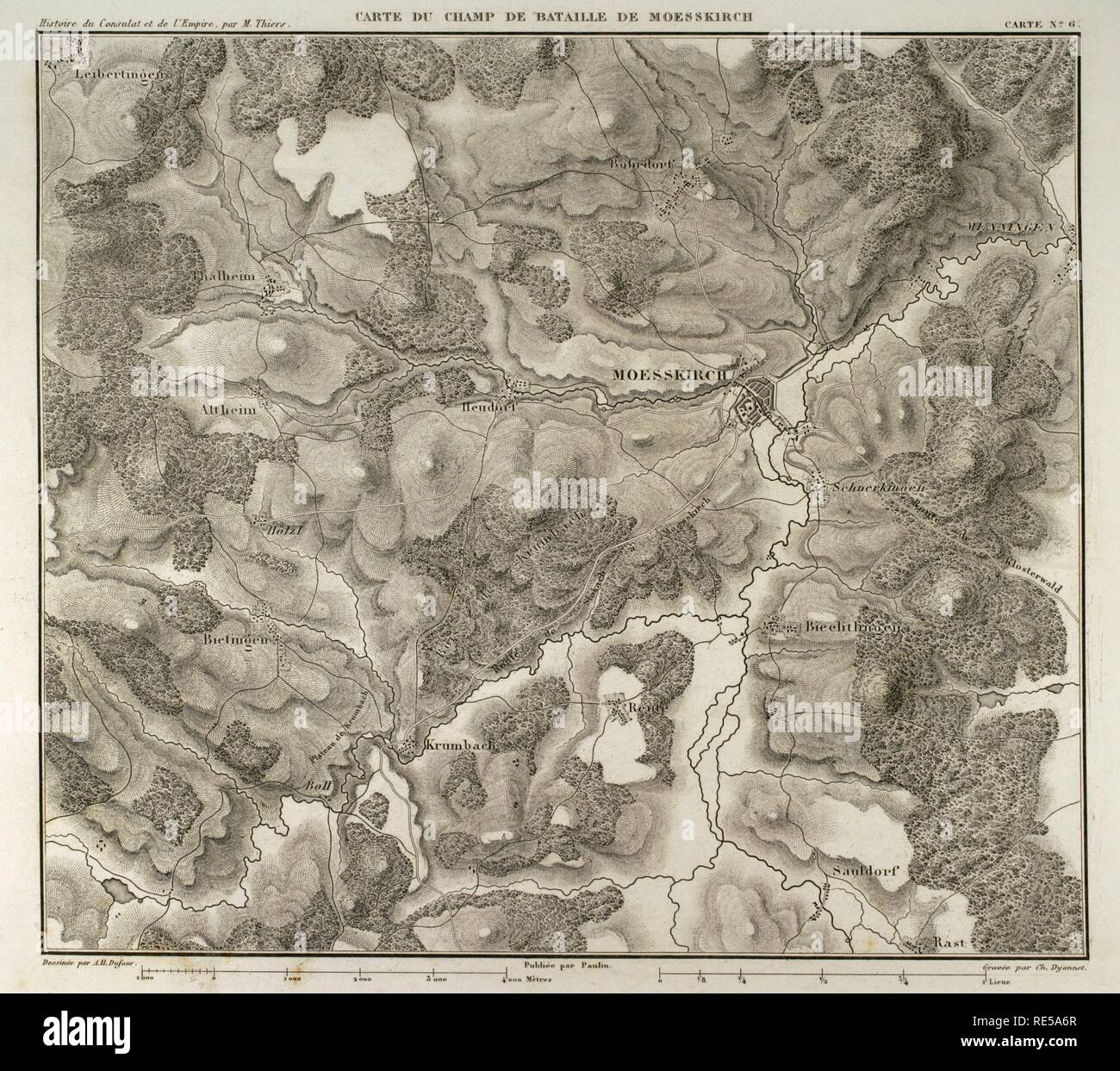 Map of the Battle of Moesskirch, 4th-5th May 1800, between the armies of France and the Holy German Roman Empire. War of the Second Coalition (context of the French Revolutionary Wars, with French victory). Atlas de l'Histoire du Consulat et de l'Empire. History of the Consulate and the Empire of France under Napoleon by Marie Joseph Louis Adolphe Thiers (1797-1877). Drawings by Dufour, engravings by Dyonnet. Edited in Paris, 1864. Stock Photohttps://www.alamy.com/image-license-details/?v=1https://www.alamy.com/map-of-the-battle-of-moesskirch-4th-5th-may-1800-between-the-armies-of-france-and-the-holy-german-roman-empire-war-of-the-second-coalition-context-of-the-french-revolutionary-wars-with-french-victory-atlas-de-lhistoire-du-consulat-et-de-lempire-history-of-the-consulate-and-the-empire-of-france-under-napoleon-by-marie-joseph-louis-adolphe-thiers-1797-1877-drawings-by-dufour-engravings-by-dyonnet-edited-in-paris-1864-image232457759.html
RMRE5A6R–Map of the Battle of Moesskirch, 4th-5th May 1800, between the armies of France and the Holy German Roman Empire. War of the Second Coalition (context of the French Revolutionary Wars, with French victory). Atlas de l'Histoire du Consulat et de l'Empire. History of the Consulate and the Empire of France under Napoleon by Marie Joseph Louis Adolphe Thiers (1797-1877). Drawings by Dufour, engravings by Dyonnet. Edited in Paris, 1864.
 Germany, Bavaria, 1800 05 (NYPL b14896507 1503676) Stock Photohttps://www.alamy.com/image-license-details/?v=1https://www.alamy.com/stock-photo-germany-bavaria-1800-05-nypl-b14896507-1503676-139978182.html
RMJ3MFGP–Germany, Bavaria, 1800 05 (NYPL b14896507 1503676)
![A map of Germany. Karte von DEUTSCHLAND in VI Blatt. In Wien [Vienna] : bey Artaria und Compagnie. H. Benedicti direx, [1800.]. Source: Maps K.Top.87.47.11.Tab.end. Language: German. Stock Photo A map of Germany. Karte von DEUTSCHLAND in VI Blatt. In Wien [Vienna] : bey Artaria und Compagnie. H. Benedicti direx, [1800.]. Source: Maps K.Top.87.47.11.Tab.end. Language: German. Stock Photo](https://c8.alamy.com/comp/R589JR/a-map-of-germany-karte-von-deutschland-in-vi-blatt-in-wien-vienna-bey-artaria-und-compagnie-h-benedicti-direx-1800-source-maps-ktop874711tabend-language-german-R589JR.jpg) A map of Germany. Karte von DEUTSCHLAND in VI Blatt. In Wien [Vienna] : bey Artaria und Compagnie. H. Benedicti direx, [1800.]. Source: Maps K.Top.87.47.11.Tab.end. Language: German. Stock Photohttps://www.alamy.com/image-license-details/?v=1https://www.alamy.com/a-map-of-germany-karte-von-deutschland-in-vi-blatt-in-wien-vienna-bey-artaria-und-compagnie-h-benedicti-direx-1800-source-maps-ktop874711tabend-language-german-image226991263.html
A map of Germany. Karte von DEUTSCHLAND in VI Blatt. In Wien [Vienna] : bey Artaria und Compagnie. H. Benedicti direx, [1800.]. Source: Maps K.Top.87.47.11.Tab.end. Language: German. Stock Photohttps://www.alamy.com/image-license-details/?v=1https://www.alamy.com/a-map-of-germany-karte-von-deutschland-in-vi-blatt-in-wien-vienna-bey-artaria-und-compagnie-h-benedicti-direx-1800-source-maps-ktop874711tabend-language-german-image226991263.htmlRMR589JR–A map of Germany. Karte von DEUTSCHLAND in VI Blatt. In Wien [Vienna] : bey Artaria und Compagnie. H. Benedicti direx, [1800.]. Source: Maps K.Top.87.47.11.Tab.end. Language: German.
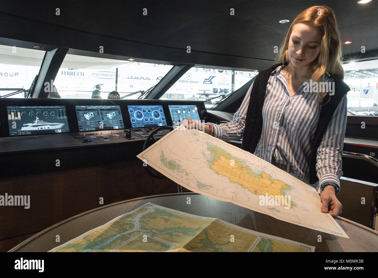 Duesseldorf, Germany. 19th Jan, 2018. The model Rebecca studying a map on the bridge of the Princess 35M motor yacht during the novelty tour of the water sports exhibition 'boot' (lit. 'boat') 2018 in Duesseldorf, Germany, 19 January 2018. More than 1800 exhibitors from more than 60 countries are showing novelties from the world of water sports from 20 to 28 January 2018. Credit: Federico Gambarini/dpa/Alamy Live News Stock Photohttps://www.alamy.com/image-license-details/?v=1https://www.alamy.com/stock-photo-duesseldorf-germany-19th-jan-2018-the-model-rebecca-studying-a-map-172557711.html
RMM0MK3B–Duesseldorf, Germany. 19th Jan, 2018. The model Rebecca studying a map on the bridge of the Princess 35M motor yacht during the novelty tour of the water sports exhibition 'boot' (lit. 'boat') 2018 in Duesseldorf, Germany, 19 January 2018. More than 1800 exhibitors from more than 60 countries are showing novelties from the world of water sports from 20 to 28 January 2018. Credit: Federico Gambarini/dpa/Alamy Live News
 Map of the flow of the river Weser, Hannoversch-Munden to Bremerhaven Have Islander Weser-fluss von Munden bis Bremerlehe (title object) Object type: picture postcard Item number: RP-P-2018-1076 Inscriptions / Brands: collector's mark , verso, stamped: Lugt 2228 Manufacturer : printmaker Karl Bräunlich (listed building) publisher: Kersting Serbian Lithographie (listed building) Dated: 1800 - 1899 Material: paper technique: lithography (technique) Dimensions: sheet: h 696 mm × W 444 mm Subject : maps of separate countries or regions where river: Weser Germany Stock Photohttps://www.alamy.com/image-license-details/?v=1https://www.alamy.com/map-of-the-flow-of-the-river-weser-hannoversch-munden-to-bremerhaven-have-islander-weser-fluss-von-munden-bis-bremerlehe-title-object-object-type-picture-postcard-item-number-rp-p-2018-1076-inscriptions-brands-collectors-mark-verso-stamped-lugt-2228-manufacturer-printmaker-karl-brunlich-listed-building-publisher-kersting-serbian-lithographie-listed-building-dated-1800-1899-material-paper-technique-lithography-technique-dimensions-sheet-h-696-mm-w-444-mm-subject-maps-of-separate-countries-or-regions-where-river-weser-germany-image348482012.html
RM2B6XMA4–Map of the flow of the river Weser, Hannoversch-Munden to Bremerhaven Have Islander Weser-fluss von Munden bis Bremerlehe (title object) Object type: picture postcard Item number: RP-P-2018-1076 Inscriptions / Brands: collector's mark , verso, stamped: Lugt 2228 Manufacturer : printmaker Karl Bräunlich (listed building) publisher: Kersting Serbian Lithographie (listed building) Dated: 1800 - 1899 Material: paper technique: lithography (technique) Dimensions: sheet: h 696 mm × W 444 mm Subject : maps of separate countries or regions where river: Weser Germany
 Logo with world map and lettering Triumph from the historic classic sports car vintage 1948, Triumph 1800 Roadster, Classic Days, Berlin, Germany Stock Photohttps://www.alamy.com/image-license-details/?v=1https://www.alamy.com/logo-with-world-map-and-lettering-triumph-from-the-historic-classic-sports-car-vintage-1948-triumph-1800-roadster-classic-days-berlin-germany-image553280102.html
RM2R442BJ–Logo with world map and lettering Triumph from the historic classic sports car vintage 1948, Triumph 1800 Roadster, Classic Days, Berlin, Germany
 Ta. mo. Germa , Germany, Maps, Early works to 1800 Norman B. Leventhal Map Center Collection Stock Photohttps://www.alamy.com/image-license-details/?v=1https://www.alamy.com/ta-mo-germa-germany-maps-early-works-to-1800-norman-b-leventhal-map-center-collection-image499910973.html
RM2M18WF9–Ta. mo. Germa , Germany, Maps, Early works to 1800 Norman B. Leventhal Map Center Collection
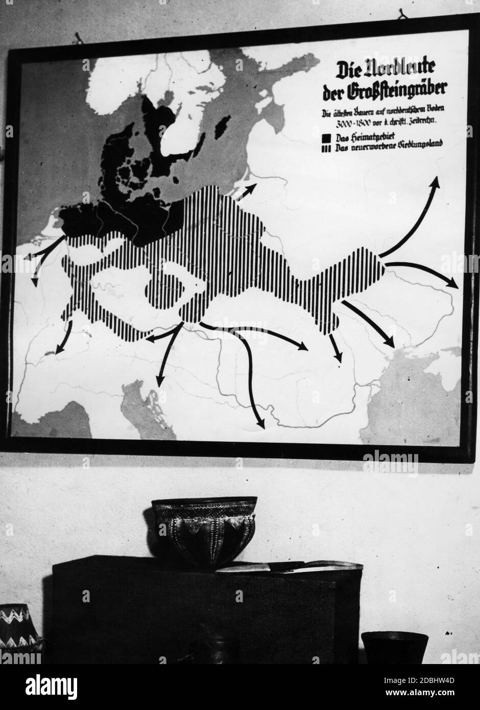 'An illustration for the exhibition ''Schicksalsweg der Nation'' (Fate of the Nation) on the occasion of the Nazi Party Congress in Nuremberg shows ''The Northmen of megalithic tombs. The oldest farmers on North German soil 3000-1800 BC. (Dark area) The homeland. (Striped) The newly acquired settlement land''' Stock Photohttps://www.alamy.com/image-license-details/?v=1https://www.alamy.com/an-illustration-for-the-exhibition-schicksalsweg-der-nation-fate-of-the-nation-on-the-occasion-of-the-nazi-party-congress-in-nuremberg-shows-the-northmen-of-megalithic-tombs-the-oldest-farmers-on-north-german-soil-3000-1800-bc-dark-area-the-homeland-striped-the-newly-acquired-settlement-land-image385782221.html
RM2DBHW4D–'An illustration for the exhibition ''Schicksalsweg der Nation'' (Fate of the Nation) on the occasion of the Nazi Party Congress in Nuremberg shows ''The Northmen of megalithic tombs. The oldest farmers on North German soil 3000-1800 BC. (Dark area) The homeland. (Striped) The newly acquired settlement land'''
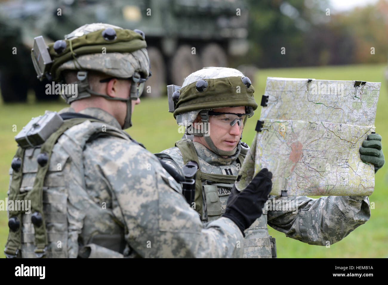 U.S. Army Europe Capt. Ryan Yaun, assigned to 2nd Cavalry Regiment, also known as 2CR, studies a map near Grafenwoehr, Germany, during Saber Junction 2012, Oct. 15. The U.S. Army Europe's exercise Saber Junction trains the 2CR and 1800 multinational partners from 18 nations ensuring multinational interoperability and an agile, ready coalition force. (U.S. Army Europe photo by Visual Information Specialist Markus Rauchenberger/released) Saber Junction 2012 121015-A-BS310-013 Stock Photohttps://www.alamy.com/image-license-details/?v=1https://www.alamy.com/stock-photo-us-army-europe-capt-ryan-yaun-assigned-to-2nd-cavalry-regiment-also-129525462.html
RMHEMB1A–U.S. Army Europe Capt. Ryan Yaun, assigned to 2nd Cavalry Regiment, also known as 2CR, studies a map near Grafenwoehr, Germany, during Saber Junction 2012, Oct. 15. The U.S. Army Europe's exercise Saber Junction trains the 2CR and 1800 multinational partners from 18 nations ensuring multinational interoperability and an agile, ready coalition force. (U.S. Army Europe photo by Visual Information Specialist Markus Rauchenberger/released) Saber Junction 2012 121015-A-BS310-013
 Radiator mascot and classic logo with world map and lettering Triumph of historic classic sports car Triumph 1800 Roadster, Classic Days, Schloss Stock Photohttps://www.alamy.com/image-license-details/?v=1https://www.alamy.com/radiator-mascot-and-classic-logo-with-world-map-and-lettering-triumph-of-historic-classic-sports-car-triumph-1800-roadster-classic-days-schloss-image478060360.html
RM2JNNET8–Radiator mascot and classic logo with world map and lettering Triumph of historic classic sports car Triumph 1800 Roadster, Classic Days, Schloss
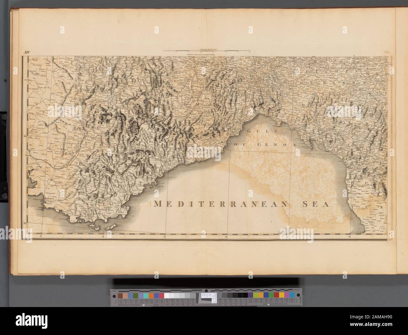 Plate XIV- A general map of the empire of Germany, Holland, the Netherlands, Switzerland, the Grisons, Italy, Sicily, Corsica, and Sardinia Published 4th June 1800 by J. Stockdale, Piccadilly.; Plate XIV: A general map of the empire of Germany, Holland, the Netherlands, Switzerland, the Grisons, Italy, Sicily, Corsica, and Sardinia Stock Photohttps://www.alamy.com/image-license-details/?v=1https://www.alamy.com/plate-xiv-a-general-map-of-the-empire-of-germany-holland-the-netherlands-switzerland-the-grisons-italy-sicily-corsica-and-sardinia-published-4th-june-1800-by-j-stockdale-piccadilly-plate-xiv-a-general-map-of-the-empire-of-germany-holland-the-netherlands-switzerland-the-grisons-italy-sicily-corsica-and-sardinia-image339523212.html
RM2AMAH90–Plate XIV- A general map of the empire of Germany, Holland, the Netherlands, Switzerland, the Grisons, Italy, Sicily, Corsica, and Sardinia Published 4th June 1800 by J. Stockdale, Piccadilly.; Plate XIV: A general map of the empire of Germany, Holland, the Netherlands, Switzerland, the Grisons, Italy, Sicily, Corsica, and Sardinia
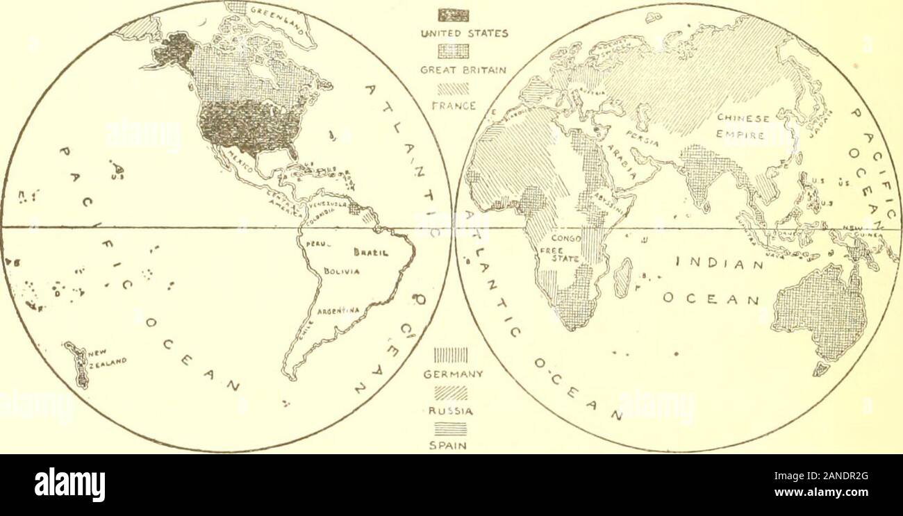 From 1800 to 1900The wonderful story of the century; its progress and achievements .. . SPAIN THE MAP OF THE WORLD IN 1800 Showing the possessions of the six great powers—Great Britain, Spain, France, Germany, Russia and the United States. Of theChinese Empire, Afrii a and Australia, little was known at the beginning of the century.. Showing the political have THE MAP OF THE WORLD IN 1900 boundaries of the six great powers at the clos- of the century. Africa, Australia and portions <<i <been absorbed by one or more of the great powers, Spain has withdrawn from the WesternHemisphere, a Stock Photohttps://www.alamy.com/image-license-details/?v=1https://www.alamy.com/from-1800-to-1900the-wonderful-story-of-the-century-its-progress-and-achievements-spain-the-map-of-the-world-in-1800-showing-the-possessions-of-the-six-great-powersgreat-britain-spain-france-germany-russia-and-the-united-states-of-thechinese-empire-afrii-a-and-australia-little-was-known-at-the-beginning-of-the-century-showing-the-political-have-the-map-of-the-world-in-1900-boundaries-of-the-six-great-powers-at-the-clos-of-the-century-africa-australia-and-portions-ltlti-ltbeen-absorbed-by-one-or-more-of-the-great-powers-spain-has-withdrawn-from-the-westernhemisphere-a-image340208248.html
RM2ANDR2G–From 1800 to 1900The wonderful story of the century; its progress and achievements .. . SPAIN THE MAP OF THE WORLD IN 1800 Showing the possessions of the six great powers—Great Britain, Spain, France, Germany, Russia and the United States. Of theChinese Empire, Afrii a and Australia, little was known at the beginning of the century.. Showing the political have THE MAP OF THE WORLD IN 1900 boundaries of the six great powers at the clos- of the century. Africa, Australia and portions <<i <been absorbed by one or more of the great powers, Spain has withdrawn from the WesternHemisphere, a
 Index map Germany Netherlands Switzerland Austria Italy. CHAUCHARD 1800 Stock Photohttps://www.alamy.com/image-license-details/?v=1https://www.alamy.com/index-map-germany-netherlands-switzerland-austria-italy-chauchard-1800-image247691281.html
RFTAY8N5–Index map Germany Netherlands Switzerland Austria Italy. CHAUCHARD 1800
 D. Marcus Elieser Bloch's, ausC3BCbenden Arztes zu Berlin ... C396konomische Naturgeschichte der Fische Deutschlands (Tafel 107) Stock Photohttps://www.alamy.com/image-license-details/?v=1https://www.alamy.com/stock-photo-d-marcus-elieser-blochs-ausc3bcbenden-arztes-zu-berlin-c396konomische-98388124.html
RMFM1Y1G–D. Marcus Elieser Bloch's, ausC3BCbenden Arztes zu Berlin ... C396konomische Naturgeschichte der Fische Deutschlands (Tafel 107)
 BATTLE OF HOHENLINDEN: 3rd December 1800 - sheet 1. Germany, 1848 antique map Stock Photohttps://www.alamy.com/image-license-details/?v=1https://www.alamy.com/stock-photo-battle-of-hohenlinden-3rd-december-1800-sheet-1-germany-1848-antique-106654528.html
RFG5EEX8–BATTLE OF HOHENLINDEN: 3rd December 1800 - sheet 1. Germany, 1848 antique map
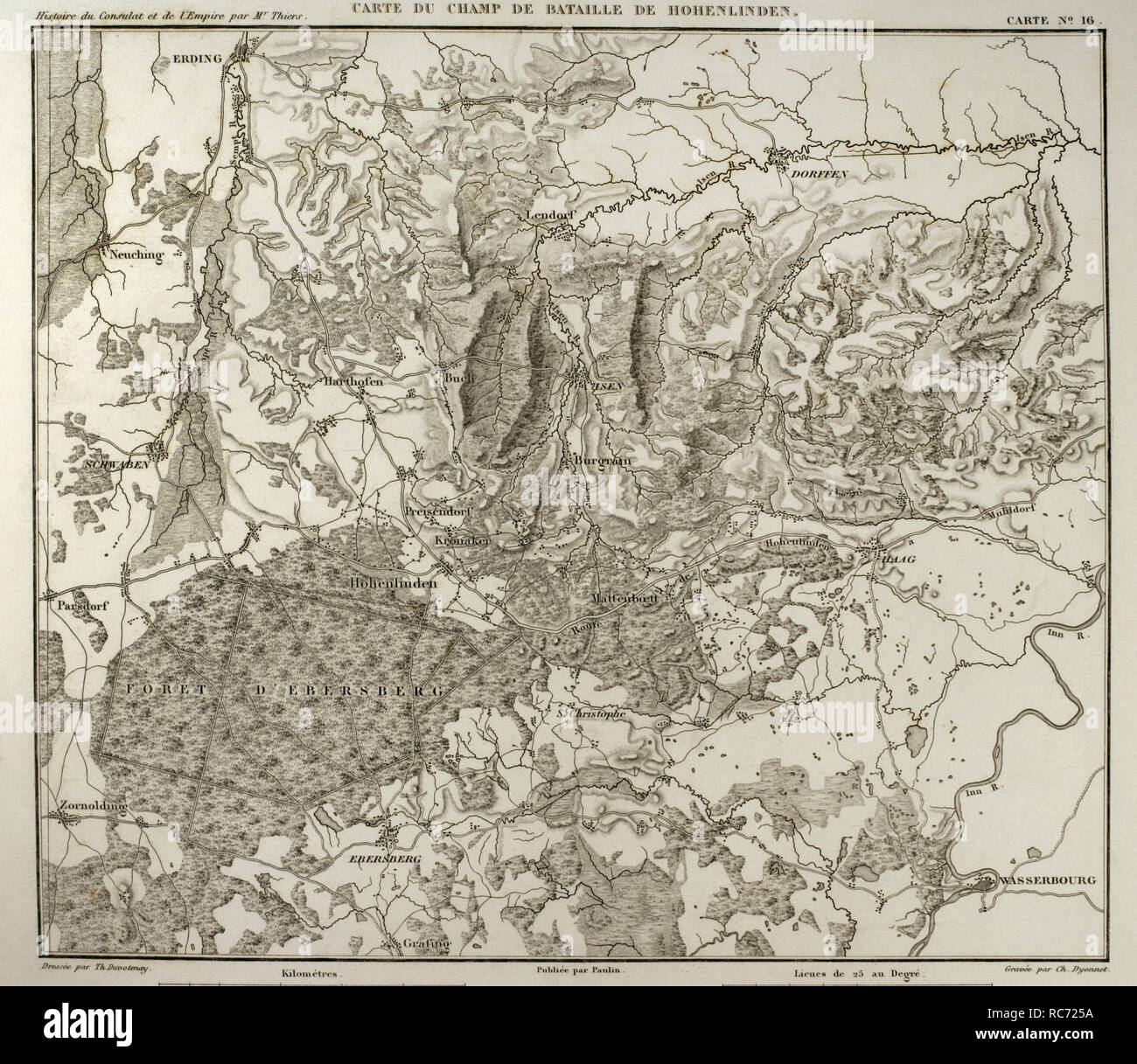 Napoleonic map. Hohenlinden battlefield map. Battle of Hohenlinden (3rd December, 1800), during the French Revolutionary Wars. Victory of the French troops, under Jean Victor Marie Moreau, against the Austrians and Bavarians led by Archduke John of Austria. Atlas de l'Histoire du Consulat et de l'Empire. History of the Consulate and the Empire of France under Napoleon by Marie Joseph Louis Adolphe Thiers (1797-1877). Drawings by Dufour and engravings by Dyonnet. Edited in Paris, 1864. Stock Photohttps://www.alamy.com/image-license-details/?v=1https://www.alamy.com/napoleonic-map-hohenlinden-battlefield-map-battle-of-hohenlinden-3rd-december-1800-during-the-french-revolutionary-wars-victory-of-the-french-troops-under-jean-victor-marie-moreau-against-the-austrians-and-bavarians-led-by-archduke-john-of-austria-atlas-de-lhistoire-du-consulat-et-de-lempire-history-of-the-consulate-and-the-empire-of-france-under-napoleon-by-marie-joseph-louis-adolphe-thiers-1797-1877-drawings-by-dufour-and-engravings-by-dyonnet-edited-in-paris-1864-image231266038.html
RMRC725A–Napoleonic map. Hohenlinden battlefield map. Battle of Hohenlinden (3rd December, 1800), during the French Revolutionary Wars. Victory of the French troops, under Jean Victor Marie Moreau, against the Austrians and Bavarians led by Archduke John of Austria. Atlas de l'Histoire du Consulat et de l'Empire. History of the Consulate and the Empire of France under Napoleon by Marie Joseph Louis Adolphe Thiers (1797-1877). Drawings by Dufour and engravings by Dyonnet. Edited in Paris, 1864.
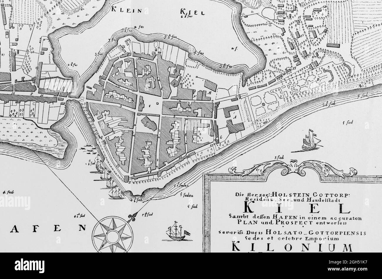 Detail of the historic map of Kiel or Kilonium at about 1800, Dukal residence of Holstein-Gottorf, illustration , Schleswig-Holstein, North Germany, Stock Photohttps://www.alamy.com/image-license-details/?v=1https://www.alamy.com/detail-of-the-historic-map-of-kiel-or-kilonium-at-about-1800-dukal-residence-of-holstein-gottorf-illustration-schleswig-holstein-north-germany-image440819435.html
RM2GH51K7–Detail of the historic map of Kiel or Kilonium at about 1800, Dukal residence of Holstein-Gottorf, illustration , Schleswig-Holstein, North Germany,
 Old map. The Black Forest and the Rhine Basin in Schaffhausen and Heidelberg route, Black Forest, State of Baden-Wurttemberg, Germany. Europe. Trip to the Black Forest by Alfred Michiels 1867 from Le Tour du Monde 1867 Stock Photohttps://www.alamy.com/image-license-details/?v=1https://www.alamy.com/old-map-the-black-forest-and-the-rhine-basin-in-schaffhausen-and-heidelberg-route-black-forest-state-of-baden-wurttemberg-germany-europe-trip-to-the-black-forest-by-alfred-michiels-1867-from-le-tour-du-monde-1867-image479854037.html
RM2JTK6M5–Old map. The Black Forest and the Rhine Basin in Schaffhausen and Heidelberg route, Black Forest, State of Baden-Wurttemberg, Germany. Europe. Trip to the Black Forest by Alfred Michiels 1867 from Le Tour du Monde 1867
 27 1800 Glatz detail of map Empire of Germany by Carey BPL 12325 Stock Photohttps://www.alamy.com/image-license-details/?v=1https://www.alamy.com/27-1800-glatz-detail-of-map-empire-of-germany-by-carey-bpl-12325-image210015132.html
RMP5K0CC–27 1800 Glatz detail of map Empire of Germany by Carey BPL 12325
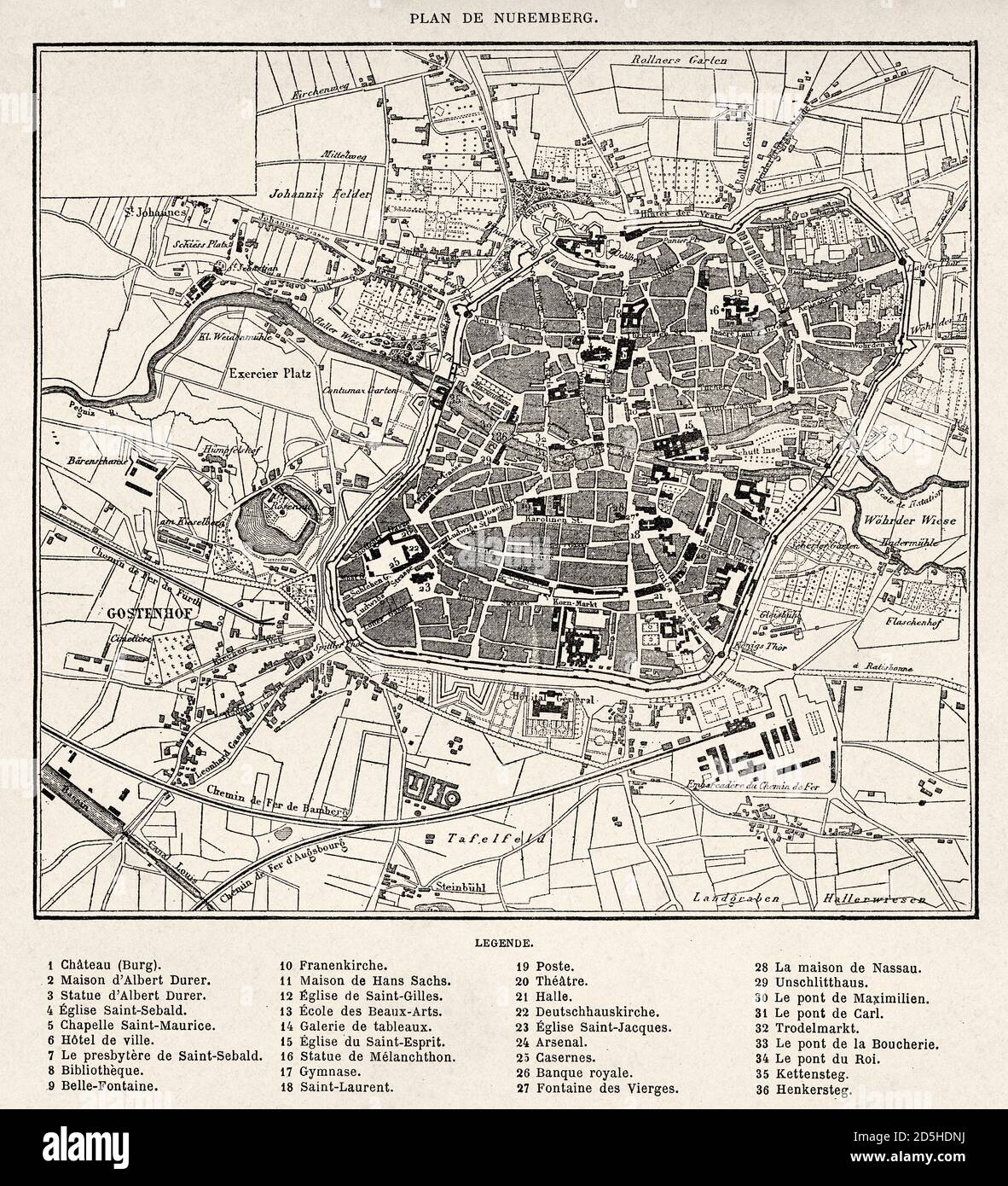 Old map of Nuremberg, Bavaria. Germany. Old XIX century engraved drawing from Trip to Nuremberg Le Tour du Monde 1864 Stock Photohttps://www.alamy.com/image-license-details/?v=1https://www.alamy.com/old-map-of-nuremberg-bavaria-germany-old-xix-century-engraved-drawing-from-trip-to-nuremberg-le-tour-du-monde-1864-image382085358.html
RM2D5HDNJ–Old map of Nuremberg, Bavaria. Germany. Old XIX century engraved drawing from Trip to Nuremberg Le Tour du Monde 1864
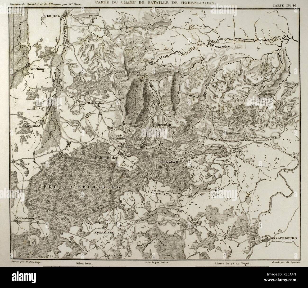 Napoleonic map. Hohenlinden battlefield map. Battle of Hohenlinden (3rd December, 1800), during the French Revolutionary Wars. Victory of the French troops, under Jean Victor Marie Moreau, against the Austrians and Bavarians led by Archduke John of Austria. Atlas de l'Histoire du Consulat et de l'Empire. History of the Consulate and the Empire of France under Napoleon by Marie Joseph Louis Adolphe Thiers (1797-1877). Drawings by Dufour and engravings by Dyonnet. Edited in Paris, 1864. Stock Photohttps://www.alamy.com/image-license-details/?v=1https://www.alamy.com/napoleonic-map-hohenlinden-battlefield-map-battle-of-hohenlinden-3rd-december-1800-during-the-french-revolutionary-wars-victory-of-the-french-troops-under-jean-victor-marie-moreau-against-the-austrians-and-bavarians-led-by-archduke-john-of-austria-atlas-de-lhistoire-du-consulat-et-de-lempire-history-of-the-consulate-and-the-empire-of-france-under-napoleon-by-marie-joseph-louis-adolphe-thiers-1797-1877-drawings-by-dufour-and-engravings-by-dyonnet-edited-in-paris-1864-image232457701.html
RMRE5A4N–Napoleonic map. Hohenlinden battlefield map. Battle of Hohenlinden (3rd December, 1800), during the French Revolutionary Wars. Victory of the French troops, under Jean Victor Marie Moreau, against the Austrians and Bavarians led by Archduke John of Austria. Atlas de l'Histoire du Consulat et de l'Empire. History of the Consulate and the Empire of France under Napoleon by Marie Joseph Louis Adolphe Thiers (1797-1877). Drawings by Dufour and engravings by Dyonnet. Edited in Paris, 1864.
 Germany, Prussia, 1800 1805 (NYPL b14896507 1506663) Stock Photohttps://www.alamy.com/image-license-details/?v=1https://www.alamy.com/stock-photo-germany-prussia-1800-1805-nypl-b14896507-1506663-139978716.html
RMJ3MG7T–Germany, Prussia, 1800 1805 (NYPL b14896507 1506663)
 Map of a portion of the east coast of Greenland for use in La Germania's voyage of exploration in 1869-1870. Second German expedition to the North Pole with the ships Germania and Hansa, 1869 Stock Photohttps://www.alamy.com/image-license-details/?v=1https://www.alamy.com/map-of-a-portion-of-the-east-coast-of-greenland-for-use-in-la-germanias-voyage-of-exploration-in-1869-1870-second-german-expedition-to-the-north-pole-with-the-ships-germania-and-hansa-1869-image486727274.html
RM2K7T9GX–Map of a portion of the east coast of Greenland for use in La Germania's voyage of exploration in 1869-1870. Second German expedition to the North Pole with the ships Germania and Hansa, 1869
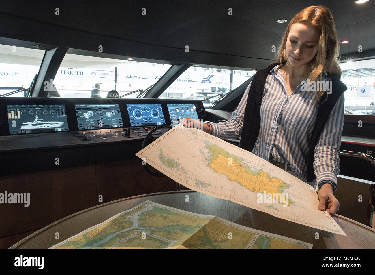 Duesseldorf, Germany. 19th Jan, 2018. The model Rebecca studying a sea map on the bridge of the Princess 35M motor yacht during the novelty tour of the water sports exhibition 'boot' (lit. 'boat') 2018 in Duesseldorf, Germany, 19 January 2018. More than 1800 exhibitors from more than 60 countries are showing novelties from the world of water sports from 20 to 28 January 2018. Credit: Federico Gambarini/dpa/Alamy Live News Stock Photohttps://www.alamy.com/image-license-details/?v=1https://www.alamy.com/stock-photo-duesseldorf-germany-19th-jan-2018-the-model-rebecca-studying-a-sea-172557700.html
RMM0MK30–Duesseldorf, Germany. 19th Jan, 2018. The model Rebecca studying a sea map on the bridge of the Princess 35M motor yacht during the novelty tour of the water sports exhibition 'boot' (lit. 'boat') 2018 in Duesseldorf, Germany, 19 January 2018. More than 1800 exhibitors from more than 60 countries are showing novelties from the world of water sports from 20 to 28 January 2018. Credit: Federico Gambarini/dpa/Alamy Live News
 Old map of the Danish Archipelago and southern part of Jutland, Denmark. Journey to Denmark, 1860 by Jean-Marie Dargaud (1800-1866) Le Tour du Monde 1862 Stock Photohttps://www.alamy.com/image-license-details/?v=1https://www.alamy.com/old-map-of-the-danish-archipelago-and-southern-part-of-jutland-denmark-journey-to-denmark-1860-by-jean-marie-dargaud-1800-1866-le-tour-du-monde-1862-image619673057.html
RM2Y04F8H–Old map of the Danish Archipelago and southern part of Jutland, Denmark. Journey to Denmark, 1860 by Jean-Marie Dargaud (1800-1866) Le Tour du Monde 1862
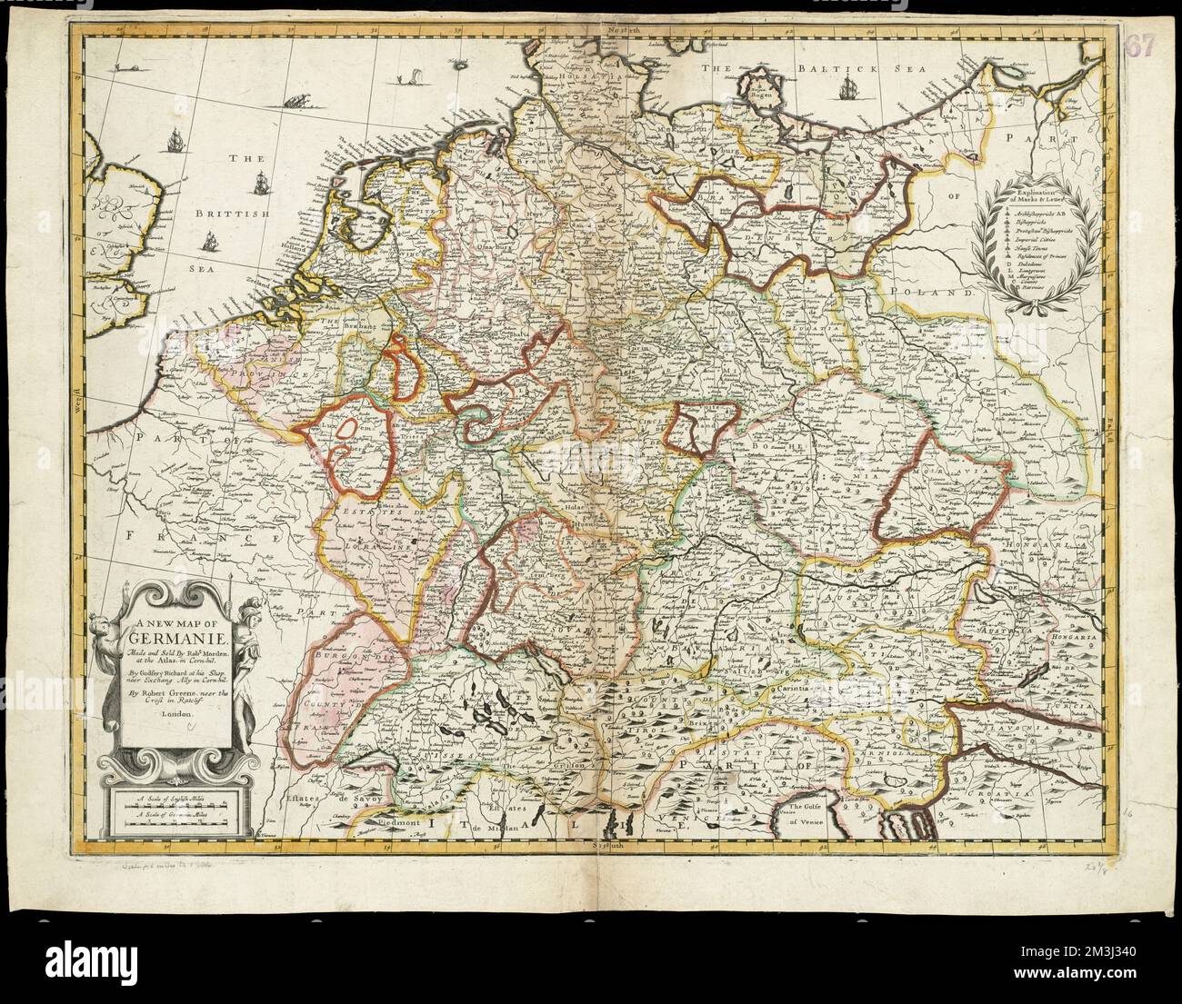 A new map of Germanie , Germany, Maps, Early works to 1800 Norman B. Leventhal Map Center Collection Stock Photohttps://www.alamy.com/image-license-details/?v=1https://www.alamy.com/a-new-map-of-germanie-germany-maps-early-works-to-1800-norman-b-leventhal-map-center-collection-image501342240.html
RM2M3J340–A new map of Germanie , Germany, Maps, Early works to 1800 Norman B. Leventhal Map Center Collection
 U.S. Army Europe’s Capt. Mark Crimaldi, Commander of Engineer Troop, 4th Squadron, of the 2nd Cavalry Regiment, reads a map and navigates the Stryker vehicle near Grafenwoehr, Germany, during Saber Junction 2012 Oct. 15. The U.S. Army Europe's exercise Saber Junction 2012 trains U.S. personnel and 1800 multinational partners from 18 nations ensuring multinational interoperability and an agile, ready coalition force. (U.S. Army Europe photo by Visual Information Specialist Markus Rauchenberger/released) Saber Junction 2012 121015-A-BS310-044 Stock Photohttps://www.alamy.com/image-license-details/?v=1https://www.alamy.com/stock-photo-us-army-europes-capt-mark-crimaldi-commander-of-engineer-troop-4th-129525464.html
RMHEMB1C–U.S. Army Europe’s Capt. Mark Crimaldi, Commander of Engineer Troop, 4th Squadron, of the 2nd Cavalry Regiment, reads a map and navigates the Stryker vehicle near Grafenwoehr, Germany, during Saber Junction 2012 Oct. 15. The U.S. Army Europe's exercise Saber Junction 2012 trains U.S. personnel and 1800 multinational partners from 18 nations ensuring multinational interoperability and an agile, ready coalition force. (U.S. Army Europe photo by Visual Information Specialist Markus Rauchenberger/released) Saber Junction 2012 121015-A-BS310-044
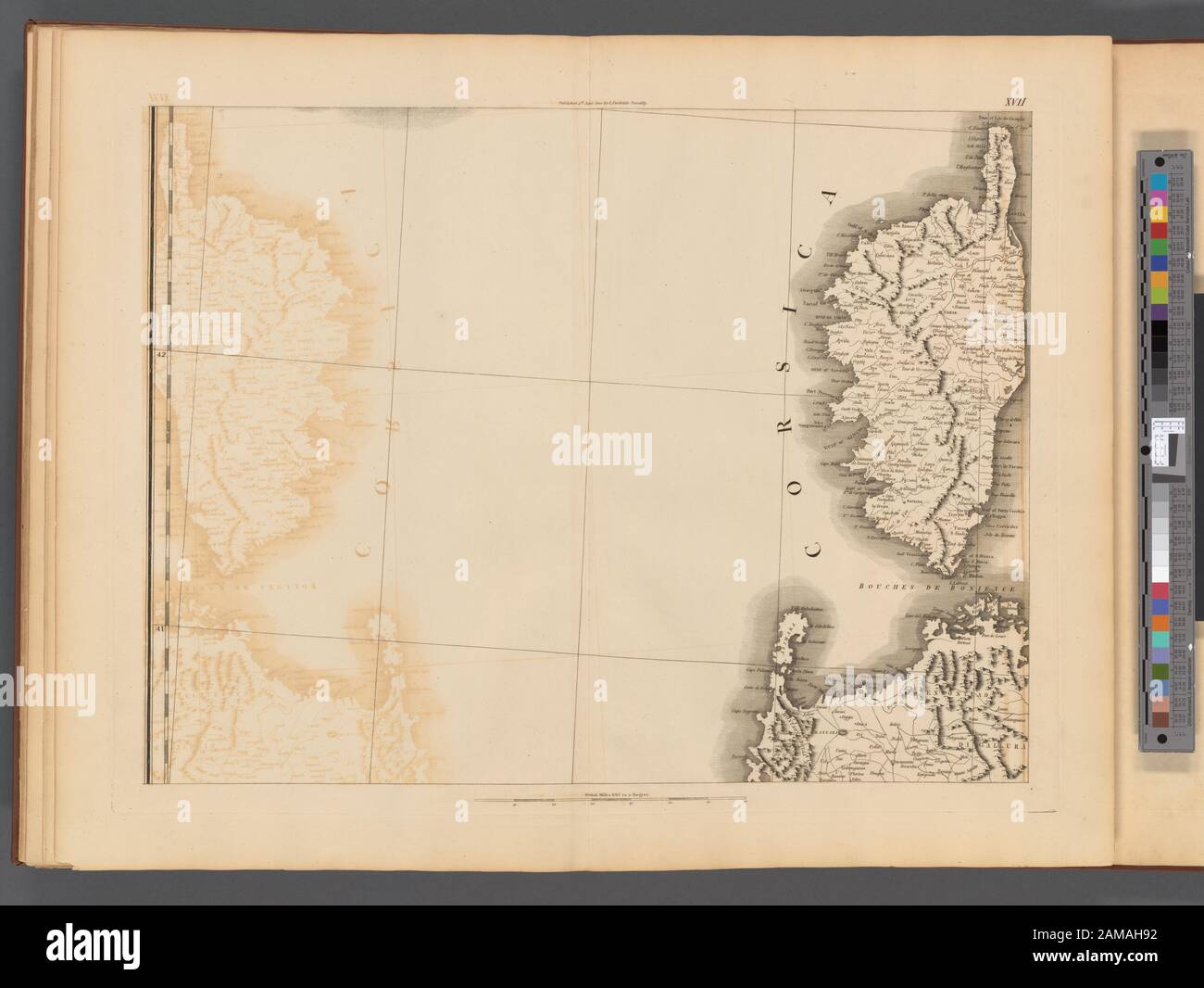 Plate XVII- A general map of the empire of Germany, Holland, the Netherlands, Switzerland, the Grisons, Italy, Sicily, Corsica, and Sardinia Published 4th June 1800 by J. Stockdale, Piccadilly.; Plate XVII: A general map of the empire of Germany, Holland, the Netherlands, Switzerland, the Grisons, Italy, Sicily, Corsica, and Sardinia Stock Photohttps://www.alamy.com/image-license-details/?v=1https://www.alamy.com/plate-xvii-a-general-map-of-the-empire-of-germany-holland-the-netherlands-switzerland-the-grisons-italy-sicily-corsica-and-sardinia-published-4th-june-1800-by-j-stockdale-piccadilly-plate-xvii-a-general-map-of-the-empire-of-germany-holland-the-netherlands-switzerland-the-grisons-italy-sicily-corsica-and-sardinia-image339523214.html
RM2AMAH92–Plate XVII- A general map of the empire of Germany, Holland, the Netherlands, Switzerland, the Grisons, Italy, Sicily, Corsica, and Sardinia Published 4th June 1800 by J. Stockdale, Piccadilly.; Plate XVII: A general map of the empire of Germany, Holland, the Netherlands, Switzerland, the Grisons, Italy, Sicily, Corsica, and Sardinia
 D. Marcus Elieser Bloch's, ausC3BCbenden Arztes zu Berlin ... C396konomische Naturgeschichte der Fische Deutschlands (Tafel 23) Stock Photohttps://www.alamy.com/image-license-details/?v=1https://www.alamy.com/stock-photo-d-marcus-elieser-blochs-ausc3bcbenden-arztes-zu-berlin-c396konomische-98388156.html
RMFM1Y2M–D. Marcus Elieser Bloch's, ausC3BCbenden Arztes zu Berlin ... C396konomische Naturgeschichte der Fische Deutschlands (Tafel 23)
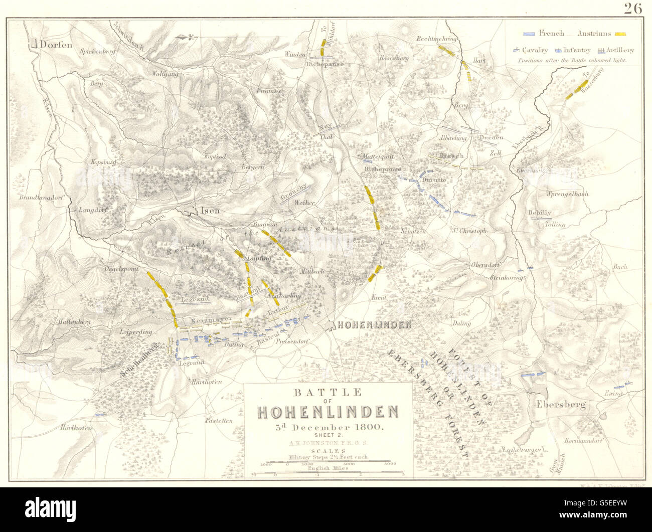 BATTLE OF HOHENLINDEN: 3rd December 1800 - sheet 2. Germany, 1848 antique map Stock Photohttps://www.alamy.com/image-license-details/?v=1https://www.alamy.com/stock-photo-battle-of-hohenlinden-3rd-december-1800-sheet-2-germany-1848-antique-106654573.html
RFG5EEYW–BATTLE OF HOHENLINDEN: 3rd December 1800 - sheet 2. Germany, 1848 antique map
 North east Germany. Schleswig-Holstein Mecklenburg-Pomerania. CHAUCHARD 1800 map Stock Photohttps://www.alamy.com/image-license-details/?v=1https://www.alamy.com/north-east-germany-schleswig-holstein-mecklenburg-pomerania-chauchard-1800-map-image247691286.html
RFTAY8NA–North east Germany. Schleswig-Holstein Mecklenburg-Pomerania. CHAUCHARD 1800 map
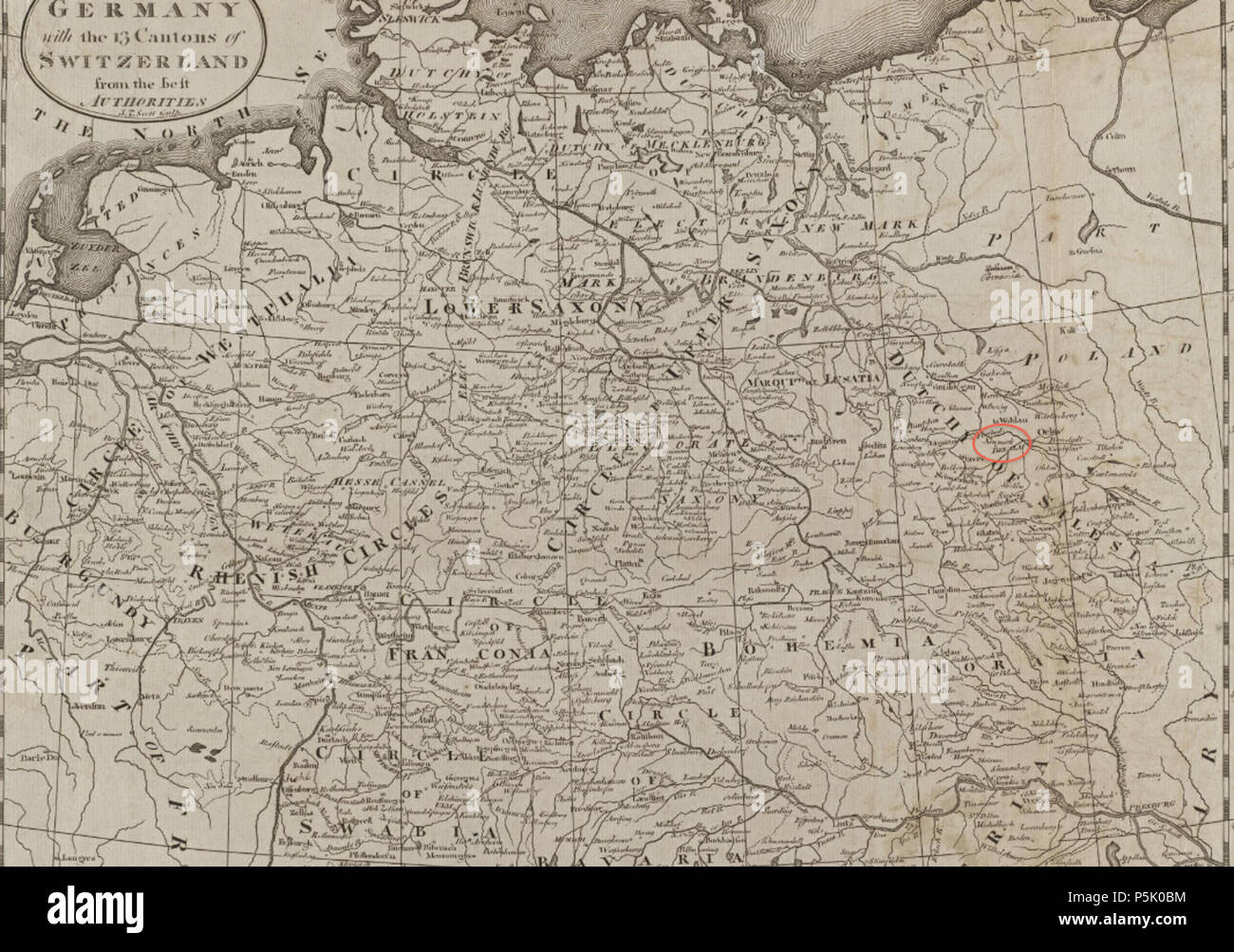 27 1800 Breslau detail of map Empire of Germany by Carey BPL 12325 Stock Photohttps://www.alamy.com/image-license-details/?v=1https://www.alamy.com/27-1800-breslau-detail-of-map-empire-of-germany-by-carey-bpl-12325-image210015112.html
RMP5K0BM–27 1800 Breslau detail of map Empire of Germany by Carey BPL 12325
 Germany, Prussia, 1800 1805 (NYPL b14896507 1506670) Stock Photohttps://www.alamy.com/image-license-details/?v=1https://www.alamy.com/stock-photo-germany-prussia-1800-1805-nypl-b14896507-1506670-139978719.html
RMJ3MG7Y–Germany, Prussia, 1800 1805 (NYPL b14896507 1506670)
 Old map of the Danish Archipelago and southern part of Jutland, Denmark. Journey to Denmark, 1860 by Jean-Marie Dargaud (1800-1866) Le Tour du Monde 1862 Stock Photohttps://www.alamy.com/image-license-details/?v=1https://www.alamy.com/old-map-of-the-danish-archipelago-and-southern-part-of-jutland-denmark-journey-to-denmark-1860-by-jean-marie-dargaud-1800-1866-le-tour-du-monde-1862-image612428389.html
RM2XGAEJD–Old map of the Danish Archipelago and southern part of Jutland, Denmark. Journey to Denmark, 1860 by Jean-Marie Dargaud (1800-1866) Le Tour du Monde 1862
 Archiepiscopatus Trevirensis , Rhineland-Palatinate Germany, Maps, Early works to 1800 Norman B. Leventhal Map Center Collection Stock Photohttps://www.alamy.com/image-license-details/?v=1https://www.alamy.com/archiepiscopatus-trevirensis-rhineland-palatinate-germany-maps-early-works-to-1800-norman-b-leventhal-map-center-collection-image500138446.html
RM2M1K7KA–Archiepiscopatus Trevirensis , Rhineland-Palatinate Germany, Maps, Early works to 1800 Norman B. Leventhal Map Center Collection
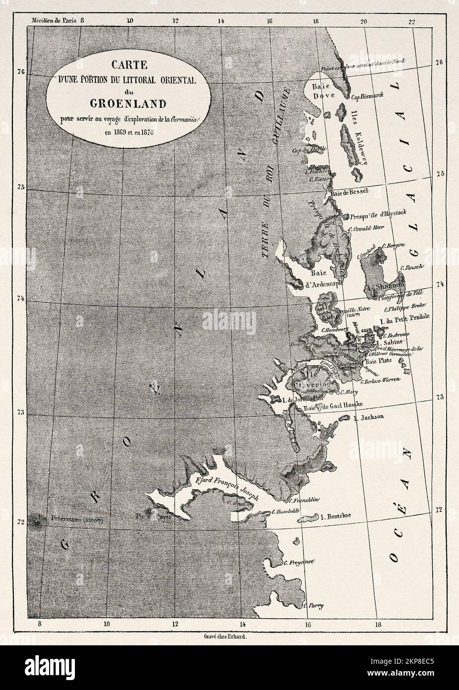 Map of a portion of the east coast of Greenland for use in La Germania's voyage of exploration in 1869-1870. Second German expedition to the North Pole with the ships Germania and Hansa, 1869 Stock Photohttps://www.alamy.com/image-license-details/?v=1https://www.alamy.com/map-of-a-portion-of-the-east-coast-of-greenland-for-use-in-la-germanias-voyage-of-exploration-in-1869-1870-second-german-expedition-to-the-north-pole-with-the-ships-germania-and-hansa-1869-image495599669.html
RM2KP8EC5–Map of a portion of the east coast of Greenland for use in La Germania's voyage of exploration in 1869-1870. Second German expedition to the North Pole with the ships Germania and Hansa, 1869
 Plate XVIII- A general map of the empire of Germany, Holland, the Netherlands, Switzerland, the Grisons, Italy, Sicily, Corsica, and Sardinia Published 4th June 1800 by J. Stockdale, Piccadilly.; Plate XVIII: A general map of the empire of Germany, Holland, the Netherlands, Switzerland, the Grisons, Italy, Sicily, Corsica, and Sardinia Stock Photohttps://www.alamy.com/image-license-details/?v=1https://www.alamy.com/plate-xviii-a-general-map-of-the-empire-of-germany-holland-the-netherlands-switzerland-the-grisons-italy-sicily-corsica-and-sardinia-published-4th-june-1800-by-j-stockdale-piccadilly-plate-xviii-a-general-map-of-the-empire-of-germany-holland-the-netherlands-switzerland-the-grisons-italy-sicily-corsica-and-sardinia-image339523221.html
RM2AMAH99–Plate XVIII- A general map of the empire of Germany, Holland, the Netherlands, Switzerland, the Grisons, Italy, Sicily, Corsica, and Sardinia Published 4th June 1800 by J. Stockdale, Piccadilly.; Plate XVIII: A general map of the empire of Germany, Holland, the Netherlands, Switzerland, the Grisons, Italy, Sicily, Corsica, and Sardinia
 D. Marcus Elieser Bloch's, ausC3BCbenden Arztes zu Berlin ... C396konomische Naturgeschichte der Fische Deutschlands (Tafel 26) Stock Photohttps://www.alamy.com/image-license-details/?v=1https://www.alamy.com/stock-photo-d-marcus-elieser-blochs-ausc3bcbenden-arztes-zu-berlin-c396konomische-98388163.html
RMFM1Y2Y–D. Marcus Elieser Bloch's, ausC3BCbenden Arztes zu Berlin ... C396konomische Naturgeschichte der Fische Deutschlands (Tafel 26)
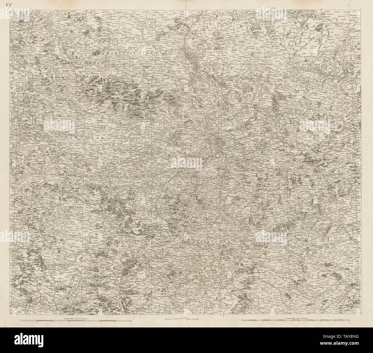 Central Germany Bohemia north. Brandenburg Sachsen Thuringen. CHAUCHARD 1800 map Stock Photohttps://www.alamy.com/image-license-details/?v=1https://www.alamy.com/central-germany-bohemia-north-brandenburg-sachsen-thuringen-chauchard-1800-map-image247691292.html
RFTAY8NG–Central Germany Bohemia north. Brandenburg Sachsen Thuringen. CHAUCHARD 1800 map
 27 1800 Chur detail of map Empire of Germany with 13 Cantons of Switzerland by Carey BPL 12325 Stock Photohttps://www.alamy.com/image-license-details/?v=1https://www.alamy.com/27-1800-chur-detail-of-map-empire-of-germany-with-13-cantons-of-switzerland-by-carey-bpl-12325-image210015118.html
RMP5K0BX–27 1800 Chur detail of map Empire of Germany with 13 Cantons of Switzerland by Carey BPL 12325
 Germany, Prussia, 1800 1805 (NYPL b14896507 1506664) Stock Photohttps://www.alamy.com/image-license-details/?v=1https://www.alamy.com/stock-photo-germany-prussia-1800-1805-nypl-b14896507-1506664-139978717.html
RMJ3MG7W–Germany, Prussia, 1800 1805 (NYPL b14896507 1506664)
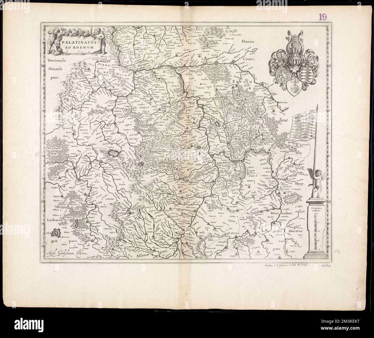 Palatinatus ad Rhenum , Rhineland-Palatinate Germany, Maps, Early works to 1800 Norman B. Leventhal Map Center Collection Stock Photohttps://www.alamy.com/image-license-details/?v=1https://www.alamy.com/palatinatus-ad-rhenum-rhineland-palatinate-germany-maps-early-works-to-1800-norman-b-leventhal-map-center-collection-image501373260.html
RM2M3KEKT–Palatinatus ad Rhenum , Rhineland-Palatinate Germany, Maps, Early works to 1800 Norman B. Leventhal Map Center Collection
 Plate XXI- A general map of the empire of Germany, Holland, the Netherlands, Switzerland, the Grisons, Italy, Sicily, Corsica, and Sardinia Published 4th June 1800 by J. Stockdale, Piccadilly.; Plate XXI: A general map of the empire of Germany, Holland, the Netherlands, Switzerland, the Grisons, Italy, Sicily, Corsica, and Sardinia Stock Photohttps://www.alamy.com/image-license-details/?v=1https://www.alamy.com/plate-xxi-a-general-map-of-the-empire-of-germany-holland-the-netherlands-switzerland-the-grisons-italy-sicily-corsica-and-sardinia-published-4th-june-1800-by-j-stockdale-piccadilly-plate-xxi-a-general-map-of-the-empire-of-germany-holland-the-netherlands-switzerland-the-grisons-italy-sicily-corsica-and-sardinia-image339523219.html
RM2AMAH97–Plate XXI- A general map of the empire of Germany, Holland, the Netherlands, Switzerland, the Grisons, Italy, Sicily, Corsica, and Sardinia Published 4th June 1800 by J. Stockdale, Piccadilly.; Plate XXI: A general map of the empire of Germany, Holland, the Netherlands, Switzerland, the Grisons, Italy, Sicily, Corsica, and Sardinia
 D. Marcus Elieser Bloch's, ausC3BCbenden Arztes zu Berlin ... C396konomische Naturgeschichte der Fische Deutschlands (Tafel 77) Stock Photohttps://www.alamy.com/image-license-details/?v=1https://www.alamy.com/stock-photo-d-marcus-elieser-blochs-ausc3bcbenden-arztes-zu-berlin-c396konomische-98388671.html
RMFM1YN3–D. Marcus Elieser Bloch's, ausC3BCbenden Arztes zu Berlin ... C396konomische Naturgeschichte der Fische Deutschlands (Tafel 77)
 Central Europe rivers & regions. Germany Switzerland Austria. CHAUCHARD 1800 map Stock Photohttps://www.alamy.com/image-license-details/?v=1https://www.alamy.com/central-europe-rivers-regions-germany-switzerland-austria-chauchard-1800-map-image247691306.html
RFTAY8P2–Central Europe rivers & regions. Germany Switzerland Austria. CHAUCHARD 1800 map
 27 1800 Presburg detail of map Empire of Germany with 13 Cantons of Switzerland by Carey BPL 12325 Stock Photohttps://www.alamy.com/image-license-details/?v=1https://www.alamy.com/27-1800-presburg-detail-of-map-empire-of-germany-with-13-cantons-of-switzerland-by-carey-bpl-12325-image210015145.html
RMP5K0CW–27 1800 Presburg detail of map Empire of Germany with 13 Cantons of Switzerland by Carey BPL 12325
 Germany, Prussia, 1800 1805 (NYPL b14896507 1506671) Stock Photohttps://www.alamy.com/image-license-details/?v=1https://www.alamy.com/stock-photo-germany-prussia-1800-1805-nypl-b14896507-1506671-139978721.html
RMJ3MG81–Germany, Prussia, 1800 1805 (NYPL b14896507 1506671)
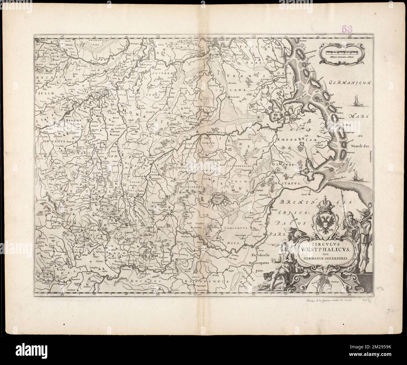 Circulus Westphalicus, sive Germaniae inferioris , Westphalia Germany, Maps, Early works to 1800 Norman B. Leventhal Map Center Collection Stock Photohttps://www.alamy.com/image-license-details/?v=1https://www.alamy.com/circulus-westphalicus-sive-germaniae-inferioris-westphalia-germany-maps-early-works-to-1800-norman-b-leventhal-map-center-collection-image500531743.html
RM2M2959K–Circulus Westphalicus, sive Germaniae inferioris , Westphalia Germany, Maps, Early works to 1800 Norman B. Leventhal Map Center Collection
 Plate XIX- A general map of the empire of Germany, Holland, the Netherlands, Switzerland, the Grisons, Italy, Sicily, Corsica, and Sardinia Published 4th June 1800 by J. Stockdale, Piccadilly.; Plate XIX: A general map of the empire of Germany, Holland, the Netherlands, Switzerland, the Grisons, Italy, Sicily, Corsica, and Sardinia Stock Photohttps://www.alamy.com/image-license-details/?v=1https://www.alamy.com/plate-xix-a-general-map-of-the-empire-of-germany-holland-the-netherlands-switzerland-the-grisons-italy-sicily-corsica-and-sardinia-published-4th-june-1800-by-j-stockdale-piccadilly-plate-xix-a-general-map-of-the-empire-of-germany-holland-the-netherlands-switzerland-the-grisons-italy-sicily-corsica-and-sardinia-image339523216.html
RM2AMAH94–Plate XIX- A general map of the empire of Germany, Holland, the Netherlands, Switzerland, the Grisons, Italy, Sicily, Corsica, and Sardinia Published 4th June 1800 by J. Stockdale, Piccadilly.; Plate XIX: A general map of the empire of Germany, Holland, the Netherlands, Switzerland, the Grisons, Italy, Sicily, Corsica, and Sardinia
 D. Marcus Elieser Bloch's, ausC3BCbenden Arztes zu Berlin ... C396konomische Naturgeschichte der Fische Deutschlands (Tafel 72) Stock Photohttps://www.alamy.com/image-license-details/?v=1https://www.alamy.com/stock-photo-d-marcus-elieser-blochs-ausc3bcbenden-arztes-zu-berlin-c396konomische-98388560.html
RMFM1YH4–D. Marcus Elieser Bloch's, ausC3BCbenden Arztes zu Berlin ... C396konomische Naturgeschichte der Fische Deutschlands (Tafel 72)
 North Netherlands & North west Germany. Lower Saxony. CHAUCHARD 1800 old map Stock Photohttps://www.alamy.com/image-license-details/?v=1https://www.alamy.com/north-netherlands-north-west-germany-lower-saxony-chauchard-1800-old-map-image247691282.html
RFTAY8N6–North Netherlands & North west Germany. Lower Saxony. CHAUCHARD 1800 old map
 . Deutsch: General-Karte von Deutschland und der Schweitz. Nro. 92. Kolorierter Kupferstich . 1791. Franz Johann Joseph von Reilly (1766–1820) Alternative names Reilly, Franz Johann Joseph von Description Austrian publisher and writer Date of birth/death 18 August 1766 6 July 1820 Location of birth/death Vienna Vienna Work period 1790 – 1800 Work location Vienna Authority control : Q113944 VIAF: 102371035 ISNI: 0000 0001 1839 240X LCCN: n88624007 GND: 118748017 SUDOC: 158784243 WorldCat 851 Map of Germany and Switzerland in 1791 by Reilly 092b Stock Photohttps://www.alamy.com/image-license-details/?v=1https://www.alamy.com/deutsch-general-karte-von-deutschland-und-der-schweitz-nro-92-kolorierter-kupferstich-1791-franz-johann-joseph-von-reilly-17661820-alternative-names-reilly-franz-johann-joseph-von-description-austrian-publisher-and-writer-date-of-birthdeath-18-august-1766-6-july-1820-location-of-birthdeath-vienna-vienna-work-period-1790-1800-work-location-vienna-authority-control-q113944-viaf102371035-isni0000-0001-1839-240x-lccnn88624007-gnd118748017-sudoc158784243-worldcat-851-map-of-germany-and-switzerland-in-1791-by-reilly-092b-image185845589.html
RMMP9YXD–. Deutsch: General-Karte von Deutschland und der Schweitz. Nro. 92. Kolorierter Kupferstich . 1791. Franz Johann Joseph von Reilly (1766–1820) Alternative names Reilly, Franz Johann Joseph von Description Austrian publisher and writer Date of birth/death 18 August 1766 6 July 1820 Location of birth/death Vienna Vienna Work period 1790 – 1800 Work location Vienna Authority control : Q113944 VIAF: 102371035 ISNI: 0000 0001 1839 240X LCCN: n88624007 GND: 118748017 SUDOC: 158784243 WorldCat 851 Map of Germany and Switzerland in 1791 by Reilly 092b
 Germany, Prussia, 1800 1805 (NYPL b14896507 1506669) Stock Photohttps://www.alamy.com/image-license-details/?v=1https://www.alamy.com/stock-photo-germany-prussia-1800-1805-nypl-b14896507-1506669-139978722.html
RMJ3MG82–Germany, Prussia, 1800 1805 (NYPL b14896507 1506669)
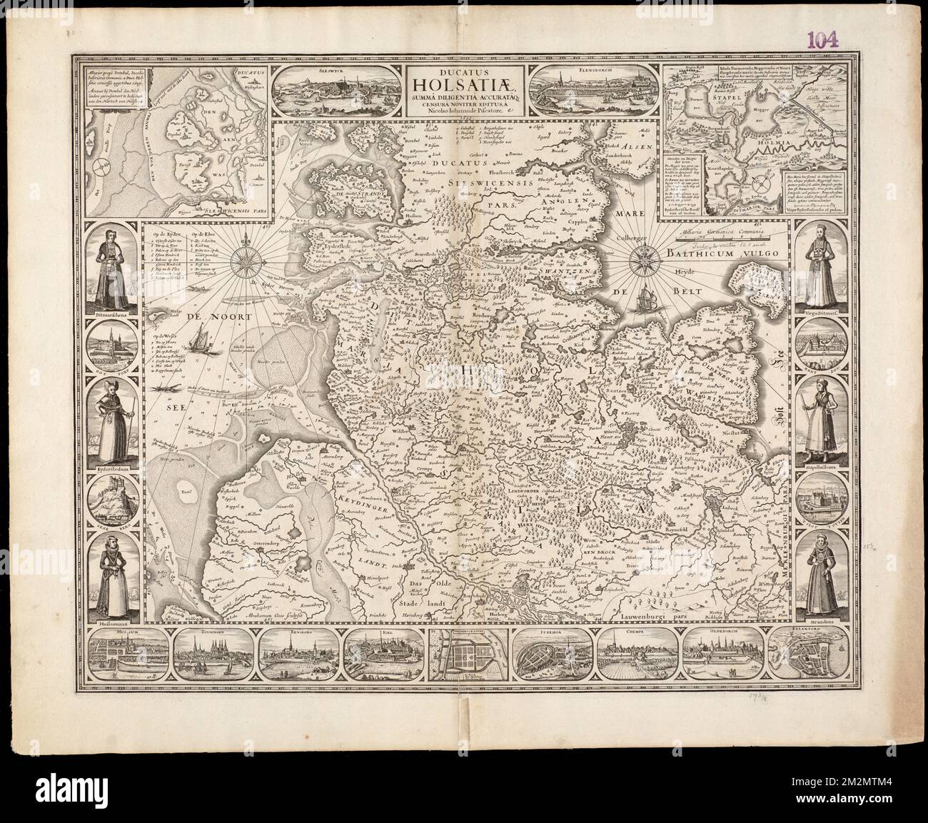 Ducatus Holsatiae, summa diligentia accurataque censura noviter , Schleswig-Holstein Germany, Maps, Early works to 1800 Norman B. Leventhal Map Center Collection Stock Photohttps://www.alamy.com/image-license-details/?v=1https://www.alamy.com/ducatus-holsatiae-summa-diligentia-accurataque-censura-noviter-schleswig-holstein-germany-maps-early-works-to-1800-norman-b-leventhal-map-center-collection-image500788404.html
RM2M2MTM4–Ducatus Holsatiae, summa diligentia accurataque censura noviter , Schleswig-Holstein Germany, Maps, Early works to 1800 Norman B. Leventhal Map Center Collection
 Plate XXV- A general map of the empire of Germany, Holland, the Netherlands, Switzerland, the Grisons, Italy, Sicily, Corsica, and Sardinia Published 4th June 1800 by J. Stockdale, Piccadilly.; Plate XXV: A general map of the empire of Germany, Holland, the Netherlands, Switzerland, the Grisons, Italy, Sicily, Corsica, and Sardinia Stock Photohttps://www.alamy.com/image-license-details/?v=1https://www.alamy.com/plate-xxv-a-general-map-of-the-empire-of-germany-holland-the-netherlands-switzerland-the-grisons-italy-sicily-corsica-and-sardinia-published-4th-june-1800-by-j-stockdale-piccadilly-plate-xxv-a-general-map-of-the-empire-of-germany-holland-the-netherlands-switzerland-the-grisons-italy-sicily-corsica-and-sardinia-image339523252.html
RM2AMAHAC–Plate XXV- A general map of the empire of Germany, Holland, the Netherlands, Switzerland, the Grisons, Italy, Sicily, Corsica, and Sardinia Published 4th June 1800 by J. Stockdale, Piccadilly.; Plate XXV: A general map of the empire of Germany, Holland, the Netherlands, Switzerland, the Grisons, Italy, Sicily, Corsica, and Sardinia
 D. Marcus Elieser Bloch's, ausC3BCbenden Arztes zu Berlin ... C396konomische Naturgeschichte der Fische Deutschlands (Tafel 68) Stock Photohttps://www.alamy.com/image-license-details/?v=1https://www.alamy.com/stock-photo-d-marcus-elieser-blochs-ausc3bcbenden-arztes-zu-berlin-c396konomische-98388549.html
RMFM1YGN–D. Marcus Elieser Bloch's, ausC3BCbenden Arztes zu Berlin ... C396konomische Naturgeschichte der Fische Deutschlands (Tafel 68)
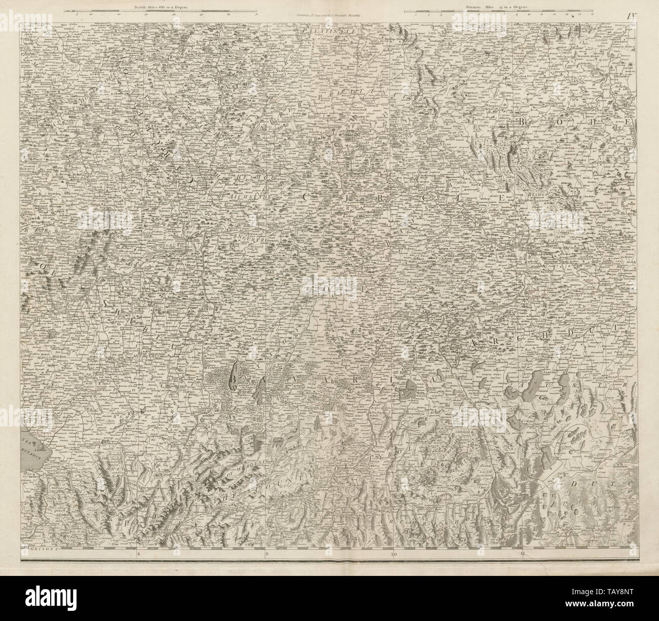 S Germany Bavaria North Tyrol SW Bohemia Czechia NW Austria. CHAUCHARD 1800 map Stock Photohttps://www.alamy.com/image-license-details/?v=1https://www.alamy.com/s-germany-bavaria-north-tyrol-sw-bohemia-czechia-nw-austria-chauchard-1800-map-image247691300.html
RFTAY8NT–S Germany Bavaria North Tyrol SW Bohemia Czechia NW Austria. CHAUCHARD 1800 map
 Germany, Bavaria, 1800 05 (NYPL b14896507 1503660) Stock Photohttps://www.alamy.com/image-license-details/?v=1https://www.alamy.com/stock-photo-germany-bavaria-1800-05-nypl-b14896507-1503660-139978178.html
RMJ3MFGJ–Germany, Bavaria, 1800 05 (NYPL b14896507 1503660)
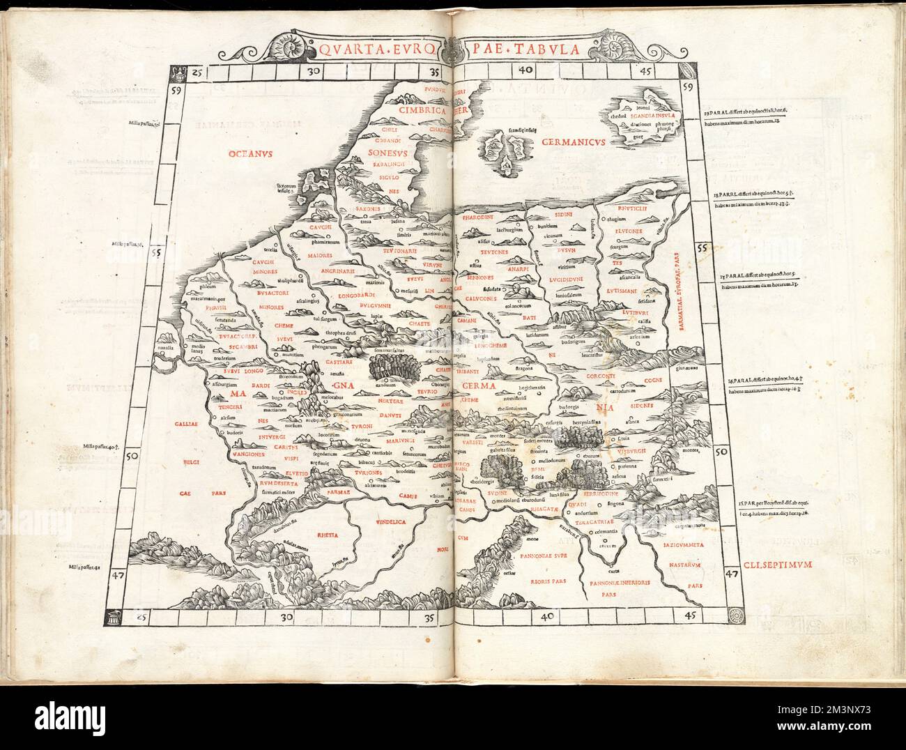 Quarta Europae tabula , Europe, Central, Maps, Early works to 1800, Germany, Maps, Early works to 1800 Norman B. Leventhal Map Center Collection Stock Photohttps://www.alamy.com/image-license-details/?v=1https://www.alamy.com/quarta-europae-tabula-europe-central-maps-early-works-to-1800-germany-maps-early-works-to-1800-norman-b-leventhal-map-center-collection-image501426215.html
RM2M3NX73–Quarta Europae tabula , Europe, Central, Maps, Early works to 1800, Germany, Maps, Early works to 1800 Norman B. Leventhal Map Center Collection
 Plate XX- A general map of the empire of Germany, Holland, the Netherlands, Switzerland, the Grisons, Italy, Sicily, Corsica, and Sardinia Published 4th June 1800 by J. Stockdale, Piccadilly.; Plate XX: A general map of the empire of Germany, Holland, the Netherlands, Switzerland, the Grisons, Italy, Sicily, Corsica, and Sardinia Stock Photohttps://www.alamy.com/image-license-details/?v=1https://www.alamy.com/plate-xx-a-general-map-of-the-empire-of-germany-holland-the-netherlands-switzerland-the-grisons-italy-sicily-corsica-and-sardinia-published-4th-june-1800-by-j-stockdale-piccadilly-plate-xx-a-general-map-of-the-empire-of-germany-holland-the-netherlands-switzerland-the-grisons-italy-sicily-corsica-and-sardinia-image339523217.html
RM2AMAH95–Plate XX- A general map of the empire of Germany, Holland, the Netherlands, Switzerland, the Grisons, Italy, Sicily, Corsica, and Sardinia Published 4th June 1800 by J. Stockdale, Piccadilly.; Plate XX: A general map of the empire of Germany, Holland, the Netherlands, Switzerland, the Grisons, Italy, Sicily, Corsica, and Sardinia
 D. Marcus Elieser Bloch's, ausC3BCbenden Arztes zu Berlin ... C396konomische Naturgeschichte der Fische Deutschlands (Tafel 30) Stock Photohttps://www.alamy.com/image-license-details/?v=1https://www.alamy.com/stock-photo-d-marcus-elieser-blochs-ausc3bcbenden-arztes-zu-berlin-c396konomische-98388470.html
RMFM1YDX–D. Marcus Elieser Bloch's, ausC3BCbenden Arztes zu Berlin ... C396konomische Naturgeschichte der Fische Deutschlands (Tafel 30)
 General Map of the Empire of Germany…. Title sheet. CHAUCHARD/STOCKDALE 1800 Stock Photohttps://www.alamy.com/image-license-details/?v=1https://www.alamy.com/general-map-of-the-empire-of-germany-title-sheet-chauchardstockdale-1800-image247791135.html
RFTB3T3B–General Map of the Empire of Germany…. Title sheet. CHAUCHARD/STOCKDALE 1800
 Germany, Bavaria, 1800 05 (NYPL b14896507 1503675) Stock Photohttps://www.alamy.com/image-license-details/?v=1https://www.alamy.com/stock-photo-germany-bavaria-1800-05-nypl-b14896507-1503675-139978181.html
RMJ3MFGN–Germany, Bavaria, 1800 05 (NYPL b14896507 1503675)
 Accuratissima Circuli Saxoniae tabula quae est pars septentrionalis Germaniae , Saxony Germany, Maps, Early works to 1800 Norman B. Leventhal Map Center Collection Stock Photohttps://www.alamy.com/image-license-details/?v=1https://www.alamy.com/accuratissima-circuli-saxoniae-tabula-quae-est-pars-septentrionalis-germaniae-saxony-germany-maps-early-works-to-1800-norman-b-leventhal-map-center-collection-image500124691.html
RM2M1JJ43–Accuratissima Circuli Saxoniae tabula quae est pars septentrionalis Germaniae , Saxony Germany, Maps, Early works to 1800 Norman B. Leventhal Map Center Collection
 Plate XXIV- A general map of the empire of Germany, Holland, the Netherlands, Switzerland, the Grisons, Italy, Sicily, Corsica, and Sardinia Published 4th June 1800 by J. Stockdale, Piccadilly.; Plate XXIV: A general map of the empire of Germany, Holland, the Netherlands, Switzerland, the Grisons, Italy, Sicily, Corsica, and Sardinia Stock Photohttps://www.alamy.com/image-license-details/?v=1https://www.alamy.com/plate-xxiv-a-general-map-of-the-empire-of-germany-holland-the-netherlands-switzerland-the-grisons-italy-sicily-corsica-and-sardinia-published-4th-june-1800-by-j-stockdale-piccadilly-plate-xxiv-a-general-map-of-the-empire-of-germany-holland-the-netherlands-switzerland-the-grisons-italy-sicily-corsica-and-sardinia-image339523251.html
RM2AMAHAB–Plate XXIV- A general map of the empire of Germany, Holland, the Netherlands, Switzerland, the Grisons, Italy, Sicily, Corsica, and Sardinia Published 4th June 1800 by J. Stockdale, Piccadilly.; Plate XXIV: A general map of the empire of Germany, Holland, the Netherlands, Switzerland, the Grisons, Italy, Sicily, Corsica, and Sardinia
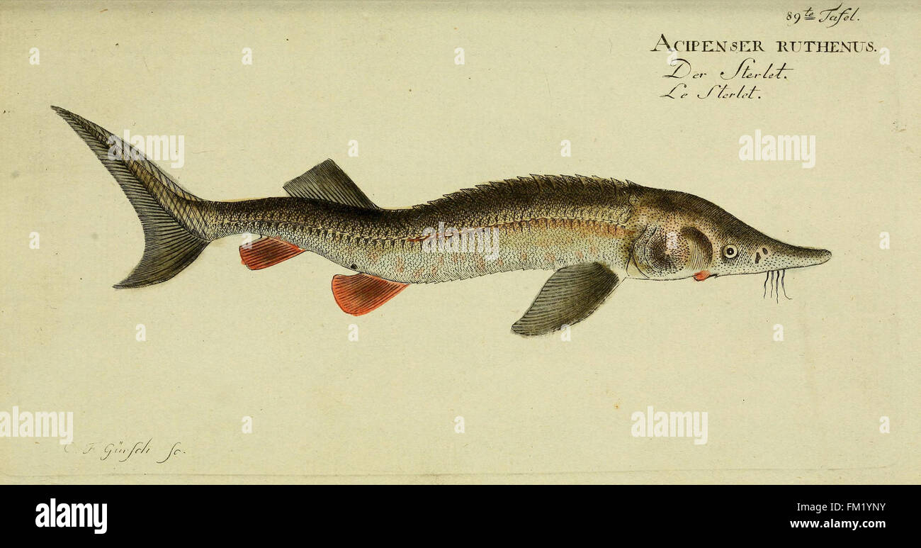 D. Marcus Elieser Bloch's, ausC3BCbenden Arztes zu Berlin ... C396konomische Naturgeschichte der Fische Deutschlands (Tafel 89) Stock Photohttps://www.alamy.com/image-license-details/?v=1https://www.alamy.com/stock-photo-d-marcus-elieser-blochs-ausc3bcbenden-arztes-zu-berlin-c396konomische-98388695.html
RMFM1YNY–D. Marcus Elieser Bloch's, ausC3BCbenden Arztes zu Berlin ... C396konomische Naturgeschichte der Fische Deutschlands (Tafel 89)
 Index map south part. Southern Italy. Sardinia Sicily. CHAUCHARD 1800 old Stock Photohttps://www.alamy.com/image-license-details/?v=1https://www.alamy.com/index-map-south-part-southern-italy-sardinia-sicily-chauchard-1800-old-image247691310.html
RFTAY8P6–Index map south part. Southern Italy. Sardinia Sicily. CHAUCHARD 1800 old
 Germany, Prussia, 1800 1805 (NYPL b14896507 1506668) Stock Photohttps://www.alamy.com/image-license-details/?v=1https://www.alamy.com/stock-photo-germany-prussia-1800-1805-nypl-b14896507-1506668-139978718.html
RMJ3MG7X–Germany, Prussia, 1800 1805 (NYPL b14896507 1506668)
 Ducatus Bremae & Ferdae maximaque partis fluminis Visurgis descriptio , Lower Saxony Germany, Maps, Early works to 1800 Norman B. Leventhal Map Center Collection Stock Photohttps://www.alamy.com/image-license-details/?v=1https://www.alamy.com/ducatus-bremae-ferdae-maximaque-partis-fluminis-visurgis-descriptio-lower-saxony-germany-maps-early-works-to-1800-norman-b-leventhal-map-center-collection-image500788837.html
RM2M2MW7H–Ducatus Bremae & Ferdae maximaque partis fluminis Visurgis descriptio , Lower Saxony Germany, Maps, Early works to 1800 Norman B. Leventhal Map Center Collection
 Plate XII- A general map of the empire of Germany, Holland, the Netherlands, Switzerland, the Grisons, Italy, Sicily, Corsica, and Sardinia Published 4th June 1800 by J. Stockdale, Piccadilly.; Plate XII: A general map of the empire of Germany, Holland, the Netherlands, Switzerland, the Grisons, Italy, Sicily, Corsica, and Sardinia Stock Photohttps://www.alamy.com/image-license-details/?v=1https://www.alamy.com/plate-xii-a-general-map-of-the-empire-of-germany-holland-the-netherlands-switzerland-the-grisons-italy-sicily-corsica-and-sardinia-published-4th-june-1800-by-j-stockdale-piccadilly-plate-xii-a-general-map-of-the-empire-of-germany-holland-the-netherlands-switzerland-the-grisons-italy-sicily-corsica-and-sardinia-image339523210.html
RM2AMAH8X–Plate XII- A general map of the empire of Germany, Holland, the Netherlands, Switzerland, the Grisons, Italy, Sicily, Corsica, and Sardinia Published 4th June 1800 by J. Stockdale, Piccadilly.; Plate XII: A general map of the empire of Germany, Holland, the Netherlands, Switzerland, the Grisons, Italy, Sicily, Corsica, and Sardinia
 D. Marcus Elieser Bloch's, ausC3BCbenden Arztes zu Berlin ... C396konomische Naturgeschichte der Fische Deutschlands (Tafel 71) Stock Photohttps://www.alamy.com/image-license-details/?v=1https://www.alamy.com/stock-photo-d-marcus-elieser-blochs-ausc3bcbenden-arztes-zu-berlin-c396konomische-98388558.html
RMFM1YH2–D. Marcus Elieser Bloch's, ausC3BCbenden Arztes zu Berlin ... C396konomische Naturgeschichte der Fische Deutschlands (Tafel 71)
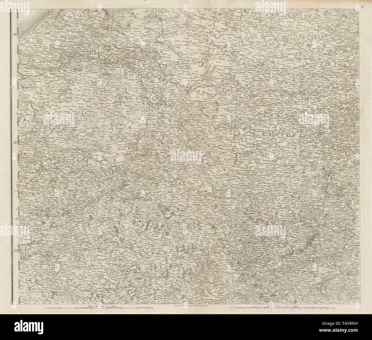 Rheinland, Netherlands South, Belgium East. Hessen Westphalia CHAUCHARD 1800 map Stock Photohttps://www.alamy.com/image-license-details/?v=1https://www.alamy.com/rheinland-netherlands-south-belgium-east-hessen-westphalia-chauchard-1800-map-image247691293.html
RFTAY8NH–Rheinland, Netherlands South, Belgium East. Hessen Westphalia CHAUCHARD 1800 map
 Germany, Bavaria, 1800 05 (NYPL b14896507 1503674) Stock Photohttps://www.alamy.com/image-license-details/?v=1https://www.alamy.com/stock-photo-germany-bavaria-1800-05-nypl-b14896507-1503674-139978180.html
RMJ3MFGM–Germany, Bavaria, 1800 05 (NYPL b14896507 1503674)
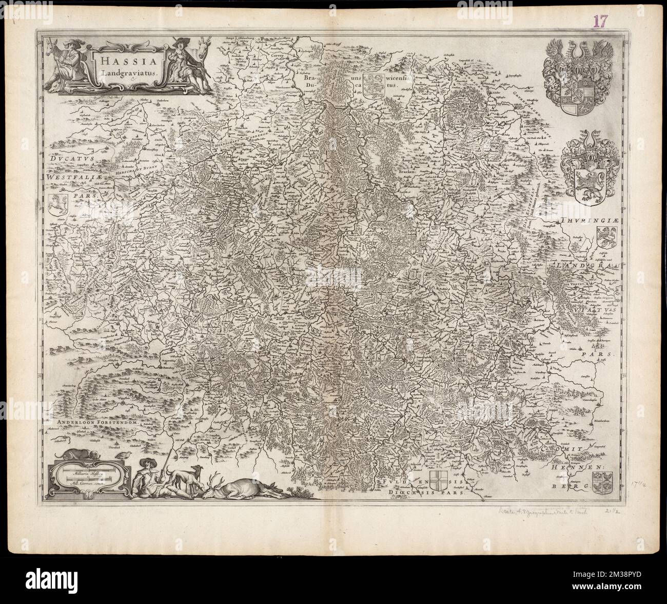 Hassia Landgraviatus , Hesse Germany, Maps, Early works to 1800, North Rhine-Westphalia Germany, Maps, Early works to 1800 Norman B. Leventhal Map Center Collection Stock Photohttps://www.alamy.com/image-license-details/?v=1https://www.alamy.com/hassia-landgraviatus-hesse-germany-maps-early-works-to-1800-north-rhine-westphalia-germany-maps-early-works-to-1800-norman-b-leventhal-map-center-collection-image501138273.html
RM2M38PYD–Hassia Landgraviatus , Hesse Germany, Maps, Early works to 1800, North Rhine-Westphalia Germany, Maps, Early works to 1800 Norman B. Leventhal Map Center Collection
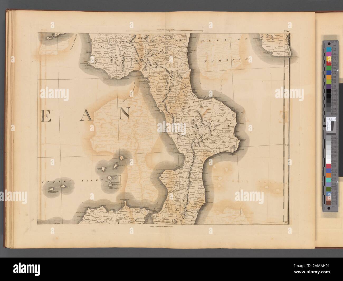 Plate XXII- A general map of the empire of Germany, Holland, the Netherlands, Switzerland, the Grisons, Italy, Sicily, Corsica, and Sardinia Published 4th June 1800 by J. Stockdale, Piccadilly.; Plate XXII: A general map of the empire of Germany, Holland, the Netherlands, Switzerland, the Grisons, Italy, Sicily, Corsica, and Sardinia Stock Photohttps://www.alamy.com/image-license-details/?v=1https://www.alamy.com/plate-xxii-a-general-map-of-the-empire-of-germany-holland-the-netherlands-switzerland-the-grisons-italy-sicily-corsica-and-sardinia-published-4th-june-1800-by-j-stockdale-piccadilly-plate-xxii-a-general-map-of-the-empire-of-germany-holland-the-netherlands-switzerland-the-grisons-italy-sicily-corsica-and-sardinia-image339523213.html
RM2AMAH91–Plate XXII- A general map of the empire of Germany, Holland, the Netherlands, Switzerland, the Grisons, Italy, Sicily, Corsica, and Sardinia Published 4th June 1800 by J. Stockdale, Piccadilly.; Plate XXII: A general map of the empire of Germany, Holland, the Netherlands, Switzerland, the Grisons, Italy, Sicily, Corsica, and Sardinia
 Plate I- A general map of the empire of Germany, Holland, the Netherlands, Switzerland, the Grisons, Italy, Sicily, Corsica, and Sardinia Published 4th June 1800 by J. Stockdale, Piccadilly.; Plate I: A general map of the empire of Germany, Holland, the Netherlands, Switzerland, the Grisons, Italy, Sicily, Corsica, and Sardinia Stock Photohttps://www.alamy.com/image-license-details/?v=1https://www.alamy.com/plate-i-a-general-map-of-the-empire-of-germany-holland-the-netherlands-switzerland-the-grisons-italy-sicily-corsica-and-sardinia-published-4th-june-1800-by-j-stockdale-piccadilly-plate-i-a-general-map-of-the-empire-of-germany-holland-the-netherlands-switzerland-the-grisons-italy-sicily-corsica-and-sardinia-image339523116.html
RM2AMAH5G–Plate I- A general map of the empire of Germany, Holland, the Netherlands, Switzerland, the Grisons, Italy, Sicily, Corsica, and Sardinia Published 4th June 1800 by J. Stockdale, Piccadilly.; Plate I: A general map of the empire of Germany, Holland, the Netherlands, Switzerland, the Grisons, Italy, Sicily, Corsica, and Sardinia
 D. Marcus Elieser Bloch's, ausC3BCbenden Arztes zu Berlin ... C396konomische Naturgeschichte der Fische Deutschlands (Tafel 69) Stock Photohttps://www.alamy.com/image-license-details/?v=1https://www.alamy.com/stock-photo-d-marcus-elieser-blochs-ausc3bcbenden-arztes-zu-berlin-c396konomische-98388555.html
RMFM1YGY–D. Marcus Elieser Bloch's, ausC3BCbenden Arztes zu Berlin ... C396konomische Naturgeschichte der Fische Deutschlands (Tafel 69)
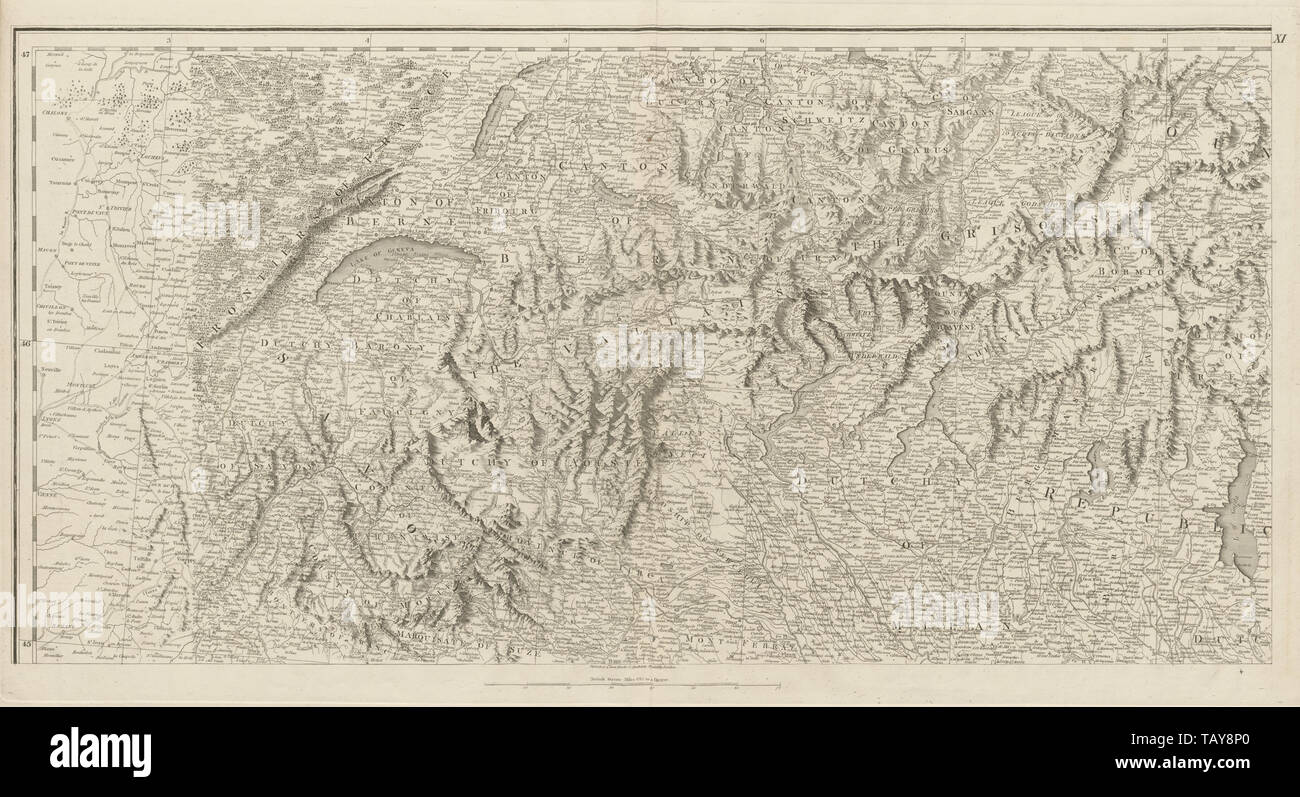 Alps. Savoie Piedmont Lombardy Aosta Southern Switzerland. CHAUCHARD 1800 map Stock Photohttps://www.alamy.com/image-license-details/?v=1https://www.alamy.com/alps-savoie-piedmont-lombardy-aosta-southern-switzerland-chauchard-1800-map-image247691304.html
RFTAY8P0–Alps. Savoie Piedmont Lombardy Aosta Southern Switzerland. CHAUCHARD 1800 map
 Germany, Bavaria, 1800 05 (NYPL b14896507 1503661) Stock Photohttps://www.alamy.com/image-license-details/?v=1https://www.alamy.com/stock-photo-germany-bavaria-1800-05-nypl-b14896507-1503661-139978179.html
RMJ3MFGK–Germany, Bavaria, 1800 05 (NYPL b14896507 1503661)
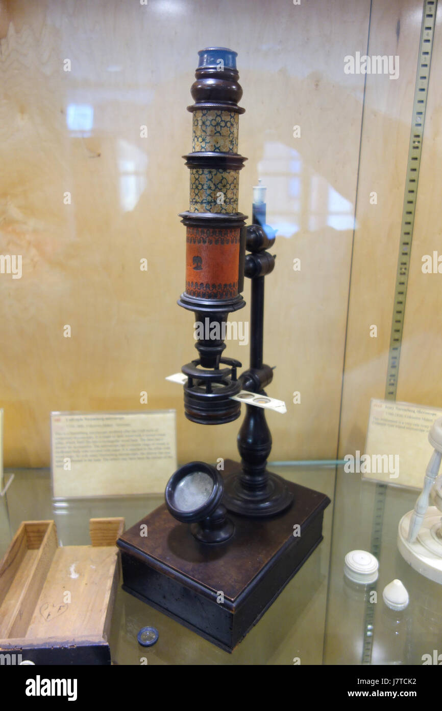 1750 1800, Cuff style Nuremberg microscope, unknown maker, Germany Golub Collection of Antique Microscopes DSC04803 Stock Photohttps://www.alamy.com/image-license-details/?v=1https://www.alamy.com/stock-photo-1750-1800-cuff-style-nuremberg-microscope-unknown-maker-germany-golub-142522326.html
RMJ7TCK2–1750 1800, Cuff style Nuremberg microscope, unknown maker, Germany Golub Collection of Antique Microscopes DSC04803
 Germany. Würtemberg. 1800-1806 (NYPL b14896507-1515167) Stock Photohttps://www.alamy.com/image-license-details/?v=1https://www.alamy.com/stock-photo-germany-wrtemberg-1800-1806-nypl-b14896507-1515167-147553231.html
RMJG1HJ7–Germany. Würtemberg. 1800-1806 (NYPL b14896507-1515167)
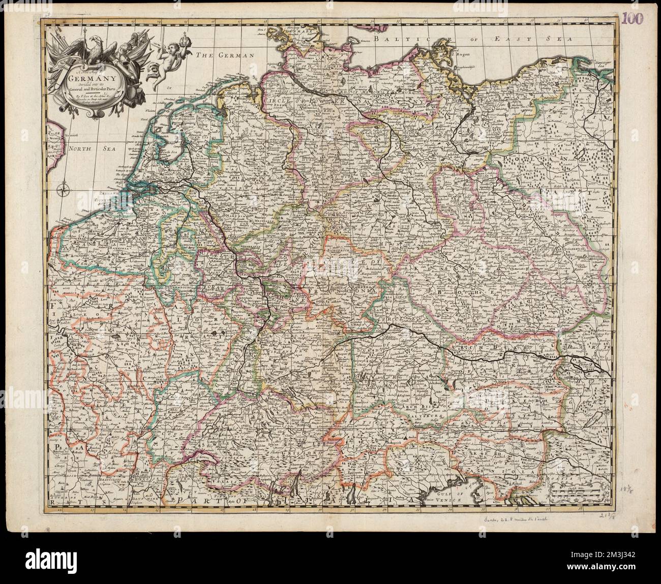 A new map of Germany divided into its general and perticuler parts , Germany, Administrative and political divisions, Maps, Early works to 1800 Norman B. Leventhal Map Center Collection Stock Photohttps://www.alamy.com/image-license-details/?v=1https://www.alamy.com/a-new-map-of-germany-divided-into-its-general-and-perticuler-parts-germany-administrative-and-political-divisions-maps-early-works-to-1800-norman-b-leventhal-map-center-collection-image501342242.html
RM2M3J342–A new map of Germany divided into its general and perticuler parts , Germany, Administrative and political divisions, Maps, Early works to 1800 Norman B. Leventhal Map Center Collection
 Plate VIII- A general map of the empire of Germany, Holland, the Netherlands, Switzerland, the Grisons, Italy, Sicily, Corsica, and Sardinia Published 4th June 1800 by J. Stockdale, Piccadilly.; Plate VIII: A general map of the empire of Germany, Holland, the Netherlands, Switzerland, the Grisons, Italy, Sicily, Corsica, and Sardinia Stock Photohttps://www.alamy.com/image-license-details/?v=1https://www.alamy.com/plate-viii-a-general-map-of-the-empire-of-germany-holland-the-netherlands-switzerland-the-grisons-italy-sicily-corsica-and-sardinia-published-4th-june-1800-by-j-stockdale-piccadilly-plate-viii-a-general-map-of-the-empire-of-germany-holland-the-netherlands-switzerland-the-grisons-italy-sicily-corsica-and-sardinia-image339523163.html
RM2AMAH77–Plate VIII- A general map of the empire of Germany, Holland, the Netherlands, Switzerland, the Grisons, Italy, Sicily, Corsica, and Sardinia Published 4th June 1800 by J. Stockdale, Piccadilly.; Plate VIII: A general map of the empire of Germany, Holland, the Netherlands, Switzerland, the Grisons, Italy, Sicily, Corsica, and Sardinia
 D. Marcus Elieser Bloch's, ausC3BCbenden Arztes zu Berlin ... C396konomische Naturgeschichte der Fische Deutschlands (Tafel 108) Stock Photohttps://www.alamy.com/image-license-details/?v=1https://www.alamy.com/stock-photo-d-marcus-elieser-blochs-ausc3bcbenden-arztes-zu-berlin-c396konomische-98388125.html
RMFM1Y1H–D. Marcus Elieser Bloch's, ausC3BCbenden Arztes zu Berlin ... C396konomische Naturgeschichte der Fische Deutschlands (Tafel 108)
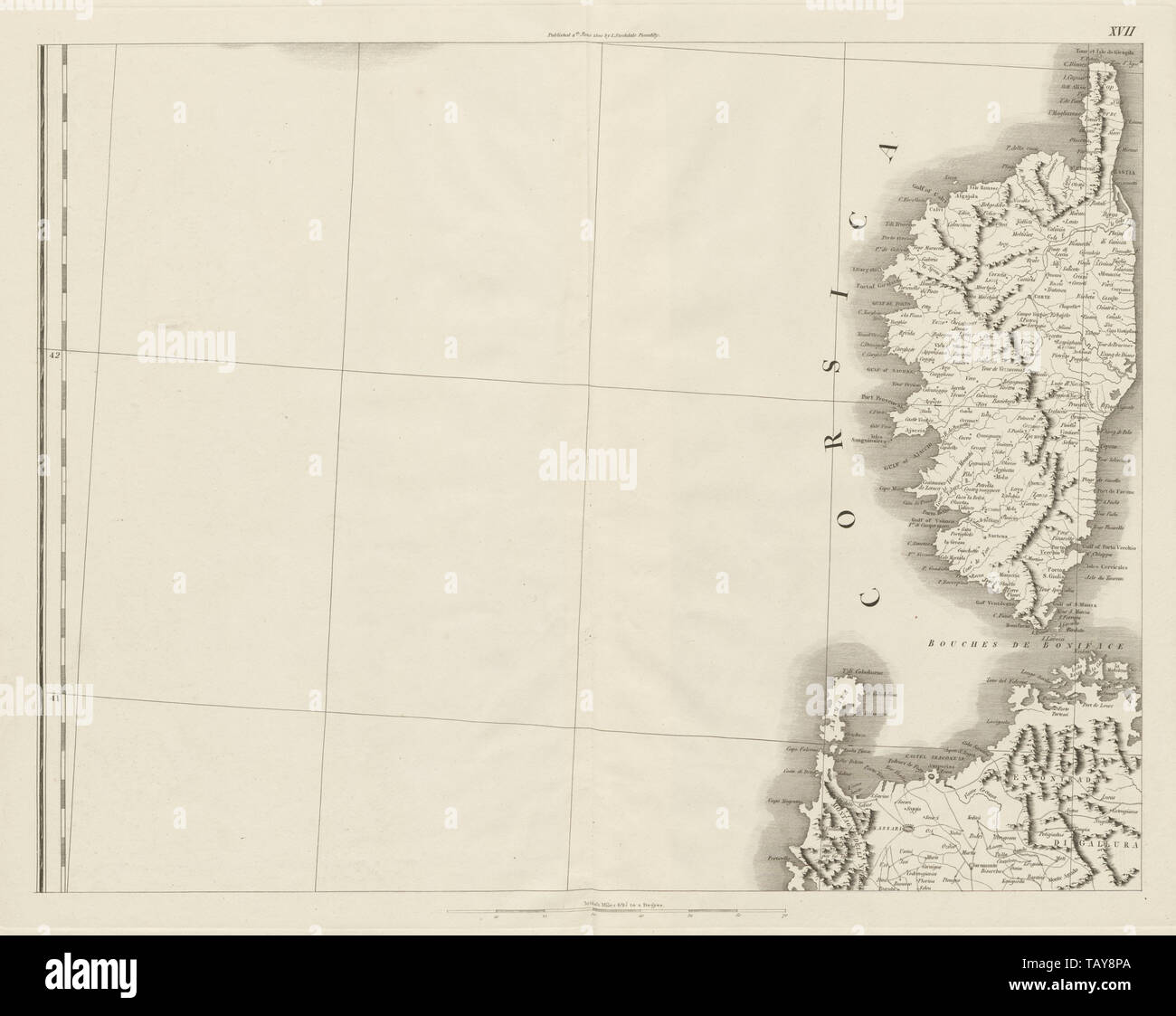 Corsica & North west Sardinia. Bonifacio Maddalena. CHAUCHARD 1800 old map Stock Photohttps://www.alamy.com/image-license-details/?v=1https://www.alamy.com/corsica-north-west-sardinia-bonifacio-maddalena-chauchard-1800-old-map-image247691314.html
RFTAY8PA–Corsica & North west Sardinia. Bonifacio Maddalena. CHAUCHARD 1800 old map
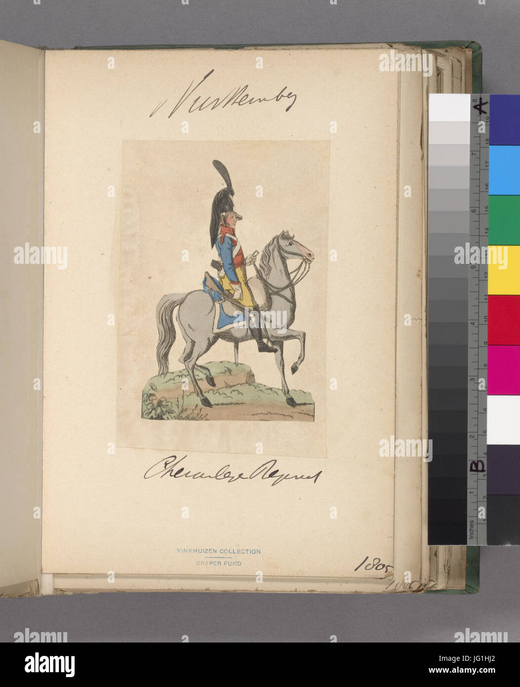 Germany. Würtemberg. 1800-1806 (NYPL b14896507-1515157) Stock Photohttps://www.alamy.com/image-license-details/?v=1https://www.alamy.com/stock-photo-germany-wrtemberg-1800-1806-nypl-b14896507-1515157-147553226.html
RMJG1HJ2–Germany. Würtemberg. 1800-1806 (NYPL b14896507-1515157)
 Map of the Stroom van de Wezer, from Hannoversch -Münden to Bremerhaven, Karl Bräunlich, 1800 - 1899 print paper maps of separate countries or regions. river Weers. Germany Stock Photohttps://www.alamy.com/image-license-details/?v=1https://www.alamy.com/map-of-the-stroom-van-de-wezer-from-hannoversch-mnden-to-bremerhaven-karl-brunlich-1800-1899-print-paper-maps-of-separate-countries-or-regions-river-weers-germany-image594308075.html
RM2WEW20B–Map of the Stroom van de Wezer, from Hannoversch -Münden to Bremerhaven, Karl Bräunlich, 1800 - 1899 print paper maps of separate countries or regions. river Weers. Germany
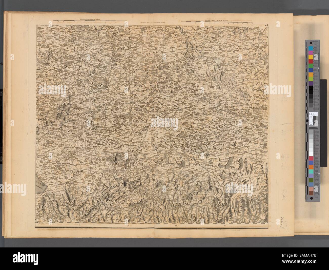 Plate IX- A general map of the empire of Germany, Holland, the Netherlands, Switzerland, the Grisons, Italy, Sicily, Corsica, and Sardinia Published 4th June 1800 by J. Stockdale, Piccadilly.; Plate IX: A general map of the empire of Germany, Holland, the Netherlands, Switzerland, the Grisons, Italy, Sicily, Corsica, and Sardinia Stock Photohttps://www.alamy.com/image-license-details/?v=1https://www.alamy.com/plate-ix-a-general-map-of-the-empire-of-germany-holland-the-netherlands-switzerland-the-grisons-italy-sicily-corsica-and-sardinia-published-4th-june-1800-by-j-stockdale-piccadilly-plate-ix-a-general-map-of-the-empire-of-germany-holland-the-netherlands-switzerland-the-grisons-italy-sicily-corsica-and-sardinia-image339523167.html
RM2AMAH7B–Plate IX- A general map of the empire of Germany, Holland, the Netherlands, Switzerland, the Grisons, Italy, Sicily, Corsica, and Sardinia Published 4th June 1800 by J. Stockdale, Piccadilly.; Plate IX: A general map of the empire of Germany, Holland, the Netherlands, Switzerland, the Grisons, Italy, Sicily, Corsica, and Sardinia
 D. Marcus Elieser Bloch's, ausC3BCbenden Arztes zu Berlin ... C396konomische Naturgeschichte der Fische Deutschlands (Tafel 16) Stock Photohttps://www.alamy.com/image-license-details/?v=1https://www.alamy.com/stock-photo-d-marcus-elieser-blochs-ausc3bcbenden-arztes-zu-berlin-c396konomische-98388139.html
RMFM1Y23–D. Marcus Elieser Bloch's, ausC3BCbenden Arztes zu Berlin ... C396konomische Naturgeschichte der Fische Deutschlands (Tafel 16)
 North western Poland. East Prussia. Gdansk. Pomerania. CHAUCHARD 1800 old map Stock Photohttps://www.alamy.com/image-license-details/?v=1https://www.alamy.com/north-western-poland-east-prussia-gdansk-pomerania-chauchard-1800-old-map-image247691285.html
RFTAY8N9–North western Poland. East Prussia. Gdansk. Pomerania. CHAUCHARD 1800 old map
 Germany. Würtemberg. 1800-1806 (NYPL b14896507-1515151) Stock Photohttps://www.alamy.com/image-license-details/?v=1https://www.alamy.com/stock-photo-germany-wrtemberg-1800-1806-nypl-b14896507-1515151-147553225.html
RMJG1HJ1–Germany. Würtemberg. 1800-1806 (NYPL b14896507-1515151)
 Tabu. provi. Rheni , Alsace-Lorraine Germany, Maps, Early works to 1800, Rhineland Germany, Maps, Early works to 1800 Norman B. Leventhal Map Center Collection Stock Photohttps://www.alamy.com/image-license-details/?v=1https://www.alamy.com/tabu-provi-rheni-alsace-lorraine-germany-maps-early-works-to-1800-rhineland-germany-maps-early-works-to-1800-norman-b-leventhal-map-center-collection-image499911339.html
RM2M18X0B–Tabu. provi. Rheni , Alsace-Lorraine Germany, Maps, Early works to 1800, Rhineland Germany, Maps, Early works to 1800 Norman B. Leventhal Map Center Collection
 Plate VII- A general map of the empire of Germany, Holland, the Netherlands, Switzerland, the Grisons, Italy, Sicily, Corsica, and Sardinia Published 4th June 1800 by J. Stockdale, Piccadilly.; Plate VII: A general map of the empire of Germany, Holland, the Netherlands, Switzerland, the Grisons, Italy, Sicily, Corsica, and Sardinia Stock Photohttps://www.alamy.com/image-license-details/?v=1https://www.alamy.com/plate-vii-a-general-map-of-the-empire-of-germany-holland-the-netherlands-switzerland-the-grisons-italy-sicily-corsica-and-sardinia-published-4th-june-1800-by-j-stockdale-piccadilly-plate-vii-a-general-map-of-the-empire-of-germany-holland-the-netherlands-switzerland-the-grisons-italy-sicily-corsica-and-sardinia-image339523166.html
RM2AMAH7A–Plate VII- A general map of the empire of Germany, Holland, the Netherlands, Switzerland, the Grisons, Italy, Sicily, Corsica, and Sardinia Published 4th June 1800 by J. Stockdale, Piccadilly.; Plate VII: A general map of the empire of Germany, Holland, the Netherlands, Switzerland, the Grisons, Italy, Sicily, Corsica, and Sardinia