Germany political map capital berlin Stock Photos and Images
(150)See germany political map capital berlin stock video clipsQuick filters:
Germany political map capital berlin Stock Photos and Images
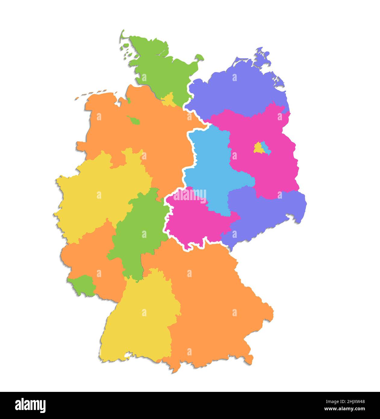 Germany map divided on West and East map, administrative division, color map isolated on white background, blank Stock Photohttps://www.alamy.com/image-license-details/?v=1https://www.alamy.com/germany-map-divided-on-west-and-east-map-administrative-division-color-map-isolated-on-white-background-blank-image459123848.html
RF2HJXW48–Germany map divided on West and East map, administrative division, color map isolated on white background, blank
 Shallow depth of field focus on geographical map location of Berlin city Germany Europe continent on atlas Stock Photohttps://www.alamy.com/image-license-details/?v=1https://www.alamy.com/shallow-depth-of-field-focus-on-geographical-map-location-of-berlin-city-germany-europe-continent-on-atlas-image360113615.html
RF2BWTGGF–Shallow depth of field focus on geographical map location of Berlin city Germany Europe continent on atlas
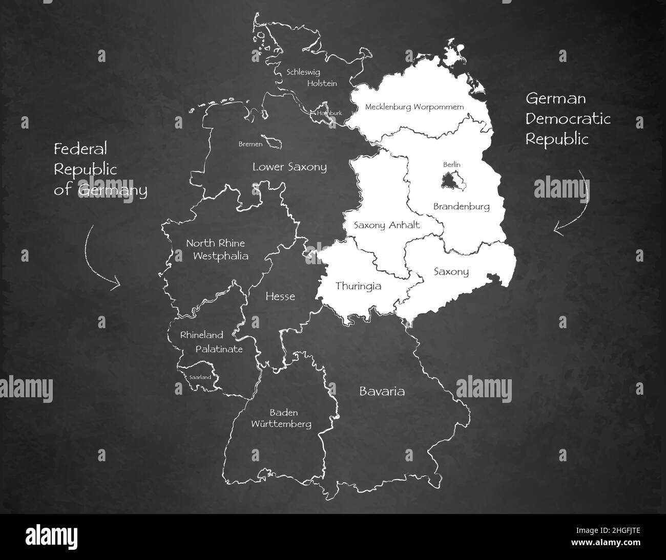 Germany map divided on West and East Germany map, administrative division separates regions and names, design card blackboard chalkboard vector Stock Vectorhttps://www.alamy.com/image-license-details/?v=1https://www.alamy.com/germany-map-divided-on-west-and-east-germany-map-administrative-division-separates-regions-and-names-design-card-blackboard-chalkboard-vector-image457648142.html
RF2HGFJTE–Germany map divided on West and East Germany map, administrative division separates regions and names, design card blackboard chalkboard vector
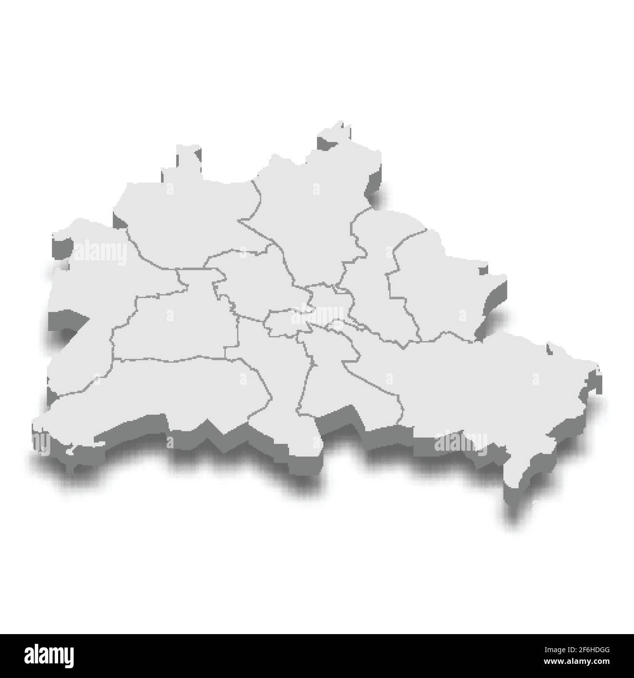 3d isometric map of Berlin City is a Capital of Germany, vector illustration Stock Vectorhttps://www.alamy.com/image-license-details/?v=1https://www.alamy.com/3d-isometric-map-of-berlin-city-is-a-capital-of-germany-vector-illustration-image417120608.html
RF2F6HDGG–3d isometric map of Berlin City is a Capital of Germany, vector illustration
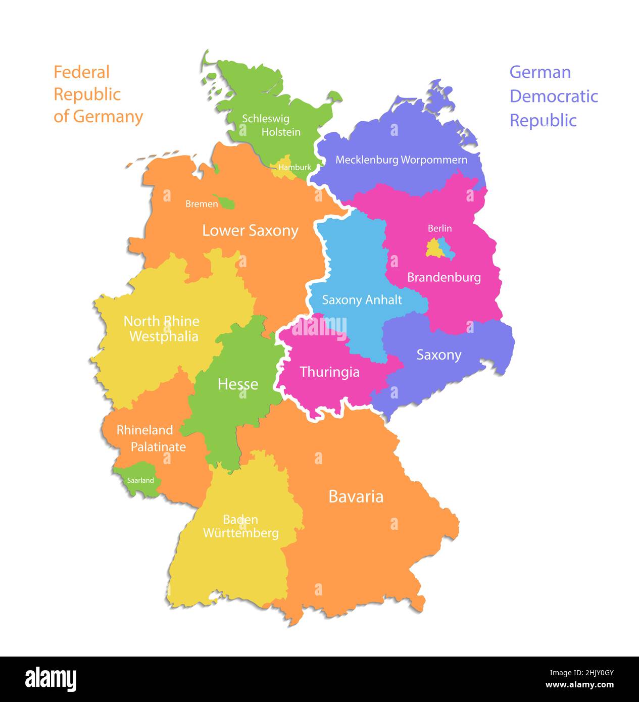 Germany map divided on West and East map, administrative division, separate regions with names, color map isolated on white background vector Stock Vectorhttps://www.alamy.com/image-license-details/?v=1https://www.alamy.com/germany-map-divided-on-west-and-east-map-administrative-division-separate-regions-with-names-color-map-isolated-on-white-background-vector-image459126555.html
RF2HJY0GY–Germany map divided on West and East map, administrative division, separate regions with names, color map isolated on white background vector
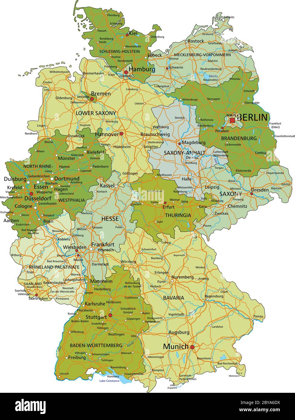 Germany - Highly detailed editable political map with separated layers. Stock Vectorhttps://www.alamy.com/image-license-details/?v=1https://www.alamy.com/germany-highly-detailed-editable-political-map-with-separated-layers-image361027686.html
RF2BYA6DX–Germany - Highly detailed editable political map with separated layers.
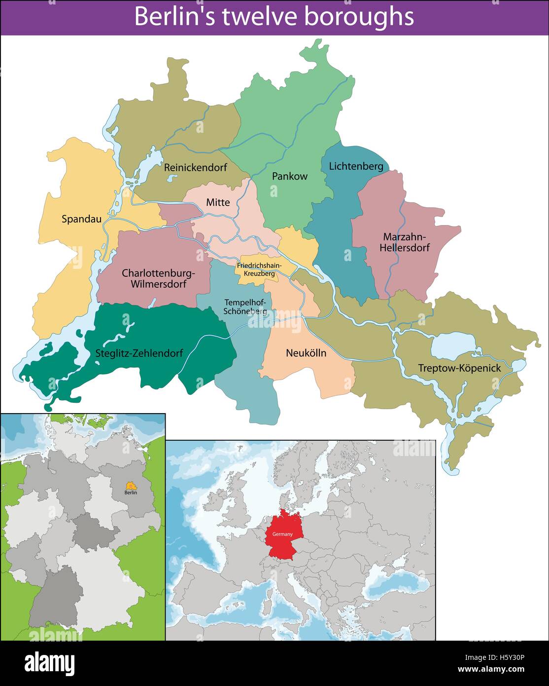 Berlin is the capital and the largest city of Germany as well as one of its 16 states Stock Vectorhttps://www.alamy.com/image-license-details/?v=1https://www.alamy.com/stock-photo-berlin-is-the-capital-and-the-largest-city-of-germany-as-well-as-one-124140934.html
RFH5Y30P–Berlin is the capital and the largest city of Germany as well as one of its 16 states
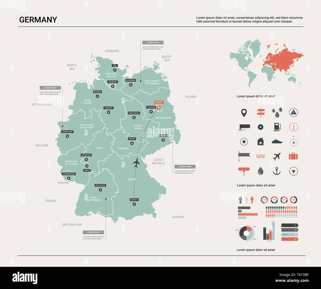 Vector map of Germany. High detailed country map with division, cities and capital Berlin. Political map, world map, infographic elements. Stock Vectorhttps://www.alamy.com/image-license-details/?v=1https://www.alamy.com/vector-map-of-germany-high-detailed-country-map-with-division-cities-and-capital-berlin-political-map-world-map-infographic-elements-image243933299.html
RFT4T3BF–Vector map of Germany. High detailed country map with division, cities and capital Berlin. Political map, world map, infographic elements.
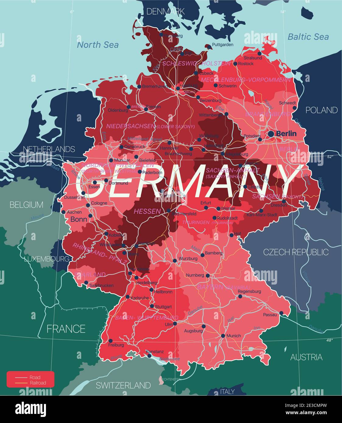 Germany country detailed editable map with regions cities and towns, roads and railways, geographic sites. Vector EPS-10 file Stock Vectorhttps://www.alamy.com/image-license-details/?v=1https://www.alamy.com/germany-country-detailed-editable-map-with-regions-cities-and-towns-roads-and-railways-geographic-sites-vector-eps-10-file-image397962177.html
RF2E3CMPW–Germany country detailed editable map with regions cities and towns, roads and railways, geographic sites. Vector EPS-10 file
 Berlin silhouette map Stock Vectorhttps://www.alamy.com/image-license-details/?v=1https://www.alamy.com/berlin-silhouette-map-image400027519.html
RF2E6PR53–Berlin silhouette map
 Germany, Berlin - national flag pinned on political map - 3D illustration Stock Photohttps://www.alamy.com/image-license-details/?v=1https://www.alamy.com/germany-berlin-national-flag-pinned-on-political-map-3d-illustration-image591410225.html
RF2WA51NN–Germany, Berlin - national flag pinned on political map - 3D illustration
 Berlin, Germany Stock Vectorhttps://www.alamy.com/image-license-details/?v=1https://www.alamy.com/stock-photo-berlin-germany-147107349.html
RFJF98WW–Berlin, Germany
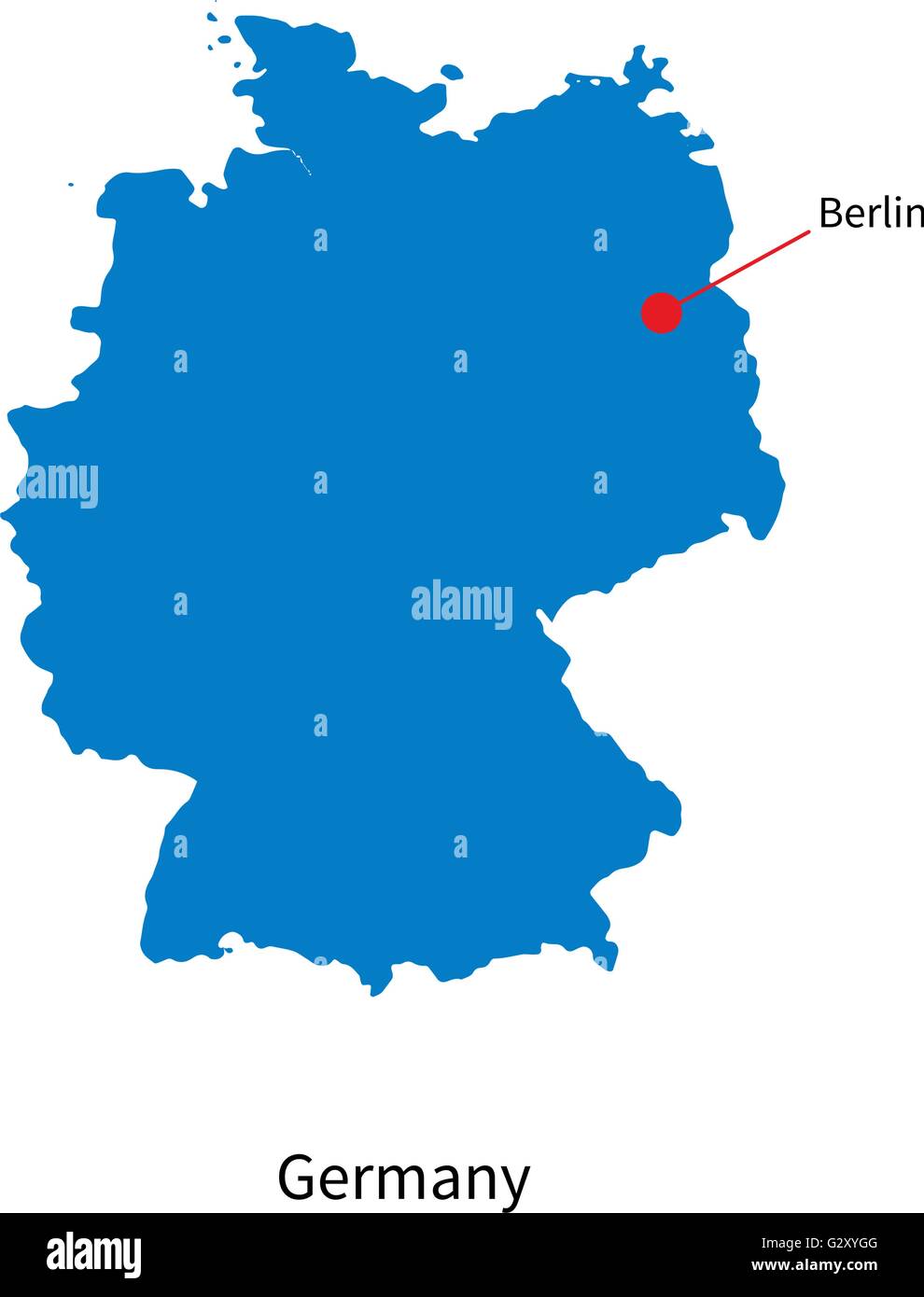 Detailed vector map of Germany and capital city Berlin Stock Vectorhttps://www.alamy.com/image-license-details/?v=1https://www.alamy.com/stock-photo-detailed-vector-map-of-germany-and-capital-city-berlin-105083904.html
RFG2XYGG–Detailed vector map of Germany and capital city Berlin
 A sign-map showing the division of Berlin between Allied Forces and Russians, seen on the eve of the upcoming 30th anniversary of the fall of the Berlin Wall. Germany marks three decades since the fall of the Berlin Wall this week with main celebrations in the German capital on Saturday, November 9, 2019. On Friday, November 8, 2019, in Berlin, Germany. (Photo by Artur Widak/NurPhoto) Stock Photohttps://www.alamy.com/image-license-details/?v=1https://www.alamy.com/a-sign-map-showing-the-division-of-berlin-between-allied-forces-and-russians-seen-on-the-eve-of-the-upcoming-30th-anniversary-of-the-fall-of-the-berlin-wall-germany-marks-three-decades-since-the-fall-of-the-berlin-wall-this-week-with-main-celebrations-in-the-german-capital-on-saturday-november-9-2019-on-friday-november-8-2019-in-berlin-germany-photo-by-artur-widaknurphoto-image488880604.html
RM2KBAC5G–A sign-map showing the division of Berlin between Allied Forces and Russians, seen on the eve of the upcoming 30th anniversary of the fall of the Berlin Wall. Germany marks three decades since the fall of the Berlin Wall this week with main celebrations in the German capital on Saturday, November 9, 2019. On Friday, November 8, 2019, in Berlin, Germany. (Photo by Artur Widak/NurPhoto)
 Map of Berlin, Germany with Dot Pattern Stock Vectorhttps://www.alamy.com/image-license-details/?v=1https://www.alamy.com/stock-photo-map-of-berlin-germany-with-dot-pattern-104372367.html
RFG1PG0F–Map of Berlin, Germany with Dot Pattern
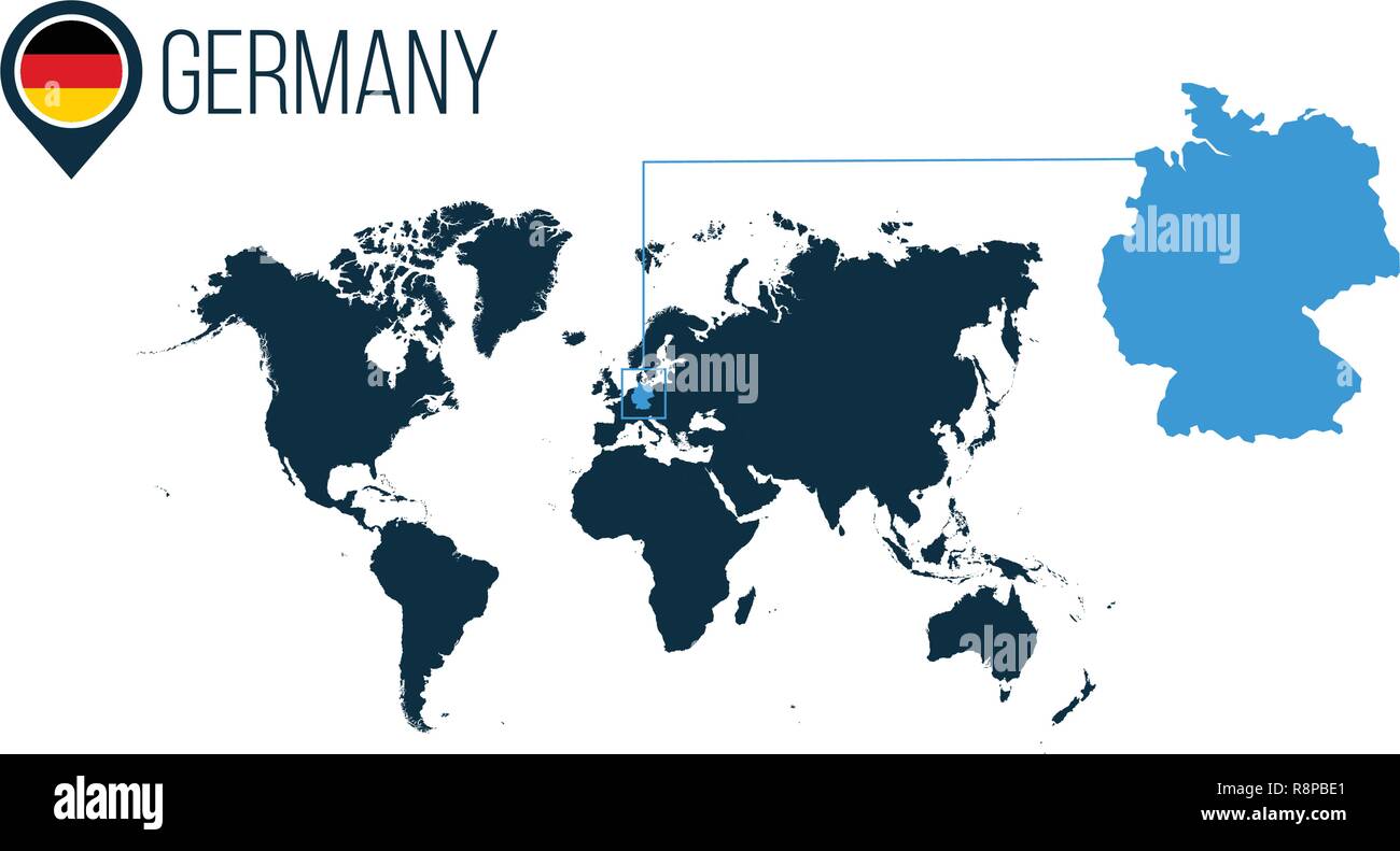 Germany location modern vector map for infographics. All world countries without names. Germany round flag in the map pin or marker. vector illustrati Stock Vectorhttps://www.alamy.com/image-license-details/?v=1https://www.alamy.com/germany-location-modern-vector-map-for-infographics-all-world-countries-without-names-germany-round-flag-in-the-map-pin-or-marker-vector-illustrati-image229143993.html
RFR8PBE1–Germany location modern vector map for infographics. All world countries without names. Germany round flag in the map pin or marker. vector illustrati
 Vector Image - Map of Federal Republic of Germany with with Dot Pattern Stock Vectorhttps://www.alamy.com/image-license-details/?v=1https://www.alamy.com/stock-photo-vector-image-map-of-federal-republic-of-germany-with-with-dot-pattern-104233052.html
RFG1G690–Vector Image - Map of Federal Republic of Germany with with Dot Pattern
 Realistic vector map of Germany with flag. The location of the country on the map of the world and Europe. A silhouette with detailed borders of the s Stock Vectorhttps://www.alamy.com/image-license-details/?v=1https://www.alamy.com/realistic-vector-map-of-germany-with-flag-the-location-of-the-country-on-the-map-of-the-world-and-europe-a-silhouette-with-detailed-borders-of-the-s-image434074331.html
RF2G65P6K–Realistic vector map of Germany with flag. The location of the country on the map of the world and Europe. A silhouette with detailed borders of the s
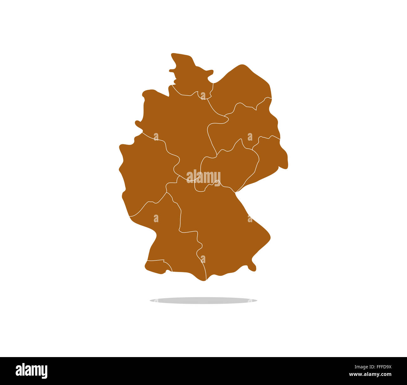 Germany map with regions Stock Photohttps://www.alamy.com/image-license-details/?v=1https://www.alamy.com/stock-photo-germany-map-with-regions-95611430.html
RFFFFD9X–Germany map with regions
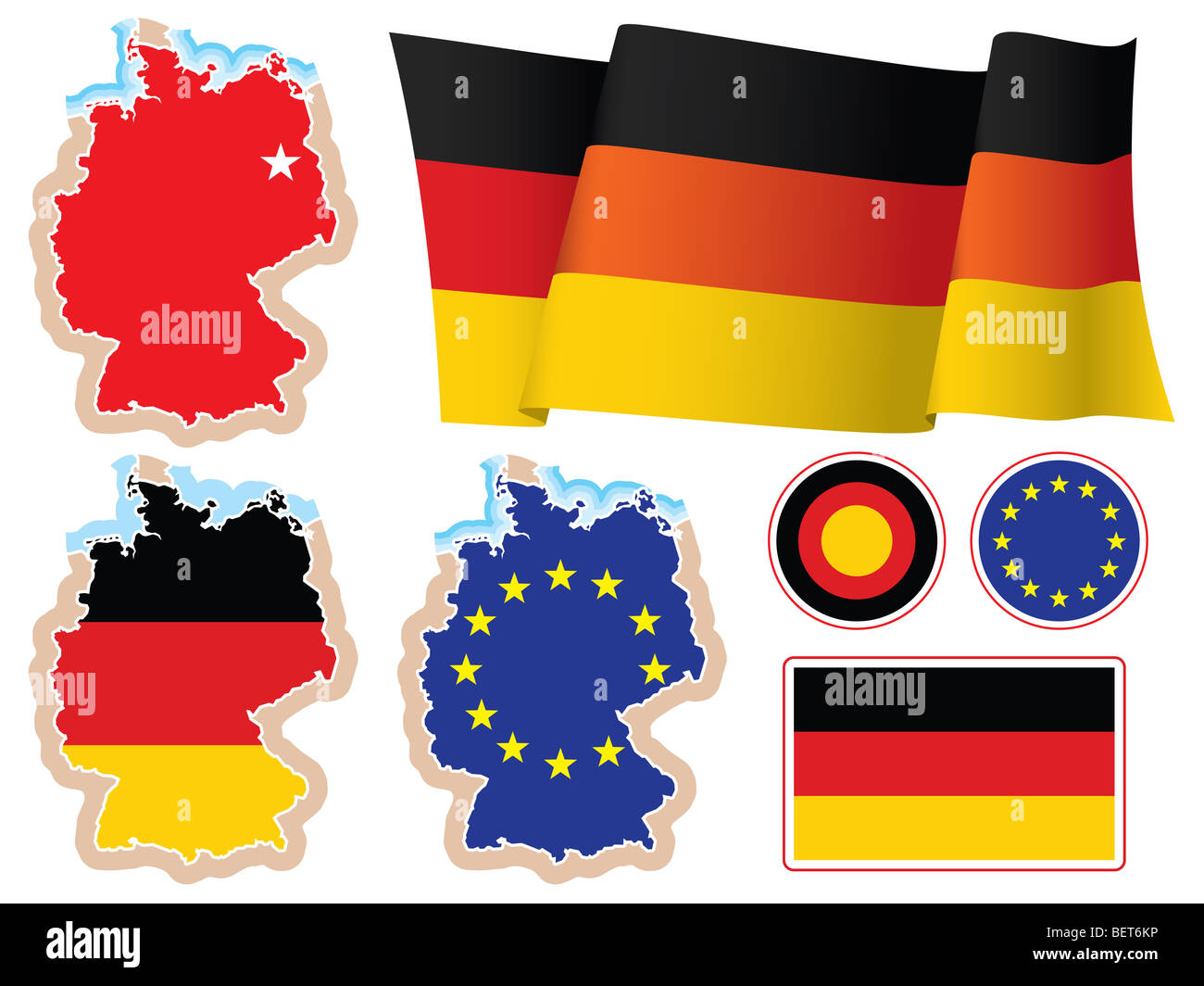 Collection of german national design elements, vector. The base map is from Central Intelligence Agency Web site. Stock Photohttps://www.alamy.com/image-license-details/?v=1https://www.alamy.com/stock-photo-collection-of-german-national-design-elements-vector-the-base-map-26347658.html
RFBET6KP–Collection of german national design elements, vector. The base map is from Central Intelligence Agency Web site.
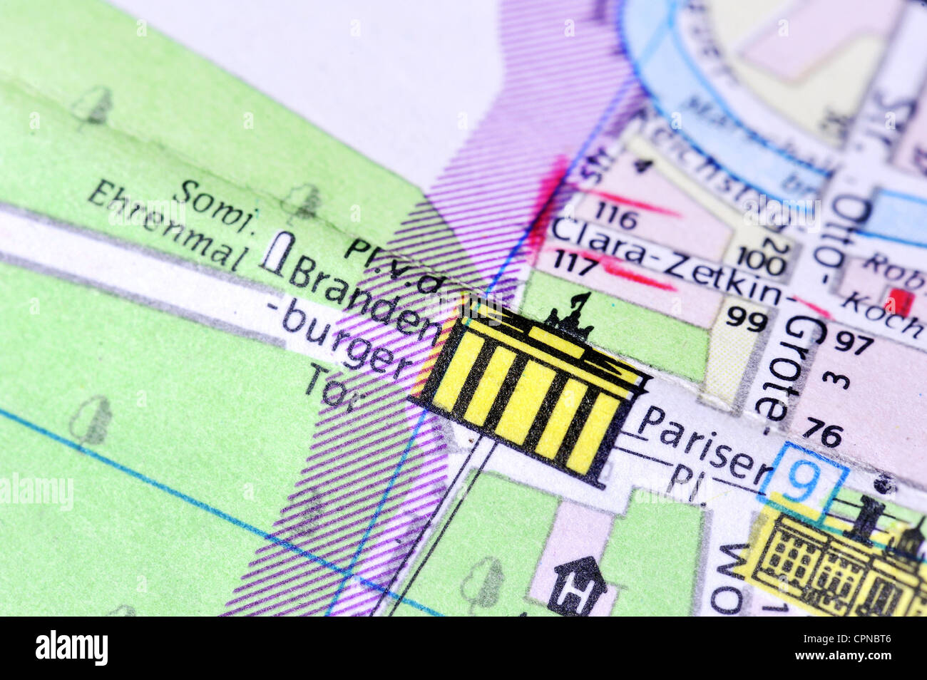 cartography, city map, Berlin, detail, Brandenburg Gate, Pariser Platz, East-Germany, 1980, Additional-Rights-Clearences-Not Available Stock Photohttps://www.alamy.com/image-license-details/?v=1https://www.alamy.com/stock-photo-cartography-city-map-berlin-detail-brandenburg-gate-pariser-platz-48413462.html
RMCPNBT6–cartography, city map, Berlin, detail, Brandenburg Gate, Pariser Platz, East-Germany, 1980, Additional-Rights-Clearences-Not Available
RF2JMXM8H–Germany, Mainz city skyline isolated vector illustration, icons
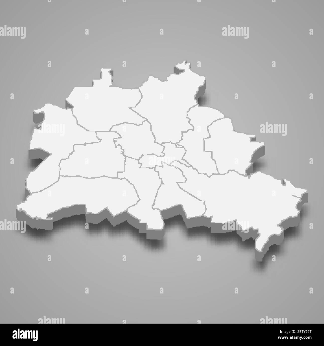 3d map of Berlin is a state of Germany Stock Vectorhttps://www.alamy.com/image-license-details/?v=1https://www.alamy.com/3d-map-of-berlin-is-a-state-of-germany-image359557488.html
RF2BTY76T–3d map of Berlin is a state of Germany
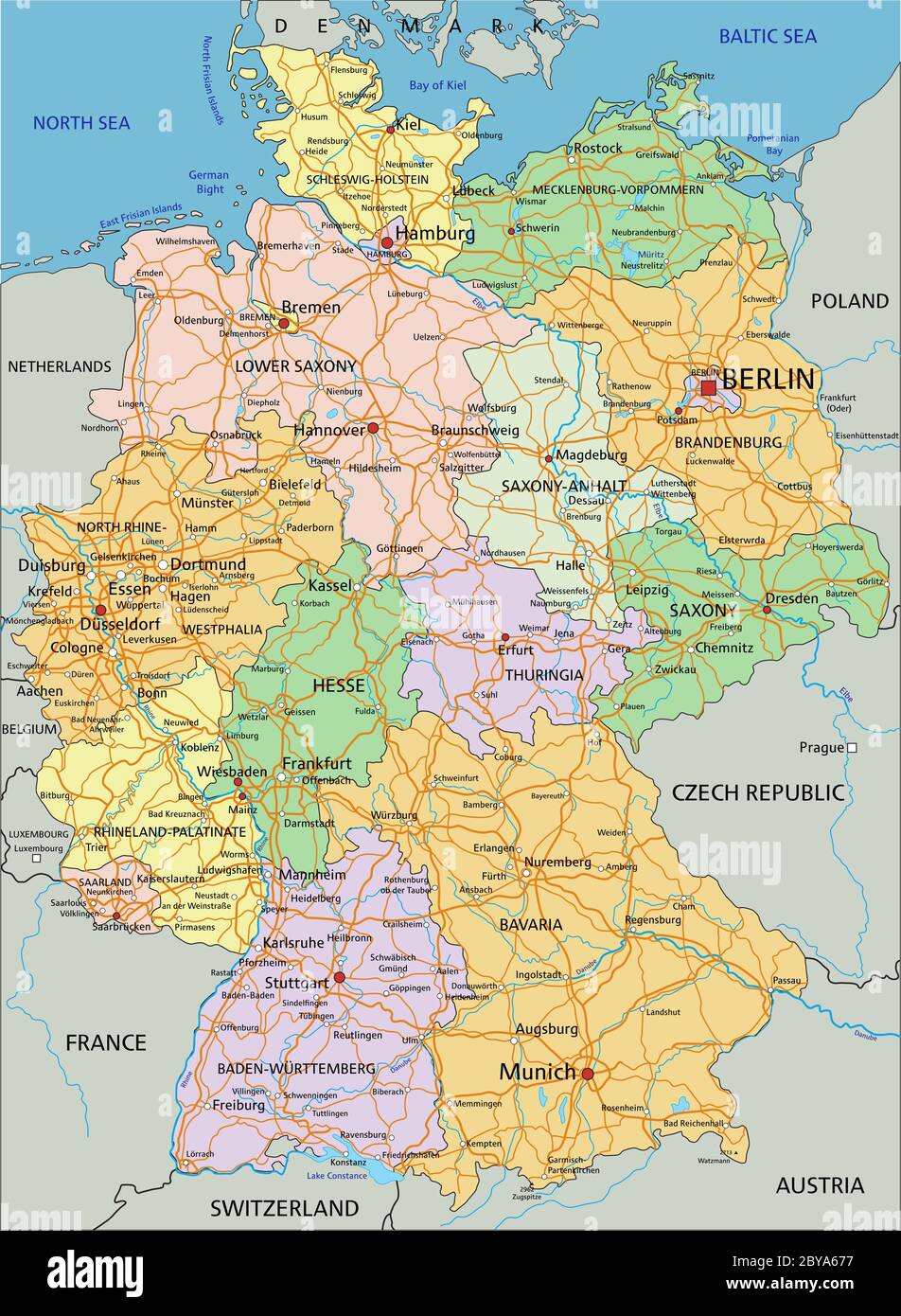 Germany - Highly detailed editable political map with separated layers. Stock Vectorhttps://www.alamy.com/image-license-details/?v=1https://www.alamy.com/germany-highly-detailed-editable-political-map-with-separated-layers-image361027499.html
RF2BYA677–Germany - Highly detailed editable political map with separated layers.
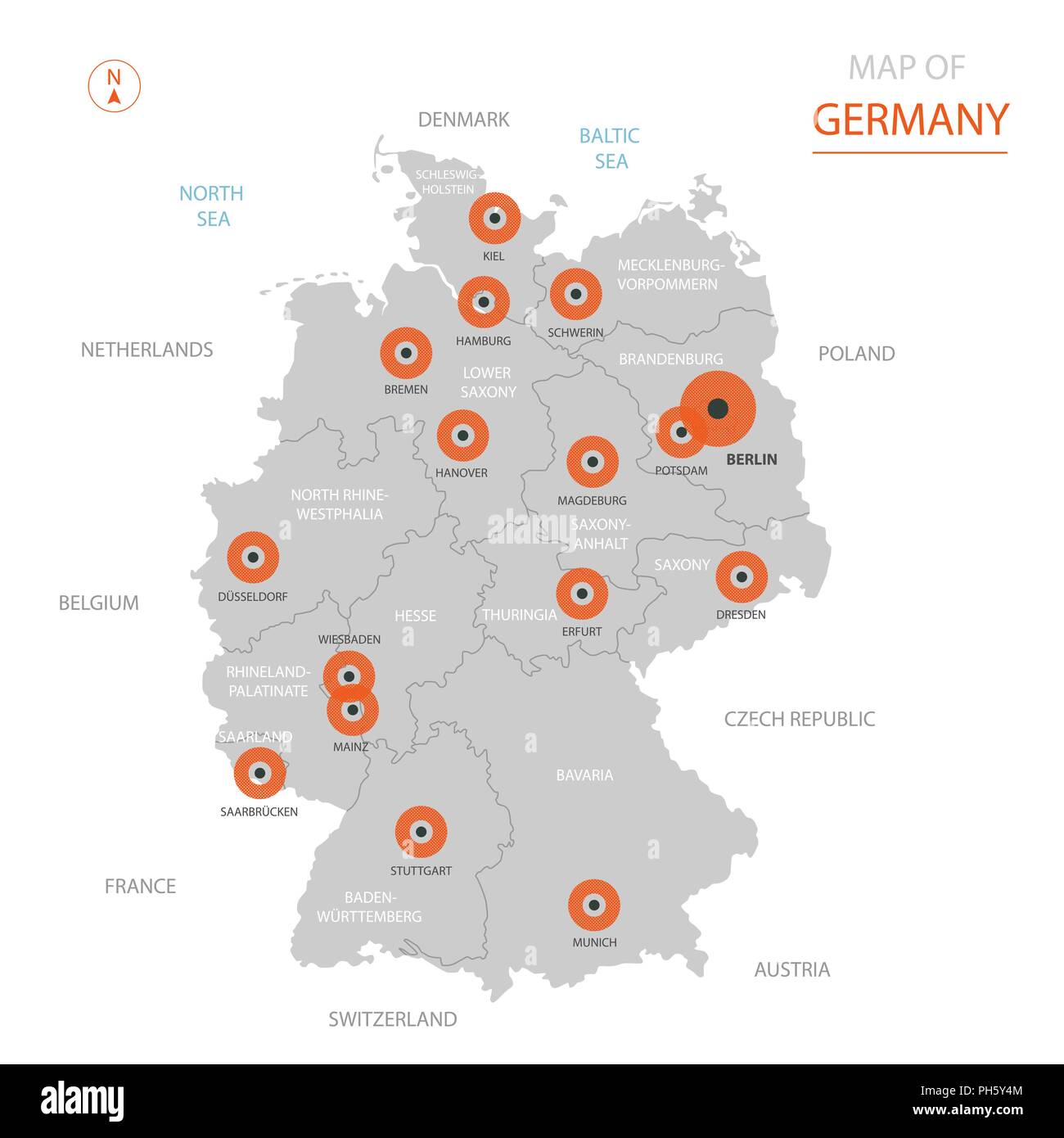 Stylized vector Germany map showing big cities, capital Berlin, administrative divisions and country borders Stock Vectorhttps://www.alamy.com/image-license-details/?v=1https://www.alamy.com/stylized-vector-germany-map-showing-big-cities-capital-berlin-administrative-divisions-and-country-borders-image217104628.html
RFPH5Y4M–Stylized vector Germany map showing big cities, capital Berlin, administrative divisions and country borders
 Brandenburg silhouette map Stock Vectorhttps://www.alamy.com/image-license-details/?v=1https://www.alamy.com/brandenburg-silhouette-map-image390271449.html
RF2DJXB61–Brandenburg silhouette map
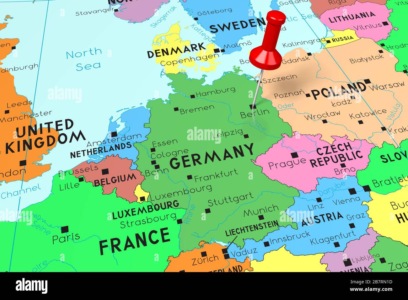 Germany, Berlin - capital city, pinned on political map Stock Photohttps://www.alamy.com/image-license-details/?v=1https://www.alamy.com/germany-berlin-capital-city-pinned-on-political-map-image349031353.html
RF2B7RN1D–Germany, Berlin - capital city, pinned on political map
 indicate, show, interpret, cultural, political, chart, graphics, berlin, Stock Vectorhttps://www.alamy.com/image-license-details/?v=1https://www.alamy.com/stock-photo-indicate-show-interpret-cultural-political-chart-graphics-berlin-147060733.html
RFJF75D1–indicate, show, interpret, cultural, political, chart, graphics, berlin,
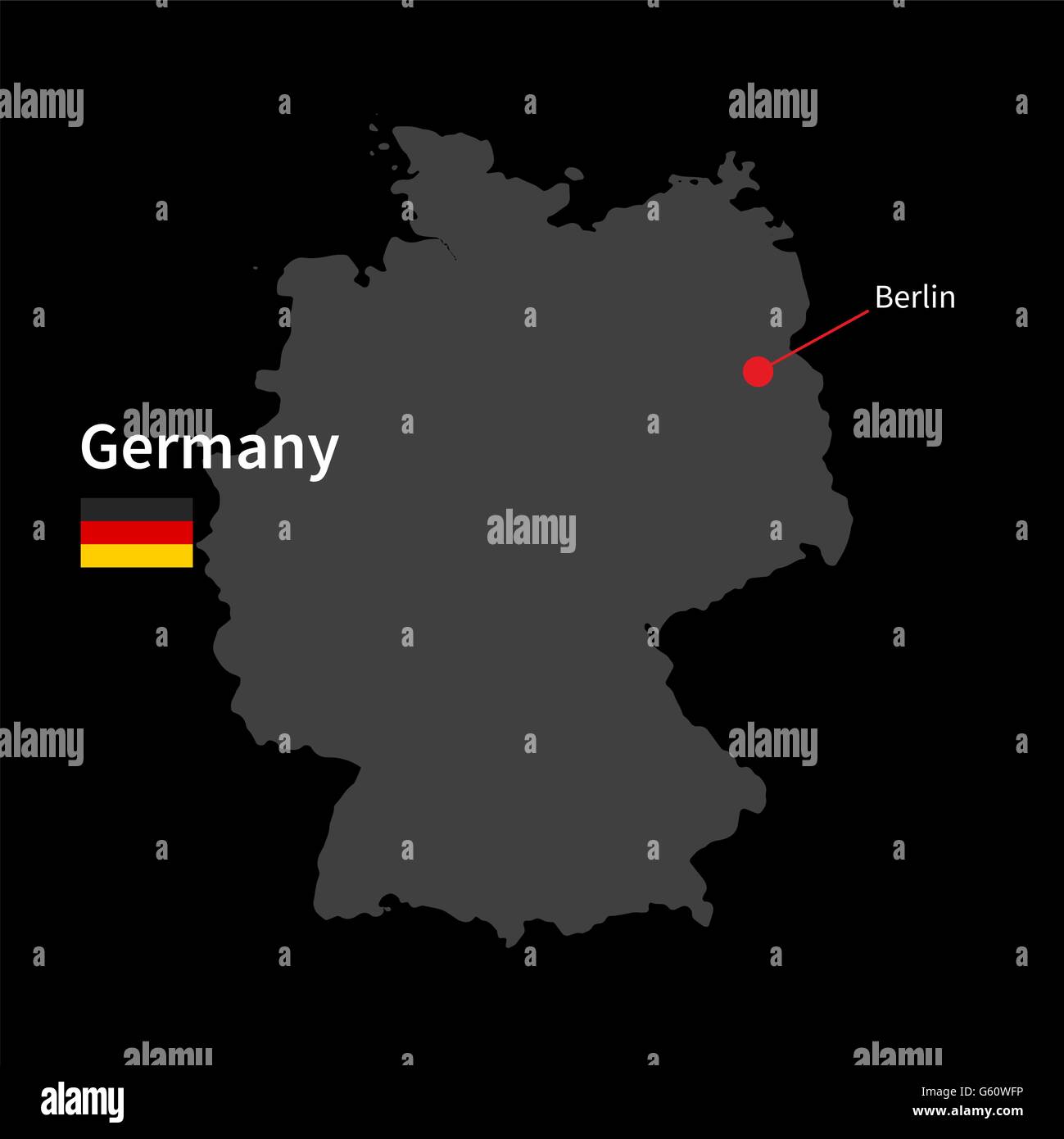 Detailed map of Germany and capital city Berlin with flag on black background Stock Vectorhttps://www.alamy.com/image-license-details/?v=1https://www.alamy.com/stock-photo-detailed-map-of-germany-and-capital-city-berlin-with-flag-on-black-106970186.html
RFG60WFP–Detailed map of Germany and capital city Berlin with flag on black background
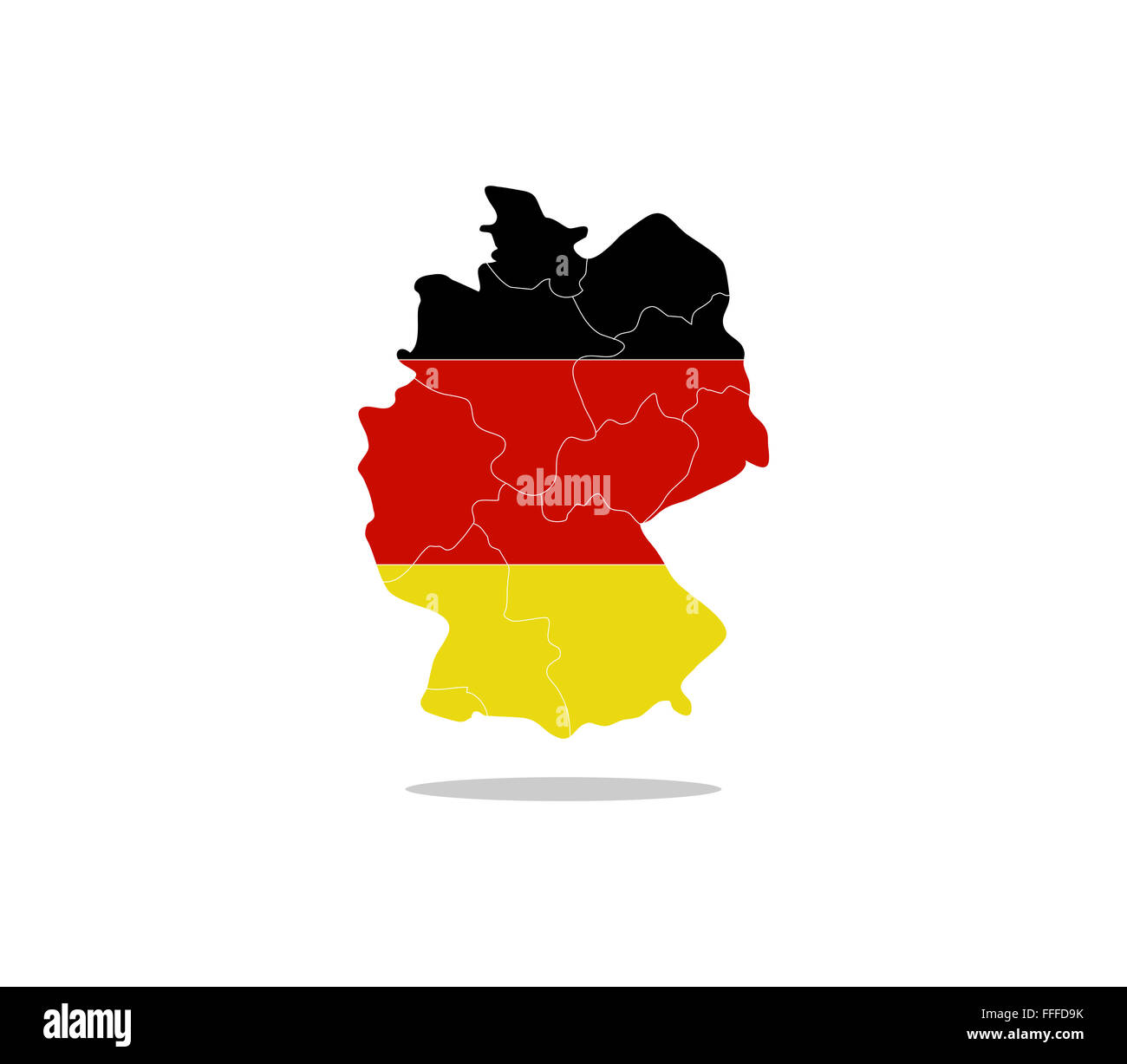 Germany map with regions Stock Photohttps://www.alamy.com/image-license-details/?v=1https://www.alamy.com/stock-photo-germany-map-with-regions-95611423.html
RFFFFD9K–Germany map with regions
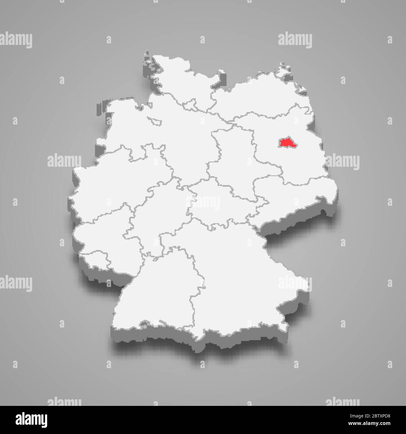 Berlin state location within Germany 3d map Stock Vectorhttps://www.alamy.com/image-license-details/?v=1https://www.alamy.com/berlin-state-location-within-germany-3d-map-image359547476.html
RF2BTXPD8–Berlin state location within Germany 3d map
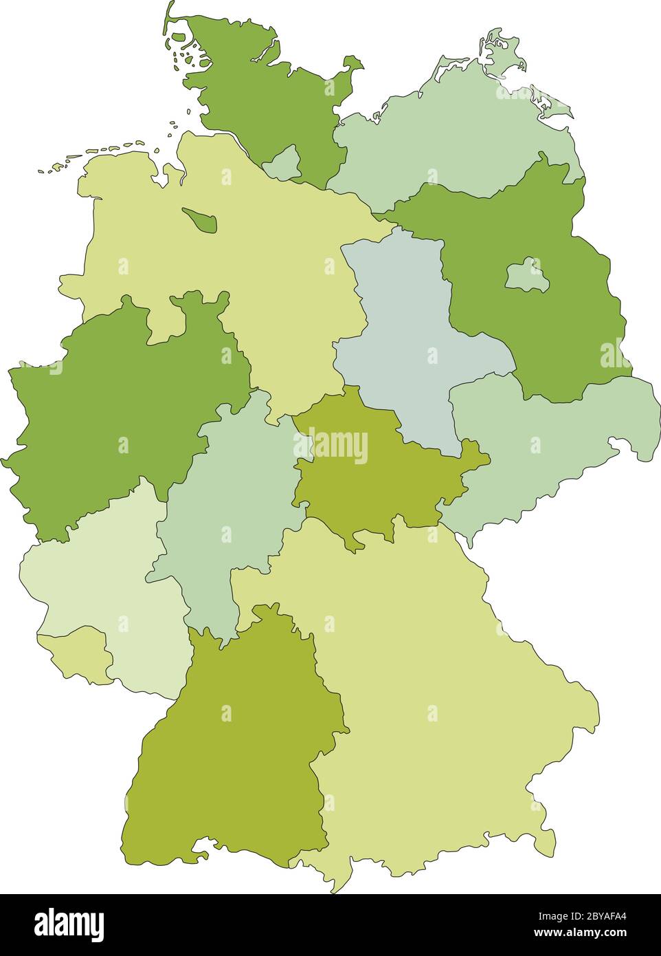 Germany - Highly detailed editable political map with separated layers. Stock Vectorhttps://www.alamy.com/image-license-details/?v=1https://www.alamy.com/germany-highly-detailed-editable-political-map-with-separated-layers-image361034636.html
RF2BYAFA4–Germany - Highly detailed editable political map with separated layers.
 Stylized map of Germany. Isometric 3D green map with cities, borders, capital Berlin, regions. Vector illustration. Editable layers clearly labeled. E Stock Vectorhttps://www.alamy.com/image-license-details/?v=1https://www.alamy.com/stylized-map-of-germany-isometric-3d-green-map-with-cities-borders-capital-berlin-regions-vector-illustration-editable-layers-clearly-labeled-e-image340065229.html
RF2AN78JN–Stylized map of Germany. Isometric 3D green map with cities, borders, capital Berlin, regions. Vector illustration. Editable layers clearly labeled. E
 Modern diagonal black stripe map of Germany showing Federal State of Berlin Stock Photohttps://www.alamy.com/image-license-details/?v=1https://www.alamy.com/modern-diagonal-black-stripe-map-of-germany-showing-federal-state-of-berlin-image550302267.html
RF2PY8C4B–Modern diagonal black stripe map of Germany showing Federal State of Berlin
 Isometric map of Germany detailed vector illustration Stock Vectorhttps://www.alamy.com/image-license-details/?v=1https://www.alamy.com/stock-photo-isometric-map-of-germany-detailed-vector-illustration-105721958.html
RFG401C6–Isometric map of Germany detailed vector illustration
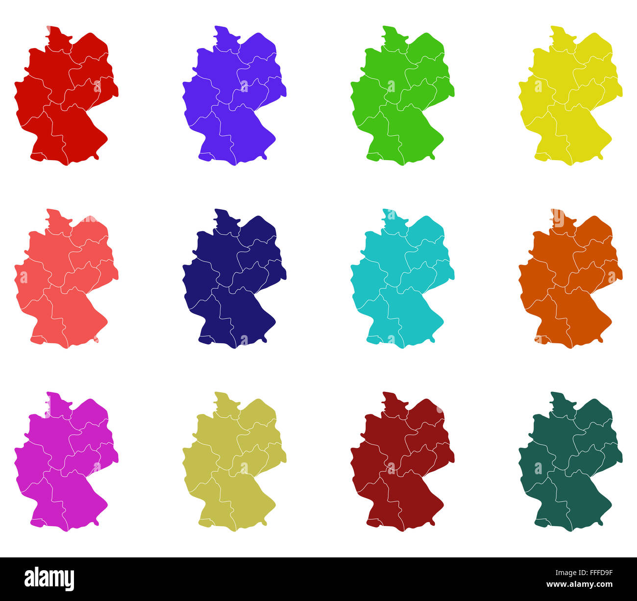 Germany map with regions Stock Photohttps://www.alamy.com/image-license-details/?v=1https://www.alamy.com/stock-photo-germany-map-with-regions-95611419.html
RFFFFD9F–Germany map with regions
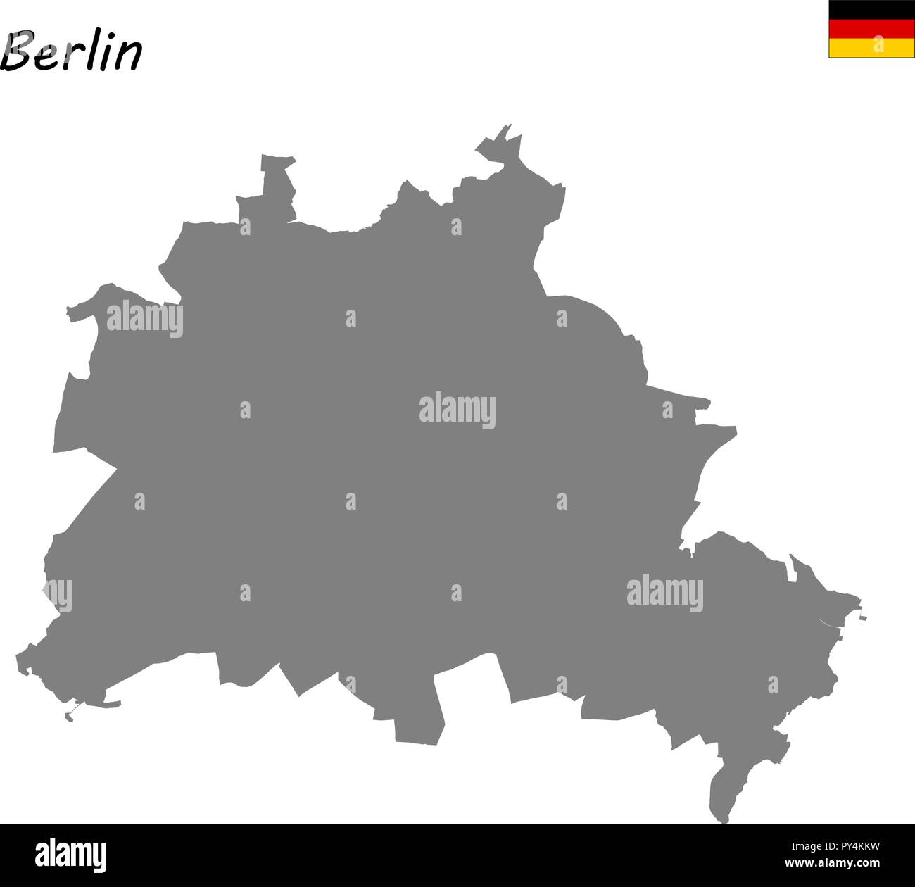 High Quality map is a state of Germany. Berlin Stock Vectorhttps://www.alamy.com/image-license-details/?v=1https://www.alamy.com/high-quality-map-is-a-state-of-germany-berlin-image223223389.html
RFPY4KKW–High Quality map is a state of Germany. Berlin
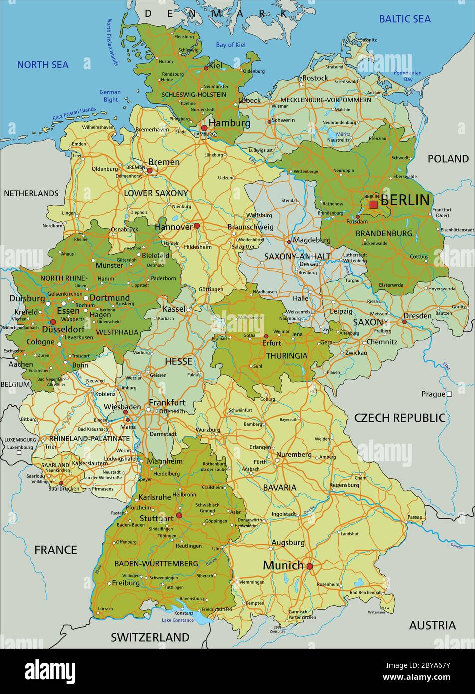 Germany - Highly detailed editable political map with separated layers. Stock Vectorhttps://www.alamy.com/image-license-details/?v=1https://www.alamy.com/germany-highly-detailed-editable-political-map-with-separated-layers-image361027519.html
RF2BYA67Y–Germany - Highly detailed editable political map with separated layers.
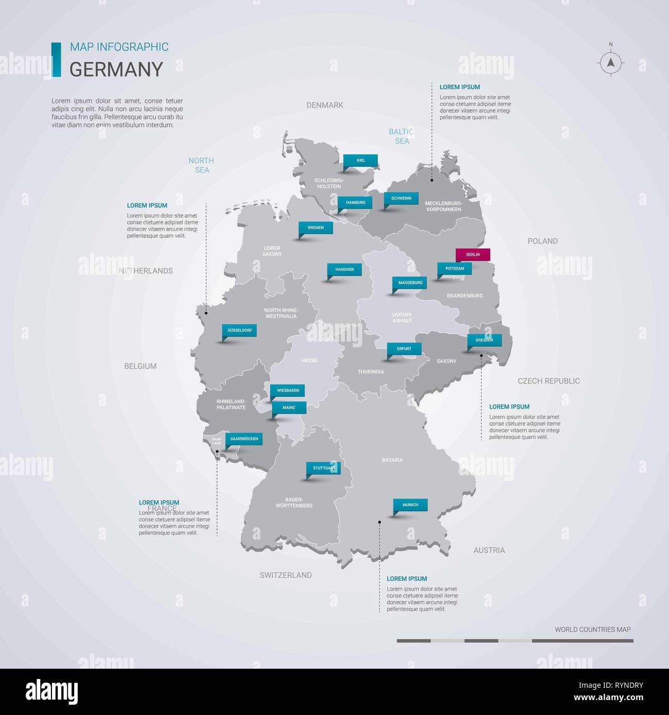 Germany vector map with infographic elements, pointer marks. Editable template with regions, cities and capital Berlin. Stock Vectorhttps://www.alamy.com/image-license-details/?v=1https://www.alamy.com/germany-vector-map-with-infographic-elements-pointer-marks-editable-template-with-regions-cities-and-capital-berlin-image240802351.html
RFRYNDRY–Germany vector map with infographic elements, pointer marks. Editable template with regions, cities and capital Berlin.
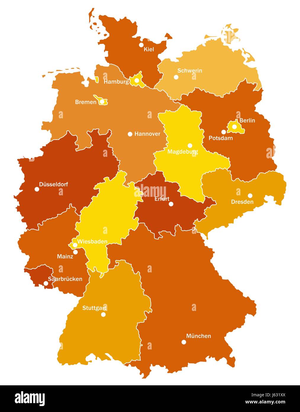 cities germany german federal republic state map atlas map of the world orange Stock Photohttps://www.alamy.com/image-license-details/?v=1https://www.alamy.com/stock-photo-cities-germany-german-federal-republic-state-map-atlas-map-of-the-141438274.html
RFJ631XX–cities germany german federal republic state map atlas map of the world orange
 3d isometric map of Berlin is a city of Germany , vector illustration Stock Vectorhttps://www.alamy.com/image-license-details/?v=1https://www.alamy.com/3d-isometric-map-of-berlin-is-a-city-of-germany-vector-illustration-image441524781.html
RF2GJ95A5–3d isometric map of Berlin is a city of Germany , vector illustration
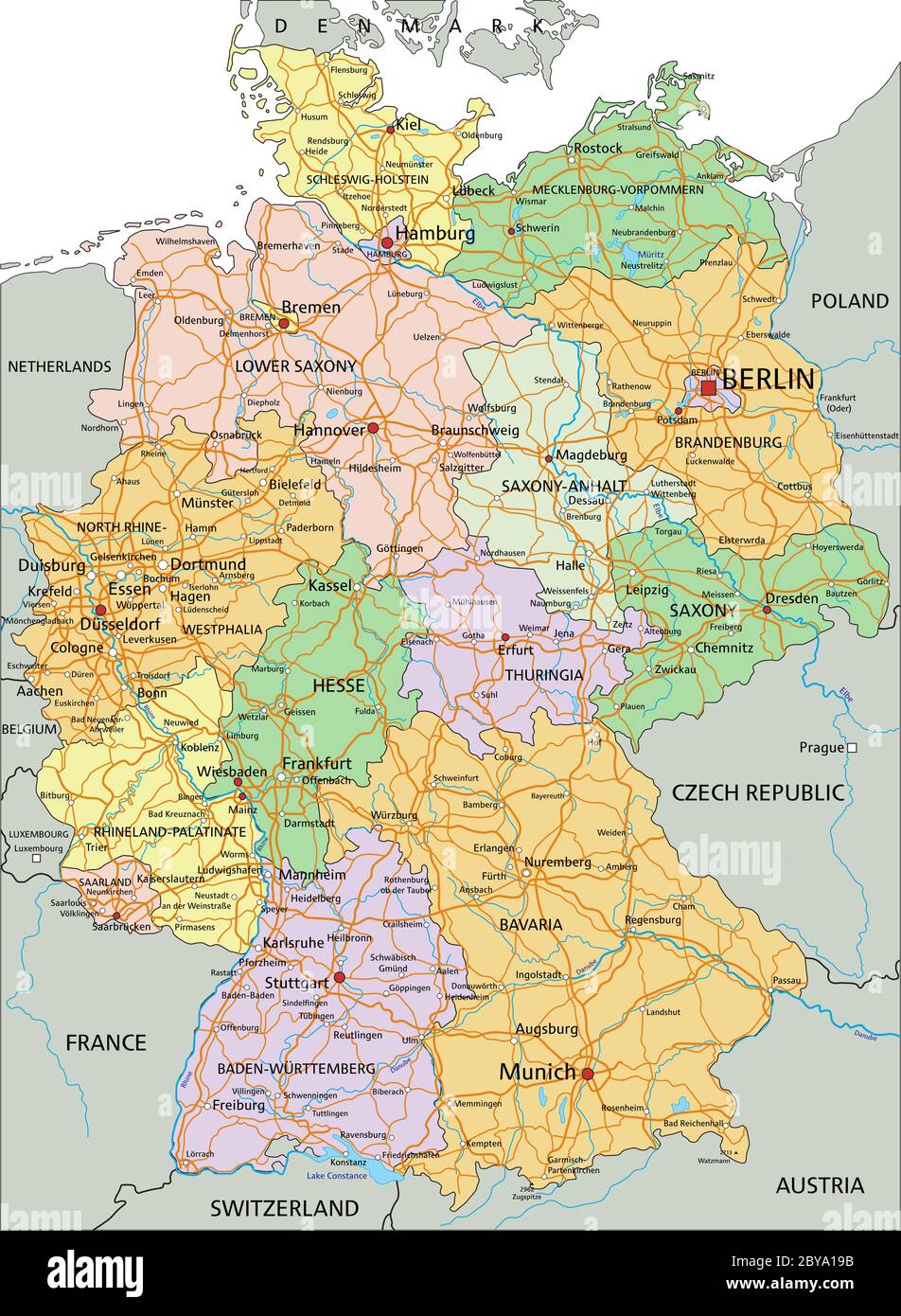 Germany - Highly detailed editable political map with separated layers. Stock Vectorhttps://www.alamy.com/image-license-details/?v=1https://www.alamy.com/germany-highly-detailed-editable-political-map-with-separated-layers-image361023639.html
RF2BYA19B–Germany - Highly detailed editable political map with separated layers.
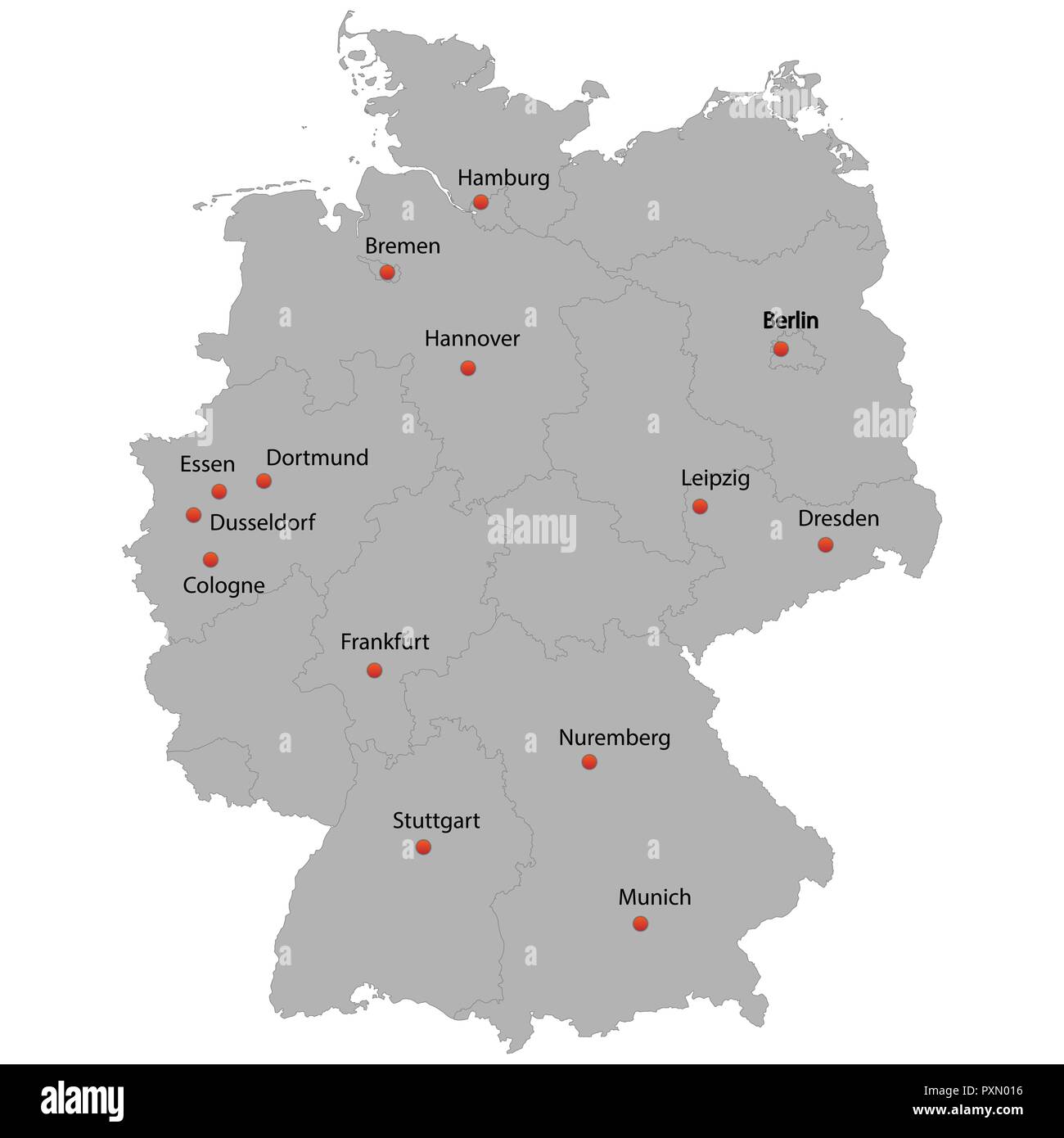 detailed map of the Germany with cities Stock Vectorhttps://www.alamy.com/image-license-details/?v=1https://www.alamy.com/detailed-map-of-the-germany-with-cities-image222966498.html
RFPXN016–detailed map of the Germany with cities
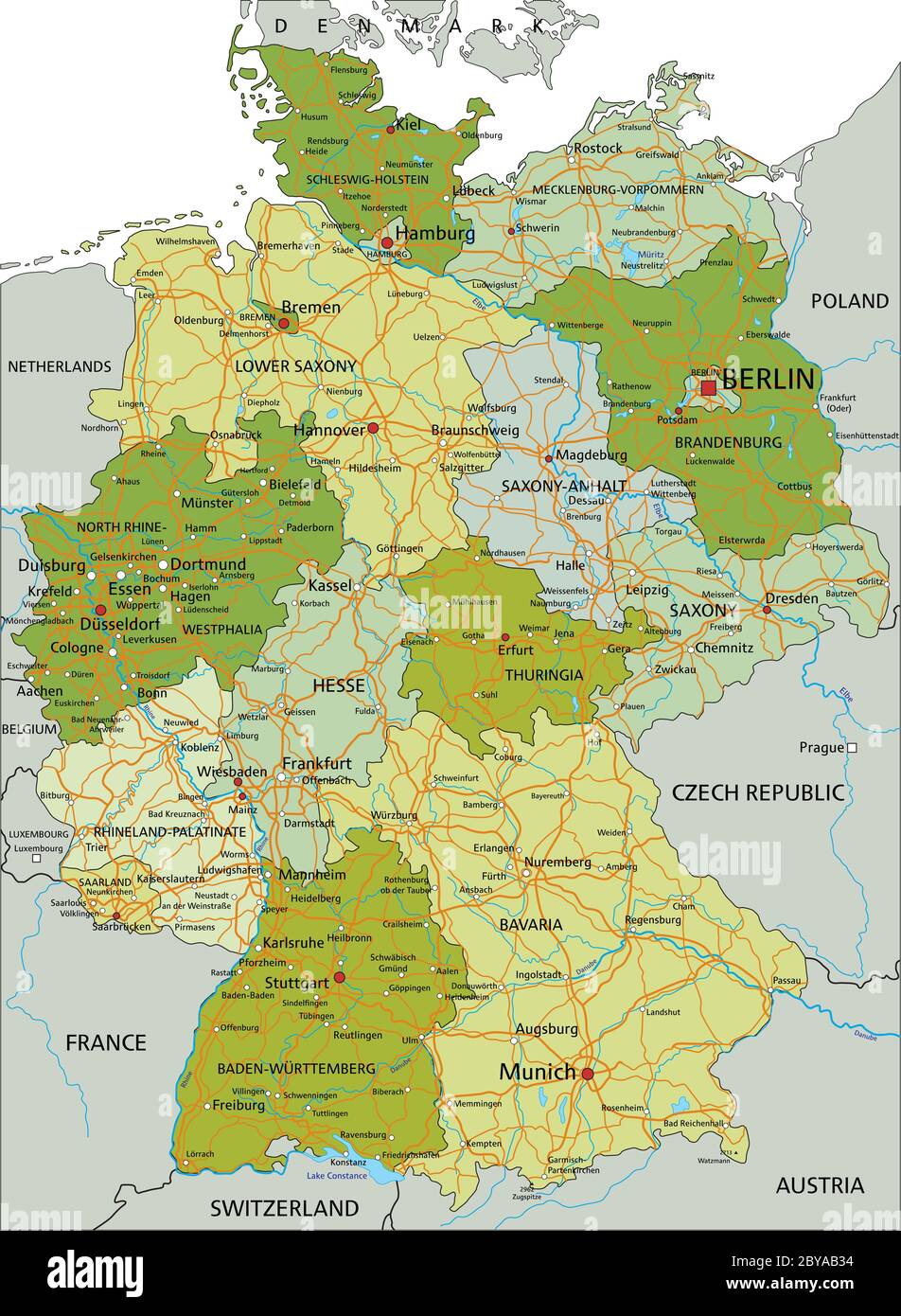 Germany - Highly detailed editable political map with separated layers. Stock Vectorhttps://www.alamy.com/image-license-details/?v=1https://www.alamy.com/germany-highly-detailed-editable-political-map-with-separated-layers-image361031304.html
RF2BYAB34–Germany - Highly detailed editable political map with separated layers.
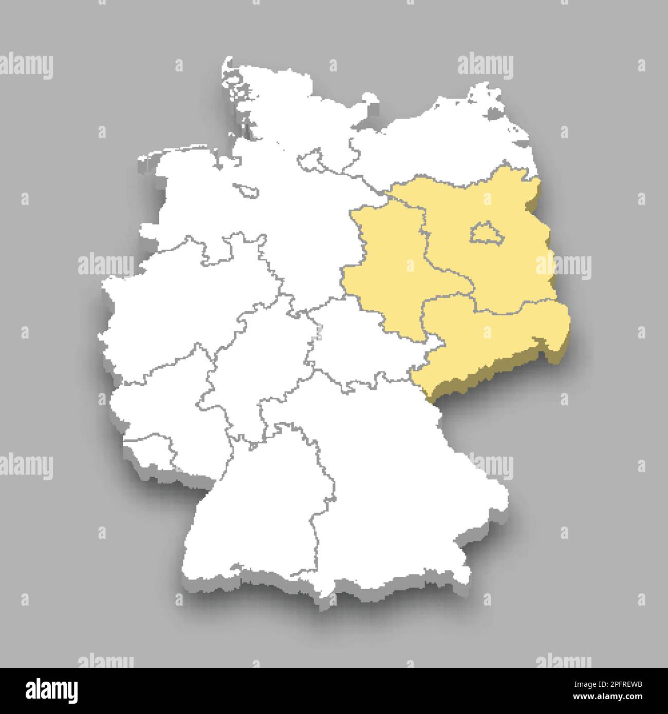 Eastern region location within Germany 3d isometric map Stock Vectorhttps://www.alamy.com/image-license-details/?v=1https://www.alamy.com/eastern-region-location-within-germany-3d-isometric-map-image543257831.html
RF2PFREWB–Eastern region location within Germany 3d isometric map
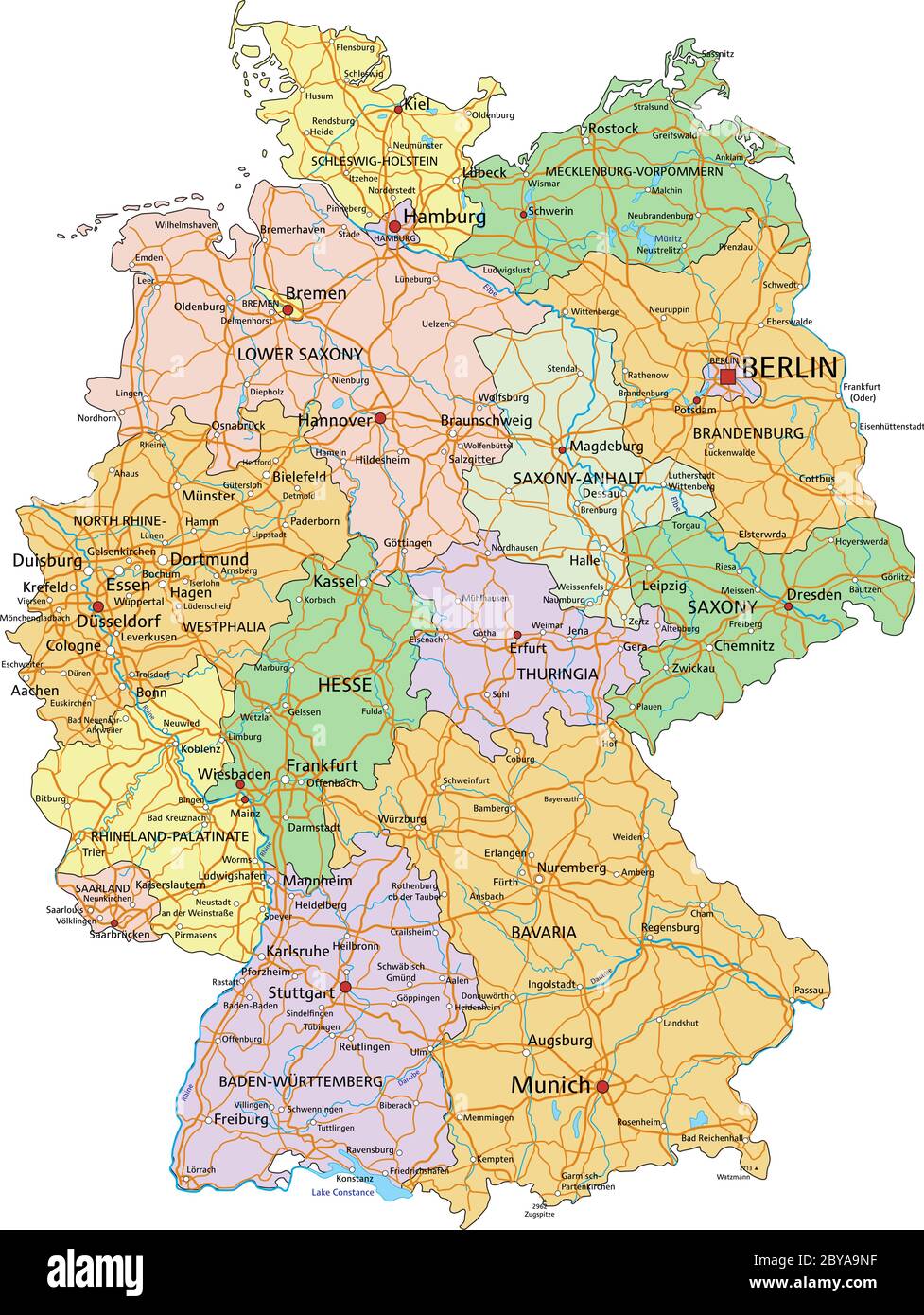 Germany - Highly detailed editable political map with separated layers. Stock Vectorhttps://www.alamy.com/image-license-details/?v=1https://www.alamy.com/germany-highly-detailed-editable-political-map-with-separated-layers-image361030251.html
RF2BYA9NF–Germany - Highly detailed editable political map with separated layers.
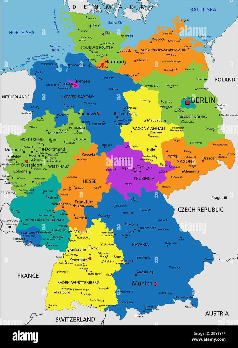 Colorful Germany political map with clearly labeled, separated layers. Vector illustration. Stock Vectorhttps://www.alamy.com/image-license-details/?v=1https://www.alamy.com/colorful-germany-political-map-with-clearly-labeled-separated-layers-vector-illustration-image361022446.html
RF2BY9YPP–Colorful Germany political map with clearly labeled, separated layers. Vector illustration.
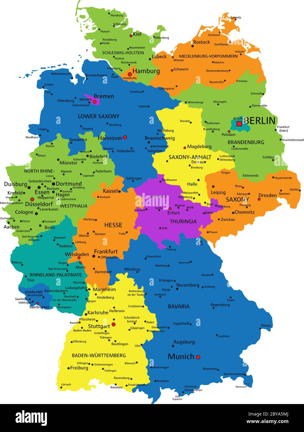 Colorful Germany political map with clearly labeled, separated layers. Vector illustration. Stock Vectorhttps://www.alamy.com/image-license-details/?v=1https://www.alamy.com/colorful-germany-political-map-with-clearly-labeled-separated-layers-vector-illustration-image361027090.html
RF2BYA5MJ–Colorful Germany political map with clearly labeled, separated layers. Vector illustration.
 Germany highly detailed political map with national flag isolated on white background. Stock Vectorhttps://www.alamy.com/image-license-details/?v=1https://www.alamy.com/germany-highly-detailed-political-map-with-national-flag-isolated-on-white-background-image361034345.html
RF2BYAEYN–Germany highly detailed political map with national flag isolated on white background.
 Germany highly detailed political map with national flag isolated on white background. Stock Vectorhttps://www.alamy.com/image-license-details/?v=1https://www.alamy.com/germany-highly-detailed-political-map-with-national-flag-isolated-on-white-background-image361030925.html
RF2BYAAHH–Germany highly detailed political map with national flag isolated on white background.