Ghana volta Black & White Stock Photos
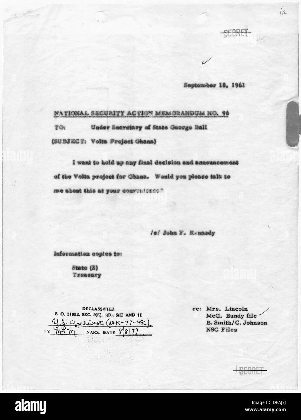 National Security Action Memorandum No. 96 Volta Project-Ghana 193489 Stock Photohttps://www.alamy.com/image-license-details/?v=1https://www.alamy.com/national-security-action-memorandum-no-96-volta-project-ghana-193489-image60470134.html
RMDEAJ7J–National Security Action Memorandum No. 96 Volta Project-Ghana 193489
 KEITA MODIBO NKRUMAH VOLTA DAM GHANA 12 SEPTEMBER 1960 Stock Photohttps://www.alamy.com/image-license-details/?v=1https://www.alamy.com/keita-modibo-nkrumah-volta-dam-ghana-12-september-1960-image623284221.html
RM2Y611AN–KEITA MODIBO NKRUMAH VOLTA DAM GHANA 12 SEPTEMBER 1960
 National Security Action Memorandum No. 96 Volta Project-Ghana; Scope and content: Memorandum for Under Secretary of State, George Ball concerning final decision of Volta project for Ghana. Stock Photohttps://www.alamy.com/image-license-details/?v=1https://www.alamy.com/national-security-action-memorandum-no-96-volta-project-ghana-scope-and-content-memorandum-for-under-secretary-of-state-george-ball-concerning-final-decision-of-volta-project-for-ghana-image261753940.html
RMW5RWR0–National Security Action Memorandum No. 96 Volta Project-Ghana; Scope and content: Memorandum for Under Secretary of State, George Ball concerning final decision of Volta project for Ghana.
 QUEEN ELIZABETH II WITH OFFICIALS VISIT VOLTA DAM GHANA 17 NOVEMBER 1961 Stock Photohttps://www.alamy.com/image-license-details/?v=1https://www.alamy.com/queen-elizabeth-ii-with-officials-visit-volta-dam-ghana-17-november-1961-image623799185.html
RM2Y6TE69–QUEEN ELIZABETH II WITH OFFICIALS VISIT VOLTA DAM GHANA 17 NOVEMBER 1961
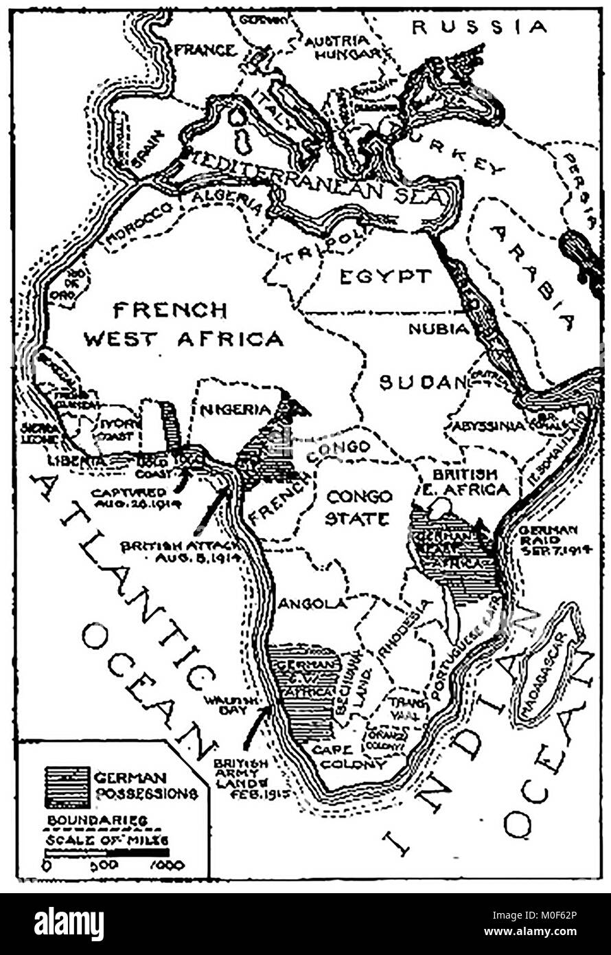 WWI - A 1917 map showing military activity in the 1914-1918 - First World War - The campaign in Togoland & Cameroons and the German possessions in Africa Stock Photohttps://www.alamy.com/image-license-details/?v=1https://www.alamy.com/stock-photo-wwi-a-1917-map-showing-military-activity-in-the-1914-1918-first-world-172437742.html
RMM0F62P–WWI - A 1917 map showing military activity in the 1914-1918 - First World War - The campaign in Togoland & Cameroons and the German possessions in Africa
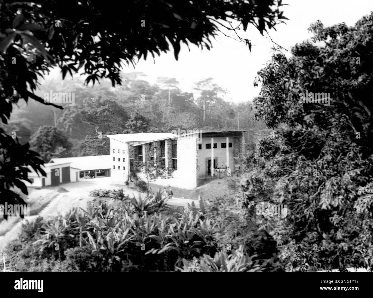 The College Hall in Amedzofe, Volta Region of Ghana c.1958 Stock Photohttps://www.alamy.com/image-license-details/?v=1https://www.alamy.com/the-college-hall-in-amedzofe-volta-region-of-ghana-c1958-image526693588.html
RF2NGTY18–The College Hall in Amedzofe, Volta Region of Ghana c.1958
 Volta map grey illustration silhouette Stock Photohttps://www.alamy.com/image-license-details/?v=1https://www.alamy.com/stock-photo-volta-map-grey-illustration-silhouette-145927407.html
RFJDBFW3–Volta map grey illustration silhouette
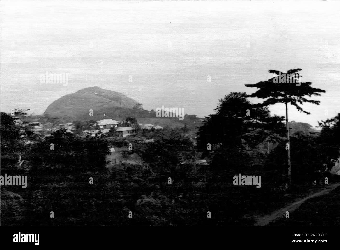 The distinctive peak of Mount Gemi near Amedzofe in Volta Region, Ghana c.1958 Stock Photohttps://www.alamy.com/image-license-details/?v=1https://www.alamy.com/the-distinctive-peak-of-mount-gemi-near-amedzofe-in-volta-region-ghana-c1958-image526693592.html
RF2NGTY1C–The distinctive peak of Mount Gemi near Amedzofe in Volta Region, Ghana c.1958
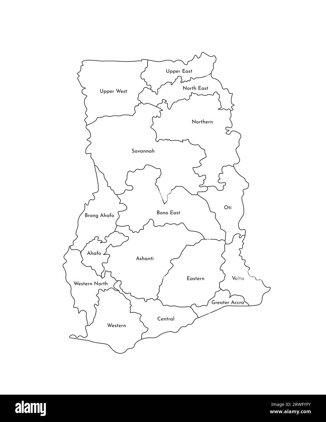 Vector isolated illustration of simplified administrative map of Ghana. Borders and names of the regions. Black line silhouettes. Stock Vectorhttps://www.alamy.com/image-license-details/?v=1https://www.alamy.com/vector-isolated-illustration-of-simplified-administrative-map-of-ghana-borders-and-names-of-the-regions-black-line-silhouettes-image566449071.html
RF2RWFYFY–Vector isolated illustration of simplified administrative map of Ghana. Borders and names of the regions. Black line silhouettes.
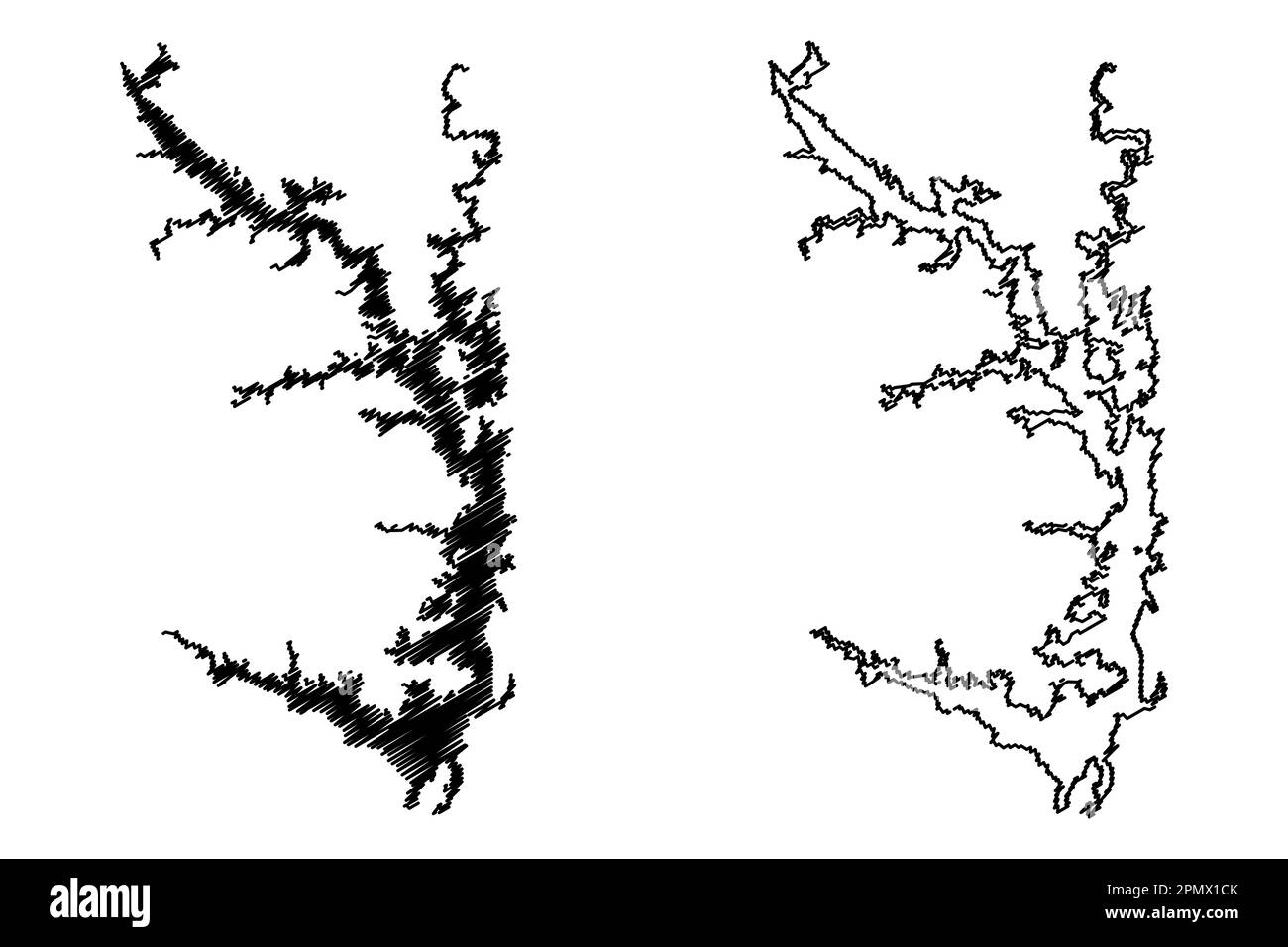 Lake Volta reservoir (Africa, Republic of Ghana) map vector illustration, scribble sketch map Stock Vectorhttps://www.alamy.com/image-license-details/?v=1https://www.alamy.com/lake-volta-reservoir-africa-republic-of-ghana-map-vector-illustration-scribble-sketch-map-image546386419.html
RF2PMX1CK–Lake Volta reservoir (Africa, Republic of Ghana) map vector illustration, scribble sketch map
 Panoramic view of Cape Coast Castle 1874 Stock Photohttps://www.alamy.com/image-license-details/?v=1https://www.alamy.com/panoramic-view-of-cape-coast-castle-1874-image501366218.html
RM2M3K5MA–Panoramic view of Cape Coast Castle 1874
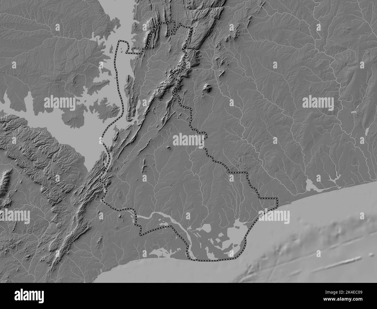 Volta, region of Ghana. Bilevel elevation map with lakes and rivers Stock Photohttps://www.alamy.com/image-license-details/?v=1https://www.alamy.com/volta-region-of-ghana-bilevel-elevation-map-with-lakes-and-rivers-image484665673.html
RF2K4EC09–Volta, region of Ghana. Bilevel elevation map with lakes and rivers
 National Security Action Memorandum No. 96 Volta Project-Ghana; Scope and content: Memorandum for Under Secretary of State, George Ball concerning final decision of Volta project for Ghana. Stock Photohttps://www.alamy.com/image-license-details/?v=1https://www.alamy.com/national-security-action-memorandum-no-96-volta-project-ghana-scope-and-content-memorandum-for-under-secretary-of-state-george-ball-concerning-final-decision-of-volta-project-for-ghana-image257753567.html
RMTY9K8F–National Security Action Memorandum No. 96 Volta Project-Ghana; Scope and content: Memorandum for Under Secretary of State, George Ball concerning final decision of Volta project for Ghana.
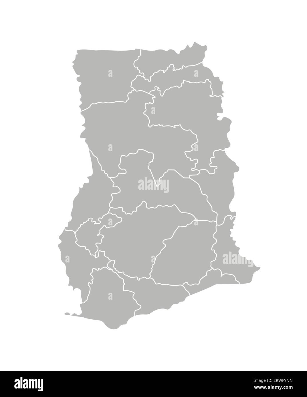 Vector isolated illustration of simplified administrative map of Ghana. Borders of the regions. Grey silhouettes. White outline. Stock Vectorhttps://www.alamy.com/image-license-details/?v=1https://www.alamy.com/vector-isolated-illustration-of-simplified-administrative-map-of-ghana-borders-of-the-regions-grey-silhouettes-white-outline-image566449233.html
RF2RWFYNN–Vector isolated illustration of simplified administrative map of Ghana. Borders of the regions. Grey silhouettes. White outline.
 Volta Region (Administrative divisions of Ghana, Republic of Ghana) map vector illustration, scribble sketch Volta map Stock Vectorhttps://www.alamy.com/image-license-details/?v=1https://www.alamy.com/volta-region-administrative-divisions-of-ghana-republic-of-ghana-map-vector-illustration-scribble-sketch-volta-map-image243577386.html
RFT47WCA–Volta Region (Administrative divisions of Ghana, Republic of Ghana) map vector illustration, scribble sketch Volta map
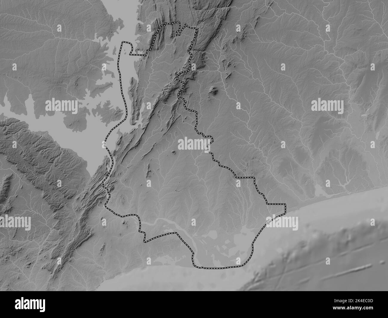 Volta, region of Ghana. Grayscale elevation map with lakes and rivers Stock Photohttps://www.alamy.com/image-license-details/?v=1https://www.alamy.com/volta-region-of-ghana-grayscale-elevation-map-with-lakes-and-rivers-image484665677.html
RF2K4EC0D–Volta, region of Ghana. Grayscale elevation map with lakes and rivers
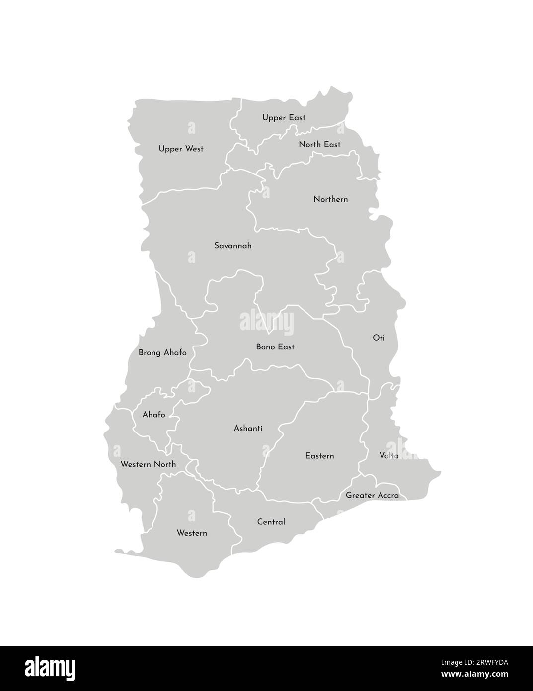 Vector isolated illustration of simplified administrative map of Ghana. Borders and names of the regions. Grey silhouettes. White outline. Stock Vectorhttps://www.alamy.com/image-license-details/?v=1https://www.alamy.com/vector-isolated-illustration-of-simplified-administrative-map-of-ghana-borders-and-names-of-the-regions-grey-silhouettes-white-outline-image566448998.html
RF2RWFYDA–Vector isolated illustration of simplified administrative map of Ghana. Borders and names of the regions. Grey silhouettes. White outline.
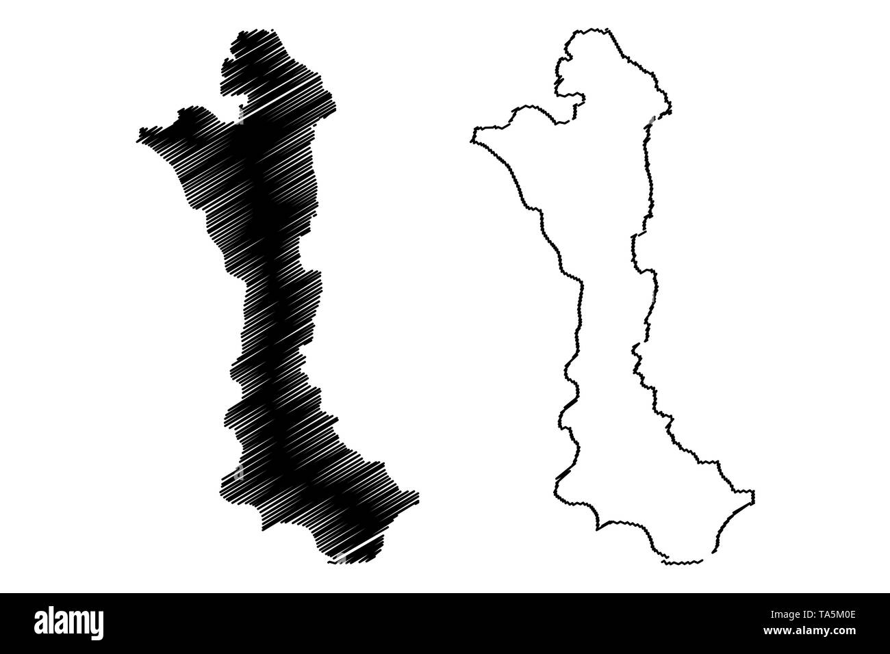 Volta Region (Administrative divisions of Ghana, Republic of Ghana) map vector illustration, scribble sketch Volta map Stock Vectorhttps://www.alamy.com/image-license-details/?v=1https://www.alamy.com/volta-region-administrative-divisions-of-ghana-republic-of-ghana-map-vector-illustration-scribble-sketch-volta-map-image247217166.html
RFTA5M0E–Volta Region (Administrative divisions of Ghana, Republic of Ghana) map vector illustration, scribble sketch Volta map
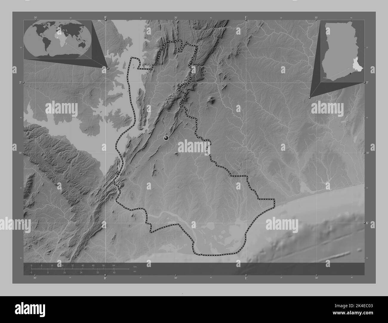 Volta, region of Ghana. Grayscale elevation map with lakes and rivers. Corner auxiliary location maps Stock Photohttps://www.alamy.com/image-license-details/?v=1https://www.alamy.com/volta-region-of-ghana-grayscale-elevation-map-with-lakes-and-rivers-corner-auxiliary-location-maps-image484665667.html
RF2K4EC03–Volta, region of Ghana. Grayscale elevation map with lakes and rivers. Corner auxiliary location maps
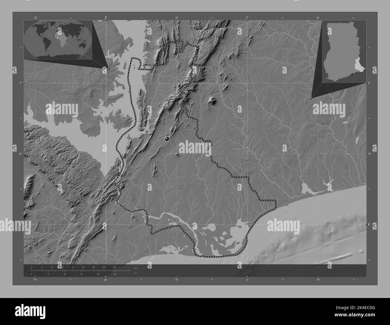 Volta, region of Ghana. Bilevel elevation map with lakes and rivers. Corner auxiliary location maps Stock Photohttps://www.alamy.com/image-license-details/?v=1https://www.alamy.com/volta-region-of-ghana-bilevel-elevation-map-with-lakes-and-rivers-corner-auxiliary-location-maps-image484665680.html
RF2K4EC0G–Volta, region of Ghana. Bilevel elevation map with lakes and rivers. Corner auxiliary location maps
 Shape of Volta, region of Ghana, with its capital isolated on white background. Bilevel elevation map. 3D rendering Stock Photohttps://www.alamy.com/image-license-details/?v=1https://www.alamy.com/shape-of-volta-region-of-ghana-with-its-capital-isolated-on-white-background-bilevel-elevation-map-3d-rendering-image368441204.html
RF2CBBXEC–Shape of Volta, region of Ghana, with its capital isolated on white background. Bilevel elevation map. 3D rendering
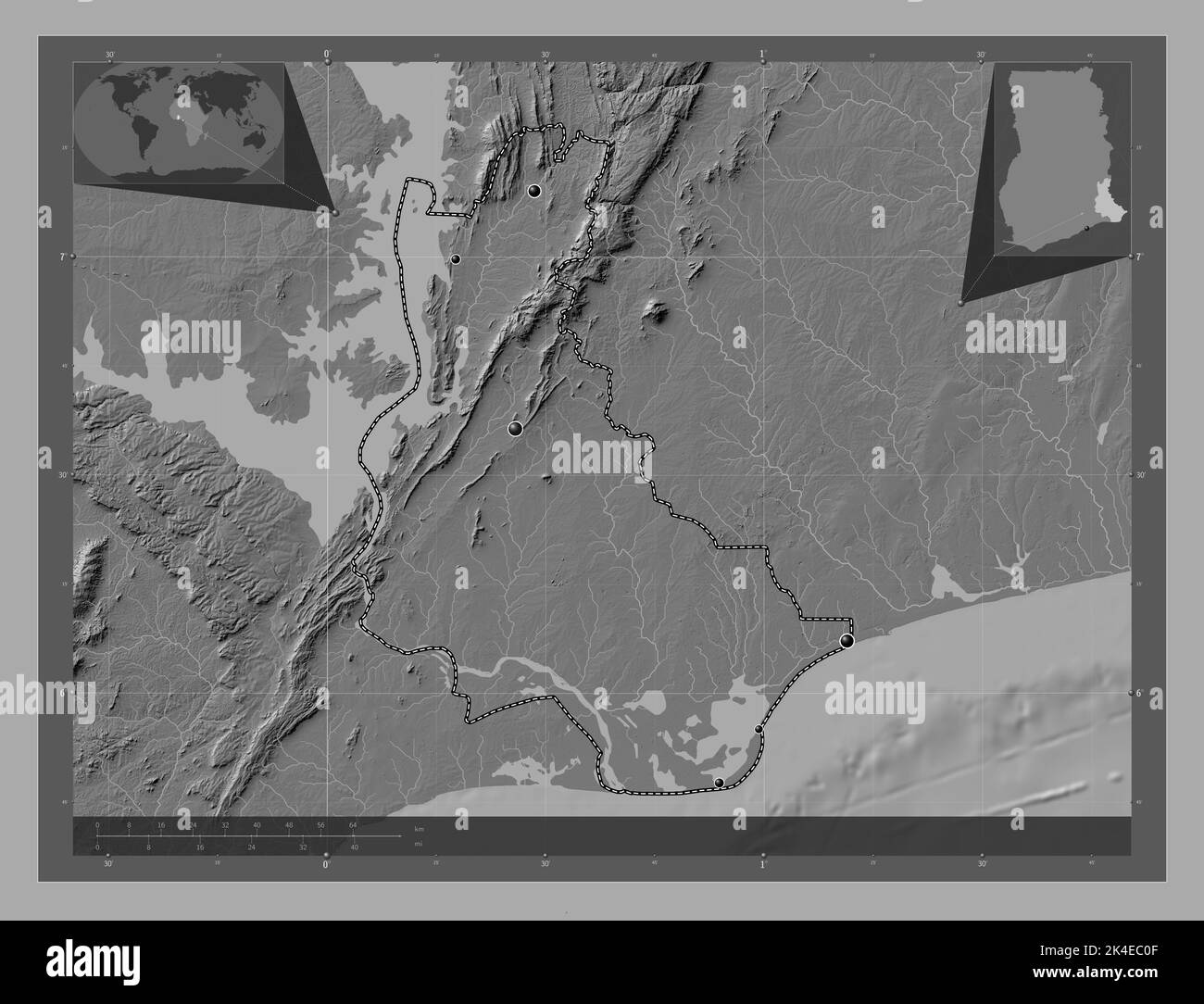 Volta, region of Ghana. Bilevel elevation map with lakes and rivers. Locations of major cities of the region. Corner auxiliary location maps Stock Photohttps://www.alamy.com/image-license-details/?v=1https://www.alamy.com/volta-region-of-ghana-bilevel-elevation-map-with-lakes-and-rivers-locations-of-major-cities-of-the-region-corner-auxiliary-location-maps-image484665679.html
RF2K4EC0F–Volta, region of Ghana. Bilevel elevation map with lakes and rivers. Locations of major cities of the region. Corner auxiliary location maps
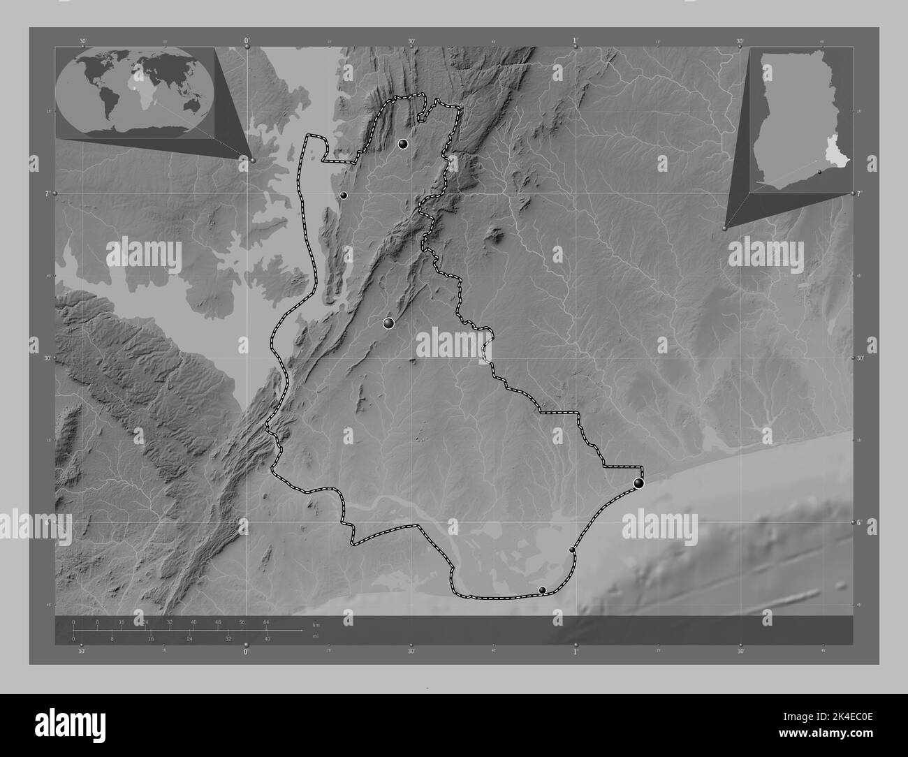 Volta, region of Ghana. Grayscale elevation map with lakes and rivers. Locations of major cities of the region. Corner auxiliary location maps Stock Photohttps://www.alamy.com/image-license-details/?v=1https://www.alamy.com/volta-region-of-ghana-grayscale-elevation-map-with-lakes-and-rivers-locations-of-major-cities-of-the-region-corner-auxiliary-location-maps-image484665678.html
RF2K4EC0E–Volta, region of Ghana. Grayscale elevation map with lakes and rivers. Locations of major cities of the region. Corner auxiliary location maps
 Shape of Volta, region of Ghana, with its capital isolated on a solid color background. Bilevel elevation map. 3D rendering Stock Photohttps://www.alamy.com/image-license-details/?v=1https://www.alamy.com/shape-of-volta-region-of-ghana-with-its-capital-isolated-on-a-solid-color-background-bilevel-elevation-map-3d-rendering-image368441190.html
RF2CBBXDX–Shape of Volta, region of Ghana, with its capital isolated on a solid color background. Bilevel elevation map. 3D rendering
 Zoom in on Volta (region of Ghana) outlined. Oblique perspective. Bilevel elevation map with surface waters. 3D rendering Stock Photohttps://www.alamy.com/image-license-details/?v=1https://www.alamy.com/zoom-in-on-volta-region-of-ghana-outlined-oblique-perspective-bilevel-elevation-map-with-surface-waters-3d-rendering-image364314995.html
RF2C4KYDR–Zoom in on Volta (region of Ghana) outlined. Oblique perspective. Bilevel elevation map with surface waters. 3D rendering
 Volta, region of Ghana. Bilevel elevation map with lakes and rivers. Locations and names of major cities of the region. Corner auxiliary location maps Stock Photohttps://www.alamy.com/image-license-details/?v=1https://www.alamy.com/volta-region-of-ghana-bilevel-elevation-map-with-lakes-and-rivers-locations-and-names-of-major-cities-of-the-region-corner-auxiliary-location-maps-image484665668.html
RF2K4EC04–Volta, region of Ghana. Bilevel elevation map with lakes and rivers. Locations and names of major cities of the region. Corner auxiliary location maps
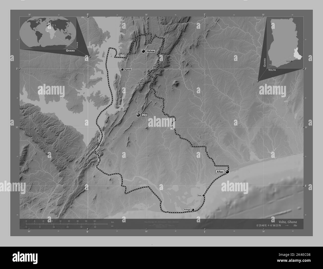 Volta, region of Ghana. Grayscale elevation map with lakes and rivers. Locations and names of major cities of the region. Corner auxiliary location ma Stock Photohttps://www.alamy.com/image-license-details/?v=1https://www.alamy.com/volta-region-of-ghana-grayscale-elevation-map-with-lakes-and-rivers-locations-and-names-of-major-cities-of-the-region-corner-auxiliary-location-ma-image484665672.html
RF2K4EC08–Volta, region of Ghana. Grayscale elevation map with lakes and rivers. Locations and names of major cities of the region. Corner auxiliary location ma
 Zoom in on Volta (region of Ghana) extruded. Oblique perspective. Bilevel elevation map with surface waters. 3D rendering Stock Photohttps://www.alamy.com/image-license-details/?v=1https://www.alamy.com/zoom-in-on-volta-region-of-ghana-extruded-oblique-perspective-bilevel-elevation-map-with-surface-waters-3d-rendering-image364314979.html
RF2C4KYD7–Zoom in on Volta (region of Ghana) extruded. Oblique perspective. Bilevel elevation map with surface waters. 3D rendering
 Area of Volta, region of Ghana, isolated on a solid background in a georeferenced bounding box. Labels. Bilevel elevation map. 3D rendering Stock Photohttps://www.alamy.com/image-license-details/?v=1https://www.alamy.com/area-of-volta-region-of-ghana-isolated-on-a-solid-background-in-a-georeferenced-bounding-box-labels-bilevel-elevation-map-3d-rendering-image368441197.html
RF2CBBXE5–Area of Volta, region of Ghana, isolated on a solid background in a georeferenced bounding box. Labels. Bilevel elevation map. 3D rendering