Gila bend arizona map Cut Out Stock Images
 Gila Bend, Maricopa County, US, United States, Arizona, N 32 56' 52'', S 112 43' 0'', map, Cartascapes Map published in 2024. Explore Cartascapes, a map revealing Earth's diverse landscapes, cultures, and ecosystems. Journey through time and space, discovering the interconnectedness of our planet's past, present, and future. Stock Photohttps://www.alamy.com/image-license-details/?v=1https://www.alamy.com/gila-bend-maricopa-county-us-united-states-arizona-n-32-56-52-s-112-43-0-map-cartascapes-map-published-in-2024-explore-cartascapes-a-map-revealing-earths-diverse-landscapes-cultures-and-ecosystems-journey-through-time-and-space-discovering-the-interconnectedness-of-our-planets-past-present-and-future-image621247311.html
RM2Y2M77Y–Gila Bend, Maricopa County, US, United States, Arizona, N 32 56' 52'', S 112 43' 0'', map, Cartascapes Map published in 2024. Explore Cartascapes, a map revealing Earth's diverse landscapes, cultures, and ecosystems. Journey through time and space, discovering the interconnectedness of our planet's past, present, and future.
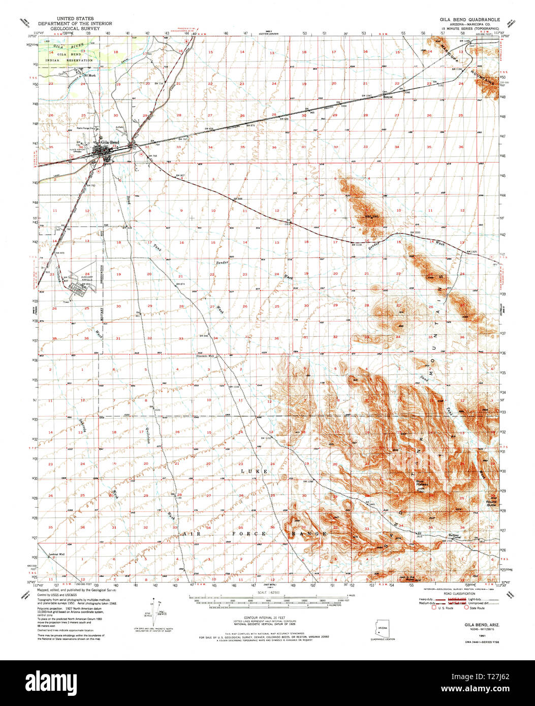
 USGS TOPO Map Arizona AZ Gila Bend 314616 1951 62500 Restoration Stock Photohttps://www.alamy.com/image-license-details/?v=1https://www.alamy.com/usgs-topo-map-arizona-az-gila-bend-314616-1951-62500-restoration-image242342410.html
RMT27J62–USGS TOPO Map Arizona AZ Gila Bend 314616 1951 62500 Restoration
 Gila Bend, Maricopa County, US, United States, Arizona, N 32 56' 52'', S 112 43' 0'', map, Cartascapes Map published in 2024. Explore Cartascapes, a map revealing Earth's diverse landscapes, cultures, and ecosystems. Journey through time and space, discovering the interconnectedness of our planet's past, present, and future. Stock Photohttps://www.alamy.com/image-license-details/?v=1https://www.alamy.com/gila-bend-maricopa-county-us-united-states-arizona-n-32-56-52-s-112-43-0-map-cartascapes-map-published-in-2024-explore-cartascapes-a-map-revealing-earths-diverse-landscapes-cultures-and-ecosystems-journey-through-time-and-space-discovering-the-interconnectedness-of-our-planets-past-present-and-future-image621165772.html
RM2Y2GF7T–Gila Bend, Maricopa County, US, United States, Arizona, N 32 56' 52'', S 112 43' 0'', map, Cartascapes Map published in 2024. Explore Cartascapes, a map revealing Earth's diverse landscapes, cultures, and ecosystems. Journey through time and space, discovering the interconnectedness of our planet's past, present, and future.
 Gila Bend District, Maricopa County, US, United States, Arizona, N 32 59' 29'', S 112 43' 47'', map, Cartascapes Map published in 2024. Explore Cartascapes, a map revealing Earth's diverse landscapes, cultures, and ecosystems. Journey through time and space, discovering the interconnectedness of our planet's past, present, and future. Stock Photohttps://www.alamy.com/image-license-details/?v=1https://www.alamy.com/gila-bend-district-maricopa-county-us-united-states-arizona-n-32-59-29-s-112-43-47-map-cartascapes-map-published-in-2024-explore-cartascapes-a-map-revealing-earths-diverse-landscapes-cultures-and-ecosystems-journey-through-time-and-space-discovering-the-interconnectedness-of-our-planets-past-present-and-future-image633897842.html
RM2YR8F4J–Gila Bend District, Maricopa County, US, United States, Arizona, N 32 59' 29'', S 112 43' 47'', map, Cartascapes Map published in 2024. Explore Cartascapes, a map revealing Earth's diverse landscapes, cultures, and ecosystems. Journey through time and space, discovering the interconnectedness of our planet's past, present, and future.
 Gila Bend Indian Reservation (historical), Maricopa County, US, United States, Arizona, N 33 0' 30'', S 112 46' 2'', map, Cartascapes Map published in 2024. Explore Cartascapes, a map revealing Earth's diverse landscapes, cultures, and ecosystems. Journey through time and space, discovering the interconnectedness of our planet's past, present, and future. Stock Photohttps://www.alamy.com/image-license-details/?v=1https://www.alamy.com/gila-bend-indian-reservation-historical-maricopa-county-us-united-states-arizona-n-33-0-30-s-112-46-2-map-cartascapes-map-published-in-2024-explore-cartascapes-a-map-revealing-earths-diverse-landscapes-cultures-and-ecosystems-journey-through-time-and-space-discovering-the-interconnectedness-of-our-planets-past-present-and-future-image633847985.html
RM2YR67G1–Gila Bend Indian Reservation (historical), Maricopa County, US, United States, Arizona, N 33 0' 30'', S 112 46' 2'', map, Cartascapes Map published in 2024. Explore Cartascapes, a map revealing Earth's diverse landscapes, cultures, and ecosystems. Journey through time and space, discovering the interconnectedness of our planet's past, present, and future.
 Gila Bend, Arizona, map 1973, 1:24000, United States of America by Timeless Maps, data U.S. Geological Survey Stock Photohttps://www.alamy.com/image-license-details/?v=1https://www.alamy.com/gila-bend-arizona-map-1973-124000-united-states-of-america-by-timeless-maps-data-us-geological-survey-image406008069.html
RM2EGF7C5–Gila Bend, Arizona, map 1973, 1:24000, United States of America by Timeless Maps, data U.S. Geological Survey
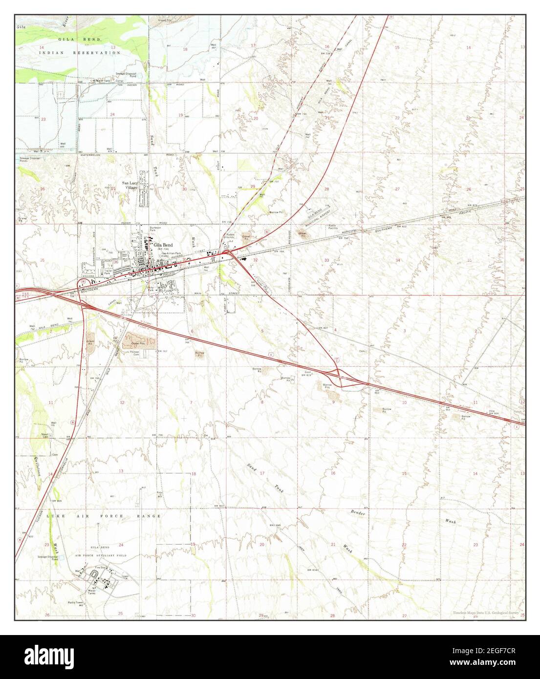
 Gila Bend, Arizona, map 1973, 1:24000, United States of America by Timeless Maps, data U.S. Geological Survey Stock Photohttps://www.alamy.com/image-license-details/?v=1https://www.alamy.com/gila-bend-arizona-map-1973-124000-united-states-of-america-by-timeless-maps-data-us-geological-survey-image406008087.html
RM2EGF7CR–Gila Bend, Arizona, map 1973, 1:24000, United States of America by Timeless Maps, data U.S. Geological Survey
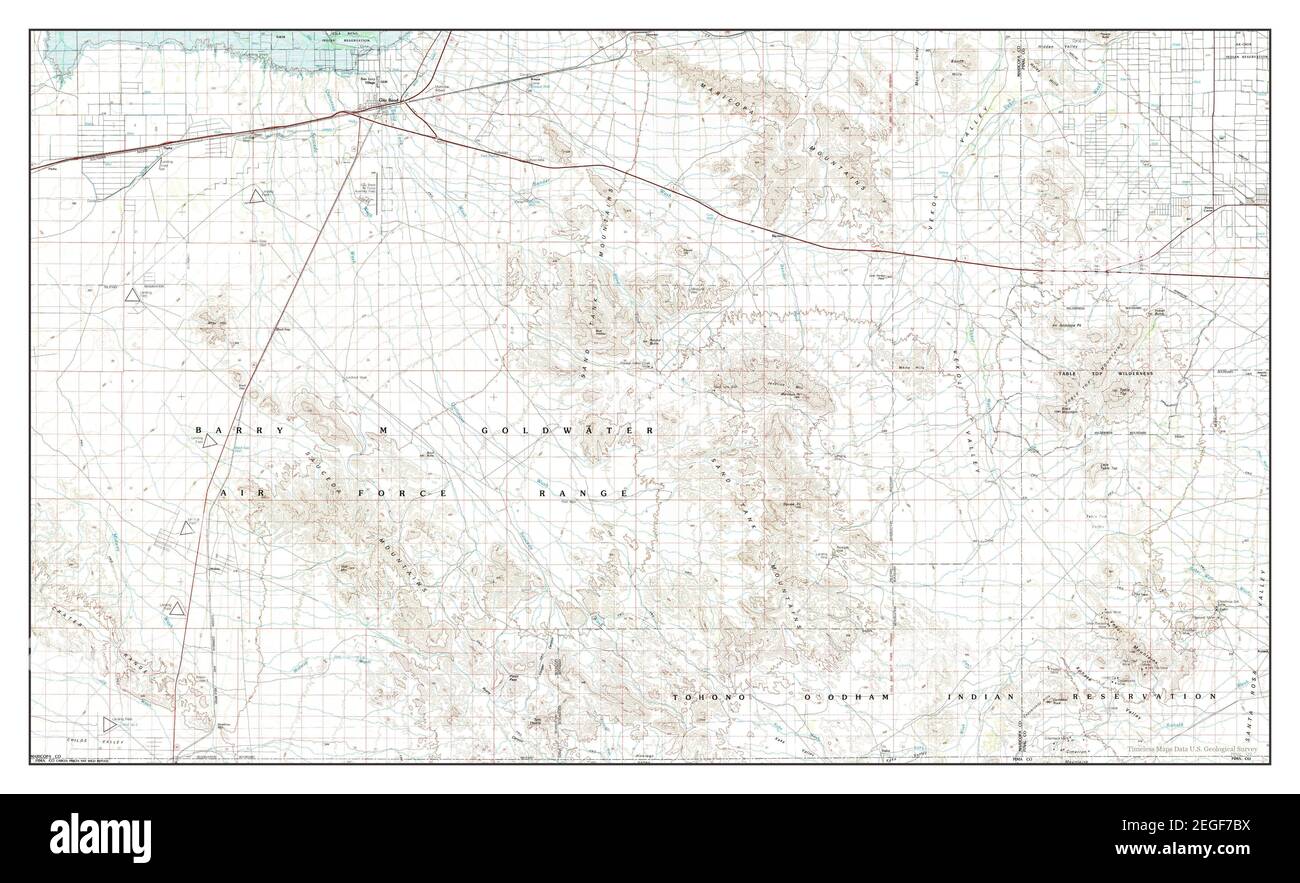
 Gila Bend, Arizona, map 1981, 1:100000, United States of America by Timeless Maps, data U.S. Geological Survey Stock Photohttps://www.alamy.com/image-license-details/?v=1https://www.alamy.com/gila-bend-arizona-map-1981-1100000-united-states-of-america-by-timeless-maps-data-us-geological-survey-image406008062.html
RM2EGF7BX–Gila Bend, Arizona, map 1981, 1:100000, United States of America by Timeless Maps, data U.S. Geological Survey