Glasgow scotland united kingdom map Stock Photos and Images
(700)See glasgow scotland united kingdom map stock video clipsQuick filters:
Glasgow scotland united kingdom map Stock Photos and Images
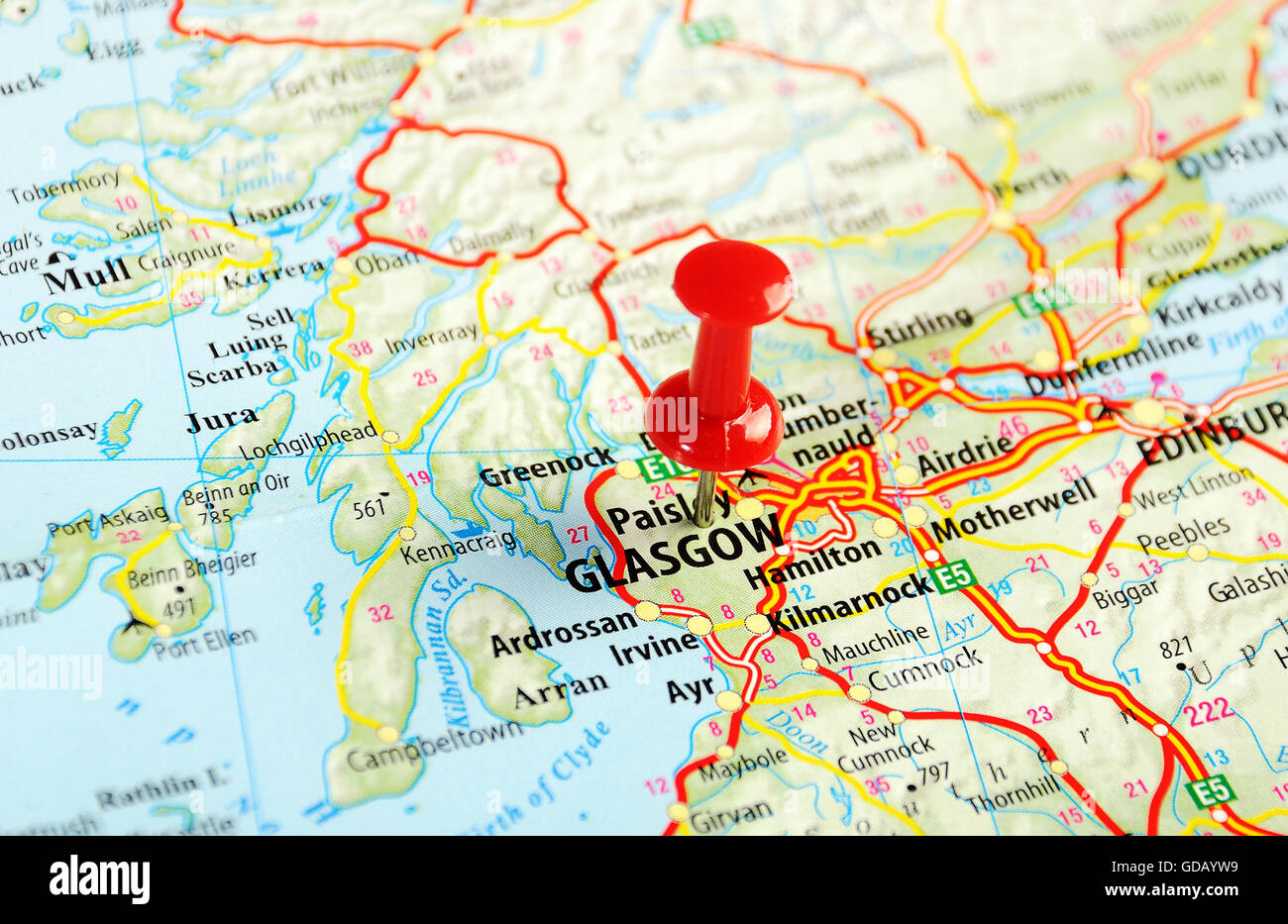 Glasgow Scotland ,United Kingdom map and pin - Travel concept Stock Photohttps://www.alamy.com/image-license-details/?v=1https://www.alamy.com/stock-photo-glasgow-scotland-united-kingdom-map-and-pin-travel-concept-111494133.html
RFGDAYW9–Glasgow Scotland ,United Kingdom map and pin - Travel concept
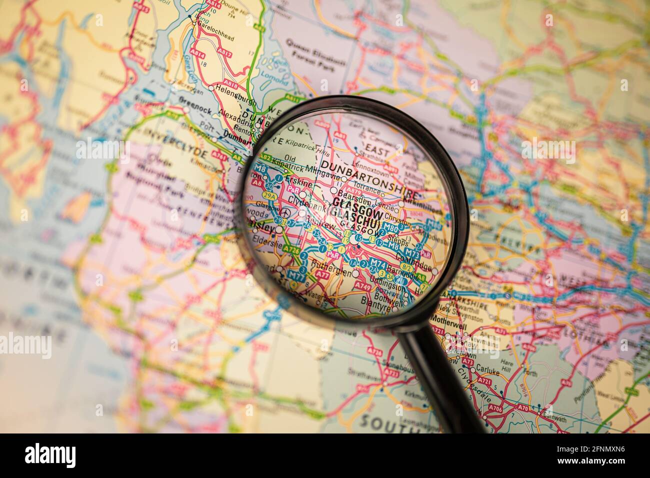 Close-up map of Glasgow through black magnifying glass, city in Scotland, United Kingdom Stock Photohttps://www.alamy.com/image-license-details/?v=1https://www.alamy.com/close-up-map-of-glasgow-through-black-magnifying-glass-city-in-scotland-united-kingdom-image426416626.html
RF2FNMXN6–Close-up map of Glasgow through black magnifying glass, city in Scotland, United Kingdom
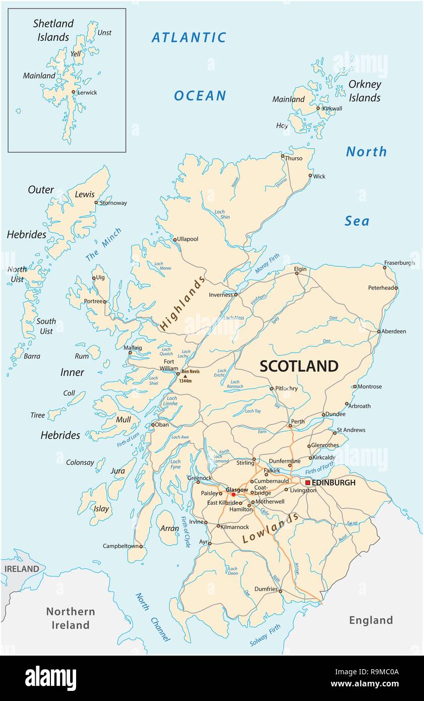 High detailed Scotland road map with labeling Stock Vectorhttps://www.alamy.com/image-license-details/?v=1https://www.alamy.com/high-detailed-scotland-road-map-with-labeling-image229715146.html
RFR9MC0A–High detailed Scotland road map with labeling
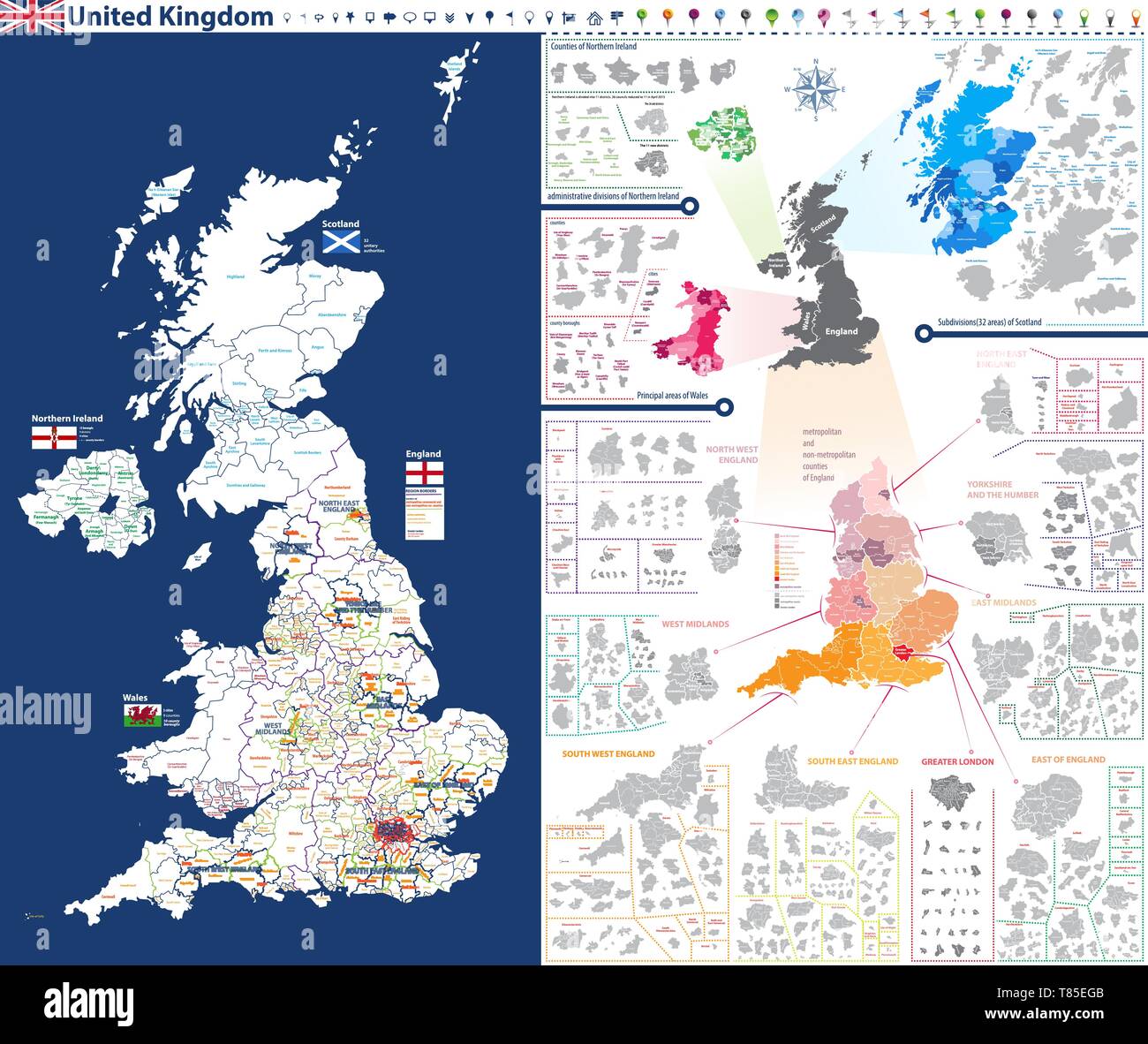 administrative units map of United Kingdom with administrative divisions Stock Vectorhttps://www.alamy.com/image-license-details/?v=1https://www.alamy.com/administrative-units-map-of-united-kingdom-with-administrative-divisions-image245983595.html
RFT85EGB–administrative units map of United Kingdom with administrative divisions
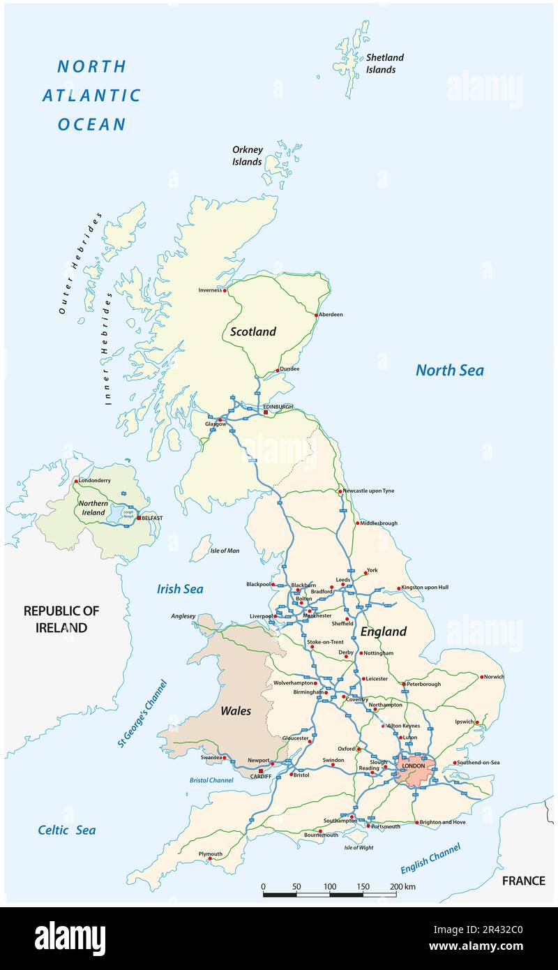 detailed motorway vector map of United Kingdom Stock Photohttps://www.alamy.com/image-license-details/?v=1https://www.alamy.com/detailed-motorway-vector-map-of-united-kingdom-image553258160.html
RF2R432C0–detailed motorway vector map of United Kingdom
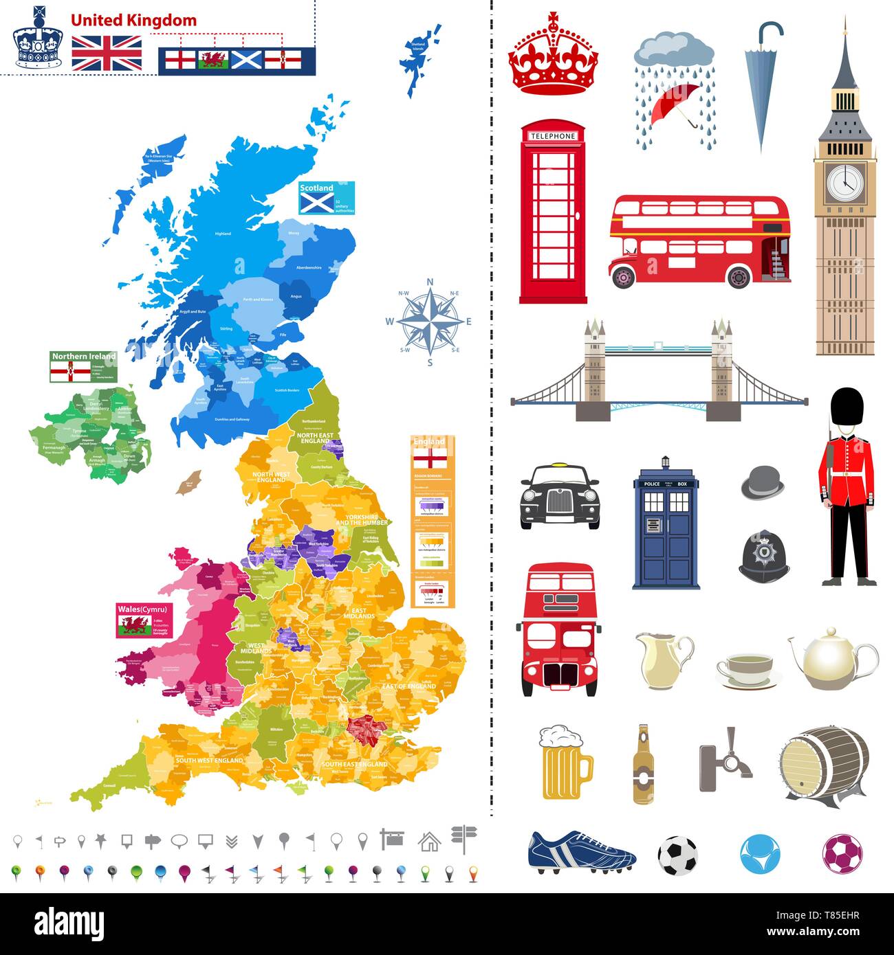 administrative units map of United Kingdom with administrative divisions Stock Vectorhttps://www.alamy.com/image-license-details/?v=1https://www.alamy.com/administrative-units-map-of-united-kingdom-with-administrative-divisions-image245983635.html
RFT85EHR–administrative units map of United Kingdom with administrative divisions
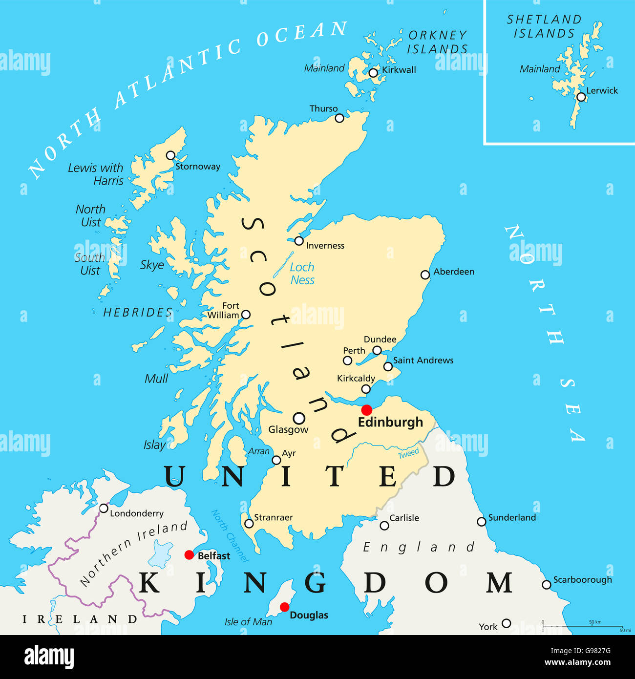 Scotland political map with capital Edinburgh, national borders and cities. Stock Photohttps://www.alamy.com/image-license-details/?v=1https://www.alamy.com/stock-photo-scotland-political-map-with-capital-edinburgh-national-borders-and-108971508.html
RFG9827G–Scotland political map with capital Edinburgh, national borders and cities.
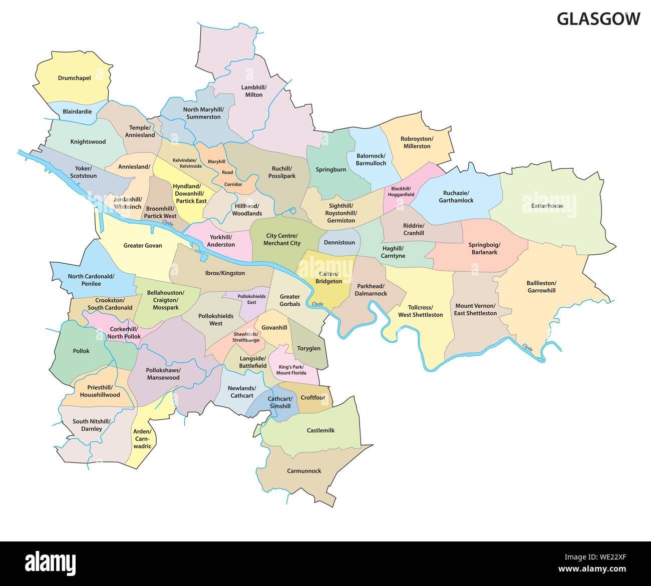 Map of the Scottish city of Glasgow with all neighborhoods of the city Stock Vectorhttps://www.alamy.com/image-license-details/?v=1https://www.alamy.com/map-of-the-scottish-city-of-glasgow-with-all-neighborhoods-of-the-city-image266806919.html
RFWE22XF–Map of the Scottish city of Glasgow with all neighborhoods of the city
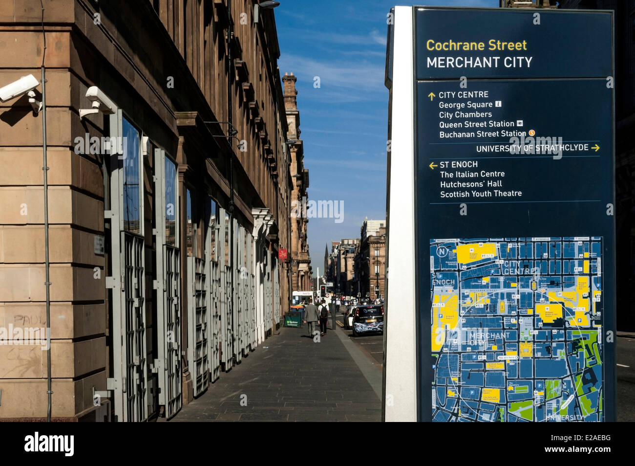 United Kingdom, Scotland, Glasgow, downtown, Cochrane Street Stock Photohttps://www.alamy.com/image-license-details/?v=1https://www.alamy.com/stock-photo-united-kingdom-scotland-glasgow-downtown-cochrane-street-70301604.html
RFE2AEBG–United Kingdom, Scotland, Glasgow, downtown, Cochrane Street
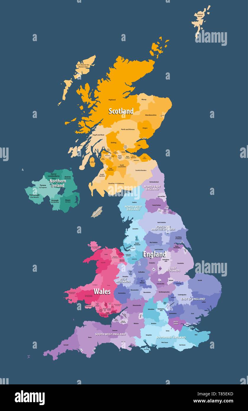 vector map of United Kingdom administrative divisions colored by countries and regions Stock Vectorhttps://www.alamy.com/image-license-details/?v=1https://www.alamy.com/vector-map-of-united-kingdom-administrative-divisions-colored-by-countries-and-regions-image245983681.html
RFT85EKD–vector map of United Kingdom administrative divisions colored by countries and regions
 A macro closeup of a page in a printed road map atlas showing the Scottish city of Glasgow Stock Photohttps://www.alamy.com/image-license-details/?v=1https://www.alamy.com/a-macro-closeup-of-a-page-in-a-printed-road-map-atlas-showing-the-scottish-city-of-glasgow-image434265808.html
RM2G6EED4–A macro closeup of a page in a printed road map atlas showing the Scottish city of Glasgow
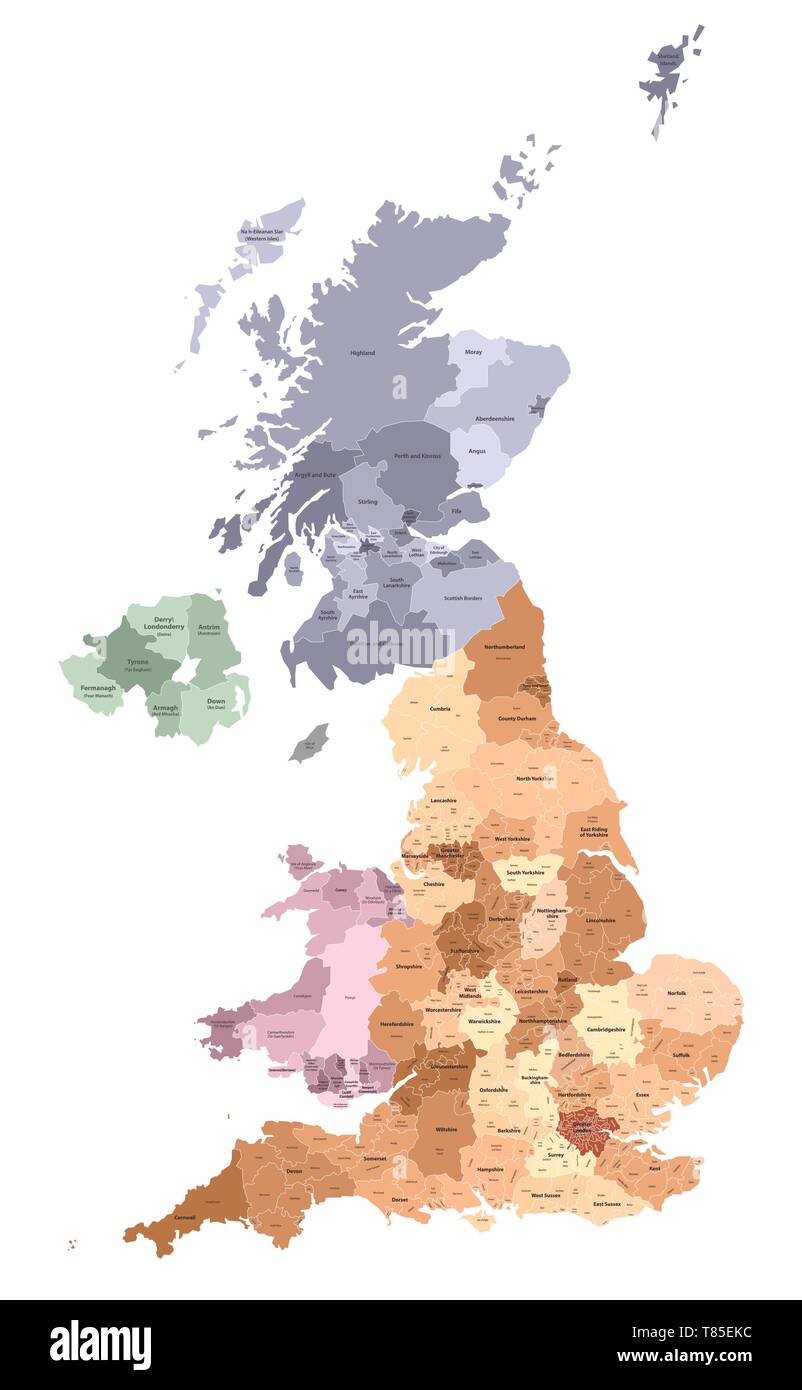 vector map of United Kingdom administrative divisions colored by countries and regions Stock Vectorhttps://www.alamy.com/image-license-details/?v=1https://www.alamy.com/vector-map-of-united-kingdom-administrative-divisions-colored-by-countries-and-regions-image245983680.html
RFT85EKC–vector map of United Kingdom administrative divisions colored by countries and regions
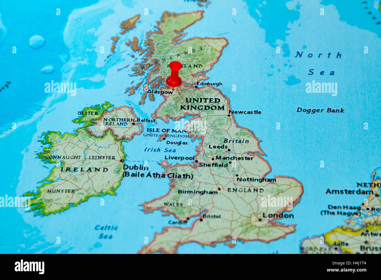 Glasgow, Scotland pinned on a map of Europe. Stock Photohttps://www.alamy.com/image-license-details/?v=1https://www.alamy.com/stock-photo-glasgow-scotland-pinned-on-a-map-of-europe-123327796.html
RMH4J1T4–Glasgow, Scotland pinned on a map of Europe.
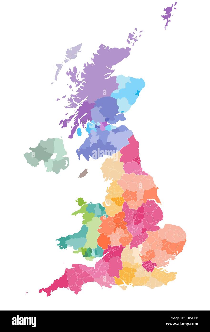 vector map of United Kingdom administrative divisions colored by countries and regions Stock Vectorhttps://www.alamy.com/image-license-details/?v=1https://www.alamy.com/vector-map-of-united-kingdom-administrative-divisions-colored-by-countries-and-regions-image245983679.html
RFT85EKB–vector map of United Kingdom administrative divisions colored by countries and regions
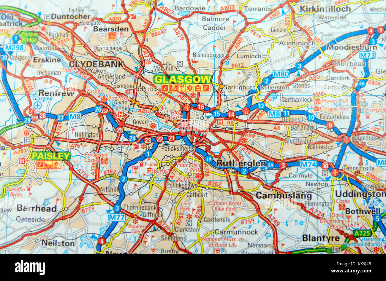 Road Map of Glasgow, Scotland. Stock Photohttps://www.alamy.com/image-license-details/?v=1https://www.alamy.com/stock-photo-road-map-of-glasgow-scotland-171086165.html
RMKX9J45–Road Map of Glasgow, Scotland.
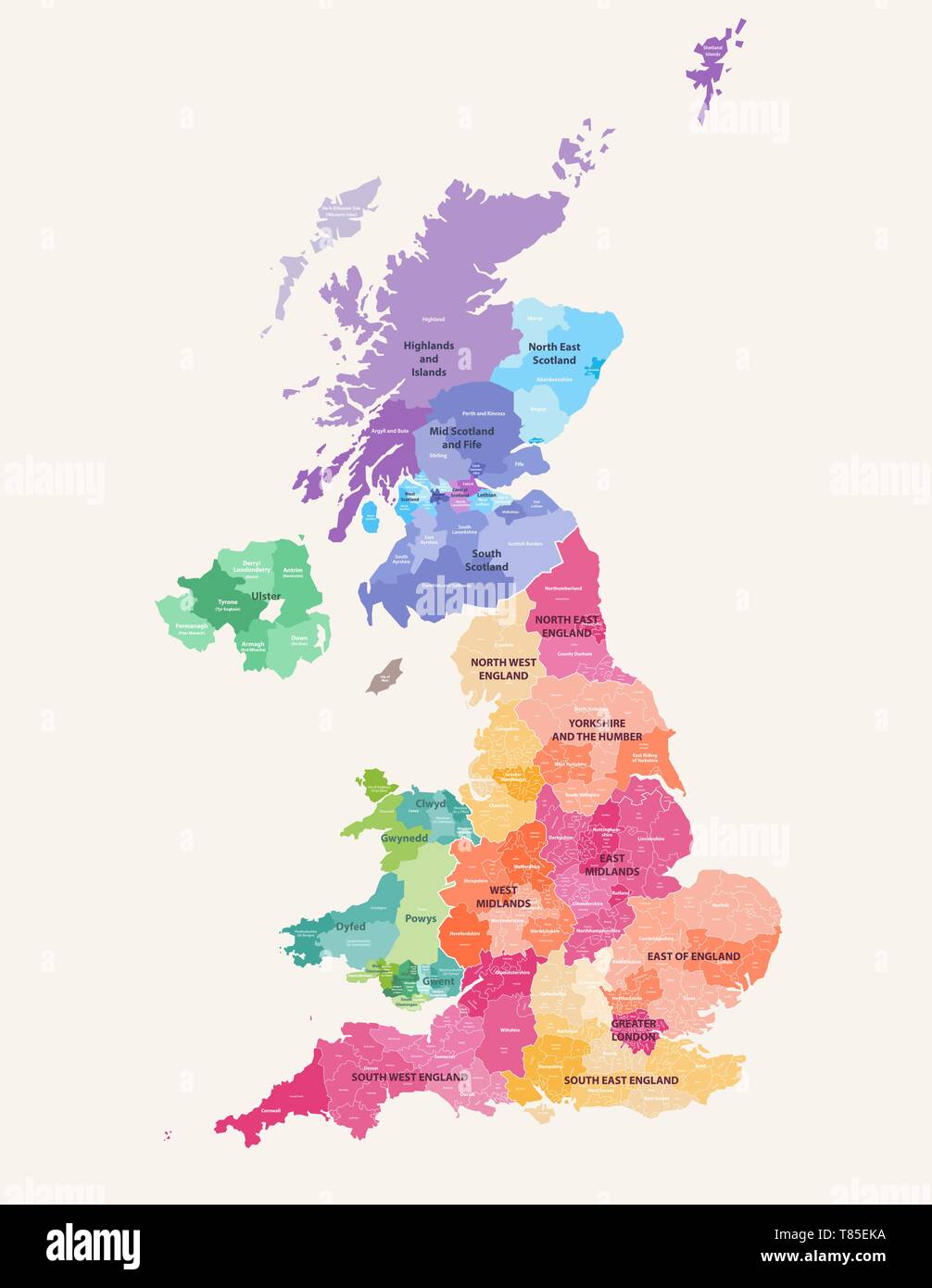 vector map of United Kingdom administrative divisions colored by countries and regions Stock Vectorhttps://www.alamy.com/image-license-details/?v=1https://www.alamy.com/vector-map-of-united-kingdom-administrative-divisions-colored-by-countries-and-regions-image245983678.html
RFT85EKA–vector map of United Kingdom administrative divisions colored by countries and regions
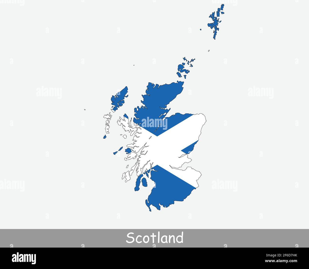 Scotland Flag Map. Map of Scotland with the Scottish national flag isolated on a white background. United Kingdom, UK. Vector Illustration. Stock Vectorhttps://www.alamy.com/image-license-details/?v=1https://www.alamy.com/scotland-flag-map-map-of-scotland-with-the-scottish-national-flag-isolated-on-a-white-background-united-kingdom-uk-vector-illustration-image417028127.html
RF2F6D7HK–Scotland Flag Map. Map of Scotland with the Scottish national flag isolated on a white background. United Kingdom, UK. Vector Illustration.
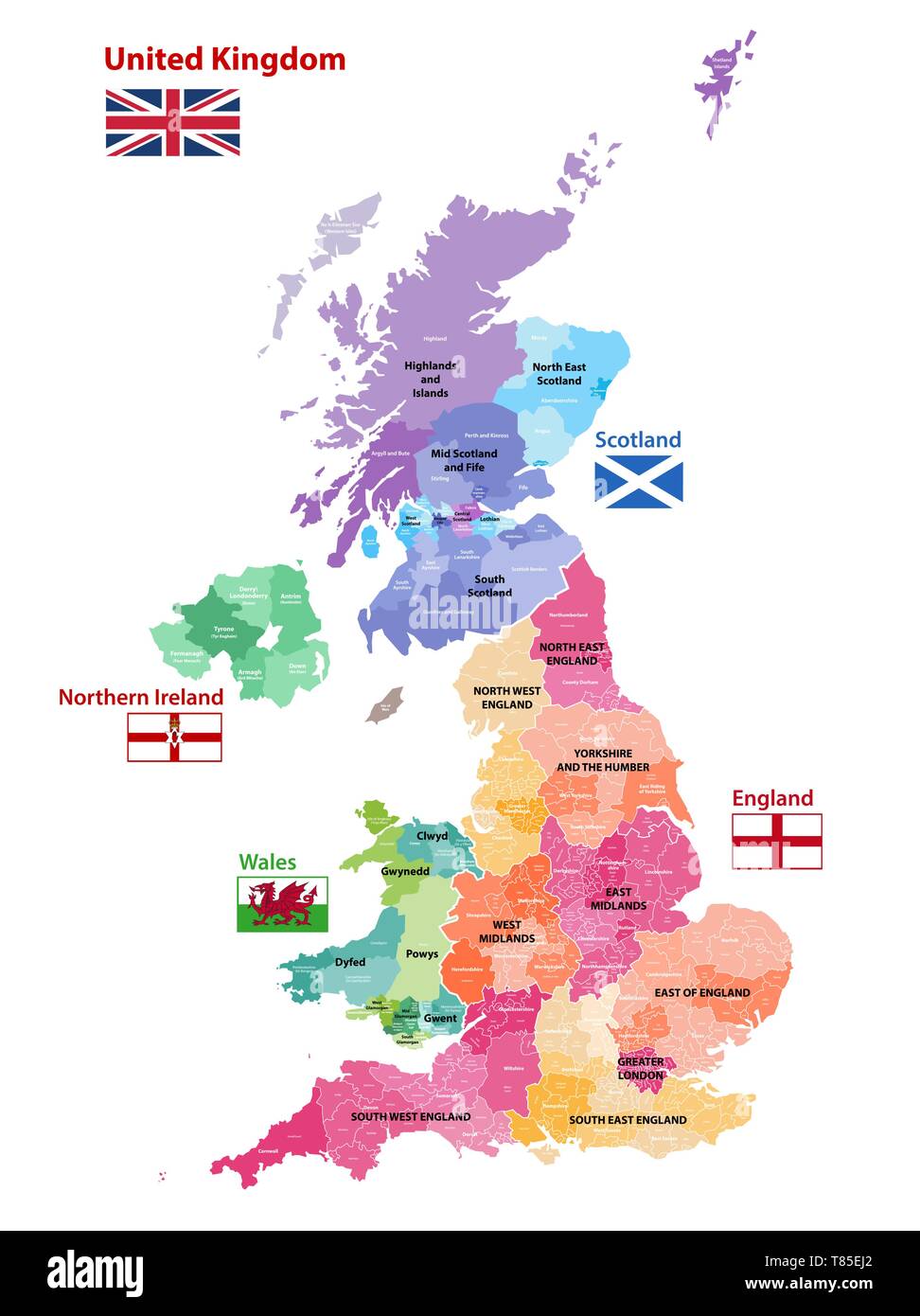 vector map of United Kingdom administrative divisions colored by countries and regions Stock Vectorhttps://www.alamy.com/image-license-details/?v=1https://www.alamy.com/vector-map-of-united-kingdom-administrative-divisions-colored-by-countries-and-regions-image245983642.html
RFT85EJ2–vector map of United Kingdom administrative divisions colored by countries and regions
 A Glasgow Public Street Map on Trongate in the city centre, Scotland, UK Stock Photohttps://www.alamy.com/image-license-details/?v=1https://www.alamy.com/stock-photo-a-glasgow-public-street-map-on-trongate-in-the-city-centre-scotland-82351359.html
RMENYBYY–A Glasgow Public Street Map on Trongate in the city centre, Scotland, UK
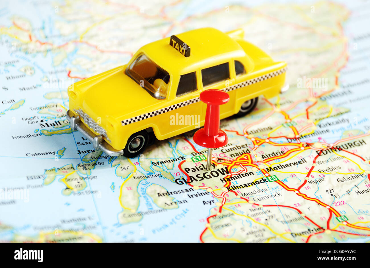 Glasgow Scotland ,United Kingdom map taxi and pin - Travel concept Stock Photohttps://www.alamy.com/image-license-details/?v=1https://www.alamy.com/stock-photo-glasgow-scotland-united-kingdom-map-taxi-and-pin-travel-concept-111494136.html
RFGDAYWC–Glasgow Scotland ,United Kingdom map taxi and pin - Travel concept
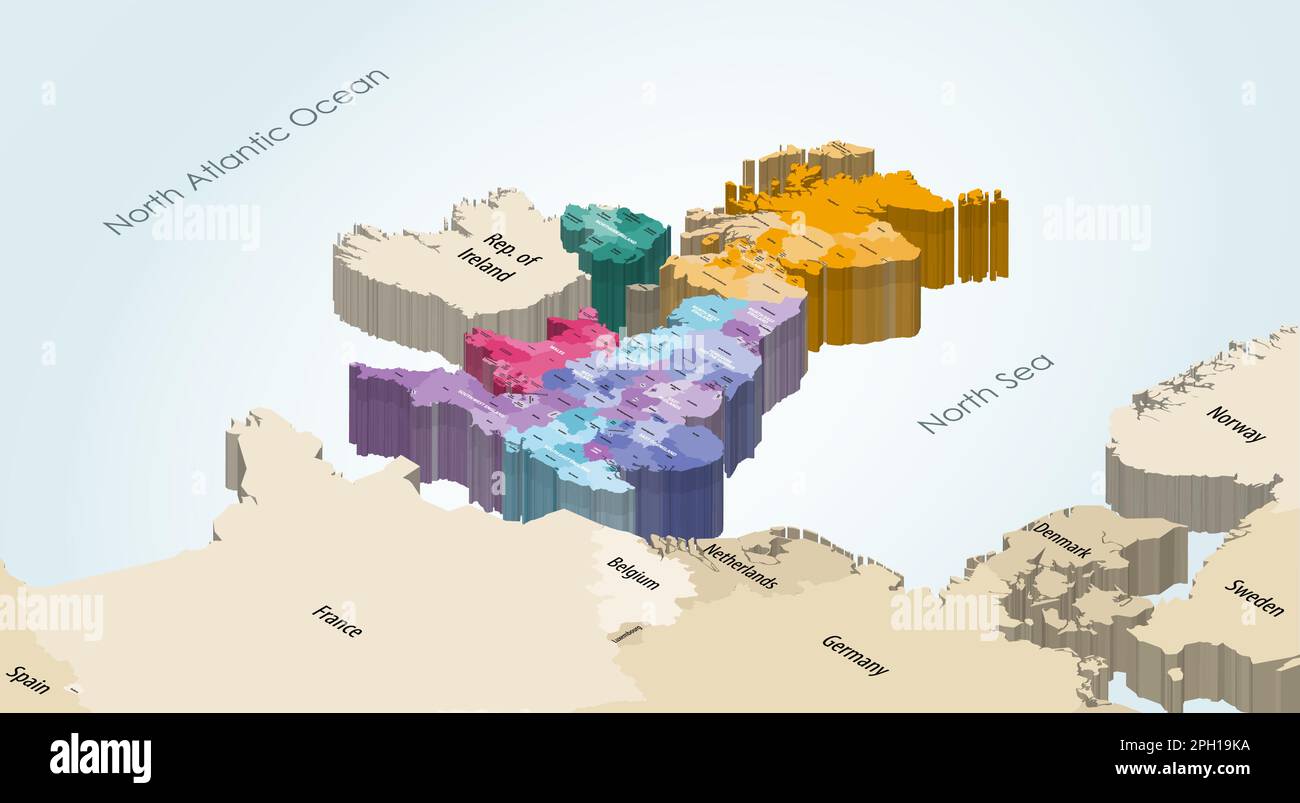 United Kingdom isometric map colored by local government subdivisions and countries, with neighbouring countries on background Stock Vectorhttps://www.alamy.com/image-license-details/?v=1https://www.alamy.com/united-kingdom-isometric-map-colored-by-local-government-subdivisions-and-countries-with-neighbouring-countries-on-background-image544000110.html
RF2PH19KA–United Kingdom isometric map colored by local government subdivisions and countries, with neighbouring countries on background
 map section highlighting Scotland, particularly Glasgow and Edinburgh Stock Photohttps://www.alamy.com/image-license-details/?v=1https://www.alamy.com/stock-photo-map-section-highlighting-scotland-particularly-glasgow-and-edinburgh-58757066.html
RMDBGH6J–map section highlighting Scotland, particularly Glasgow and Edinburgh
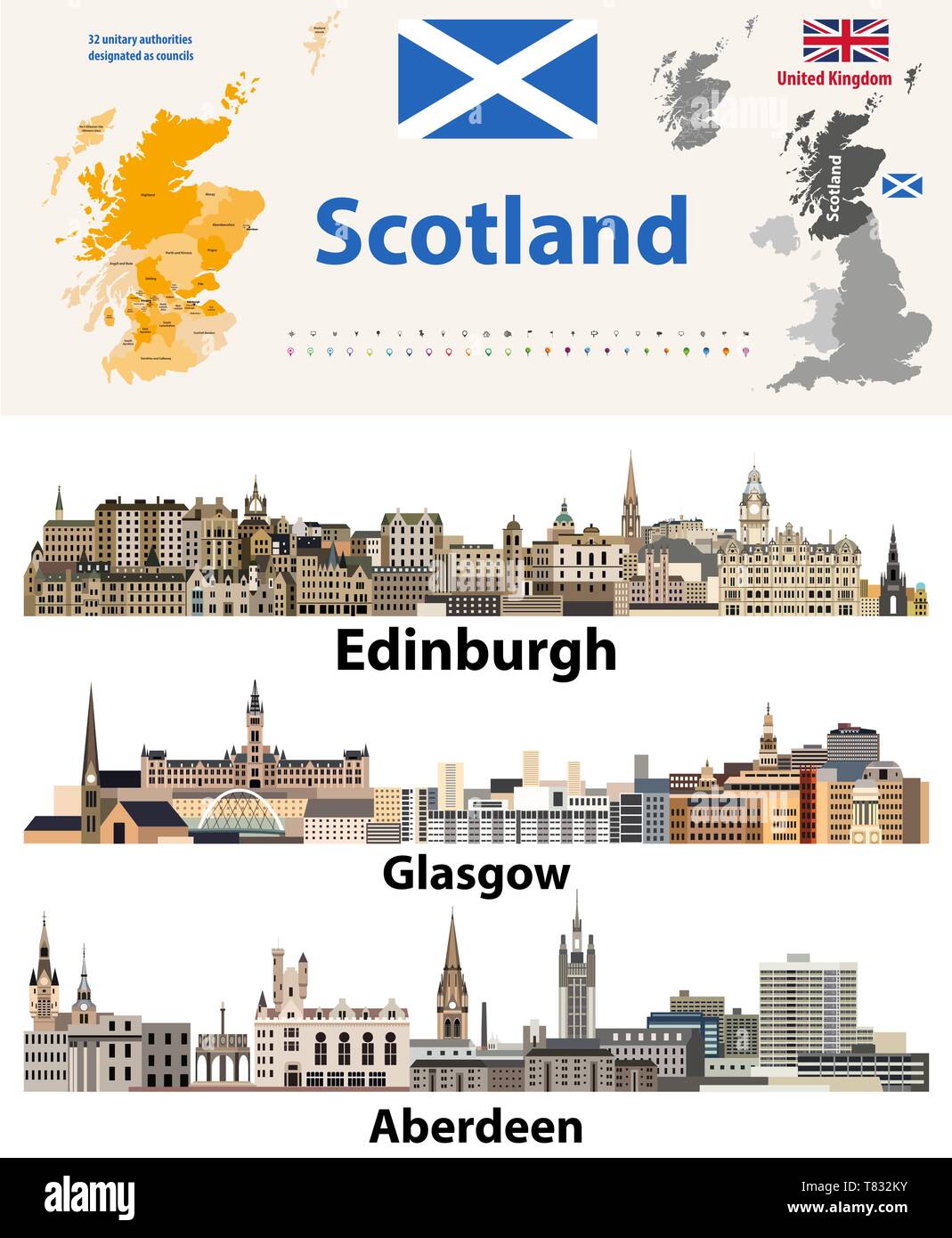 Scotland subdivisions (unitary authorities) map and Scottish largest cities skylines Stock Vectorhttps://www.alamy.com/image-license-details/?v=1https://www.alamy.com/scotland-subdivisions-unitary-authorities-map-and-scottish-largest-cities-skylines-image245930383.html
RFT832KY–Scotland subdivisions (unitary authorities) map and Scottish largest cities skylines
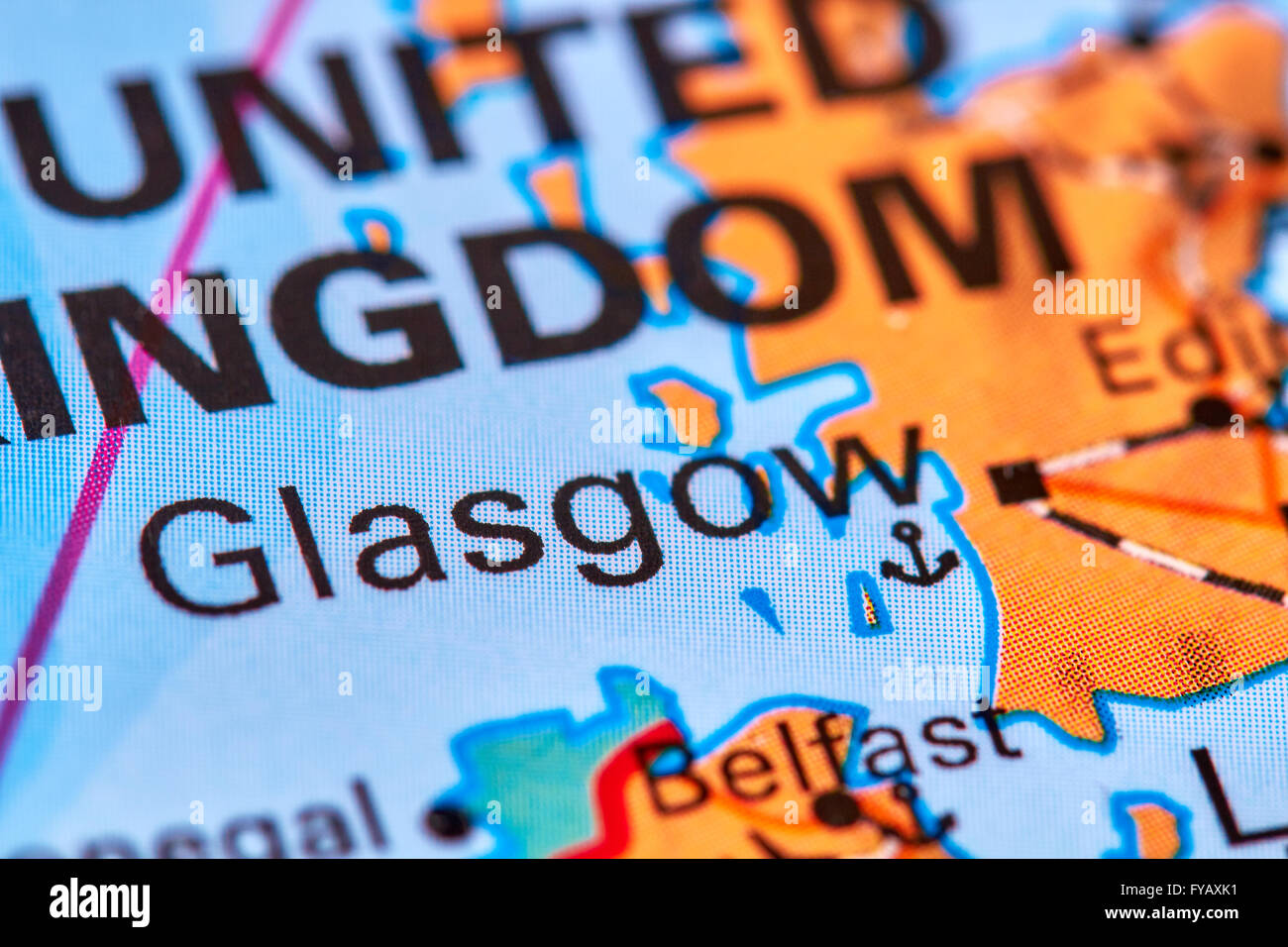 Glasgow, Capital City of Scotland on the Map Stock Photohttps://www.alamy.com/image-license-details/?v=1https://www.alamy.com/stock-photo-glasgow-capital-city-of-scotland-on-the-map-102887989.html
RFFYAXK1–Glasgow, Capital City of Scotland on the Map
 Glasgow pinned on a map of Scotland Stock Photohttps://www.alamy.com/image-license-details/?v=1https://www.alamy.com/stock-photo-glasgow-pinned-on-a-map-of-scotland-125354903.html
RFH7XBCR–Glasgow pinned on a map of Scotland
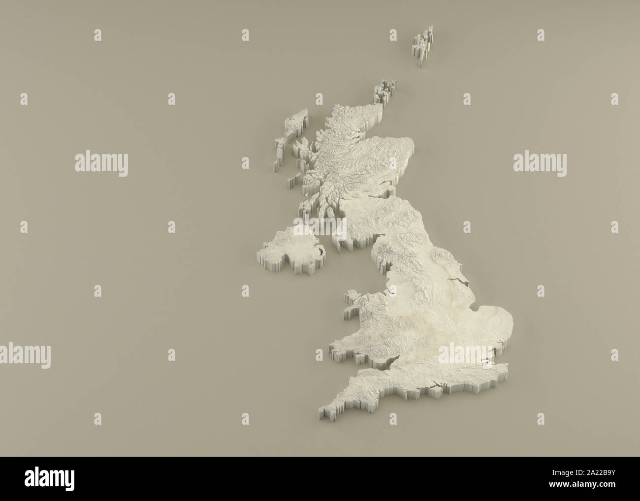 Extruded 3D political Map of United Kingdom with relief as marble sculpture on a light beige background Stock Photohttps://www.alamy.com/image-license-details/?v=1https://www.alamy.com/extruded-3d-political-map-of-united-kingdom-with-relief-as-marble-sculpture-on-a-light-beige-background-image328279111.html
RF2A22B9Y–Extruded 3D political Map of United Kingdom with relief as marble sculpture on a light beige background
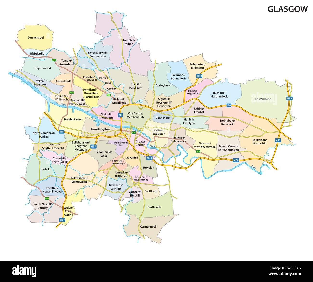 Map of the Scottish city of Glasgow with roads and all neighborhoods of the city Stock Vectorhttps://www.alamy.com/image-license-details/?v=1https://www.alamy.com/map-of-the-scottish-city-of-glasgow-with-roads-and-all-neighborhoods-of-the-city-image266881736.html
RFWE5EAG–Map of the Scottish city of Glasgow with roads and all neighborhoods of the city
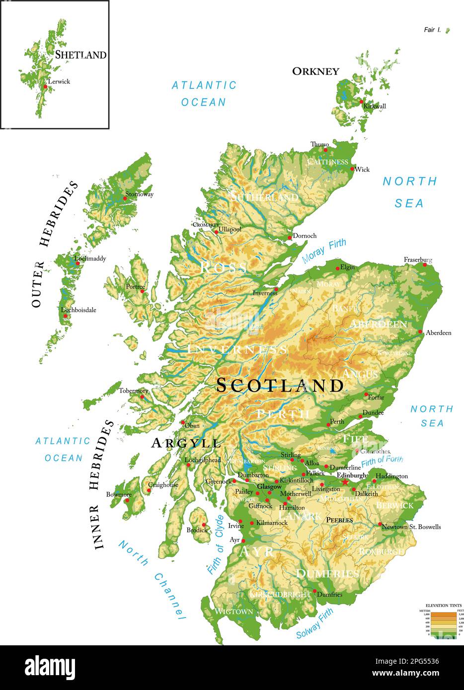 Highly detailed physical map of Scotland, in vector format,with all the relief forms,regions and big cities. Stock Vectorhttps://www.alamy.com/image-license-details/?v=1https://www.alamy.com/highly-detailed-physical-map-of-scotland-in-vector-formatwith-all-the-relief-formsregions-and-big-cities-image543469674.html
RF2PG5536–Highly detailed physical map of Scotland, in vector format,with all the relief forms,regions and big cities.
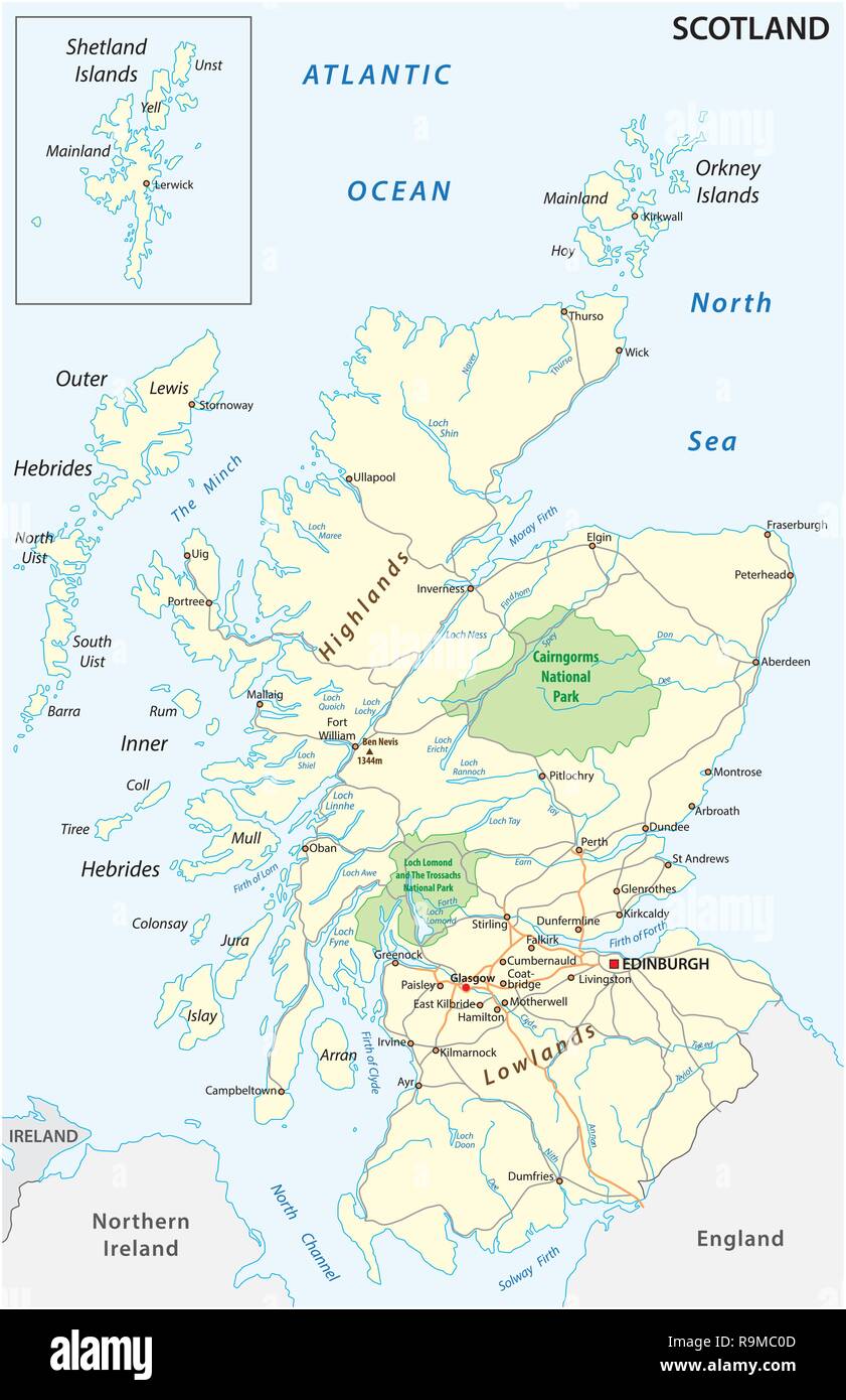 High detailed Scotland road and nationalpark map with labeling Stock Vectorhttps://www.alamy.com/image-license-details/?v=1https://www.alamy.com/high-detailed-scotland-road-and-nationalpark-map-with-labeling-image229715149.html
RFR9MC0D–High detailed Scotland road and nationalpark map with labeling
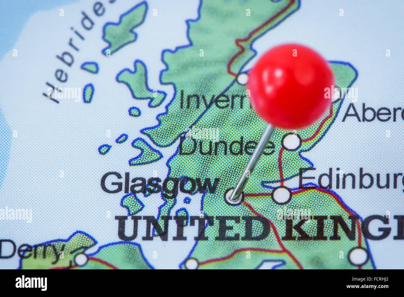 Close-up of a red pushpin in a map of Glasgow, United Kingdom. Stock Photohttps://www.alamy.com/image-license-details/?v=1https://www.alamy.com/stock-photo-close-up-of-a-red-pushpin-in-a-map-of-glasgow-united-kingdom-93946442.html
RFFCRHJ2–Close-up of a red pushpin in a map of Glasgow, United Kingdom.
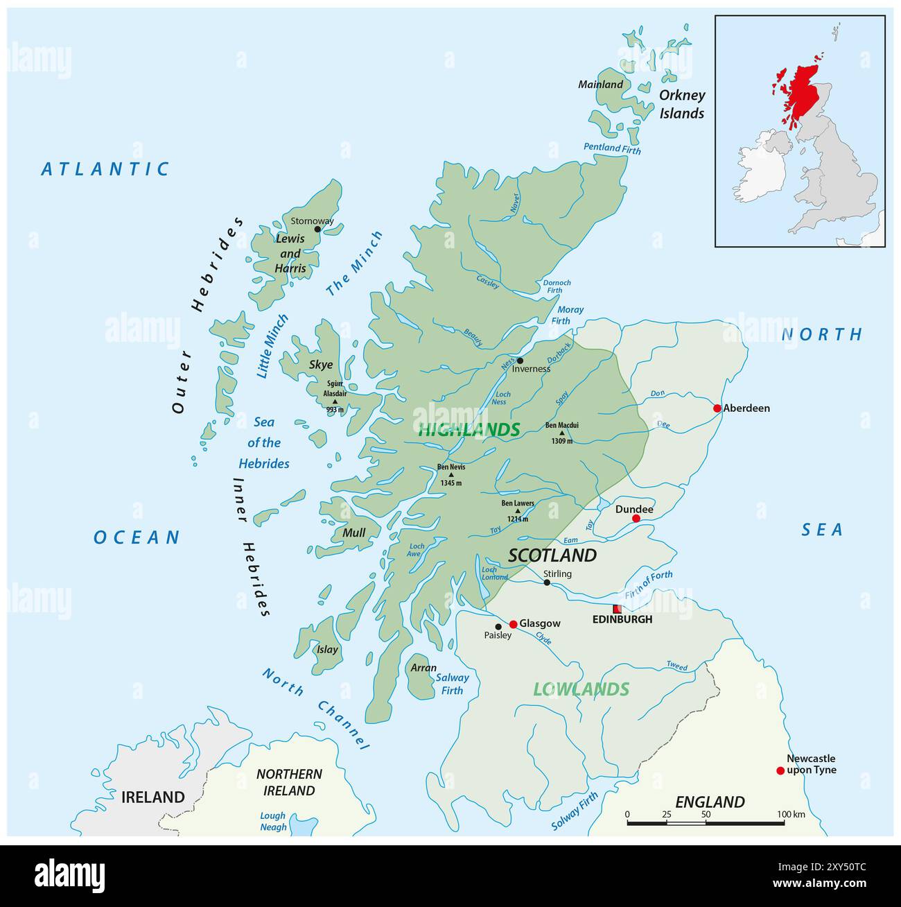 Vector map of the Scottish highlands, United Kingdom Stock Photohttps://www.alamy.com/image-license-details/?v=1https://www.alamy.com/vector-map-of-the-scottish-highlands-united-kingdom-image619069036.html
RF2XY50TC–Vector map of the Scottish highlands, United Kingdom
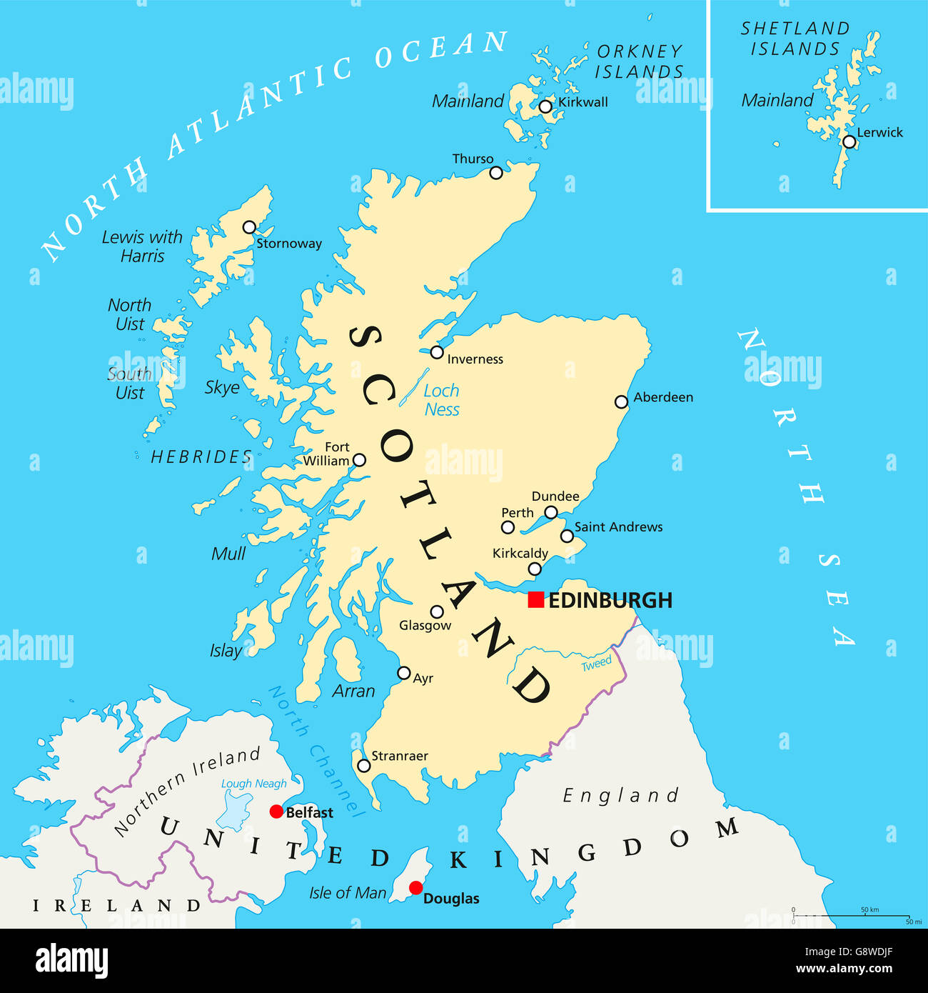 Independent Scotland political map with capital Edinburgh, national borders and important cities. Stock Photohttps://www.alamy.com/image-license-details/?v=1https://www.alamy.com/stock-photo-independent-scotland-political-map-with-capital-edinburgh-national-108738967.html
RFG8WDJF–Independent Scotland political map with capital Edinburgh, national borders and important cities.
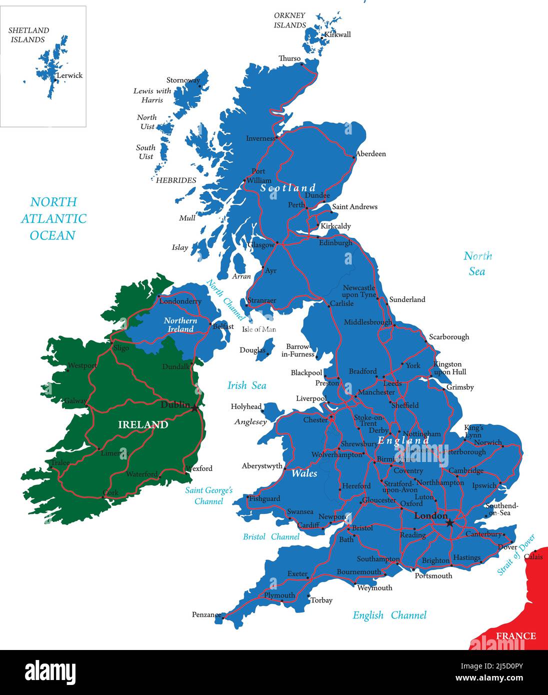 United Kingdom vector map with main regions,cities and roads. Stock Vectorhttps://www.alamy.com/image-license-details/?v=1https://www.alamy.com/united-kingdom-vector-map-with-main-regionscities-and-roads-image468039235.html
RF2J5D0PY–United Kingdom vector map with main regions,cities and roads.
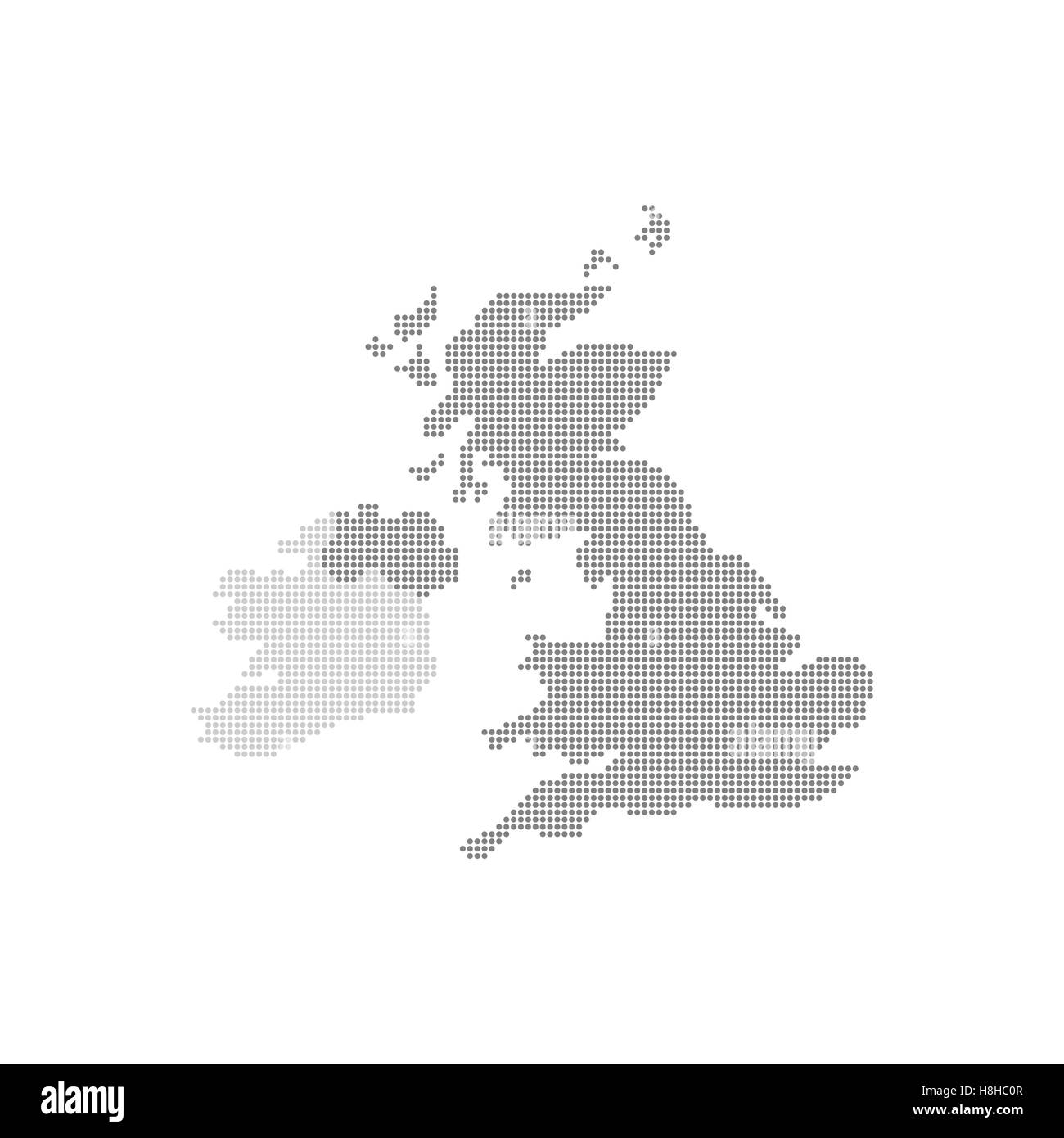 Grey Map United Kingdom In The Dot . Vector illustration Stock Vectorhttps://www.alamy.com/image-license-details/?v=1https://www.alamy.com/stock-photo-grey-map-united-kingdom-in-the-dot-vector-illustration-125772439.html
RFH8HC0R–Grey Map United Kingdom In The Dot . Vector illustration
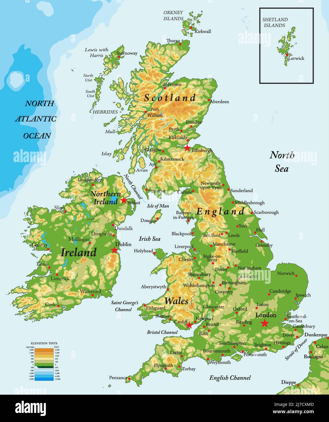 Highly detailed physical map of United Kingdom and Ireland,in vector format,with all the relief forms,states and big cities. Stock Vectorhttps://www.alamy.com/image-license-details/?v=1https://www.alamy.com/highly-detailed-physical-map-of-united-kingdom-and-irelandin-vector-formatwith-all-the-relief-formsstates-and-big-cities-image469266909.html
RF2J7CXMD–Highly detailed physical map of United Kingdom and Ireland,in vector format,with all the relief forms,states and big cities.
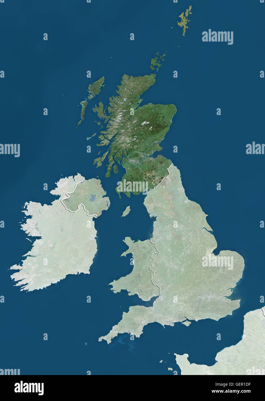 Satellite view of Scotland, UK (with country boundaries and mask). The image highlights Scotland in the United Kingdom. This image was compiled from data acquired by Landsat satellites. Stock Photohttps://www.alamy.com/image-license-details/?v=1https://www.alamy.com/stock-photo-satellite-view-of-scotland-uk-with-country-boundaries-and-mask-the-112373451.html
RMGER1DF–Satellite view of Scotland, UK (with country boundaries and mask). The image highlights Scotland in the United Kingdom. This image was compiled from data acquired by Landsat satellites.
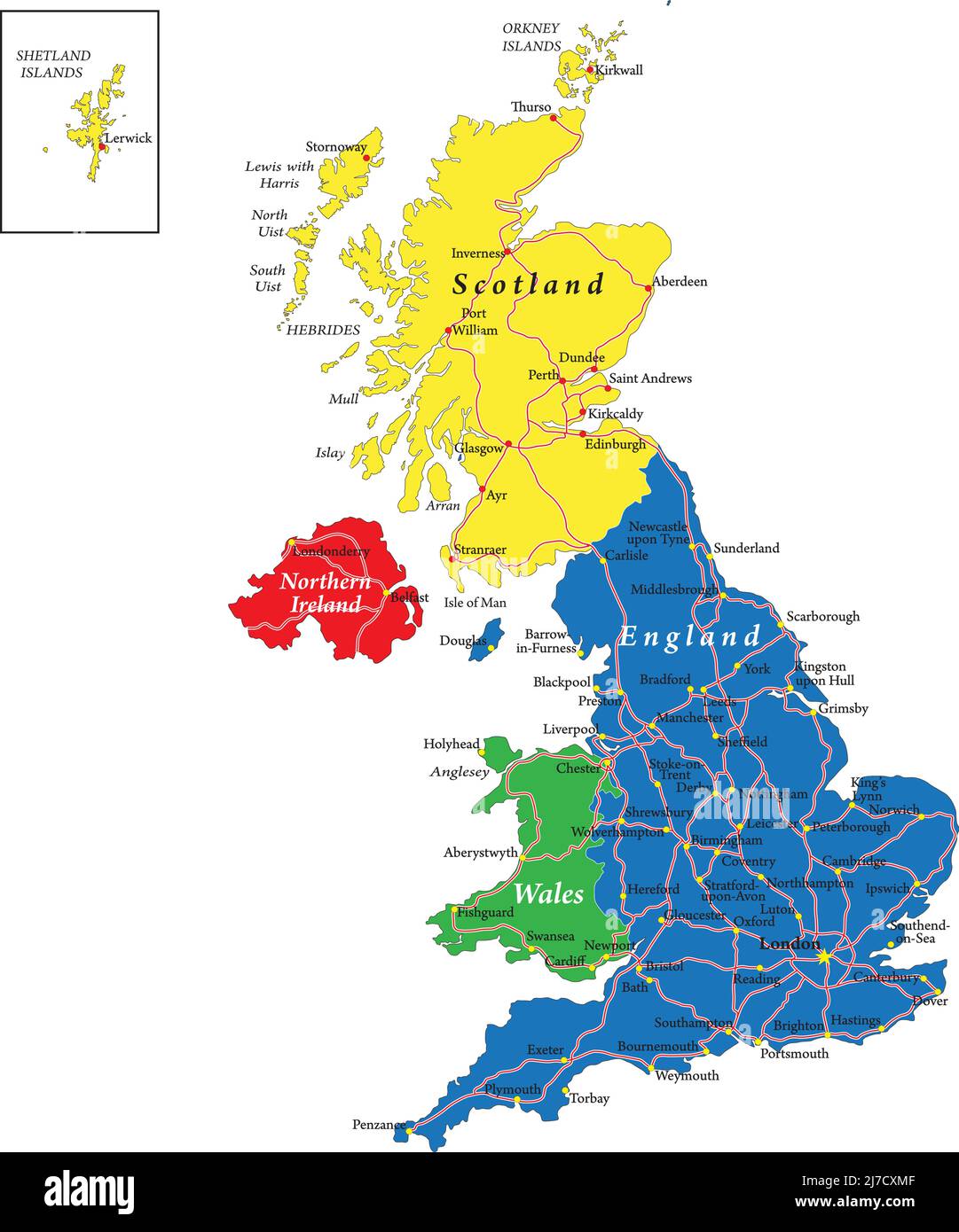 Highly detailed vector map of United Kingdom with administrative regions, main cities and roads. Stock Vectorhttps://www.alamy.com/image-license-details/?v=1https://www.alamy.com/highly-detailed-vector-map-of-united-kingdom-with-administrative-regions-main-cities-and-roads-image469266911.html
RF2J7CXMF–Highly detailed vector map of United Kingdom with administrative regions, main cities and roads.
 A Glasgow Public Street Map on Saltmarket at Glasgow Green in the city centre, Scotland, UK Stock Photohttps://www.alamy.com/image-license-details/?v=1https://www.alamy.com/stock-photo-a-glasgow-public-street-map-on-saltmarket-at-glasgow-green-in-the-82351921.html
RMENYCM1–A Glasgow Public Street Map on Saltmarket at Glasgow Green in the city centre, Scotland, UK
 Glasgow Scotland ,United Kingdom map car and pin - Travel concept Stock Photohttps://www.alamy.com/image-license-details/?v=1https://www.alamy.com/stock-photo-glasgow-scotland-united-kingdom-map-car-and-pin-travel-concept-111494132.html
RFGDAYW8–Glasgow Scotland ,United Kingdom map car and pin - Travel concept
 Macro closeup of a page in a printed road map atlas with a man's hand holding a pencil pointing at the Scottish city of Glasgow Stock Photohttps://www.alamy.com/image-license-details/?v=1https://www.alamy.com/macro-closeup-of-a-page-in-a-printed-road-map-atlas-with-a-mans-hand-holding-a-pencil-pointing-at-the-scottish-city-of-glasgow-image434265807.html
RM2G6EED3–Macro closeup of a page in a printed road map atlas with a man's hand holding a pencil pointing at the Scottish city of Glasgow
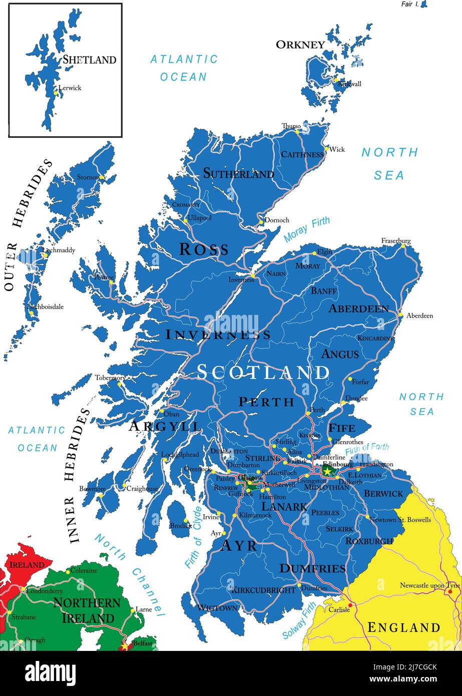 Highly detailed vector map of Scotland with administrative regions, main cities and roads. Stock Vectorhttps://www.alamy.com/image-license-details/?v=1https://www.alamy.com/highly-detailed-vector-map-of-scotland-with-administrative-regions-main-cities-and-roads-image469258851.html
RF2J7CGCK–Highly detailed vector map of Scotland with administrative regions, main cities and roads.
RFT85AW1–United Kingdom cities skylines icons. High detailed map of United Kingdom
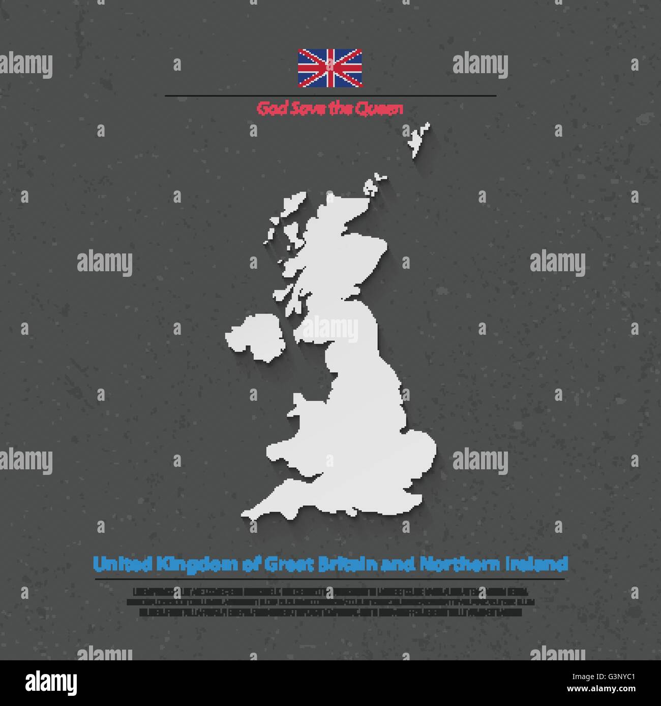 United Kingdom of Great Britain and Northern Ireland map and official flag icons. vector British political map 3d illustration. Stock Vectorhttps://www.alamy.com/image-license-details/?v=1https://www.alamy.com/stock-photo-united-kingdom-of-great-britain-and-northern-ireland-map-and-official-105588673.html
RFG3NYC1–United Kingdom of Great Britain and Northern Ireland map and official flag icons. vector British political map 3d illustration.
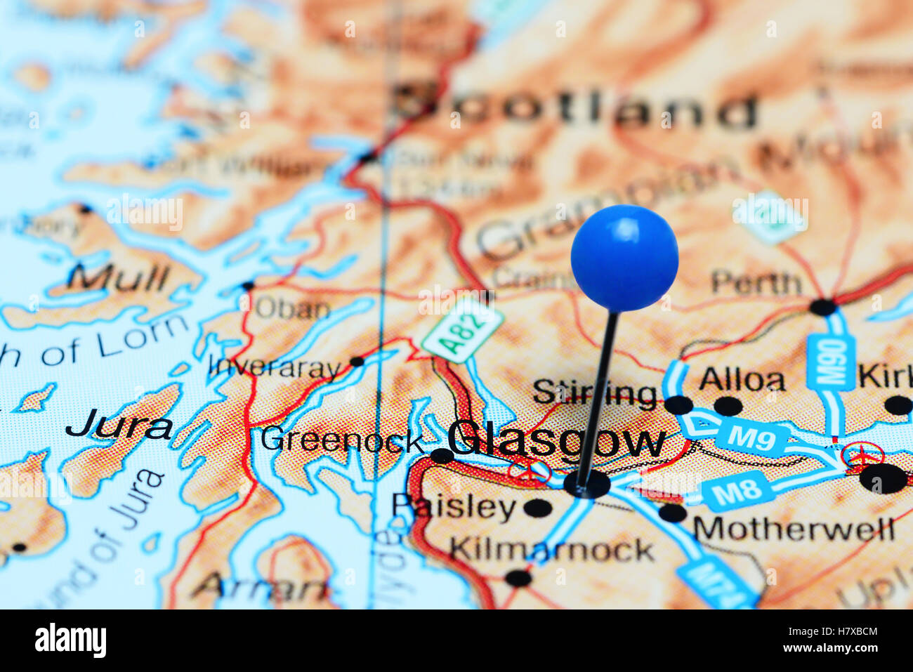 Glasgow pinned on a map of Scotland Stock Photohttps://www.alamy.com/image-license-details/?v=1https://www.alamy.com/stock-photo-glasgow-pinned-on-a-map-of-scotland-125354900.html
RFH7XBCM–Glasgow pinned on a map of Scotland
RFT85ATD–United Kingdom cities skylines icons. High detailed map of United Kingdom
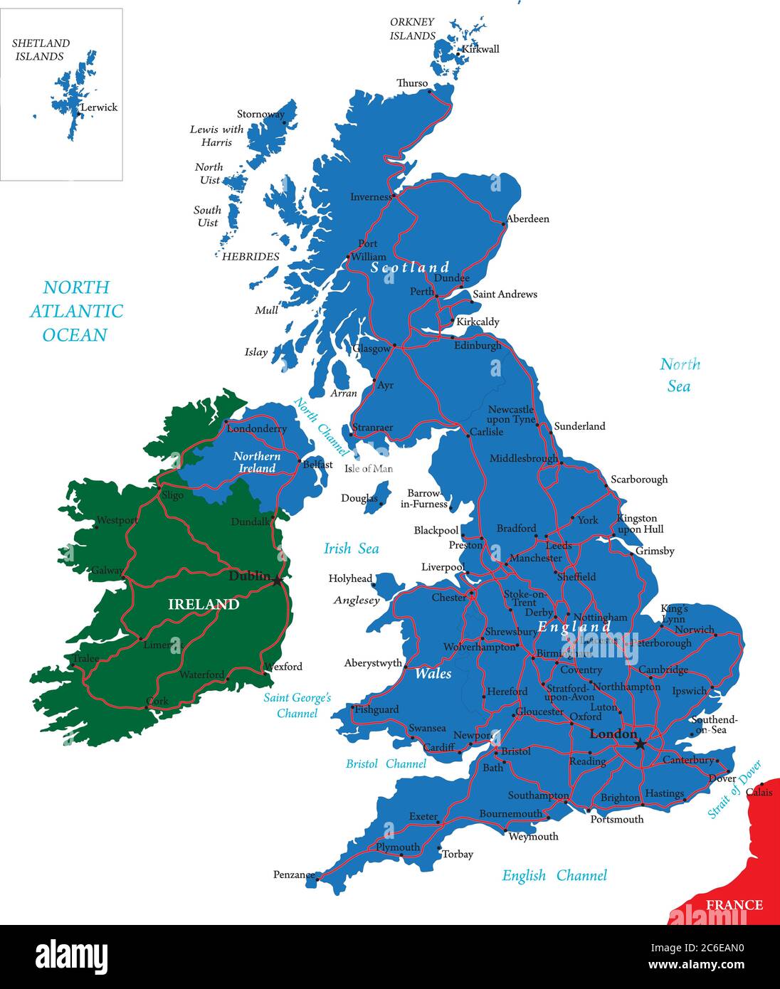 United Kingdom vector map with main regions,cities and roads. Stock Vectorhttps://www.alamy.com/image-license-details/?v=1https://www.alamy.com/united-kingdom-vector-map-with-main-regionscities-and-roads-image365421420.html
RF2C6EAN0–United Kingdom vector map with main regions,cities and roads.
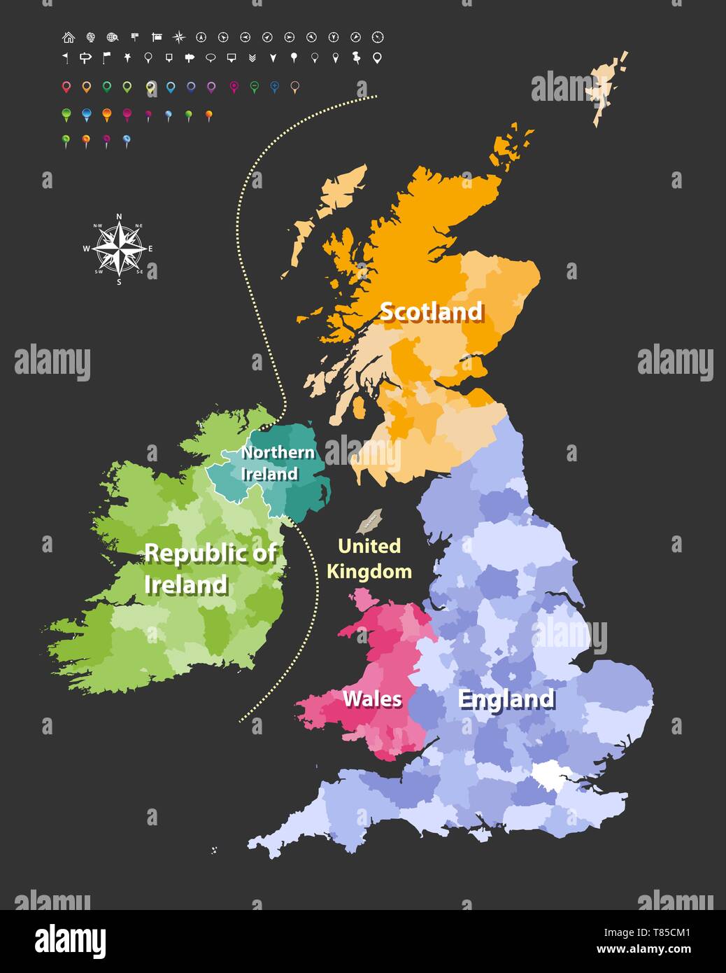 vector high detailed map of British Isles Stock Vectorhttps://www.alamy.com/image-license-details/?v=1https://www.alamy.com/vector-high-detailed-map-of-british-isles-image245982129.html
RFT85CM1–vector high detailed map of British Isles
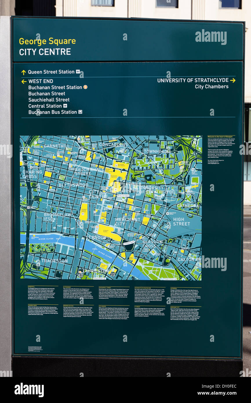 A Glasgow Public Street Map in the city centre, George Square, Glasgow, Scotland, UK Stock Photohttps://www.alamy.com/image-license-details/?v=1https://www.alamy.com/a-glasgow-public-street-map-in-the-city-centre-george-square-glasgow-image68238980.html
RMDY0FEC–A Glasgow Public Street Map in the city centre, George Square, Glasgow, Scotland, UK
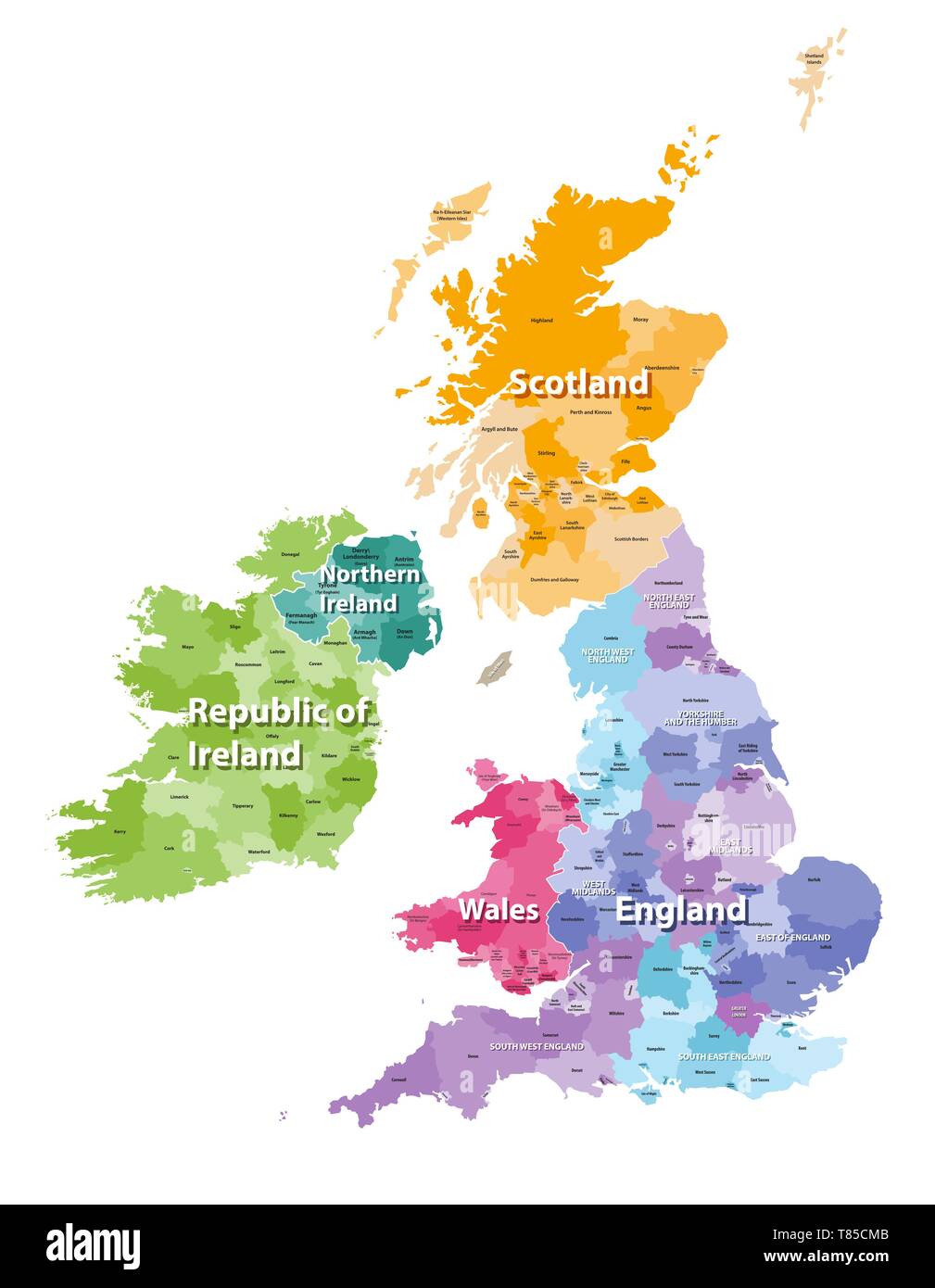 vector high detailed map of British Isles Stock Vectorhttps://www.alamy.com/image-license-details/?v=1https://www.alamy.com/vector-high-detailed-map-of-british-isles-image245982139.html
RFT85CMB–vector high detailed map of British Isles
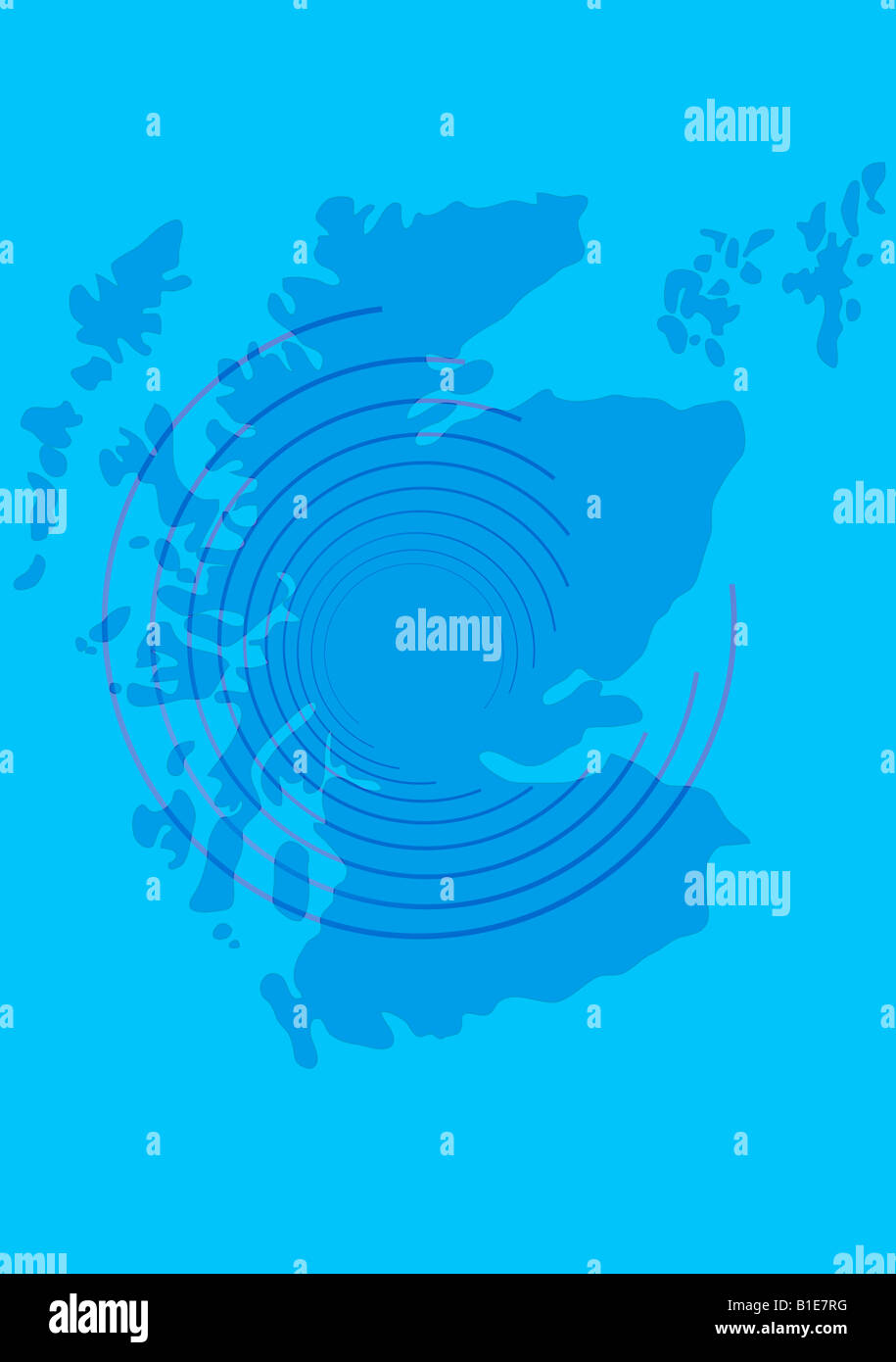 Map of Scotland, UK Stock Photohttps://www.alamy.com/image-license-details/?v=1https://www.alamy.com/stock-photo-map-of-scotland-uk-18138500.html
RFB1E7RG–Map of Scotland, UK
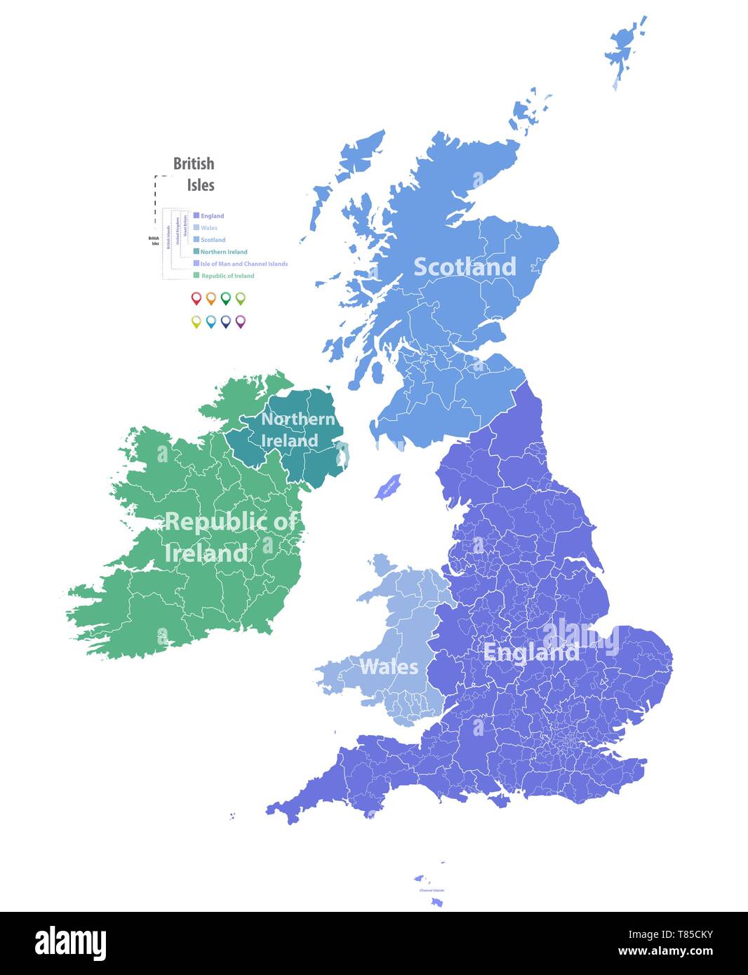 vector high detailed map of British Isles Stock Vectorhttps://www.alamy.com/image-license-details/?v=1https://www.alamy.com/vector-high-detailed-map-of-british-isles-image245982127.html
RFT85CKY–vector high detailed map of British Isles
 A man looking at a Glasgow Public Street Map in the West End, Scotland, UK Stock Photohttps://www.alamy.com/image-license-details/?v=1https://www.alamy.com/stock-photo-a-man-looking-at-a-glasgow-public-street-map-in-the-west-end-scotland-35094127.html
RMC12JWK–A man looking at a Glasgow Public Street Map in the West End, Scotland, UK
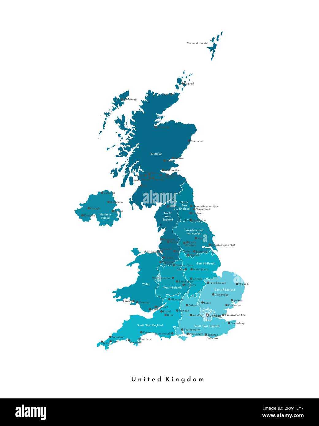 Vector modern isolated illustration. Simplified administrative map of United Kingdom of Great Britain and Northern Ireland (UK). Blue shapes. Names of Stock Vectorhttps://www.alamy.com/image-license-details/?v=1https://www.alamy.com/vector-modern-isolated-illustration-simplified-administrative-map-of-united-kingdom-of-great-britain-and-northern-ireland-uk-blue-shapes-names-of-image566636763.html
RF2RWTEY7–Vector modern isolated illustration. Simplified administrative map of United Kingdom of Great Britain and Northern Ireland (UK). Blue shapes. Names of
 Two tourists looking at a Glasgow Public Street Map in the city centre, George Square, Glasgow, Scotland, UK Stock Photohttps://www.alamy.com/image-license-details/?v=1https://www.alamy.com/two-tourists-looking-at-a-glasgow-public-street-map-in-the-city-centre-image67953923.html
RMDXFFWR–Two tourists looking at a Glasgow Public Street Map in the city centre, George Square, Glasgow, Scotland, UK
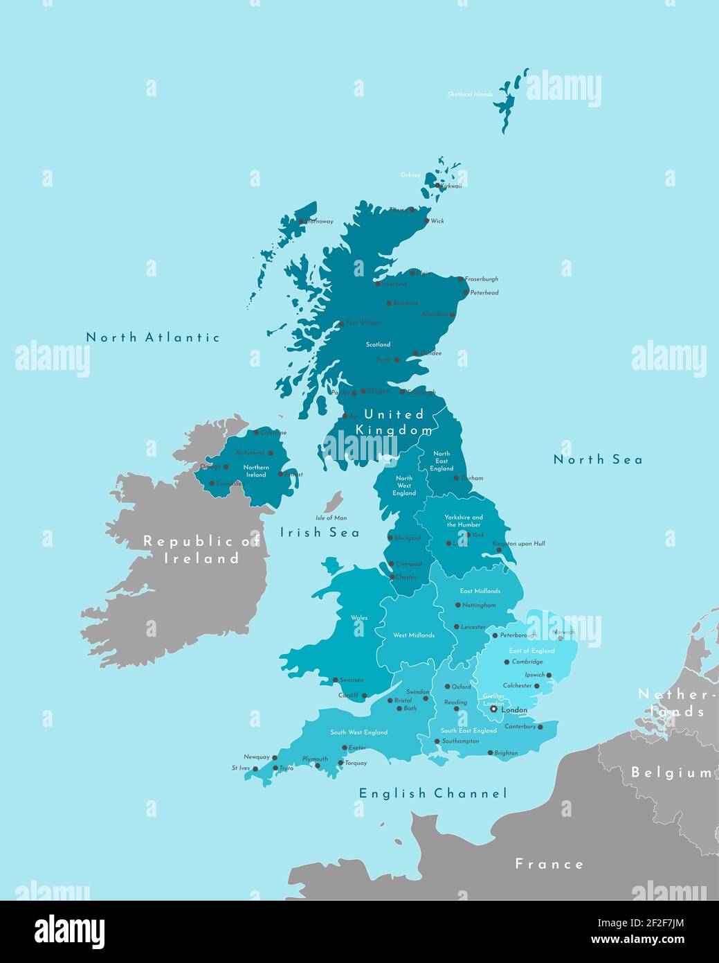 Vector modern illustration. Simplified geographical map of United Kingdom of Great Britain and Northern Ireland (UK). Blue background of Irish sea Stock Photohttps://www.alamy.com/image-license-details/?v=1https://www.alamy.com/vector-modern-illustration-simplified-geographical-map-of-united-kingdom-of-great-britain-and-northern-ireland-uk-blue-background-of-irish-sea-image414613436.html
RF2F2F7JM–Vector modern illustration. Simplified geographical map of United Kingdom of Great Britain and Northern Ireland (UK). Blue background of Irish sea
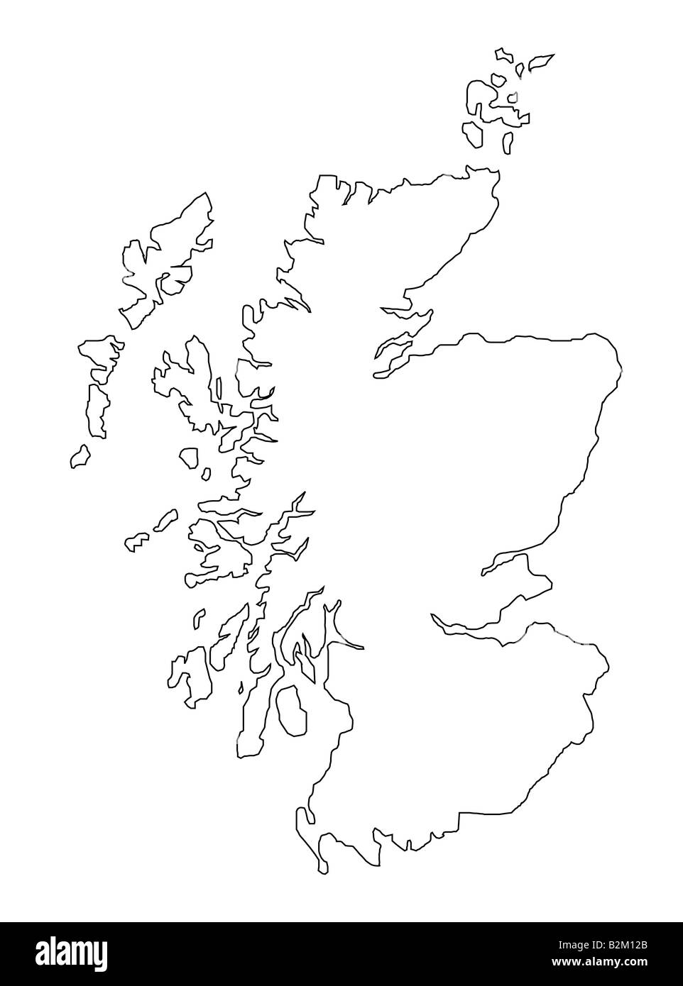 map of scotland Stock Photohttps://www.alamy.com/image-license-details/?v=1https://www.alamy.com/stock-photo-map-of-scotland-18879571.html
RFB2M12B–map of scotland
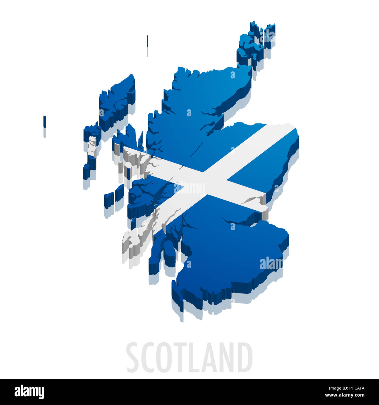 3D map Scotland Stock Photohttps://www.alamy.com/image-license-details/?v=1https://www.alamy.com/3d-map-scotland-image217245262.html
RMPHCAFA–3D map Scotland
 Glasgow Scotland ,United Kingdom map airplane and pin - Travel concept Stock Photohttps://www.alamy.com/image-license-details/?v=1https://www.alamy.com/stock-photo-glasgow-scotland-united-kingdom-map-airplane-and-pin-travel-concept-111494123.html
RFGDAYTY–Glasgow Scotland ,United Kingdom map airplane and pin - Travel concept
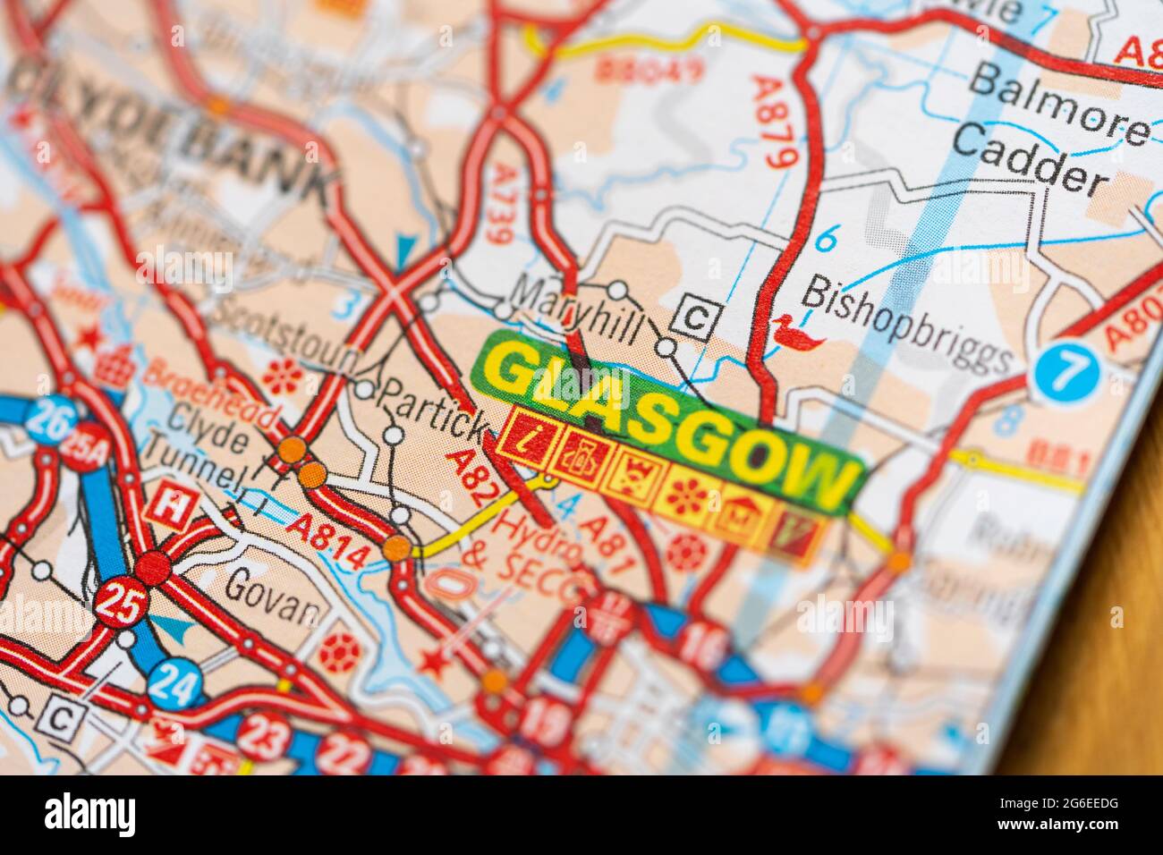 A macro closeup of a page in a printed road map atlas showing the Scottish city of Glasgow Stock Photohttps://www.alamy.com/image-license-details/?v=1https://www.alamy.com/a-macro-closeup-of-a-page-in-a-printed-road-map-atlas-showing-the-scottish-city-of-glasgow-image434265820.html
RM2G6EEDG–A macro closeup of a page in a printed road map atlas showing the Scottish city of Glasgow
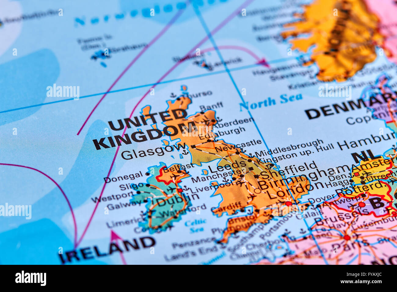 United Kingdom in Europe on the World Map Stock Photohttps://www.alamy.com/image-license-details/?v=1https://www.alamy.com/stock-photo-united-kingdom-in-europe-on-the-world-map-102887972.html
RFFYAXJC–United Kingdom in Europe on the World Map
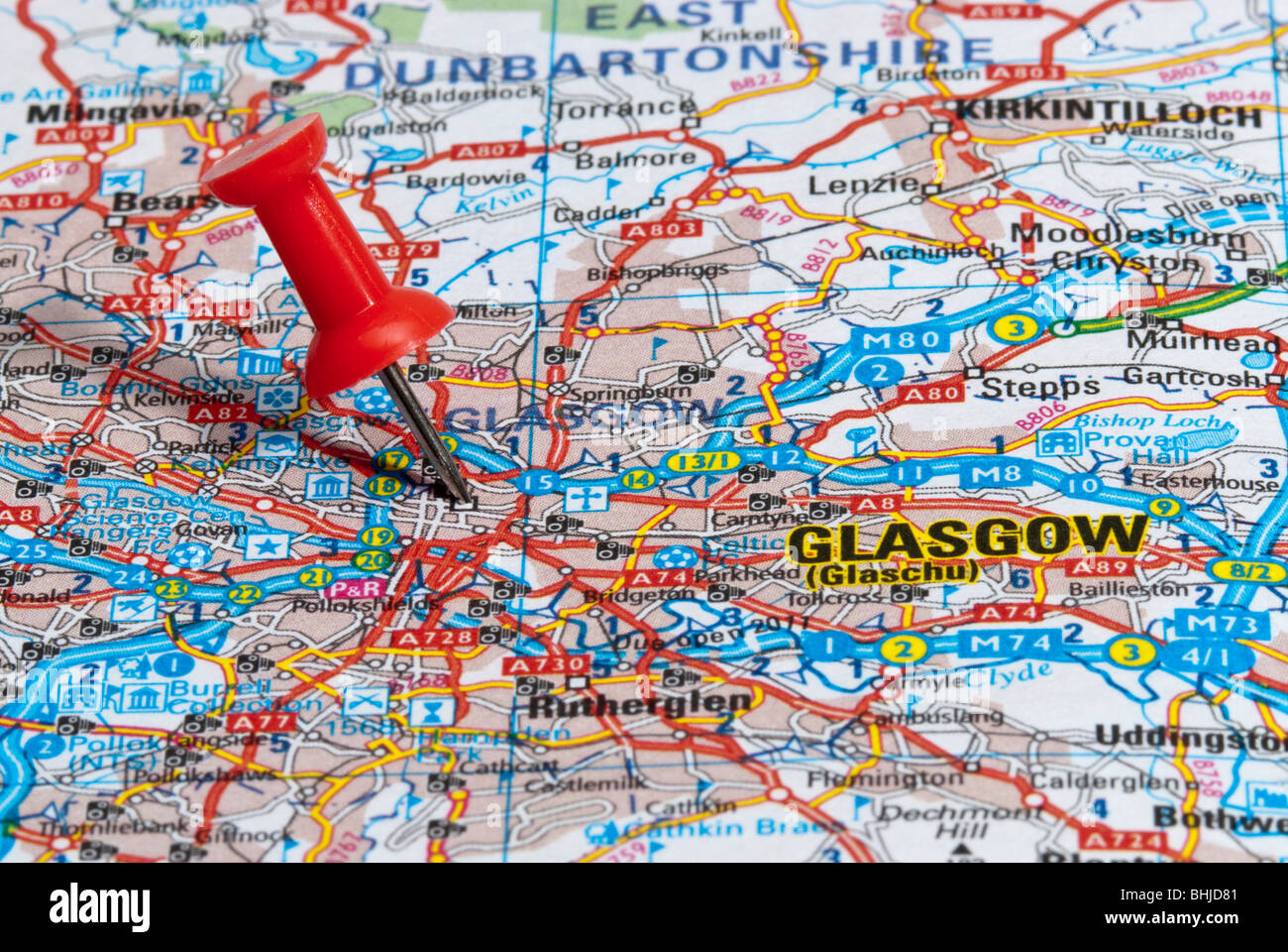 red map pin in road map pointing to city of Glasgow Stock Photohttps://www.alamy.com/image-license-details/?v=1https://www.alamy.com/stock-photo-red-map-pin-in-road-map-pointing-to-city-of-glasgow-28065073.html
RMBHJD81–red map pin in road map pointing to city of Glasgow
 United Kingdom of Great Britain and Northern Ireland map and official flag icons. vector British political map thin line icon. E Stock Vectorhttps://www.alamy.com/image-license-details/?v=1https://www.alamy.com/stock-photo-united-kingdom-of-great-britain-and-northern-ireland-map-and-official-105588672.html
RFG3NYC0–United Kingdom of Great Britain and Northern Ireland map and official flag icons. vector British political map thin line icon. E
 Glasgow pinned on a map of Scotland Stock Photohttps://www.alamy.com/image-license-details/?v=1https://www.alamy.com/stock-photo-glasgow-pinned-on-a-map-of-scotland-125354880.html
RFH7XBC0–Glasgow pinned on a map of Scotland
 Glasgow, Scotland, Great Britain pin on map Stock Photohttps://www.alamy.com/image-license-details/?v=1https://www.alamy.com/glasgow-scotland-great-britain-pin-on-map-image618079912.html
RF2XWFY6G–Glasgow, Scotland, Great Britain pin on map
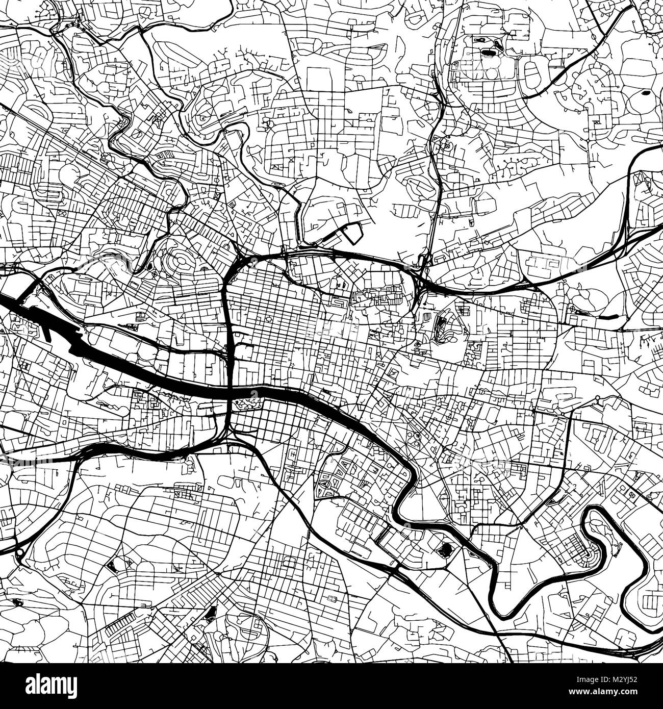 Glasgow Downtown Vector Map Monochrome Artprint, Outline Version for Infographic Background, Black Streets and Waterways Stock Vectorhttps://www.alamy.com/image-license-details/?v=1https://www.alamy.com/stock-photo-glasgow-downtown-vector-map-monochrome-artprint-outline-version-for-173939950.html
RFM2YJ52–Glasgow Downtown Vector Map Monochrome Artprint, Outline Version for Infographic Background, Black Streets and Waterways
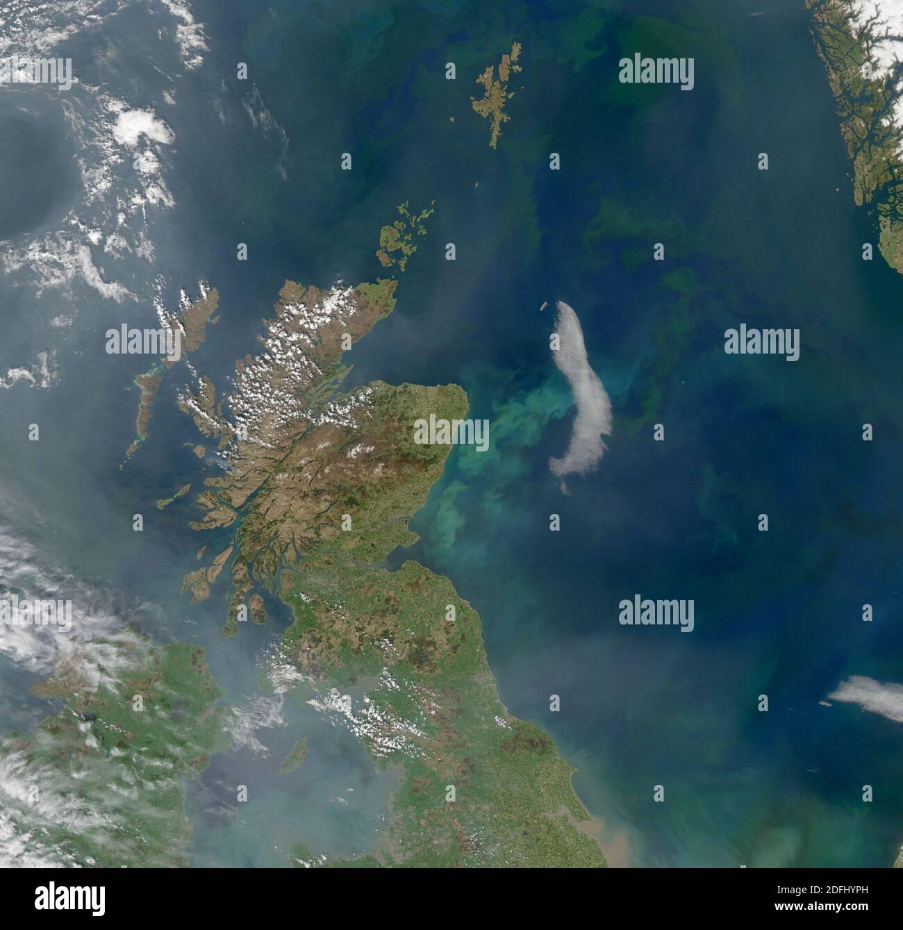 SCOTLAND - 2008 - This spectacular image from a NASA satellite shows northern England and Scotland, plus a large swathe of the North Sea - Photo: Geop Stock Photohttps://www.alamy.com/image-license-details/?v=1https://www.alamy.com/scotland-2008-this-spectacular-image-from-a-nasa-satellite-shows-northern-england-and-scotland-plus-a-large-swathe-of-the-north-sea-photo-geop-image388242921.html
RF2DFHYPH–SCOTLAND - 2008 - This spectacular image from a NASA satellite shows northern England and Scotland, plus a large swathe of the North Sea - Photo: Geop
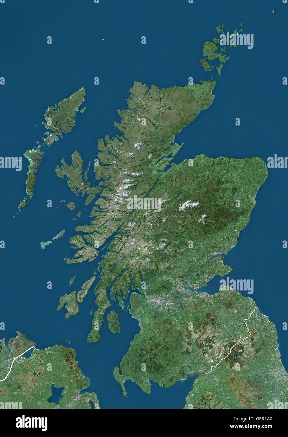 Satellite view of Scotland, UK (with country boundaries). The image shows the mainland of Scotland, including the Hebrides and Orkney islands. This image was compiled from data acquired by Landsat satellites. Stock Photohttps://www.alamy.com/image-license-details/?v=1https://www.alamy.com/stock-photo-satellite-view-of-scotland-uk-with-country-boundaries-the-image-shows-112373352.html
RMGER1A0–Satellite view of Scotland, UK (with country boundaries). The image shows the mainland of Scotland, including the Hebrides and Orkney islands. This image was compiled from data acquired by Landsat satellites.
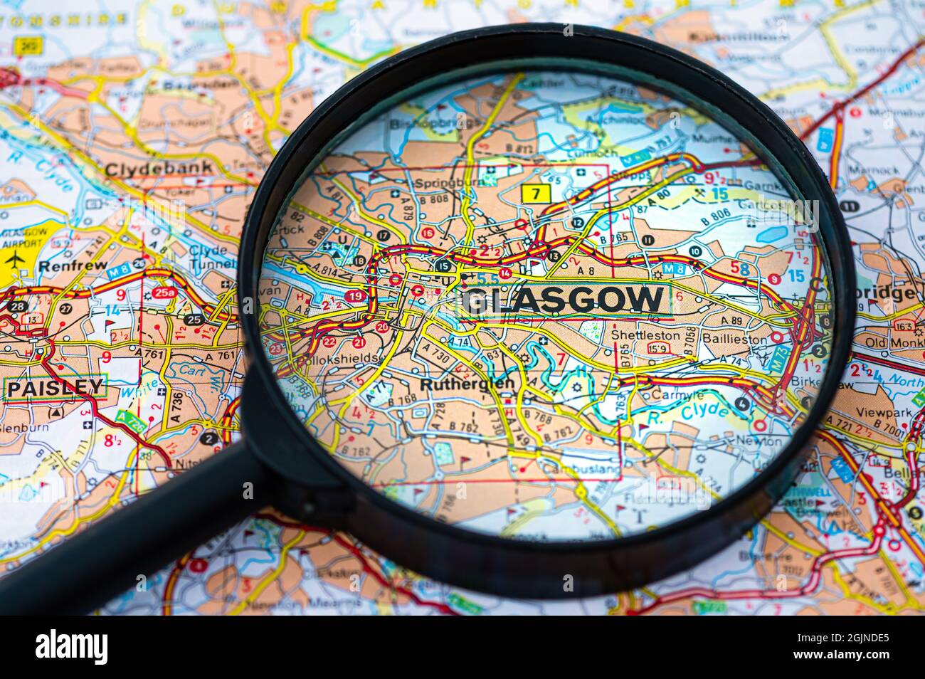 map of Glasgow in Scotland through magnifying glass, concept of planning the travel itinerary Stock Photohttps://www.alamy.com/image-license-details/?v=1https://www.alamy.com/map-of-glasgow-in-scotland-through-magnifying-glass-concept-of-planning-the-travel-itinerary-image441794589.html
RF2GJNDE5–map of Glasgow in Scotland through magnifying glass, concept of planning the travel itinerary
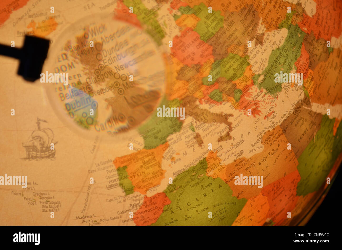 Classic globe with Scotland, Glasgow under the magnifying glass. Stock Photohttps://www.alamy.com/image-license-details/?v=1https://www.alamy.com/stock-photo-classic-globe-with-scotland-glasgow-under-the-magnifying-glass-47655452.html
RMCNEW0C–Classic globe with Scotland, Glasgow under the magnifying glass.
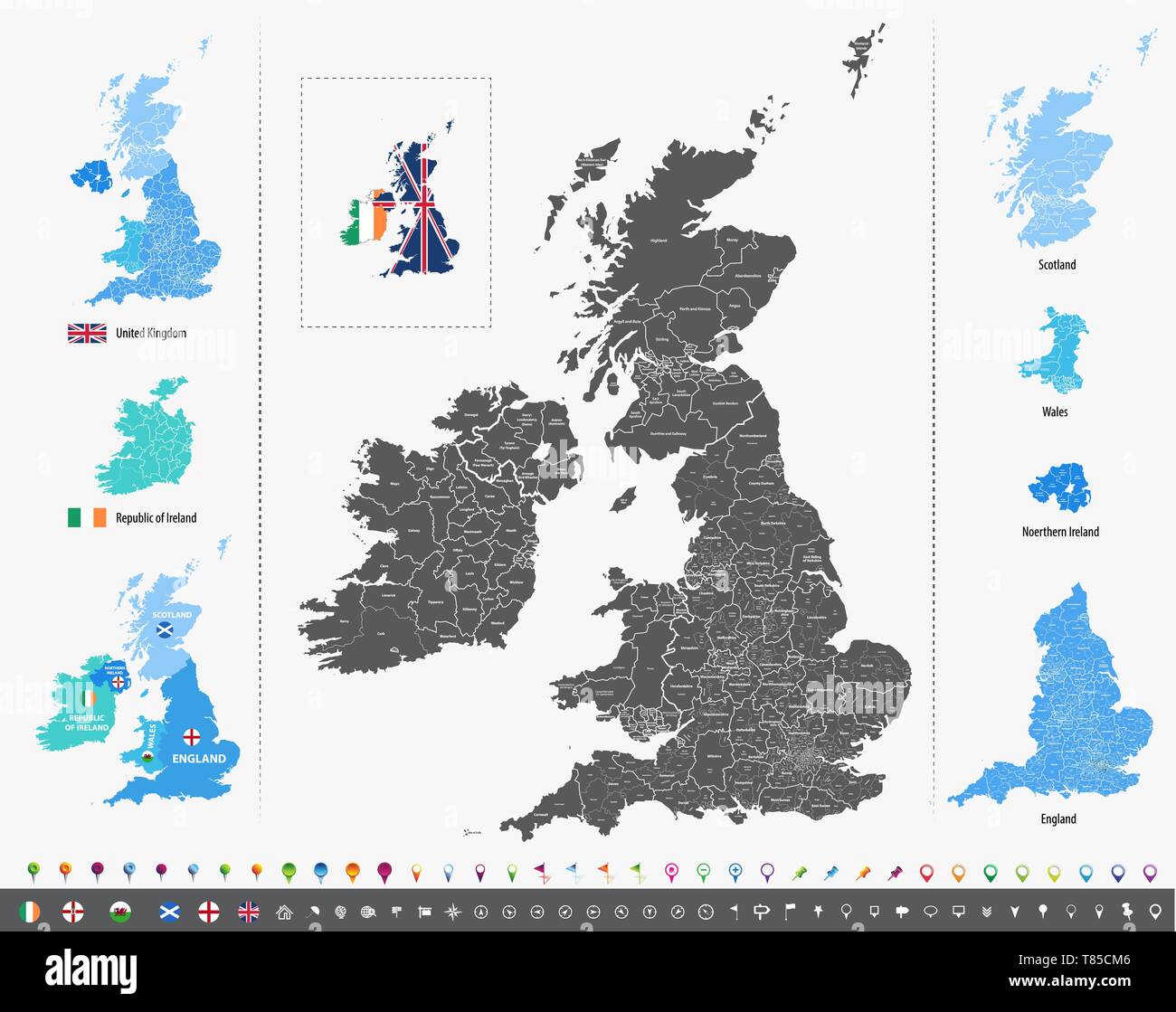 vector high detailed map of British Isles Stock Vectorhttps://www.alamy.com/image-license-details/?v=1https://www.alamy.com/vector-high-detailed-map-of-british-isles-image245982134.html
RFT85CM6–vector high detailed map of British Isles
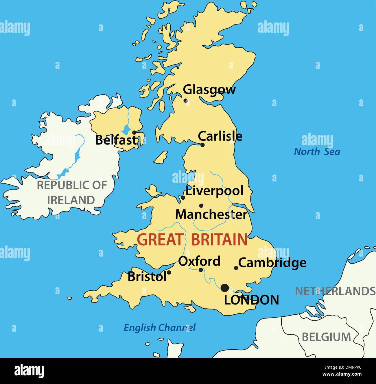 vector illustration - map of the United Kingdom of Great Britain Stock Vectorhttps://www.alamy.com/image-license-details/?v=1https://www.alamy.com/vector-illustration-map-of-the-united-kingdom-of-great-britain-image64425044.html
RFDMPPPC–vector illustration - map of the United Kingdom of Great Britain
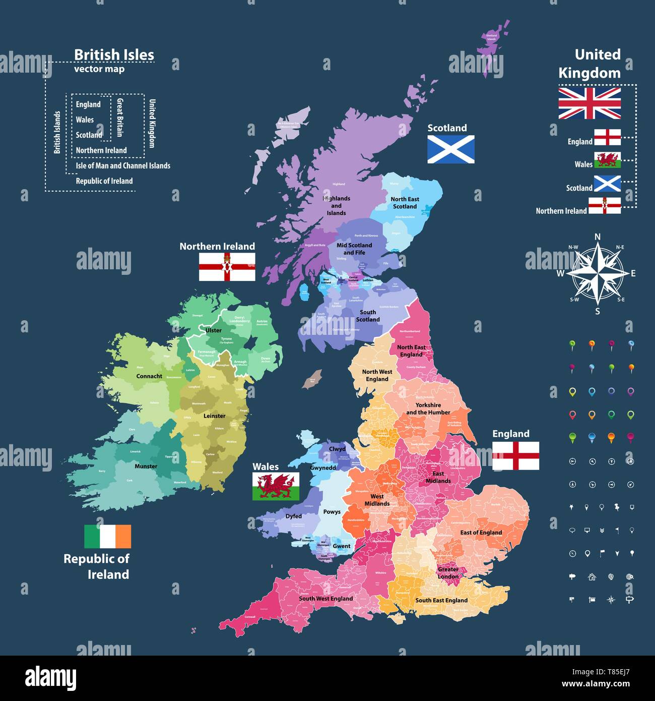 vector map of British Isles administrative divisions colored by countries and regions Stock Vectorhttps://www.alamy.com/image-license-details/?v=1https://www.alamy.com/vector-map-of-british-isles-administrative-divisions-colored-by-countries-and-regions-image245983647.html
RFT85EJ7–vector map of British Isles administrative divisions colored by countries and regions
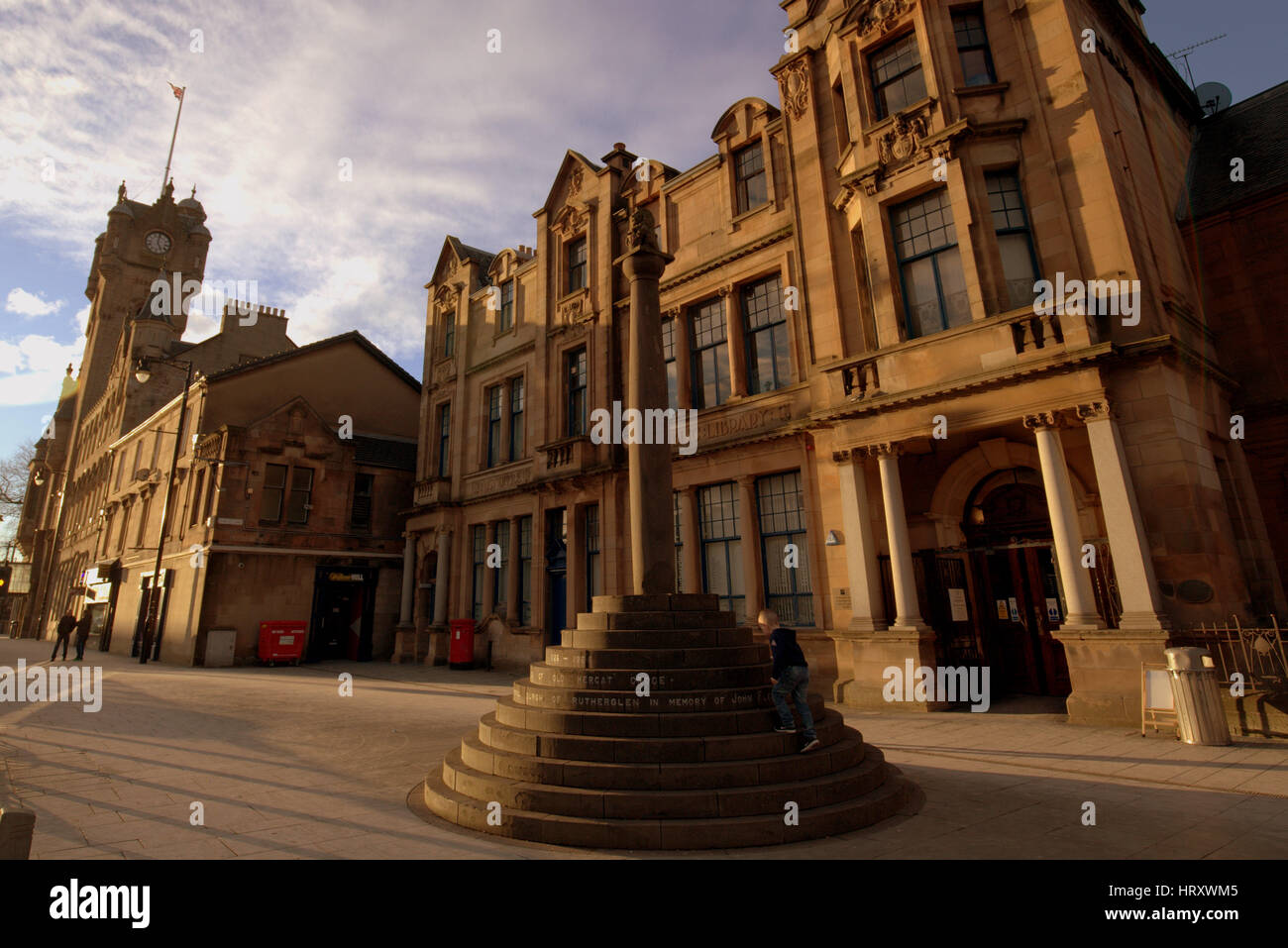 Rutherglen town centre mercat cross town hall and the library Stock Photohttps://www.alamy.com/image-license-details/?v=1https://www.alamy.com/stock-photo-rutherglen-town-centre-mercat-cross-town-hall-and-the-library-135200581.html
RMHRXWM5–Rutherglen town centre mercat cross town hall and the library
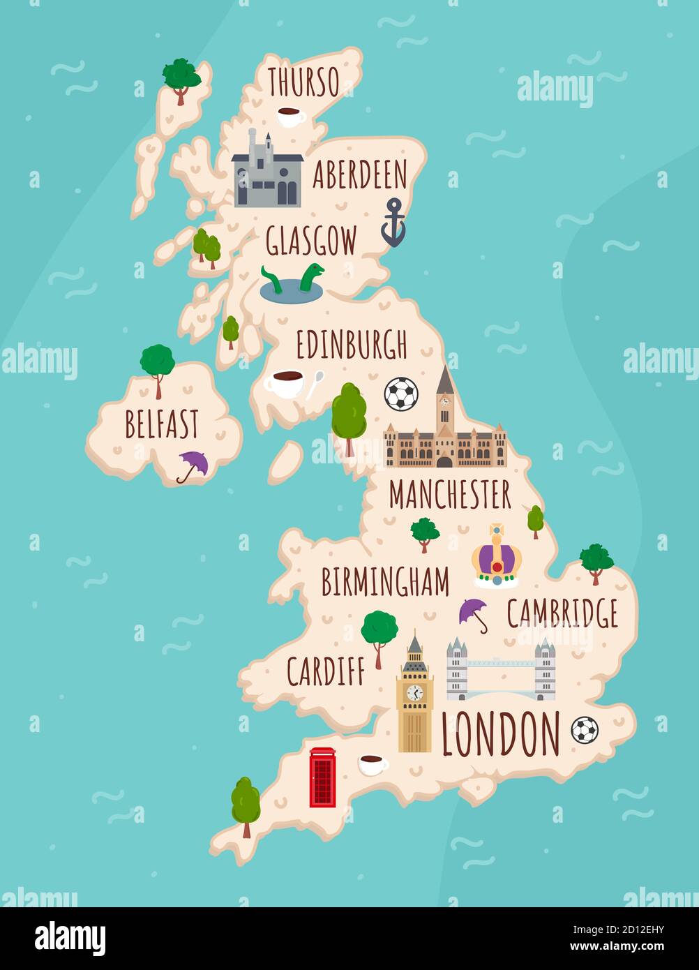 Cartoon map of United Kingdom. Travel illustration with british landmarks, buildings, food and plants. Funny tourist infographics. National symbols Stock Vectorhttps://www.alamy.com/image-license-details/?v=1https://www.alamy.com/cartoon-map-of-united-kingdom-travel-illustration-with-british-landmarks-buildings-food-and-plants-funny-tourist-infographics-national-symbols-image379298135.html
RF2D12EHY–Cartoon map of United Kingdom. Travel illustration with british landmarks, buildings, food and plants. Funny tourist infographics. National symbols
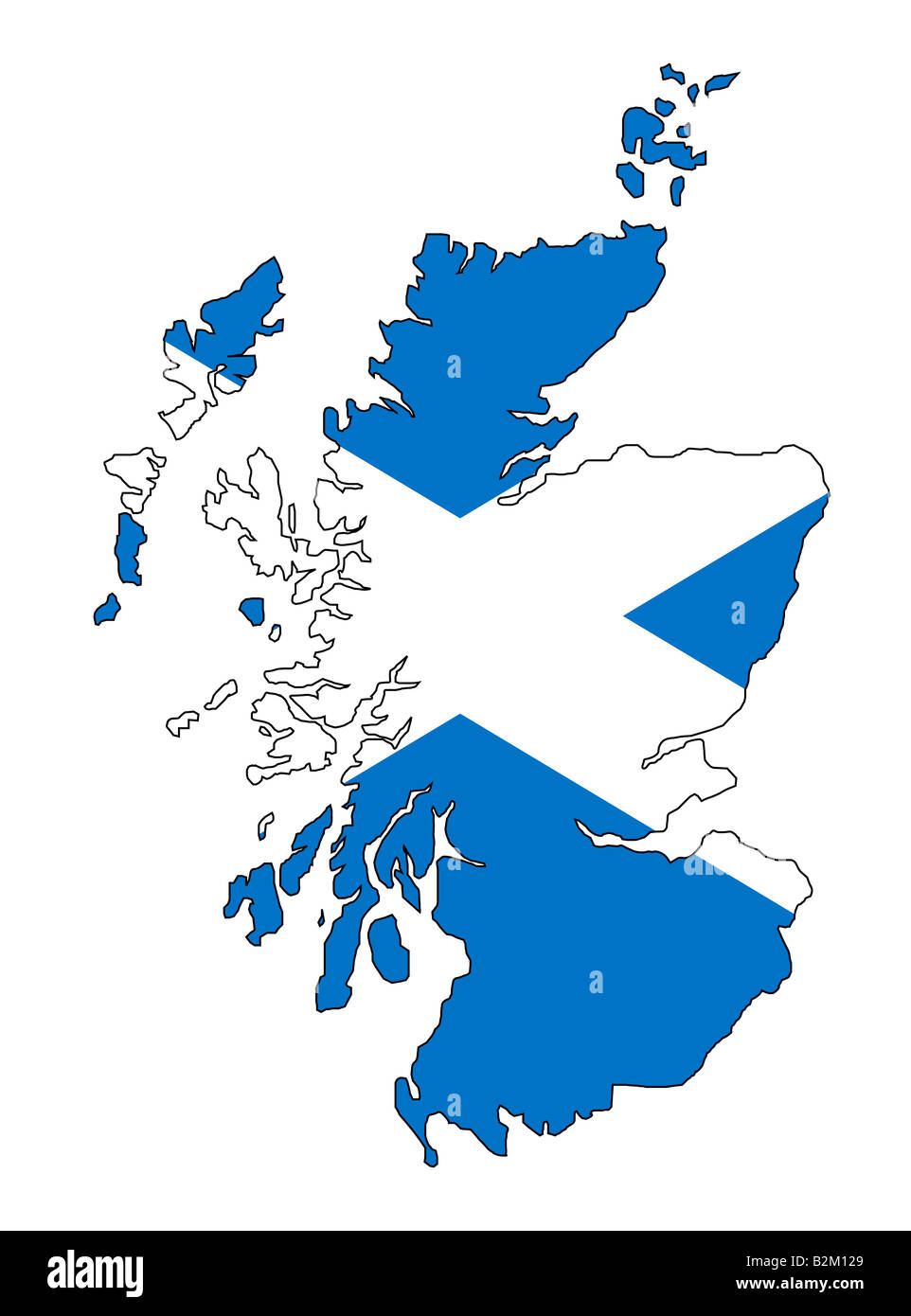 map and flag of scotland Stock Photohttps://www.alamy.com/image-license-details/?v=1https://www.alamy.com/stock-photo-map-and-flag-of-scotland-18879569.html
RFB2M129–map and flag of scotland
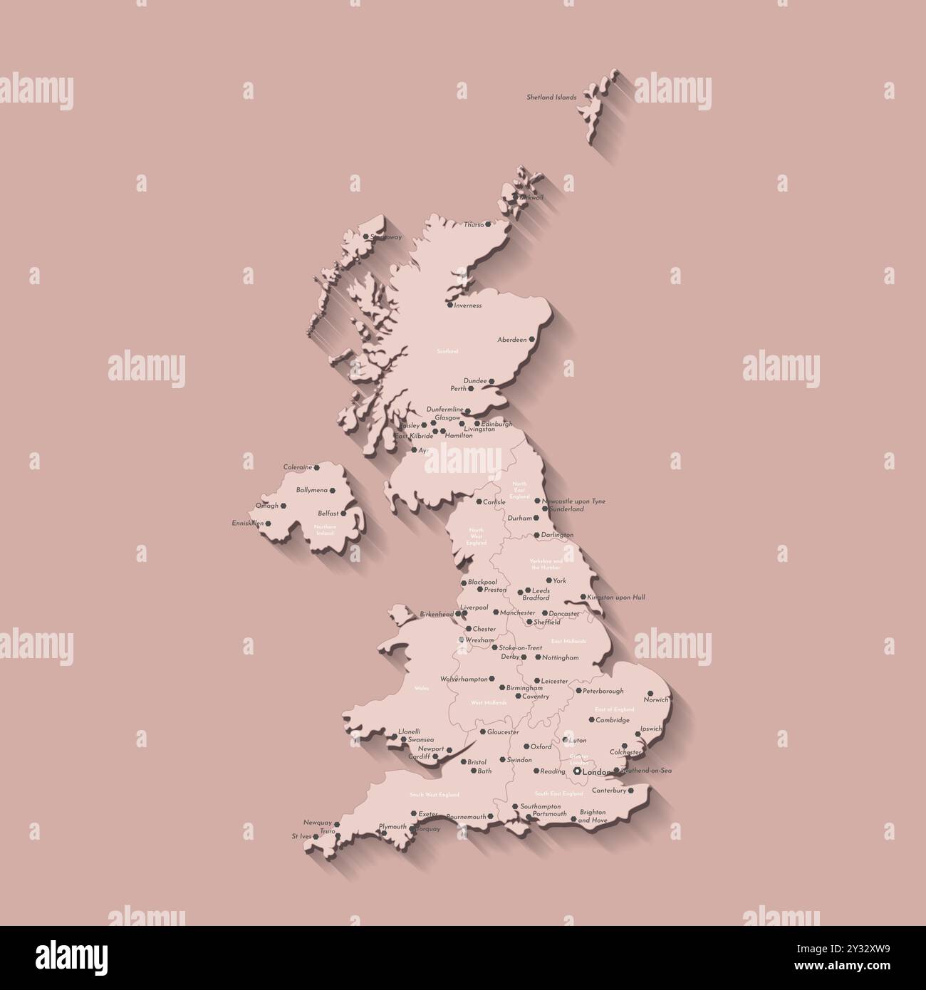 Vector modern isolated illustration. Simplified administrative map of United Kingdom of Great Britain and Northern Ireland. Beige shapes. Names of UK Stock Vectorhttps://www.alamy.com/image-license-details/?v=1https://www.alamy.com/vector-modern-isolated-illustration-simplified-administrative-map-of-united-kingdom-of-great-britain-and-northern-ireland-beige-shapes-names-of-uk-image621482213.html
RF2Y32XW9–Vector modern isolated illustration. Simplified administrative map of United Kingdom of Great Britain and Northern Ireland. Beige shapes. Names of UK
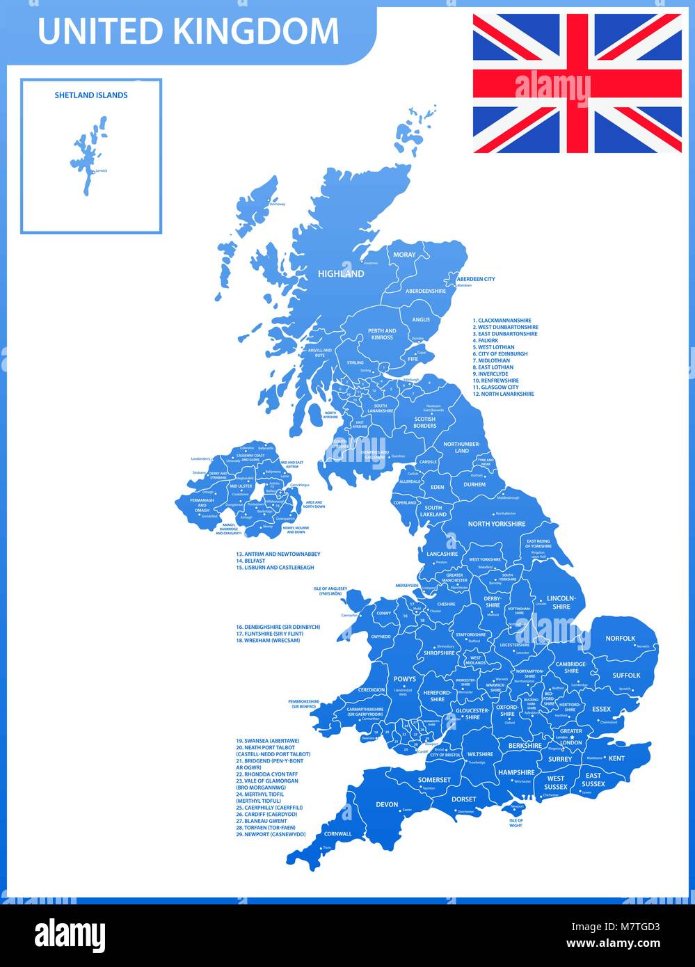 The detailed map of the United Kingdom with regions or states and cities, capitals. Actual current relevant UK, Great Britain administrative devision. Stock Vectorhttps://www.alamy.com/image-license-details/?v=1https://www.alamy.com/stock-photo-the-detailed-map-of-the-united-kingdom-with-regions-or-states-and-176946031.html
RFM7TGD3–The detailed map of the United Kingdom with regions or states and cities, capitals. Actual current relevant UK, Great Britain administrative devision.
 Closeup of a page in a printed road map atlas with a man's hand holding a magnifying glass showing an enlargement of the city of Glasgow, Scotland Stock Photohttps://www.alamy.com/image-license-details/?v=1https://www.alamy.com/closeup-of-a-page-in-a-printed-road-map-atlas-with-a-mans-hand-holding-a-magnifying-glass-showing-an-enlargement-of-the-city-of-glasgow-scotland-image434265803.html
RM2G6EECY–Closeup of a page in a printed road map atlas with a man's hand holding a magnifying glass showing an enlargement of the city of Glasgow, Scotland
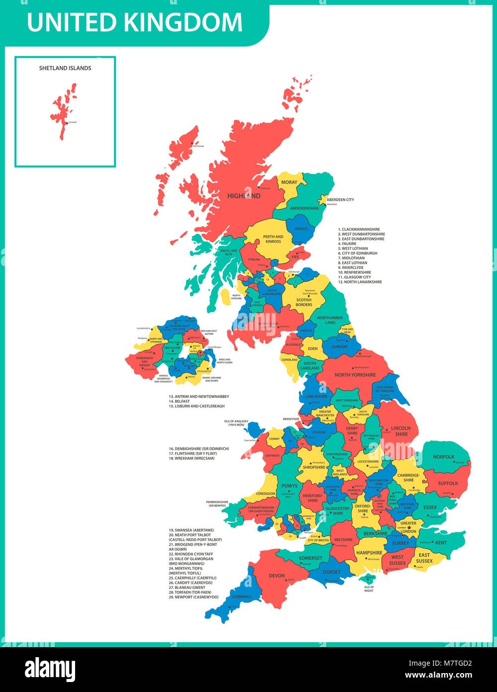 The detailed map of the United Kingdom with regions or states and cities, capitals. Actual current relevant UK, Great Britain administrative devision. Stock Vectorhttps://www.alamy.com/image-license-details/?v=1https://www.alamy.com/stock-photo-the-detailed-map-of-the-united-kingdom-with-regions-or-states-and-176946030.html
RFM7TGD2–The detailed map of the United Kingdom with regions or states and cities, capitals. Actual current relevant UK, Great Britain administrative devision.
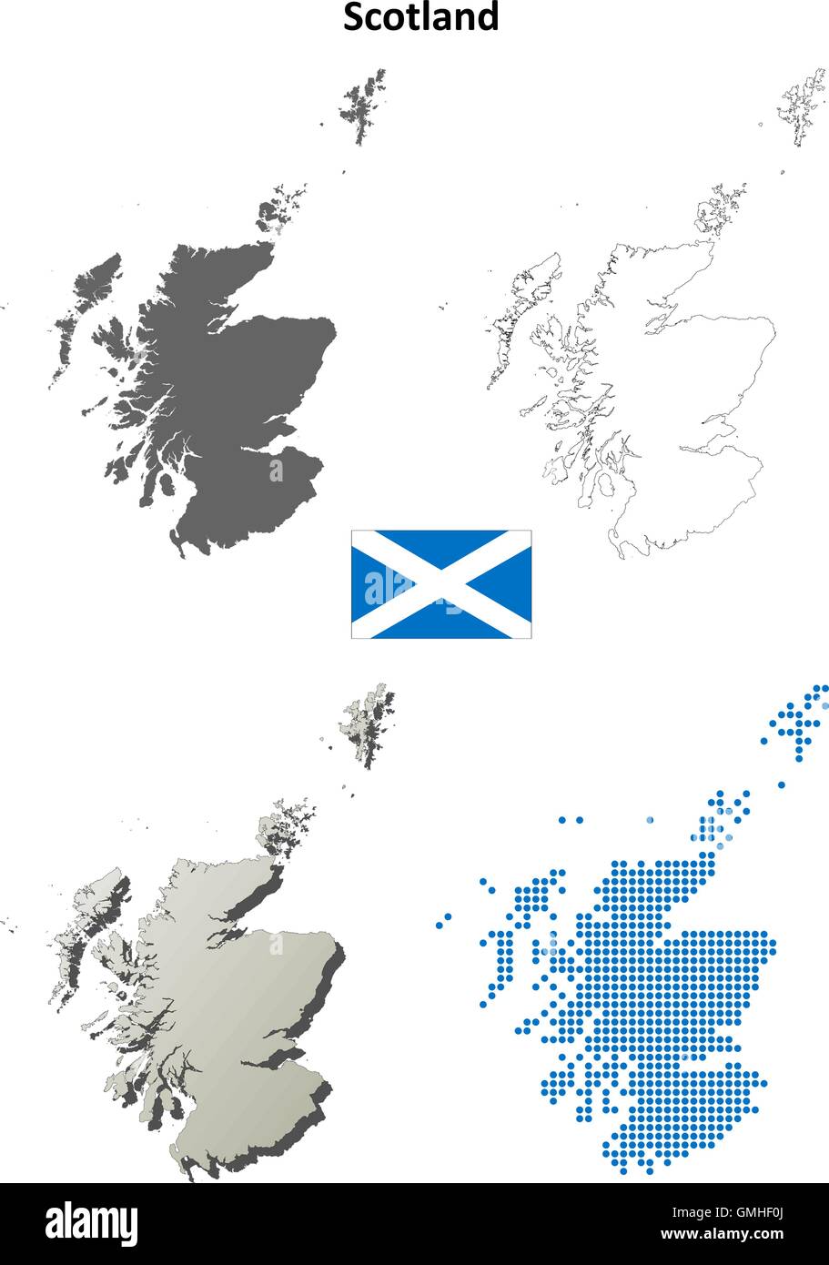 Scotland outline map set Stock Vectorhttps://www.alamy.com/image-license-details/?v=1https://www.alamy.com/stock-photo-scotland-outline-map-set-115940290.html
RFGMHF0J–Scotland outline map set
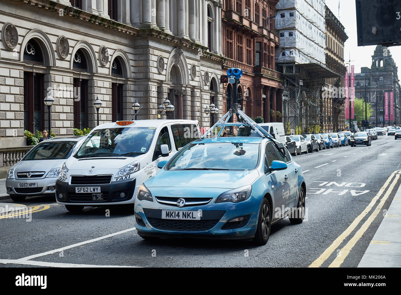 Glasgow City Scotland - 06.05.2018 Google Street View vehicle car apping streets throughout the city center of Glasgow Stock Photohttps://www.alamy.com/image-license-details/?v=1https://www.alamy.com/glasgow-city-scotland-06052018-google-street-view-vehicle-car-apping-streets-throughout-the-city-center-of-glasgow-image183826226.html
RMMK206A–Glasgow City Scotland - 06.05.2018 Google Street View vehicle car apping streets throughout the city center of Glasgow
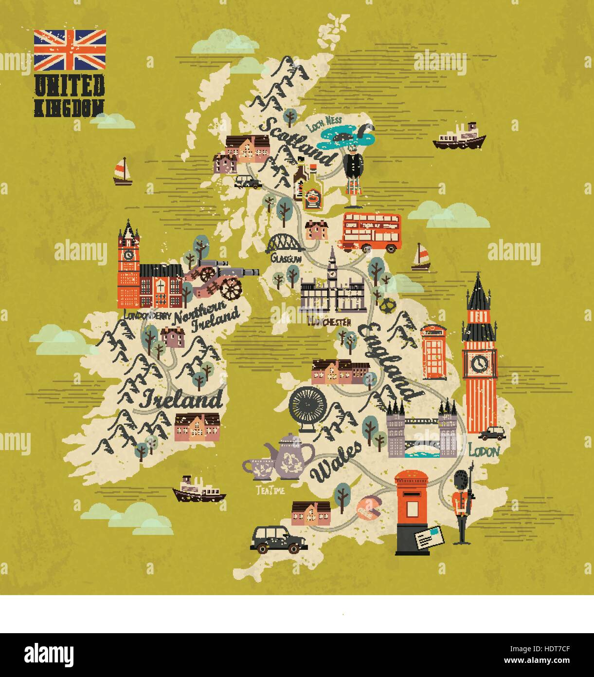 United Kingdom travel map with attractions in flat design Stock Vectorhttps://www.alamy.com/image-license-details/?v=1https://www.alamy.com/stock-photo-united-kingdom-travel-map-with-attractions-in-flat-design-128995791.html
RFHDT7CF–United Kingdom travel map with attractions in flat design
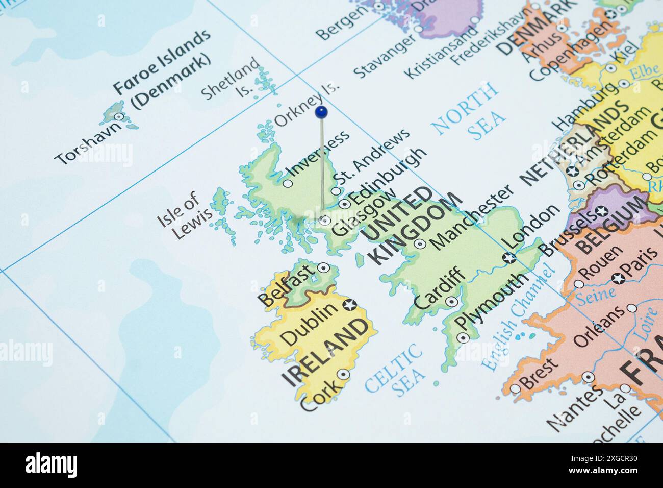 Close up to a Glasgow city with a blue pin needle into Scotland country political map Stock Photohttps://www.alamy.com/image-license-details/?v=1https://www.alamy.com/close-up-to-a-glasgow-city-with-a-blue-pin-needle-into-scotland-country-political-map-image612478916.html
RF2XGCR30–Close up to a Glasgow city with a blue pin needle into Scotland country political map
 A red pin stuck into a map of Western Europe, pinpointing the location of Glasgow Stock Photohttps://www.alamy.com/image-license-details/?v=1https://www.alamy.com/a-red-pin-stuck-into-a-map-of-western-europe-pinpointing-the-location-of-glasgow-image575643757.html
RF2TCERDH–A red pin stuck into a map of Western Europe, pinpointing the location of Glasgow
 Glasgow is in focus on a vintage map. Stock Photohttps://www.alamy.com/image-license-details/?v=1https://www.alamy.com/glasgow-is-in-focus-on-a-vintage-map-image222328543.html
RFPWKX93–Glasgow is in focus on a vintage map.
 Satellite view of Scotland, UK (with country boundaries and mask). The image shows the mainland of Scotland, including the Hebrides and Orkney islands. This image was compiled from data acquired by Landsat satellites. Stock Photohttps://www.alamy.com/image-license-details/?v=1https://www.alamy.com/stock-photo-satellite-view-of-scotland-uk-with-country-boundaries-and-mask-the-112373351.html
RMGER19Y–Satellite view of Scotland, UK (with country boundaries and mask). The image shows the mainland of Scotland, including the Hebrides and Orkney islands. This image was compiled from data acquired by Landsat satellites.
 some very old grunge map of united kingdom with flag on map of europe Stock Photohttps://www.alamy.com/image-license-details/?v=1https://www.alamy.com/stock-photo-some-very-old-grunge-map-of-united-kingdom-with-flag-on-map-of-europe-123339792.html
RFH4JH4G–some very old grunge map of united kingdom with flag on map of europe
 map of Glasgow in Scotland through magnifying glass, concept of planning the travel itinerary Stock Photohttps://www.alamy.com/image-license-details/?v=1https://www.alamy.com/map-of-glasgow-in-scotland-through-magnifying-glass-concept-of-planning-the-travel-itinerary-image471284180.html
RF2JAMRNT–map of Glasgow in Scotland through magnifying glass, concept of planning the travel itinerary
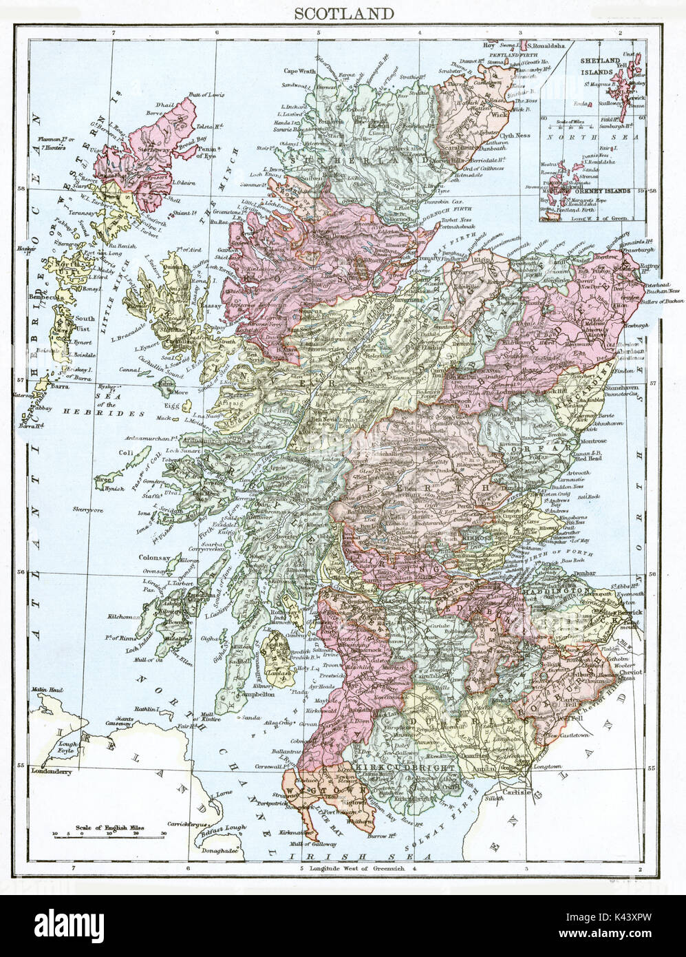 Antique map, circa 1875, of Scotland Stock Photohttps://www.alamy.com/image-license-details/?v=1https://www.alamy.com/antique-map-circa-1875-of-scotland-image157438817.html
RMK43XPW–Antique map, circa 1875, of Scotland
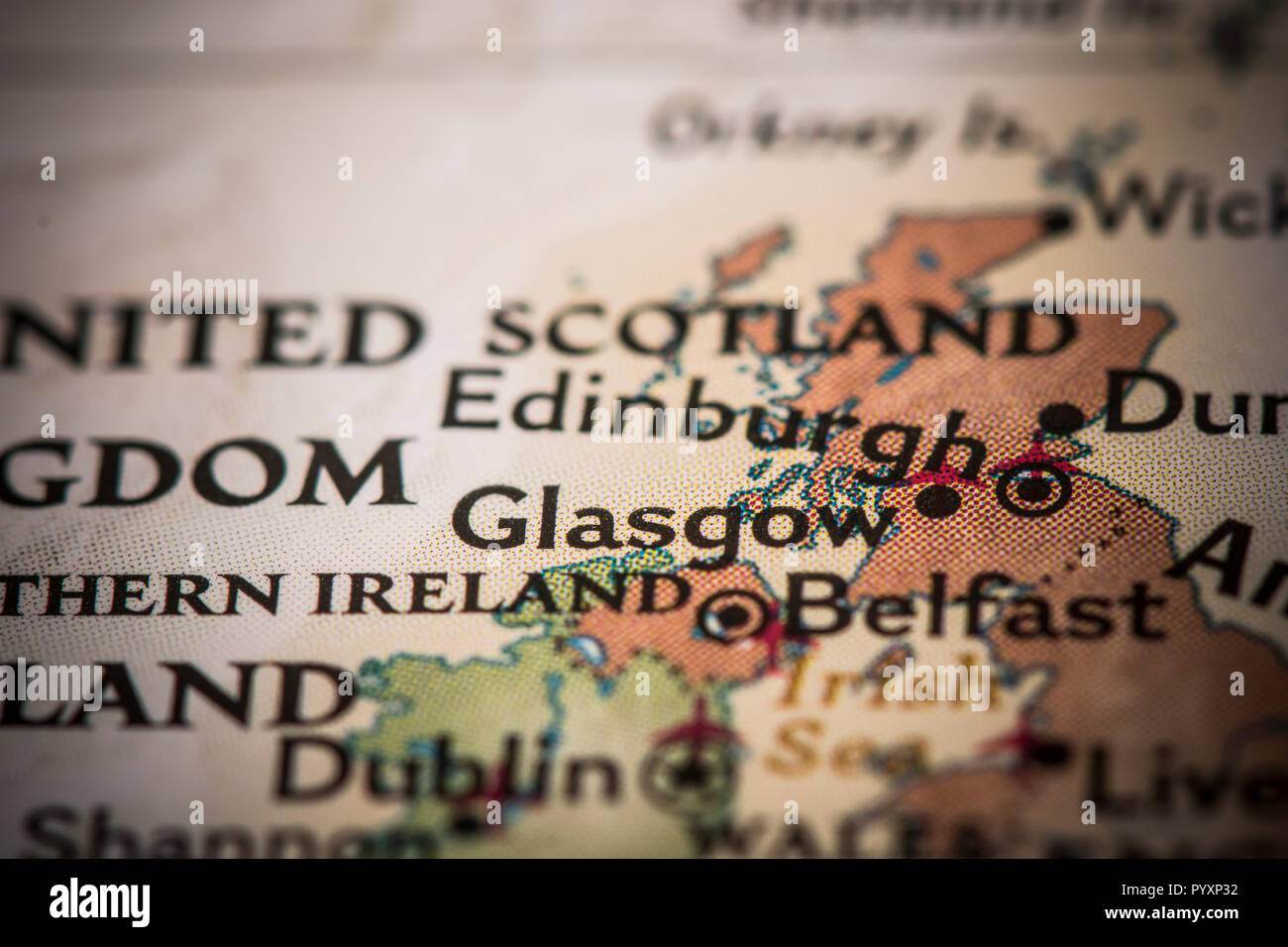 Closeup of Glasglow, Scotland, on a world map. Stock Photohttps://www.alamy.com/image-license-details/?v=1https://www.alamy.com/closeup-of-glasglow-scotland-on-a-world-map-image223708214.html
RFPYXP32–Closeup of Glasglow, Scotland, on a world map.
 Pushpin on Glasgow map background. 3d illustration. Stock Photohttps://www.alamy.com/image-license-details/?v=1https://www.alamy.com/stock-photo-pushpin-on-glasgow-map-background-3d-illustration-145567537.html
RFJCR4TH–Pushpin on Glasgow map background. 3d illustration.
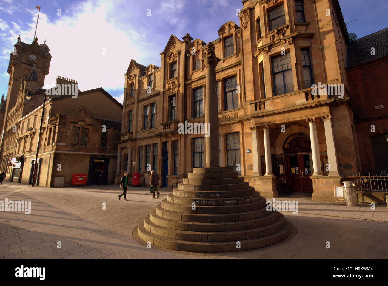 Rutherglen town centre mercat cross town hall and the library Stock Photohttps://www.alamy.com/image-license-details/?v=1https://www.alamy.com/stock-photo-rutherglen-town-centre-mercat-cross-town-hall-and-the-library-135200580.html
RMHRXWM4–Rutherglen town centre mercat cross town hall and the library
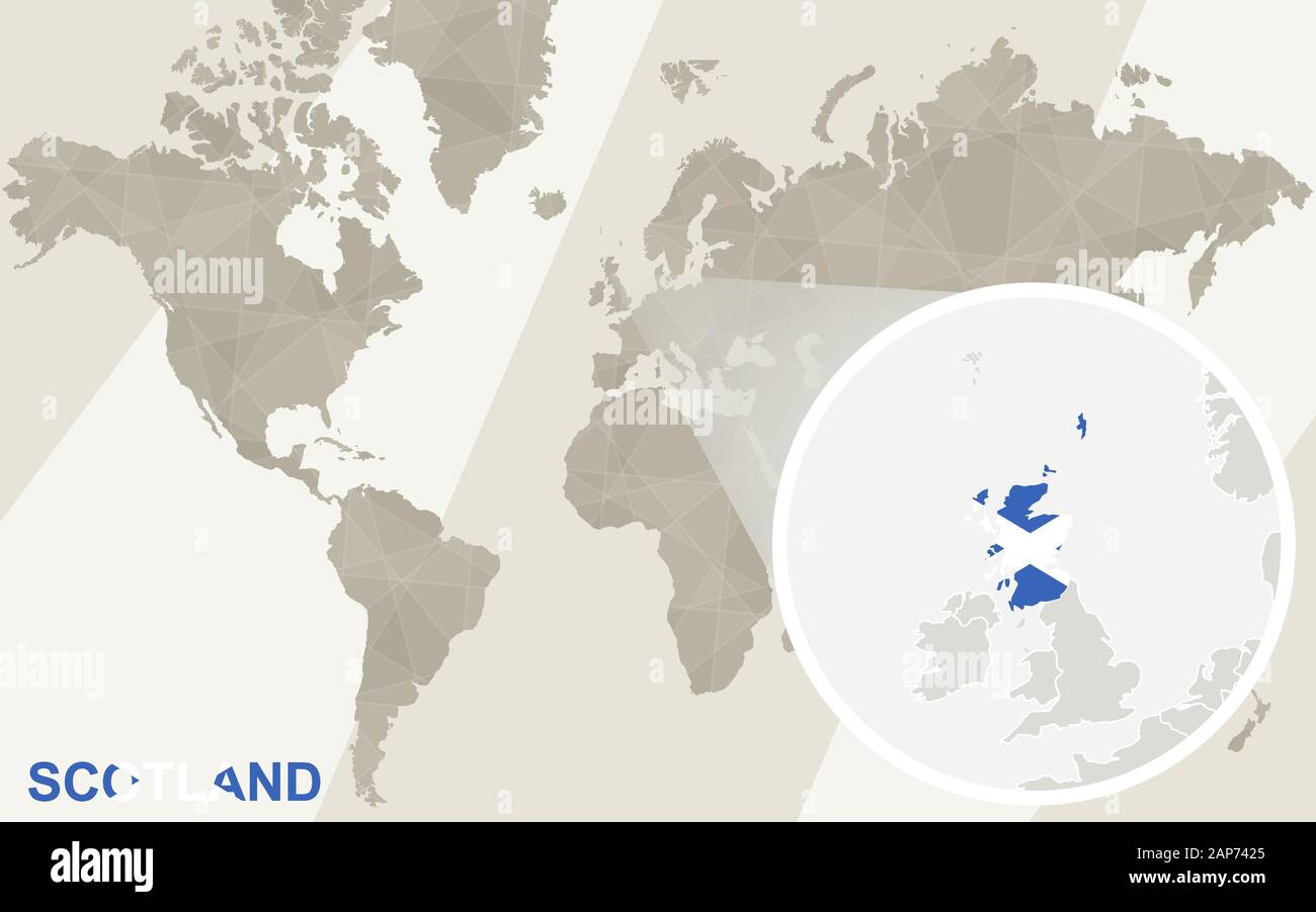 Zoom on Scotland Map and Flag. World Map. Stock Vectorhttps://www.alamy.com/image-license-details/?v=1https://www.alamy.com/zoom-on-scotland-map-and-flag-world-map-image340676285.html
RF2AP7425–Zoom on Scotland Map and Flag. World Map.
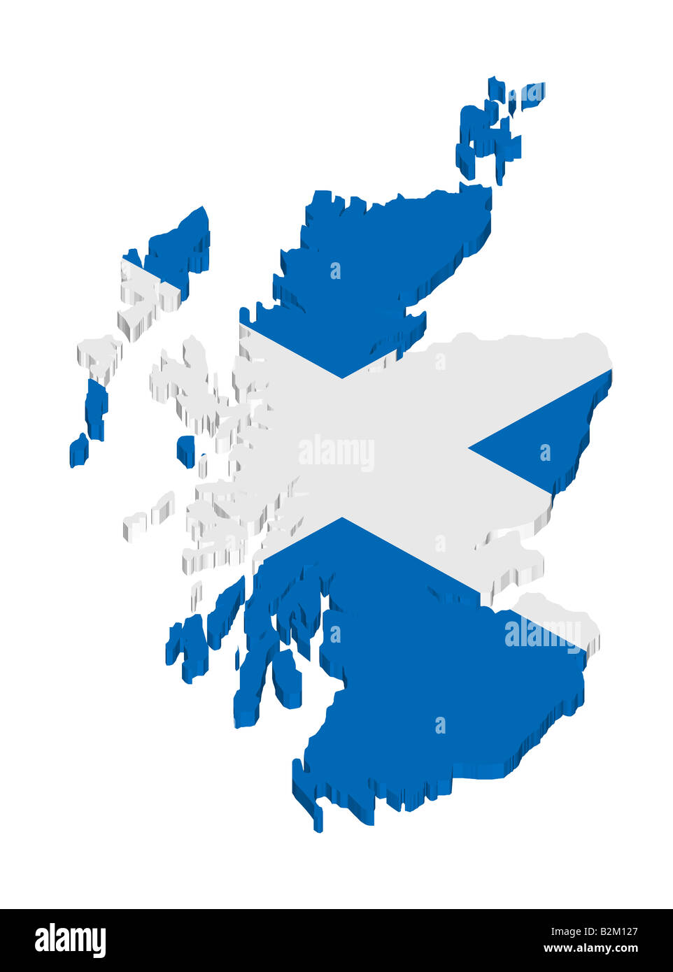 map and flag of scotland Stock Photohttps://www.alamy.com/image-license-details/?v=1https://www.alamy.com/stock-photo-map-and-flag-of-scotland-18879567.html
RFB2M127–map and flag of scotland
 Vector modern isolated illustration. Simplified administrative map of United Kingdom of Great Britain and Northern Ireland. Grey shapes. Names of UK r Stock Vectorhttps://www.alamy.com/image-license-details/?v=1https://www.alamy.com/vector-modern-isolated-illustration-simplified-administrative-map-of-united-kingdom-of-great-britain-and-northern-ireland-grey-shapes-names-of-uk-r-image621482218.html
RF2Y32XWE–Vector modern isolated illustration. Simplified administrative map of United Kingdom of Great Britain and Northern Ireland. Grey shapes. Names of UK r
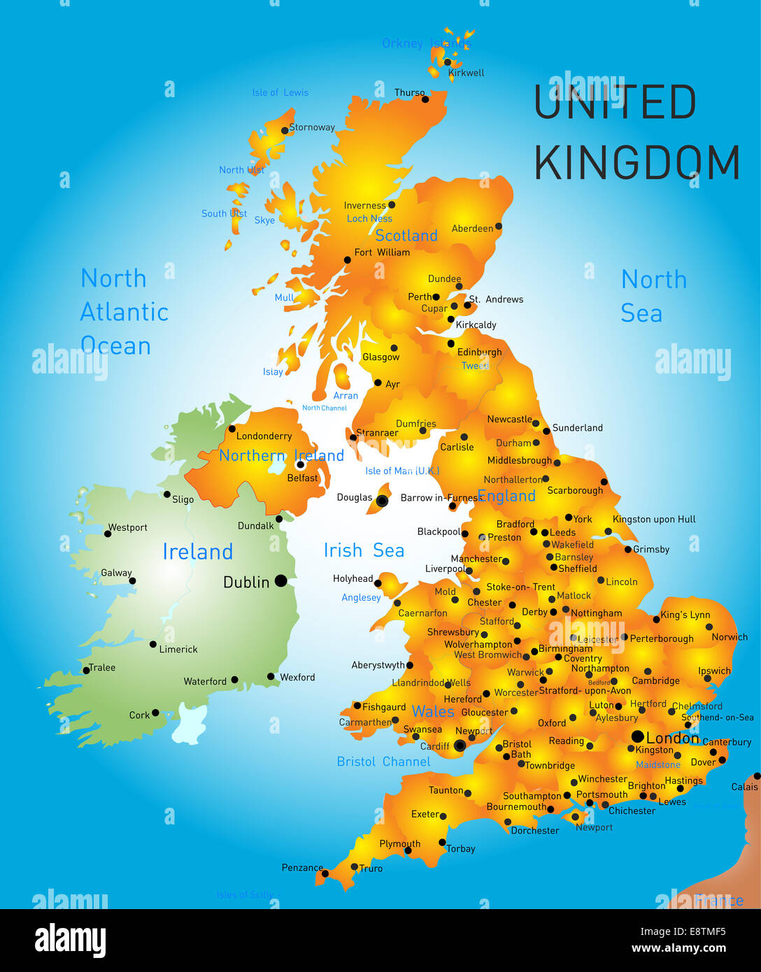 United Kingdom Stock Photohttps://www.alamy.com/image-license-details/?v=1https://www.alamy.com/stock-photo-united-kingdom-74301673.html
RFE8TMF5–United Kingdom
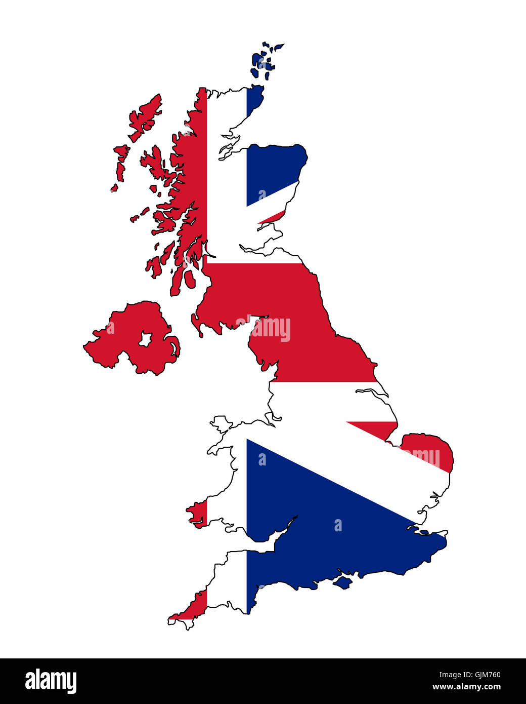 england flag country Stock Photohttps://www.alamy.com/image-license-details/?v=1https://www.alamy.com/stock-photo-england-flag-country-114770712.html
RFGJM760–england flag country
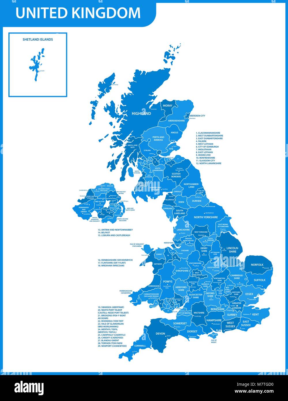 The detailed map of the United Kingdom with regions or states and cities, capitals. Actual current relevant UK, Great Britain administrative devision. Stock Vectorhttps://www.alamy.com/image-license-details/?v=1https://www.alamy.com/stock-photo-the-detailed-map-of-the-united-kingdom-with-regions-or-states-and-176946028.html
RFM7TGD0–The detailed map of the United Kingdom with regions or states and cities, capitals. Actual current relevant UK, Great Britain administrative devision.
 Scotland, Glasgow, Glasgow City. Detail shot of ornate architecture in Glasgow City. Stock Photohttps://www.alamy.com/image-license-details/?v=1https://www.alamy.com/stock-photo-scotland-glasgow-glasgow-city-detail-shot-of-ornate-architecture-in-55982091.html
RMD725MB–Scotland, Glasgow, Glasgow City. Detail shot of ornate architecture in Glasgow City.
