Quick filters:
Global language map Stock Photos and Images
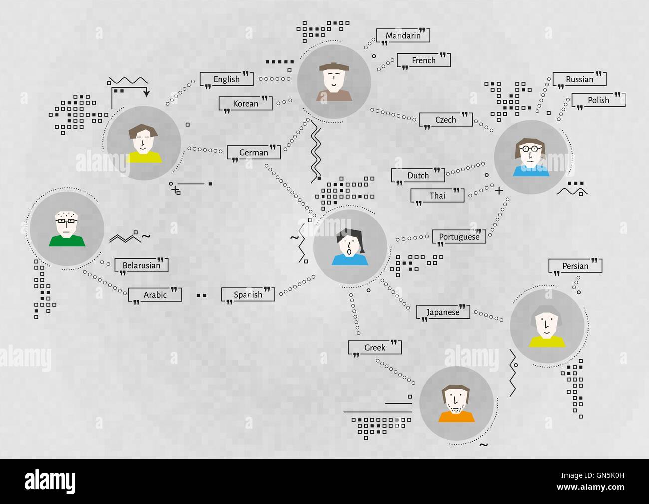 communication map with people Stock Vectorhttps://www.alamy.com/image-license-details/?v=1https://www.alamy.com/stock-photo-communication-map-with-people-116294657.html
RFGN5K0H–communication map with people
 Data and AI Powering Global Analytics: Visualize data-driven insights with AI and big data, showcasing global networks, large language models, artific Stock Photohttps://www.alamy.com/image-license-details/?v=1https://www.alamy.com/data-and-ai-powering-global-analytics-visualize-data-driven-insights-with-ai-and-big-data-showcasing-global-networks-large-language-models-artific-image629009961.html
RF2YF9THD–Data and AI Powering Global Analytics: Visualize data-driven insights with AI and big data, showcasing global networks, large language models, artific
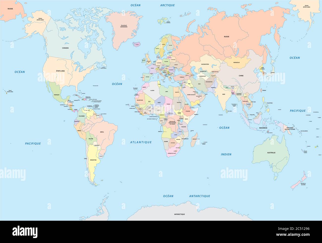 world map in french language Stock Vectorhttps://www.alamy.com/image-license-details/?v=1https://www.alamy.com/world-map-in-french-language-image364514786.html
RF2C51296–world map in french language
 Image of graphs, radars, map and computer language, diverse female scientists testing liquid Stock Photohttps://www.alamy.com/image-license-details/?v=1https://www.alamy.com/image-of-graphs-radars-map-and-computer-language-diverse-female-scientists-testing-liquid-image607600555.html
RF2X8EGKR–Image of graphs, radars, map and computer language, diverse female scientists testing liquid
 Multi-language world map text shape. Vector file layered for easy manipulation and custom coloring. Stock Photohttps://www.alamy.com/image-license-details/?v=1https://www.alamy.com/stock-photo-multi-language-world-map-text-shape-vector-file-layered-for-easy-manipulation-53652698.html
RFD382FP–Multi-language world map text shape. Vector file layered for easy manipulation and custom coloring.
 world map and binary digits Stock Photohttps://www.alamy.com/image-license-details/?v=1https://www.alamy.com/world-map-and-binary-digits-image370627167.html
RM2CEYEMF–world map and binary digits
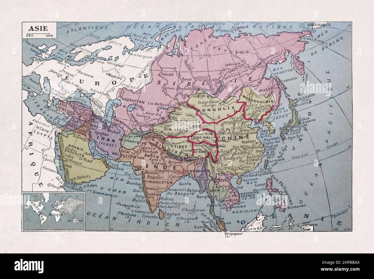 Old map of Asia printed in the French dictionary in 1889. It depicts the world at the dawn of the 20th century. Stock Photohttps://www.alamy.com/image-license-details/?v=1https://www.alamy.com/old-map-of-asia-printed-in-the-french-dictionary-in-1889-it-depicts-the-world-at-the-dawn-of-the-20th-century-image456939810.html
RF2HFBBAX–Old map of Asia printed in the French dictionary in 1889. It depicts the world at the dawn of the 20th century.
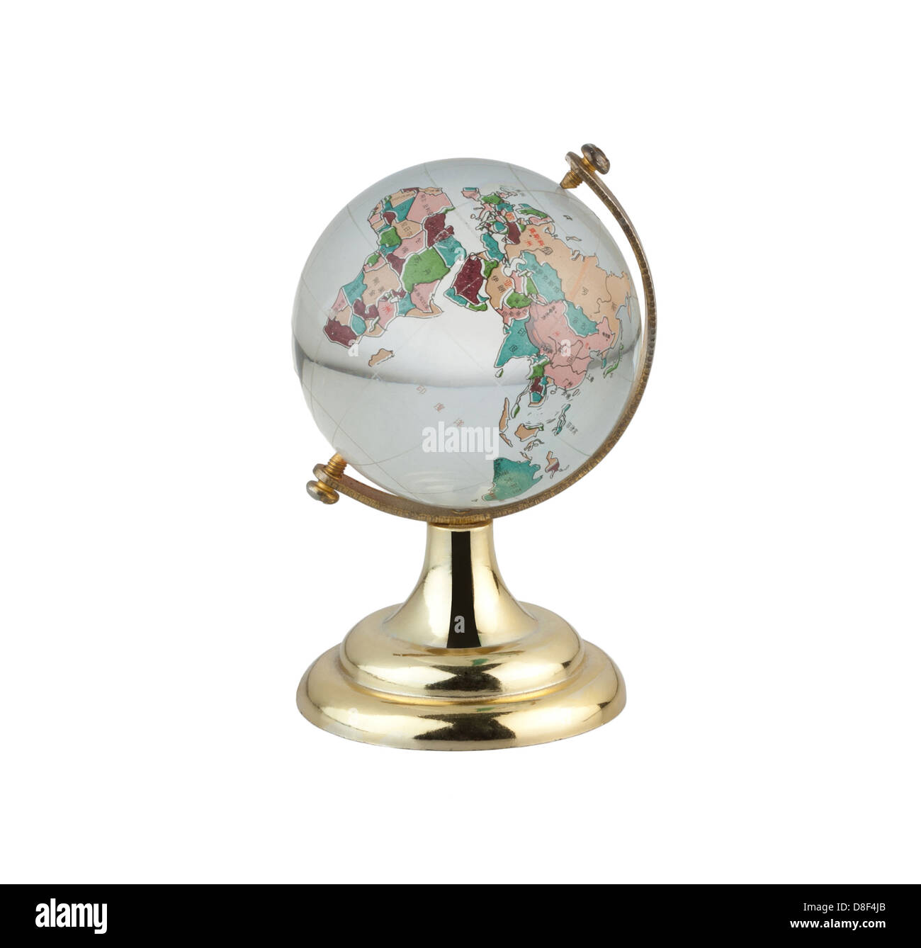 Terrestrial globe for learning about world map in Chinese language Stock Photohttps://www.alamy.com/image-license-details/?v=1https://www.alamy.com/stock-photo-terrestrial-globe-for-learning-about-world-map-in-chinese-language-56881283.html
RFD8F4JB–Terrestrial globe for learning about world map in Chinese language
 Globe of the world with focus and highlight on Australia. The Names of places are in German. The background has a slight motion blur. a Travel Graphic Stock Photohttps://www.alamy.com/image-license-details/?v=1https://www.alamy.com/globe-of-the-world-with-focus-and-highlight-on-australia-the-names-of-places-are-in-german-the-background-has-a-slight-motion-blur-a-travel-graphic-image258788437.html
RFW10R85–Globe of the world with focus and highlight on Australia. The Names of places are in German. The background has a slight motion blur. a Travel Graphic
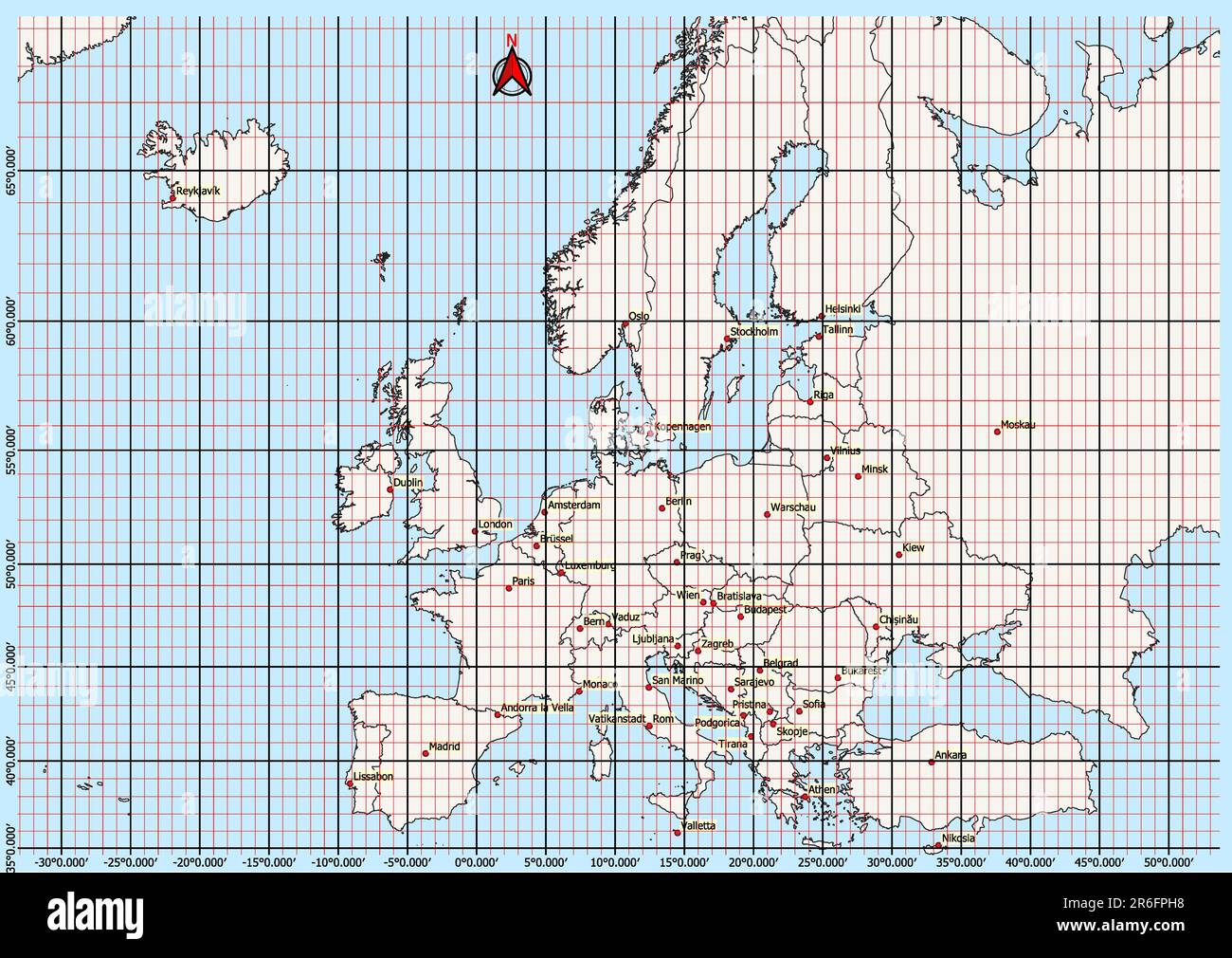 Europe Map Geographic Coordinates latitude and longitude German language Stock Photohttps://www.alamy.com/image-license-details/?v=1https://www.alamy.com/europe-map-geographic-coordinates-latitude-and-longitude-german-language-image554766724.html
RF2R6FPH8–Europe Map Geographic Coordinates latitude and longitude German language
RF2FTBMP9–world globe icon isolated on white background
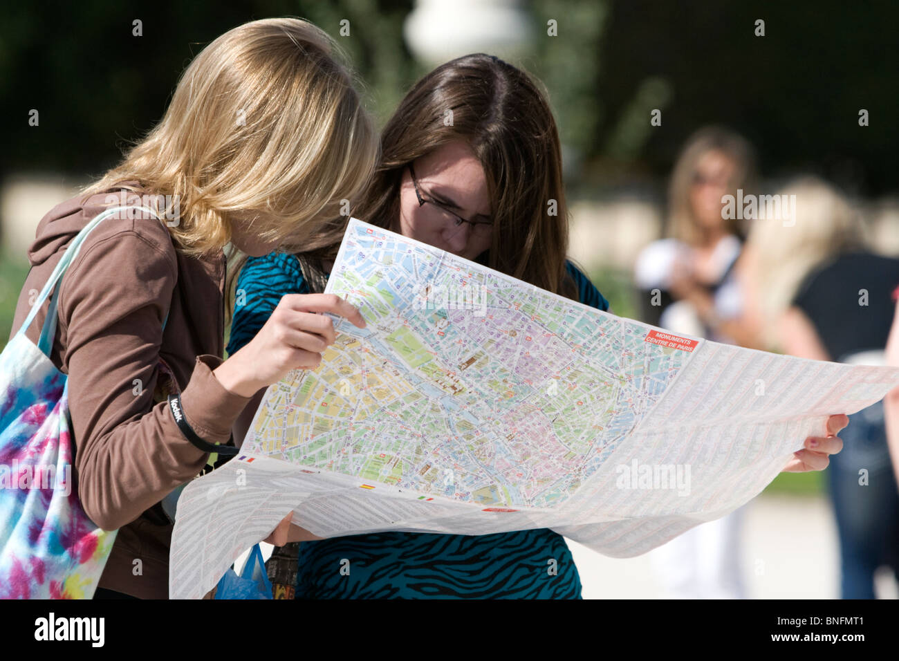 Tourits view a map of Paris at the Tuileries Garden near the Lourve in Paris, France. Stock Photohttps://www.alamy.com/image-license-details/?v=1https://www.alamy.com/stock-photo-tourits-view-a-map-of-paris-at-the-tuileries-garden-near-the-lourve-30463777.html
RMBNFMT1–Tourits view a map of Paris at the Tuileries Garden near the Lourve in Paris, France.
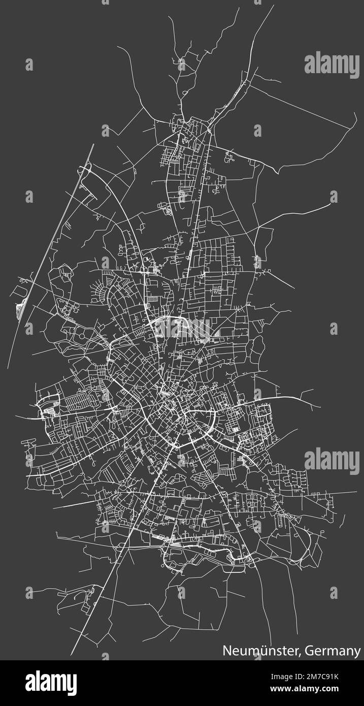 Street roads map of NEUMÜNSTER, GERMANY Stock Vectorhttps://www.alamy.com/image-license-details/?v=1https://www.alamy.com/street-roads-map-of-neumnster-germany-image503673791.html
RF2M7C91K–Street roads map of NEUMÜNSTER, GERMANY
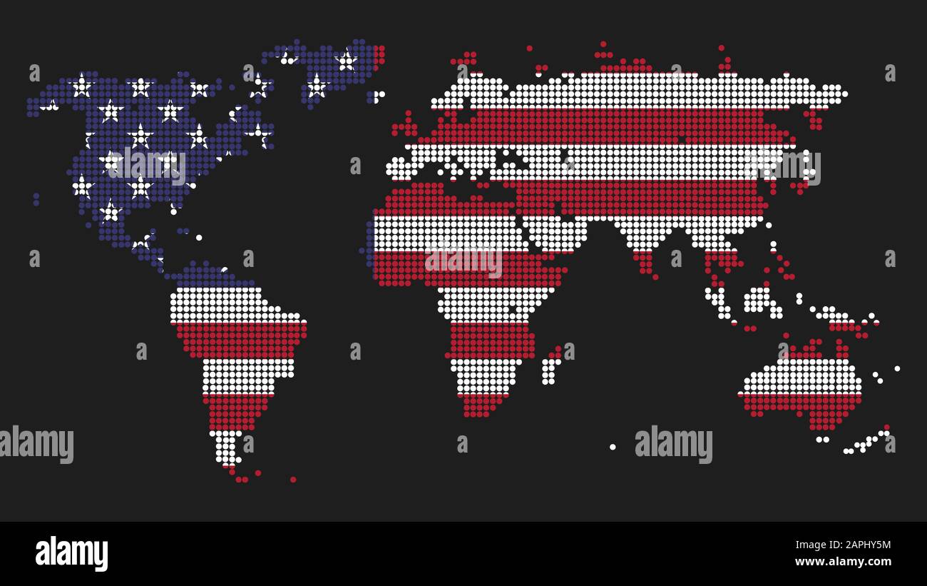 Dotted world map illustration made of USA flag colors as concept for United States global dominance. Power and leadership symbol. Politics, military a Stock Photohttps://www.alamy.com/image-license-details/?v=1https://www.alamy.com/dotted-world-map-illustration-made-of-usa-flag-colors-as-concept-for-united-states-global-dominance-power-and-leadership-symbol-politics-military-a-image340913936.html
RF2APHY5M–Dotted world map illustration made of USA flag colors as concept for United States global dominance. Power and leadership symbol. Politics, military a
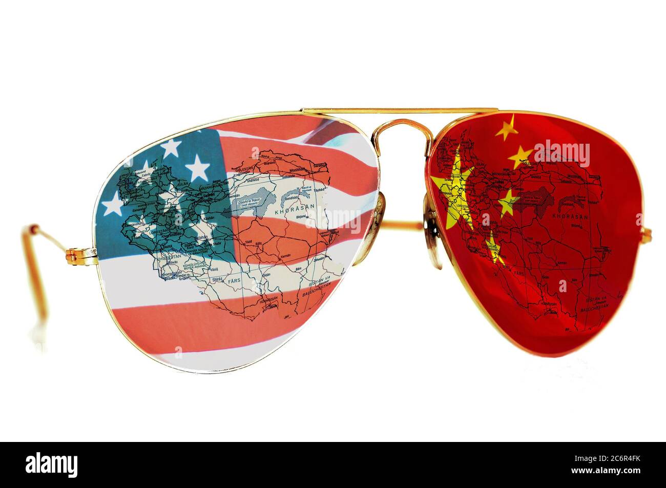 BELGRADE, SERBIA December 17, 2017:Sunglasses with an American and Chinese flag and a map of Iran on white background Stock Photohttps://www.alamy.com/image-license-details/?v=1https://www.alamy.com/belgrade-serbia-december-17-2017sunglasses-with-an-american-and-chinese-flag-and-a-map-of-iran-on-white-background-image365614135.html
RF2C6R4FK–BELGRADE, SERBIA December 17, 2017:Sunglasses with an American and Chinese flag and a map of Iran on white background
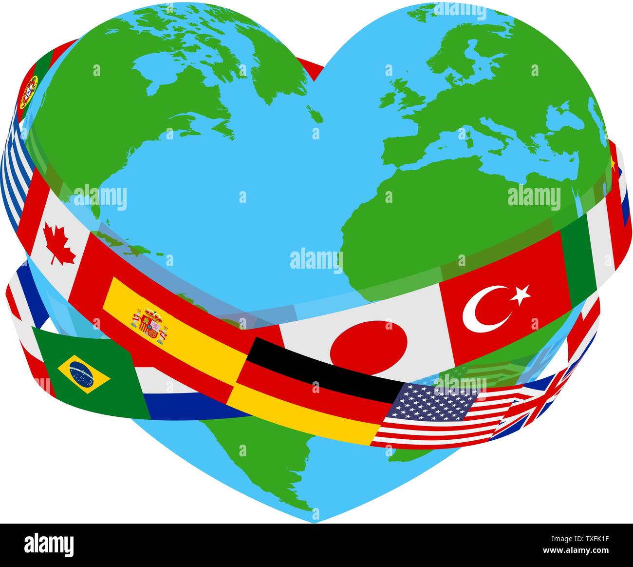 World Peace Flags Language Charity Heart Globe Stock Vectorhttps://www.alamy.com/image-license-details/?v=1https://www.alamy.com/world-peace-flags-language-charity-heart-globe-image257270427.html
RFTXFK1F–World Peace Flags Language Charity Heart Globe
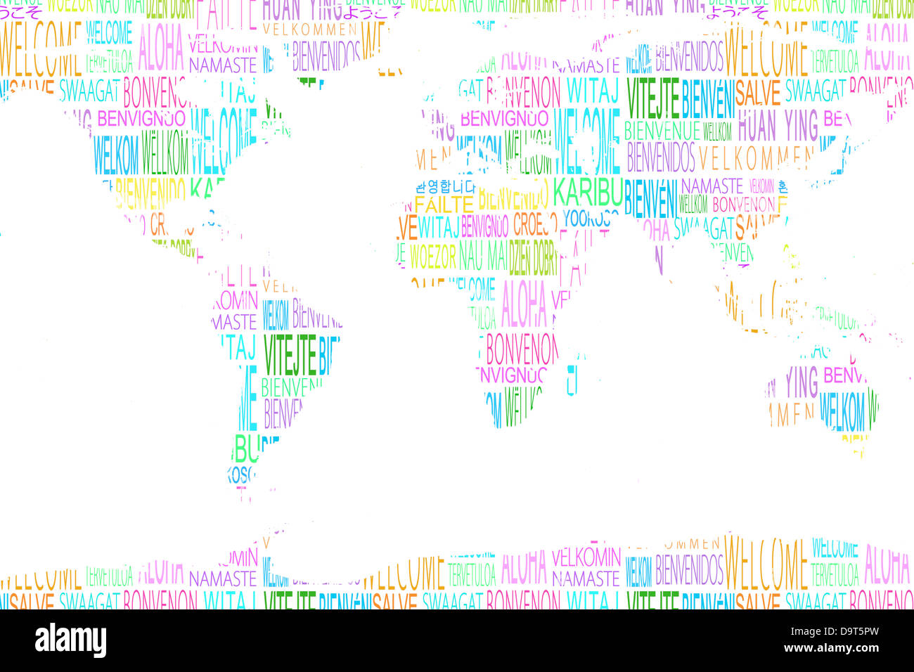 Map showing welcome in different languages Stock Photohttps://www.alamy.com/image-license-details/?v=1https://www.alamy.com/stock-photo-map-showing-welcome-in-different-languages-57694417.html
RFD9T5PW–Map showing welcome in different languages
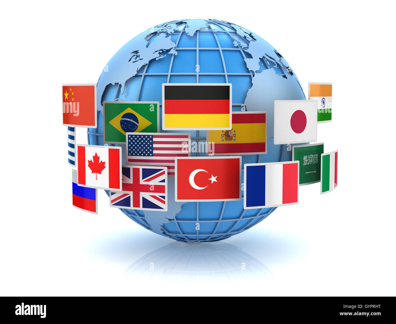 World map and country flags , This is a 3d computer generated image. Isolated on white. Stock Photohttps://www.alamy.com/image-license-details/?v=1https://www.alamy.com/stock-photo-world-map-and-country-flags-this-is-a-3d-computer-generated-image-120359396.html
RFGYPRHT–World map and country flags , This is a 3d computer generated image. Isolated on white.
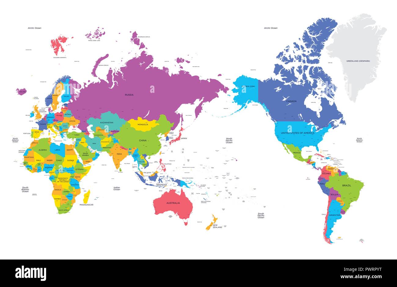 Colorful political map of the world with large cities, high detail vector illustration template for your design Stock Vectorhttps://www.alamy.com/image-license-details/?v=1https://www.alamy.com/colorful-political-map-of-the-world-with-large-cities-high-detail-vector-illustration-template-for-your-design-image222413740.html
RFPWRPYT–Colorful political map of the world with large cities, high detail vector illustration template for your design
 world map Stock Photohttps://www.alamy.com/image-license-details/?v=1https://www.alamy.com/world-map-image274527216.html
RFWXHP7C–world map
 AI-driven data technology in a global network: illustration of big data, analytics, workflow and automation, showcasing a large language model transfo Stock Photohttps://www.alamy.com/image-license-details/?v=1https://www.alamy.com/ai-driven-data-technology-in-a-global-network-illustration-of-big-data-analytics-workflow-and-automation-showcasing-a-large-language-model-transfo-image632352712.html
RF2YMP49C–AI-driven data technology in a global network: illustration of big data, analytics, workflow and automation, showcasing a large language model transfo
 Smiling woman in glasses holds tablet with white blank screen on background of global map of world Stock Photohttps://www.alamy.com/image-license-details/?v=1https://www.alamy.com/smiling-woman-in-glasses-holds-tablet-with-white-blank-screen-on-background-of-global-map-of-world-image430238781.html
RF2FYY1XN–Smiling woman in glasses holds tablet with white blank screen on background of global map of world
 Image of graphs, radars, map, computer language, diverse scientists working in laboratory Stock Photohttps://www.alamy.com/image-license-details/?v=1https://www.alamy.com/image-of-graphs-radars-map-computer-language-diverse-scientists-working-in-laboratory-image607600604.html
RF2X8EGNG–Image of graphs, radars, map, computer language, diverse scientists working in laboratory
RF2GPHGFN–world globe icon isolated design
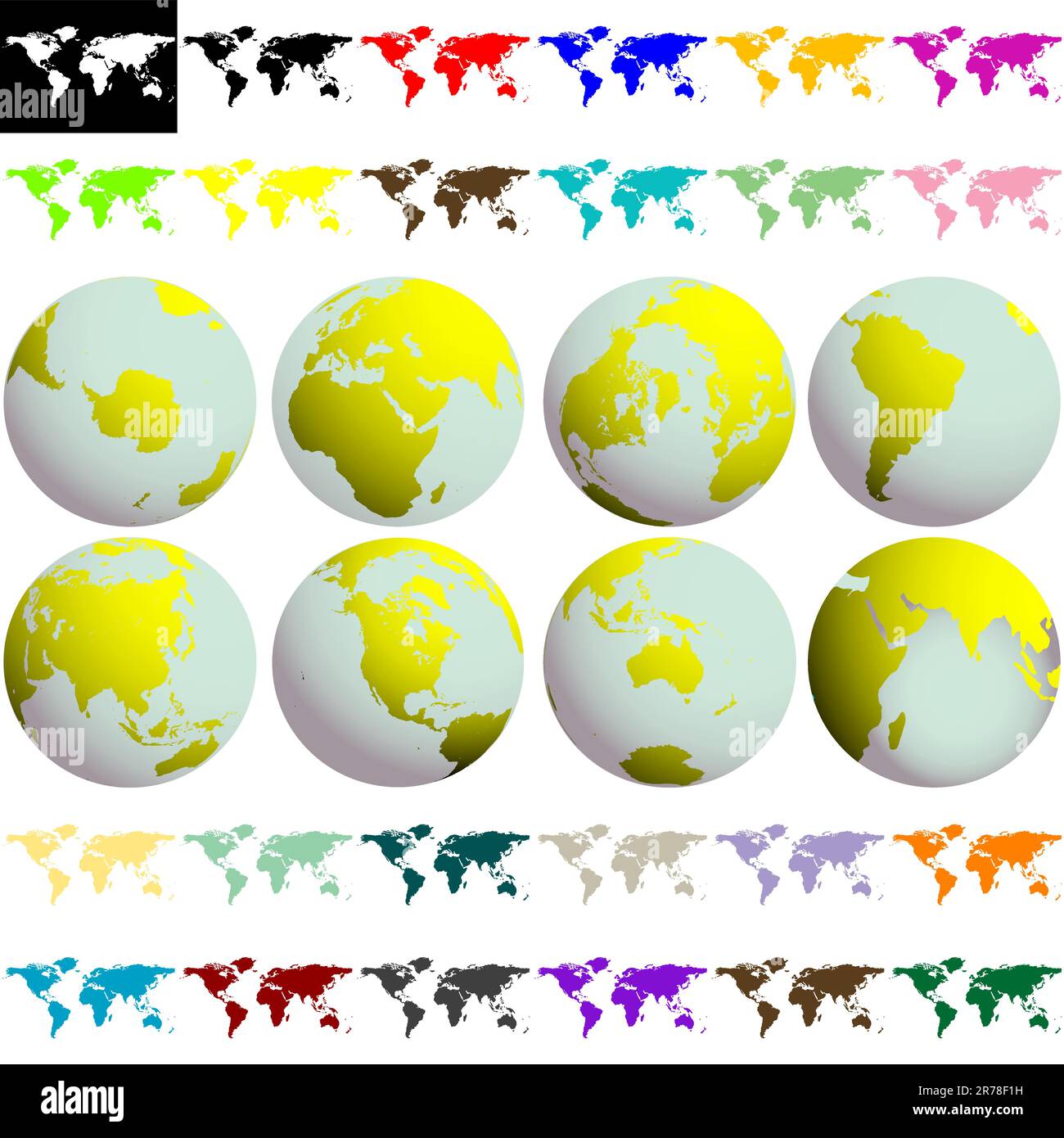 earth globes and maps against white background, abstract collection; vector art illustration Stock Vectorhttps://www.alamy.com/image-license-details/?v=1https://www.alamy.com/earth-globes-and-maps-against-white-background-abstract-collection-vector-art-illustration-image555221789.html
RF2R78F1H–earth globes and maps against white background, abstract collection; vector art illustration
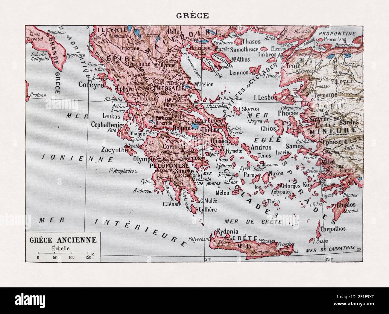 Old map of the Ancient Greece printed in the french dictionary 'Dictionnaire complet illustré' by the editor Larousse in 1889. Stock Photohttps://www.alamy.com/image-license-details/?v=1https://www.alamy.com/old-map-of-the-ancient-greece-printed-in-the-french-dictionary-dictionnaire-complet-illustr-by-the-editor-larousse-in-1889-image414000576.html
RF2F1F9XT–Old map of the Ancient Greece printed in the french dictionary 'Dictionnaire complet illustré' by the editor Larousse in 1889.
 Women walking on their phones Stock Photohttps://www.alamy.com/image-license-details/?v=1https://www.alamy.com/women-walking-on-their-phones-image636248975.html
RF2YY3J1K–Women walking on their phones
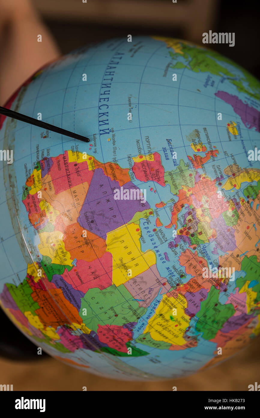 Globe, view of the Mediterranean Sea, Western Europe and North Africa. Stock Photohttps://www.alamy.com/image-license-details/?v=1https://www.alamy.com/stock-photo-globe-view-of-the-mediterranean-sea-western-europe-and-north-africa-132394279.html
RMHKB273–Globe, view of the Mediterranean Sea, Western Europe and North Africa.
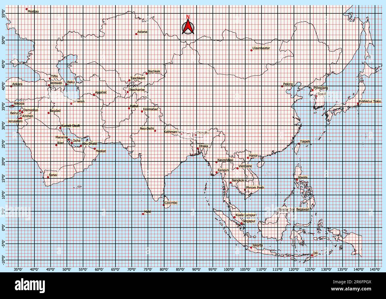 Asia Map Geographic Coordinates latitude and longitude German language Stock Photohttps://www.alamy.com/image-license-details/?v=1https://www.alamy.com/asia-map-geographic-coordinates-latitude-and-longitude-german-language-image554766714.html
RF2R6FPGX–Asia Map Geographic Coordinates latitude and longitude German language
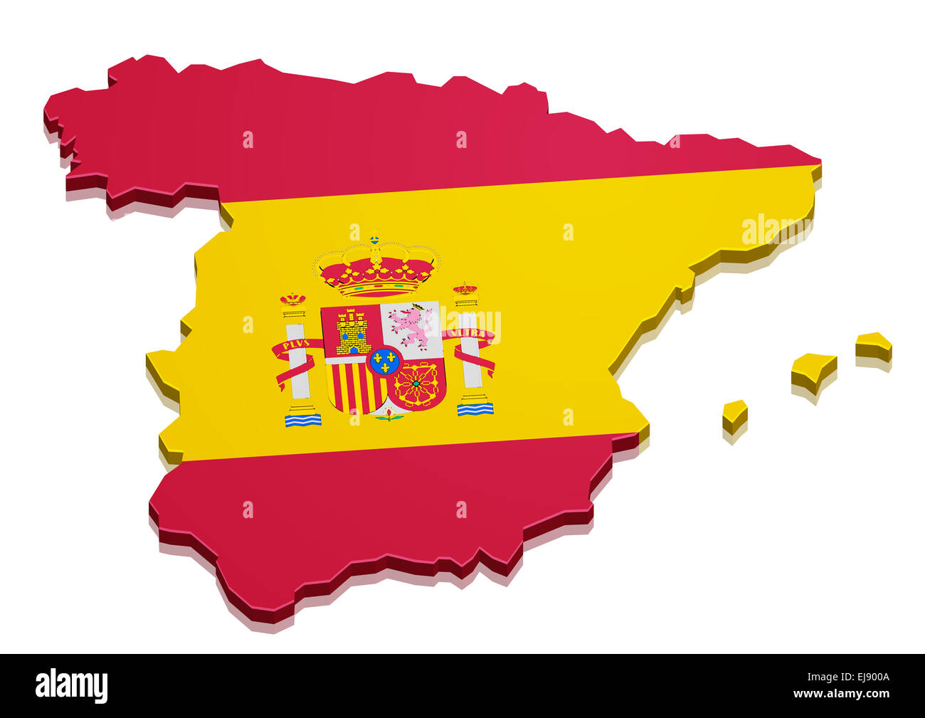 Spain map Stock Photohttps://www.alamy.com/image-license-details/?v=1https://www.alamy.com/stock-photo-spain-map-80102858.html
RFEJ900A–Spain map
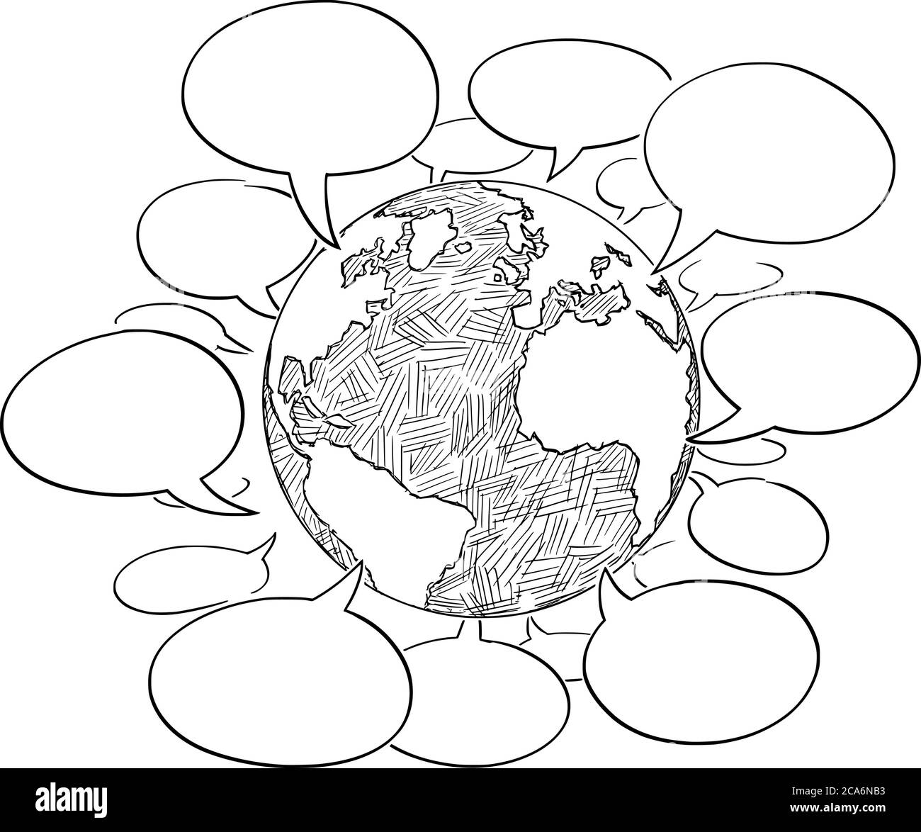 Vector cartoon drawing conceptual illustration of planet Earth Globe with empty speech, talk or Text Balloons or Bubbles. Concept of global communication around world. Stock Vectorhttps://www.alamy.com/image-license-details/?v=1https://www.alamy.com/vector-cartoon-drawing-conceptual-illustration-of-planet-earth-globe-with-empty-speech-talk-or-text-balloons-or-bubbles-concept-of-global-communication-around-world-image367712775.html
RF2CA6NB3–Vector cartoon drawing conceptual illustration of planet Earth Globe with empty speech, talk or Text Balloons or Bubbles. Concept of global communication around world.
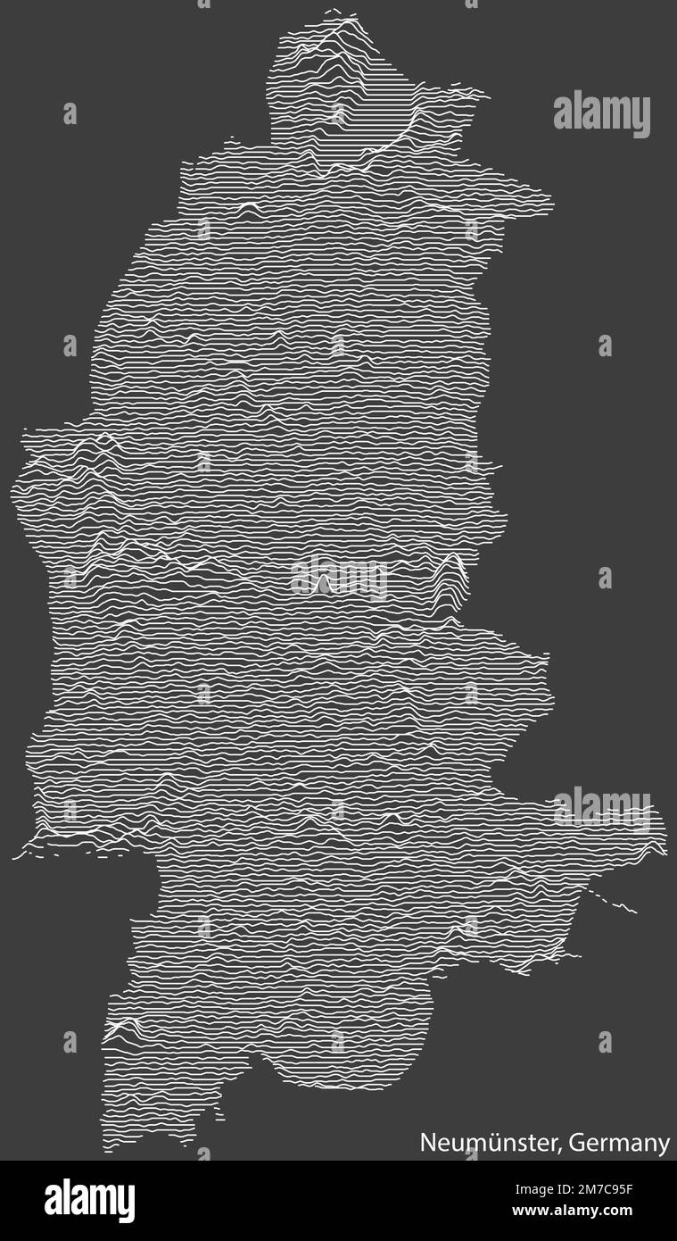 Topographic relief map of NEUMÜNSTER, GERMANY Stock Vectorhttps://www.alamy.com/image-license-details/?v=1https://www.alamy.com/topographic-relief-map-of-neumnster-germany-image503673899.html
RF2M7C95F–Topographic relief map of NEUMÜNSTER, GERMANY
 Burundi National flag in White Background Stock Photohttps://www.alamy.com/image-license-details/?v=1https://www.alamy.com/burundi-national-flag-in-white-background-image396325759.html
RF2E0P5FB–Burundi National flag in White Background
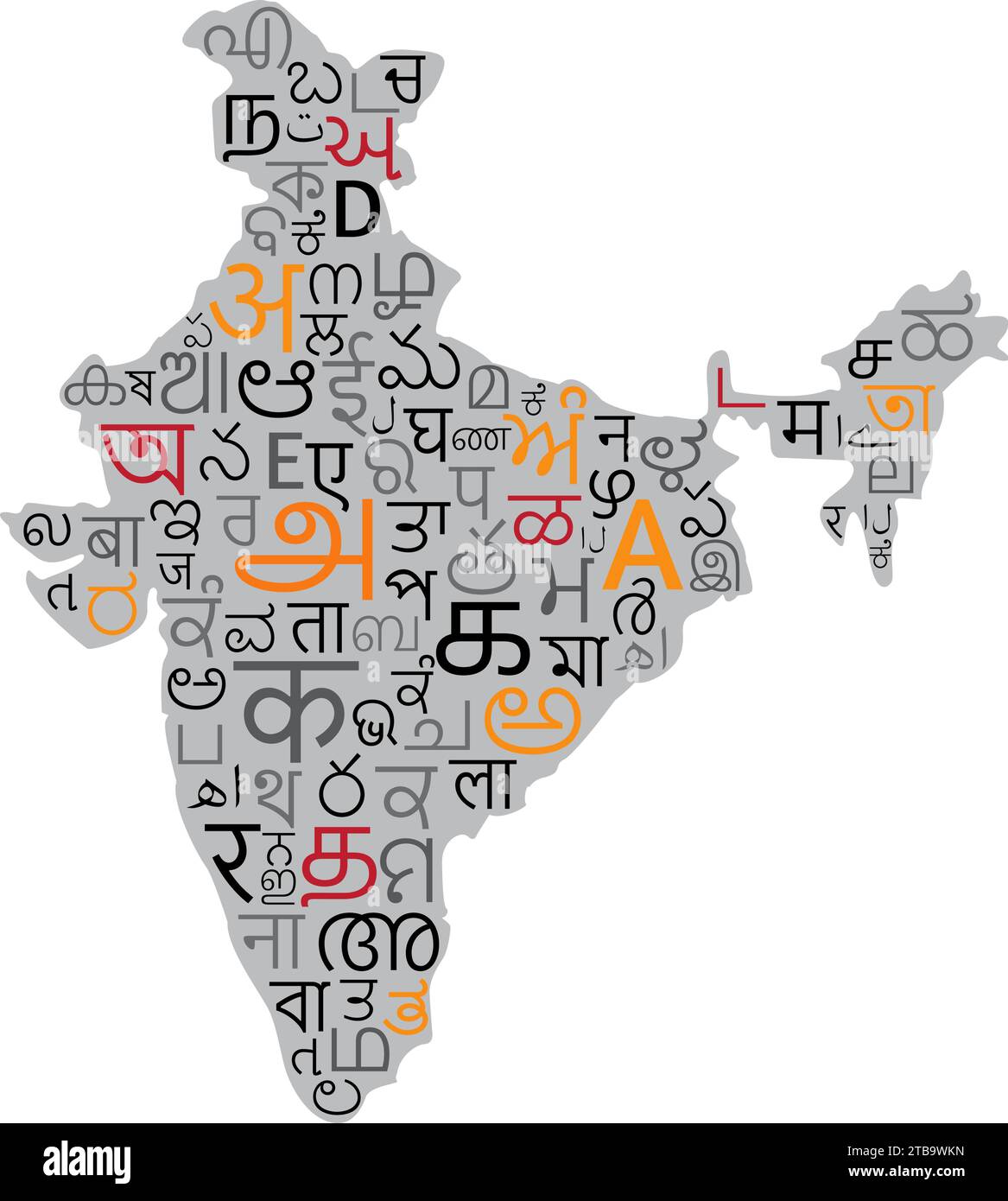 Indian map filled with Indian Language Letters vector illustration Stock Vectorhttps://www.alamy.com/image-license-details/?v=1https://www.alamy.com/indian-map-filled-with-indian-language-letters-vector-illustration-image574921081.html
RF2TB9WKN–Indian map filled with Indian Language Letters vector illustration
 Welcome in different language with world map background. Depth of field image. Words cloud concept. Stock Photohttps://www.alamy.com/image-license-details/?v=1https://www.alamy.com/welcome-in-different-language-with-world-map-background-depth-of-field-image-words-cloud-concept-image417797225.html
RF2F7M8HD–Welcome in different language with world map background. Depth of field image. Words cloud concept.
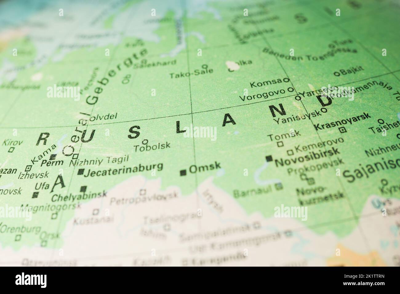 Russia on the map in Dutch language. Rusland in Netherlands. Russia, Ukraine conflict. Europe, Asia borders. Stock Photohttps://www.alamy.com/image-license-details/?v=1https://www.alamy.com/russia-on-the-map-in-dutch-language-rusland-in-netherlands-russia-ukraine-conflict-europe-asia-borders-image483051289.html
RF2K1TTRN–Russia on the map in Dutch language. Rusland in Netherlands. Russia, Ukraine conflict. Europe, Asia borders.
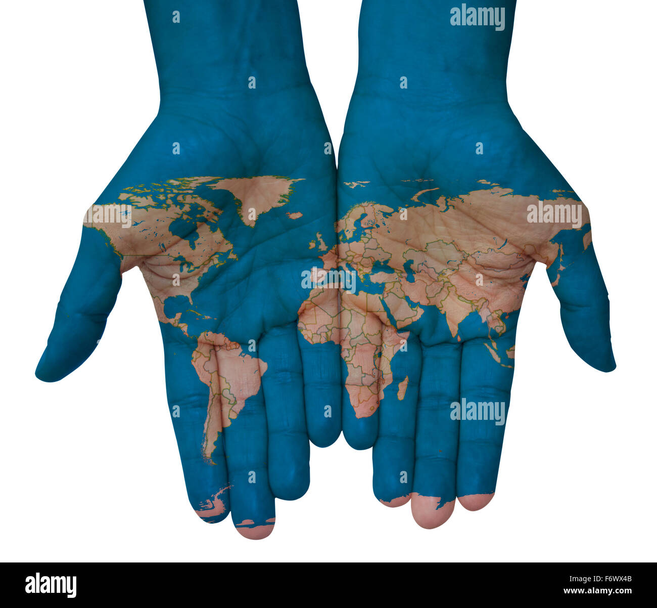 The world in your hands with world map Stock Photohttps://www.alamy.com/image-license-details/?v=1https://www.alamy.com/stock-photo-the-world-in-your-hands-with-world-map-90309083.html
RFF6WX4B–The world in your hands with world map
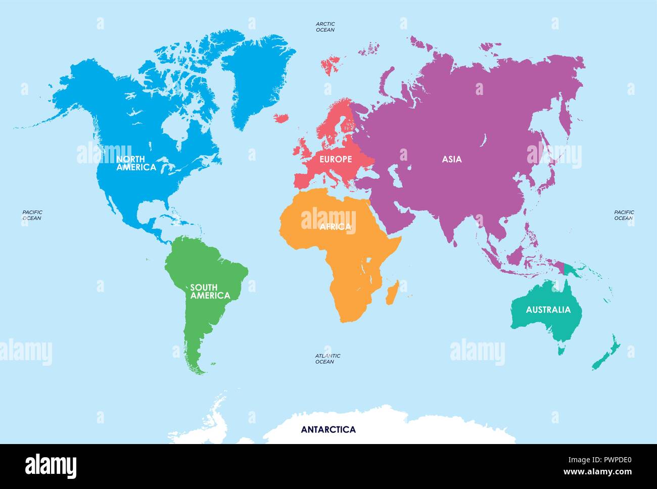 Continents of the World, Map vector illustration for your design Stock Vectorhttps://www.alamy.com/image-license-details/?v=1https://www.alamy.com/continents-of-the-world-map-vector-illustration-for-your-design-image222384344.html
RFPWPDE0–Continents of the World, Map vector illustration for your design
 world map Stock Photohttps://www.alamy.com/image-license-details/?v=1https://www.alamy.com/world-map-image274527217.html
RFWXHP7D–world map
 AI and big data optimizing and automating business workflow on a global scale. Automation, analytics, data stream, digital transformation, neural netw Stock Photohttps://www.alamy.com/image-license-details/?v=1https://www.alamy.com/ai-and-big-data-optimizing-and-automating-business-workflow-on-a-global-scale-automation-analytics-data-stream-digital-transformation-neural-netw-image632352706.html
RF2YMP496–AI and big data optimizing and automating business workflow on a global scale. Automation, analytics, data stream, digital transformation, neural netw
 Smiling woman in glasses holds tablet with white blank screen on background of global map of world Stock Photohttps://www.alamy.com/image-license-details/?v=1https://www.alamy.com/smiling-woman-in-glasses-holds-tablet-with-white-blank-screen-on-background-of-global-map-of-world-image436790873.html
RF2GAHF61–Smiling woman in glasses holds tablet with white blank screen on background of global map of world
 Image of radar, map and computer language with circuit board pattern over black background Stock Photohttps://www.alamy.com/image-license-details/?v=1https://www.alamy.com/image-of-radar-map-and-computer-language-with-circuit-board-pattern-over-black-background-image607608504.html
RF2X8EXRM–Image of radar, map and computer language with circuit board pattern over black background
 Network financial technology, a world map composed of binary symbols, representing the global Internet finance technology Stock Photohttps://www.alamy.com/image-license-details/?v=1https://www.alamy.com/network-financial-technology-a-world-map-composed-of-binary-symbols-representing-the-global-internet-finance-technology-image232592955.html
RFREBEK7–Network financial technology, a world map composed of binary symbols, representing the global Internet finance technology
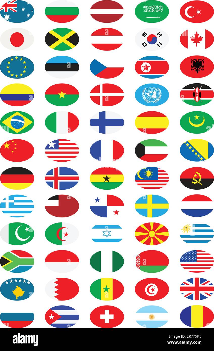 National flags collection Stock Vectorhttps://www.alamy.com/image-license-details/?v=1https://www.alamy.com/national-flags-collection-image555192489.html
RF2R775K5–National flags collection
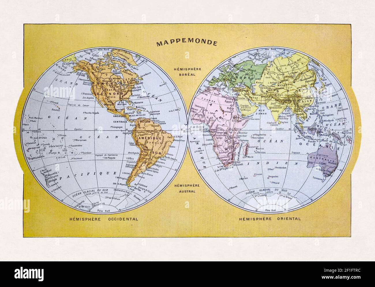 Old world map printed in the french dictionary 'Dictionnaire complet illustré' by the editor Larousse in 1889. Stock Photohttps://www.alamy.com/image-license-details/?v=1https://www.alamy.com/old-world-map-printed-in-the-french-dictionary-dictionnaire-complet-illustr-by-the-editor-larousse-in-1889-image414012240.html
RF2F1FTRC–Old world map printed in the french dictionary 'Dictionnaire complet illustré' by the editor Larousse in 1889.
 Women walking on their phones Stock Photohttps://www.alamy.com/image-license-details/?v=1https://www.alamy.com/women-walking-on-their-phones-image636248977.html
RF2YY3J1N–Women walking on their phones
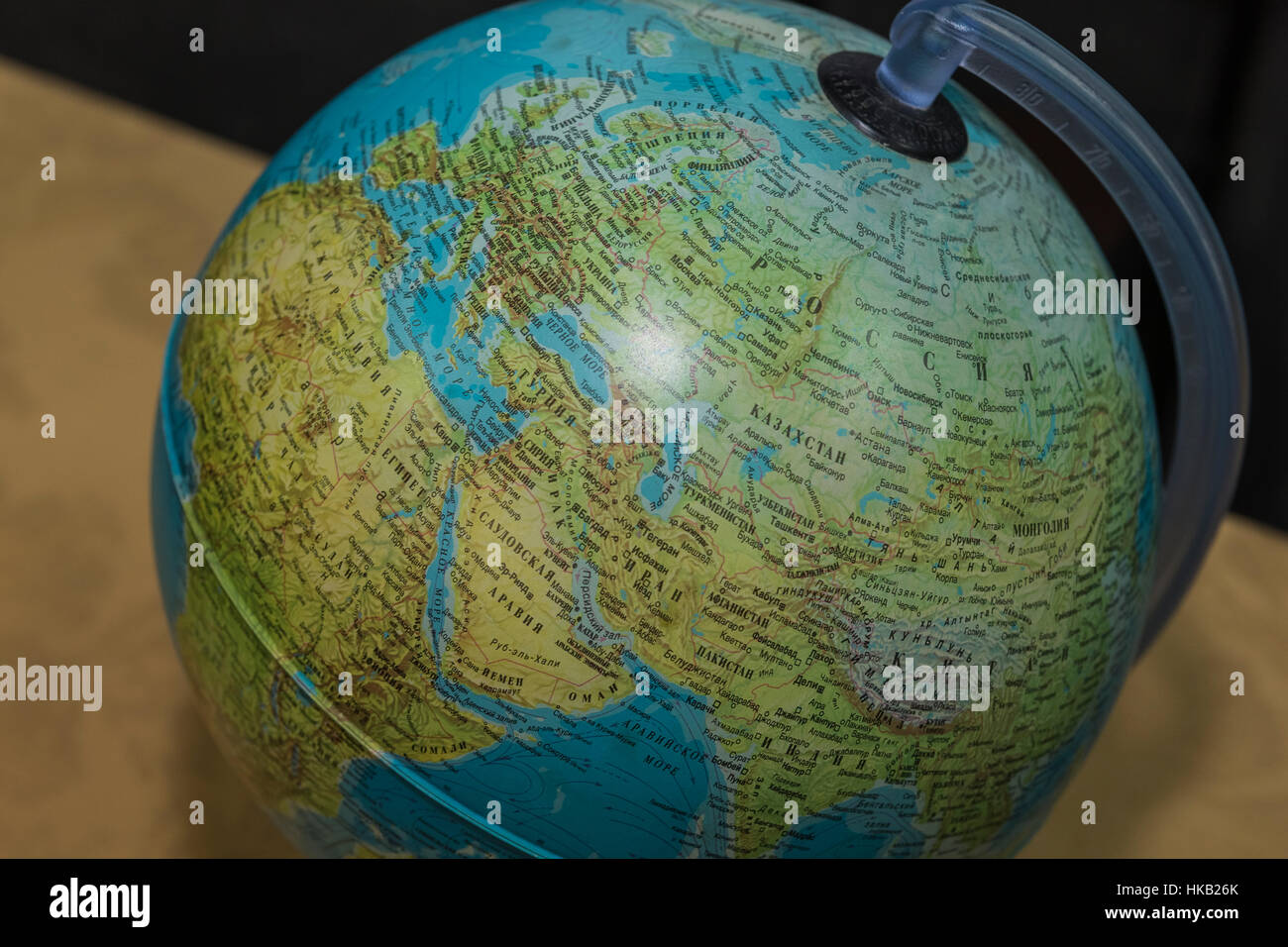 Globe, view of the Mediterranean Sea, Western Europe and North Africa. Stock Photohttps://www.alamy.com/image-license-details/?v=1https://www.alamy.com/stock-photo-globe-view-of-the-mediterranean-sea-western-europe-and-north-africa-132394267.html
RMHKB26K–Globe, view of the Mediterranean Sea, Western Europe and North Africa.
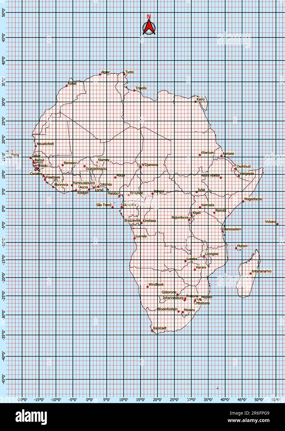 Africa Map Geographic Coordinates latitude and longitude German language Stock Photohttps://www.alamy.com/image-license-details/?v=1https://www.alamy.com/africa-map-geographic-coordinates-latitude-and-longitude-german-language-image554766697.html
RF2R6FPG9–Africa Map Geographic Coordinates latitude and longitude German language
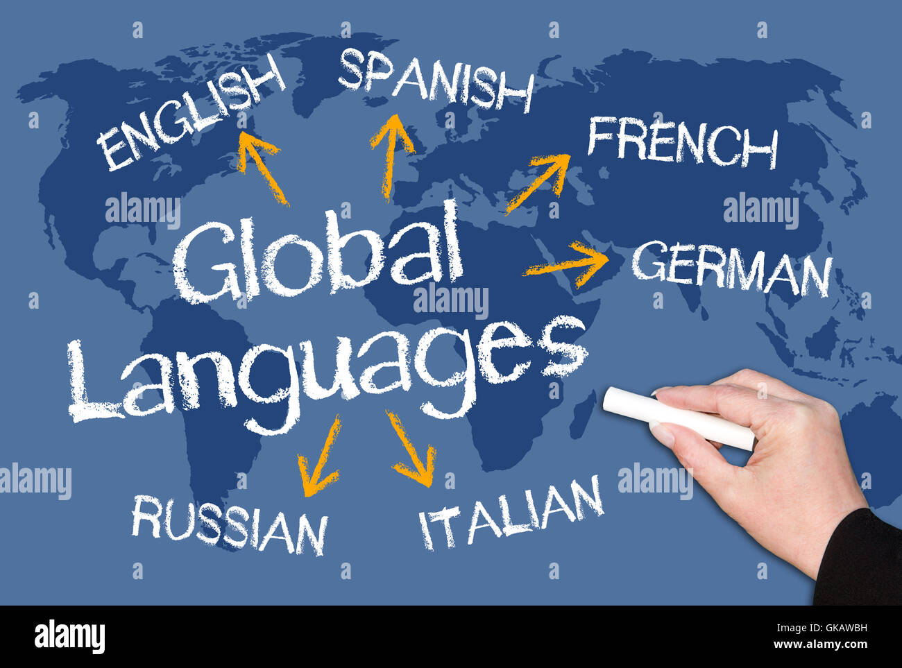 travel language global Stock Photohttps://www.alamy.com/image-license-details/?v=1https://www.alamy.com/stock-photo-travel-language-global-115180117.html
RFGKAWBH–travel language global
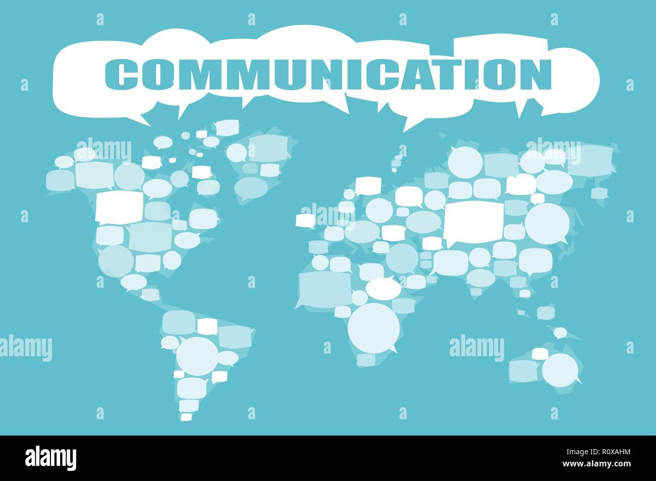 World map made of speech bubbles. Communication vector concept Stock Vectorhttps://www.alamy.com/image-license-details/?v=1https://www.alamy.com/world-map-made-of-speech-bubbles-communication-vector-concept-image224313872.html
RFR0XAHM–World map made of speech bubbles. Communication vector concept
 Street roads map of NEUMÜNSTER, GERMANY Stock Vectorhttps://www.alamy.com/image-license-details/?v=1https://www.alamy.com/street-roads-map-of-neumnster-germany-image503673902.html
RF2M7C95J–Street roads map of NEUMÜNSTER, GERMANY
 Burundi National flag in White Background Stock Photohttps://www.alamy.com/image-license-details/?v=1https://www.alamy.com/burundi-national-flag-in-white-background-image396325772.html
RF2E0P5FT–Burundi National flag in White Background
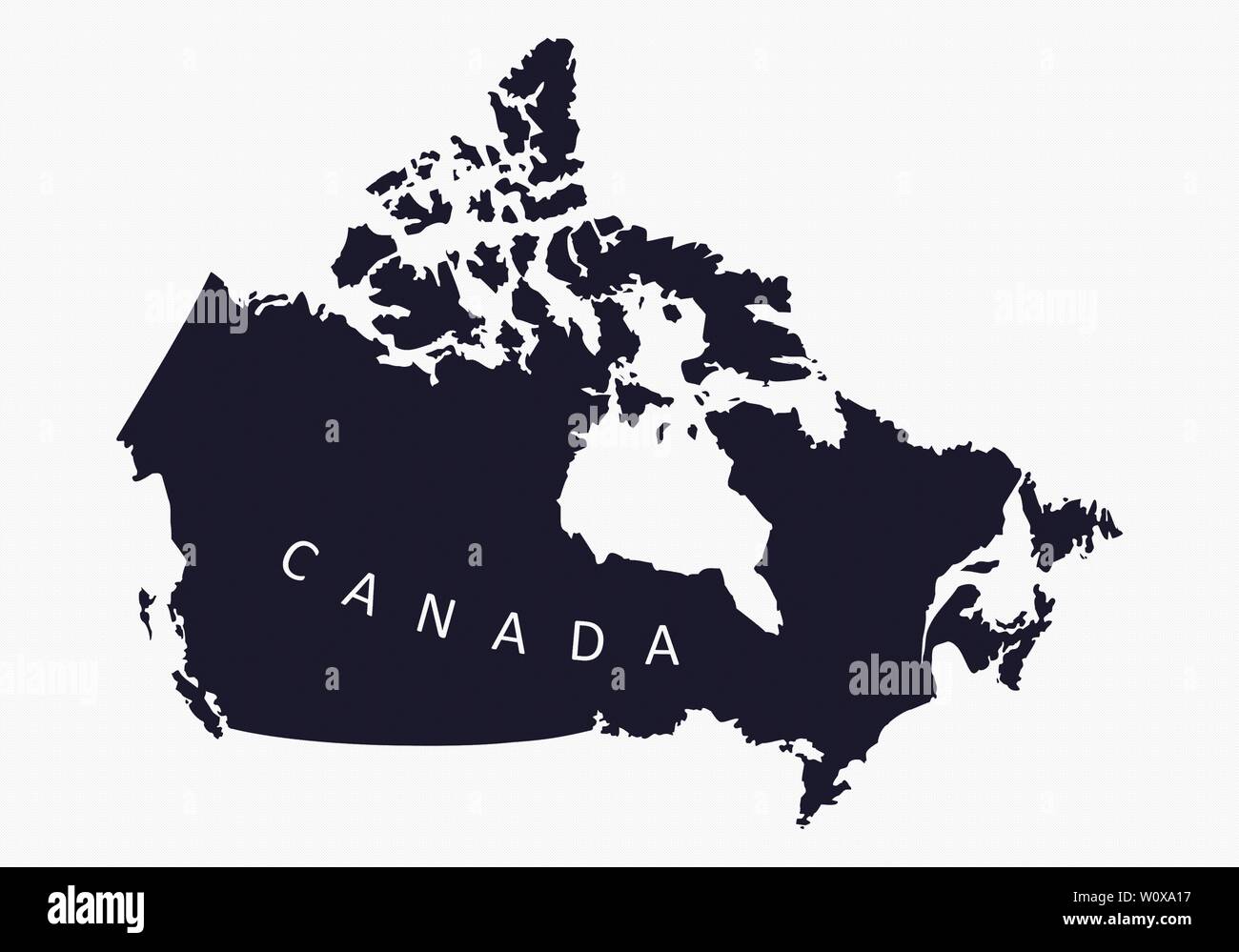 Canada silhouette map isolated on white background Stock Vectorhttps://www.alamy.com/image-license-details/?v=1https://www.alamy.com/canada-silhouette-map-isolated-on-white-background-image258734147.html
RFW0XA17–Canada silhouette map isolated on white background
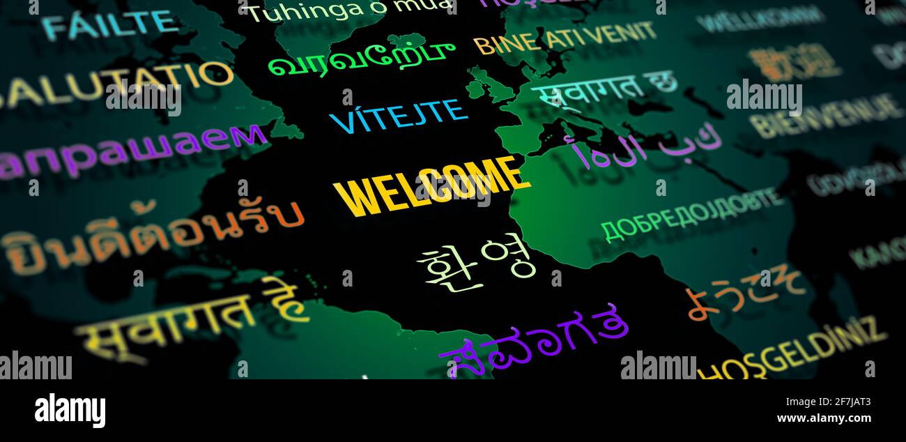 Welcome in different language with world map background. Depth of field image. Words cloud concept. Stock Photohttps://www.alamy.com/image-license-details/?v=1https://www.alamy.com/welcome-in-different-language-with-world-map-background-depth-of-field-image-words-cloud-concept-image417755075.html
RF2F7JAT3–Welcome in different language with world map background. Depth of field image. Words cloud concept.
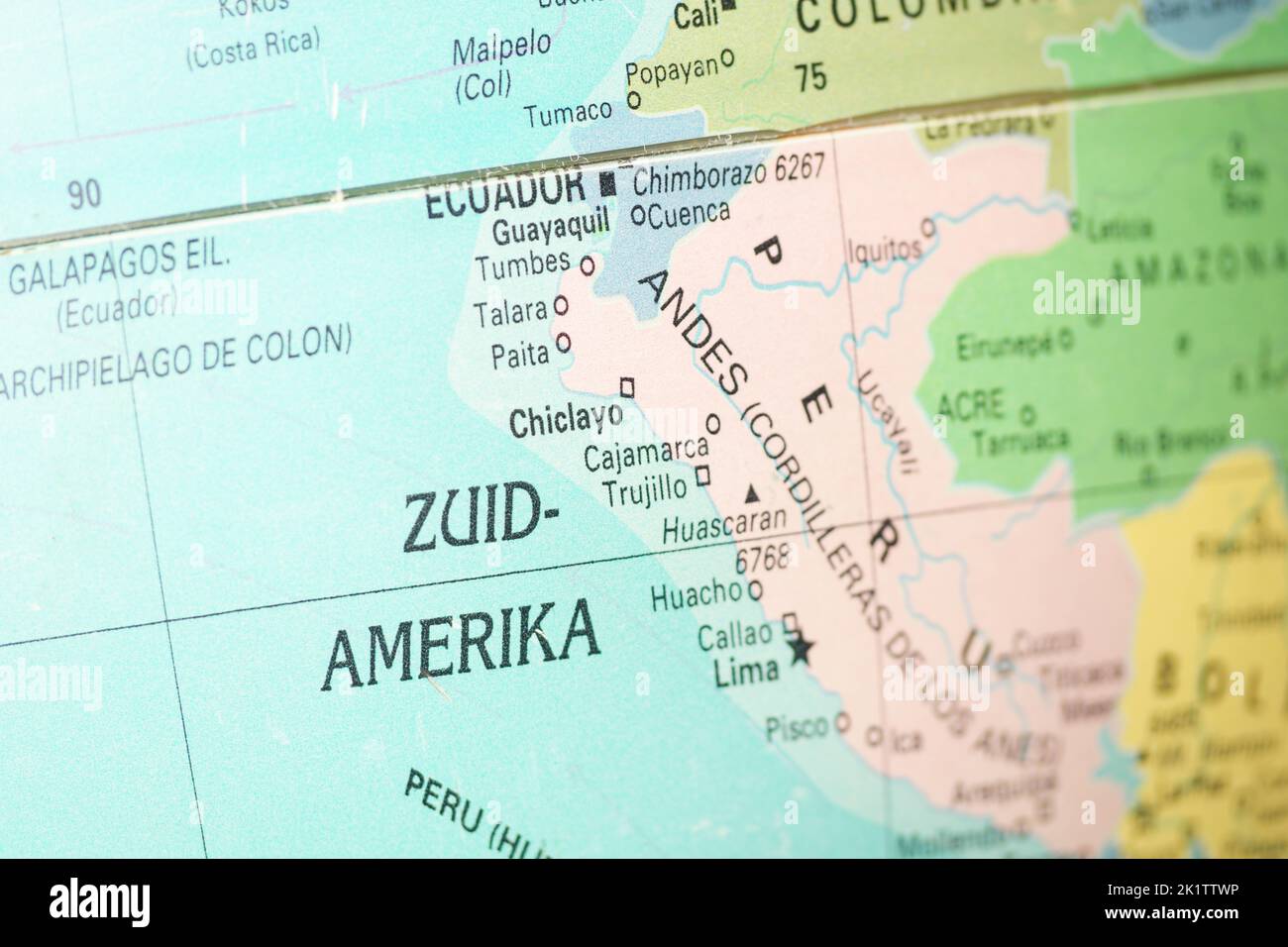 Southern America on the globe or map in Dutch language. In Netherlands it is Zuid Amerika. Continent on the southern hemisphere. Stock Photohttps://www.alamy.com/image-license-details/?v=1https://www.alamy.com/southern-america-on-the-globe-or-map-in-dutch-language-in-netherlands-it-is-zuid-amerika-continent-on-the-southern-hemisphere-image483051346.html
RF2K1TTWP–Southern America on the globe or map in Dutch language. In Netherlands it is Zuid Amerika. Continent on the southern hemisphere.
 The world in your hands with world map Stock Photohttps://www.alamy.com/image-license-details/?v=1https://www.alamy.com/stock-photo-the-world-in-your-hands-with-world-map-90303259.html
RFF6WJMB–The world in your hands with world map
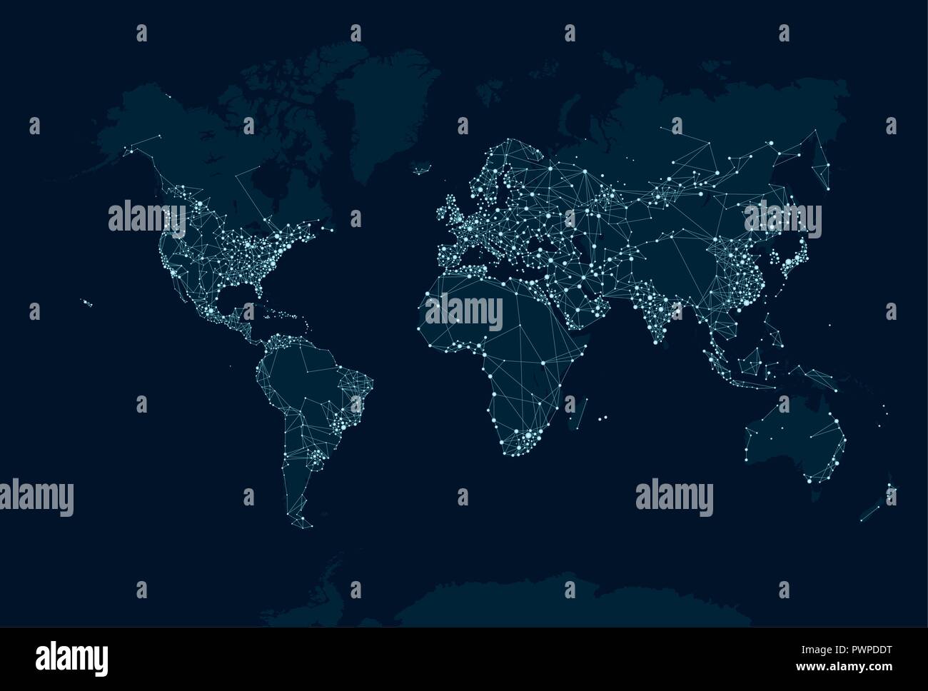 Communications network map of the world vector illustration for your design Stock Vectorhttps://www.alamy.com/image-license-details/?v=1https://www.alamy.com/communications-network-map-of-the-world-vector-illustration-for-your-design-image222384340.html
RFPWPDDT–Communications network map of the world vector illustration for your design
 woman with global Stock Photohttps://www.alamy.com/image-license-details/?v=1https://www.alamy.com/woman-with-global-image273900743.html
RFWWH75B–woman with global
 Young woman holds chalk board with welcome text in many different languages Stock Photohttps://www.alamy.com/image-license-details/?v=1https://www.alamy.com/young-woman-holds-chalk-board-with-welcome-text-in-many-different-languages-image211664998.html
RFP8A4T6–Young woman holds chalk board with welcome text in many different languages
 Fragment of an old globe Stock Photohttps://www.alamy.com/image-license-details/?v=1https://www.alamy.com/fragment-of-an-old-globe-image475824970.html
RF2JJ3KGX–Fragment of an old globe
 Image of computer language and map over connected dots on data server racks Stock Photohttps://www.alamy.com/image-license-details/?v=1https://www.alamy.com/image-of-computer-language-and-map-over-connected-dots-on-data-server-racks-image607600771.html
RF2X8EGYF–Image of computer language and map over connected dots on data server racks
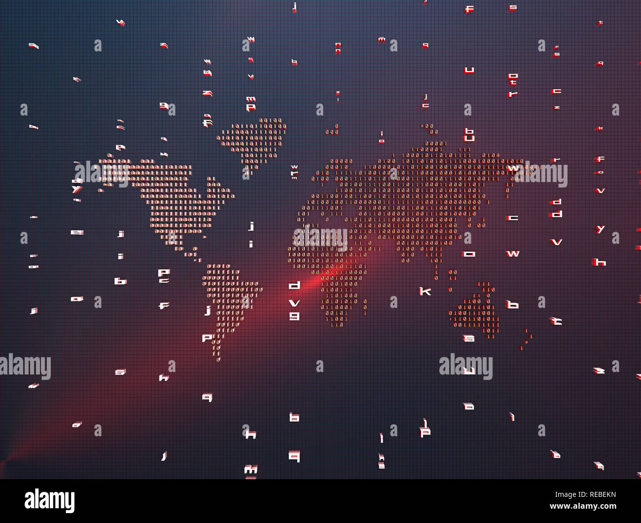 Network financial technology, a world map composed of binary symbols, representing the global Internet finance technology Stock Photohttps://www.alamy.com/image-license-details/?v=1https://www.alamy.com/network-financial-technology-a-world-map-composed-of-binary-symbols-representing-the-global-internet-finance-technology-image232592969.html
RFREBEKN–Network financial technology, a world map composed of binary symbols, representing the global Internet finance technology
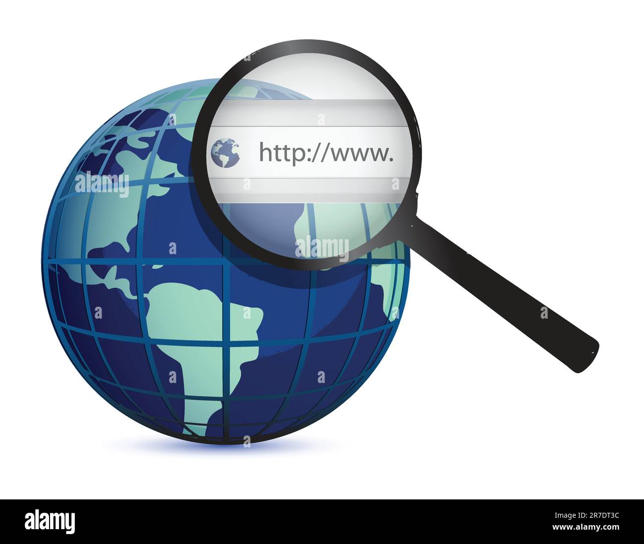 earth globe with world wide web concept isolated on white Stock Vectorhttps://www.alamy.com/image-license-details/?v=1https://www.alamy.com/earth-globe-with-world-wide-web-concept-isolated-on-white-image555338656.html
RF2R7DT3C–earth globe with world wide web concept isolated on white
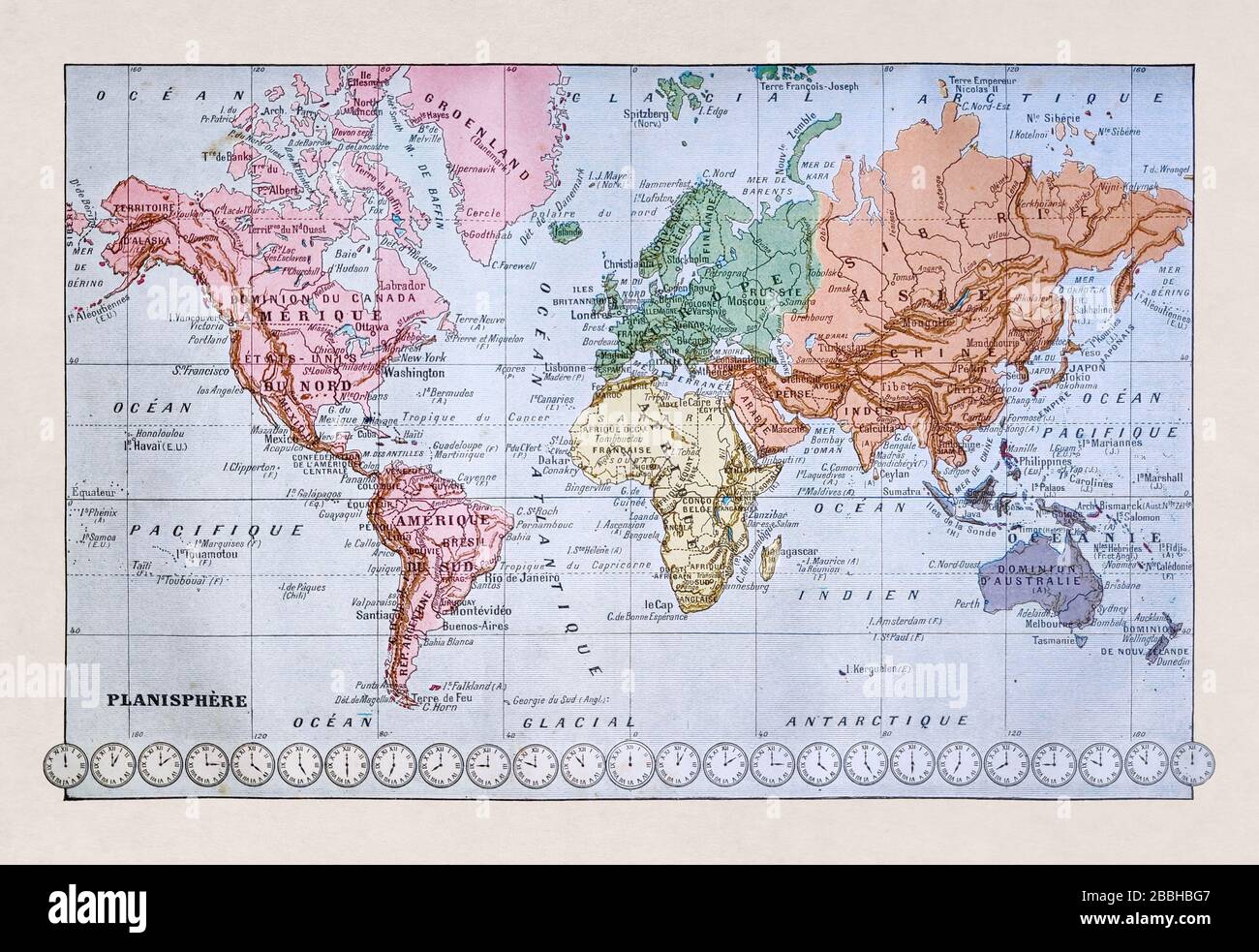 Old world map printed in the late 19th century. Stock Photohttps://www.alamy.com/image-license-details/?v=1https://www.alamy.com/old-world-map-printed-in-the-late-19th-century-image351350839.html
RF2BBHBG7–Old world map printed in the late 19th century.
 Women walking on their phones Stock Photohttps://www.alamy.com/image-license-details/?v=1https://www.alamy.com/women-walking-on-their-phones-image636248972.html
RF2YY3J1G–Women walking on their phones
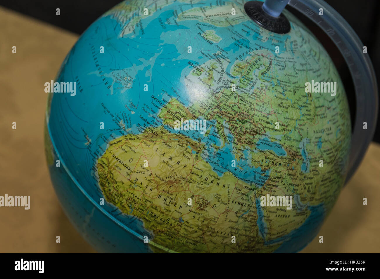 Globe, view of the Mediterranean Sea, Western Europe and North Africa. Stock Photohttps://www.alamy.com/image-license-details/?v=1https://www.alamy.com/stock-photo-globe-view-of-the-mediterranean-sea-western-europe-and-north-africa-132394271.html
RMHKB26R–Globe, view of the Mediterranean Sea, Western Europe and North Africa.
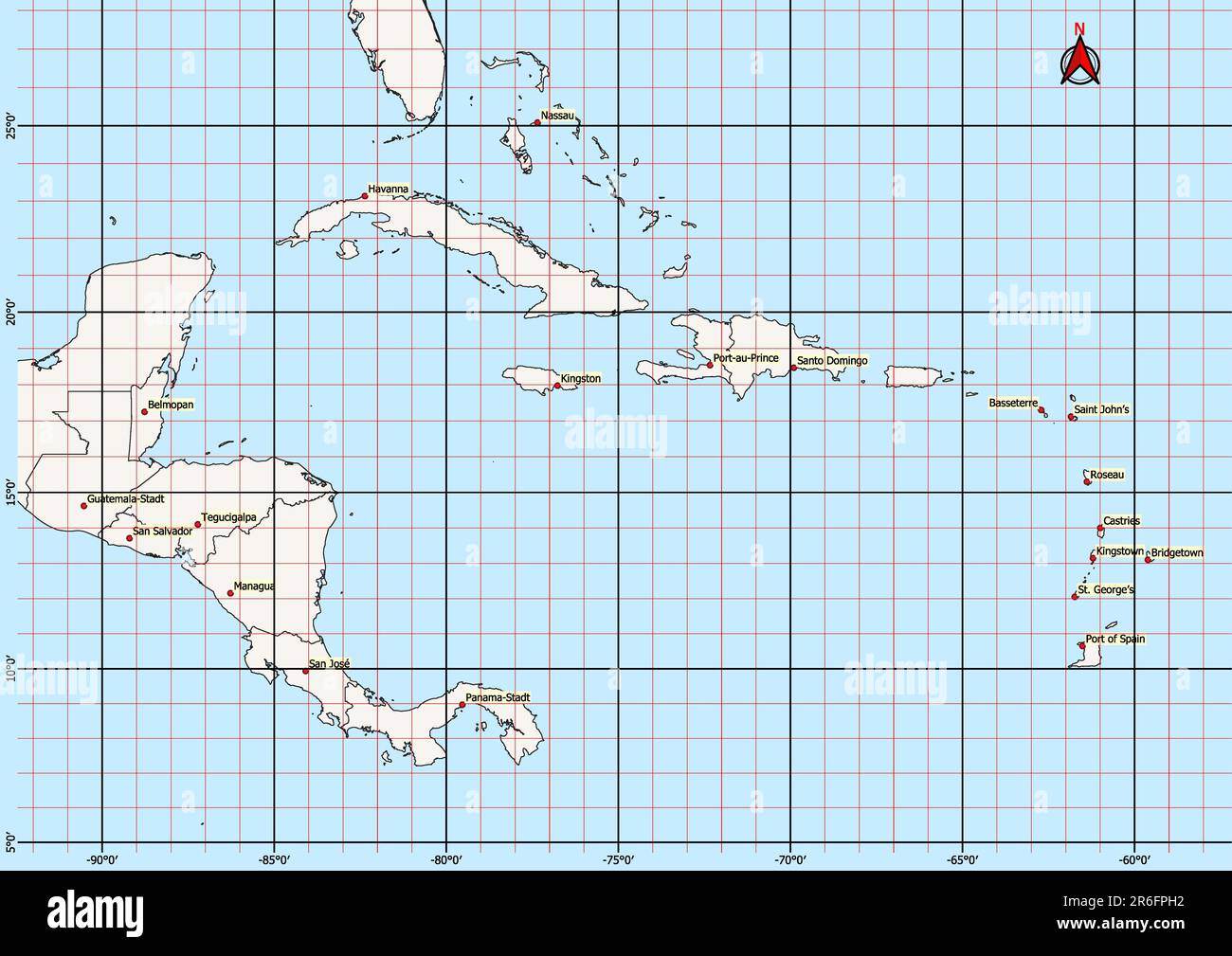 Central America Map Geographic Coordinates latitude and longitude German language Stock Photohttps://www.alamy.com/image-license-details/?v=1https://www.alamy.com/central-america-map-geographic-coordinates-latitude-and-longitude-german-language-image554766718.html
RF2R6FPH2–Central America Map Geographic Coordinates latitude and longitude German language
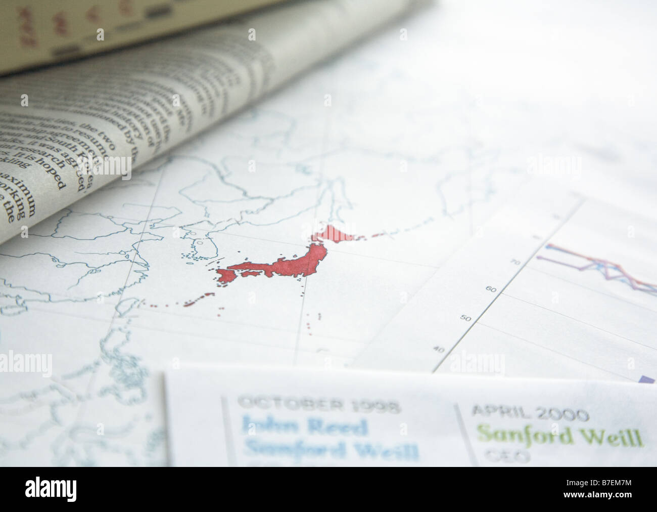 Global Image Stock Photohttps://www.alamy.com/image-license-details/?v=1https://www.alamy.com/stock-photo-global-image-21836184.html
RFB7EM7M–Global Image
 Globe sphere model on grass against natural background and warm sunlight in park. Earth day. World environment day. Stock Photohttps://www.alamy.com/image-license-details/?v=1https://www.alamy.com/globe-sphere-model-on-grass-against-natural-background-and-warm-sunlight-in-park-earth-day-world-environment-day-image502478840.html
RF2M5DTTT–Globe sphere model on grass against natural background and warm sunlight in park. Earth day. World environment day.
 Topographic relief map of NEUMÜNSTER, GERMANY Stock Vectorhttps://www.alamy.com/image-license-details/?v=1https://www.alamy.com/topographic-relief-map-of-neumnster-germany-image503673897.html
RF2M7C95D–Topographic relief map of NEUMÜNSTER, GERMANY
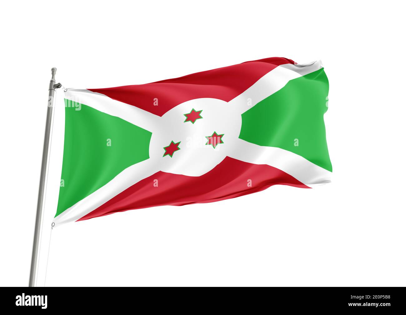 Burundi National flag in White Background Stock Photohttps://www.alamy.com/image-license-details/?v=1https://www.alamy.com/burundi-national-flag-in-white-background-image396325644.html
RF2E0P5B8–Burundi National flag in White Background
 Data processing in the programming code, digitizing world concept Stock Photohttps://www.alamy.com/image-license-details/?v=1https://www.alamy.com/data-processing-in-the-programming-code-digitizing-world-concept-image465201149.html
RF2J0RMPN–Data processing in the programming code, digitizing world concept
 International sign language set Stock Photohttps://www.alamy.com/image-license-details/?v=1https://www.alamy.com/international-sign-language-set-image424756168.html
RF2FK18R4–International sign language set
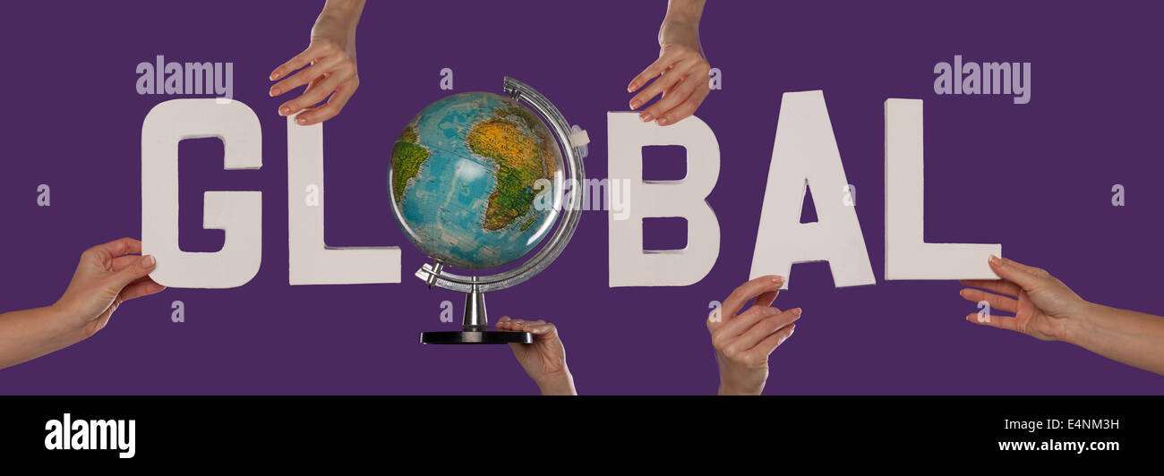 White alphabet lettering spelling GLOBAL Stock Photohttps://www.alamy.com/image-license-details/?v=1https://www.alamy.com/stock-photo-white-alphabet-lettering-spelling-global-71776869.html
RFE4NM3H–White alphabet lettering spelling GLOBAL
 The world in your hands with world map Stock Photohttps://www.alamy.com/image-license-details/?v=1https://www.alamy.com/stock-photo-the-world-in-your-hands-with-world-map-90308574.html
RFF6WWE6–The world in your hands with world map
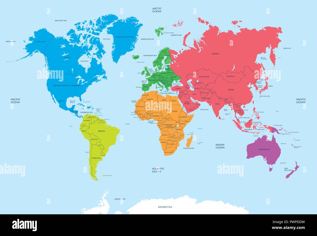 Continents of the World and political Map vector illustration for your design Stock Vectorhttps://www.alamy.com/image-license-details/?v=1https://www.alamy.com/continents-of-the-world-and-political-map-vector-illustration-for-your-design-image222384341.html
RFPWPDDW–Continents of the World and political Map vector illustration for your design
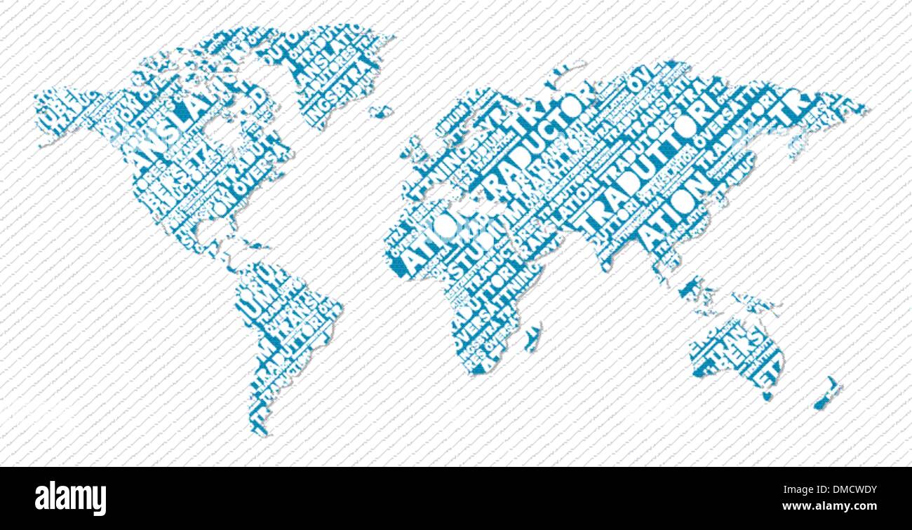 Multilingual translation world map concept Stock Vectorhttps://www.alamy.com/image-license-details/?v=1https://www.alamy.com/multilingual-translation-world-map-concept-image64207639.html
RFDMCWDY–Multilingual translation world map concept
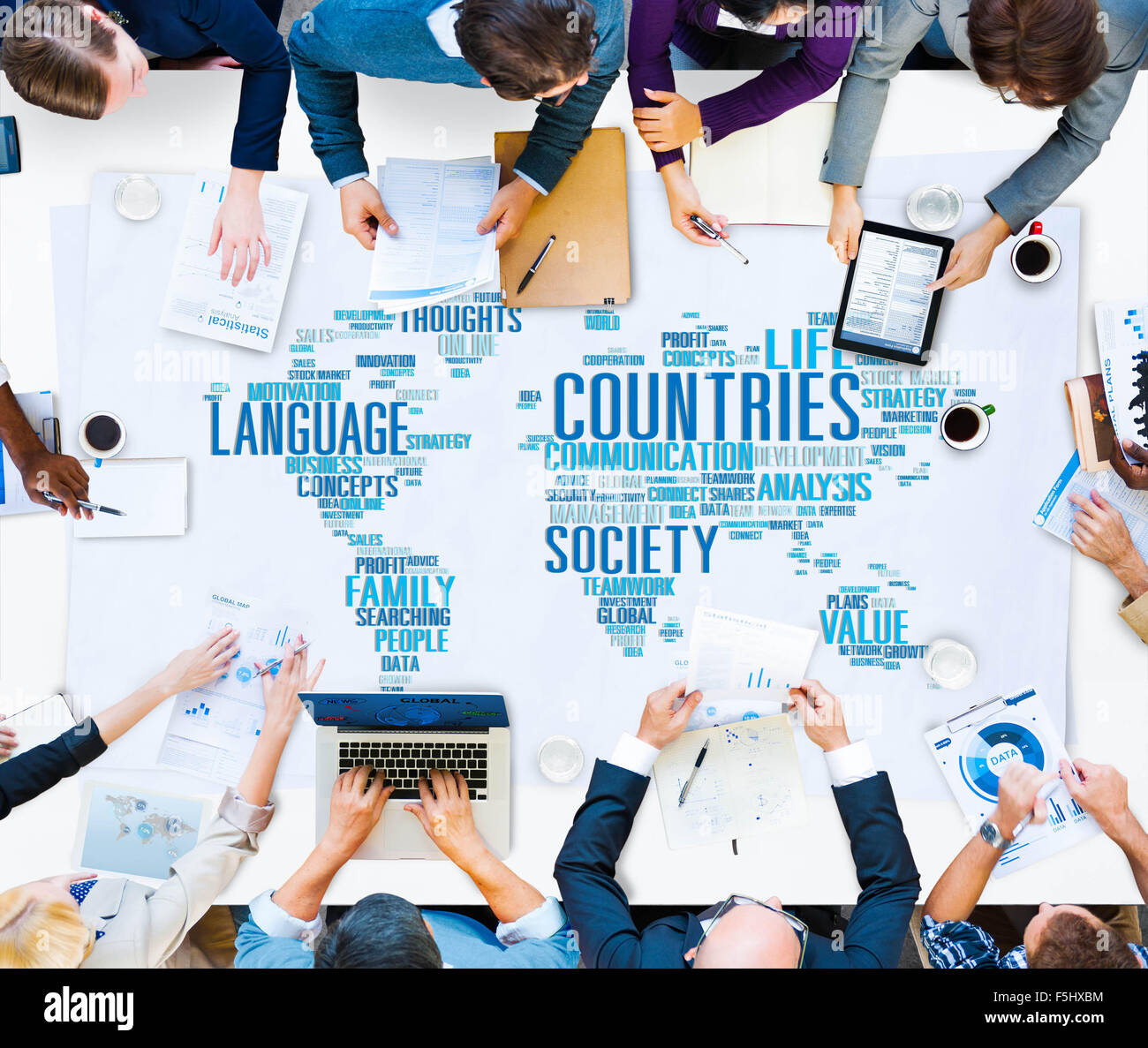 Business People Meeting Countries World Map Concept Stock Photohttps://www.alamy.com/image-license-details/?v=1https://www.alamy.com/stock-photo-business-people-meeting-countries-world-map-concept-89519016.html
RFF5HXBM–Business People Meeting Countries World Map Concept
 Bitcoin global market Stock Photohttps://www.alamy.com/image-license-details/?v=1https://www.alamy.com/bitcoin-global-market-image210838483.html
RFP70EHR–Bitcoin global market
RF2X8EF43–Image of multiple graphs, map, icons and computer language over modern city in background
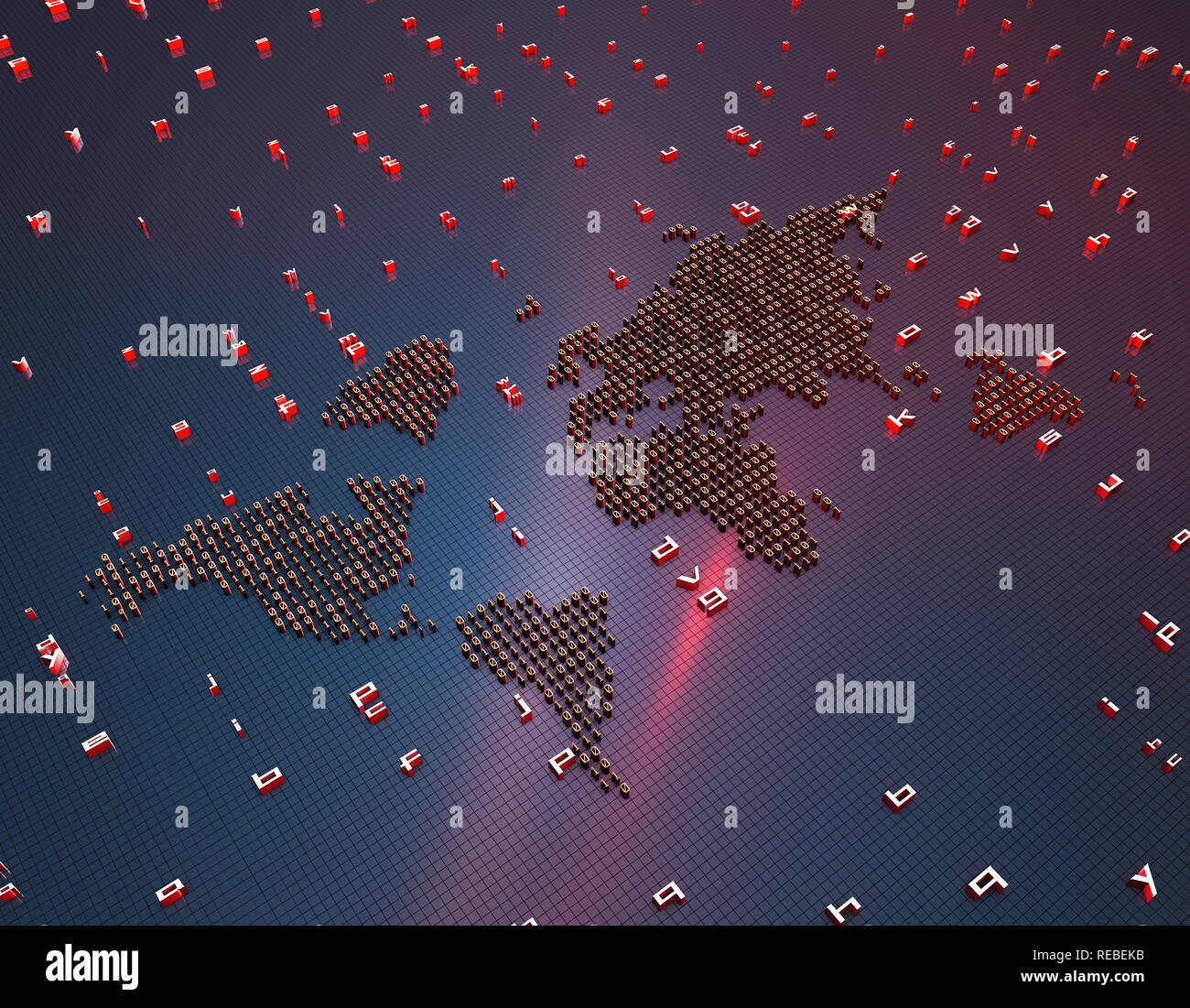 Network financial technology, a world map composed of binary symbols, representing the global Internet finance technology Stock Photohttps://www.alamy.com/image-license-details/?v=1https://www.alamy.com/network-financial-technology-a-world-map-composed-of-binary-symbols-representing-the-global-internet-finance-technology-image232592959.html
RFREBEKB–Network financial technology, a world map composed of binary symbols, representing the global Internet finance technology
 Web concept. Conceptual illustration for searching the internet. Stock Vectorhttps://www.alamy.com/image-license-details/?v=1https://www.alamy.com/web-concept-conceptual-illustration-for-searching-the-internet-image555657087.html
RF2R80A7Y–Web concept. Conceptual illustration for searching the internet.
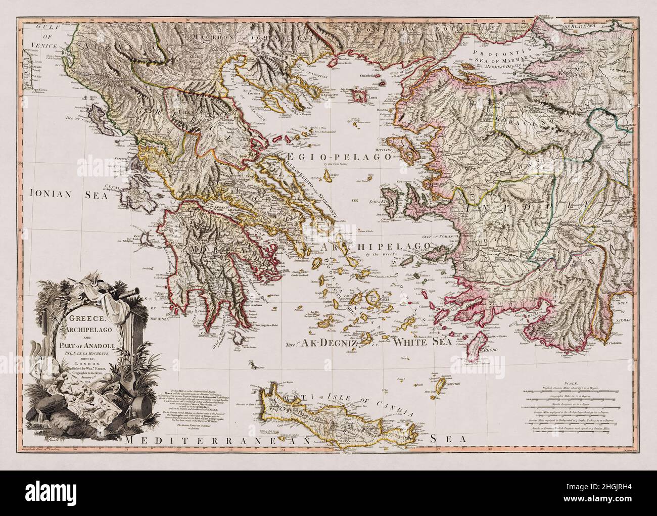 Map of Greece, it's archipelago and part of Anadoli drawn by Louis Stanislas d'Arcy Delarochette in 1791. Stock Photohttps://www.alamy.com/image-license-details/?v=1https://www.alamy.com/map-of-greece-its-archipelago-and-part-of-anadoli-drawn-by-louis-stanislas-darcy-delarochette-in-1791-image457717712.html
RF2HGJRH4–Map of Greece, it's archipelago and part of Anadoli drawn by Louis Stanislas d'Arcy Delarochette in 1791.
 Women walking on their phones Stock Photohttps://www.alamy.com/image-license-details/?v=1https://www.alamy.com/women-walking-on-their-phones-image636248965.html
RF2YY3J19–Women walking on their phones
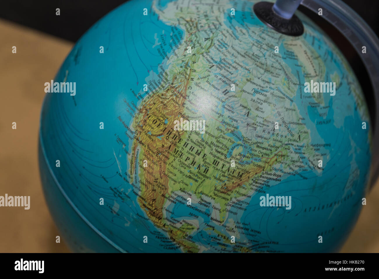 Globe. Stock Photohttps://www.alamy.com/image-license-details/?v=1https://www.alamy.com/stock-photo-globe-132394276.html
RMHKB270–Globe.
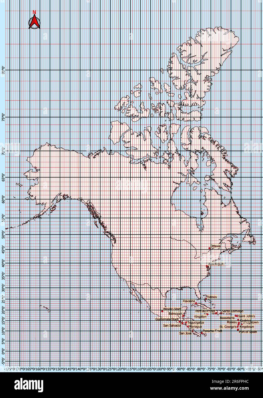 North America Map Geographic Coordinates latitude and longitude German language Stock Photohttps://www.alamy.com/image-license-details/?v=1https://www.alamy.com/north-america-map-geographic-coordinates-latitude-and-longitude-german-language-image554766728.html
RF2R6FPHC–North America Map Geographic Coordinates latitude and longitude German language
 Managing director and employees with speech bubbles in front of world map Stock Photohttps://www.alamy.com/image-license-details/?v=1https://www.alamy.com/stock-photo-managing-director-and-employees-with-speech-bubbles-in-front-of-world-97726773.html
RFFJYRDW–Managing director and employees with speech bubbles in front of world map
 Globe sphere model on grass against natural background and warm sunlight in park. Earth day. World environment day. Stock Photohttps://www.alamy.com/image-license-details/?v=1https://www.alamy.com/globe-sphere-model-on-grass-against-natural-background-and-warm-sunlight-in-park-earth-day-world-environment-day-image502478838.html
RF2M5DTTP–Globe sphere model on grass against natural background and warm sunlight in park. Earth day. World environment day.
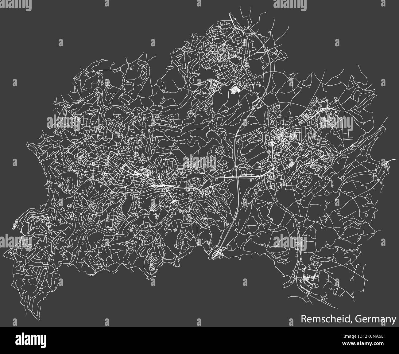 Street roads map of REMSCHEID, GERMANY Stock Vectorhttps://www.alamy.com/image-license-details/?v=1https://www.alamy.com/street-roads-map-of-remscheid-germany-image482359318.html
RF2K0NA6E–Street roads map of REMSCHEID, GERMANY
 Burundi National flag in White Background Stock Photohttps://www.alamy.com/image-license-details/?v=1https://www.alamy.com/burundi-national-flag-in-white-background-image396325766.html
RF2E0P5FJ–Burundi National flag in White Background
RF2S079E8–Pixelated world map icons in 8-bit style, featuring over 190 countries. Perfect for digital art, educational projects, and themed designs.
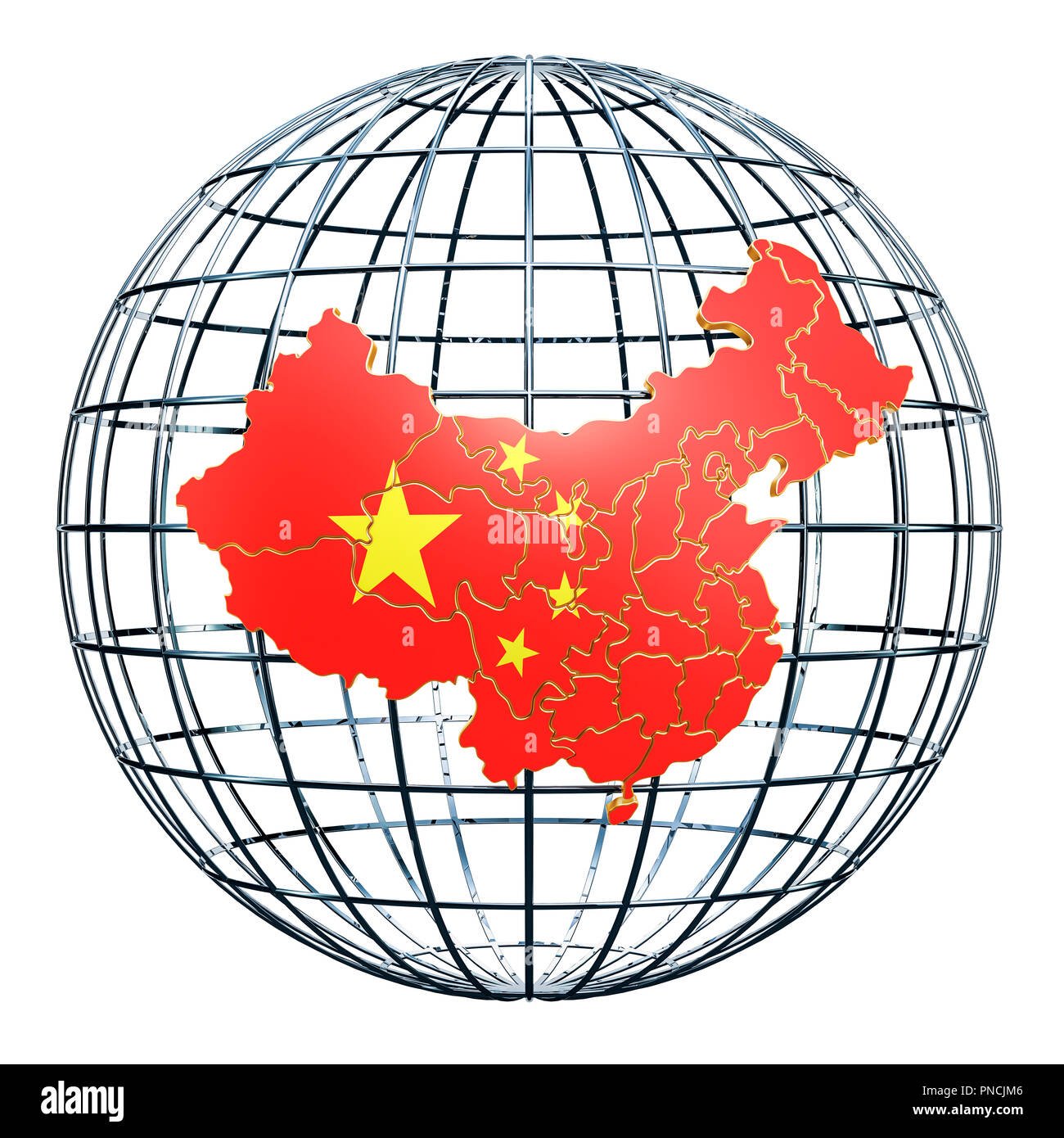 Chinese map on the Earth Globe. 3D rendering Stock Photohttps://www.alamy.com/image-license-details/?v=1https://www.alamy.com/chinese-map-on-the-earth-globe-3d-rendering-image219710294.html
RFPNCJM6–Chinese map on the Earth Globe. 3D rendering
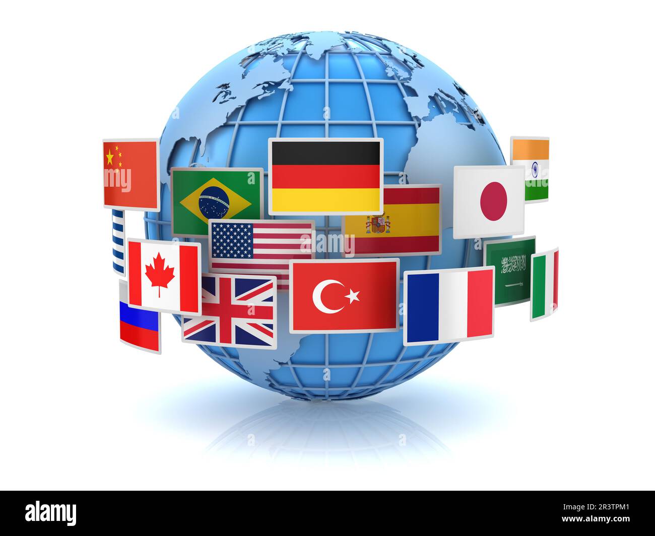 World map and country flags Stock Photohttps://www.alamy.com/image-license-details/?v=1https://www.alamy.com/world-map-and-country-flags-image553120401.html
RF2R3TPM1–World map and country flags
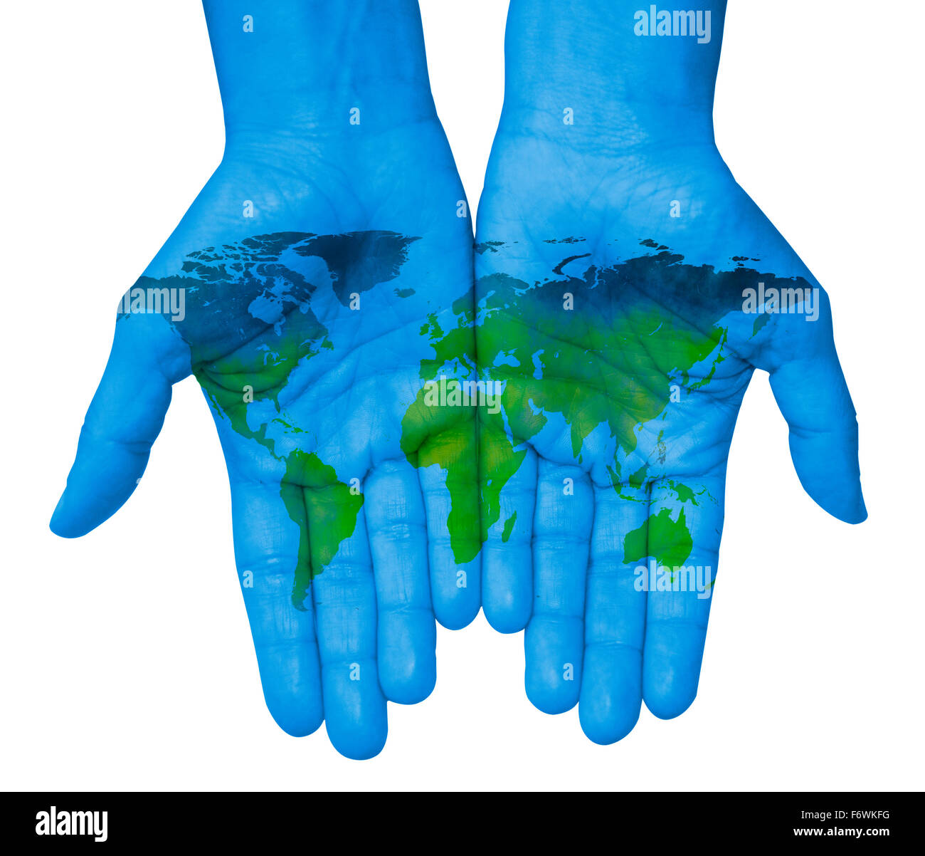 The world in your hands with world map Stock Photohttps://www.alamy.com/image-license-details/?v=1https://www.alamy.com/stock-photo-the-world-in-your-hands-with-world-map-90303908.html
RFF6WKFG–The world in your hands with world map
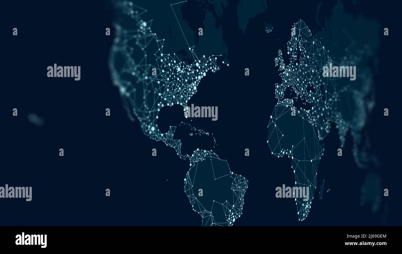 Communications network map of the world, monitor screen in perspective for presentations Stock Photohttps://www.alamy.com/image-license-details/?v=1https://www.alamy.com/communications-network-map-of-the-world-monitor-screen-in-perspective-for-presentations-image468578396.html
RF2J69GEM–Communications network map of the world, monitor screen in perspective for presentations
 Global talk Stock Vectorhttps://www.alamy.com/image-license-details/?v=1https://www.alamy.com/stock-photo-global-talk-115225681.html
RFGKCYEW–Global talk
 Global Communication Worldwide Website Homepage Concept Stock Photohttps://www.alamy.com/image-license-details/?v=1https://www.alamy.com/stock-photo-global-communication-worldwide-website-homepage-concept-126104467.html
RFH94FEY–Global Communication Worldwide Website Homepage Concept
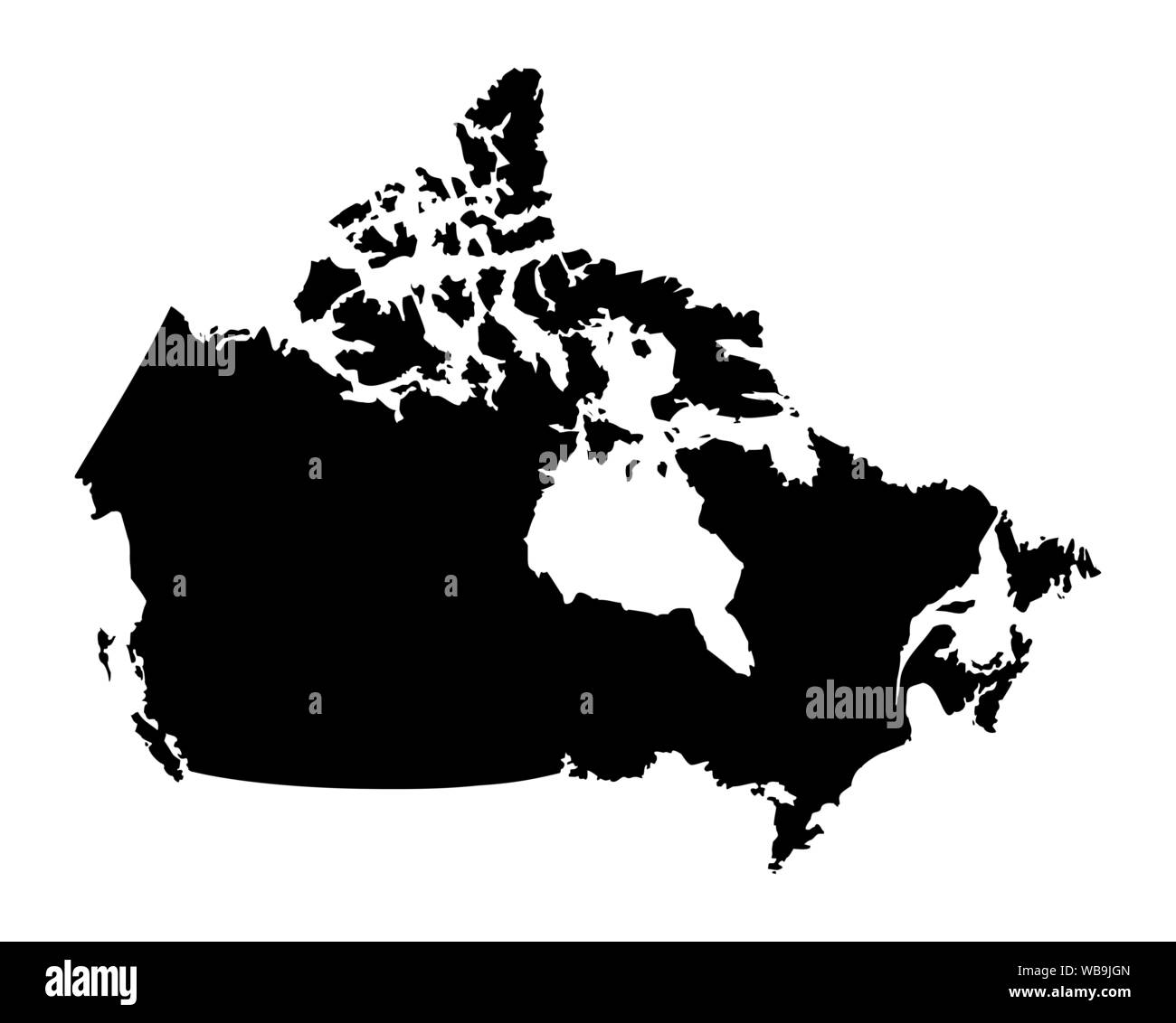 Canada dark silhouette map isolated on white background Stock Vectorhttps://www.alamy.com/image-license-details/?v=1https://www.alamy.com/canada-dark-silhouette-map-isolated-on-white-background-image265128885.html
RFWB9JGN–Canada dark silhouette map isolated on white background
 Image of circles, radars, map, computer language, graphs, trading boards over black background Stock Photohttps://www.alamy.com/image-license-details/?v=1https://www.alamy.com/image-of-circles-radars-map-computer-language-graphs-trading-boards-over-black-background-image607600775.html
RF2X8EGYK–Image of circles, radars, map, computer language, graphs, trading boards over black background
 Network financial technology, a world map composed of binary symbols, representing the global Internet finance technology Stock Photohttps://www.alamy.com/image-license-details/?v=1https://www.alamy.com/network-financial-technology-a-world-map-composed-of-binary-symbols-representing-the-global-internet-finance-technology-image232592964.html
RFREBEKG–Network financial technology, a world map composed of binary symbols, representing the global Internet finance technology