Globe atlas map geography Black & White Stock Photos
(32,189)See globe atlas map geography stock video clipsGlobe atlas map geography Black & White Stock Photos
 Black Globe isolated on black background Stock Photohttps://www.alamy.com/image-license-details/?v=1https://www.alamy.com/stock-image-black-globe-isolated-on-black-background-165377771.html
RFKH1H0Y–Black Globe isolated on black background
 Embossed map of the world Stock Photohttps://www.alamy.com/image-license-details/?v=1https://www.alamy.com/stock-photo-embossed-map-of-the-world-88208938.html
RFF3E7B6–Embossed map of the world
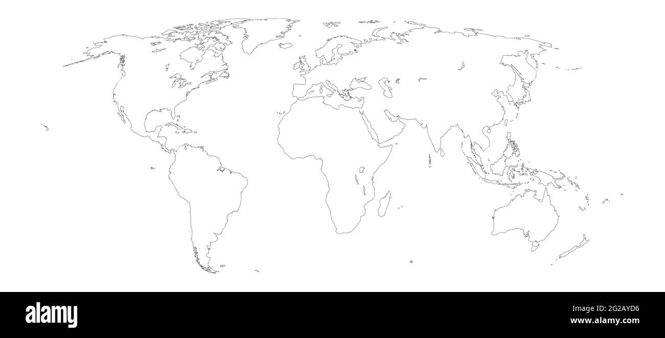 World map outline on white background Stock Photohttps://www.alamy.com/image-license-details/?v=1https://www.alamy.com/world-map-outline-on-white-background-image431729570.html
RF2G2AYD6–World map outline on white background
 Detailed world map with all countries and subcontinents. Illustration of globe map with geometric shapes pattern imposed. Stock Photohttps://www.alamy.com/image-license-details/?v=1https://www.alamy.com/detailed-world-map-with-all-countries-and-subcontinents-illustration-of-globe-map-with-geometric-shapes-pattern-imposed-image259498832.html
RFW255BC–Detailed world map with all countries and subcontinents. Illustration of globe map with geometric shapes pattern imposed.
 Dartmoor, United Kingdom atlas map town name - black and white Stock Photohttps://www.alamy.com/image-license-details/?v=1https://www.alamy.com/dartmoor-united-kingdom-atlas-map-town-name-black-and-white-image520002227.html
RF2N60443–Dartmoor, United Kingdom atlas map town name - black and white
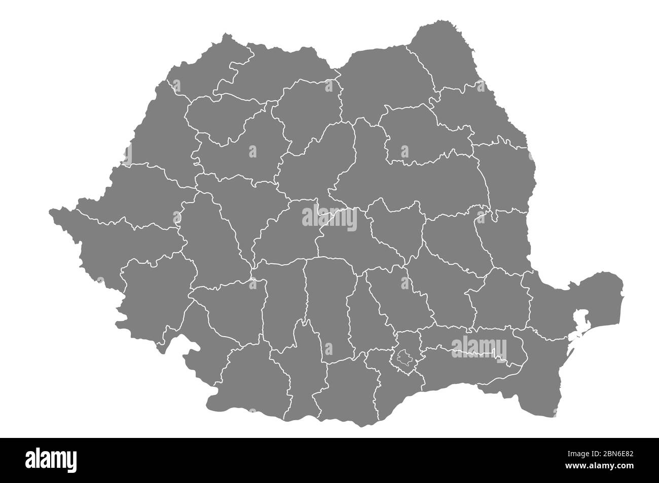 Map of romania with grey background Stock Photohttps://www.alamy.com/image-license-details/?v=1https://www.alamy.com/map-of-romania-with-grey-background-image357258050.html
RF2BN6E82–Map of romania with grey background
 drawings Stock Photohttps://www.alamy.com/image-license-details/?v=1https://www.alamy.com/stock-photo-drawings-124648589.html
RFH6P6F9–drawings
 Portrait of Gerardus Mercator German-Flemish cartographer and traveler who created in 1569 the first world map with a new projection still employed in nautical charts Stock Photohttps://www.alamy.com/image-license-details/?v=1https://www.alamy.com/portrait-of-gerardus-mercator-german-flemish-cartographer-and-traveler-who-created-in-1569-the-first-world-map-with-a-new-projection-still-employed-in-nautical-charts-image270060852.html
RFWKA9AC–Portrait of Gerardus Mercator German-Flemish cartographer and traveler who created in 1569 the first world map with a new projection still employed in nautical charts
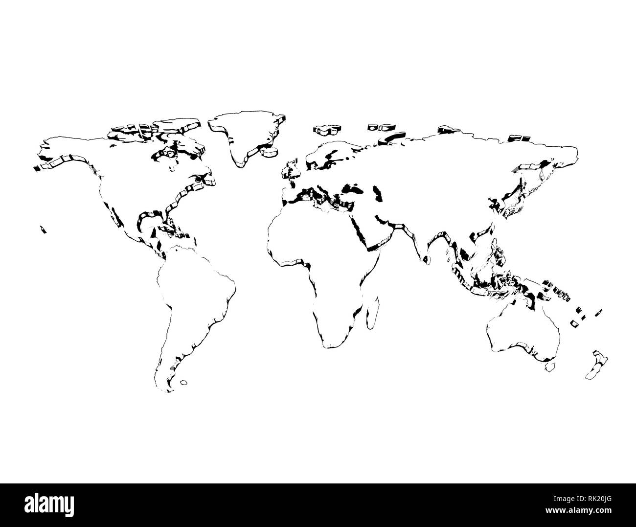 Pencil sketch world map 3d isolated on white background. 3D illustration Stock Photohttps://www.alamy.com/image-license-details/?v=1https://www.alamy.com/pencil-sketch-world-map-3d-isolated-on-white-background-3d-illustration-image235457672.html
RFRK20JG–Pencil sketch world map 3d isolated on white background. 3D illustration
 Layered world map with vertical stripes and shadows, black and white, elements of this image furnished by NASA. Stock Photohttps://www.alamy.com/image-license-details/?v=1https://www.alamy.com/layered-world-map-with-vertical-stripes-and-shadows-black-and-white-elements-of-this-image-furnished-by-nasa-image428724827.html
RF2FWE2TY–Layered world map with vertical stripes and shadows, black and white, elements of this image furnished by NASA.
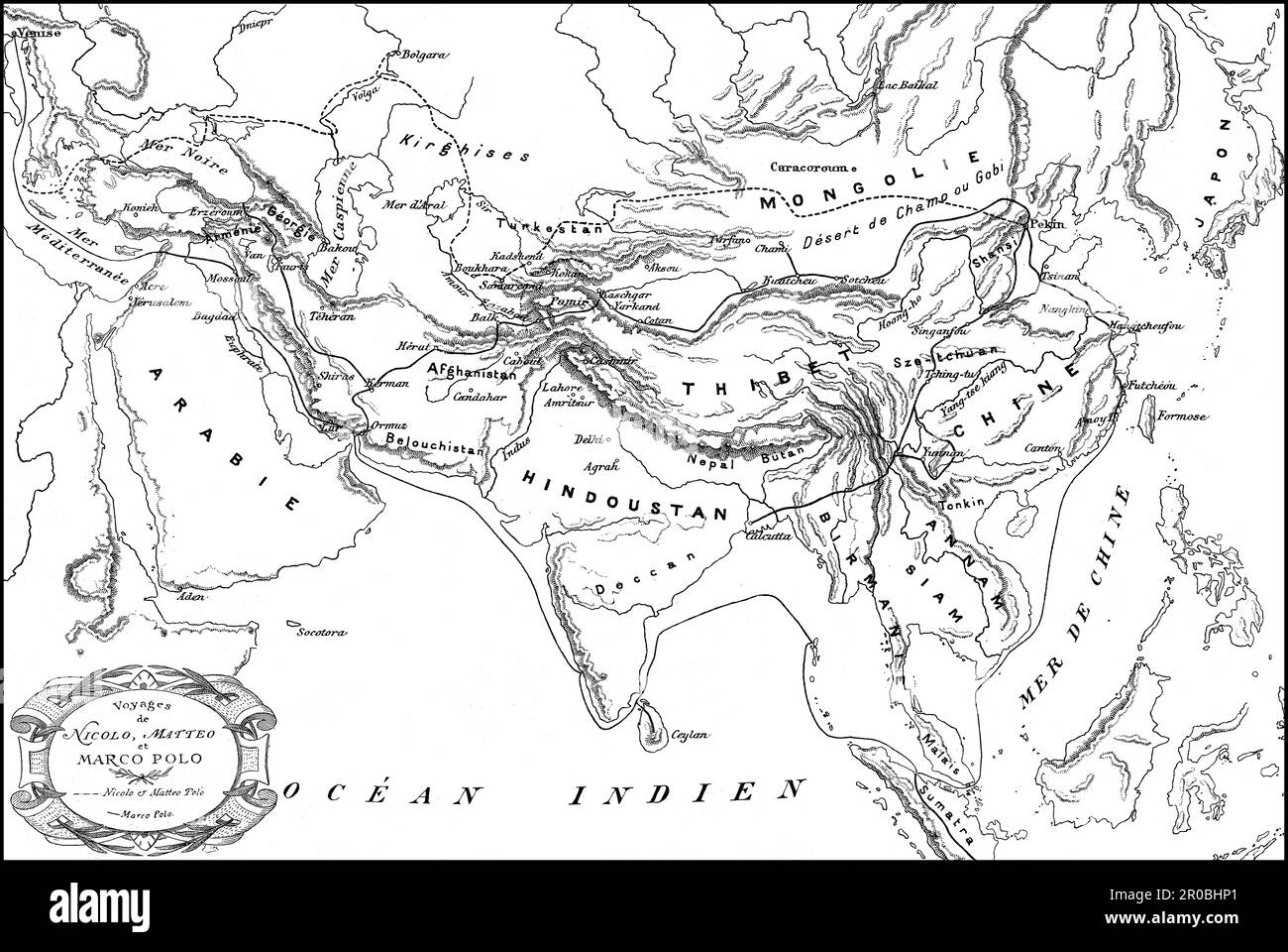 Marco Polo, c. 1254 –1324, an Italian merchant, explorer and writer, map of his travels, digital edited Stock Photohttps://www.alamy.com/image-license-details/?v=1https://www.alamy.com/marco-polo-c1254-1324-an-italian-merchant-explorer-and-writer-map-of-his-travels-digital-edited-image550987193.html
RM2R0BHP1–Marco Polo, c. 1254 –1324, an Italian merchant, explorer and writer, map of his travels, digital edited
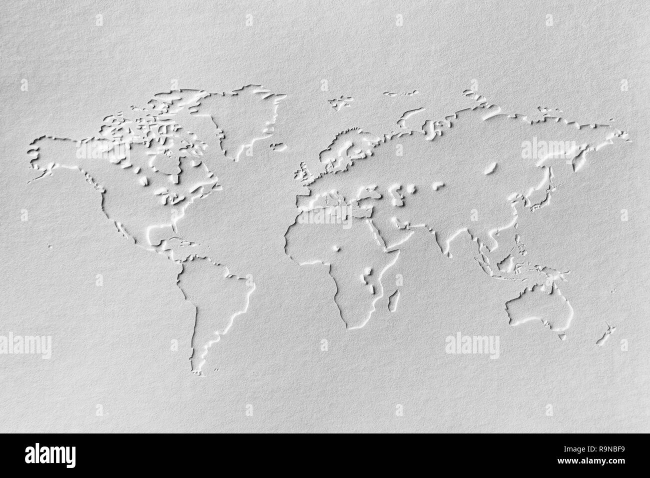 a world map made of embossing paper Stock Photohttps://www.alamy.com/image-license-details/?v=1https://www.alamy.com/a-world-map-made-of-embossing-paper-image229736733.html
RFR9NBF9–a world map made of embossing paper
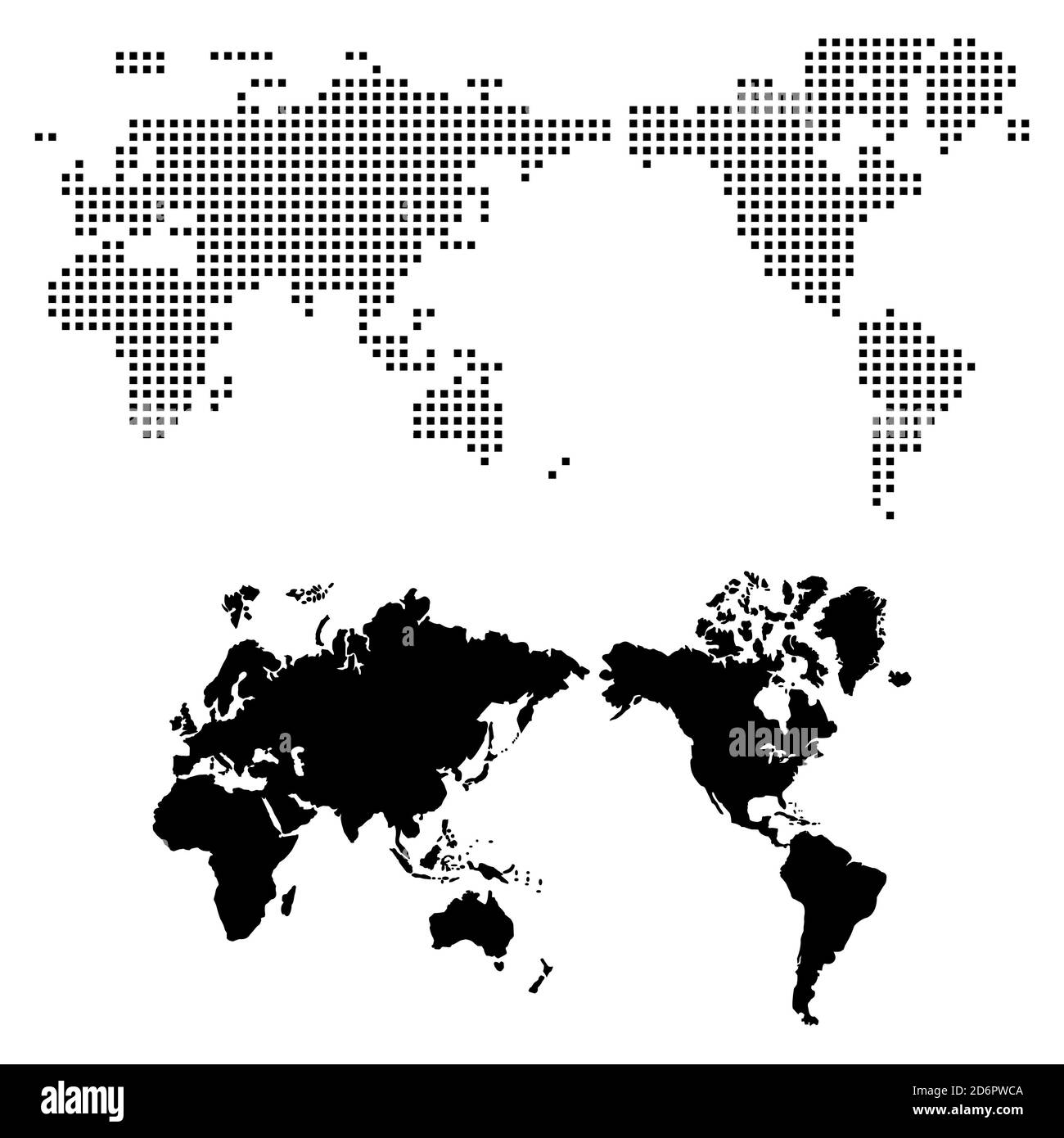 Map of the world on white background Stock Photohttps://www.alamy.com/image-license-details/?v=1https://www.alamy.com/map-of-the-world-on-white-background-image382818922.html
RF2D6PWCA–Map of the world on white background
 World map globe isolated with clipping path on white - America Stock Photohttps://www.alamy.com/image-license-details/?v=1https://www.alamy.com/world-map-globe-isolated-with-clipping-path-on-white-america-image337591856.html
RF2AH6HT0–World map globe isolated with clipping path on white - America
 Continents World map Background Stock Photohttps://www.alamy.com/image-license-details/?v=1https://www.alamy.com/continents-world-map-background-image370981198.html
RM2CFFJ8E–Continents World map Background
 World map Stock Photohttps://www.alamy.com/image-license-details/?v=1https://www.alamy.com/stock-photo-world-map-98563956.html
RFFM9Y98–World map
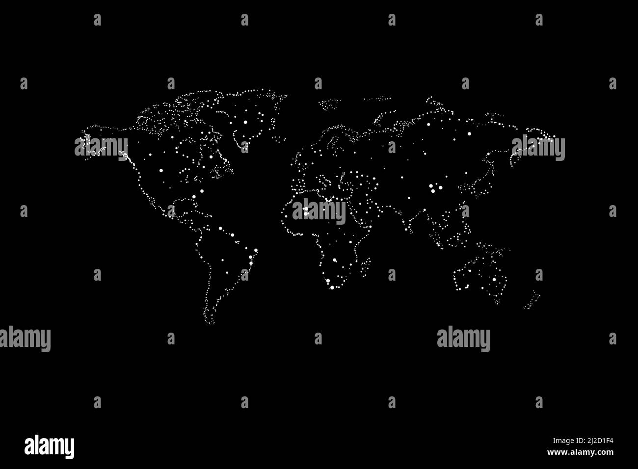 maps of the Earth's. world map. Stock Photohttps://www.alamy.com/image-license-details/?v=1https://www.alamy.com/maps-of-the-earths-world-map-image466195832.html
RF2J2D1F4–maps of the Earth's. world map.
 world map silhouette at grey background - Illustration Stock Photohttps://www.alamy.com/image-license-details/?v=1https://www.alamy.com/world-map-silhouette-at-grey-background-illustration-image255662191.html
RFTRXBMF–world map silhouette at grey background - Illustration
 World map isolated on black wall background Stock Photohttps://www.alamy.com/image-license-details/?v=1https://www.alamy.com/world-map-isolated-on-black-wall-background-image446788830.html
RF2GXTYKX–World map isolated on black wall background
 Black Globe isolated on white background Stock Photohttps://www.alamy.com/image-license-details/?v=1https://www.alamy.com/stock-image-black-globe-isolated-on-white-background-165378535.html
RFKH1J07–Black Globe isolated on white background
 Blank Grey World map isolated on white background. infographics, illustration Stock Photohttps://www.alamy.com/image-license-details/?v=1https://www.alamy.com/stock-photo-blank-grey-world-map-isolated-on-white-background-infographics-illustration-138119675.html
RFJ0KW1F–Blank Grey World map isolated on white background. infographics, illustration
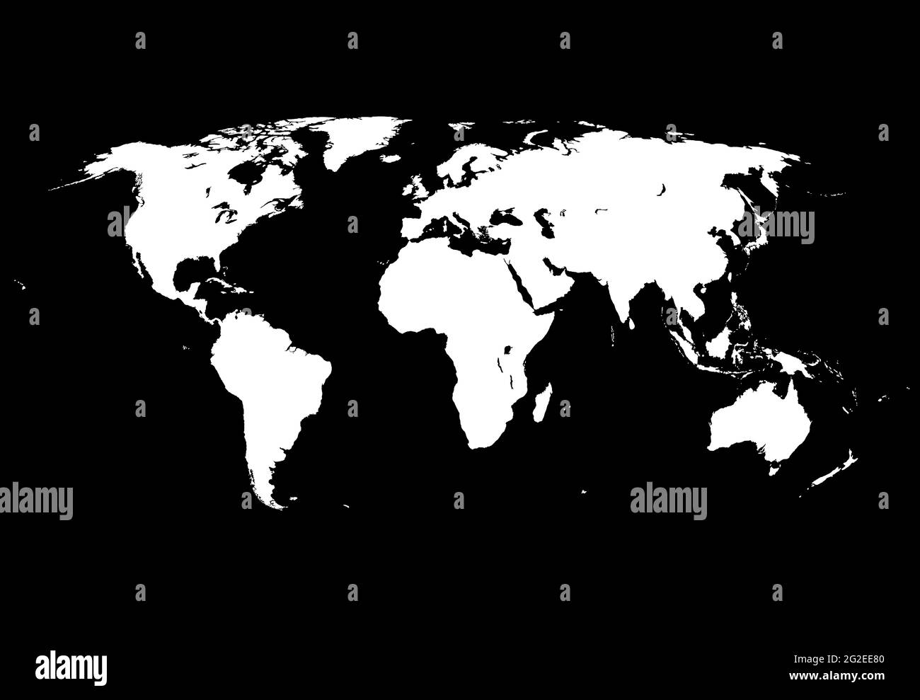 Precise world map Stock Photohttps://www.alamy.com/image-license-details/?v=1https://www.alamy.com/precise-world-map-image431807040.html
RF2G2EE80–Precise world map
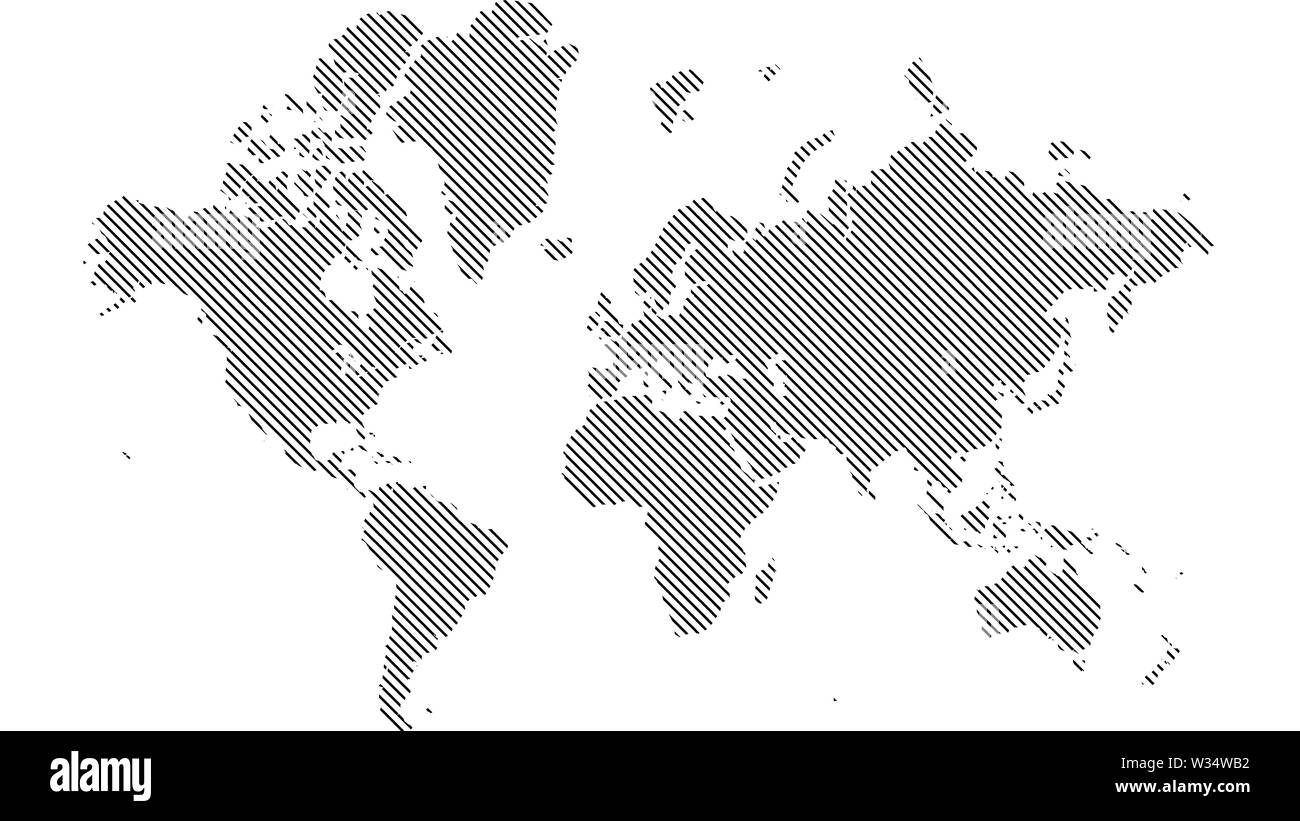 Detailed world map with all countries and subcontinents. Illustration of globe map with geometric shapes pattern imposed. Stock Photohttps://www.alamy.com/image-license-details/?v=1https://www.alamy.com/detailed-world-map-with-all-countries-and-subcontinents-illustration-of-globe-map-with-geometric-shapes-pattern-imposed-image260107206.html
RFW34WB2–Detailed world map with all countries and subcontinents. Illustration of globe map with geometric shapes pattern imposed.
 Dartmouth, United Kingdom atlas map town name - black and white Stock Photohttps://www.alamy.com/image-license-details/?v=1https://www.alamy.com/dartmouth-united-kingdom-atlas-map-town-name-black-and-white-image520002495.html
RF2N604DK–Dartmouth, United Kingdom atlas map town name - black and white
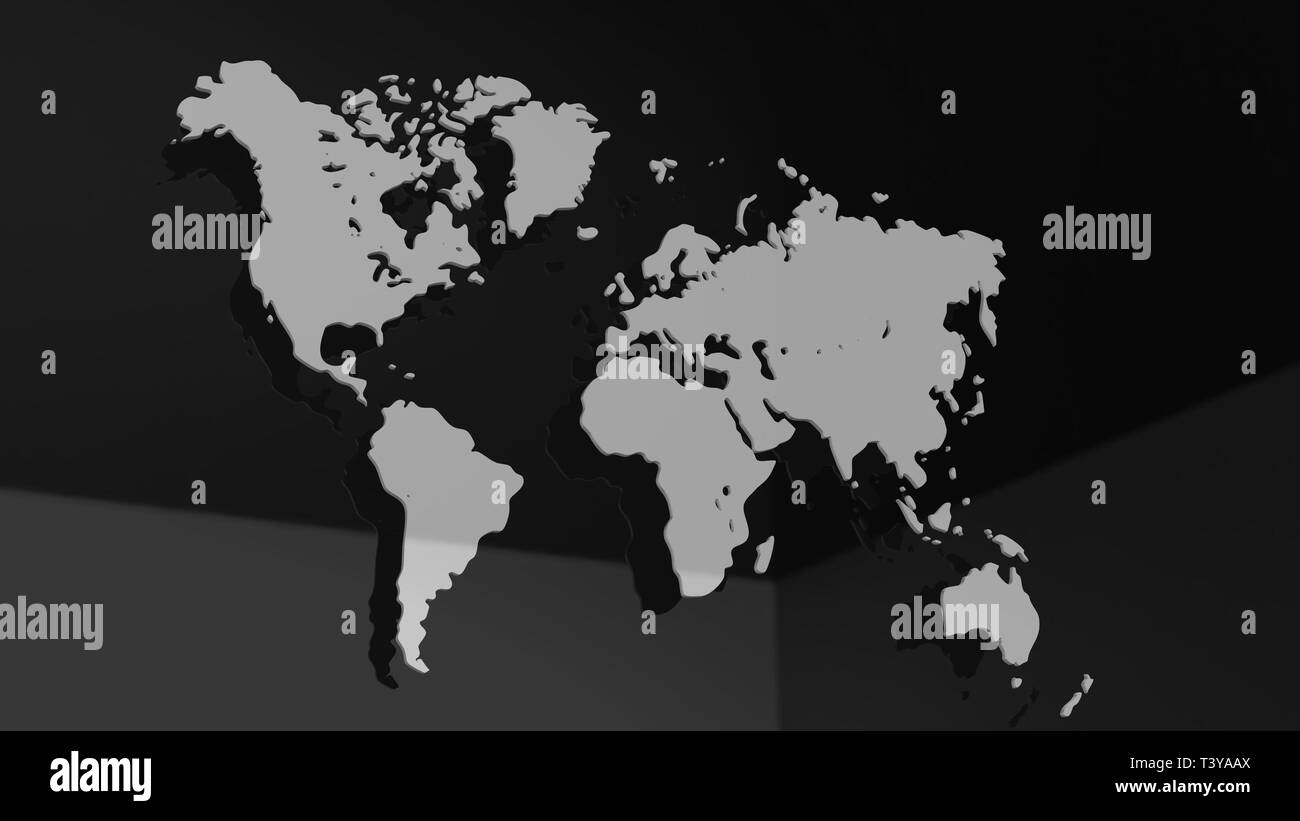 White 3D world map illustration isolated Stock Photohttps://www.alamy.com/image-license-details/?v=1https://www.alamy.com/white-3d-world-map-illustration-isolated-image243389970.html
RFT3YAAX–White 3D world map illustration isolated
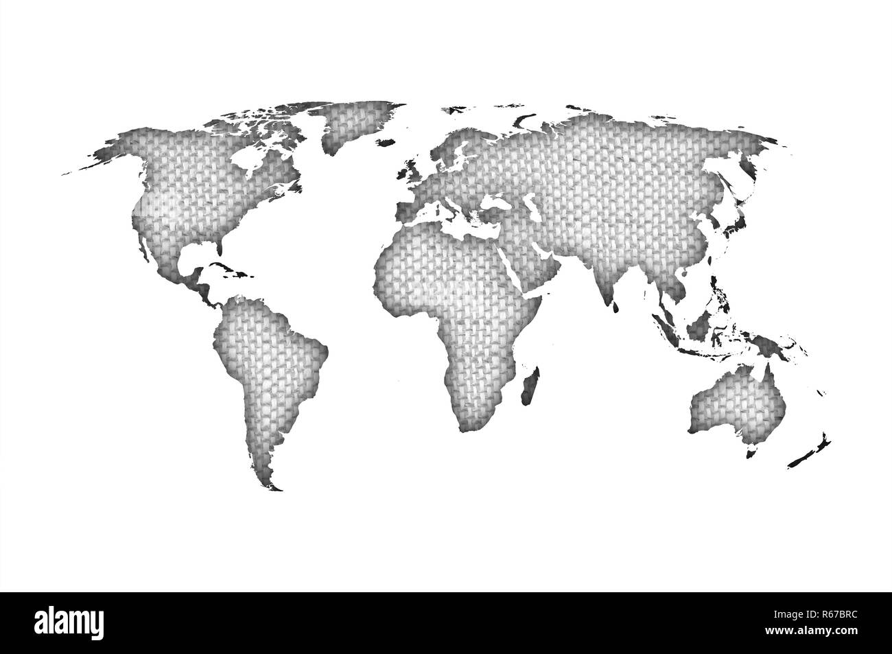 world map on old linen Stock Photohttps://www.alamy.com/image-license-details/?v=1https://www.alamy.com/world-map-on-old-linen-image227585664.html
RFR67BRC–world map on old linen
 World map made of beautiful flowers on grey background, banner design Stock Photohttps://www.alamy.com/image-license-details/?v=1https://www.alamy.com/world-map-made-of-beautiful-flowers-on-grey-background-banner-design-image600385217.html
RF2WTNWD5–World map made of beautiful flowers on grey background, banner design
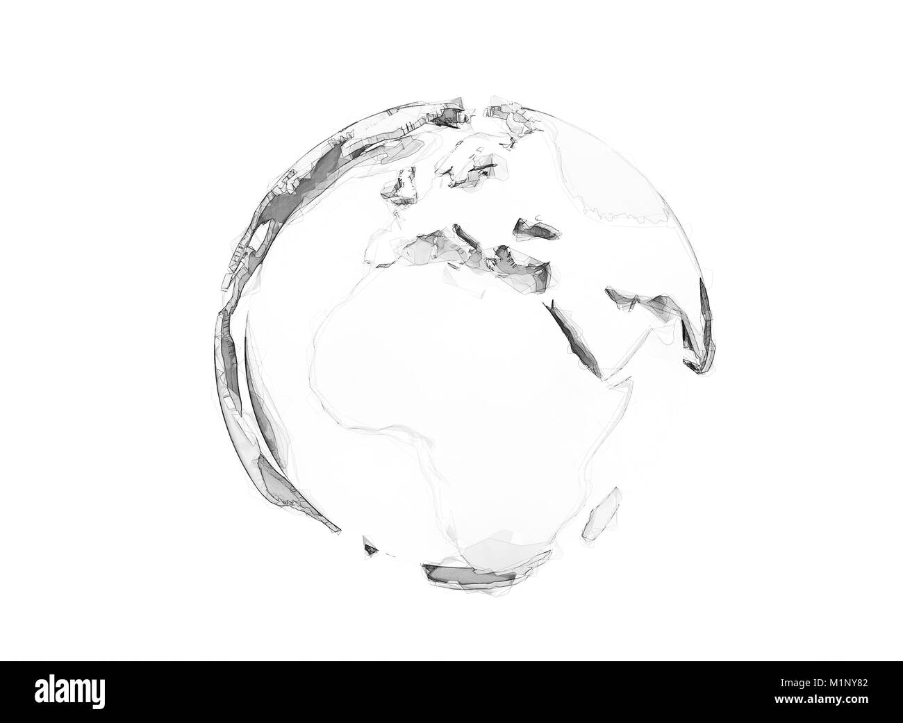 3d polygon world globe isolated on white Stock Photohttps://www.alamy.com/image-license-details/?v=1https://www.alamy.com/stock-photo-3d-polygon-world-globe-isolated-on-white-173200722.html
RFM1NY82–3d polygon world globe isolated on white
 World map, black dots atlas composition. EPS10 vector file organized in layers for easy editing. Stock Photohttps://www.alamy.com/image-license-details/?v=1https://www.alamy.com/world-map-black-dots-atlas-composition-eps10-vector-file-organized-image61419485.html
RFDFWW51–World map, black dots atlas composition. EPS10 vector file organized in layers for easy editing.
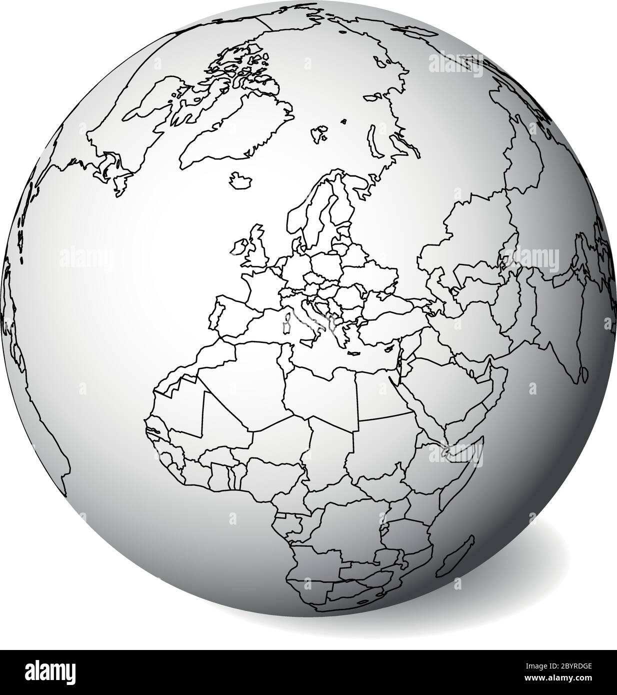 Blank political map of Europe. 3D Earth globe with black outline map. Vector illustration. Stock Vectorhttps://www.alamy.com/image-license-details/?v=1https://www.alamy.com/blank-political-map-of-europe-3d-earth-globe-with-black-outline-map-vector-illustration-image361318622.html
RF2BYRDGE–Blank political map of Europe. 3D Earth globe with black outline map. Vector illustration.
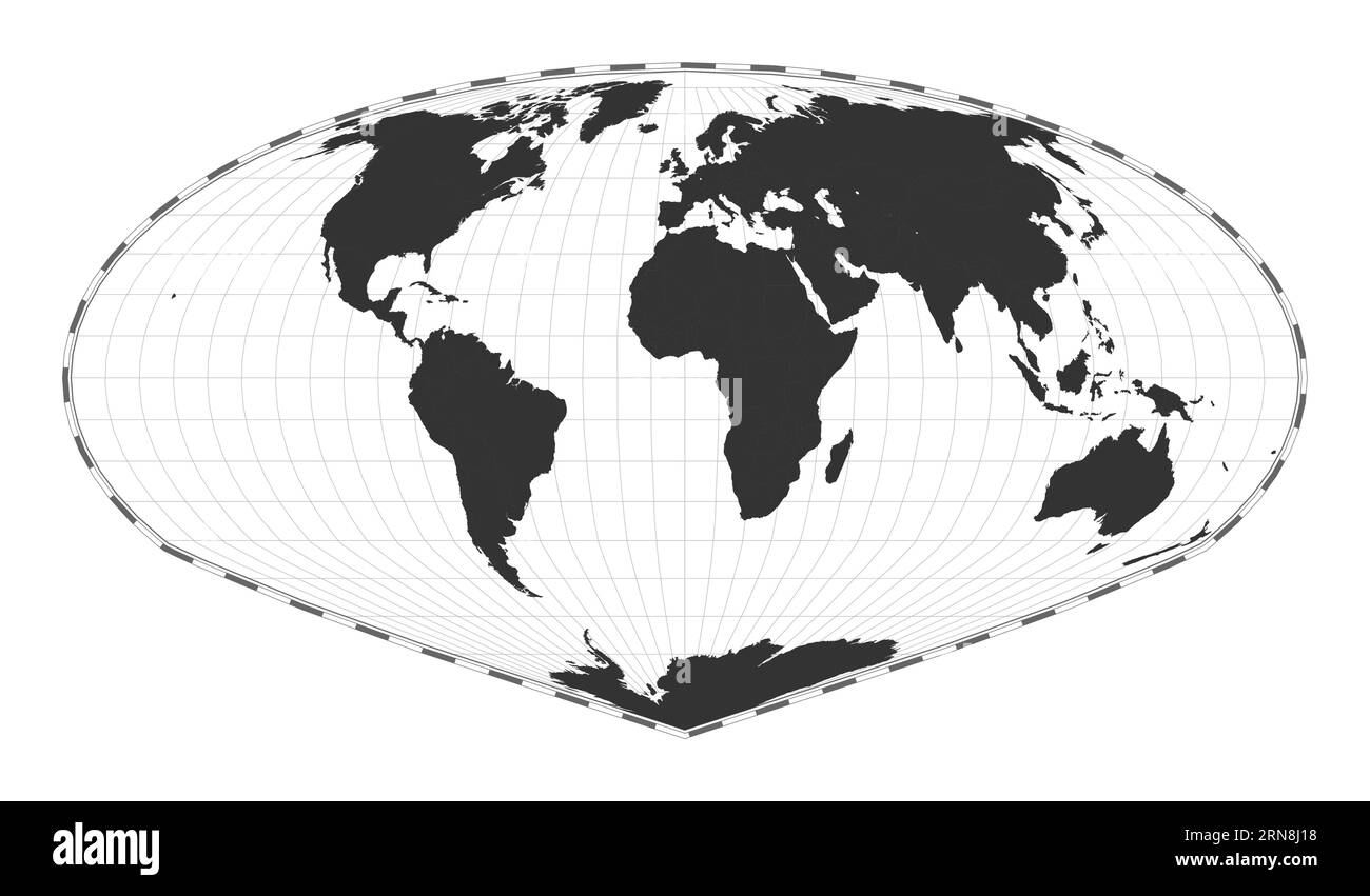 Vector world map using Allen K. Philbrick's Sinu-Mollweide projection. Stock Vectorhttps://www.alamy.com/image-license-details/?v=1https://www.alamy.com/vector-world-map-using-allen-k-philbricks-sinu-mollweide-projection-image563829316.html
RF2RN8J18–Vector world map using Allen K. Philbrick's Sinu-Mollweide projection.
RF2T4DC5J–geology black compass silhouette cartography illustration map icon geography logo location land direction topography travel globe earth world continent science
 World map globe isolated with clipping path on white - Australia, Asia Stock Photohttps://www.alamy.com/image-license-details/?v=1https://www.alamy.com/world-map-globe-isolated-with-clipping-path-on-white-australia-asia-image337591852.html
RF2AH6HRT–World map globe isolated with clipping path on white - Australia, Asia
 World map isolated Stock Photohttps://www.alamy.com/image-license-details/?v=1https://www.alamy.com/world-map-isolated-image370981206.html
RM2CFFJ8P–World map isolated
 World map Stock Photohttps://www.alamy.com/image-license-details/?v=1https://www.alamy.com/stock-photo-world-map-98563048.html
RFFM9X4T–World map
 mature bearded man teacher in costume sit in school classroom with geography globe map, vacation Stock Photohttps://www.alamy.com/image-license-details/?v=1https://www.alamy.com/mature-bearded-man-teacher-in-costume-sit-in-school-classroom-with-geography-globe-map-vacation-image472575821.html
RF2JCRK7W–mature bearded man teacher in costume sit in school classroom with geography globe map, vacation
 World map on gray frosted glass texture as background. Interior decoration design for windows or doors. Stock Photohttps://www.alamy.com/image-license-details/?v=1https://www.alamy.com/world-map-on-gray-frosted-glass-texture-as-background-interior-decoration-design-for-windows-or-doors-image215480675.html
RMPEFYPB–World map on gray frosted glass texture as background. Interior decoration design for windows or doors.
 World map isolated on white background, 3d rendering Stock Photohttps://www.alamy.com/image-license-details/?v=1https://www.alamy.com/world-map-isolated-on-white-background-3d-rendering-image385831943.html
RF2DBM4G7–World map isolated on white background, 3d rendering
 Black Globe isolated on black background Stock Photohttps://www.alamy.com/image-license-details/?v=1https://www.alamy.com/stock-image-black-globe-isolated-on-black-background-165377931.html
RFKH1H6K–Black Globe isolated on black background
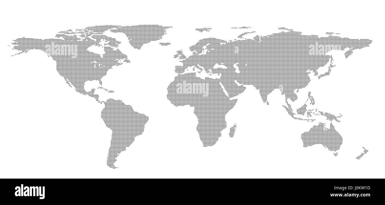 Blank dots World map isolated on white background. infographics, illustration Stock Photohttps://www.alamy.com/image-license-details/?v=1https://www.alamy.com/stock-photo-blank-dots-world-map-isolated-on-white-background-infographics-illustration-138119673.html
RFJ0KW1D–Blank dots World map isolated on white background. infographics, illustration
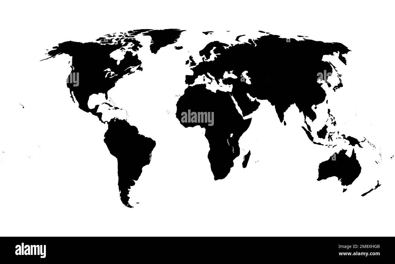 World Map in black and white. Vector Illustration. Stock Vectorhttps://www.alamy.com/image-license-details/?v=1https://www.alamy.com/world-map-in-black-and-white-vector-illustration-image504602459.html
RF2M8XHGB–World Map in black and white. Vector Illustration.
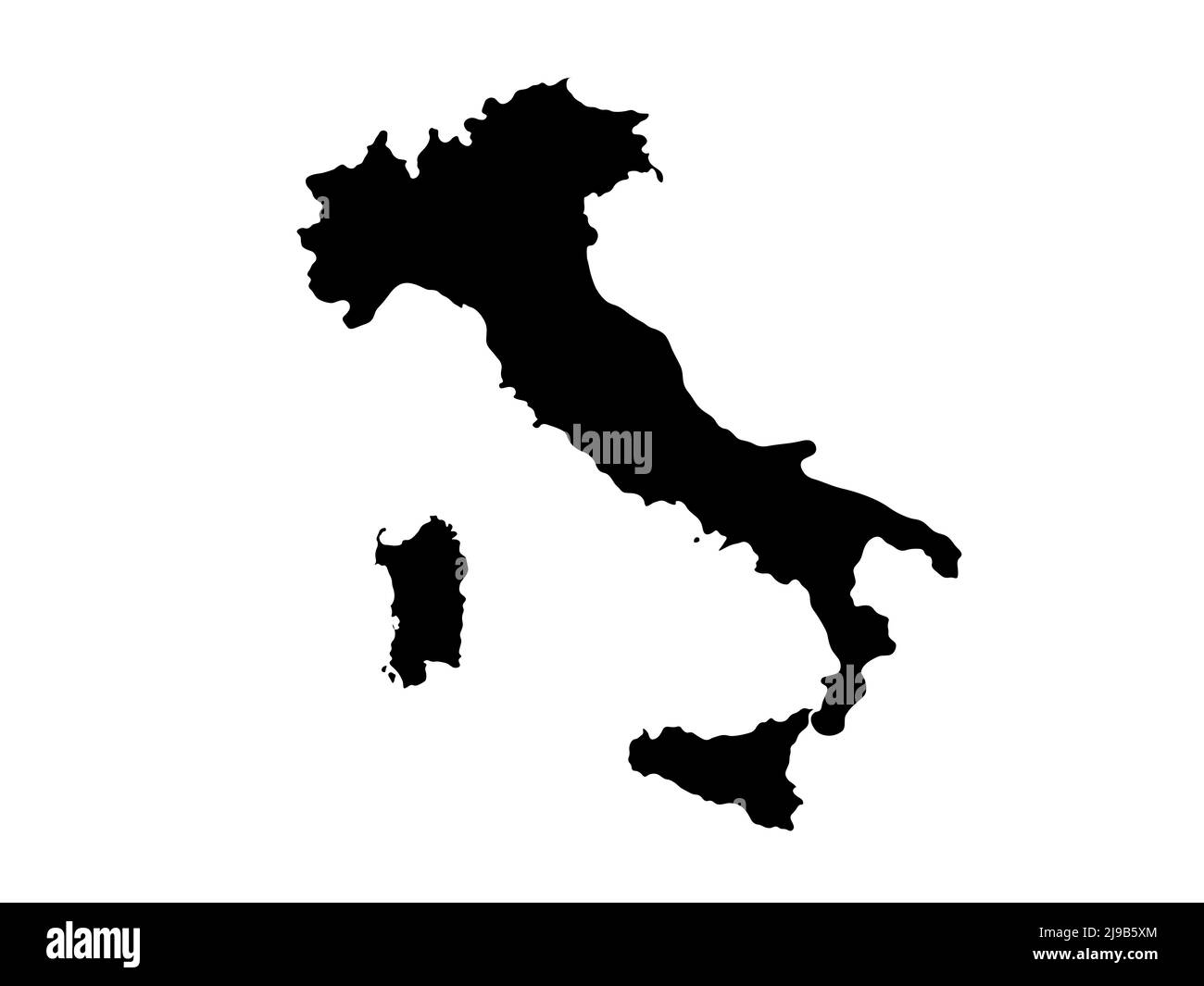 Italy country outline Isolated on white background Stock Photohttps://www.alamy.com/image-license-details/?v=1https://www.alamy.com/italy-country-outline-isolated-on-white-background-image470457980.html
RF2J9B5XM–Italy country outline Isolated on white background
 Dawlish, United Kingdom atlas map town name - black and white Stock Photohttps://www.alamy.com/image-license-details/?v=1https://www.alamy.com/dawlish-united-kingdom-atlas-map-town-name-black-and-white-image520002935.html
RF2N6051B–Dawlish, United Kingdom atlas map town name - black and white
 White 3D world map illustration isolated Stock Photohttps://www.alamy.com/image-license-details/?v=1https://www.alamy.com/white-3d-world-map-illustration-isolated-image243389967.html
RFT3YAAR–White 3D world map illustration isolated
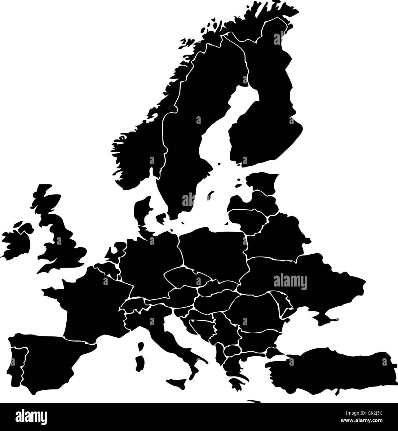 europe illustration map Stock Photohttps://www.alamy.com/image-license-details/?v=1https://www.alamy.com/stock-photo-europe-illustration-map-114998840.html
RFGK2J5C–europe illustration map
 World map made of beautiful flowers on grey background, banner design Stock Photohttps://www.alamy.com/image-license-details/?v=1https://www.alamy.com/world-map-made-of-beautiful-flowers-on-grey-background-banner-design-image600429783.html
RF2WTRX8R–World map made of beautiful flowers on grey background, banner design
 globe earth world map - abstract dotted vector background. Black and white silhouette illustration Stock Vectorhttps://www.alamy.com/image-license-details/?v=1https://www.alamy.com/stock-image-globe-earth-world-map-abstract-dotted-vector-background-black-and-160288253.html
RFK8NN8D–globe earth world map - abstract dotted vector background. Black and white silhouette illustration
 World map, white dots atlas composition. EPS10 vector file organized in layers for easy editing. Stock Photohttps://www.alamy.com/image-license-details/?v=1https://www.alamy.com/world-map-white-dots-atlas-composition-eps10-vector-file-organized-image61419767.html
RFDFWWF3–World map, white dots atlas composition. EPS10 vector file organized in layers for easy editing.
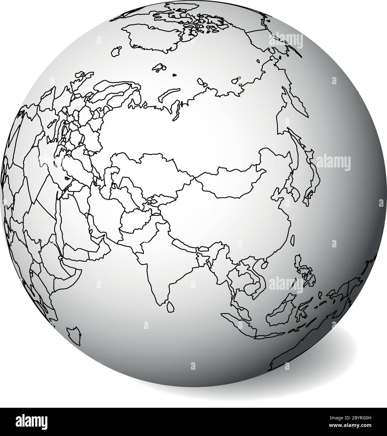 Blank political map of Asia. 3D Earth globe with black outline map. Vector illustration. Stock Vectorhttps://www.alamy.com/image-license-details/?v=1https://www.alamy.com/blank-political-map-of-asia-3d-earth-globe-with-black-outline-map-vector-illustration-image361320529.html
RF2BYRG0H–Blank political map of Asia. 3D Earth globe with black outline map. Vector illustration.
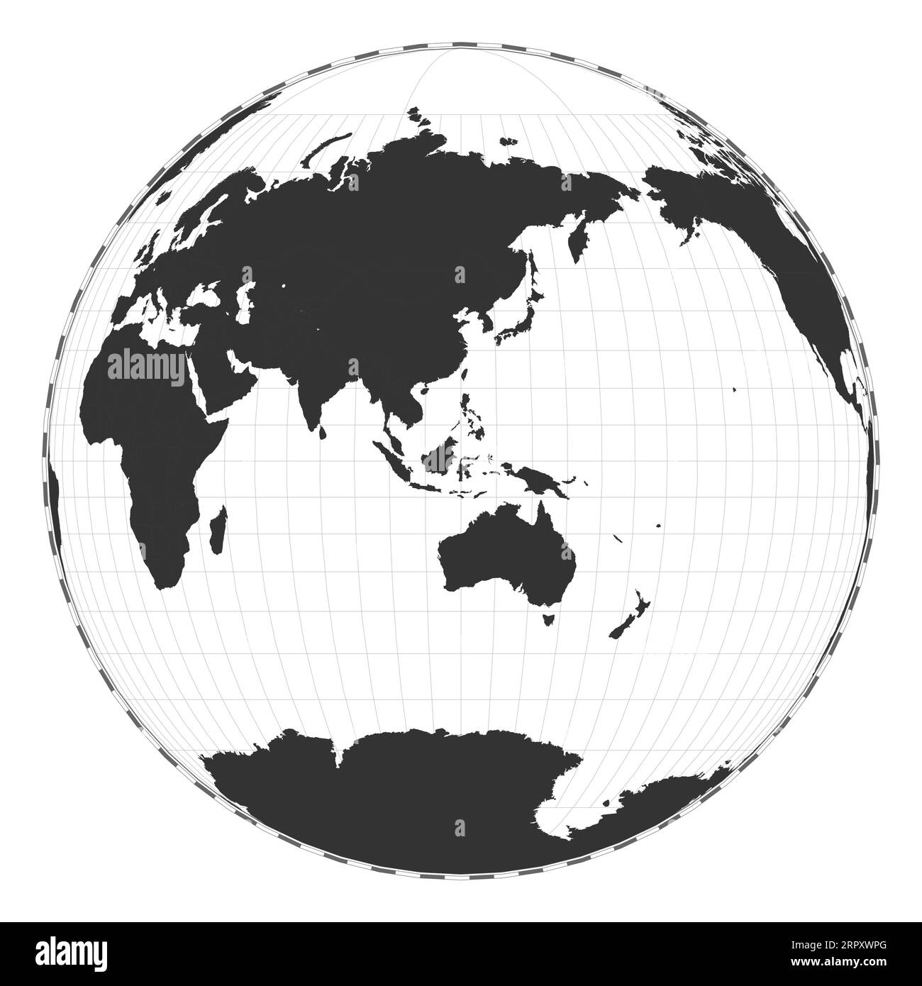 Vector world map. Gilbert's two-world perspective projection. Plain geographical map with latitude and longitude lines. Stock Vectorhttps://www.alamy.com/image-license-details/?v=1https://www.alamy.com/vector-world-map-gilberts-two-world-perspective-projection-plain-geographical-map-with-latitude-and-longitude-lines-image564845192.html
RF2RPXWPG–Vector world map. Gilbert's two-world perspective projection. Plain geographical map with latitude and longitude lines.
RF2T4DCC5–geology black compass silhouette cartography illustration map icon geography logo location land direction topography travel globe earth world continent science
 World map globe isolated with clipping path on white - Africa, Europe, Asia Stock Photohttps://www.alamy.com/image-license-details/?v=1https://www.alamy.com/world-map-globe-isolated-with-clipping-path-on-white-africa-europe-asia-image337591854.html
RF2AH6HRX–World map globe isolated with clipping path on white - Africa, Europe, Asia
 Abstract world map in horizontal lines. Vector cartography with black stripes countries illustration Stock Vectorhttps://www.alamy.com/image-license-details/?v=1https://www.alamy.com/abstract-world-map-in-horizontal-lines-vector-cartography-with-black-stripes-countries-illustration-image334580534.html
RF2AC9CTP–Abstract world map in horizontal lines. Vector cartography with black stripes countries illustration
 World map Stock Photohttps://www.alamy.com/image-license-details/?v=1https://www.alamy.com/stock-photo-world-map-98563511.html
RFFM9XNB–World map
 World map. 3d rendered background image Stock Photohttps://www.alamy.com/image-license-details/?v=1https://www.alamy.com/world-map-3d-rendered-background-image-image427679244.html
RF2FRPD6M–World map. 3d rendered background image
 High school professor in classroom with globe, geography Stock Photohttps://www.alamy.com/image-license-details/?v=1https://www.alamy.com/high-school-professor-in-classroom-with-globe-geography-image480473503.html
RF2JWKCRY–High school professor in classroom with globe, geography
 White world map isolated on black wall background Stock Photohttps://www.alamy.com/image-license-details/?v=1https://www.alamy.com/white-world-map-isolated-on-black-wall-background-image446683131.html
RF2GXM4TY–White world map isolated on black wall background
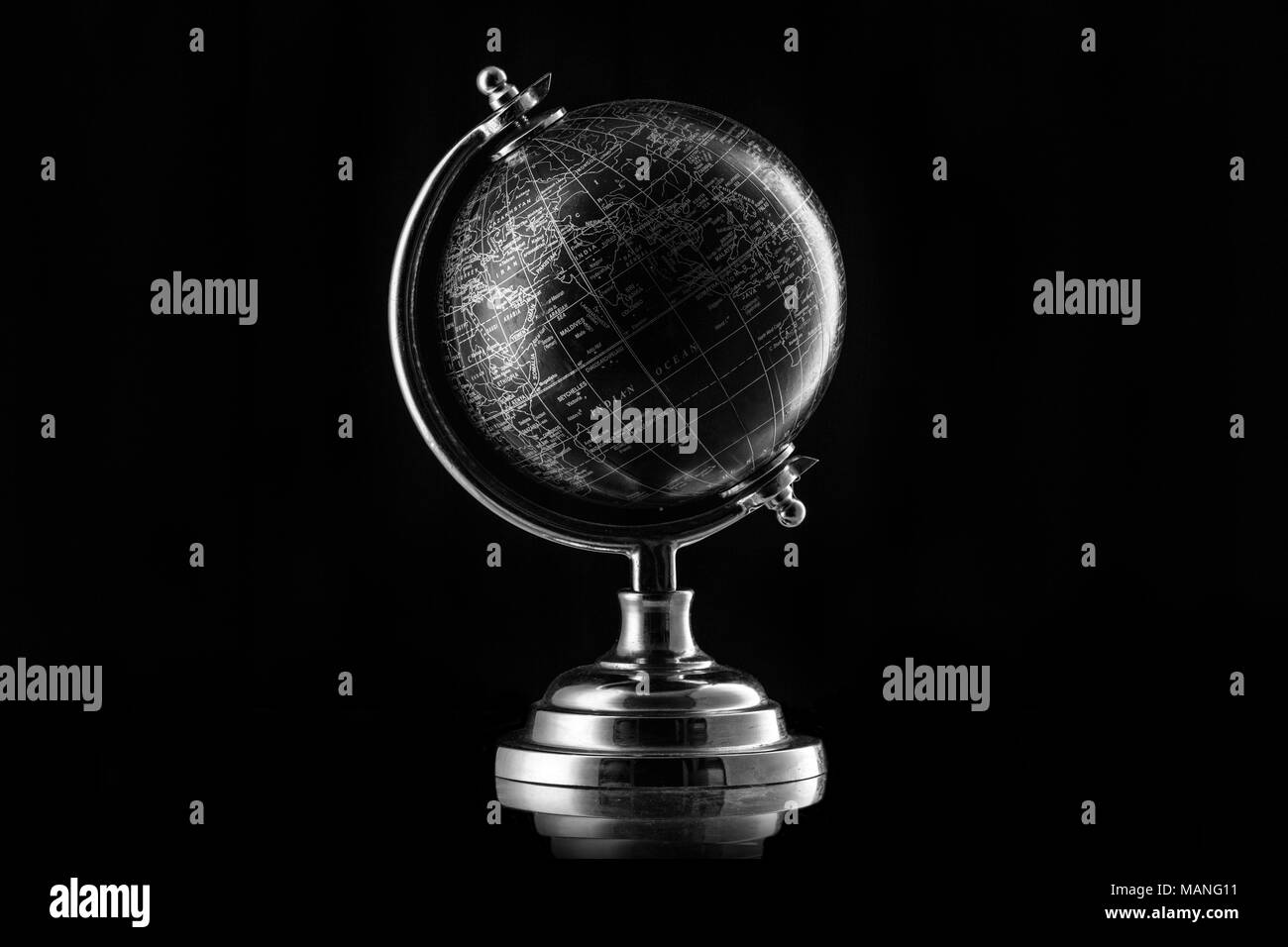 Black Globe isolated on black background Stock Photohttps://www.alamy.com/image-license-details/?v=1https://www.alamy.com/black-globe-isolated-on-black-background-image178723805.html
RFMANG11–Black Globe isolated on black background
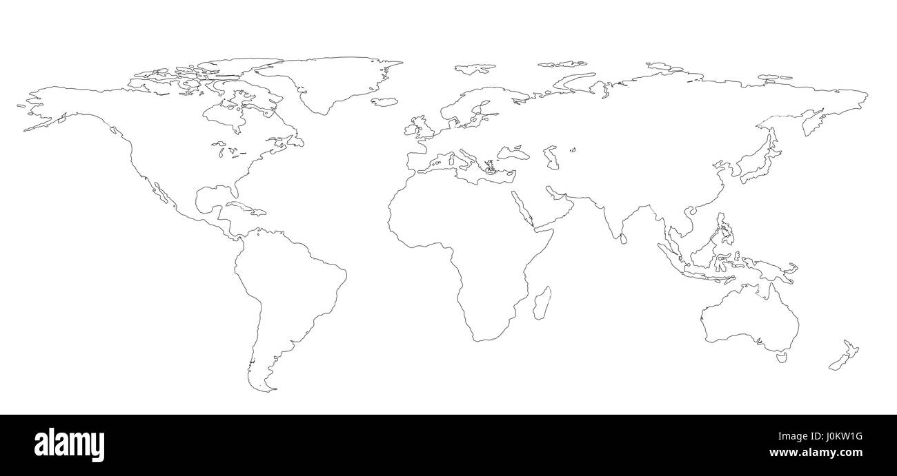 drawing outline World map isolated on white background. infographics, illustration Stock Photohttps://www.alamy.com/image-license-details/?v=1https://www.alamy.com/stock-photo-drawing-outline-world-map-isolated-on-white-background-infographics-138119676.html
RFJ0KW1G–drawing outline World map isolated on white background. infographics, illustration
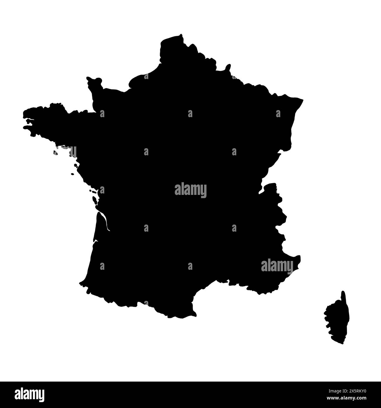 Black silhouette of France. Map illustration of European country. Stock Photohttps://www.alamy.com/image-license-details/?v=1https://www.alamy.com/black-silhouette-of-france-map-illustration-of-european-country-image605956708.html
RF2X5RKY0–Black silhouette of France. Map illustration of European country.
 World Map Stock Photohttps://www.alamy.com/image-license-details/?v=1https://www.alamy.com/stock-photo-world-map-103326574.html
RMG02X2P–World Map
 Christchurch, United Kingdom atlas map town name - black and white Stock Photohttps://www.alamy.com/image-license-details/?v=1https://www.alamy.com/christchurch-united-kingdom-atlas-map-town-name-black-and-white-image520000148.html
RF2N601DT–Christchurch, United Kingdom atlas map town name - black and white
 Globe on a sketch stand Stock Vectorhttps://www.alamy.com/image-license-details/?v=1https://www.alamy.com/globe-on-a-sketch-stand-image237580098.html
RFRPEKRE–Globe on a sketch stand
 traffic transport Stock Photohttps://www.alamy.com/image-license-details/?v=1https://www.alamy.com/stock-photo-traffic-transport-124650862.html
RFH6P9CE–traffic transport
 World map made of beautiful flowers on grey background, banner design Stock Photohttps://www.alamy.com/image-license-details/?v=1https://www.alamy.com/world-map-made-of-beautiful-flowers-on-grey-background-banner-design-image600143083.html
RF2WTATHF–World map made of beautiful flowers on grey background, banner design
RF2XAW0GD–Spray Painted Graffiti globe world map icon Sprayed isolated with a white background.eps 10.
 Black silhouette isolated World map. EPS10 vector file organized in layers for easy editing. Stock Photohttps://www.alamy.com/image-license-details/?v=1https://www.alamy.com/black-silhouette-isolated-world-map-eps10-vector-file-organized-in-image61419613.html
RFDFWW9H–Black silhouette isolated World map. EPS10 vector file organized in layers for easy editing.
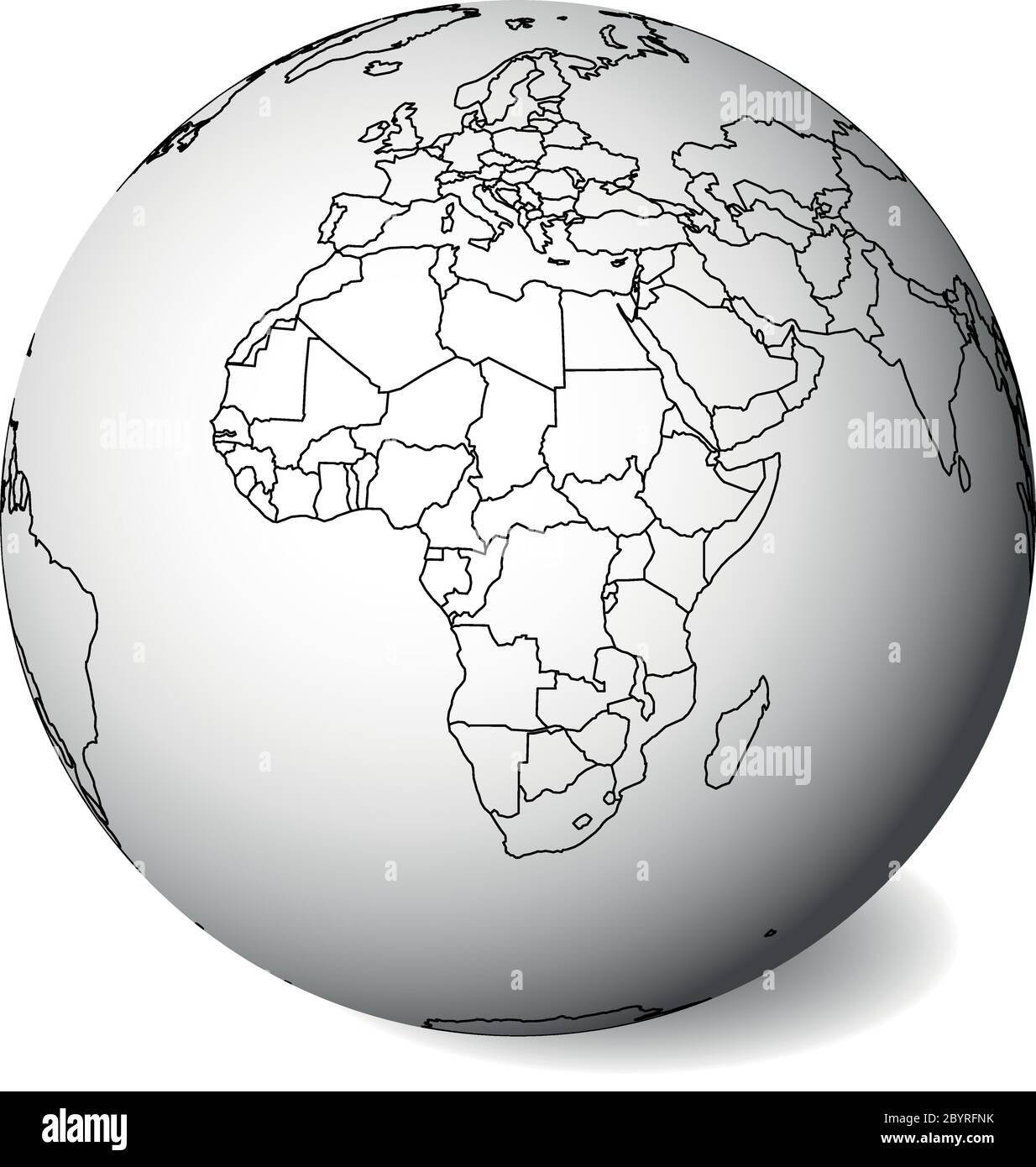 Blank political map of Africa. 3D Earth globe with black outline map. Vector illustration. Stock Vectorhttps://www.alamy.com/image-license-details/?v=1https://www.alamy.com/blank-political-map-of-africa-3d-earth-globe-with-black-outline-map-vector-illustration-image361320335.html
RF2BYRFNK–Blank political map of Africa. 3D Earth globe with black outline map. Vector illustration.
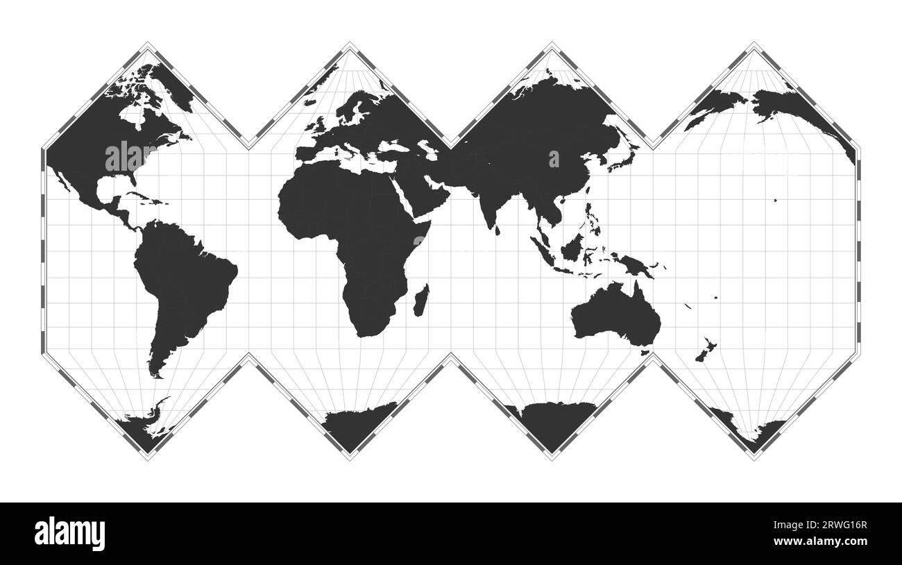 Vector world map. HEALPix projection. Plain world geographical map with latitude and longitude lines. Centered to 60deg W longitude. Stock Vectorhttps://www.alamy.com/image-license-details/?v=1https://www.alamy.com/vector-world-map-healpix-projection-plain-world-geographical-map-with-latitude-and-longitude-lines-centered-to-60deg-w-longitude-image566450383.html
RF2RWG16R–Vector world map. HEALPix projection. Plain world geographical map with latitude and longitude lines. Centered to 60deg W longitude.
RF2T4DD67–geology black compass silhouette cartography illustration map icon geography logo location land direction topography travel globe earth world continent science
 3D world map isolated with clipping path Stock Photohttps://www.alamy.com/image-license-details/?v=1https://www.alamy.com/3d-world-map-isolated-with-clipping-path-image337592163.html
RF2AH6J6Y–3D world map isolated with clipping path
 Grey Map India In The Dot . Vector illustration Stock Vectorhttps://www.alamy.com/image-license-details/?v=1https://www.alamy.com/stock-photo-grey-map-india-in-the-dot-vector-illustration-125772437.html
RFH8HC0N–Grey Map India In The Dot . Vector illustration
 World map Stock Photohttps://www.alamy.com/image-license-details/?v=1https://www.alamy.com/stock-photo-world-map-98563551.html
RFFM9XPR–World map
 World map isolated on black wall background Stock Photohttps://www.alamy.com/image-license-details/?v=1https://www.alamy.com/world-map-isolated-on-black-wall-background-image638264855.html
RF2S2BD9B–World map isolated on black wall background
 High school professor in classroom with globe, geography Stock Photohttps://www.alamy.com/image-license-details/?v=1https://www.alamy.com/high-school-professor-in-classroom-with-globe-geography-image440486663.html
RF2GGHW6F–High school professor in classroom with globe, geography
 White world map isolated on black wall background. Horizontal banner Stock Photohttps://www.alamy.com/image-license-details/?v=1https://www.alamy.com/white-world-map-isolated-on-black-wall-background-horizontal-banner-image446598354.html
RF2GXG8N6–White world map isolated on black wall background. Horizontal banner
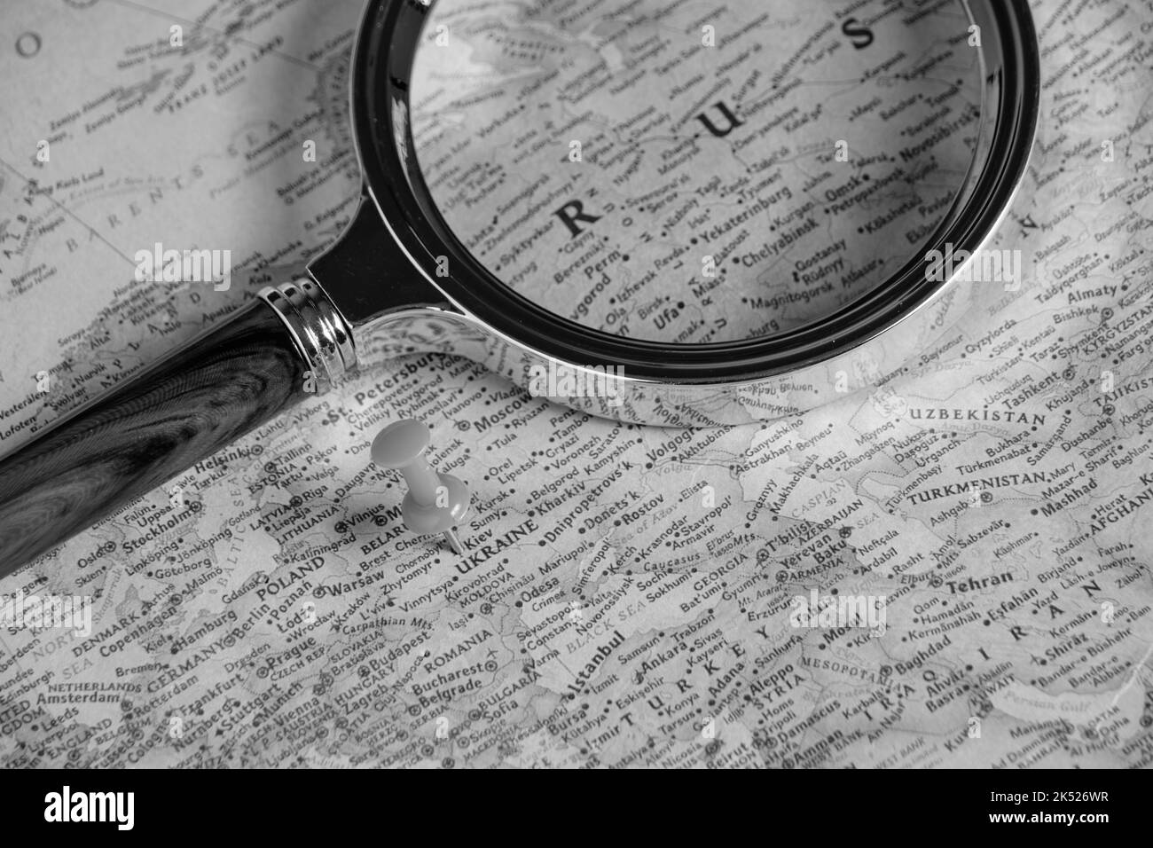 Under a magnifying glass on map is territory Russian Federation, in black and white photo Stock Photohttps://www.alamy.com/image-license-details/?v=1https://www.alamy.com/under-a-magnifying-glass-on-map-is-territory-russian-federation-in-black-and-white-photo-image485012915.html
RF2K526WR–Under a magnifying glass on map is territory Russian Federation, in black and white photo
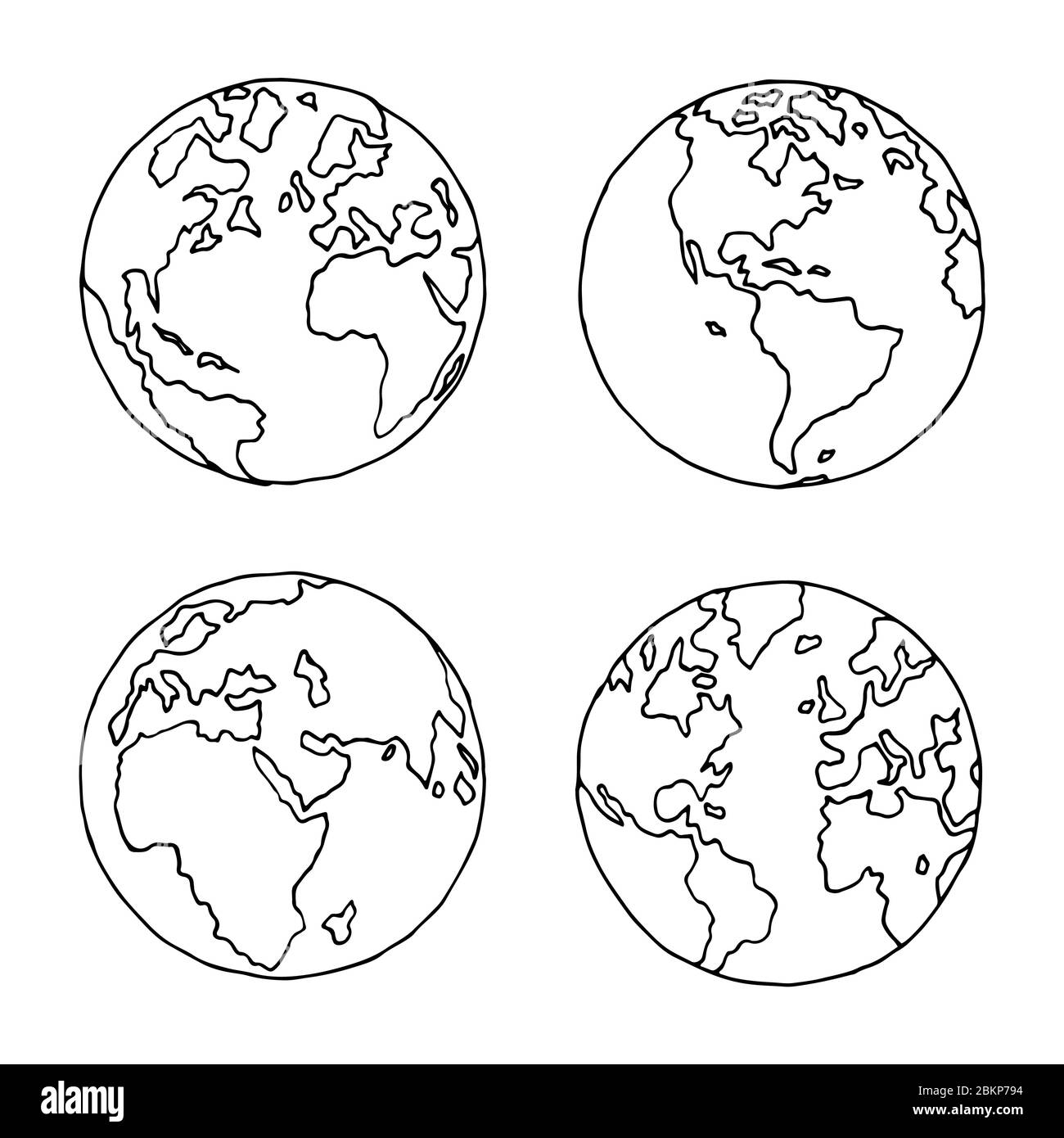 Hand drawn globe in four projections. Western and eastern, north and south hemispheres. Not exactly precision outline drawing of world map in black an Stock Vectorhttps://www.alamy.com/image-license-details/?v=1https://www.alamy.com/hand-drawn-globe-in-four-projections-western-and-eastern-north-and-south-hemispheres-not-exactly-precision-outline-drawing-of-world-map-in-black-an-image356374512.html
RF2BKP794–Hand drawn globe in four projections. Western and eastern, north and south hemispheres. Not exactly precision outline drawing of world map in black an
 Black silhouette of Italy and France. Map illustration of European countries. Stock Photohttps://www.alamy.com/image-license-details/?v=1https://www.alamy.com/black-silhouette-of-italy-and-france-map-illustration-of-european-countries-image605956717.html
RF2X5RKY9–Black silhouette of Italy and France. Map illustration of European countries.
 world map background simple design Stock Vectorhttps://www.alamy.com/image-license-details/?v=1https://www.alamy.com/world-map-background-simple-design-image360218147.html
RF2BX19WR–world map background simple design
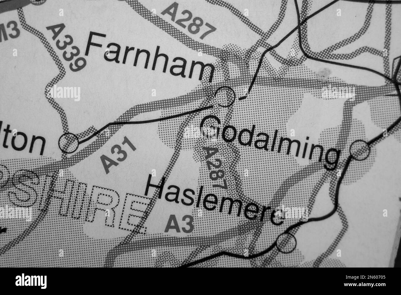
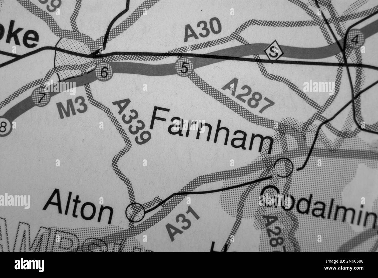 Farnham, United Kingdom atlas map town name - black and white Stock Photohttps://www.alamy.com/image-license-details/?v=1https://www.alamy.com/farnham-united-kingdom-atlas-map-town-name-black-and-white-image520003912.html
RF2N60688–Farnham, United Kingdom atlas map town name - black and white
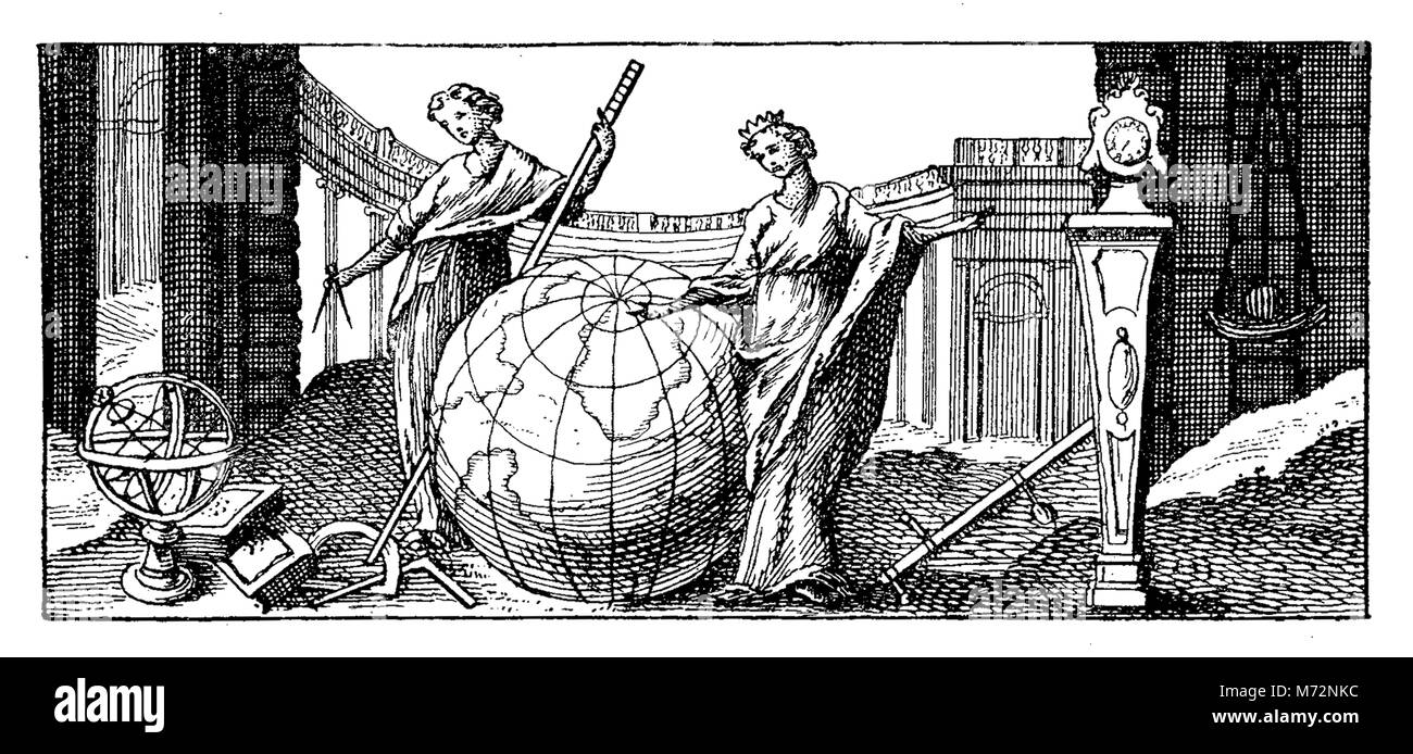 The earth globe representation and allegory, vintage engraving year 1741 Stock Photohttps://www.alamy.com/image-license-details/?v=1https://www.alamy.com/stock-photo-the-earth-globe-representation-and-allegory-vintage-engraving-year-176467184.html
RFM72NKC–The earth globe representation and allegory, vintage engraving year 1741
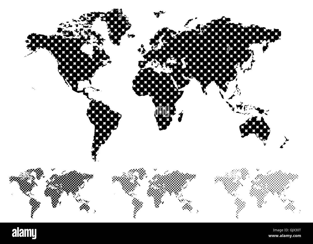 travel usa dot Stock Photohttps://www.alamy.com/image-license-details/?v=1https://www.alamy.com/stock-photo-travel-usa-dot-114899144.html
RFGJX30T–travel usa dot
 World map made of beautiful flowers on black background, black and white effect. Banner design Stock Photohttps://www.alamy.com/image-license-details/?v=1https://www.alamy.com/world-map-made-of-beautiful-flowers-on-black-background-black-and-white-effect-banner-design-image600385213.html
RF2WTNWD1–World map made of beautiful flowers on black background, black and white effect. Banner design
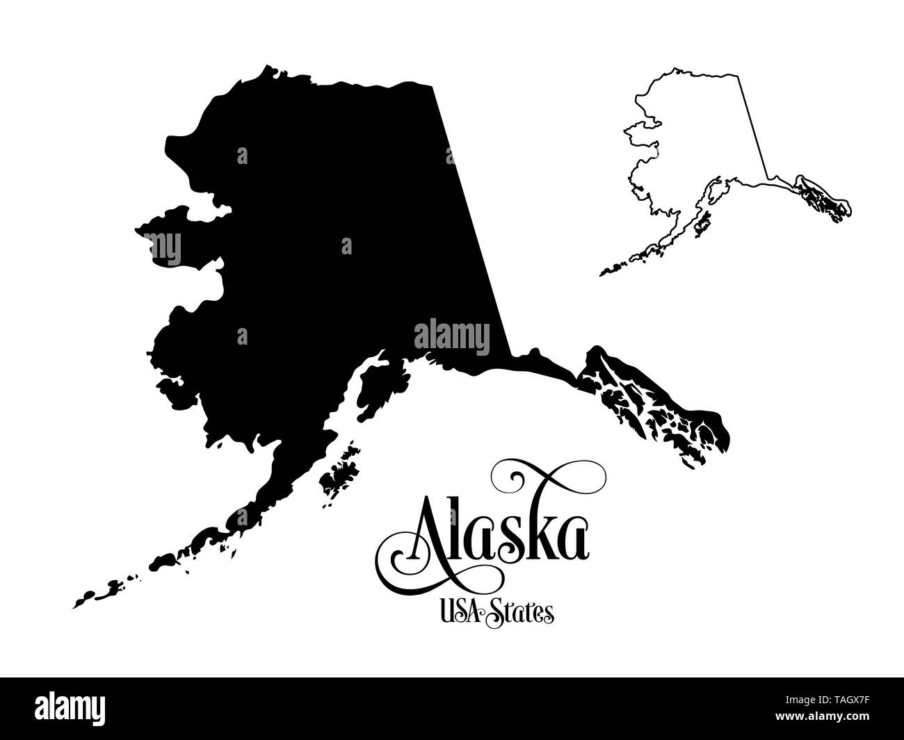 Map of The United States of America (USA) State of Alaska - Illustration on White Background. Stock Photohttps://www.alamy.com/image-license-details/?v=1https://www.alamy.com/map-of-the-united-states-of-america-usa-state-of-alaska-illustration-on-white-background-image247463539.html
RFTAGX7F–Map of The United States of America (USA) State of Alaska - Illustration on White Background.
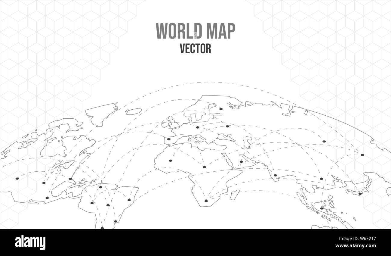 World map illustration with network connection worldwide locations. Empty globe template on isolated white background in curve perspective. Stock Vectorhttps://www.alamy.com/image-license-details/?v=1https://www.alamy.com/world-map-illustration-with-network-connection-worldwide-locations-empty-globe-template-on-isolated-white-background-in-curve-perspective-image262152387.html
RFW6E217–World map illustration with network connection worldwide locations. Empty globe template on isolated white background in curve perspective.
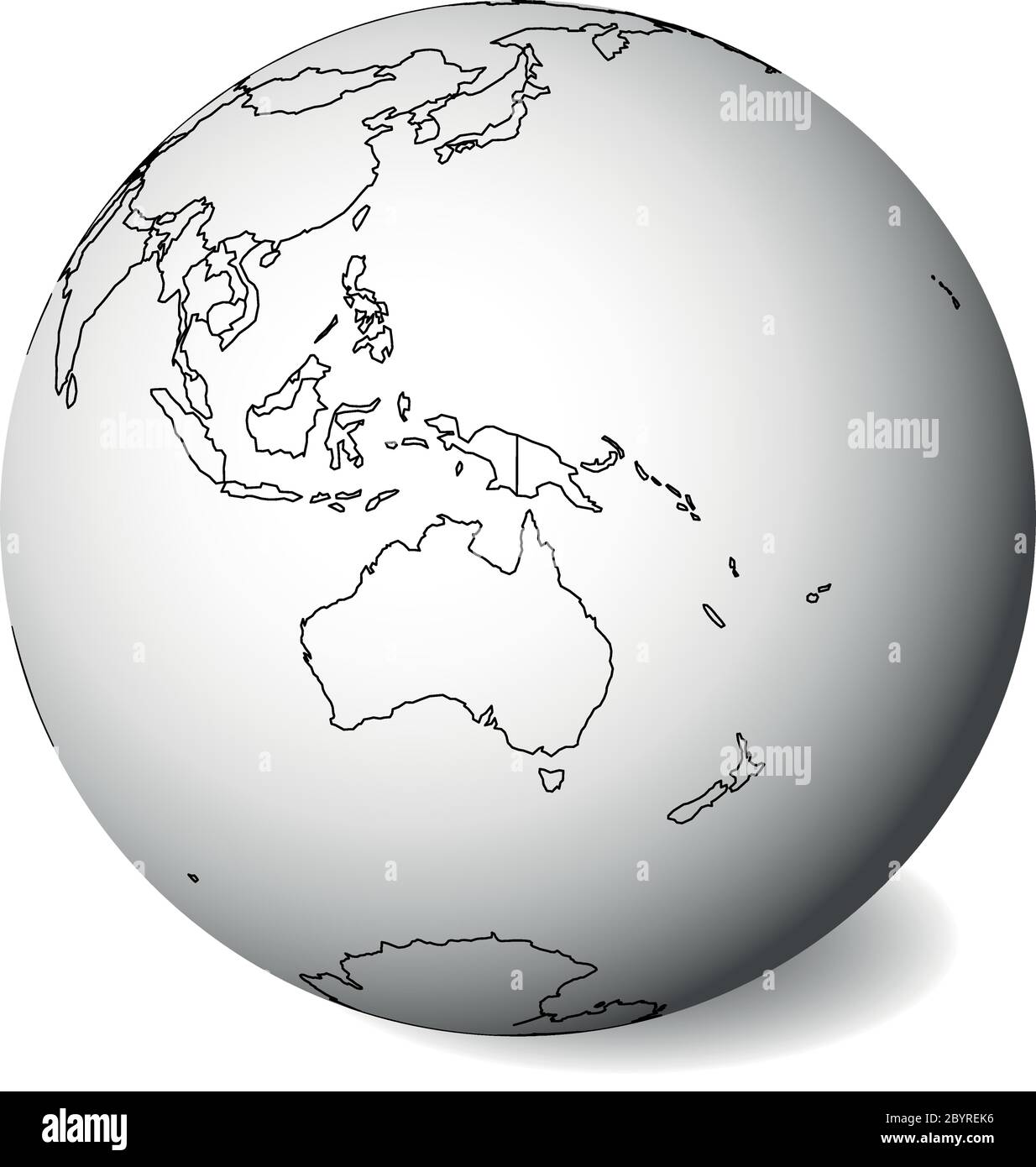 Blank political map of Australia. 3D Earth globe with black outline map. Vector illustration. Stock Vectorhttps://www.alamy.com/image-license-details/?v=1https://www.alamy.com/blank-political-map-of-australia-3d-earth-globe-with-black-outline-map-vector-illustration-image361319482.html
RF2BYREK6–Blank political map of Australia. 3D Earth globe with black outline map. Vector illustration.
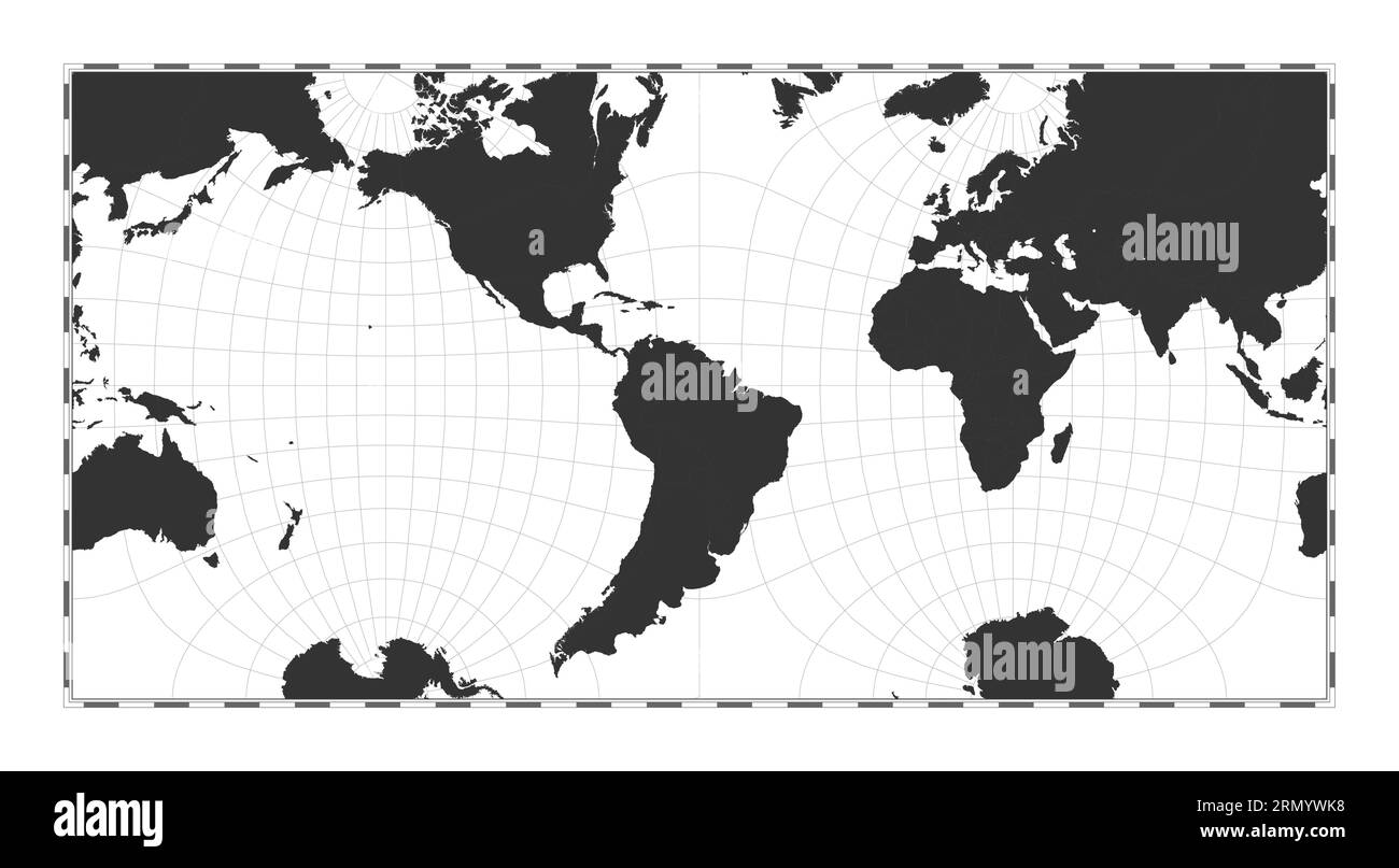 Vector world map. Guyou hemisphere-in-a-square projection. Plain world geographical map with latitude and longitude lines. Stock Vectorhttps://www.alamy.com/image-license-details/?v=1https://www.alamy.com/vector-world-map-guyou-hemisphere-in-a-square-projection-plain-world-geographical-map-with-latitude-and-longitude-lines-image563637740.html
RF2RMYWK8–Vector world map. Guyou hemisphere-in-a-square projection. Plain world geographical map with latitude and longitude lines.
RF2T4DDK7–geology black compass silhouette cartography illustration map icon geography logo location land direction topography travel globe earth world continent science
 3D world map isolated with clipping path Stock Photohttps://www.alamy.com/image-license-details/?v=1https://www.alamy.com/3d-world-map-isolated-with-clipping-path-image337592165.html
RF2AH6J71–3D world map isolated with clipping path
 World map black and white. Country and international, atlas and globalization, vector graphic illustration Stock Photohttps://www.alamy.com/image-license-details/?v=1https://www.alamy.com/stock-photo-world-map-black-and-white-country-and-international-atlas-and-globalization-84042474.html
RFETMD0X–World map black and white. Country and international, atlas and globalization, vector graphic illustration
 World map Stock Photohttps://www.alamy.com/image-license-details/?v=1https://www.alamy.com/stock-photo-world-map-98563483.html
RFFM9XMB–World map
 World map isolated on black wall background Stock Photohttps://www.alamy.com/image-license-details/?v=1https://www.alamy.com/world-map-isolated-on-black-wall-background-image640009939.html
RF2S56Y5R–World map isolated on black wall background
 surprised bearded man in checkered shirt looking at geographic globe, geography school education Stock Photohttps://www.alamy.com/image-license-details/?v=1https://www.alamy.com/surprised-bearded-man-in-checkered-shirt-looking-at-geographic-globe-geography-school-education-image461191365.html
RF2HP9285–surprised bearded man in checkered shirt looking at geographic globe, geography school education
 World, dotted map on white background. Vector illustration. Stock Vectorhttps://www.alamy.com/image-license-details/?v=1https://www.alamy.com/world-dotted-map-on-white-background-vector-illustration-image382818841.html
RF2D6PW9D–World, dotted map on white background. Vector illustration.
 3d world globe isolated on white Stock Photohttps://www.alamy.com/image-license-details/?v=1https://www.alamy.com/stock-photo-3d-world-globe-isolated-on-white-105576298.html
RFG3NBJ2–3d world globe isolated on white
 Vector dotted world map. Stock Vectorhttps://www.alamy.com/image-license-details/?v=1https://www.alamy.com/vector-dotted-world-map-image561537770.html
RF2RHG74A–Vector dotted world map.
 Contour drawing of Japan and Korea. Map illustration of East Asian countries. Stock Photohttps://www.alamy.com/image-license-details/?v=1https://www.alamy.com/contour-drawing-of-japan-and-korea-map-illustration-of-east-asian-countries-image606192159.html
RF2X66C7Y–Contour drawing of Japan and Korea. Map illustration of East Asian countries.
